
When I’d first planned our vacation to Grants Pass the plan had included seven of Sullivan’s featured hikes, six of which we needed to check off our to-do list, and one to tie up loose ends (post). One of those planned hikes had been Babyfoot Lake but with a trailhead elevation of 4340′ that hike had been postponed due to this years above average snowpack. Before leaving I had checked all our hikes including using a couple of snow-depth maps. At the time they showed 10-20 inches of snow at Babyfoot Lake but nothing for any of our other planned hikes including along the driving route to Marial which was our planned destination for day three. I had been concerned because the BLM roads to the Lower Rogue River-Mule Creek Trailhead spends a fair amount of time between 3400 and 3800′ in elevation before dropping to the trailhead at an elevation under 500′. There was no snow showing up online and neither the BLM nor Forest Service websites mentioned impassable roads. Sullivan lists this hike as open April to December but that is “normal” and this year’s snowpack is not that.
We started Wednesday morning by attempting the roughly 70-mile, nearly 2:30 hour drive. We managed to get within 17 miles of the trailhead before encountering large snow drifts still covering the roads, primarily on the North facing slopes. With no way to reach the trailhead (we couldn’t have even hiked the trail from Grave Creek due to a washout at trail mile 21) we pivoted to plan B. Plan B was to do some or all of the hikes that we’d planned for Friday before driving home. So after a little over 4 hours of driving we wound up at the Dollar Mountain Trailhead less than 2 miles from where we’d started at our cabin.
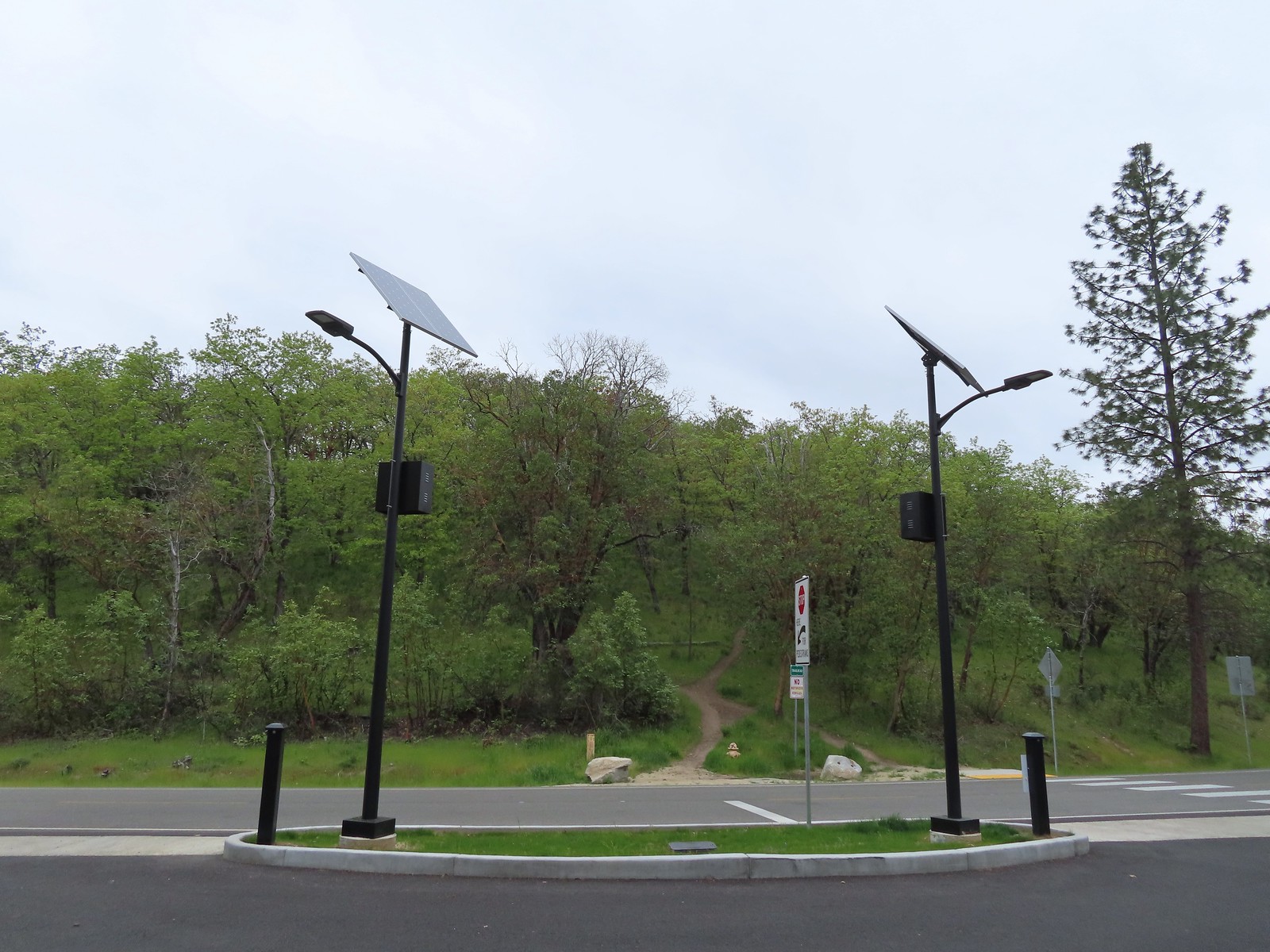
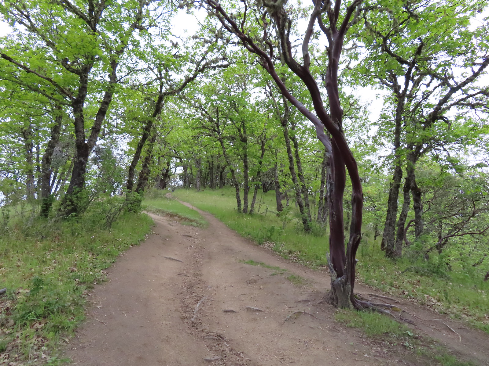
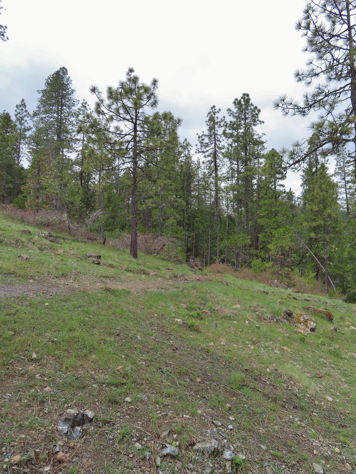
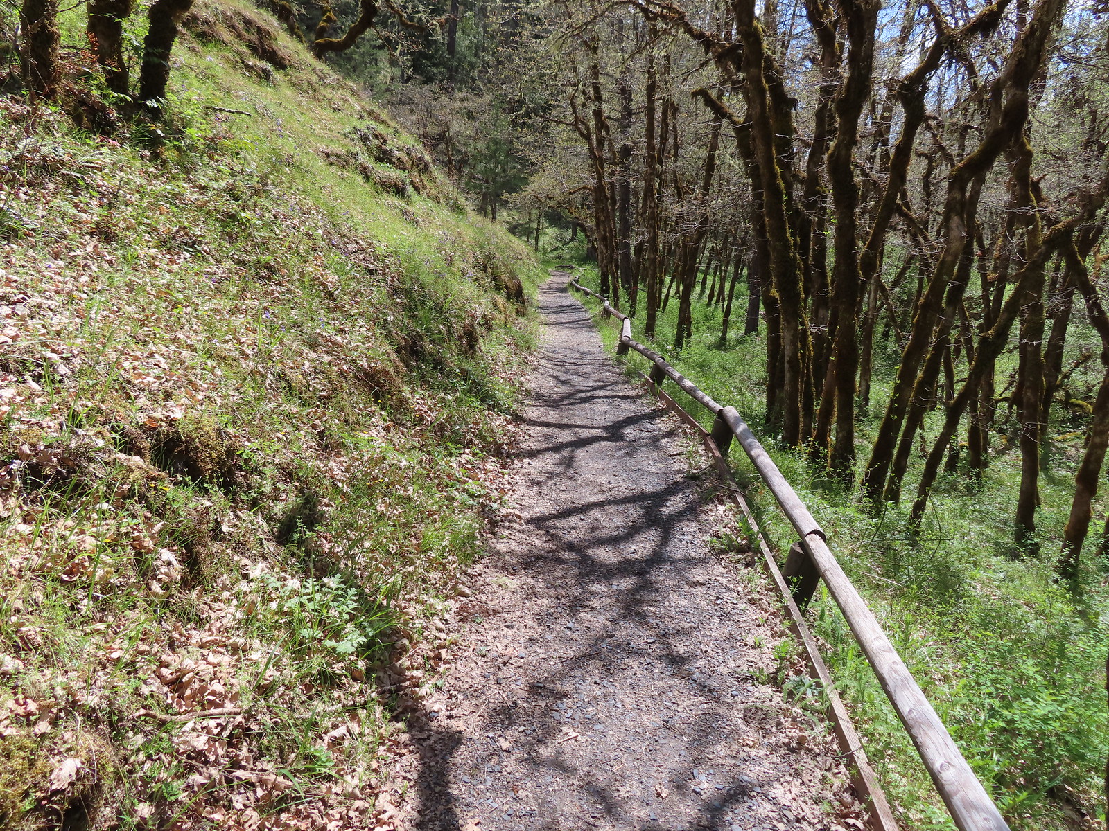
This was an odd little hike as the trail had no signage apart from the trailhead sign and it basically went straight uphill. There were some narrower trails off what appeared to be the main trail which may have been gentler switchbacks, but they just as easily could have been use trails leading to the surrounding neighborhoods or to nowhere in particular. We opted to go straight up on the wider rutted path.
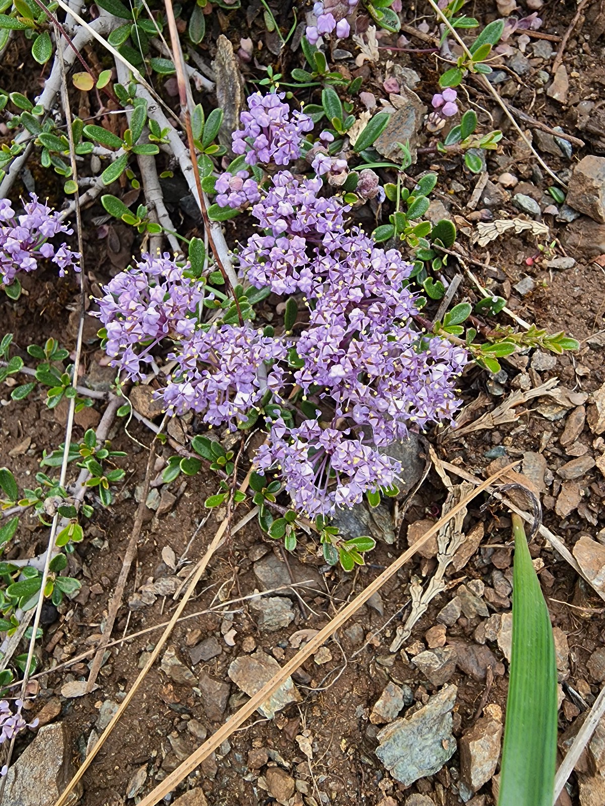
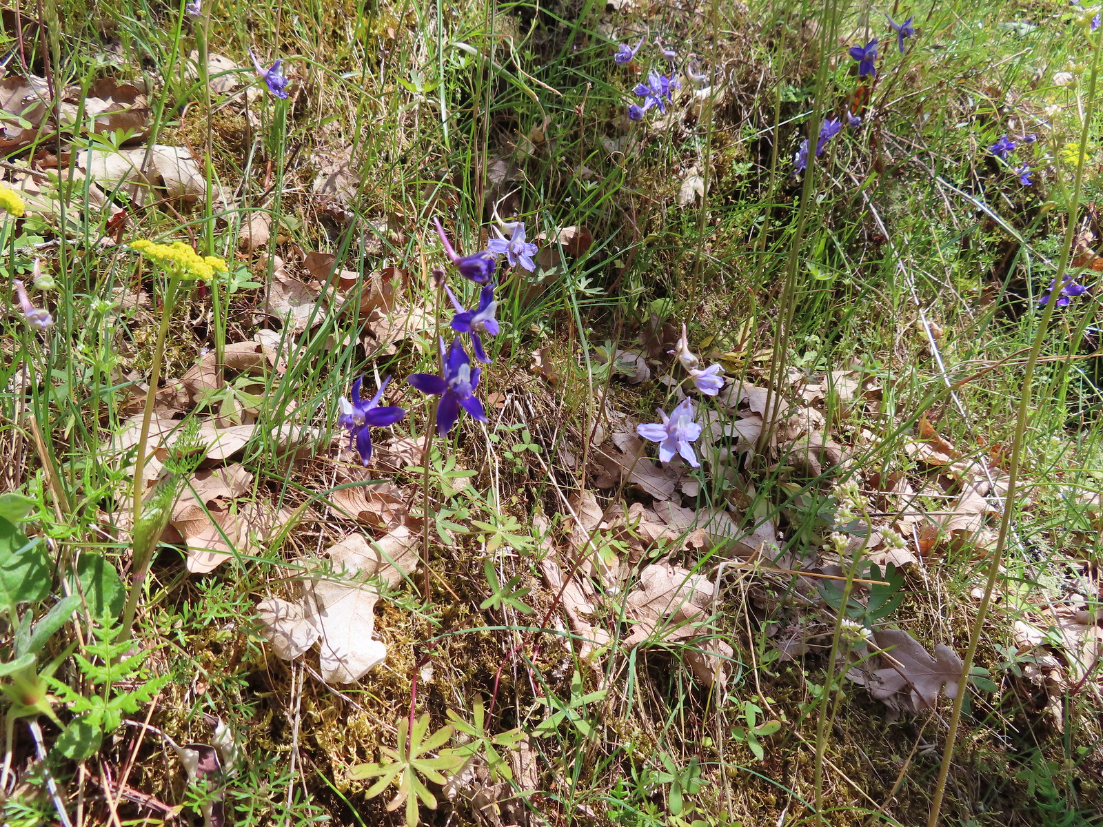
 Larkspur along the trail.
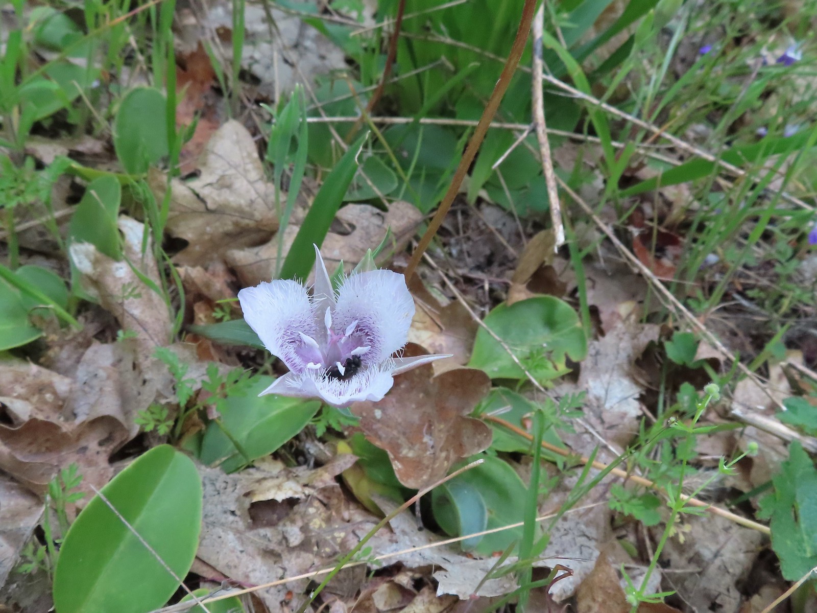 A pollinator in a Tolmie’s mariposa lily.
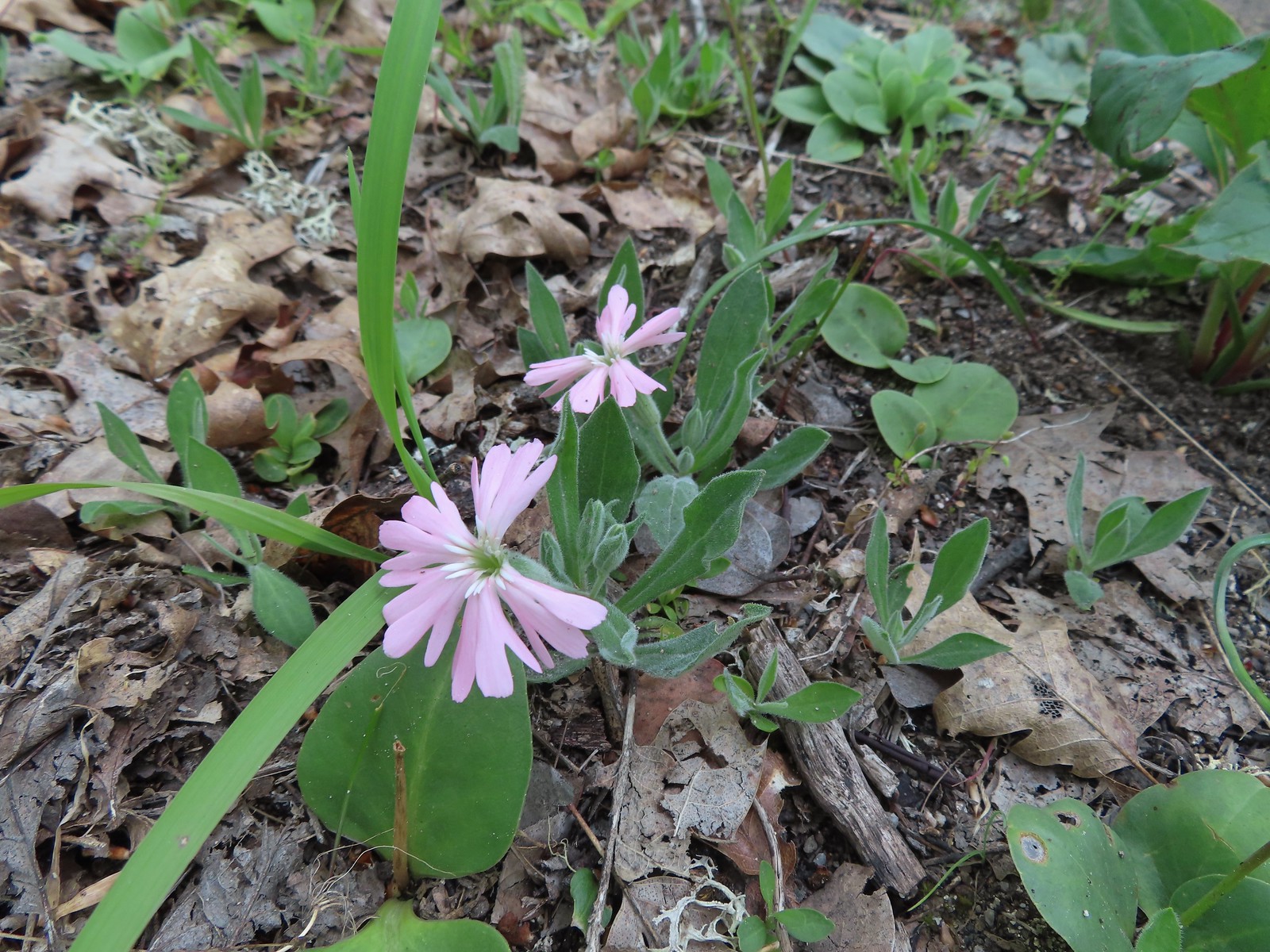
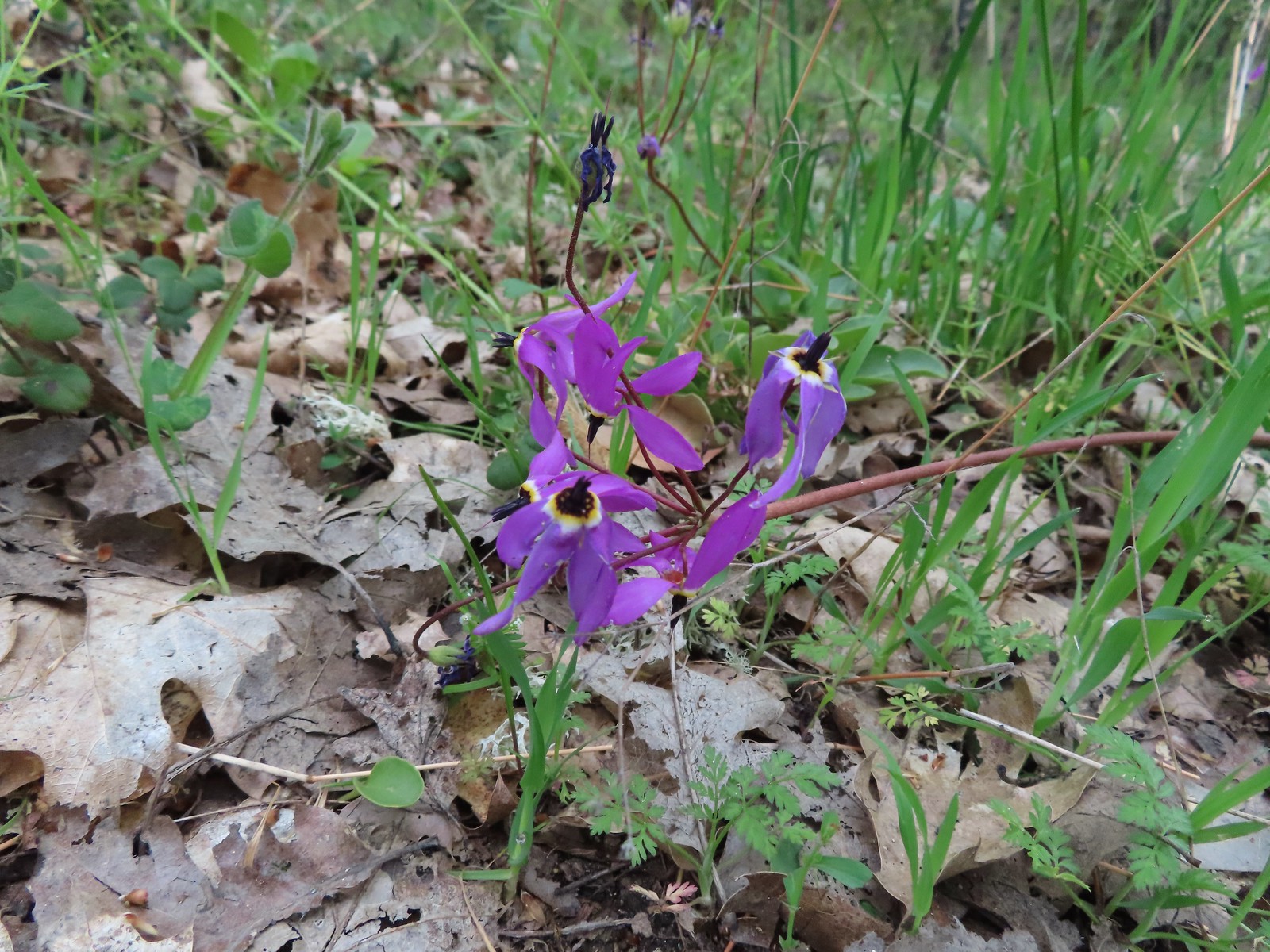 Shooting star
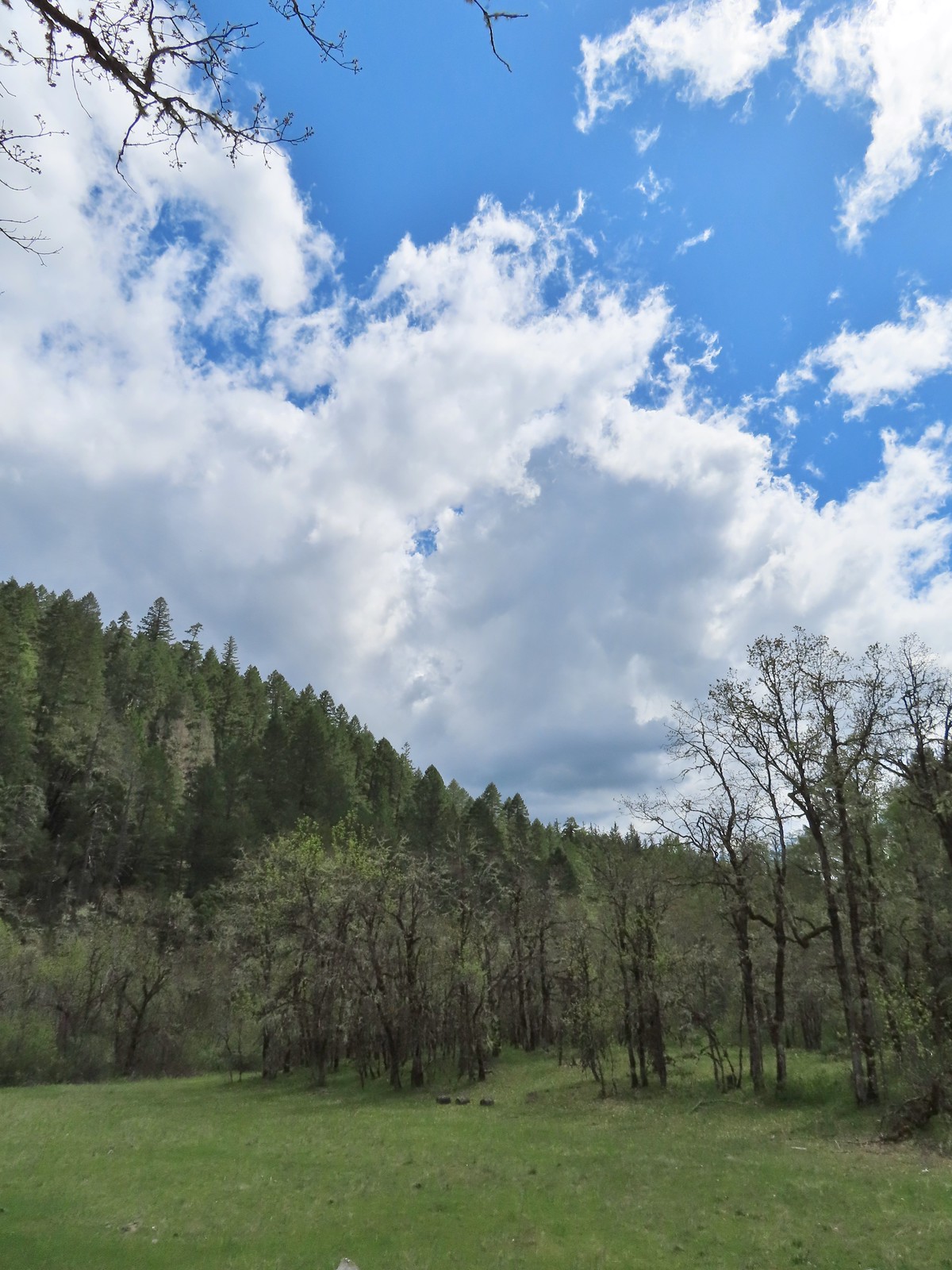
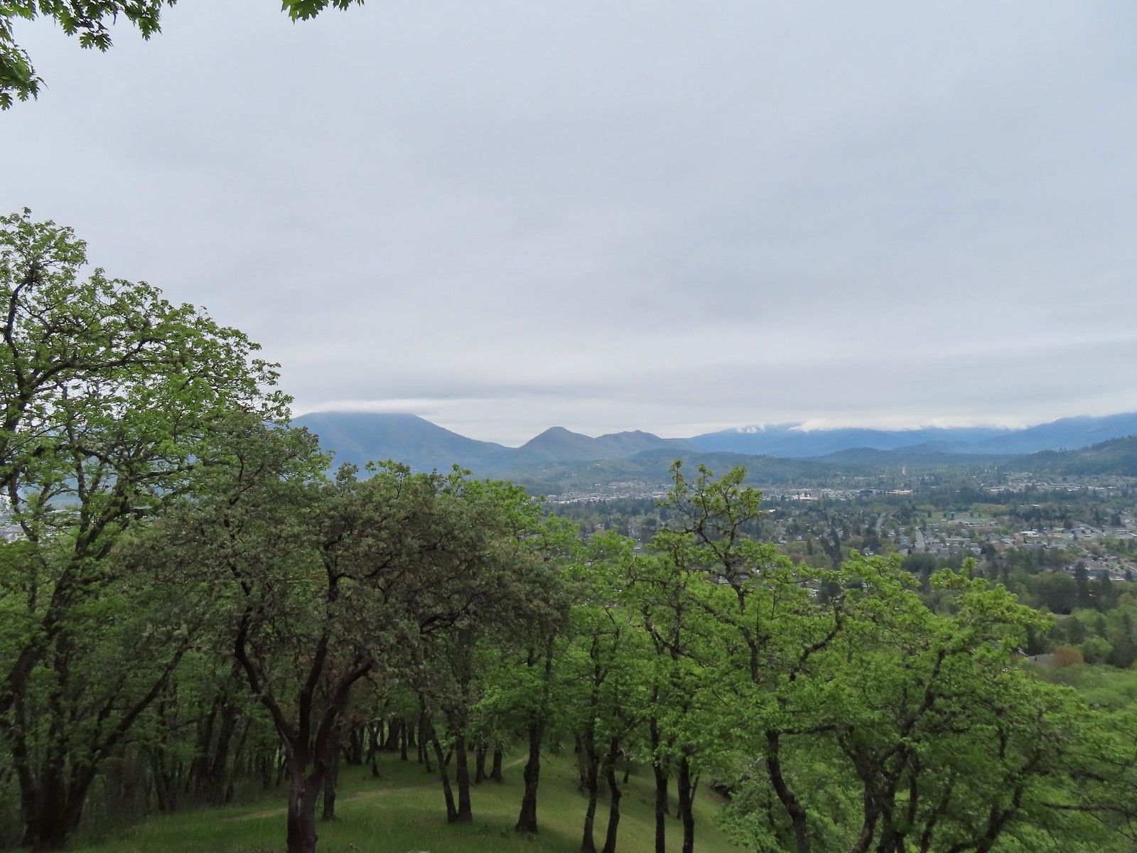 Grants Pass below Dollar Mountain.
 Hooker’s Indian pink
 Silver crown
 Naked broomrape

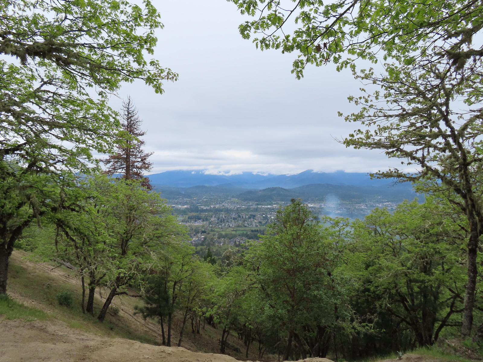
 Too cloudy for a good view.
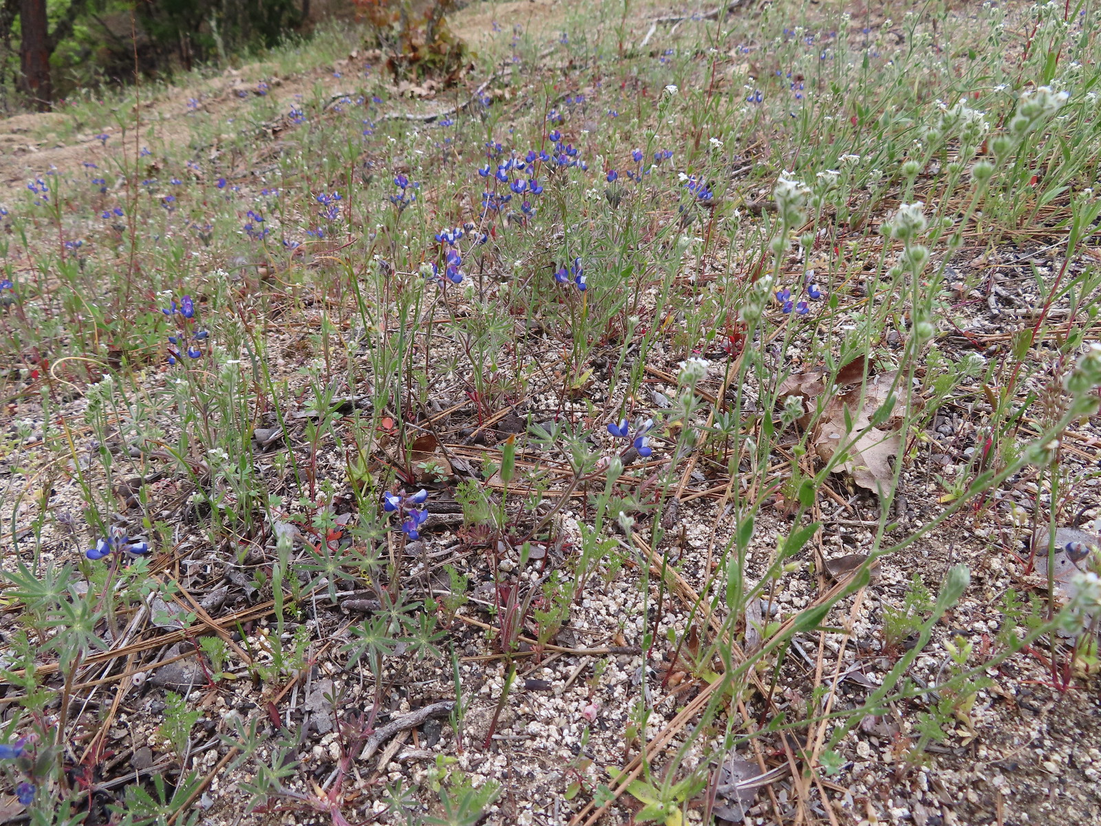 Lupine
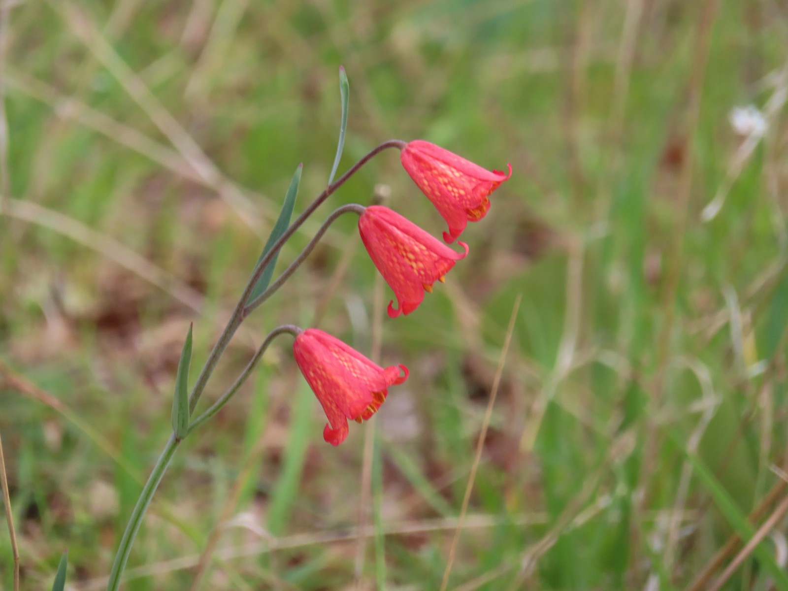 Scarlet fritillary
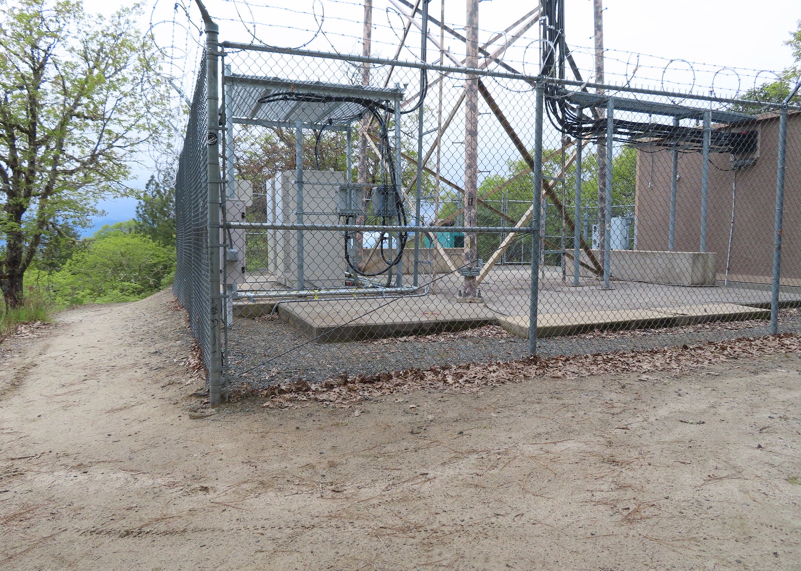
Sullivan had it as 1.2 miles from the trailhead to the summit but going straight up got us to the cell towers on top in exactly 1 mile (regardless of the route the climb is over 750′ of elevation gain).
 View from the summit.
The view from the summit isn’t as good as those just below. From the summit we had the choice of heading back the way we’d come or following a rough roadbed down and around to Crescent Street 0.2 miles NW of the trailhead. We opted for the loop option and headed down the road.
 We stuck to the road ignoring any side paths like this one since we had no idea where they might lead.
 There were dozens of California groundcones along the roadbed.
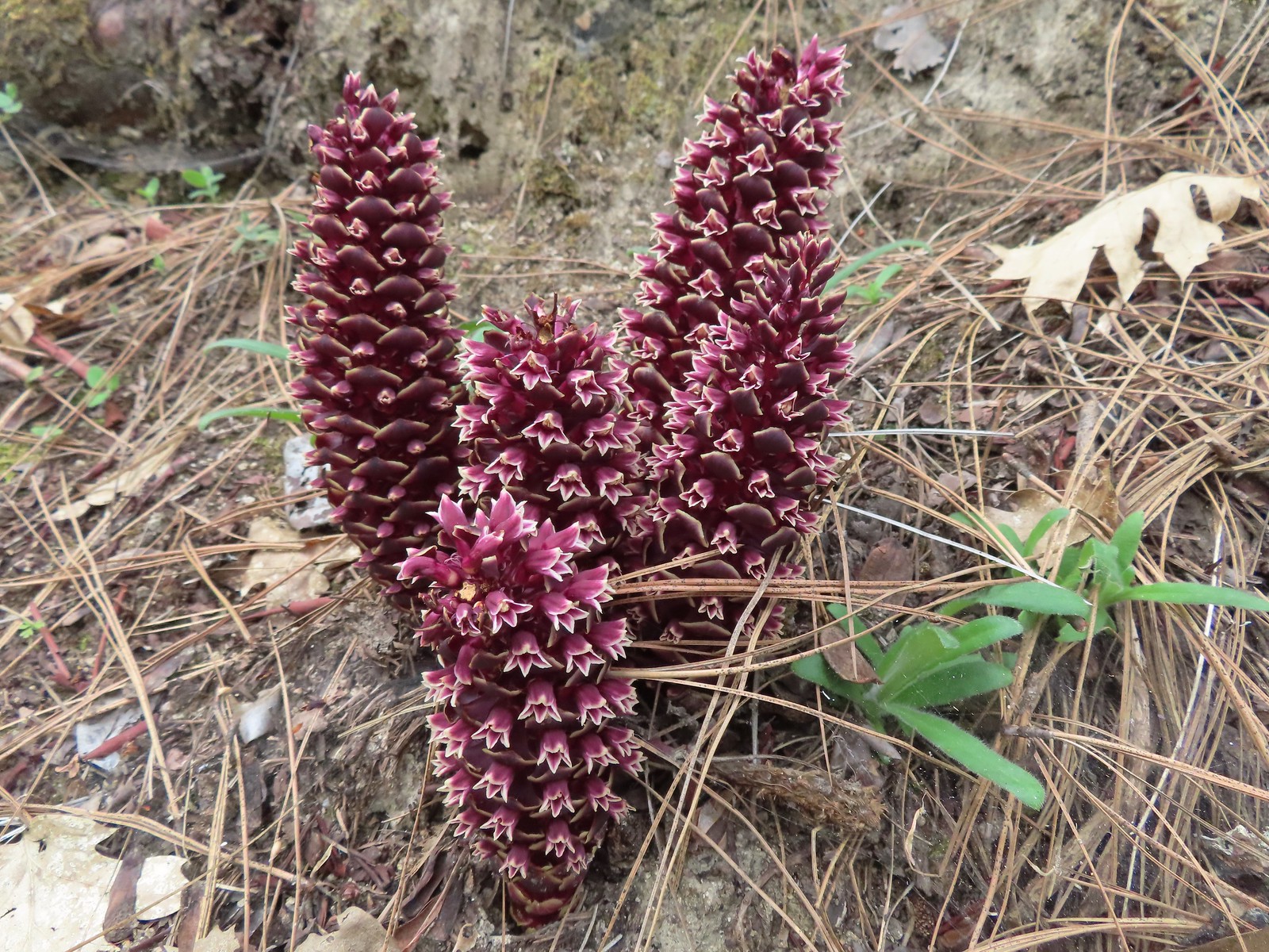 California groundcones
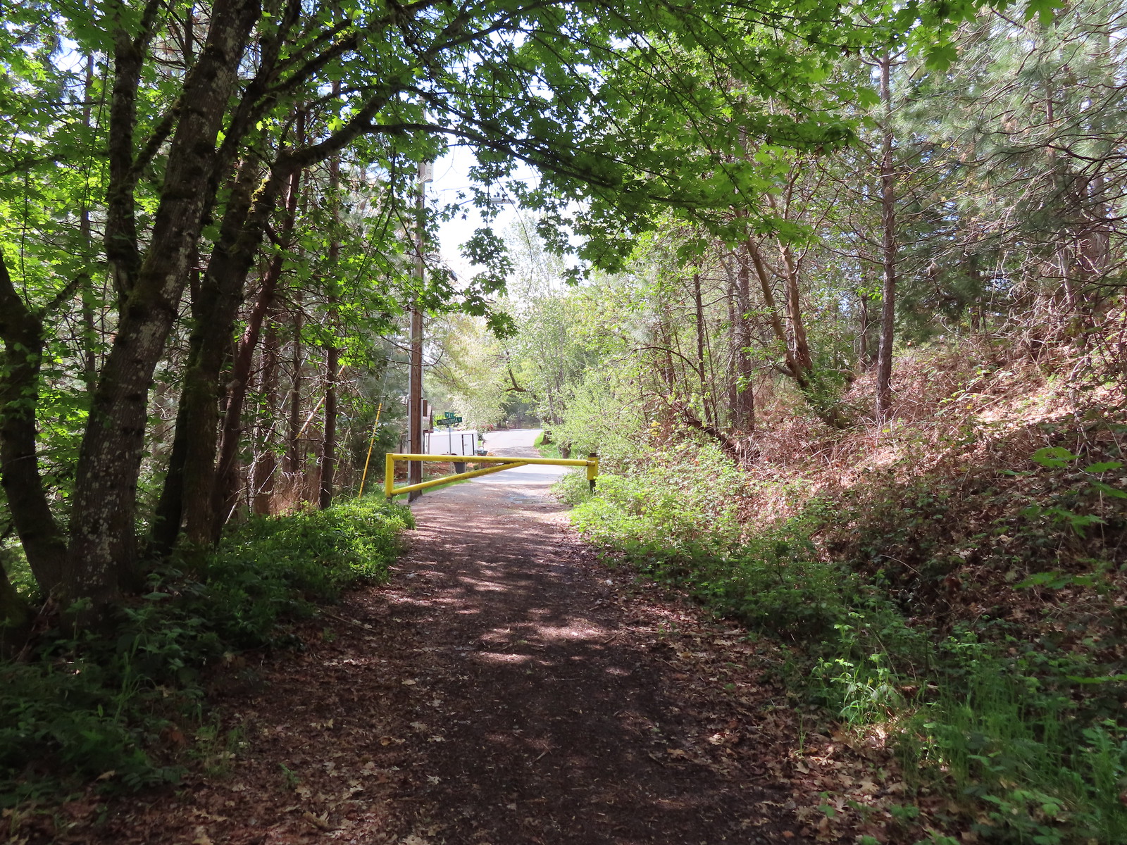 Approaching Crescent Street.
It was a mile and a half from the summit to Crescent Street which we followed back to the car. From there we made the 16-mile drive to the Limpy Botanical Interpretive Loop Trailhead
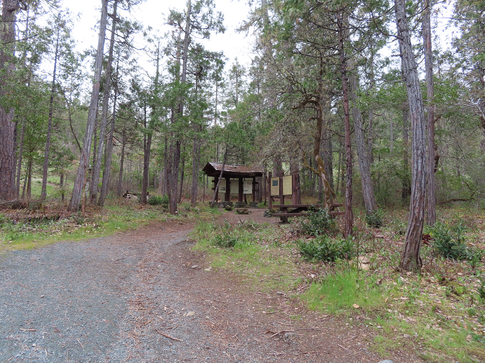
Here we planned to do a mile long loop. We started clockwise from the trailhead signboard following Sullivan’s directions to stay left at all junctions.
 Monkeyflower
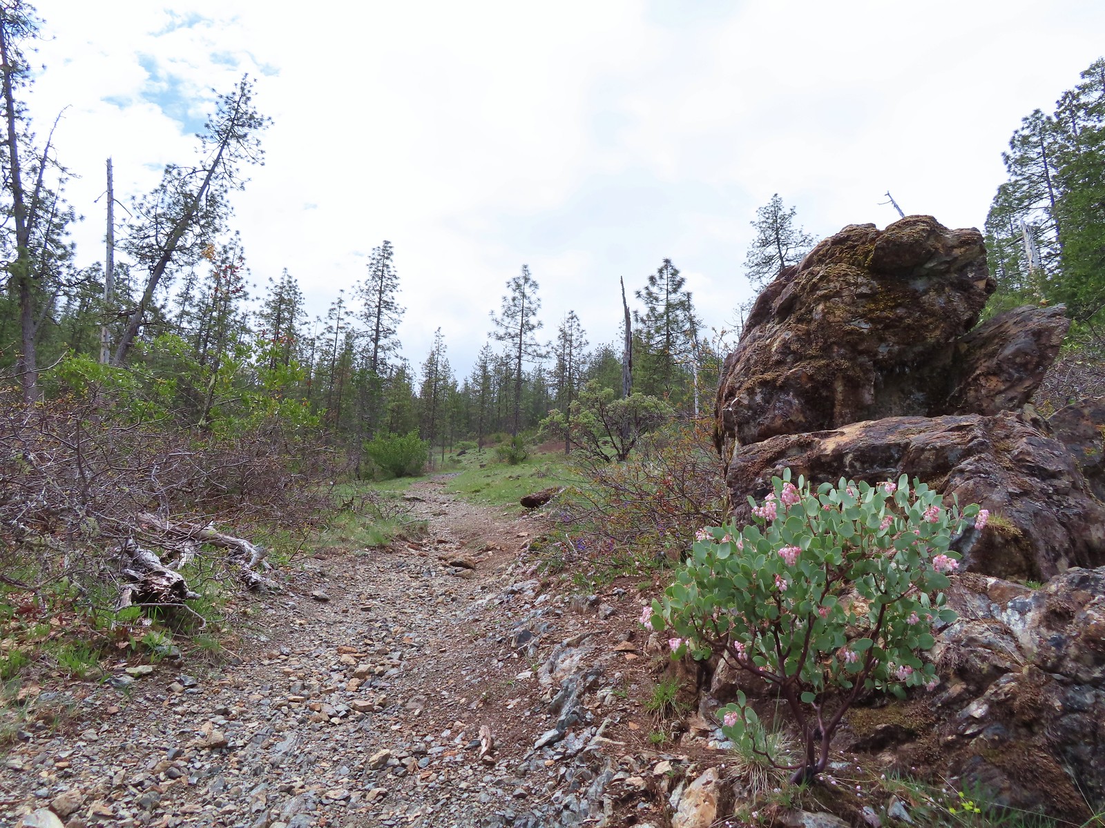
 Dwarf ceanothus
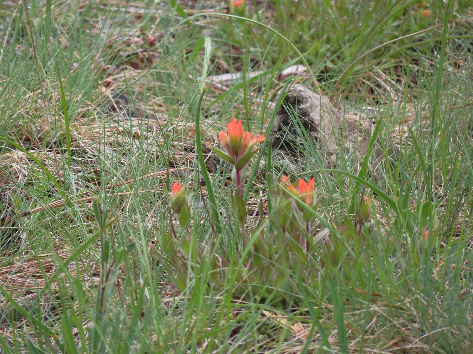 Paintbrush
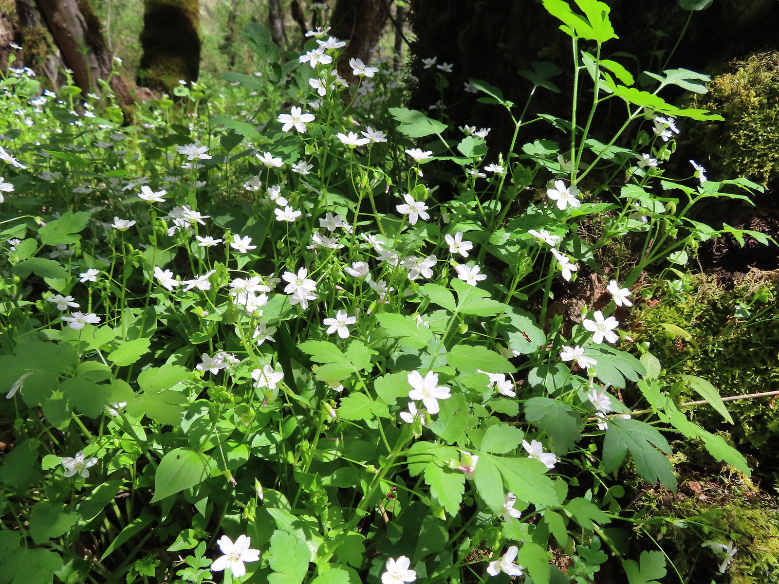
 Camas and shooting stars
 Siskiyou fritillary
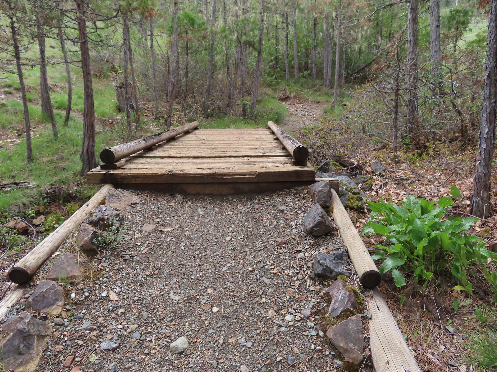
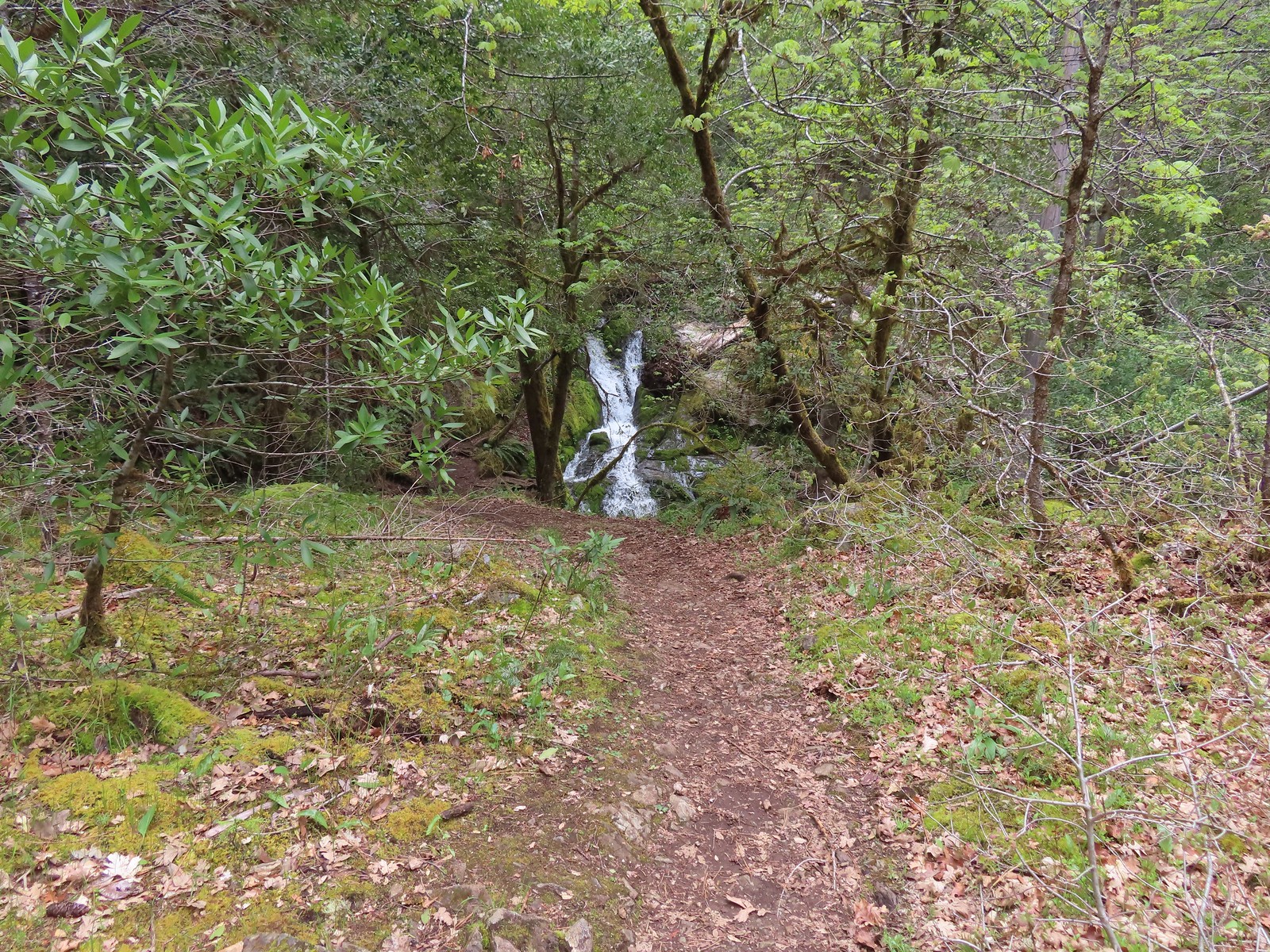
We got into a little trouble when we came to what we thought was another trail junction with a path leading to the right to a bench.
Since the directions we were following said to stay left at all junctions we stayed left following an increasingly rocky path uphill. We wound up just below a roadbed when the “trail” completely petered out. We headed back down to the trail with the bench and tried that one which turned out to be the correct route. This path led us across a pair of boardwalks then to a scenic little waterfall.
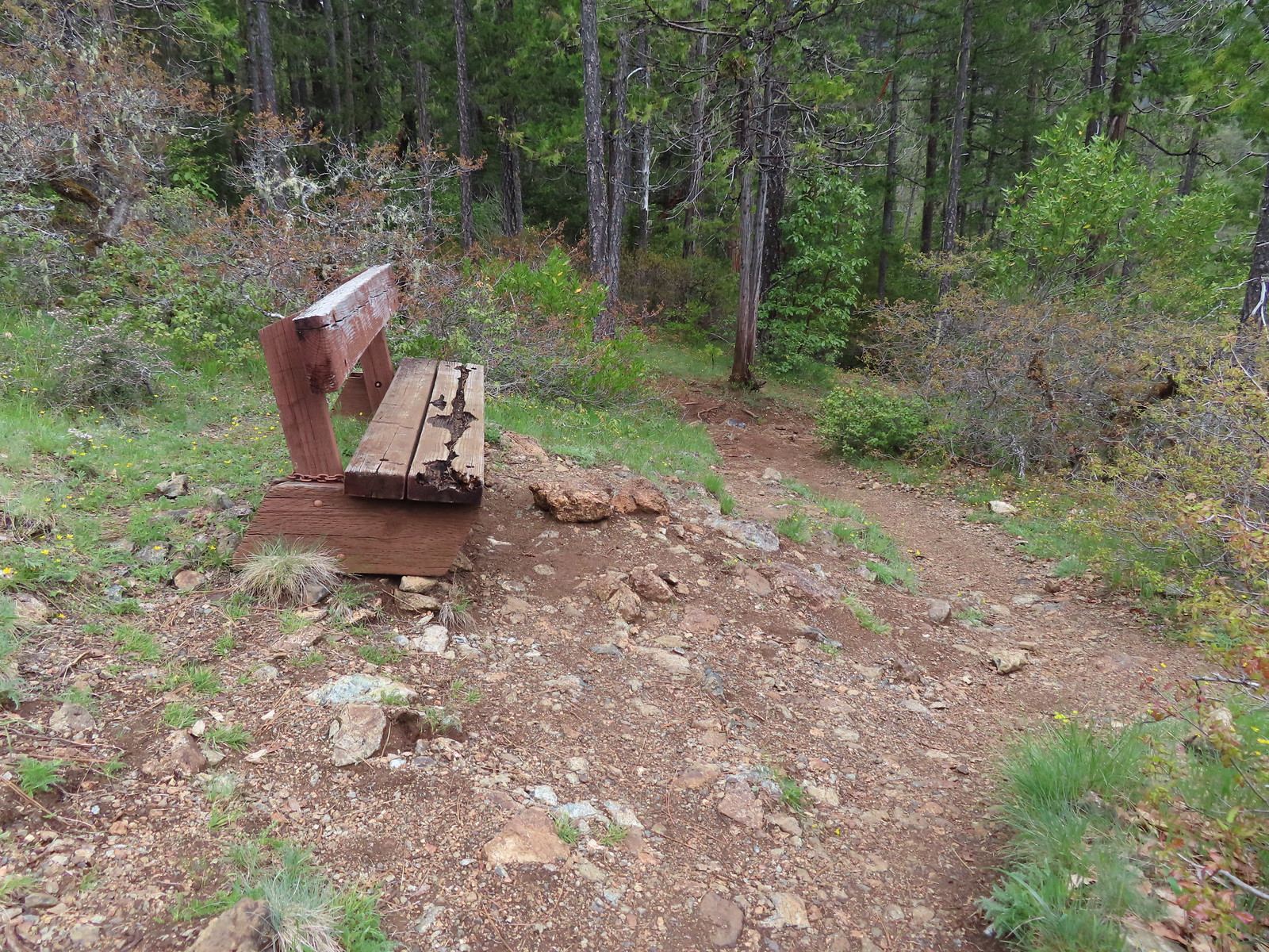 Passing the bench.
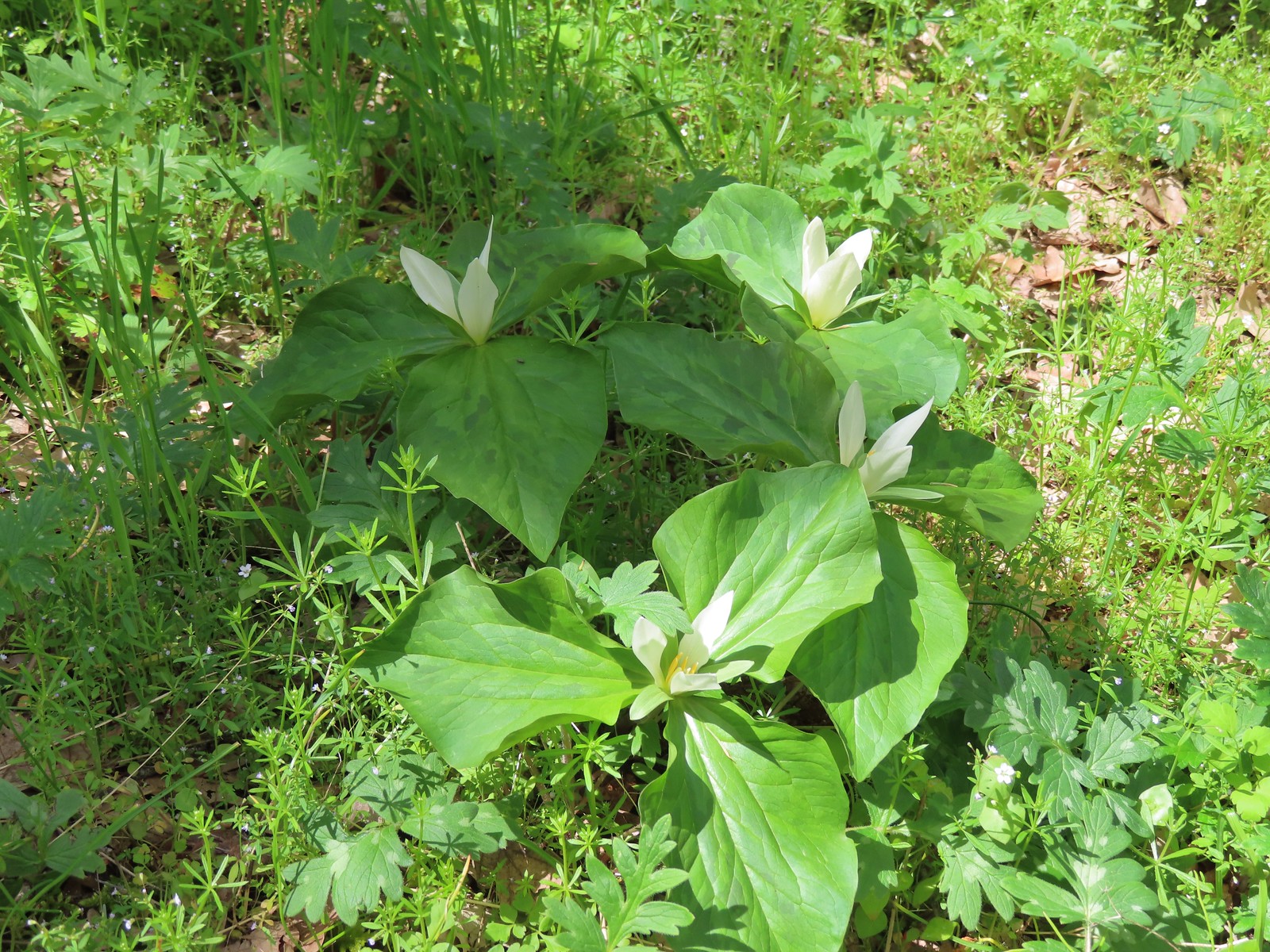
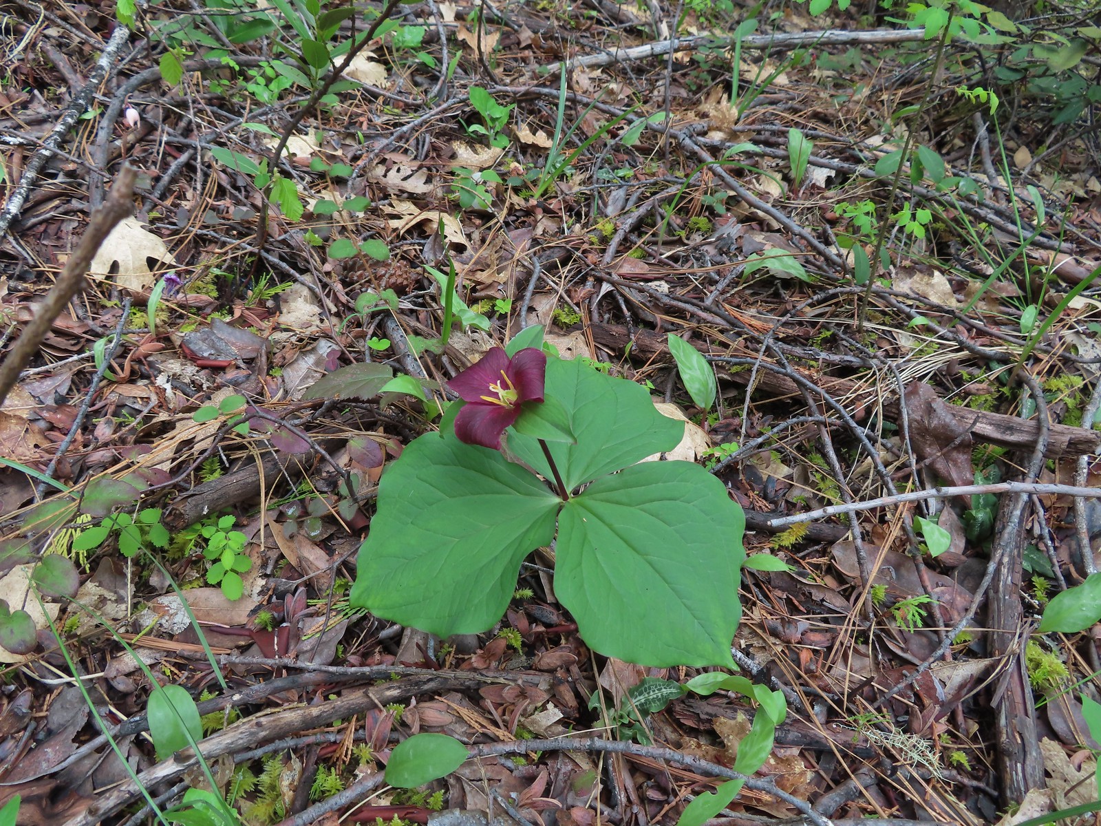 Trillium
 Fairy slippers
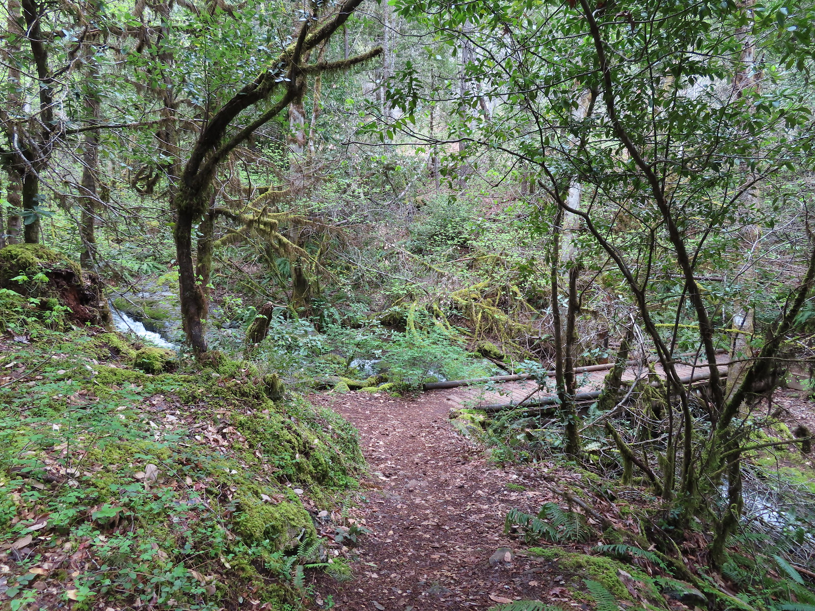
 Boardwalk #1
 Second boardwalk
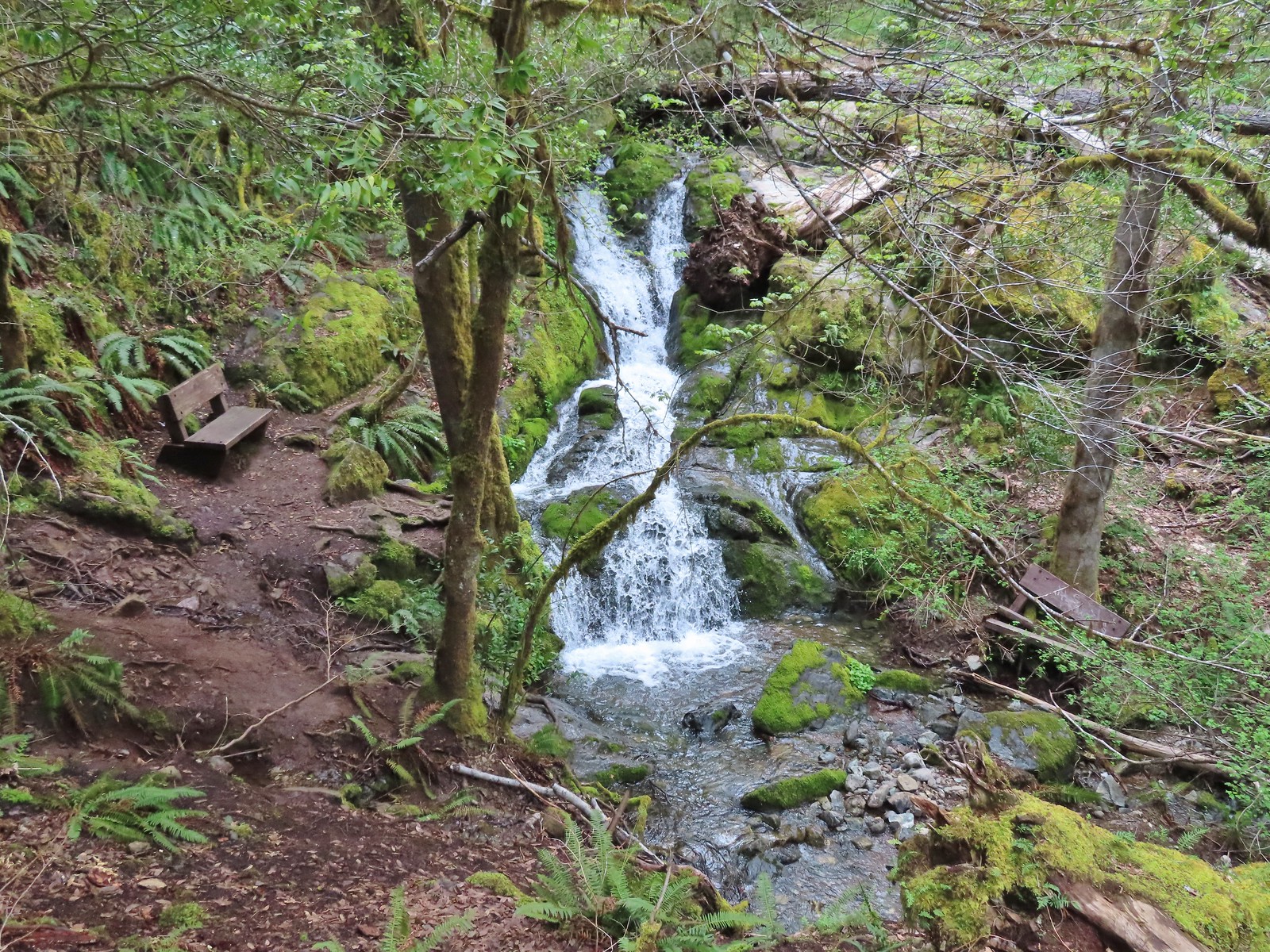 Waterfall on Limpy Creek.
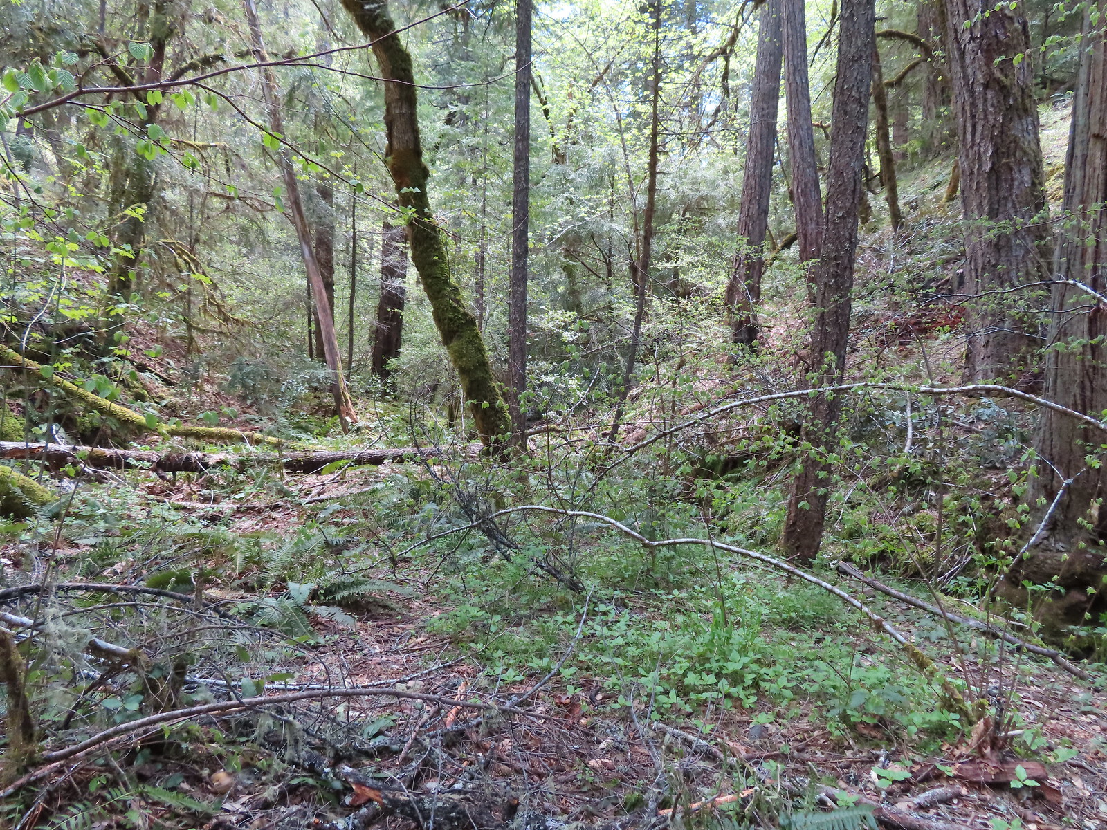
Beyond the falls the trail crossed Limpy Creek then began to descend to another nice little creek.
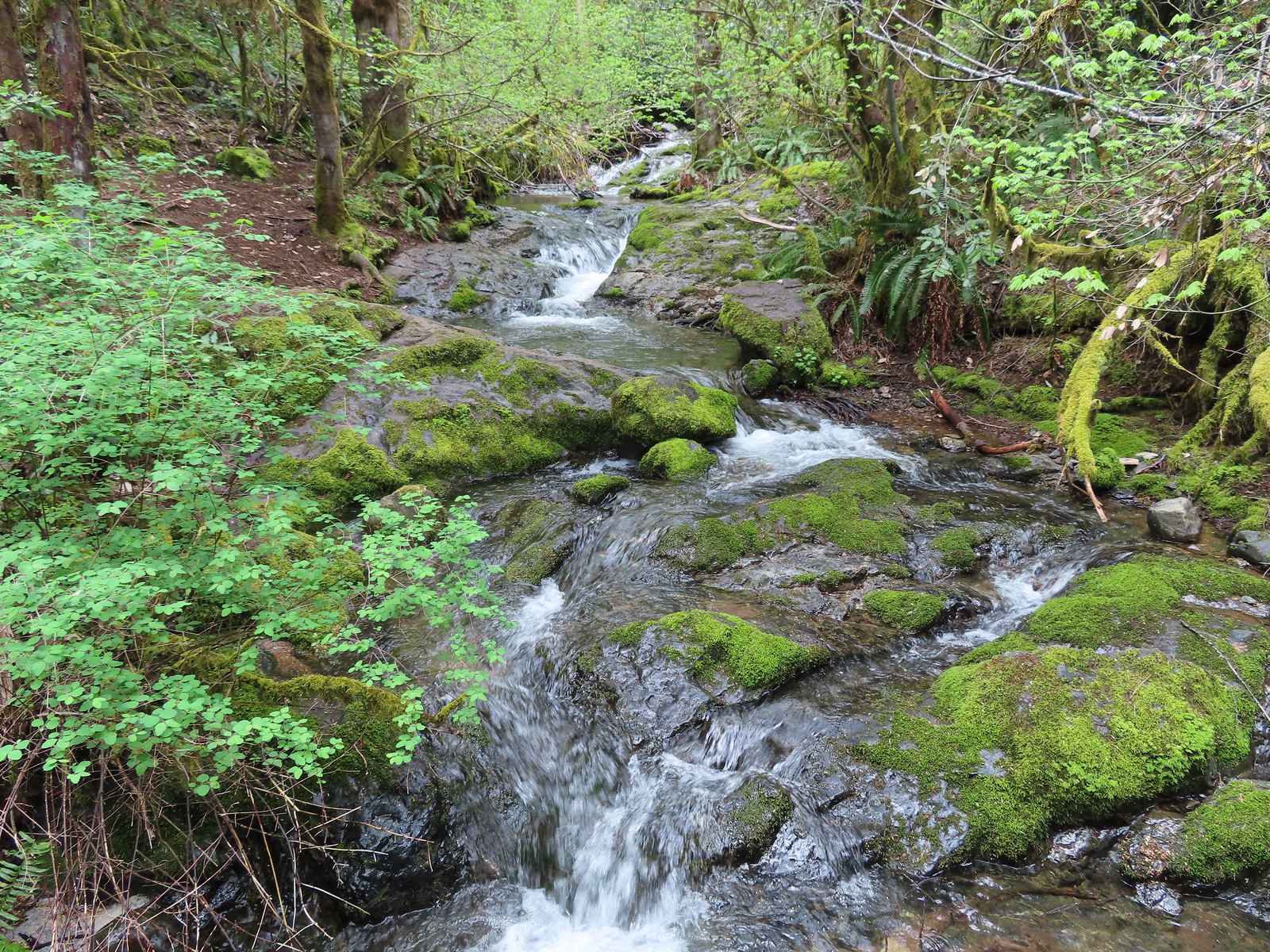 Limpy Creek
 Arriving at the second creek.
 Unnamed creek
 Mushrooms
The path turned along the unnamed creek and recrossed Limpy Creek before arriving back at the trailhead.
 Final crossing of Limpy Creek.
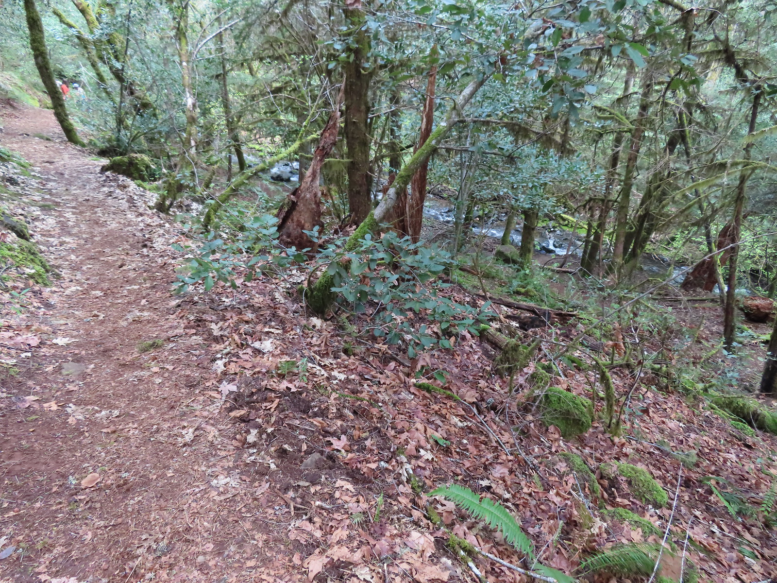
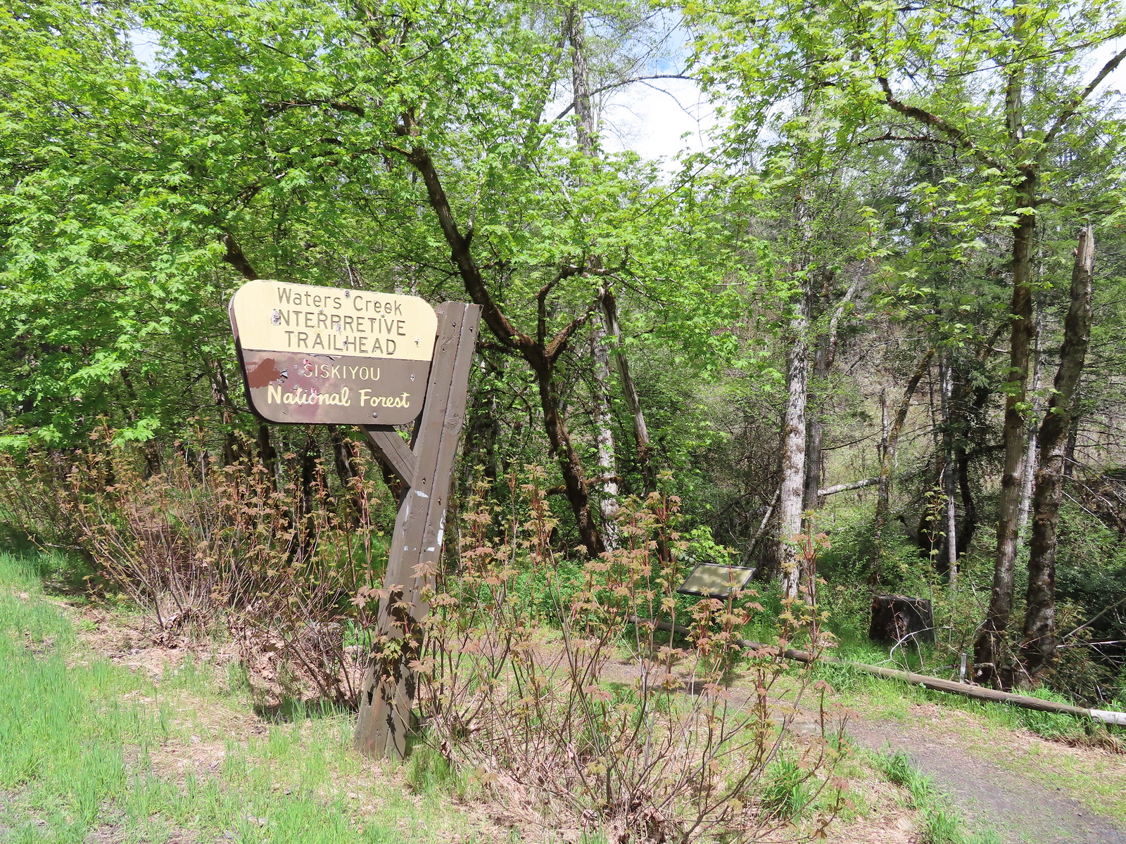
With our wrong turn we managed to turn the 1-mile loop into a 1.3-mile hike and nearly doubled the 120′ of elevation gain that it should have been. From Limpy Creek we headed for our final stop of the day at the nearby Waters Creek Interpretive Trailhead. (The trailheads are just over 2.5 miles apart as the crow flies but the drive between them is close to 15 miles.)
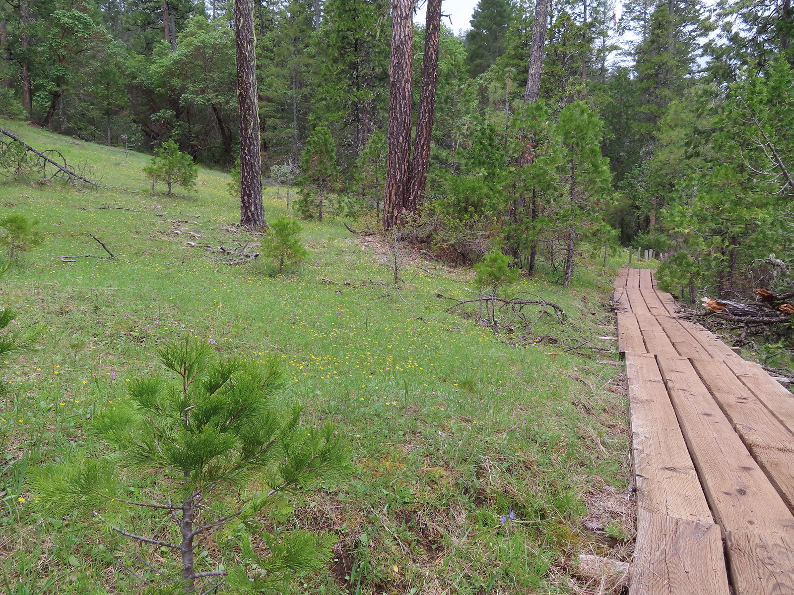
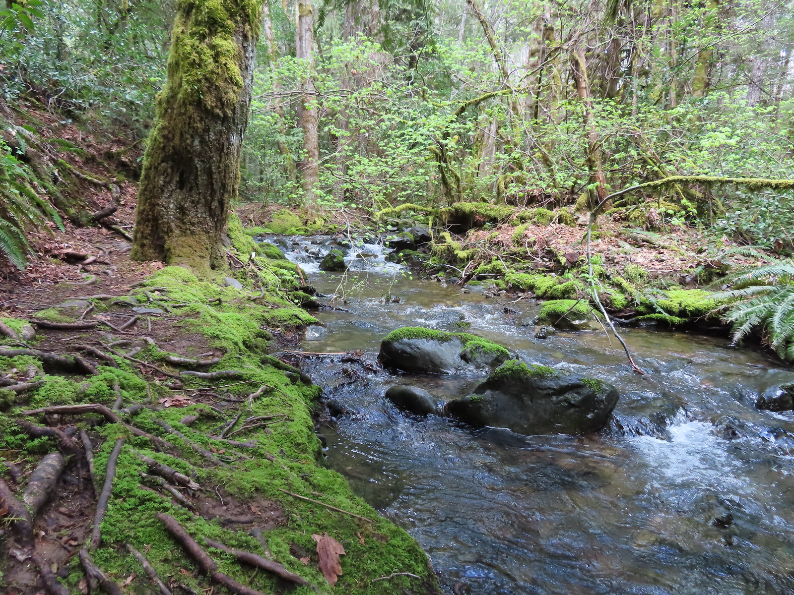
This was another interpretive trail offering two loops, a 1-mile barrier free option or a nearly 3-mile longer, hiker only, loop. Both loops begin by following Waters Creek for a tenth of a mile then crossing it and passing by a grassy meadow.

 Candyflower
 Waters Creek
 A phacelia
At the end of the meadow when the trail enters the forest it splits. We stayed left at all junctions again on this loop.
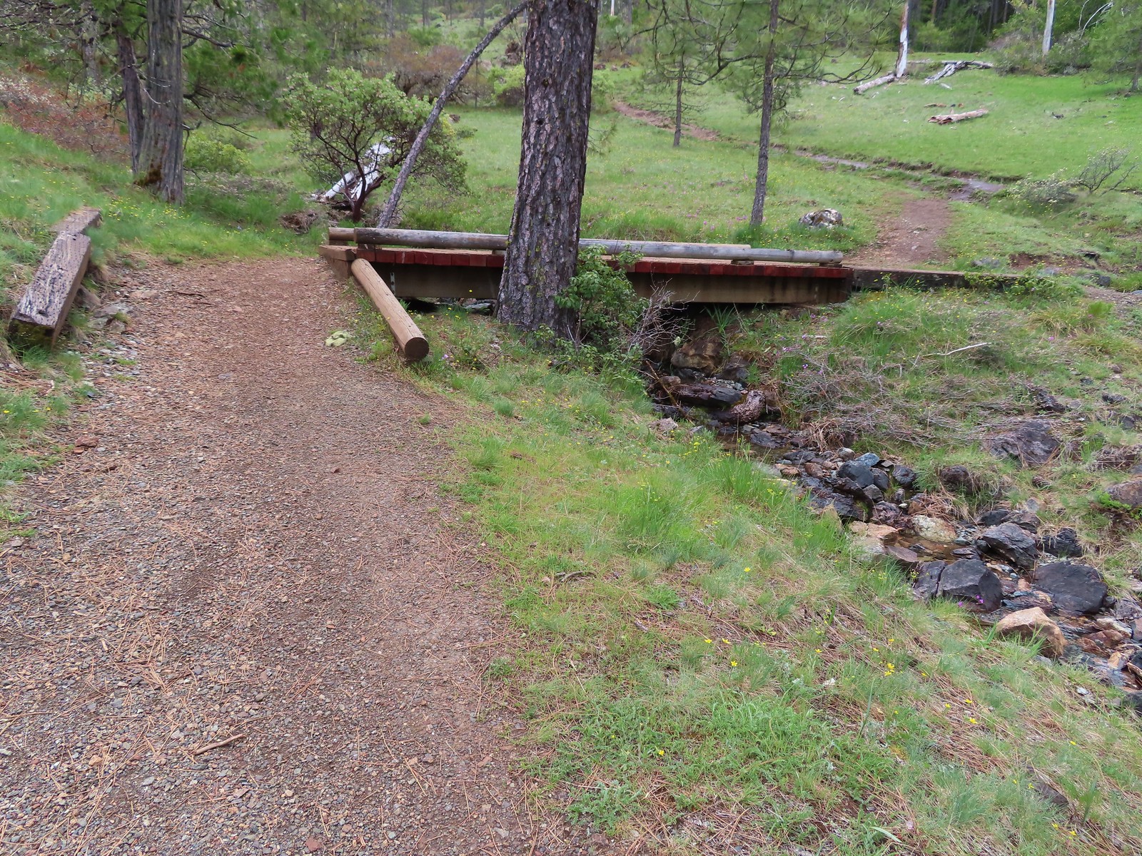
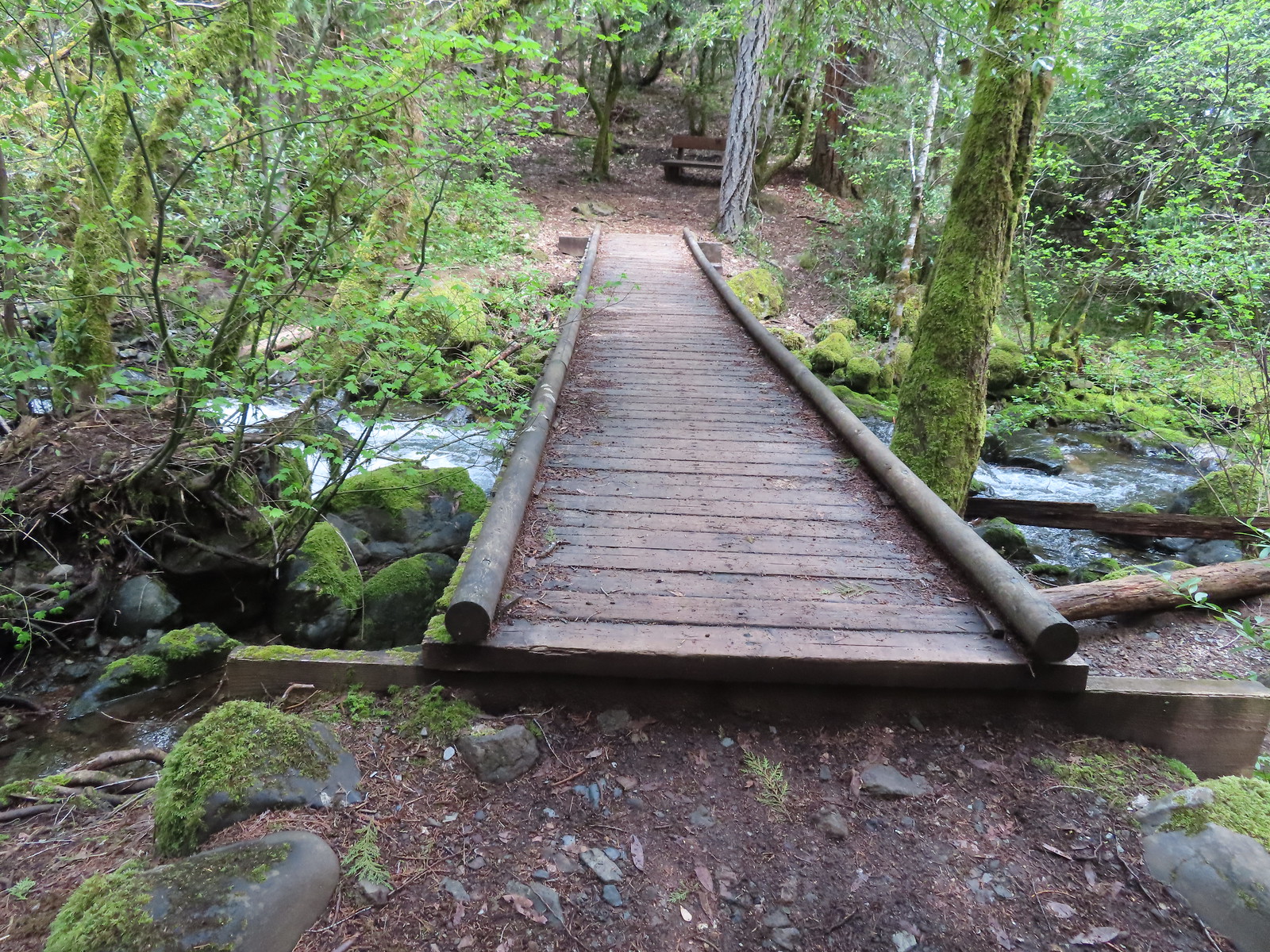
 The start/end of the loops with the bridge being our return route.
 Staying left.
 This was the barrier free loop splitting off and heading back across an unnamed creek.
 Sign announcing the hiker only extended loop.
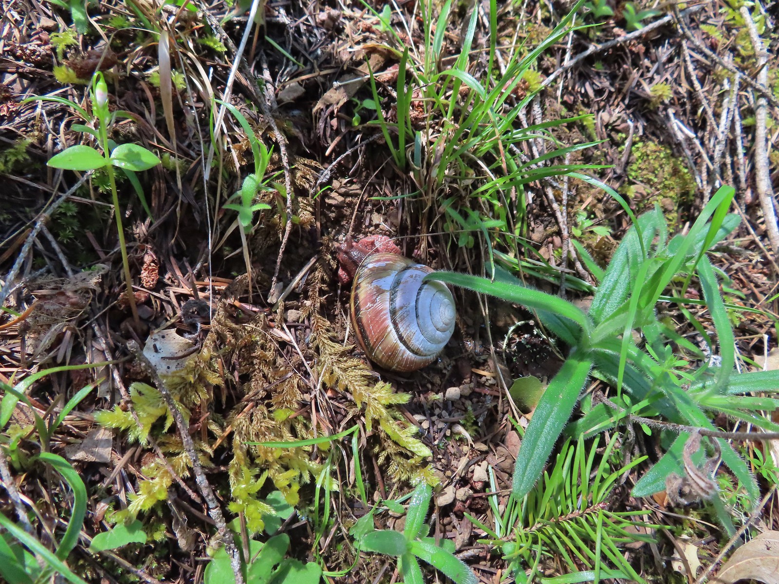 Snail
Snail
 The first vanilla leaf we’ve seen blooming this year.
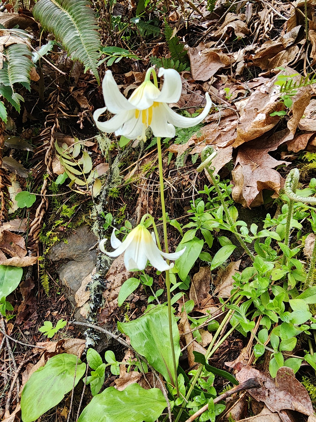 There were a bunch of fawn lilies blooming along this trail.
 One of several little footbridges across side streams.
 Trillium
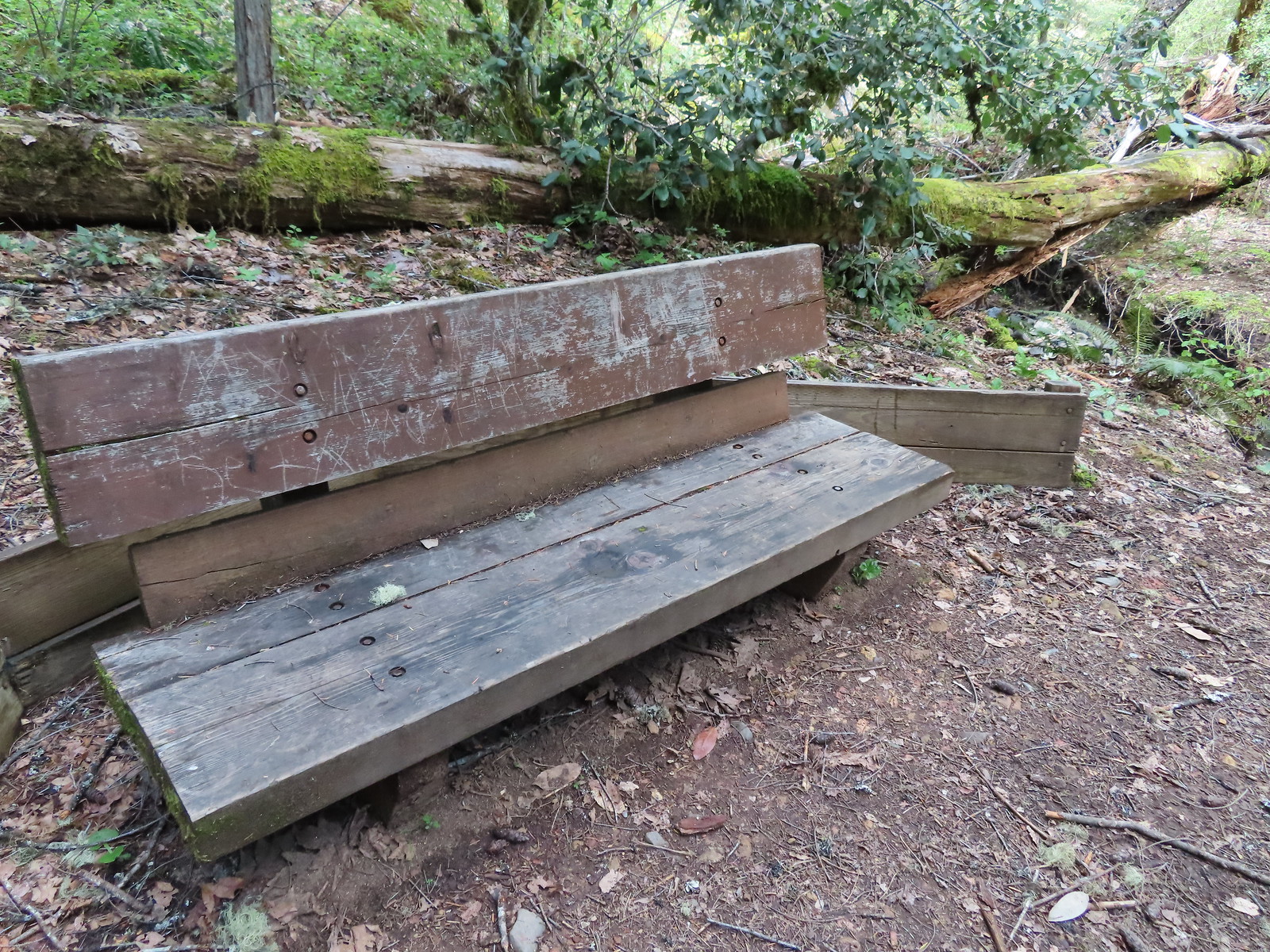 Bench where the trail turned to head back on the opposite side of the unnamed creek.
 The view from the bench.
The trail climbed above the creek on the way back before descending via switchback to rejoin the barrier free loop.
 Houndstongue
 The barrier free trail below in the trees.
 Back on the barrier free trail.
 Biscuitroot and larkspur
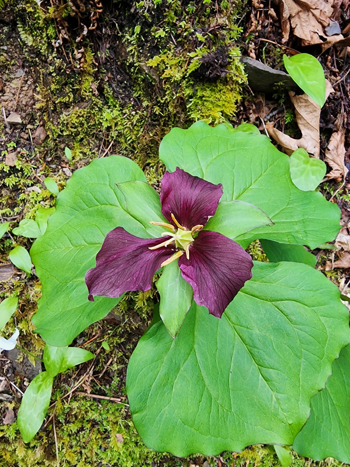
 Giant white wakerobin
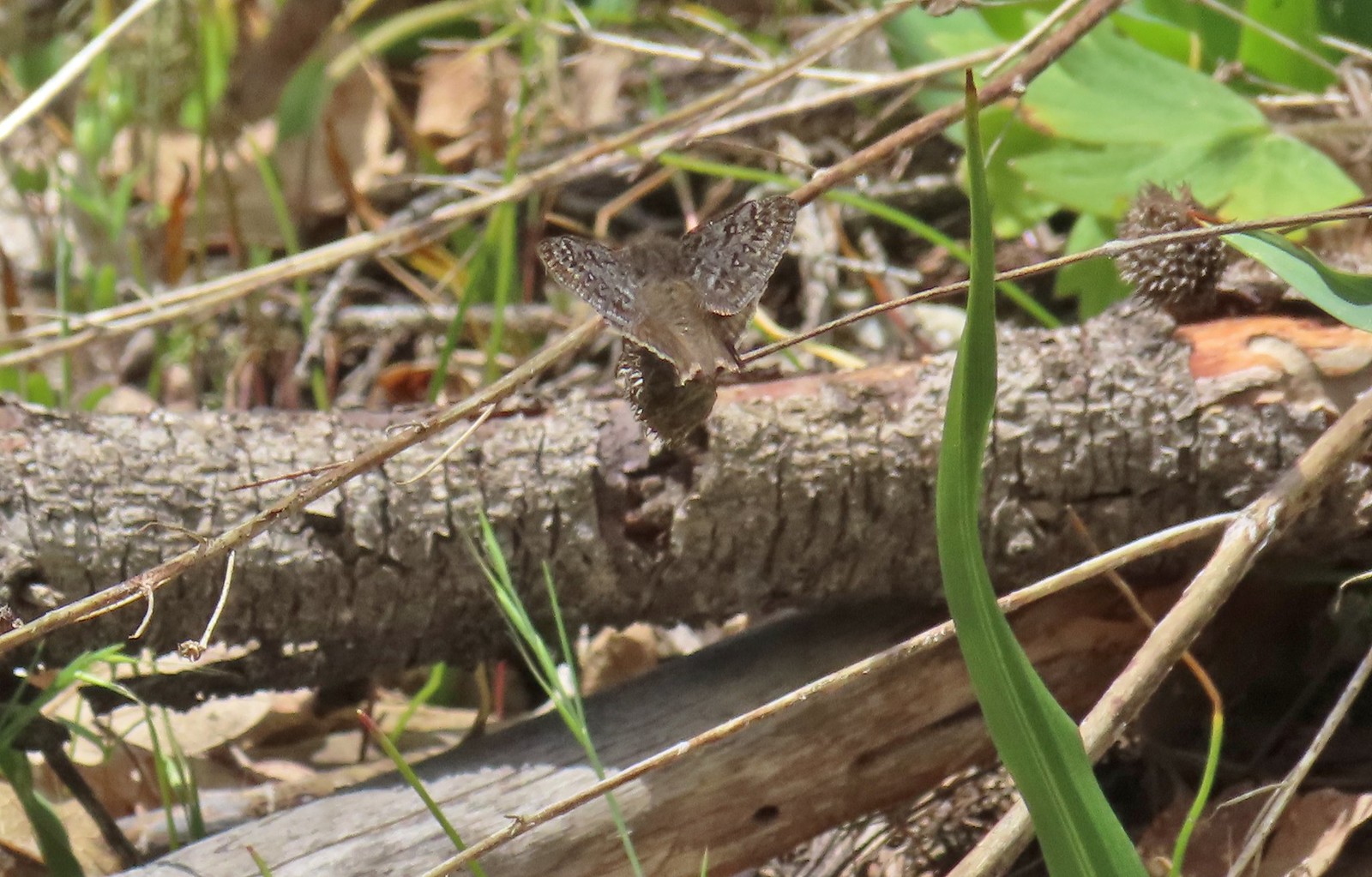
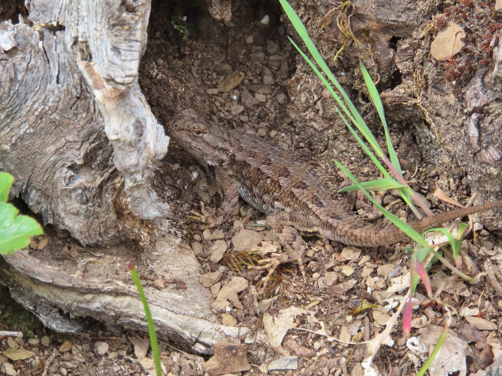
 The Sun was starting to shine a bit as we passed back by the meadow which brought out some butterflies and lots of lizards.

Our three hikes of the day added up to 7 miles and 1480′ of elevation gain. (2.8mi & 830′, 1.3mi & 250′, and 2.96mi & 400′ respectively.)


Despite the rocky start it had turned out to be a pleasant enough day and we were still back to our cabin around 3pm which gave us time to clean up and head to the Bohemian Bar & Bistro for an excellent dinner. Happy Trails!
Flickr: Dollar Mountain, Limpy Botanical Loop, and Waters Creek

3 replies on “Dollar Mountain, Limpy Creek, and Waters Creek – 05/03/2023”
[…] day. We decided not to try and replace the Rogue River hike that we didn’t do on Wednesday (post) opting instead to get home to Merry and Pippin. This was the first time we’d been away from […]
[…] that trip ended with us being turned back by lingering snow on the BLM roads to the trailhead (post). We rescheduled that hike for the end of June which was now upon us. At just over four hours this […]
[…] Mountain-Hiked 5/4/2023 #82 Illinois River Beaches-Hiked 5/4/2023 #83 Grants Pass Nature Trails 5/3/2023 #84 Rouge River Trail East-Hiked 5/1/2023 #85 Rogue River Trail West-Hiked 6/24/2023 #86 […]