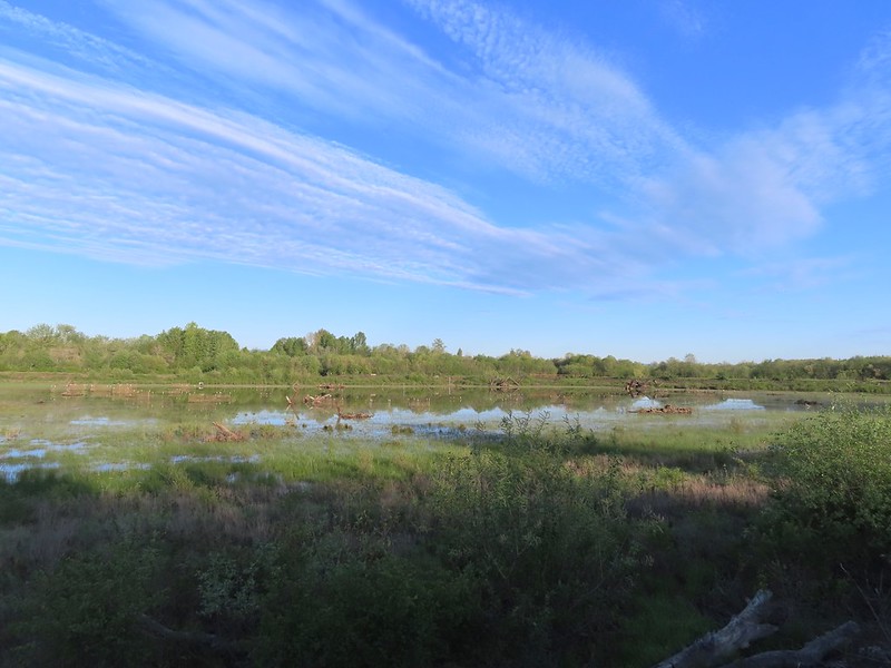
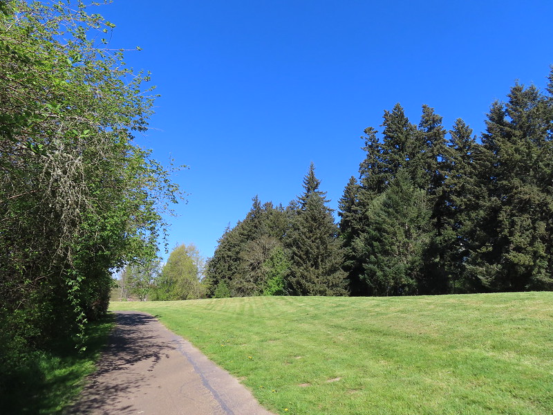
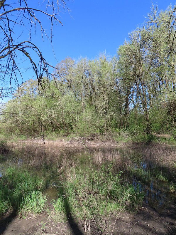
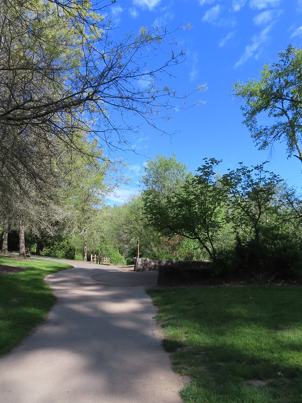
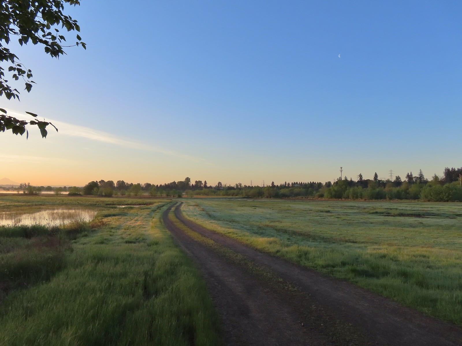
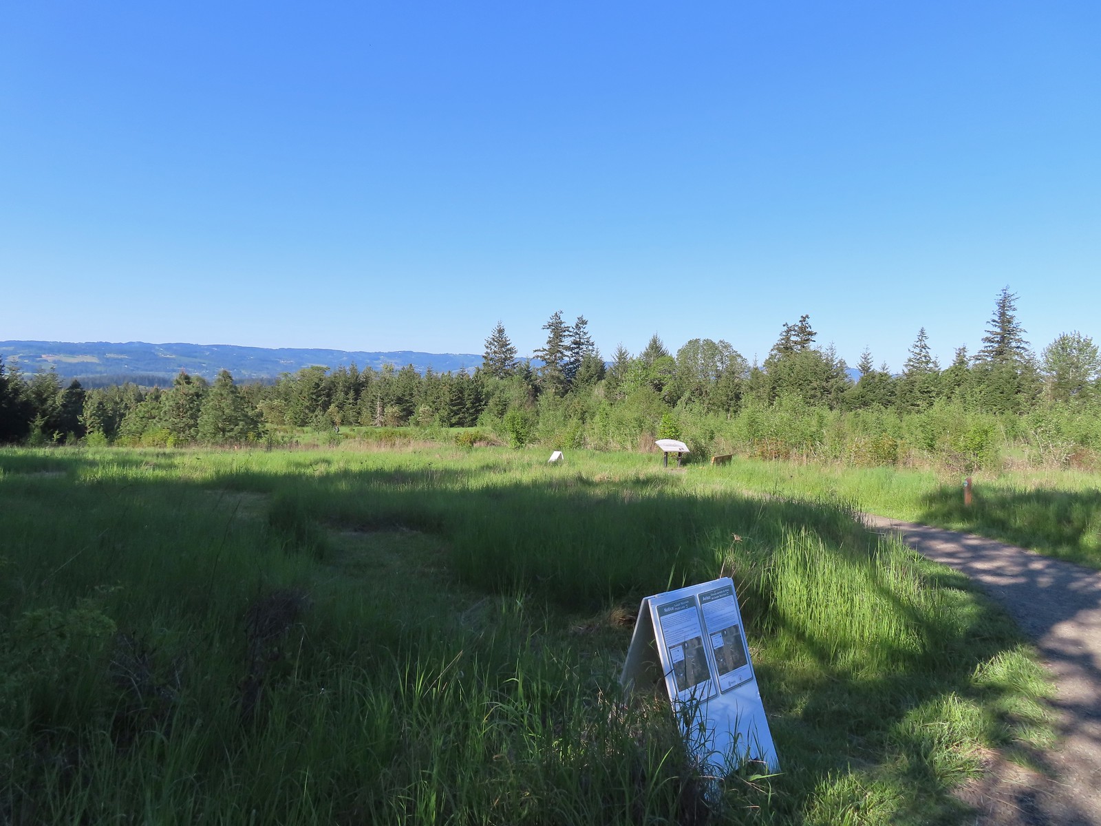
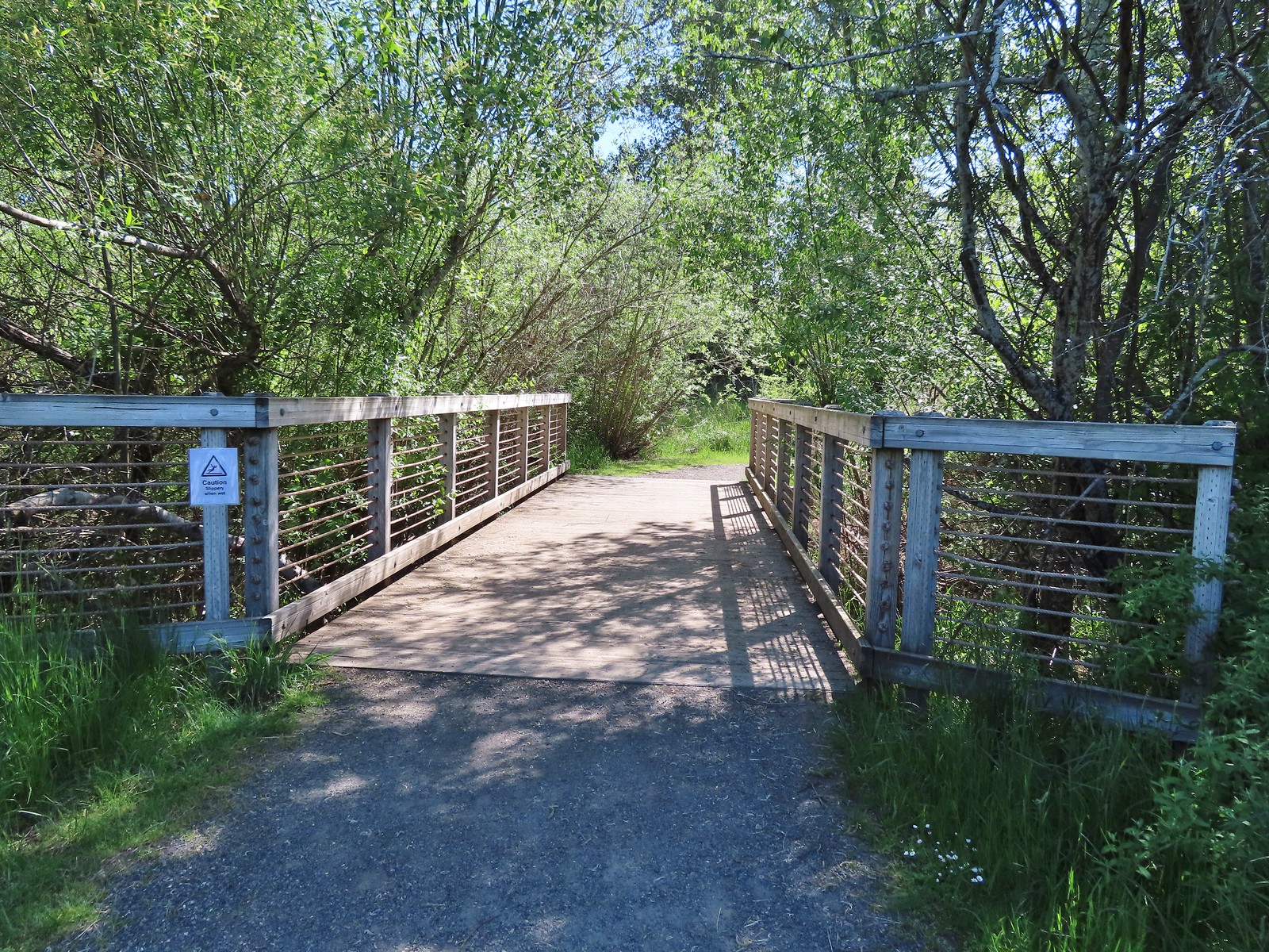
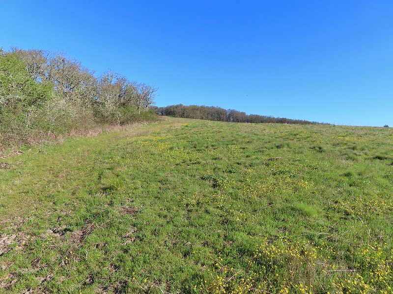
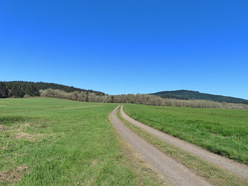
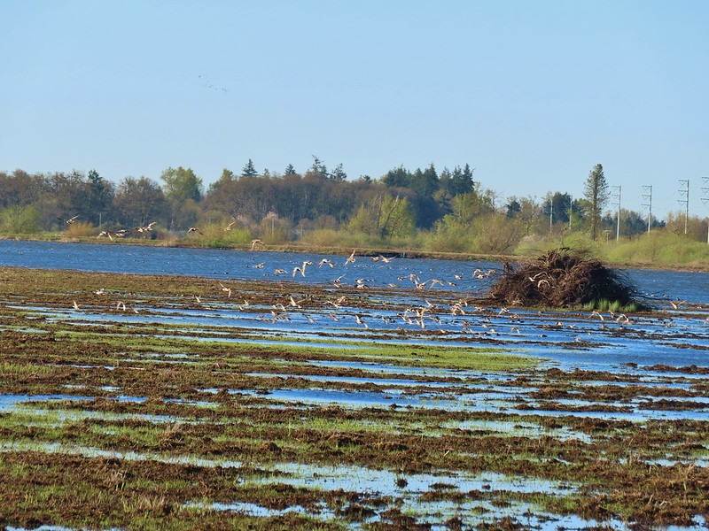
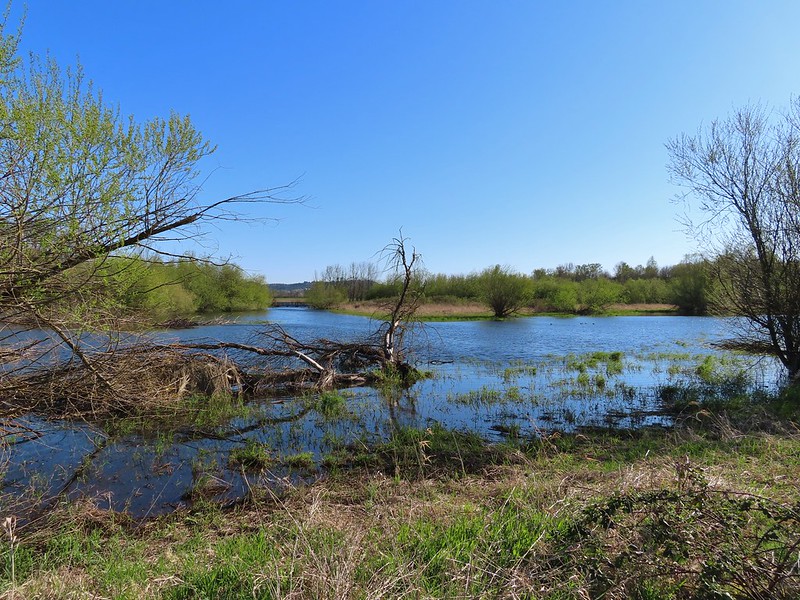
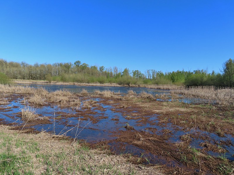
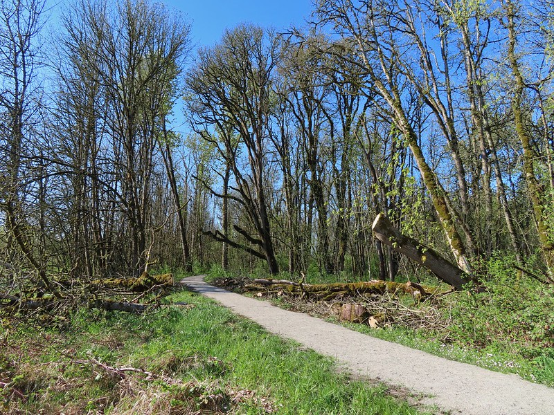
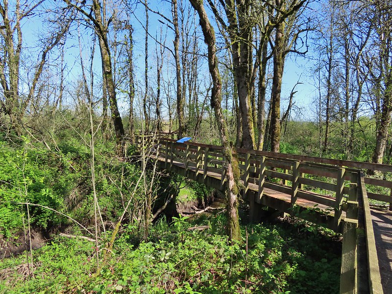
The wetlands were opened in 2017 as a solution to the city’s wastewater needs. The complex has 5.4-miles of trails, over half of which are paved, that loop around 15 ponds of varying sizes. We were the third car to arrive, however, there were numerous raucous birds.
The yellow-headed blackbirds were particularly noisy.
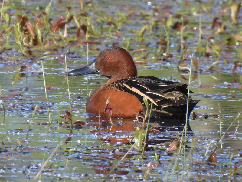
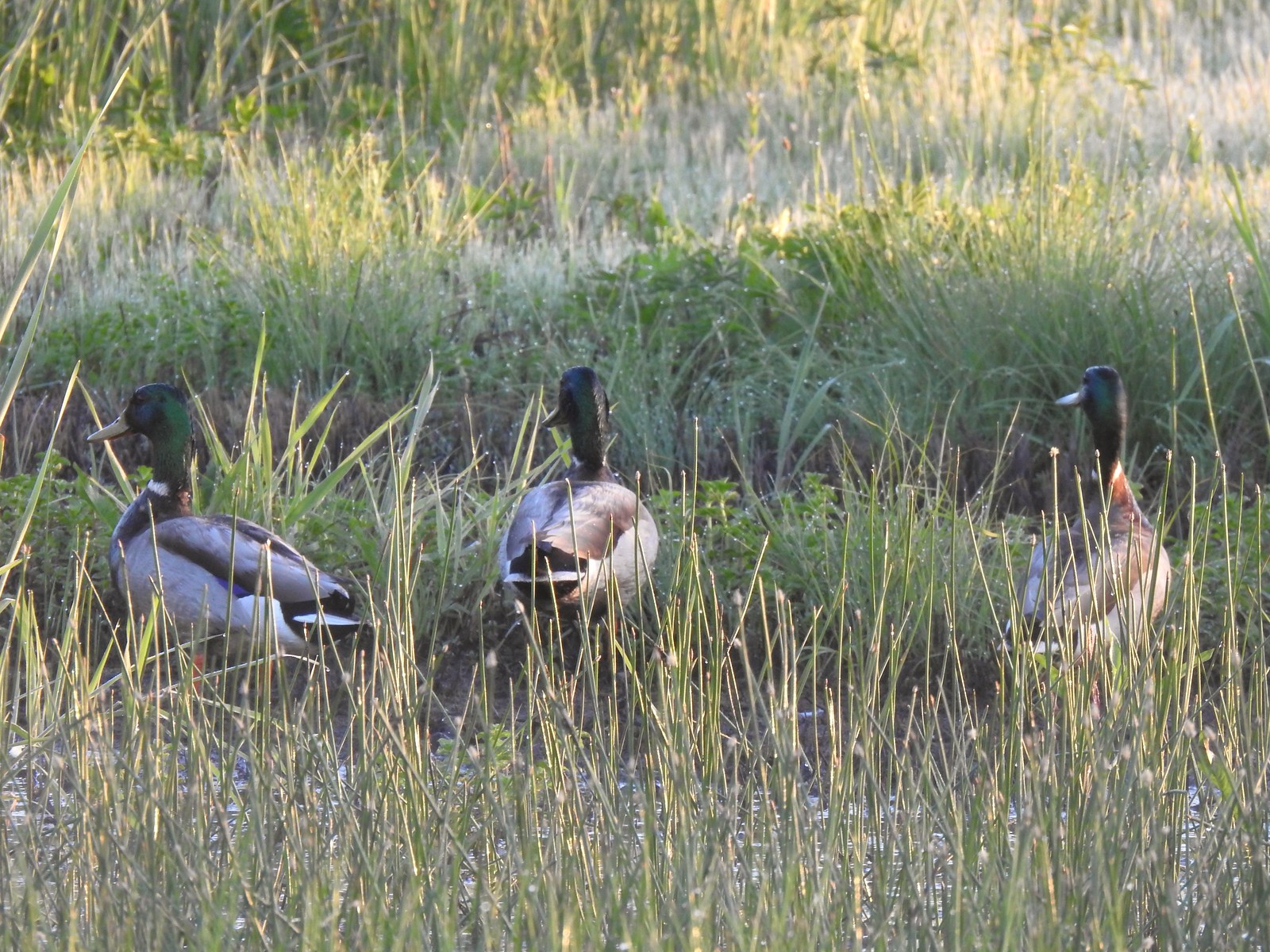
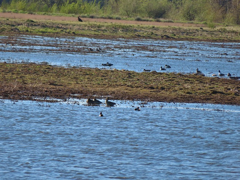
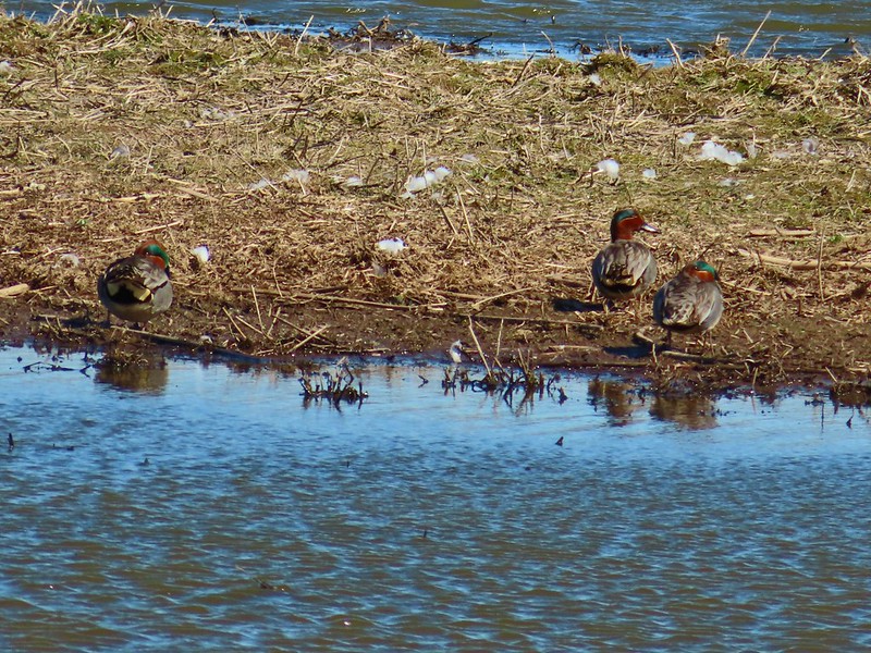
A cinnamon teal in front of two mallards?
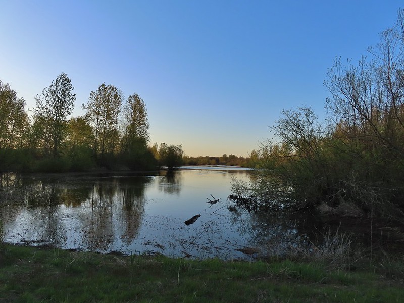
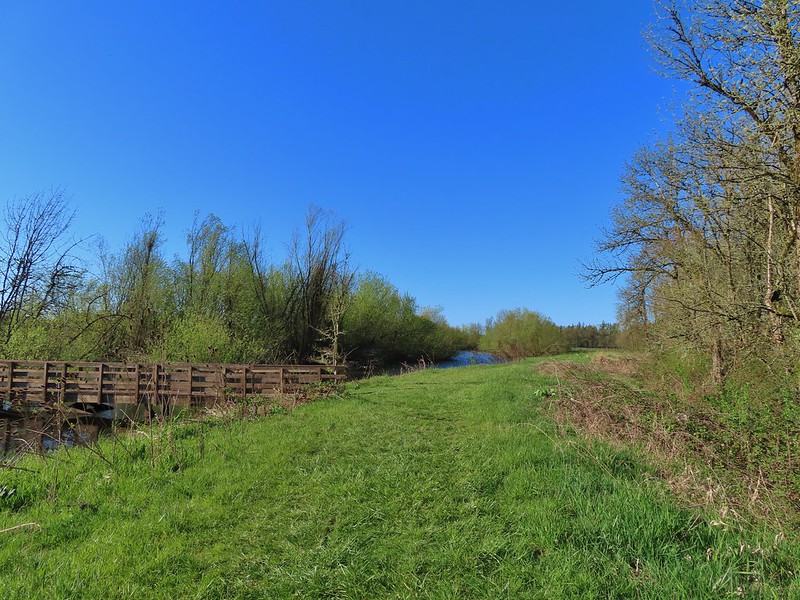
With so many loop possibilities this is a choose your own route area. Ours wound up being primarily on the Outer Loop, but we cut back in toward the parking area between ponds 5 & 1 to make sure we passed all 13 interpretive signboards. This loop was 3.4-miles.
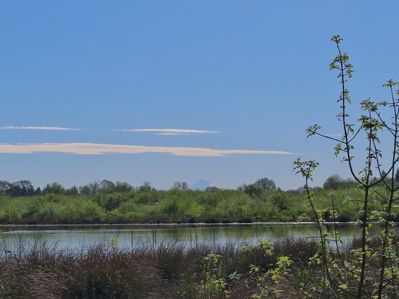
Grizzly Mountain from Pond 4.
Killdeer
One of the interpretive signboards ahead.
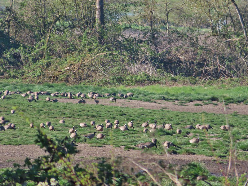
Goose family
There were plenty of benches to enjoy the views from.
Mallards
Cinnamon teal
Must be a green-winged teal but the angle of light made the patch on his head look blue.
We’d never seen so many killdeer in one area.
Spotted sandpipers
Brewer’s blackbird
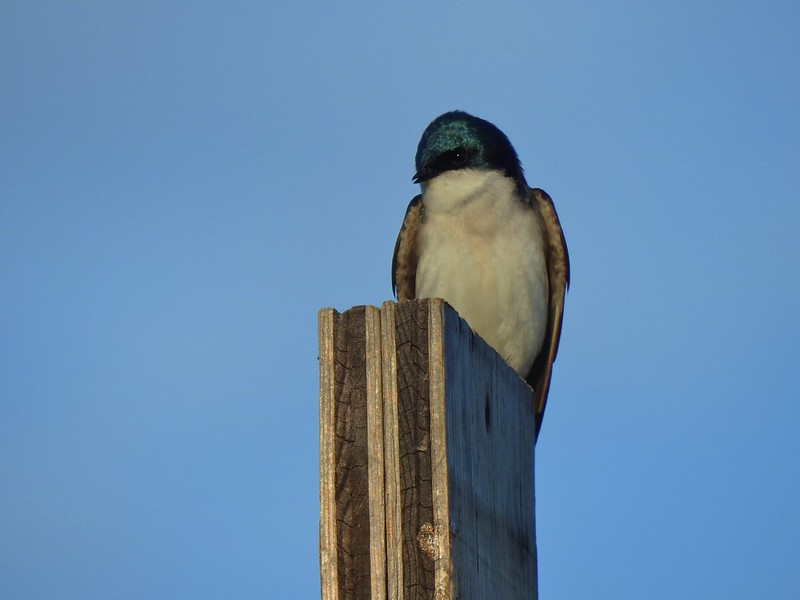
Swallow
Pollinator garden
Ring-necked ducks
Wilson’s phalarope
Yellow-headed blackbirds
American coot
Adolescent geese
Dove
Gadwalls
Female yellow-headed blackbird
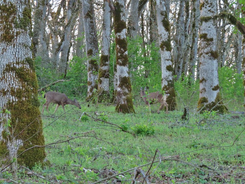
Pair of bucks.
Ruddy ducks
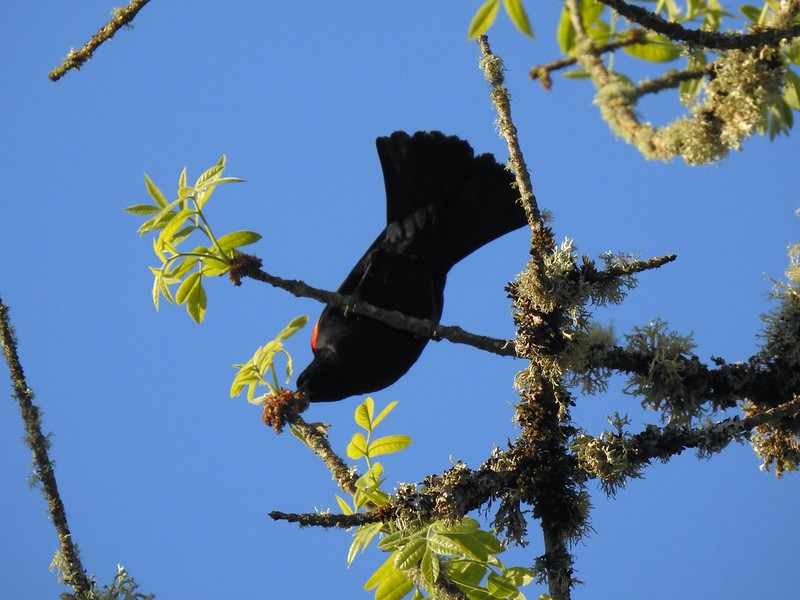
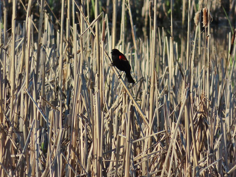
Red-winged blackbird harassing an osprey.
Gray Butte
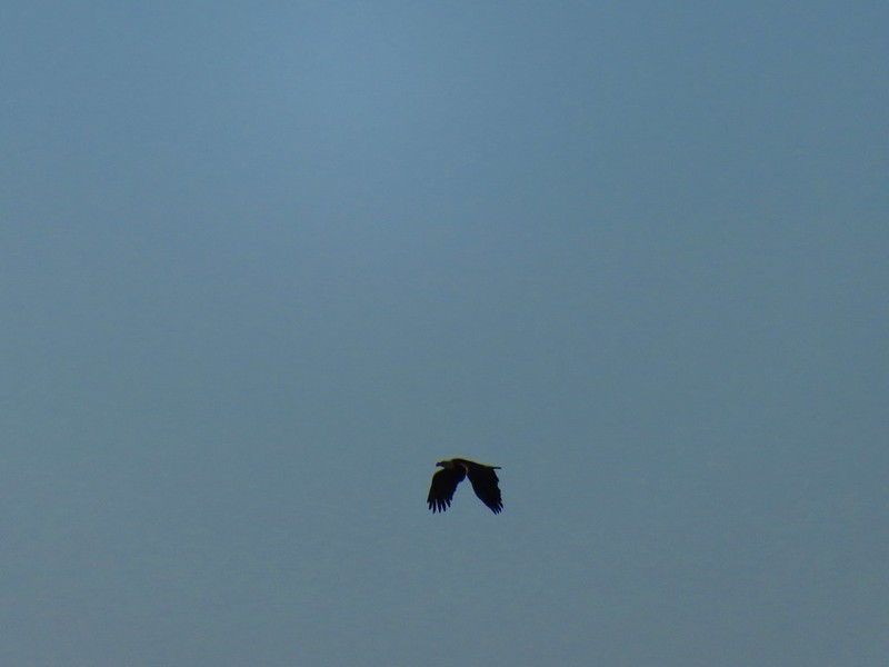
A pair of hawks.
Not birds.
Marsh wren
Great blue heron
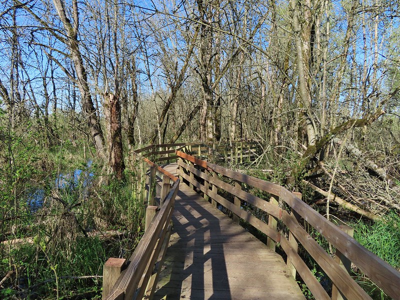
Observation deck at Pond 10.
Another marsh wren.
Heading back to the parking area.
We had a lot of fun watching and listening to the birds here, and it was perfect for a morning walk. The distance allowed us to be on our way back to Salem shortly after 8am which was early enough that we avoided most of the holiday traffic.
After this weekend’s hikes we’re down to a dozen Eastern Oregon featured hikes to complete our quest for 500 (post). Happy Trails!
In the original version of our 2024 hiking schedule we’d planned on visiting Jackson Bottom Wetlands Preserve and Rood Bridge Park in March, but the thing about wetlands is that they tend to be wet. We’d been waiting for all of the trails at Jackson Bottom to dry out, and according to online reports that had finally happened.
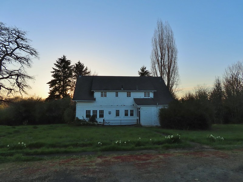
Both the preserve and park are located in the city of Hillsboro with the preserve being home to a nature center open 10am – 4pm seven days a week. We began our day at Jackson Bottom by parking at the south entrance near the nature center. (We did not visit the nature center primarily due to the fact that we finished our hike here before 9:30am.)
A network of trails provides numerous options to explore. For our hike we began on the River Trail at the SW corner of the parking lot.
This trail descended a staircase to a view of the Tualatin River.
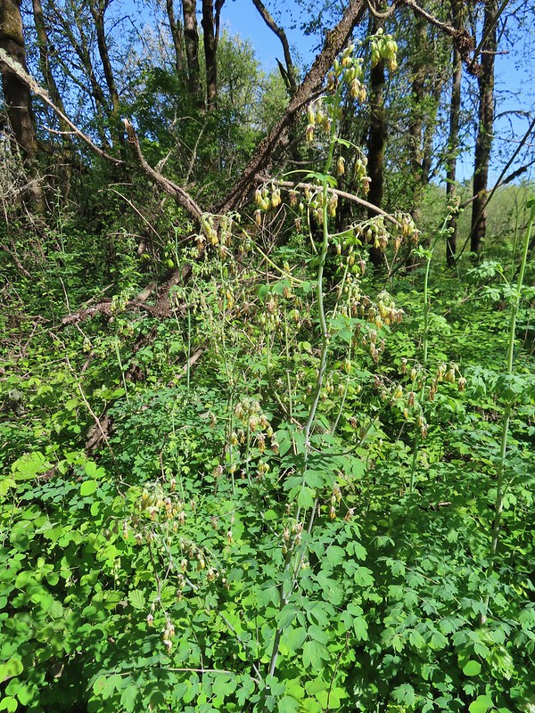
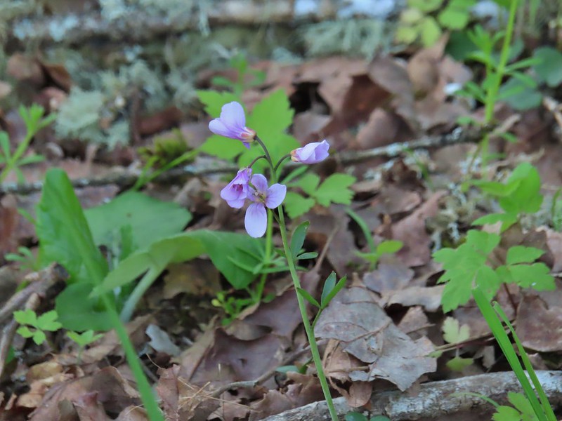
The trail follows the river through woods with several varieties of Spring wildflowers.
Camas
Solomonseal
Fawn lilies
Thimbleberry
Giant purple wakerobin
The River Trail ended at the Kingfisher Marsh Loop where we turned right. The trail signs were very helpful in keeping us on track.
Anna’s hummingbird
Viewpoint overlooking Kingfisher Marsh.
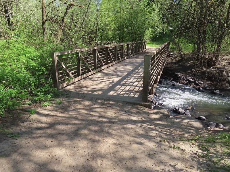
The trail crossed Jackson Slough on a footbridge.
After crossing the slough we turned right on a connector trail that brought us to the Pintail Pond Loop where we once again turned right. Pintail Pond Loop
American goldfinch
A short distance from the connector trail junction we passed the Ash Trail which was temporarily closed due to unstable conditions.
We would have preferred sticking to the Pintail Pond Trail even if the Ash Trail had been open simply because the Pintail Pond Trail provided constant views of the pond where numerous ducks, geese and other birds could be seen. Red-winged blackbird
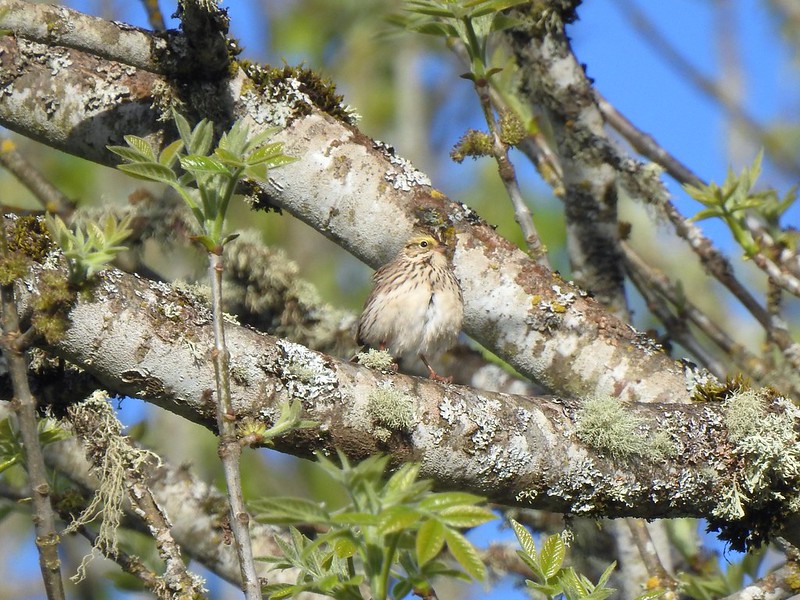
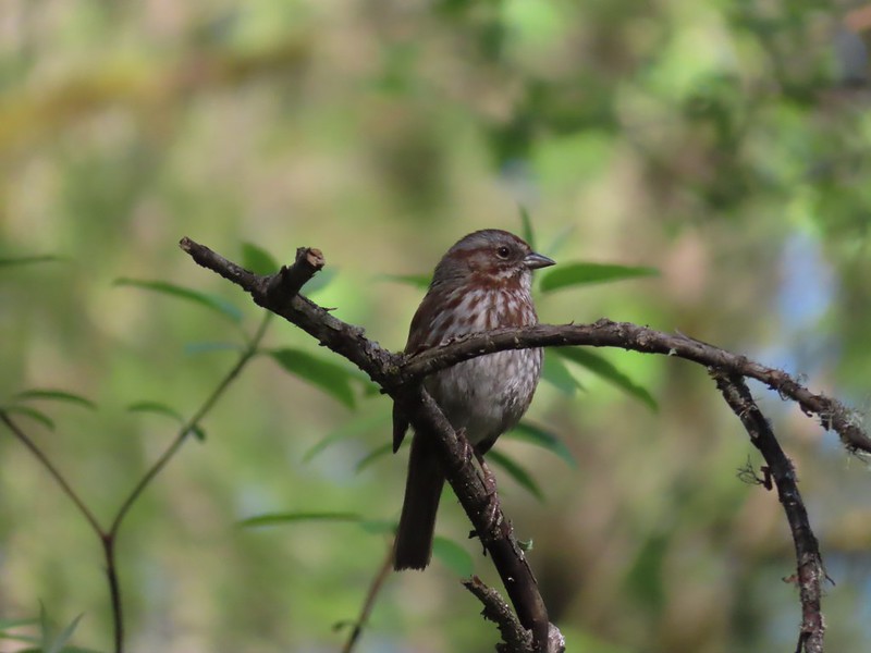
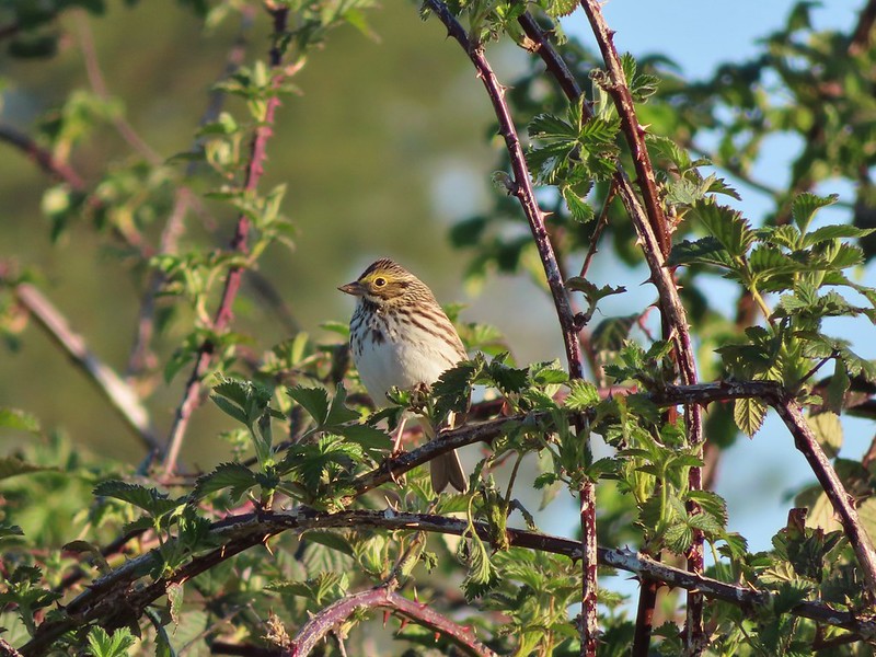
Sparrow
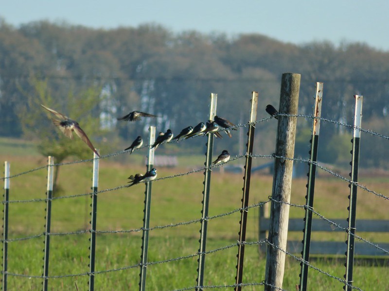
Purple martins
American robin
There is a lot of lupine in the preserve but only a few had started blooming.
There was a connector trail down to the Ash Trail near a covered viewing deck, but again we opted to stay on the pond loop.
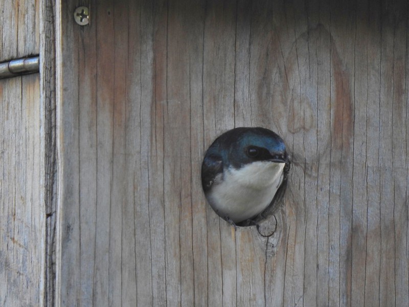
We paused near the viewing deck to watch the tree swallows glide around their houses.
Pintail Pond
Northern shoveler drake and a gadwall
Green-winged teal
Geese
Killdeer
At the northern end of the pond we arrived at the Jackson Bottom Wetlands Trail where we turned right.
We followed this trail past the northern end of the Ash Trail to a junction with the Coyote Hill Trail where, you guessed it, we turned right. More camas
The Ash Trail.
Orange-crowned warbler
Jackson Bottom Wetlands
Can’t emphasize enough how helpful the map/pointer combinations are.
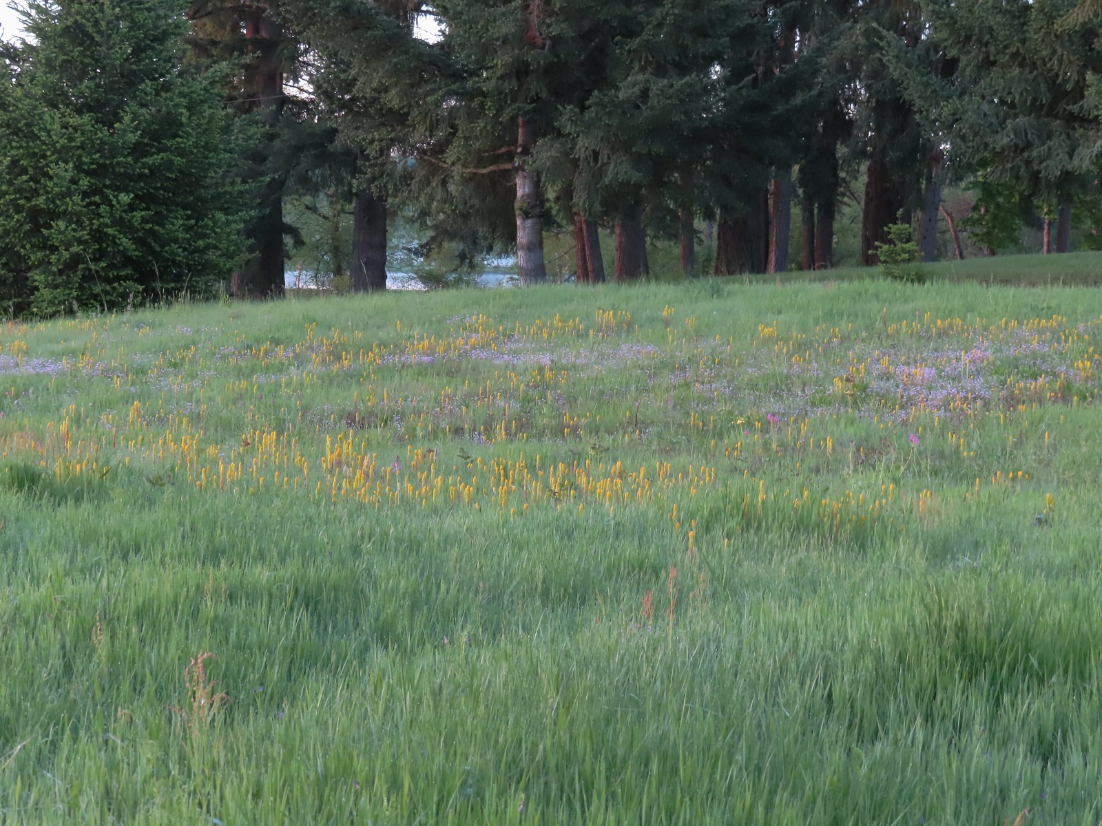
The Coyote Hill Trail doesn’t actually climb a hill, but rather it loops around a meadow with a view of Coyote Hill.
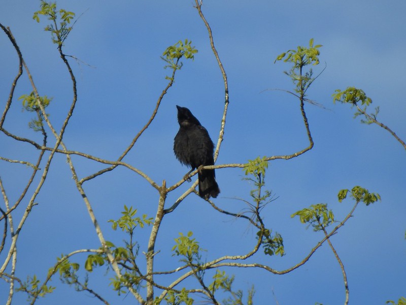
Noisy crow
Mourning dove
Our assumption was that that is Coyote Hill in the distance.
Western buttercups
Some houses on the wetlands border.
Golden-crowned sparrow
The Coyote Hill Trail brought us back to the Jackson Bottom Wetlands Trail near its end. We finally made a left turn and headed back toward Pintail Pond.
End of the trail.
Savannah sparrow
Spotted towhee
Passing Pintail Pond.
We stayed right at junctions following the Jackson Bottom Wetlands Trail to its end at Jackson Bottom North Trailhead. Wapato Marsh
White-crowned sparrow
American robin
American coot
Ring-necked ducks
Wapato Marsh
Cormorants
Raised viewing platform with many tree swallow photobombs.
This couple was having quite the discussion.
The Bobcat Marsh Trail on the left.
Water treatment pipes at the other end of the Bobcat Marsh Trail.
NW Pond
The trail passed between the NW Pond on the left and Oak Island Marsh on the right.
NW Pond had a variety of waterfowl. This is a northern shoveler drake, ring-necked duck pair, four lesser scaups, and an American coot.
Pied-billed grebe in NW Pond
Lesser scaups
Goose and mallards
Yellow-rumped warbler
The northern trailhead.
Viewing platform at the trailhead.
On the way back we took the Bobcat Marsh Trail which passed Meadow Mouse Marsh.
Cinnamon teal on Meadow Mouse Marsh
Near the southern end of the Bobcat Marsh Trail a pair of geese were nesting on a pole and were noisily fending off a second pair of geese.
After rejoining the Jackson Bottom Wetlands Trail we followed it back to the Kingfisher Marsh Loop where we turned right. Mt. Hood beyond Wapato Marsh
Back on the Kingfisher Marsh Loop.
We followed this trail to a junction below the Nature Center where we stayed straight at a junction and climbed a small hill to the Nature Center Trail. The Kingfisher Marsh Loop turned left here.
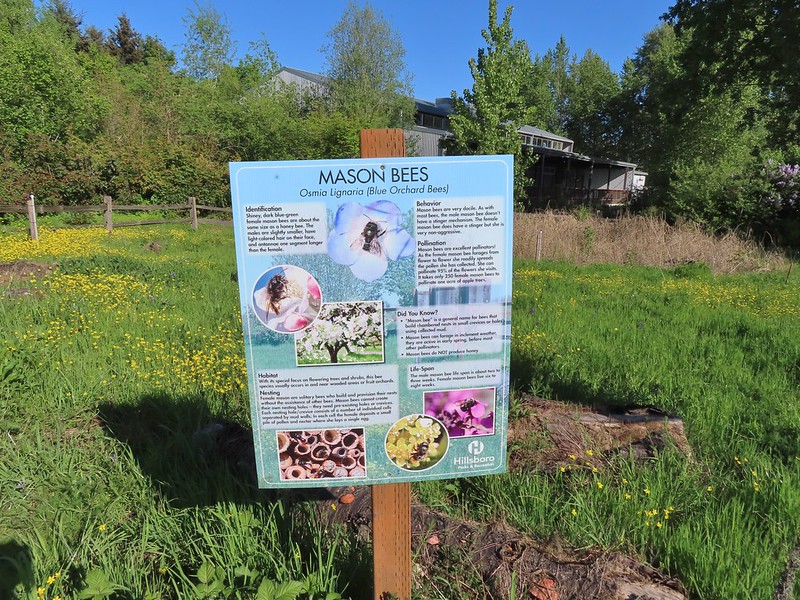
The trail passed behind the Nature Center to some gardens.
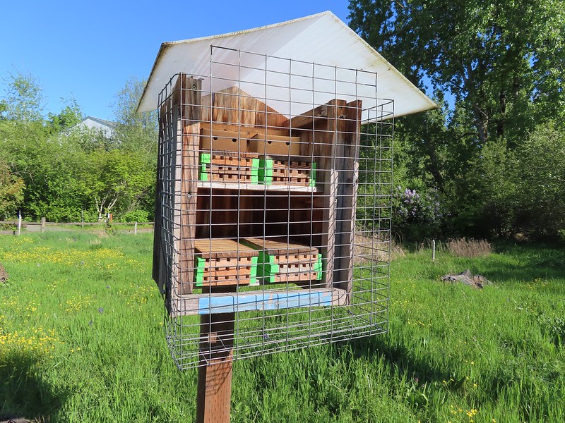
Mason bee house
We followed the Nature Trail down to the River Trail which we followed back to the parking lot. Our hike here came in just under 5 miles with just 50′ of elevation gain. From the parking lot we drove 4.3 miles to Rood Bridge Park (it’s less than 2 miles as the crow flies).
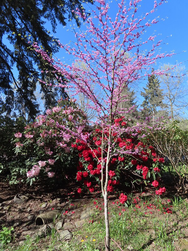
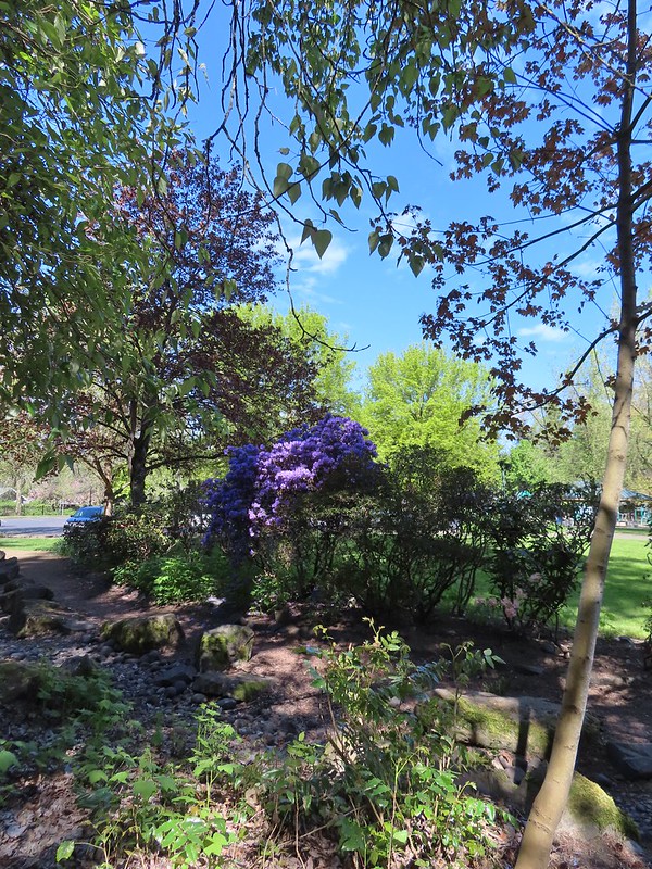
The parking area here is rather large, but we chose to park at the northern end near the playground. From our parking spot we made our way toward the rhododendron garden.
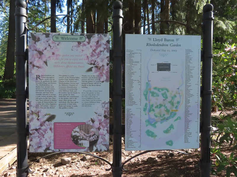
Sign for the rhododendron garden.
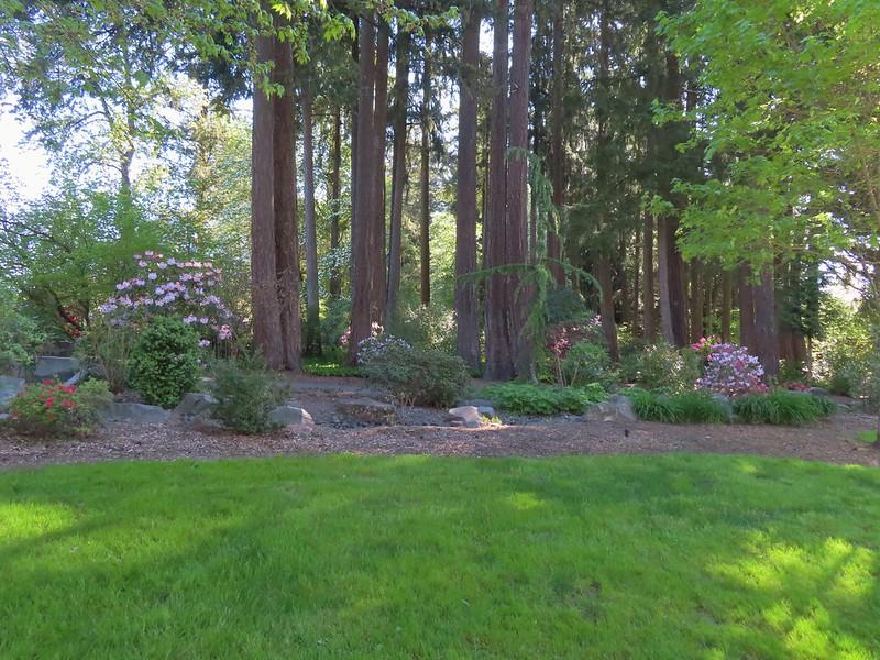
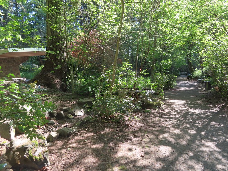
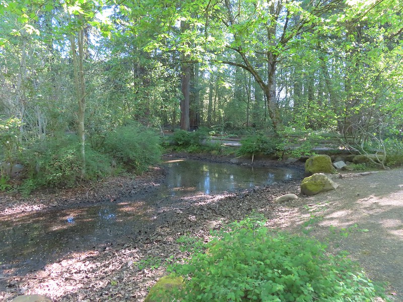
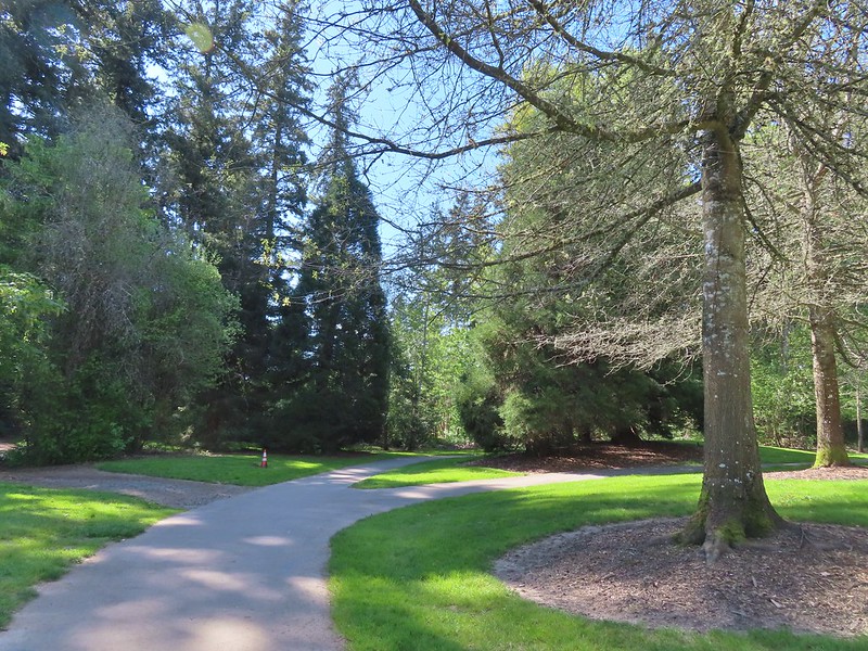
Numerous paths loop through the garden, but we stayed mostly to the right as we made our way east to the Woodland Pond.
The Woodland Pond
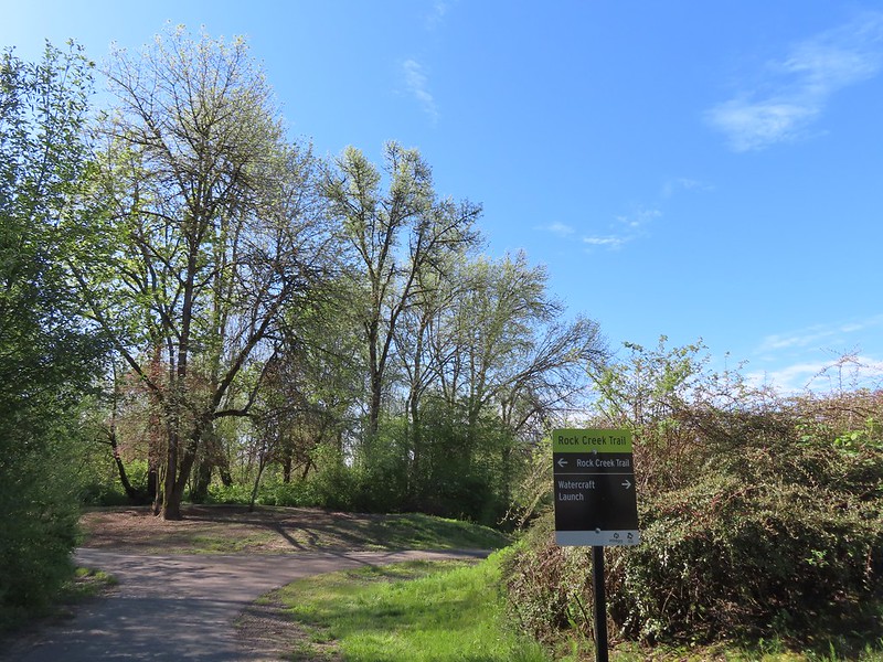
At the pond we turned right on a paved trail which led us to the Rock Creek Trail. Heading for the Rock Creek Trail.
Rock Creek from the Rock Creek Trail.
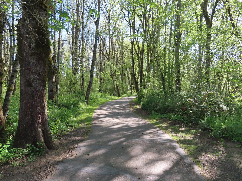
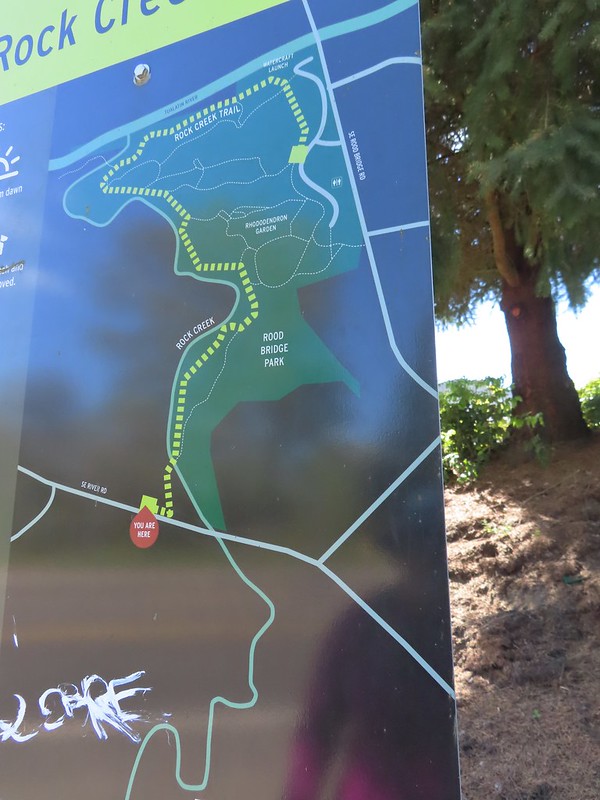
We were familiar with the Rock Creek Trail having hiked its two other segments in May 2022 (post). The eventual plan is for the three current segments to be connected to make a single 8-mile trail. We turned right onto the Rock Creek Trail and followed it to a junction with Lakeside Loop Trail where we took another right. The maps for the park were a little tougher to follow as most of the trails weren’t named and there were a lot of interconnected short segments.
We followed this paved path past a trail leading downhill to a lake.
We stuck to the paved trail which brought us back to the parking lot and the beginning/end of the Rock Creek Trail.
The junction ahead is where the Rock Creek Trail beings/end according to the Rock Creek Trail maps. Maps of Rood Bridge Park simply refer to this as part of the “Main Trail Loop”, if they label it at all.
We followed the Rock Creek Trail downhill past a sign for a watercraft launch along the Tualatin River. The trail then followed the river before arriving at junction with the Lollipop Loop.
Mallards
Footbridge at the start of the Lollipop Loop.
We crossed Rock Creek on the footbridge and quickly found ourselves climbing a short but steepish hill to a forested ridge. The loop began a short distance after the trail flattened out.
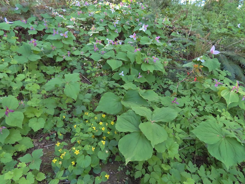
As we had for most of the day we went right when the trail split and followed the path through the woods. There were several use trails cutting through the center of the loop as well as some spur trails leading to nearby homes, so it took some trial and error to find the “official” trail. We managed to only veer off course once, but we spent a fair amount of time pondering which way to go at several junctions. The highlight of this loop was the abundance of trillium. We were just catching the tail end of the bloom, but it was impressive. There was a fair amount of Oregon grape as well.
Violets and trillium
After completing the loop we returned to the Rock Creek Trail, turning right and climbing back to the junction where we’d turned onto the Lakeside Loop earlier.
Western meadowrue
Fawn lilies
We veered right off of the paved trail onto a dirt path since it was a much more inviting surface.
The dirt path rejoined the paved path behind the Rhododendron Garden and playground.
We continued on the Rock Creek Trail as it passed behind the playground area and descended back down to Rock Creek on what was now a dirt/gravel trail.
Sparrow
Footbridge over Rock Creek.
Just over 100 yards beyond the footbridge the trail arrived at S 1st Avenue where the segment currently ends.
We turned around at street and headed back, taking a somewhat muddy spur trail that ran parallel to the main trail for 0.2 tenths of a mile just to change things up on the way back. When we got back to the Rhododendron Garden we passed through again on different paths to see more of the plants. Left is the dirt path we’d taken earlier, straight is the Rock Creek Trail, and right led to the Rhododendron Garden.
This hike was approximately 2.5-miles with 100′ or so of elevation gain giving us just under 7.5-miles and 150′ of elevation gain for the day. Jackson Bottom on the left and Rood Bridge to the right.
Both of these destinations would be great for kids. (Note dogs and bicycles are not allowed at Jackson Bottom.) We enjoyed Jackson Bottom a little more given the wildlife, but Rood Bridge was a nice park and the trillium display along the Lollipop Loop will not be forgotten. Happy Trails!
While Spring has largely been a no-show so far this year, Summer decided to make an early appearance with a weekend forecast for temperatures topping 90 degrees. We’ve been lucky to hit 60 so we’ve had no time to adjust to that kind of heat. In the past when temperatures have soared, we’ve opted to adjust our planned hike to minimize the impact. That wasn’t necessary this time though as our planned outing was to take three short hikes, each less than an hour North of Salem.
We started our morning by re-visiting the Tualatin River National Wildlife Refuge. We’d stopped here in March of 2019 (post) but could only hike the River Trail at that time of the year. The longer Wetland Trail loop is closed from October 1st through April 30th so we’d scheduled this May visit to check out the loop. We started from the Roy Rogers Trailhead where we found a nice patch of wildflowers to greet us. The refuge is open from dawn to dusk. We arrived at a quarter to six to get an early start and avoid being out during the hottest parts of the day.
The patch of wildflowers.
A checker-mallow surrounded by golden paintbrush.
Plectritis amid the golden paintbrush.
We decided to go counterclockwise and forked right across Chicken Creek on a bridge. We had a pretty good view of Mt. Hood.
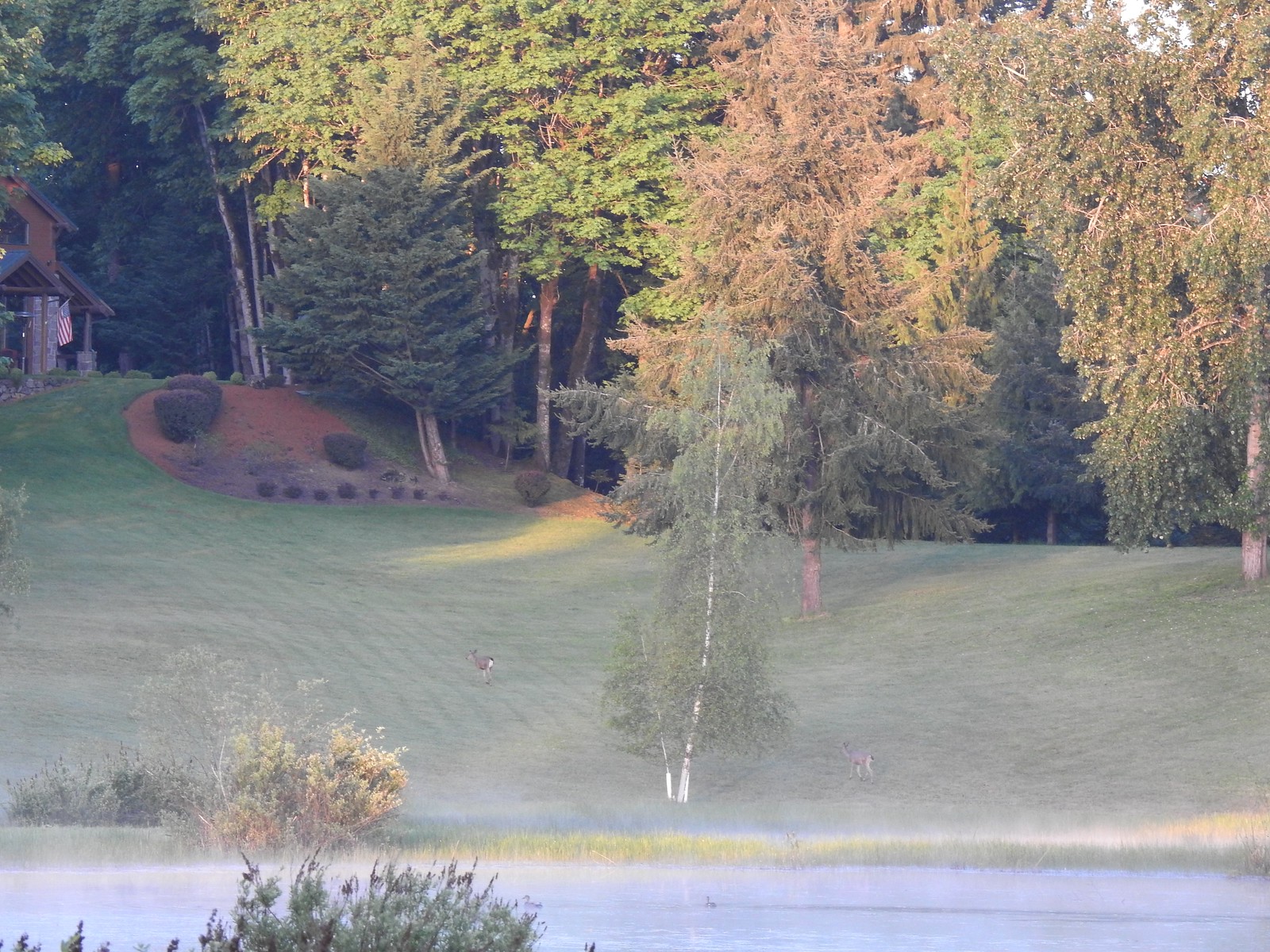
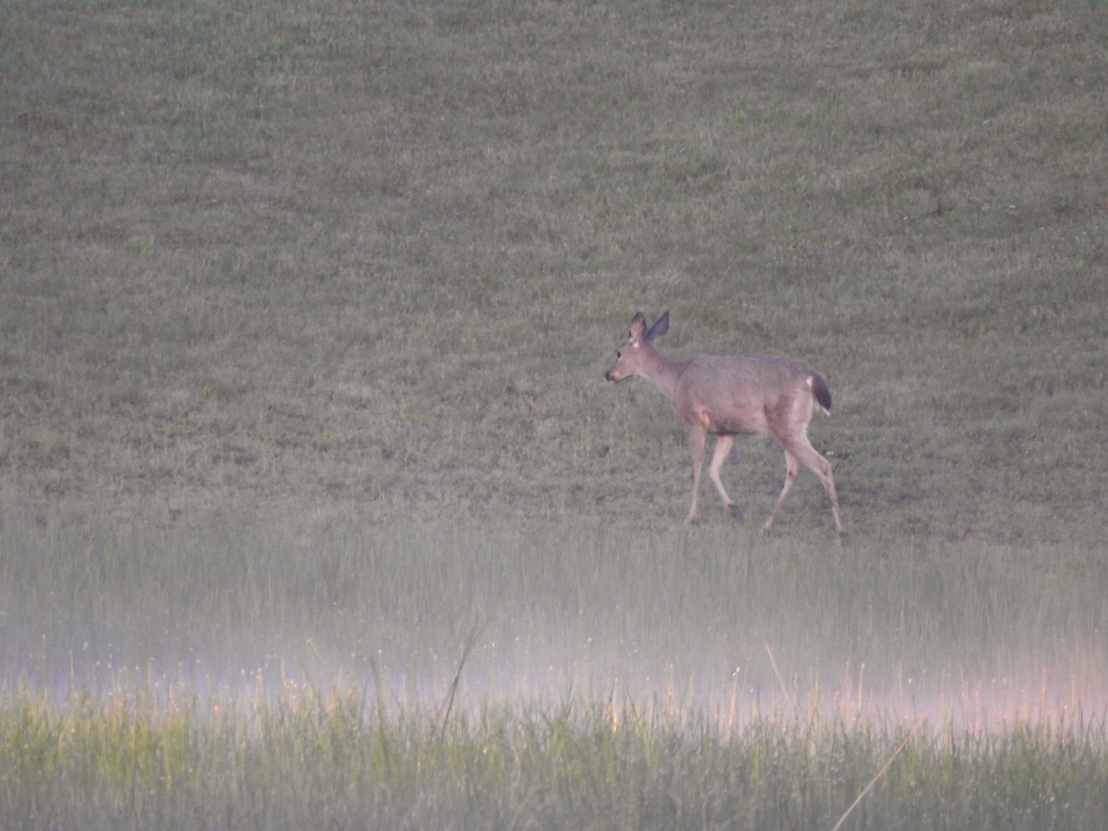
The Wetland Trail follows a service road around the refuge. We began seeing wildlife almost immediately with a family of geese and a pair of deer hanging out on some private property adjacent to the refuge.
It was approximately 1.5-miles from the Roy Rogers Trailhead to the Refuge Headquarters and Wildlife Center. It was slow going as we kept stopping to watch the wildlife.
Mallards
Greater yellowlegs
Mourning dove
Great blue heron
An egret and some ducks
More families of geese
Swallows flying above the Wetland Trail.
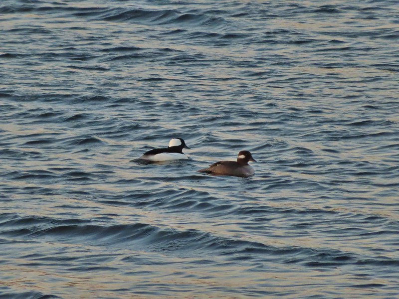
Northern shoveler, scaups (leaning toward greater), and a bufflehead.
Mallards
Northern shoveler
Ruddy duck
Gadwalls
Spotted sandpiper
Purple martins
Killerdeer
Cinnamon teals
Nutria, one of several of these non-native rodents that we saw.
Nap time (or just a late sleeper).
Ducklings
Song sparrow
Common yellowthroat
Wildlife Center
We took in the view from the overlook next to the Wildlife Center before continuing on with the loop.
Great blue heron watching from a little island.
We followed the Wetland Trail until we came to the River Overlook where we cut over to the River Trail (the trails are less than a yard apart in this area) to check in on the Tualatin River.
Anna’s hummingbird
The same Anna’s hummingbird. When catching light their head/throat is bright pink but appear black when not.
River Overlook
Tualatin River
Robin
From the overlook we stuck to the River Trail following it through a short section of forest before rejoining the Wetland Trail. The Wetland and River Trails running parallel.
Spotted towhee
Rabbit
Pacific waterleaf
Violets and fringecup along the River Trail.
Bleeding heart
We skipped the spur trail to the Ridgetop Overlook since we’d done that on our previous visit.
Chicken Creek
The River Trail meets the Wetland Trail across from the Weland Observation Platform.
We didn’t observe much from the platform on this visit. We continued on with our loop back on the Wetland Trail.
Great white egrets
There were some impressively tall trees along this portion of the loop.
The trail made a 90-degree turn just before another branch of Chicken Creek and headed in a near straight line back toward the Roy Rogers Trailhead.
Another egret
More egrets across Chicken Creek.
Red-winged blackbird
Savannah sparrow
Checker-mallow
A parsley
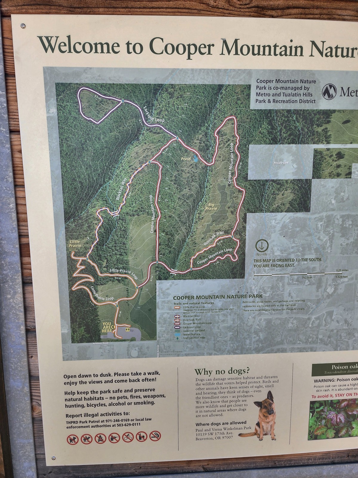
While our loop was only 3.6-miles it was packed full of sights, a great start to our morning. From the refuge we made the roughly 10-minute drive to our next stop at the Cooper Mountain Nature Park, yet another park managed by Oregon Metro. The park hosts a little over three miles of trails which start at a nice little playground.
Our planned route was to go right on the Little Prairie Loop to the Cooper Mountain Loop and then stay right on that loop (with a detour to hike the Larkspur Loop) to Blacktail Way. We’d then take Blacktail Way back to the Little Prairie Loop and turn right again to finish that loop and return to the trailhead.
The view from Cooper Mountain Nature Park.
The trail system heads downhill from the trailhead so keep in mind that all hikes here end with on an uphill.
Metro is currently running an odd little trial with very short “photo loops”. Mowed paths just off the main trails for photography. We took the first loop just to check it out and they were not kidding when they said the surface may be uneven.
One of two trial photo loops.
The idea is to limit the negative effects of off trail hiking. It’s an interesting idea but it would be easier if people could follow simple rules. We quickly found ourselves back on the Little Prairie Loop and forking right.
The second trial loop. You can see how short this one is by the signboard just downhill marking its other end.
There were several interpretive signs and benches along the trails.
White-crowned sparrow
Anna’s hummingbird
Star flower
As usual Metro had the trail junctions well marked with little maps on top of the posts. This is the Cooper Mountain Loop junction with the lower end of the Outback Trail.
Camas
Tough-leaved iris
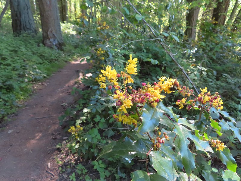
Serviceberry
Honeysuckle
Looking back uphill to some wildflowers.
Monkeyflower
Tomcat clover
Spotted towhee
Bench along a pond filling an old quarry.
The pond. Red-legged frogs apparently breed here. We didn’t see any frogs but there was a mallard hanging out in the brush.
Iris on the hillside above the quarry.
The Larkspur Loop continuing straight from the Cooper Mountain Loop which turns uphill at the junction.
An endangered species of larkspur, pale larkspur (Delphinium leucophaeum), typically blooms in the park in late Spring into June. With everything running late this year we didn’t spot any yet this year as we completed the 0.7-mile lollipop loop. Prior to the loop the Larkspur Loop dips to cross a creek in the trees.
The little creek.
View from the Larkspur Loop.
While watching for the larkspur I noticed these giant blue-eyed Mary.
We returned to the Cooper Mountain Loop which made a steep climb to its junction with Blacktail Way.
Blacktail Way to the right.
Map at the junction.
Blacktail Way climbed more gradually on its way to the Little Prairie Loop. The “earphone” next to the bench here was neat. There was also one at the trailhead and they really allowed you to isolate the sounds of the woods.
The Little Prairie Loop.
We turned right onto the loop and then quickly detoured to the Little Prairie Overlook.
The pale larkspur also grows in this area but again we were too early.
These were the only woodland-stars we spotted.
After checking out Little Prairie we finished the loop and returned to our car. This stop came to 3.1 miles with 300′ of elevation gain.
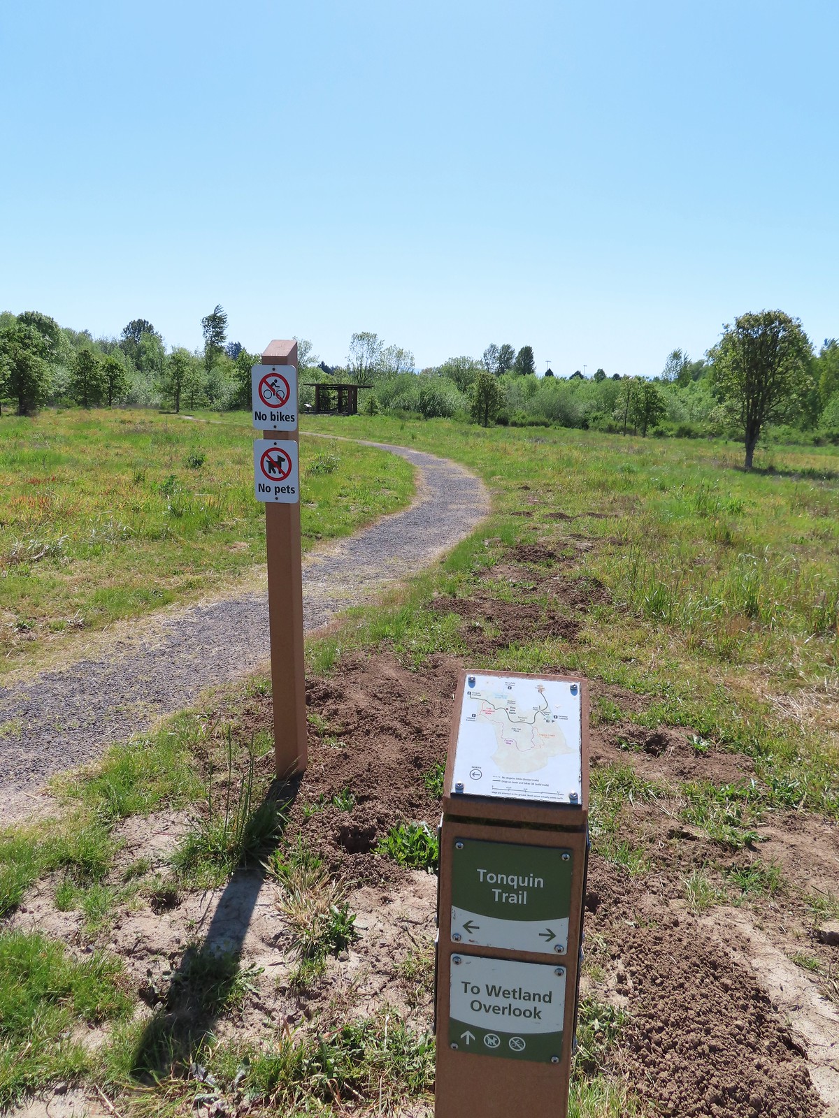
From Cooper Mountain we drove 18 miles south to our final stop of the day at Graham Oaks Nature Park. Another one of Metro’s parks Graham Oaks also hosts approximately three miles of trails. Unlike many of the other Metro parks we’ve visited recently this one allows bikes and dogs (on leash) albeit limited to the Tonquin Trail.
Our planned route here was another counterclockwise loop starting on the Tonquin Trail. We would follow that trail to the hiker only Oak Woodland Walk and then turn onto Coyote Way then take the Legacy Creek Trail returning to Coyote Way just before its end at the Tonquin Trail. Then we would simply follow the Tonquin Trail back to the trailhead.
Despite this being our third stop, the early start had gotten us here shortly after 10am, it was already over 70 degrees when we set off on the Tonquin Trail. Luckily for us there was an occasional breeze that helped cool things off a bit. Heading toward Acron Plaza on the Tonquin Trail.
Interpretive sign at Acorn Plaza.
There were large amounts of large camas blooming along the trail along with yellow buttercups and some patches of lupine. Lupine and buttercups
Lupine
Meadow checker-mallow
We detoured to Elder Plaza at a trail marker.
The “elder” oak is between 150-200 years old.
We watched this American Kestral hover on a near vertical line for what felt like quite a while. It eventually dove and attempted to catch something in the grass. We couldn’t tell if it had been successful.
We continued down the Tonquin Trail and made a second detour to visit the Wetland Overlook.
Mylitta crescent
We made a third detour when we reached a 4-way junction with the Oak Woodland Walk and Arrowhead Creek Trails. We turned right onto the Arrowhead Creek Trail to see what the creek might look like since we could see a little footbridge from the junction.
Footbridge over Arrowhead Creek.
There wasn’t really any water flowing in the creek bed and we turned around after crossing and returned to the 4-way junction where we crossed the Tonquin Trail onto the Oak Woodland Walk.
The Lycaenidae family of butterflies remains a mystery to me. This appears to be an Eastern Tailed Blue based on the ventral spots.
Snow in the Cascade foothills. If you look really closely behind the bigger snow patch to the far-right, you can just barely make out Mt. Jefferson.
We turned onto Coyote Way and quickly spotted several species of birds. Starling
Northern flicker
This scrub jay would not come out from behind the oak leaves.
Coyote Way eventually entered some trees and crossed a boardwalk.
There was a lot of candy flower beneath the trees.
We turned onto the Legacy Creek Trail and found ourselves under a much denser canopy of trees. This extra shade made this feel like the coolest section of trail we’d been on all day which was welcome because it was now over 80 degrees in the Sun.
Mushrooms along the Legacy Creek Trail.
Violets, candy flower and the invasive herb robert (pink).
We left the trees and quickly arrived back at Coyote Way where we took a right followed by another right on the Tonquin Trail after 200′. Coming up to Coyote Way.
Back on the Tonquin Trail and heading for the trailhead.
This was our shortest stop of the day coming in at just 2.7 miles. For the day we logged 9.4 miles with approximately 400′ of cumulative elevation gain, primarily from our stop at Cooper Mountain. These were all enjoyable stops and each provided a different experience. Happy Trails!
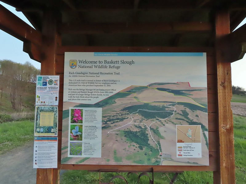
Having visited the Ankeny and William L. Finley National Wildlife Refuges on Tuesday (post) and Wednesday (post) respectively I visited the third refuge comprising the Willamette Valley Complex, Baskett Slough on Thursday. For the final in this trifecta I had the chance to hike with my Father so I picked him up just after 6am and off we went. Like the other two refuges in the complex I had visited Baskett Slough before, most recently in May of last year (post) during the initial COVID lock down when many places weren’t open and we were trying to stay close to home. We began our hike at the Baskett Butte Trailhead.
Mt. Jefferson from the trailhead.
The Rich Guadagno Memorial Loop Trail begins here and we followed it uphill to the start of the loop where we forked left continuing uphill to a second junction with the side trail to the Rich Guadagno Viewing Platform. We were just a couple of weeks earlier than Heather and my visit from last year but it made a big difference. The hill had been covered with wildflowers during that hike but there were just a few out now.
A few lupine and buttercups
Camas
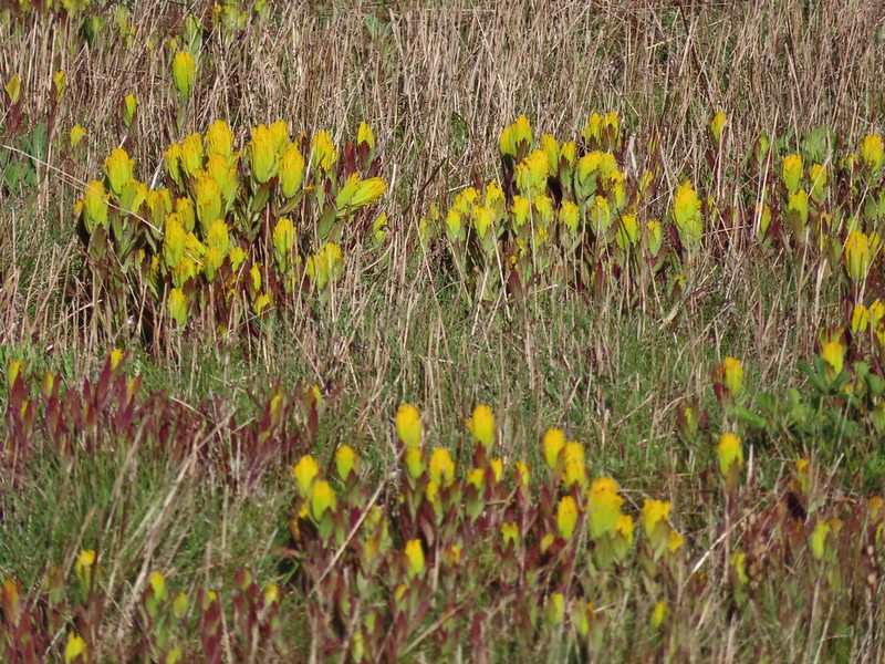
Castilleja levisecta – Golden Paintbrush
A few little flowers starting to open up.
View from the deck.
Western meadowlark
We returned to the loop and continued into the woods on the side of Baskett Butte where we kept a streak of mine alive by spotting deer in this area.
There weren’t nearly as many flowers here as there had been in the woods at Finley NWR but a few fawn lilies and toothworts were blooming.
The rangers had been busy cleaning up after the ice storm based on some large piles of debris but it also appeared there was more work to do.
We turned left at a sign for the Moffiti/Morgan Loop Trail and headed downhill toward Moffiti Marsh.
Camas pretending to be part of a lupine plant.
White crowned sparrow
Hawk
Lesser scaup
American wigeons
Pied billed grebe
Yellowlegs
Red-winged blackbirds
Savannah sparrow
We turned right along a path parallel to Smithfield Road following it to a small trailhead (where Heather and I started the 2020 hike). The fences across Smithfield Road were popular with the feathered community.
Swallows
A robin, a western bluebird and swallows
A green winged teal and a cinnamon teal in a small marsh.
We took the path from the trailhead to Morgan Lake where there were a lot of ducks doing their best to stay as far away from us as possible.
This scrub jay wasn’t shy.
Neither was this serious looking spotted towhee
Norther shovelers heading to the opposite side of the lake.
A bufflehead and some lesser scaups
Canada goose flyover
Mallard pair
After passing the lake we got a wild hair and instead of following the loop up around the north side of Baskett Butte we decided to stay on a fainter grassy track around the eastern side of the butte. Old out building below Baskett Butte.
This seemed to be a good way to avoid the elevation gain of going up and over the saddle on Baskett Butte but along the way the grassy track disappeared into a field. There was another track heading uphill toward the butte but we were set on not climbing so we sallied forth. Not only was this uphill but we didn’t know for sure where it might lead.
Along the field we went.
On the bright side our little adventure led us to the only blooming checkermallow we’d seen all morning.
At a row of vegetation if briefly appeared we might be turning back but a break in the brush provided us a way through (it appeared to be a popular route with the resident deer and elk. Looking uphill along the row of brush.
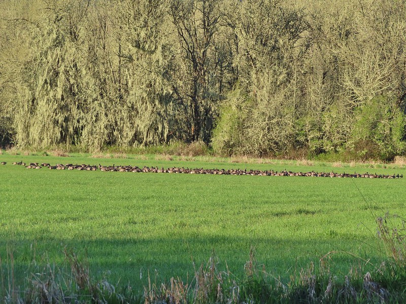
On the other side of the brush we found a huge flock of geese (or several smaller flocks that had merged)
An extremely small portion of the geese.
We veered right away from the geese not wanting to be the cause of what we could only imagine would have been quite a commotion and cut across another field directly to the trailhead which was now visible. Baskett Butte from the field.
Our route may have actually been a little shorter than if we had stayed on the trail as my GPS showed 4.8 miles while the route as described by Sullivan is 4.9 miles. It also saved a little bit of elevation gain and allowed us to see a little part of the refuge that we hadn’t before. It would have been pretty ugly though if it had rained recently though as I can only imagine those fields would be muddy messes. While not quite as exciting as the other two refuges Baskett Slough has always managed to deliver wildlife sightings and is definitely worth a visit. Happy Trails!
Our route with the “highlighted” section showing the off-trail route around Baskett Butte
A day after visiting the Ankeny National Wildlife Refuge (post) I headed out to the William L. Finely National Wildlife Refuge for another attempt at spotting wildlife. Heather once again was working so I was on my own again. We had done two previous hikes here, one in 2017 visiting the Cabell Marsh and hiking the Woodpecker and Mill Hill Loops and the other in 2020 starting near Pigeon Butte. My plan was to combine most of those two hikes and add a few new short stretches to make a big loop through the refuge starting from the Woodpecker Loop Trailhead. One item to note is that some of the refuge is closed from November 1st through March 31st making this loop impossible during the seasonal closure.
The refuge is open from dawn to dusk and I arrived at the trailhead just as the Sun was beginning to rise behind Mt. Jefferson.
From the Woodpecker Loop Trailhead I walked down to the refuge road and followed it to the left back to the Cabell Barn then turned right on a road at a season trail sign for the Cabell Marsh Overlook. I followed the roadbed to the Cabell Lodge and past the overlook down to Cabell Marsh. Mt. Hood from the refuge road
Cabell Marsh (the marsh had been drained when we visited in 2020)
I slowly walked along the dike at the marsh using binoculars to try and identify how many different ducks were out on the water. Norther shovelers
American coots
Ring-necked ducks
Buffleheads
Black pheobe
American wigeons
Cabell Marsh
Canada geese
Wood duck, ring-necked ducks and a pied billed grebe
More northern shovelers
Ring-necked ducks
Green winged teal
Robin
At a junction on the SW end of the Marsh I stayed left following a roadbed past a huge flock of geese and some ponds to a junction with the Pigeon Butte Trail.
Killdeer
Red-winged blackbird
Junction with the Pigeon Butte Trail (grassy track heading uphill)
Originally I had planned on skipping the half mile trail to the top of Pigeon Butte but it was a beautiful morning and it had been too cloudy to see much on our hike in 2020 so I turned uphill an tagged the summit before returning to my originally planned loop. Tortoiseshell butterfly
Spotted towhee serenade
Bewick’s wren
Madrone
Mourning dove
Camas blooming near the summit
View from Pigeon Butte
Scrub jay spotted on the way down.
One of the “blue” butterflies, maybe a silvery blue
Acorn woodpecker
When I got back down to the junction I continued south on the Pigeon Butte Trail to a junction at a pond below Cheadle Barn. Looking back at Pigeon Butte, the yellow paintbrush was starting its bloom on the hillside.
Instead of heading for the barn and the Cheadle Marsh Trail which we had used on our 2020 visit I went right following a roadbed to Bruce Road across from the Field 12 Overlook. Looking back at Pigeon Butte and the Cheadle Barn
I then walked west on Bruce Road to the trailhead for the Beaver Pond and Cattail Pond Trails passing the Mitigation Wetland along the way. I paused at the wetland to watch a great blue heron and egret along with a number of ducks in. Ground squirrel on Bruce Rd.
Sparrows
Western bluebird
Mitigation Wetland
Egret
heron flying by the egret
Northern shoveler
Green winged teals
Trailhead off of Bruce Road
I turned off of Bruce Road at the trailhead and followed the grassy track to a fork where I veered left on the Beaver Pond Trail. This trail led briefly through the woods before arriving at the Beaver Pond where I startled a heron and a few ducks but an egret and a few other ducks stuck around. Ground squirrel
Entering the woods
Giant white wakerobin
Fairybells
Startled heron
Egret and a cinnamon teal pair and maybe an American wigeon
As I was watching the egret I noticed something else in the water but I wasn’t sure if it was an animal or a log/rock in disguise. Even with binoculars I could decide but after looking at the pictures it was in fact a nutria that appeared to be napping.
The egret finally flew off and I continued on to a junction just beyond the pond where I turned left heading slightly uphill toward the Refuge Headquarters and the Mill Hill Loop.
Candyflower
At a signed 4-way junction I followed a pointer for the Mill Hill Trail to the left but not before I checked out a patch of pink along the trail straight ahead.
The pink turned out to be shooting stars.
I hiked the Mill Hill Loop (which led back to the junction right past the shooting stars) and then turned left on the Intertie Trail. The Mill Hill Loop was full of surprises with a number of different wildflowers blooming and a turtle sighting. The turtle was on a log in a wetland quite a bit below a bench along the trail and I only spotted it with the help of the binoculars but that counts. Iris
Bleeding heart
One of many fairy slippers
It took some work to get the camera to stop focusing on the brush in the foreground.
Buttercups
Violets
Fawn lilies
Back at the junction and onto the Intertie Trail
I followed the Intertie Trail to the Woodpecker Loop ignoring side trails to the Refuge Headquarters.
Service berry
The Woodpecker Loop
I turned left opting to head uphill on a slightly longer route back to my car so that I could check out the view from a hilltop viewing structure. Norther flicker along the Woodpecker Loop
Amphibian pond and interpretive kiosk.
Viewing structure
Mt. Jefferson
The Three Sisters
I watched a pair of raptors chase each other around but couldn’t get a clear enough view to tell what kind they were (maybe Cooper’s hawks?).
This was the best shot I could get at 40x zoom with the sun in front of me.
After accepting that a clearer picture wasn’t possible I left the shelter and hiked downhill to my waiting car. While I only passed two other hikers on the trails there were a number of folks at the trailhead either just arriving or getting ready to leave. My loop with the mile detour up and down Pigeon Butte came in at 11.3 miles. The great thing about Finley is the diversity it offers with forest, woodlands, marshes and fields each supporting different plants and wildlife. The possibility of long, medium and short hikes is also nice. The one drawback is that there is a lot of poison oak in the area but they keep the trails wide enough that it really isn’t much of a problem.
I found myself with some time off that Heather does not and after spending the first day getting the car serviced and receiving my first dose of COVID vaccine (YAY) I spent the next morning exploring the Ankeny Wildlife Refuge. We had visited once before in 2014 for a short hike described by Sullivan in his “100 Hikes in the Central Oregon Cascades” guidebook (post). This time I hoped to explore more of the refuge by hiking some of the dike trails that are open from April 1st to September 30th. I started my morning at the Eagle Marsh parking area on Buena Vista Road.
There is a nice kiosk there overlooking the marsh from which quite a few ducks and geese were visible.
Buffleheads
Canada goose and mallards
American coot
Ring-necked ducks (I’m not sure all the females are the same.)
Geese flying over Eagle Marsh as the Sun rises.
There was more vegetation at the southern end of the marsh where robins and blackbirds were singing.
At the end of Eagle Marsh the dike split and I had intended to stay straight (the Refuge trail map appeared to show a possible loop around Willow Marsh but other maps do not show a dike at the southern end) but a sign there announced that dike was closed due to active nesting so I turned left instead. Willow Marsh
There were a lot of ducks in Willow Marsh but they were keeping a safe distance from me. A bufflehead and mallards
Mallards and ring-necked ducks
I then turned right along a dike passing between Willow and Teal Marshes. Teal Marsh to the left of the dike.
It was more of the same treatment from the ducks in Teal Marsh.
Mallards an northern shovelers
Buffleheads
While the ducks stayed away I had better luck with the smaller birds. Spotted towhee
Red-winged blackbird
Female red-winged blackbird
Sparrow
Yellow-rumped warbler
At the end of Teal Marsh I turned around and headed back past the ducks.
Geese coming in for a landing on Teal Marsh
Northern flicker
Green-winged teal
Ring-necked ducks and a bufflehead pair
Scrub jay
Pie billed grebe at Eagle Marsh
The out-and-back was a nice, albeit windy, 3.2 mile walk with no elevation gain. From Eagle Marsh I turned left (SW) onto Buena Vista Road and drove a quarter mile to a small pullout at a green gate.
From here I planned on following another dike past Mohoff Pond and Pintail Marsh to Wintel Road and then follow that road briefly to the Rail Trail Loop Area which is where we had been on our first visit. A bald eagle flew over Mohoff Pond just as I set off.
Mohoff Pond was busy with a number of different ducks but primarily they seemed to be northern shovelers.
I didn’t see it when I took the picture but it appears there is an eagle on the ground in the distance here.
The activity wasn’t only at Mohoff Pond though as a handful of egrets were mostly out of view in a field on the other side of the railroad tracks. One of the egrets taking off.
Brewer’s blackbird on a tree along the railroad tracks.
I stayed right at a junction with a dike running between Mohoff Pond and Pintail Marsh. Pintail Marsh ahead on the left.
The dike between Mohoff Pond and Pintail Marsh.
Ducks at Pintail Marsh
There was a gravel parking area at the southern end of Pintail Marsh where I hopped onto Wintel Road and headed left following the narrow shoulder for .3 miles to another green gate on the right hand side of the road. Pintail Marsh
Looking back at the gate and Wintel Road
I followed a grassy track which split 100 feet from the gate and turned right (left would have led me to the Rail Trail Parking area). The path led past a little standing water before leading onto a dike along Wood Duck Pond.
Yellow legs
I passed the Rail Trail Boardwalk and stayed on the dike now retracing our steps from our first visit.
The dike turned south wrapping around Dunlin Pond. The boardwalk across Dunlin Pond from the dike.
Ring-necked ducks
Ring-necked ducks taking off.
Sparrow
Common yellowthroat
Hawk and a sparrow
At the far end of Dunlin Pond the dike split again at Killdeer Marsh. Here I turned right and looped around Killdeer Marsh. Killdeer Marsh
Another yellow legs?
Mustard along Killdeer Marsh
A killdeer amid ducks at Killdeer Marsh
The dike didn’t quite go all the way around the marsh but it was easy walking along the edge of a field to get back to the dike on the north side of the marsh. The only issue was a 5 foot wide wet area between the field and dike where try as I might my shoes wound up wet. Once I was back on the dike I had the choice to go left back along Killdeer Marsh or a different dike veering off to the right along South Pond. I chose right and followed this dike around the end of South Pond.
South Pond
Cinnamon Teal in South Pond
The dike led me to one of two actual trails in the Refuge, the Rail Trail.
Damaged trees from the ice storm earlier this year.
Turkey vulture
Candyflower
I turned right at the boardwalk and followed it over the water to the dike on the far side.
American coots
I think this is a ring-necked duck and a lesser scaup.
At the dike I turned right and retraced my steps back to Witnel Road and headed back toward Pintail Marsh. Instead of going to the gravel parking lot that I had been at earlier I left the road at the Pintail/Egret Marsh Boardwalk Trailhead.
I followed this short boardwalk along and over Bashaw Creek to a bird blind.
Again on the trail map it appeared that the boardwalk connect to a dike at Egret Marsh but it instead it dead ended at the blind. The dike from the blind.
I turned around and headed back to Witnel Road a little dissapointed but then I spotted a little green frog on a log and all was good.
When I got back to the lot a Pintail Marsh I turned right thinking I would follow the dike on the other side Pintail Marsh and Mohoff Pond.
I stayed right when I passed another dike that allowed for a loop around Frog Marsh and stopped at a photo blind (reservable from 10/1-3/31).
At the junction with the other end of the Frog Marsh Loop I ran into another obstacle, more active nesting had closed the dike along Pintail Marsh so I did the loop around Frog Marsh and back to the gravel lot I went.
I retraced my steps on the dike along the west side of Pintail Marsh before turning right on the dike between the marsh and Mohoff Pond. Killdeer on the dike.
A whole lot of geese in the air ahead.
I turned left at a four way junction where the closed dike joined from between Pintail and Egret Marshes.
I was now on a dike between Mohoff Pond (left) and Mallard Marsh (right).
Ducks and geese were everywhere as I trudged directly into the wind along the dike. Green-winged teals
Northern shovelers
Canada geese
Another green-winged teal
Various ducks
Northern pintails
Crow
A green-winged teal and a yellow legs
My second stop wound up coming to 7.5 miles making for a 10.7 mile day. I only passed two people all day and saw a lot of different birds which made for a great hike. If I were a more patient person I would have sat at a blind or two and waited for some closer encounters but I prefer to keep moving so I have to settle for the long distance shots more often than not. Either way Ankeny is a great place to visit. Happy Trails!


 The yellow-headed blackbirds were particularly noisy.
 A cinnamon teal in front of two mallards?
 This loop was 3.4-miles.
 Grizzly Mountain from Pond 4.
 Killdeer
 One of the interpretive signboards ahead.
 Goose family
 There were plenty of benches to enjoy the views from.
 Mallards
 Cinnamon teal
 Must be a green-winged teal but the angle of light made the patch on his head look blue.
 We’d never seen so many killdeer in one area.
 Spotted sandpipers
 Brewer’s blackbird
 Swallow
 Pollinator garden
 Ring-necked ducks
 Wilson’s phalarope
 Yellow-headed blackbirds
 American coot
 Adolescent geese
 Dove
Dove Gadwalls
 Female yellow-headed blackbird
 Pair of bucks.
 Ruddy ducks
 Red-winged blackbird harassing an osprey.
 Gray Butte
 A pair of hawks.
 Not birds.
 Marsh wren
 Great blue heron
 Observation deck at Pond 10.
 Another marsh wren.

 Heading back to the parking area.


 Camas
Camas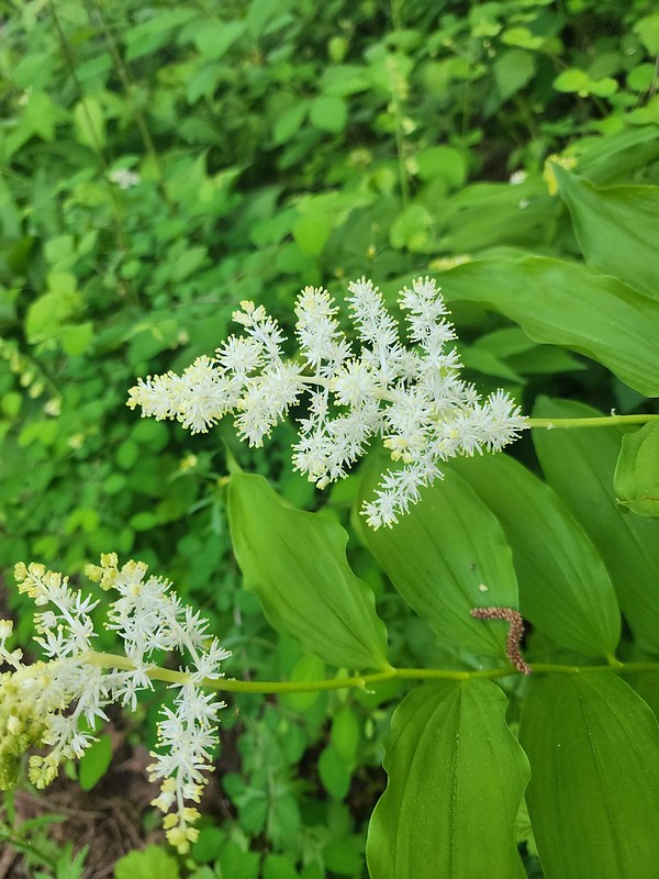 Solomonseal
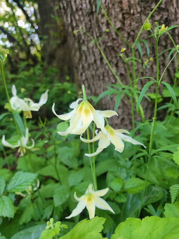 Fawn lilies
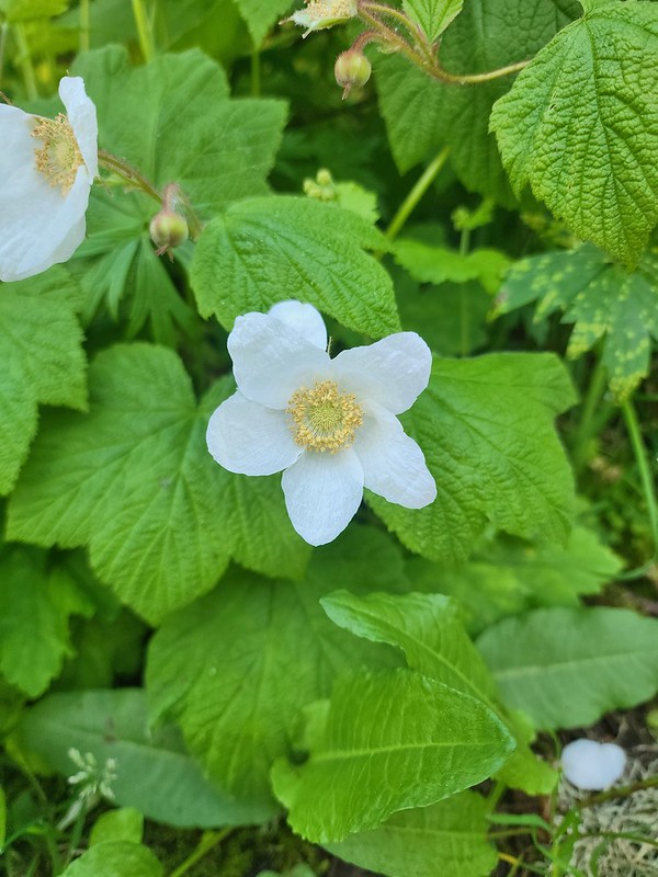 Thimbleberry
 Giant purple wakerobin
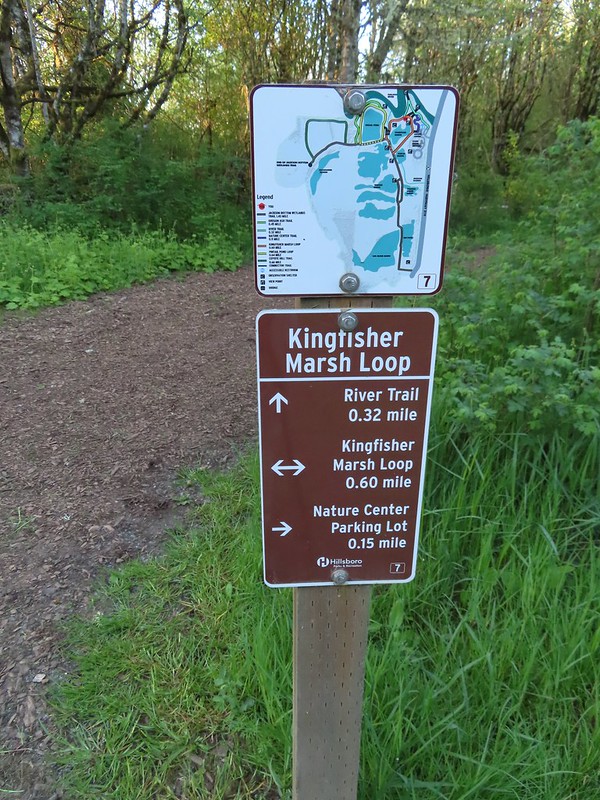 The trail signs were very helpful in keeping us on track.
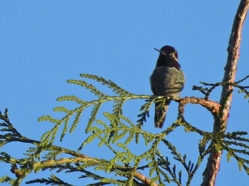 Anna’s hummingbird
 Viewpoint overlooking Kingfisher Marsh.
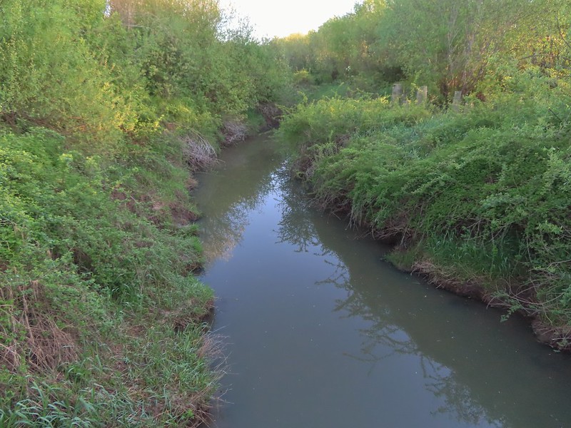 The trail crossed Jackson Slough on a footbridge.
 Pintail Pond Loop
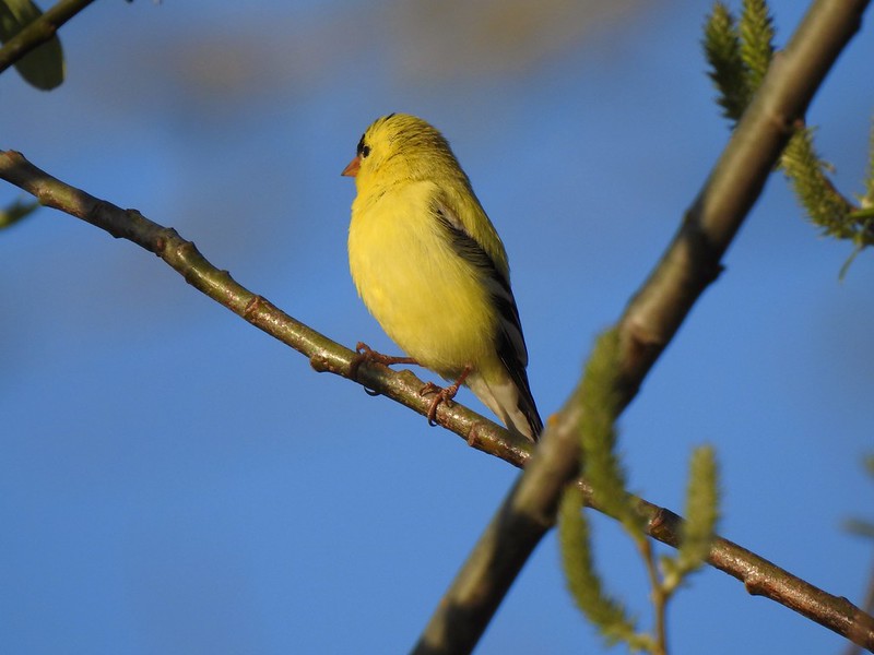 American goldfinch
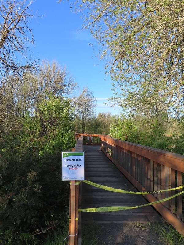
 Red-winged blackbird
 Sparrow
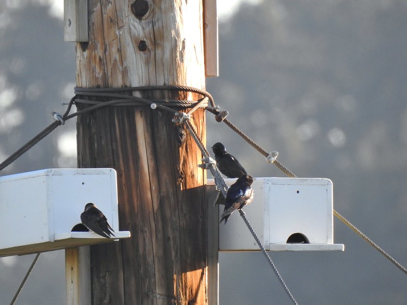 Purple martins
 American robin
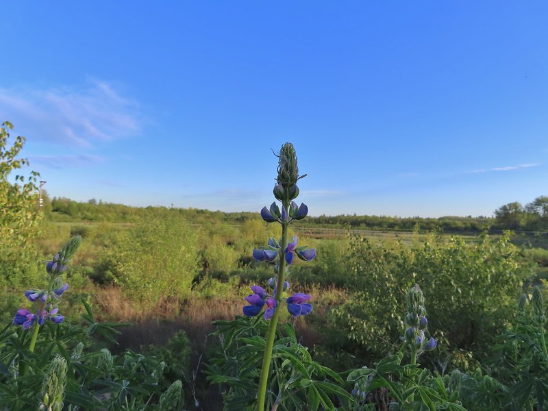 There is a lot of lupine in the preserve but only a few had started blooming.


 Pintail Pond
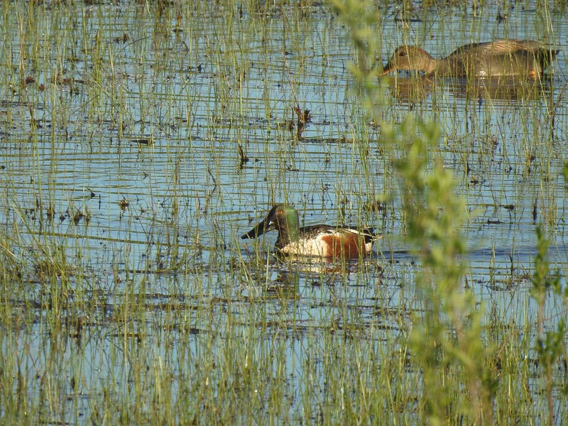 Northern shoveler drake and a gadwall
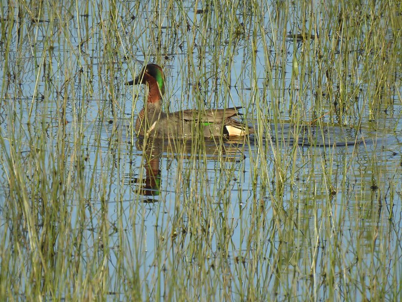 Green-winged teal
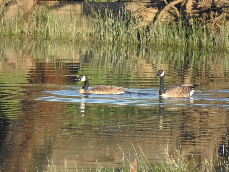 Geese
Geese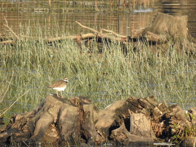 Killdeer
 More camas
 The Ash Trail.
 Orange-crowned warbler
 Jackson Bottom Wetlands
 Can’t emphasize enough how helpful the map/pointer combinations are.
 Noisy crow
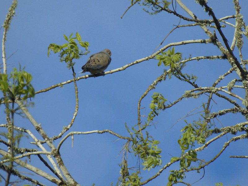 Mourning dove
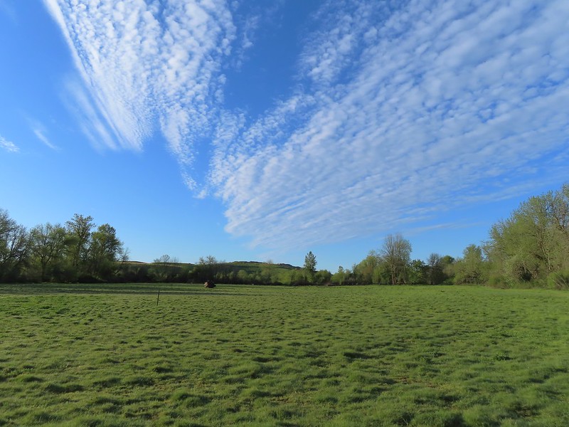 Our assumption was that that is Coyote Hill in the distance.
 Western buttercups
 Some houses on the wetlands border.
 Golden-crowned sparrow
 End of the trail.
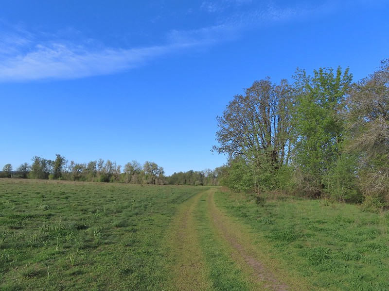
 Savannah sparrow
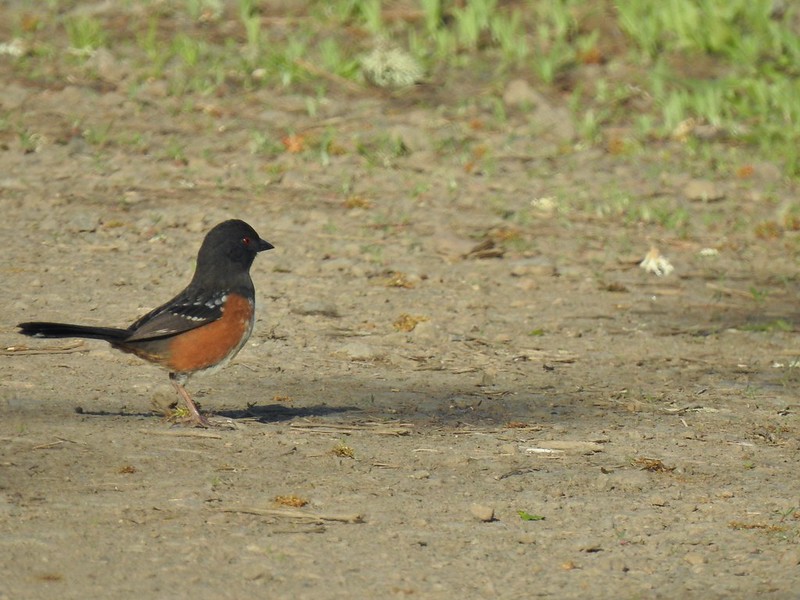 Spotted towhee
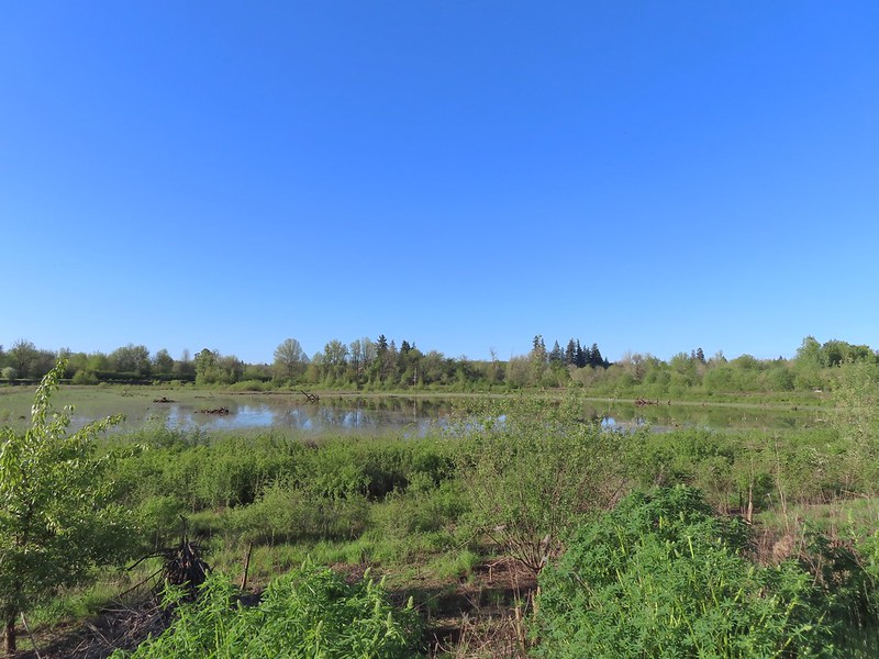 Passing Pintail Pond.
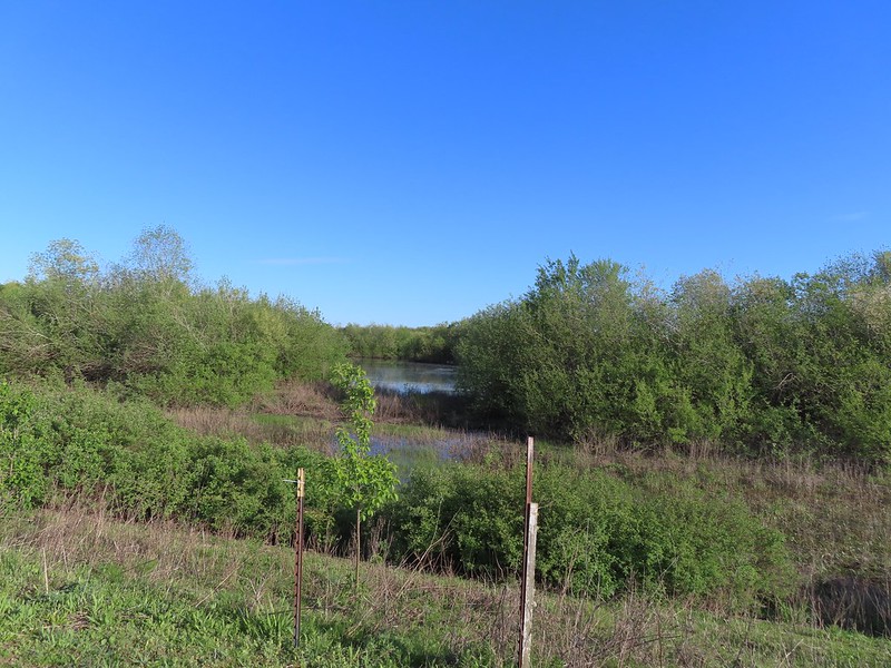 Wapato Marsh
 White-crowned sparrow
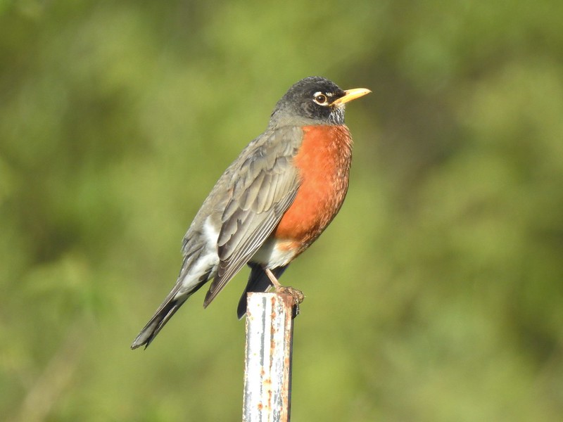 American robin
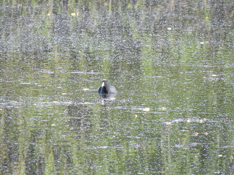 American coot
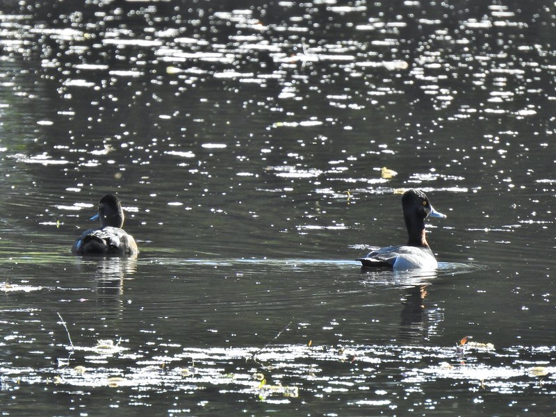 Ring-necked ducks
 Wapato Marsh
 Cormorants
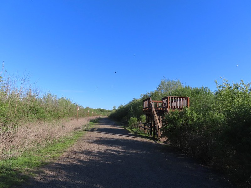 Raised viewing platform with many tree swallow photobombs.
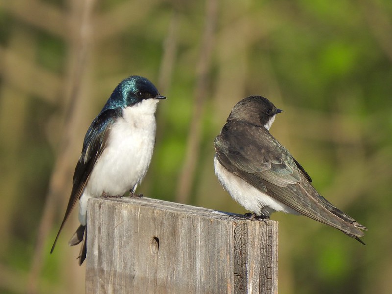 This couple was having quite the discussion.
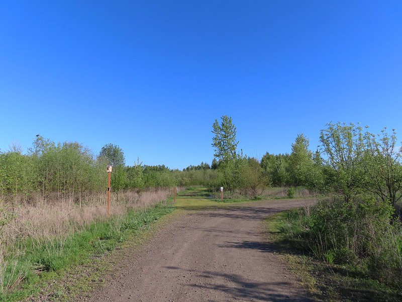 The Bobcat Marsh Trail on the left.
 Water treatment pipes at the other end of the Bobcat Marsh Trail.
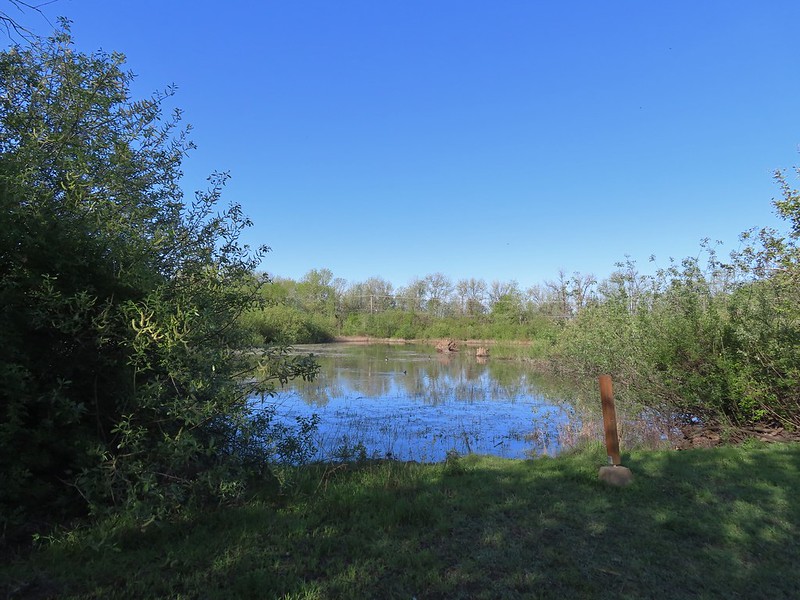 NW Pond
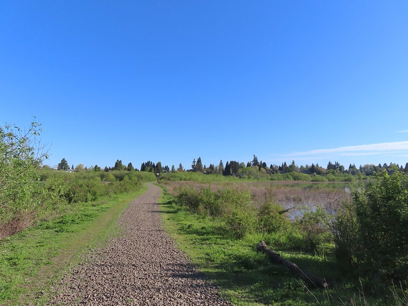 The trail passed between the NW Pond on the left and Oak Island Marsh on the right.
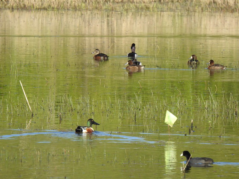 NW Pond had a variety of waterfowl. This is a northern shoveler drake, ring-necked duck pair, four lesser scaups, and an American coot.
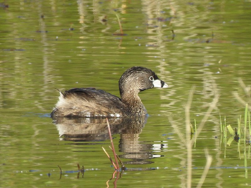 Pied-billed grebe in NW Pond
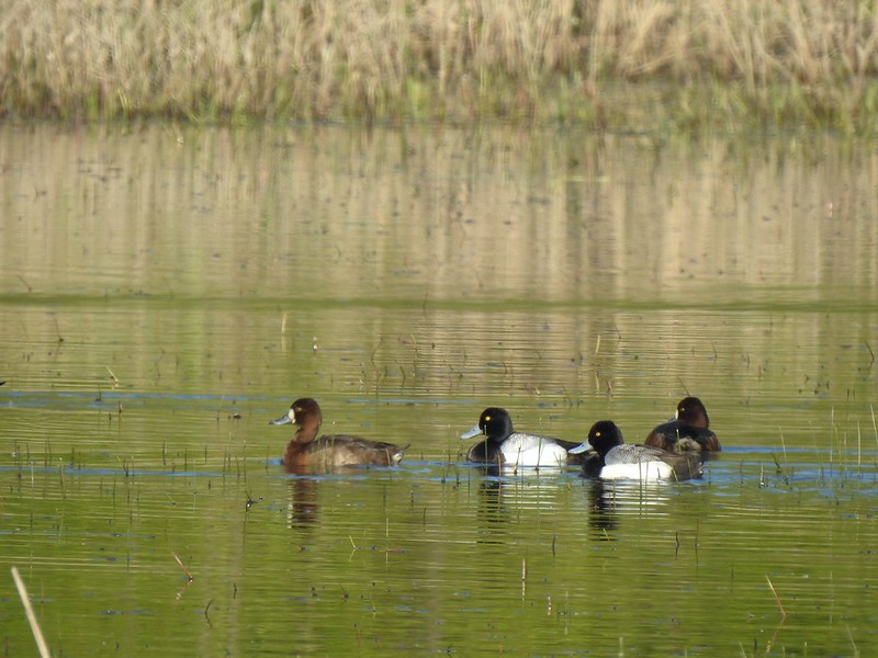 Lesser scaups
 Goose and mallards
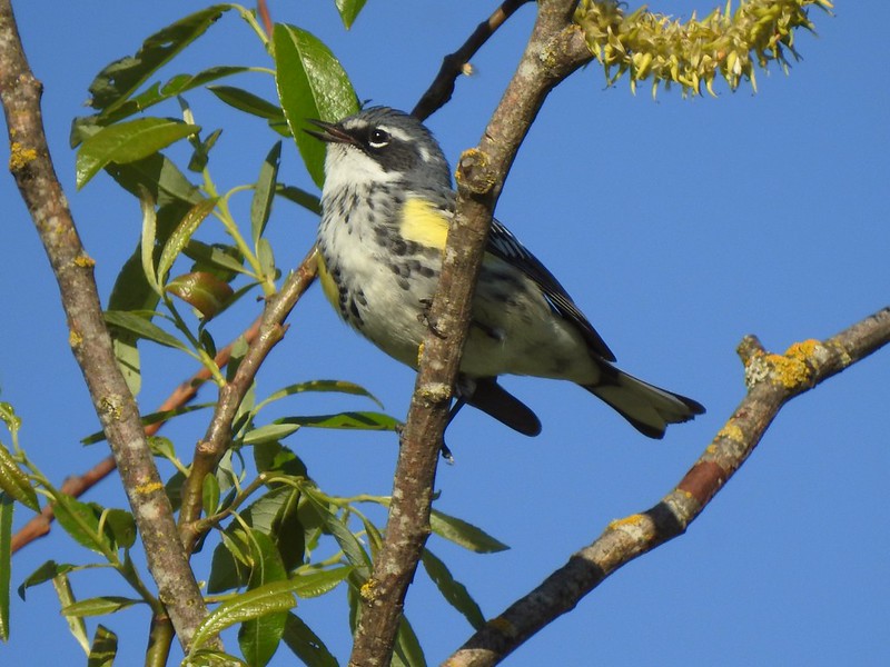 Yellow-rumped warbler
 The northern trailhead.
 Viewing platform at the trailhead.
 Cinnamon teal on Meadow Mouse Marsh
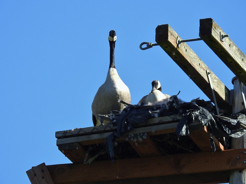

 Mt. Hood beyond Wapato Marsh
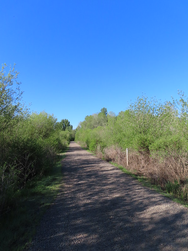 Back on the Kingfisher Marsh Loop.
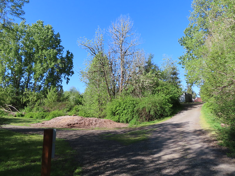 The Kingfisher Marsh Loop turned left here.
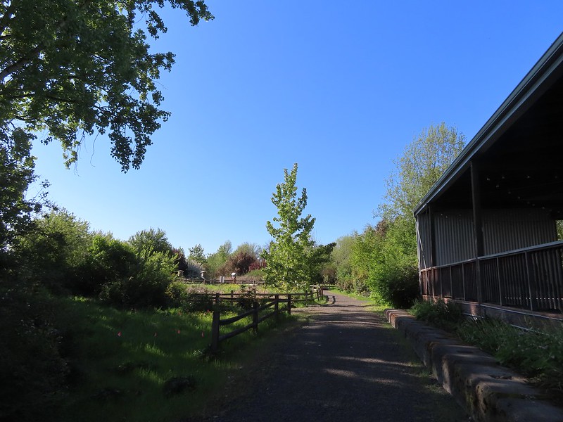
 Mason bee house
 Sign for the rhododendron garden.
 The Woodland Pond
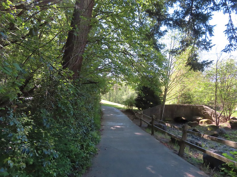 Heading for the Rock Creek Trail.
 Rock Creek from the Rock Creek Trail.
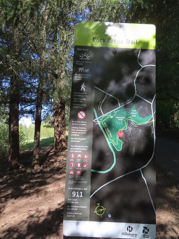 The maps for the park were a little tougher to follow as most of the trails weren’t named and there were a lot of interconnected short segments.
 The junction ahead is where the Rock Creek Trail beings/end according to the Rock Creek Trail maps. Maps of Rood Bridge Park simply refer to this as part of the “Main Trail Loop”, if they label it at all.

 Mallards
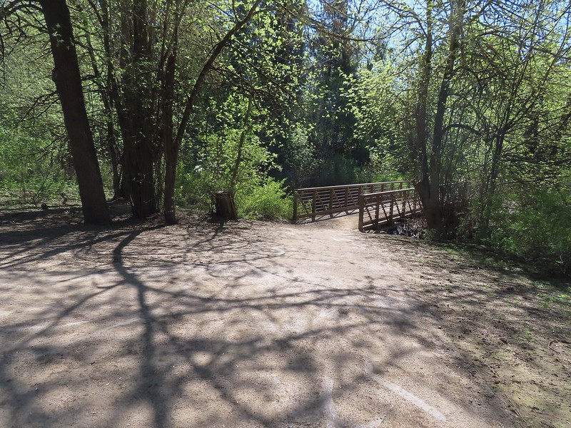 Footbridge at the start of the Lollipop Loop.
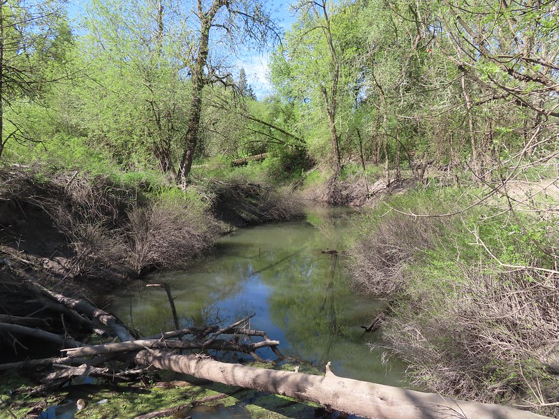

 There was a fair amount of Oregon grape as well.
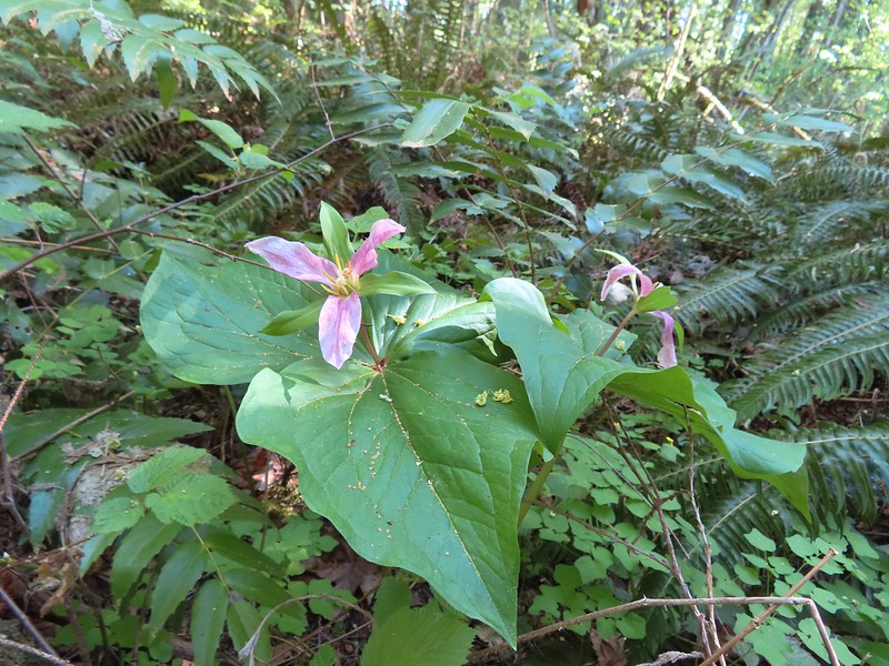

 Violets and trillium
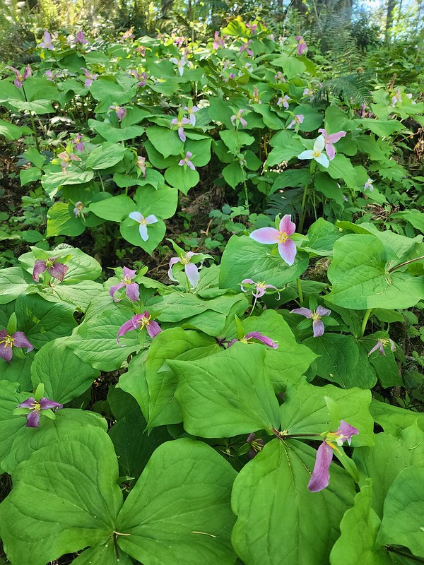
 Western meadowrue
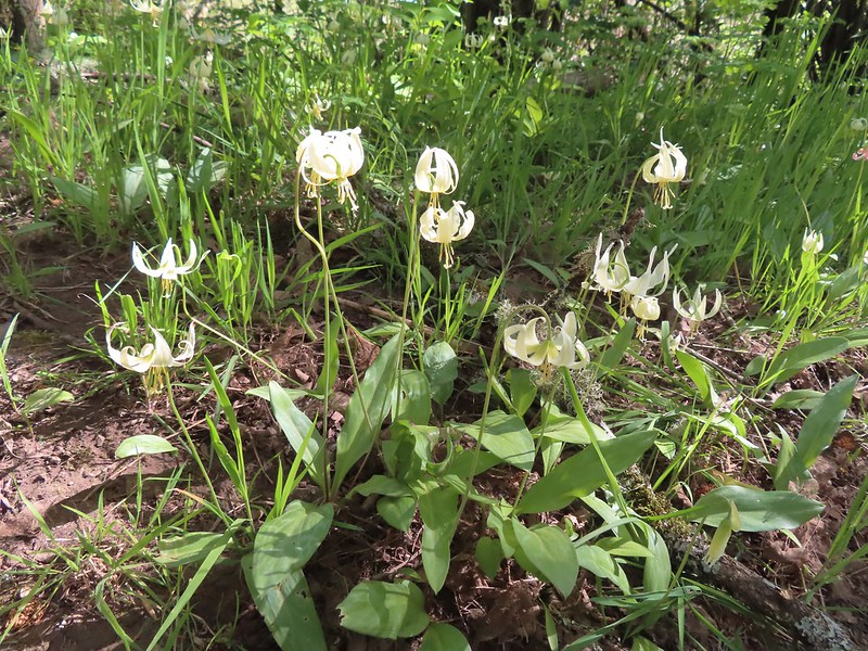 Fawn lilies

 Sparrow
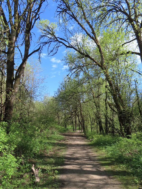
 Footbridge over Rock Creek.
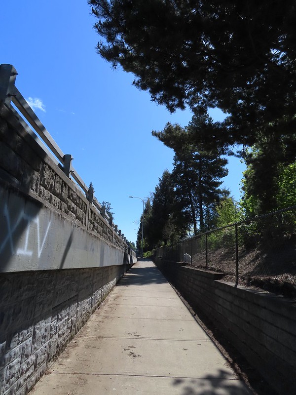
 Left is the dirt path we’d taken earlier, straight is the Rock Creek Trail, and right led to the Rhododendron Garden.

 Jackson Bottom on the left and Rood Bridge to the right.
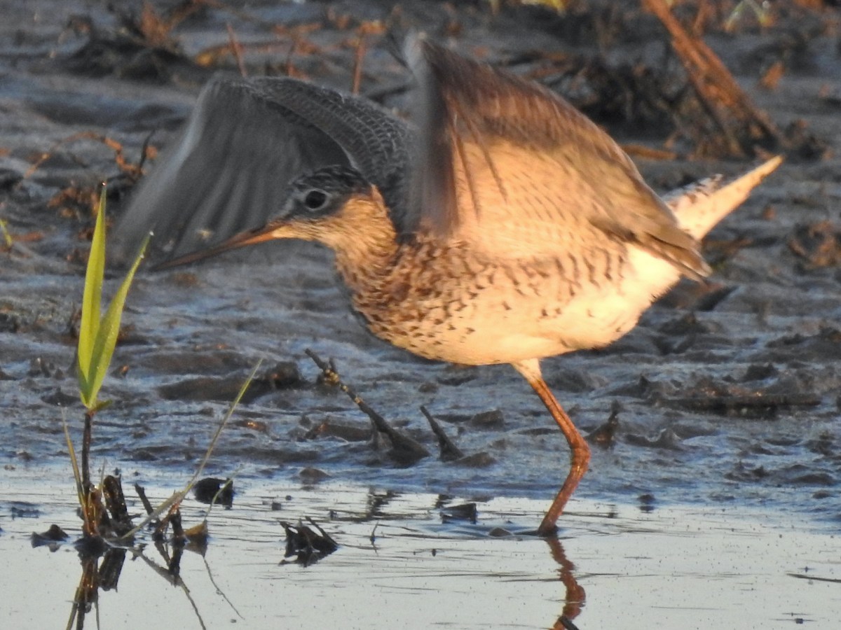
 The refuge is open from dawn to dusk. We arrived at a quarter to six to get an early start and avoid being out during the hottest parts of the day.
 The patch of wildflowers.
 A checker-mallow surrounded by golden paintbrush.
 Plectritis amid the golden paintbrush.
 We had a pretty good view of Mt. Hood.
 Mallards
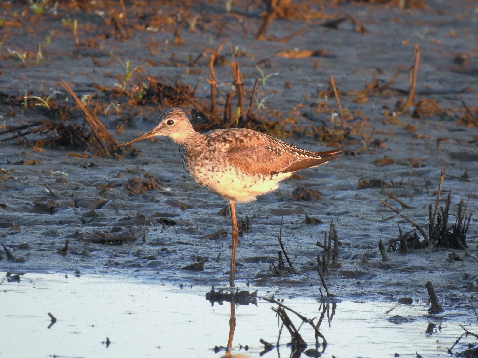 Greater yellowlegs
 Mourning dove
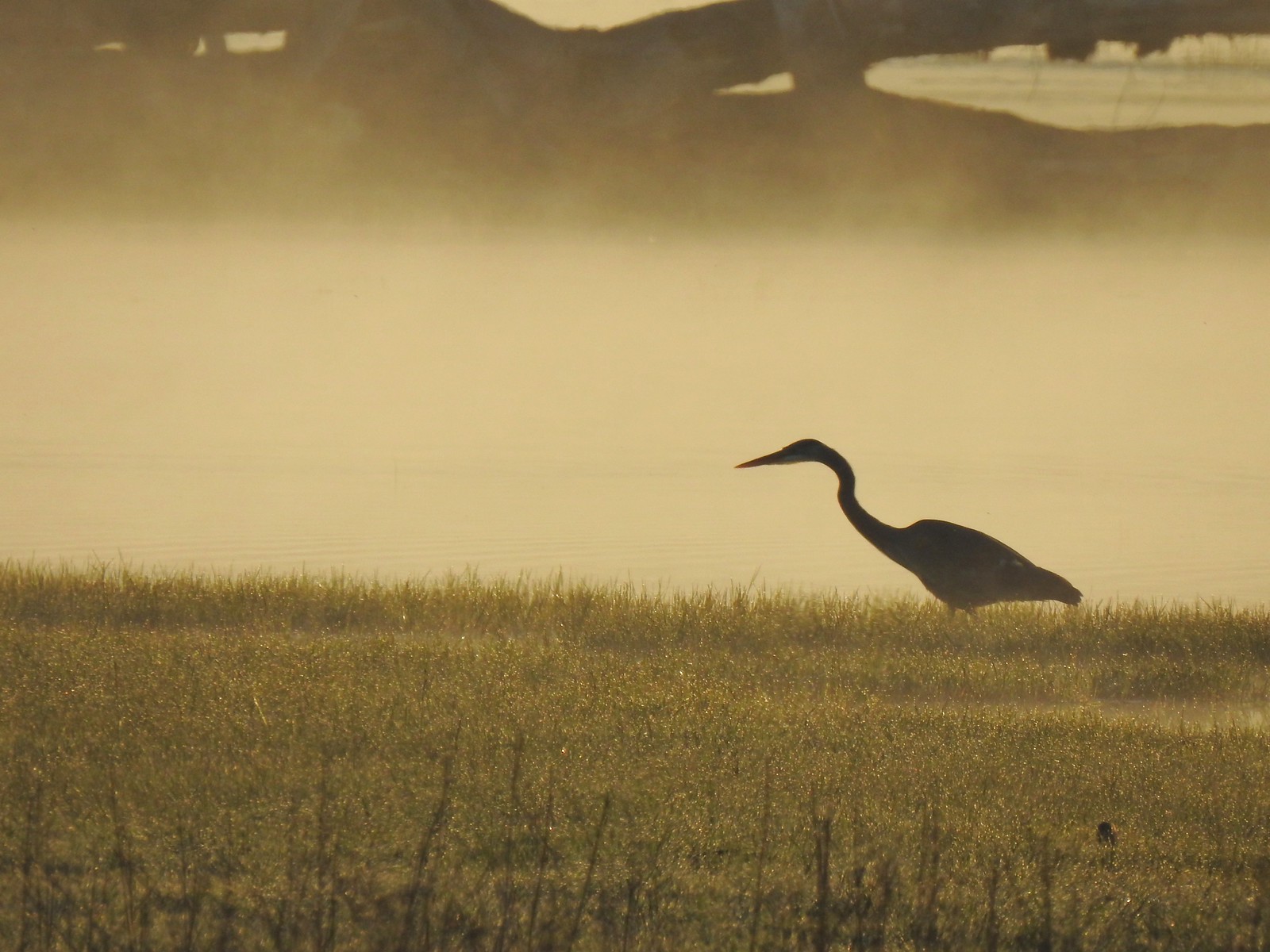 Great blue heron
 An egret and some ducks
 More families of geese
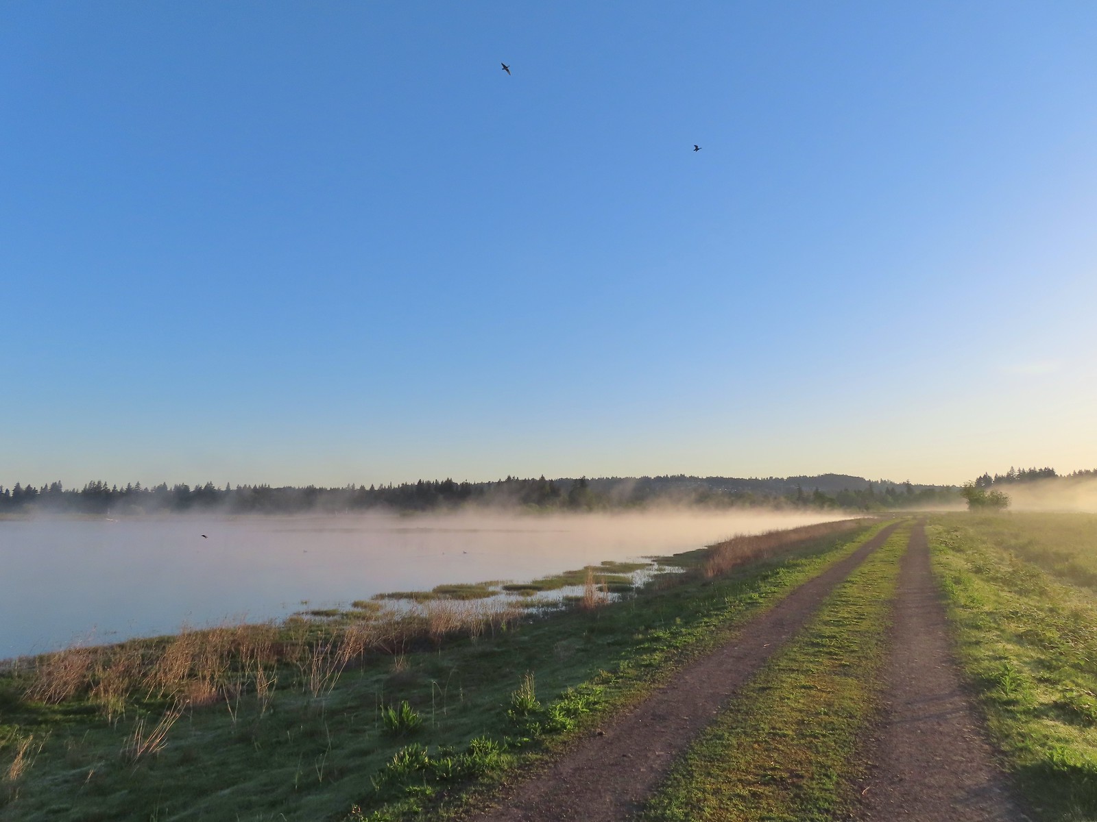 Swallows flying above the Wetland Trail.
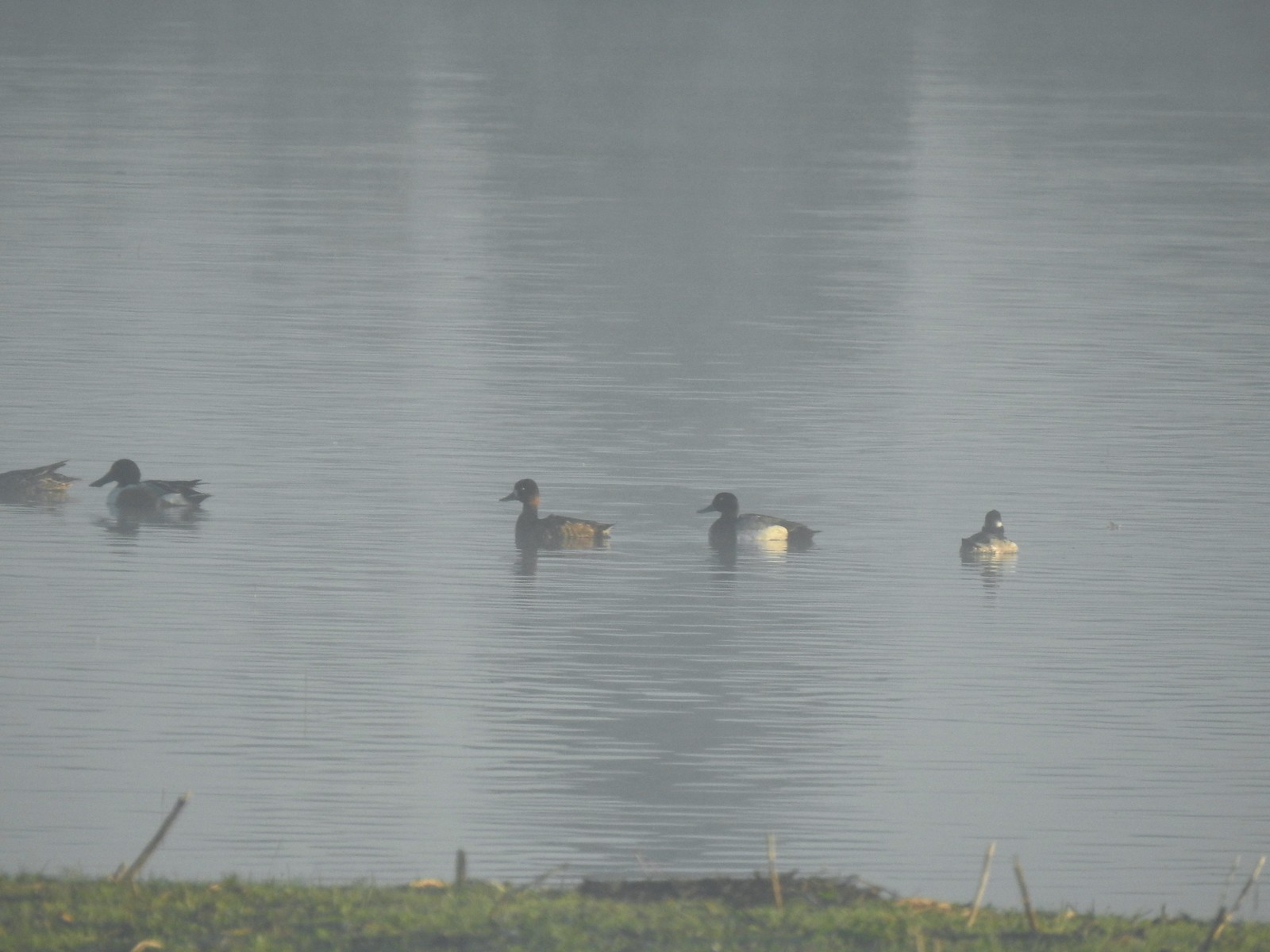 Northern shoveler, scaups (leaning toward greater), and a bufflehead.
 Mallards
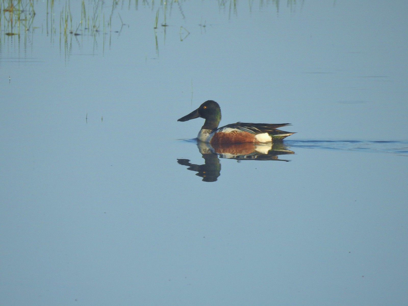 Northern shoveler
 Ruddy duck
 Gadwalls
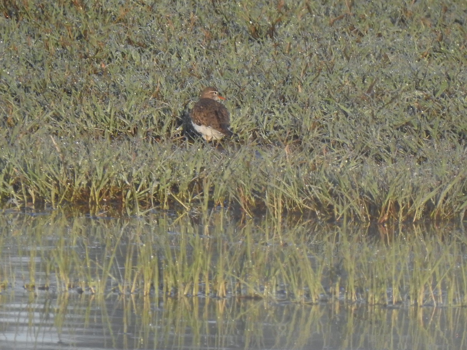 Spotted sandpiper
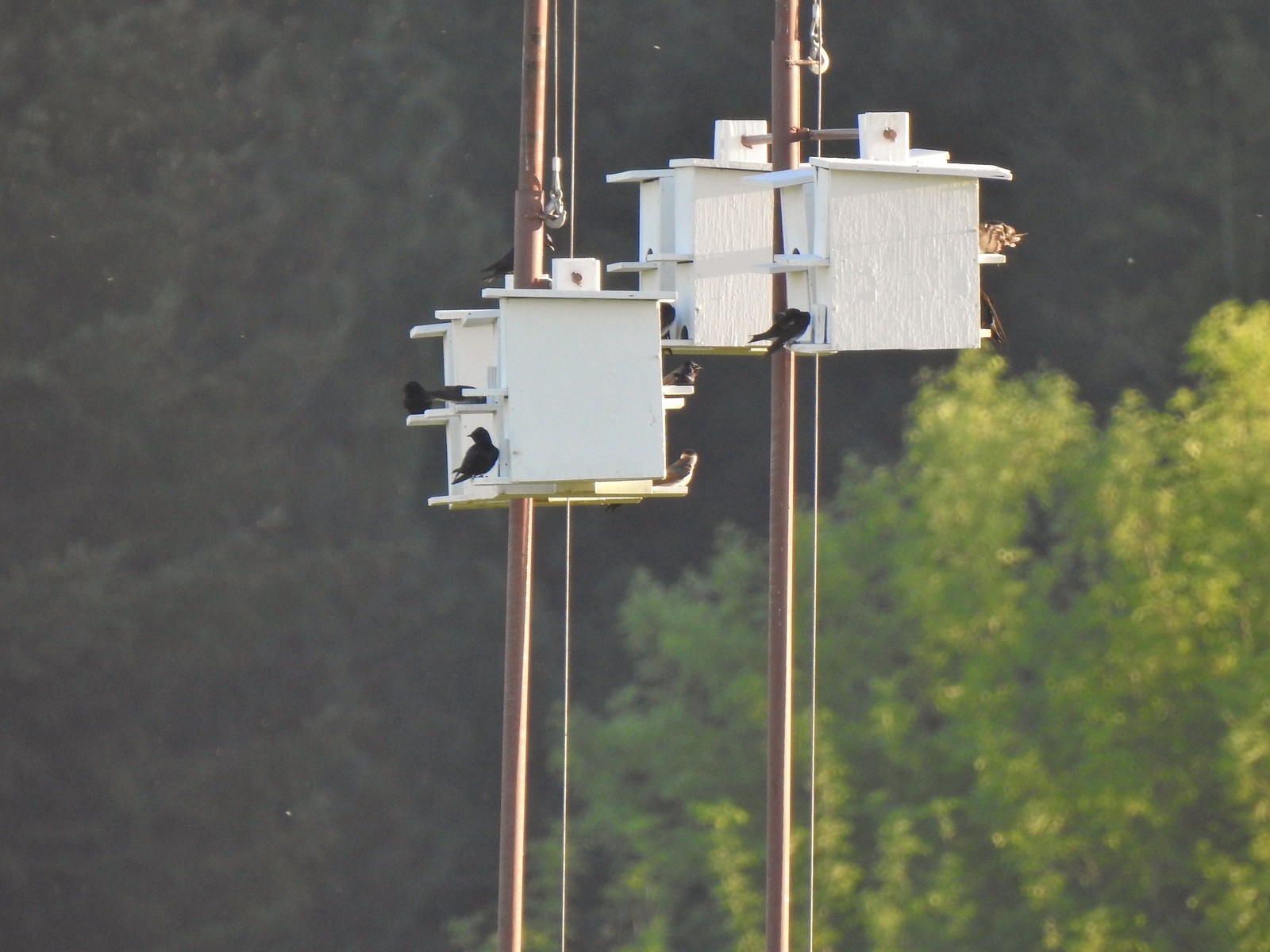 Purple martins
 Killerdeer
 Cinnamon teals
 Nutria, one of several of these non-native rodents that we saw.
 Nap time (or just a late sleeper).
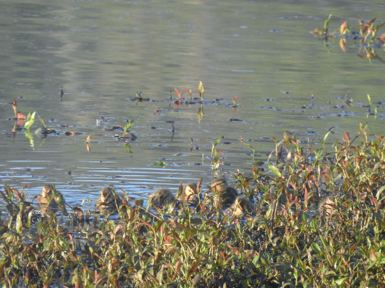 Ducklings
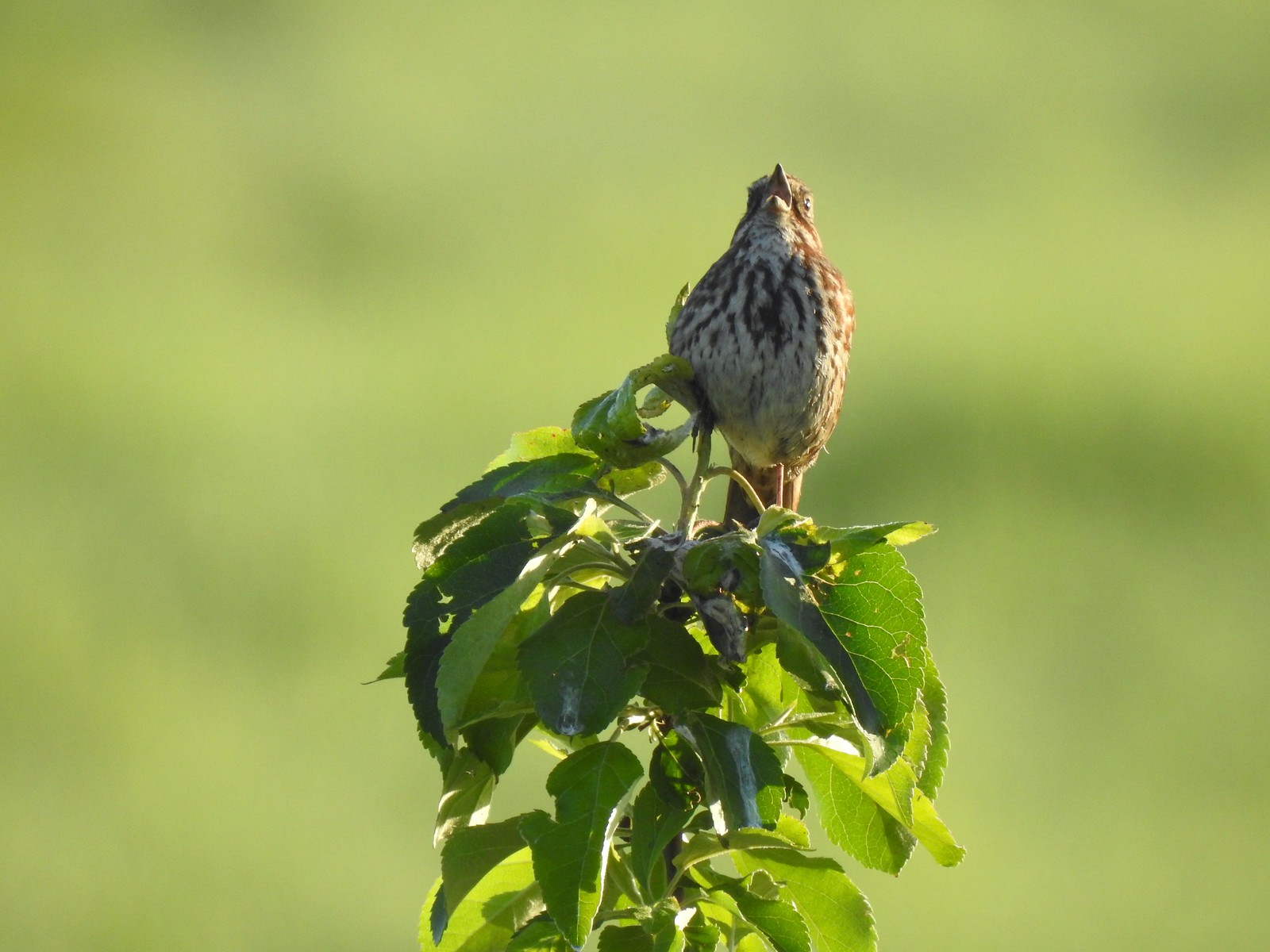 Song sparrow
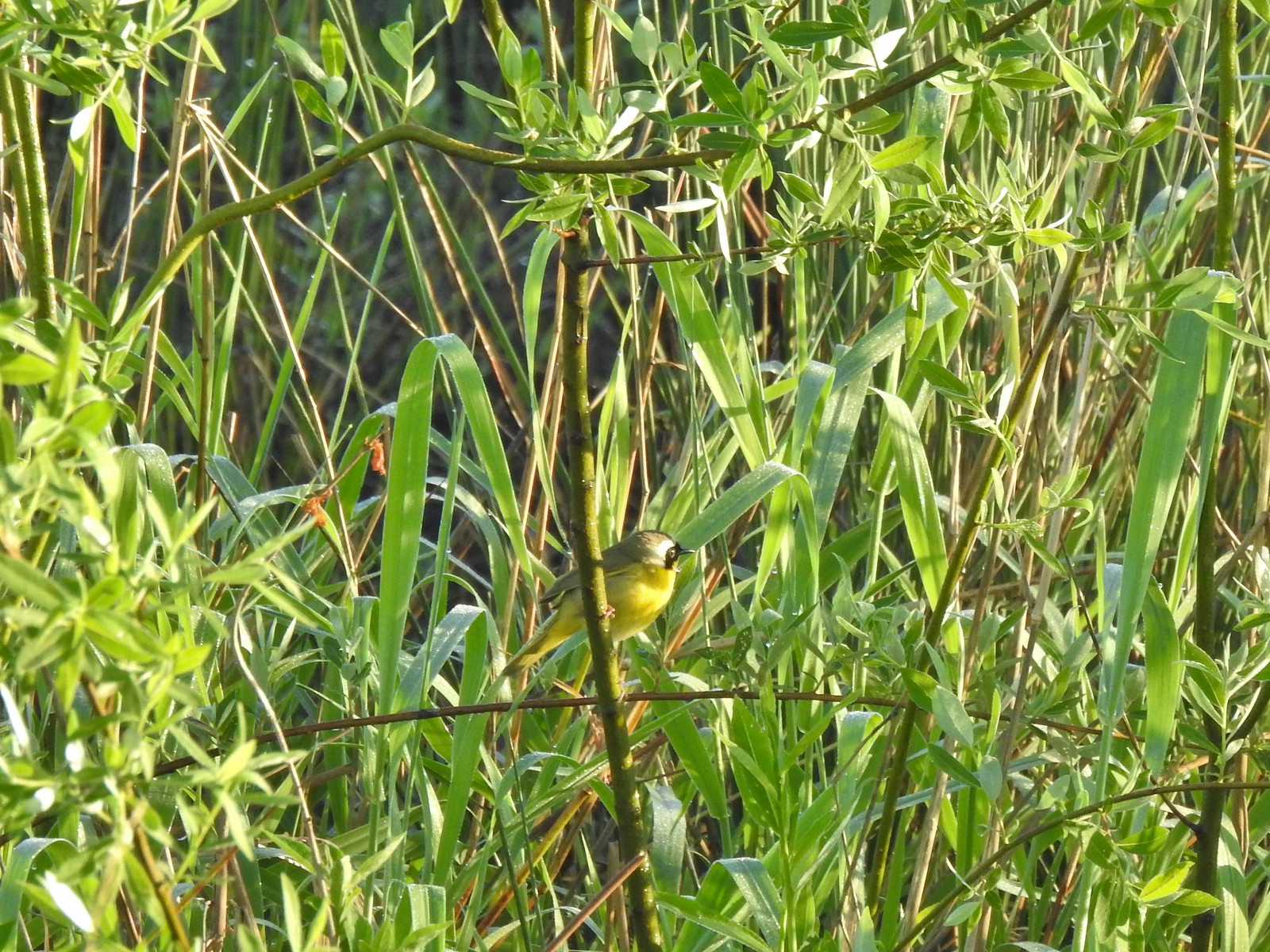 Common yellowthroat
 Wildlife Center
 Great blue heron watching from a little island.

 Anna’s hummingbird
 The same Anna’s hummingbird. When catching light their head/throat is bright pink but appear black when not.
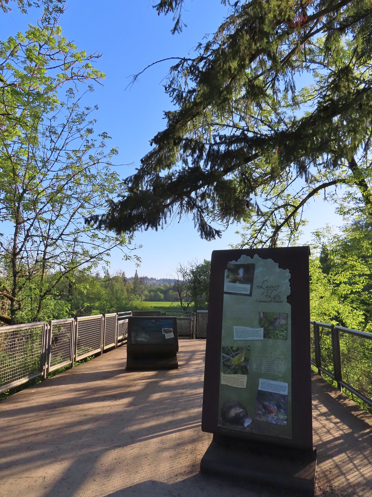 River Overlook
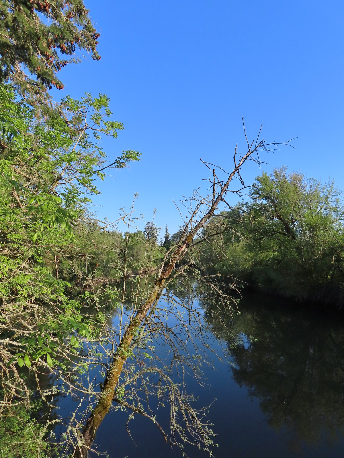 Tualatin River
 Robin
Robin The Wetland and River Trails running parallel.
 Spotted towhee
 Rabbit
 Pacific waterleaf
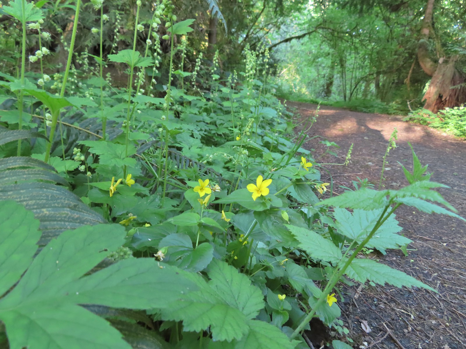 Violets and fringecup along the River Trail.
 Bleeding heart
 We skipped the spur trail to the Ridgetop Overlook since we’d done that on our previous visit.
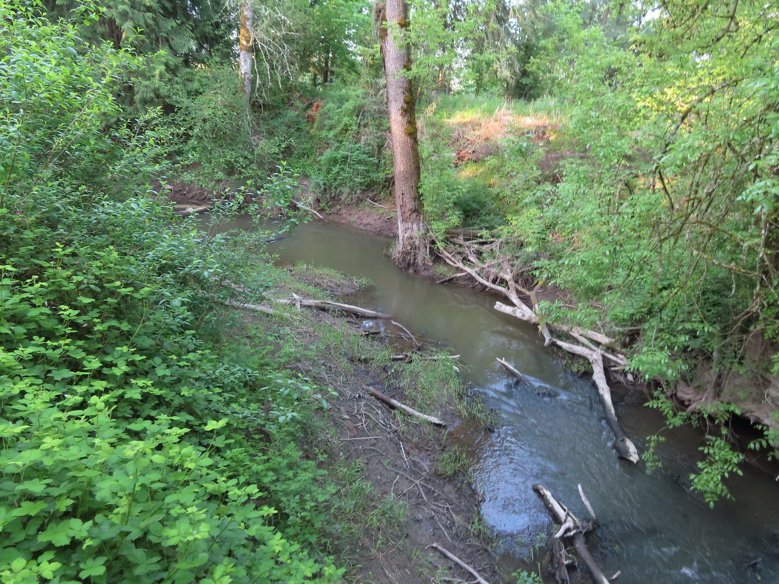 Chicken Creek
 The River Trail meets the Wetland Trail across from the Weland Observation Platform.
 Great white egrets
 There were some impressively tall trees along this portion of the loop.
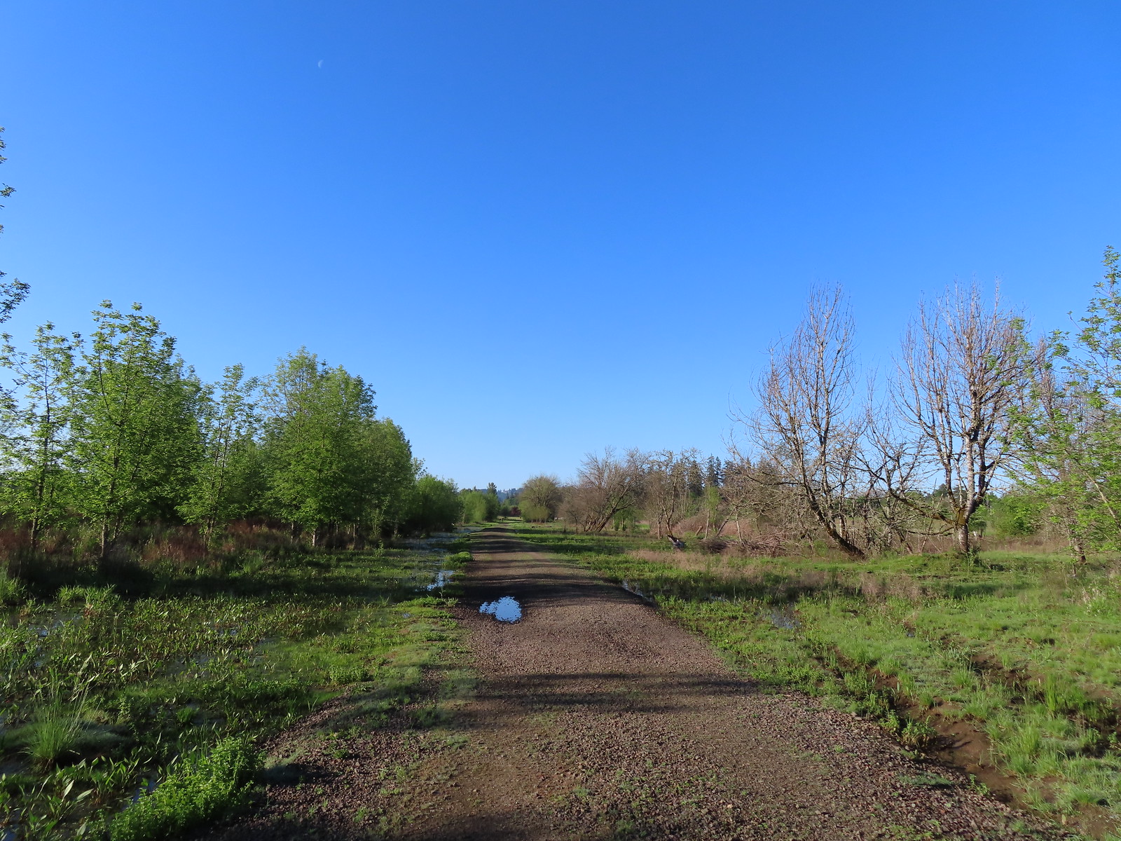
 Another egret
 More egrets across Chicken Creek.
 Red-winged blackbird
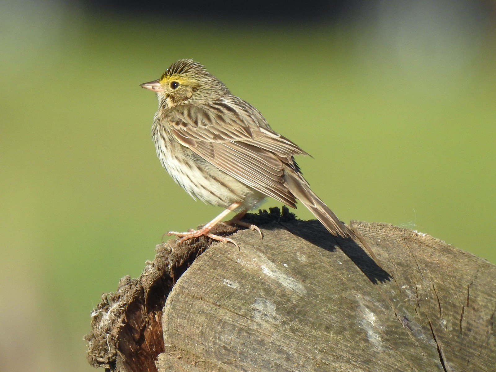 Savannah sparrow
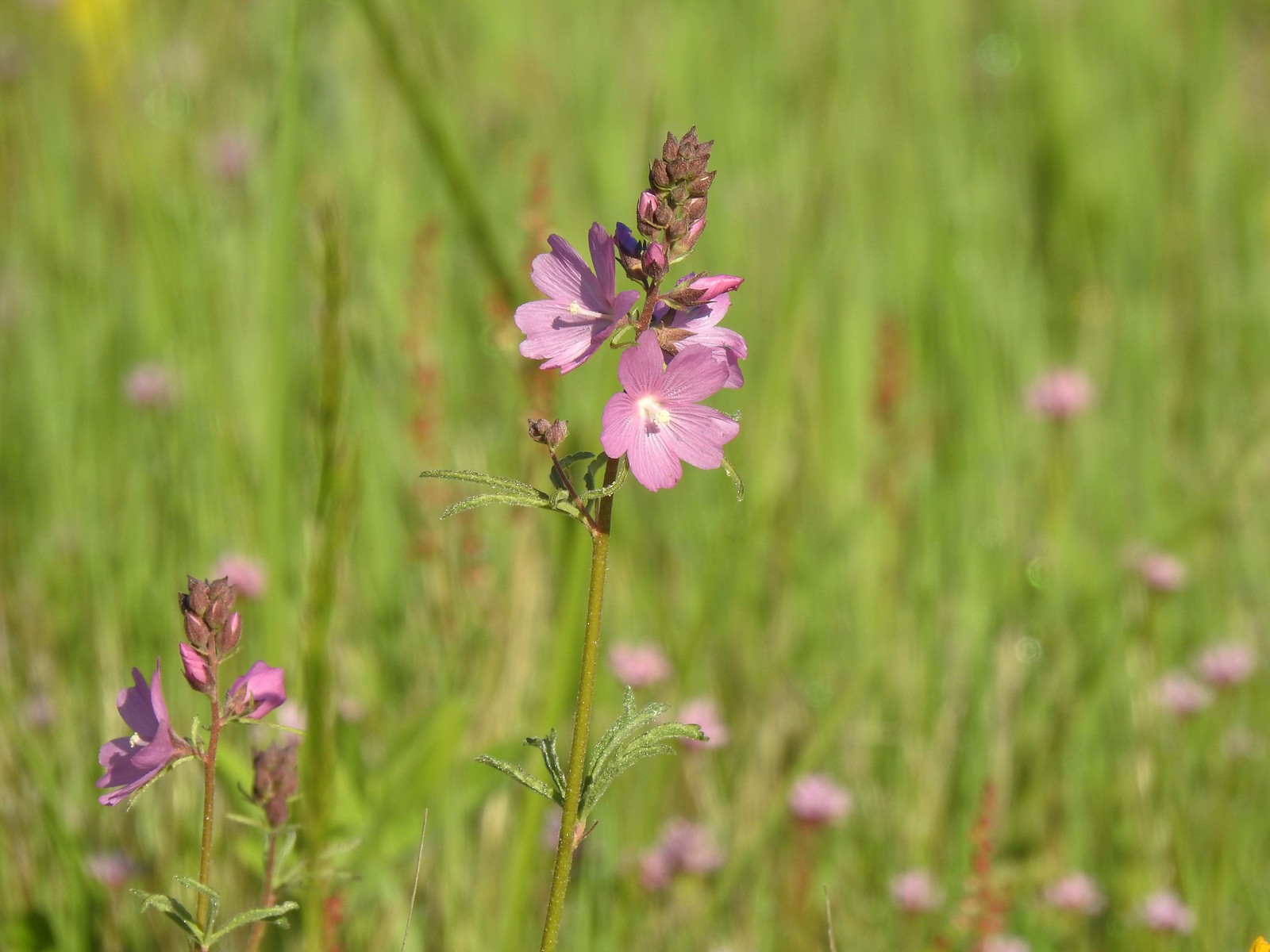 Checker-mallow
 A parsley
 Our planned route was to go right on the Little Prairie Loop to the Cooper Mountain Loop and then stay right on that loop (with a detour to hike the Larkspur Loop) to Blacktail Way. We’d then take Blacktail Way back to the Little Prairie Loop and turn right again to finish that loop and return to the trailhead.
 The view from Cooper Mountain Nature Park.
 Metro is currently running an odd little trial with very short “photo loops”. Mowed paths just off the main trails for photography. We took the first loop just to check it out and they were not kidding when they said the surface may be uneven.
 One of two trial photo loops.
 The second trial loop. You can see how short this one is by the signboard just downhill marking its other end.
 There were several interpretive signs and benches along the trails.
 White-crowned sparrow
 Anna’s hummingbird
 Star flower
 As usual Metro had the trail junctions well marked with little maps on top of the posts. This is the Cooper Mountain Loop junction with the lower end of the Outback Trail.
 Camas
Camas
 Tough-leaved iris
 Serviceberry
 Honeysuckle
 Looking back uphill to some wildflowers.
 Monkeyflower
 Tomcat clover
 Spotted towhee
 Bench along a pond filling an old quarry.
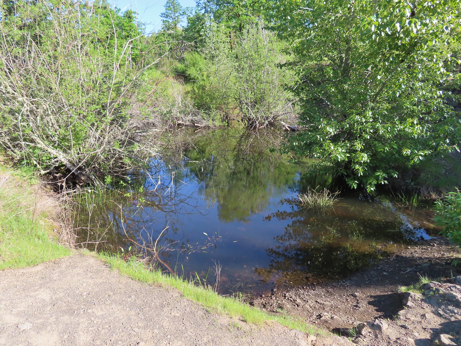 The pond. Red-legged frogs apparently breed here. We didn’t see any frogs but there was a mallard hanging out in the brush.
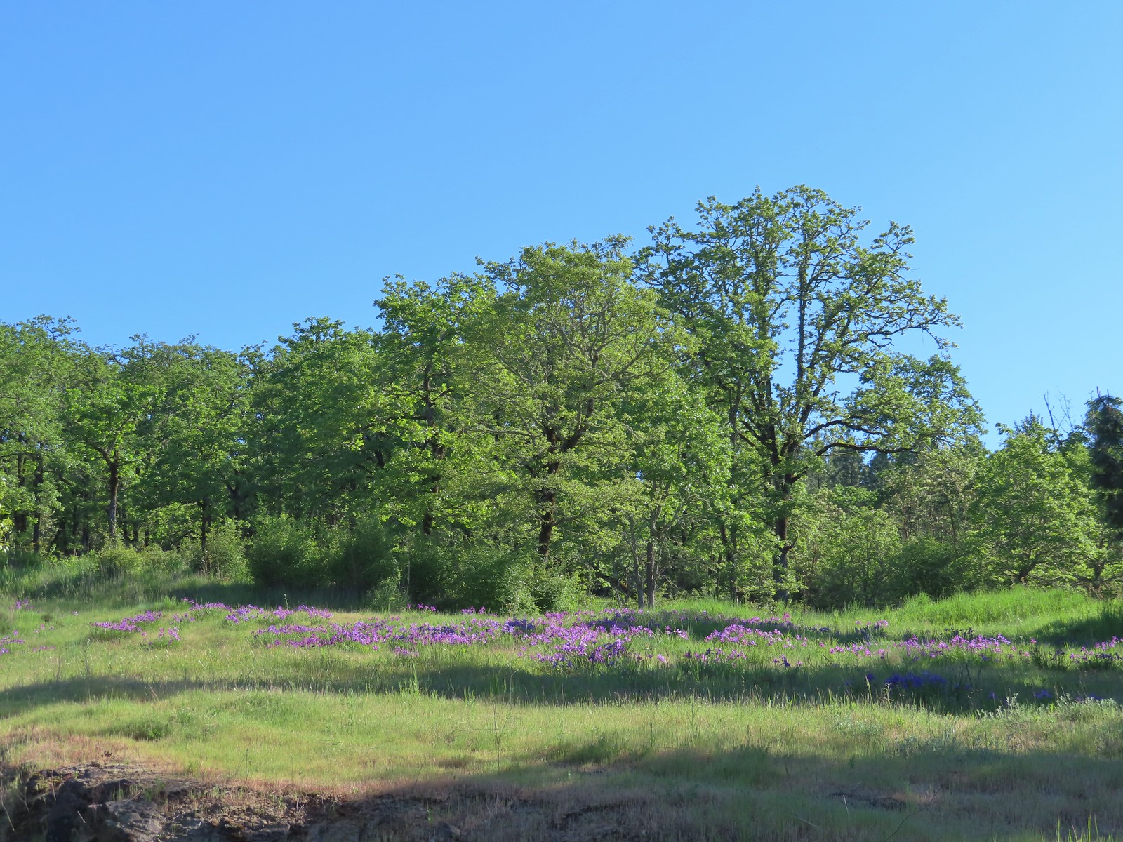 Iris on the hillside above the quarry.
 The Larkspur Loop continuing straight from the Cooper Mountain Loop which turns uphill at the junction.
 Prior to the loop the Larkspur Loop dips to cross a creek in the trees.
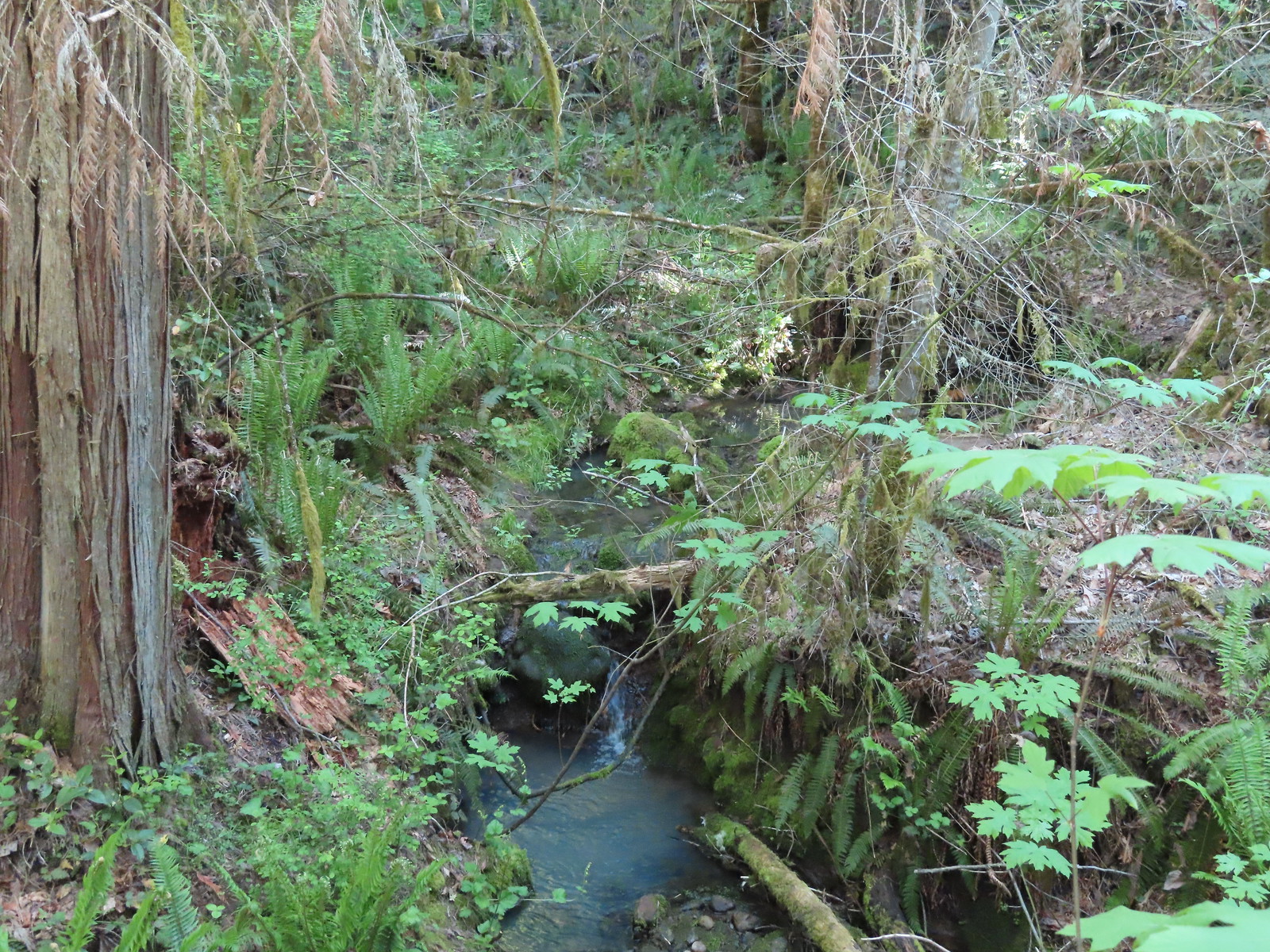 The little creek.
 View from the Larkspur Loop.
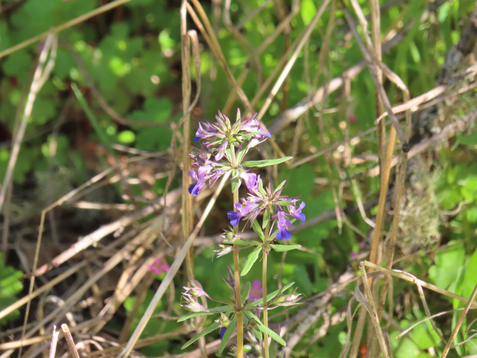 While watching for the larkspur I noticed these giant blue-eyed Mary.
 Blacktail Way to the right.
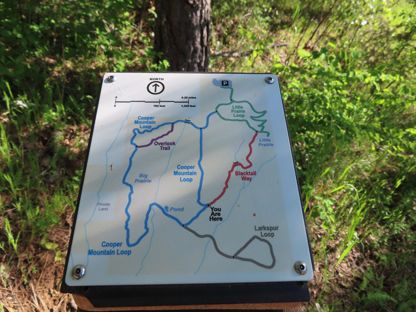 Map at the junction.
 The “earphone” next to the bench here was neat. There was also one at the trailhead and they really allowed you to isolate the sounds of the woods.
 The Little Prairie Loop.
 The pale larkspur also grows in this area but again we were too early.
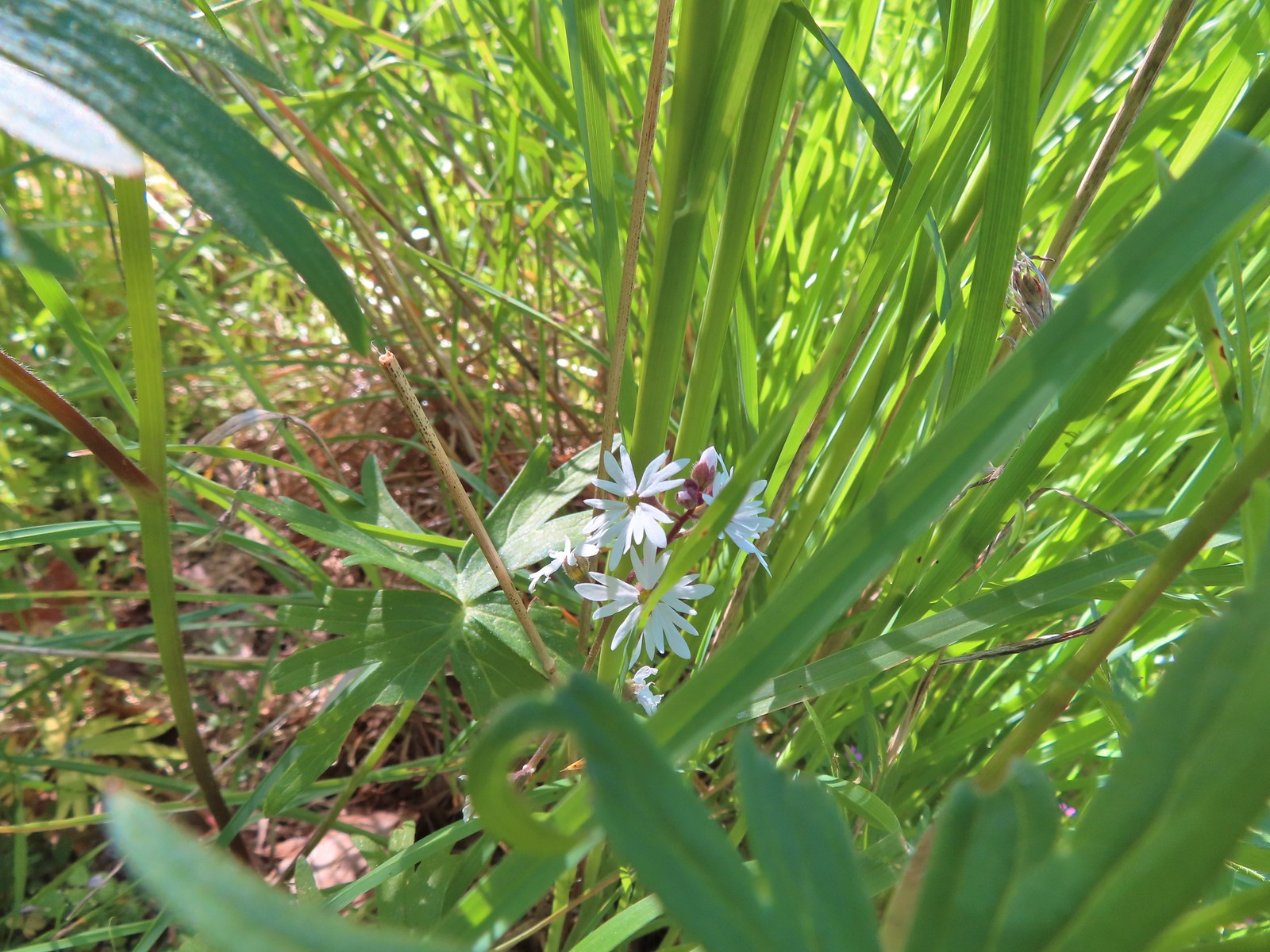 These were the only woodland-stars we spotted.

 Heading toward Acron Plaza on the Tonquin Trail.
 Interpretive sign at Acorn Plaza.
 Lupine and buttercups
 Lupine
 Meadow checker-mallow
 The “elder” oak is between 150-200 years old.

 We watched this American Kestral hover on a near vertical line for what felt like quite a while. It eventually dove and attempted to catch something in the grass. We couldn’t tell if it had been successful.

 Mylitta crescent
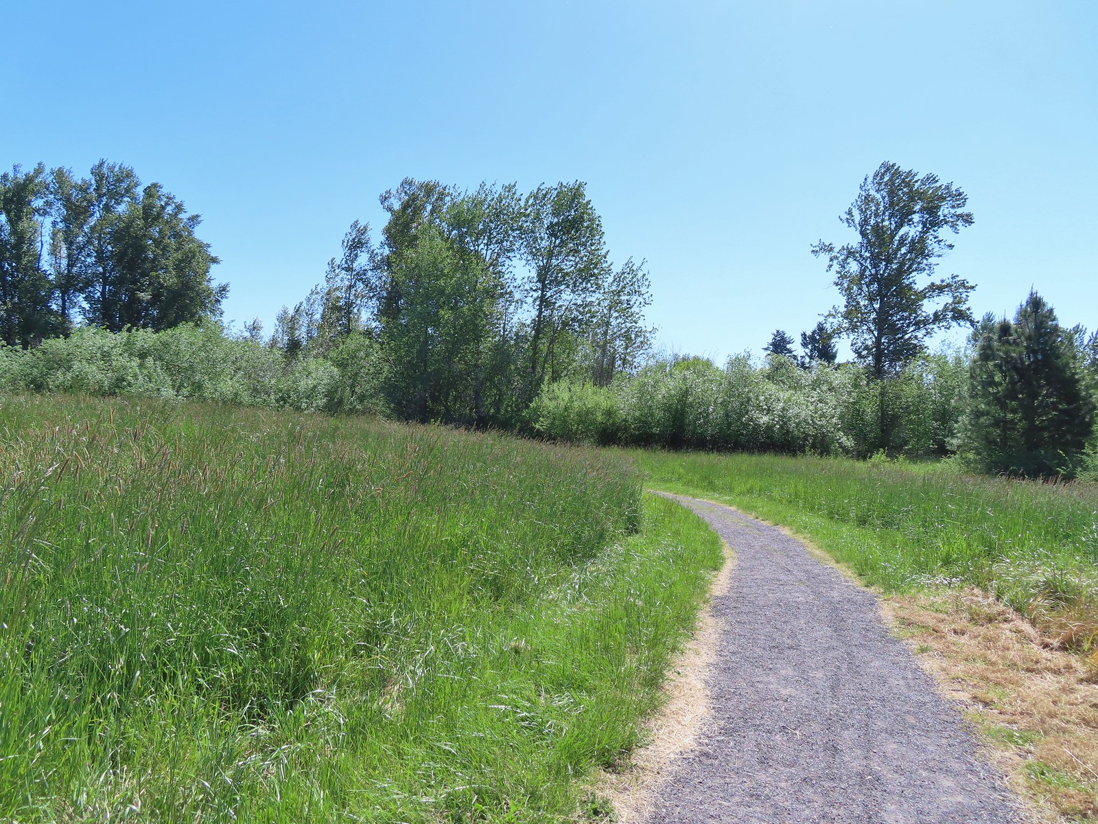
 Footbridge over Arrowhead Creek.

 The Lycaenidae family of butterflies remains a mystery to me. This appears to be an Eastern Tailed Blue based on the ventral spots.
 Snow in the Cascade foothills. If you look really closely behind the bigger snow patch to the far-right, you can just barely make out Mt. Jefferson.
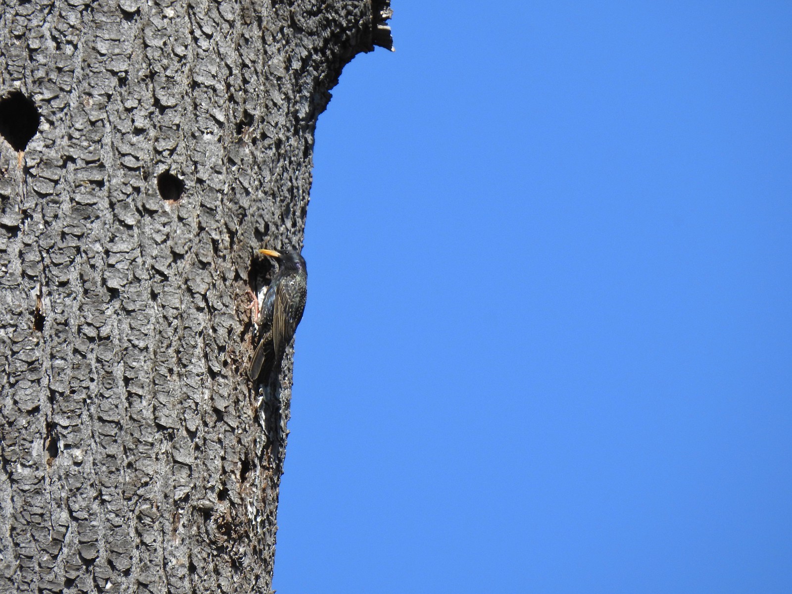 Starling
 Northern flicker
 This scrub jay would not come out from behind the oak leaves.
 There was a lot of candy flower beneath the trees.


 Mushrooms along the Legacy Creek Trail.
 Violets, candy flower and the invasive herb robert (pink).
 Coming up to Coyote Way.
 Back on the Tonquin Trail and heading for the trailhead.


 Mt. Jefferson from the trailhead.
 A few lupine and buttercups
 Camas
Camas Castilleja levisecta – Golden Paintbrush
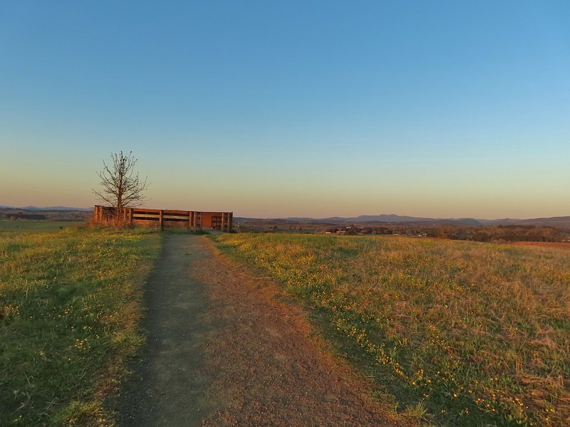
 A few little flowers starting to open up.
 View from the deck.
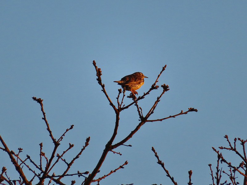 Western meadowlark


 Camas pretending to be part of a lupine plant.
 White crowned sparrow
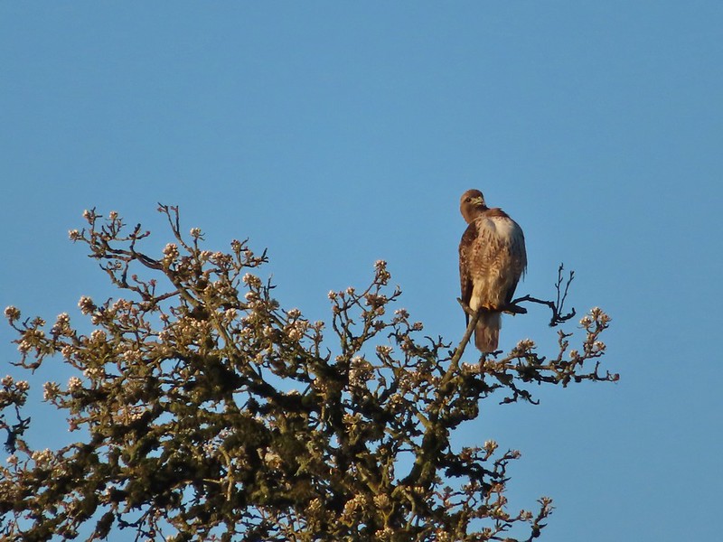 Hawk
Hawk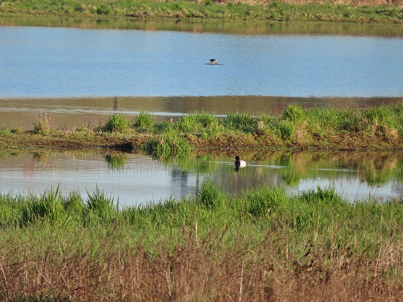 Lesser scaup
 American wigeons
 Pied billed grebe
 Yellowlegs
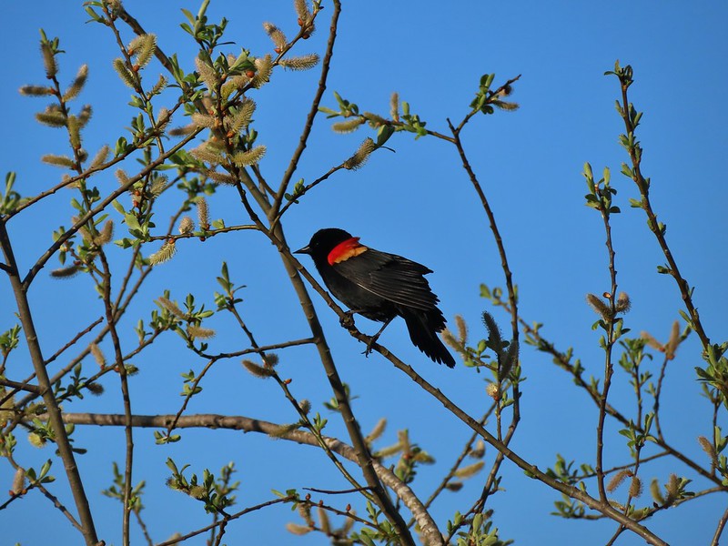

 Savannah sparrow
 Swallows
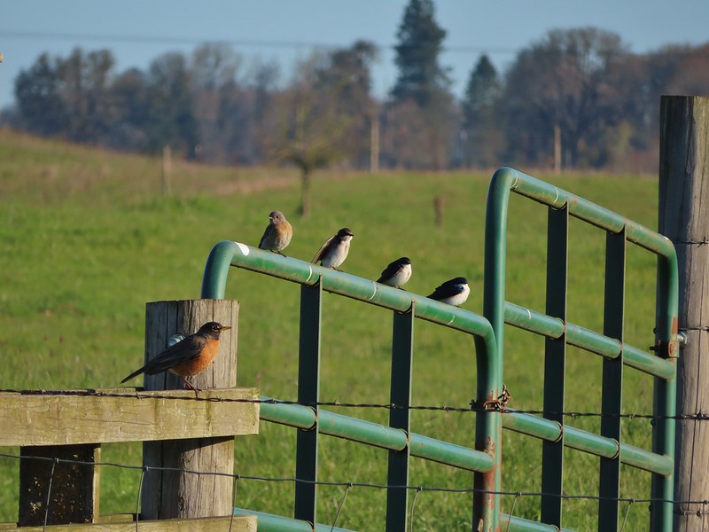 A robin, a western bluebird and swallows
 A green winged teal and a cinnamon teal in a small marsh.
 This scrub jay wasn’t shy.
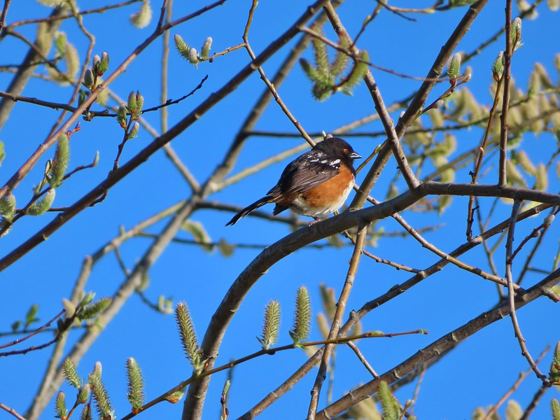 Neither was this serious looking spotted towhee
 Norther shovelers heading to the opposite side of the lake.
 A bufflehead and some lesser scaups
 Canada goose flyover
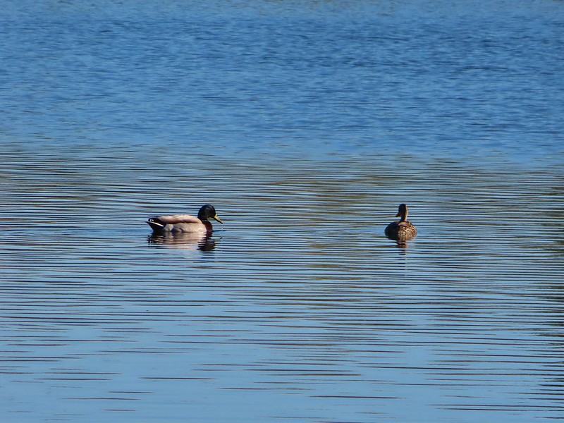 Mallard pair
 Old out building below Baskett Butte.
 Not only was this uphill but we didn’t know for sure where it might lead.
 Along the field we went.

 Looking uphill along the row of brush.
 An extremely small portion of the geese.
 Baskett Butte from the field.


 Mt. Hood from the refuge road
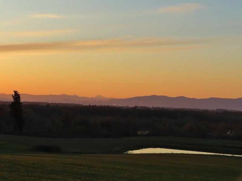 The Three Sisters from the road
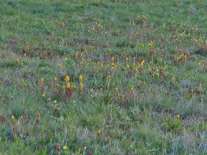 Yellow paintbrush
 Cabell Barn
 Rabbit at the lodge
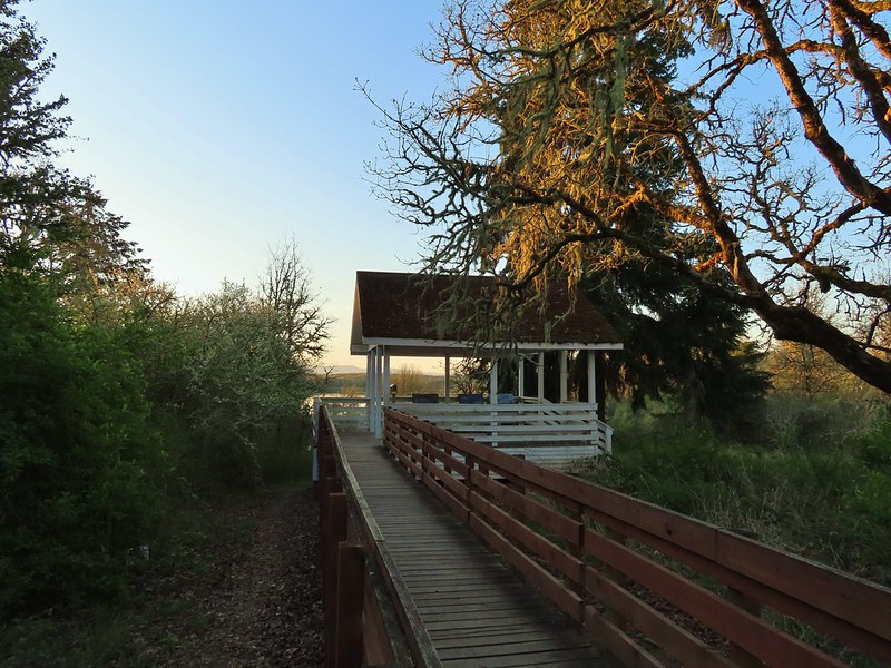 Cabell Marsh Overlook
 White crowned sparrows
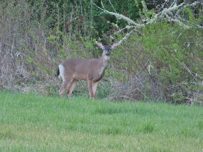 Deer in a field near Cabell Marsh
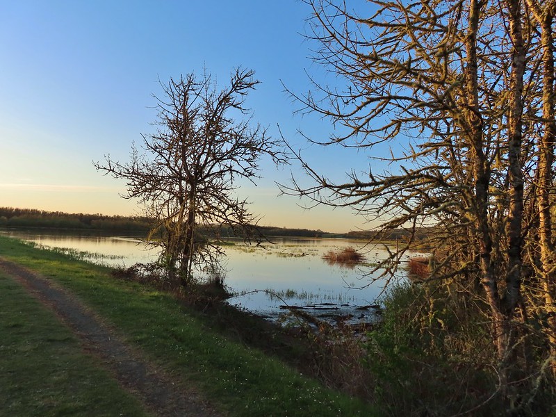 Cabell Marsh (the marsh had been drained when we visited in 2020)
 Norther shovelers
 American coots
 Ring-necked ducks
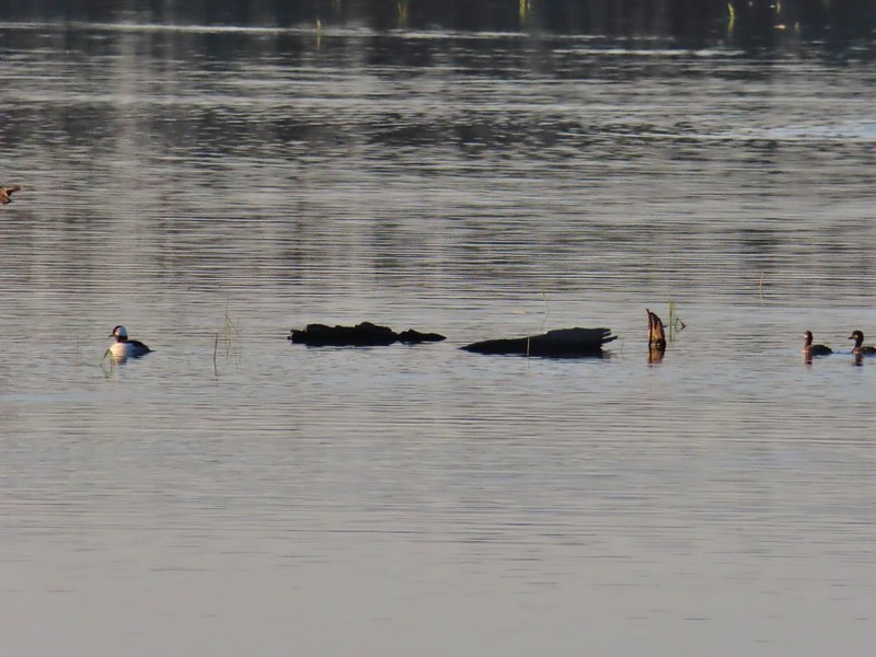 Buffleheads
 Black pheobe
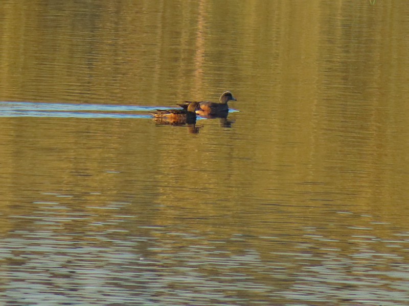 American wigeons
 Cabell Marsh
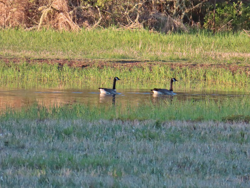 Canada geese
 Wood duck, ring-necked ducks and a pied billed grebe
 More northern shovelers
 Ring-necked ducks
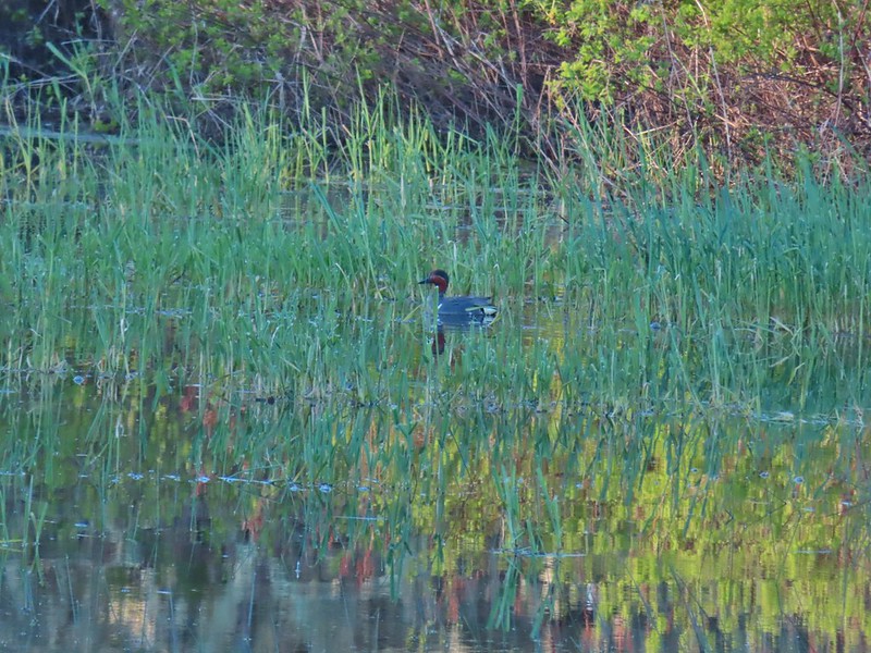 Green winged teal
 Robin
Robin

 Killdeer
 Red-winged blackbird
 Junction with the Pigeon Butte Trail (grassy track heading uphill)
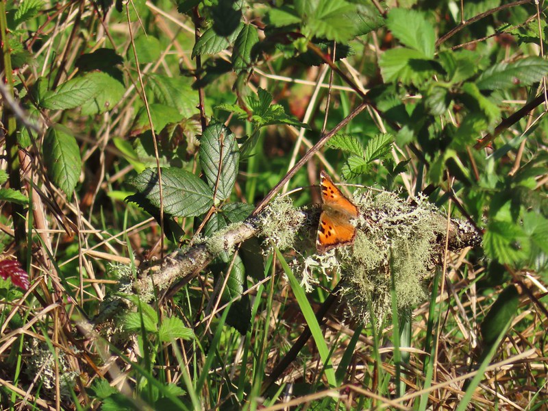 Tortoiseshell butterfly
 Spotted towhee serenade
 Bewick’s wren
 Madrone
 Mourning dove
 Camas blooming near the summit
 View from Pigeon Butte
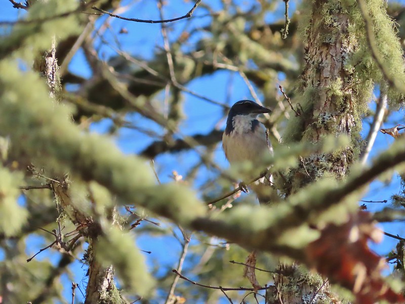 Scrub jay spotted on the way down.
 One of the “blue” butterflies, maybe a silvery blue
 Acorn woodpecker
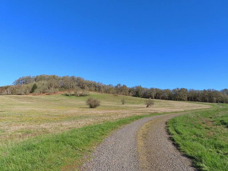 Looking back at Pigeon Butte, the yellow paintbrush was starting its bloom on the hillside.

 Looking back at Pigeon Butte and the Cheadle Barn
 Western bluebird
 Bruce Rd and a sign for the overlook.
 Swallows at the overlook
 Mary’s Peak and Pigeon Butte from the overlook.
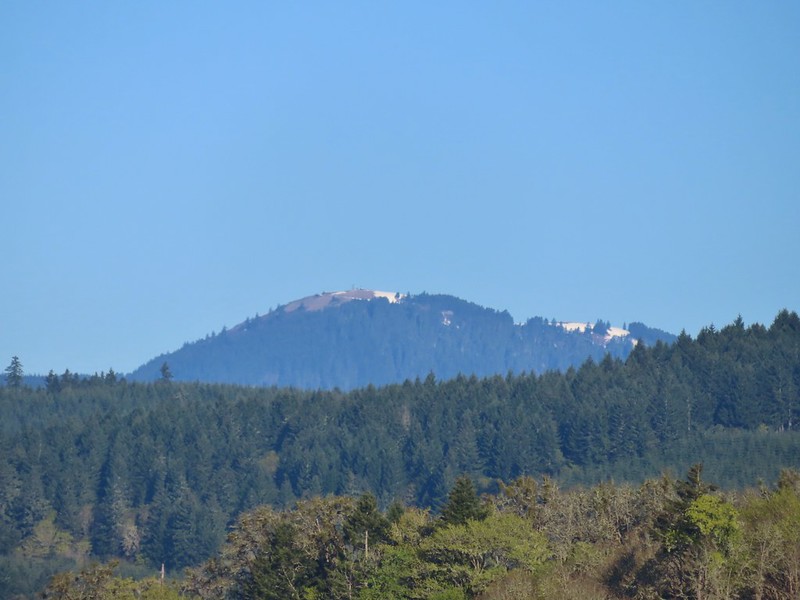 Mary’s Peak (
 Ground squirrel on Bruce Rd.
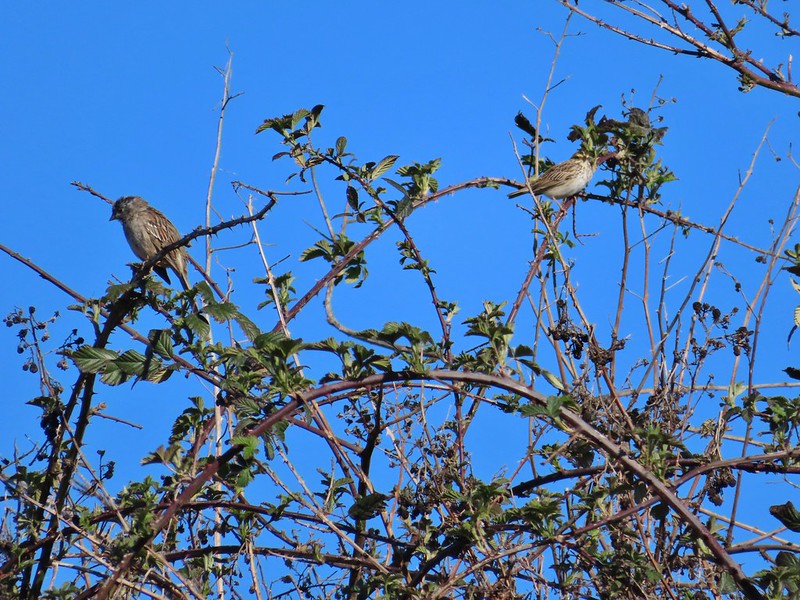 Sparrows
 Western bluebird
 Mitigation Wetland
 Egret
Egret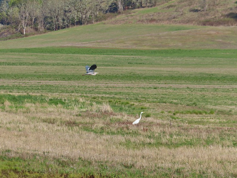 heron flying by the egret
 Northern shoveler
 Green winged teals
 Trailhead off of Bruce Road
 Ground squirrel
 Entering the woods
 Giant white wakerobin
 Fairybells
 Startled heron
 Egret and a cinnamon teal pair and maybe an American wigeon
 Candyflower
 The pink turned out to be shooting stars.
 Iris
Iris Bleeding heart
 One of many fairy slippers
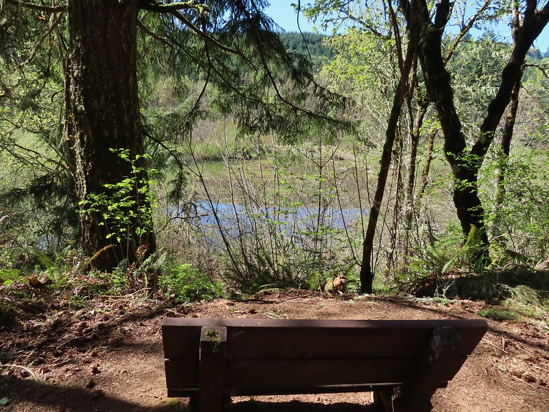
 It took some work to get the camera to stop focusing on the brush in the foreground.
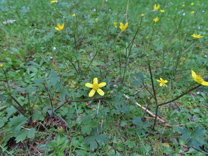 Buttercups
 Violets
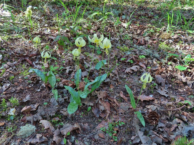 Fawn lilies
 Back at the junction and onto the Intertie Trail

 Service berry
 The Woodpecker Loop
 Norther flicker along the Woodpecker Loop
 Amphibian pond and interpretive kiosk.
 Viewing structure
 Mt. Jefferson
 The Three Sisters
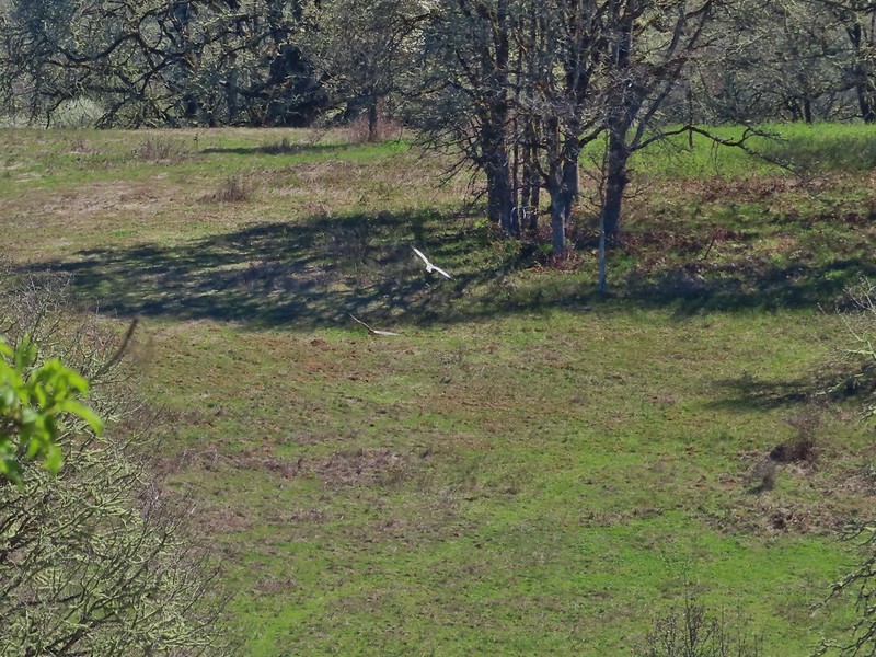
 This was the best shot I could get at 40x zoom with the sun in front of me.


 Buffleheads
 Canada goose and mallards
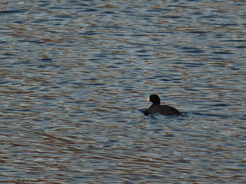 American coot
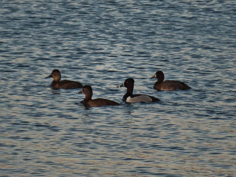 Ring-necked ducks (I’m not sure all the females are the same.)
 Geese flying over Eagle Marsh as the Sun rises.
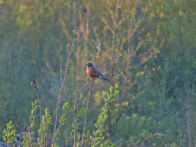

 Willow Marsh
 A bufflehead and mallards
 Mallards and ring-necked ducks
 Teal Marsh to the left of the dike.
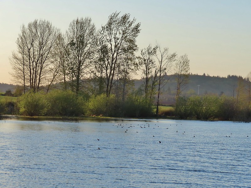
 Mallards an northern shovelers
 Buffleheads
 Spotted towhee
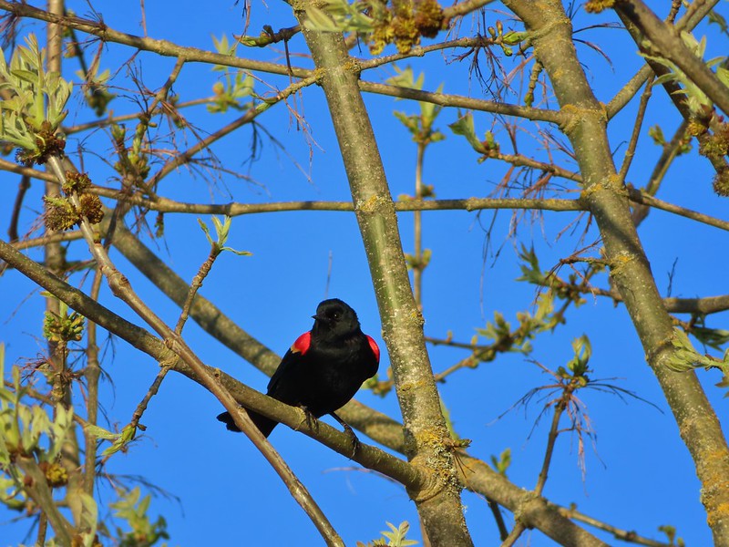 Red-winged blackbird
 Female red-winged blackbird
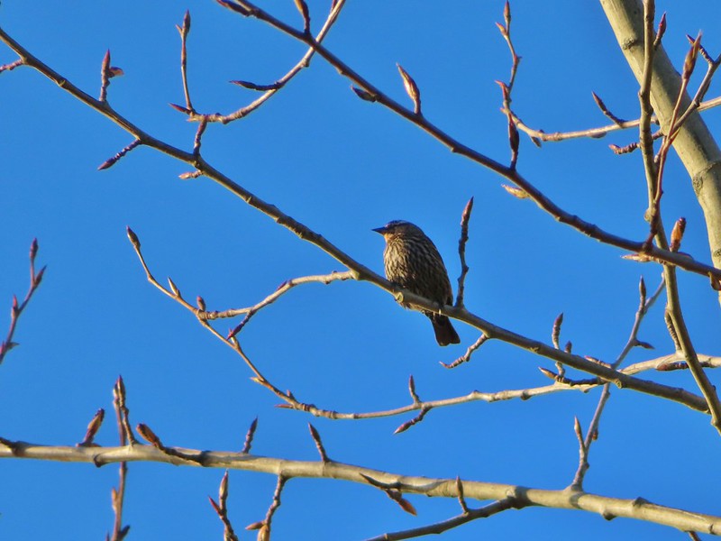 Sparrow
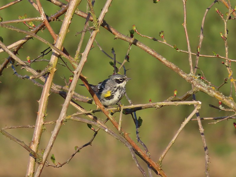 Yellow-rumped warbler
 Geese coming in for a landing on Teal Marsh
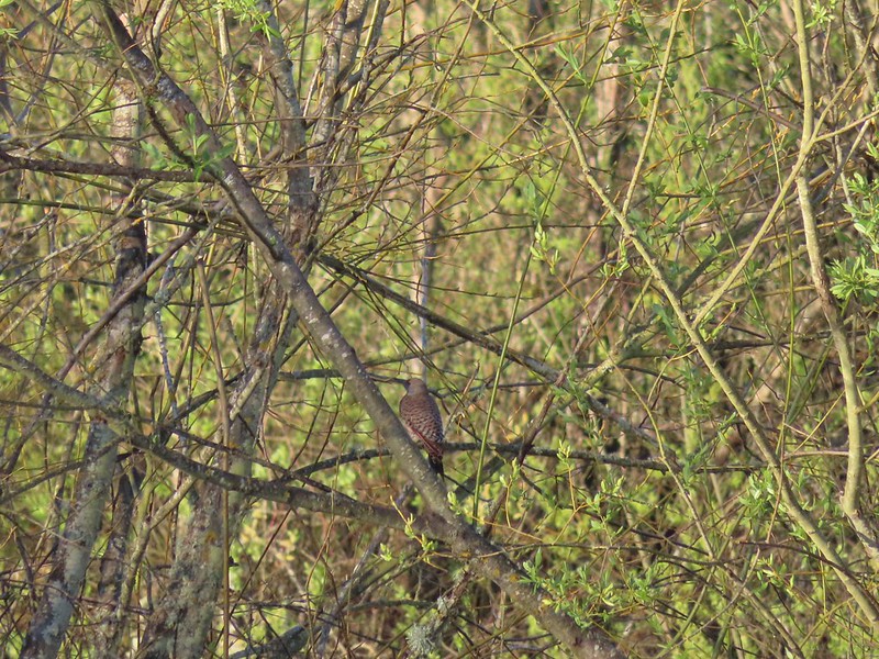 Northern flicker
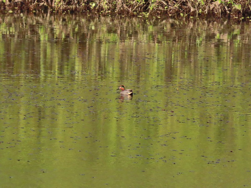 Green-winged teal
 Ring-necked ducks and a bufflehead pair
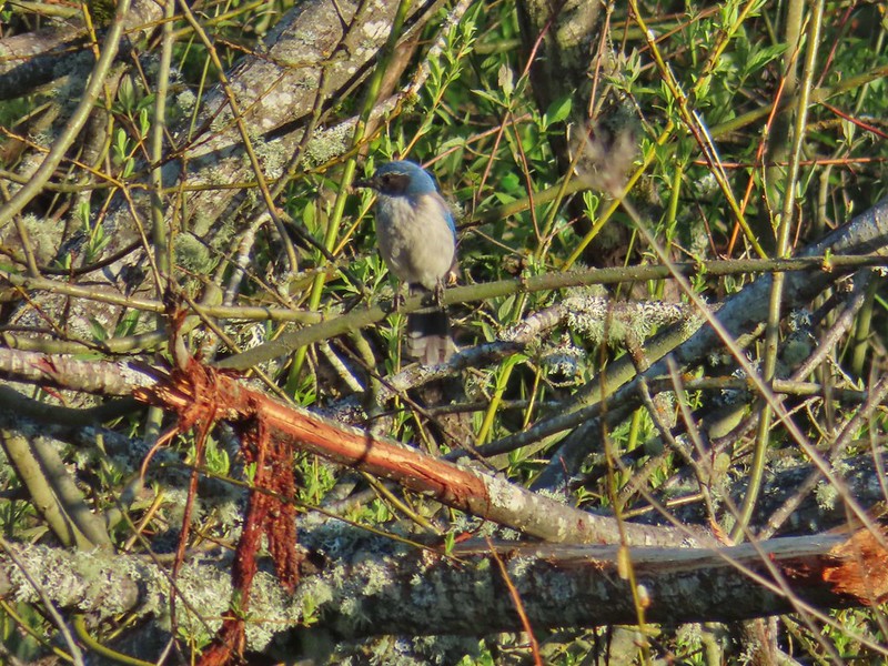 Scrub jay
 Pie billed grebe at Eagle Marsh


 I didn’t see it when I took the picture but it appears there is an eagle on the ground in the distance here.
 One of the egrets taking off.
 Brewer’s blackbird on a tree along the railroad tracks.
 Pintail Marsh ahead on the left.
 The dike between Mohoff Pond and Pintail Marsh.
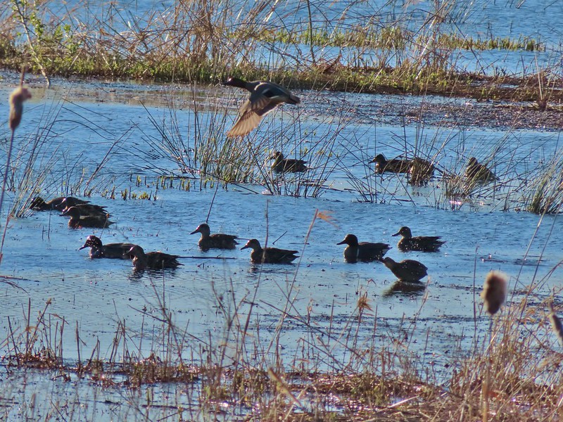 Ducks at Pintail Marsh
 Pintail Marsh
 Looking back at the gate and Wintel Road
 Yellow legs
 The boardwalk across Dunlin Pond from the dike.
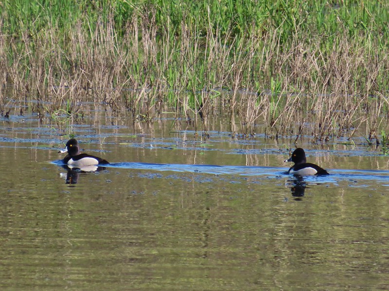 Ring-necked ducks
 Ring-necked ducks taking off.
 Sparrow
 Common yellowthroat
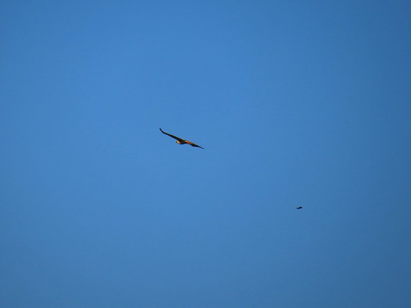 Hawk and a sparrow
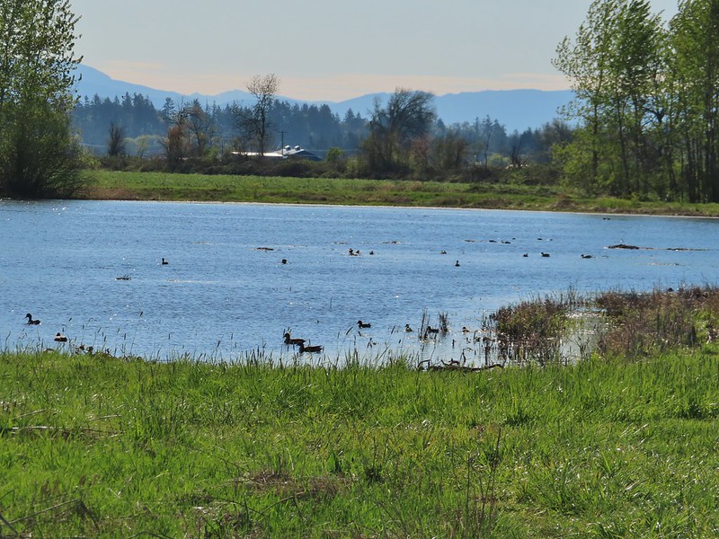 Killdeer Marsh
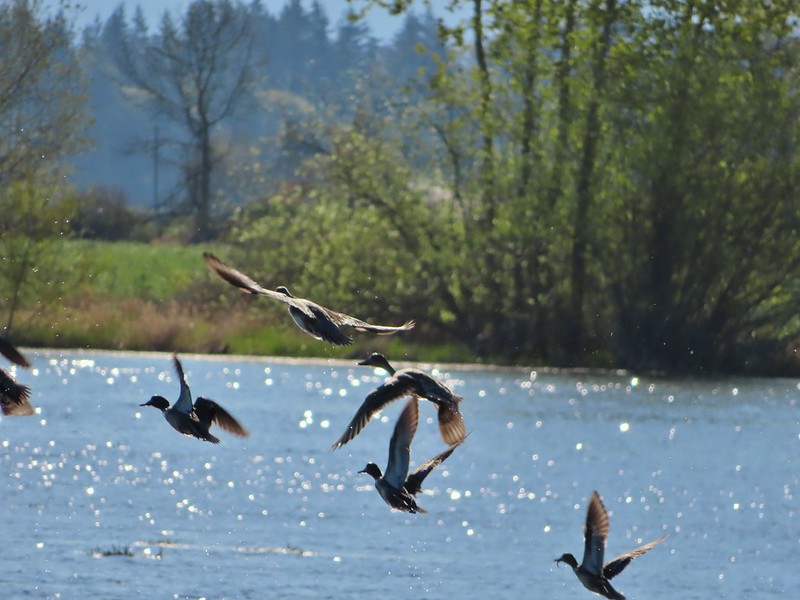
 Another yellow legs?
 Mustard along Killdeer Marsh
 A killdeer amid ducks at Killdeer Marsh
 South Pond
 Cinnamon Teal in South Pond
 Damaged trees from the ice storm earlier this year.
 Turkey vulture
 Candyflower

 American coots
 I think this is a ring-necked duck and a lesser scaup.
 The dike from the blind.
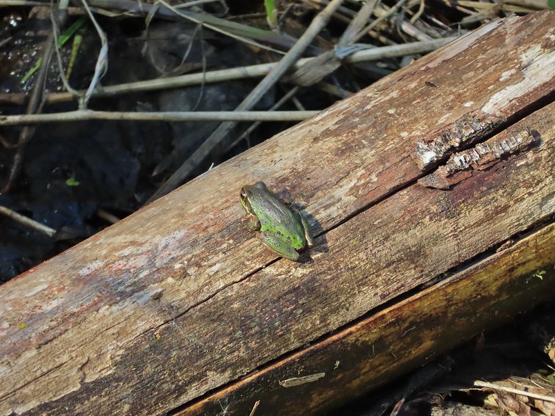


 Killdeer on the dike.
 A whole lot of geese in the air ahead.
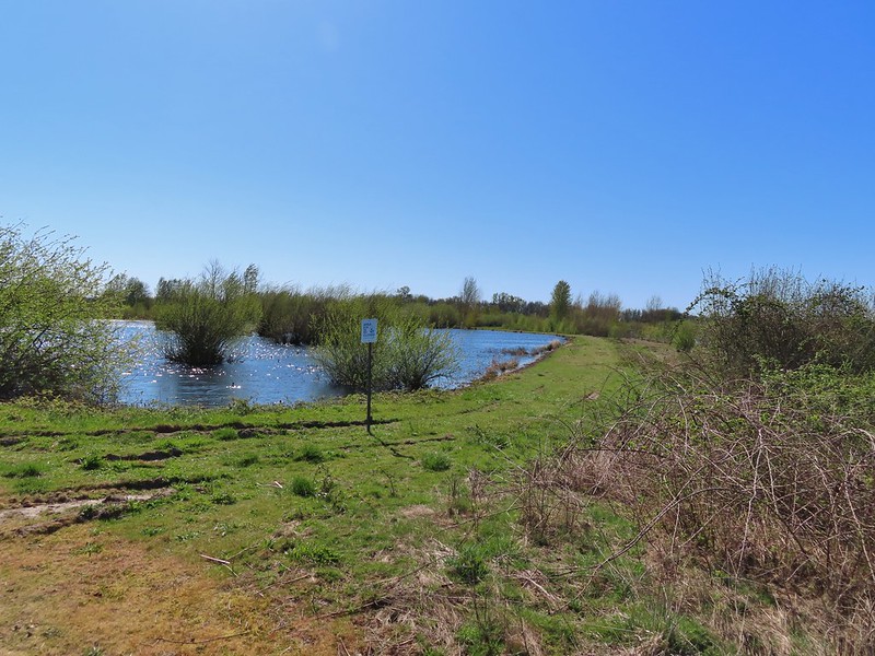

 Green-winged teals
 Northern shovelers
 Canada geese
 Another green-winged teal
 Various ducks
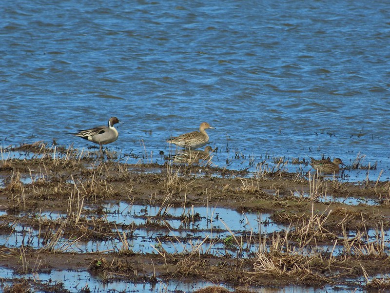 Northern pintails
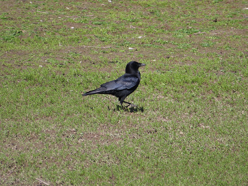 Crow
Crow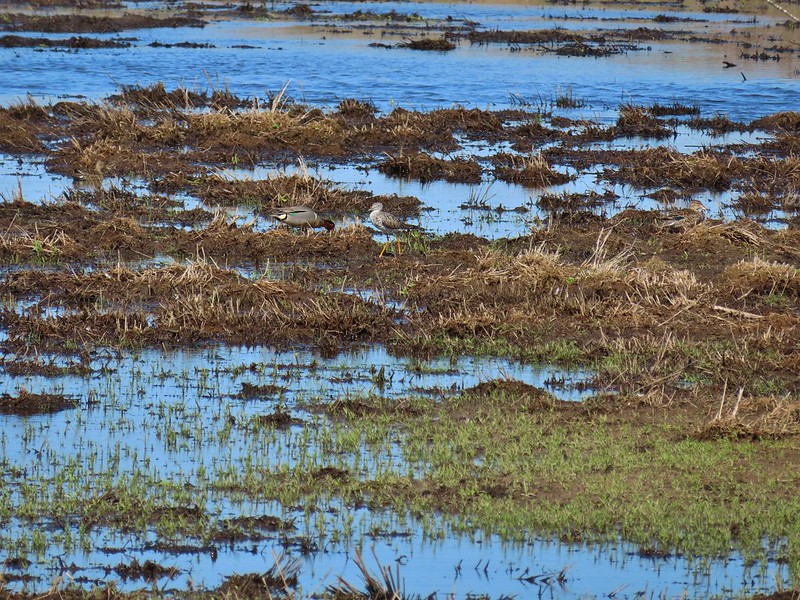 A green-winged teal and a yellow legs