I am a bit behind on our trip reports but that’s because we were busy getting a few more hikes in on our final week of vacation. After our hike on the coast at Pacific City we headed back toward the mountains on Thursday. We had been debating on whether or not to attempt the hike we had planned due to the early snow that had been falling in the Cascades. The planned hike had us starting on the west end of the Red Lake Trail, climbing Potato Butte, continuing on to Top Lake, and then making a small loop past Cigar Lake where we would attempt to climb Double Peaks before returning to the Red Lake Trail and our car.
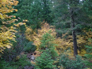
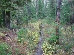
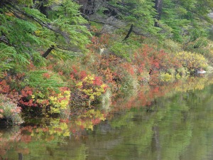
It was a nice morning as we set off and there were some good Fall colors on display. We climbed for a mile and a half before reaching the trails namesake – Red Lake.
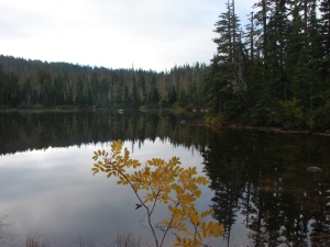
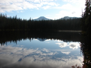
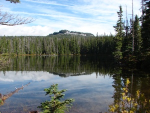
After passing Red Lake the trail then visits three more lakes in the next 1.3 miles. Avrill Lake was up first with a great reflection of Olallie Butte and Twin Peaks.
Next up was Wall Lake where we got our first good glimpse of Potato Butte.
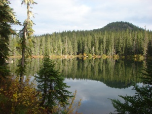
Finally we came to Sheep Lake where a pair of ducks paddled beneath the reflection of Double Peaks.
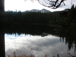
We took a trail on the eastern end of Sheep Lake that led up to Potato Butte. There were several swollen ponds along this trail and in places standing water obscured the path. We wound up losing the trail at the base of the butte and decided to scramble to the top and hope to pick up the correct trail at the summit.
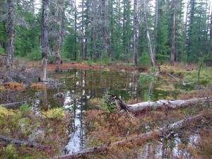
We arrived at the summit and easily picked up the official trail. We had a fairly good view of Mt. Hood despite the presence of some clouds and a great view of Olallie Butte.
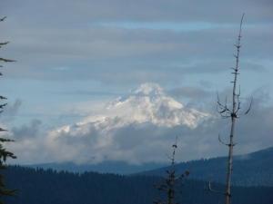
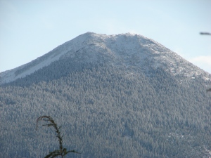
On the way down on the real trail we got a good look toward Mt. Jefferson which was hiding in the clouds and at Double Peaks. At 5280′ Potato Butte had only small amounts of scattered snow but Double Peaks was clearly snow-covered at its height of 5998′.
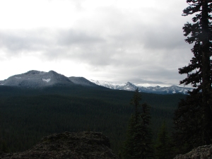
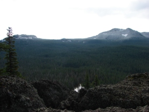
When we got to the base of the butte we saw the reason for our having lost the trail on the way up. One of the ponds had enveloped the actual trail making it impossible to see. We made our way around the edge of the pond and back to the Red Lake Trail and continued east toward the Pacific Crest Trail which we would use for part of our small loop to Cigar Lake.
The trail passed Fork Lake and several other unnamed ponds/lakes as it slowly climbed toward the PCT. We also began encountering more and more snow as we went.
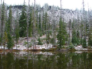
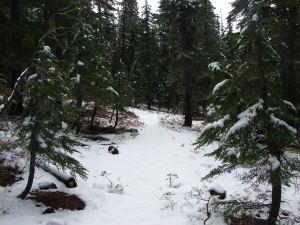
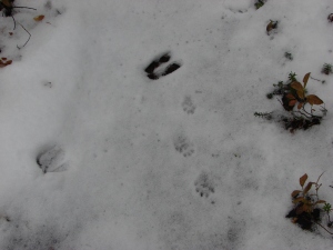
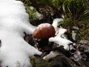
The snow made it possible to see a variety of animal tracks showing us just how many different species that we never see walk these same trails. At the PCT junction we continued on the Red Lake Trail heading down now to Top Lake.
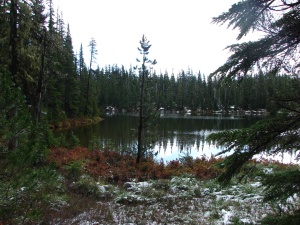
At Top Lake we left the Red Lake Trail and skirted the overflowing lake to its south end and climbed back up to the PCT near Cigar Lake.
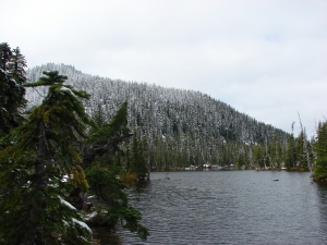
There was a good amount of snow at Cigar Lake but we decided to see how far up Double Peaks we could make it. We found the marker for the trail easily enough, but between the snow and the extra water around Cigar Lake we were having a hard time determining just where the trail actually was. Luckily for us a deer had left us a set of tracks that we were able to follow that led us across and around the edge of Cigar Lake and to the continuation of the Double Peaks Trail which was just barely identifiable by a slight indentation in the snow.
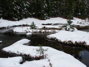
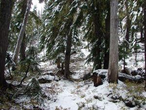
Once we found the trail it was like walking through a winter wonderland. The snow was anywhere from a half-inch deep to mid-shin. The snow-covered trees looked ready for Christmas making this one of the most enjoyable stretches of hikes we’d had.
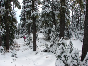
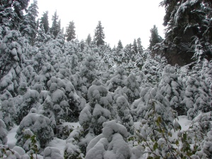
The trail was fairly steep and we almost lost it near the top when it veered up between some boulders but we managed to follow it all the way to the summit.
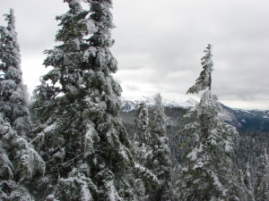
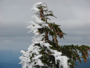
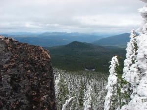
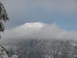
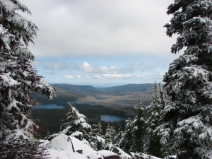
We didn’t get the view of Mt. Jefferson we’d hoped for but the snow more than made up for that. As we started down Double Peaks the day began to warm up and the snow was melting quickly. We did a lot of sliding down the slushy trail before reaching the PCT again and heading back to the Red Lake Trail. We returned the way we’d come only now we had some blue skies and sunlight as we passed the lakes and arrived back at our car. Happy Trails!
Facebook photos: https://www.facebook.com/deryl.yunck/media_set?set=a.10202367670300288.1073741861.1448521051&type=3
Flickr: http://www.flickr.com/photos/9319235@N02/sets/72157636413874236/