A day off on Veteran’s Day, and a dry forecast, provided me the oppotunity to check out some of the forest roads and trails in the McDonald Research Forest just outside of Corvallis, OR. Despite this being my seventh visit to the forest there were still roads and trails that I had yet to explore.
I decided to focus on the area near Peavy Arboretum. There are three trailheads at the arboretum. I’d previously started hikes at two of them, the Peavy Arboretum Trailhead in 2018 (post) and the Woodland Trailhead in 2022 (post), so I decided to begin today’s hike at the Intensive Management Trailhead. I had spent a good deal of time studying maps of the forest and comparing them to my previous tracks to identify a route that would be as different as possible and had Gaia GPS pulled up on my phone since it has more detailed information than the Garmin regarding the roads/trails in the forest. I began on the Firefighters Memorial Trail and forked right to visit the memorial.


I continued along this trail across a small stream then turned left on the Sequoia Trail.

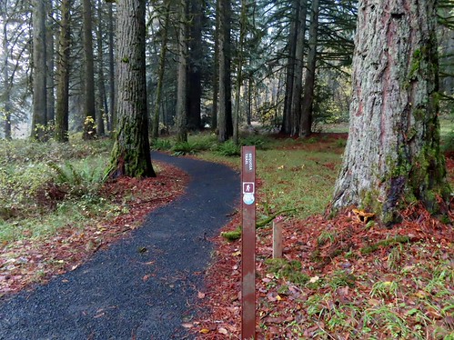
I took another right, crossed Northwest Peavy Arboretum Road and then took another right to bring me to the Peavy Arboretum Trailhead.

I headed past the gate on Road 500 (John H Beuter Road) and then took a left on Road 510.


I followed the road for three quarters of a mile, detouring for a moment when an owl flew over my head at the junction with the Forest Discovery Trail. I watched it fly into a stand of trees but didn’t see exactly where it landed. I tried scanning the trees but without seeing exactly where it landed, I was unable to spot it.
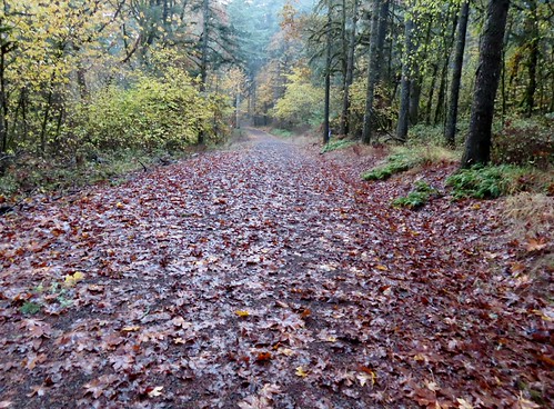

Detouring up the Forest Discovery Trail.

The owl was somewhere out there.
After three quarters of a mile I came to another junction where I turned left on the unsigned Dear Liza Trail.
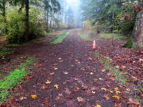
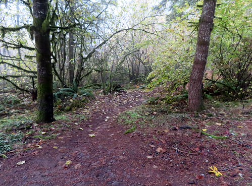
I followed this trail for 0.4-miles back to Road 510.
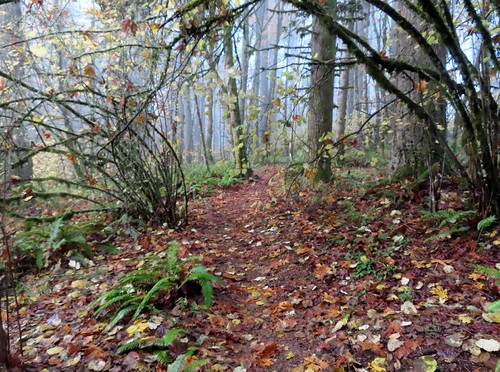


I crossed the road and continued another 0.2-miles to Road 516.


I crossed this road to pick up the signed Hole in the Bucket Trail.

I followed this trail uphill for 1.3-miles staying left at junctions to reach Dave’s Trail near Road 500 (Harry J. Nettleton Road).
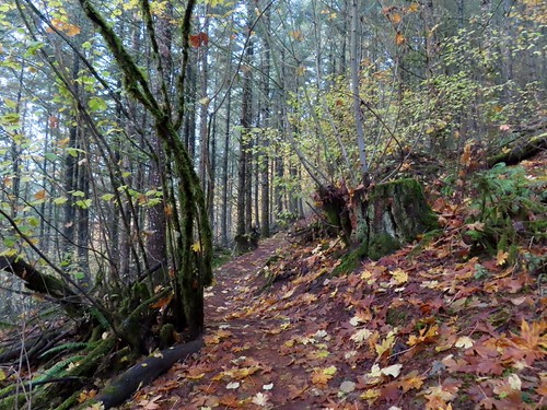
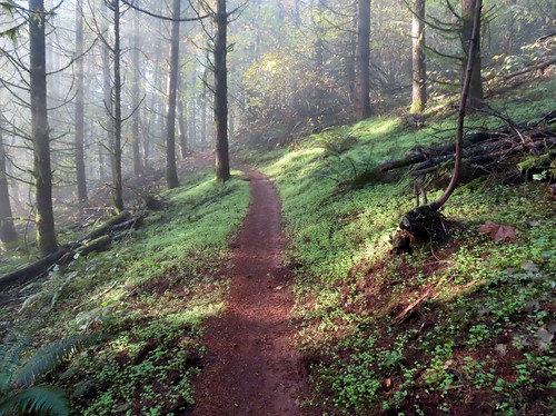

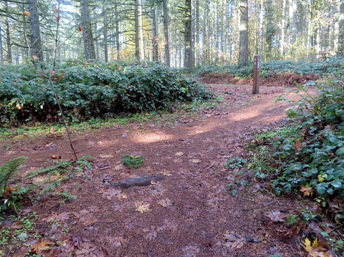
Spur trail on the right to Road 570.

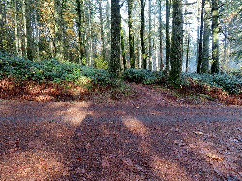
Up to this point the vast majority of the hike had been new to me, but I was familiar with Dave’s Trail. I crossed Road 500 and began following Dave’s Trail downhill.
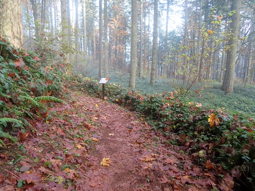

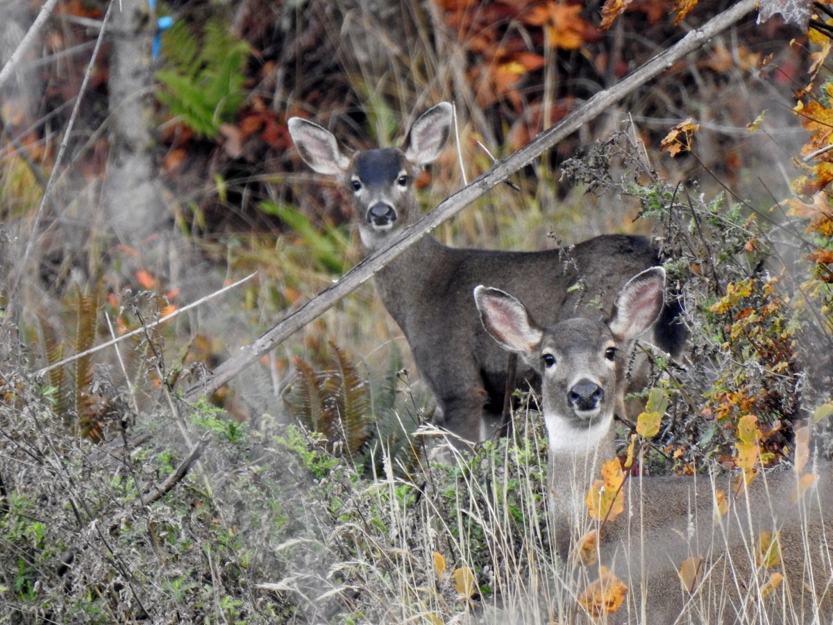
I was so focused on the large maple leaf on this sign that I missed spotting four deer below in the forest. I only spotted them as they disappeared into the fog.
I continued downhill frustrated that I hadn’t seen the deer sooner and that I’d missed getting a picture of both the deer and the owl earlier. I was distracted enough that I almost walked right up on a buck that had stopped to watch me from just off the trail.

I stopped and for some reason said “hi” to the deer who apparently took it as an invitation to continue uphill toward me. I took a couple of steps back to give him the right of way, and he turned left on the trail in front of me.
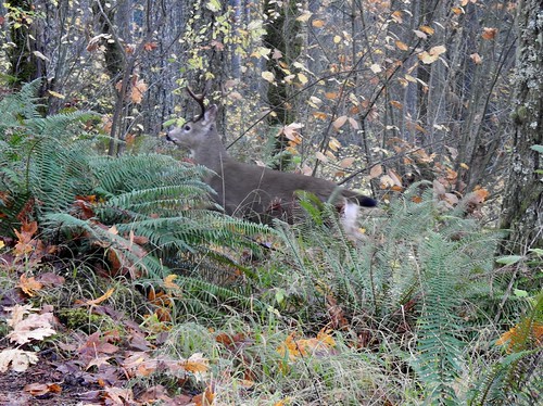
I lost him behind some vegetation and thought he had continued uphill, so I continued on. I was impressed with how quickly he had vanished as I scanned the hillside for where he had gone, then I turned on a switchback and spotted him again. He had gone downhill and looped back around behind me and was only now heading back uphill. I continued downhill and soon arrived at a crossing of Road 580 (William A. Davies Road) 0.8-miles from Road 500.
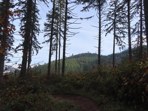
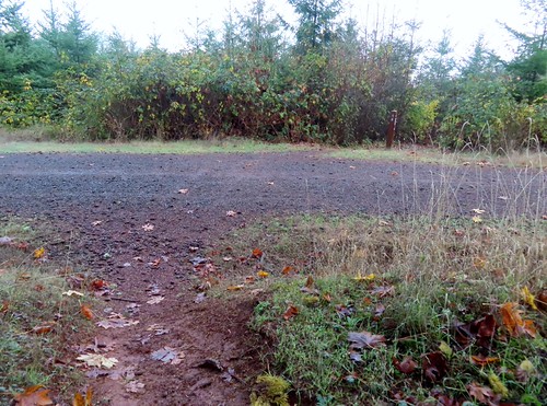
I continued on Dave’s Trail (Lower Dave’s on Gaia) for 0.6-miles through recently logged forest to Road 582. In a clear cut I spotted two more deer (or possibly two of the four I’d seen earlier).
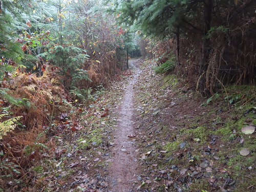
The first section had been replanted.

Forest Peak in the center behind the trees.

The deer.

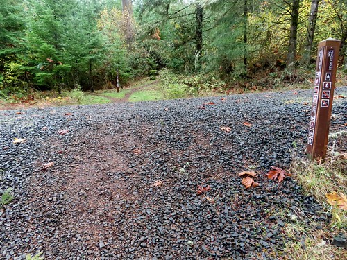
I turned left on Road 582 since it was another road that I had not hiked on before and followed it downhill for 0.2-miles to a fork.
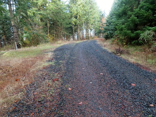
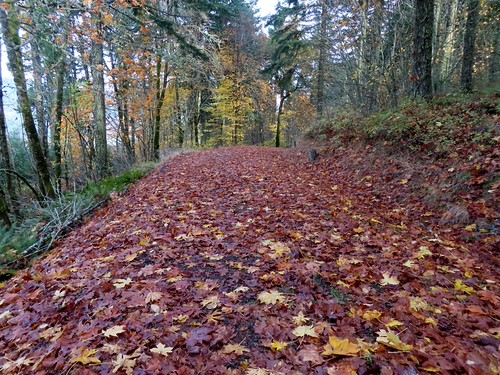
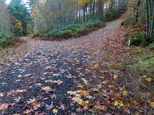
At the fork I veered uphill to the right on Road 582.2 which climbed steeply before leveling out. After another 0.2-miles I detoured left on Road 582.23 to what Gaia showed as a viewpoint.
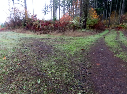
This spur road ended after less than 100yds at the viewpoint.

Looking south that is McCulloch Peak (post), also in the McDonald Forest, behind the two trees to the left of the tall tree.

Forest Peak across the valley.

Poison Oak Hill and the Willamette Valley to the north.
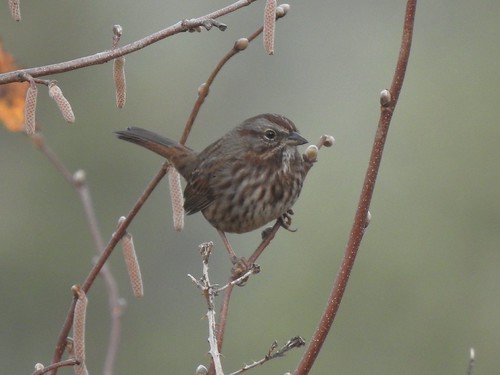
Song sparrow at the viewpoint.
I continued on Road 582.2 and quickly passed the Bonzai Trail joining from the right.

I had come down the Bonzai Trail on my 2022 hike, so the next 0.2-miles were a repeat for me until the Bonzai Trail left the road on the right.

At this 3-way junction I stayed straight while Road 582.2 veered downhill to the left. Gaia (and CalTopo) showed a trail, I Before E, extending off the end of this road and curving around the hillside to connect with another trail named Spell Check. Spell Check was shown connecting two roads with the uphill end being at Road 560 which I then planned to follow back south to Road 500. The majority of this would be new to me except two othee places along Road 560 where I had crossed on other trails during previous hikes.

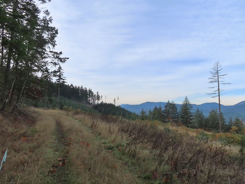
Looking back south I could see the top of Mary’s Peak (post) in the distance to the left of McCulloch Peak.
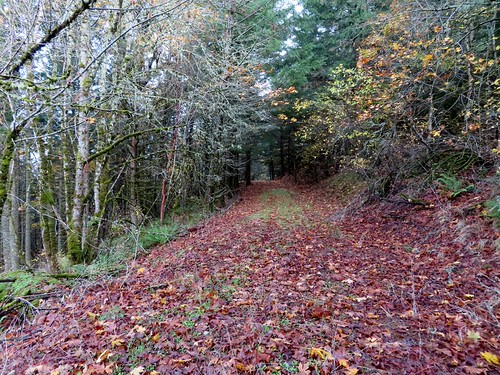
There was no signage at the end of the road, just a very faint trail.

I do not recommend going this way and in fact I didn’t realize until later that the McDonald Forest Boundary was at the road and the I Before E and Spell Check Trails as shown on the maps were on private timber land. I followed the faint tread through a grassy area then picked up the tread on an old skid road.

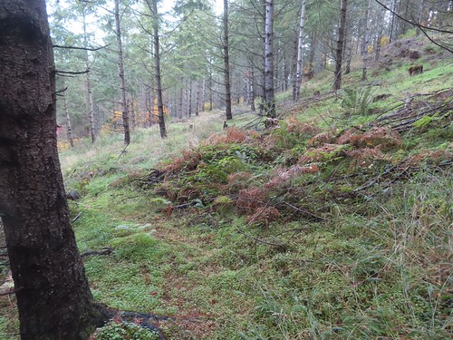
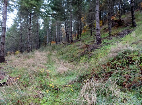


The skid road climbed to another road which was where the Spell Check Trail was shown on the map, so I turned uphill to the right.

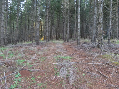
The I Before E Trail had been faint, but the Spell Check Trail was nearly non-existent from the end of this road.

I was able to follow the trail well enough to fairly easily reach Road 560 in 0.2-miles. (The I Before E Trail was 0.3-miles.)
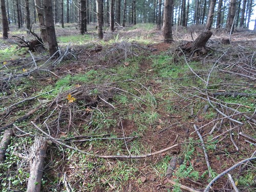


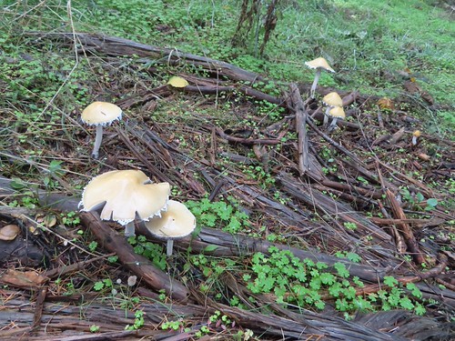

The tread got clearer near Road 560.
I followed Road 560 for just over three quarters of a mile to a 4-way road junction. Along the way I passed the Bonzai Trail crossing, Road 562, the Cap House, and the Powder House Trail crossing.
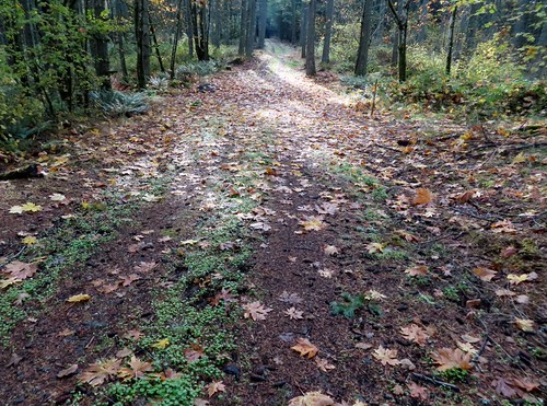
The Bonzai Trail crossing.
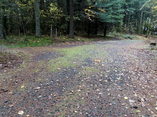
Road 562 on the left.
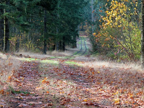
Dip along Road 560.

The Cap House and the Powder House Trail.

The 4-way junction with Road 500 ahead.
I turned left at the junction on Road 500 stopping to look at the trail map next to a bench here.

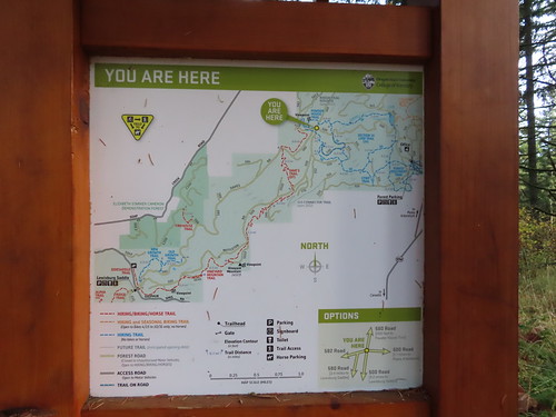
Unlike Forest Park in Portland the maps here are few and far between. Note that the above map is at least 5 years old as it shows the reroute of the Bonzai Trail and a portion of what is now the Hole in the Buckett Trail (referred to as the 510 Connector on the map) as open in 2022.
I followed Road 500 downhill for 1.2-miles to a junction with Road 540 near Cronemiller Lake. This was another new to me section of road.
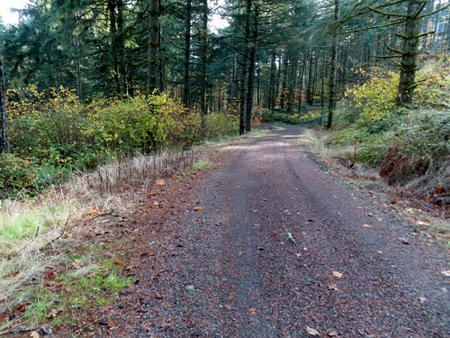


I stayed left on Road 500 at this junction with Road 530.


Cronemiller Lake through the trees from Road 500.
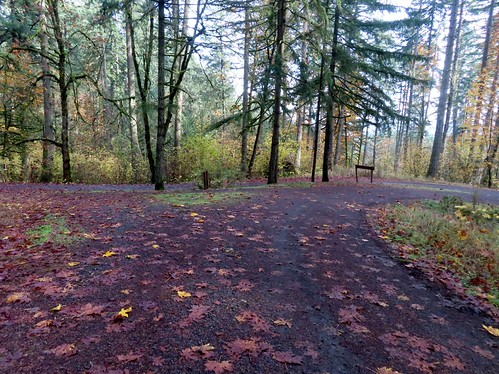
The junction with Road 540.
I faced a choice at this junction. I could go right on either the Section 36 Loop Trail or Road 500 and head back 0.5-miles to the trailhead or go left on Road 540 past the lake and take a longer route back to the trailhead. There would be new sections of road/trail either way, but I opted for the longer route since it was still before 11am. I hiked passed the lake, the chopping arena, and the sports arena.


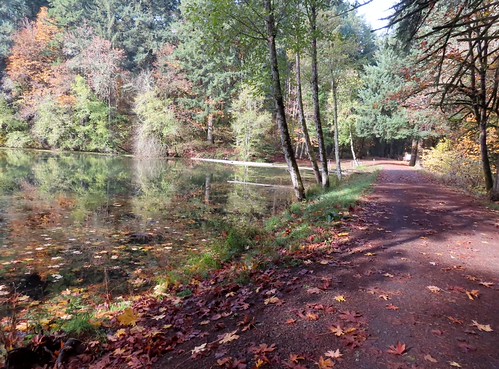

I followed Road 540 for 1.1 total miles before turning right on the Calloway Creek Trail.
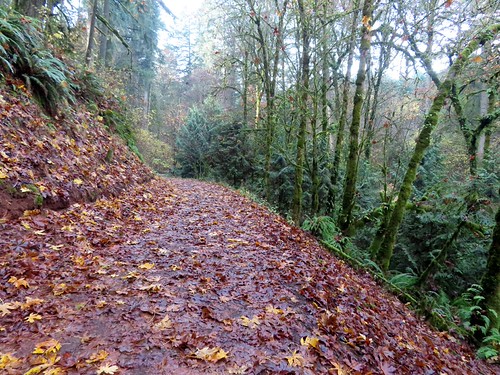
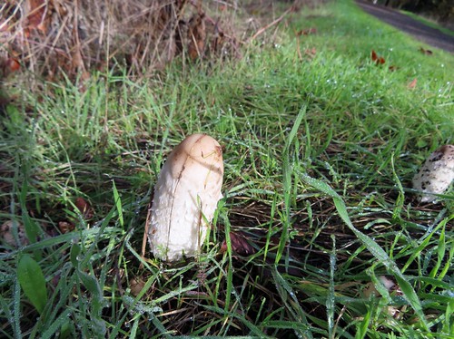

Coming up on the junction with Road 543. Beyond this junction the remainder of the hike on Road 540 was new to me.
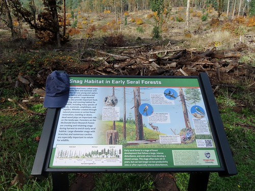
It is amazing how much clothing (including undergarments) we see along trails.


The Calloway Creek Trail Crossing.
I had been on the Calloway Creek Trail before but after 100 yards I turned left onto a connector trail that I hadn’t used before.

The connector trail was just a tenth of a mile long and brought me to the other side of the Calloway Creek Trail Loop where I turned right onto familiar trail.

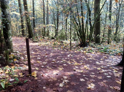
I stuck to the Calloway Creek Trail for 0.4-miles before turning right onto the Intensive Management Trail.
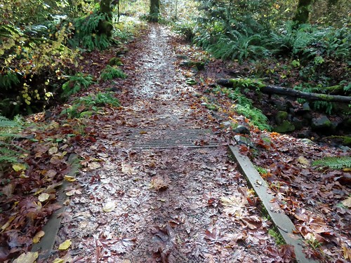
Crossing Calloway Creek.

Calloway Creek with just a little water flowing.

Pointer for the Intensive Management Trail.
I had hiked most of the Intensive Management Trail before, but not this 0.2-mile section of the lollipop loop. The trail crossed a narrow road then passed through a field near some buildings before reentering the forest and arriving at a junction with a connector trail to the Calloway Creek Trail.


I stayed left on the Intensive Management Trail and followed it 0.7-miles back to the trailhead where I’d parked.
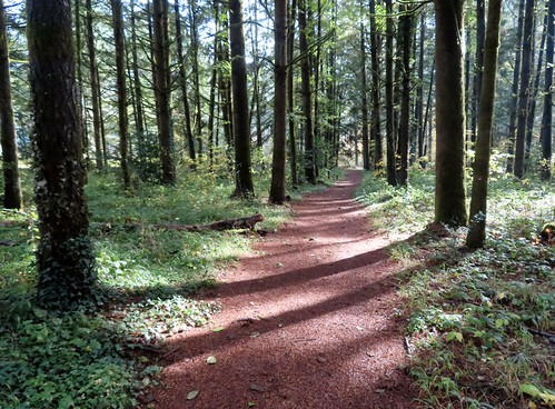

The start/end of the loop portion of the Intensive Management Trail.

Map for reference.

Cars at the trailhead.
This was a 10.4-mile loop with approximately 1560′ of cumulative elevation gain.

Of those 10.4-miles 7.5 where on new to me roads or trails.

(Red is the current track.)
Hikes in the forest here are always enjoyable and the number of different trails and roads allows for great variety. It also makes it fairly easy to get turned around if you aren’t paying attention so having a map handy and using it is always a good idea. With the forest only being a little over half an hour from home I know we’ll be back to explore more of it in the future. Happy Trails!
Flickr: McDonald Research Forest

