We are in the middle of an extremely mild winter. Aside from some freezing rain on Christmas Weekend we’ve experienced no other snow or icy conditions. That of course changed when we decided that we would take our February hike on Presidents Day. After making that decision the weather forecast immediately called for a snow event that same weekend with Sunday night expected to be the worst of it. After double checking the forecast Saturday afternoon we moved our hike up by one day and changed destinations to something closer to Salem, the McDonald Forest. The forest has become our go to destination in inclement weather having visited McCulloch (post) Peak in October 2016 and Dimple Hill (post) in December of that same year.
For this visit we chose the trails around the Peavy Arboretum. The arboretum is located at the northwestern end of the forest and can be reached by driving Highway 99W north of Corvallis 5 miles and turning left on Arboretum Road for .8 miles to the Peavy Arboretum entrance sign on the right. There are several potential parking areas to choose from and we stayed to the left at forks for .3 miles to a trailhead sign where the road ahead was gated.

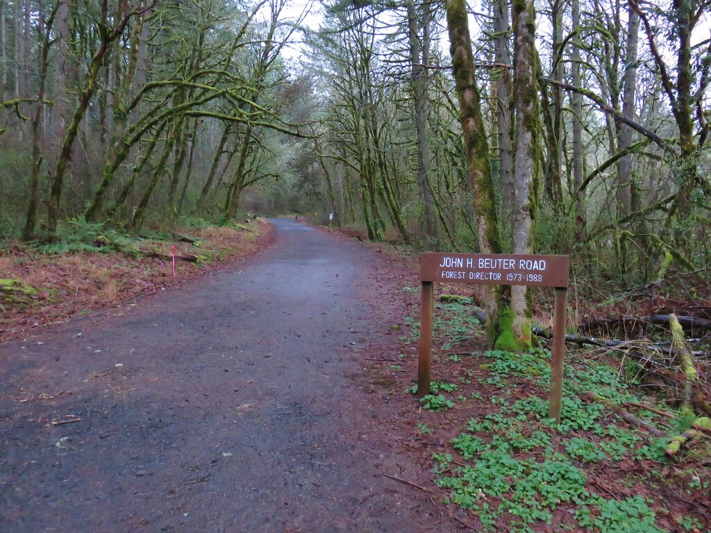
After picking up a trail map we headed up John H. Beuter Road for .3 miles to the OSU Forestry Club Cabin.

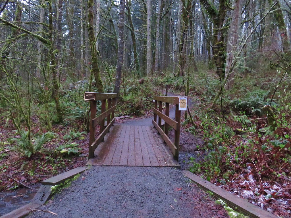
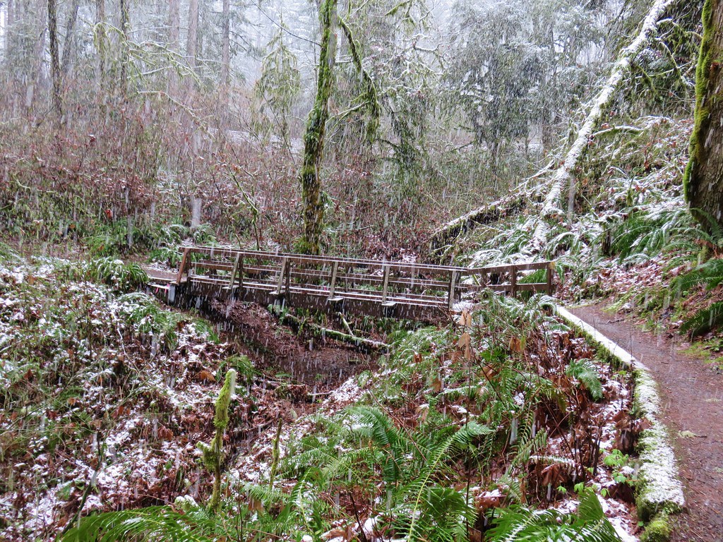
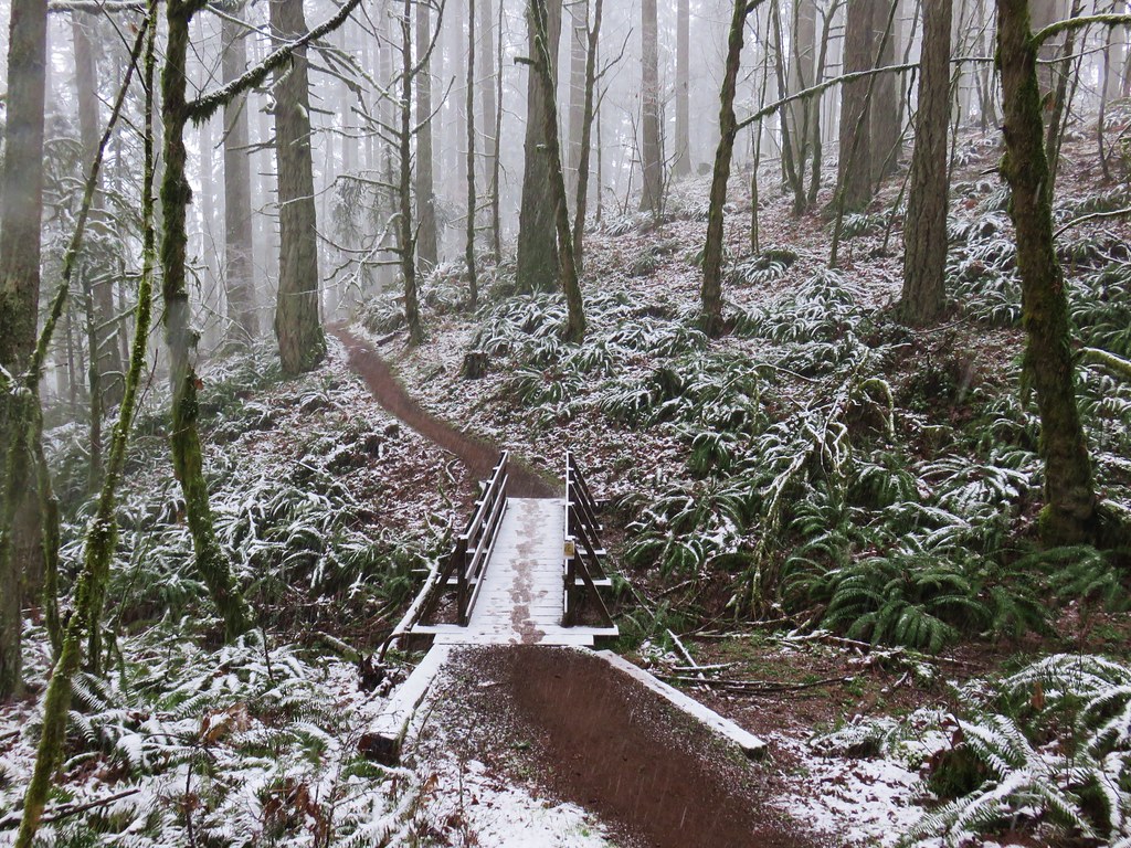
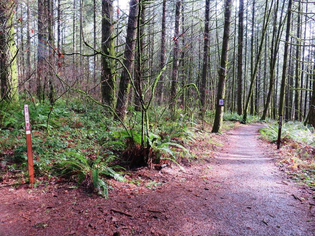
We turned left onto the Section 36 Loop Trail at the start of the lawn and crossed a small stream on a footbridge.

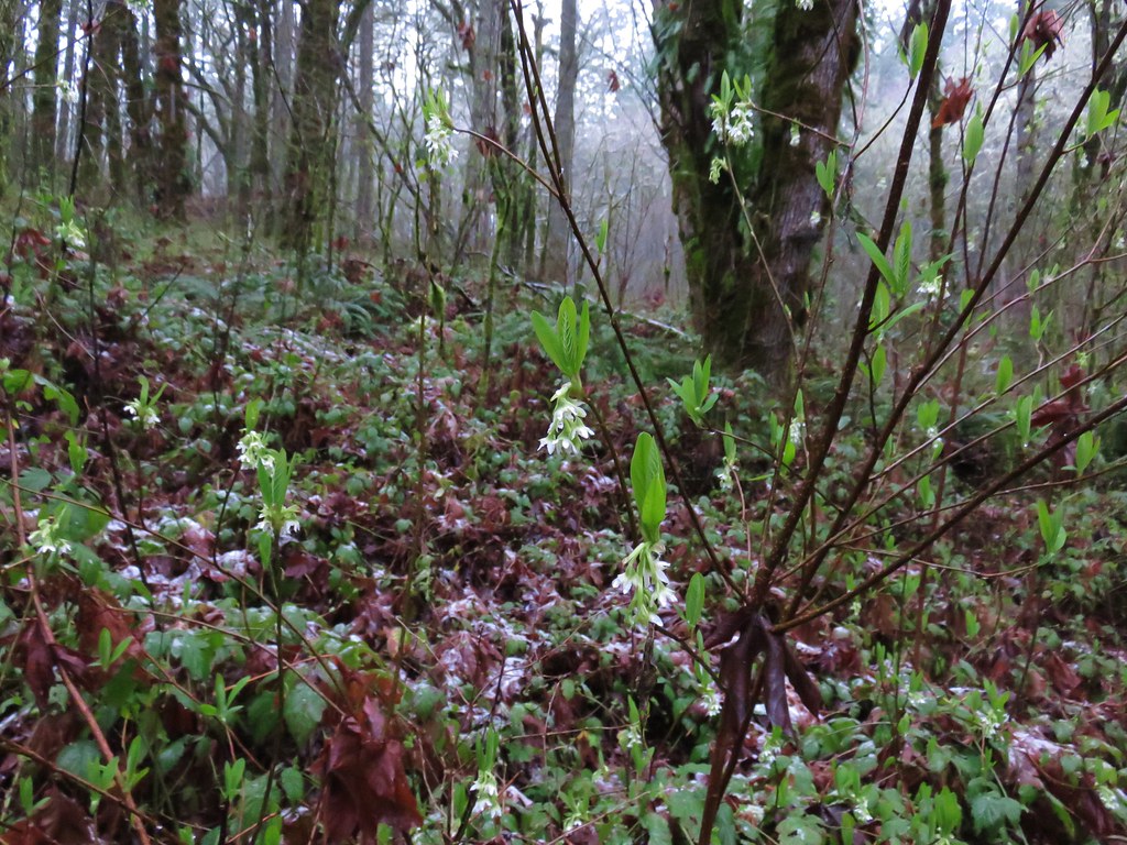
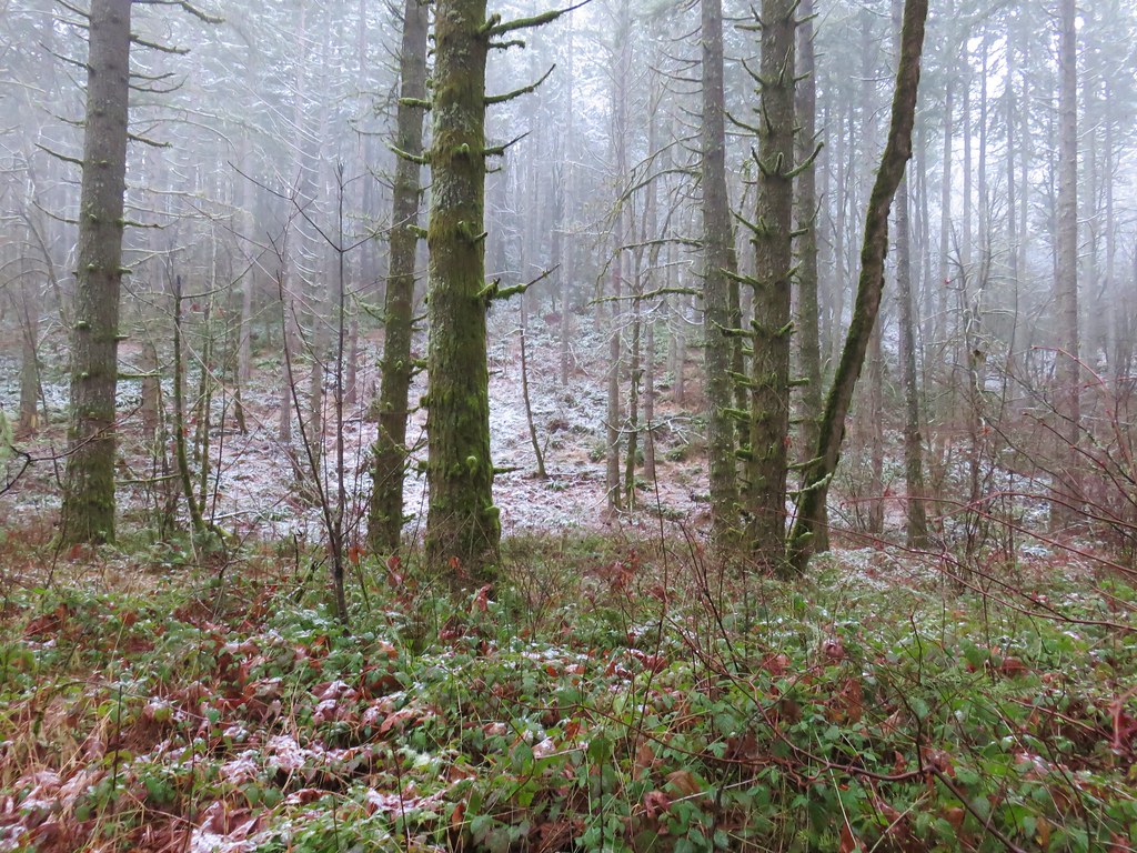
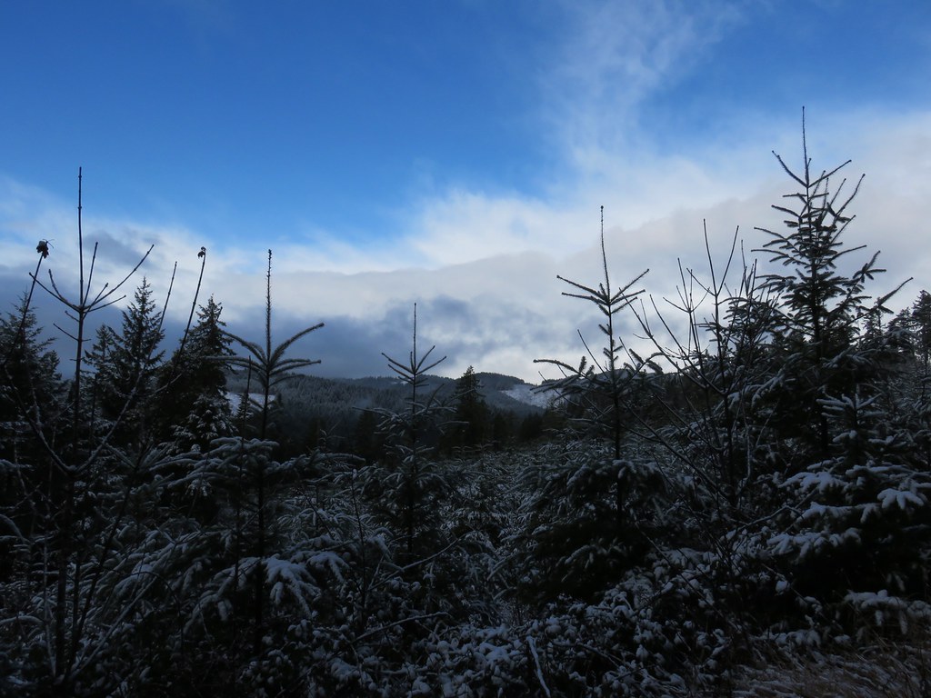
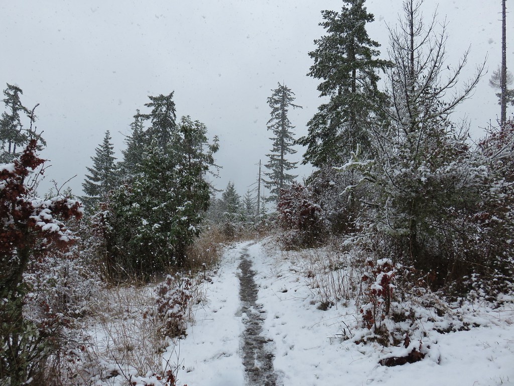
We had woken up to a small amount of snow and as we gained a little elevation on the trail, we began to encounter some on the vegetation. It was a strange mix of Winter and Spring as some of plants were starting to blossom.
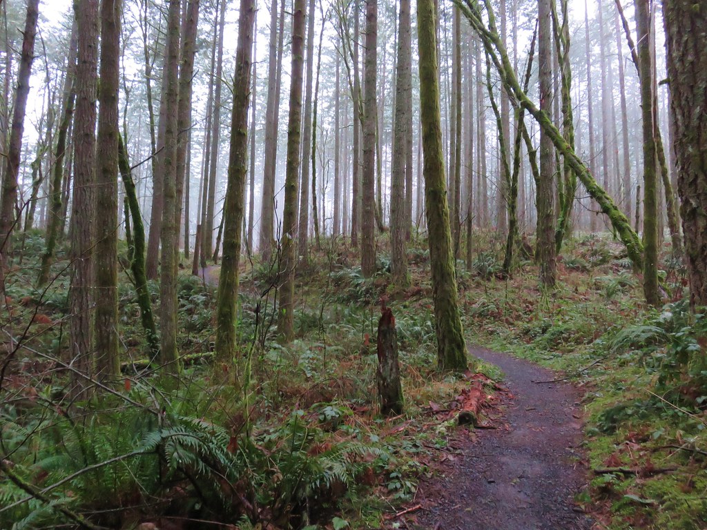
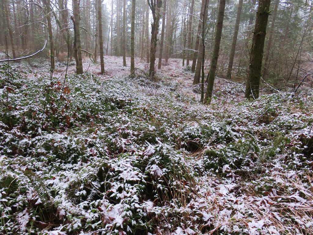
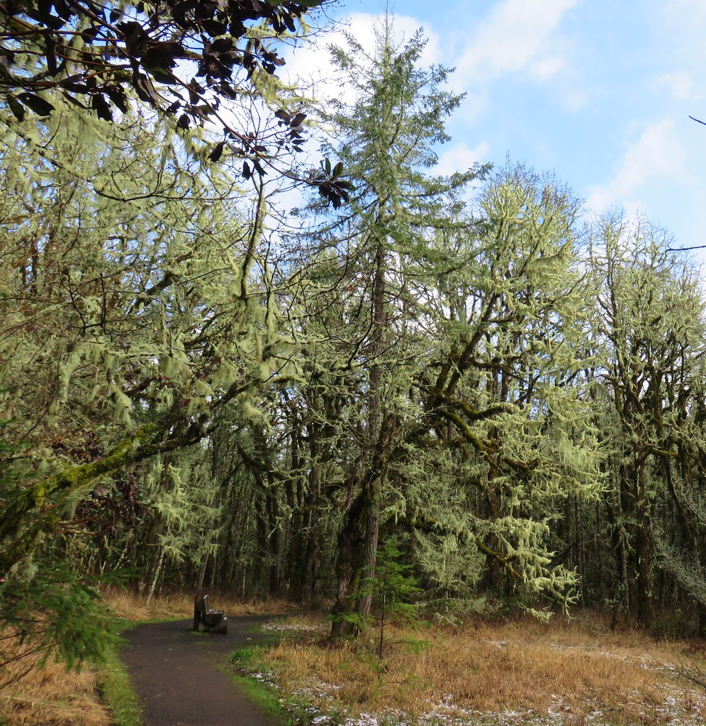
The trail continued to climb through a foggy forest and past benches to more and more snow covered ground.


We stuck to the Section 36 Loop ignoring side trails for 1.4 miles. Then we came to a T-shaped junction with the Powder House Trail where we turned left.
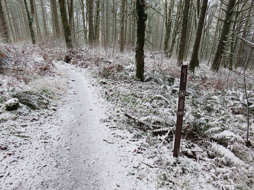
About a quarter mile from the junction the Powder House Trail crossed a series of three gravel roads. We had been planning to turn left on the first road (Road 500) and follow it to the Vineyard Mountain Trail and down to a trailhead at Lewisburg Saddle where we would then take a different series of trails and one of the other roads (Road 580) back up to the Powder House Trail. On the far side of Road 500 was a cougar sighting warning.

We were so distracted by the sign and our conversation that we forgot to turn onto the road. It wasn’t until we were about to cross the third road and we were looking at the map that it dawned on us that we should have turned left back on the first road.
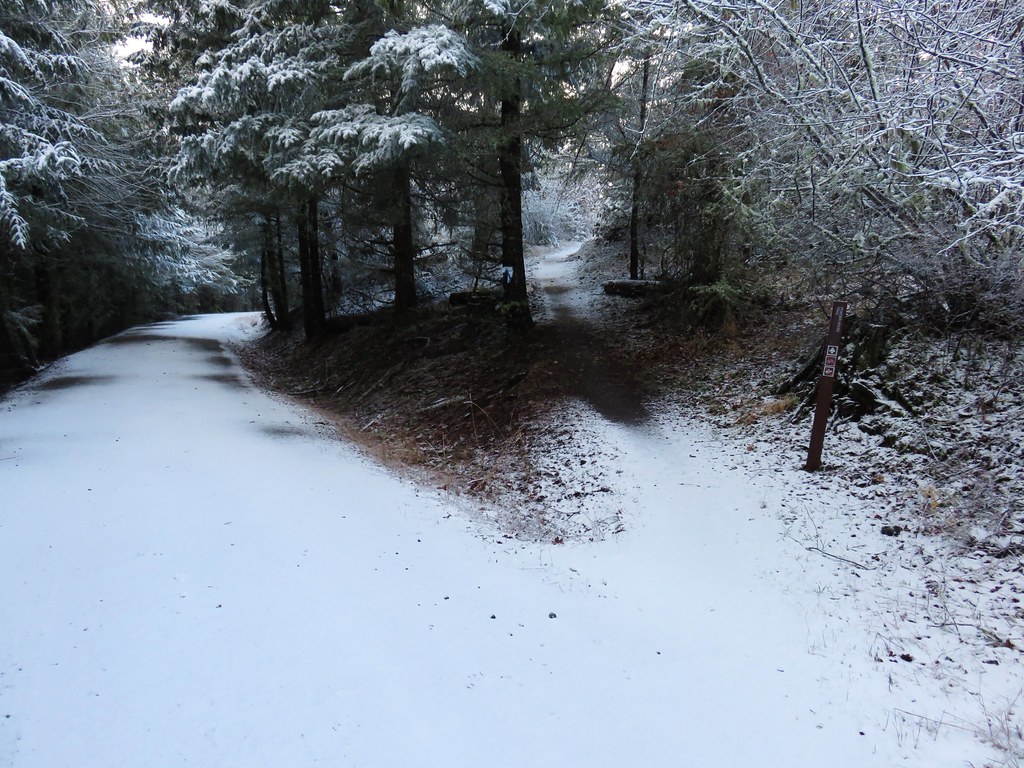
Fortunately we had only passed Road 500 by a tenth of a mile so we backtracked and turned right onto the road.

We didn’t see any cougars but we did see a whole bunch of juncos.

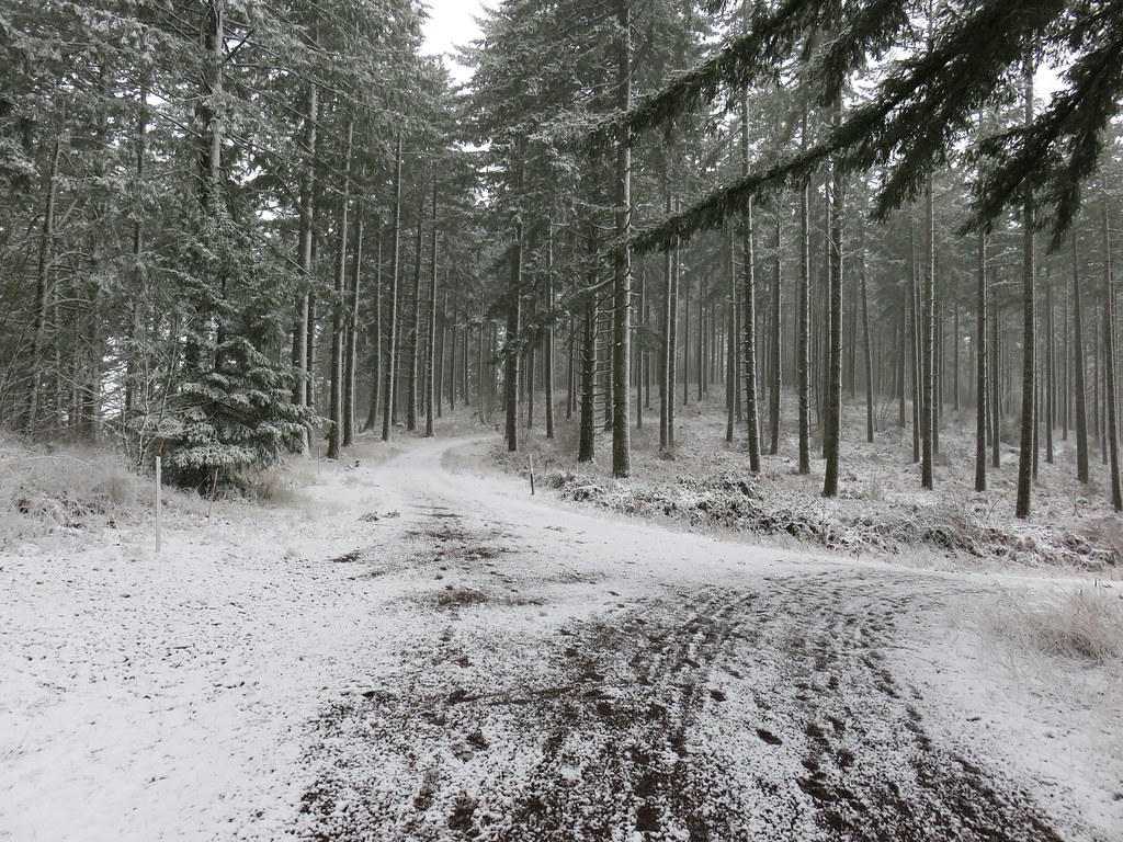
We followed Road 500 for just over a mile and a half to a junction at a saddle.
Here the Vineyard Mountain Trail began at a signpost.
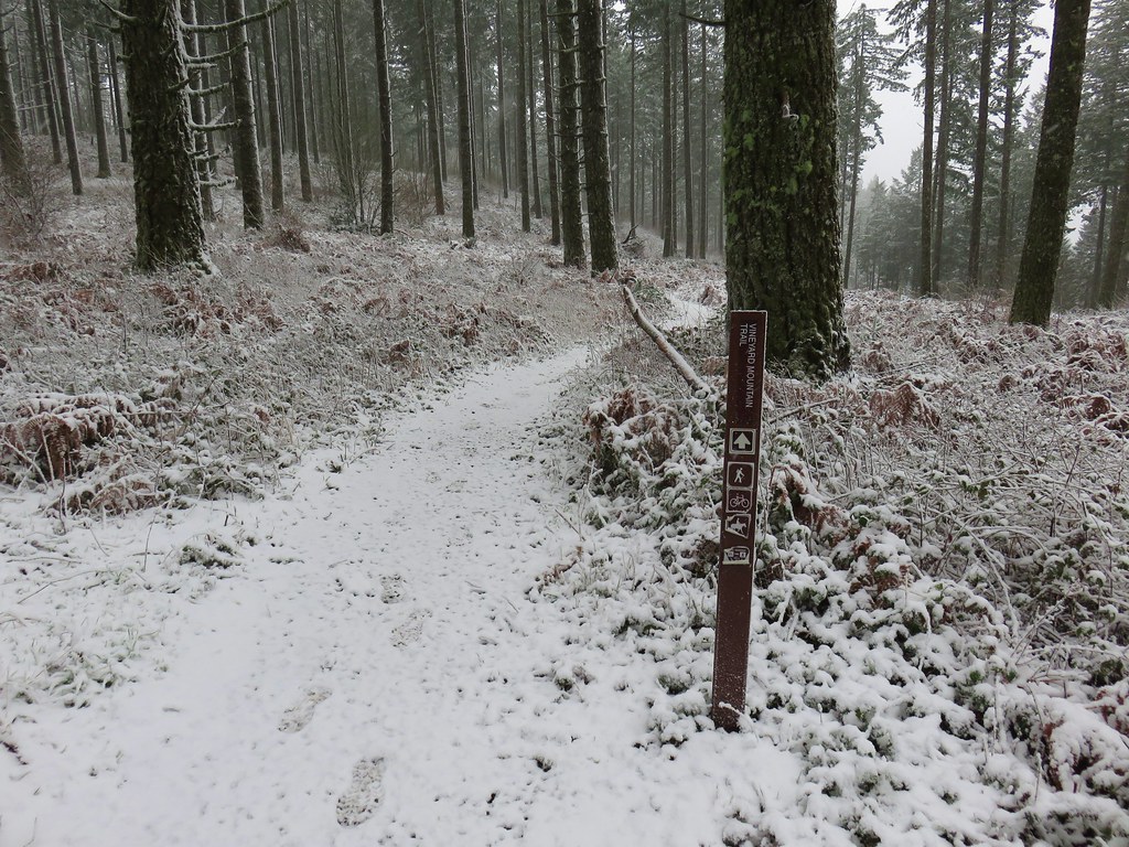
This trail climbed for .4 miles to a point near the some towers at the summit of Vineyard Mountain.
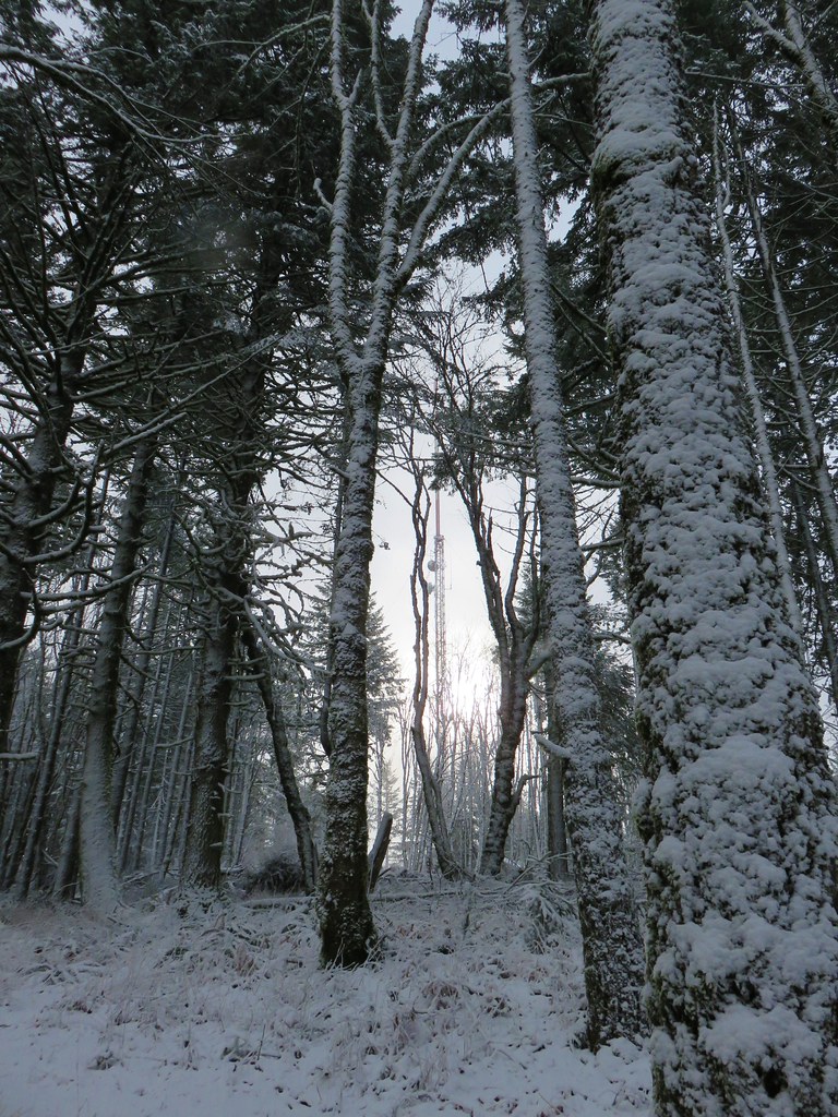
The trail then began descending along the southern ridge of Vineyard Mountain.

Just under a mile and a half from the summit we arrived at the Lewisburg Saddle Trailhead.
Here we briefly followed William A. Davies Road aka Road 580 before turning left onto the unsigned New Growth Trail.

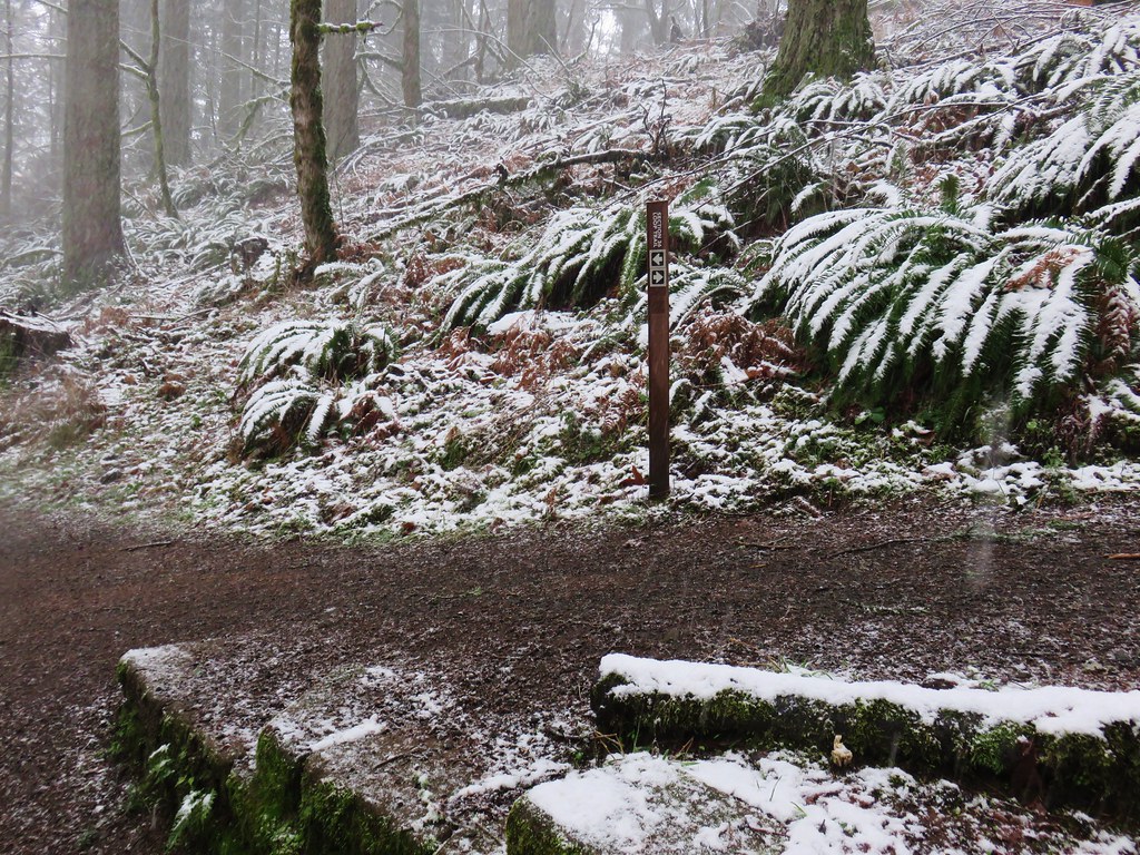
An interpretive sign a little ways down the trail let us know that we were on the right path.

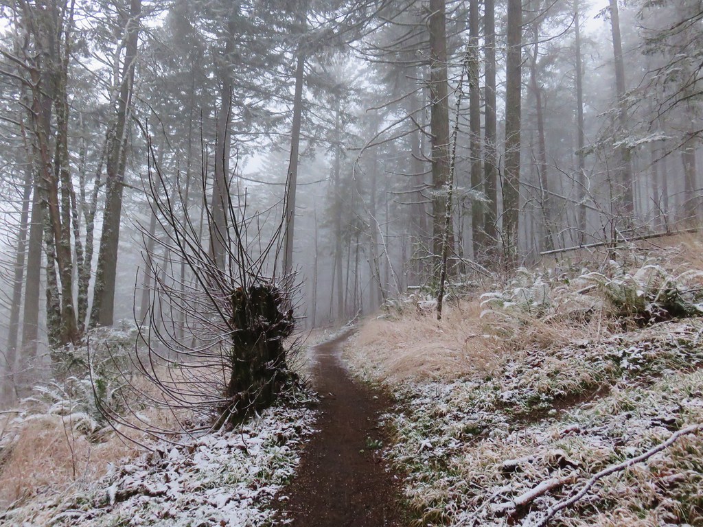
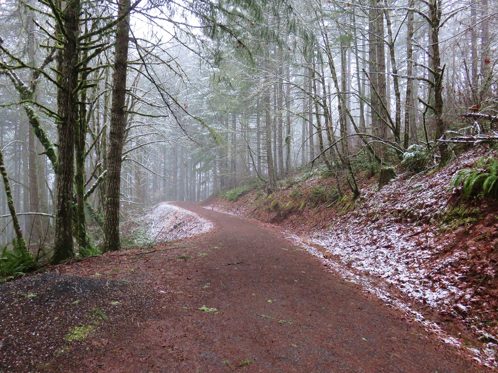
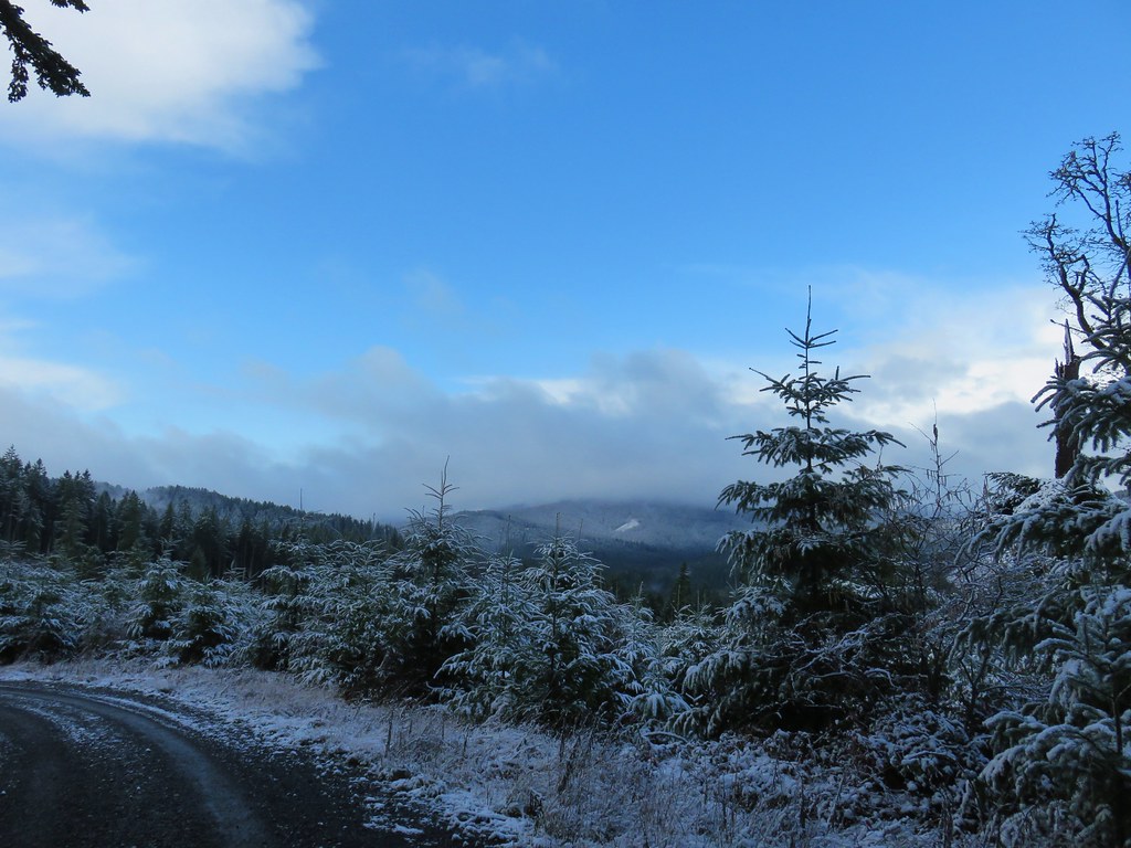
The New Growth Trail lost enough elevation that we were soon on a snow free trail. Although snow melting from the tops of the trees made the stretch somewhat wet.

After a half mile we arrived at a junction. Here the half mile Old Growth Trail lay straight ahead or for a short loop back to the Lewisburg Saddle TH the right fork led back uphill to Road 580.

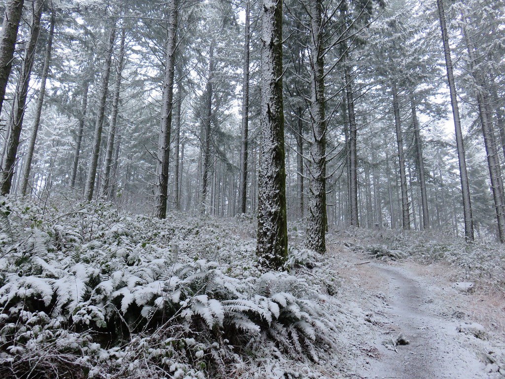
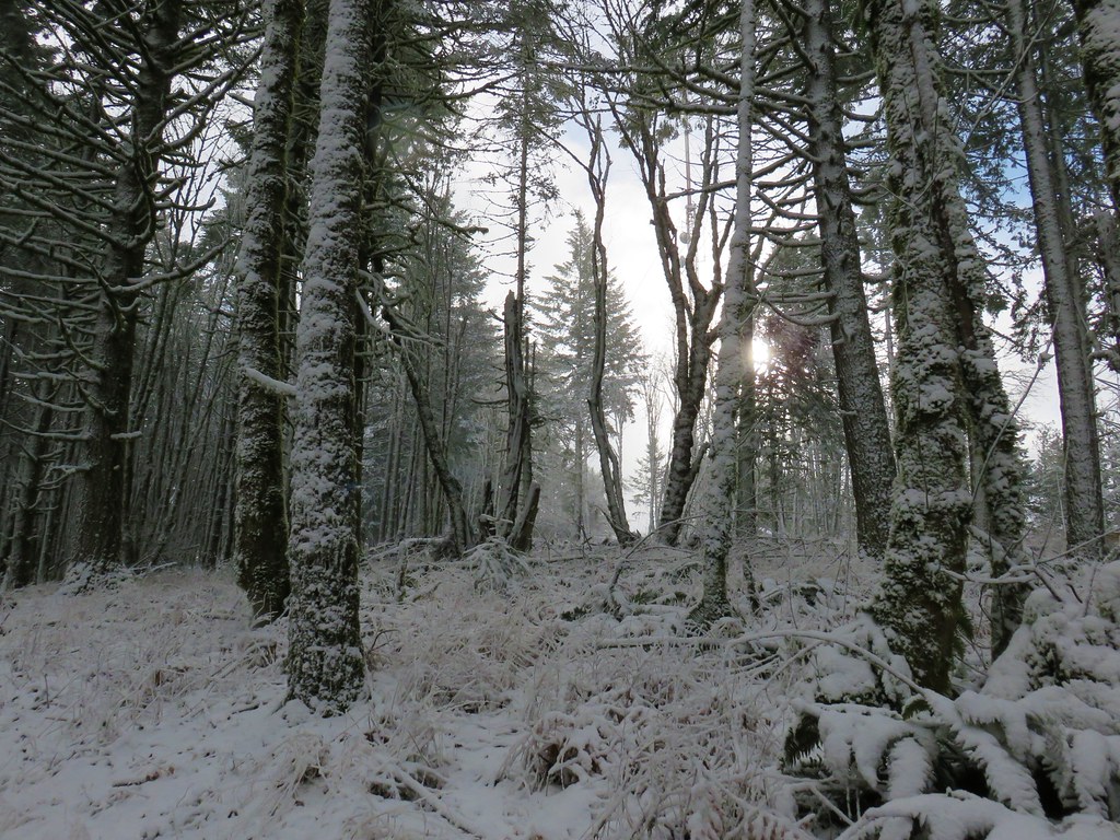
We took the Old Growth Trail which led us back into the snow.
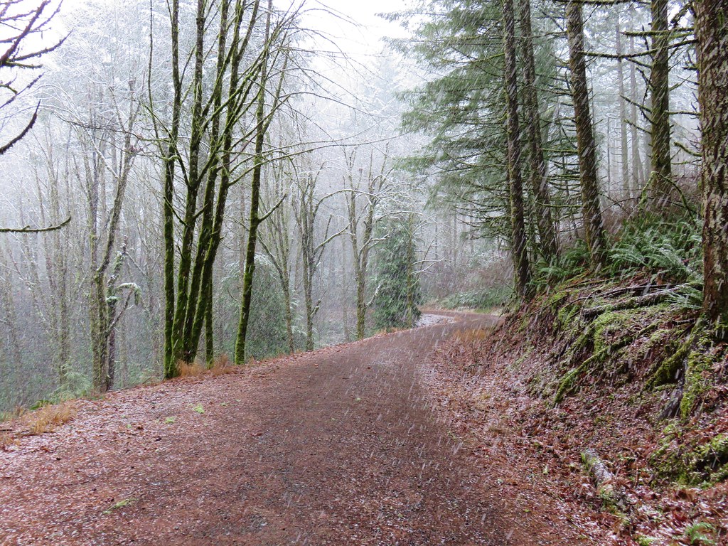
The Old Growth Trail ended further up along Road 580 where we turned left and continued uphill.
And into a decent snow flurry.
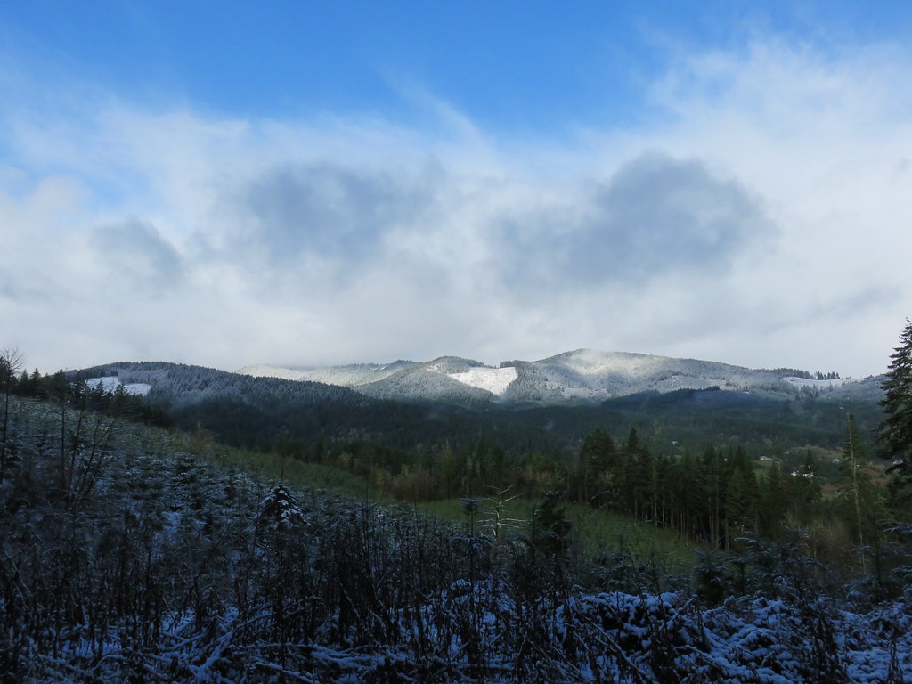
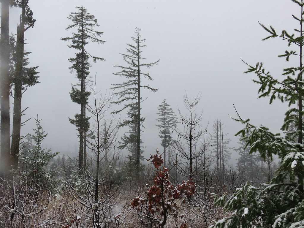
There had been a couple of quick breaks in the clouds earlier in the day but after this snow flurry passed the largest patch of blue sky yet appeared.
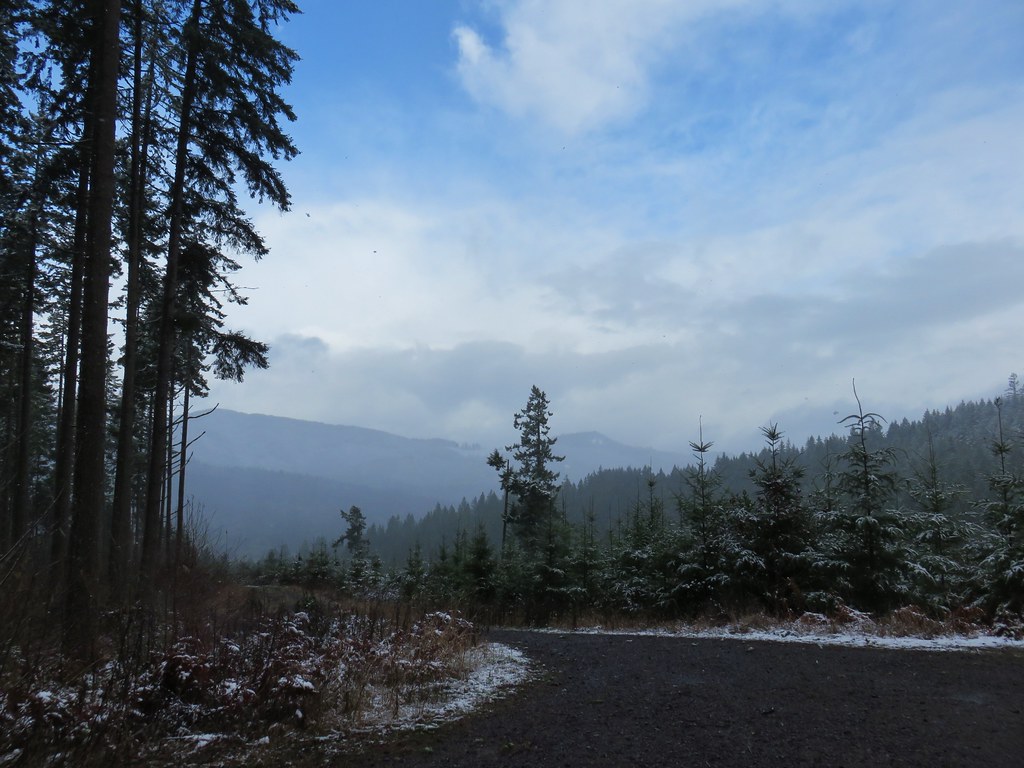
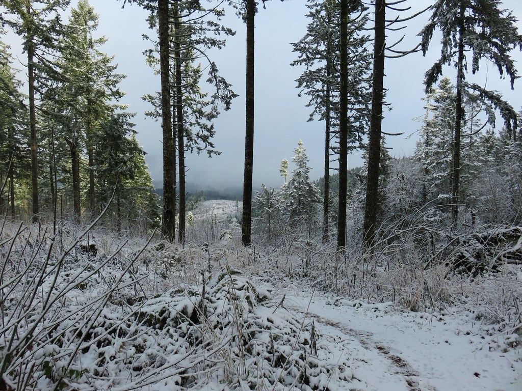
It just so happened that the section of Road 580 that we were on at the time passed by a clearcut which allowed us a nice view across the valley to peaks on the other side of the McDonald Forest.
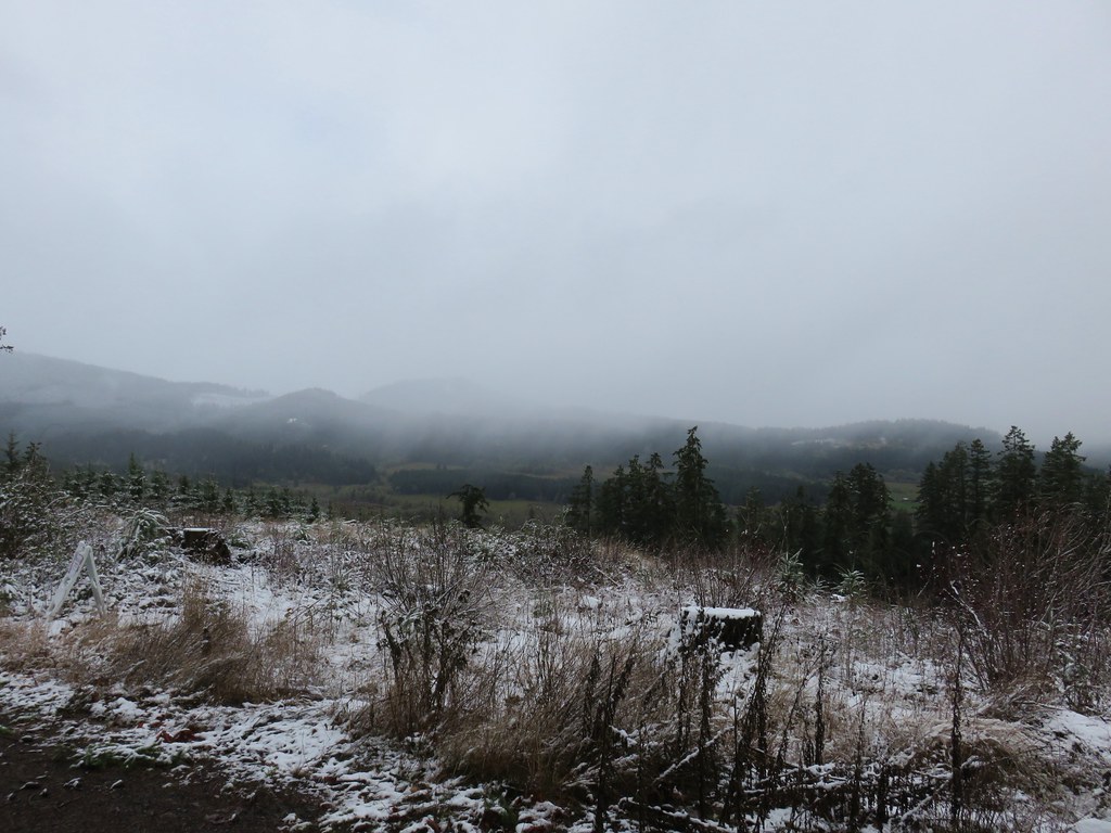
The road then passed through a brief stand of remaining trees before entering another clearcut where the views had mostly disappeared.
Approximately 2.5 miles from the end of the Old Growth Trail we arrived back at the Powder House Trail where we turned left.

This time we crossed the third road and headed uphill through a clearcut to a bench where we imagined the views would be pretty good on a clearer day.

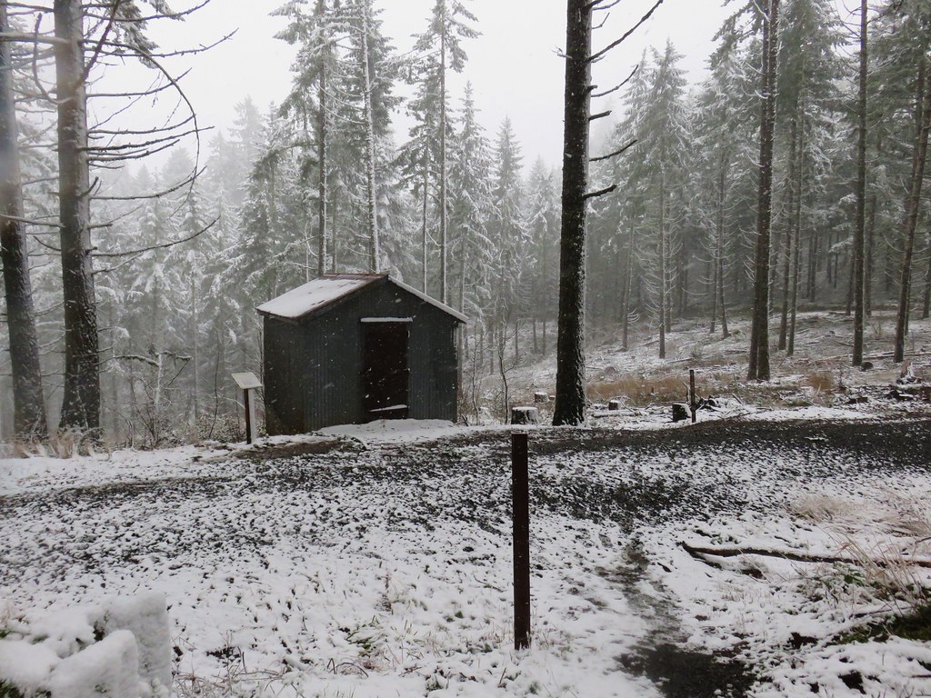
The trail then curved back downhill to the Cap House where the Civilian Conservation Corps had once stored blasting caps.

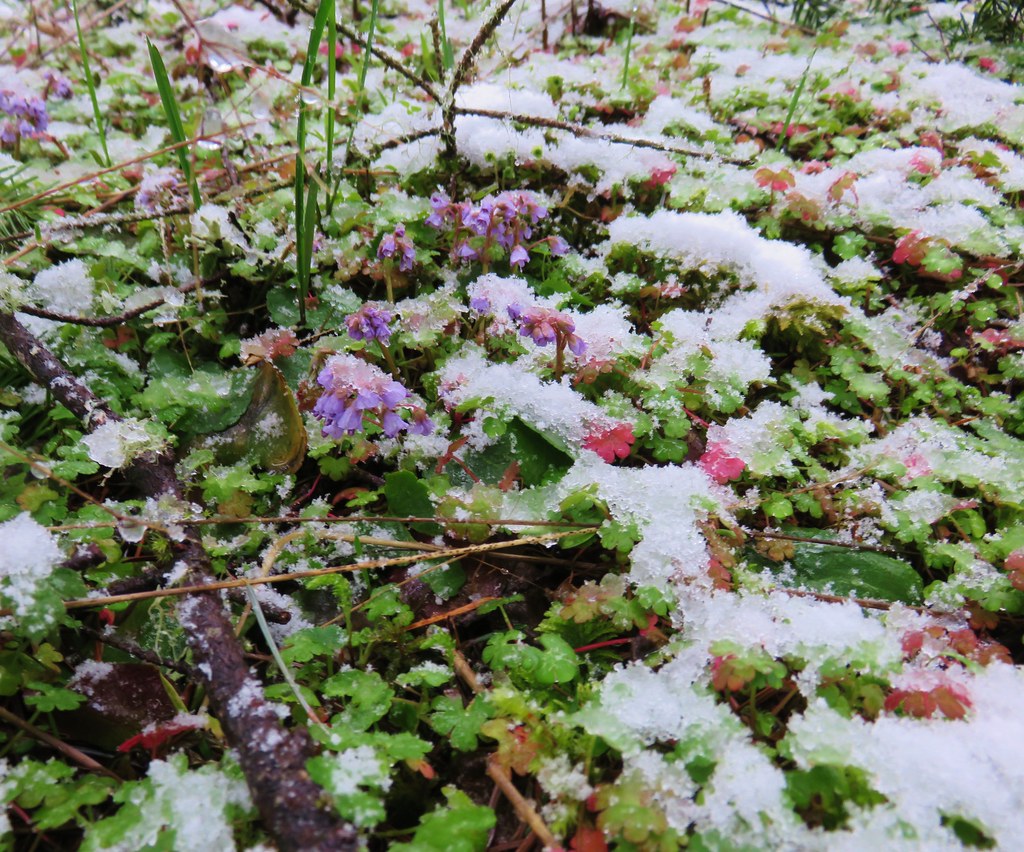
The trail continued to the right of the Cap House and descended a short distance to rejoin the Section 36 Loop Trail. Along the way we encountered several snow queen plants in bloom.
We turned left onto the Section 36 Loop.
The trail gradually descended as it passed through the forest for almost a mile to Cronemiller Lake.

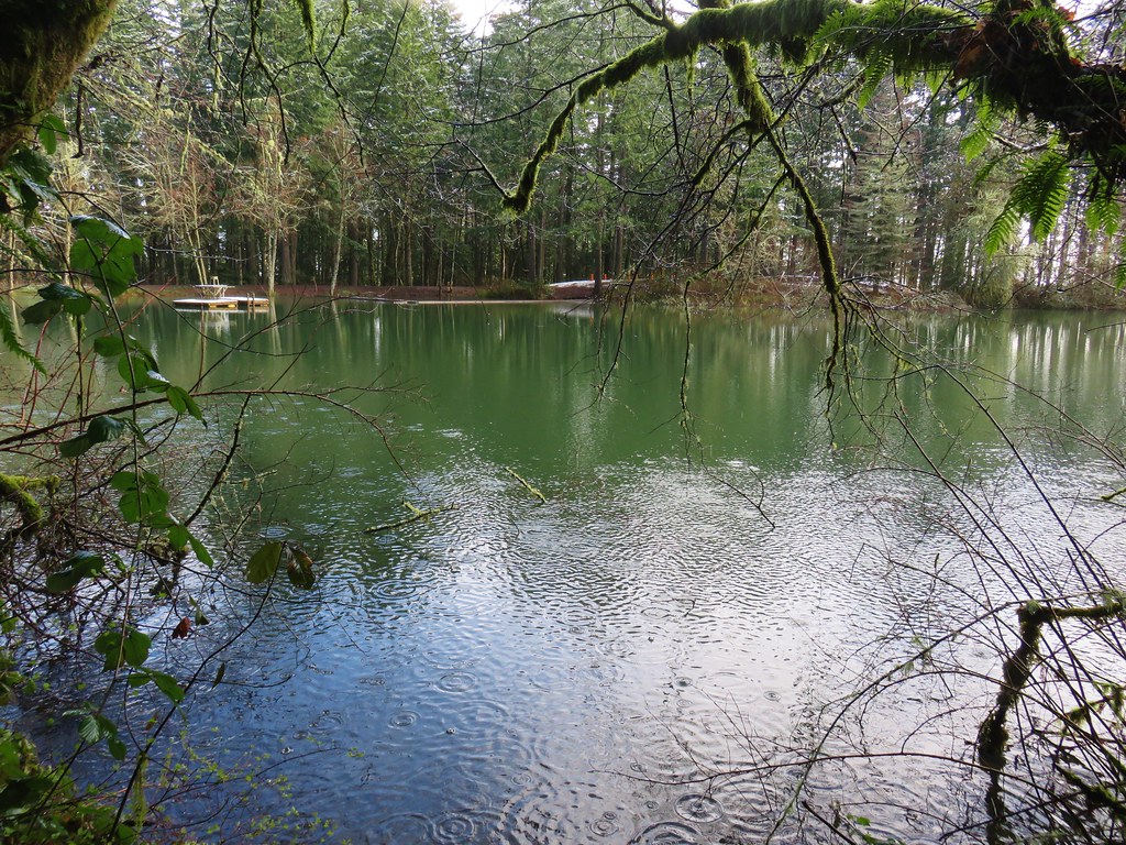
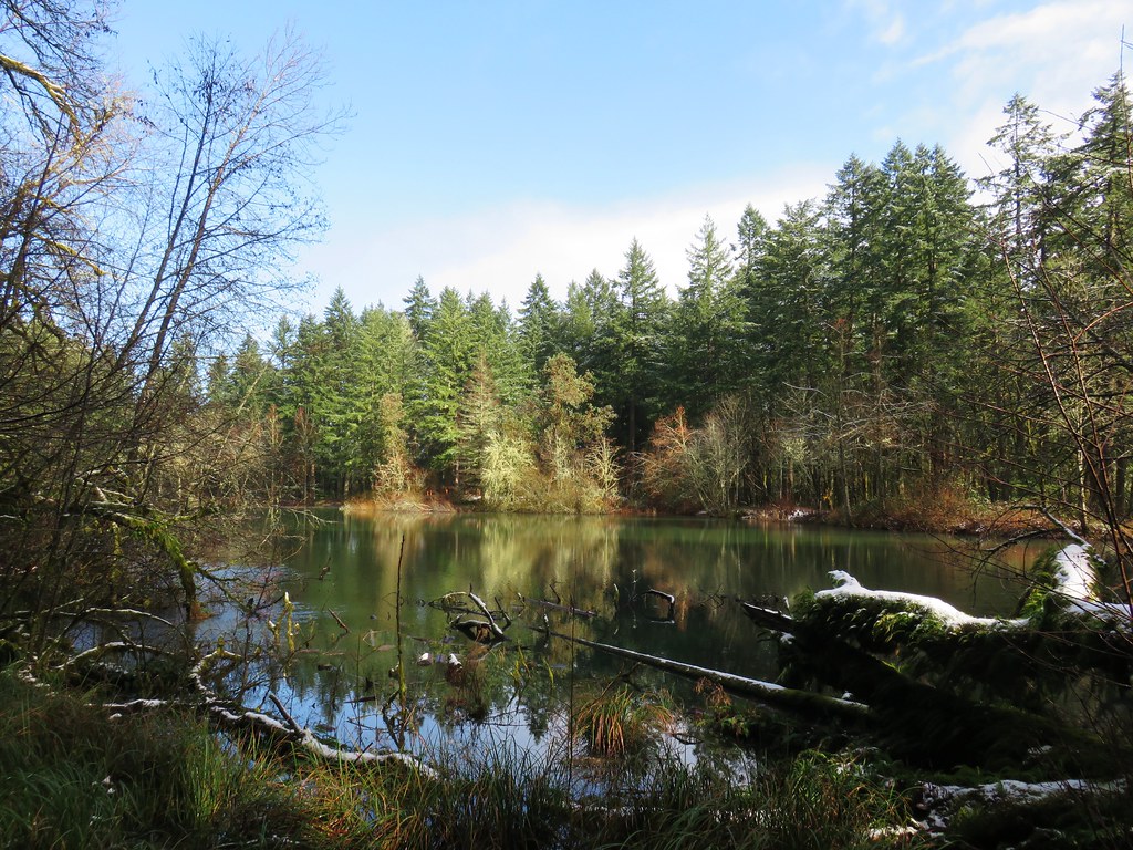
We followed the lake shore all the way around to the right until we reached the signed Calloway Creek Trail.

Closed from April to November to bike traffic we followed the Calloway Creek Trail a total of 2.5 miles staying left at most junctions except for the signed trail to Road 547 where we stayed right.

The trail crossed Calloway Creek twice and passed a small meadow with a bench.

After the 2.5 miles we turned left onto the Intensive Management Trail.

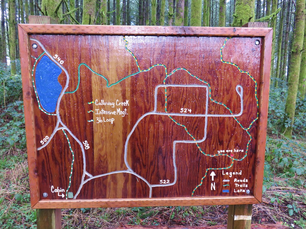
At the next junction was a signboard map which could have been a little more descriptive.
We stuck to this trail following pointers for the Arboretum Parking to a different parking lot a tenth of a mile from where we had started.

From here we took the .1 mile Firefighters Memorial Trail past a nice shelter and back to our car.


The hike turned out to be an approximately 14 mile loop with around 2000′ of elevation gain. A little more than we had planned for the day but a nice hike none the less. Alternating between being above and below the snow line added to the variety of the hike. It had turned out to be a good choice and another fun hike in the McDonald Forest. Happy Trails!
Flickr: Peavy Arboretum

4 replies on “Peavy Arboretum – McDonald Forest”
[…] Forest having previously hiked to McCulloch Peak (post), Dimple Hill (post) and Peavy Arboretum (post). Each of those three hike had been entirely unique with no steps retracing an earlier path. They […]
[…] #46 Peavy Arboretum – Hiked 2/19/2018 […]
[…] Park to Dimple Hill (post). My plan for this outing was to connect the other hike, Peavy Arboretum (post), as well as checking out a few trails in the forest that we hadn’t been on […]
[…] done a few hikes in the area (Bald Hill & McCulloch Peak, Chip Ross Park and Dimple Hill, Peavy Arboretum – McDonald Forest, McDonald-Dunn Forest via Sulphur Springs – 10/02/2021, Peavy Arboretum to Dimple Hill – […]