
I’d spent all of Monday hiking with abdominal pain so I was very happy to wake up Tuesday feeling fine. On tap for today was the highest elevation hike in the Wallows for this trip (Mt. Ireland on Saturday (post) was higher but that peak is part of the Elkhorns.) and we weren’t sure how much snow we might encounter. We did have our microspikes with us just in case.
The hike to Burger Pass begins at the Buck Creek Forest Camp and Trailhead.

The Elk Creek Trail (Trail 1944) leads from this trailhead to 7848′ Burger Pass near the 4.5 mile mark then down to Burger Meadows and eventually on to the Minam River. Sullivan’s featured hike is to Burger Pass which was our goal for the day but we had also left open the possibility of visiting the meadows if conditions were good.


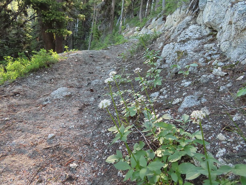
 At the 0.7 mile mark the trail briefly followed an old road bed to an old clearcut.

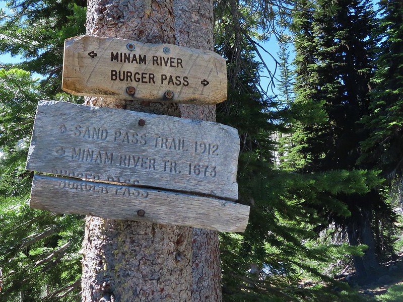
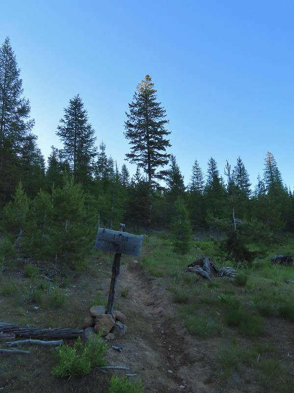 Trail sign in the old clearcut.
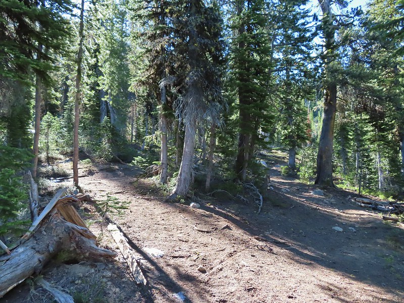
 Sullivan describes the second mile of this trail as one of the dustiest in Oregon but on this morning there was enough moisture in the ground to keep the dust at a minimum.
 Rock Creek Butte (post) in the Elkhorns from the clearcut.
The trail climbed steeply following an old roadbed out of the clearcut following a ridge before leaving the ridge and bending SE near the 2 mile mark.

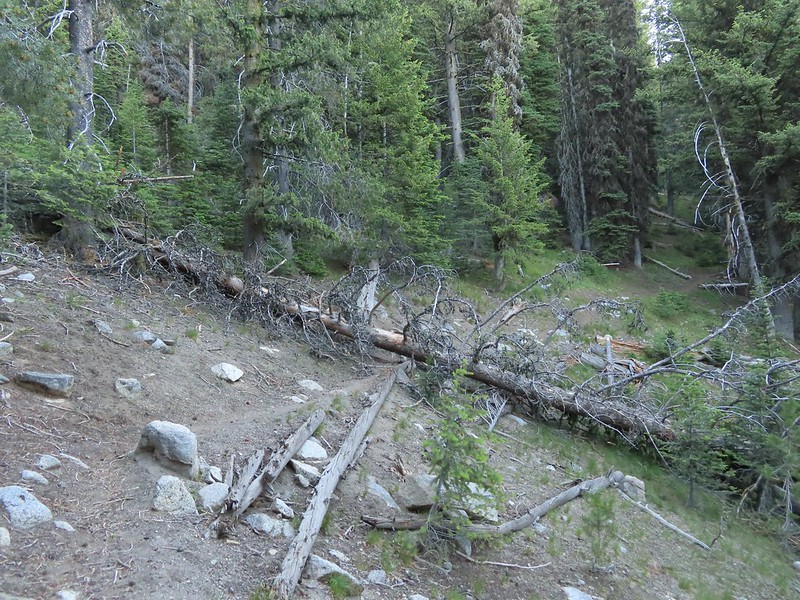 Shortly after leaving the ridge we encountered the largest obstacle on the way to the pass.
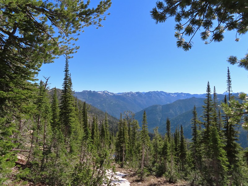
 The Elkhorns in the distance.
The trail made a long switchback and entered the Eagle Cap Wilderness as it rounded the same ridge that we’d been following earlier.
 Granite at the switchback.
 Entering the wilderness (photo from the way back).
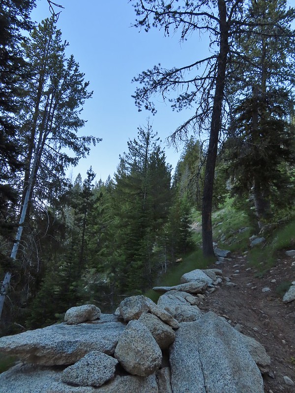
The trail then traversed a granite hillside to a large slide below Burger Butte.
 Valerian along the trail.
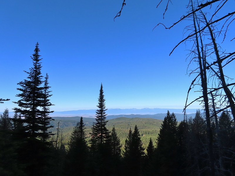
 View from the trail.
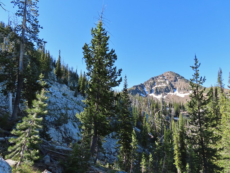
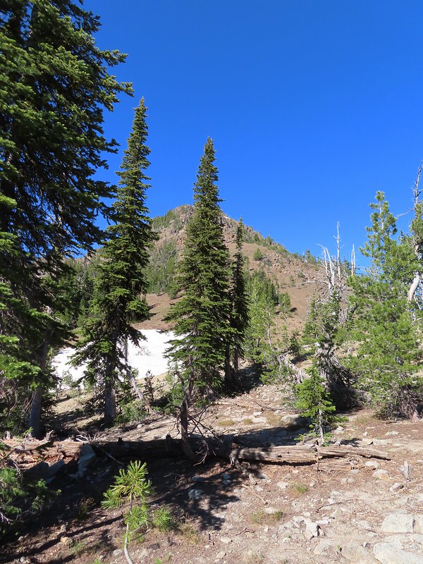
 Burger Butte
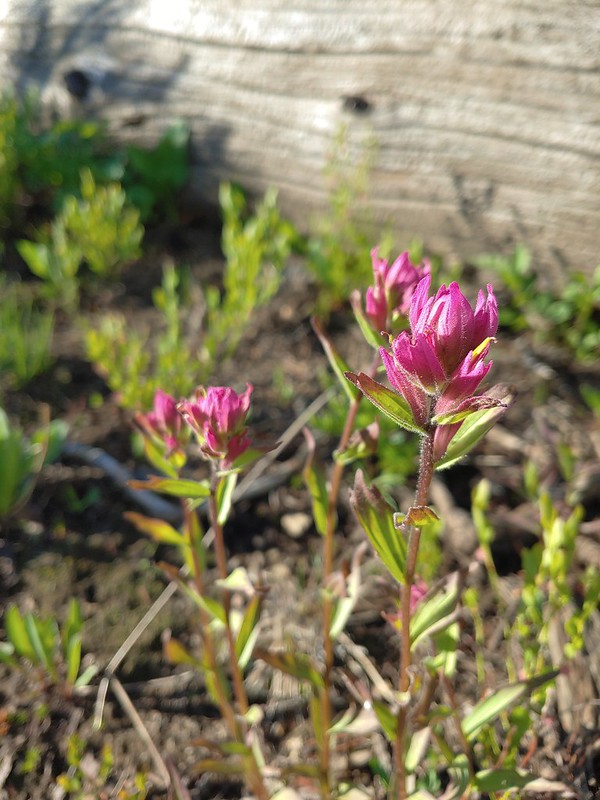
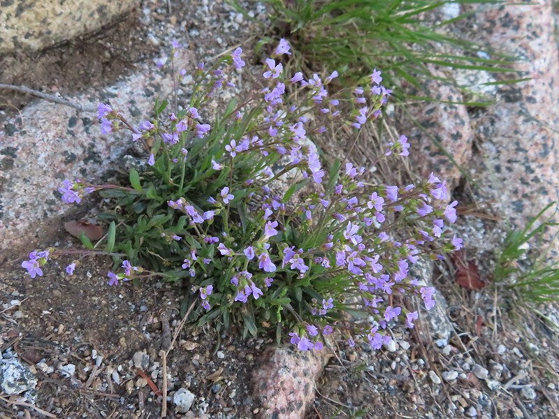
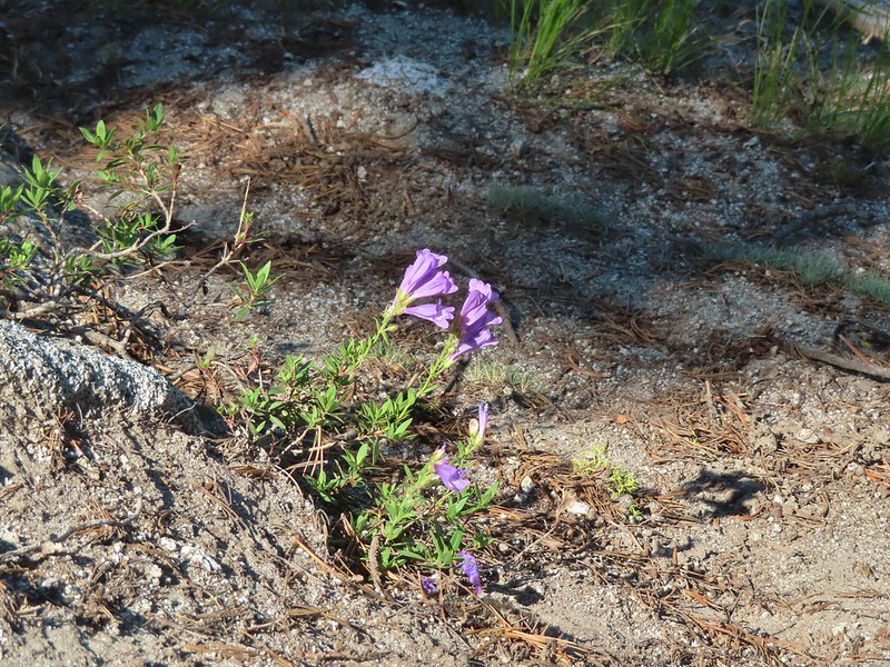
 Rosy paintbrush
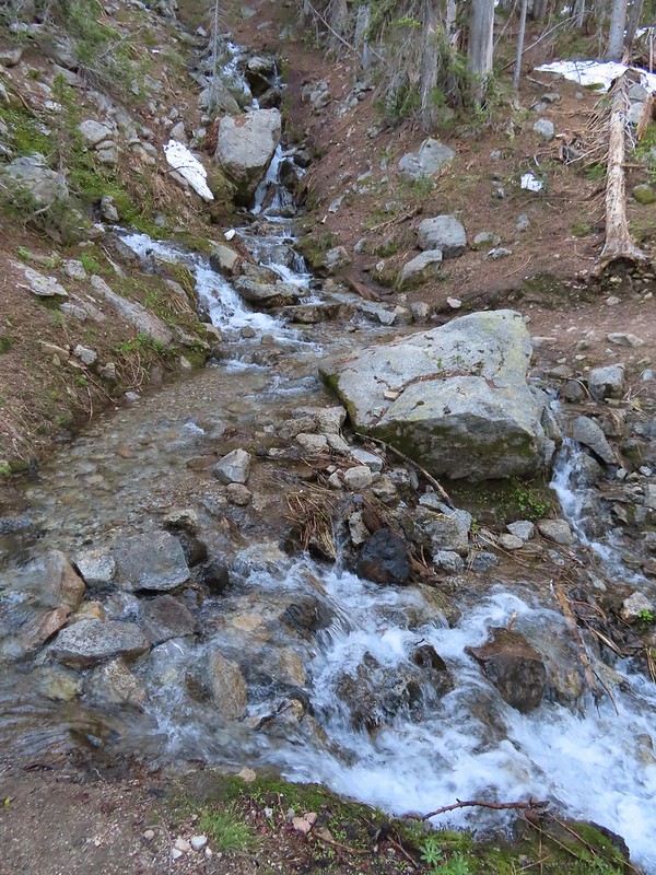
 Tributary of Middle Fork Catherine Creek.
 Looking down the creek over the slide.
 Yellow columbine
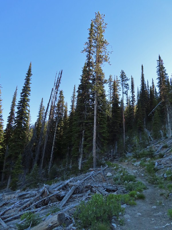
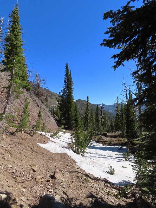
After reentering the forest we began to encounter the first patches of snow.
 The snow began around 7200′.
 Snow over the Elk Creek Trail.
 China Cap from the trail.
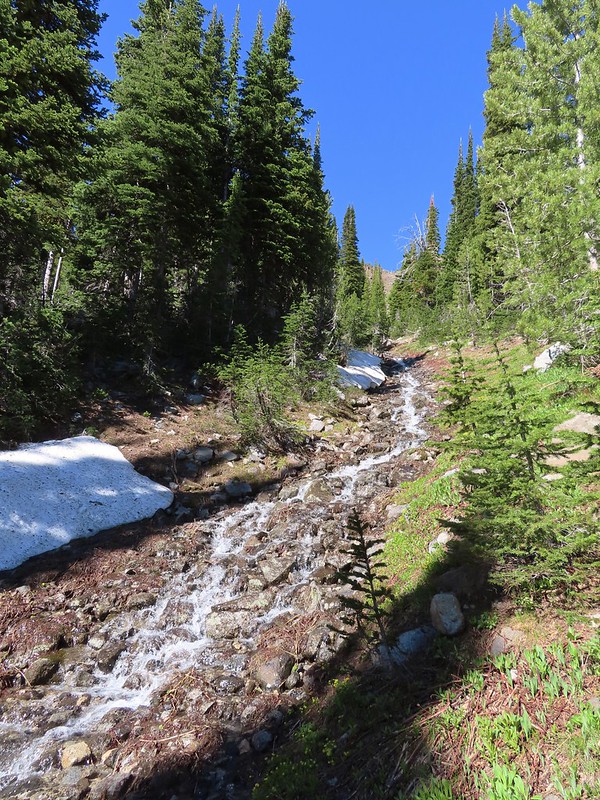
The trail crossed another tributary of Middle Fork Catherine Creek below a beautiful pair of cascades.

 Small meadow below the trail.
Approximately 3.5 miles from the trailhead we came to an unsigned junction with the China Ridge Trail.
 The China Ridge Trail joining from the left.
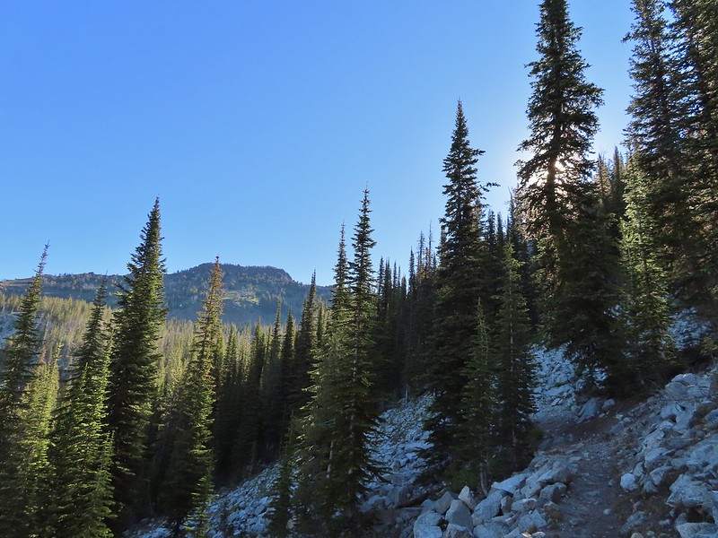
We stayed on the Elk Creek Trail as it climbed for another scenic mile to the pass below Burger Butte.

 The Elkhorns to the right beyond Burger Butte.

 Lyall’s Rockcress
 The few patches of snow were just melted enough to allow us to avoid having to walk over them.
 Burger Pass
The view from Burger Pass was great. There was a large snow patch over the trail but it was fairly level and soft so it didn’t require the microspikes.
 Burger Butte from the pass.
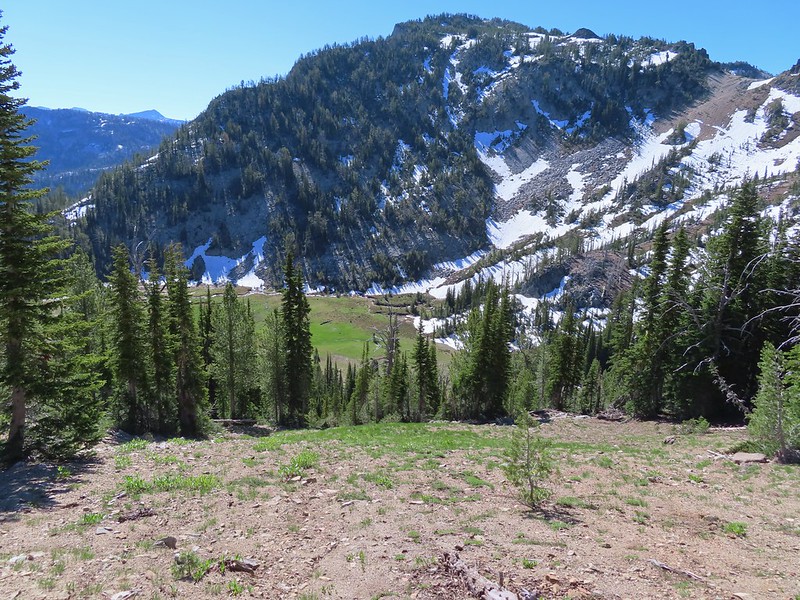
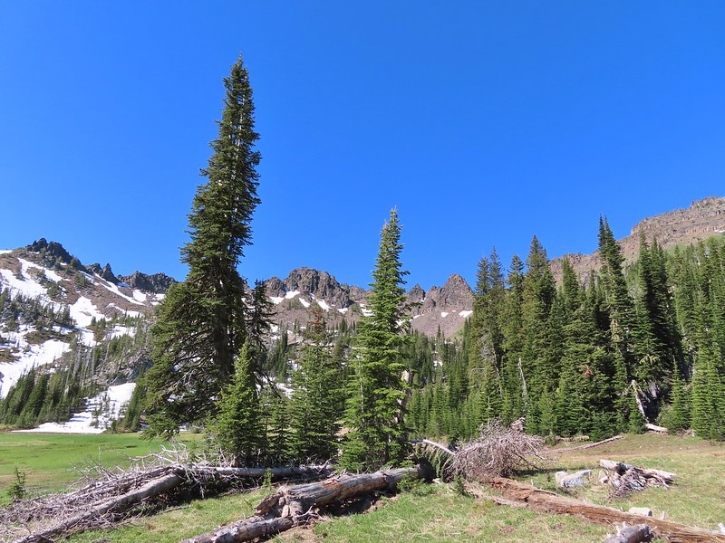
 Looking deeper into the Wallowas.
 The snow patch below Burger Butte.
I decided to go ahead and attempt the 350′ descent to Burger Meadows while Heather opted to stay at the pass. From Burger Pass the Elk Creek Trail descends three quarters a mile to a junction with the Sand Pass Trail.

 There were several patches of snow and some downed trees to navigate but I soon found myself at the junction.

I turned right on the Sand Pass Trail to see more of the meadows.

 The Sand Pass Trail can be seen climbing out of the basin in the sandy gap to the center left.
 Meadow lookout.
 View from the meadow.
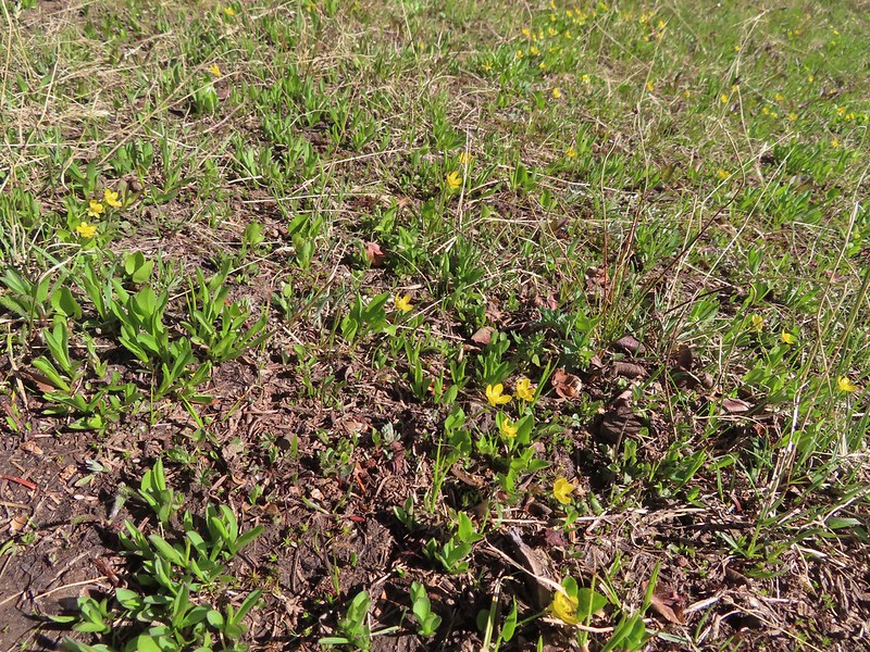 Buttercups were about the only flowers blooming in the wet meadow.
 The rocks along the ridge were really interesting.


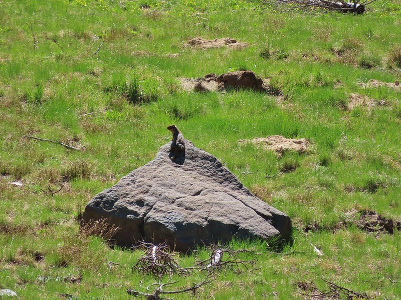 Marmot? in the meadow.
I followed the trail about four tenths of a mile before stopping at Elk Creek where a large snow drift lingered on the far side.

I climbed back up to Burger Pass and once Heather got my attention we started back down arriving at the car a little before 12:30pm.
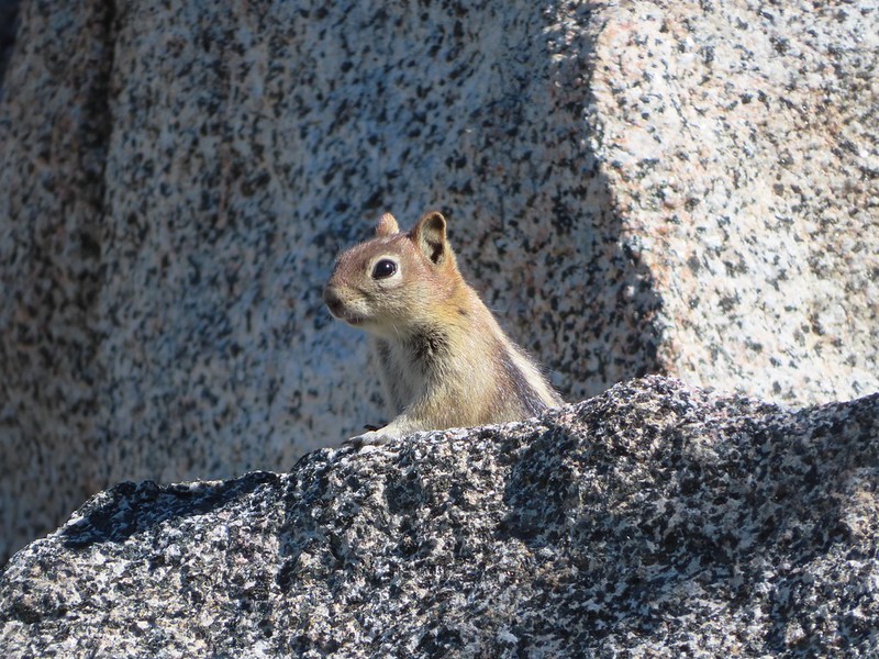 Golden mantled ground squirrel watching us from the granite.
 Butterfly
 Mountain heather
 Mushrooms near the Middle Fork Catherine Creek cascades.
 Jacob’s ladder
 Penstemon
 Mushroom
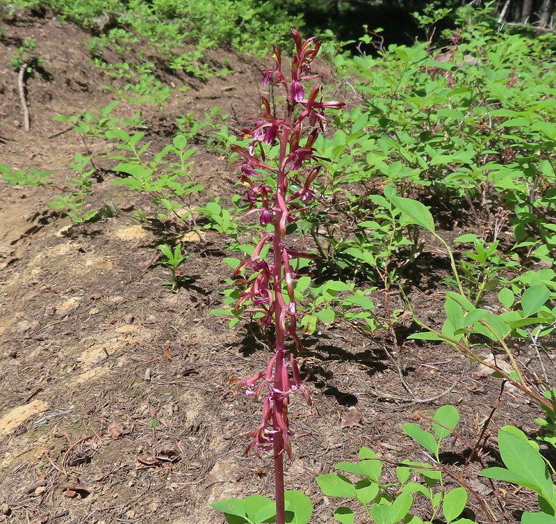 Pacific coralroot
Including my visit to the meadows this was a 11.5 mile, 2800′ elevation gain hike which turned out to be our favorite of the trip (Mt. Ireland (post) being a close second.)

We picked up a late lunch/early dinner from Yia Yia Nikki’s which turned out to be a wonderful choice on what was the hottest day of the week. We packed up as much as possible that night in preparation of moving from La Grande to Wallowa for the next two nights. Happy Trails!
Flickr: Burger Pass
