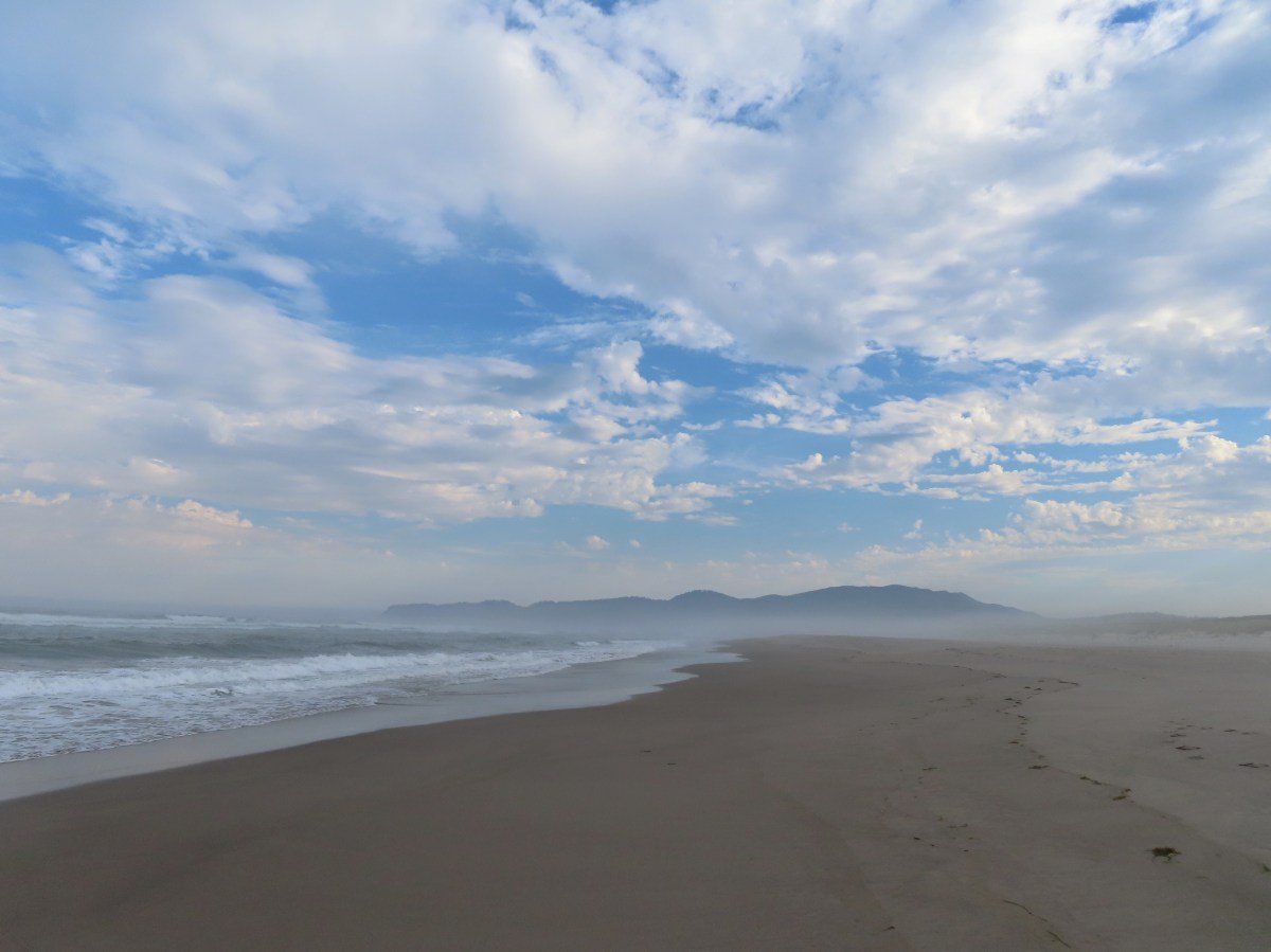
As I suspected weather and wildfire smoke steered me back to the Oregon Coast for Wednesday’s hike. I turned to the Oregon Hikers Field Guide and decided to try their Sand Lake – Cape Kiwanda hike. I started from the Tierra Del Mar Trailhead as described but instead of going north to Sand Lake first I decided to start by heading south to Cape Kiwanda. The reason for my choice is that the beach between Tierra Del Mar and Cape Kiwanda is open to vehicles while the northern stretch is closed to vehicles. I figured I was more likely to run into vehicles the later it got.


It was a typically foggy summer morning along the coast which kept Cape Kiwanda hidden until I had covered most of the 1.7-miles to the Cape.

Early morning beach walkers.

Miles Creek Point. At higher tides it may not be possible to walk around the rocks here.

Miles Creek

Cape Kiwanda


Pigeon guillemots (I think)
To reach to top of Cape Kiwanda I needed to climb the large dune behind it.


It’s a nearly 240′ slog up the sand dune.


I did a little exploring at the top of Cape Kiwanda and found a few ripe huckleberries which were a consolation prize given the lack of a view.


Pearly everlasting


Rose

Huckleberries

After the exploration I took a break on some sandstone and had a snack. The Sun was working on burning off the morning fog.


Pacific City (post) to the south of Cape Kiwanda.
After the break I headed back down the dune and began the 3.8-mile hike north to Sand Lake.

Yarrow

Finch

The bottom of the dune.
As I headed north a little blue sky started breaking through.


Miles Creek Point.

If the tide is too high to get around the point you’d need to climb over this mudstone slope.

The fog and Sun locked in battle.

Cape Lookout (post) in the distance.

Tierra Del Mar


A few people were fishing near Tierra Del Mar.

Sand dollar
I had intended to turn inland into Sitka Sedge State Natural Area (post) which the ORH Field Guide said could be done at emergency locator 34B. I completely missed 34B but saw 34A at the southern end of the snowy plover seasonal closure area. During the seasonal closure you have to stay on the “wet” sand which is what I did as I continued on to Sand Lake.

The 34A locator and signs announcing the seasonal closure.


Seagull

Sanderling

Spotted sandpiper

Black-bellied plover


Sand Lake

Cape Lookout from Sand Lake Point.
Since I’d missed the inland trail and the seasonal closure blocks access to Sitka Sedge from Sand Lake Point, I turned around at Sand Lake and walked back to emergency locator 34A and turned inland at the edge of the closure area. A trail here led into the Sitka Sedge Natural Area.


I stayed straight at junctions thinking I would visit the day-use area however upon looking at the map at the second junction with the Estuary View Loop I decided I didn’t want to add that much distance to my hike.


Instead, I backtracked to the Kinnikinnick Woods Loop and turned left onto that trail. I followed this trail for 0.3-miles then detoured left on the short Elk Knoll Trail and took a break on the bench atop Elk Knoll.


Sand Lake from Elk Knoll.
After my break I returned to the Kinnikinnick Woods Loop and followed it another 0.2-miles to a junction with a beach access trail.


Pink pyrola

The beach access trail traveled 0.2-miles through the woods and over the foredune emerging on the beach at emergency locator 34B.


I turned south (left) at the beach and hiked back to the Tierra Del Mar Trailhead which was just under a mile away.

Haystack Rock (Not the Cannon Beach one, the Pacific City one.) making an appearance.

Haystack Rock

Beach access at Tierra Del Mar.
The GPS showed 9.7-miles for the hike with 250′ of elevation gain.

It was too bad it was so foggy on Cape Kiwanda, but the hike was still rather enjoyable. Happy Trails!
Flickr: Cape Kiwanda to Sand Lake

