**Note the 2020 Beachie Creek Fire burned the area covered by this hike.**
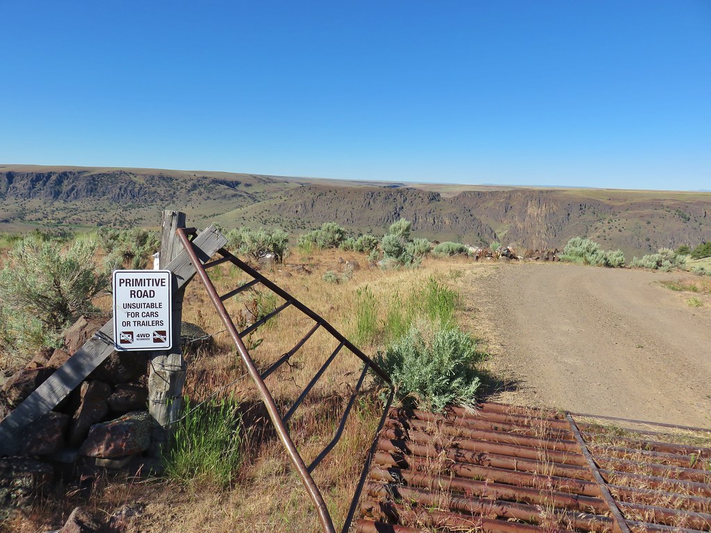
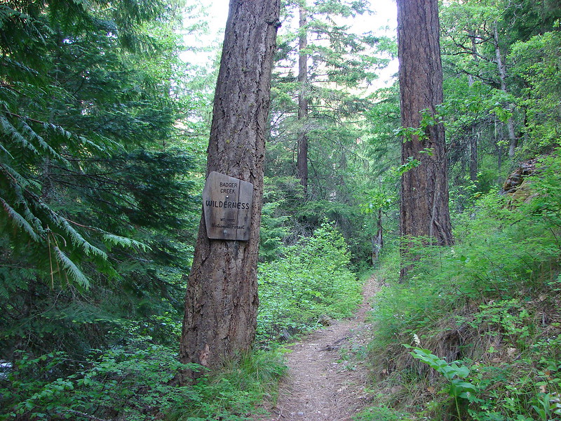
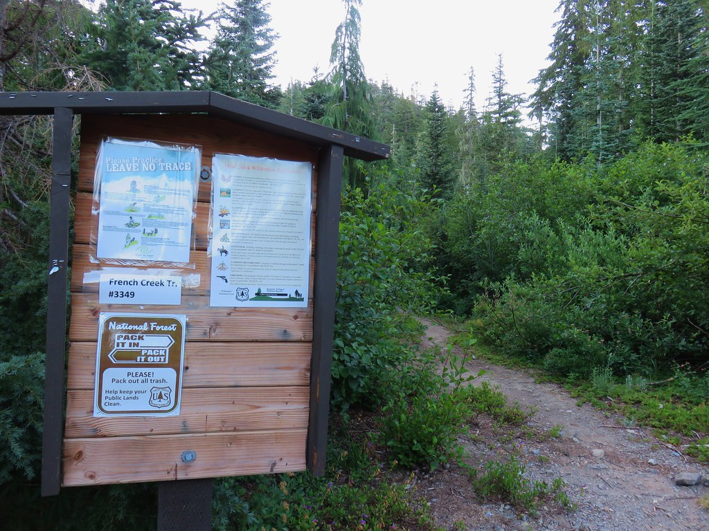
After visiting the Bull of the Woods Wilderness on our previous hike we paid a visit to the neighboring Opal Creek Wilderness. Our choice of trail was the French Creek Ridge Trail staring at the west trailhead. We had been to this trailhead before when we headed east from the trailhead to Phantom Bridge in 2011. (post) The road to the trailhead was in worse shape than we’d remembered including a short section of narrow road along a steep drop off with some trenching and potholes. It was only a couple hundred feet but it didn’t look like it would take much for that section of FR 2207 to become impassible.
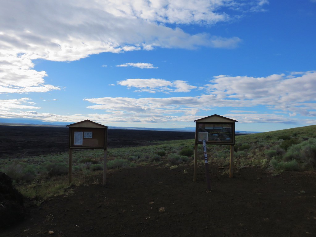
Road 2207 was worse for the ware but that wasn’t the case at the trailhead where the sign board was in better shape than the one that had been present in 2011.
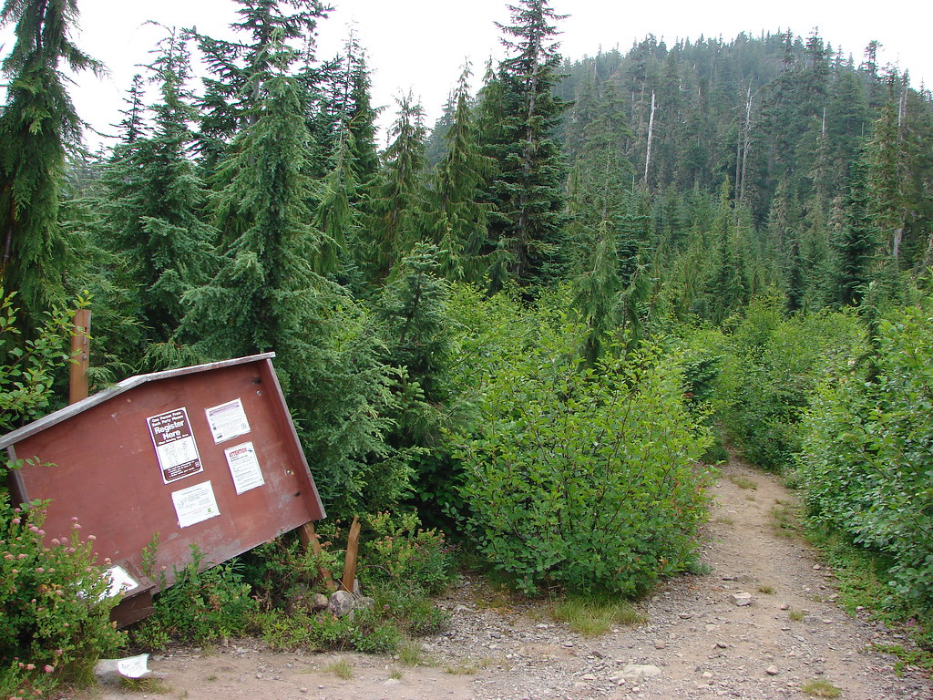
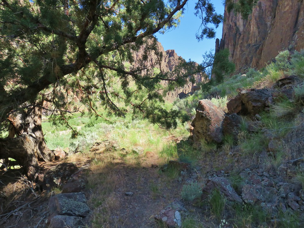
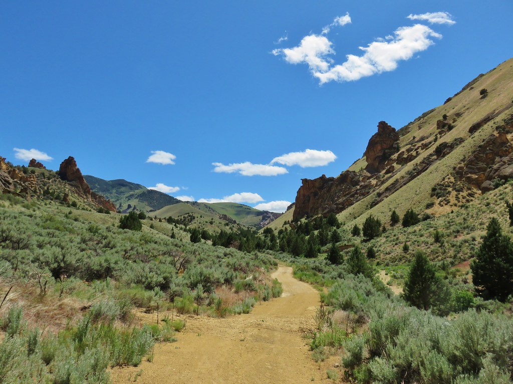
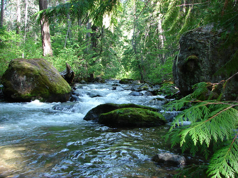
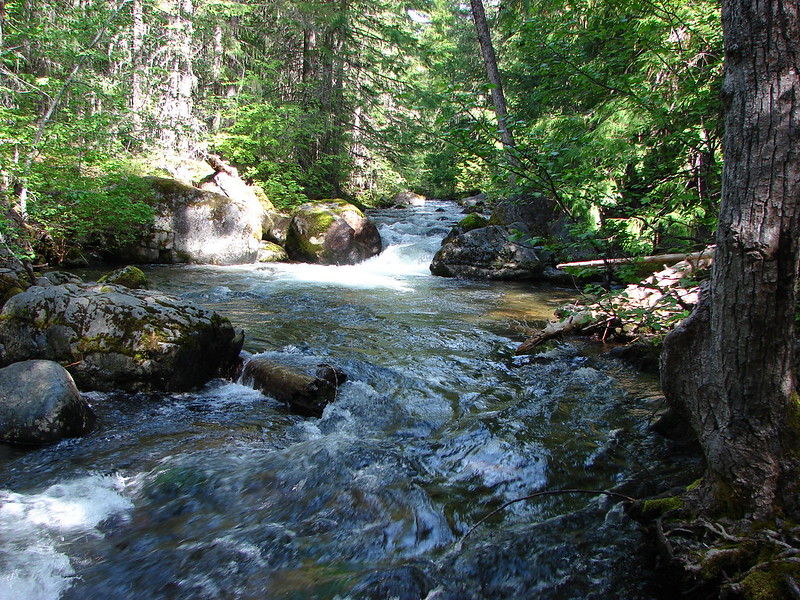
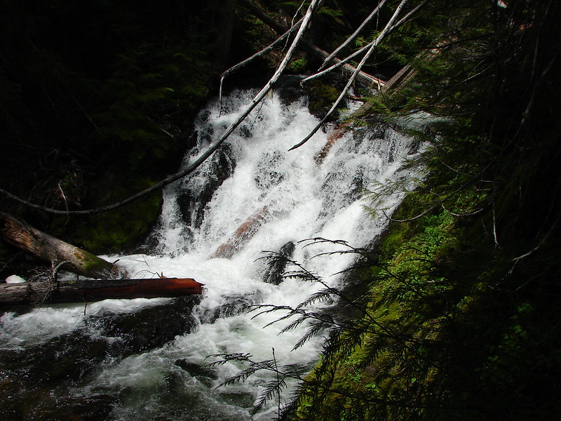
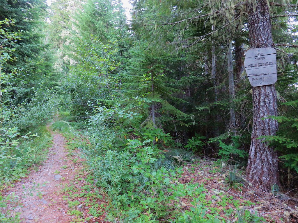
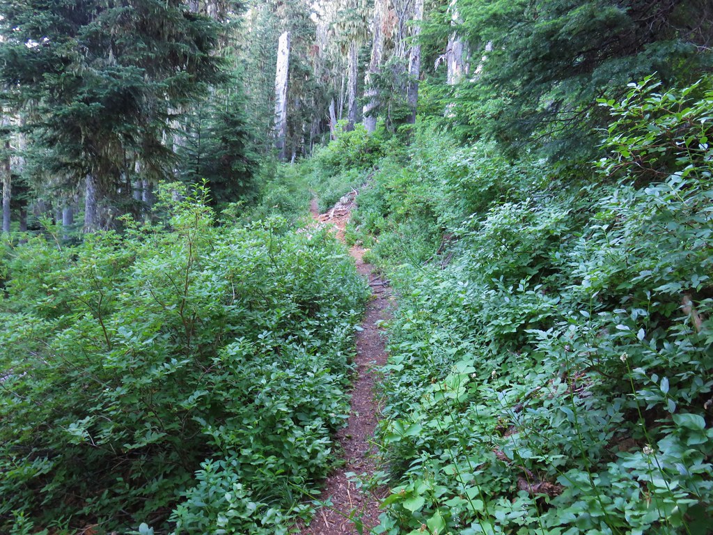
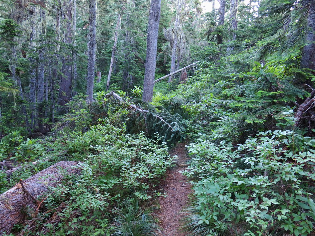
We headed down the trail following an old roadbed into the Opal Creek Wilderness.
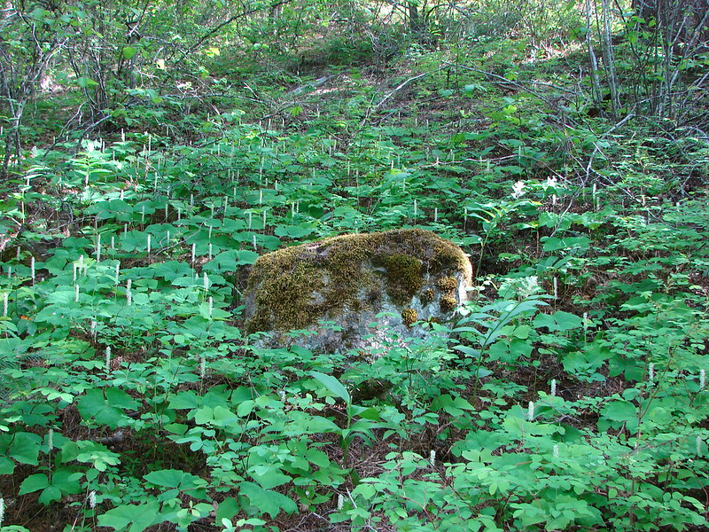
The lightly used trail suffers a bit from a lack of maintenance but there were some signs that the first bit of trail had seen some recent brush removal.
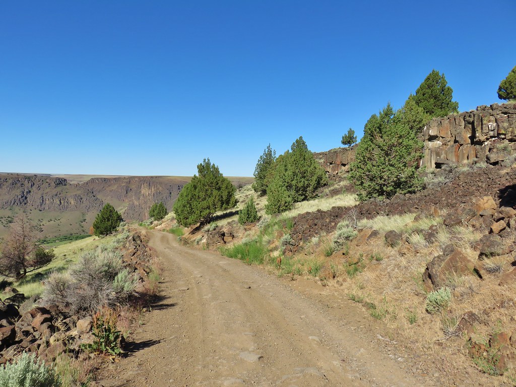
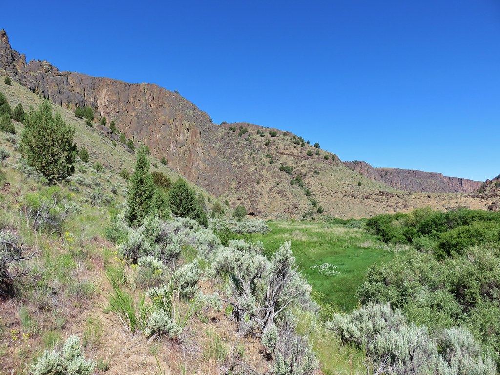
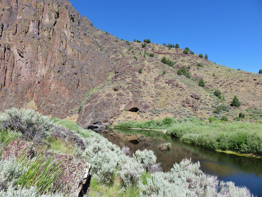
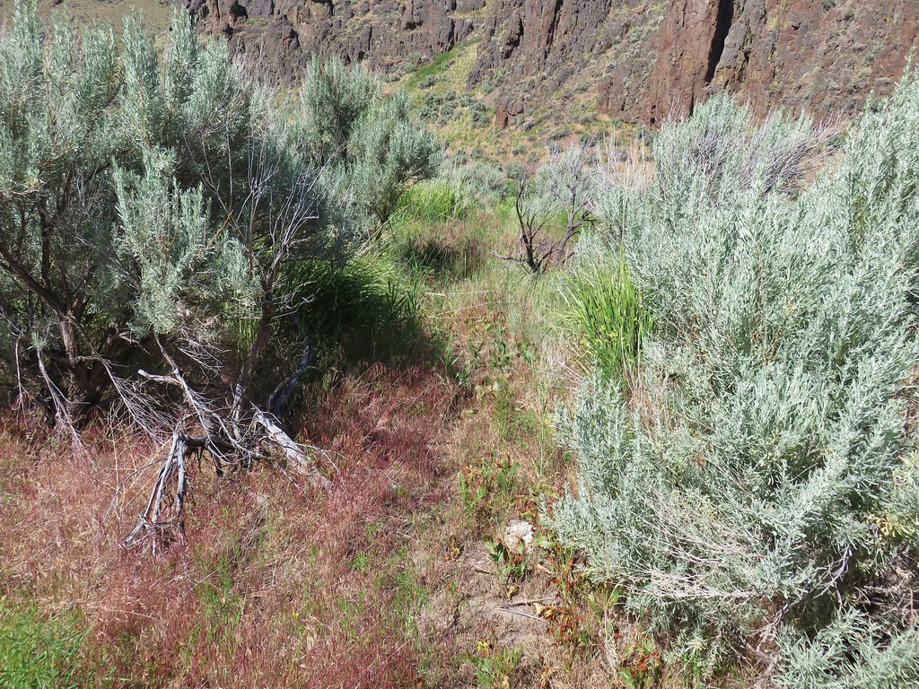
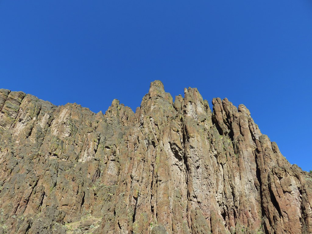
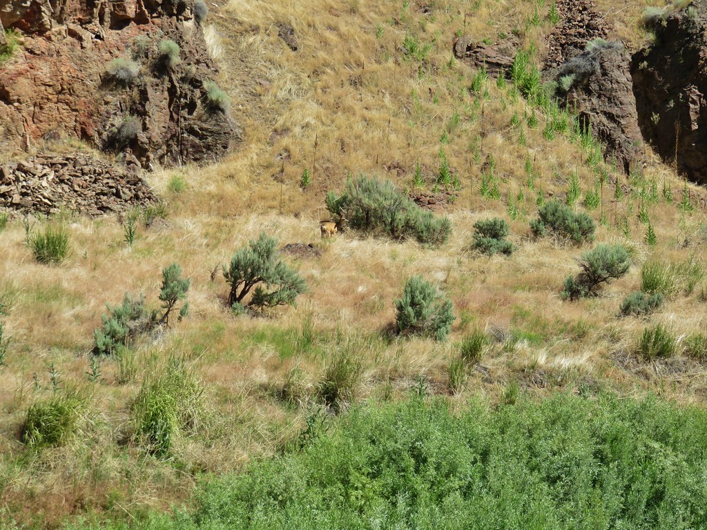
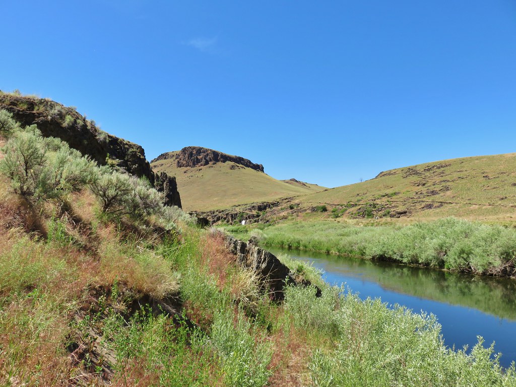
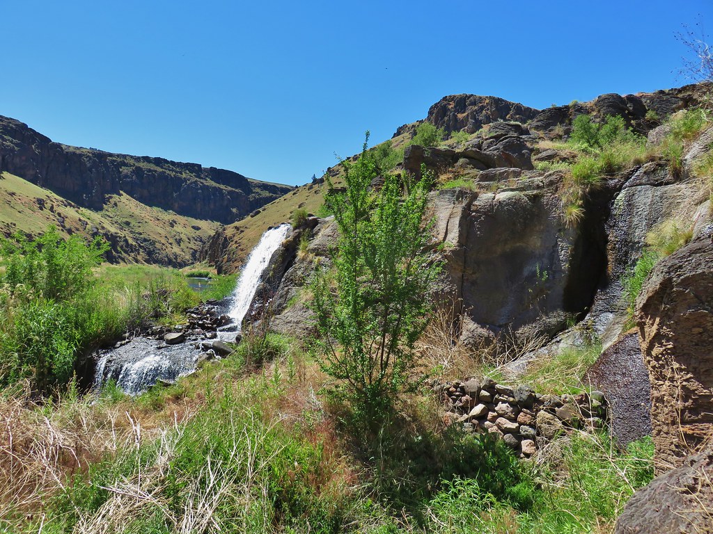
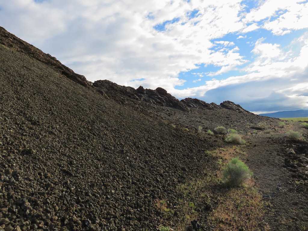
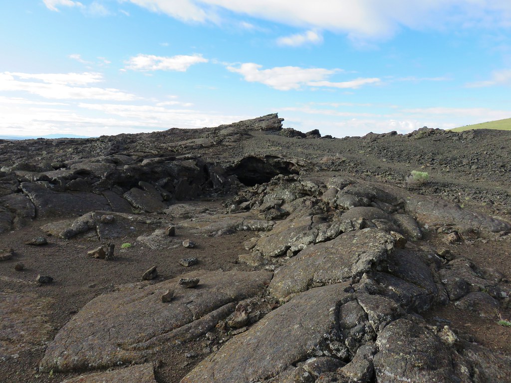
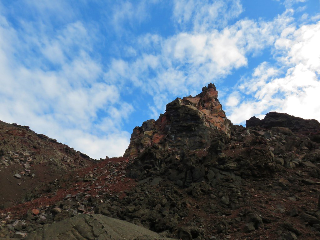
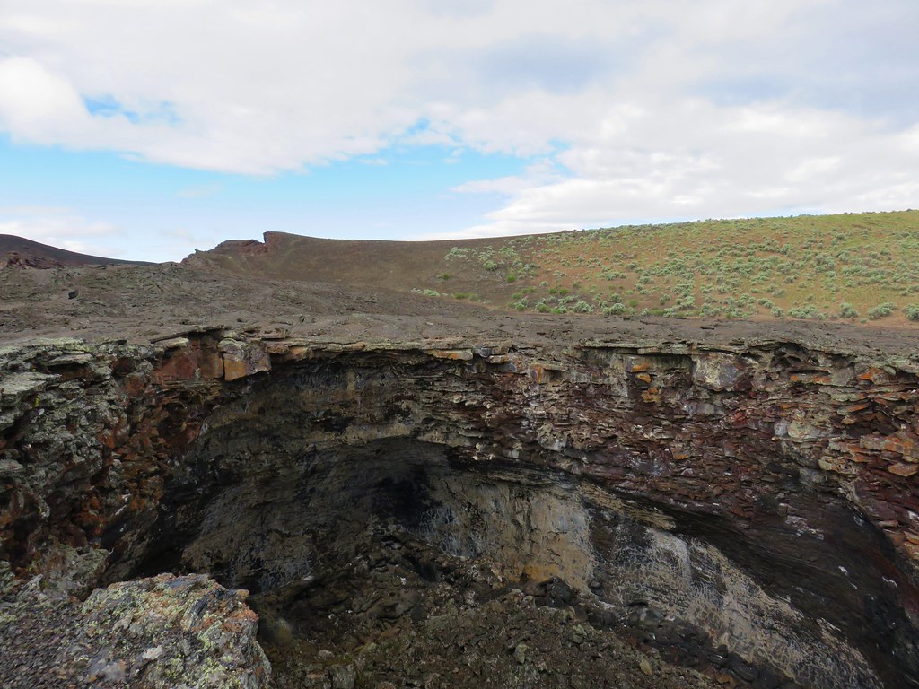
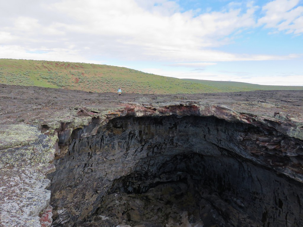
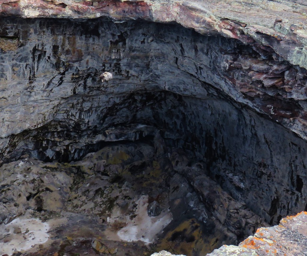
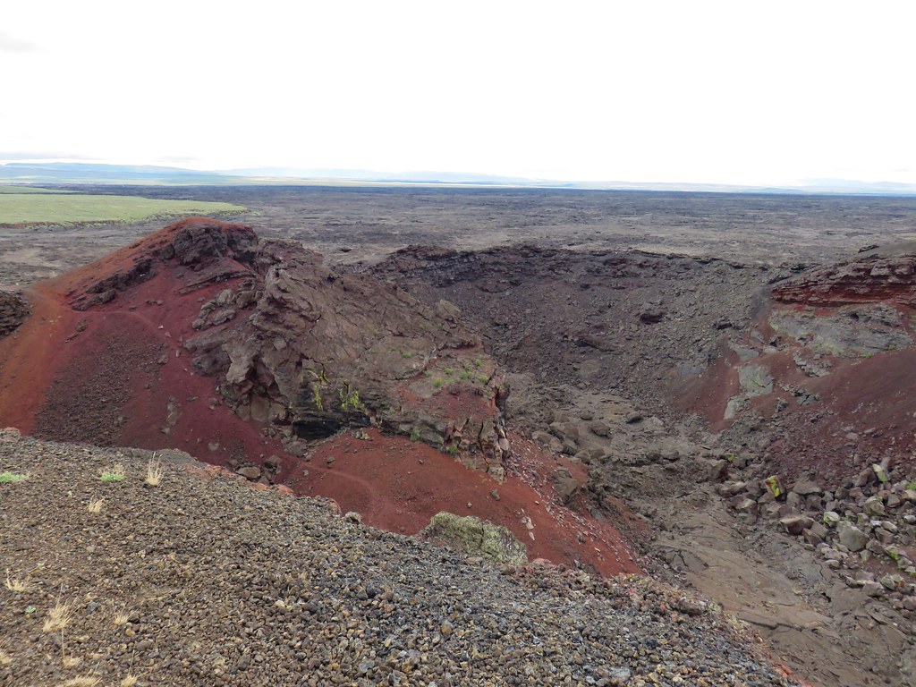
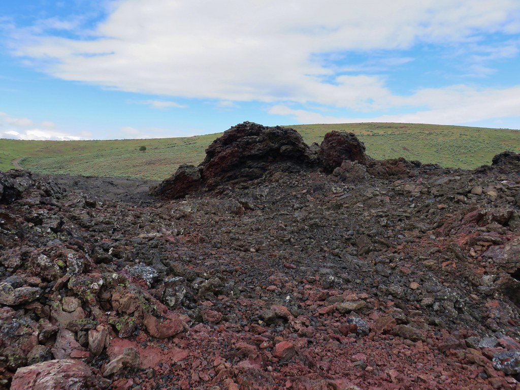
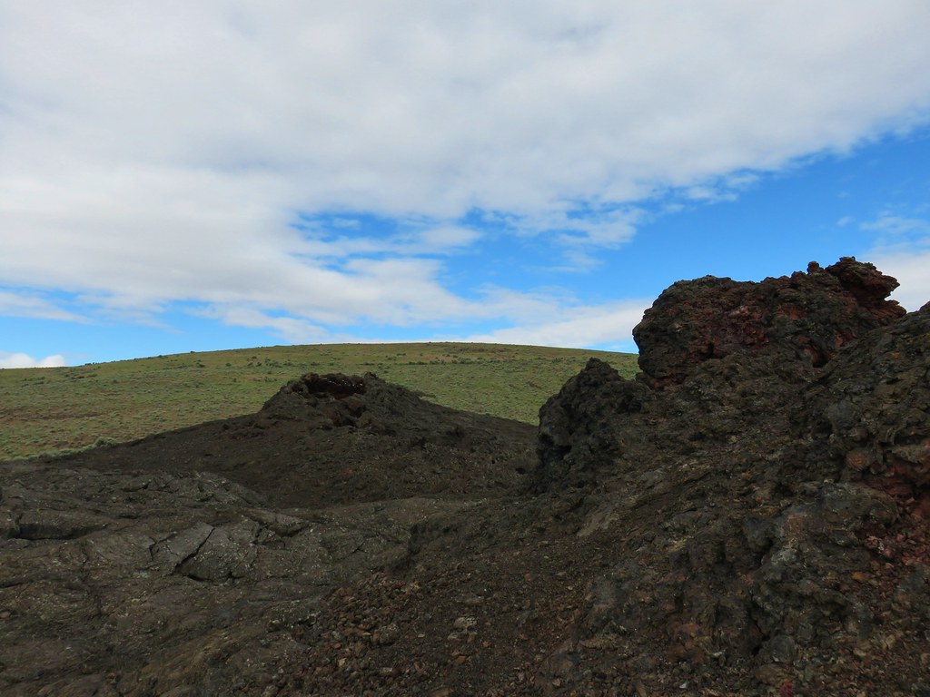
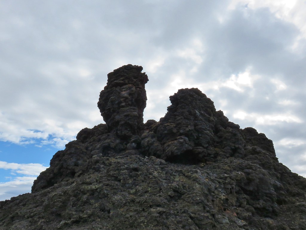
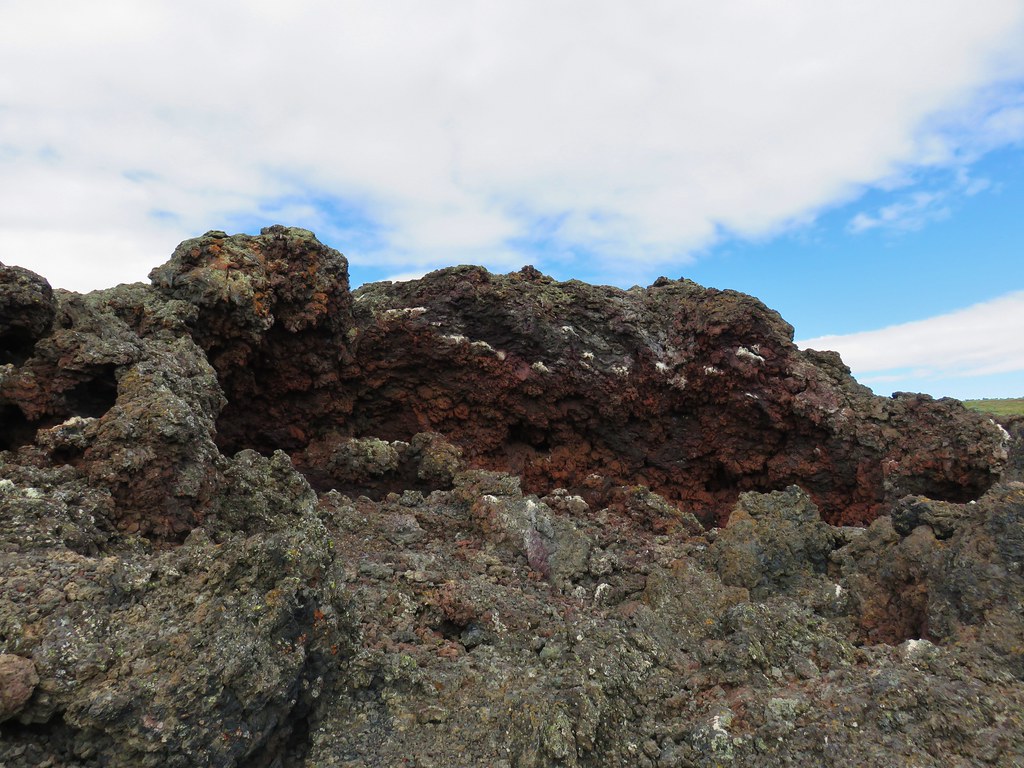
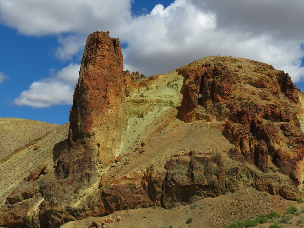
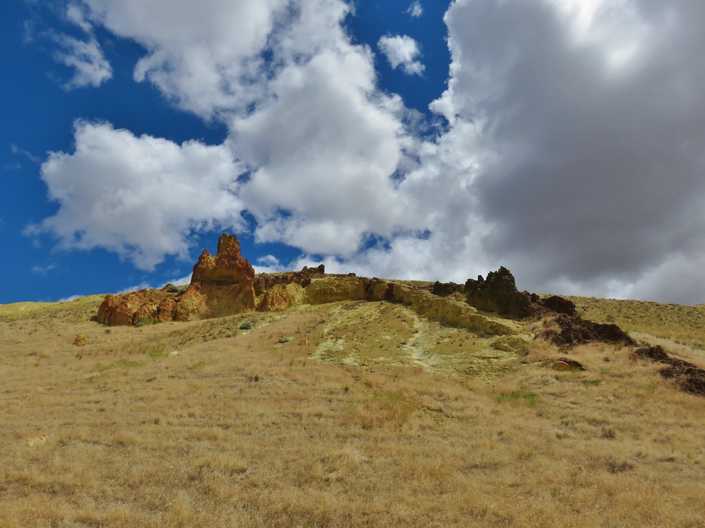
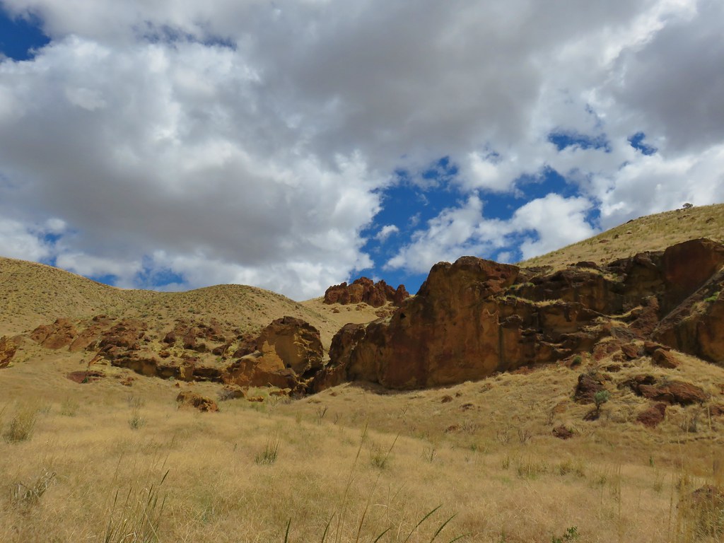
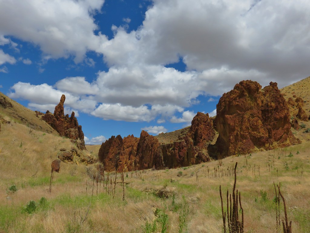
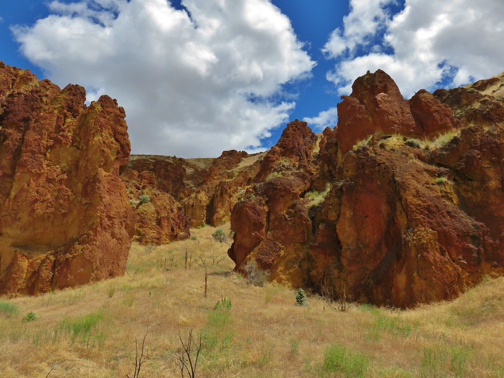
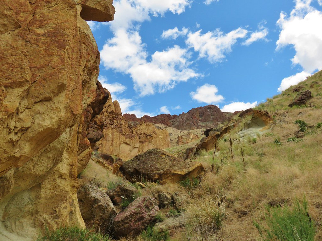
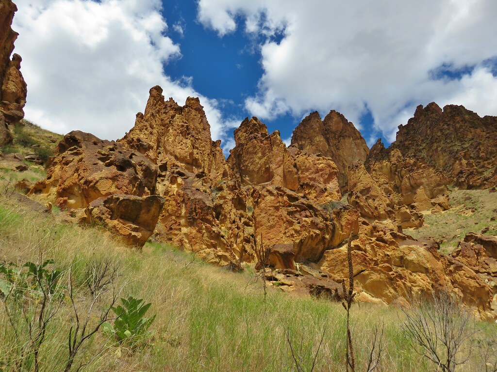
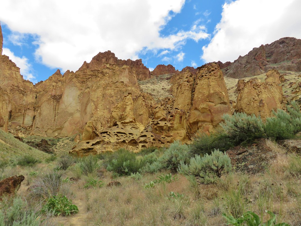
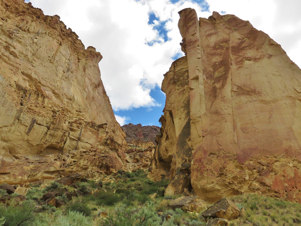
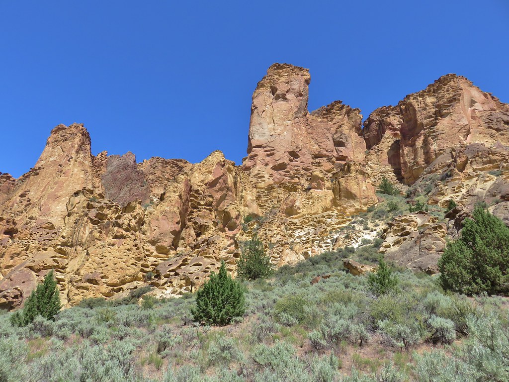
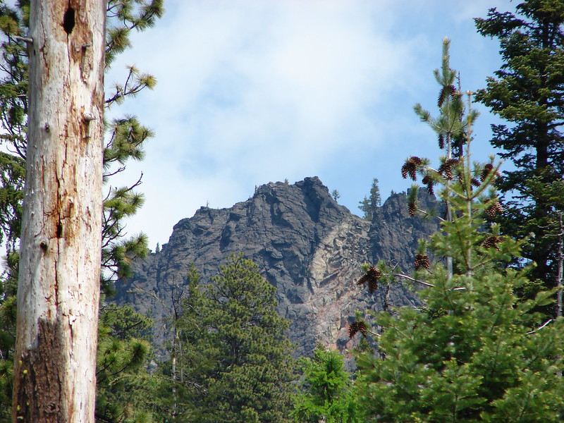
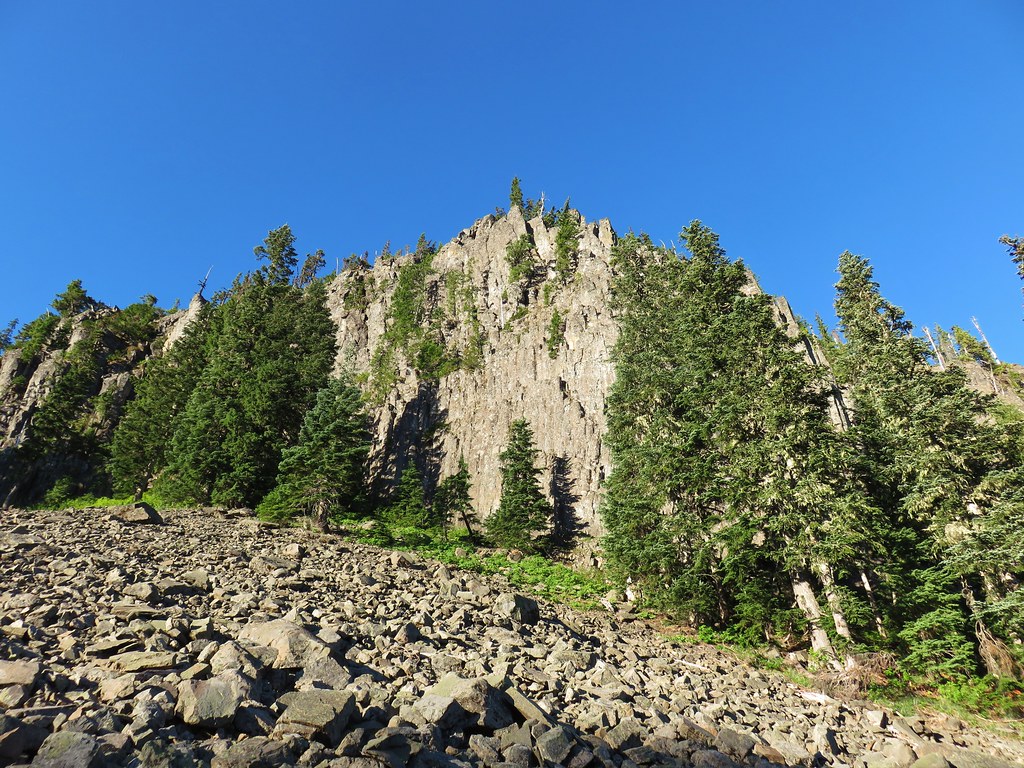
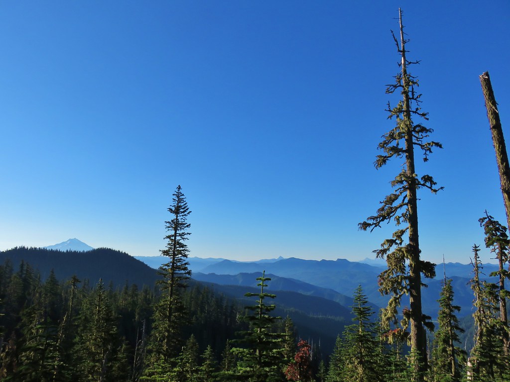
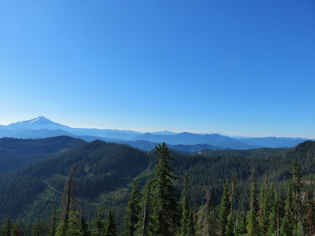
The trail passes the Marten Buttes on the north side of the ridge beneath some impressive basalt cliffs. Along this stretch were some open views across the Opal Creek Wilderness.
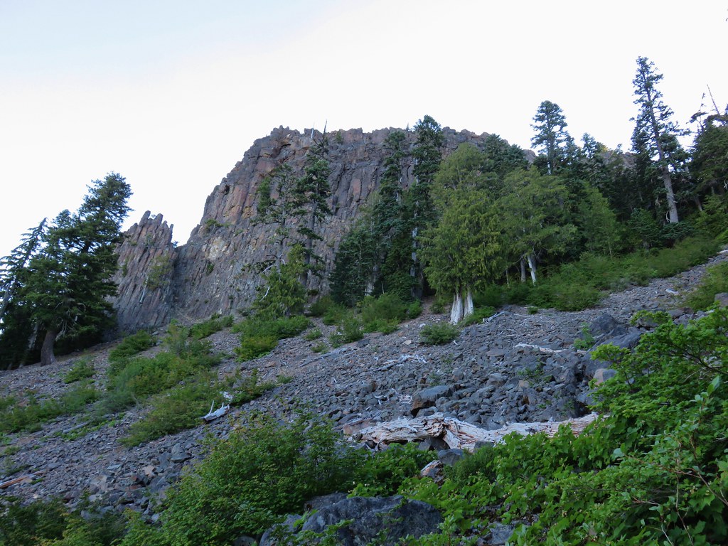
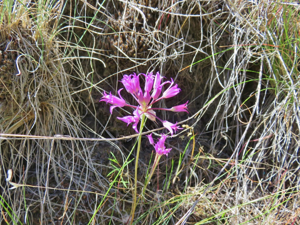
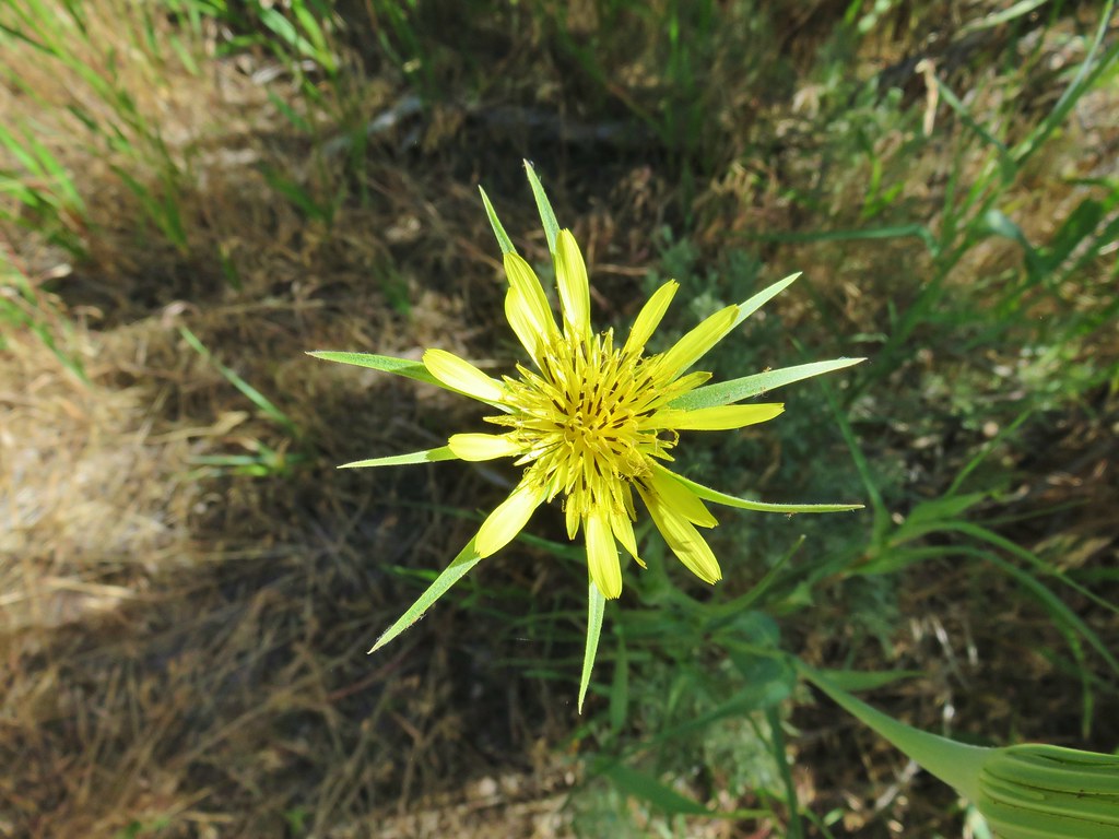
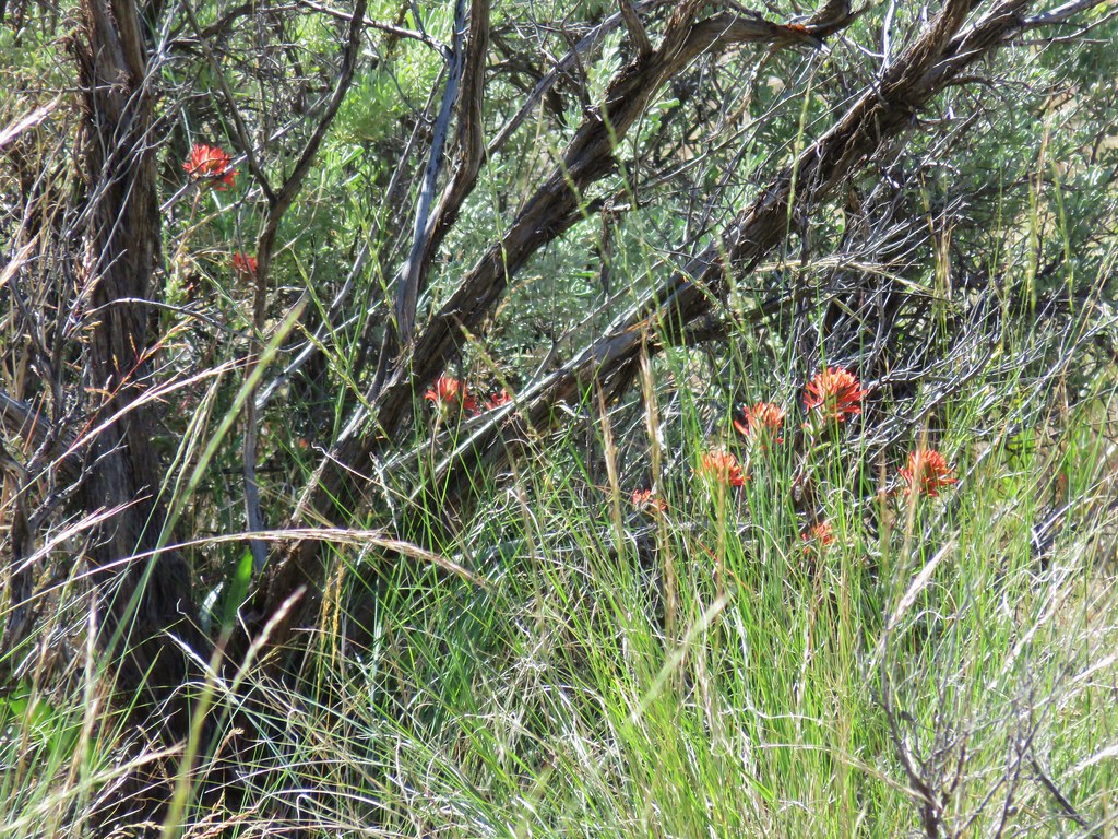
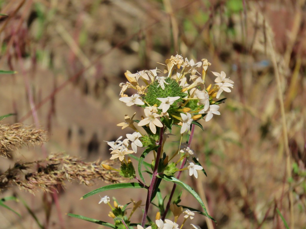
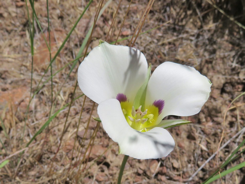
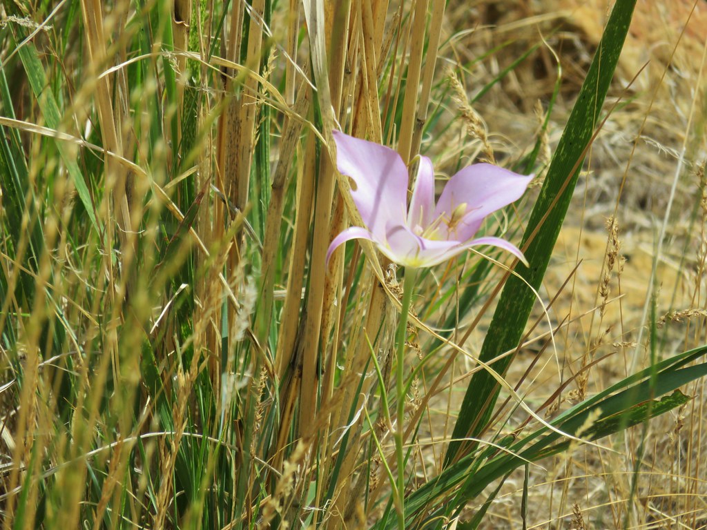
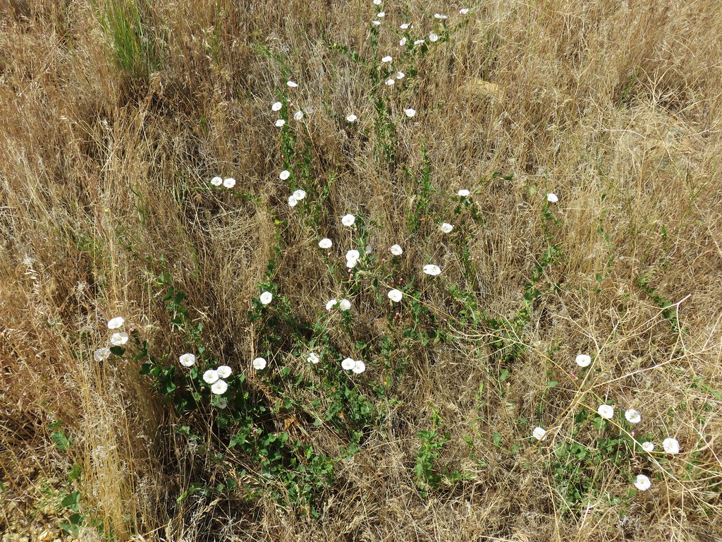
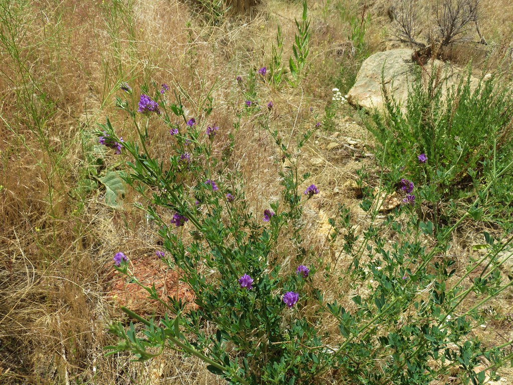
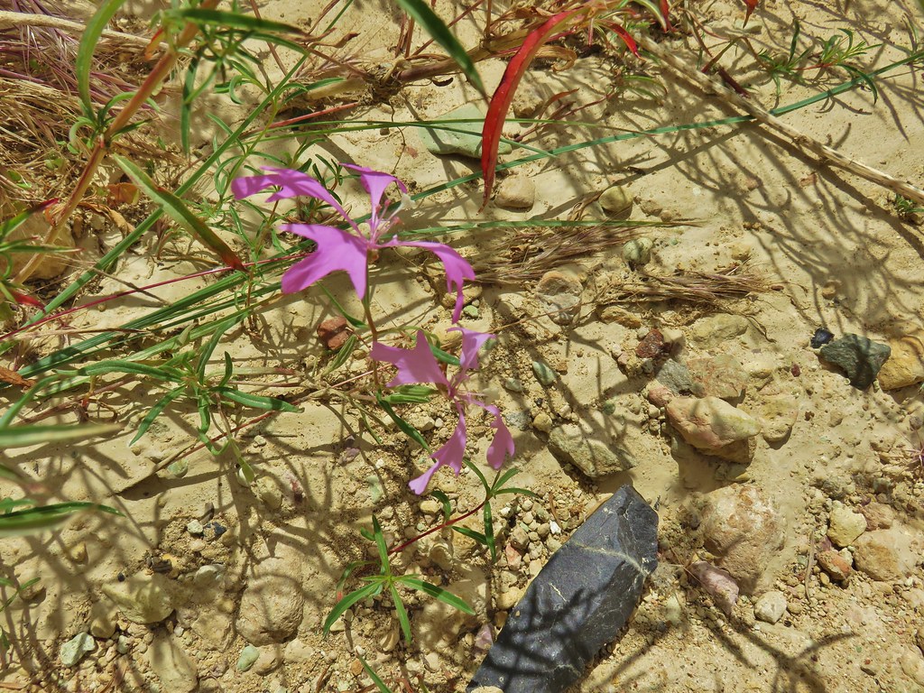
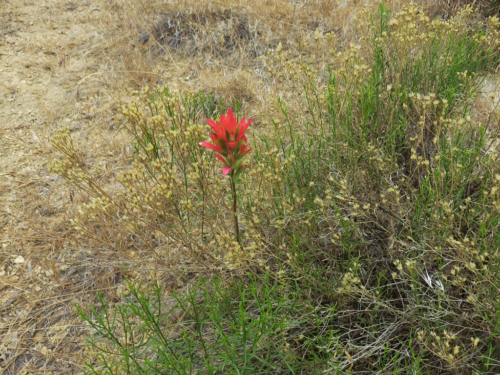
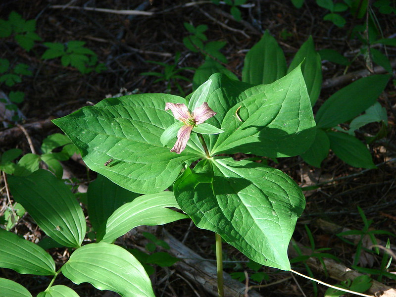
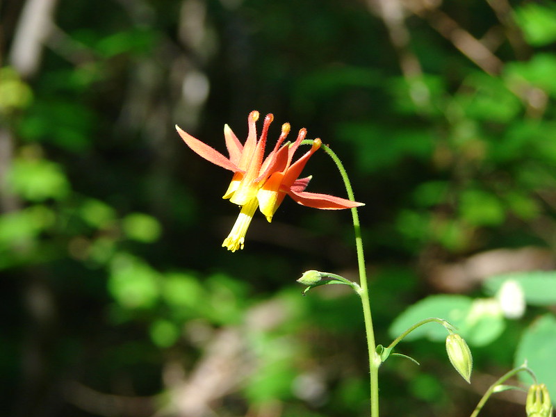
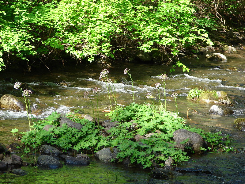
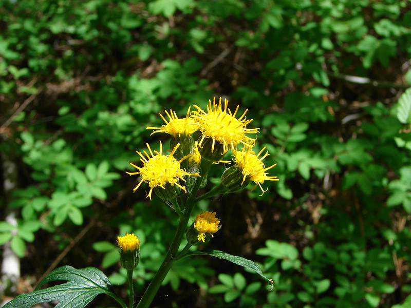
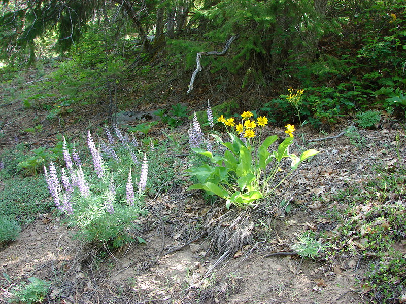
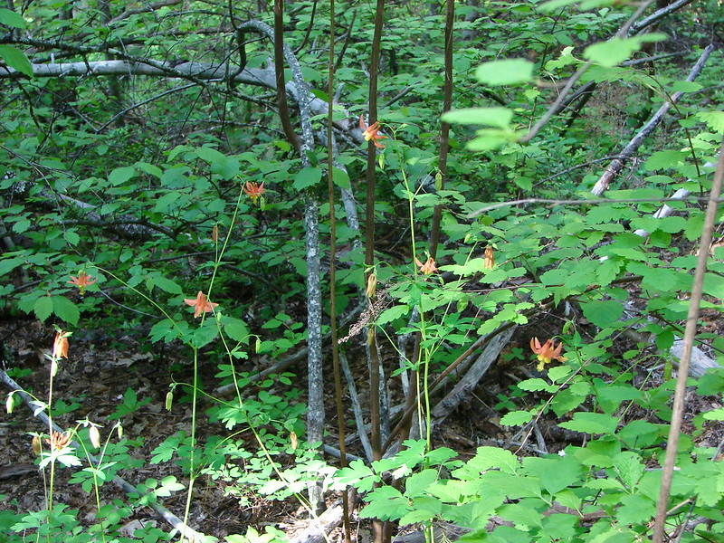
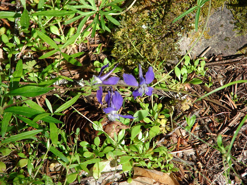
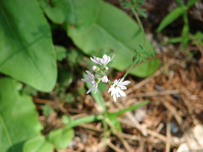
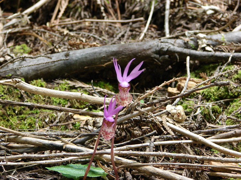
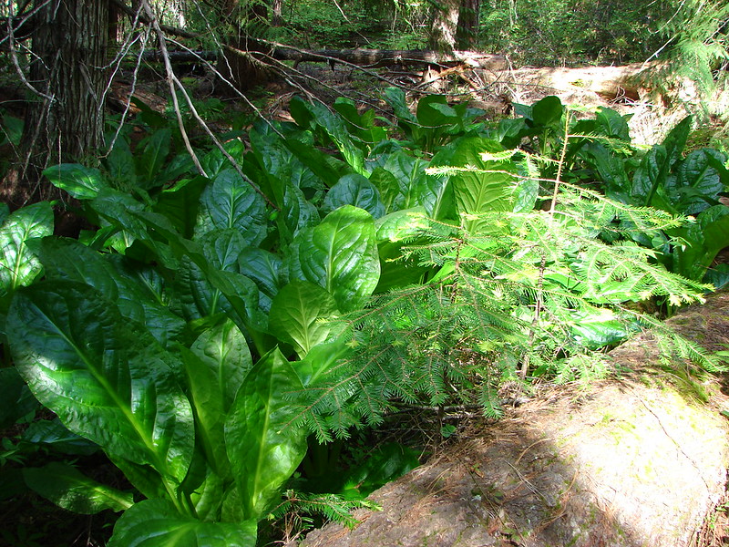
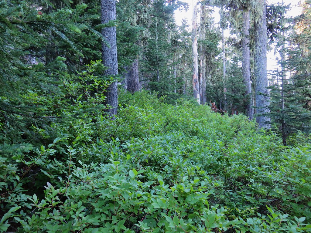
When the trail was crossing over talus slopes it passed through a mixed forest with a few remaining wildflowers.
 Washington lilies
 Penstemon
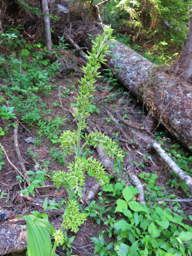 False hellebore
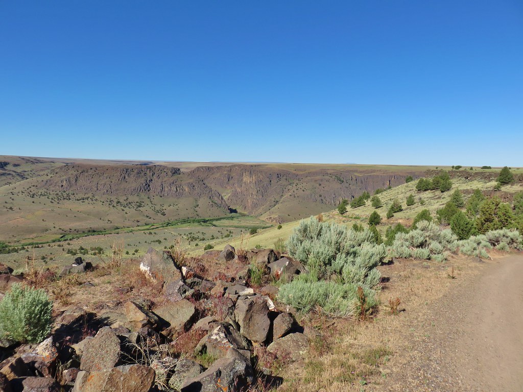
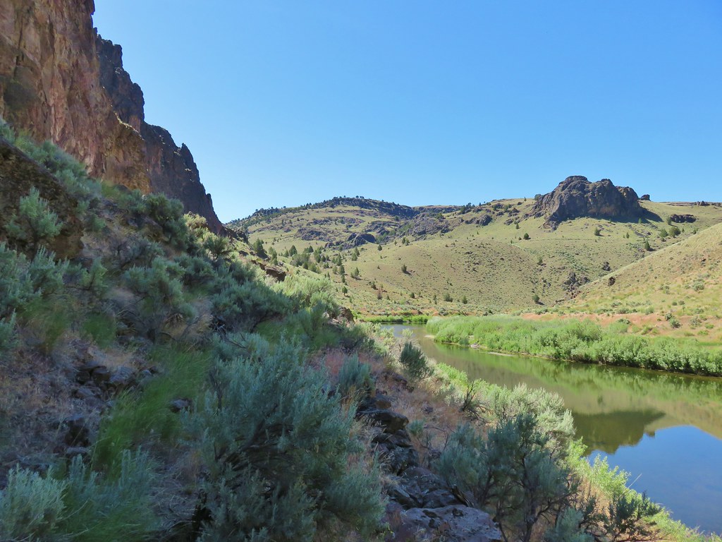
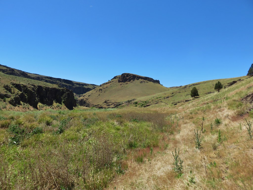
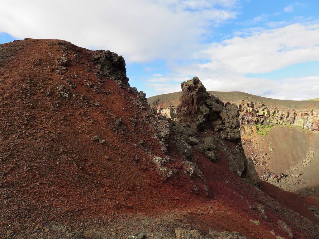
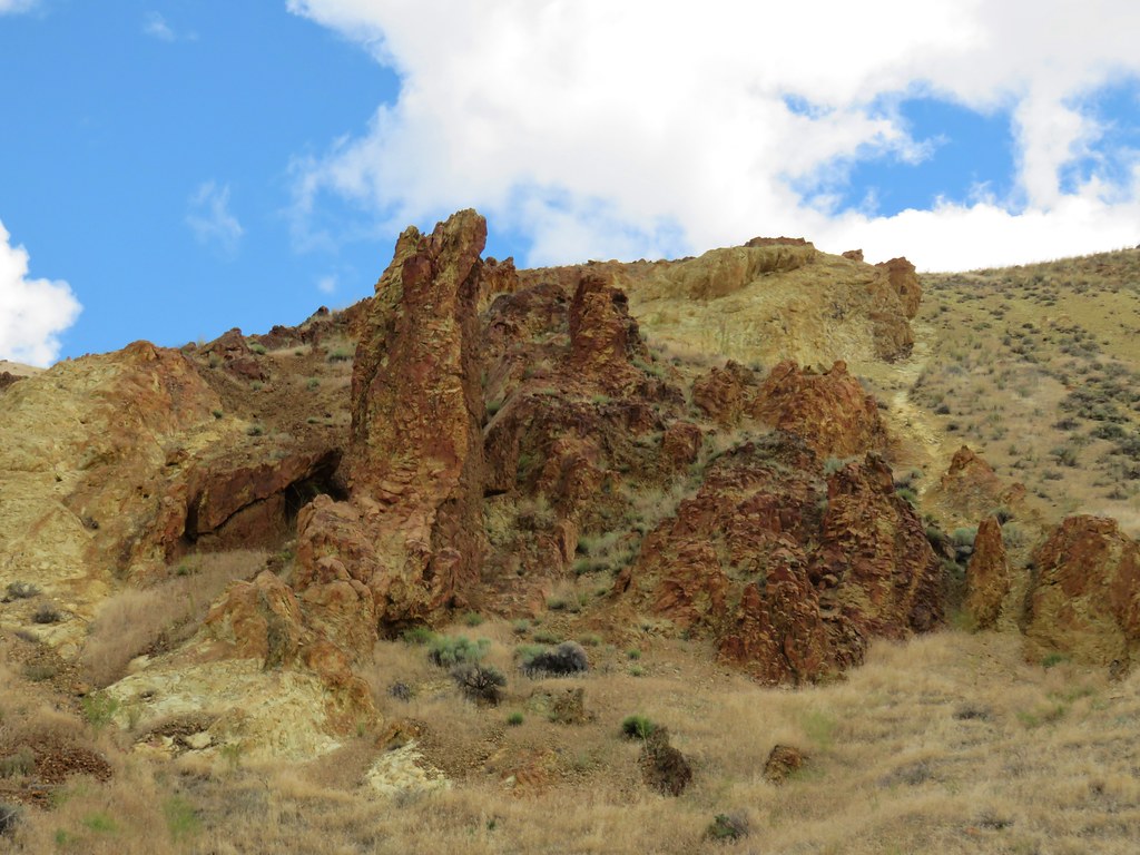
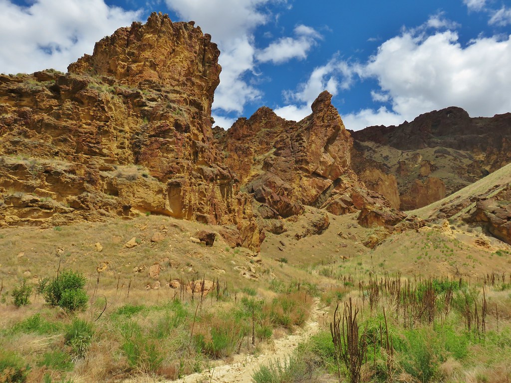
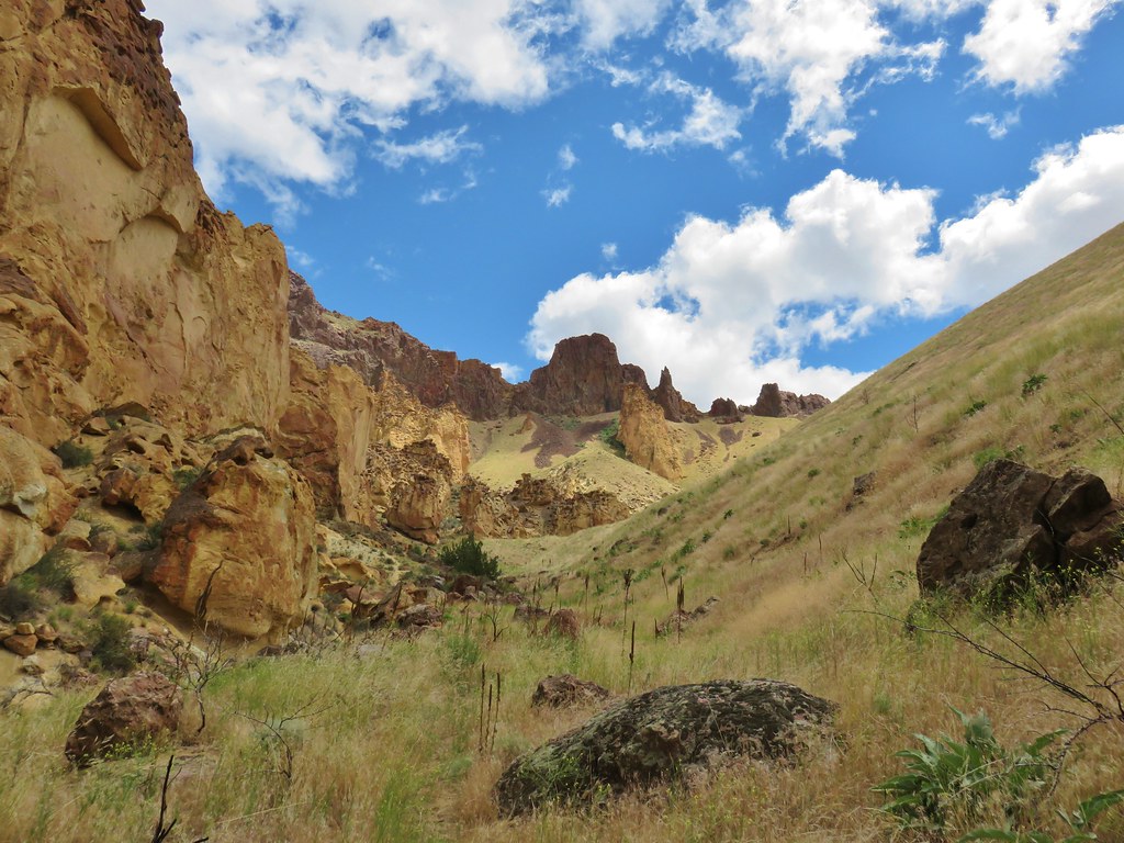
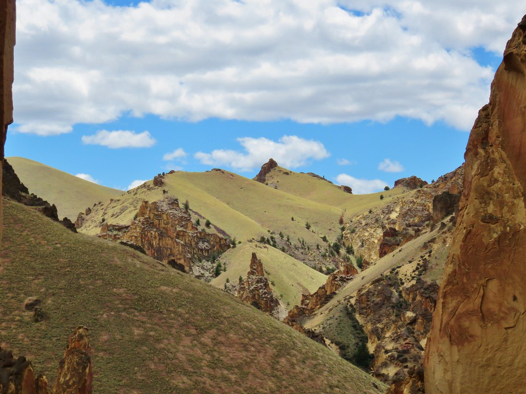
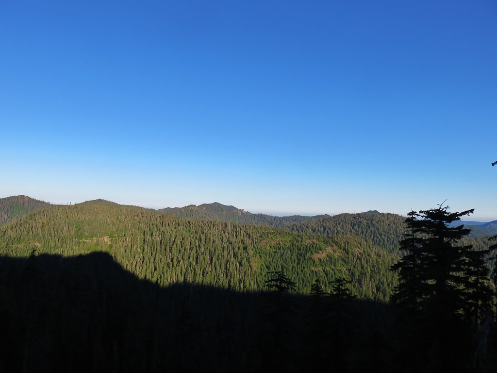
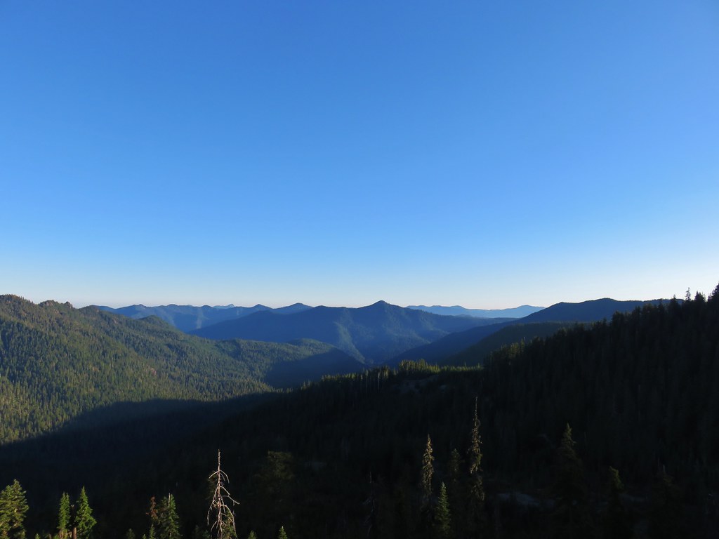
After a mile and a half we crossed over a saddle to the south side of the ridge. Looking back to the west we could see one of the Marten Buttes.
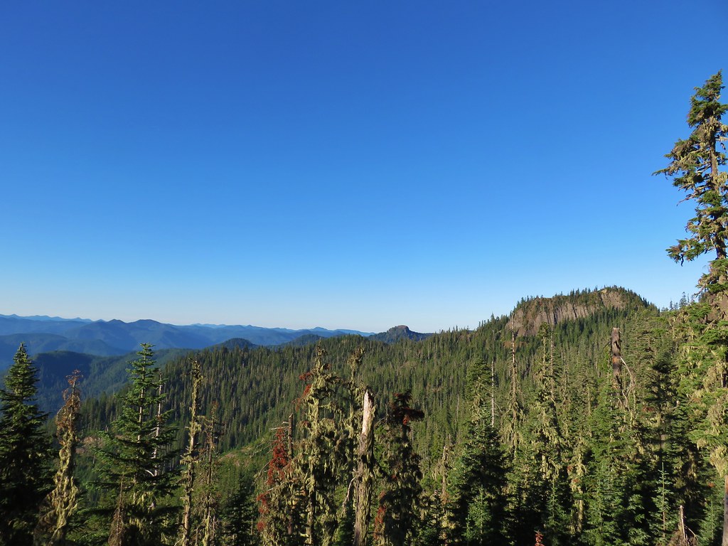
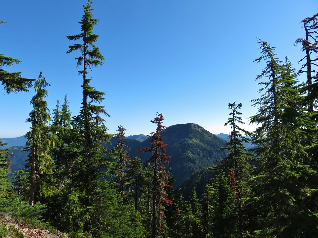
Views from this side of the ridge also included several Cascade peaks.
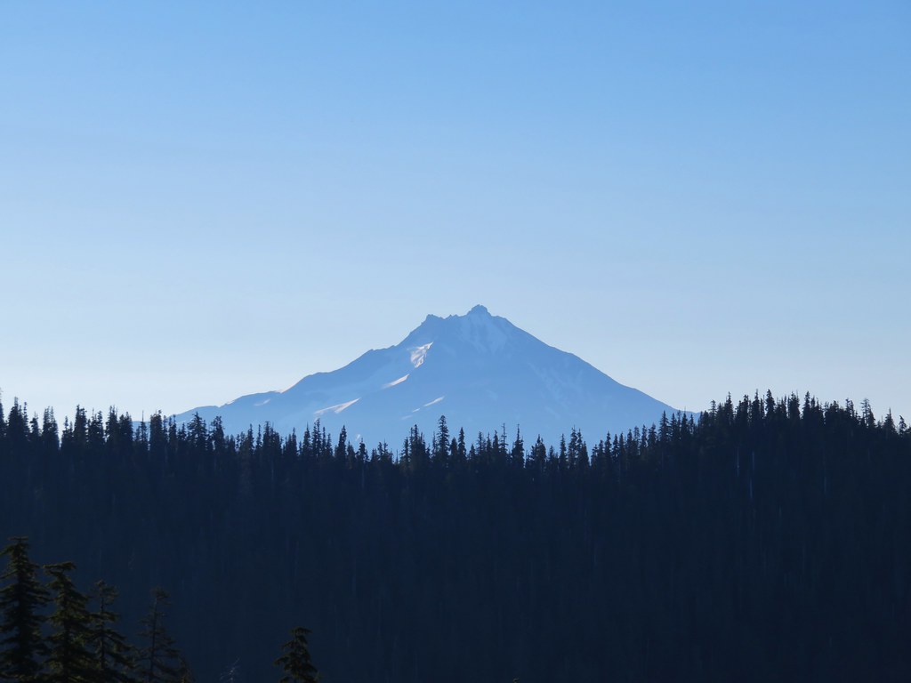 Mt. Jefferson
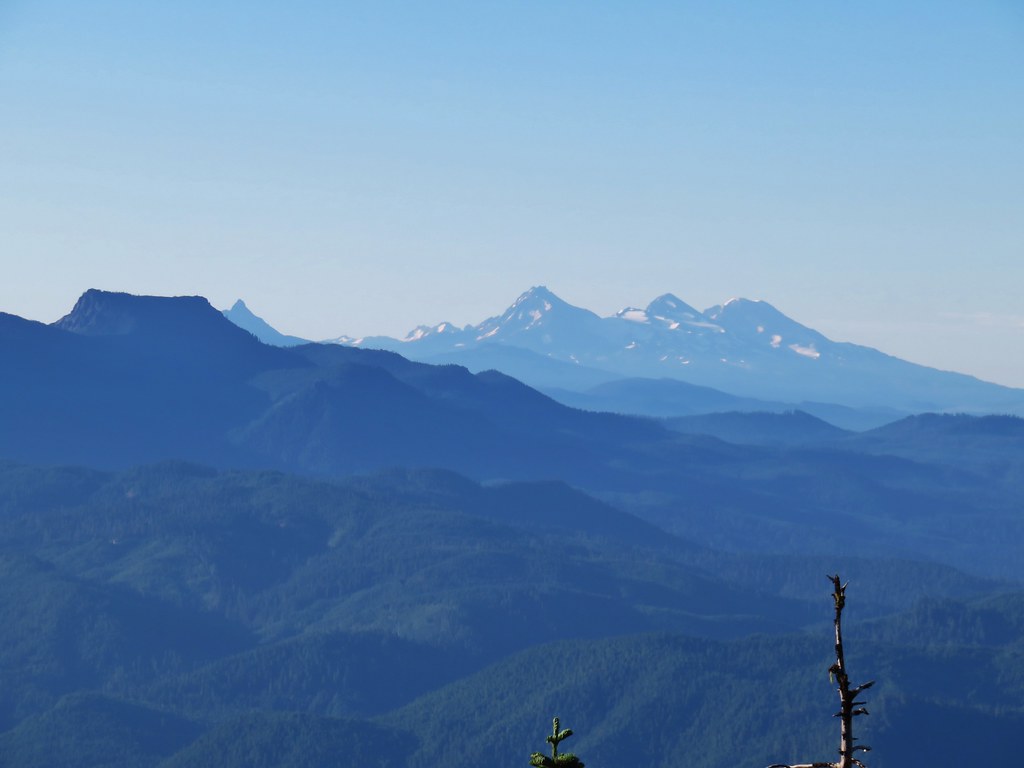 Mt. Washington, Broken Top and the Three Sisters with Coffin Mountain in the foreground.
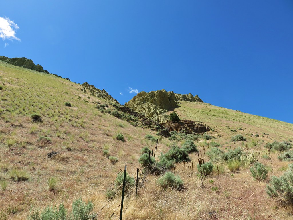
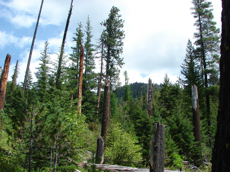
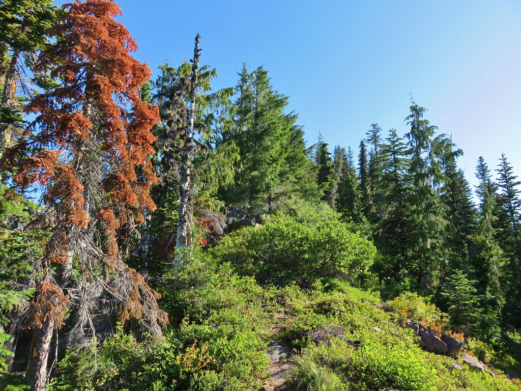
The brushing out of the trail only covered a bit of the trail at the beginning and now it was a bit more overgrown when it wasn’t passing through the rockier sections.
Luckily much of the trail did pass through rocky sections as it bounced from the south to north side of the ridge then back to the south again.

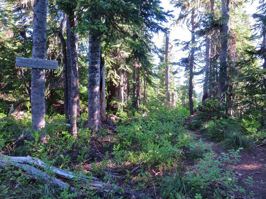
After approximately 2.75 miles we arrived at a signed junction with the Beachie Trail.
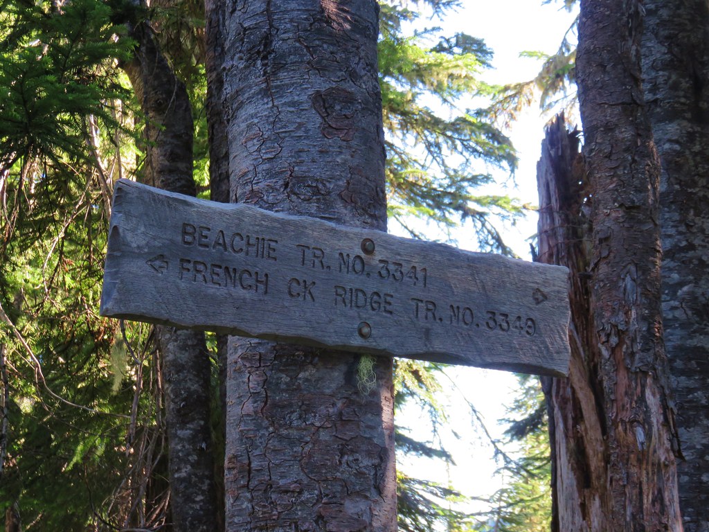
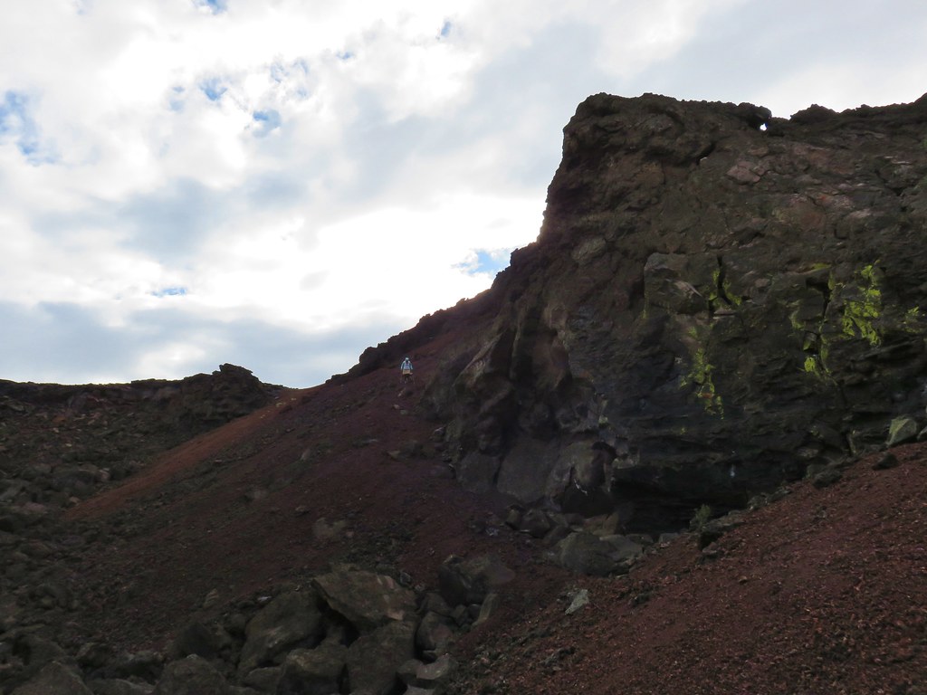
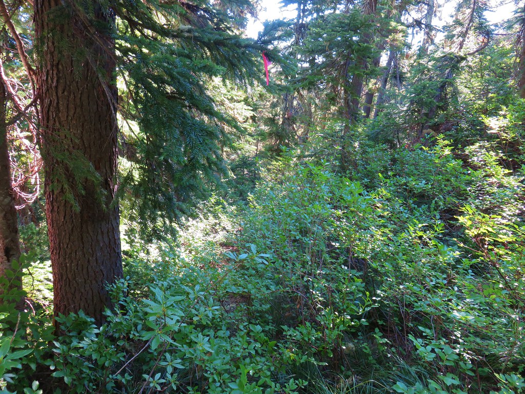
We took the left fork and followed the Beachie Trail steeply downhill for a little over a quarter mile before climbing an additional quarter mile back to the ridge top. This section was extremely overgrown but well marked by pink flagging.
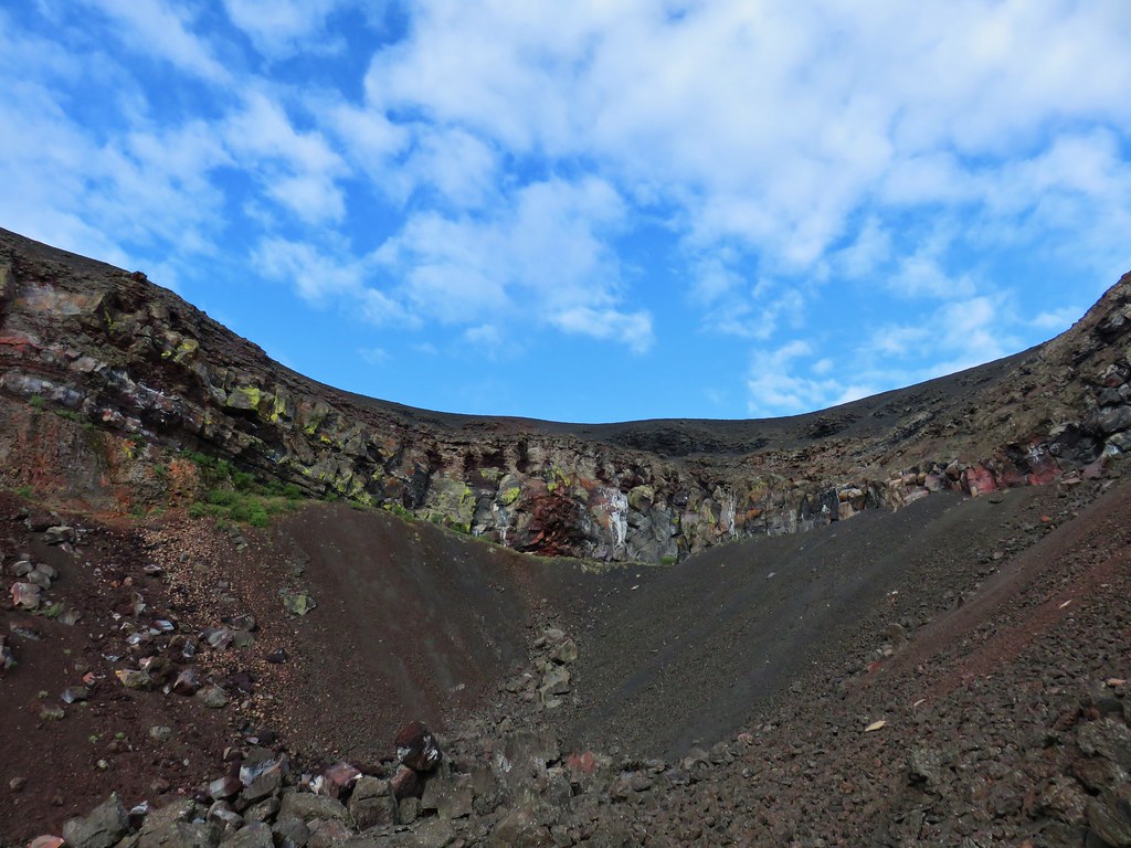
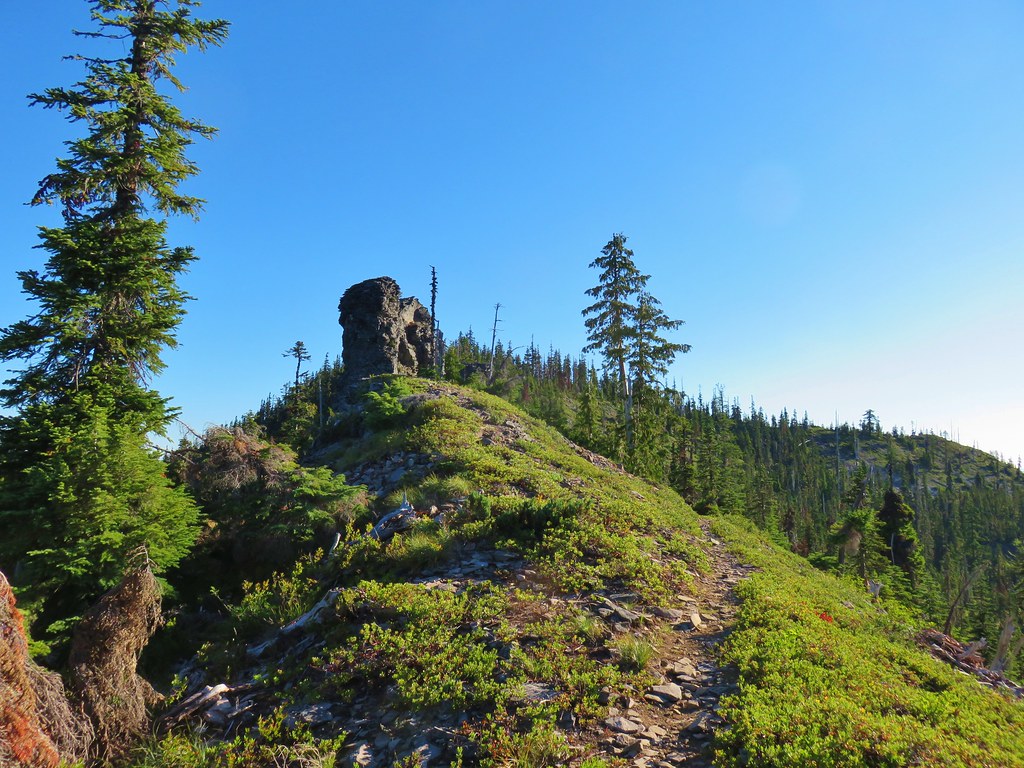
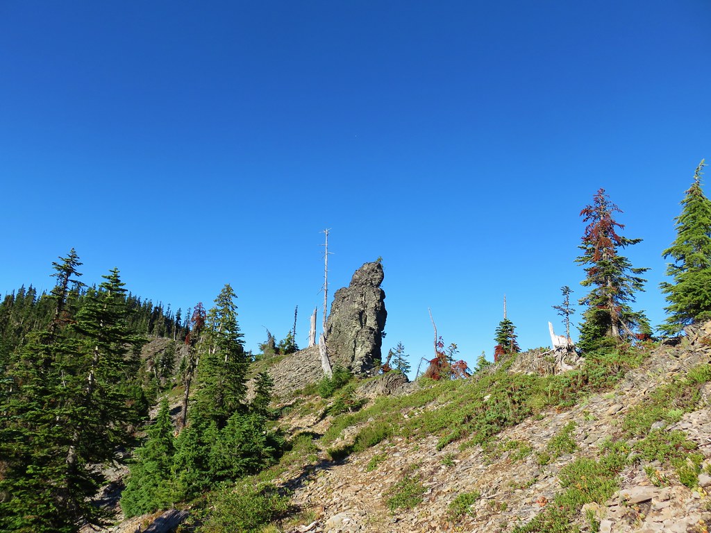
We then followed the trail uphill along the ridge for another .7 miles. The official trail bypasses the summit of Mount Beachie but not by much and a short bushwack led us to the small flat summit.
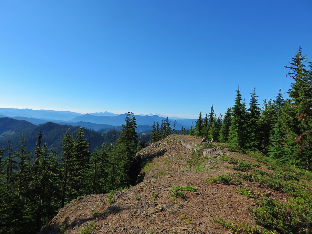
Smoke from wildfires made for a hazy view but with the naked eye peaks from Mt. Adams south to Diamond Peak were visible except for Mt. Hood which was hidden behind Battle Ax Mountain in the Bull of the Woods Wilderness (post)
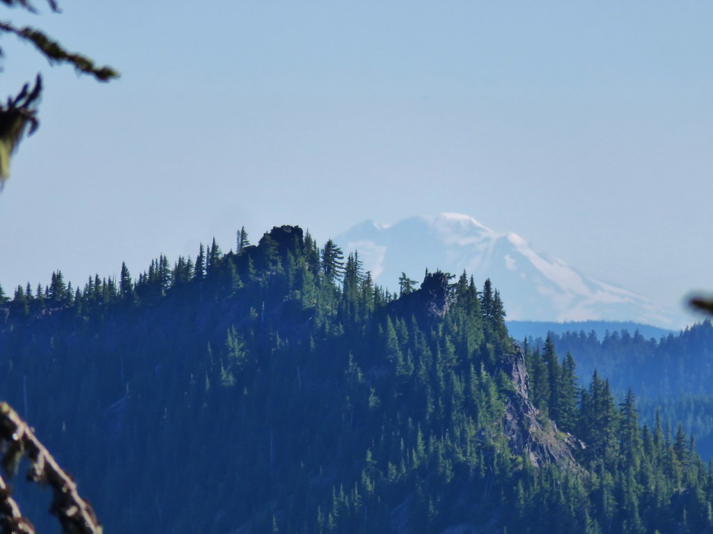 Mt. Adams
 Battle Ax Mountain
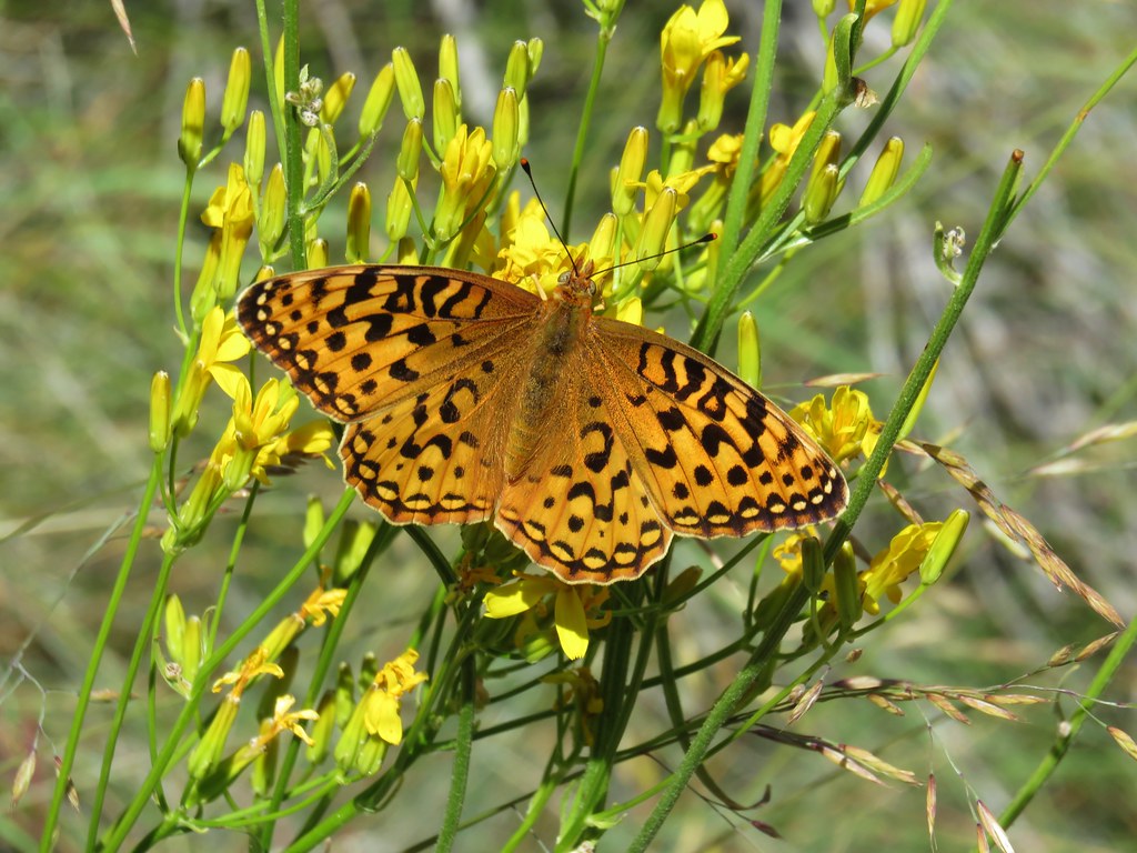
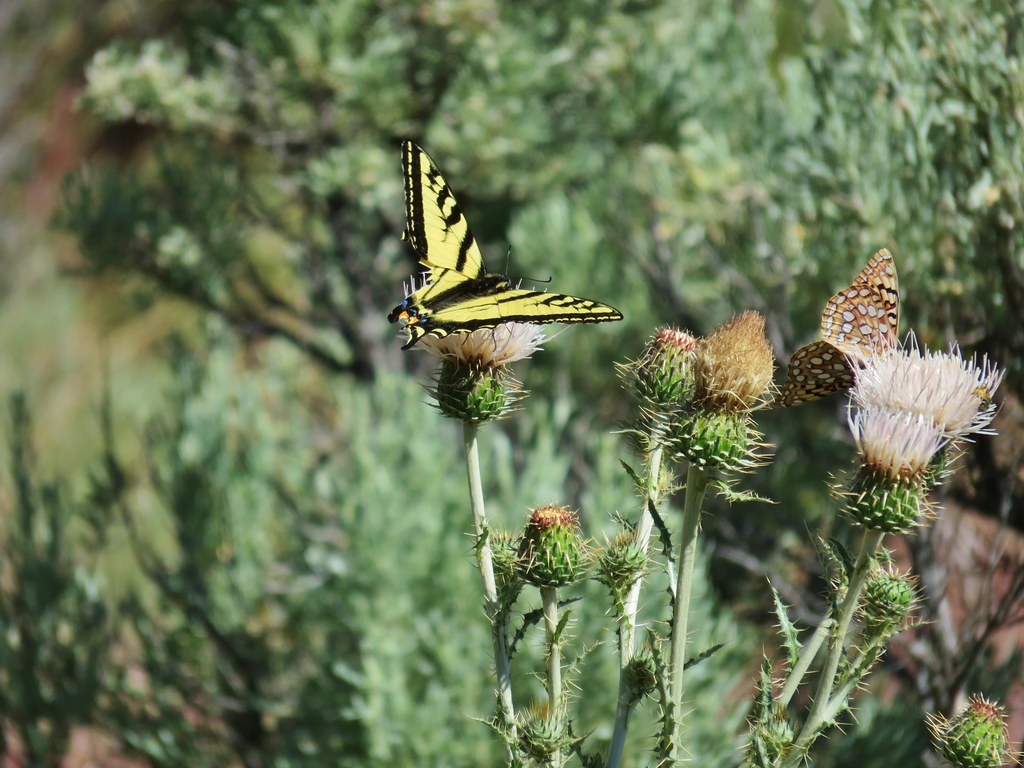
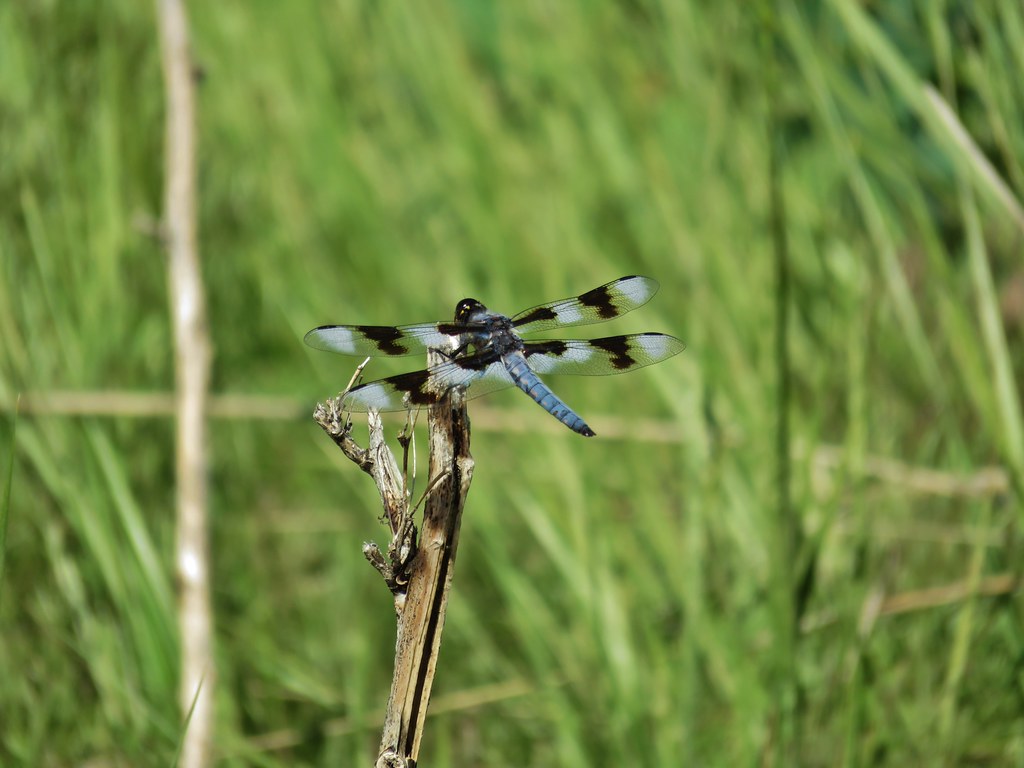
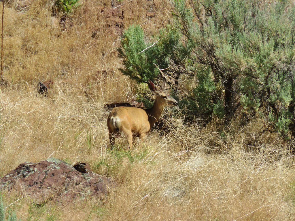
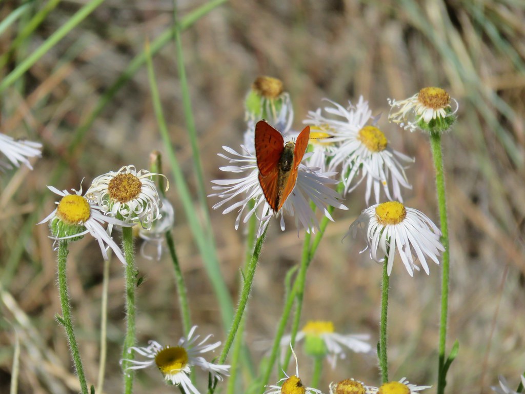
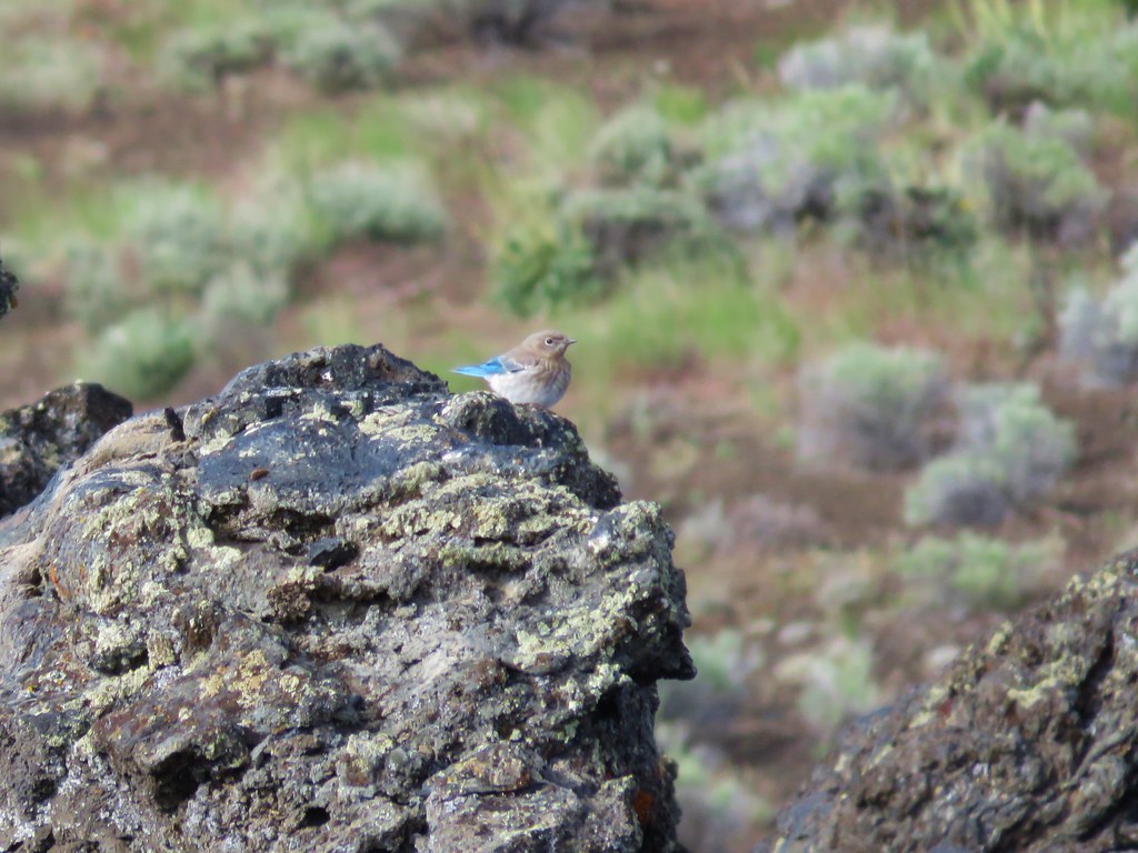
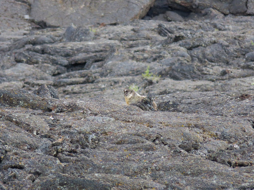
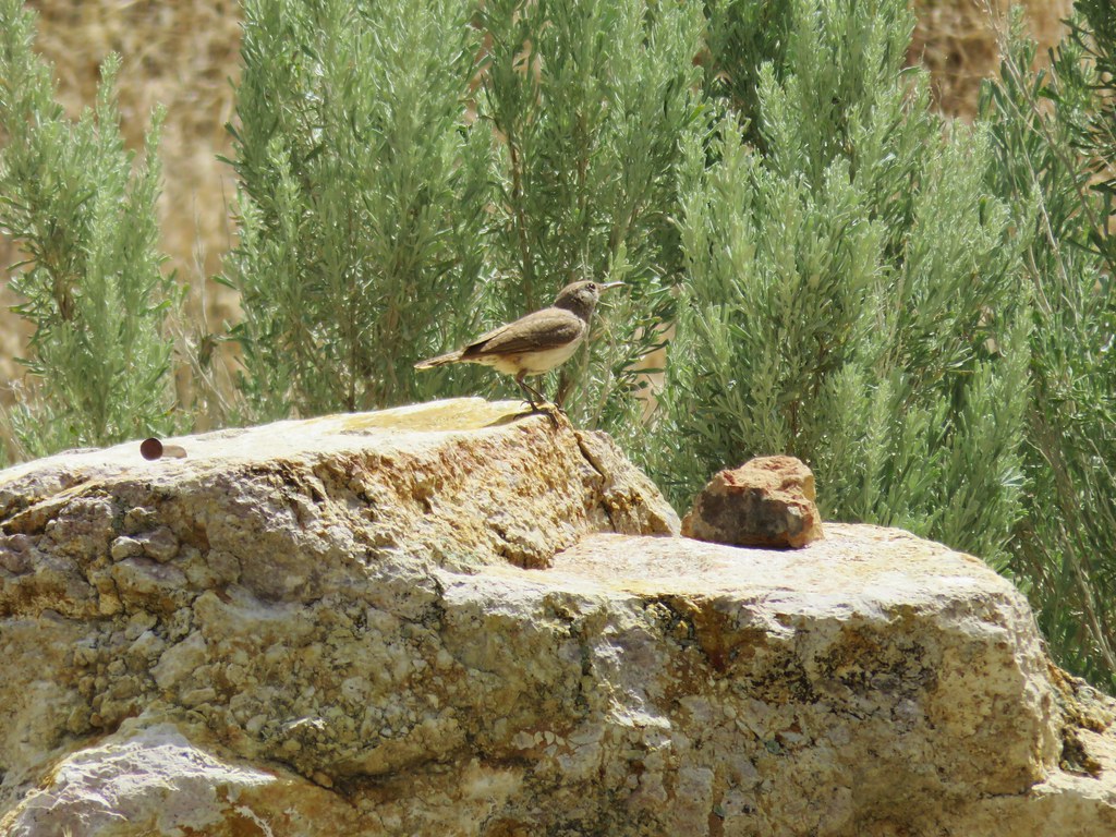
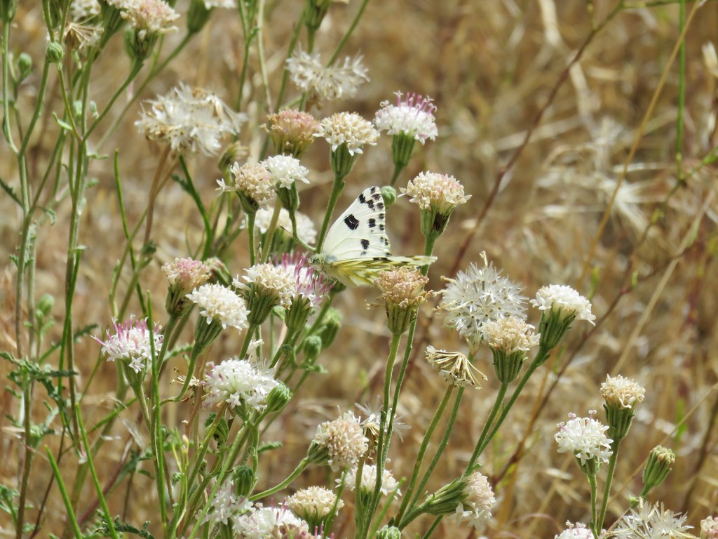
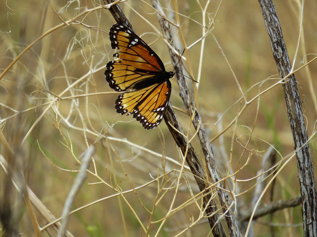
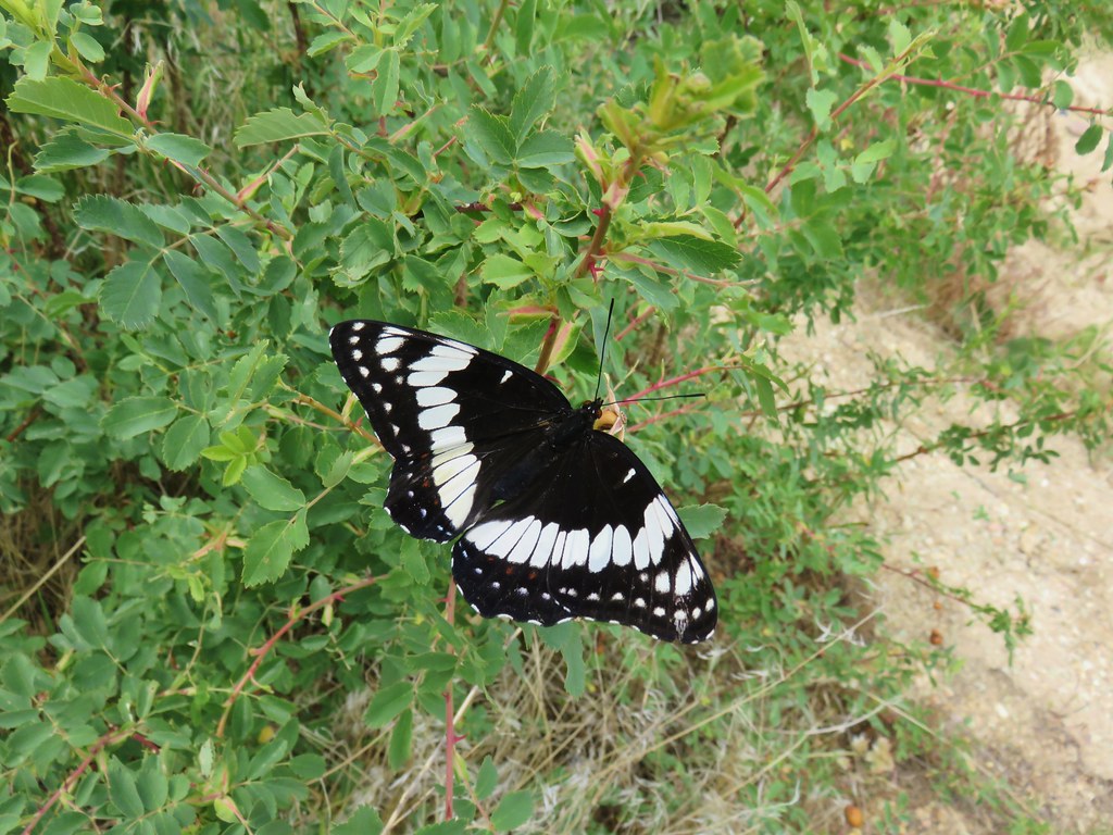
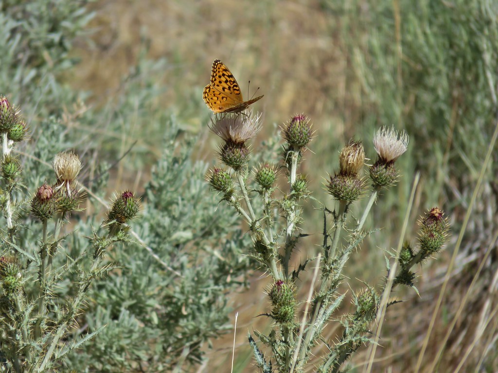
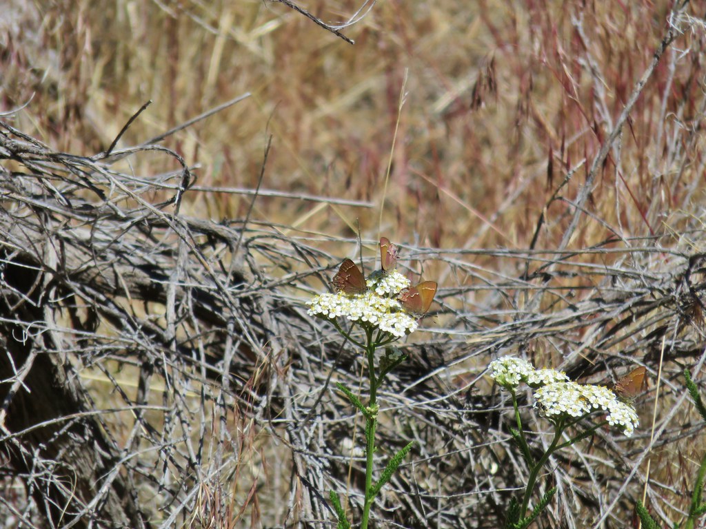
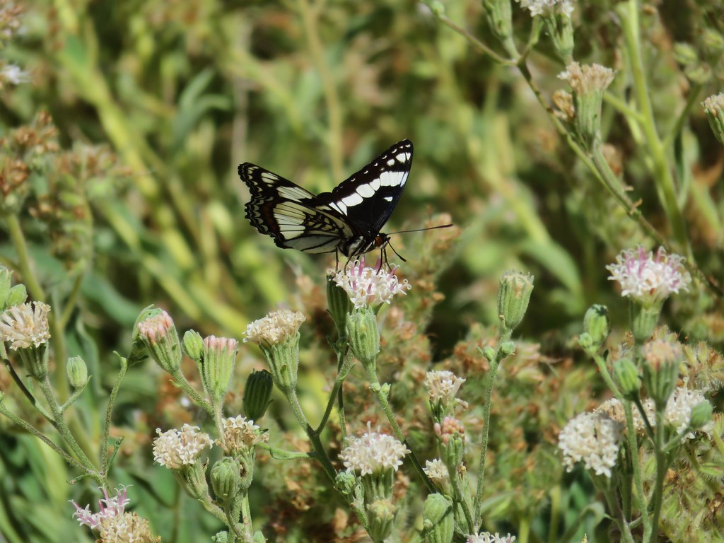
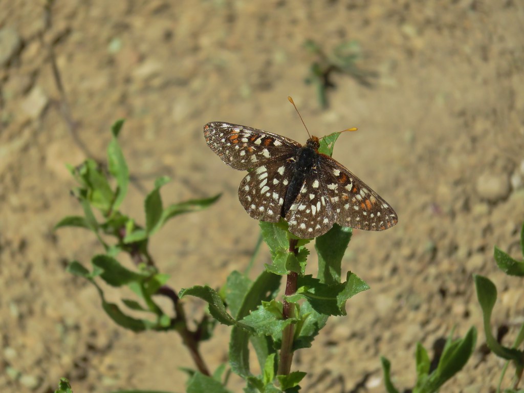
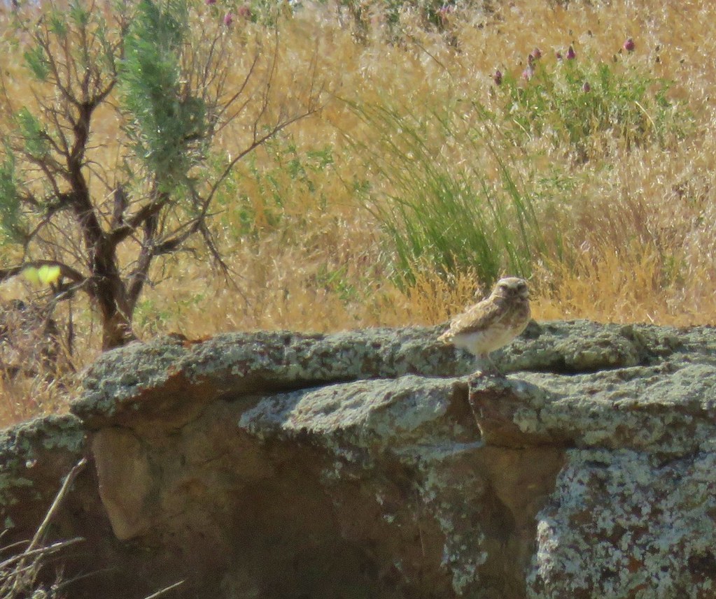
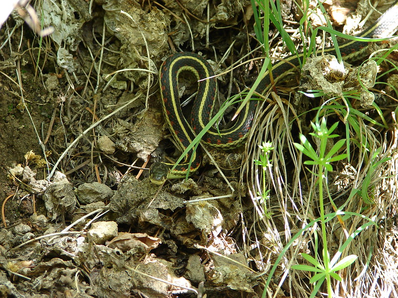
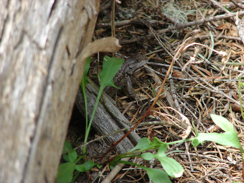
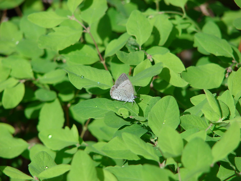
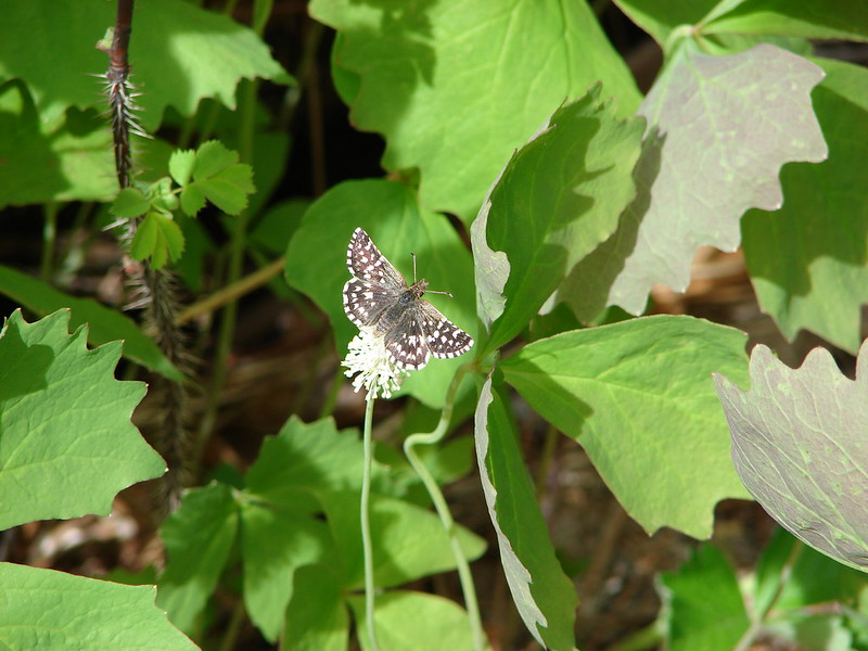
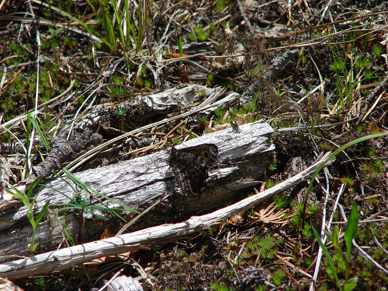
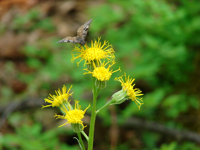
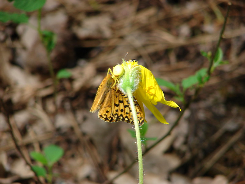
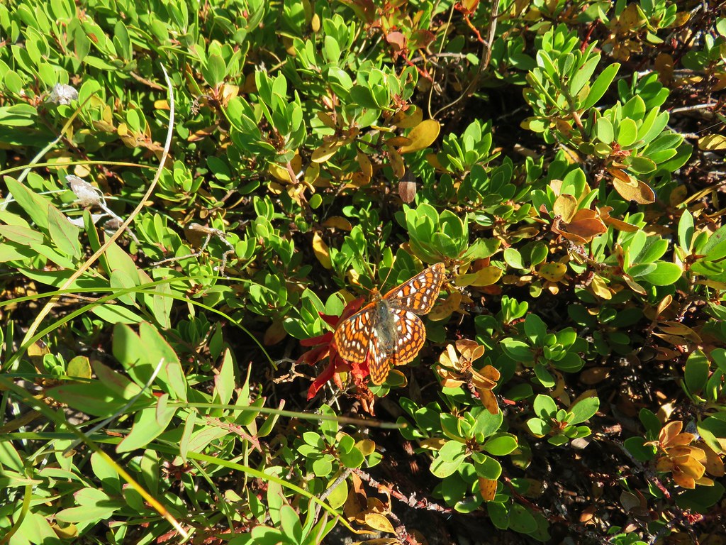
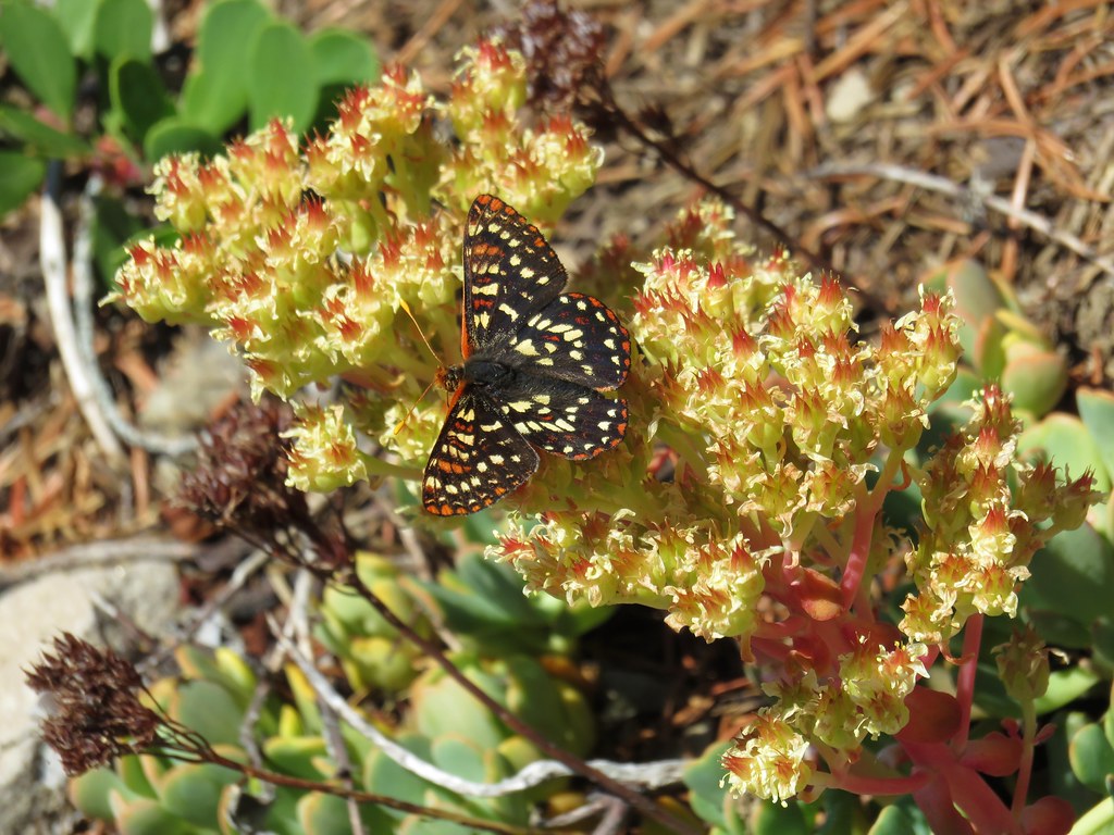
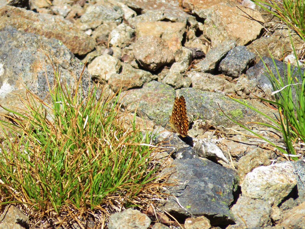
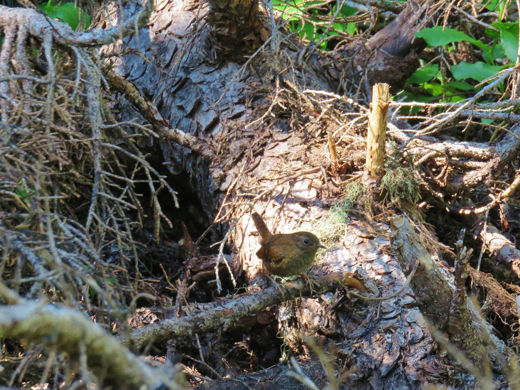
We sat at the summit for a bit before heading back. On the return trip the butterflies were out and so was a friendly wren who posed for a bit before disappearing into the forest.
The round trip was approximately 8 miles with just under 2000′ of cumulative elevation gain. Most of the flowers were past so an early July visit would likely be better timing for those. There were a few mosquitoes present making stopping in the trees a bad idea but they were less of a bother along the open rocky slopes. A nice trail and one that you’re likely to have all to yourself. Happy Trails!
Flickr: French Creek Ridge