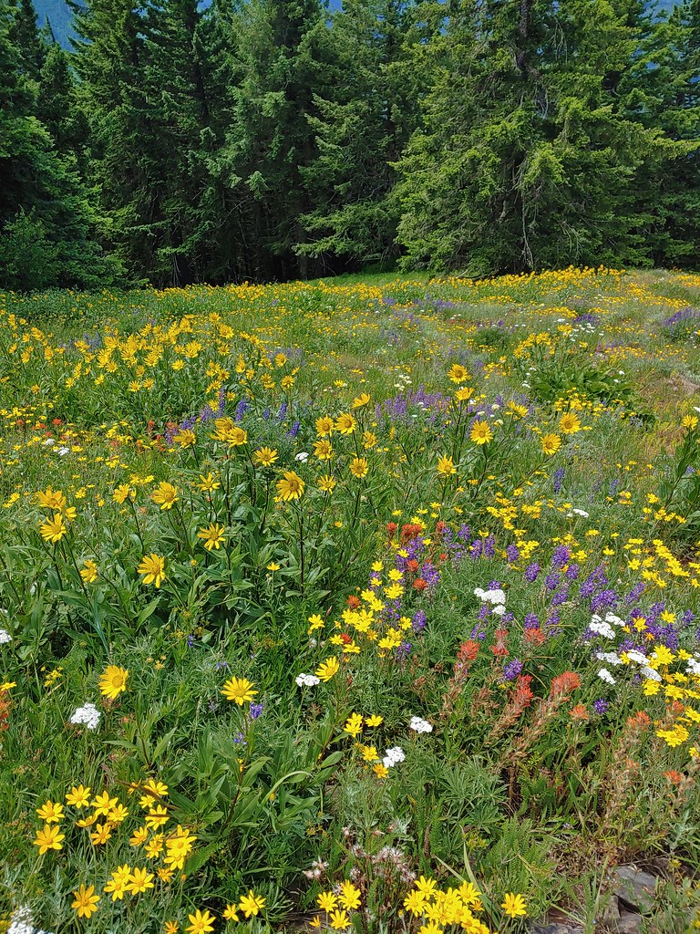
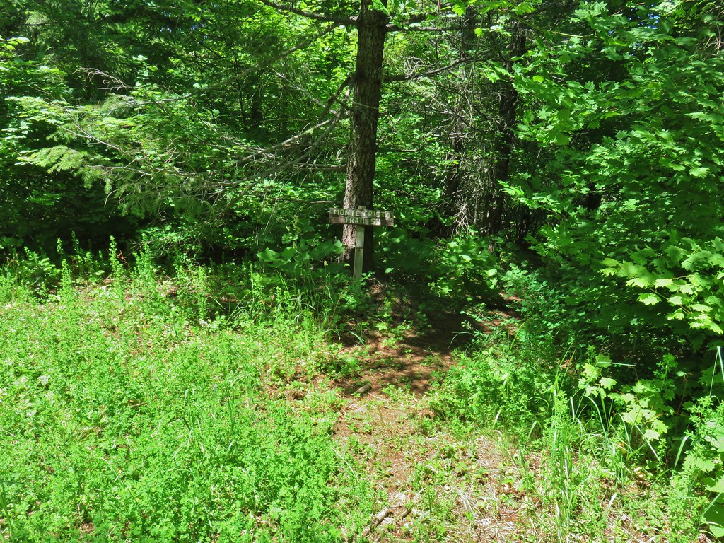
Our quest to seek out new to us trails had us turning back to Matt Reeder’s “101 Hikes in the Majestic Mount Jefferson Region” (1st edition). Because the book was released in 2016 it pre-dates the 2020 Riverside and Beachie Creek Fires that devastated much of this region leaving many of the hike descriptions out-of-date. We were fortunate enough to experience most of the hikes, at least in part, prior to those fires.
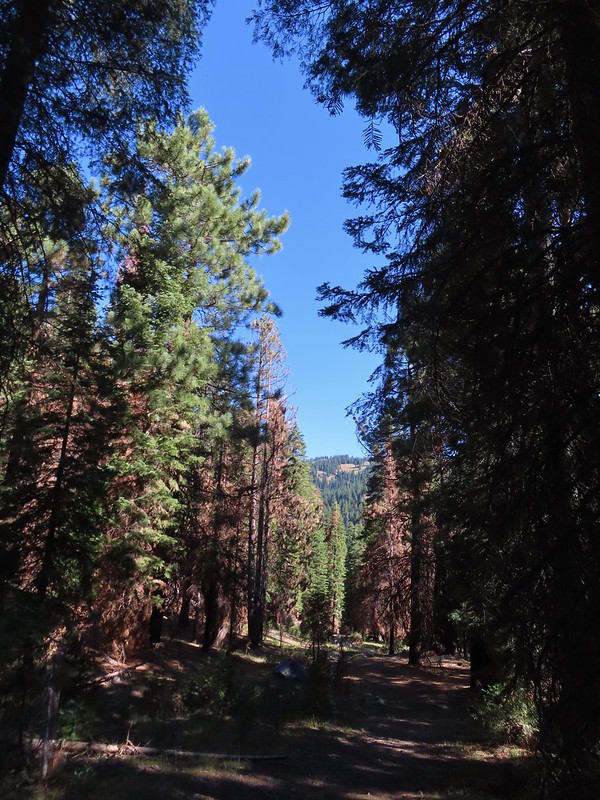
One of the hikes that we had not yet gotten to was Reeder’s hike #4-Upper Molalla Divide. Reeder describes three options starting at two different trailheads ranging from a 0.7-mile loop at Joyce Lake and a 2.8-mile out-and-back to Nasty Rock. These hikes largely escaped the recent fires except for a couple of small sections of the trail to Nasty Rock scarred by the 2020 Beachie Creek Fire. On the other hand, other than the trail around Joyce Lake, the trails are rarely if ever maintained.
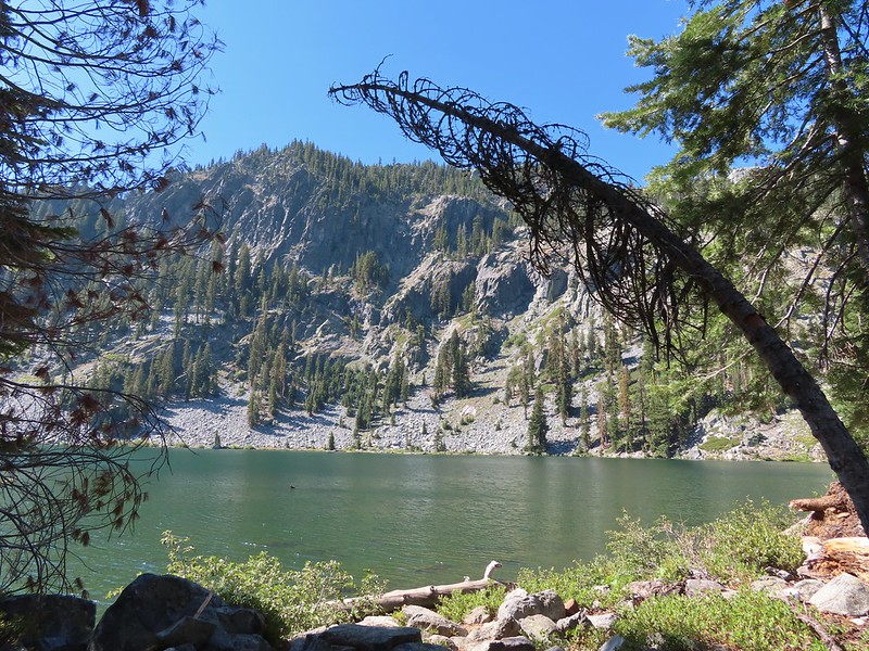
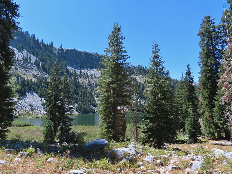
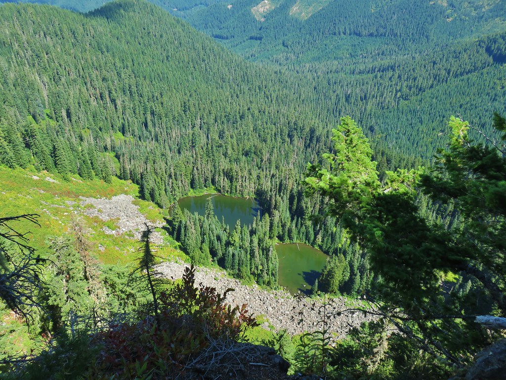
We decided to start our day at Joyce Lake when we found the trailhead parking area empty. Two of the three described hikes start from this trailhead, the very short loop around Joyce Lake, and a 2.6-mile loop combining the abandoned Baty Butte Trail and gravel roads.
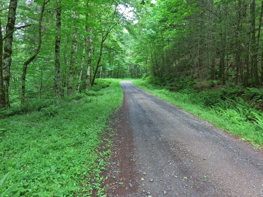
 The unsigned trail enters the forest across from a small pullout.
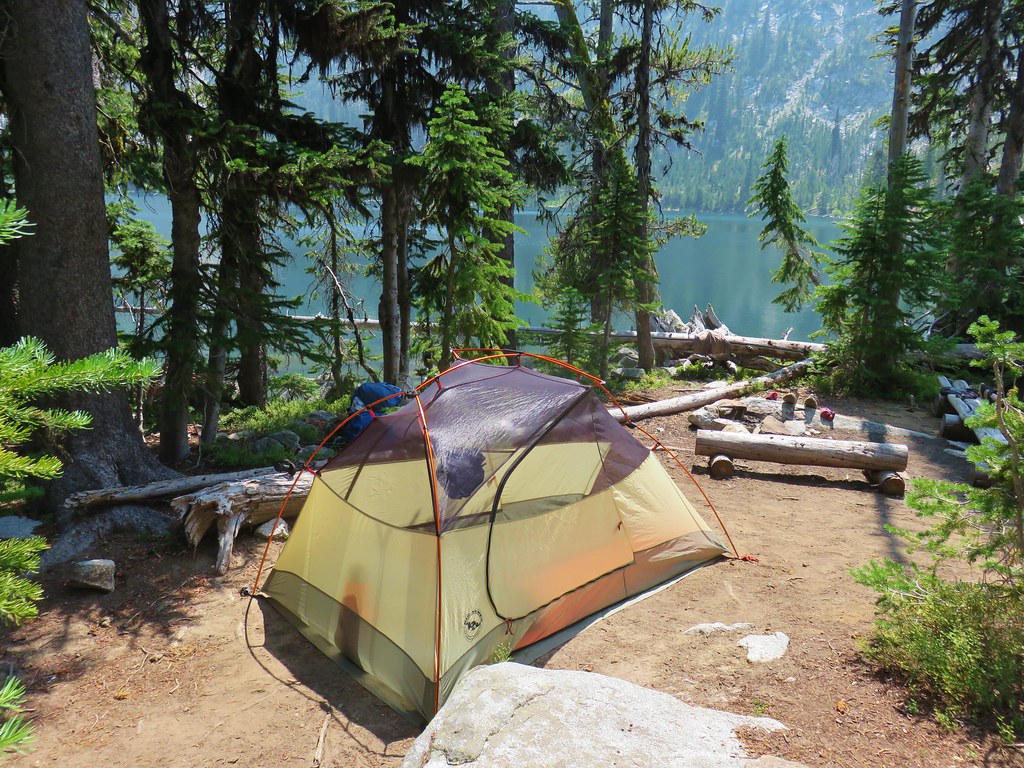
The trail quickly arrives at a campsite where we then headed left on the loop around the lake which is stocked with fish.

 Bunchberry


 Fish
Fish
 Rough skinned newt
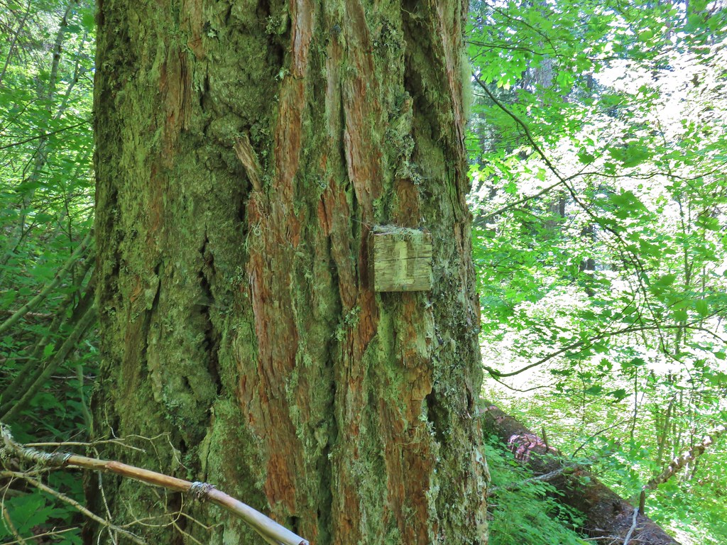
After completing the loop around the lake we headed back toward the road from the campsite looking for the abandoned Baty Butte Trail. It wasn’t easy to spot but a metal diamond on a tree marked the start of this trail.

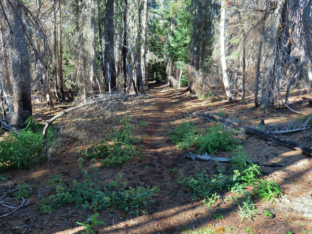
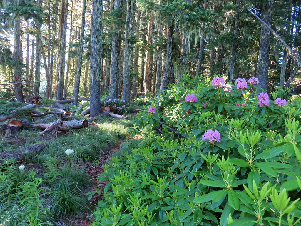
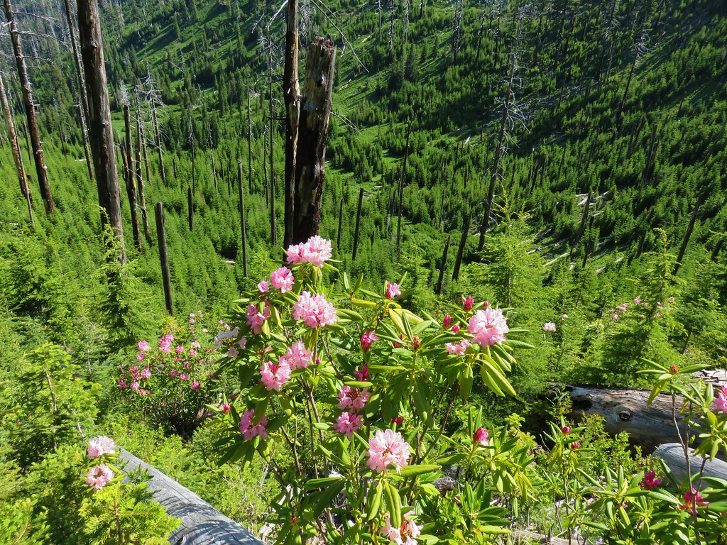
After pushing through some Rhododendron the trail became a little easier to follow.


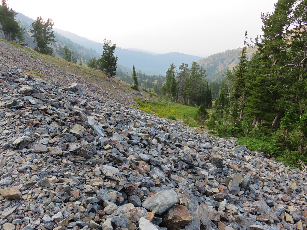
We had hiked a portion of this old trail in 2019 to Baty Butte itself (post) and were hoping to get more of the trail in, but just under half a mile from the start of the trail we came to a small talus slope.
 Flagging and some old trail maintenance along the Baty Butte Trail.

On the far side of the talus a tree had fallen onto the thick vegetation creating a matt of leaves and branches that covered the tread.
 We could see the tread continuing on the other side of the thicket.
 Vegetation covering the trail.
We initially thought that we might be able to dip below the downed tree, but the hillside below was covered with thorny devil’s club. Going up and around didn’t look any more promising, and even if we did find a way around this there was another mile of trail before reaching a powerline road that we would be turning onto. We accepted defeat here and turned back. Between Joyce Lake and the failed attempt at the longer loop our hike here was just 1.5-miles with a couple hundred feet of elevation gain.

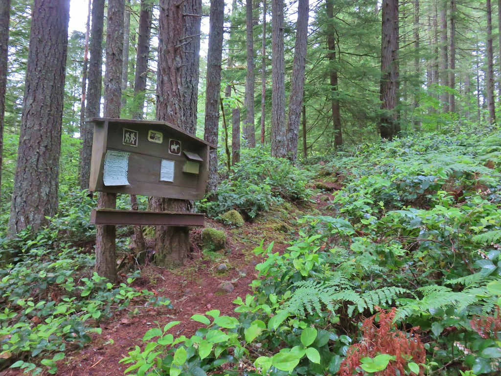
From the Joyce Lake Trailhead we continued 3.9-miles to the trailhead for the Nasty Rock Hike. (Note that online searches and Google maps for the Nasty Rock Trailhead will provide results for the Willamette National Forest’s Nasty Rock Trailhead which is currently closed due to the Beachie Creek fire and does not actually lead to Nasty Rock.)
 The trailhead is located at a turnaround at the end of BLM road 7-4E-11.1.
The BLM refers the Nasty Rock Trail as “historic” and the area was part of a BLM study for addition to the adjacent Opal Creek Wilderness in 2013. That study found that the area met all the criteria and characteristics for a wilderness, but the addition never moved forward. The 2013 study mentioned that the trail was not being annually maintained but it was still “usable”. Having just been turned back on our earlier hike we were prepared for a similar experience here, although a 2022 trip report on Oregonhikers.org indicated that the trail was still passable at that time. While the trail itself still shows on the BLM’s recreation map there is no trailhead symbol shown.
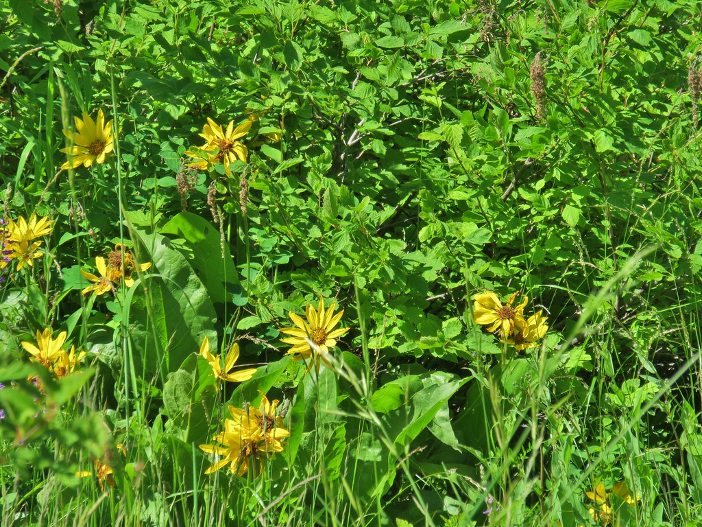
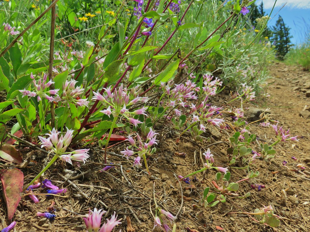
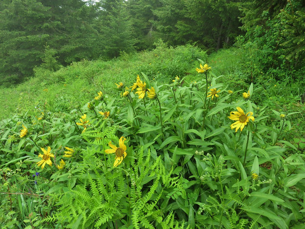
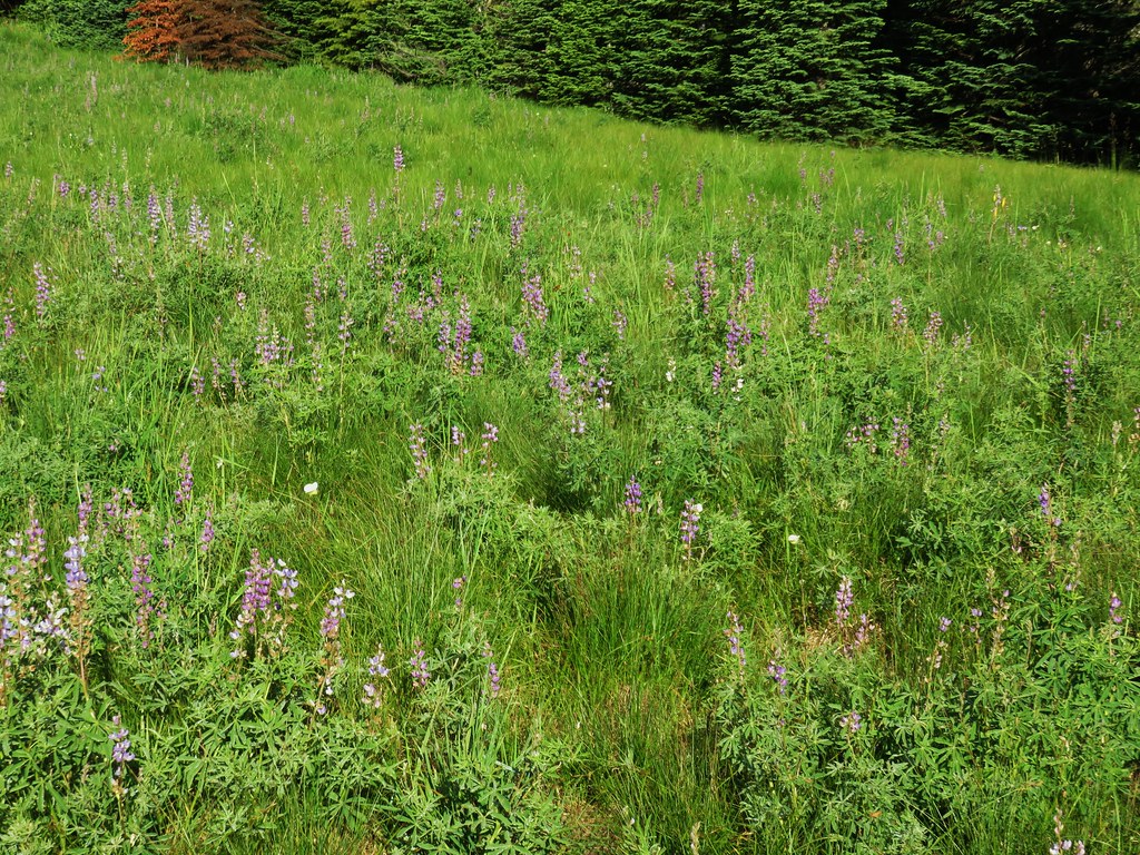
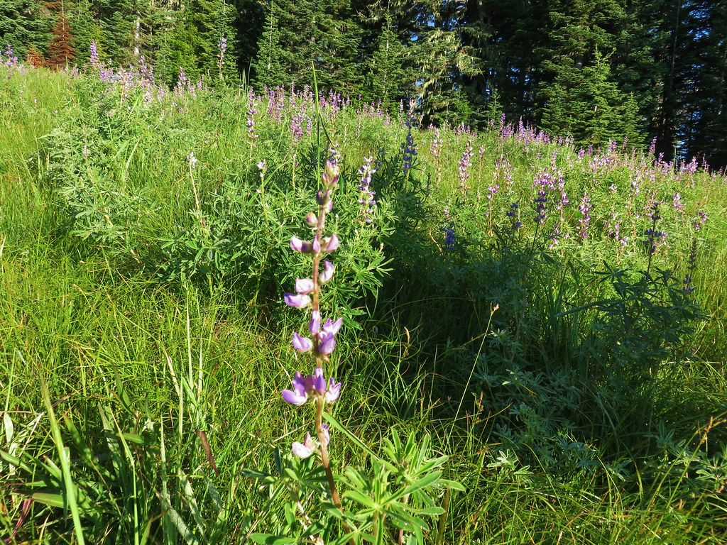
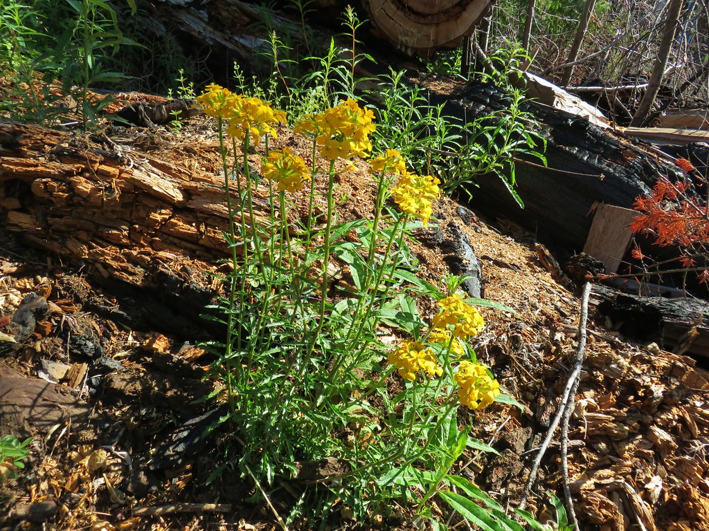
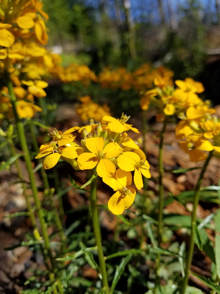
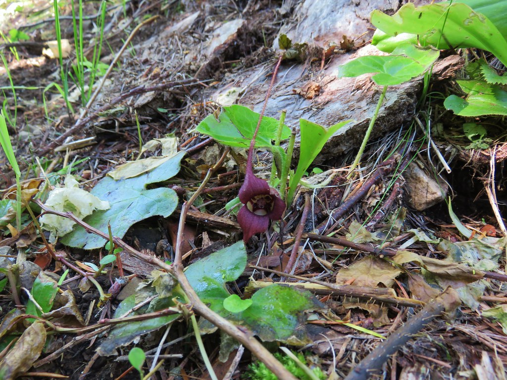
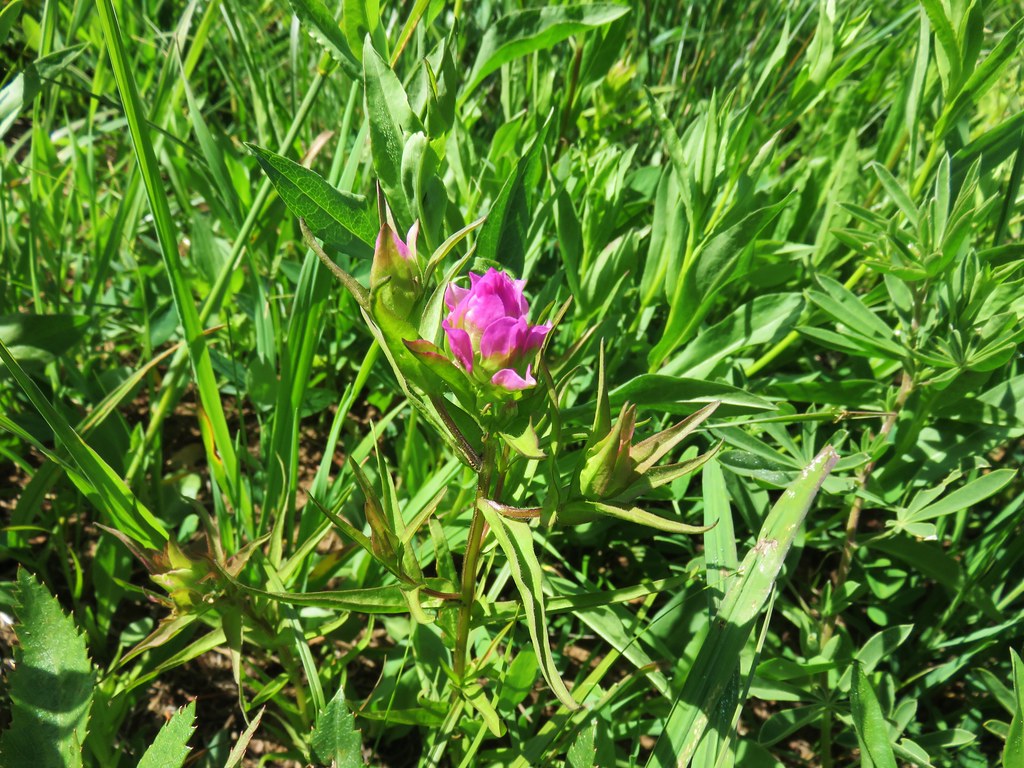
Before setting off we took a moment to admire the roadside wildflowers.

 Oregon sunshine, lupine and paintbrush.
 Larkspur, paintbrush, and Oregon sunshine.
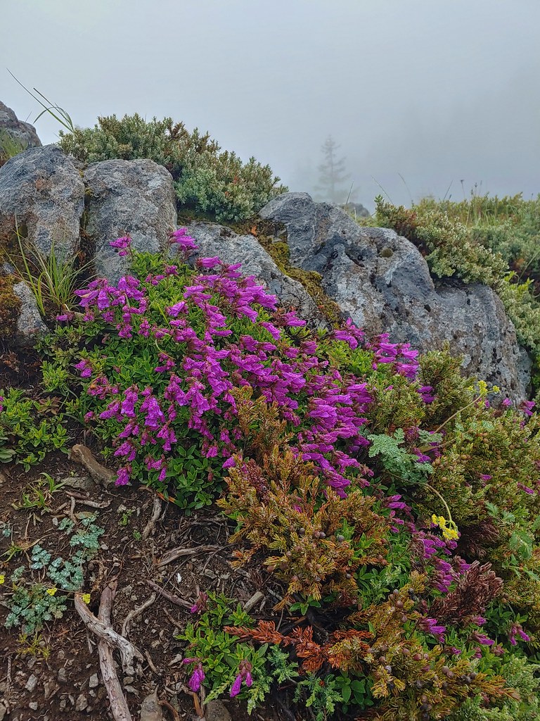
 Penstemon, paintbrush, and valerian.
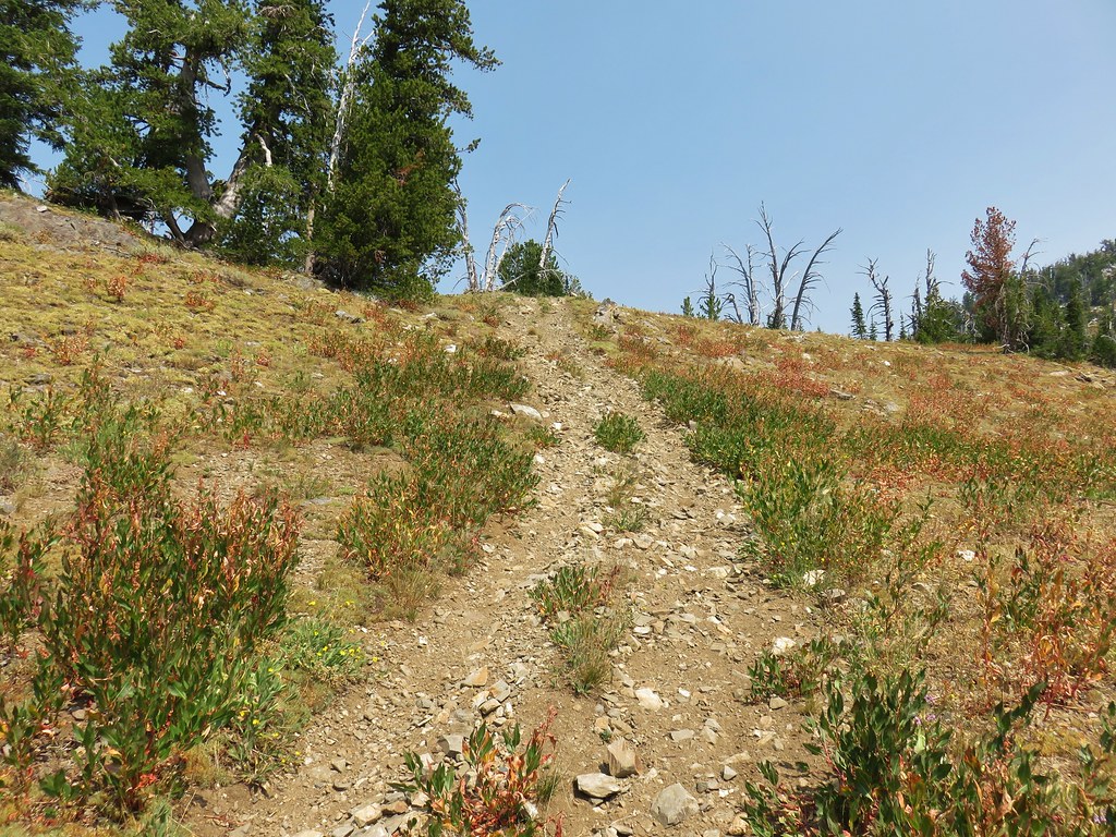
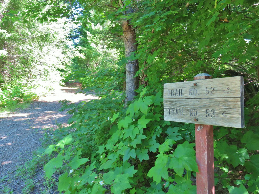
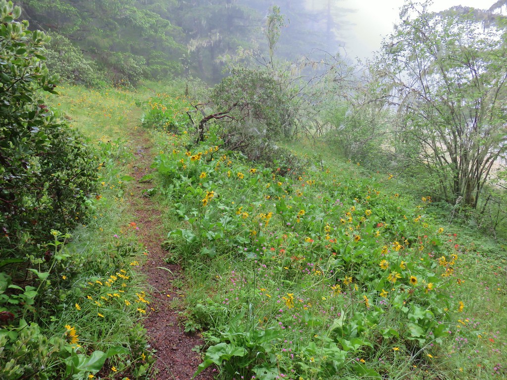
The Nasty Rock Trail, like the Baty Butte Trail, was not obvious from the parking area. Again a metal diamond on a tree helped us locate the trail heading uphill from the road below.

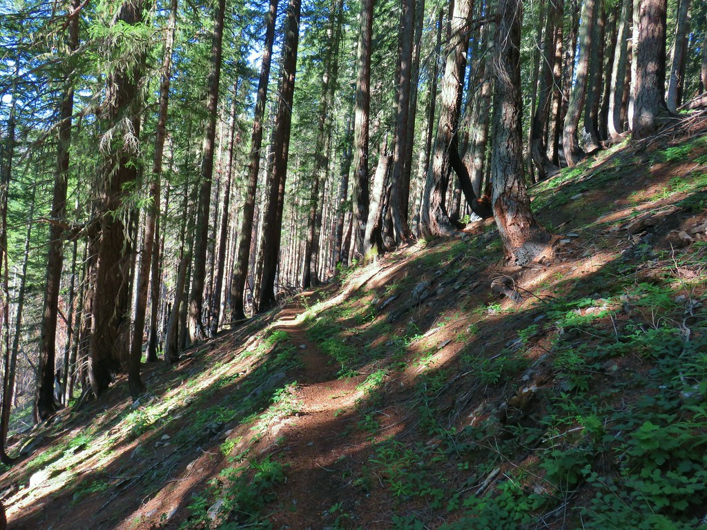
The trail initially climbs as it wraps around a shoulder of Burnt Mountain. The tread is narrow in places, and a bit overgrown.

 Westen featherbells
 Bistort

 Arnica


 Bear sign on the trail.
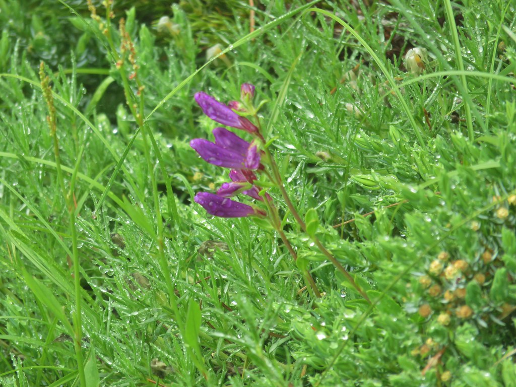
 Paintbrush and lousewort
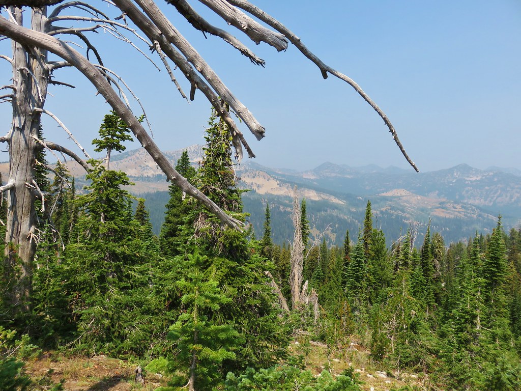
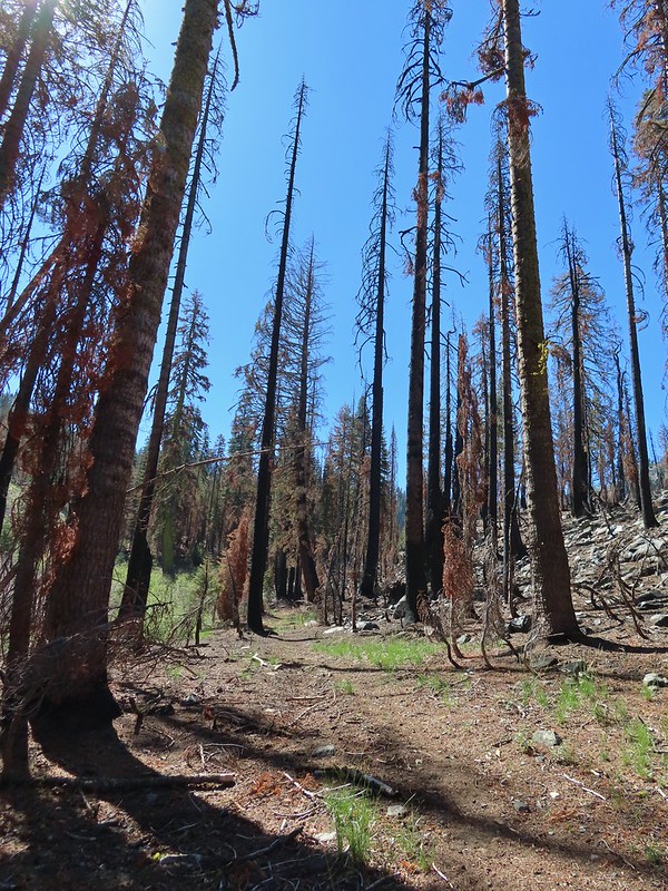
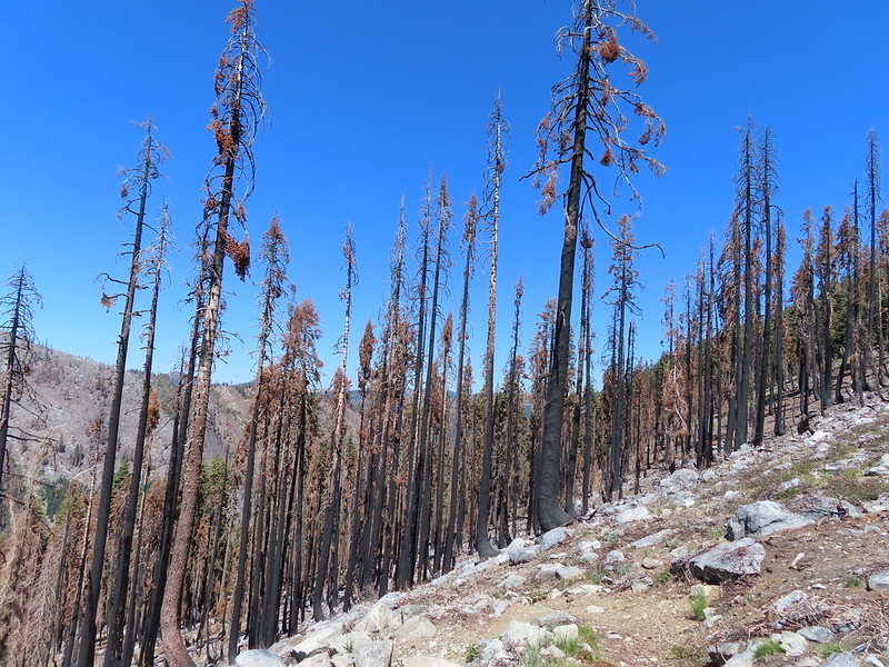
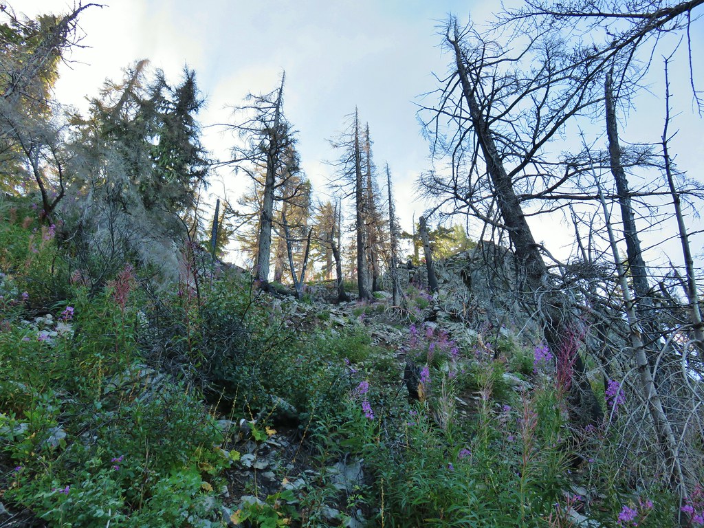
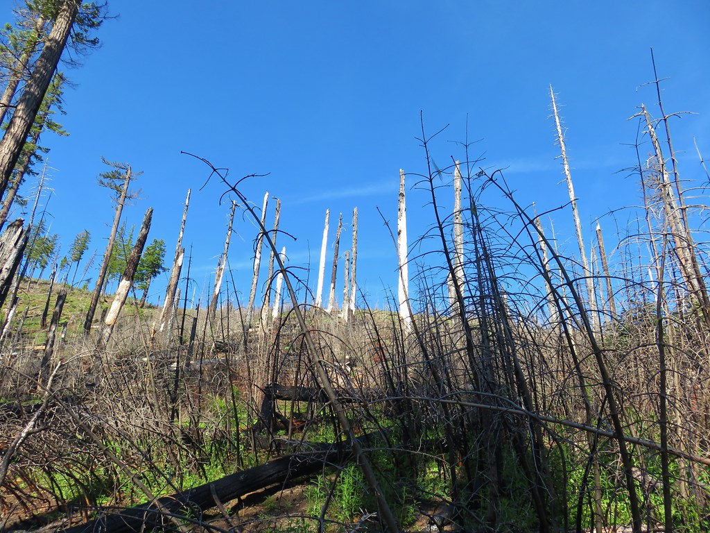
The trail then traversed the hillside below Burnt Mountain entering the Beachie Creek fire scar a third of a mile from the start of the trail.
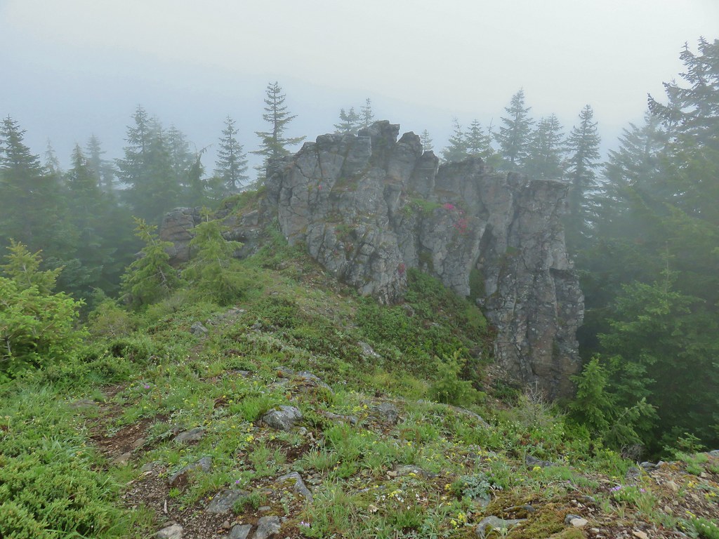
 Nasty Rock from the trail.

 Entering the fire scar.
 The trail was especially overgrown in the fire scar.
 Penstemon
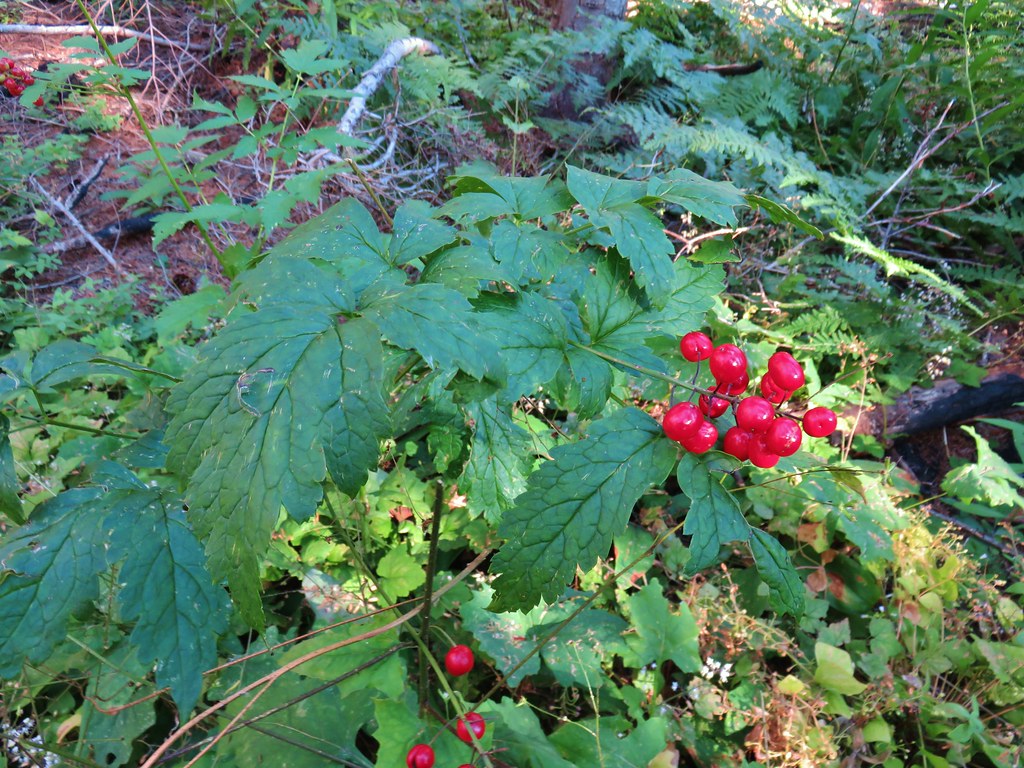
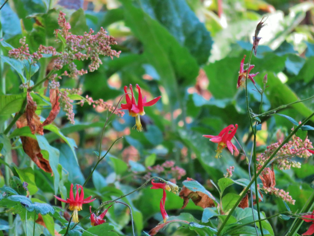
 Columbine along the trail.
 Valerian
 Exiting the fire scar after less than 100 yards.
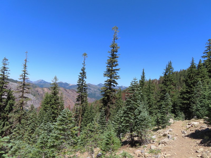
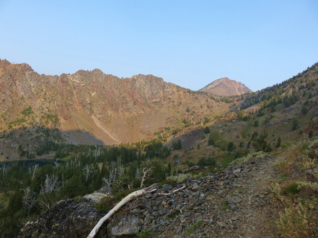
The trail continued on a fairly level grade past Burnt Mountain then curving to the West as it followed a ridge toward Nasty Rock.

 While none of the several downed trees posed much of an issue the condition of the trail made for slow going.


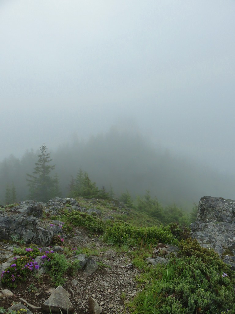
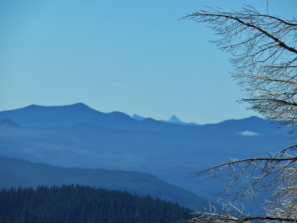
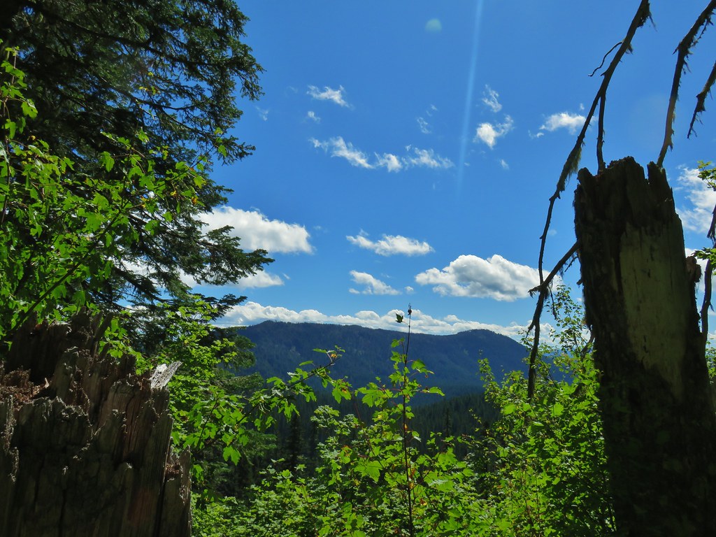
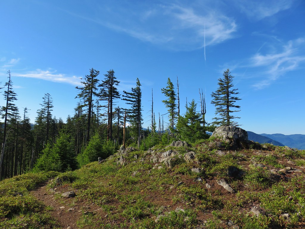
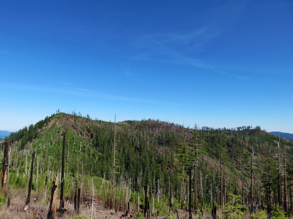
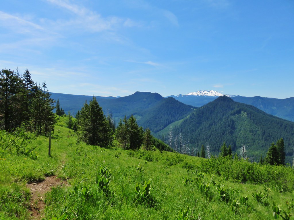
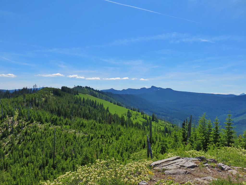
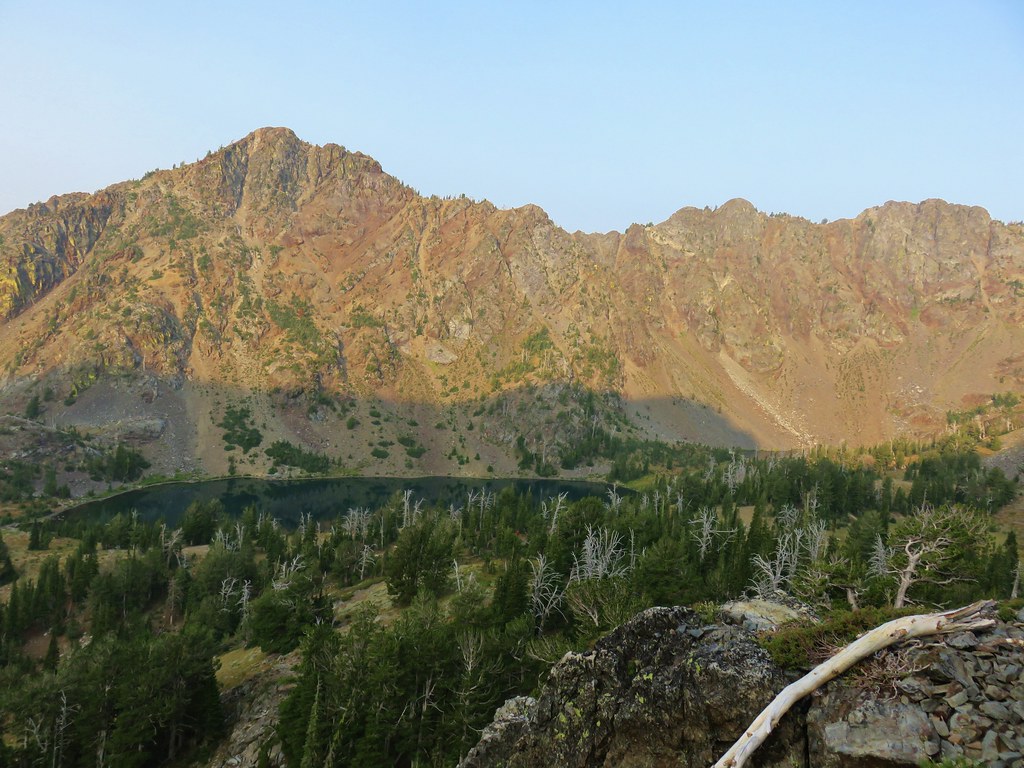
The trail crossed the ridge near the mile mark where views opened up.
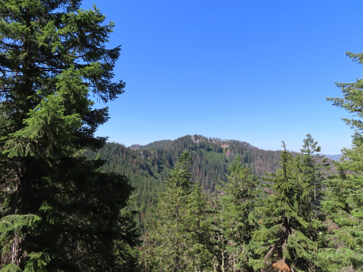
 Nasty Rock sticking up ahead.
 Not Nasty Rock further along the ridge and in the Beachie Creek fire scar.
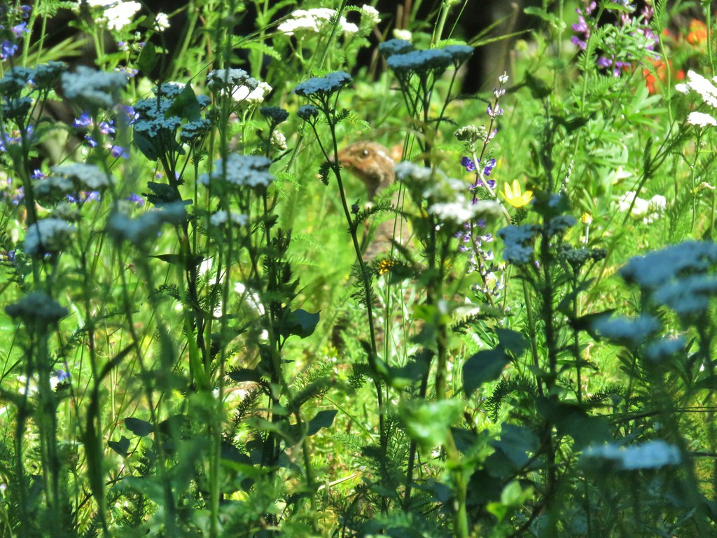
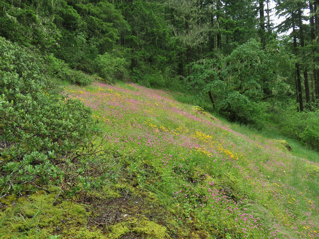
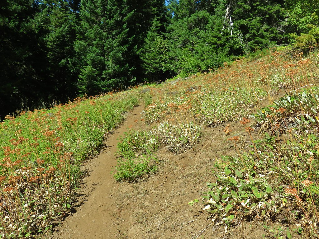
 Wildflowers were blooming in the openings along the ridge.
 Arrowleaf buckwheat
 Checkerspot on Oregon sunshine
 Oregon sunshine

 Table Rock (post)
 Mt. Hood peecking up from behind a ridge.
 Scarlet gilia
 Nasty Rock from the trail.
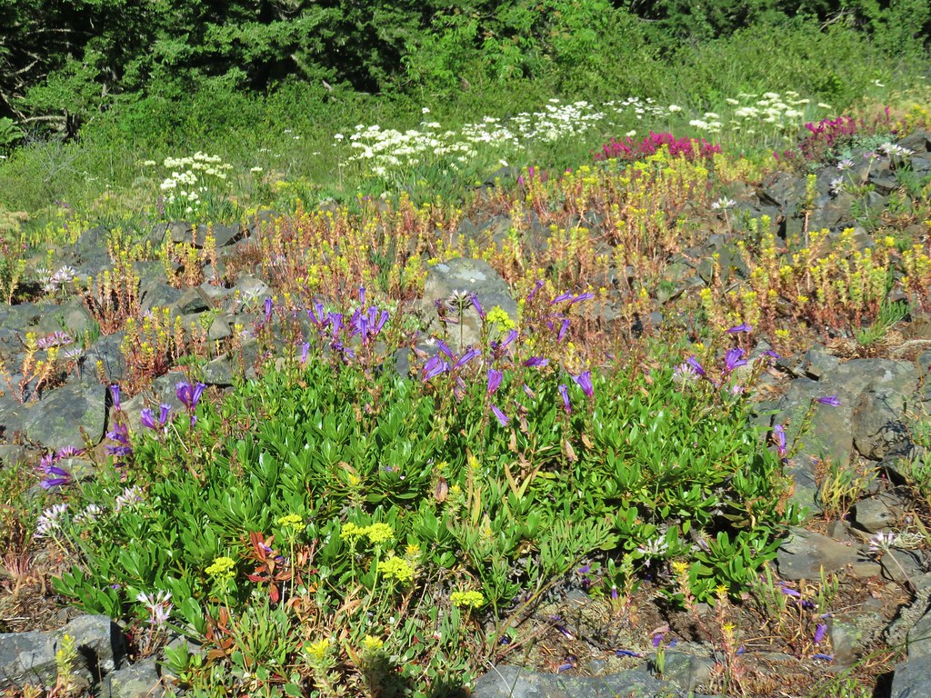
 Flowers below the trail.
 Flowers above the trail.
 Buckwheat
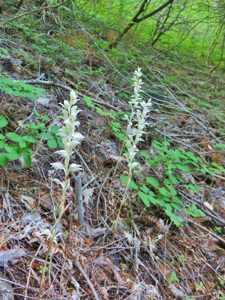
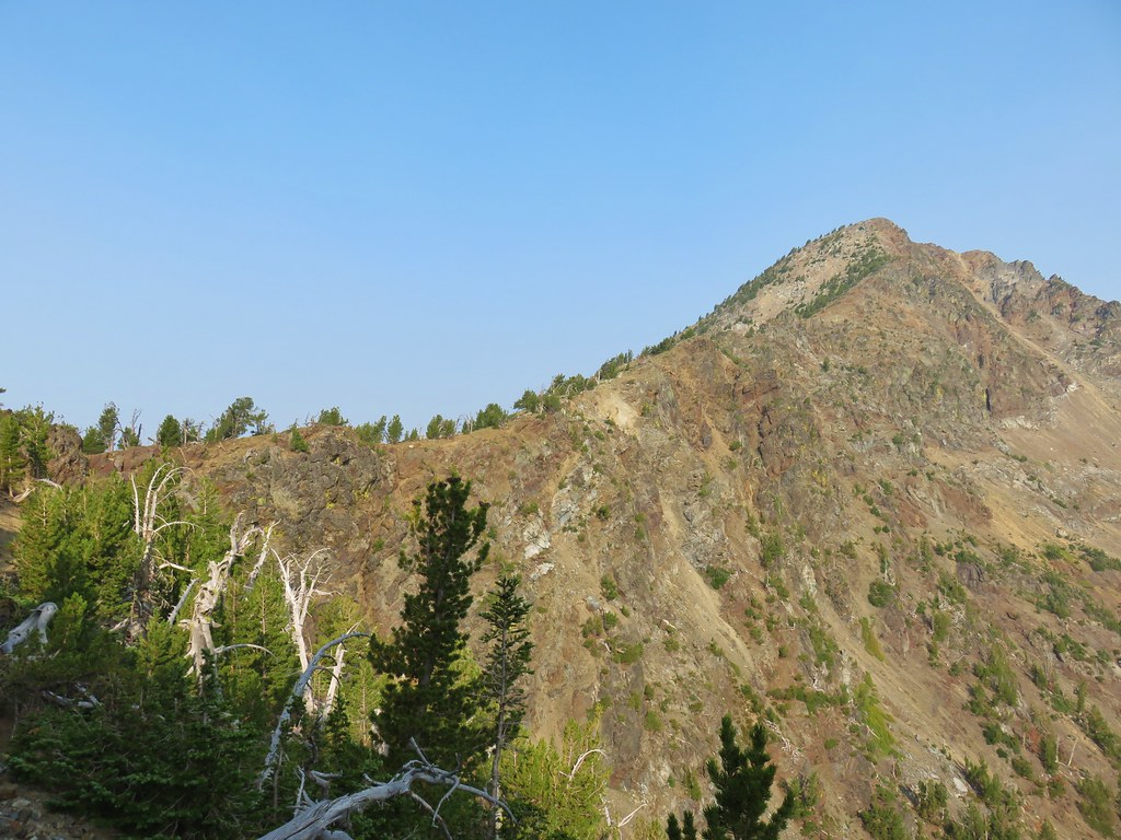
As the trail neared Nasty Rock it entered another section of forest burned in the Beachie Creek fire.


The trail steepened noticeably before effectively ending on the SW shoulder of Nasty Rock.

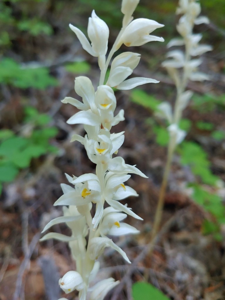
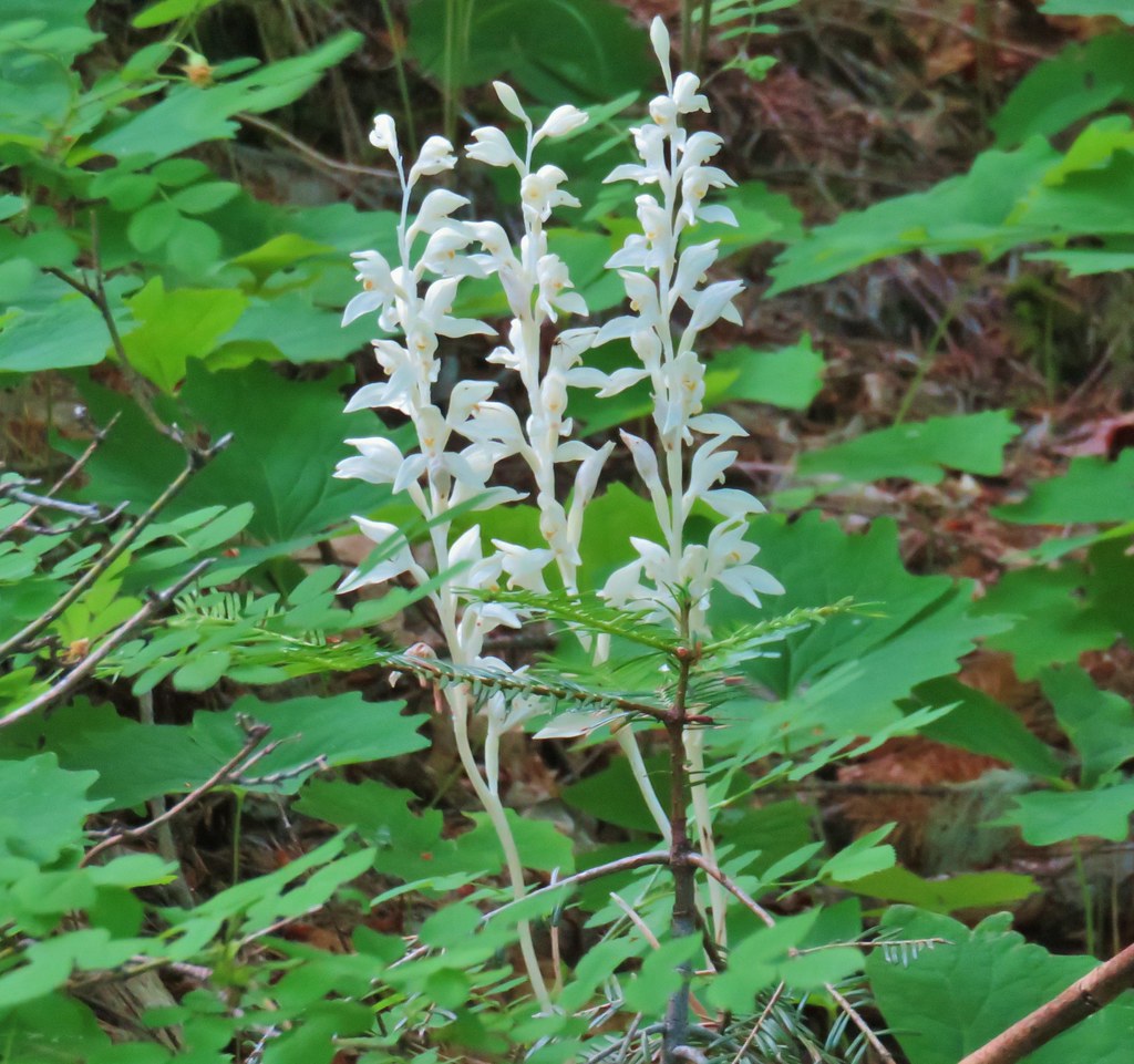
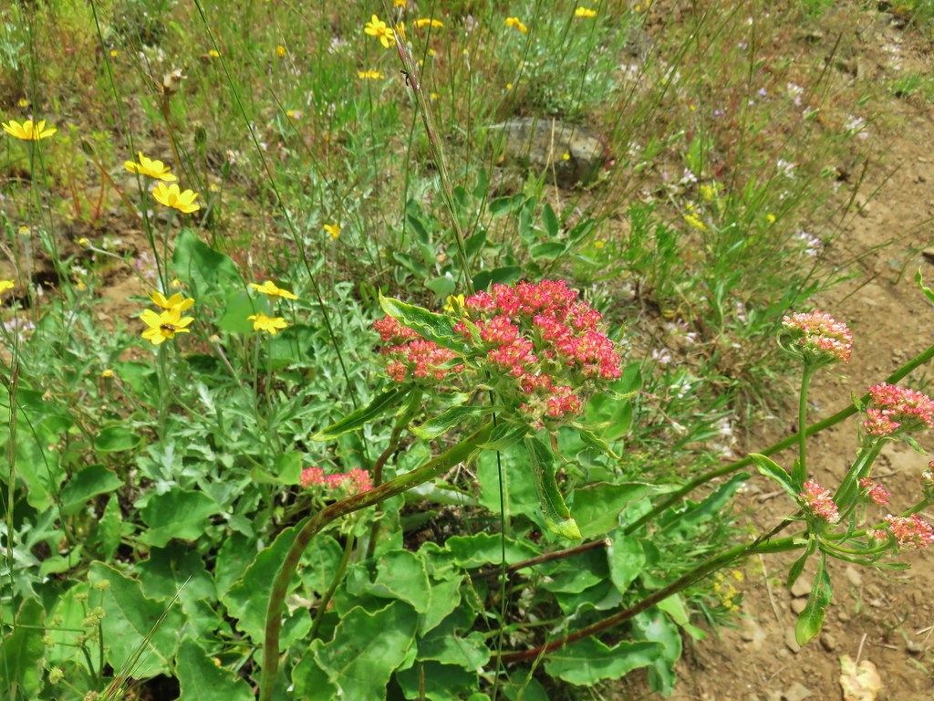
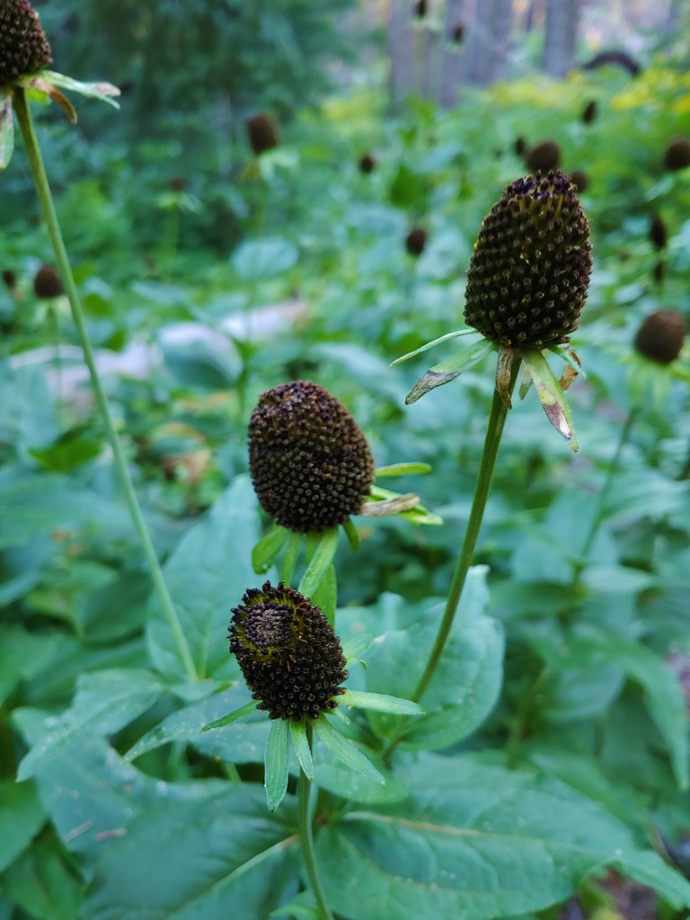
 There were a lot of nice Washington lilies below Nasty Rock with more to come over the next week or two.
 Wintergreen
 Nasty Rock from the trail.

 The trail below Nasty Rock.
 Nasty Rock from the end of the “trail”. Prior to the 2020 fire a rougher use trail continued on to Not Nasty Rock, but we didn’t see any obvious tread. (We weren’t really looking though either.) We made the fairly easy scramble to the top of Nasty Rock and took a short break.
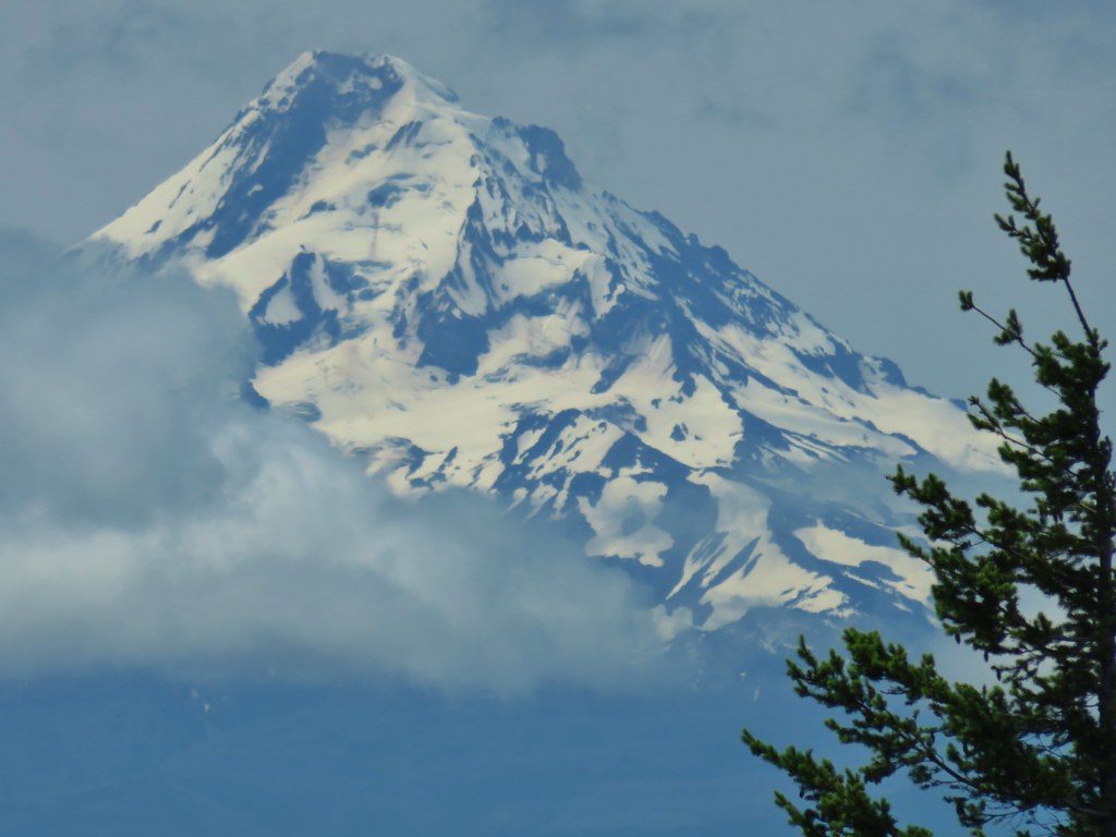
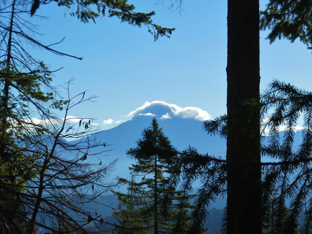
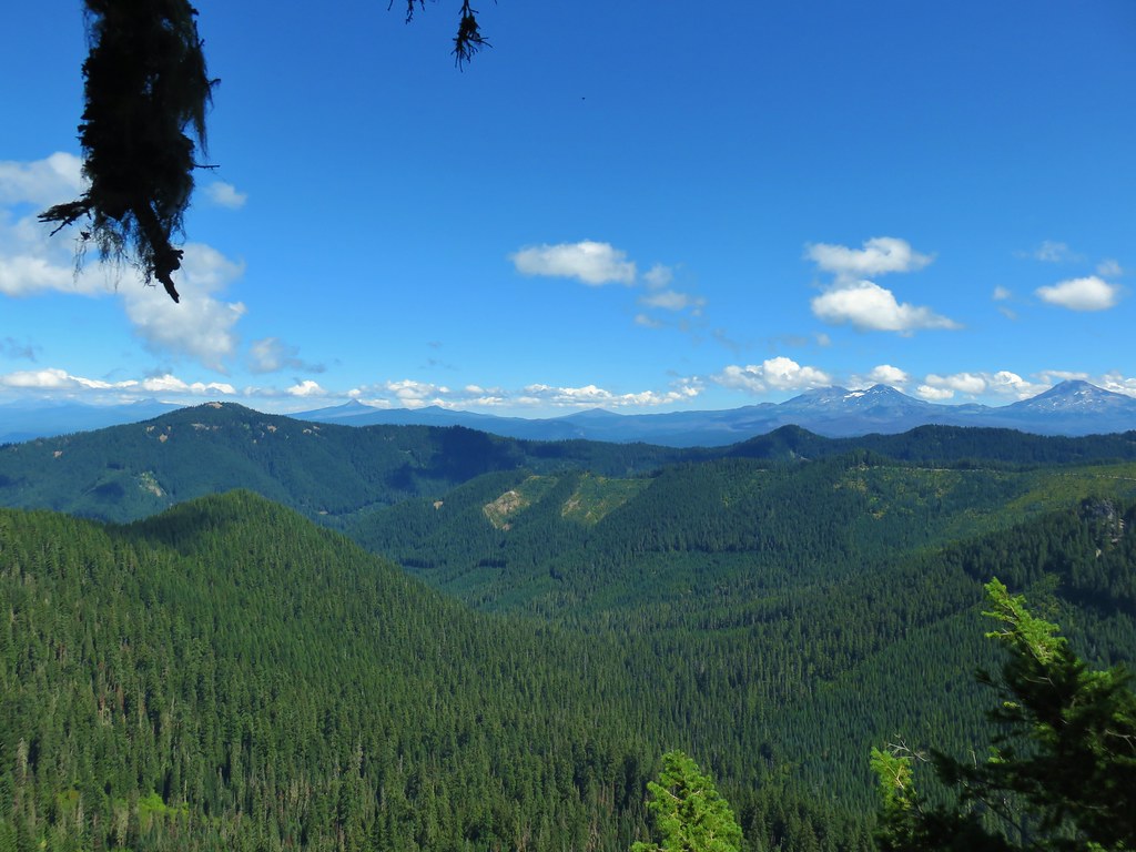
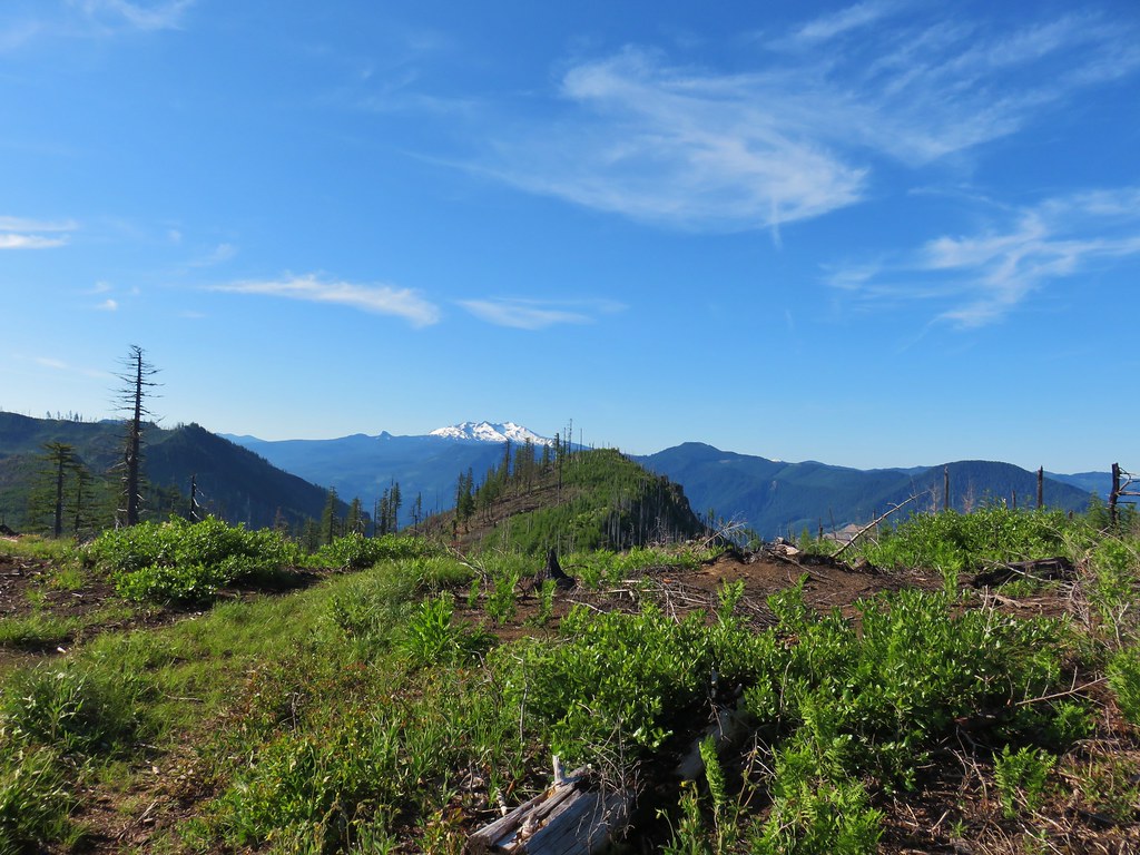
The view was all too familiar with the horizon filled with wildfire smoke. Mt. Jefferson and Mt. Hood were easy to see, but other Cascades such as Three Fingered Jack, Mt. Washington, and the Three Sisters were barely visible through the haze.
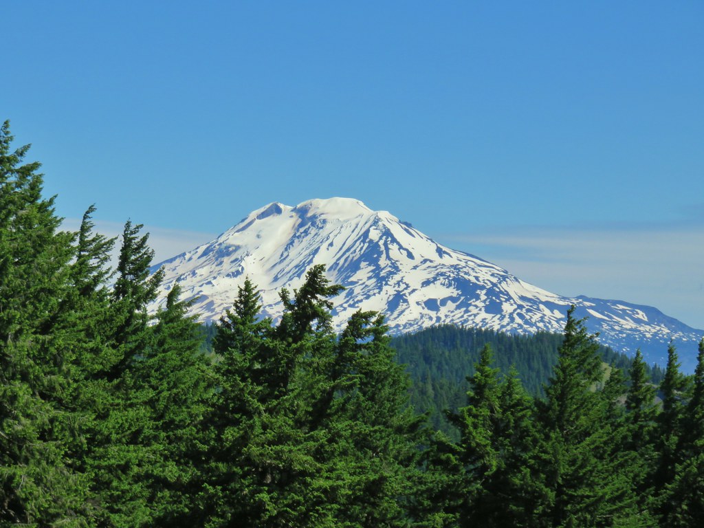
 Mt. Jefferson from Nasty Rock.
 Mt. Jefferson with the flat-topped Battle Ax (post), and rounded Whetstone Mountain (post) to the right.
 Mt. Hood in the distance.


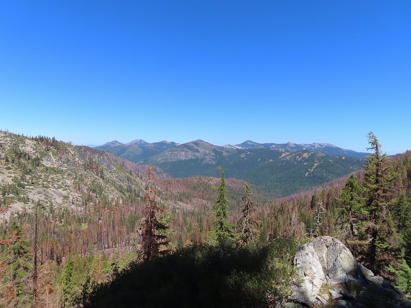
French Creek Ridge with the rounded Marten Buttes (post) in the foreground. Behind is the flat-topped Coffin Mountain (post), Mt. Washington, and the Three Sisters.
 Looking out across the Molalla River drainage to the Table Rock Wilderness.
 Rooster Rock is the rock outcrop to the left with Table Rock the tall feature to the right. Pechuck Lookout can be seen on the lower hilltop in the center foreground.
 Not Nasty Rock from Nasty Rock. The highest peak diagonally left of Not Nasty Rock is Rocky Top (post).
 We were joined at the summit by a swarm of flying ants obsessed with this fir tree.
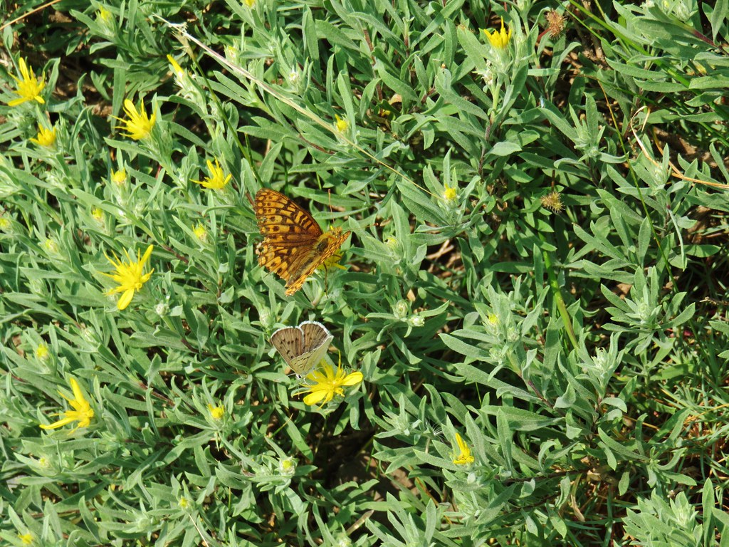
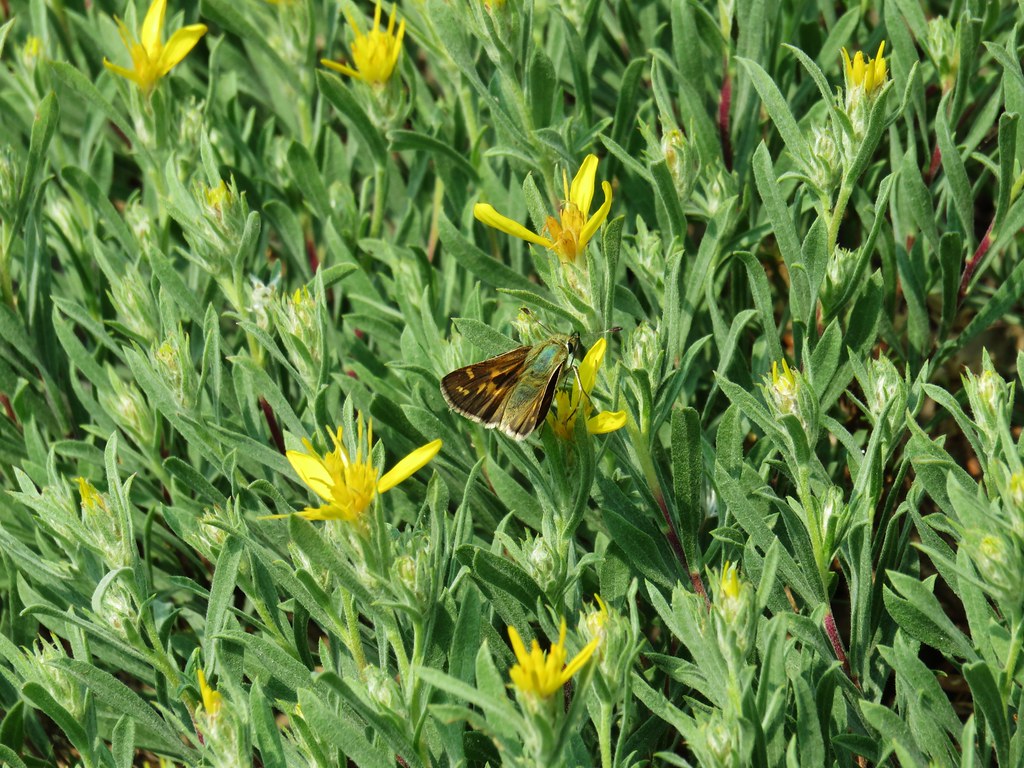
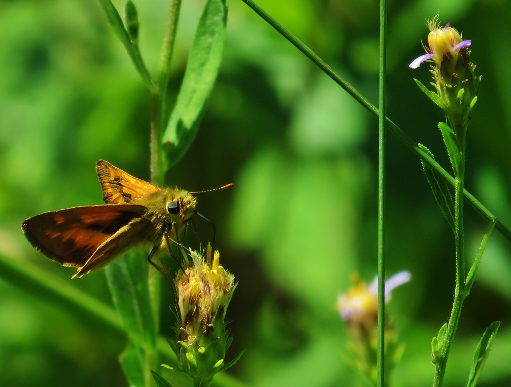
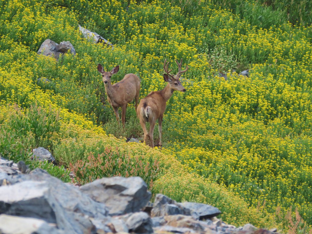
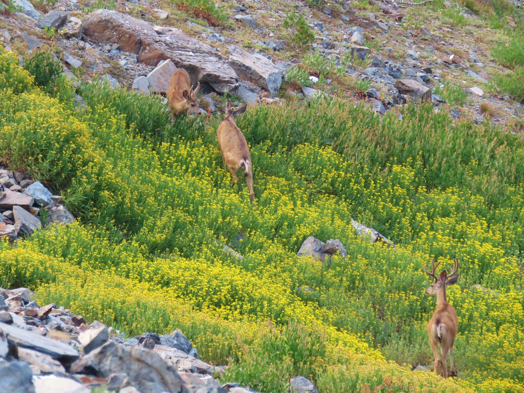
After our break we headed back. There were several breaks along the way as we stopped to watch the numerous butterflies visiting the flowers.
 Checkerspot on Oregon sunshine
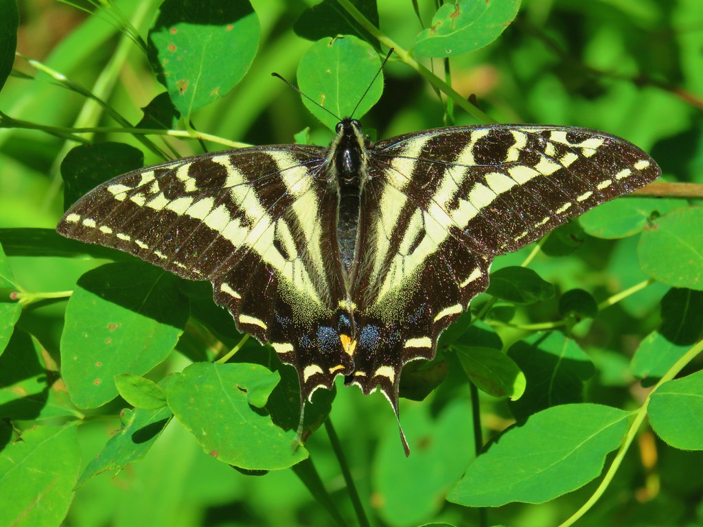
 Swallowtail resting on serviceberry.
 Blue bells of Scotland
 Fritillaries on mountain coyote mint
 Clodius parnassian on mountain coyote mint.
 Fleabane
 Buckwheats, paintbrush, Oregon sunshine and at least one butterfly.
 Scarlet gilia
 Larkspur
 Washington lily
 Inside-out flower
 Fritillary
 Beardtongue
 Pink pyrola
 Bead lily a.k.a. Queen’s cup
 Bunchberry
 Cat’s ear mariposa lily
 Approaching the road.
Another round of roadside flowers occurred before packing up and heading home.

 Larkspur and yarrow

 Checkerspots on Oregon sunshine

Including the roadside flower wanderings our hike here came to 3 miles with approximately 600′ of elevation gain.

At 4.5 miles total these two stops made for a fairly easy day despite the rough trail conditions. The roads were in good shape to both trailheads, but please note that the area sees heavy log truck traffic on weekdays. We didn’t see anyone during either stops and somewhat surprisingly still didn’t see anyone parked at the Joyce Lake Trailhead when we passed back by close to Noon.

Nasty Rock was a bit of a bittersweet hike seeing all of the familiar areas burned by the 2020 fires, but we were glad to have finally made it up there. Happy Trails!
Flickr: Joyce Lake and Nasty Rock

 Harvester ants – 5/29/23, Riley Ranch Preserve, Bend
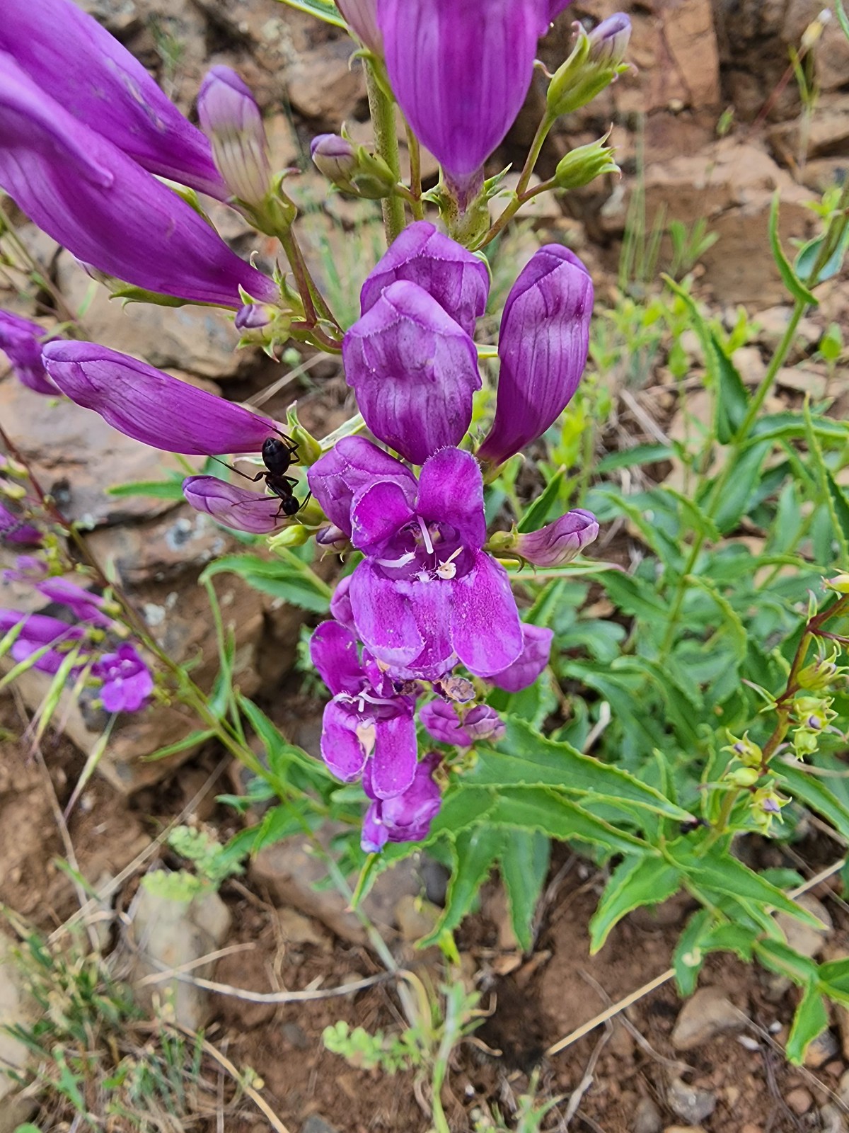 Ant on penstemon – 6/15/23, Hells Canyon National Recreation Area, Wallowa-Whitman National Forest
 Crab spider on a California harebell – 6/25/23, North Umpqua Trail, BLM Roseburg District
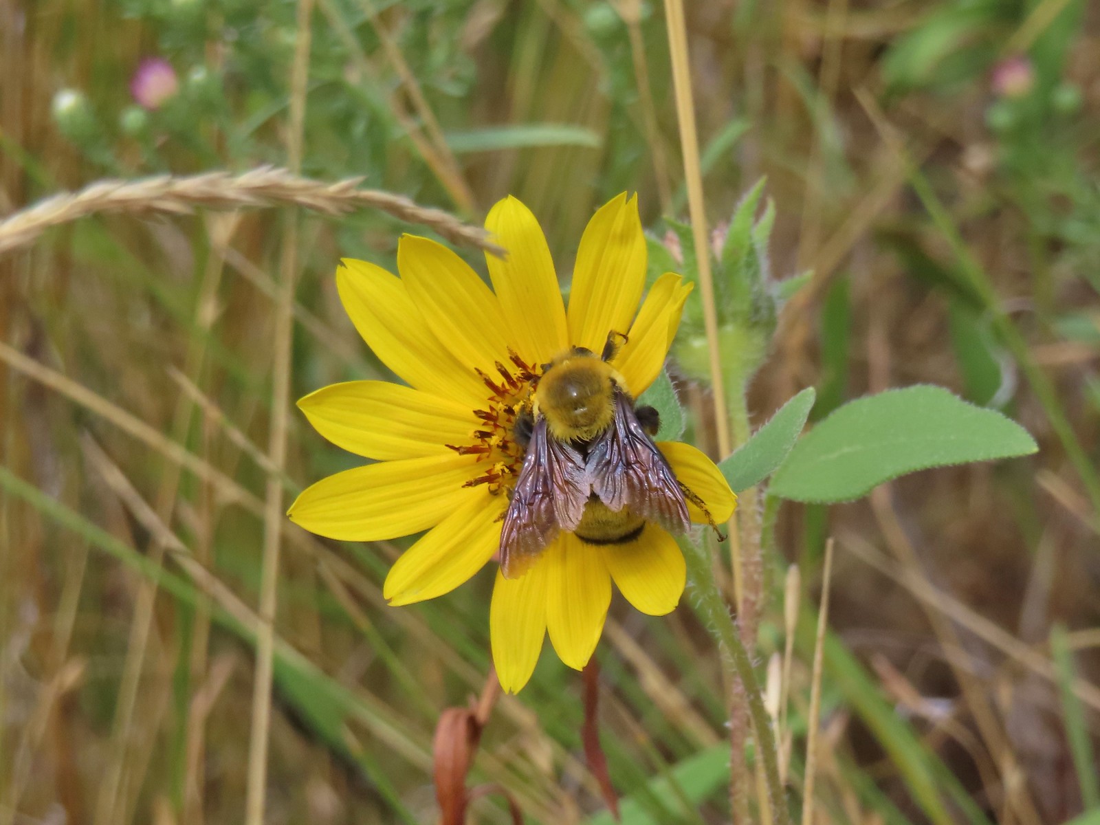 Bee – 9/3/23, Threemile Canyon, BLM Burns District
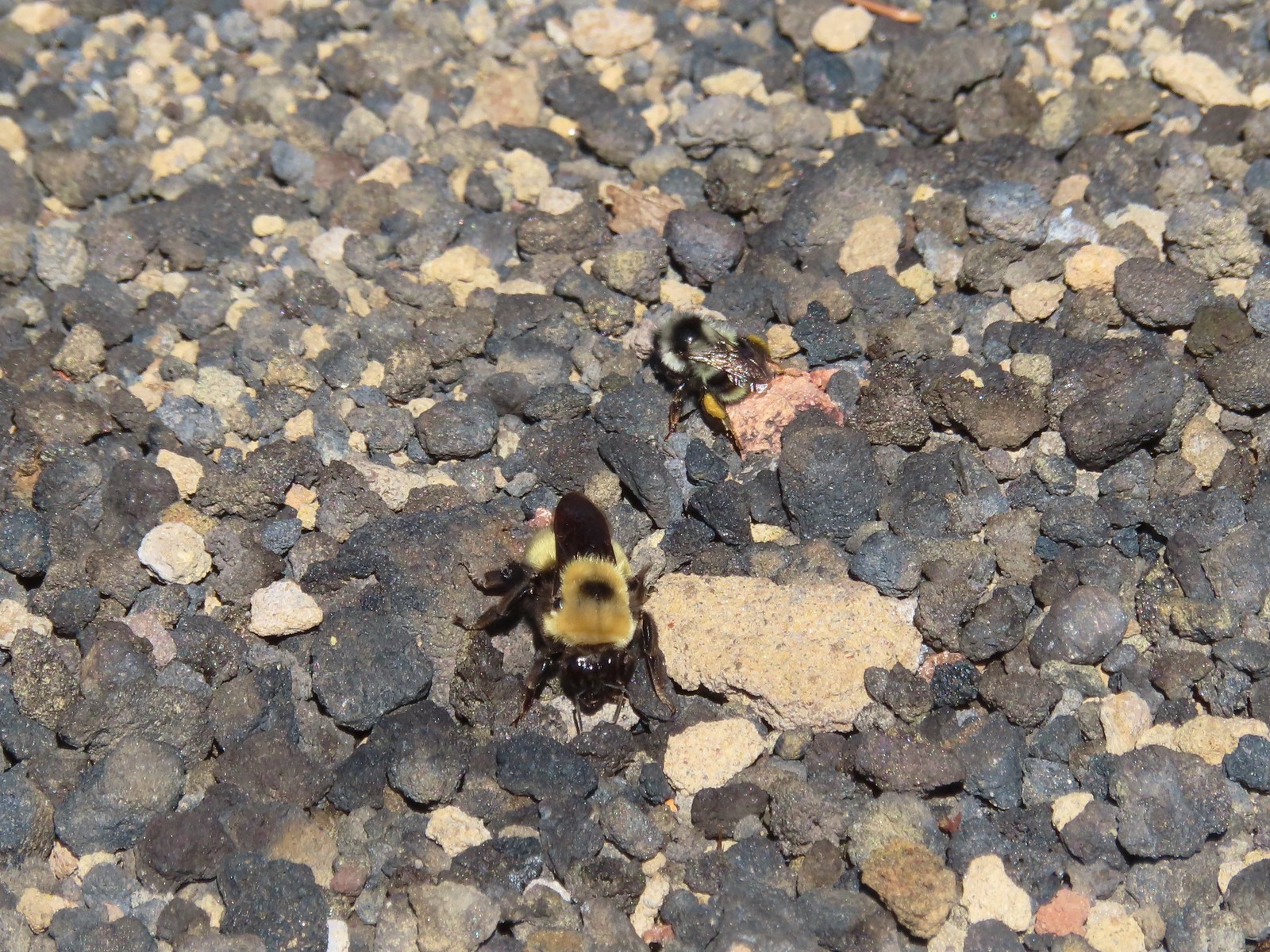 Bees – 7/8/23, Sand Mountain, Willamette National Forest
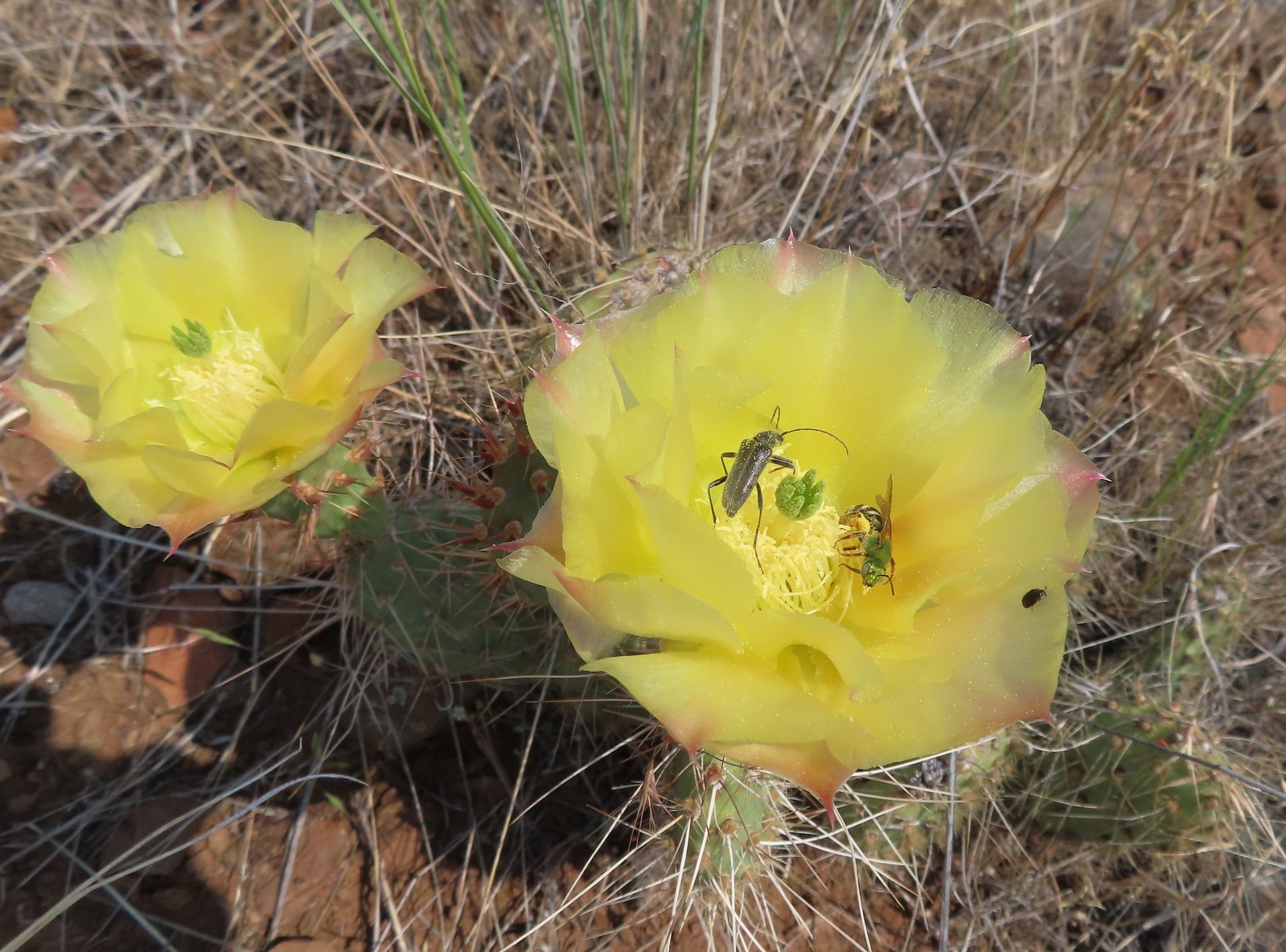 Sweat bee? and a beetle on a prickly pear cactus – 6/15/23, Hells Canyon National Recreation Area, Wallowa-Whitman National Forest
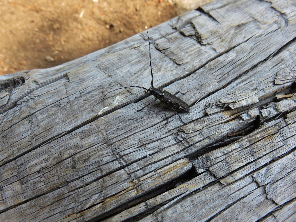
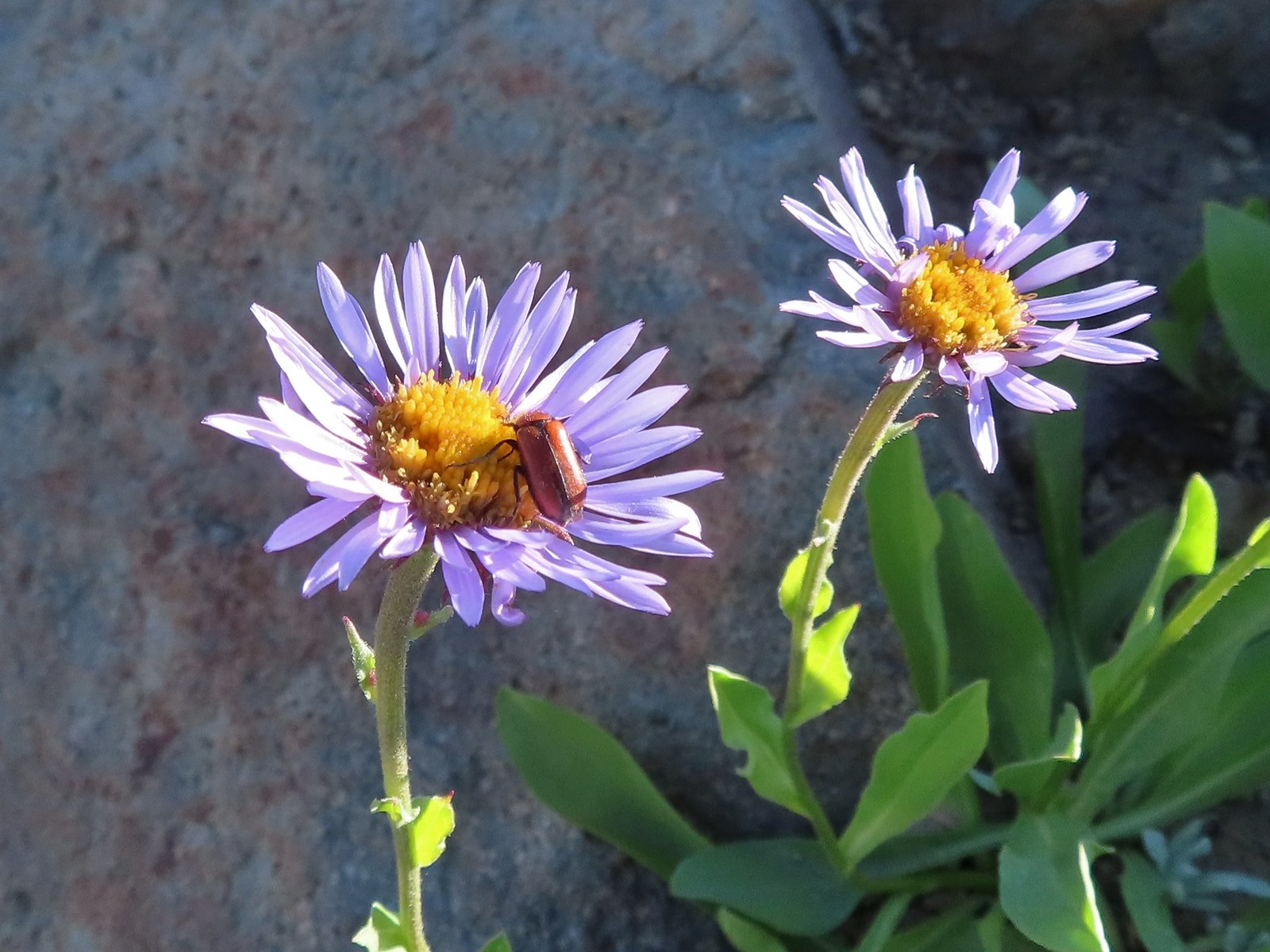 Beetle – 7/31/23, Garfield Peak Trail, Crater Lake National Park
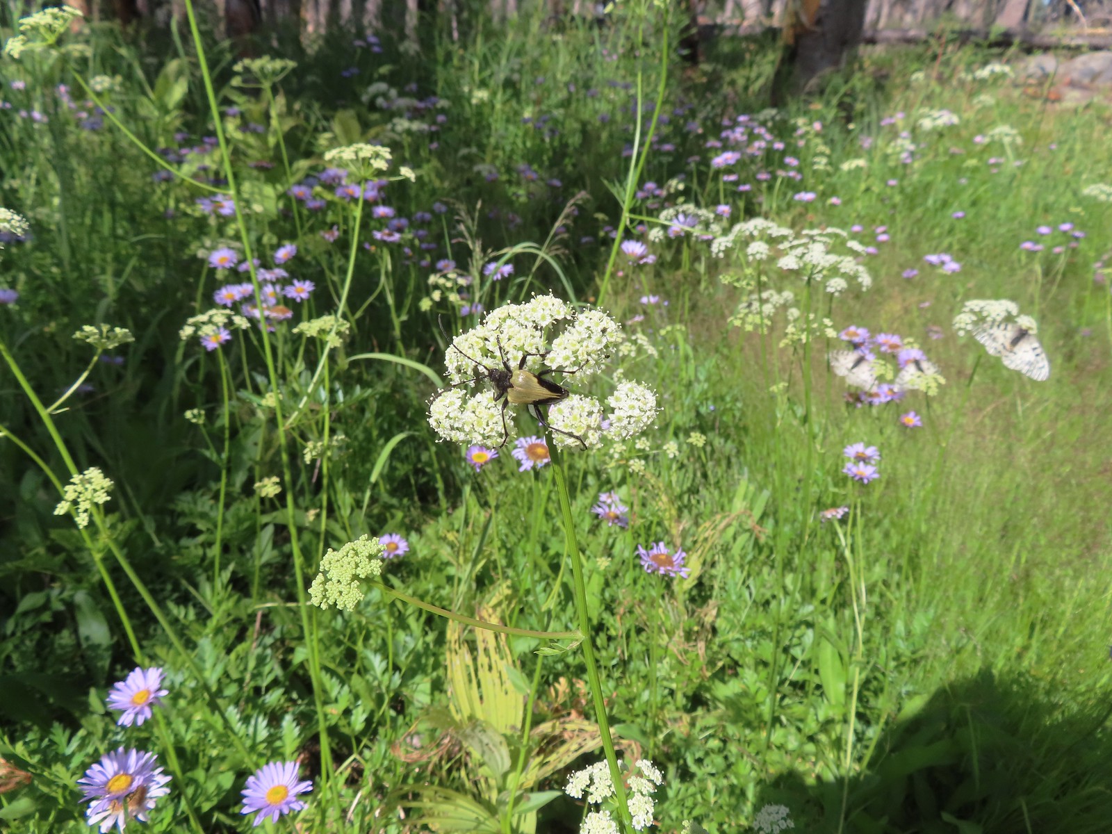 Beetle – 7/29/23, Stuart Falls Trail, Crater Lake National Park
 Beetle on a white mariposa lily – 8/14/23, Main Eagle Creek Trail, Eagle Cap Wilderness
 Beetle and another bug on spirea – 7/4/23, Rocky Top Trail, Santiam State Forest
 Beetles on thistle – 6/15/23, Hells Canyon National Recreation Area, Wallowa-Whitman National Forest
 Ladybug on a daisy – 7/4/23, Natural Arch Trail, Santiam State Forest
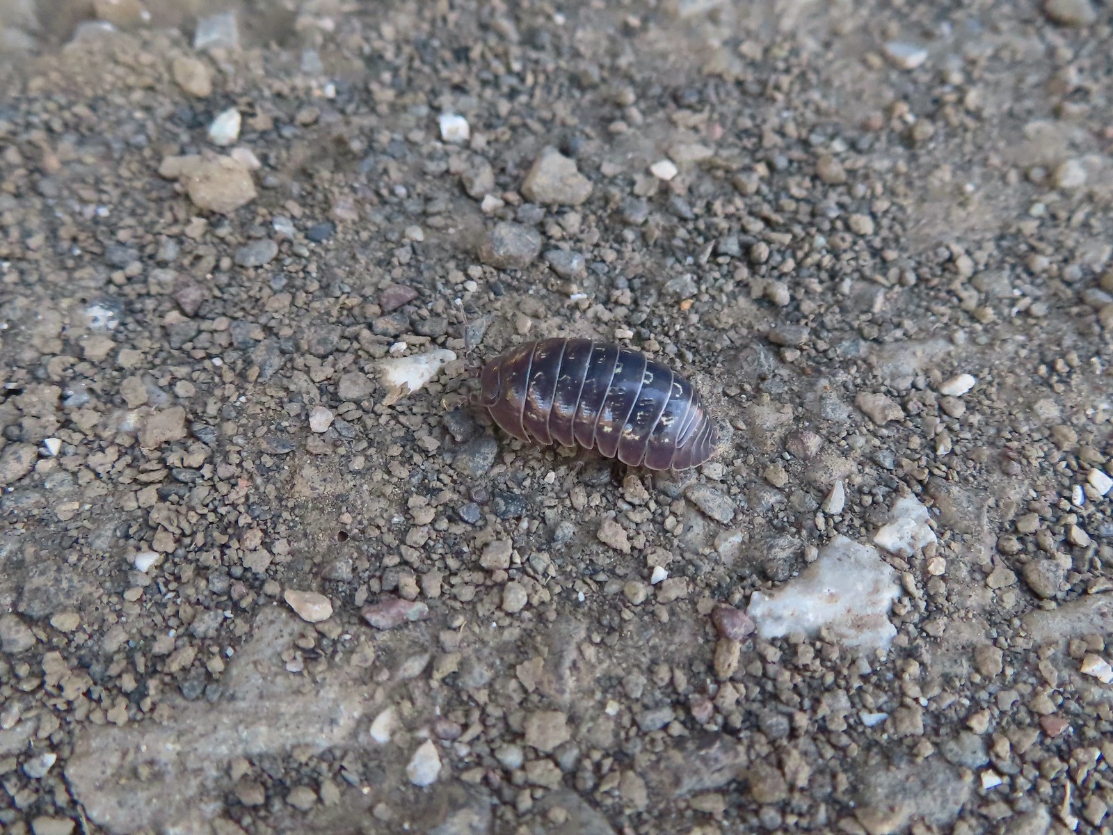 Common pill-bug – 6/25/23, North Bank Habitat, BLM Roseburg District
 Beetle – 5/28/23, Criterion Tract, BLM Prineville District
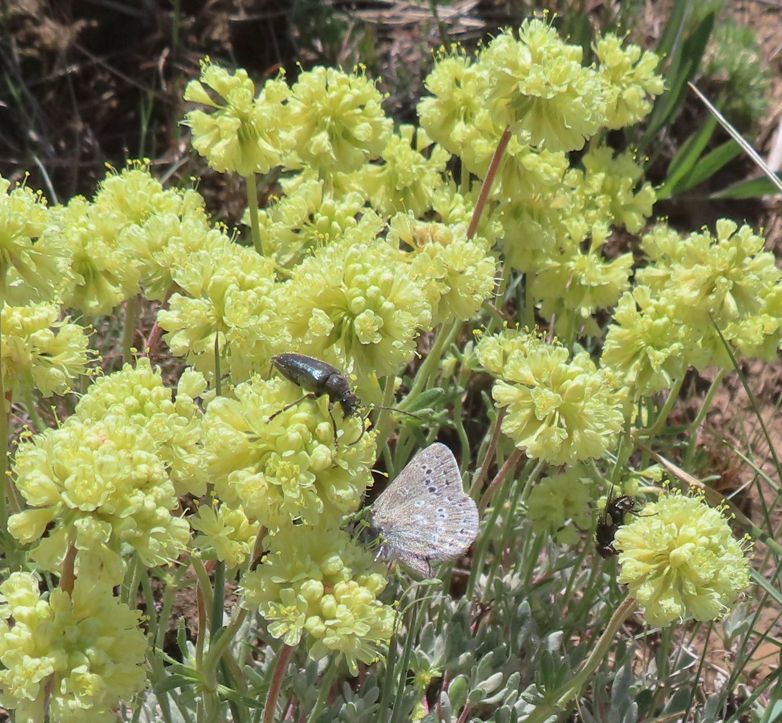 Beetle and a butterfly on buckwheat – 5/28/23, Criterion Tract, BLM Prineville District
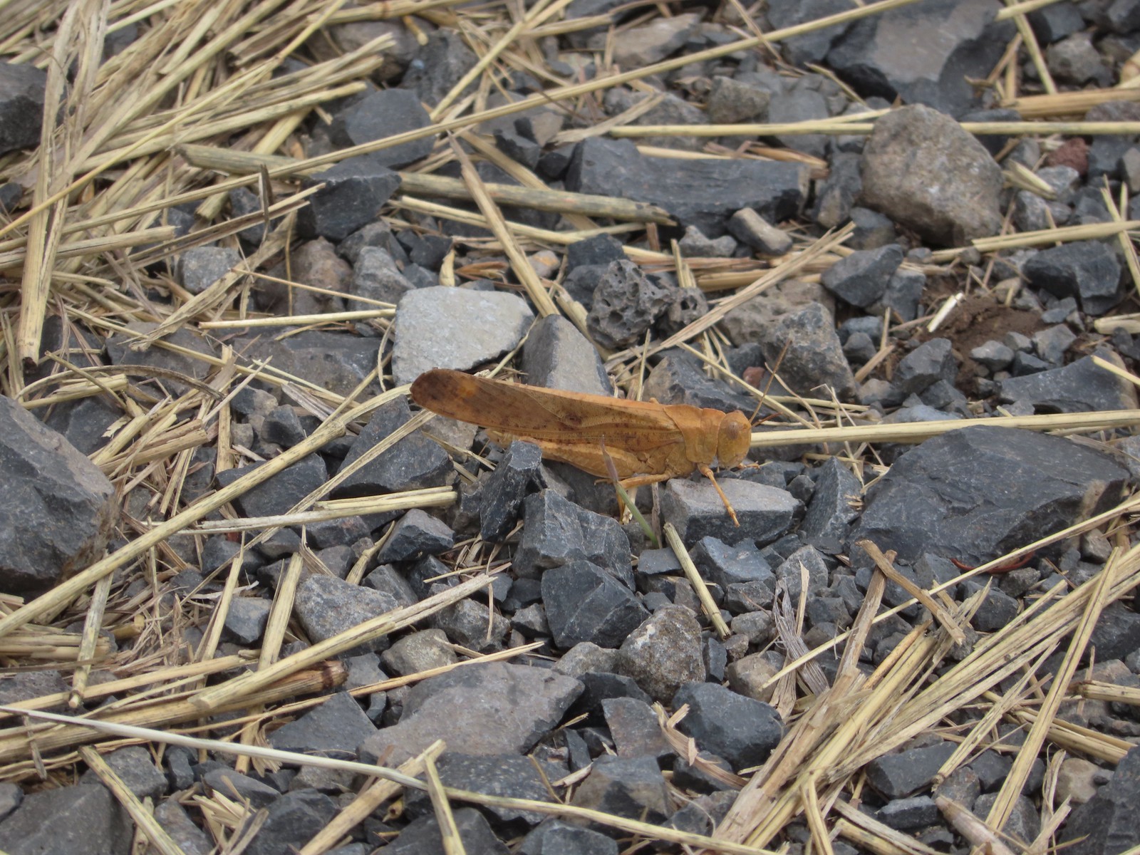 Grasshopper – 9/3/23, P Ranch, Malheur National Wildlife Refuge
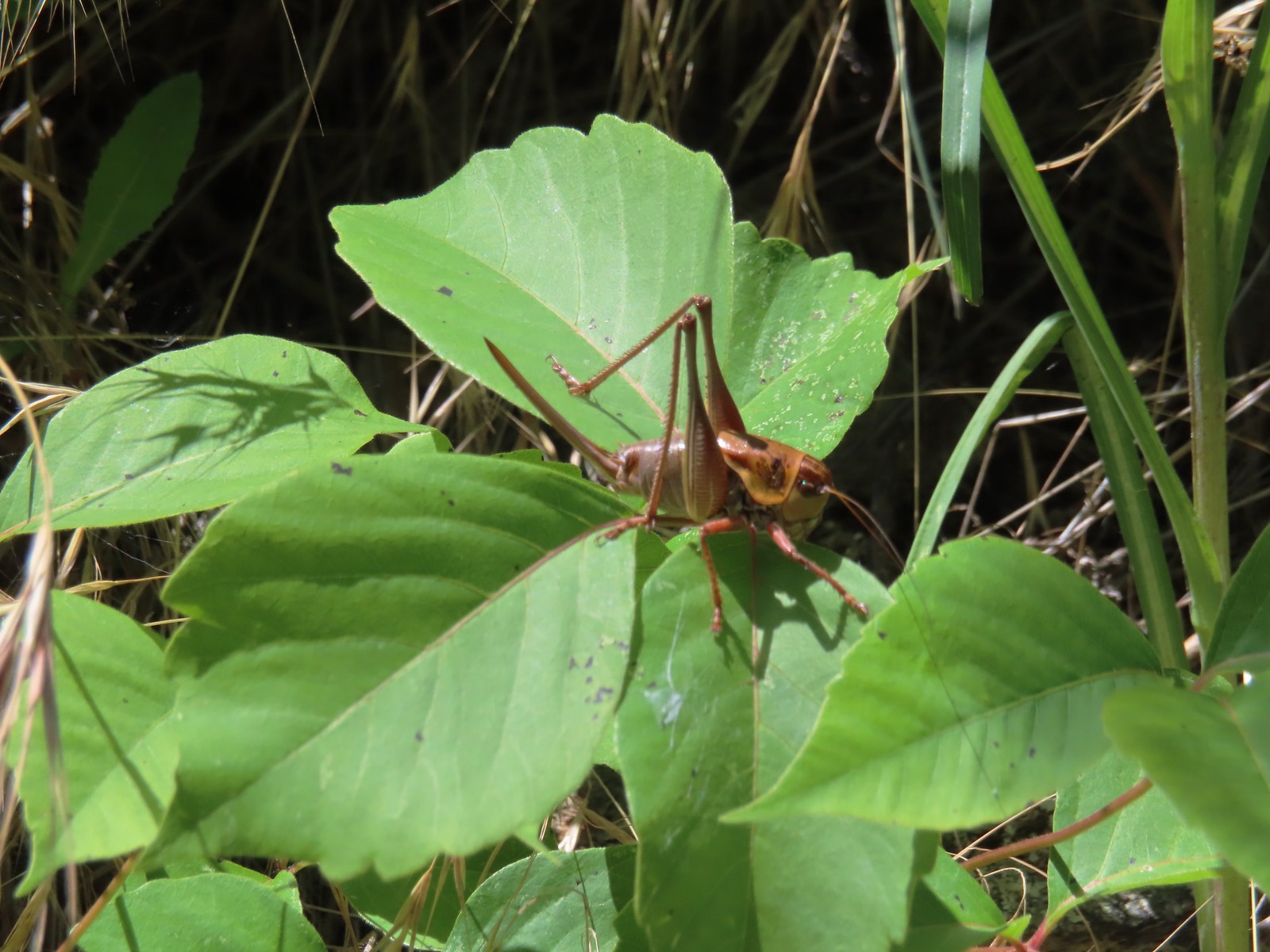 Cricket – 6/14/23, Imnaha Trail, Hells Canyon National Recreation Area
 Caterpillar – 5/28/23, Criterion Tract, BLM Prineville District
 Caterpillar – 7/1/23, Hummocks Trail, Mt. St. Helens National Volcanic Monument, WA
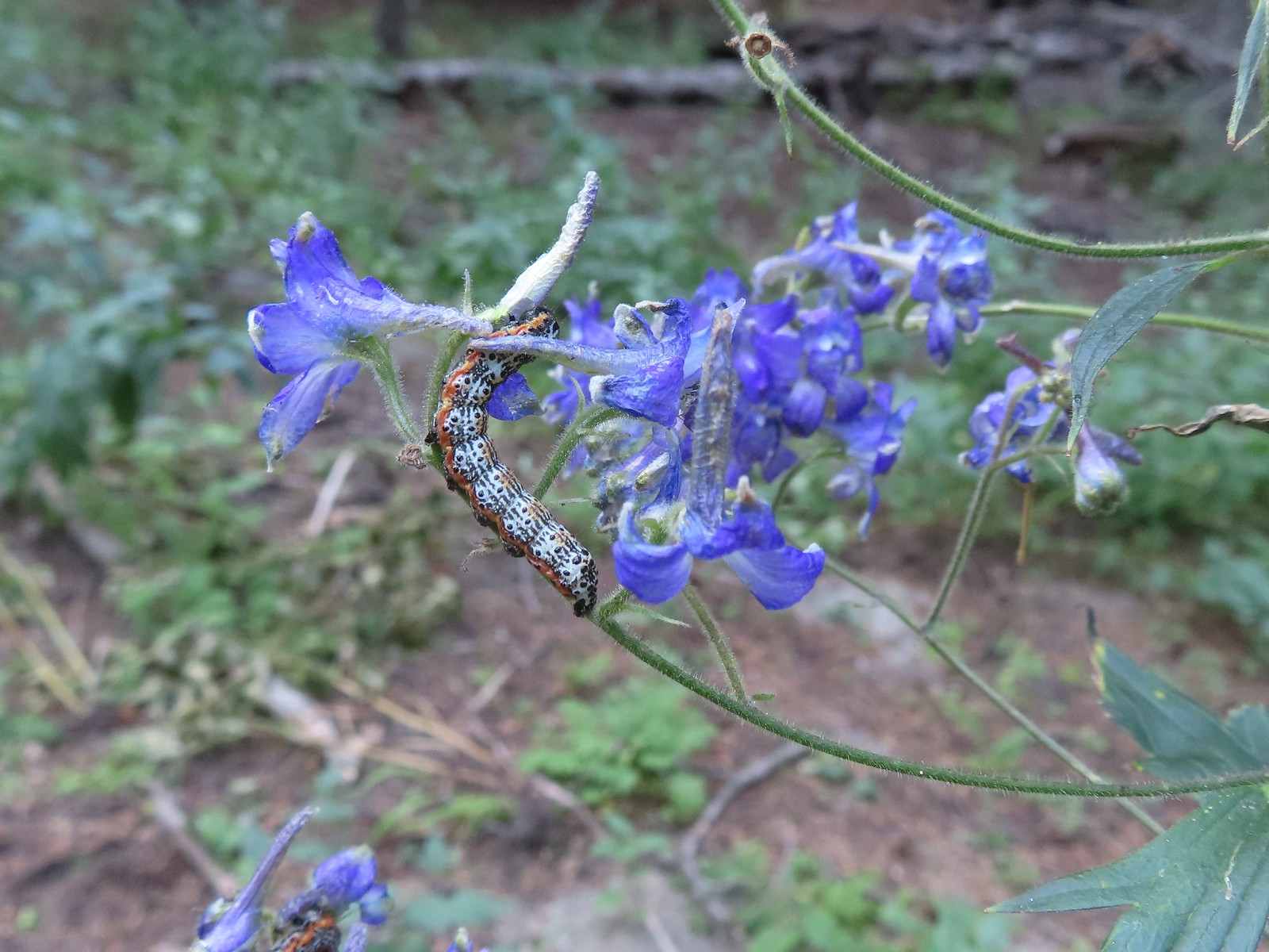 Caterpillar – 8/16/23, West Eagle Trail, Eagle Cap Wilderness
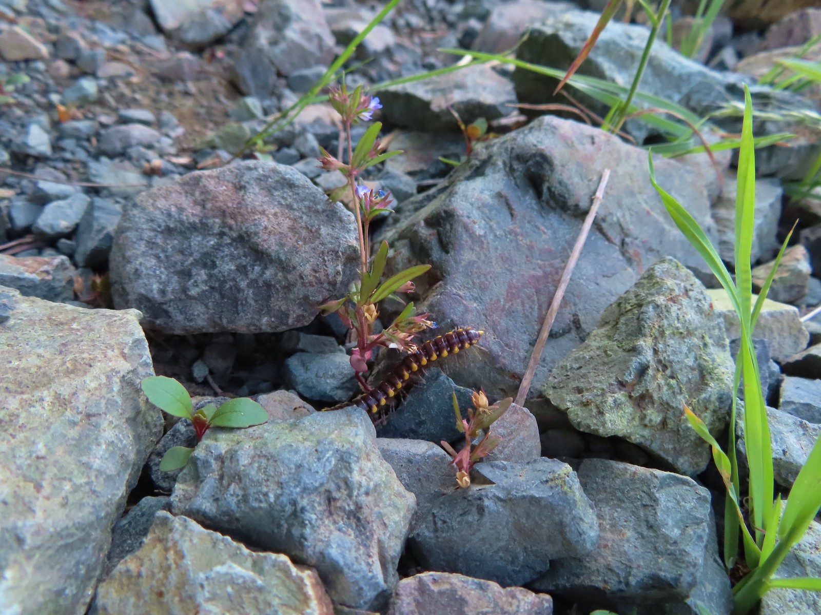 Millipede – 6/12/23, Imnaha River Trail, Eagle Cap Wilderness
 Millipedes – 6/12/23, Imnaha River Trail, Eagle Cap Wilderness
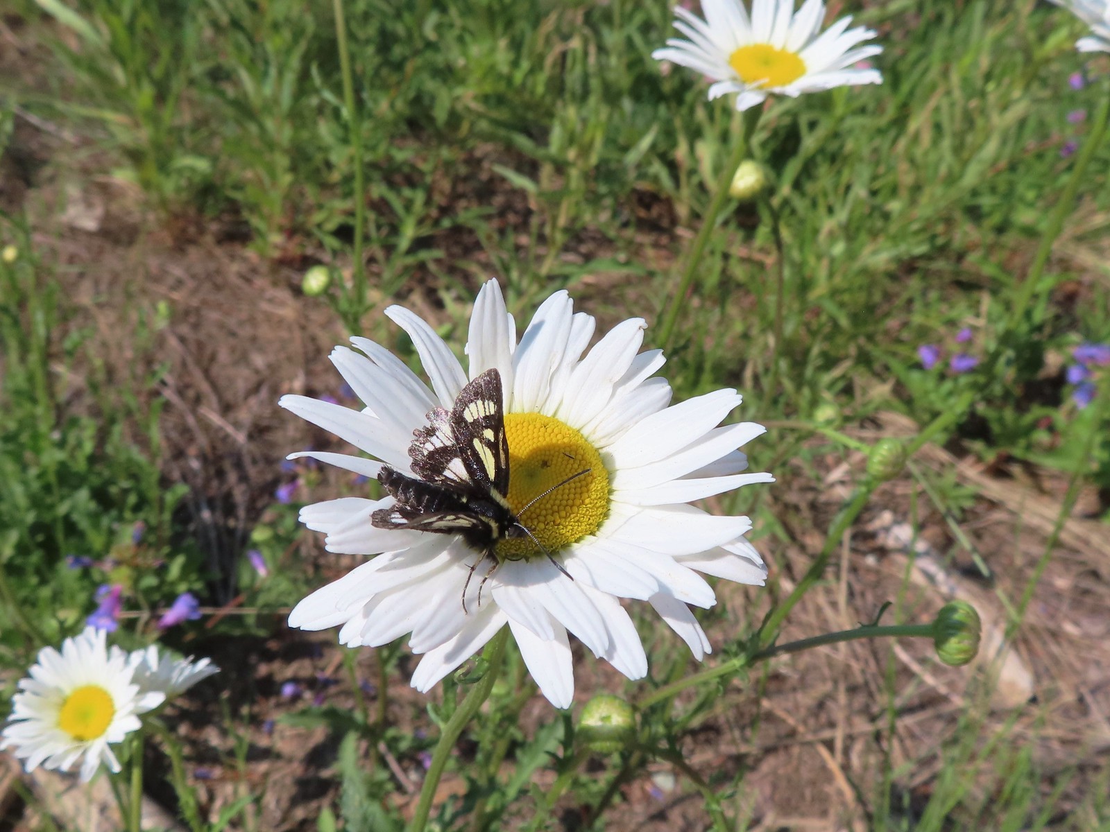 Eight-spotted Forester-Alypia octomaculata – 7/4/23, Niagra Heights Road, Santiam State Forest
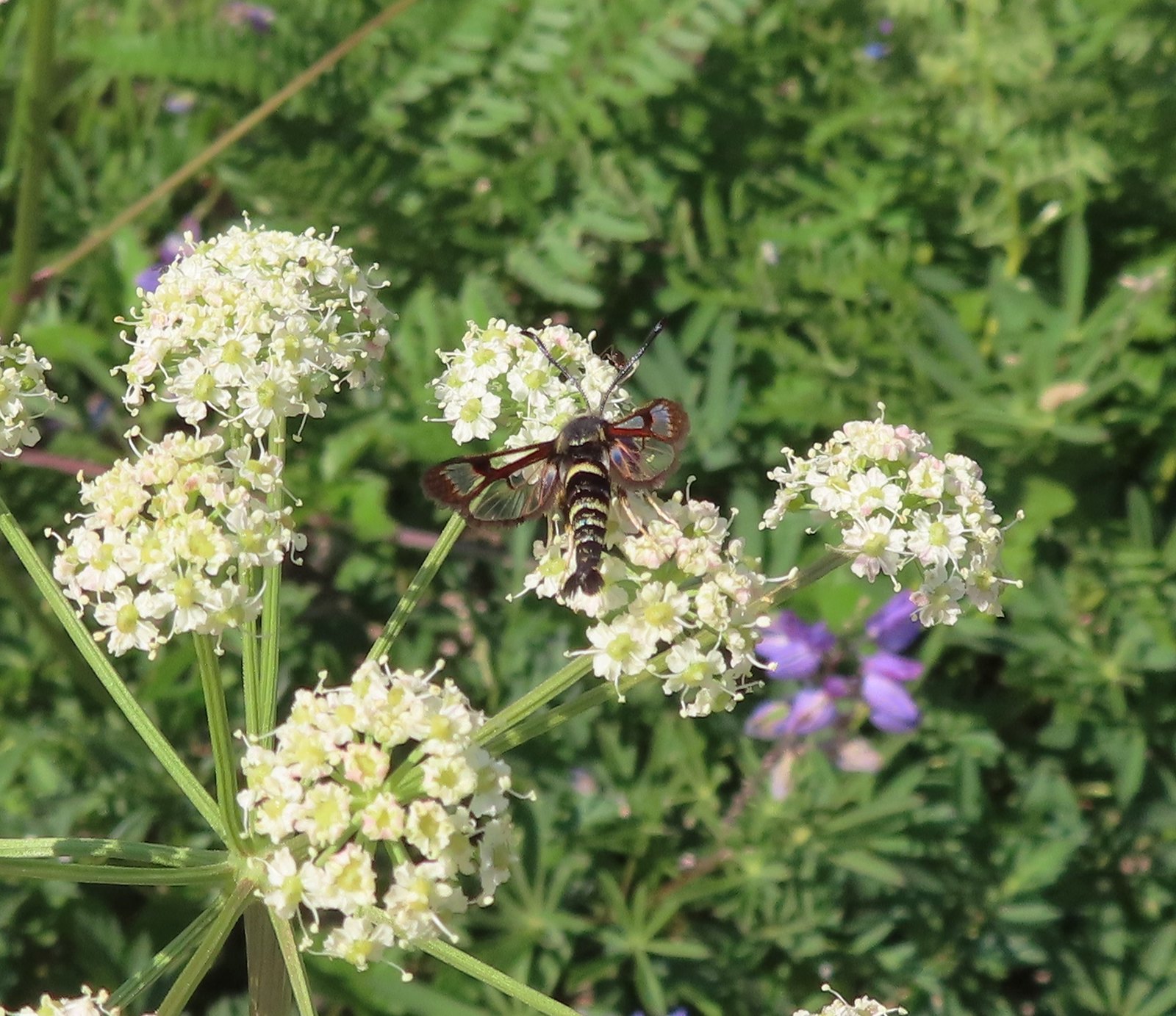 Fireweed Clearwing Moth (Albuna pyramidalis) – 7/4/23, Niagra Heights Road, Santiam State Forest
 Moth – 7/4/23, Niagra Heights Road, Santiam State Forest
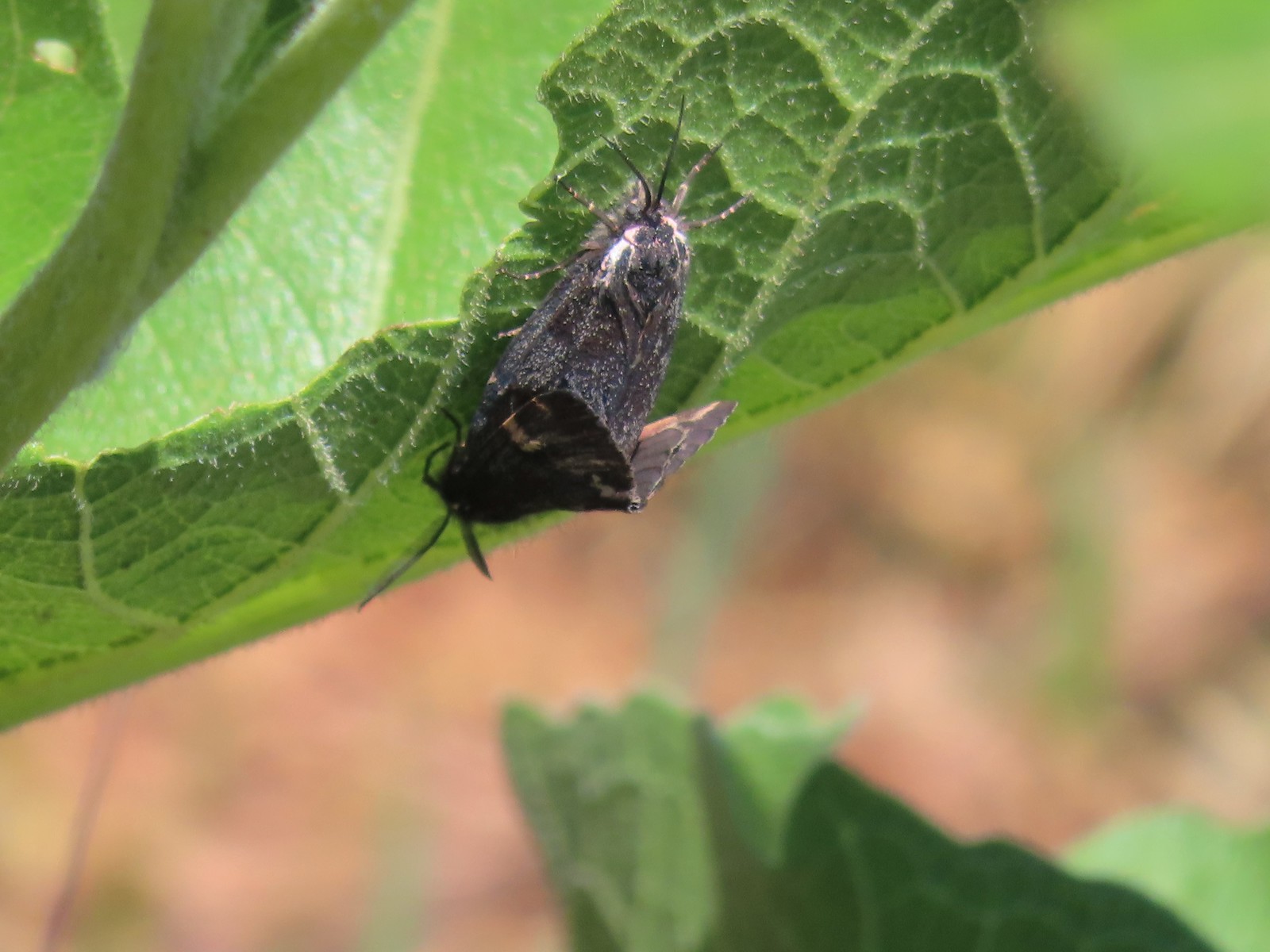 Moths – 6/3/23, Buck Creek Trail, Husum, WA
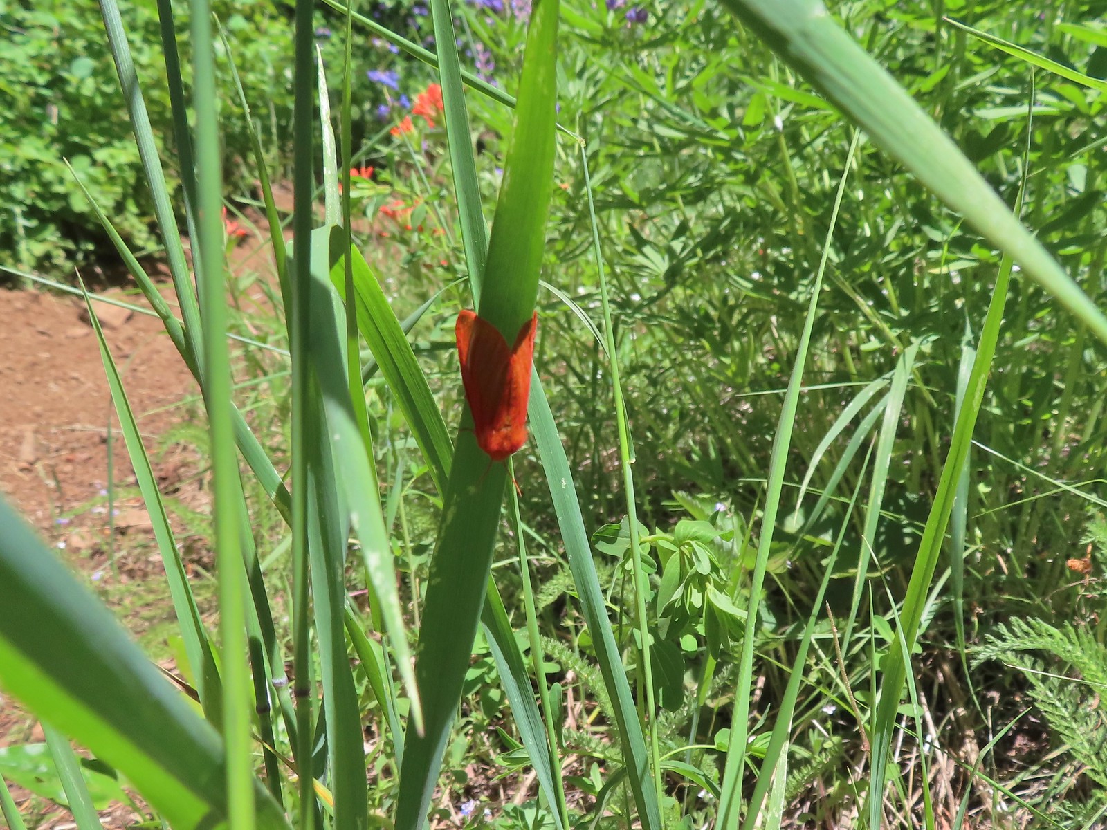 Moth – 6/3/23, Buck Creek Trail, Husum, WA
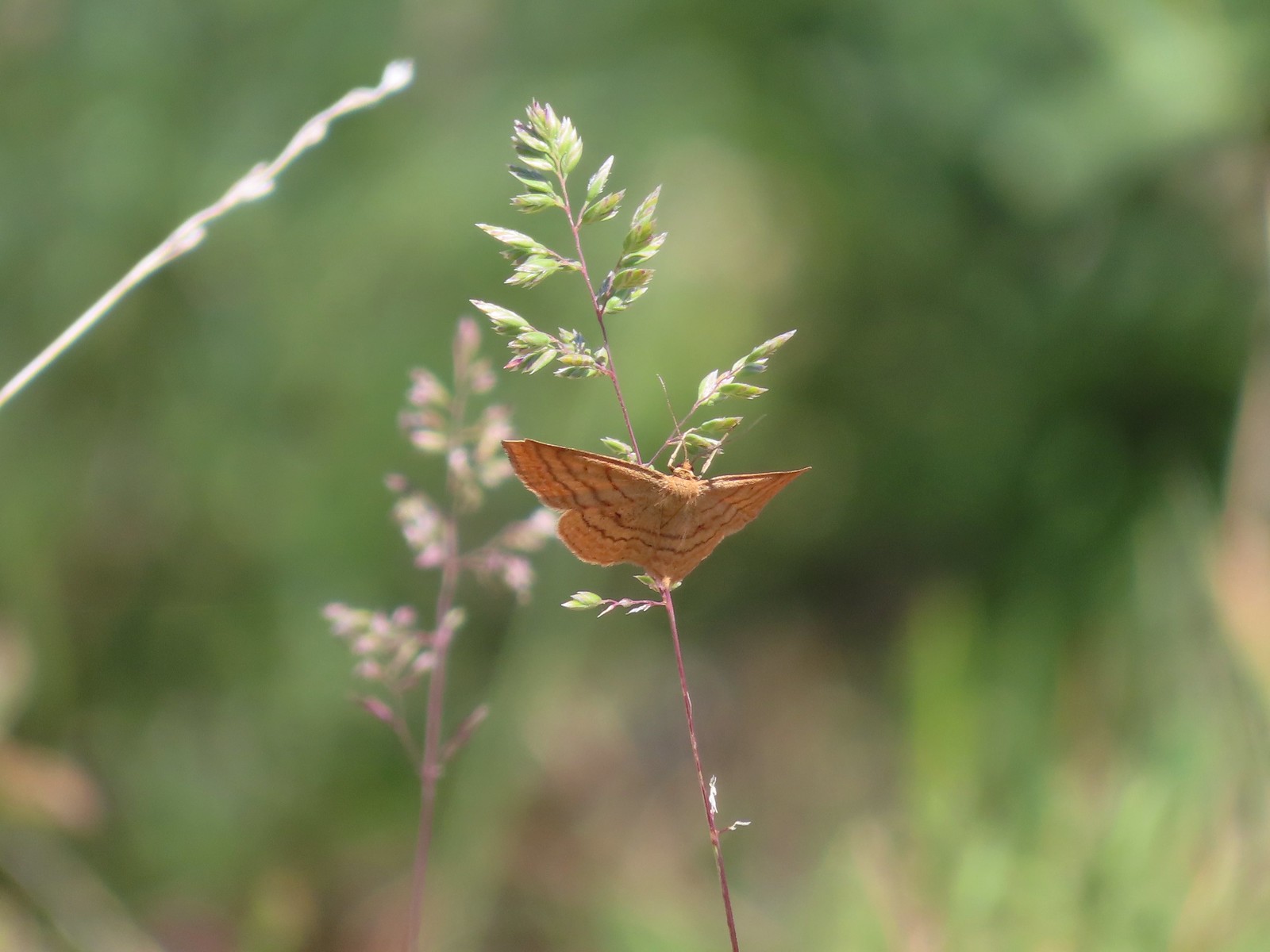 Moth – 6/3/23, Buck Creek Trail, Husum, WA
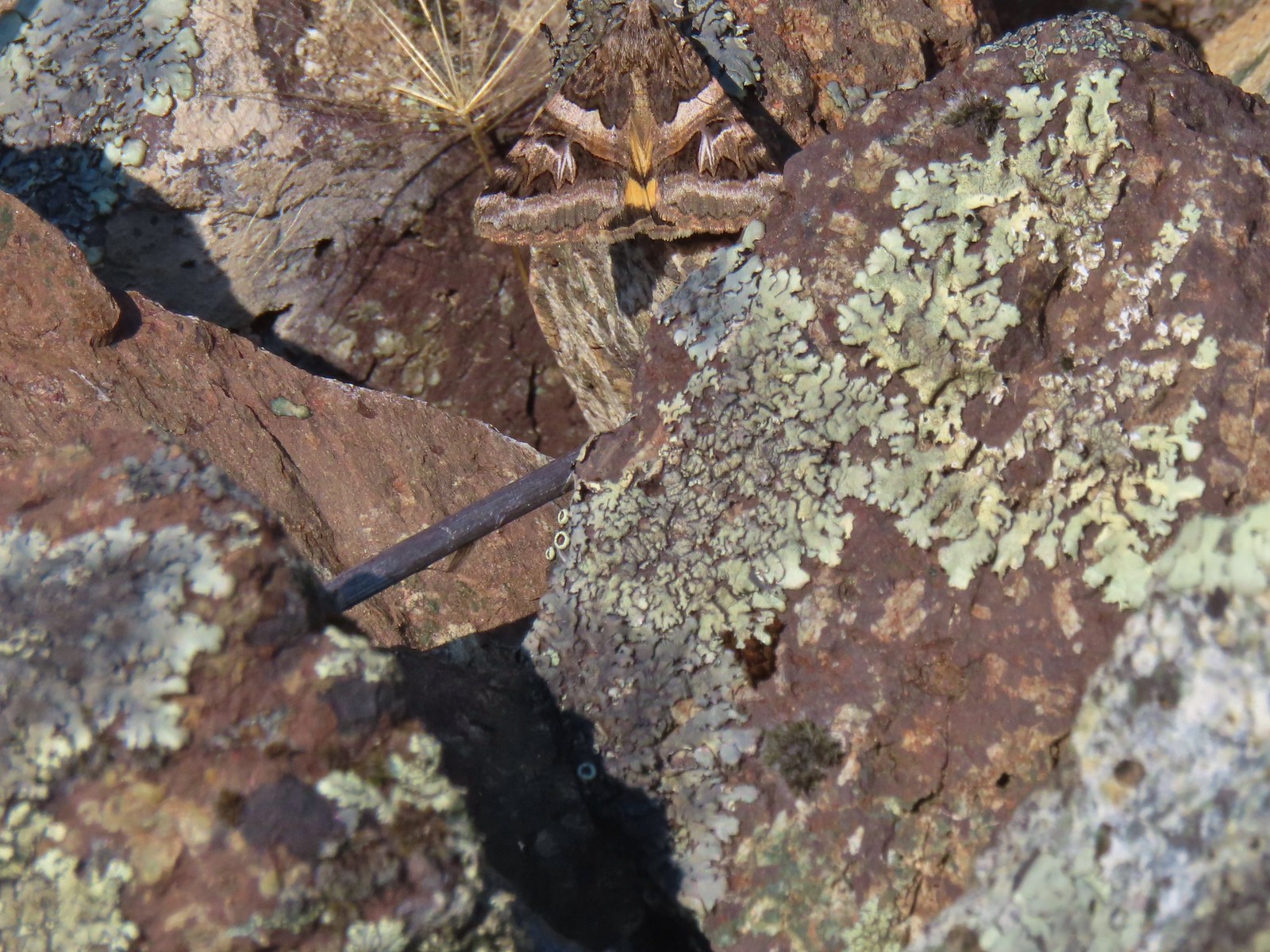 Moth – 6/16/23, Trail 1890, Hells Canyon National Recreation Area
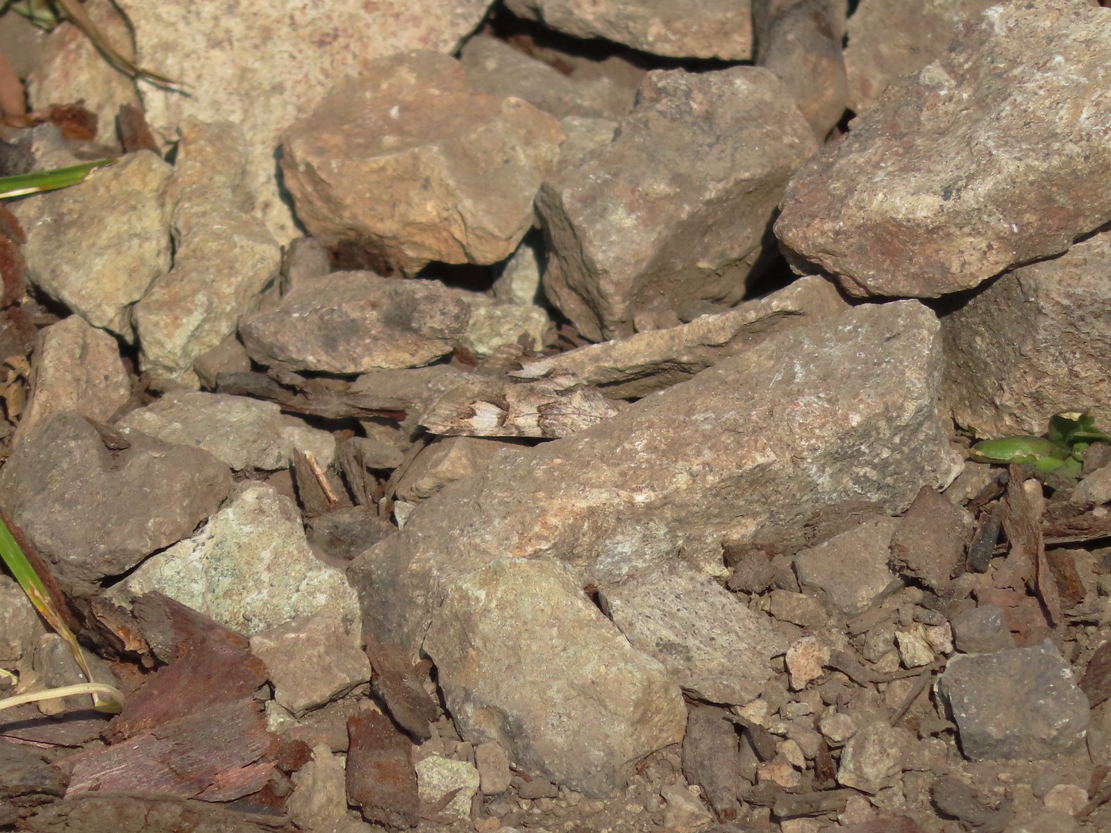 Moth – 7/4/23, Rocky Top Trail, North Santiam State Park
 Moth – 6/25/23, North Umpqua Trail, BLM Roseburg District
 Moth – 6/12/23, Imnaha River Trail, Eagle Cap Wilderness
 Moth – 6/24/23, Rogue River National Recreation Trail, Wild Rogue Wilderness
 Moth – 7/8/23, Santiam Wagon Road, Willamette National Forest
 Sphinx moth – 8/17/23, West Eagle Trail, Eagle Cap Wilderness
 Fly and butterfly – 5/28/23, Criterion Tract, BLM Prineville District
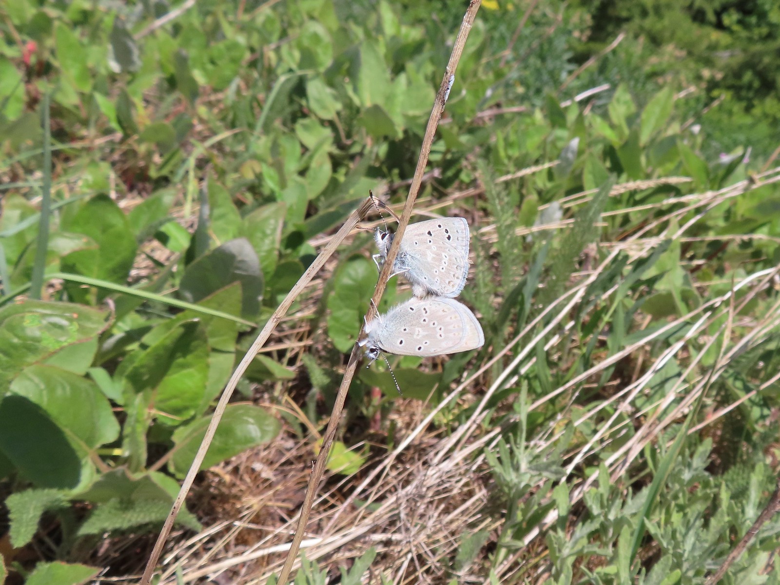 Boisduval’s blues? – 6/3/23, Buck Creek Trail, Husum, WA
 Acmon blue? – 5/28/23, Criterion Tract, BLM Prineville District
 Eastern tailed blue? – 5/13/23, Graham Oaks Nature Park, Wilsonville
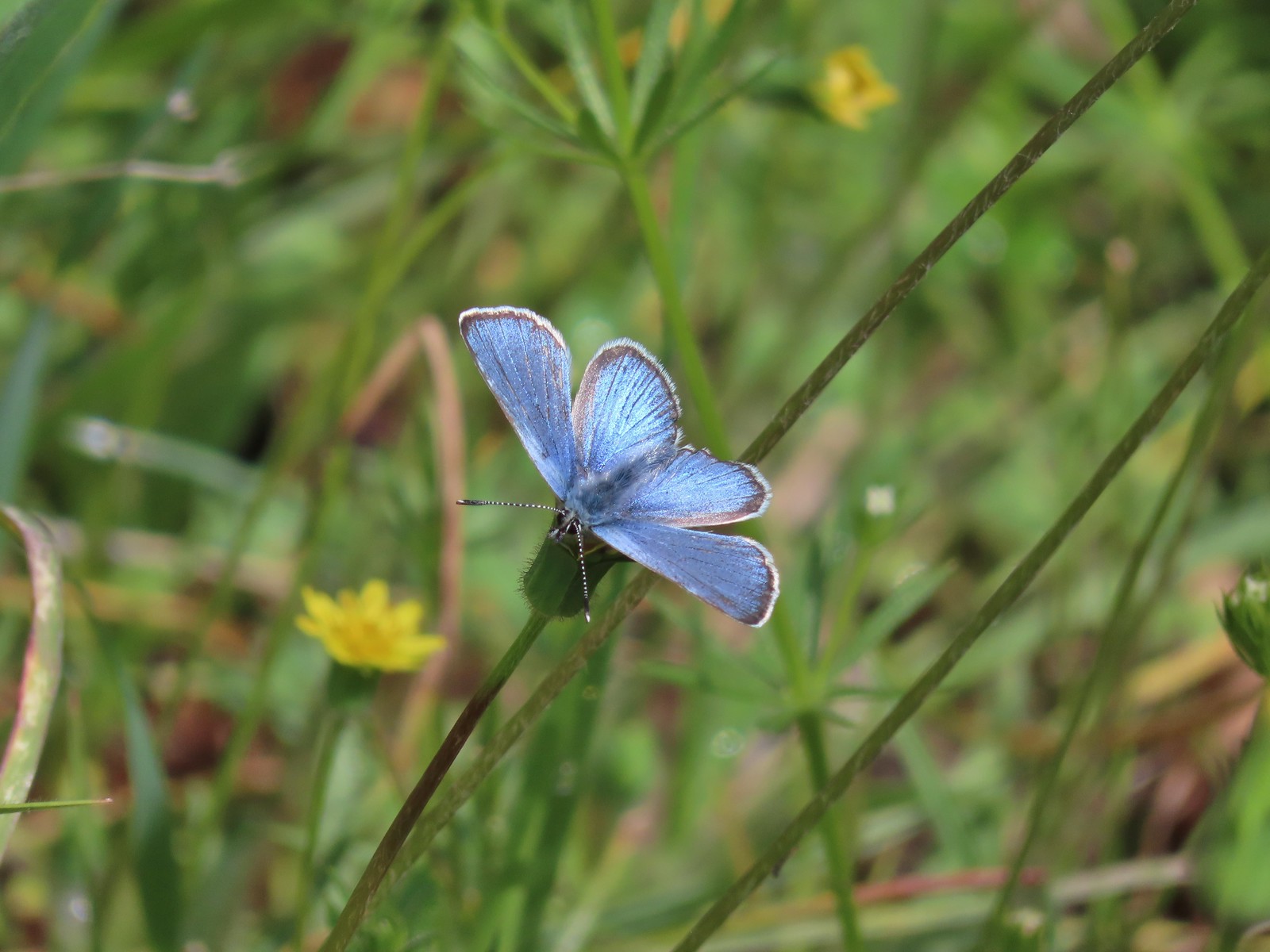 Butterfly in the Lycaenidae family – 5/2/23, Sterling Mind Ditch Trail System, BLM Medford District
 Butterfly in the Lycaenidae family – 5/28/23, Criterion Tract, BLM Prineville District
 Butterfly in the Lycaenidae family – 6/15/23, Hells Canyon National Recreation Area, Wallowa-Whitman National Forest
 Butterfly in the Lycaenidae family – 6/13/23, Iwetemlaykin State Heritage Site, Joseph
 Echo azures? – 5/4/23, Forest Road 011, Rogue-River Siskiyou National Forest
 Butterfly in the Lycaenidae family – 6/3/23, Buck Creek Trail, Husum, WA
 Butterflies in the Lycaenidae family – 7/4/23, Niagra Heights Road, Santiam State Forest
 Gray hairstreak – 6/11/23, Lewis & Clark Trail, Hermiston
 Thicket hairstreak? – 7/8/23, Sand Mountain, Willamette National Forest
 A hairstreak – 6/3/23, Buck Creek Trail, Husum, WA
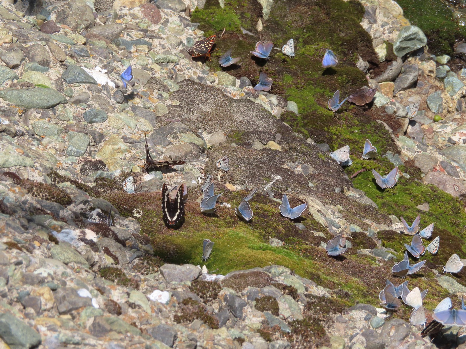 Various butterflies – 6/16/23, Deep Creek Stairway Trail, Payette National Forest, ID
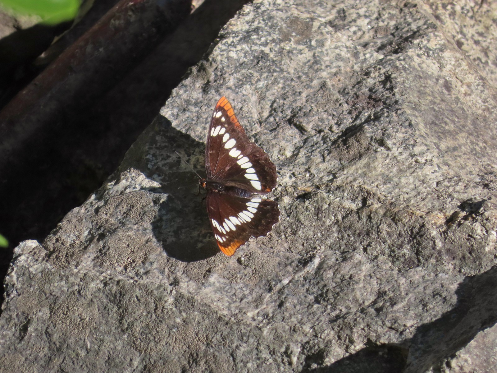 Lorquin’s admiral – 6/14/23, Imnaha Trail, Hells Canyon National Recreation Area
 Red admiral – 7/23/23, Metolius River Trail, Deschutes National Forest
 California sister – 10/8/23, Forest Road 041, Rogue River-Siskiyou National Forest
 Painted lady – 6/12/23, Imnaha River Trail, Eagle Cap Wilderness
 California tortoiseshell – 9/16/23, Fish Lake Trail, Mt. Hood National Forest
 Milbert’s tortoiseshell – 8/14/23, Main Eagle Creek Trail, Eagle Cap Wilderness
 Hoary comma – 7/8/23, Sand Mountain, Willamette National Forest
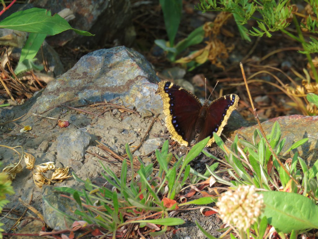
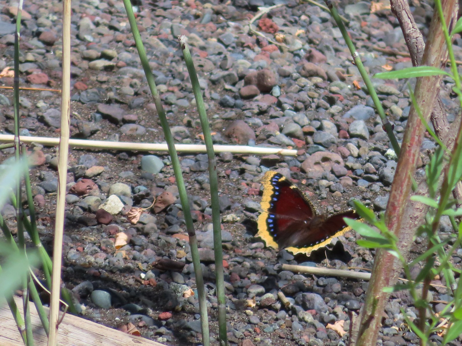 Mourning cloak – 6/14/23, Imnaha Trail, Hells Canyon National Recreation Area
 Common wood nymph – 6/15/23, Hells Canyon National Recreation Area, Wallowa-Whitman National Forest
 Ochre ringlet – 5/28/23, Criterion Tract, BLM Prineville District
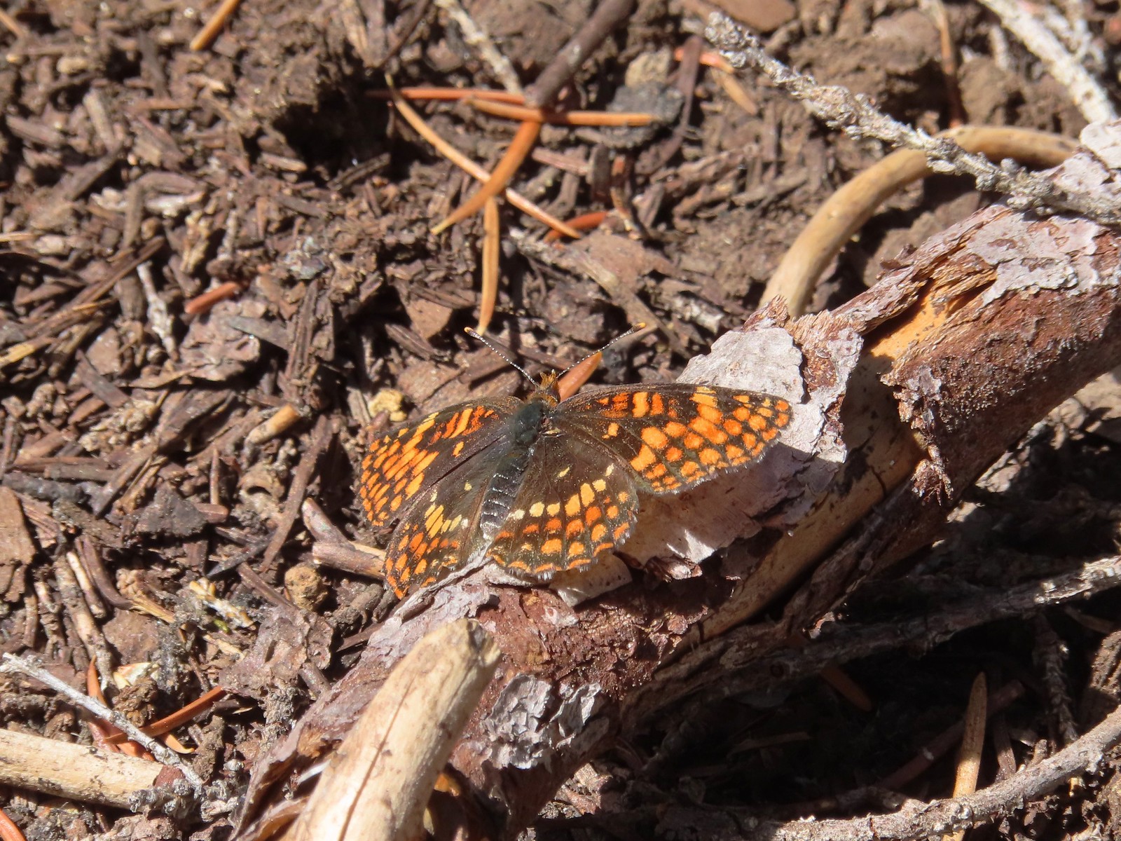 Checkerspot – 7/29/23, Stuart Falls Trail, Crater Lake National Park
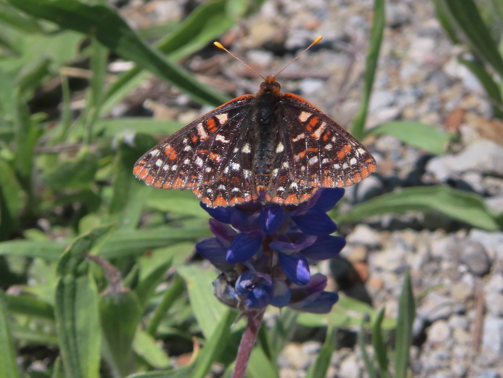 Checkerspot – 7/1/23, Boundary Trail, Mt. St. Helens National Volcanic Monument, WA
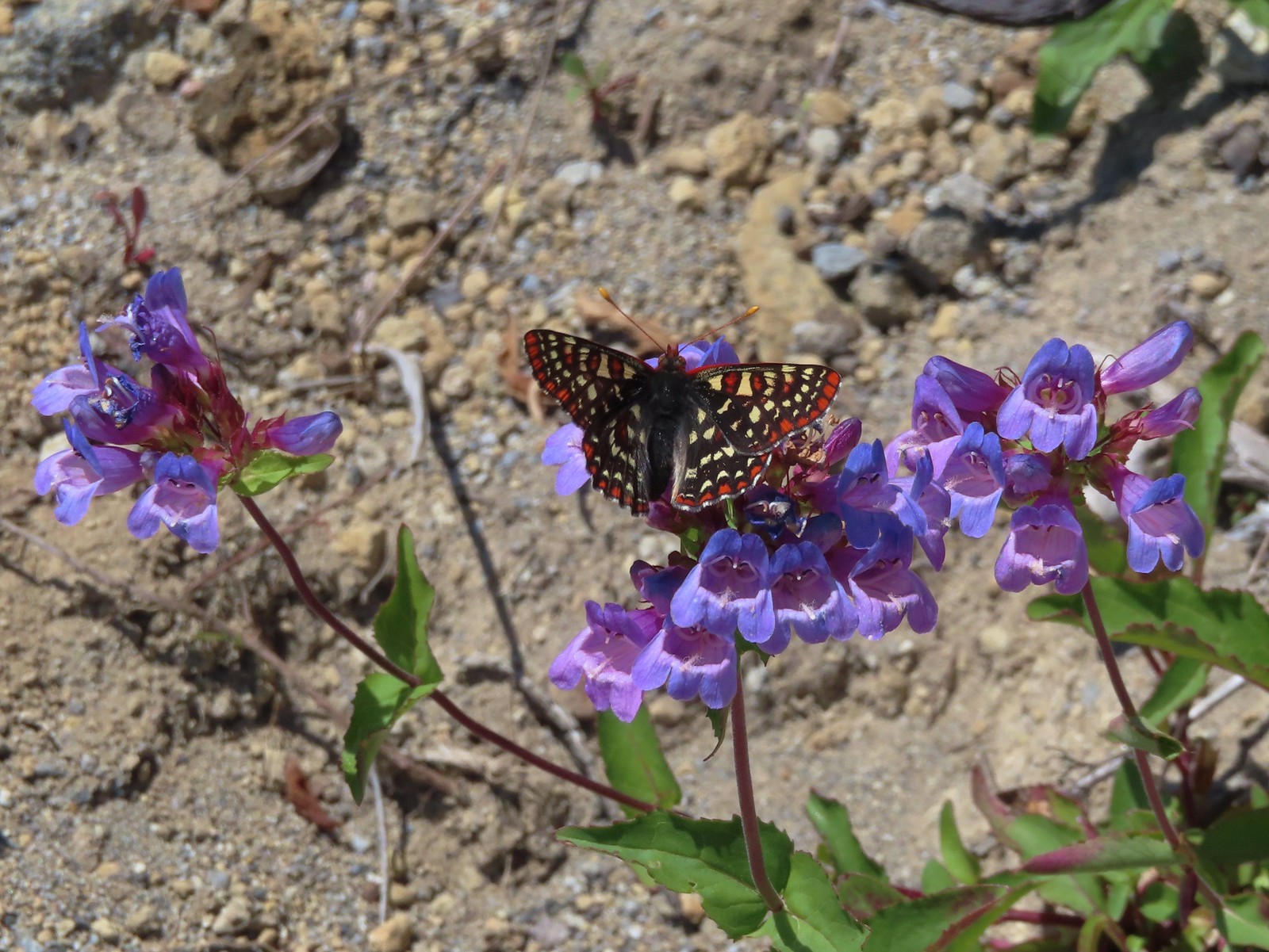 Snowberry checkerspot – 7/1/23, Boundary Trail, Mt. St. Helens National Volcanic Monument, WA
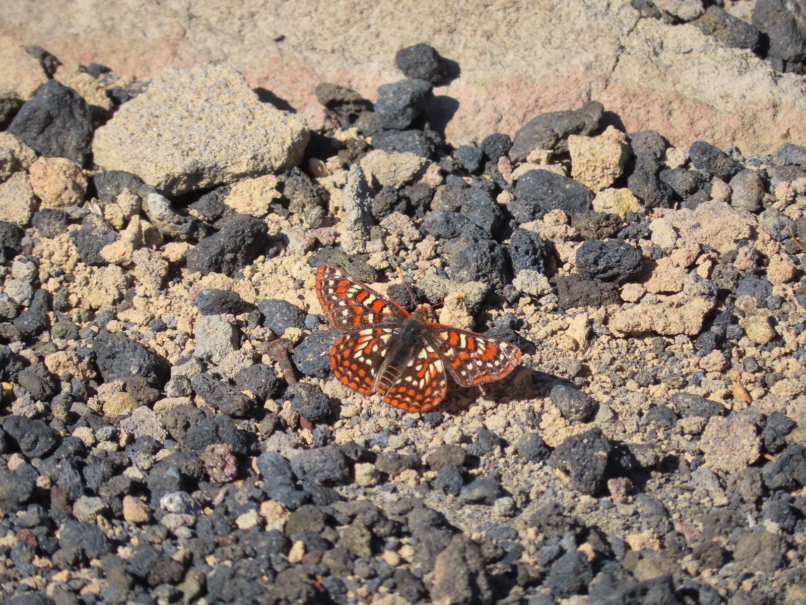 Edith’s checkerspot – 7/8/23, Sand Mountain, Willamette National Forest
 Mylitta crescent – 6/15/23, Hells Canyon National Recreation Area, Wallowa-Whitman National Forest
 A crescent? – 5/13/23, Graham Oaks Nature Park, Wilsonville
 Fritillary butterflies – 5/28/23, Criterion Tract, BLM Prineville District
 A fritillary – 7/4/23, Rocky Top Trail, Santiam State Forest
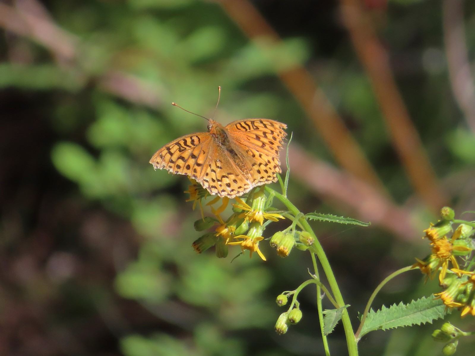 A fritillary – 7/15/23, Forest Road 4610, Mt. Hood National Forest
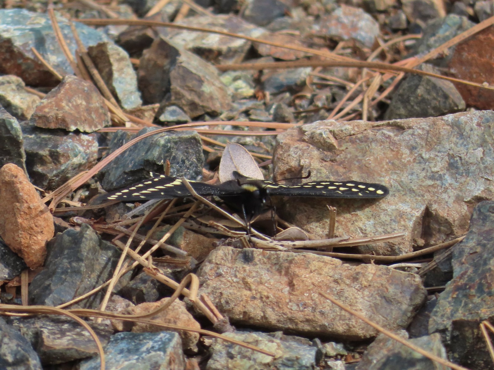 Indra swallowtail – 5/4/23, Kerby Flat Trail, Rogue River-Siskiyou National Forest
 Oregon swallowtail? with ladybug – 5/28/23, Criterion Tract, BLM Prineville District
 Swallowtail – 6/3/23, Conboy Lake National Wildlife Refuge, Trout Lake, WA
 Western swallowtails – 6/12/23, Imnaha River Trail, Eagle Cap Wilderness
 Swallowtail – 6/12/23, Imnaha River Trail, Eagle Cap Wilderness
 A sulphur – 9/9/23, Alta Lake Trail, Sky Lakes Wilderness
 Large marble – 5/28/23, Criterion Tract, BLM Prineville District
 Becker’s white – 6/14/23, Imnaha Trail, Hells Canyon National Recreation Area
 Male margined white? – 8/29/23, Newell Creek Canyon Nature Park, Oregon City
 Mountain parnassian – 6/15/23, Hells Canyon National Recreation Area, Wallowa-Whitman National Forest
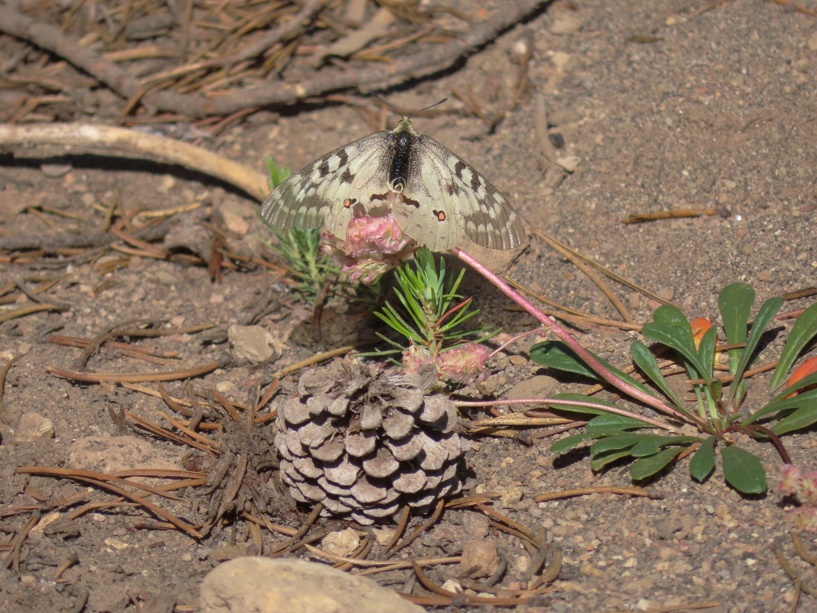 Clodius parnassian – 7/29/23, Pumice Flat Trail, Crater Lake National Park
 Silver-spotted Skipper – 6/14/23, Eureka Bar, Hells Canyon National Recreation Area
 A skipper – 5/28/23, Criterion Tract, BLM Prineville District
 A skipper – 6/12/23, Imnaha River Trail, Eagle Cap Wilderness
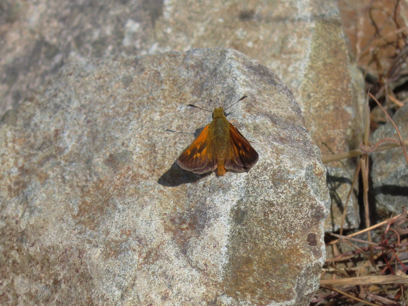 A skipper – 6/24/23, Rogue River National Recreation Trail, Wild Rogue Wilderness
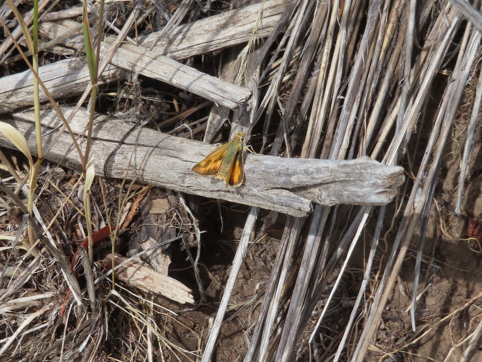 A skipper – 9/3/23, Threemile Canyon, BLM Burns District
 Skipper on a sagebrush mariposa lily – 7/23/23, Metolius River Trail, Deschutes National Forest
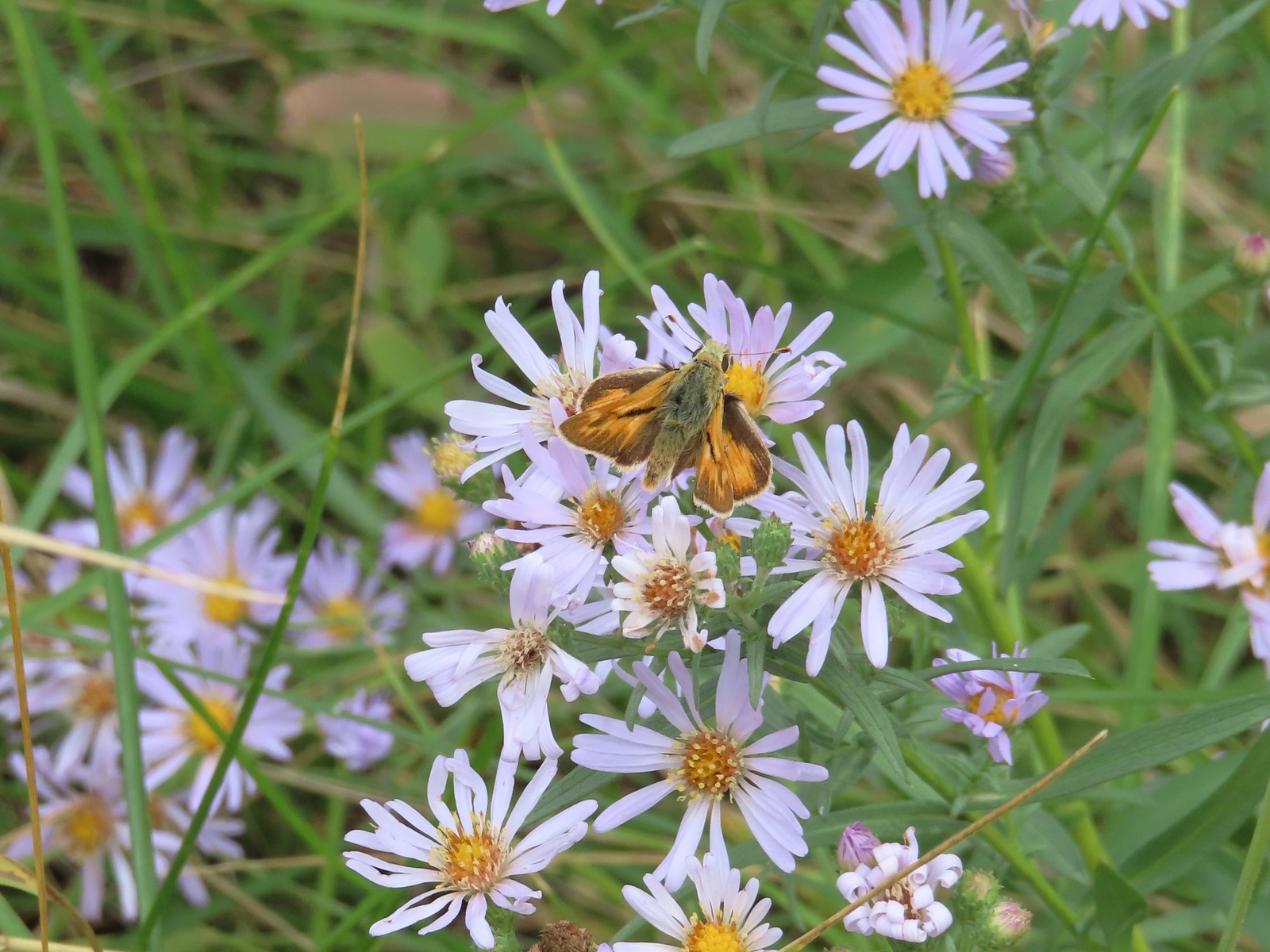 A skipper – 9/3/23, P Ranch, Malheur National Wildlife Refuge
 Duskywing? – 6/24/23, Rogue River National Recreation Trail, Wild Rogue Wilderness
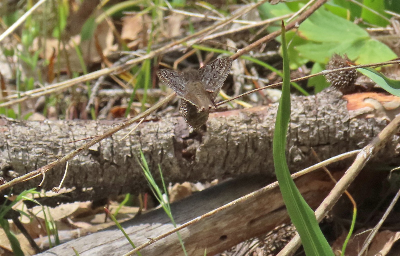 Duskywing – 5/3/23, Waters Creek Interpretive Trail, Rogue River-Siskiyou National Forest
 Dreamy duskywing – 6/12/23, Imnaha River Trail, Eagle Cap Wilderness
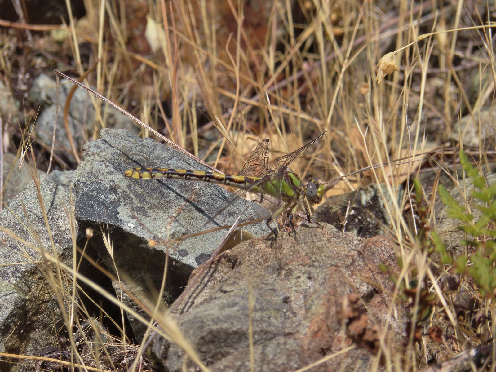 Dragonfly – 6/24/23, Rogue River National Recreation Trail, Wild Rogue Wilderness
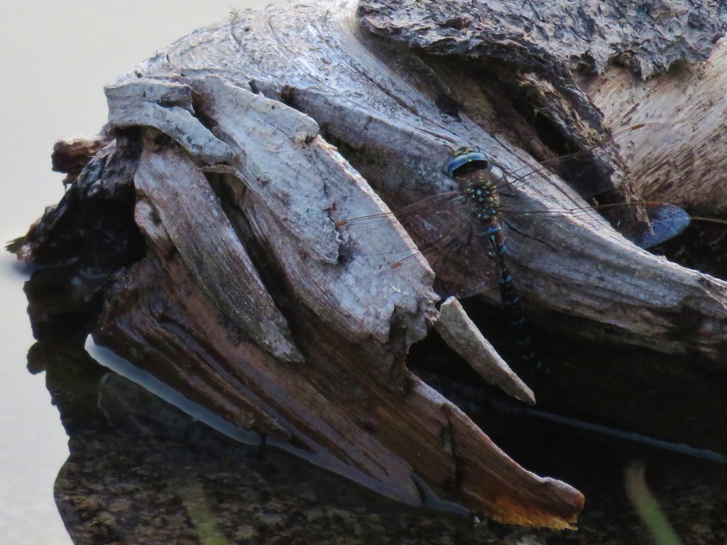
 Dragonfly – 7/1/23, Hummocks Trail, Mt. St. Helens National Volcanic Monument, WA
 Dragonfly – 7/15/23, Plaza Lake, Salmon-Huckleberry Wilderness
 Dragonfly – 7/31/23, Godfrey Glen Trail, Crater Lake National Park
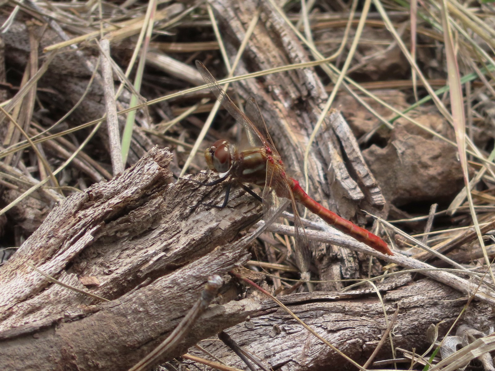 Dragonfly – 9/2/23, Idlewild Loop Trail, Malheur National Forest
 Slug – 4/29/23, Canemah Bluff Nature Park, Oregon City
 Snail – 4/15/23, Enchanted Valley Trail, Siuslaw National Forest
 Rough skinned newt – 4/15/23, Cape Mountain, Siuslaw National Forest
 Tadpoles – 9/9/23, Pacific Crest Trail, Sky Lakes Wilderness
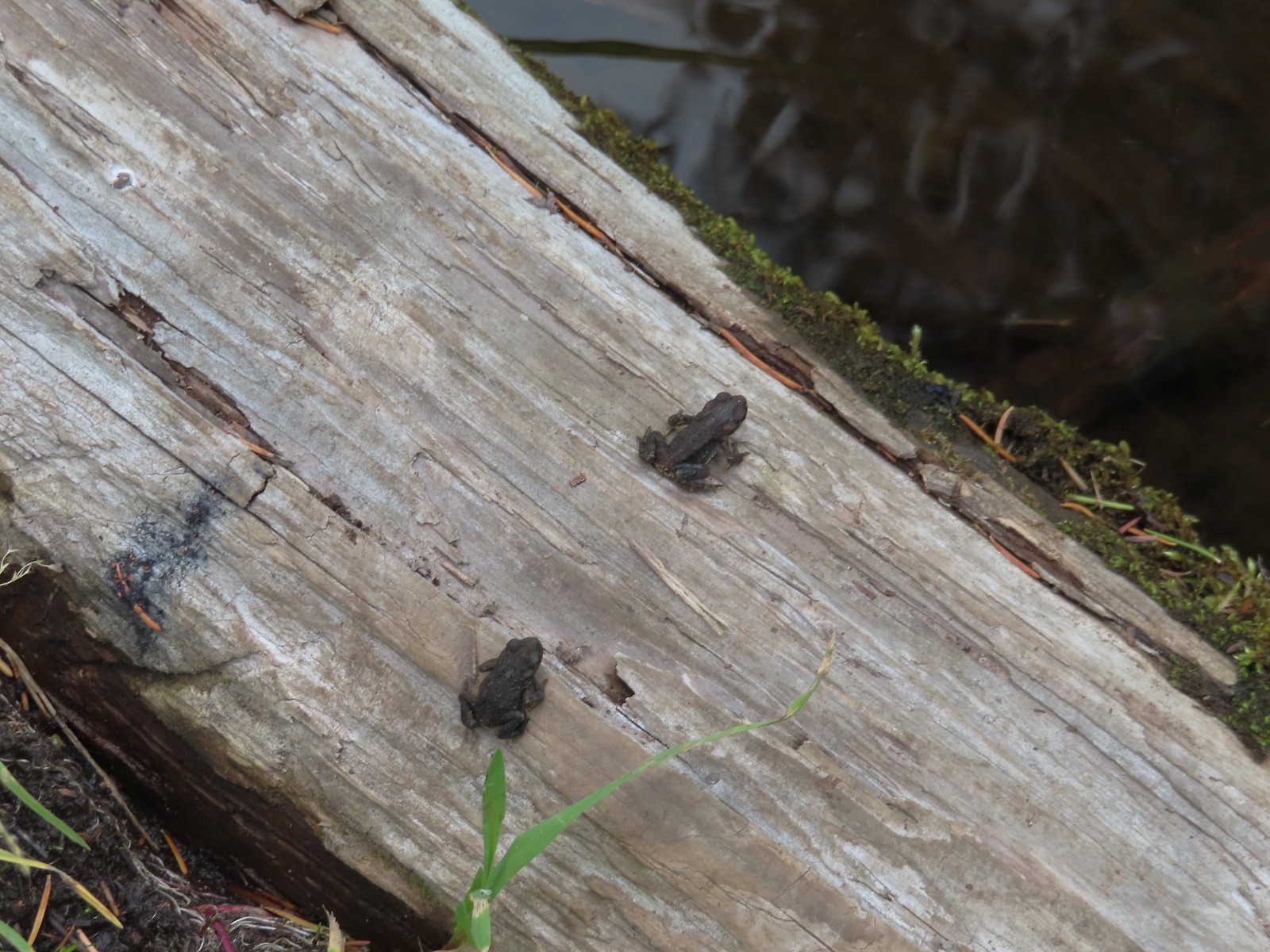 Western toads – 9/9/23, Pacific Crest Trail, Sky Lakes Wilderness
 Full grown western toad – 9/9/23, Pacific Crest Trail, Sky Lakes Wilderness
 Cascade frog – 9/9/23, Pacific Crest Trail, Sky Lakes Wilderness
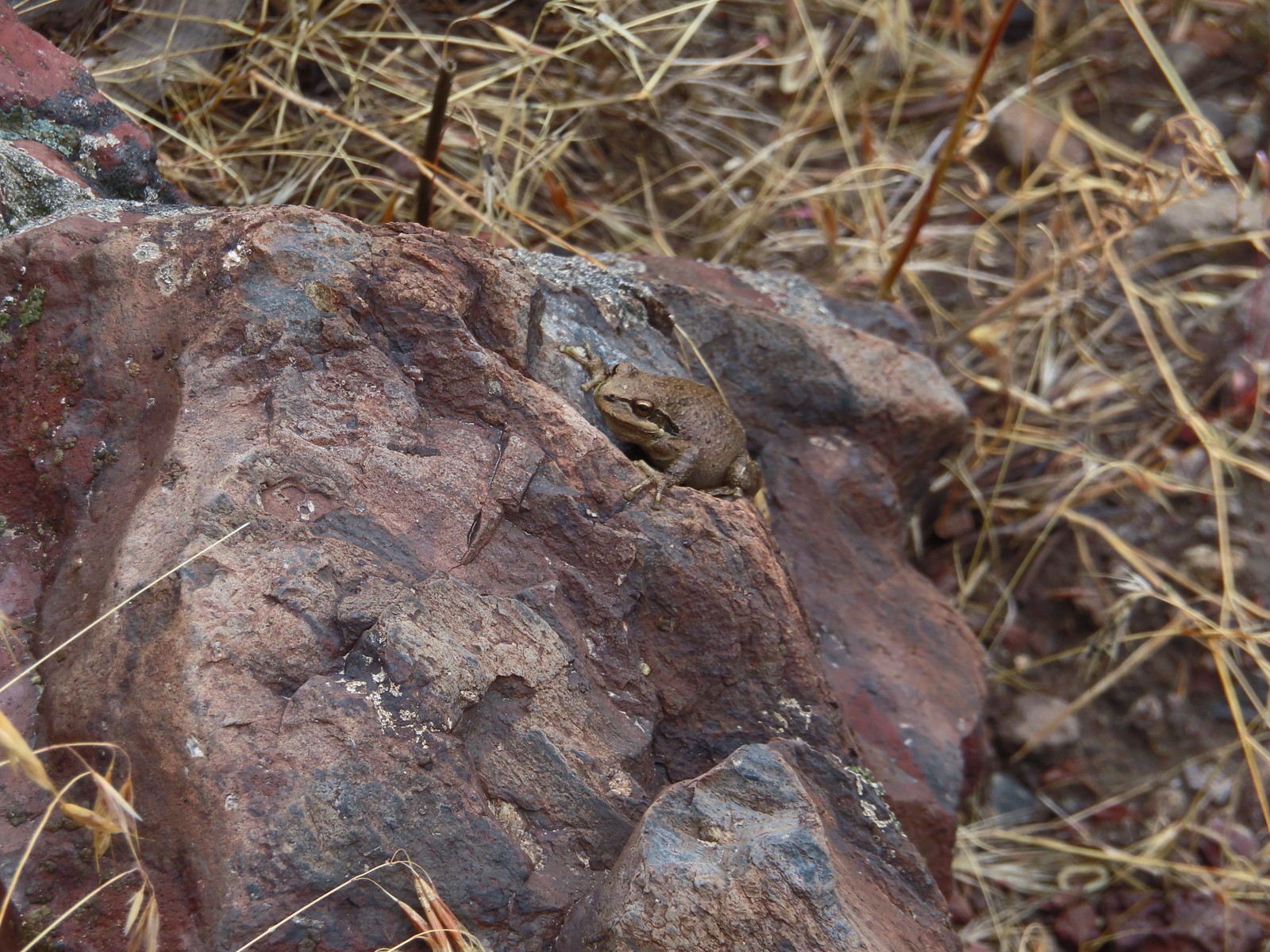 Pacific treefrog – 9/3/23, Threemile Canyon, BLM Burns District
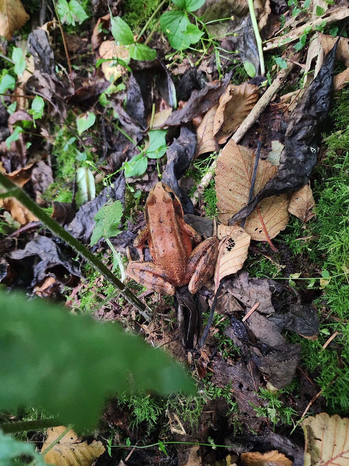 Northern red-legged frog – 8/26/23, Nestucca Bay National Wildlife Refuge, Cloverdale
 Bullfrog (invasive) – 4/22/23, Talking Water Gardens, Albany
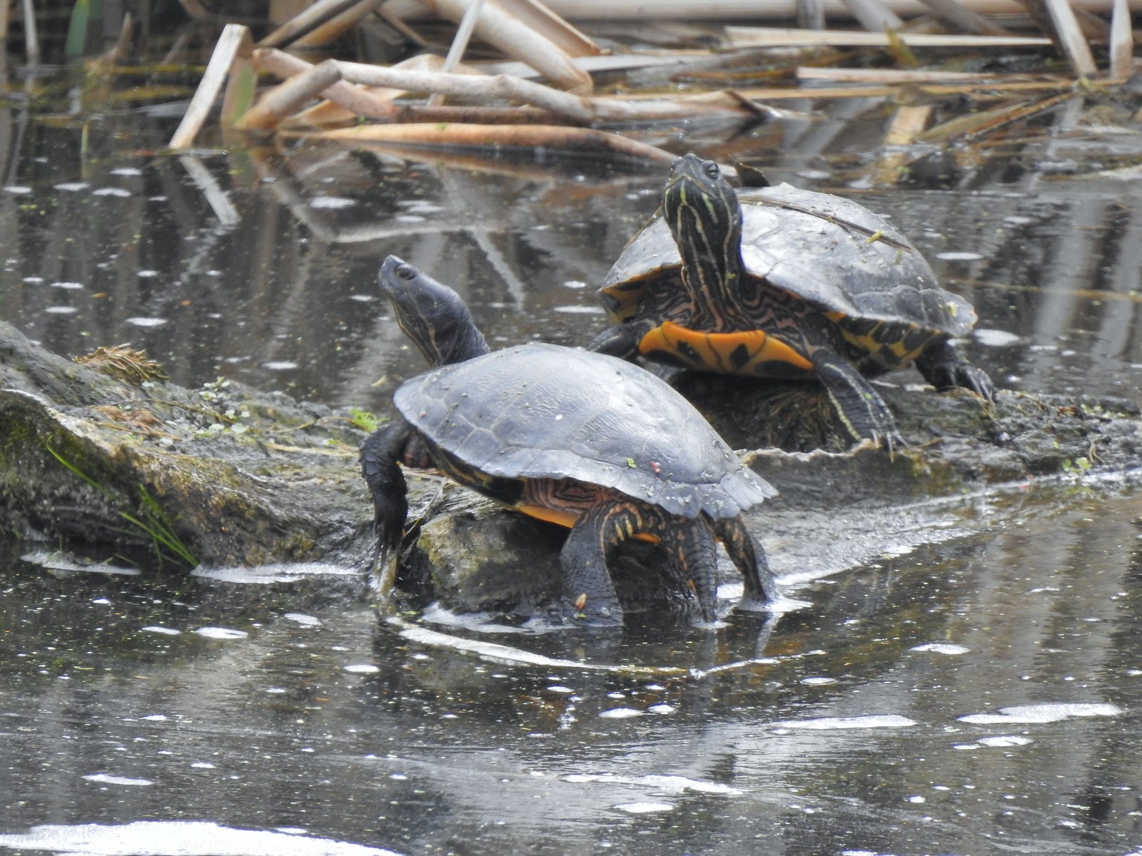 Western pond turtles – 4/22/23, Talking Water Gardens, Albany
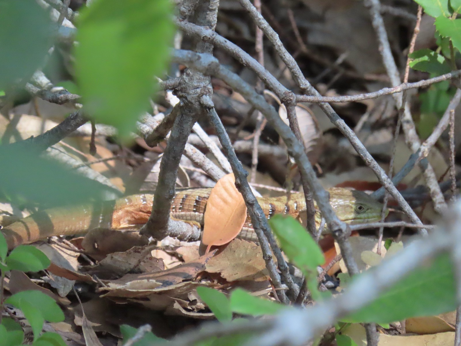 Southern alligator lizard – 6/24/23, Rogue River National Recreation Trail, Wild Rogue Wilderness
 Western fence lizard – 5/3/23, Waters Creek Interpretive Trail, Rogue River-Siskiyou National Forest
 Sagebrush lizard – 7/22/23, Shut-In Trail, Deschutes National Forest
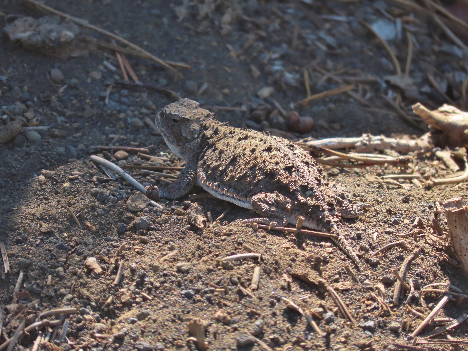 Pygmy short-horned lizard – 7/8/23, Santiam Wagon Road, Willamette National Forest
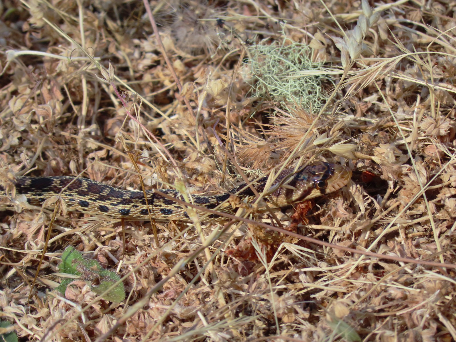 Gopher snake – 6/25/23, North Bank Habitat, BLM Roseburg District
 Garter snake – 4/22/23, Dave Clark Riverfront Path, Albany
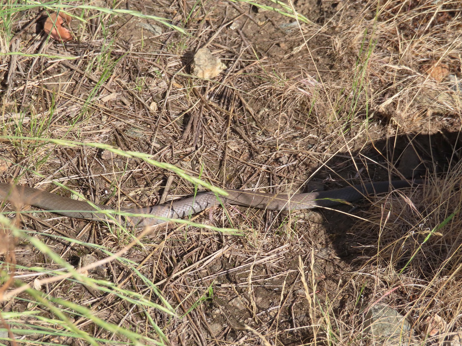 Rubber boa? – 6/14/23, Imnaha Trail, Hells Canyon National Recreation Area
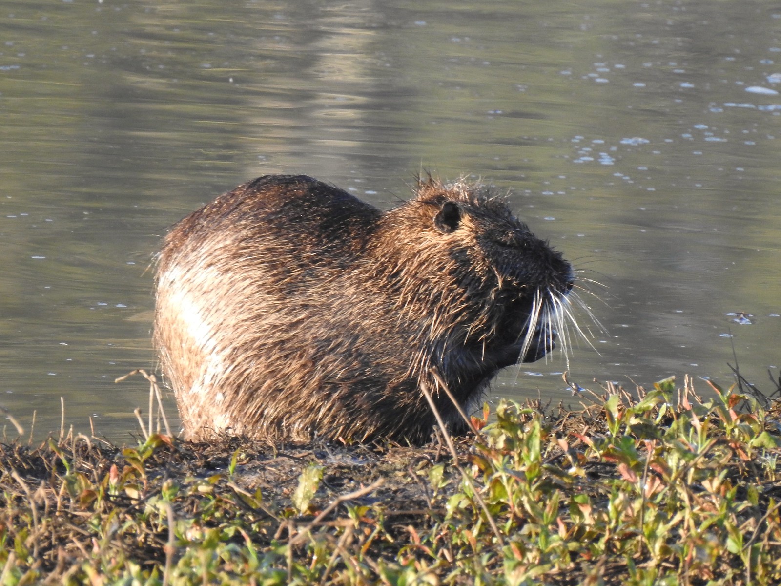 Nutria (invasive) – 5/13/23, Tualatin River National Wildlife Refuge, Sherwood
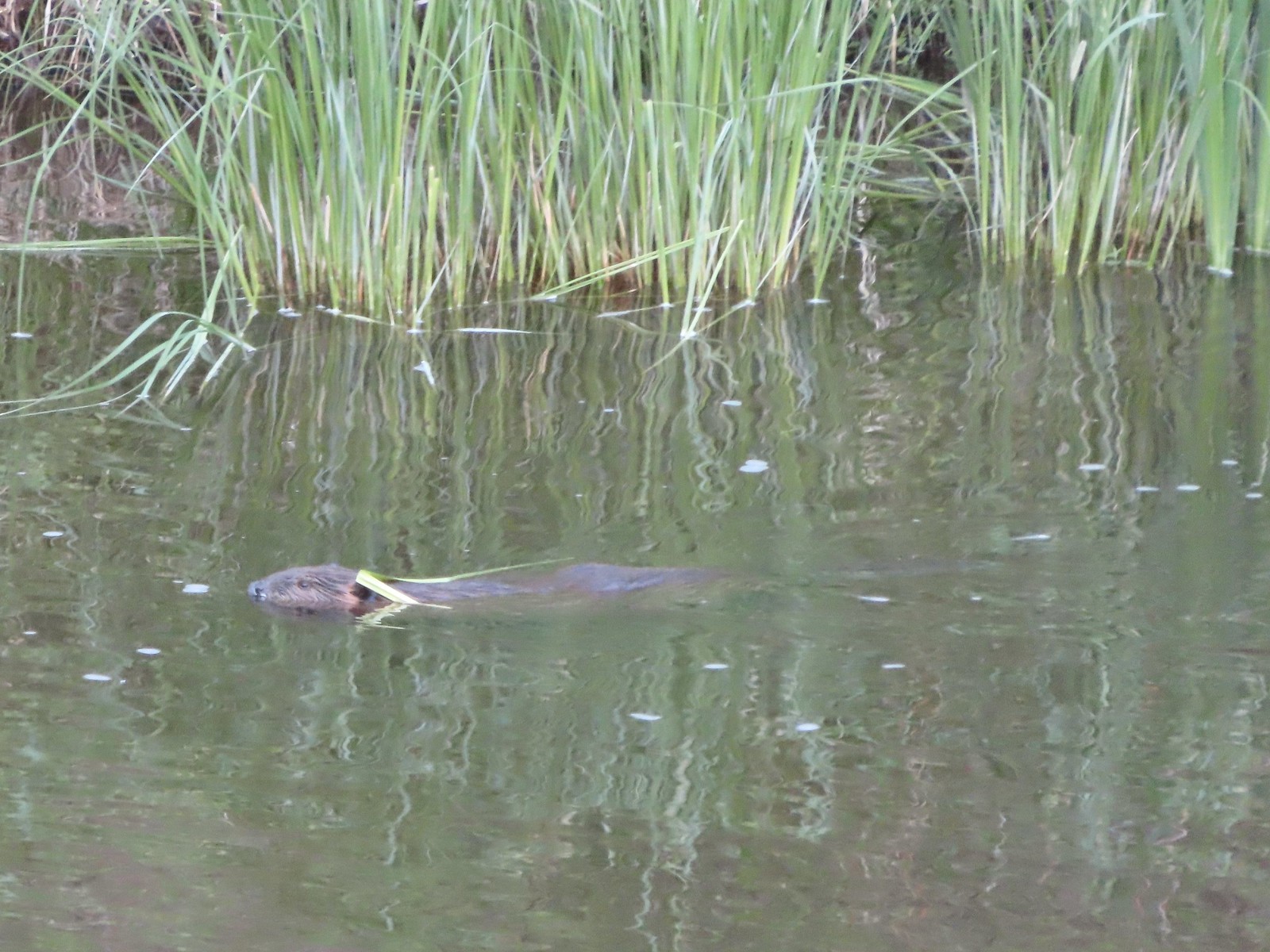 Beaver – 5/29/23, Riley Ranch Preserve, Bend
 Yellow-bellied marmot – 7/31/23, Garfield Peak Trail, Crater Lake National Park
 Gray squirrel – 4/22/23, Dave Clark Riverfront Path, Albany
 Douglas’ squirrel – 4/22/23, Dave Clark Riverfront Path, Albany
 Eastern fox squirrel? – 4/29/23, Newell Creek Canyon Nature Park, Oregon City
 Columbian ground squirrel – 8/16/23, Tombstone Lake Trail, Eagle Cap Wilderness
 Golden-mantled ground squirrel – 7/31/23, Garfield Peak Trail, Crater Lake National Park
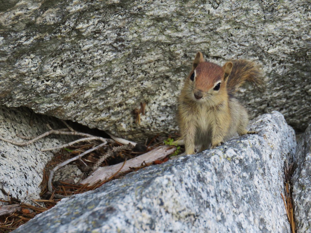
 Chipmunk – 8/5/23, McNeil Point scramble trail, Mt. Hood Wilderness
 Pika – 8/5/23, McNeil Point Trail, Mt. Hood Wilderness
 Rabbit – 5/13/23, Tualatin River National Wildlife Refuge, Sherwood
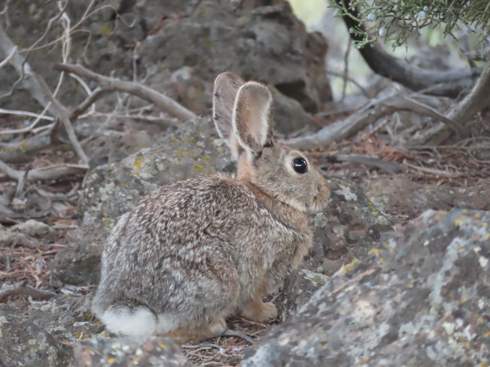 Mountain cottontail – 5/29/23, Riley Ranch Preserve, Bend
 Fawns – 7/31/23, Garfield Peak Trail, Crater Lake National Park
 Doe – 5/20/23, Steigerwald Lake National Wildlife Refuge, Washougal, WA
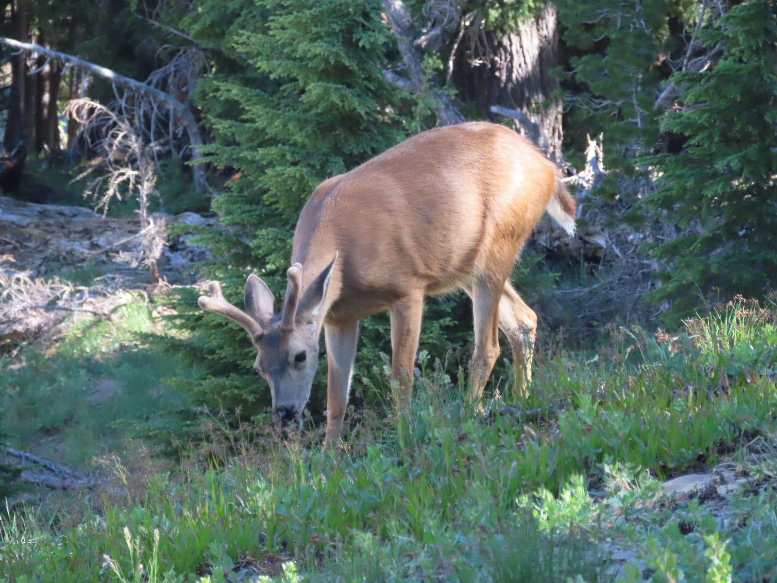 Buck – 7/31/23, Rim Trail, Crater Lake National Park
 Elk – 6/15/23, Buckhorn Road (FR 46), Wallowa-Whitman National Forest
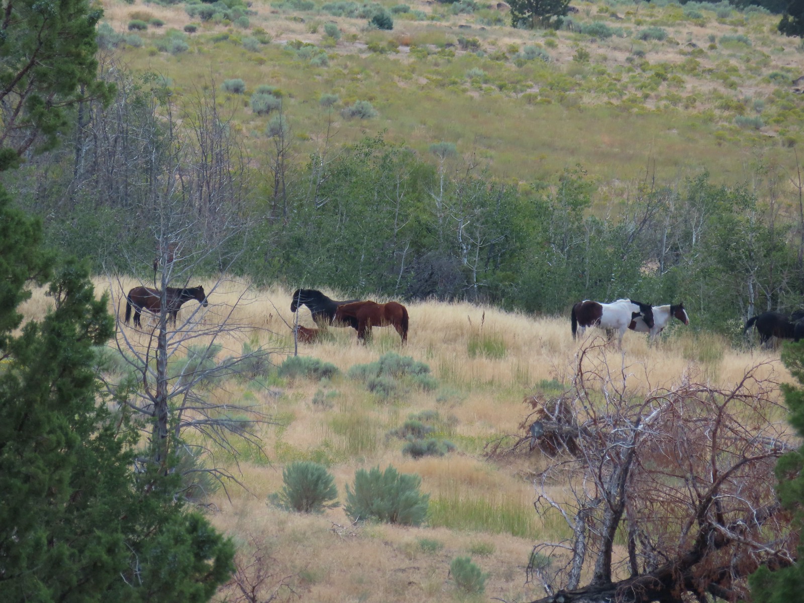 Horses – 9/3/23, Threemile Canyon, BLM Burns District
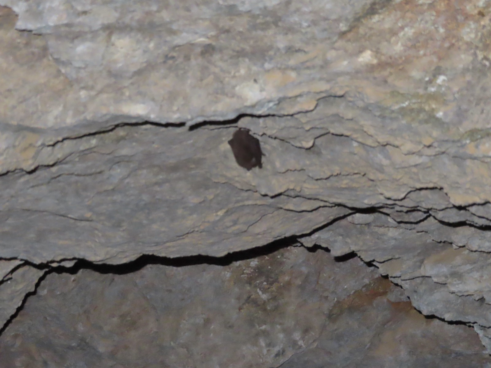 Bat -5/2/23, Sterling Mine Ditch Tunnel, BLM Medford District
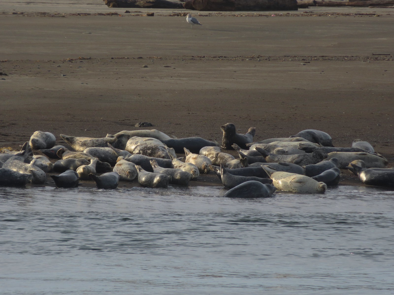 Seals – 11/18/23, Siletz Bay, Lincoln City
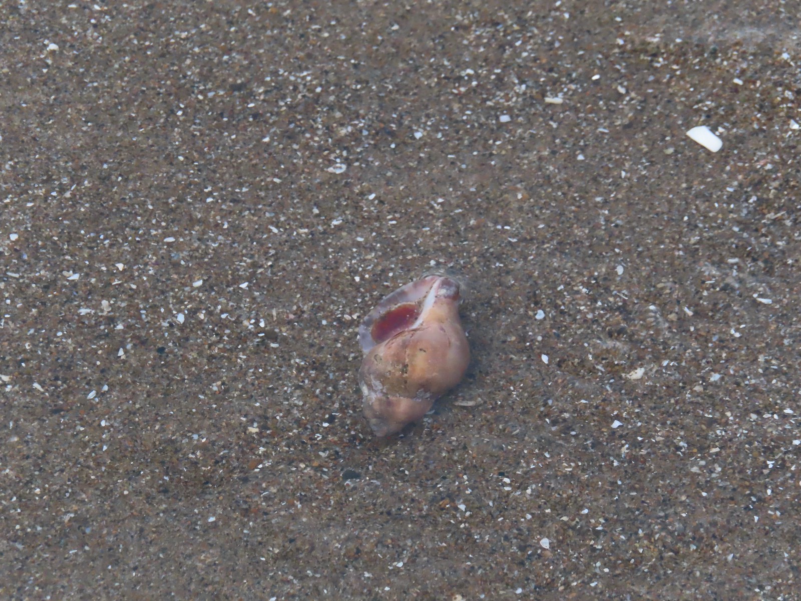 Shell with inhabitant – 11/18/23, Nelscott Beach, Lincoln City
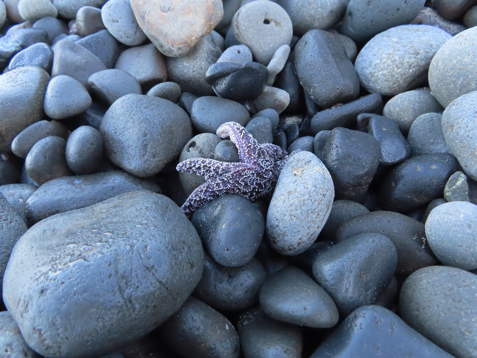 Starfish – 10/28/23, Short Beach, Oceanside
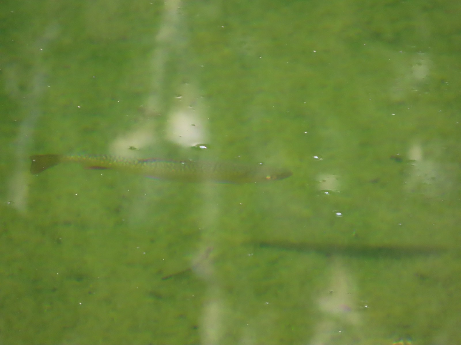 Trout – 8/16/23, Tombstone Lake, Eagle Cap Wilderness
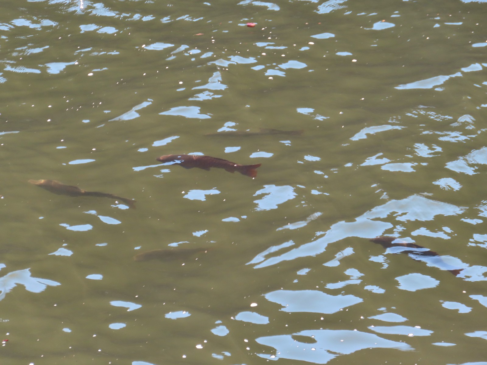 Fish – 6/16/23, Hells Canyon Reservoir, Hells Canyon National Recreation Area

 The forecast for Salem was for temps in the mid-90s so we got an early start.
 Bleeding heart and penstemon
 Iris
Iris Cascade lily
 Scouler’s bluebell
 Inside-out flower
 A few green trees remain.
 Another Cascade lily
 The trail was in pretty good shape overall and we could tell there was ongoing trail work. It looked like there were some rock steps that were going be placed in this section.
 Penstemon
 Oregon sunshine
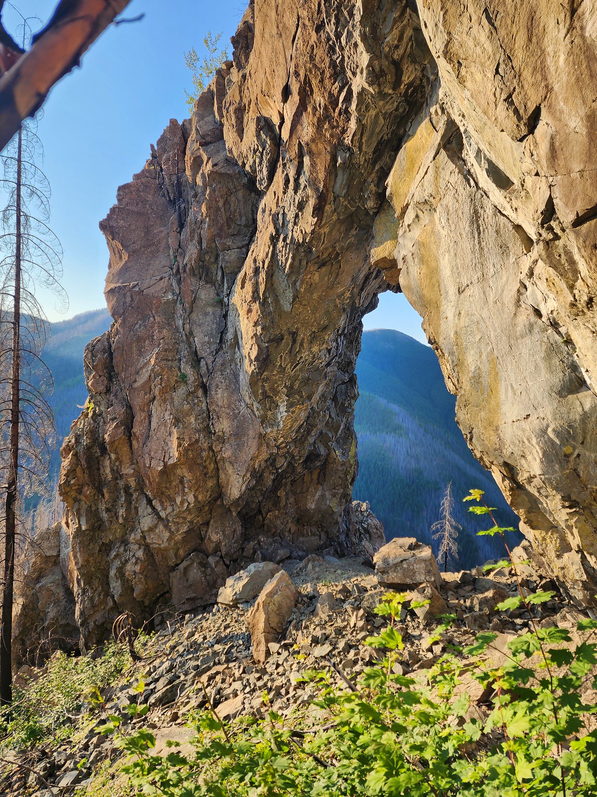
 View from the arch.
 Fin below the arch.


 Snowberry checkerspot
 Rocky Top straight ahead.
 Penstemon and big deer vetch
 Cascade lily
 Oregon sunshine, penstemon, Oregon bedstraw, and a daisy or two.
 Oregon sunshine and paintbrush
 There was a fair amount of shade while the Sun was still low.
 Paintbrush and penstemon
 Thimbleberry
 Bleeding heart. There was more bleeding heart on this hillside than we’d ever seen in one spot.
 Pika below the road.
 Pika
Pika Rhododendron
 The Three Sisters on a hazy morning.
 Anemone
 Paintbrush and lupine
 Beargrass
 A few patches of green below Rocky Top.
 This was probably the worst spot in the road in between the two trailheads.
 Bunchberry
 Trillium with a few petals yet to fall off.
 Violets
 Spirea and valerian

 Large boykinia
 Lots of lupine.
 Larkspur and phacelia
 Arriving at the Rocky Top Trailhead.

 Clodius paranssian
 Columbine
 Beardstongue
 Lupine
 The road from the trail. The taller, rounded, peak in the center is Sardine Mountain (
 Mt. Washington and the Three Sisters.

 Mt. Jefferson, Three Fingered Jack, Mt. Washington and the Three Sisters.
 Mt. Jefferson through the haze.
 Elkhorn Ridge (
 Mt. Hood above ridges of burned forest.
 The loss of the trees did result in better views of the various rock formations in the area.
 We’d never seen so many of these eight-spotted forester moths.
 Hummingbird taking a rest from visiting the penstemon and paintbrush.
 Another moth that had some excellent camo.
 Penstemon
 Rose
Rose
 Rocky Top from the trail.
 This was the only pink colored penstemon we spotted.
 Lupine and beargrass
 Not sure which of the Lycaenidae this is but it was pretty.
 Bumble bee
 At one point it looked like Three Fingered Jack was sitting on top of Coffin Mountain (
 Nice blue sky overhead.
 Looking North. Henline Mountain (
 Bistort and penstemon
 Haven’t been able to identify this one yet.
 Beargrass
 A snowberry checkerspot and some fried avalanche lilies.
 The trail wound behind Rocky Top to come up the West ridge to the summit.
 Arnica
 Sub-alpine mariposa lily
 Tiger lily and beardstongue
 Catchfly
 Not sure what the story is behind this chair, but we weren’t about to test its stability.
 Detroit Lake
 Mary’s Peak (
 Looking North we could see Table Rock (
 Closer look at Table Rock.
 Henline Mountain, Table Rock, Mt. Hood, in front and just to the right of Mt. Hood is Whetstone Mountain (
 Mountain bluebird checking us out.
 Mt. Jefferson
 Three Fingered Jack behind Coffin Mountain, Maxwell Butte (
 Beargrass
 A bee, a moth, and a butterfly land on some flowers…
 Painted lady
 A fritillary and a copper.
 Checkerspots, a bee, a copper and part of an eight-spotted forester moth.
 Eight-spotted forester moth.
 The previous four photos were all from this group of Oregon sunshine.
 Bleeding heart, no butterfly but a nice group of blossoms.
 More moths and butterflies.
 Swallowtail on penstemon
 One of the blues I think, but not sure which.
 Lorquin’s admiral


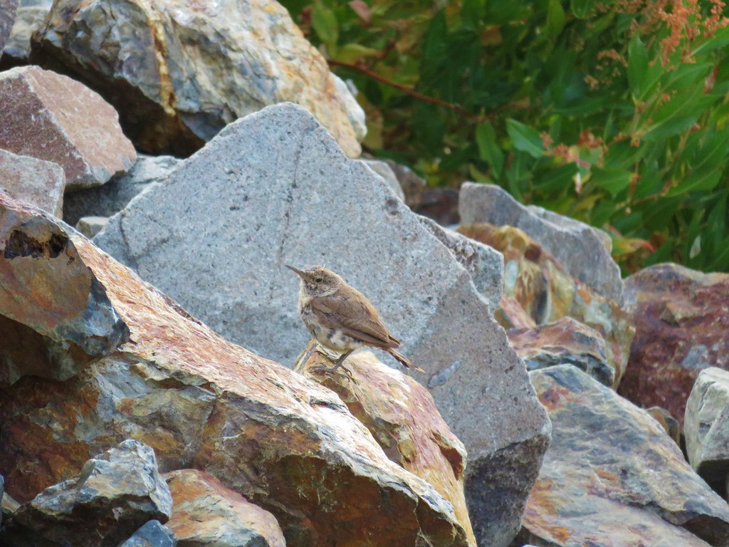
 Sparrow
 Stellar’s jay
 The spur trail is to the right just ahead.
 We watched a norther flicker fly into the snag ahead and it took a minute to figure out where he was.
 The flicker
 Trailing blackberries. We might have found a few ripe ones.
 Arriving at the camping area.
 North Santaim River
 Oregon grape
 Mock orange
 The boat launch.
 North Santiam River
 The park host on the left and the parking lot on the right.
 Crosswalk for the pre-fire loop.
 Looking North from the crosswalk there was zero sign of the former trail.
 They had at least restored this short section of the loop so we were able to return to the spur trail and turn right then right again to complete the inner loop.
 The “To River” sign at the spur trail junction.
 Possibly a western wood pee-wee
 Spotted towhee
 Osprey
 The park host from the trail.

 Ants dropping sawdust from a log along the Catherine Creek Trail. We sat and watched these busy ants for quite a while. They had created a good-sized pile on the ground below.
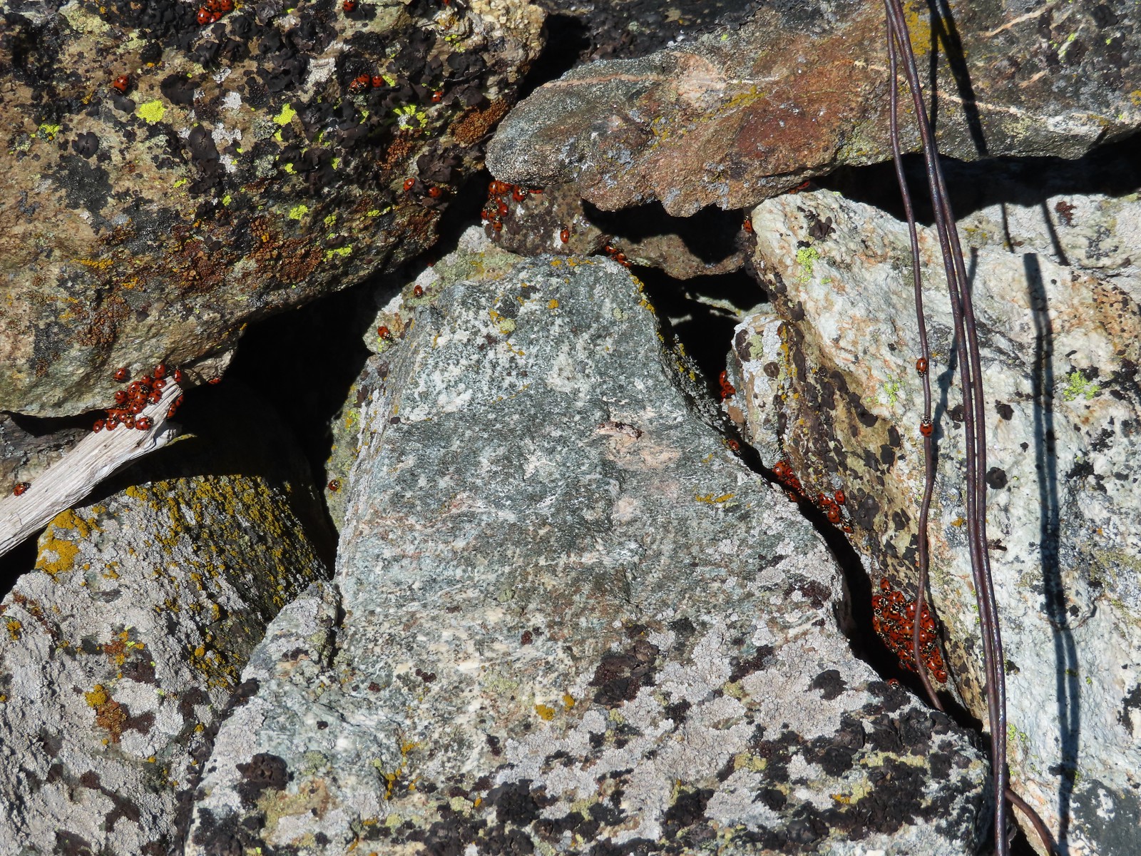 We see a lot of beetles but usually not all at once like these lady bugs on Observation Peak.
 Lady bug – Upper Table Rock
 Yellow & black beetle – Mule Mountain
 Redish brown beetle – Siskiyou Wilderness
 Green beetle – Siskiyou Wilderness
 Hitchhiker – Mt. Ireland
 Blueish green beetle – Catherine Creek Meadows
 Small beetle – Catherine Creek Meadows
 Green beetle on a geranium – Eagle Cap Wilderness
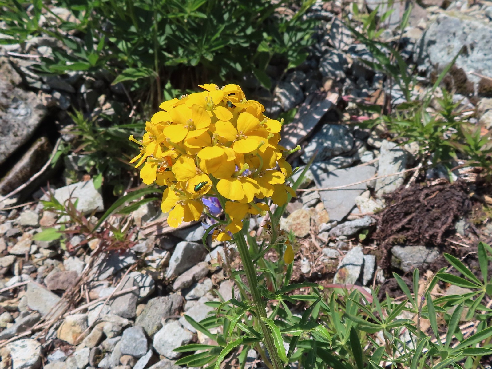 Green beetle on a wallflower – Silver Star Mountain
 Stripped beetle – Spring Valley Greenway
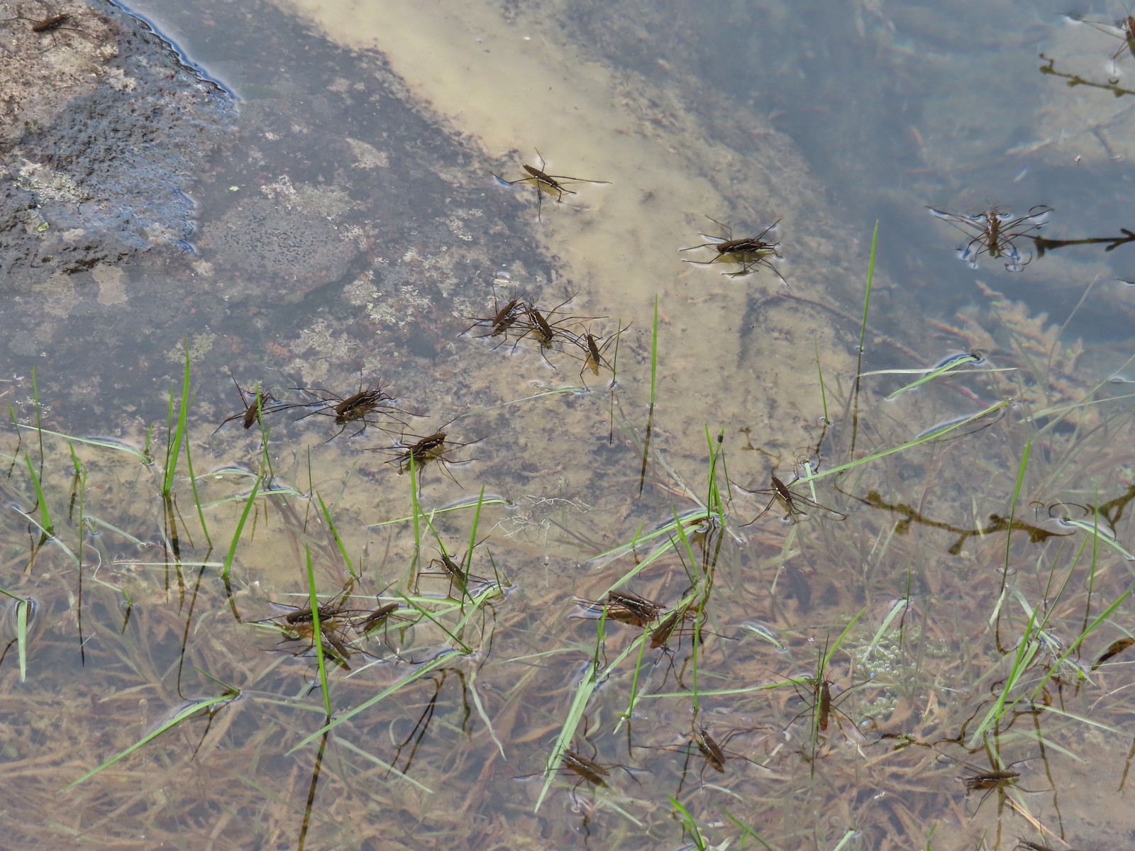 Water skippers – Big Twin Lake
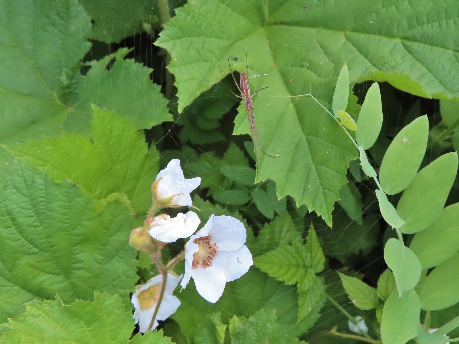 Spider on thimbleberry – Siskiyou Wilderness
 Crab spider – Eagle Cap Wilderness
 Another crab spider – Eagle Cap Wilderness
 Cricket – Pacific Crest Trail
 We are often literally struck by grasshoppers as we hike. Sometimes they stick when they hit us such as this one along the PCT.
 Bee on phacelia – Mule Mountain
 Wet bee on lupine – Julia Butler Hanson Wildlife Refuge
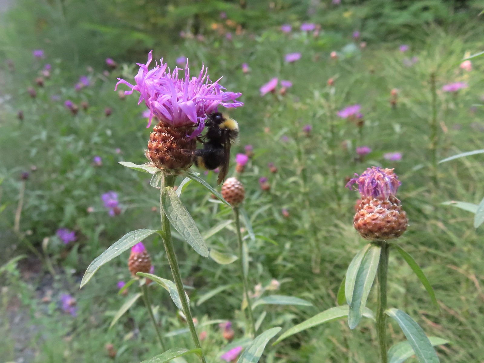 Bumble bee – Hemlock Creek Trail
 Lots of pollen – Mt. Adams Wilderness
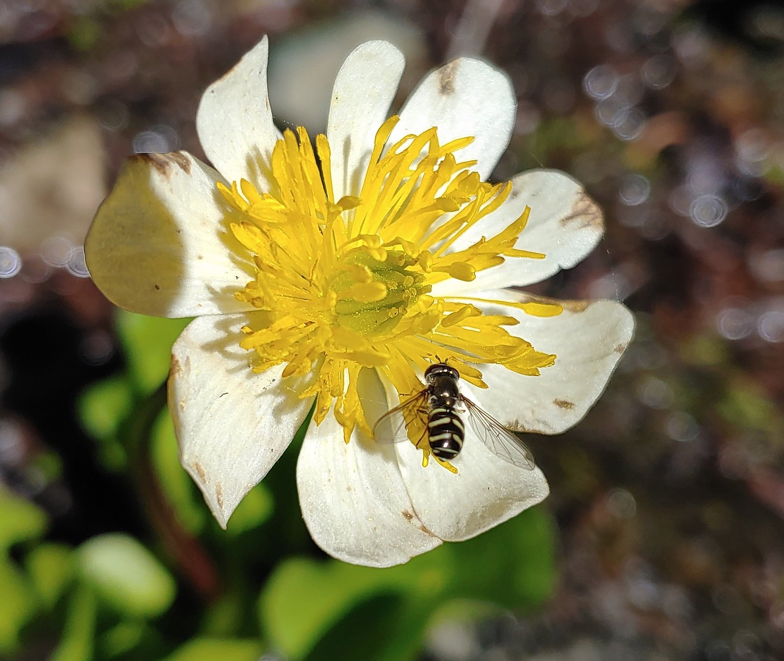 Bee landing on a marsh marigold along the PCT
 Bee approaching penstemon – Siskiyou Wilderness
 Bee and a tiny ant in a bindweed – Siskiyou Wilderness
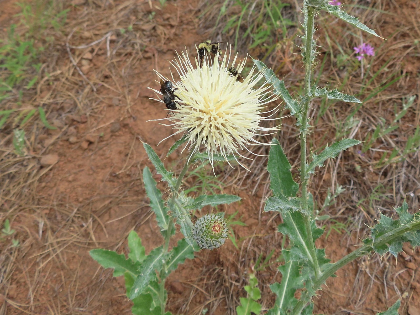 Insects on thistle – Eagle Cap Wilderness
 Wasp? – Eagle Cap Wilderness
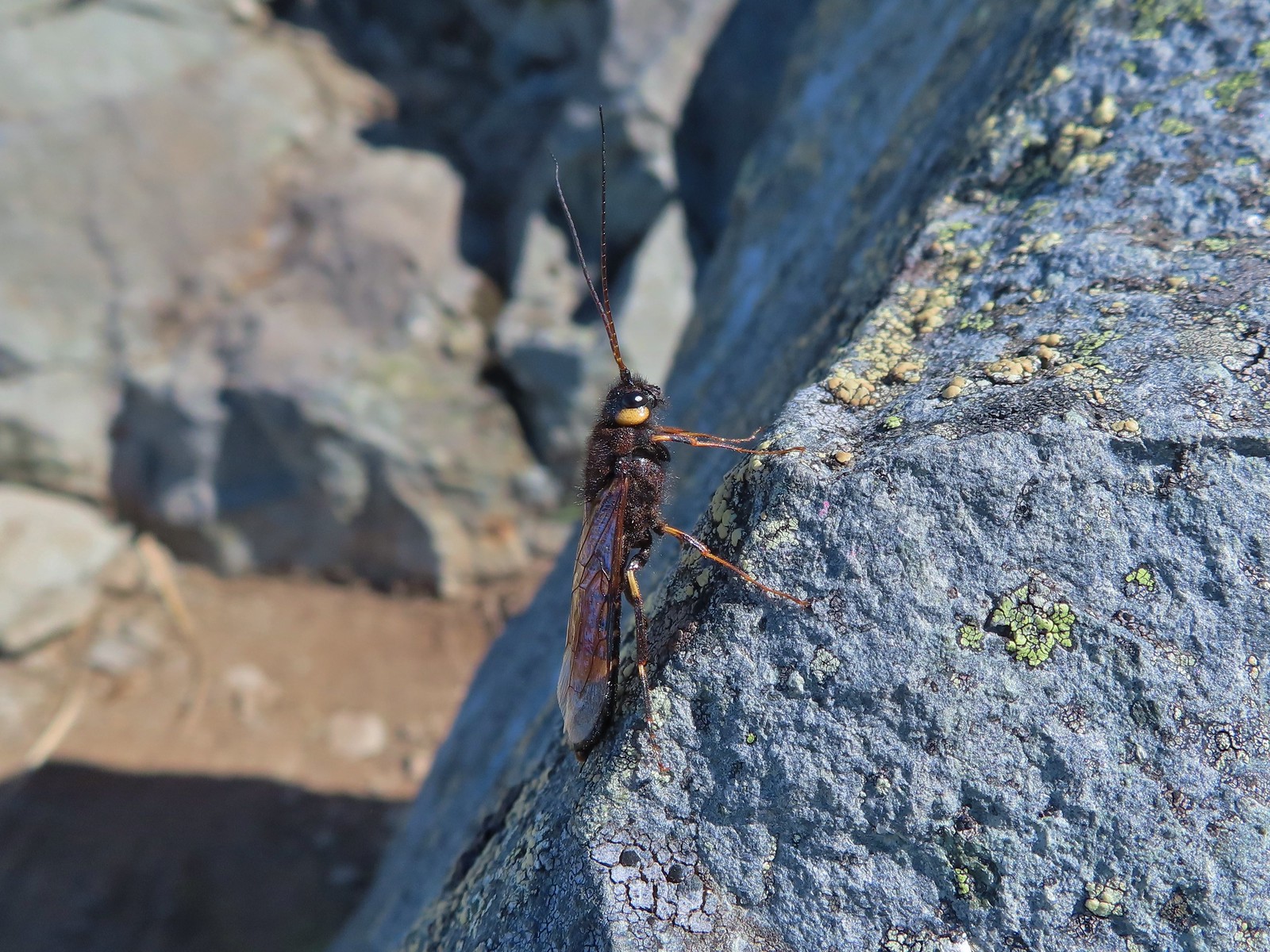 Some sort of wasp – Silver Star Mountain
 Insect along Bear Creek – Eagle Cap Wilderness
 My brother and I used to call these “weird things”; I have no idea what it actually is – Trinity Alps Wilderness
 Damsel fly – Denman Wildlife Area
 Damsel fly – Hemlock Lake
 Dragon fly – Goat Marsh Lake
 Dragon fly – Siskiyou Wilderness
 Dragon fly – Siskiyou Wilderness
 Dragon fly – Eagle Cap Wilderness
 Dragon fly along the Wallowa River – Wallowa Homeland
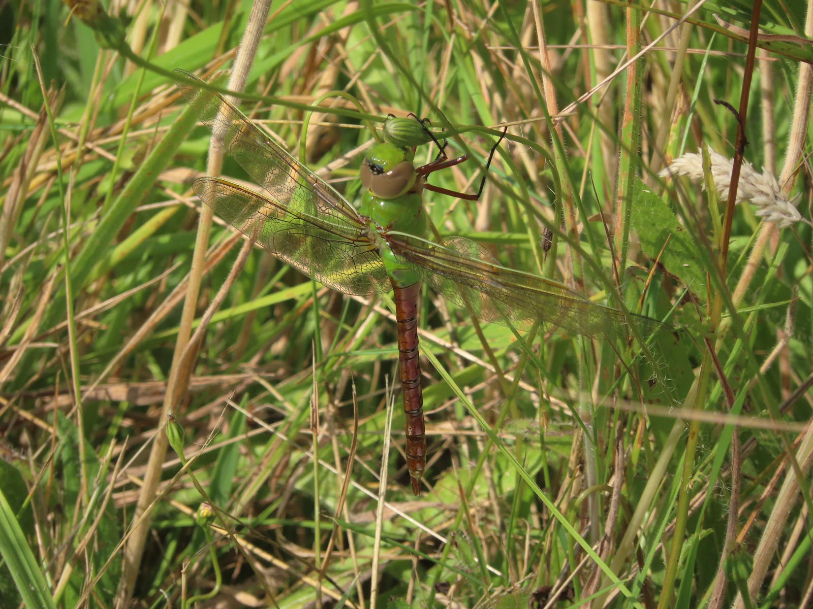 Dragon fly – E.E. Wilson Wildlife Area
 Dragon fly – Hemlock Lake
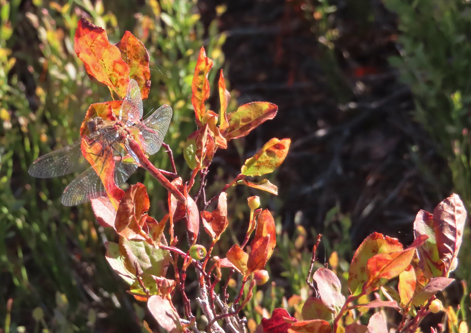 Dragon fly – Sky Lakes Wilderness
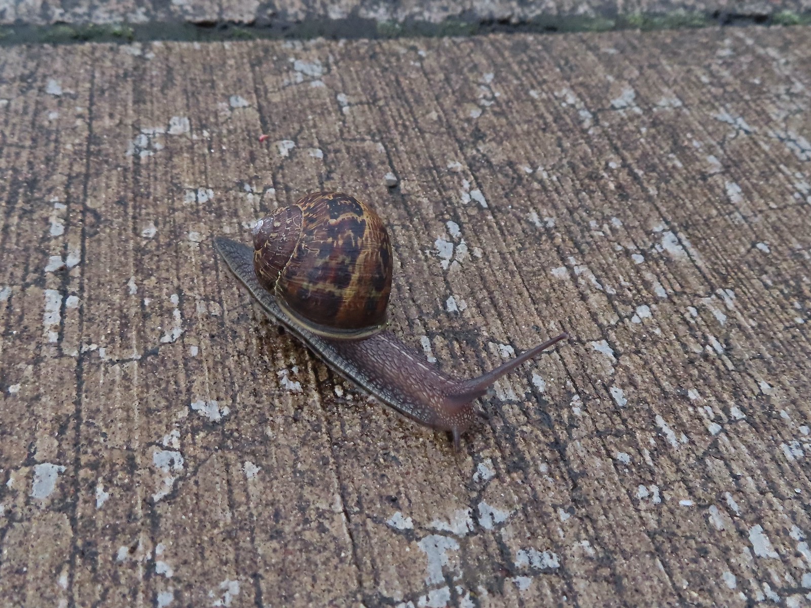 Snail – Rock Creek Trail
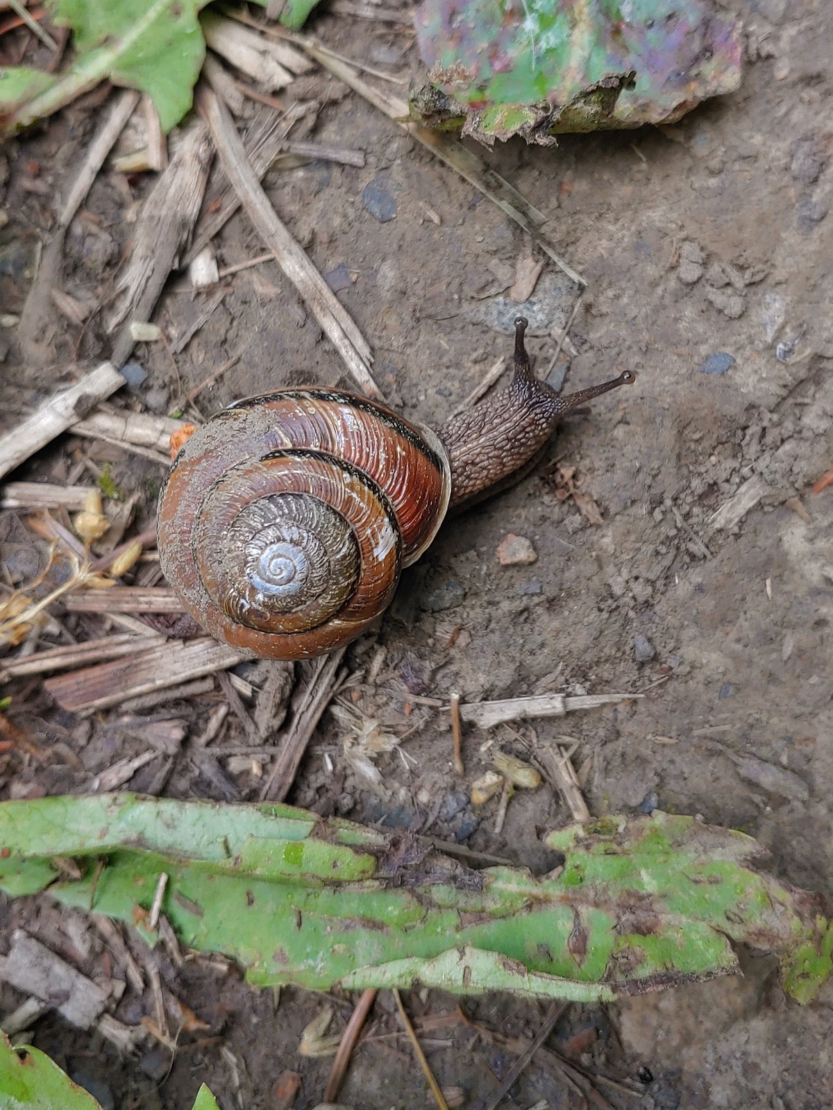 Snail – Applegate Lake
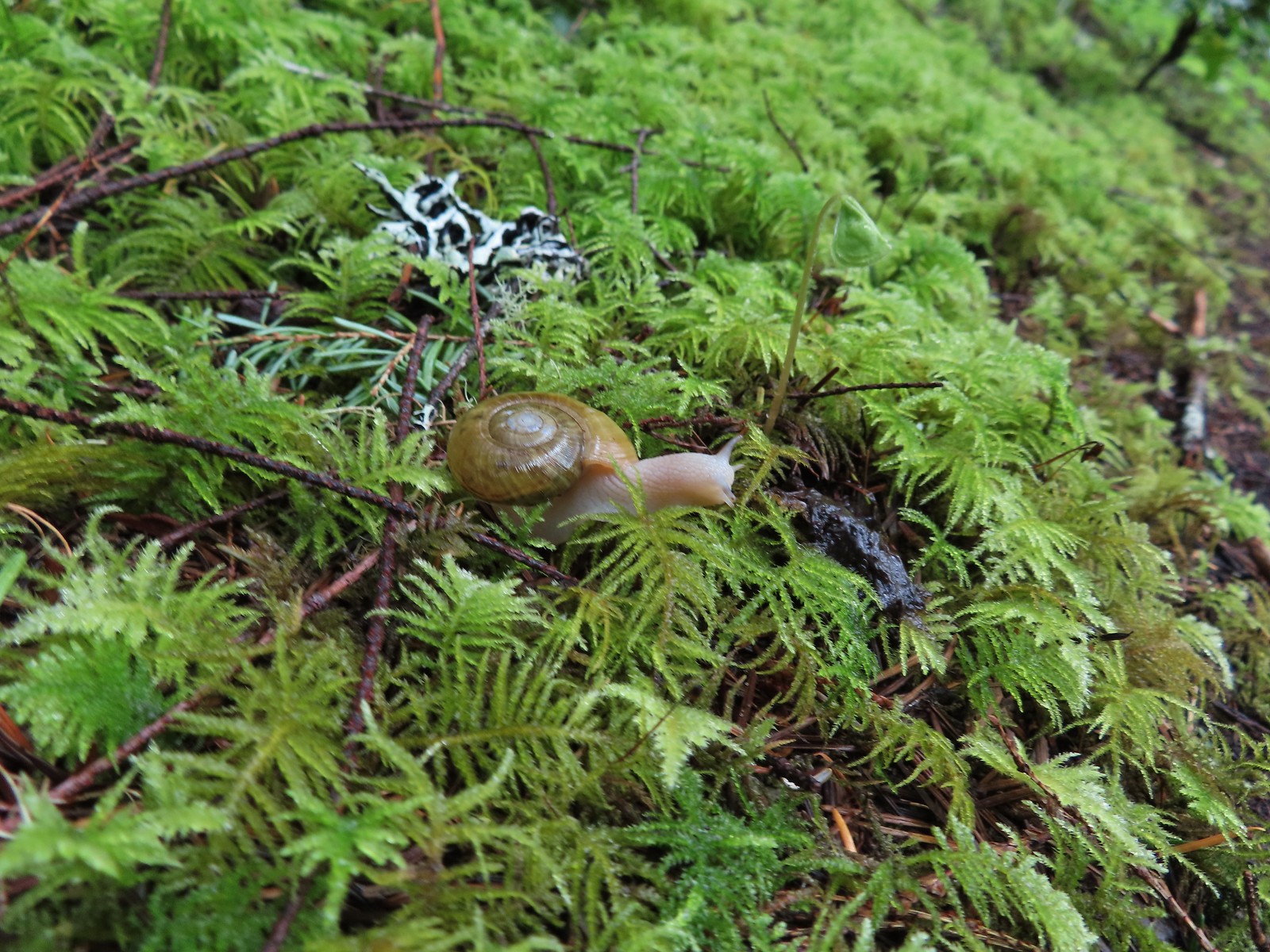 Snail – North Siouxon Trail
 Snail – Julia Hansen Butler Wildlife Refuge
 Snail – Siskiyou Wilderness
 Snail – Cascade Head
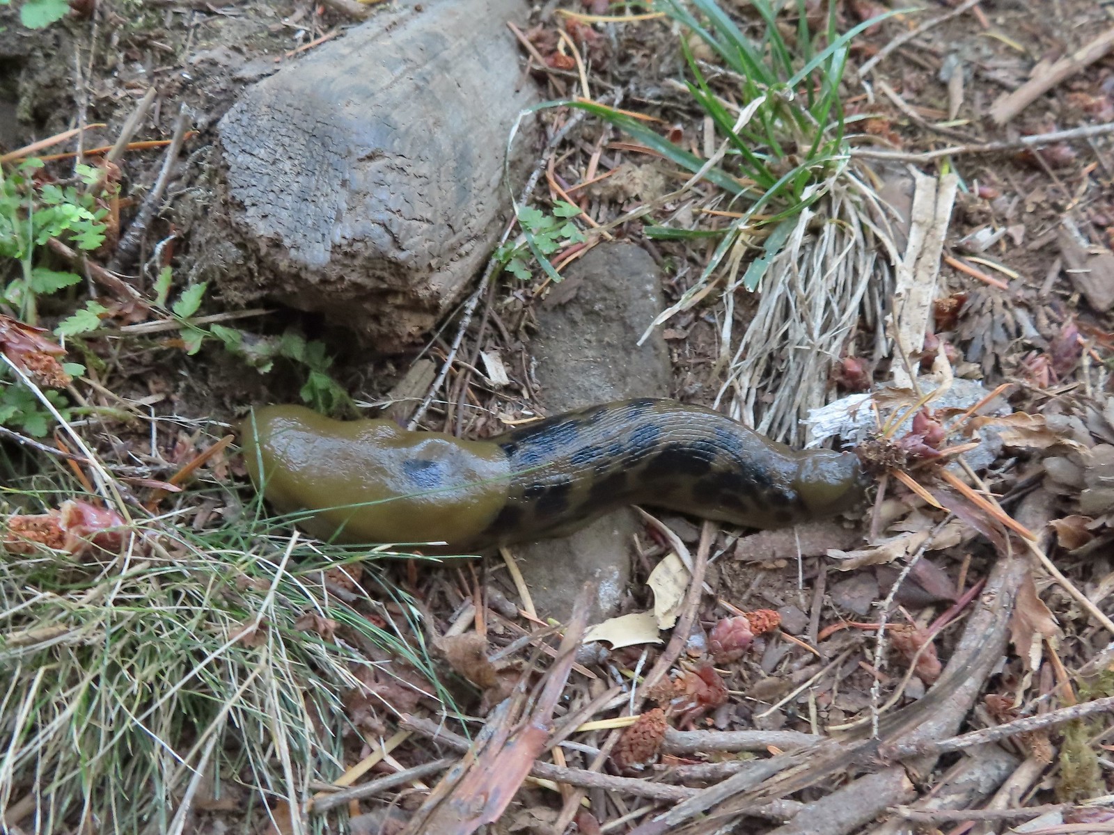 Slug – Larch Mountain Trail
 Slug (and a fly) – Susan Creek Trail
 Slug – Fish Lake
 Slug on lupine – Julia Butler Hansen Wildlife Refuge
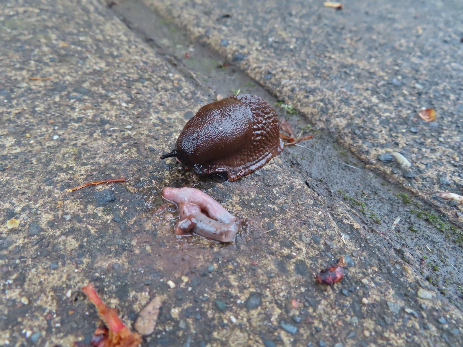 Slug and an unfortunate earth worm – Rock Creek Trail
 Worms – Chehalem Ridge Nature Park
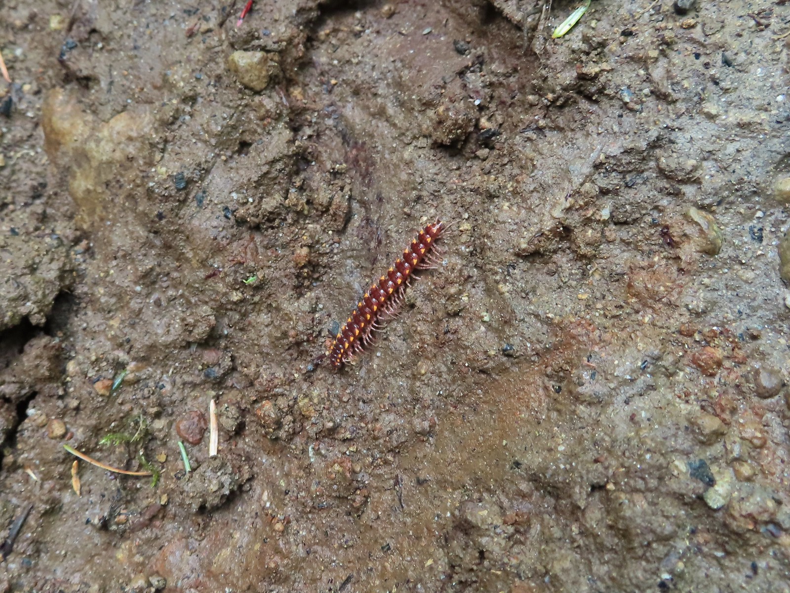 Millipede – North Siouxon Trail
 Millipede – Rock Creek Trail
 Millipede – Illahee Rock
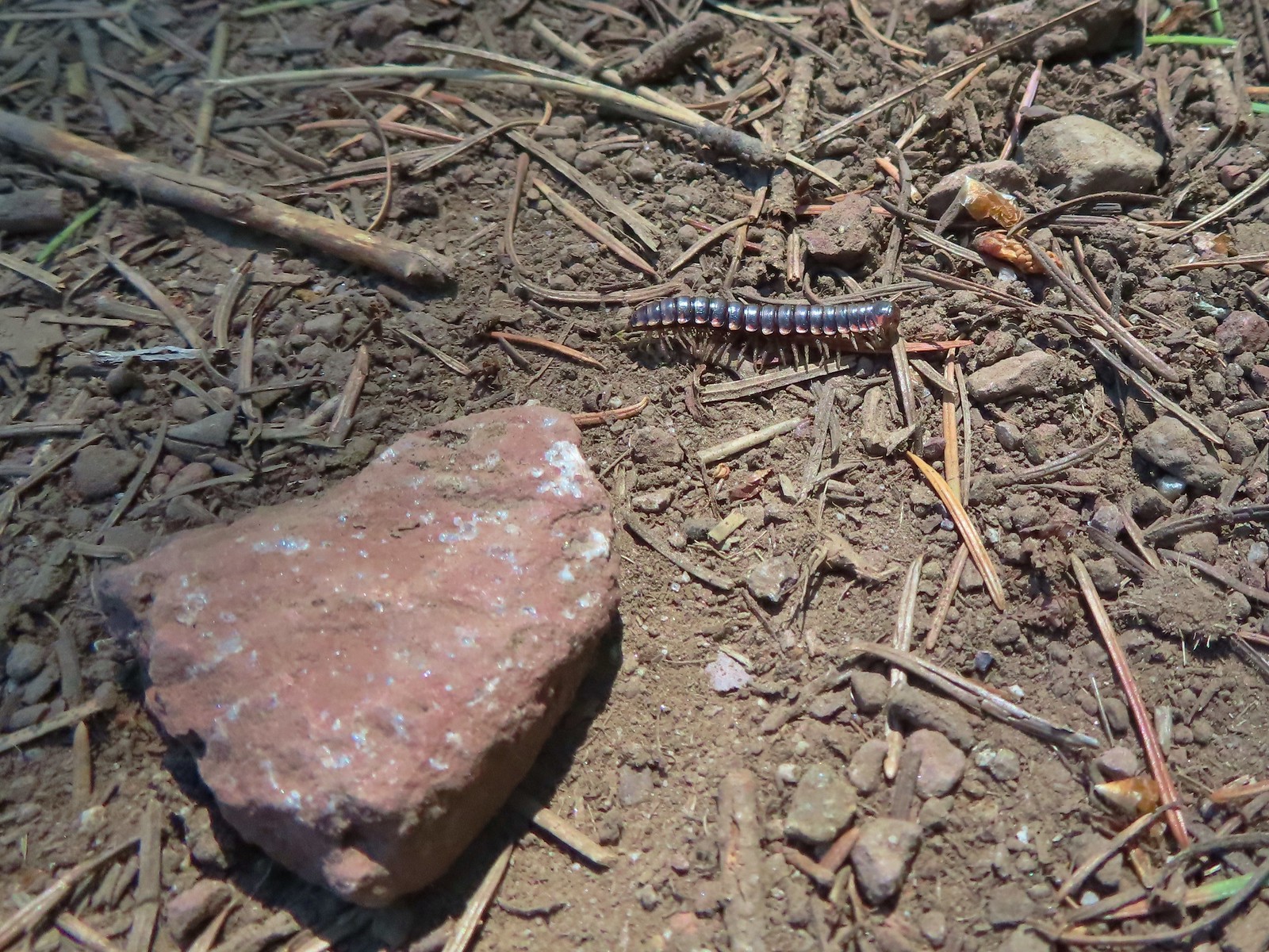 Millipede – Eagle Cap Wilderness
 Wet caterpillar – Yakona Nature Preserve
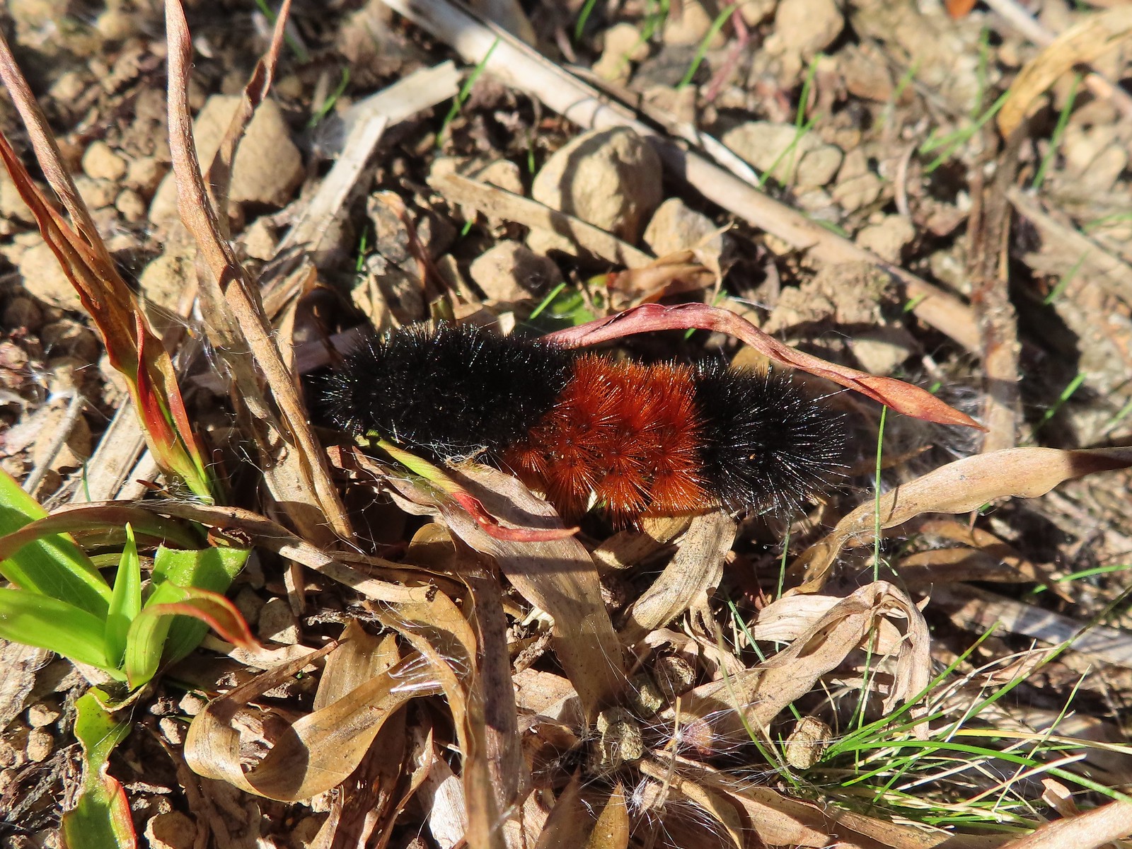 Dry version – Larch Mountain Trail
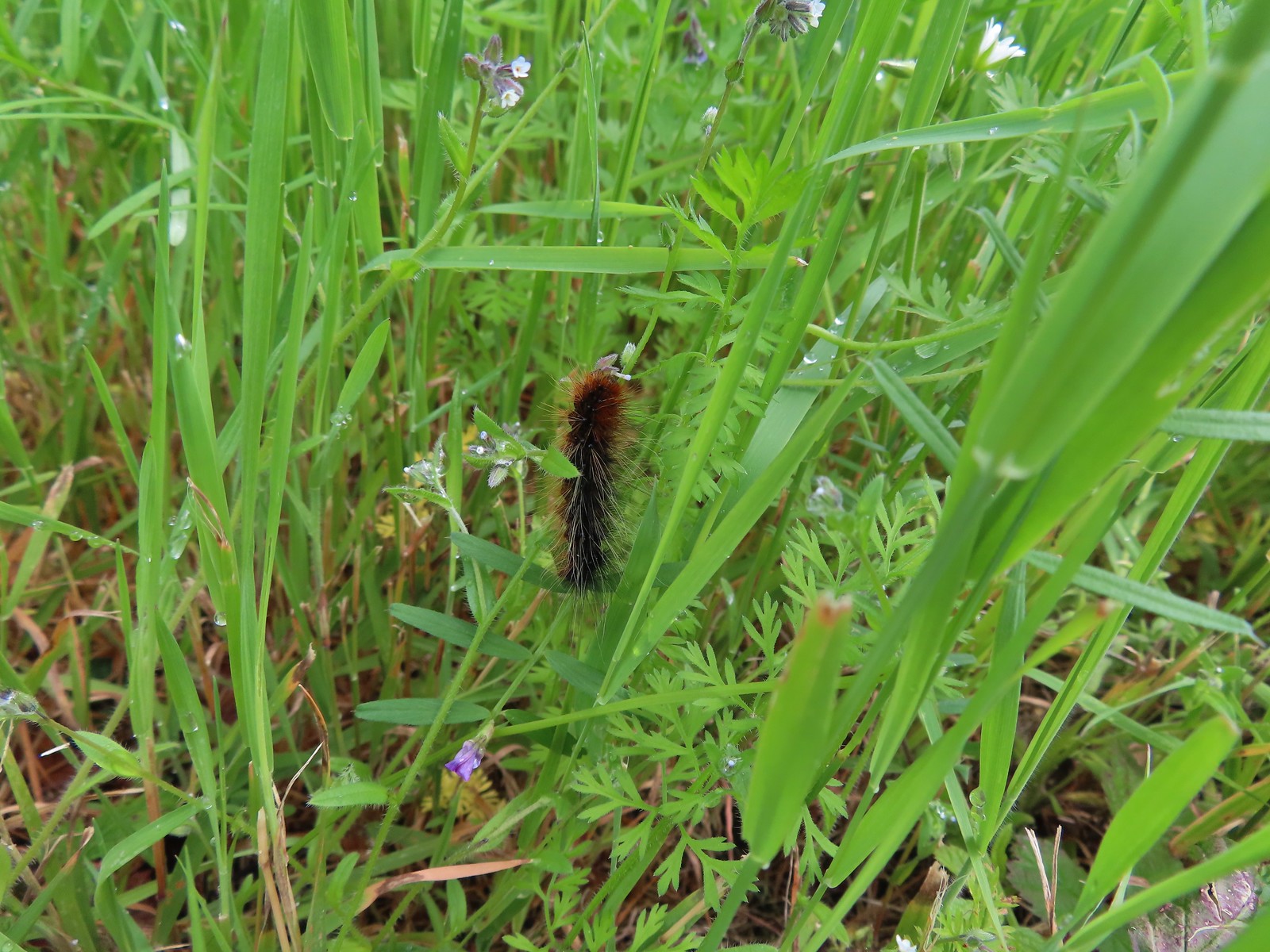 Caterpillar – Julia Butler Hansen Wildlife Refuge
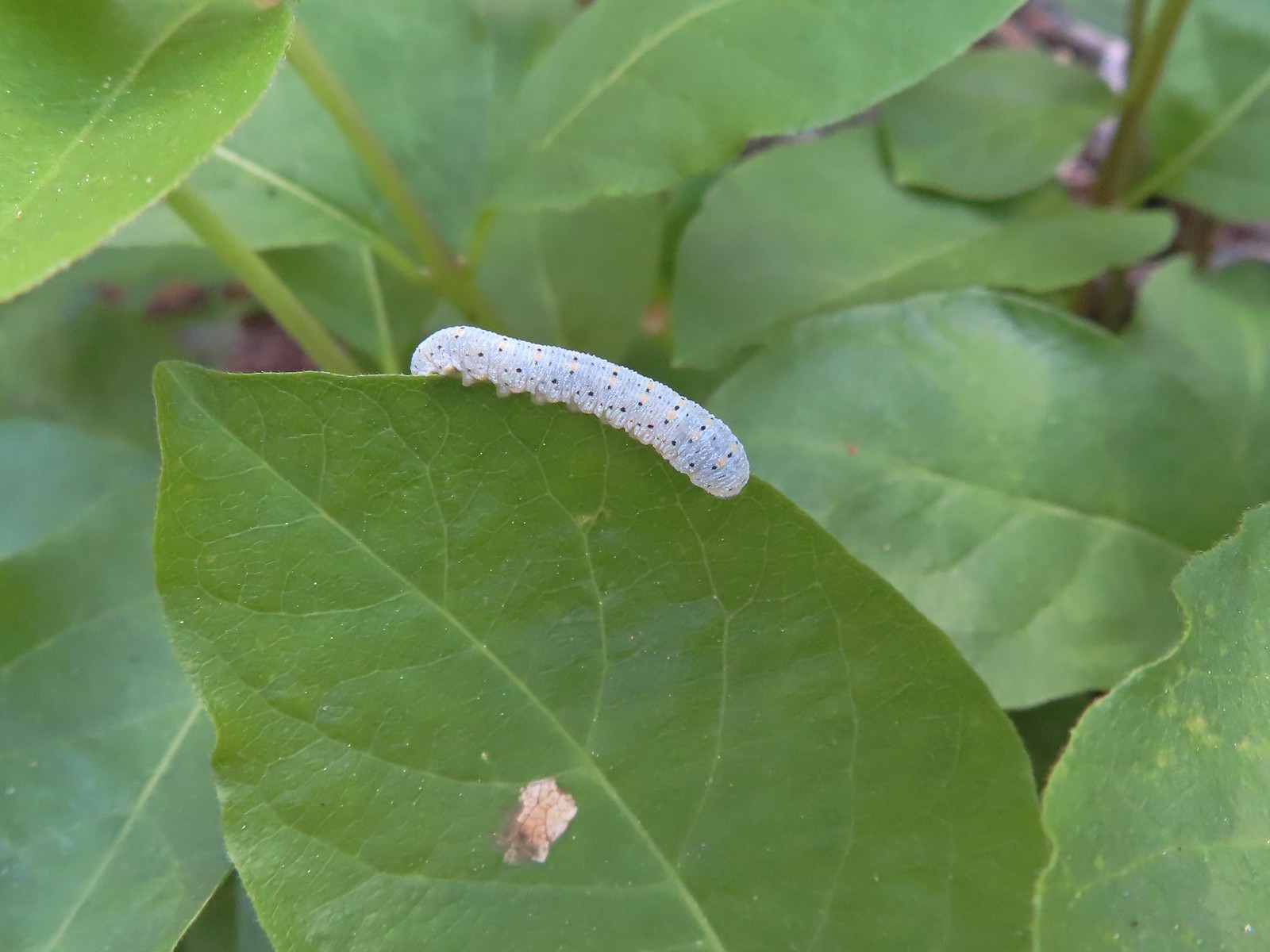 Caterpillar – Siskiyou Wilderness
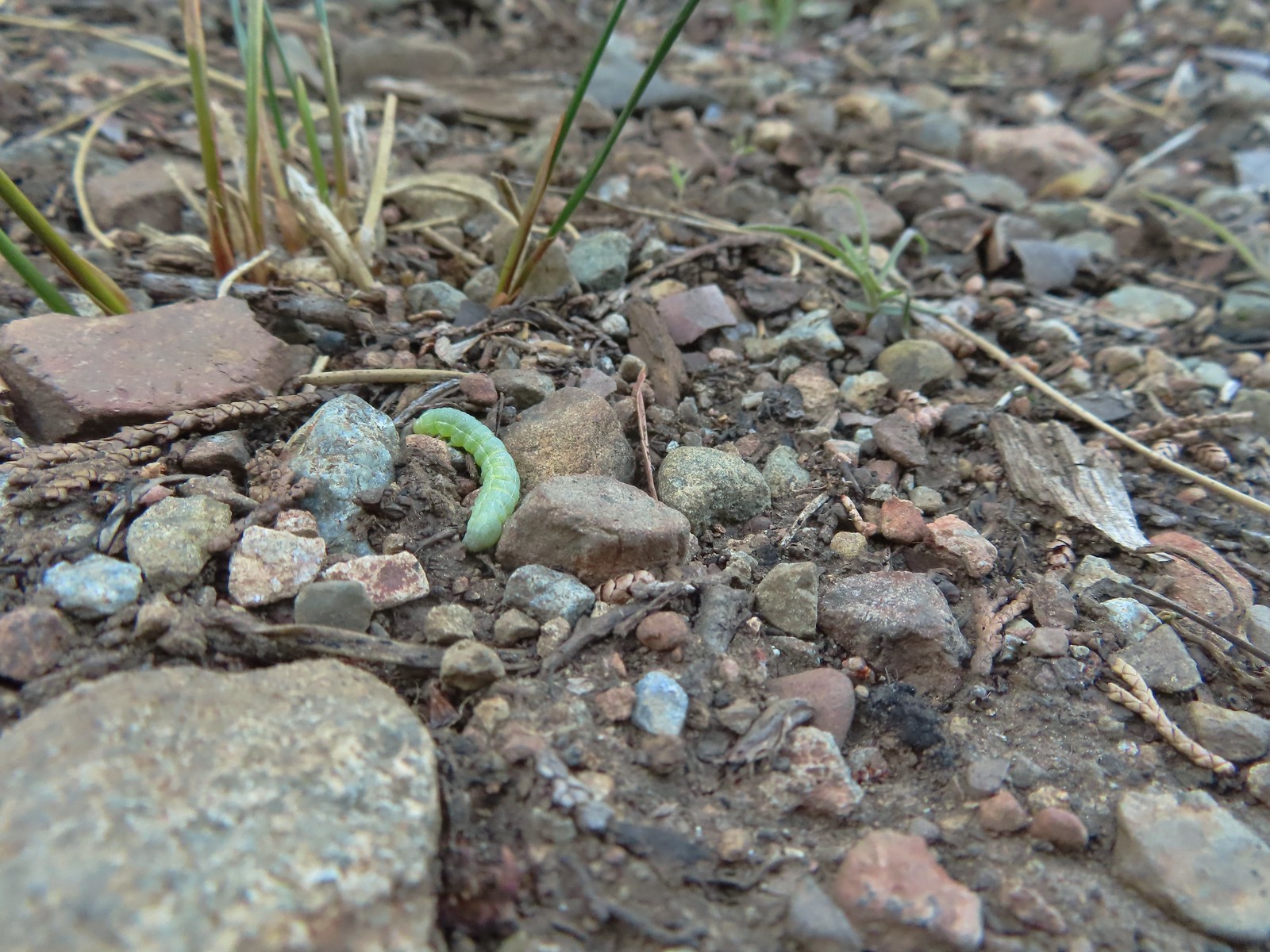 Caterpillar – Siskiyou Wilderness
 Caterpillar – Larch Mountain Trail
 Caterpillar – Larch Mountain Trail
 Caterpillar – Larch Mountain Trail
 Moth – Klickitat Trail
 Moth -Eagle Cap Wilderness
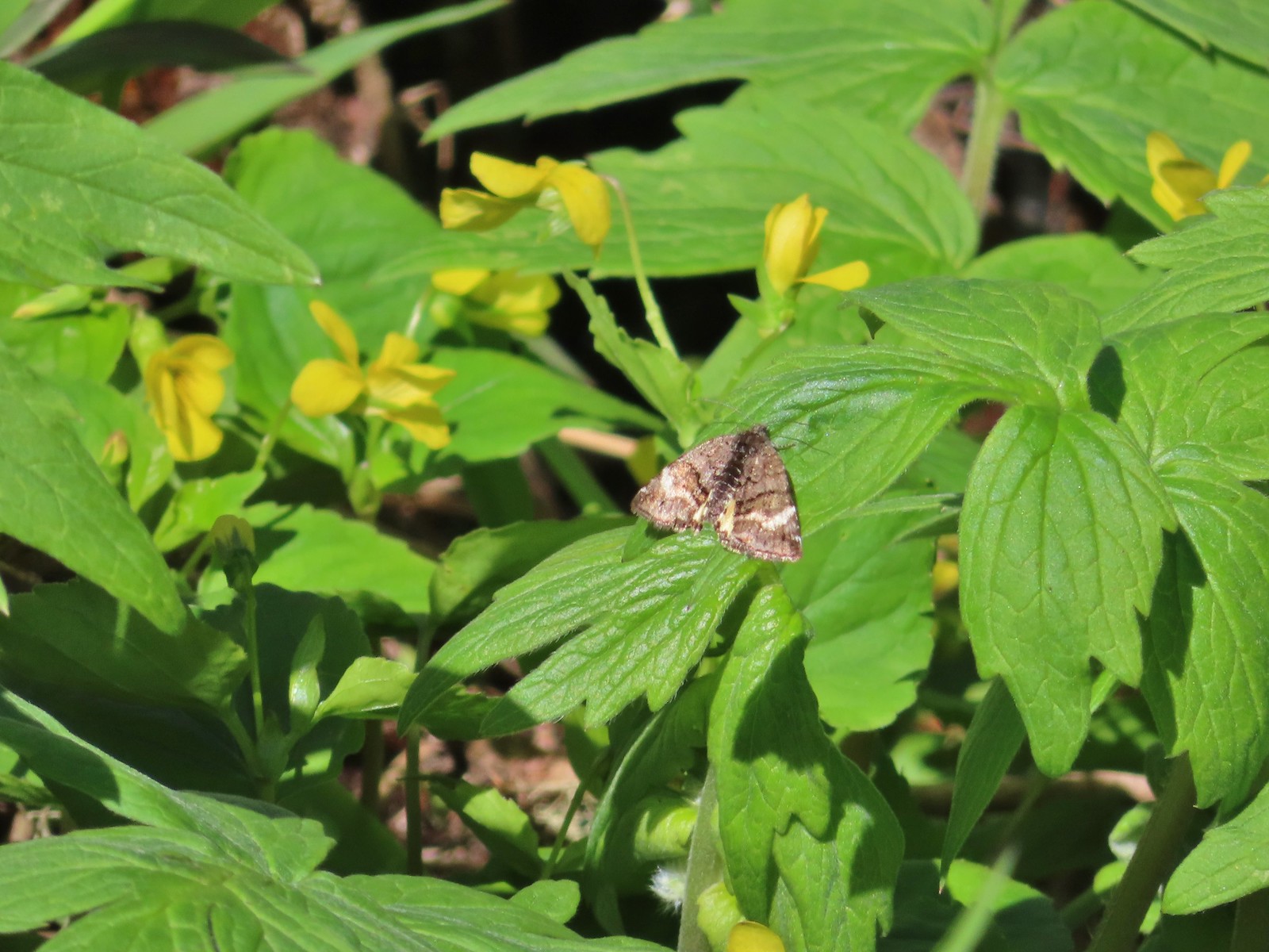 Moth – Twin Lakes
 Moth – Eagle Cap Wilderness
 Moth – Eagle Cap Wilderness
 Moth – Eagle Cap Wilderness
 Moth – Wolf Creek Falls Trail
 Moth – Cascade Head
 Propertius duskywing (Erynnis propertius) – Klickitat Trail
 Duskywing – Siskiyou Wilderness
 Northern Cloudywing? – Siskiyou Wilderness
 Silver-spotted skipper – Siskiyou Wilderness
 Skipper – Grizzly Peak
 Skipper – Rogue-Umpqua Divide Wilderness
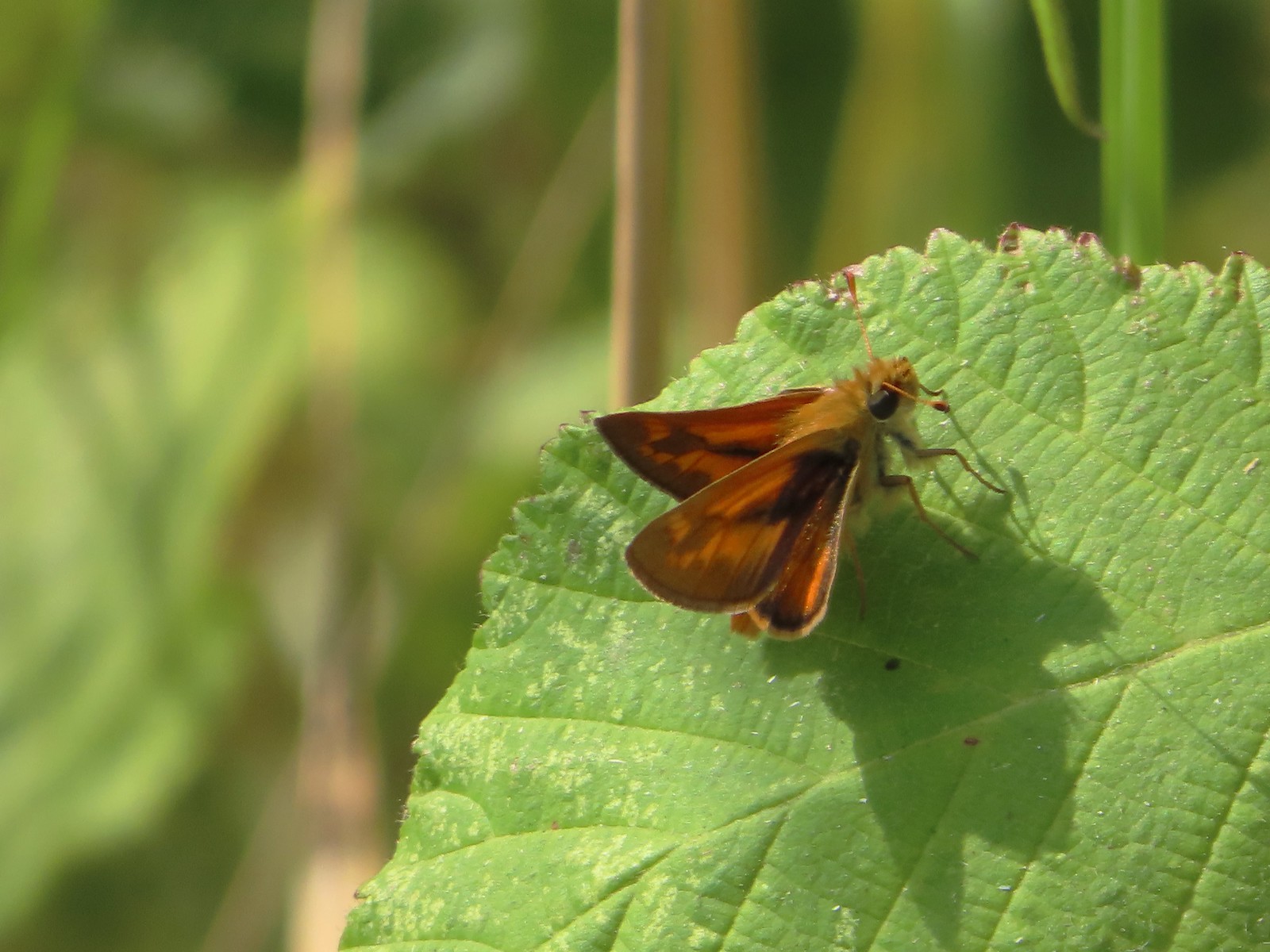 Skipper – E. E. Wilson Wildlife Area
 Hairstreak (bramble?) – Siskiyou Mountains
 Cedar hairstreak – Siskiyou Wilderness
 Hairstreak (possibly thicket) – Eagle Cap Wilderness
 Ochre ringlet – Jack Ash Trail
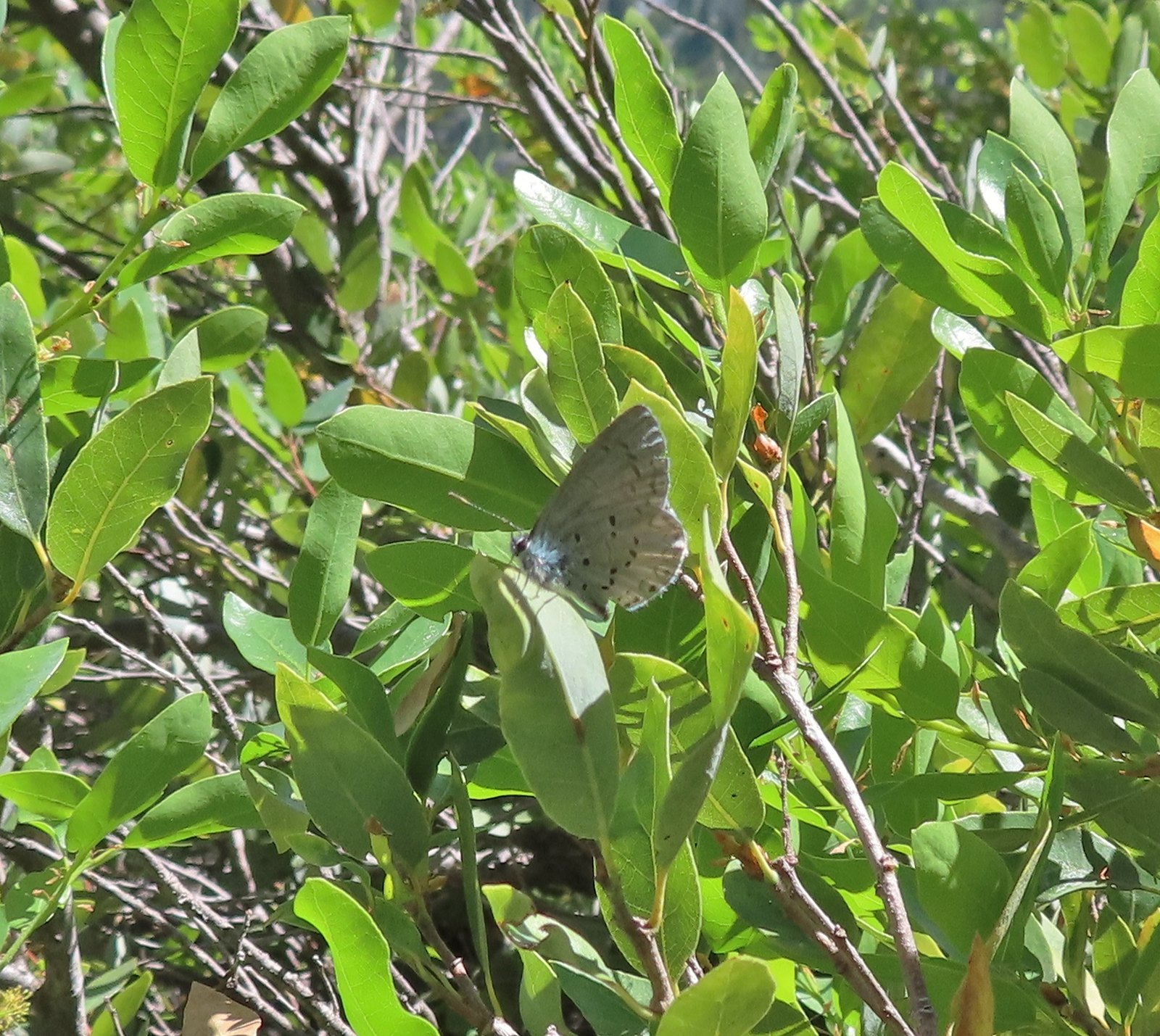 Butterfly – Siskiyou Wilderness
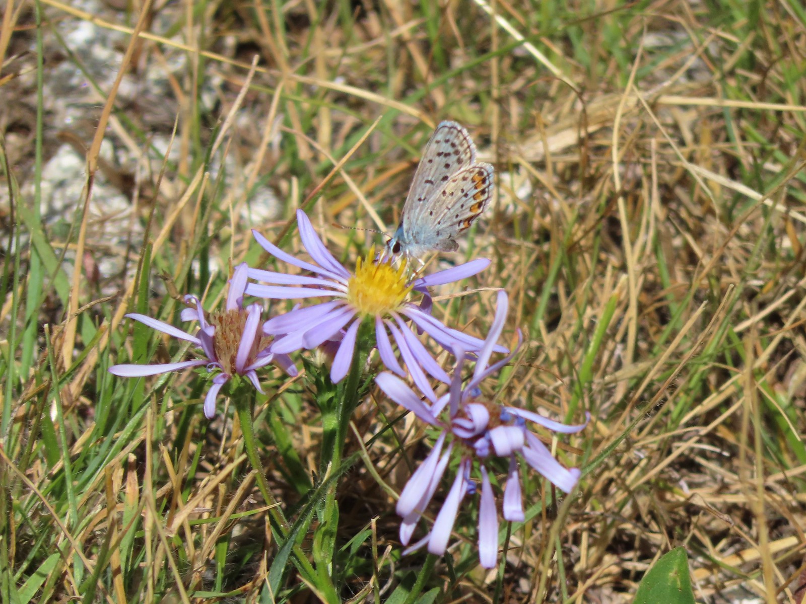 Butterfly – Trinity Alps Wilderness
 Butterfly – Trinity Alps Wilderness
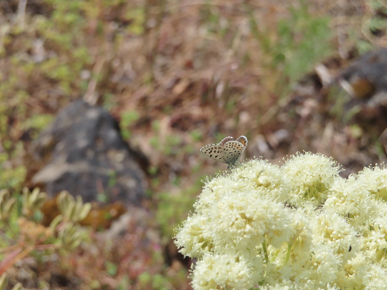 Butterfly – Upper Table Rock
 Butterfly – Mule Mountain
 Butterfly – Eagle Cap Wilderness
 Butterfly – Eagle Cap Wilderness
 Butterfly – Mt. Adams Wilderness
 Butterfly – Mt. Adams Wilderness
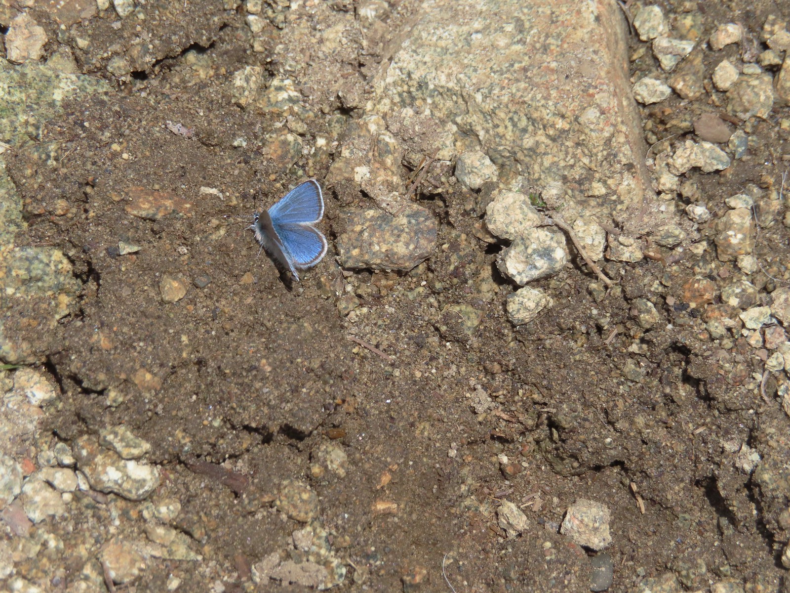 Butterfly – Mt. Ireland
 Butterfly – Trinity Alps Wilderness
 Butterfly – Silver Star Mountain
 Butterfly – Russian Wilderness
 Butterfly – Trinity Alps Wilderness
 Sara’s orangetip – Klickitat Trail
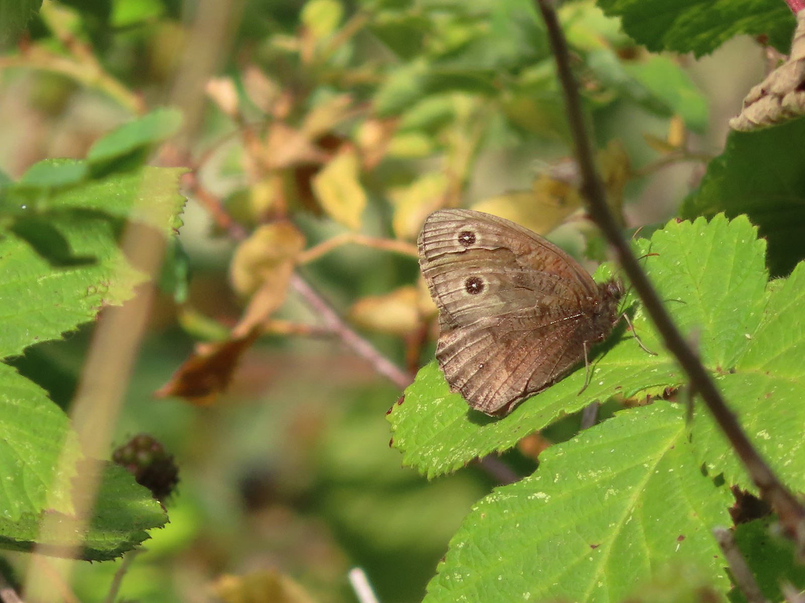 Common woodnymph – E. E. Wilson Wildlife Area
 Another woodnymph – Rogue-Umpqua Divide Wilderness
 Orange sulphur – Siskiyou Wilderness
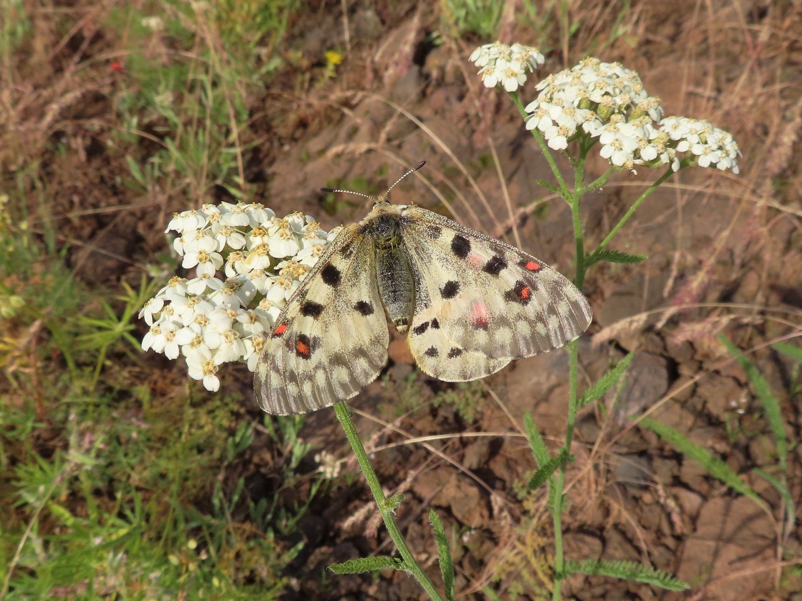 Mountain parnassian – Eagle Cap Wilderness
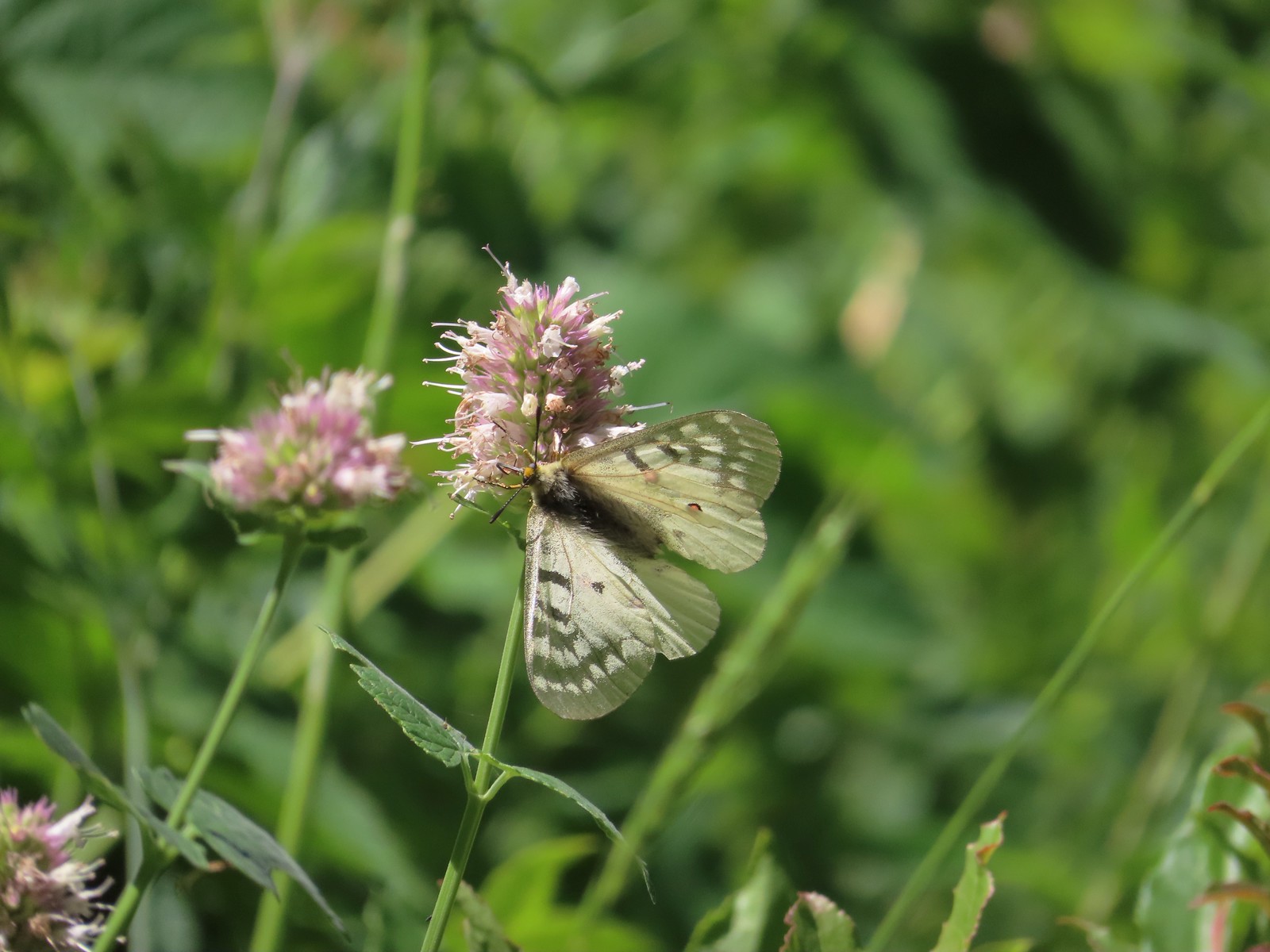 Clodius parnassian – Hemlock Lake
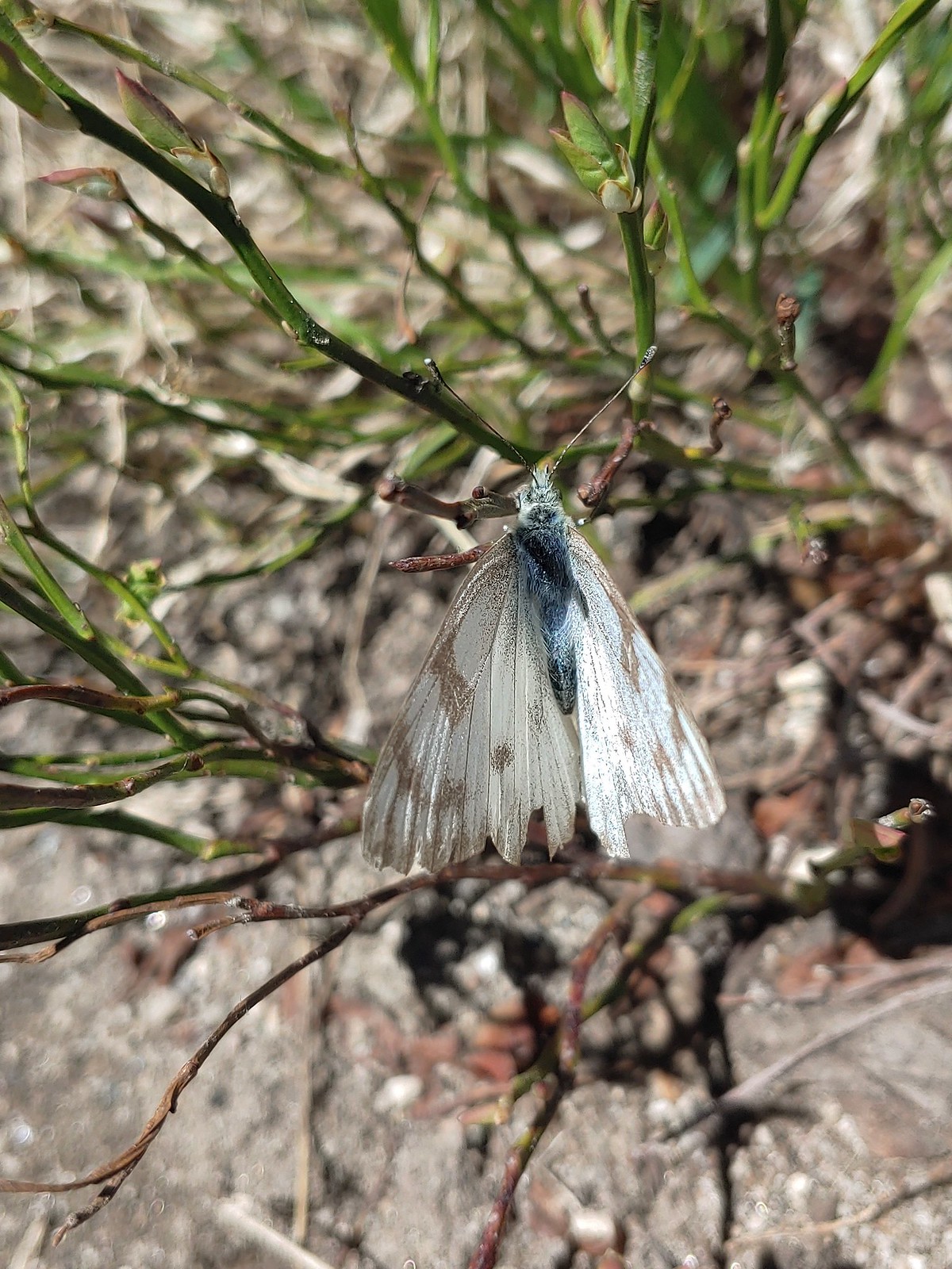 Western white? – Eagle Cap Wilderness
 Western white – Trinty Alps Wilderness
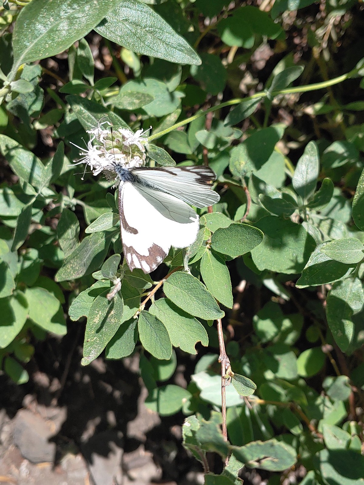 Pine white – Russian Wilderness
 Butterfly – Eagle Cap Wilderness
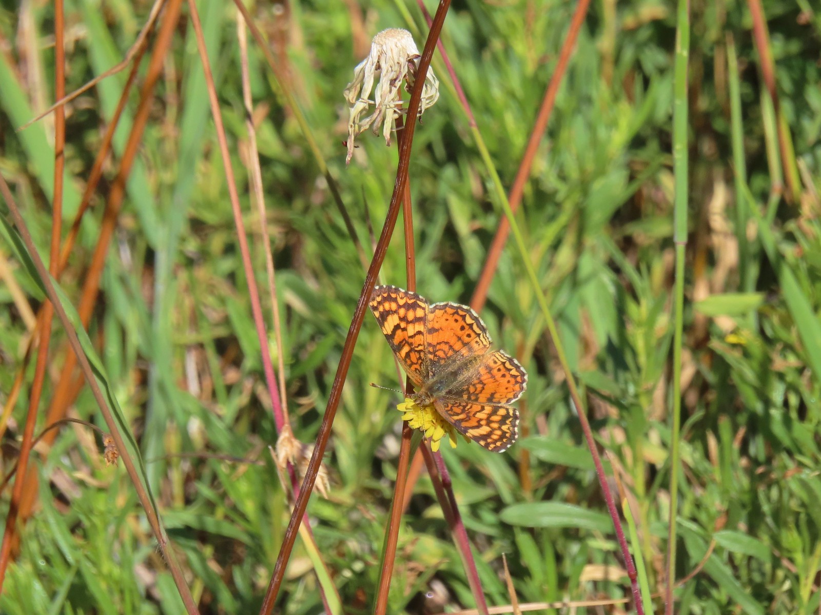 Butterfly – Russian Wilderness
 Butterfly – Mt. Adams Wilderness
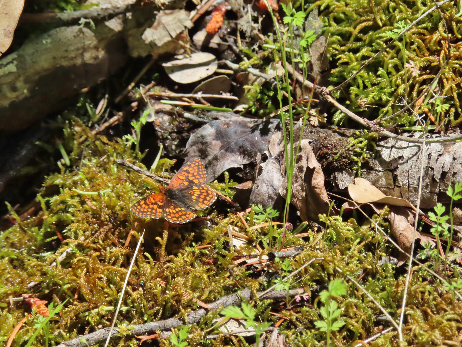 Butterfly – Mule Mountain
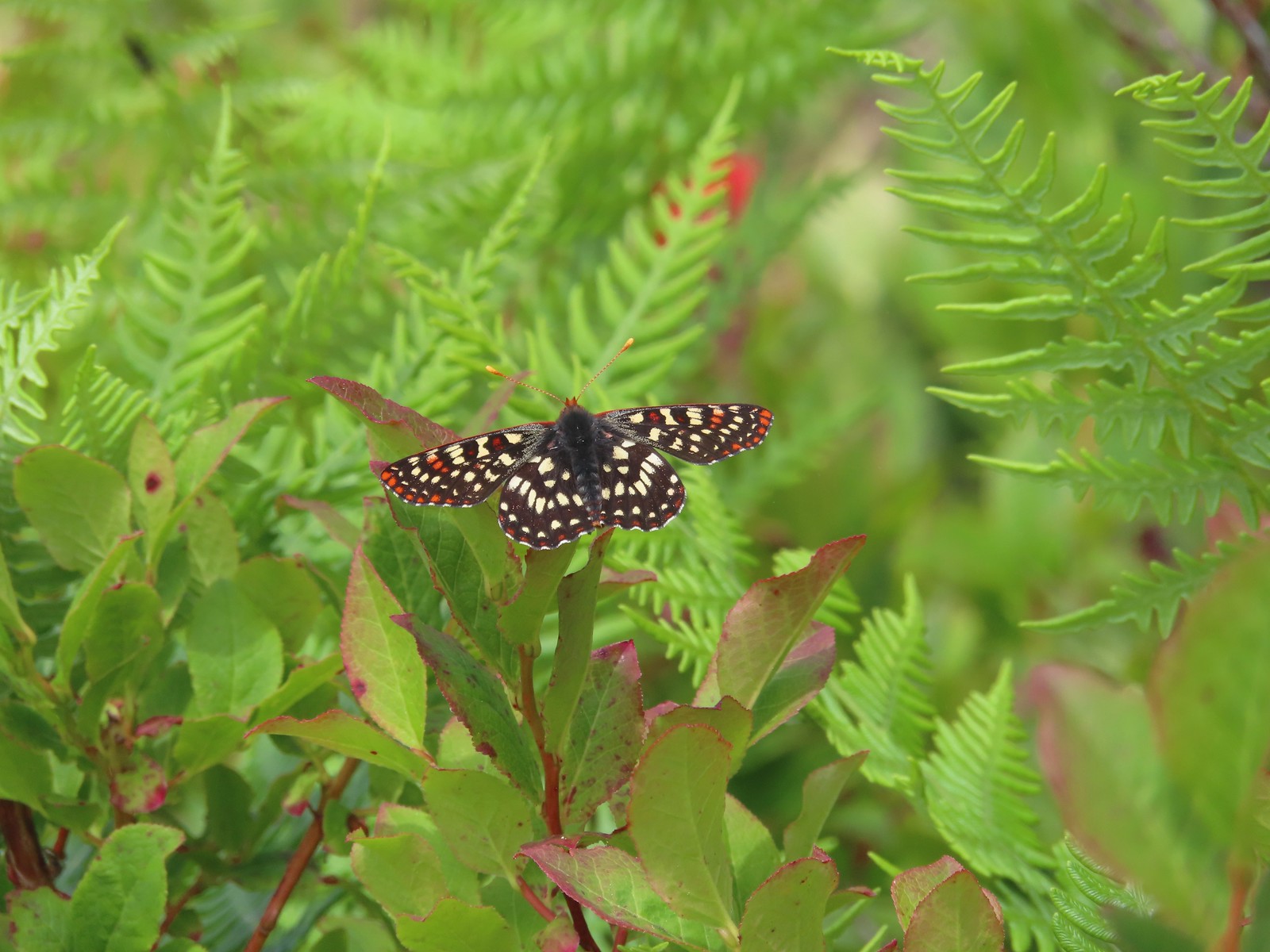 Butterfly – Silver Star Mountain
 Butterfly – Silver Star Mountain
 Butterfly – Silver Star Mountain
 Western meadow fritillary? – Silver Star Mountain
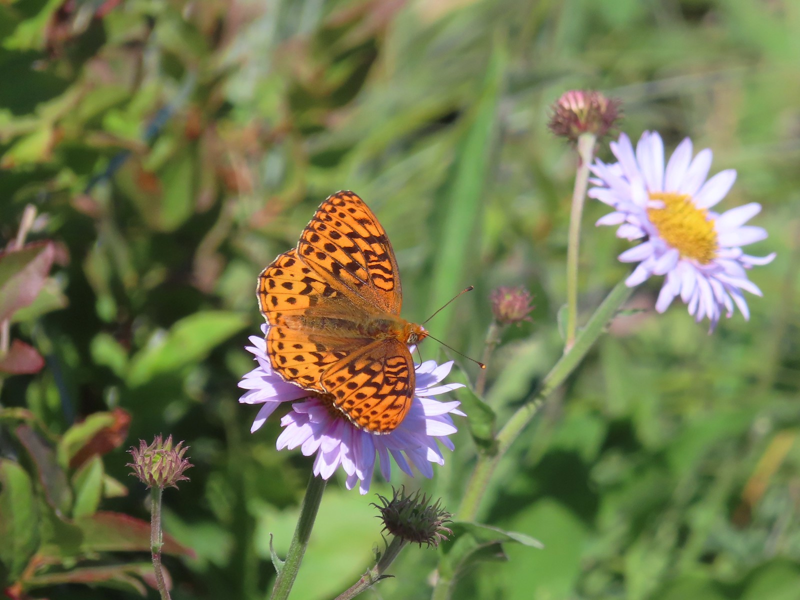 A fritillary – Silver Star Mountain
 A fritillary – Trinity Alps Wilderness
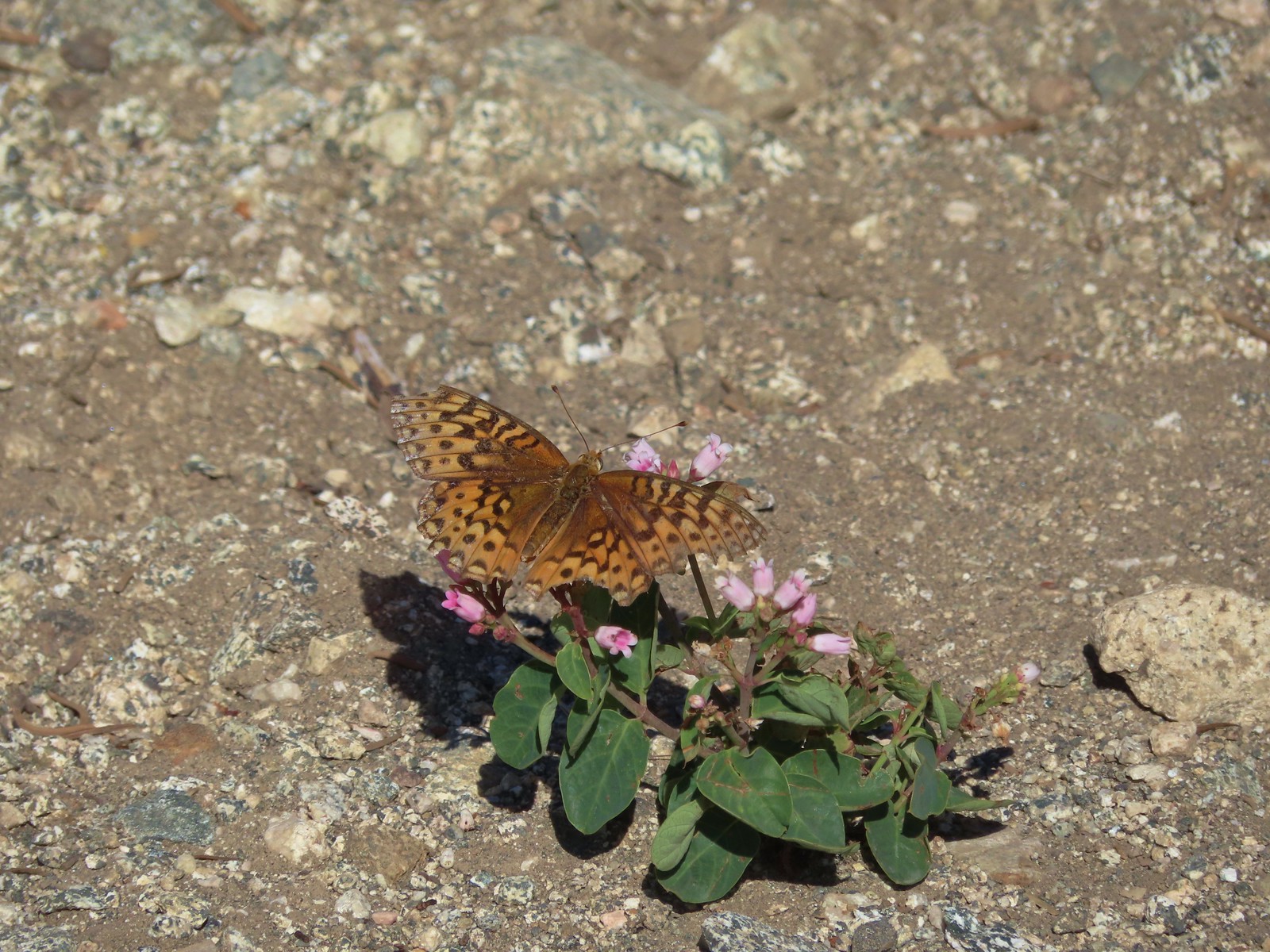 A fritillary -Russian Wilderness
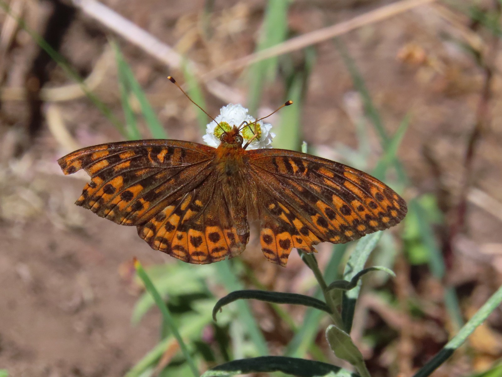 A fritillary – Rogue-Umpqua Divide Wilderness
 Mourning cloak – Klickitat Trail
 California tortoiseshell – Siskiyou Wilderness
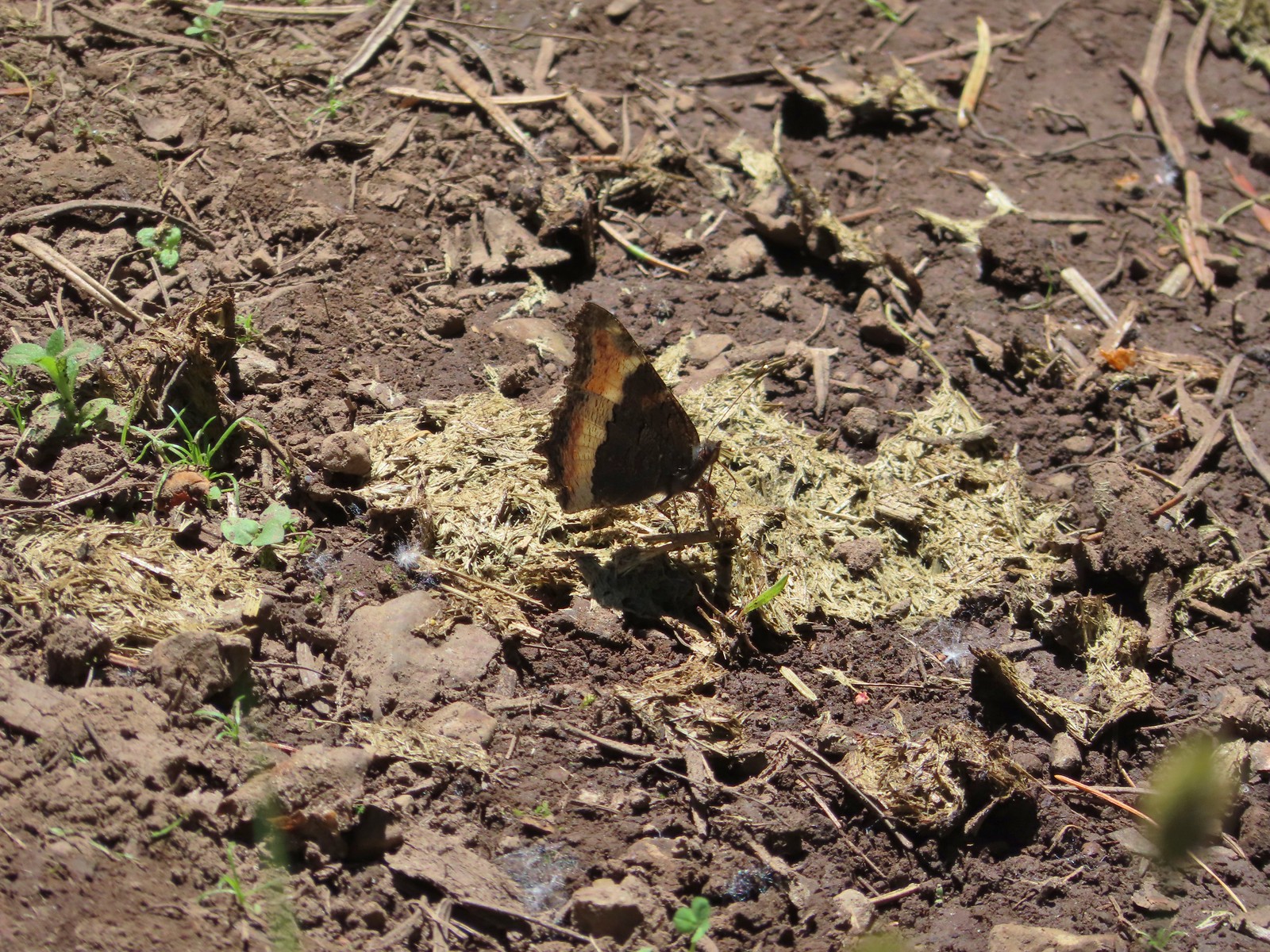 Milbert’s tortoiseshell – Eagle Cap Wilderness
 Lorquin’s admiral – Eagle Cap Wilderness
 Common buckeye – Mt. Shasta Wilderness
 Hoary comma – Sky Lakes Wilderness
 Green comma? – Eagle Cap Wilderness
 Klickitat Trail
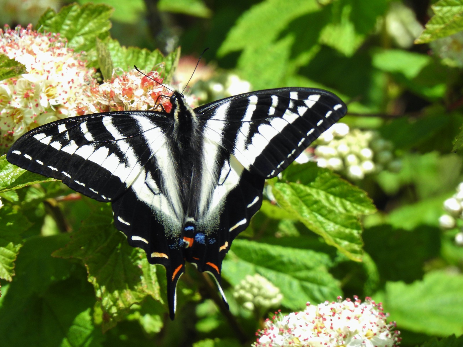 Julia Butler Hanson Wildlife Refuge
 Eagle Cap Wilderness
 Tadpoles – Russian Wilderness
 Tadpole transforming – Mt. Adams Wilderness
 Frog – Russian Wilderness
 Frog – Goat Marsh Lake
 Tree frog – Siskiyou Wilderness
 Frog – Trinity Alps Wilderness
 Toad – Trinity Alps Wilderness
 Toad – Mt. Jefferson Wilderness
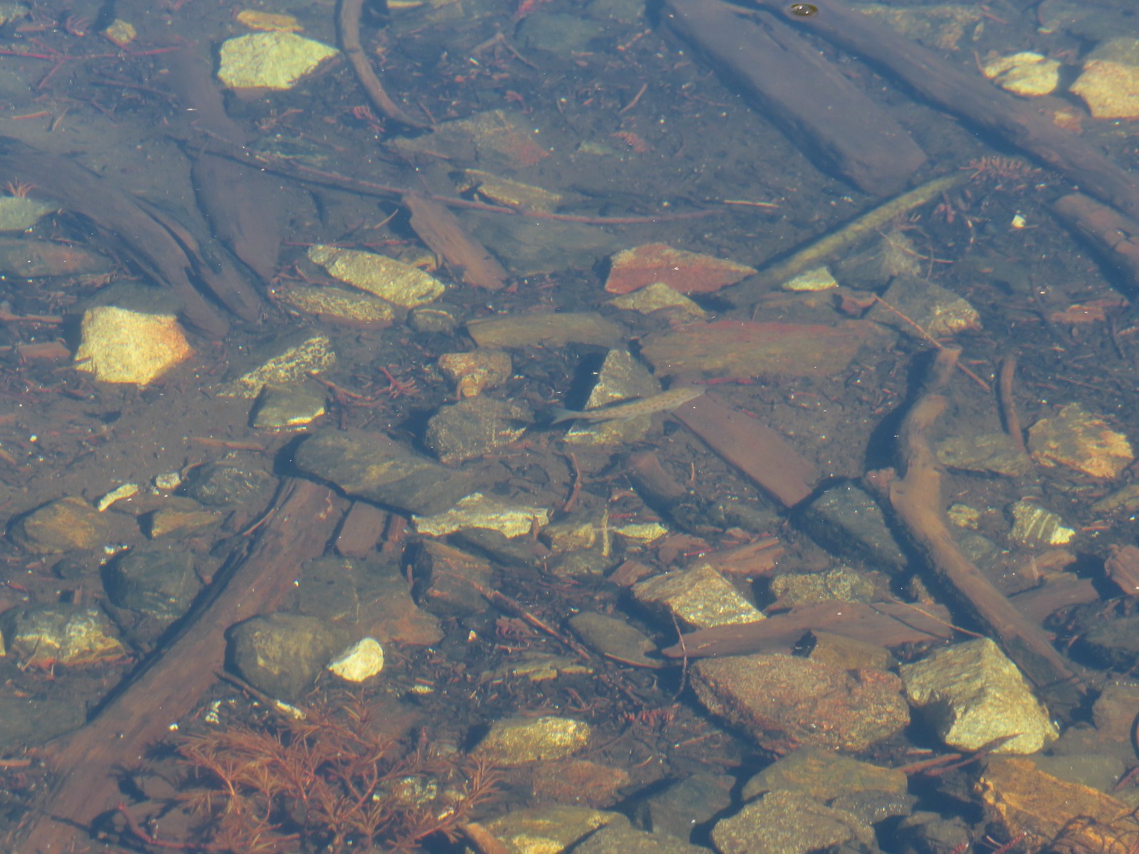 Fish – Siphon Lake
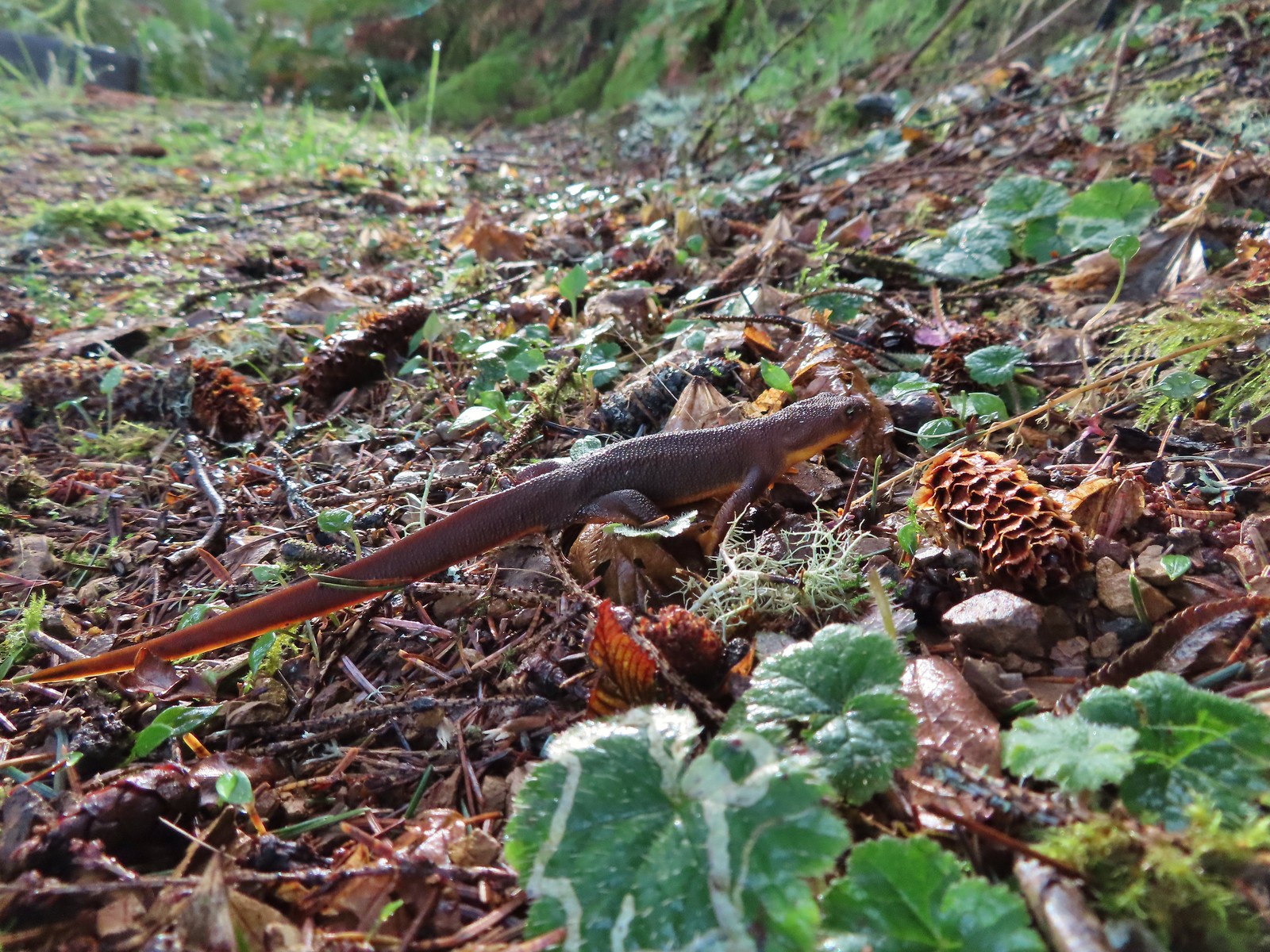 Rough skinned newt – Yakona Nature Preserve
 Western painted turtle – Julia Hansen Butler Wildlife Refuge
 Baby snake – Miller Woods
 Garter snake – Julia Hansen Butler Wildlife Refuge
 Lizard – Mule Mountain
 Lizard – Upper Table Rock
 Lizard – Russian Wilderness
 Lizard – Siskiyou Wilderness
 Lizard – Klickitat Trail
 Lizard – Upper Table Rock
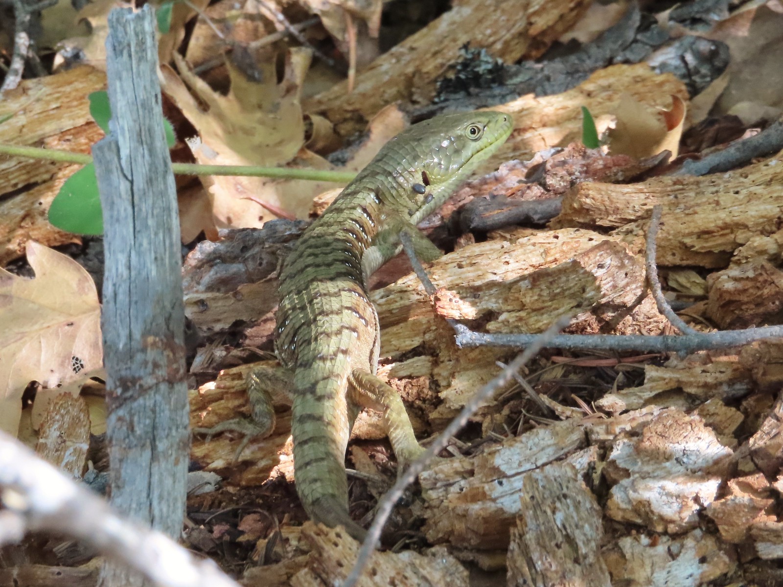 Alligator lizard – Mule Mountain
 Chipmunk – Observation Peak
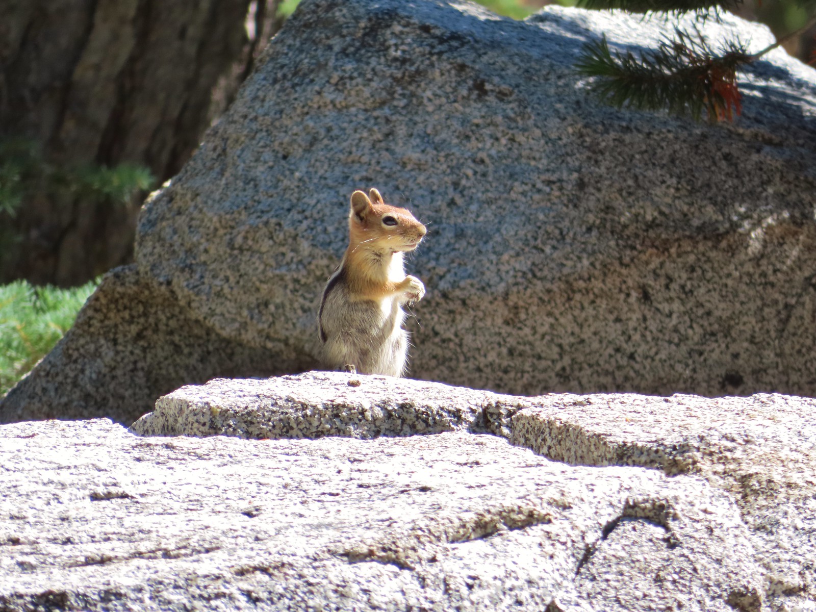 Ground squirrel – Russian Wilderness
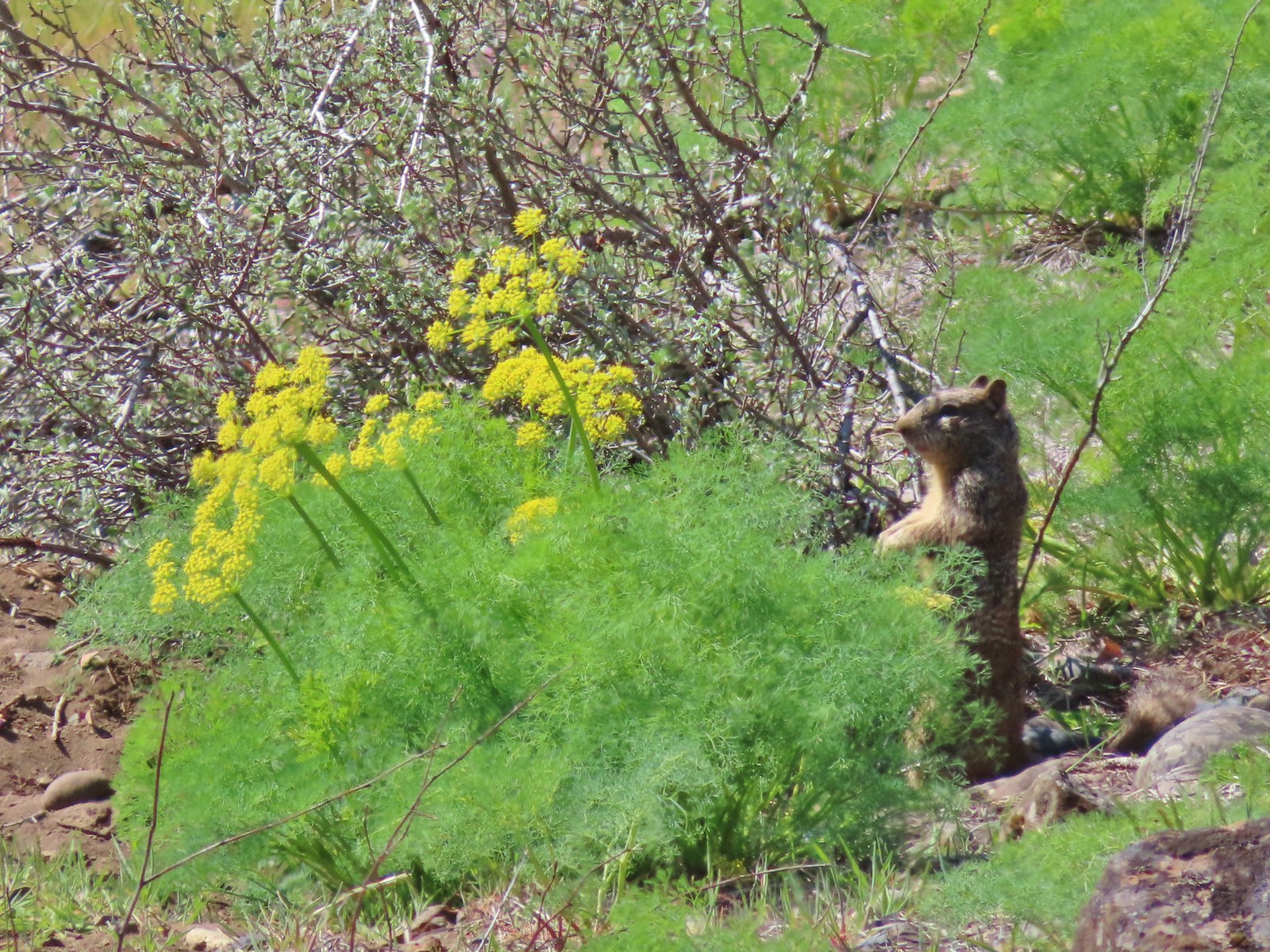 Ground squirrel – Klickitat Trail
 Ground squirrel – Eagle Cap Wilderness
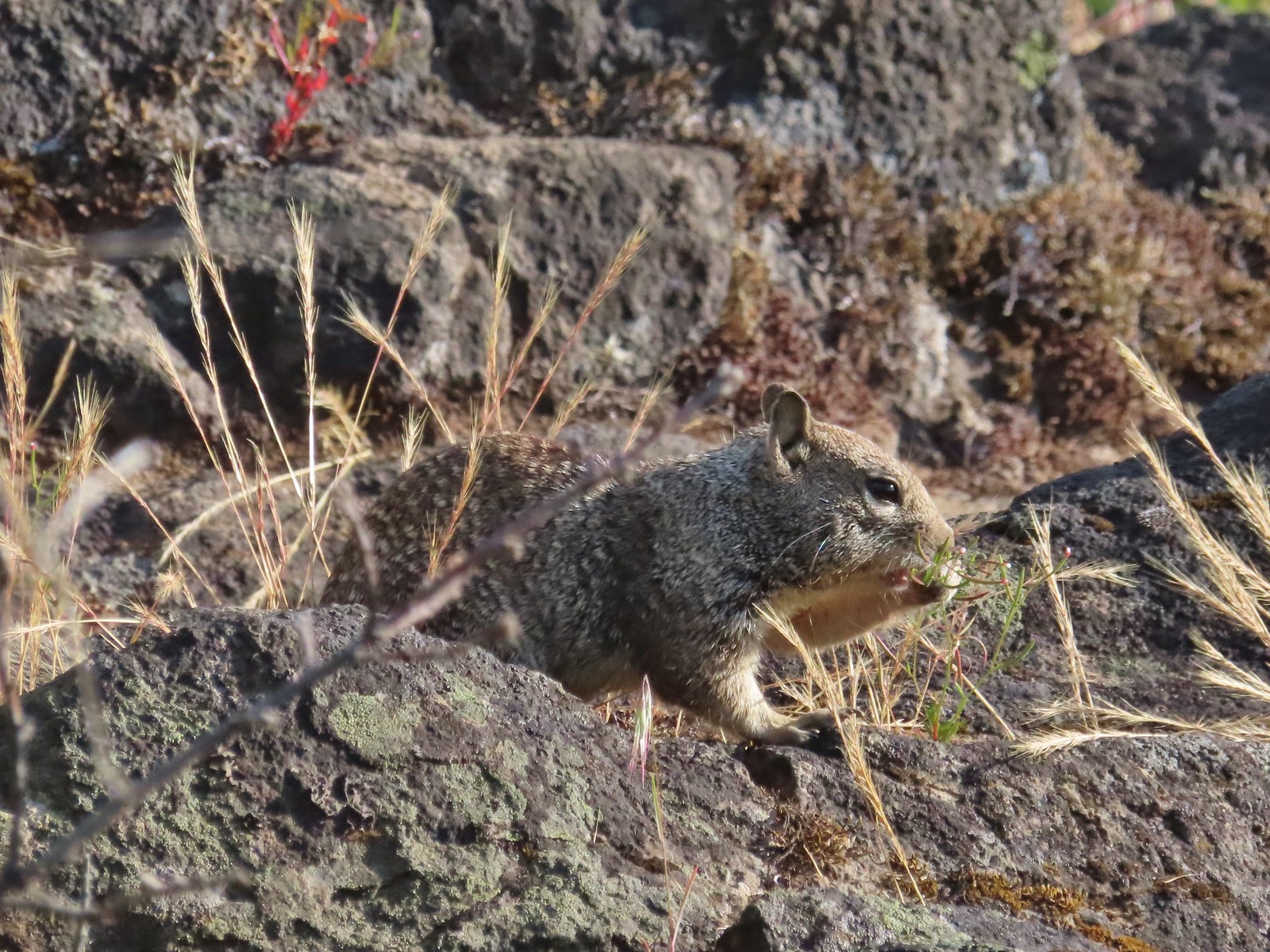 Ground squirrel – Upper Table Rock
 Squirrel – Rock Creek Trail
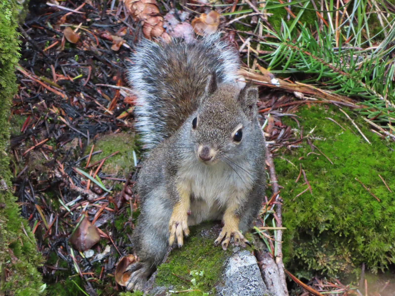 Squirrel – Twin Lakes
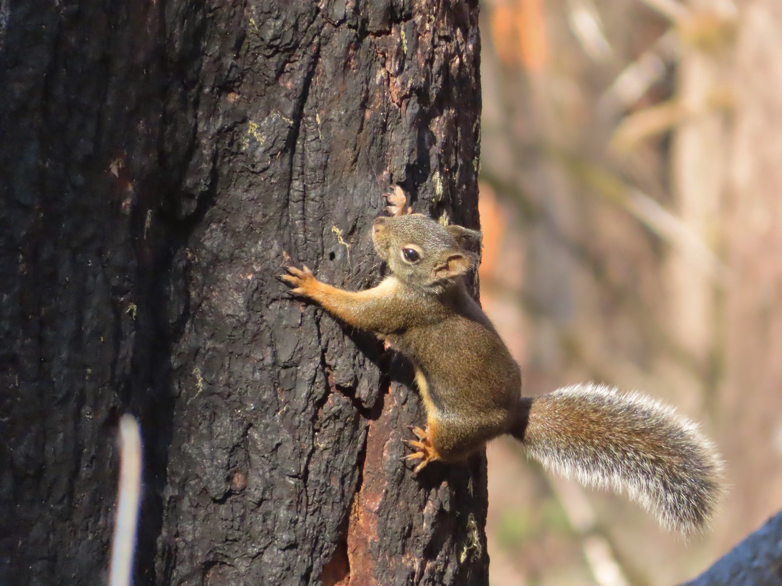 Squirrel – Larch Mountain Trail
 Marmot – Wallowa Homeland
 Jack rabbit – Denman Wildlife Area
 Rabbit – E. E. Wilson Wildlife Area
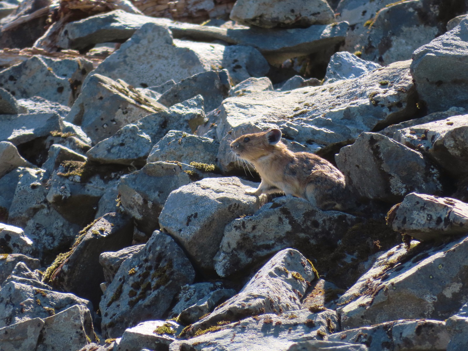 Pika – Silver Star Mountain
 Muskrat – Julia Butler Hansen – Wildlife Refuge
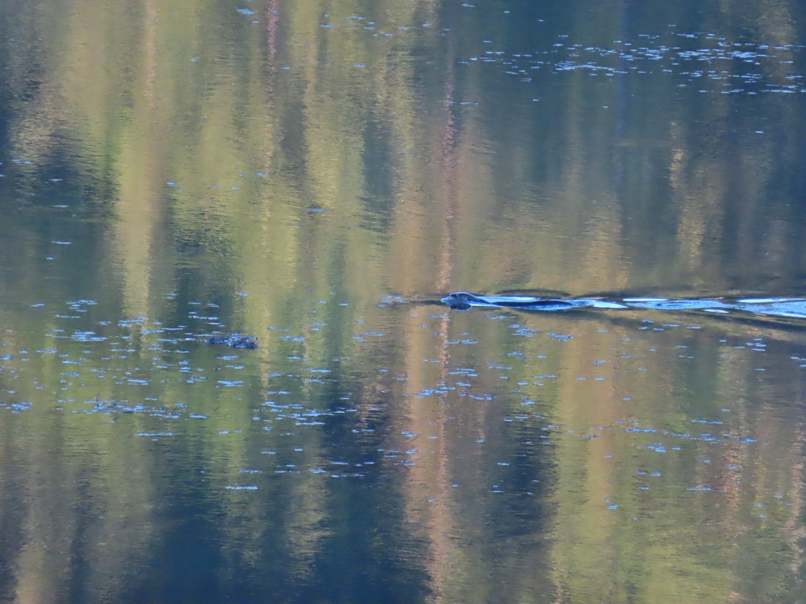 Otter – Killin Wetlands
 Sea lion – Hart’s Cove
 Deer – Memaloose Hills
 Doe – Miller Woods
 Mamma – Roxy Ann Peak
 Fawn – Roxy Ann Peak
 Columbian white-tailed buck – Julia Butler Hansen Wildlife Refuge
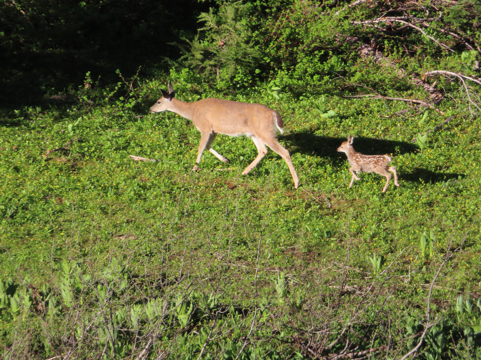 Doe & fawn – Donomore Meadows
 Three bucks – Siskiyou Wilderness
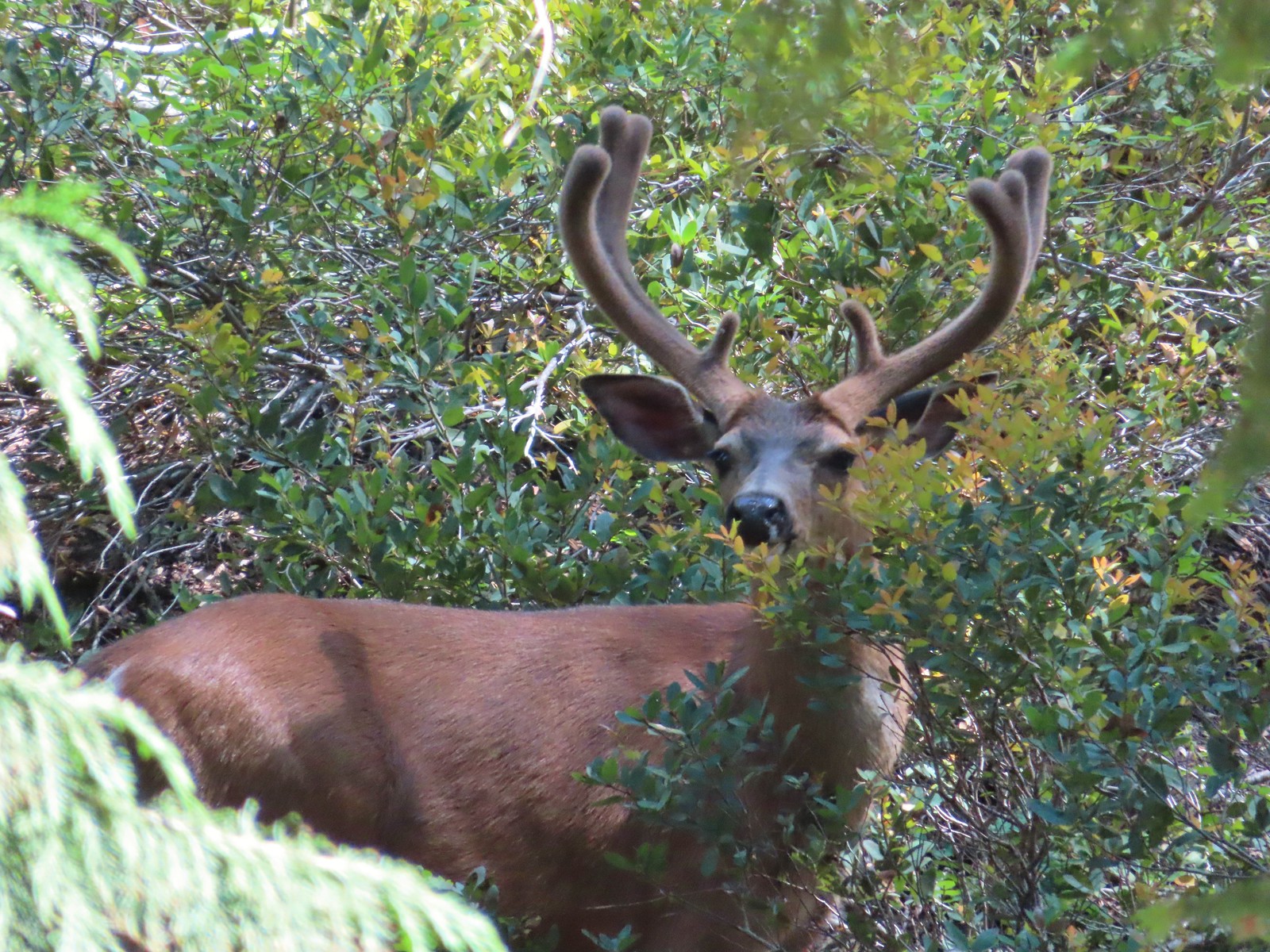 Buck – Siskiyou Wilderness
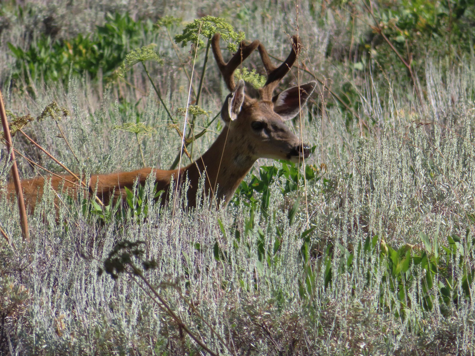 Buck – Trinity Alps Wilderness
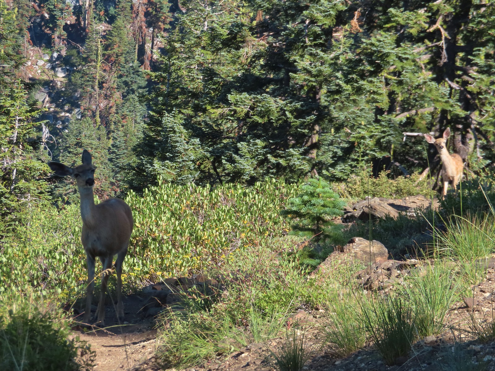 Doe & fawn – Russian Wilderness
 Buck and does – Russian Wilderness
 Two bucks – Crater Lake National Park
 Elk – Yakona Nature Preserve
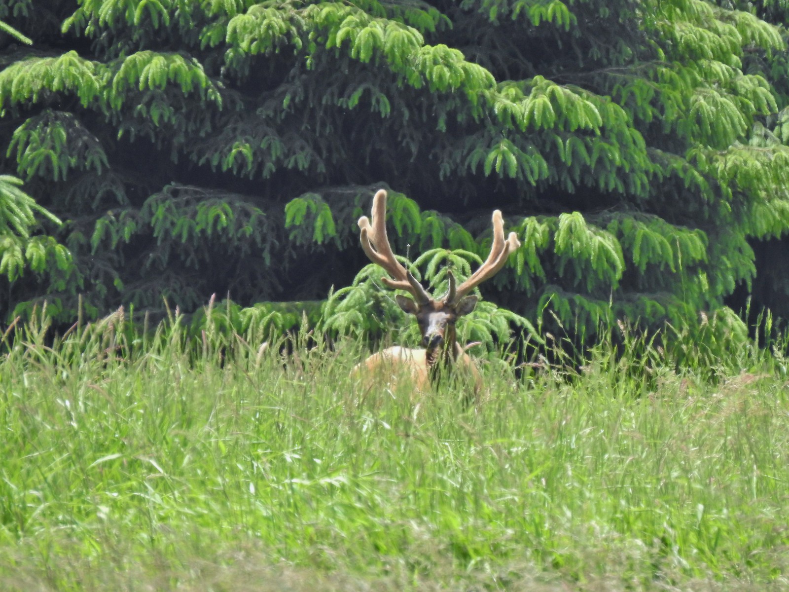 Bull elk – Julia Butler Hansen Wildlife Refuge
 Mountain goat below the Mt. Ireland Lookout – Mt. Ireland
 Domestic goat – Near the Julia Butler Hansen Wildlife Refuge
 Black bear – Siskiyou Wilderness
 The same black bear making eye contact the day before.

 An aster (or a fleabane, it’s so hard to tell).
 Musk monkeyflower
 Tiny green frog.
 It was easy to spot where the creek was based on the green.
 The wilderness boundary.
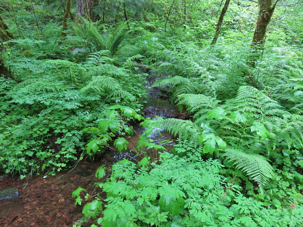
 The creek crossing.
 Paintbrush
 A checker-mallow near the creek.
 A junco. We saw a large number of small birds flying around during our trip, mostly junco’s and chickadees but they rarely ever sat still where we could see them.
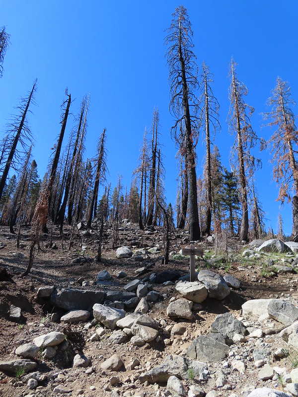 Pointer for Trail Gulch Lake 0.8 miles from the Creek Crossing.
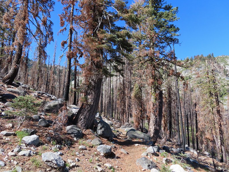


 One of several deer seen running uphill as we made our way up the trail.
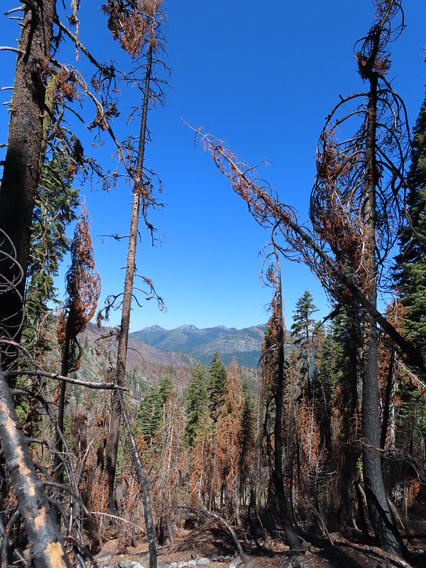 View back down Trail Gulch.
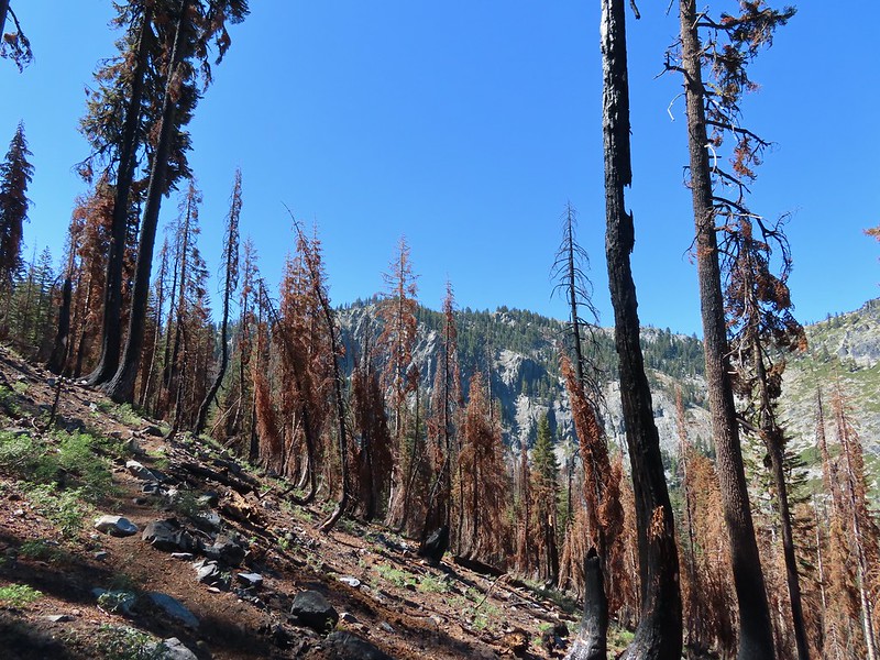
 Paintbrush
 Peaks in the Russian Wilderness.
 Arriving at the pass.
 Trail Gulch Lake from the pass.
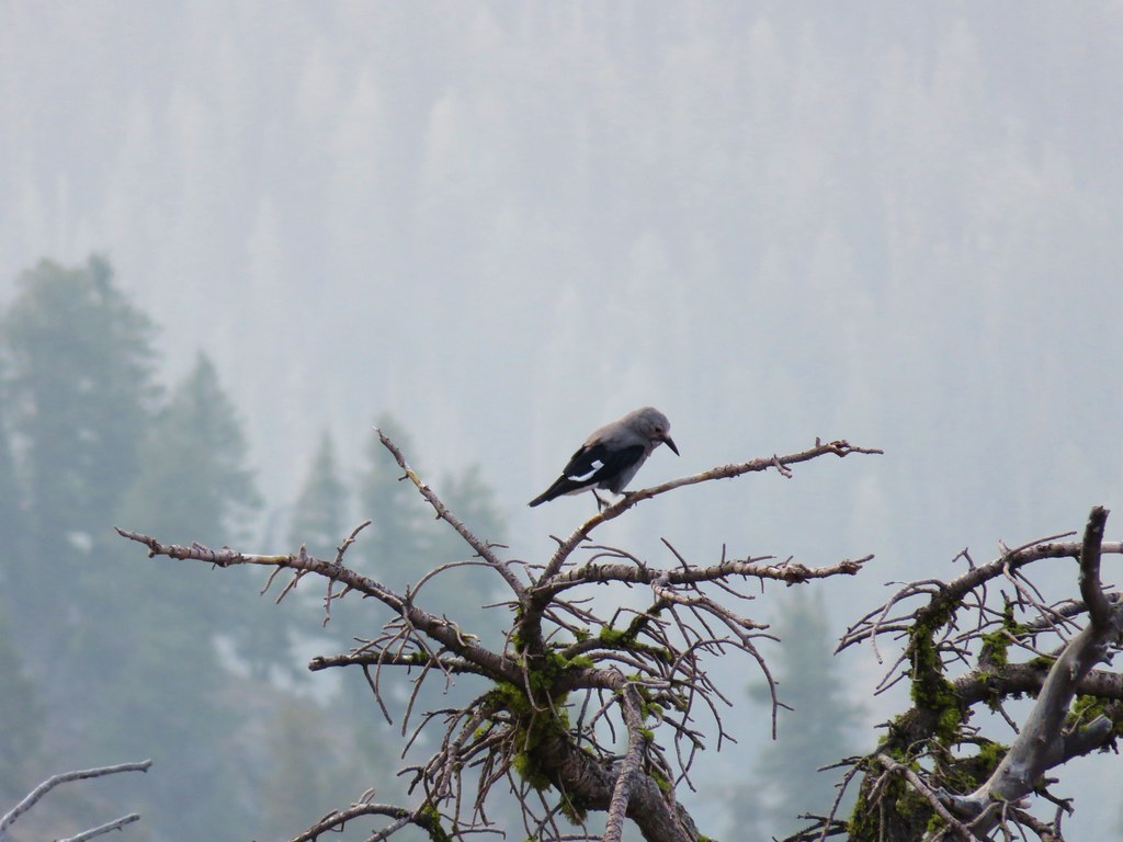
 Clark’s nutcracker
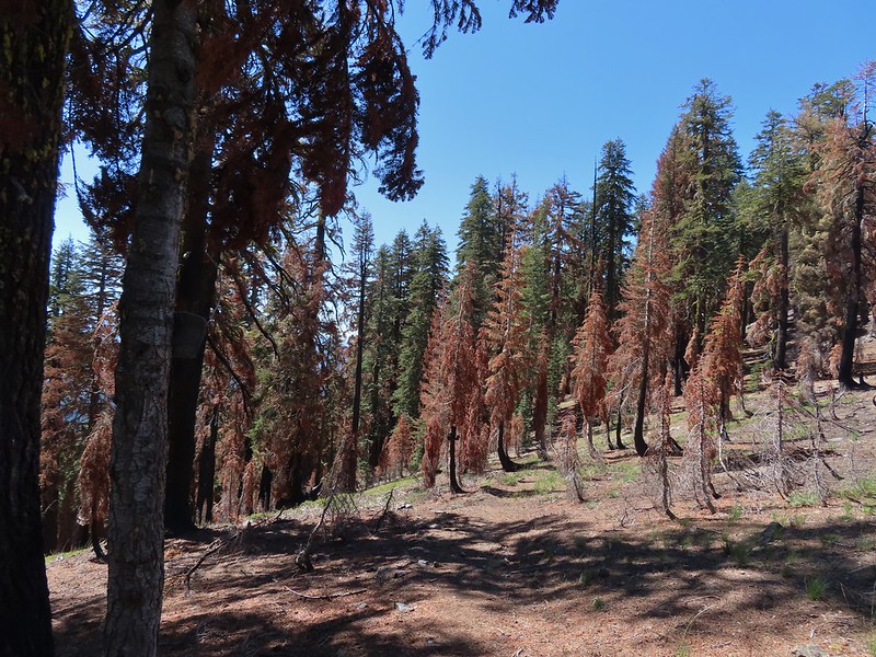
 The sign for Steveale Meadows where we went uphill on the trail to the right.


 View south from the tie trail.
 Approaching the pass.
 Sullivan mentions that it is possible to scramble 0.2 miles to the right along this ridge to get a view of Mt. Shasta and the heart of the Trinity Alps but with the smoke on the horizon we didn’t feel it was worth the effort and skipped that option.
 Looking down into Long Gulch from the pass.


 To the north we could see much of the route we’d taken the day before on the way to Siphon and Russian Lakes.
 Chipmunk with a snack.
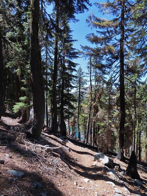

 The outlet creek.
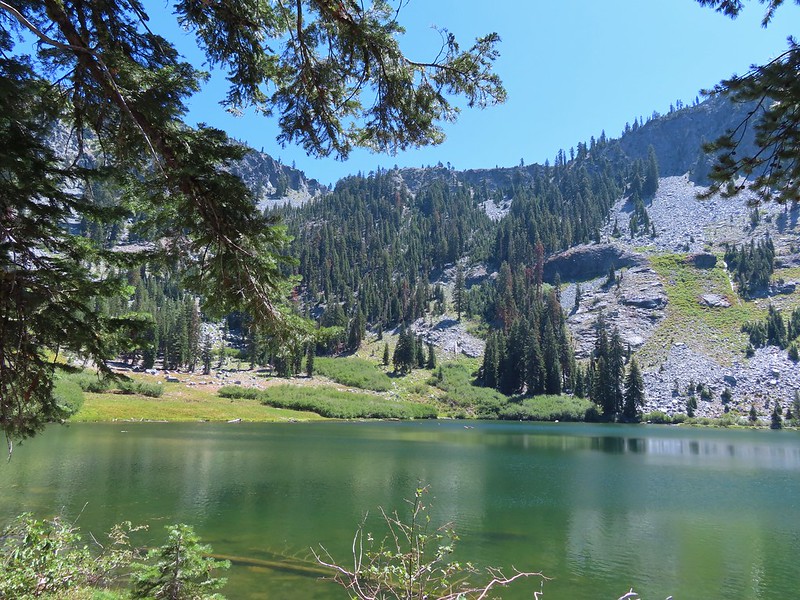
 Long Gulch Trail passed to the north of Long Gulch Lake for a quarter mile.
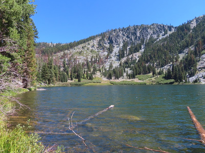 The pass that the trail came down is along the ridge to the left here.
 Parnassian on mountain coyote mint.
 Skipper on mountain coyote mint.


 Meadow with a number of big trees that survived the fire.
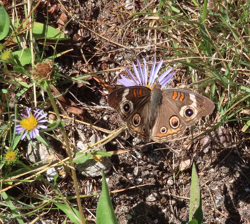 Common buckeye
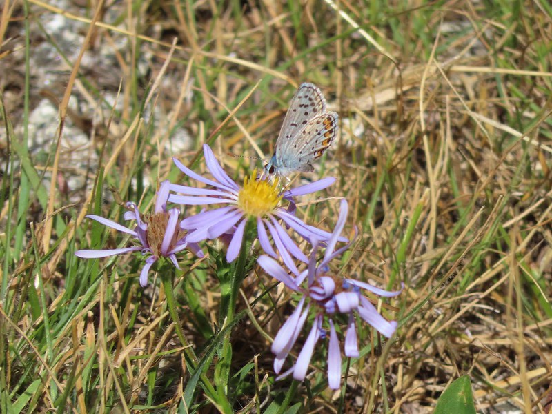 A copper or blue
 Lorquin’s admiral
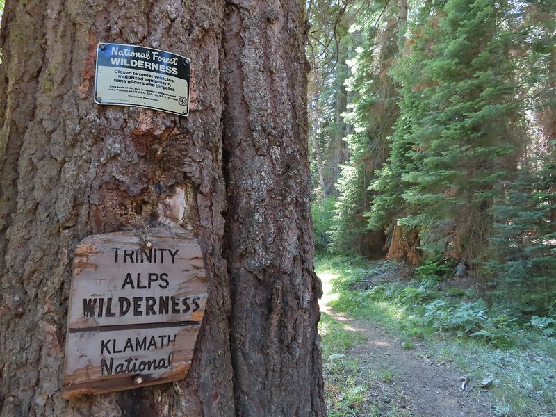 Leaving the Trinity Alps Wilderness.
 The trail briefly followed the Long Gulch Creek.
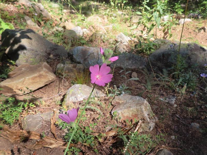 Checker-mallow
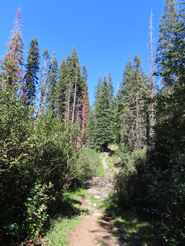 The trail crossed the creek just under 2 miles from the junction.
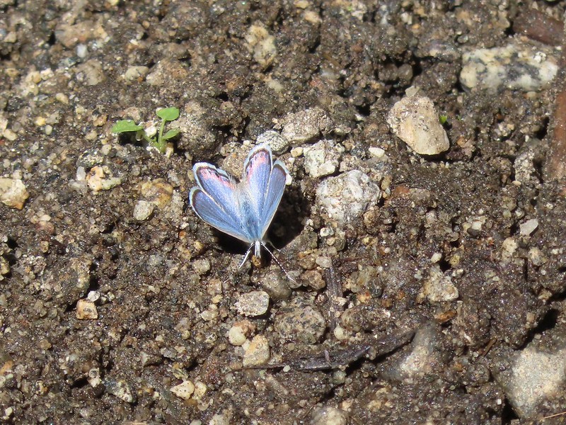
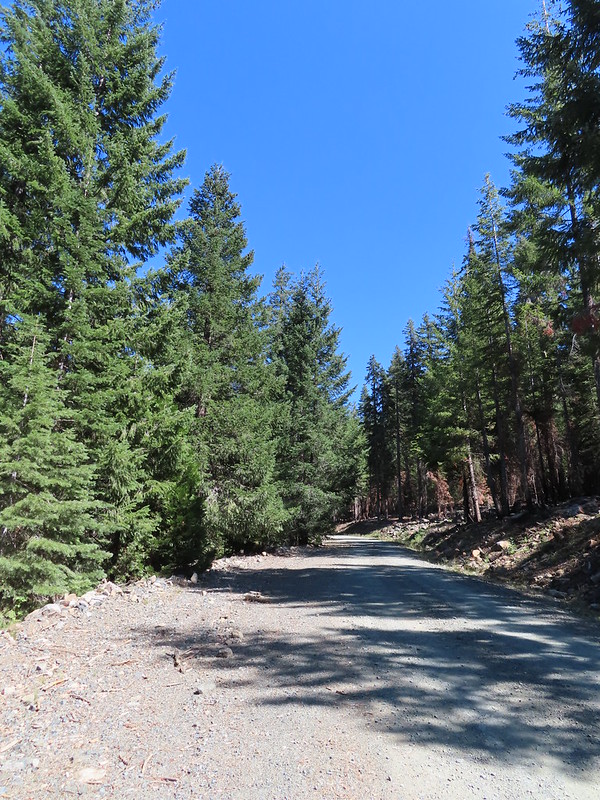
 Arriving at the Long Gulch Trailhead.
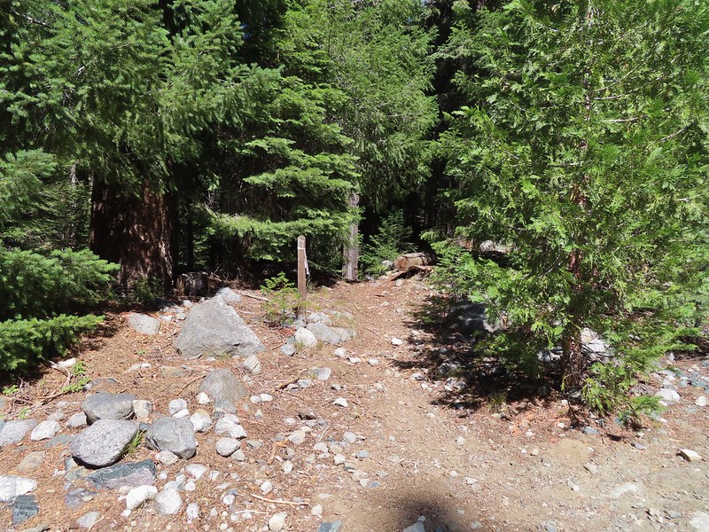


 We did pass a sign for the horse trail along the road.
 To the far right of the photo in between the green and orange branches is where it landed.
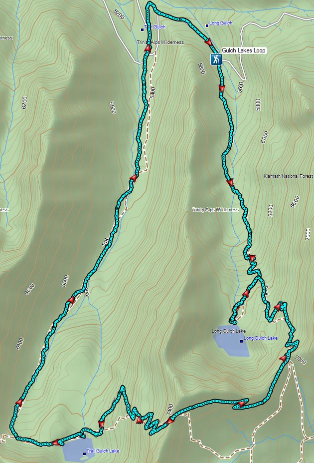


 One of the phantom orchids to the right of the trail.
 A rare level section of trail.
 There were thimbleberry bushes along the roads/trails all day long.
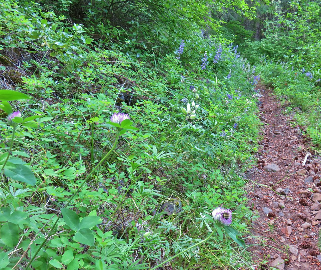 Bumble bee working on some clover.
 Penstemon
 A few wildflowers.
 Yarrow
 Popcorn flower and strawberry plants.
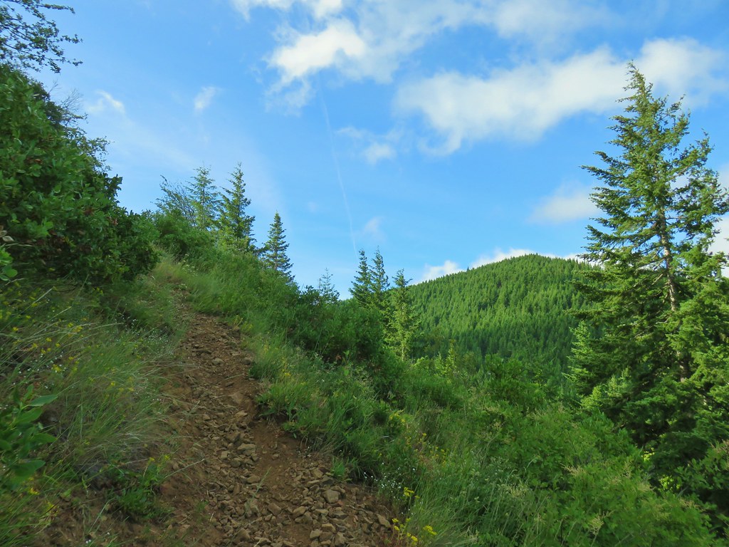 Timberhead Mountain
 Little Huckleberry Mountain
 Nightblooming false bindweed
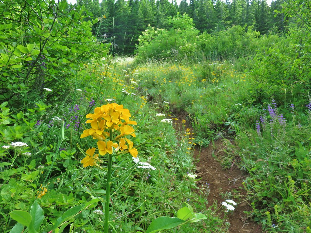 Wallflower
 Tall buckwheat
 Closer look at the tall buckwheat.
 Oregon sunshine
 Yarrow, lupine and penstemon
 Many of the signs along the route were no longer in the ground so it was important to make sure they really were pointing in the correct directions.
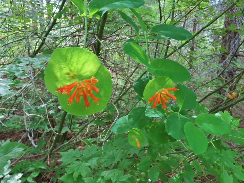 Honeysuckle
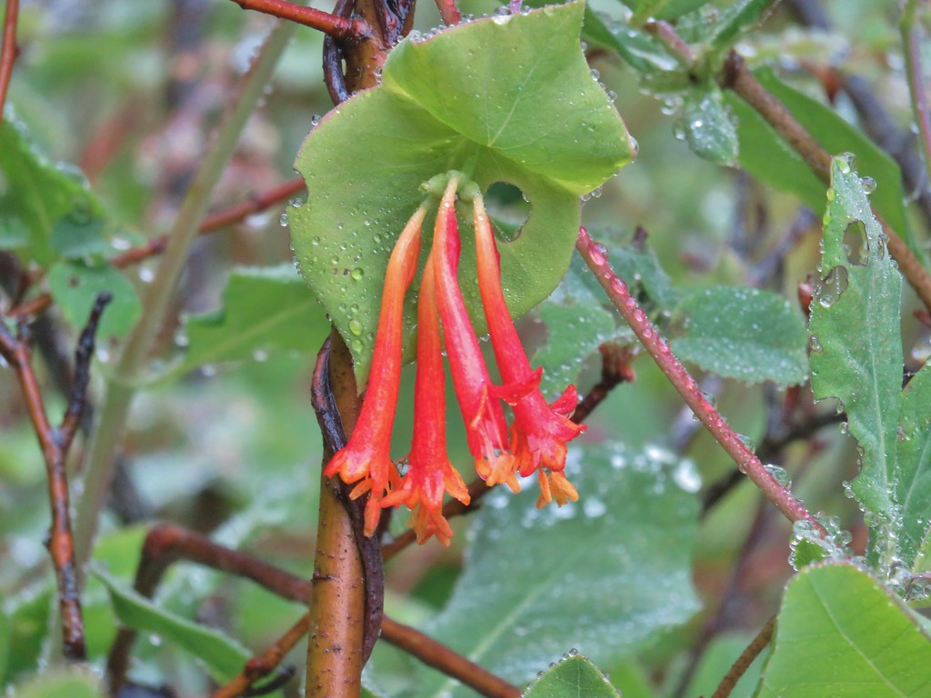

 A few trees that were spared.
 Bunchberry
 Footbridge over Buck Creek.
 Salsify
 Streambank globemallow
 Silverleaf phacelia
 Logging road crossing.
 Starting the descent.
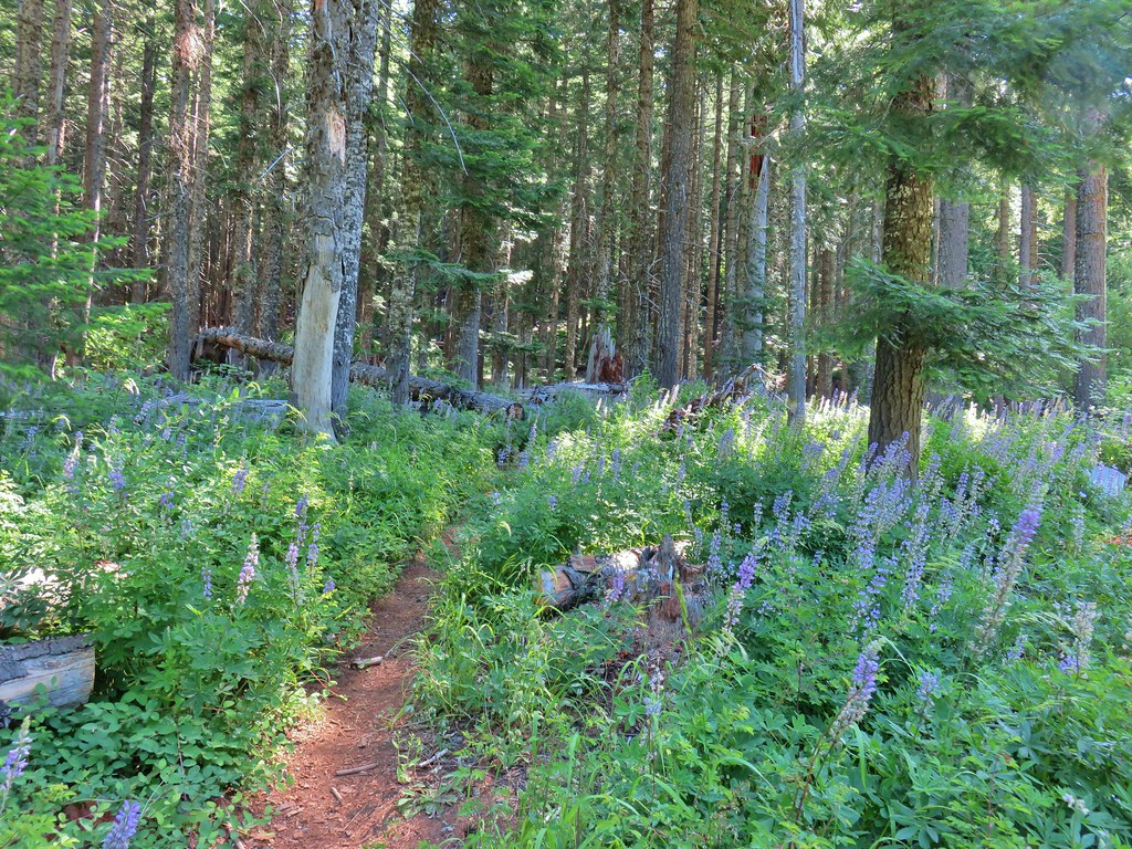
 Entering the meadow.
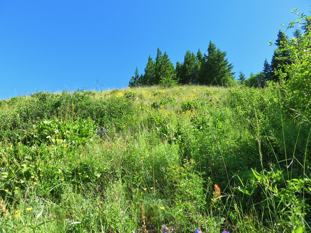
 Pollinator on wallflower
 Bee heading for some penstemon.
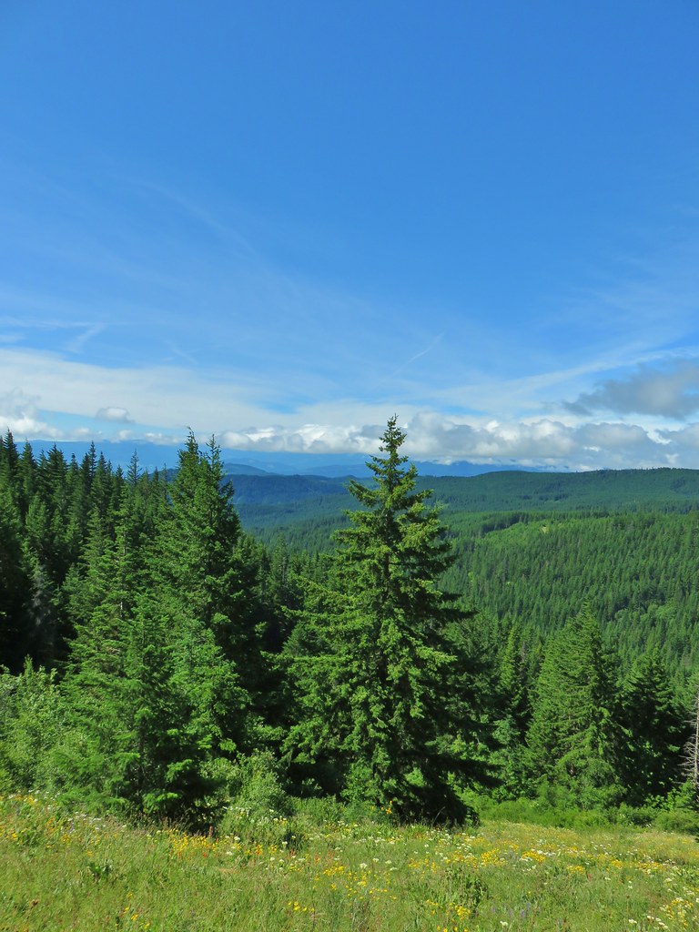 Clouds to the south.
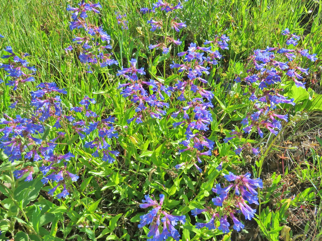 Penstemon

 Lots of Oregon sunshine again.
 Taper tip onions
 Warning for mountain bikers going down the trail.
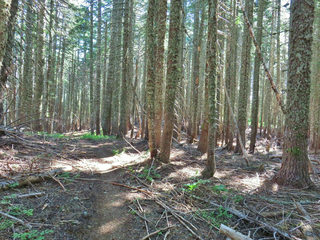


 Balsamroot
 Ladybug on a flower.
 Cat’s ear lily
 Lupine
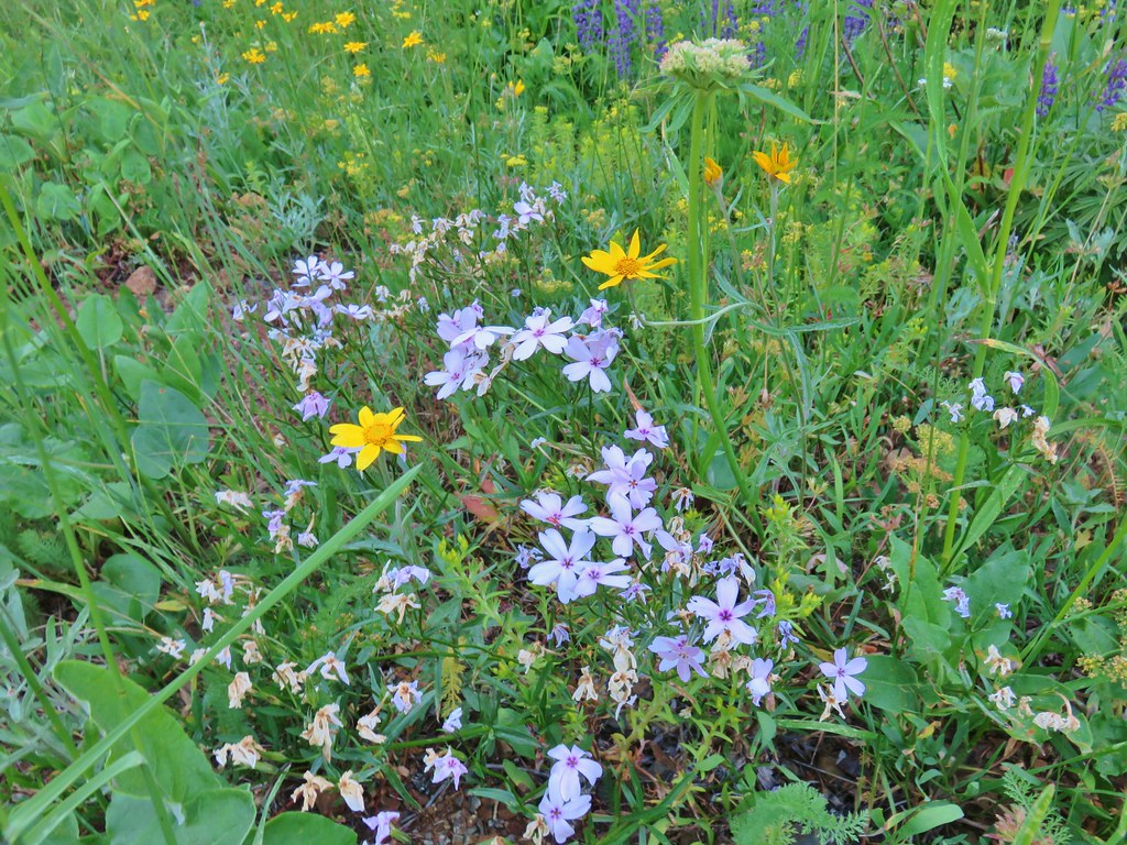 Phlox and Oregon sunshine
 Buckwheat
 Paintbrush
 Sunflowers
 Grouse in the flowers.
 Columbine
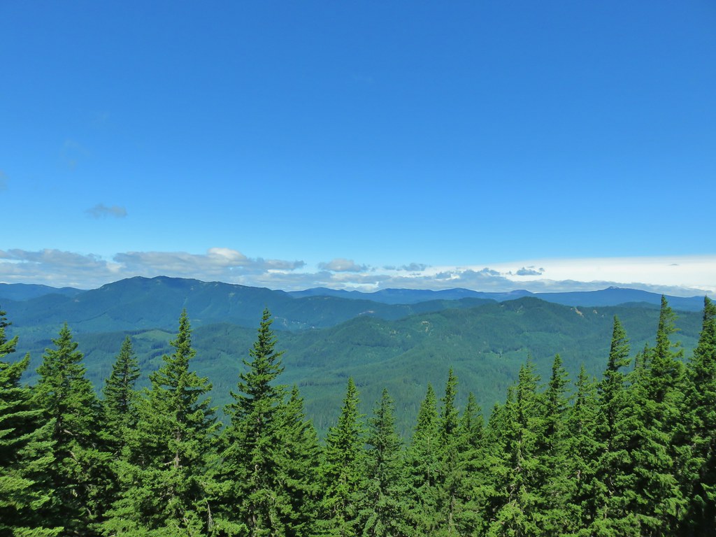 Little Huckleberry Mountain to the left and Lemi Rock to the right.
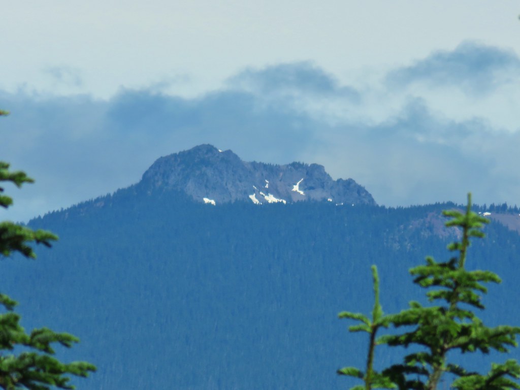 Lemi Rock in the Indian Heaven Wilderness
 Looking SE into Eastern Oregon.


 Starting the drop.
 There were huge amounts of Arnica in the forest.
 Monte Cristo from the trail as we dropped….further, and further.
 FR 1840-100.
 Shiny beetles
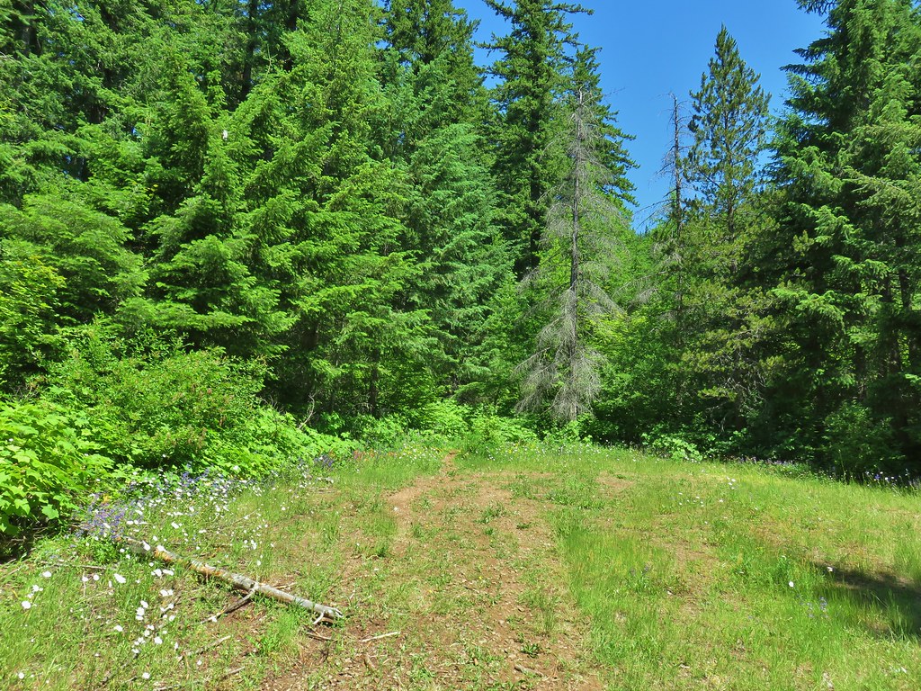

 A “switchback” turning directly uphill.
 Sunflowers at the edge of the meadow.
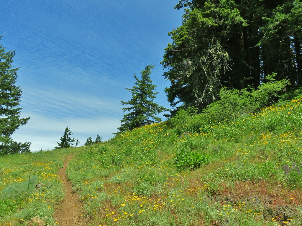 Approaching the meadow.
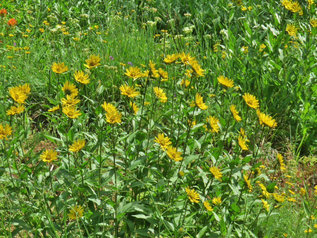 Sunflowers
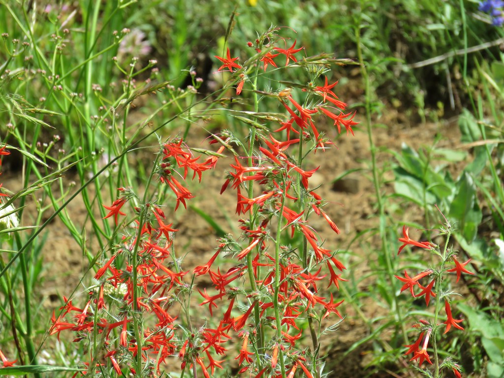 Scarlet gilia


 Pussytoes
 White-stemmed frasera
 Phlox
Phlox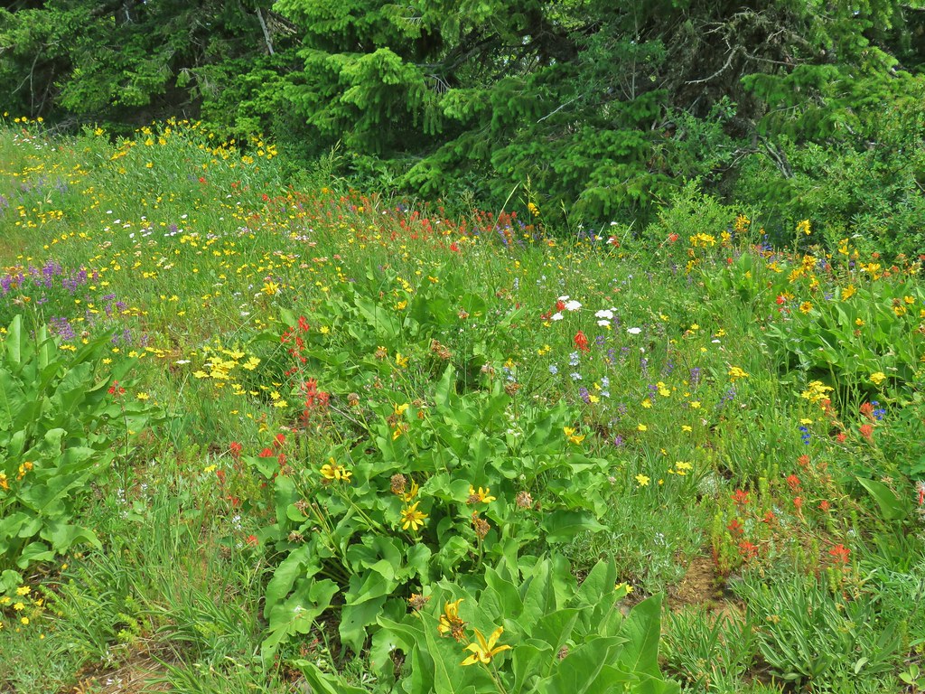
 Taper tip onions
 White-stemmed frasera
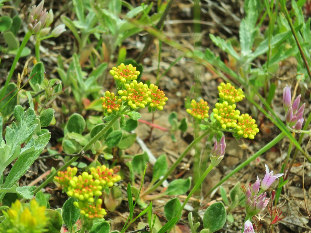
 Wallflower and paintbrush
 A white lupine
 Paintbrush and phlox
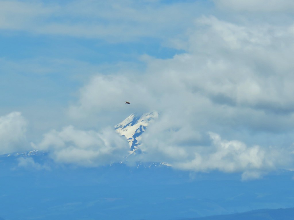

 Presumably letting you know that you’re a mile from the road. (It could also be that this tree is “Number 1”.)
 Twinflower in the forest.
 Our first blooming prince’s pine of the year.
 Not nearly the steepest section.
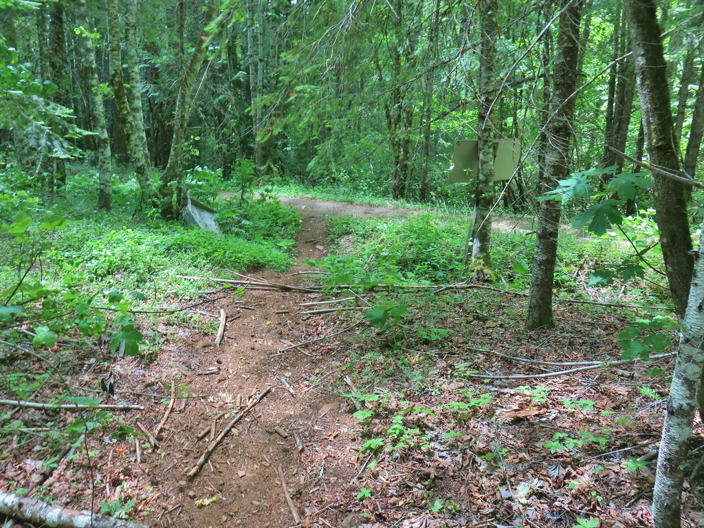 FR 18 finally!
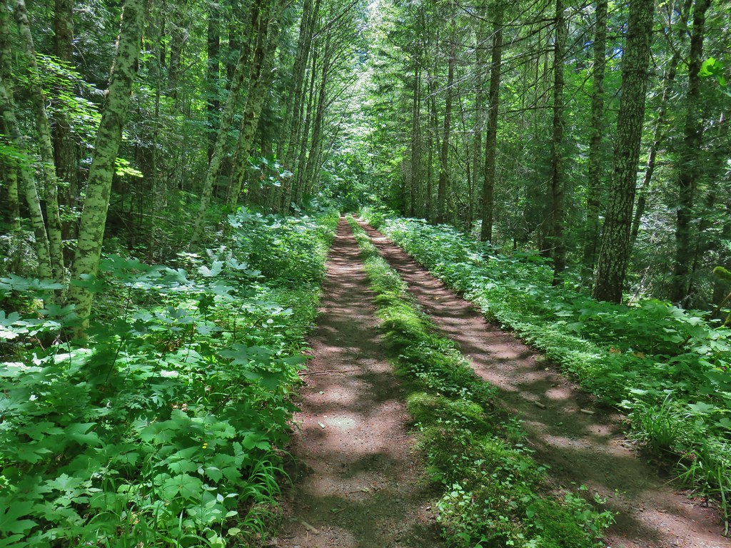


 A second signboard just up the trail from the trailhead.
 Wet leaves around an iris.

 Rhododendron
 Coralroot
 The small wildflower meadow.
 Paintbrush, Oregon sunshine, and plectritis
 Sub-alpine mariposa lily
 Death camas
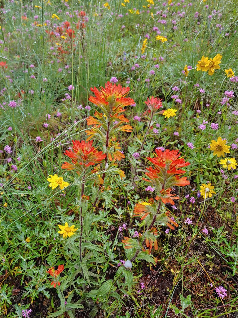 Paintbrush
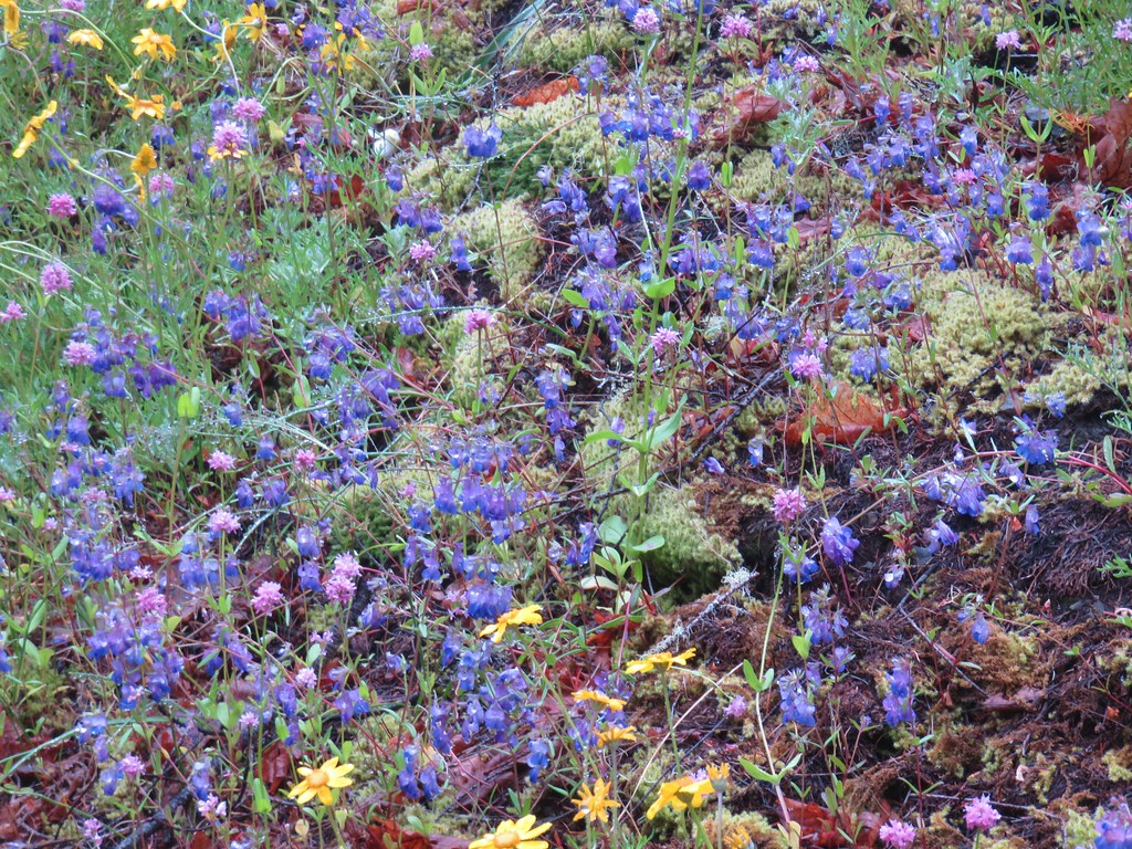 Blue-eyed Mary
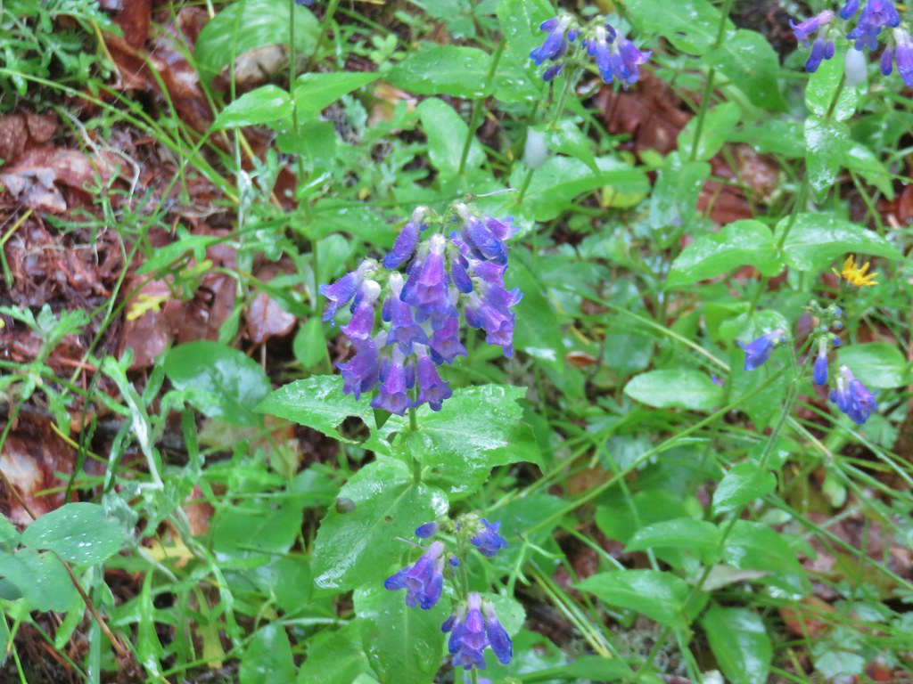 A penstemon
 Balsamroot at the edge of the meadow.
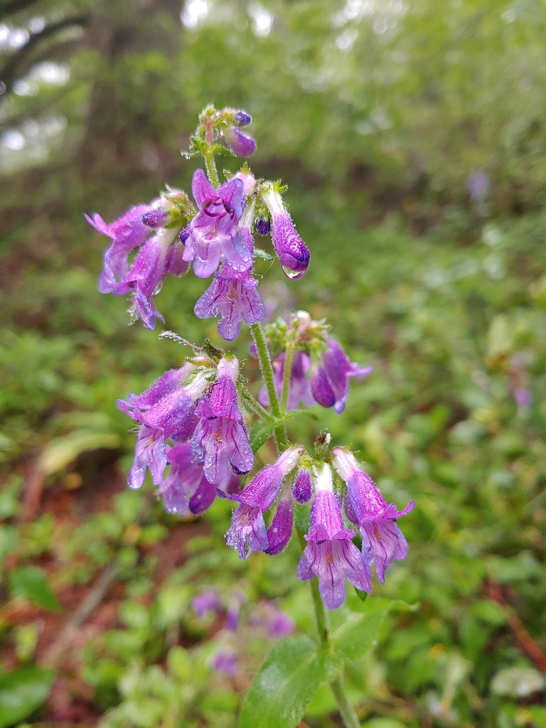 Penstemon
 Larger meadow
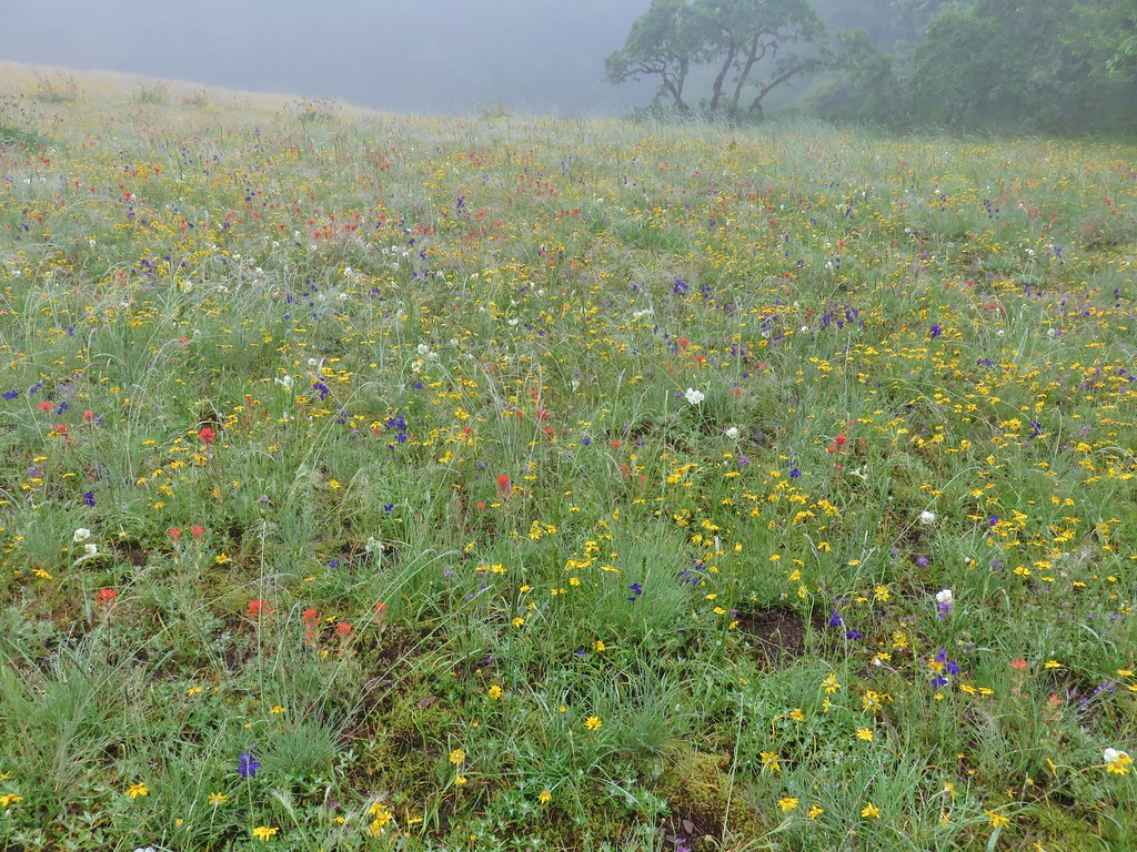
 Honeysuckle
 Larkspur amid the paintbrush and Oregon sunshine
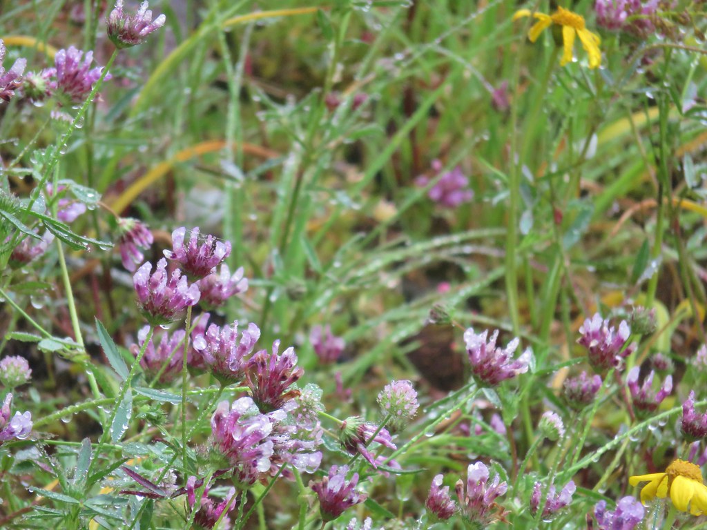 Tomcat clover
 Possibly a milk-vetch or some sort of vetch.
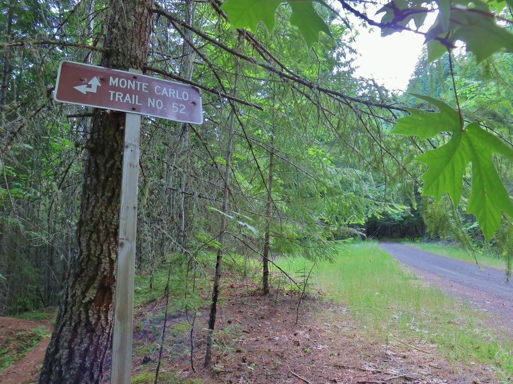
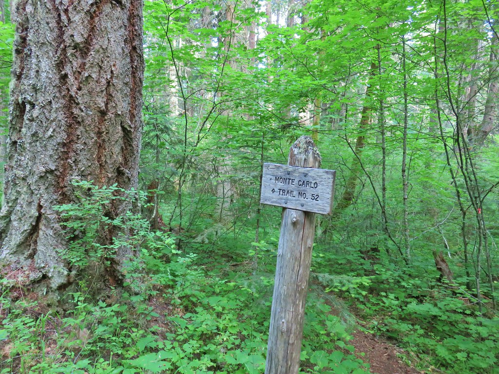
 Image Creek Trail and the High Ridge Trail.
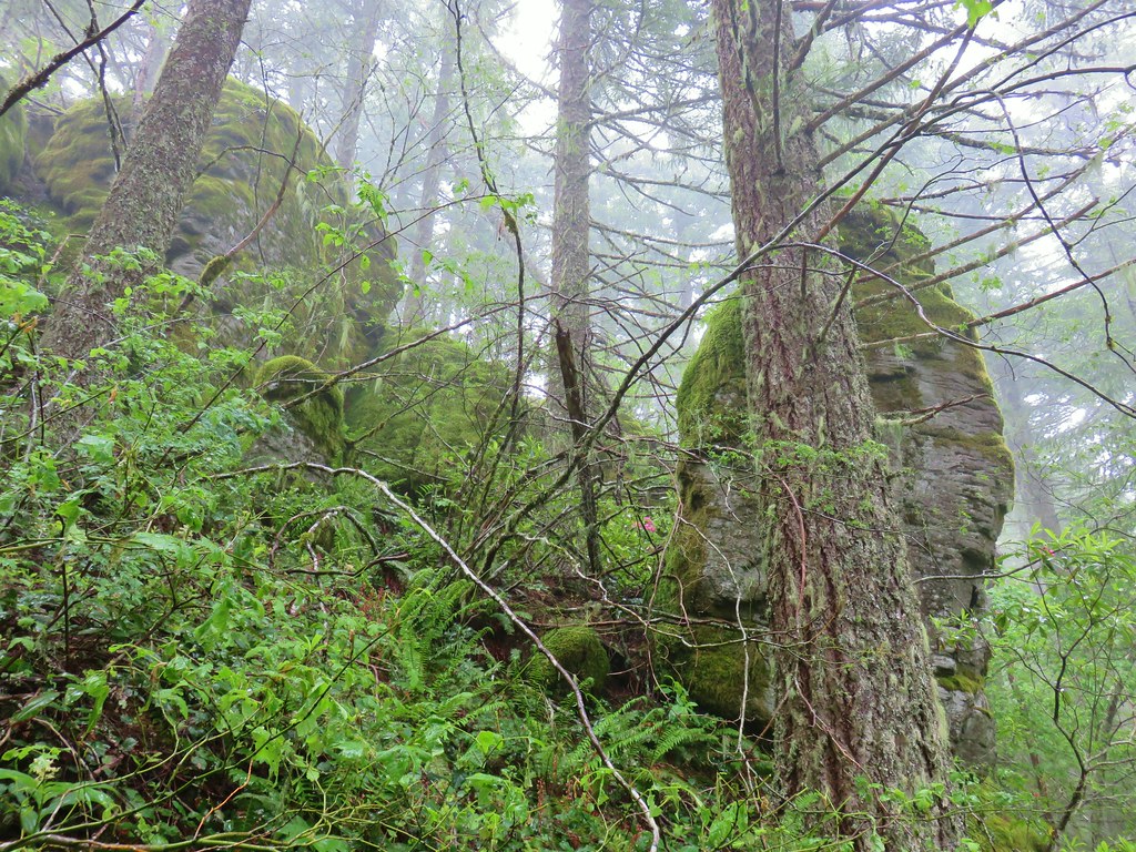 One of the sets of rocks along the way.
 In the middle of one of the climbs.
 The trail leveling off a bit.
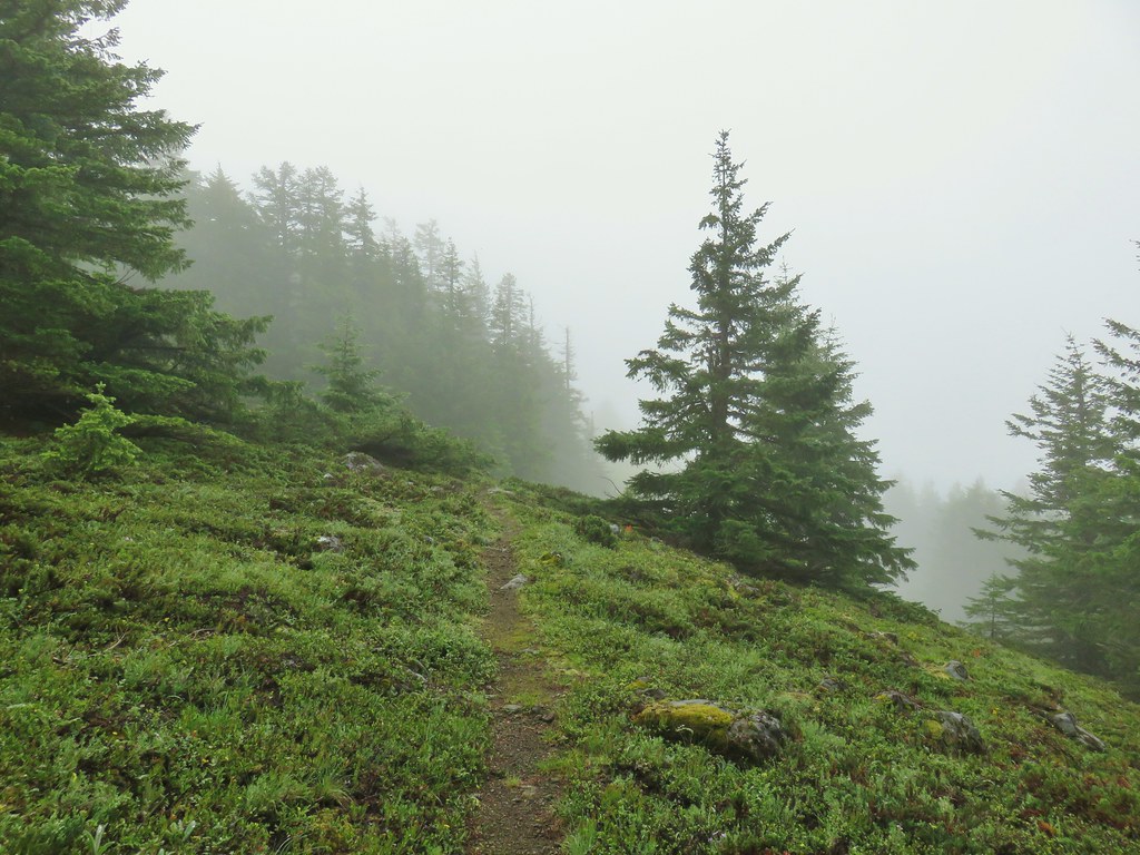
 Oregon sunshine
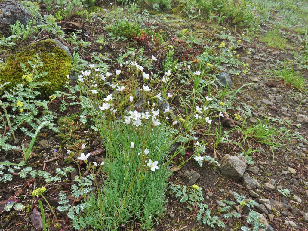 Mountain sandwort
 Penstemon
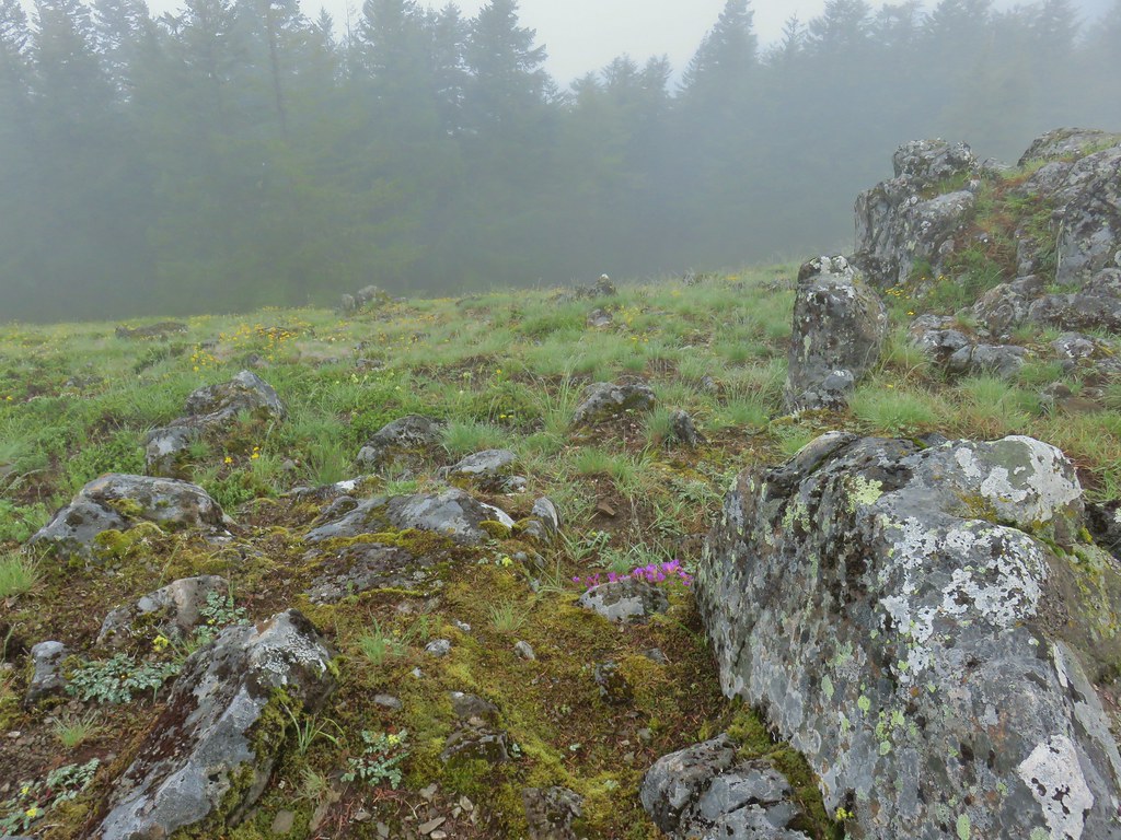
 Olympic onion
 Back in the trees.
 Fawn lilies
 The next little meadow.
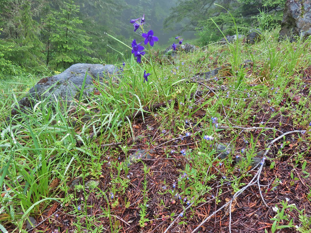 Larkspur and blue-eyed Mary
 Groundsel
 Trees again.
 Another meadow
 Phlox
Phlox Phlox
Phlox Chickweed

 Larkspur
 Lupine
 Wallflower
 Paintbrush
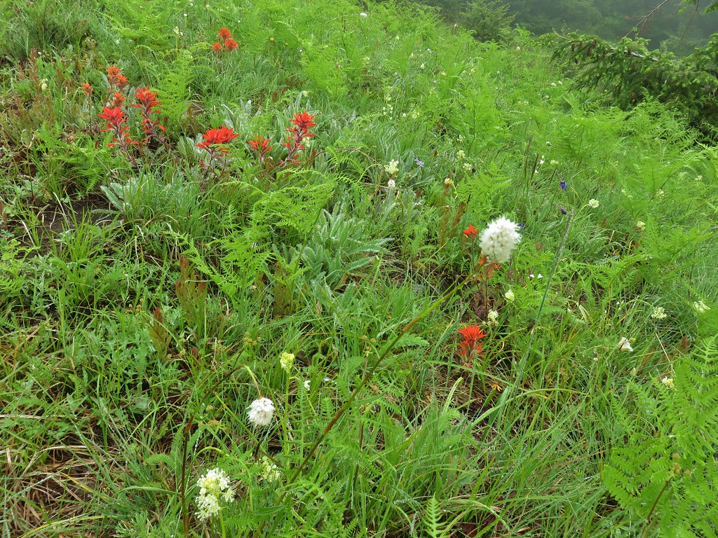 Bistort
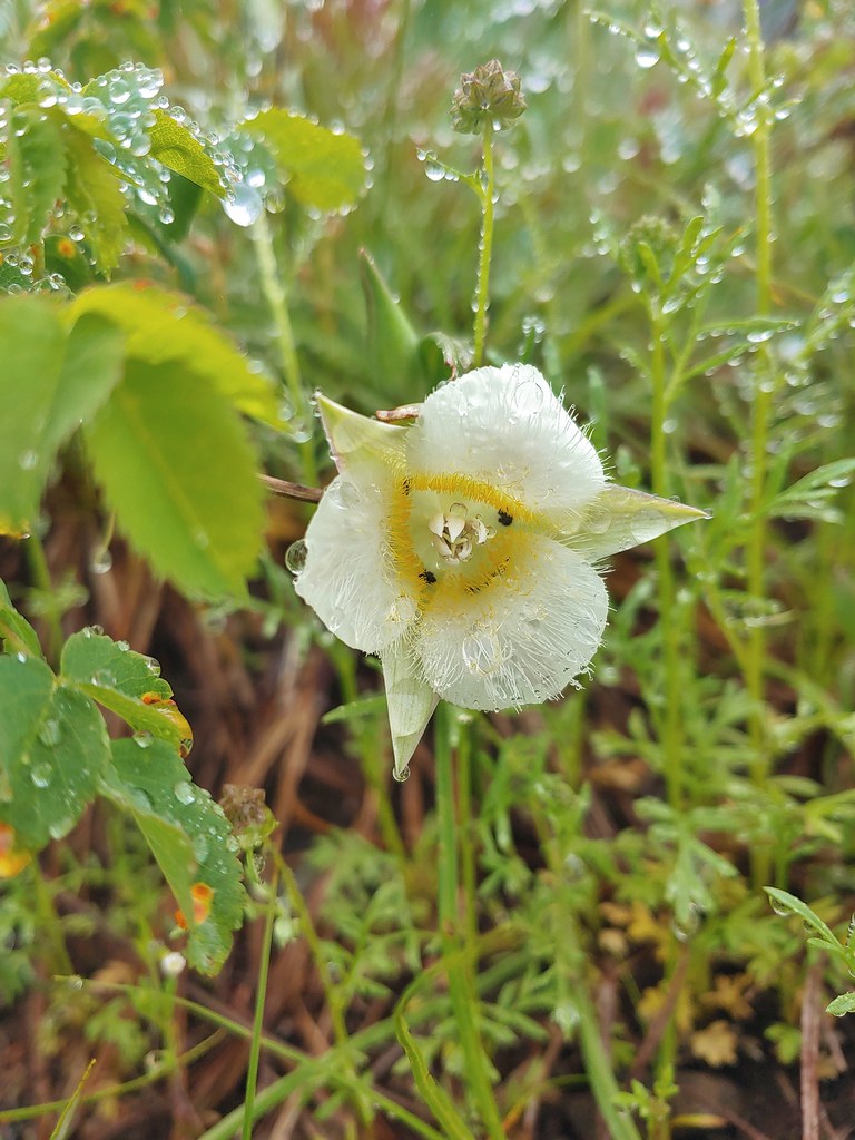 Sub-alpine mariposa lily


 For comparison.
 Sticky cinquefoil
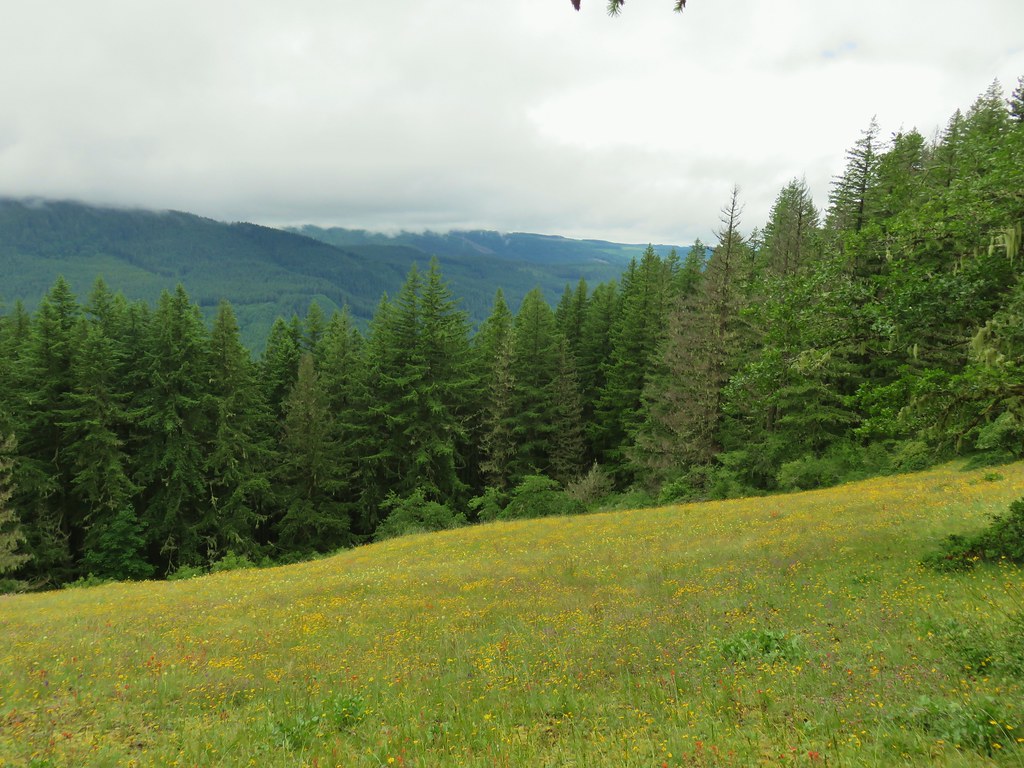


 Plectritis and Oregon sunshine
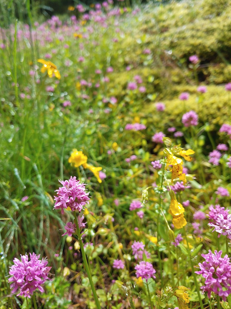 A monkeyflower by some plectritis.

 Iris along the trail.

 I didn’t see the beetle until I was uploading this photo.
 Where’s the western tanager.


 Cone flower
 Cross country to Wolverine Lake.


 Baneberry
 Monkshood
 South Sister
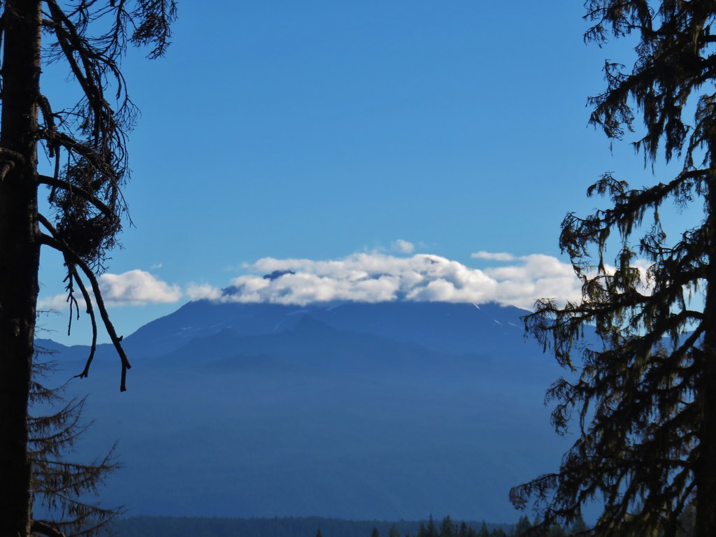 Middle and North Sister
 Mt. Washington
 Mt. Jefferson and Three Fingered Jack


 Aster and pearly everlasting
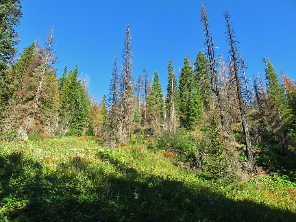
 Columbine


 Parts of the Cascades from Mt. Jefferson to the NE to Mt. Bachelor to the SE.
 Mt. Jefferson was still tangled up in the clouds.
 Just a peak at Mt. Washington (which was more than we could see of Three Fingered Jack)
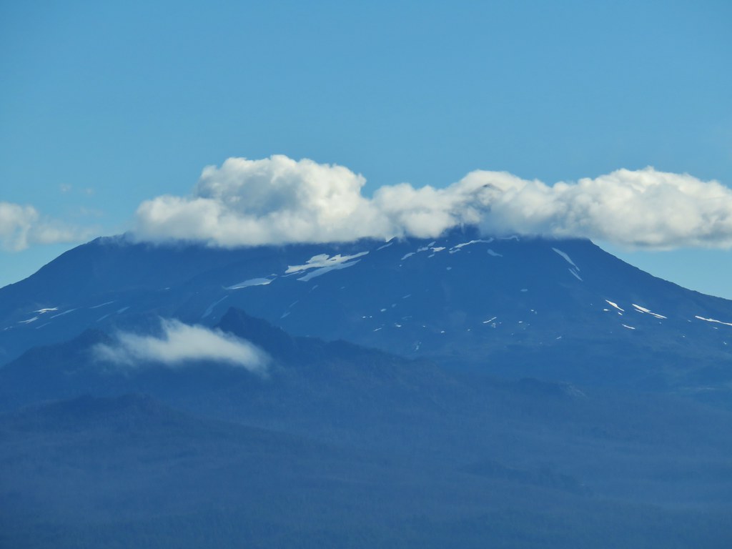 Middle and North Sister behind The Husband
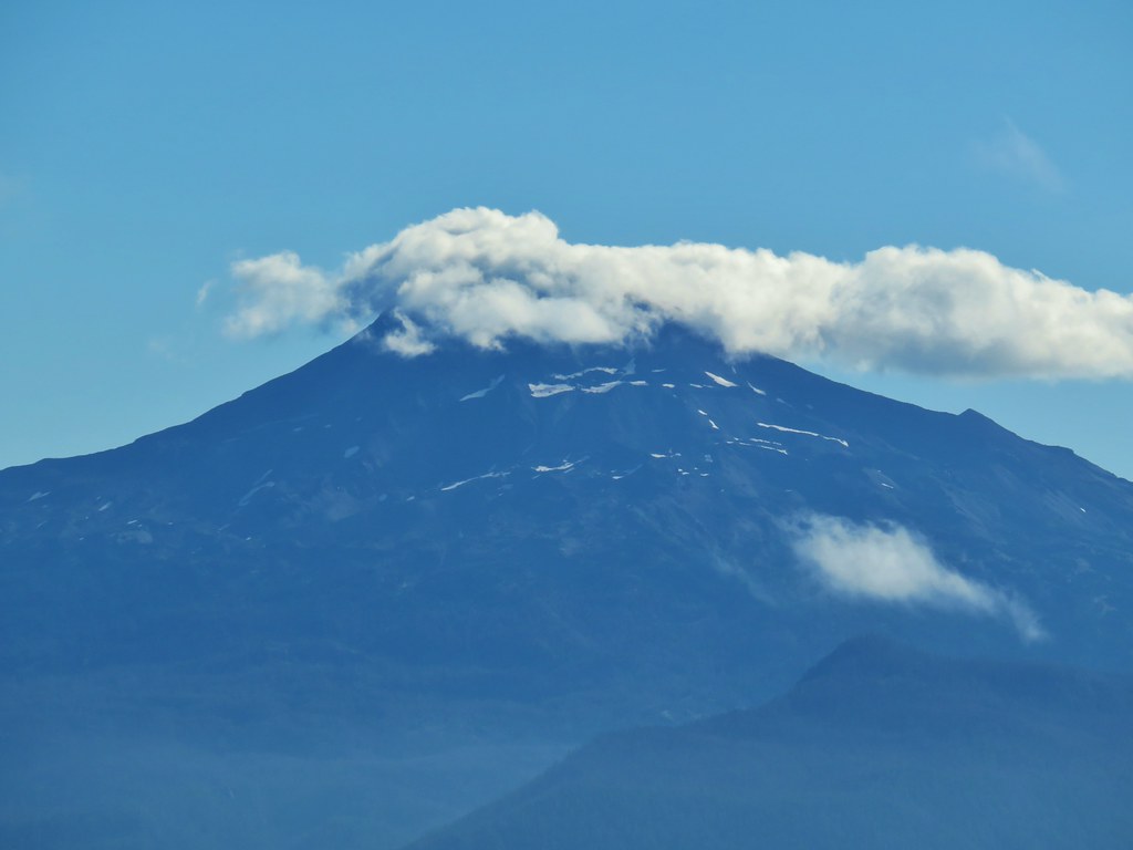 South Sister
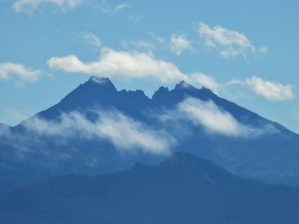 Broken Top
 Cowhorn Mountain and Mt. Thielsen
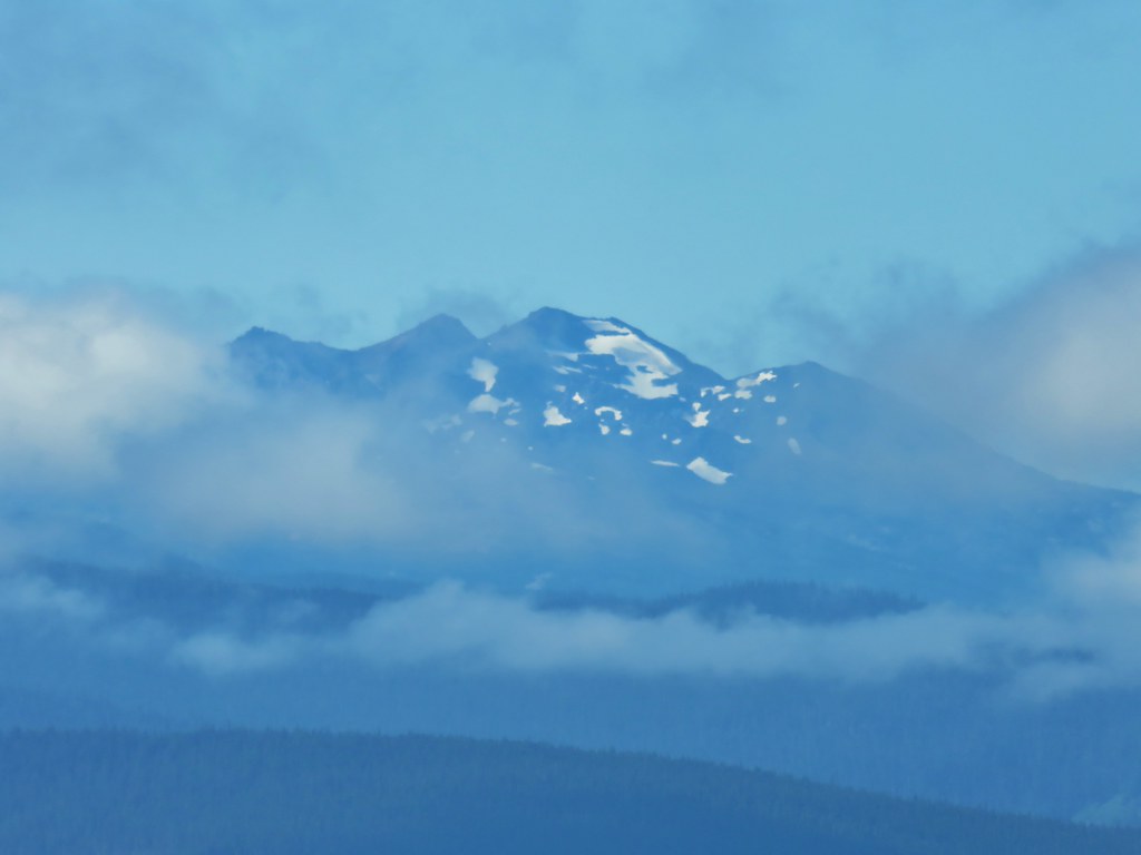 Diamond Peak
 Lowder Mountain to the left of the tree in the foreground.
 Lowder Mountain
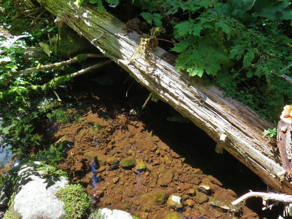


 Skipper
 This reminded us of a torture device.
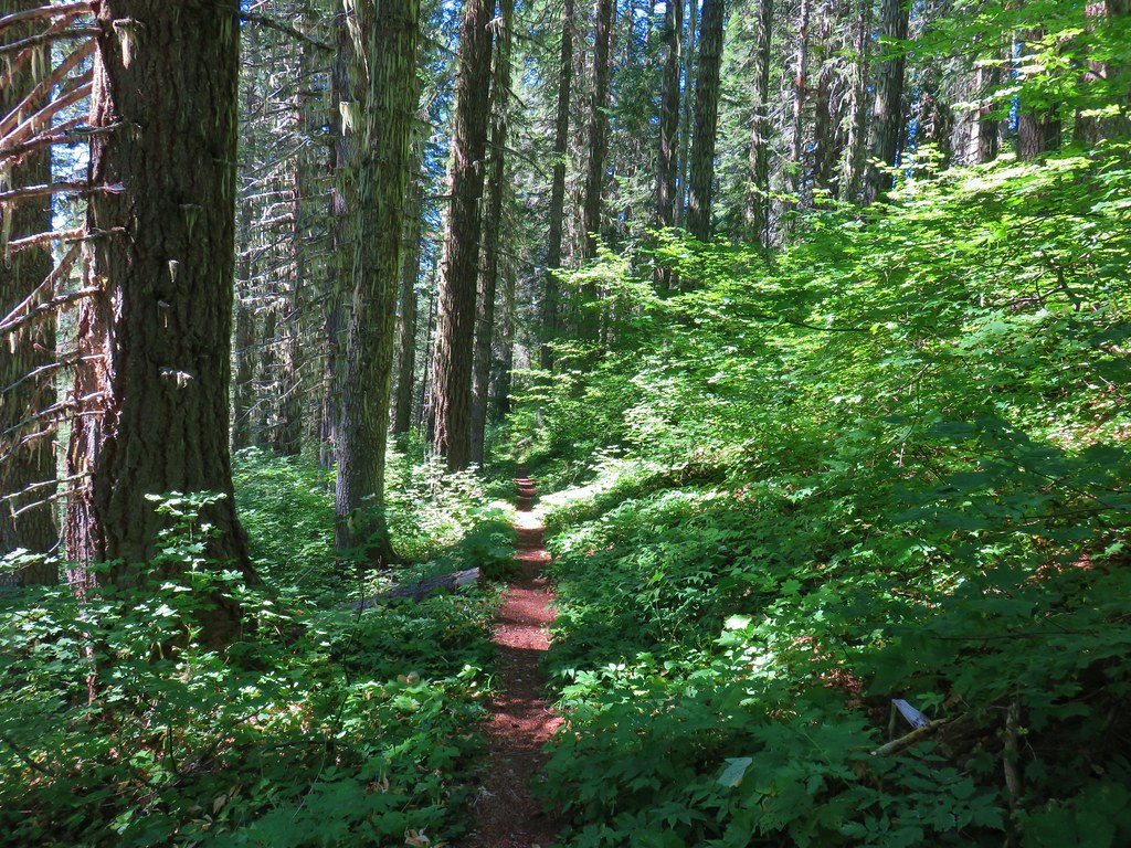

 This meadow had a lot of buckwheat.
 Olallie Mountain again.
 The lookout tower on Olallie Mountain
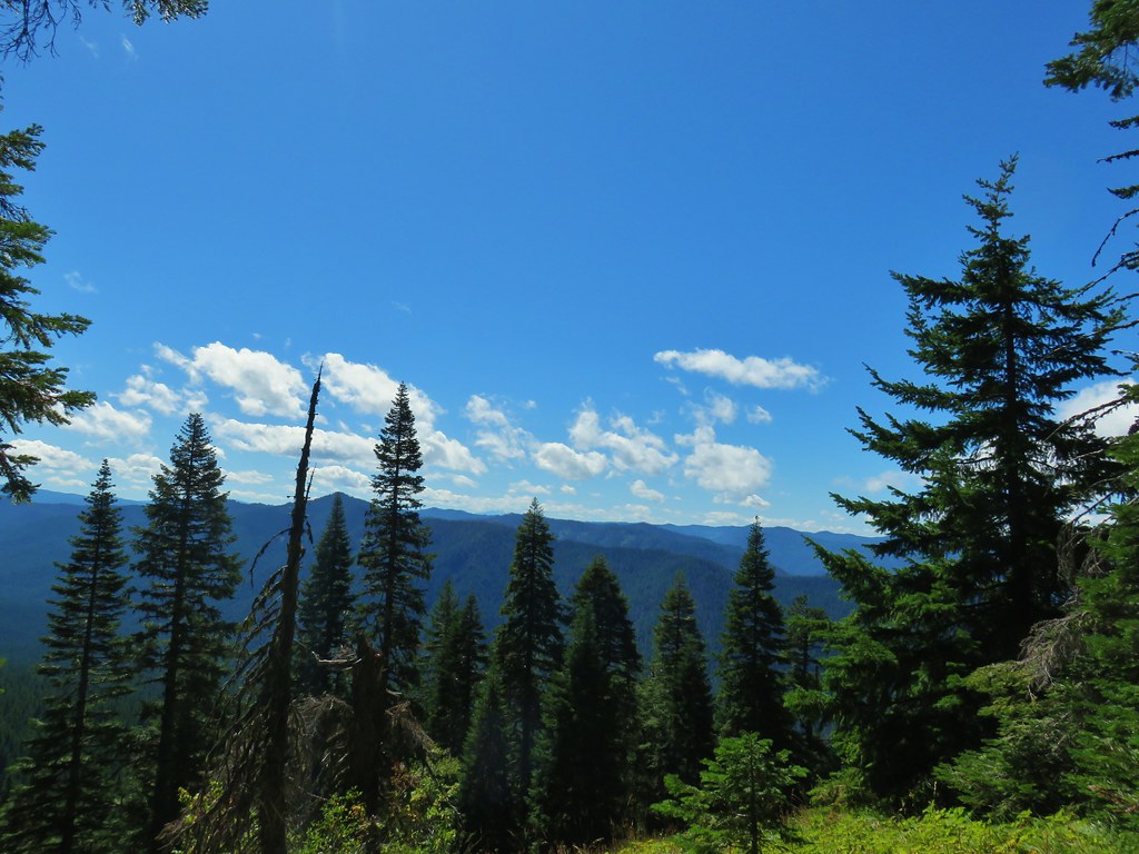 Diamond Peak had shed its cloud cover momentarily.
 Diamond Peak
 Pollinators got to pollinate.


 The trail heading up through some thimbleberry.
 Butterfly
 Another skipper
 This guy was the size of my pinky.
 A few scarlet gilia still in bloom.
 Pearly everlasting at the edge of the large meadow.


 Karl & Ruth Lakes
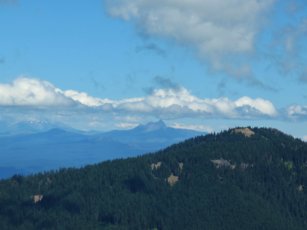 Mt. Jefferson and Three Fingered Jack with Horsepasture Mountain (
 Mt. Washington
 North and Middle Sister
 South Sister and Broken Top

 Mt. Bachelor
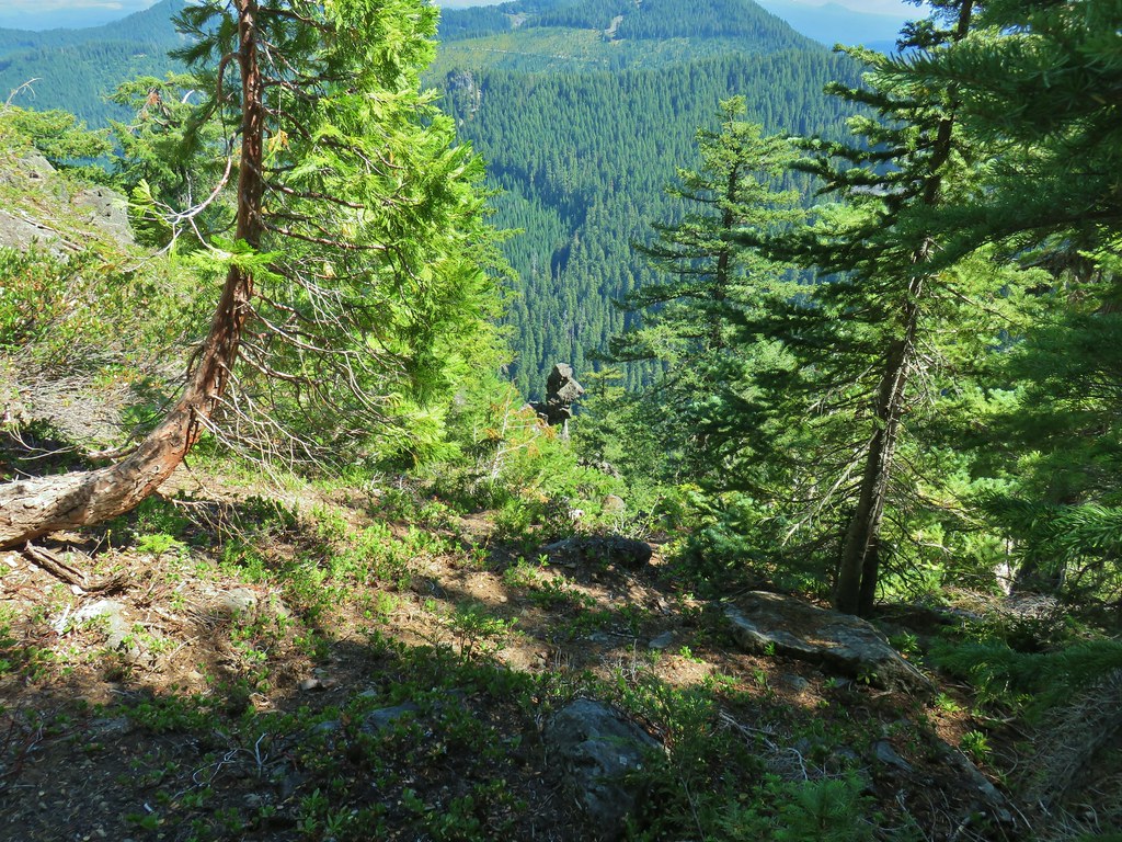

 Butterfly with a small crab spider on the next flower head to the right.


 The only tiger lily that seemed to be open yet.
 orange agoseris beginning to open.
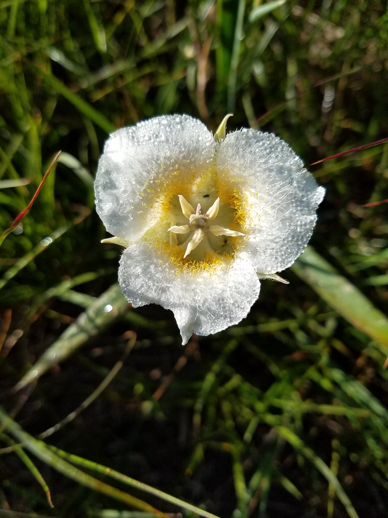 Cat’s ear lily
 Pussytoes


 The Three Sisters and Broken Top
 Larkspur along the trail.
 Bunchberry
 Anemone
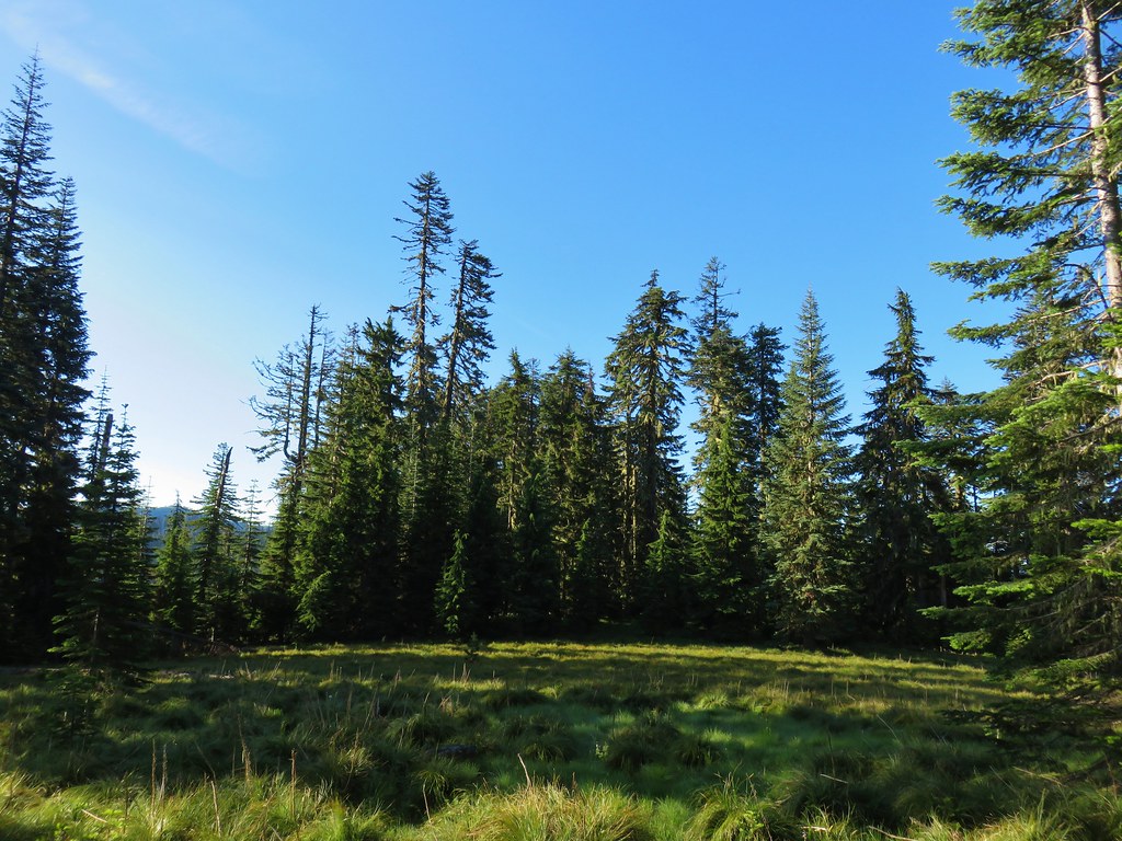 Another meadow
 The Three Sisters and Broken Top
 Queen’s cup
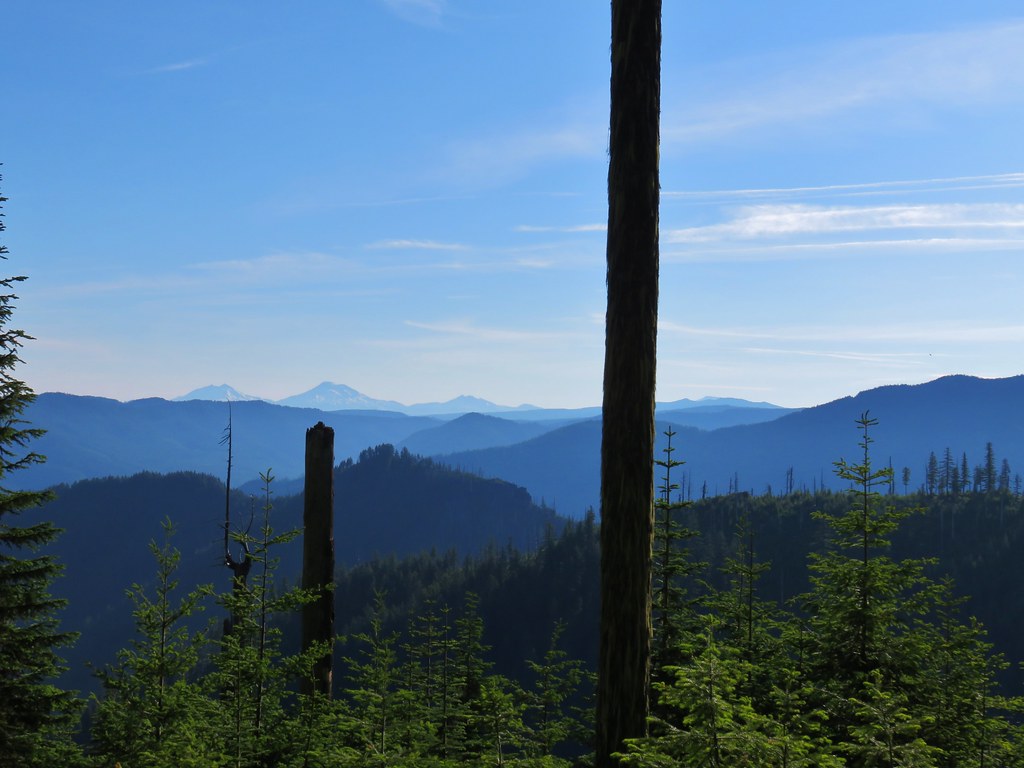 The Three Sisters, Broken Top, and a bit of Mt. Bachelor
 Rhododendron
 Another meadow full of not-in-bloom beargrass.
 View from the SW facing hillside.
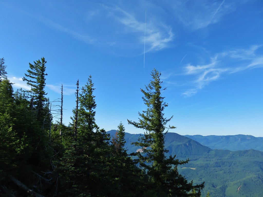 Looking SE

 Diamond Peak through the trees.
 Valerian in the saddle.


 Mt. Yoran, Diamond Peak, and Mt. Bailey
 Mt. Yoran and Diamond Peak
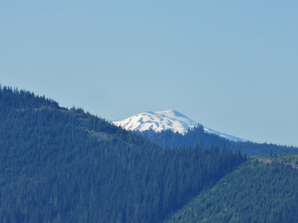 Mt. Bailey
 View to the NE (from the afternoon on the way back)
 The Husband, Three Sisters, Broken Top, and Ball Butte(from the afternoon on the way back)
 Mt. Jefferson and the tips of Three Fingered Jack and Mt. Washington


 Giant blue-eyed Mary
 Giant blue-eyed Mary
 Giant blue-eyed Mary and blue-head gilia
 Cat’s ear lily and blue-head gilia
 Coneflower
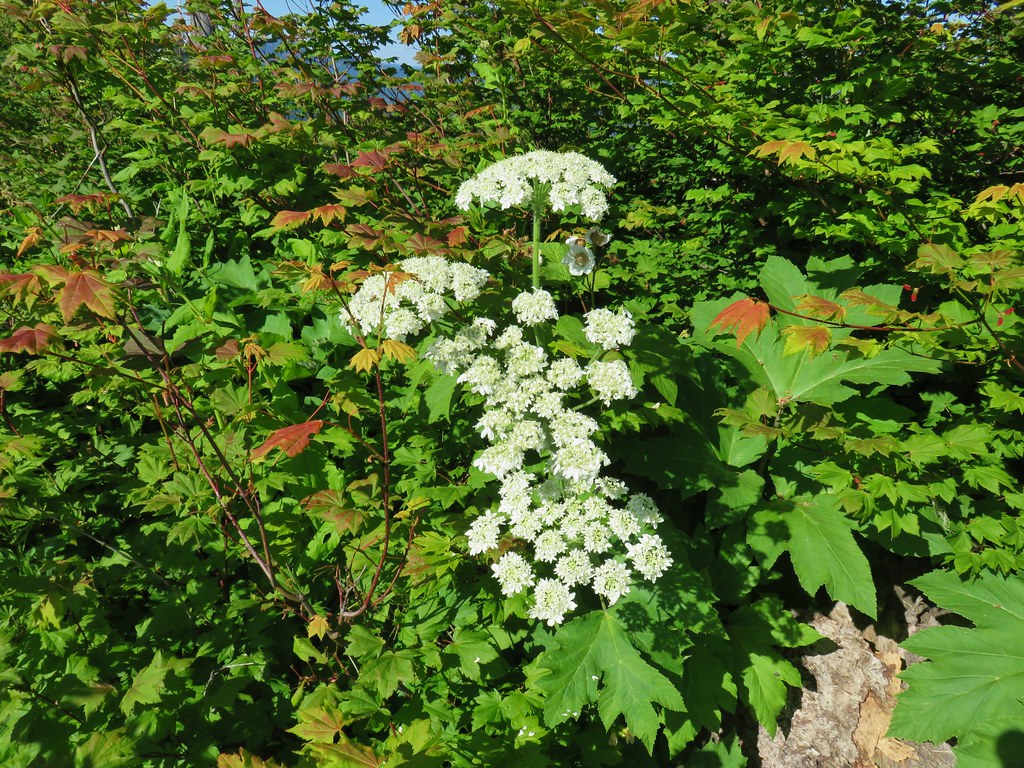 Cow parsnip
 Tall mountain bluebell
 More of the blue flowers
 Larkspur
 Jacob’s ladder
 An aster or fleabane
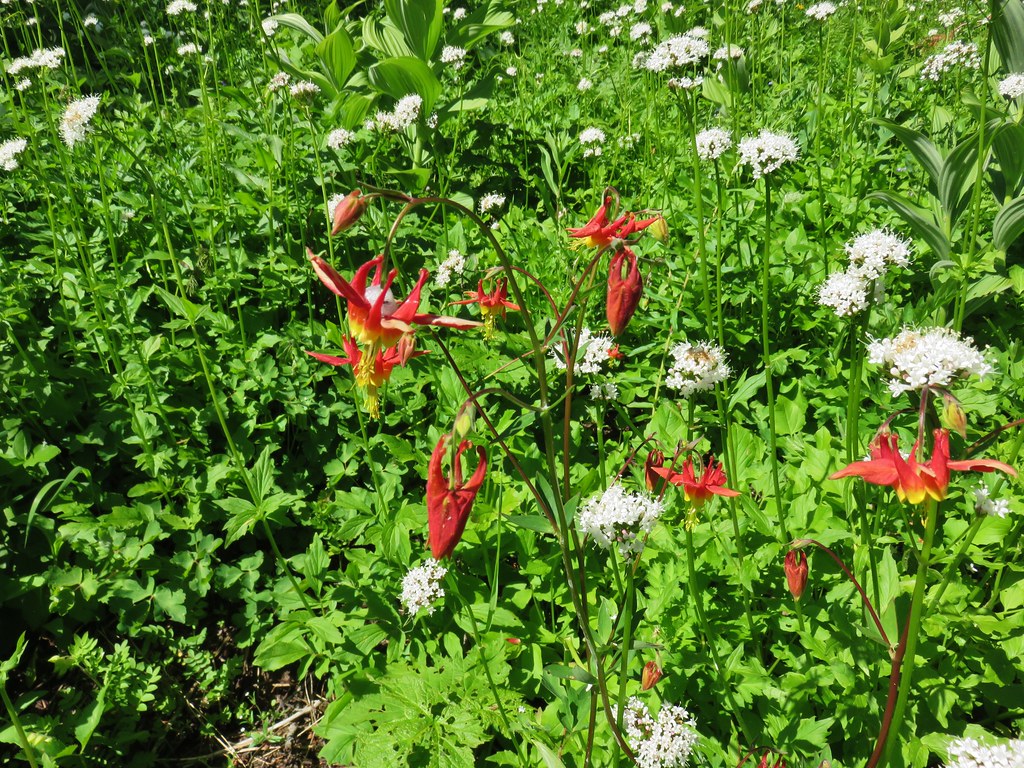 Columbine and valerian
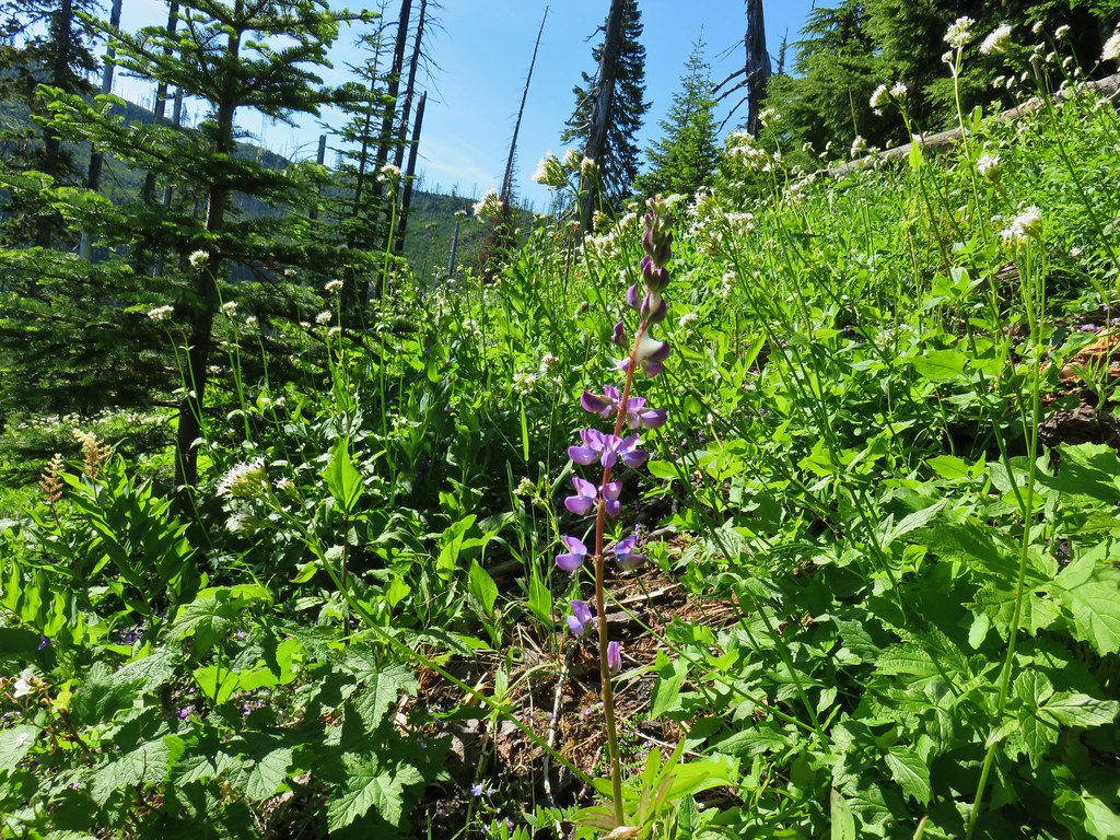 Lupine
 Not sure what type of flower this one is.
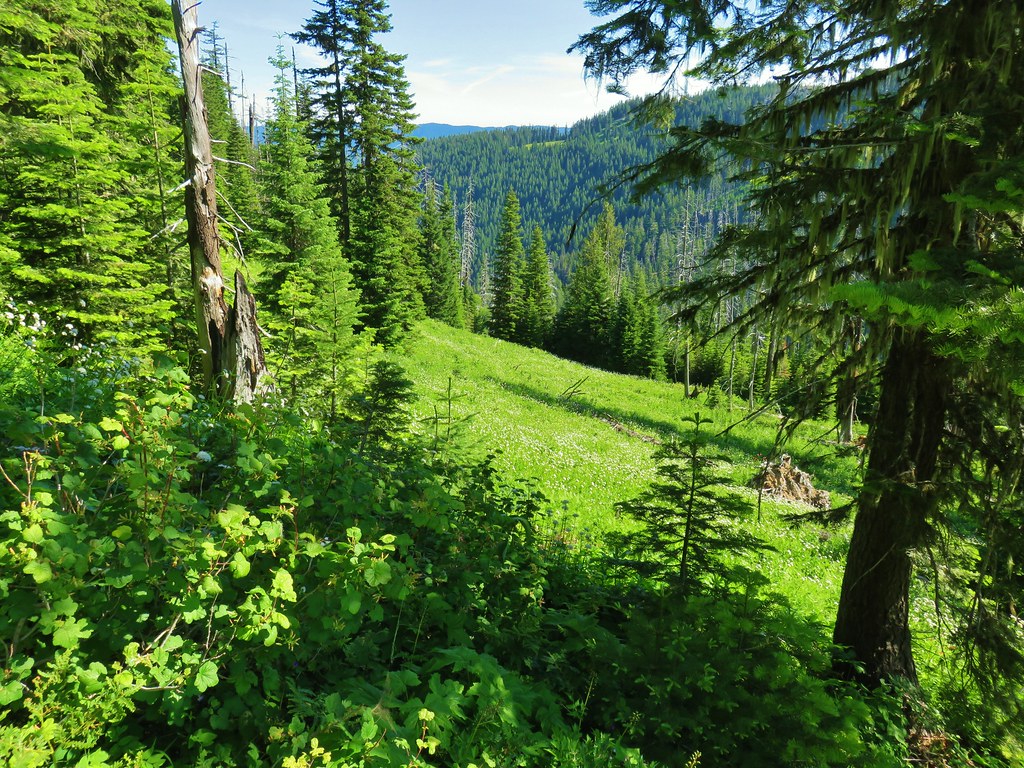 Valerian filled meadow below the trail.
 White yarrow, giant blue-eyed Mary, and tall mountain bluebells
 Looking back at our route so far.
 The trail coming around Kelsey Creek is visible on the hillside behind us.

 Fuji Mountain (left), flat topped Mt. David Douglass, Mt. Yoran (shorter thumb to the left of Diamond Peak), and Diamond Peak.
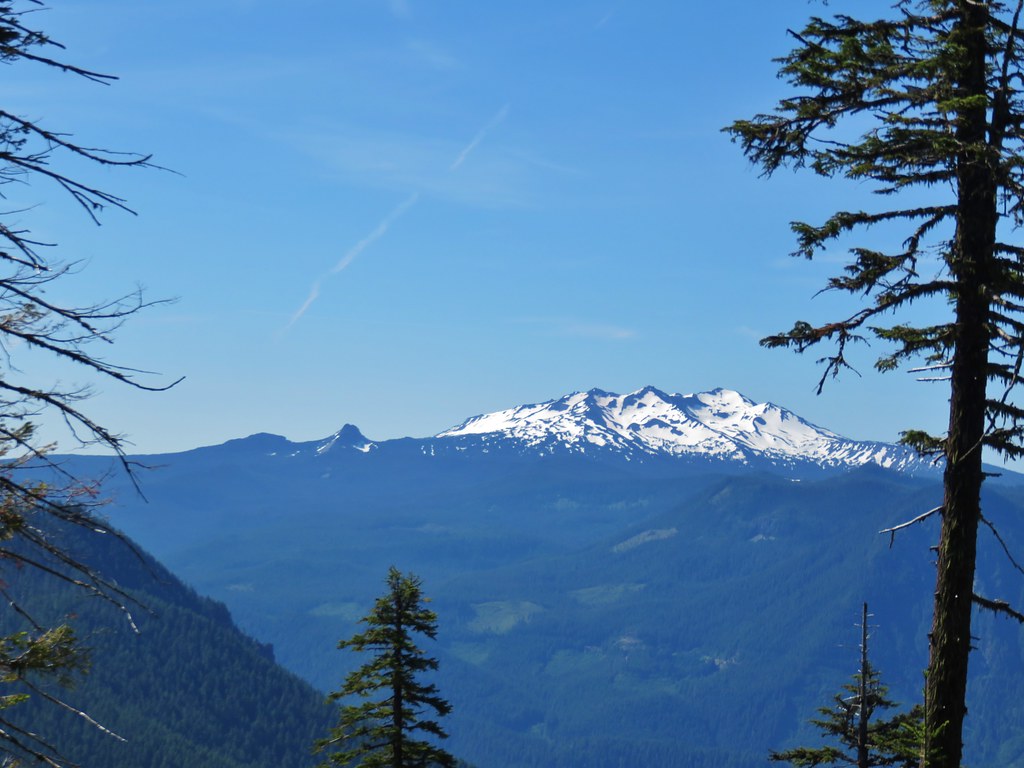 Mt. Yoran and Diamond Peak
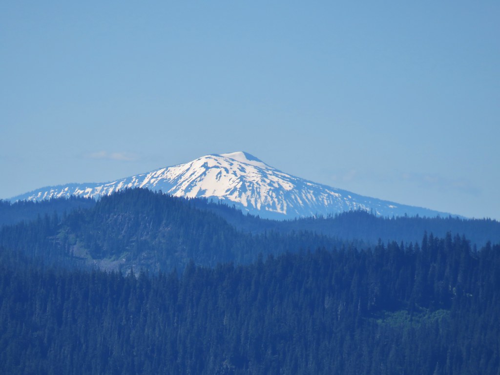 Mt. Bailey

 A few orange agoseris were scattered about.
 Scarlet gilia
 More scarlet gilia
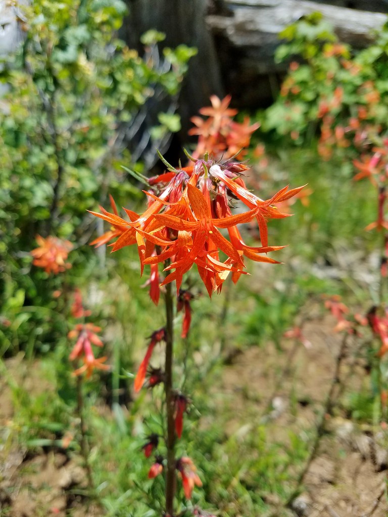 Skyrocket
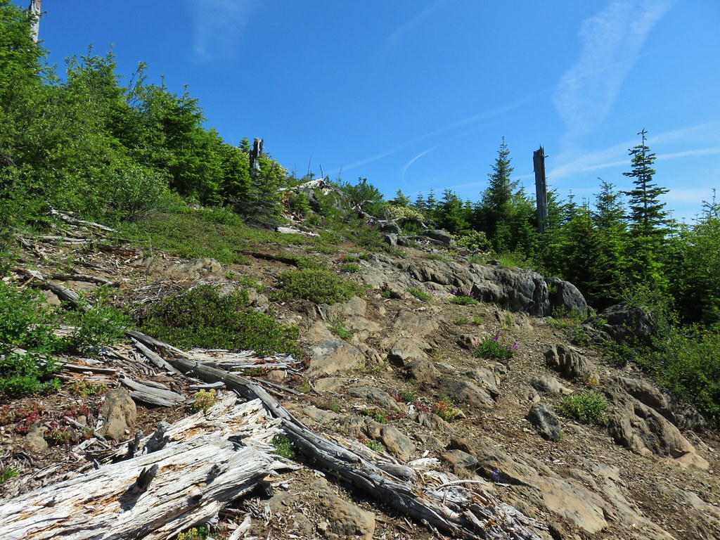

 A thistle that was getting ready to bloom.
 Wallflower


 Owl’s head clover
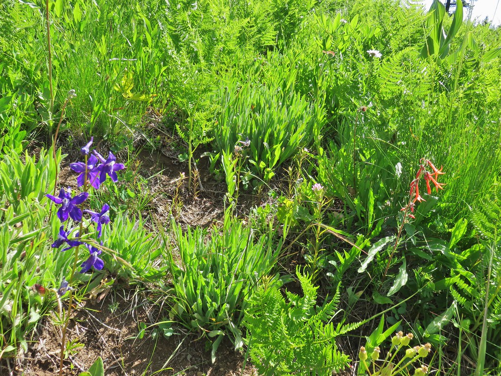 Larkspur, an owl’s head clover, and scarlet gilia
 Aster or fleabane and an orange agoseris
 Coneflower
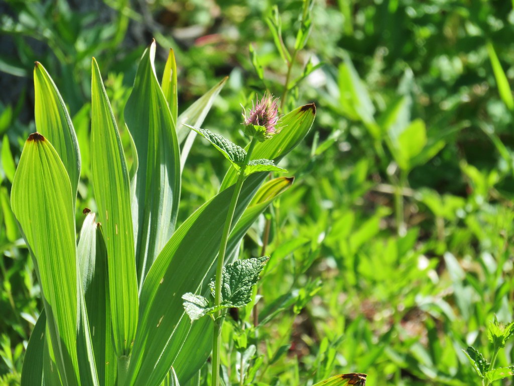 Hyssop
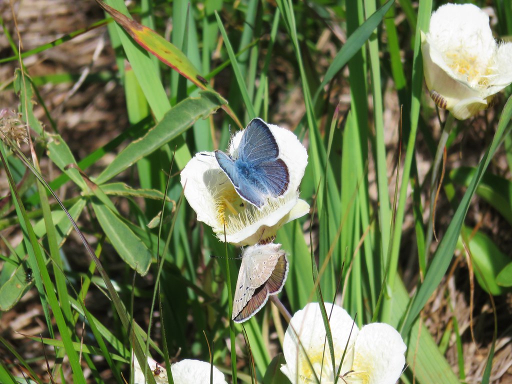 Butterflies on a cat’s ear lily

 Wait that’s not a butterfly.
 Fuji Mountain
 The post, with an orange top, is up and to the right in front of a tree.
 Heather at the rock outcrop.
 Big Bunchgrass Meadow and Fuji Mountain
 Diamond Peak
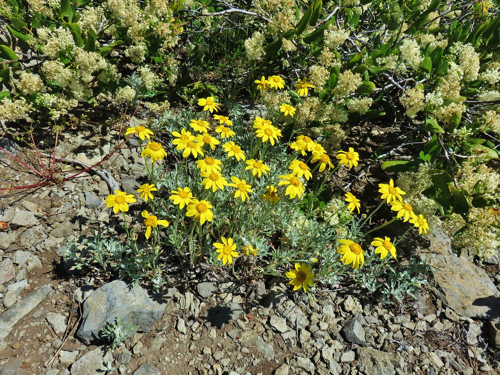

 Crab spider (probably waiting for that Washington lily to open)
 Turkey vulture
 Back in the valerian meadows
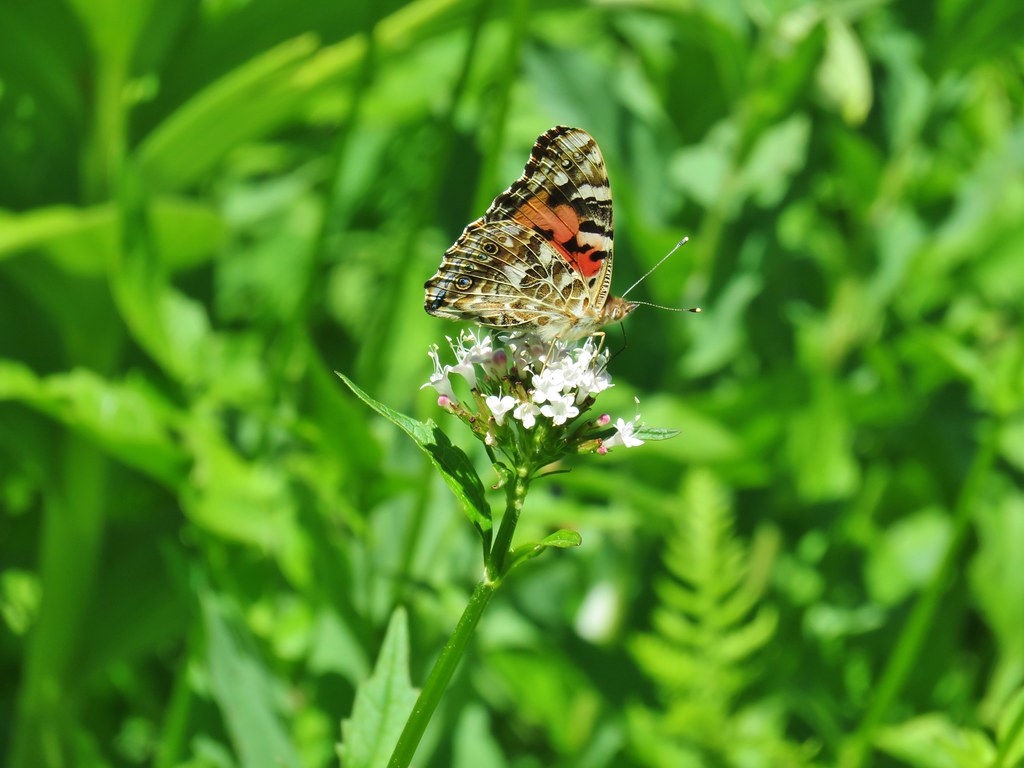


 Not sure what this is going to be either.


 Mt. Ruth to the north
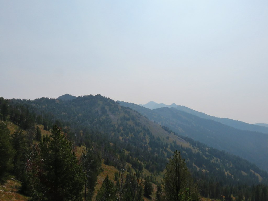 Rock Creek Butte to the south
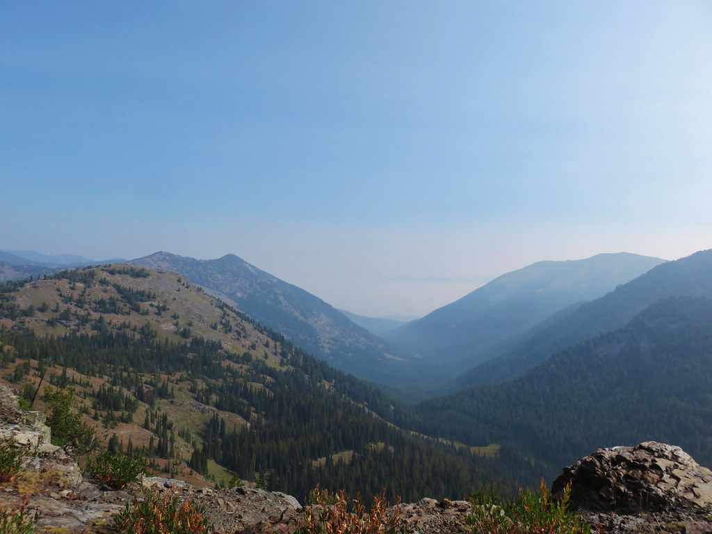 Looking east toward the Wallowas