A project at work had Heather occupied so I headed out on a rare solo hike to visit Chimney Peak in the Middle Santiam Wilderness. This would be just my second visit to this wilderness with the first being an overnight trip to Donaca Lake (post) in 2014.
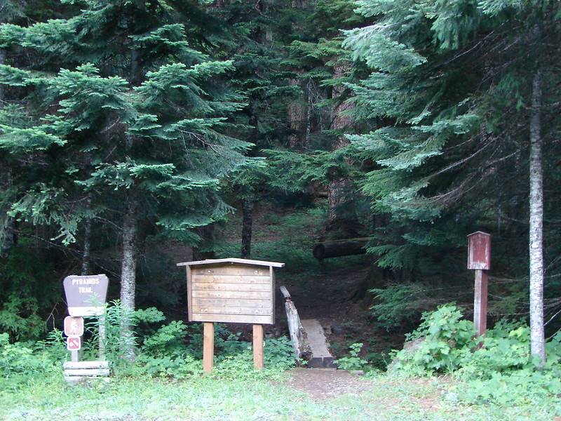
For this outing I started at the McQuade Creek Trailhead. This is the shortest route to Chimney Peak.
 I actually parked on the shoulder of Forest Road 1142 and walked a tenth of a mile down a spur road to the start of the trail.
 A note stating that access from the eastern side of the wilderness was still closed due to the Pyramid Fire.
The 5-mile long McQuade Creek Trail gains approximately 1600′ before ending at the Chimney Peak Trail. The trail is well graded, and as of my trip, free of any significant downed trees. The trail however is narrow, rough, and was overgrown in numerous places. Views are limited along the trail, but the forest is lovely. This combination is likely why I didn’t see another person all morning despite it being a warm, sunny day.
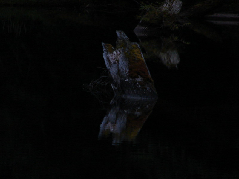
 It was early when I started so there wasn’t a lot of light and even on the way back there was a lot of shade.
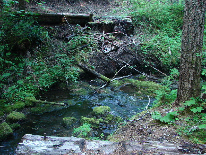
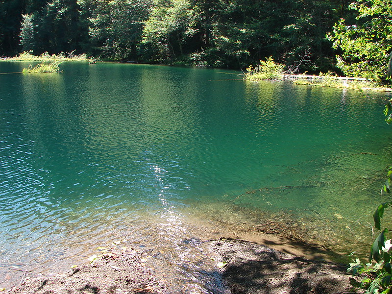
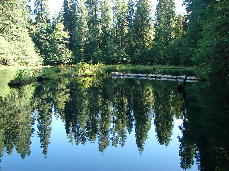
 A short distance from the trailhead is a crossing of West Fork McQuade Creek.

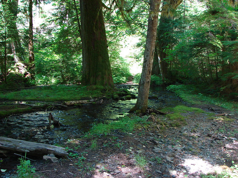
 A third of a mile from the West Fork the trail crosses McQuade Creek.
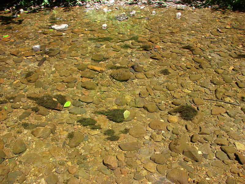
 Reportedly this crossing can be quite tricky early in the year, but there wasn’t much water this time of the year.


 Based on trip reports from 2023 and recent cuts seen along the trail it appears that a trail crew passed through this year.

There are just 3 or 4 trees about this size left across the trail.

Big trees near a rock outcrop.

A good representation of the rough tread along parts of the trail.
 A reminder that Fall is here.

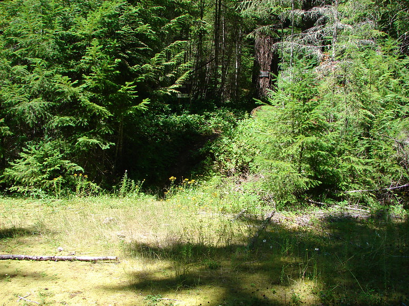
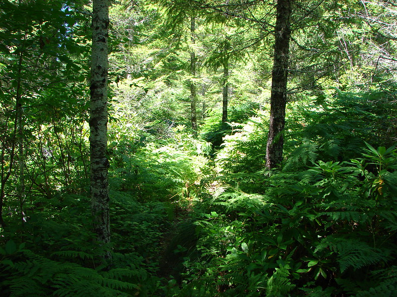
 The McQuade Creek Trail hidden by the underbrush.
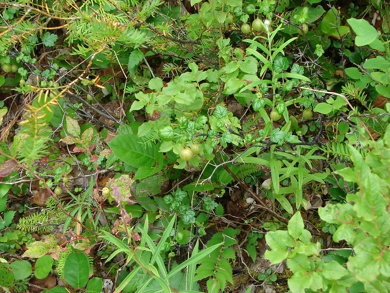
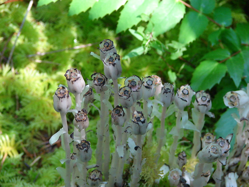
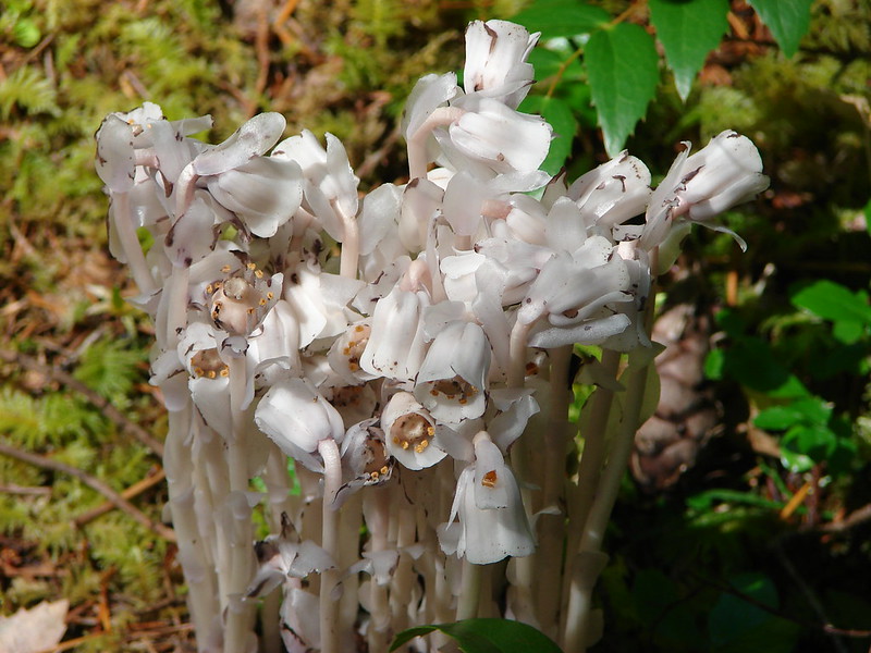
 Lousewort
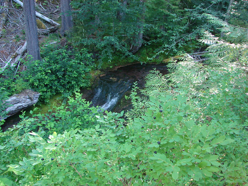
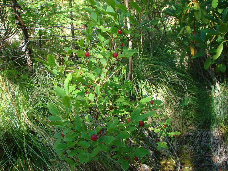
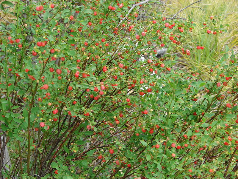
 Huckleberries
 Views were limited to the nearby ridges and hillsides.

Chimney Peak straight ahead.
 Vine maple along a rocky slope.
 Pika watching me from behind some cover.

 Flagging along a bit of a washout.
The damaged section of trail pictured above started a 0.4-mile stretch of overgrown trail which included devil’s club, currant, and other thorny bushes. It was by far the least enjoyable part of the hike.

Looking back at the final section of the overgrown trail.

The trail beyond the really overgrown section.
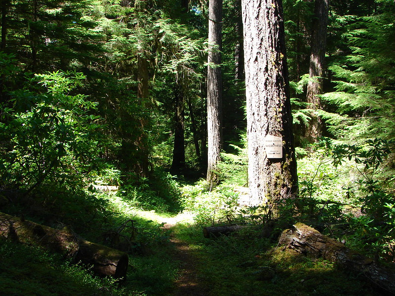
A little under half a mile later I entered the Middle Santiam Wilderness at the junction with the Chimney Peak Trail.

 The McQuade Creek Shelter used to be located near here, but it had collapsed years ago, and I didn’t see any signs of the remains.
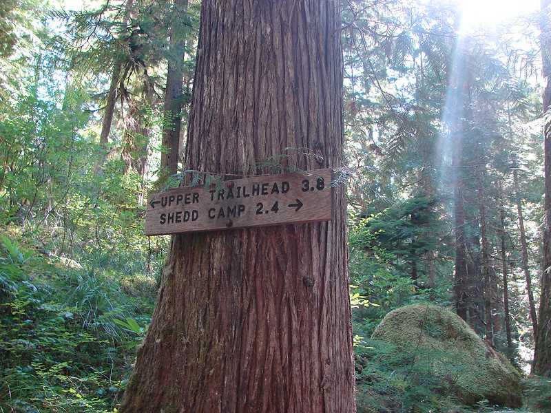
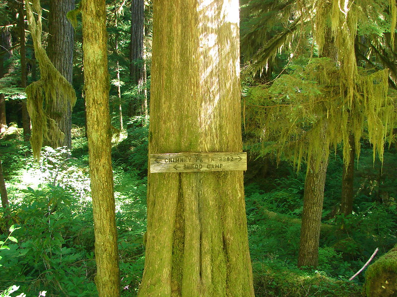
From the junction Donaca Lake is a little over 6-miles (left) while Chimney Peak is three-quarters of a mile in the other direction (right).
 Pointer for Chimney Peak.
I turned right on the Chimney Peak Trail which climbed gradually along a ridge for the first 0.2-miles before steeping significantly in the next half mile culminating in a brief class 3 scramble to reach the former lookout site atop Chimney Peak.


Looking up from the trail.

Mt. Jefferson

The trail heading steeply uphill towards the Sun.

The trail passing beneath the cliffs.
 Initially I forked right here because the left hand fork didn’t appear to go anywhere.
 I assume these are remains from the former lookout.
I followed a use trail to the end of the cliffs thinking that the scramble route up might be at the far end but it was not.

I headed back to the area where the fork I’d ignored earlier was and headed uphill toward the rocks.
 The start of the scramble route. The crack was too narrow to use but once I got to the top of this rock the route became much clearer.
 Looking down at the first part of the route from above.

 The top is in sight.
 Clouds over Green Peter Lake.
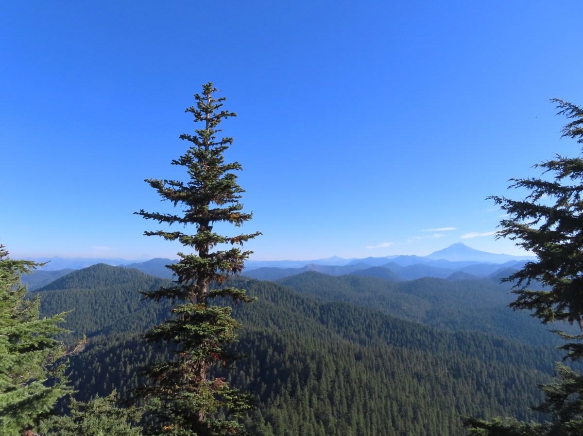
 Mt. Hood in the distance.
 Zoomed in on Mt. Hood and some haze.

Mt. Jefferson
There was no sign of the 1934 lookout on the rocks where I’d come up, but there appeared to be another set of rocks to the east hidden by a tree and some brush.

After fighting my way through I popped out at the lookout site.

 The Three Sisters
 Three Fingered Jack to the left behind the Three Pyramids (post) and Mt. Washington (post) on the right.
 Mt. Jefferson zoomed.
The view of the mountains would be better later in the day when the Sun would be more overhead or behind Chimney Peak, but that’s the price of getting an early start. I took a break at the summit and spent some time dealing with hot spots on my feet. I had worn a newer pair of boots, and the rough, uneven trail tread had created some issues. After putting on some blister aids, reapplying glide, and changing socks I headed back.
It was a pretty uneventful hike out, although the views were a little better along the McQuade Creek Trail now that there was more sunlight.


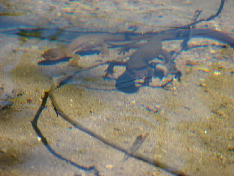
 West Fork McQuade Creek

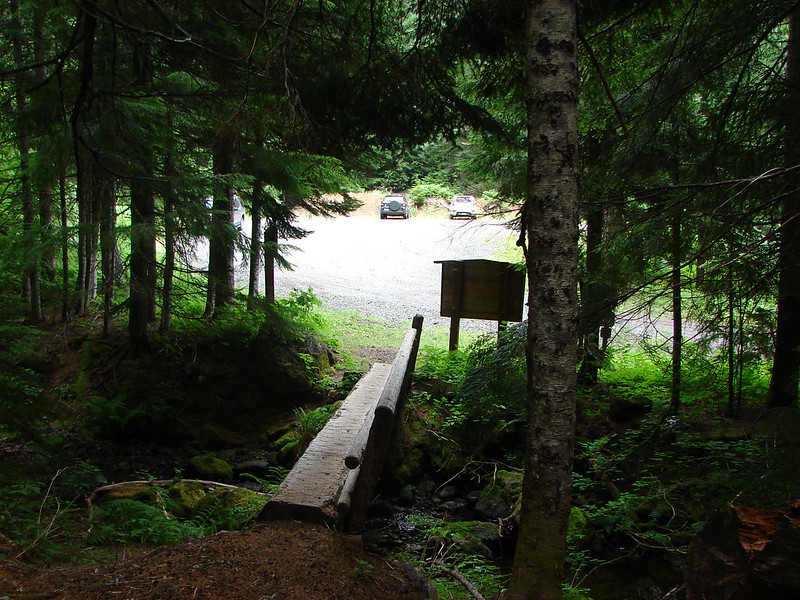
 Back at the trailhead.
This hike came in at 11.8-miles with around 2500′ of elevation gain.

It was an enjoyable hike, but it felt harder than the stats would indicate. I believe the trail tread had a lot to do with that combined with it being a fairly warm and humid (by Oregon standards) day. It was encouraging to see that the trail had seen recent maintenance. Maybe that will encourage a little more use. Happy Trails!
Flickr: Chimney Peak