**Note the 2024 Pyramid Fire burned a portion of this hike.**
We recently returned from our final overnight backpacking “test run”. Our destination for this round was Donaca Lake in the Middle Santiam Wilderness. The wilderness, established in 1984, consists of 8900 acres in the Willamette National Forest. There were several potential trailheads that we could have started at and we chose to park at the Pyramids Trail. http://www.fs.usda.gov/recarea/willamette/null/recarea/?recid=4334&actid=64
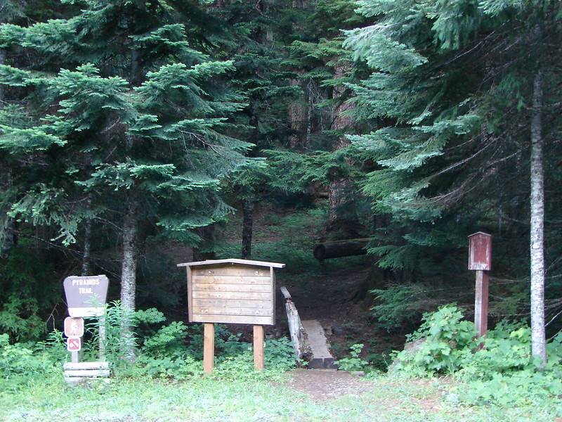
This trailhead left us with the least amount of driving time, but it was by no means the shortest hike to Donaca Lake. That was okay with us since we were wanting the extra distance to get used to hiking with our packs over 12 miles at a time, and coming from this trail we would be able to do the majority of the Middle Santiam River hike described in William L. Sullivan’s 100 Hikes in the Central Oregon Cascades. After crossing a little footbridge we turned left on the South Pyramid Creek Trail which traversed the SE flank of the South Pyramid for 1.5 miles where it briefly joined road 572 at a trail junction. On the opposite side of the road was the Crescent Mountain Trail. This was the opposite end of the trail we had taken up to the top of Crescent Mountain earlier in the month. The South Pyramid Creek Trail picked up about 10 yards down the road reentering the trees on the same side that we had just exited.

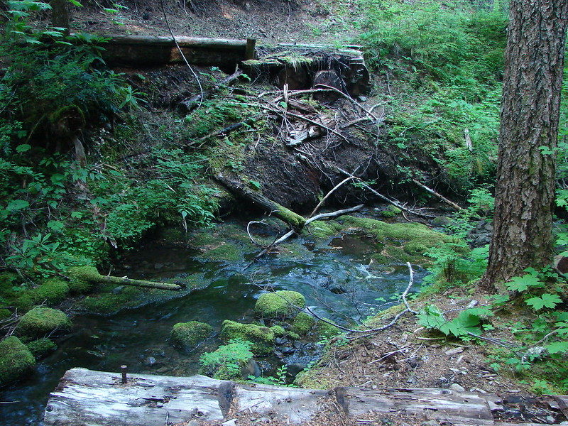
The trail soon began following an unnamed stream downhill toward South Pyramid Creek. We crossed over this stream a couple of times, sometimes on a bridge and other times not.

As we neared South Pyramid Creek the forest showed signs of logging activity on our left. This meant a lack of trees and shade, but it also meant there were tons of berries that had taken advantage of the sunlight and disturbed soil. We noticed several different varieties of huckleberries/blueberries, trailing blackberries, and what turned out to be Gooseberries.
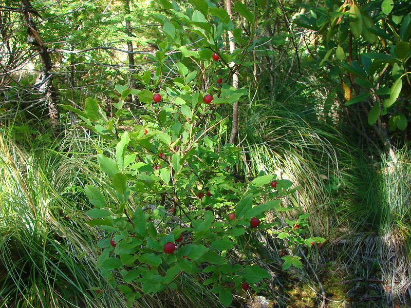
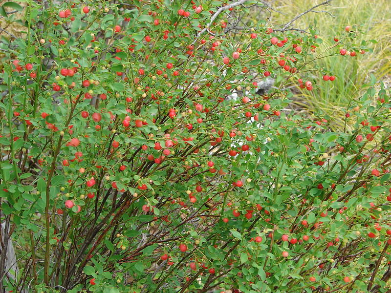

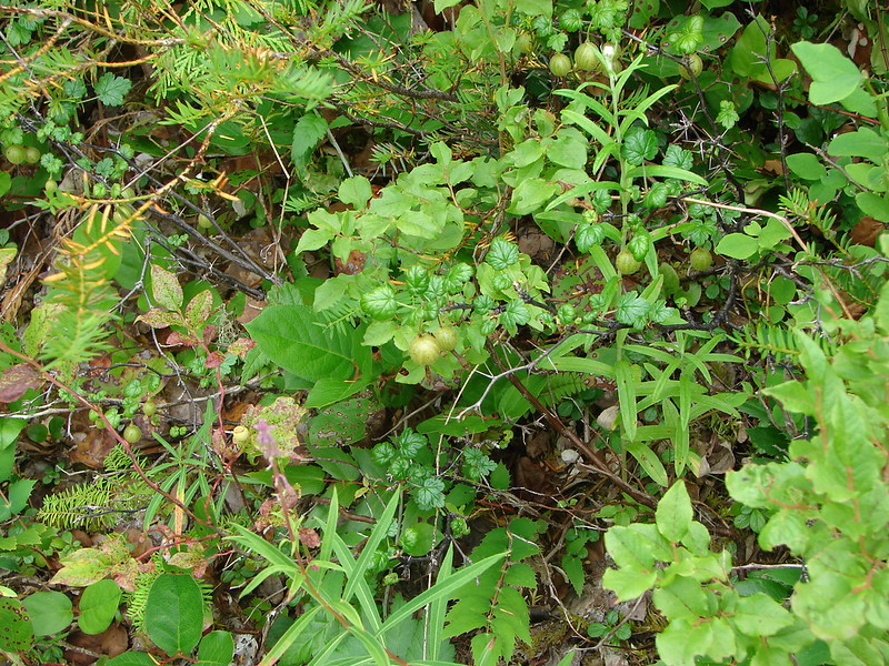
Since we didn’t know what they were for sure we didn’t sample the gooseberries, but the rest of the berries were thoroughly tested. 🙂
The trail crossed road 2047 where a sign indicated it’s continuation 800′ to the right.
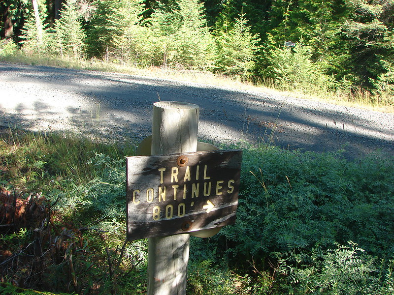
We turned up the road, passed over the creek and started looking for the continuation. We hadn’t really thought out just how far 800′ was and at first we thought we’d passed by the trail since we felt like we’d gone plenty far. We backtracked looking for an sign of the trail and tried pushing through some trees thinking that we might have seen it. Once we stopped for a minute and really considered that 800′ is nearly three full football fields we realized we hadn’t gone far enough so we headed back up the road. I spotted a sign ahead just around a bend and announced that I’d found it, then looked to my left to see I was standing next to a trail and hiker sign. What I had seen was actually a sign for the South Pyramid Horse Camp and I had completely missed the trail.

The trail was much fainter and overgrown in this section. It appeared that the trail had been rerouted at some point which would explain why my maps and Garmin did not show the 800′ road walk and instead showed the trail continuing directly across the road. It would also explain the trail junction that we came to not far from the road. It wasn’t on the Forest Service Topographical Maps I had nor was it shown on the Garmin (in fact both showed that the South Pyramid Creek Trail ceased to exist before reaching the Chimney Peak Trail which was the one we needed. Sullivan’s map showed the trail connecting and so did the Willamette National Forest trail description, but standing at this junction we became a bit confused. There was only one sign at the junction.
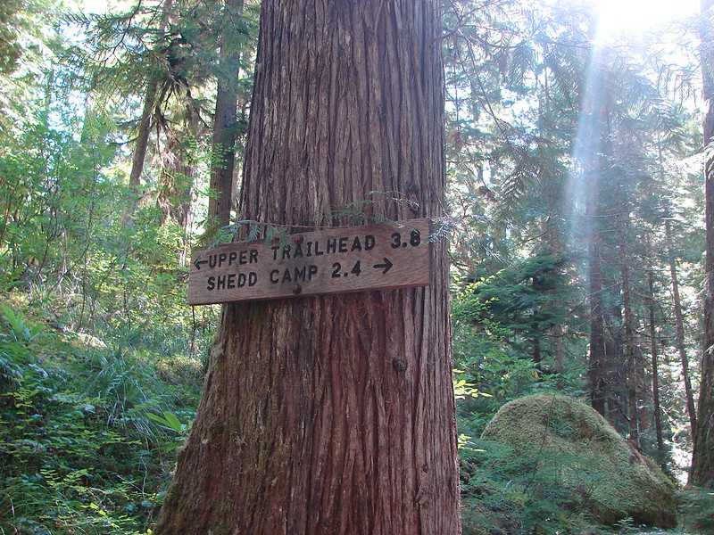
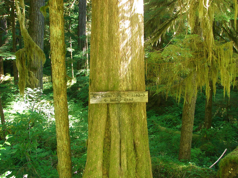
It was on a tree facing away from the direction we’d come. It was a “Y” junction so one trail went up and away to the right and the other headed down to our left. The distances didn’t match up with anything I had seen or read about but I knew we wanted to head toward Shedd Camp. The map in Sullivan’s book showed the South Pyramid Creek Trail intersecting the Chimney Peak Trail .3 miles from the Middle Santiam River and the Shedd Camp Shelter and we had planned to turn left at that point to visit a small waterfall on the river. The 2.4 mile distance listed on this sign just didn’t make any sense though. We headed left wondering if we would magically arrive at the river in .3 miles but after walking for awhile it became apparent that that would not be the case. After approximately 1.5 miles we spotted what I thought was a really random sign pointing back up the trail we’d just come down identifying the trail as the South Pyramid Creek Trail.

After a moment pondering why there would be a sign here we noticed another trail and sign. We had finally arrived at the Chimney Peak Trail.
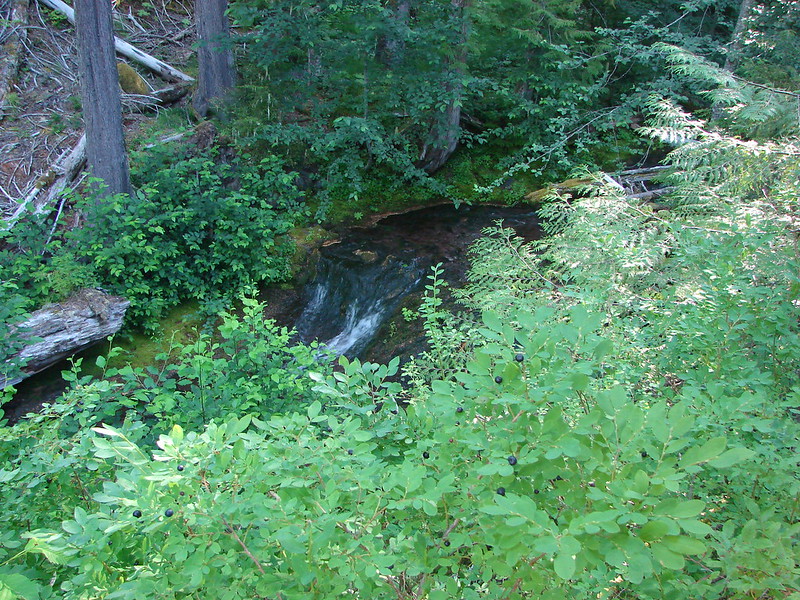
This time there really was only .3 miles to the Middle Santiam River. We took a break there to look at the falls and enjoy the river.


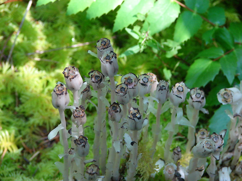
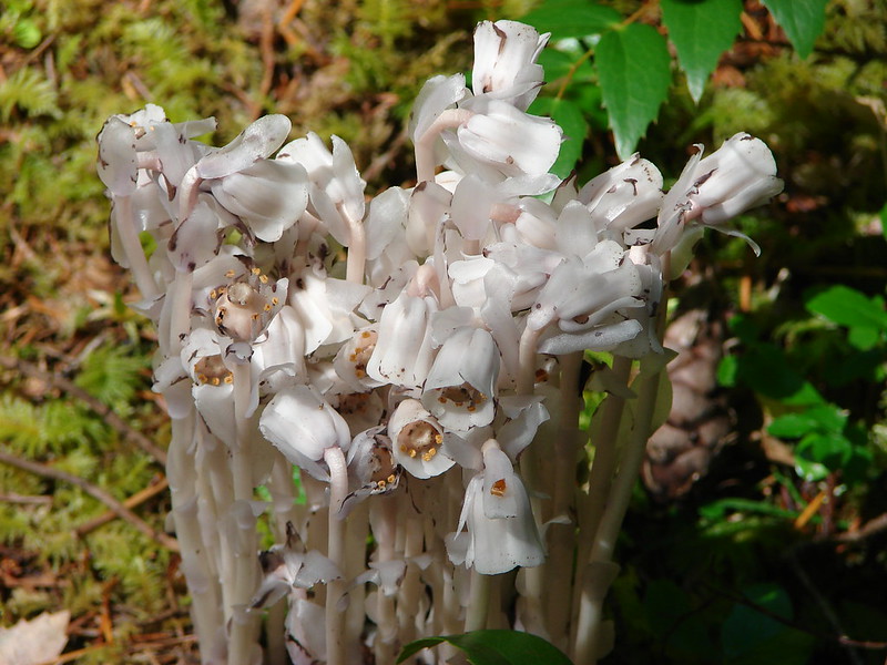
After the break we headed back up to the trail junction and took the Chimney Peak Trail. We were now following the route described in our 100 Hikes book which put an end to the trail surprises. It was 2 miles from the junction to our next marker, Pyramid Creek. Along the way we spotted a couple of very interesting patches of Indian Pipe.
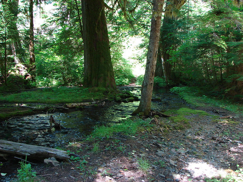
There was a nice camp site at Pyramid Creek which was my backup plan just in case there were no sites available at the lake. The creek itself was fairly wide with no bridge, and there was no way we were going to get across dry.

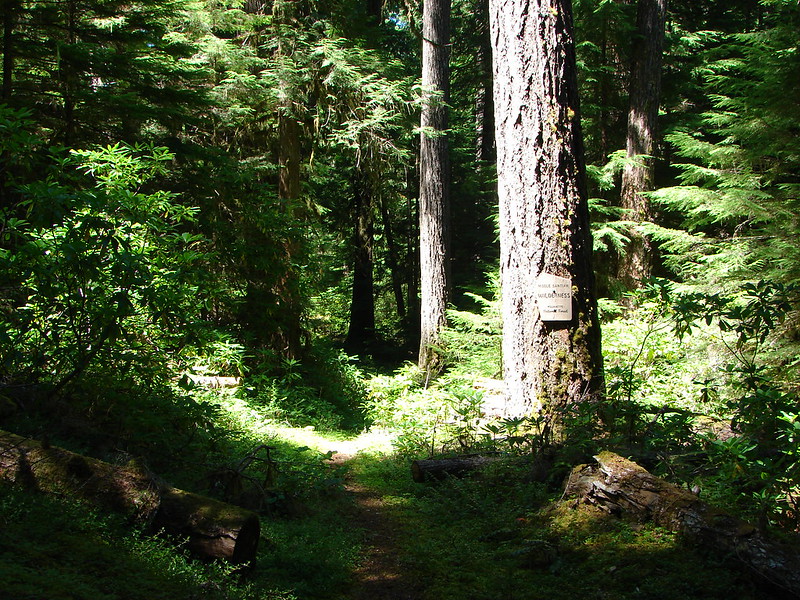
After fording the creek we crossed road 2041 which was abandoned years ago due to numerous washouts and entered the Middle Santiam Wilderness.
Road 2041:
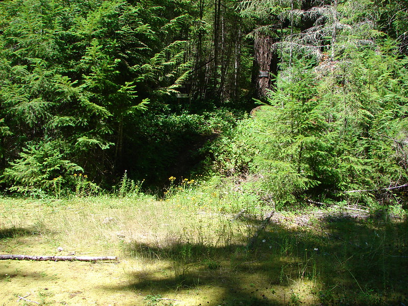
Edge of the wilderness:
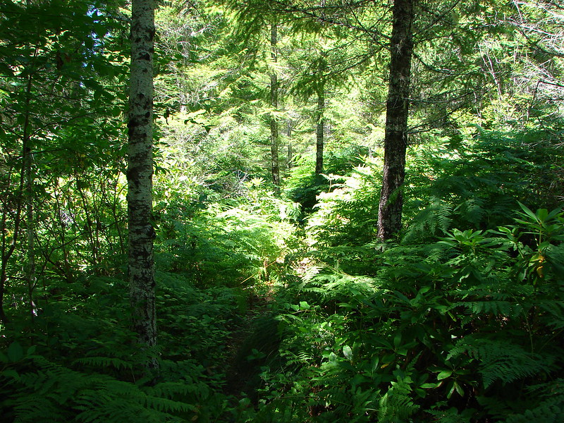
It was obvious that the trail doesn’t get a lot of use as the vegetation was encroaching on most of it.
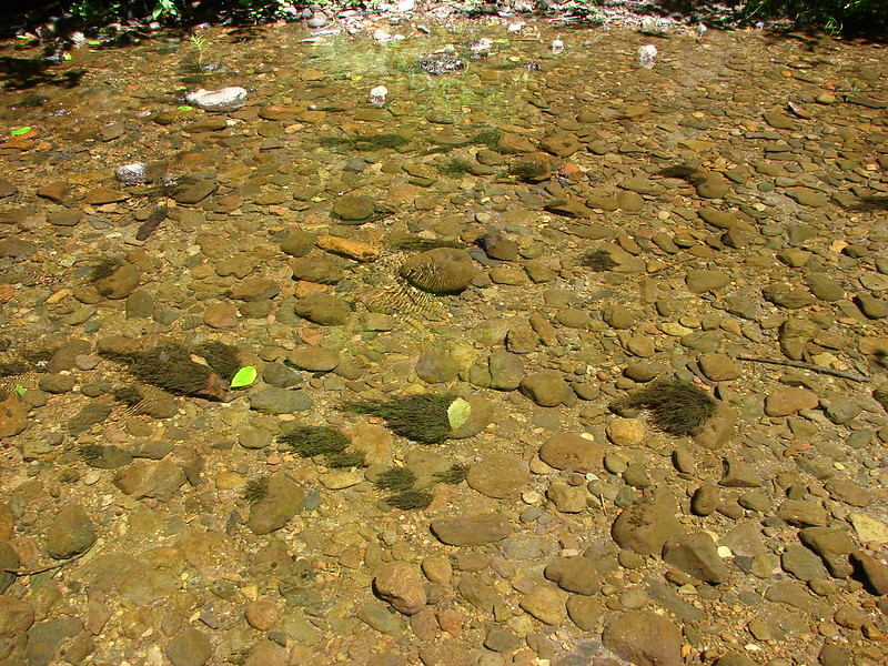
The trail was joined by the Gordon Peak Trail 2.3 miles from Pyramid Creek and shortly after we came to Swamp Creek. I had expected a swampy bog here given the name but found a nice little creek that required another fording.
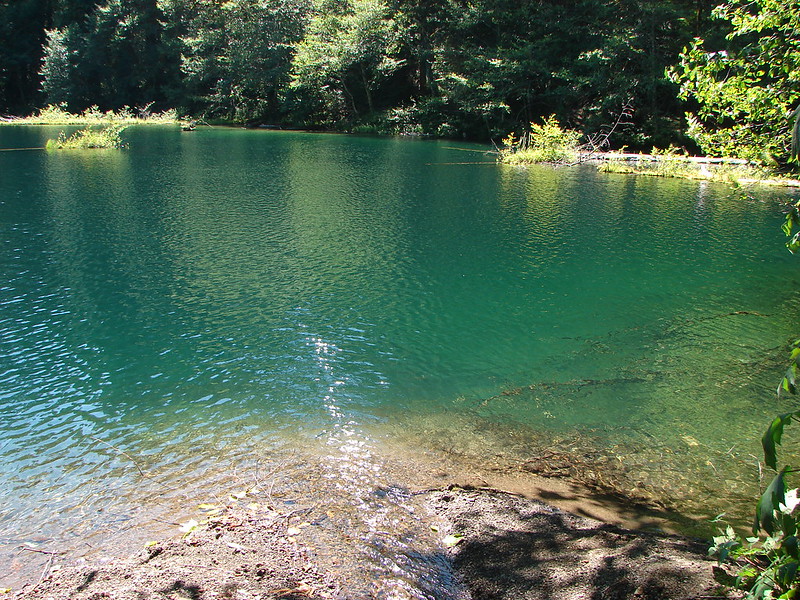
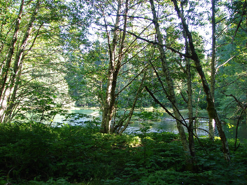
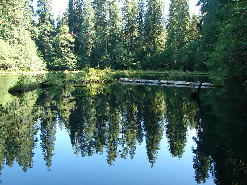
After crossing Swamp Creek we were only about three quarters of a mile from Donaca Lake. I had read somewhere that there was only one camp site at the lake and we had just passed a couple who had been staying at the lake so we were anxious to get there to make sure we could get a tent site. They told us the lake was lovely and it did not disappoint. From the first view through the trees we could see it was a very pretty little lake.


As we were passing along the lake we spotted a trail up to a small camp site away from the lake so we headed up and claimed our spot. After dropping off our gear we headed back down to the trail to explore the rest of the lake. The trail came to an inlet creek where we found another bigger campsite and a nice little gravel beach.
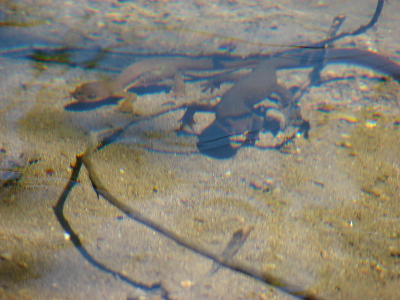
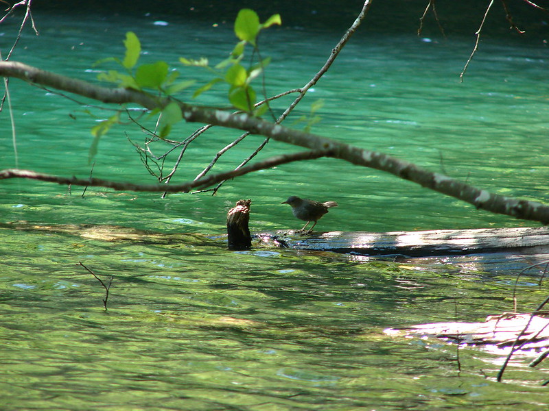
Just a little further up the trail was a third campsite but we decided to stay where we had dropped our packs because we didn’t want to be in the path of the lake access. Before going back and setting up camp though we sat on the gravel beach and watched as Newts and fish swam around in the lake while birds and bugs zoomed over the water.

After watching the wildlife for awhile we headed back to our packs and set up camp.

While we were setting up another group arrived and settled down at the big site so when we were ready to go back down to the lake we took our dinner and headed to the third site we’d found and followed a little path to a different gravel beach. After dinner we hung out for awhile before turning in for the night.
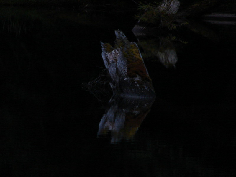
I woke up a little before 5AM and headed down to the lake to see if I could get any sunrise pictures. There wasn’t enough light for my camera to pick up much but there was a colorful stump that Heather had remarked on after dinner. It’s reflection in the water was eye catching.
After Heather woke up and we’d eaten breakfast we packed up and started our return trip. It was going well until we hit the 3.8 mile sign. It was the longest section of trail I can remember hiking. We kept thinking we were going to arrive at road 572 and the Crescent Mtn. Trail junction but instead we just kept climbing. Even when we finally spotted the road it seemed as though we paralleled it for miles. We had a mini celebration when we did finally pop out on the road before tackling the final mile and a half. The final stretch went much quicker as it was primarily downhill and we eventually arrived back at the Pyramids Trailhead.
In 27.7 miles of hiking we had seen only the two groups totaling five people over the two days. If you’re looking for a nice quite forest where you can have the trail to yourself the Middle Santiam Wilderness may just be the place for you. Happy Trails!
Flickr: https://www.flickr.com/photos/9319235@N02/sets/72157645981978735/
Facebook:https://www.facebook.com/media/set/?set=a.10204556986191817.1073741895.1448521051&type=1

6 replies on “Donaca Lake – Middle Santiam Wilderness”
Reblogged this on Blueturtle's Space and commented:
From my daughter and son-in-law.
Wonderful description of an incredible area and beautiful pictures.
[…] of the approximately 30 mile long Old Cascades Loop. We had done another section of this loop in 2014 when we started at the Pyramids Trailhead and hiked to Donaca Lake for an overnight […]
[…] Middle Santiam – 2014 […]
[…] to this trailhead once before but that was for a backpacking trip to the Middle Santiam Wilderness (post) when we took the South Pyramid Creek Trail. This time after we crossed Park Creek we turned right […]
[…] be just my second visit to this wilderness with the first being an overnight trip to Donaca Lake (post) in […]