In 2019 Congress designated the 31,107 acre Devil’s Staircase Wilderness adding another Oregon wilderness area for us to visit in order for us to reach our goal of visiting each of the State’s wilderness areas open to the general public (post). (The Three Arch Rocks and Oregon Islands wilderness areas managed by the Fish & Wildlife service are closed to the general public.) The Devil’s Staircase Wilderness is managed jointly by the Bureau of Land Management (east side) and the Siuslaw National Forest. The area is named after a cascade/waterfall on Wassen Creek known as The Devil’s Staircase.


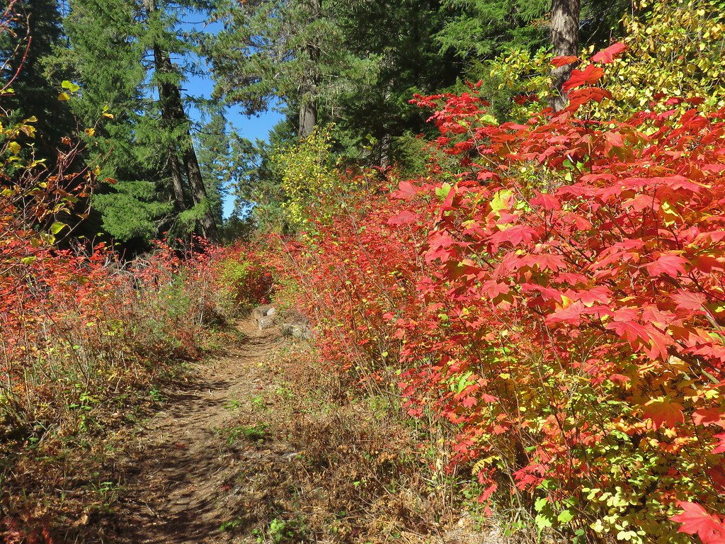
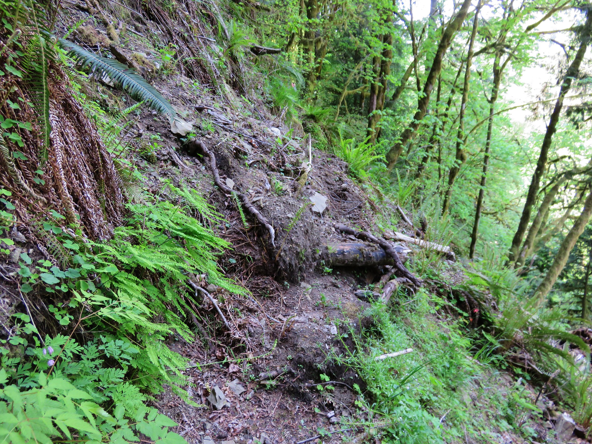
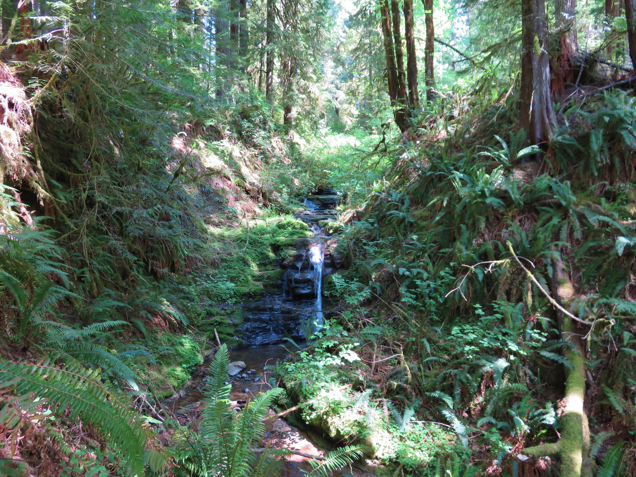
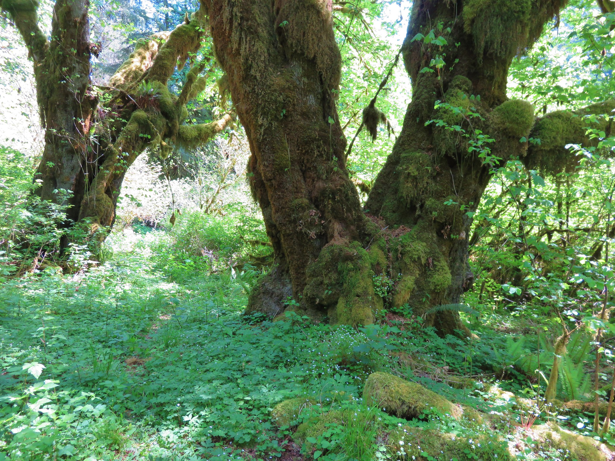
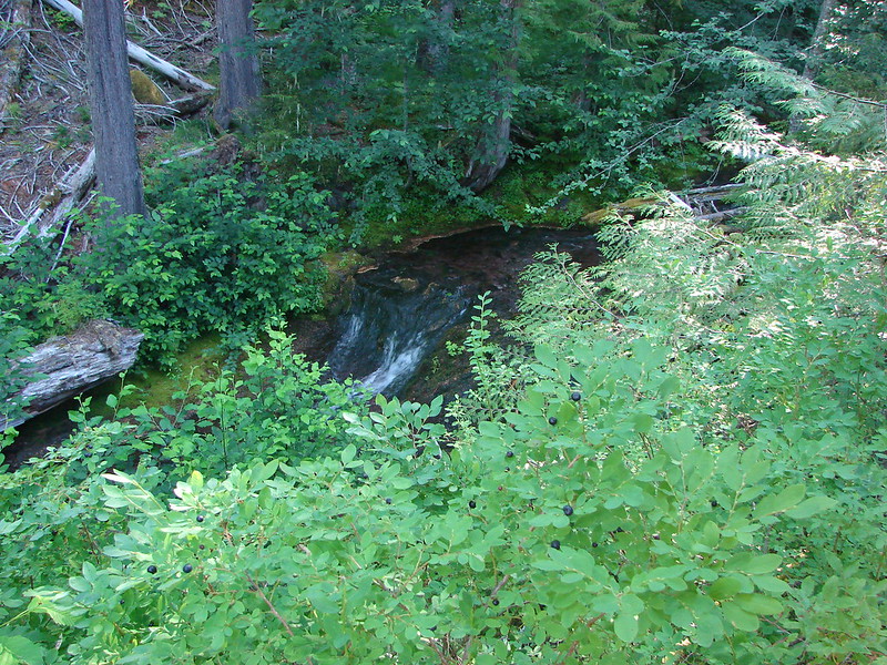
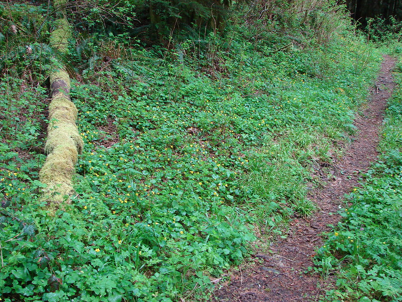
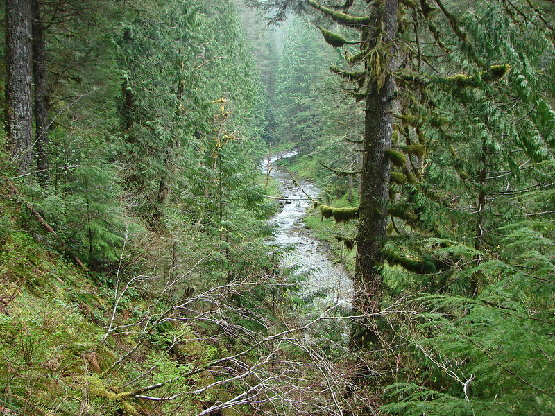
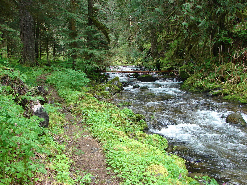
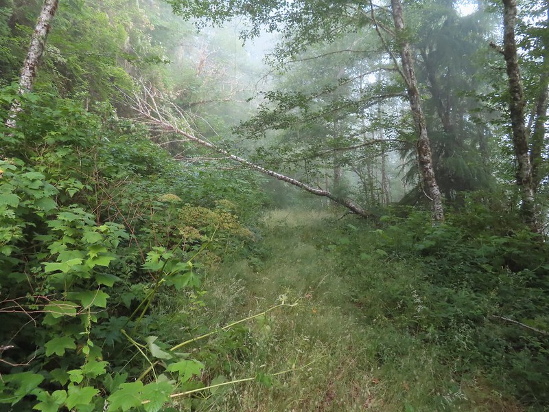
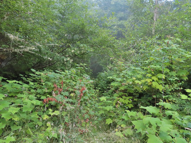
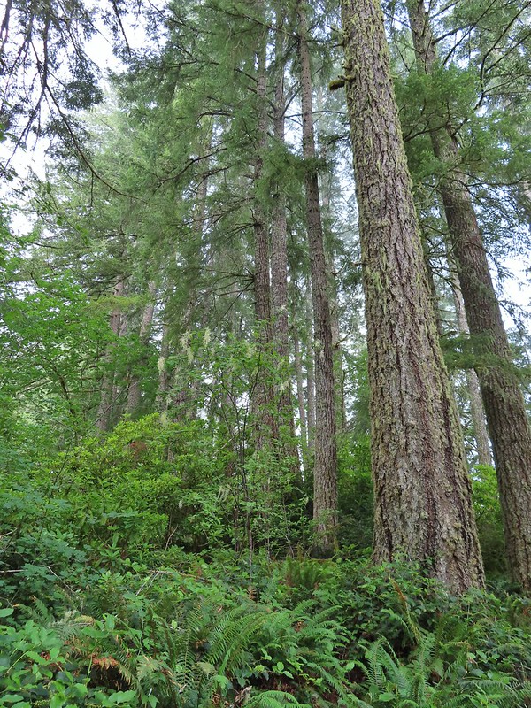
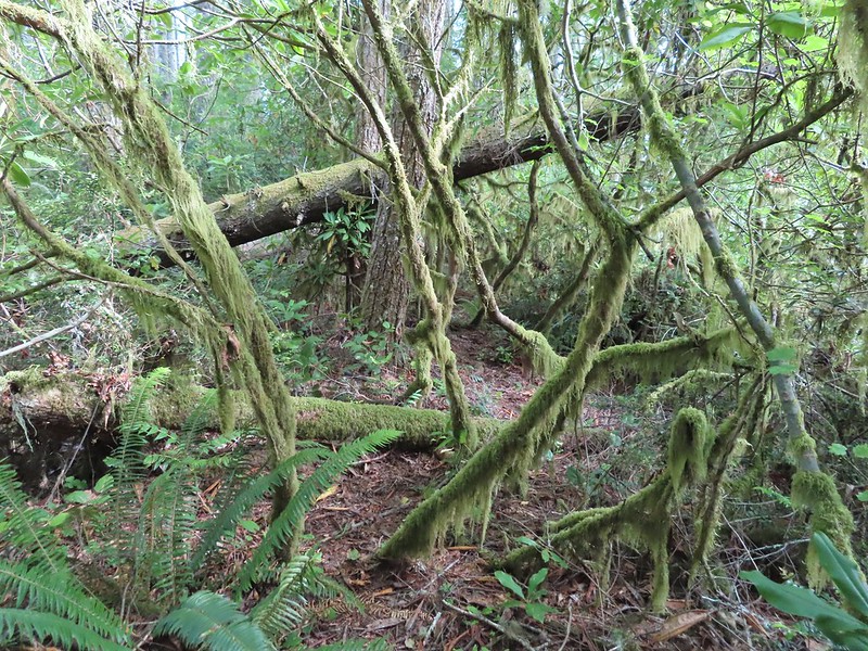
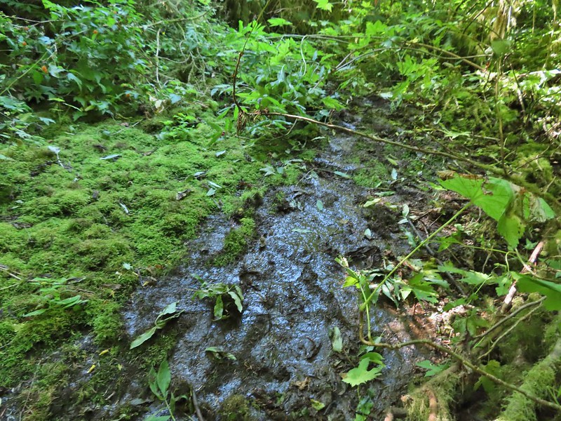
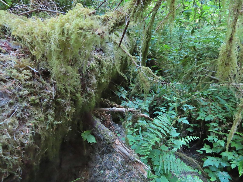
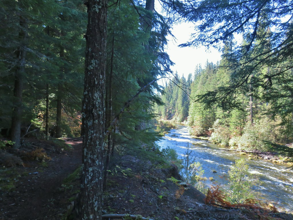
There are no official trails in this wilderness area and everything we’d read from the Forest Service, BLM, Oregon Wild, Oregonhikers.org and William L. Sullivan’s “Atlas of Oregon Wilderness” described the area as having steep terrain, dense vegetation and unstable soils. Because of this we are not going to go into much detail of our visit, these descriptions are accurate and our outing was one of the most difficult we’ve undertaken to date. If you do decide to visit bring a map and compass (and the skills to use them) and be prepared to crawl, scoot and probably swear at least once. Also make sure you give yourself plenty of time or plan on spending the night. We came out muddy, bruised and a little bloodied. Our dream was to actually reach the Devil’s Staircase but realistically we didn’t expect to be able too.
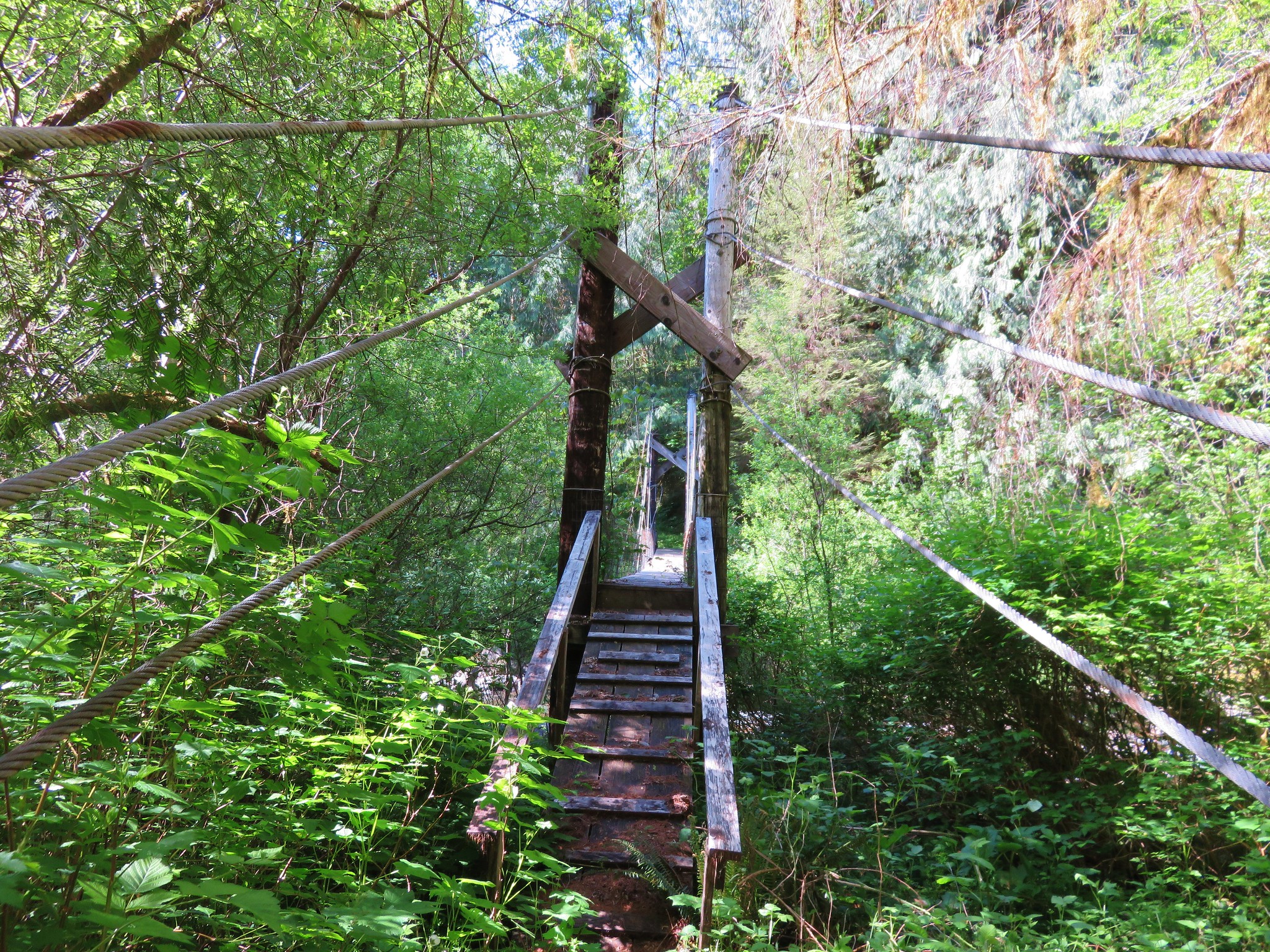
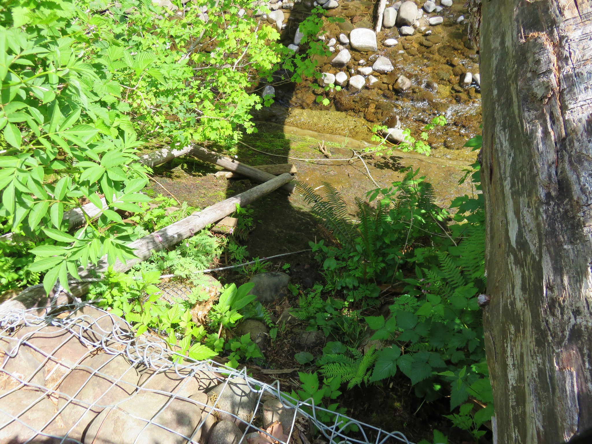
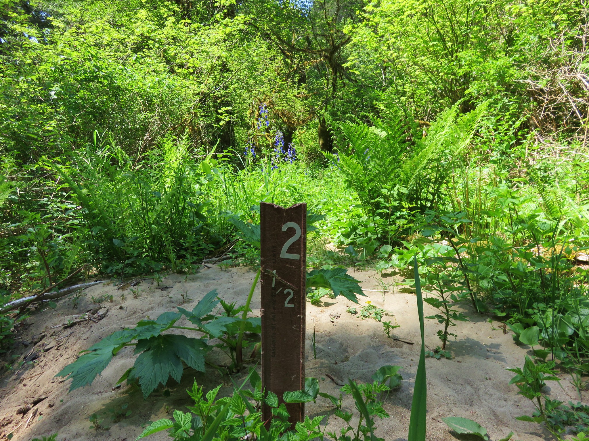
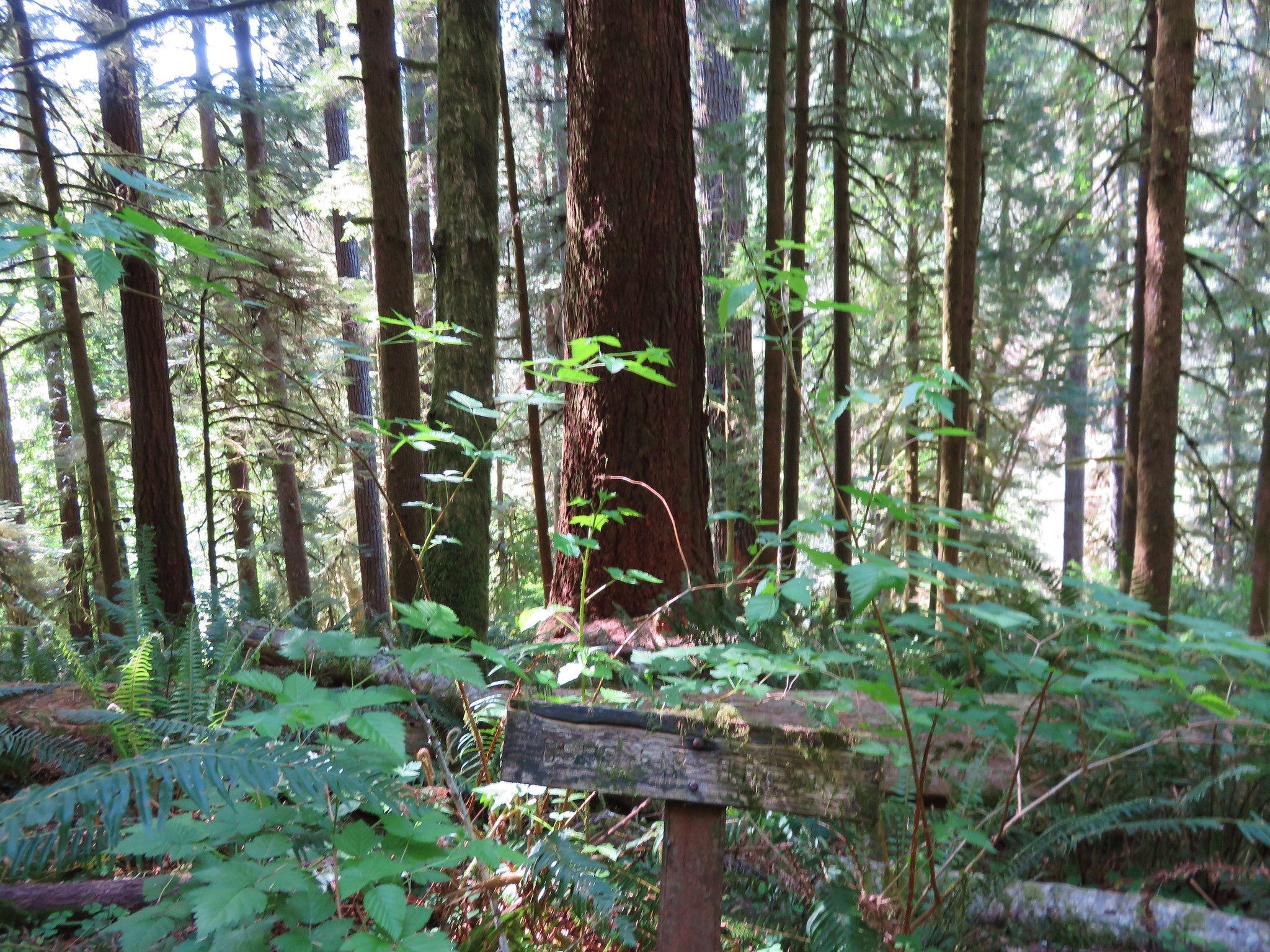
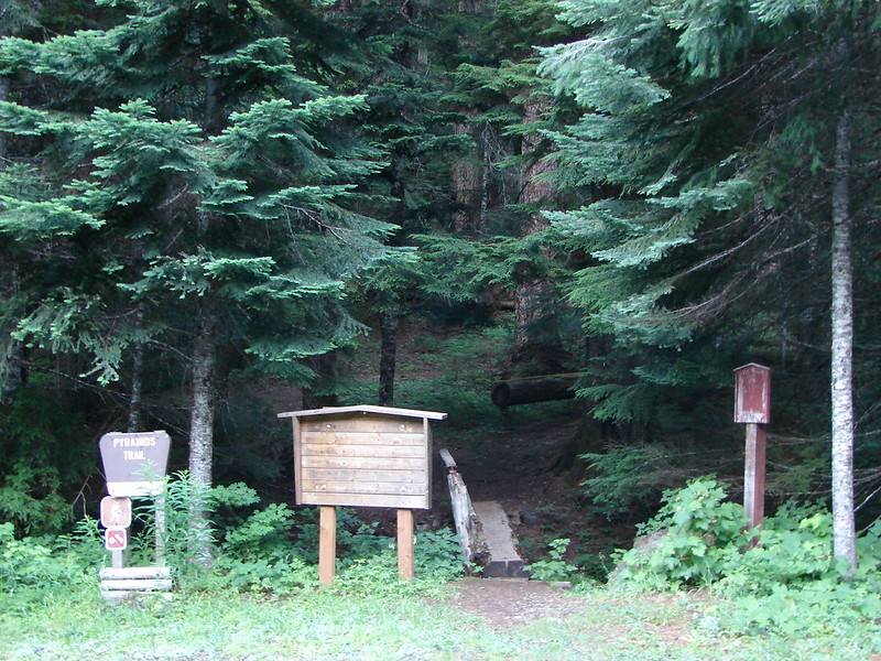
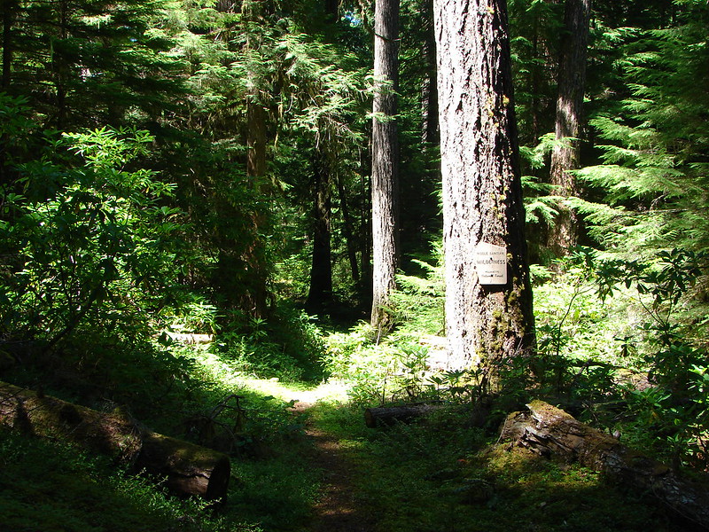
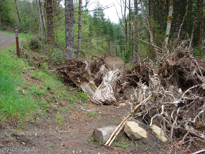
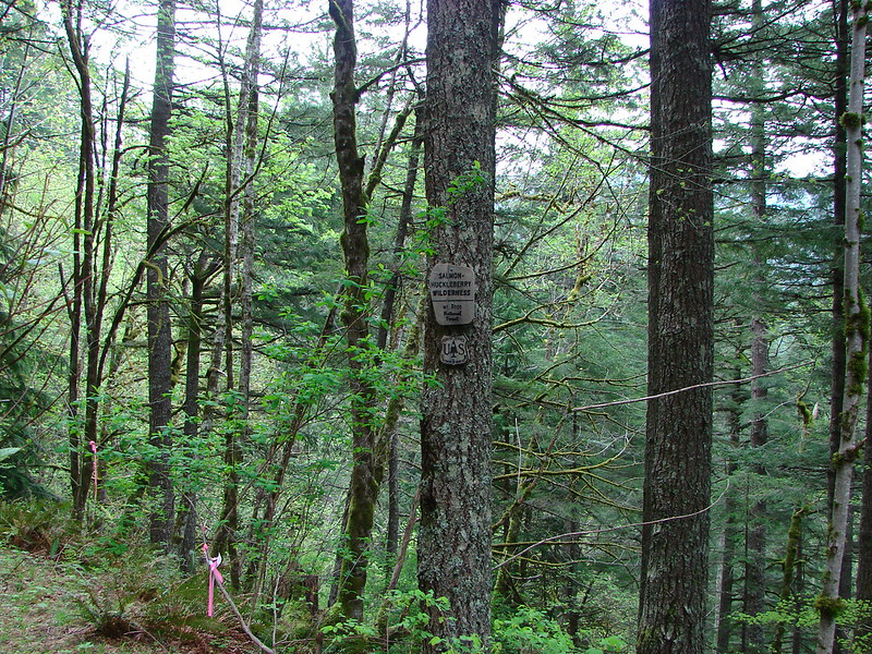
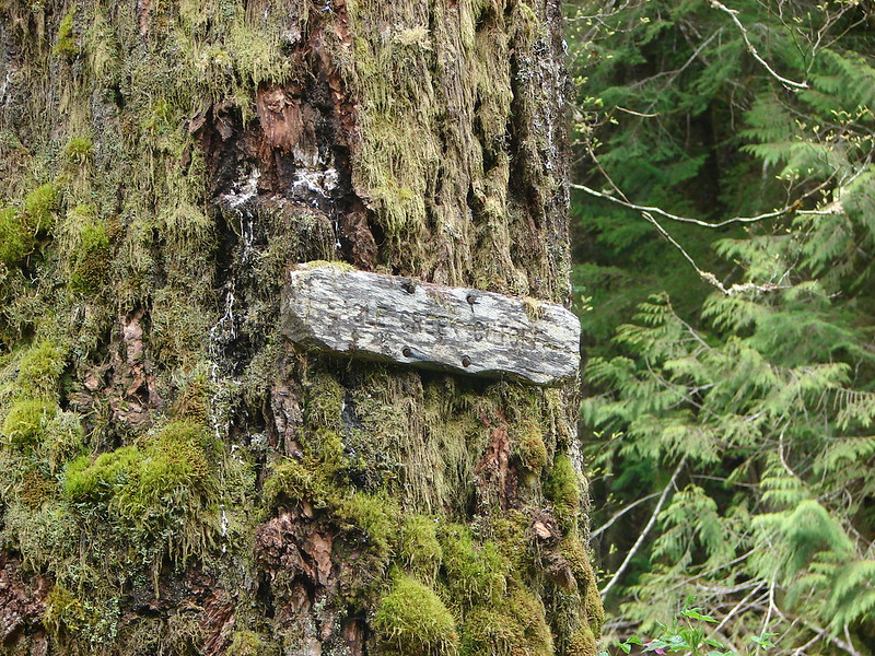
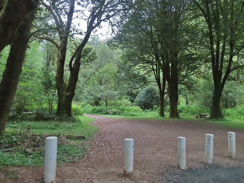
 Wilderness boundary
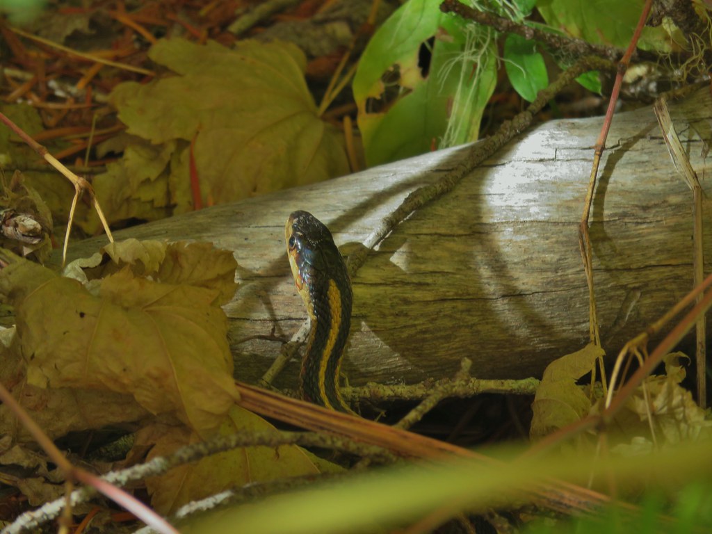
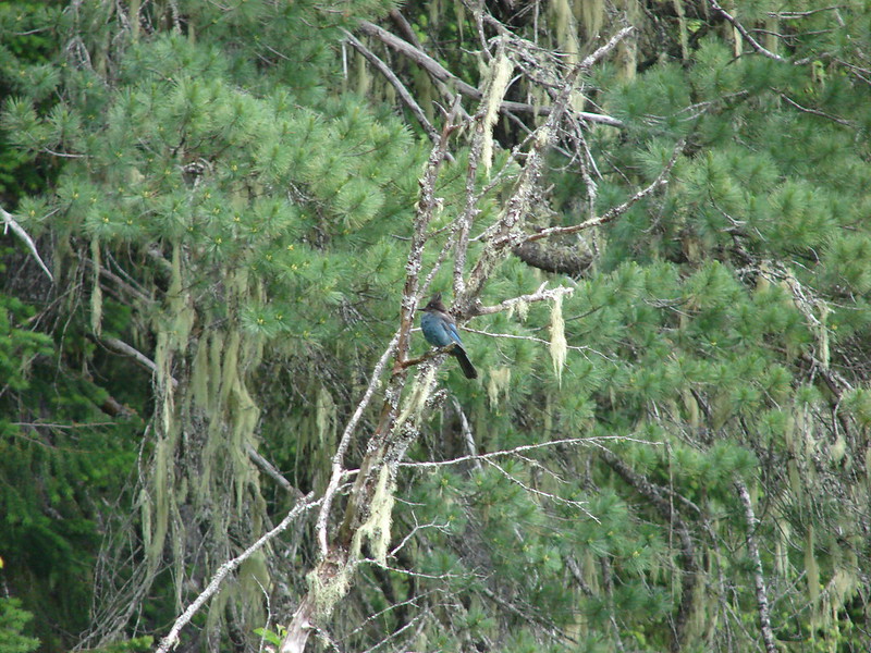
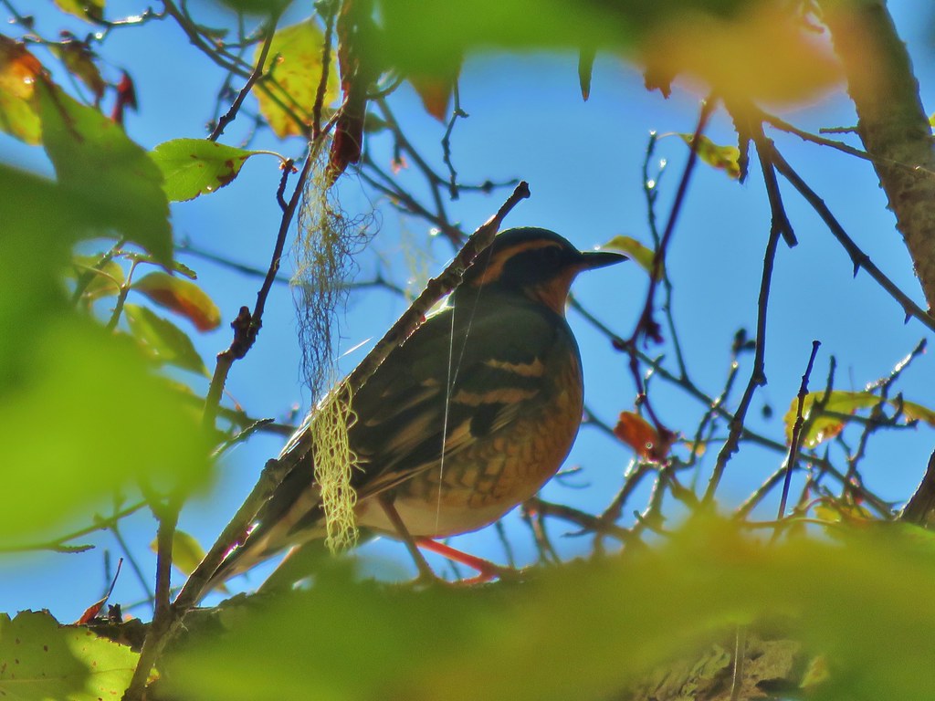
 Varied thrush
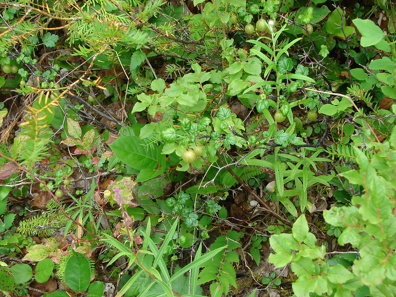
 Blackberries, we found a couple of ripe ones later as well as ripe salmonberries, thimbleberries, and red huckleberries.
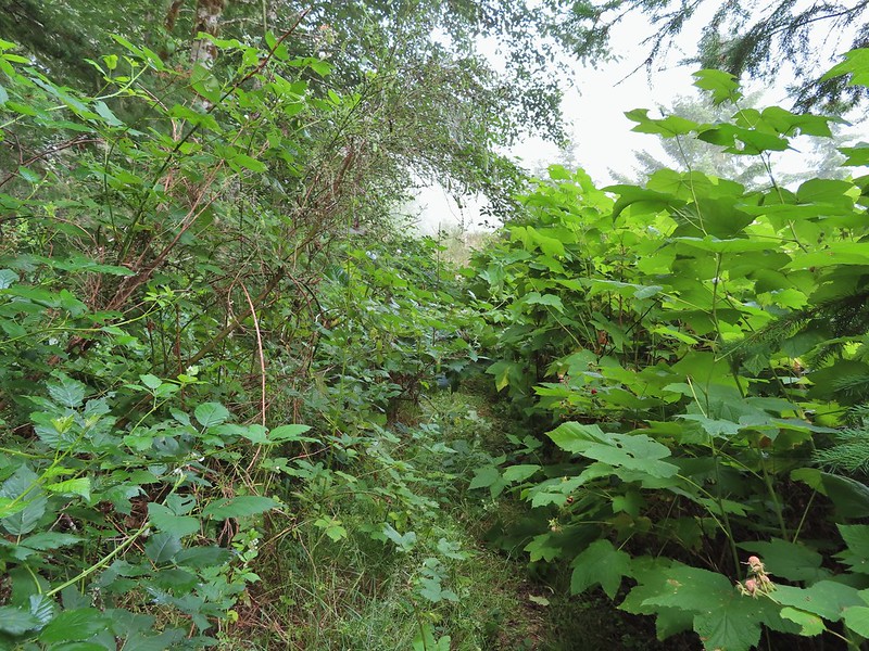 There was a lot of Himalayan blackberry to get through which caused many a scratch.

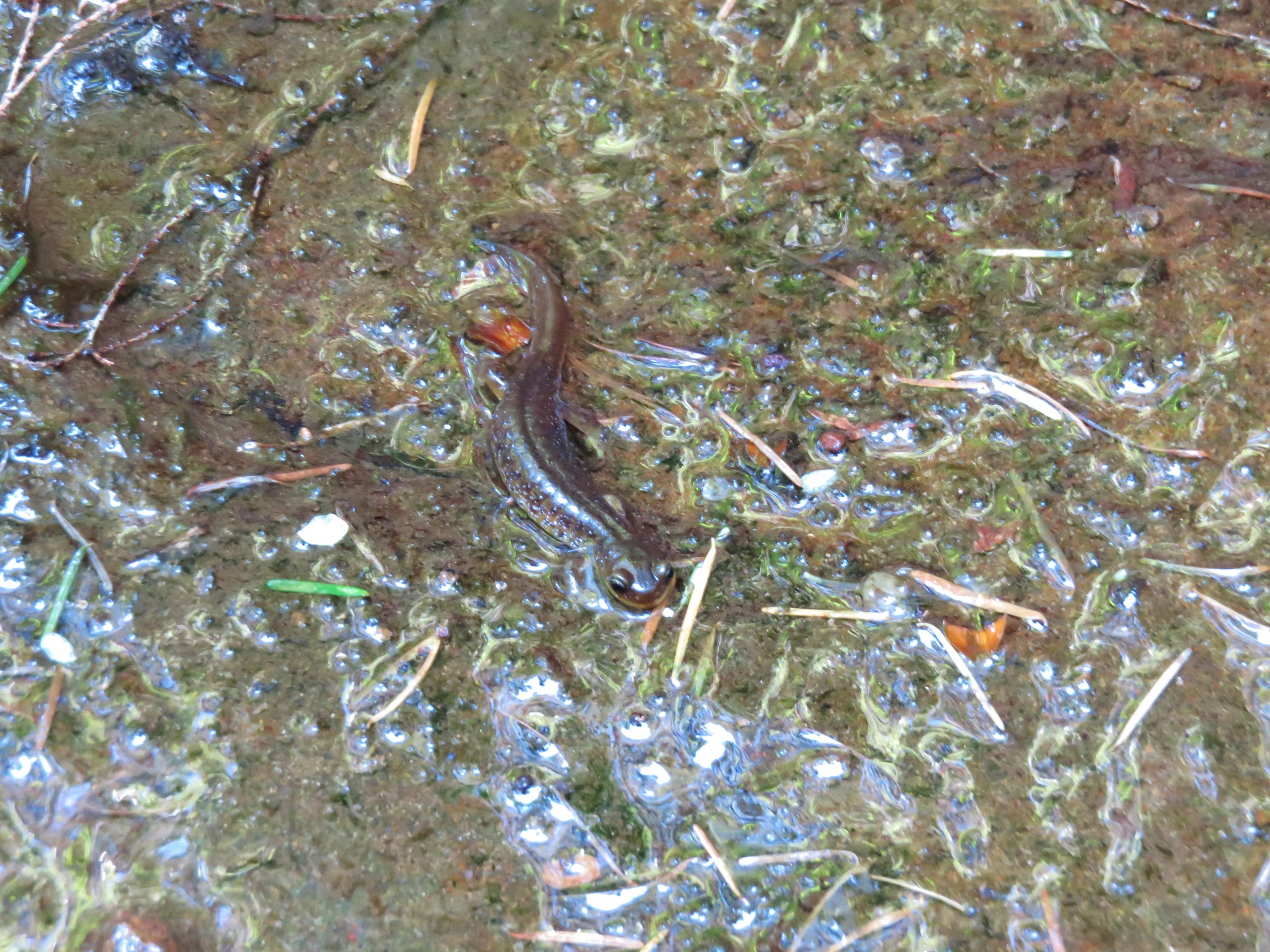
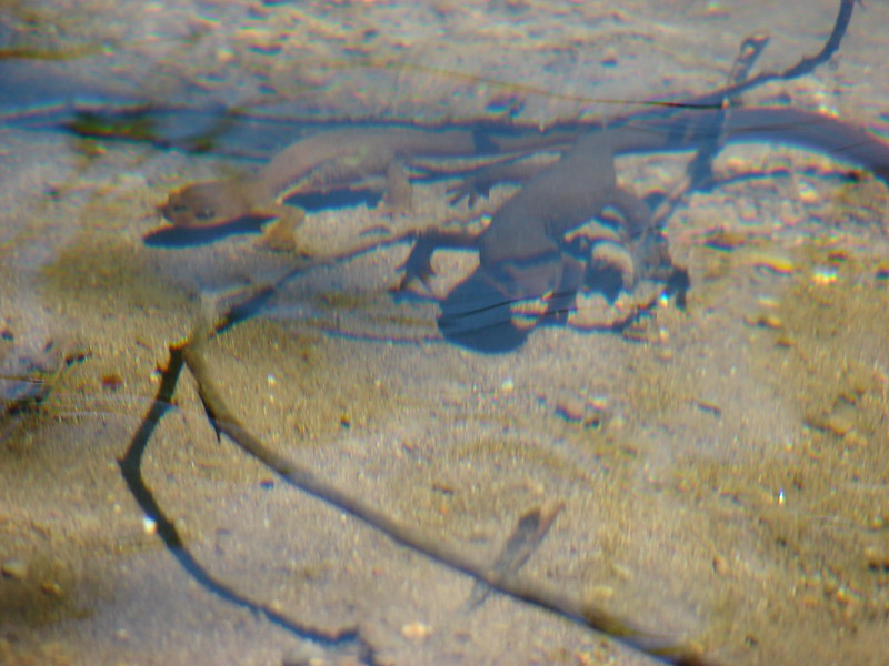
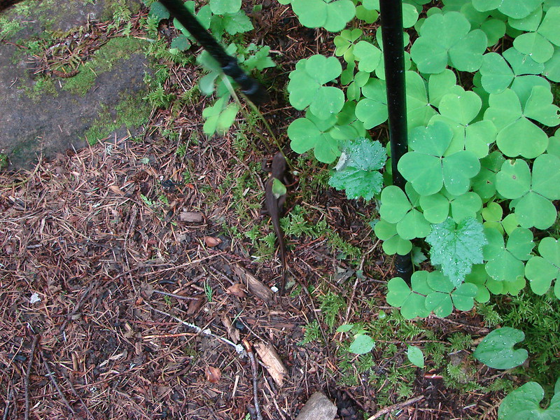
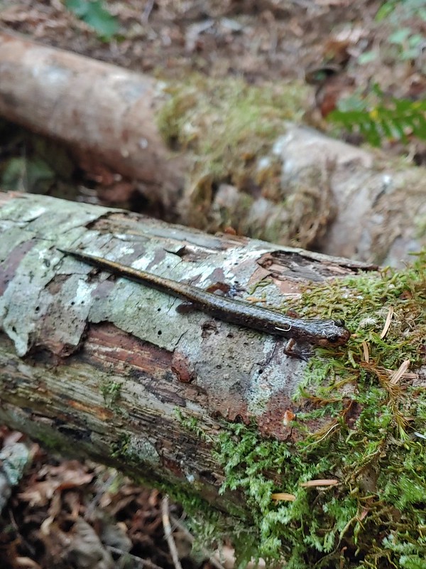 Salamander, possibly a Dunn’s.
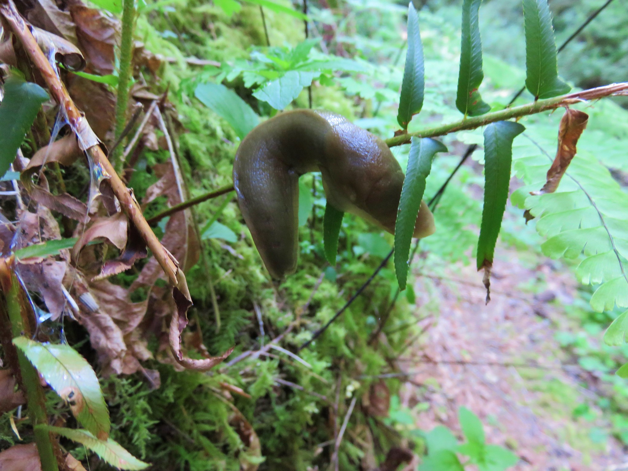
 Snail on a fern.
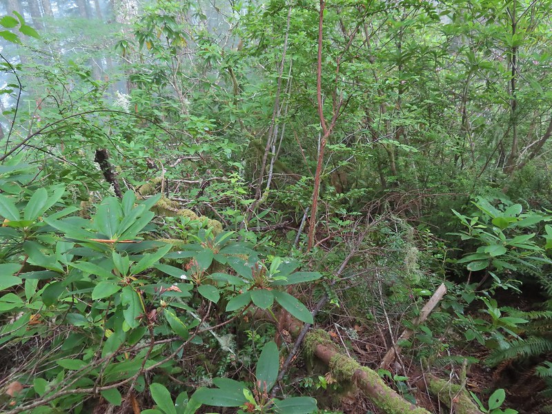
 A few rhododendron were still blooming.
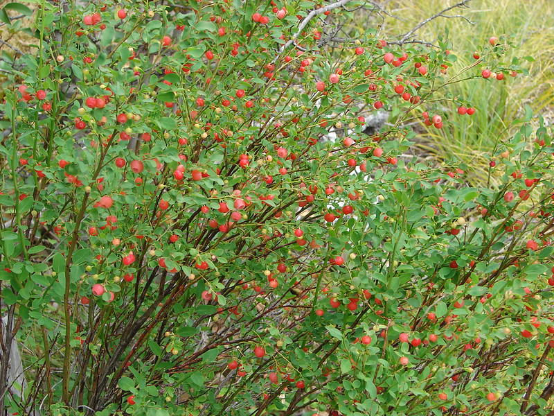
 Huckleberries
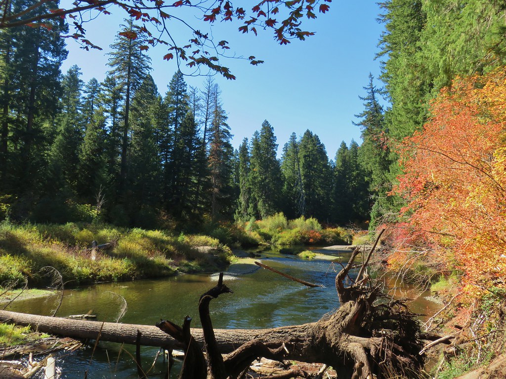
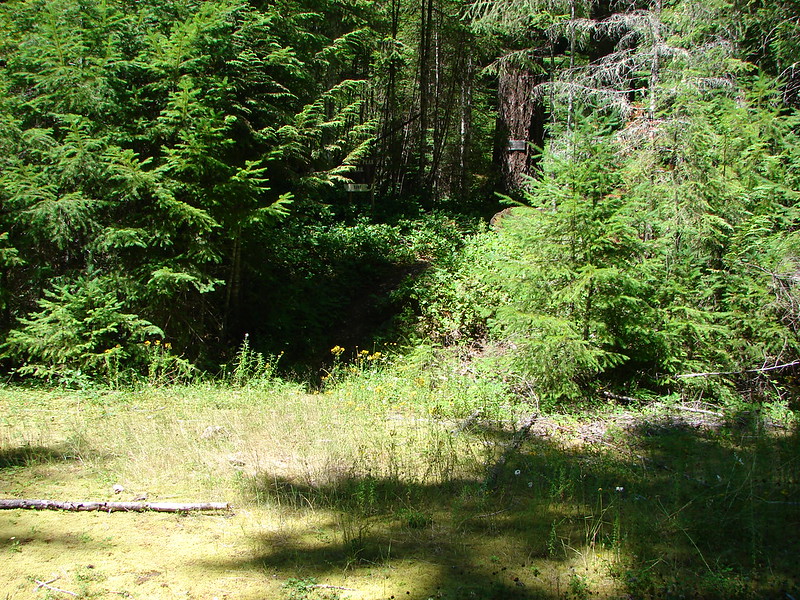
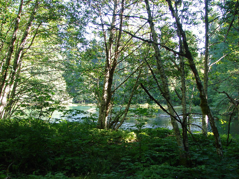
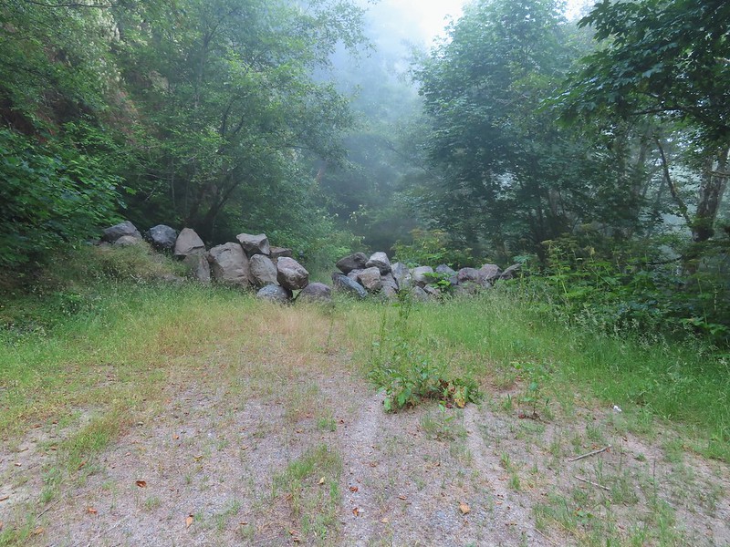
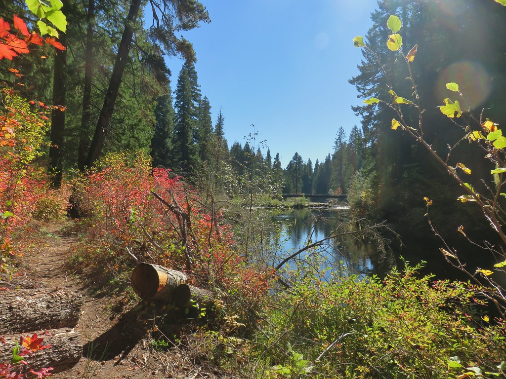
 This was the only open spot the whole day. There were some thistle and yarrow blooming here along with a bit of poison oak.
 Bees sleeping on thistle.
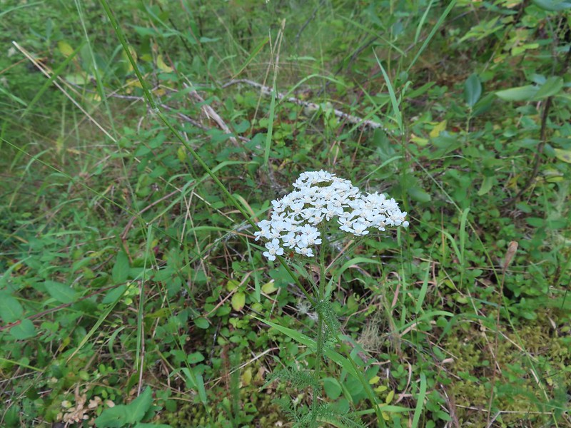 Yarrow


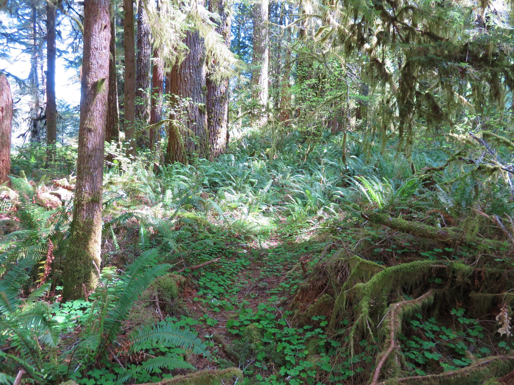
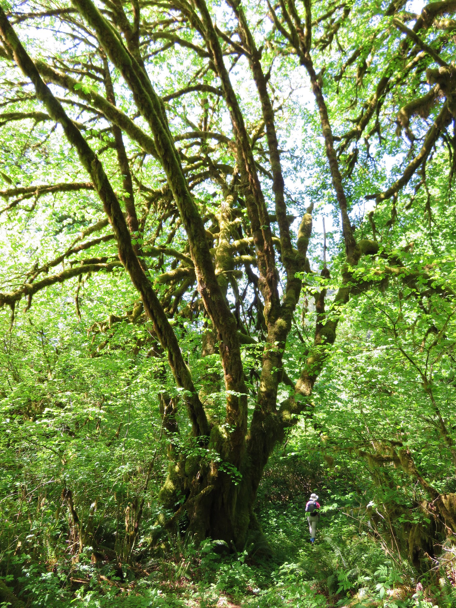
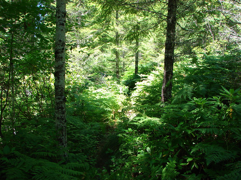
 The rhododendron was often so tall we could walk through them.


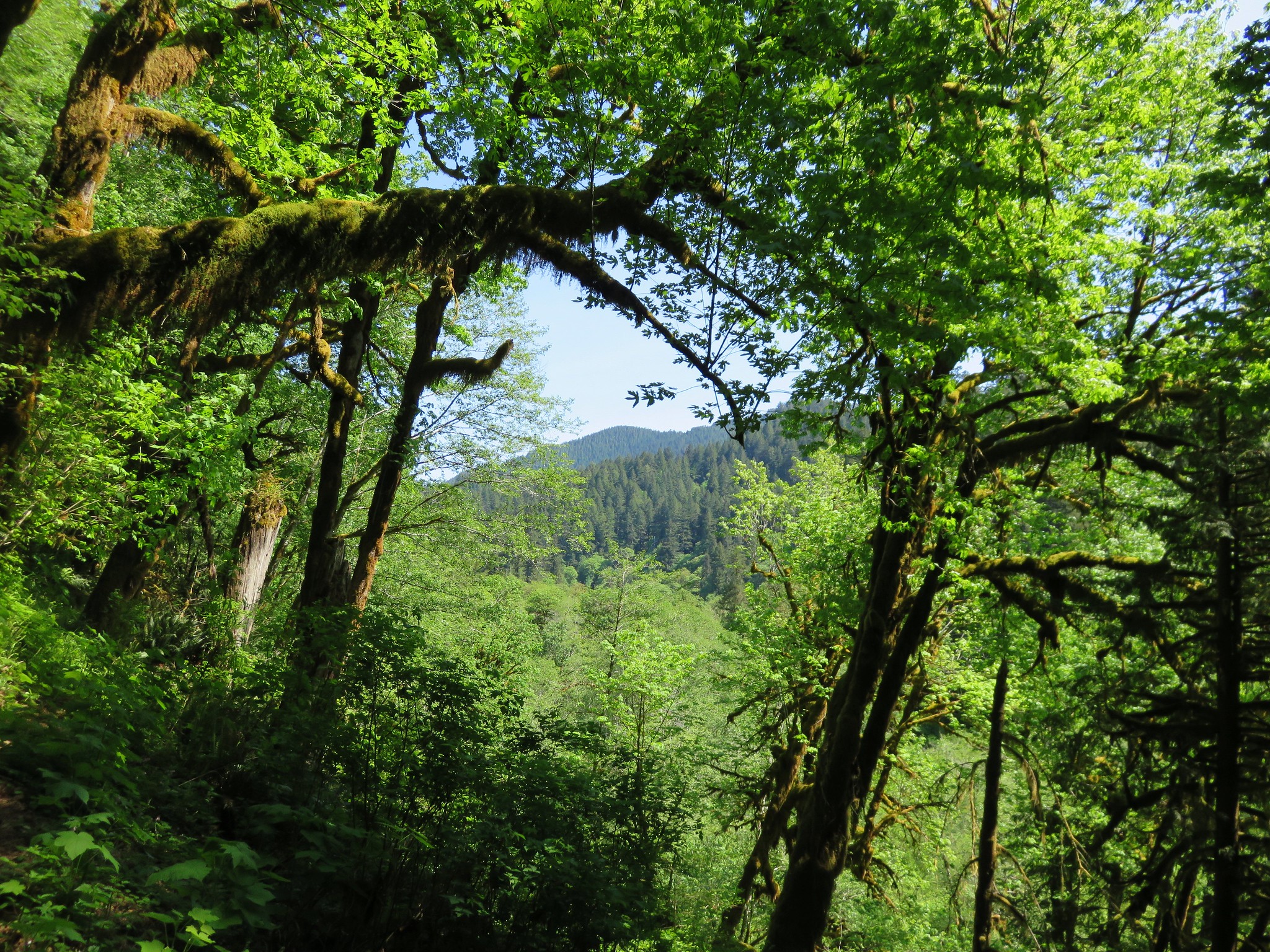
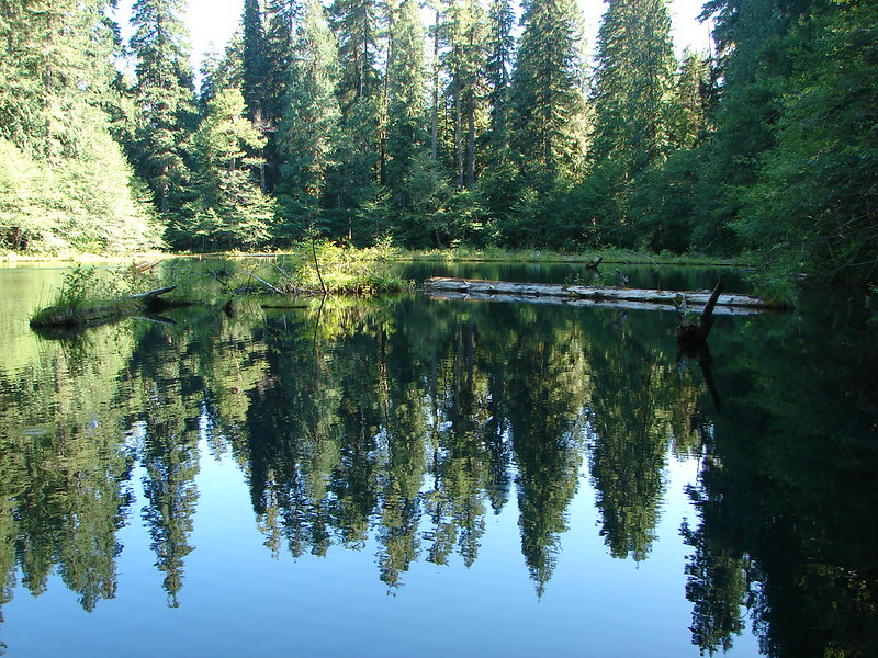
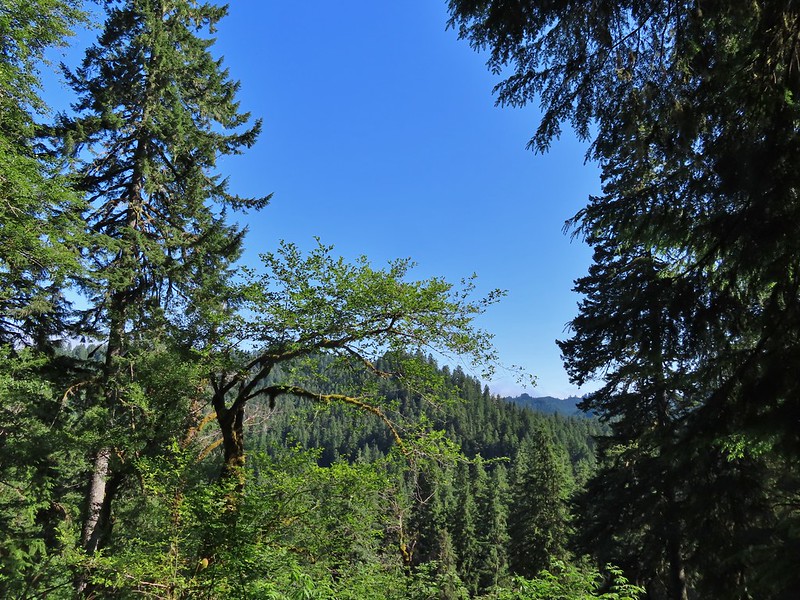 The morning fog burned off by 9:30am.

 Wild cucumber (coastal manroot)
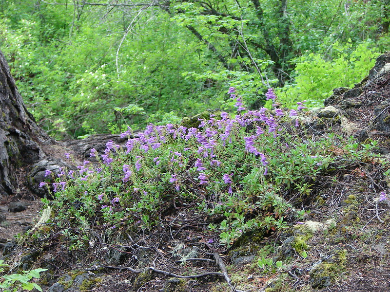
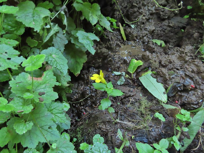 Monkeyflower
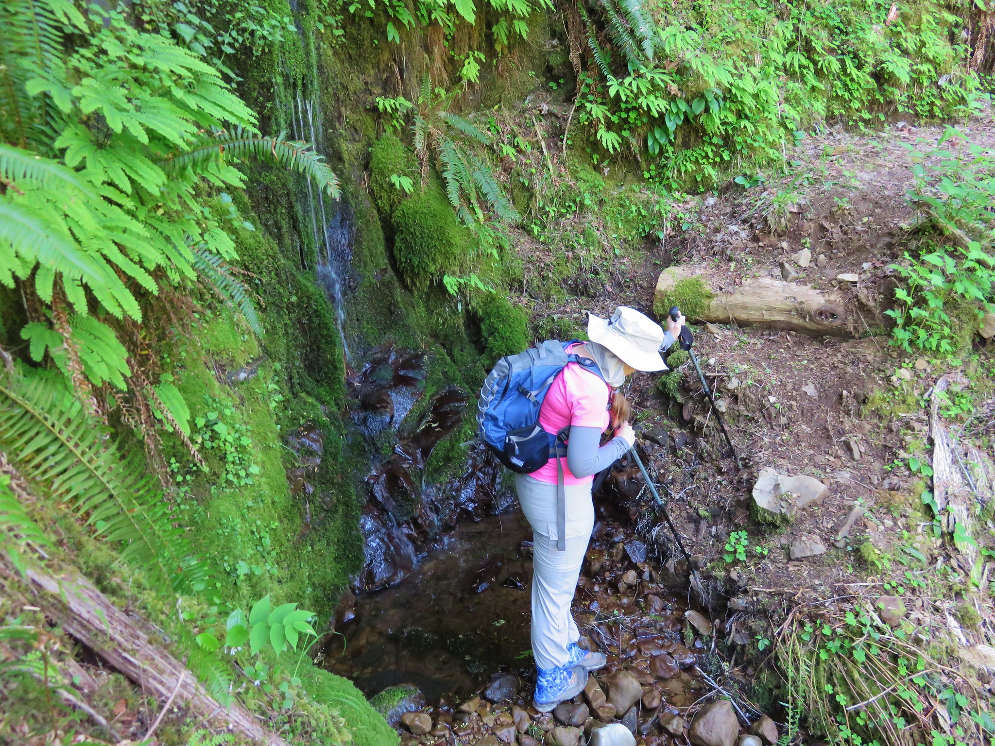
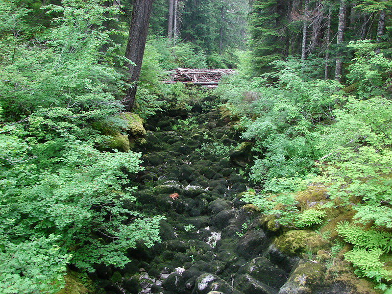
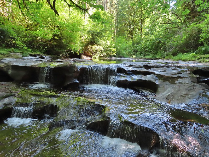
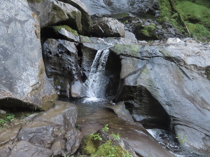
 Although this picture doesn’t really convey it this section of exposed wet rock was at a fairly steep angle and was quite the challenging both coming and going.
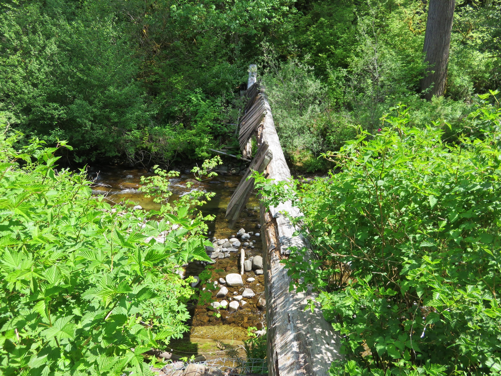
A lot of planning and a little luck allowed us to actually reach Wassen Creek at the staircase (Bruce you had the right idea) but we didn’t wind up seeing it from the bottom. We reached it at it’s upper end and were unsure if we’d be able to get back up if we climbed all the way down to the bottom. After watching a video on YouTube and seeing them go down where we had been thinking we still weren’t convinced that we wouldn’t have been stuck on a ledge.

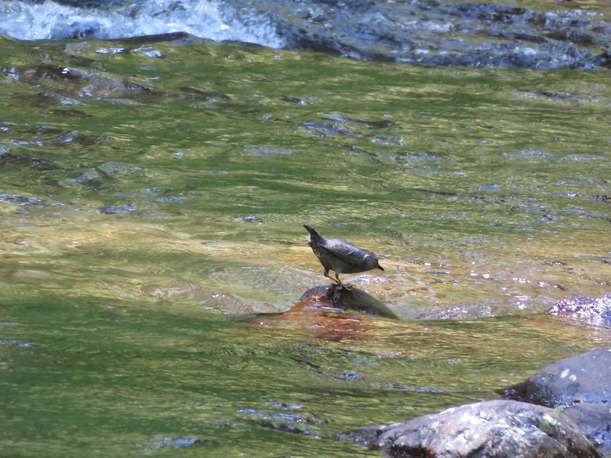
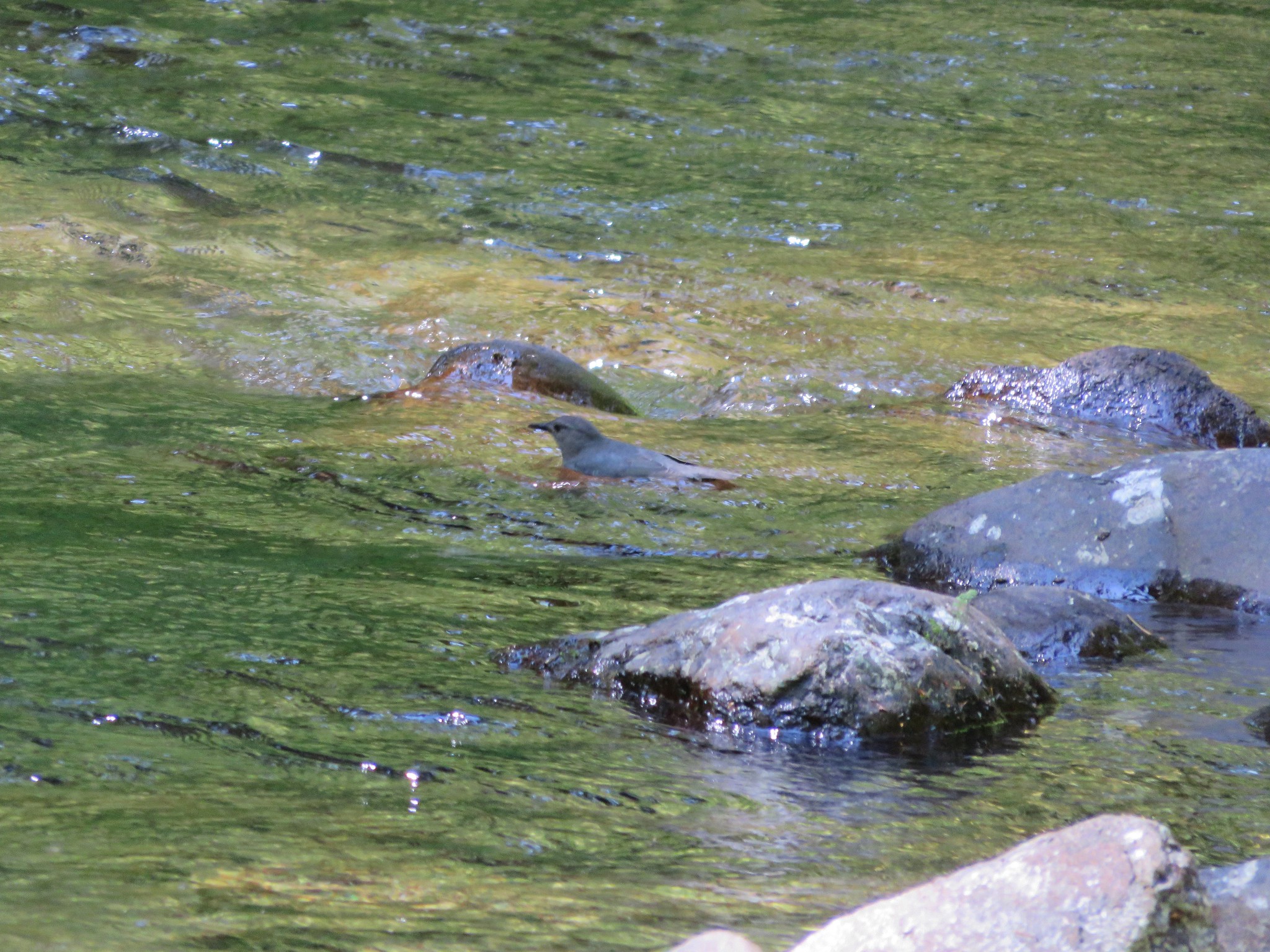
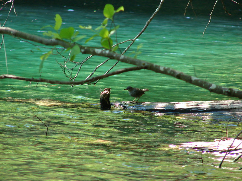
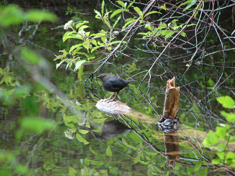
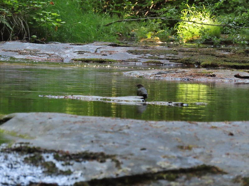 An ouzel

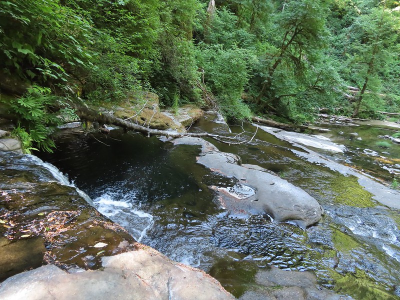 This was the ledge that we decided to not drop down off of.
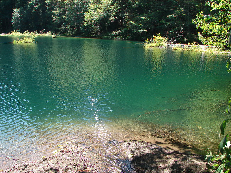
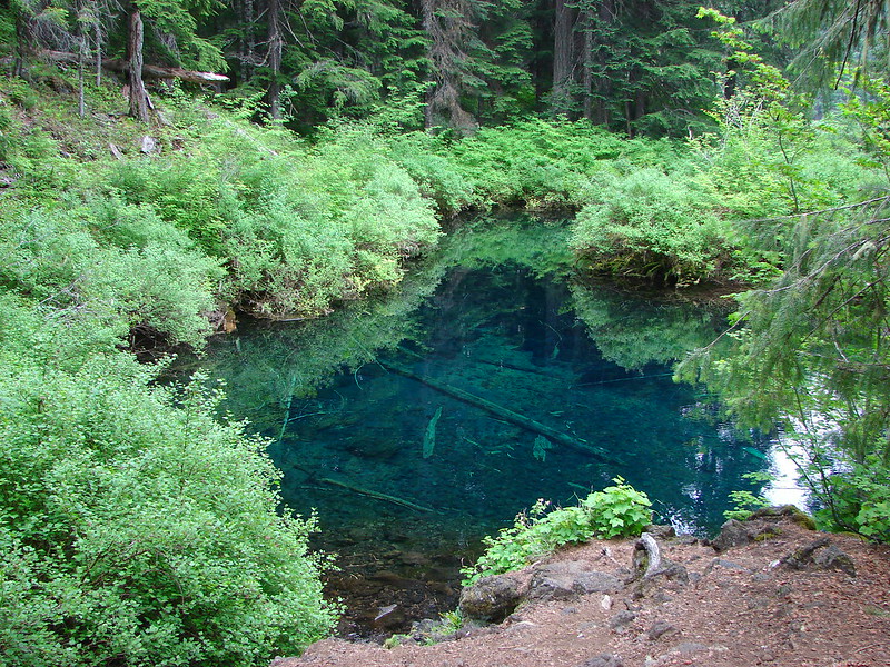
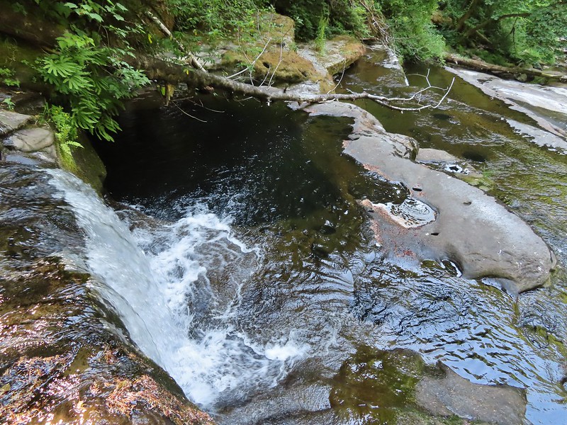 That pool is said to be approximately 20′ deep!

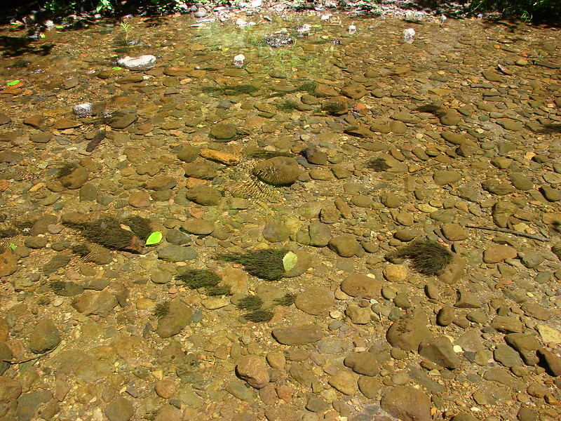
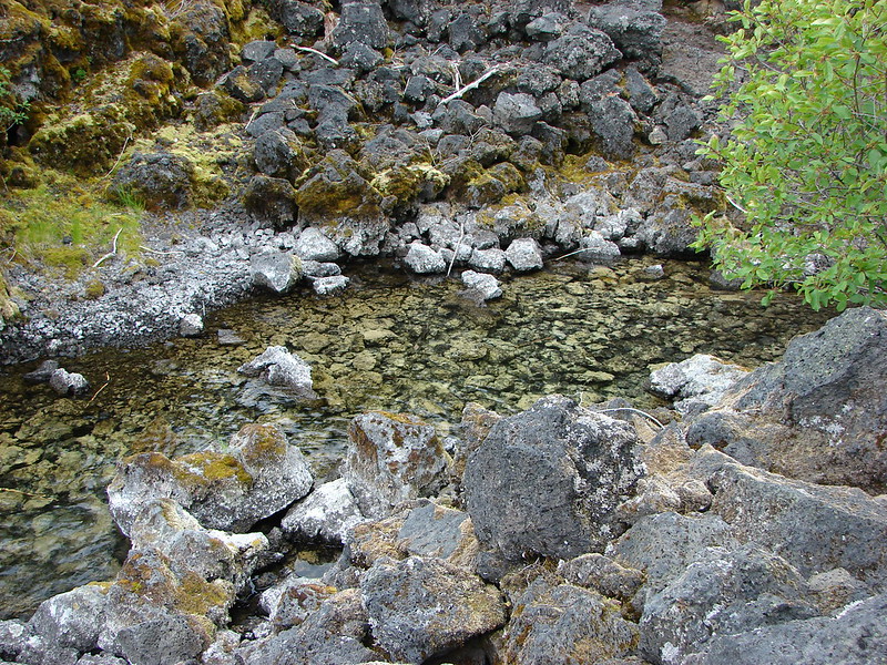
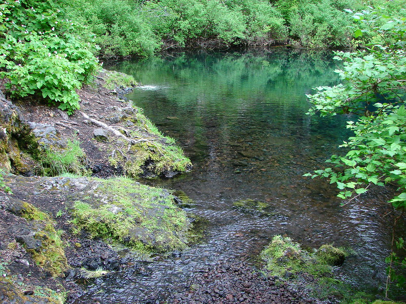
 We checked the little pools for rough skinned newts and this one had four and a crawdad.
The other factor for not attempting to go down was the presence of a couple who had backpacked in and were camped on the gravel below the staircase. We think they came in from the same place we did but aren’t 100% sure. In any case neither of us could imagine hauling full packs in and out of this area. After a nice long break we began the arduous hike back.


 A chickadee came to check on me as I was catching my breath under a rhododendron.
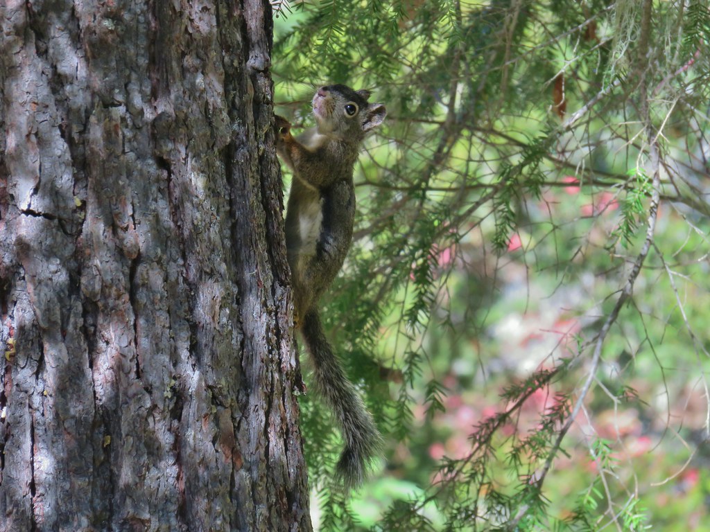
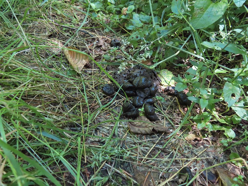
We didn’t see any large animals but signs of their presence abounded.

 Thimbleberries
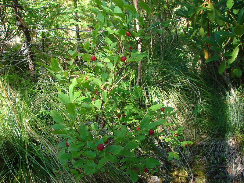
 Salmonberries
 Swallowtail on a blackberry blossom.
The hike took us almost 8 hours and according to my GPS was 7.7 miles long although Heather’s only showed 6.7 miles. (Might be the first time ever where hers was less for essentially the same hike.) With the dense trees and deep canyon I’m sure they are both a bit off but around 7 miles is probably accurate. On a typical hike we average around 2mph with a moving speed between 2 1/4 and 3mph. This was about half of those speeds. The elevation gain, which was mostly on the way back, was in the neighborhood of 2000′.
We now have just 2 remaining wilderness areas in Oregon to visit, Black Canyon and Monument Rock. If our plans aren’t derailed by wildfires we should be done by the end of Summer. Happy Trails!
Flickr: Devil’s Staircase


 Rough skinned newt
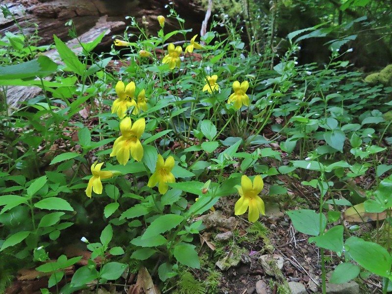 Monkeyflower
 Thimbleberry

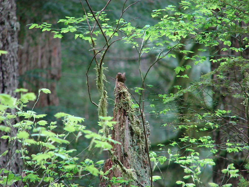
 Wren below Golden Falls
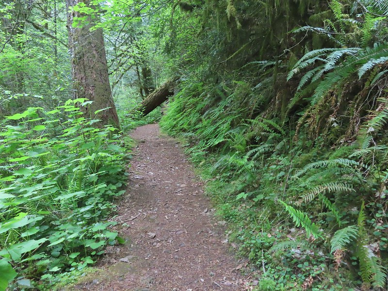
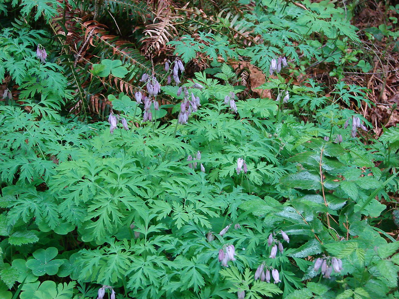
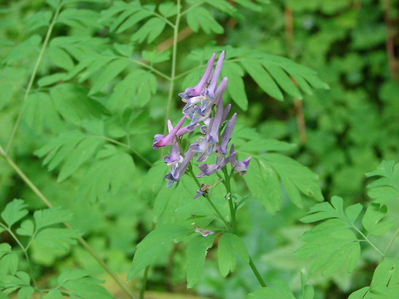
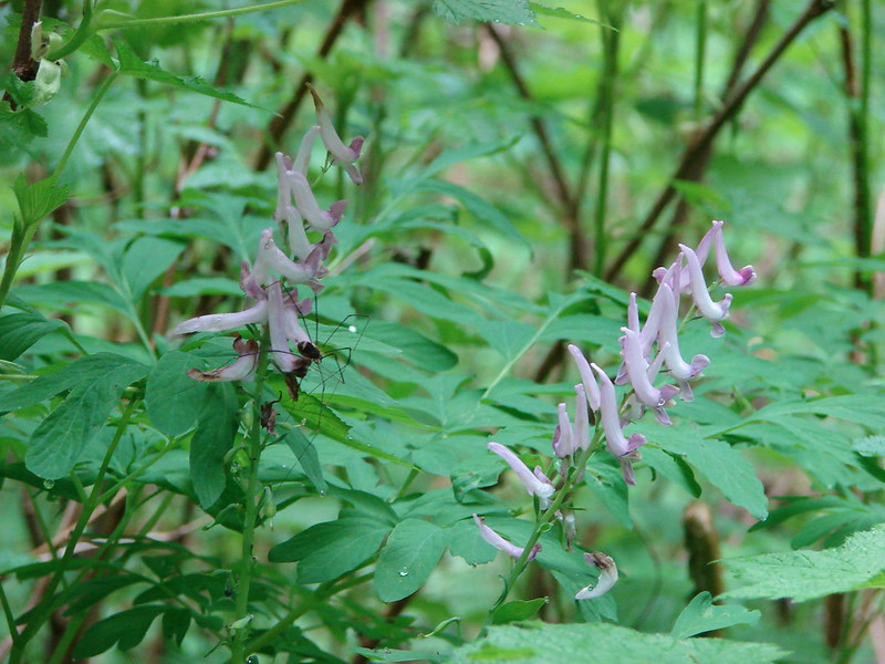
 Columbine
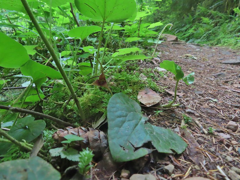 Ginger
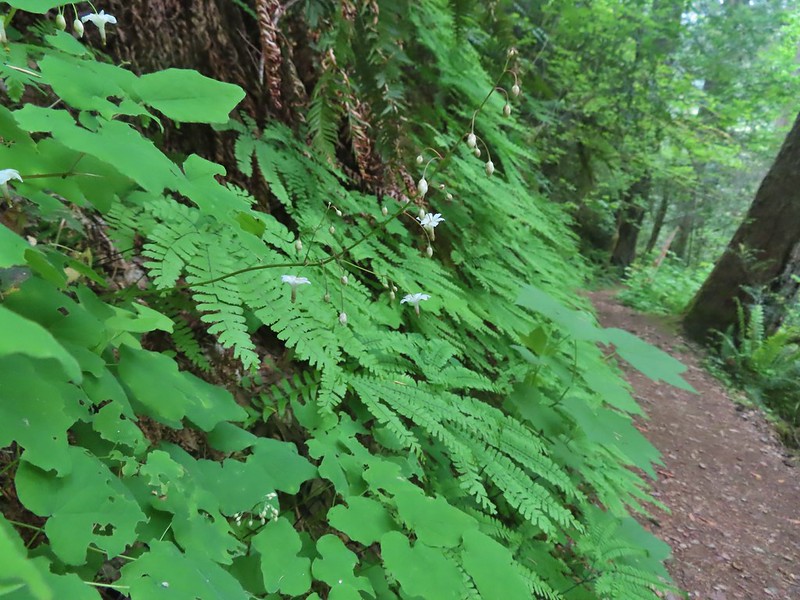 Inside out flower
 Iris
Iris Anemone

 Ouzel
Ouzel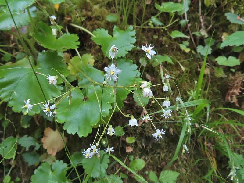 Marshall’s saxifrage

 Plectritis
 Manroot

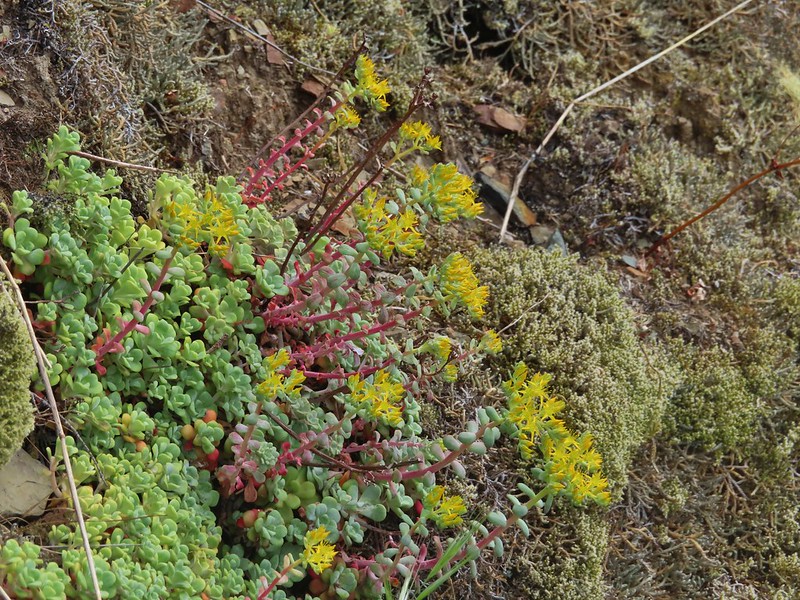 Stonecrop
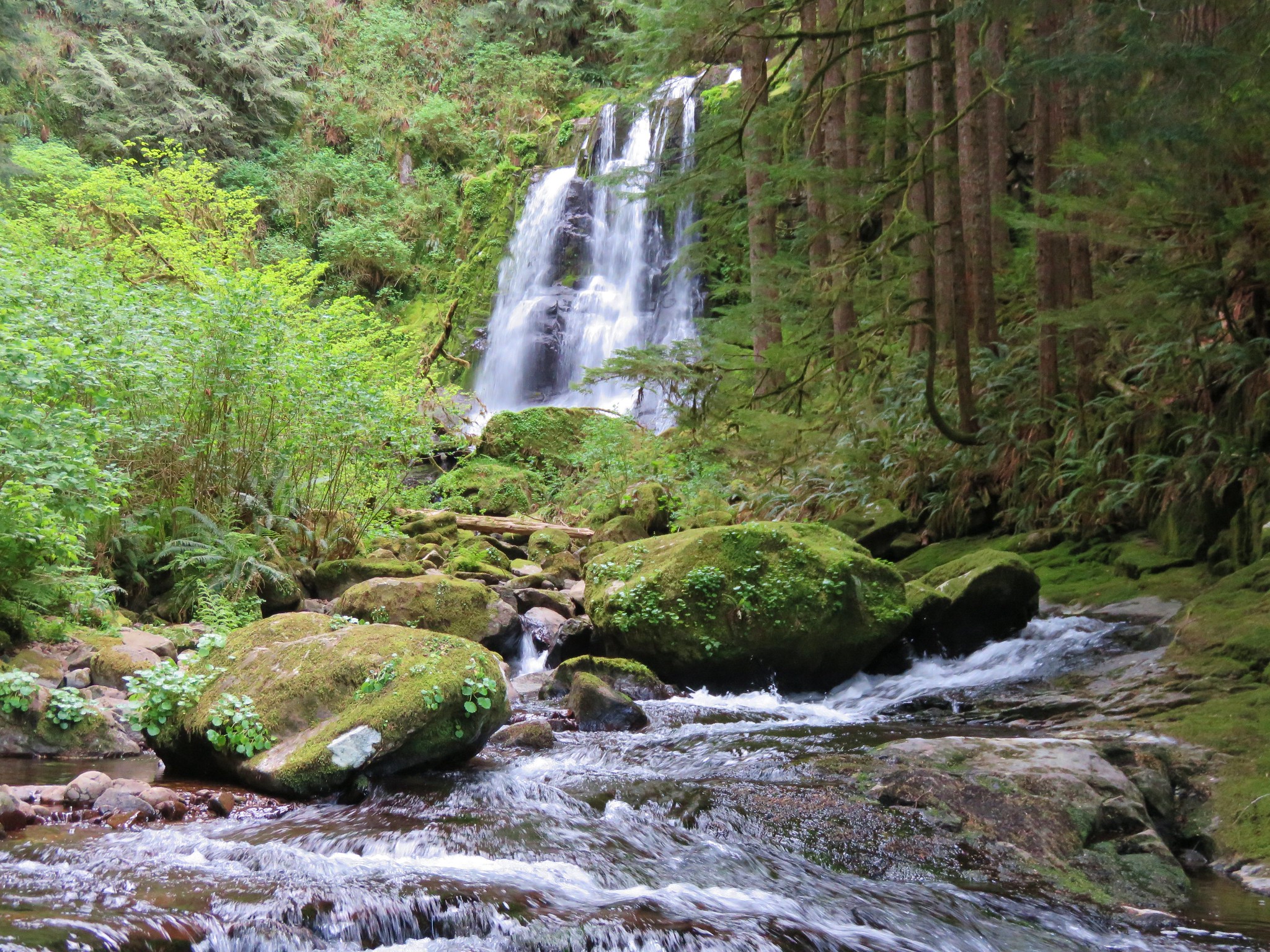
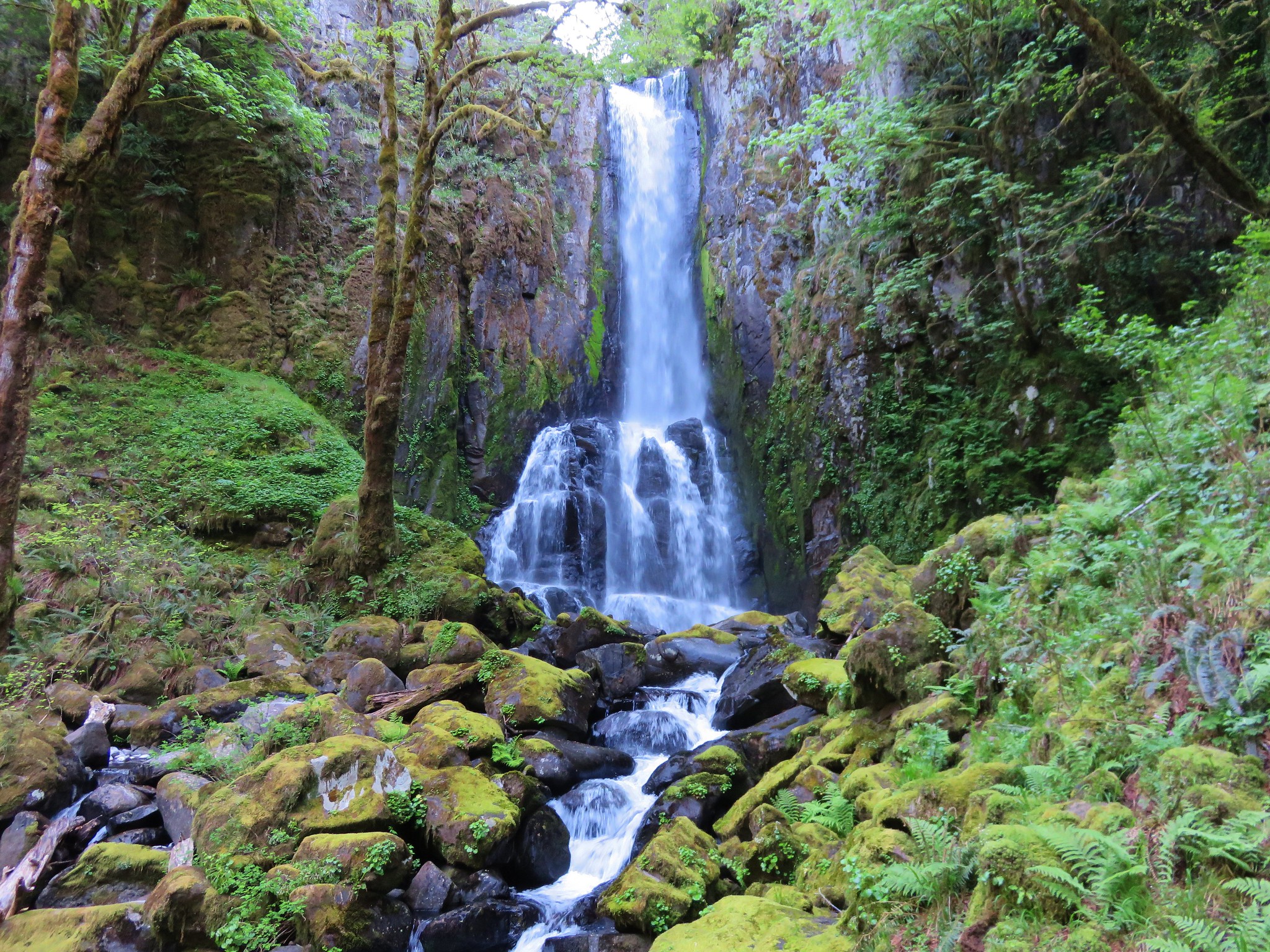
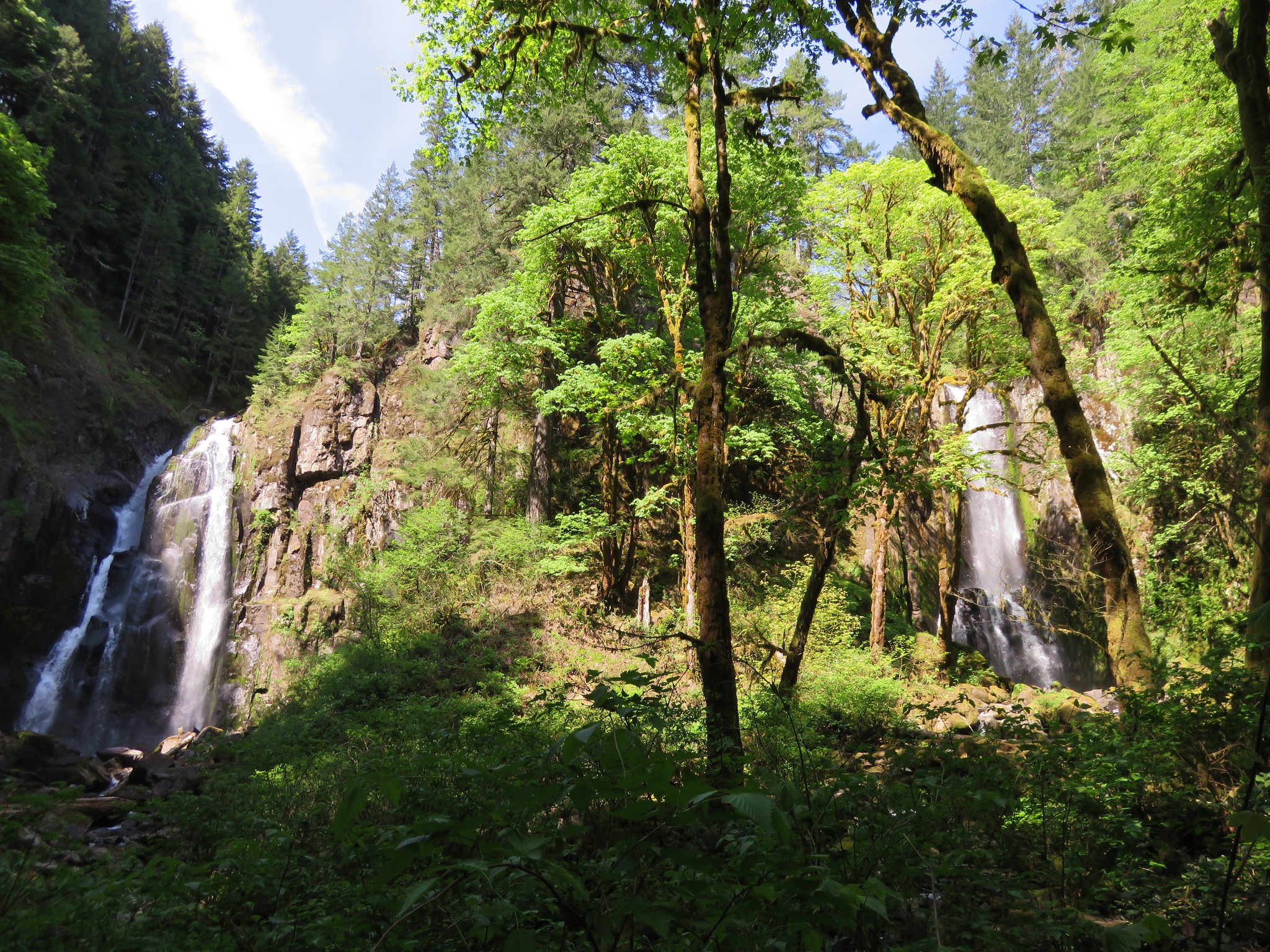
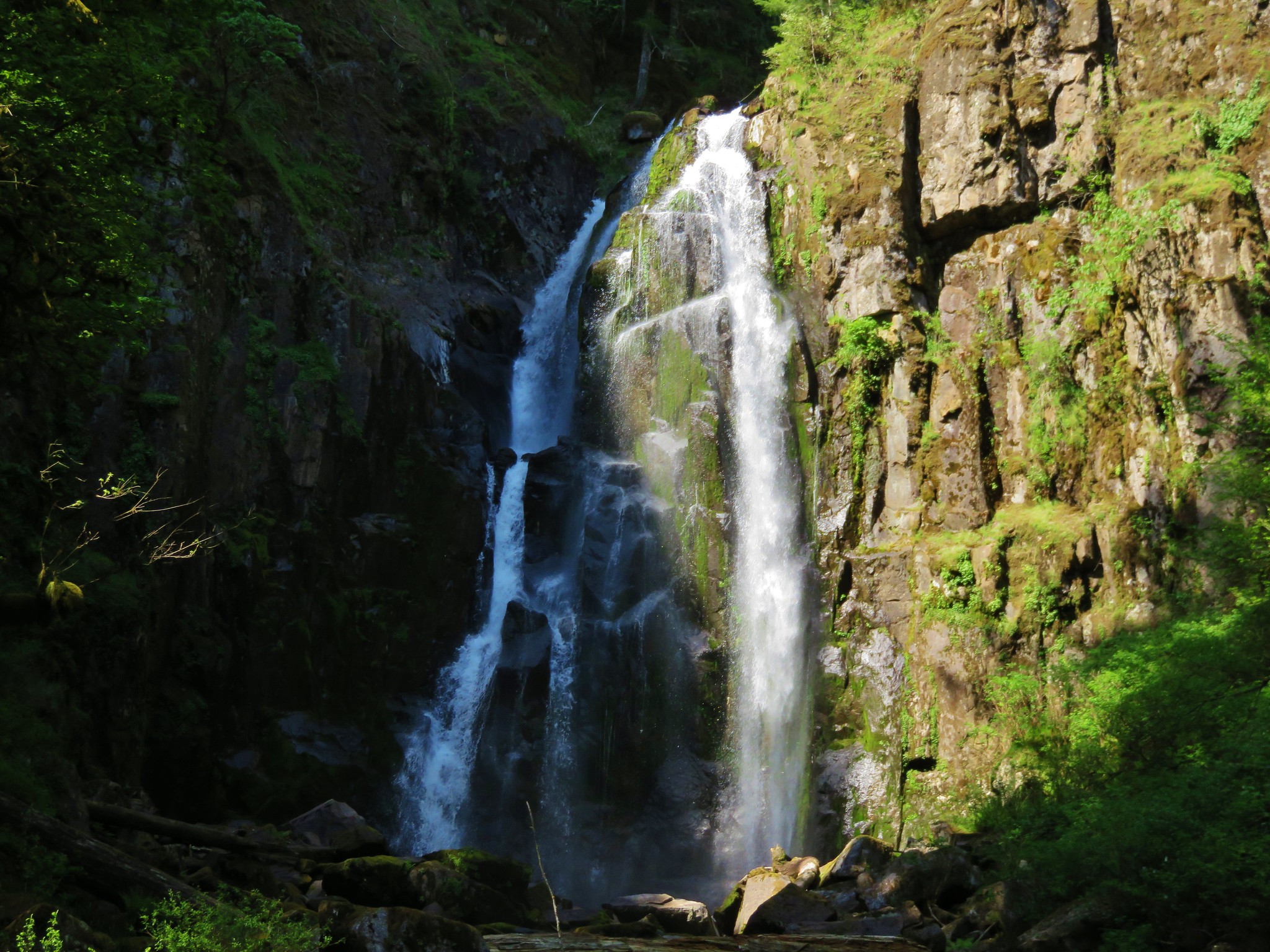
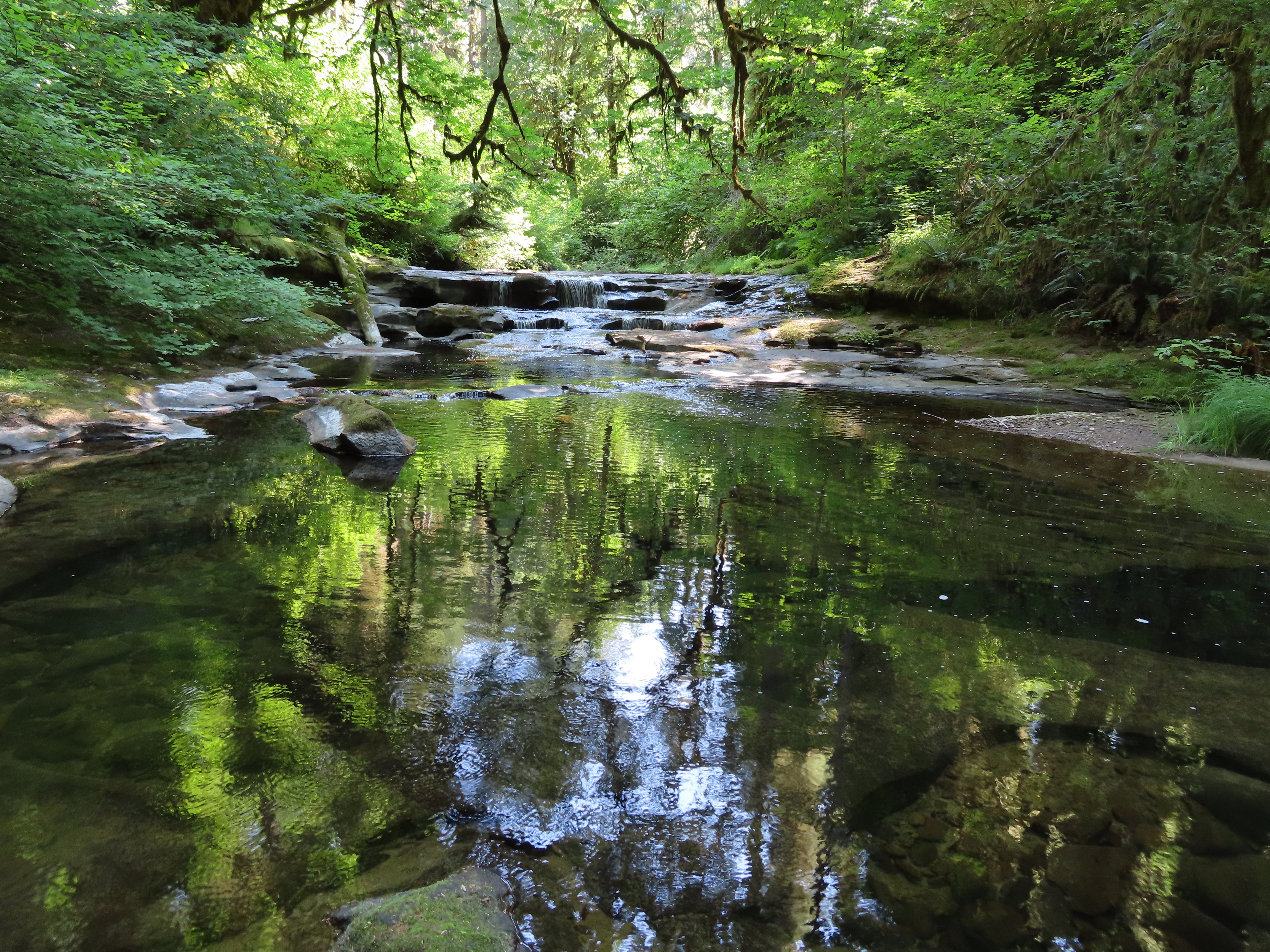
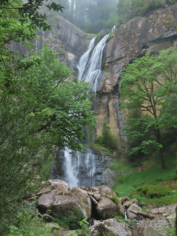
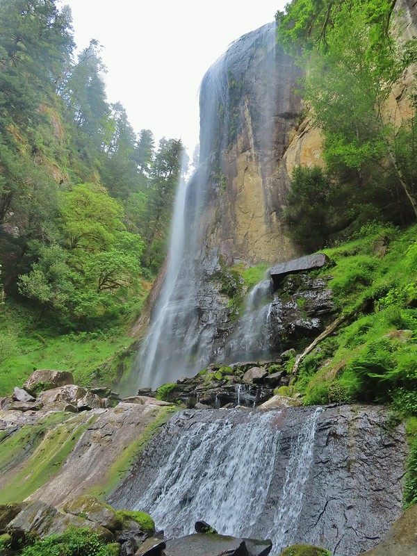
 Upper portion of Golden Falls.
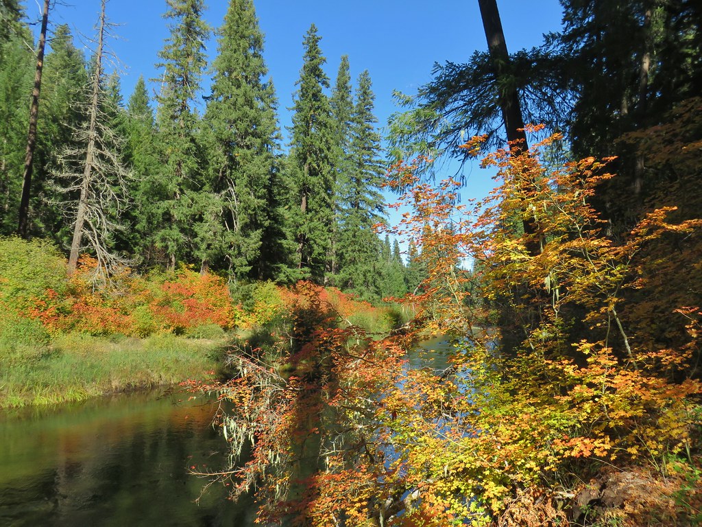
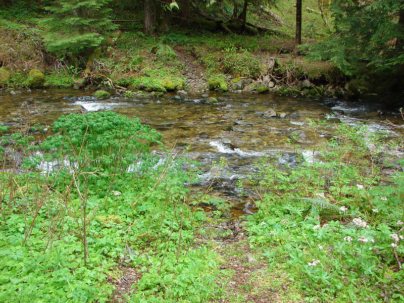
 Glenn Creek above Golden Falls.
 Despite a cloudy morning they stayed high enough to not obstruct the view of the falls.
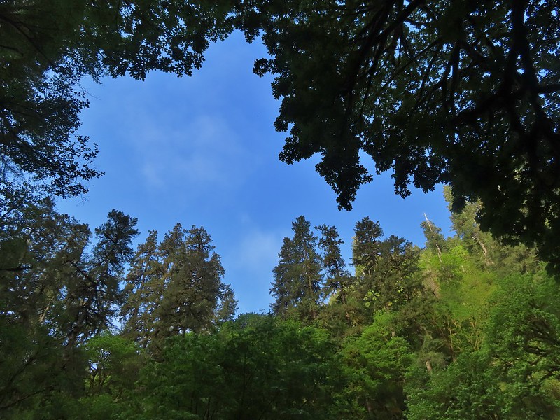

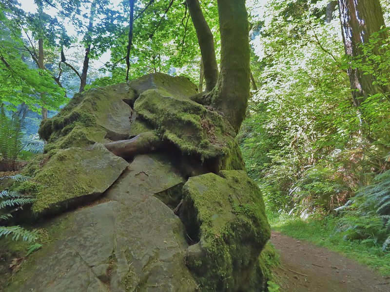 Epic battle between a rock and a tree.
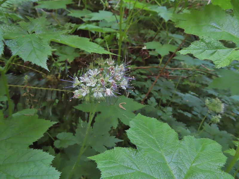 Pacific waterleaf
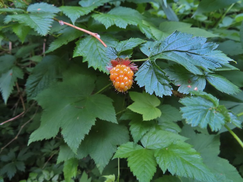

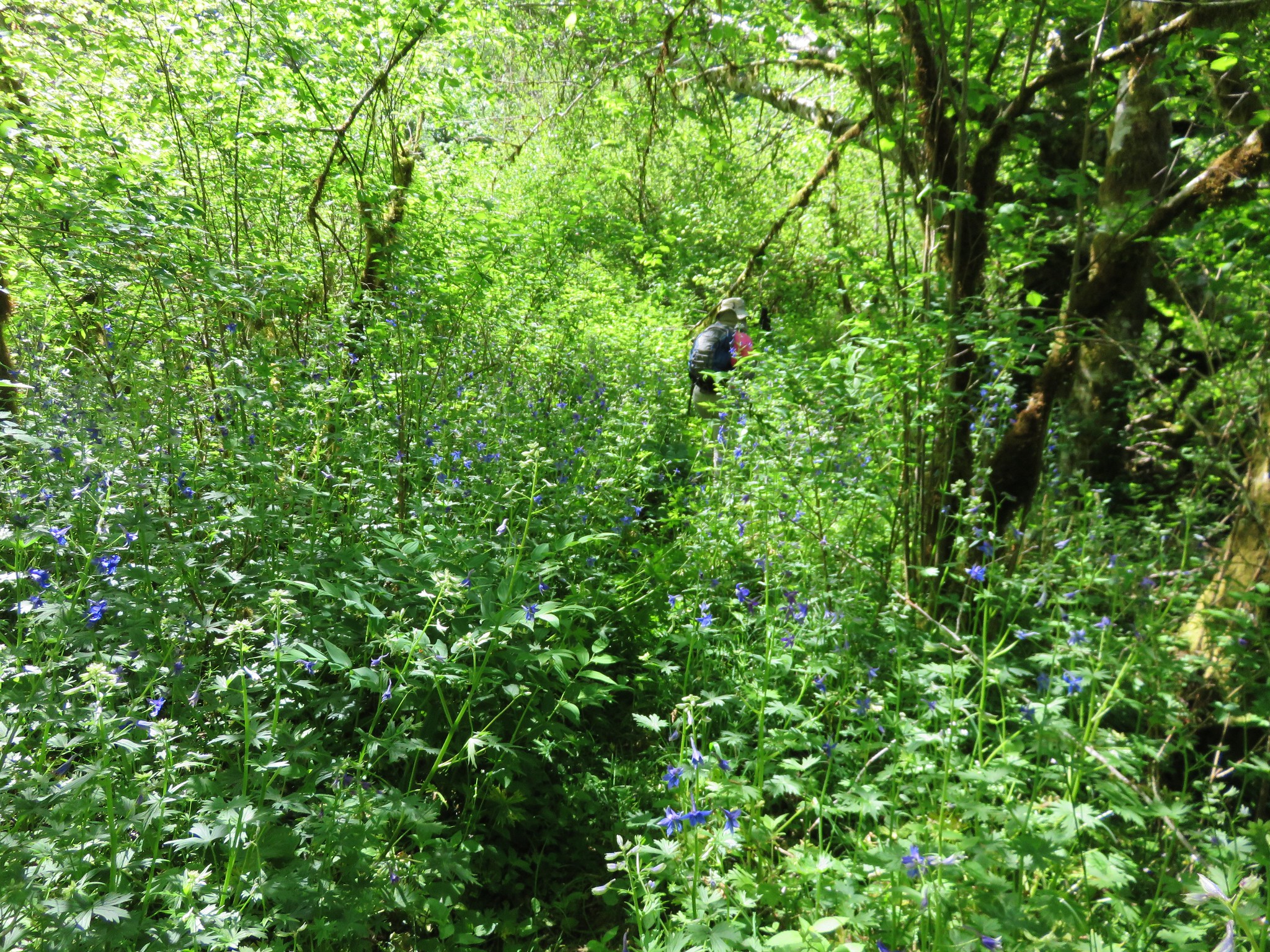
 Larkspur
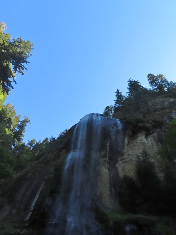
 Ouzel (might be the same one as earlier)

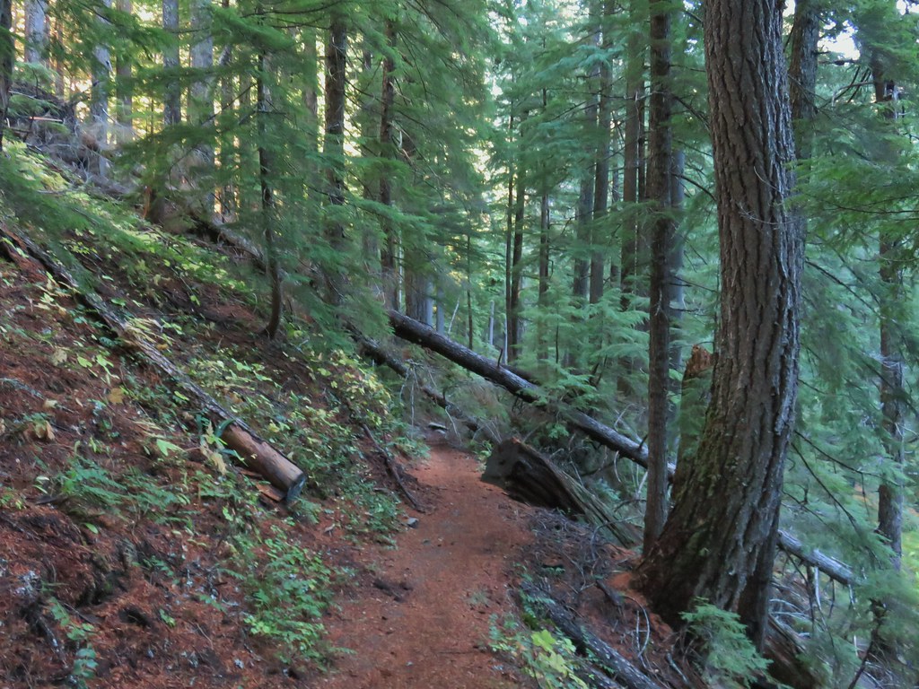 There was just a little bit of blowdown to navigate on the way down.
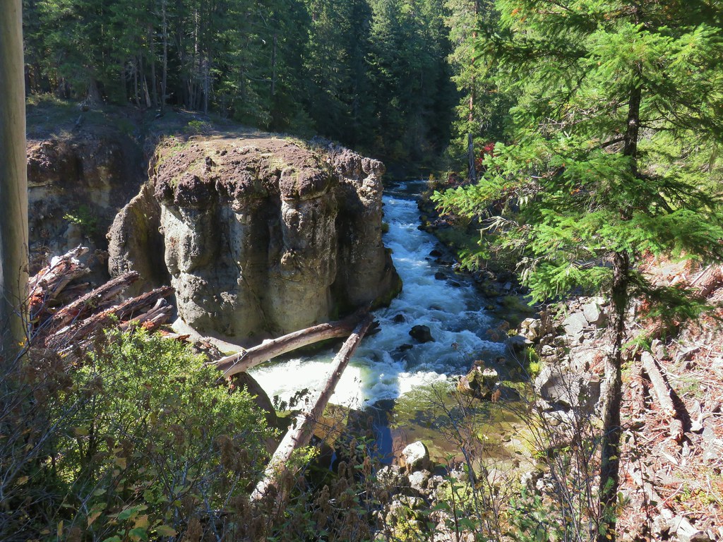
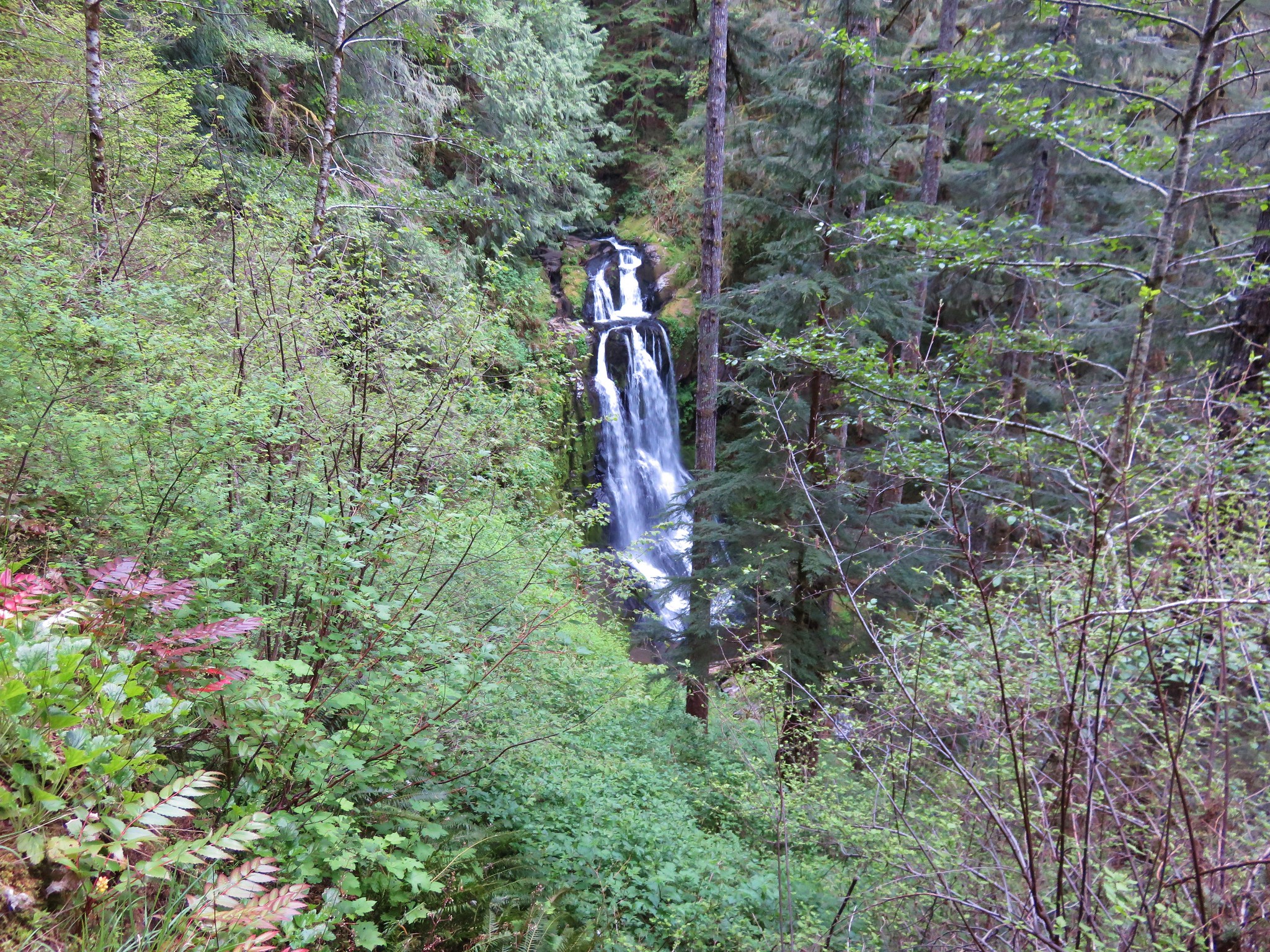
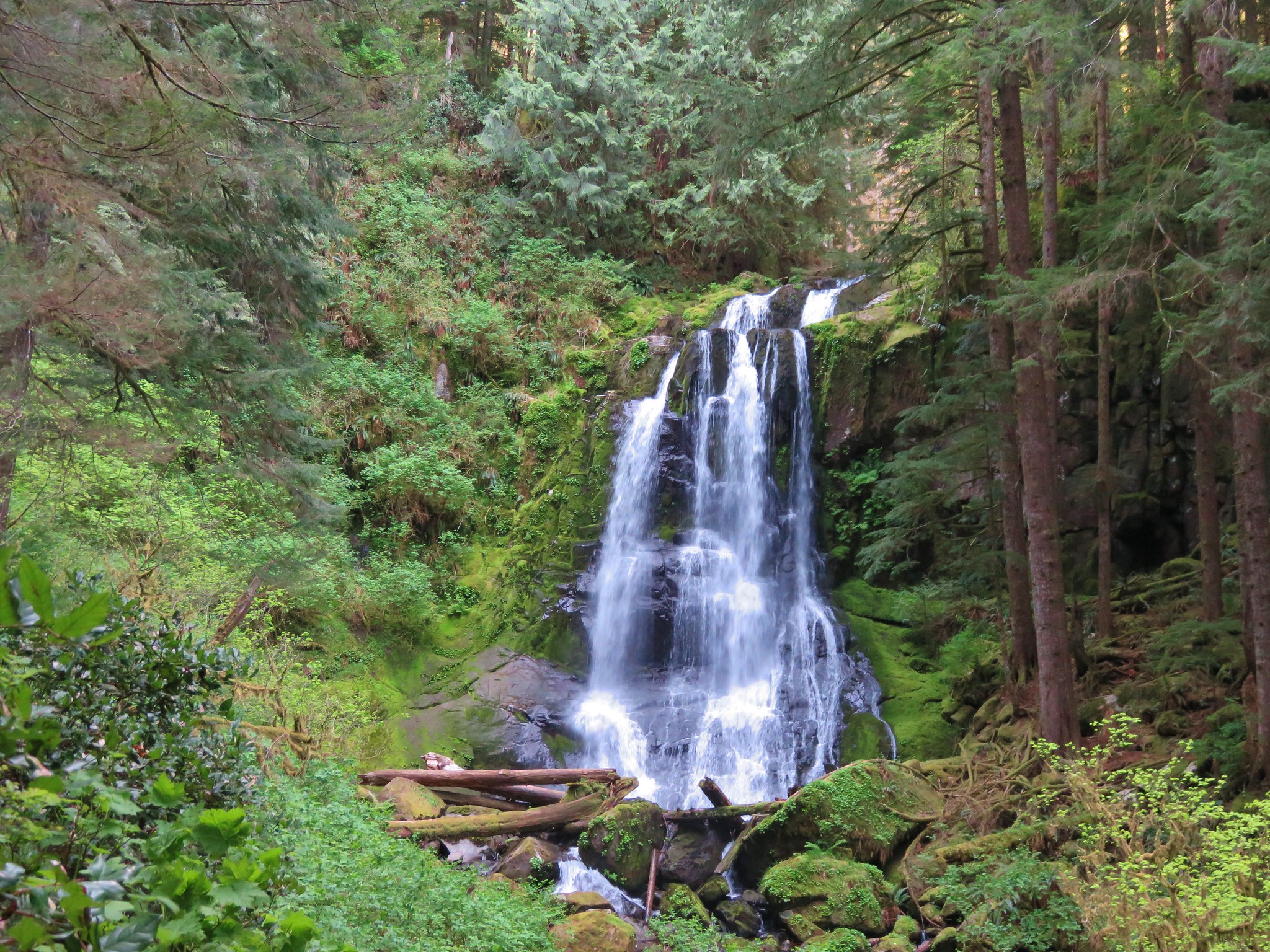
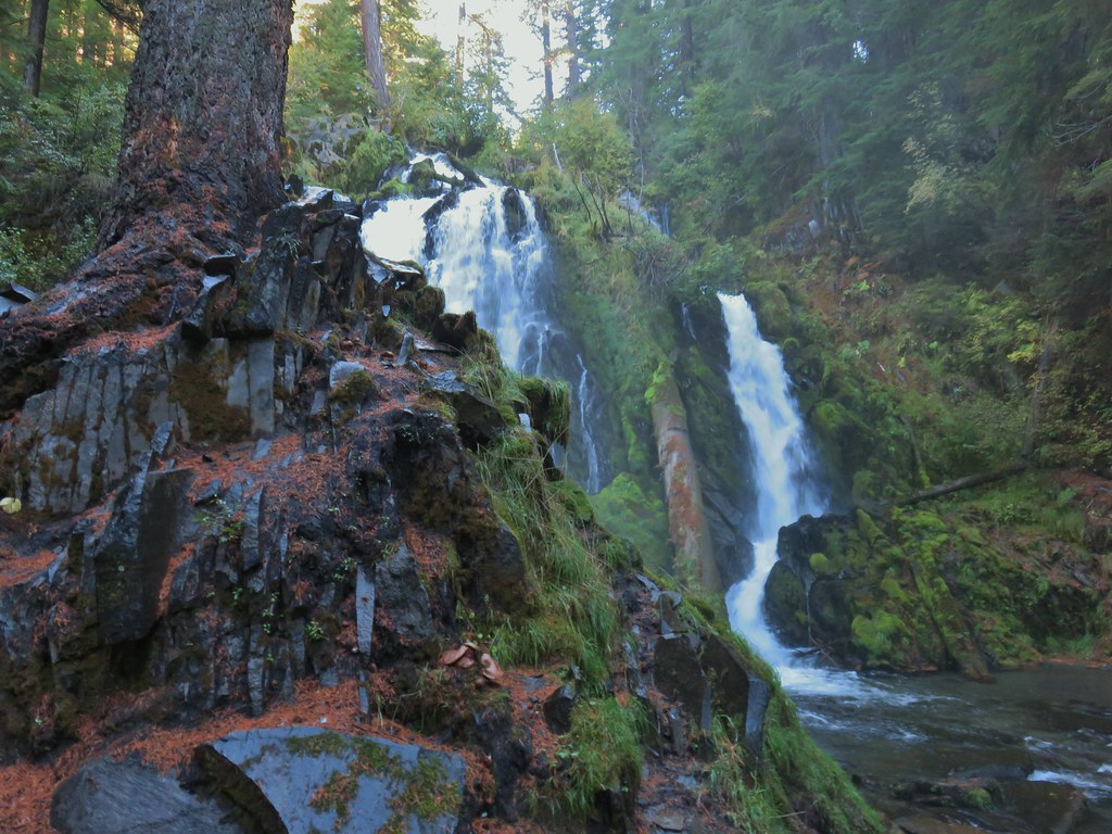 National Creek Falls
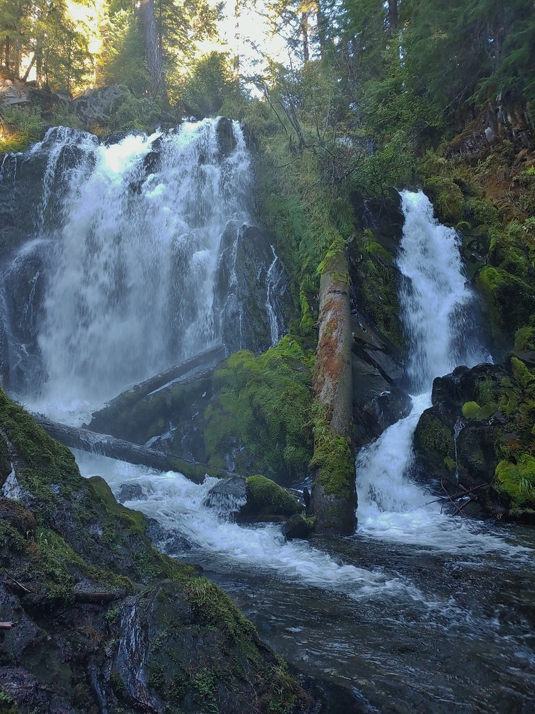
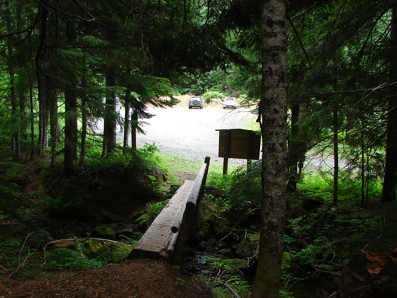
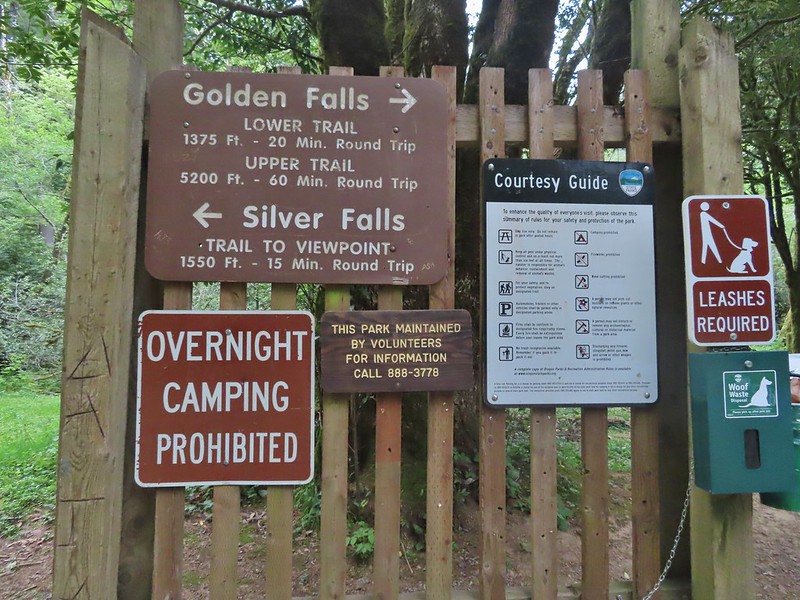
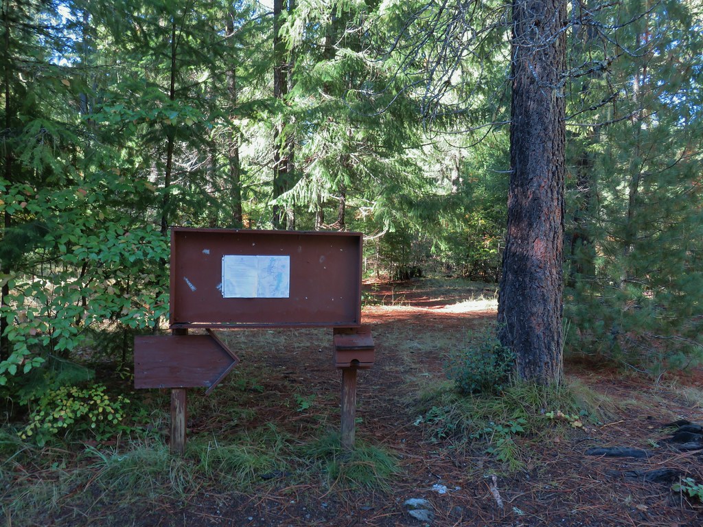 Signboard at the pullout.
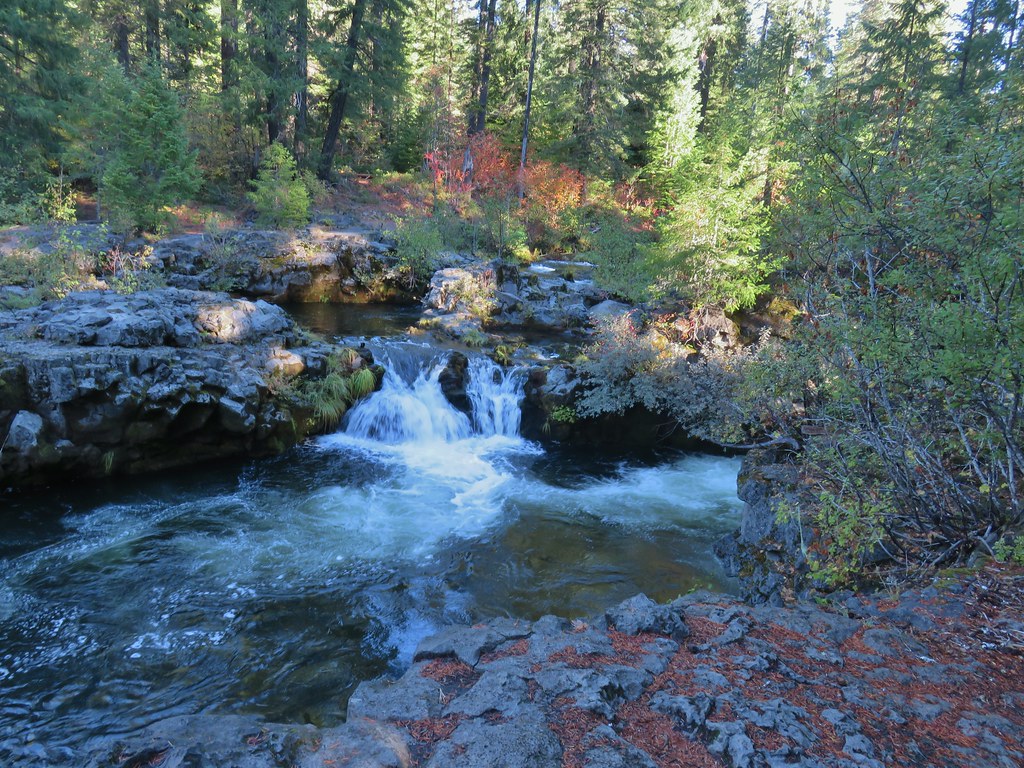


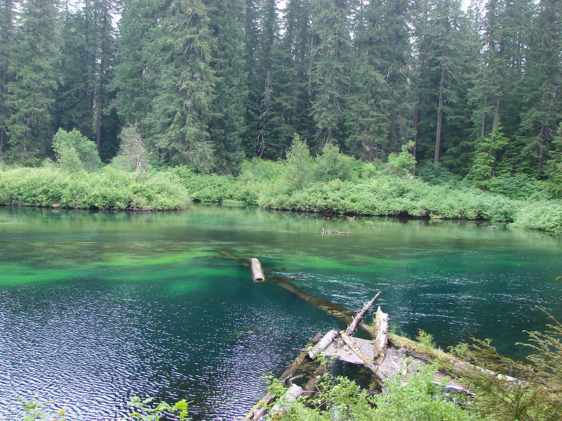
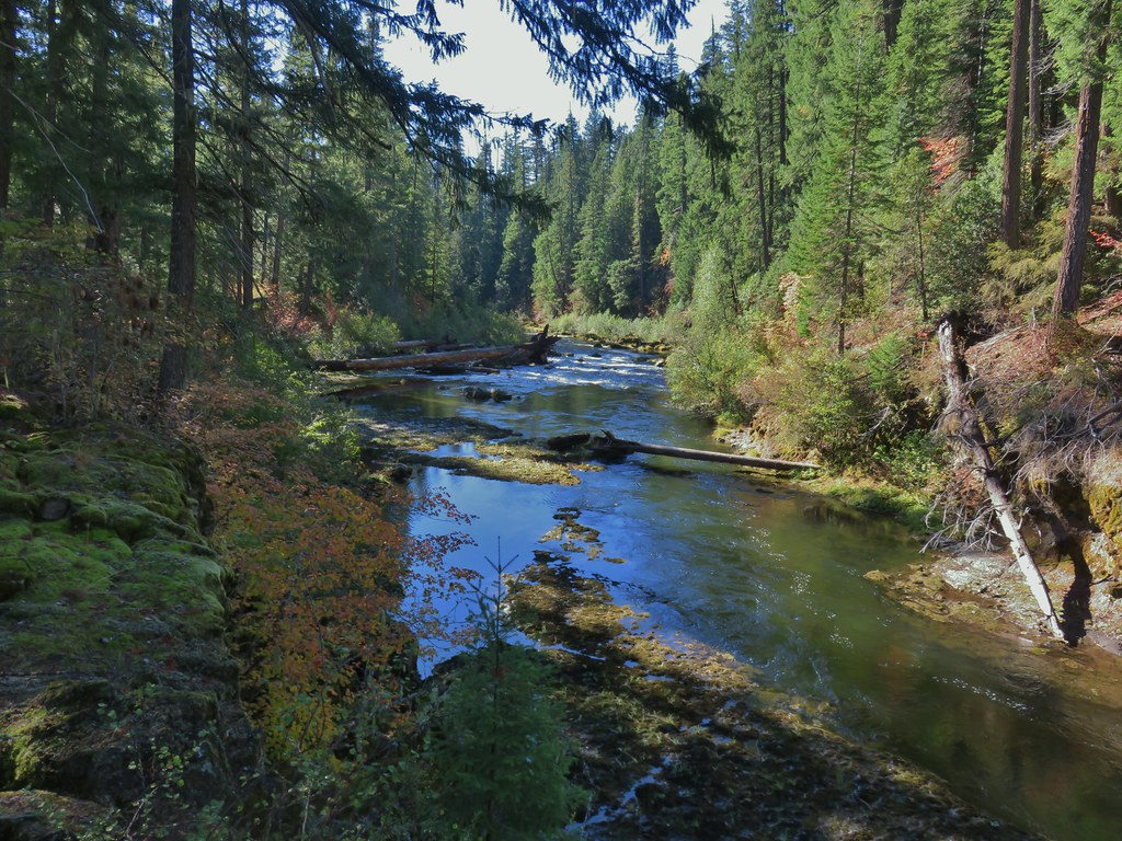 Rogue River emerging from a channel.
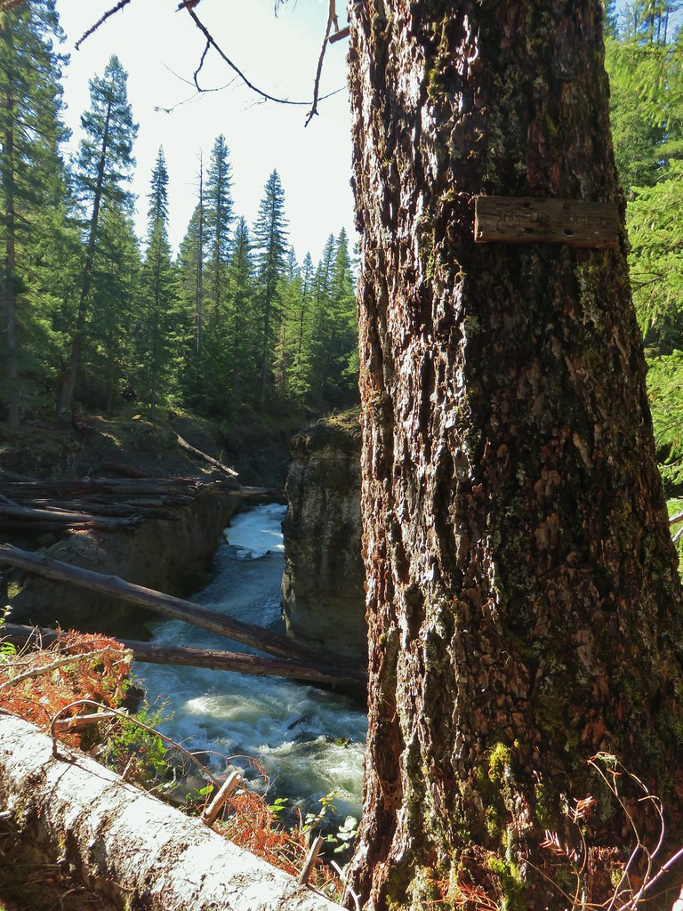

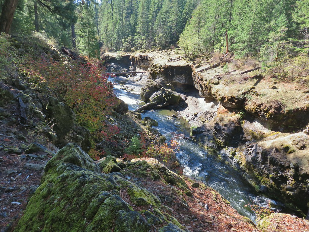
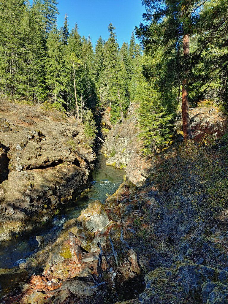


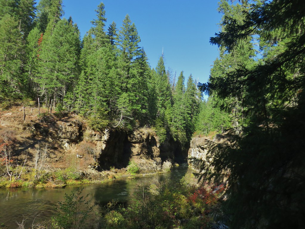 Rogue River emerging from Takelma Gorge.

 Ouzel
Ouzel
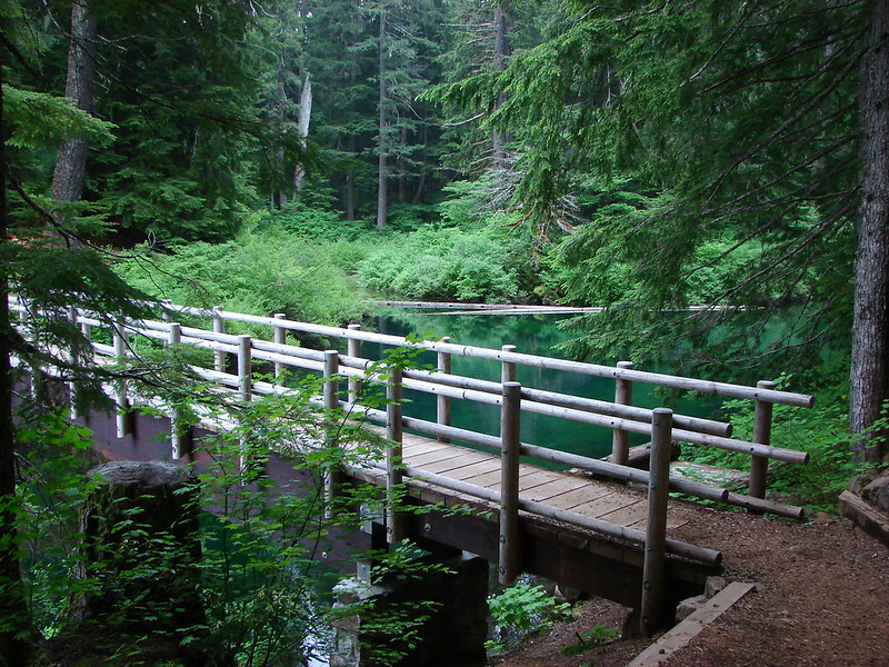
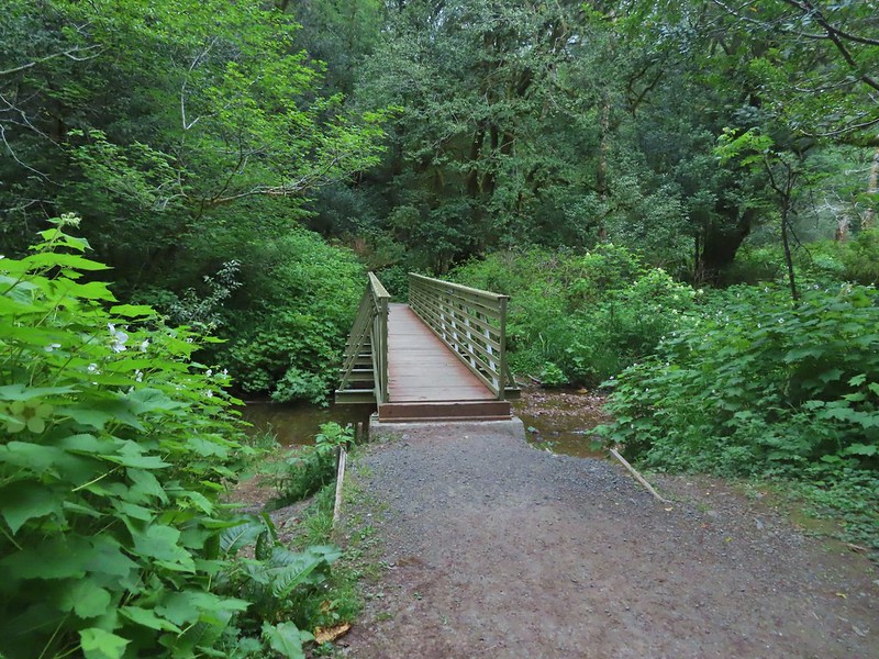
 River Bridge