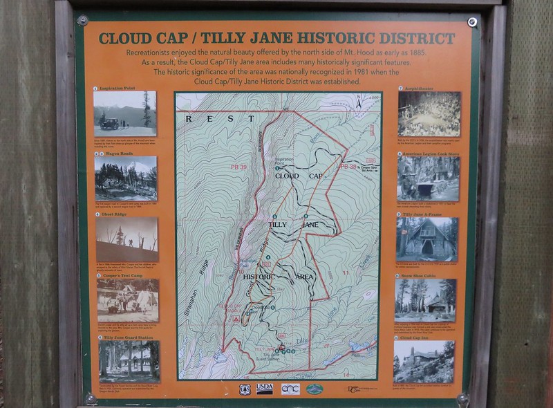
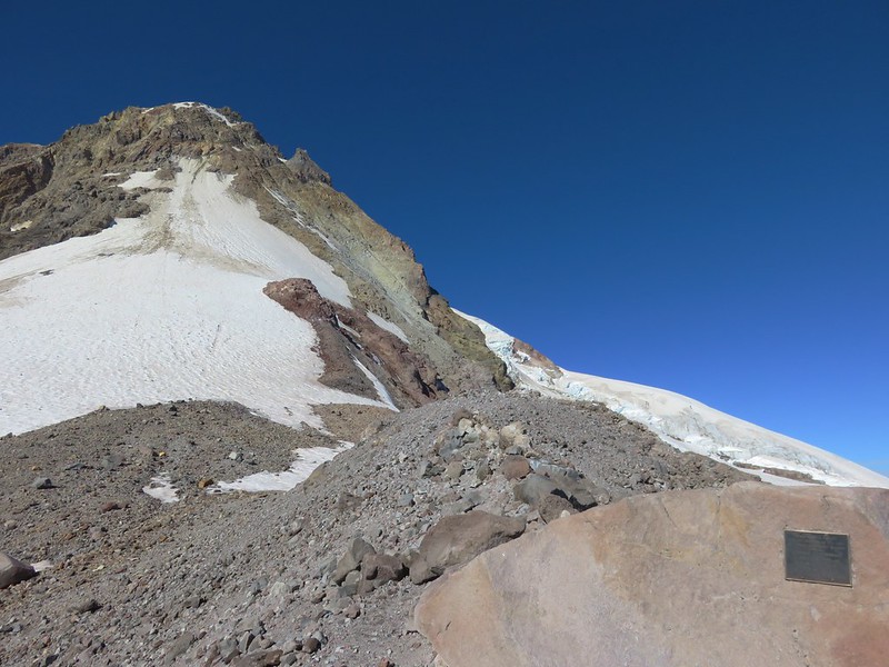
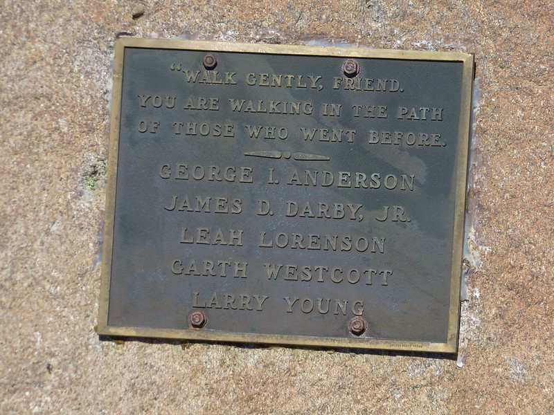
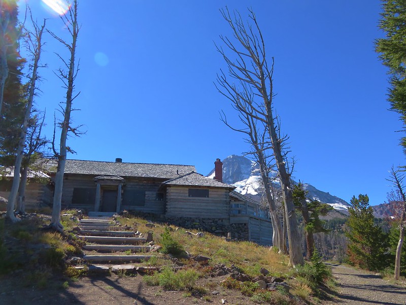
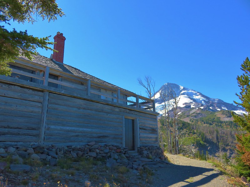
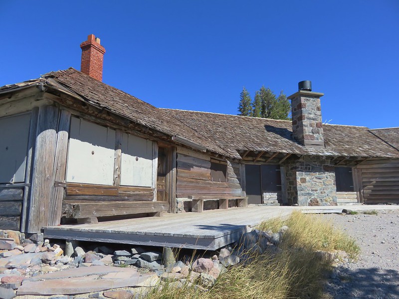
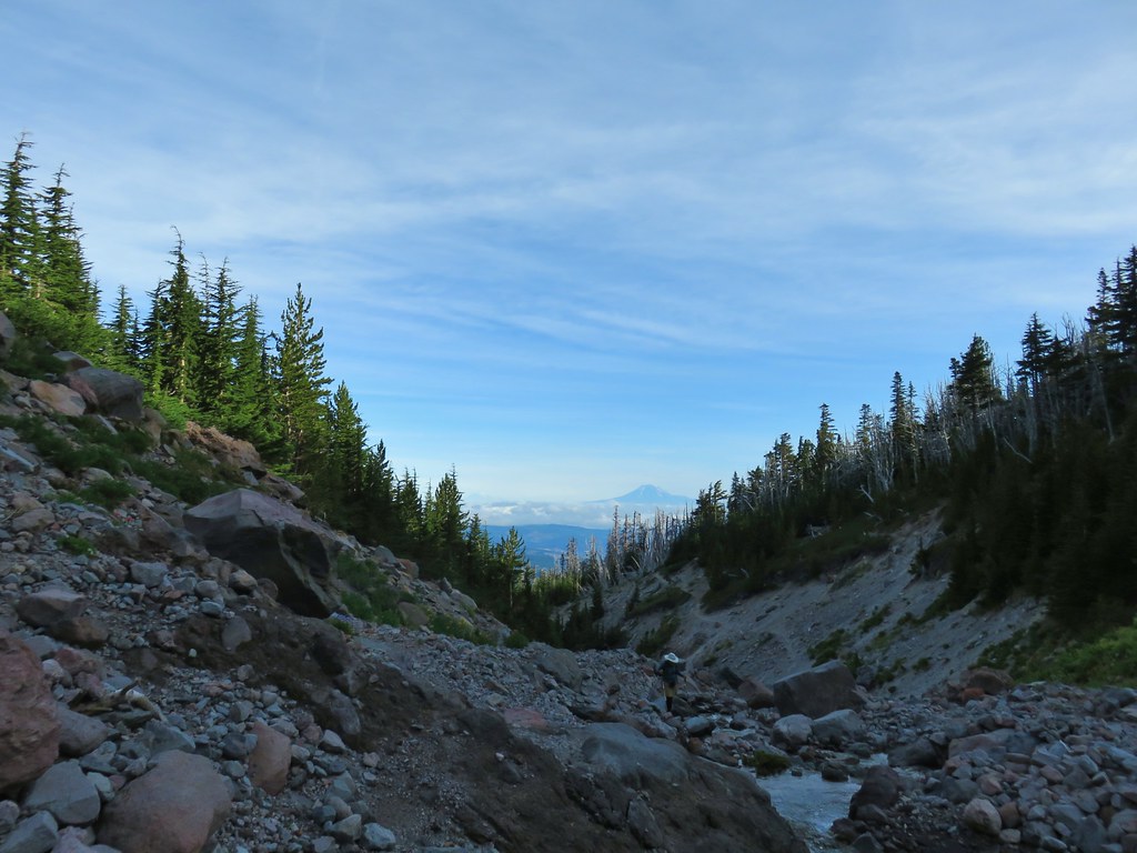
For the grand finale hike of our August vacation we headed for Mt. Hood to do the section of the Timberline Trail from Cloud Cap to Elk Cove. We had been to Cloud Cap in 2016 during our hike up Cooper Spur (post) and we’ve visited Elk Cove a couple of times (most recently in 2017 post) via a western approach on the Timberline Trail. We had not however been on the 5 mile section of the Timberline Trail between the Coe Branch (we turned back at the crossing in 2014 post) and the Cloud Cap Saddle Campground.
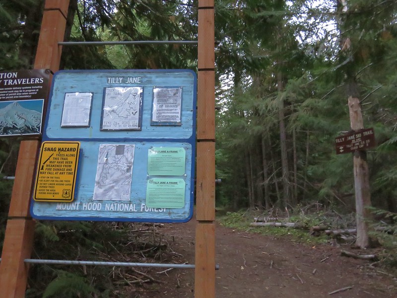
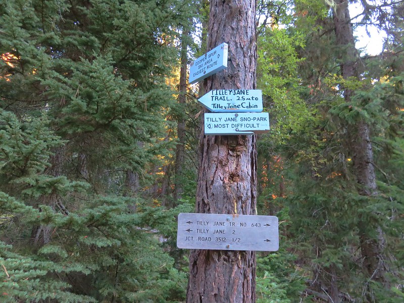
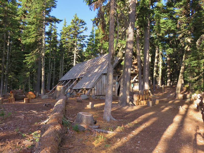
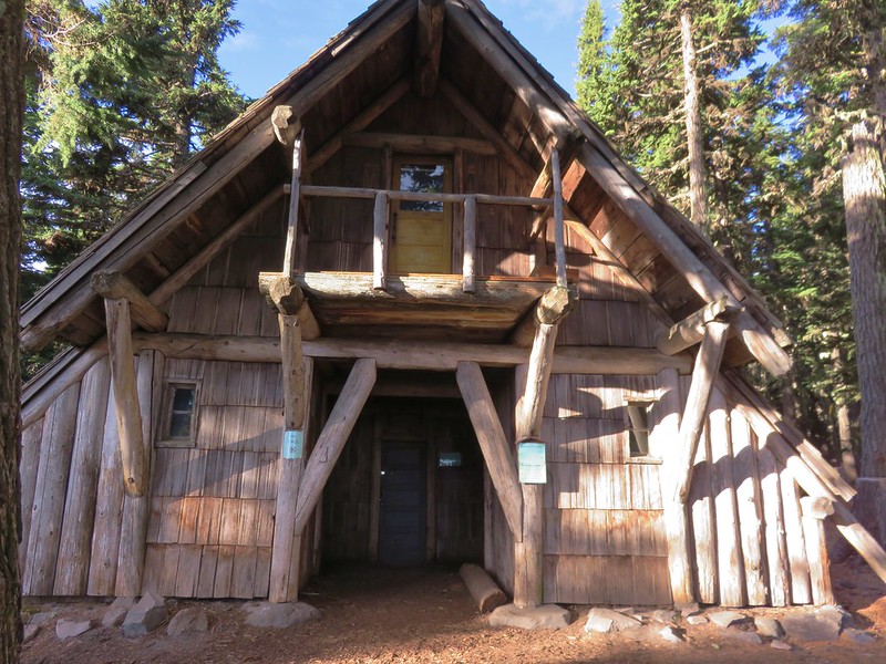
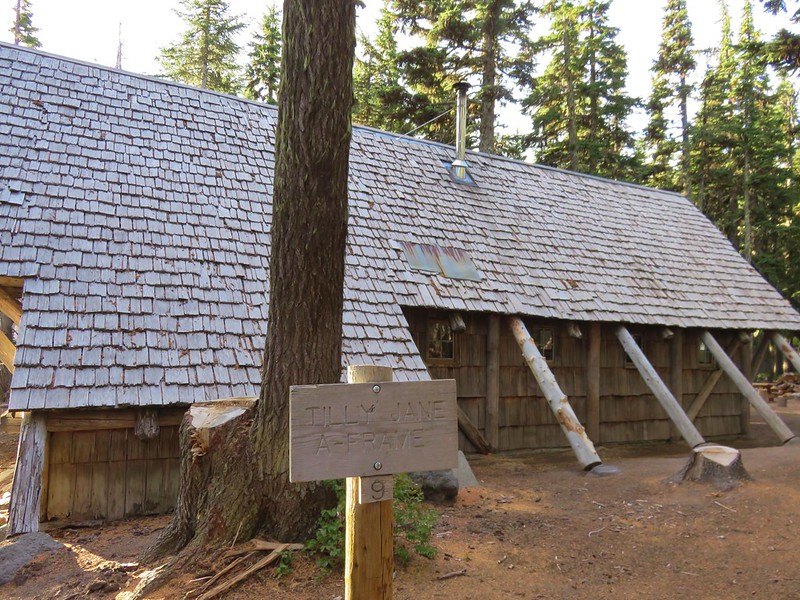
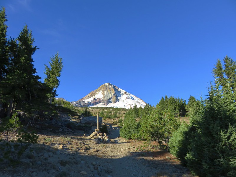
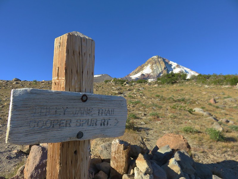
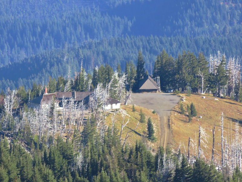
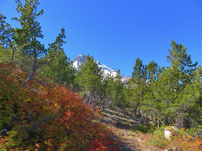
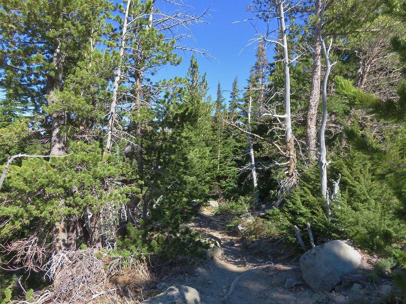
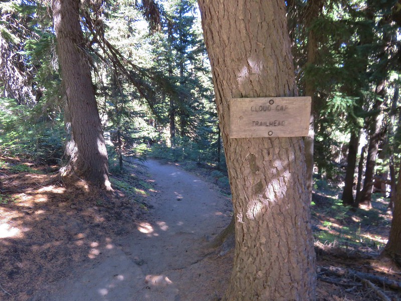
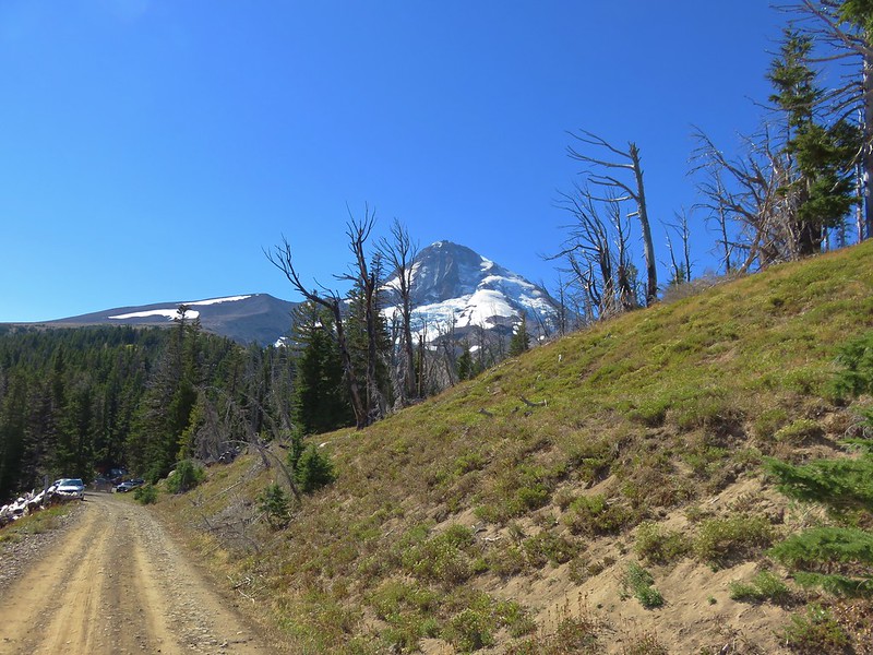
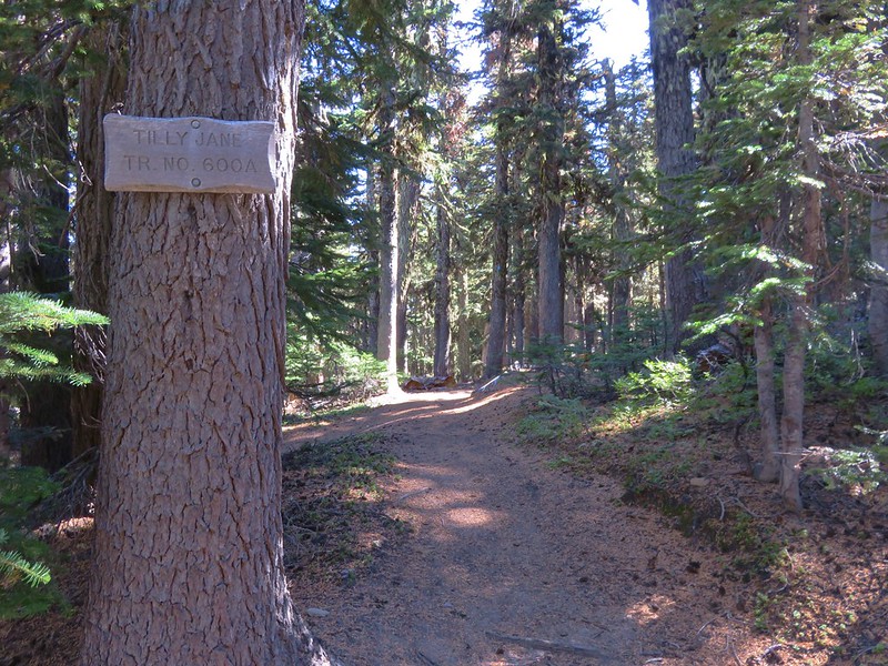
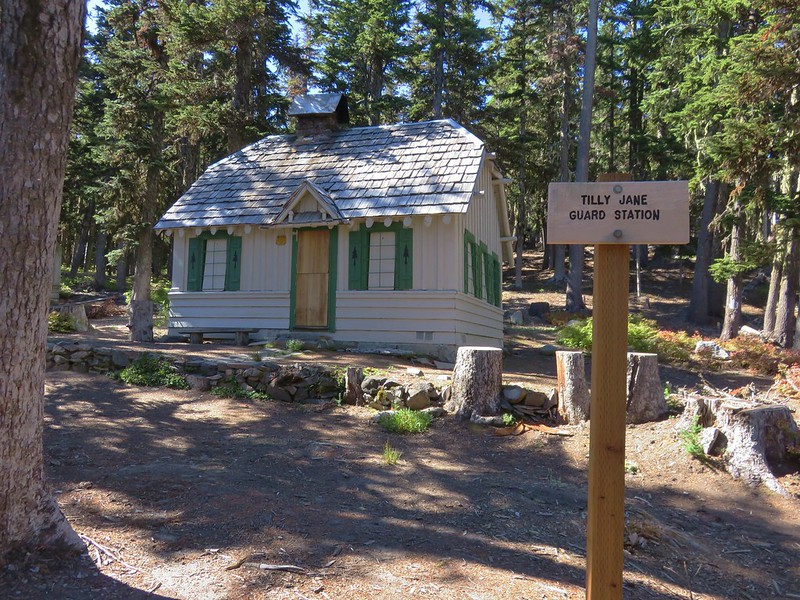
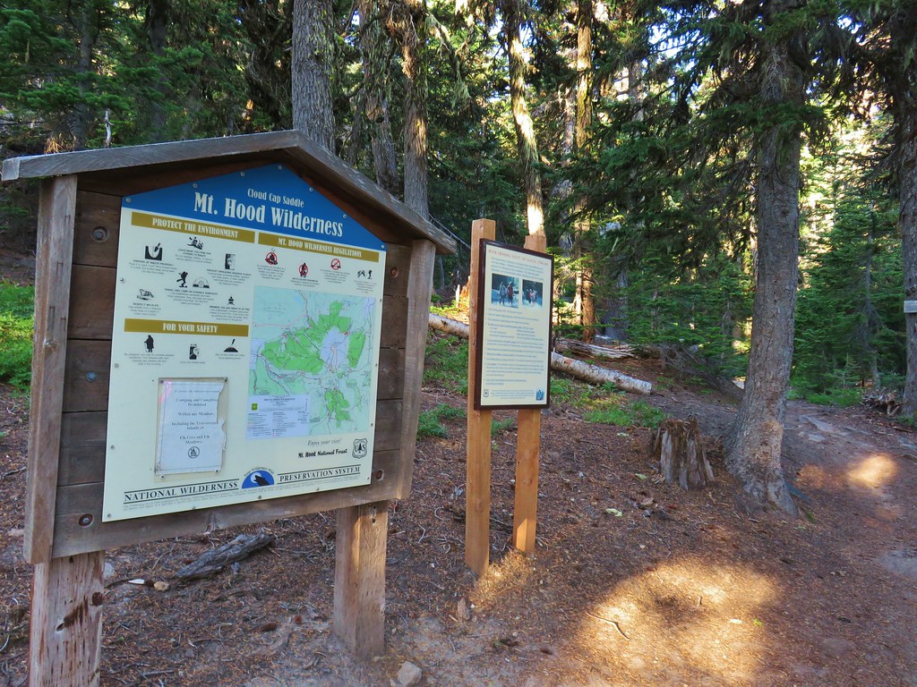
We had a bit of a scare on the way to the trailhead as most of the drive was spent in a light drizzle which became heavier at Government Camp. At the White River sno-park Mt. Hood was hidden behind a layer of gray clouds but as we continued north on Highway 35 we emerged from the grey. By the time we were winding our way up Cloud Cap Road the sky was blue and there were no signs of the clouds hiding on the other side of the mountain. We parked at the Cloud Cap Trailhead and hiked through the campground to a pair of signboards marking the Timberline Trail.
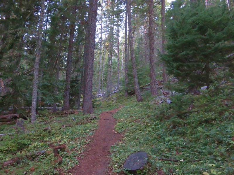
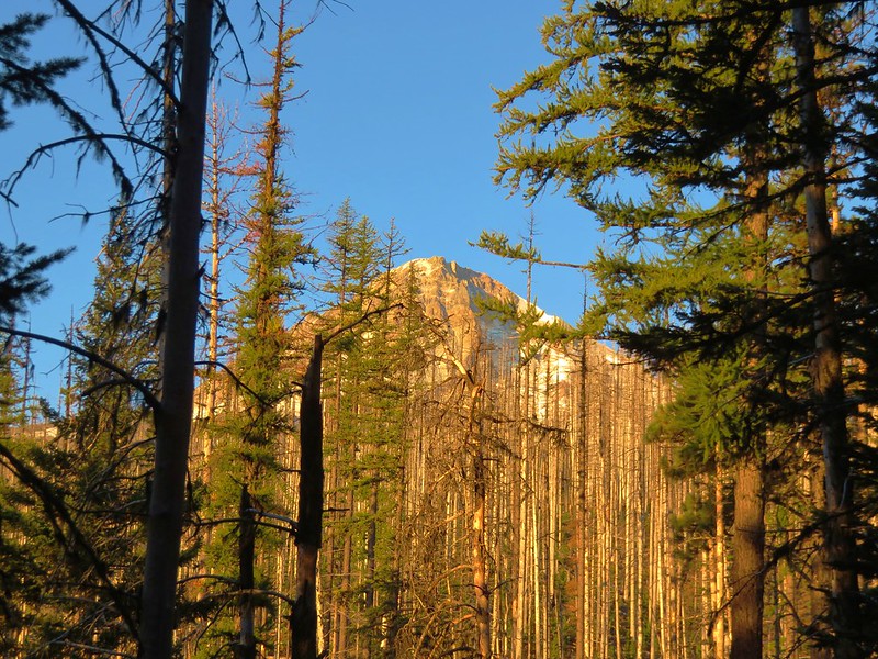
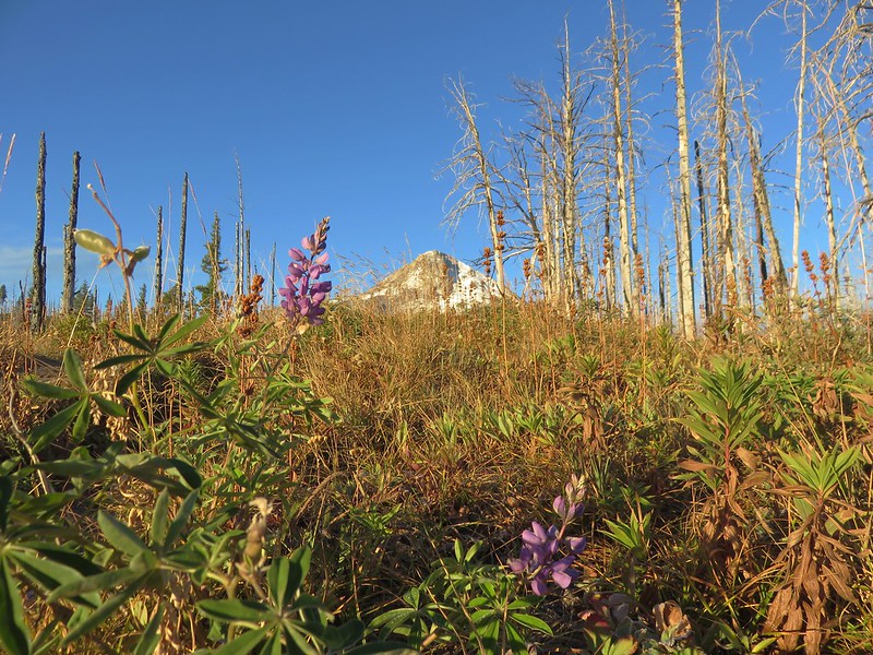
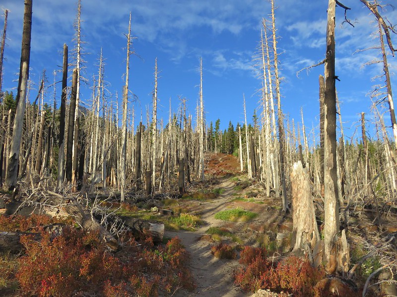
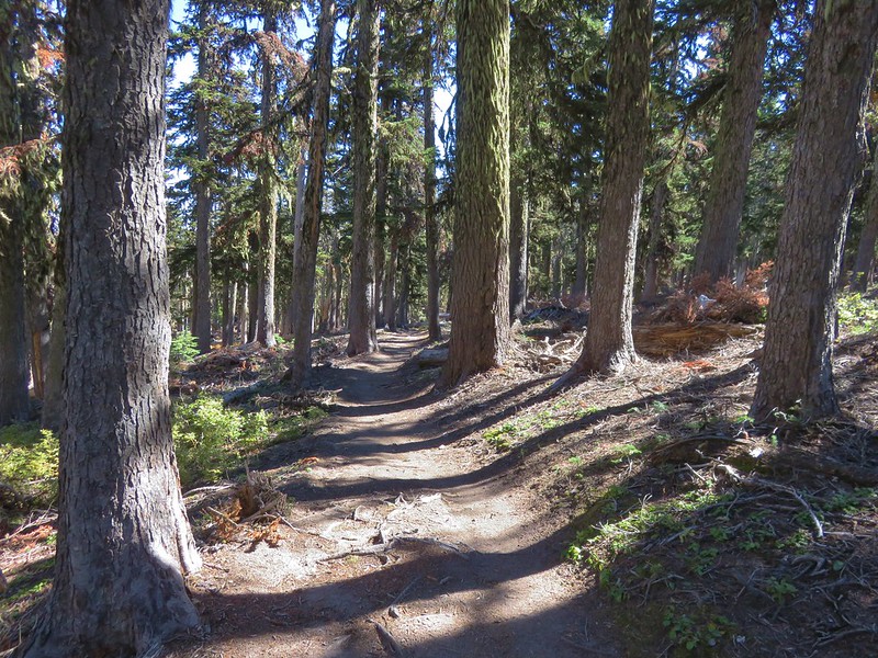
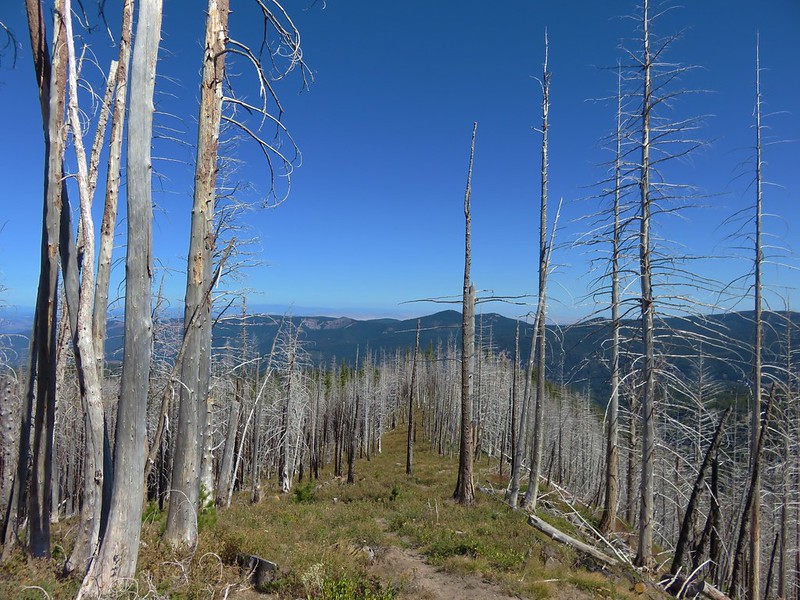
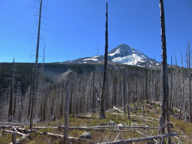
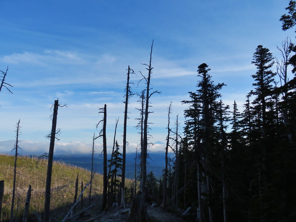
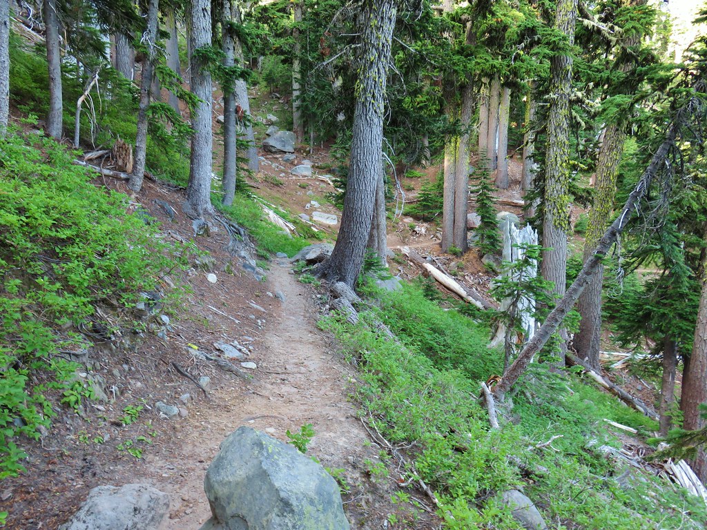
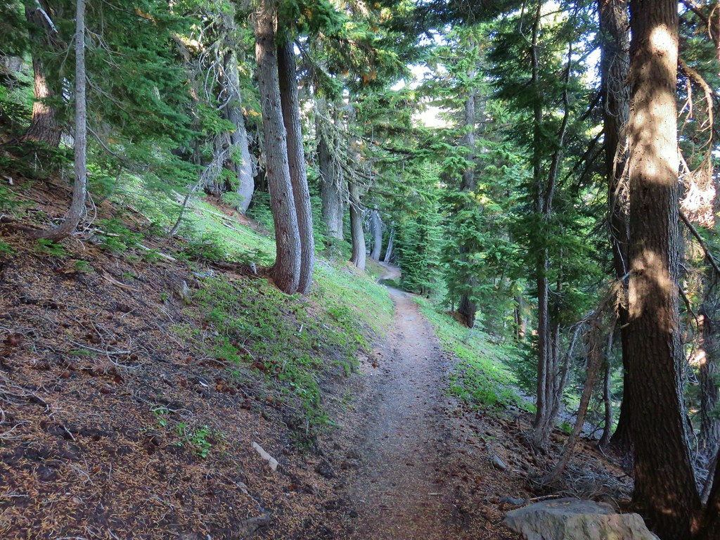
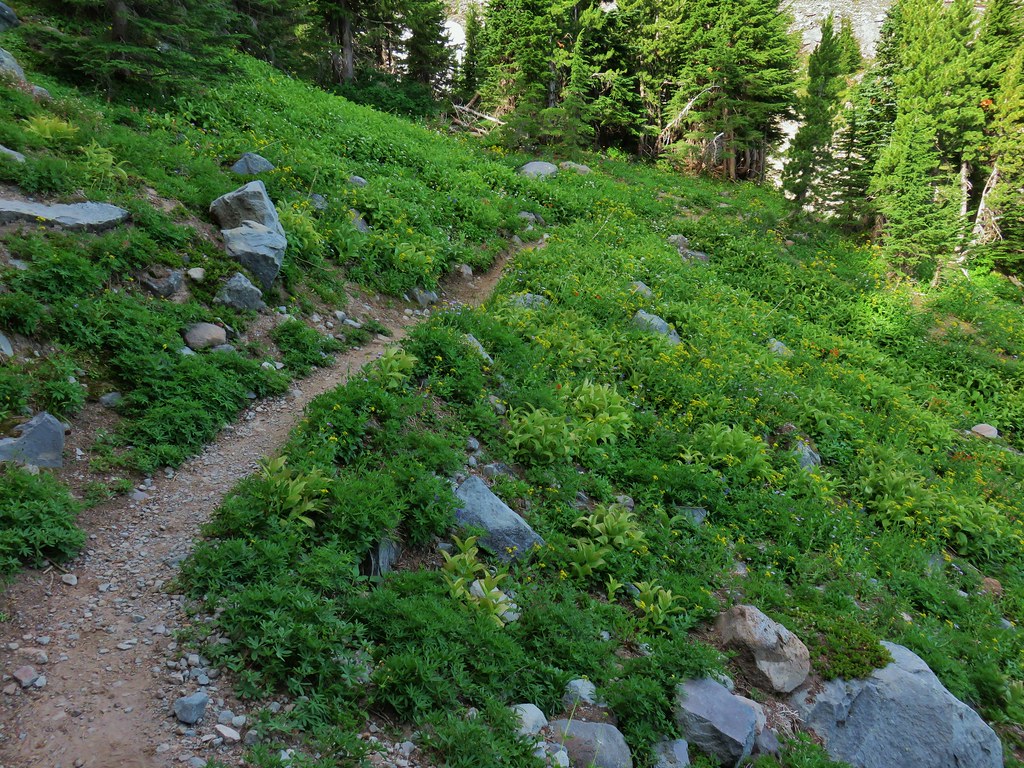
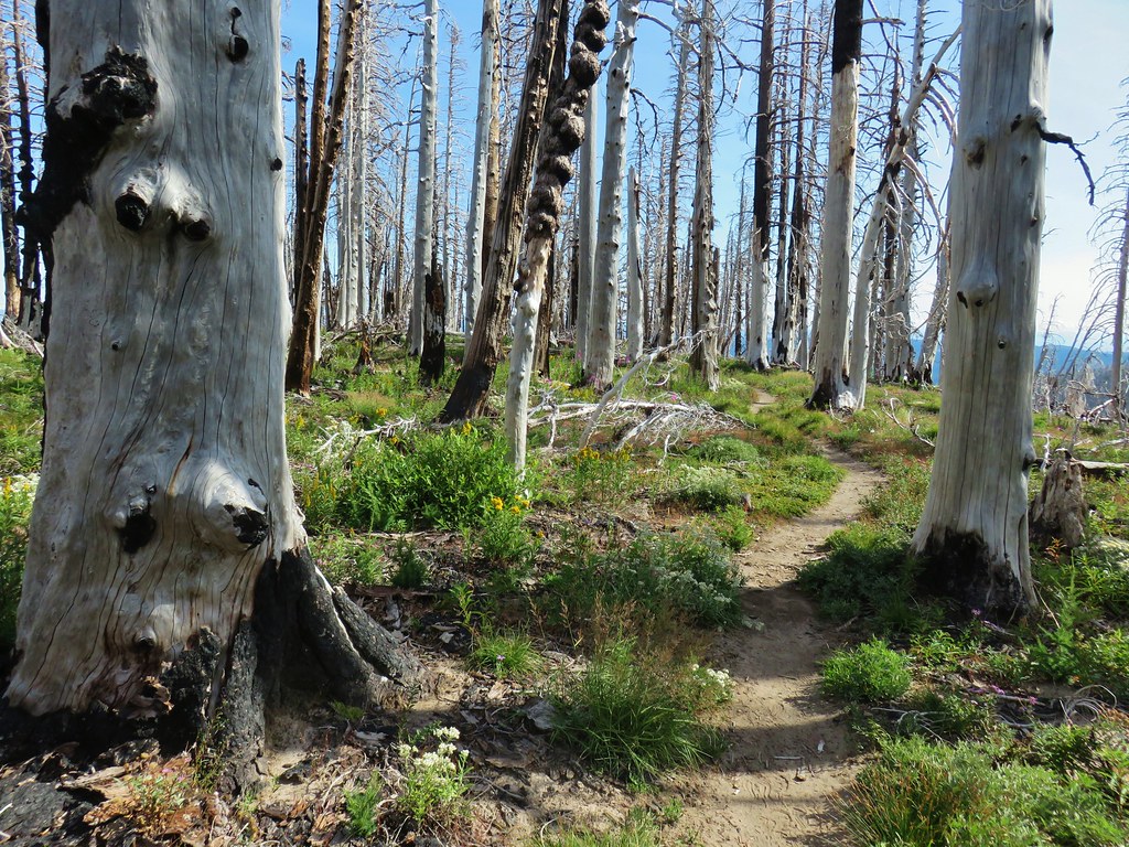
We turned right onto that trail and followed it through a short stretch of green trees before emerging into a recovering fire scar.


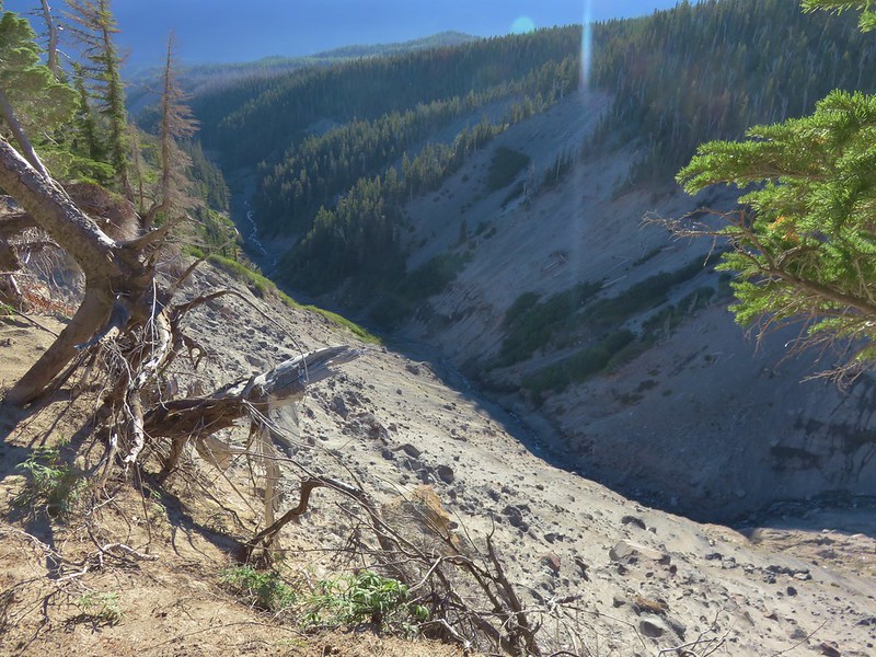
The trail turns north toward Mt. Adams and away from Mt. Hood as it prepares to drop steeply into the gorge carved by the glacial Eliot Branch which could be heard roaring in the chasm below.
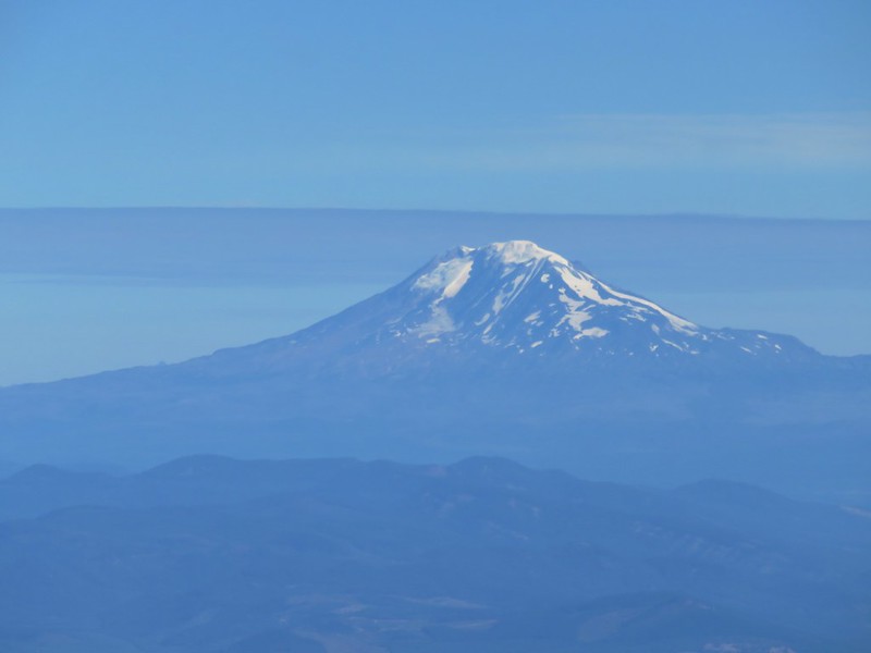
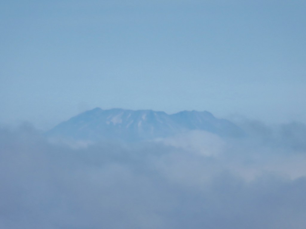
 Mt. Adams ahead above the clouds.
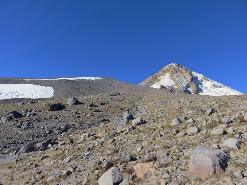
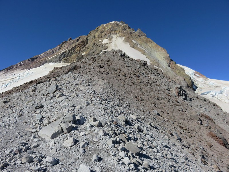
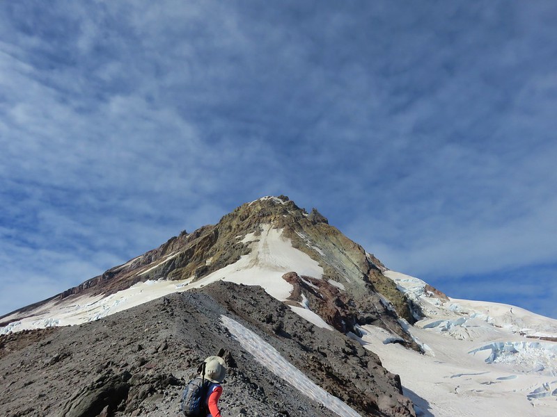
We descended a series of switchbacks which provided ample views of Mt. Hood without having to strain our necks looking behind us.
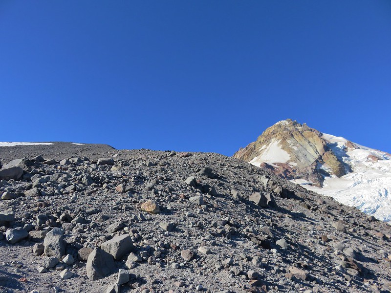
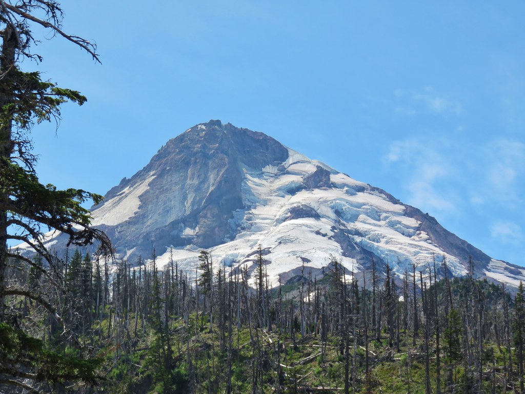
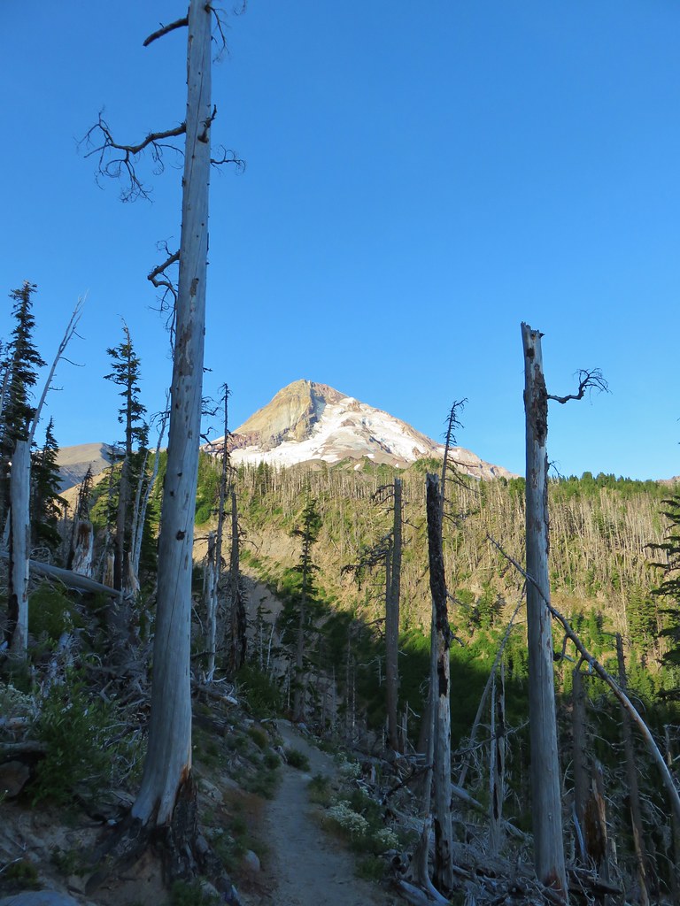 Mt. Hood
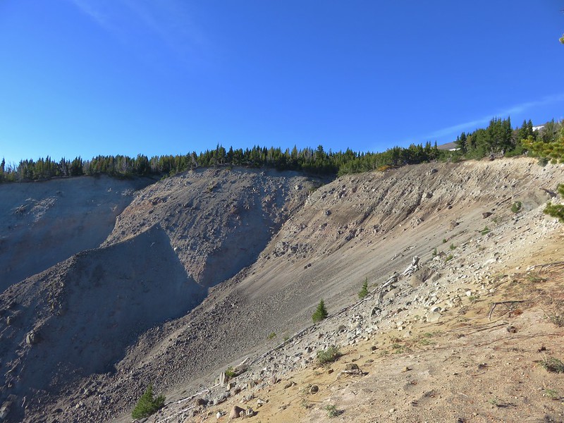
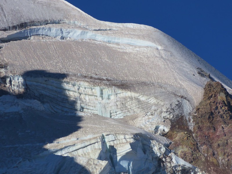
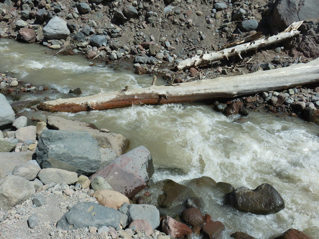
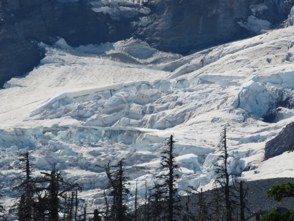
The Eliot Branch has a reputation as being one of the trickier crossing on the mountain ever since a bridge was swept away over a decade ago. In fact the Timberline Trail had “officially” been closed for years (there were still unofficial crossings) until the Forest Service completed a reroute of the trail in 2016. As we neared the stream the first looks were impressive.

The combination of the cloudy water, thundering noise, and swift current make glacial streams seem particularly daunting. Crossing earlier in the day minimizes the amount flow making morning crossings easier than those later in the afternoon or evening. We arrived at the crossing shortly before 8am so that was in our favor. There was also a promising looking log a bit downstream but it looked like it might be a tricky descent to reach it from this direction and we were (or at least I was) hoping to get a little fording practice in so we picked a reasonable looking spot and made our way through the water which was only just reaching our calves at its deepest.


It was a fairly uneventful crossing except for having forgotten just how cold a glacial stream is. Brrrr!!
We had lost over 350′ of elevation getting down to the Eliot that needed to be made up now that we were across. The Timberline Trail gained over 500′ in the next three quarters of a mile as it climbed out of the canyon.

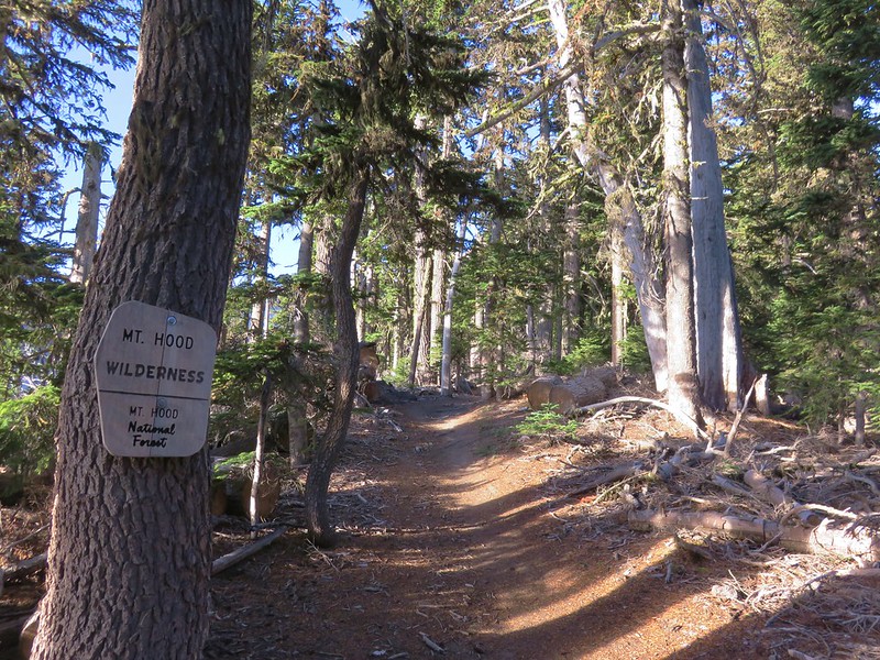
 We entered the Mt. Hood Wilderness on the way up.


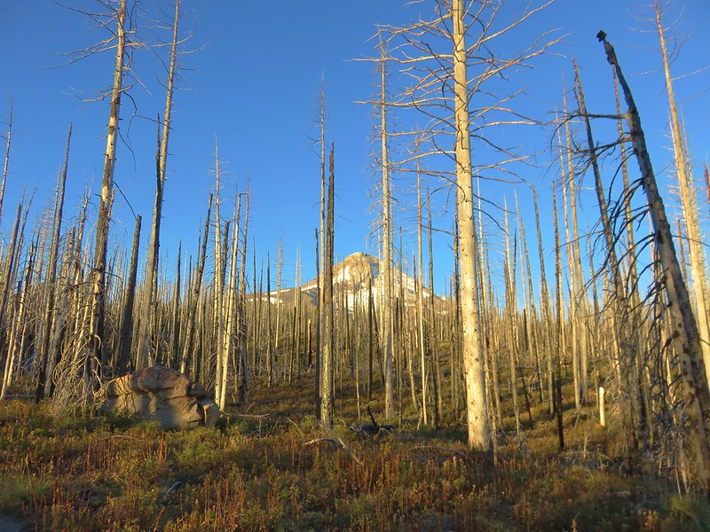
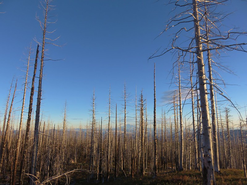
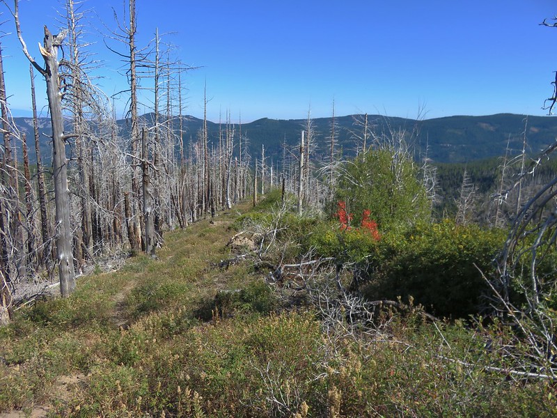
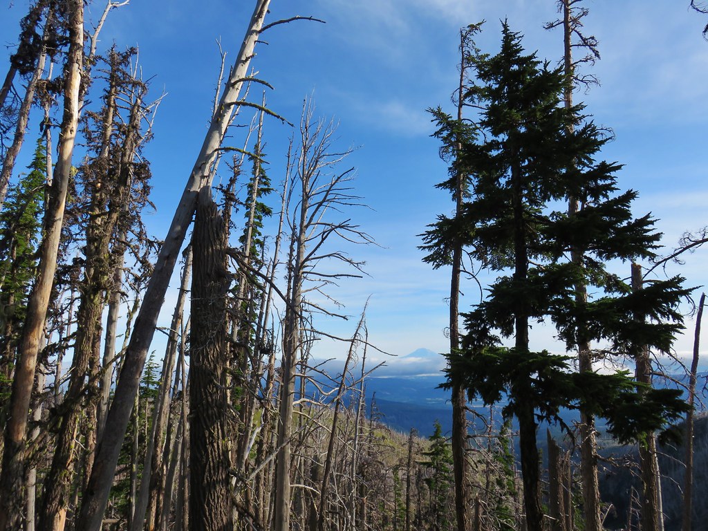
The burned trees allowed for fairly consistent views of both Mt. Hood and Mt. Adams.
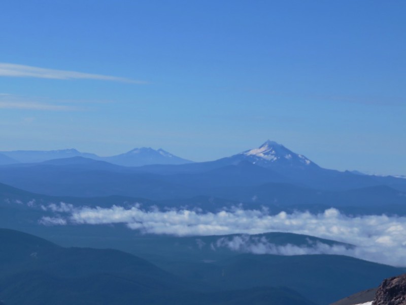
 Mt. Adams
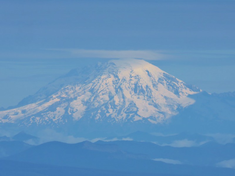
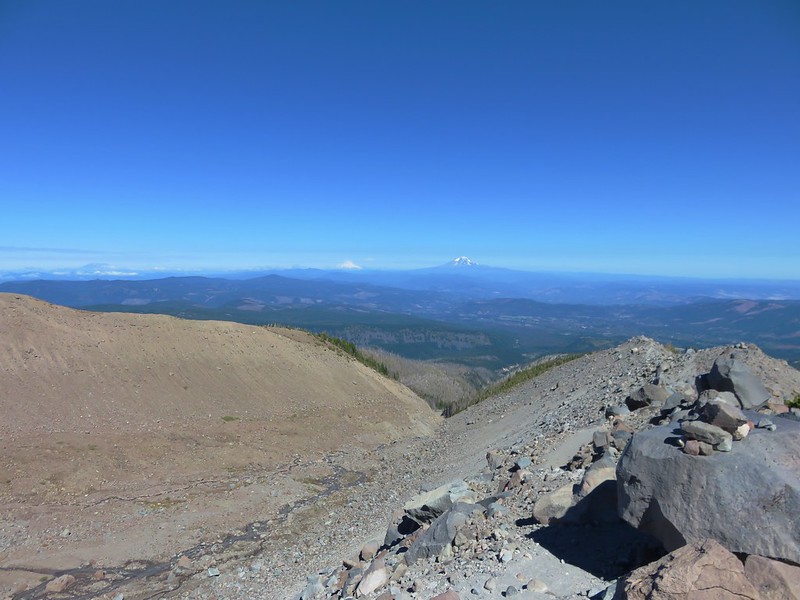
 Mt. Rainier peaking over the clouds to the left of Mt. Adams.
 Mt. Hood
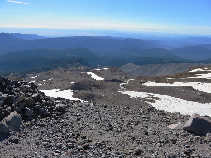
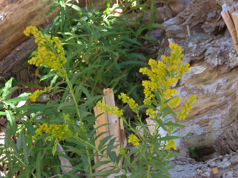
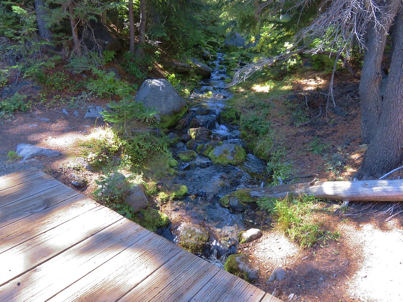
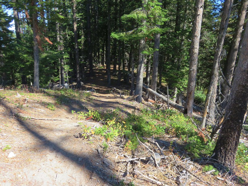
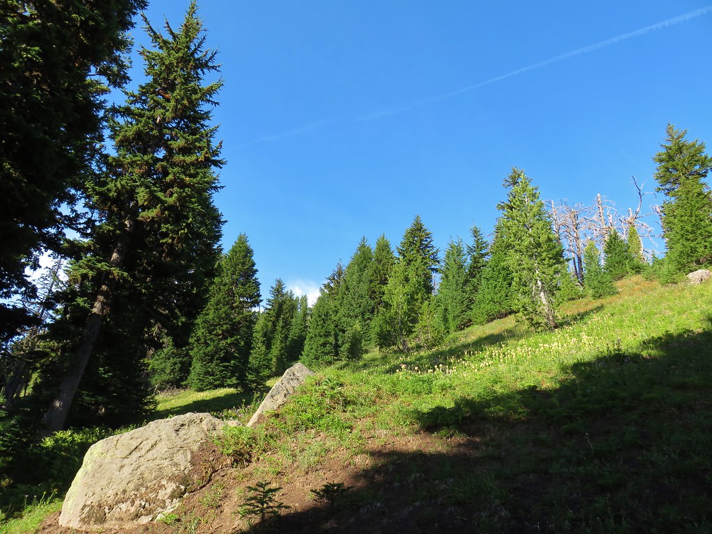
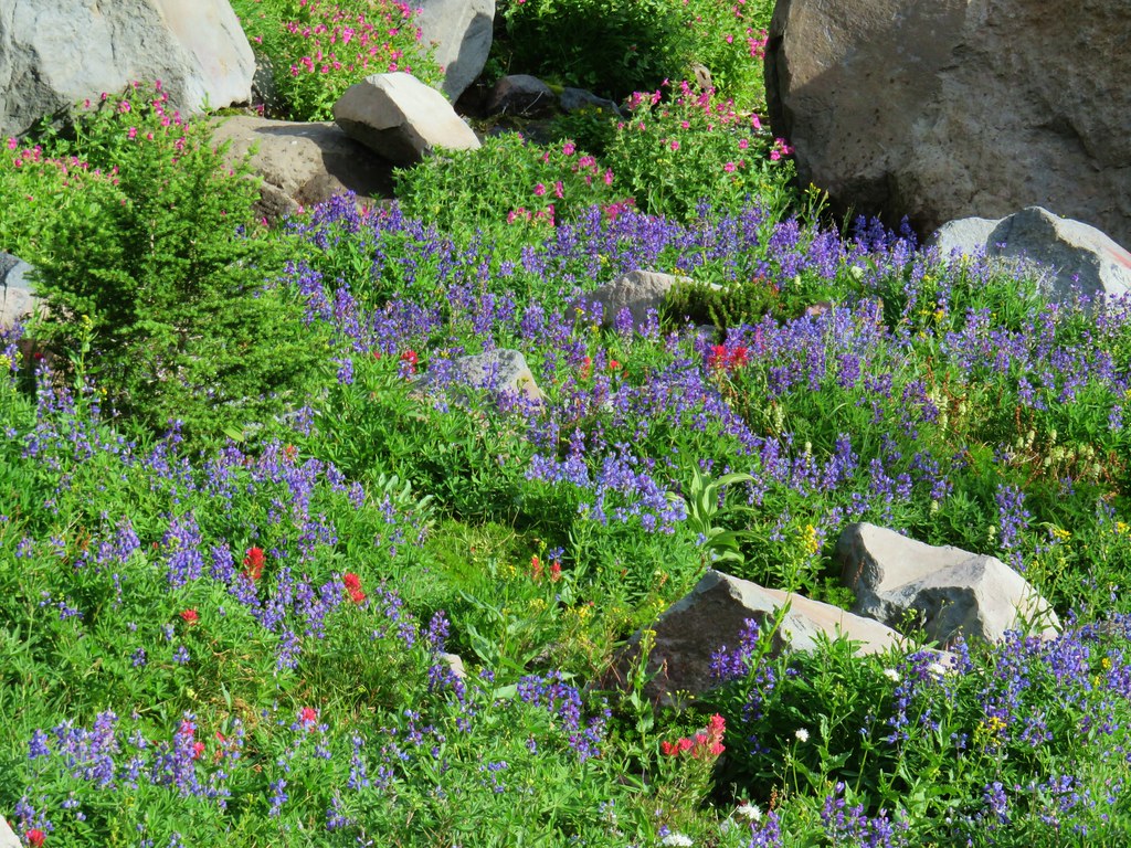
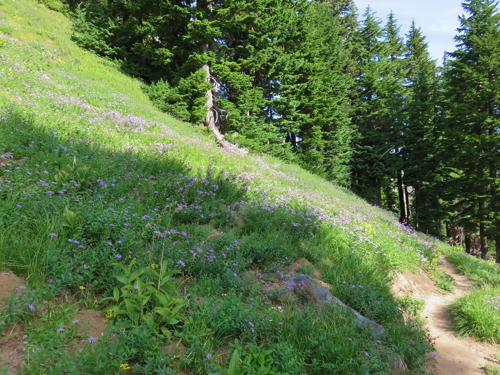
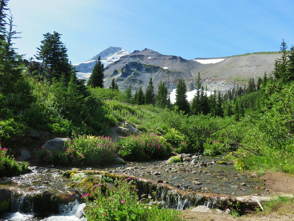
The trail leveled out near the 6000′ elevation and passed through a stand of green trees before arriving at a small wildflower lined stream. A pair of marmots ran into the rocks as we approached.
 Penstemon

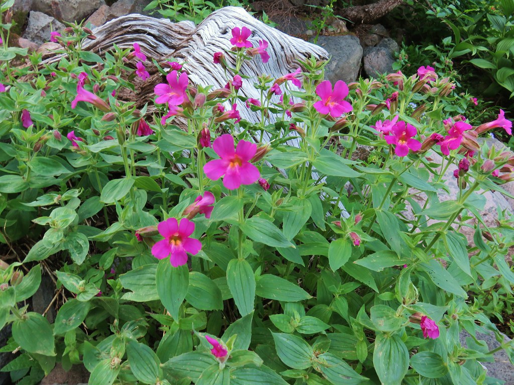 Monkeyflower

 Jacob’s ladder
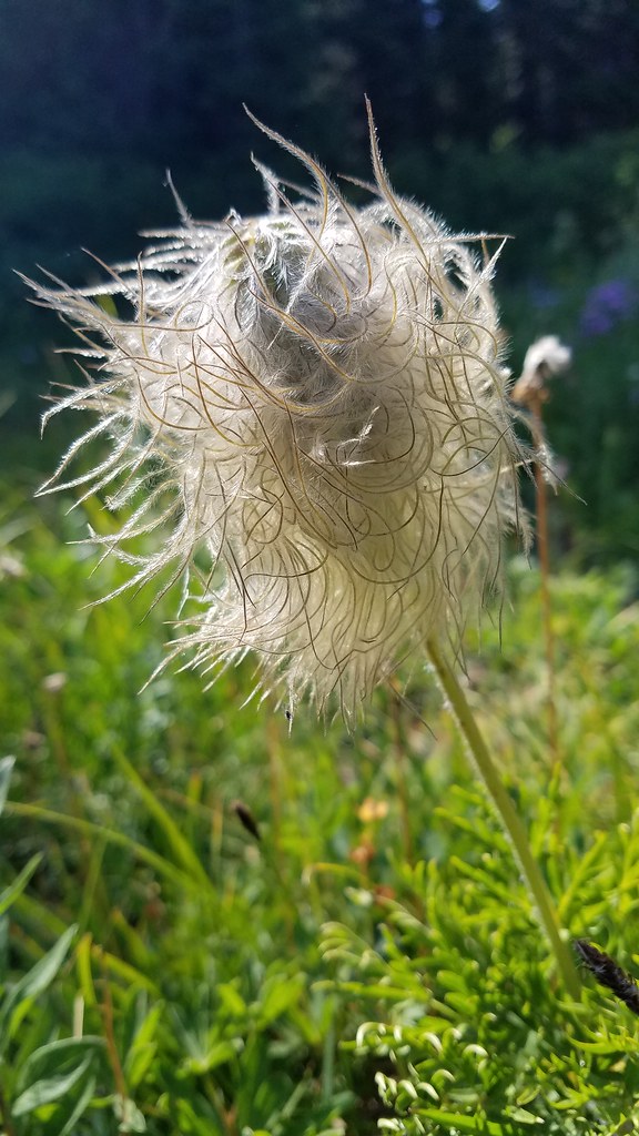
 Western Pasque flower
A second stream followed shortly after.

 Paintbrush
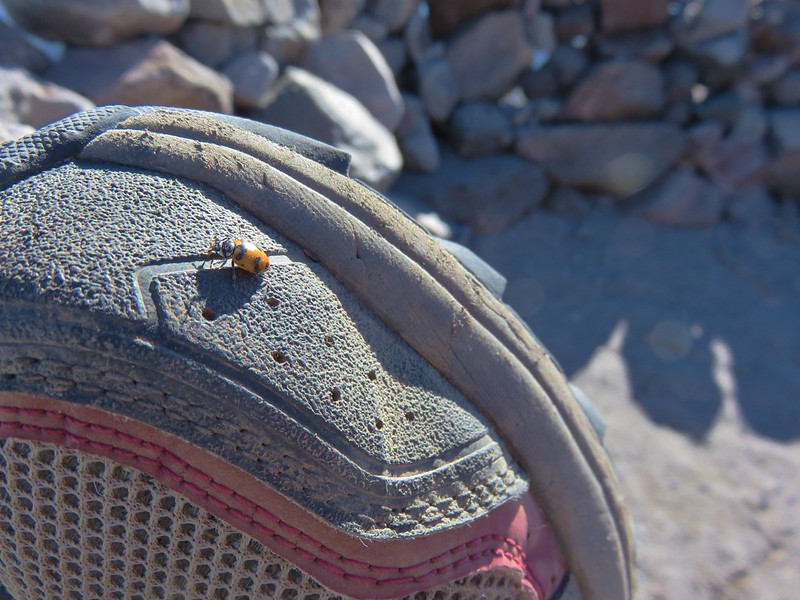
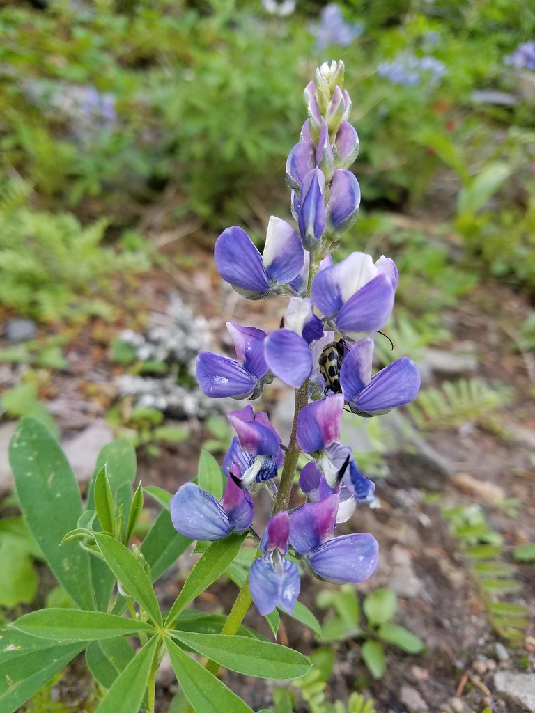 Lupine with a beetle.
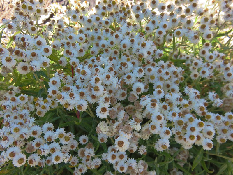
Continuing on we passed a hillside covered with western pasque flower seed heads, often referred to as hippies on a stick.

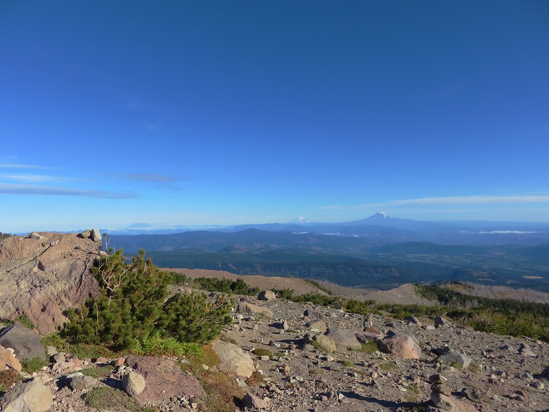
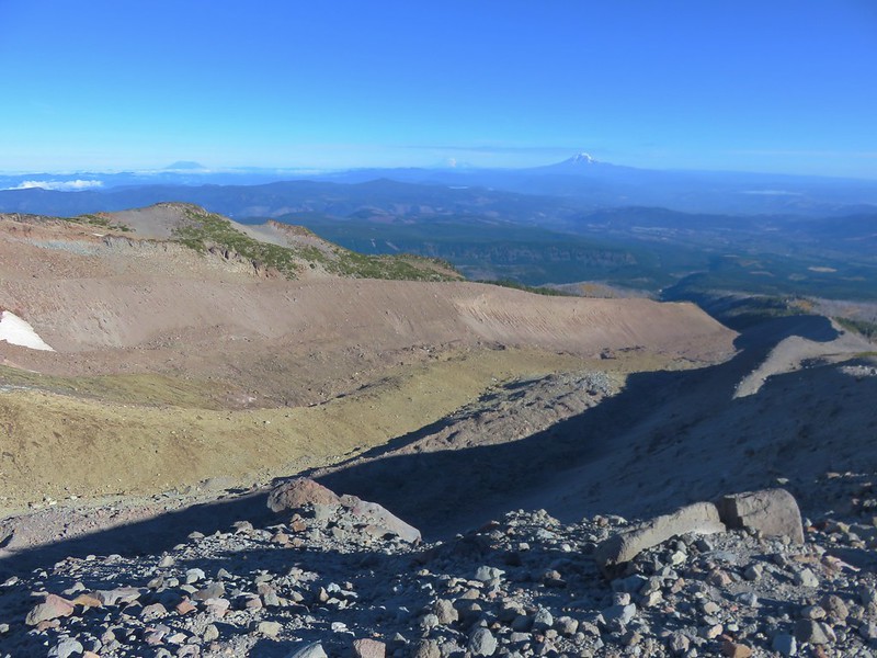
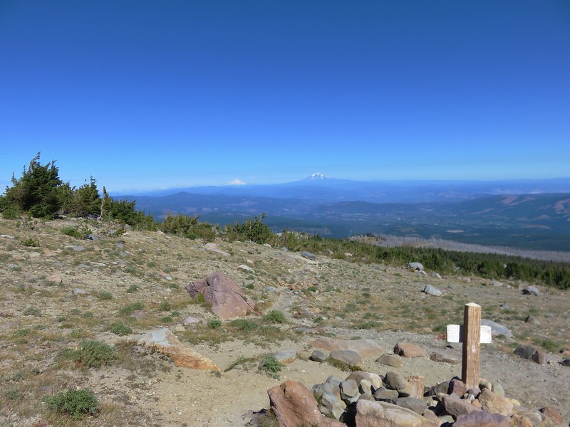
As we rounded a ridge end we stopped to talk to a backpacker going in the other direction. He asked if we were from the area and wanted to know which mountains he had been seeing to the north. In addition to Adams and Rainier, Mt. St. Helens was just barely visible from that spot which we were able to point out to him.
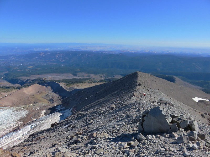
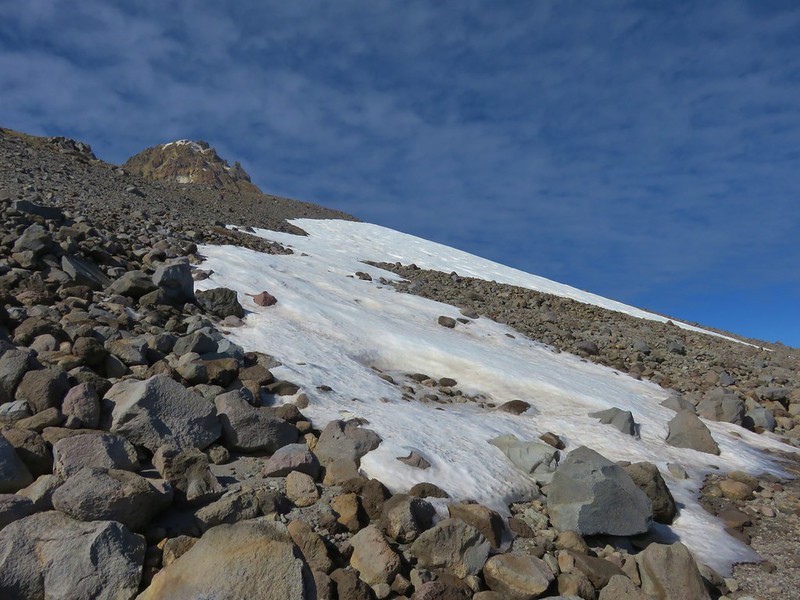
We rounded the forested ridge and came to a large rock field below the Langille Crags.


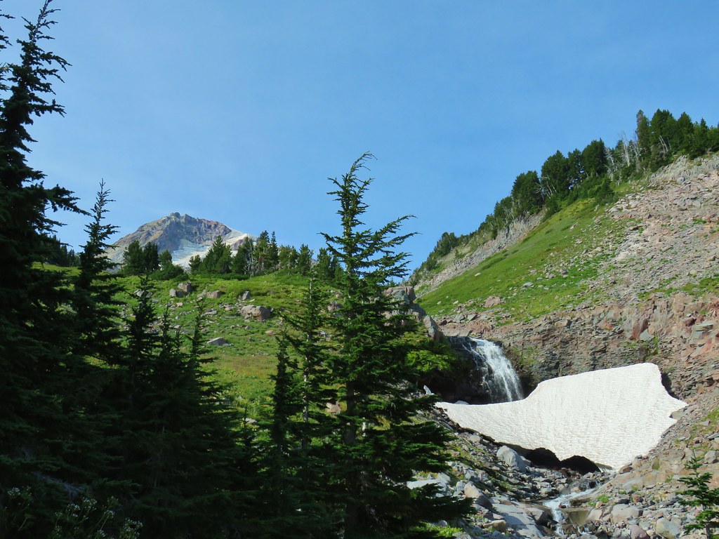
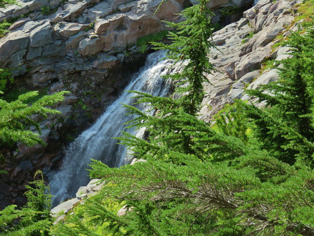
Just over a mile from the Eliot crossing we arrived at the first of Compass Creeks three branches.

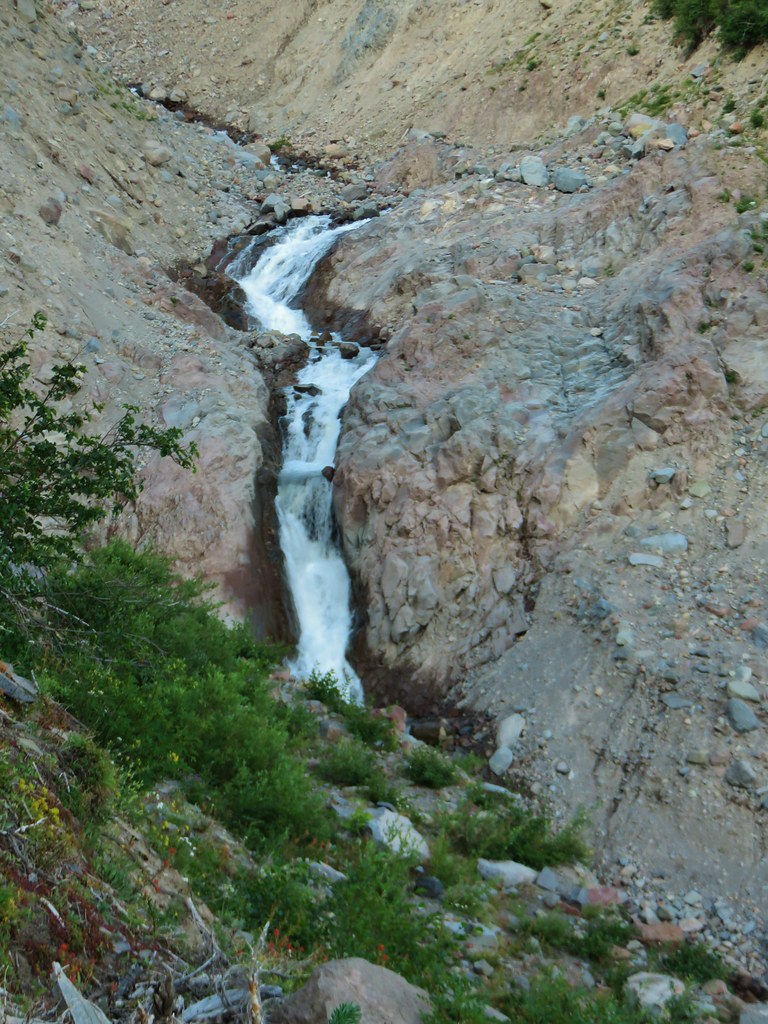
Compass Creek is fed by the Langille Glacier and each branch sports a waterfall above the Timberline Trail.
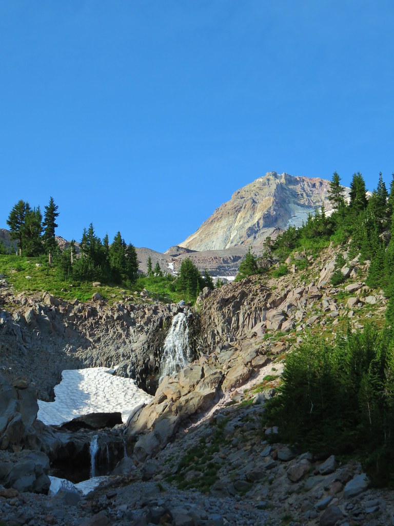
A short scramble up the rocks along the creek brought us to the base of the falls.

 Mt. Adams from Compass Creek.
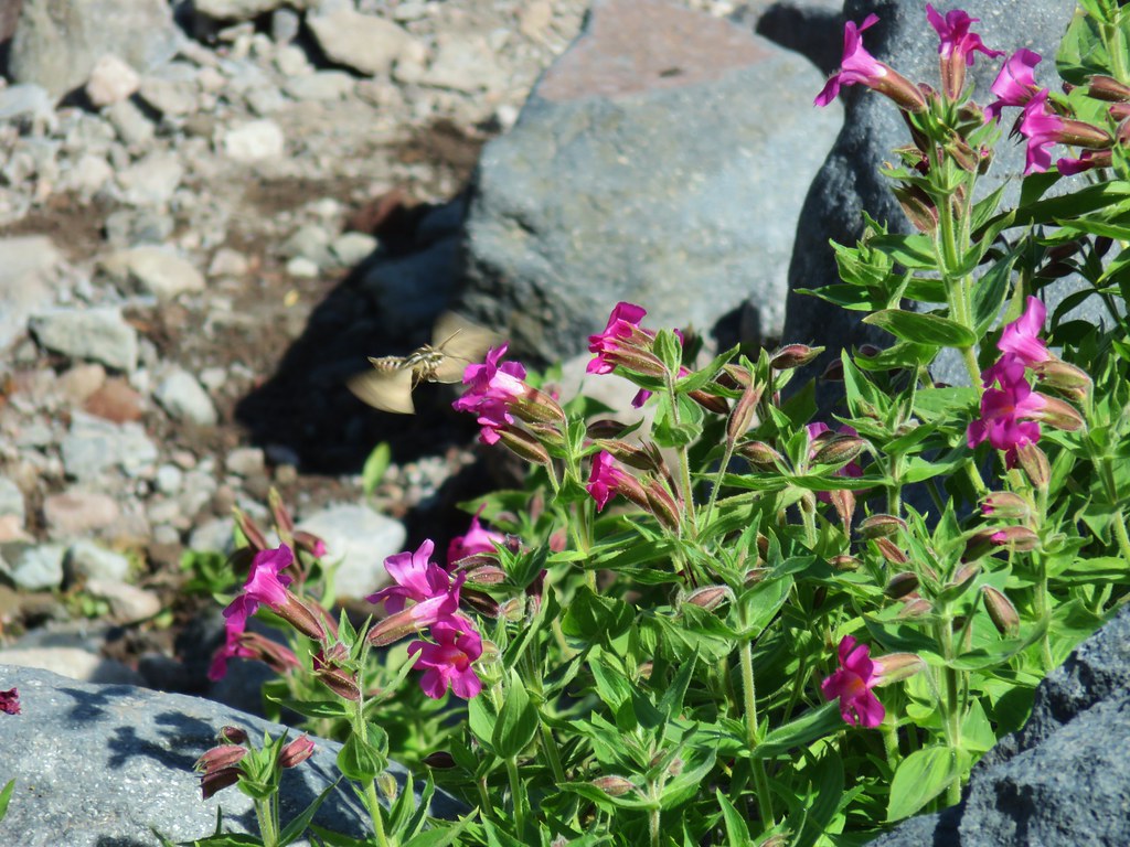
 Wildflowers along Compass Creek.
 Monkeyflower and paintbrush
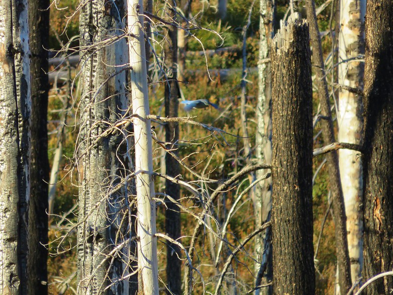
 Hummingbird near Compass Creek.
After admiring the falls we continued on rounding two small ridges before arriving at the middle branch of Compass Creek .3 miles from the first.


This branch didn’t have nearly the amount of water as the first leaving the waterfall a little wispy.

There was yet another stream a short distance away which was putting on a wonderful wildflower display including a nice combination of pink and yellow monkeyflowers.

 Lupine, paintbrush and monkeyflower.

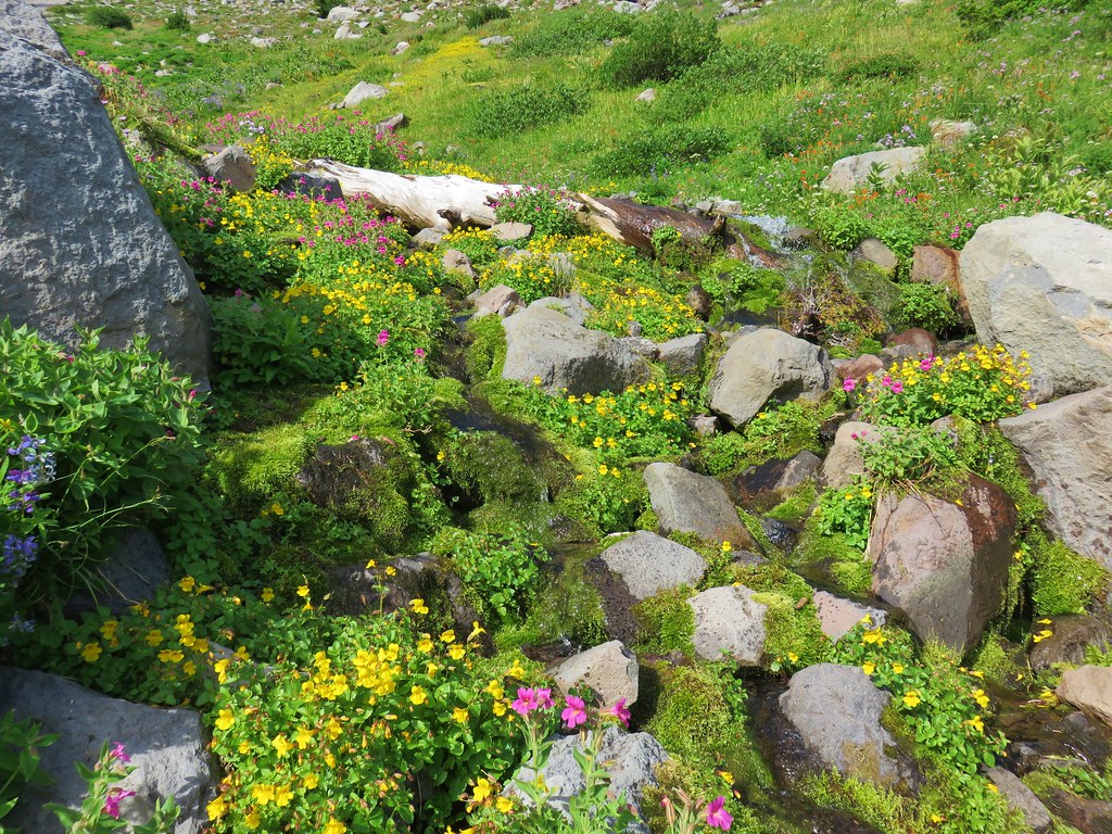

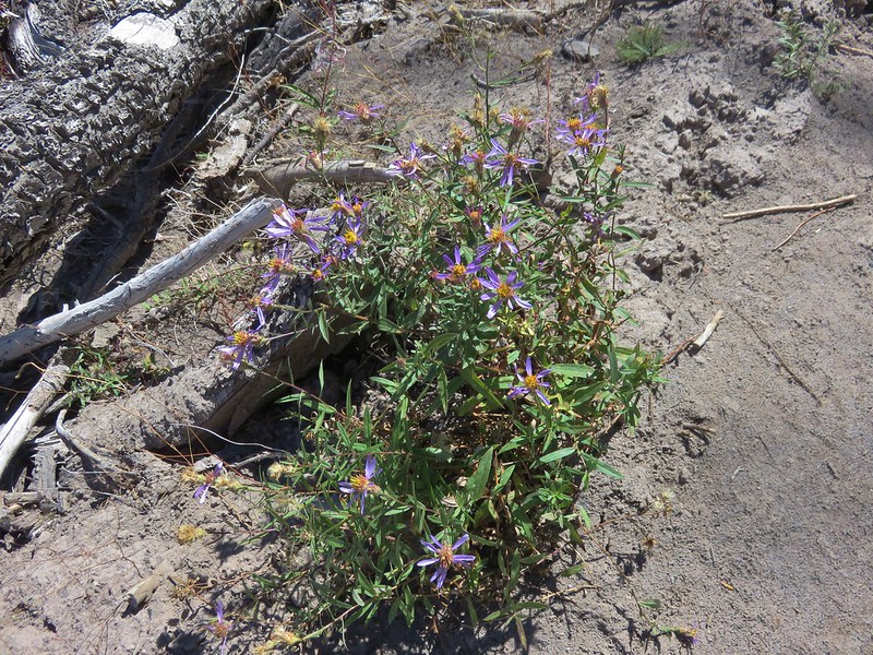
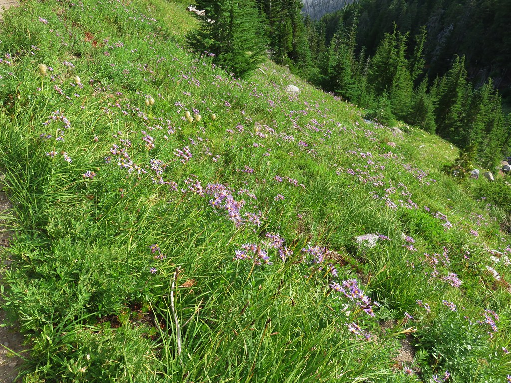
This alpine stream was sublime and a reminder of why Mt. Hood is such a wonderful place. We kept going passing an aster covered hillside and then another meadow full of other types of flowers.

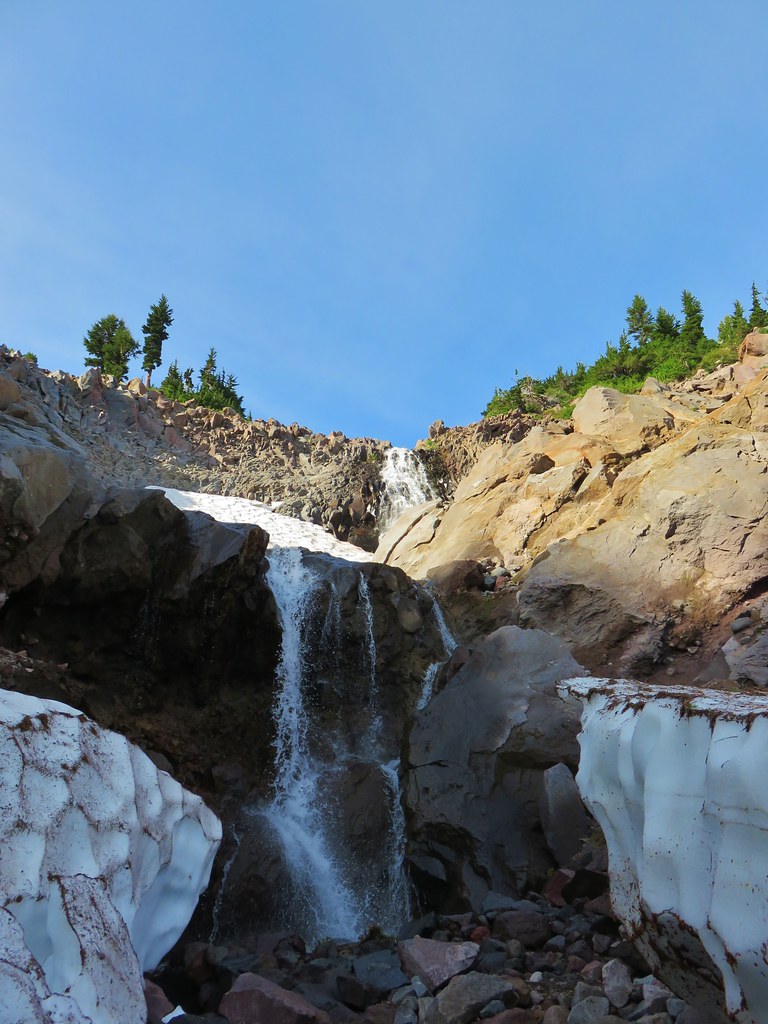
It was another .3 miles between the middle and final branches of Compass Creek where another waterfall crashed down behind a snow bridge.
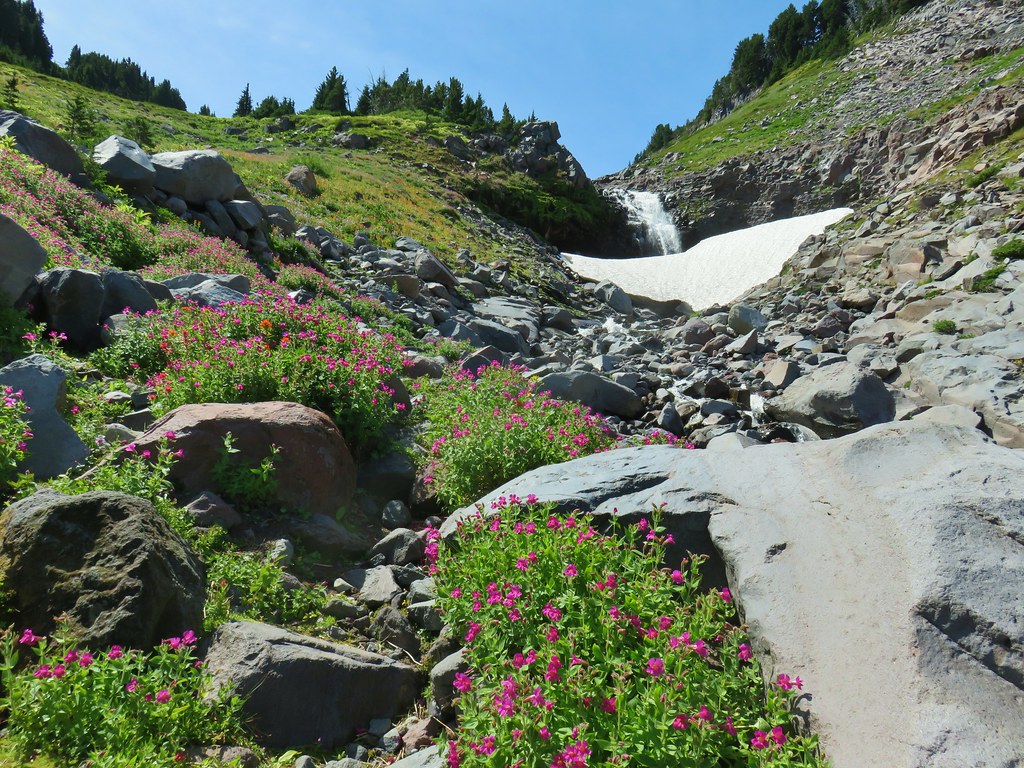


After crossing the final branch of Compass Creek the trail headed down a ridge along the creek passing views of a lower waterfall.
 Mt. Adams (again) from Compass Creek.

 Waterfall on Compass Creek below the Timberline Trail.
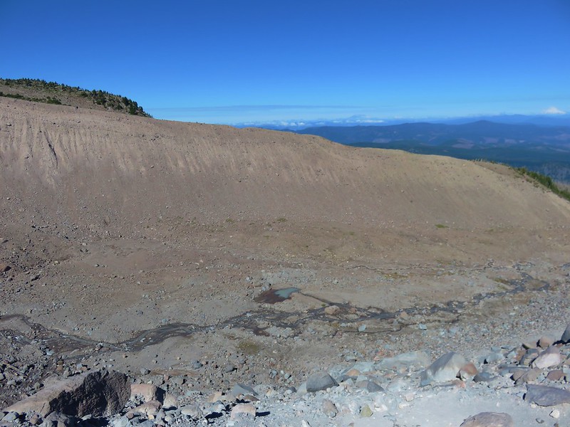
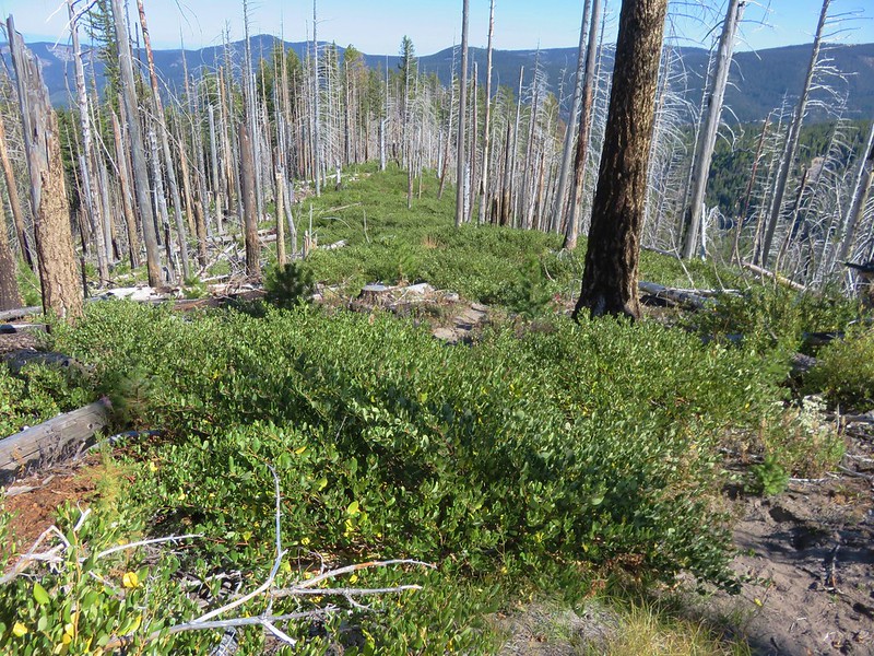
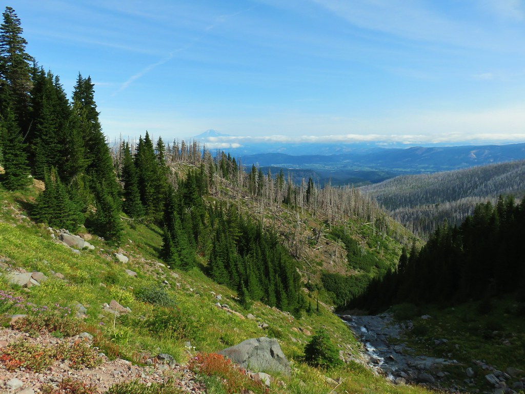
In the next mile we passed through a wildflower meadow, green trees, a fire scar, and lost 350′ of elevation before arriving at yet another little stream.


The trail then headed downhill more quickly as we approached the Coe Branch.

A little over a mile and a half from Compass Creek we arrived at the Coe Branch and were pleased to find a pair of nice makeshift log bridges spanning the stream.


The crossing was no issue at all and we soon found ourselves climbing away from the Coe.


The climb away from the Coe Branch wasn’t nearly as steep as the descent had been and after three quarters of a mile we arrived at a sign for Elk Cove.

We followed the trail into the meadow where the view of Mt. Hood and Barrett Spur (post) was as impressive as always.


We explored a bit and then rested at a familiar spot along the stream that flows through Elk Cove.

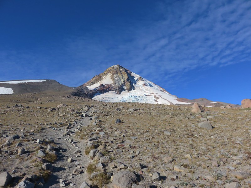
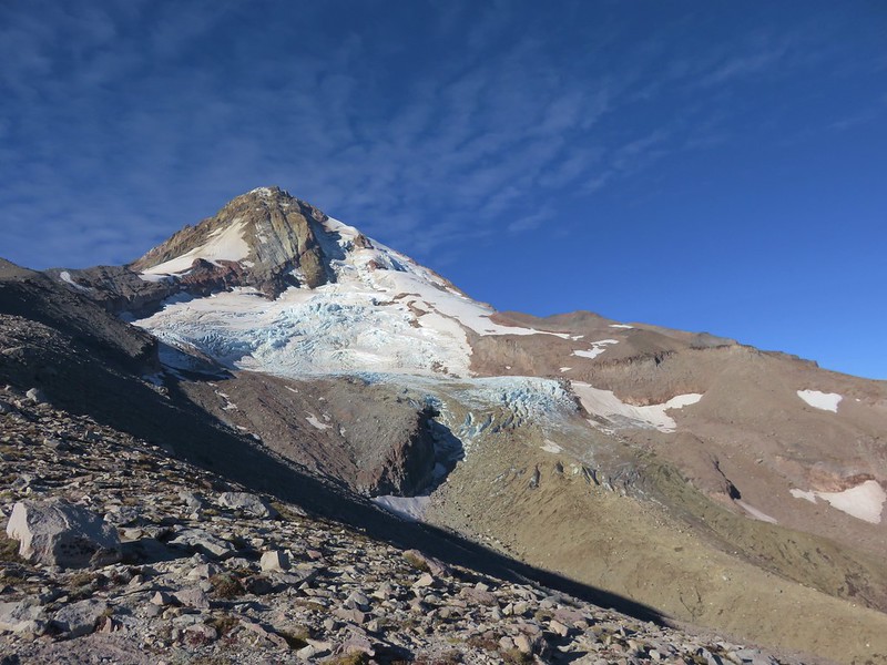
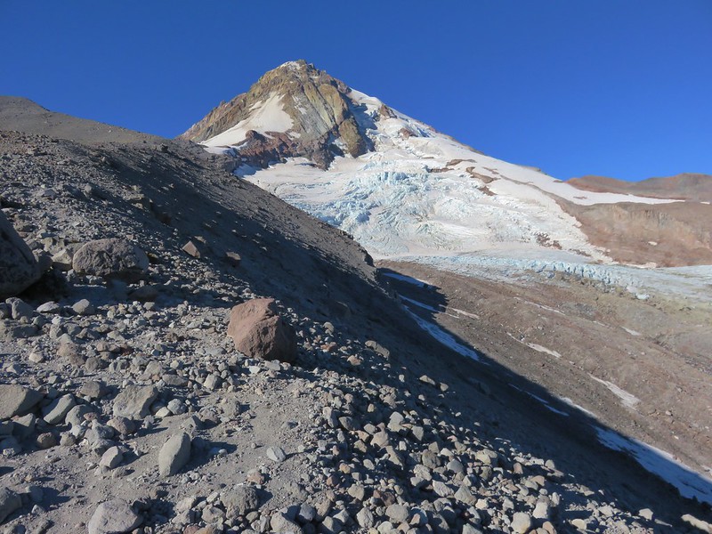
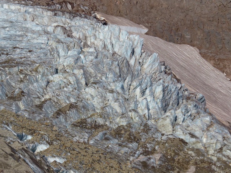
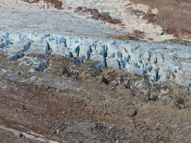
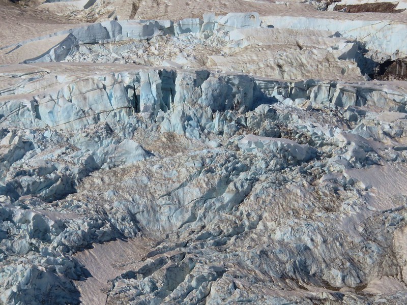
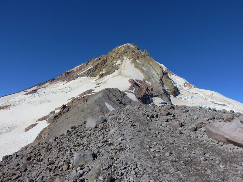
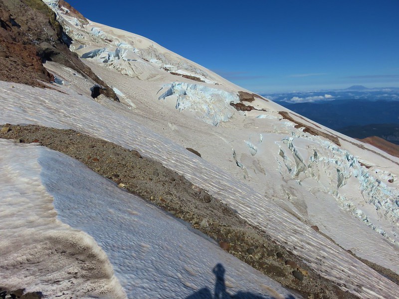
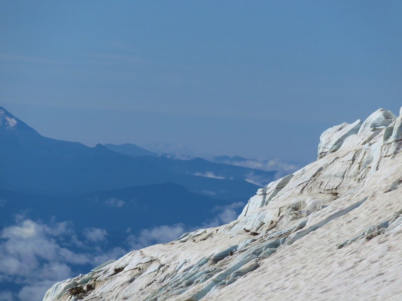
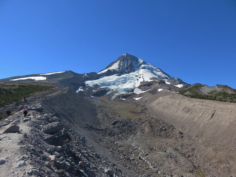
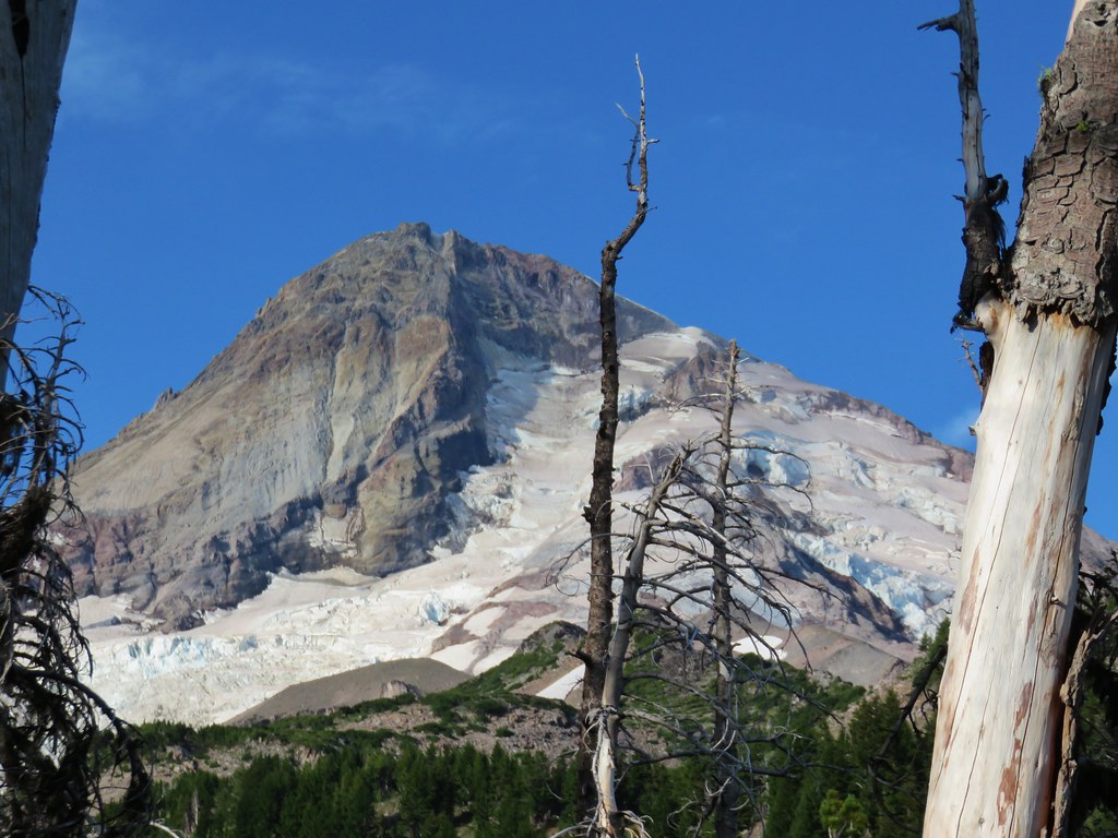
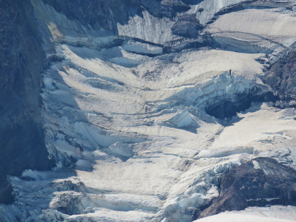
 Coe Glacier
After resting and soaking in the scenery we headed back. We stopped again below Compass Creek Falls where we watched a hummingbird moth visiting the monkeyflowers.

When we had finally made it back to the Eliot crossing we used the log we’d seen that morning as suggested by some hikers who we passed shortly before reaching the stream.

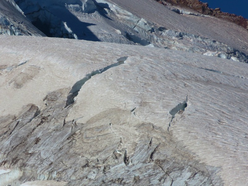
We actually wouldn’t have minded the ice cold water at that point, but the flow had increased now that it was after 1pm so the log was the safest option. We made the final climb back up to Cloud Cap taking our final look at Mt. Hood and the Eliot Glacier.
The hike was 12.3 miles round trip with approximately 2700′ of cumulative elevation gain, most of which came from dropping down to and climbing up from the Eliot and Coe Branches. It was a perfect day, blue skies and cool temperatures, and there couldn’t have been a better way to end our 6 days of hiking. Happy Trails!
Flickr: Cloud Cap to Elk Cove