Juneteenth provided us an opportunity for a mid-week hike, and we used that opportunity to visit a pair of trails near Westfir, OR.
We began our day by stopping at the Buckhead Nature Trailhead for a short warmup hike.

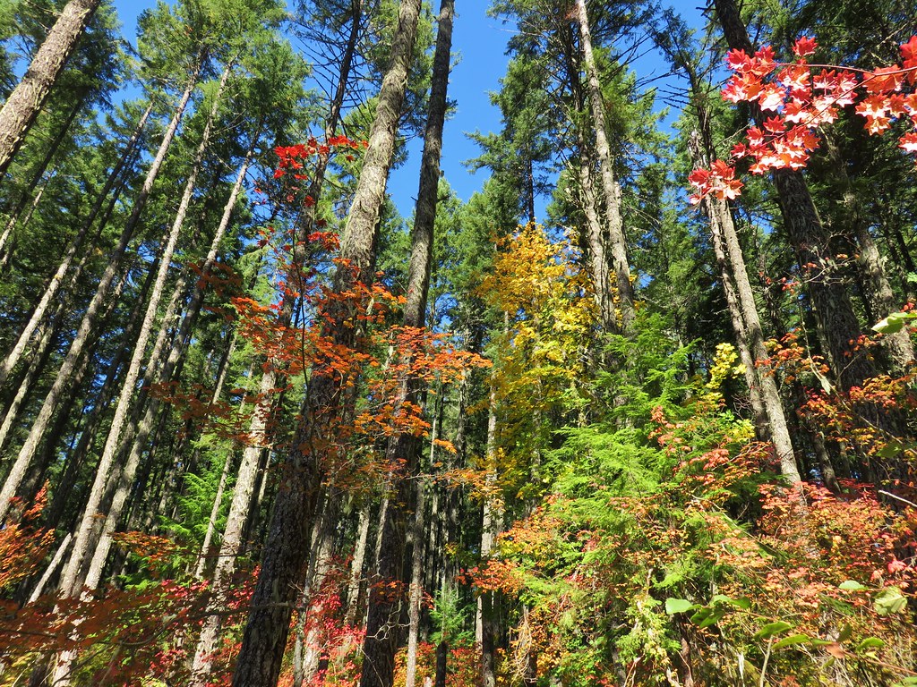
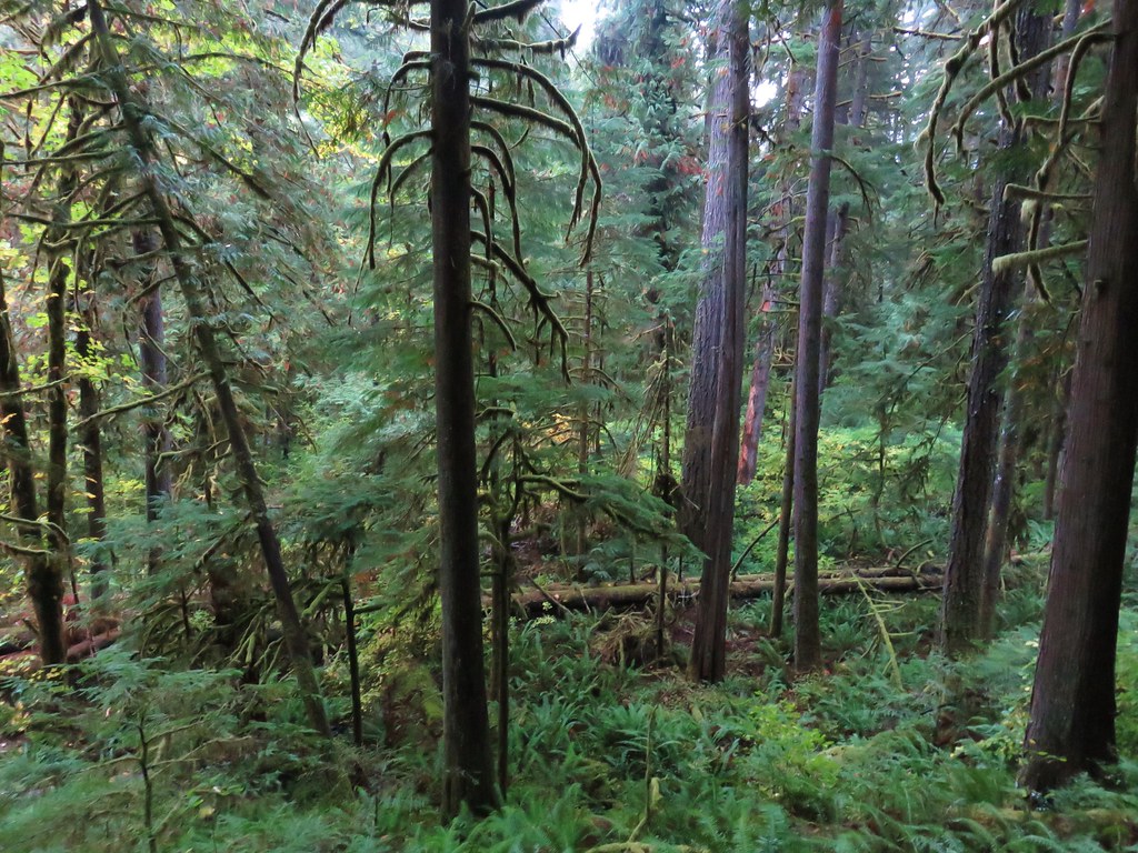
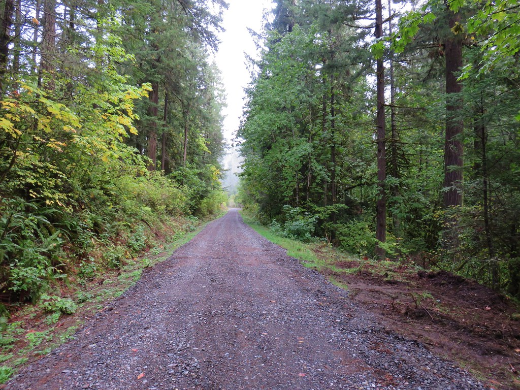
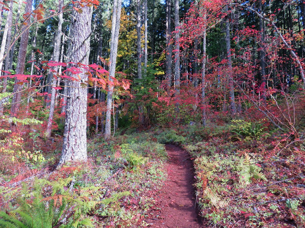
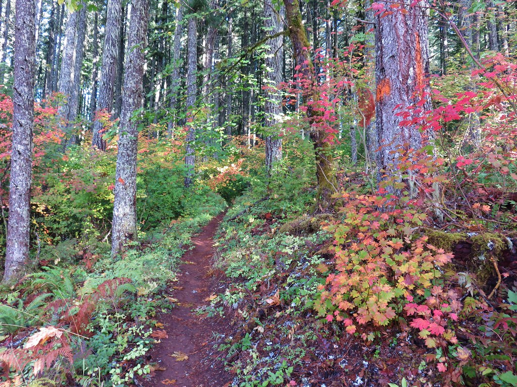
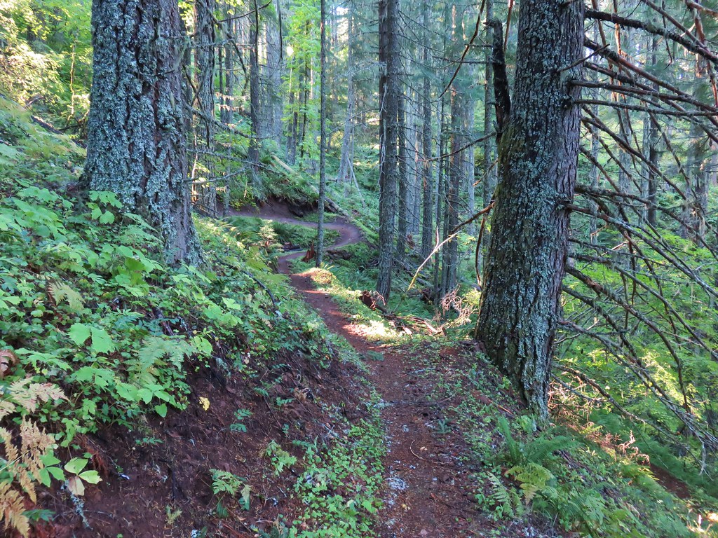
A paved interpretive loop explores a riparian zone along the Middle Fork Willamette River.


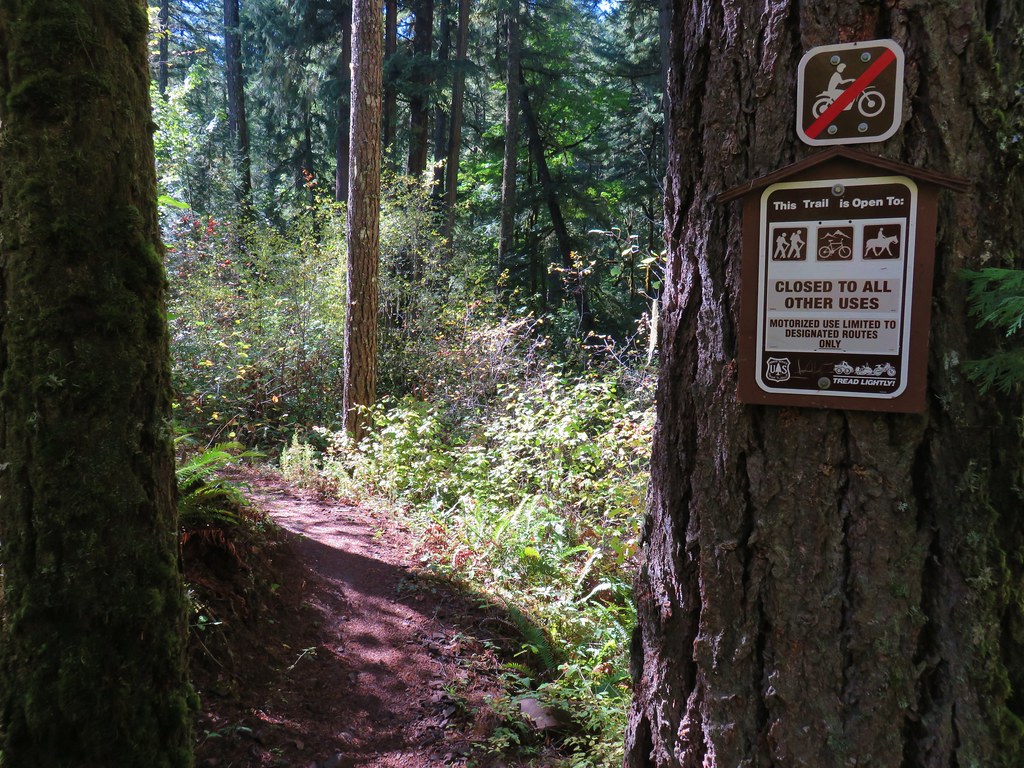
 Signboard about a tenth of a mile from the trailhead.

 The loop began on the far side of the footbridge.
We hiked the loop clockwise and made our way back to the car. There were a few flowers and an obstructed view of the river. We didn’t see much in the way of wildlife save for a couple of birds and a snail.

 As far as we could remember we’d never seen a bench on the other side of a fence before.
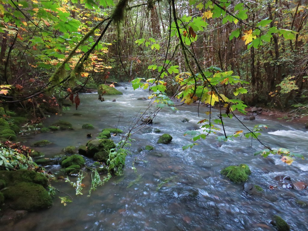
 Middle Fork Willamette River through the vegetation.
 Tiger lily
 Self-heal

 Snail
Snail
 Mock orange
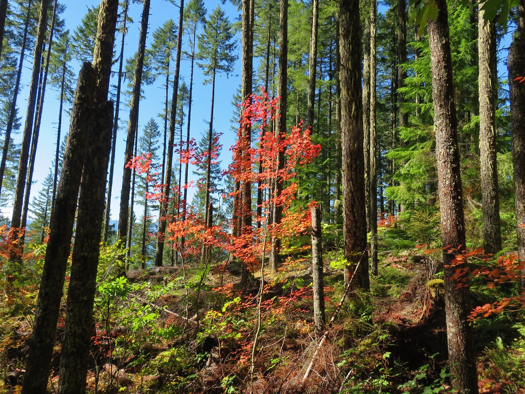
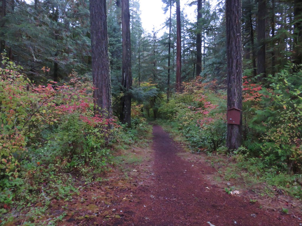
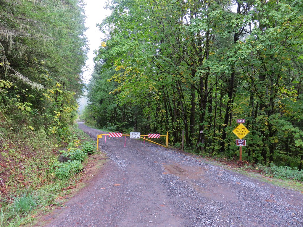
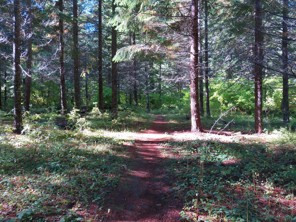
The hike here was a little over half a mile, a good warm-up for our next stop at the Deception Butte Trailhead which was only 3.5 miles away.

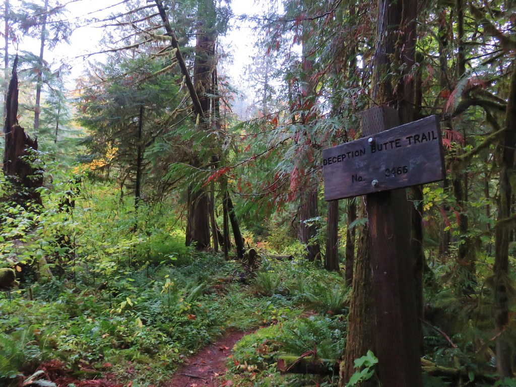
We had attempted this hike in October 2017 (post), but a 2014 wildfire had left the trail beyond the creek itself unpassable. The trail remained closed until 2022 when the Forest Service and volunteers were finally able to clear and make the necessary repairs to the fire damage.
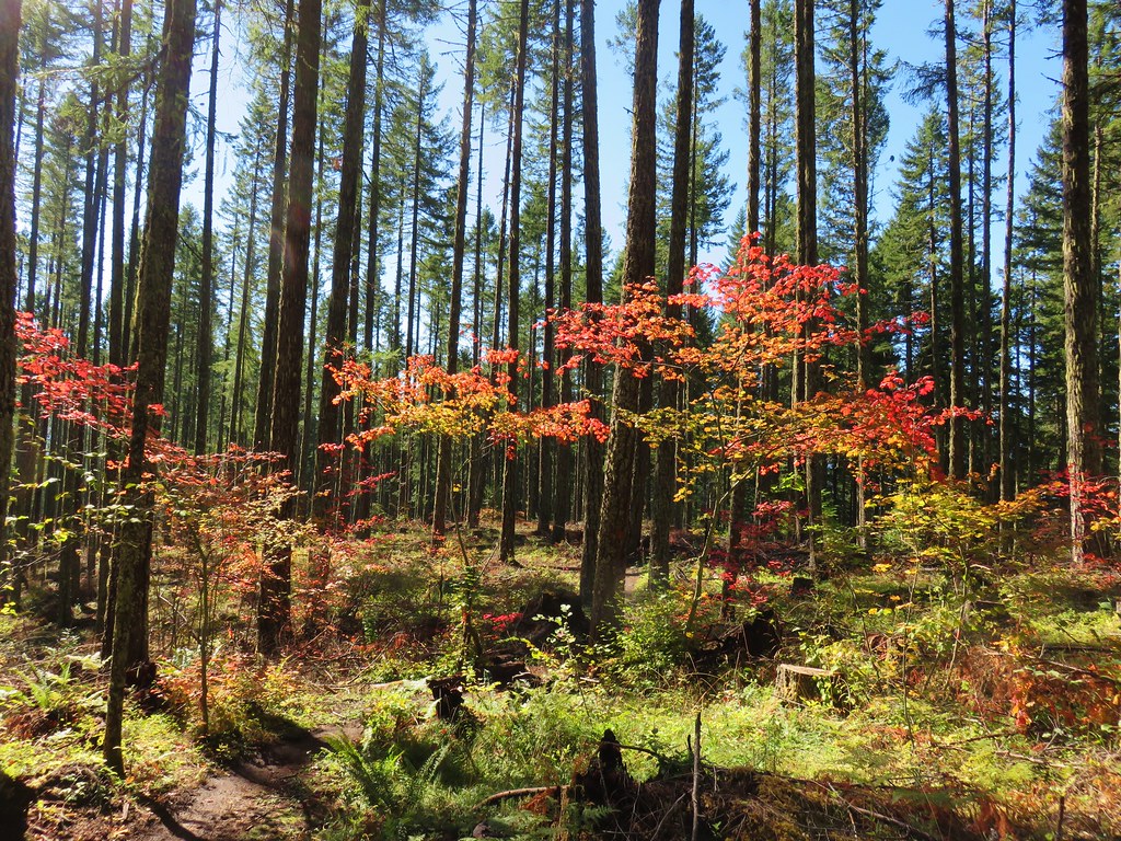
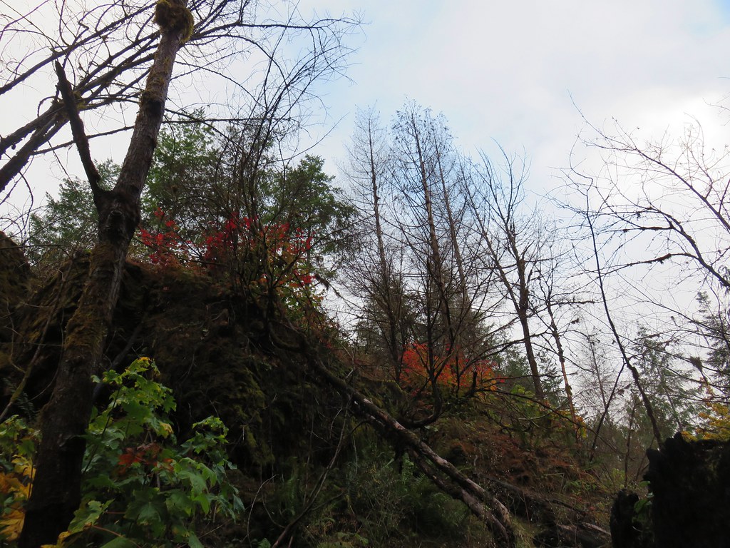
The fire mostly spared the forest up to the footbridge crossing Deception Creek.

 Anemone
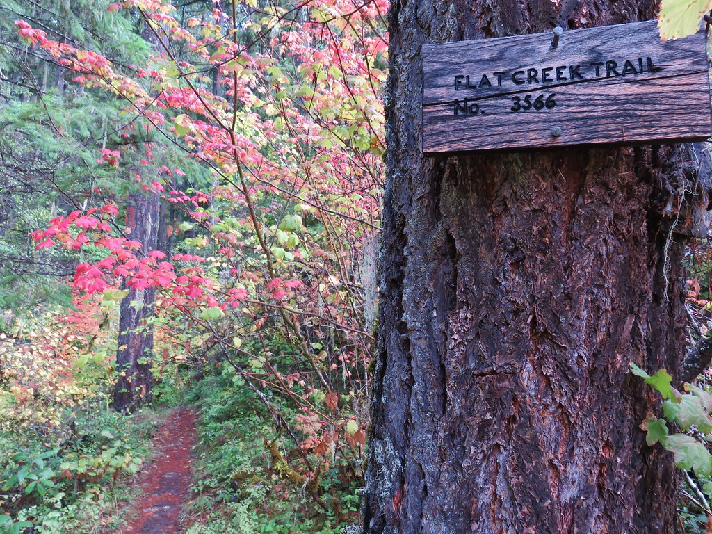
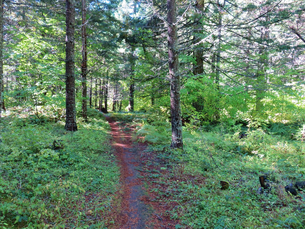
 There are a few junctions prior to reaching the footbridge. The first was the only one with any signage. We stayed on the correct trail by ignoring side trails to the left that headed uphill and on the right that led down to Deception Creek.
 We turned left at the signed junction following half a sign for the Deception Butte Trail.


 At the last unsigned junction there was a signboard, but with nothing on it. (We went straight.)
 Warning sign for the burned area ahead.
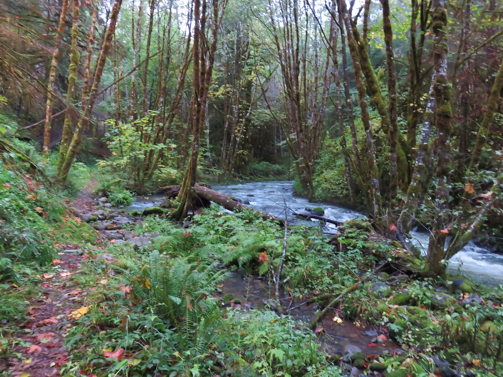
 The footbridge over Deception Creek.
 Deception Creek
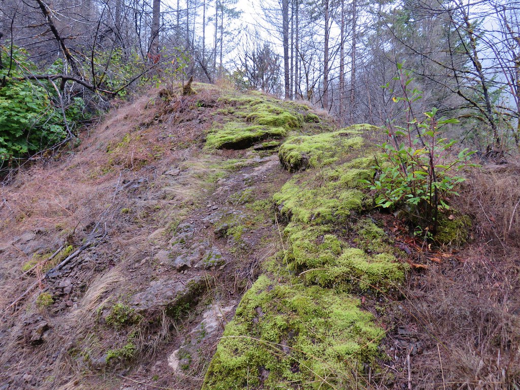
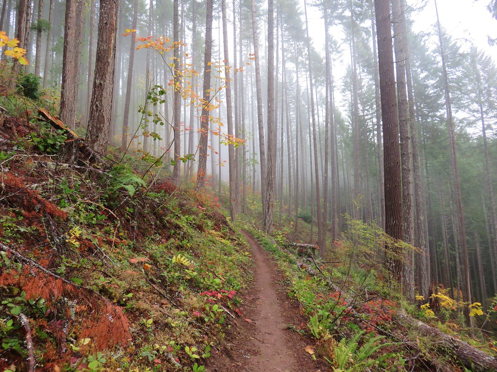
On the far side of the footbridge the trail entered the fire scar and climbed steeply up a small ridge.

The trail then dropped steeply down on the other side of the ridge.

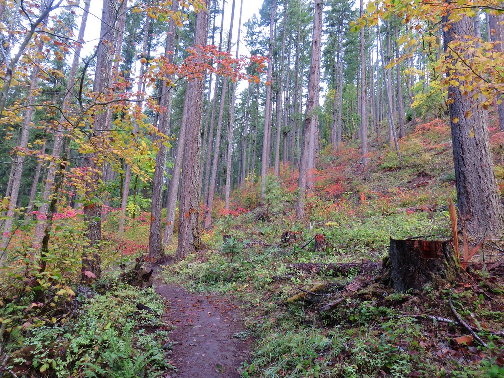
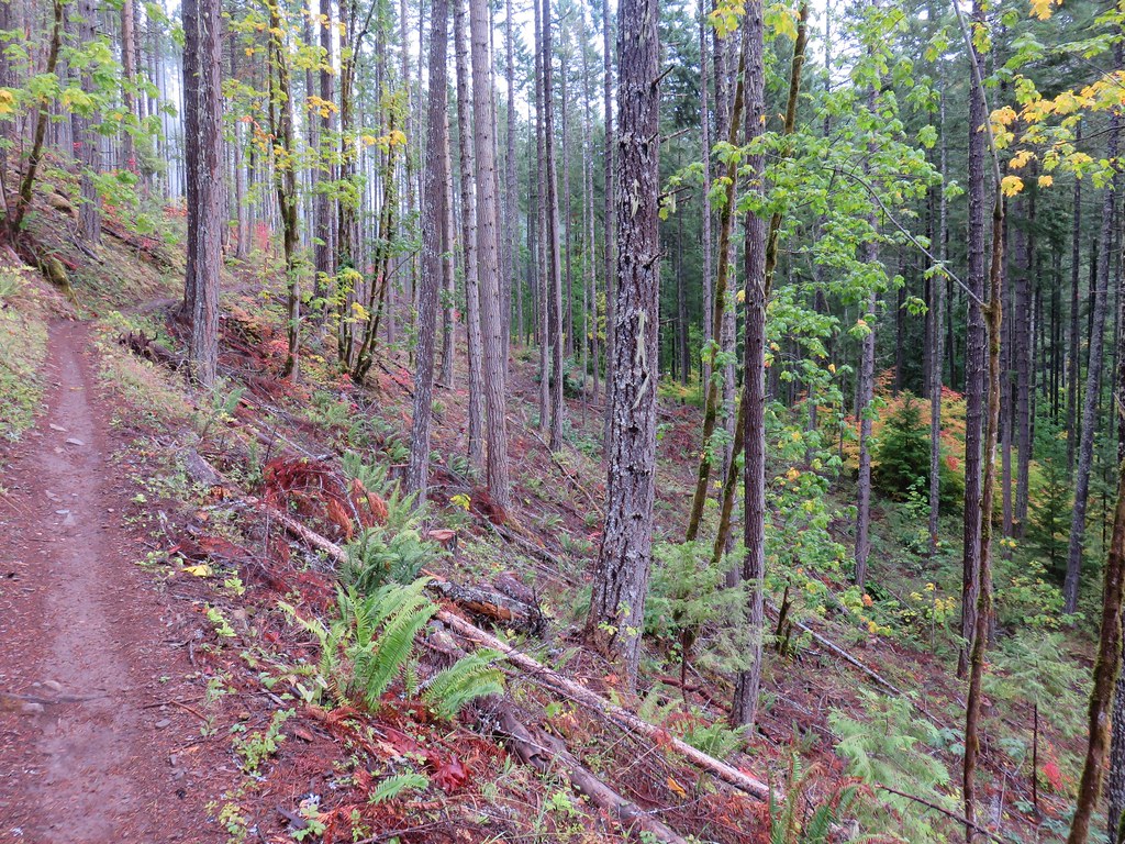
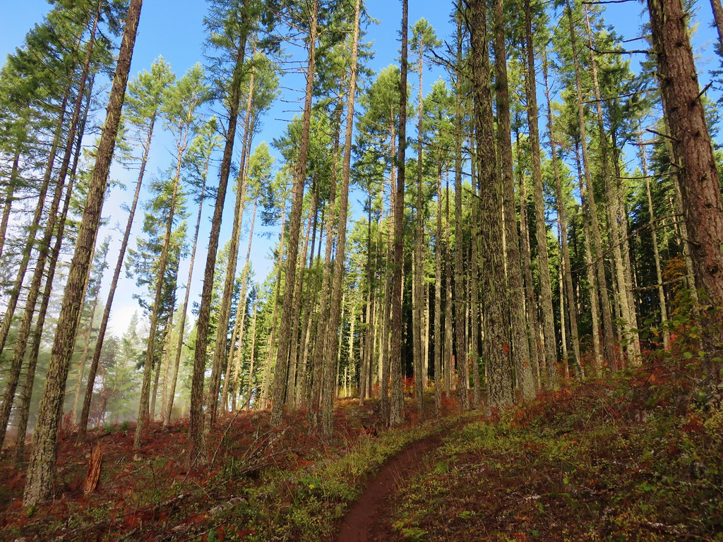
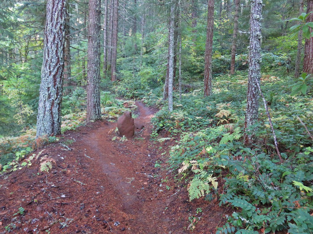
Due to the fire damage the tread here and for much of the remainder of the trail is rocky and somewhat slick so trekking poles came in very handy. There were also a few spots where some of the tread was missing requiring care. The trail was free of any significant debris, and we only had to step over one small tree. From the bridge it was approximately 3 miles to the summit with around 2300′ of elevation gain. The trail used a combination of switchbacks and longer traverses to gain the elevation. The grade varied widely with a few steep sections and some gentler climbs
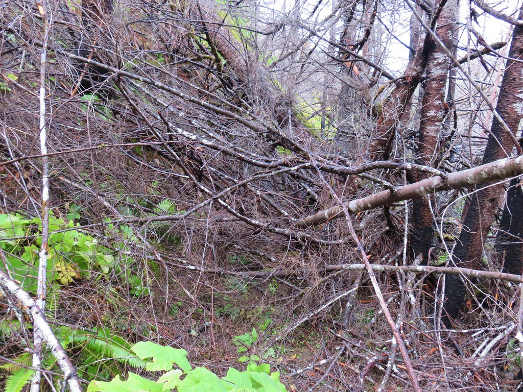
 The amount of trail work needed to clear the trail was evident by the sheer number of cut trees along the length of the trail.
 This was from 2017 near the same stretch of trail.
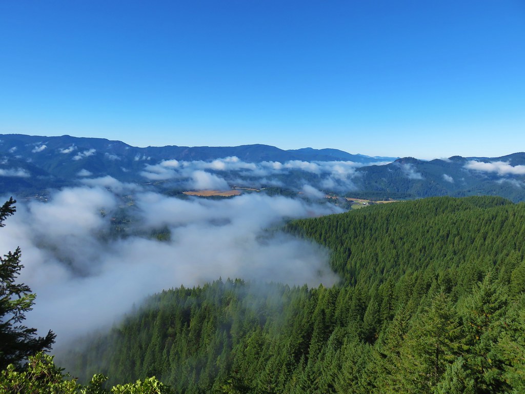
 View up the canyon from the trail.
 Clodius parnassian
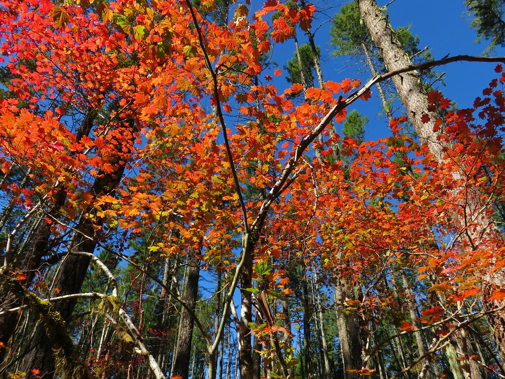
 There was a lot of vegetation along the trail, so we had to keep an eye out for poison oak which was present at times on the lower two-thirds of the trail. It was never much of a problem, but there were a couple of plants crowding the trail that we had to maneuver around.
 Moth
Moth
 Starflower
 Rhododendron

 Northern cloudywing
 Big deervetch
 Hummingbird
Kreuger Rock with Patterson Mountain (post) behind to the left.

 Groundsel
 One of the damaged sections of trail.
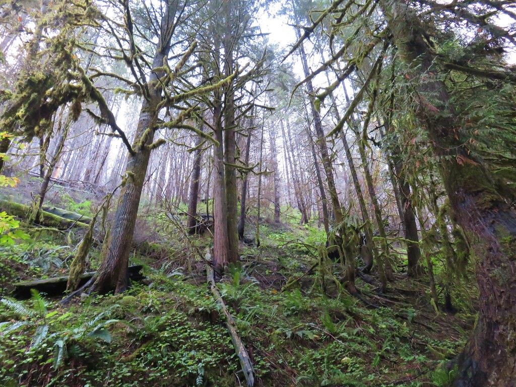
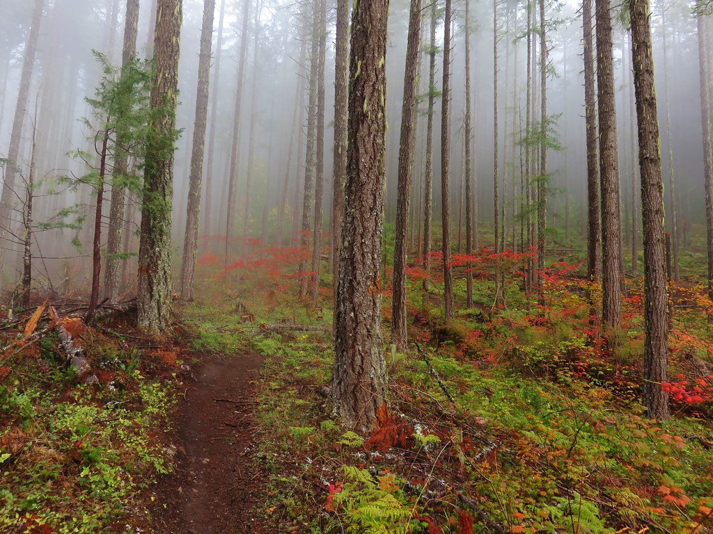
 There was some forest that survived the fire starting near the 3.5-mile mark where the fire burned less intensely.

 Townsend’s solitaire
 Canada jay
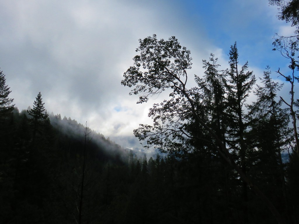
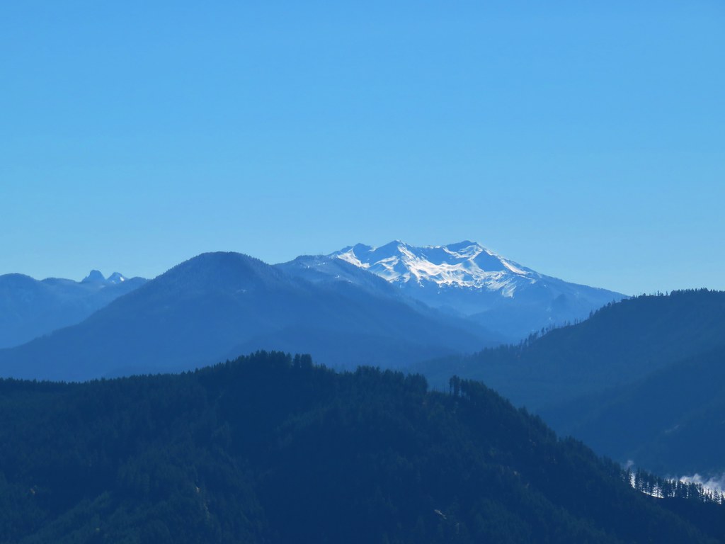
 There were a few views of the Three Sisters through the remaining trees. (Middle & South Sister here)

 Inside-out flower
 Looking up as the trail neared the summit.
 Woodpecker
 Common whipplea
 Anemone
 The Deception Butte Trail arriving at Deception Butte.
 Beargrass
From the actual summit the view is limited in every direction save the south.


A user trail heads SW and drops to an open saddle where you can get an unobstructed view of Diamond Peak to the SE.

 Looking down at the saddle and wondering if it was really worth having to climb back up.
I had arrived before Heather and decided I needed to see the view, so I headed down to the saddle where there were I found quite a bit of wildlife and a few flowers.
 Northern flicker
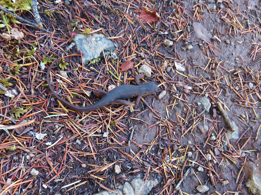
 Lizard
 Rock outcrop on the other side of the saddle.
 Tolmie’s mariposa lilies
 Bluehead gilia
 Squirrel
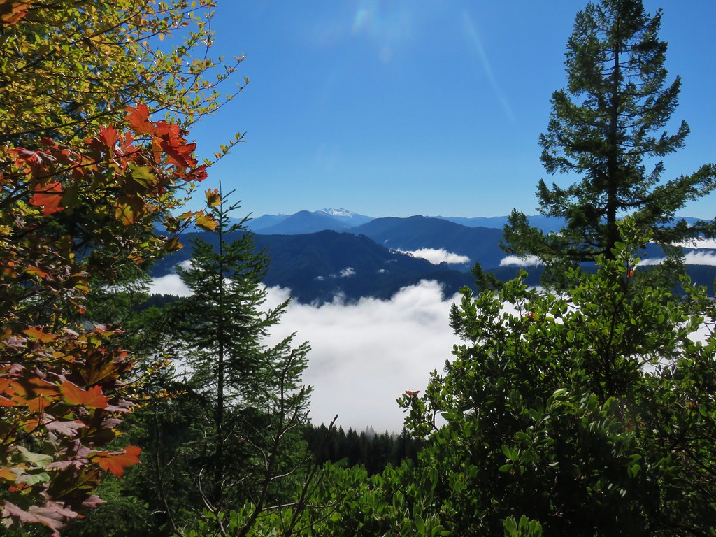
 Oakridge in the valley below with Diamond Peak (post) on the right. The smaller peak with snow to the left of Diamond is Mt. Yoran, the triangle shaped peak is Coyote Mountain, and the peak with a little snow to the left of that is Fuji Mountain (post).
 Diamond Peak
 Oakridge
 Leafy fleabane
 Oregon sunshine on the hillside looking up Deception Butte from the saddle.
 Wild onion
 One of the fritillary butterflies.
 Fly inside a Tolmie’s mariposa lily.
Hether had joined me at the summit, and we took a nice break in the shade on the mossy ground before heading back down.

 There is a very steep trail just below the summit that leads to an upper trailhead. The Forest Service does not recommend using these though as the trail is said to be slippery and steep. We can vouch for the steep just by having looked down from the Deception Butte Trail.
 Plectris and stonecrop
It was warming up fast as we descended, a stark contrast to the cold wet descent on MacDuff Mountain (post) just four days prior. We had to be careful not to slip on the loose rocks in the steeper sections and were again thankful for our trekking poles.

 Coralroot
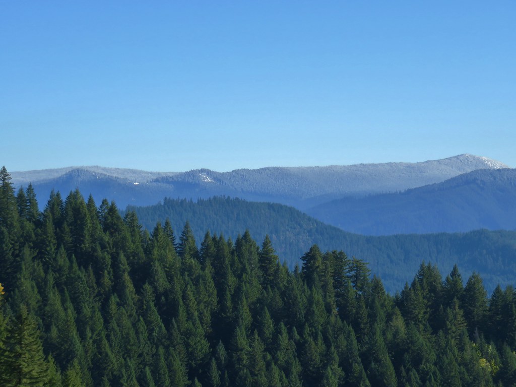
 The best view of the Three Sisters that we got all day.
 Butterflies enjoying some vetch. There were at least a half dozen butterflies visiting this patch.
 Brown creeper
 Pink pyrola


 Pearly everlasting
 Turkey vulture
 Fireweed
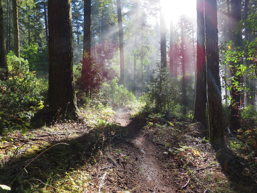
 Entering the trees near the footbridge over Deception Creek.
 Columbine
 Tiger lilies
This was a challenging but nice hike. We only saw one other person all day, a trail runner, before reaching the footbridge in the morning. In addition to some poison oak along parts of the trail we did flick a total of three ticks off our clothing so that is something to be aware of. Our GPS track showed approximately 9.5 miles which is partially inflated by my wandering back and forth a bit at the summit.

While it’s not the most exciting hike you can find, there were enough views and variety of plants and wildlife to keep things interesting and the elevation gain made it a good training hike. Happy Trails!


 Looking SW
 Hills Creek Reservoir (behind the tree)
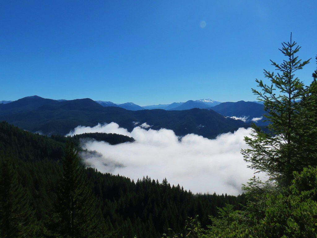
 Mount Yoran and Diamond Peak