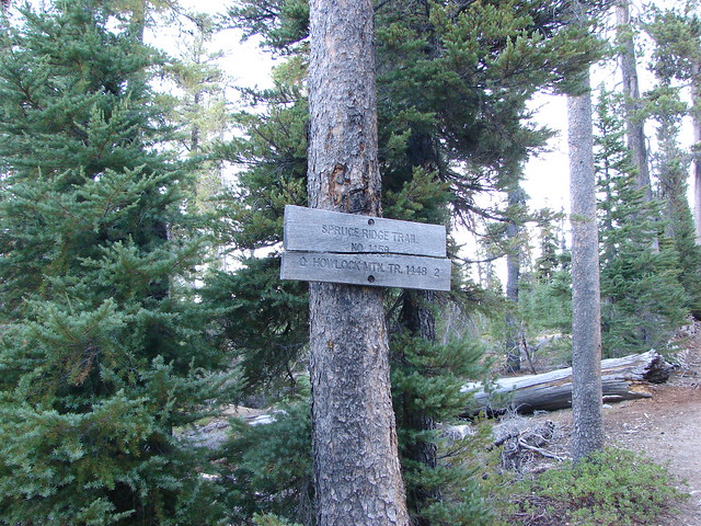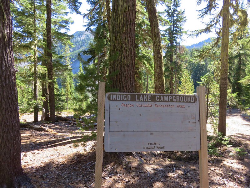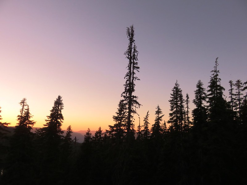
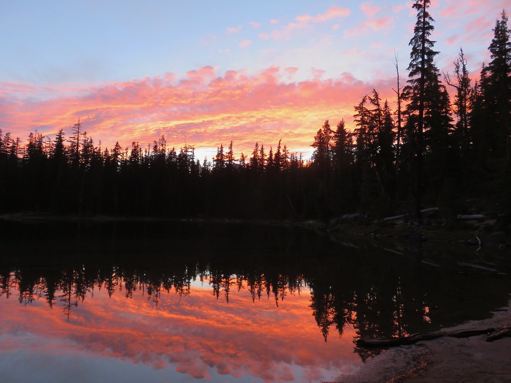
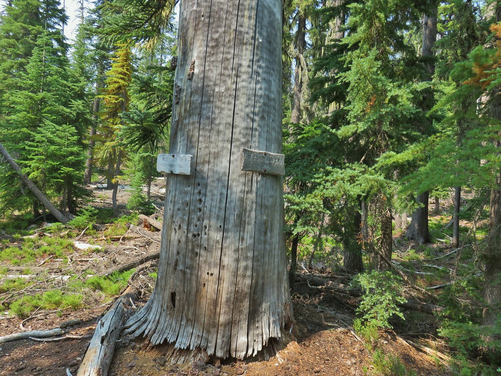
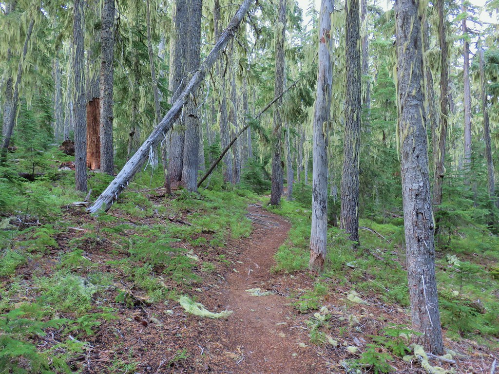
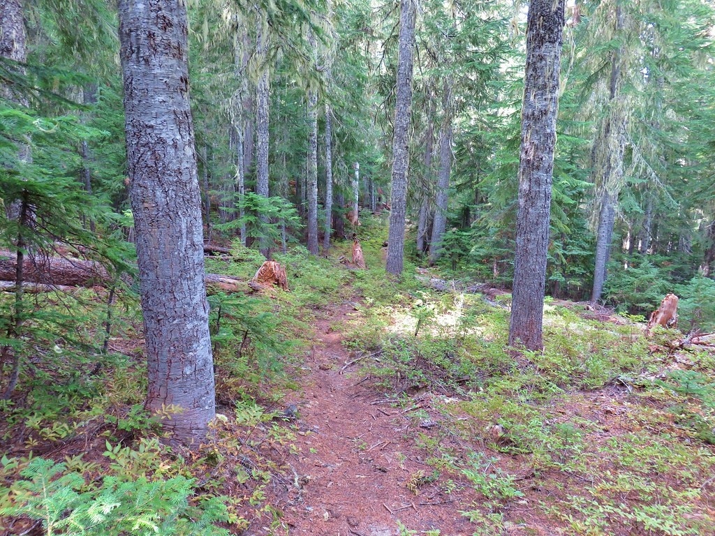
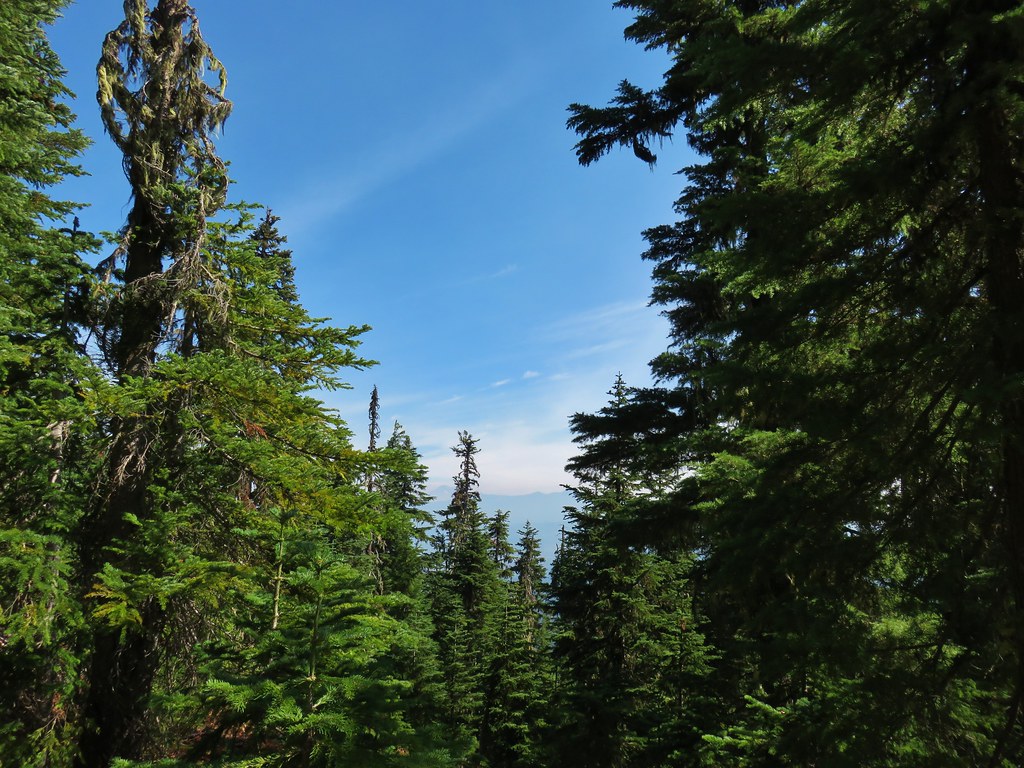
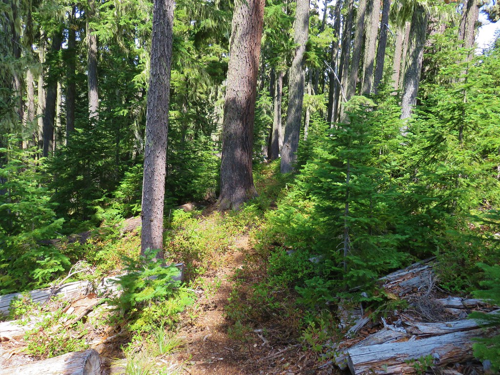
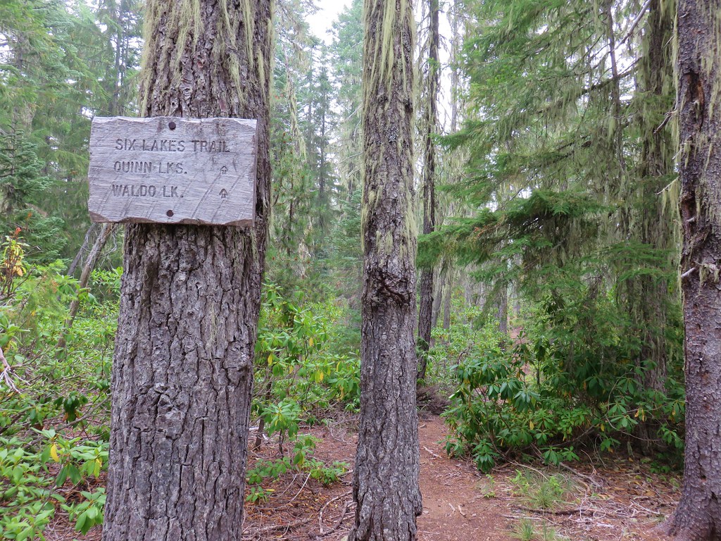
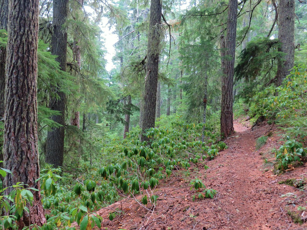
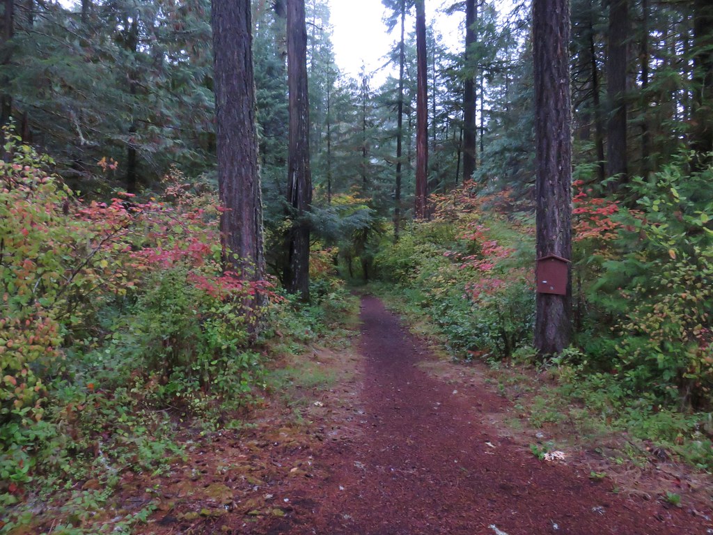
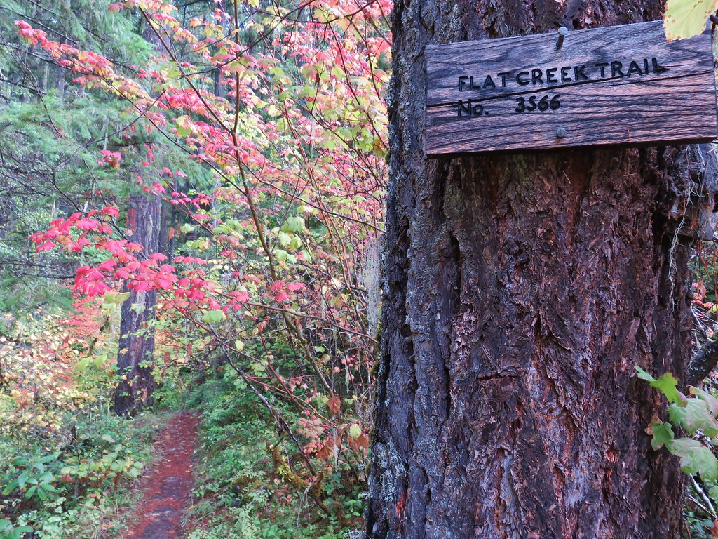
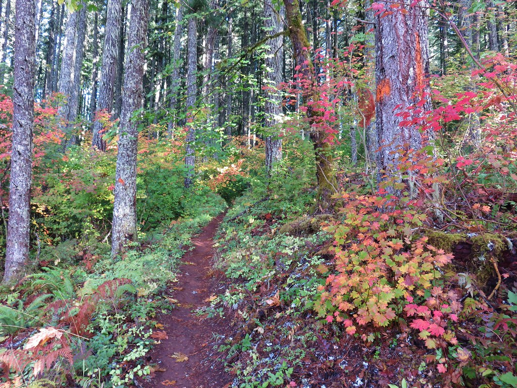
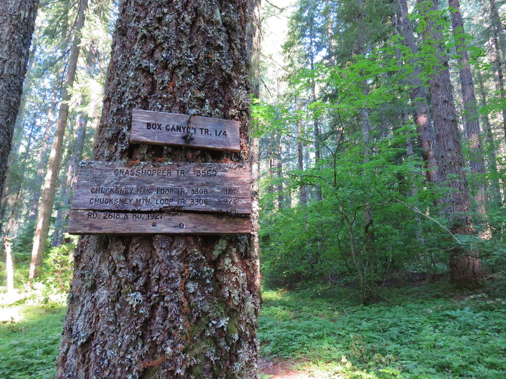
After skipping a planned hike due to illness (and some less-than-ideal weather) we got back on track with a trip to the Diamond Peak Wilderness. The plan for the day was to start by taking the Vivian Lake Trail to Vivian Lake in the wilderness then hike the nearby Hemlock Butte Trail up to a former lookout site followed by a second stop to visit Pool Creek Falls. We began at the Vivian Lake Trailhead following the Vivian Lake Trail past an empty wilderness registration box and gaining some views of Diamond Peak.


The trail climbed gradually for 0.6-miles to a junction with the Diamond Peak Tie Trail. We had been at this junction before when we backpacked around Diamond Peak (post).

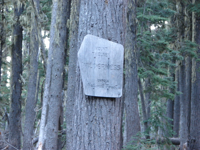
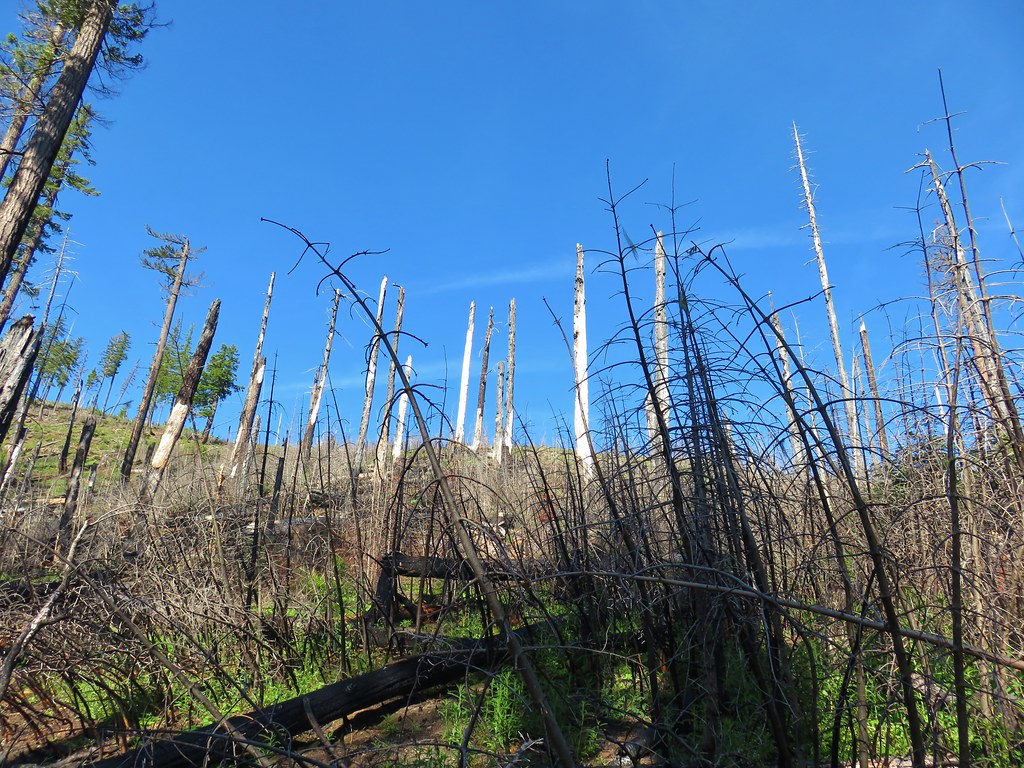
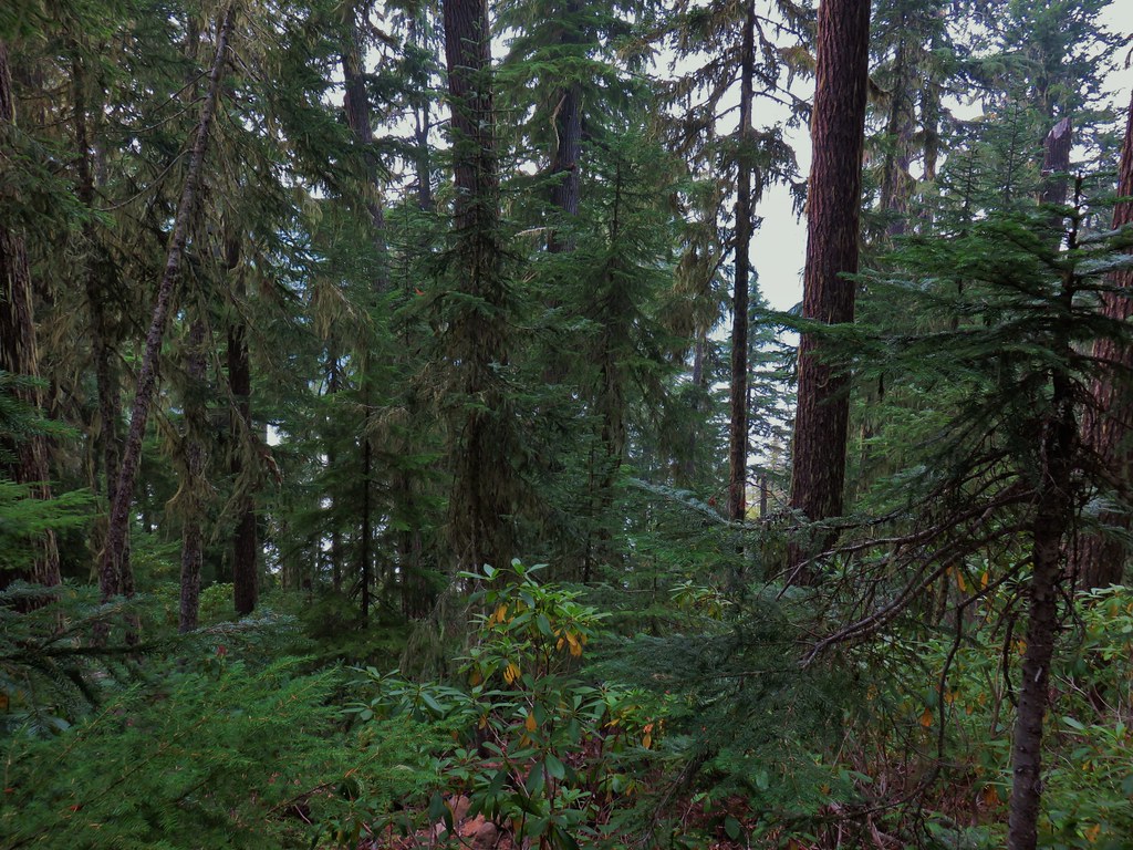
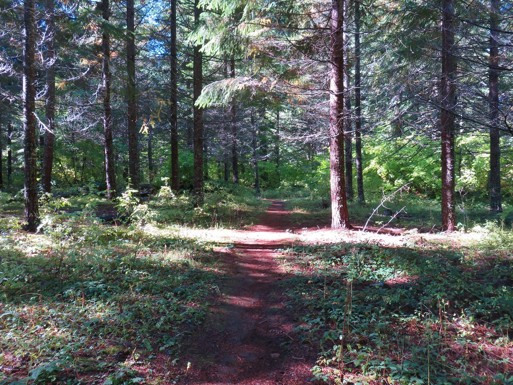
 Along the way we entered the wilderness area.


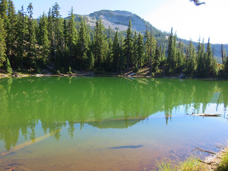
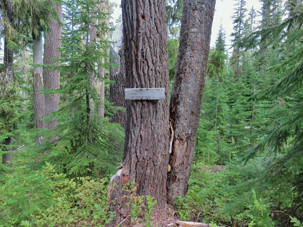
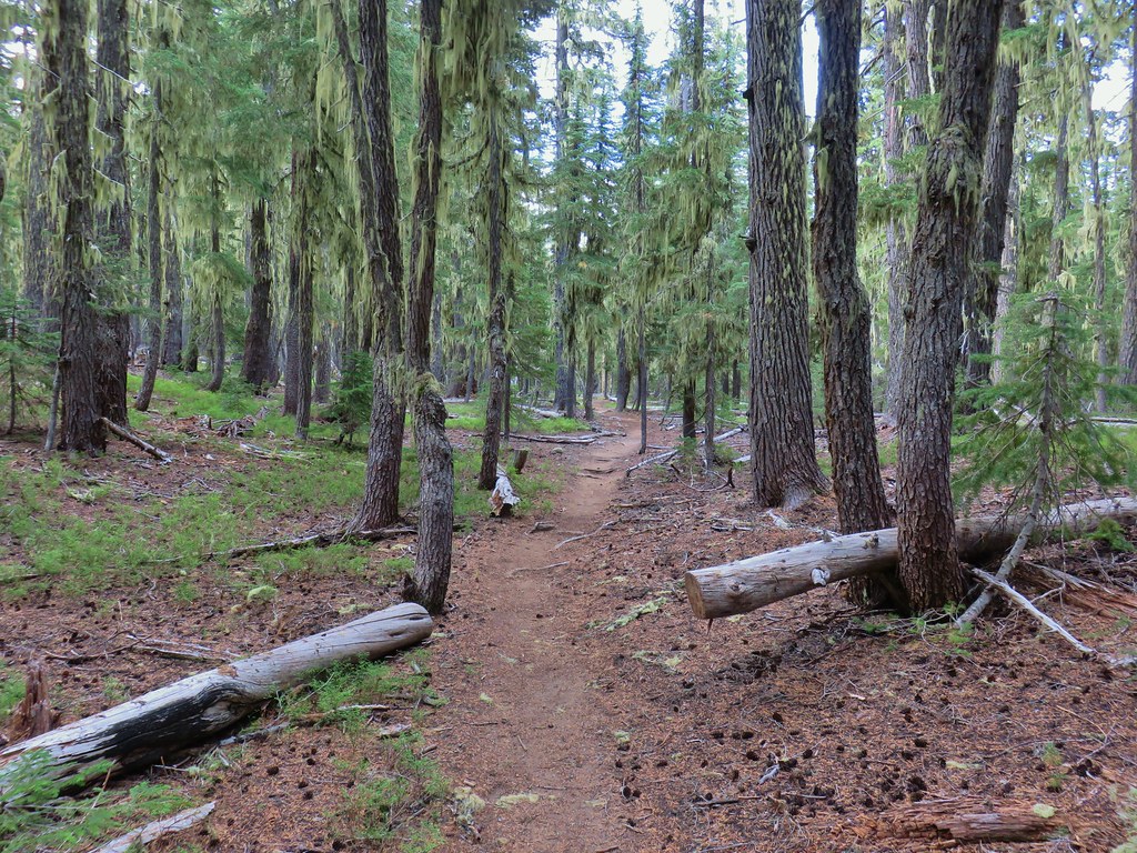
We continued on the Vivian Lake Trail arriving at Notch Lake after another quarter mile.


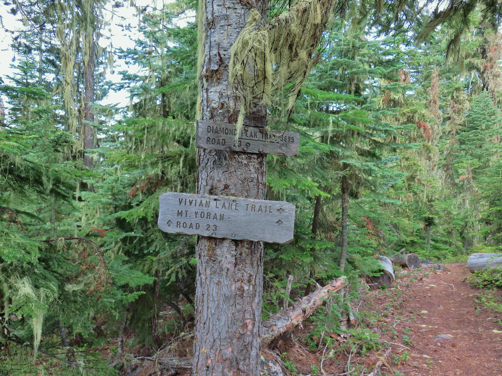
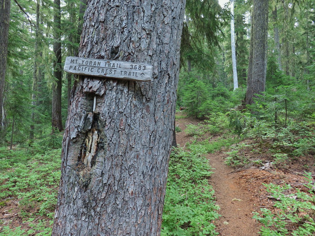
We continued beyond Notch Lake arriving at the Mt. Yoran Trail junction after another 0.2-miles.


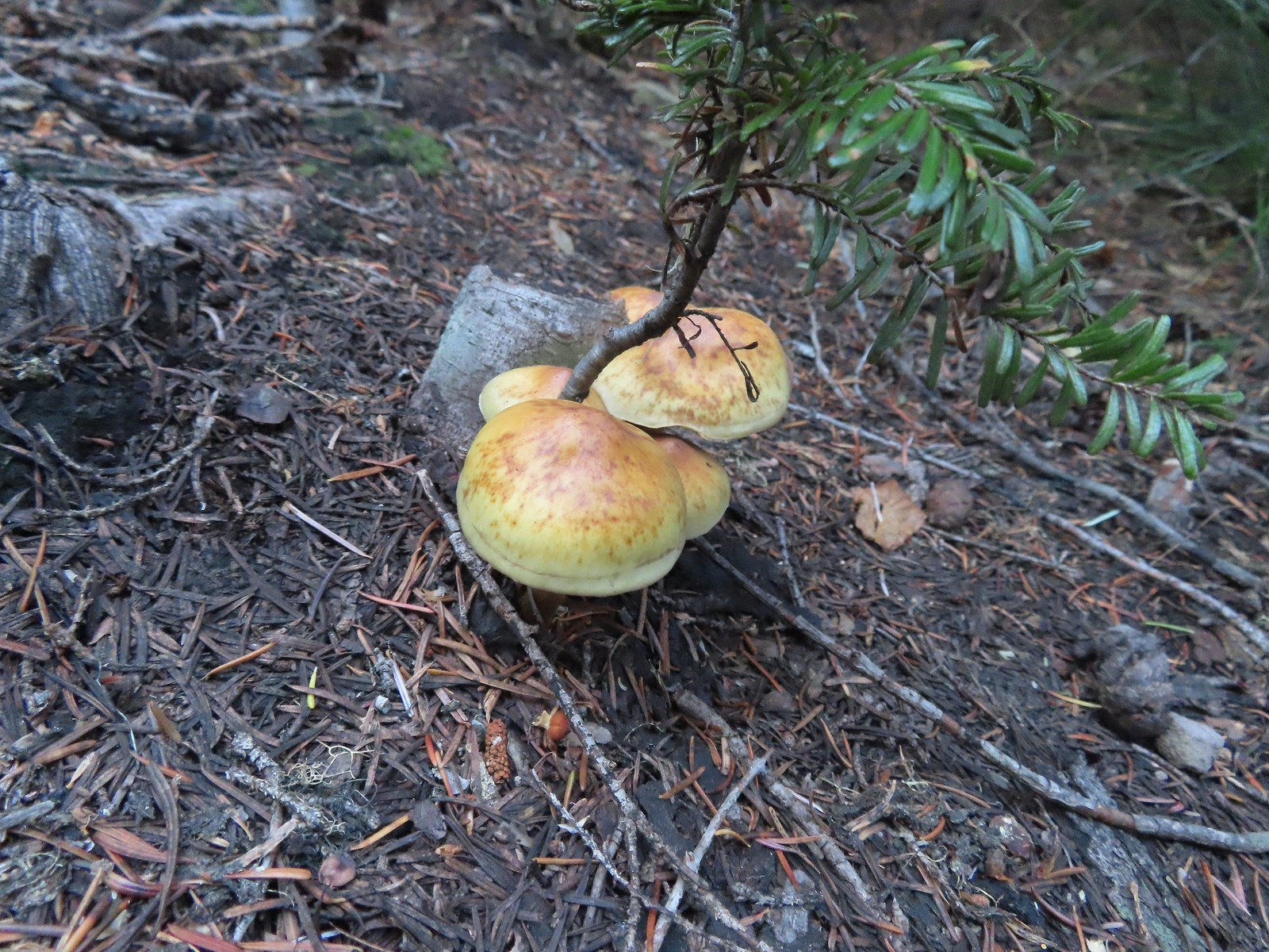
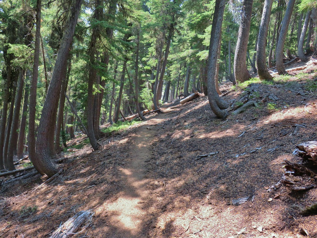
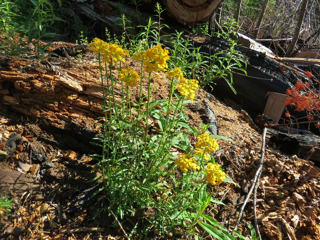
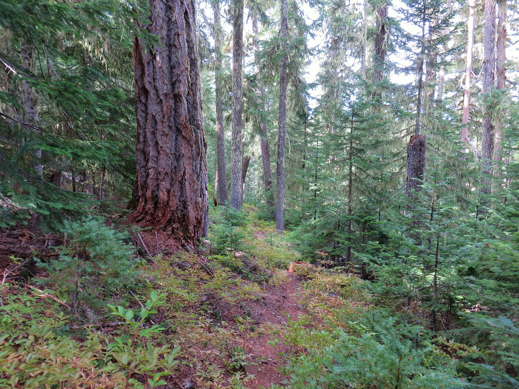
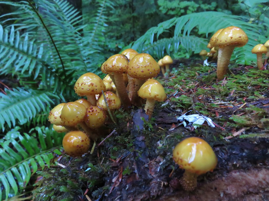
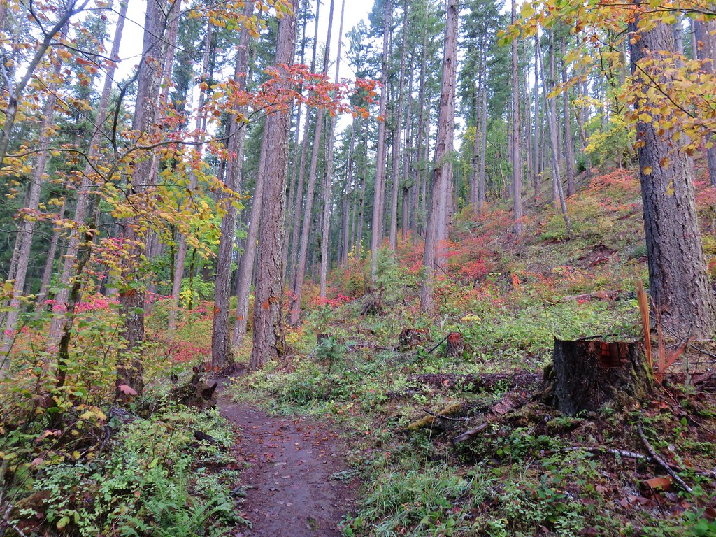
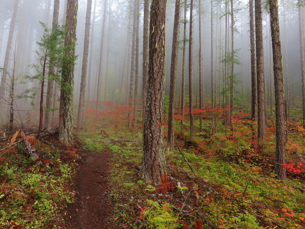
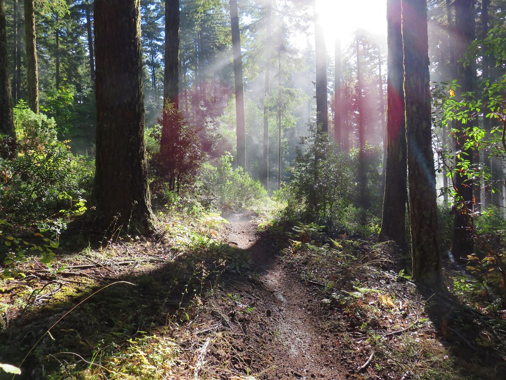
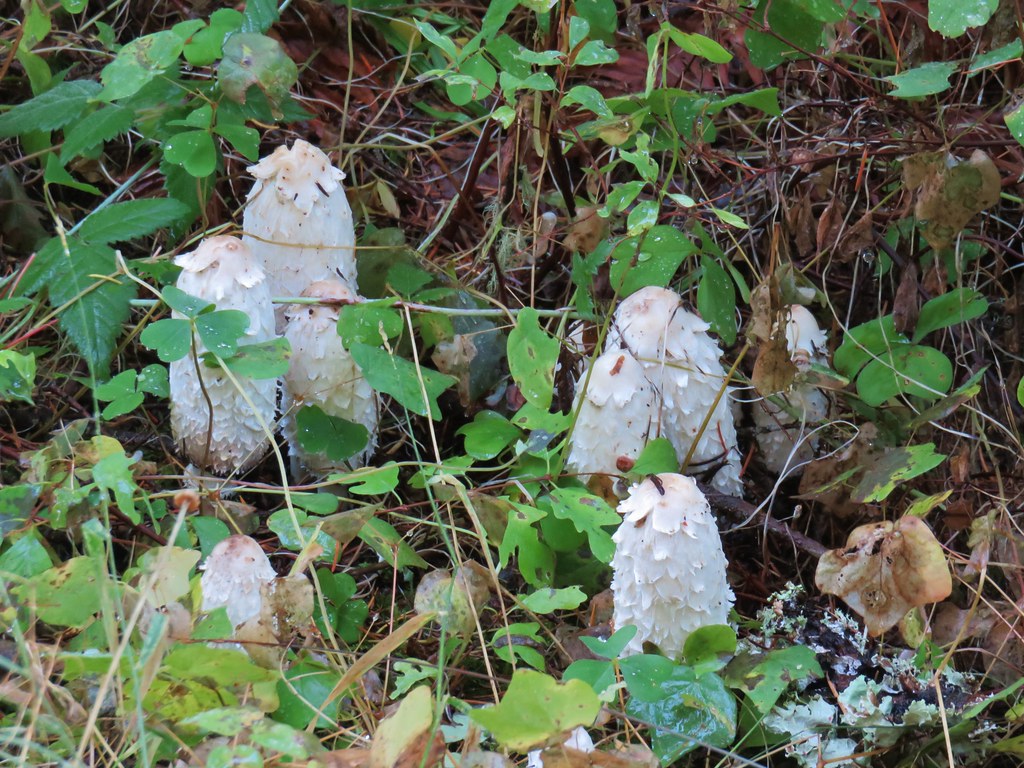
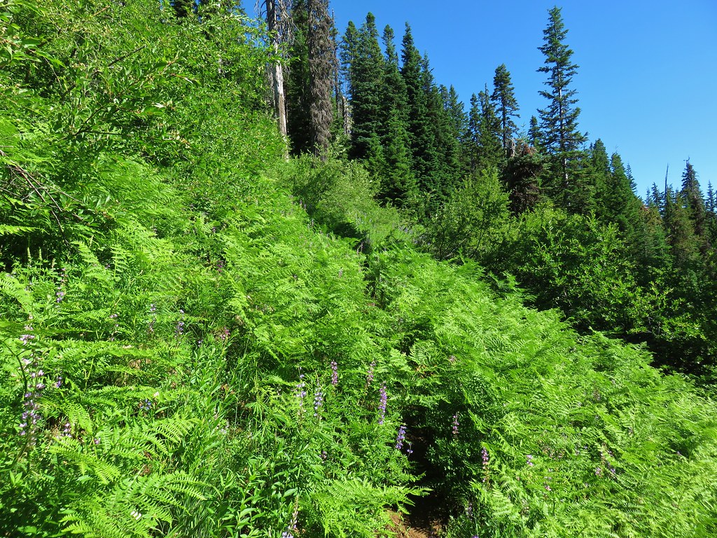
During our loop around Diamond Peak we’d turned onto the Mt. Yoran Trail here, but today we stuck to the Vivian Lake Trail which spent the next 1.2-miles climbing to a saddle. At times the trail was nearly level while at other times it launched steeply uphill. While it was too late in the year for flowers there were numerous colorful mushrooms and fungi along the way.

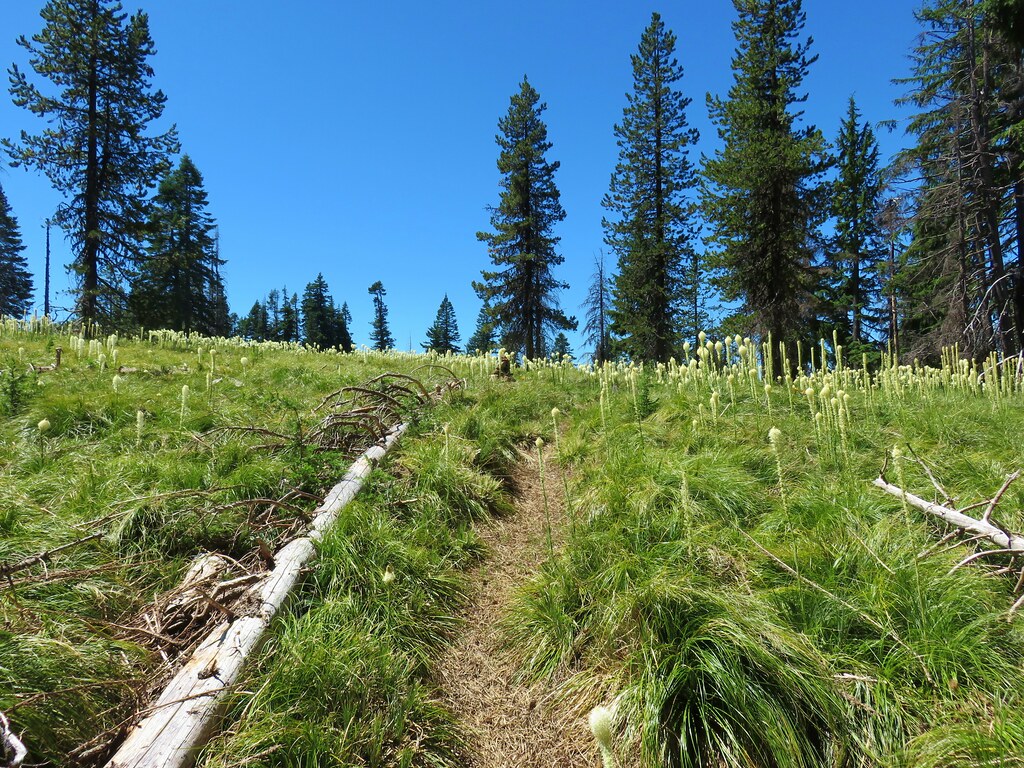
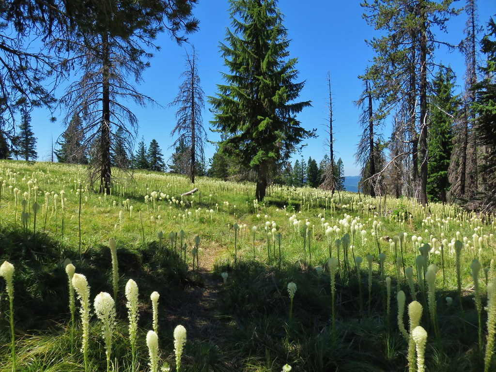
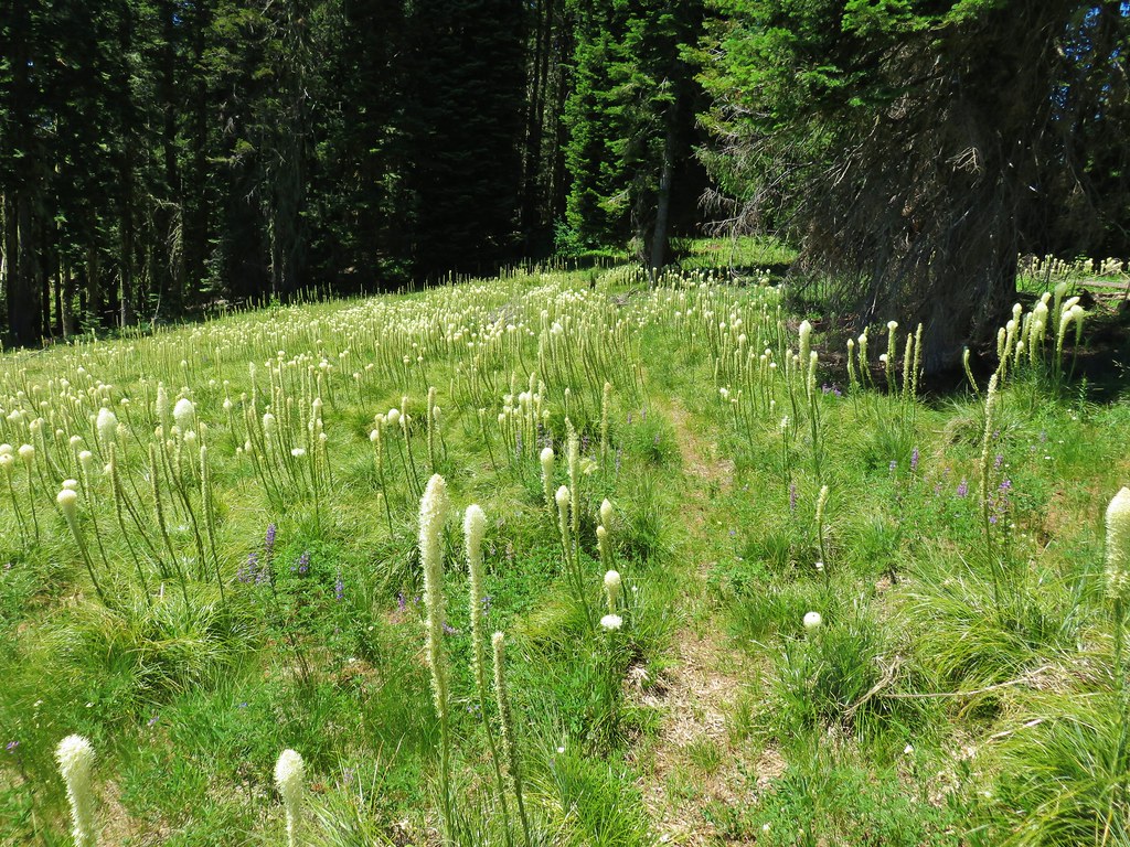
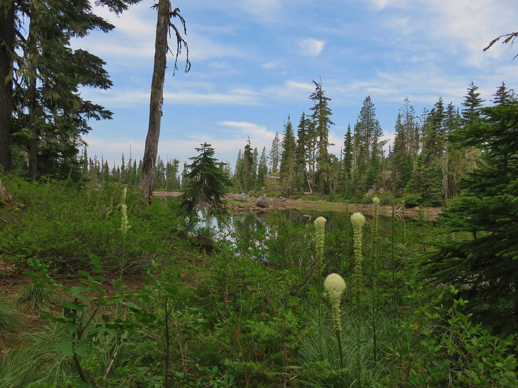
 It looks to have been a good year for beargrass.


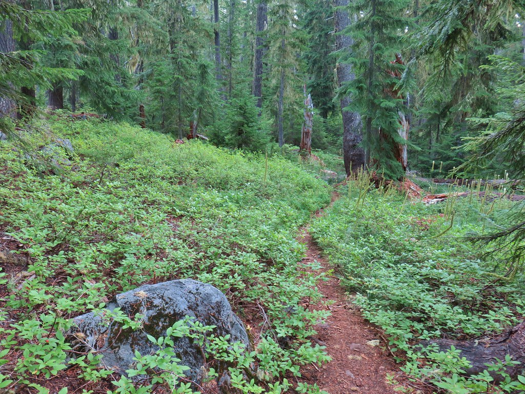
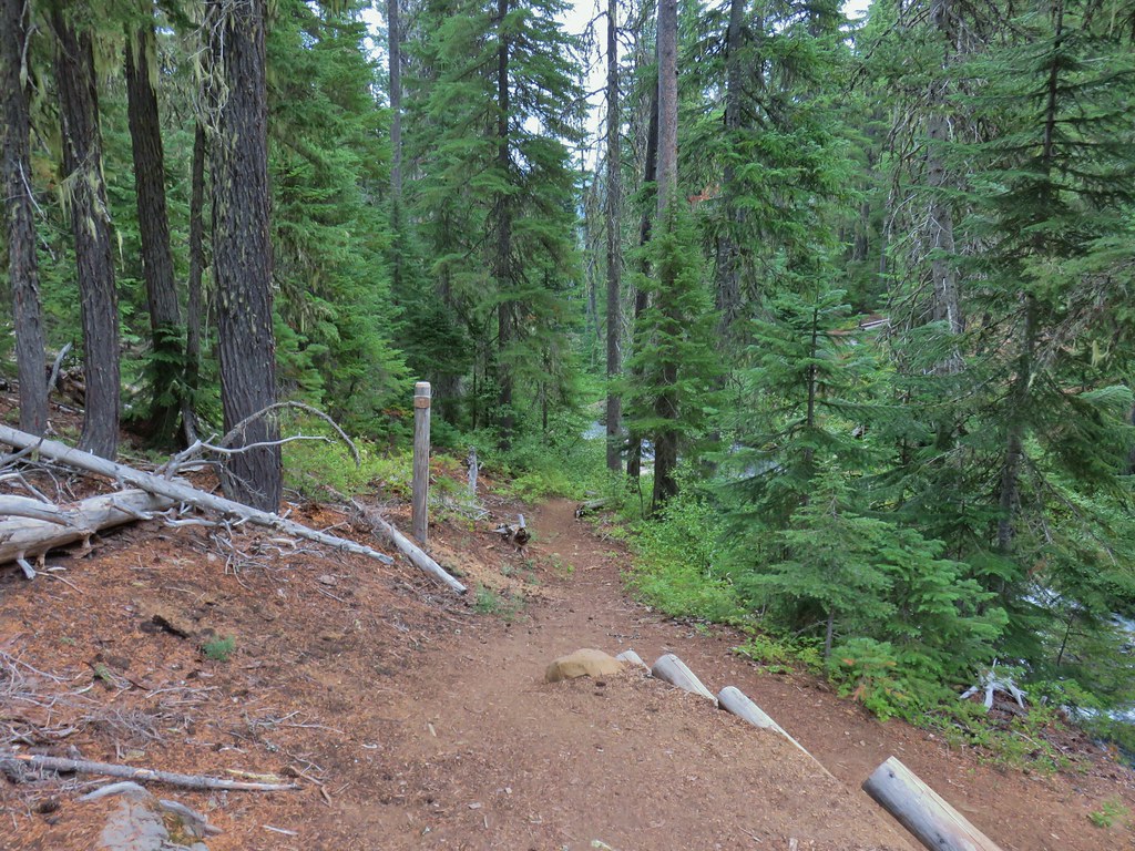
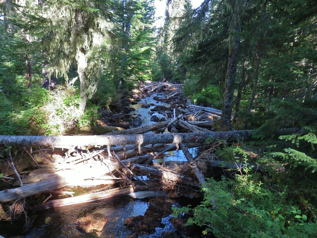
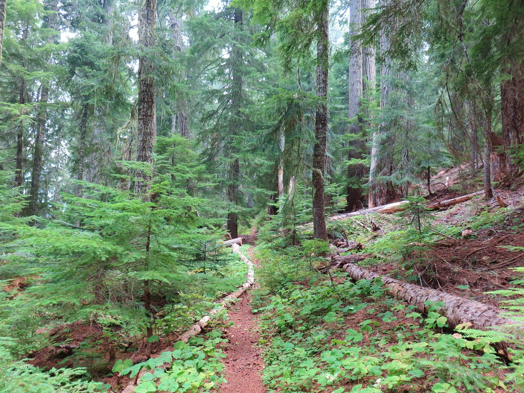
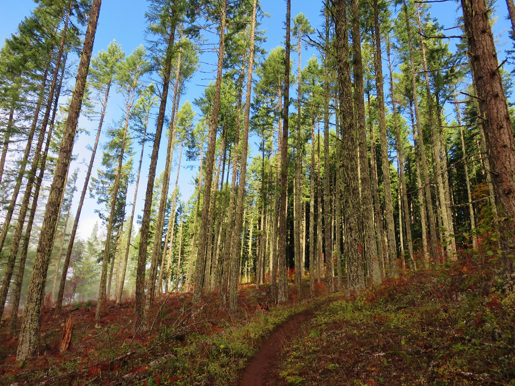
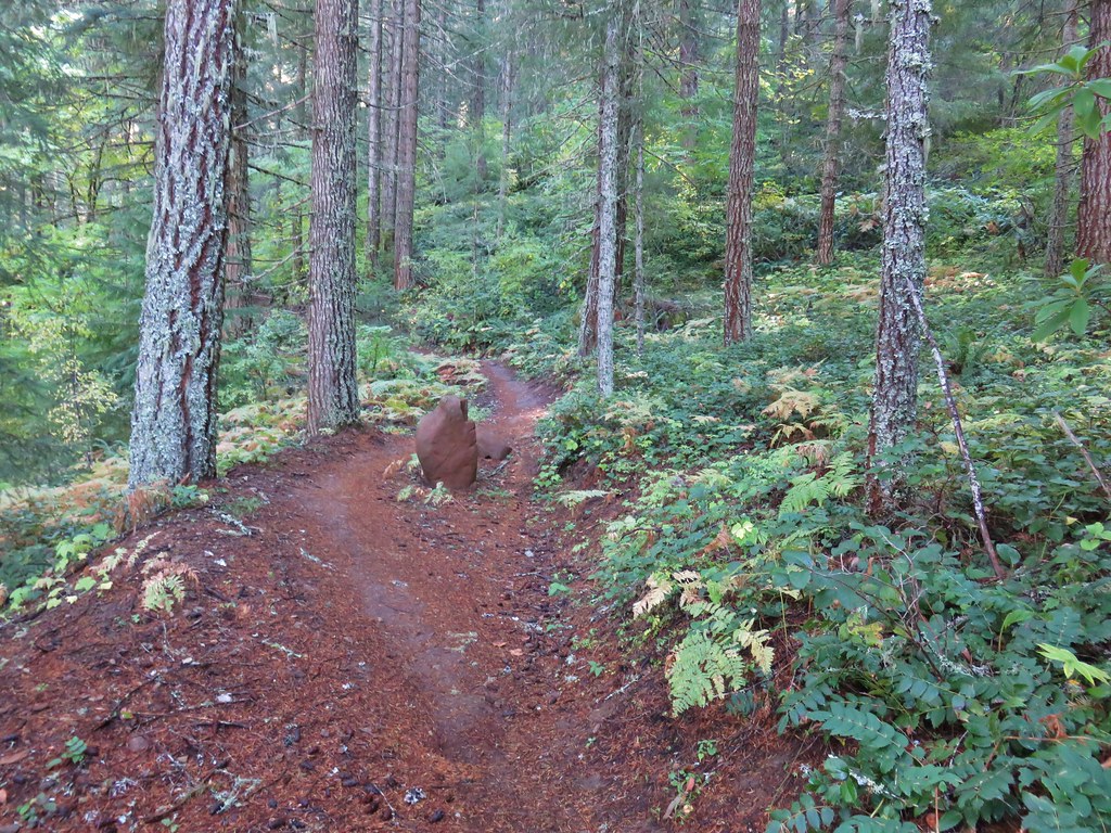
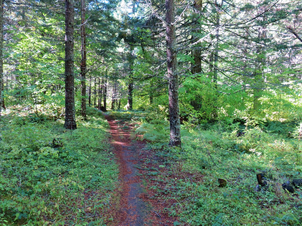
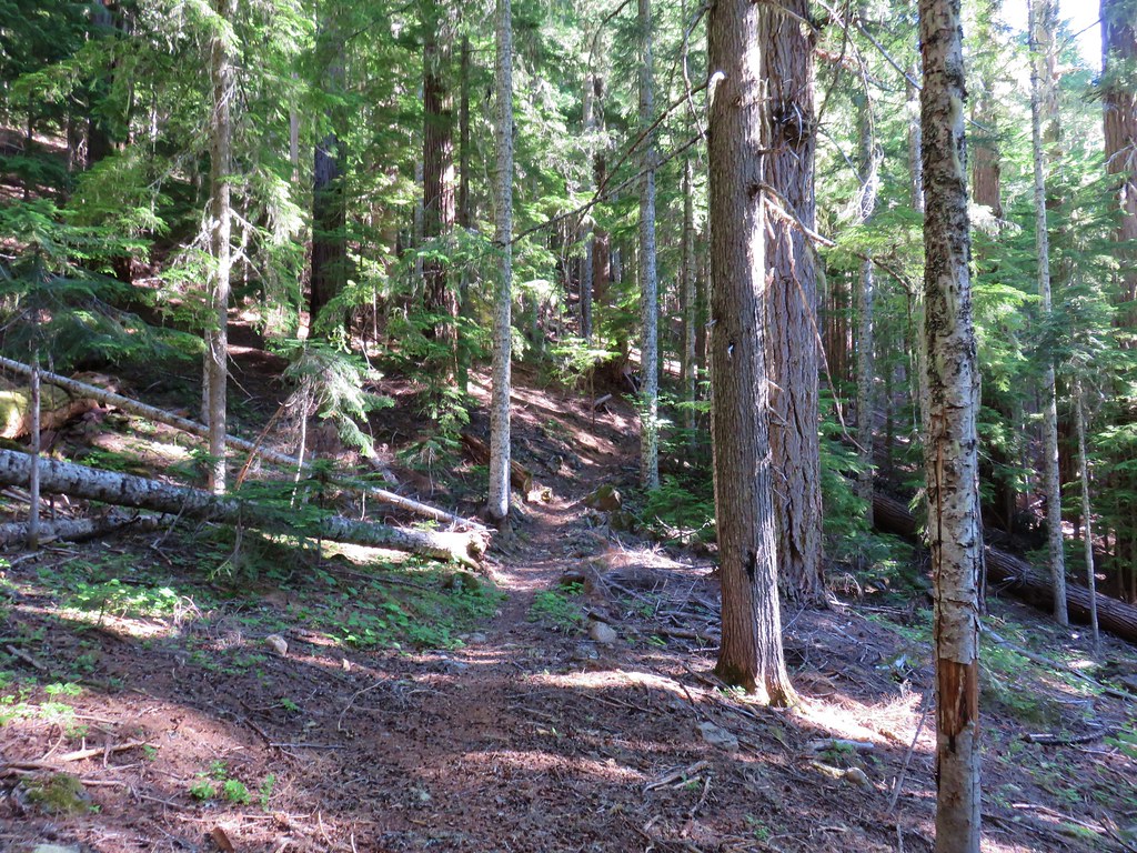
 The trail was well maintained with only one small log across the entire route to Vivian Lake.


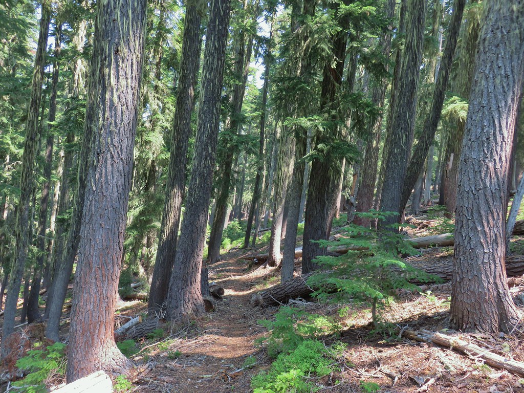
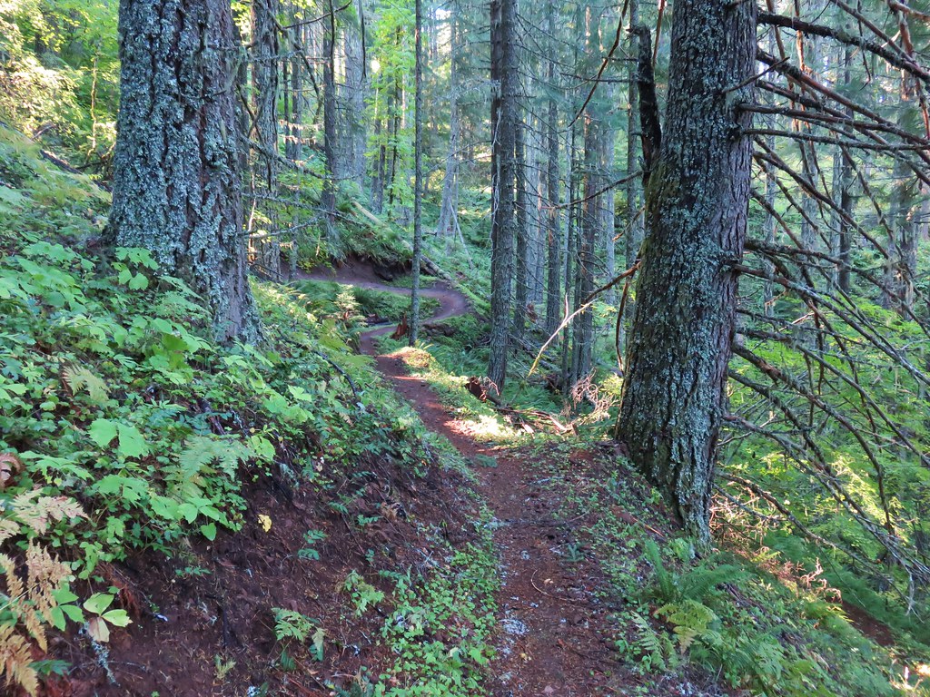
 Another level section.
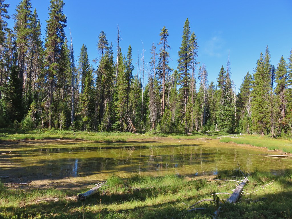
 Pond along the trail.
 The saddle at the high point of the trail.
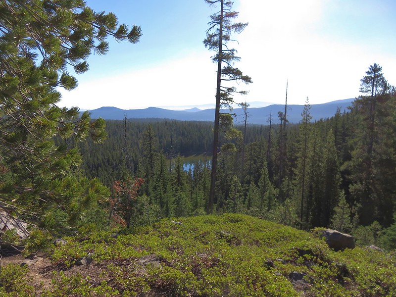
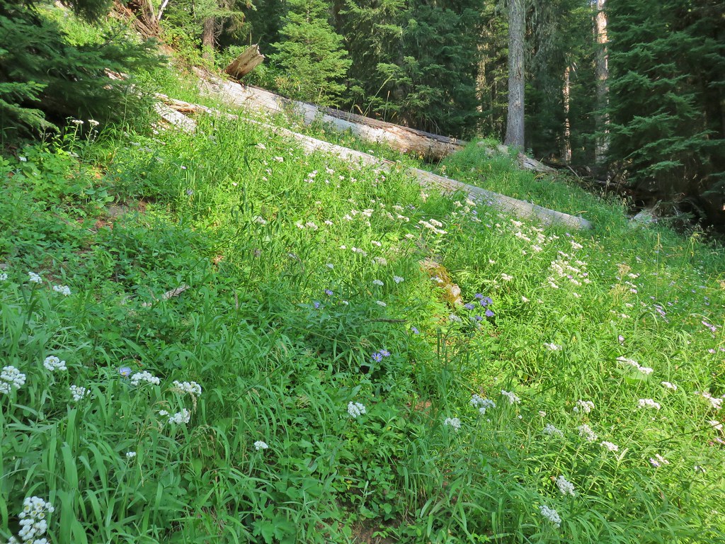
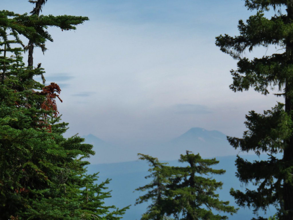
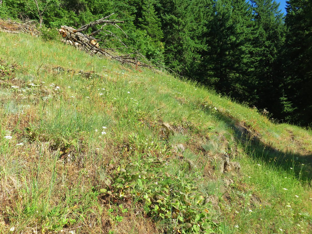
After catching our breath at the saddle we began the mile and a half descent to Vivian Lake. The first two tenths of a mile the trail dropped steeply downhill to a shelf where it leveled out as it passed a pair of unnamed lakes.
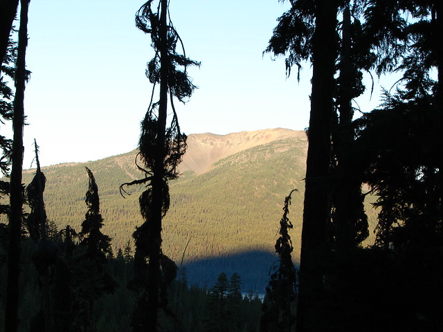
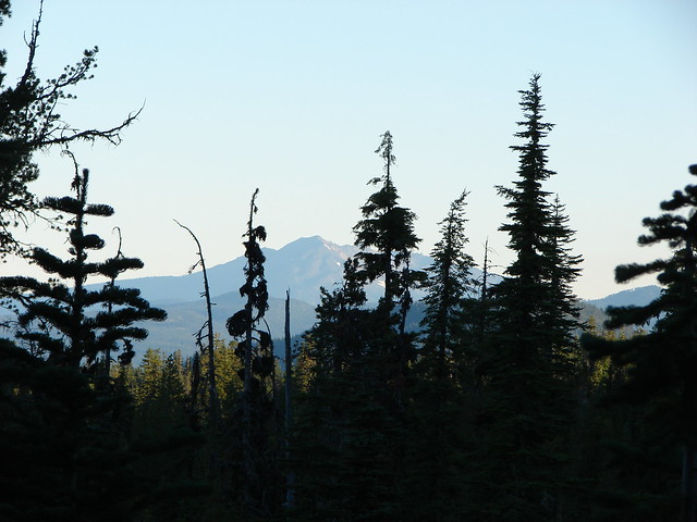
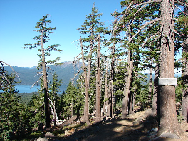
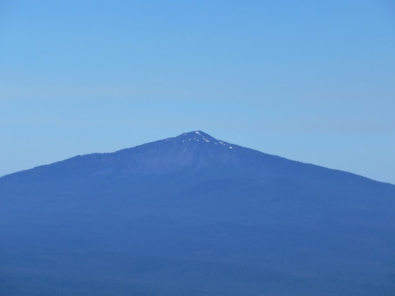
 Maiden Peak (post) across Highway 58 through the trees.


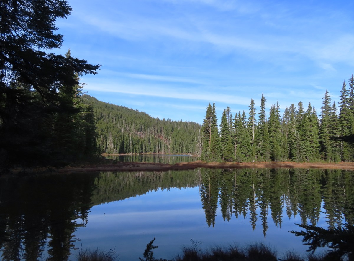
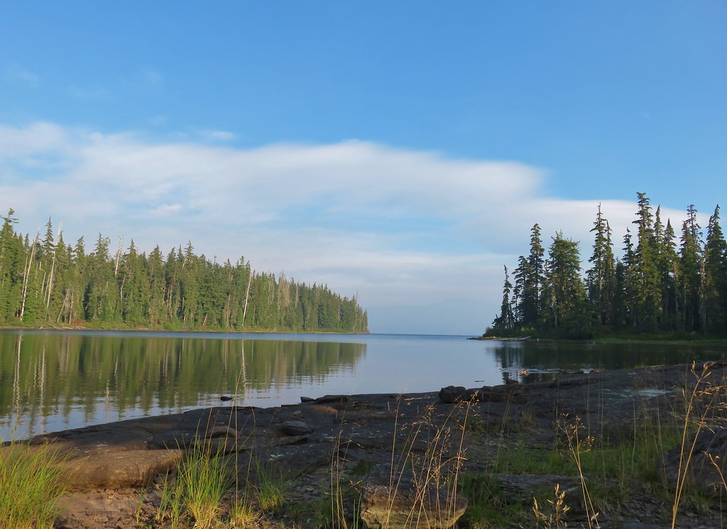
 We passed the smaller of the two lakes a half mile below the saddle.
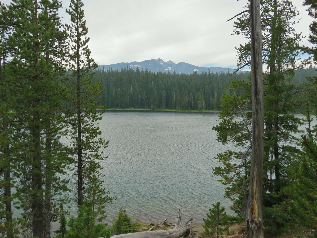
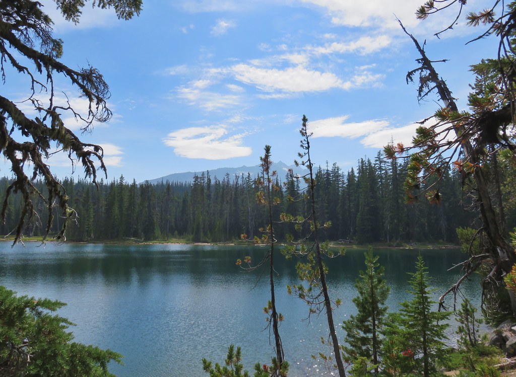
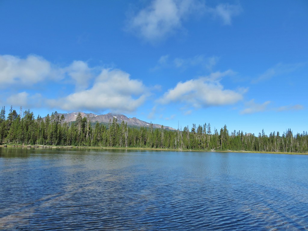
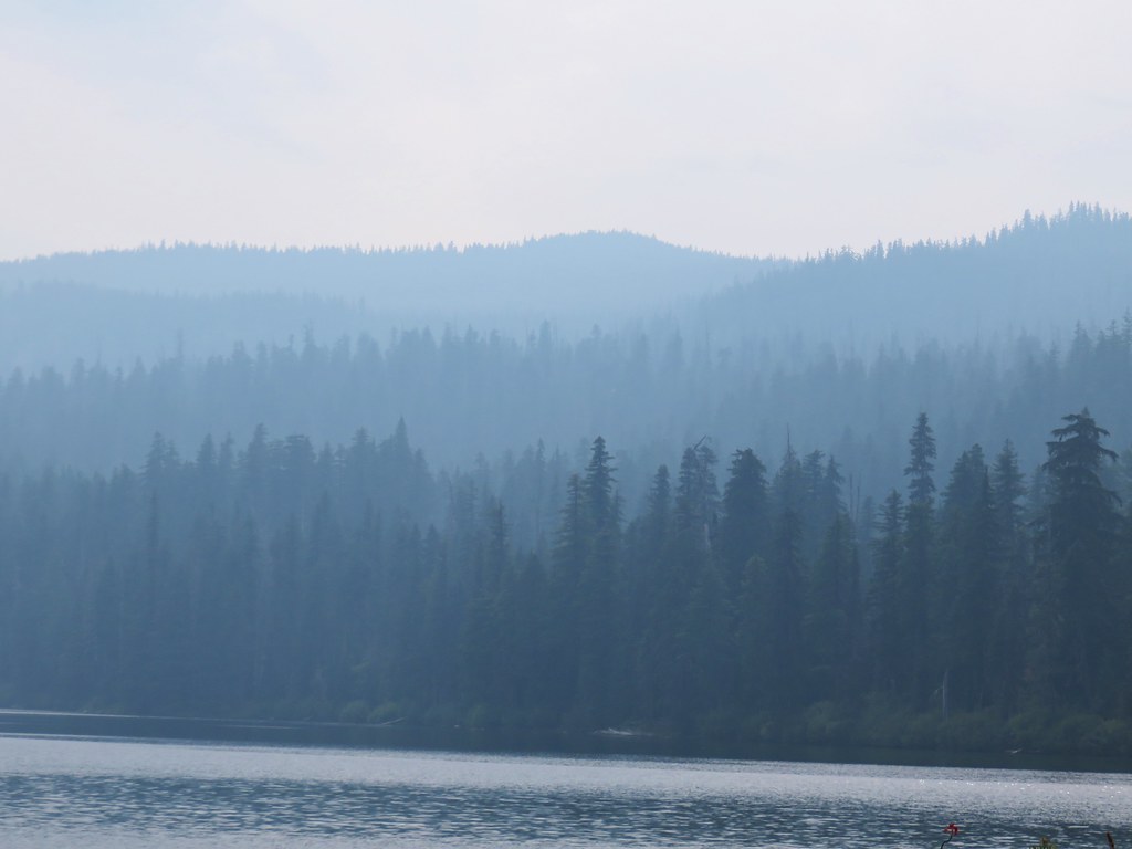
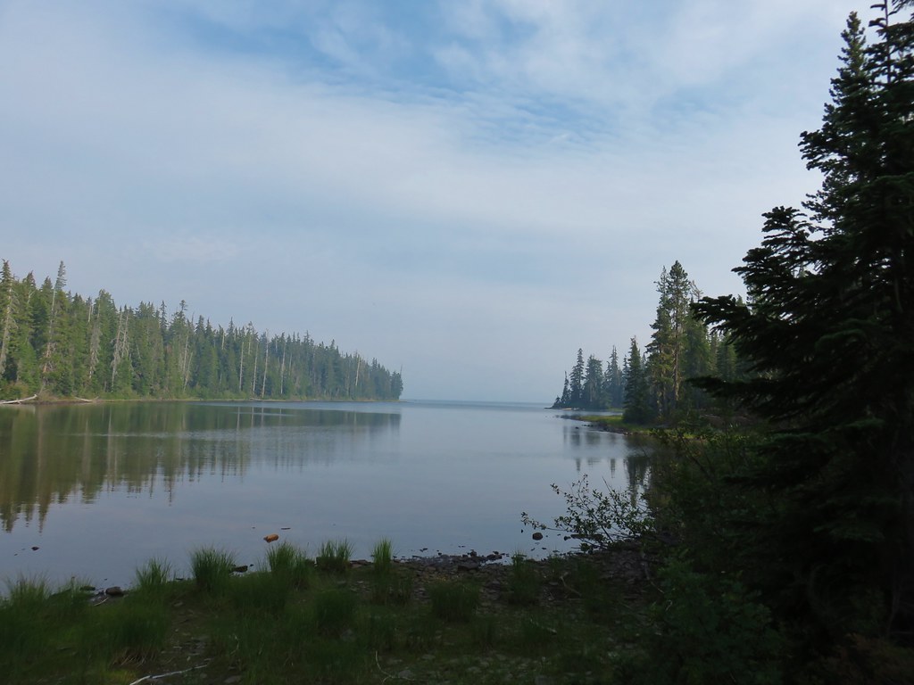
 The second lake, which was just 100 yards from the first, was much larger.
 Mt. Yoran from the lake.
 Ridge above the lakes.

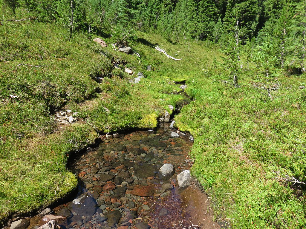
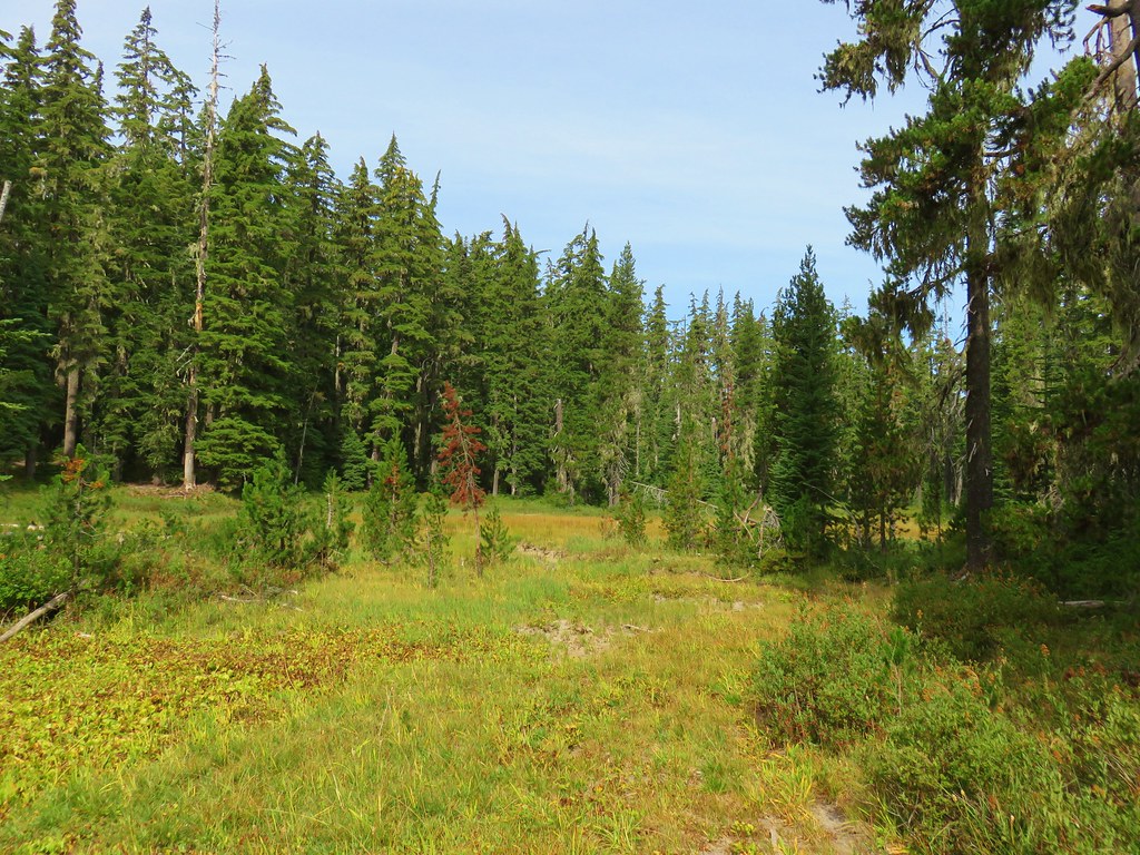
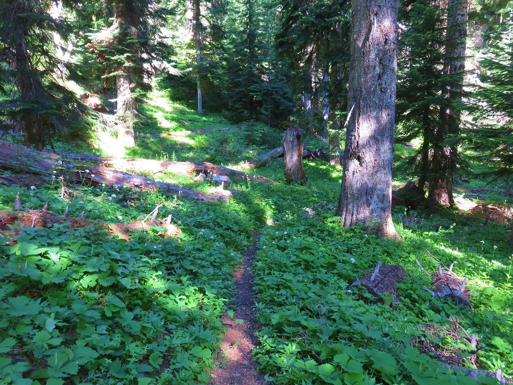
A tenth of a mile from the lakes the trail began another steep descent along a trickling creek before leveling out next to a marsh.
 Just before beginning the descent the trail passed South of a third small pond/lake that was visible through the trees.
 Heading down to the creek.


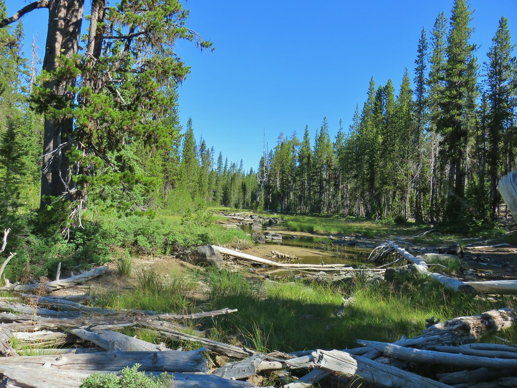
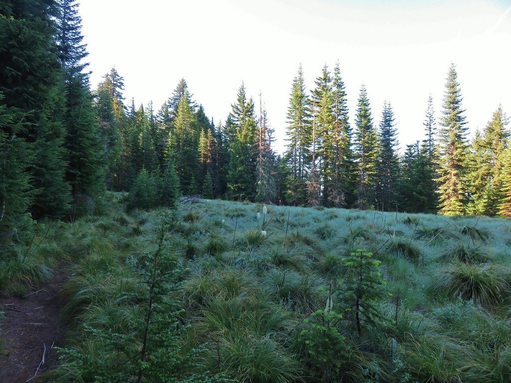
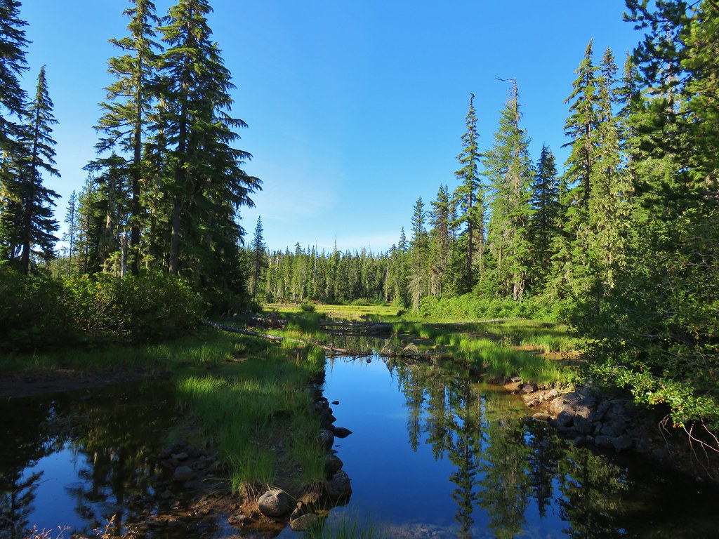
 The marsh
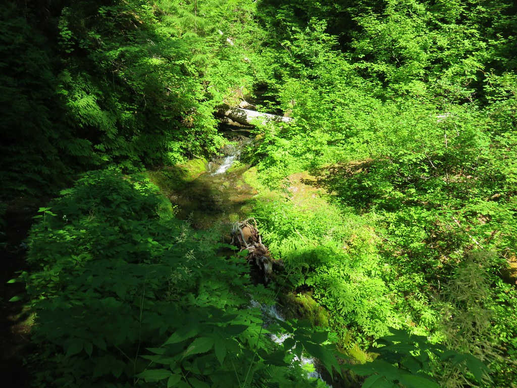
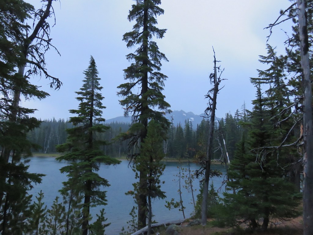
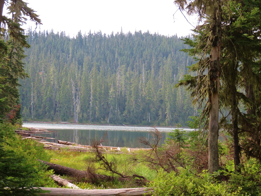
 Mt Yoran from the marsh. While it looks like a meadow, Fall Creek flows through here, and at times we could see water out in the grass.
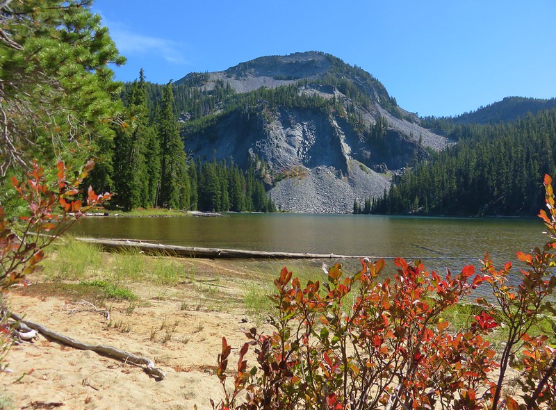
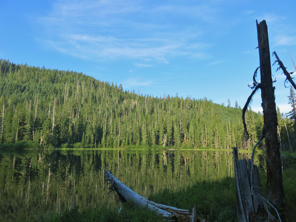
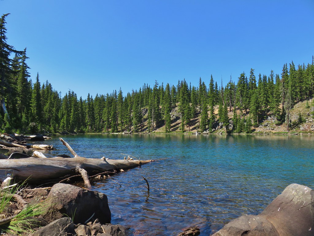
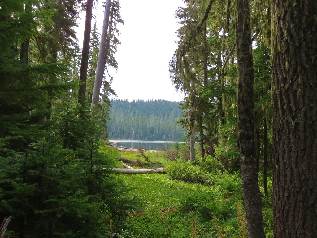
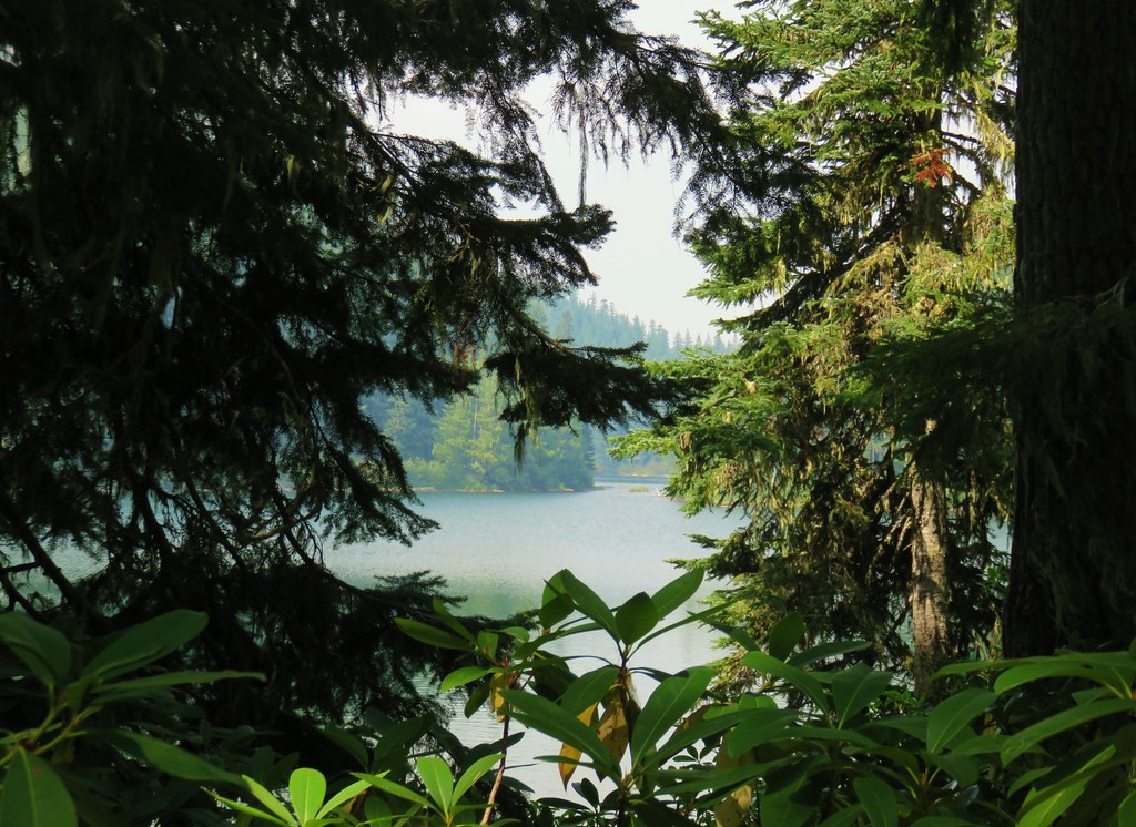
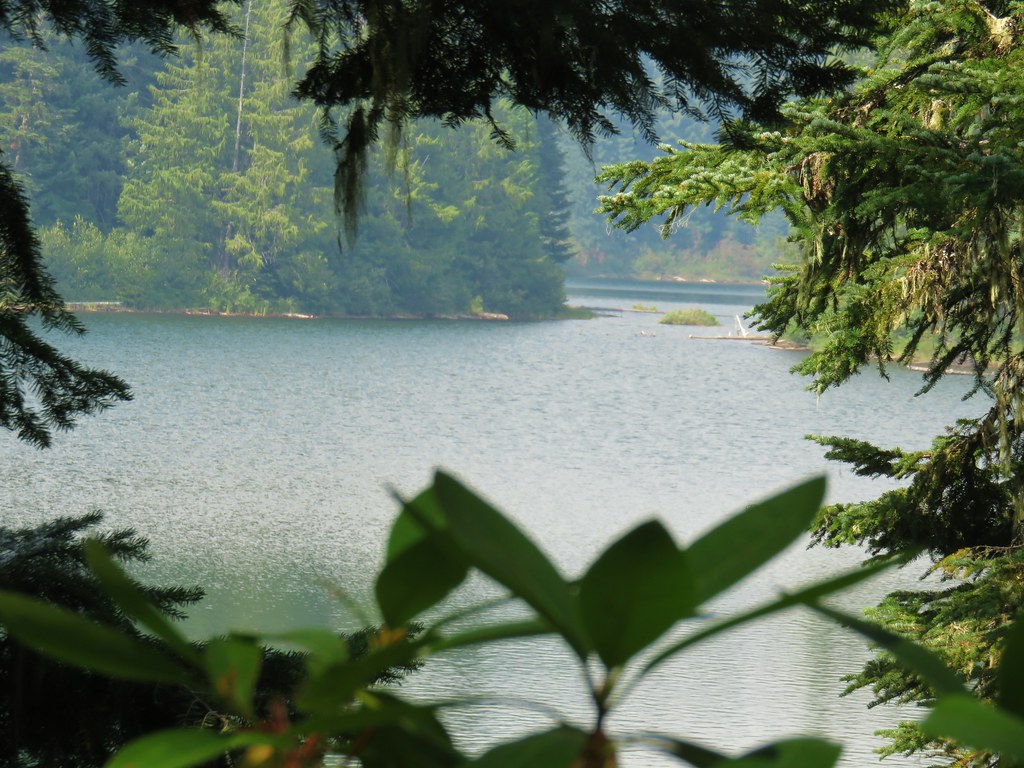
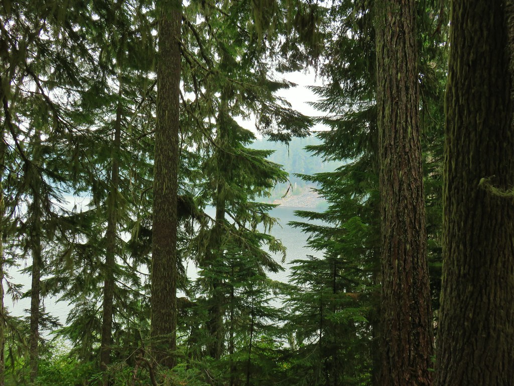
Just 0.2-miles beyond the marsh we arrived at a junction with a spur trail to Vivian Lake.


We’d been to this junction before as well, in 2013 we had visited the lake as part of our Salt Creek Falls Hike (post). We turned left onto the spur trail and followed it a short distance to the lake.


 We were able to use these rocks to hop across this narrow channel to the North shore of the lake where we were able to get a view of Mt. Yoran.


After exploring part of the northern shore I headed back across the channel and followed the trail around the South side of the lake until it petered out near a peninsula.


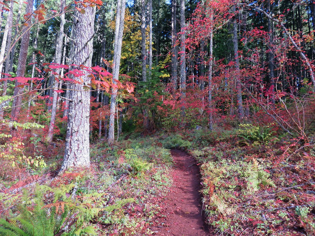
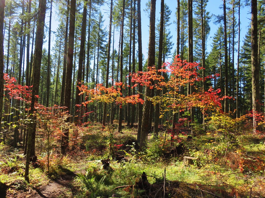
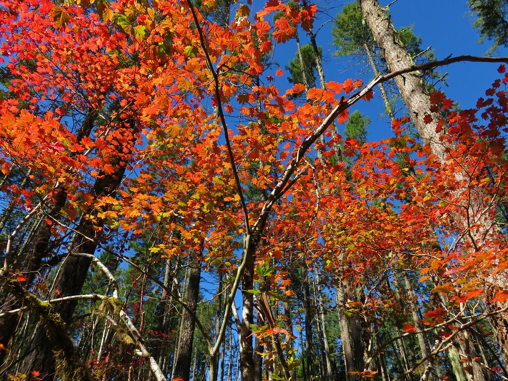
While I was exploring Heather was admiring the changing leaves.


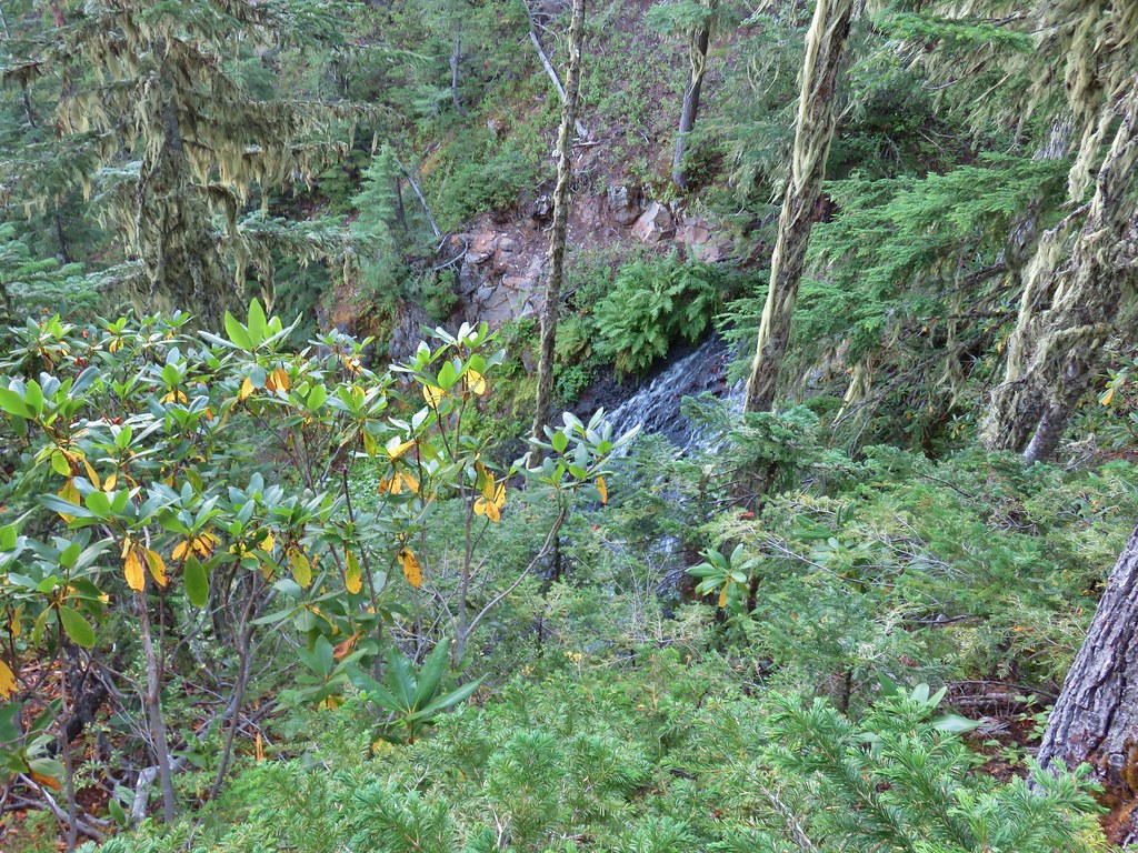
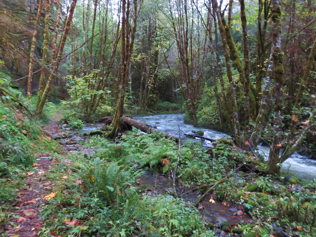
When we headed back we took a brief off-trail detour from the Vivian Lake Trail to Fall Creek which we could hear from the junction with the spur trail.

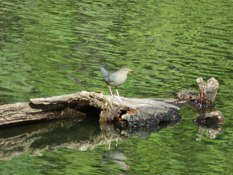
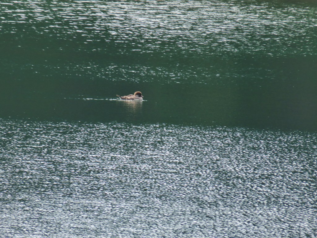
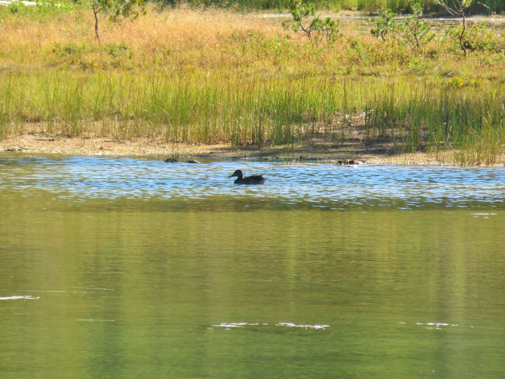
After returning to the trail we headed back the way we’d come. The climb to the saddle was as steep as we’d expected so a rest was warranted prior to dropping down to Notch Lake where we stopped to watch several ducks enjoying the warm Autumn day.
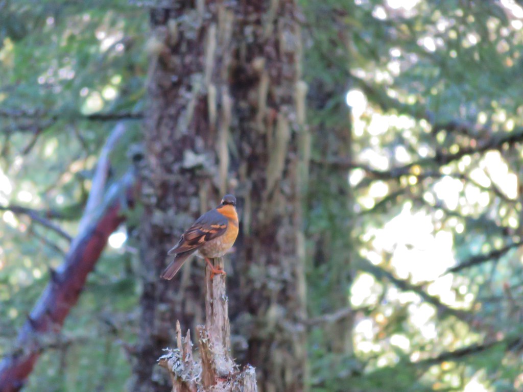
 Varied thrush. These continue to be the most frustrating frequently seen bird to try and photograph.


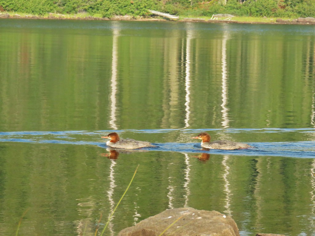
 I believe these were ring-necked ducks.
Beyond Notch Lake we finally ran into some other people. We passed a single hiker on the far end of the lake and a group of six near the wilderness boundary. Those were the only people we would see on the trails all day.

 Diamond Peak from the trail on the way back.
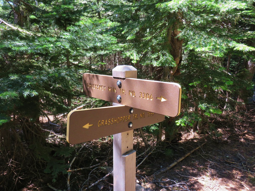
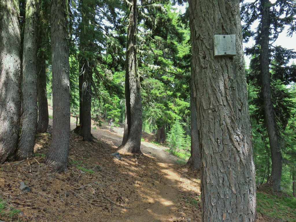
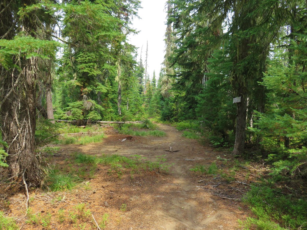
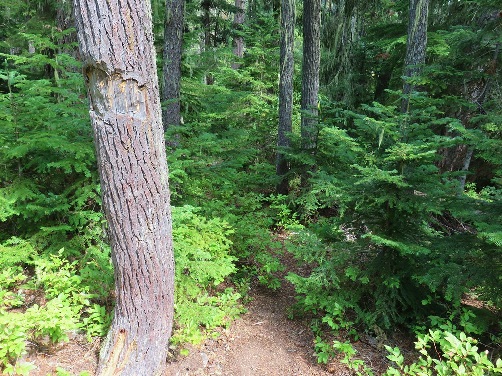
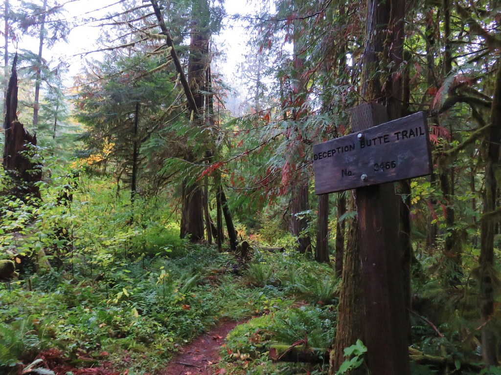
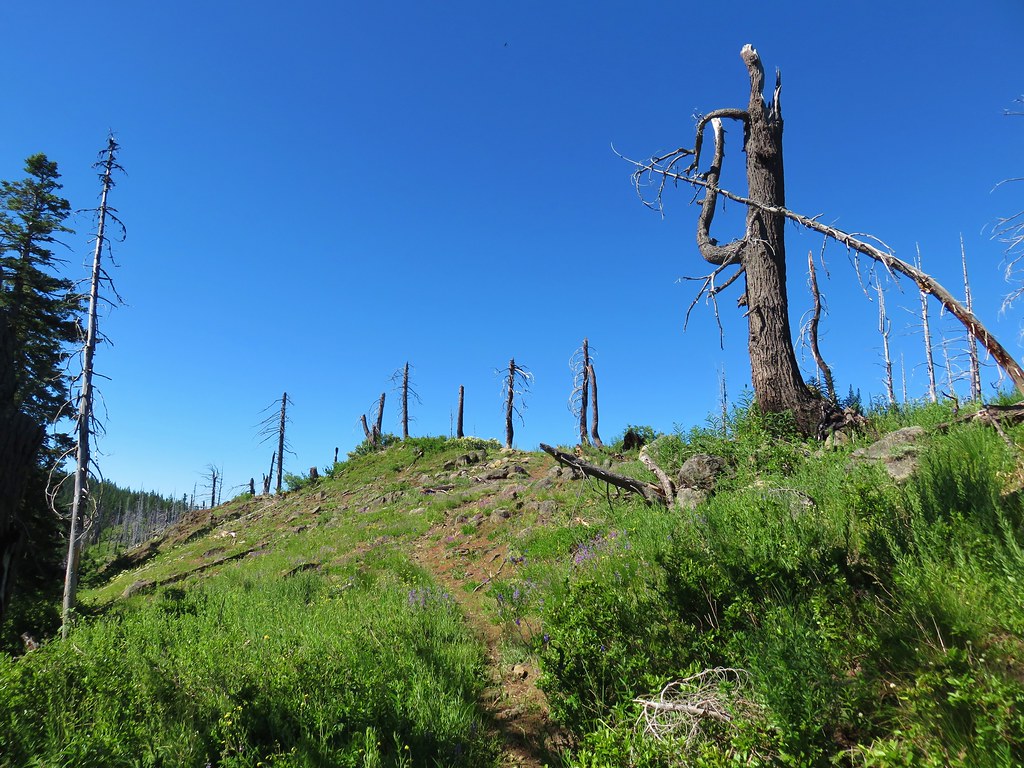
When we made it back to the trailhead we had the choice of getting in our car and driving a tenth of a mile back up Forest Road 23 to the Hemlock Butte Trail or walk there. We opted to walk and hiked past our car and up the road to the well signed trail.


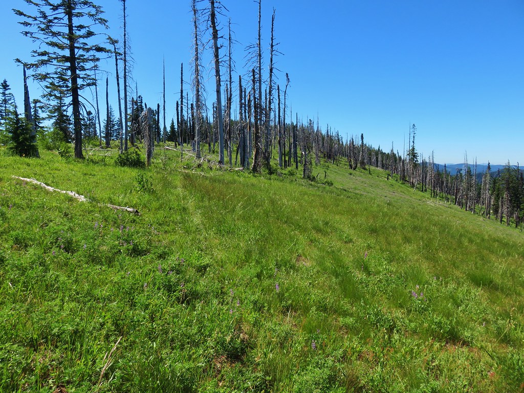
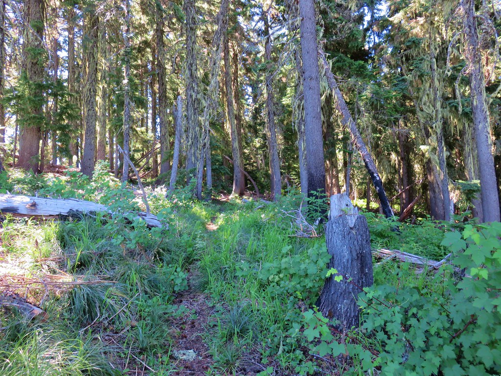
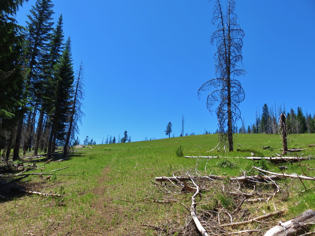
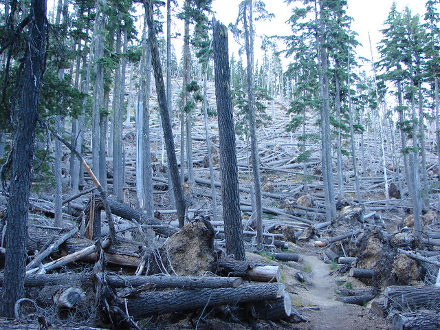
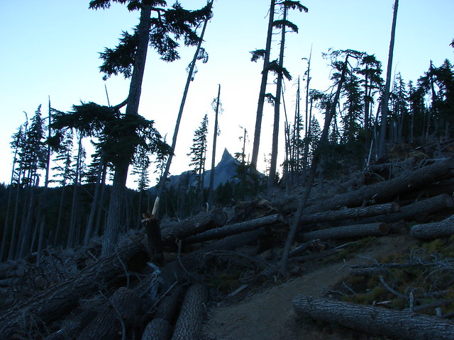
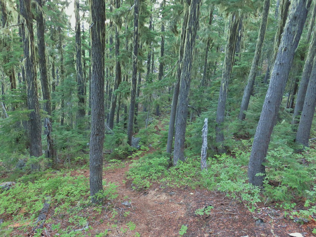
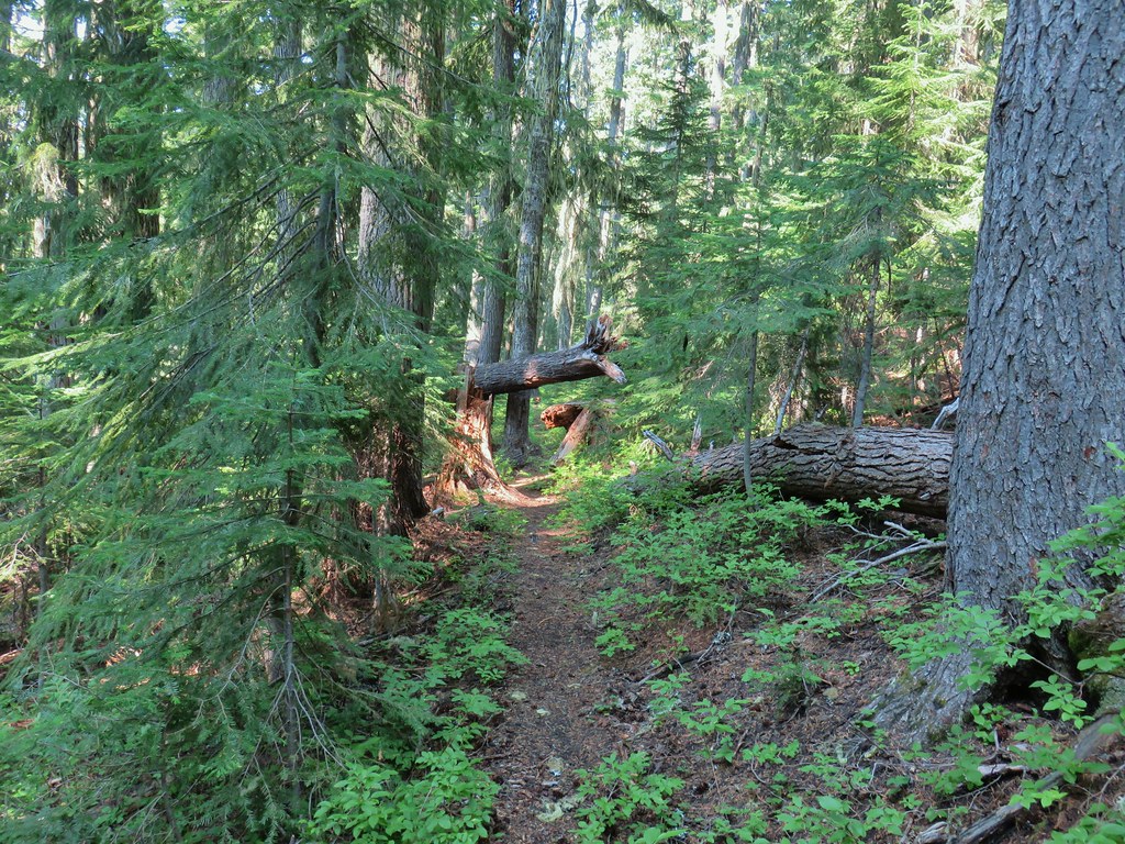
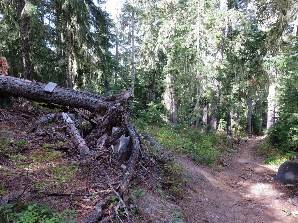
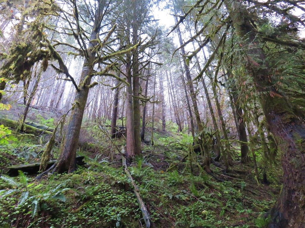
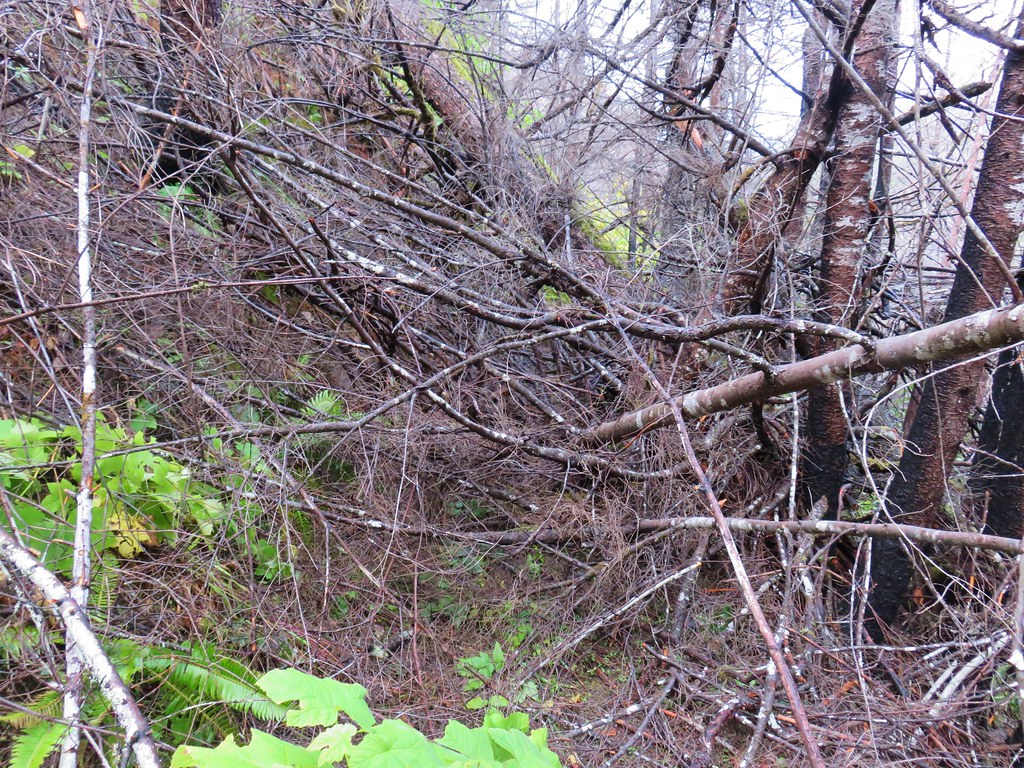
The Hemlock Butte Trail is just a half mile long but gains 500′ to the site of a former fire lookout. While it was well signed, this trail was not anywhere near as well maintained as the Vivian Lake Trail had been. A number of downed trees combined with overgrown sections and some poor tread made the short climb an adventure.
 Not all of the blowdown was as easy as this log to get over/under.

 Multiple switchbacks kept the lower portion of the climb from feeling too steep.

 The Hemlock Butte Trail succumbing to the vegetation.
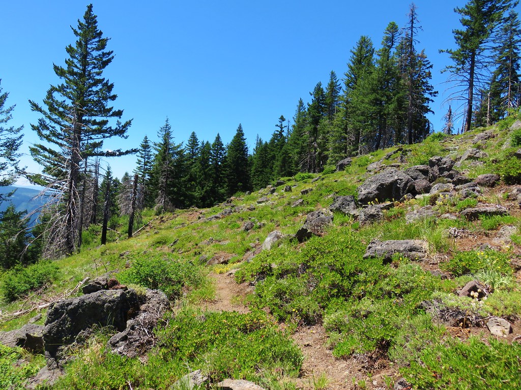
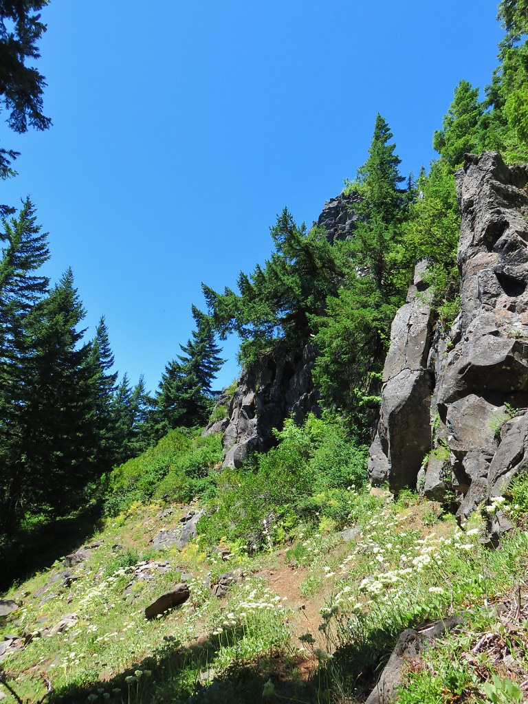
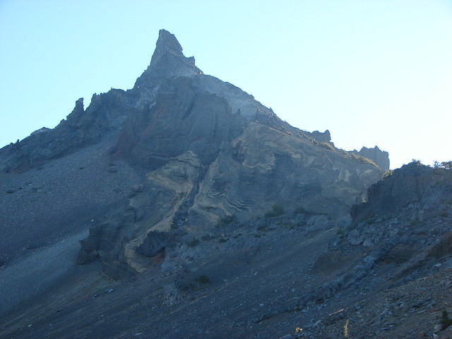
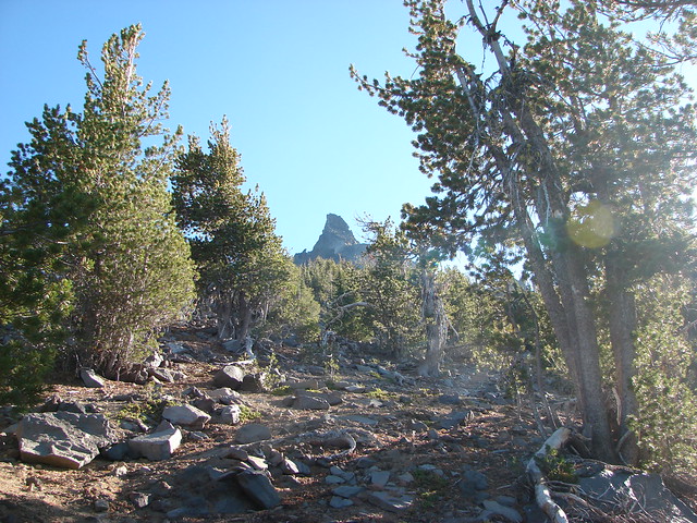
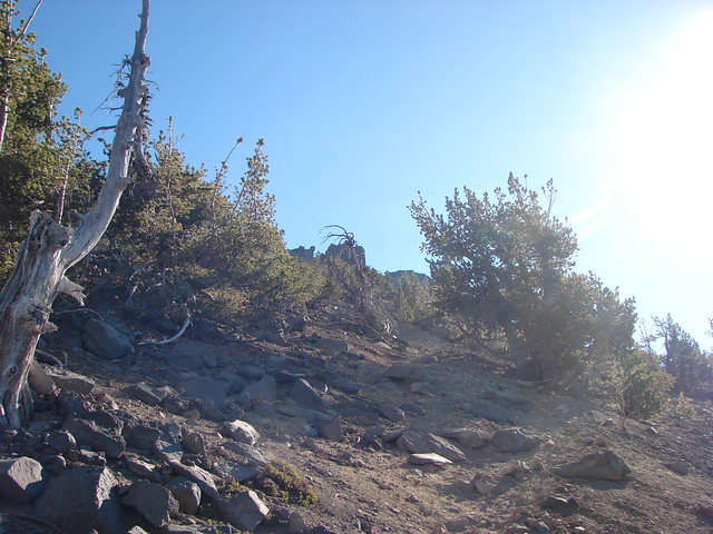
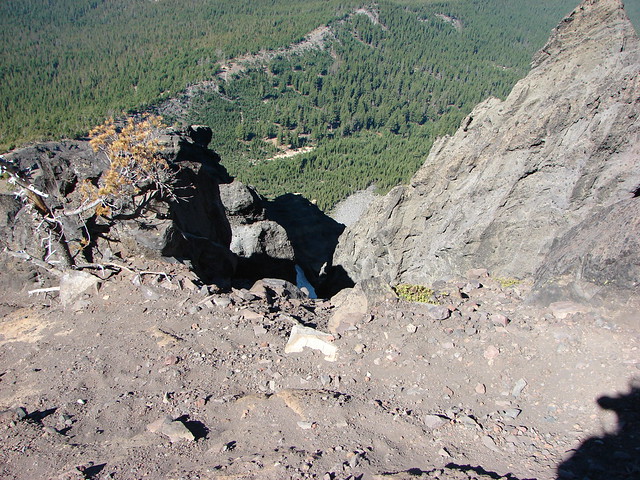
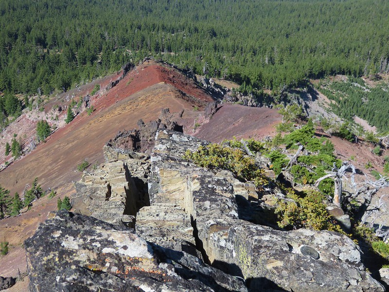
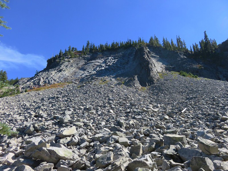
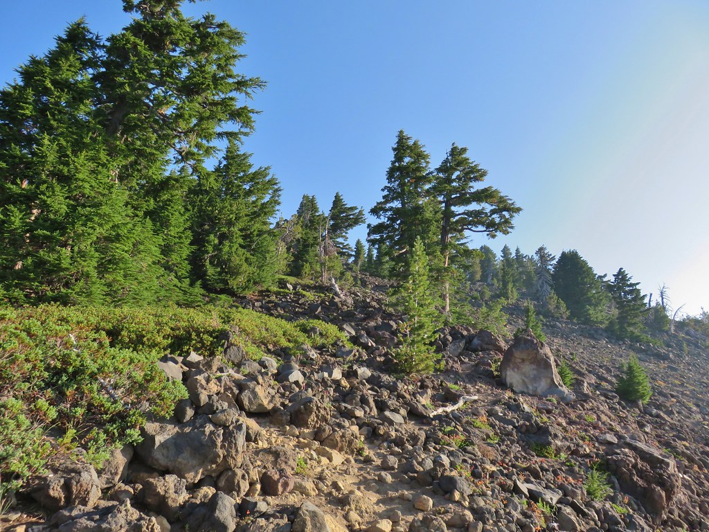
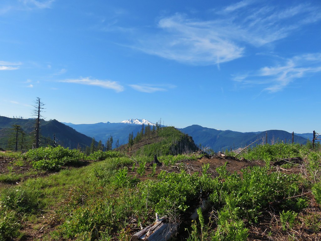
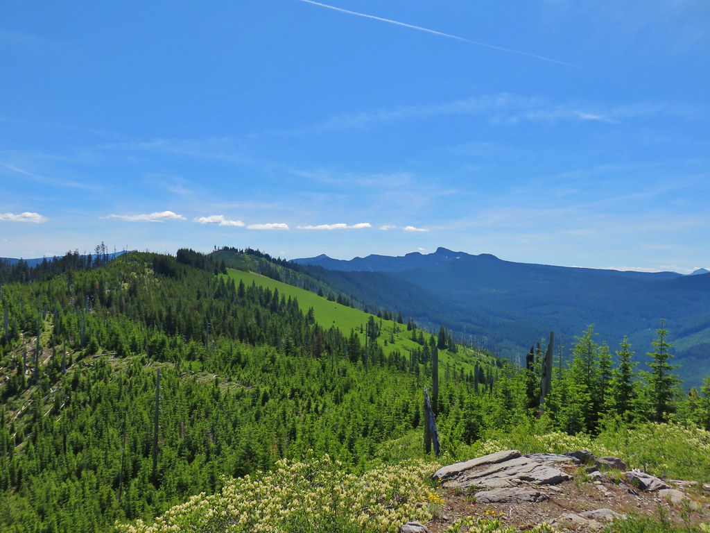
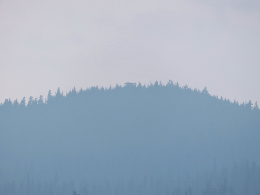
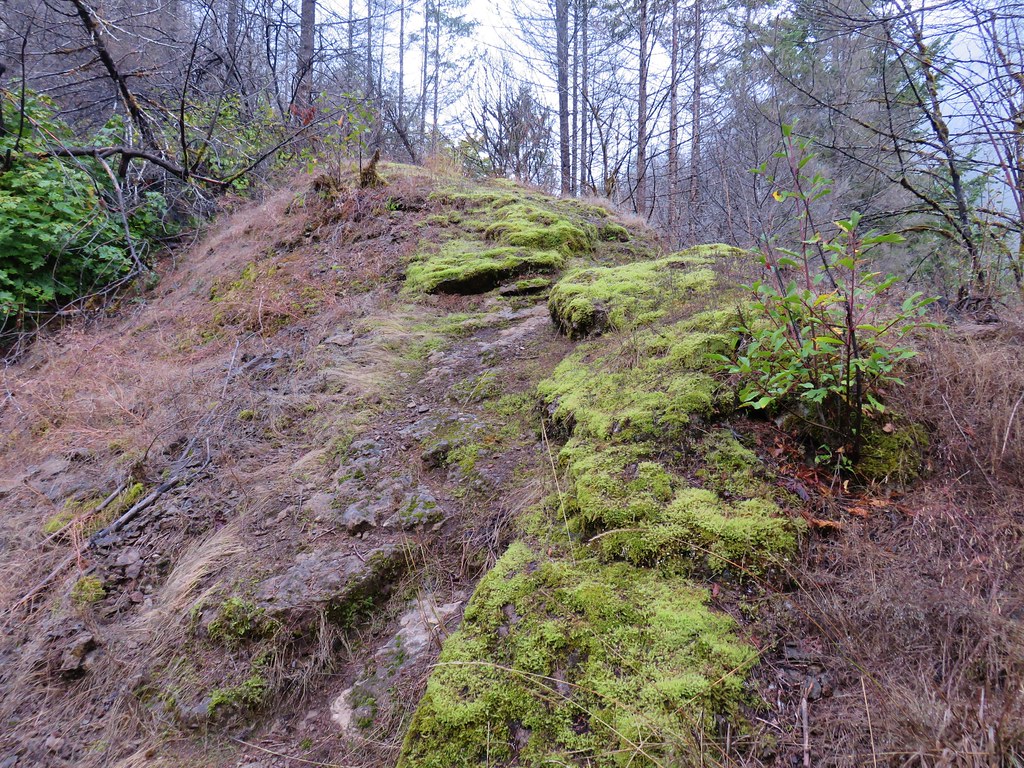
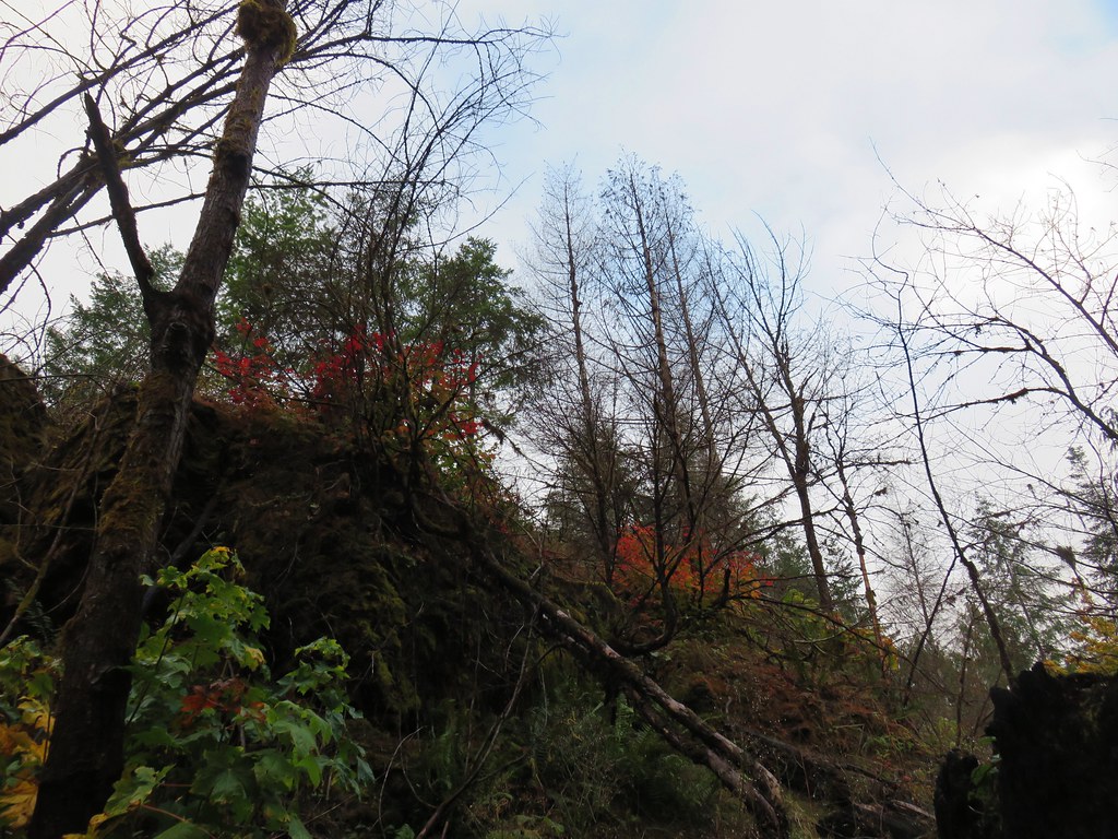
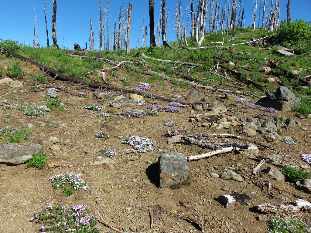
The summit of Hemlock Butte is a rocky outcrop which required a fair amount of scrambling over the final 250′ to reach the small flat summit where the lookout once stood.

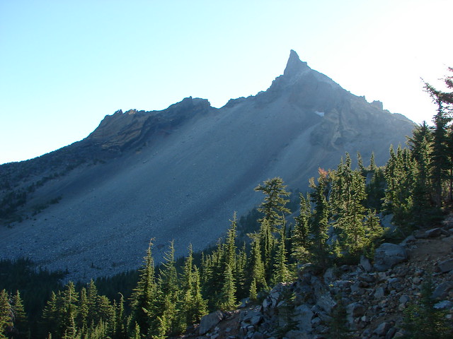
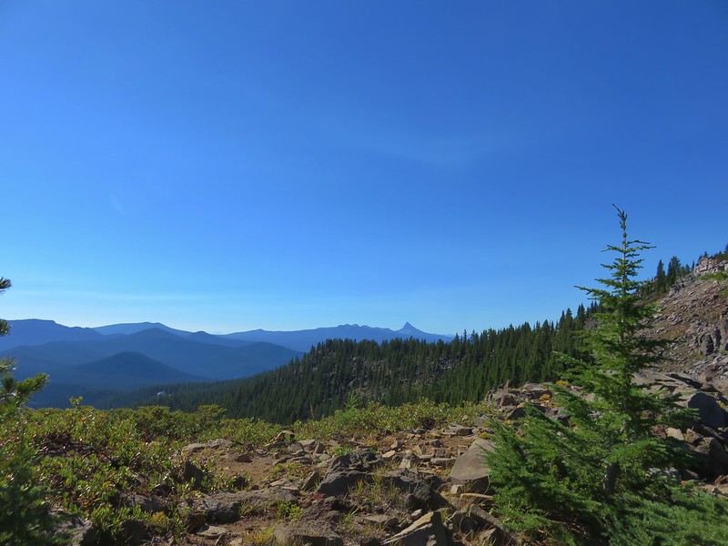
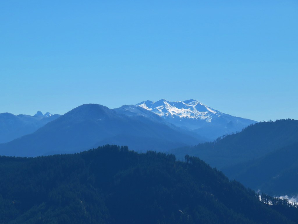
 An obvious spur trail at the base of the rock outcrop leads to a view of Mt. Yoran and Diamond Peak. For those not comfortable with the scramble this is a good goal.
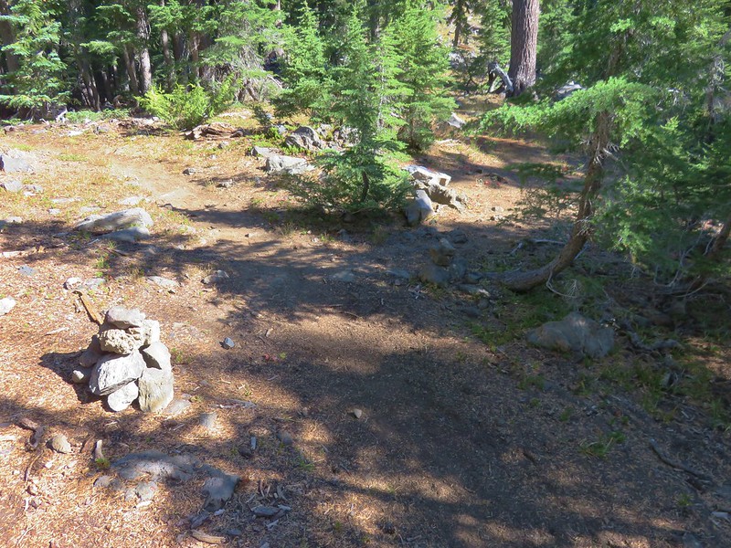
 The trail to the summit at the junction with the spur.
 Scrambling up
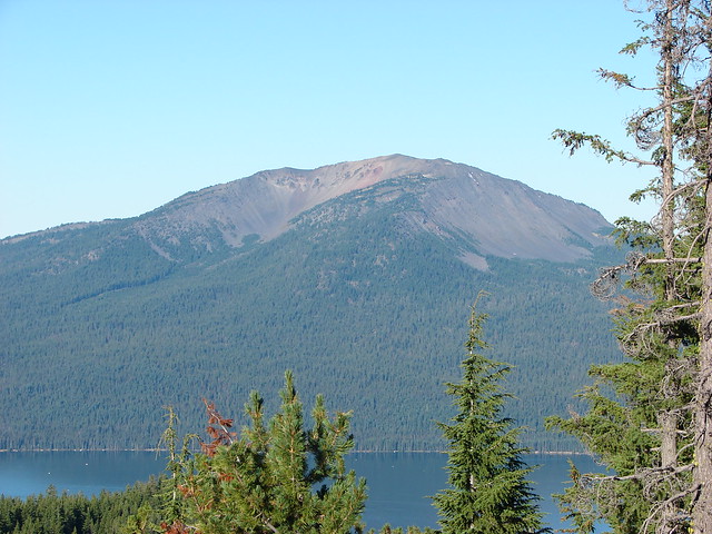
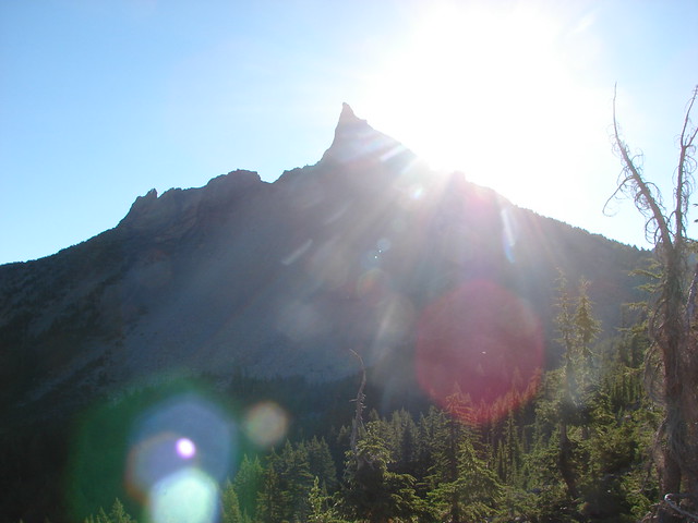
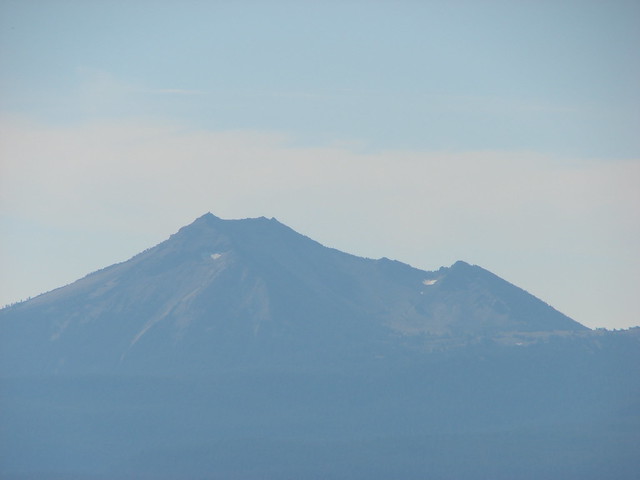
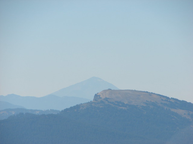
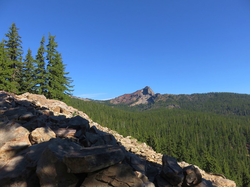
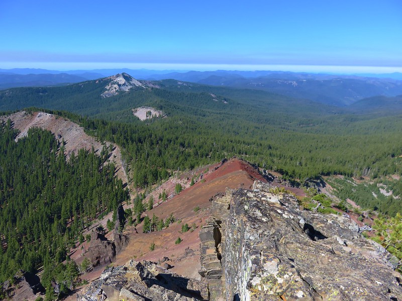
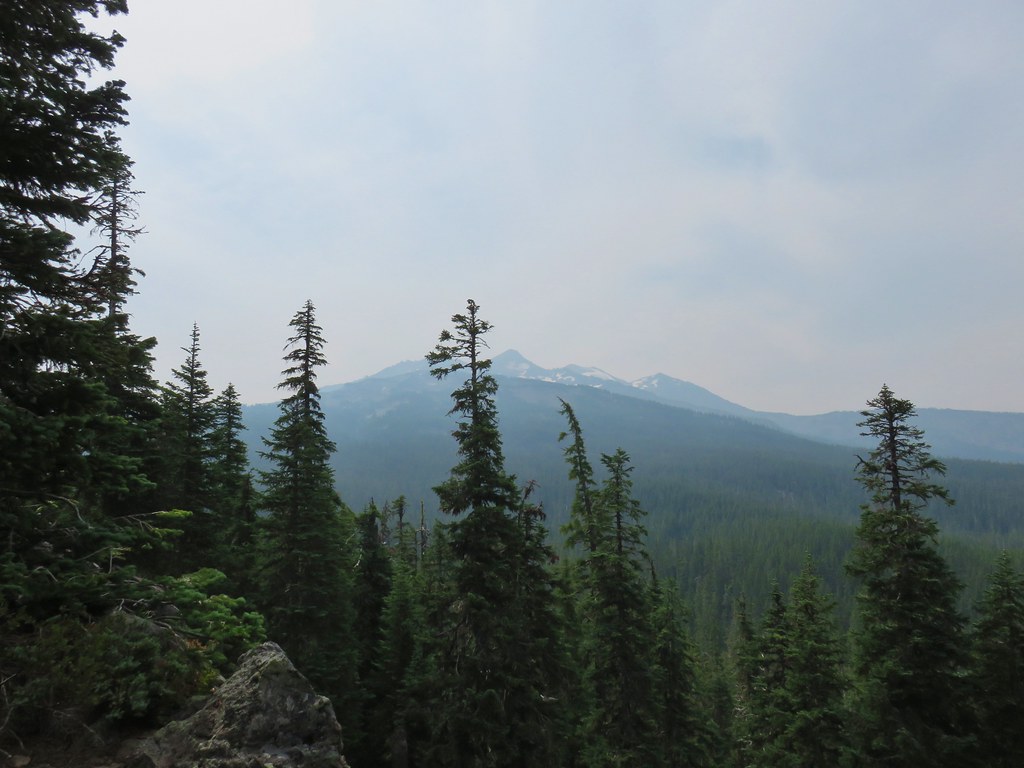
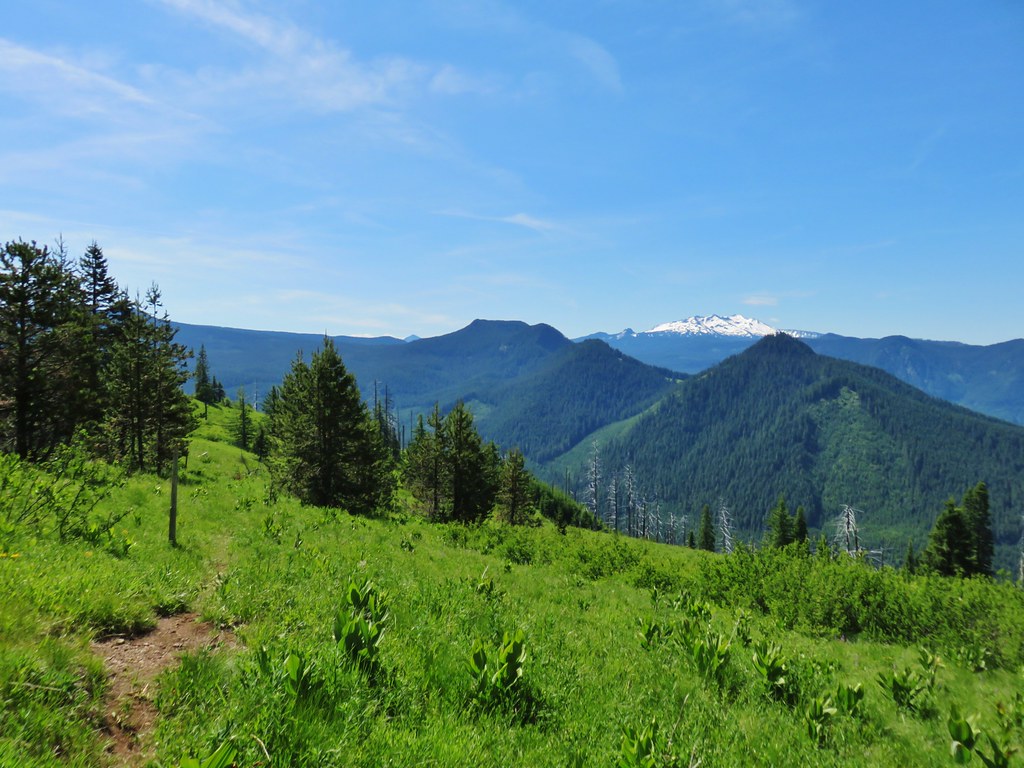
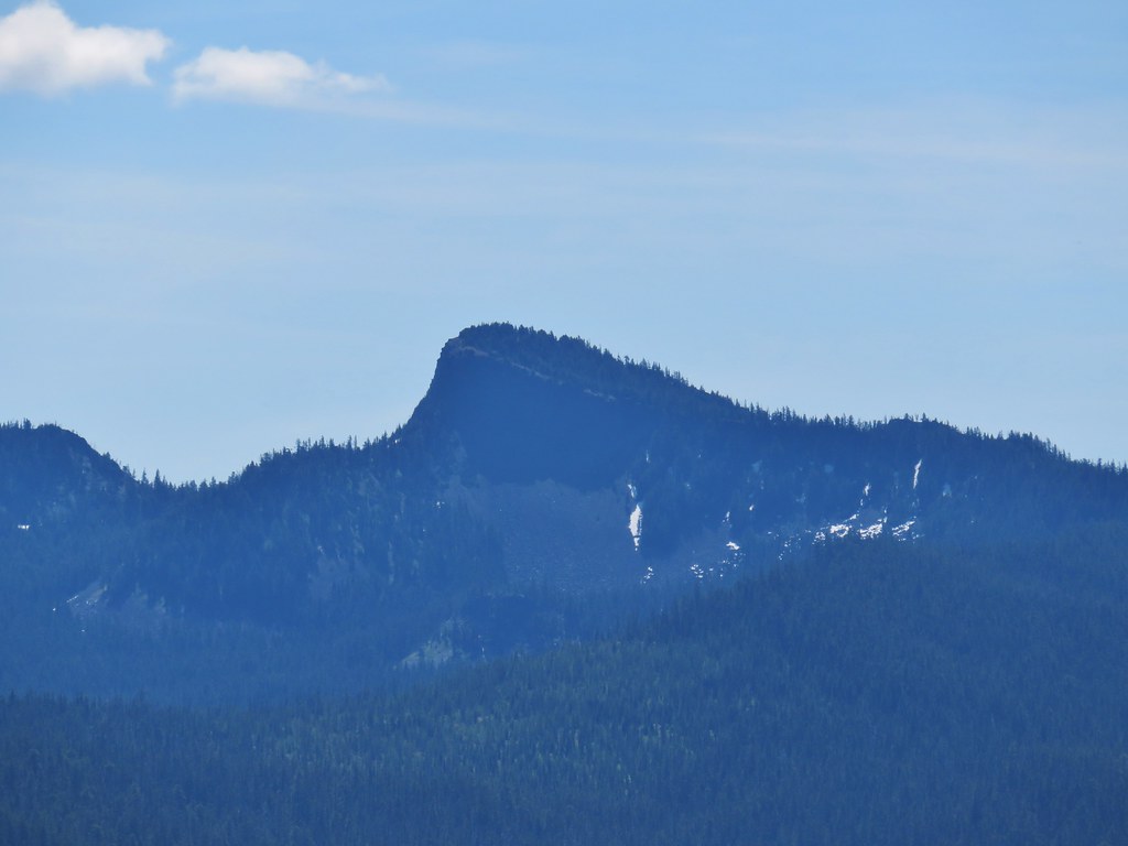
 Mt. Yoran and Diamond Peak from the summit.
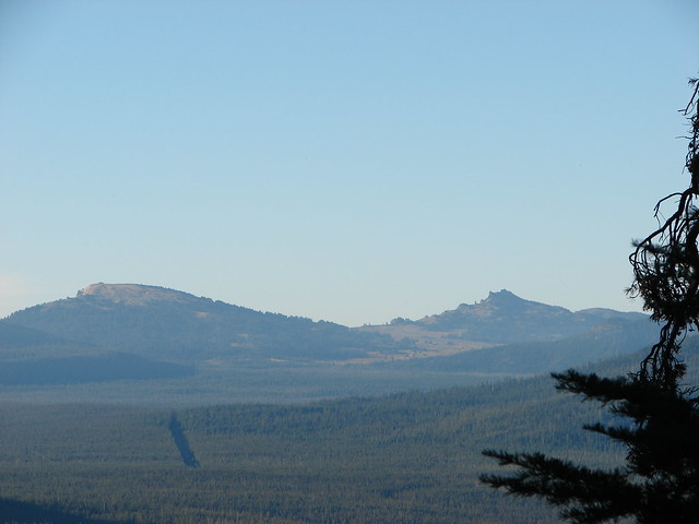
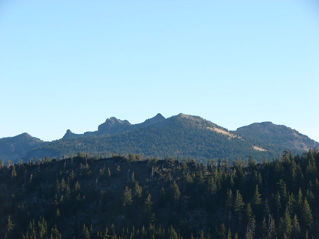
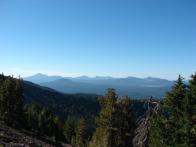
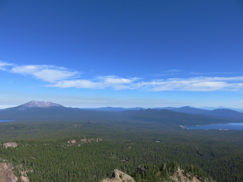
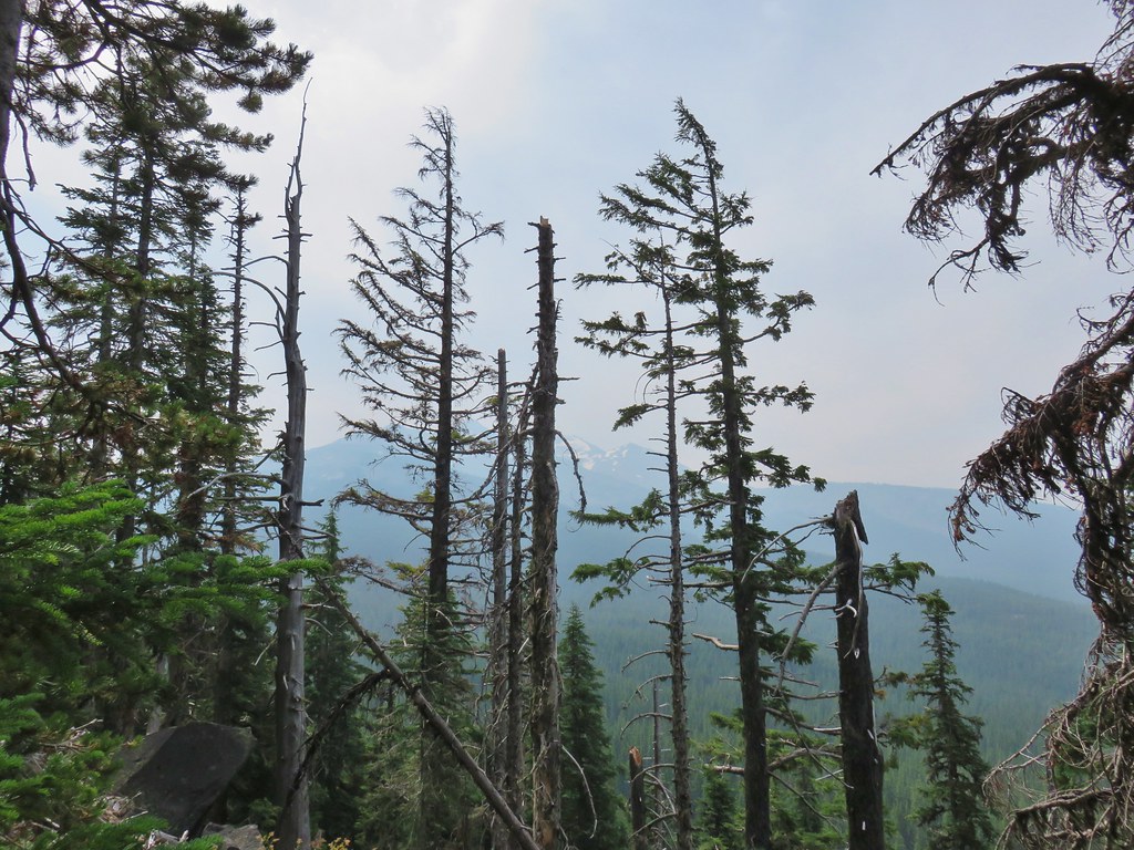
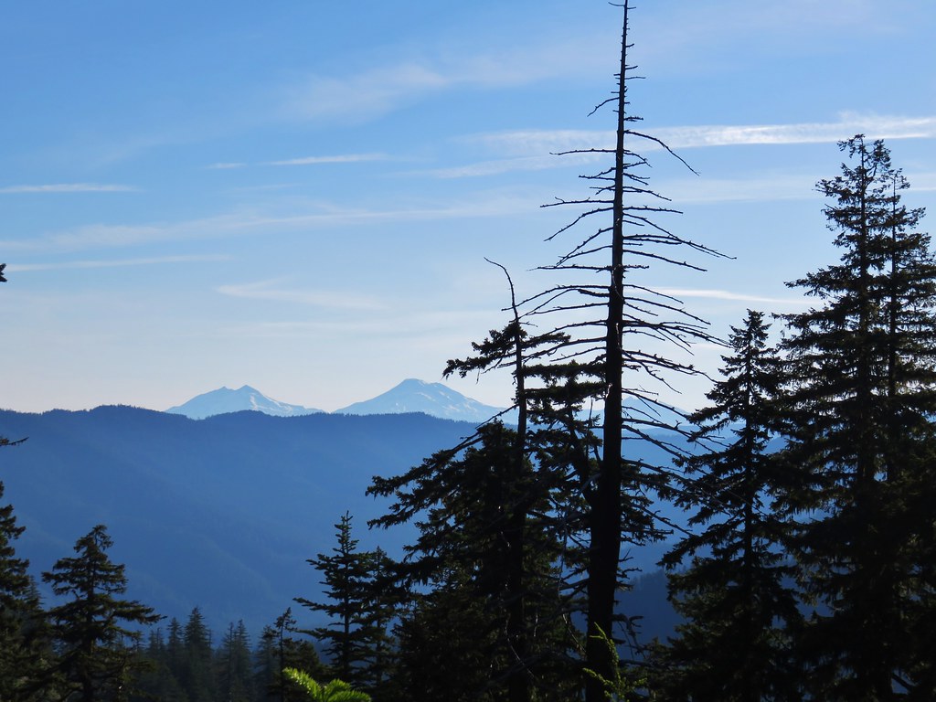
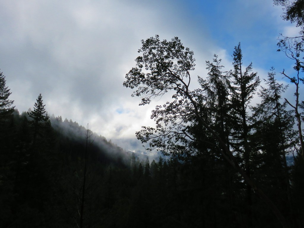
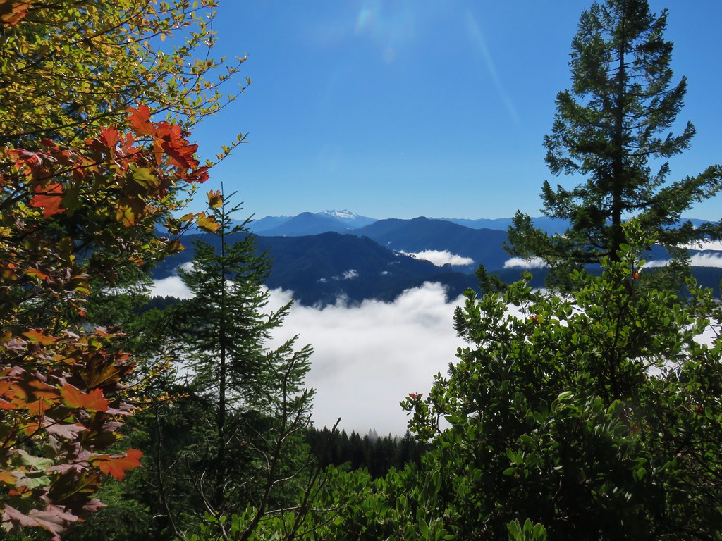
 Wolf Mountain to the NW with clouds covering the Willamette Valley in the distance.
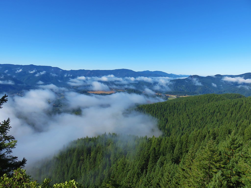
 The view South.
 Looking down from the summit. (The trail is to the right.)
Heather opted to stick to the spur trail viewpoint so after I’d taken in the view I headed back down. We decided that I would go ahead and bring the car up to the Hemlock Trail to pick her up. My hike here came in at 10.4 miles with approximately 2000′ of cumulative elevation gain.

After picking up Heather we headed for Pool Creek Falls which was located back off of Forest Road 23. The driving directions had been plugged into my phone but at some point during the first hike the route was lost and without signal we couldn’t use the phones to relocate Pool Creek. We had made note of it when we’d passed by that morning though so we started back trying to picture what the area/road had looked like because the creek was not visible from the road. Now the first 15.7 miles this road is paved (save for one very short gravel section) before turning to good gravel for the final 3.7 miles to the Vivian Lake Trailhead and we were both fairly certain that we had been on the gravel section when we’d passed by (wrong) so when we reached pavement we pulled over and used the GPS unit. We found Pool Creek on that map and confirmed that it was still about 2 miles away. We parked along the shoulder of FR23 across from the partially hidden sign announcing the trail.
 The “trailhead” was just under 14 miles from Highway 58 or just over 5.5 miles from the Vivian Lake Trailhead.
 The trail sign on the right. The Pool Creek Trail #4228 shows up on the Forest Service map, but they don’t have a dedicated webpage for it. We were made aware of the trail by following Hike Oregon, a good resource both online and through several guidebooks.
We had a little trouble getting started as the Forest Service and GPS maps both showed the trail following the right (East) side of the creek for a short distance before crossing over and initially there was obvious tread heading in that direction. The canyon quickly narrowed though, and we came to a large log that would have to be the trail in order for us to proceed any further but it was obvious that it wasn’t really the trail.

 What looks like it might be tread ahead is actually the log.
Looking across at the other side of the creek the canyon wall seemed too vertical to be supporting a trail but we weren’t going any further on this side, so we backtracked to what looked like a faint path we had passed near the beginning. We had taken it to be a use trail down to the creek but now that we looked closer, we could make out a trail covered in leaves switchbacking up on the far side.
 The Pool Creek Trail to the left of the creek. Here you can see the first switchback turning steeply uphill.
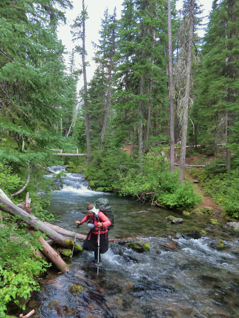
 The makeshift creek crossing.
 At the third switchback.
The trail was in reasonably good shape with a couple of larger logs to navigate. A little research showed that the Cascade Volunteers have this trail on their radar and had done some work on the trail in 2022.

 The reason we hadn’t noticed the trail on the far side was because it climbed quite a bit in an initial series of short switchbacks so from where we had been the trail was already much higher than we’d expected it would be. In the photo Heather is coming up to the third switchback below.
 These two trees are mentioned in the May 2022 trail update on the Cascade Volunteers webpage.
 This one was high enough to easily pass under. On the far side are more cut logs.
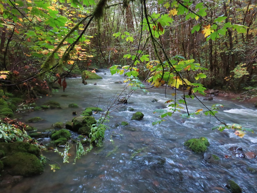
Just under a half mile from the road we arrived below Pool Creek Falls.
 First view of the falls from the trail.
 Pool Creek Falls
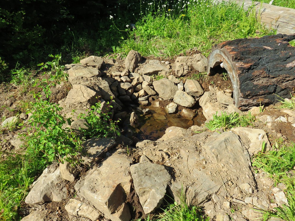
After navigating a slightly slick crossing of the creek I followed a trail up to and behind the falls. We were happy to find that there was enough water flowing this time of year to get to see the falls, but it would be much more impressive in wetter seasons.


We spent some time at the waterfall then headed back to the car and drove home. It had been just under a mile with a little over 200′ of elevation gain for Pool Creek Falls. It had been an interesting day with wilderness lakes, a summit viewpoint, and a waterfall on trails in various conditions. One word of warning regarding FR23 – the paved section has some massive holes/dips and a number of sunken sections requiring alert driving. For once I had actually been looking forward to reaching the gravel portion of the road. Happy Trails!

 Some blue sky again.
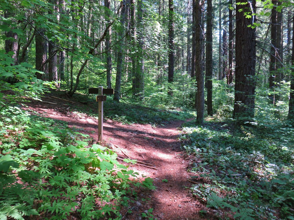
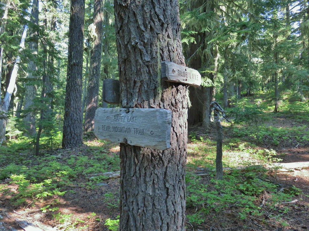
 Happy Lake Trail junction.
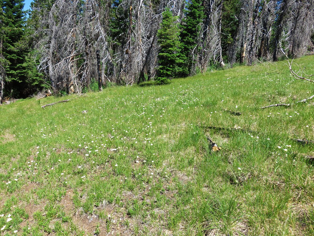
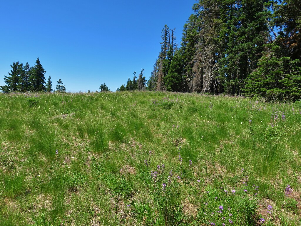
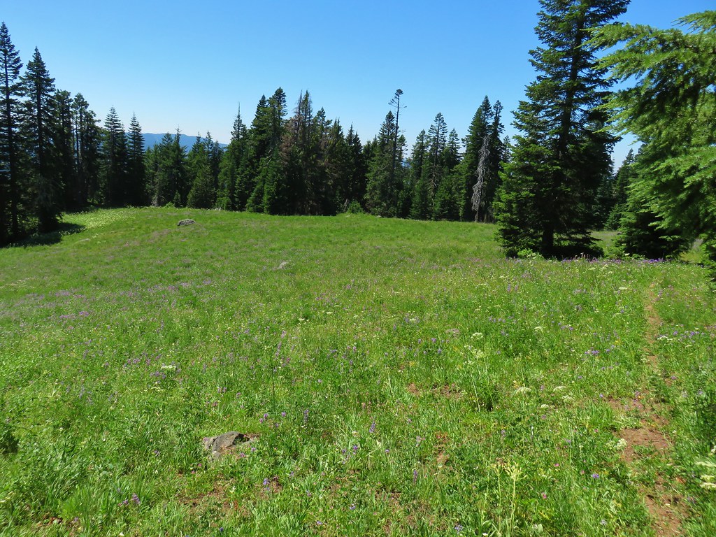
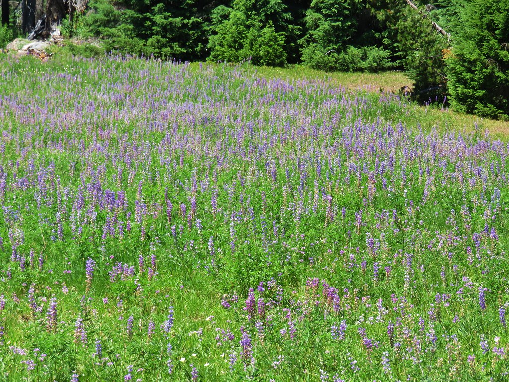
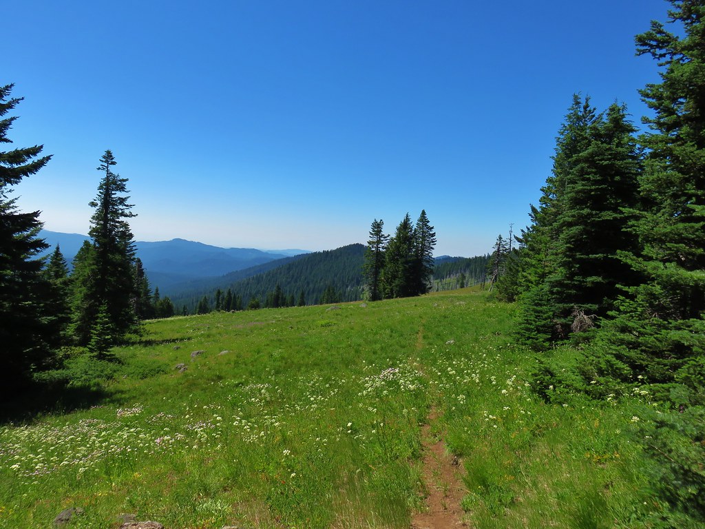
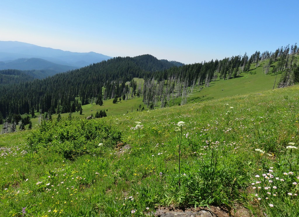
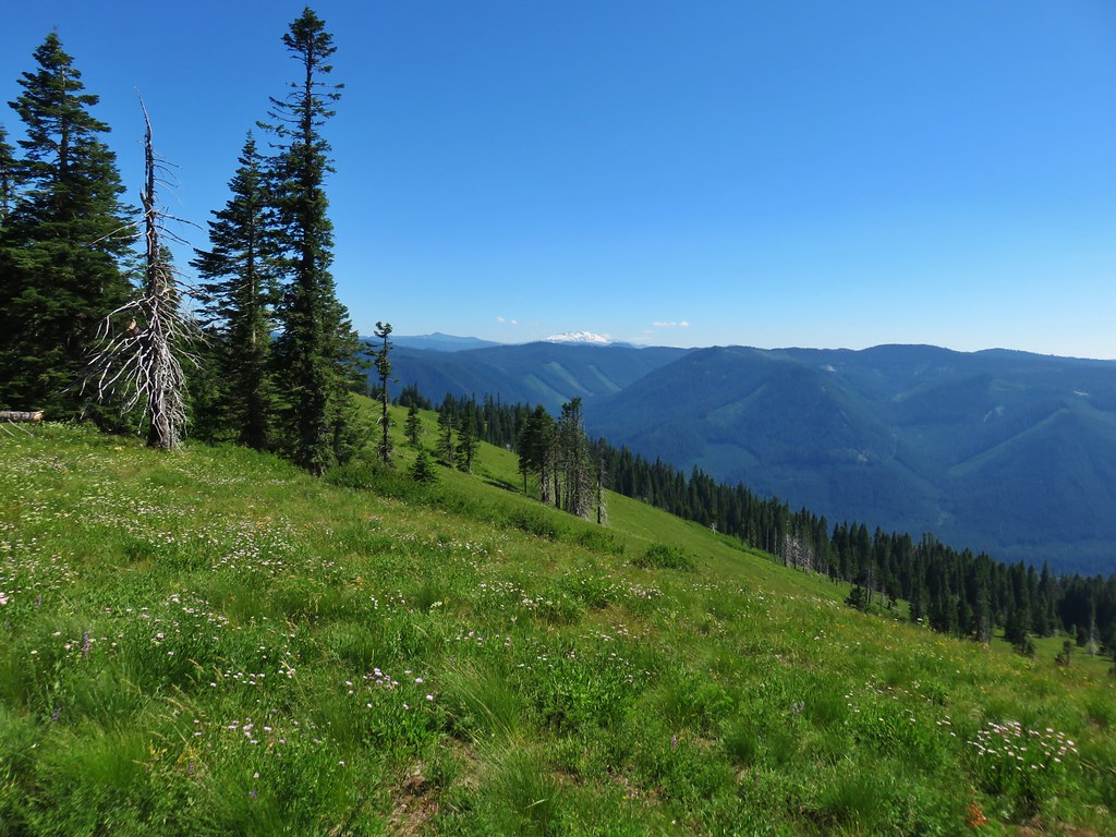
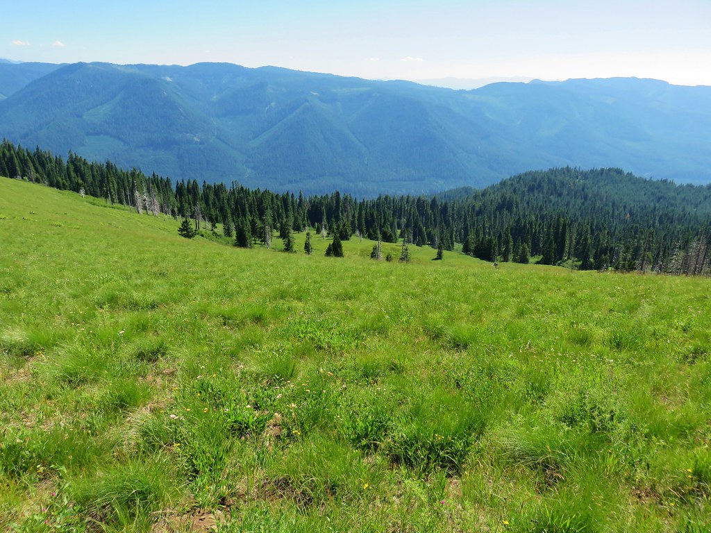
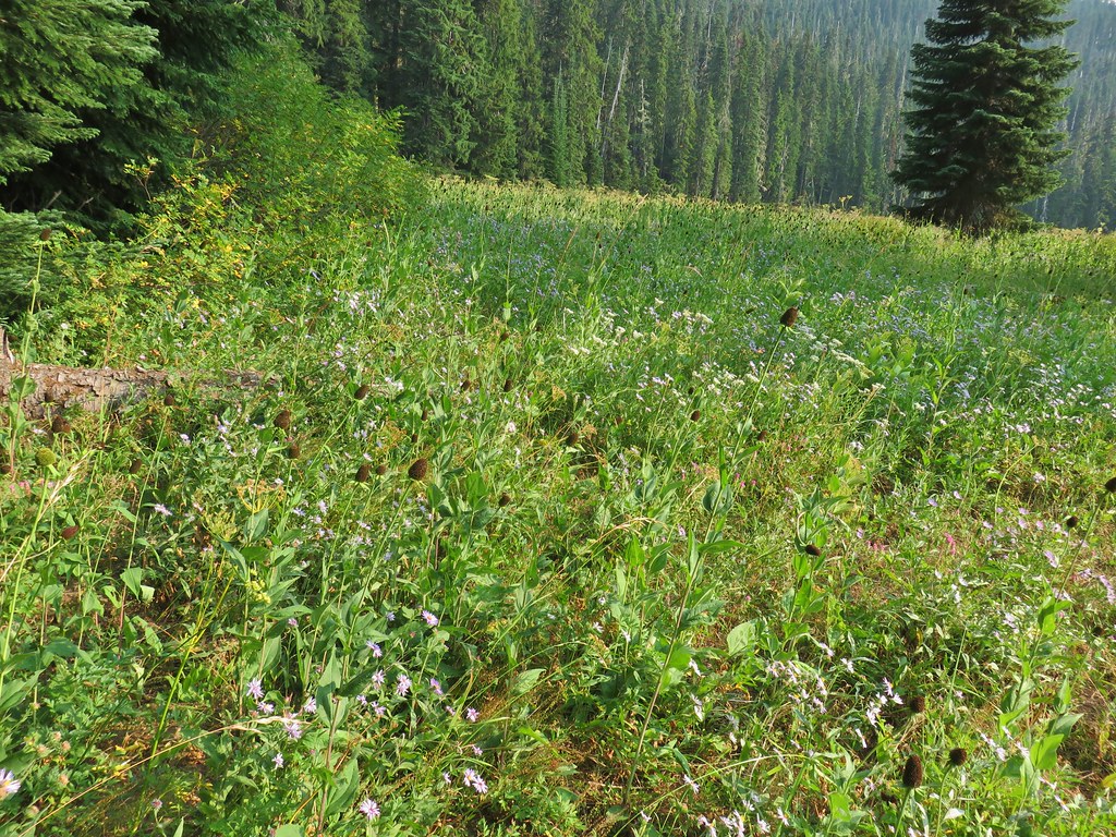
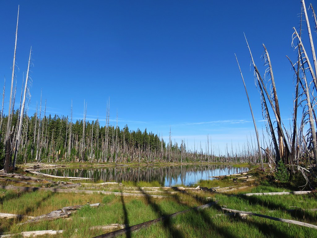
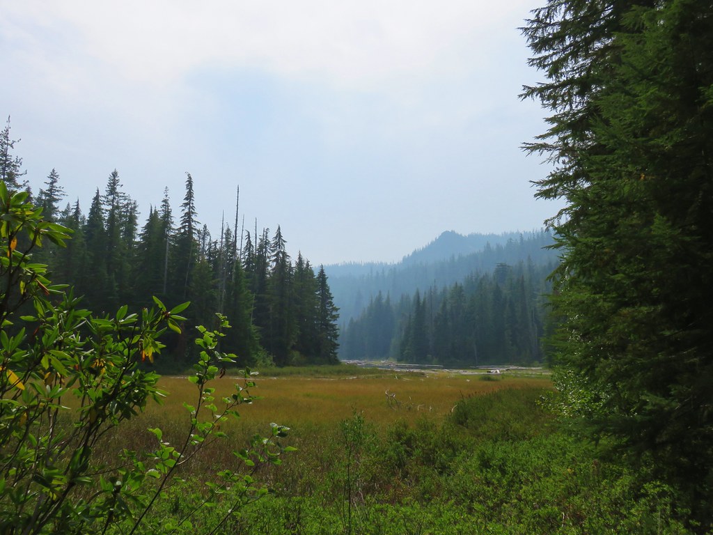
 Just a small part of the meadow.
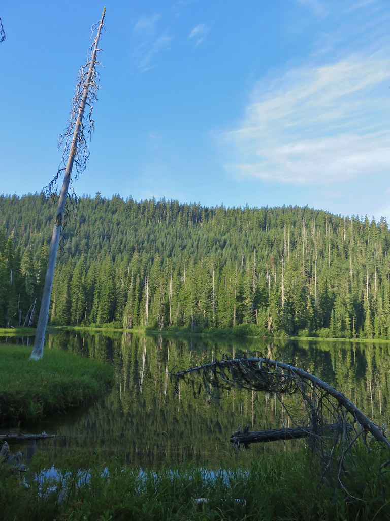


 We think this was Bear Creek. Other than the outlet of Happy Creek no other creek beds had flowing water on this side of the mountain.
 Diamond Peak from the trail.
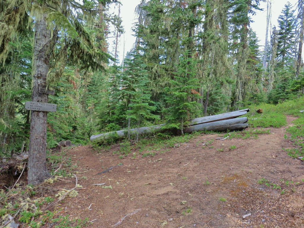


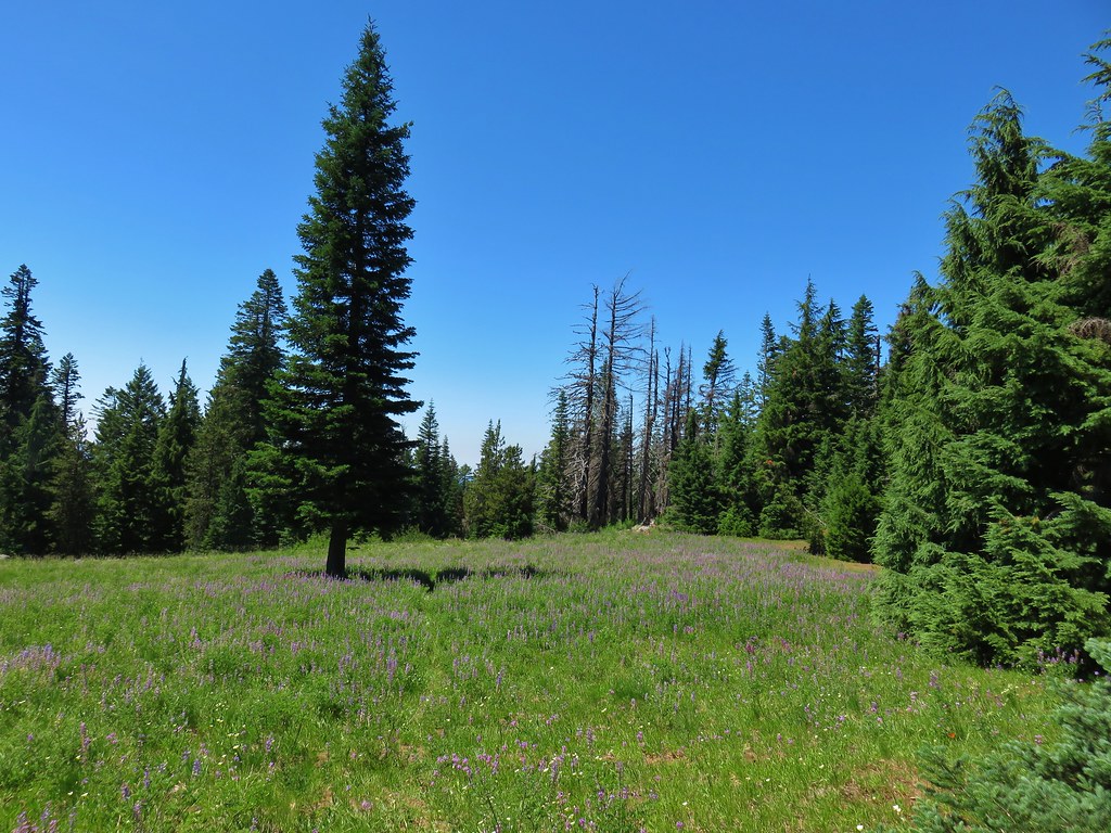
 One of several damp meadows.
 The creeks were still dry though.
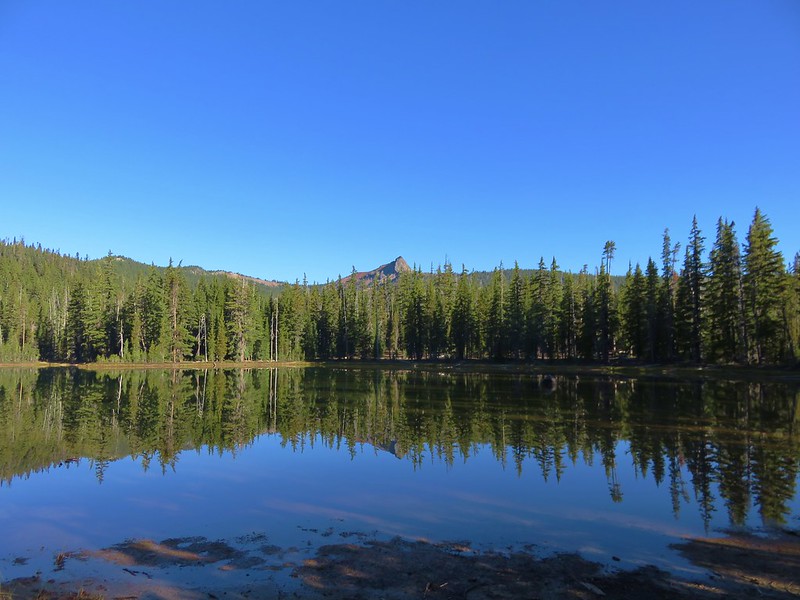
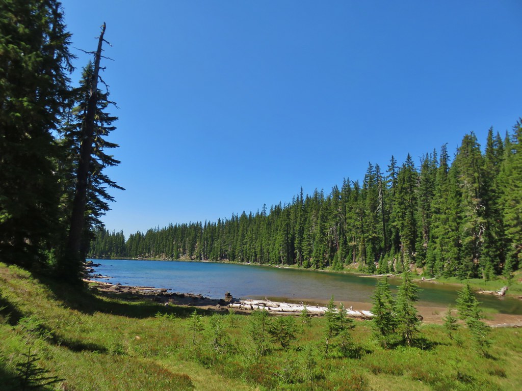
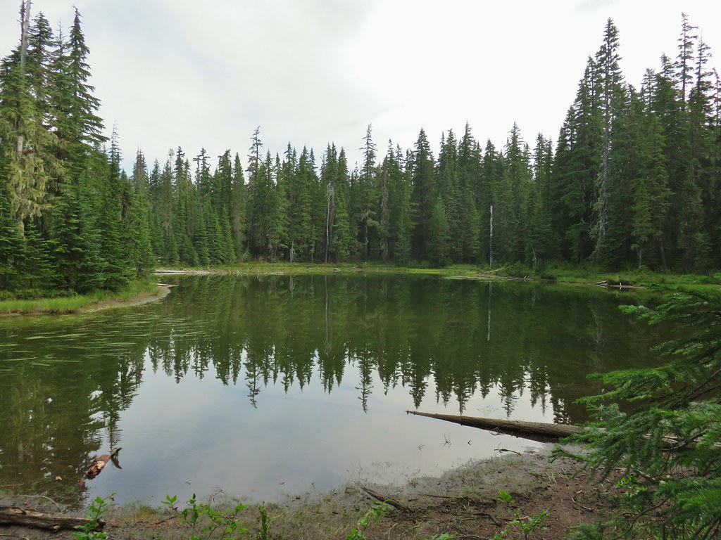 An unnamed lake.
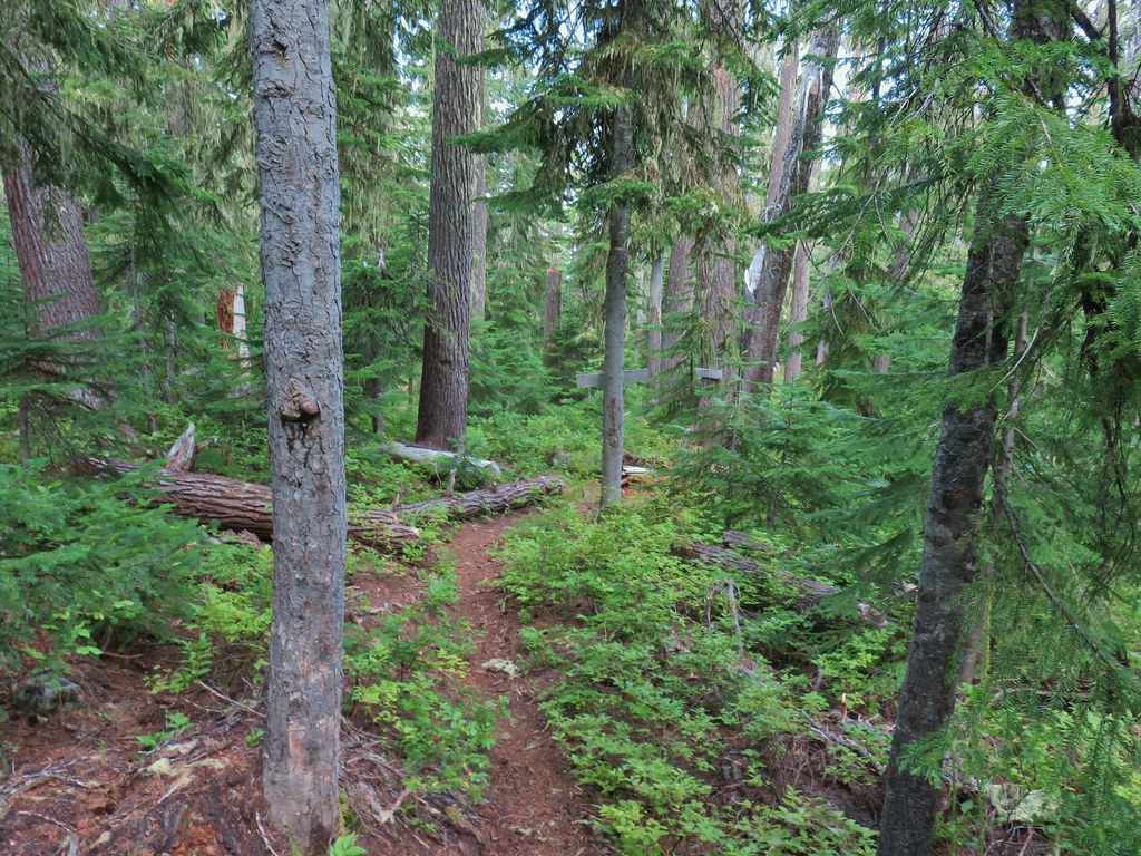
 Small unnamed lake just before Notch Lake.
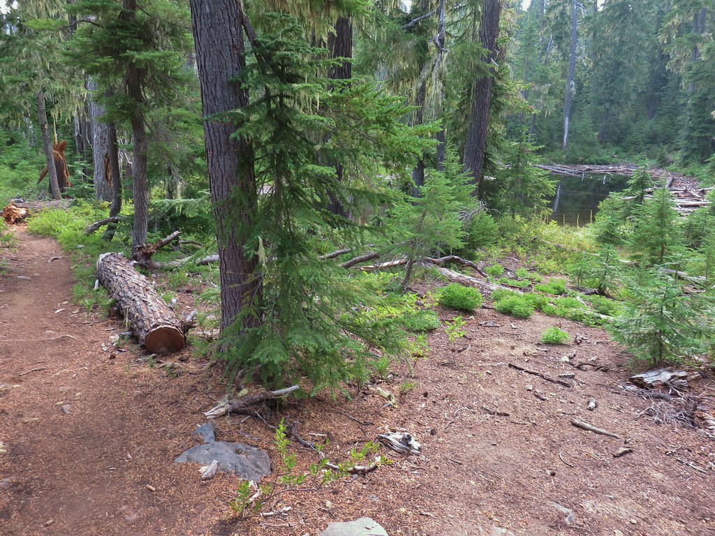 Another little lake/pond near Notch Lake.
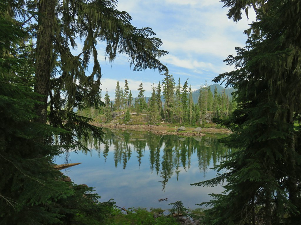 Notch Lake

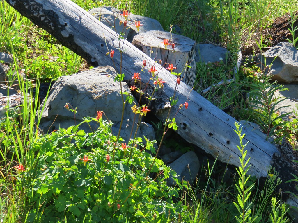
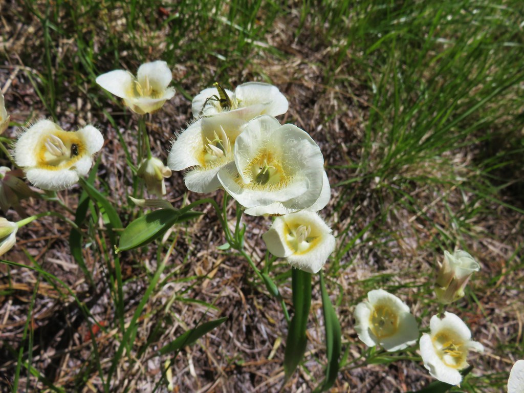
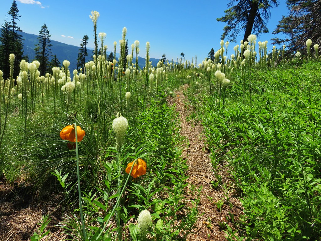
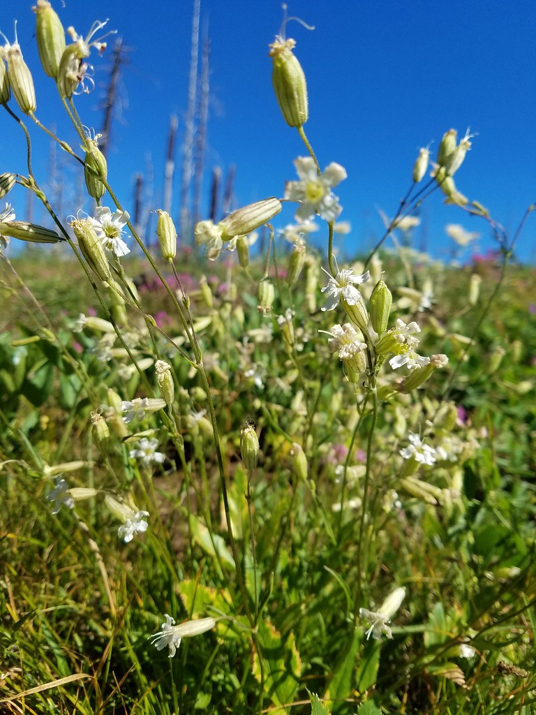
 Beargrass

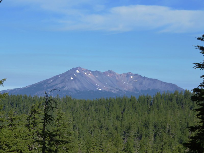
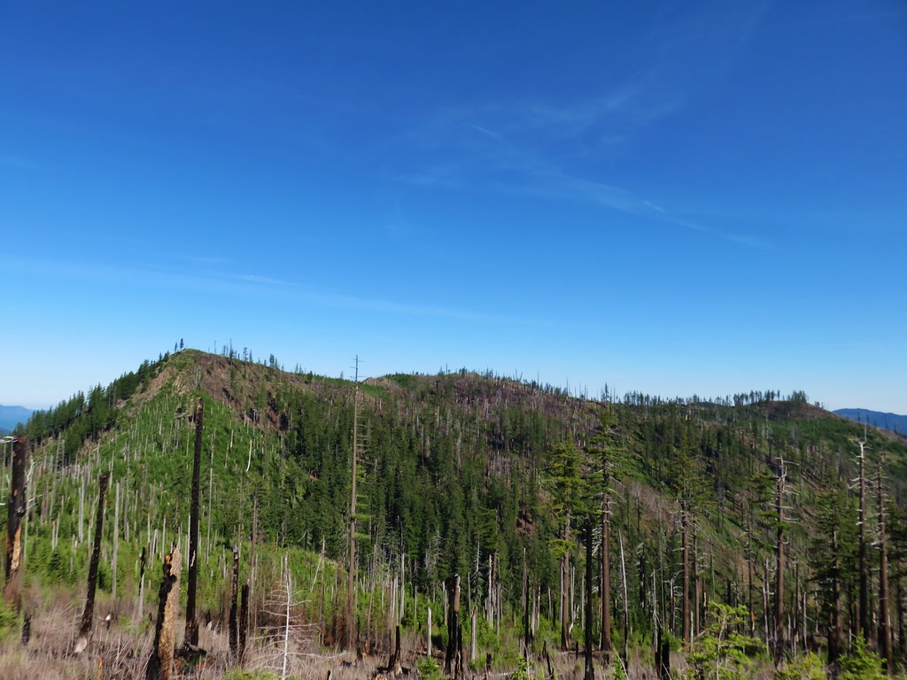
 Diamond Peak from the trail; the smoke was back.
 Textured mushroom
 On the ridge.
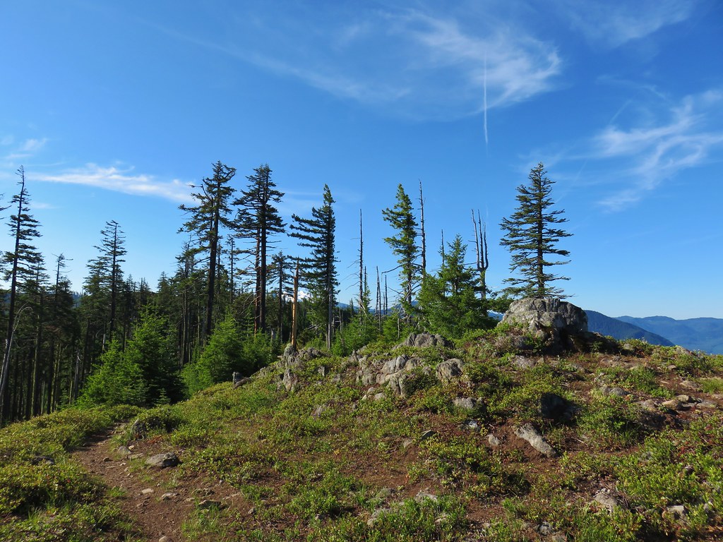
 Diamond Peak
 Lousewort
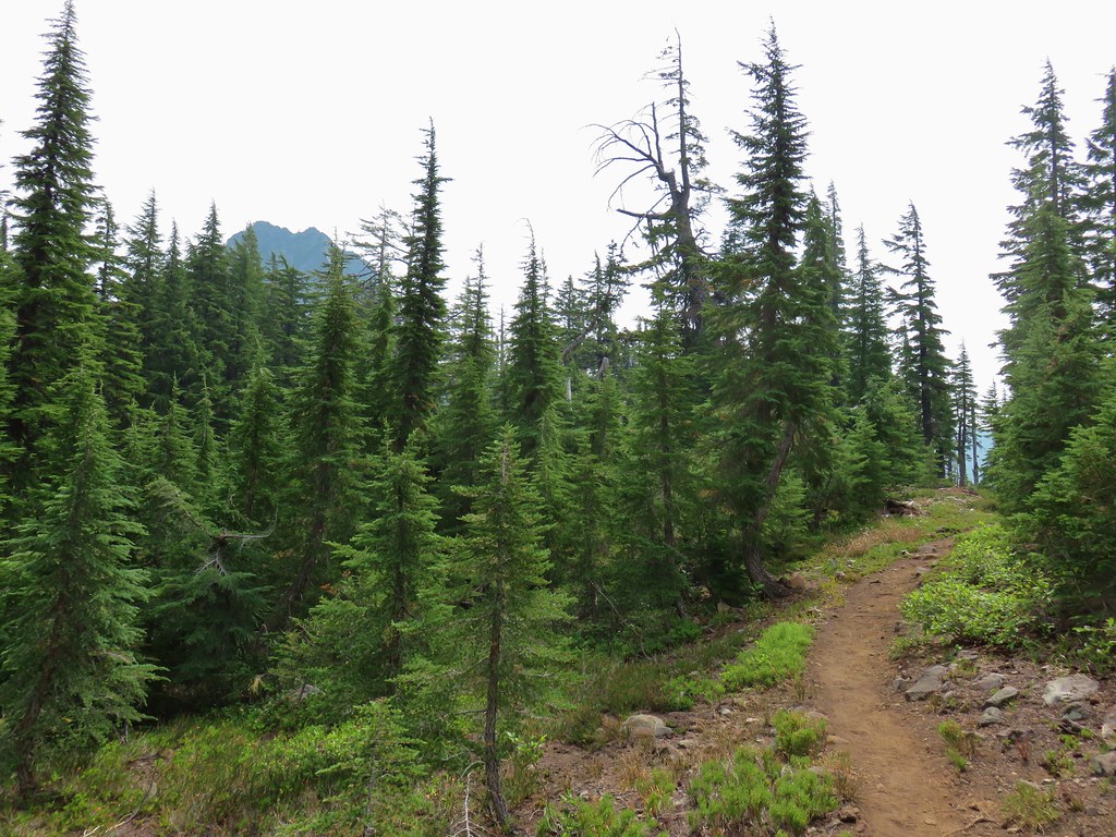 Mt. Yoran from the trail.
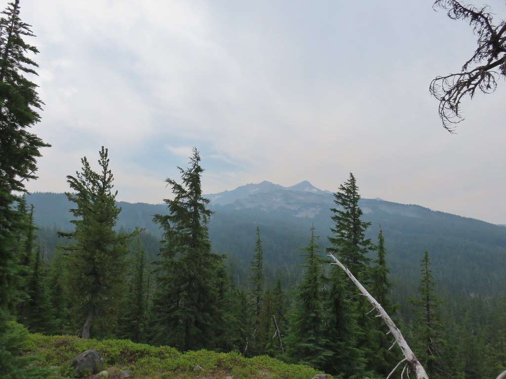 Diamond Peak again.
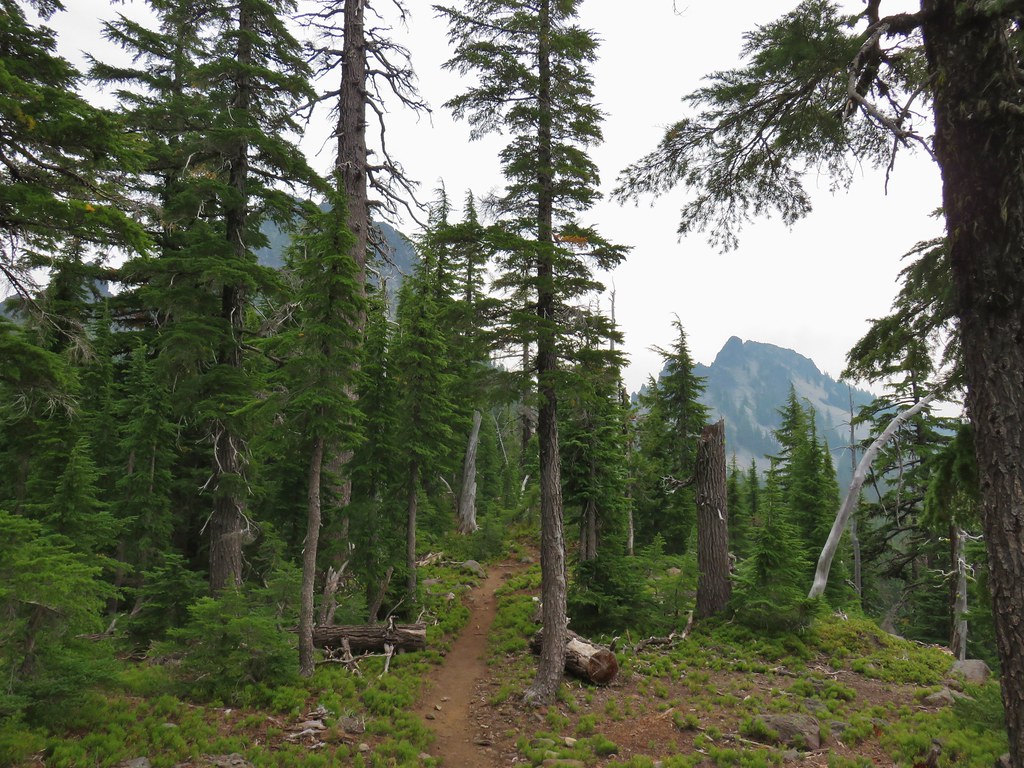 Mt. Yoran on the left and the divide on the right.
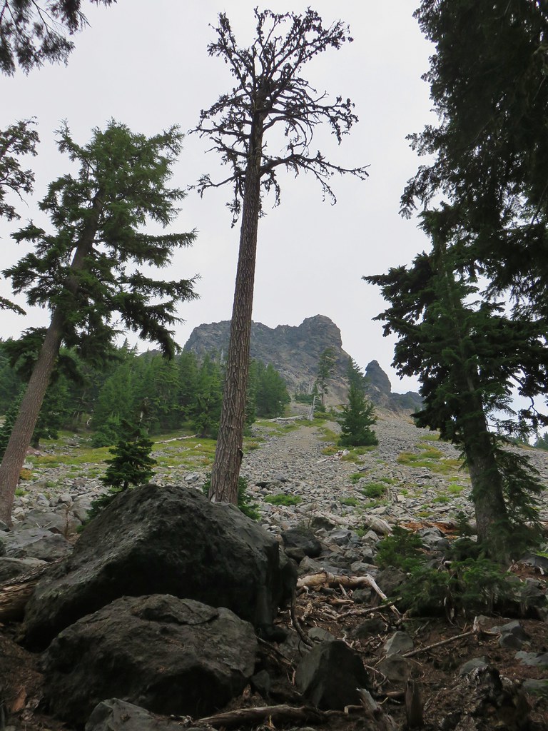 Passing under Mt. Yoran.
 Please tell me that’s a seed and not that the ground squirrels have taken up smoking.
 Divide Lake

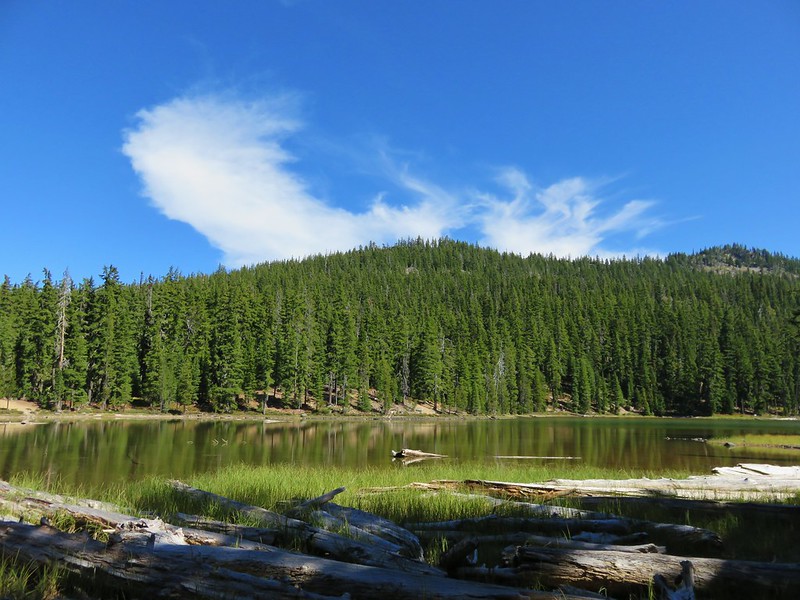
 Blue sky making a comeback.
 Diamond Peak from Divide Lake
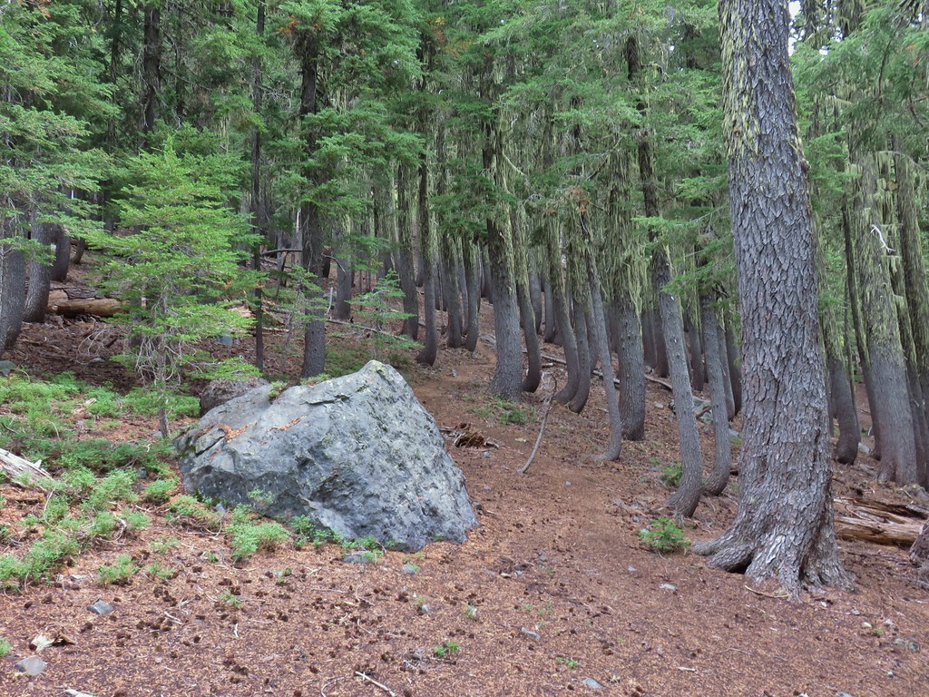 Climbers trail to Mt. Yoran.
 Thank goodness it was a seed.
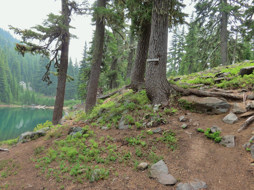
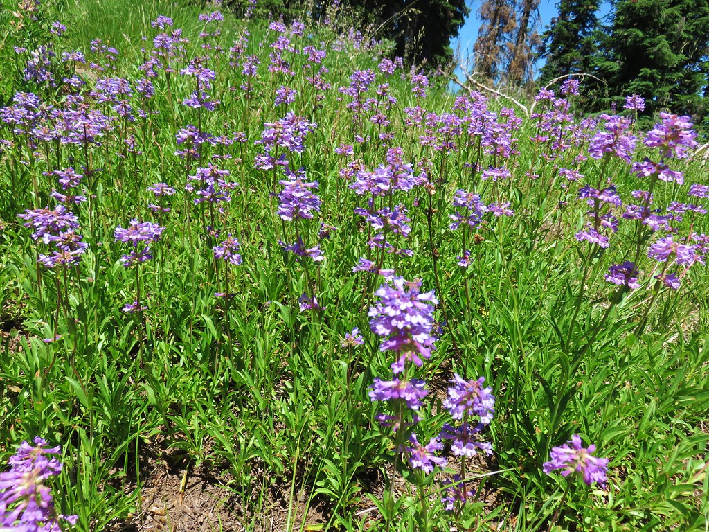
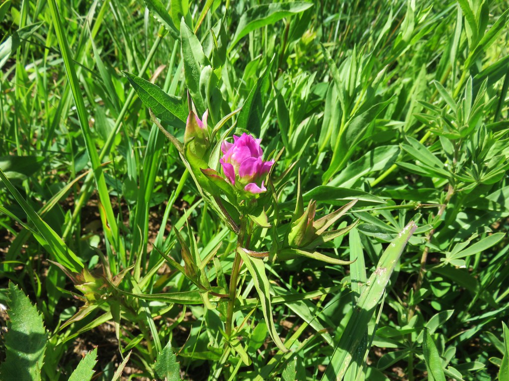
 Beardtongue
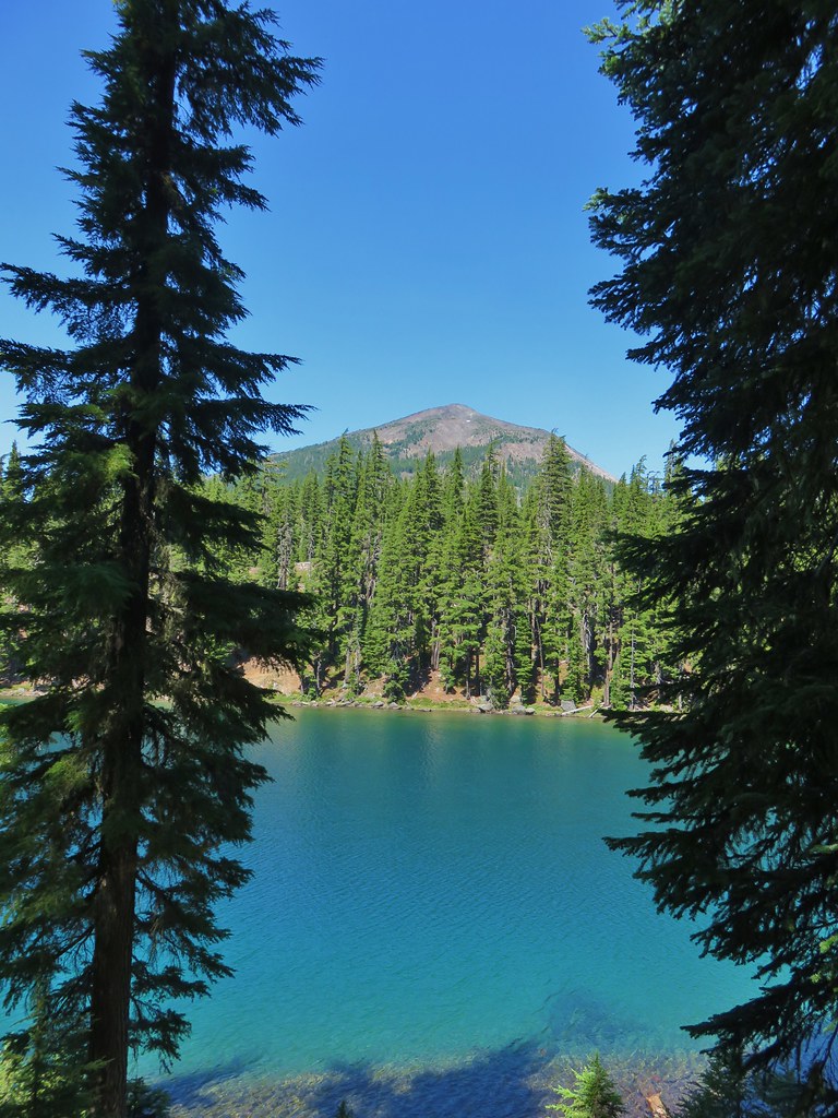
 Mt. Yoran from Divide Lake
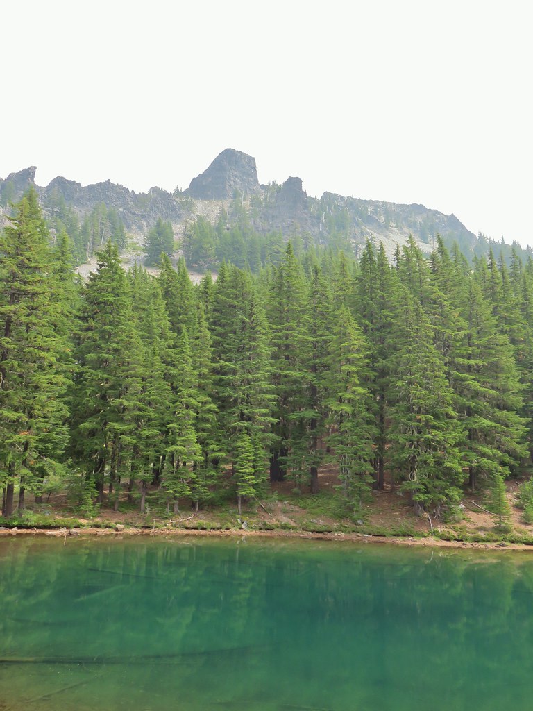
 One of the unnamed lakes.
 Starting up to the divide.
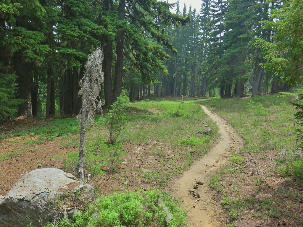
 PCT
PCT Diamond Peak from the PCT.
 Lakeview Mountain
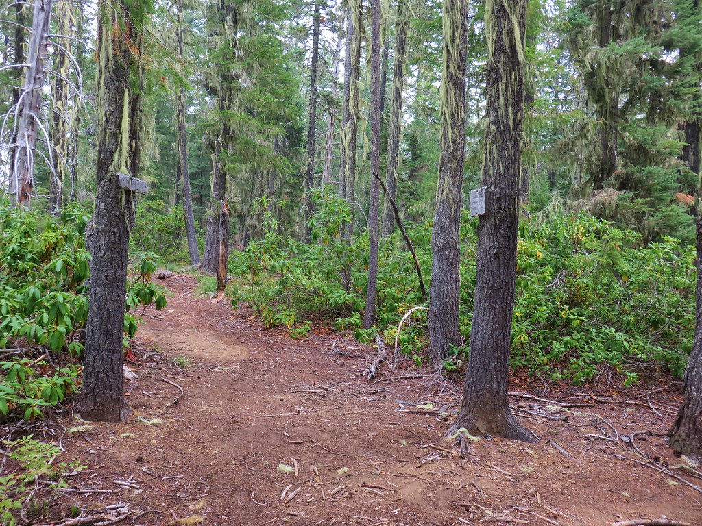
 New looking sign at the newly extended Yoran Lake Trail.
 Huge tree mushroom at the junction.
 Diamond Peak from Yoran Lake.
 Dry creek bed (this feeds Trapper Creek).
 Right hand fork to Karen Lake.
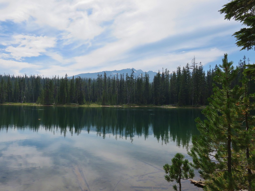
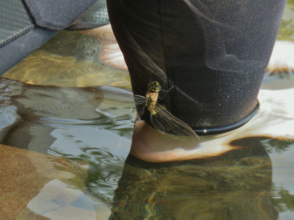 Dragon fly visit.
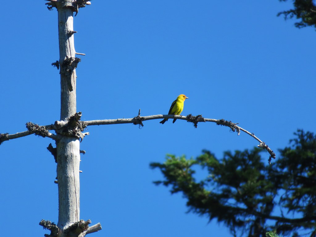
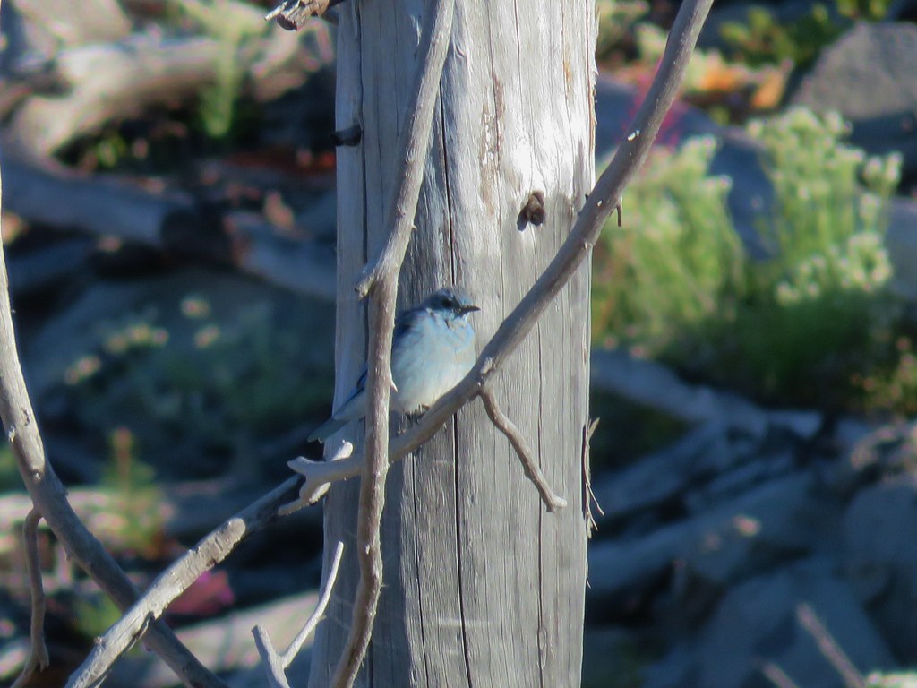
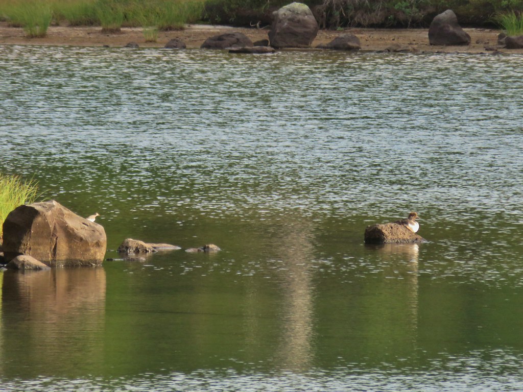 A little bird joining the duck on the rocks.
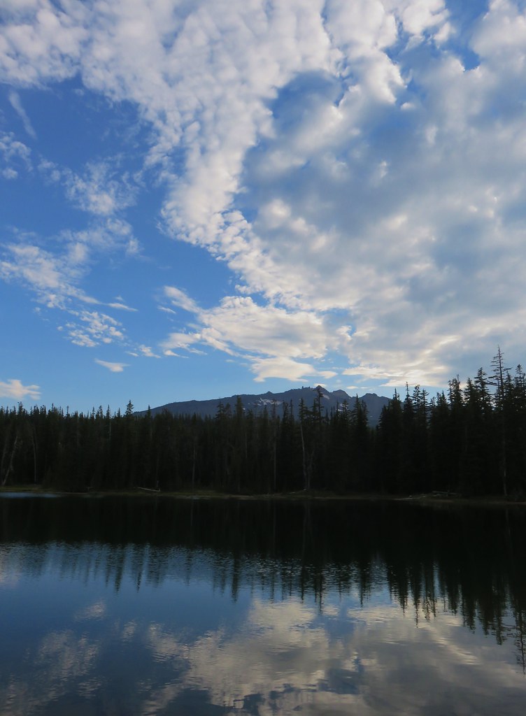
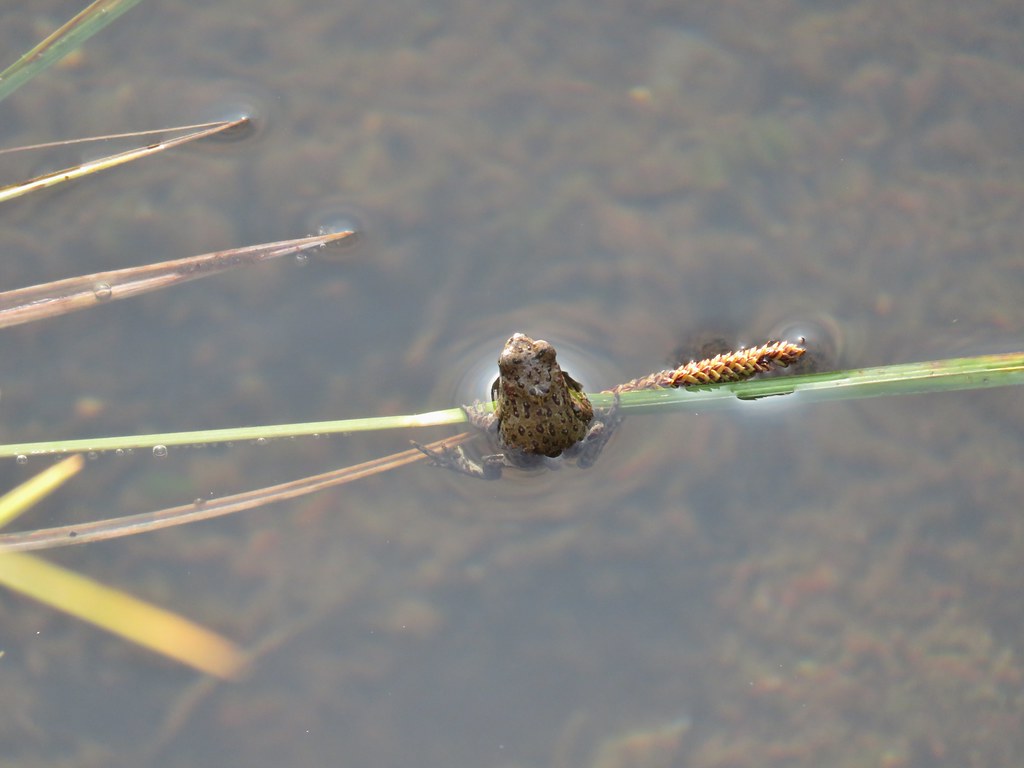
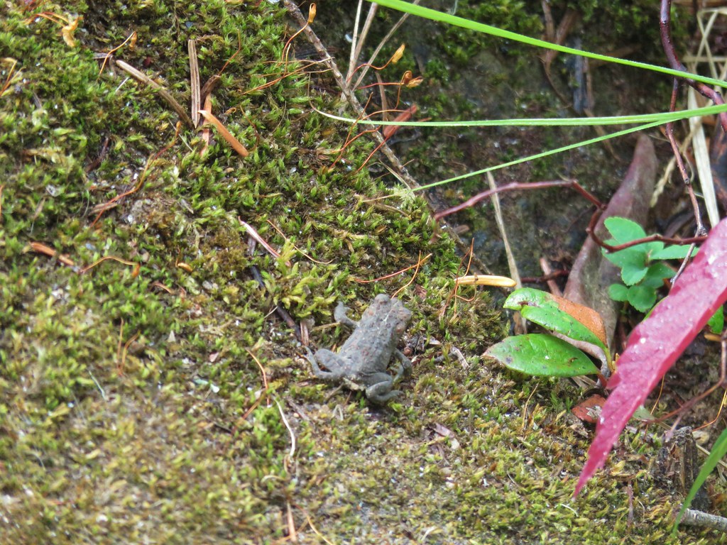
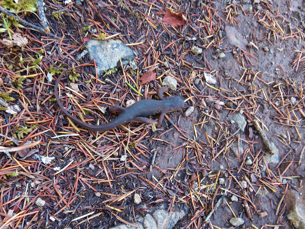
 Is this a tadpole? We first thought it was a newt then a fish but it’s got feet.
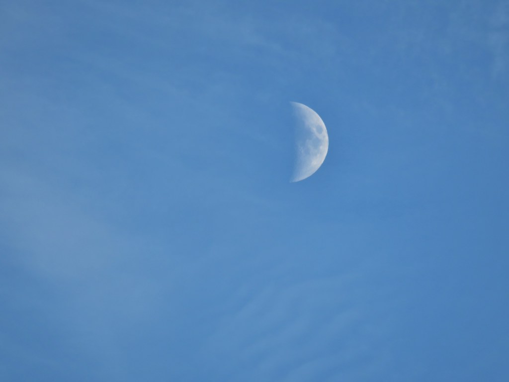 The moon was really showing up well over the mountain.
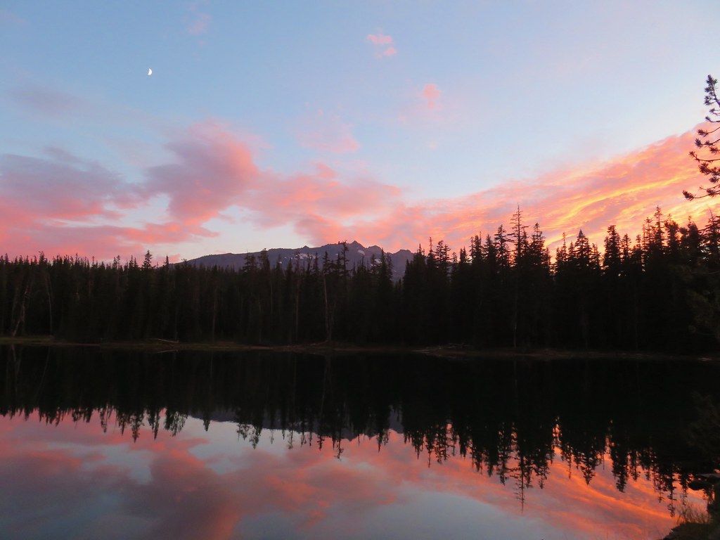


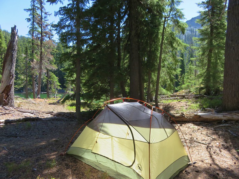
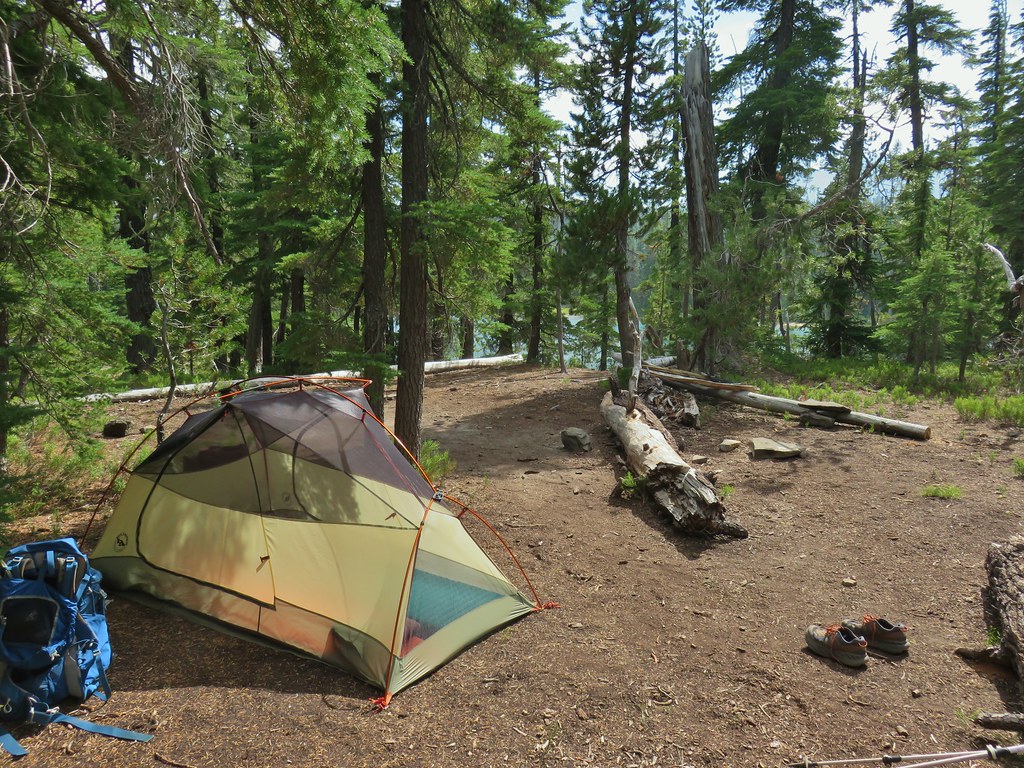
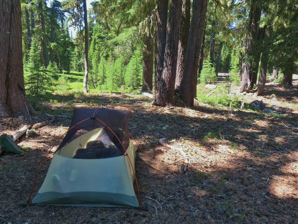
 Rainfly deployed
 Another light shower passing over as we were leaving.
 Some funny looking beargrass along the trail.


 The lake doesn’t show a name on the map but West Bay Creek flows out of it (of course it too was dry at this time of year).


 Diamond Peak in the morning.
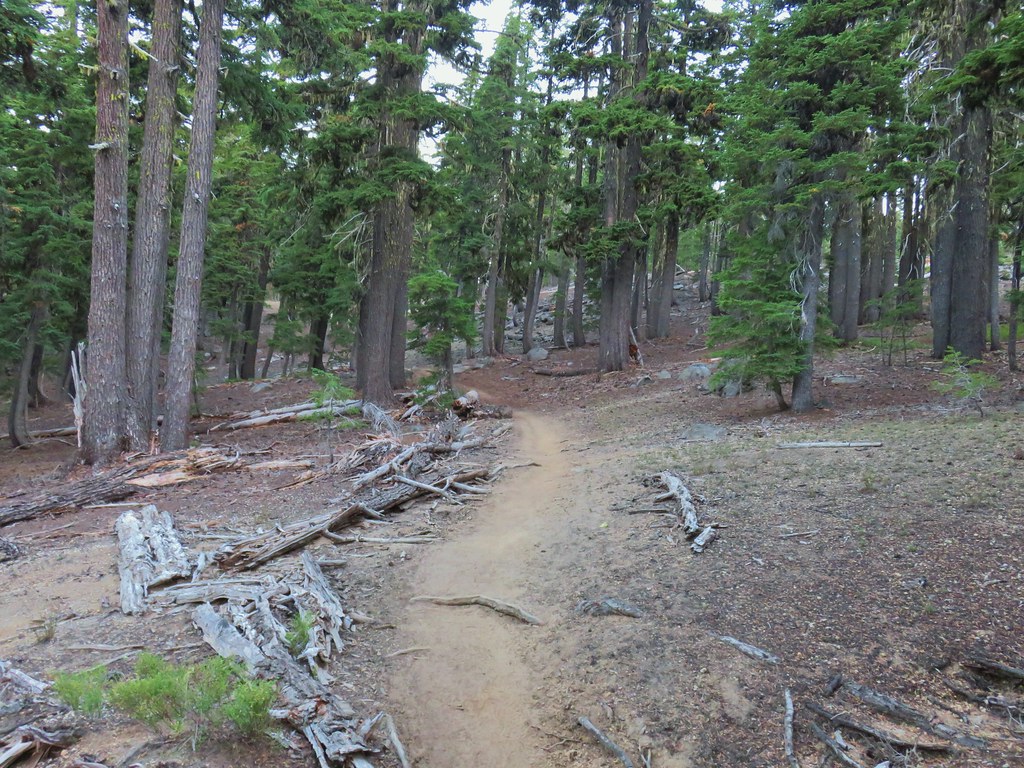
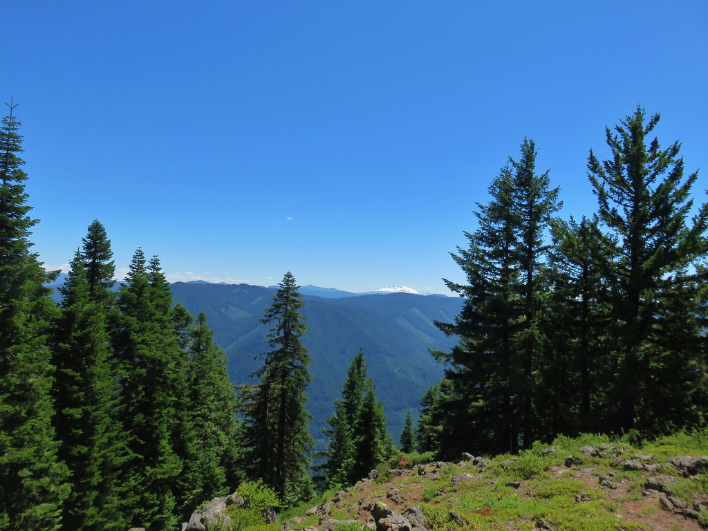
 The viewpoint from below on the PCT.
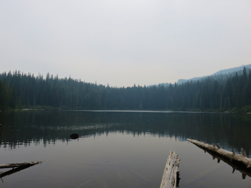
 Summit Lake and a lot of smoke.
 The north flank and route up Diamond Peak.
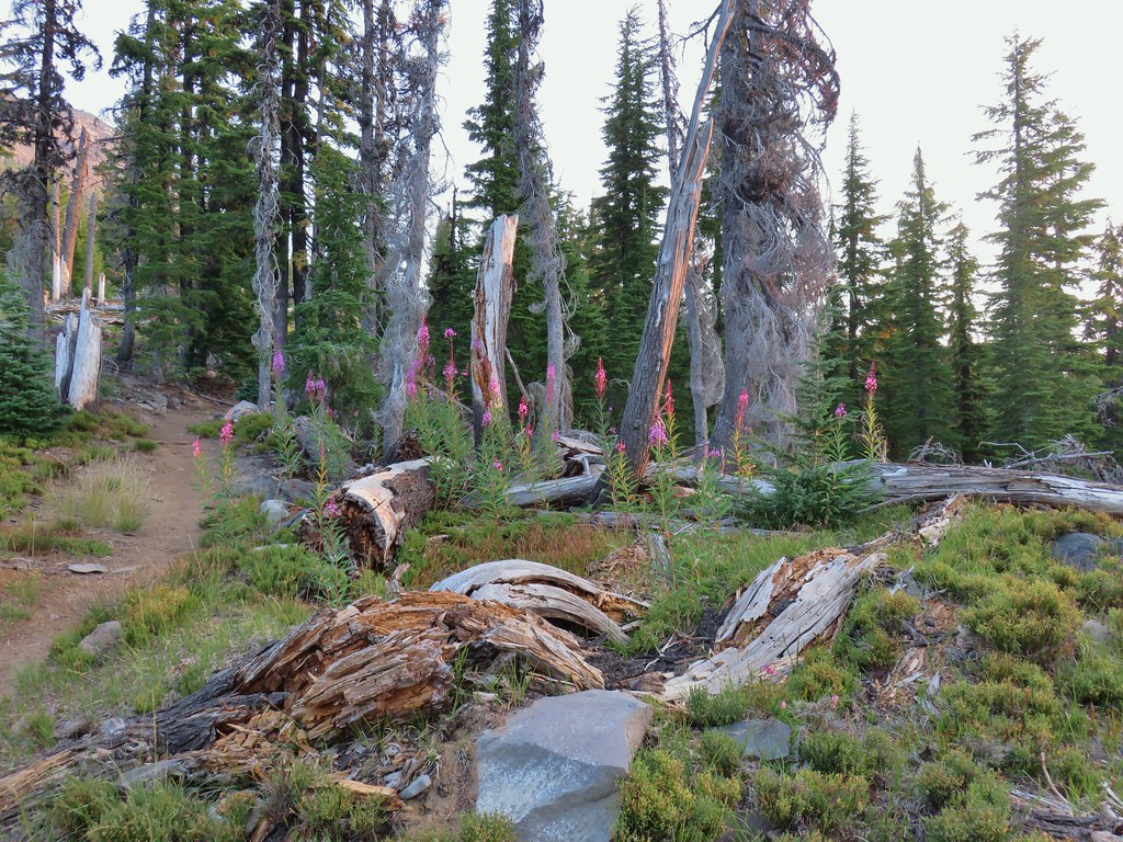
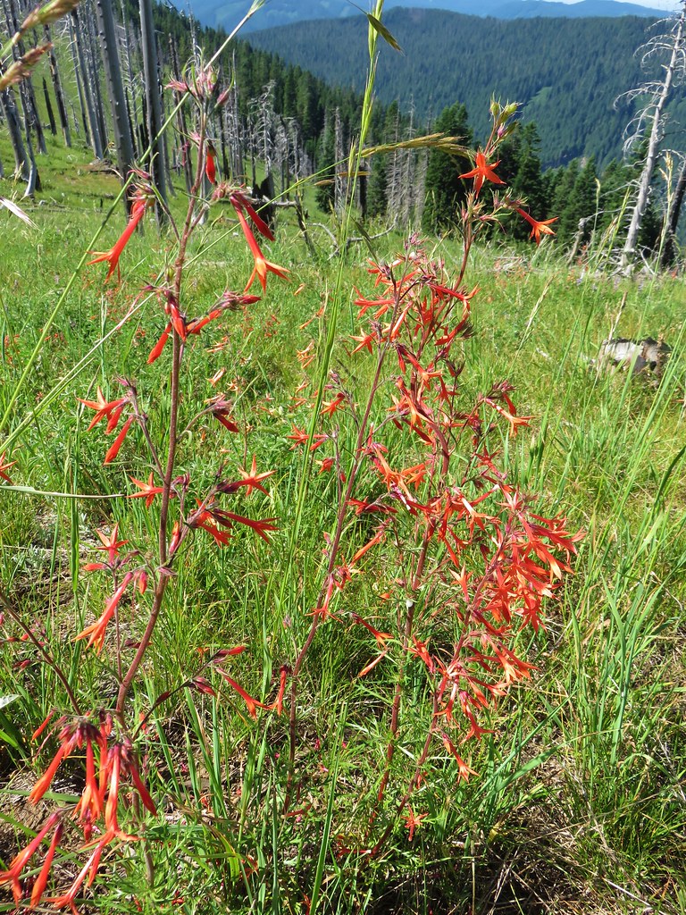
 Fireweed catching the morning sunlight.
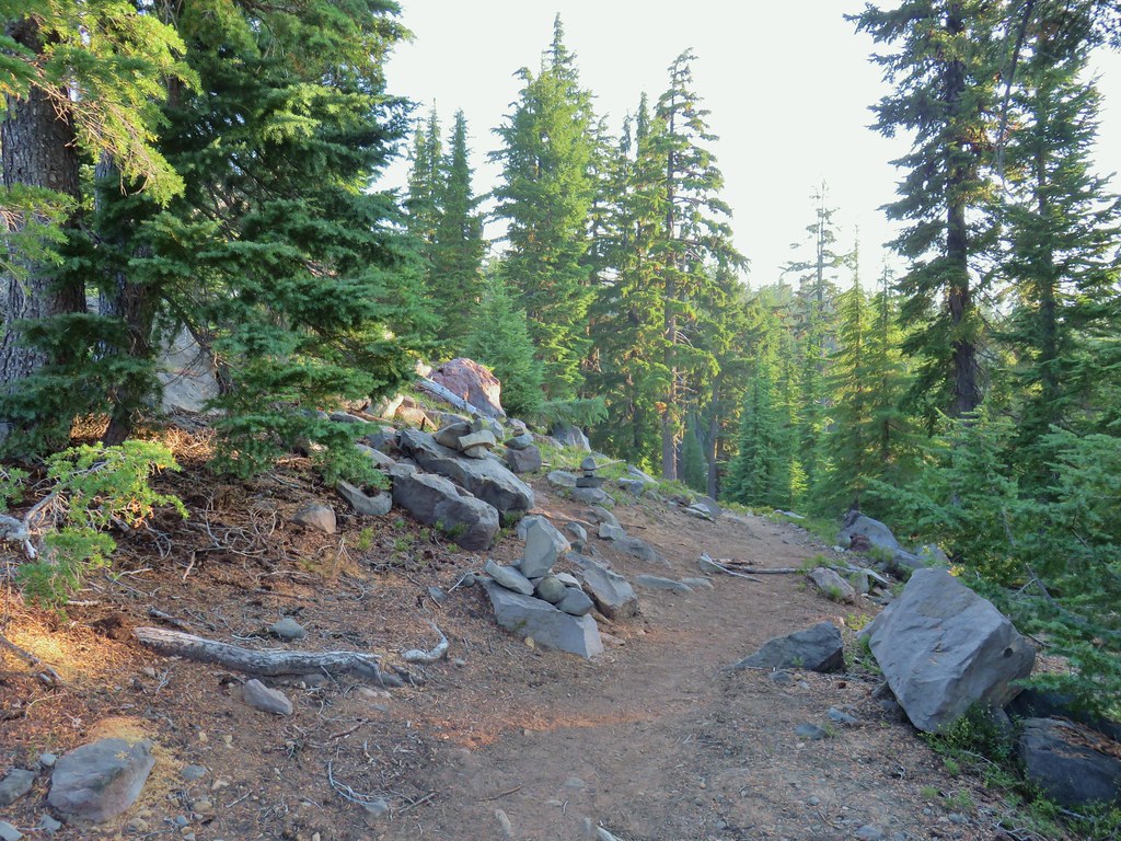 Cairns on the left side of the trail marking the route.
 Chipmunk inspecting some bleeding heart.
 Summit Lake and the route up through the trees.
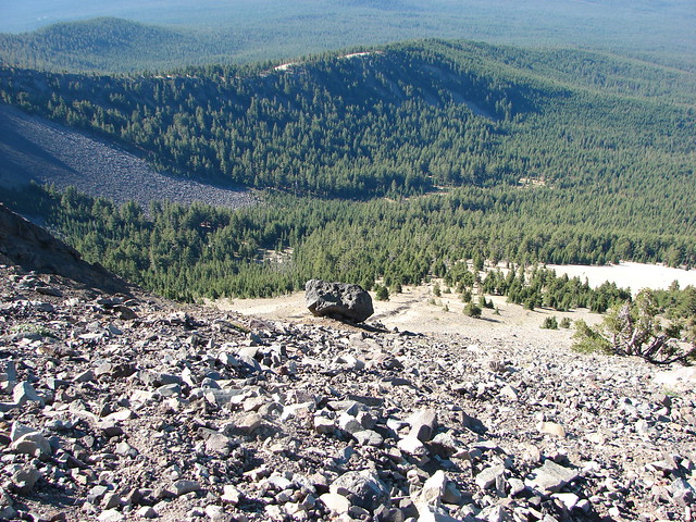
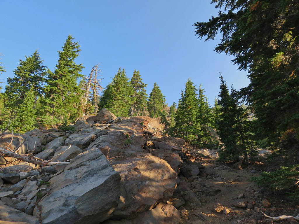 Here come the rocks.
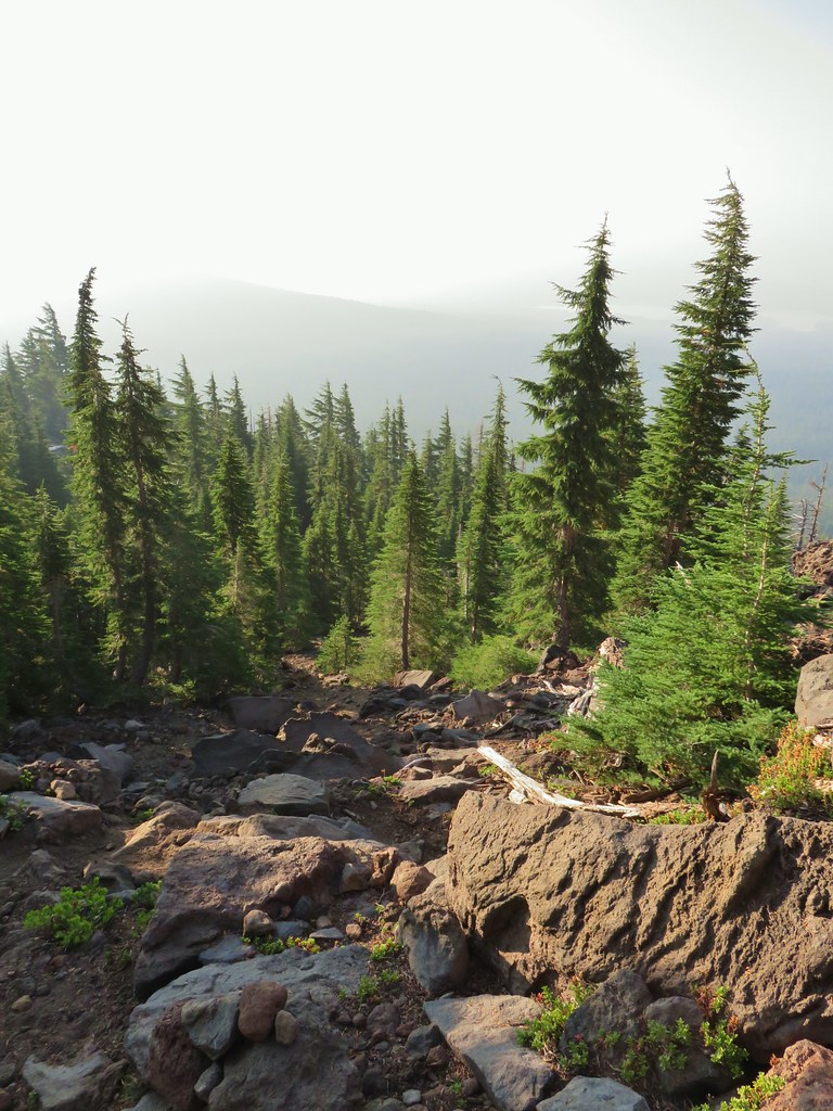
 Cairn on top of the big rock on the right.
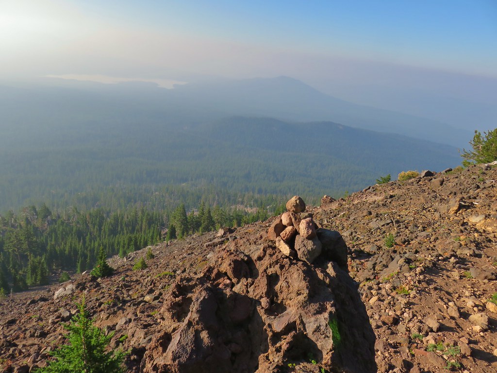 A carin and paint on a rock along the route and some pink flagging on the tree down to the left.
 Looking up at the false summit.
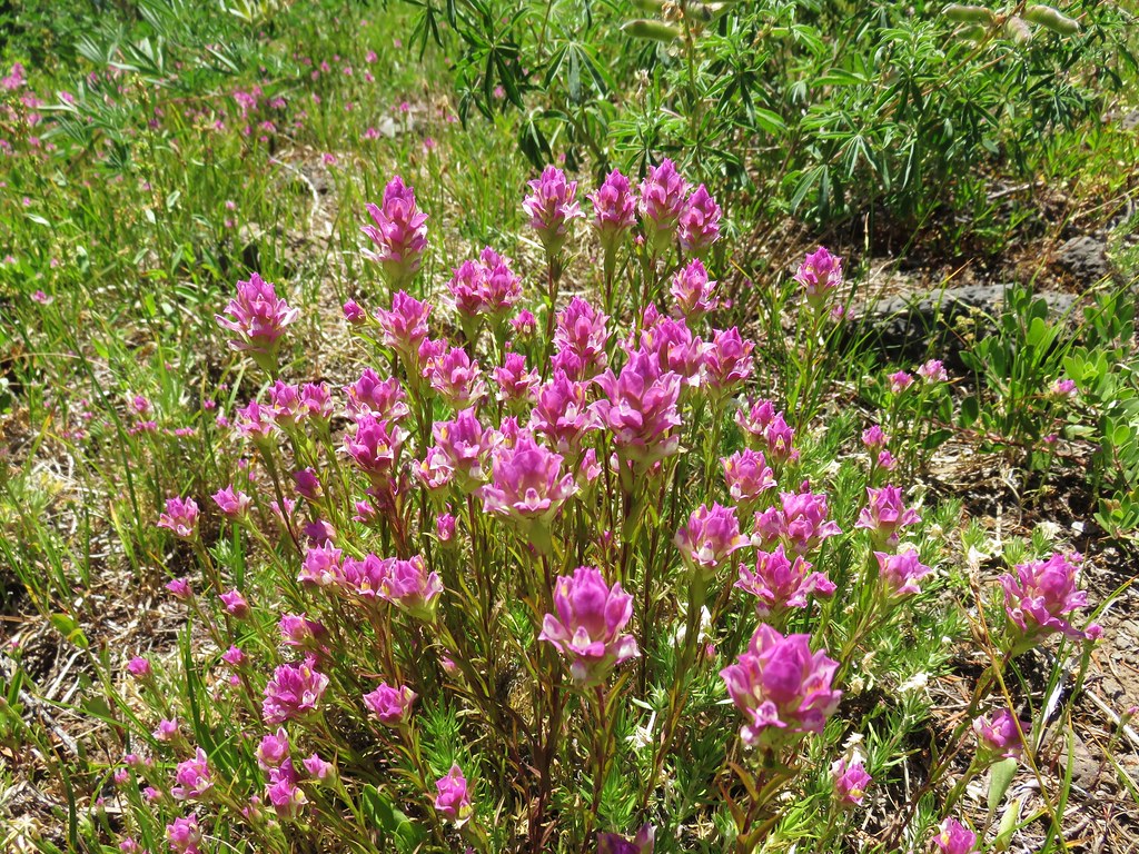
 Paintbrush
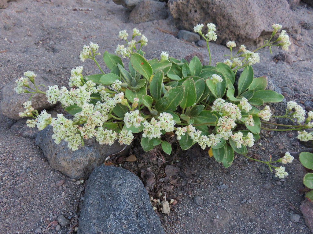 Buckwheat
 Patches of penstemon.
 Seed heads of Drummond’s anemone
 Dark smoke to the SW
 A snow patch below the false summit.
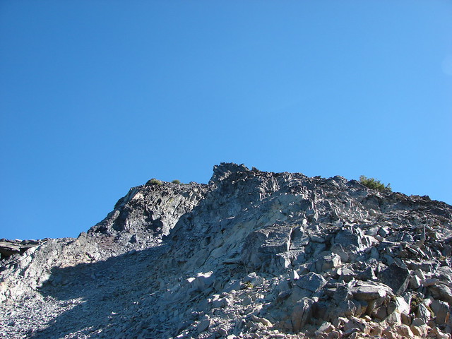
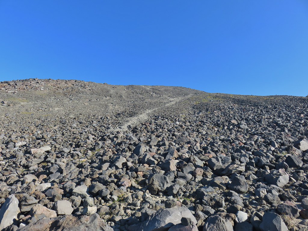 Final pitch to the false summit, still pretty blue.

 Looking west to a wall of smoke.
 Smoke to the east.
 Smoke to the NE too.
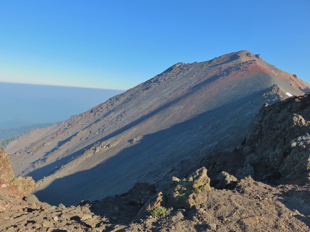 NW also equals smoke.
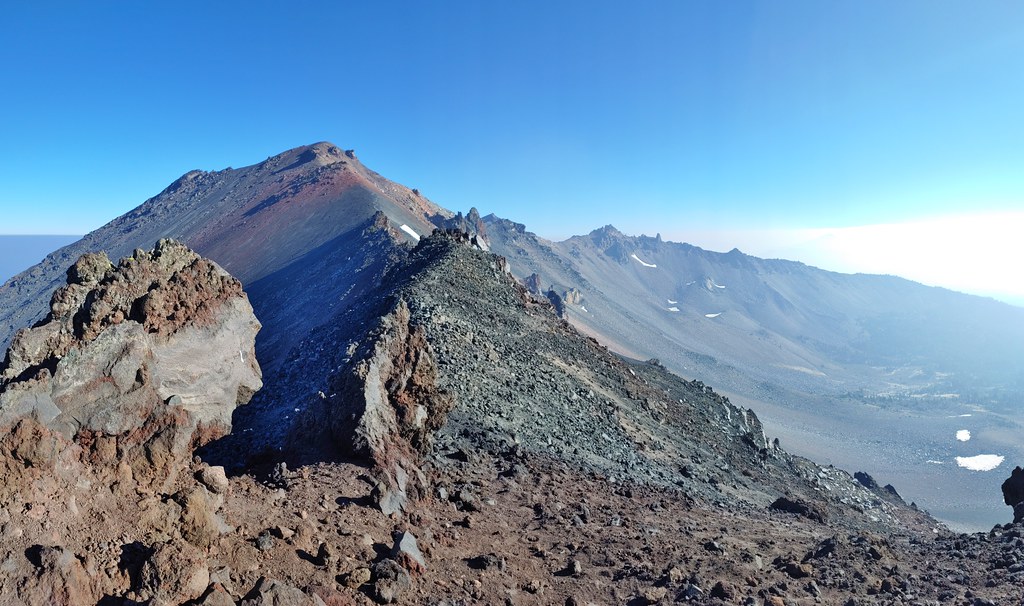 Smoke starting to drift in from the east.
 One of several Clark’s nutcrackers.
 Buckwheat
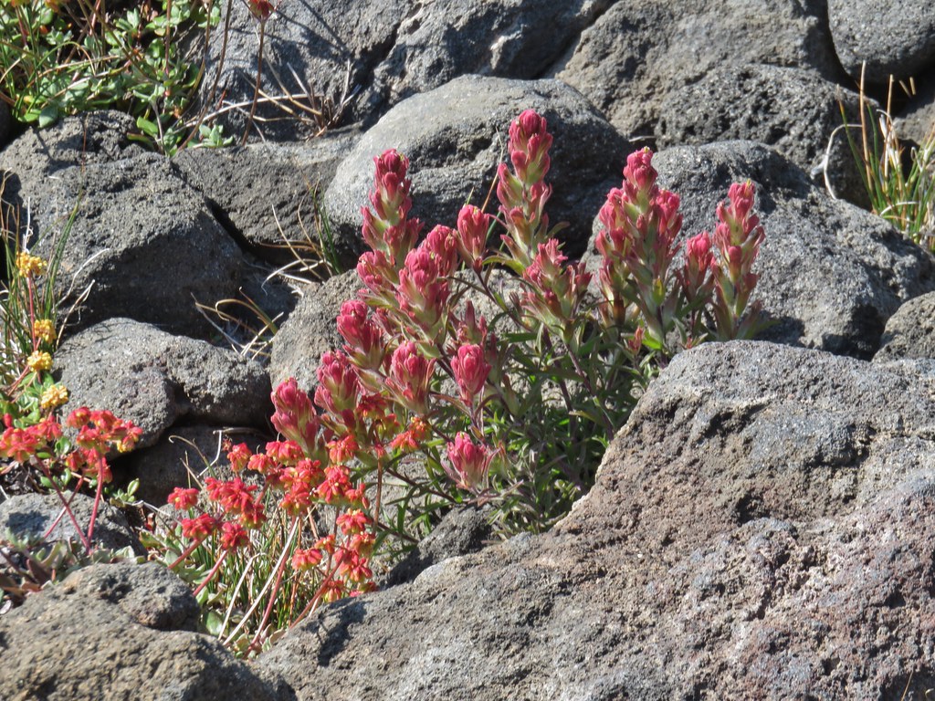 Paintbrush
 Penstemon
 Basin with a number of flowers.
 Mountain heather
 Partridge foot
 Another paintbrush
 A little smoke in the trees.
 Slightly smokier Rockpile Lake.
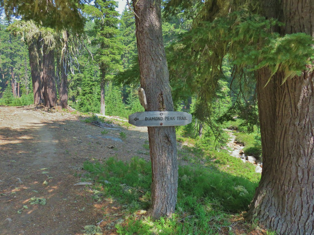

 Summit Lake out there in the smoke.


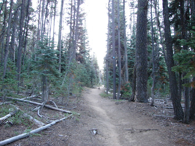
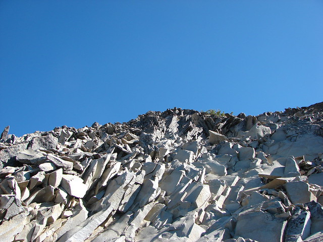
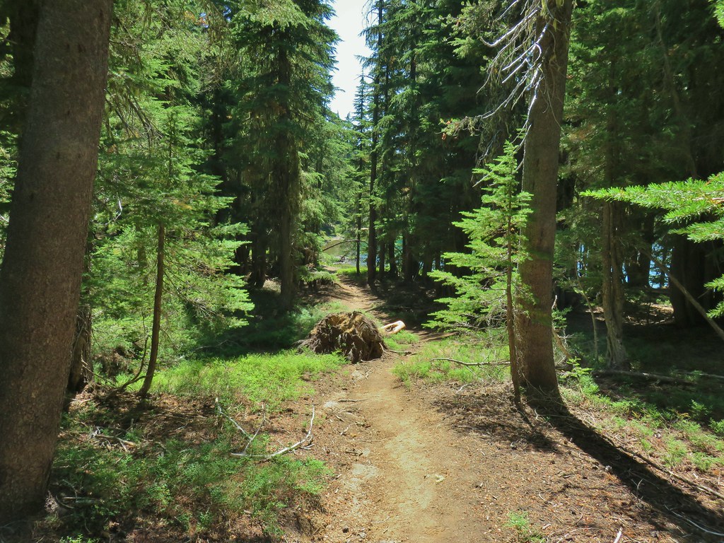
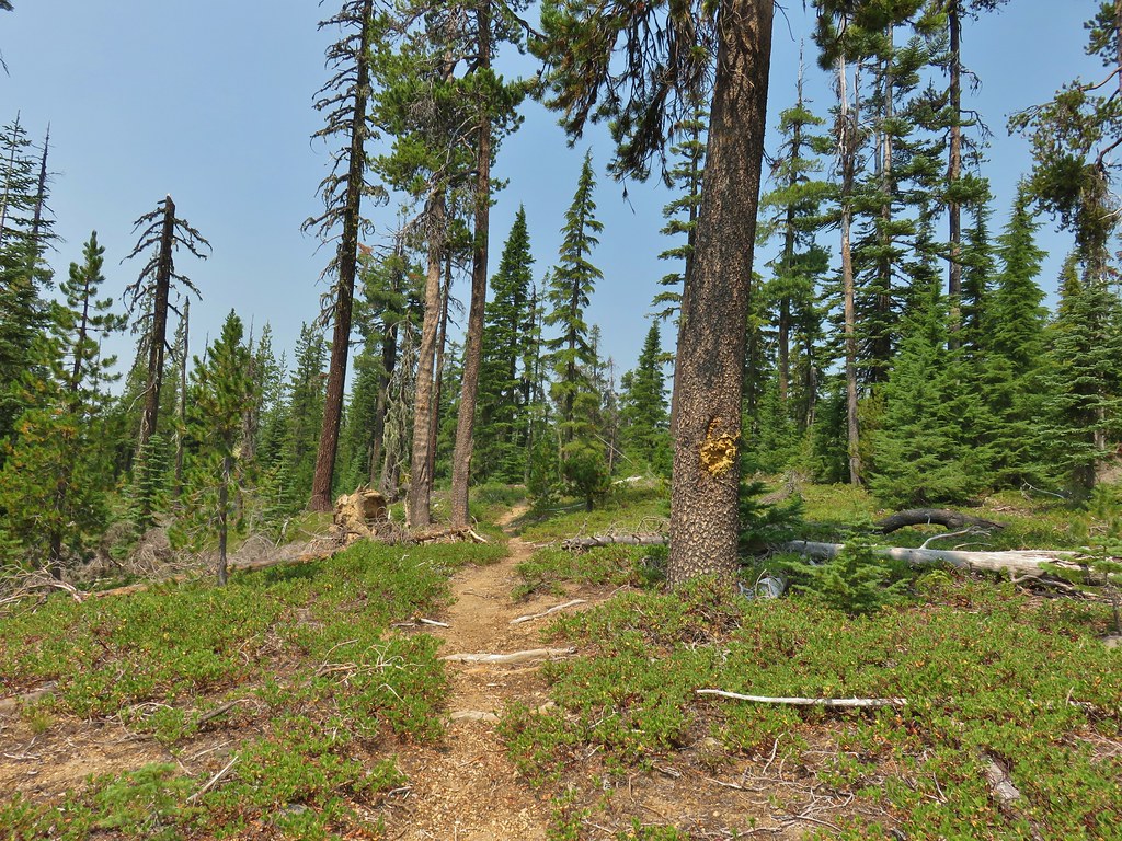 One of the uphill sections.
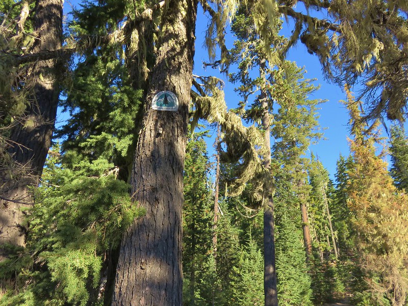
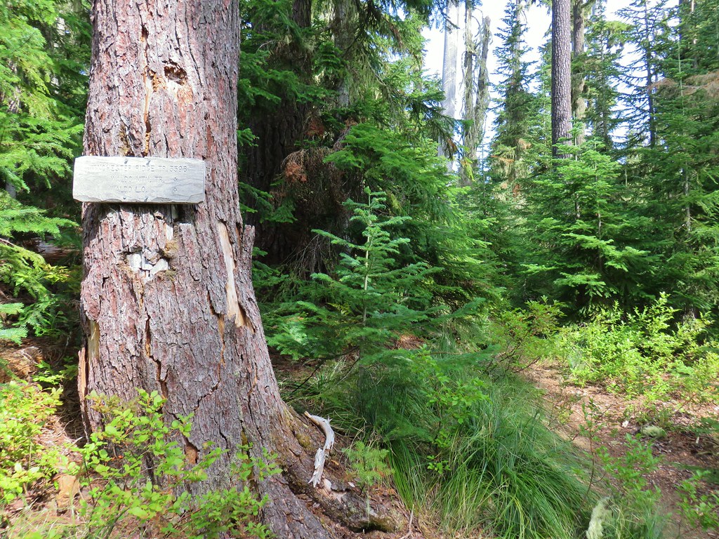
 Note again that the sign is letting you know what is in the different directions but not identifying the trail name.
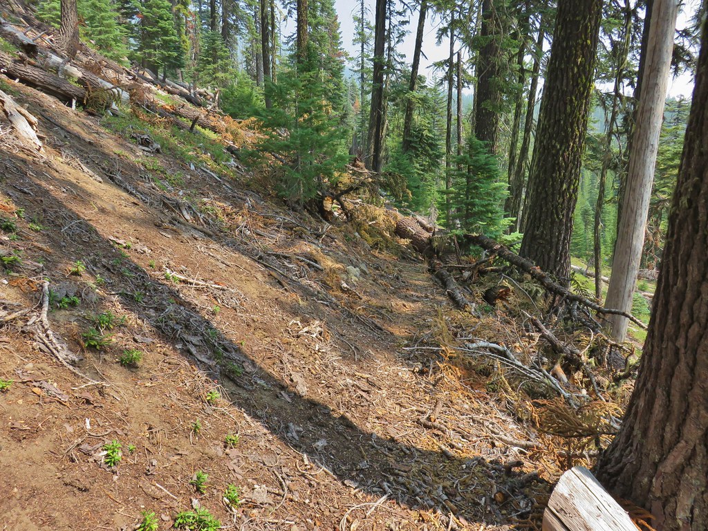 Typical obstacle for this stretch.


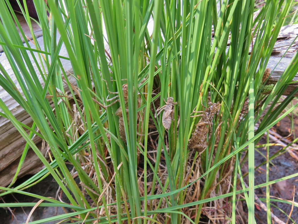 Lots of insect husks on the plants along the lake.
 Fleabane
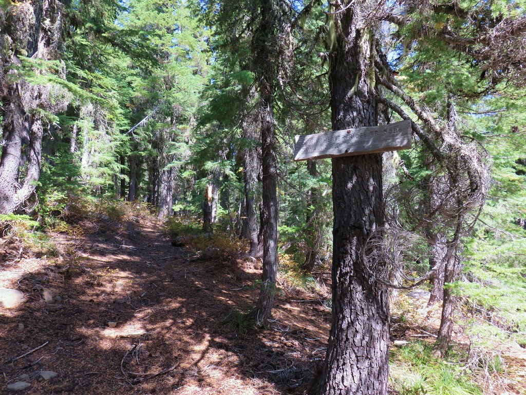
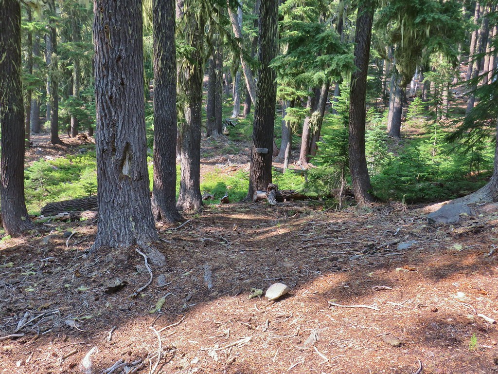 Bear Mountain Trail junction.
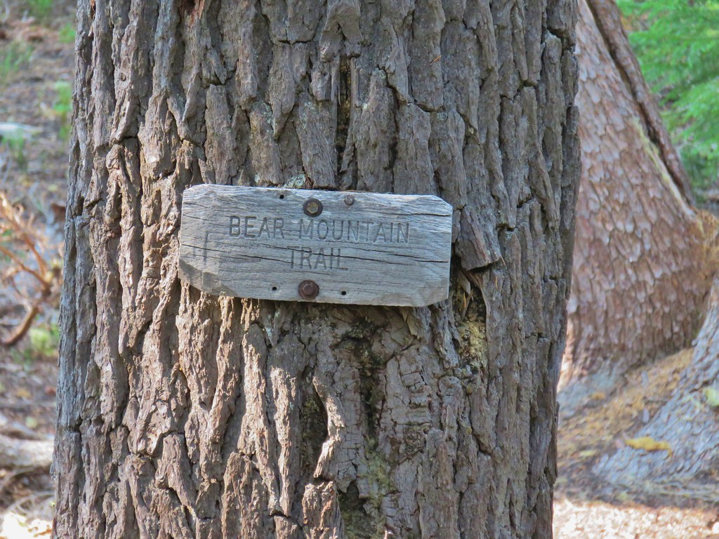 Look a named trail!

 Starting to drop off the ridge.
 Arnica
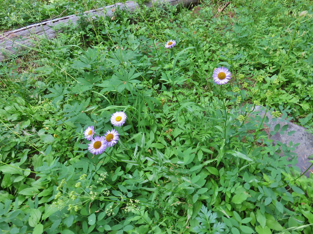 Fleabane
 Pearly everlasting and fringed grass of parnassus
 Aster and fringed grass of parnassus
 Scouler’s bluebells


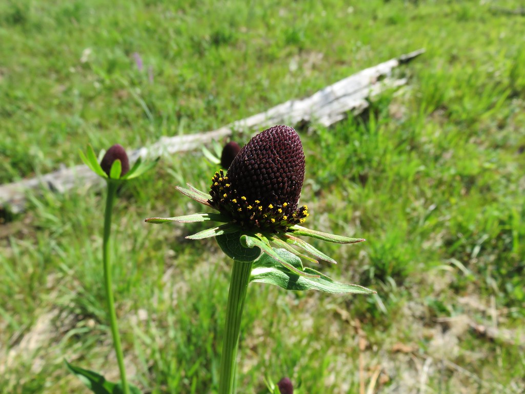
 Lots of coneflower
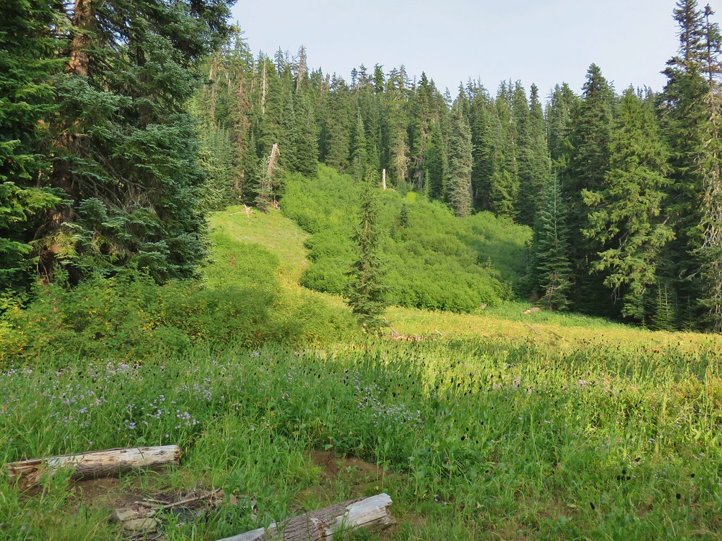
 Fireweed and coneflower
 Owl’s clover

 Dragon fly and a bunch of frogs
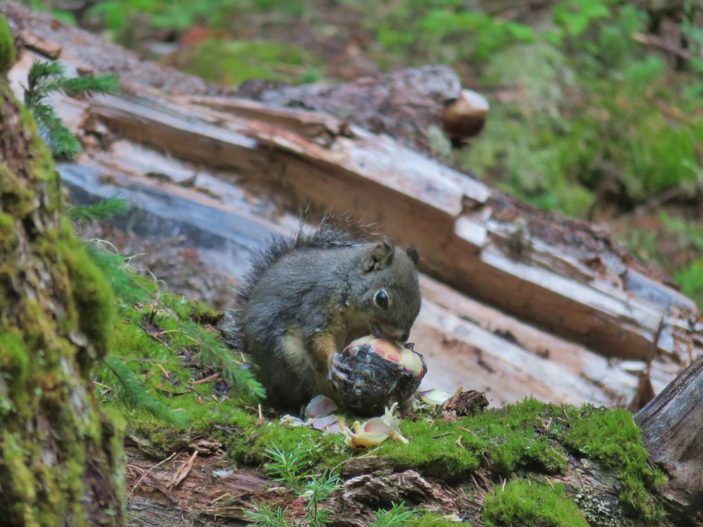
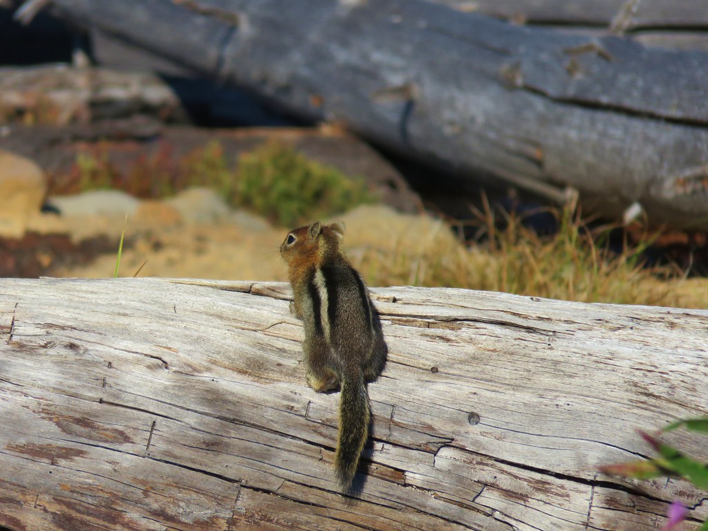
 Chatty squirrel


 The writing on the sign made us chuckle, it says “If you need a map you should stay home”. All kidding aside you should always carry a map and refer to it as often as necessary.
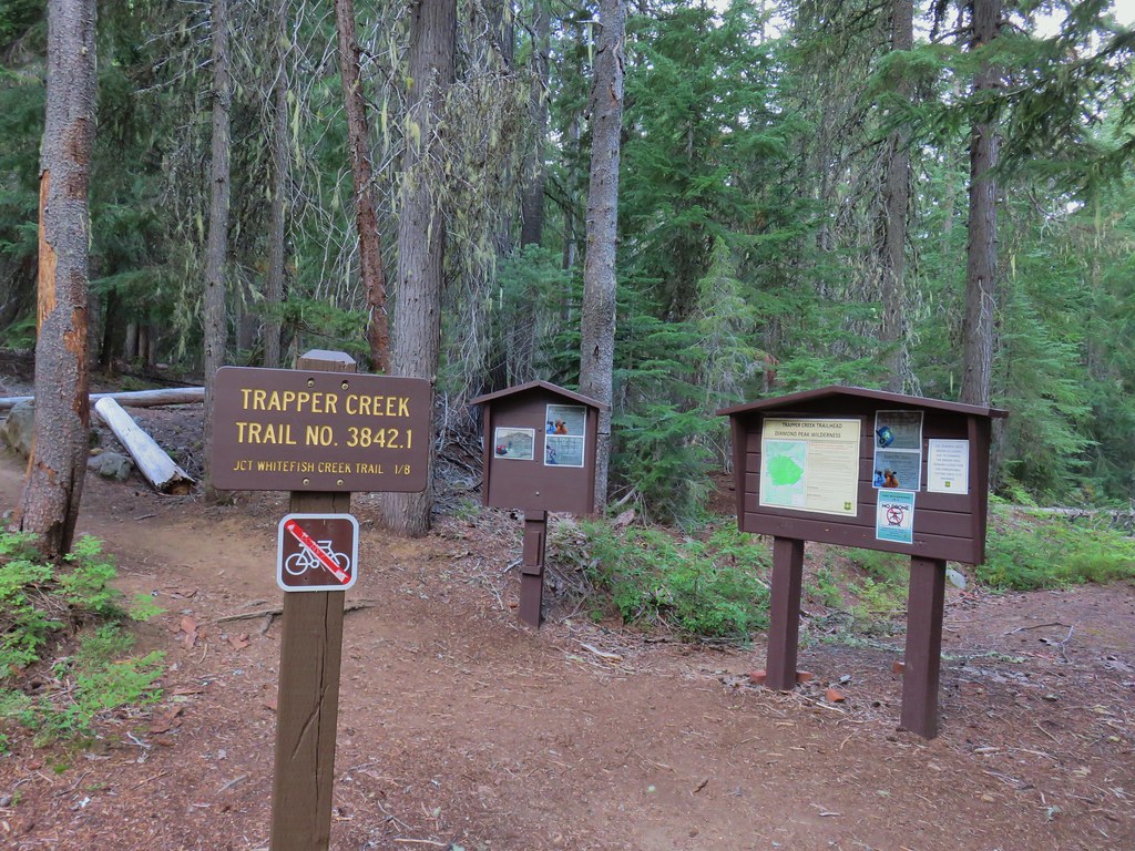


 Breakfast time.
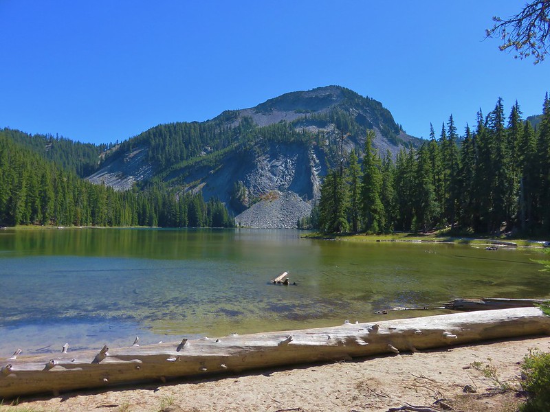
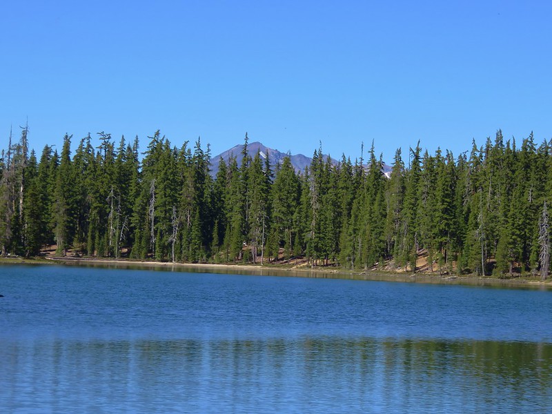
 Unnamed lake along the Whitefish Trail
 Arriving at Diamond View Lake
 Diamond Peak with Mt. Yoran to the right.
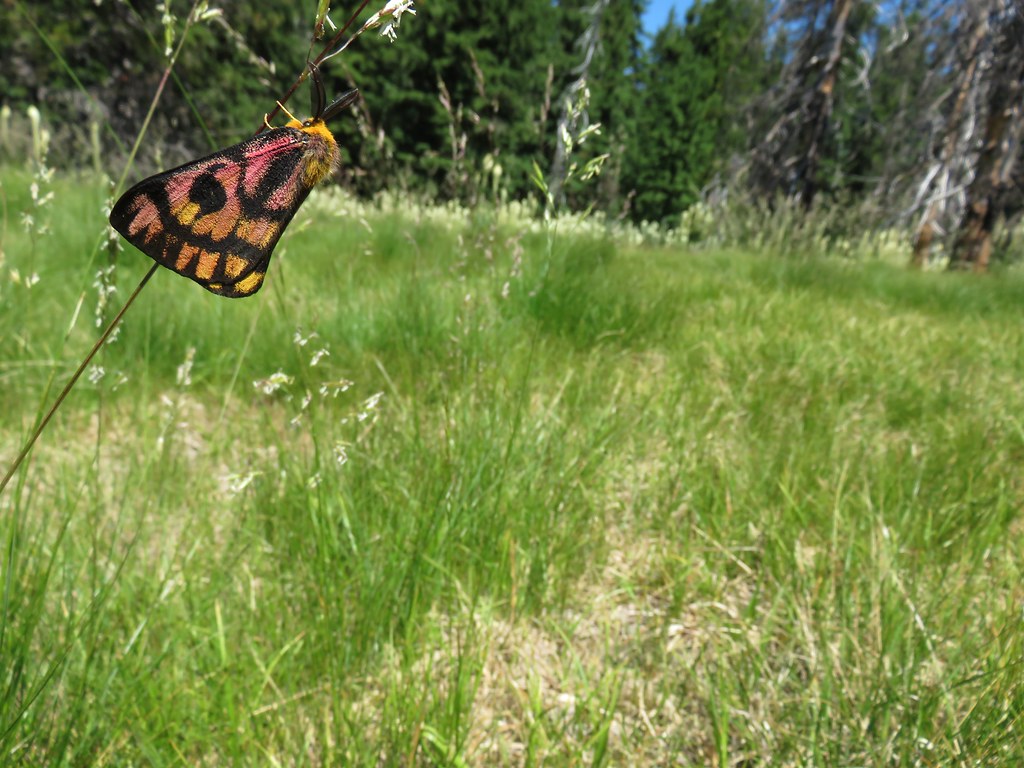
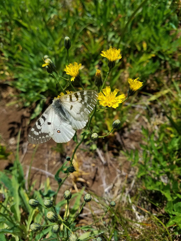
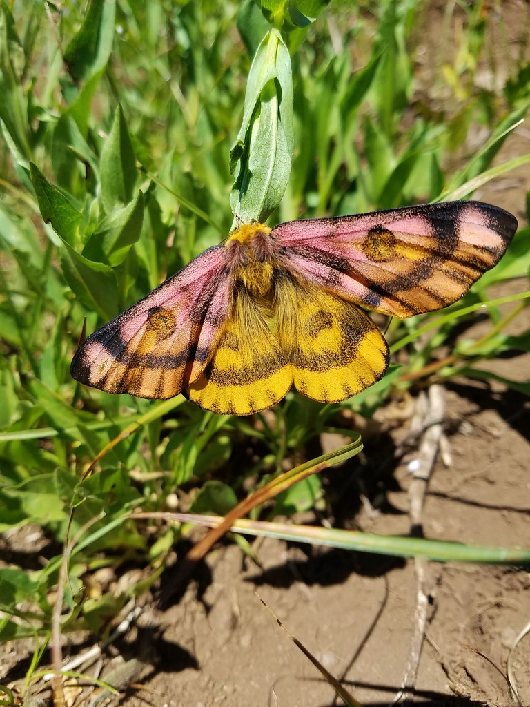
 Sharing our break spot with a butterfly
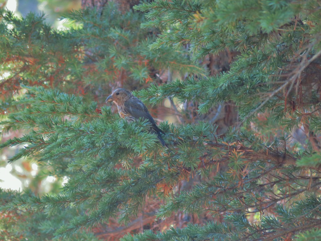 Crossbill near Diamond View Lake

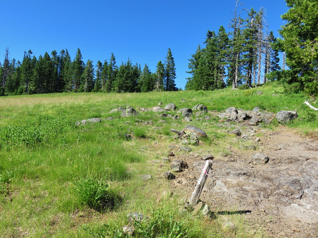
 Mile marker?
 A lone lupine
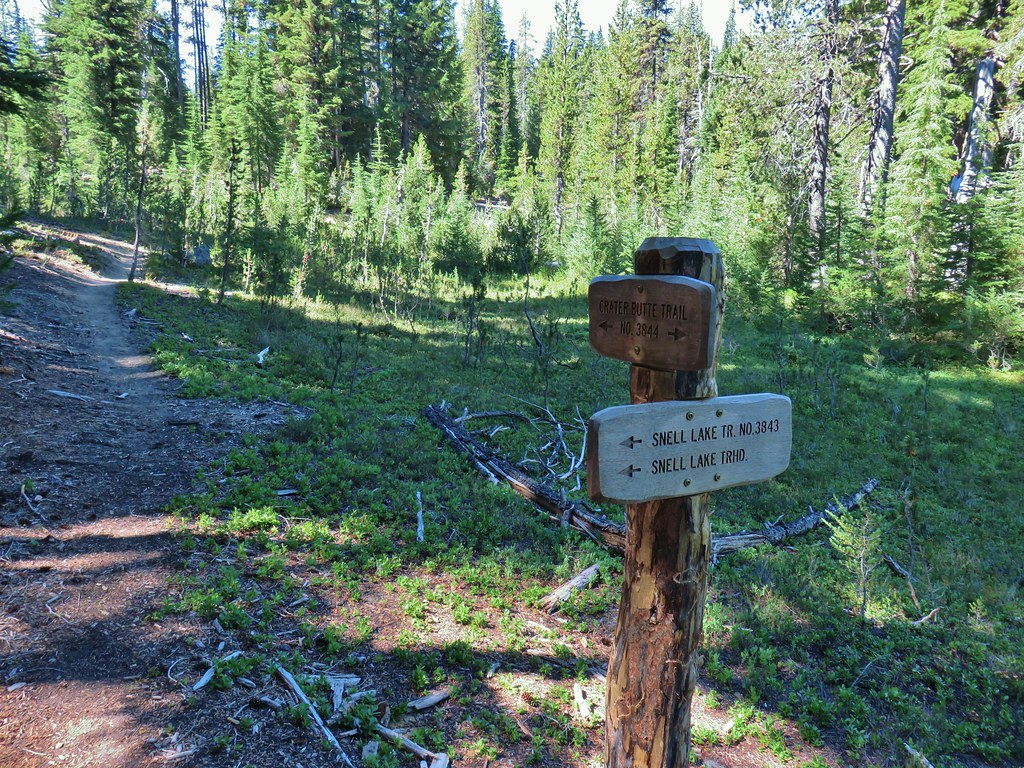 Nice looking sign for the Snell Lake Trail.
 It didn’t look like the Snell Lake Trail sees much use, at least at this end.
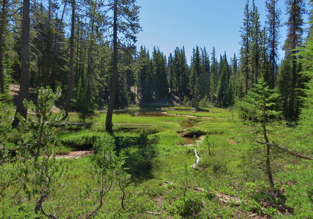
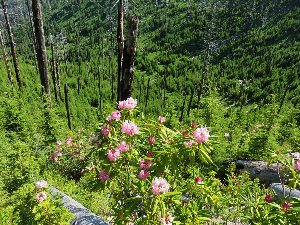
 The heather was all done blooming but there was a lot of dried blossoms.

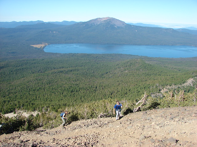
 The summit of Diamond Peak.
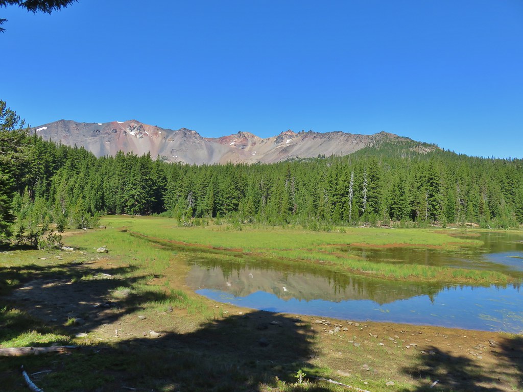


 Diamond Peak from the Rockpile Trail
 Rockpile Lake

 Hikers on the trail to the right coming down from the false summit.
 Dragon fly


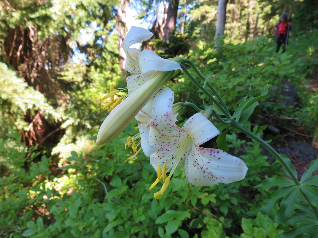
 The only tiger lily that seemed to be open yet.
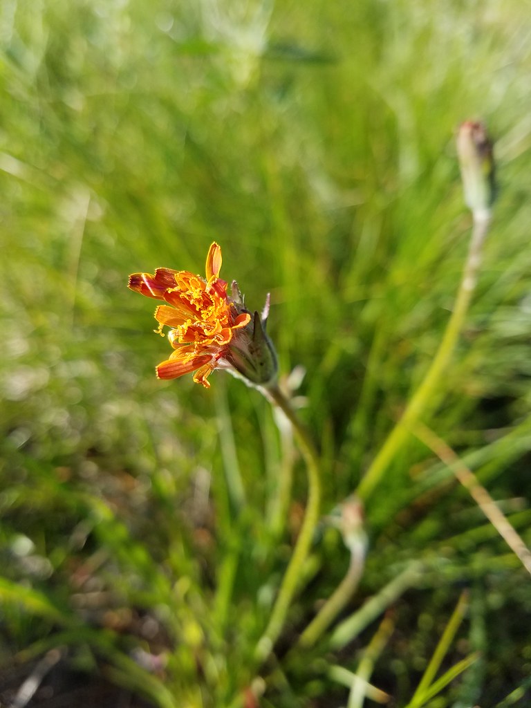 orange agoseris beginning to open.
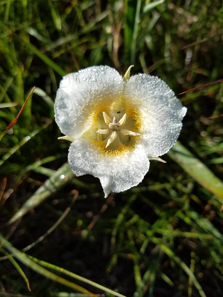 Cat’s ear lily
 Pussytoes
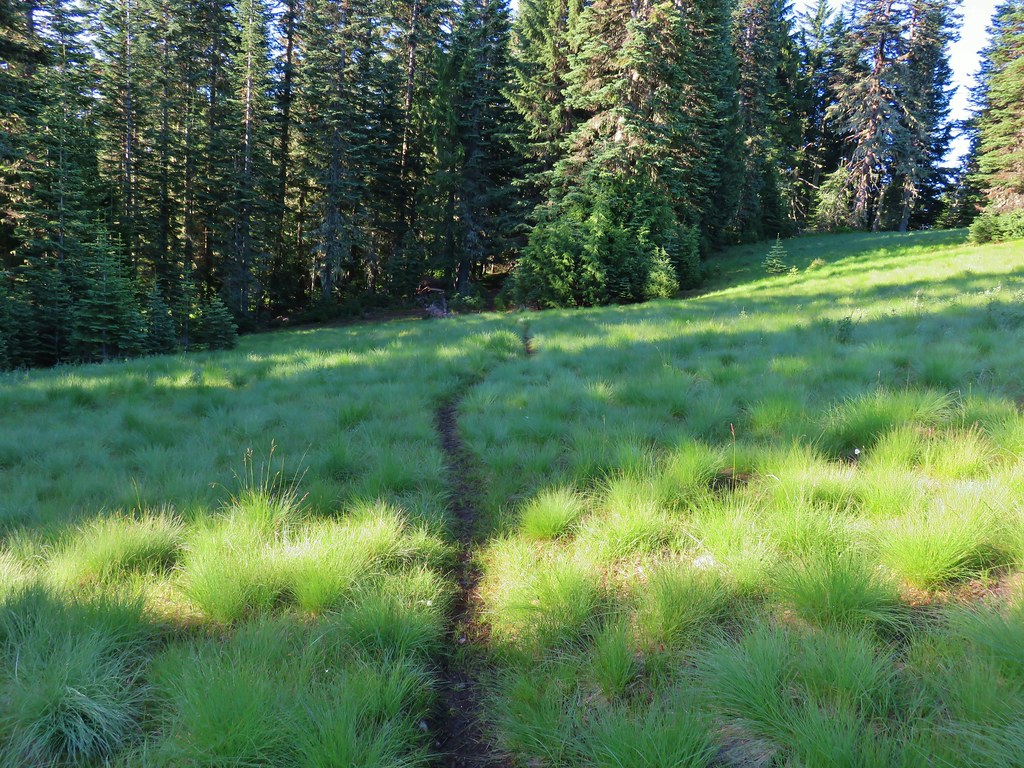


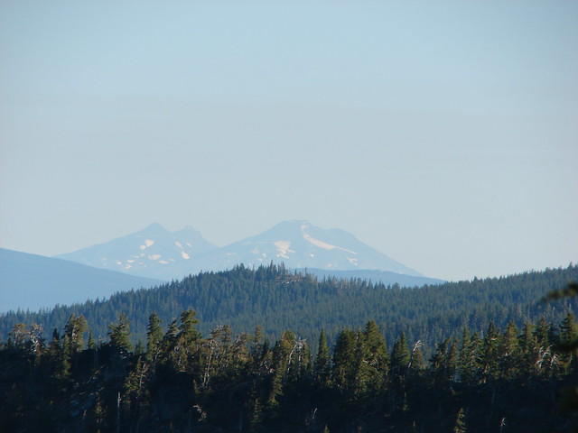
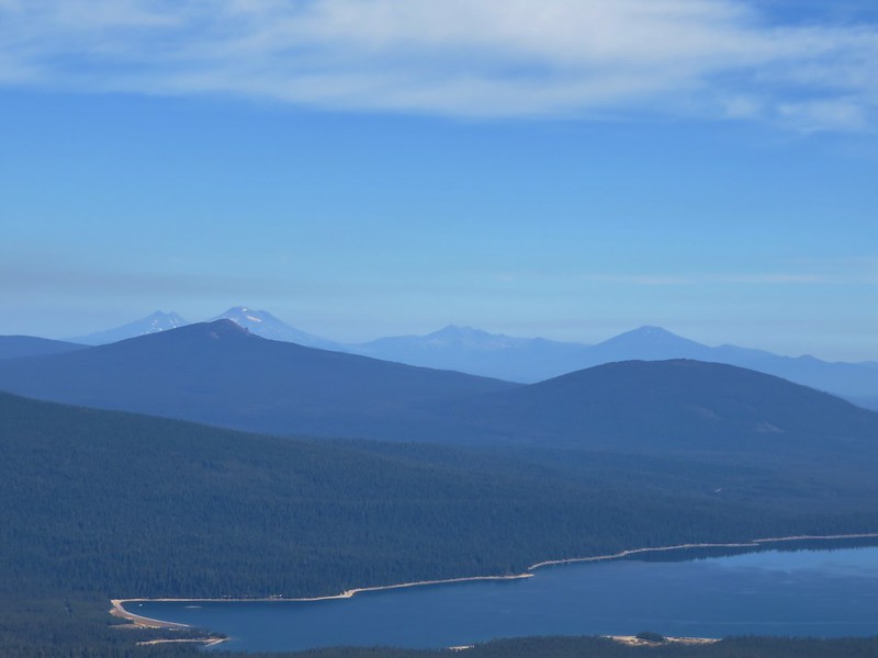
 The Three Sisters and Broken Top
 Larkspur along the trail.
 Bunchberry
 Anemone
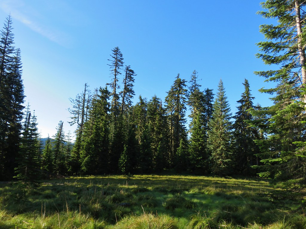 Another meadow
 The Three Sisters and Broken Top
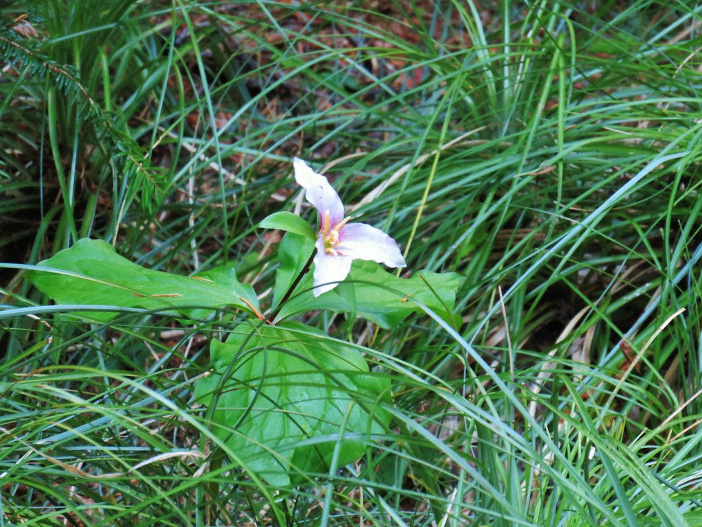
 Queen’s cup
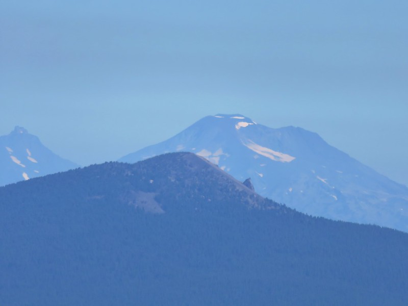
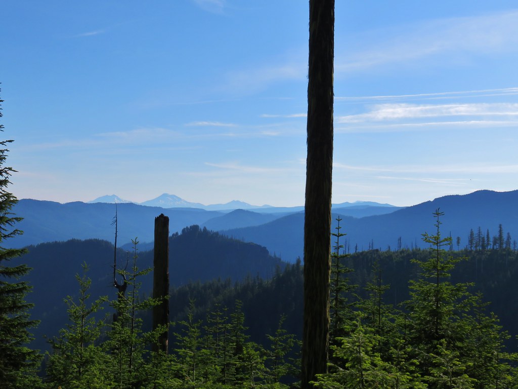 The Three Sisters, Broken Top, and a bit of Mt. Bachelor
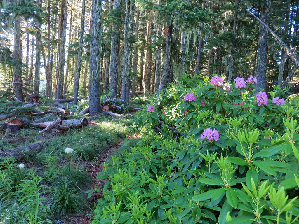 Rhododendron
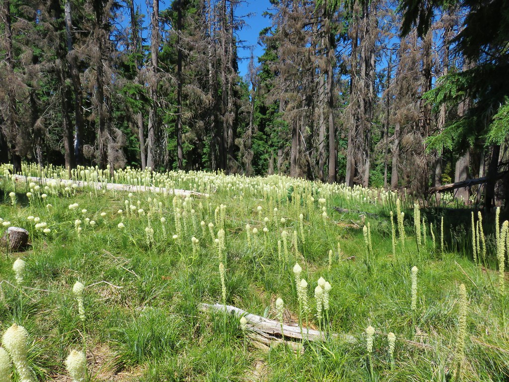
 Another meadow full of not-in-bloom beargrass.
 View from the SW facing hillside.
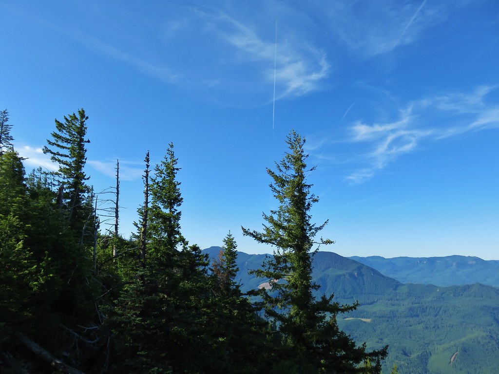 Looking SE

 Diamond Peak through the trees.
 Valerian in the saddle.


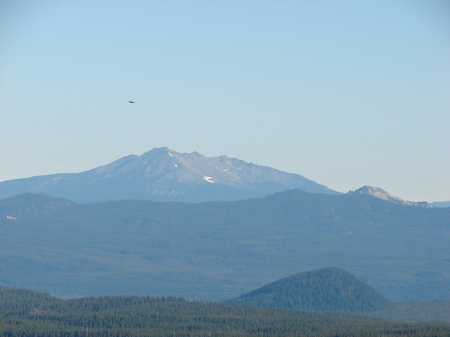
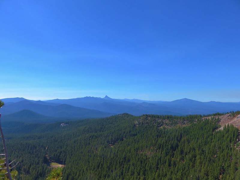
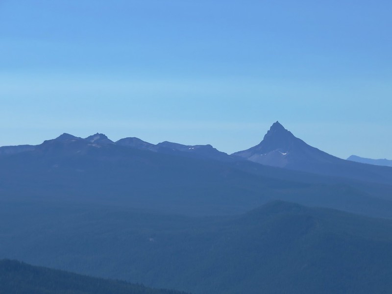
 Mt. Yoran, Diamond Peak, and Mt. Bailey
 Mt. Yoran and Diamond Peak
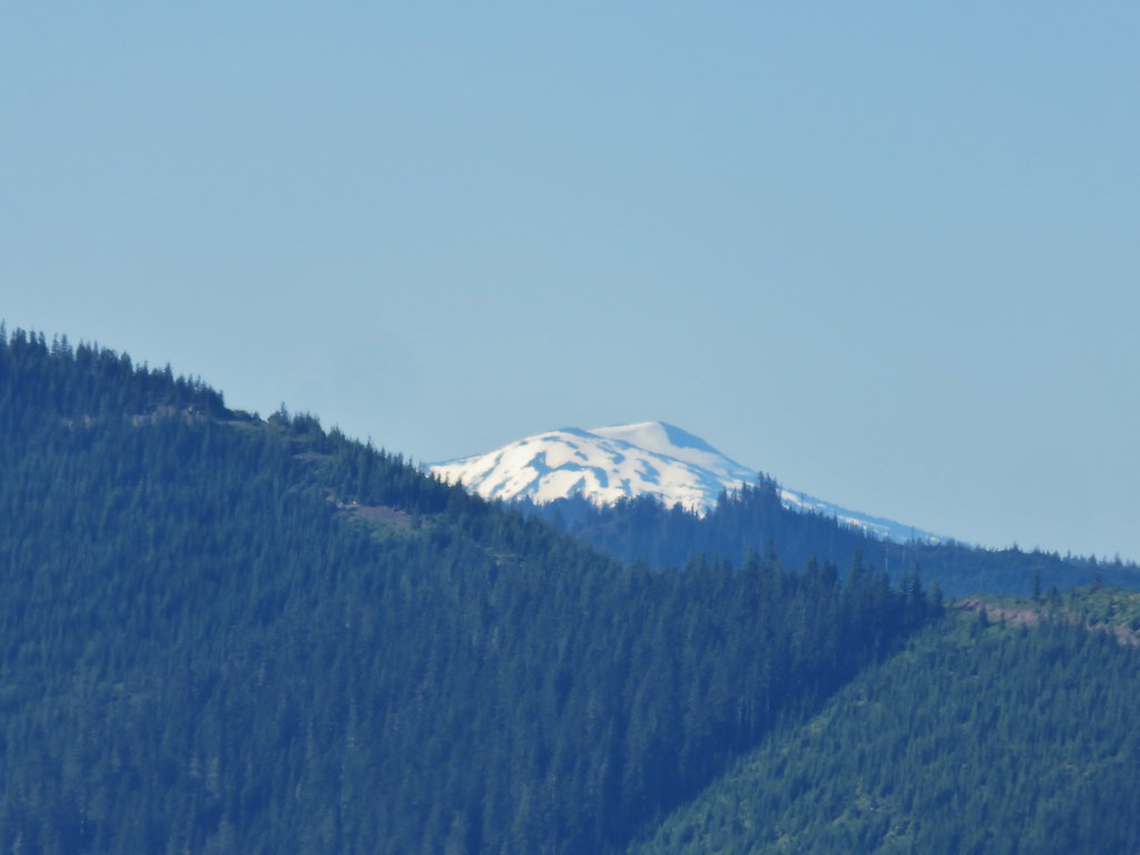 Mt. Bailey
 View to the NE (from the afternoon on the way back)
 The Husband, Three Sisters, Broken Top, and Ball Butte(from the afternoon on the way back)
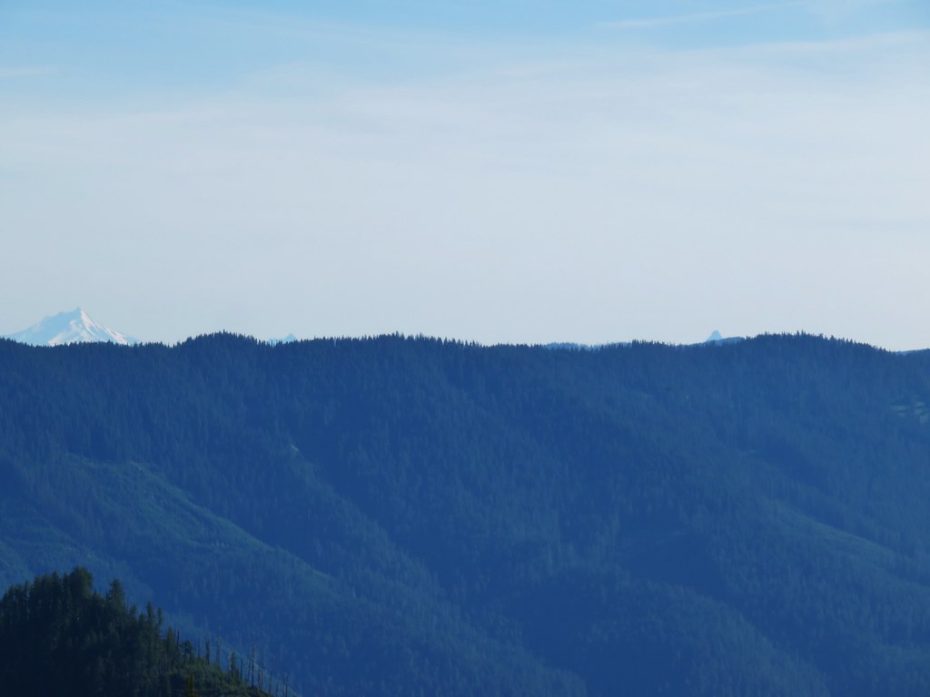 Mt. Jefferson and the tips of Three Fingered Jack and Mt. Washington


 Giant blue-eyed Mary
 Giant blue-eyed Mary
 Giant blue-eyed Mary and blue-head gilia
 Cat’s ear lily and blue-head gilia
 Coneflower
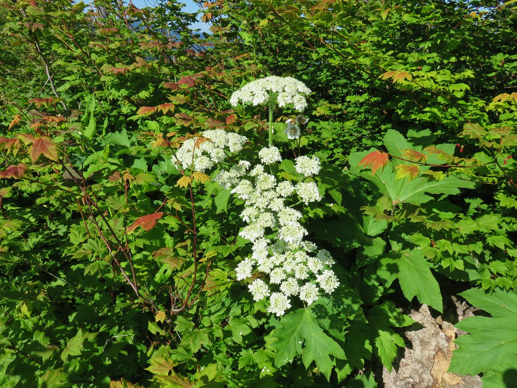 Cow parsnip
 Tall mountain bluebell
 More of the blue flowers
 Larkspur
 Jacob’s ladder
 An aster or fleabane
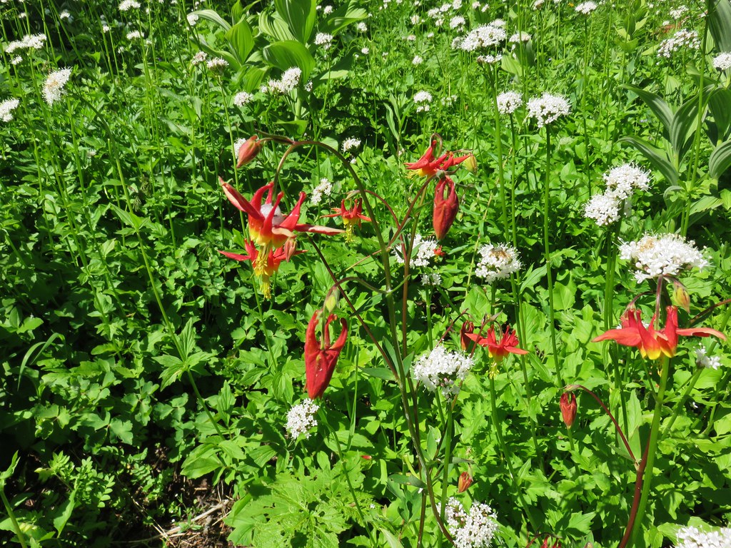 Columbine and valerian
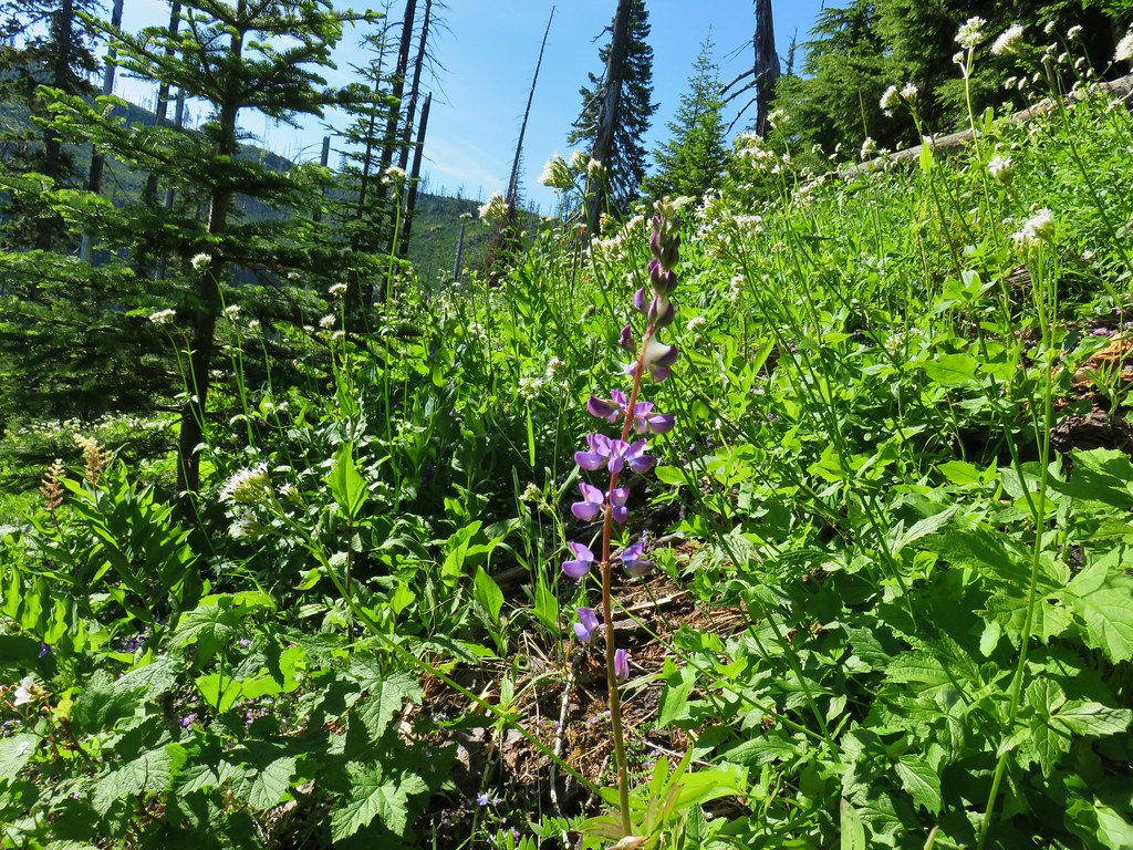 Lupine
 Not sure what type of flower this one is.
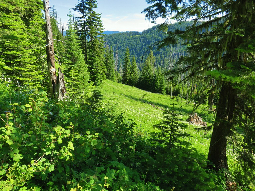 Valerian filled meadow below the trail.
 White yarrow, giant blue-eyed Mary, and tall mountain bluebells
 Looking back at our route so far.
 The trail coming around Kelsey Creek is visible on the hillside behind us.

 Fuji Mountain (left), flat topped Mt. David Douglass, Mt. Yoran (shorter thumb to the left of Diamond Peak), and Diamond Peak.
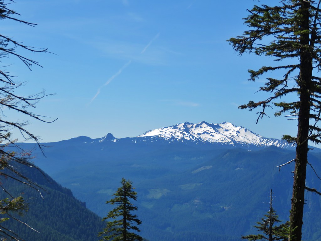 Mt. Yoran and Diamond Peak
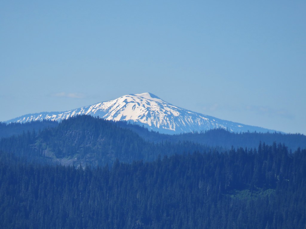 Mt. Bailey

 A few orange agoseris were scattered about.
 Scarlet gilia
 More scarlet gilia
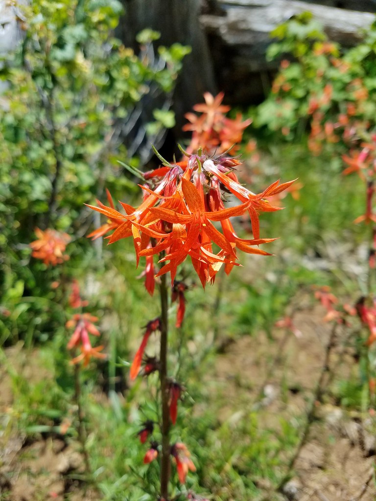 Skyrocket
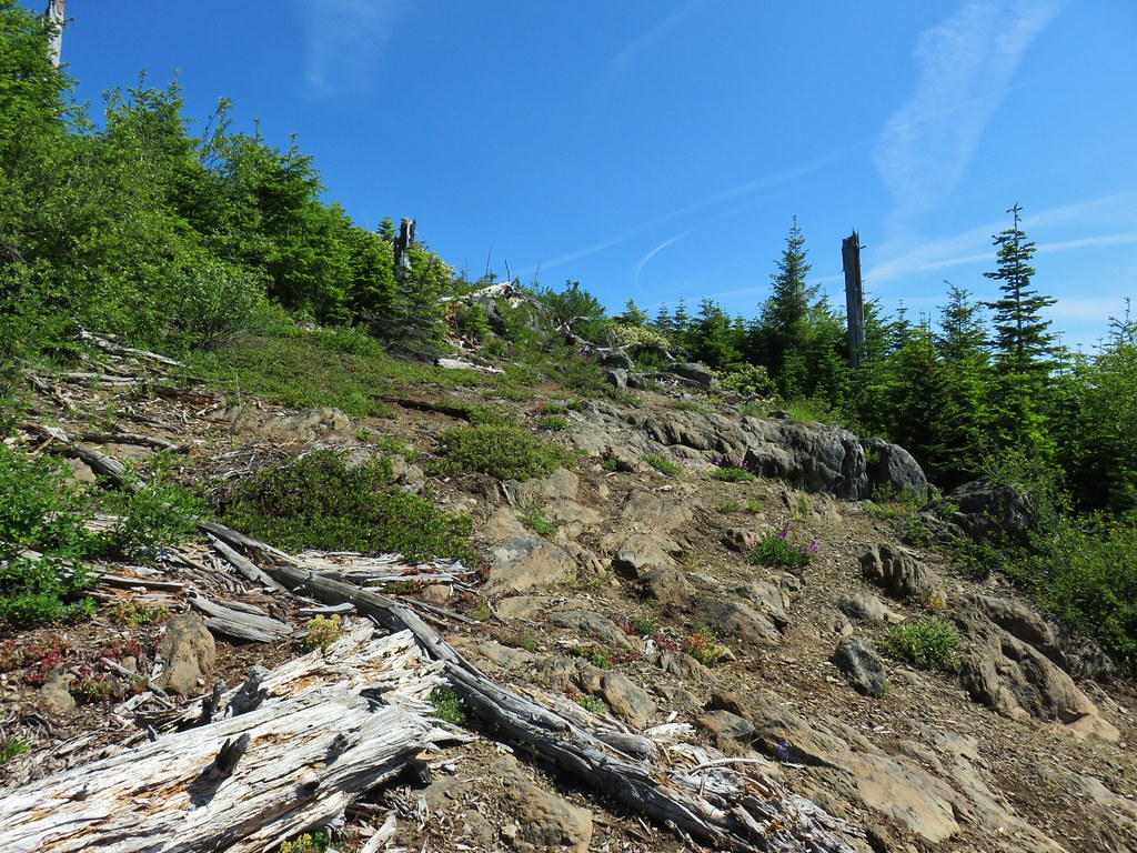

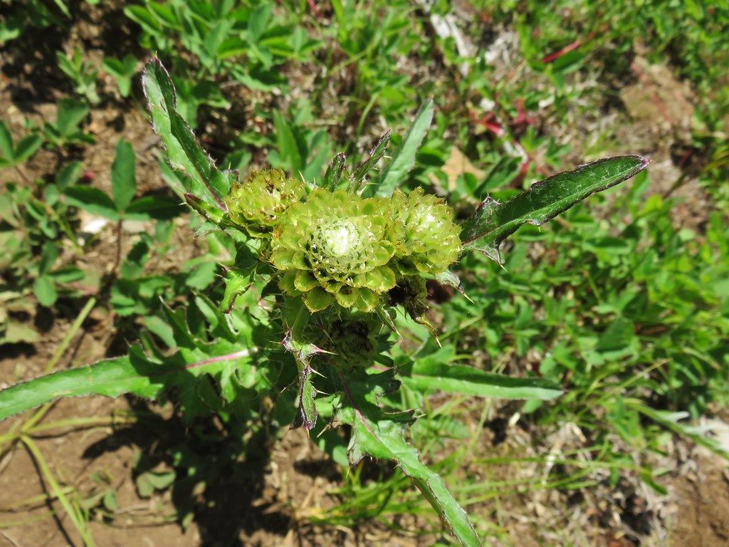 A thistle that was getting ready to bloom.
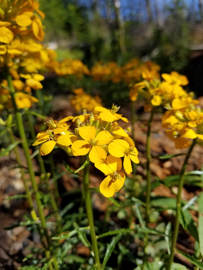
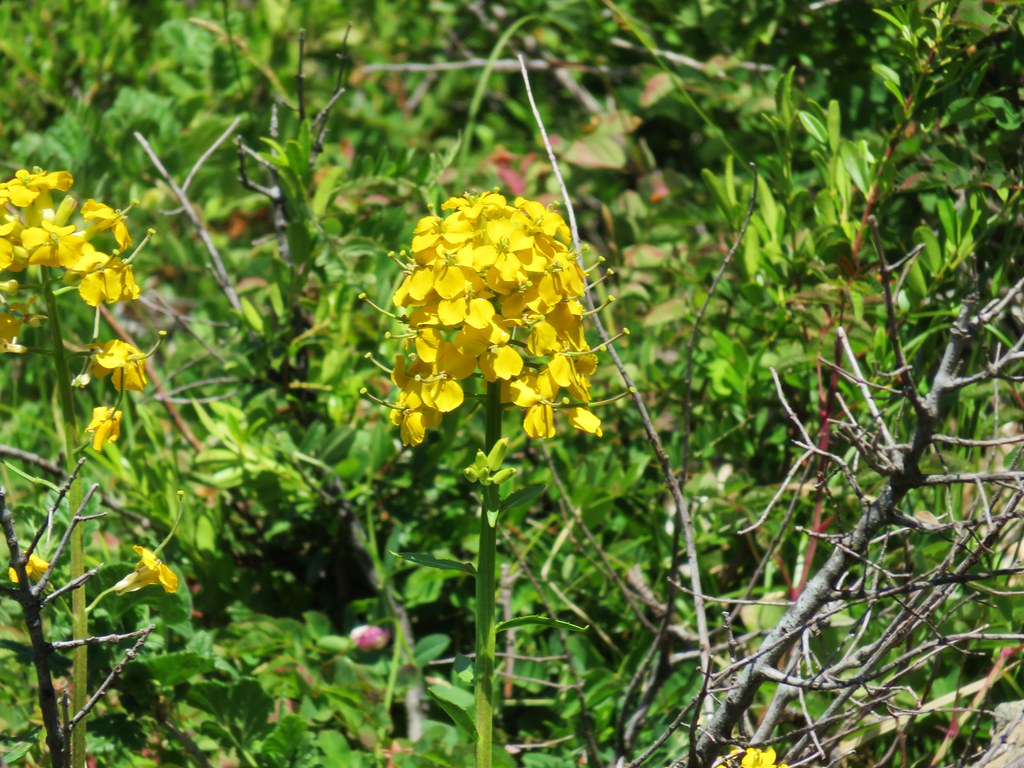 Wallflower


 Owl’s head clover
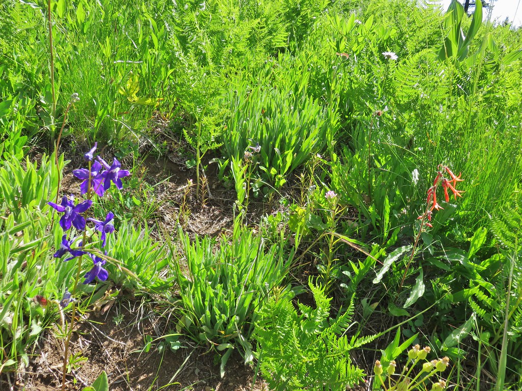 Larkspur, an owl’s head clover, and scarlet gilia
 Aster or fleabane and an orange agoseris
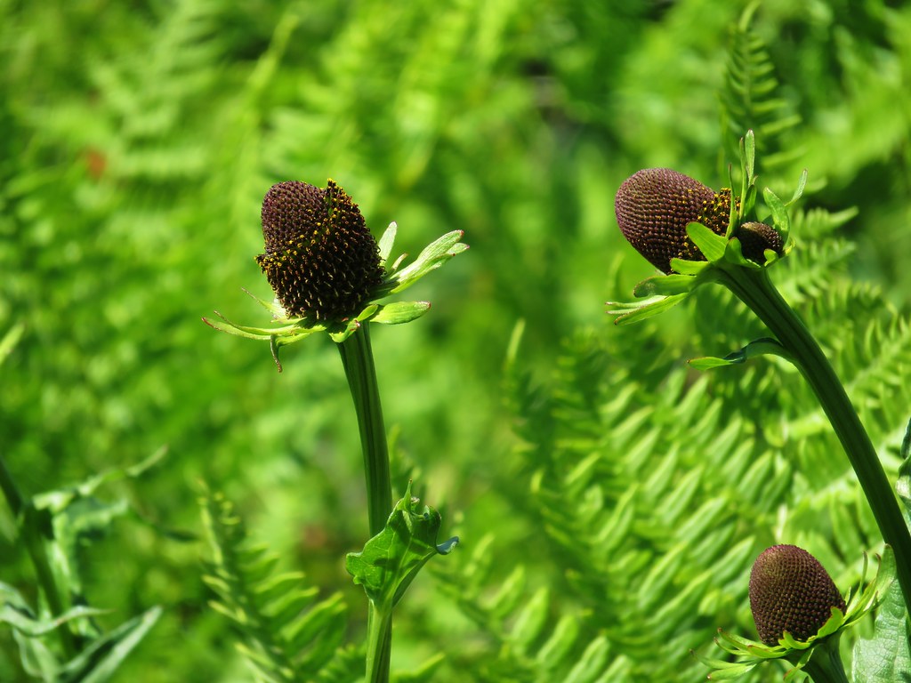 Coneflower
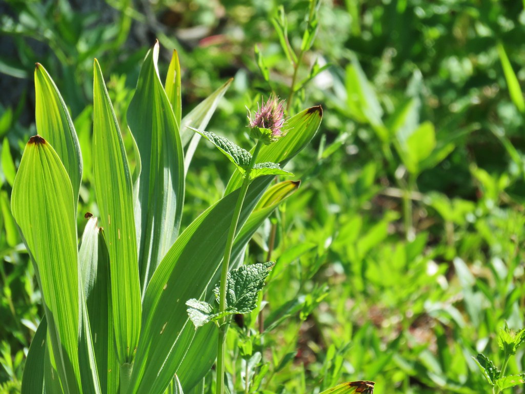 Hyssop
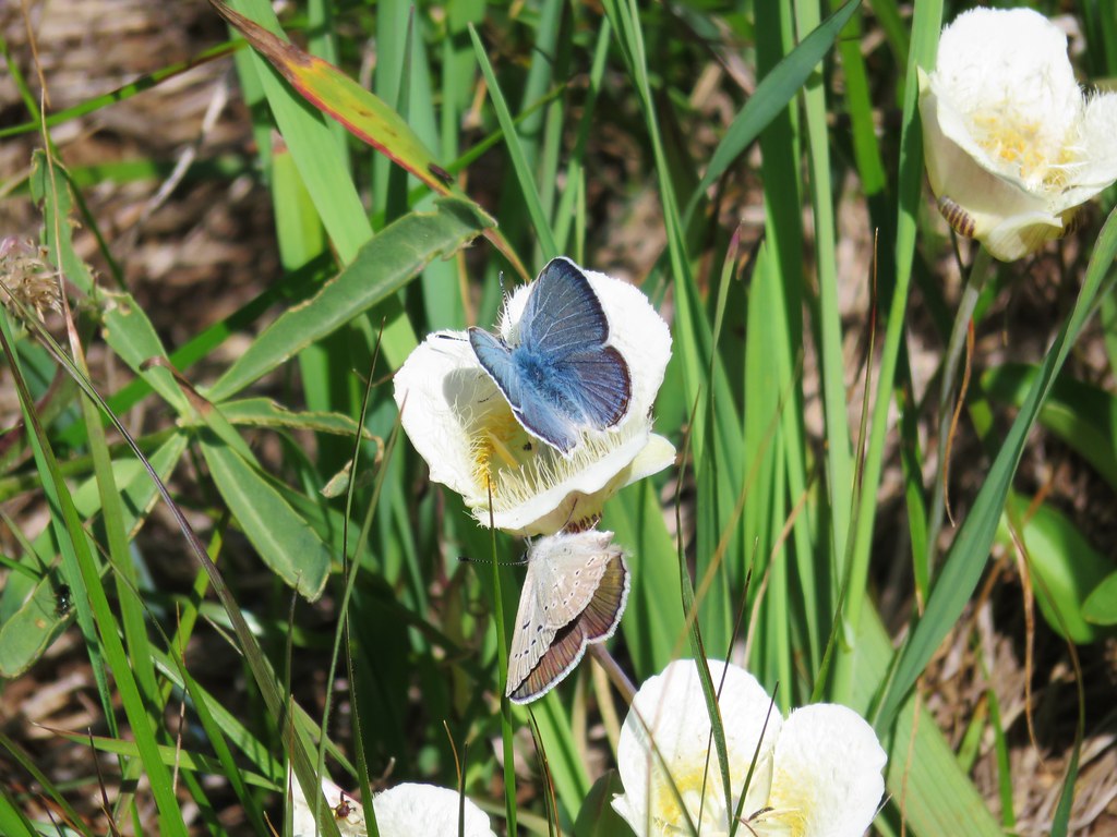 Butterflies on a cat’s ear lily

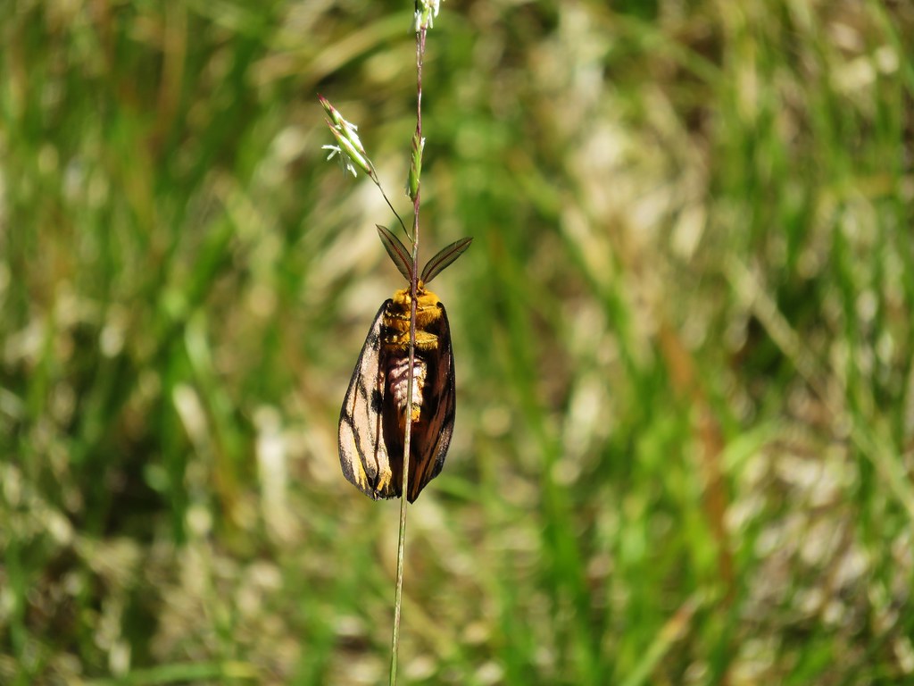
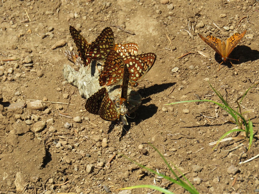
 Wait that’s not a butterfly.
 Fuji Mountain
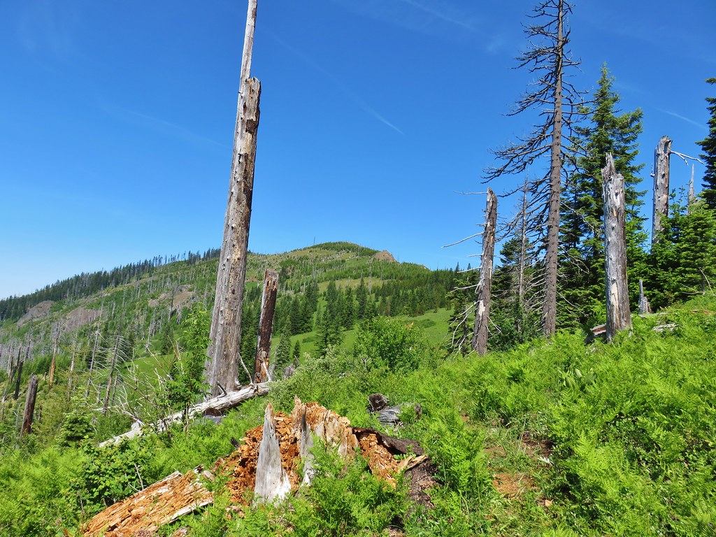
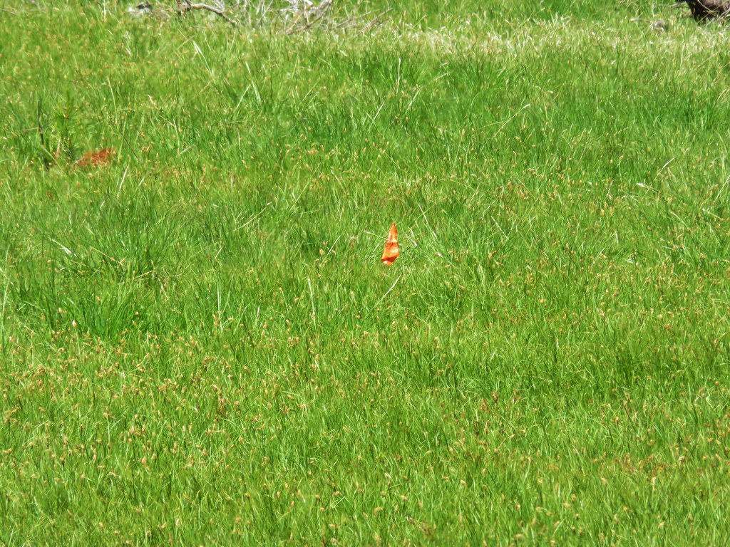
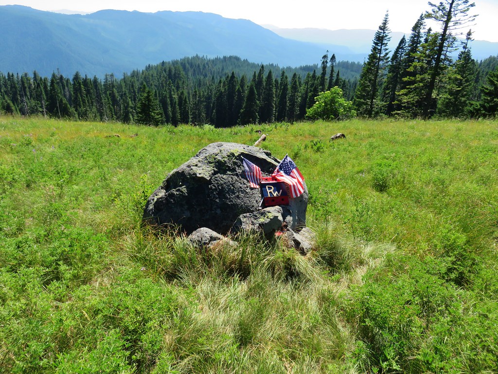
 The post, with an orange top, is up and to the right in front of a tree.
 Heather at the rock outcrop.
 Big Bunchgrass Meadow and Fuji Mountain
 Diamond Peak

 Crab spider (probably waiting for that Washington lily to open)
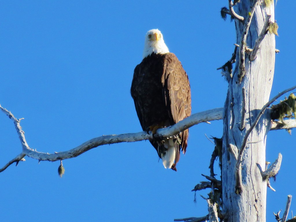
 Turkey vulture
 Back in the valerian meadows
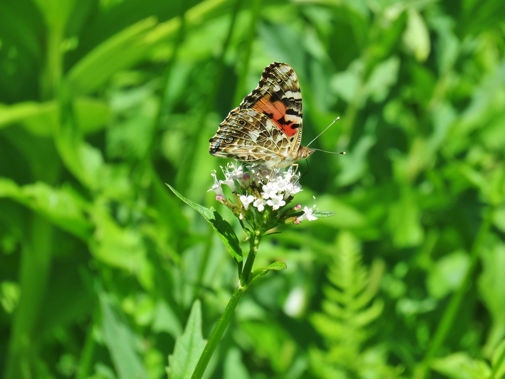


 Not sure what this is going to be either.


 Diamond Peak to the left and Fuji Mountain directly behind the island
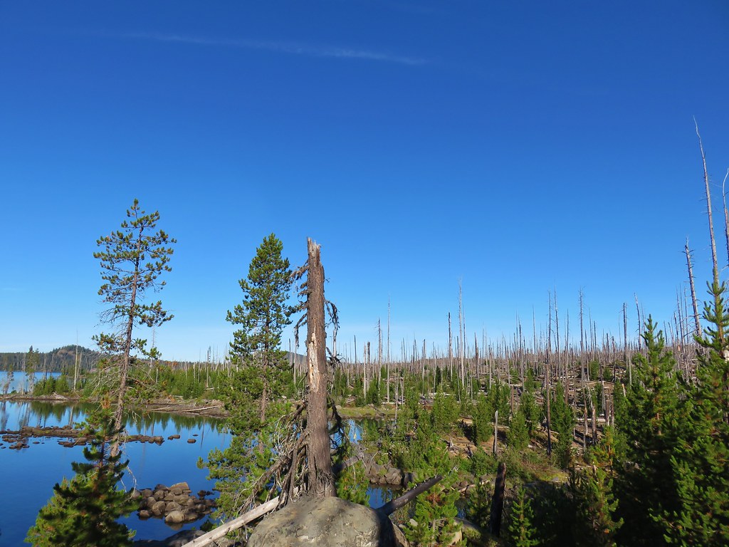

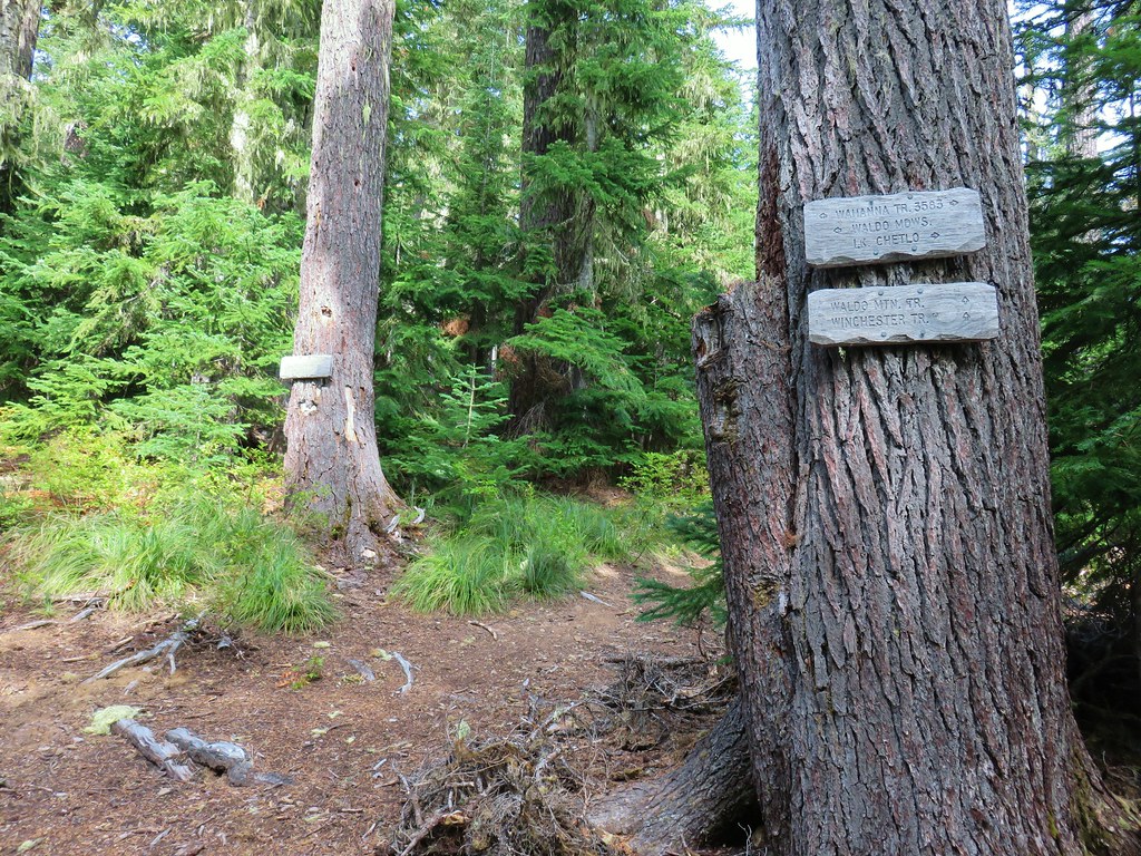
 Wahanna Trail
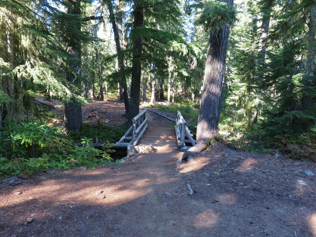
 Dam Camp is to the left in the trees and rhododendron


 South Sister
 The Three Sisters
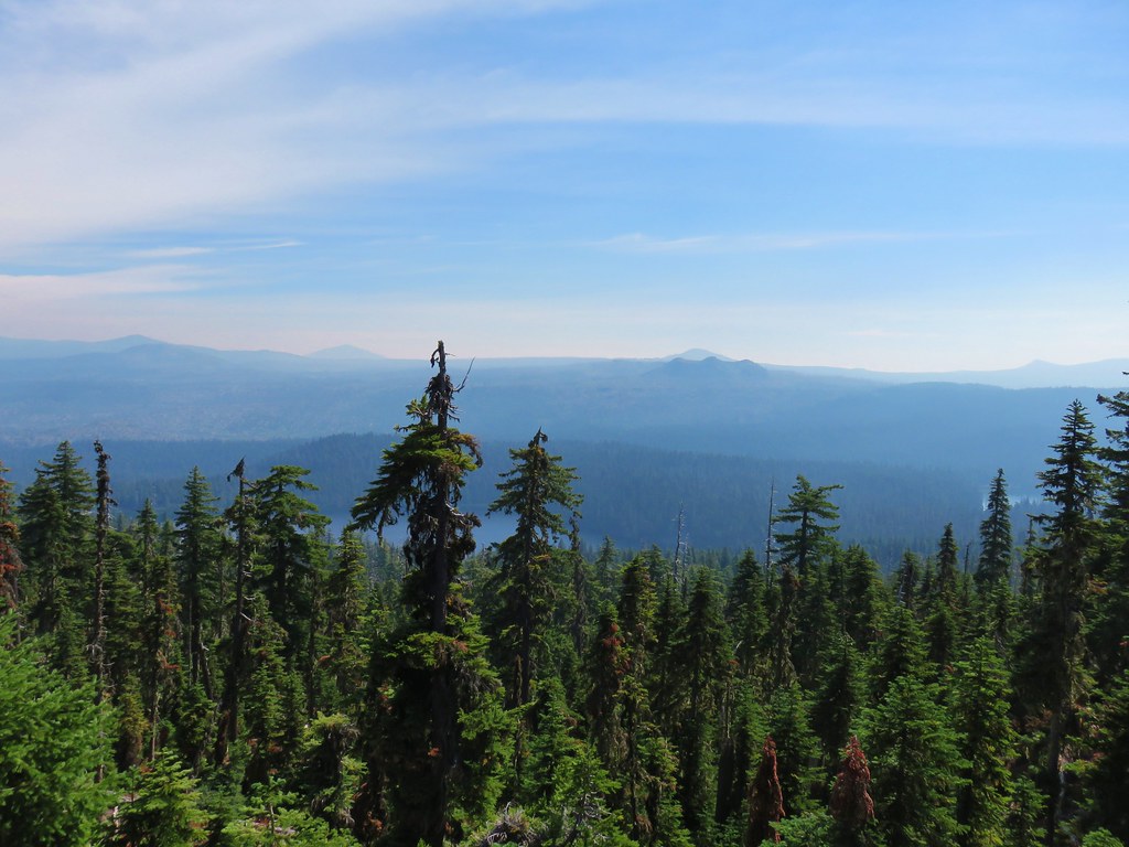 Rigdon Butte beyond the Eddeeleo Lakes from the Winchester Ridge Trail
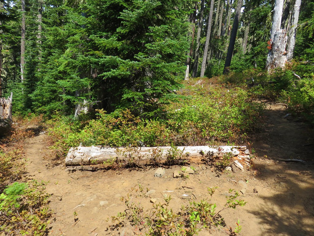


 Looking SW
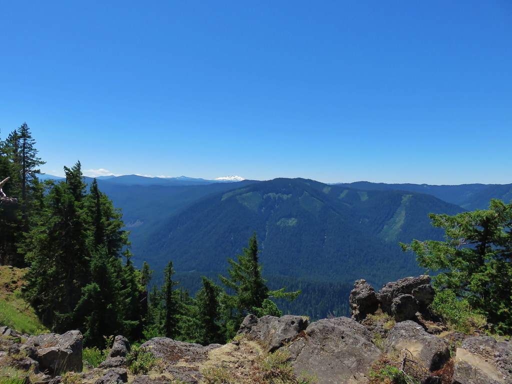
 Hills Creek Reservoir (behind the tree)
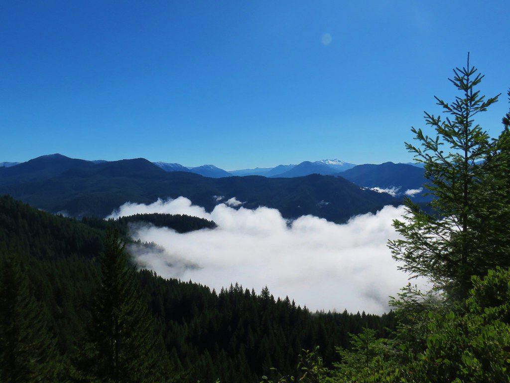
 Mount Yoran and Diamond Peak


 Mt. Jefferson & Three Fingered Jack
 The Three Sisters, Broken Top, and Mt. Bachelor
 Diamond Peak