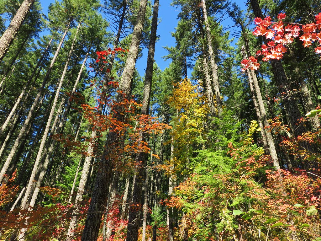
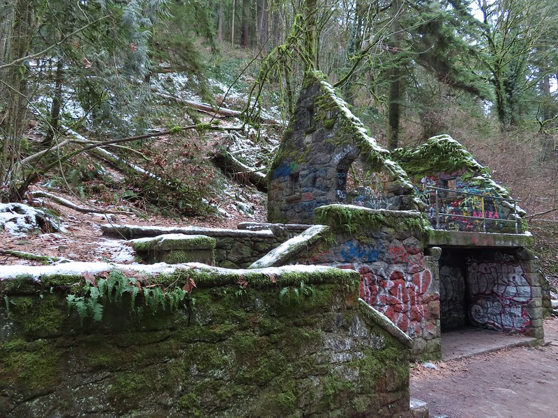
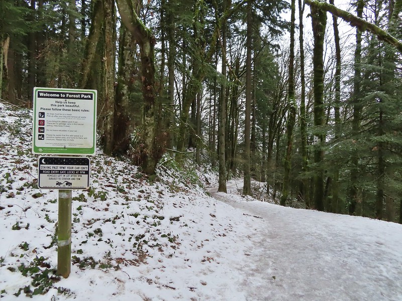
Weather permitting we like to get our January hike in on New Years Day. A series of Winter storms had passed over the Willamette Valley starting Christmas night but while temperatures had remained cold the precipitation had ceased and the forecast for New Years Day was for another dry day with a potential for sunny skies. The only issue presented by the forecast were the temperatures which promised to be in the low 20’s for our morning start. We had our sights set on Forest Park in Portland as it didn’t require us driving over any mountain passes and allowed us to sleep in a bit since it is only an hours drive from Salem. This would be our fourth hike in the park but our first time starting from an upper trailhead in the Tualatin Mountains. One of our goals was to visit the stone ruins, sometimes referred to as the Witch’s Castle, along Balch Creek which was one of two options for Sullivan’s Balch Creek featured hike. We had chosen to do his longer option in 2020 (post) which we used to check that featured hike off our to-do list but we wanted to tie up the loose end.
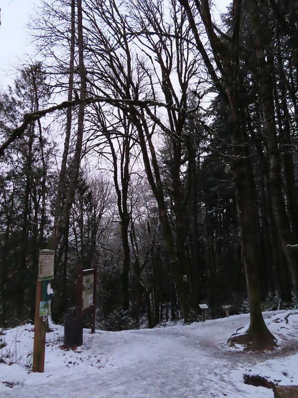
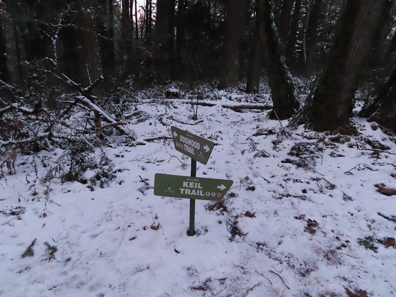
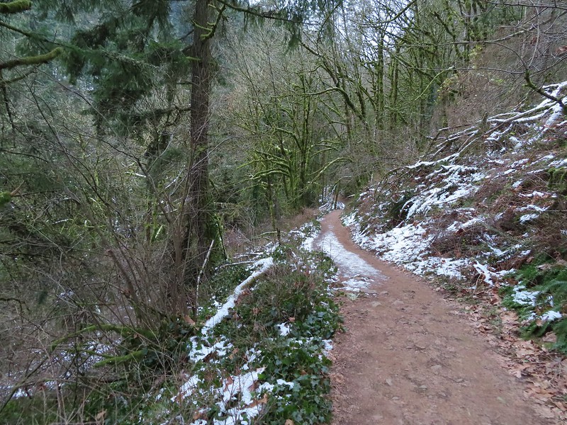
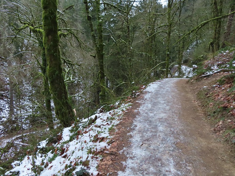
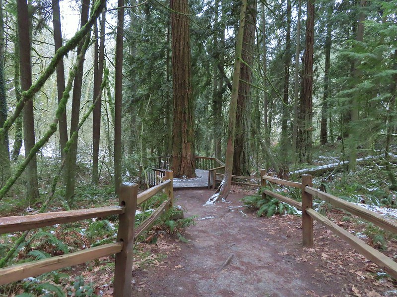
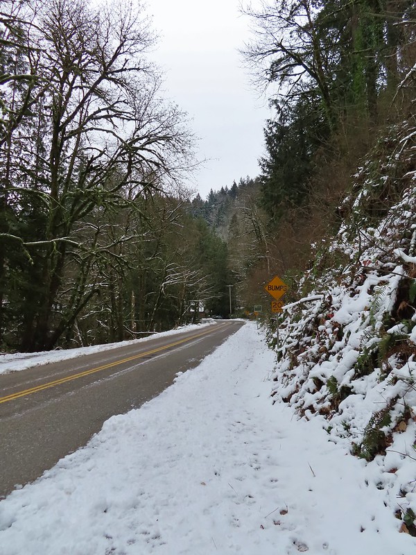
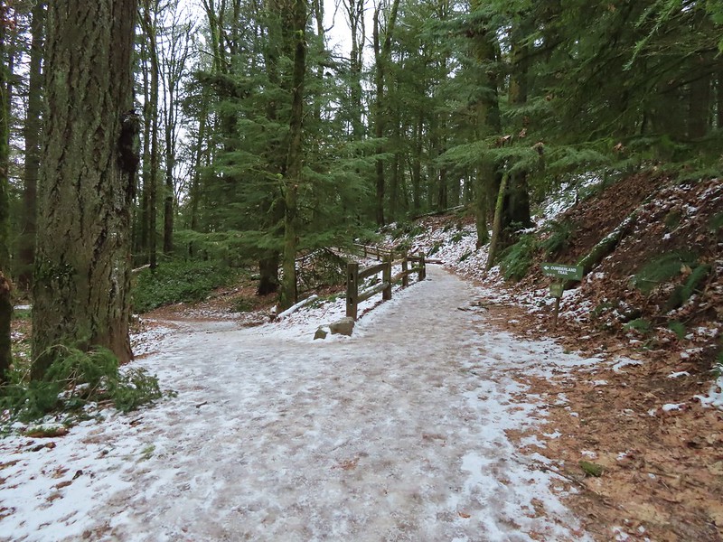
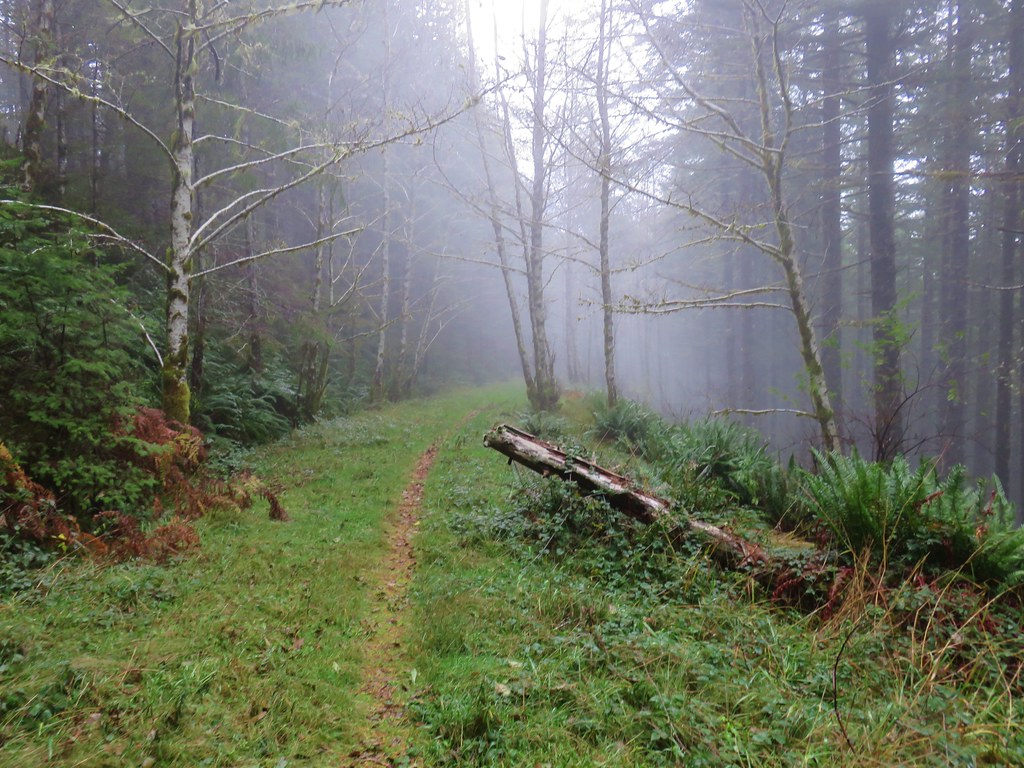
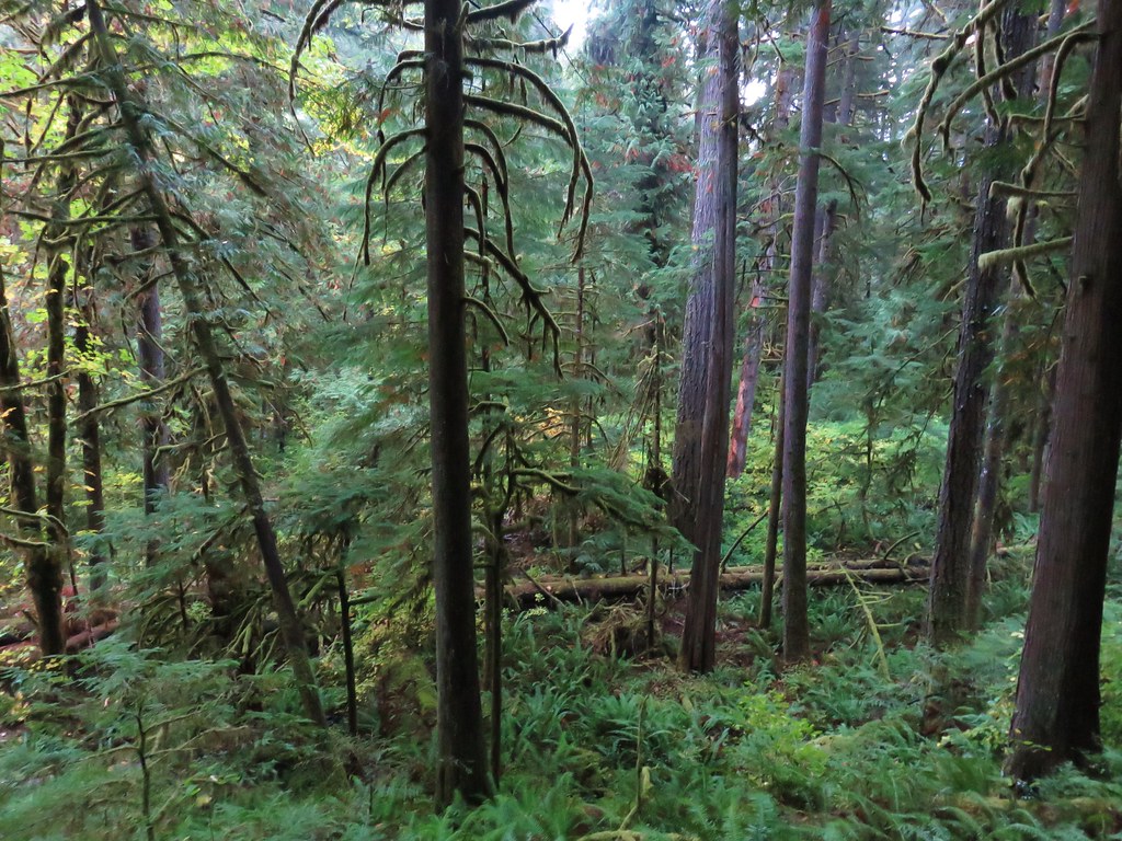
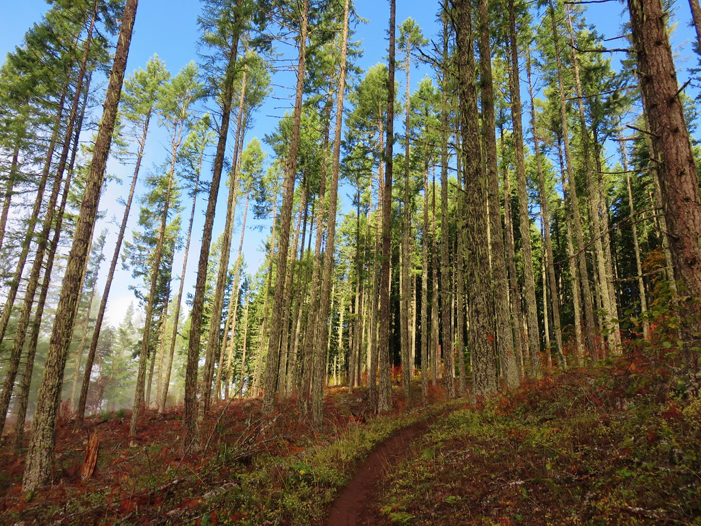
We decided to begin our hike at the NW 53rd Trailhead in order to add some distance and to check out some of the trails that we had not hiked on in 2020. While the snow had left the valley floor at 800′ some still remained and the 21 degree temperature had frozen everything.
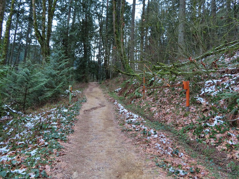
From the trailhead we immediately turned right on the Keil Trail, one of the trails we had not been on before.


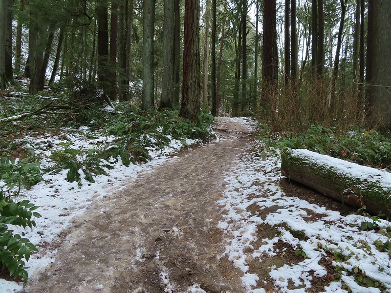
The trail ended in under a quarter mile at the Dogwood Trail where we turned left.
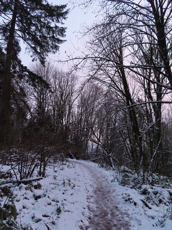
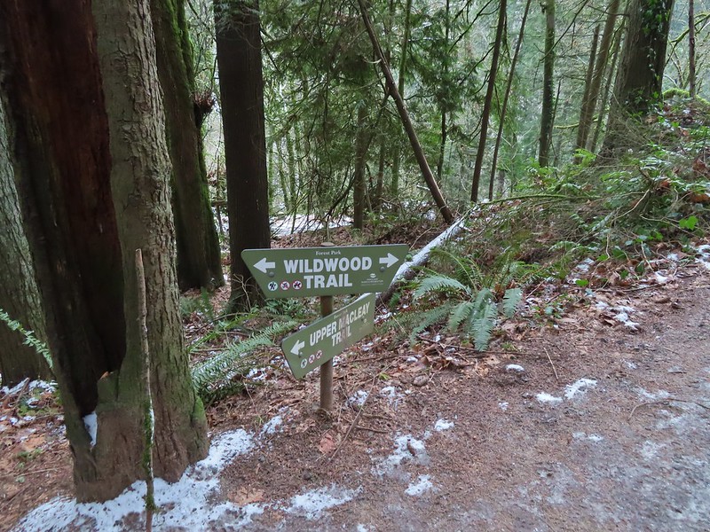
We followed this trail downhill for a little over half a mile to a junction with the Wildwood Trail.
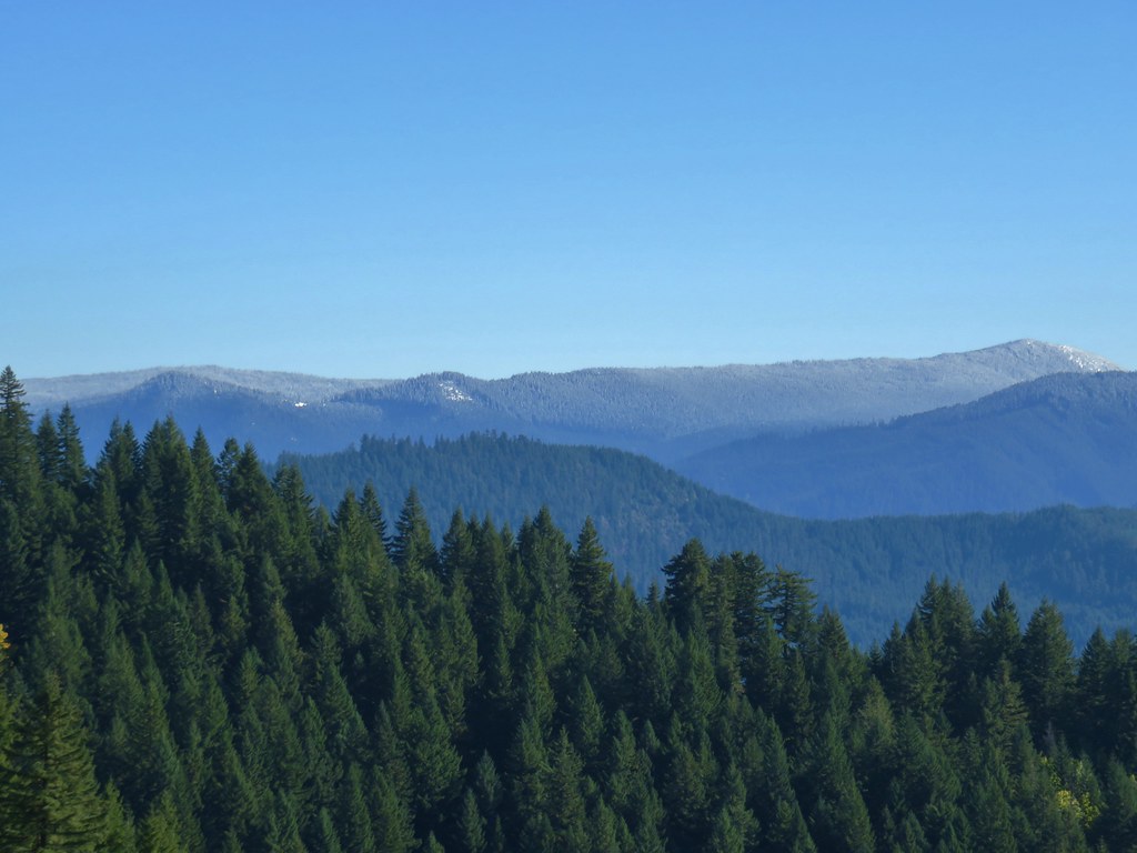
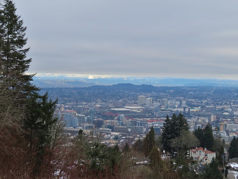
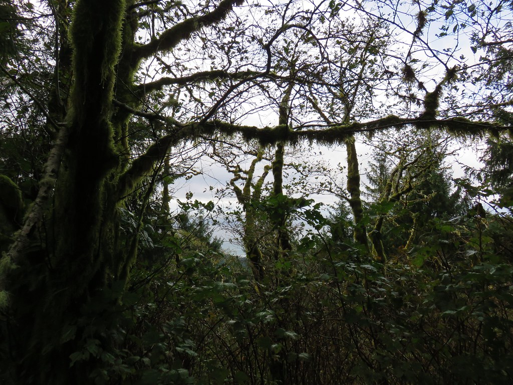
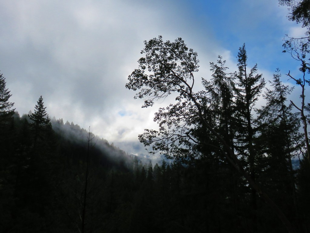
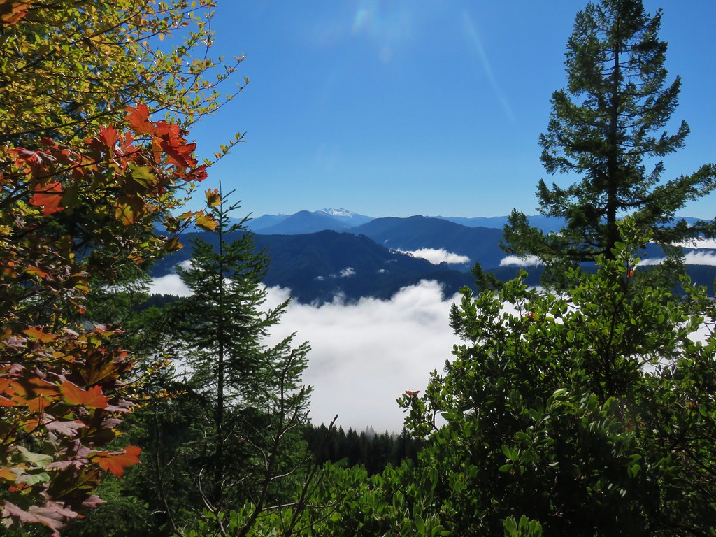
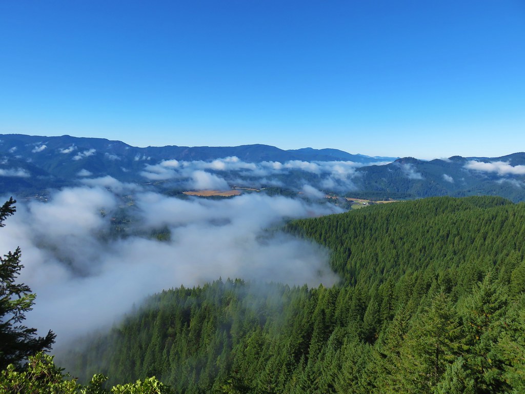
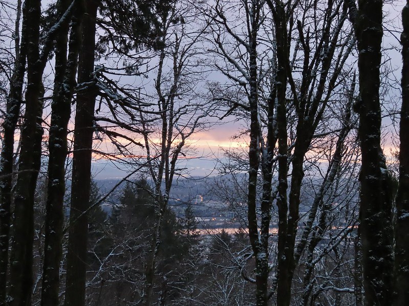 A bank of clouds was sitting directly over Portland but we could see the edge in the distance. We hopped that the clouds would either burn off or move along.

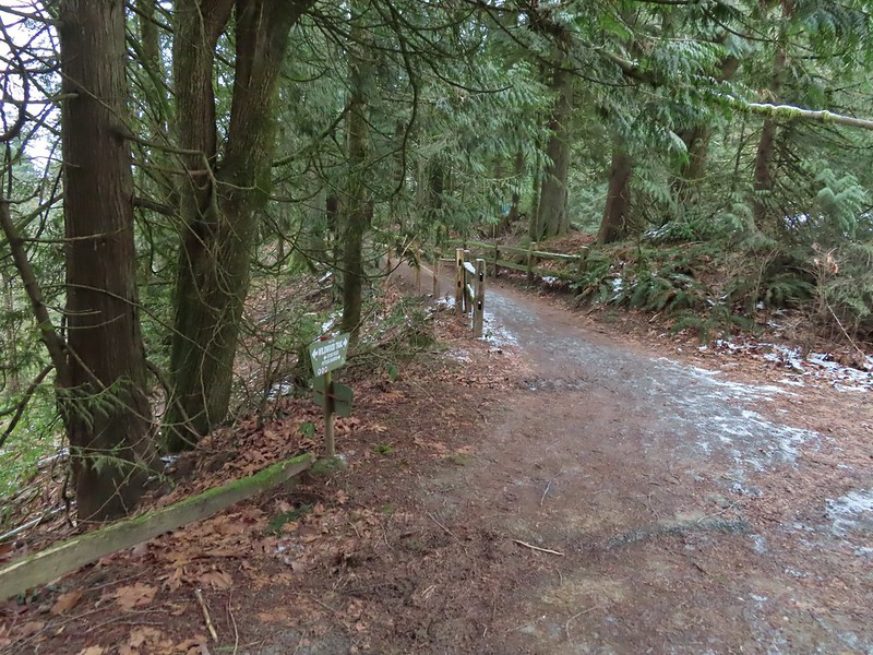
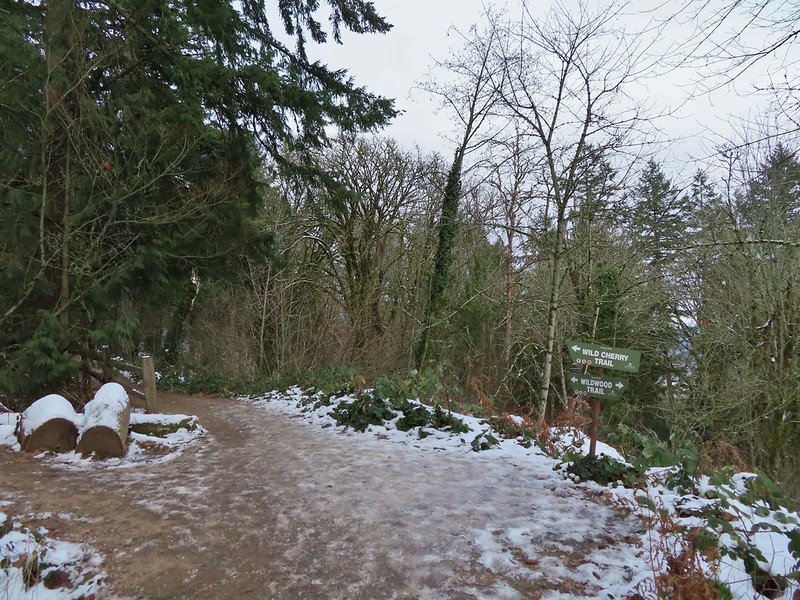
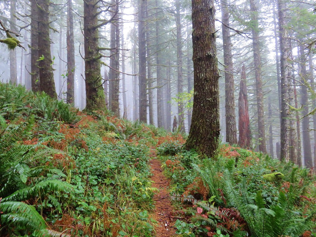
We turned right on the Wildwood Trail. The next 0.6 miles to a junction with the Wild Cherry Trail was a section of trail that we had been on in 2020.


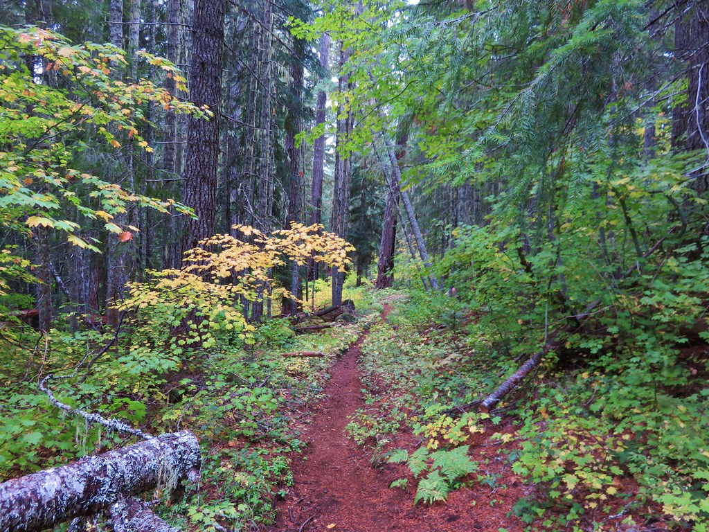
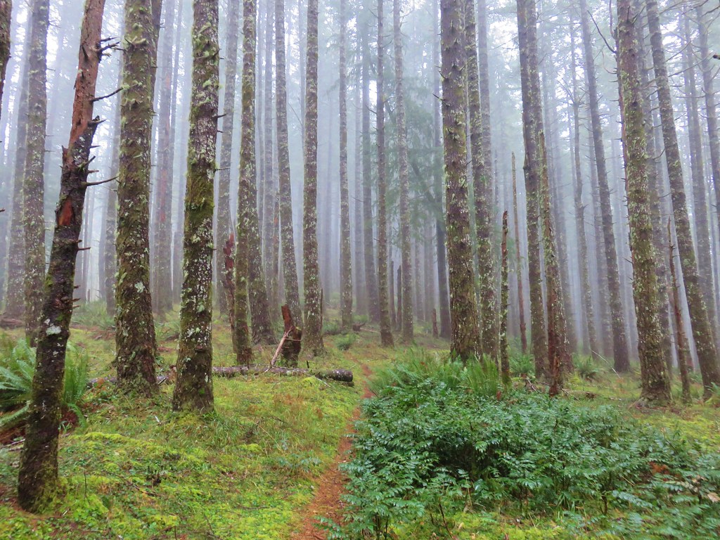
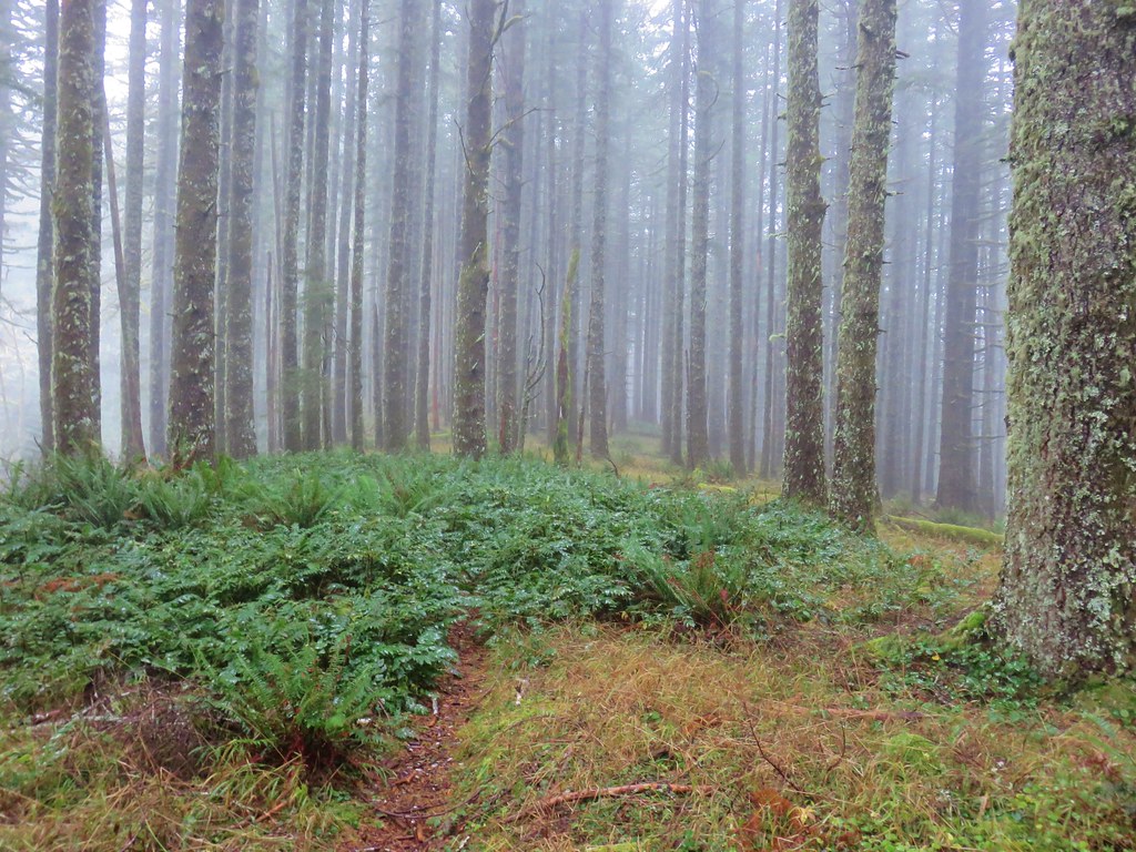
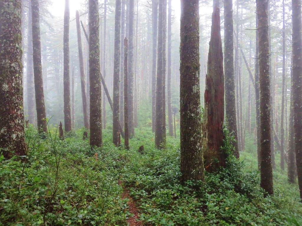
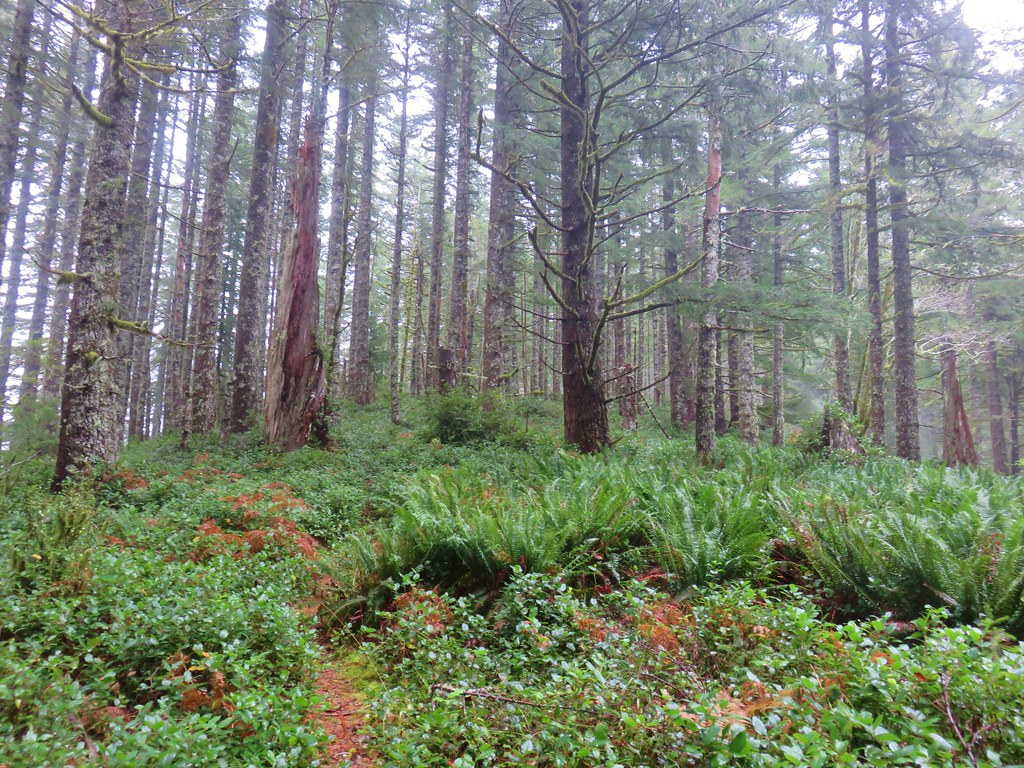
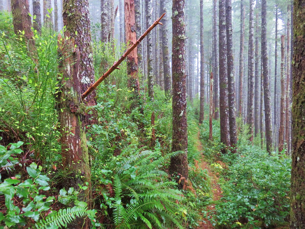
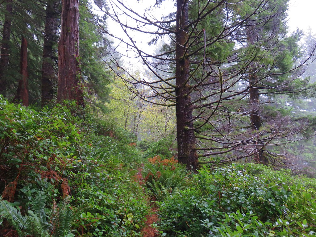
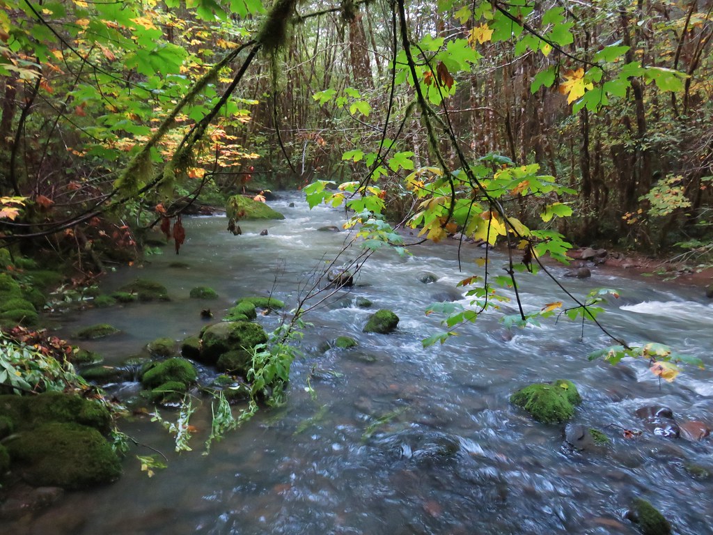
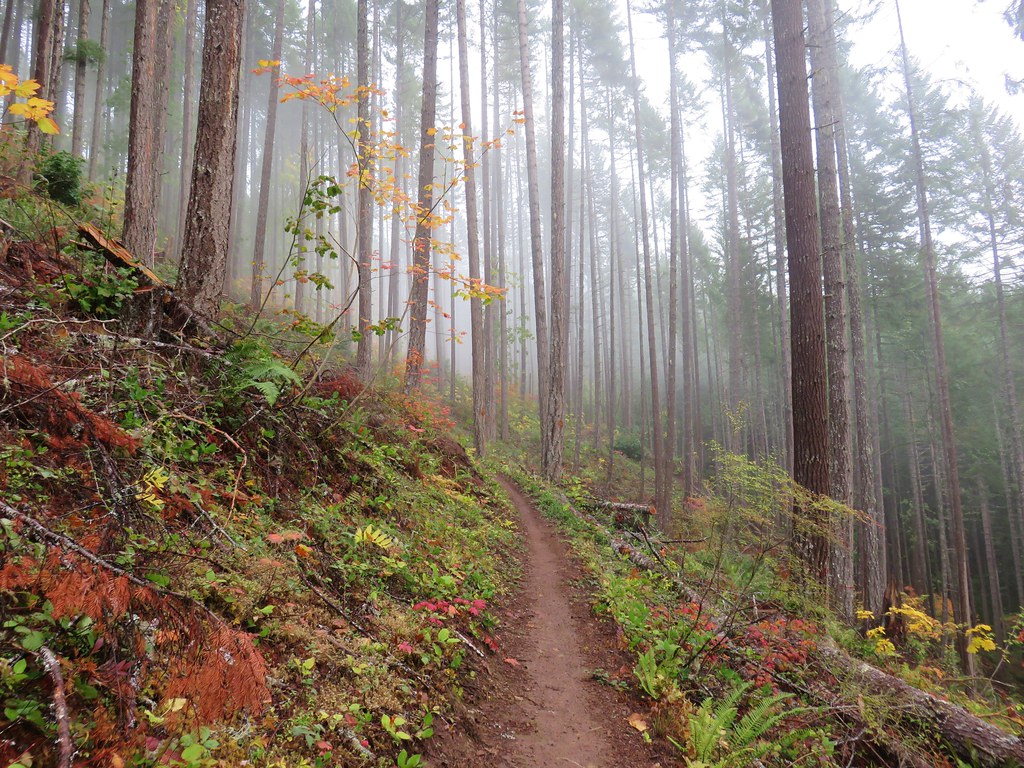
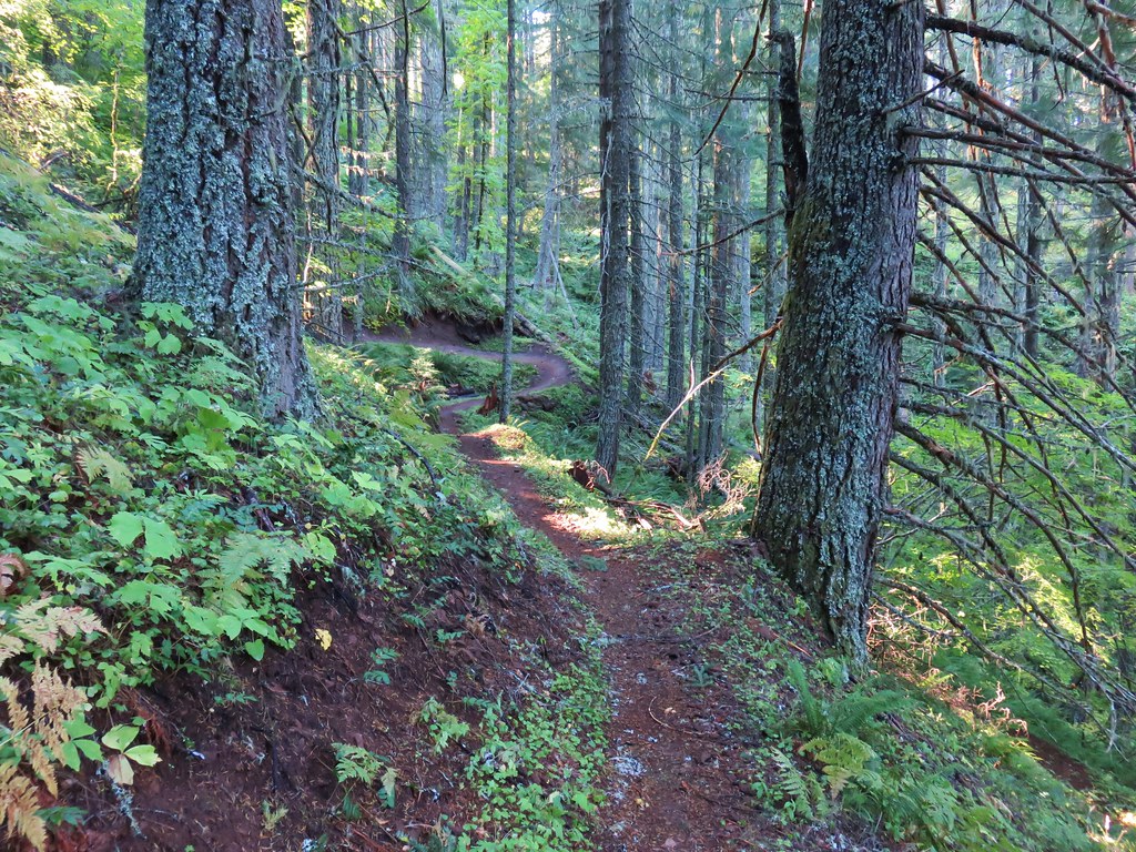
We stayed straight on the Wildwood Trail ignoring all side trails for 2.5 miles to the stone ruins along Balch Creek.

 Junction with the Birch Trail.
 A wren busy pecking at a log.
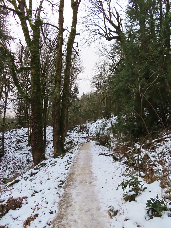
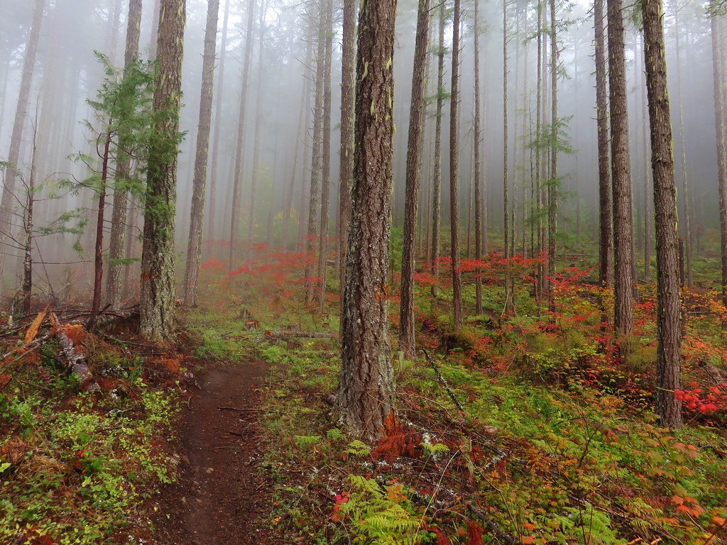
 Junction with the Aspen Trail. As we descended we left most of the snow, and the icy conditions, behind.
 Holman Lane Junction.
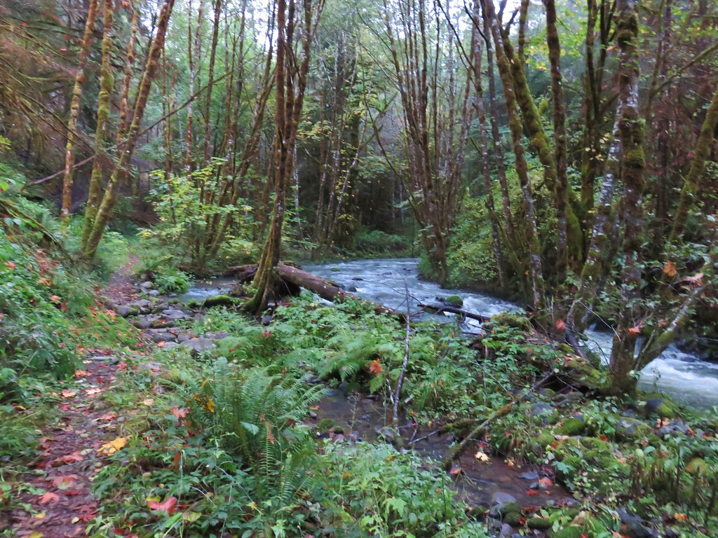
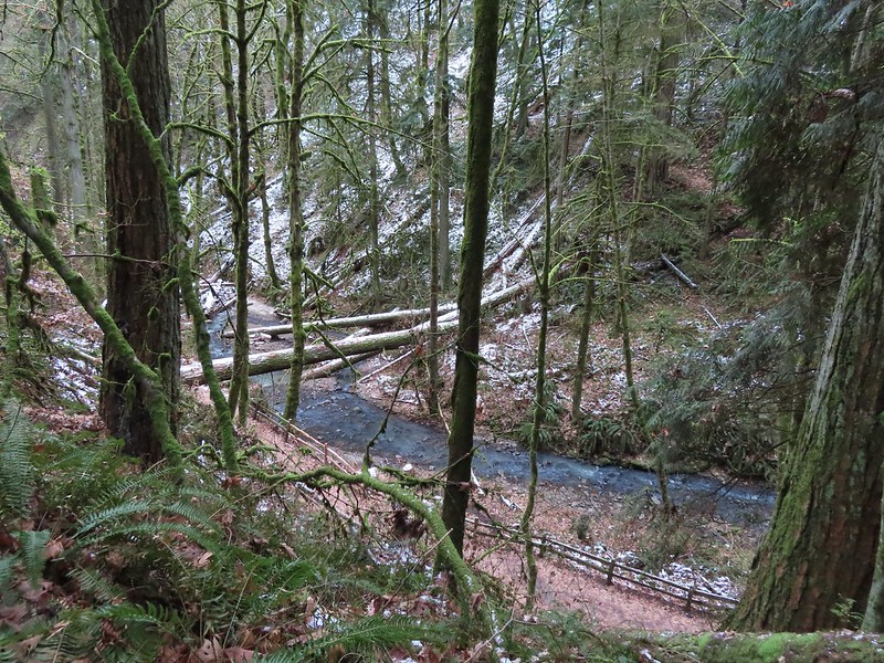 Balch Creek and the Lower Macleay Trail (Currently closed due to construction.)

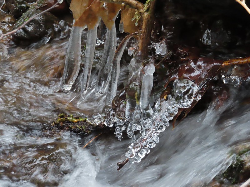
 Icicles over Balch Creek.
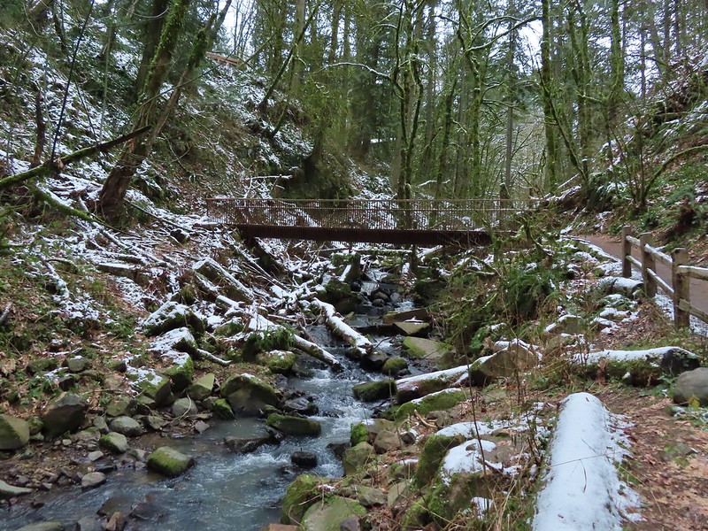
We continued beyond the Witch’s Castle another half a mile to the Macleay Park Trailhead crossing Balch Creek and climbing up a rather slick hill along the way.


 Going uphill before it got really slick.
 Wilwood Trail at Macleay Park Trailhead.
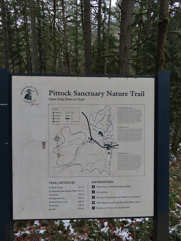
We left the Wildwood Trail at the trailhead turning right past some picnic tables and taking a path along NW Cornell Road to the Portland Audubon Wildlife Sanctuary.


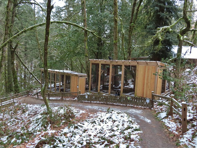
A network of trails loop around the sanctuary.
We began our tour here by walking past the Wildlife Care Center where we think we witnessed an escape attempt.

Aristophanes, a common raven and long time resident at the sanctuary, was being visited by another pair of ravens with questionable intent :).
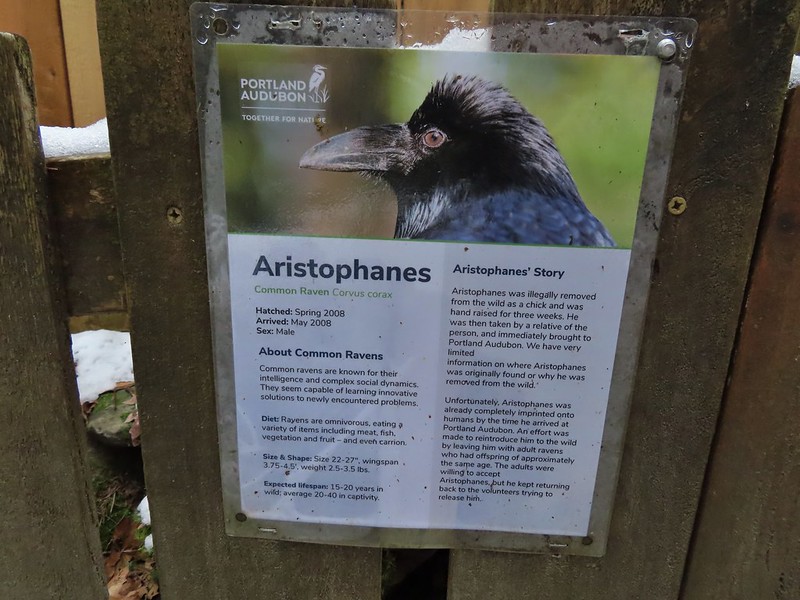
 We took this raven to be the “lookout”.
Beyond the ravens the trail descended to Balch Creek where we took the short Creek Trail to a turnaround at a bench before returning to the Jay Trail.


 Bench at the end of the Creek Trail.
We left the Jay Trail by taking a right on the Woodpecker Trail keeping right at junctions to meet up with the other end of the Jay Trail which we then returned on making a 0.7 mile loop.
 Pond along the Jay Trail,
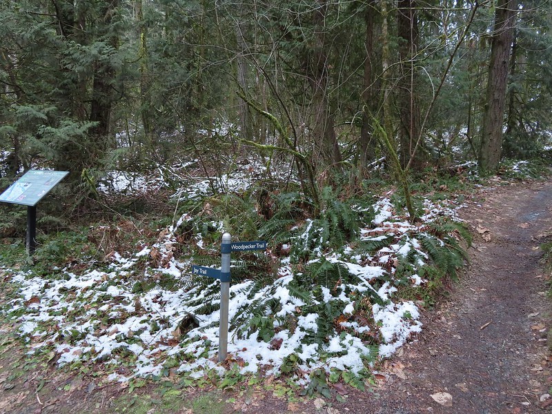 Junction with the Woodpecker Trail.
 Big Douglas fir.
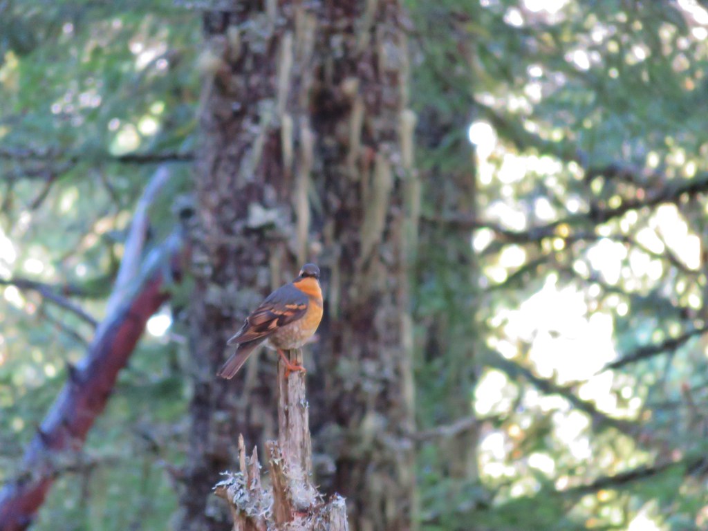
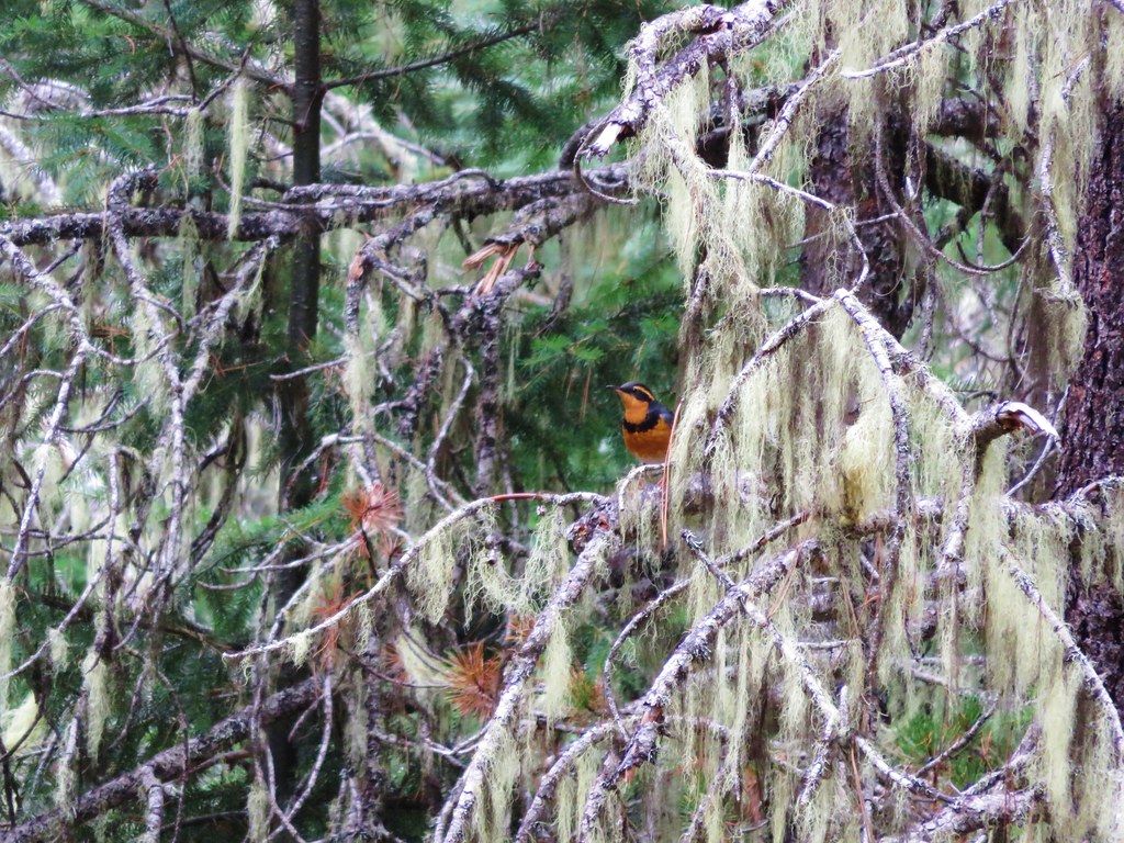
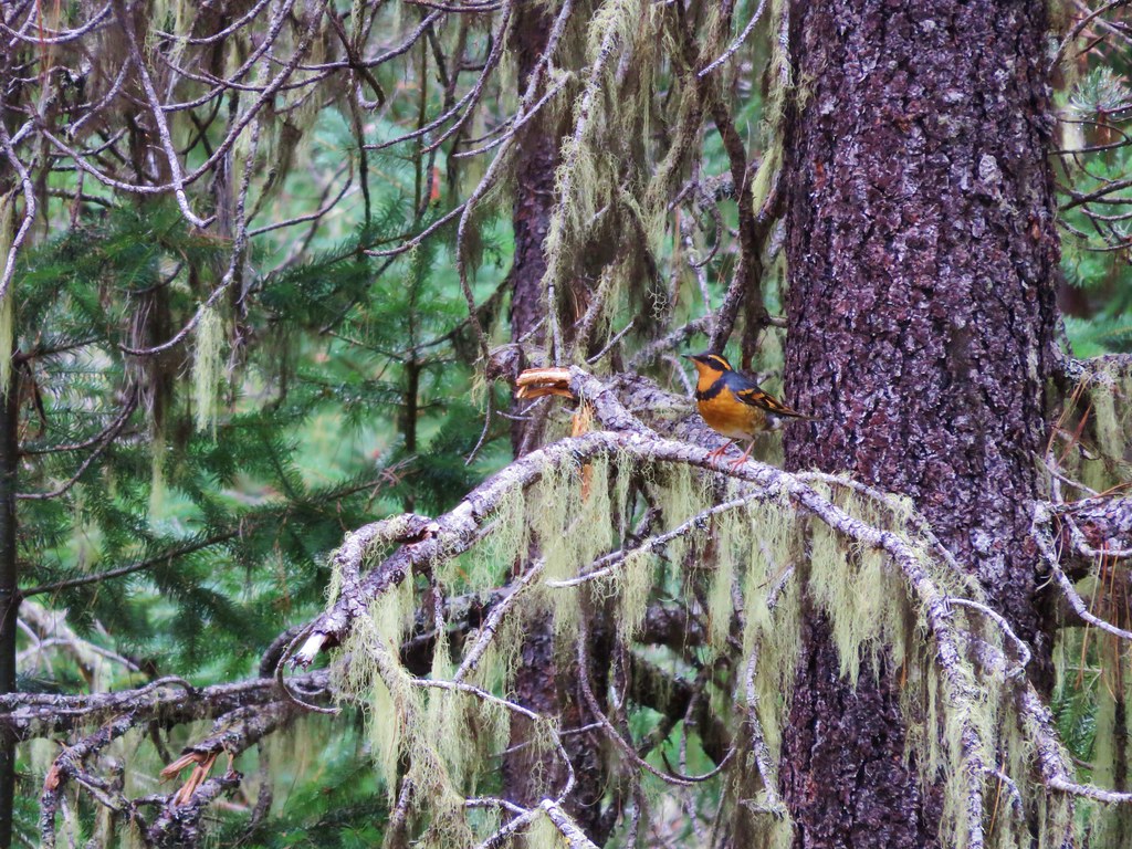
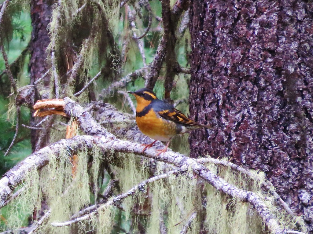
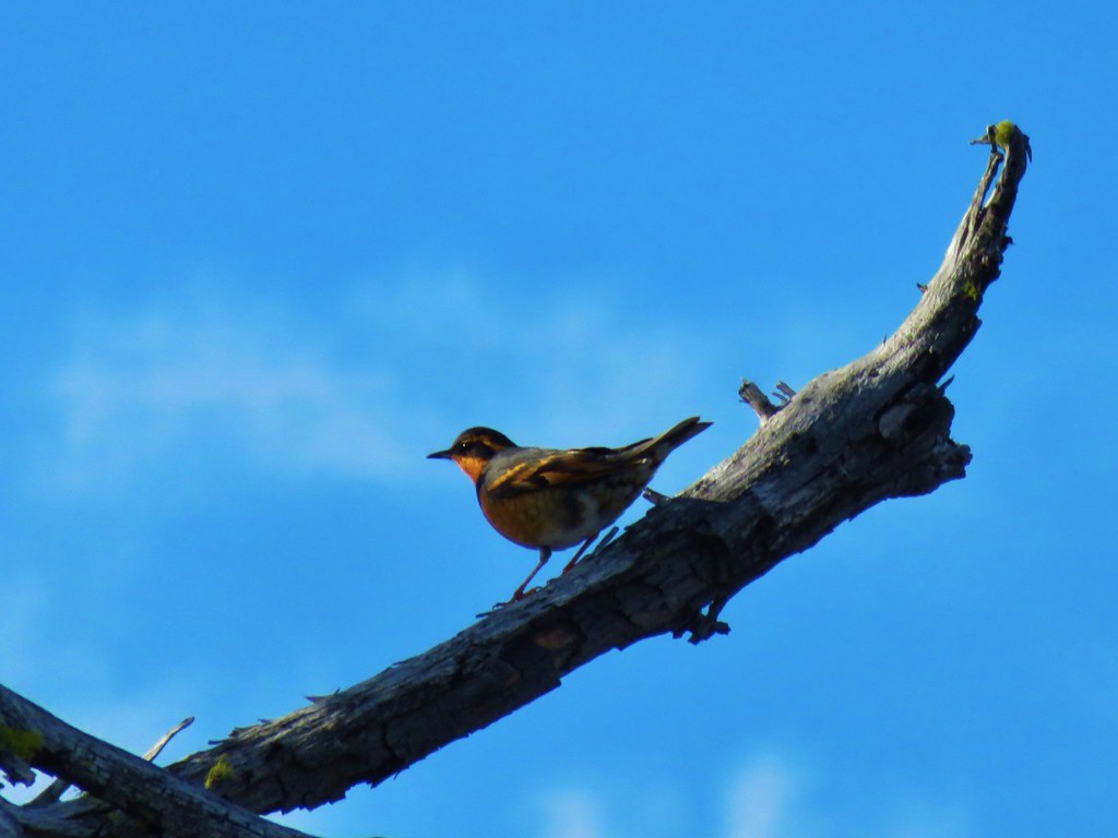
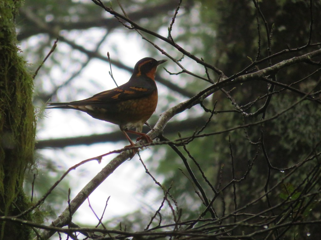
 I continue to struggle to get a clear photo of a varied thrush.
 Jay Trail junction with the Wren Trail.

 Nearing the pond from the other side.
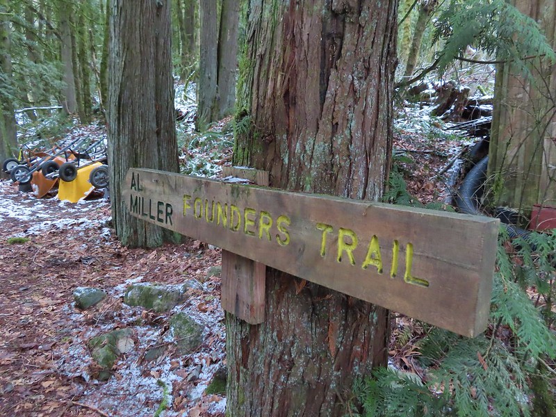
After completing this short loop we crossed NW Cornell Road and headed up the Al Miller Founders Trail.
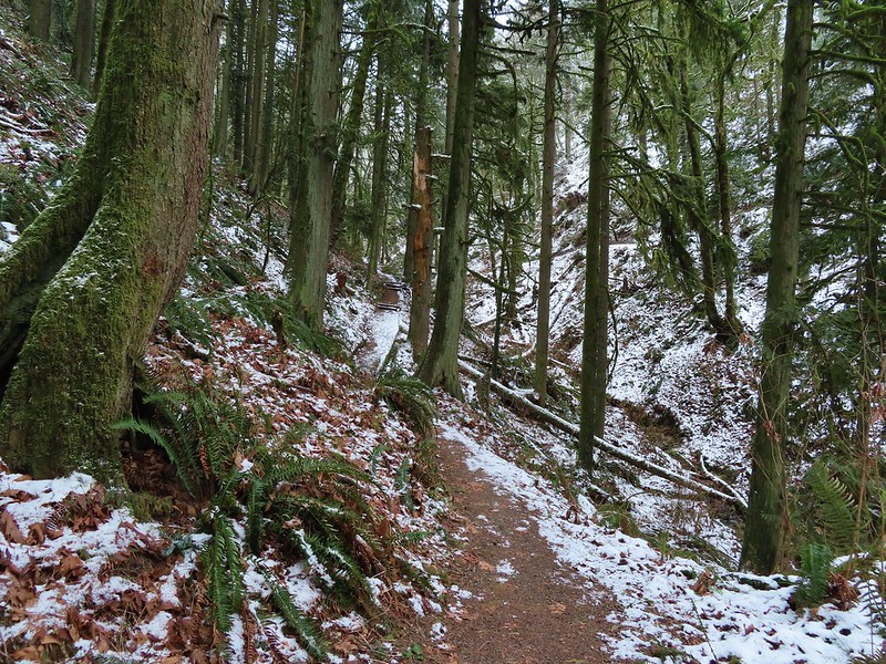
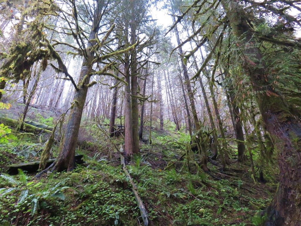
The Founders Trail climbed up into increasingly snowy forest before traversing around a hillside to a junction with the North and South Collins Trails in 0.6 miles.


 Stairs up to the trail junction.
The South Collins Trial offered a slightly shorter loop but we turned left on the North Collins Trail which climbed a little more before winding downhill and rejoining the South Collins Trail near NW Cornell Road.

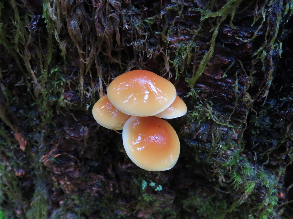
 Baseball sized jelly fungus, the largest we’ve seen.
 Descending to the South Collins Trail.
 More ice formations.
This was a 1.5 mile “almost loop” which required a 500′ road walk to return to the Founders Trail and the Wildlife Sanctuary.
We then made our way back to the Macleay Park Trailhead and the Wildwood Trail which we followed across NW Cornell Road.

Due to tunnel construction the road was closed just beyond the trailhead so we didn’t have to worry about traffic as we crossed. On the other side of the road we continued on the Wildwood Trail but soon found ourselves facing the slickest section of trail we’d encountered yet. Luckily we had brought our Kathoola micro spikes which we put on in order to get down the little hill.
 We planned on returning via the Upper Macleay Trail.
 Heather descending the slick section with a trail runner behind that had attempted to get up the hill but was turning back.
The trail runner had come up the Cumberland Trail which she said had been fine but above that trail things got slick fast.
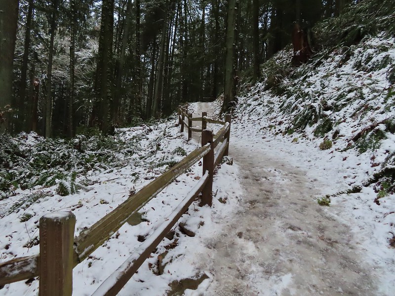
 Cumberland Trail junction.
The Wildwood Trail turned uphill at a junction with the Macleay Trail which is where things started to get really interesting.

Other than the one hill where we’d put on our spikes there had always been enough clear trail to find descent footing but now the trails were pretty much ice.

We held off putting the spikes back on though until the three way junction with the Upper Macleay Trail. We watched another trail runner slip and slide as they carefully made their way downhill and decided it was time to put the spikes back on.
 The trail runner in blue.
With the spikes on we were able to confidently walk uphill, marching past a number of folks struggling to come down. We saw a few falls but luckily we didn’t see anyone get injured which was a real possibility. Besides us we only came across 4 other hikers with some sort of traction devices for their shoes.
 Heather coming up behind me.
 Arriving at the Pittock Mansion parking lot.
We had visited the mansion in 2018 (post) having come up from the other side on the Wildwood Trail and had hoped that this time we might get a view but alas the cloud cover had not moved on.
 Pittock Mansion

 A line of blue sky beyond the cloud cover.
 Portland from Pittock Mansion.
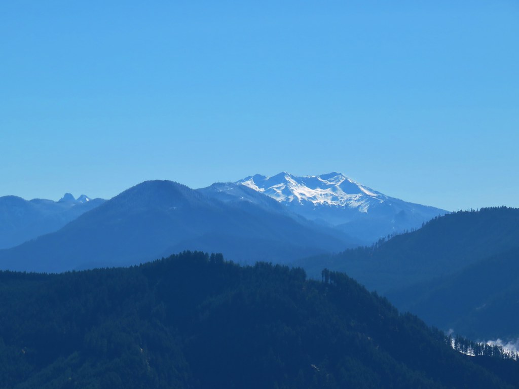
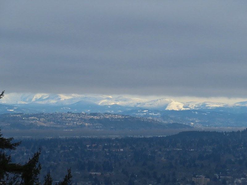 Snowy foothills in the sunlight beyond the Columbia River.

Deprived of a mountain view we headed back to the Wildwood Trail where we put our microspikes back on and headed downhill.
With the spikes on we had no issues reaching the junction with the Upper Macleay Trail where we turned left.
The spikes stayed on until we had descended to Macleay Park and Heather re-donned hers again to descend to the Witch’s Castle.

 Entering the Macleay Park Trailhead.
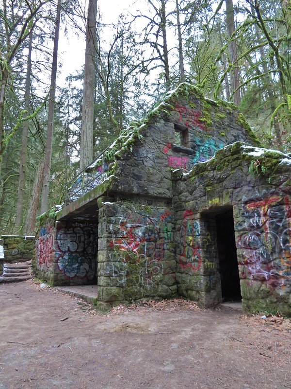 One last look at the Witch’s Castle.
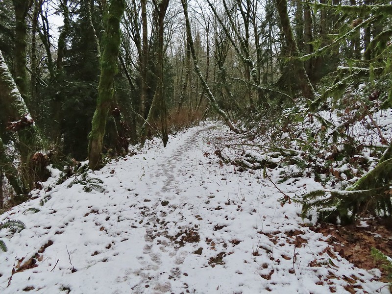
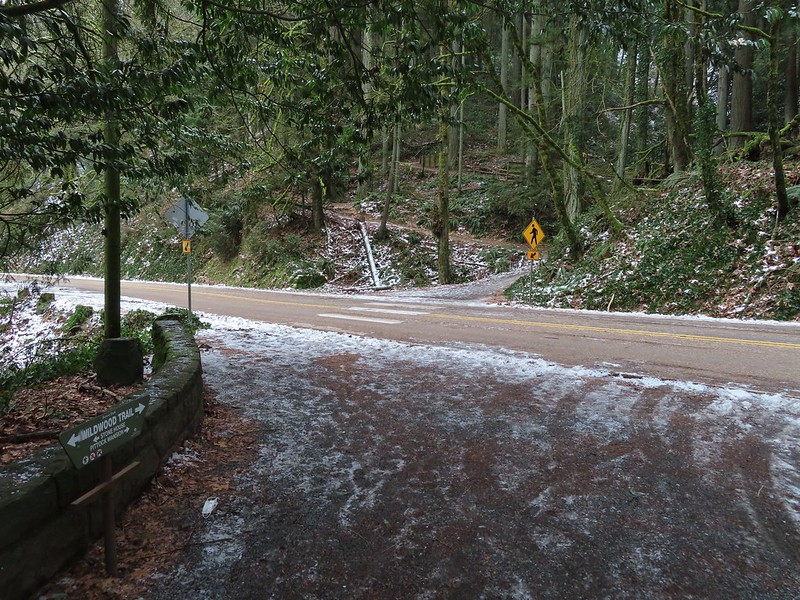
When we reached Holman Lane we turned left and headed uphill. We followed Holman Lane just over three quarters of a mile to NW 53 Dr. where we turned right walking a short distance along the road to the Birch Trailhead. Here we picked up the Birch Trail which descended a quarter mile back to the Wildwood Trail. Going back this way not only let us experience a new trail but it cut a half mile off the distance to the Wildwood/Birch Trail junction.
 Holman Lane started out snow and ice free.
 Back to the snow and ice higher up.
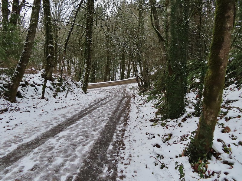 NW 53rd Drive
 Birch Trailhead
 The microspikes went back on before descending the Birch Trail and stayed on for the remainder of the hike.

 Sparrow foraging on the Birch Trail.
 Back to the Wildwood Trail.
We turned left on the Wildwood Trail for 0.4 to the Wild Cherry Trail where we again turned uphill. This was another new section of trail for us and it was an additional three quarters of a mile shorter than returning via the Wildwood Trail.
 Wild Cherry Trail junction.
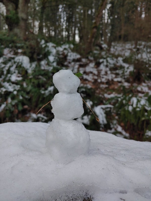 Little snowman near the junction.
 Is that a bit of blue in the sky finally?
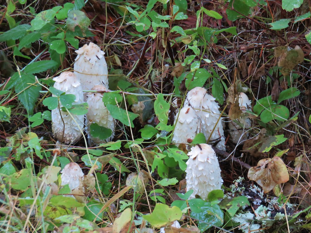
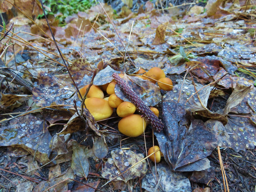
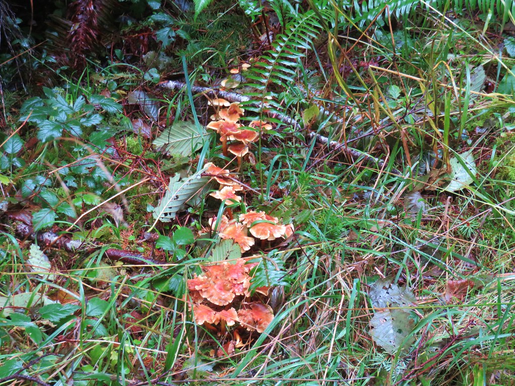
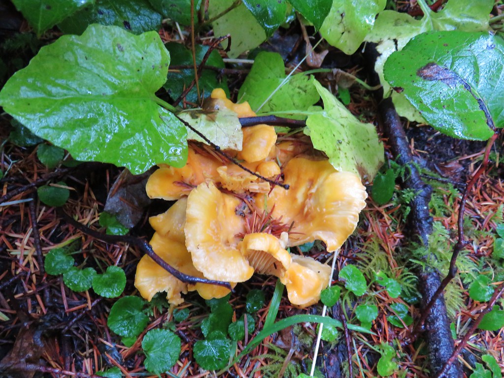
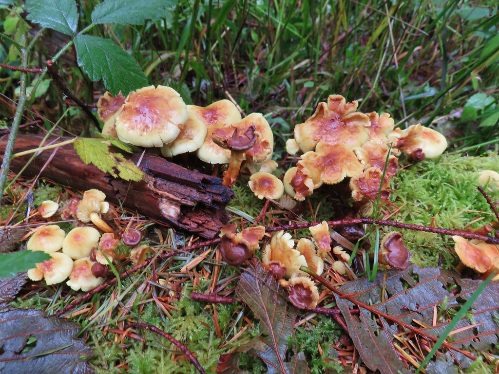
 Snowy mushrooms
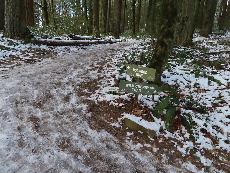
The Wild Cherry Trail ended at the Dogwood Trail where we turned right for a short distance before reaching its junction with the Keil Trail.
 A break in the clouds provided some blue sky above the Keil/Dogwood Trail junction.
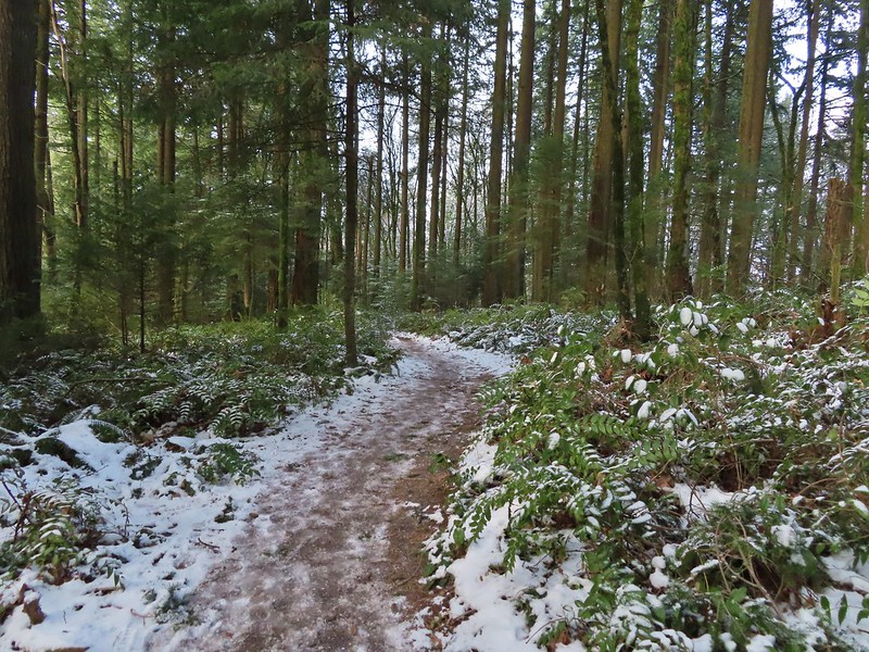
We turned left on the Keil Trail retracing our steps from the morning to the NW 53rd Trailhead.
 Woodpecker that wasn’t a bit concerned about my presence.
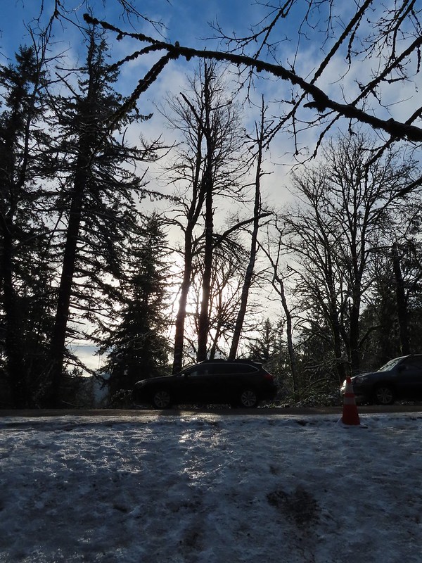 The Subaru waiting for us at the trailhead.
According to the GPS this was a 13 mile hike with around 2500′ of elevation gain.

Aside from not getting the views we’d hoped for this was a wonderful way to kick off the new year. There was good scenery, historical structures and a good deal of wildlife (even if most of it wouldn’t stay still long enough for photos). We hope everyone had a great holiday season and here is to a great 2022. Happy Trails!
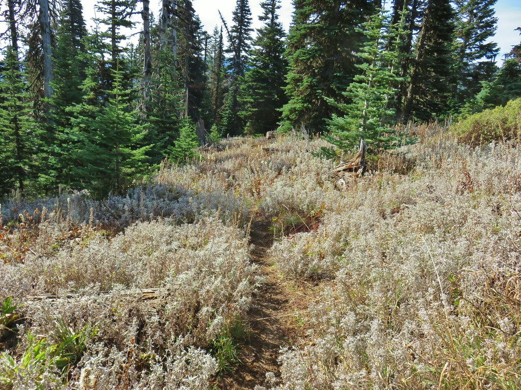
 Gumjuwac Trail at Highway 35.
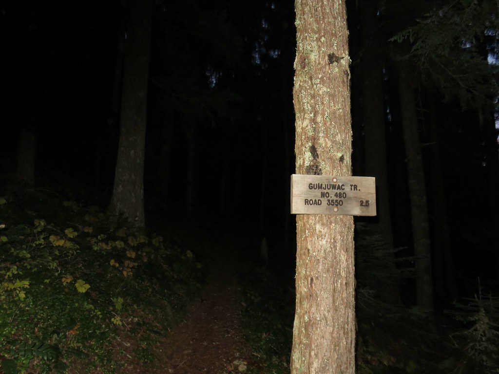
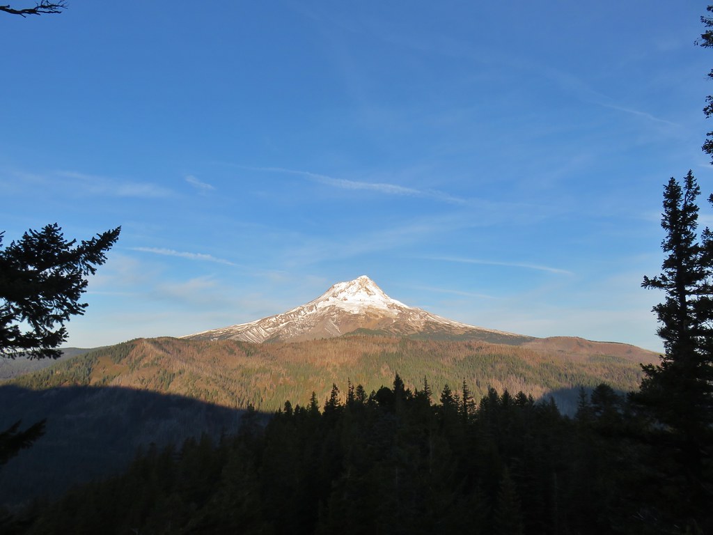
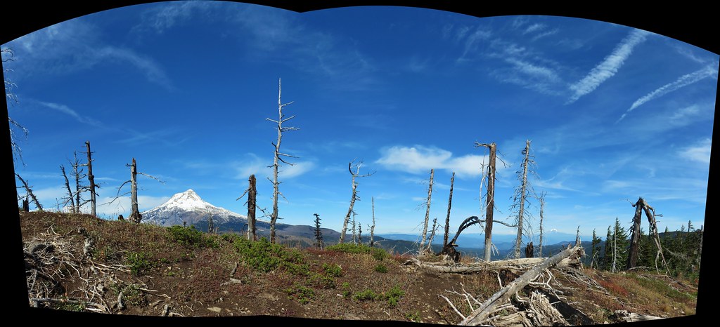
 Mt. Hood in the morning Sun.
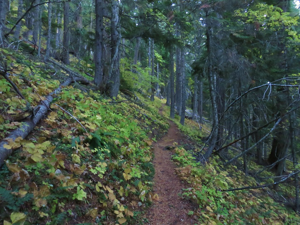


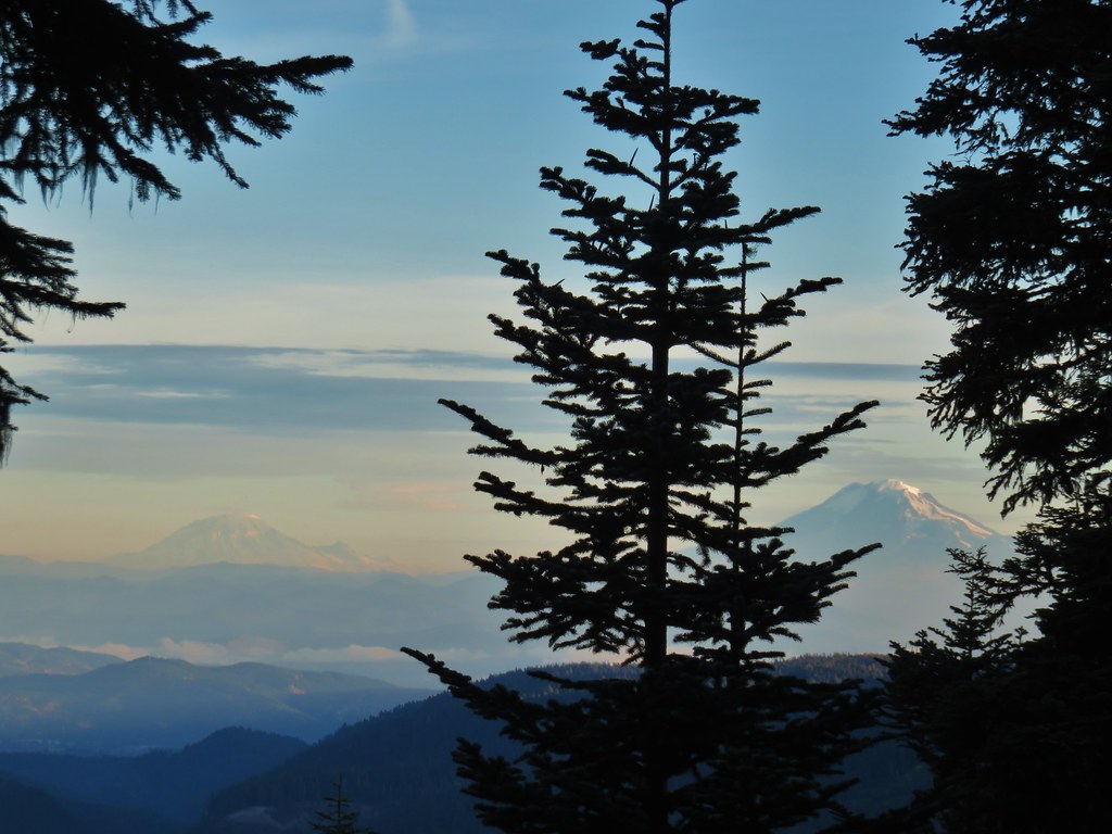 Mt. Rainier and Mt. Adams
 Mt. Adams
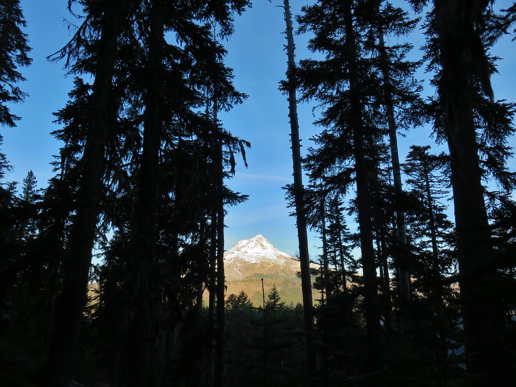
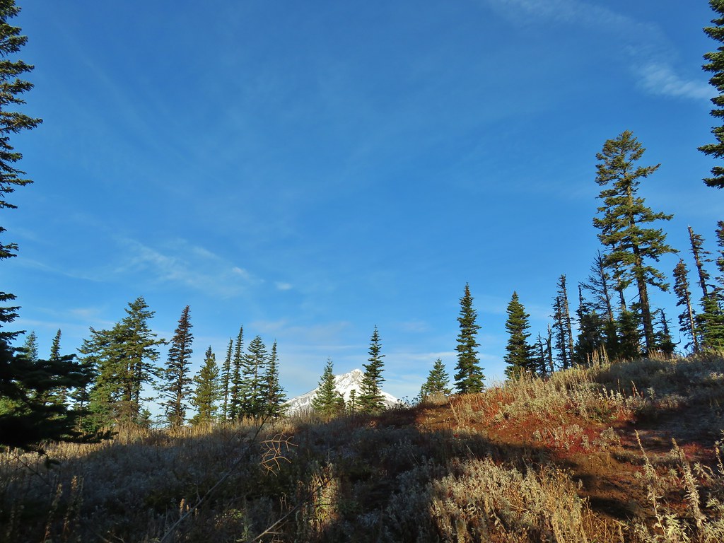
 Finally an unobstructed view of Mt. Hood.
 Gumjuwac Saddle
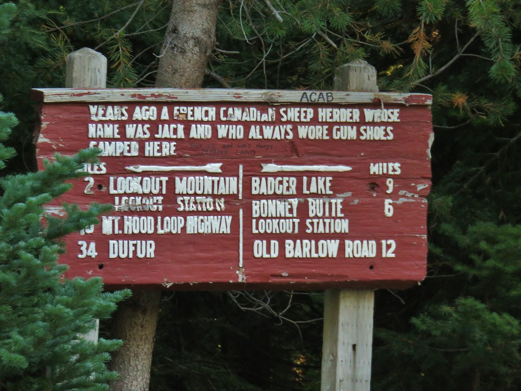


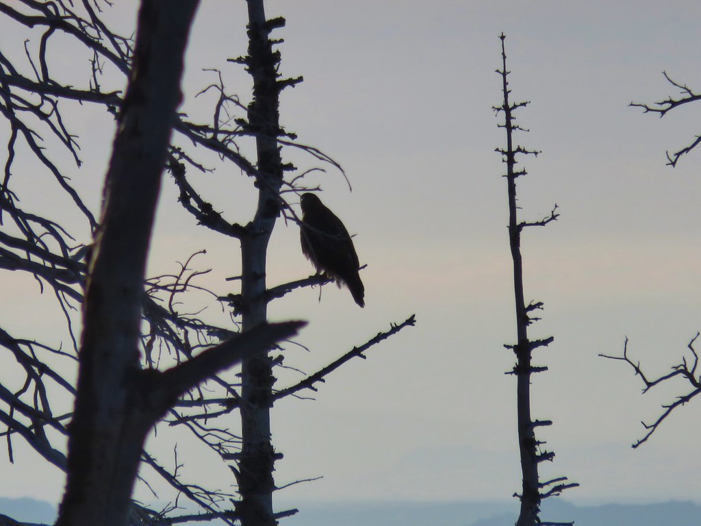 The hawk.
 A less than thrilled raven.
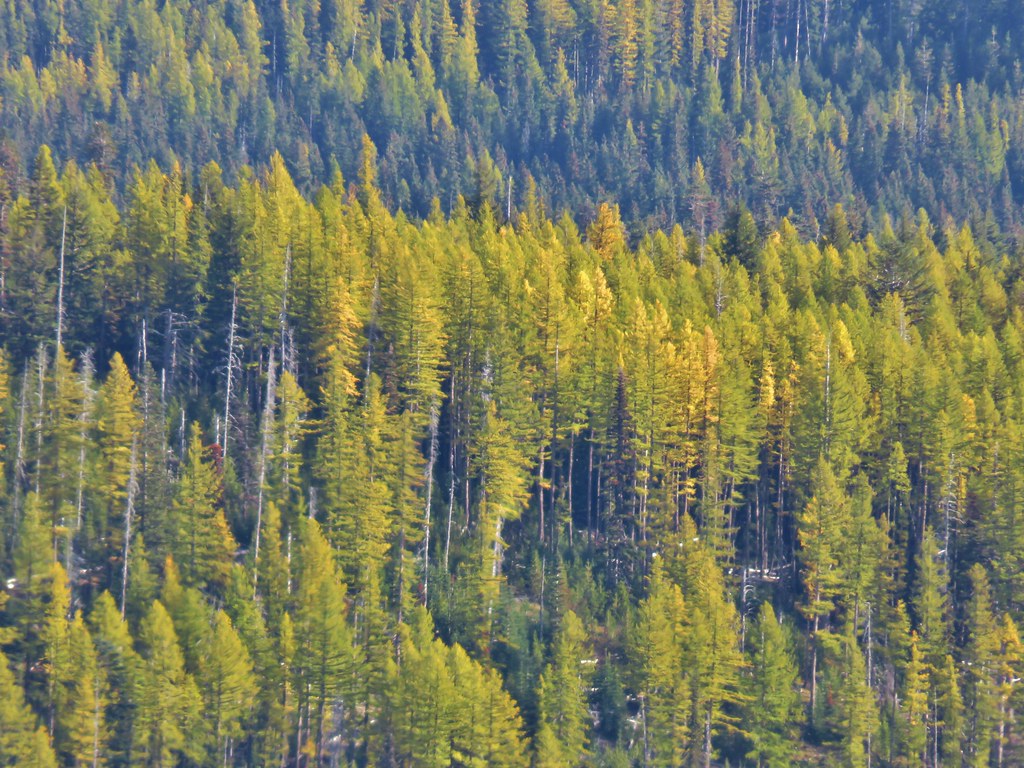
 Light green to yellow larches on the hillside behind the raven.

 Mt. St. Helens
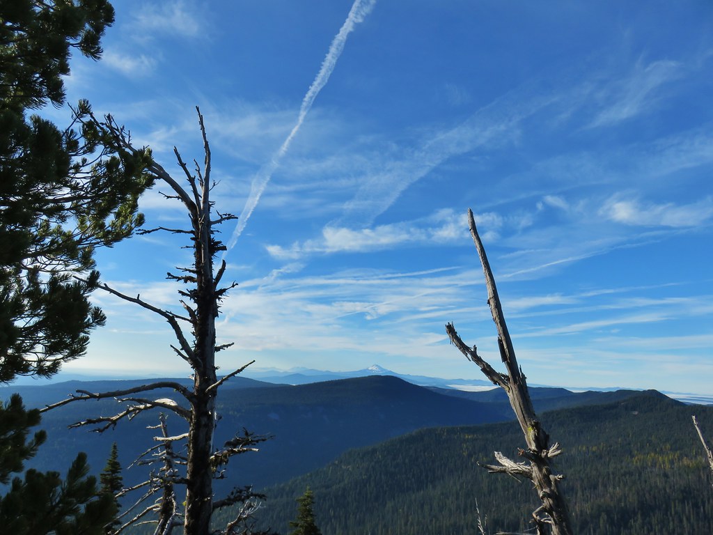 View south.
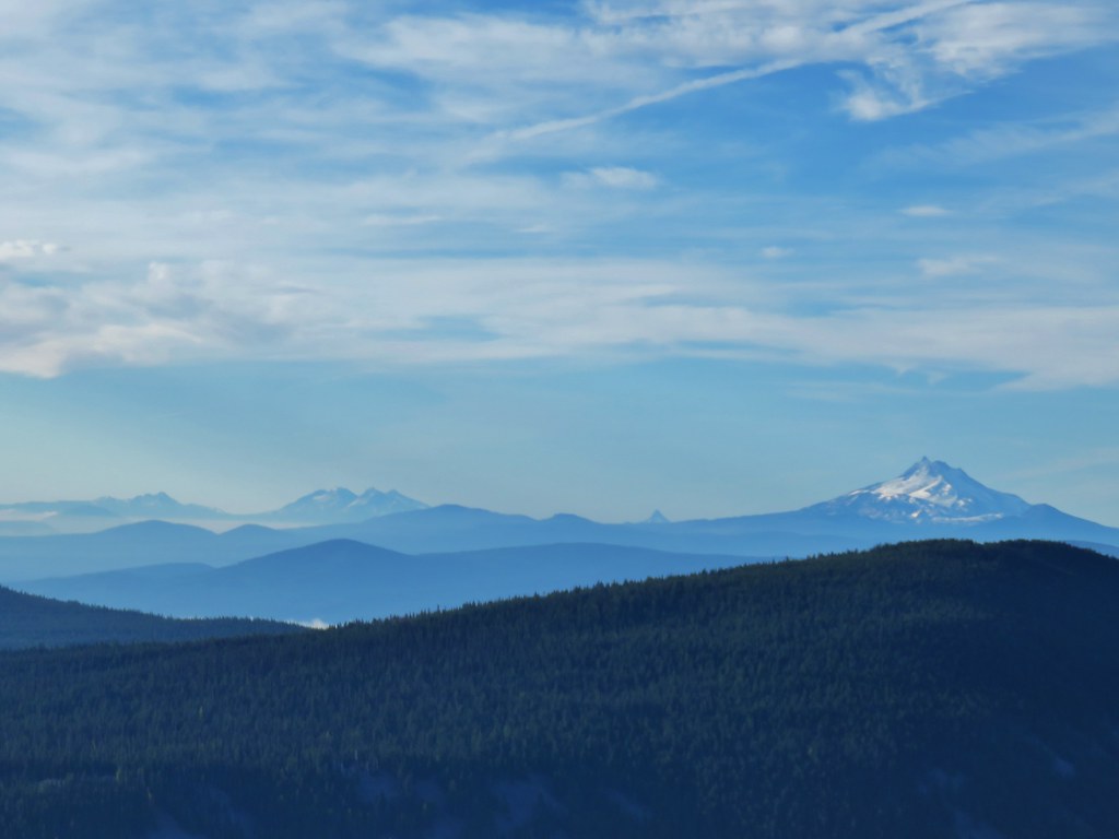 From L to R: Broken Top, The Three Sisters, Mt. Washington, and Mt. Jefferson.

 Mt. Jefferson


 Approaching the summit.
 Lookout on Lookout Mountain.
 Flag Point Lookout in the distance.
 Flag Point Lookout


 Mt. St. Helens, Mt. Adams, and Mt. Rainier
 Mt. St. Helens
 Mt. Rainier
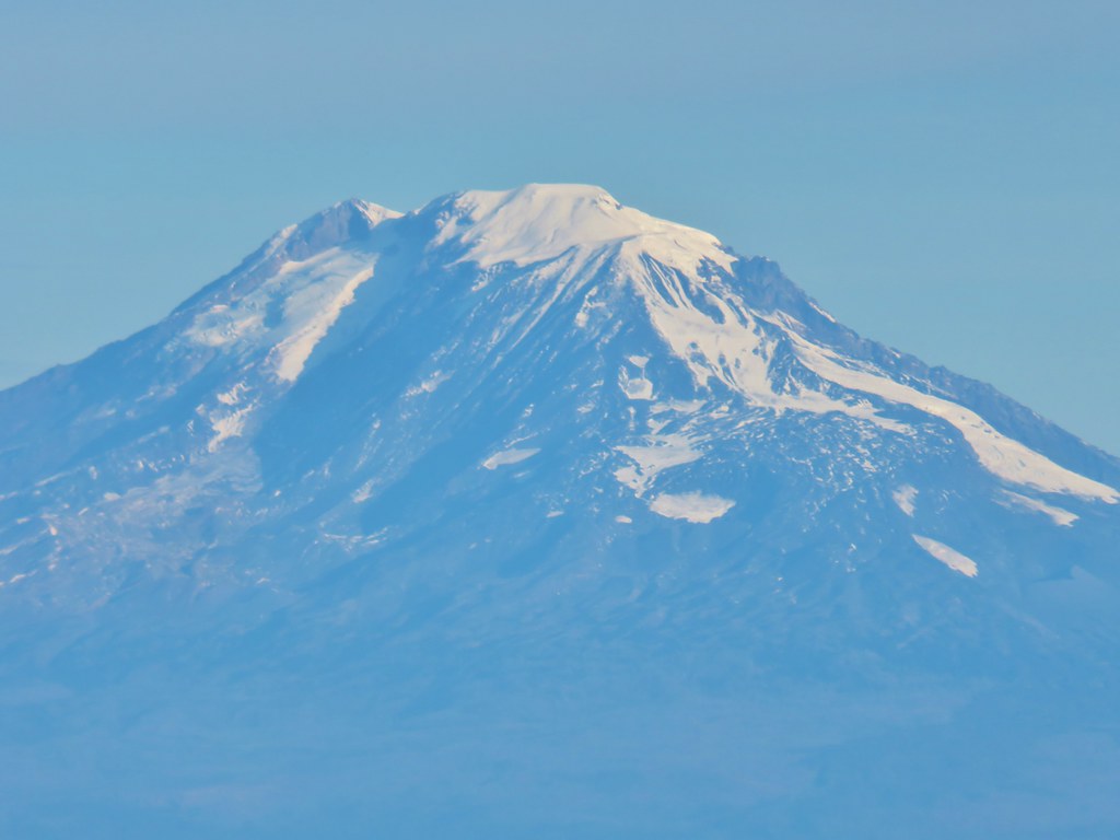 Mt. Adams
 Mt. Hood
 Mt. Jefferson followed by Mt. Washington, The Three Sisters, and Broken Top
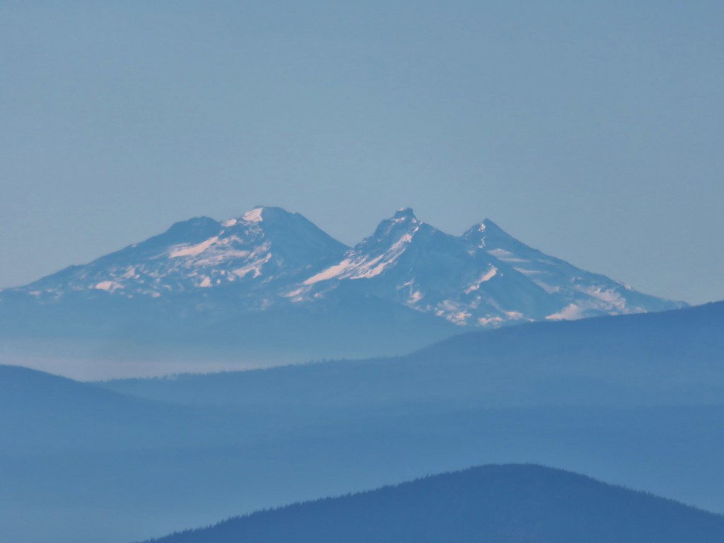 The Three Sisters


 Lookout Mountain from the Gunsight Butte Trail.
 Clark’s nutcracker
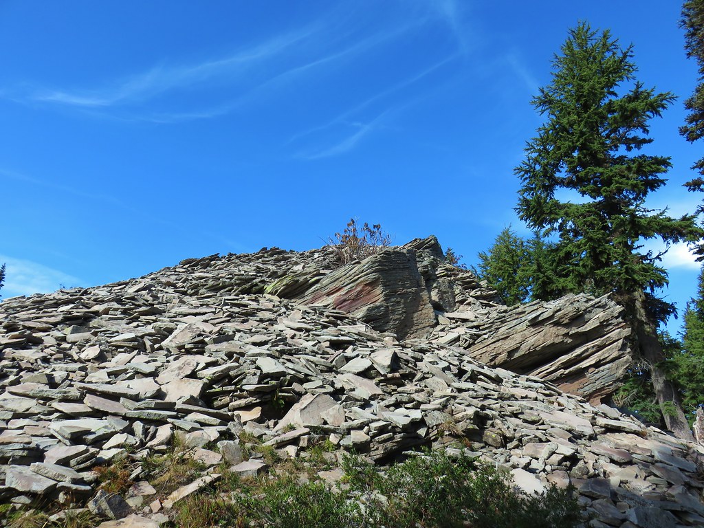


 Looking SW
 Hills Creek Reservoir (behind the tree)
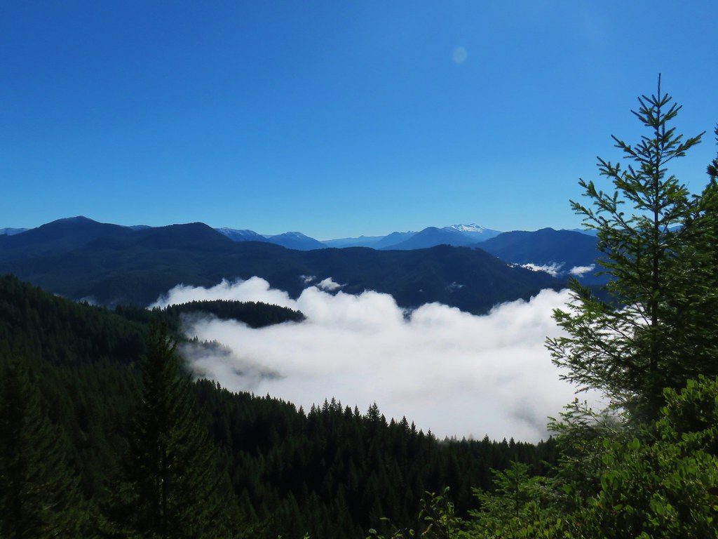
 Mount Yoran and Diamond Peak