The Wilson River Trail currently runs 24.6 miles, with its western end beginning at Muesial Creek Road and its eastern end at Idiot Creek Road. We previously hiked two sections of the trail – the Kings Mountain TH to the Elk Creek TH segment twice (2010 & 2022) and the Footbridge TH to Jones Creek TH segment (2014). It was time to check out another section of the trail and we set our sights on the Elk Creek TH to Idiot Creek Road TH segment.
We parked at the Elk Creek Trailhead since it is the more convenient of the two trailheads to reach. There are a small number of parking spots across from a signboard where we had begun both of our Elk/Kings Mountain loops which is where we once again parked.
 The first signboard near the small parking area.
We hadn’t fully woken up yet, so we didn’t think to simply take the trail here uphill 100 feet to the Wilson River Trail. Instead walked along the shoulder of Elk Creek Road to a much larger parking area at roads end.
 Elk Creek Road from the small parking area.

The larger parking area.
There was another signboard at this trailhead which we stopped at to study the map.

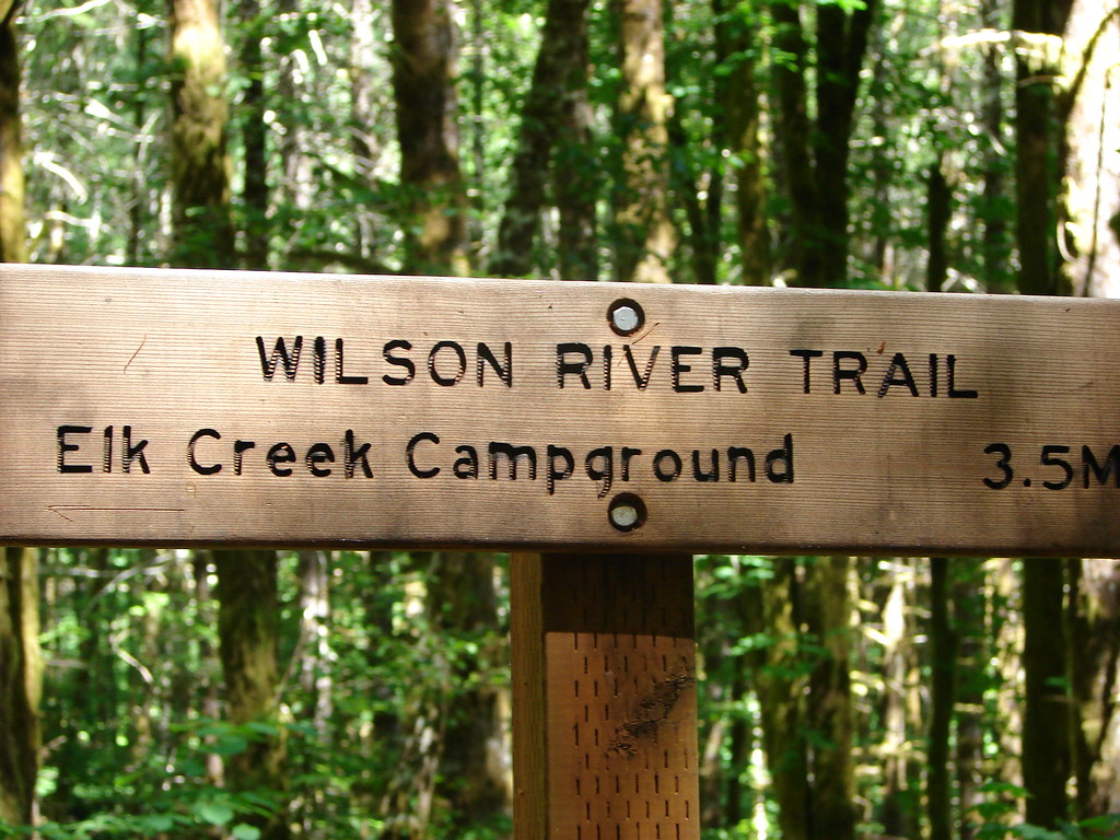
After confirming our route, we set off past a Wilson River Trail sign and came to a junction where we realized we could have avoided the 500′ road walk.


We turned right following a pointer for Idiot Creek Loop Road (note the road is currently not a loop due to a washed-out section). The trail quickly joined the old bed of Elk Creek Road.

We followed the old roadbed along Elk Creek for approximately a half mile to a well signed junction.

 Bleeding heart
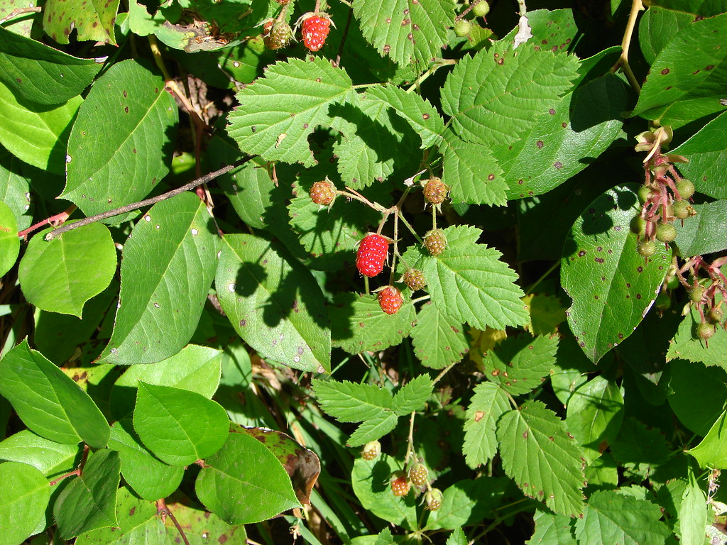
 Salmonberry
 Fairy lanterns
 Largeleaf avens
 Scouler’s corydalis

 Coastal monkeyflower

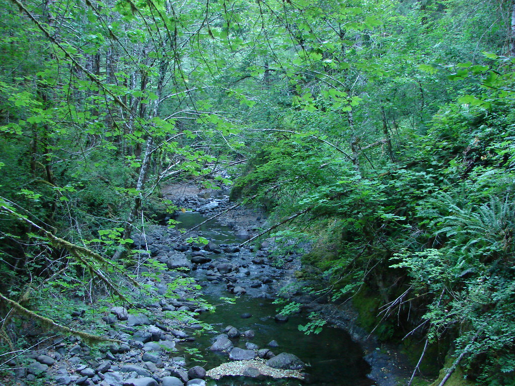
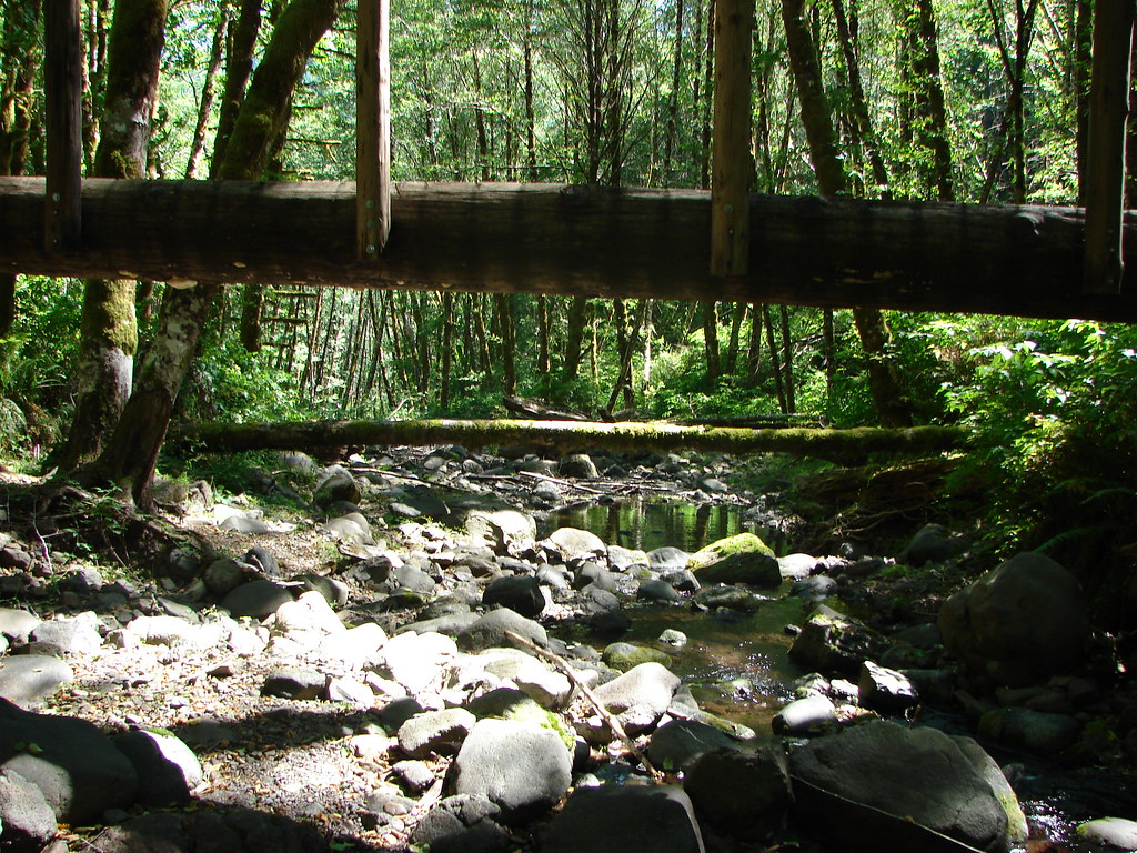
At the junction we turned right and crossed the seasonal footbridge over Elk Creek. (In place May thru September.)


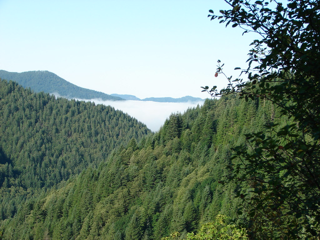
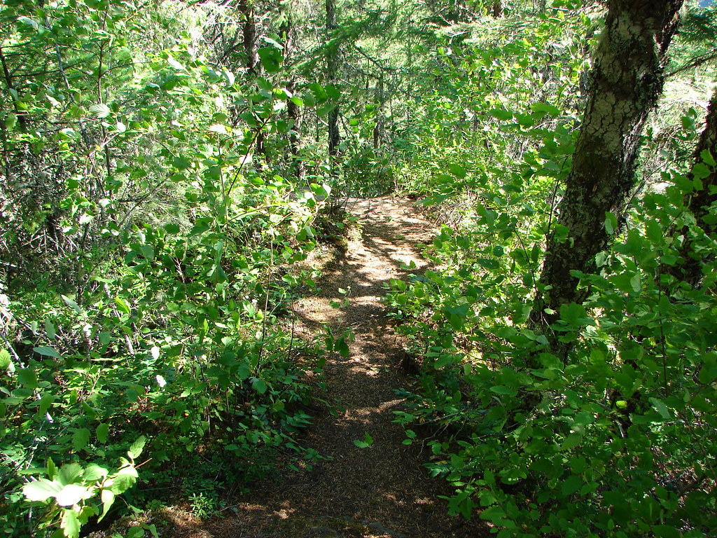
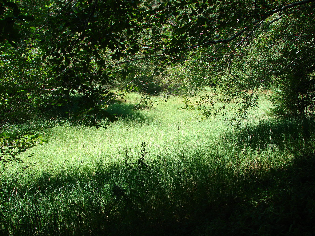
The trail traversed a hillside above Elk Creek for three quarters of a mile before heading uphill.


Fringecup

 Trillium
 Star flower
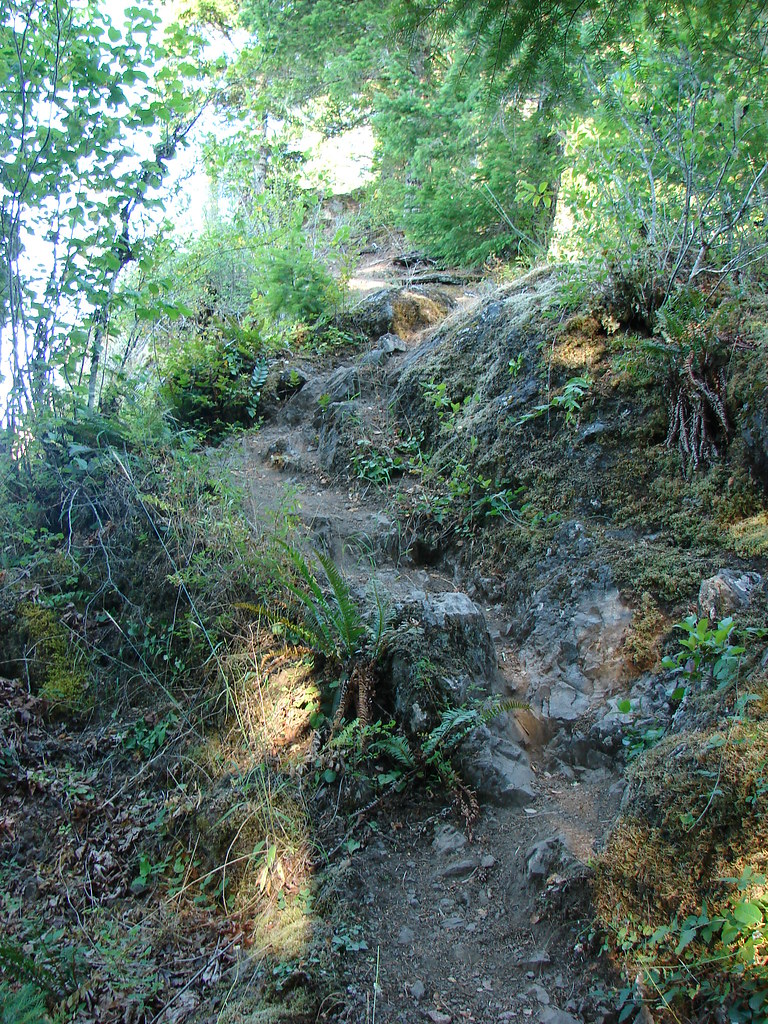
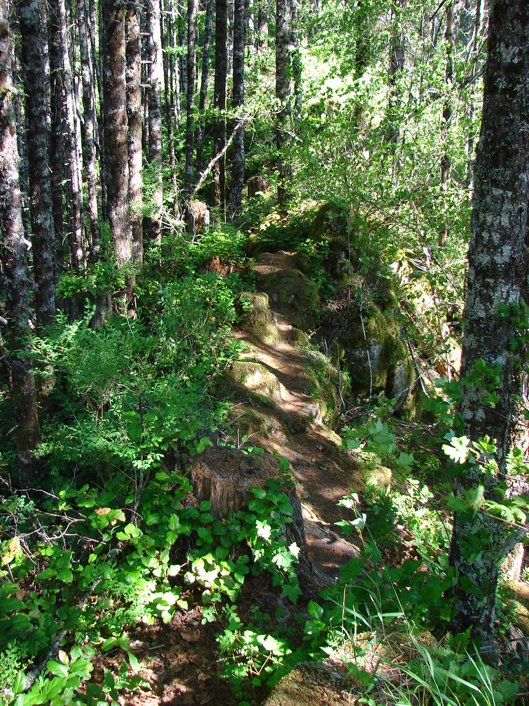
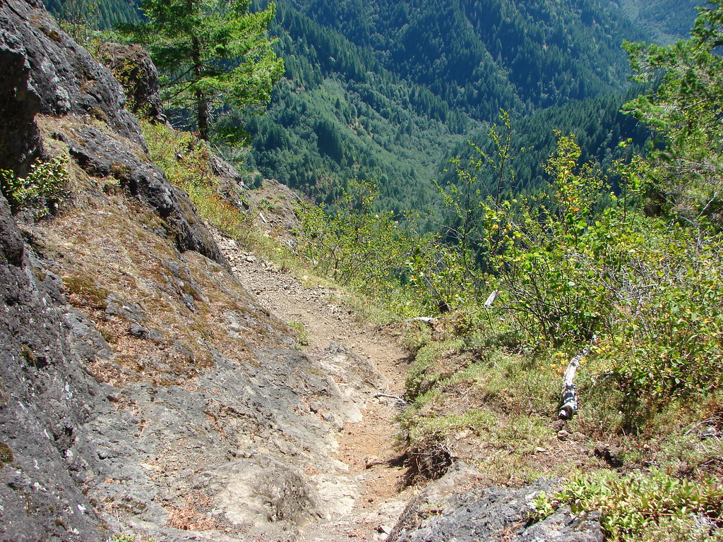
 The well graded trail uses a combination of switchbacks and long traverses to climb over 1000′.
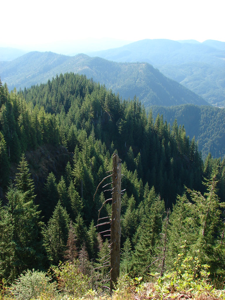
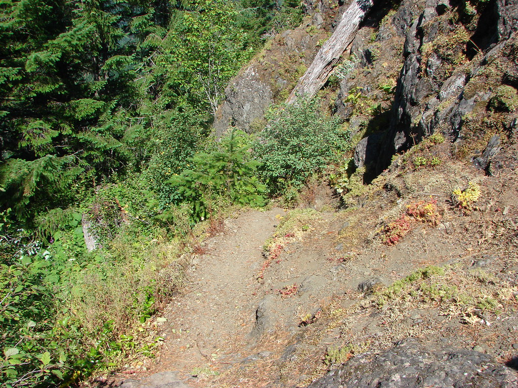
 Looking down at the trail below.

Vanilla leaf


Spotted coralroot
 Anemone
 Western buttercup

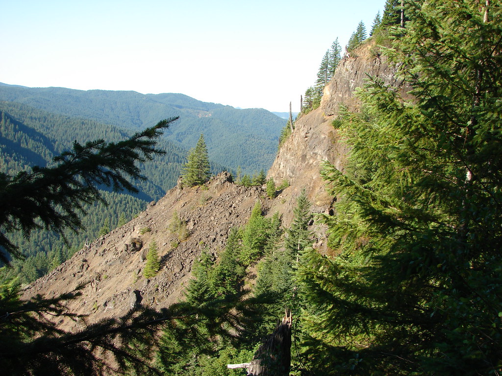
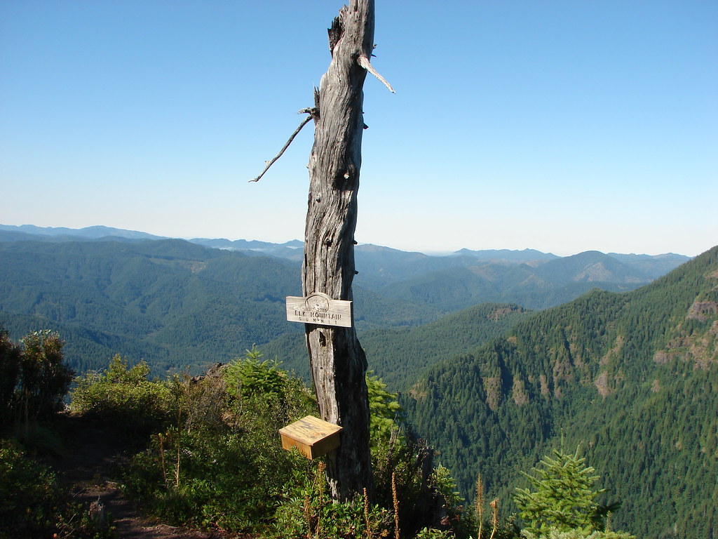
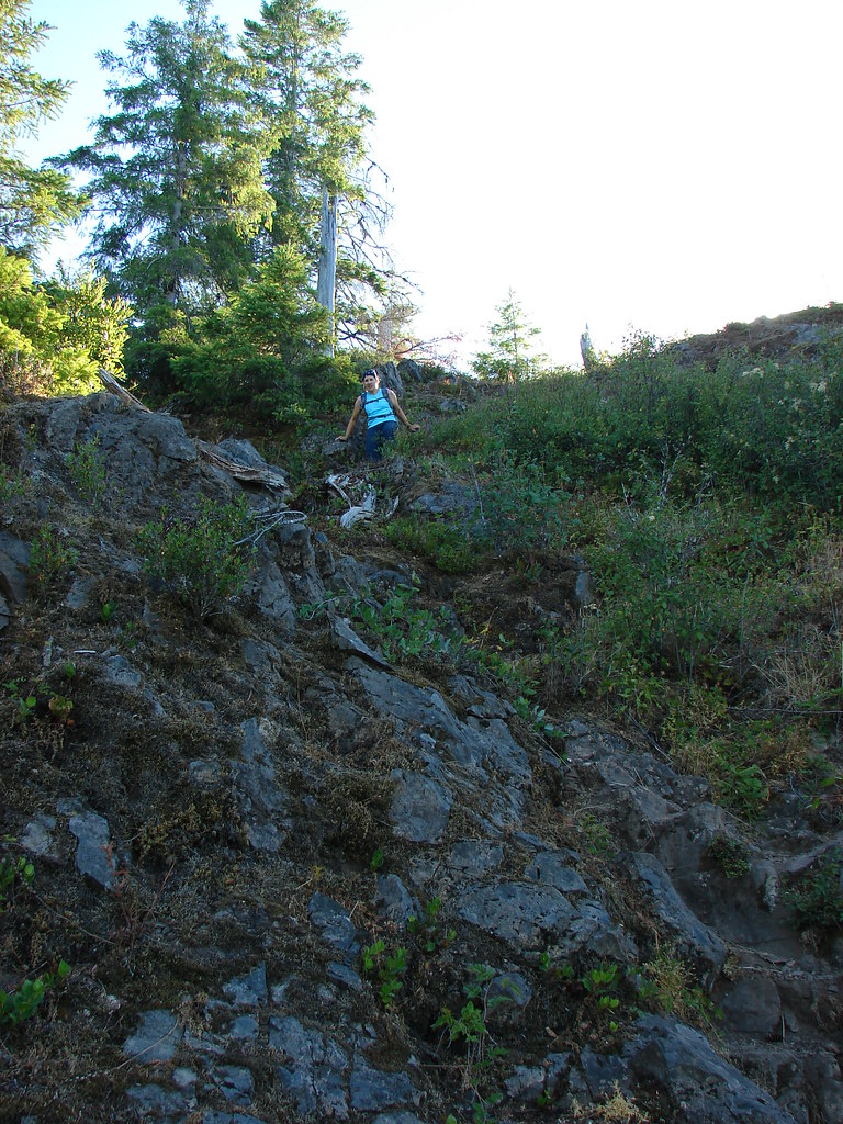
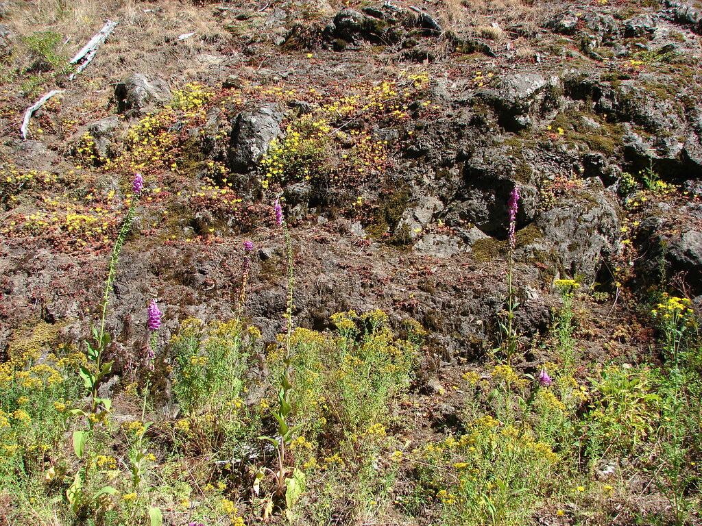
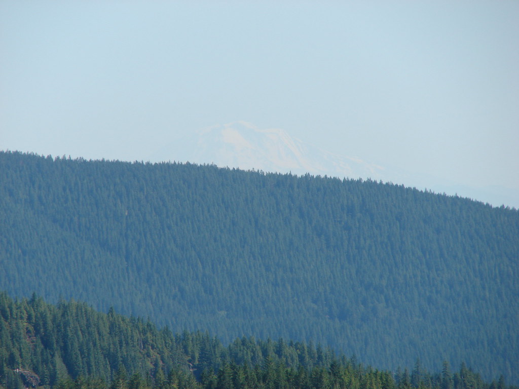
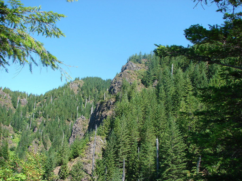
Near the 2.7-mile mark we took a short spur trail to a rocky viewpoint.


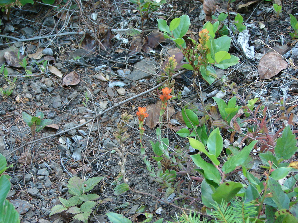
 Paintbrush, parsley, and blue-eyed Mary
From the viewpoint it was another third of a mile up to Idiot Creek Loop Road.


 Fairy lanterns and paintbrush
I did just a bit of exploring along the road in each direction before we headed back down.

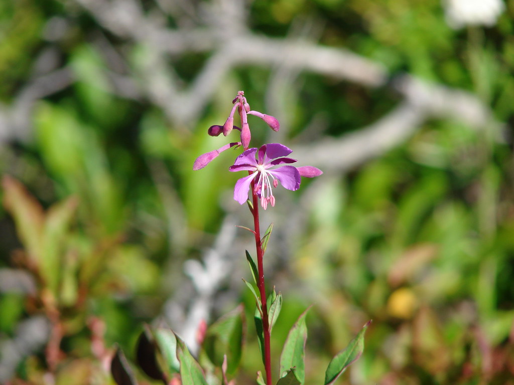
 Lupine was just beginning to bloom along the road.
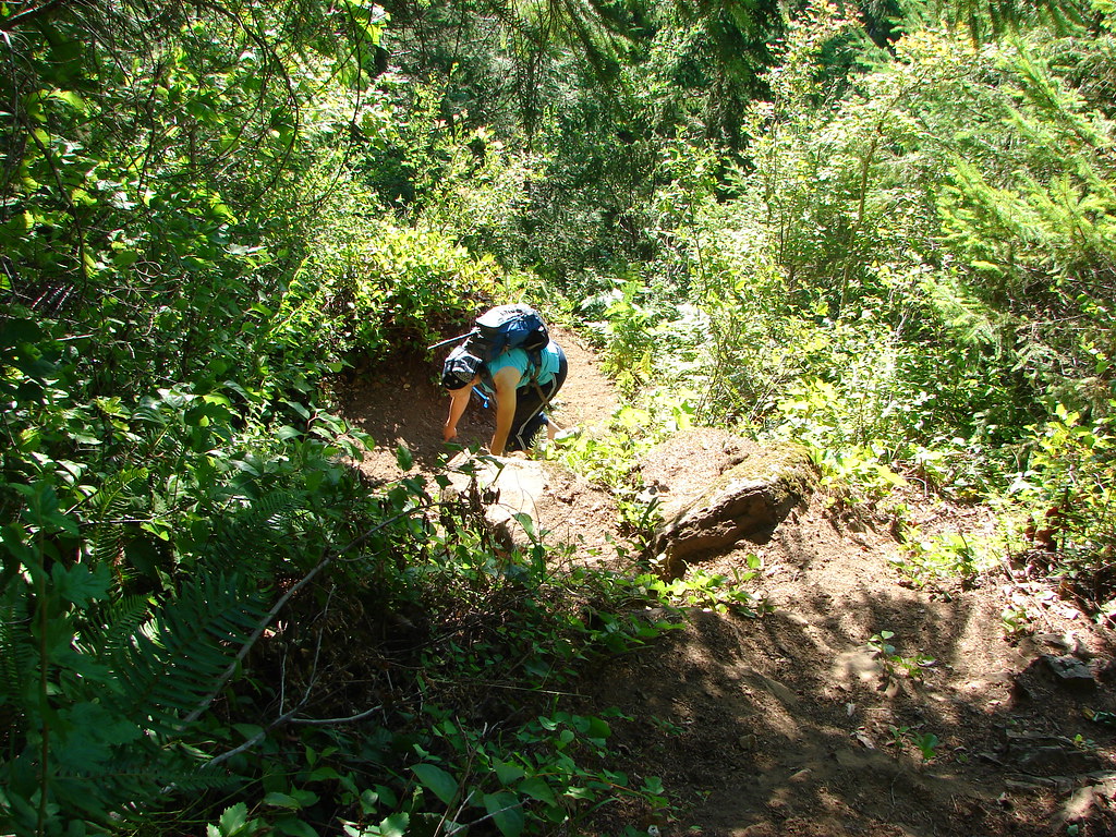
 On the way back down.
We had briefly considered following the Elk Creek Trail from the junction near the footbridge before heading back to the car but decided to save that for another time.

 West Fork Elk Creek to the left and Elk Creek to the right from the bridge.
 The junction with the Elk Creek Trail.
We returned to the car by sticking to the actual Wilson River Trail this time ending the morning at 7.7 miles with a little under 1500′ of elevation gain.
 We missed a section of leafy mitrewort on our earlier pass.

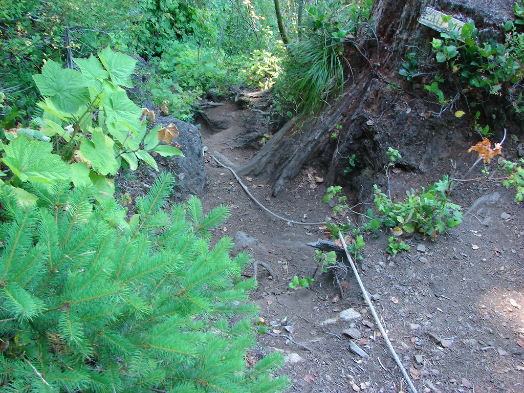
On the section of the trail we missed by taking Elk Creek Road.
 The small parking area from the trail.

While there was a number of cars in the parking areas, we only passed 5 other hikers this morning. Mountain bikers would have gone out the Elk Creek Trail and most hikers were likely headed to Elk Mountain or tackling the full Elk/Kings Mountain Loop. The hike to Idiot Creek Loop Road was pleasant and the gently graded trail made for a nice climb through the green forest. The lack of any major “wow” sights along the trail keeps this a quieter option for the area, but the creek, flowers, and forest make it worthy of a visit. Happy Trails!