This week’s Throwback Thursday hike features one of the most challenging hikes in the Oregon Coast Range. On 8/16/2010 we headed to the Elk Creek Trailhead located just off Highway 6 twenty-four miles west of it’s junction with Highway 26 near Banks, OR.
This was one of our earliest hikes so we were still on a steep learning curve and in hindsight August probably wasn’t the best time of year for this particular hike but not knowing any better we arrived at the trailhead for an early morning start. After reading the information posted at the start of the trail we began wondering exactly what we were getting into.

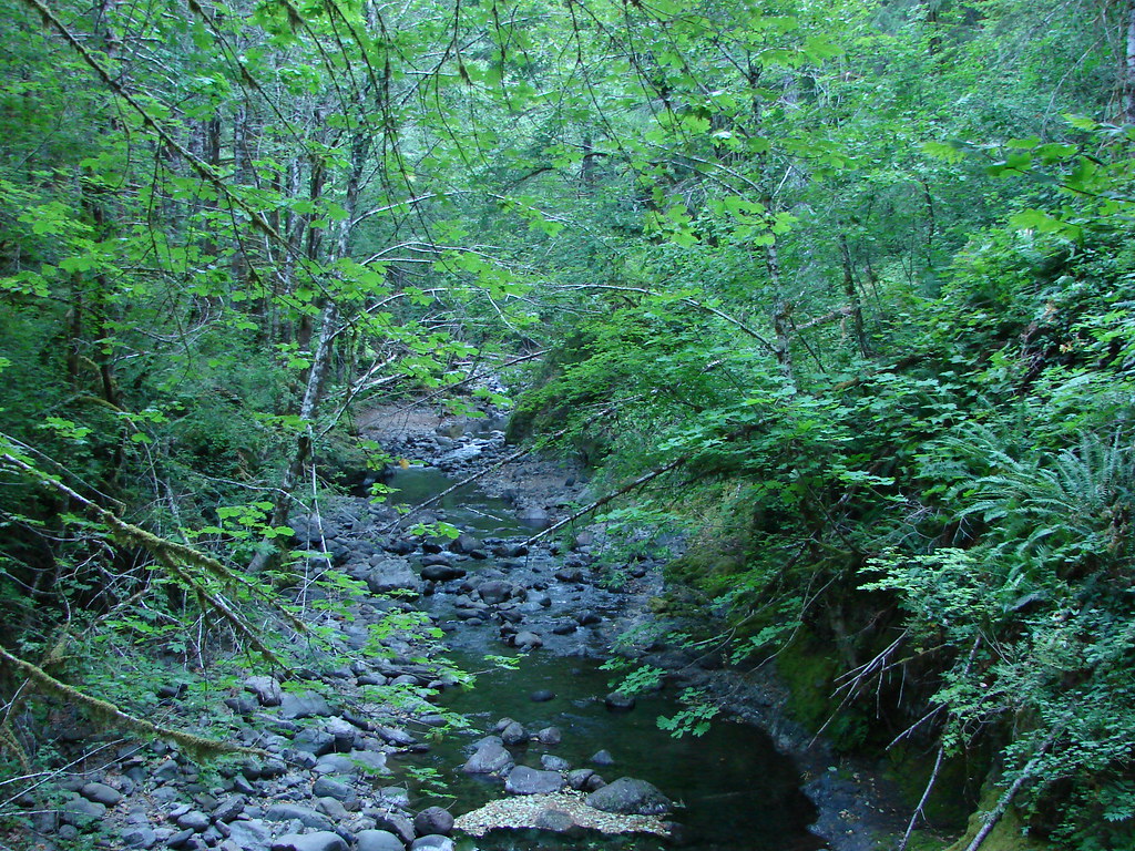
Our plan was to do the nearly 11 mile loop which came with nearly 4000′ of elevation gain. We set off at a sign for the Wilson River Trail which crossed Elk Creek then split after .2 miles. The Wilson River Trail continued to the left and would be our return route. We veered right continuing onto the Elk Mountain Trail.


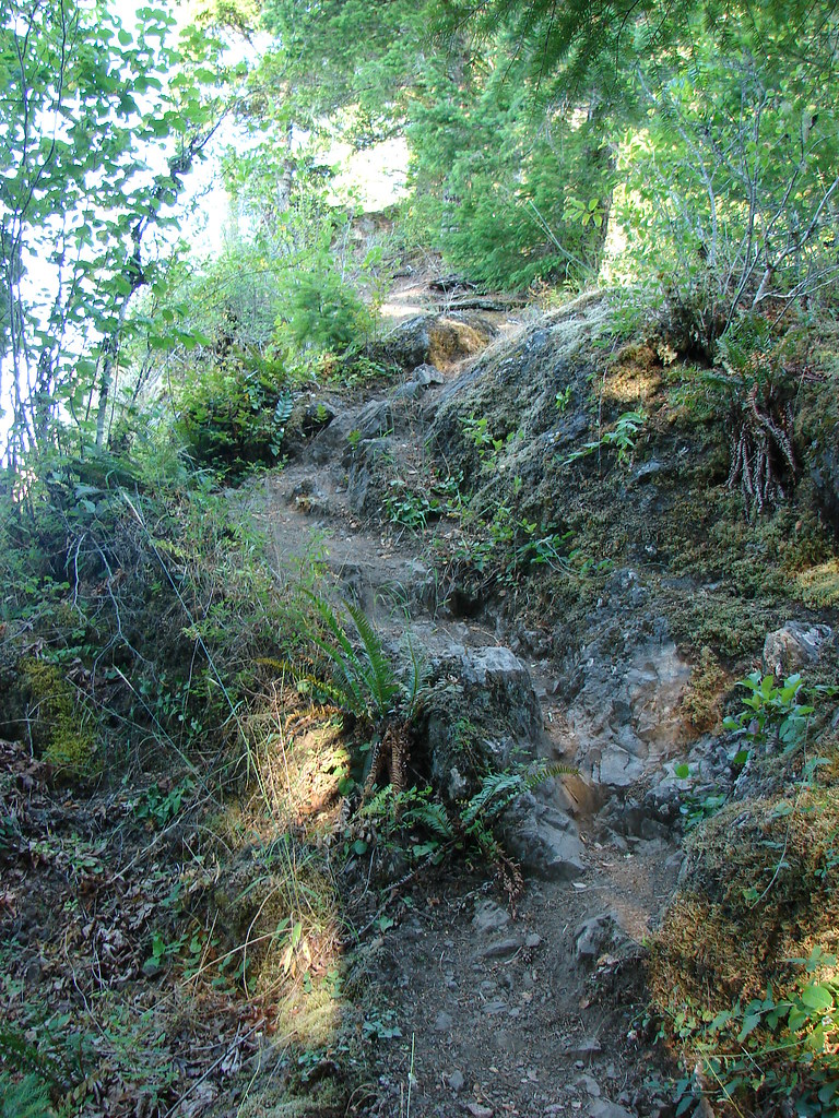
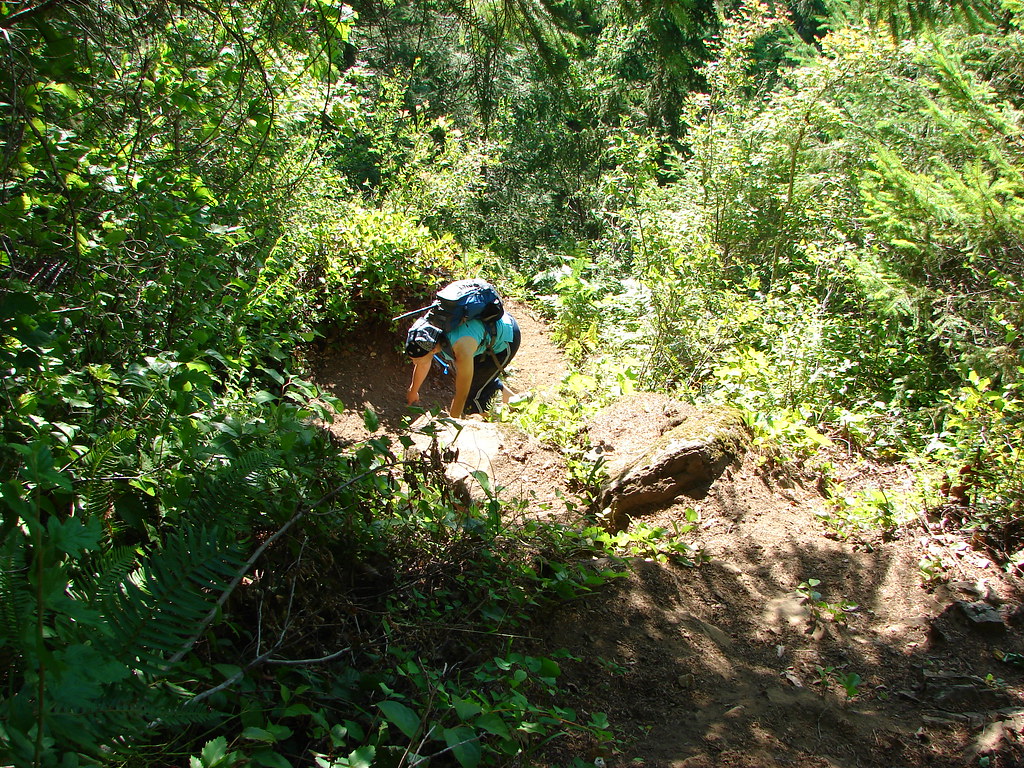
We were, as usual, following William Sullivan’s guidebook in which he describes the the Elk Mountain Trail as having “all the subtlety of a bobsled run”. The nearly 1.5 mile climb was certainly deserving of that description and was unlike any trail we’d experienced to that point. In fact this hike was the impetus for looking into and eventually getting trekking poles as we were at times forced to use our hands to make it past sections of loose scree.
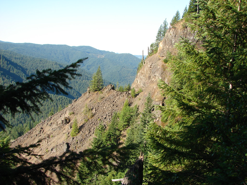
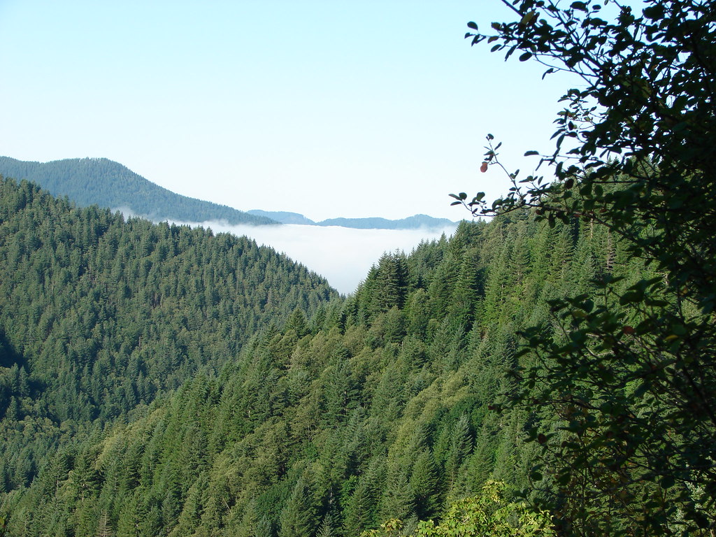
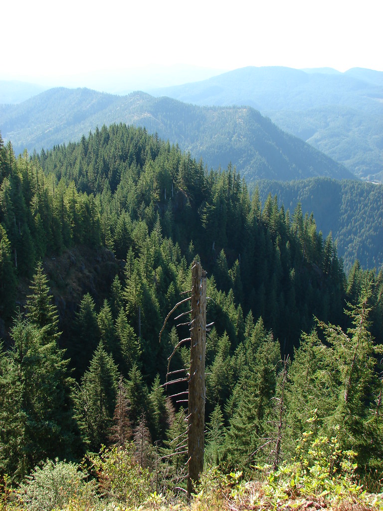
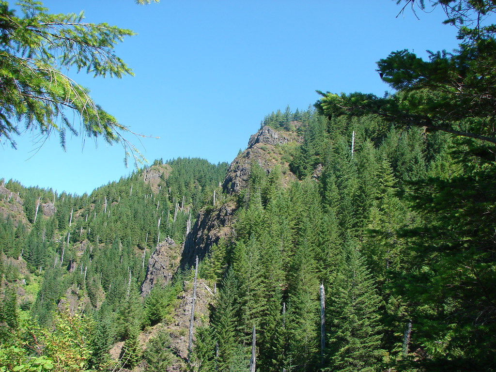
The trail did have some positive attributes including some views that were not for folks made nervous by heights.


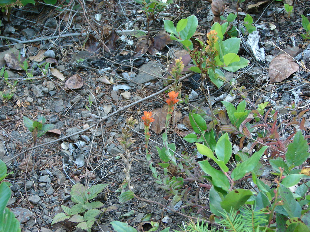
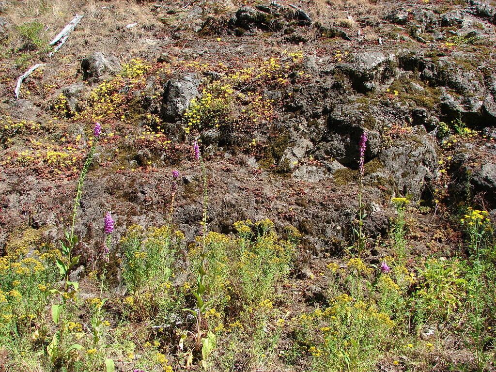
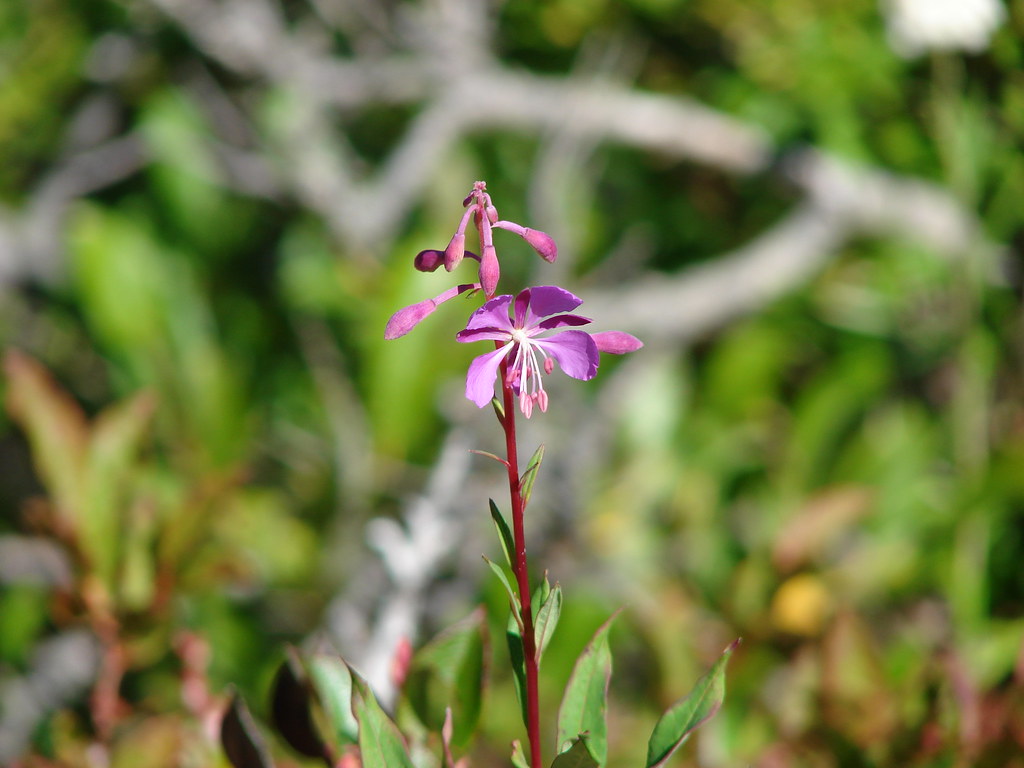
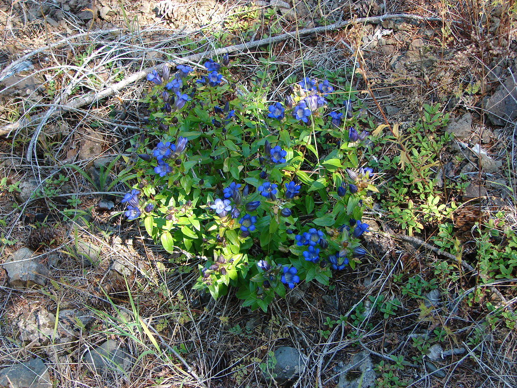
Only a few flowers remained along the trail which is one of the reasons that our timing wasn’t great, the other being the exposed sections of trail were really warm in the August sun.
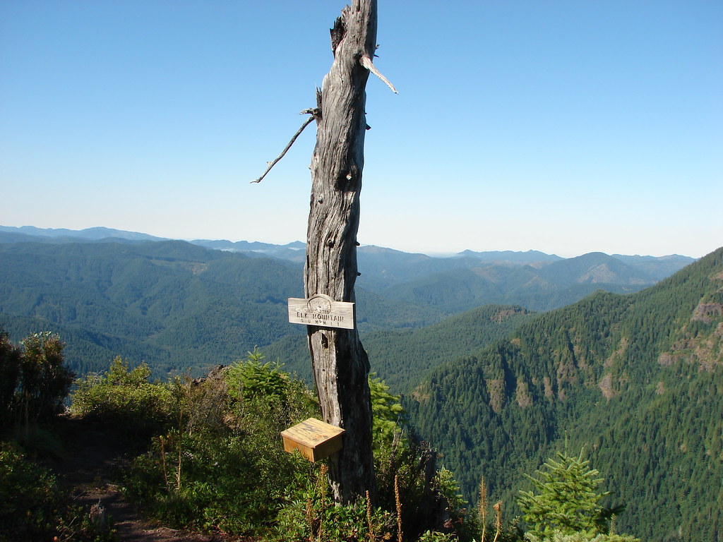
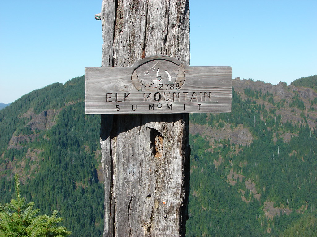
A nice sign and summit register greeted us at the summit letting us know that we’d made it.
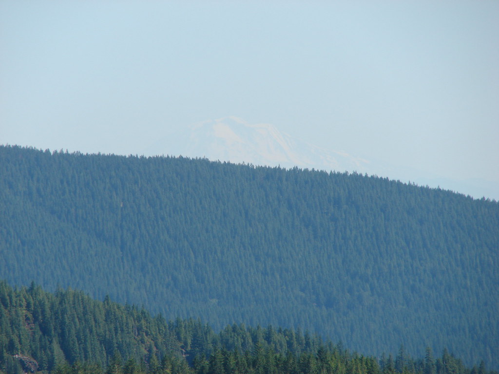
From the summit we were able to get a good look at the days second summit, Kings Mountain, to the west.

We continued on the loop which dropped steeply off the far side of Elk Mountain.
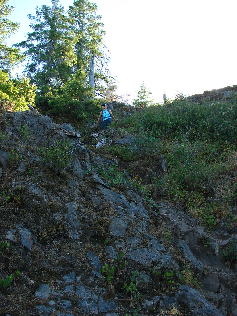
For the next half mile the trail traversed a ridge that was rather narrow and rocky in spots.
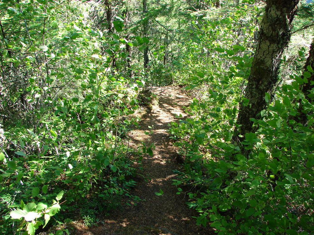
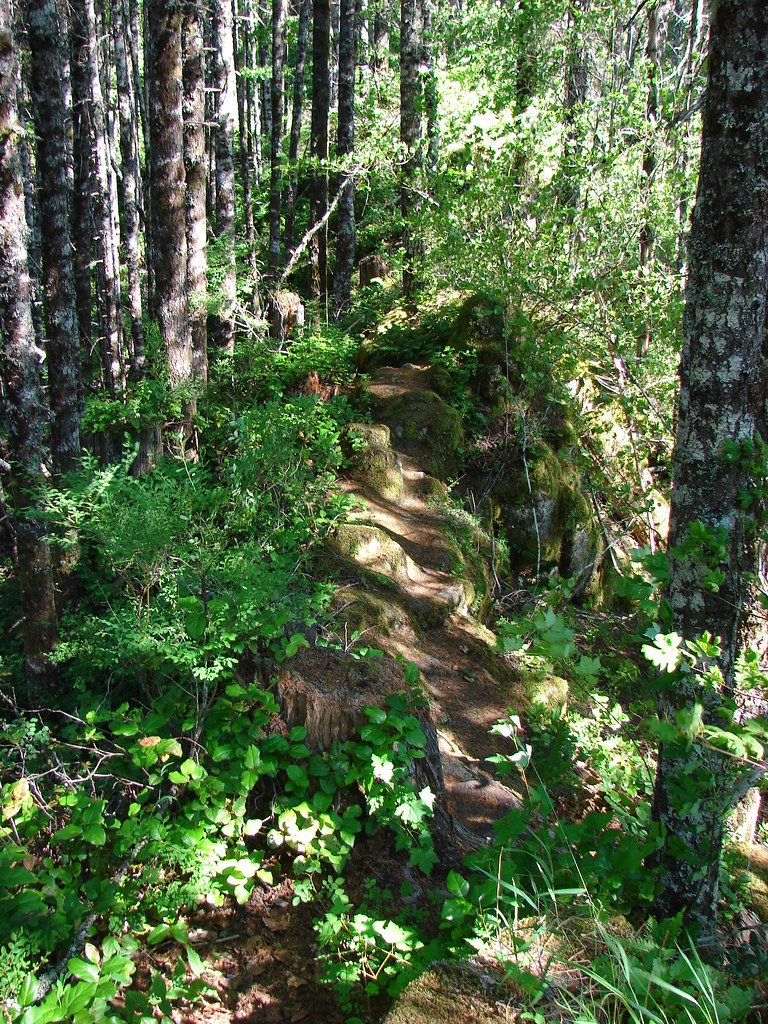
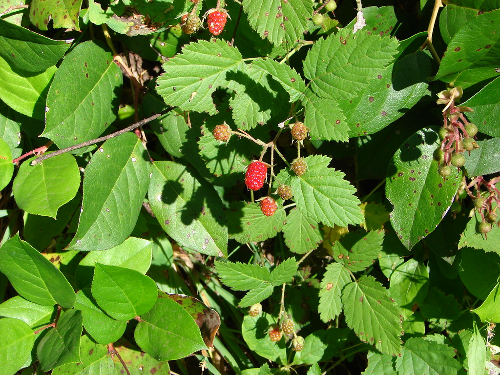
We were relieved when we reached an old roadbed which we then followed for the next mile and a half. This section was much easier on the nerves (and knees). Berries and wildflowers lined the old roadbed.
At a pass two miles from the Elk Mountain summit we arrived at signed junction where we followed pointers for the Kings Mountain Trail.

The old roadbed soon gave way to another narrow rocky section of trail.
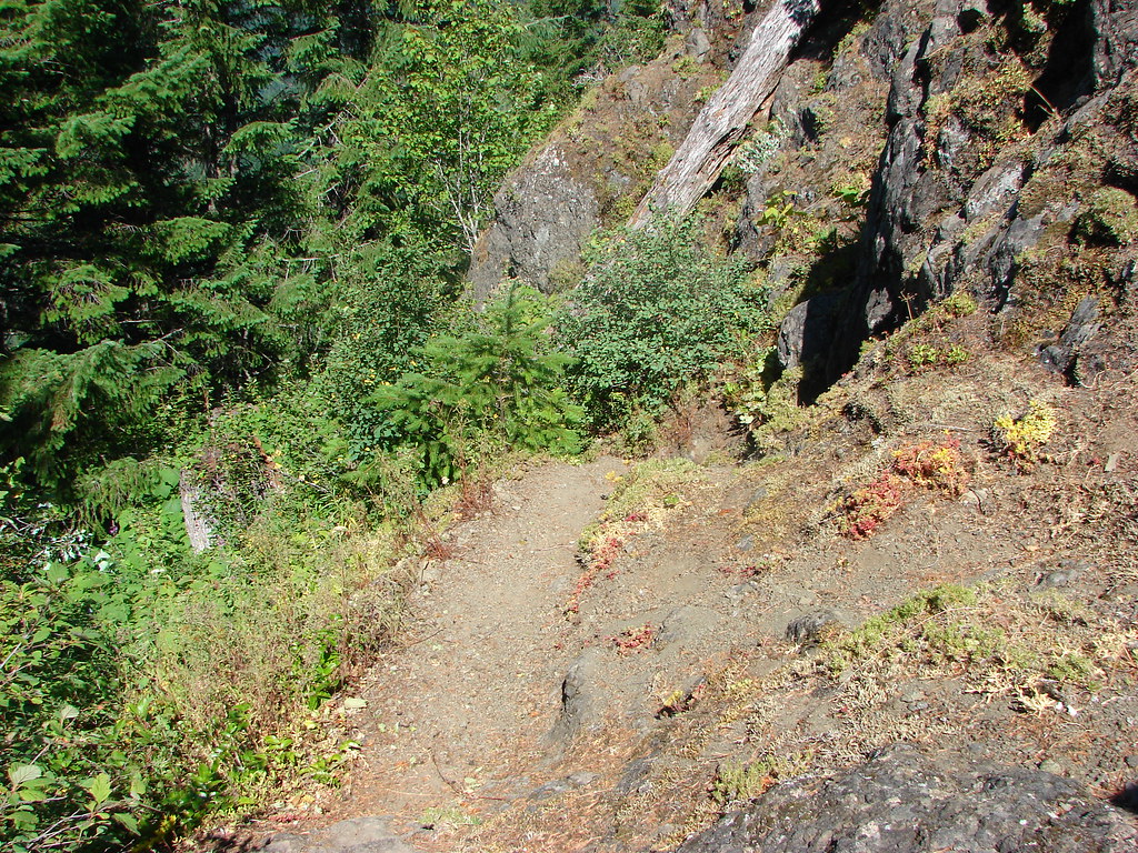
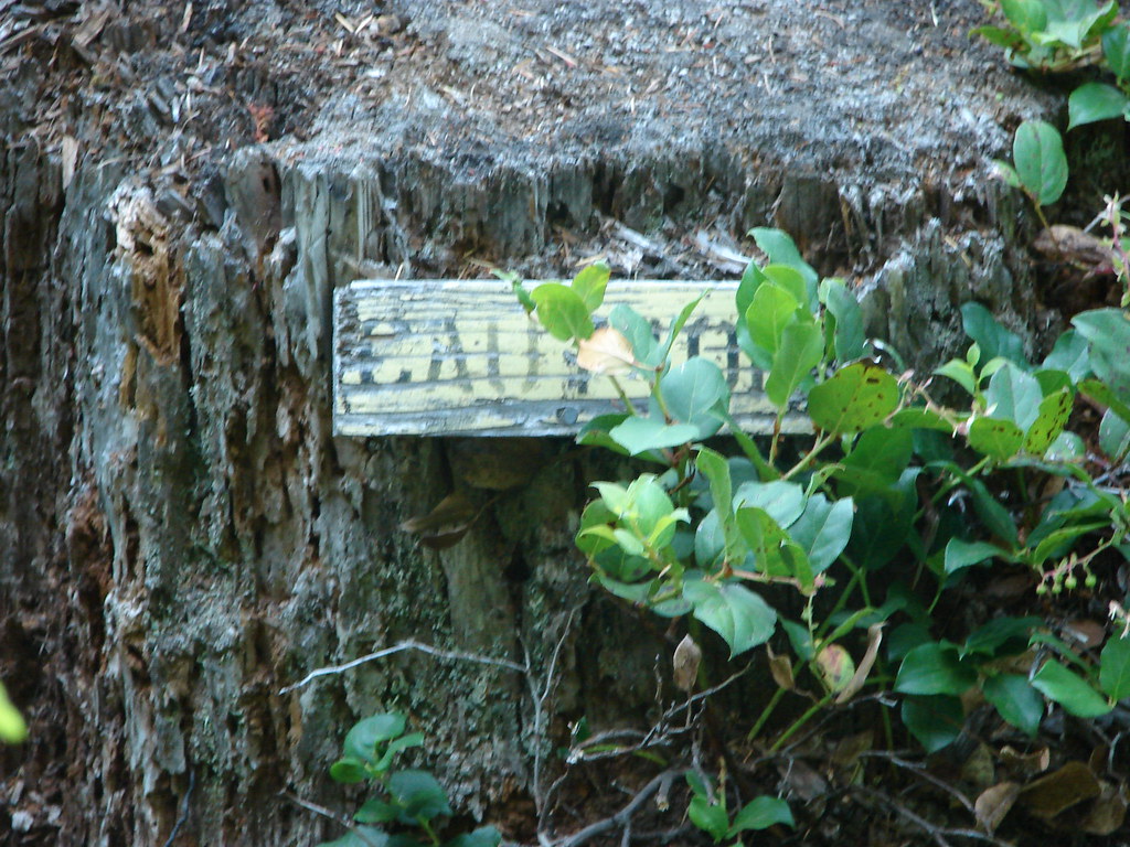
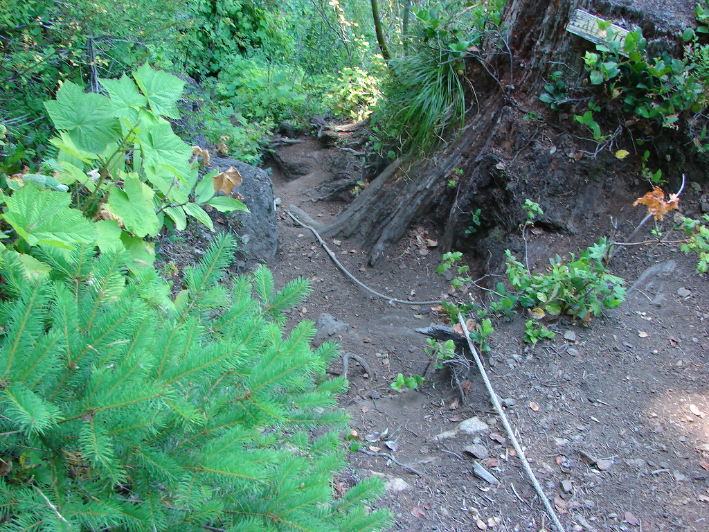
Soon the trail came to a series of pinnacles which forced the trail from the south side of the ridge to the north side. The vertical face of the pinnacles also forced the trail to drop in order to get far enough below them to traverse the hillside. If we thought the trail couldn’t get any more nerve wracking we were wrong. A small caution sign on a stump tipped us off that the next section was going to be a doozy.
A rope was in place here to assist with the descent.
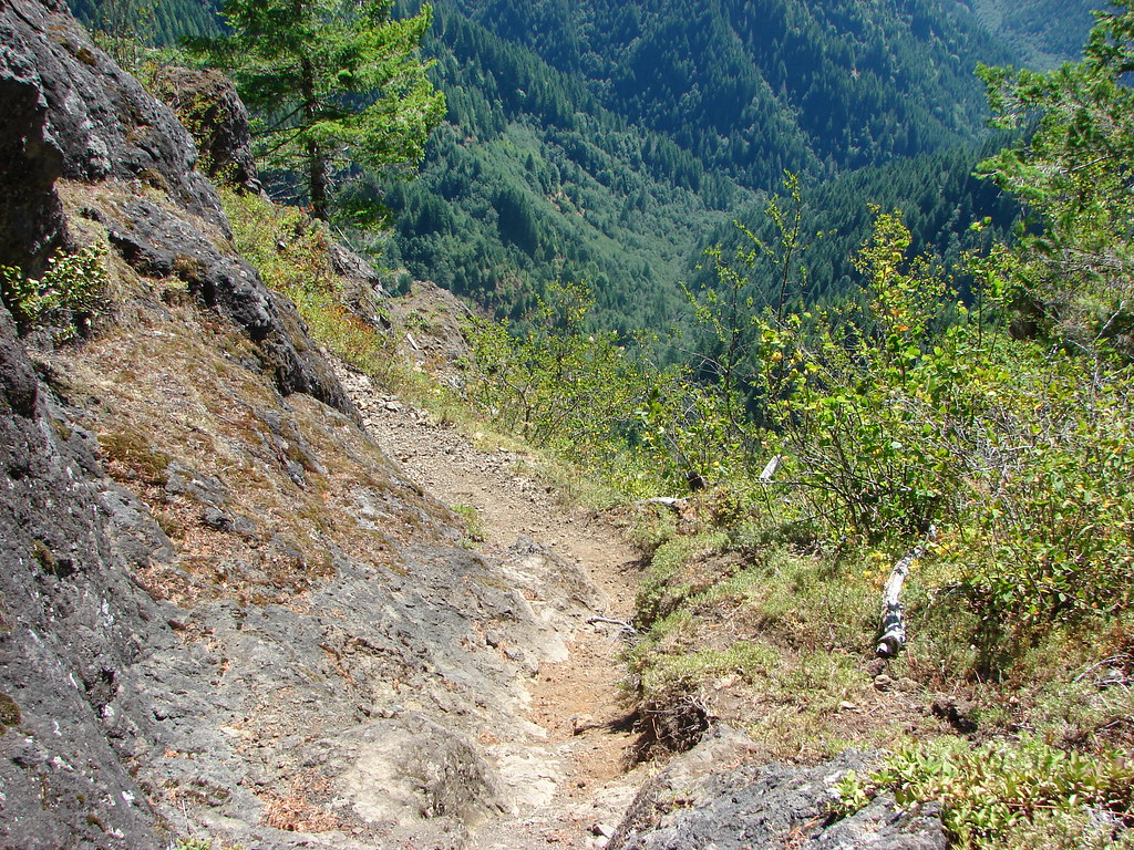
The traverse below the pinnacles was the by far the scariest section of trail we had been on and remained so until 2014 when the section of the Pacific Crest Trail known as The Knifes Edge took that title. There was a vertical rock wall along the trail and the drop on the other side of the trail seemed nearly as vertical. Thimbleberry bushes lined the trail on the down slope side making the trail feel even narrower than it was. No pictures were taken along this stretch as I was too busy using my hands to grab whatever I could along the rock wall.
Upon reaching the far end we briefly distracted ourselves with the view to the north which included a vary hazy Mt. Hood and Mt. Adams.


After we recovered our wits we continued on the much less stressful section of the trail and shortly arrived at the Kings Mountain summit.
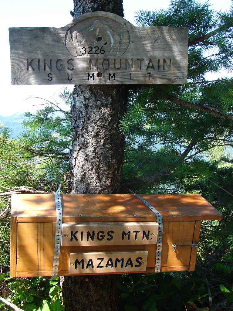
We had only gone 1.3 miles from the junction at the pass but the traverse below the pinnacles had made it seem much longer. An interesting oddity near the summit was a picnic table placed by Troop 299 of the Eagle Scouts.


From the summit the Kings Mountain Trail simply headed straight down a steep ridge.

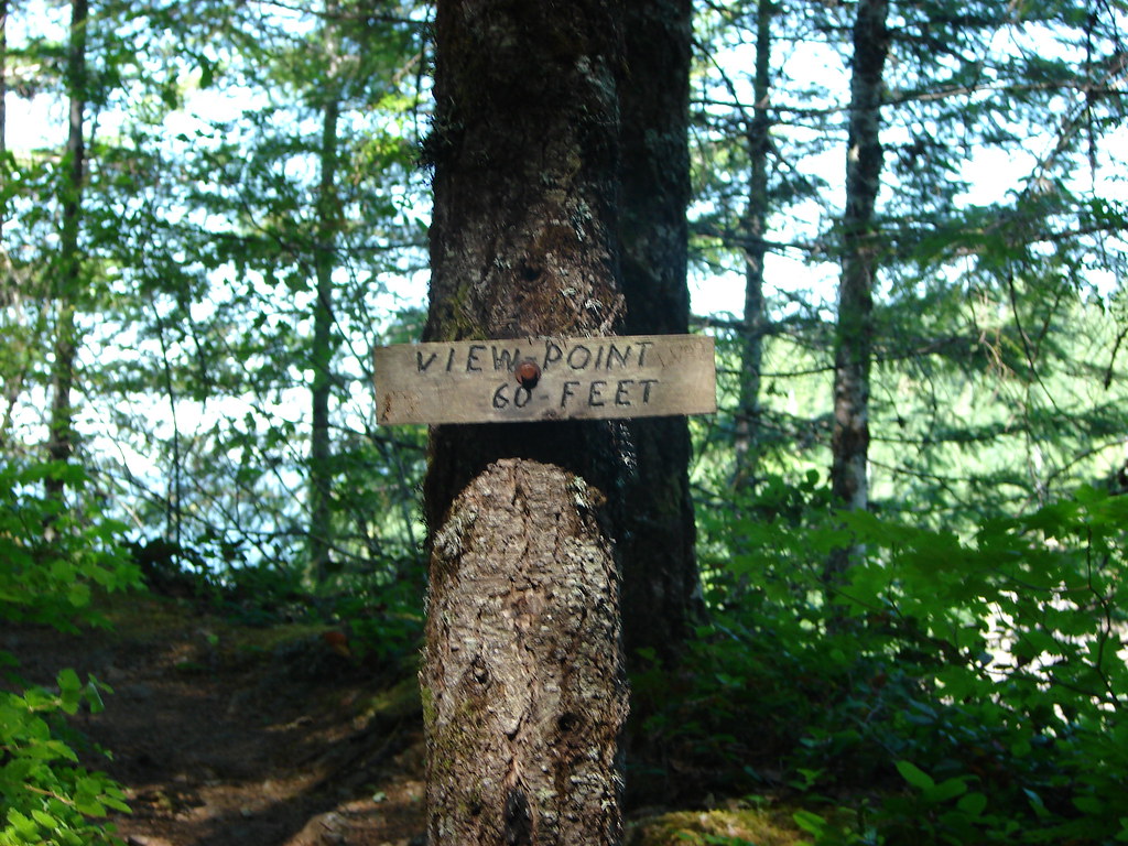
We managed to slow our descent long enough to visit a signed viewpoint on the way down.
Again trekking poles would have been wonderful on the 2.5 mile descent. As it was we did our best to stay upright as we bounced from tree to tree using them in an attempt to control our speed. As we neared the bottom the trail mercifully began to level out in the forest.

We turned left onto the Wilson River Trail when we came to the junction near the Kings Mountain Trailhead.
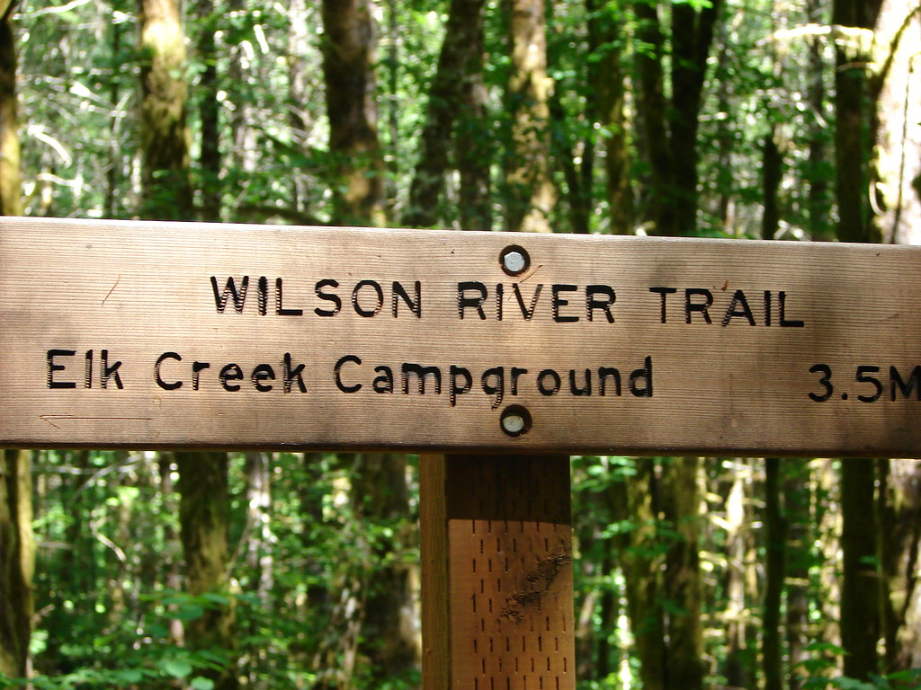
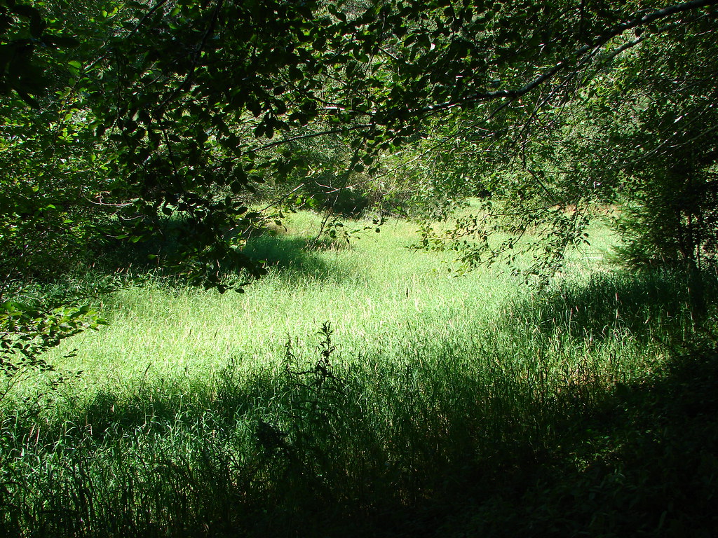
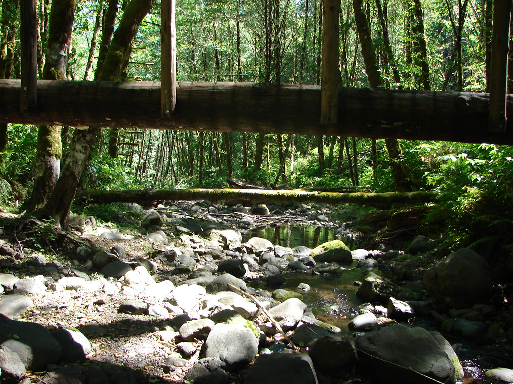
It was a fairly easy, but warm, 3.5 mile hike back to the Elk Creek Trailhead. The Wilson River was on the opposite side of Highway 6 but the trail passed through a nice meadow and crossed Dog Creek on a footbridge in the first mile and a half.
The final two miles were more exposed allowing the mid-day sun to beat down us so we were glad when we finally made it back to Elk Creek. It had been a pretty amazing hike, definitely unlike anything we’d done up to that point and we are looking forward to going back in the not too distant future to see what it’s like now that we’ve been hiking for a much longer time. Happy Trails!
Flickr: Elk and Kings Mountains

4 replies on “Throwback Thursday – Elk & Kings Mountains”
Beautiful country!
[…] #23 Kings Mountain – Hiked 8/16/2010 […]
[…] For this outing we were heading back to one of our earliest hikes, Elk & Kings Mountains (post) to see how much we remembered from that first visit. When we made the conscious choice to take up […]
[…] hiked two sections of the trail – the Kings Mountain TH to the Elk Creek TH segment twice (2010 & 2022) and the Footbridge TH to Jones Creek TH segment (2014). It was time to check out […]