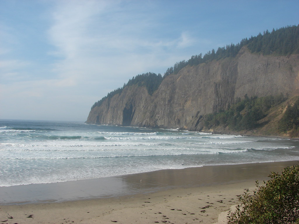
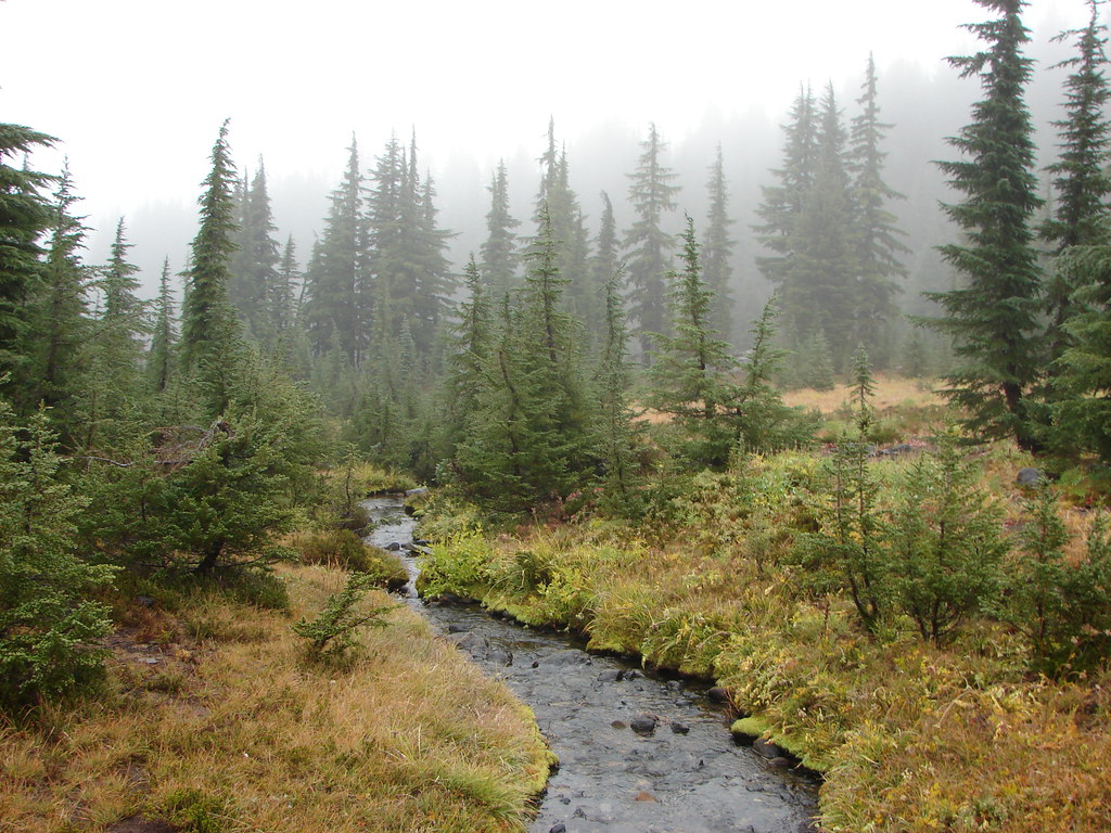
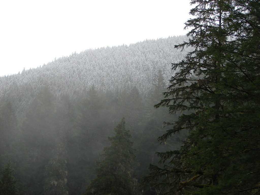
Today’s Throwback Thursday hike was given the name “The hike that shall not be named” by our Son, Dominique. What was supposed to be a 15 mile loop with spectacular mountain views in the Three Sisters Wilderness wound up being an 18.6 mile, mostly view-less loop, through fog and drizzle.
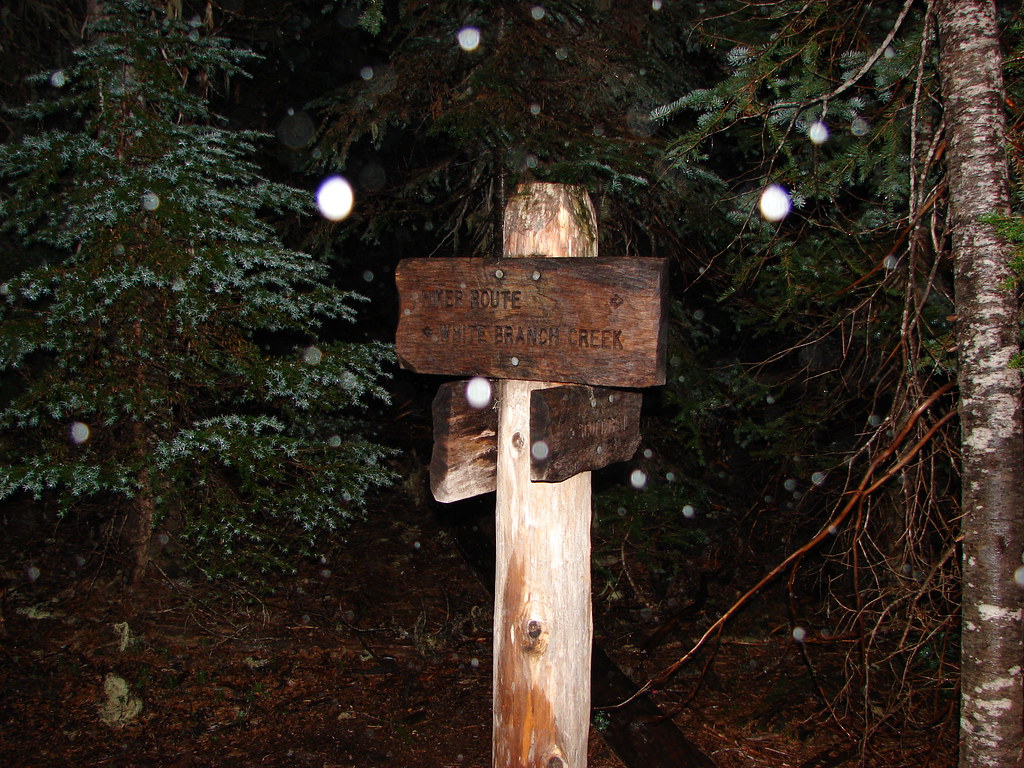
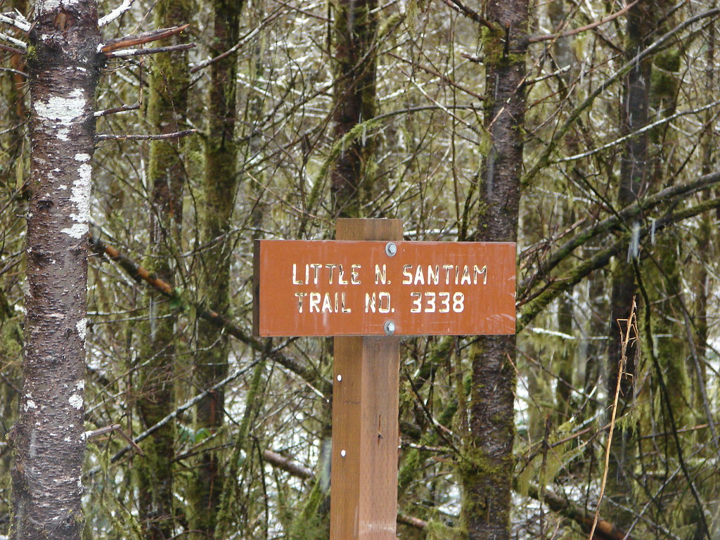
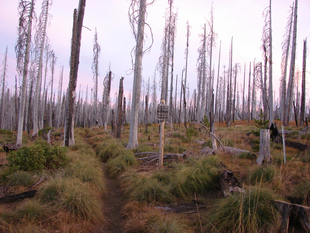
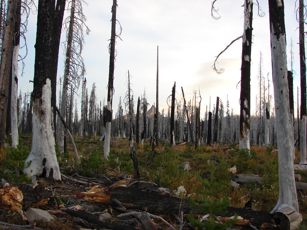
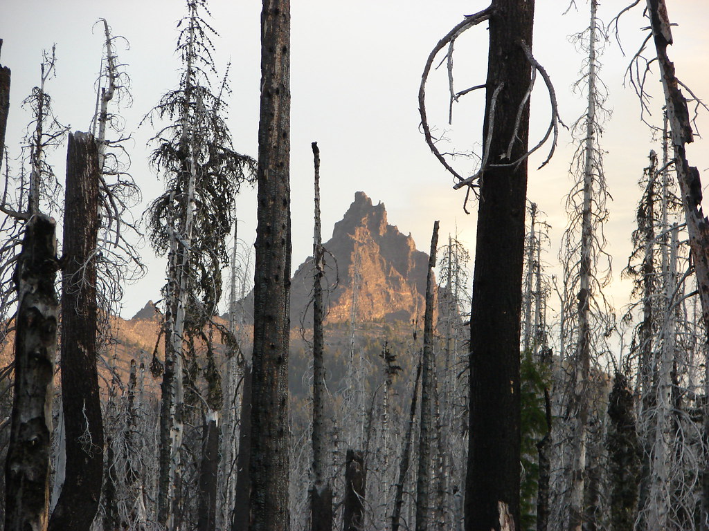
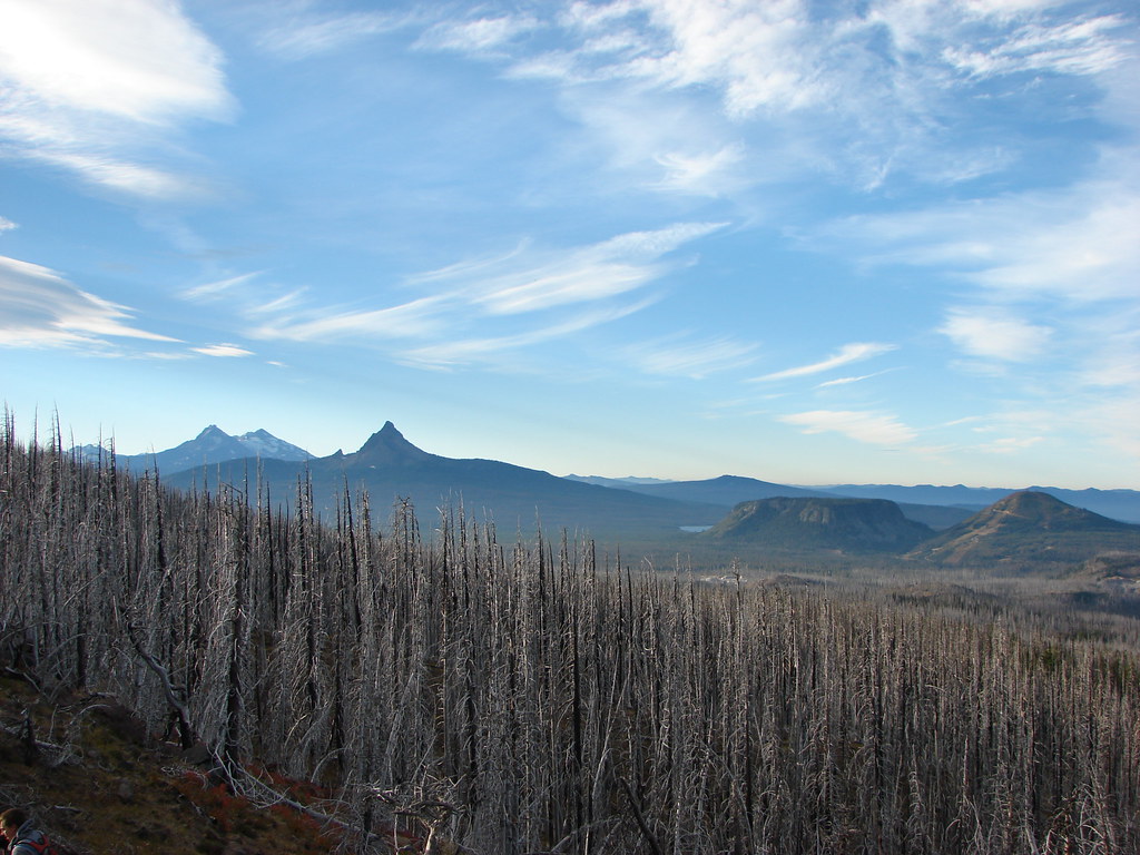
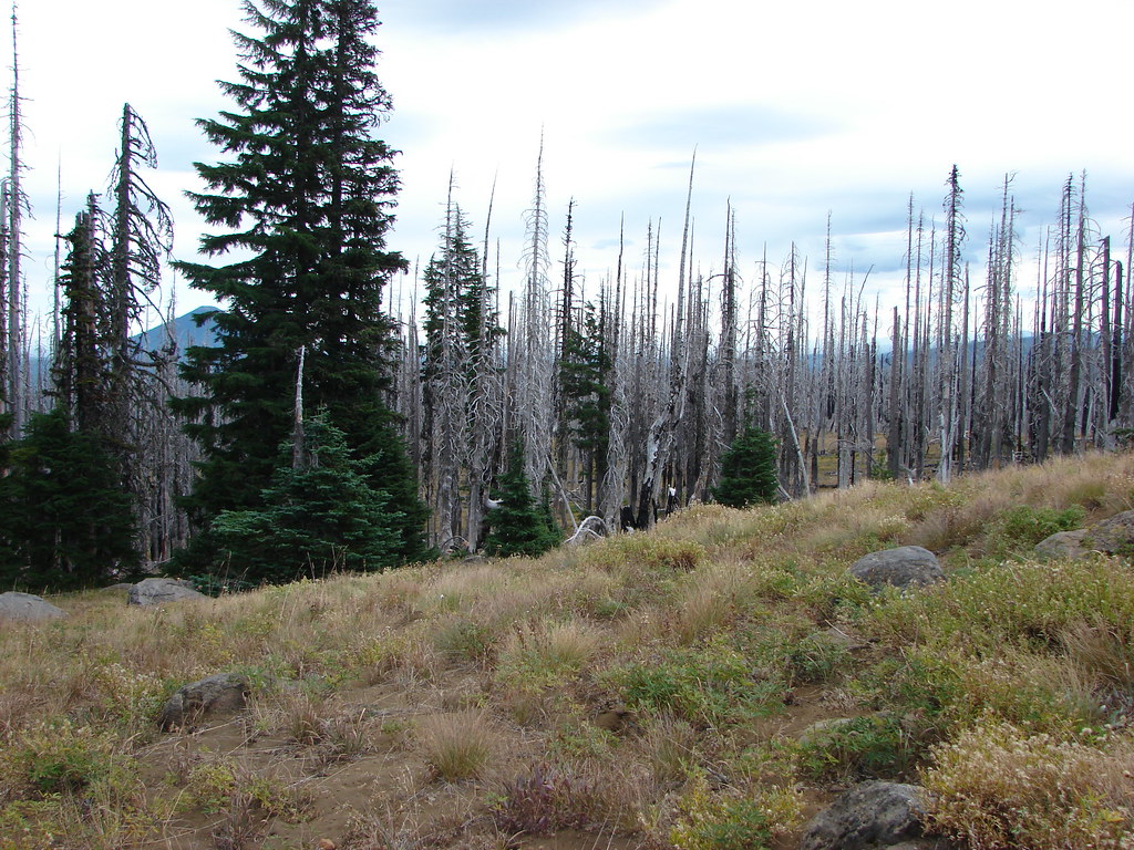
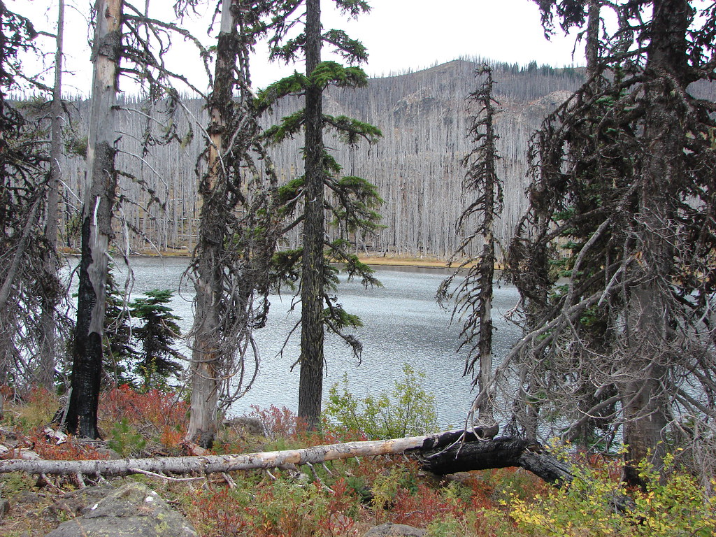
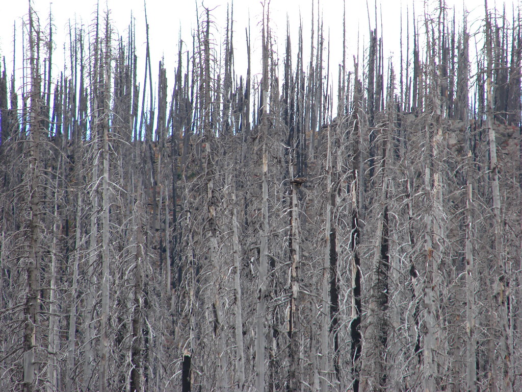
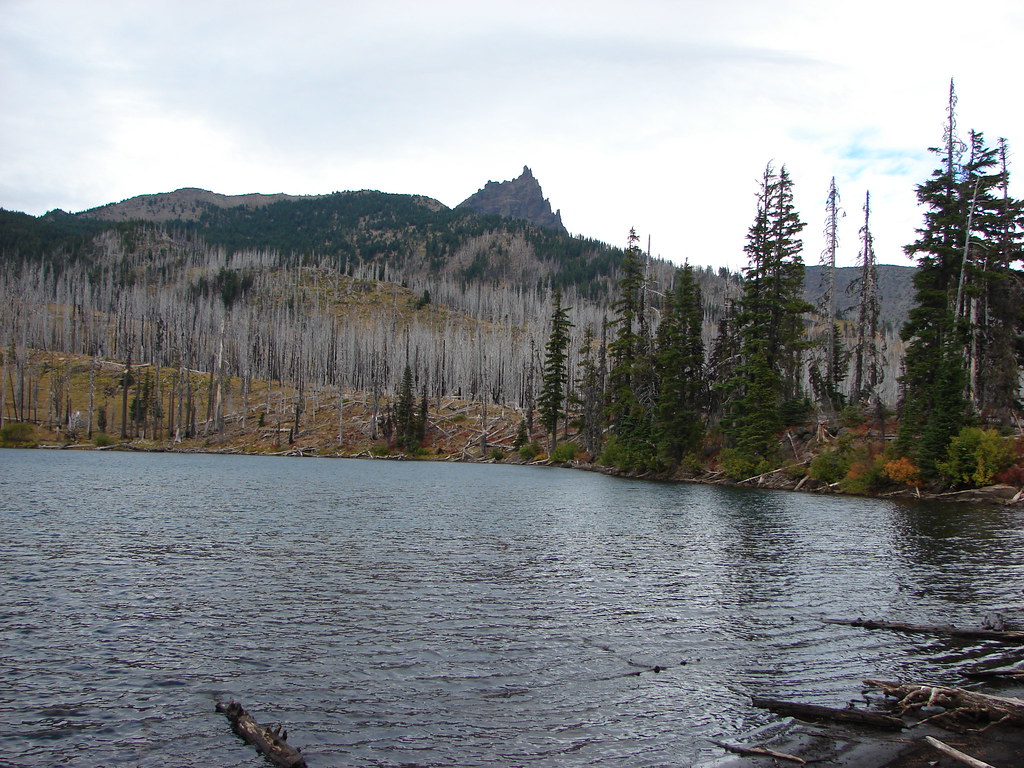
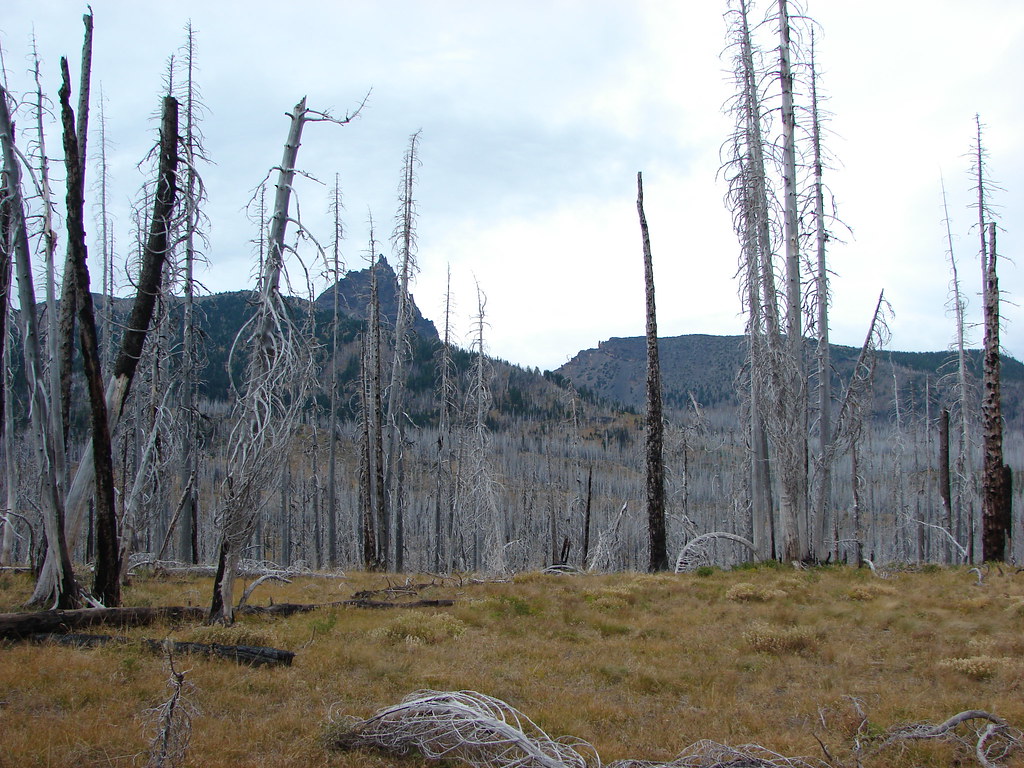
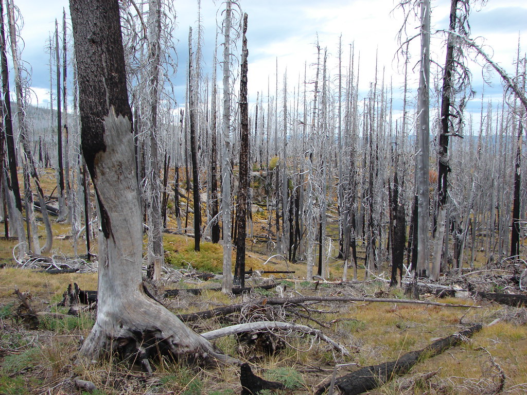
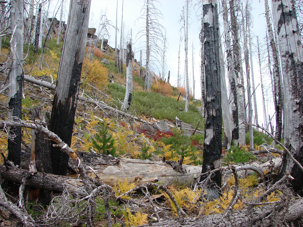
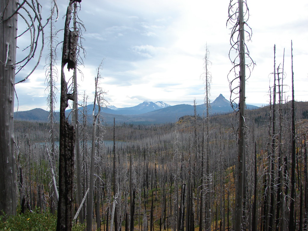
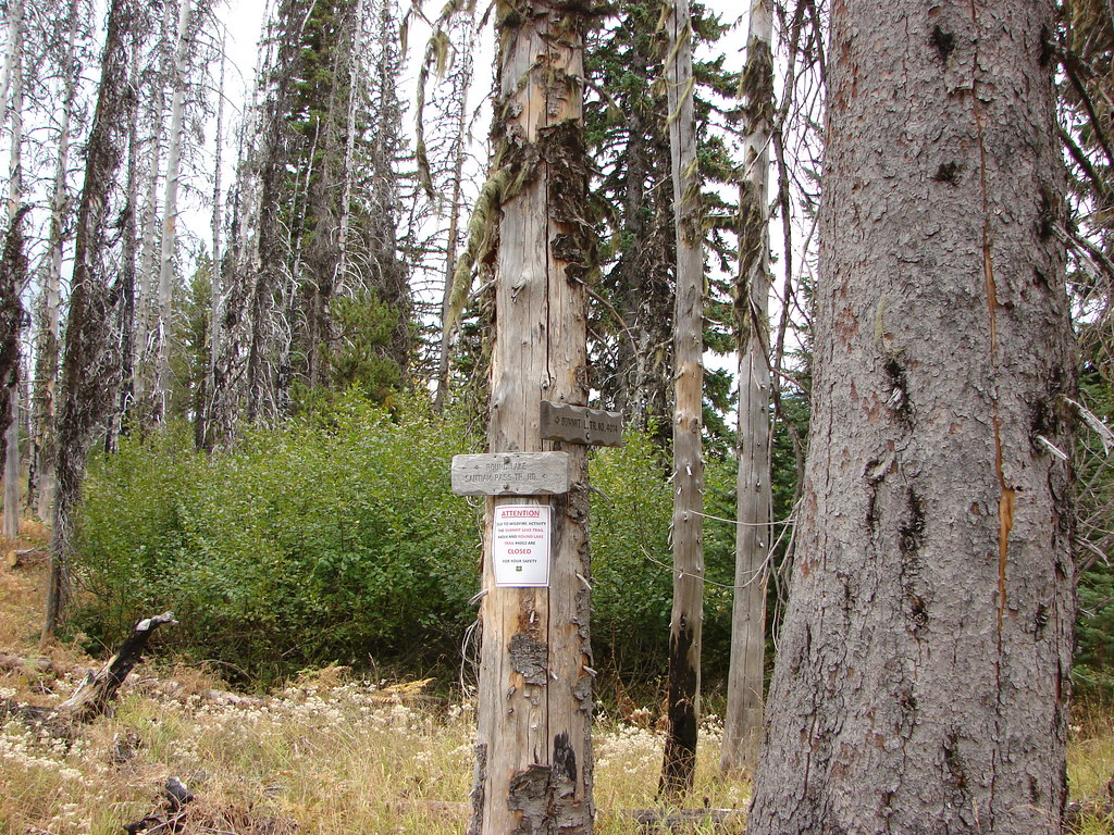
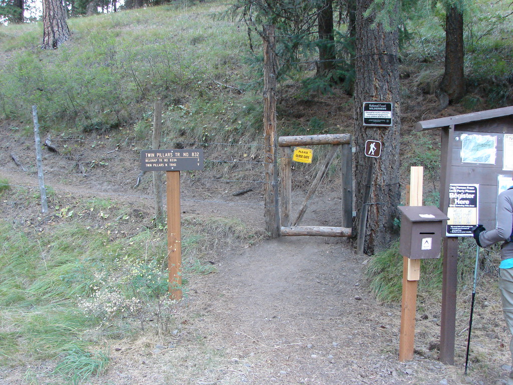
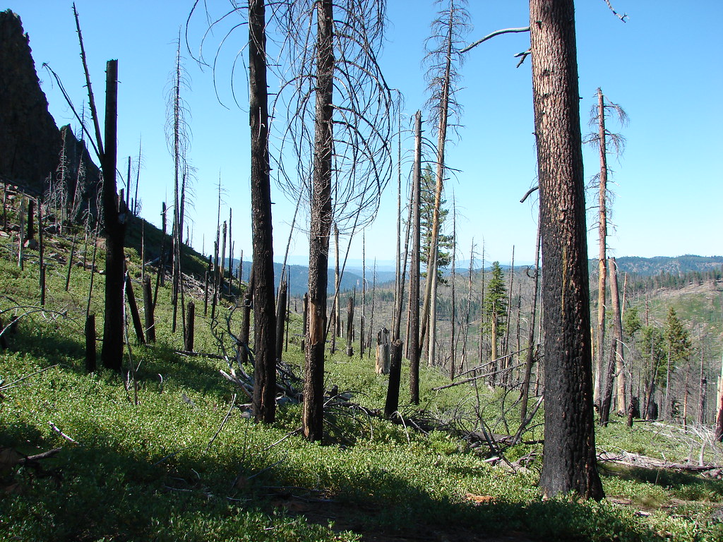
On 10/14/2012 we set off from the large Obsidian Trailhead into the Obsidian Limited Entry Area. The trailhead is located on Forest Road 250 off of Highway 242. A number of wildfires burned through the Three Sisters Wilderness in 2017 most likely affecting some of the forest in this area. As always, check with the Forest Service for current conditions before heading out.
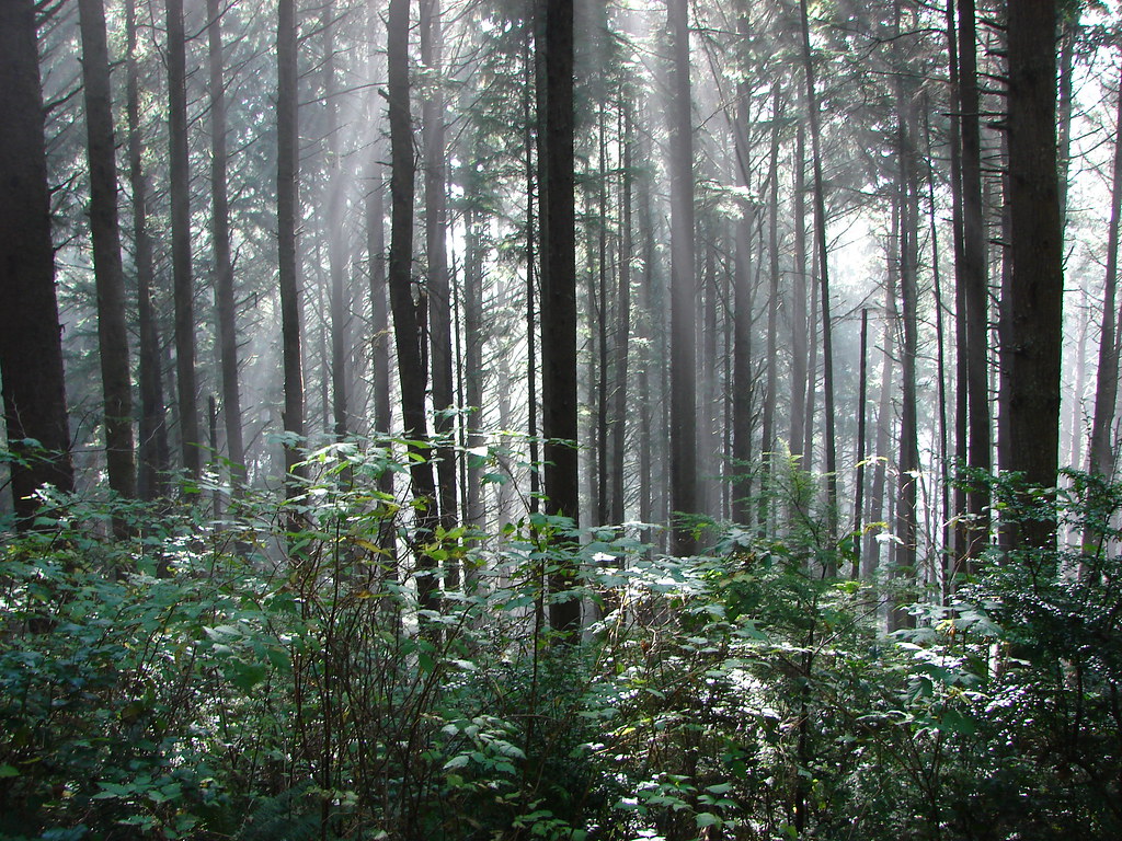
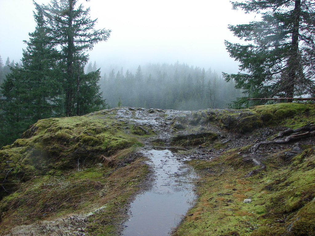
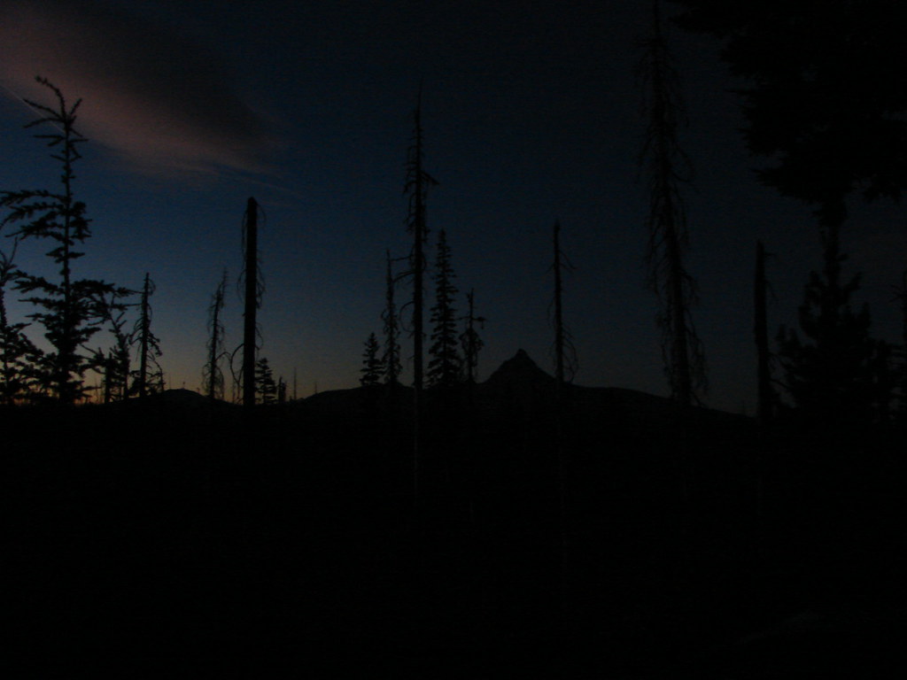
A limited number of permits are available each day for entry into the Obsidian area and we had purchased ours months in advance. Due to having to purchase the permit early we were at the mercy of weather. We arrived before day light which would be delayed a bit due to the damp fog covering the area.
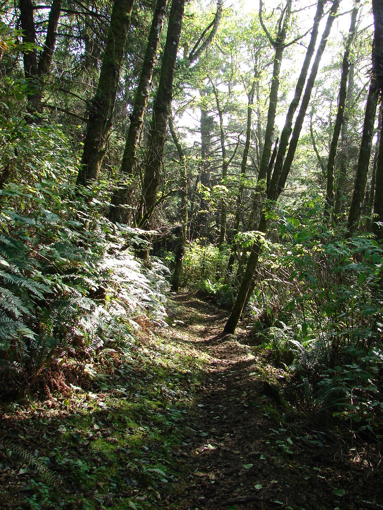
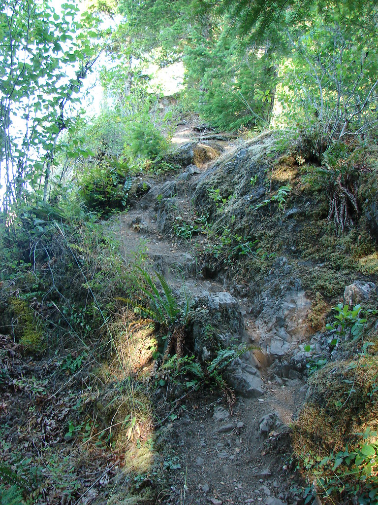
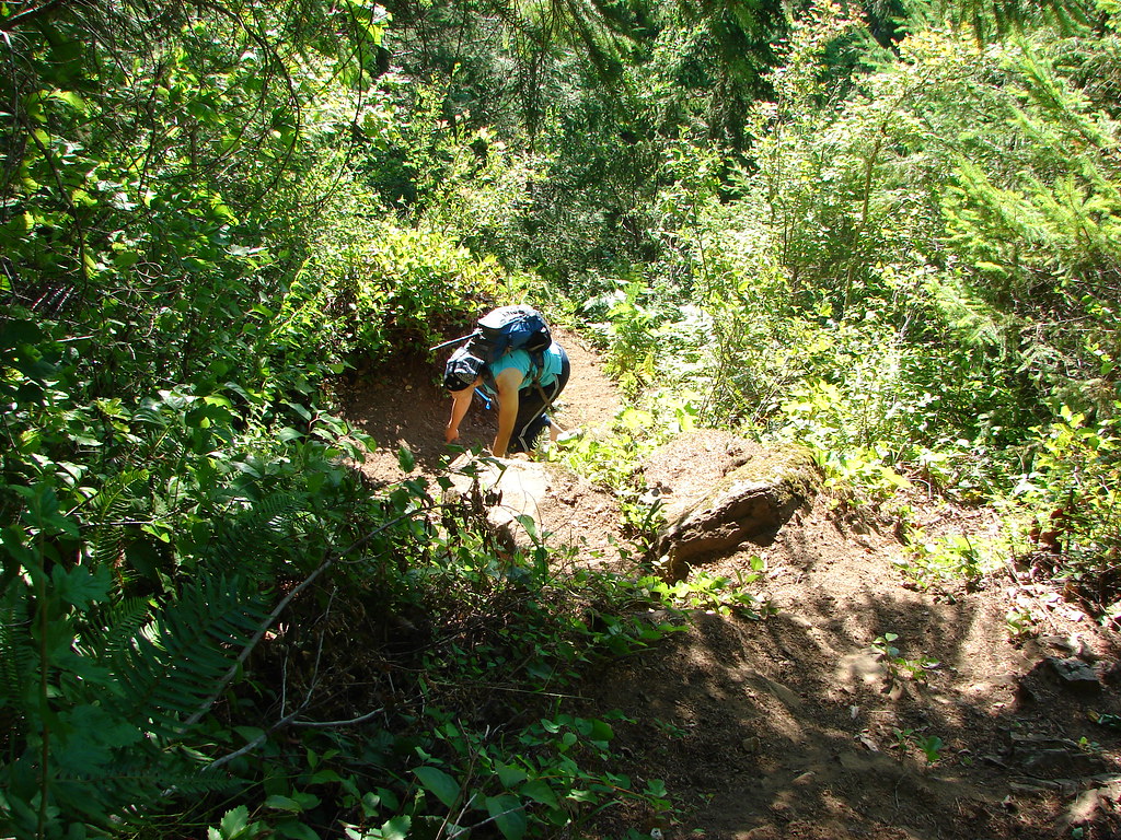
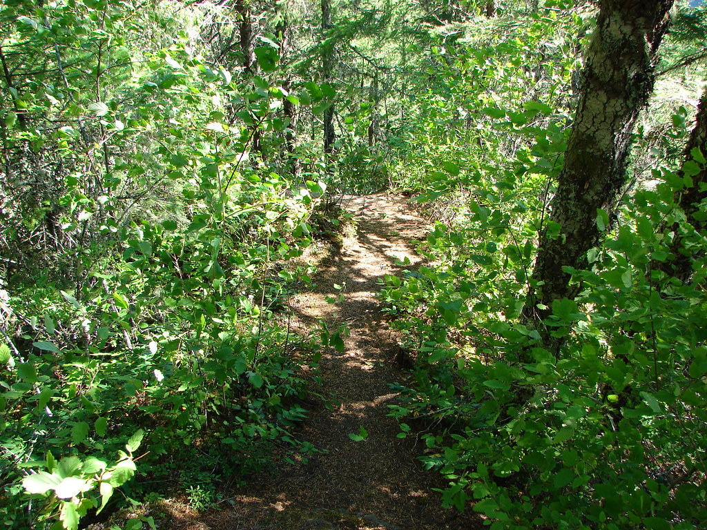
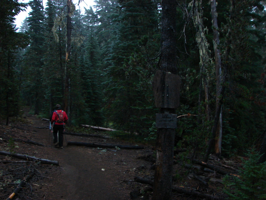
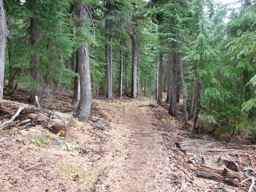
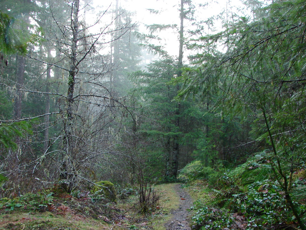
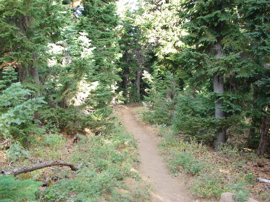
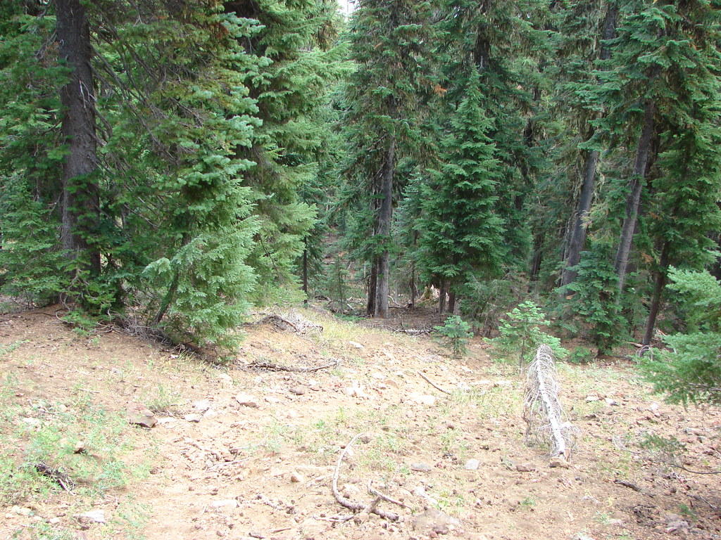
When we had enough light we set off on the Obsidian Trail which quickly entered the Three Sisters Wilderness.
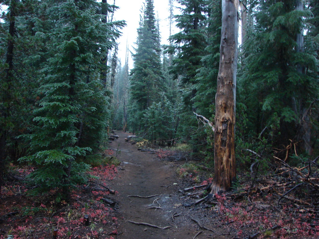
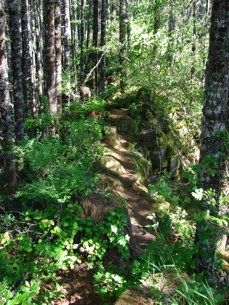
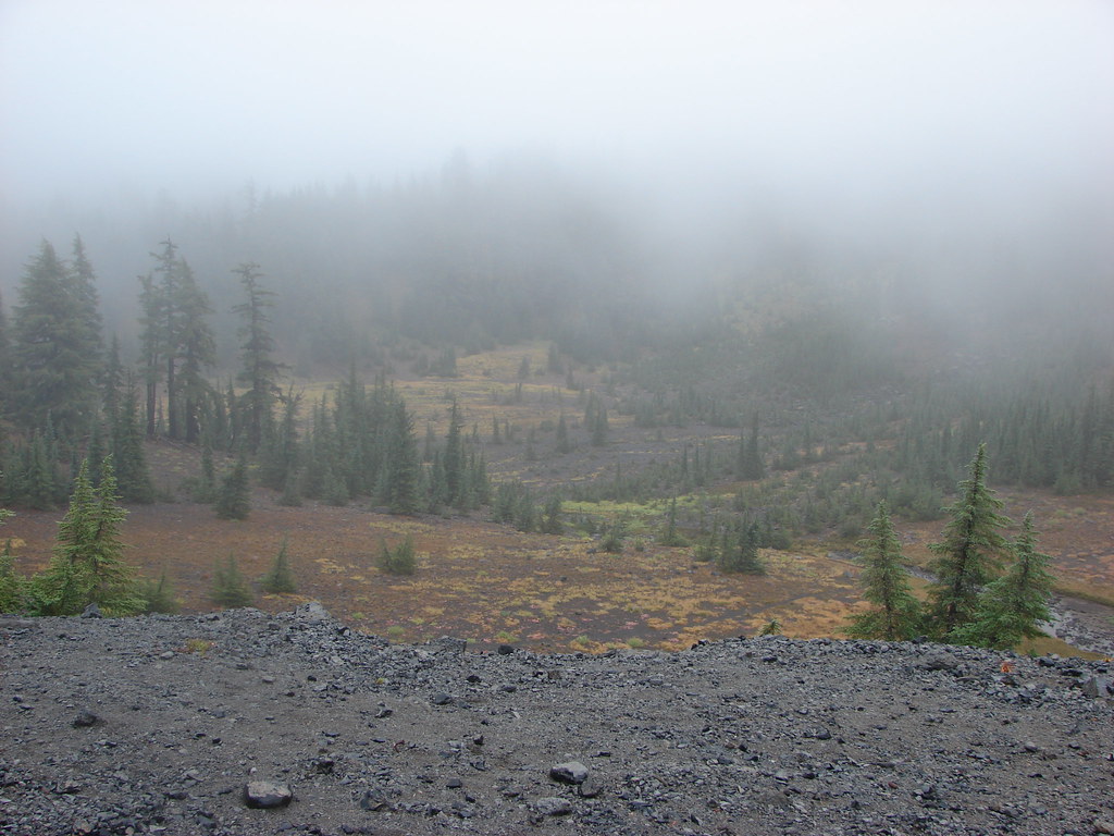
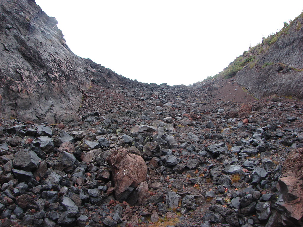
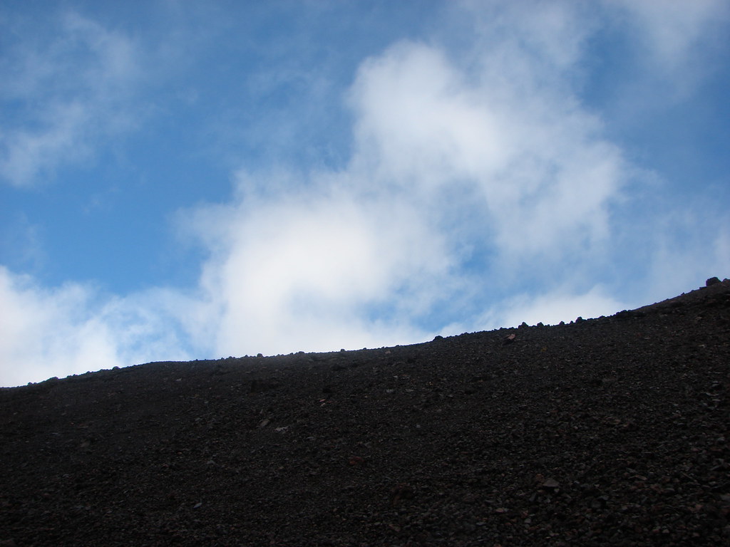
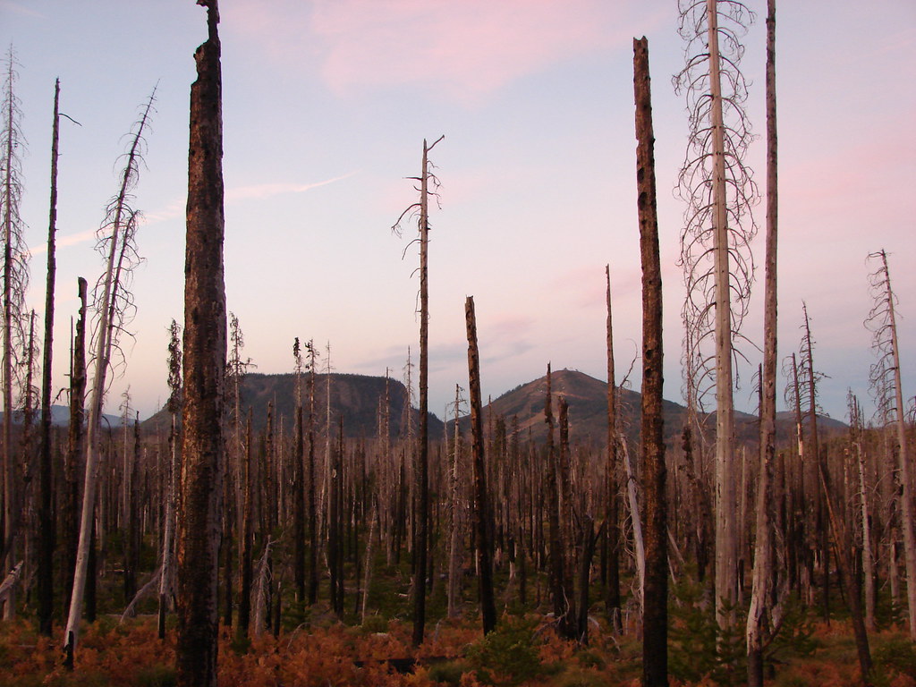
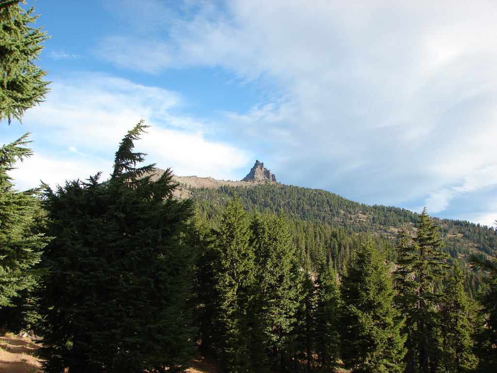
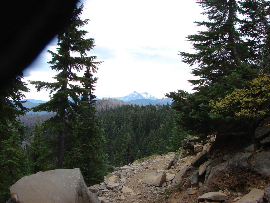
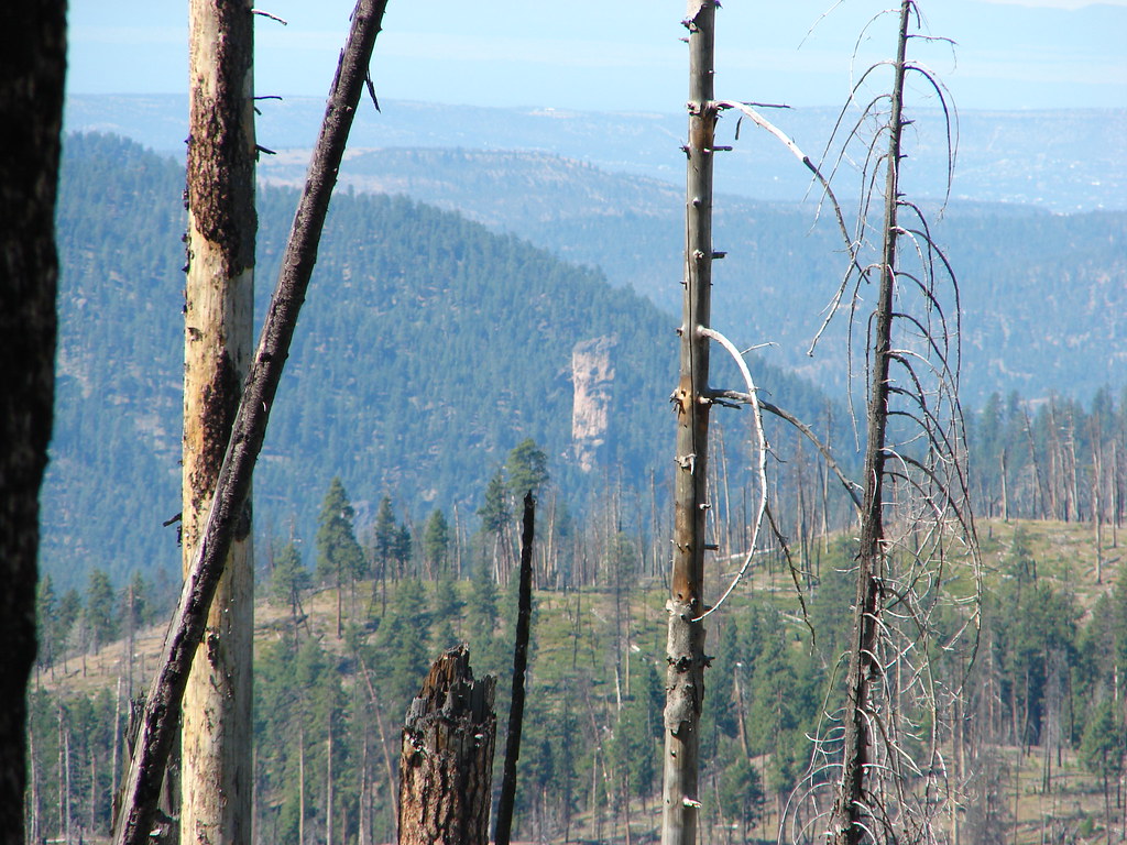
Just under 3.5 miles from the trailhead the trail passed through the Jerry lava flow. According to our guidebook there is a view of several Cascade peaks from the flow but all we could see were clouds.

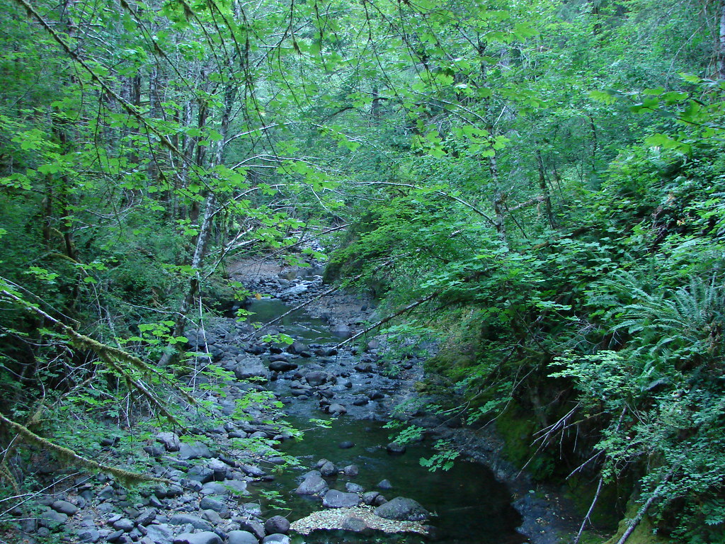
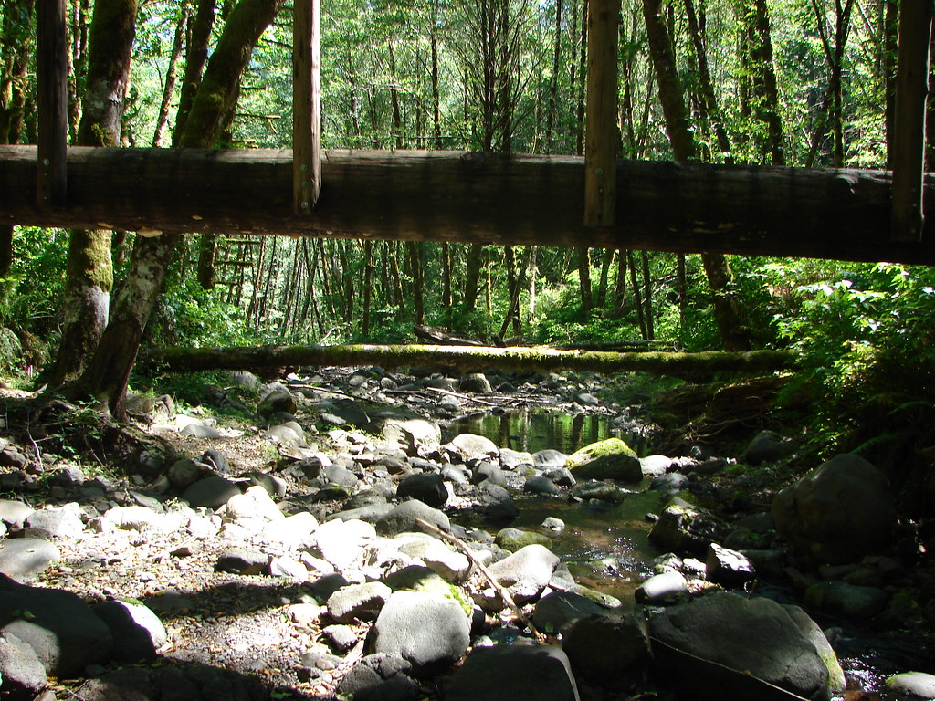
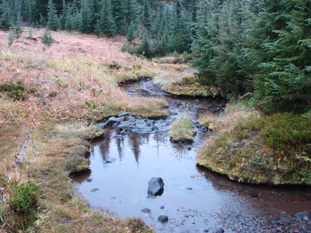
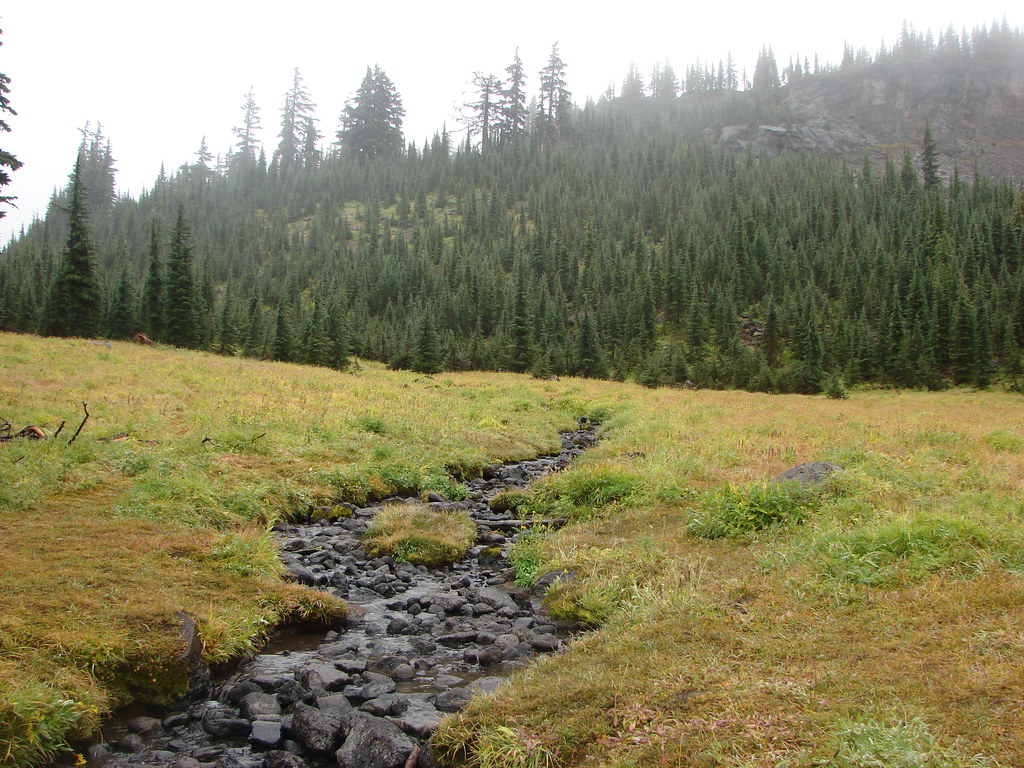
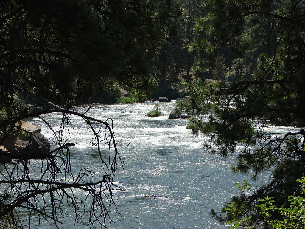
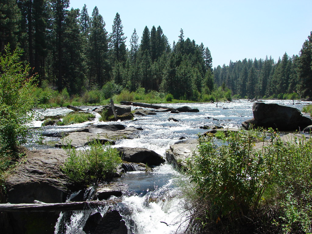
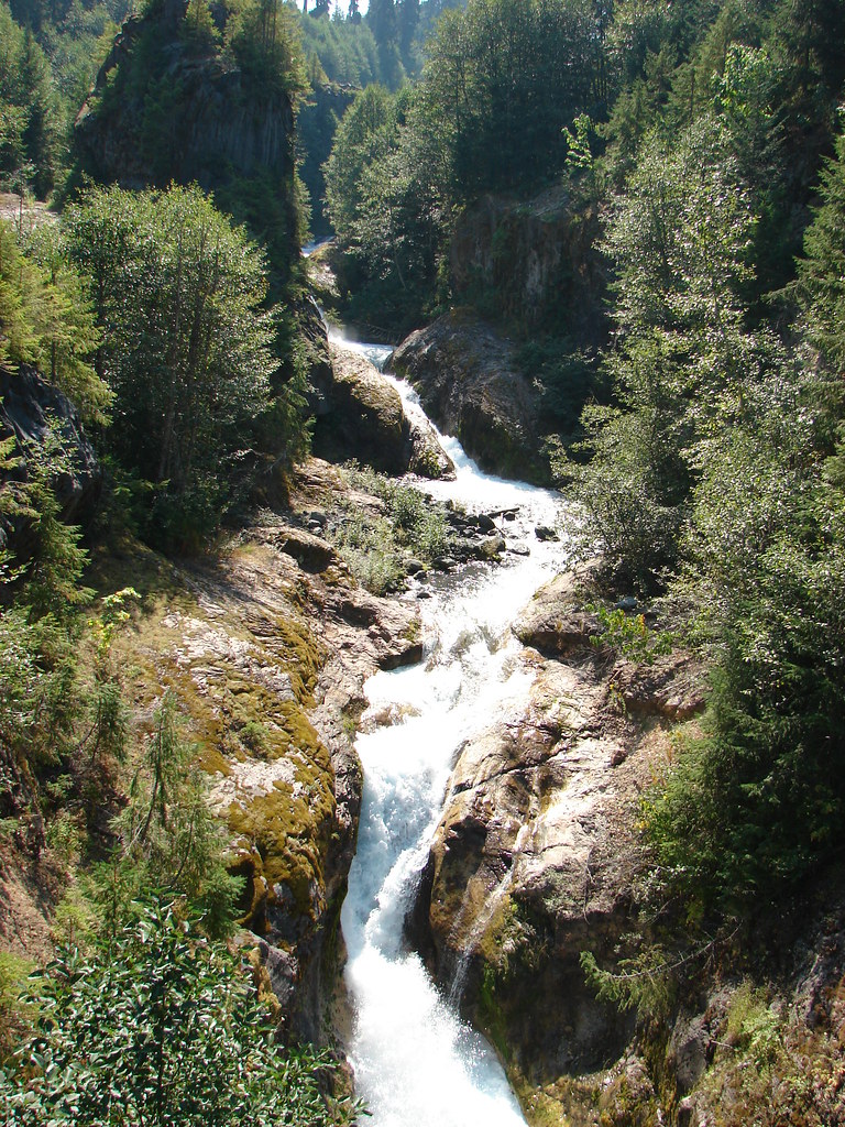
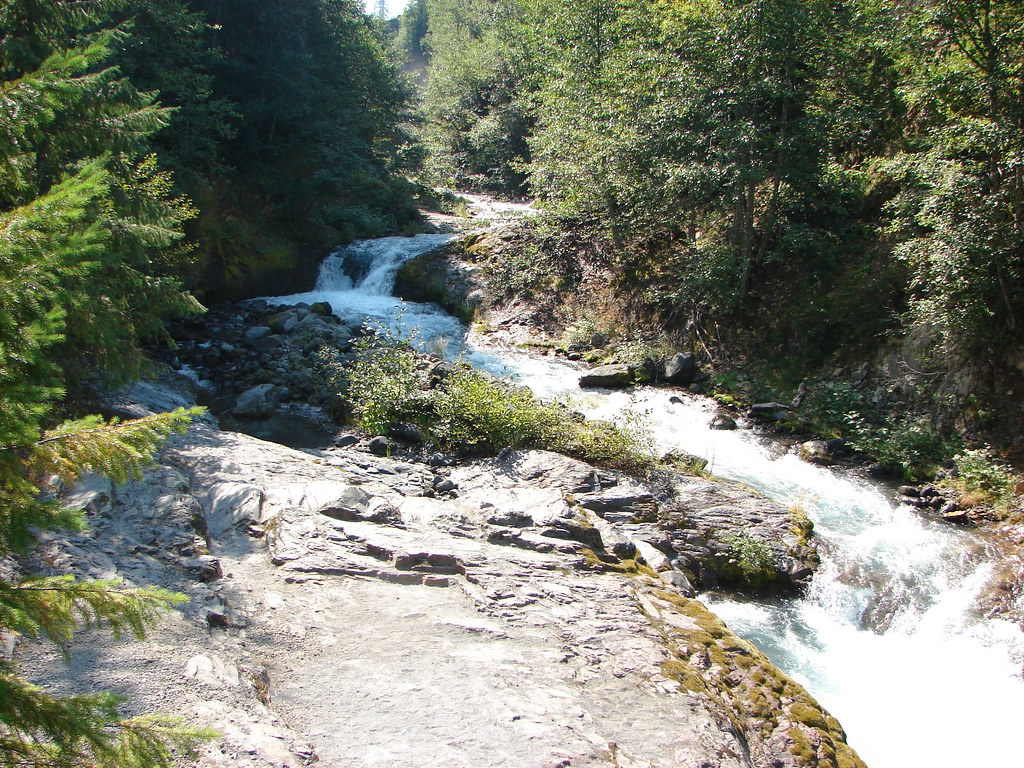
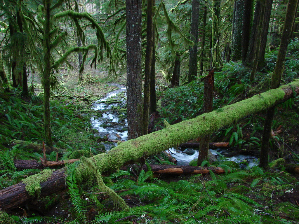
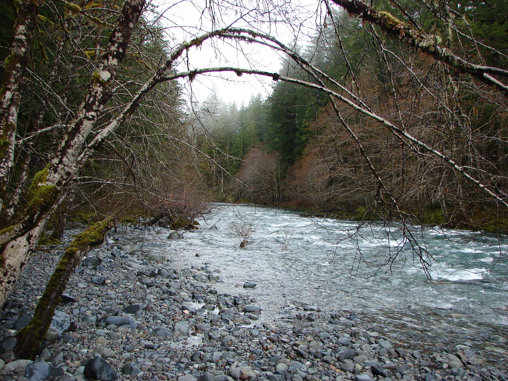
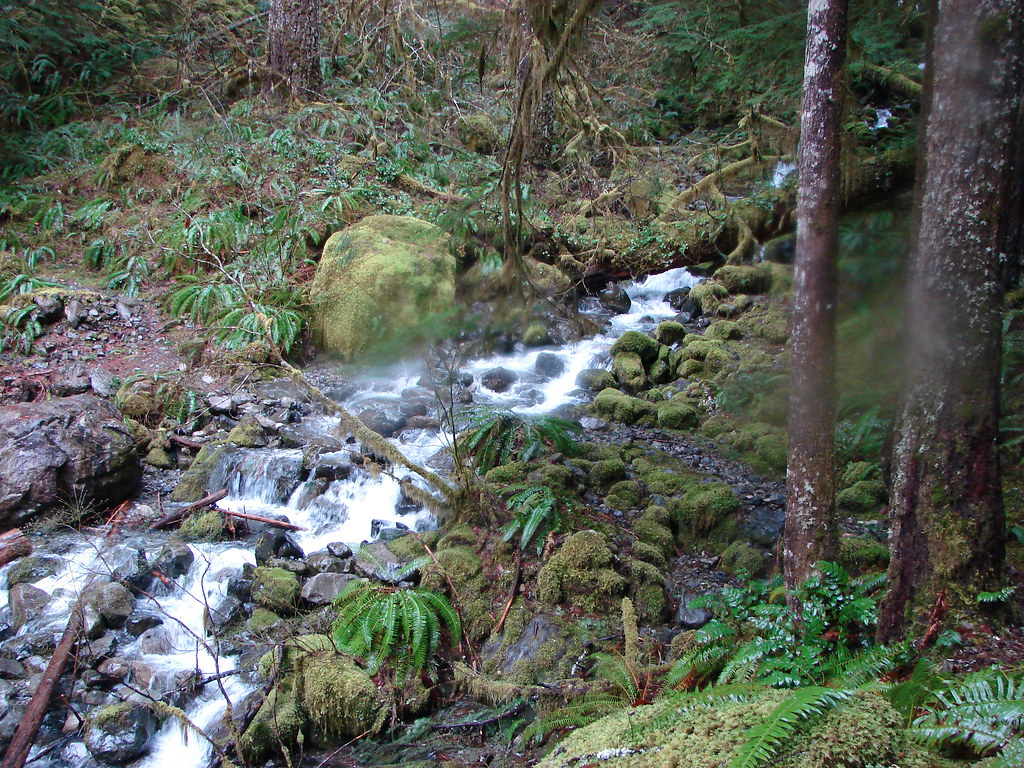
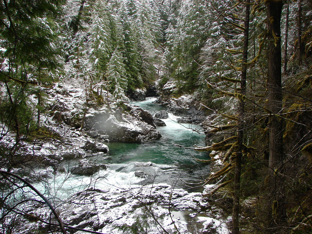
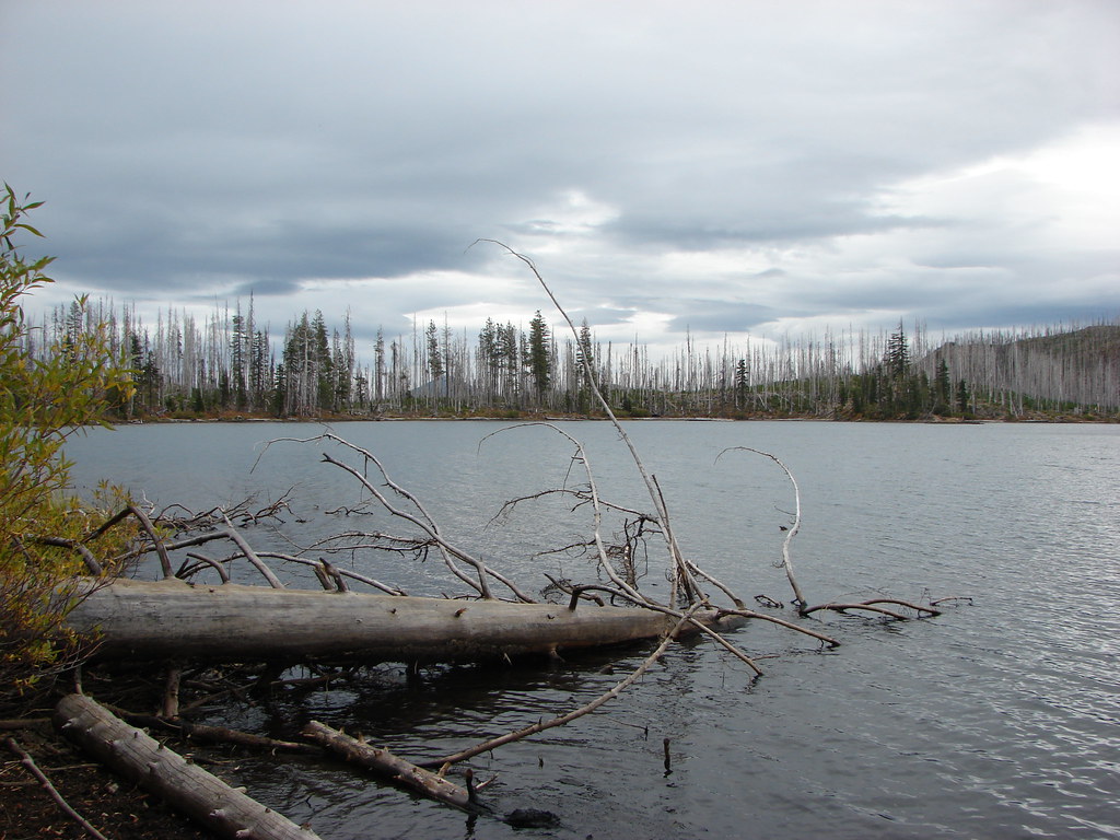
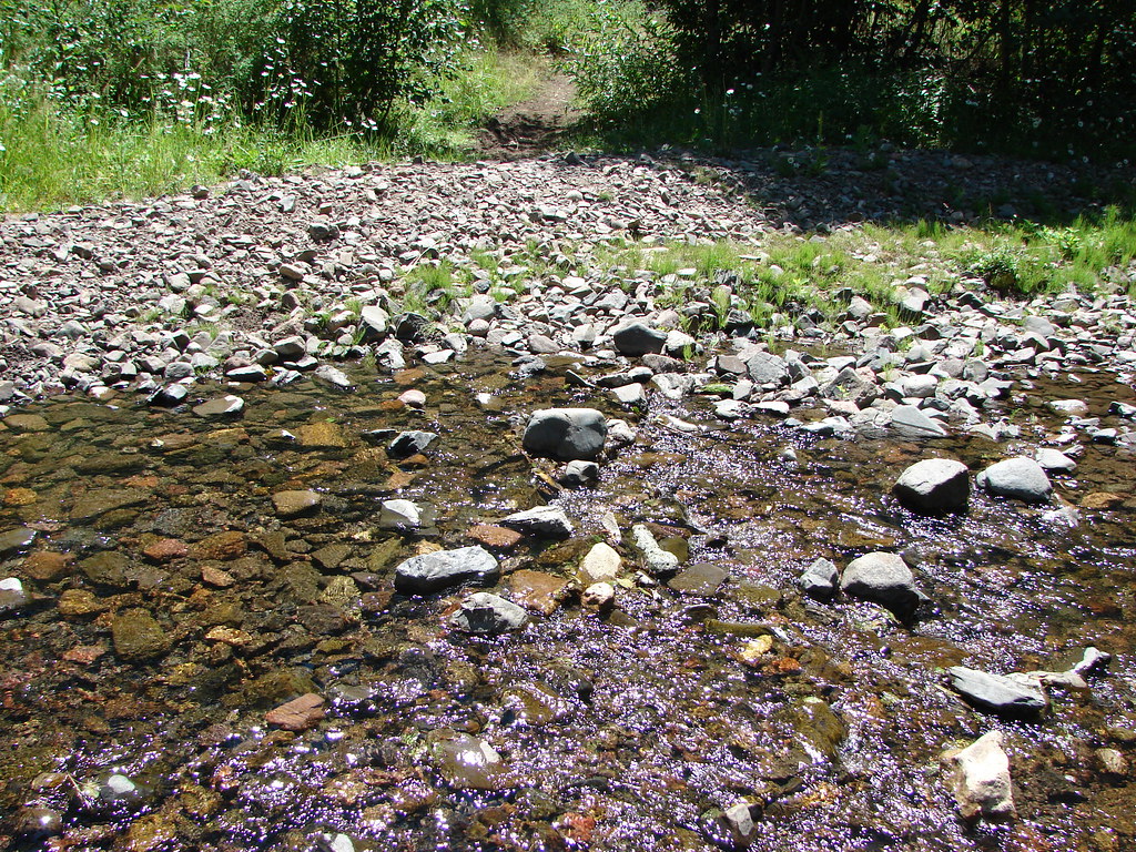
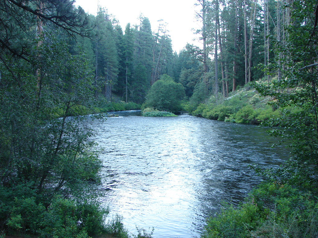
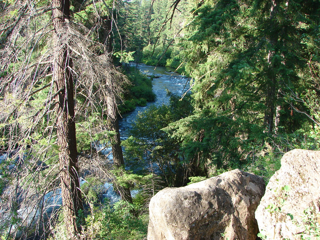
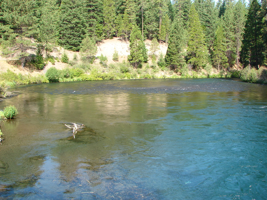
The trail descended on the far side of the lava to a crossing of the White Branch Creek which was practically dry at the time.
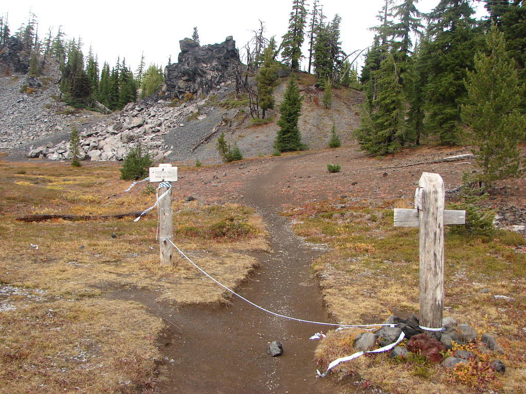
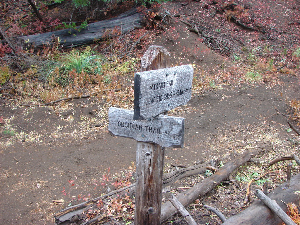
The trail split just on the other side of the creek which is where our 15 mile hike turned into something longer. I had misunderstood the description of the loop option in the guidebook. The entry in the book was for a 12 lollipop hike for which it had you take the right hand fork 1.7 miles to the Pacific Crest Trail then turn left on that trail for 1.4 miles to another junction in the Sunshine Meadow. Here a left turn would lead .7 miles back to the junction near the White Branch. The loop option that we were trying to follow simply said that from Sunshine continue on the PCT for 2.2 miles to Collier Cone then another 1.8 miles to the Scott Trail, turn left for 4.9 miles, and turn left again on a .6 mile connector trail back to the Obsidian Trailhead. I failed to notice that the entire route was only 15 miles if we took the left fork to the PCT which was .7 vs 3.1 miles (The other additional mileage was due to side trips up the Collier and Four-in-One Cones).
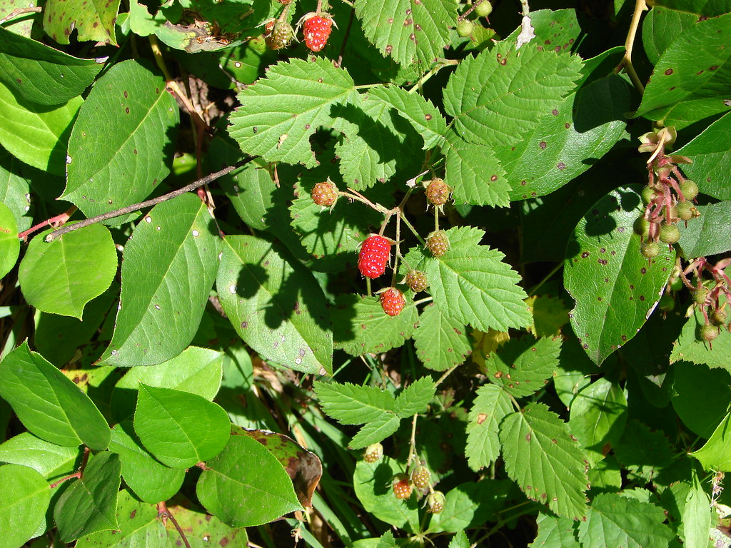
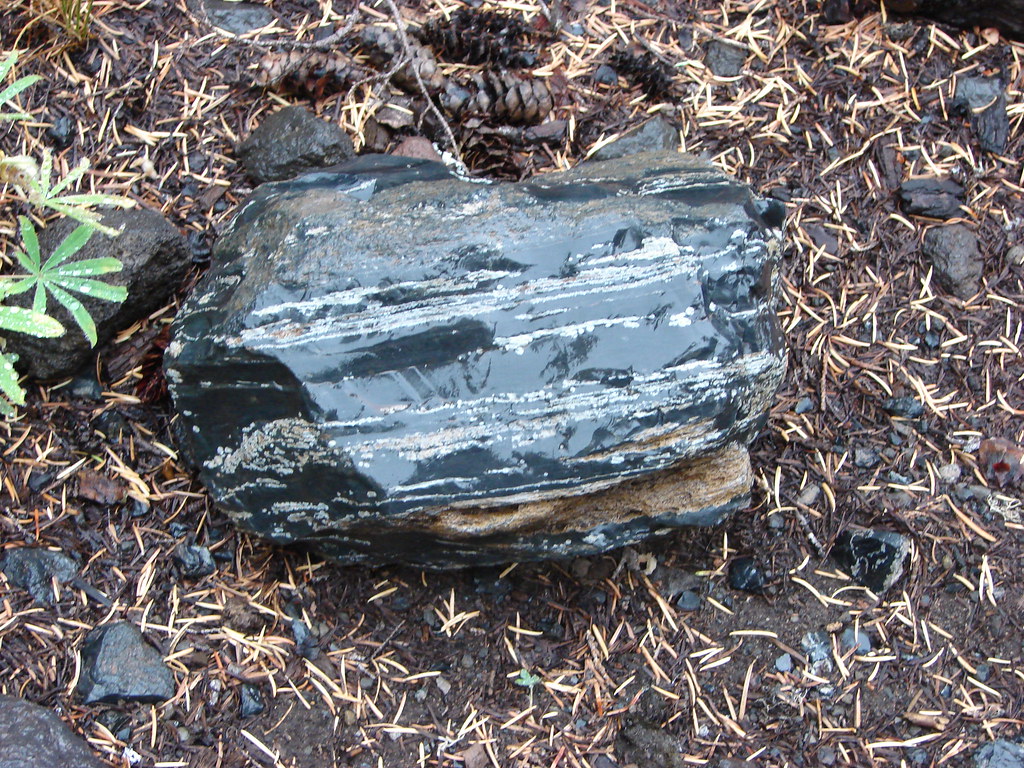
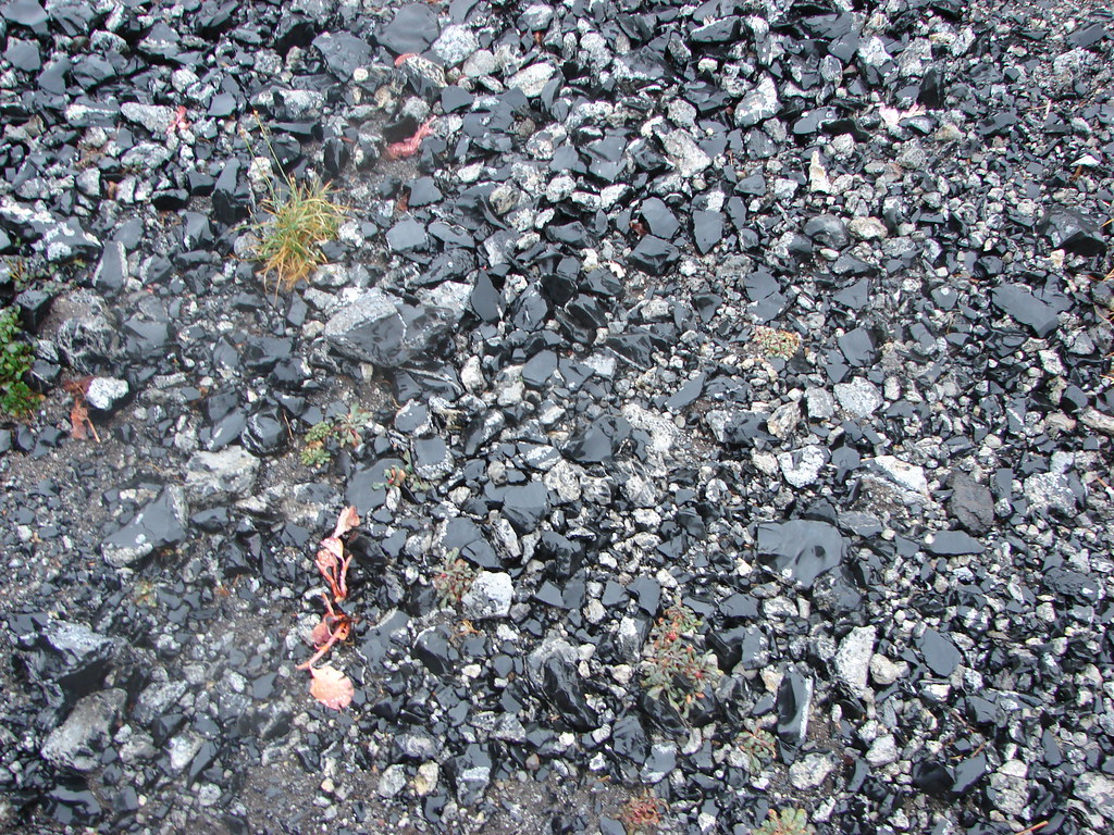
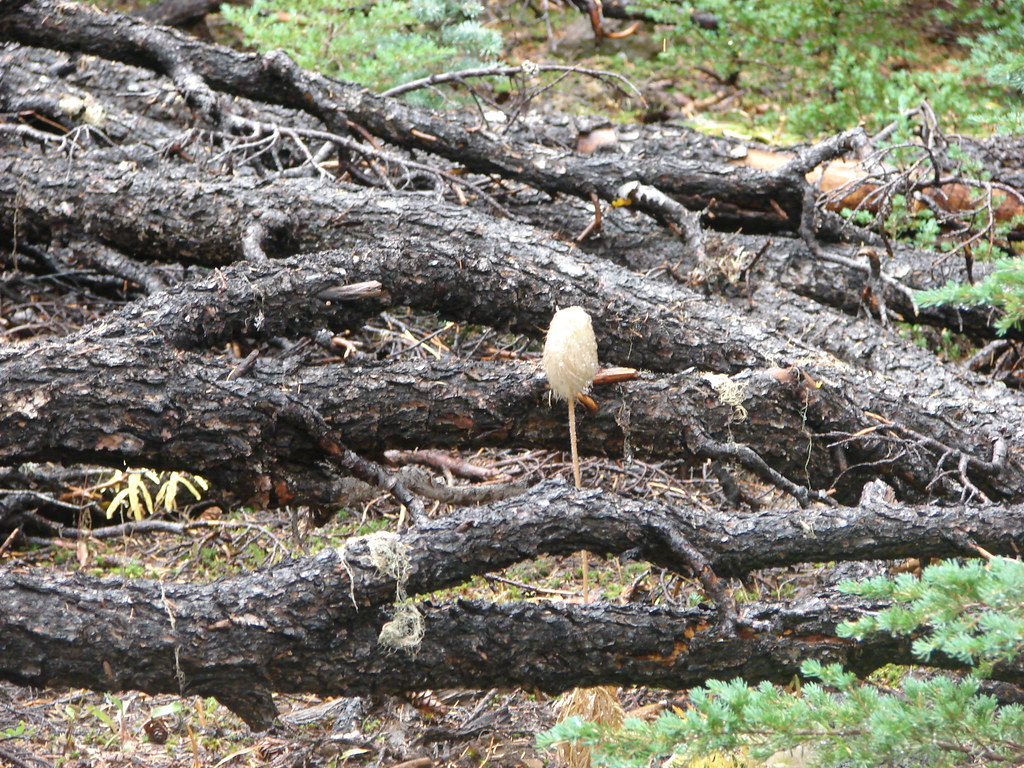
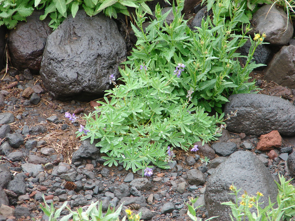
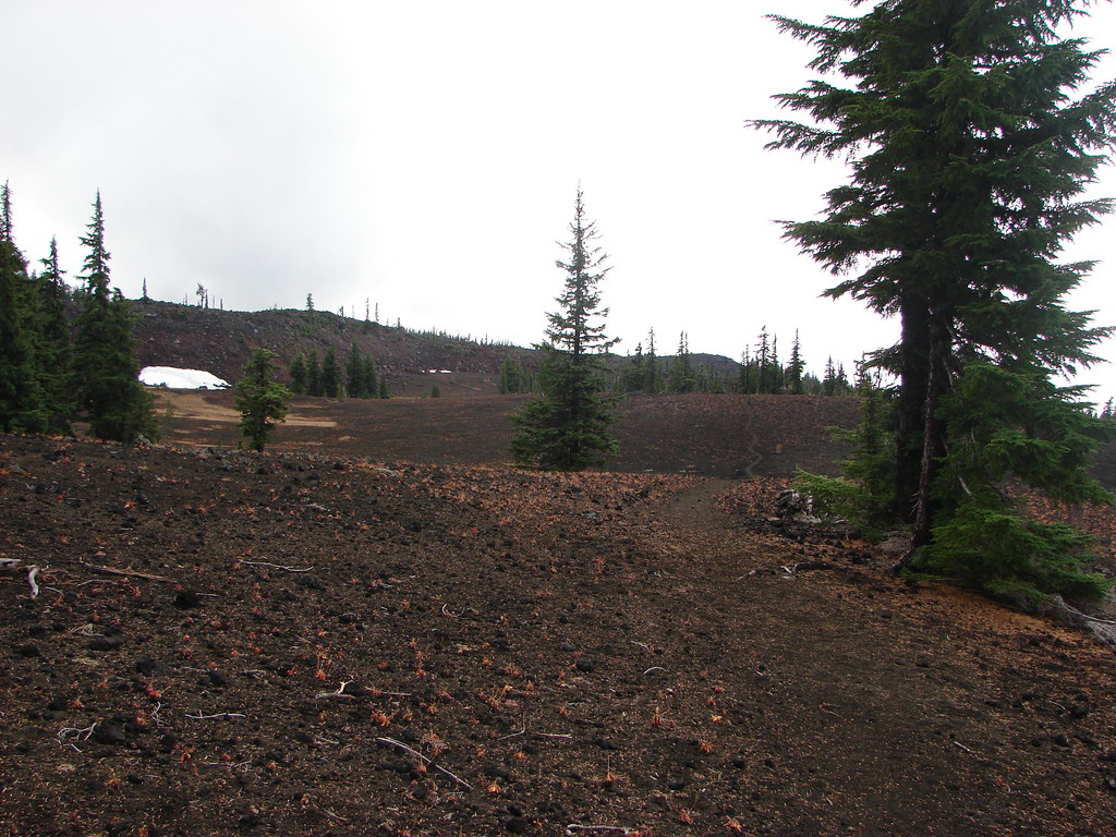
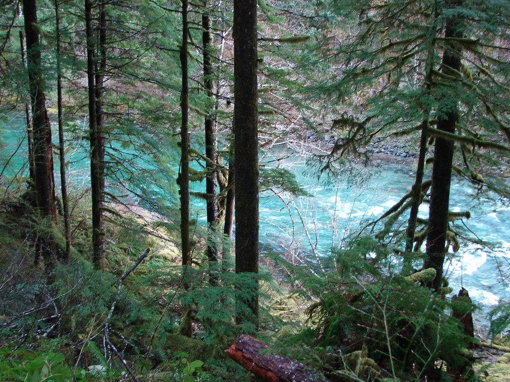
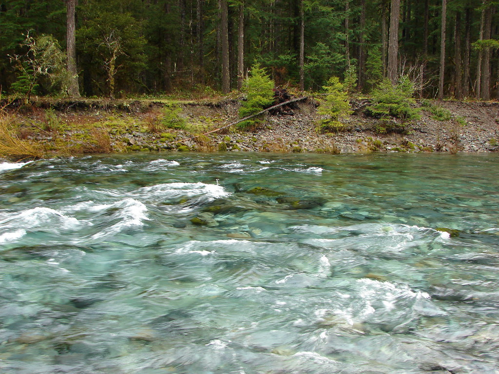
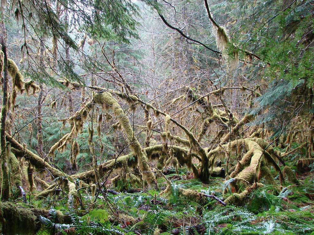
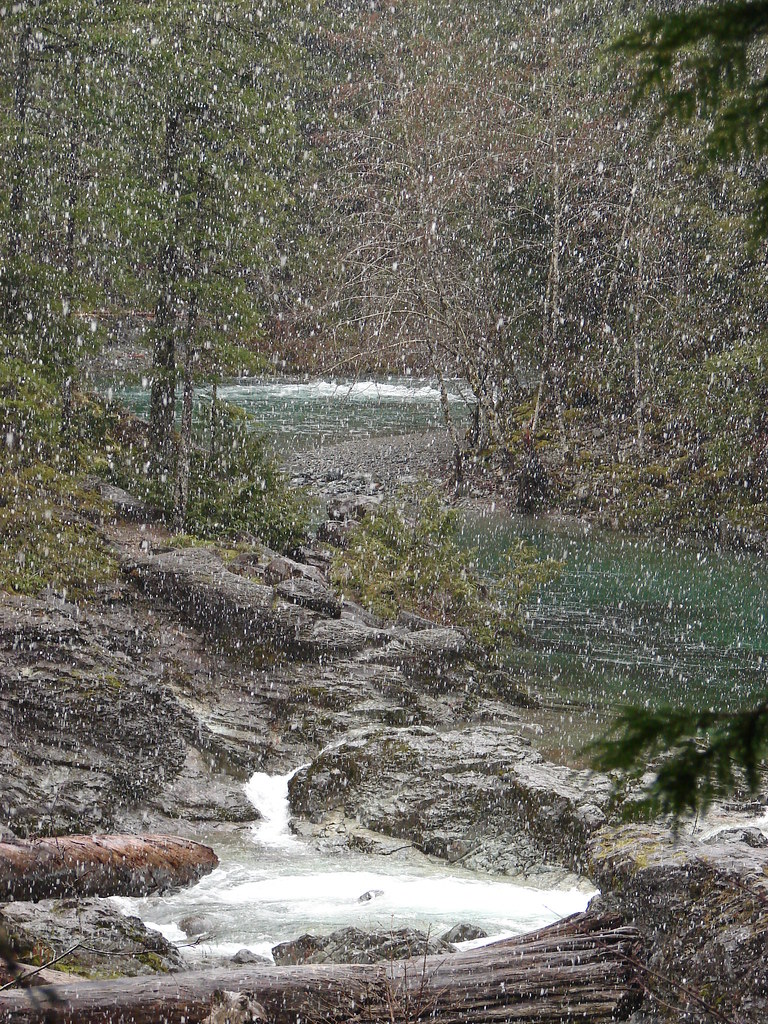
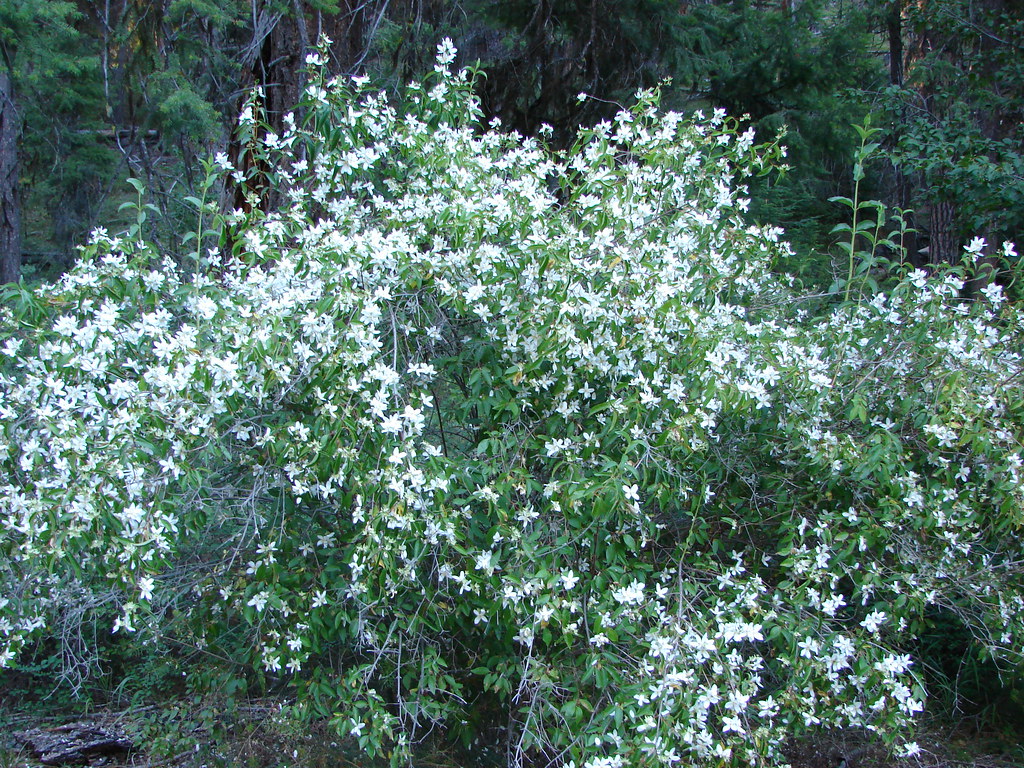
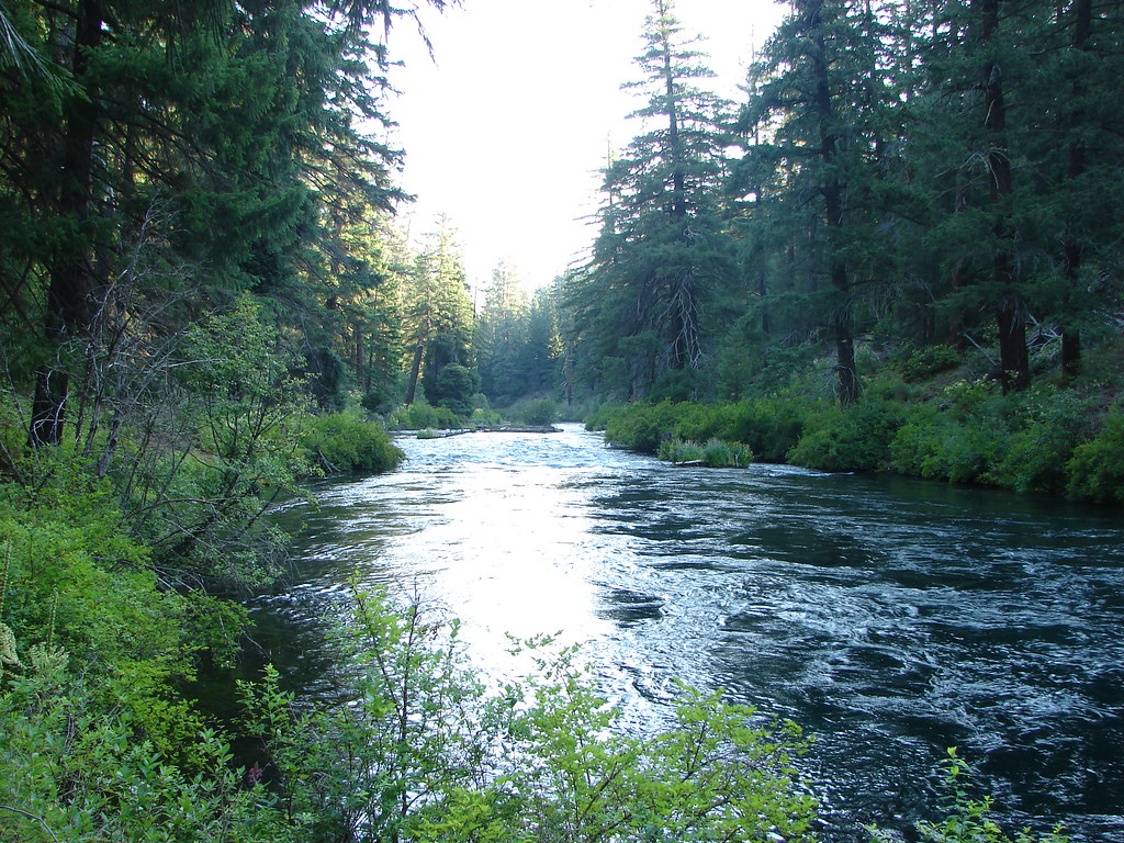
We went right. The scenery along the trail was nice but would have been even better without the clouds and with some flowers still in bloom. That being said the South Fork White Branch still had water flowing and there was plenty of obsidian along the trail making it pretty obvious how this trail got its name.

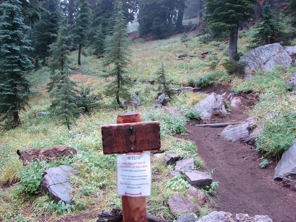
We reached the junction with the PCT where signs were posted about the stubborn Pole Creek Fire which was still smoldering in the eastern portion of the wilderness.
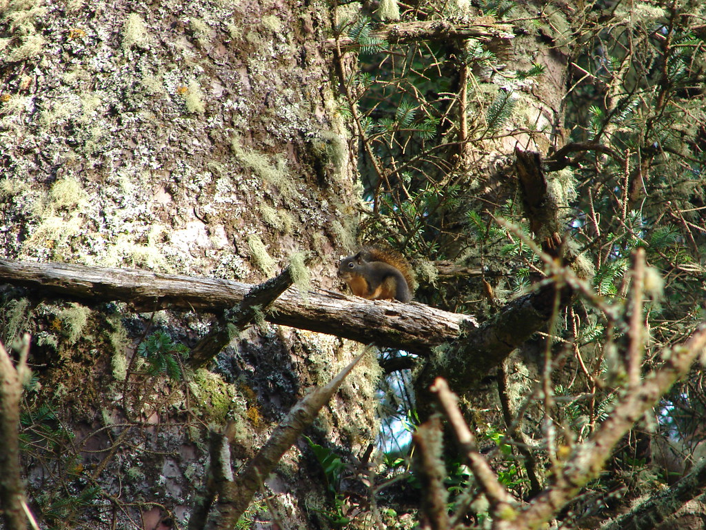
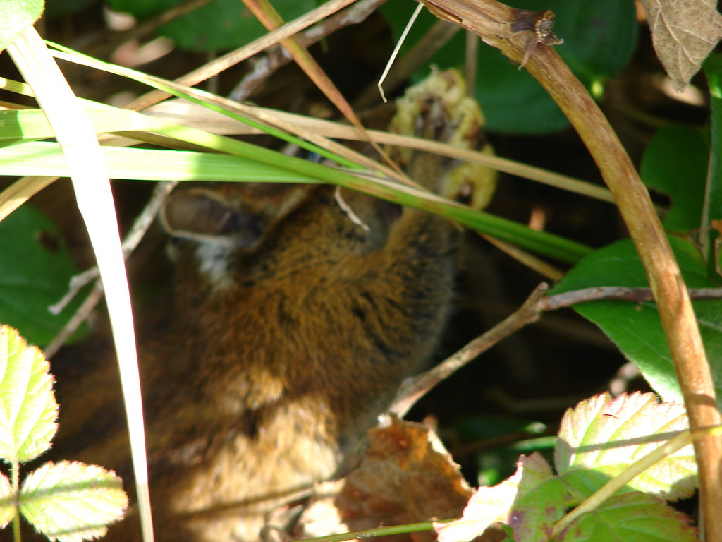
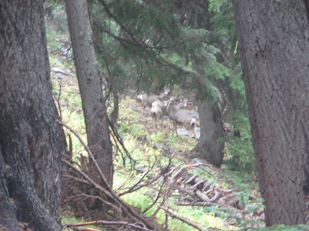
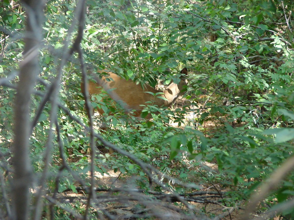
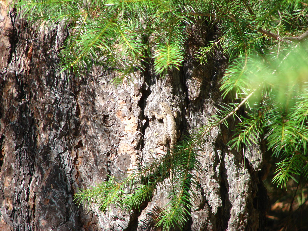
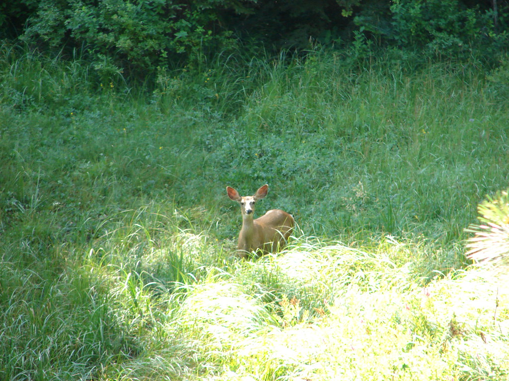
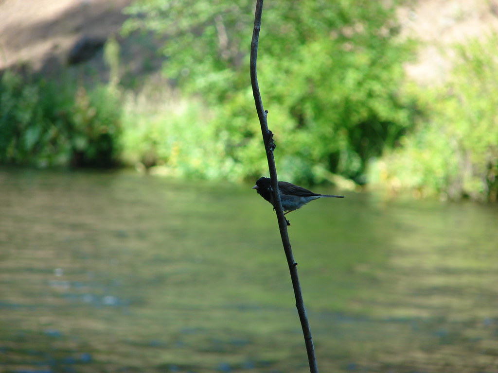
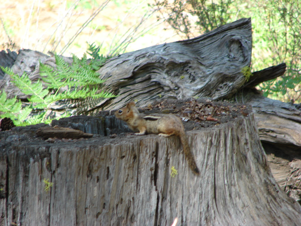
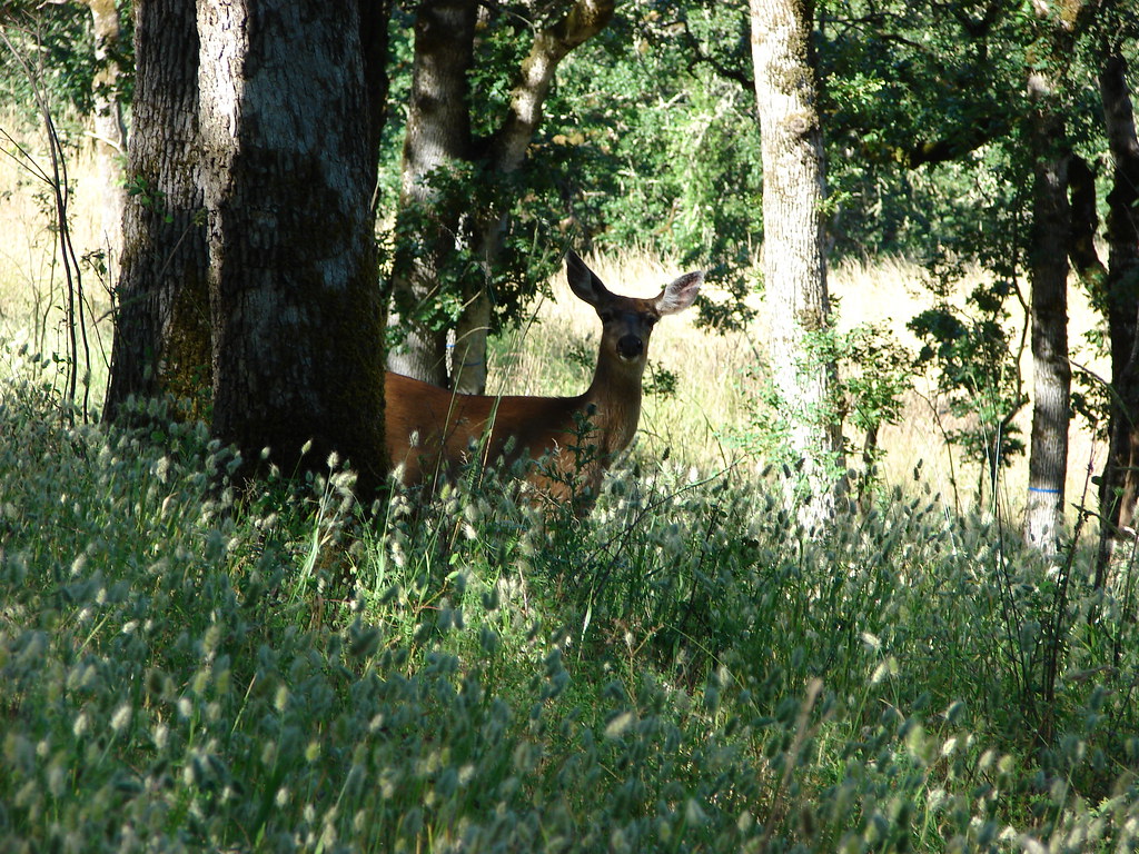
Dominique spotted a small group of deer near the junction but they scampered off before I could get a clear picture due to the camera lens continually fogging up.
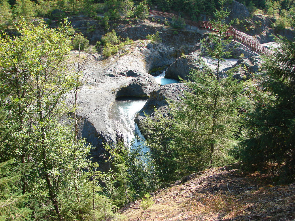
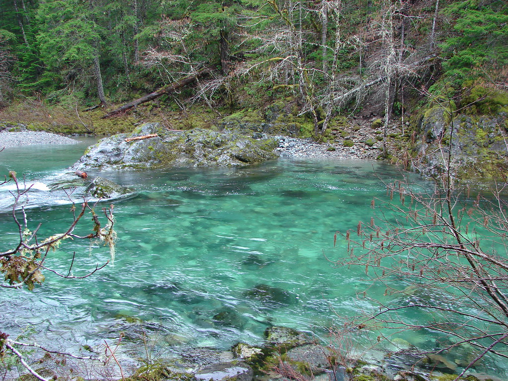
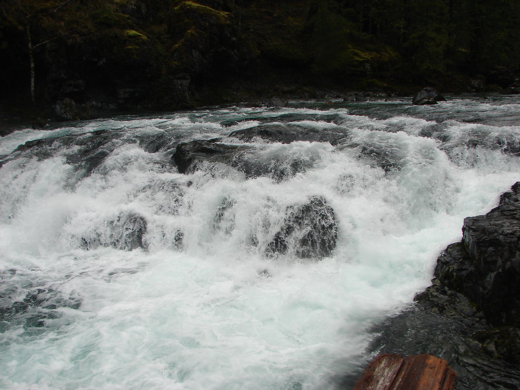
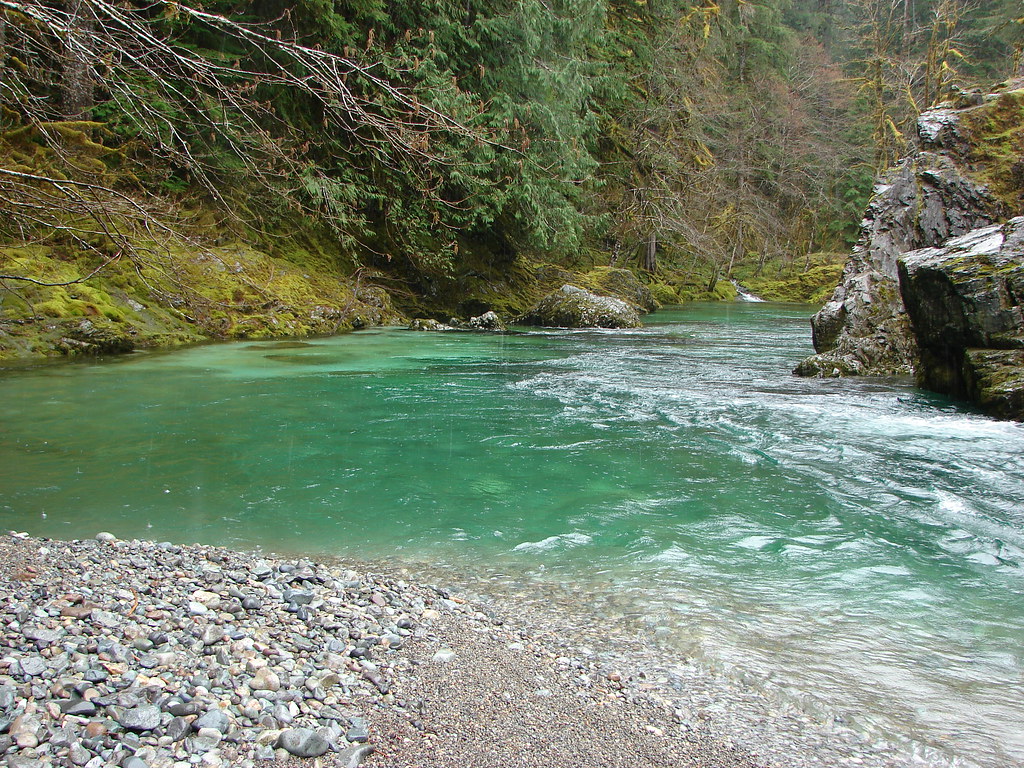
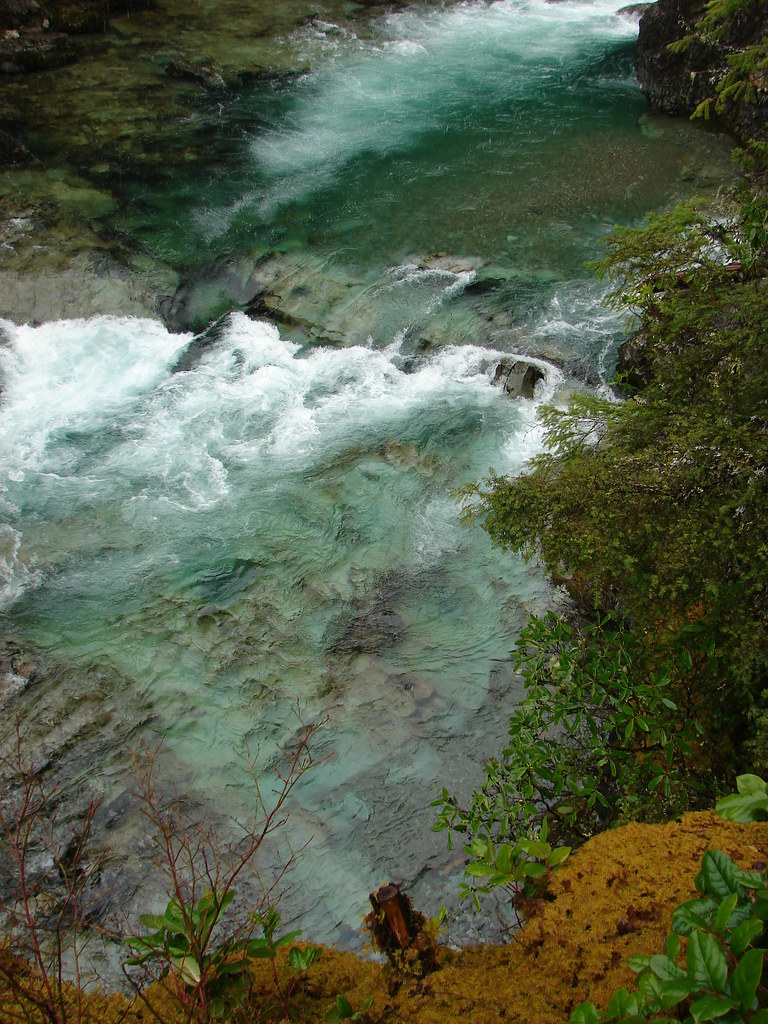
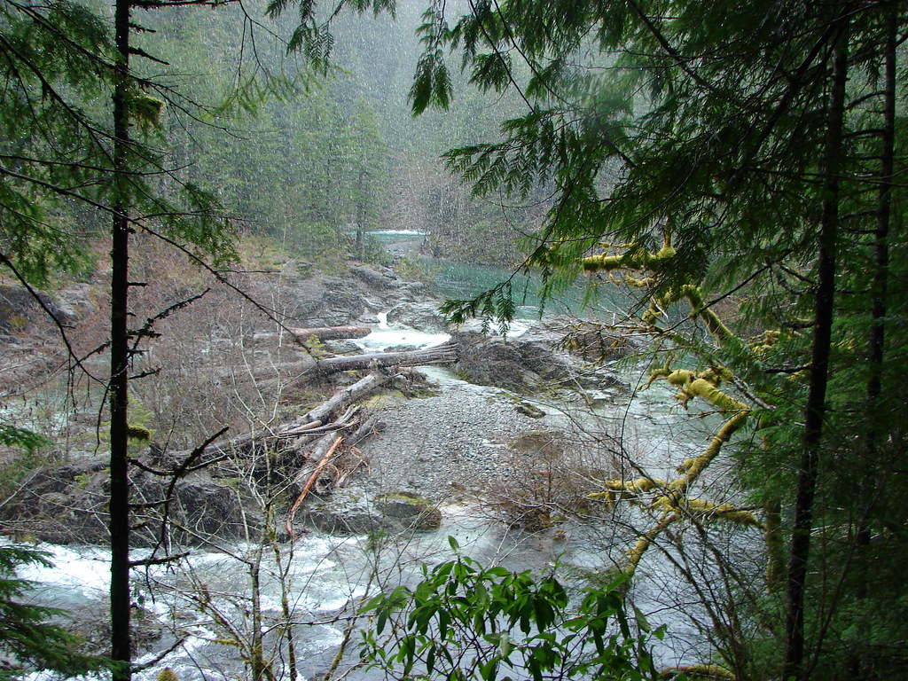
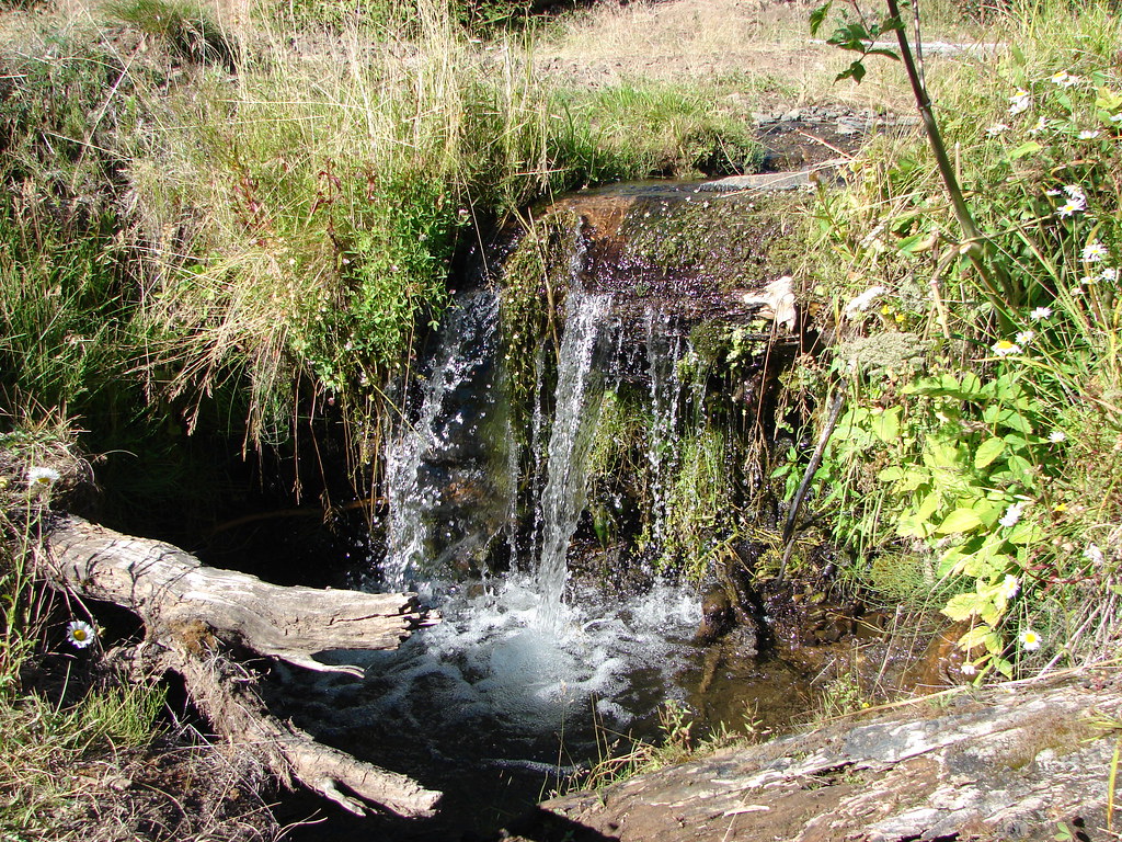
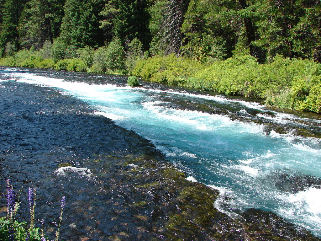
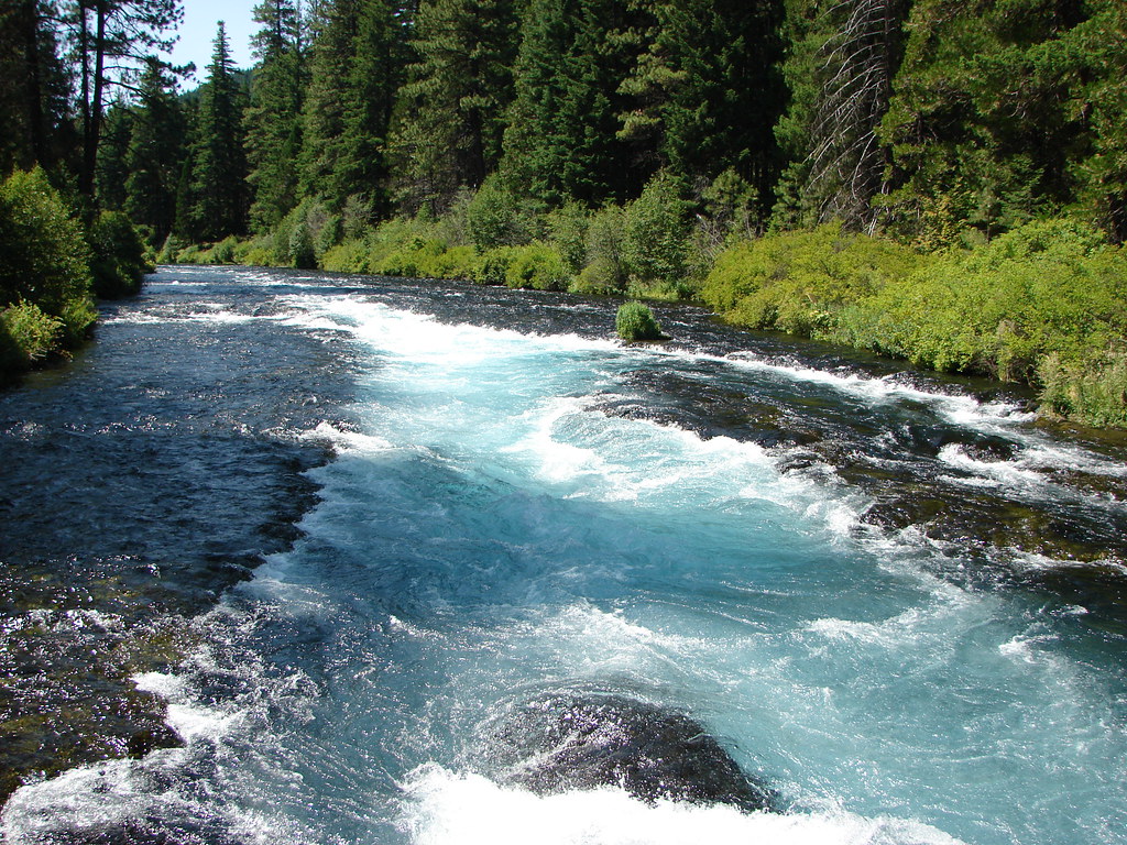
A short time after turning north onto the PCT we came to Obsidian Falls, a small but scenic cascade.
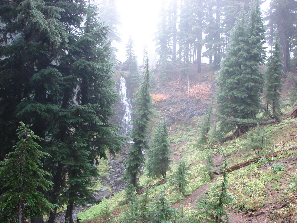
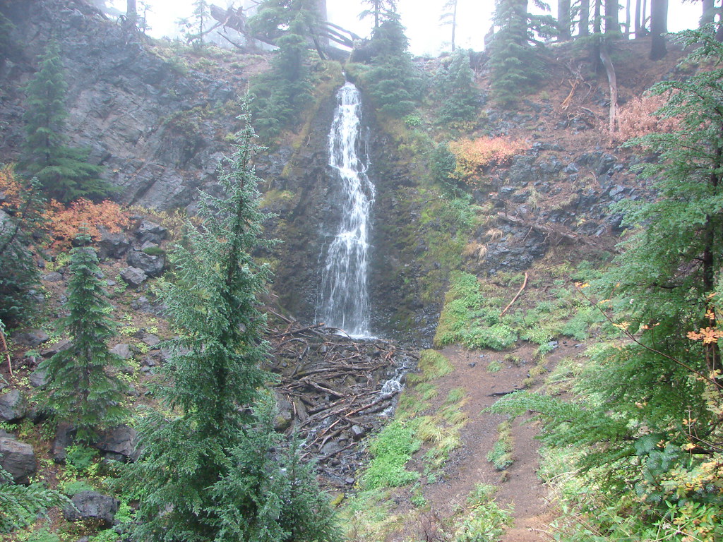
After visiting the base of the falls we continued north crossing Obsidian Creek and passing its source at Sister Spring.
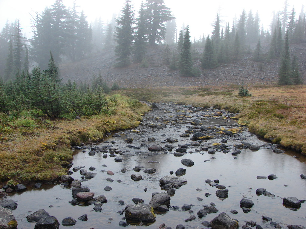
 Sister Spring
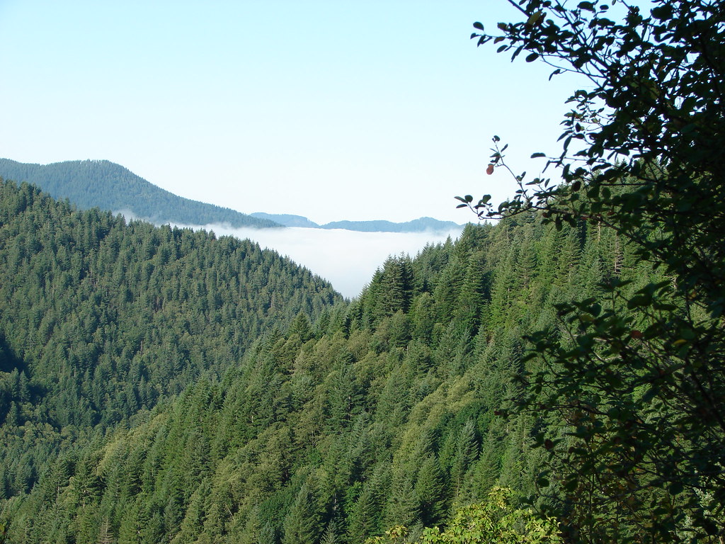
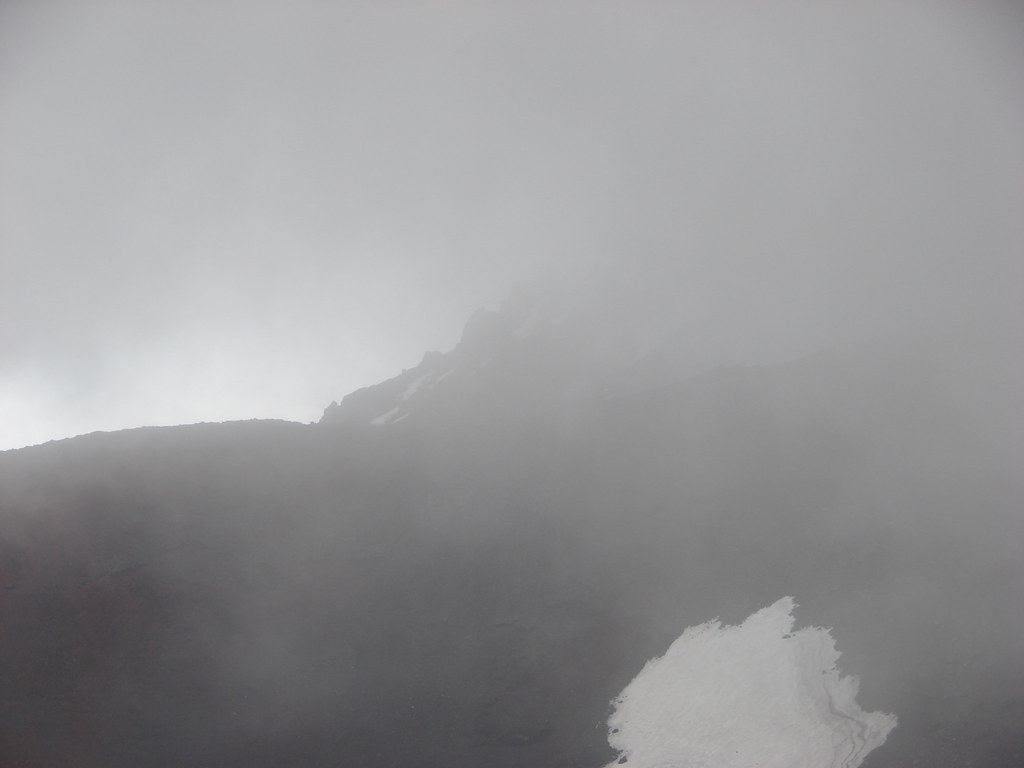
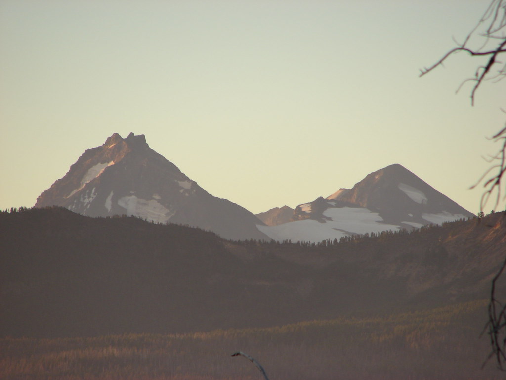
At this point we were very near to the Middle and North Sisters but there was no way we were going to see anything above us through the clouds.
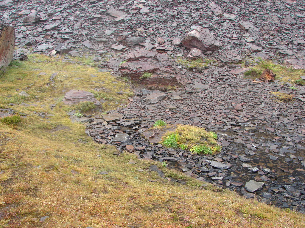
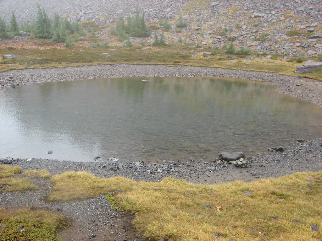
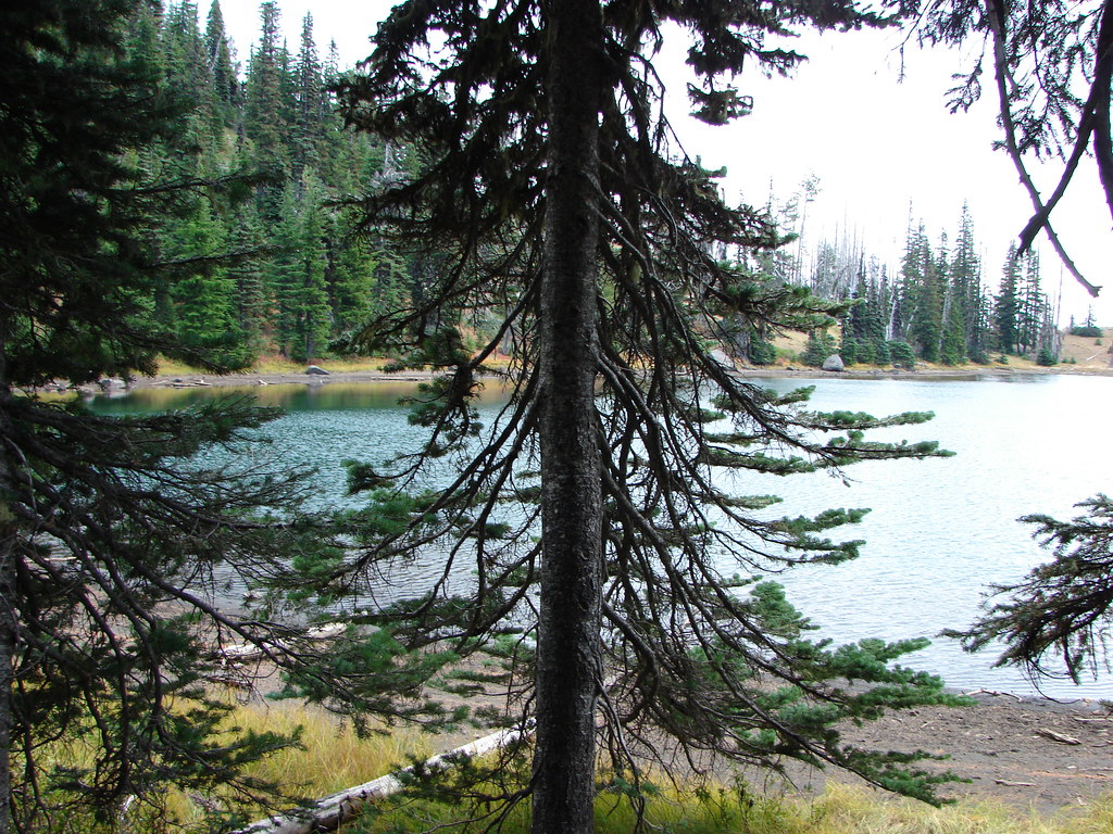
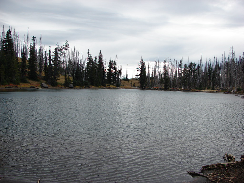
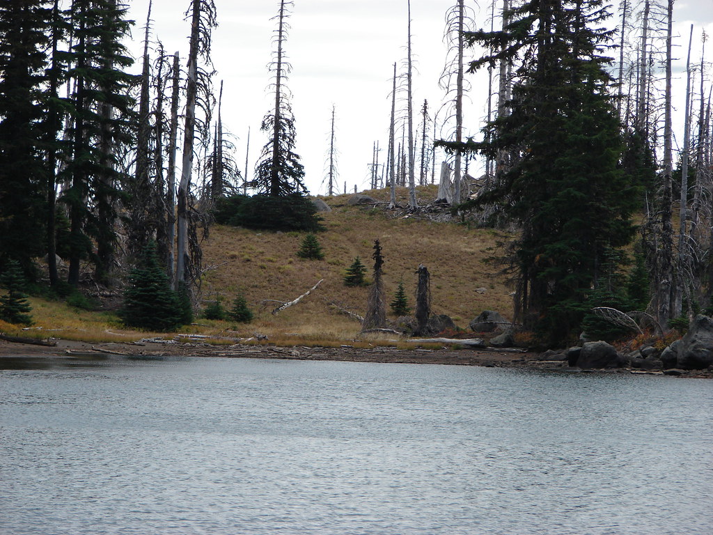
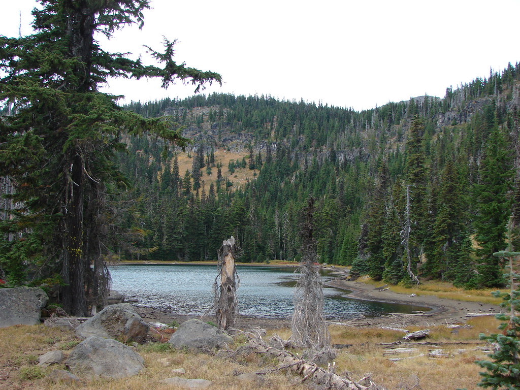
The PCT then passed the small Arrowhead Lakes and more obsidian.
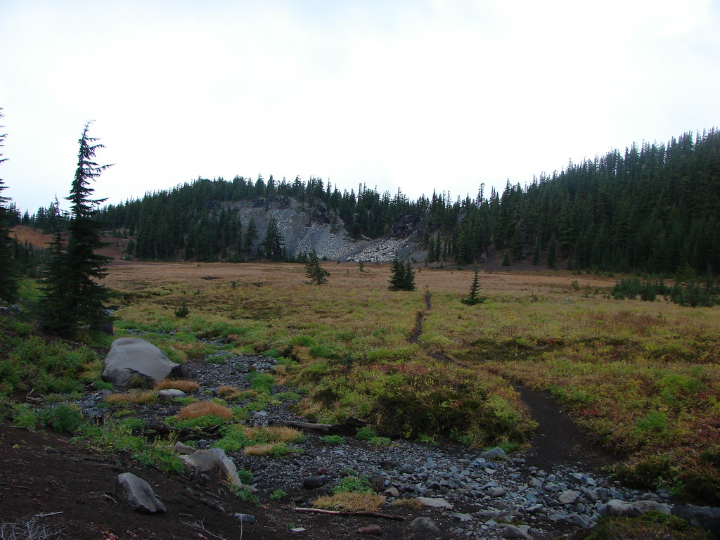
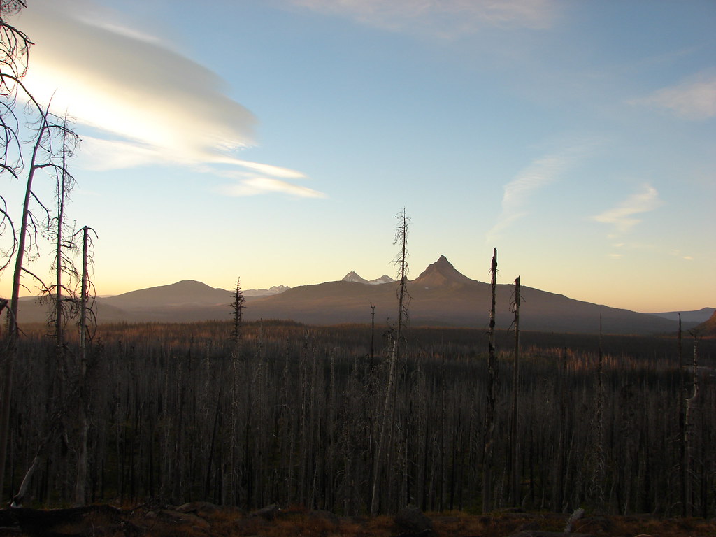
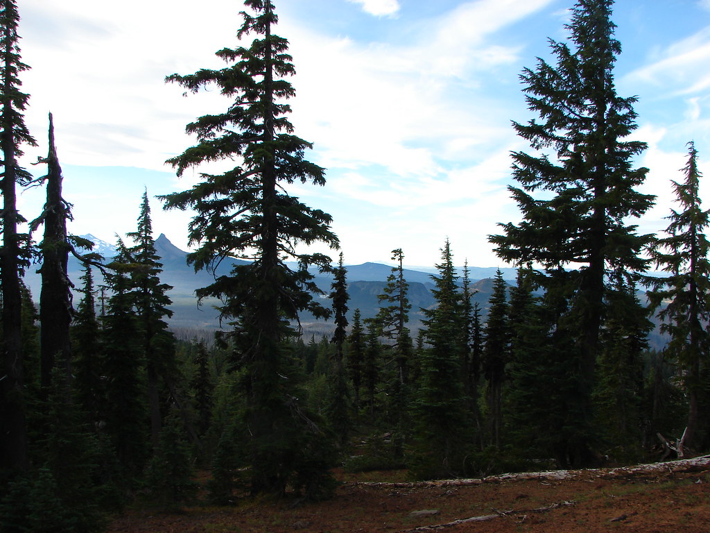
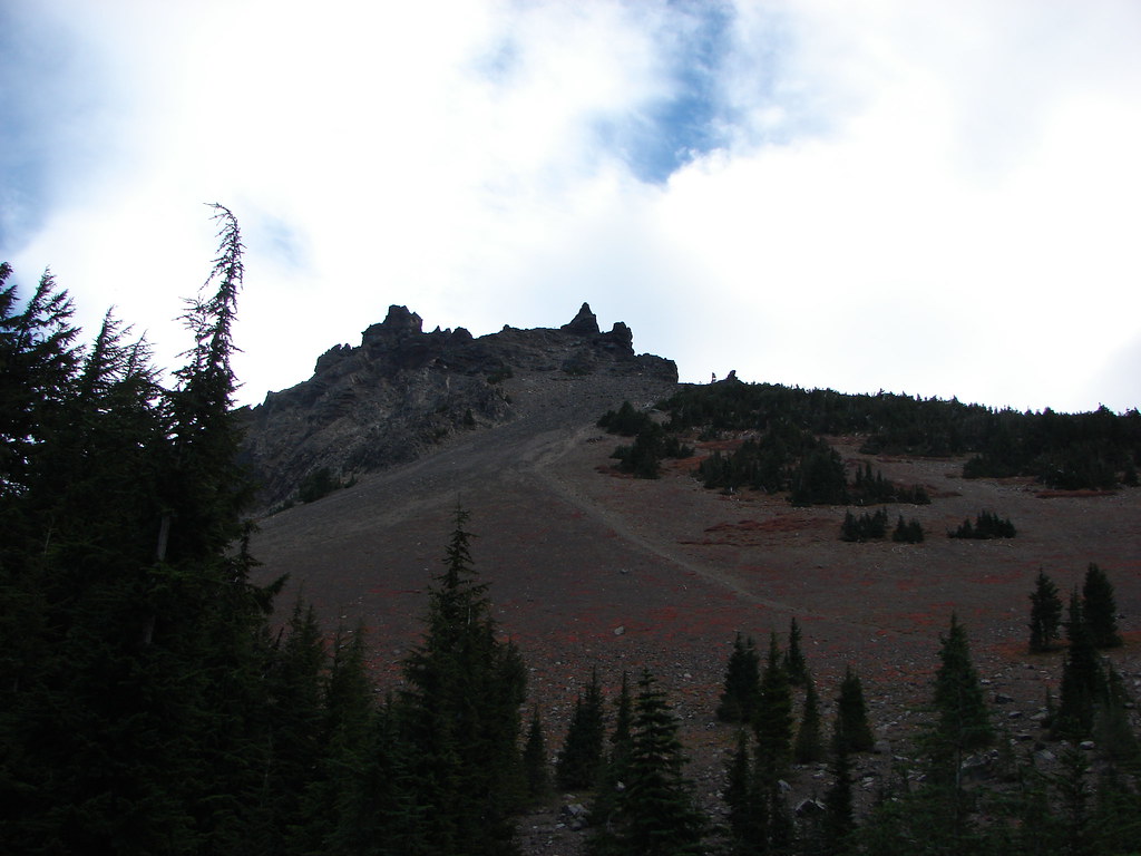
We continued on the PCT which was now approaching the 7810′ Little Brother which was beyond Sunshine. We could see the meadow and Glacier Creek below but the Little Brother was for the most part hidden from sight.
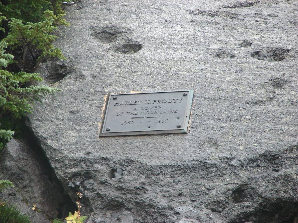
On the way down to Sunshine we spotted the Harley H. Prouty Memorial Plaque.
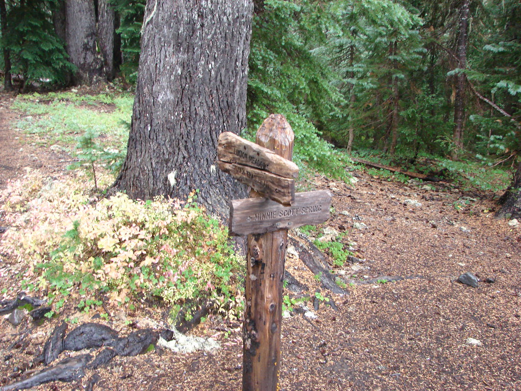
At Glacier Creek we found the junction with the Glacier Way Trail which was the left hand fork we should have taken at the White Branch.
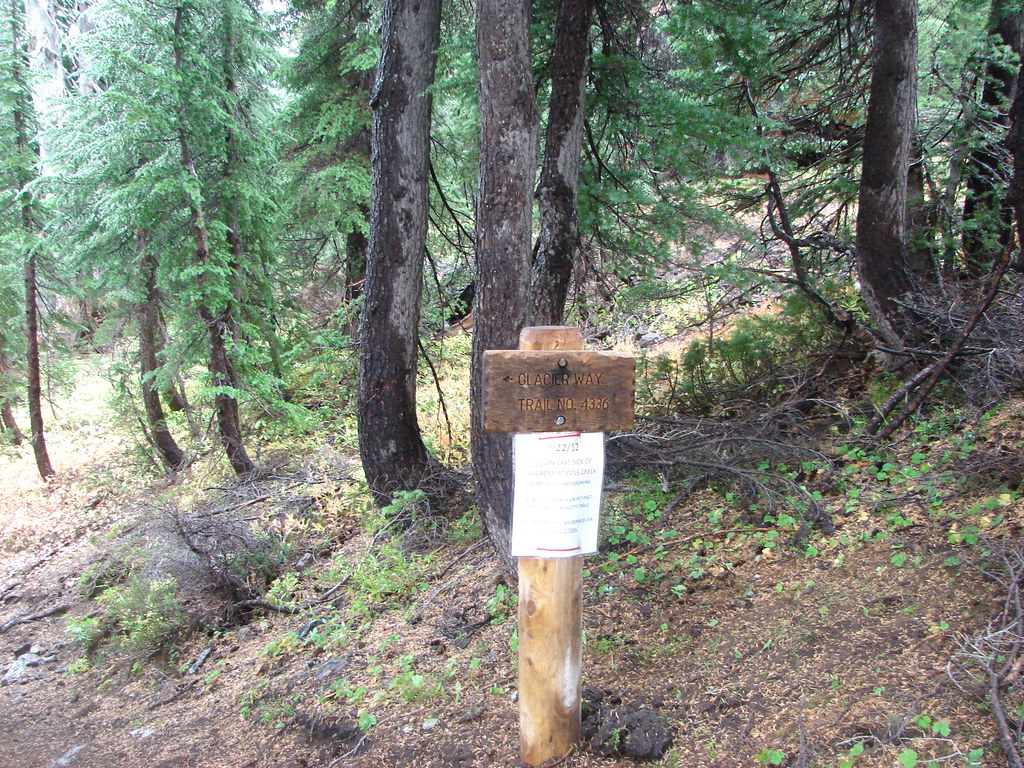
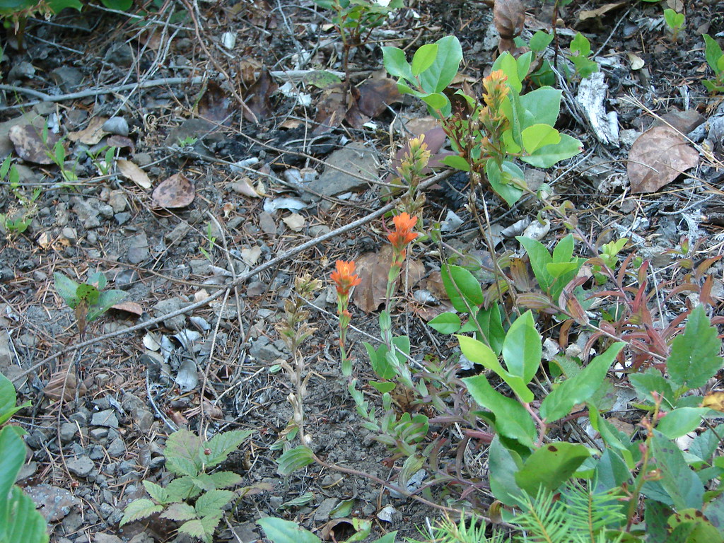
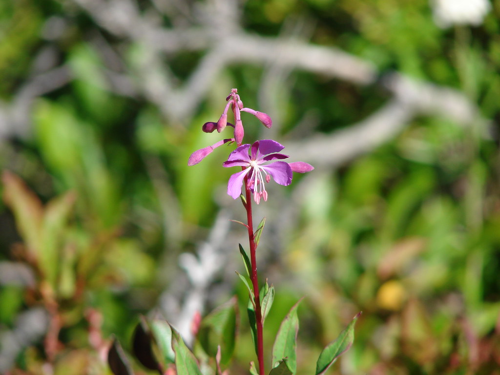
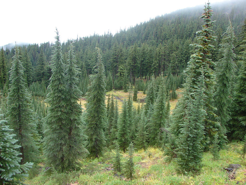
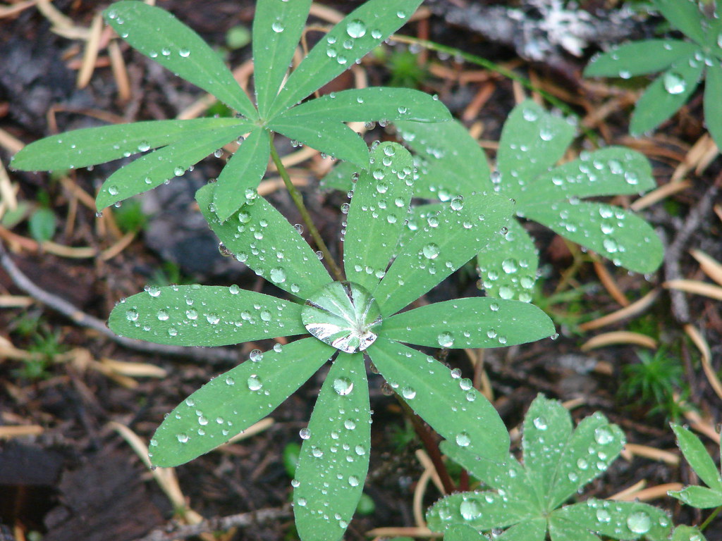
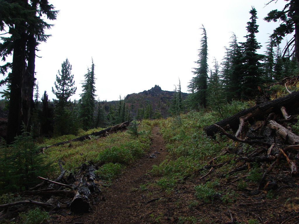
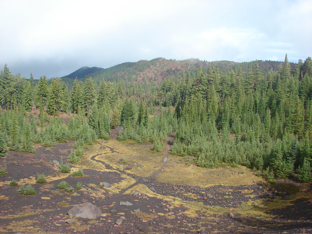
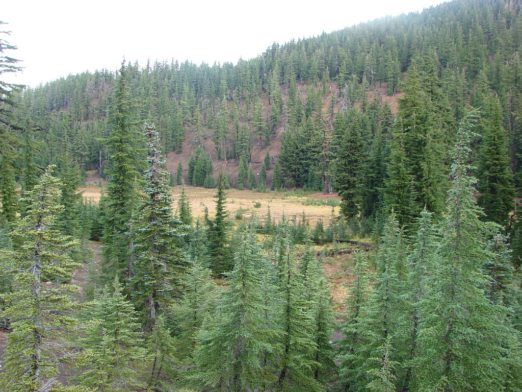
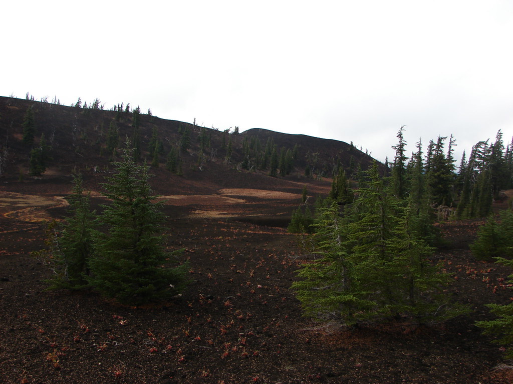
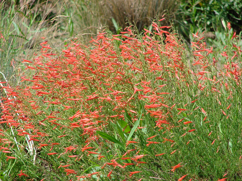
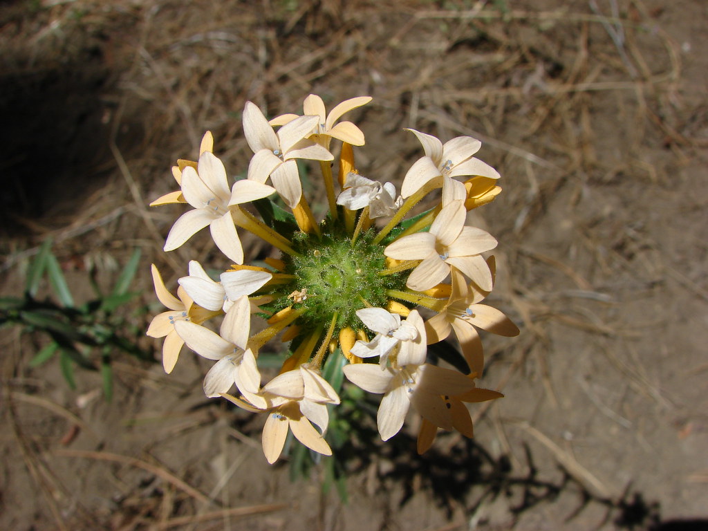
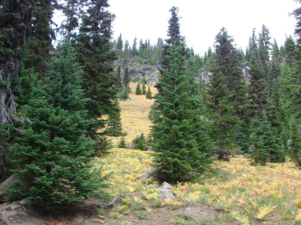
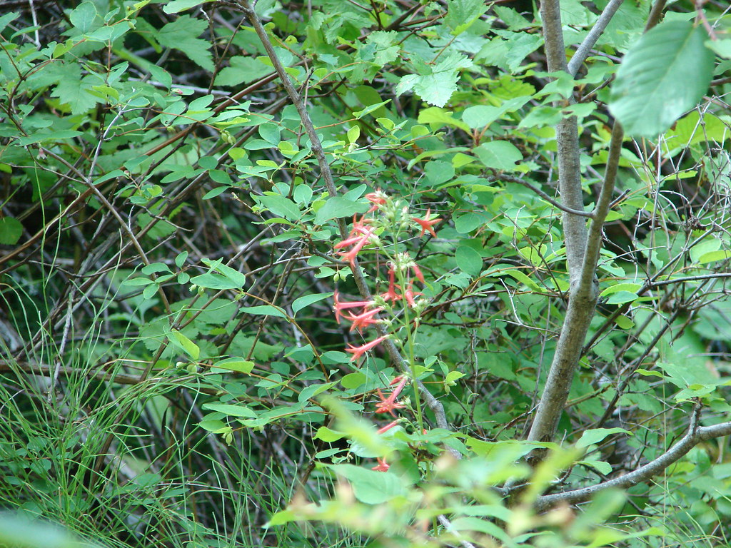
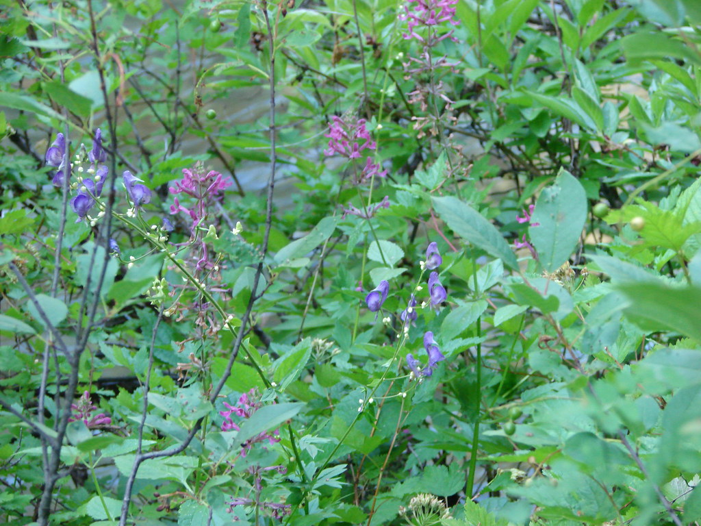
Still thinking we were on a 15 mile hike we continued north on the PCT instead of opting for the 12 mile hike and turning down Glacier Way. The trail passed through many small meadows that were probably home to plenty of summer wildflowers based on the amount of lupine leaves we saw. There was no lupine blooming anymore but we did spot a lone western pasque flower gone to seed.
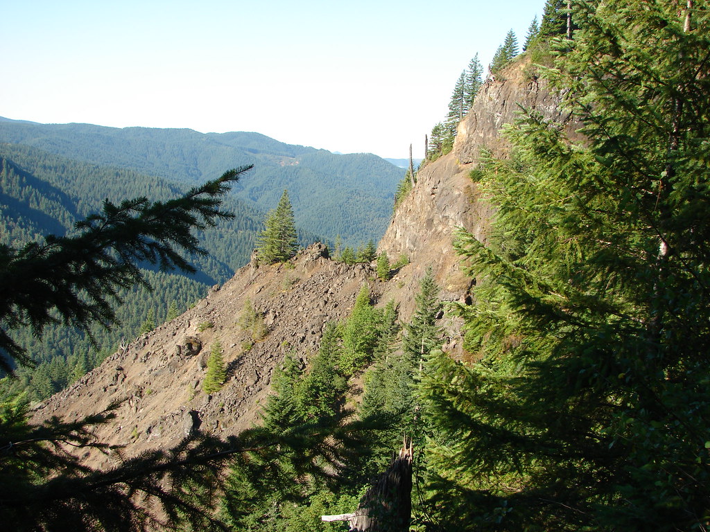
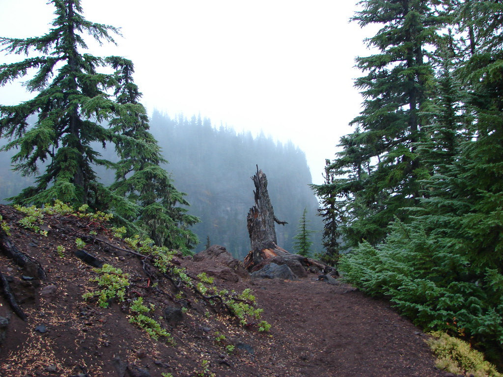
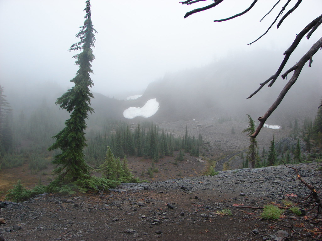
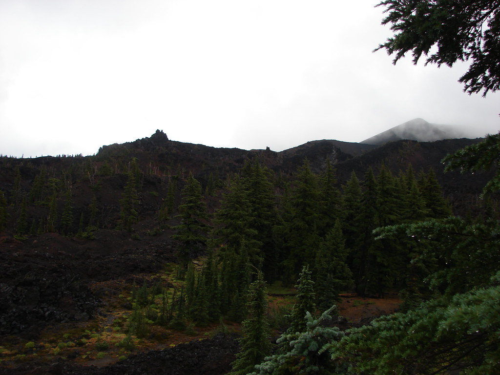
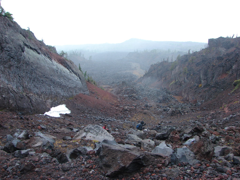
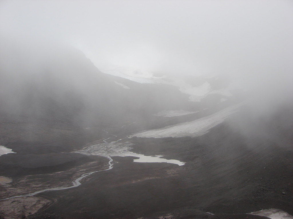
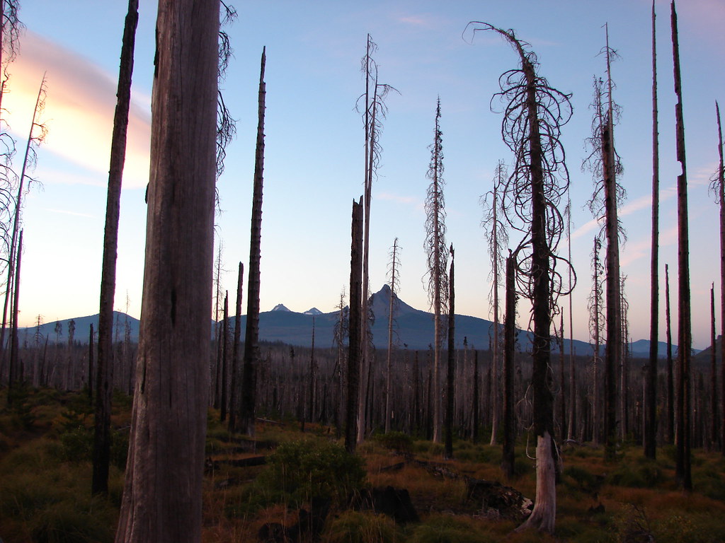
A little under 2 miles from Sunshine the PCT arrived at the Jerry Lava flow.
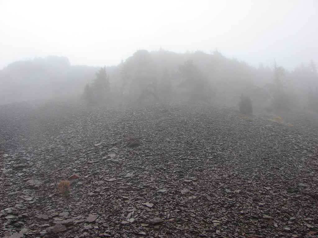
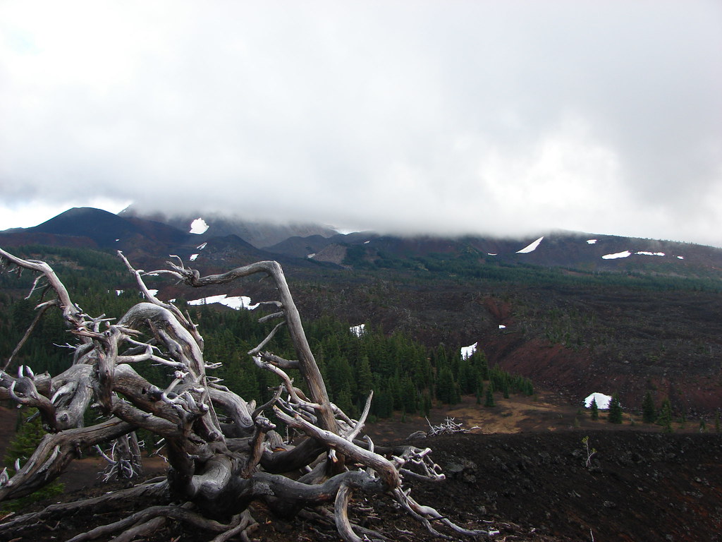
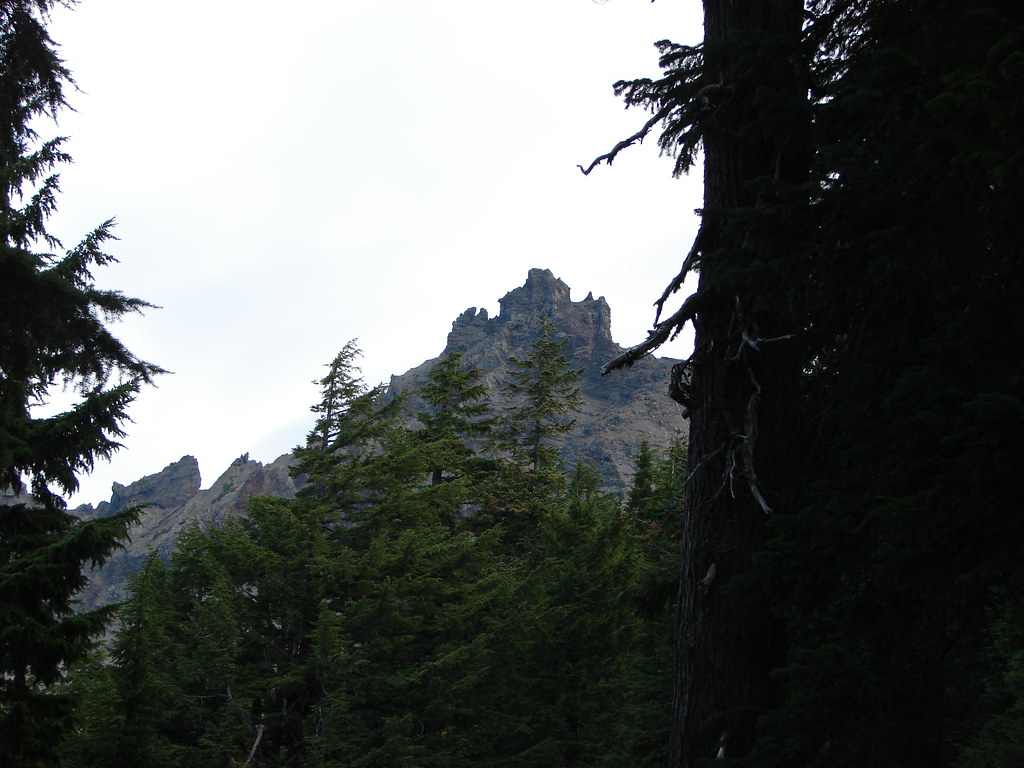
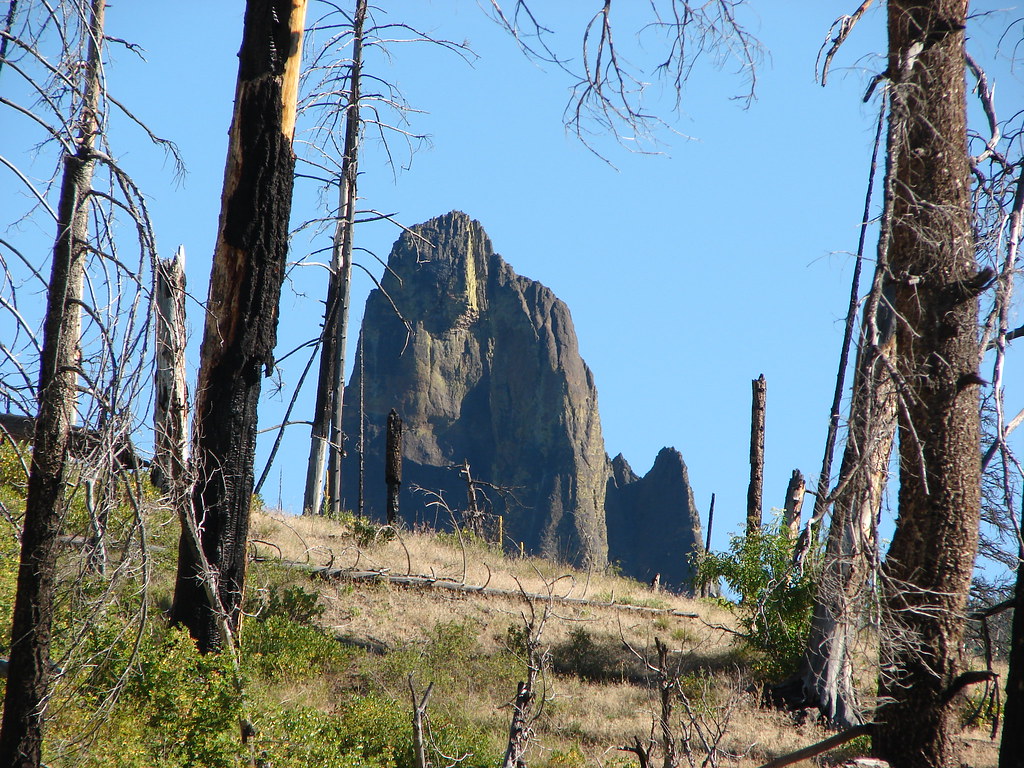
Above the lava in the fog we could see the Collier Cone.
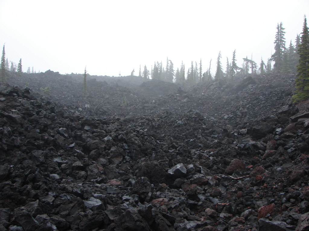
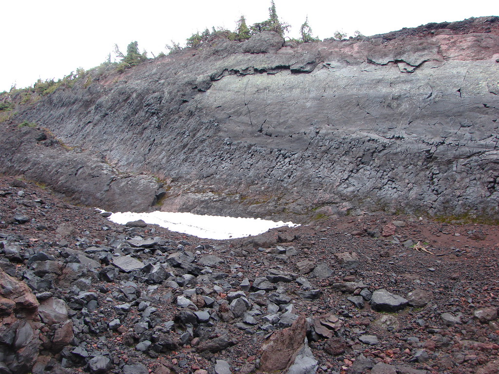
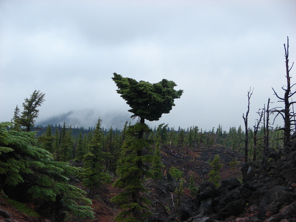
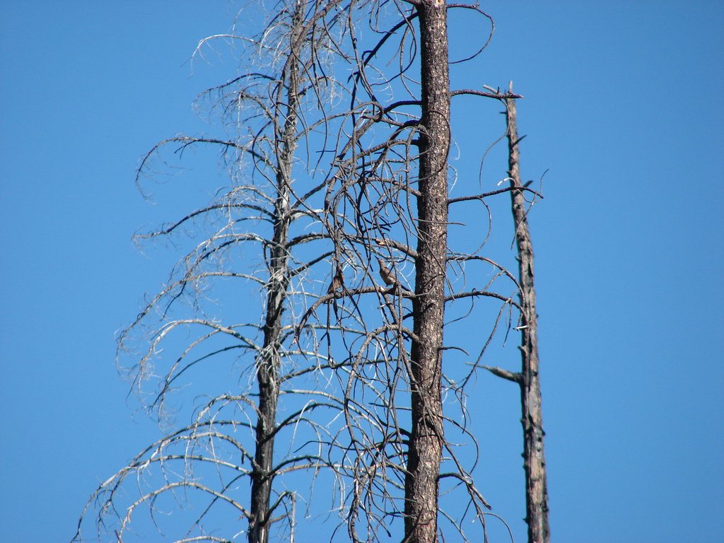
A .3 mile side trip would lead to a viewpoint along the rim of the cinder cone but first we had to pass through the lava flow to Opie Dildock Pass. Along the way there we spotted some lupine still in bloom, patches of snow, a tree with a rather unique top, and some real life blue sky.
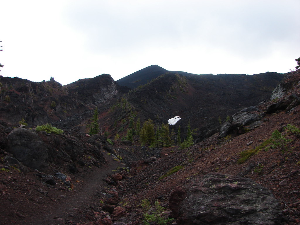
We almost thought we’d lost the trail below the pass but the PCT simply scrambled up a gully in the lava.
A small cairn marked the side trail into the fog filled cone.
We followed a use path up to the rim.
But for the fog we would have had an up close view of the Collier Glacier and the North and Middle Sister.
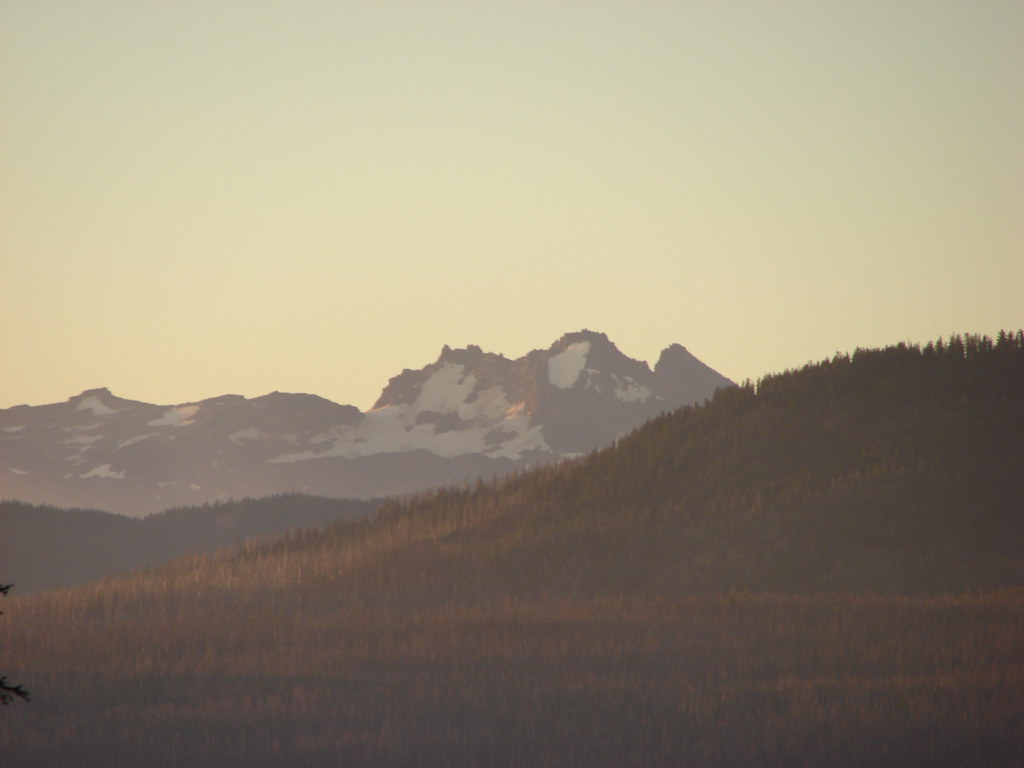
We took an extended break on the rim and in that time the fog lifted just a bit. We could at least see back down into the cone and every once in a while we got a glimpse of the northern flank of the North Sister.
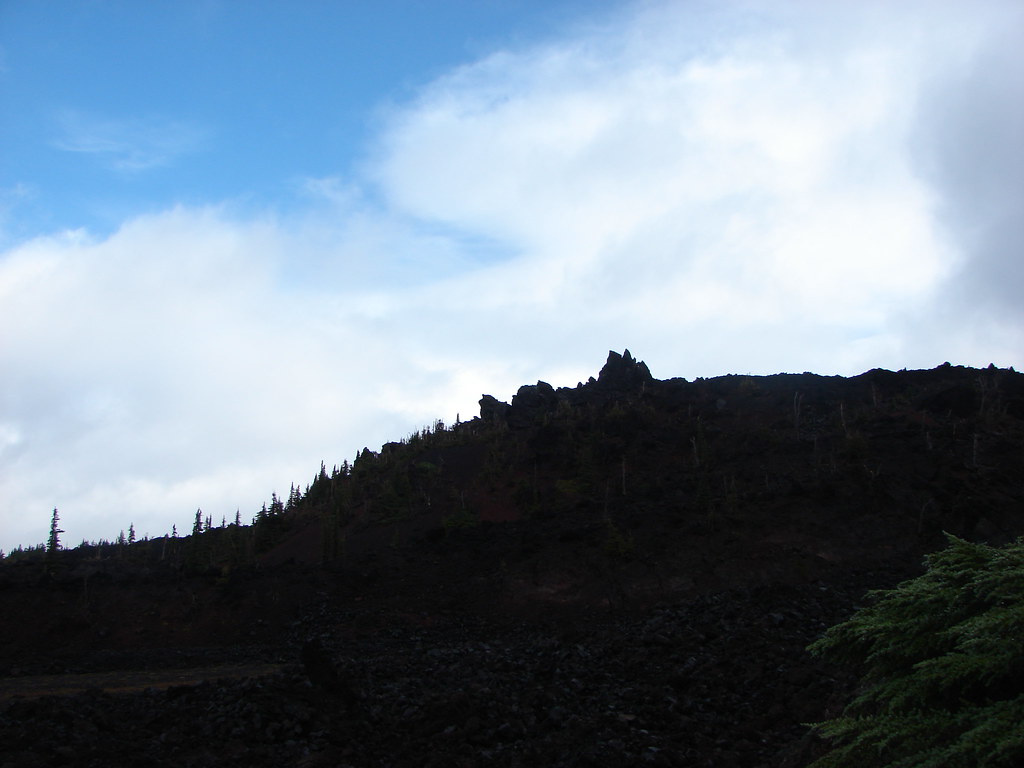
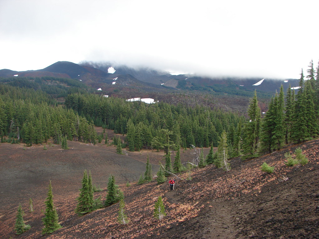
We finally headed down resigning ourselves to the fact that the views weren’t going to get any better on this trip. We returned to the PCT and headed north once again. We did get a little more blue sky overhead and the fog continued to lift allowing us to at least see a little more of our surroundings.
 Yapoah Crater in the distance.
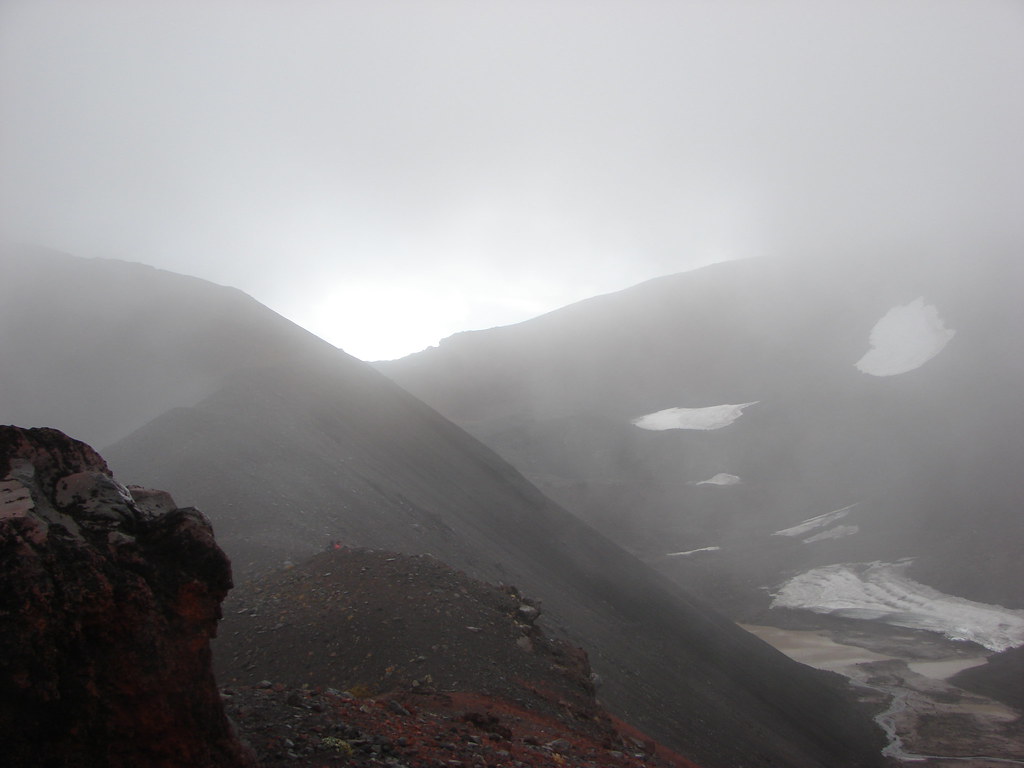
We were now heading away from the North Sister toward Scott Meadow and the Scott Meadow Trail. We arrived at the meadow and trail junction 1.8 miles from the side trail into Collier Cone.
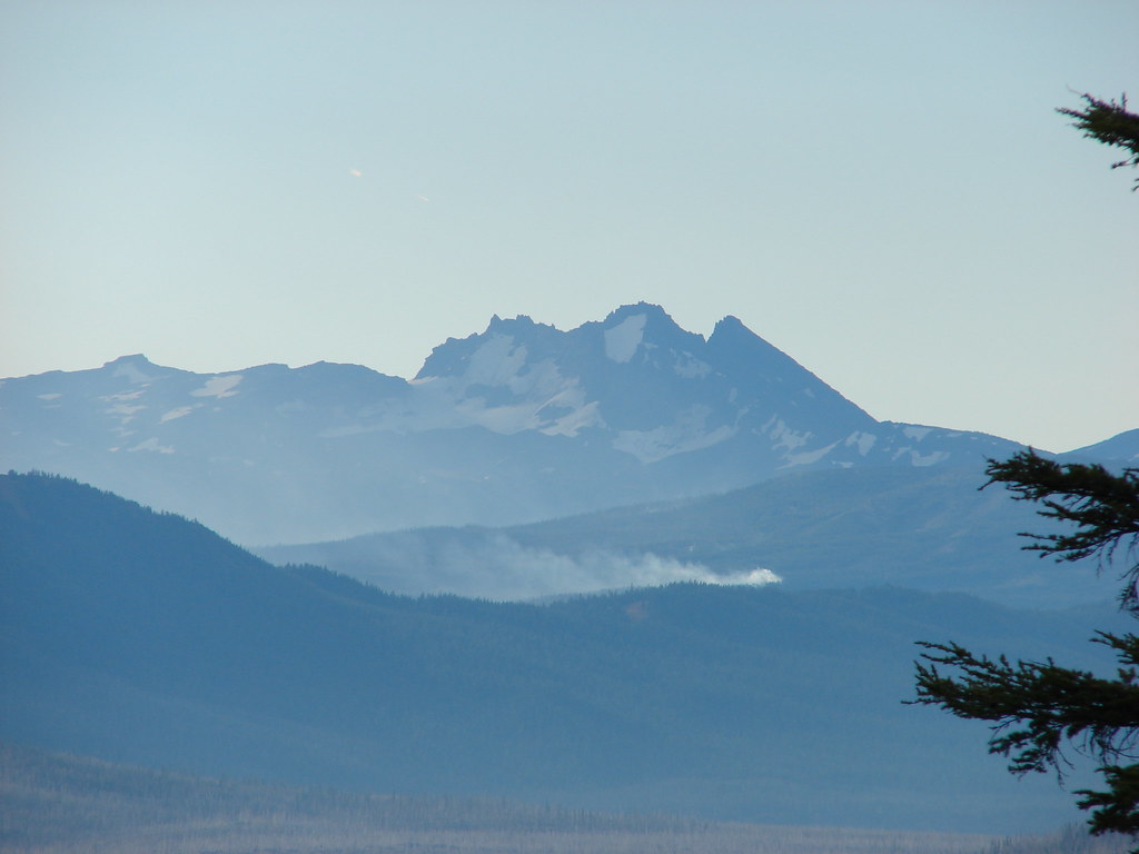
The Pole Creek Fire had forced the closure of the PCT at the junction.
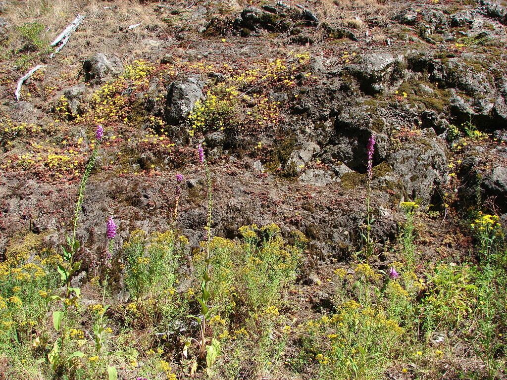
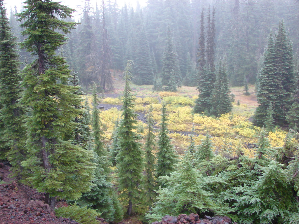
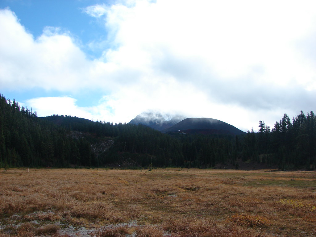
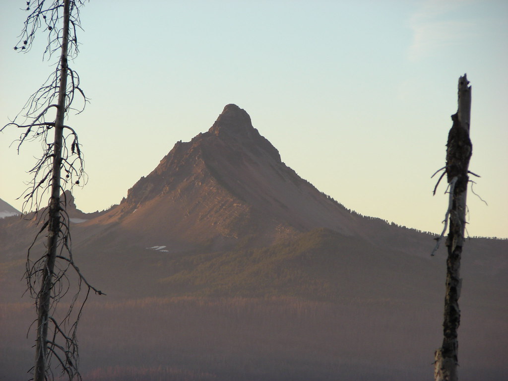
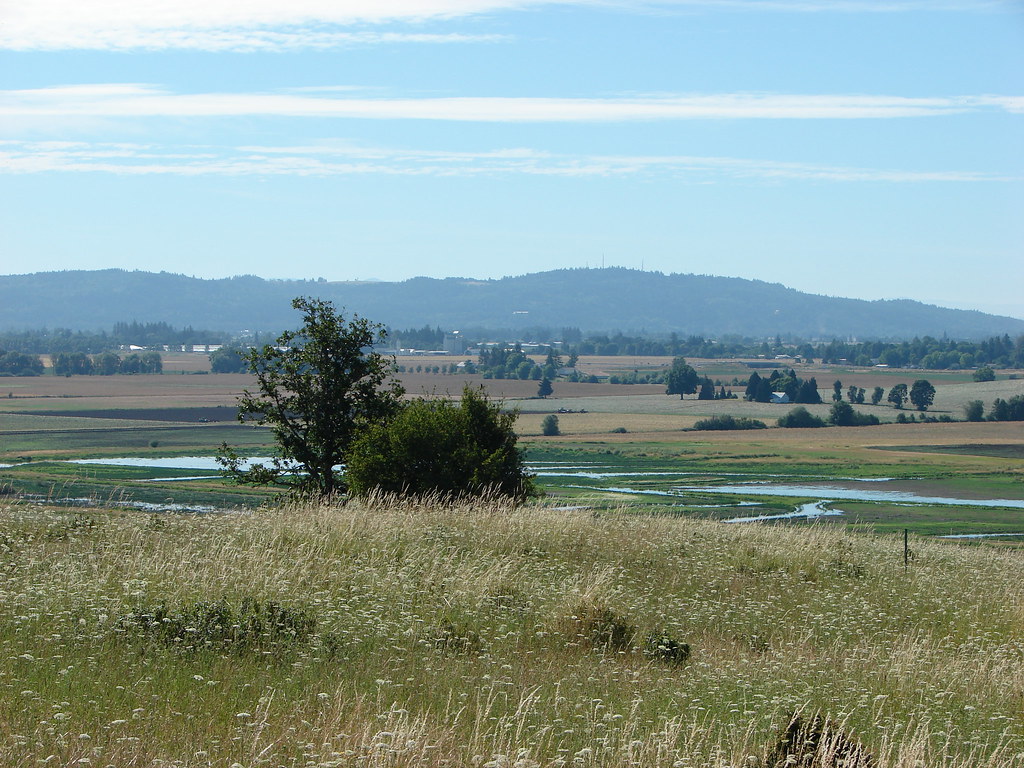
The meadow looked like it would be an impressive wildflower meadow in summer and provide some good mountain views. On this day the meadow was mostly brown and the mountains nearly hidden although we did get our best glimpse of a mountain looking back at the North Sister from the junction.
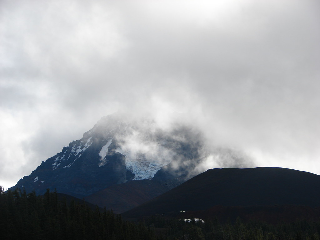 North Sister and the Collier Cone
We vowed to come back to that spot to try again some summer which we did in 2013.
(post)
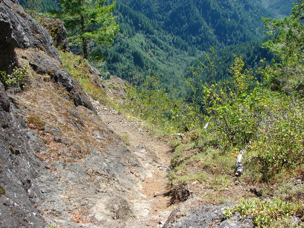
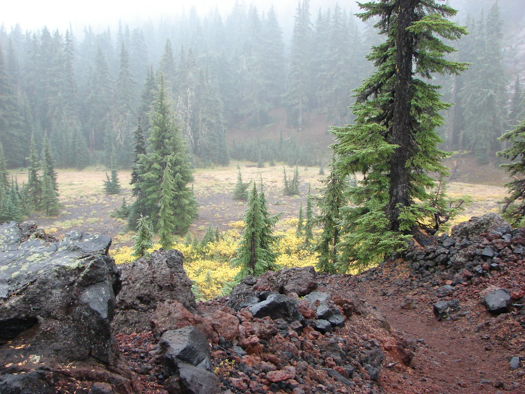
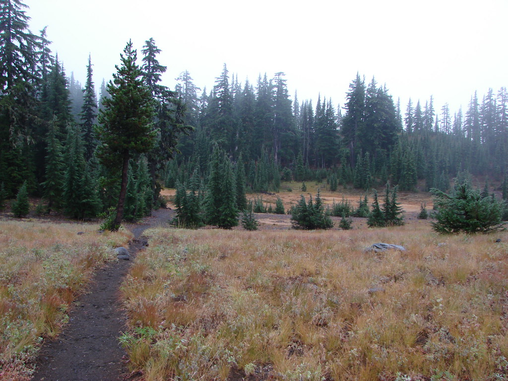
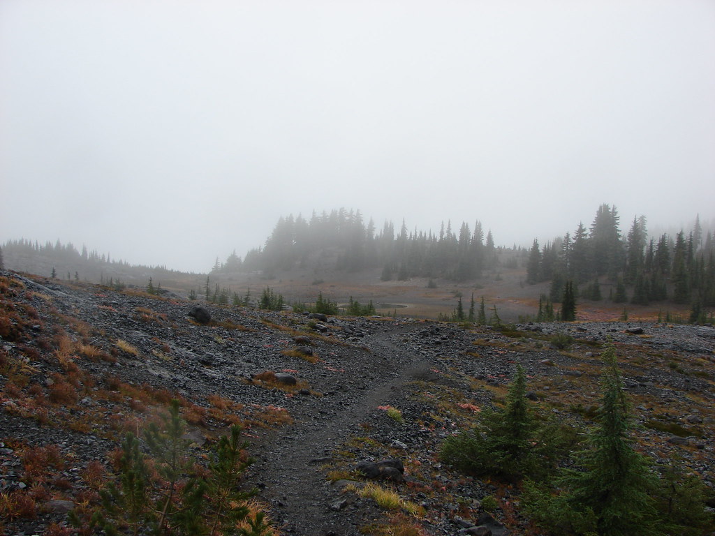
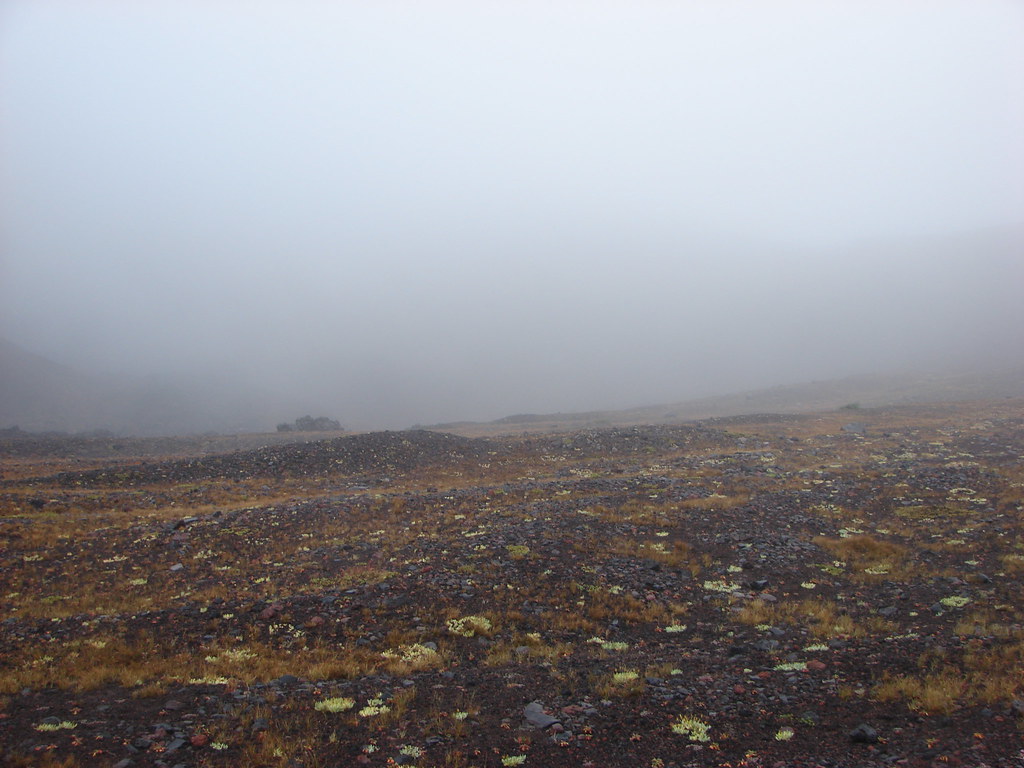
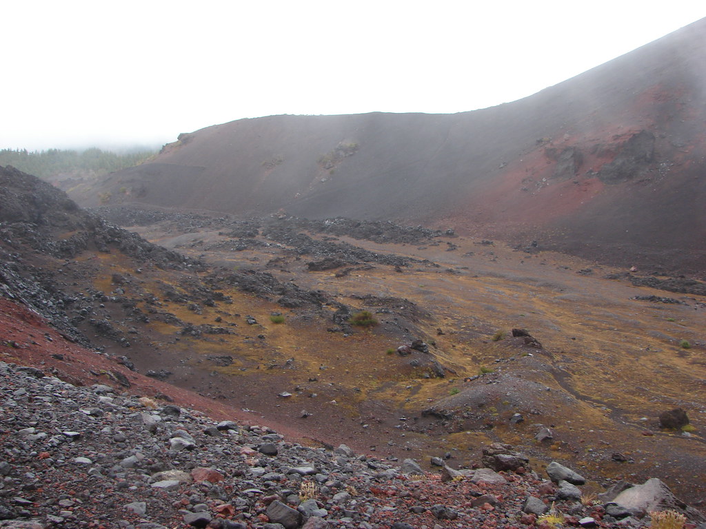
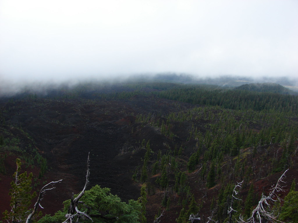
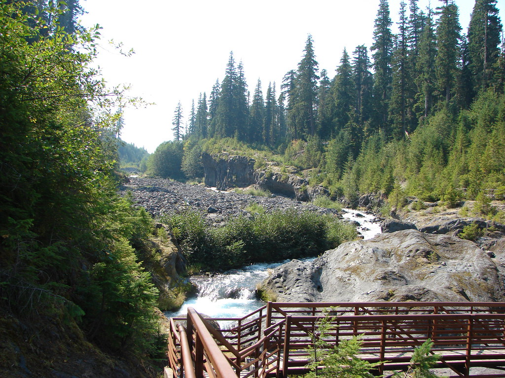
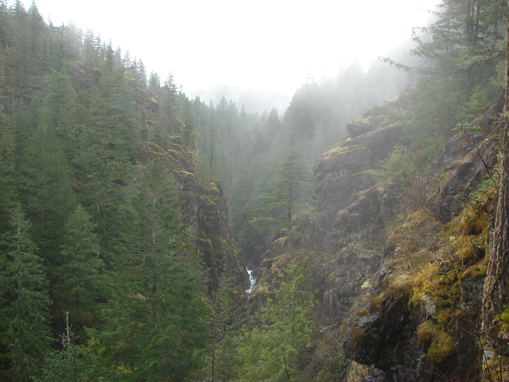
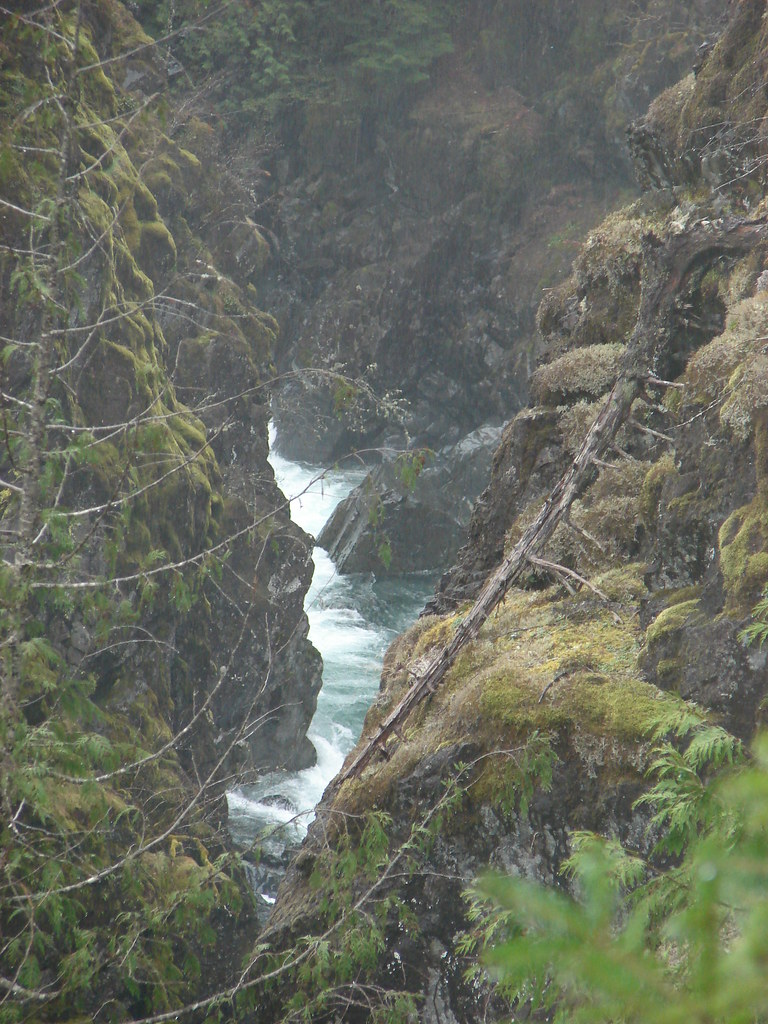
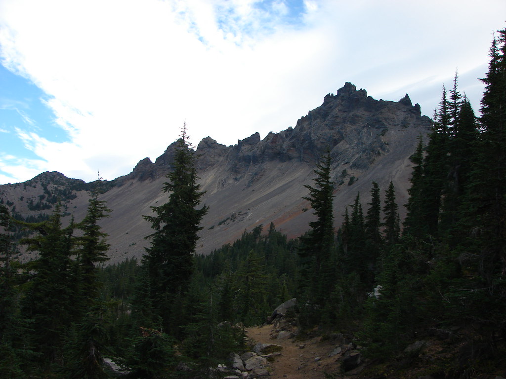
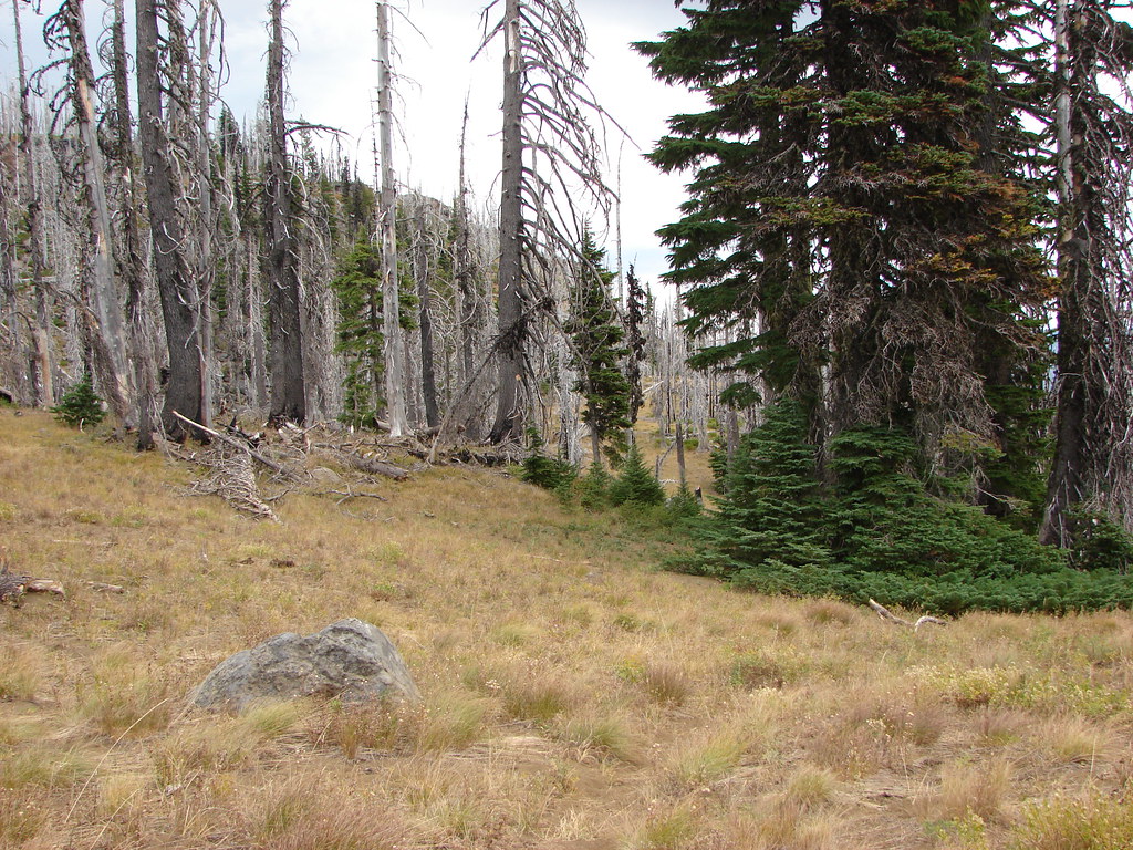
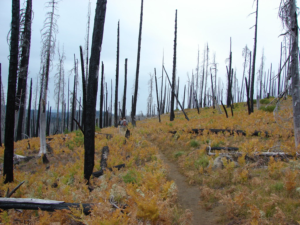
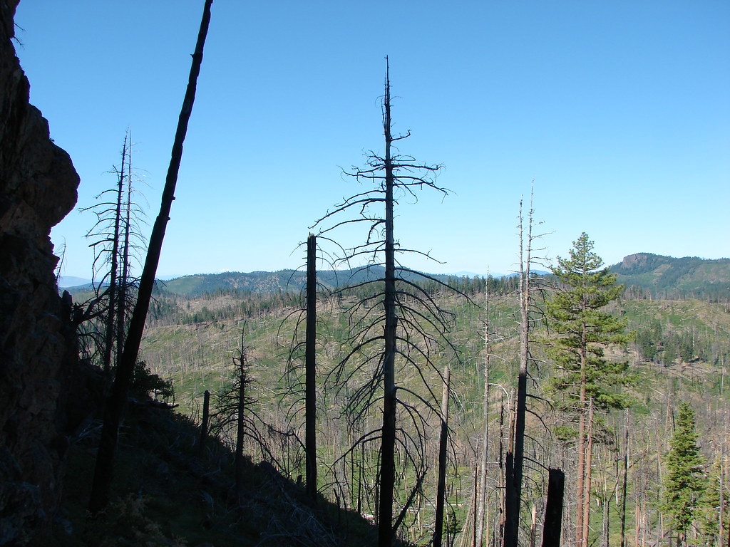
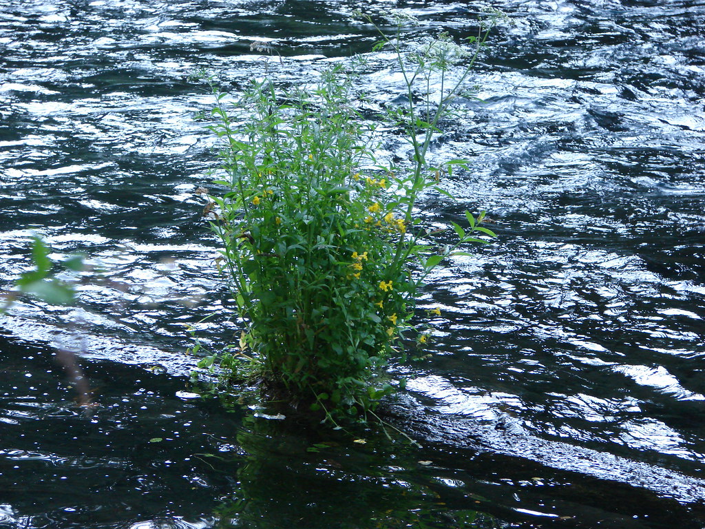
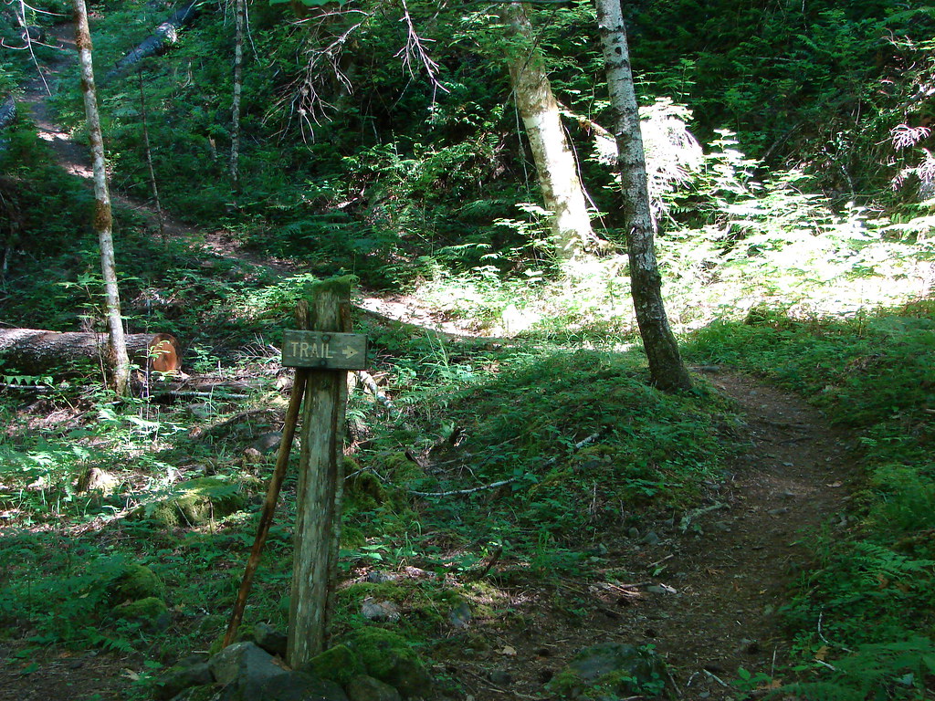
We turned down the Scott Trail which followed a dry creek bed for a bit before entering a vast pumice plain.
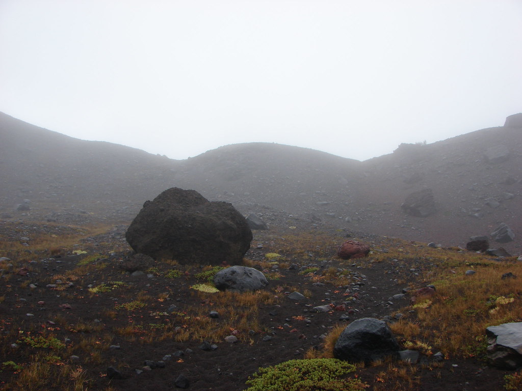
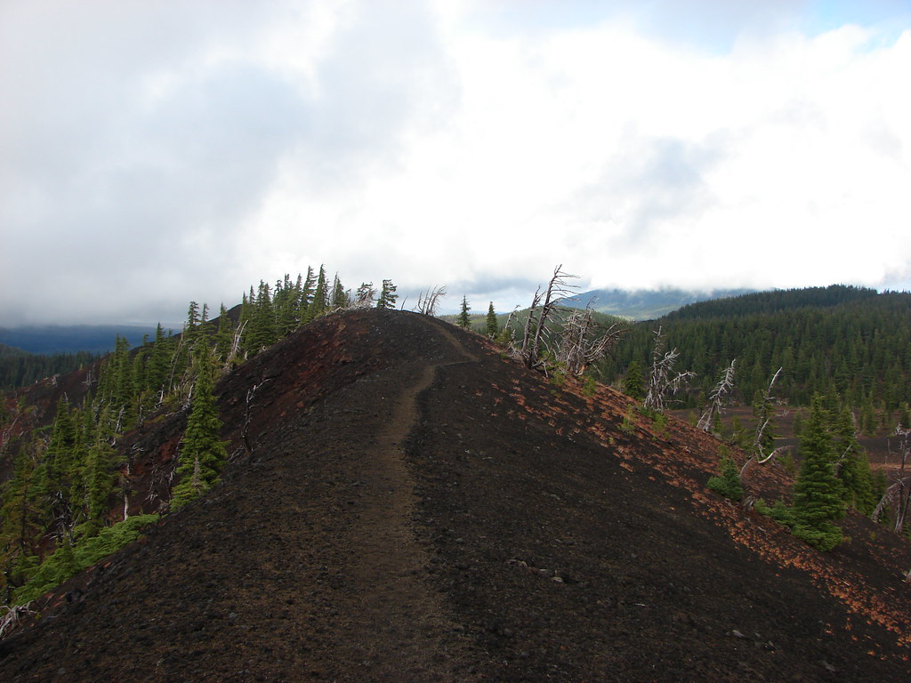
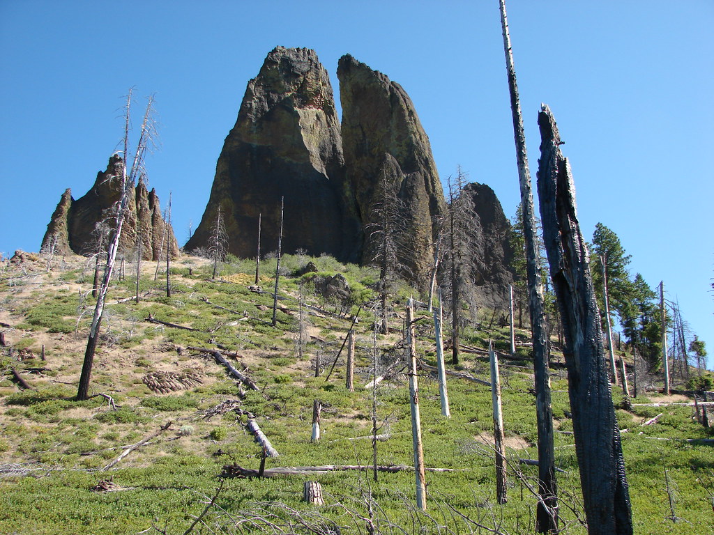
Just over 3/4 of a mile from the Scott Meadow jct we turned right onto a side trail which led up another cinder cone – Four-in-One Cone.
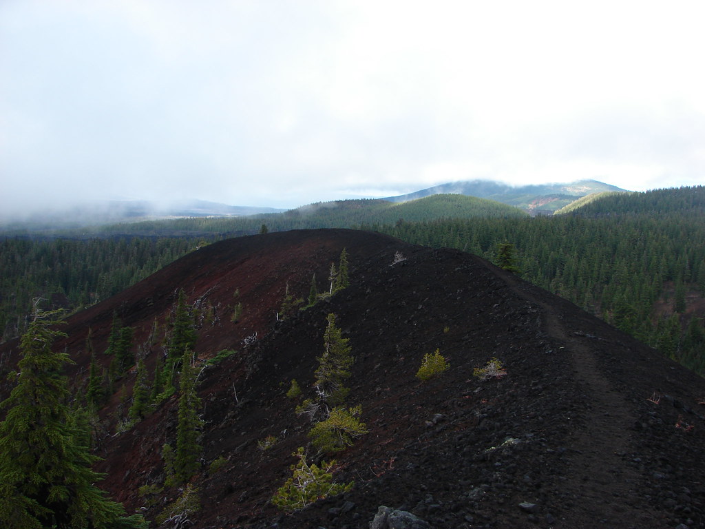
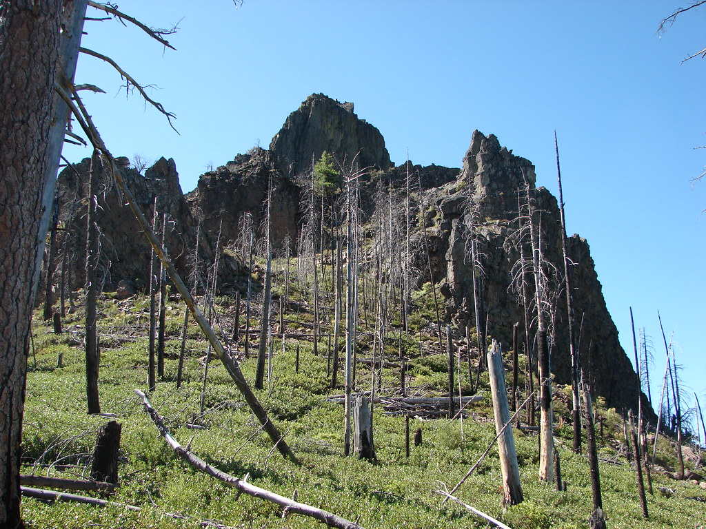
As the name indicates this geologic feature is not a single cinder cone but four connected cones. A path follows the length of the ridge providing plenty of opportunity for views, but not necessarily for us.
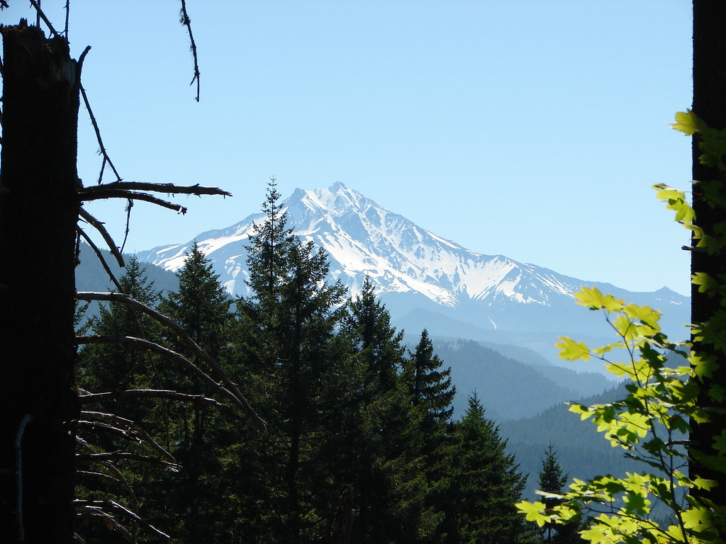
I arrived at the top of the cone first and Dominique soon joined me as I gazed toward the cloud covered Three Sisters. We were about 13 miles into the hike now (we had also done a 13.5 mile hike the previous day) and we were all getting a little tired. The lack of views wasn’t helping raise spirits either. When Dominique reached me he looked around and then asked where the trail went from there. When I informed him it didn’t go anywhere and that it was just another spur trail to a viewpoint he gave me what could only be described as a death stare. His only response was “You mean we didn’t have to climb up here?”. I left him fuming at the southern end of the cone while I headed north along the rim. There I stared into the clouds where Mt. Jefferson, Three Fingered Jack and Mt. Washington should have been.
We were all dragging a bit as we made our way back to the Scott Trail and headed west. It wasn’t long before we were all suffering from what I’d call “trail madness”. We were moving but only because we had to in order to get back.
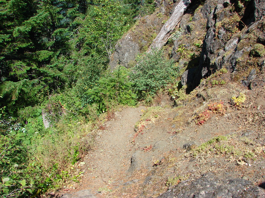
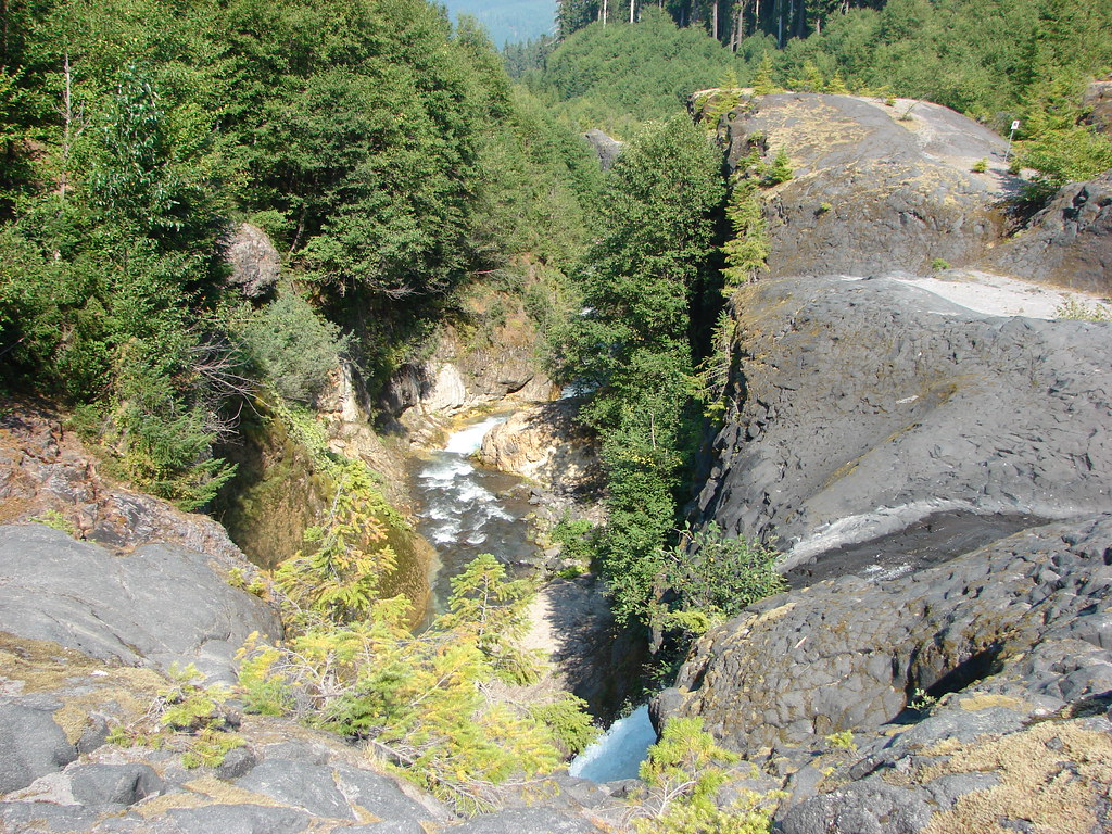
A little under a mile from the cone we crossed another lava flow.
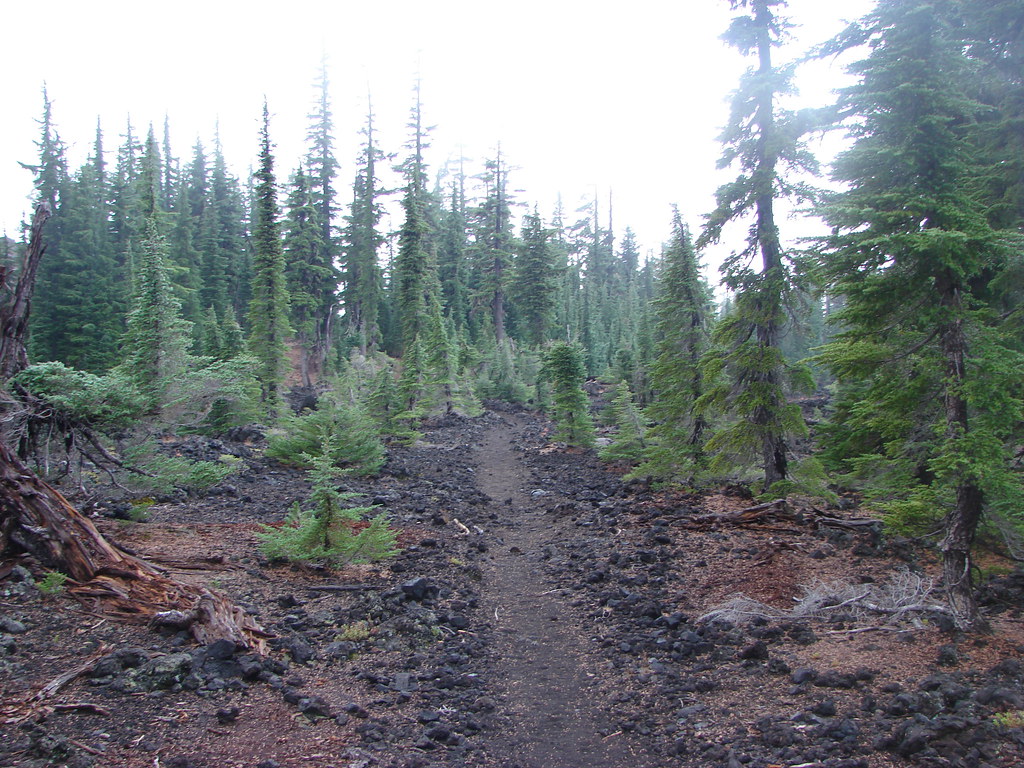
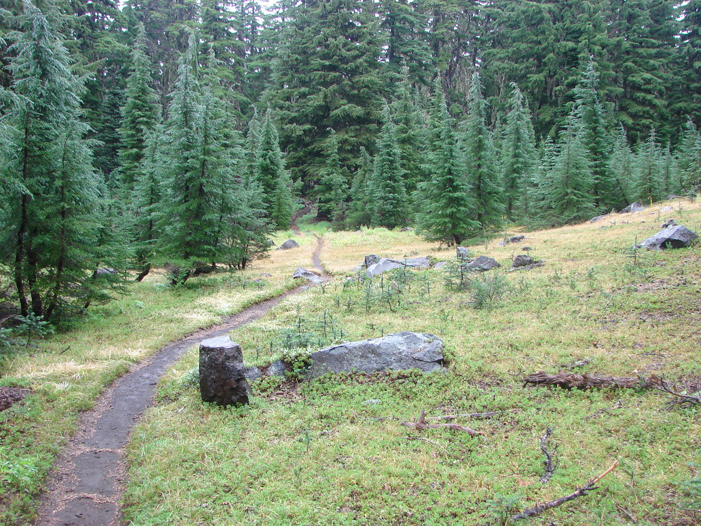
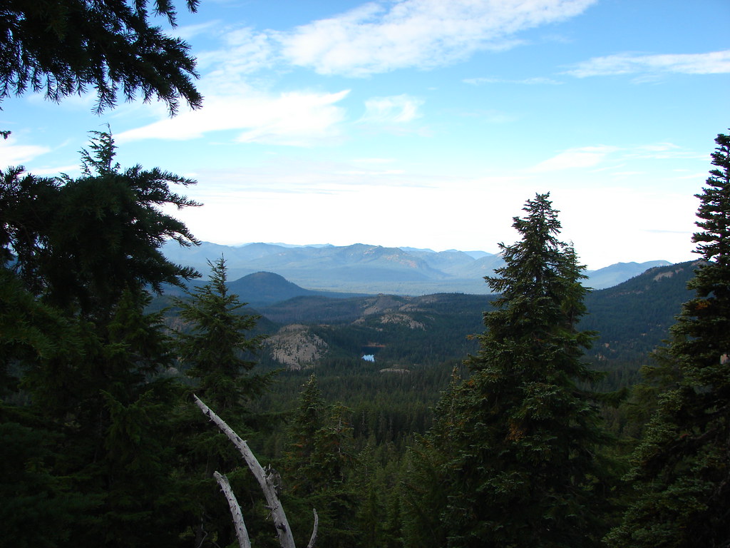
We spent the next 2.7 miles in the forest wondering why a 15 mile hike was seeming so hard and taking so long.
When we finally arrived at the junction with the .6 mile connector trail to the Obsidian Trailhead Heather gave it a kiss.
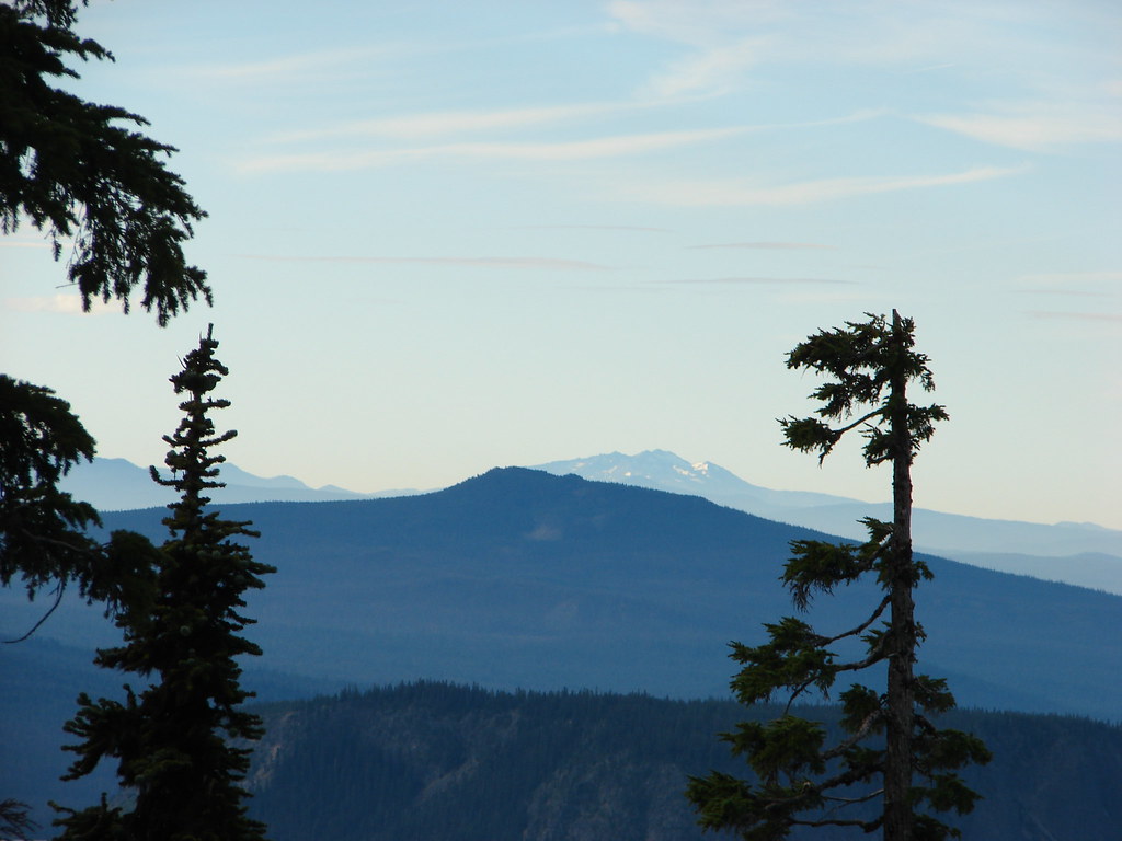
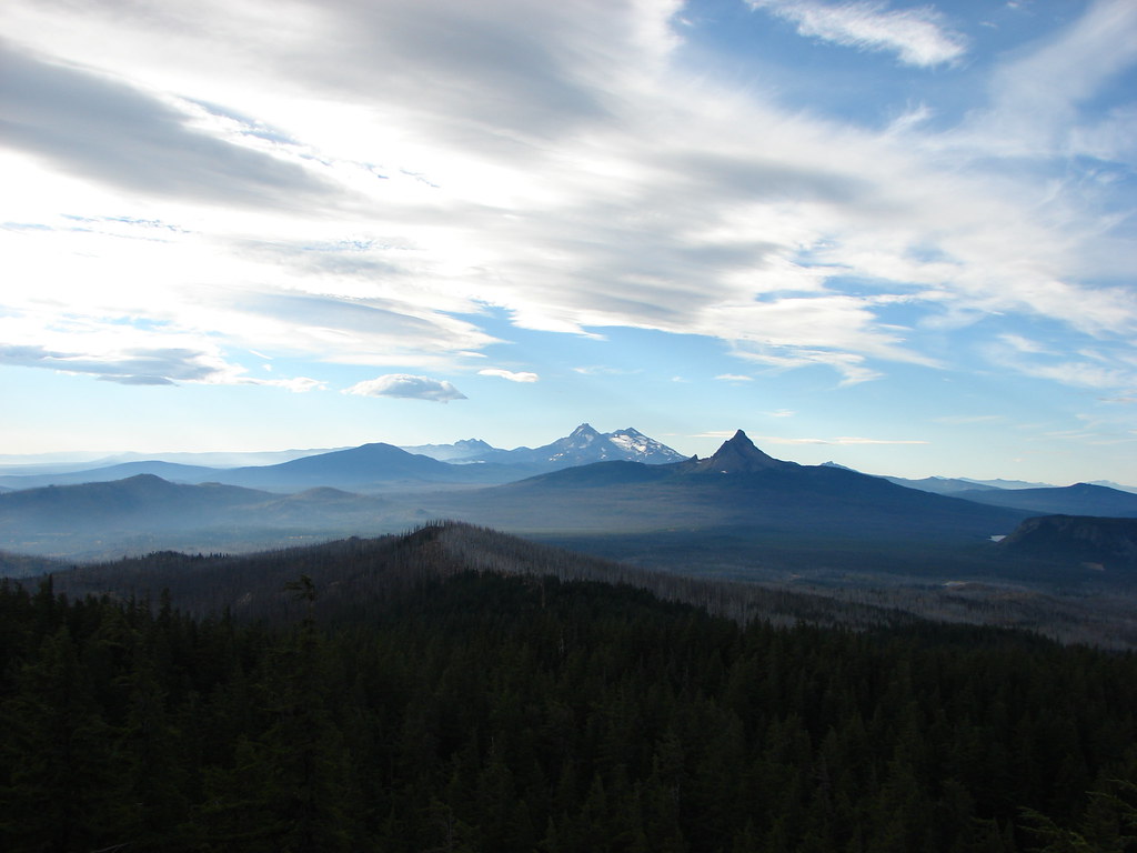
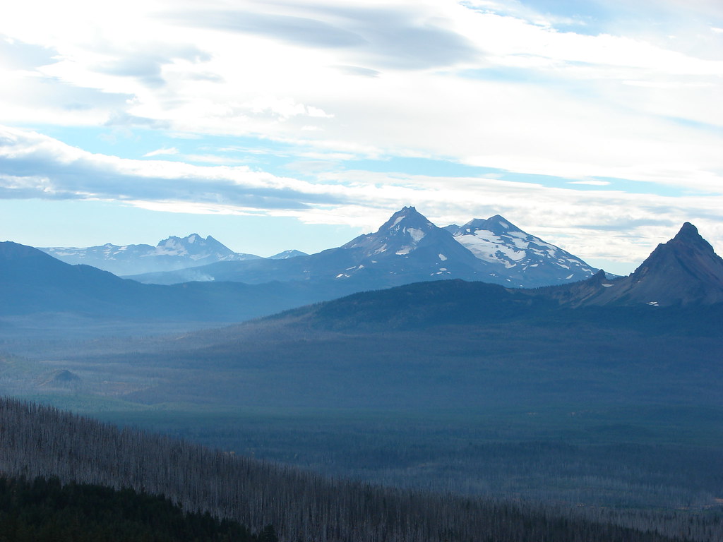
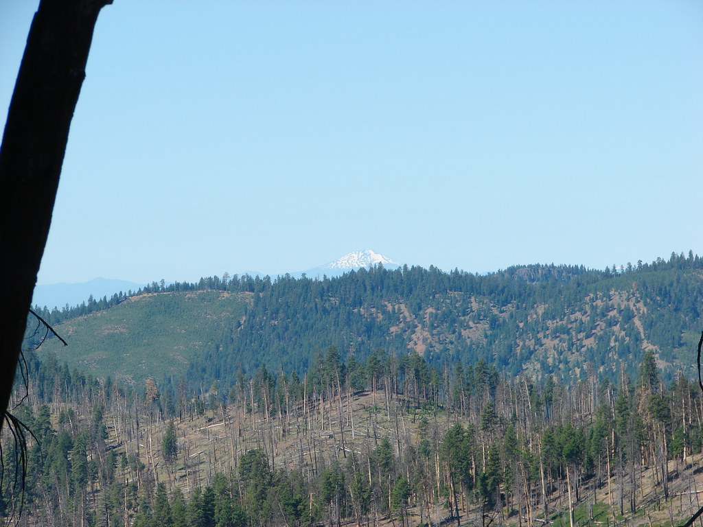
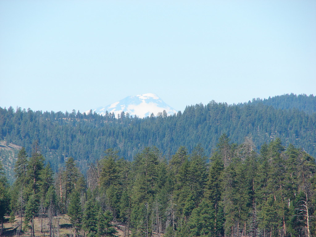
We managed to will ourselves through the final stretch and back to our car eager to get back to Bend and find some substantial food. The lack of views had been really disappointing given just how spectacular they should have been, but the real kick in the teeth came after we’d made it back to the east side of the mountains. Beyond the farms near Sisters we had a clear view of all Three Sisters as well as the bank of clouds that had plagued us all day on their western flanks.
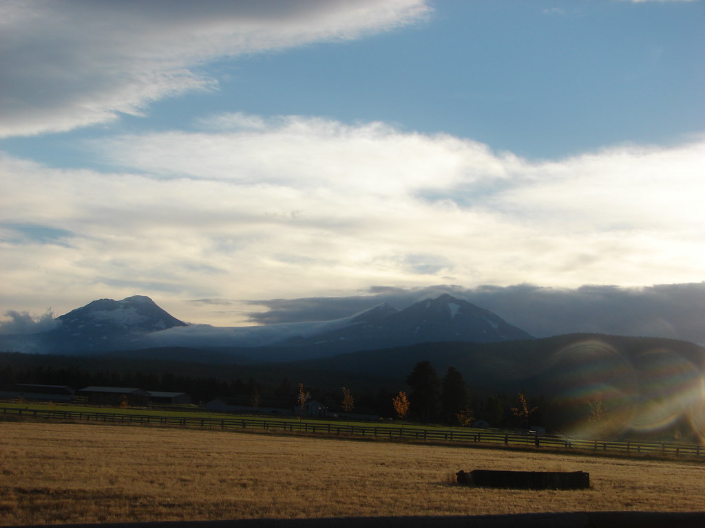
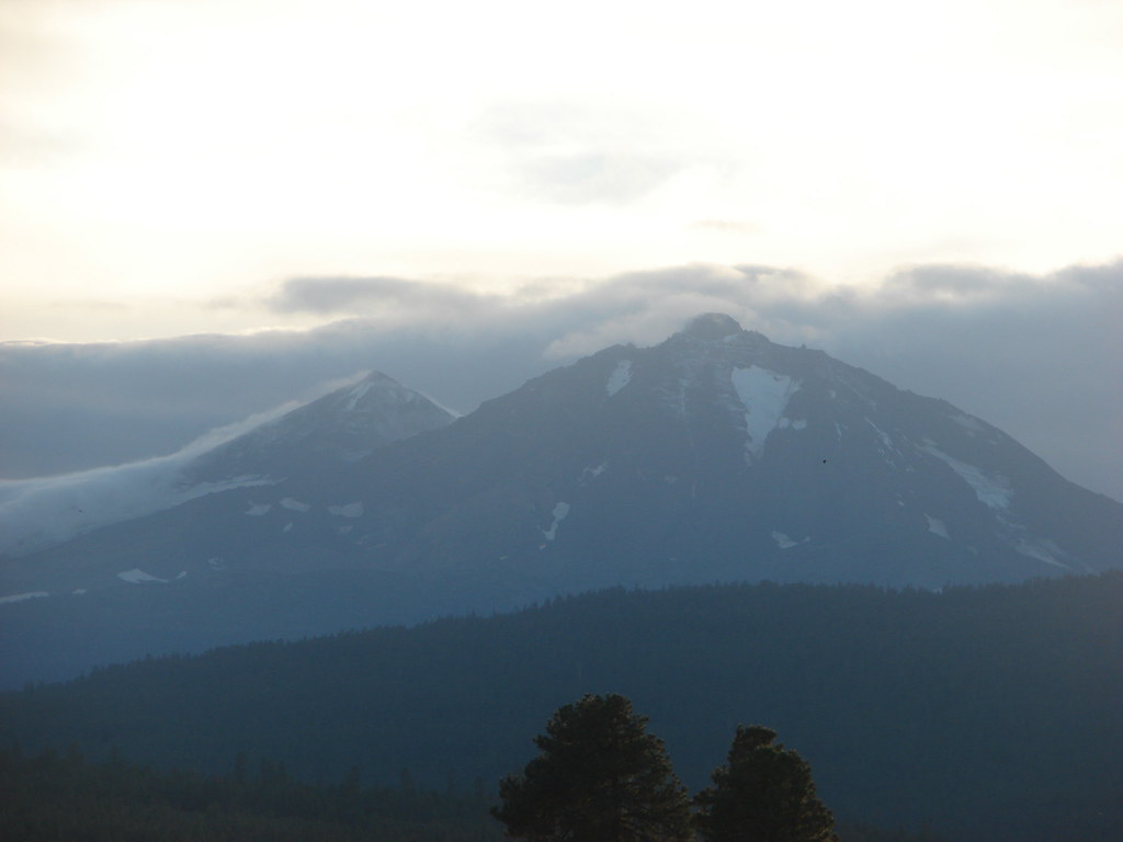
It appeared that we’d been on the wrong side of the mountains all day. Some day we’ll get back to the area which hopefully wasn’t too damaged by last years fires. Until then we have the memories of the “Hike that shall not be named”. Happy Trails!
Flickr: Obsidian Trail & Four-in-One Cone


 Mt. Jefferson
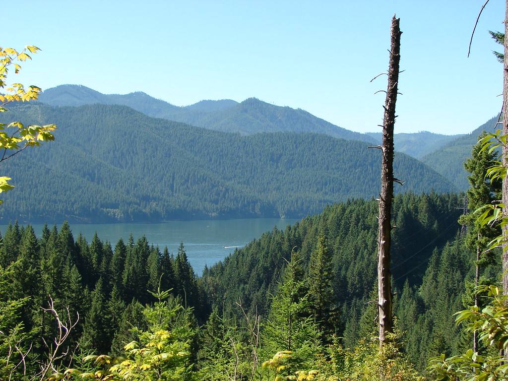 Detroit Lake
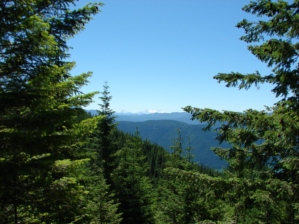 Mt. Washington and the Three Sisters
 Mt. Washington and the Three Sisters
 Mt. Jefferson

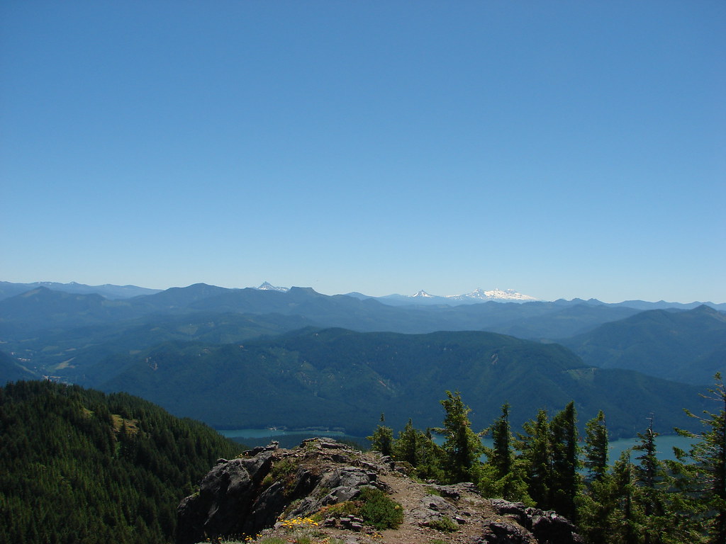 Coffin and Bachelor Mountains in front of Three Fingered Jack, Mt. Washington, and The Three Sisters
 Tumble Lake
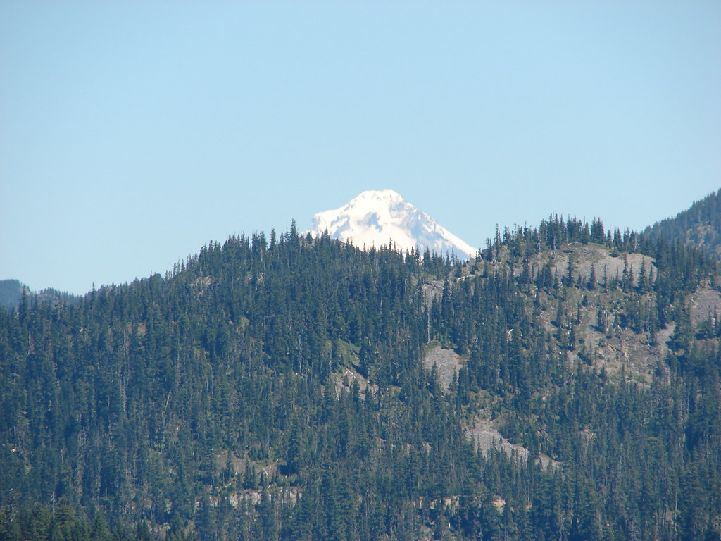 Mt. Hood
 Close up of Mt. Jefferson