After our short hikes along Hat Point Road on Sunday (post) we had shuffled our planned hikes for the rest of the week. It was going to be hot for the first half of the week with the possibility of thunderstorms Monday afternoon and evening. In addition, I was dealing with a couple of nagging left leg issues which had me wanting to avoid overly strenuous hikes.
For Monday we decided to try Hurricane Creek. Sullivan lists three options for this featured hike in his “100 Hikes Eastern Oregon” guidebook. The options are a 0.6-mile hike to Falls Creek Falls, a 6.2-mile hike to Slick Rock gorge, and a 15.4-mile hike to Echo Lake. The latter gains 3400′ of elevation, most of which comes in the final three miles to the lake. We had originally hoped to make it to the lake, but that was obviously off the table now. Our plan now was to try and make it to the gorge, but we were prepared to turn around if needed.
We arrived at the Hurricane Creek Trailhead just before 6am to try and beat both the heat and any potential thunderstorms.
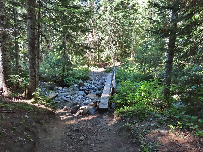
We set off on the Hurricane Creek Trail and after 0.1-miles detoured right on the Falls Creek Trail to see the falls.
Canadian milk-vetch
The Falls Creek Trail on the right.
Less than a quarter mile up this trail we arrived at a view of the falls.
Mock orange
After visiting the falls we returned to the Hurricane Creek Trail and continued on.
The Falls Creek crossing.
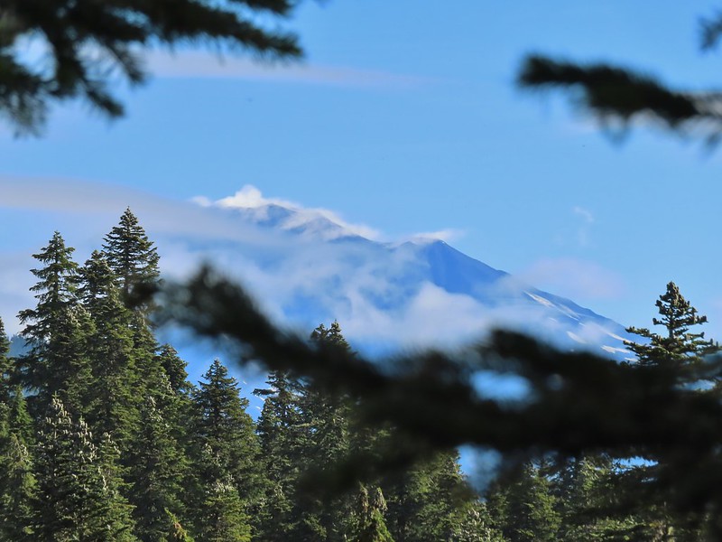
Twin Peaks from Falls Creek.
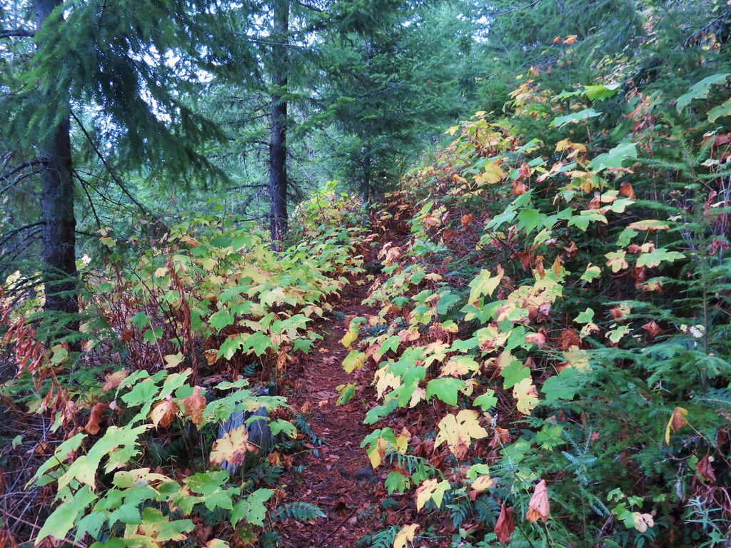
The trail followed Hurricane Creek fairly closely which provided plenty of views of it.
Geranium
Paintbrush
A paintbrush hiding in fleabane.
Robin
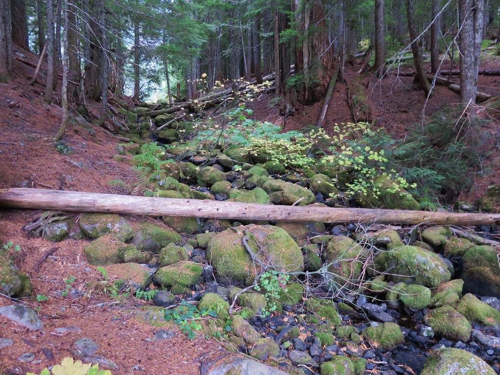
The trail crossed a rocky area caused by an avalanche.
Doe with one of her two fawns that were down at the creek at the avalanche area.
Mountain death-camas
The Hurwal Divide to the left of Sacajawea Peak.
Rosy pussytoes
Hurricane Divide (south)
At the 1.7-mile mark we came to Deadman Creek with a view of Deadman Falls.
Deadman Creek
Western tanager
Hurricane Creek
Slick Rock Creek flowing down from the right in the distance.
The trail made a couple of switchbacks to climb above Hurricane Rapids.
Just over the 3-mile mark we arrived at Slick Rock Creek.
The creek crossing.
We took a nice long break at this creek to enjoy the views and flowers. Harebells and stonecrop
Paintbrush below the falls.
Arnica
Wallowa paintbrush, yellow columbine, milk-vetch, and northern sweetvetch.
Faint rainbow in the falls.
Butterfly on Rocky Mountain goldenrod.
Yellow fleabane
This may be common butterwort, but I’m not positive.
Yellow columbine
Spider hunting a moth. There was a brief scuffle, but the moth escaped unharmed.
Penstemon
After our rest we headed back. We detoured at the base of the switchbacks to check out Hurricane Rapids.
Sagebrush mariposa lily
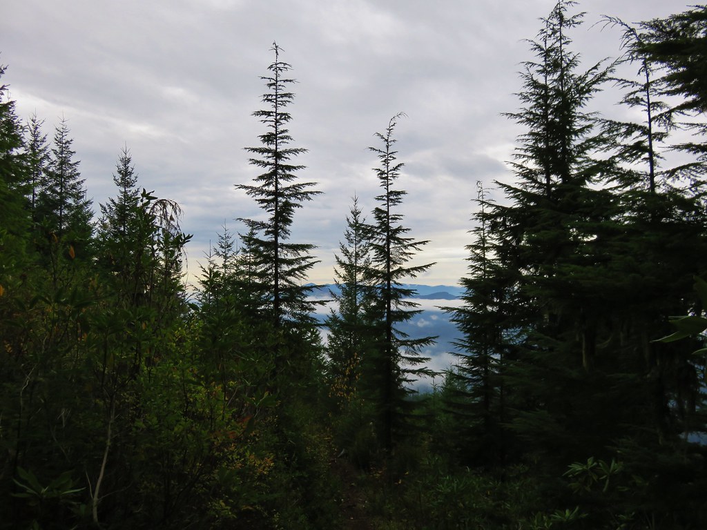
It was a warm but pleasant hike back to the car. Despite all the wildfires the views were pretty good as long as the Sun was at our backs.
Nuttal’s linathus
Wood nymph
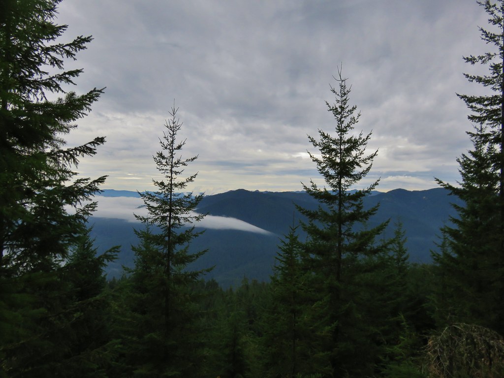
There was haze to our backs though.
Rose along the trail.
A Sulphur butterfly.
A pale crescent on fleabane.
Our hike including the two detours came to 7.3-miles with approximately 900′ of elevation gain.
My leg held up pretty well and we were finished just after 11am so we had stayed ahead of the worst of the heat. The afternoon and evening thunderstorms mostly avoided the areas where our remaining hikes for the week were located. The only bad news was that another red flag warning had been issued to Wednesday when temperatures were forecast to hit the 90’s again and more afternoon thunderstorms were possible. We adjusted our schedule again to have our next shortest outing be that morning and moved the slightly longer hike to McCully Basin up to Tuesday. It was shaping up to be an interesting week, and one that we were going to need to be very flexible with. After cleaning up in our room in Enterprise we headed to dinner at Range Rider. Happy Trails!
The horrible wildfire season finally thwarted one of our planned trips when California announced that all National Forests would be closed over Labor Day Weekend (and at least through September 17th). This was at least the third year in a row we had a backpacking trip in the Siskiyou Wilderness planned but either fire or weather has kept those plans from happening each time. Much like last September many of the areas that aren’t on fire are suffering from unhealthy air quality due to the smoke so our options were limited. (How I miss the days of rain being the driving factor on where we were going to hike.) One of the areas that has been less impacted by the smoke has been SW Washington and so we turned to that area once again for a pair of hikes over the holiday weekend. We skipped Saturday as smoke was an issue pretty much everywhere save for the Coast and Coast Range and waited for the next system to push the smoke east (sorry Central Oregon).
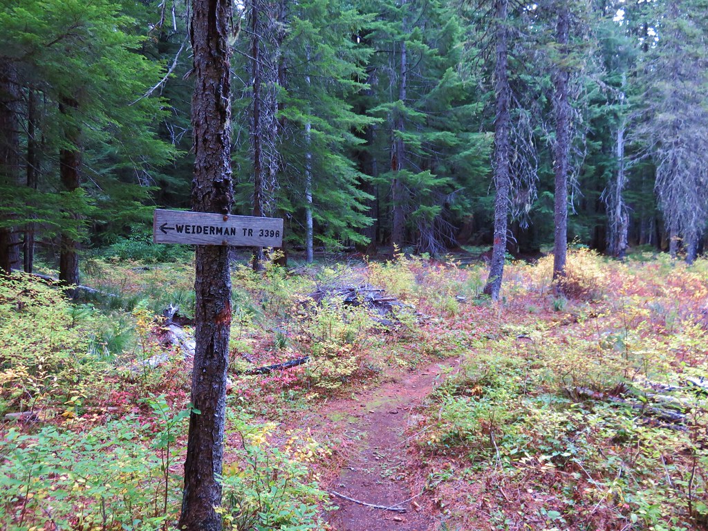
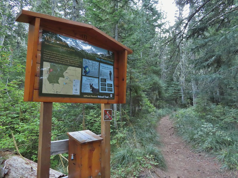
For our hike on Sunday we turned to Matt Reeder’s “Off the Beaten Trail” 2nd edition. In his Indian Racetrack and Red Mountain description (hike #15) Reeder describes an alternate loop using the unmaintained Basin Lakes Trail and the Pacific Crest Trail as an alternate to the 7.4 mile out and back that he suggests. We’d been to Indian Racetrack and Red Mountain as part of a diffent loop (post) so this other loop sounded more interesting than the out and back. We figured if the old Basin Lakes Trail was too hard to follow we could simply turn back and still do the out and back as described since it was only 2 miles to the basin then an additional mile up to the Pacific Crest Trail. We started our hike at the Falls Creek Horse Camp. The Falls Creek Trail heads southwest from the horse camp descending to Falls Creek Falls.
The trail we wanted, the Indian Racetrack Trail, began on the opposite side of Forest Road 65. There were no signs for the obvious trail.
Once we were on the trail we ignored an unsigned side trail on the right which presumably led down to Falls Creek.
Approximately 0.2 miles from FR 65 a second trail joined from the left at a wilderness signboard.
Approximately 120 yards beyond the signboard we arrived at an unsigned fork.
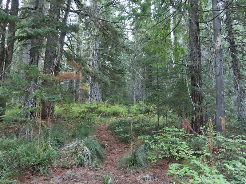
The Indian Racetrack Trail continued to the right while the abandoned Basin Lake Trail veered left. While the Forest Service no longer maintains the trail (or even lists it on their website) the tread was obvious and based on the number of road apples on the ground it is used fairly regularly by equestrians.
A half a mile up this trail we came to a small meadow where a couple of hikers were camped.
They warned us that where were quite a few trees down the closer you got to the Basin Lakes but that didn’t dissuade us and we continued on. The trees weren’t much of an issue and in most cases clear paths simply went around them.
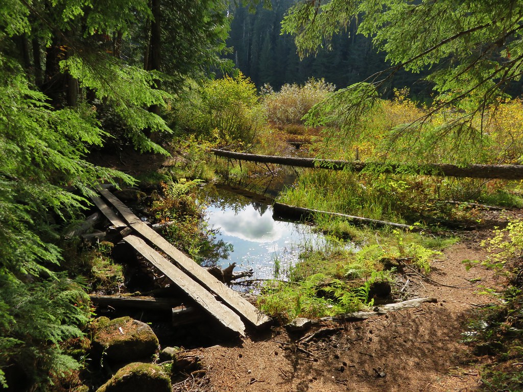
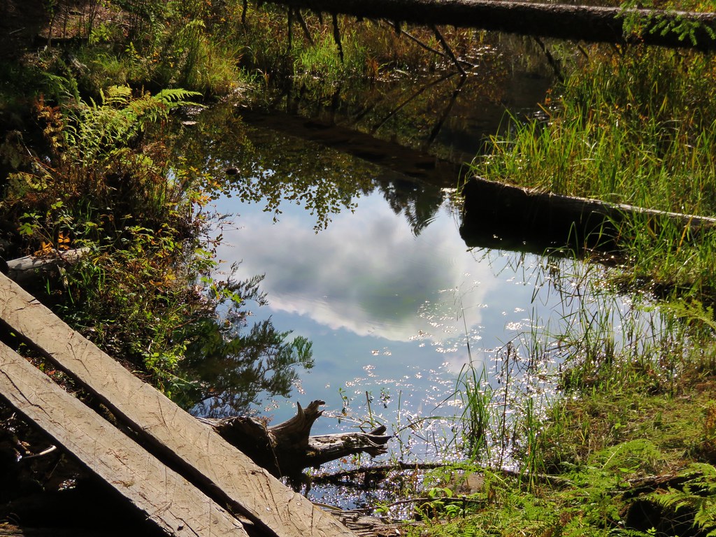
We crossed a branch of Falls Creek just under a mile along the trail.
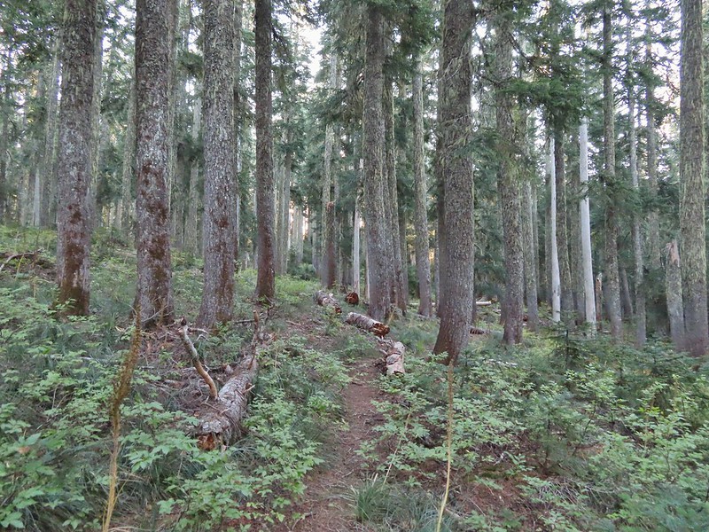
The tread continued to be fairly easy to follow for another half mile and then it vanished, at least from our sight, near a gully.
After a few minutes of hunting for it (which included crossing and recrossing the gully) we decided to simply follow the tallest ridge in the direction of the lakes using our GPS and Reeder’s map. A quarter mile later we were looking down at Peggy Lake on our left.
We stayed on the ridge above Peggy Lake and turned on the far end made a hard right toward Janet Lake. Typical vegetation and trees on the ridge.
We rediscovered tread as we dropped to a saddle near Janet Lake.
Sign at the saddle between Peggy and Janet Lakes.
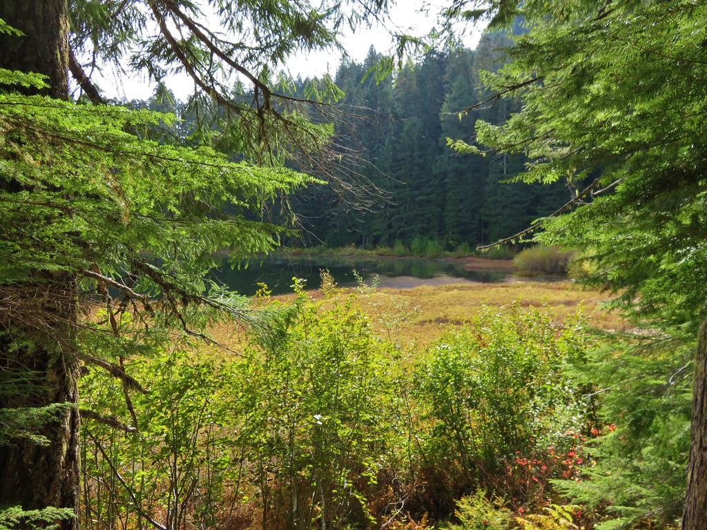
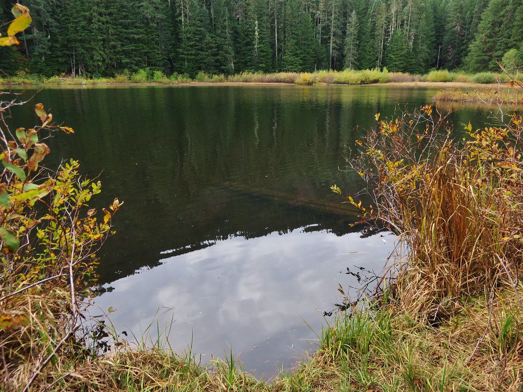
We did walk down to the bank of Janet Lake to admire its reflection.
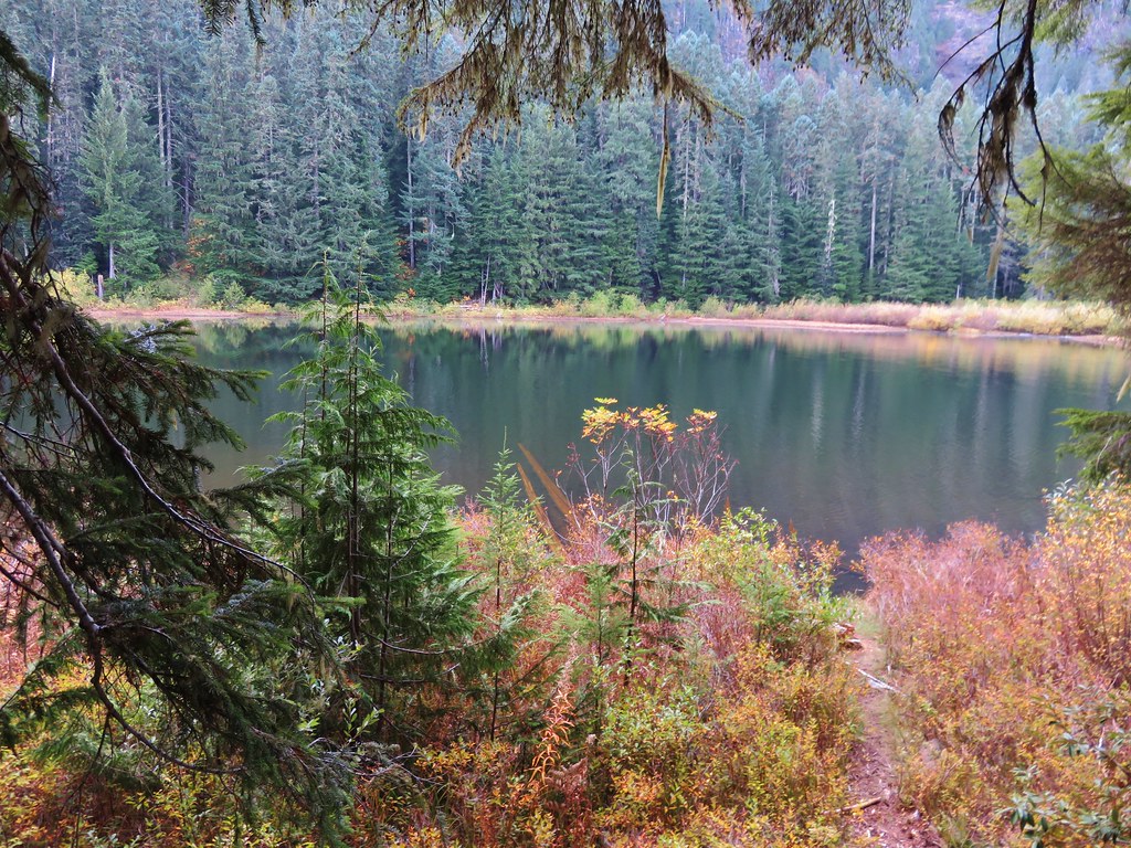
From Janet Lake it was another 0.1 miles to an unnamed (at least officially) Basin Lake, sometimes on tread and sometimes not.
Sleepy ducks
I believe Oregon Hikers calls this one “Cindy Lake”.
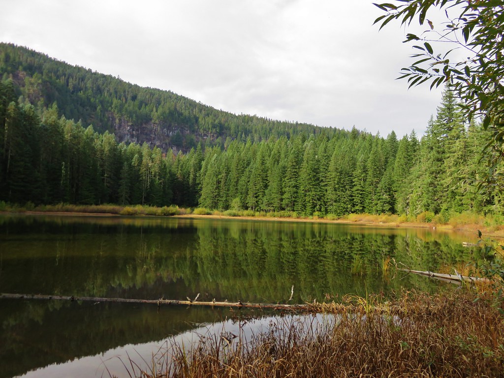
We passed another lake on our left a quarter mile later.
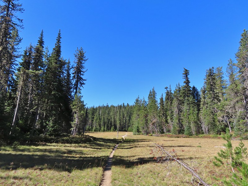
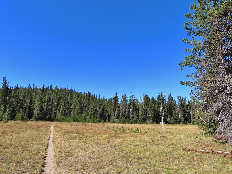
That was followed by what appeared to be a mostly dry lake bed on the right, now filled with green grass.
We were now at the eastern end of the basin facing a steep climb up to the Pacific Crest Trail. We needed to gain almost 500′ to reach that trail and at the moment we weren’t sure if there was any tread to follow up.
We scanned the hillside but couldn’t pick anything out so we put our route finding hats on and identified a small saddle where it looked like a trail would go and headed for it. As we approached we stumbled on tread.
The small saddle we’d been aiming for.
From there we were able to follow a faint path up and out of the basin.
Heather down to the right between a couple of trees.
Me getting close to the top.
The top of the ridge.
The Pacific Crest Trail runs right along the ridge (despite where it’s shown on Google Maps) and passes over the top of Berry Mountain to the south. After catching our breath we turned right and headed toward Berry Mountain and yet more climbing.
Fortunately it was the PCT so the climb was relatively gradual as it switchbacked up 170′ in 0.4 miles.
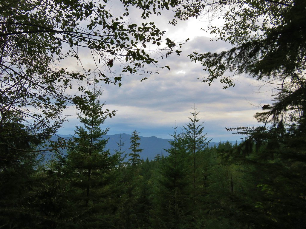
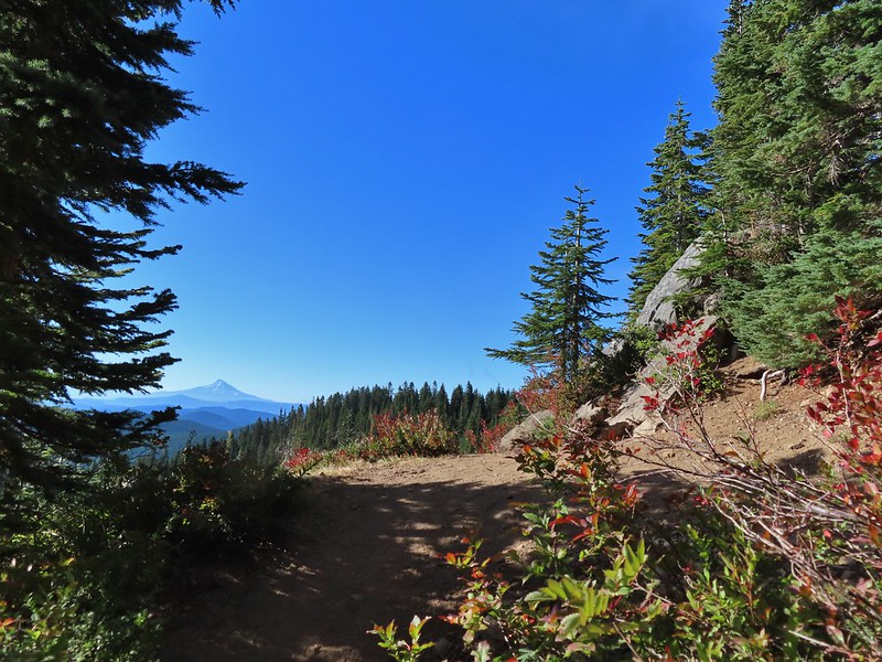
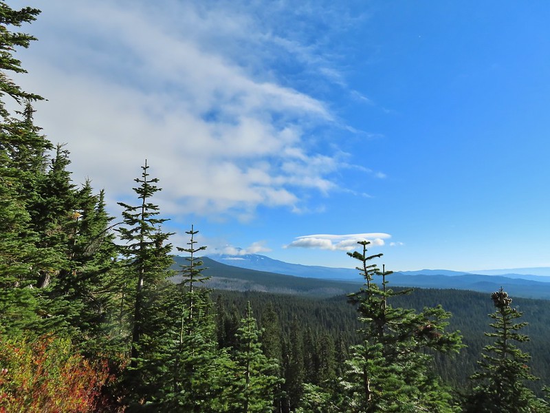
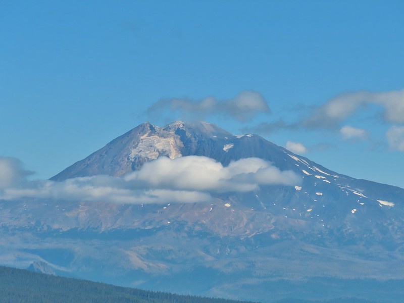
At a switchback a bit below the summit we were treated to a spectacular view of Mt. Hood.
Mt. Jefferson was also visible to the right of Mt. Hood. Unfortunately so was the smoke being produced by the Bull Complex Fire which destroyed the historic Bull of the Woods Lookout (post) on Labor Day 😦 .
Autumn is on the way, bring on the rain please.
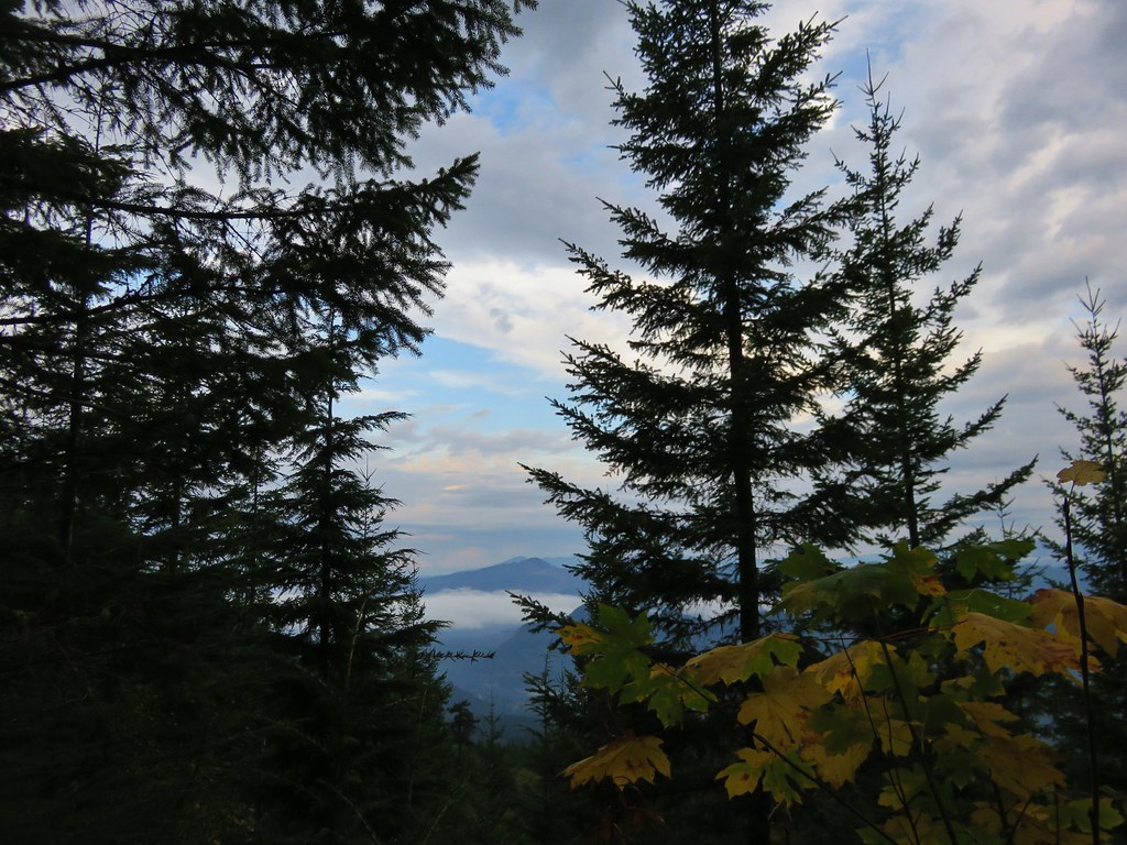
The PCT stuck to the long summit which would have also provided good views of Mt. Adams and Mt. St. Helens on a clearer day. Mt. Adams
Looking toward Mt. St. Helens
The peaks in the Trapper Creek Wilderness (post) to the west.
We finally began to descend from Berry Mountain and after 3 miles on the PCT arrived at a signed junction for the Indian Racetrack Shortcut Trail. Cliffs on Berry Mountain
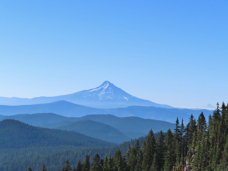
Mt. Hood as we headed downhill.
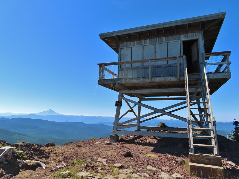
Red Mountain and its lookout tower.
This beargrass is way off schedule.
On our previous hike we’d arrived at this junction from the other direction so when we turned right we one a somewhat familiar trail. After a brief stint in the forest the trail entered larger and larger meadows.
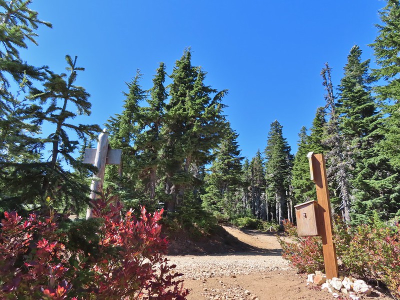
After a half mile we arrived at the Indian Racetrack Trail arriving on our right.
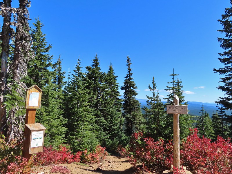
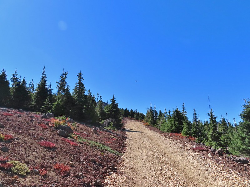
This would be the route back to our car but first we wanted to revisit the lookout on Red Mountain so we continued straight for approximately 50 yards and turned left at a pointer for the Indian Racetrack Trail.
We followed the trail 0.8 miles to a road and then followed the road another quarter mile to the lookout gaining a total of 700′ along the way.
Mt. Adams from a viewpoint along the way.
We passed two sets of hikers on their way down, the second of which mentioned having accidentally driven to the lookout. Apparently someone had vandalized the gate which allowed vehicles to drive up the road. Hopefully the Forest Service can get that remedied quickly as Google still shows the Indian Racetrack Trailhead on Red Mountain.
Not sure if someone forced the door open too or not.
View of Mt. Adams beyond Indian Heaven.
Photo taken from the doorway, it looked like nothing had been vandalized.
Mt. St. Helens still hiding behind that line of clouds.
We took a long enough break at the summit to get to a brief glimpse of Mt. St. Helens summit.
Mt. Adams with a few clouds passing by.
Mt. Hood with smoke from the Bull Complex behind.
We headed back down the Indian Racetrack Trail to Indian Racetrack and then continued on it past Race Track Lake. We passed quite a few hikers on our way down and saw more at Indian Racetrack. Indian Heaven Wilderness sign on Red Mountain with Mt. Adams in the background.
Race Track Lake on the left.
It was 2.3 miles total from the junction back to the Falls Creek Horse Camp. We continued to see more and more hikers and were once again glad we’d gotten an early start allowing us to have the lookout to ourselves. Hardhack
Footbridge over Falls Creek.
Falls Creek
Butterfly near Falls Creek.
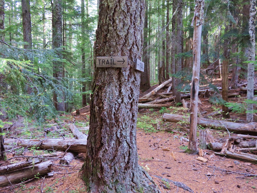
Sign at the final trail junction near FR 65.
Reeder called this a 12 mile loop but our GPS came in at 11.2 miles which was a nice surprise. Total elevation gained was approximately 2850′. For this loop route finding, map, and navigation skills are highly recommended, otherwise the out and back option still provides a nice hike. Happy Trails!
Orange represents the old Basin Lakes Trail which is not shown on most maps.
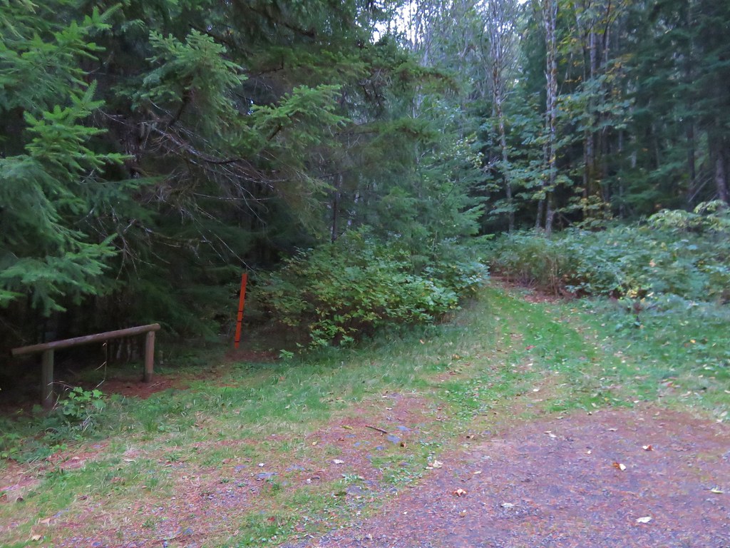
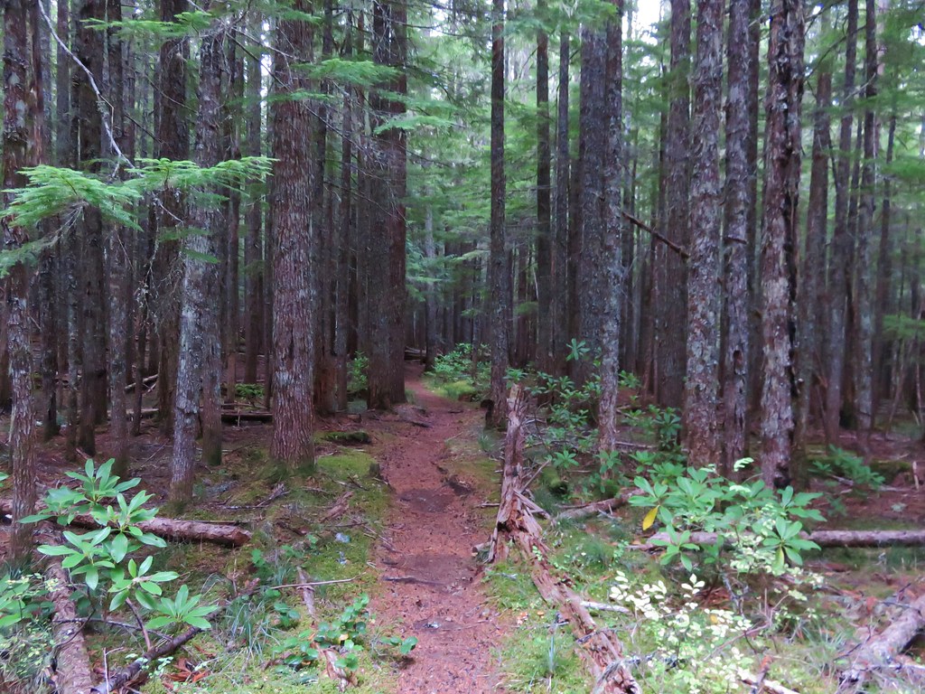
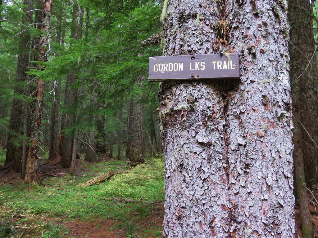
We continued our recent trend of choosing our hikes based on the weather forecast and wound up picking the Gordon Lakes Trail for our most recent hike. We chose this trail because it stayed mostly in the forest with very limited view opportunities that wouldn’t be spoiled by the rainy forecast. The Gordon Lakes Trail covers a little over 7 miles between eastern and western trailheads. We began our hike at the west trailhead located on Forest Service Road 325 outside of Sweet Home. There was some disagreement on how to reach road 325 between our field guide, the Forest Service, and Google Maps. They all agreed that from Sweet Home we needed to drive Highway 20 east 19 miles to milepost 46 and turn right on a forest service road for approximately 5 miles. Our field guide gave this road the number 2031 while the Forest Service numbered it 2044. Google Maps showed 2032 as the number which was the number we found on the stake as we turned onto this road. We managed to follow this winding road fairly easily to a hiker symbol on the right across from road 325. The signless parking area was 100 yards uphill to the left on road 325. //embedr.flickr.com/assets/client-code.js
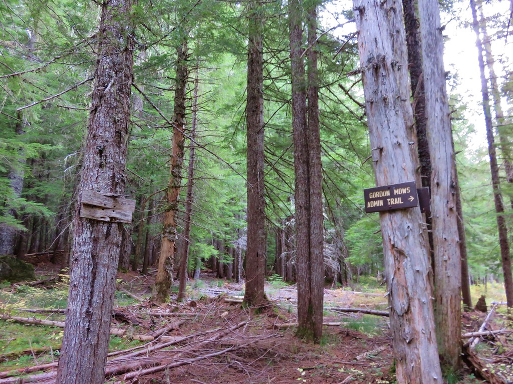
Our next bit of confusion came as we got ready to set off. There were no signs indicating the location of the trail. Two old roads led off from the parking area in the same general direction, one downhill and the other uphill and the hiker sign was back downhill across road 2032. The road leading uphill looked like it was a trail, but the map I had looked at for the trail appeared to show a trail switchbacking downhill from the trailhead which I later realized was my misreading the topographic map. After several minutes of exploring the uphill road and consulting the GPS we decided that it was in fact the trail and began climbing. //embedr.flickr.com/assets/client-code.js
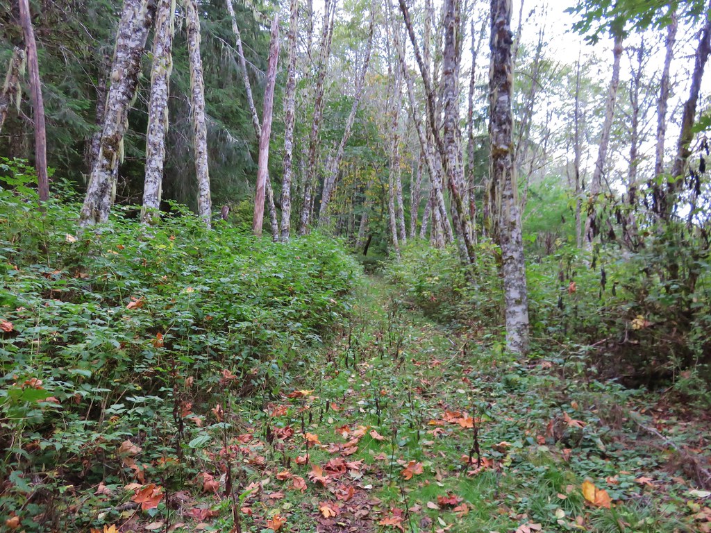
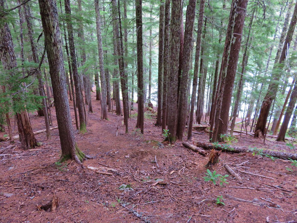
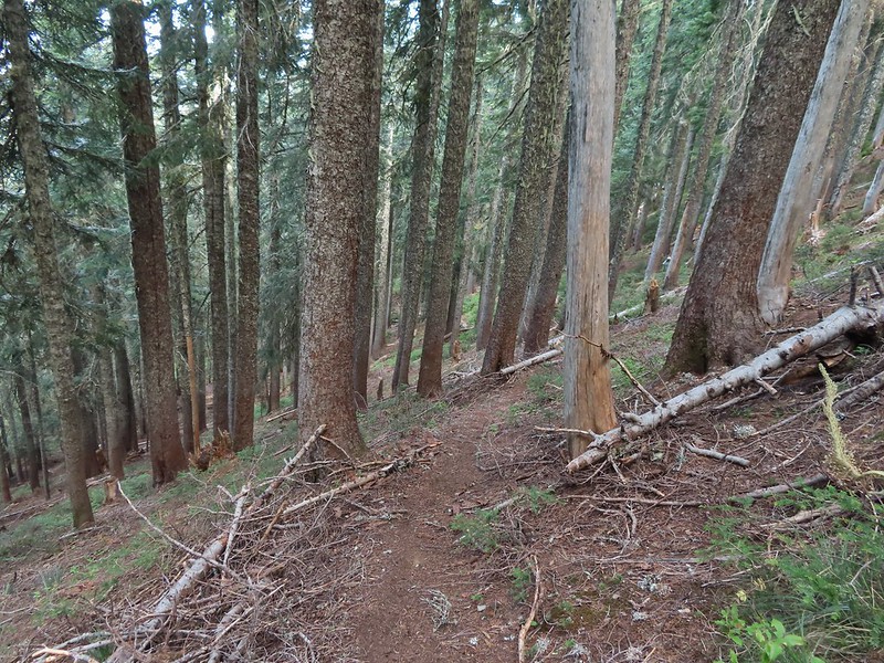
The trail left the road behind and began switchbacking uphill through a previously logged area where we could see a little of the valley below. //embedr.flickr.com/assets/client-code.js
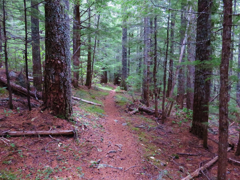
After the switchbacks the trail entered older forest and crossed a pair of roads where there were still no signs indicating where or what the trail was. //embedr.flickr.com/assets/client-code.js
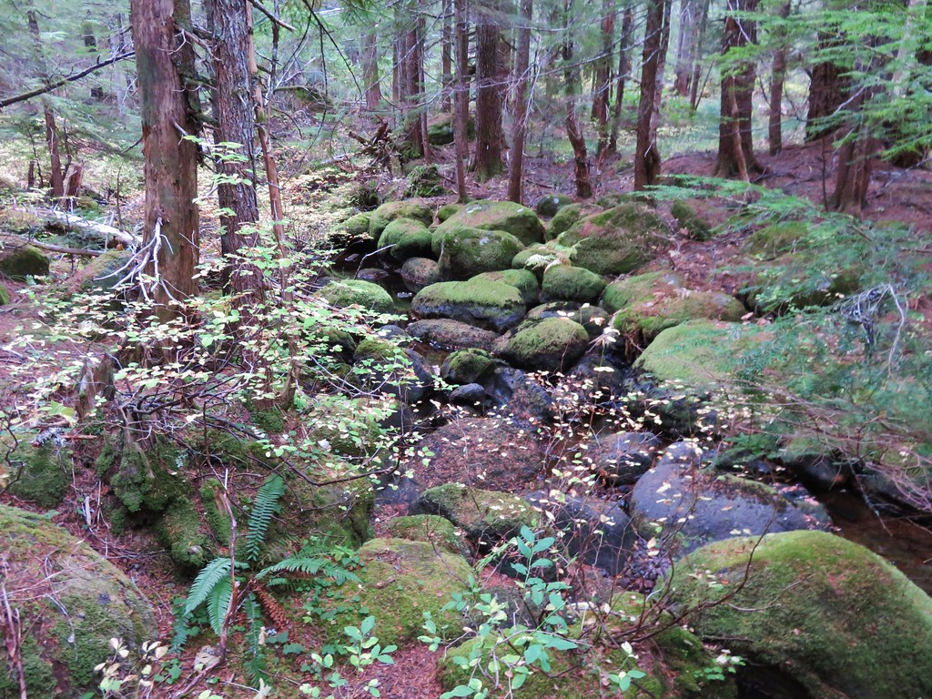
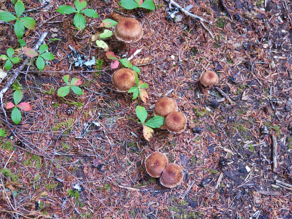
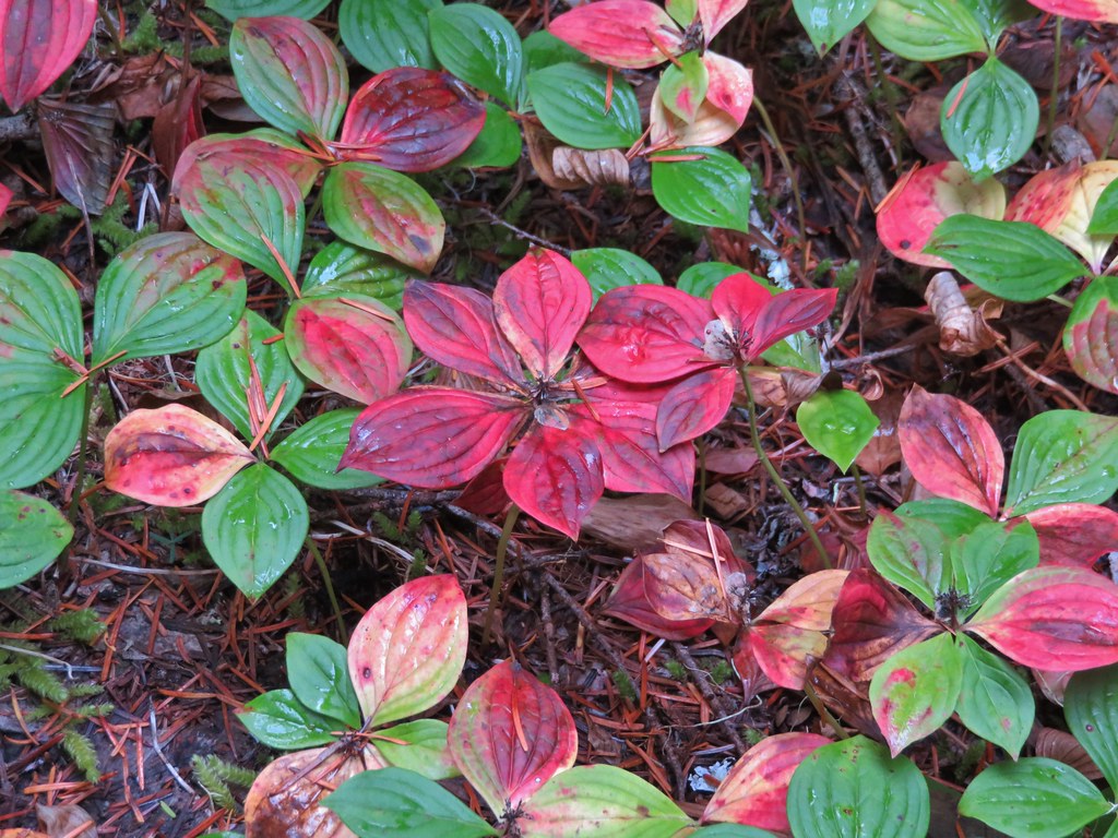
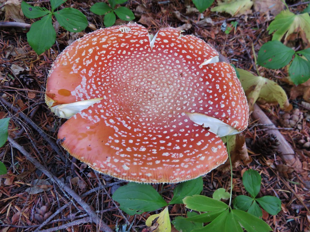
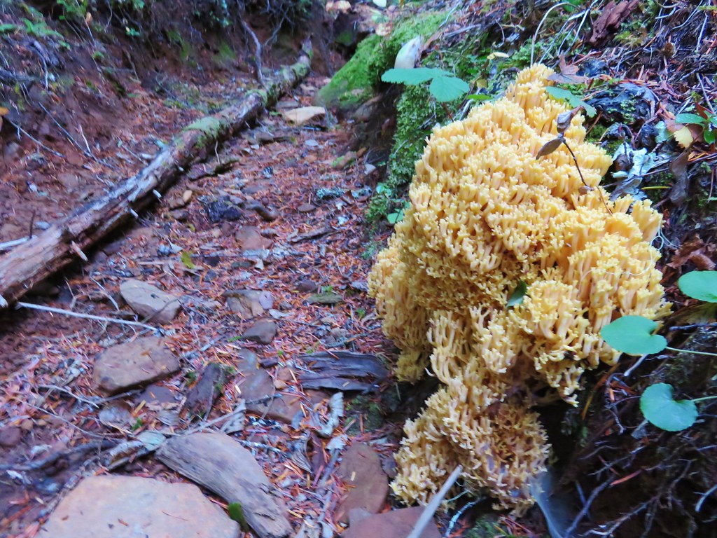
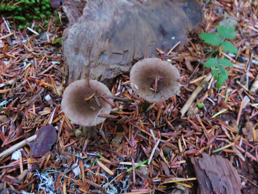
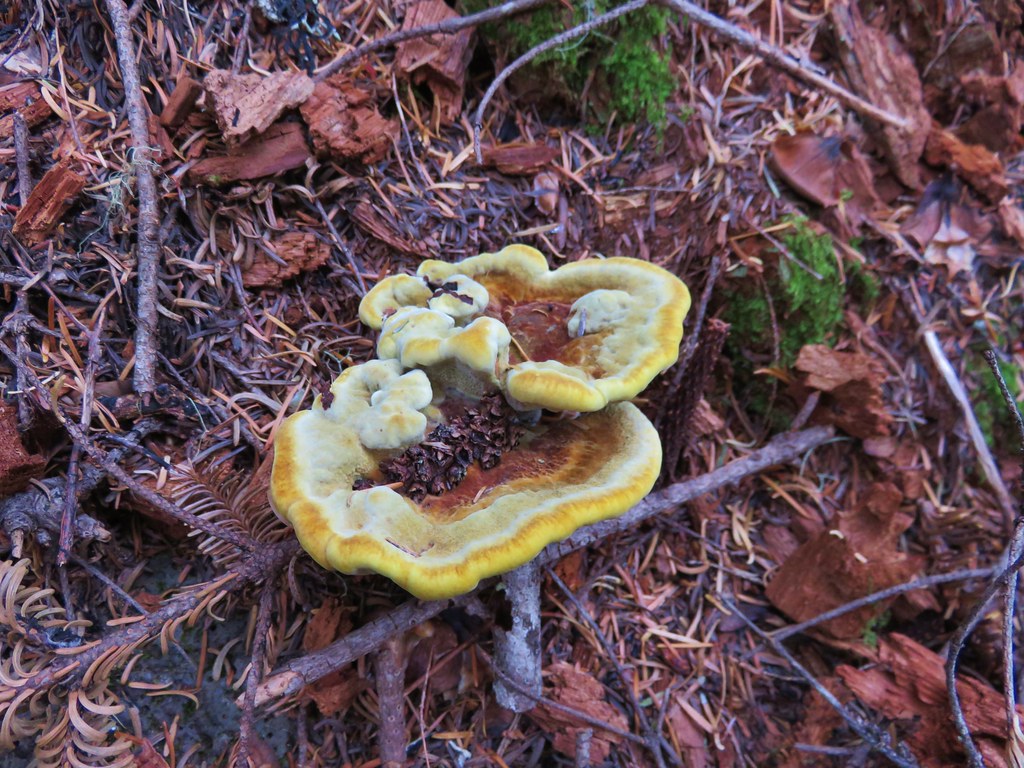
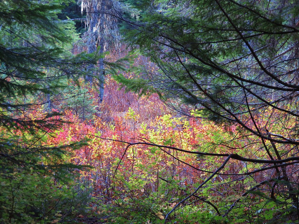
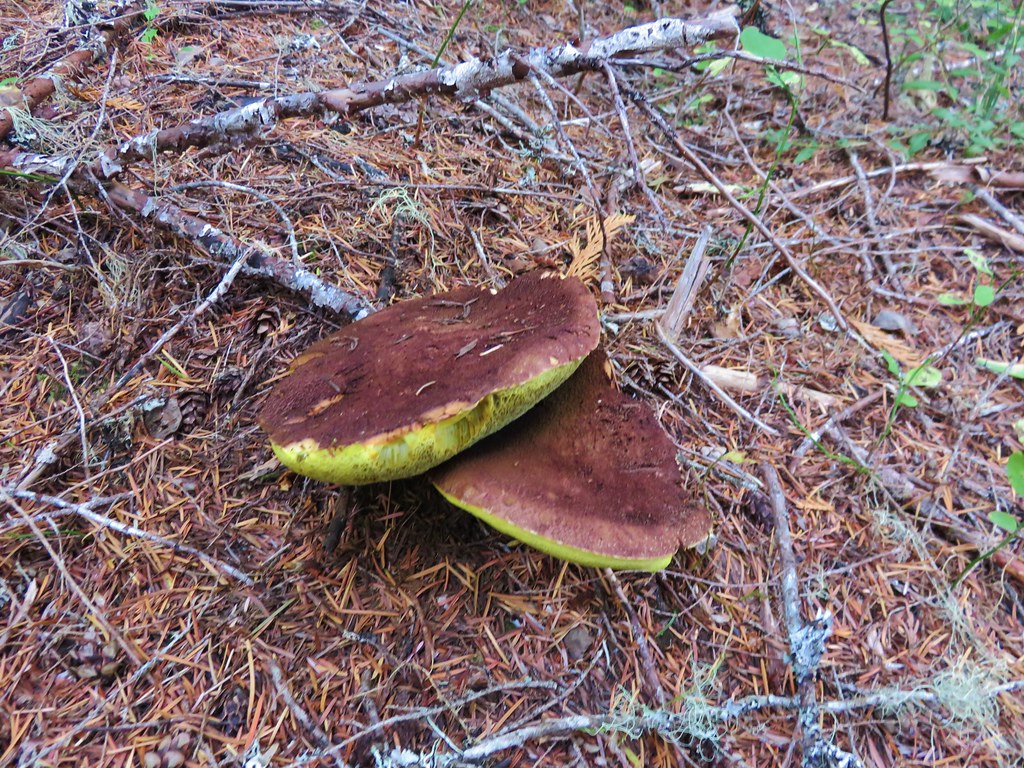
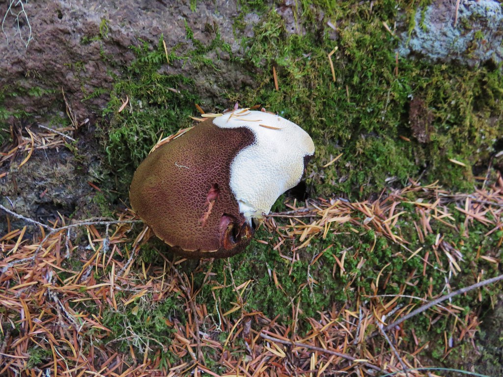
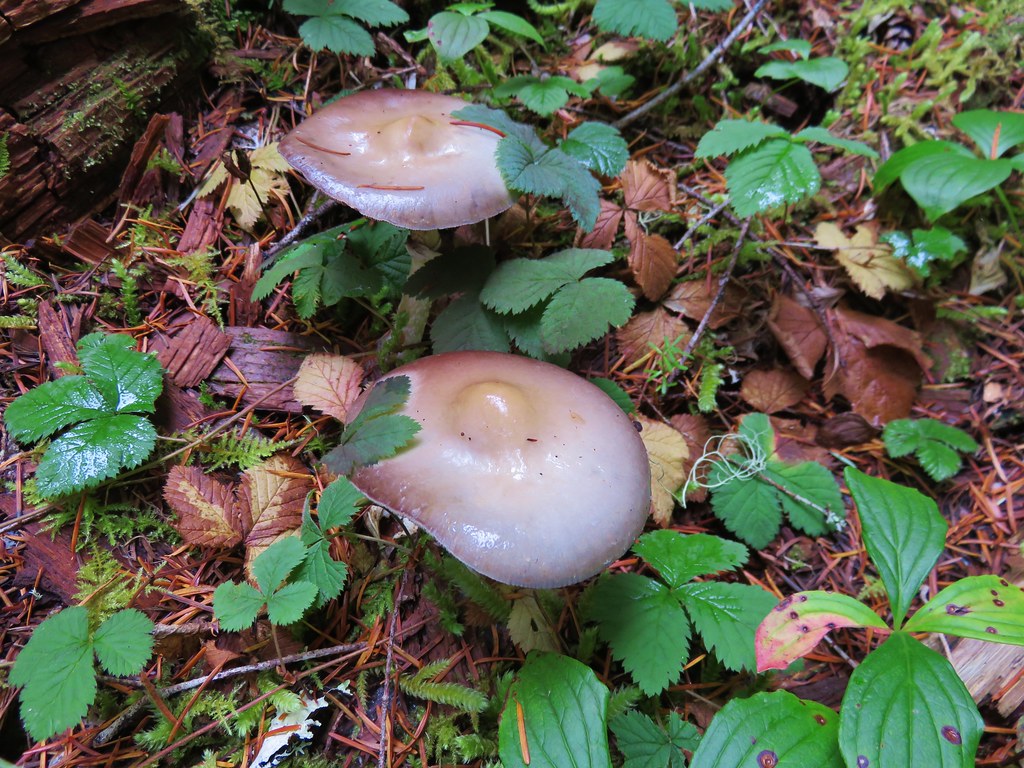
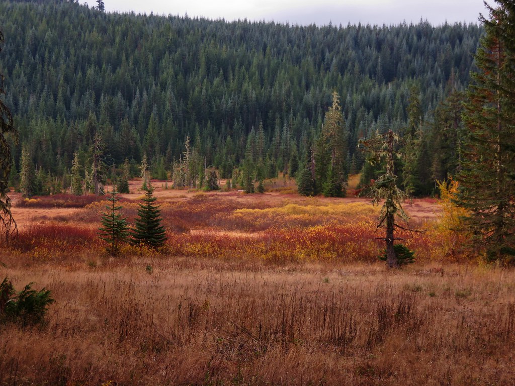
The first feature we were looking for was Falls Creek which the trail would parallel much of the way. There wasn’t much water in the creek but it was still pleasant and the fall colors and various mushrooms and fungi along the trail made it feel very much like Autumn. //embedr.flickr.com/assets/client-code.js
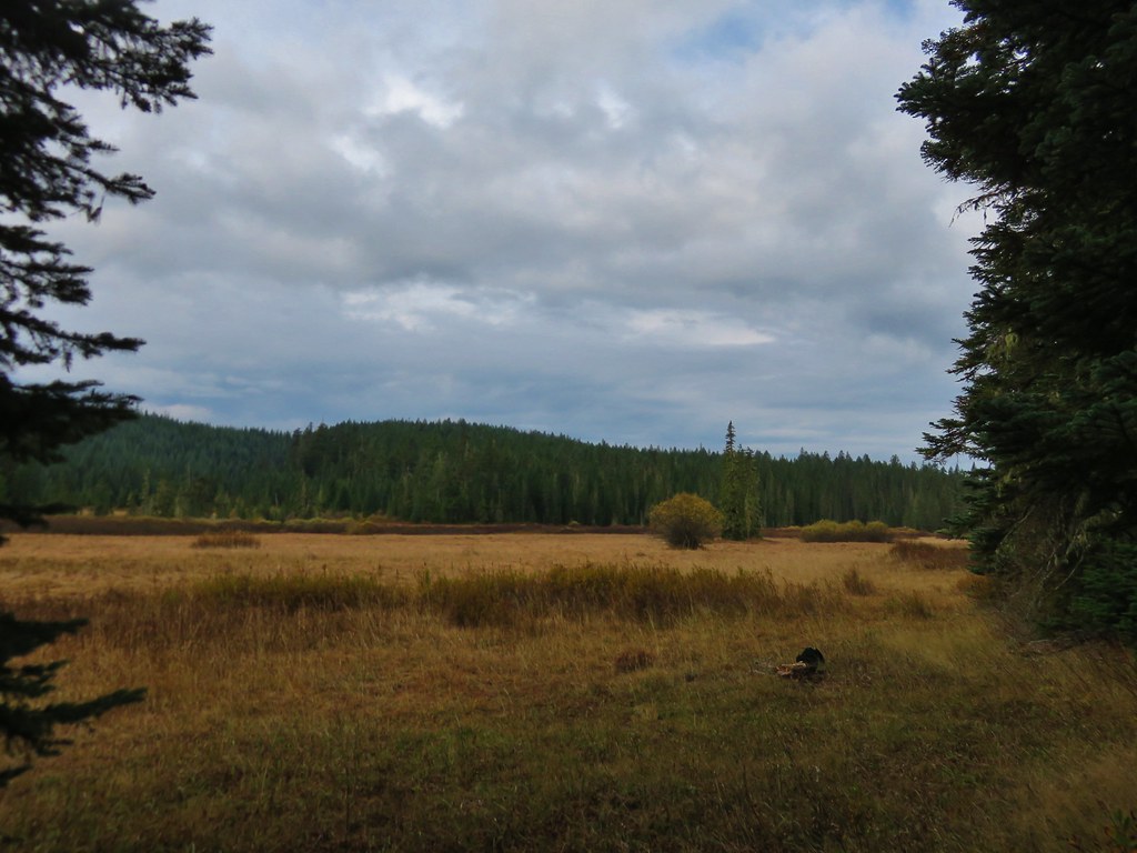
Described as “marshy” in our field guide the meadows were much larger than we had expected. Being late in such a dry year the meadows seemed rather dry as we passed by on the trail. //embedr.flickr.com/assets/client-code.js
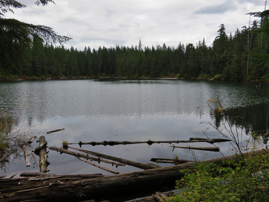
The trail had been climbing very gradually since leaving the switchbacks behind near the beginning of the hike but we began encountering some steeper climbs beyond the meadows. The trail climbed up and over a series of ridge ends as we headed for Gordon Lakes. Just over 3 miles from Gordon Meadows we arrived at a fork in the trail near the lakes. //embedr.flickr.com/assets/client-code.js
The signs pointed us toward the right hand fork while the GPS unit showed the left hand fork as the official trail. We went right following the signs to the northern Gordon Lake. //embedr.flickr.com/assets/client-code.js
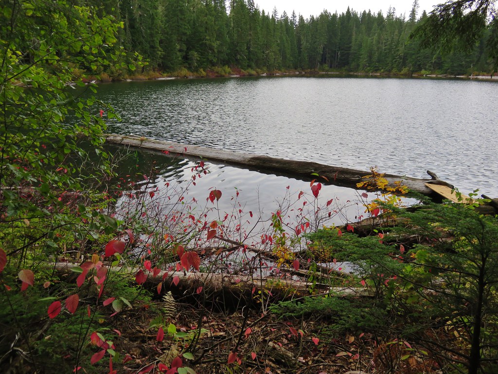
The rain that had been in the forecast had not materialized and we were enjoying some sun breaks in the clouds as the trail crossed the small outlet creek that flowed down into the lower southern lake. //embedr.flickr.com/assets/client-code.js
After having a snack we left the northern lake and passing over the ridge between the two lakes and heading down toward the southern lake. //embedr.flickr.com/assets/client-code.js
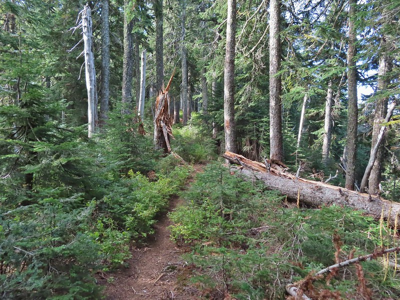
We followed the path uphill where we discovered that there were a few downed trees across the trail which may have been why the signs had pointed to the other fork of the trail, but we made our way past the blowdown and climbed back up to the fork. We headed back making our way over the ridge ends, past Gordon Meadows, and started back down the switchbacks. We still hadn’t experienced any rain but the clouds in the valley were on the move. //embedr.flickr.com/assets/client-code.js
It finally started to rain when we were back on the old roadbed heading down to the parking area less than 5 minutes away. Our total mileage clocked in at 15.4 miles, but Gordon Lakes can be reached from the eastern end of the trail in less than half a mile by starting at the trailhead on Forest Service Road 230. Happy Trails!


 Canadian milk-vetch
 The Falls Creek Trail on the right.


 Mock orange
 The Falls Creek crossing.
 Twin Peaks from Falls Creek.
 Geranium
 Paintbrush

 A paintbrush hiding in fleabane.
 Robin
Robin The trail crossed a rocky area caused by an avalanche.
 Doe with one of her two fawns that were down at the creek at the avalanche area.
 Mountain death-camas
 The Hurwal Divide to the left of Sacajawea Peak.
 Rosy pussytoes
 Hurricane Divide (south)

 Deadman Creek
 Western tanager
 Hurricane Creek


 Slick Rock Creek flowing down from the right in the distance.


 The creek crossing.
 Harebells and stonecrop
 Paintbrush below the falls.
 Arnica
 Wallowa paintbrush, yellow columbine, milk-vetch, and northern sweetvetch.
 Faint rainbow in the falls.
 Butterfly on Rocky Mountain goldenrod.
 Yellow fleabane
 This may be common butterwort, but I’m not positive.
 Yellow columbine
 Spider hunting a moth. There was a brief scuffle, but the moth escaped unharmed.
 Penstemon

 Sagebrush mariposa lily

 Despite all the wildfires the views were pretty good as long as the Sun was at our backs.


 Nuttal’s linathus
 Wood nymph
 There was haze to our backs though.
 Rose along the trail.
 A Sulphur butterfly.
 A pale crescent on fleabane.

 There were no signs for the obvious trail.

 Entering the


 Typical vegetation and trees on the ridge.
 We rediscovered tread as we dropped to a saddle near Janet Lake.
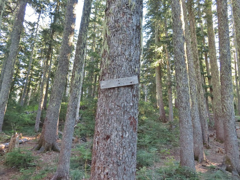 Sign at the saddle between Peggy and Janet Lakes.


 Sleepy ducks
 I believe Oregon Hikers calls this one “Cindy Lake”.

 The small saddle we’d been aiming for.

 Heather down to the right between a couple of trees.
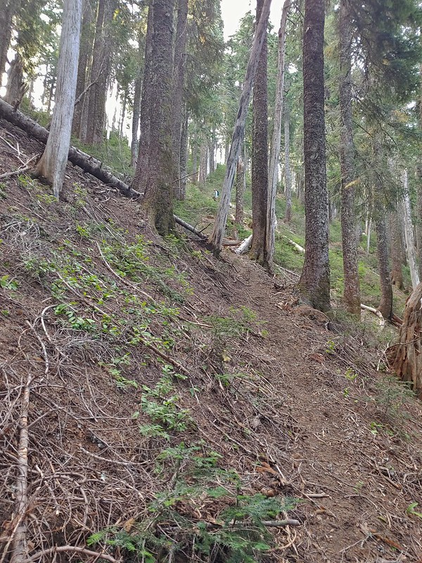 Me getting close to the top.
 The top of the ridge.
 Mt. Adams in some clouds.
 Mt. St. Helens behind a line of clouds.
 Gifford Peak (
 Chipmunk

 Mt. Jefferson was also visible to the right of Mt. Hood. Unfortunately so was the smoke being produced by the Bull Complex Fire which destroyed the historic Bull of the Woods Lookout (
 Autumn is on the way, bring on the rain please.
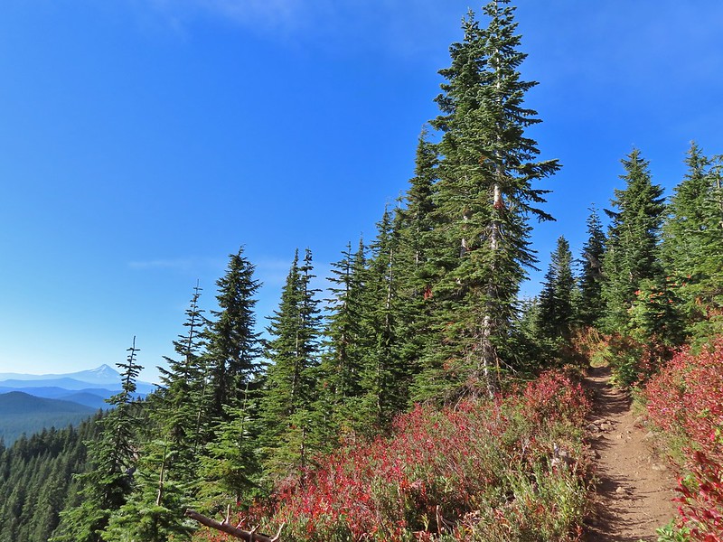
 Mt. Adams
 Looking toward Mt. St. Helens
 The peaks in the Trapper Creek Wilderness (
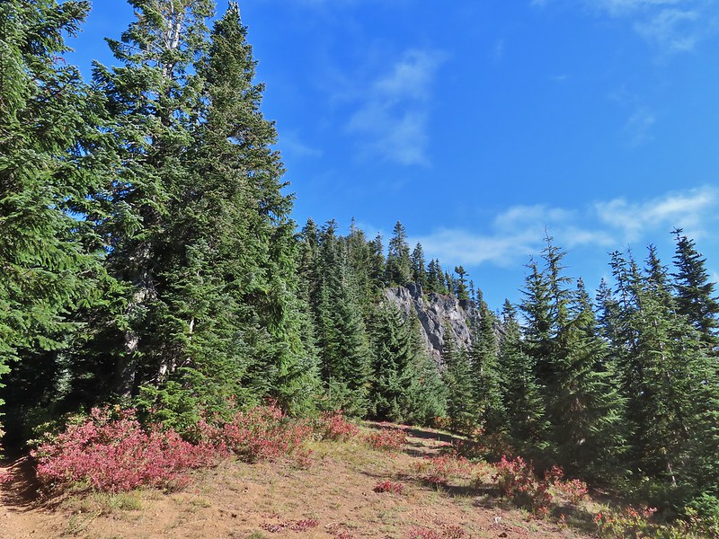 Cliffs on Berry Mountain
 Mt. Hood as we headed downhill.
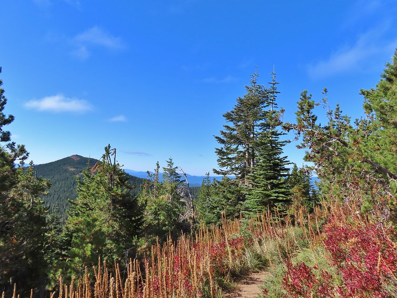 Red Mountain and its lookout tower.
 This beargrass is way off schedule.


 Mt. Adams from a viewpoint along the way.


 Not sure if someone forced the door open too or not.
 View of Mt. Adams beyond Indian Heaven.
 Photo taken from the doorway, it looked like nothing had been vandalized.
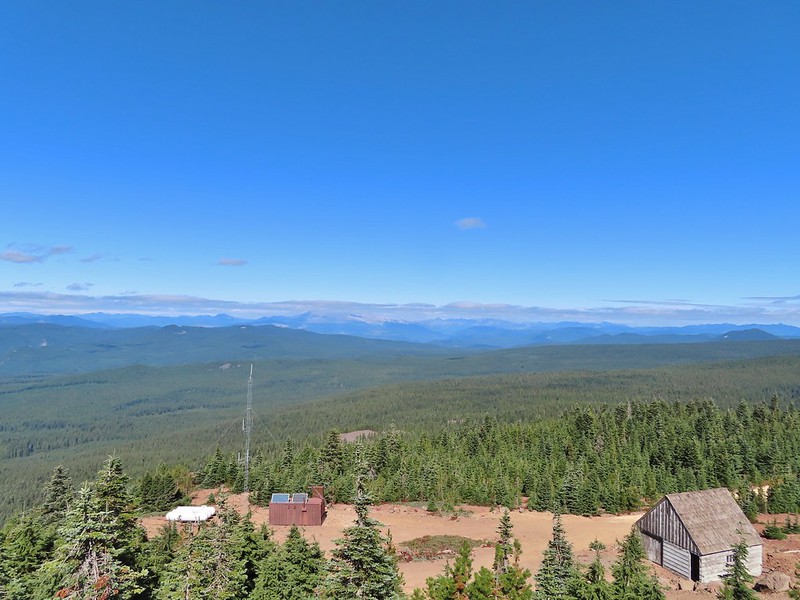 Mt. St. Helens still hiding behind that line of clouds.
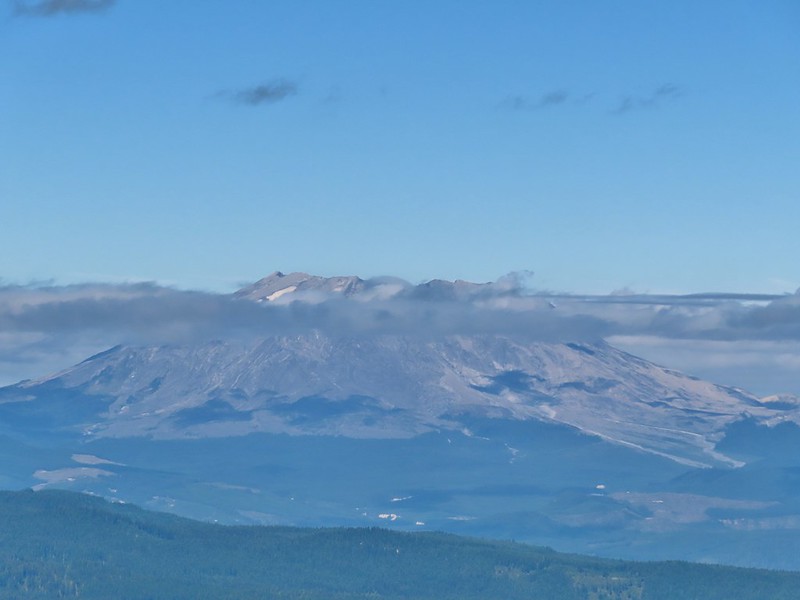
 Mt. Adams with a few clouds passing by.
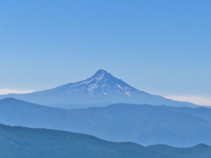 Mt. Hood with smoke from the Bull Complex behind.
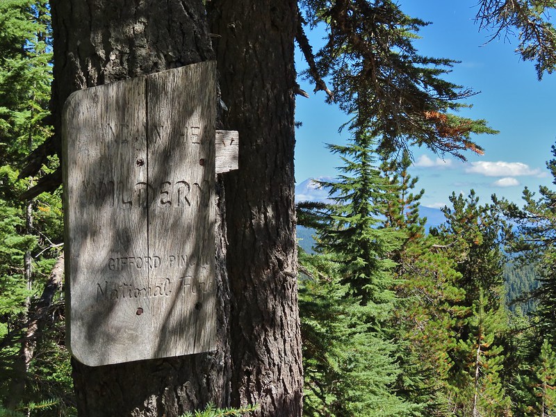 Indian Heaven Wilderness sign on Red Mountain with Mt. Adams in the background.
 Race Track Lake on the left.

 Hardhack
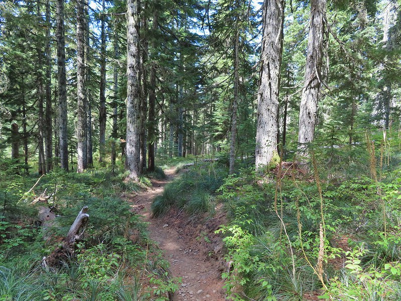
 Footbridge over Falls Creek.
 Falls Creek
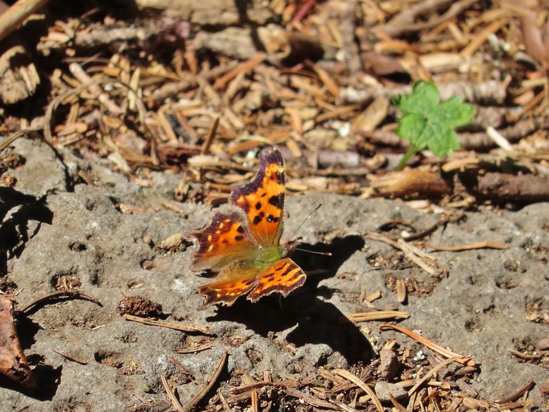 Butterfly near Falls Creek.
 Sign at the final trail junction near FR 65.