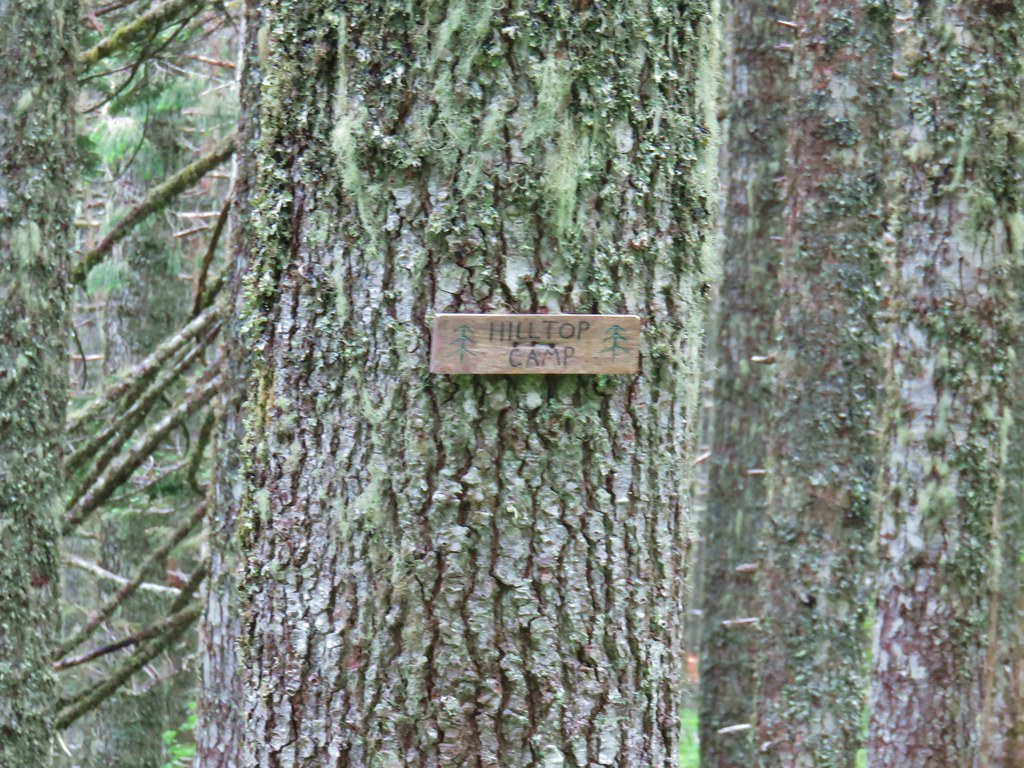
The horrible wildfire season finally thwarted one of our planned trips when California announced that all National Forests would be closed over Labor Day Weekend (and at least through September 17th). This was at least the third year in a row we had a backpacking trip in the Siskiyou Wilderness planned but either fire or weather has kept those plans from happening each time. Much like last September many of the areas that aren’t on fire are suffering from unhealthy air quality due to the smoke so our options were limited. (How I miss the days of rain being the driving factor on where we were going to hike.) One of the areas that has been less impacted by the smoke has been SW Washington and so we turned to that area once again for a pair of hikes over the holiday weekend. We skipped Saturday as smoke was an issue pretty much everywhere save for the Coast and Coast Range and waited for the next system to push the smoke east (sorry Central Oregon).
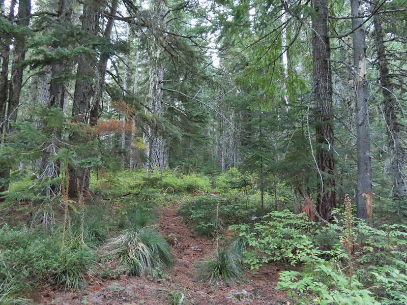
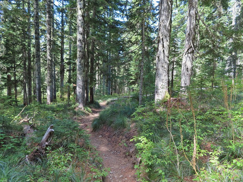
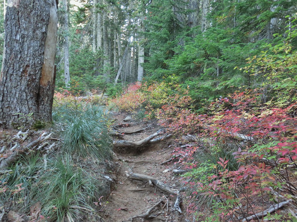
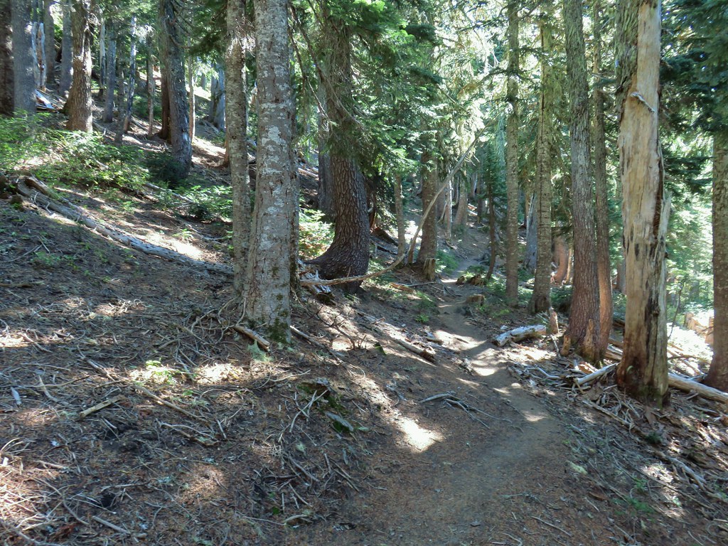
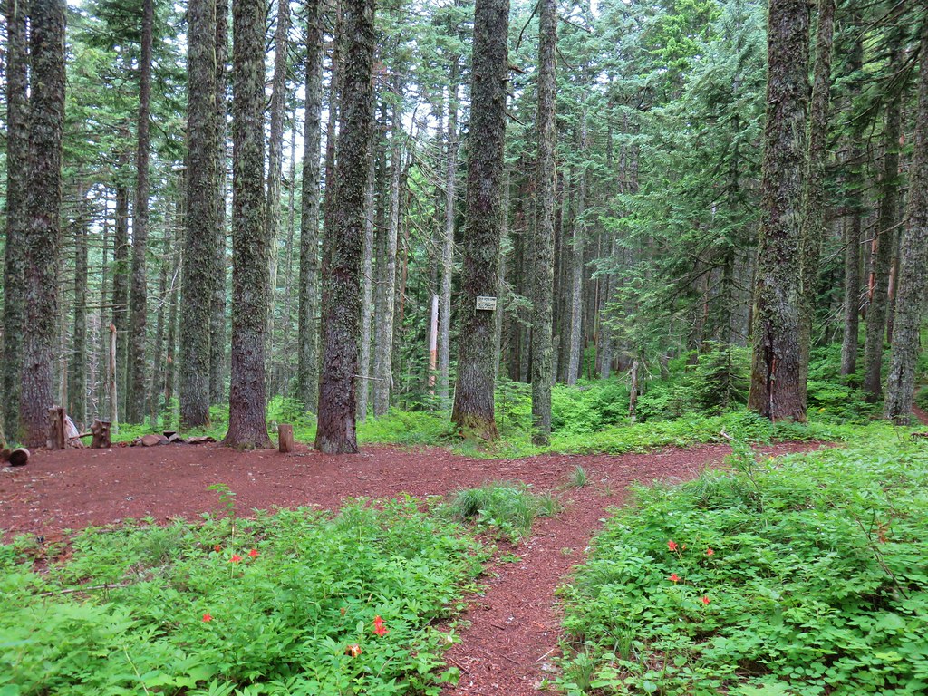
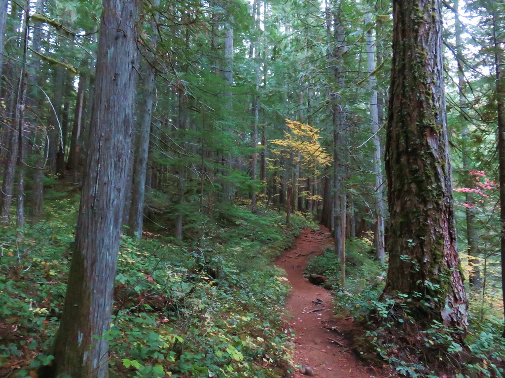
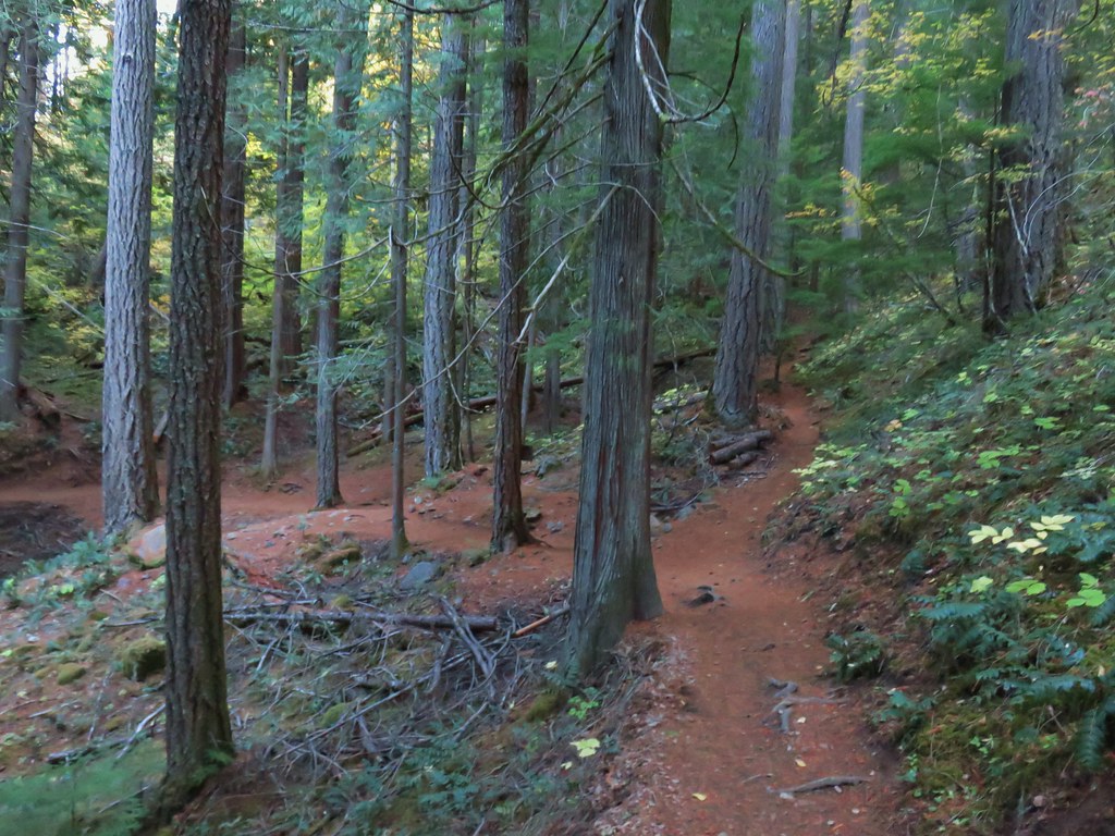
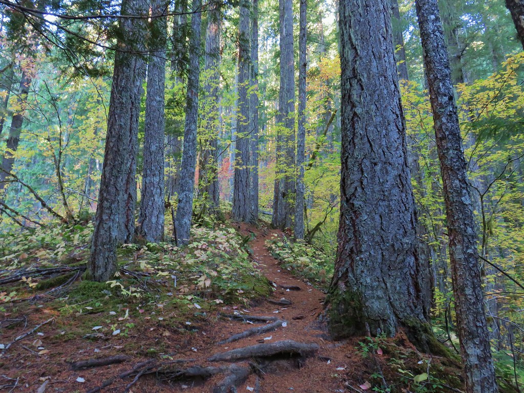
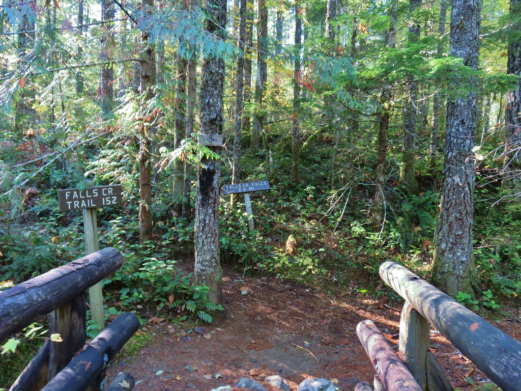
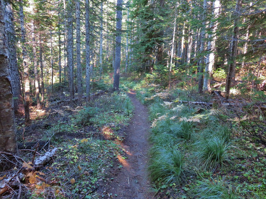
For our hike on Sunday we turned to Matt Reeder’s “Off the Beaten Trail” 2nd edition. In his Indian Racetrack and Red Mountain description (hike #15) Reeder describes an alternate loop using the unmaintained Basin Lakes Trail and the Pacific Crest Trail as an alternate to the 7.4 mile out and back that he suggests. We’d been to Indian Racetrack and Red Mountain as part of a diffent loop (post) so this other loop sounded more interesting than the out and back. We figured if the old Basin Lakes Trail was too hard to follow we could simply turn back and still do the out and back as described since it was only 2 miles to the basin then an additional mile up to the Pacific Crest Trail. We started our hike at the Falls Creek Horse Camp. The Falls Creek Trail heads southwest from the horse camp descending to Falls Creek Falls.

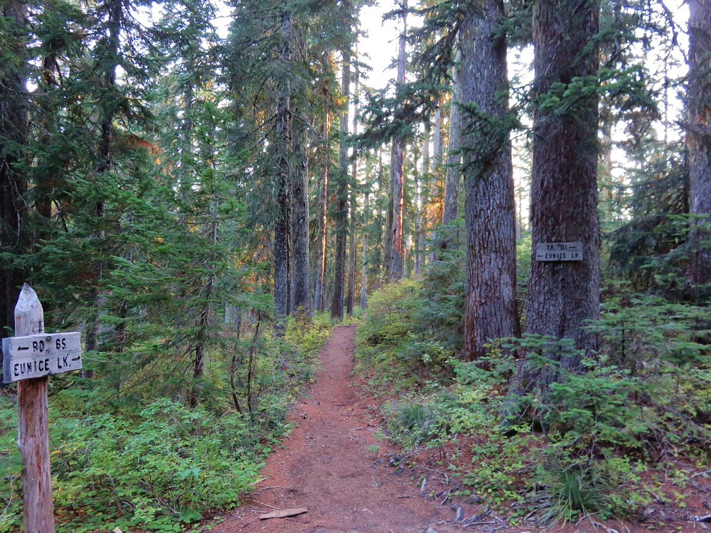
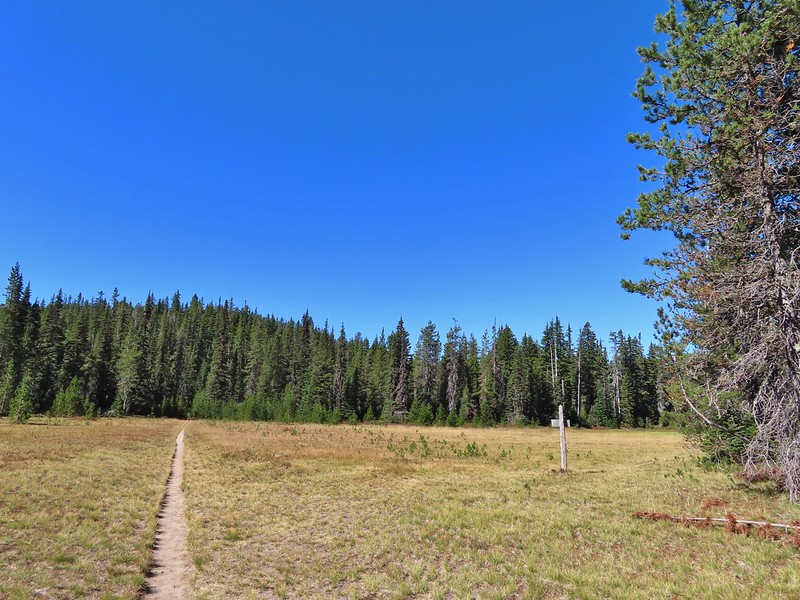
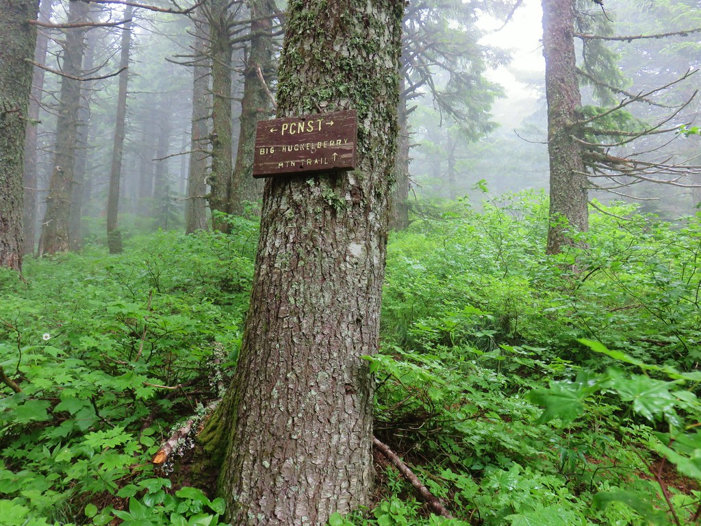
The trail we wanted, the Indian Racetrack Trail, began on the opposite side of Forest Road 65.
 There were no signs for the obvious trail.
Once we were on the trail we ignored an unsigned side trail on the right which presumably led down to Falls Creek.
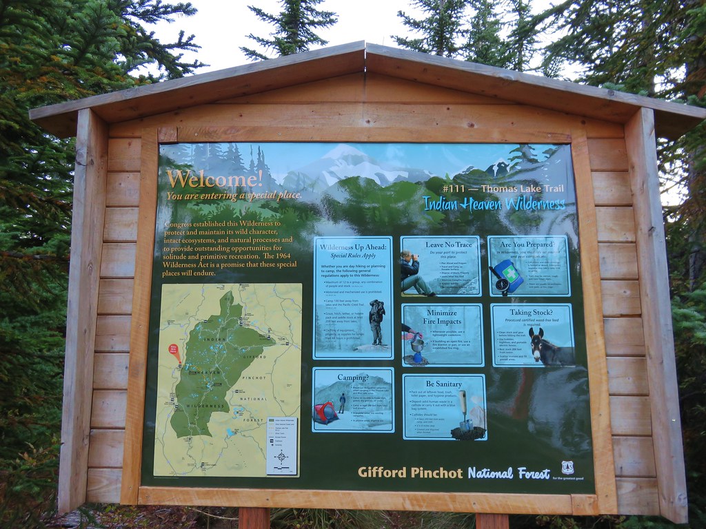
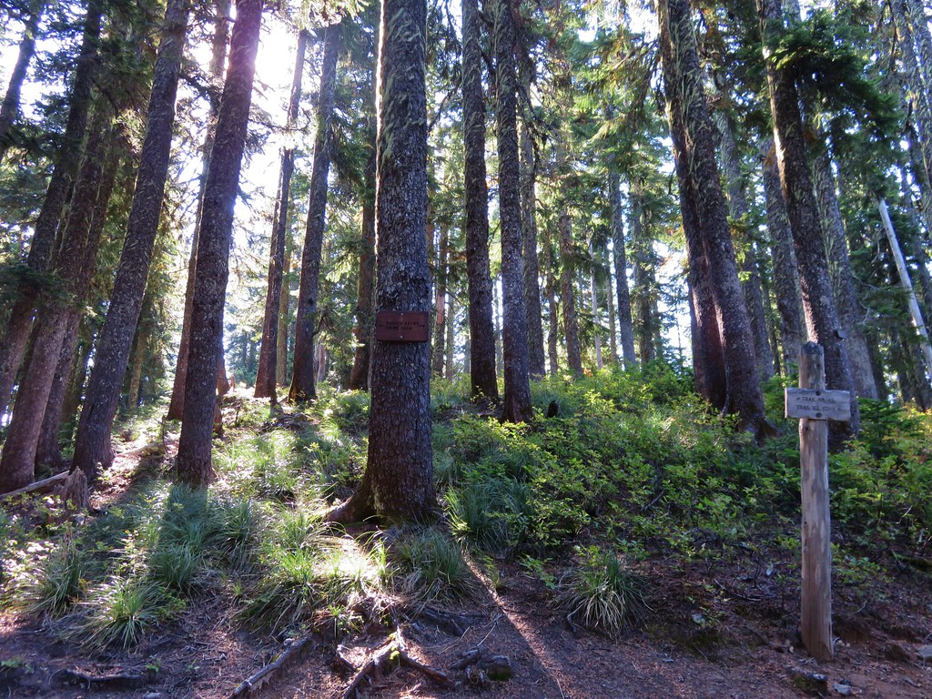
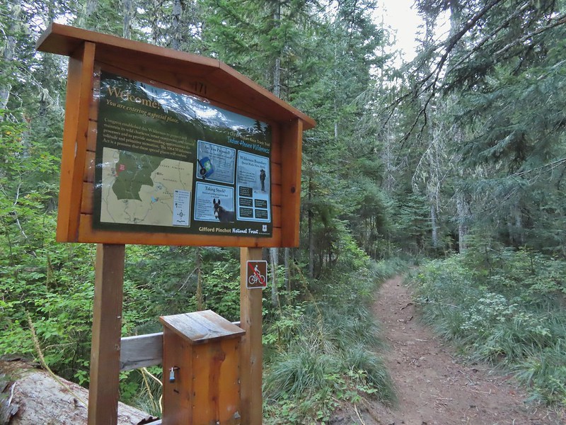
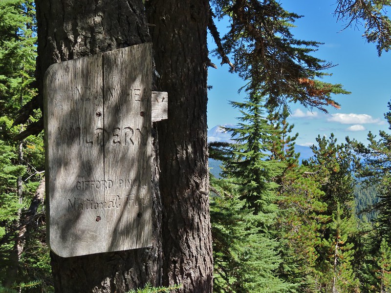
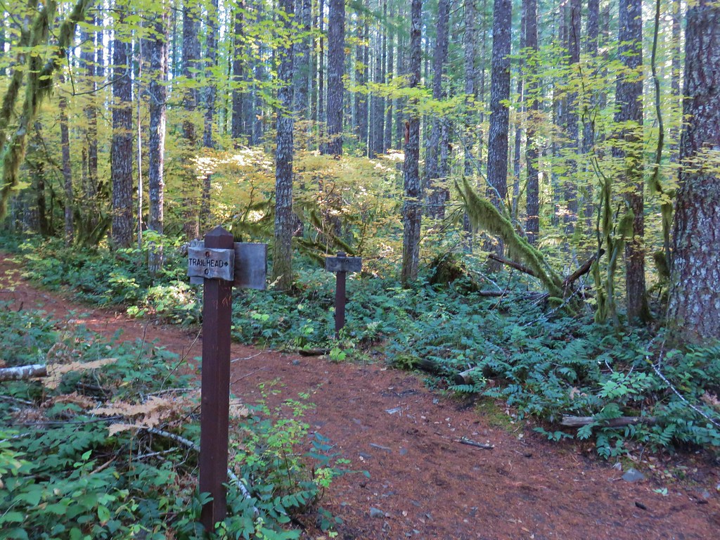
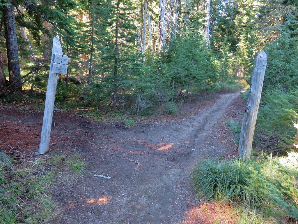
Approximately 0.2 miles from FR 65 a second trail joined from the left at a wilderness signboard.
Approximately 120 yards beyond the signboard we arrived at an unsigned fork.

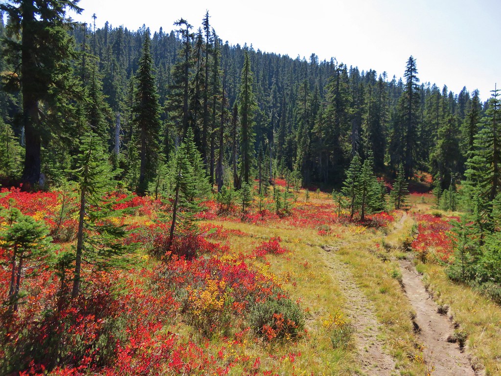
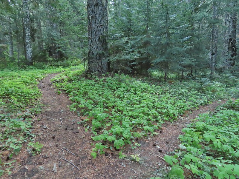
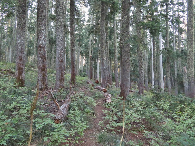
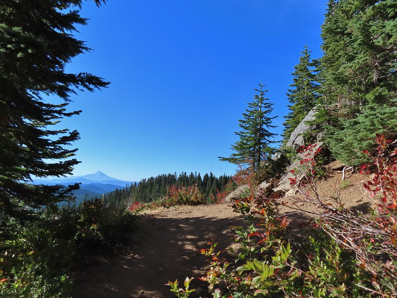
The Indian Racetrack Trail continued to the right while the abandoned Basin Lake Trail veered left. While the Forest Service no longer maintains the trail (or even lists it on their website) the tread was obvious and based on the number of road apples on the ground it is used fairly regularly by equestrians.
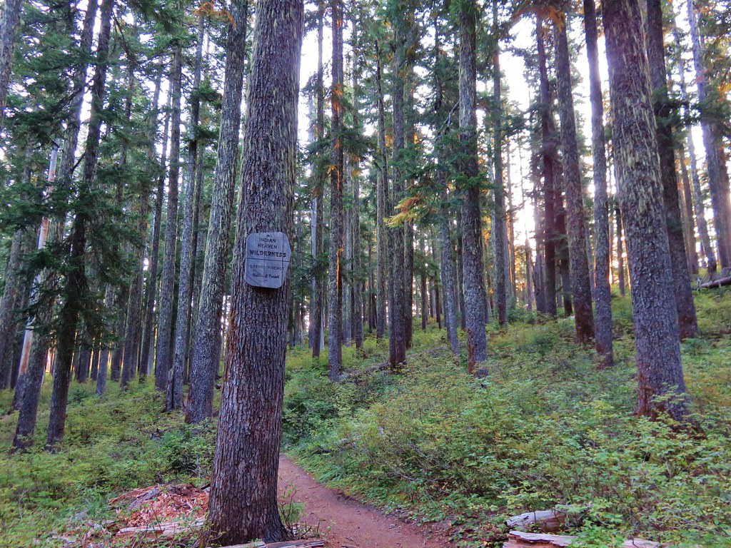
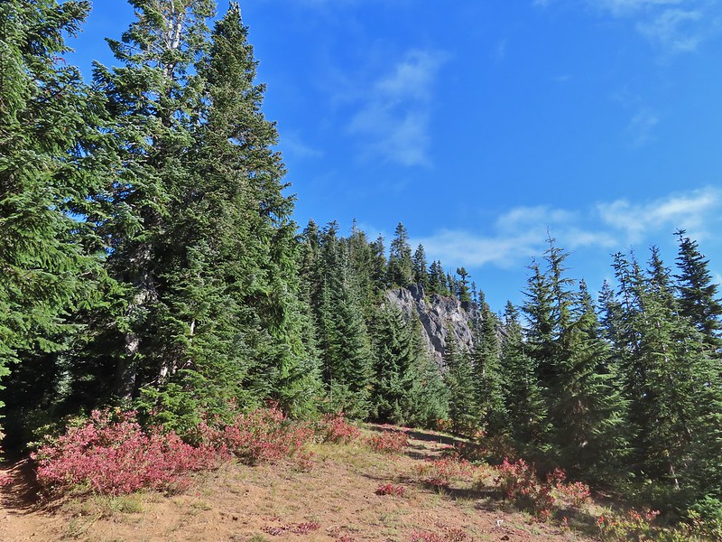
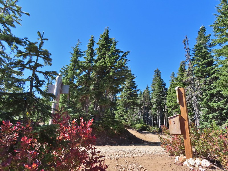
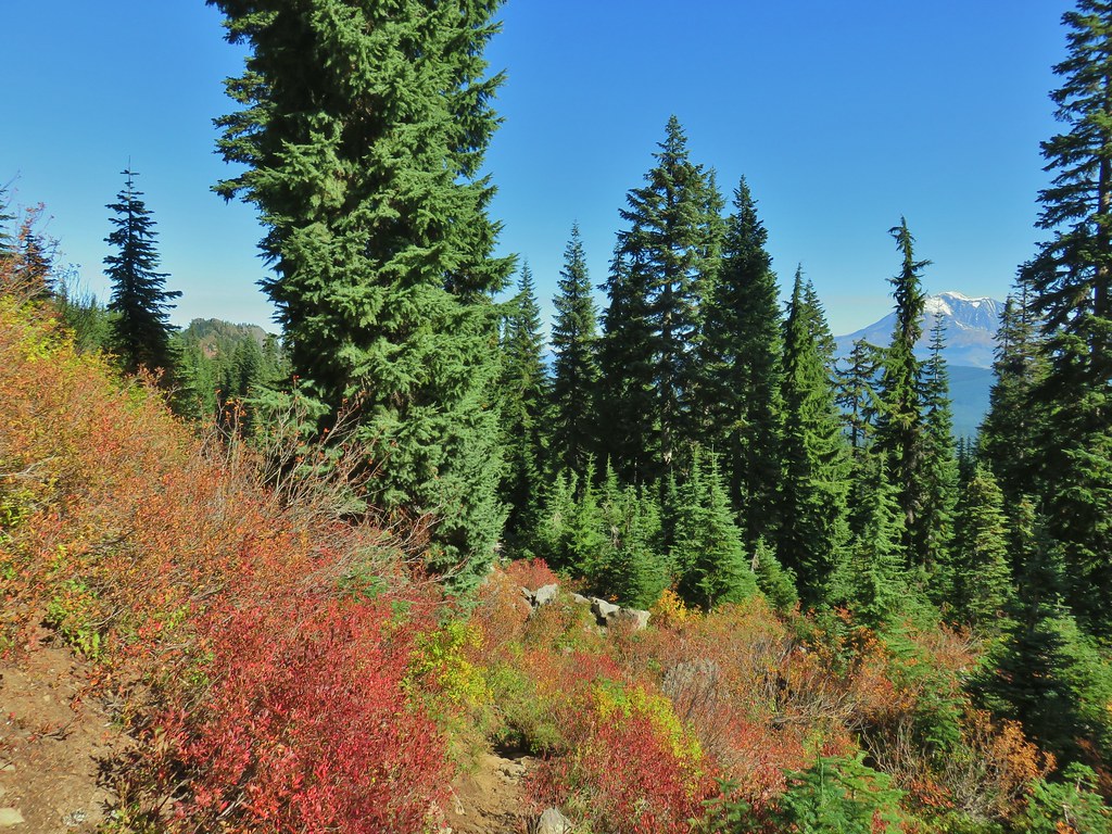
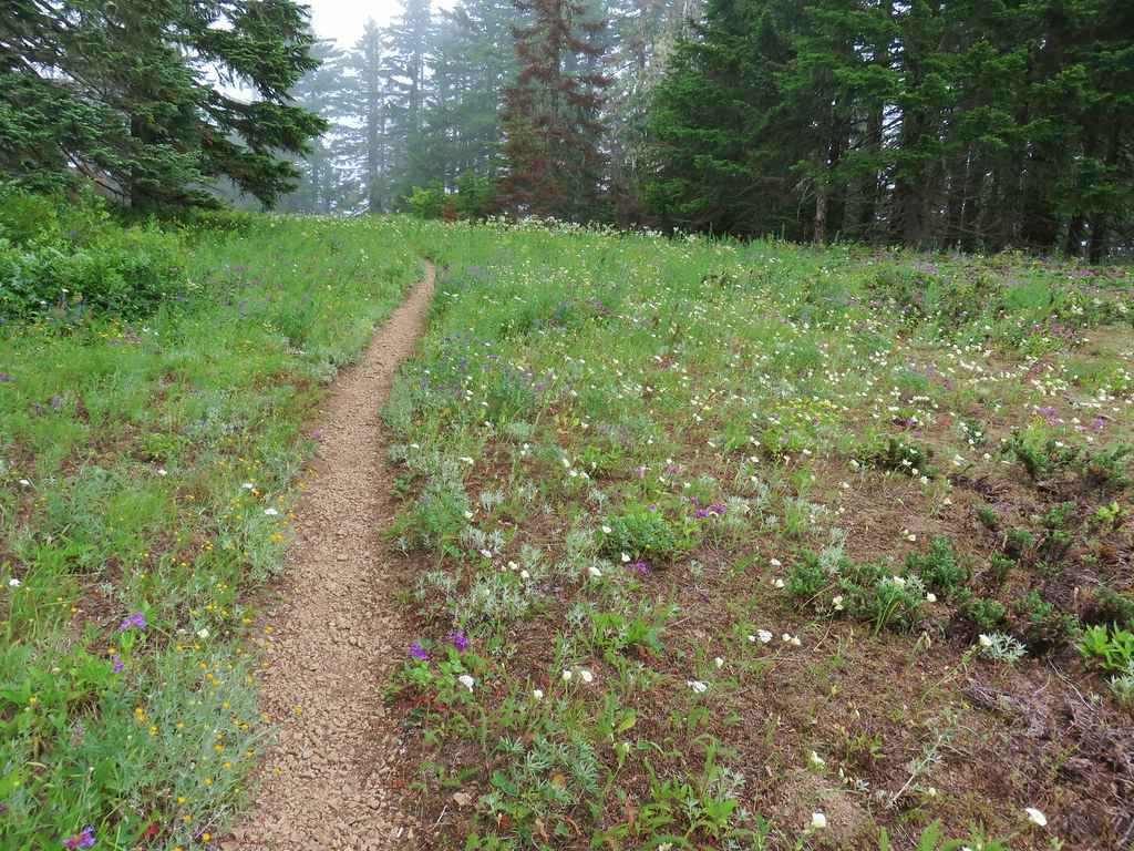
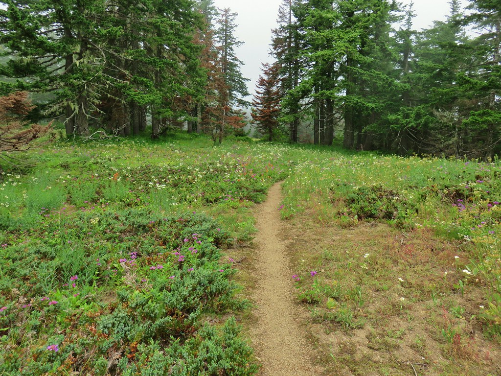
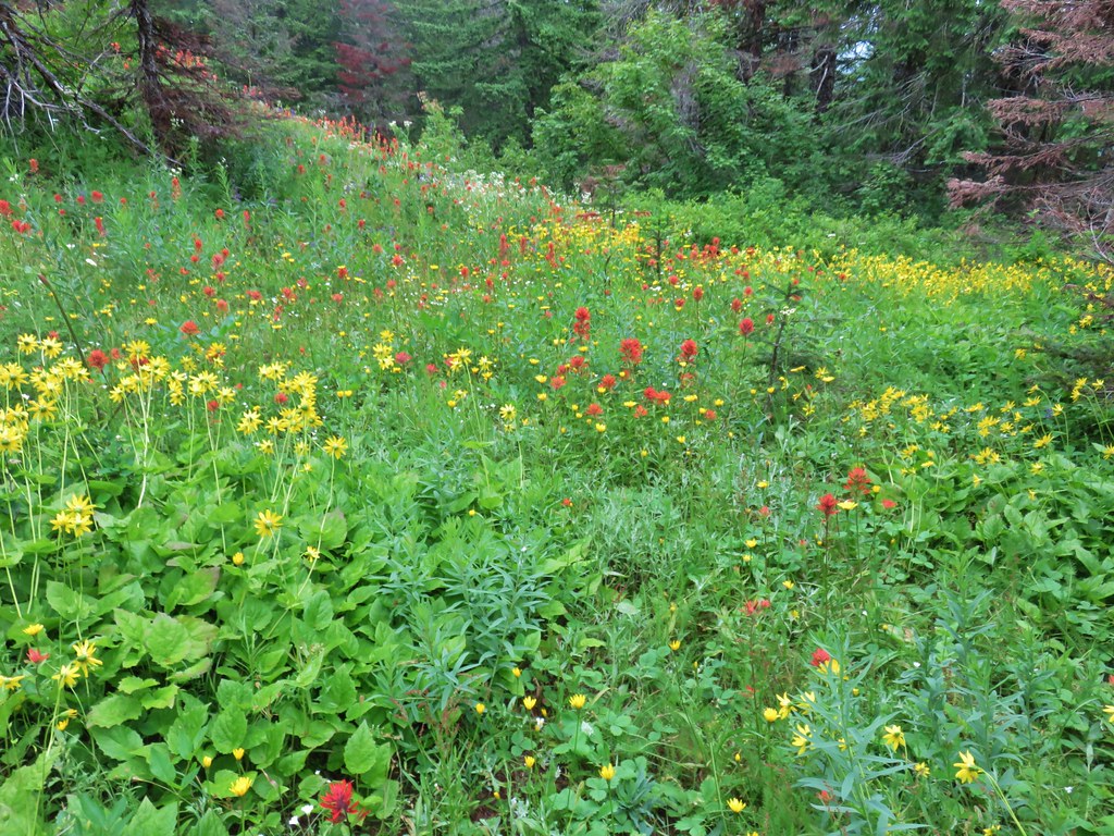
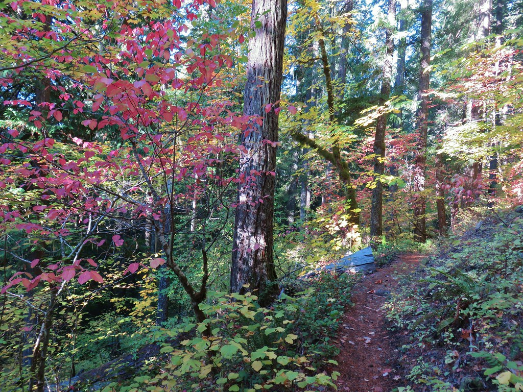
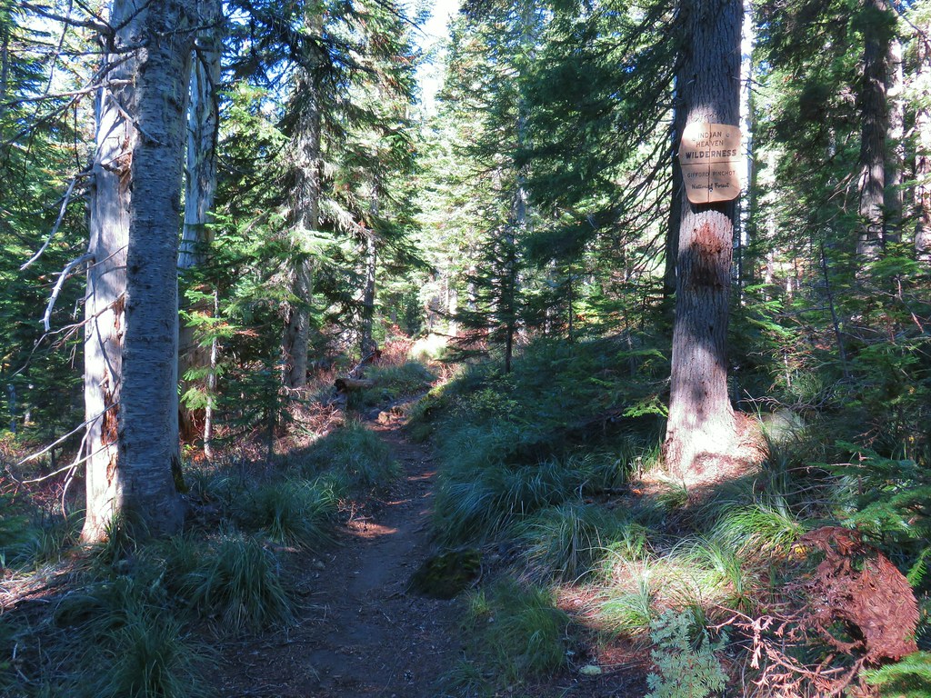
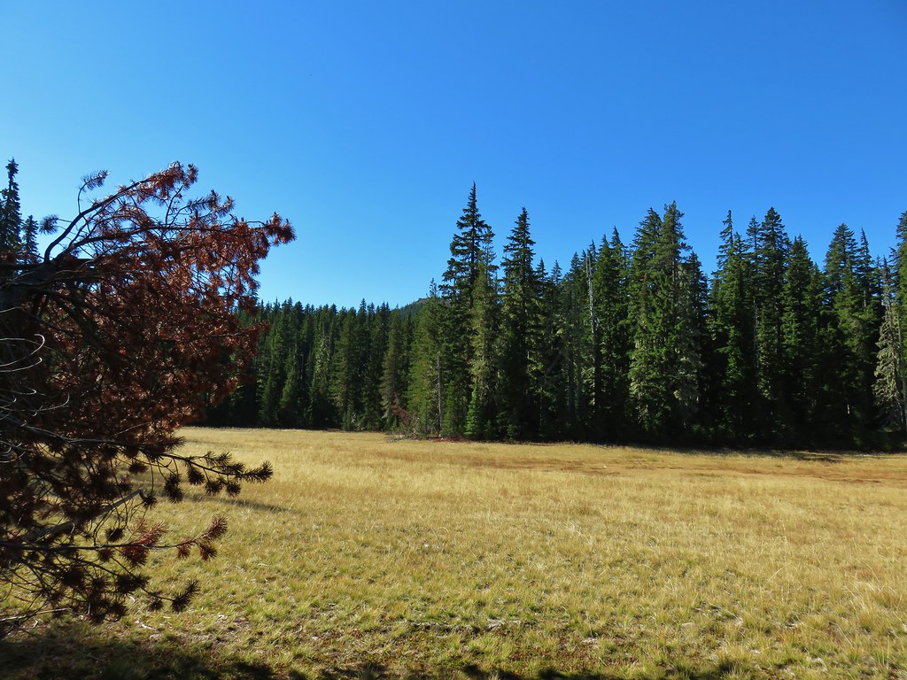
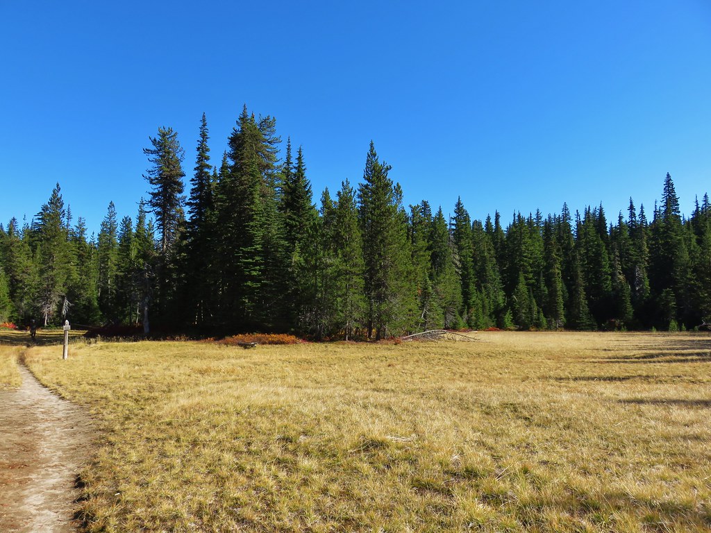
 Entering the Indian Heaven Wilderness
A half a mile up this trail we came to a small meadow where a couple of hikers were camped.

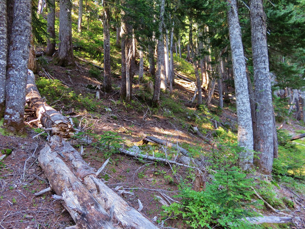
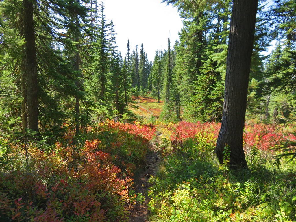
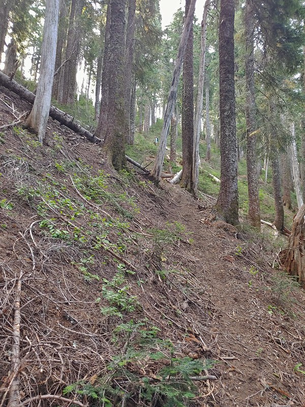
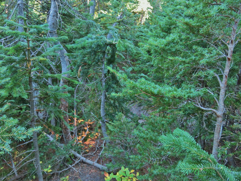
They warned us that where were quite a few trees down the closer you got to the Basin Lakes but that didn’t dissuade us and we continued on. The trees weren’t much of an issue and in most cases clear paths simply went around them.


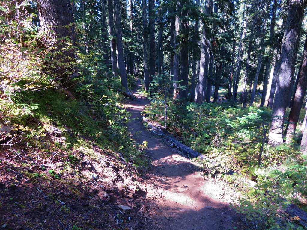
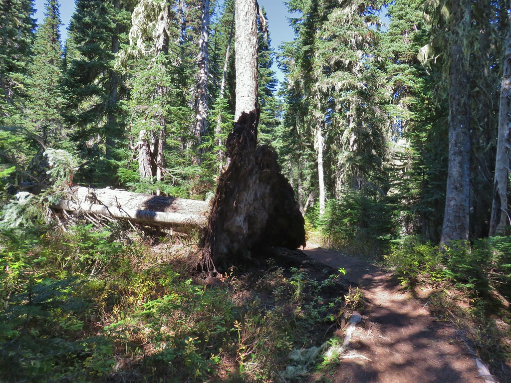
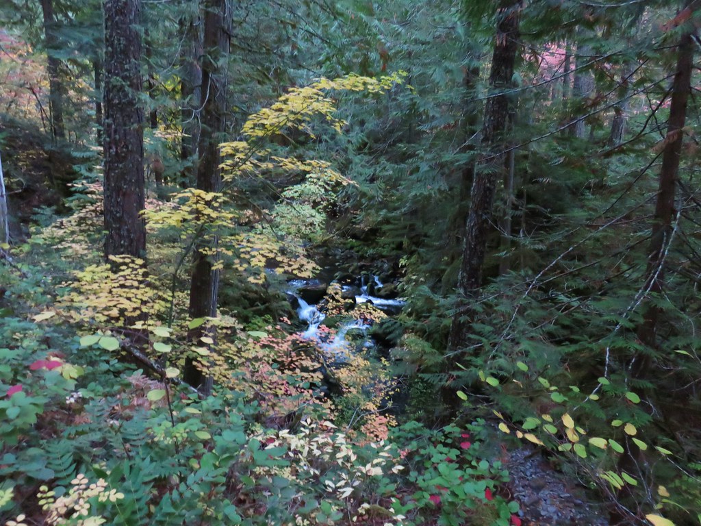
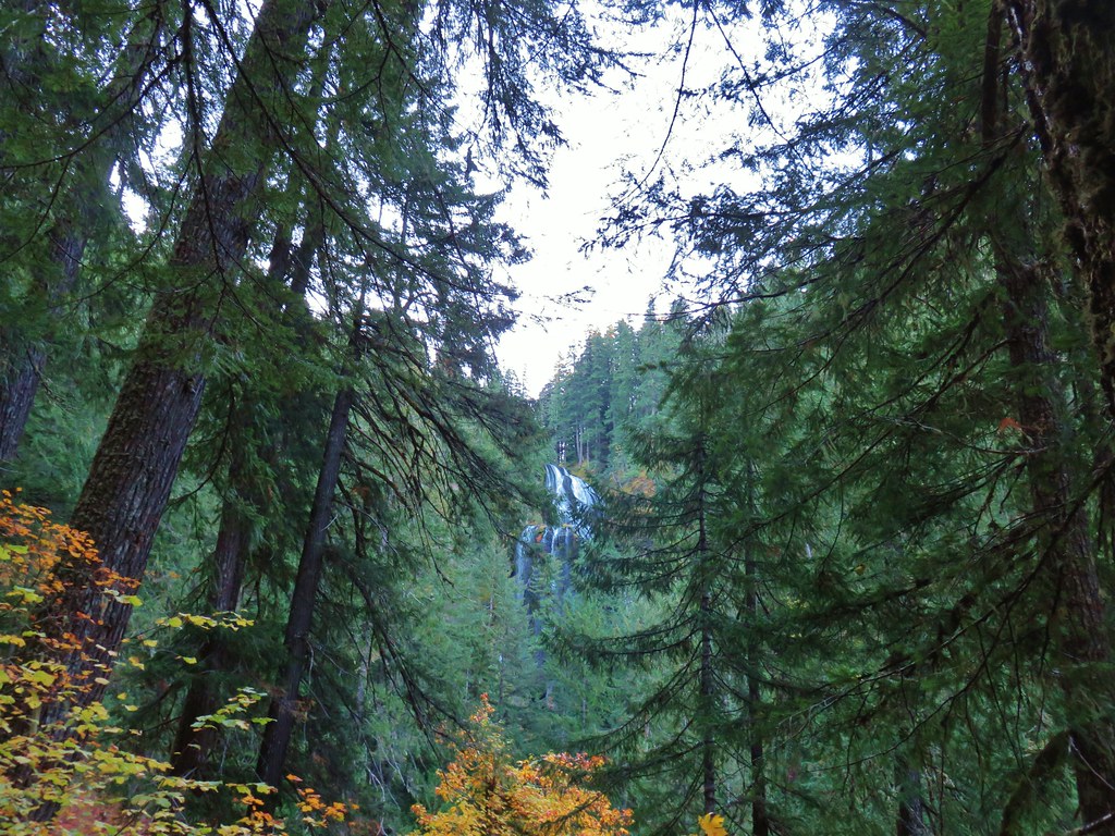
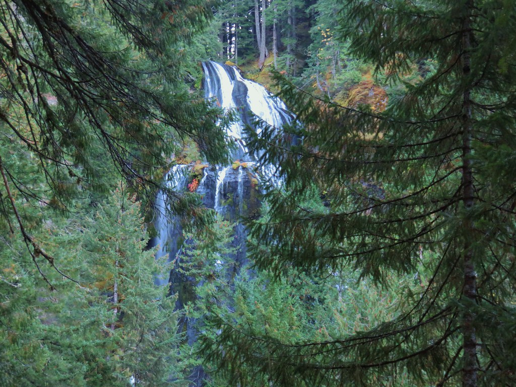
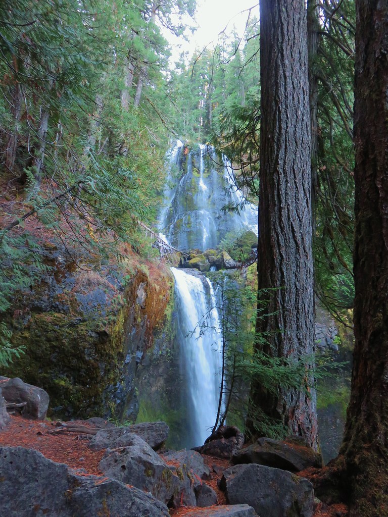
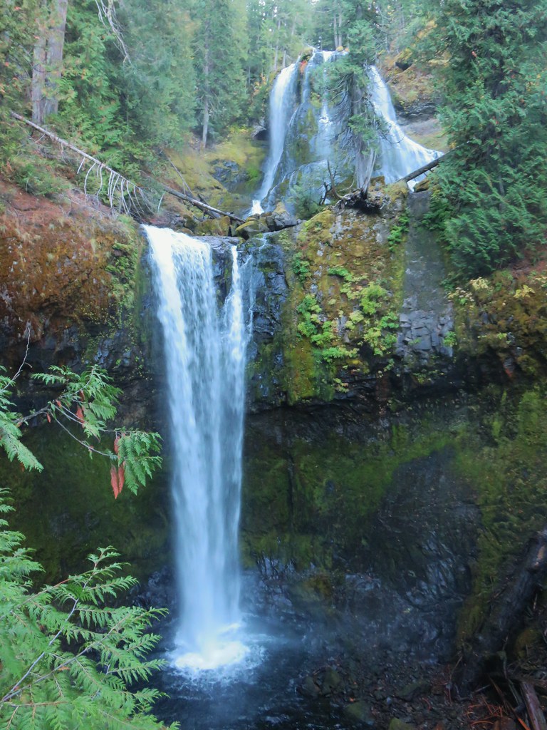
We crossed a branch of Falls Creek just under a mile along the trail.

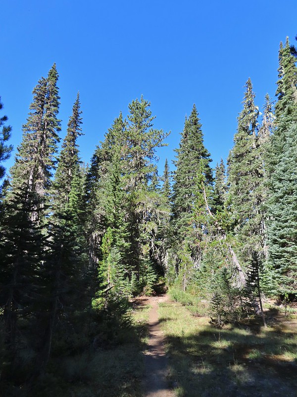
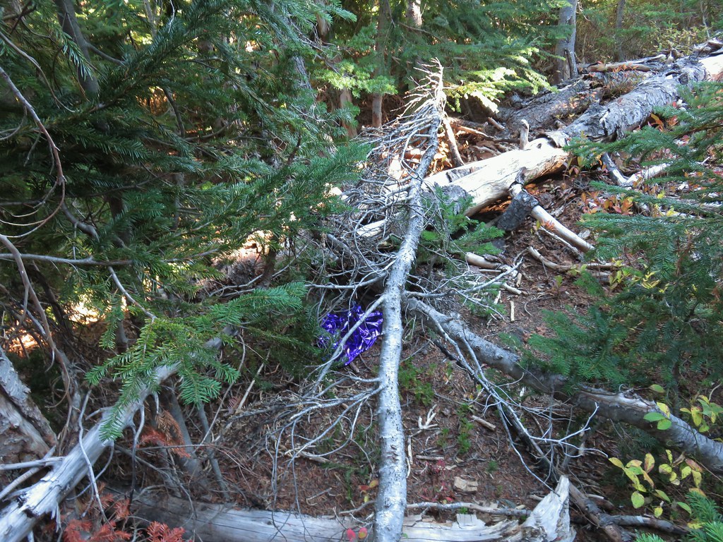
The tread continued to be fairly easy to follow for another half mile and then it vanished, at least from our sight, near a gully.

After a few minutes of hunting for it (which included crossing and recrossing the gully) we decided to simply follow the tallest ridge in the direction of the lakes using our GPS and Reeder’s map. A quarter mile later we were looking down at Peggy Lake on our left.


We stayed on the ridge above Peggy Lake and turned on the far end made a hard right toward Janet Lake.
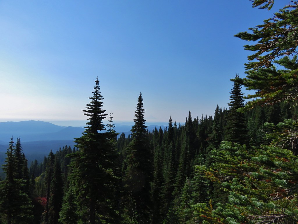
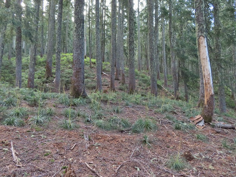
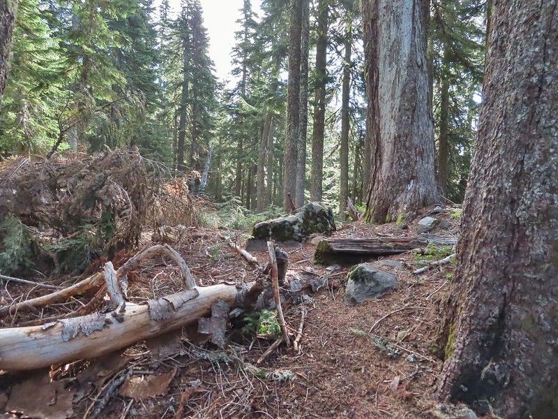
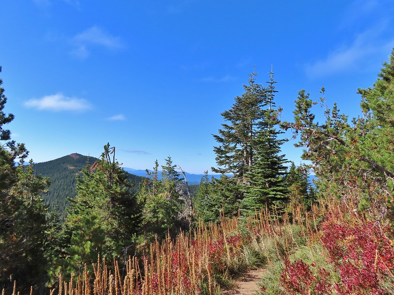
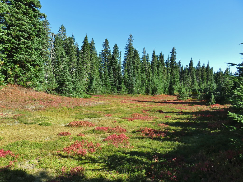
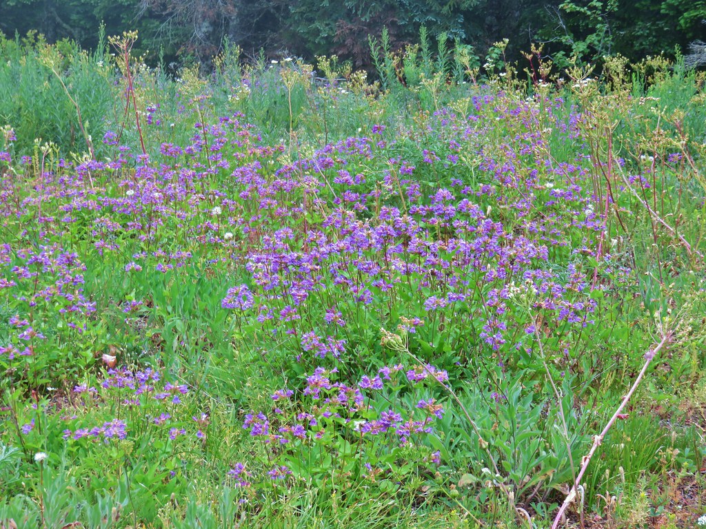
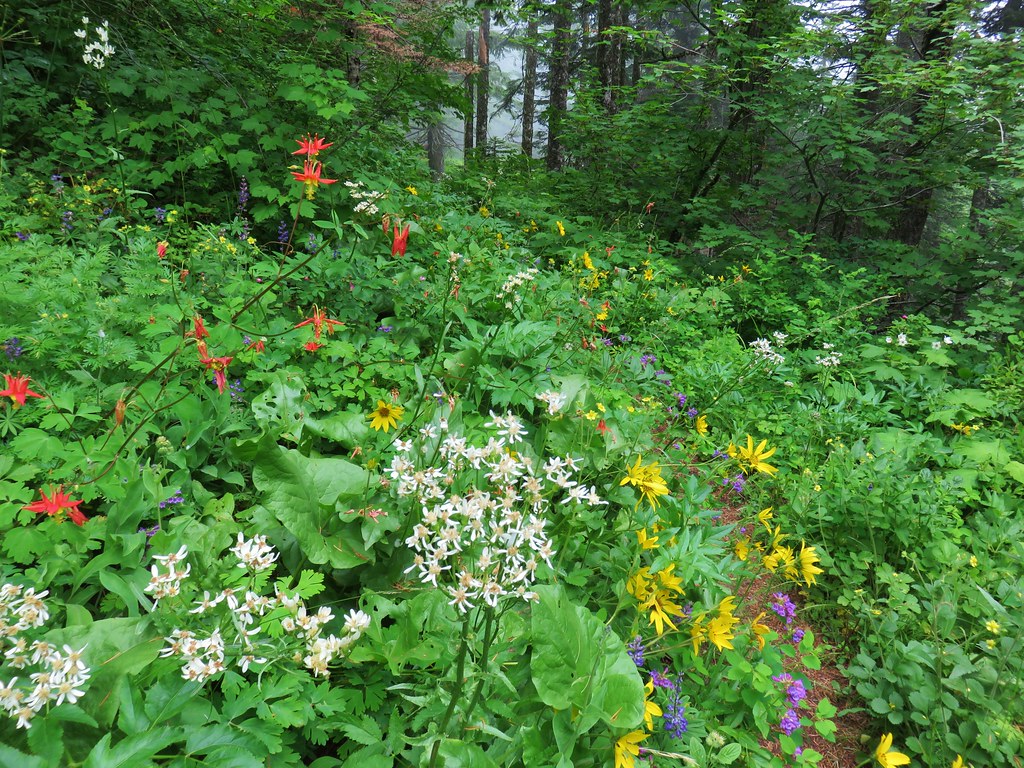
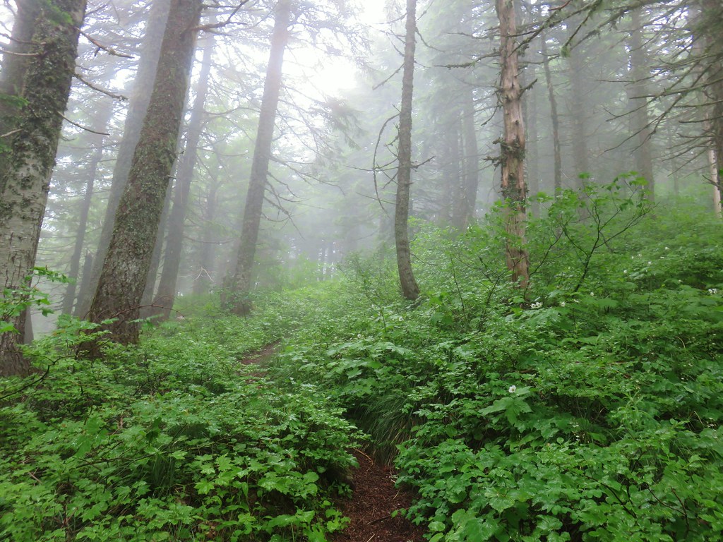
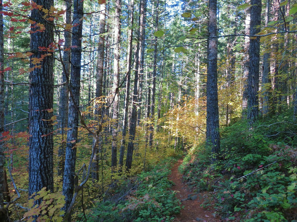
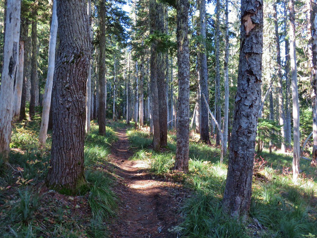
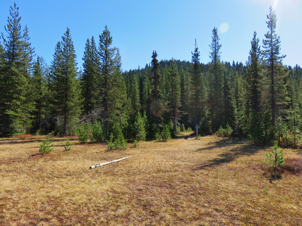
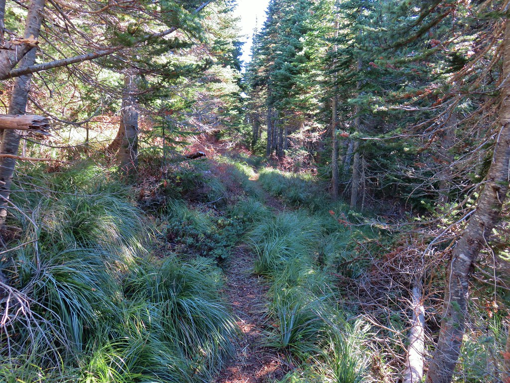
 Typical vegetation and trees on the ridge.
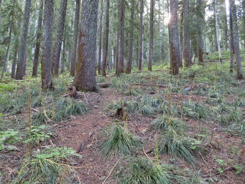
 We rediscovered tread as we dropped to a saddle near Janet Lake.
 Sign at the saddle between Peggy and Janet Lakes.
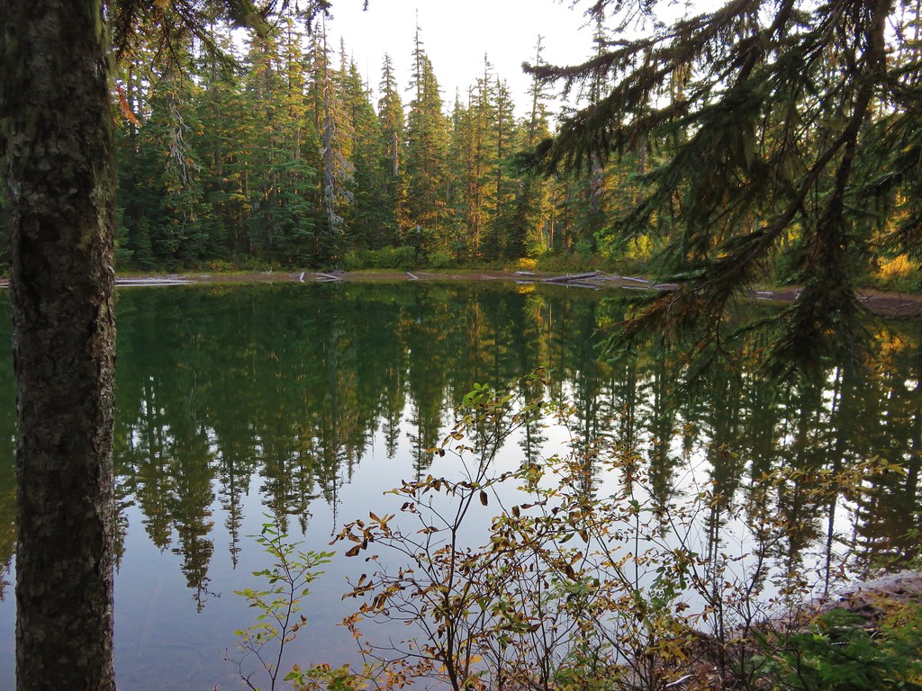
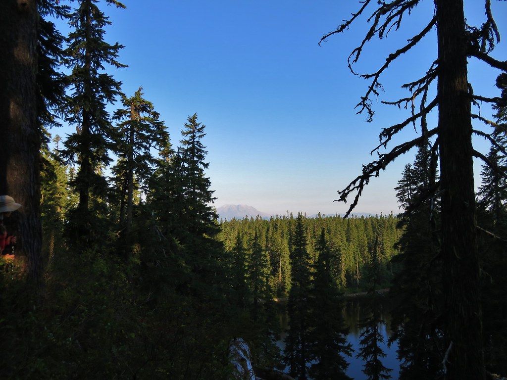
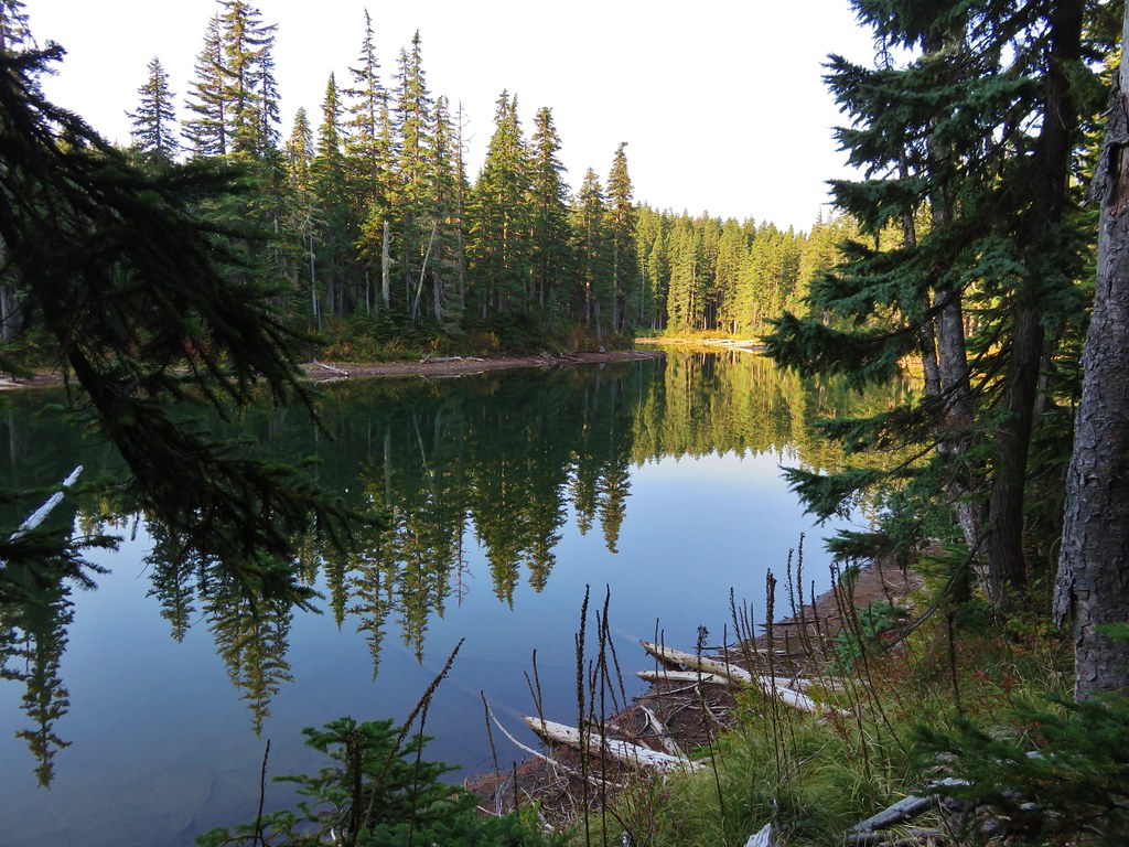
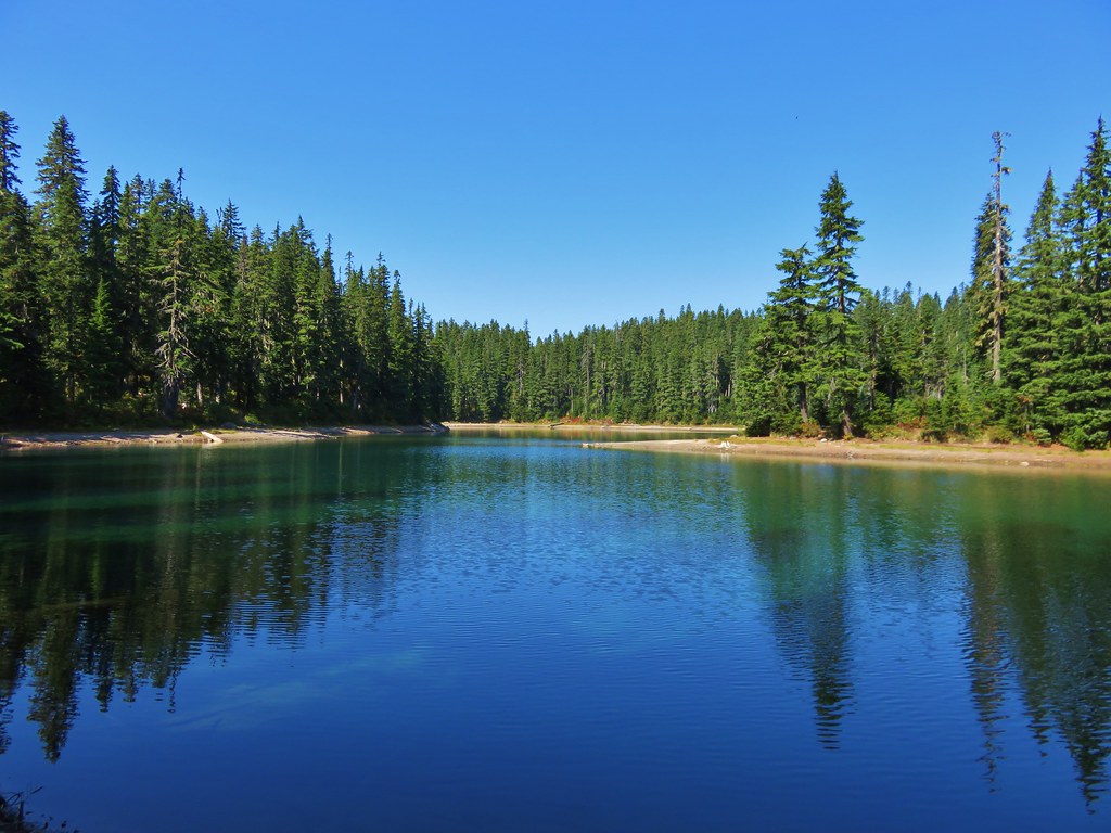
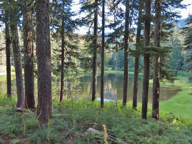
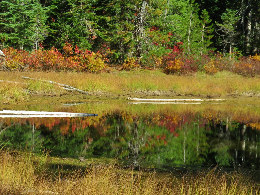
We did walk down to the bank of Janet Lake to admire its reflection.


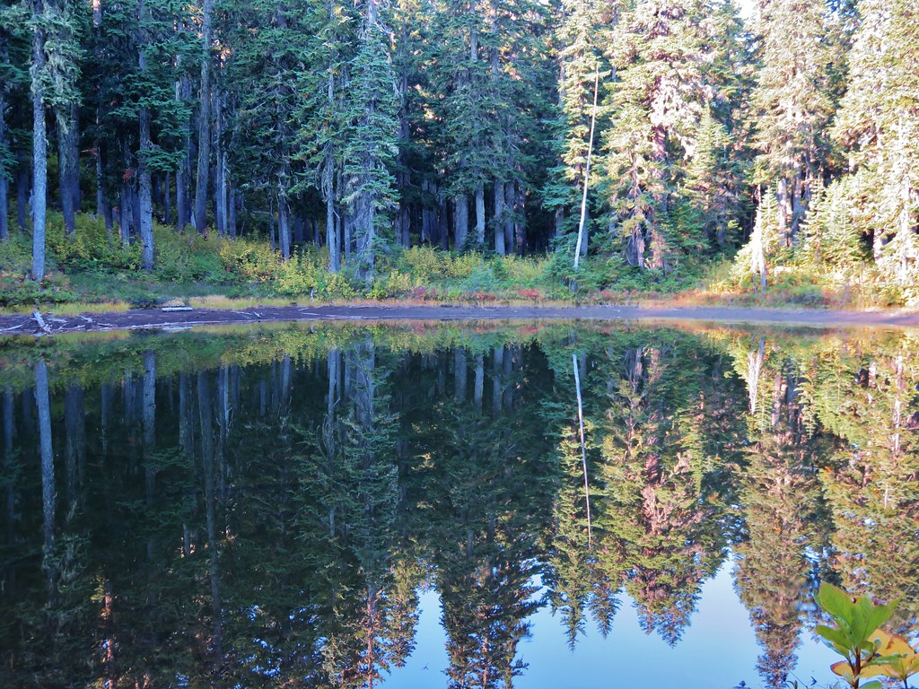
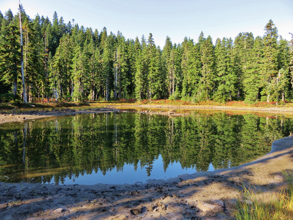
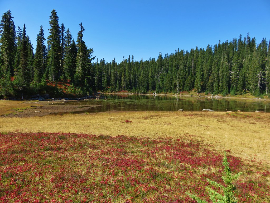
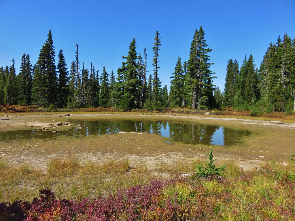
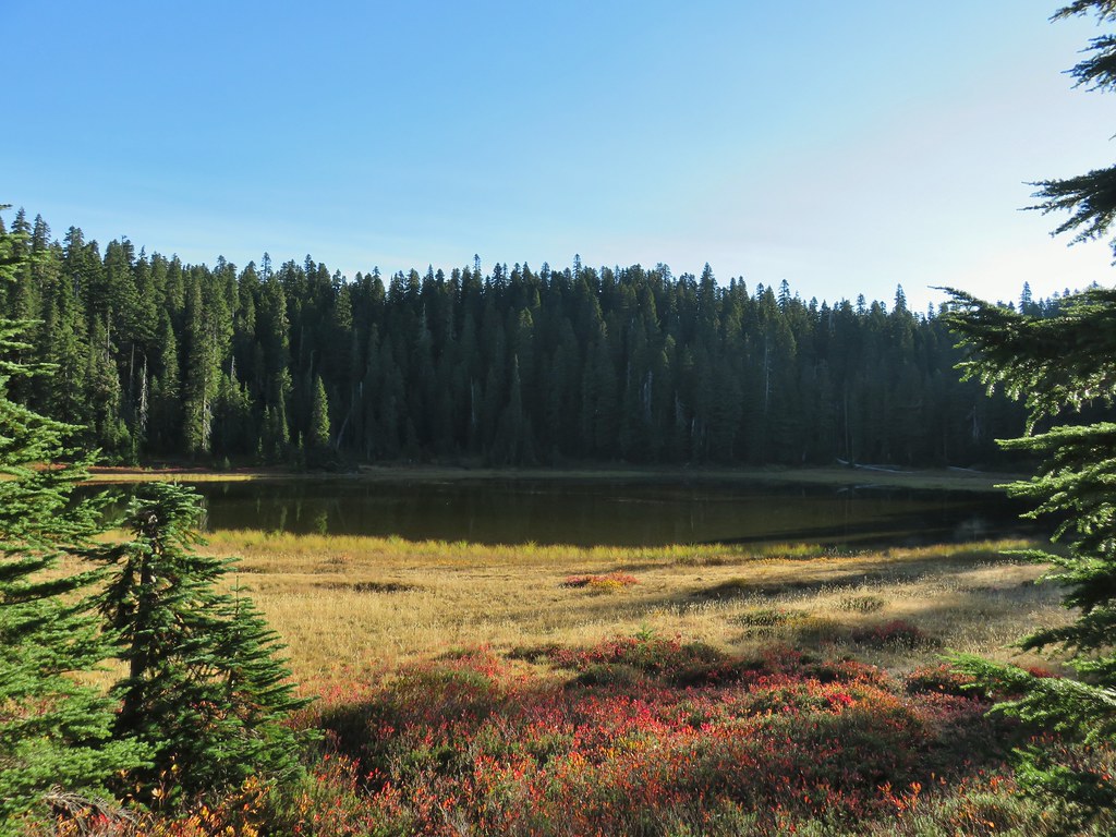
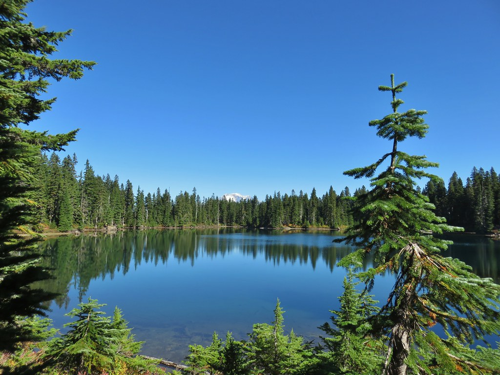
From Janet Lake it was another 0.1 miles to an unnamed (at least officially) Basin Lake, sometimes on tread and sometimes not.

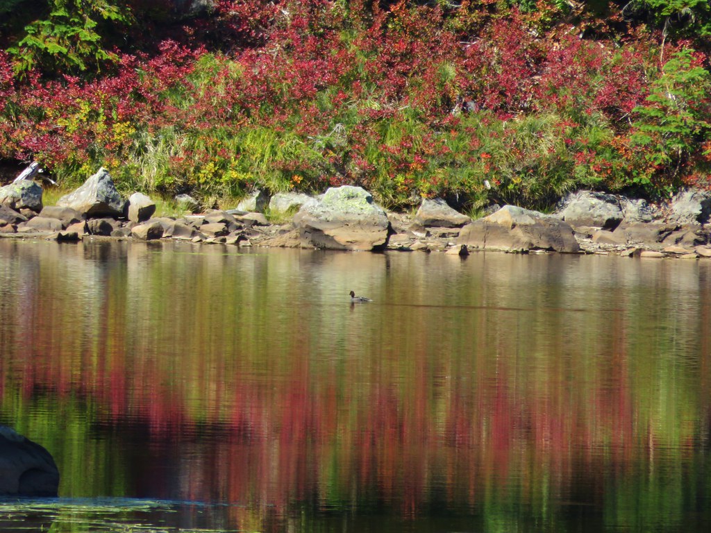
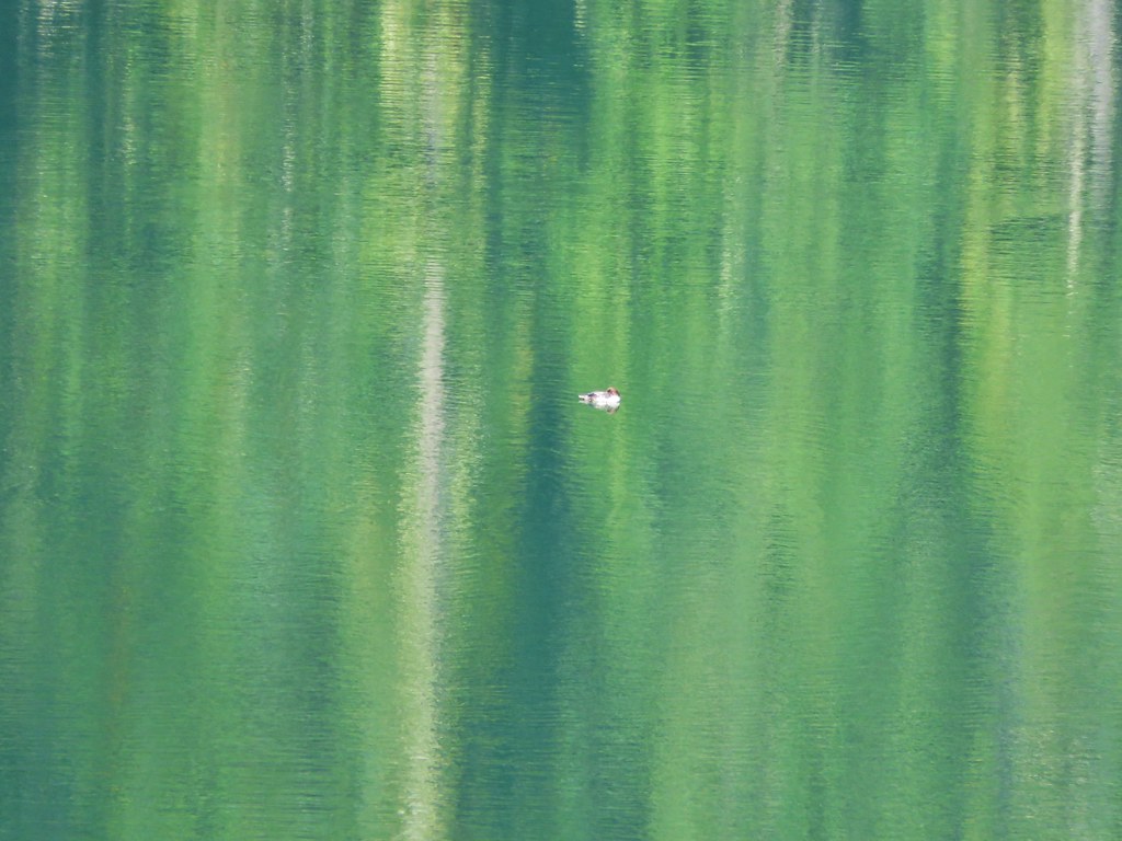
 Sleepy ducks
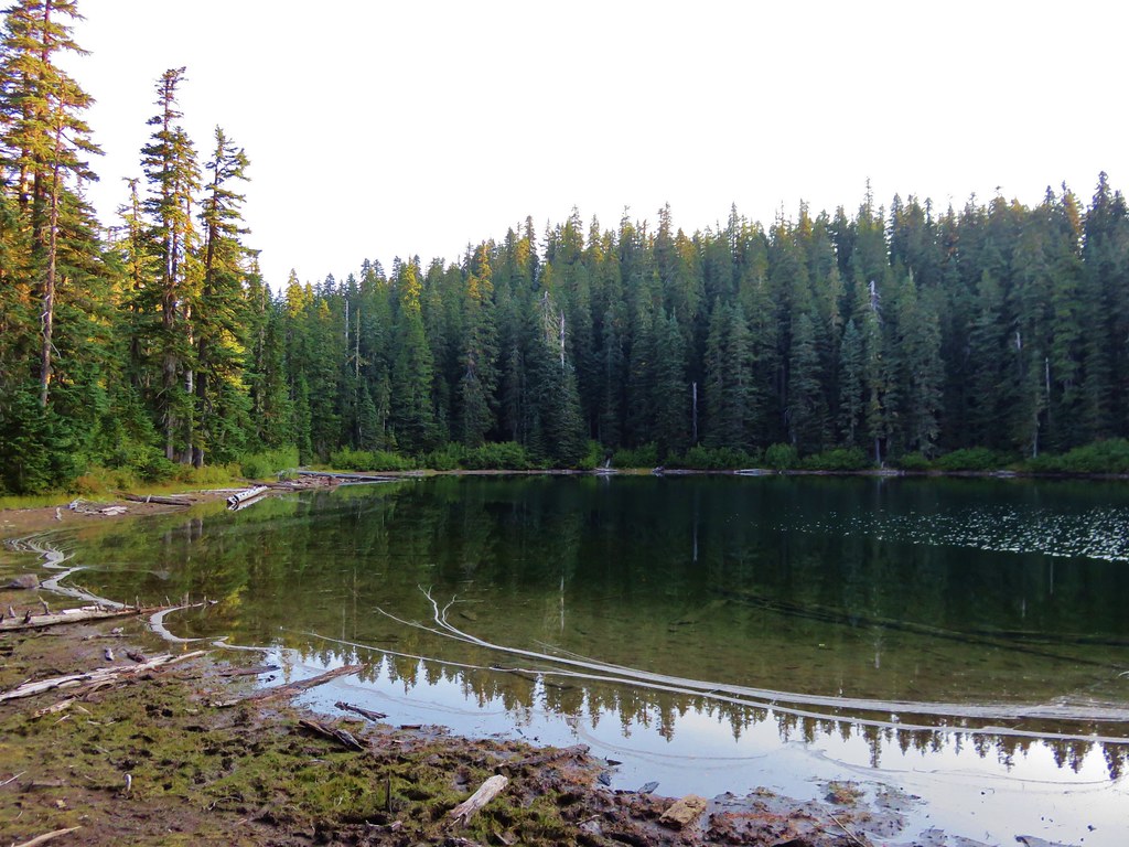
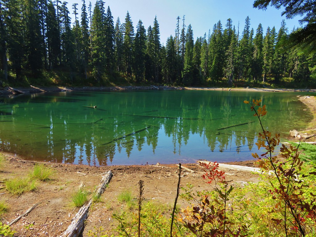
 I believe Oregon Hikers calls this one “Cindy Lake”.
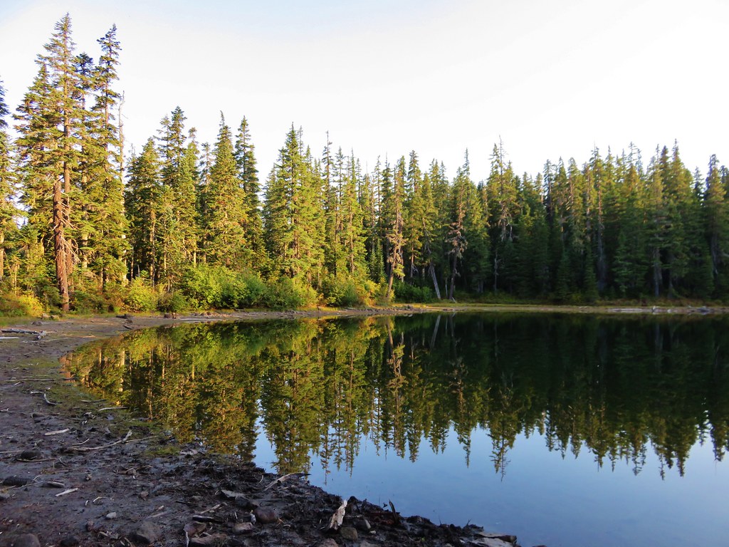
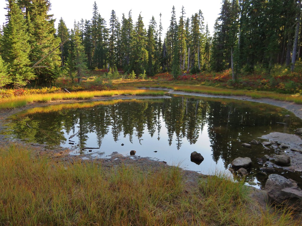
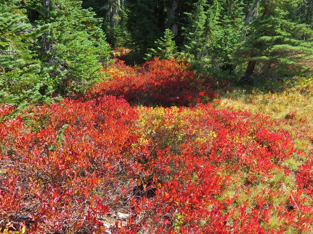
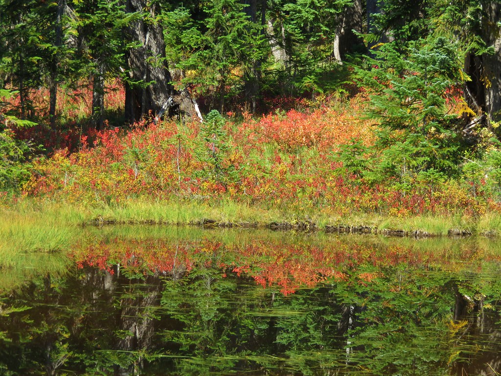
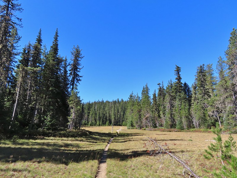
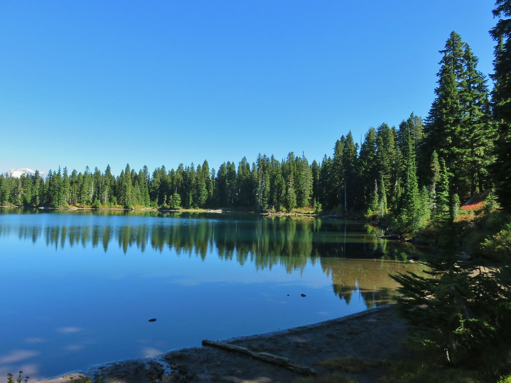
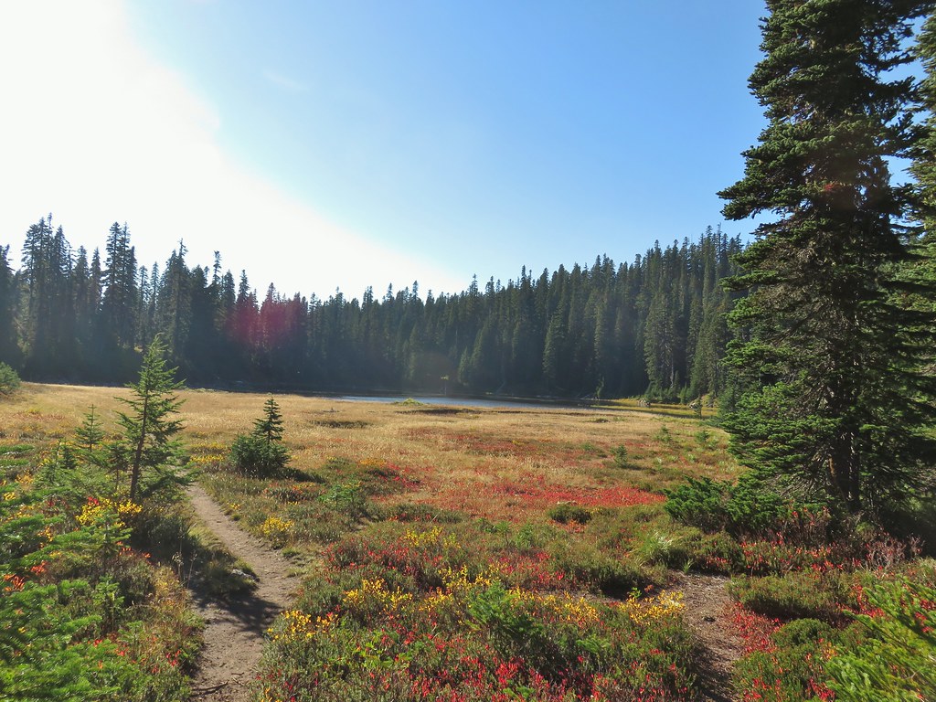
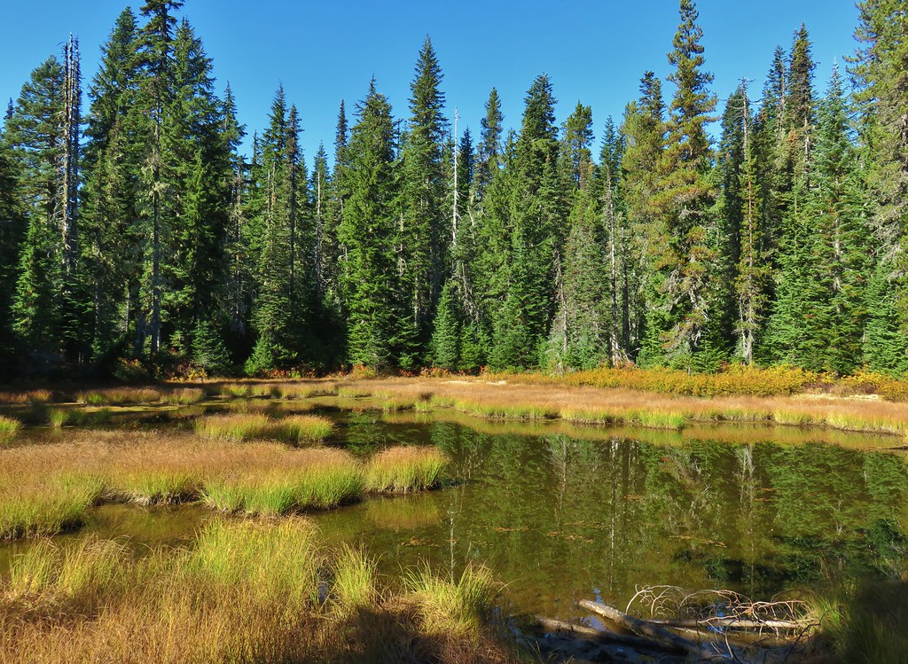
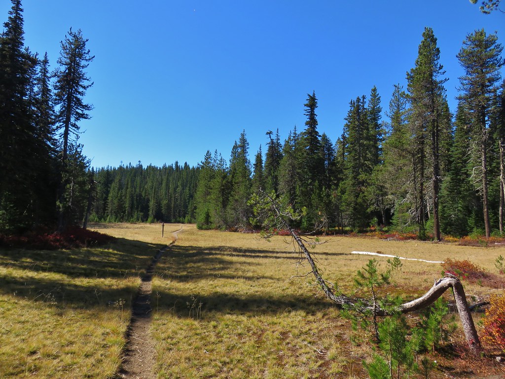
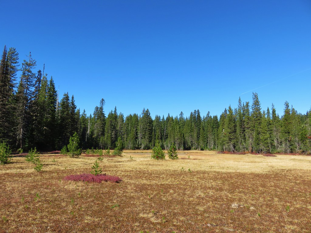
We passed another lake on our left a quarter mile later.

That was followed by what appeared to be a mostly dry lake bed on the right, now filled with green grass.

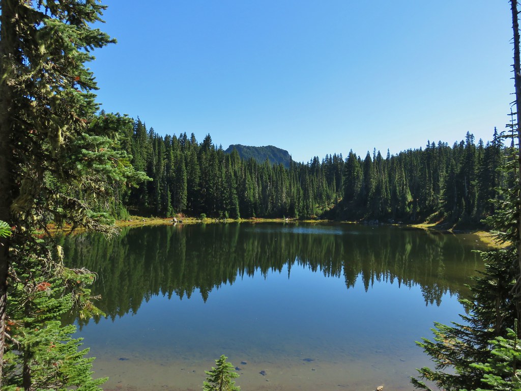
We were now at the eastern end of the basin facing a steep climb up to the Pacific Crest Trail. We needed to gain almost 500′ to reach that trail and at the moment we weren’t sure if there was any tread to follow up.
We scanned the hillside but couldn’t pick anything out so we put our route finding hats on and identified a small saddle where it looked like a trail would go and headed for it. As we approached we stumbled on tread.
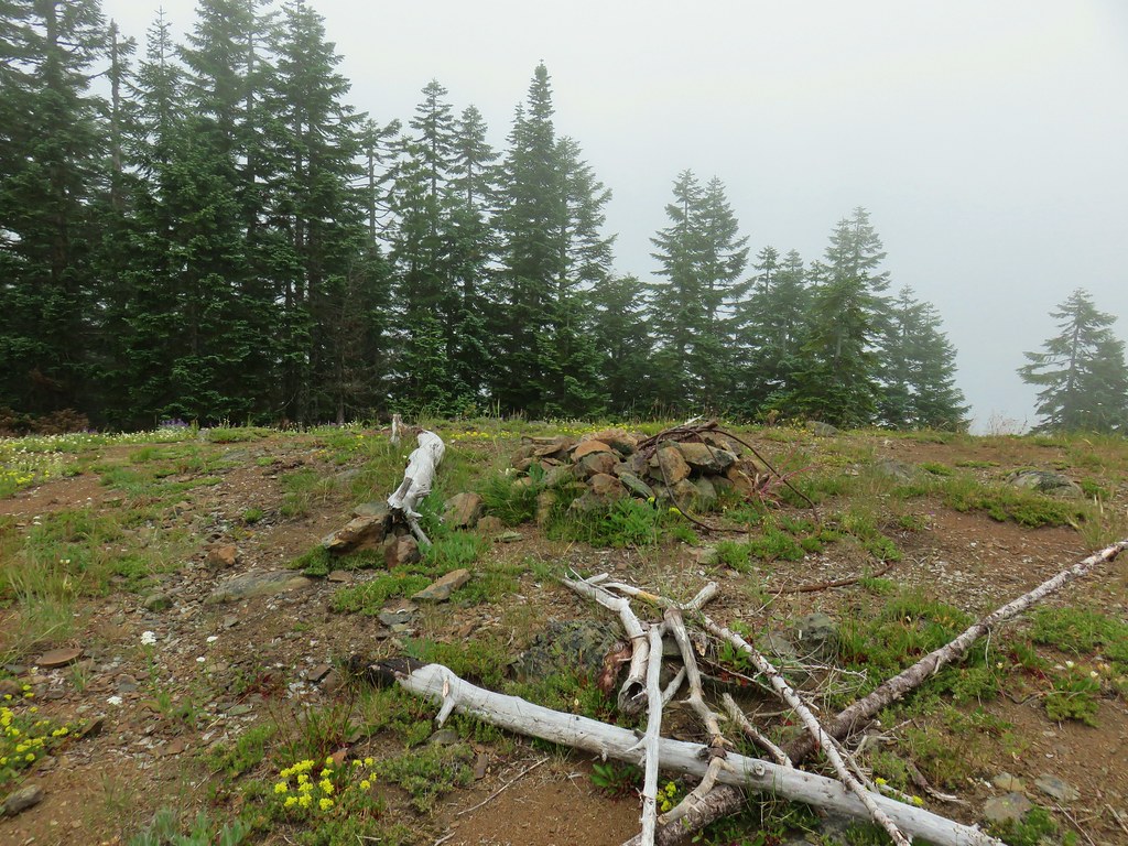
 The small saddle we’d been aiming for.
From there we were able to follow a faint path up and out of the basin.


 Heather down to the right between a couple of trees.
 Me getting close to the top.
 The top of the ridge.
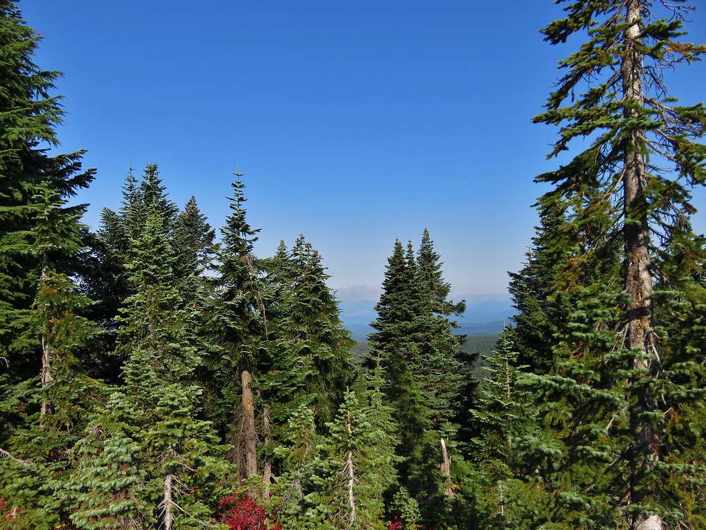
The Pacific Crest Trail runs right along the ridge (despite where it’s shown on Google Maps) and passes over the top of Berry Mountain to the south. After catching our breath we turned right and headed toward Berry Mountain and yet more climbing.

Fortunately it was the PCT so the climb was relatively gradual as it switchbacked up 170′ in 0.4 miles.
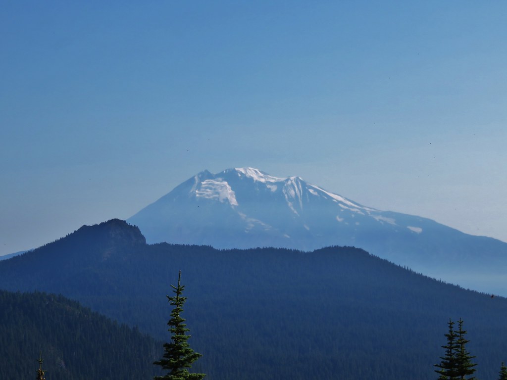
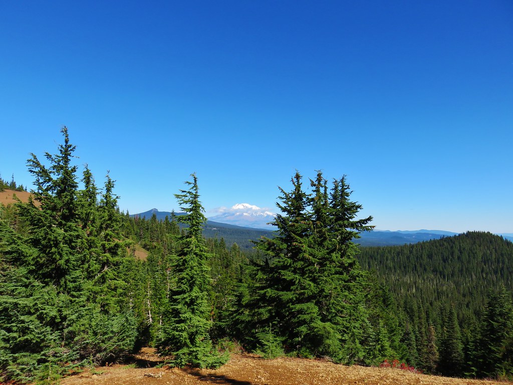
 Mt. Adams in some clouds.
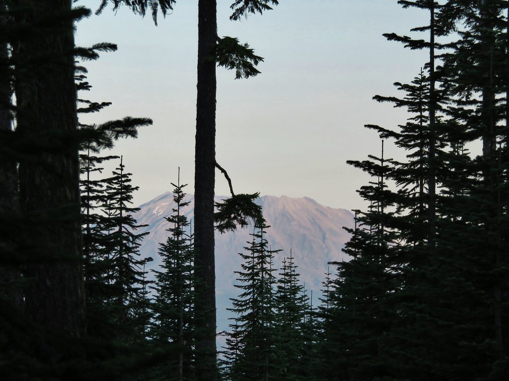
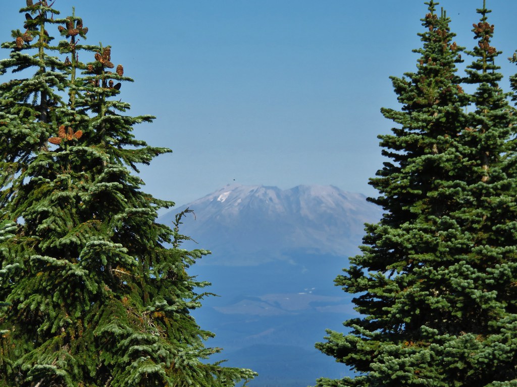
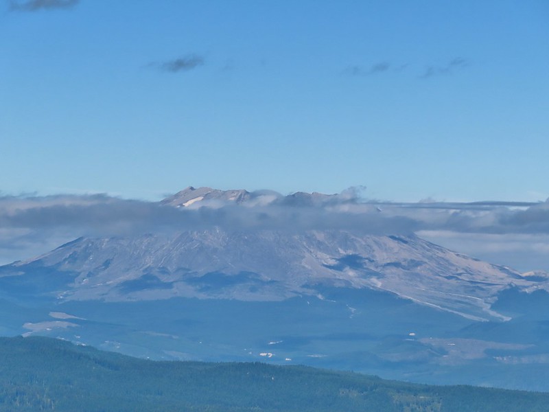
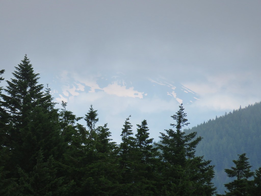
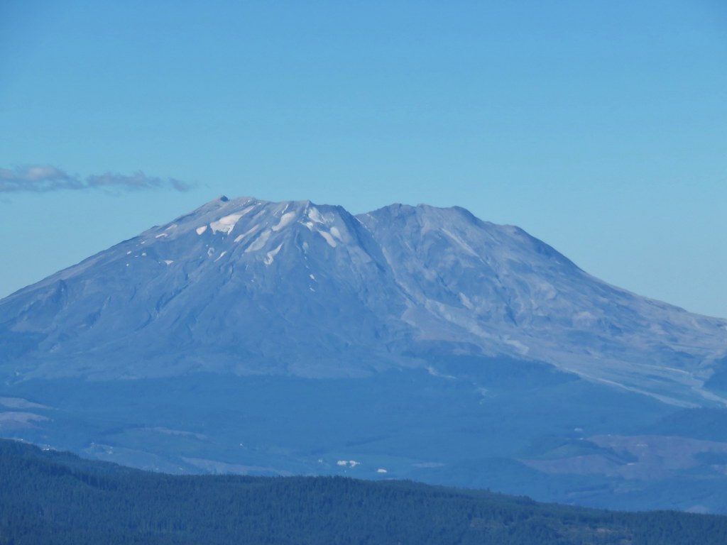
 Mt. St. Helens behind a line of clouds.
 Gifford Peak (post) behind us.
 Chipmunk

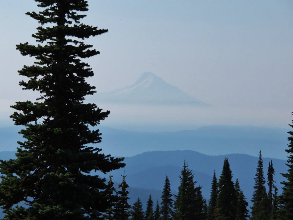
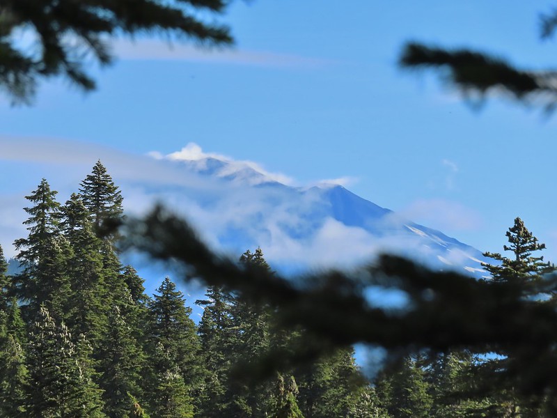
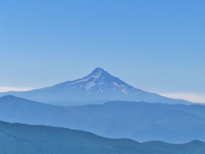
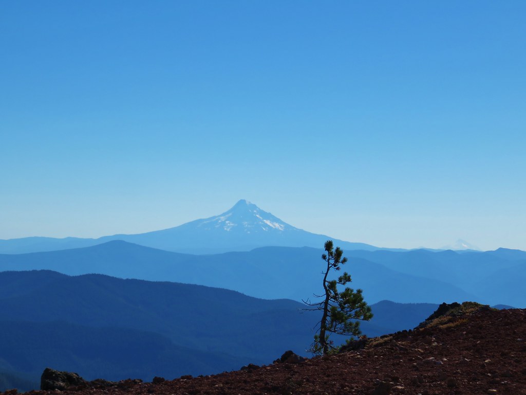
At a switchback a bit below the summit we were treated to a spectacular view of Mt. Hood.

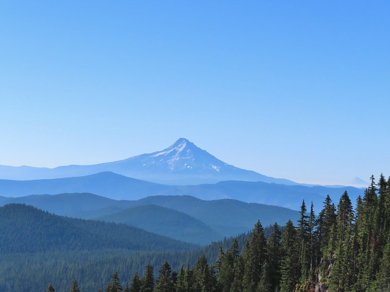 Mt. Jefferson was also visible to the right of Mt. Hood. Unfortunately so was the smoke being produced by the Bull Complex Fire which destroyed the historic Bull of the Woods Lookout (post) on Labor Day 😦 .
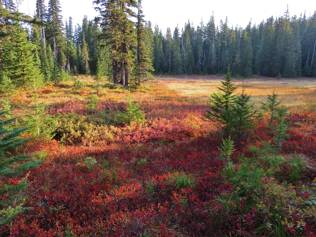
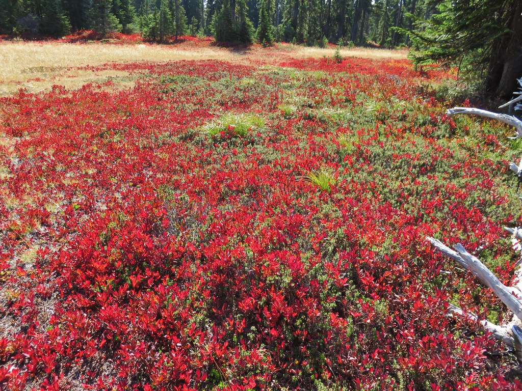
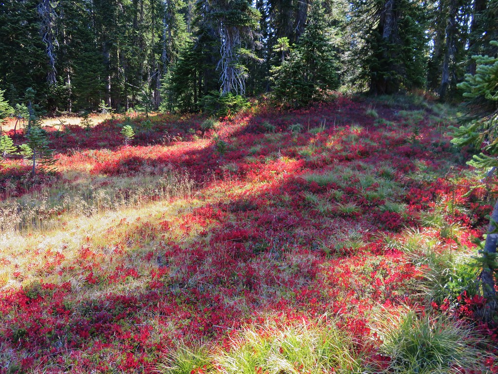
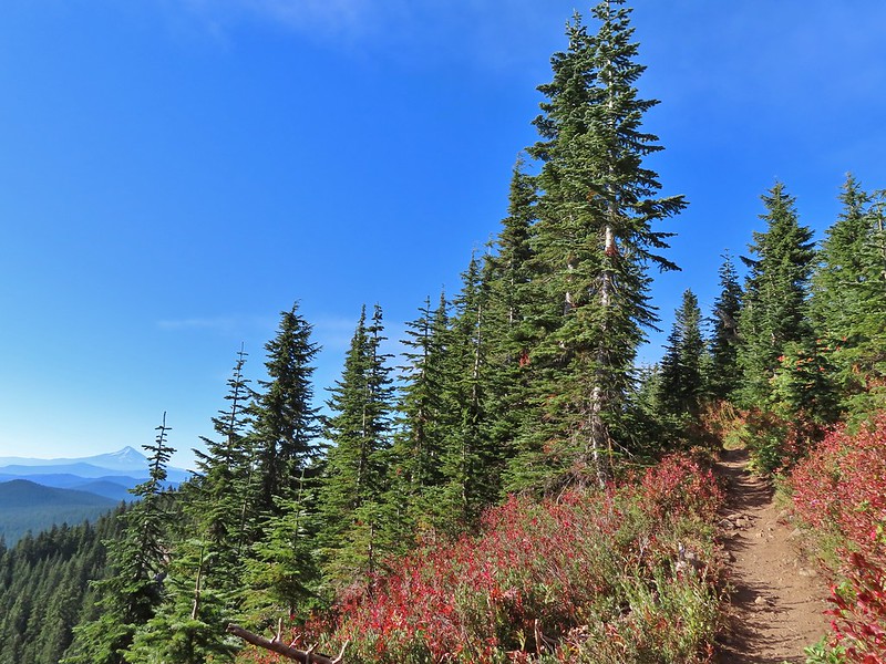
 Autumn is on the way, bring on the rain please.
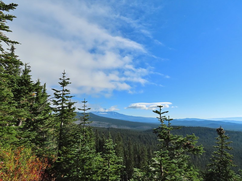
The PCT stuck to the long summit which would have also provided good views of Mt. Adams and Mt. St. Helens on a clearer day.
 Mt. Adams
 Looking toward Mt. St. Helens
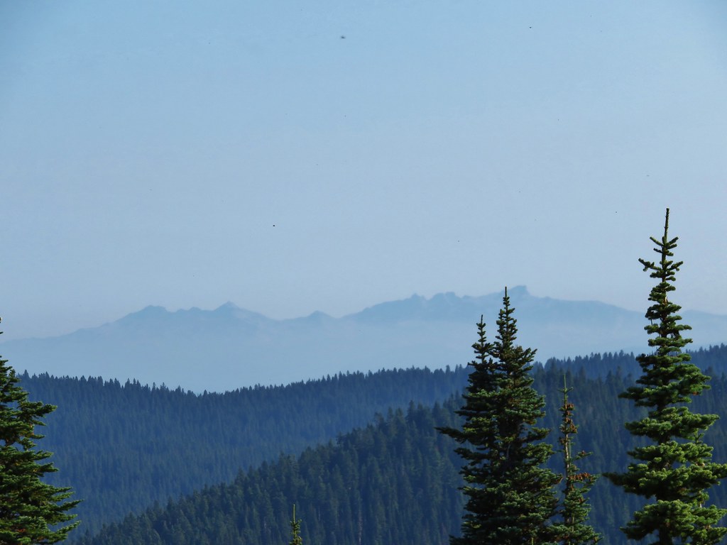
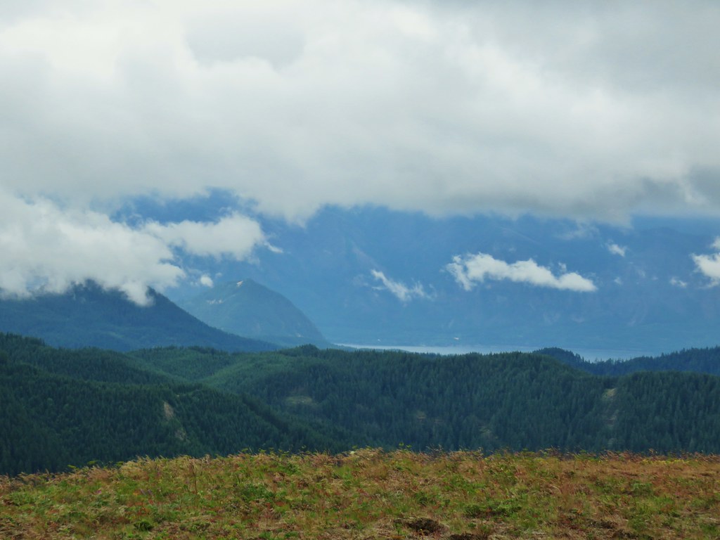
 The peaks in the Trapper Creek Wilderness (post) to the west.
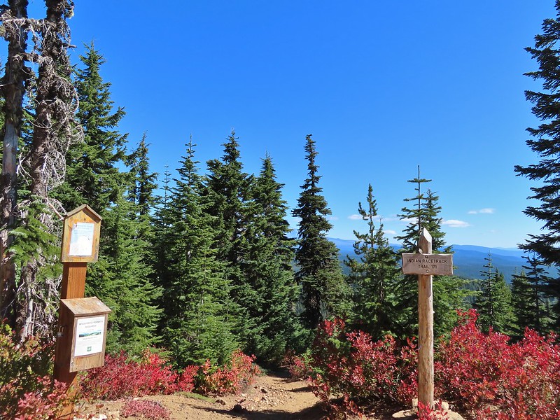
We finally began to descend from Berry Mountain and after 3 miles on the PCT arrived at a signed junction for the Indian Racetrack Shortcut Trail.
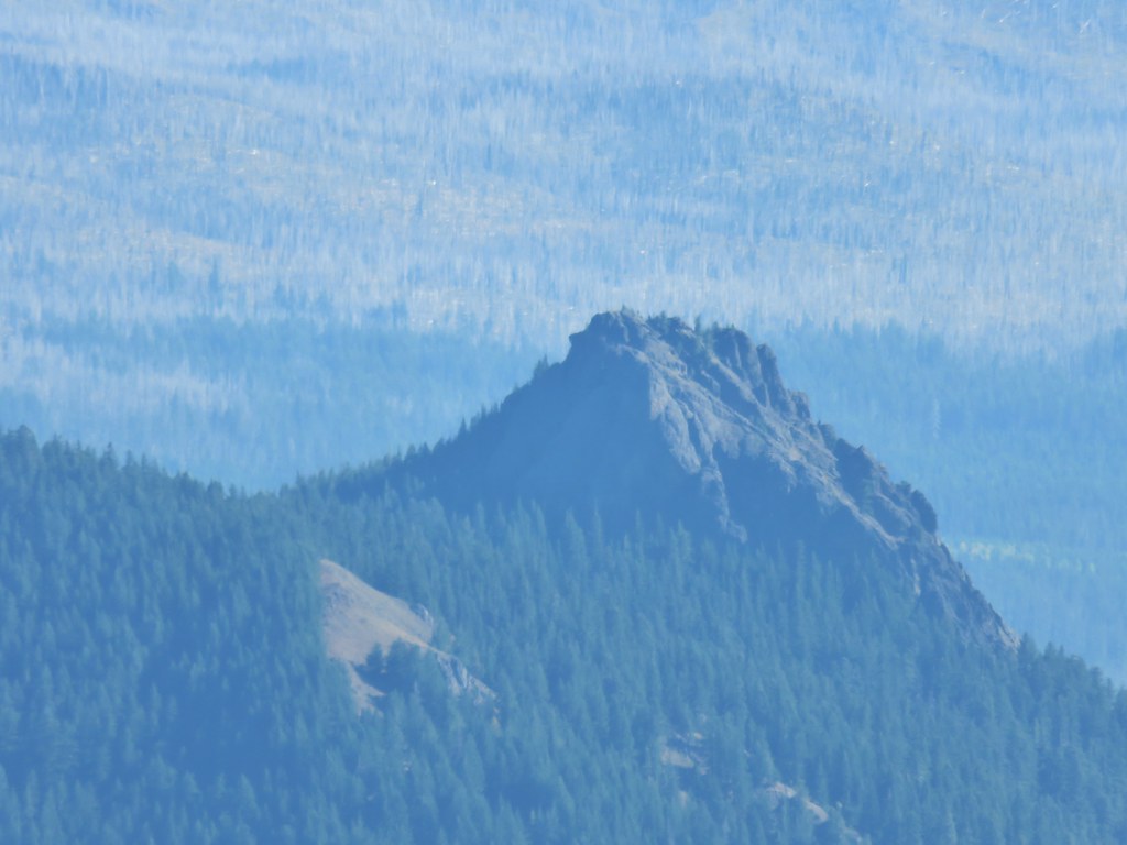
 Cliffs on Berry Mountain
 Mt. Hood as we headed downhill.
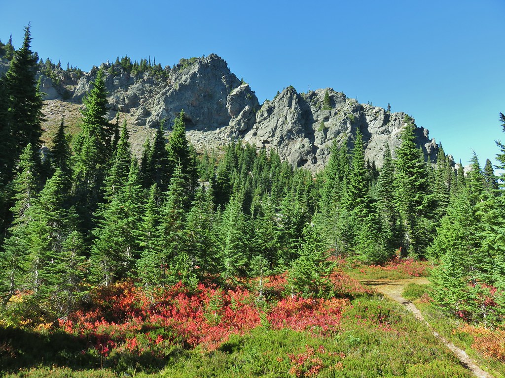
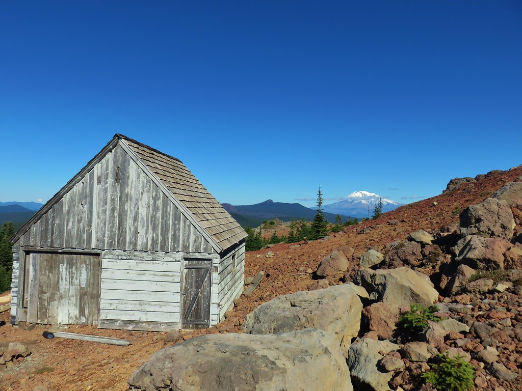
 Red Mountain and its lookout tower.
 This beargrass is way off schedule.

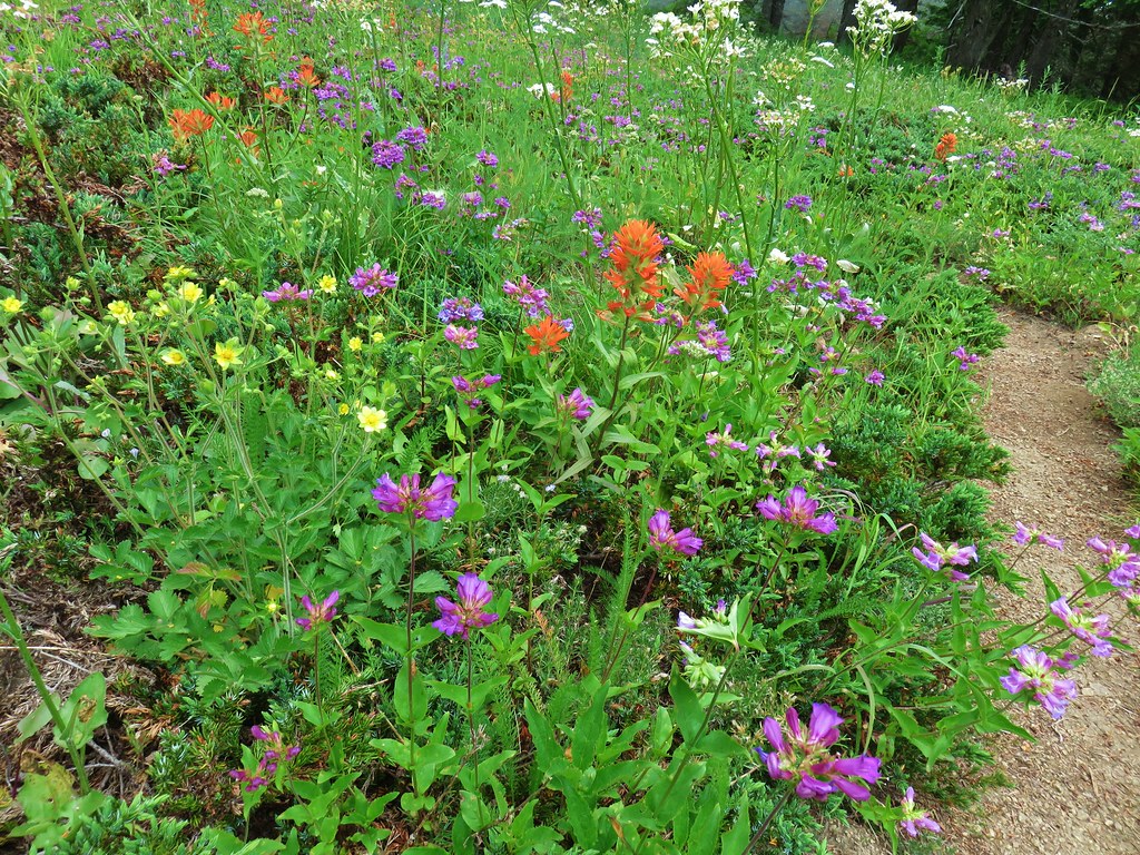
On our previous hike we’d arrived at this junction from the other direction so when we turned right we one a somewhat familiar trail. After a brief stint in the forest the trail entered larger and larger meadows.
After a half mile we arrived at the Indian Racetrack Trail arriving on our right.
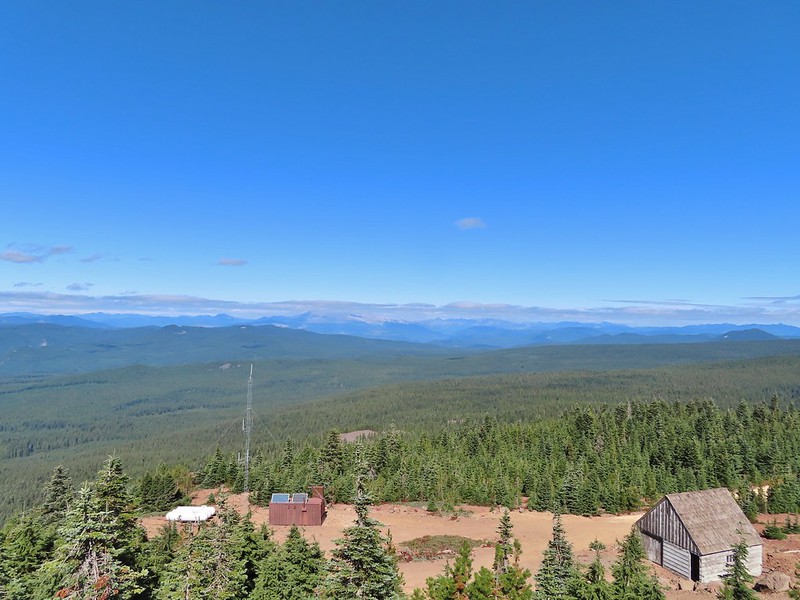
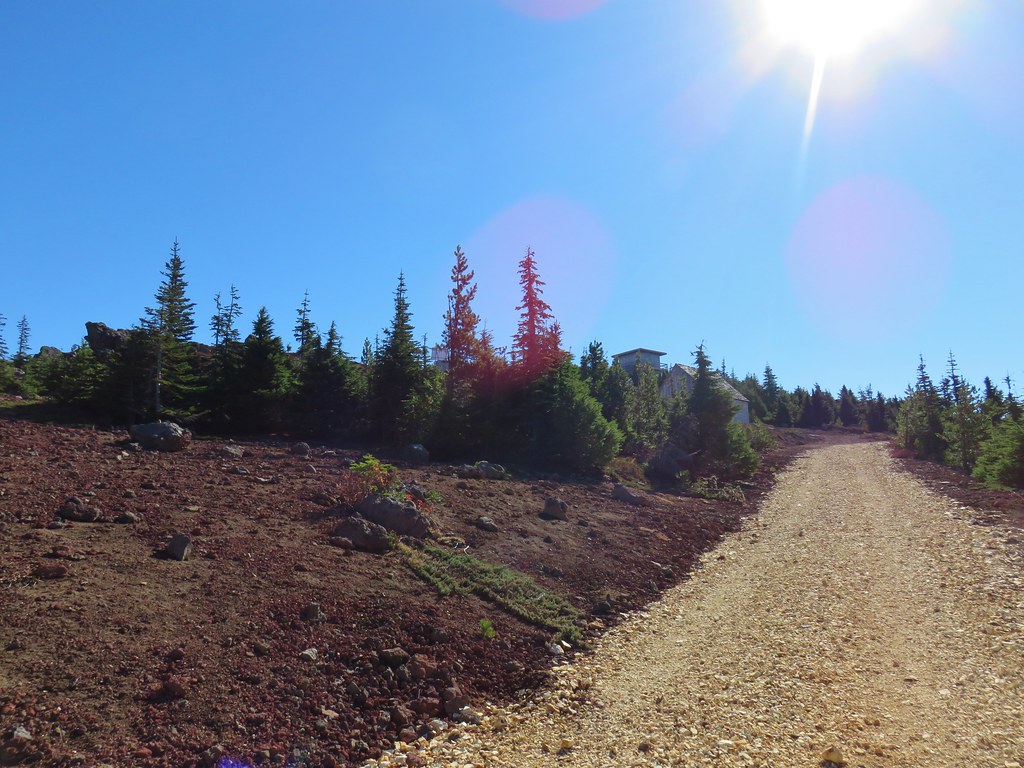
This would be the route back to our car but first we wanted to revisit the lookout on Red Mountain so we continued straight for approximately 50 yards and turned left at a pointer for the Indian Racetrack Trail.

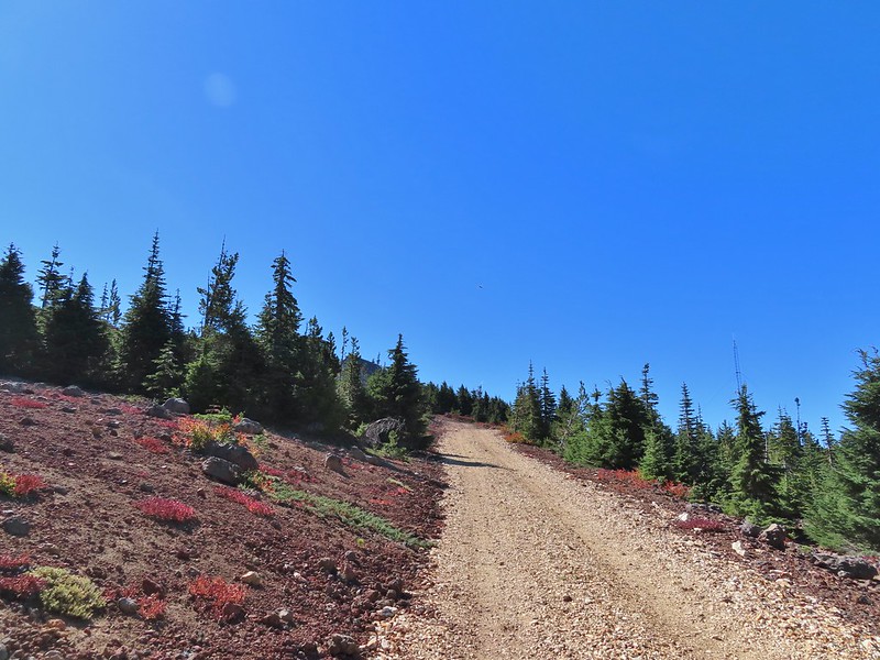
We followed the trail 0.8 miles to a road and then followed the road another quarter mile to the lookout gaining a total of 700′ along the way.

 Mt. Adams from a viewpoint along the way.

We passed two sets of hikers on their way down, the second of which mentioned having accidentally driven to the lookout. Apparently someone had vandalized the gate which allowed vehicles to drive up the road. Hopefully the Forest Service can get that remedied quickly as Google still shows the Indian Racetrack Trailhead on Red Mountain.


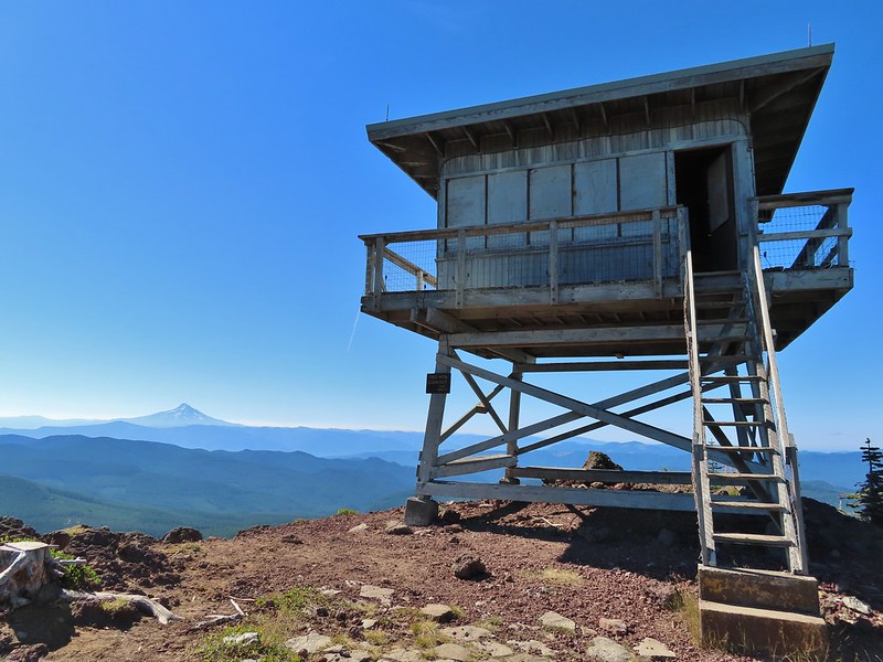 Not sure if someone forced the door open too or not.
 View of Mt. Adams beyond Indian Heaven.
 Photo taken from the doorway, it looked like nothing had been vandalized.
 Mt. St. Helens still hiding behind that line of clouds.
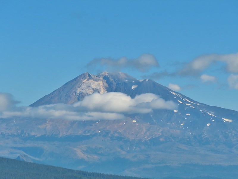
We took a long enough break at the summit to get to a brief glimpse of Mt. St. Helens summit.
 Mt. Adams with a few clouds passing by.
 Mt. Hood with smoke from the Bull Complex behind.
We headed back down the Indian Racetrack Trail to Indian Racetrack and then continued on it past Race Track Lake. We passed quite a few hikers on our way down and saw more at Indian Racetrack.
 Indian Heaven Wilderness sign on Red Mountain with Mt. Adams in the background.
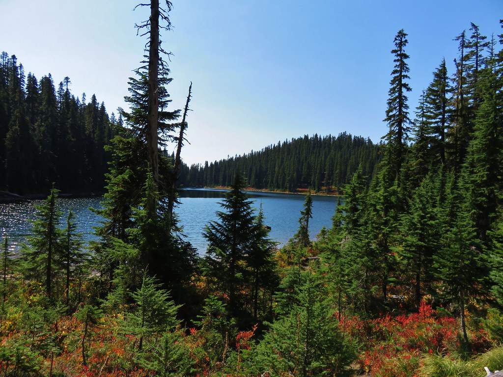
 Race Track Lake on the left.


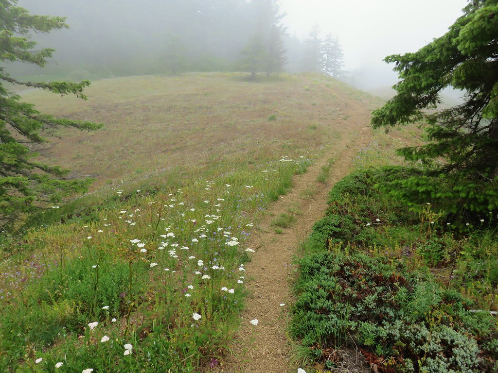
It was 2.3 miles total from the junction back to the Falls Creek Horse Camp. We continued to see more and more hikers and were once again glad we’d gotten an early start allowing us to have the lookout to ourselves.
 Hardhack
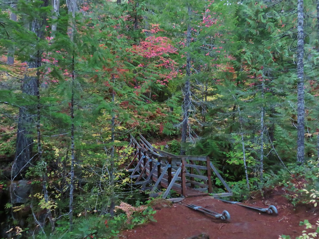
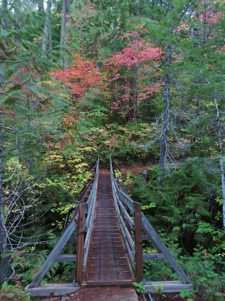
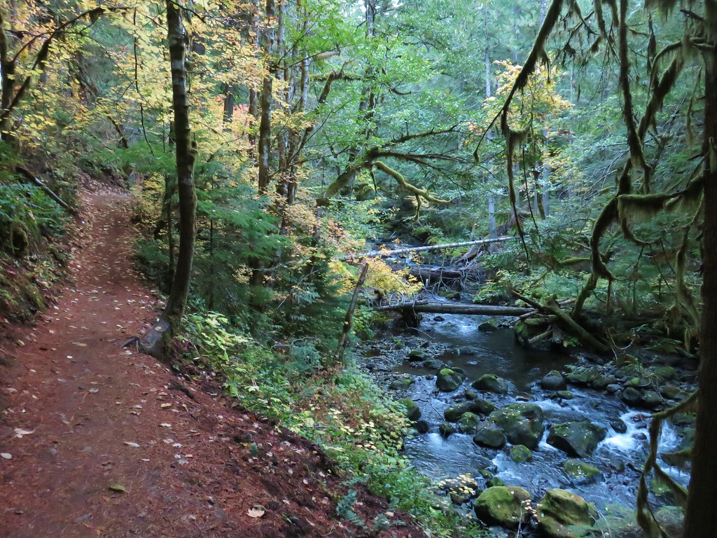
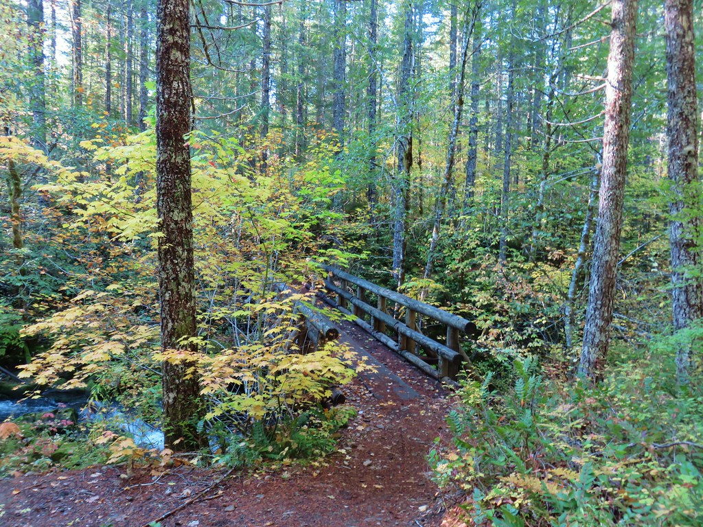
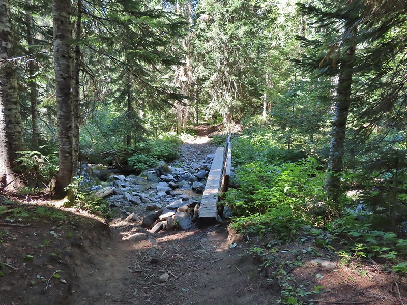 Footbridge over Falls Creek.
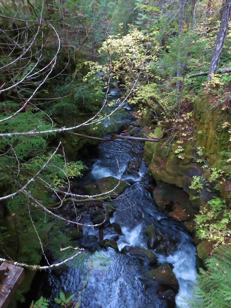
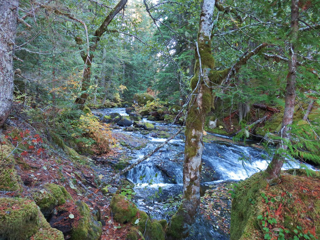
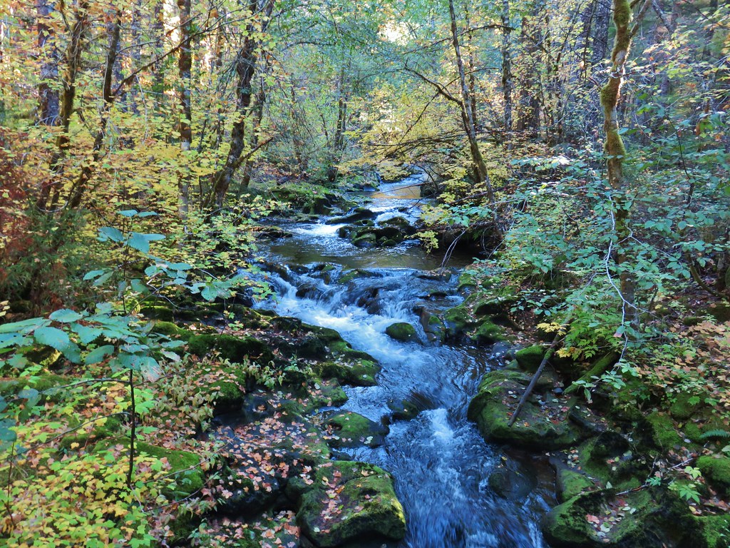
 Falls Creek
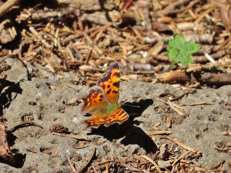 Butterfly near Falls Creek.
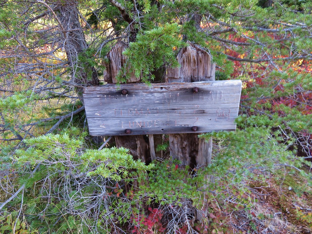
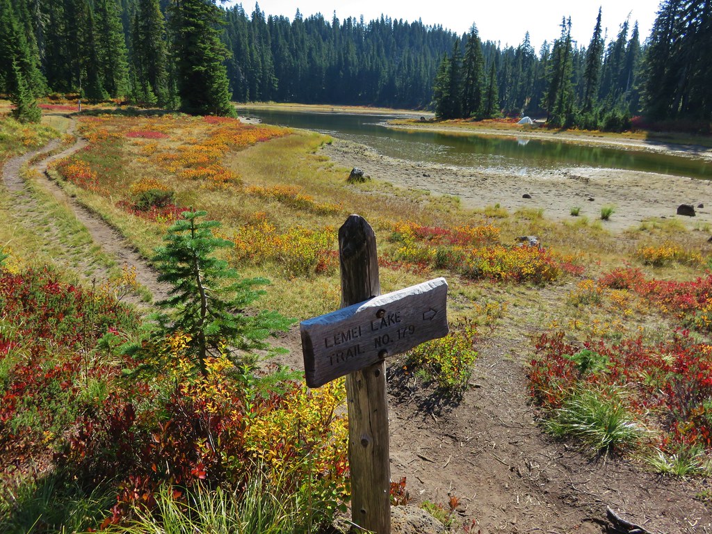
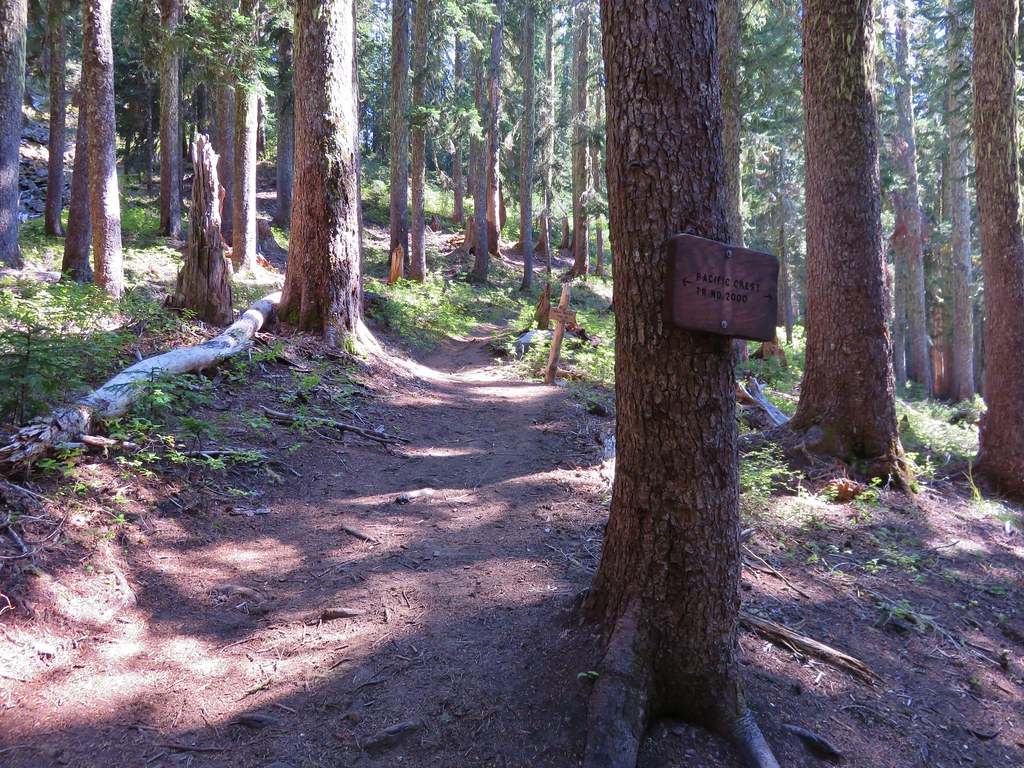
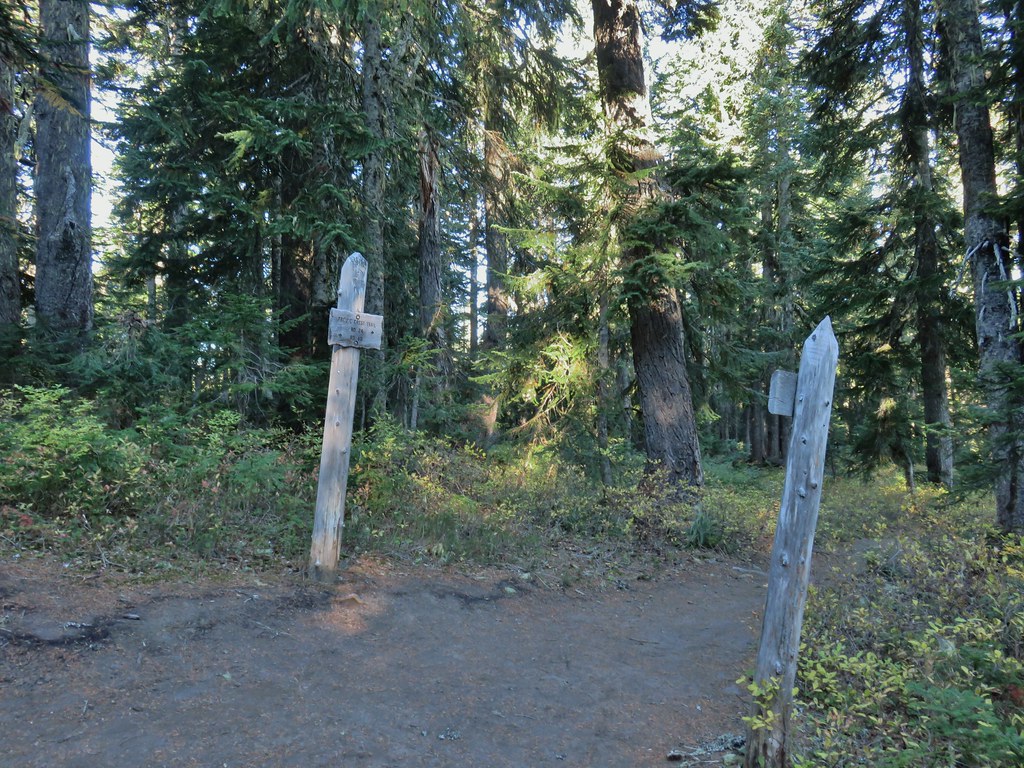
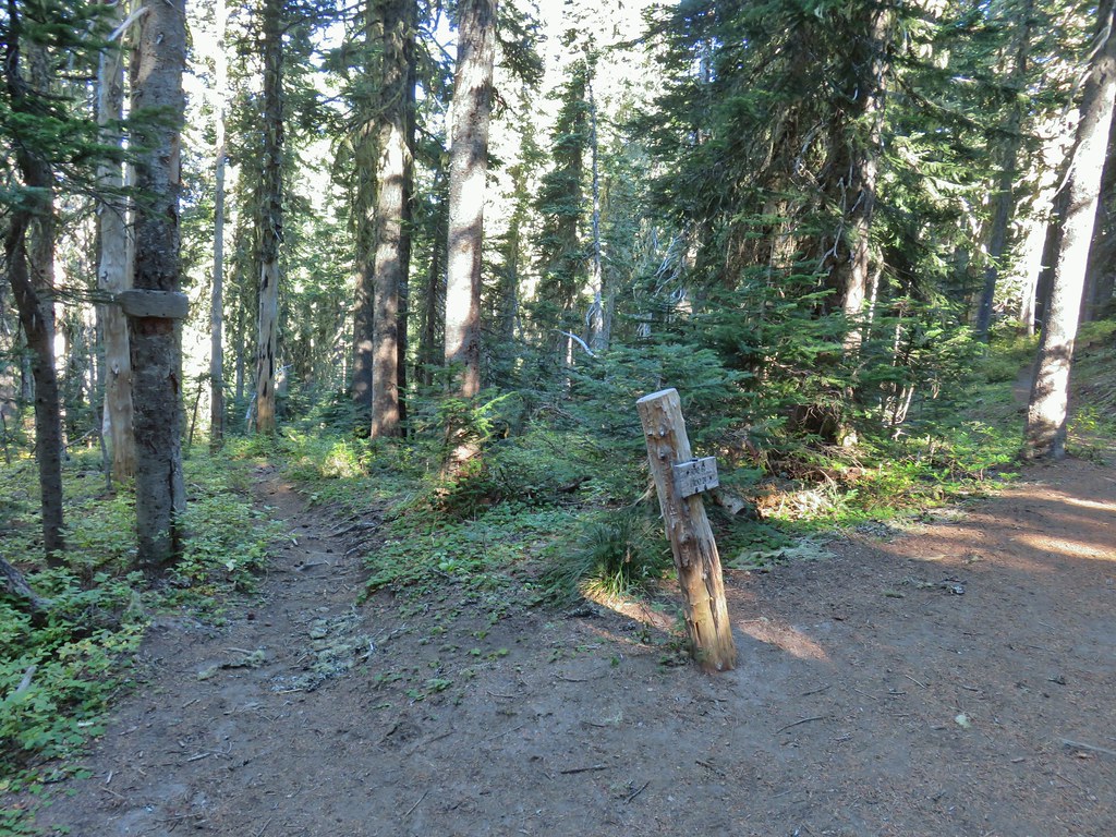
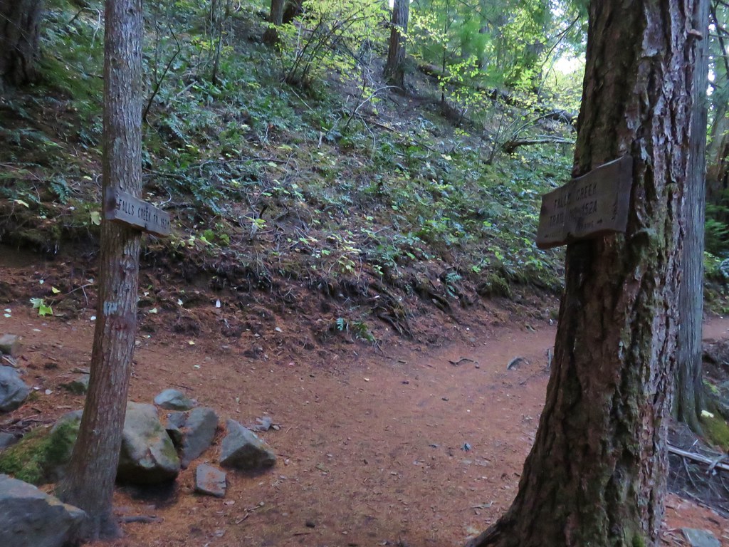
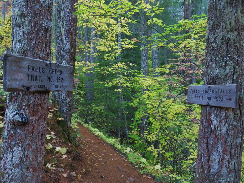
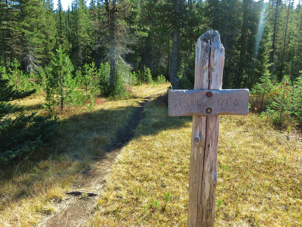
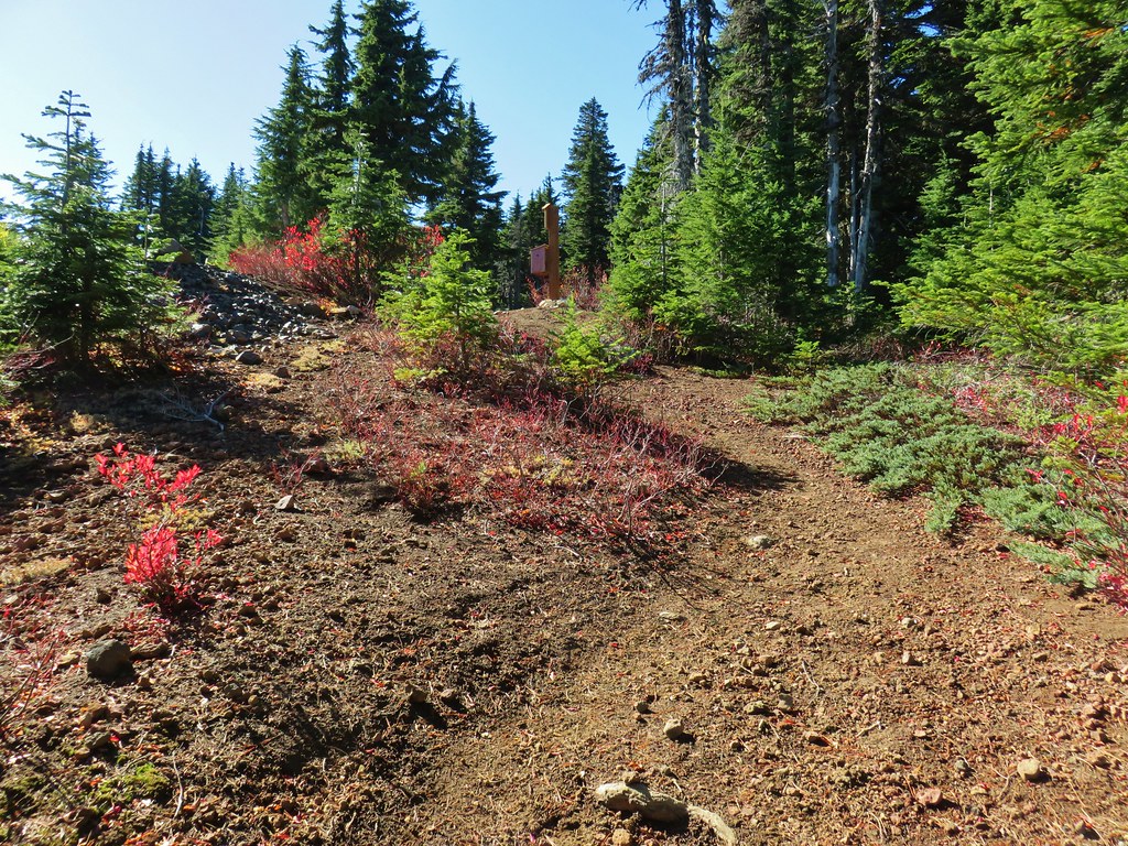
 Sign at the final trail junction near FR 65.
Reeder called this a 12 mile loop but our GPS came in at 11.2 miles which was a nice surprise. Total elevation gained was approximately 2850′. For this loop route finding, map, and navigation skills are highly recommended, otherwise the out and back option still provides a nice hike. Happy Trails!

Flickr: Indian Racetrack via Falls Creek


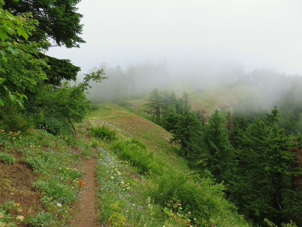
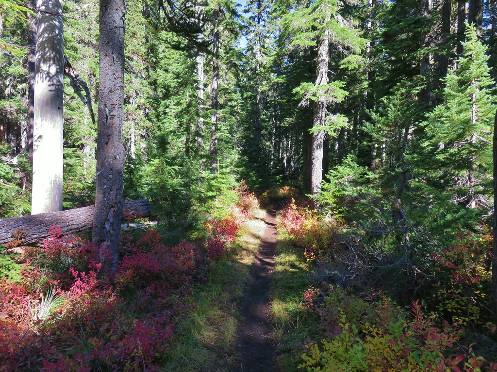
 Still some fireweed blooming in the fire scar.
 East Crater beyond a pond.
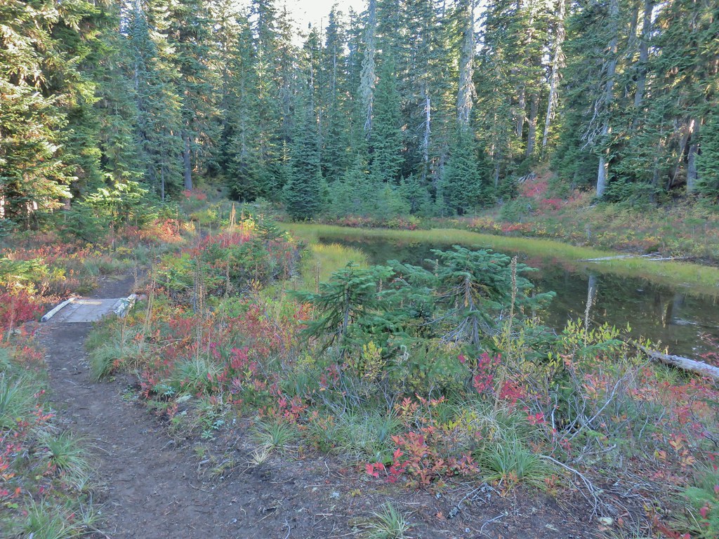
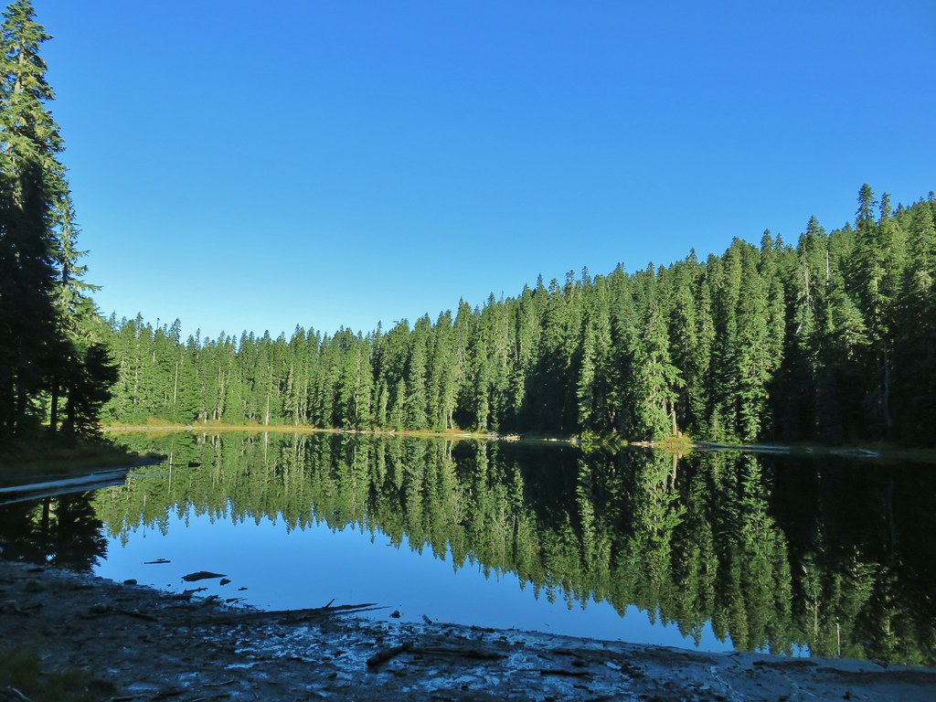
 Junction Lake
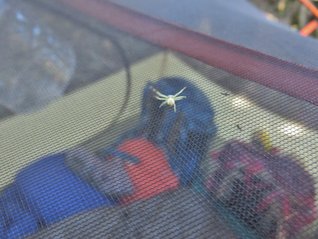 This crab spider offered to watch our tent for us while we were away.
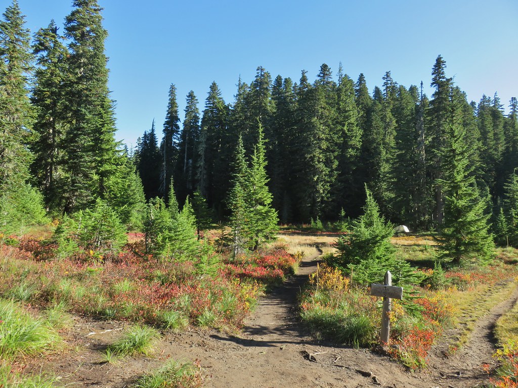


 Placid Lake Trail on the left.
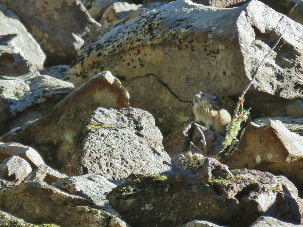
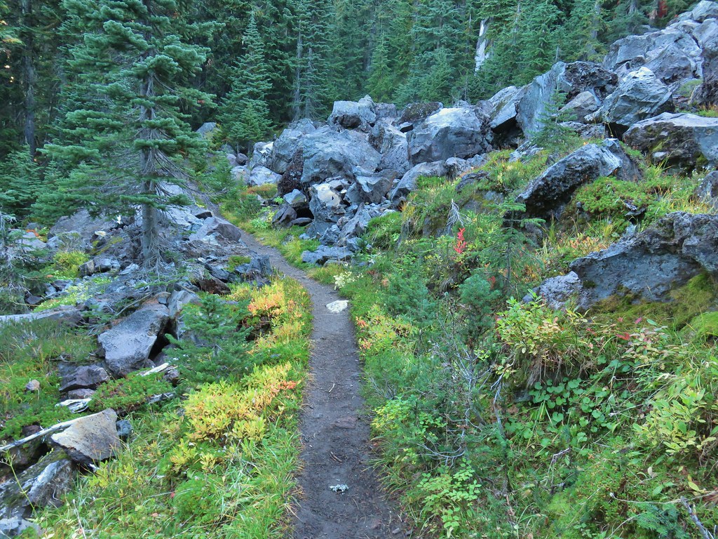 No pikas in these rocks, that we saw.
 PCT at the 4-way junction.
 Cultus Creek Trail heading uphill to the right.

 Goat Rocks with Mt. Adams hiding behind trees.
 Mt. Rainier behind Sawtooth Mountain (and Steamboat Mountain to the right)
 Mt. Rainier
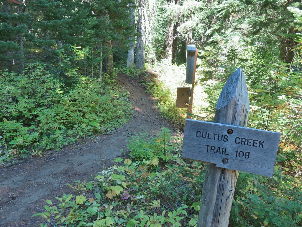


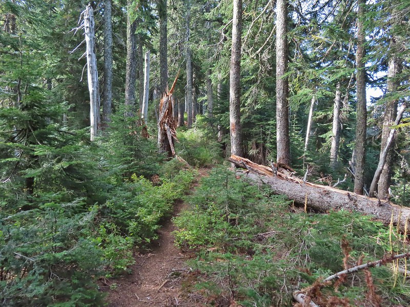
 The Labor Day wind storm had knocked a number of trees down but the trails we took had mostly been cleared already.

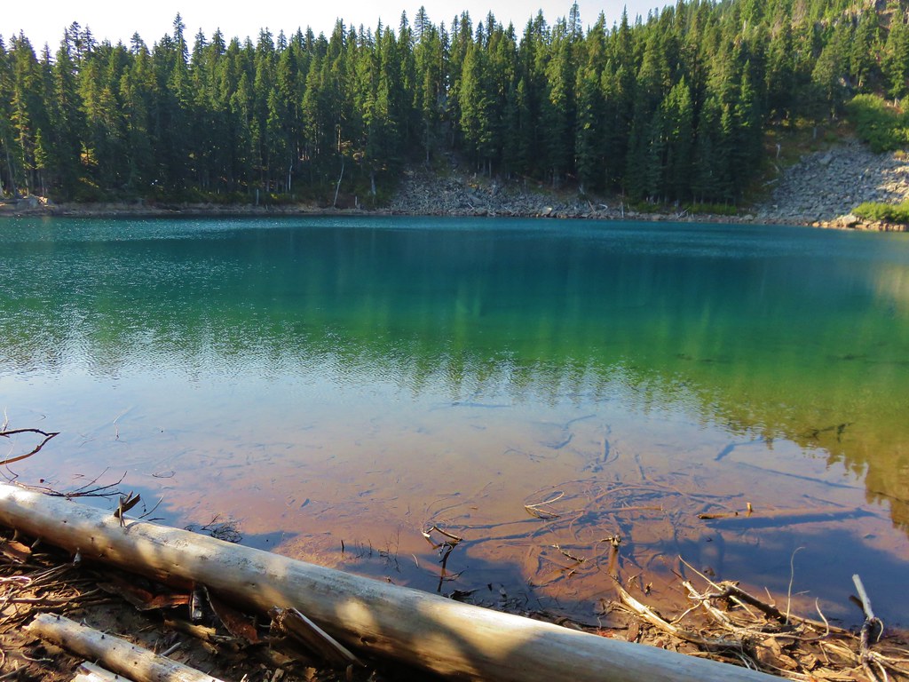
 Cultus Lake from the Deep Lake Trail.
 Lemi Rock beyond Cultus Lake
 Cultus Lake from the Lemi Trail.

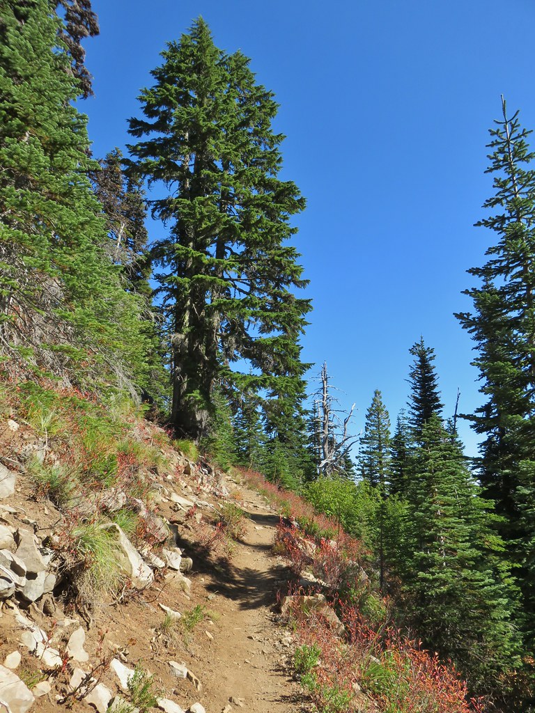
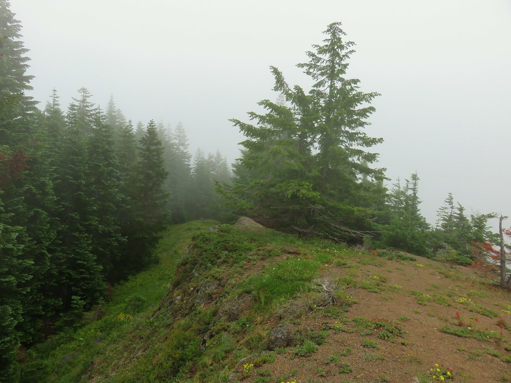
 The climb was up a forested hillside.
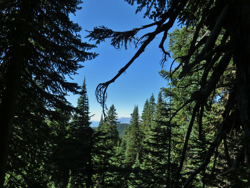 Mt. St. Helens

 Mt. Adams as we approached the viewpoint.
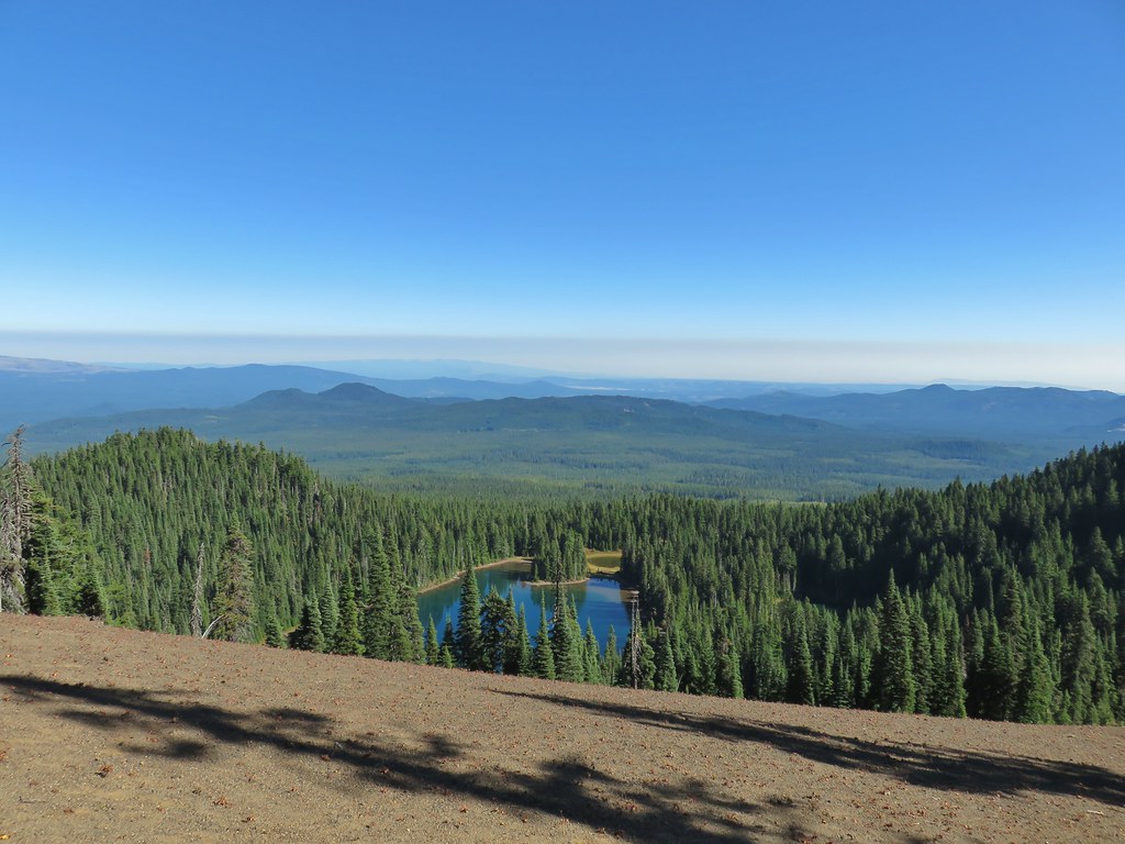 Lake Wapiki
 Mt. Hood


 Lemi Lake
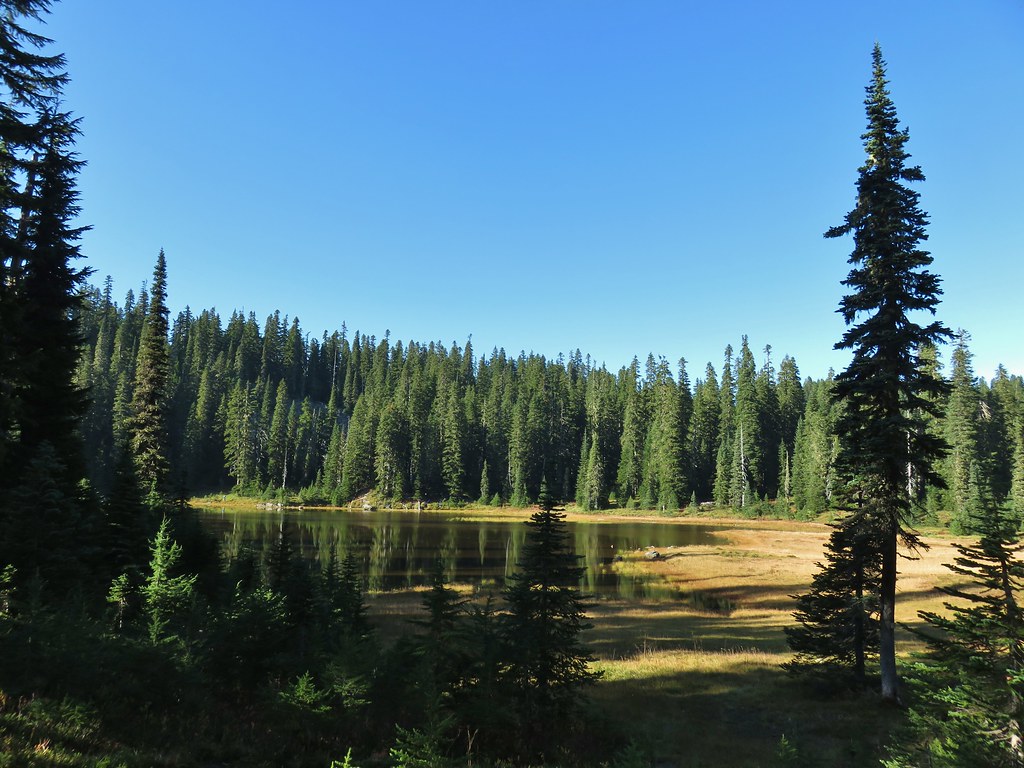


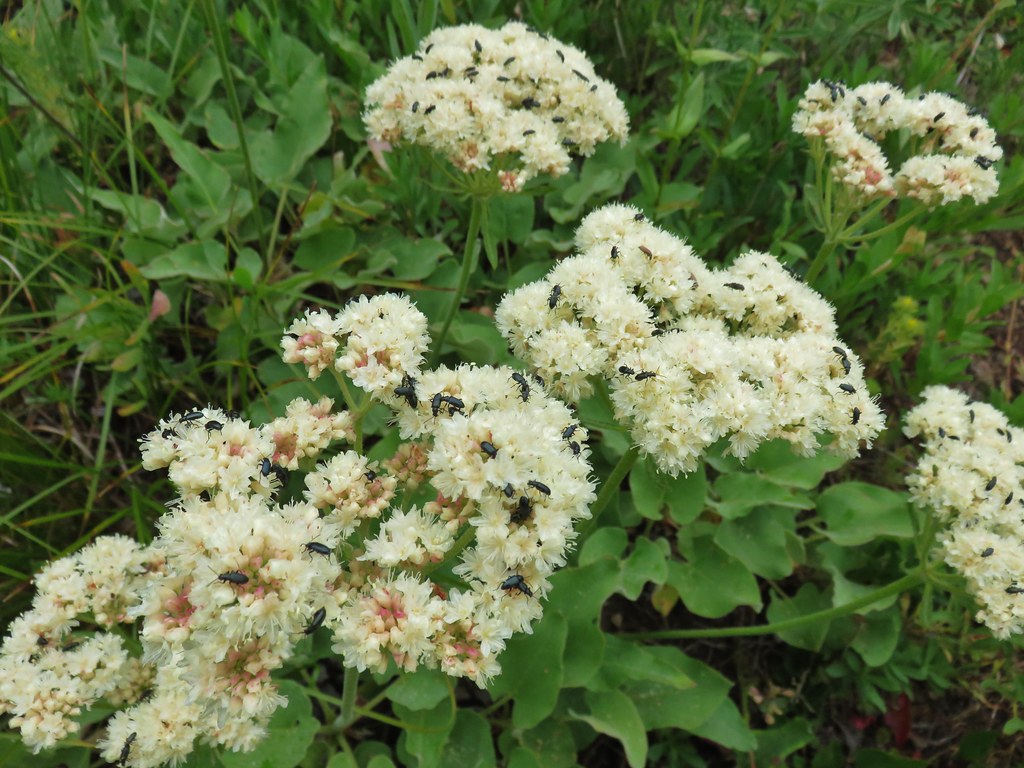
 Pearly everlasting
 Lemi Rock from the Lemi Lake Trail.

 Junction Lake
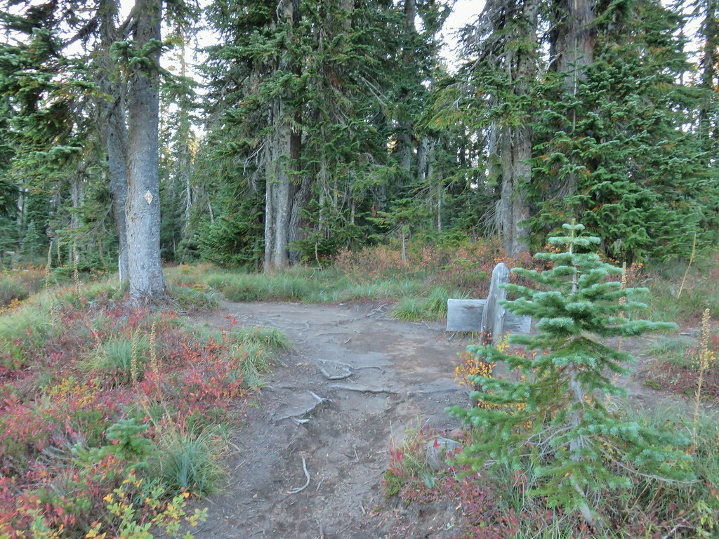 Back to the PCT.
 Junction Lake from the PCT/Lemi Lake Trail junction.
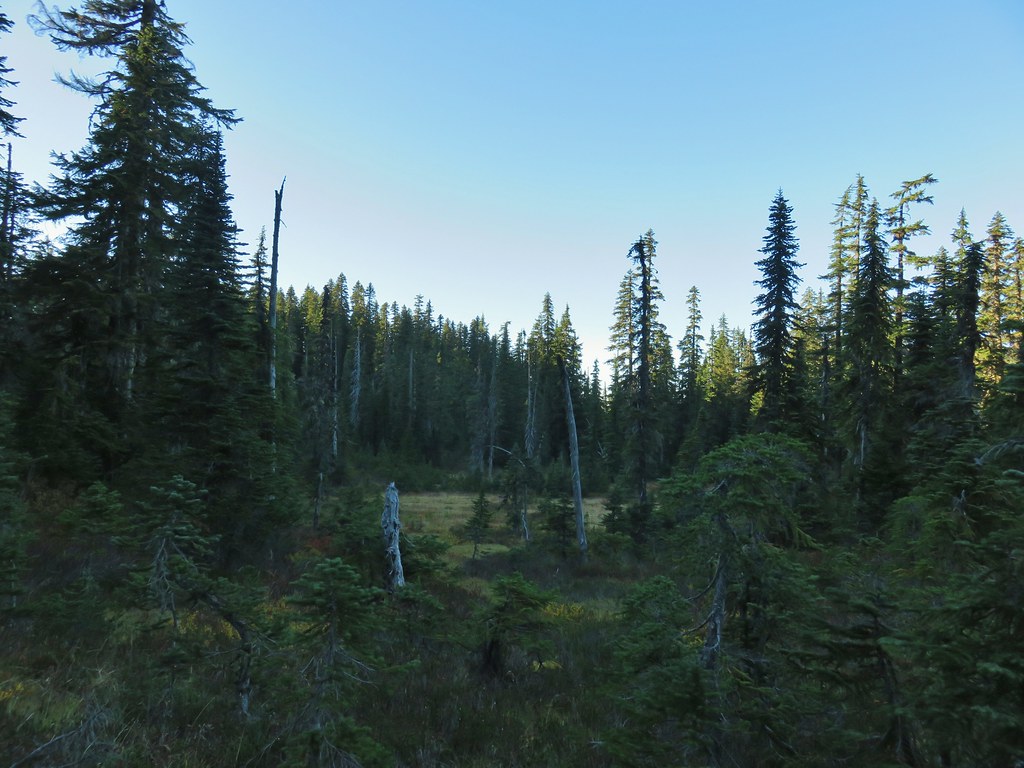


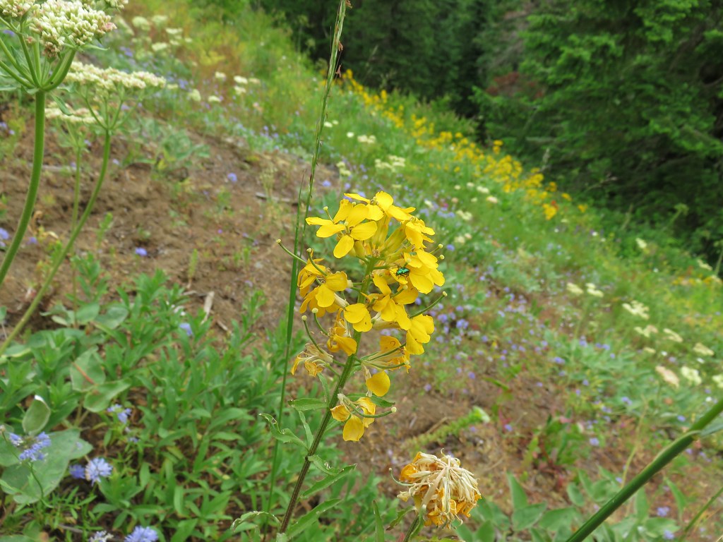
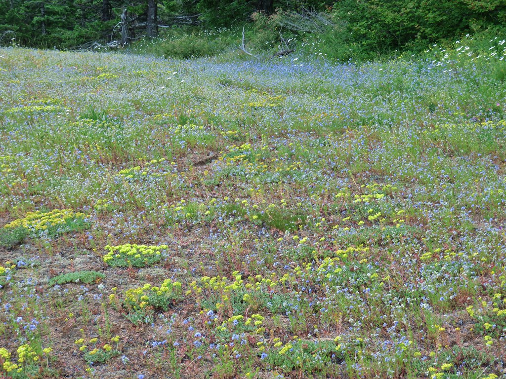
 Arrow leaf buckwheat
 Blue-head gilia, stonecrop, wild onion, and arrow leaf buckwheat
 Farewell-to-spring waiting for the Sun (just like us)
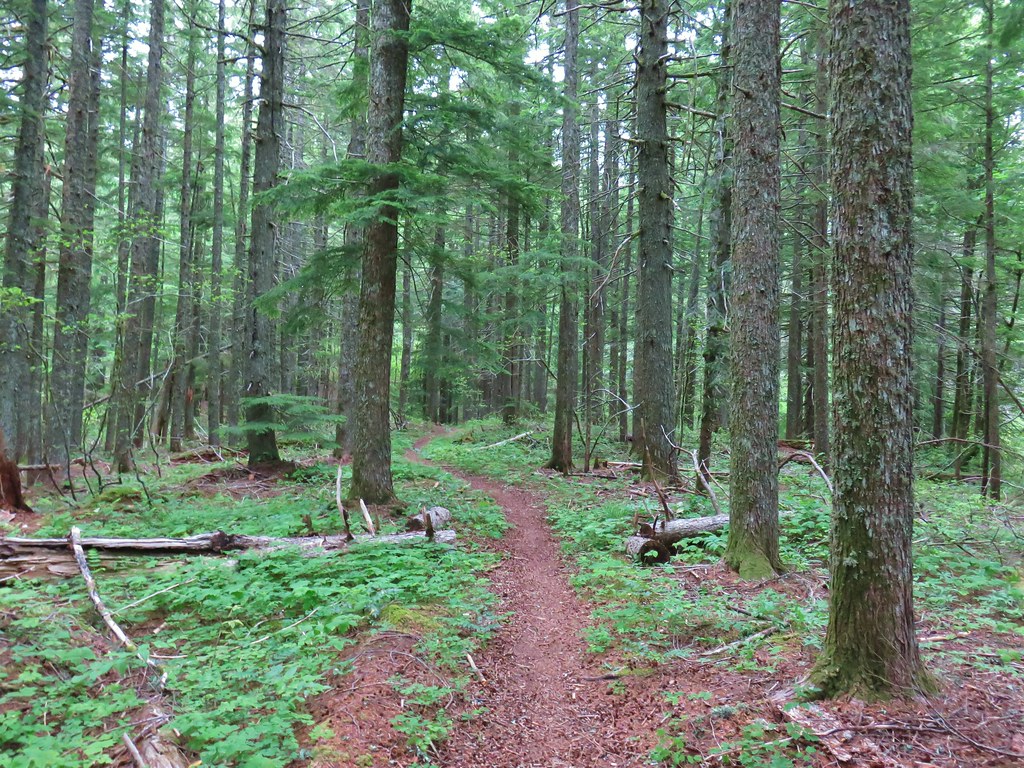
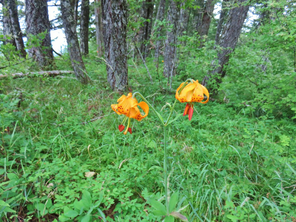 Tiger lily
 Twin flower
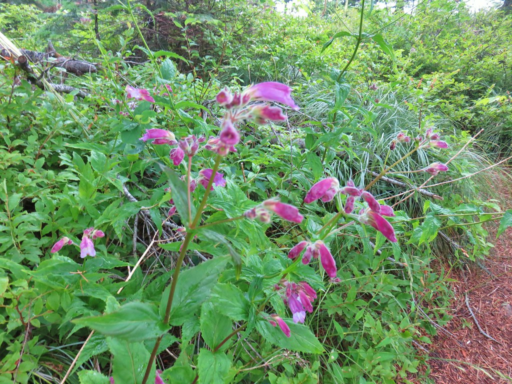 Penstemon
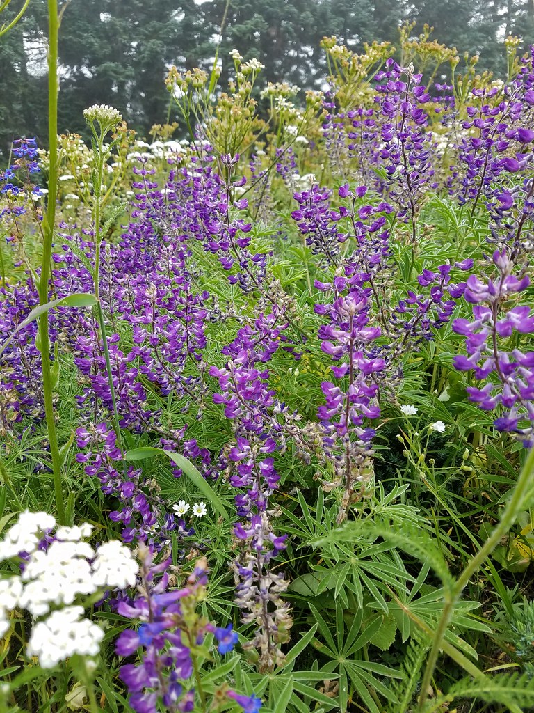
 Lupine
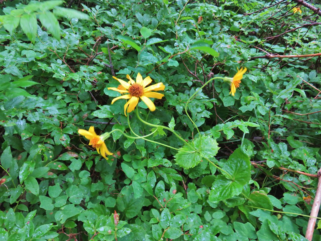 Arnica?
 Patinbrush and penstemon
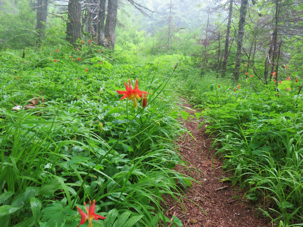 Columbine
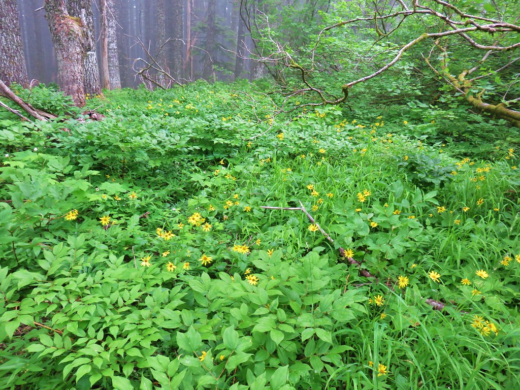 Lots of arnica
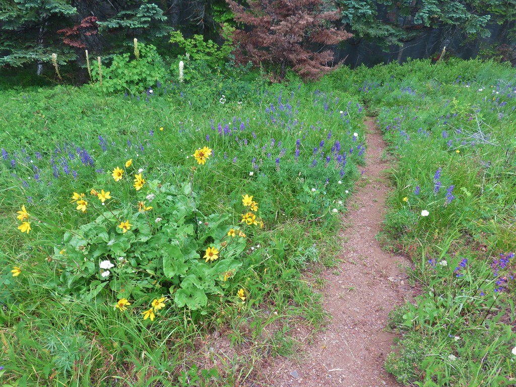
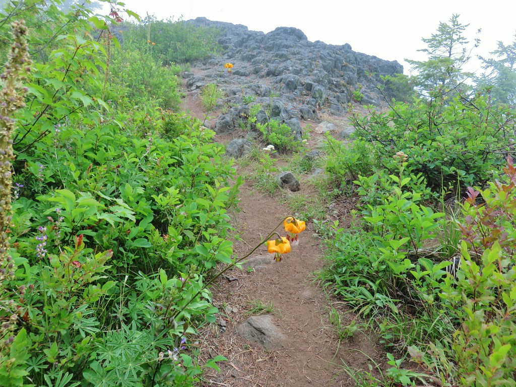 First viewpoint approximately 1 mile in.
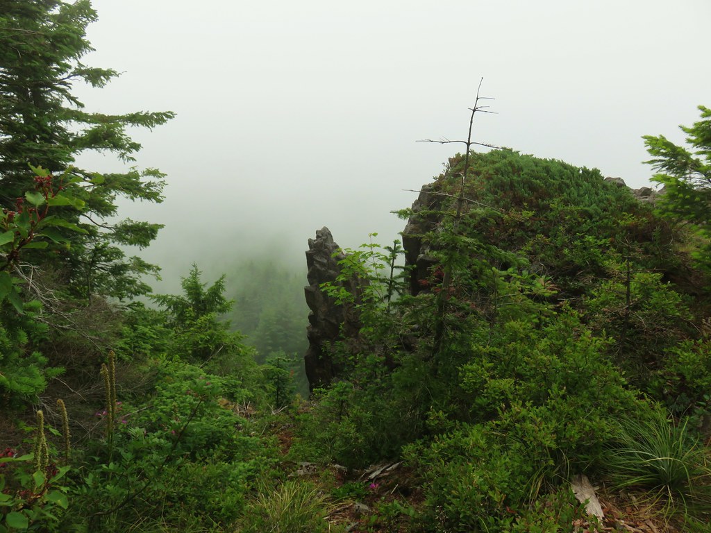 First viewpoint
 Second viewpoint, about 1.5 miles in. The hillside was covered in cat’s ear lilies.
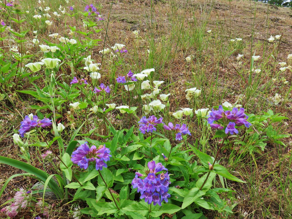 Penstemon and cat’s ears
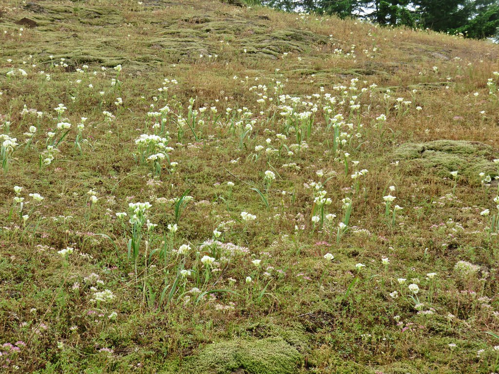 Cat’s ears and wild onion

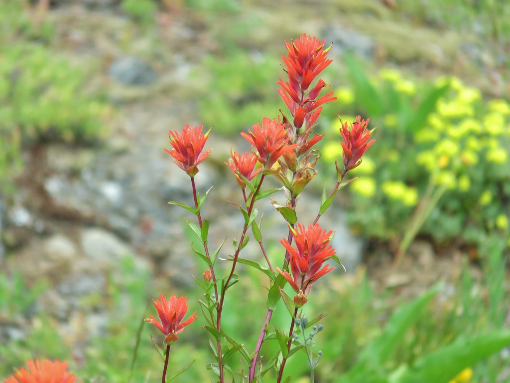
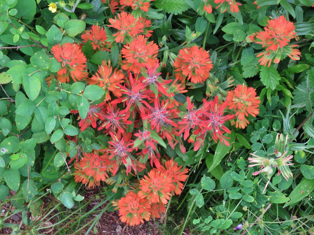 Two kinds of paintbrush
 Onion
Onion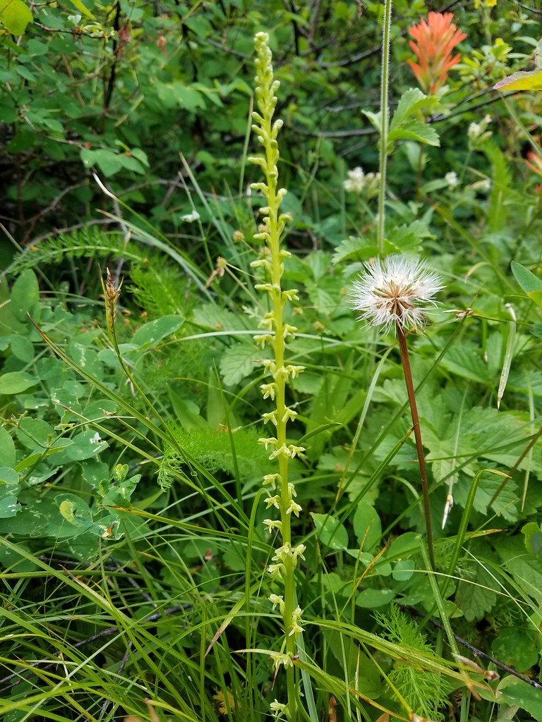 Looks to be some sort of orchid
 Blue-head gilia and an unknown yellow flower.
 Arrow leaf buckwheat and blue-head gilia
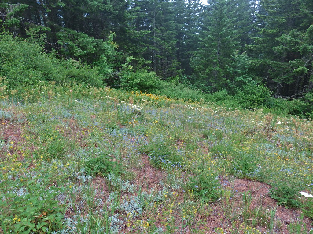 A bunch of flowers
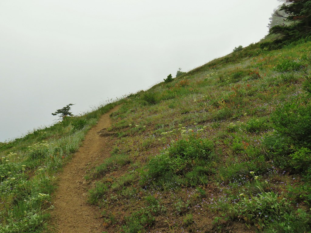 Starting up Grassy Knoll
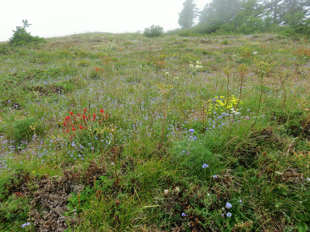

 Balsamroot
 Catchfly


 A little better view down for a moment.

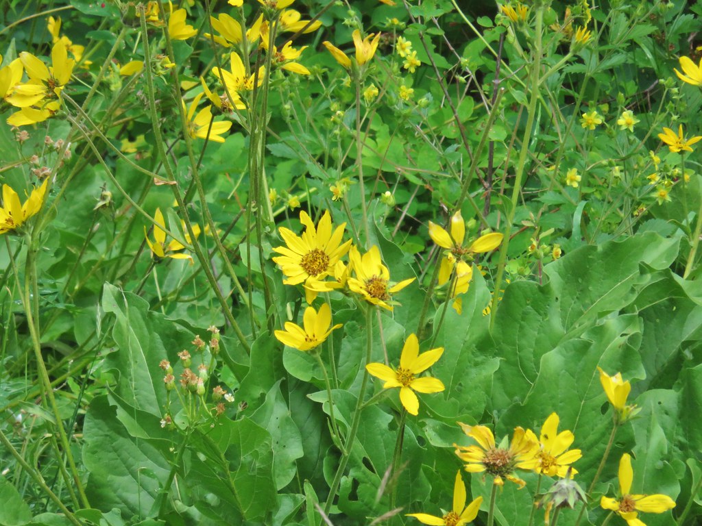
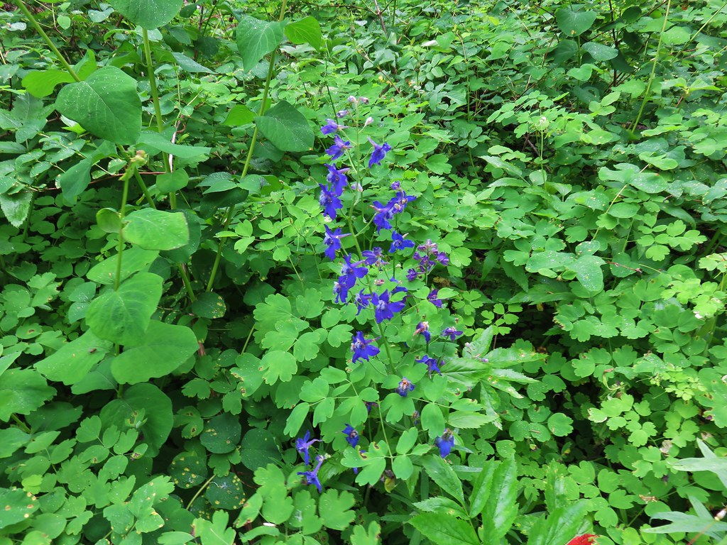 Larkspur
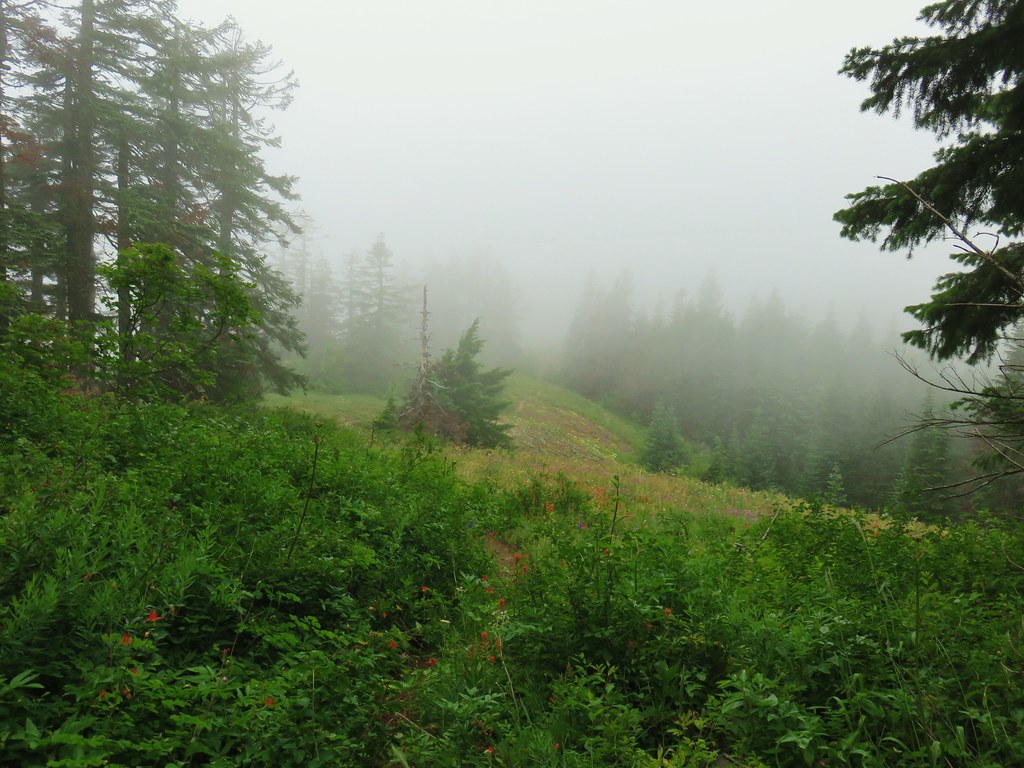


 Phlox and a cat’s ear lily
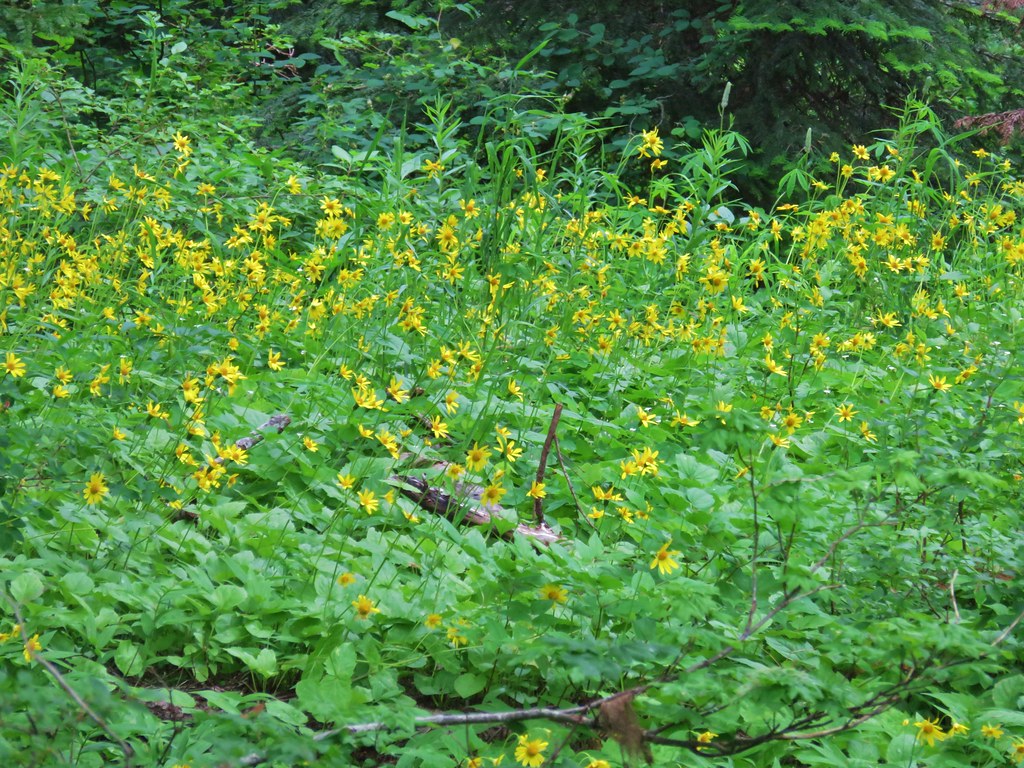


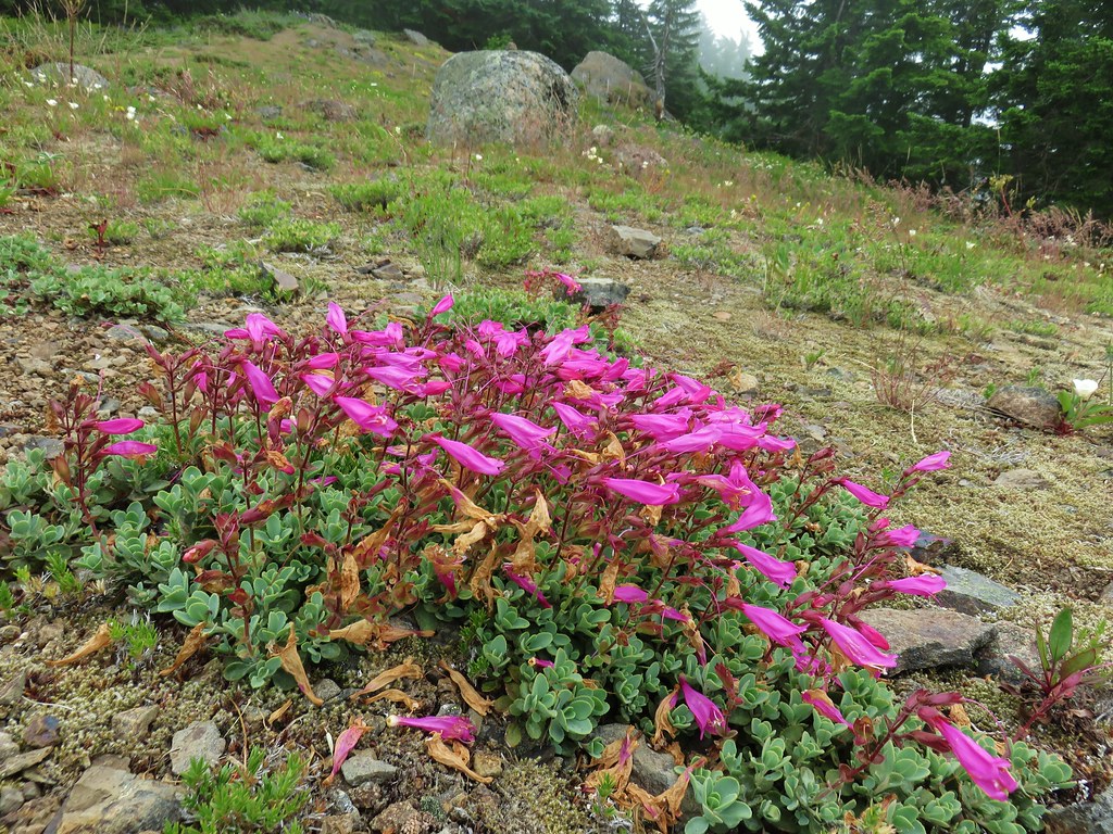
 Another type of penstemon
 Beargrass


 Not sure what this is either, it’s the first time we recall seeing it.
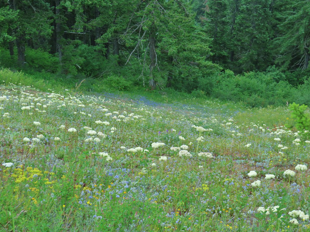


 Snowy flank of Mt. Adams through the clouds.


 Wind Mountain and the Columbia River
 Little Huckleberry Mountain and Big Lava Bed
 A bit of Mt. Adams again.
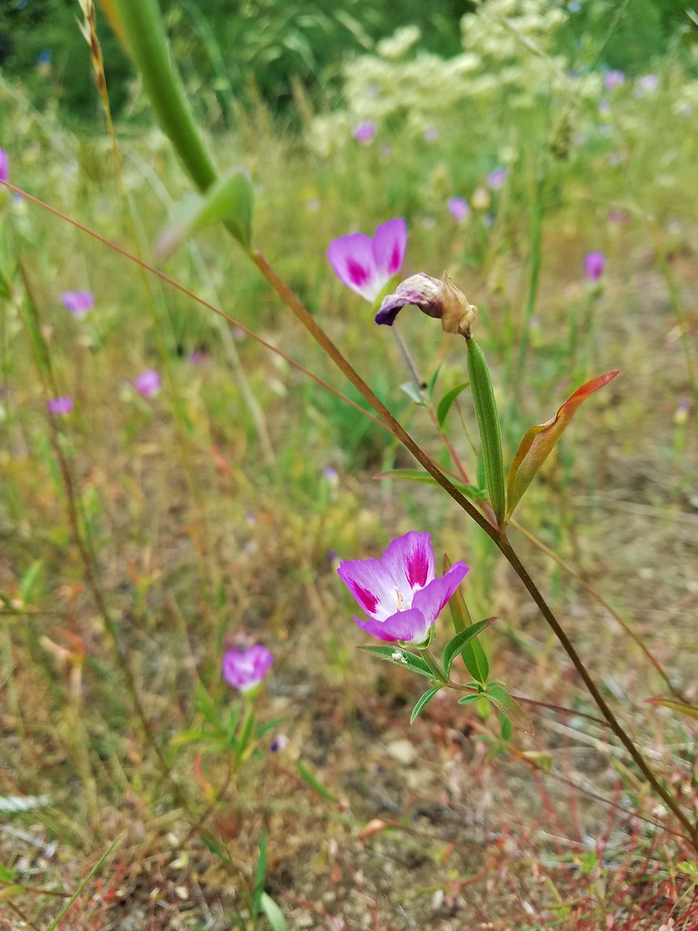


 This may named be Green Lake


 Lemei Rock and Mt. Adams
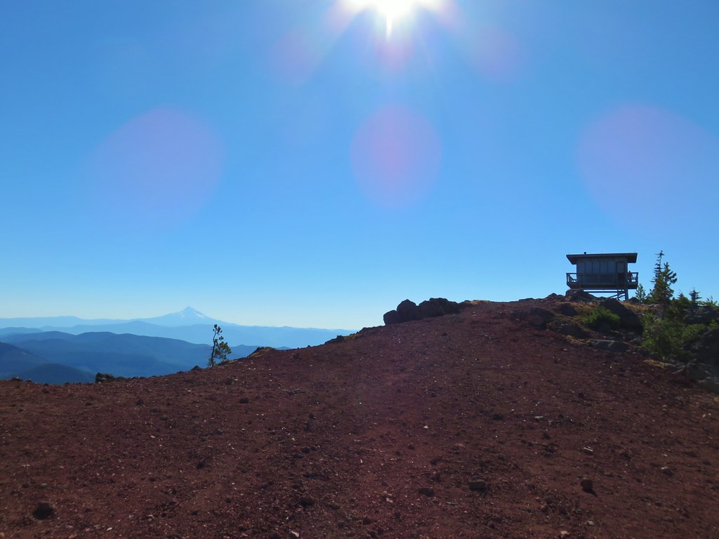

 Mt. St. Helens
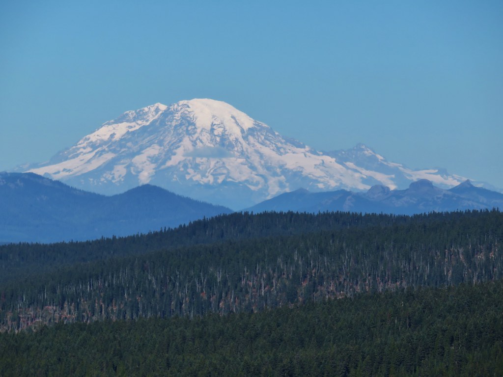 Mt. Rainier
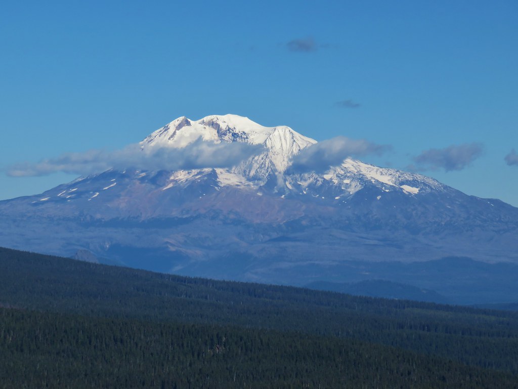 Mt. Adams