Categories
Coastal Range Hiking Trip report

Triple C & Step Creek Loops – 10/17/2026

It had been a while since we had checked off a hike in one of Matt Reeder’s guidebooks. While it hasn’t been a main goal of ours in the same way as it was for Sullivan’s guidebooks (post) we’ve been tracking our progress with several others. Prior to my medical issues this year we had plans to finish two of Reeder’s books, “PDX Hiking 365” (2 remaining) and “Off the Beaten Trail” (1 left), as well as a couple of the five remaining hikes from “101 Hikes in the Majestic Mount Jefferson Region”. Some of the hikes in that last book are still closed due to fires in 2020, but hopefully the last couple will reopen soon. In the meantime, he is working on a second edition which is exciting.

One of the two remaining hikes in “PDX Hiking 365” was the Triple C Loop in the Tillamook State Forest. The trail is named in honor of the Civilian Conservation Corps who worked on forest recovery after the 1933 Tillamook Burn. The hike begins at Reehers Camp where from 1934 to 1941 men from the CCC were stationed.

We parked at the Reehers Camp Trailhead
IMG_2141

The Triple C Loop is just 2.8-miles making it a little too short to warrant the drive from Salem however the Gales Creek Trail (post) shares a portion of the Triple C Loop and offers longer options, one of which being the Step Creek Loop.
IMG_2323

We took Reeder’s advice to hike the Triple C Loop counterclockwise and from the trailhead parking lot crossed NW Cochran Road and picked up the trail on the far side.
IMG_2143

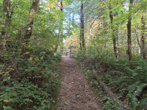
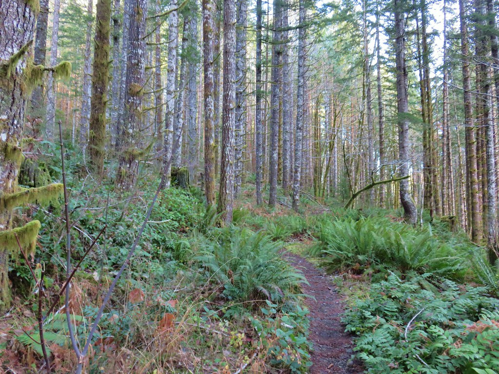
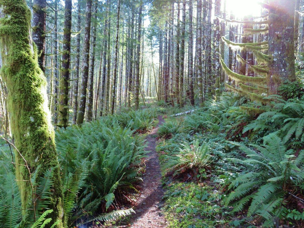
The trail makes its way around a knoll passing through a nice forest before a second road crossing and descending to the Nehalem River.
IMG_2145
Trail from the campground joining from the right.
IMG_2150

IMG_2152

IMG_2156
Squirrel!

IMG_2161
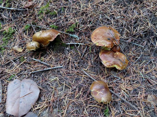
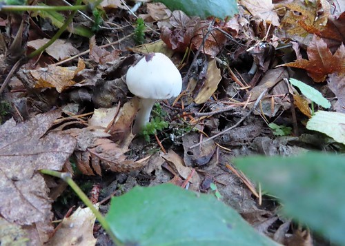
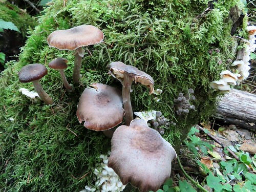
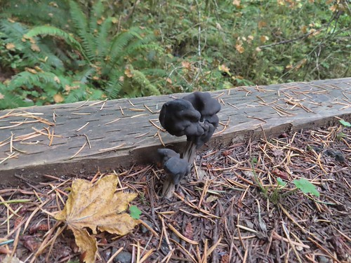
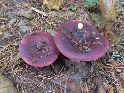
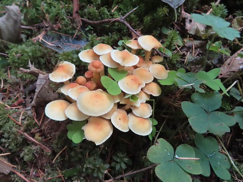
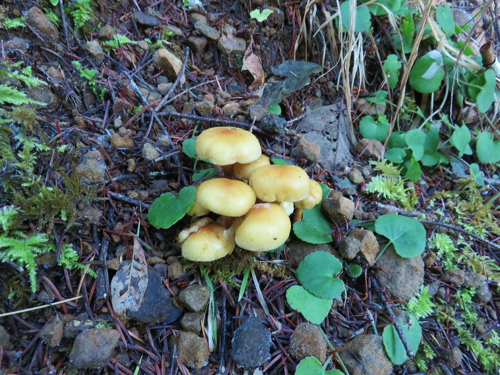
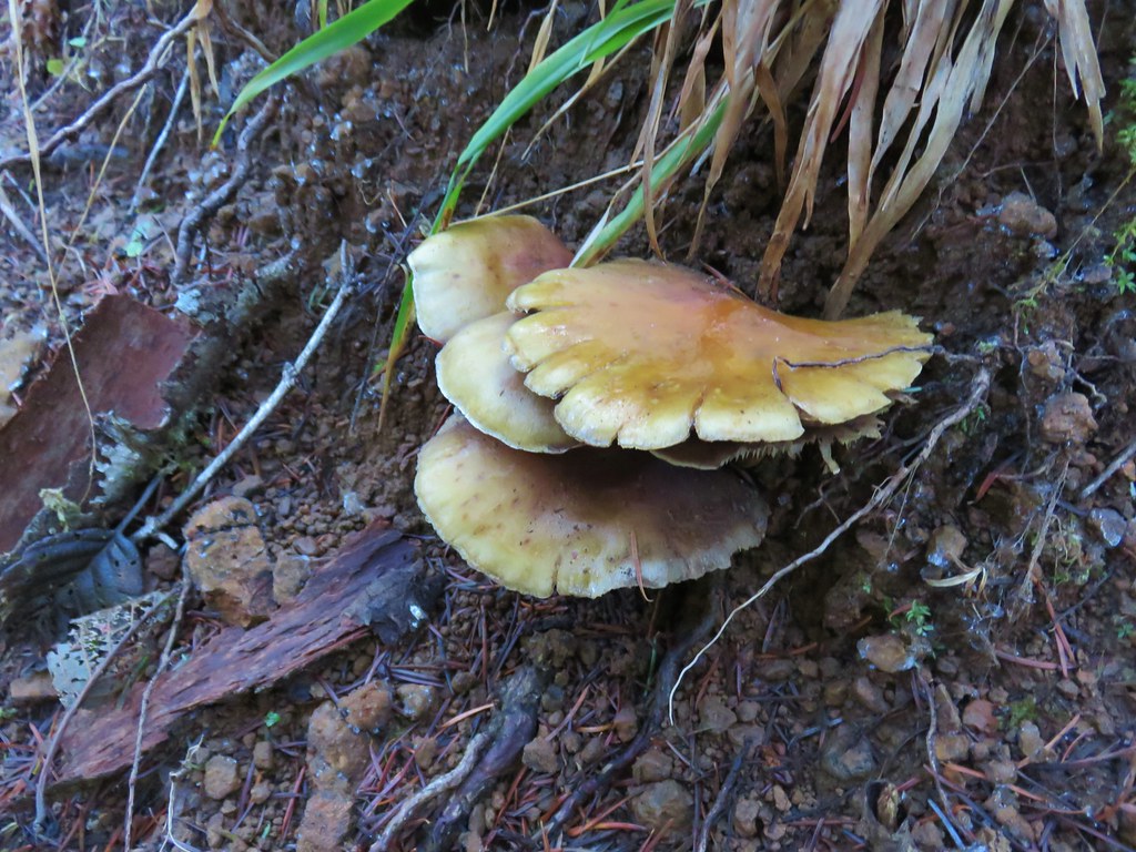
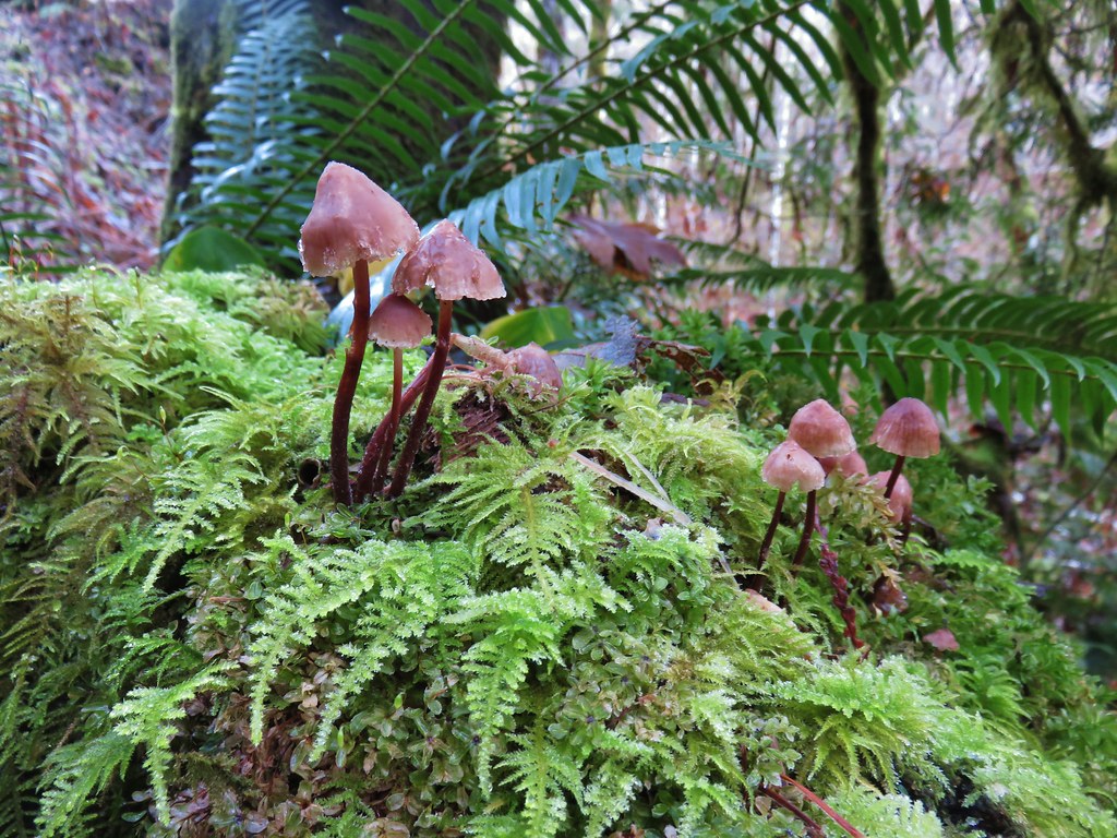
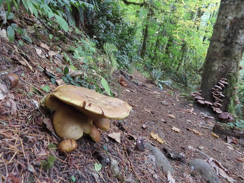
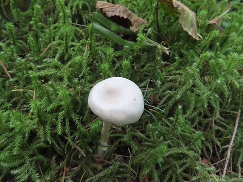
Mushrooms were plentiful along the trails.
IMG_2164
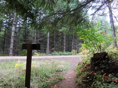
Crossing NW Wheeler Road.

IMG_2170

IMG_2174
First view of the Nehalem River. We have not had much rain yet this Fall so the water level was low.

IMG_2177

IMG_2184

IMG_2187

A little under 2-miles into the loop the trail crossed NW Cochran Road again.
IMG_2188

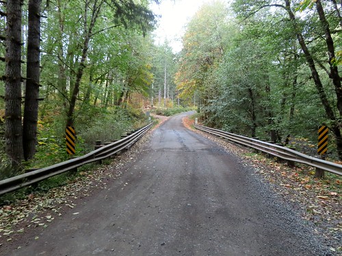
Here we left the Triple C Loop and turned right on the road to cross the river and continue on the Gales Creek Trail.
IMG_2189

IMG_2190

IMG_2193
The Gales Creek Trail resumed on the left (south) side of the road just beyond the bridge.

IMG_2198
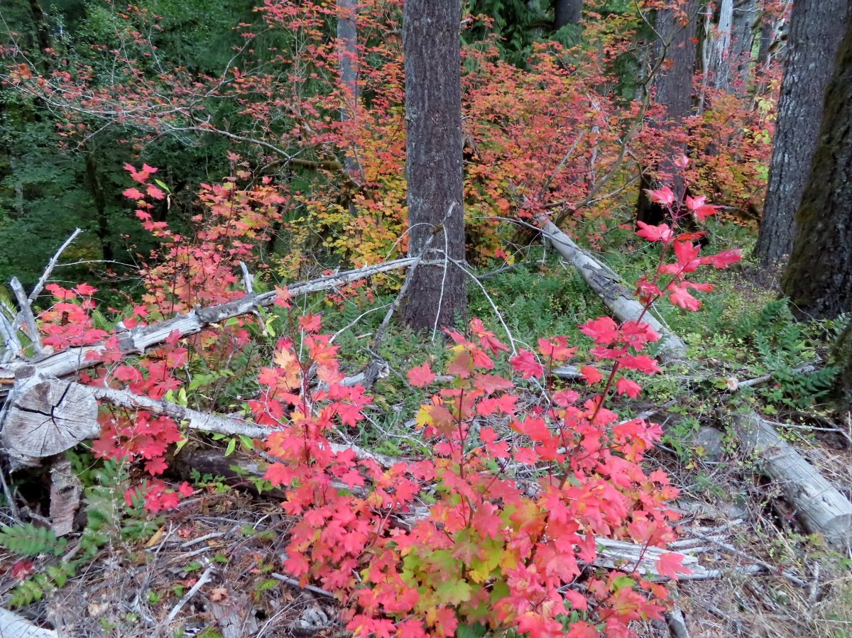
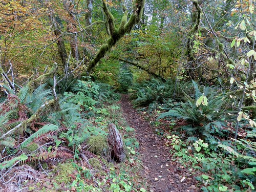
Vine maple along the Gales Creek Trail.

The trail skirted a clear cut and gradually climbed to a crossing of the old Tillamook Bay Railroad.
IMG_2201

IMG_2202

IMG_2203

IMG_2204

IMG_2205

IMG_2209

IMG_2211

IMG_2212

IMG_2217

IMG_2218

IMG_2220

IMG_2222

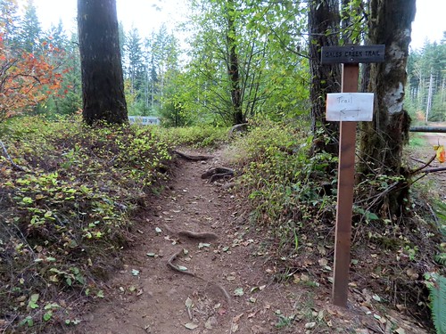
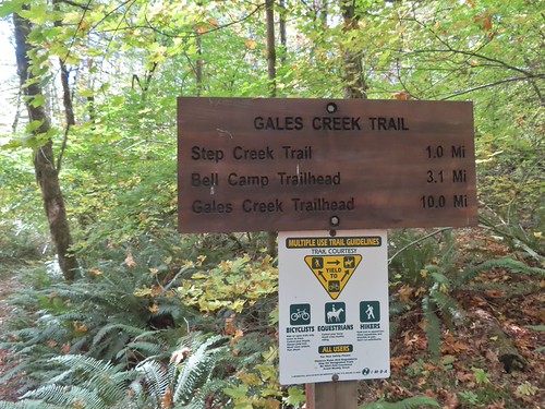
The trail continued its gradual climb for 0.2 miles to a signed junction marking the start of the Step Creek Trail.
IMG_2223

IMG_2225

IMG_2227

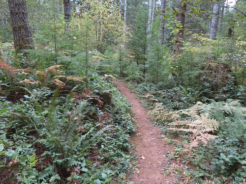
We forked left onto the Step Creek Trail and in another 0.2-miles arrived at the start of the Step Creek Loop.
IMG_2229

IMG_2231
The first of two road crossings.

IMG_2234
The second road crossing.

IMG_2236
The start of the Step Creek Loop. We decided to also hike this loop counterclockwise, so we forked right.

This loop is 3.1-miles around consisting of gradual ups and downs. Near the 2-mile mark the trail approaches Step Creek. The trail then parallels for approximately half a mile however the creek remained mostly hidden.
IMG_2237

IMG_2239

IMG_2240

IMG_2241

IMG_2246

IMG_2249

IMG_2254

IMG_2255

IMG_2258

IMG_2262

IMG_2264

IMG_2268

IMG_2270

IMG_2272
Step Creek was off to the right flowing beneath the brush.
IMG_2274

IMG_2275

IMG_2278

IMG_2280
Self heal

IMG_2281

IMG_2297

IMG_2298
Approaching the signpost for the Step Creek Loop.

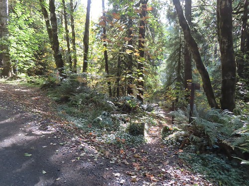
After completing this loop we headed back to the Gales Creek Trail and returned to the Nehalem River crossing. On the far side of the bridge we turned right at a trail sign to complete the Triple C Loop.
IMG_2305

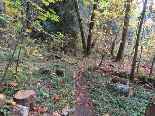
It was a little over half a mile back to the Reehers Camp Trailhead. This section of the loop offered views of the Nehalem River and several spur trails that provided access to the water.
IMG_2307

IMG_2310
I took one of the spur trails down to the river to check it out.

IMG_2312
I didn’t know this until it flew off a moment later but there was a raptor in the trees on the opposite bank.

IMG_2313

IMG_2315
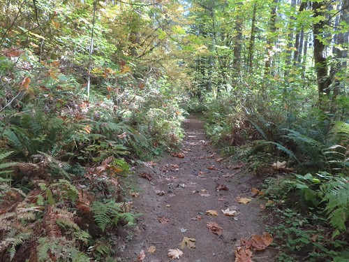
There had been a brief shower earlier, but we also got some blue sky.
IMG_2318

IMG_2321
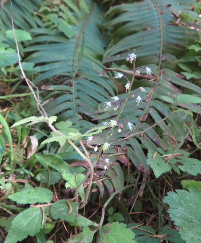
Foam flower

IMG_2322
The outhouse at the trailhead in view.

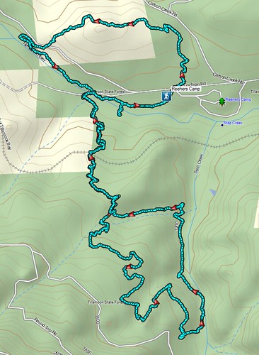
The hike came in at 7.6-miles with approximately 1000′ of elevation gain.
Screenshot 2026-10-18 055051

This was a good fall hike that would also be nice in winter. A longer hike is also possible by continuing further on the Gales Creek Trail. Happy Trails!

Flickr: Triple C and Step Creek Loops
Categories
Coastal Range Hiking Oregon Trip report

Gales Creek Trail

A day off of work for New Years and a clear weather forecast = our first hike of 2019. Our trail of choice was the Gales Creek Trail in the Tillamook State Forest. We began our hike at the Gales Creek Trailhead, the same trailhead that we used in 2015 for a hike to nearby University Falls (post).

We began this hike as we had on our previous visit by following the Gales Creek Trail west from the parking area.
IMG_5410

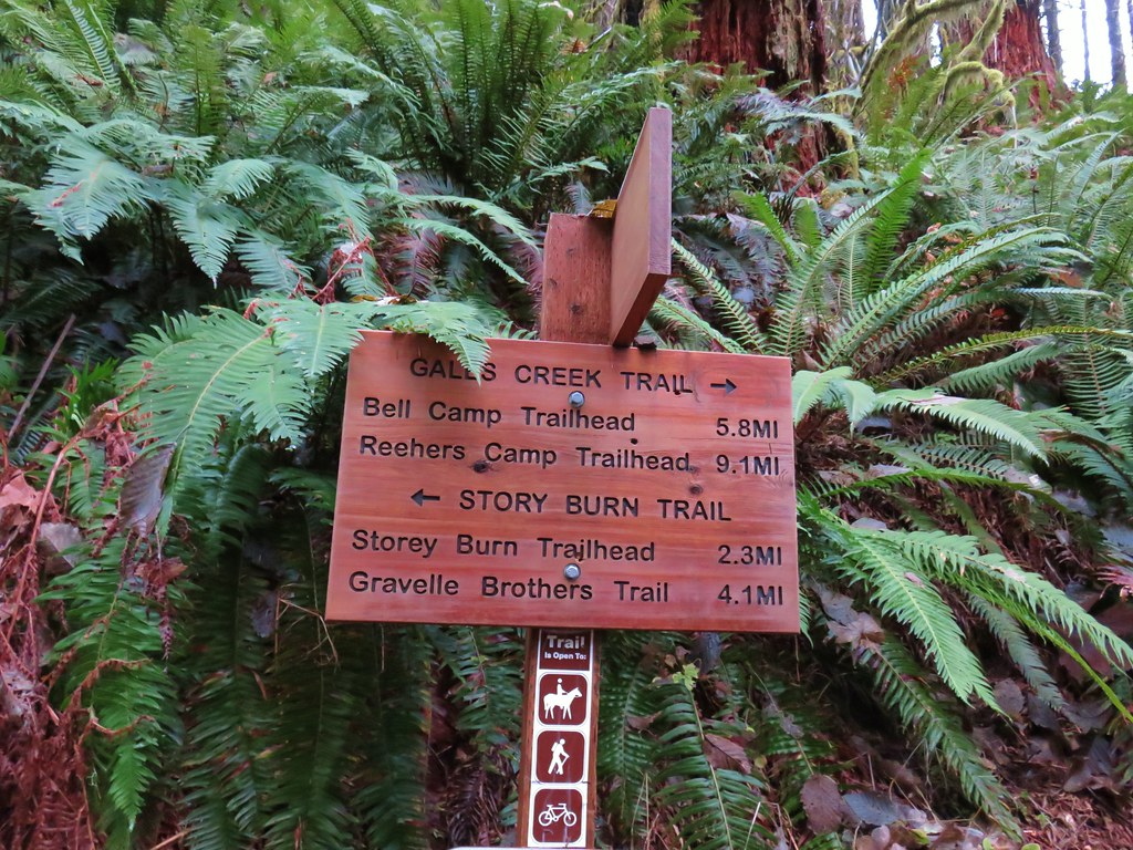
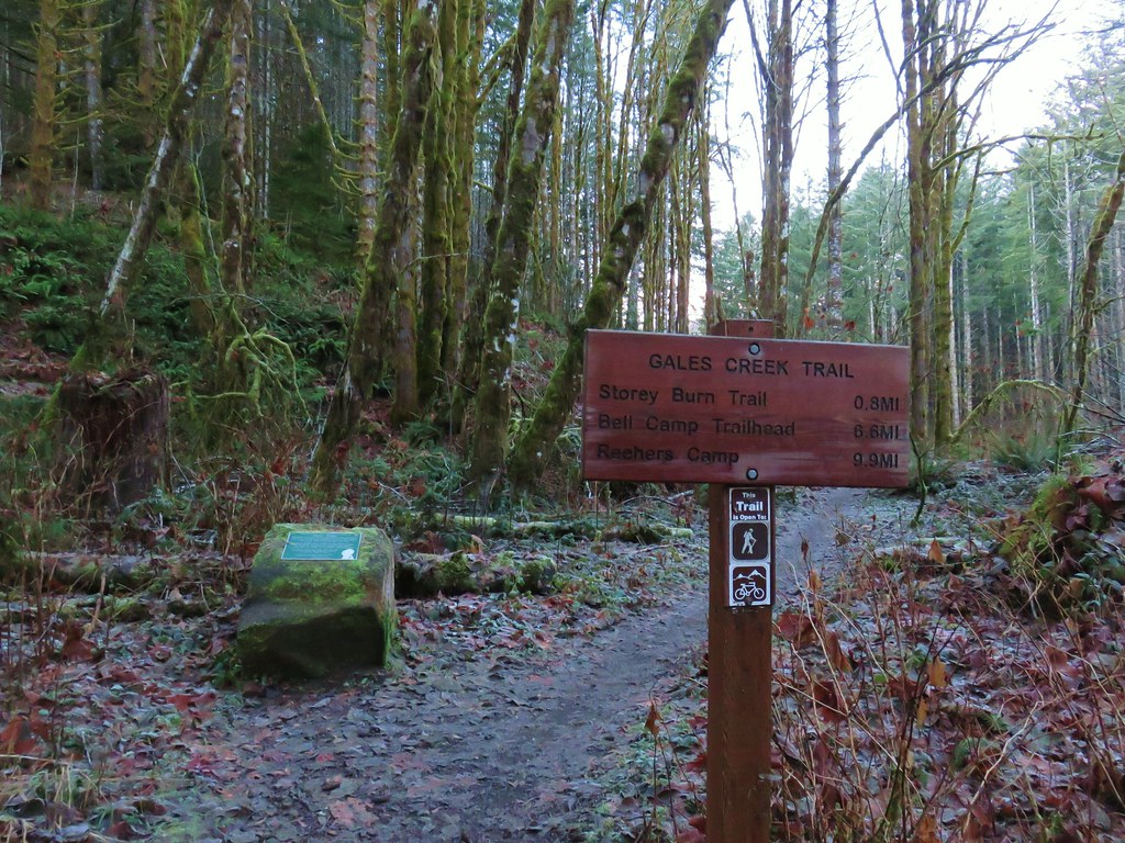
The first .8 miles to the Storey Burn Trail was a repeat of 2015 as we crossed Low Divide Creek on a footbridge and arrived at the trail junction.
IMG_5415

IMG_5417

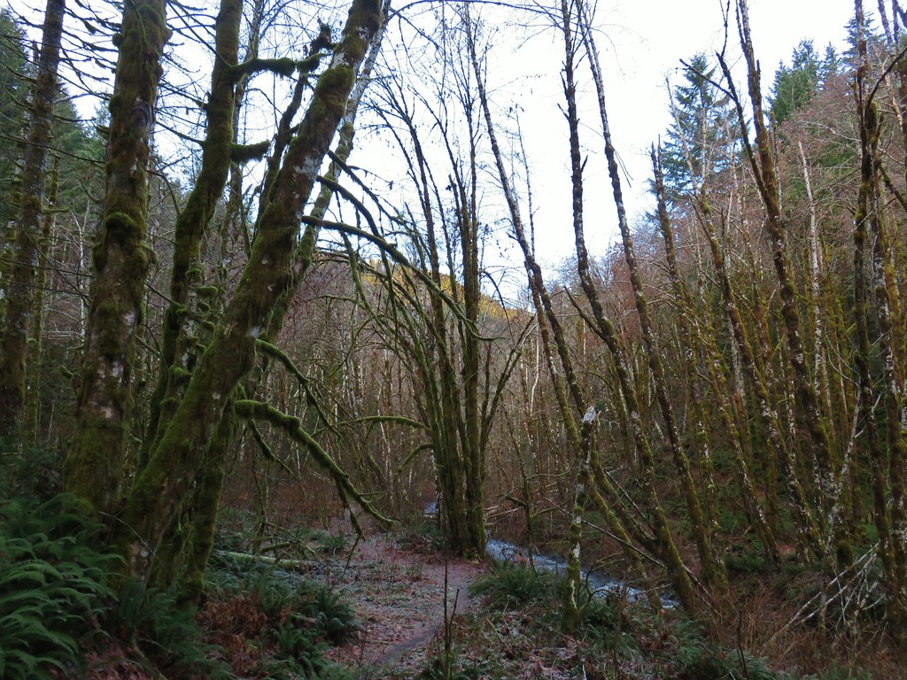
Unlike last time when we turned left onto the Storey Burn Trail this time we turned right sticking to the Gales Creek Trail which paralleled Gales Creek.
IMG_5421

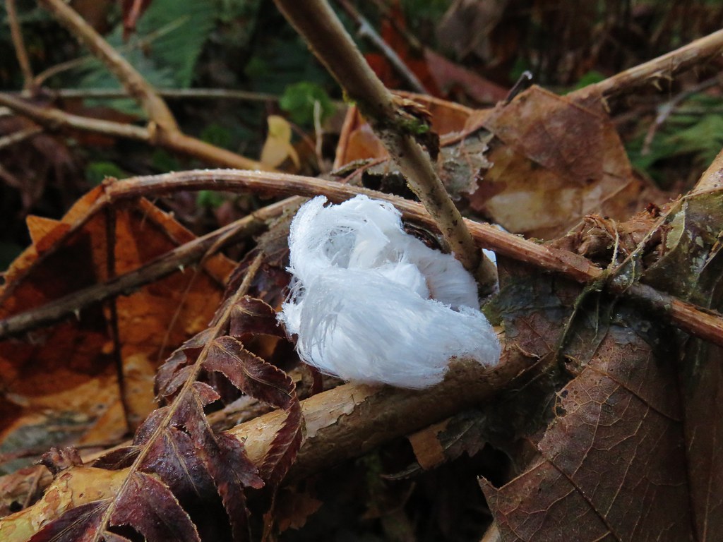
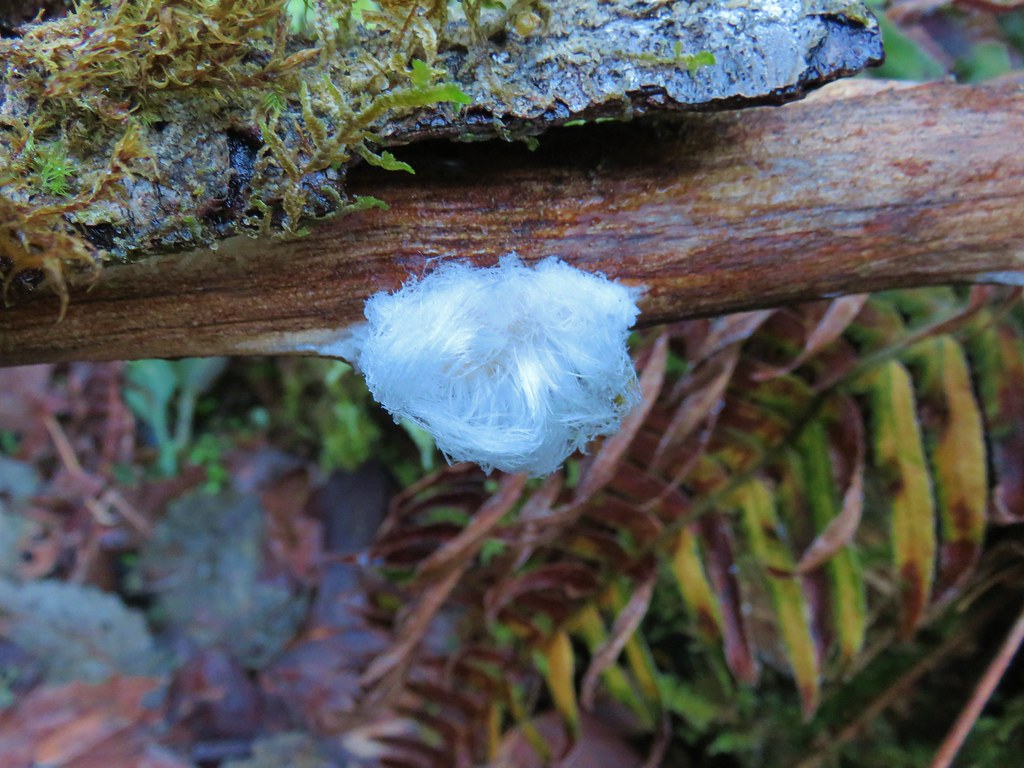
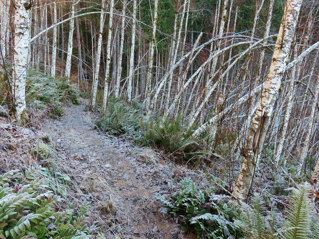
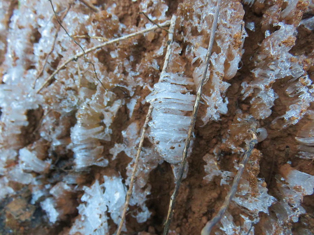
It was a chilly morning, about 28 degrees, and there was a fair amount of frost on the ground and plants. In addition to the typical frost we see on a chilly morning, we had been noticing white clumps here and there. The clumps looked like they could be garbage at first glance but it wasn’t. Other thoughts were fur but we couldn’t think of any animals in the area with white fur or something from a tree but it wasn’t the right time of year for things like cottonwood. Our next guess was a little closer with a fungus but upon closer inspection we determined it was some sort of fine ice/frost.
IMG_5423

IMG_5452

It was very interesting. The scarcity of the clumps told us that there must be some set of conditions to create these frost clumps and spent much of the hike marveling at the designs. Thanks to the help of some fellow hikers over at Oregonhikers.org we later learned that this type of frost is the result of a fungus inside certain rotting wood that leaves water and carbon dioxide behind as the wood decays. The CO2 forces the water out of the wood through tiny holes and when the temperature is just a bit below freezing creates the frost “hairs” . Here is a post describing the phenomena in more detail and a article on BBC – Earth with a time lapse video of the frost forming.

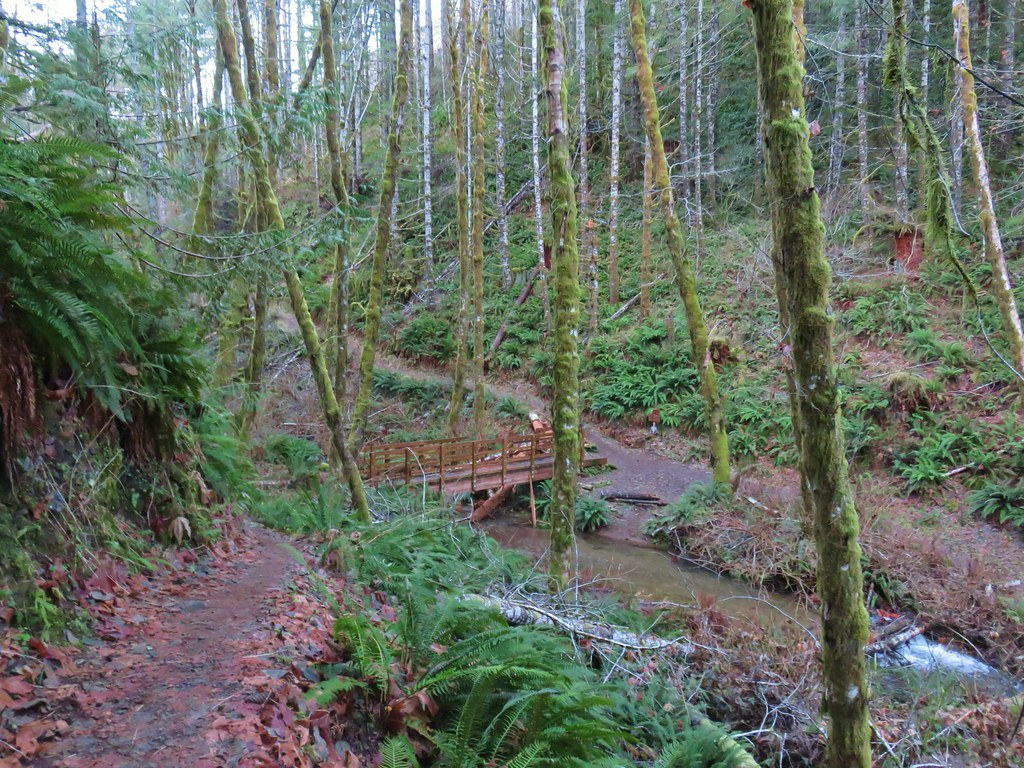
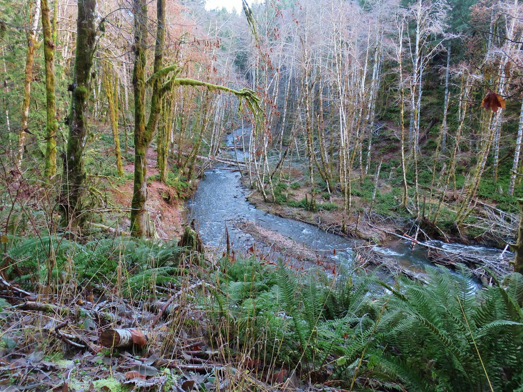
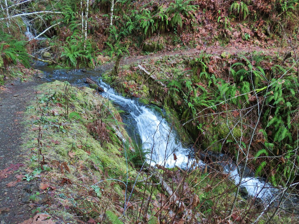
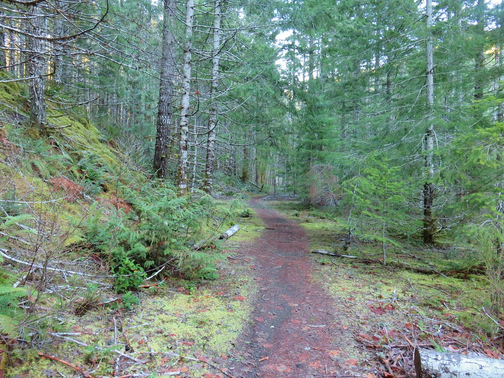
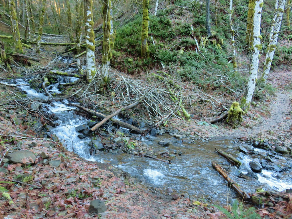
The Gales Creek Trail stuck fairly close to the creek, sometimes rising a bit above it as it passed through the forest and crossed several streams that would likely have been dry in the summer months.
IMG_5425

IMG_5427

IMG_5432

IMG_5433

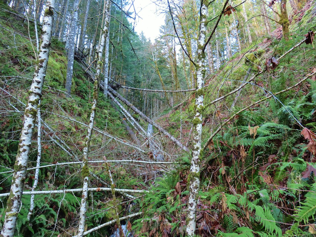
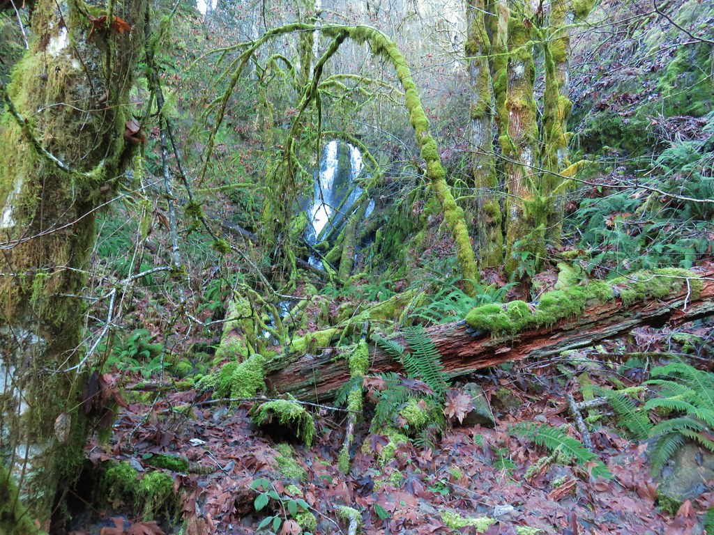
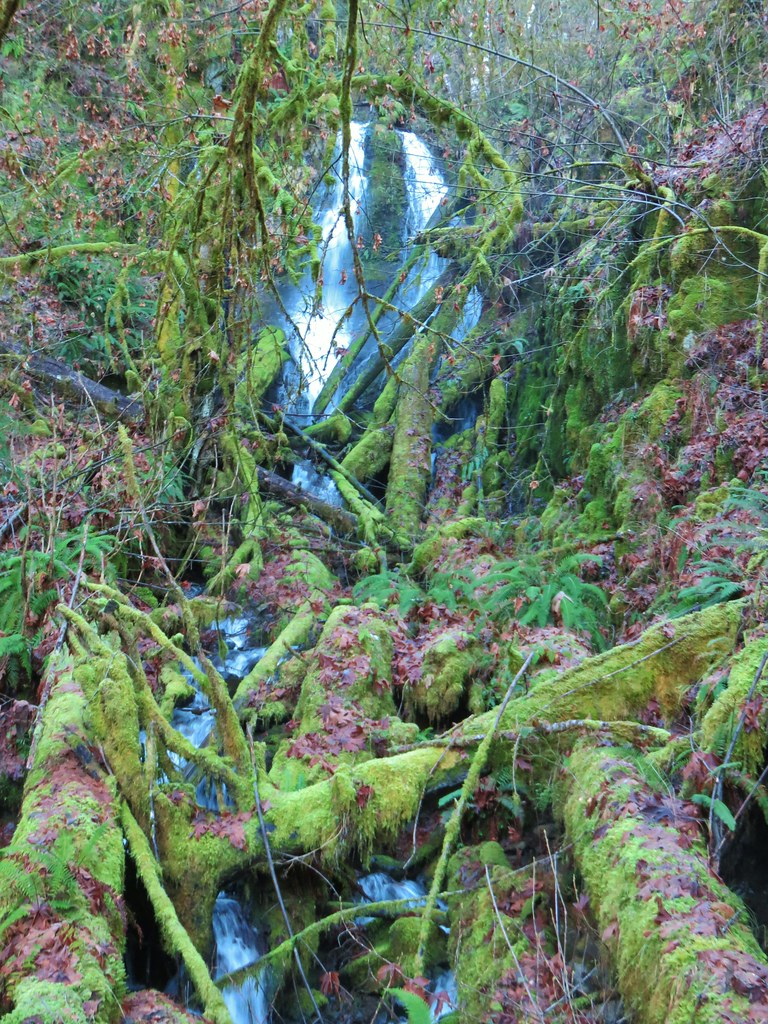
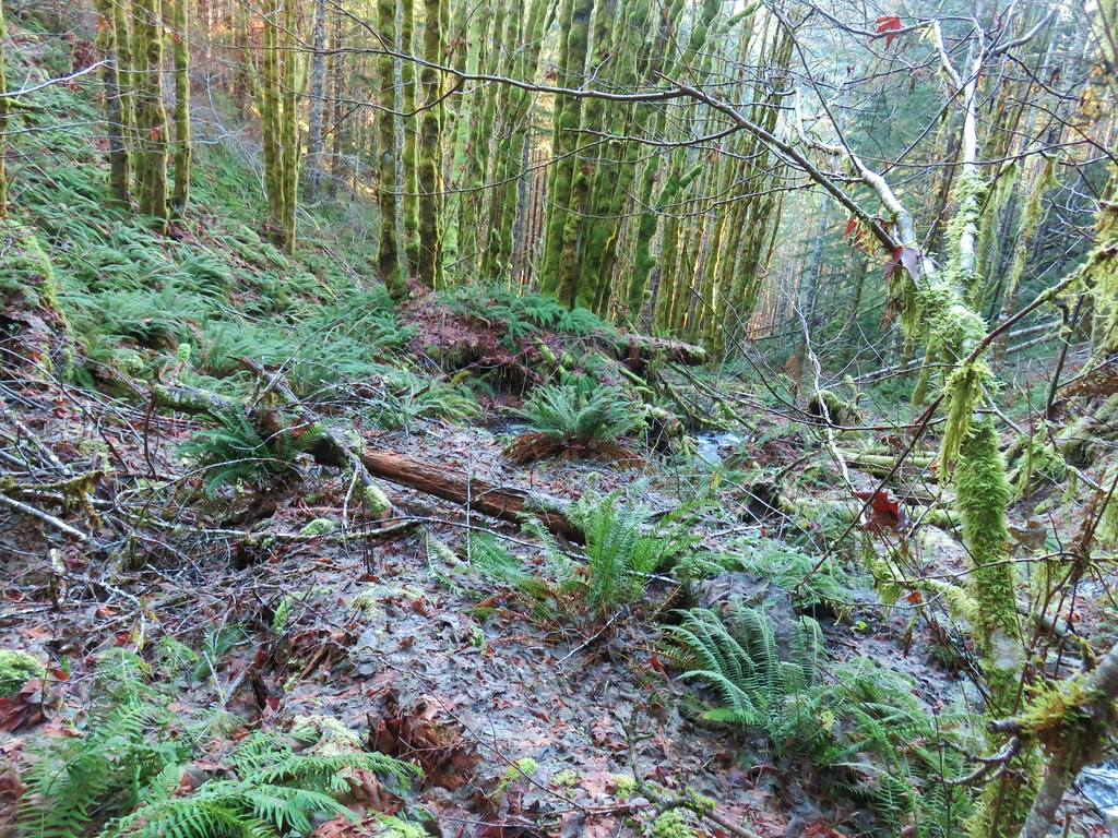
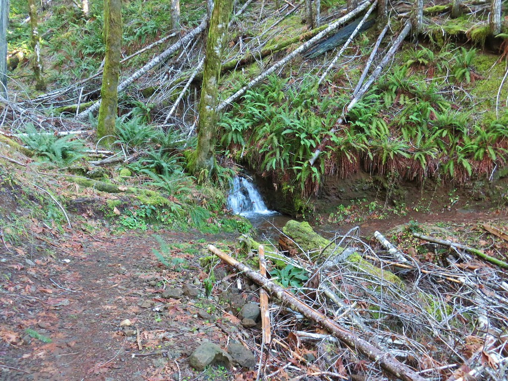
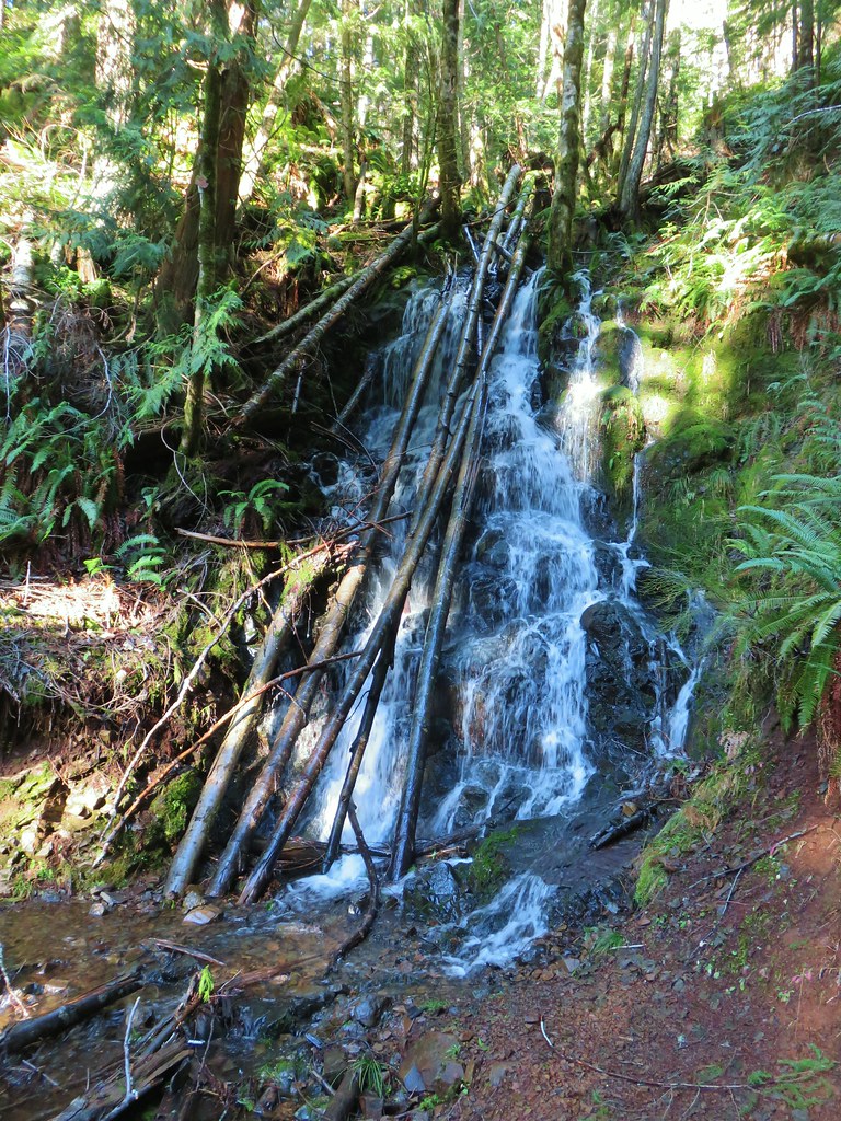
A mile and a half from the Storey Burn Trail junction we did come to a dry creek bed, but a flash of water back in the trees looked like it might be a decent waterfall. The terrain looked like it might make for a reasonable off-trail jaunt and the fact that there was no water down at the trail but there was some further up made us curious so we decided to head uphill. After about a quarter mile climb over and around downed trees we found ourselves looking at a nice 20′ or so waterfall. The terrain narrowed enough that we couldn’t get right up to the falls but it was still a nice view (although not the best lighting for photos).
IMG_5437

IMG_5448

IMG_5450The route we came up.

After admiring the falls we returned to the trail and continued west toward the Bell Camp Trailhead.
IMG_5453A short section of railroad grade.

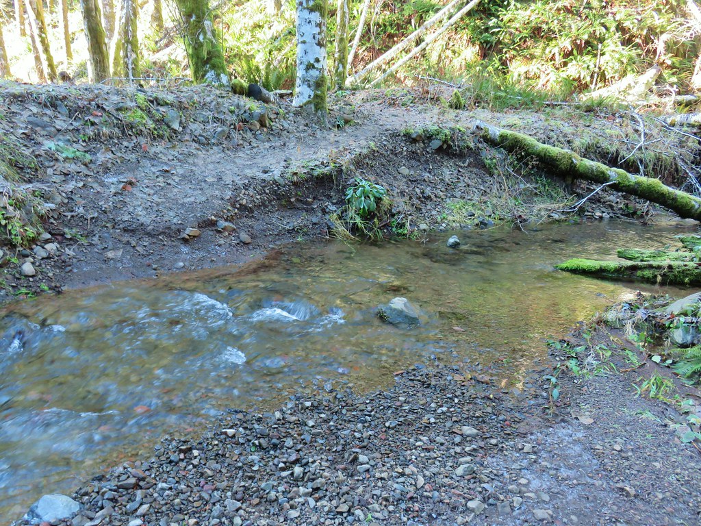
More creek crossings followed, some trickier than others, but we managed to keep our feet fairly dry using rocks or logs.
IMG_5454

A total of 2.25 miles from the junction we arrived at stand of alders as the site of good sized slide that occurred in 2007.
IMG_5457

IMG_5459

IMG_5461

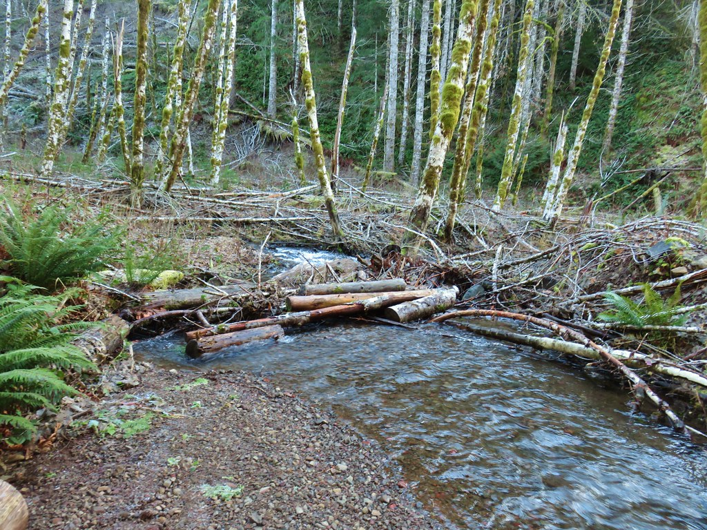
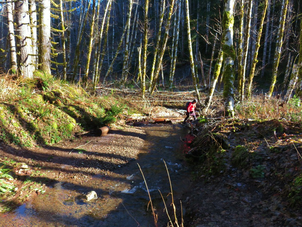
Just over a mile from the alder stand we came to the trickiest crossing of the day. There appeared to be two options across, a lone rock barely sticking out of the water and a pile of slick looking logs. Due to the direction we were heading the rock was too far to reach so we opted for the logs. Some carefully placed steps got us across dry.
IMG_5471The logs we came across.

IMG_5472The rock after having crossed.

On the way back I opted to attempt a jump from the rock. It worked but after watching Heather recross fairly easily on the logs my 46 year old body thought that would have been a better choice.
IMG_5508Heather finishing her crossing on the way back.
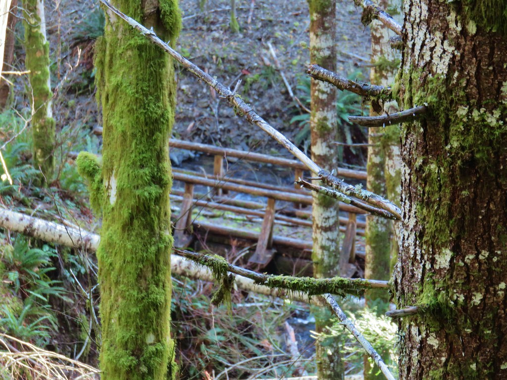
Beyond this crossing the trail turned inland away from Gales Creek a bit. Slides apparently forced the trail to be rerouted at some point because a footbridge could still be seen through the trees closer to Gales Creek.
IMG_5507

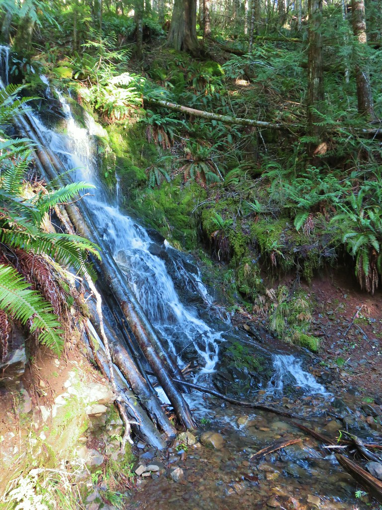
We passed a very small cascade along this section and then approximately 1.75 miles from the tricky creek crossing arrived at our turn around point, a 25′ waterfall right along the trail.
IMG_5473

IMG_5483

IMG_5486

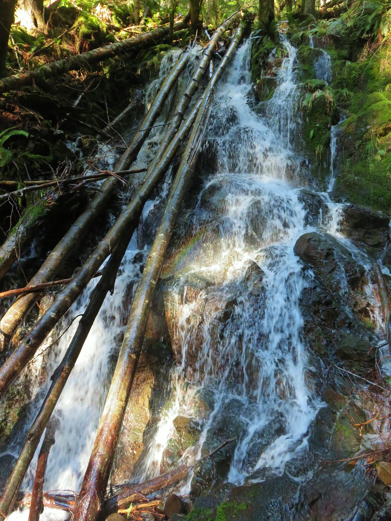
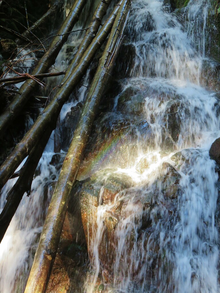
We took a break at the falls and as we studied the falls the light moved enough to create a small rainbow.
IMG_5499

IMG_5500

We returned the way we’d come. The sun was shining but it was still chilly as we made our way back.
IMG_5511

IMG_5516

IMG_5464

We didn’t see much wildlife, just a handful of birds, and being the middle of winter no wildflowers but there were a few mushrooms to enjoy.
IMG_5467

IMG_5469

IMG_5523

With the half mile side trip the hike wound up being just under 12.5 miles with approximately 1500′ of elevation gain. It was a nice start to a new year of hiking. Happy Trails!

Flickr: Gales Creek Trail