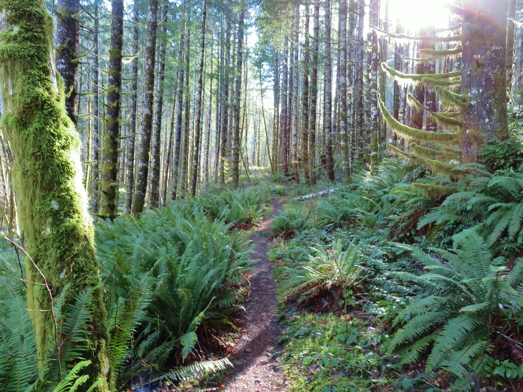
A day off of work for New Years and a clear weather forecast = our first hike of 2019. Our trail of choice was the Gales Creek Trail in the Tillamook State Forest. We began our hike at the Gales Creek Trailhead, the same trailhead that we used in 2015 for a hike to nearby University Falls (post).
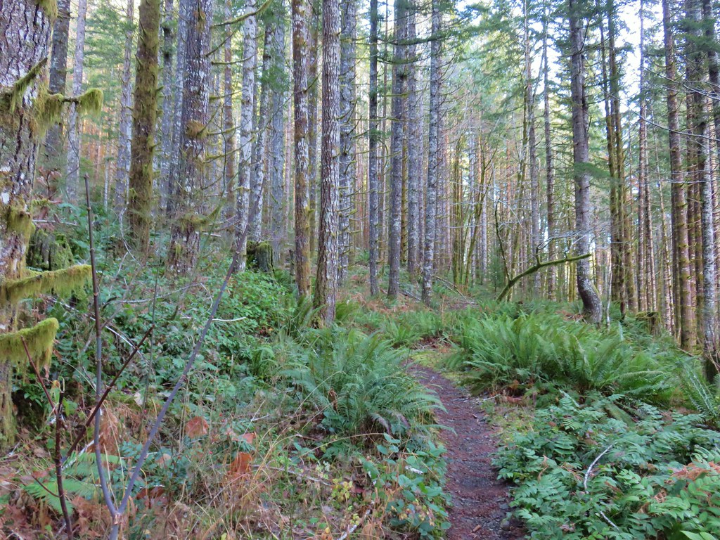
We began this hike as we had on our previous visit by following the Gales Creek Trail west from the parking area.
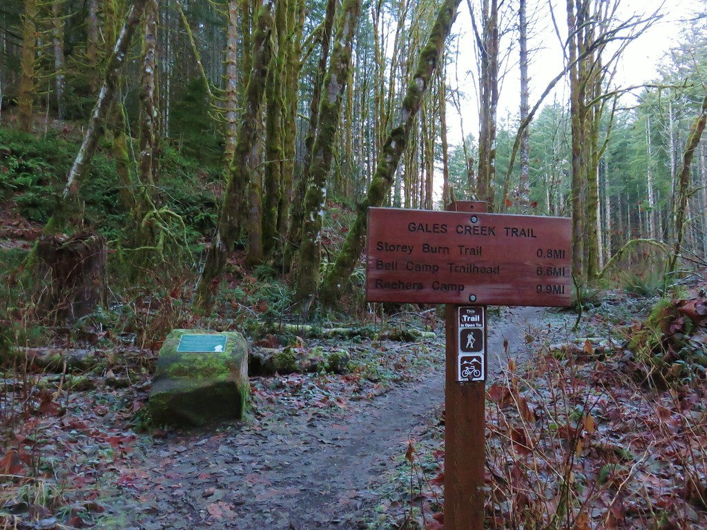
The first .8 miles to the Storey Burn Trail was a repeat of 2015 as we crossed Low Divide Creek on a footbridge and arrived at the trail junction.
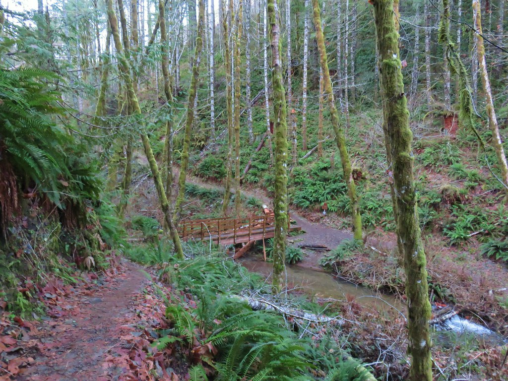
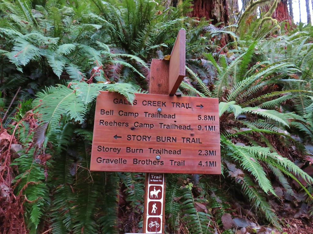
Unlike last time when we turned left onto the Storey Burn Trail this time we turned right sticking to the Gales Creek Trail which paralleled Gales Creek.
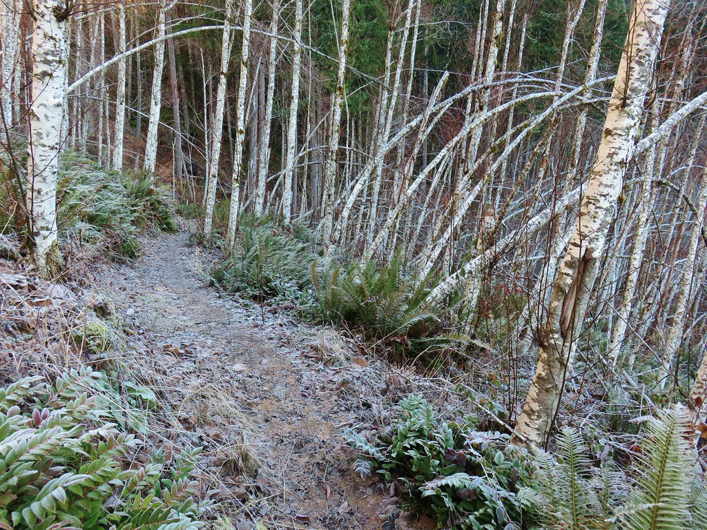
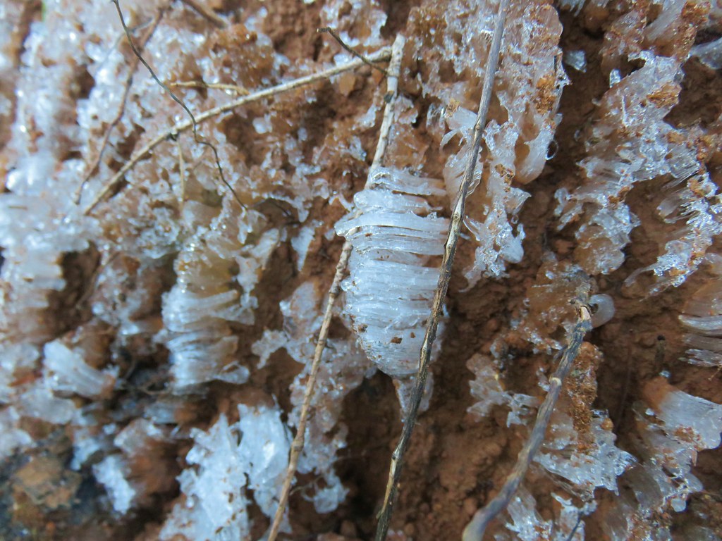
It was a chilly morning, about 28 degrees, and there was a fair amount of frost on the ground and plants. In addition to the typical frost we see on a chilly morning, we had been noticing white clumps here and there. The clumps looked like they could be garbage at first glance but it wasn’t. Other thoughts were fur but we couldn’t think of any animals in the area with white fur or something from a tree but it wasn’t the right time of year for things like cottonwood. Our next guess was a little closer with a fungus but upon closer inspection we determined it was some sort of fine ice/frost.
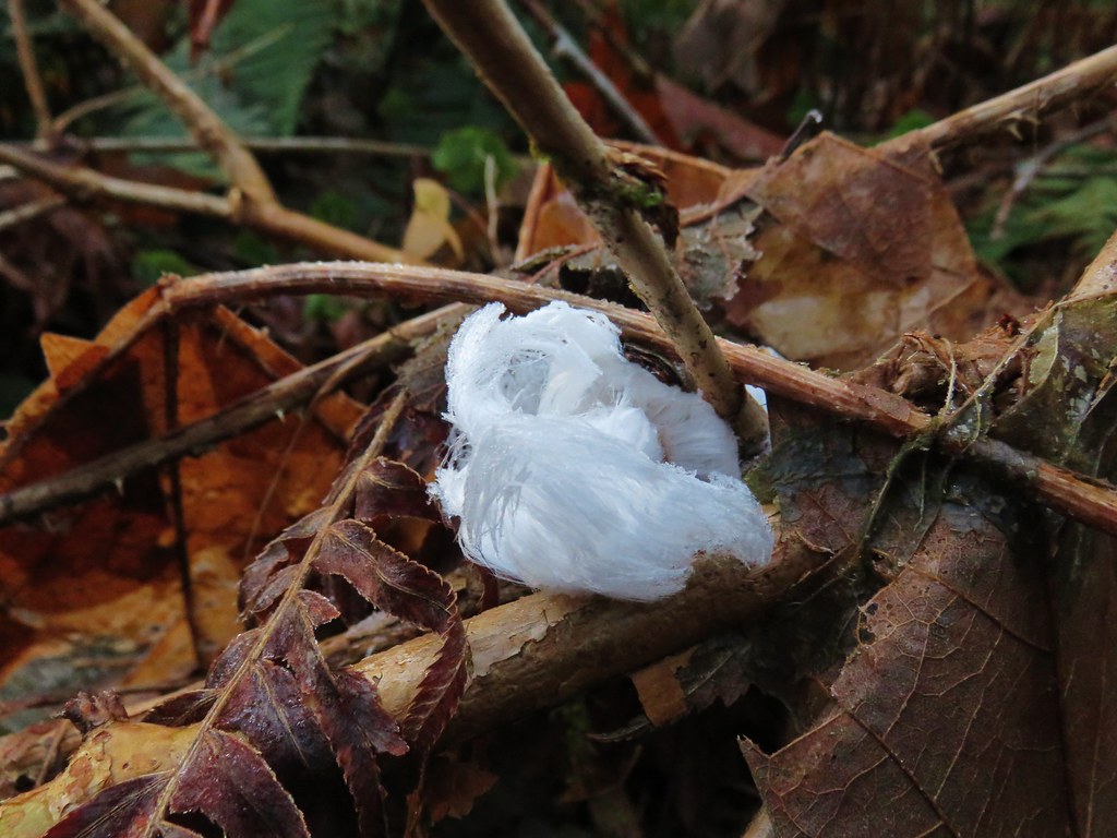
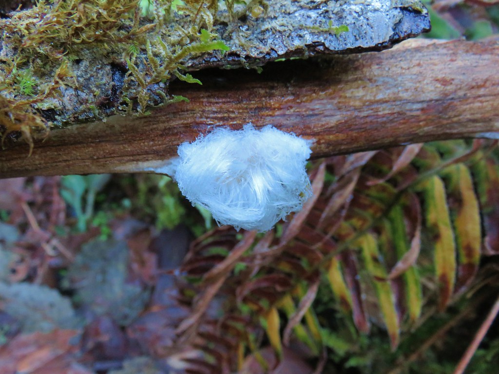
It was very interesting. The scarcity of the clumps told us that there must be some set of conditions to create these frost clumps and spent much of the hike marveling at the designs. Thanks to the help of some fellow hikers over at Oregonhikers.org we later learned that this type of frost is the result of a fungus inside certain rotting wood that leaves water and carbon dioxide behind as the wood decays. The CO2 forces the water out of the wood through tiny holes and when the temperature is just a bit below freezing creates the frost “hairs” . Here is a post describing the phenomena in more detail and a article on BBC – Earth with a time lapse video of the frost forming.
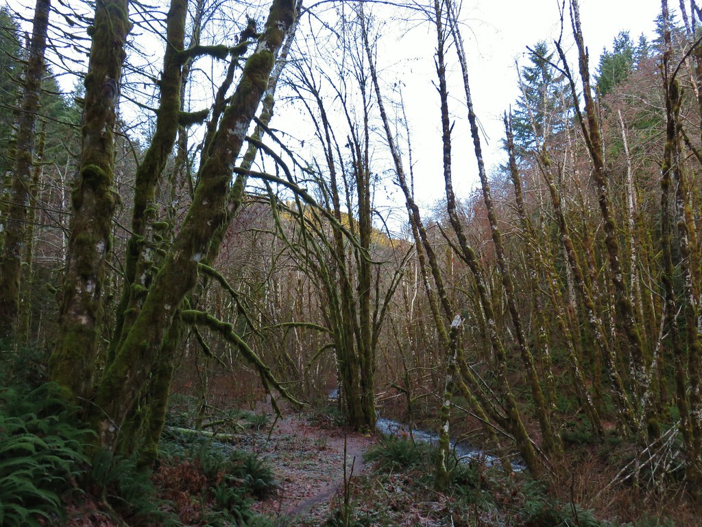
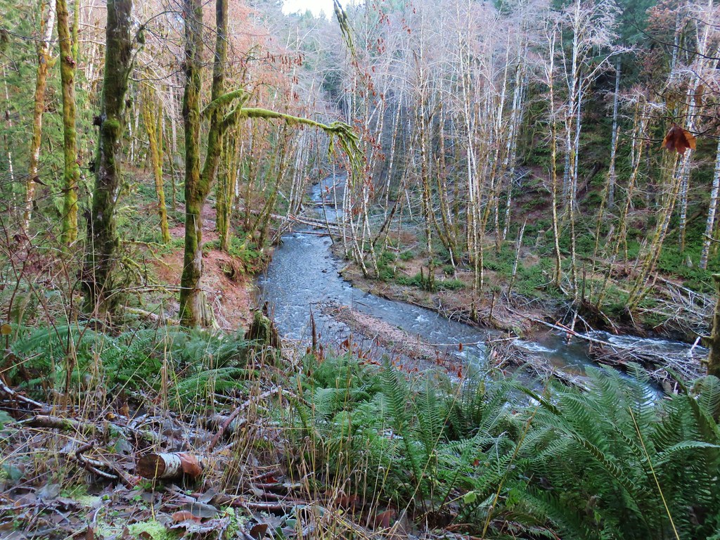
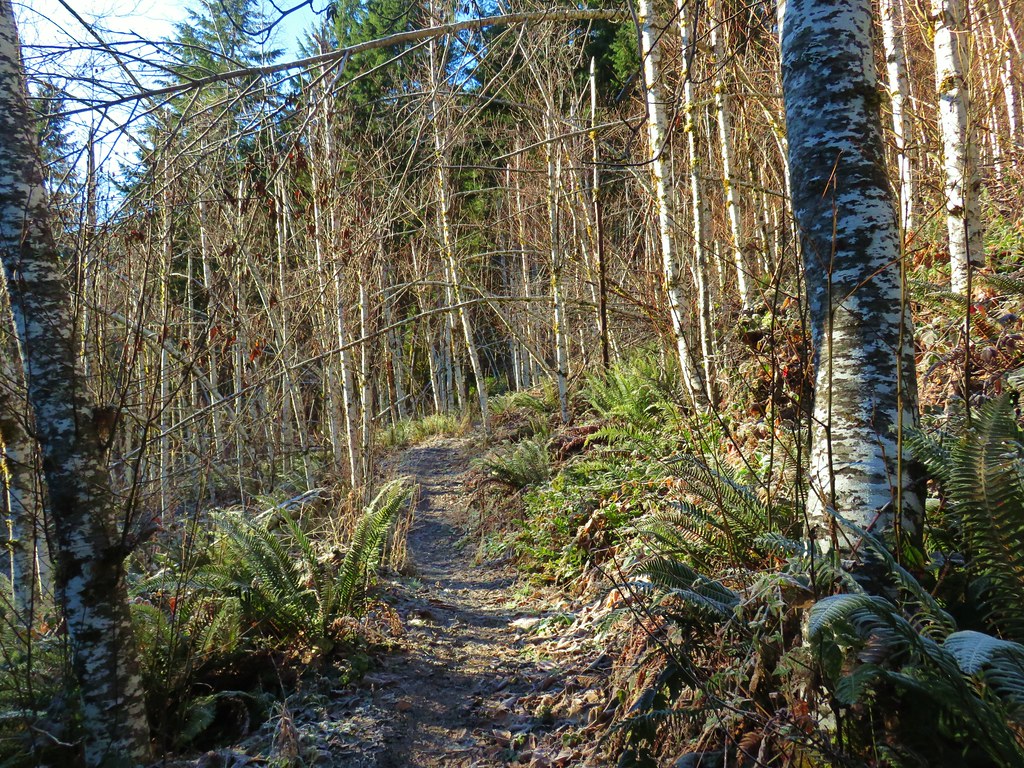
The Gales Creek Trail stuck fairly close to the creek, sometimes rising a bit above it as it passed through the forest and crossed several streams that would likely have been dry in the summer months.
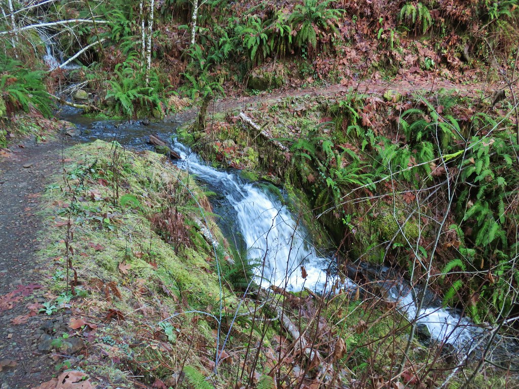
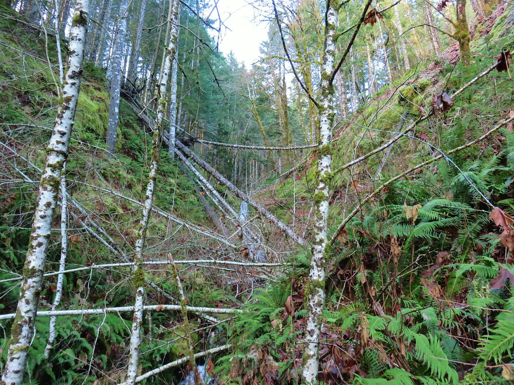
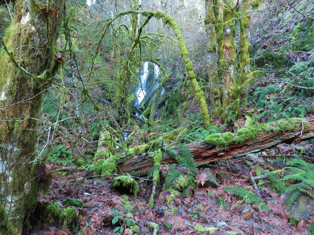
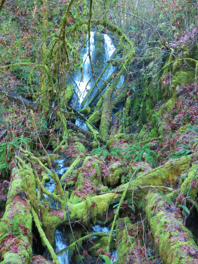
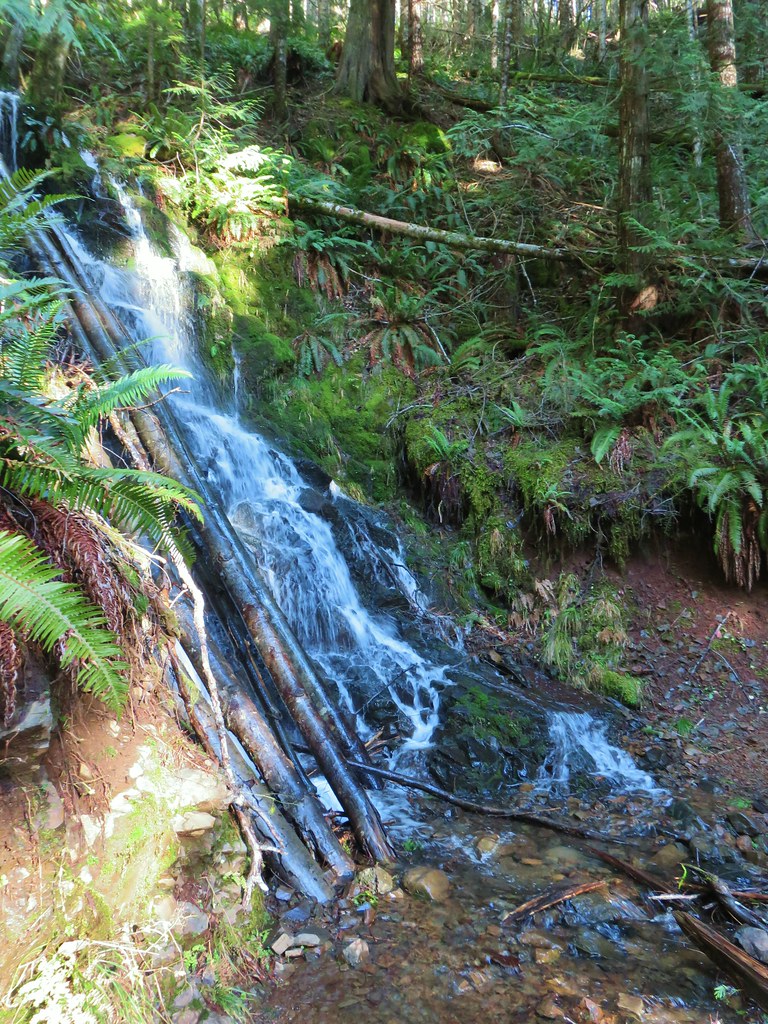
A mile and a half from the Storey Burn Trail junction we did come to a dry creek bed, but a flash of water back in the trees looked like it might be a decent waterfall. The terrain looked like it might make for a reasonable off-trail jaunt and the fact that there was no water down at the trail but there was some further up made us curious so we decided to head uphill. After about a quarter mile climb over and around downed trees we found ourselves looking at a nice 20′ or so waterfall. The terrain narrowed enough that we couldn’t get right up to the falls but it was still a nice view (although not the best lighting for photos).
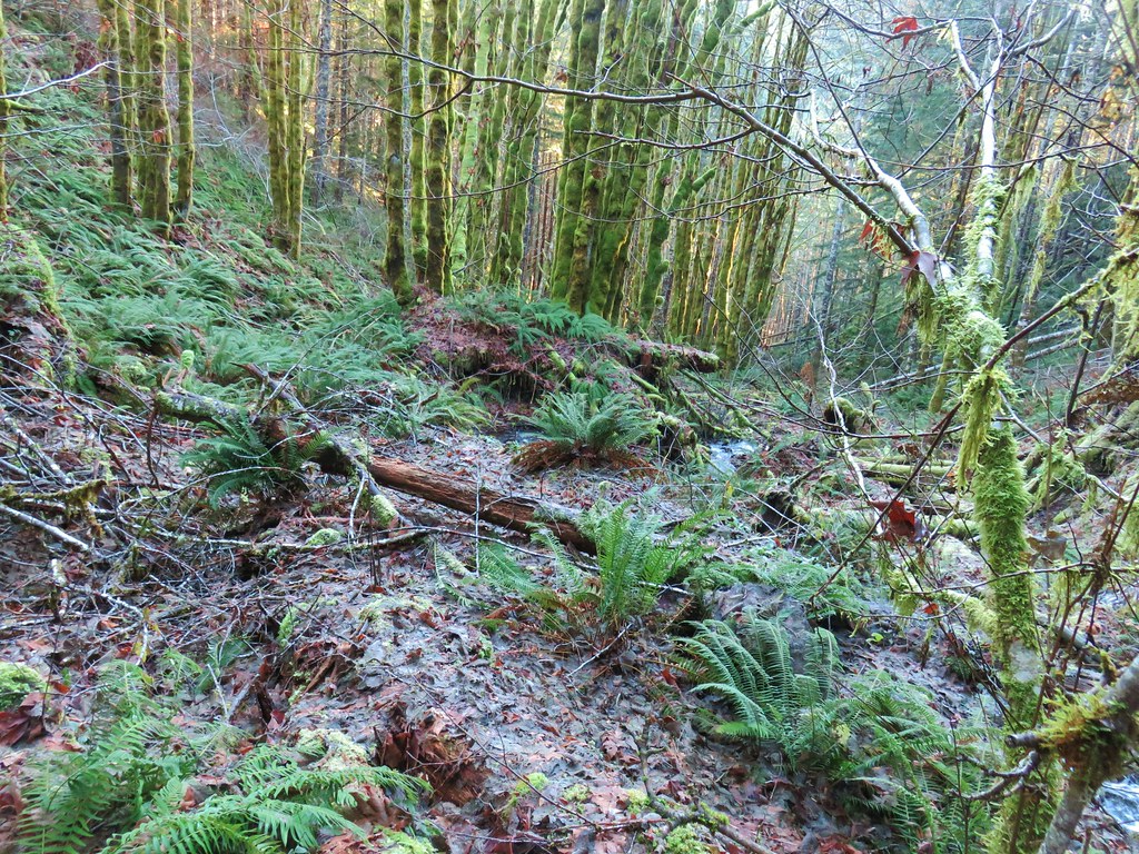 The route we came up.
After admiring the falls we returned to the trail and continued west toward the Bell Camp Trailhead.
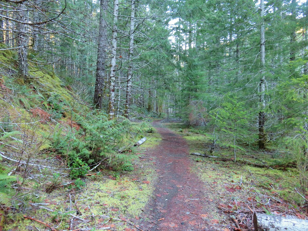 A short section of railroad grade.
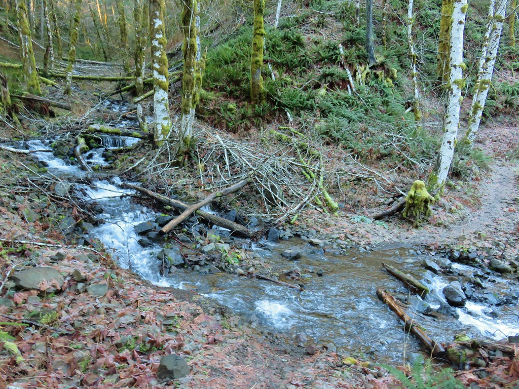
More creek crossings followed, some trickier than others, but we managed to keep our feet fairly dry using rocks or logs.
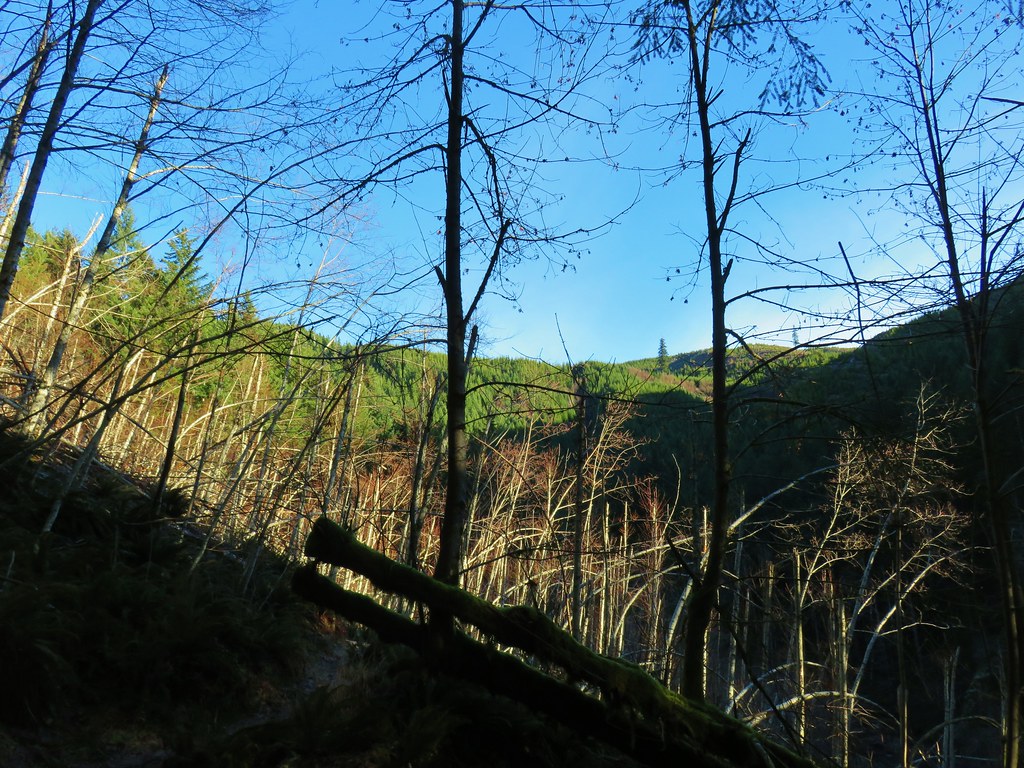
A total of 2.25 miles from the junction we arrived at stand of alders as the site of good sized slide that occurred in 2007.
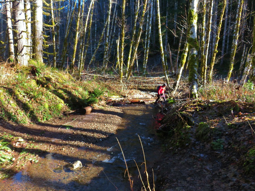
Just over a mile from the alder stand we came to the trickiest crossing of the day. There appeared to be two options across, a lone rock barely sticking out of the water and a pile of slick looking logs. Due to the direction we were heading the rock was too far to reach so we opted for the logs. Some carefully placed steps got us across dry.
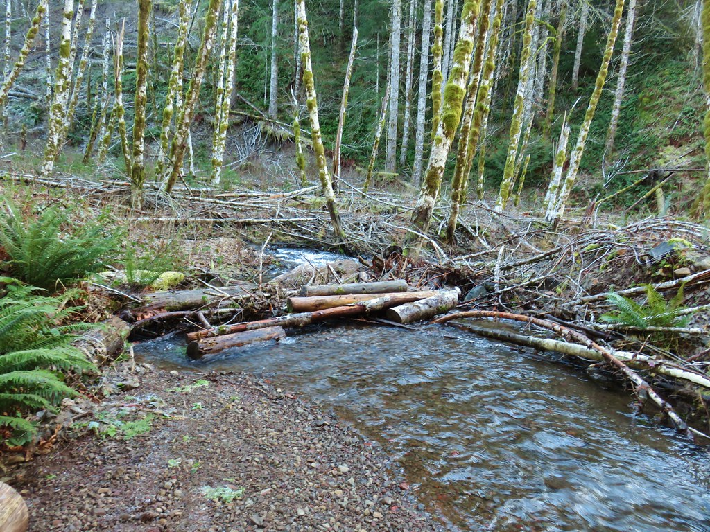 The logs we came across.
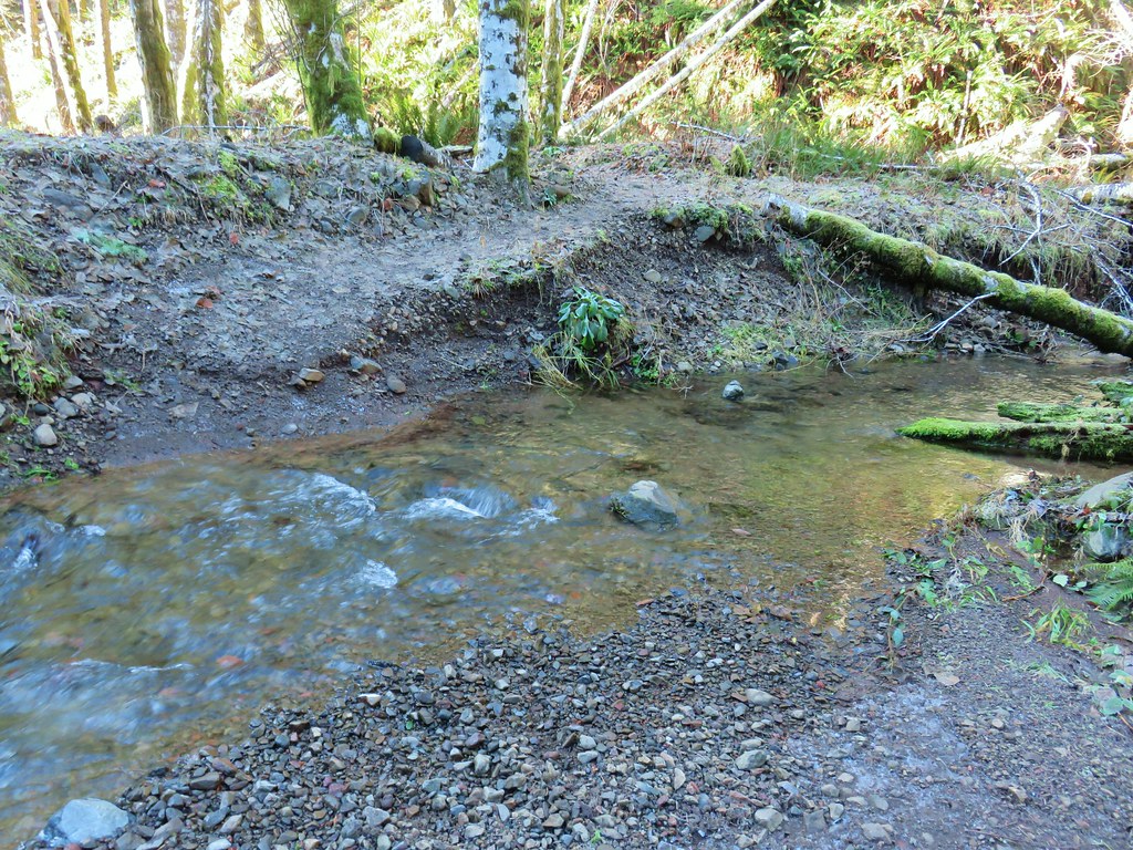 The rock after having crossed.
On the way back I opted to attempt a jump from the rock. It worked but after watching Heather recross fairly easily on the logs my 46 year old body thought that would have been a better choice.
 Heather finishing her crossing on the way back.
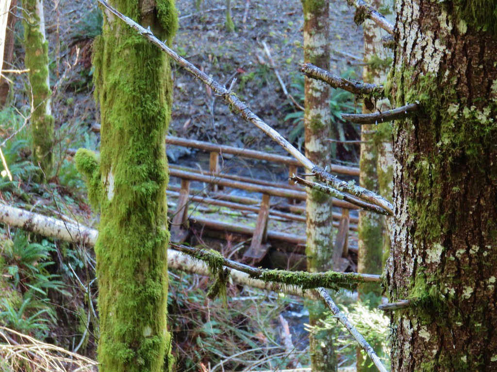
Beyond this crossing the trail turned inland away from Gales Creek a bit. Slides apparently forced the trail to be rerouted at some point because a footbridge could still be seen through the trees closer to Gales Creek.
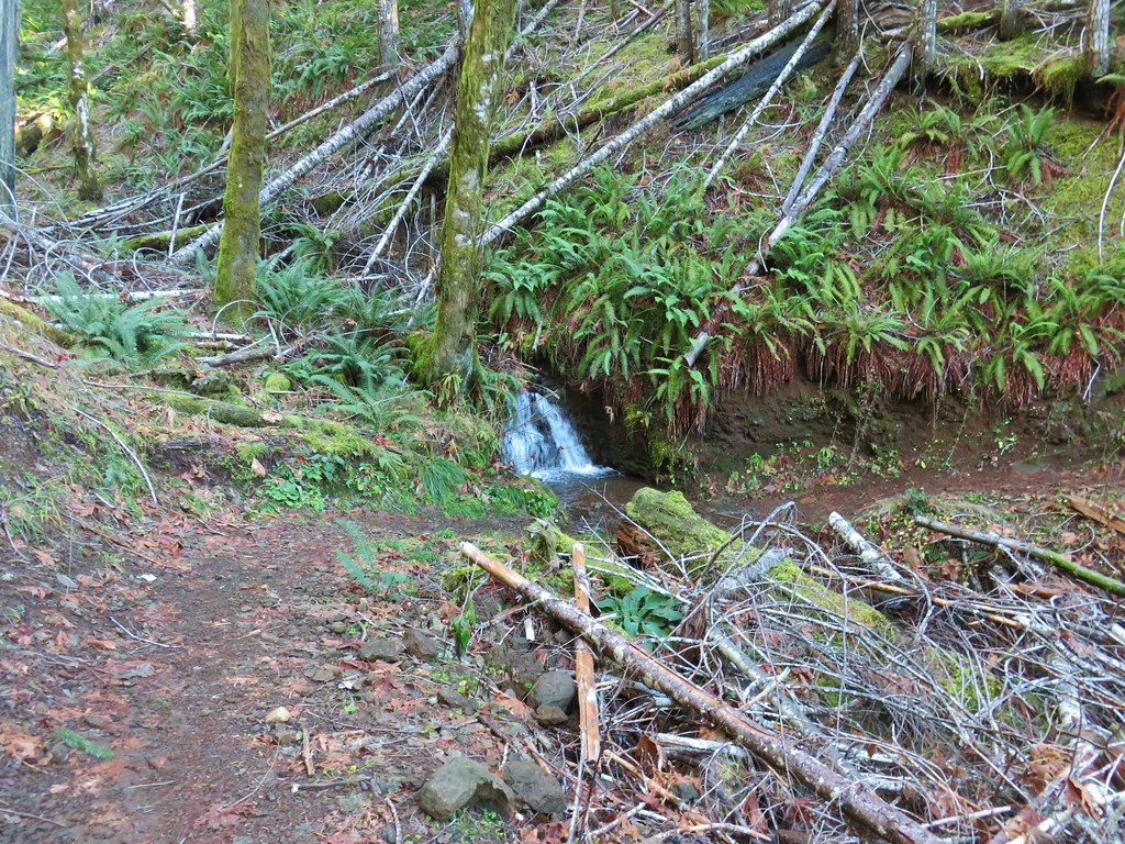
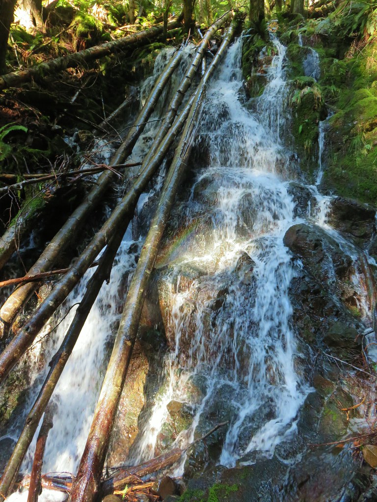
We passed a very small cascade along this section and then approximately 1.75 miles from the tricky creek crossing arrived at our turn around point, a 25′ waterfall right along the trail.
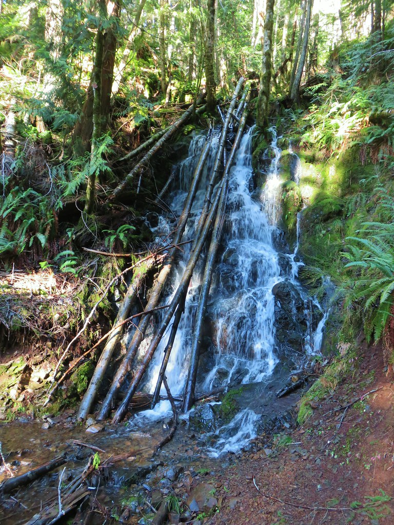
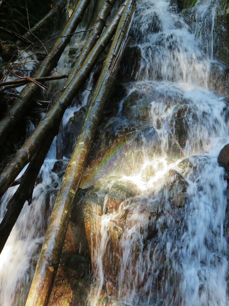
We took a break at the falls and as we studied the falls the light moved enough to create a small rainbow.
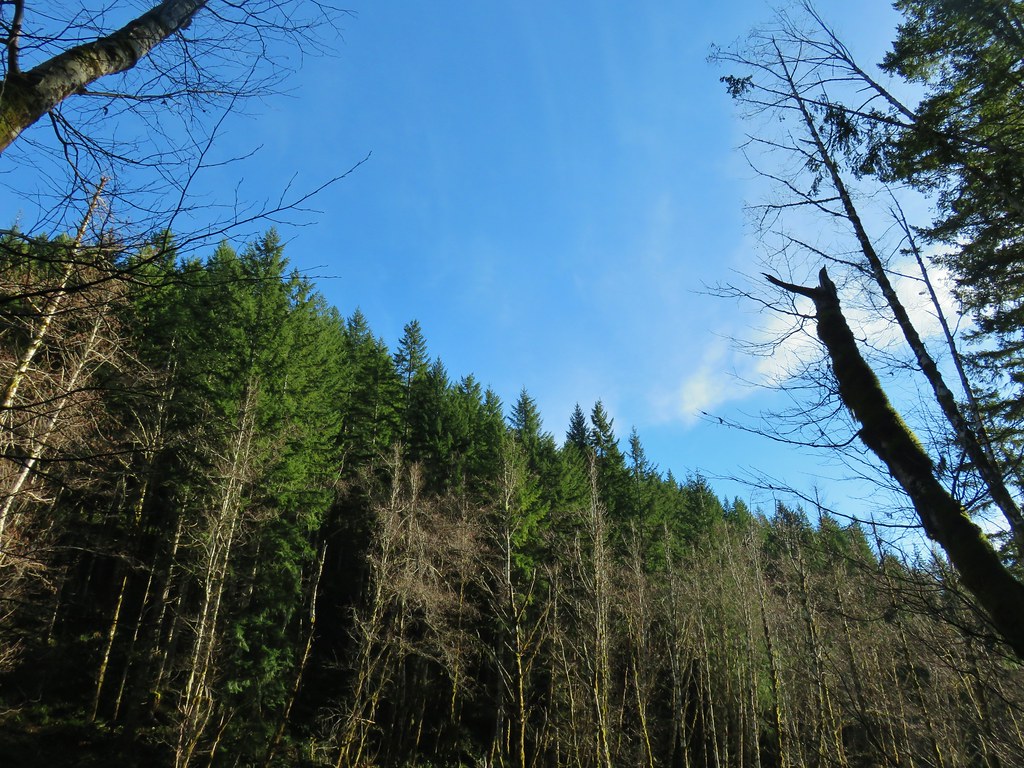
We returned the way we’d come. The sun was shining but it was still chilly as we made our way back.
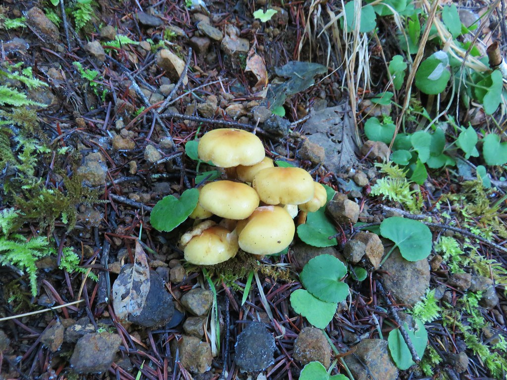
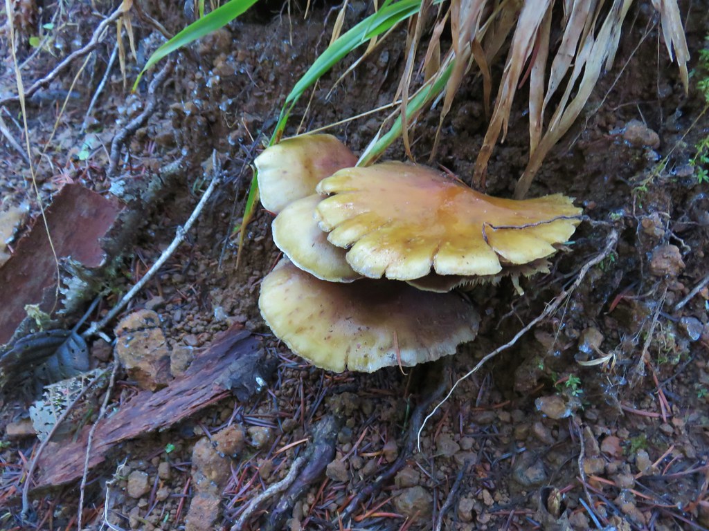
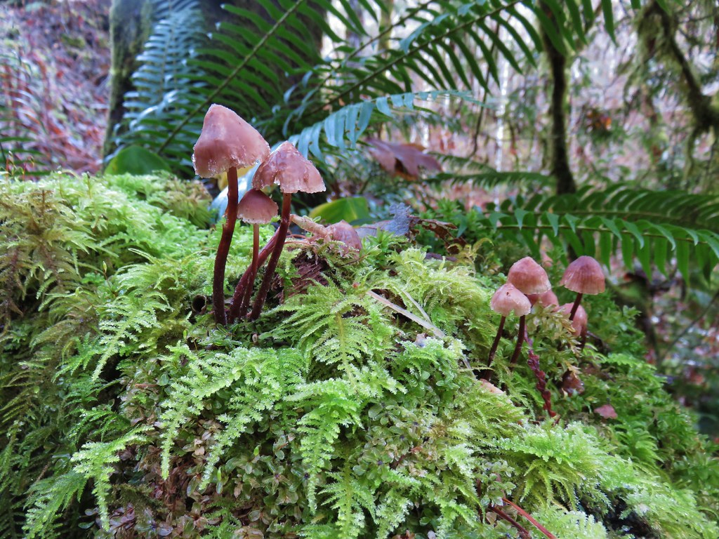
We didn’t see much wildlife, just a handful of birds, and being the middle of winter no wildflowers but there were a few mushrooms to enjoy.
With the half mile side trip the hike wound up being just under 12.5 miles with approximately 1500′ of elevation gain. It was a nice start to a new year of hiking. Happy Trails!
Flickr: Gales Creek Trail
