For our third and final hike in the North Fork Umatilla Wilderness we had originally planned on a 13.9 mile loop using the Buck Creek, Lake Creek, and Buck Mountain Trails. That plan had been scrapped due to the damage caused by the February 2020 flooding in the area which left the roads and trails damaged. We parked as we had the two previous days at a gate along Bingham Springs Road (NF-32). Unlike the previous two days though it had rained overnight and the clouds were still breaking up as we set off on the 1.4 mile road walk to the Buck Creek Trailhead


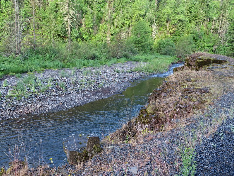
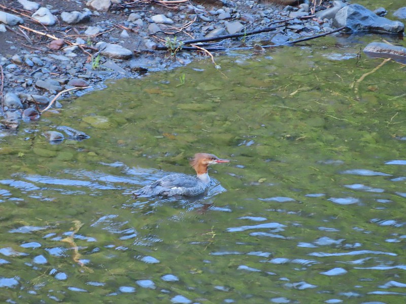
There were no masses of swallowtails along the road this morning (post) but we did see a merganser across the Umatilla where some of the butterflies had been.
While the first two hikes in this wilderness had been featured hikes in Sullivan’s guidebook the Buck Creek/Buck Mountain Trails were back of the book entries. The Forest Service again had listed them both as open but the latest update (late May 2021) indicated that only the first 2 miles of the Buck Creek Trail had been cleared since the flooding and just the first 1/2 mile of the Buck Mountain Trail had received any maintenance. We were prepared to turn around when the maintenance petered out on both of these trails and we decided to start with the Buck Mountain Trail since it was said to be steep. We figured climbing first thing in the morning was better than later in the day.
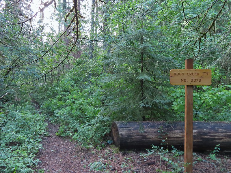
 Buck Creek Trailhead
 Buck Creek Trail straight ahead with the Buck Mountain Trail to the right. Notice that the Buck Mountain Trail didn’t receive a nice new sign. (Not pictured is the Ninemile Ridge Trail to the left.)

Just a few hundred feet down the Buck Mountain Trail we arrived at Buck Creek where there was no bridge nor any way to cross dry footed.
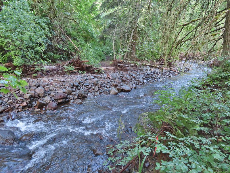
It would have been an easy enough ford but starting the morning of with soaked feet didn’t sound appealing to either of us, especially to simply climb for 1/2 a mile and turn around assuming no further maintenance had been done on the trail. Since we weren’t willing to get wet we decided to return to the trail junction and head up the Buck Creek Trail.
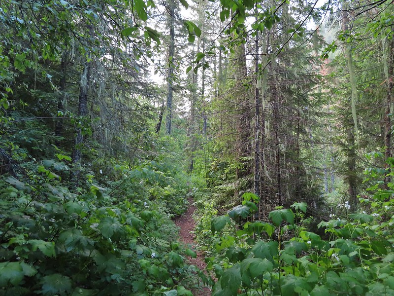
It didn’t take long to realize that fording the creek or not we were not going to have dry feet today. The Buck Creek Trail had been maintained but not brushed out. The overnight rain transferred easily from the vegetation to our clothing and soon not only were our feet wet but so were our pants and at least the lower half of our shirts.
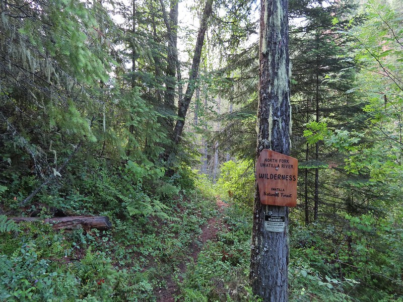 Nice new wilderness sign along the trail.
 Signs of the flooding.
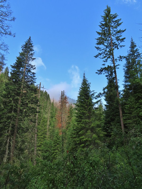
 Blue sky

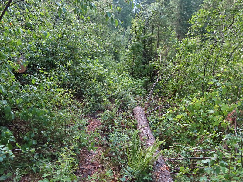
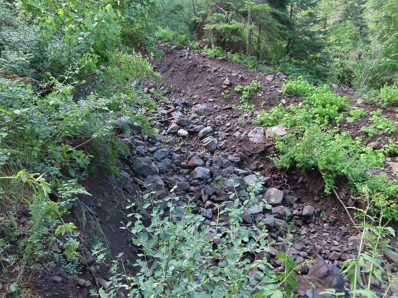
 Washed out section of trail.
 Recent trail repair here.
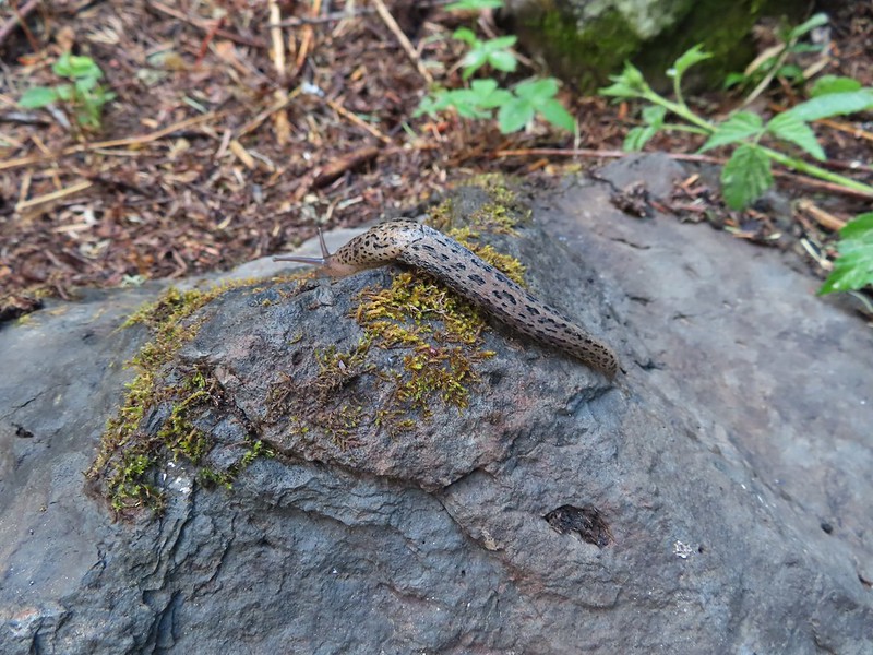 Slugs didn’t mind the damp conditions.
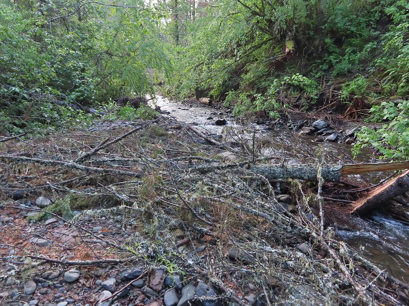
We made it a little over 1.75 miles before stopping at a deep washout.
There was no visible tread entering or leaving this deep ditch and we had spent the previous tenth of a mile or so pushing our way through the wet vegetation so we assumed the maintenance hadn’t gotten any further. We turned back and did our best to pick up any water that we’d missed on the first pass.
 Honeysuckle was everywhere in this wilderness, on all three hikes.
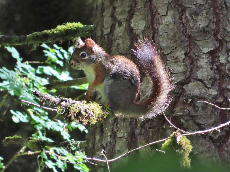 Squirrel!
We took a short detour when we reached NF-32 to check out some damage to the bridge over the South Fork Umatilla River.

There were no swallowtails today, and the merganser was no longer where we’d seen it but now there was a spotted sandpiper on the rocks where the swallowtails and merganser had been.

Apparently that is a popular spot for wildlife. We returned to car and drove back to Pendleton for the last time on this trip. For dinner we walked from the Rugged Country Lodge to Hal’s Hamburgers, in business since 1952. It was a nice ending to our stay in Pendleton. A brief but wet 6.5 mile hike with only a couple of hundred feet of elevation gain and a good old fashioned hamburger. Happy Trails!

Flickr: Buck Creek Trail
