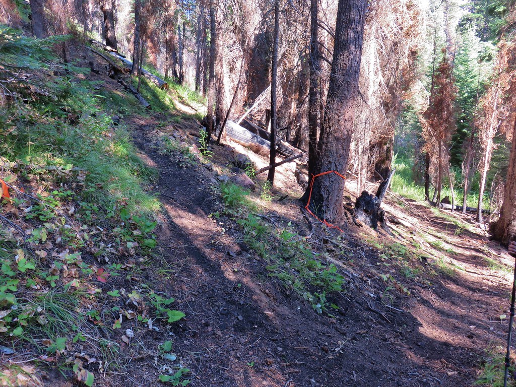
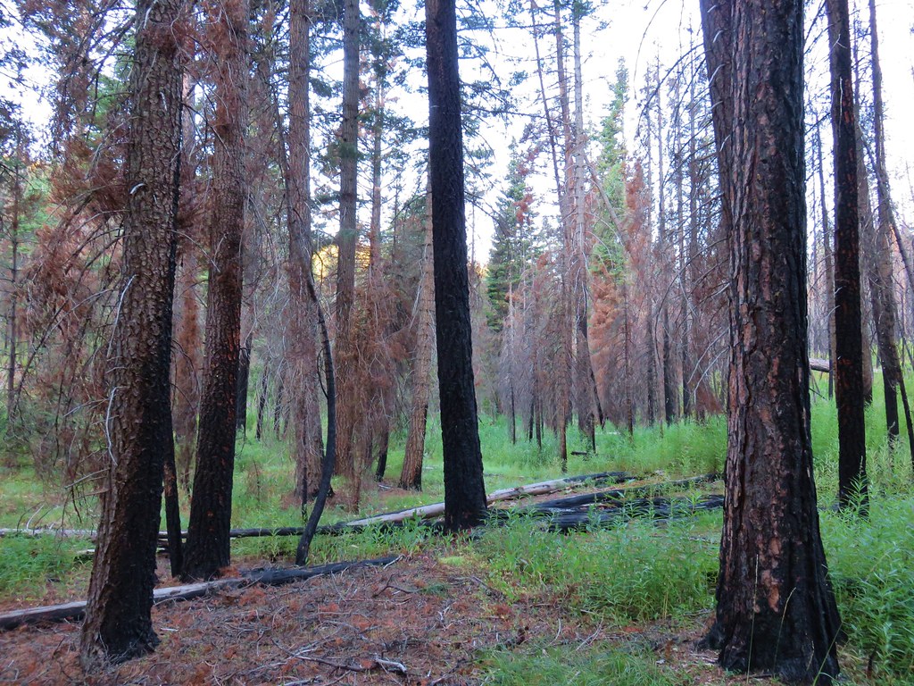
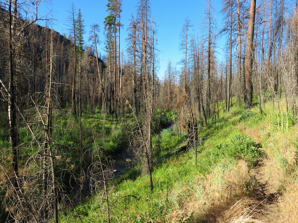
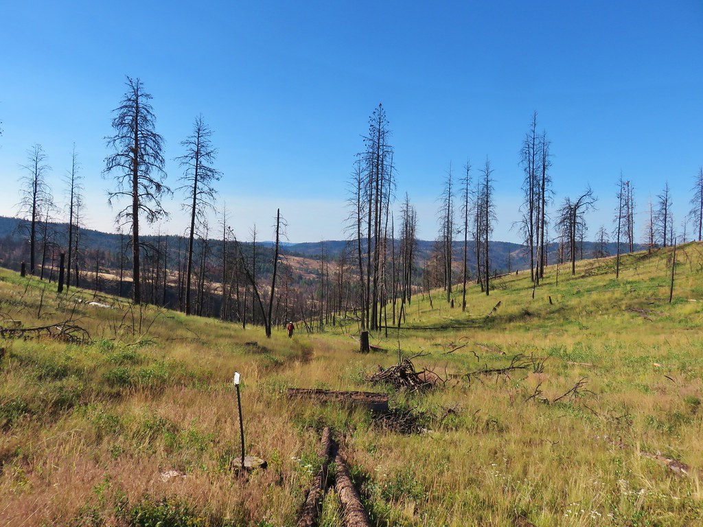
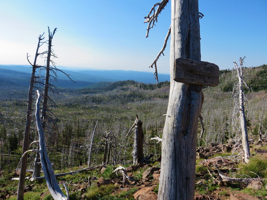
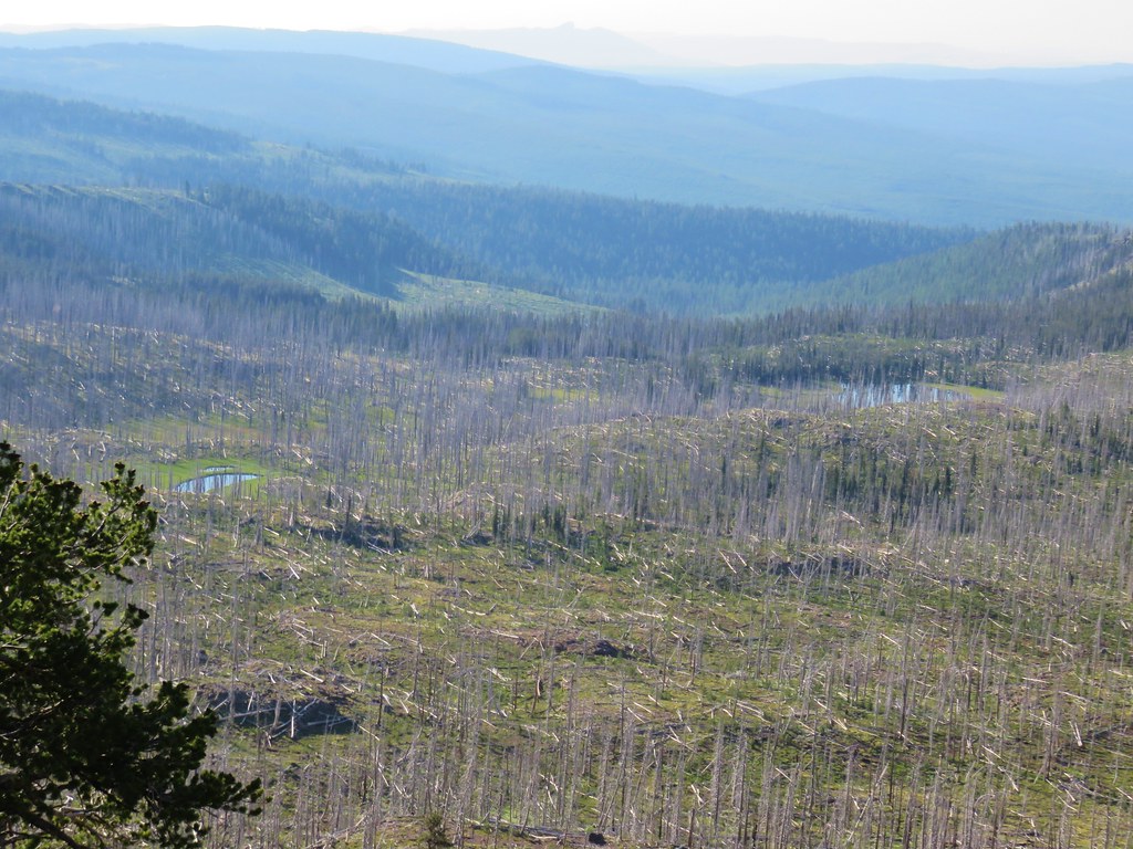
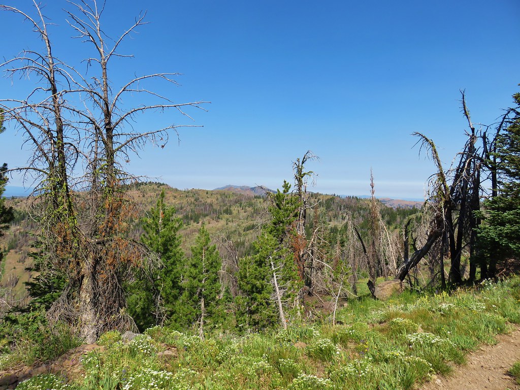
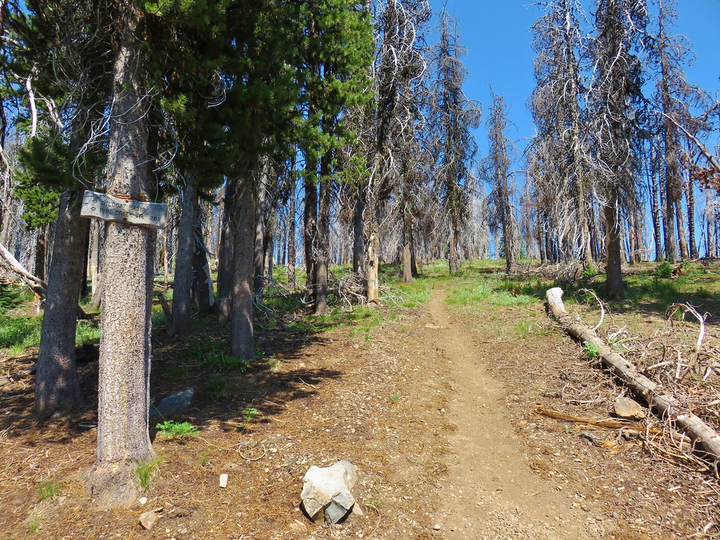
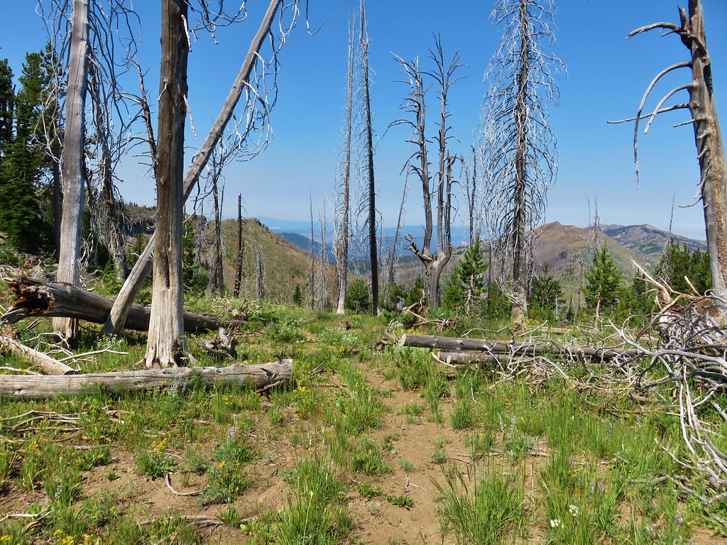
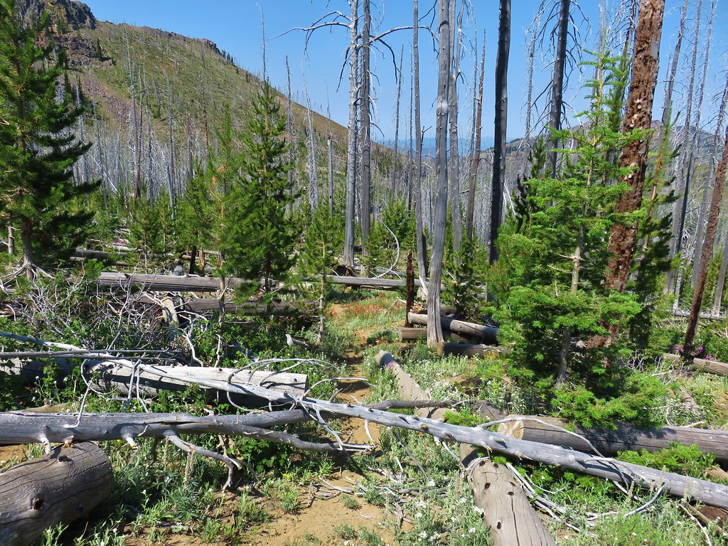
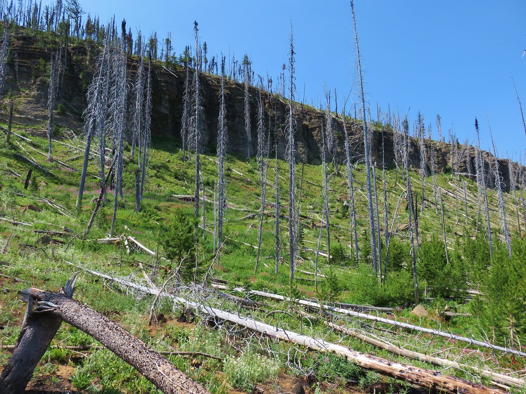
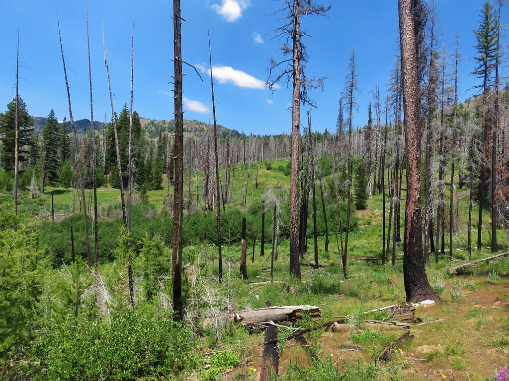
**Note the 2020 Riverside Fire burned most of this hike.**
After taking Wednesday and Thursday off from hiking due to less than favorable weather forecasts we headed out on Friday planning on hiking the Riverside Trail along the Clackamas River. The forecast was for a 40% chance of showers and partly sunny so we thought a river hike was a safe bet and the Riverside Trail was one of Sullivan’s featured hikes that we had yet to do.
As we turned onto Highway 242 at Estacada though we began to rethink our plan. The sky had been relatively clear so far and we hated wasting a good river hike on a day where there might be views to have. Prior to knowing what the weather was going to be like we had originally had Fish Creek Mountain as one of our hikes for the week and as luck would have it the trailhead for that hike was also off of Highway 242. When we reached the sign for Indian Henry Campground (just before the 4th green bridge coming from the west) we veered right onto FR 4620. We followed this one lane paved road for 5.1 miles to gravel where we forked uphill for an additional 2.6 miles to the trailhead on the left. The trailhead is an old roadbed that is only marked by a wooden sign on a tree next to the start of the Fish Creek Mountain Trail. (Note: The sign is unreadable unless up close.)

The trailhead was moved to this location following the road to the original trailhead being washed out in 1996. The trail here was constructed by volunteers who connected it to the washed out road .4 miles from the original trailhead.
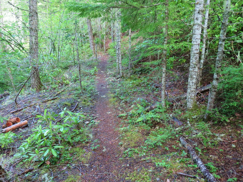
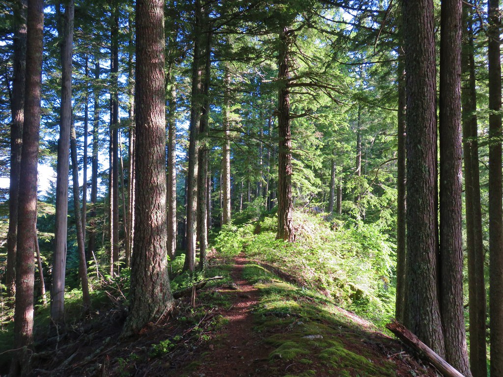
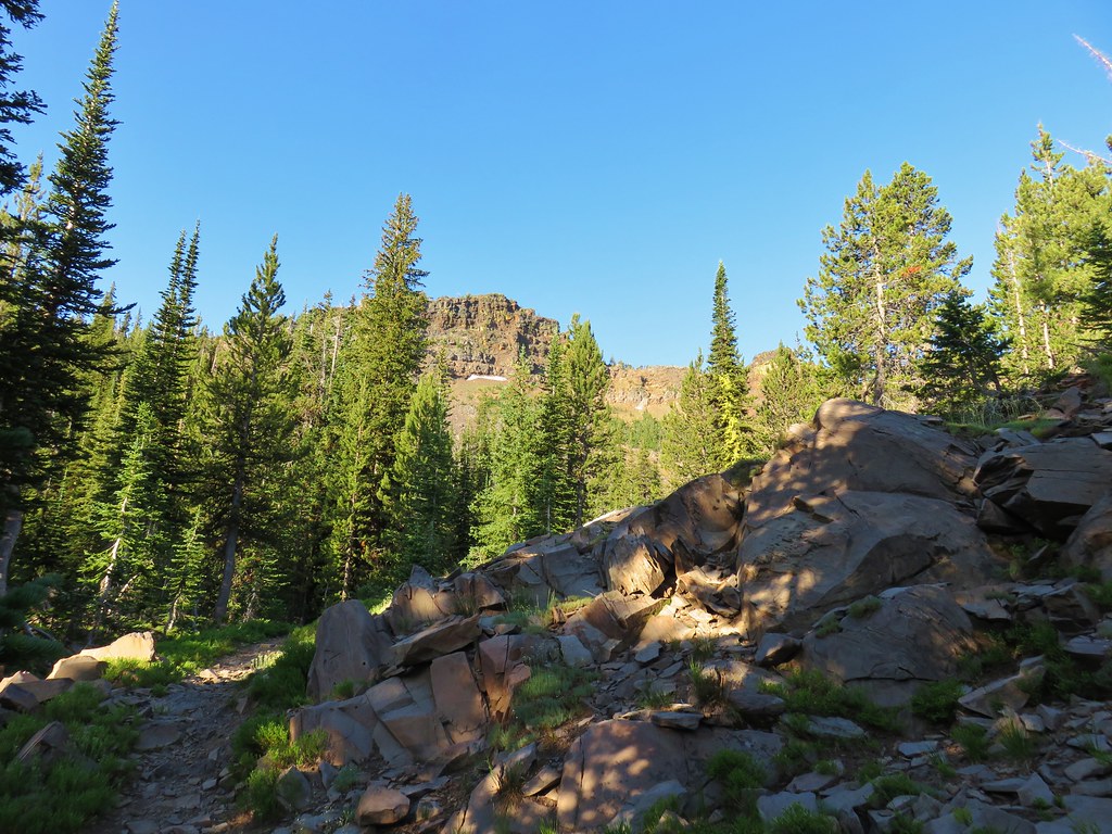
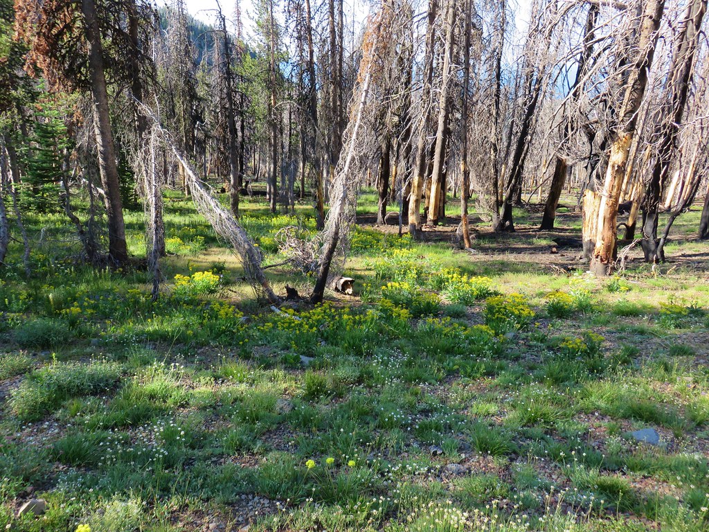
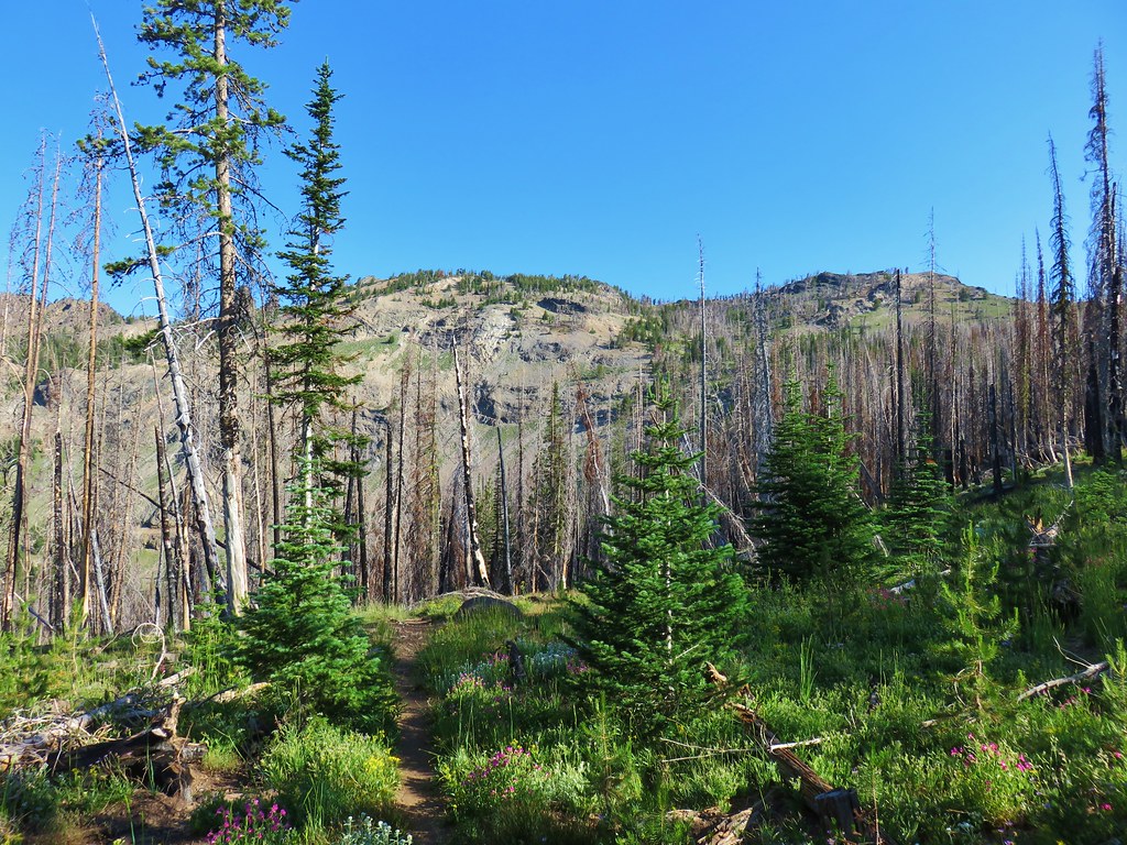
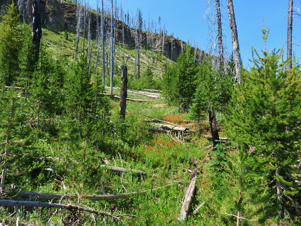
The trail gains 500′ over seven tenths of a mile as it climbs through a mixed forest to the decommissioned road.


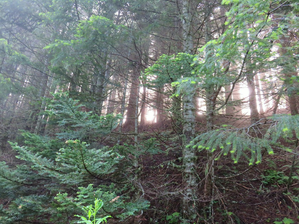
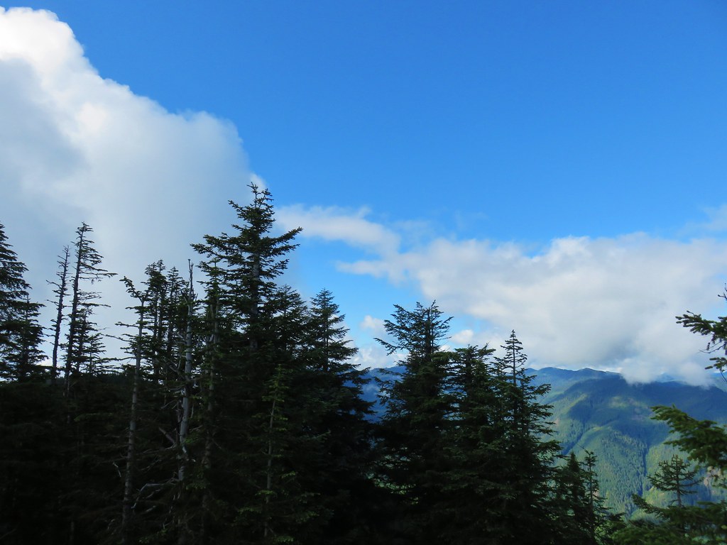
We started to question our decision as we found ourselves in a bit of fog as we arrived at the old road.

 Columbine along the decommissioned road.
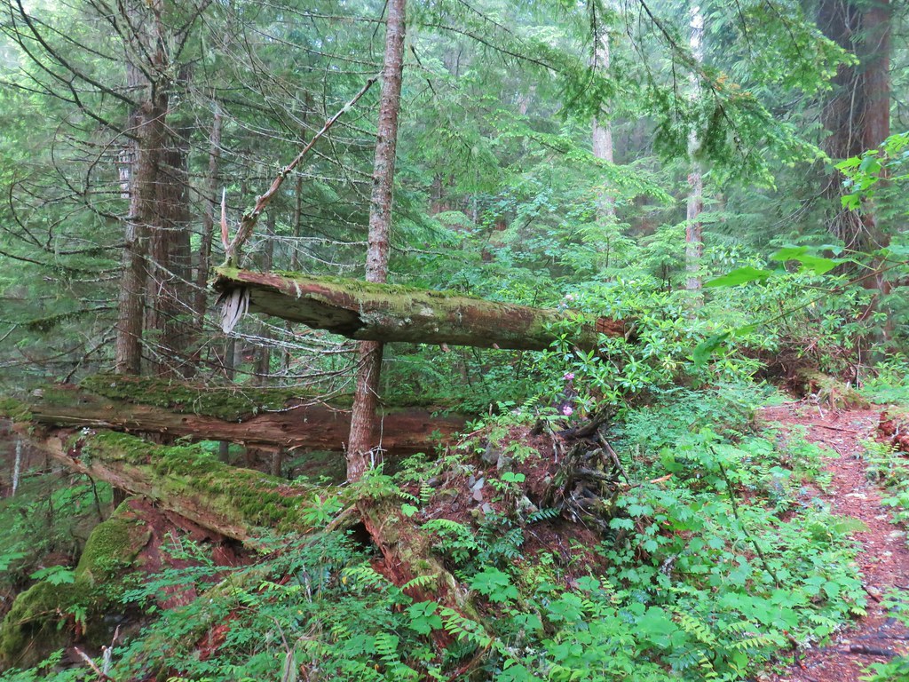
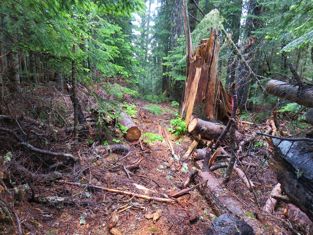
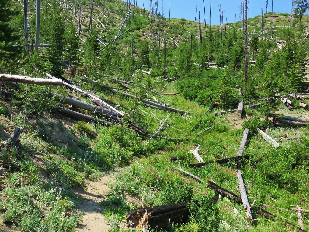
The trail along this stretch was a bit overgrown in places and the moisture from the plants soaked us pretty good.

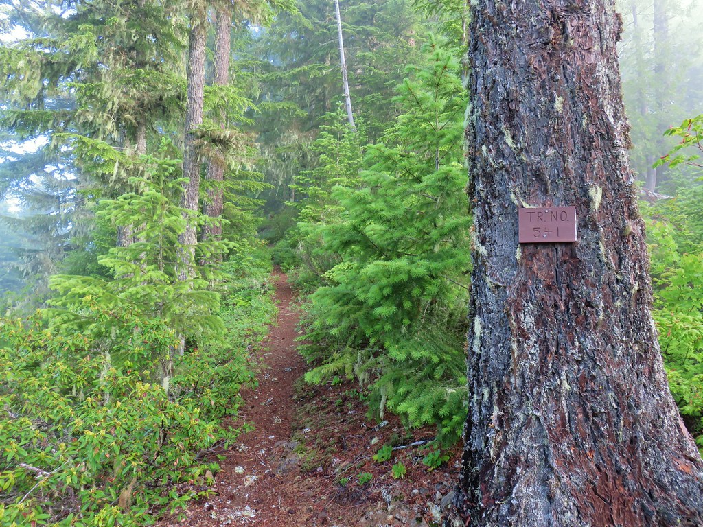
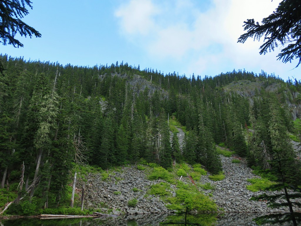
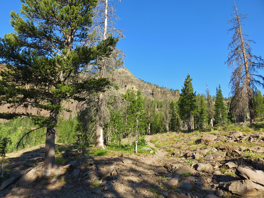
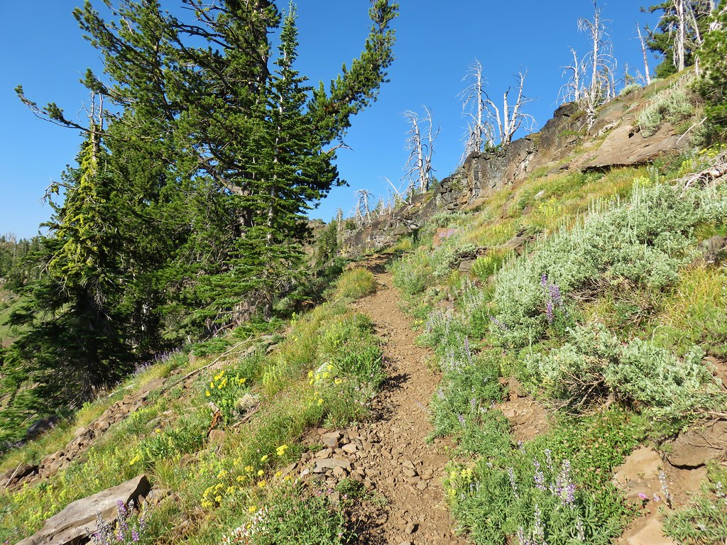
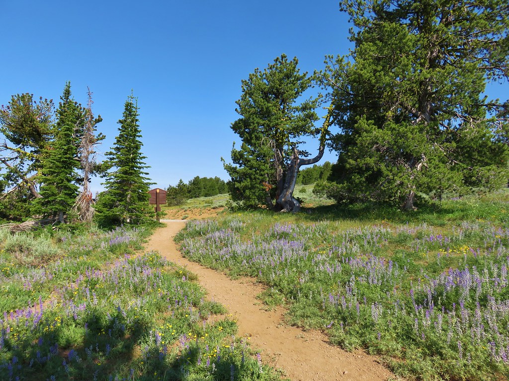
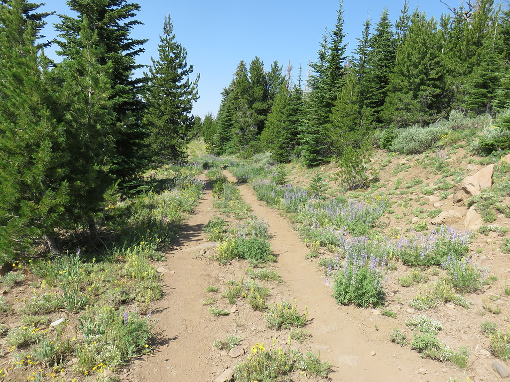
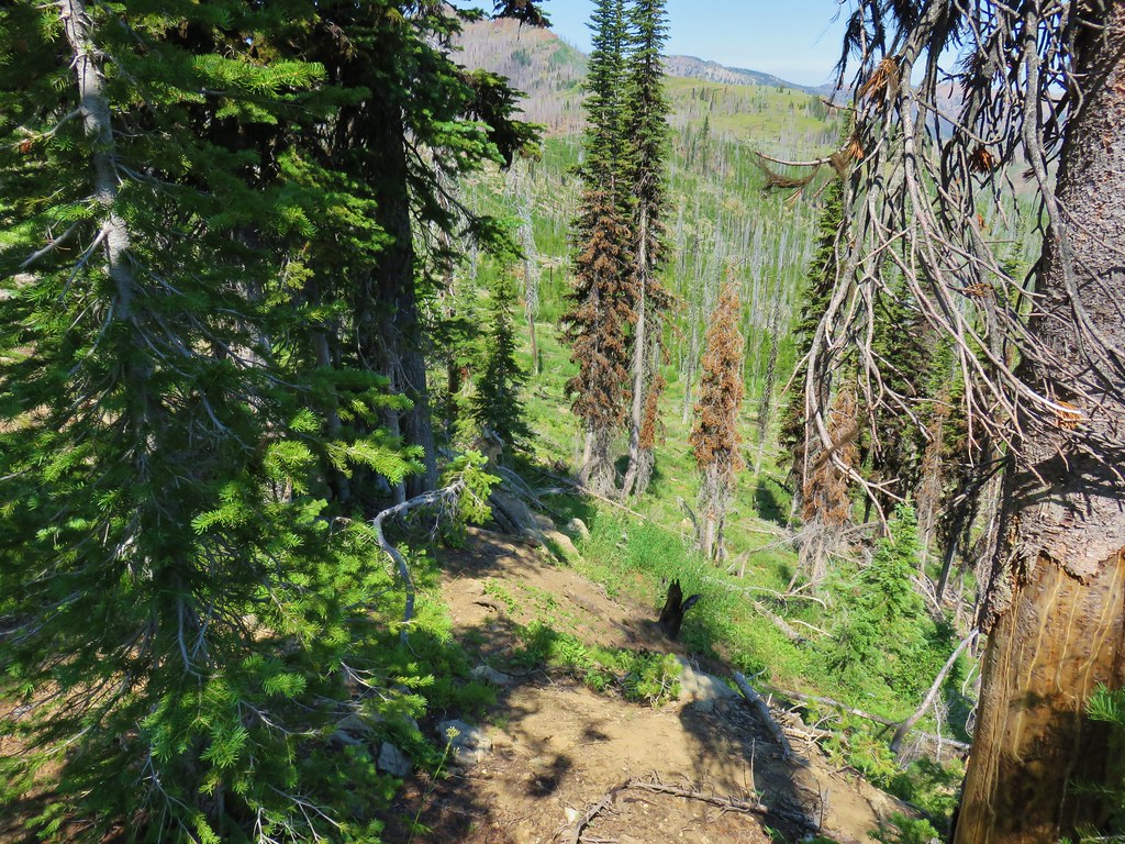
After a relatively level .4 miles along the road we arrived at the original trailhead where the trail headed up a ridge past a trail marker.
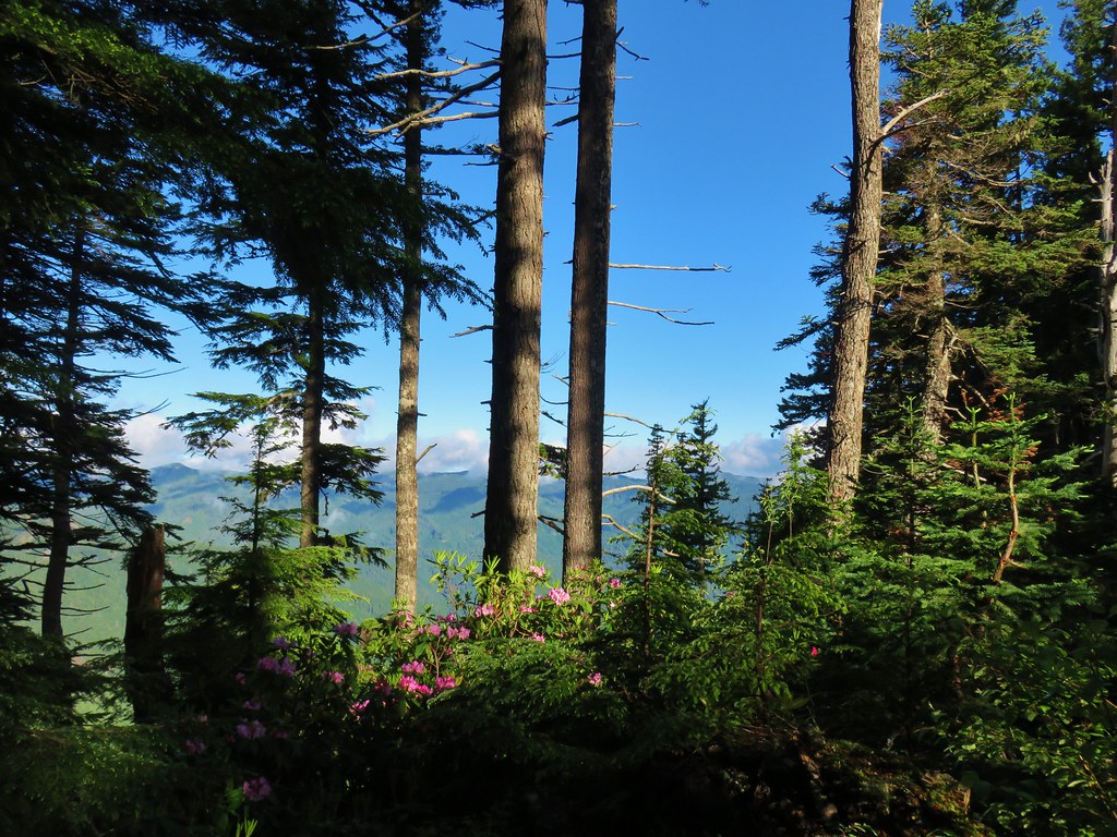
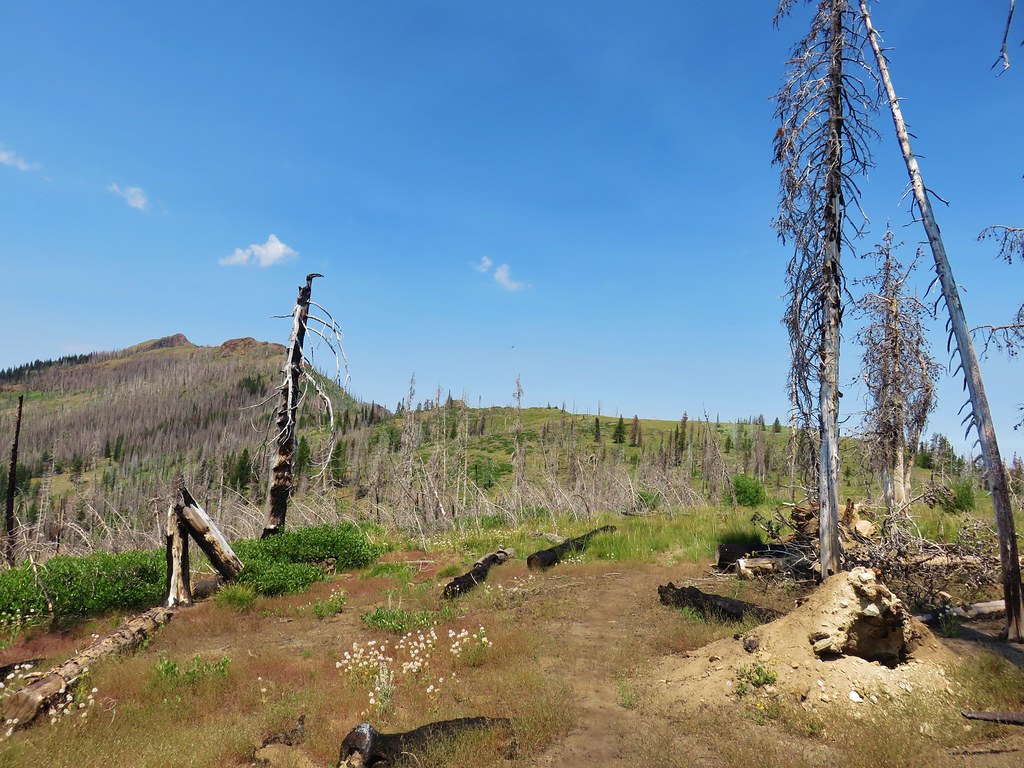
The trail climbed along the ridge and as it did we began to emerge from the fog.


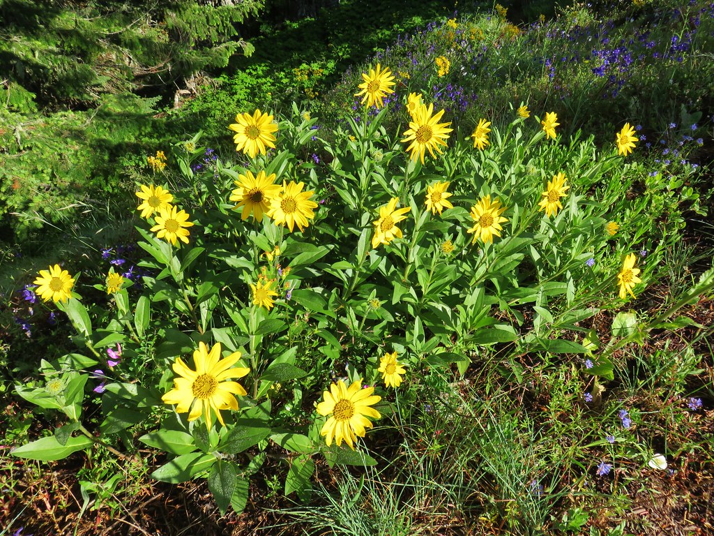
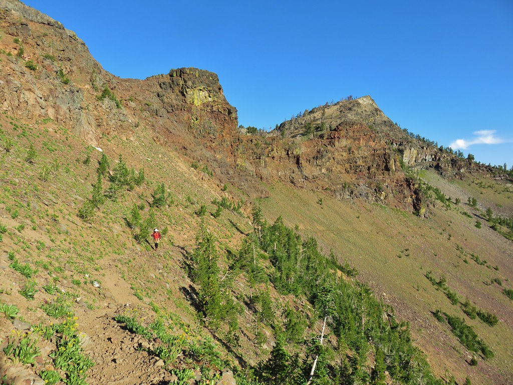
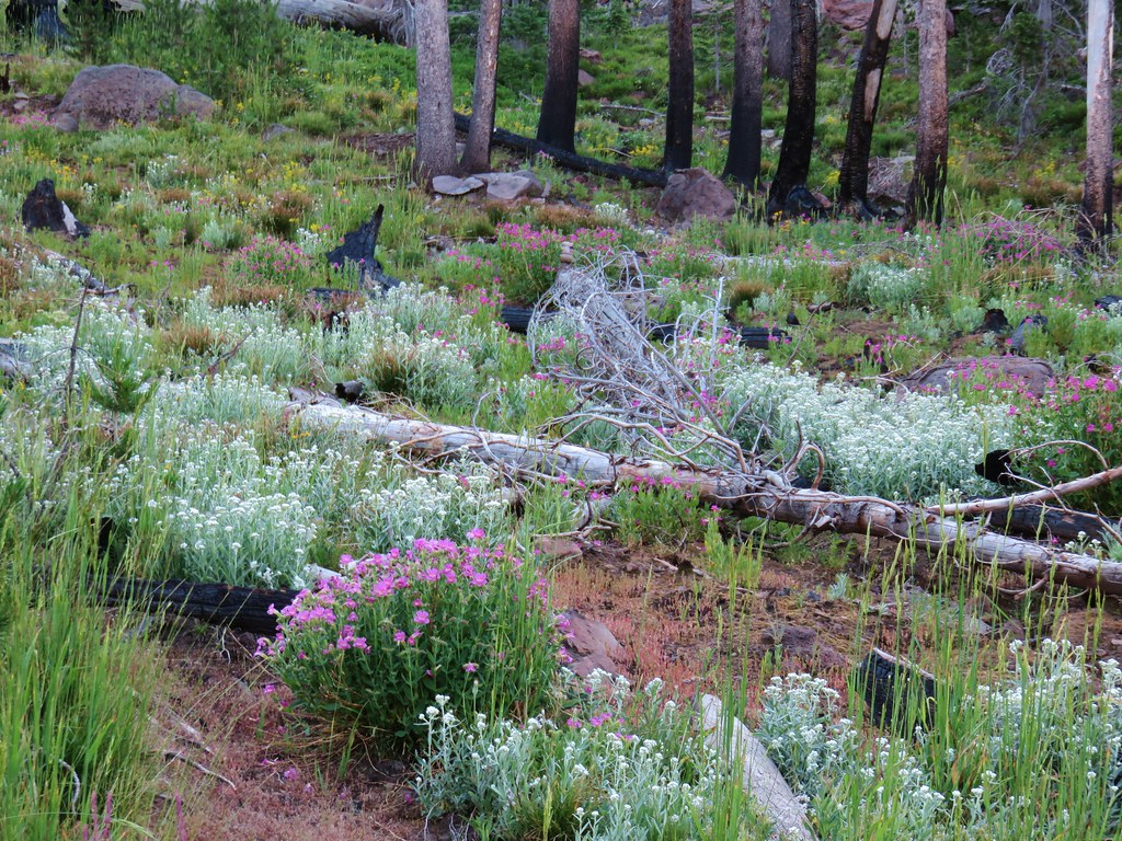
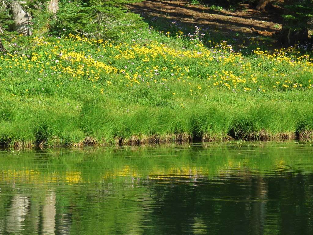
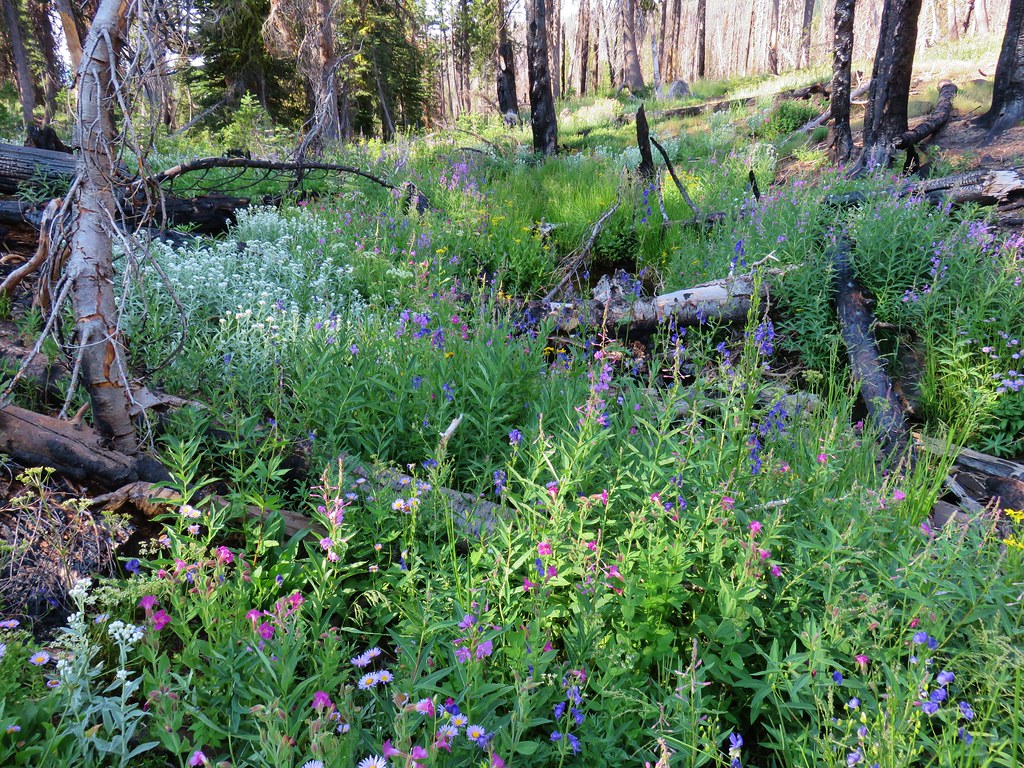
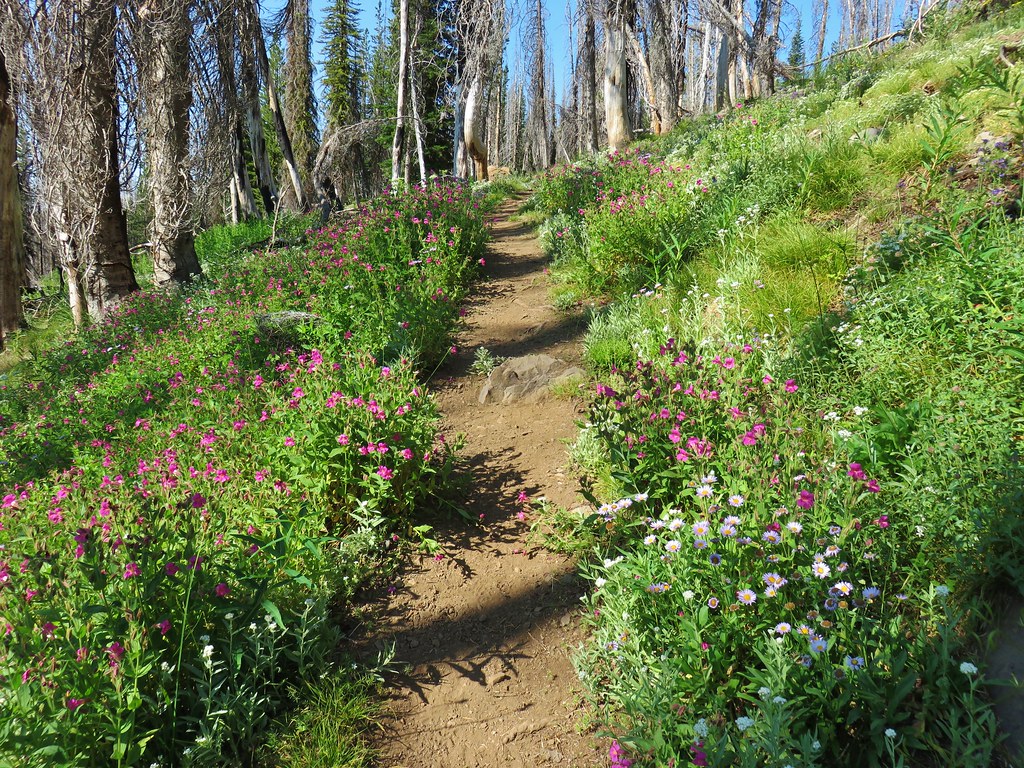
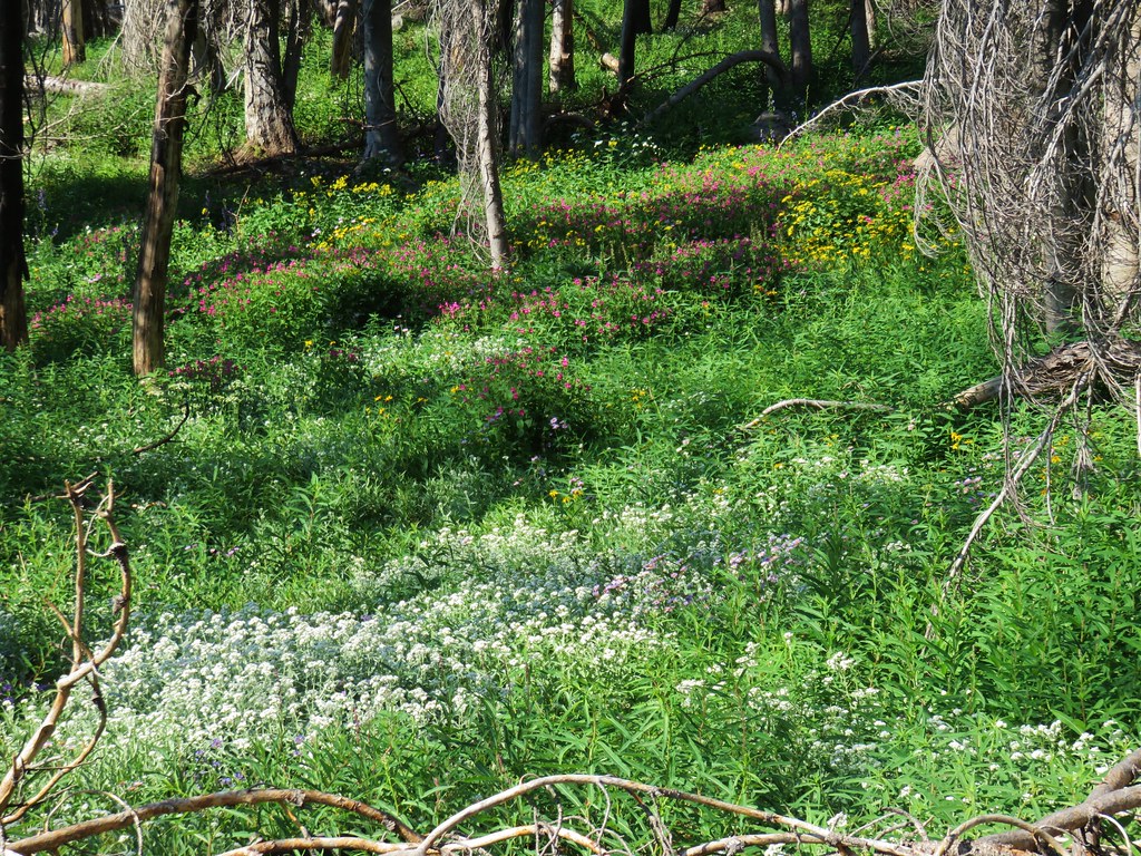
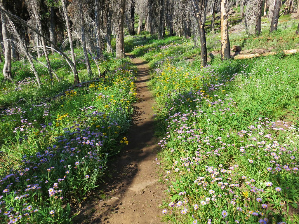
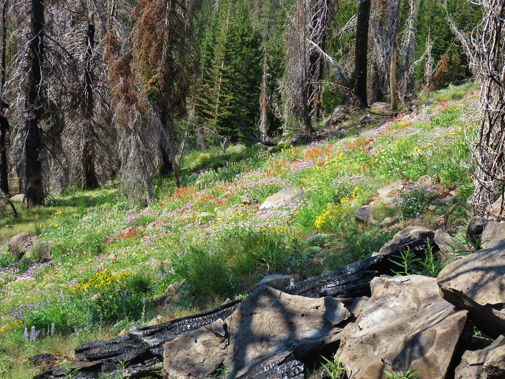
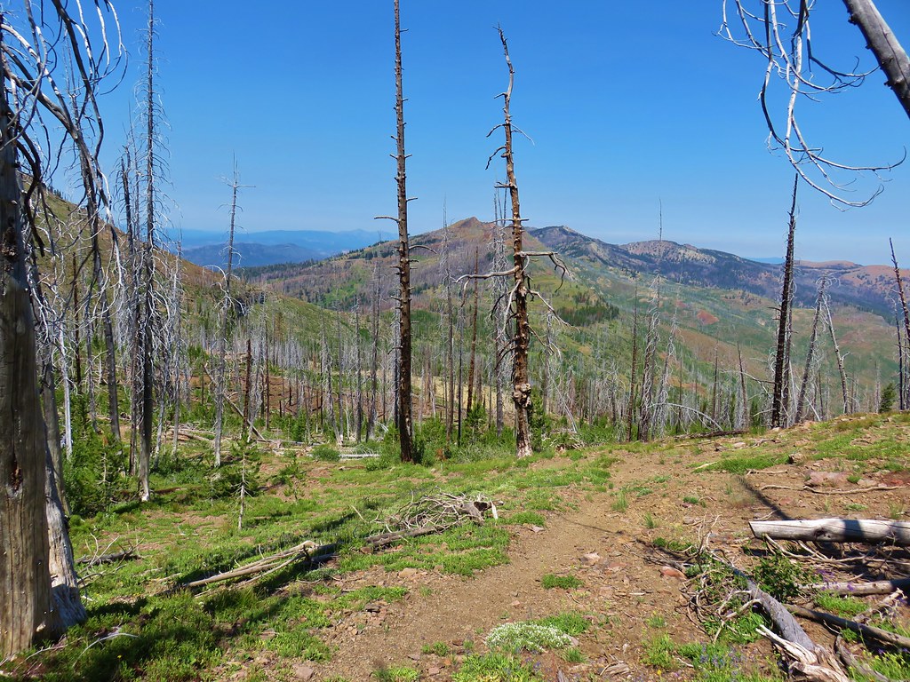
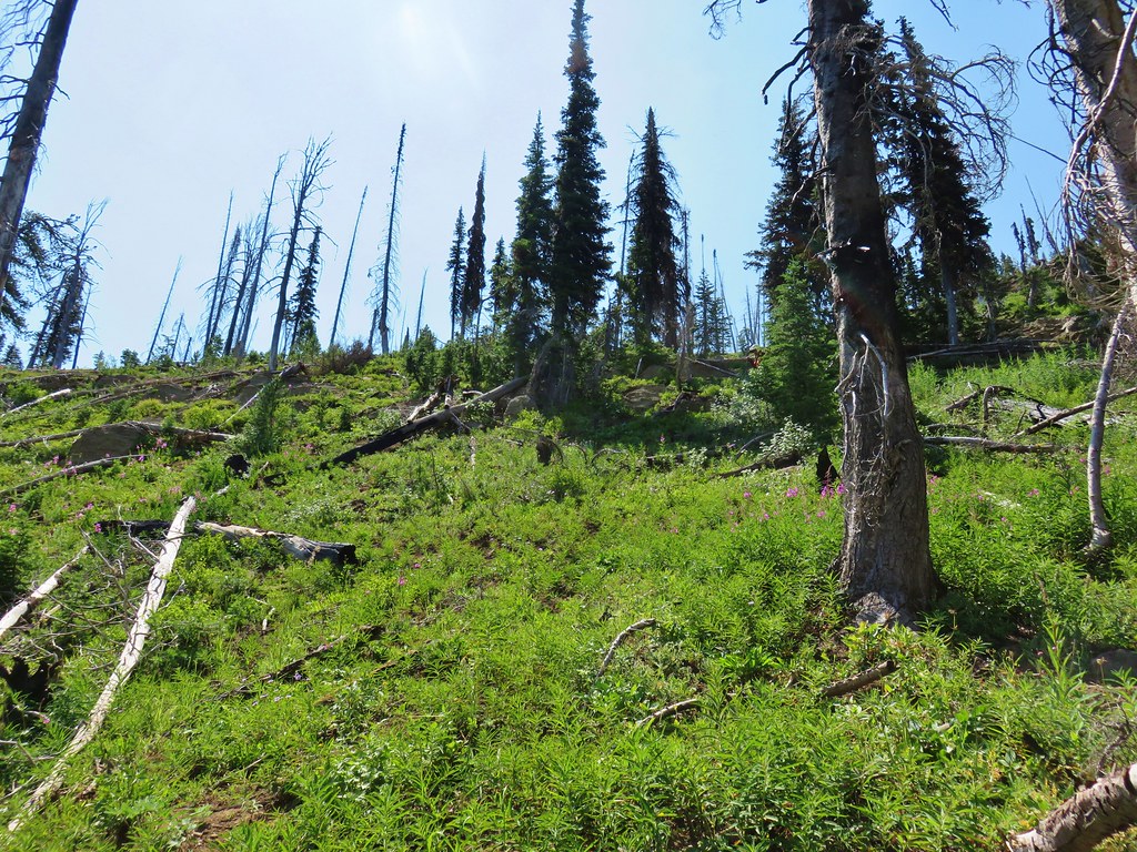
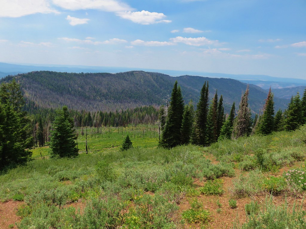
The ridge was mostly forested with a few views to the west through the trees, but as we climbed occasional small meadows popped up filled with wildflowers.


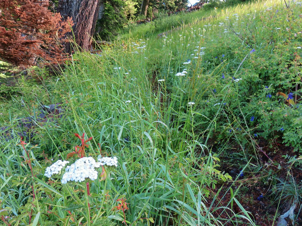


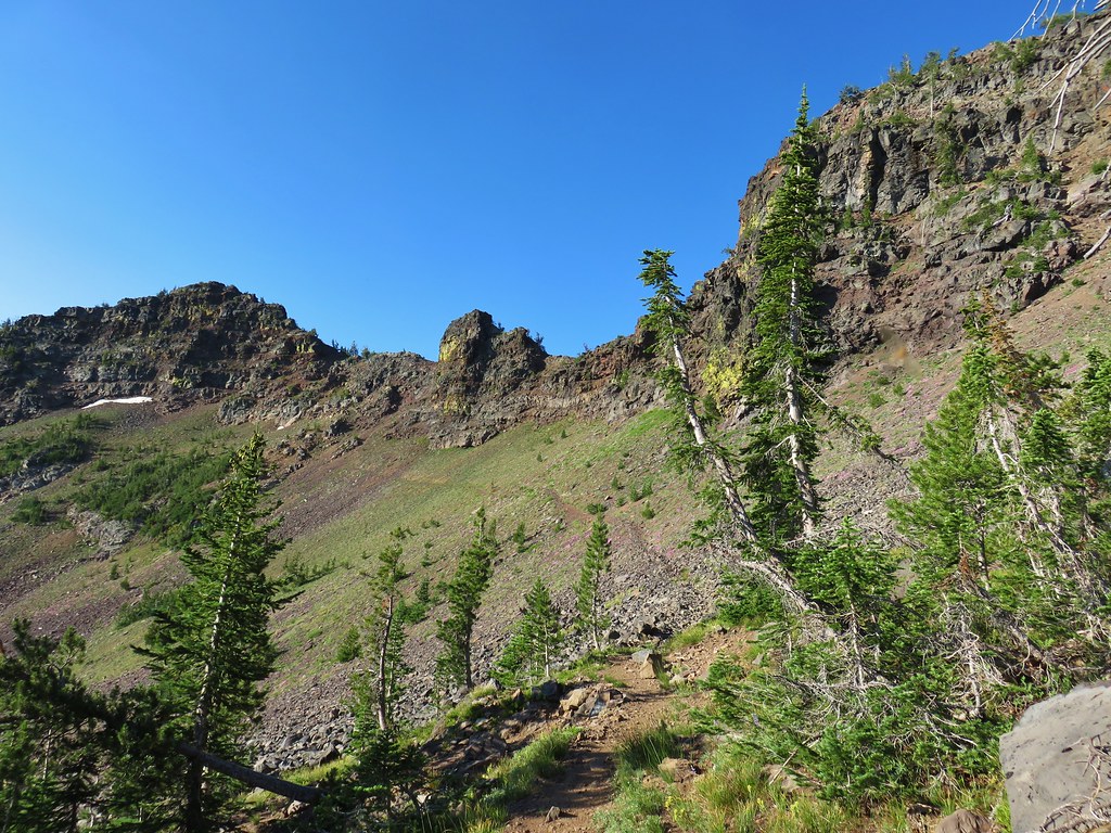
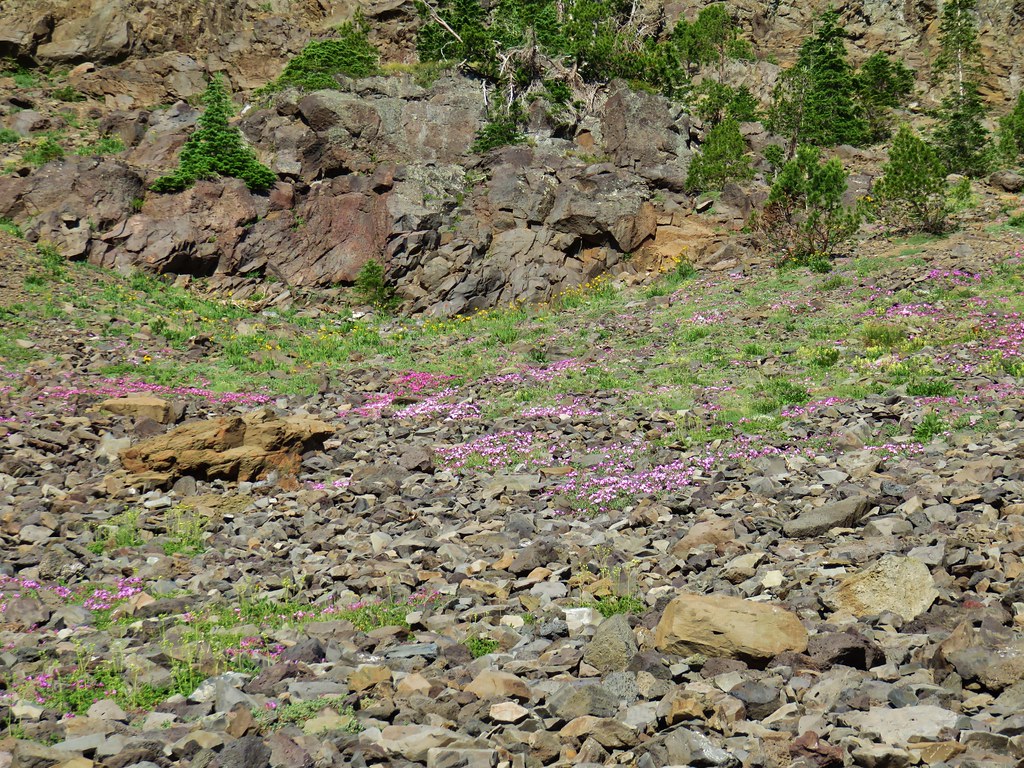
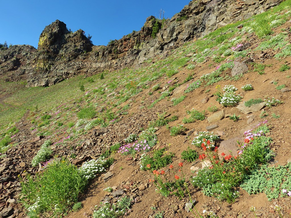
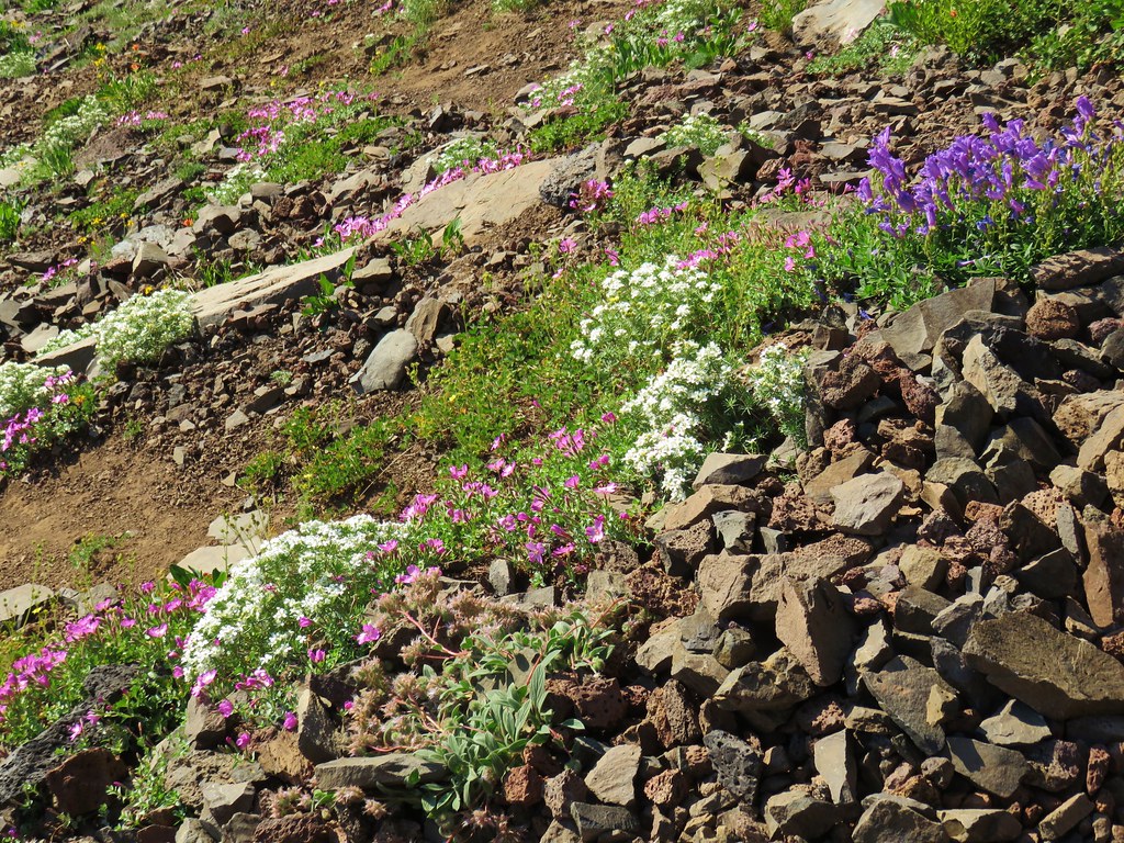
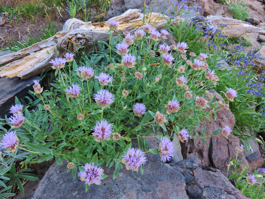
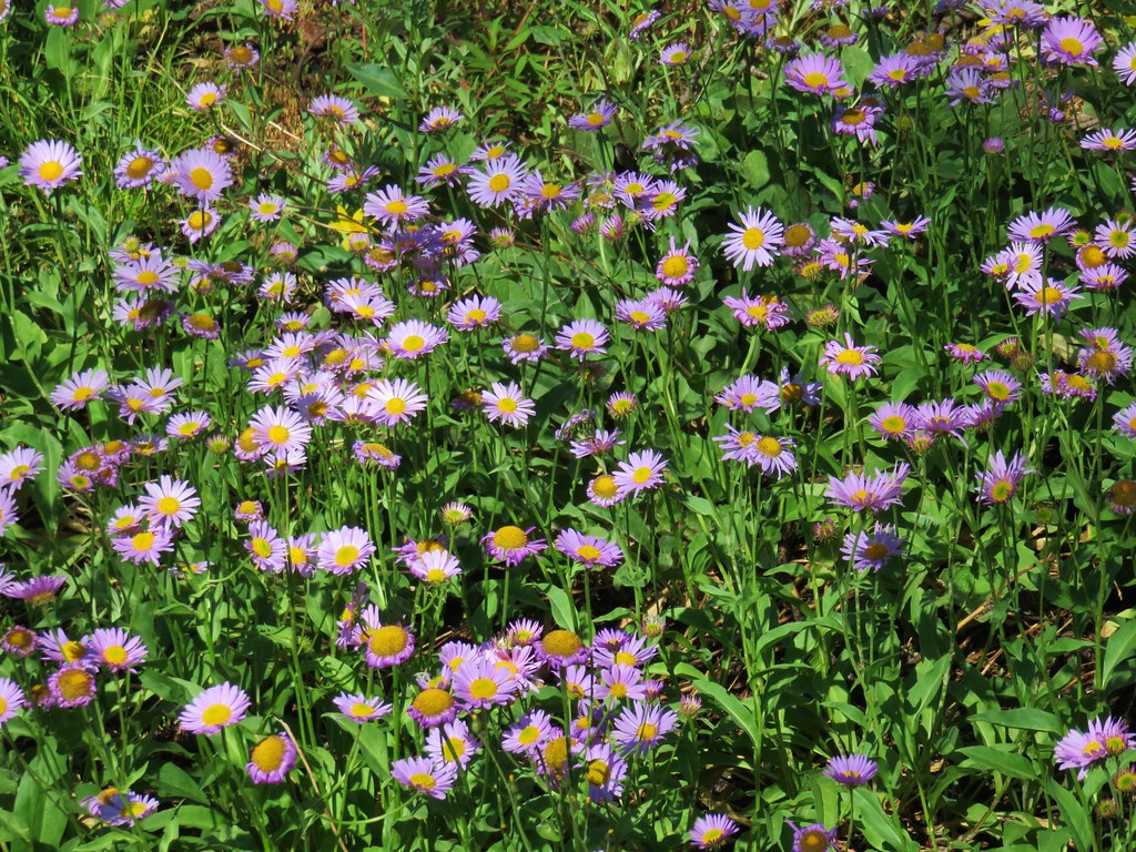
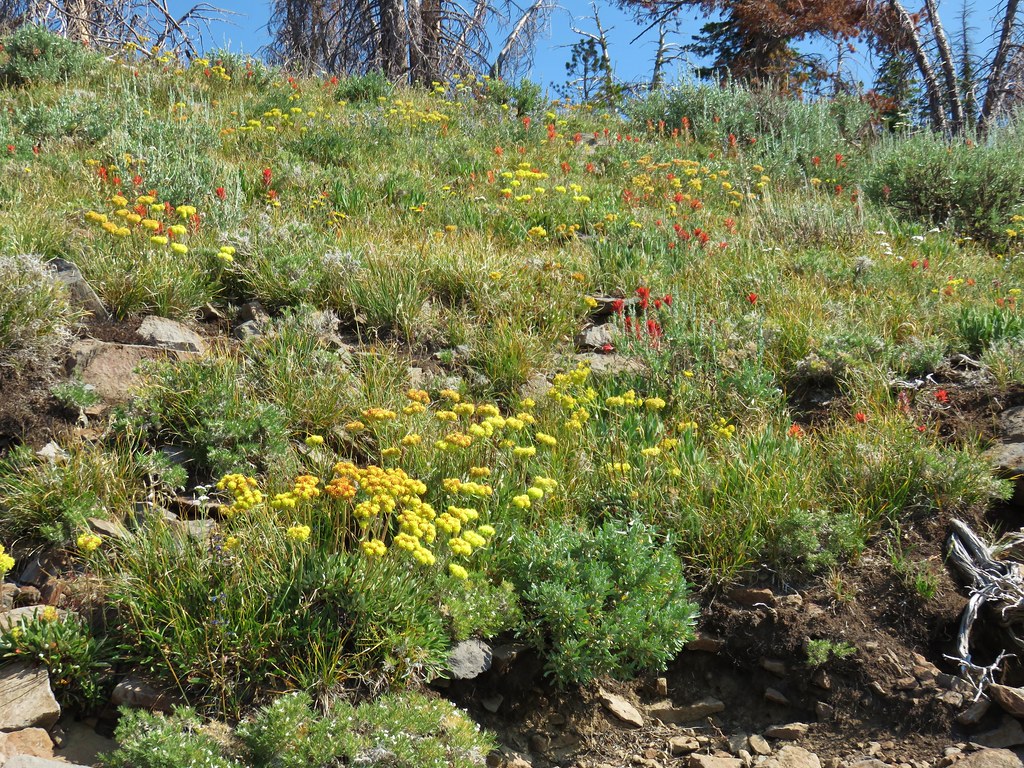
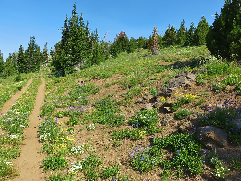
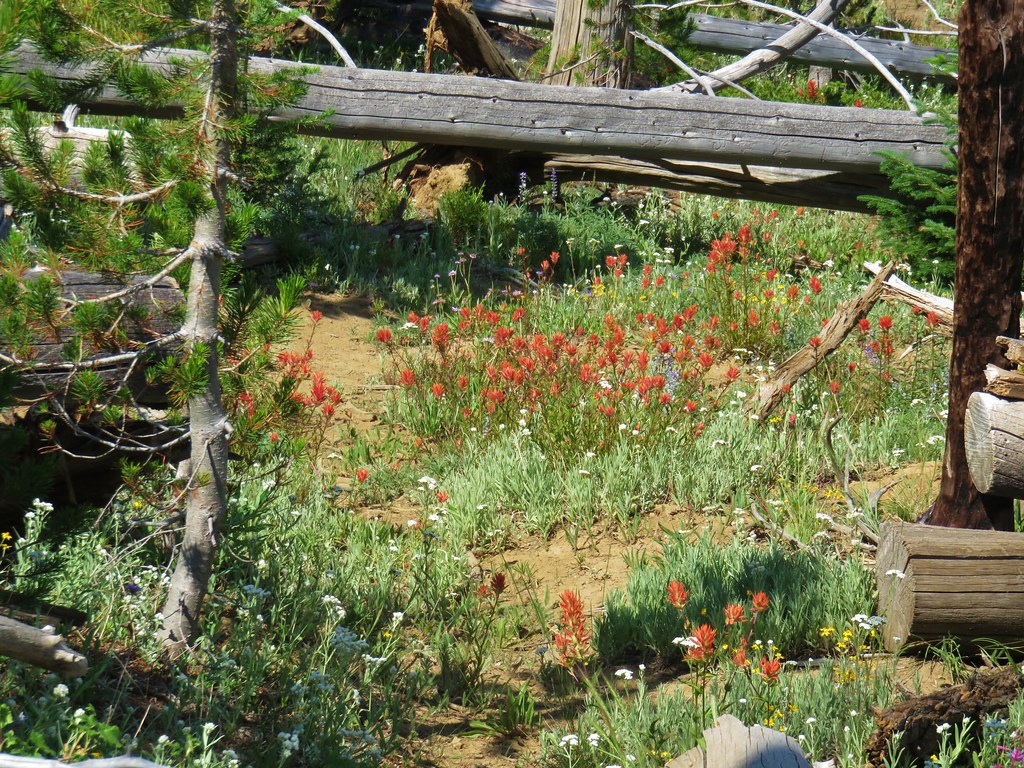
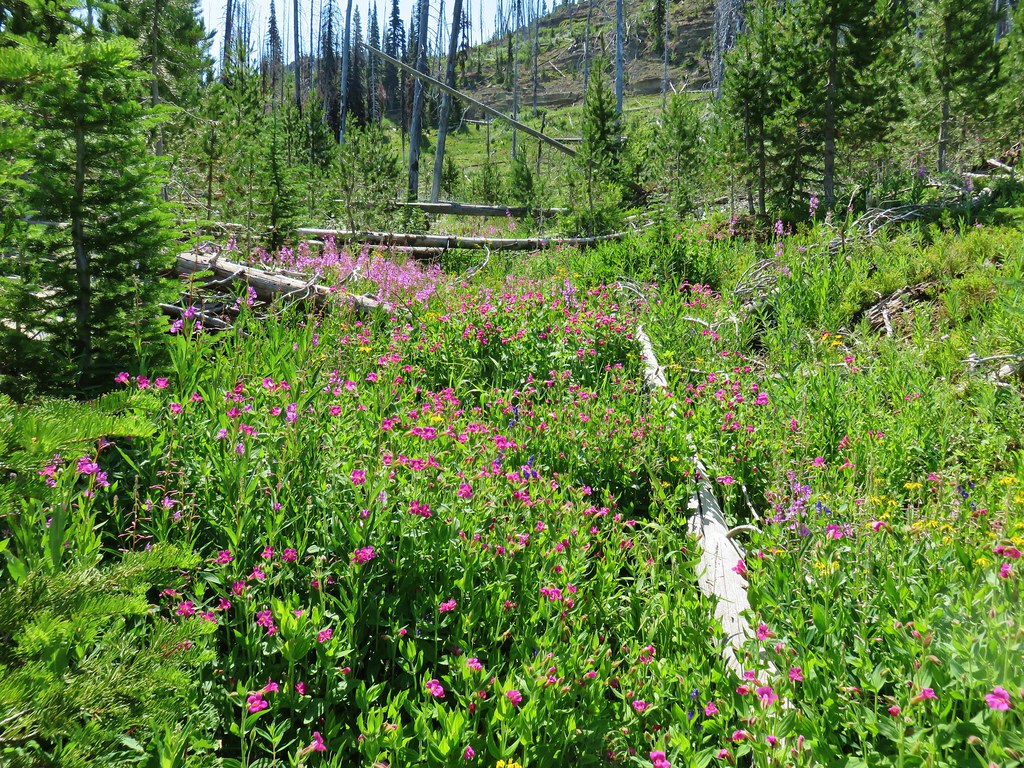
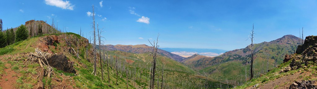
Just over a mile and a quarter from the old road we came to a rocky outcrop where the flowers were amazing. As a bonus there was a nice view of Mt. Jefferson to the SE.


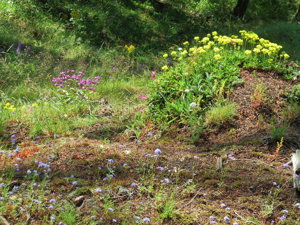

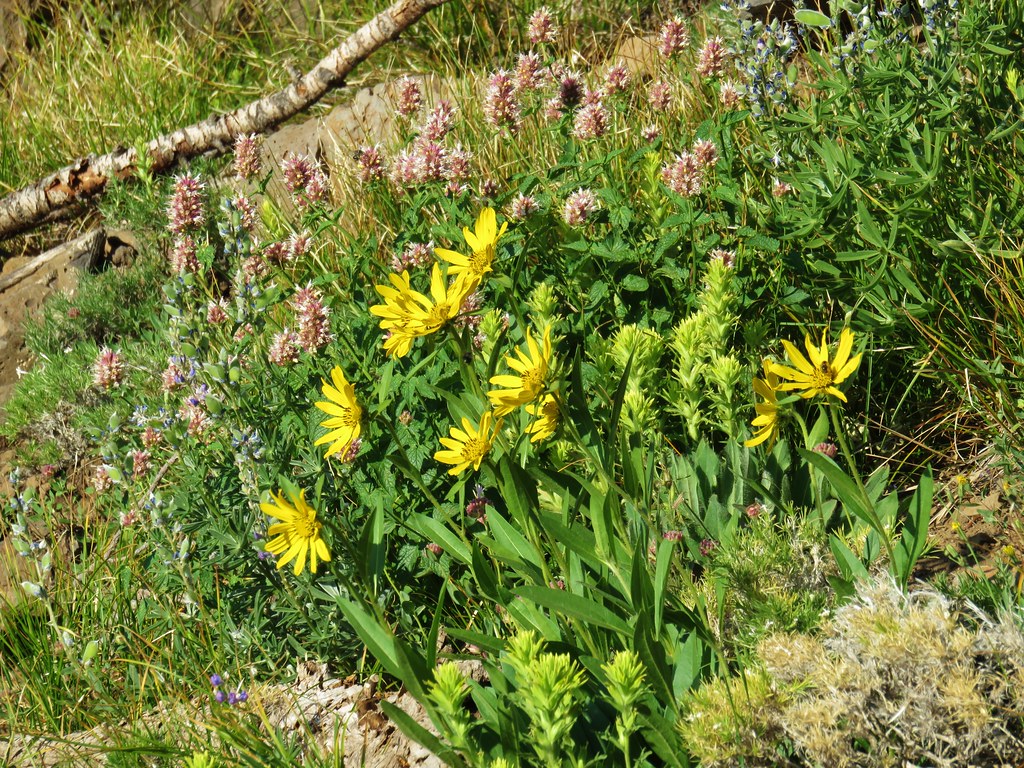
It wasn’t the largest wildflower area by any means, but there was an impressive variety of flowers in bloom, so much so that we stopped again on our way down.
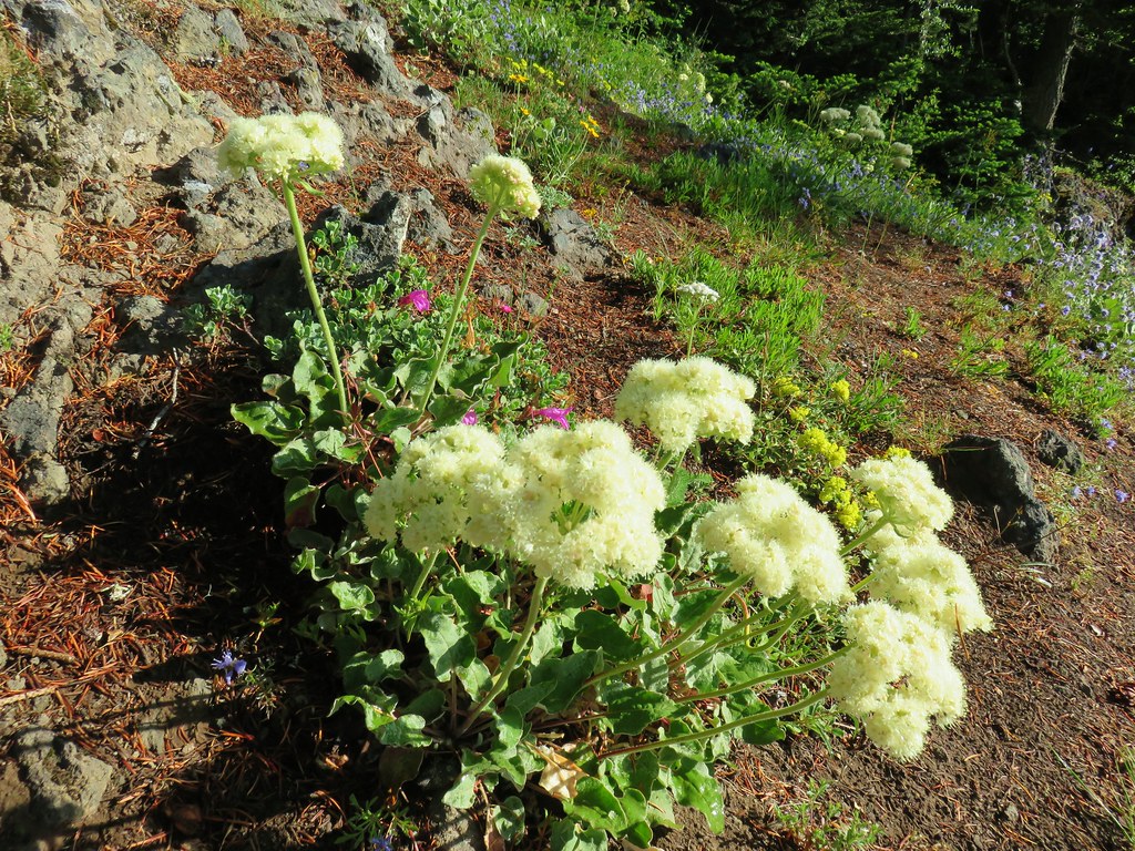 Buckwheat
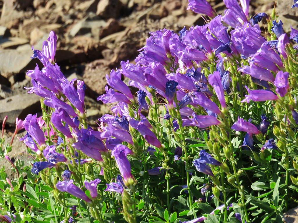
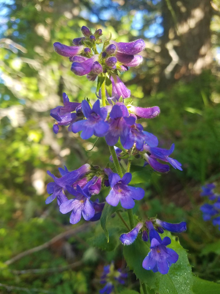 A penstemon
 False sunflower
 A penstemon
 Oregon sunshine
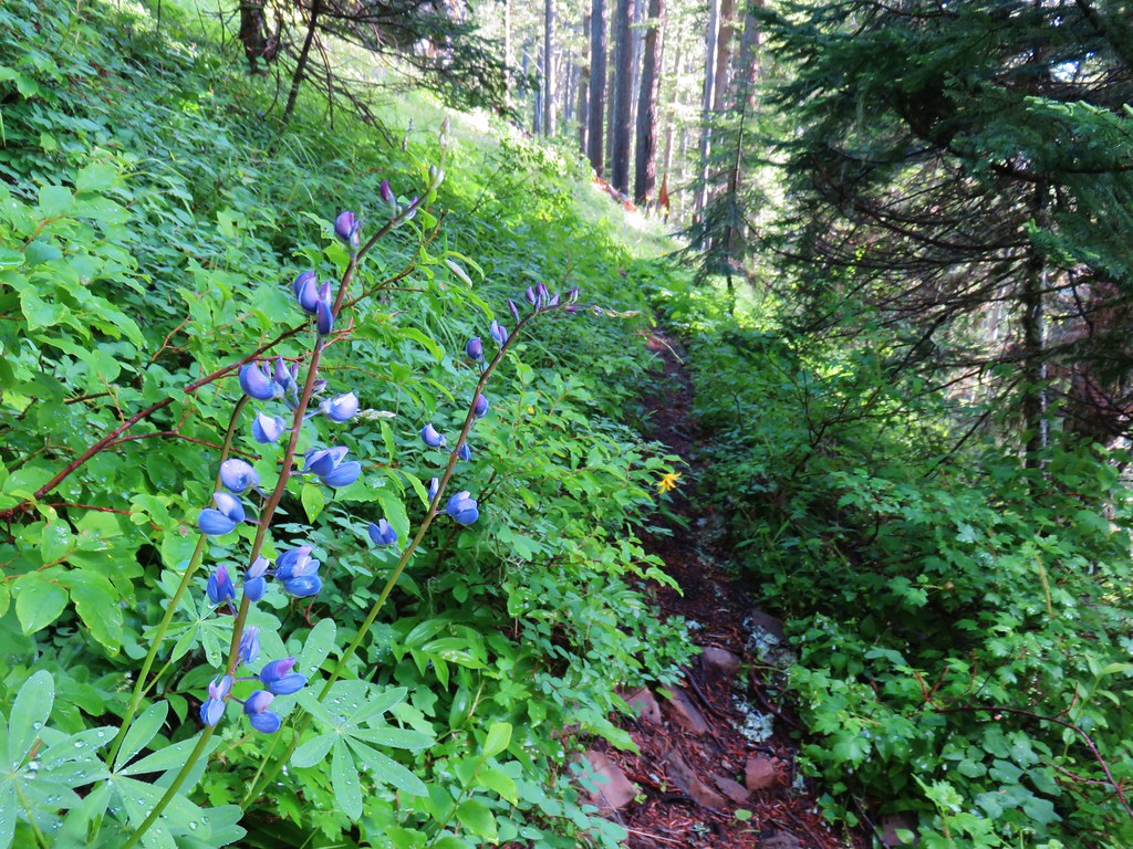
> Lupine among others
 Cliff beardstounge
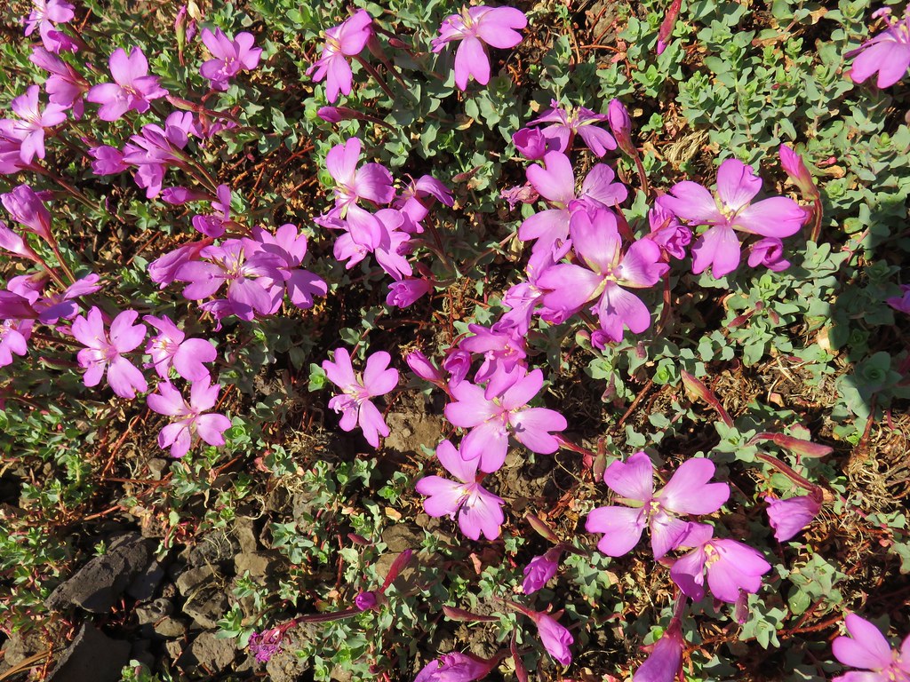
 Catchfly
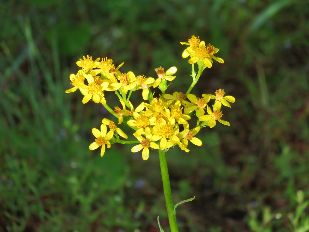 Groundsel
 blue head gilia
 Bleeding heart
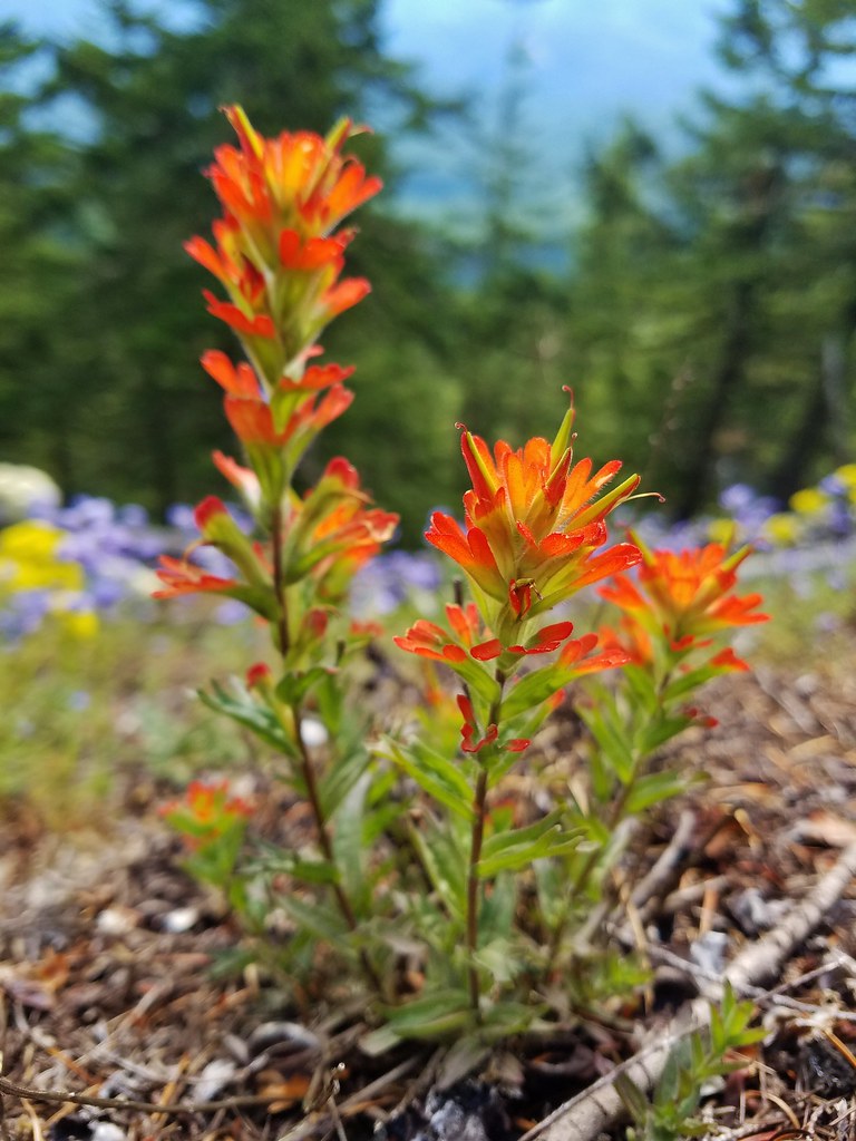 Paintbrush
 Woodland stars
 Larkspur and ballhead waterleaf
 Yarrow
 Valerian
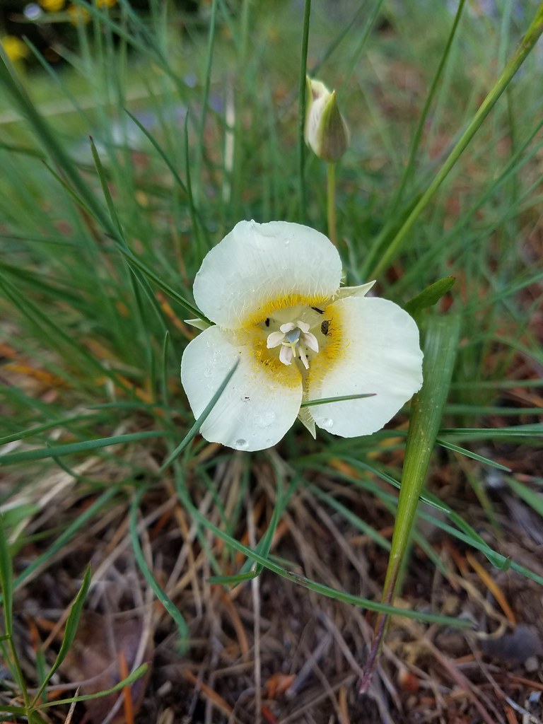 Cat’s ear lily
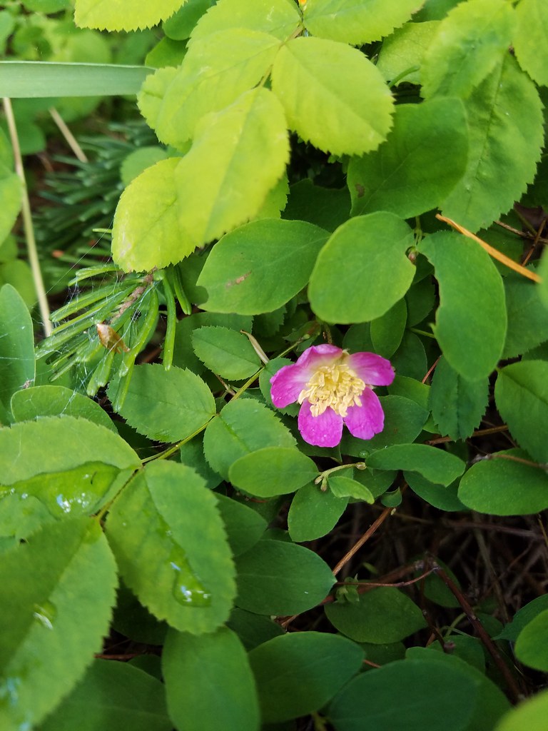 Wild rose
 Buckwheat in blue head gilia
 Thimbleberry
 Larkspur, leafy pea, and candy flower
 Rhododendron (just around the corner from the outcrop)
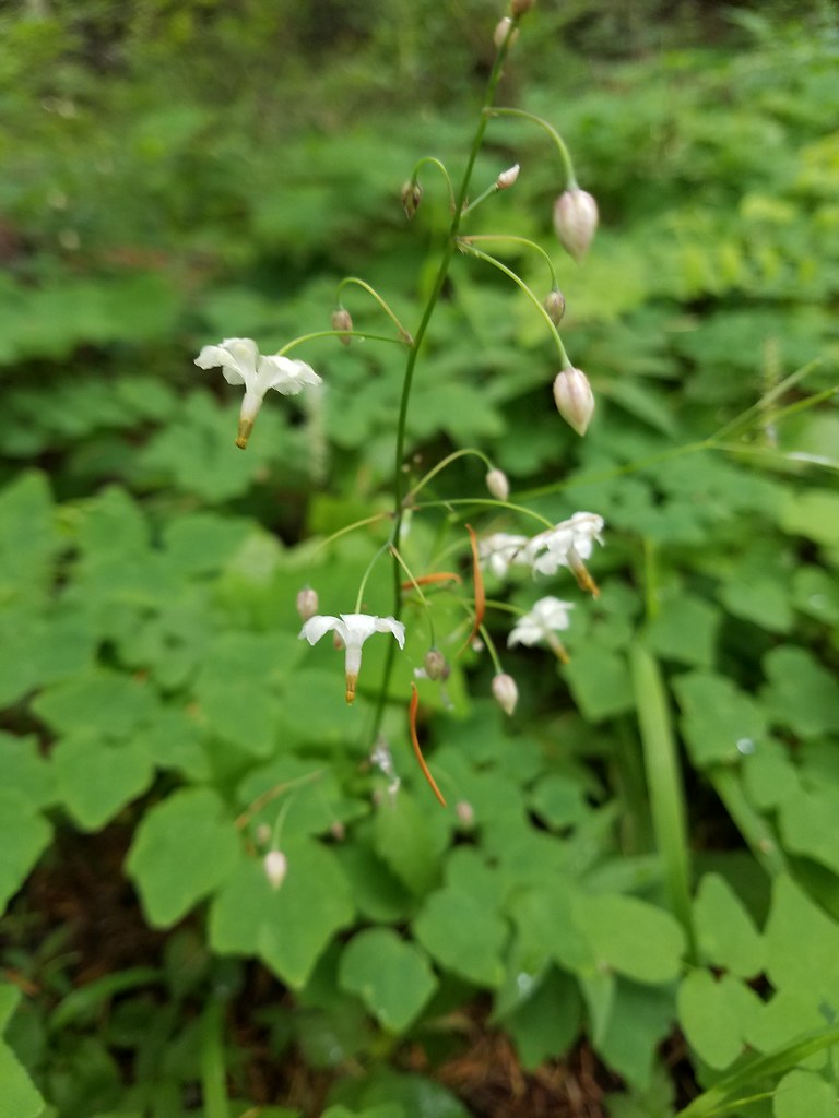
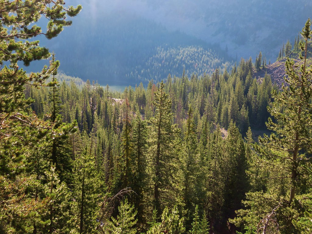
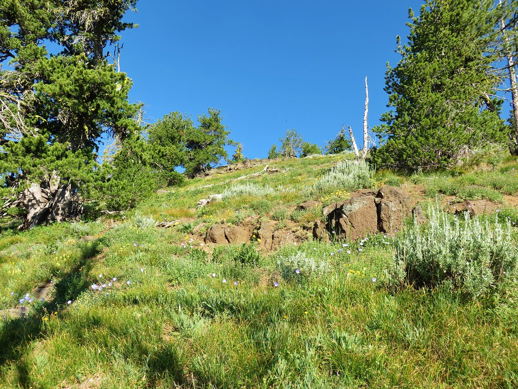
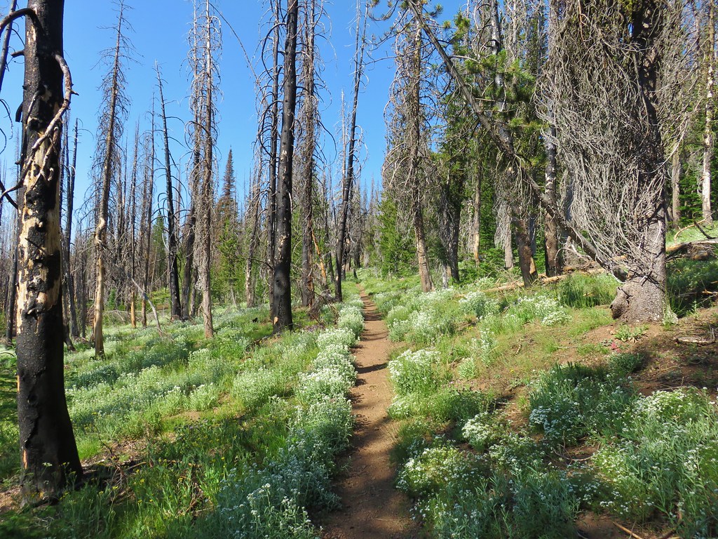
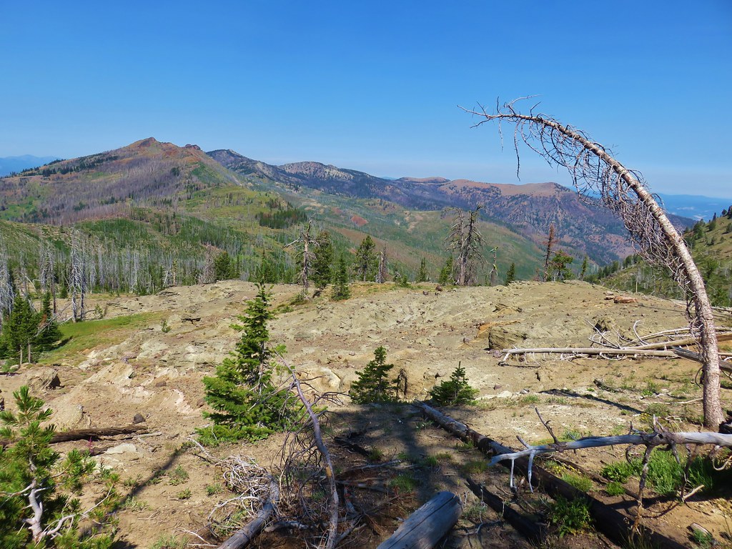
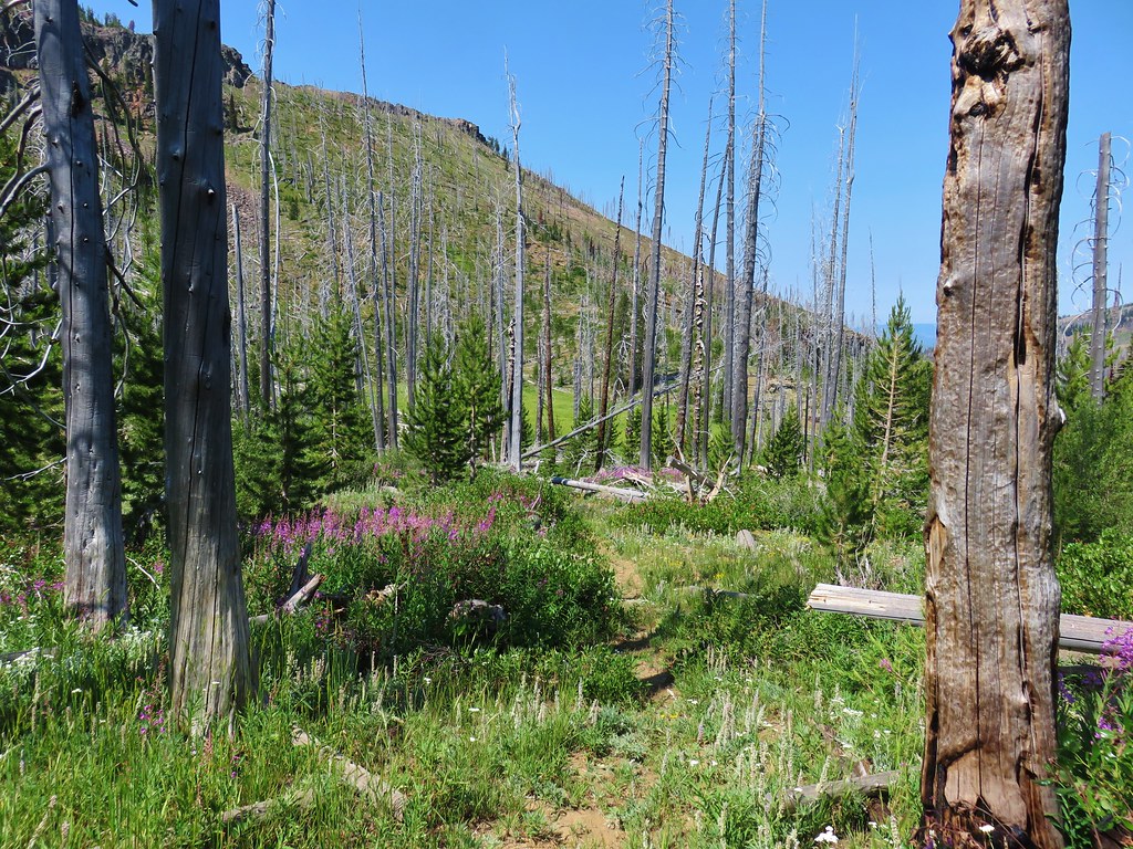
Beyond the viewpoint the trail gained an additional 600′ over the next .7 miles to a fork. There were a few more flowers along this stretch, mostly white forest varieties.
 Star-flowered solomonseal
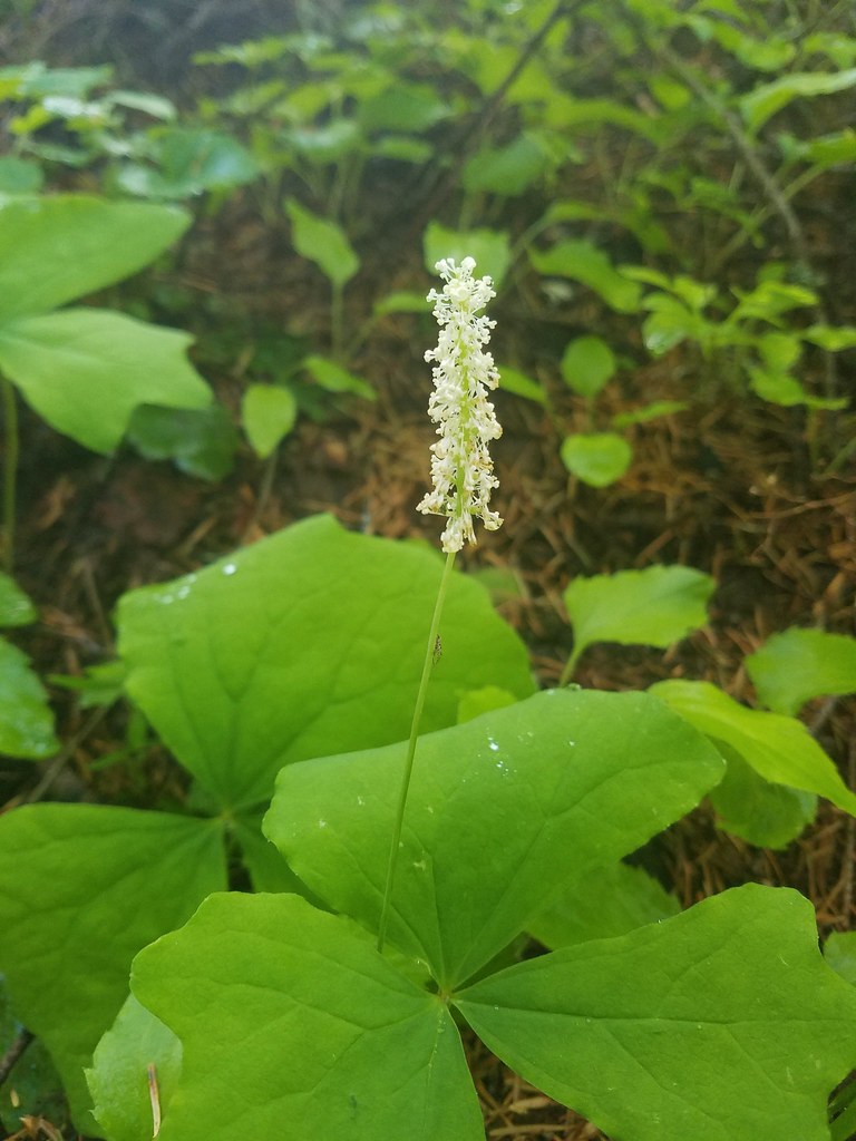
 Plumed solomonseal
 Vanilla leaf
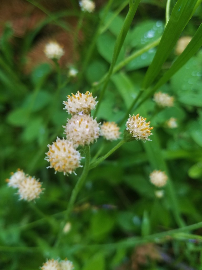 Pussytoes
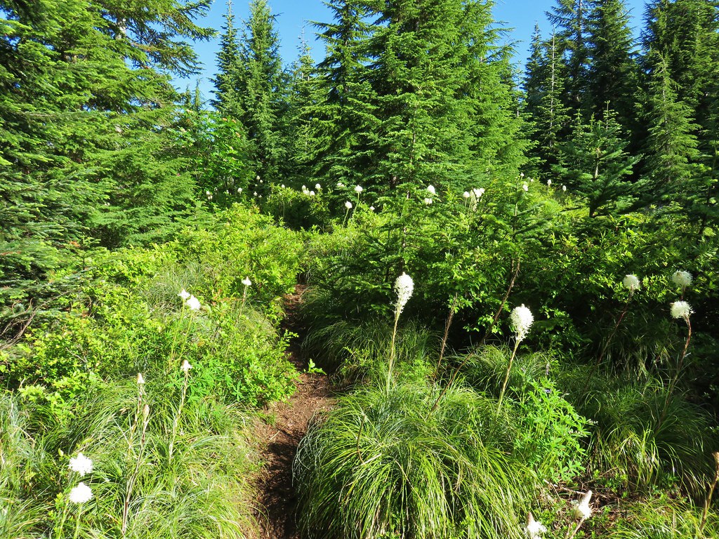
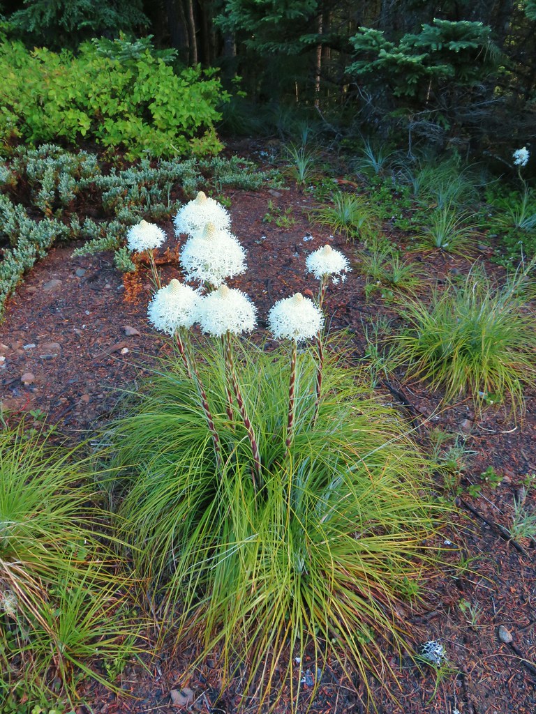
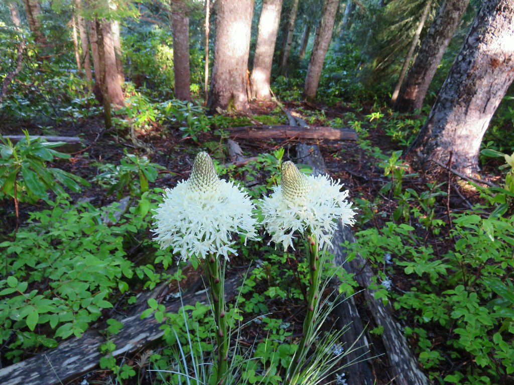 Beargrass
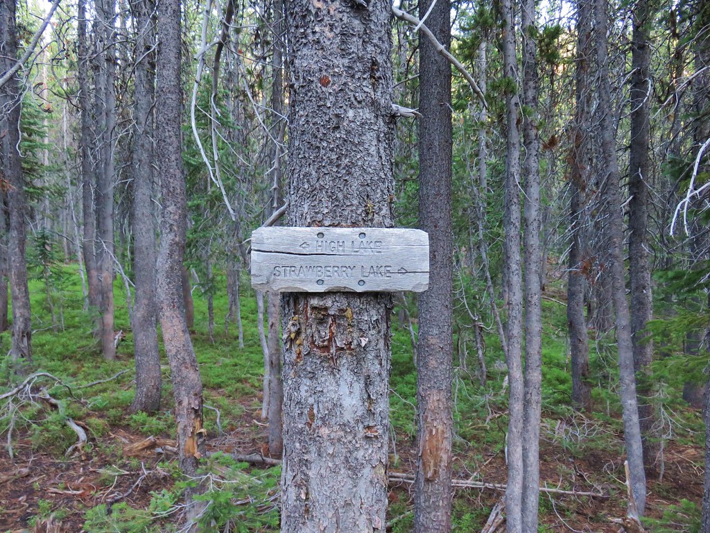
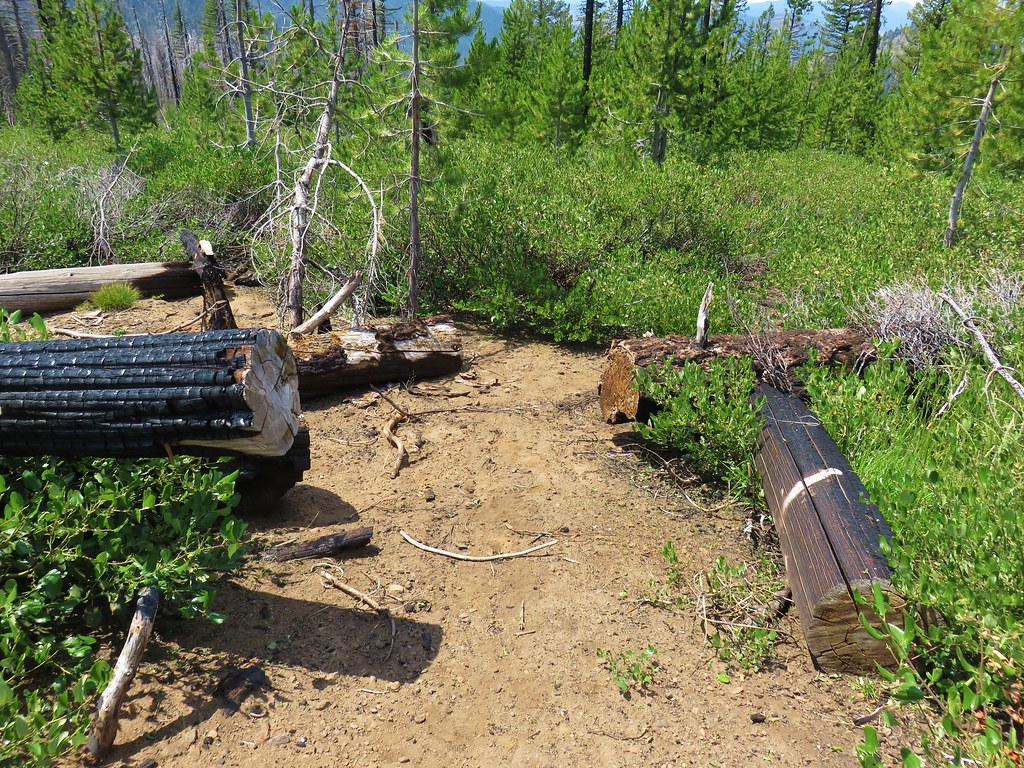
 Trail fork
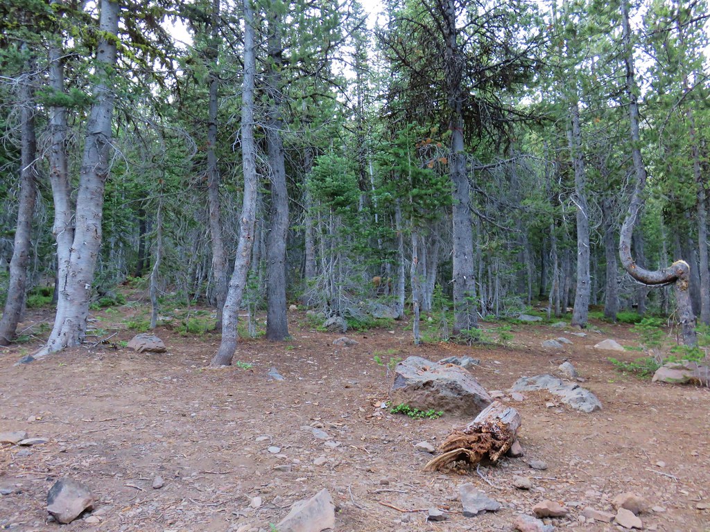
From the fork the Fish Creek Mountain Trail continues uphill a little under a half mile to the site of the former lookout tower at the summit. The fork to the right heads downhill for .7 miles to High Lake. With blue sky overhead we decided to visit the summit first and stayed left at the junction.

Some of the foundation remains from the old lookout at the overgrown summit.

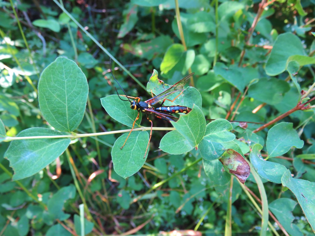
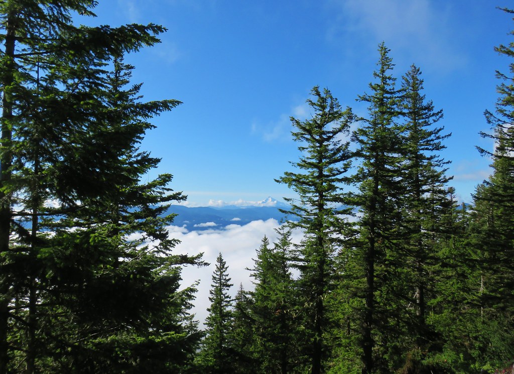
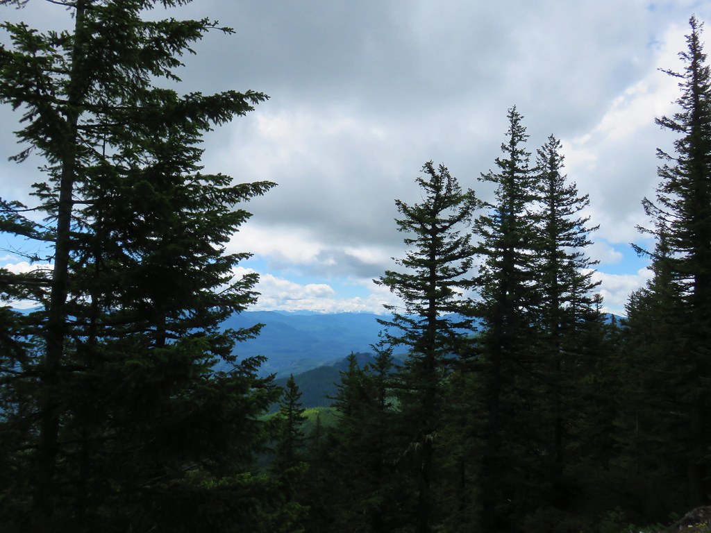
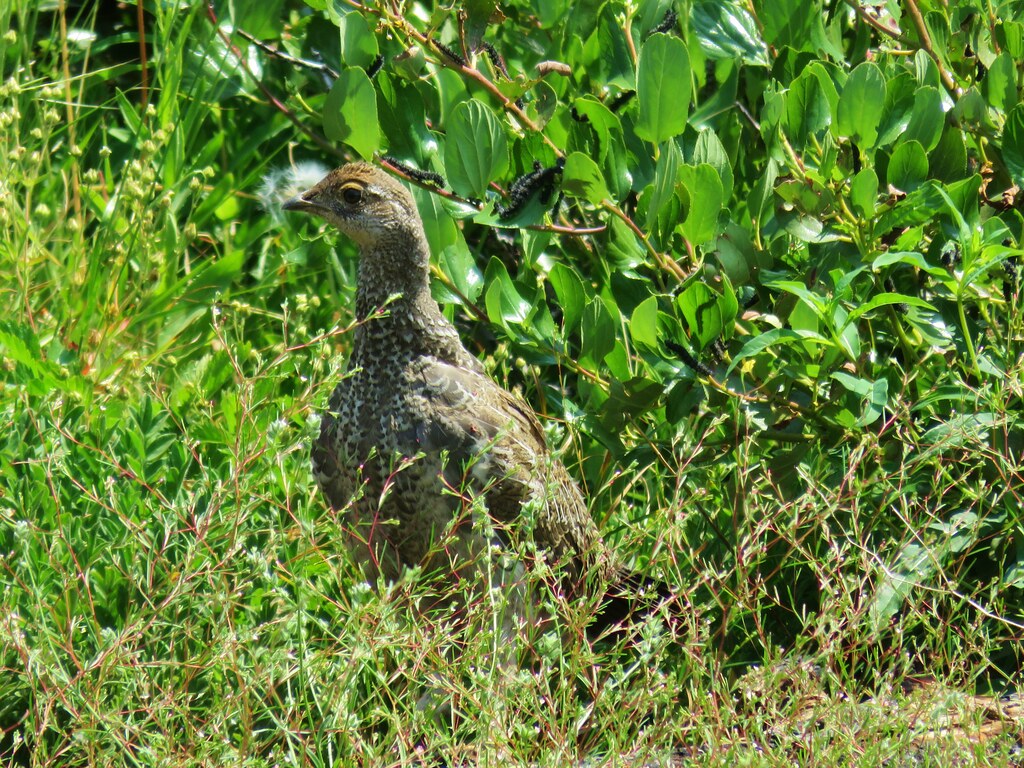
Despite the blue sky overhead clouds had moved in around us effectively eliminating any mountain views (Mt. Jefferson should have been visible from the summit). We rested a bit checking out the beargrass and a green beetle that was scurrying through the grass.

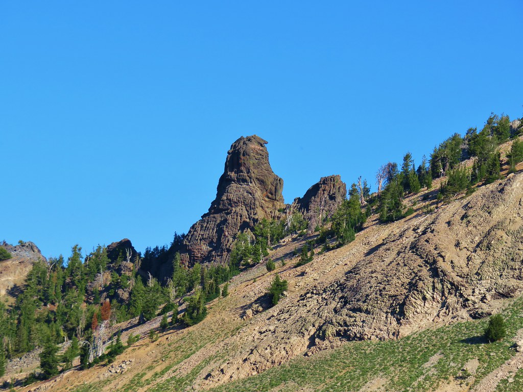
We started back down and noticed a side trail to the left about 110 yards from the old lookout site. We headed up this path which lead to a rocky outcrop with a survey marker.
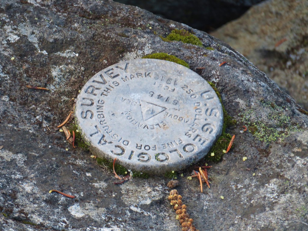
It looked like it would have been a pretty good viewpoint but for us it was just a view of the clouds passing by.

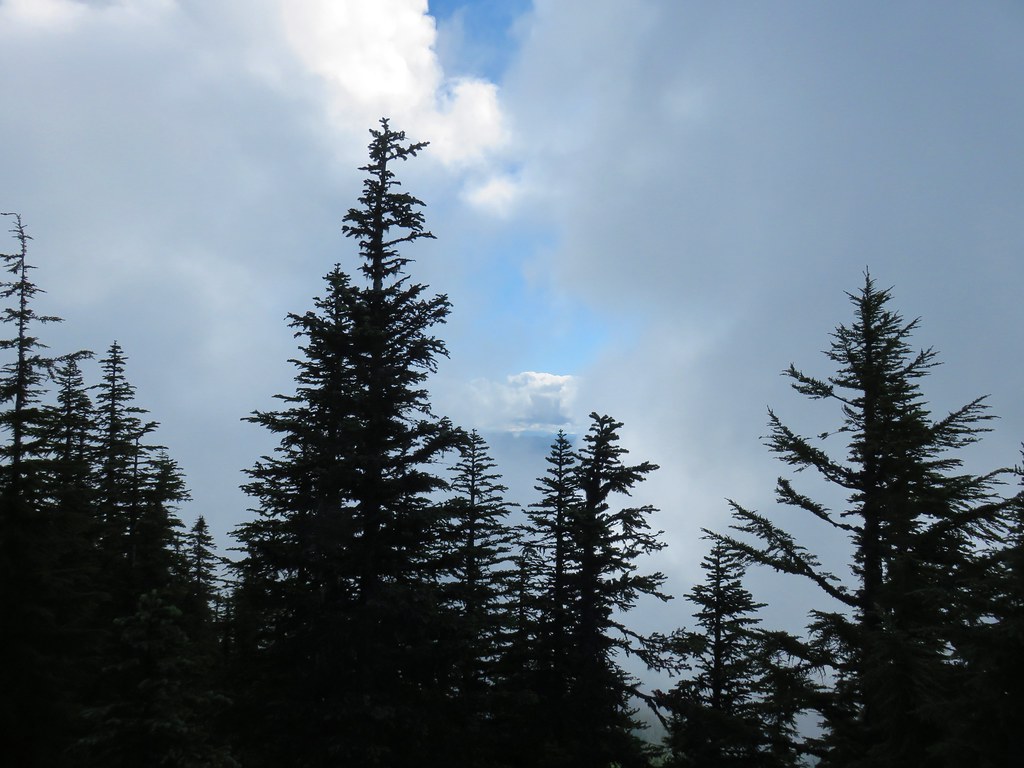
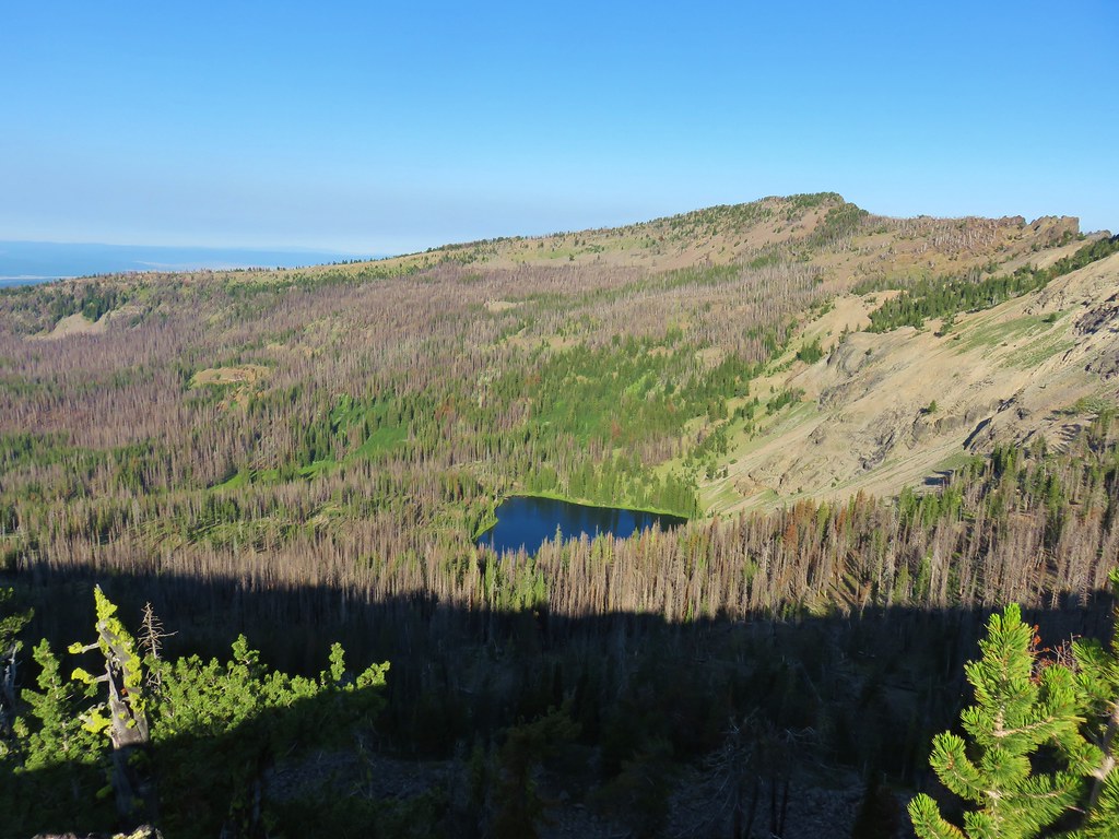
After watching for a view of Mt. Hood that never developed in a break in the clouds as they passed by we returned to the trail fork and turned left toward High Lake.

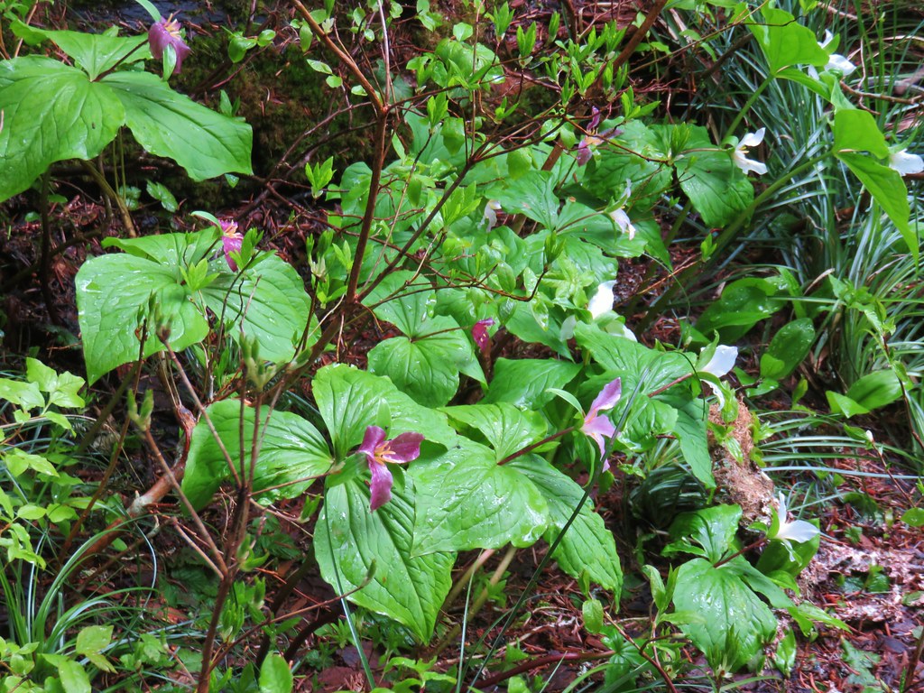
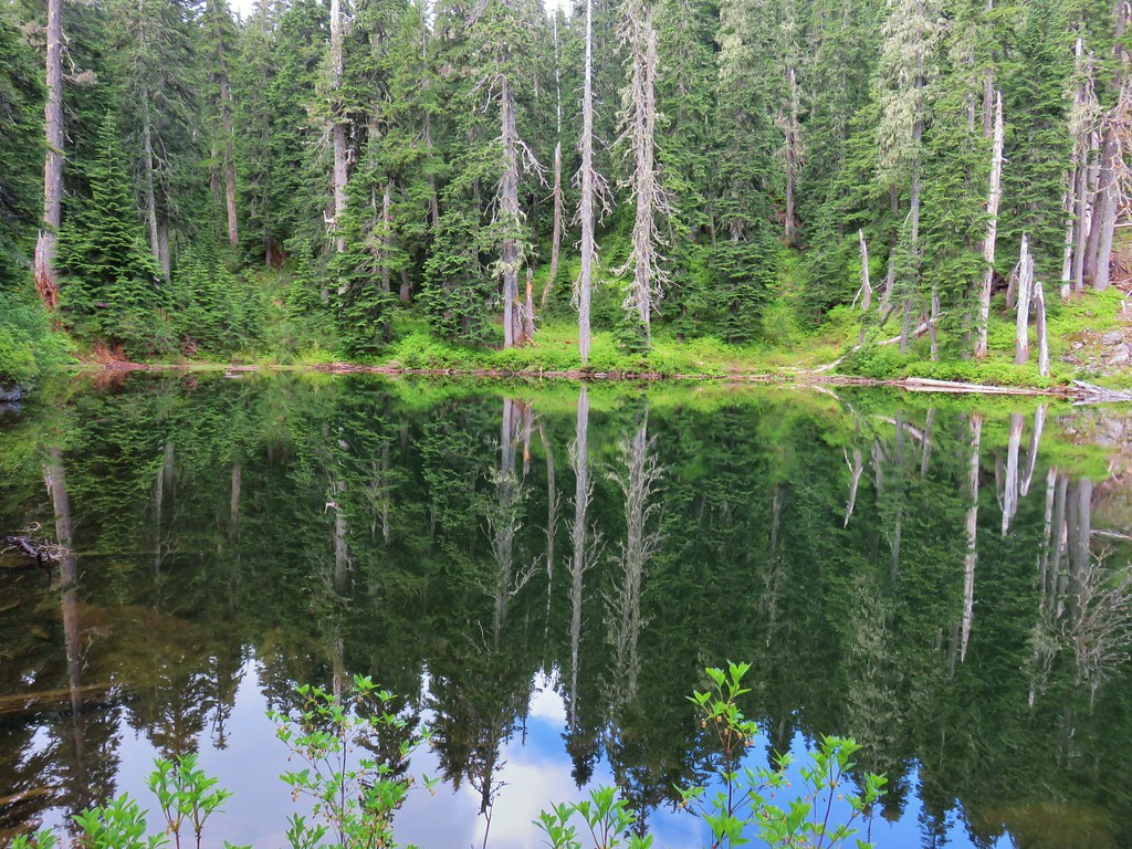
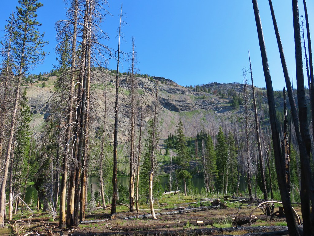
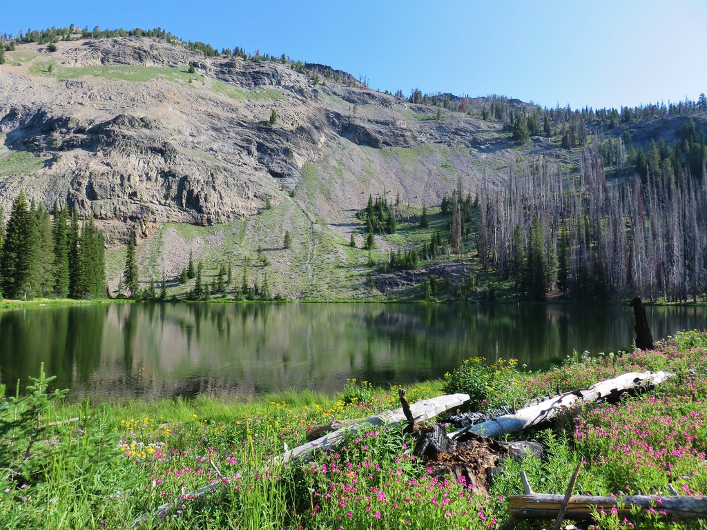
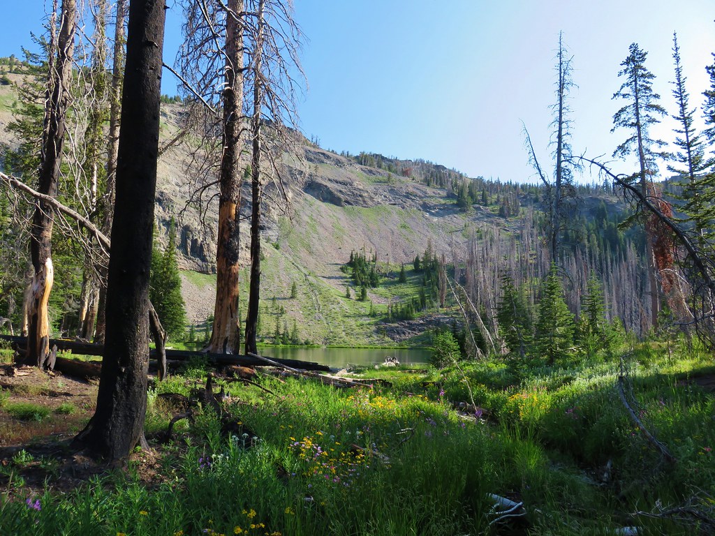
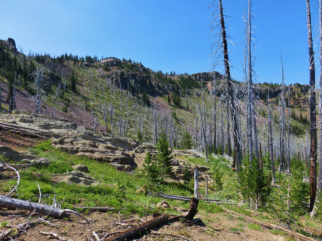
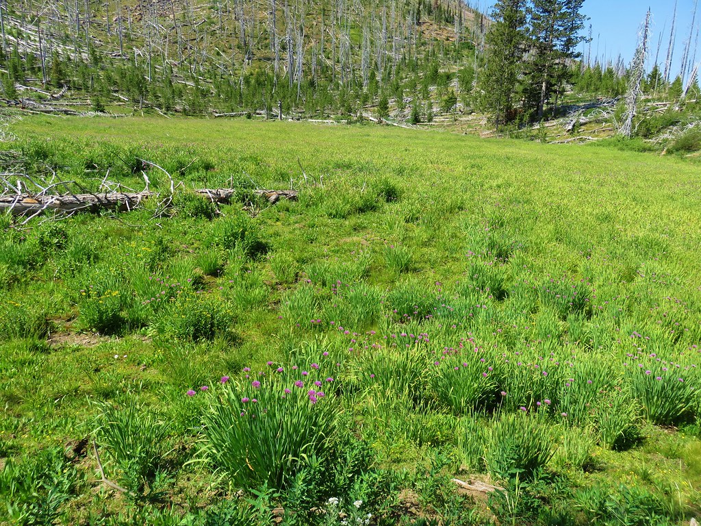
This trail lost nearly 500′ as it wound down to the small glacial lake. Nestled in a basin below Fish Creek Mountain the vegetation along the trail was quite a bit behind that along the Fish Creek Mountain Trail. Here huckleberry bushes were still sprouting leaves and trillium were still in bloom.
We even ran into a small patch of snow hiding under some downed branches along the trail.

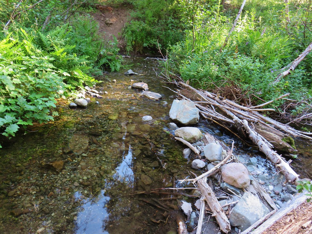
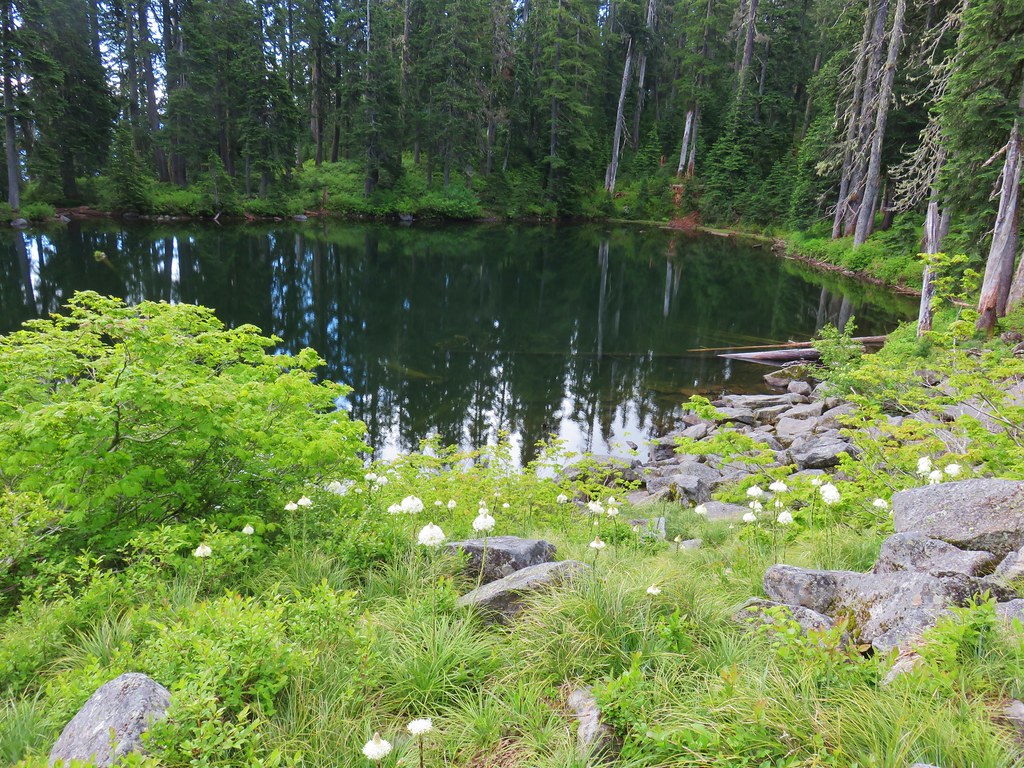
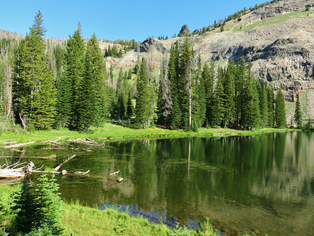
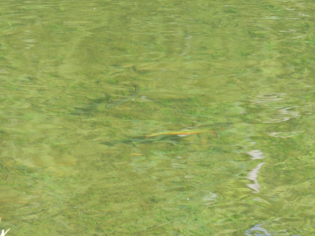
The small lake was quite pretty and it was also full of rough skinned newts.
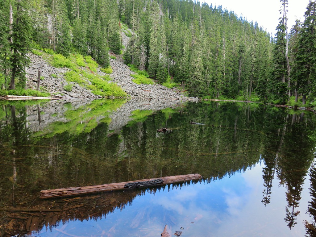

We followed a rough use trail around the lake past a handful of campsites.

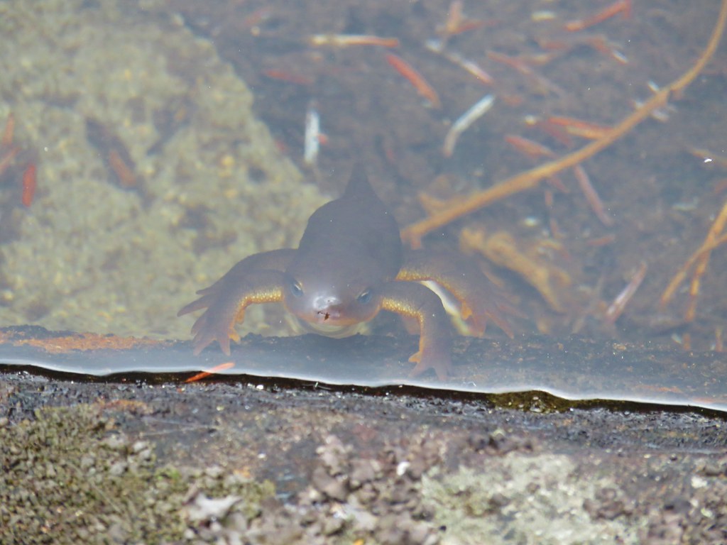 Curious newt
It was a little too chilly to hang out by the lake so after completing the loop we started back up to the Fish Creek Mountain Trail. Along the way we finally got a glimpse of part of Mt. Hood, albeit not much of one.
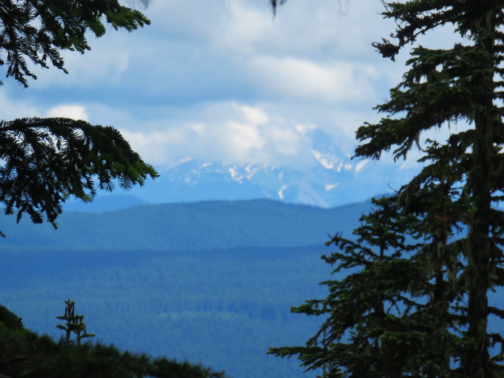
Mt. Jefferson had all but disappeared too when we stopped back at the flower filled viewpoint.
We had at least had a good view earlier and the wildflowers had made this a great hike even if we hadn’t had any views. We headed back down looking for any other flowers to take pictures of and found a few.
 Inside out flower
 Spotted coralroot
 Stripped coralroot
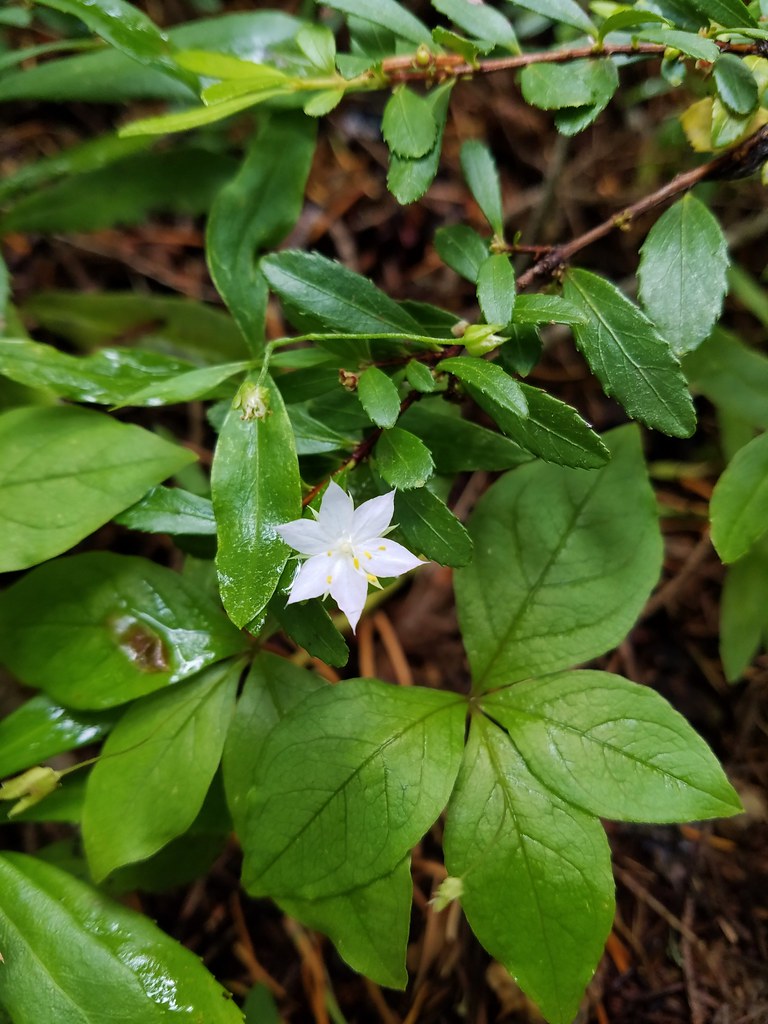 Starflower
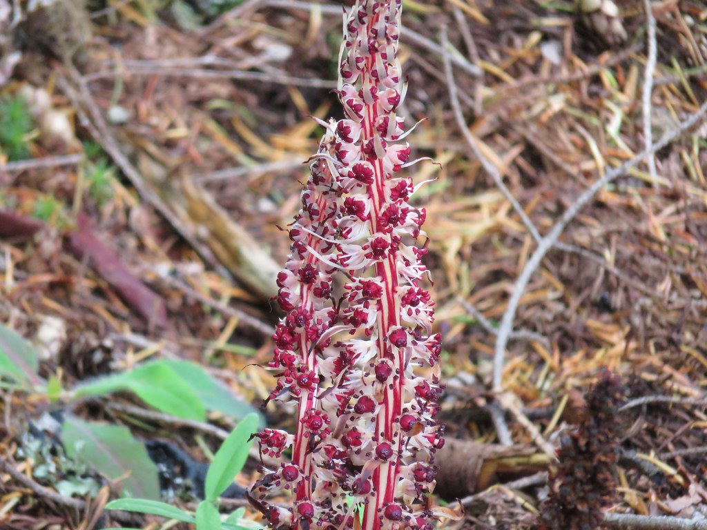 Candy sticks
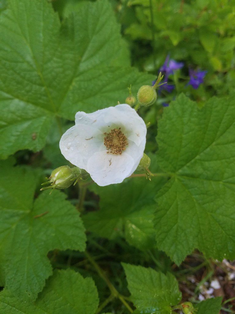
 Wild strawberries
We were happy with our decision to forgo the Riverside Trail in favor of this hike. We had not expected to see such a variety of flowers in bloom which was a pleasant surprise. The combination of the flowers, a view of Mt. Jefferson and a nice lake made for a great 8.1 mile hike. Happy Trails!
Flickr: Fish Creek Mountain


 Strawberry Mountain from FR 1640.


 Indian Creek Butte, the John Day Valley, and Strawberry Mountain

 A horse in the meadow at Hotel De Bum Camp