Categories
High Cascades Hiking Mt. Jefferson Area Oregon Trip report

Hunts Cove – 11/08/2026

Due to the warm and dry 2026 some hikes that would normally be snow covered in November remain accessible. We did get some lower elevation snow at the end of October, but warm and dry conditions returned during the first week of November. A partly sunny forecast for Saturday called me to the mountains for what I hope is the last mountain hike until early Summer 2027. It’s not that I don’t love hiking in the mountains, but we badly need a good snow year.

Heather opted to be responsible and stay home to prep the house for some work being done later in the week. I decided to head to the Pamelia Lake Trailhead and head toward Hunts Cove. We had visited Hunts Cove in 2013 on an epic 18.2-mile loop (post). I know I am not physically up to a hike like that and wasn’t sure if I would be able to make the 6-plus mile hike to Hunts Cove but there were several good turnaround points along the way.

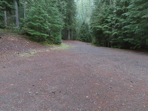
There were just a couple of cars at the trailhead when I arrived.
IMG_3128

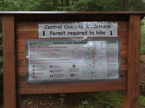
A NW Forest Pass is required to park at the trailhead, and a Central Cascades Wilderness Permit is required to hike from June 15 – October 15.
IMG_3129

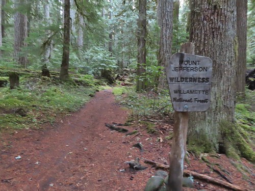
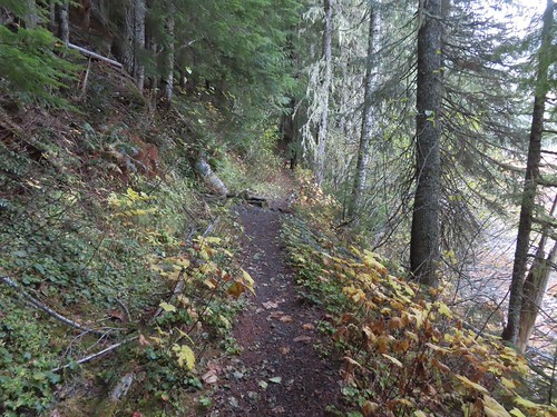
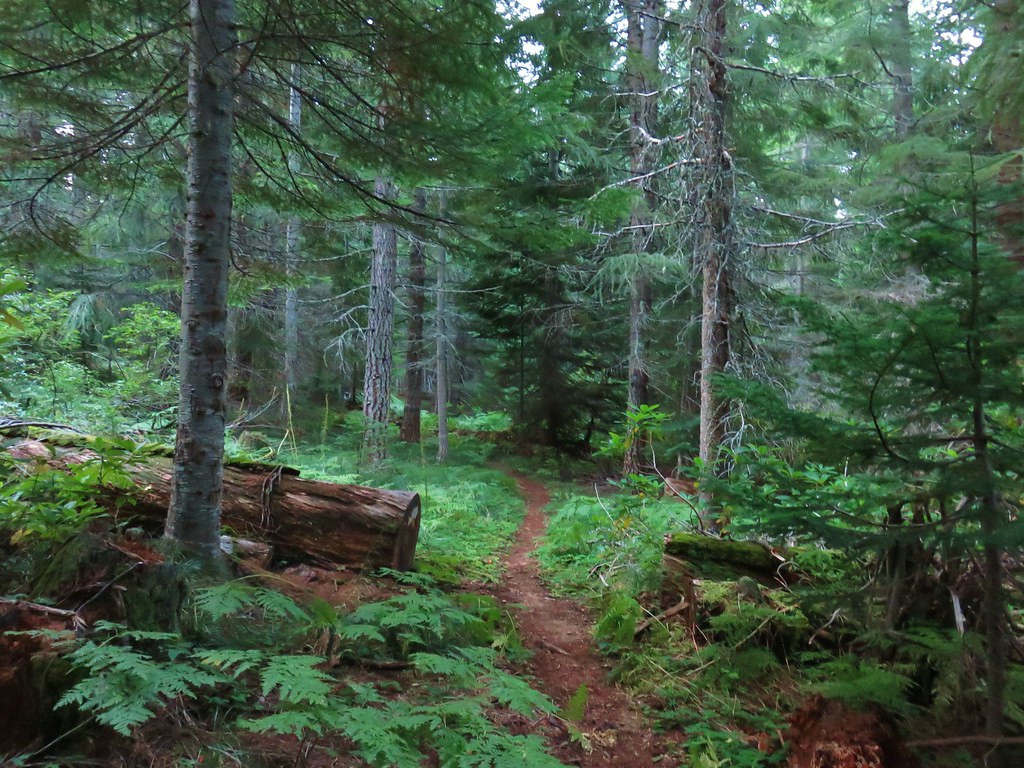
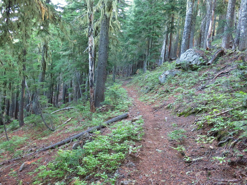
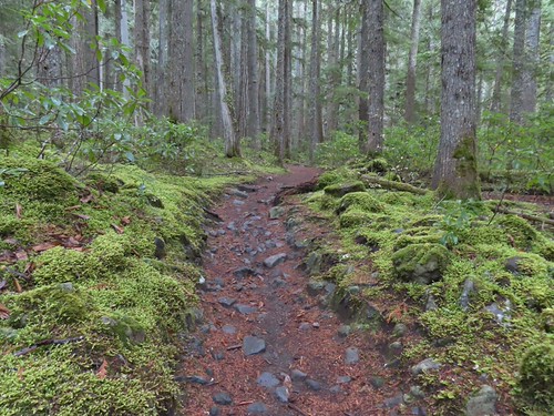
The Pamelia Lake Trail leaves the trailhead following Pamelia Creek through a beautiful forest and into the Mount Jefferson Wilderness.
IMG_3132

IMG_3134

IMG_3135

This is one of a few remaining areas in this wilderness that hasn’t burned in the 2000’s.
IMG_3138

IMG_3140

After 2.2-miles of gradual climbing the trail arrives at a junction just before Pamelia Lake with the Grizzly Peak Trail (post).
IMG_3145

At the junction I detoured down to Pamelia Lake where the water level was evidence of how dry 2026 has been.
IMG_3146

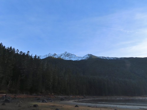
I walked to the right around the lake to get a view of Mt. Jefferson and some of the recent snow.
IMG_3147

IMG_3152
Morning sunlight hitting the mountain and ridge below.

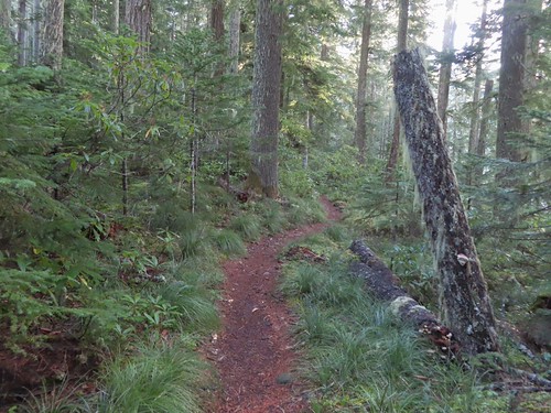
I returned to the junction and took a right back onto the Pamelia Lake Trail and followed it another 0.2-miles uphill to the Hunts Creek Trail.
IMG_3157

IMG_3158

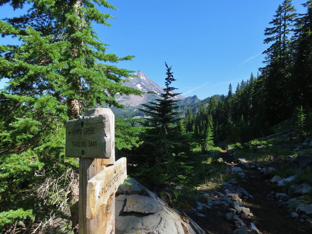
A left at the junction would have taken me to the Pacific Crest Trail (post) while a right turn heads to Hunts Cove. You can also reach the PCT from Hunts Cove as we did in 2013. I turned right and followed the trail around the lake passing numerous use trails down to campsites.
IMG_3159

IMG_3161

IMG_3162

IMG_3164
Grizzly Peak

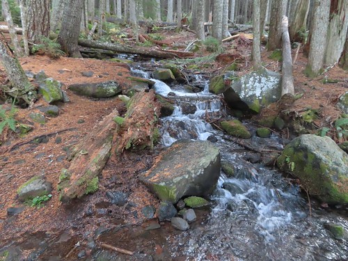
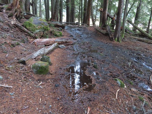
The trail crossed several unnamed streams and creeks, one of which was flooding the trail.
IMG_3167

IMG_3168

IMG_3171
The wetlands behind Pamelia Lake that the creeks from both sides of the valley flow into.

IMG_3173

IMG_3178
Hunts Creek flowing toward Pamelia Lake.

IMG_3180

IMG_3182
The prettiest of the side creeks.

IMG_3189
The trail briefly used this downed log.

IMG_3191
Makeshift bridge across one of the streams.

Approximately 1.2-miles from the Pamelia Lake Trail junction the Hunts Creek Trail arrives at the bridgeless crossing of Hunts Creek.
IMG_3193
I used the two logs to the right to cross dry footed.

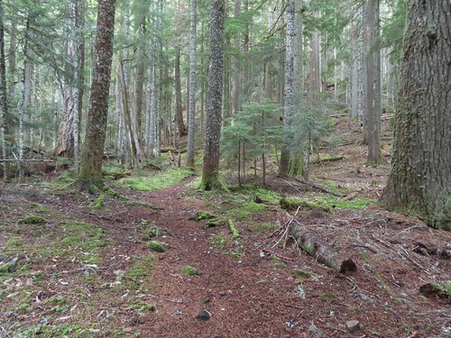
After crossing Hunts Creek the trail climbs over 1000′ in 1.8-miles to a junction with the Hunts Cove Trail. The climb is gradual with just a couple of sets of switchbacks.
IMG_3194

IMG_3197

IMG_3200
The tread got a little narrow crossing this slide, but it wasn’t too sketchy.
IMG_3201

IMG_3203
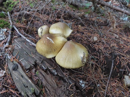
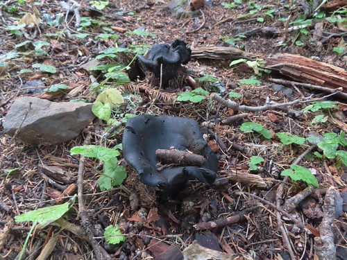
I believe this is a Lion’s mane (Hericium erinaceus).
IMG_3206
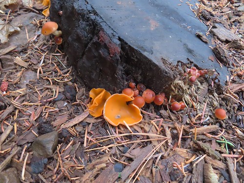
Orange peel fungus

At one point I spotted a huge waterfall, or series of falls on the opposite hillside.
IMG_3204

IMG_3213
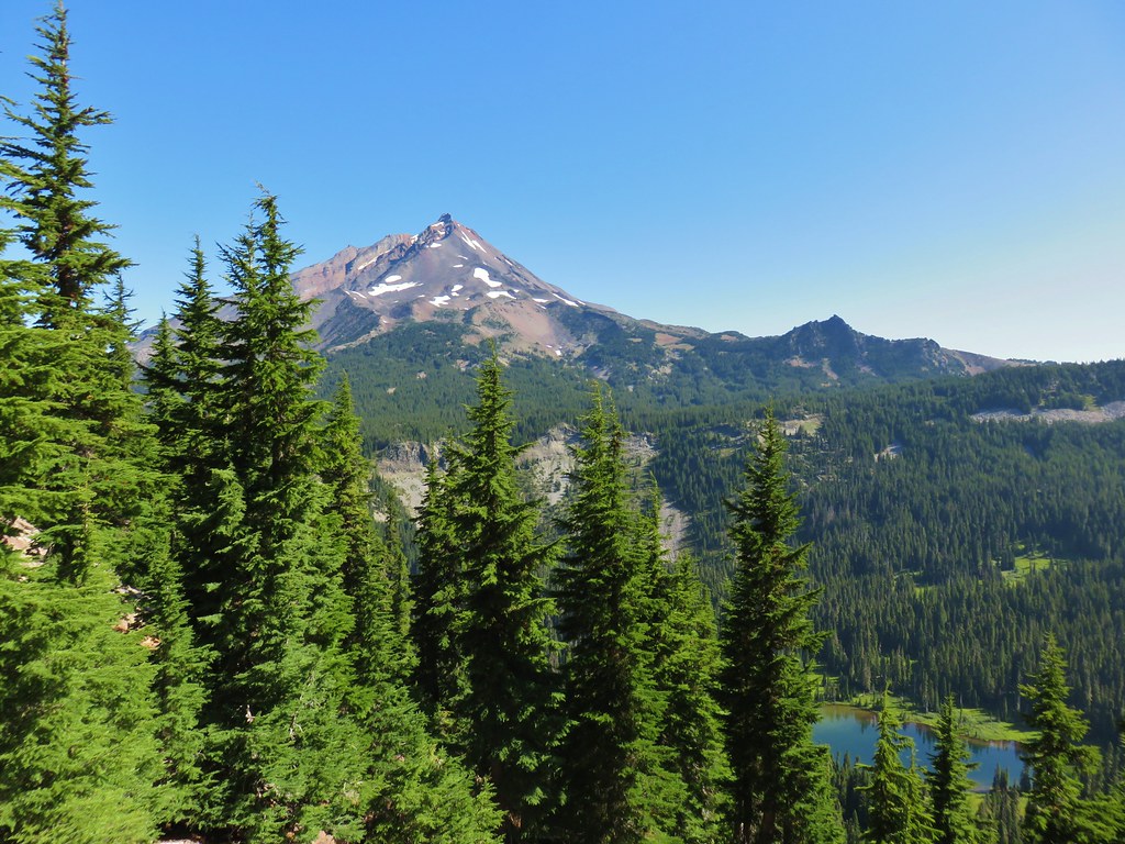
There were occasional views of Mt. Jefferson too.

IMG_3218

IMG_3225

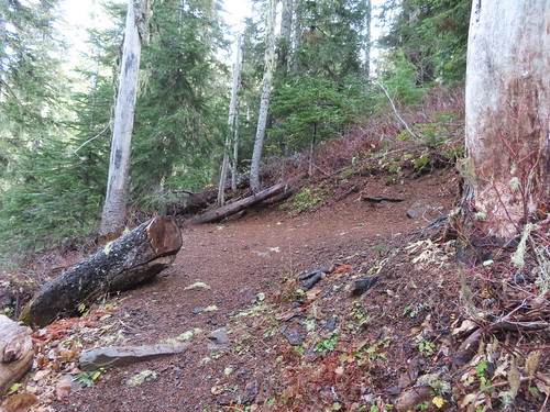
There is a waterfall on Hunts Creek just off the trail from the first switchback of the second set (1.6-miles from the creek crossing).
IMG_3228

I saved the side trip to the waterfall for the way back down and continued up to the Hunts Cove Trail junction.
IMG_3230

Here I did take a side trip and before heading to the cove kept right on the Hunts Creek Trail for 50 yards to visit a talus field where I could hear the “meeps” of pikas.
IMG_3231

I hung around for several minutes while meeps rang out from all directions, but I was never able to spot one. I returned to the junction and followed the pointer for the Hunts Cove Trail where I quickly encountered some patches of snow.
IMG_3234

IMG_3242

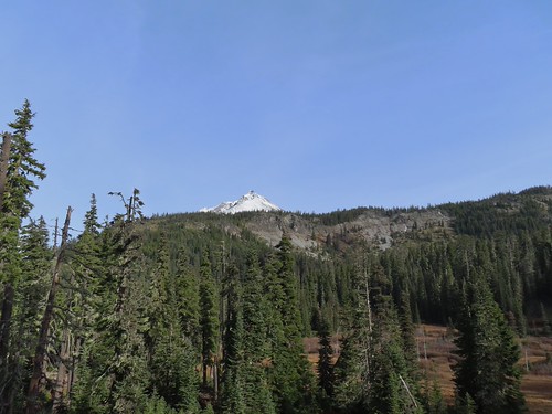
Mt. Jefferson came into view across the meadows below and while I was looking at the mountain, I noticed a suspicious looking white spot on the rocks across from me.
IMG_3244

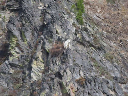
Typically, when I spot things like that it winds up being a rock or weathered stump, but this time it was a mountain goat.
IMG_3246
(I couldn’t get a decent picture from the distance.)

It’s a fairly level 0.4-miles to Hanks Lake where I detoured right along the shore to get another view of the mountain.
IMG_3261

IMG_3263
I turned right just before reaching the outlet of Hanks Lake.
IMG_3264
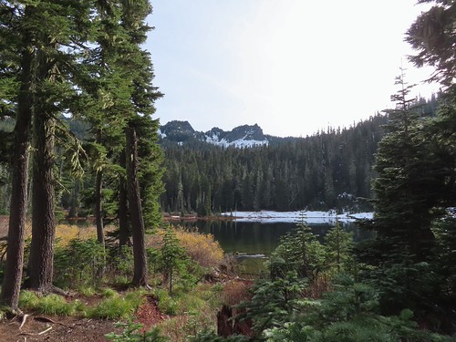
The Cathedral Rocks from Hanks Lake.

IMG_3267
Common mergansers

IMG_3268

IMG_3270

IMG_3273

IMG_3279
Ouzel (American dipper)

I had planned to take a snack break here but the amount of snow along the shore convinced me to wait until Hunts Lake so I headed back to the trail and crossed the outlet creek. It was another 0.4-miles to Hunts Lake where I had more views of the mountain goat, who was not watching me from atop a rock outcrop.
IMG_3293
Another makeshift bridge kept my feet out of the creek.

IMG_3297
I stayed left at the junction with the Old Hunts Cove Trail, the route we’d taken out of the cove in 2013.

IMG_3299

IMG_3300
Based on the size and shape this may have been bear tracks, but the snow had melted and refroze enough times that the details for me to make that determination had been lost.
IMG_3302

IMG_3303

IMG_3310
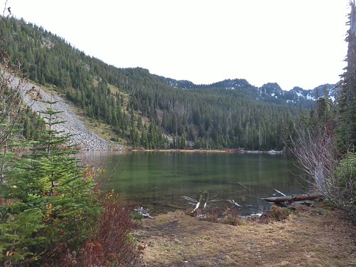
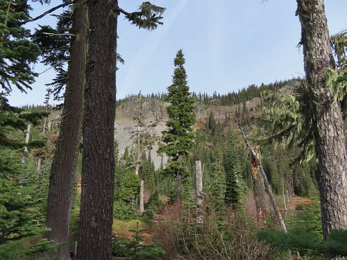
Hunts Lake

IMG_3318
The goat watching me watch it as I was having my snack near Hunts Creek and the lake.
IMG_3320

IMG_3332
Hunts Lake from my break spot.

After my break I said goodbye to my new friend and headed back the way I’d come.
IMG_3334

IMG_3343
Pamelia Lake from just below the Hunts Cove Trail junction.

IMG_3345
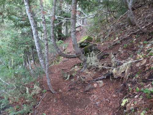
The switchback with the spur trail to the waterfall.
IMG_3347
Heading for the waterfall.

IMG_3351

IMG_3356
I can’t remember noticing this colorful outcrop before.

IMG_3366
Candyflower

IMG_3373

IMG_3376

IMG_3377
A semi-ok photo of a varied thrush.

IMG_3387

IMG_3388
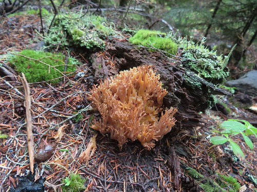
Coral fungus

IMG_3399

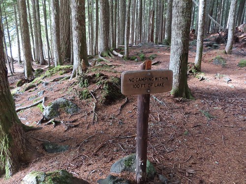
When I got back to Pamelia Lake, I took the first left and veered toward the lake past a sign reminding people not to camp within 100′ of the lake.
IMG_3400

IMG_3401

I’d only seen one other person all day, another hiker as I was leaving Pamelia Lake in the morning. I didn’t see anyone during this pass either with all of the campsites appearing empty.
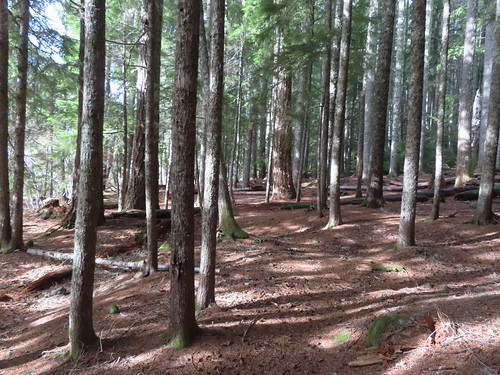
IMG_3404

IMG_3406

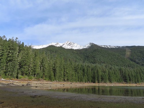
I made my way around the lake shore one more time to get a last look at Mt. Jefferson before returning to the trailhead.
IMG_3407

IMG_3408

IMG_3410

IMG_3412
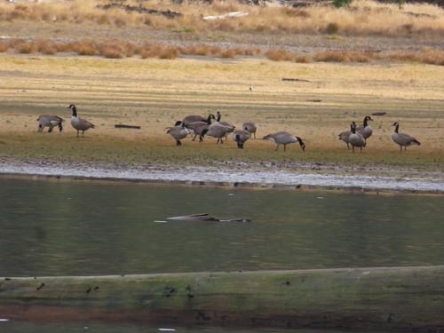
Geese hanging out at the lake.

IMG_3424

IMG_3427

IMG_3428
Bunchberry leaves

IMG_3438

IMG_3443

IMG_3444
Arriving back at the trailhead.

With the several detours this wound up being a 13.1-mile hike with approximately 2100′ of elevation gain.
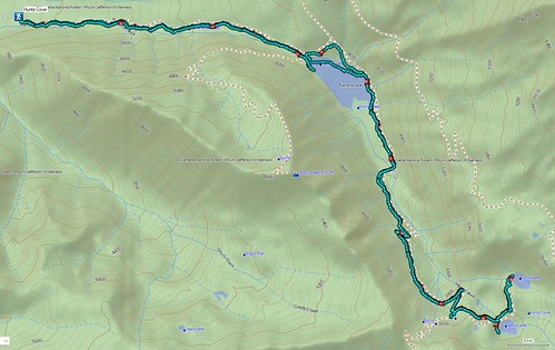
Screenshot 2026-11-07 163401

If this was my last hike in the mountains for the next 6 to 8 months it was a great one to end on. Happy Trails!

Flickr: Hunts Cove

Categories
High Cascades Hiking Mt. Jefferson Area Oregon Trip report

Bingham Ridge (Mt. Jefferson Wilderness) – 8/24/2019

**Note the 2024 Bingham Fire burned a portion of this hike.**

After a week back at work it was time to hit the trails again. We once again turned to Matt Reeder’s “101 Hikes in the Majestic Mount Jefferson Region” for inspiration choosing the Bingham Ridge Trail as our destination.

The Bingham Ridge Trailhead is located 5 miles up Forest Road 2253 aka Minto Road. That road is just 17 miles east of Detroit, OR and was in great shape except for some water damage in the first quarter of a mile. Beyond that short stretch it was a good gravel road all the way to the parking area just before the road was gated.

The trail began opposite the little parking area where we had parked along side two other vehicles.
IMG_7369

IMG_7371

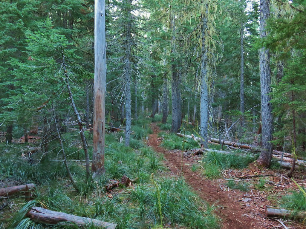
The trail climbed through a green forest along the dry bed of Willis Creek before briefly passing through the edge of a clear-cut.
IMG_7372

IMG_7373

IMG_7381Huckleberry bushes and beargrass in the clear-cut.
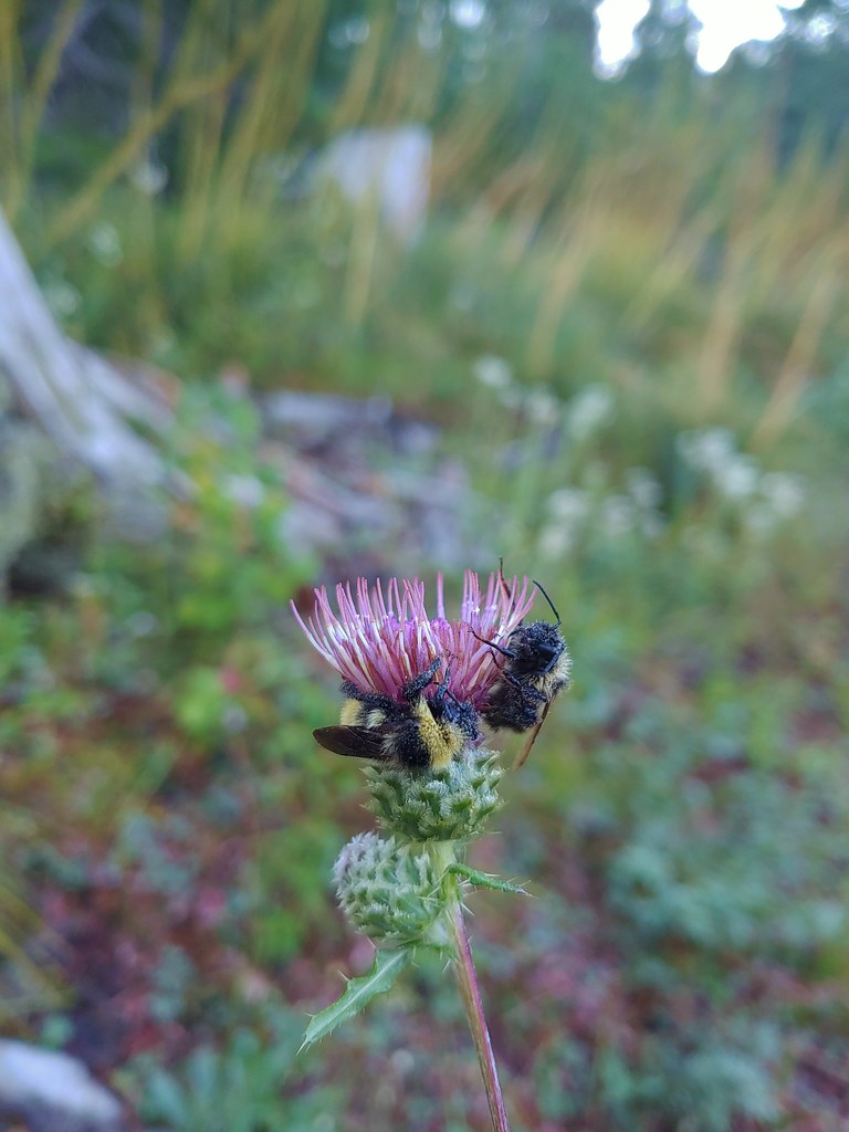
20190824_065018Sleeping bees on some thistle.

The trail soon reentered the trees and then passed into the Mt. Jefferson Wilderness.
IMG_7384

IMG_7386

IMG_7395The bees on the thistle may have been asleep but a western toad was out and about.
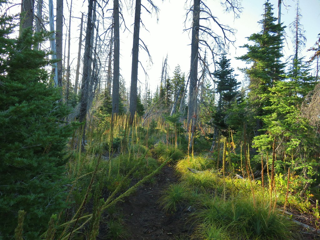
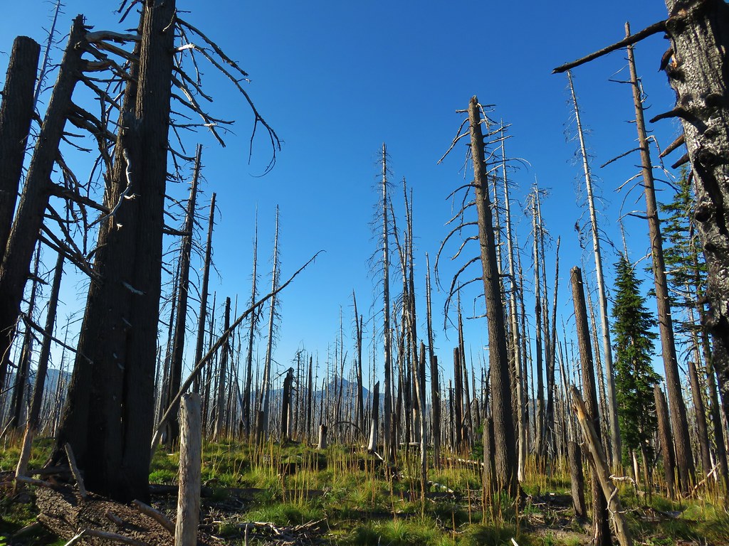
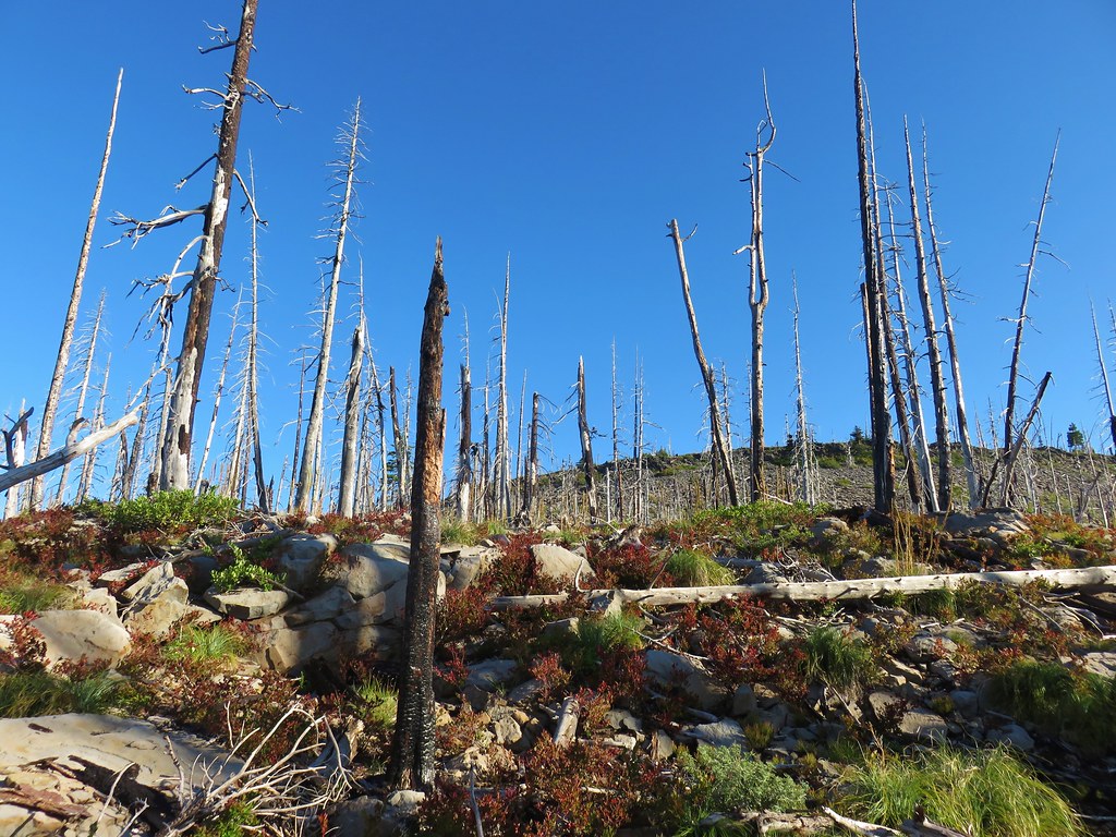
After entering the wilderness the trail continued to climb very gradually as it passed through alternating sections of green trees and forest scarred by the 2006 Puzzle Creek Fire.
IMG_7396

IMG_7400Mt. Jefferson through the burned trees.

IMG_7402Back in the green.

IMG_7404Three Fingered Jack through the burned trees.
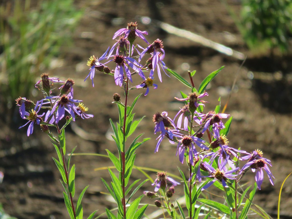
IMG_7408Aster

IMG_7409Pearly everlasting

IMG_7410Fireweed

The longest stretch through burned forest occurred as the trail passed to the right of a rocky rise along the ridge.
IMG_7412Three Fingered Jack

IMG_7416

IMG_7417The rock covered rise.

IMG_7418South Cinder Peak (post) to the left and Three Fingered Jack to the right.

IMG_7422Still passing the rocks.

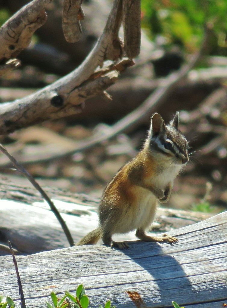
We heard a couple of “meeps” from pikas in the rocks but we only managed to spot a golden-mantled ground squirrel.
IMG_7423

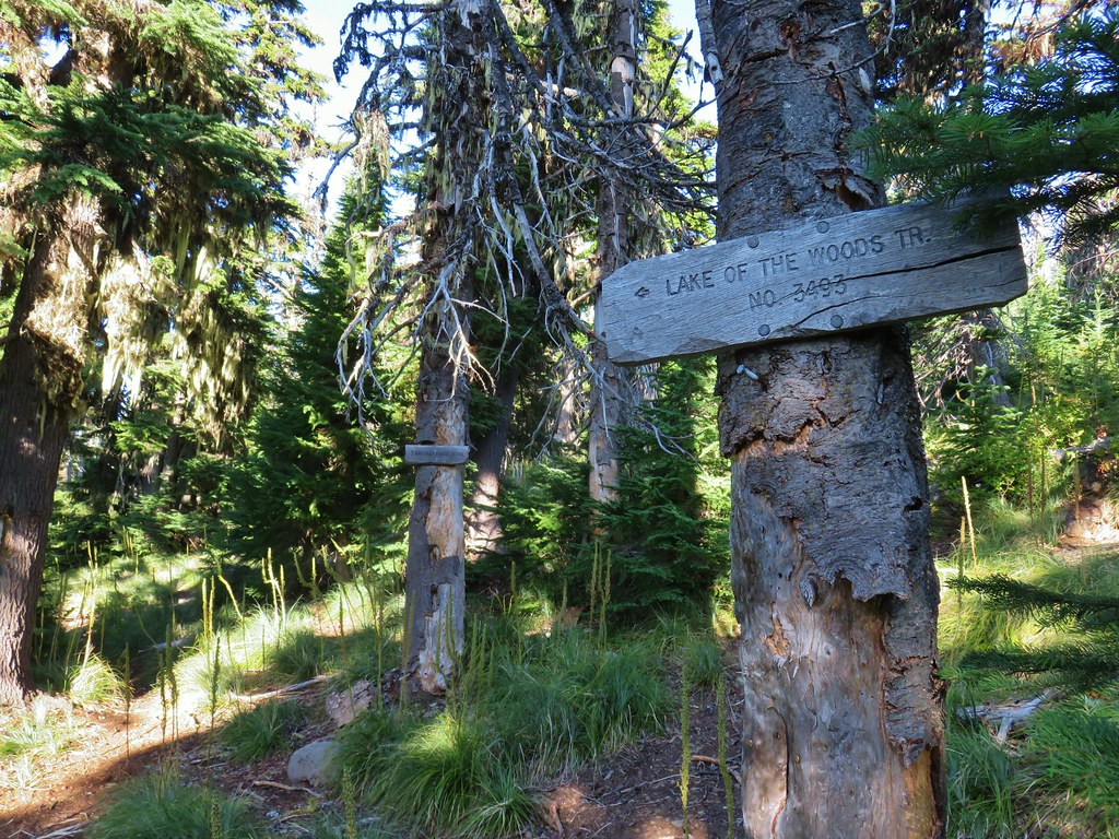
As the trail passed around the rocky rise we reentered green forest and quickly came to the end of the Bingham Ridge Trail at a junction with the Lake of the Woods Trail 3.7 miles from the trailhead.
IMG_7426

IMG_7427

The Lake of the Woods Trail runs north-south between the Pamelia Limited Entry Area and Marion Lake (post). We turned left (north) onto this trail which promptly crossed over the ridge at a low saddle and began to traverse a forested hillside.
IMG_7429The low saddle.

IMG_7430

IMG_7431

The trail wound around the basin arriving at a ridge end viewpoint where we had hoped to get a view of Mt. Jefferson but soon realized that we hadn’t come far enough around yet and we were looking west not north.
IMG_7432Coffin and Bachelor Mountains (post).

We continued along the hillside finally coming far enough around to get a look at Mt. Jefferson.
IMG_7433

Just a little further along we arrived at Reeder’s turn around point for the 8.8 mile hike described in his book. A cinder viewpoint of Mt. Jefferson across the Bingham Basin.
IMG_7438

IMG_7439

There was a strange group of clouds hanging out on the top of the mountain. We could see them moving in what appeared to be a SE direction but despite seeing the movement it never really appeared that they were going anywhere.
IMG_7443

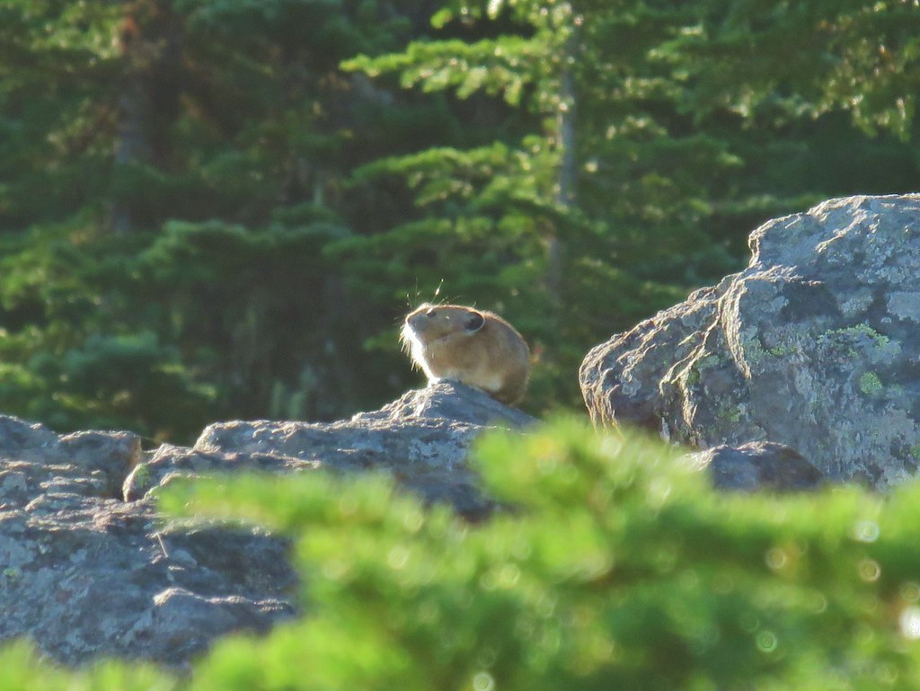
As we stood at this rocky viewpoint we could hear more pikas and then Heather spotted one sitting on top of some rocks, maybe enjoying the same view we were.
IMG_7448

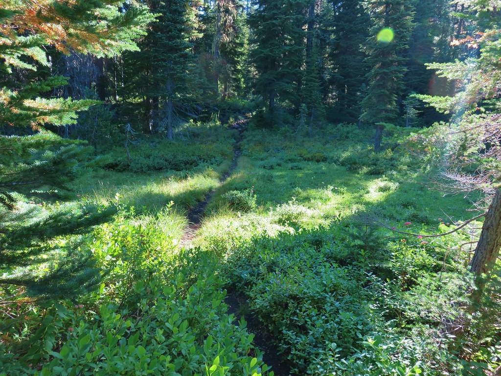
Even though Reeder calls this viewpoint “the most logical stopping point for dayhikers” he does provide information for those wishing to continue. Since logic sometimes goes out the window with regards to hiking we continued on. The trail dropped just a bit to a fairly level bench where it passed through a couple of meadows before arriving at an unnamed lake with a view of Mt. Jefferson on the left.
IMG_7460

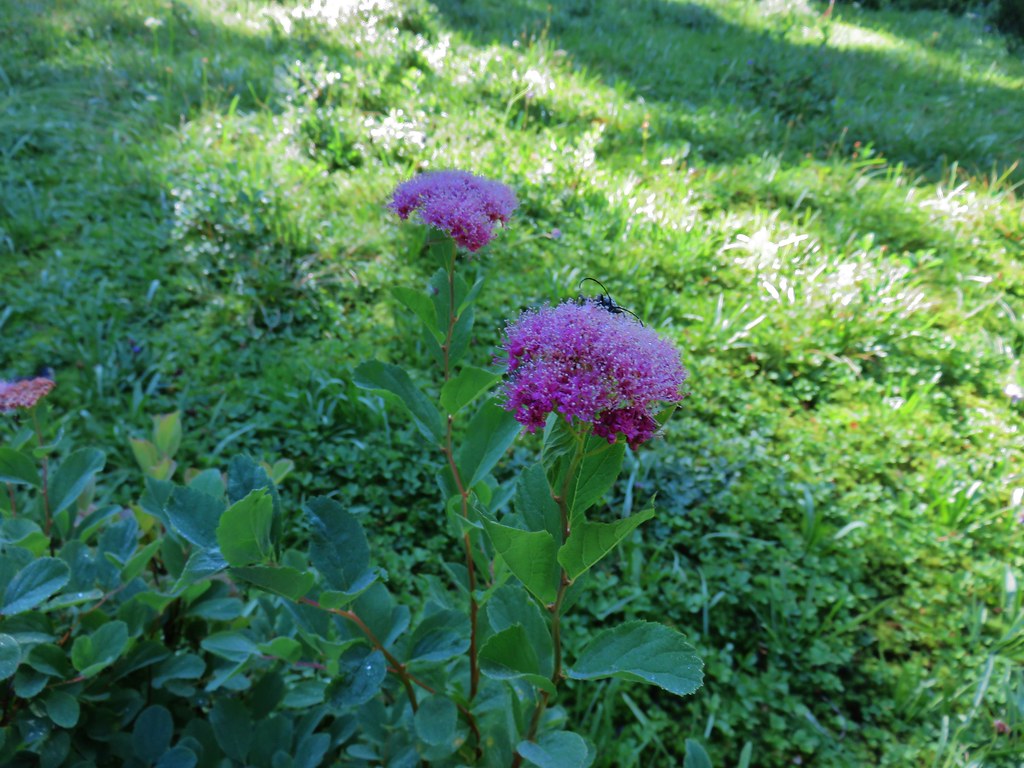
IMG_7461Spirea with a beetle.

IMG_7464Unnamed lake with Mt. Jefferson (and those pesky clouds).
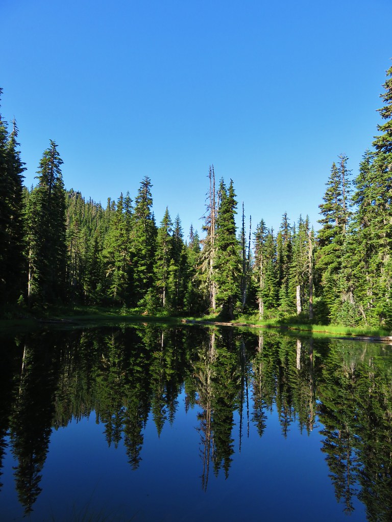
IMG_7469From the opposite side of the lake.
A half mile later (or just under 2 miles from the Bingham Ridge Trail junction) we arrived a Papoose Lake.
IMG_7470

IMG_7482

The mountain was mostly hidden by trees from this lake but there were several frogs to watch and a short scramble up a rockpile on the east side of the lake did provide another look at Mt. Jefferson.
20190824_092141

IMG_7492

IMG_7484

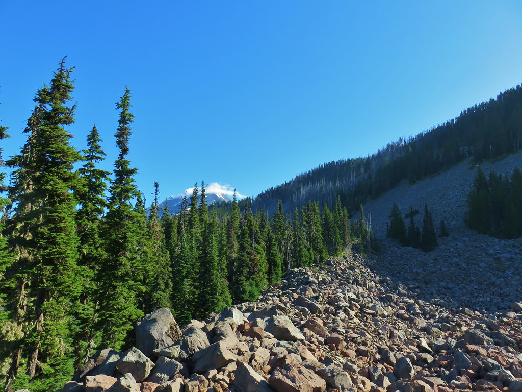
It was actually a really impressive amount of boulders here and although we didn’t spot any, we could hear a number of resident pikas.
IMG_7483Looking south over the rock field.

Turning back here would have put the hike in the 11.5 mile range, but we had our sights set on a further goal – the Pacific Crest Trail. Beyond Papoose Lake the Lake of the Woods Trail passed several seasonal ponds which were now meadows where we had to watch out for tiny frogs.
IMG_7495

IMG_7496One of the frogs.

IMG_7667

IMG_7663Frog in the trail.

IMG_7672

Just under three quarters of a mile from Papoose Lake (6.3ish from the trailhead) we arrived at the northern end of the Lake of the Woods Trail where it met the Hunts Creek Trail (post).
IMG_7500

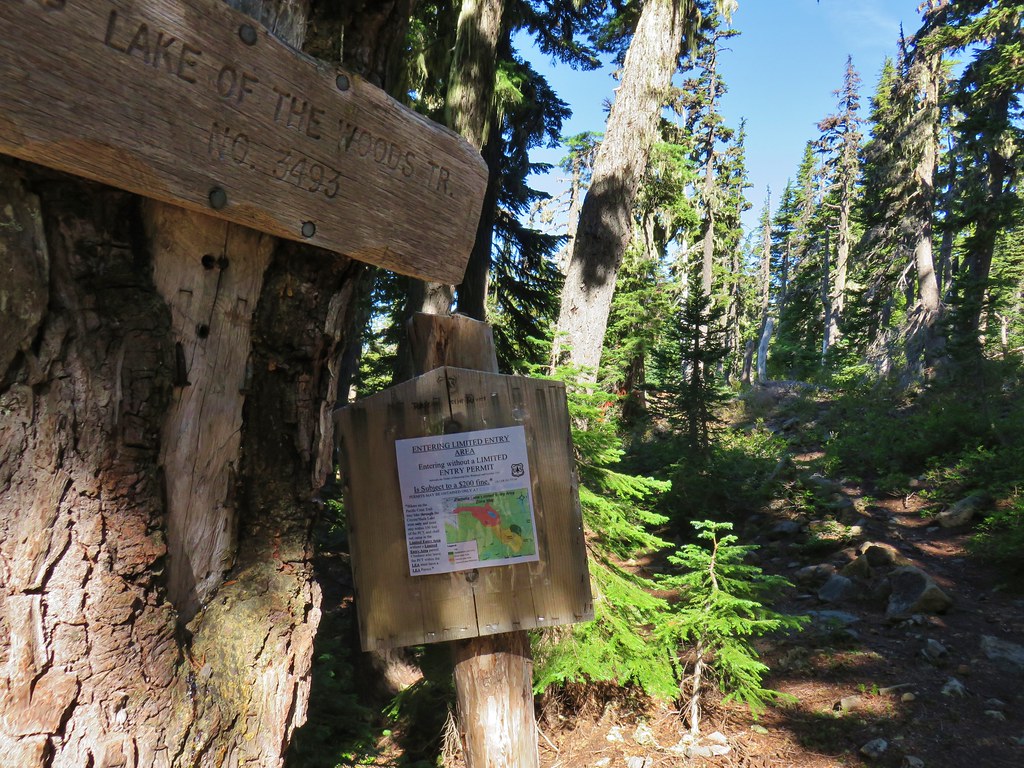
A left on this trail would lead us into the Pamelia Limited Entry Area for which we did not have a permit, but to the right the trail remained out of the limited area as it headed to the Pacific Crest Trail.
IMG_7501

In his book Reeder describes this section of trail as “spectacular” which is what prompted us to abandon logic in the first place. We turned right and continued the theme of gradual climbs as the trail passed a hillside dotted with a few asters.
IMG_7503

IMG_7504

After little over a quarter of a mile we found ourselves beneath a large talus slope (by the sound of it filled with a pika army).
IMG_7507

Here we embarked on possibly the most significant climb of the day as the trail switchbacked up through the rocks to a saddle.
IMG_7510Apparently the trail was rerouted at some point because we could see tread that we never used.

IMG_7511The Three Pyramids beyond Bingham Ridge.
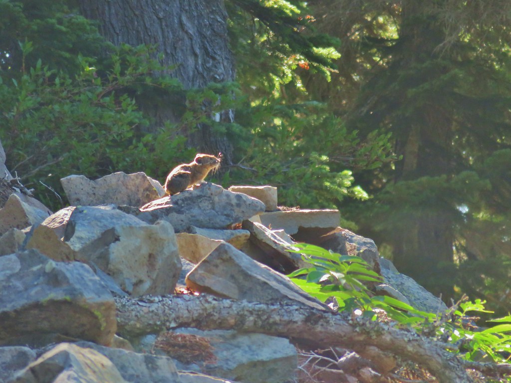
As we neared the saddle we spotted what must have been the pika lookout.
IMG_7515

IMG_7516

There was more talus on the opposite side of the saddle, and more pikas too!
IMG_7520

IMG_7526

We spotted at least 4 pikas (it’s hard to keep track when they are running in and out of the rocks) and heard many more. The only thing that could tear us away from our favorite wildlife critters was the view of Mt. Jefferson looming over Hunts Cove.
IMG_7534 (the clouds had finally vanished)
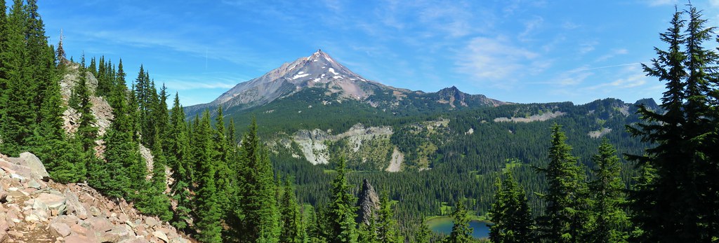
Continuing away from the saddle just a bit provided an excellent view of the mountain and Hanks Lake with a bit of Hunts Lake visible as well.
IMG_7648_stitch

IMG_7551Hanks Lake

IMG_7552Hunts Lake

IMG_7553Rock fin above Hunts Cove.

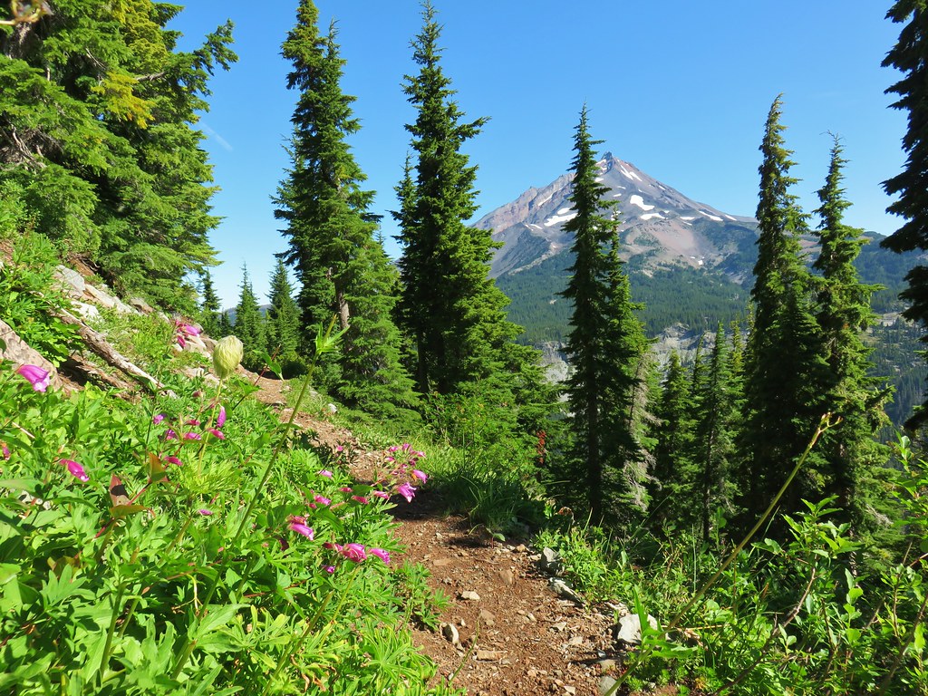
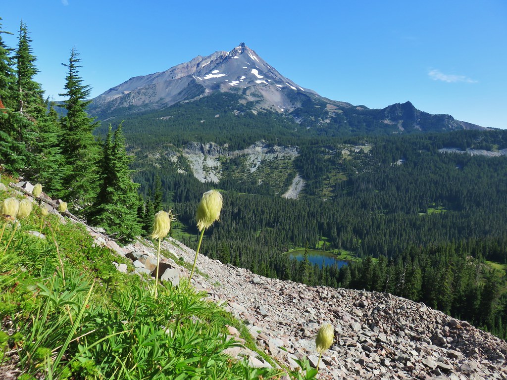
Reeder hadn’t exaggerated by using spectacular to describe this section of trail. The views of Mt. Jefferson were amazing and a variety of wildflowers (past peak) lined the trail.
IMG_7560Penstemon and a western pasque flower.

IMG_7563Western pasque flower seed heads.

IMG_7568

20190824_101714Hippie-on-a-stick

IMG_7570

IMG_7574

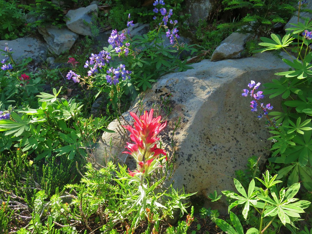
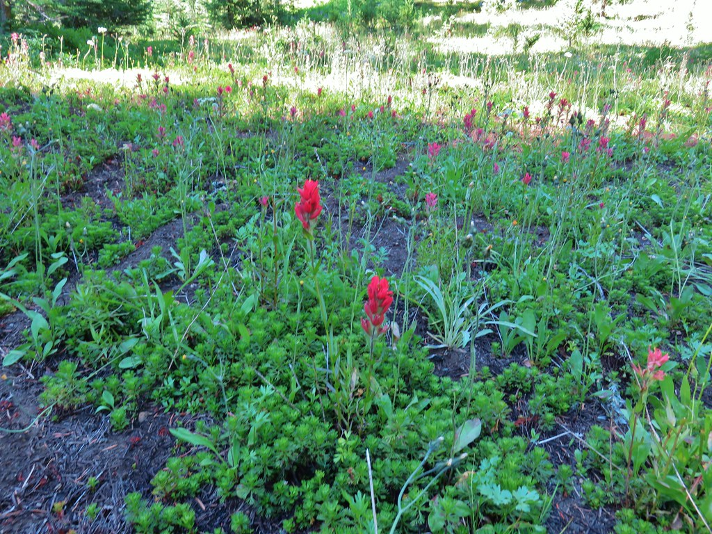
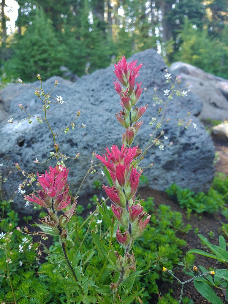
IMG_7576Paintbrush and lupine

IMG_7582

20190824_102625Patridge foot

IMG_7584Mt. Jefferson, Goat Peak (behind the tree) and the Cathedral Rocks.
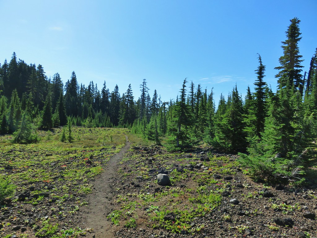
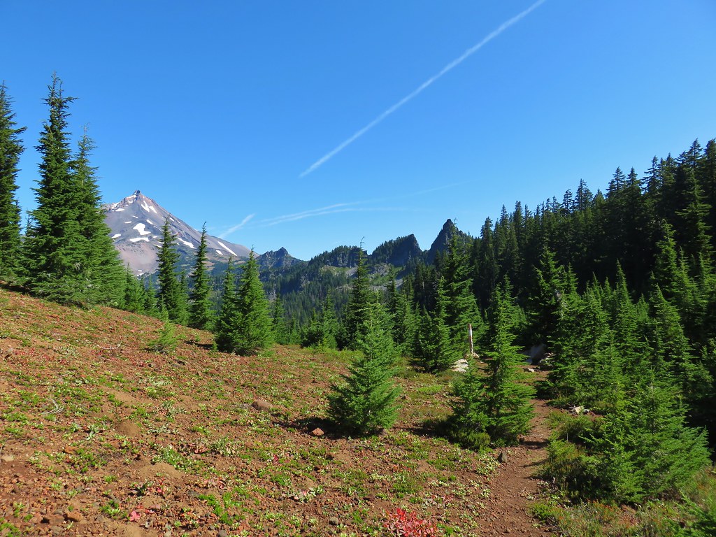
As the trail crossed a cinder field glimpses to the south between trees reveled the Three Sisters (among others).
IMG_7586

IMG_7588South Cinder Peak

IMG_7591The Three Sisters

IMG_7594Three Fingered Jack

The trail briefly lost sight of Mt. Jefferson as it passed around a butte, losing a little elevation as it did so.
IMG_7596

IMG_7597Paintbrush in a meadow behind the butte.
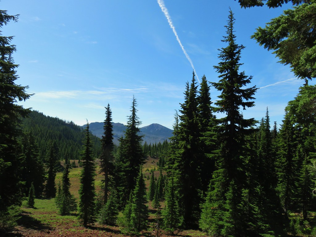
Although the view of Mt. Jefferson was temporarily gone the view was still good. There was a large basin full of meadows just below the trail and occasional views of South Cinder Peak and Three Fingered Jack.
IMG_7602South Cinder Peak

IMG_7603Three Fingered Jack

IMG_7630

The trail gained a little of the elevation back as it came around the butte regaining a view of Mt. Jefferson in the process.
IMG_7606

After passing another sign for the Pamelia Limited Entry Area at a now abandoned (but still used) portion of the Hunts Creek Trail we arrived at the Pacific Crest Trail.
IMG_7608

IMG_7620_stitch

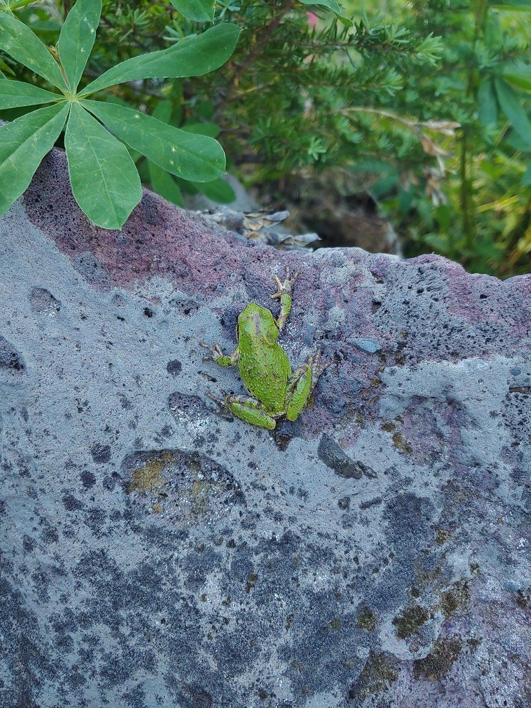
We sat on some rocks here and rested. We were now at least 8 miles (that is the mileage Reeder assigns but with some extra exploring we’d done a bit more) from the Bingham Ridge Trailhead and needed a good break. Up until this point we’d only run into one other person, a bow hunter along the Bingham Ridge Trail. As we rested in the shade a pair of backpackers heading south on the PCT stopped briefly to talk. After they continued on we did little bit of exploring in the immediate area since there were a few flowers about and at least one tree frog.
IMG_7619Mostly past lupine

20190824_110312Paintbrush

20190824_110411

We returned the way we’d come enjoying the views just as much on the way back as we had the first time by. We didn’t see anyone else the rest of the day and we didn’t see anymore pikas, but as always there were a few things we spotted on the way back that we hadn’t seen or noticed earlier.
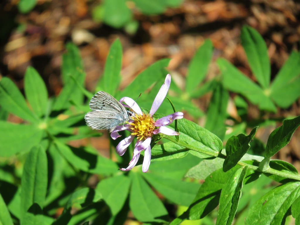
IMG_7632Butterfly on an aster.

IMG_7636Never seen one of these looks so clean and smooth, it almost looked fake.

IMG_7660We don’t know if this was just a stunted wallflower or something we’d never seen before.
IMG_7692

We ended the day nearly out of water (luckily for us the temperatures stayed below 70 so it wasn’t too warm) and with some sore feet. Our GPS devices both showed us having traveled nearly 17 miles which was further than we’d planned but all the little side trips and exploring can really add up. Depsite the distance this was a great hike with varied scenery, good wildlife, and a reasonable elevation gain made better by the trails having such gradual grades. Of course any trail where we see multiple pikas is going to be aces in our minds. Happy Trails!

Flickr: Bingham Ridge

Categories
High Cascades Hiking Mt. Jefferson Area Oregon Trip report

Hunts Cove

There isn’t much like a midweek hike in September, the crowds have thinned out but the weather can still be great. When I was putting together our hiking plans at the beginning of the year one of the hikes I really wanted to do was Hunts Cove. The hike starts at the very popular Pamelia Lake Trail in the Mt. Jefferson Wilderness which is one of only two areas in the Oregon Cascades (not counting Crater Lake NP) that requires you purchase a permit in order to enter them. Due to the popularity I decided to purchase our permit for a weekday after school started to hopefully minimize the number of other people we’d run into.

Having purchased our permit over four months in advance I was gambling on the conditions. Last year we had gotten permits for the other fee area along the Obsidian Trail in the Three Sisters Wilderness, only to spend the entire 18.6 mile hike in wet and view less low clouds. We lucked out this time though. The forecast had started out as cloudy with a chance of rain but by the time the big day arrived the outlook had greatly improved to clear skies and a high in the low 70s. As a bonus the snow level had dropped down to between 6500-7000′ meaning there would likely be some new snow on Mt. Jefferson. As an added bonus a friend of ours, one of Heather’s running buddies, Jessie, was able to get the day off and join us.

We set off on the Pamelia Lake trail in the soft light of morning through a peaceful forest along side Pamelia Creek. Soon we were surrounded by the sound of rushing water with Milk Creek to our left and Pamelia to our right. Milk Creek comes from glaciers up on Mt. Jefferson and evidence of a 2006 mudslide littered the forest floor. Just over 2 miles in on the trail we reached a T shaped junction at the edge of Pamelia Lake. To the right was a 3 mile trail up Grizzly Peak and to the right lay the path to our loop into Hunts Cove and then back on the Pacific Crest Trail. Before turning right though we headed down to the lake for a photo op.

Mt. Jefferson from Pamelia Lake

There was a good deal of wildlife present on the lake. A great blue heron flew from a log in the center of the lake into the far grassy shore and a family of ducks glided silently into the reeds. Several canada geese could be seen at the far end of the lake near the lakes inlet.
030

We made our way around the lake to a second junction. Here we had to decide if we would do the loop clockwise or counterclockwise. We decided to stick to the lake shore and go counterclockwise first to Hunts Cove and then to the PCT. The trail crossed several streams that seemed to be flowing very well given the time of year. We assumed the recent rain/snow had helped rejuvenate them. Our favorite crossing was on a footbridge over a small scenic falls.

Footbridge & falls
Footbridge & falls

The trail began climbing gently as we passed the far end of Pamelia Lake. The path traveled along Hunts Creek, crossed over it, and then climbed up above it on the side of a ridge. As we climbed we began getting glimpses of Mt. Jefferson across the valley with it’s dusting of new snow.
057
At a sharp switchback we could hear what sounded like a waterfall a short distance away so we took a faint side trail in the direction of the sound and discovered a beautiful waterfall on Hunts Creek.
063

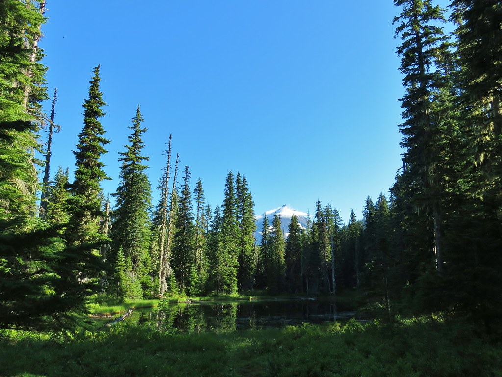
Just a short distance from the falls we found the signs marking the trail to Hunts Cove where we took the left fork travelling above a pretty meadow with a view across to the mountain. A half mile later we arrived at the first of the two lakes that call the cove home. Hanks Lake was up first. It was a lovely lake lined with meadows and a view of Mt. Jefferson.

Mt. Jefferson from Hanks Lake

Some of the biggest huckleberries and blueberries we’d seen were growing in large patches around the shore and we stumbled up a pair of sooty grouse in one of the thickets.

Sooty grouse on a downed tree

After a refreshing rest on the shore of Hanks Lake we continued on to Hunts Lake. Although Hunts Lake has no view of Mt. Jefferson it offered it’s own attractions. Heather spotted several fish in the clear water and over the lake loomed Cathedral Rock where we would eventually find the PCT.

Hunts Lake and Cathedral Rocks

We left Hunts Lake and returned to Hanks Lake to begin the real adventure. From Hanks Lake we could have returned to the trail junction and continued 3 miles to the PCT on the official trail or we could look for a former trail that lead from the far end of Hanks Lake up to the PCT shaving off a mile or more from the hike. We opted for the off trail adventure and set off around Hanks Lake in search of the old path. Using a Green Trails map I knew the old trail followed an inlet creek up to the PCT below Cathedral Rocks so we worked our way to an inlet creek and began working our way up along it. The map only showed one creek so despite not being able to find a convincing former trail we sallied forth through the brush.

Inlet creek we followed from Hanks Lake

The map indicated that the trail had eventually crossed the stream and continued on the far side so when I spotted a decent place to cross we hopped over to the other side. We found several sections of what could have once been a trail, but they could have been game trails as well and never saw any blazes or other indications of an official trail. Next we stumbled on a lovely meadow with a small pond in the center. At that point I decided to consult the Garmin. I knew we were headed in the right direction for the PCT but it wasn’t until I looked at the Garmin that I realized we had followed the wrong creek up. The Garmin clearly showed the additional stream that wasn’t on our other maps so that mystery was solved. Now it was a matter of finding the least steep climb up to the PCT. Using the GPS I headed to what looked like the most gradual ascent passing through a pair of small heather meadows.

Heather & Jessie in one of the small meadows

Leaving the second little meadow we climbed one last steep section and suddenly popped out on the PCT. We were probably about a half mile further down the PCT than where I had expected to meet up with it, but that just meant a little shorter hike. After celebrating our find we turned left and headed north. After just a couple hundred yards the PCT dipped a bit and passed right along the edge of the meadow we had just left. That was good for a laugh or two :). This section of the PCT was great as it traveled between Cathedral Rocks on the right and Hunts Cove below to the left. Views extended across Hunts Cove to the far ridge and Three Fingered Jack beyond.

Three Fingered Jack from the PCT


Hanks and Hunts Lakes from the PCT

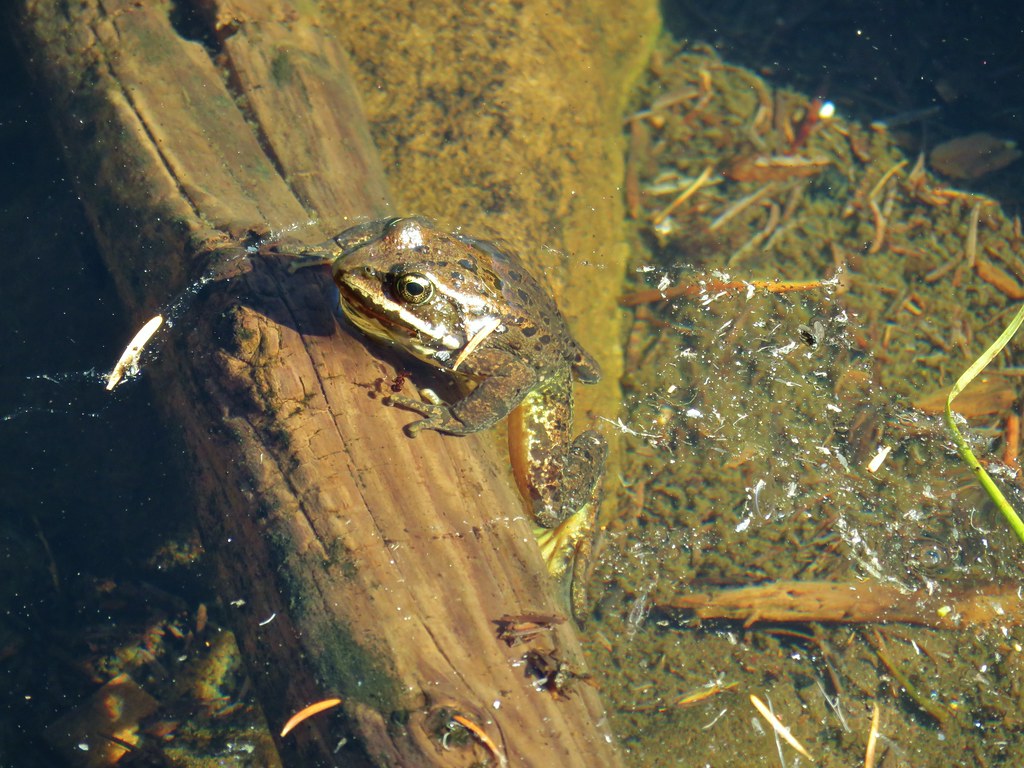
The PCT then reaches a plateau below Mt. Jefferson that is dotted with lakes and ponds. The first pond we arrived at was a strange red color. As I approached the water a frog swam from the shore and floated in the colored water.
168
Next up was Shale Lake and a wonderful view of the mountain.

Mt. Jefferson from Shale Lake

Shale Lake had some great looking tent sites and next to it was nearly dry Mud Hole Lake. Across the trail lay Coyote Lake and several other small ponds.

Leaving the plateau we began descending down toward Milk Creek with views of Pamelia Lake below. Just before reaching Milk Creek we reached the turn off for the return trail to Pamelia Lake. Before heading back I went down to the Milk Creek crossing to get a picture of Mt. Jefferson.

Mt. Jefferson from Milk Creek

We started smelling smoke while I was getting the picture at Milk Creek and when I turned around the sky behind us was filled with smoke. Then I notice that there was smoke drifting in front of Mt. Jefferson as well. When we got back to Pamelia Lake the scene was quite different than it had been in the morning.

Smoke over Pamelia Lake

Smoke had settled in the valley but we had no idea what the source was. On the way out there was just a bit of smoke in the forest but it didn’t detract from the beauty. Green moss covered much of the ground and dozens of varieties of mushrooms and fungus added character to the view.
227

239

244

246

We had a blast on this hike. For the most part we had the trails to ourselves the whole day and the weather had been perfect. Aside from the bit of smoke at the end of the day (which was apparently due to a controlled burn being done by the Forest Service near Sisters, OR) it couldn’t have been better. We’d knocked out 18.2 miles in just over 9hrs. It was really fun having Jessie join us on the hike. It was great having someone that didn’t even blink at the 5am departure time or the distance/time we were planning on doing. What a way great to spend a Thursday in September 😀 Happy Trails!

Facebook photos:https://www.facebook.com/deryl.yunck/media_set?set=a.10202196386858309.1073741857.1448521051&type=3
Flickr: http://www.flickr.com/photos/9319235@N02/sets/72157635671937895/