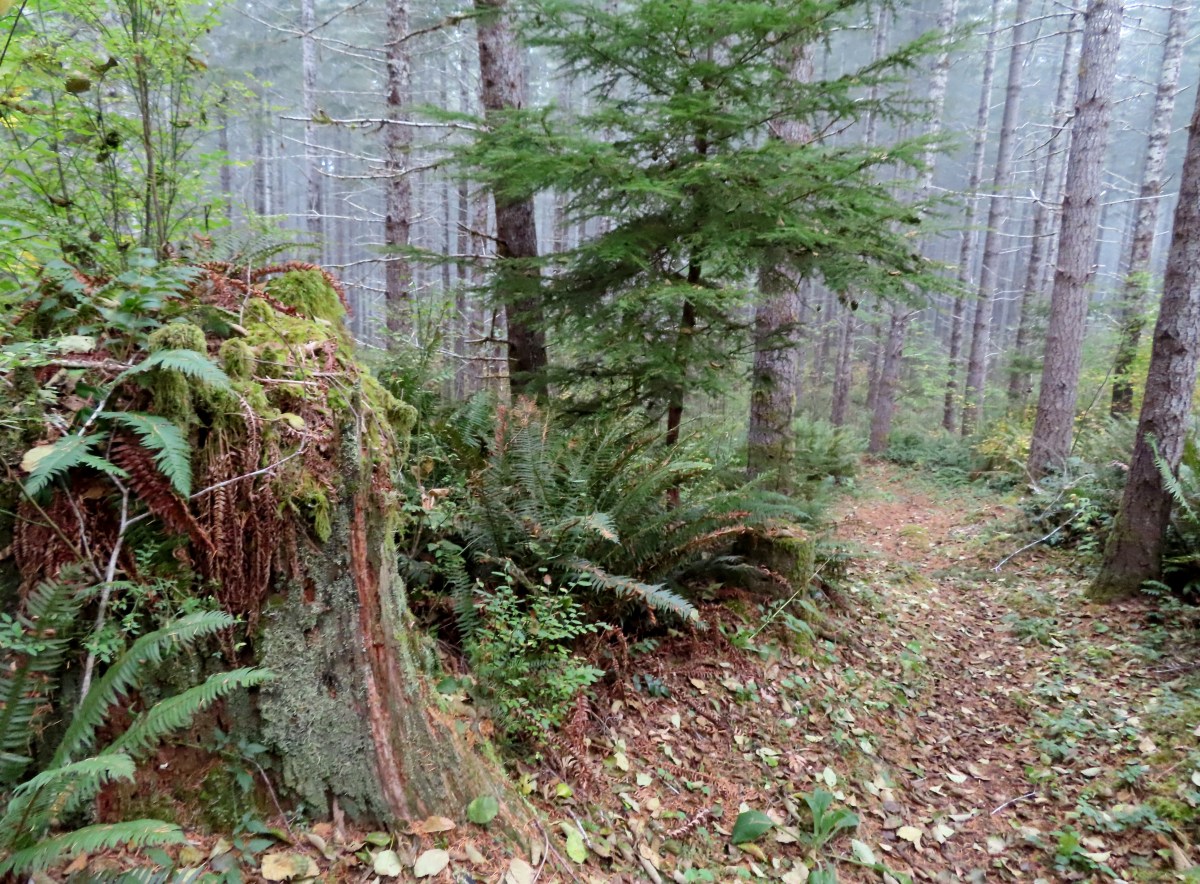
Our run of unseasonably warm weather came to an end with a freeze watch for western Oregon. However, the lack of precipitation continued. We took the opportunity to check out a new hike to us, the Northrup Creek Loop in the Clatsop State Forest. The 8.7-mile loop as described in the Oregon Hikers Field Guide link above includes a ford of Northrup Creek that can reportably be treacherous at times. Given the lack of rain this year we knew this wouldn’t be the case now, making it a good time to visit.
We had originally planned on parking at the winter trailhead which is the only trailhead available from December 1st through May 15th when the road to the Northrup Creek Horse Camp is gated closed. The winter trailhead is located near the ford, and our plan had been to hike the loop counterclockwise in order to leave the ford till the end of the hike. We wound up missing the winter trailhead, so we decided to park at the Northrup Creek Big Tree Trailhead.
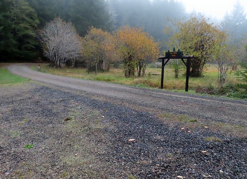
The Big Tree Trail is an optional 0.9-mile hiker only trail separate from the horse loop. By starting here, we could pick up the loop as it passed the picnic area and then, if we felt up to it after the loop, we could check out the Big Tree Trail.
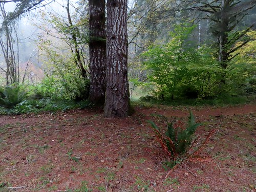
The horse loop from the Big Tree Trailhead.
We picked up the loop and turned right heading for the horse camp.

The trail crossed a forest road where we encountered a trail closure sign. A portion of the loop at Cow Ridge was closed due to an active logging operation. Normally I would have found out about this while doing my pre-hike research, but the Oregon Department of Forestry is lacking when it comes to providing information. We turned around and discussed our options on the way back to the car. We decided to at least do the Big Tree Trail since we were already here so we when we arrived back at the trailhead we headed down that trail.


Map of the big trees along the trail and the campground.
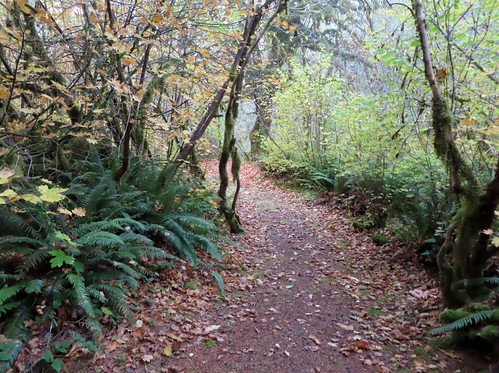

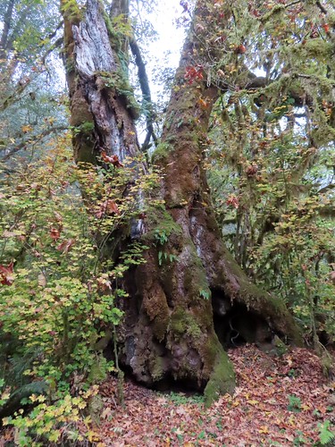
Big leaf maple
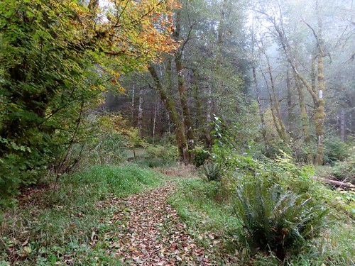

Northrup Creek

The grand fir unfortunately toppled.
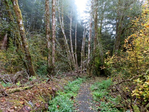
The grand fir down along the trail.


The Big Tree Trail ends at the entrance road.
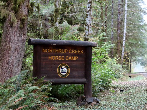
Sign along the entrance road near the end of the Big Tree Trail.
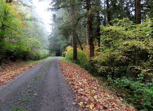
During our hike on the Big Tree Trail, we had decided to stay here and modify the loop by hiking the entrance road as a replacement to the NE half of the loop. We turned right on the entrance road and followed it just under a mile and a half to the winter trailhead.

Ferns on a snag.

Passing the winter gate.

Bridge over Cow Creek.

Cow Creek flowing into Northrup Creek.

The Winter Trailhead.
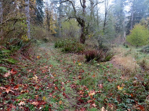
From the winter trailhead we forked right and briefly followed Northrup Creek before arriving at the ford.

Self heal


The ford.
Our assumption had been correct, and the ford was barely ankle deep. We did switch into our water shoes to keep our shoes and socks dry, but the ford itself was not a problem. The trail made a steep climb on the far side of the ford before leveling out and arriving at an old forest road.


Cinquefoil

Mile 5 of the actual loop, this was the only mileage sign we noticed.


We turned left onto the road following the pointer and followed this road for 0.6-miles past a gravel pit to a road junction.


We were surprised to see some non-native foxglove still blooming.

My second hike in a row with a varied thrush sighting.


The gravel pit.

We turned right at the junction following another pointer and in another 0.3-miles came to Foster Mainline Road.
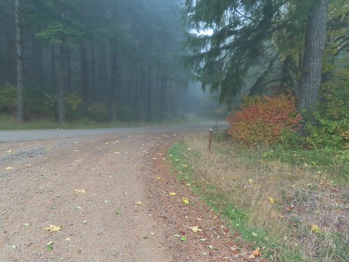
From the junction the continuation of the trail was visible across the road.
We crossed the road and continued on the loop which was now descending back toward Northrup Creek.
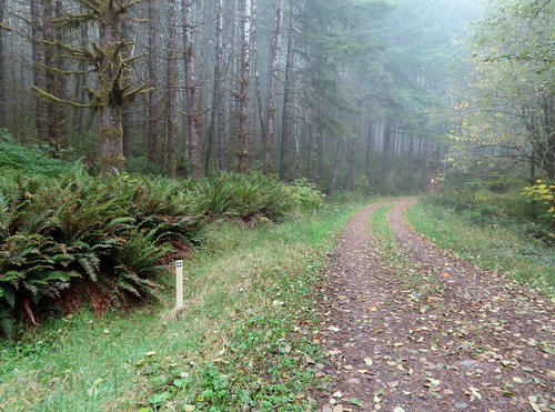
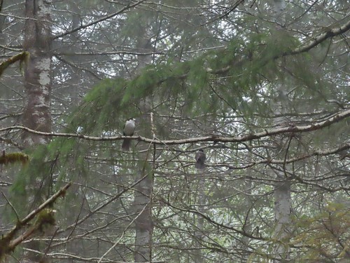
Canada jays
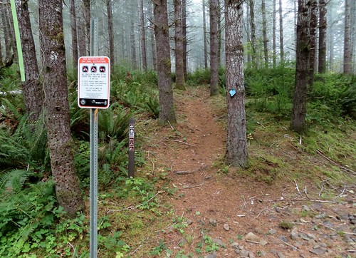


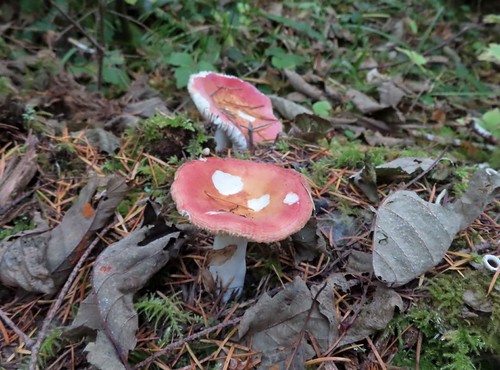
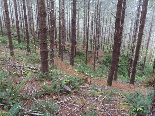


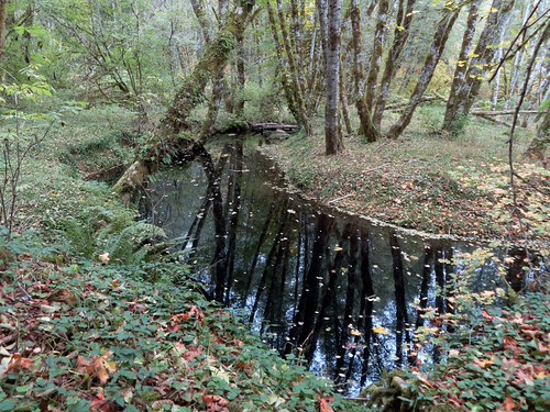
After reaching the creek again the trail made a series of ups and downs before finally arriving at the Northrup Creek Trailhead.
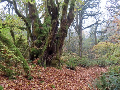
Another big maple.


Hedgenettle


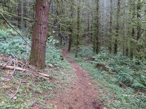


Several small footbridges crossed seasonal creeks.

Thistle

A good sized cedar.
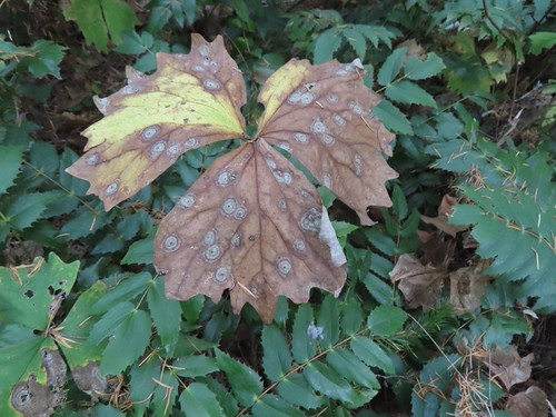
Vanilla leaf

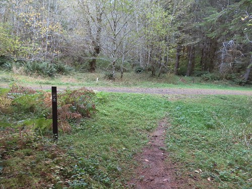
Road crossing near the Northrup Creek Trailhead.

The Northrup Creek Trailhead.
From the Northrup Creek Trailhead the trail joined the entrance road to cross Northrup Creek and reach the Big Tree Trailhead where we’d parked.

Our modified loop came in at approximately 6.5-miles and 720′ of elevation gain.

The closed section of the loop is in the upper right portion of the snip.
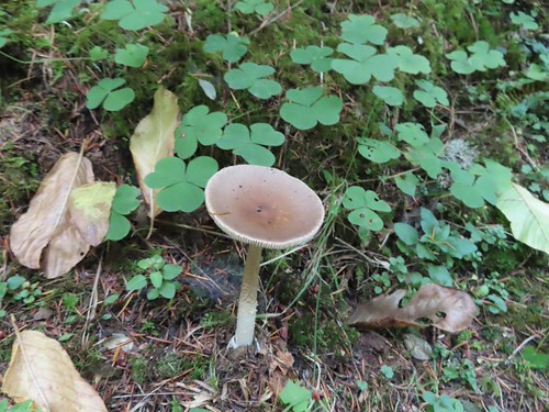
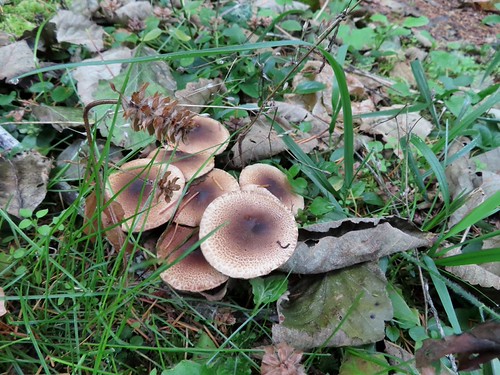
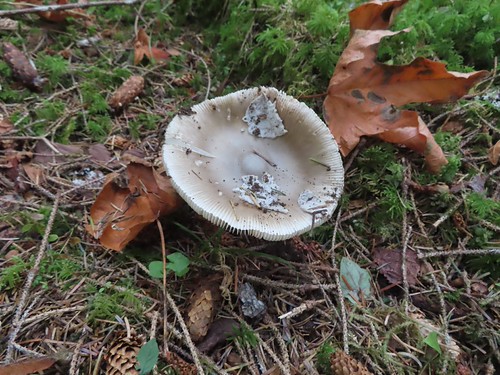
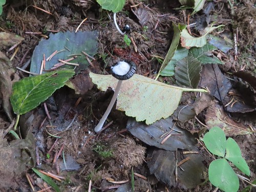
This was another nice forest hike with lots of mushrooms and solitude (one group of 3 hunters). While it was a little disappointing not to be able to hike the full loop, our route worked out fine. It left us a little short of what I had hoped for so on the way home we decided to detour a mile west on Highway 202 and stop at the Jewell Meadows Wildlife Area. We were hoping to see some elk which we had not seen yet in 2026. As we were driving out Northrup Creek Road Heather spotted elk at the far side of a field.


Despite now having seen some elk we did stop at Jewell Meadows where there was a large herd in one of the fields. A few of the elk came closer to graze under the old orchard trees.


Robin

There were also a few elk clear across this field next to the brush, and I spotted a coyote running across through the grass.

A blurry shot of the coyote who was also on the far side of the field.
There is a fee to park at the wildlife area which can be paid online if you have cell service. We didn’t have enough service to get the payment through until we were back on our way home, but Heather did eventually get the payment to go through.
While there isn’t really a hike at Jewell Meadows looping around the grassy tracks provided a half mile loop. Getting to see the elk made for a perfect end to the morning. Happy Trails!
Flickr: Northrup Creek & Jewell Meadows


 Thimbleberry
 Coming up on the start of the boardwalk.
 Scouler’s corydalis at the base of the boardwalk.
 The boardwalk junction.


 The base of Cathedral Tree.
 One of two benches near the 300+ year old stika spruce.
 Cathedral Tree


 Beyond the boardwalk the trail was a bit rougher.

 Trail markers were present at times to help identify the correct route.
 Pacific waterleaf
 The Astoria Columnn.

 Megler Bridge


 Young’s River on the left and the Lewis & Clark River on the right
 The early bird.


 The spiral staircase.


 Young’s River
 Traffic on the Columbia River.
 Looking out toward the Pacific beyond Astoria.
 Deer in the grass below the Astoria Column.
 Heather below the column.


 This was a spur trail 0.2-miles from the column (0.6-mile from the trailhead) that also leads down to Irving Street and could be used for a loop if you don’t mind some street walking. We opted to pass and did the hike as an out-and-back.
 False lily-of-the valley

 The last trillium?
 Fringecup
 The start of the short trail to the falls.
 Interpretive signs near the start of the trail.
 The falls were noted during Lewis and Clark’s stay at nearby Fort Clatsop (

 This was a tough one to photograph due to the amount of spray being blown straight at us by the force of the water.
 We pulled over onto the shoulder of Hwy 202 to snap a picture of these bulls.


 Bleeding heart
 Fairybells

 Scouler’s corydalis


 I was joined by a pair of ouzels at the falls.
 Looking back at Heather on the other side of Fishhawk Creek.
 Me through the trees below the falls.

 Please note that you need a permit to park at the refuge.

