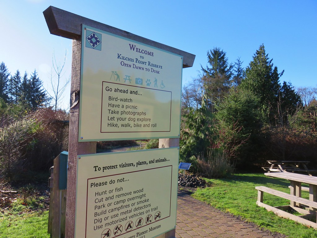
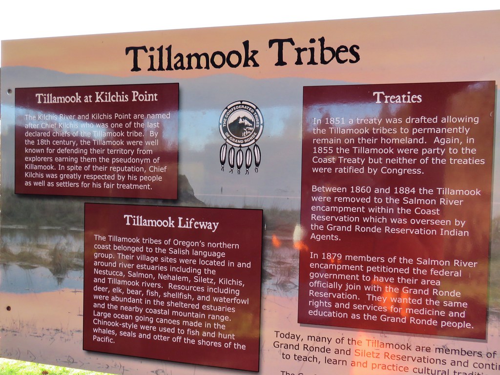
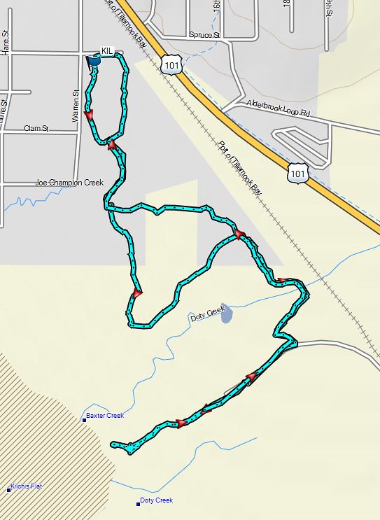
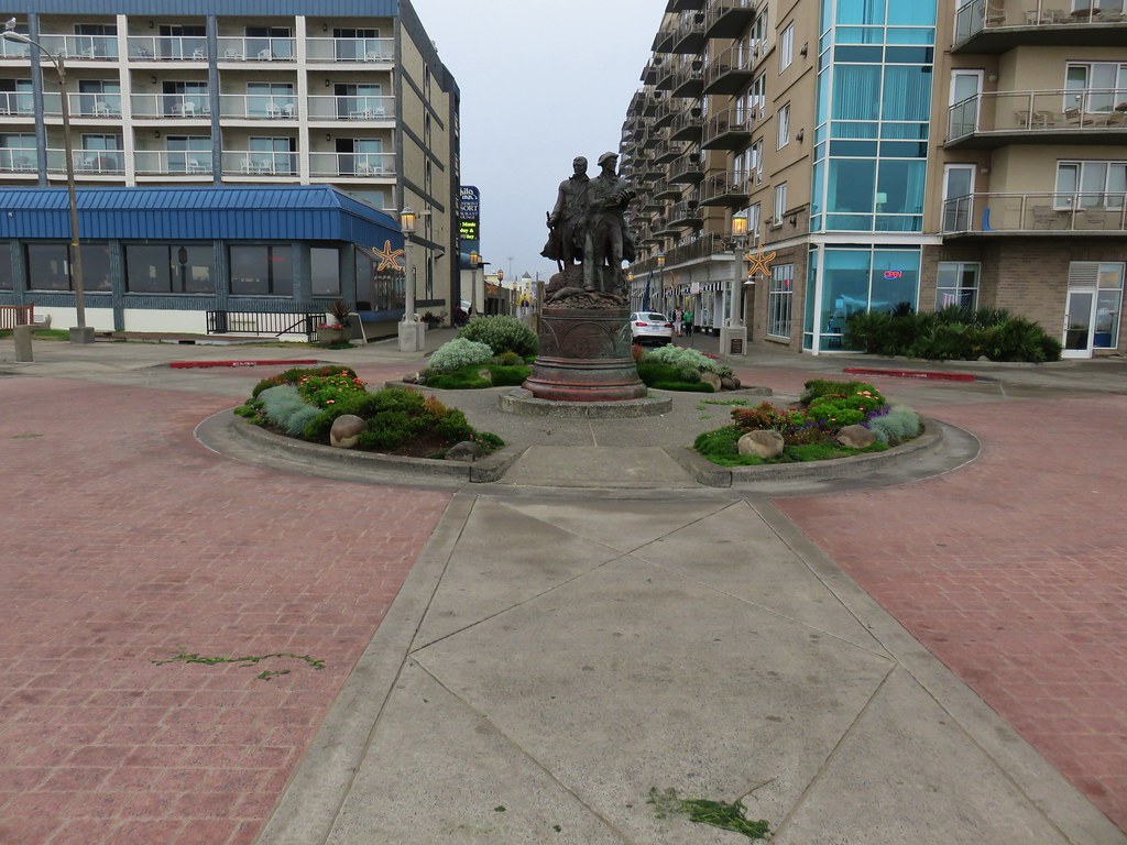
A wet system moved in toward the end of the week and prompted us to look for a good rainy-day hike. After coming up with a few possibilities along the Pacific coastline I checked several local forecasts and landed on Manhattan Beach. With that hike being roughly 7.5-miles, I looked for another nearby trail on the Oregon Hikers Field Guide which led me to the Elk Run Trail near Nehalem, OR.
We started the morning with the Elk Run hike since it was the shorter of the two at 3.6ish miles, and it was just a few miles further away than Manhattan Beach. We parked at the Alder Creek Trailhead per the entry in the Oregon Hikers Field Guide.

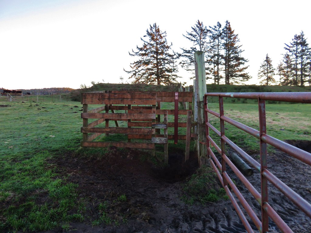
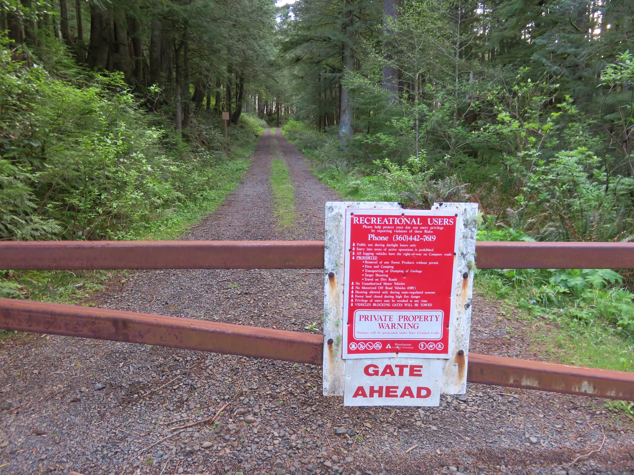
We parked along the shoulder across from the gate which is not to be blocked at any time.
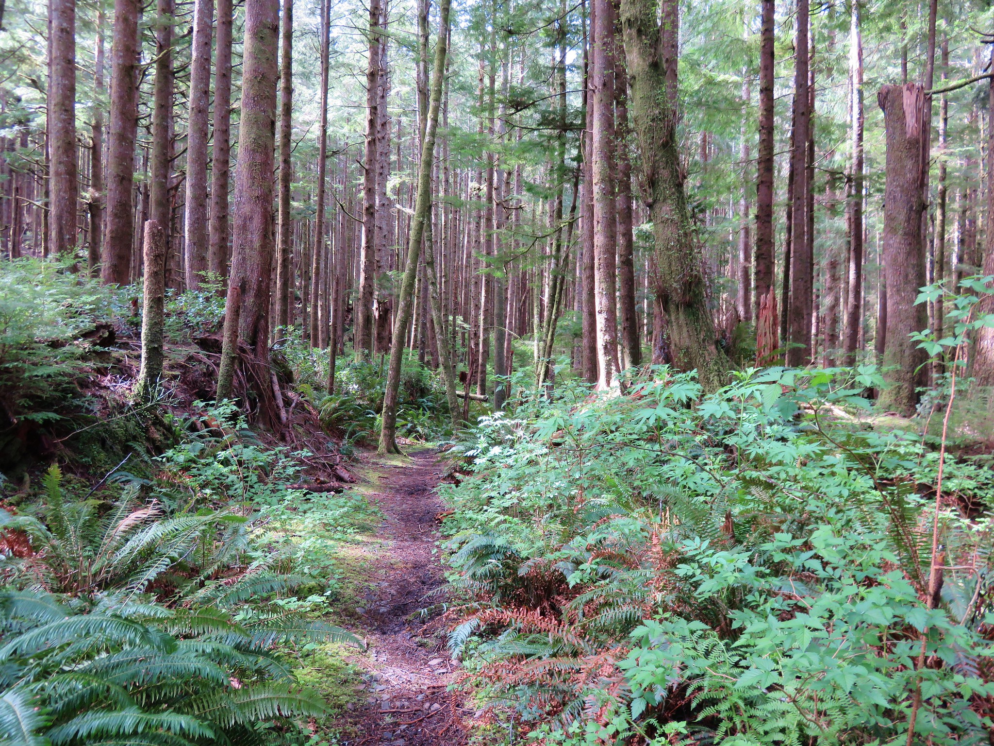
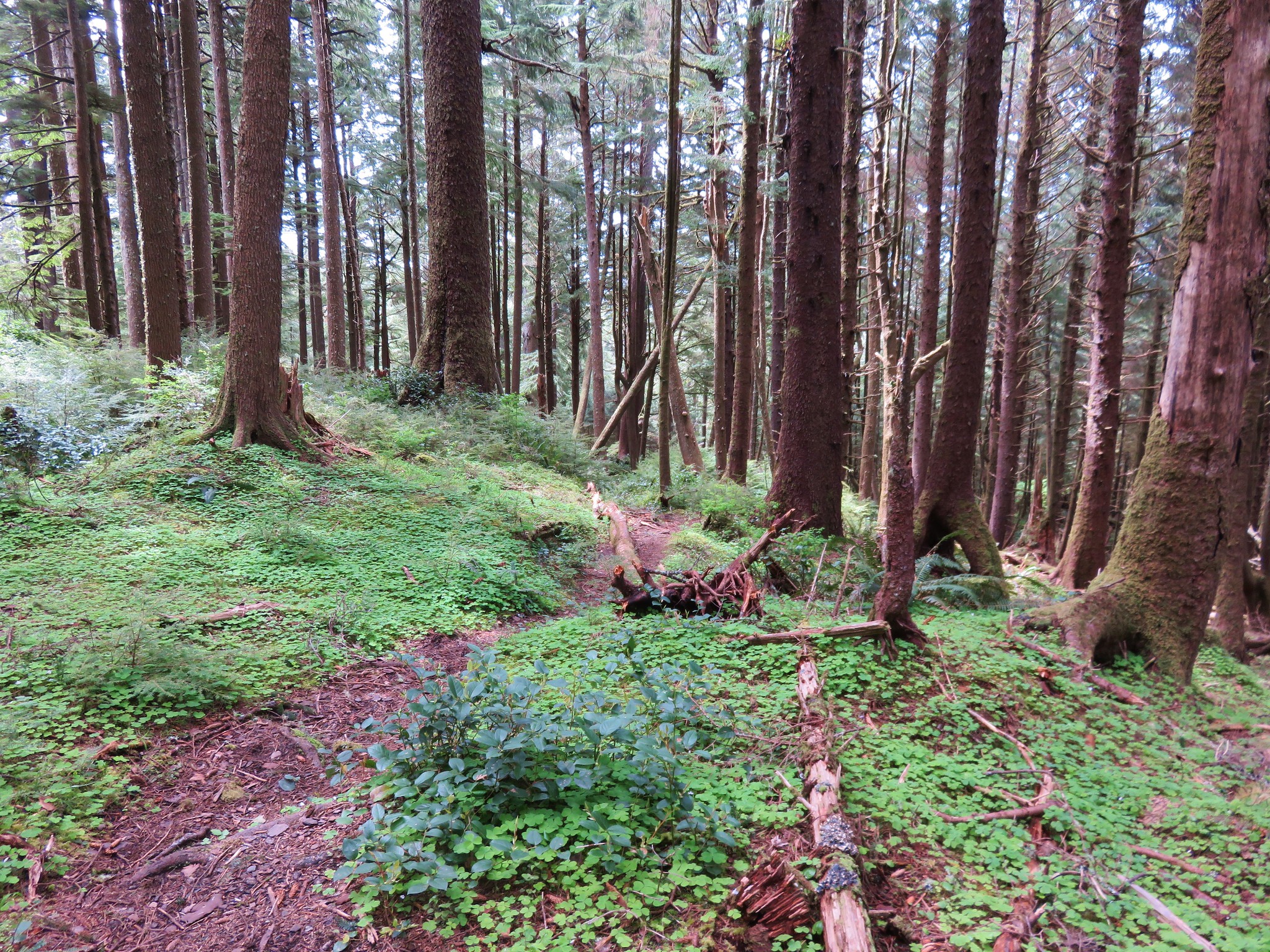
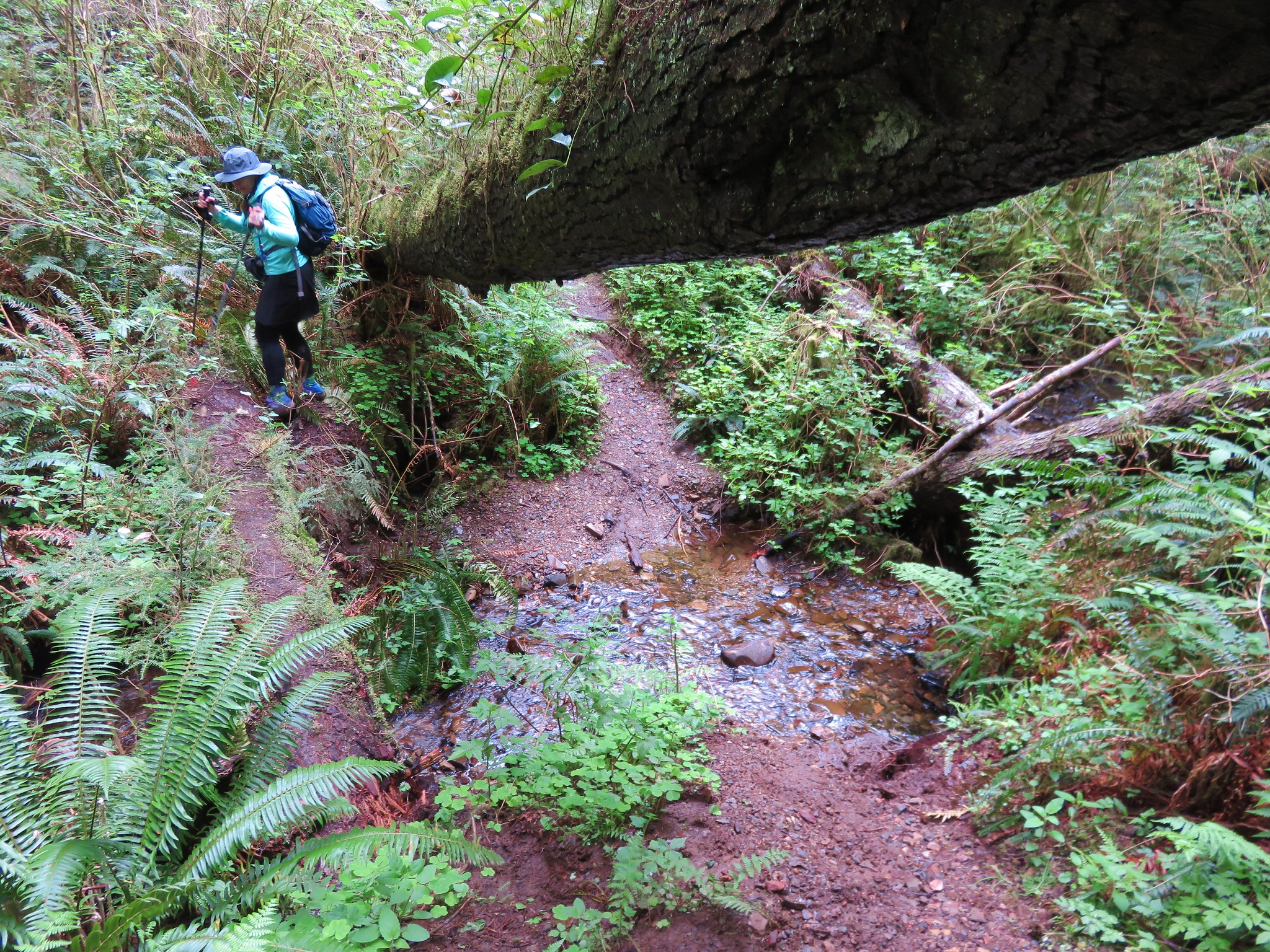
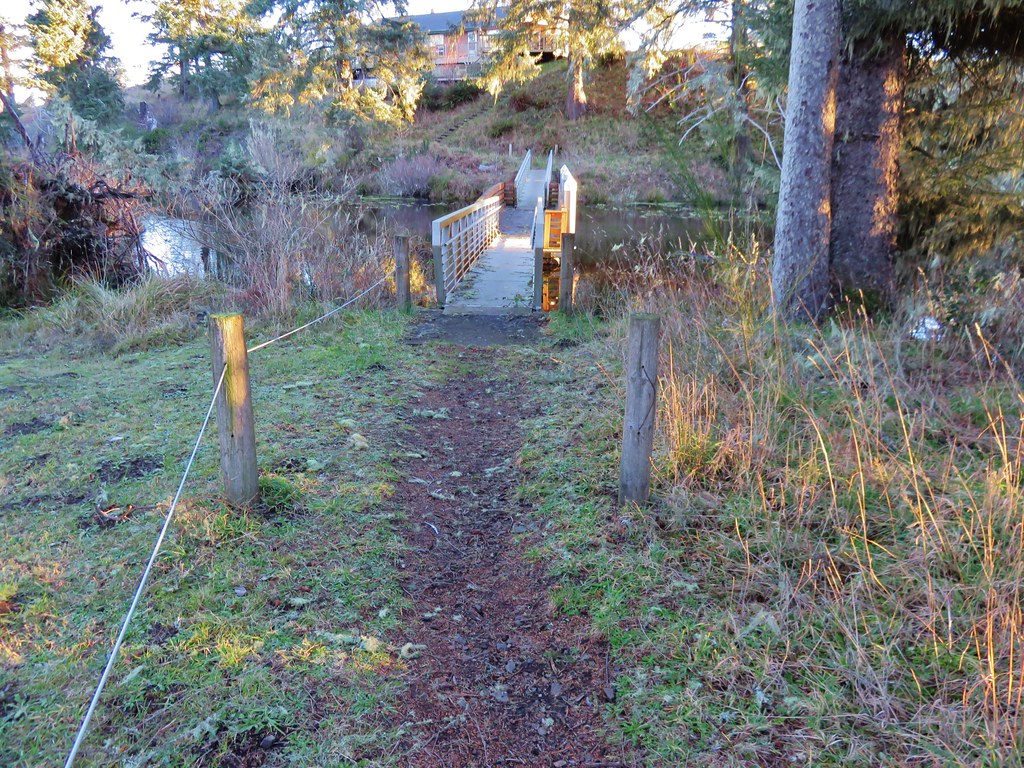
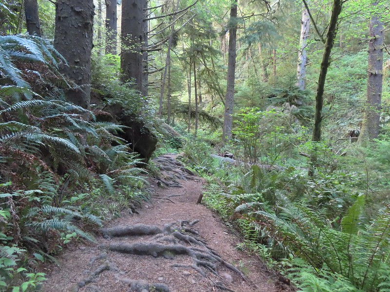
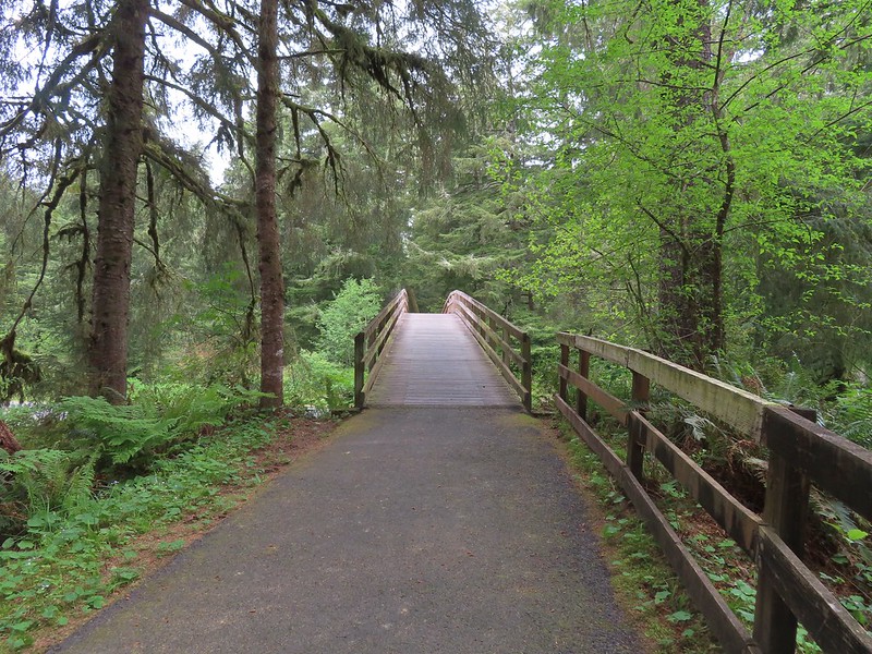
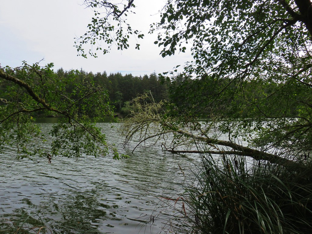
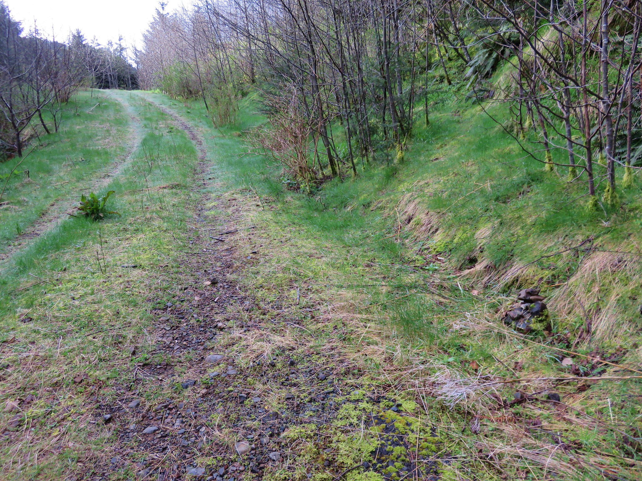
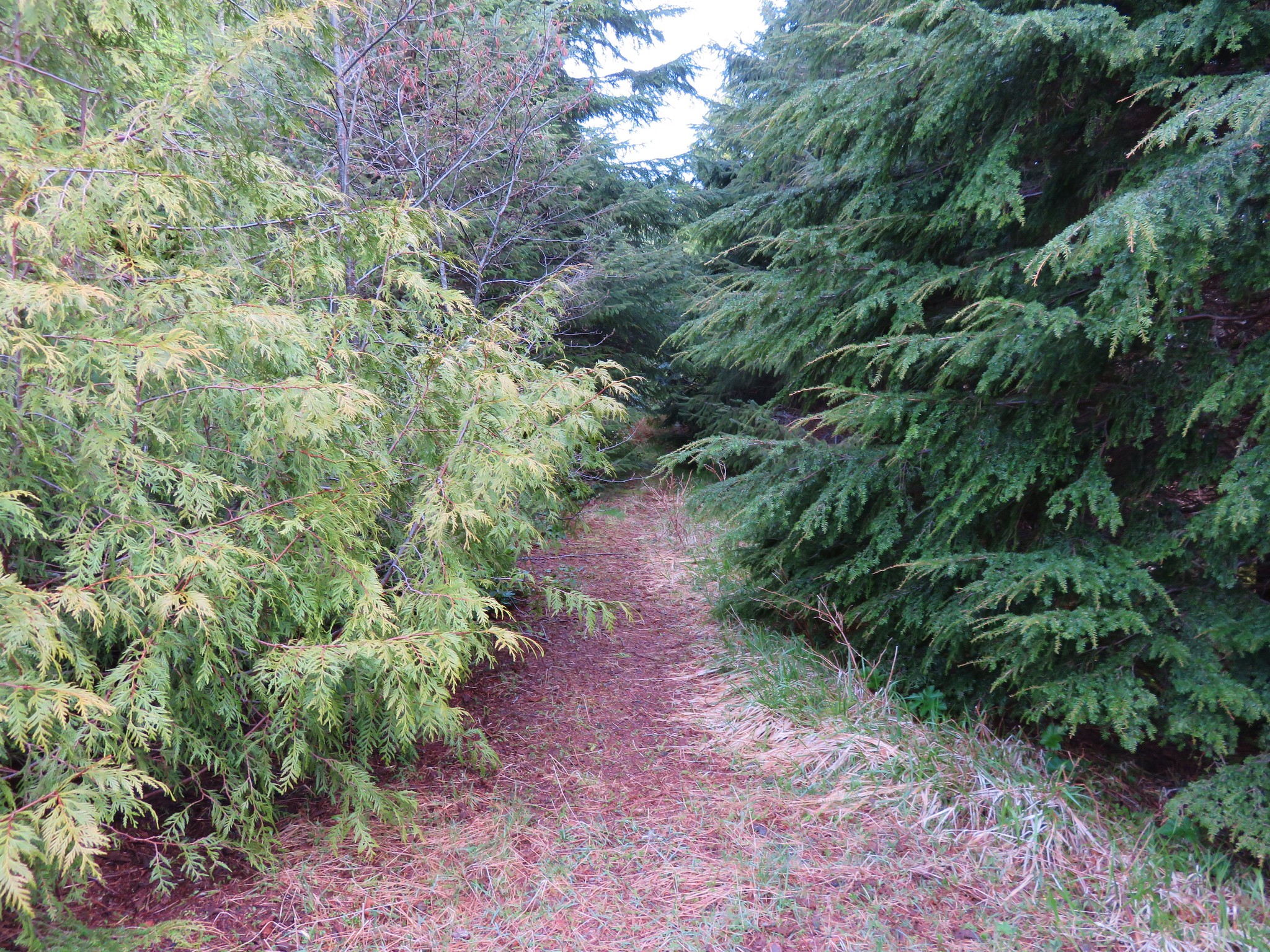
Beyond the gate the Alder Creek Trail follows an old roadbed on a levee 0.4-miles to a footbridge over Alder Creek.


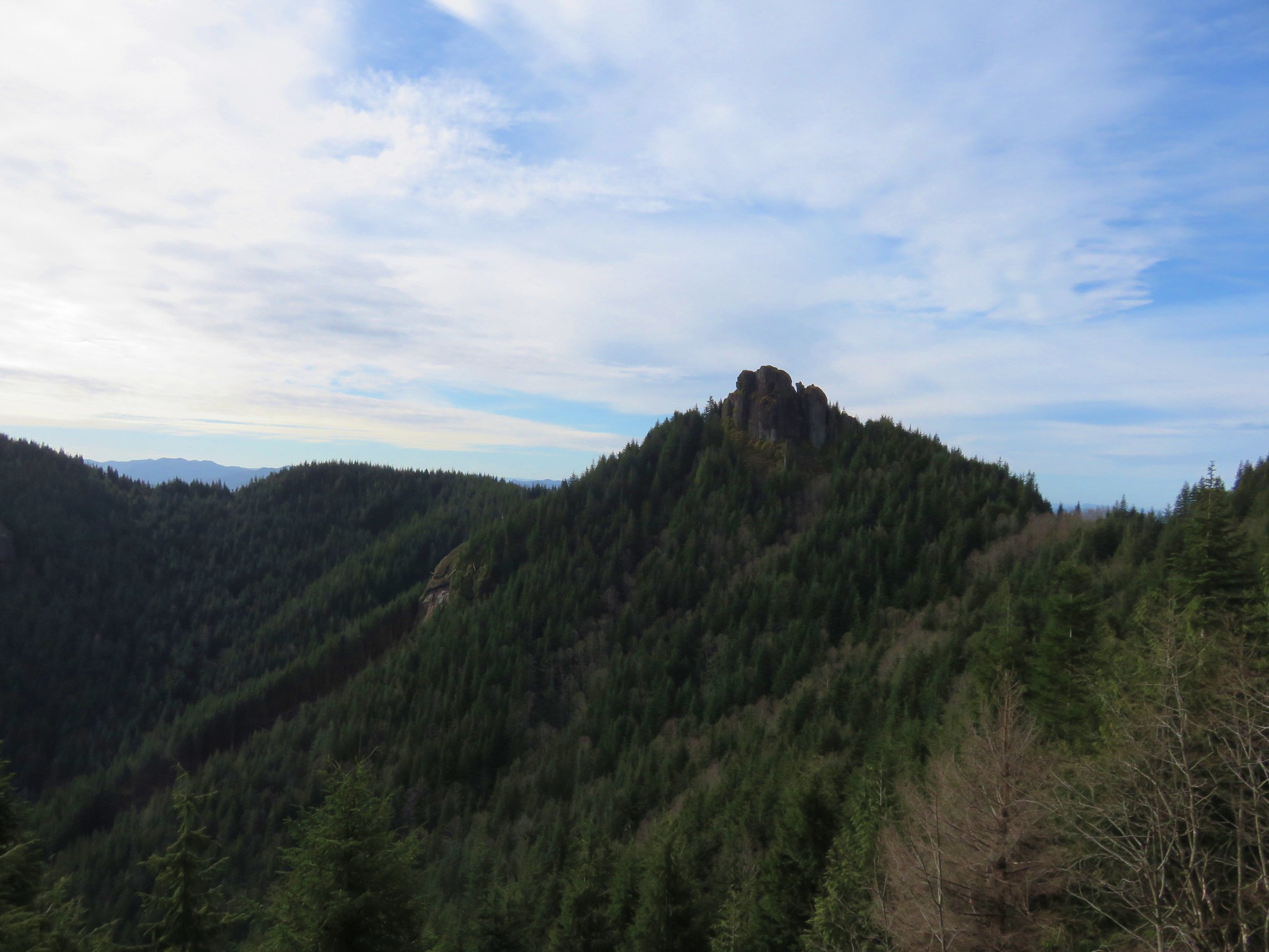
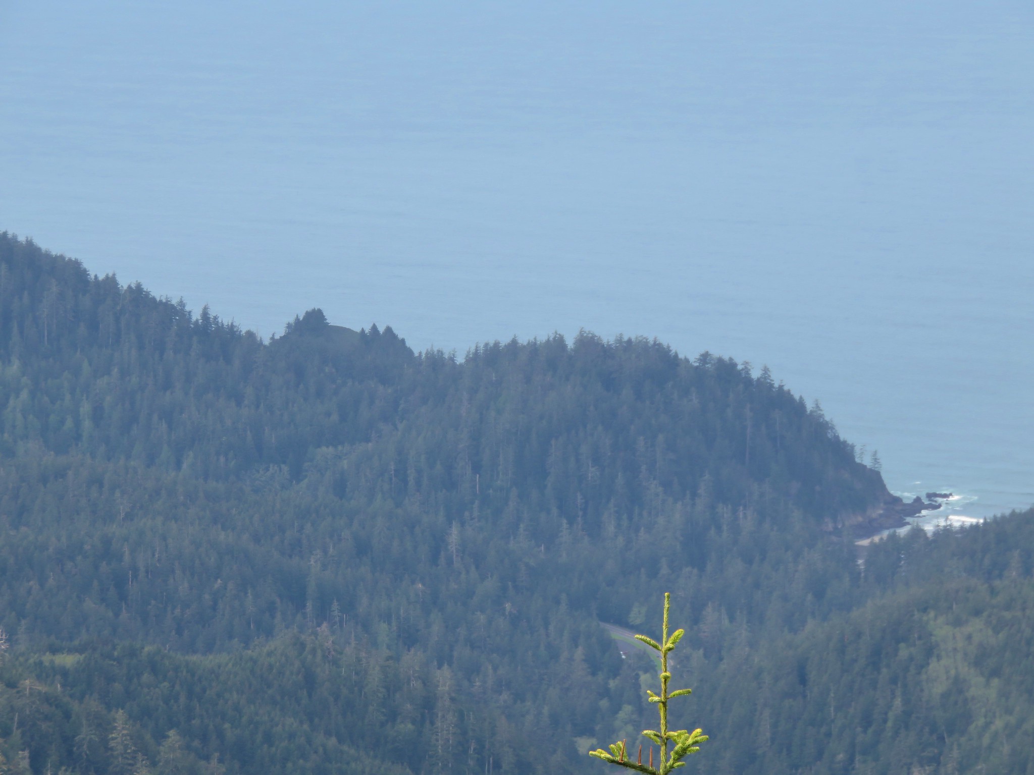
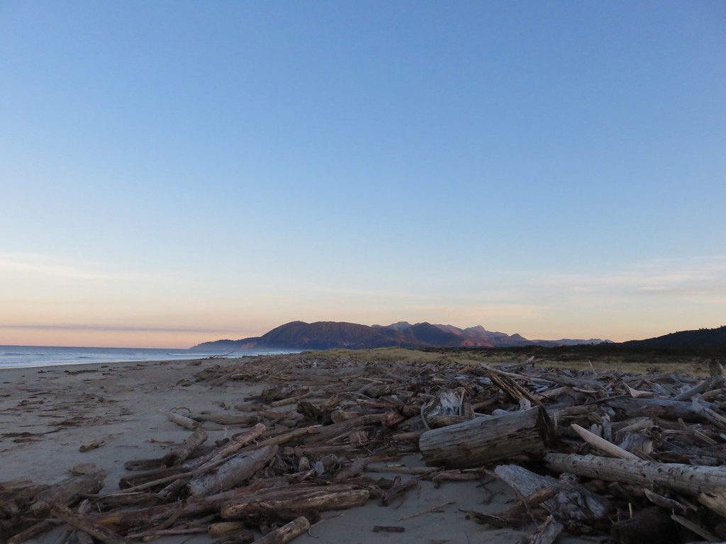
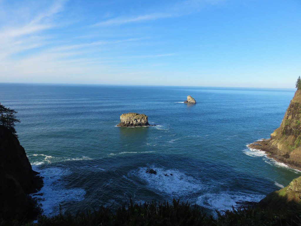
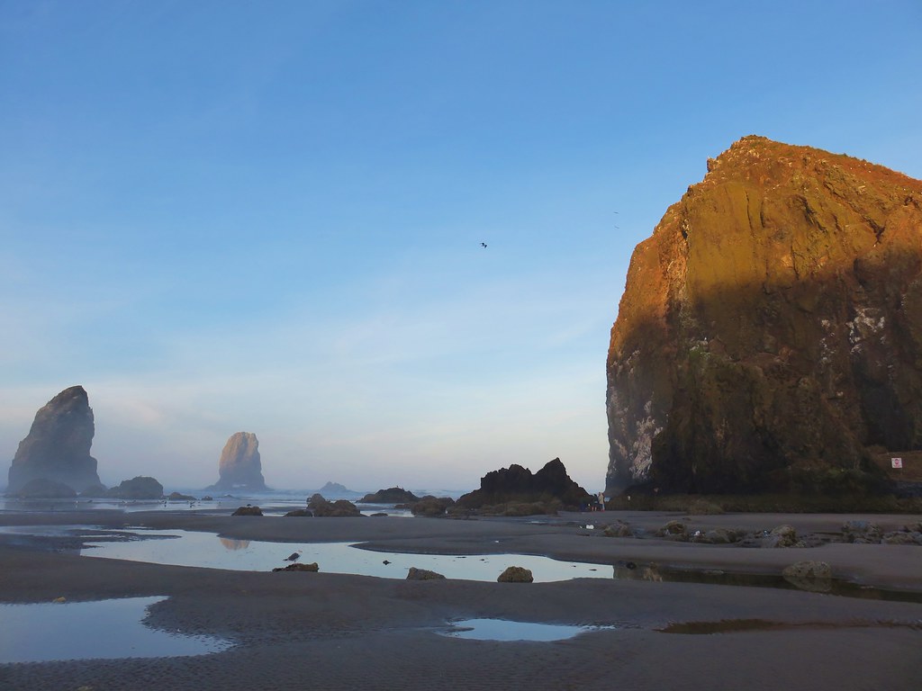
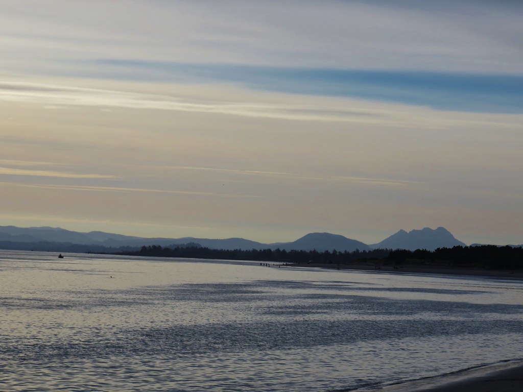
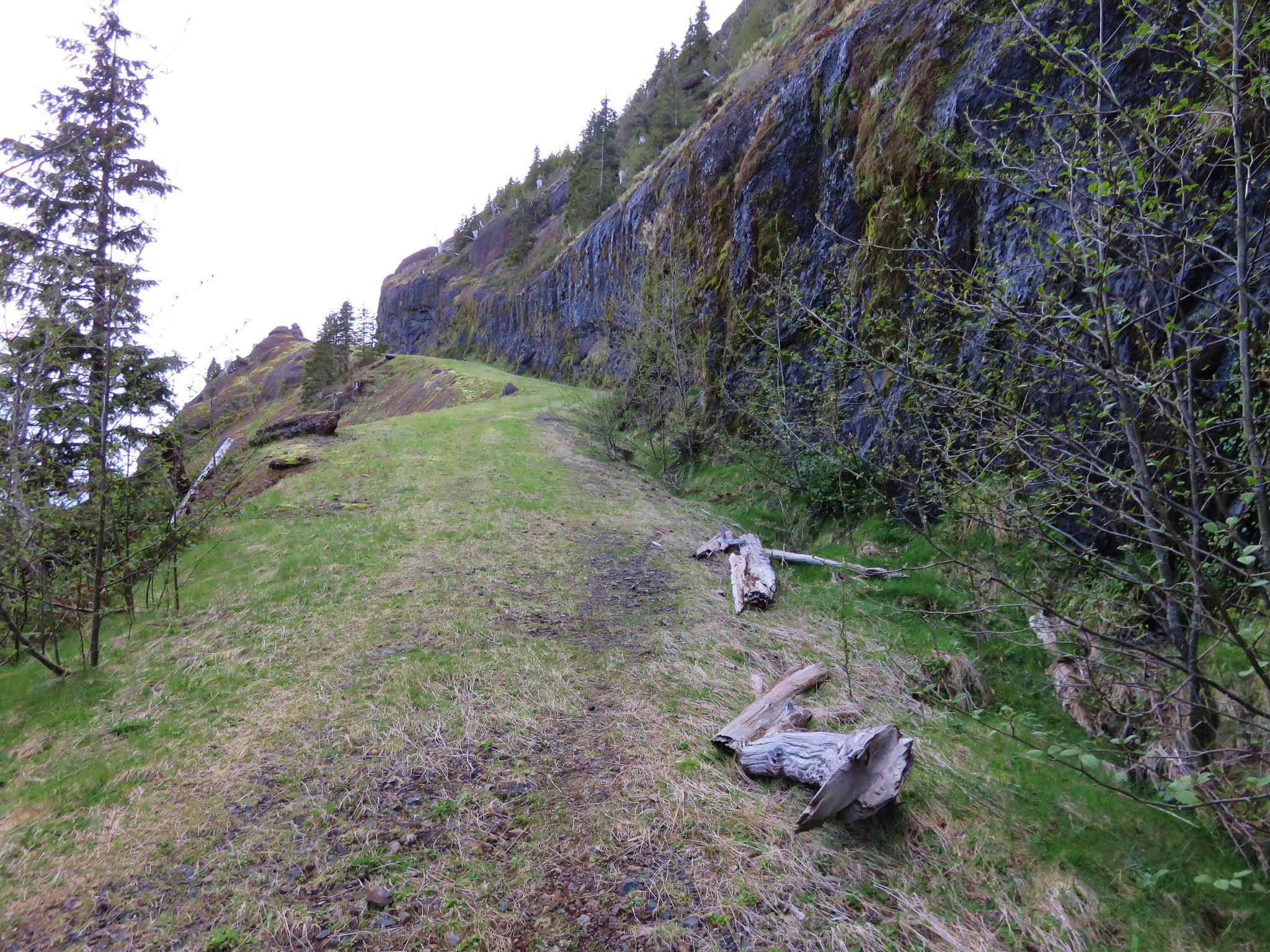
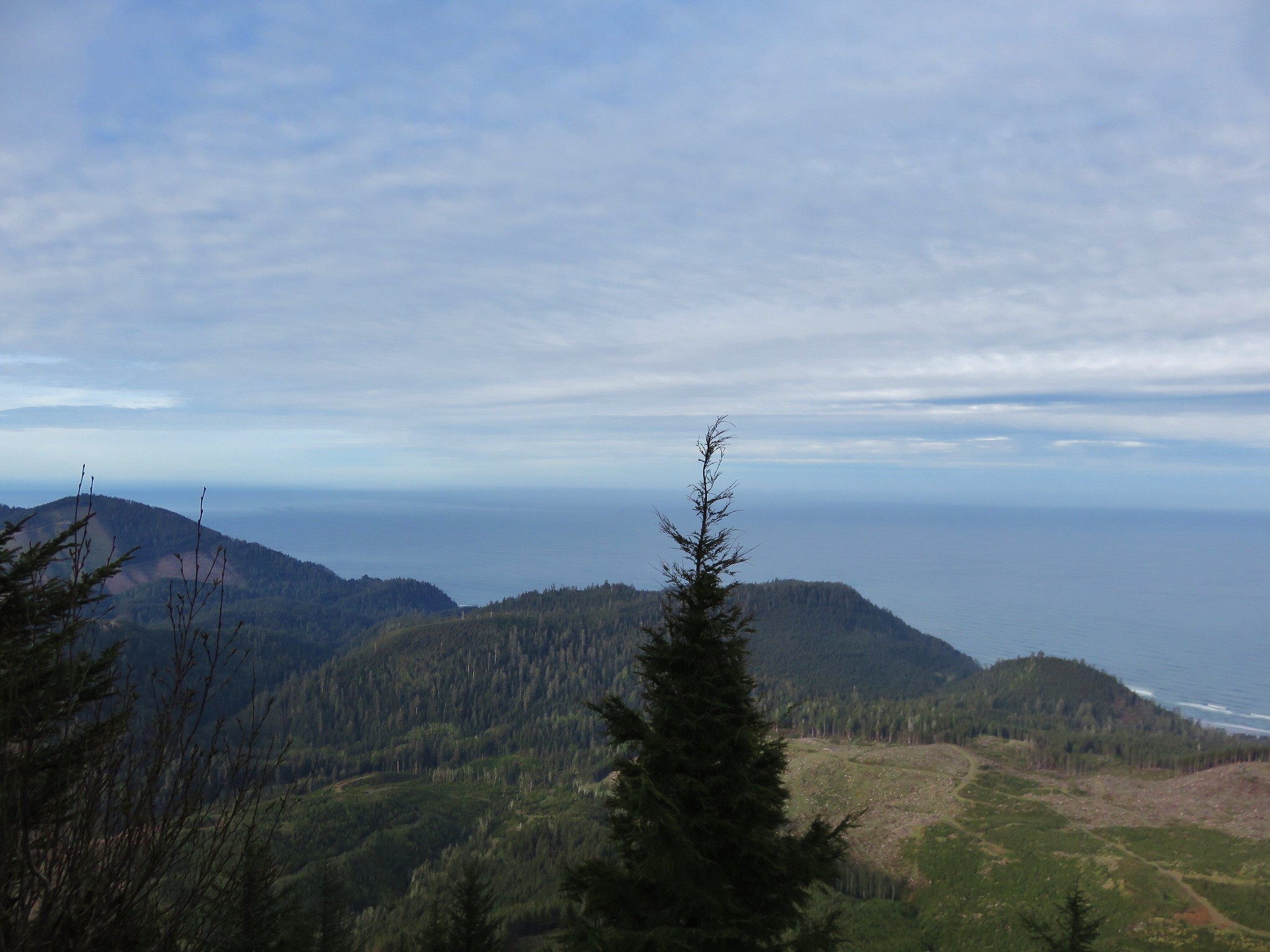
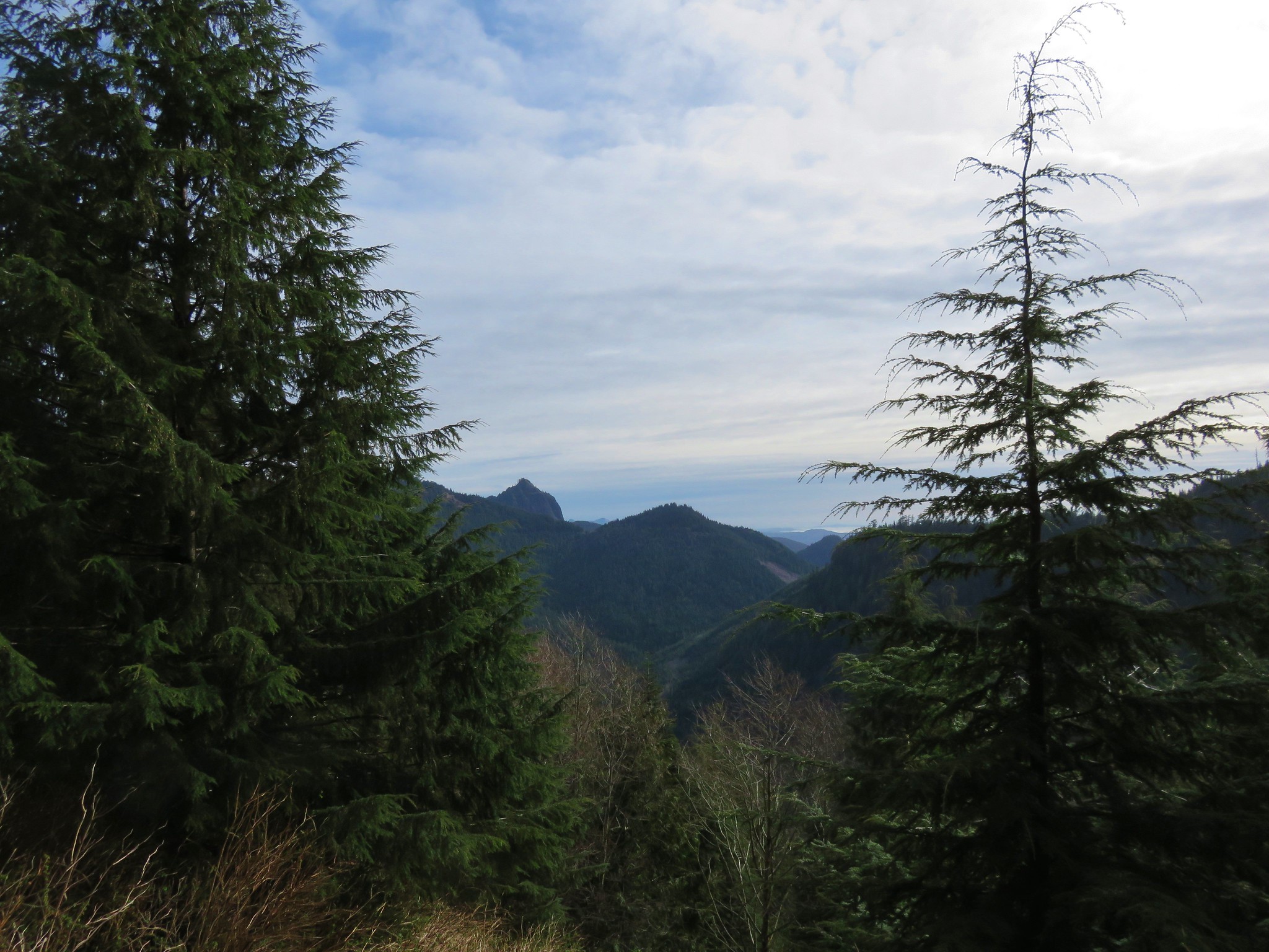
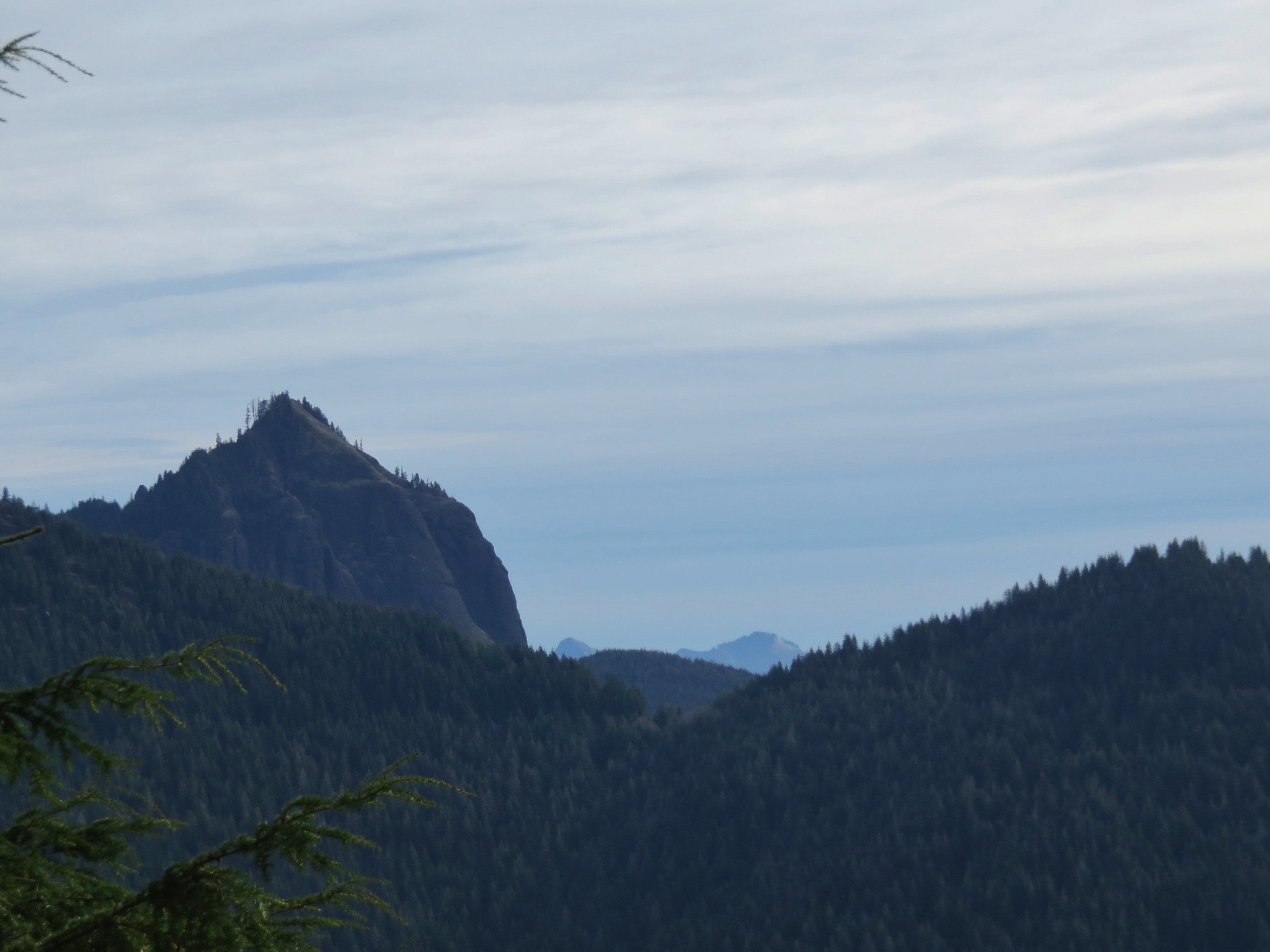
Neahkahnie Mountain (post) to the left and Rock Mountain to the right.

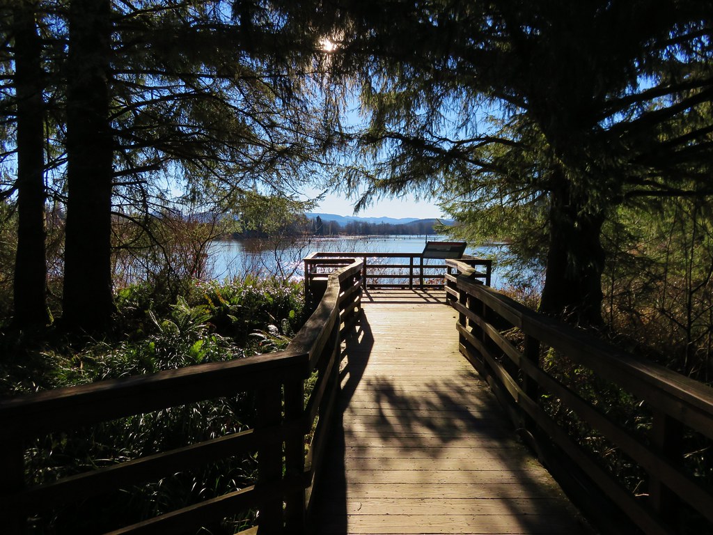
Looking back along the footbridge.
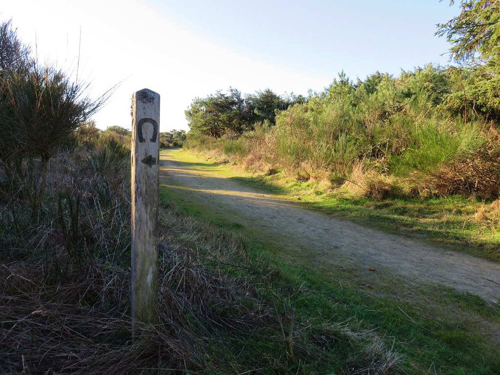
On the far side of the footbridge was a junction with the Elk Run Trail.

We stayed straight at the junction continuing along the old roadbed.

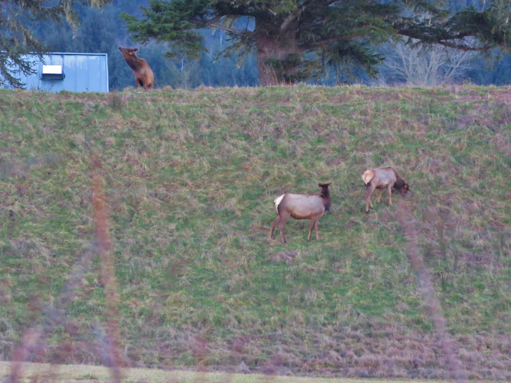
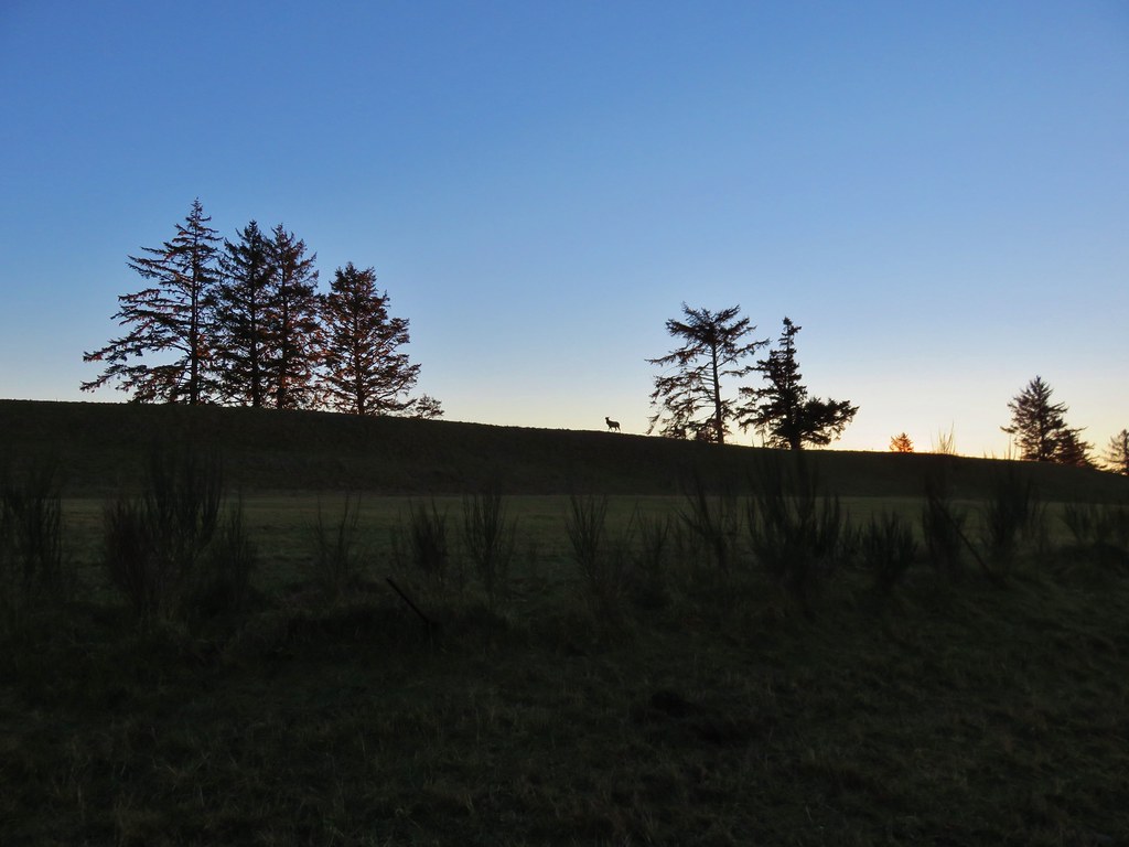
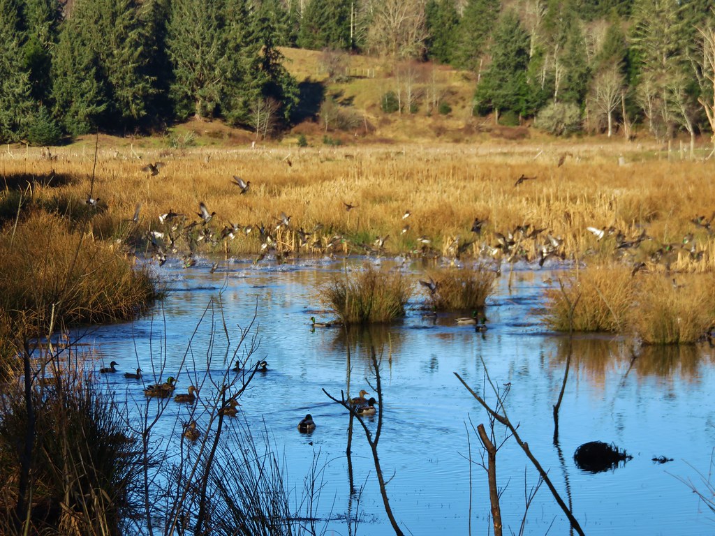
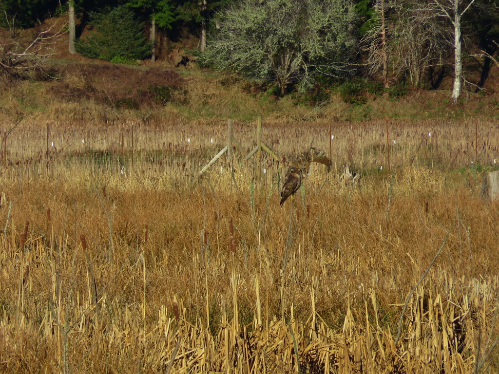
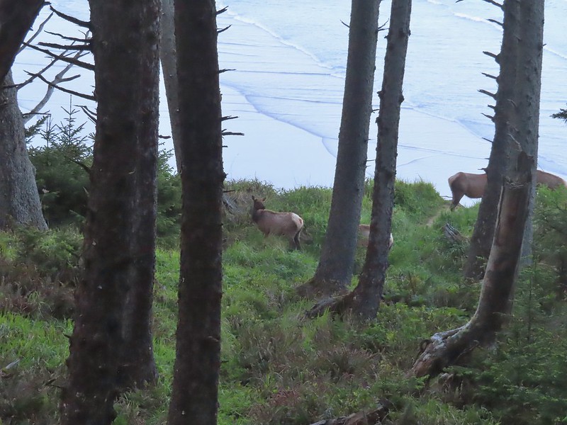
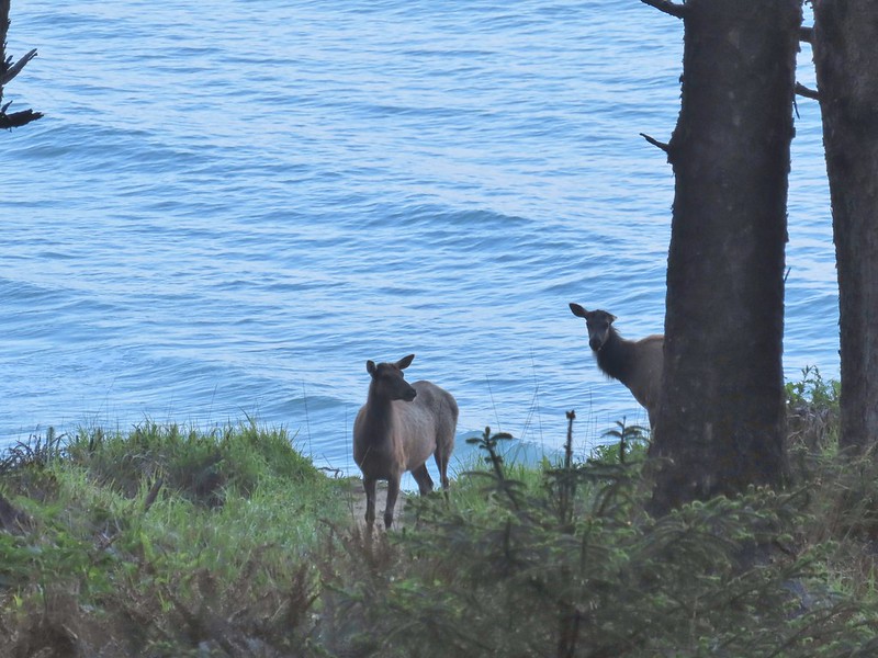
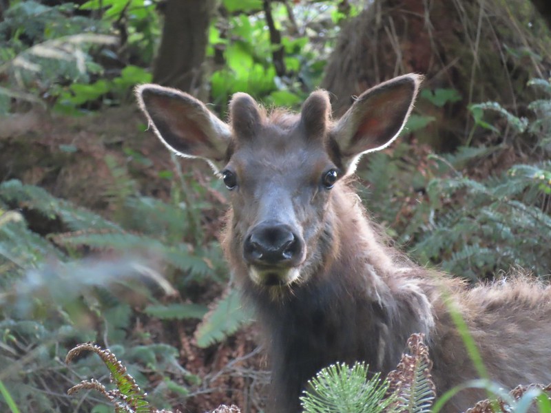
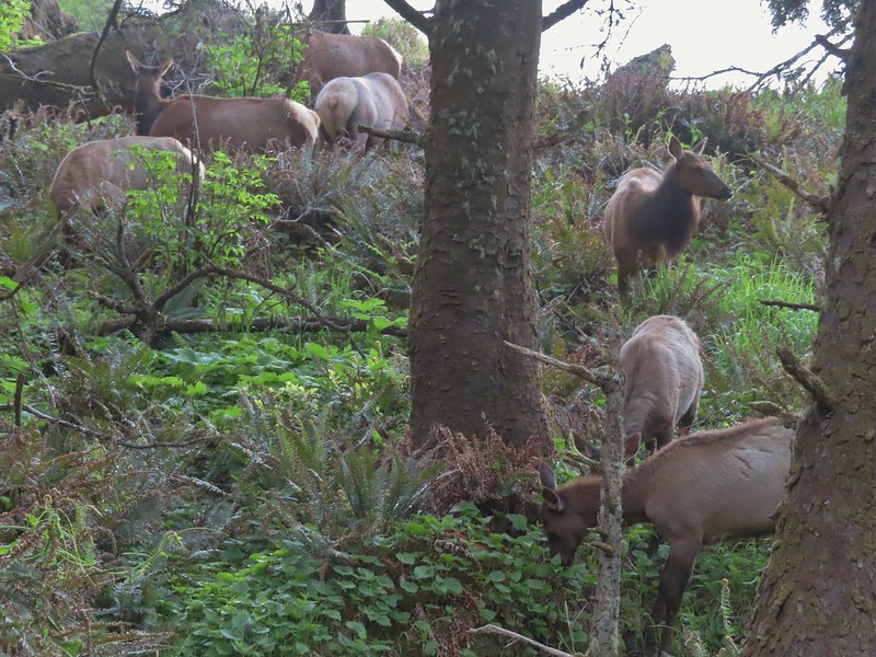
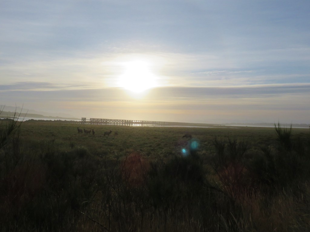
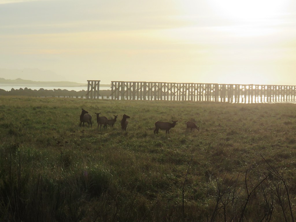
There was a meadow to the right of the trail where we spotted a small herd of elk.


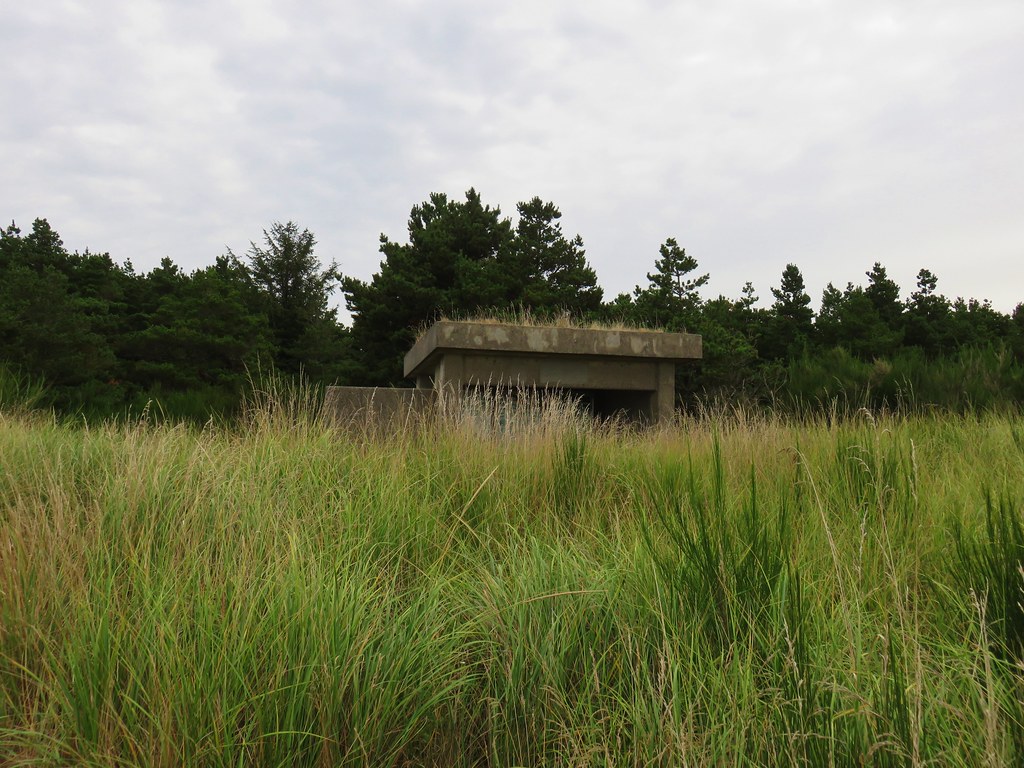
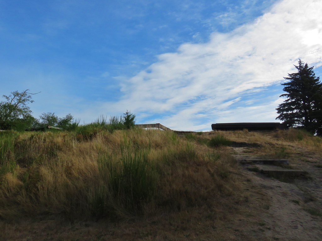
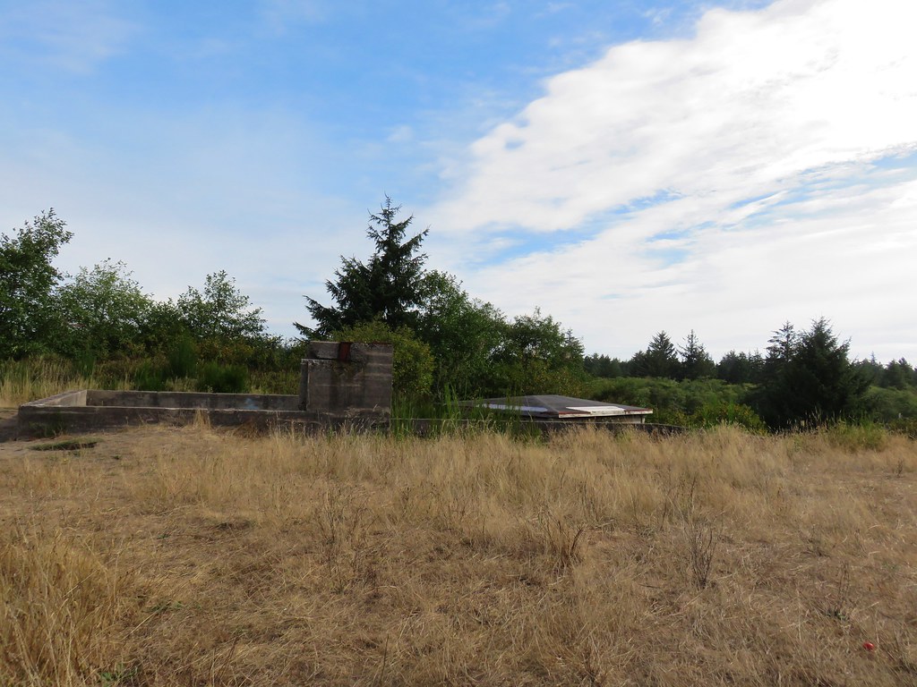
A third of a mile from the footbridge the trail arrived at a gravel road which it followed for about 50 yards before continuing on a grassy track to the right.

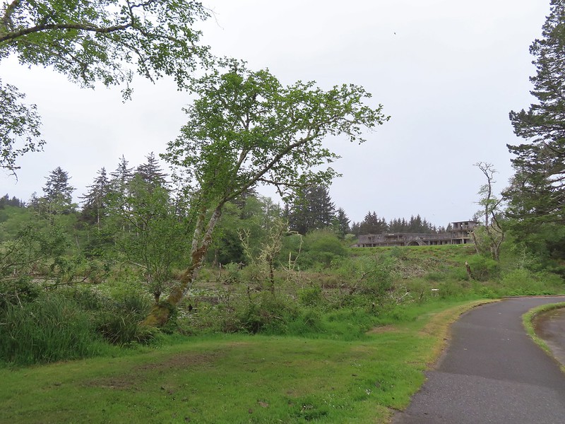
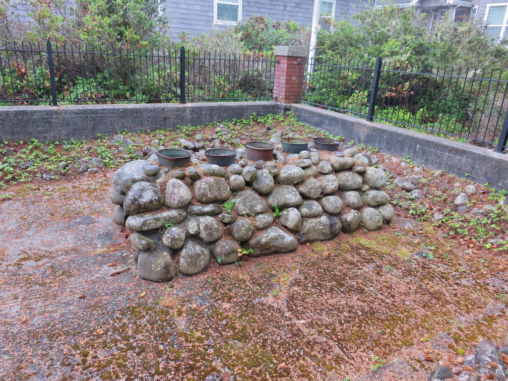
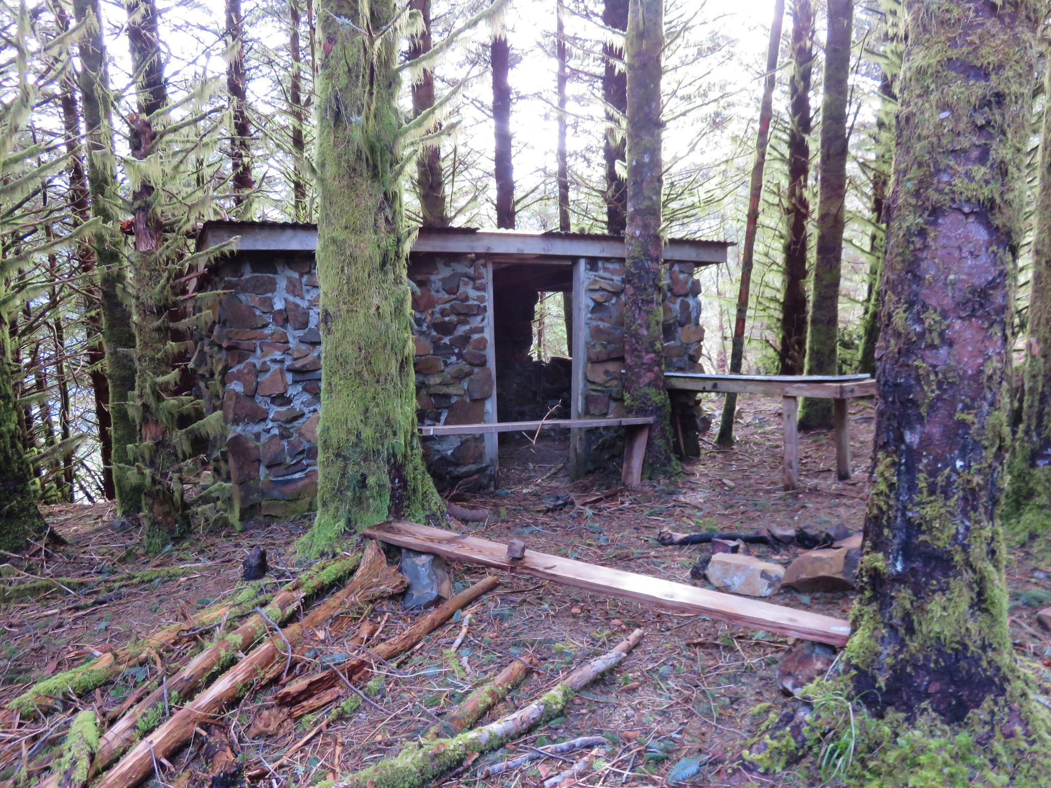
The small building at the end of the gravel road was some sort of wastewater

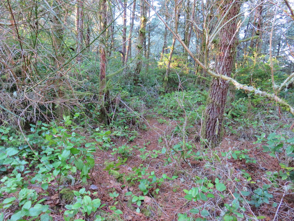
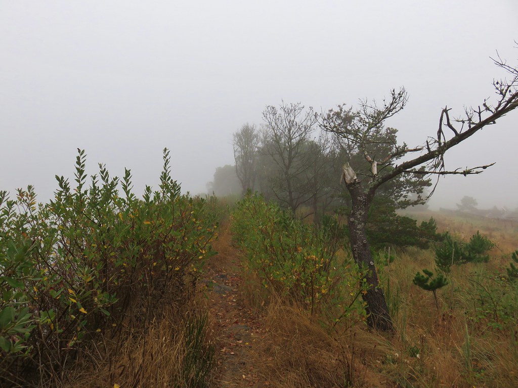
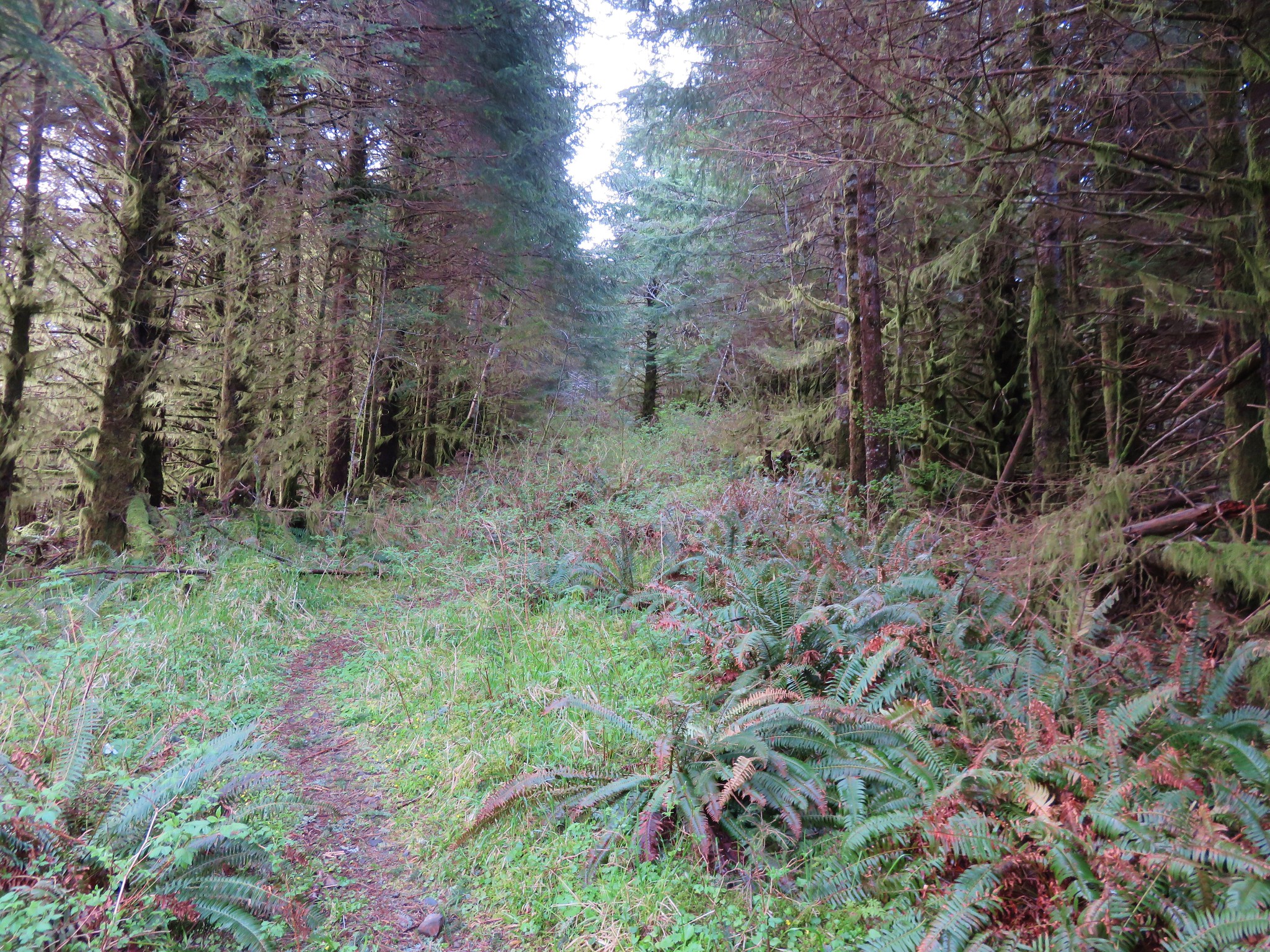
The continuation of the trail was unsigned but obvious as it cut through a wall of blackberry bushes.

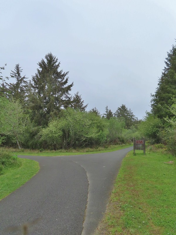
A tenth of a mile from the gravel road the trail split at another unsigned junction. This was the other end of the trail that had split off after crossing Alder Creek.

The tenth of a mile stretch passed behind some new construction.

We would be using that trail for our return but for now we stayed straight crossing the end of a paved road after another 0.3-miles and arriving at yet another junction a tenth of a mile later.


Looking up the paved road.

There was actually a pickup parked at this junction when we first passed, but it was gone by the time we came back by. The righthand fork makes a second loop possible, but this one can be submerged during higher tides.
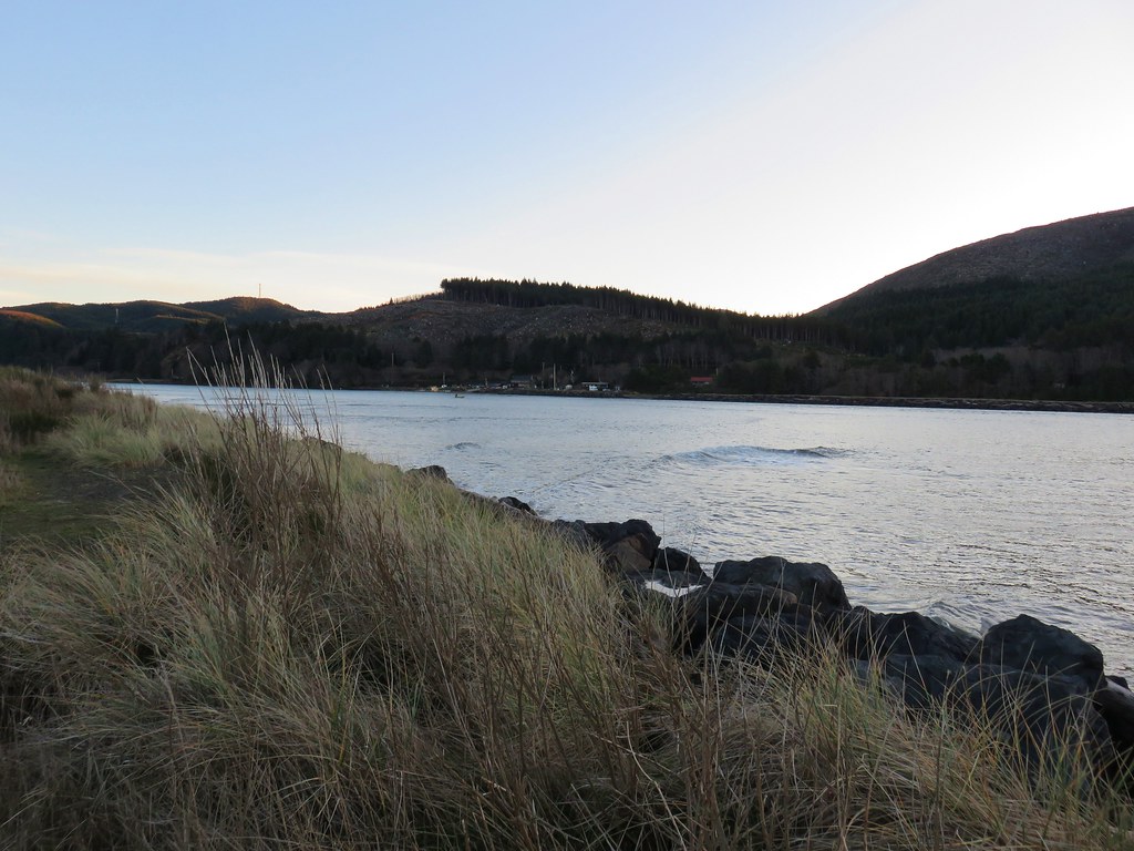
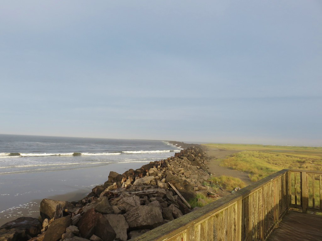
We again stayed straight and in another three tenths of a mile we came to the other end of the loop at a “T” junction near the bank of the Nehalem River.

The other end of the second loop.

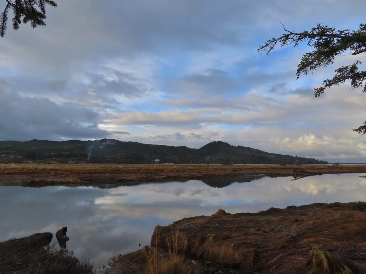
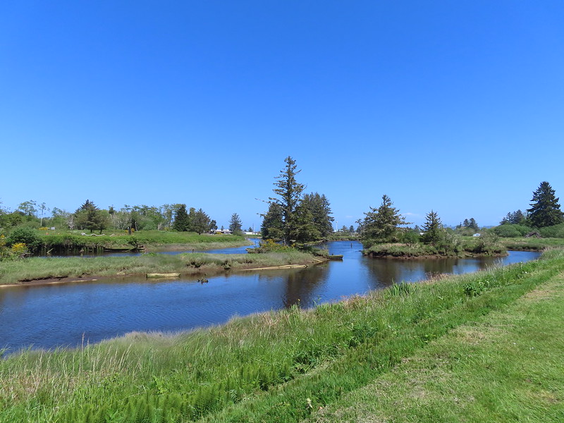
Nehalem River

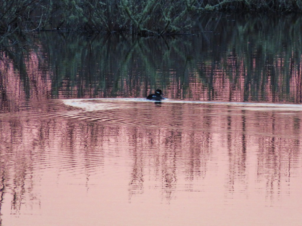
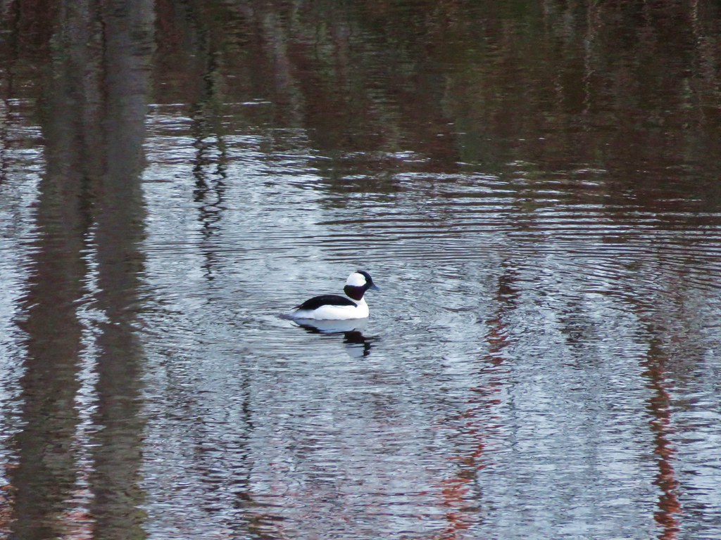
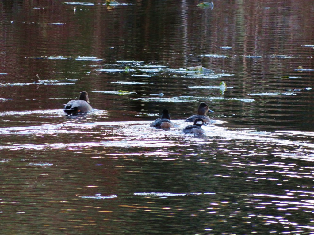
Hooded merganser
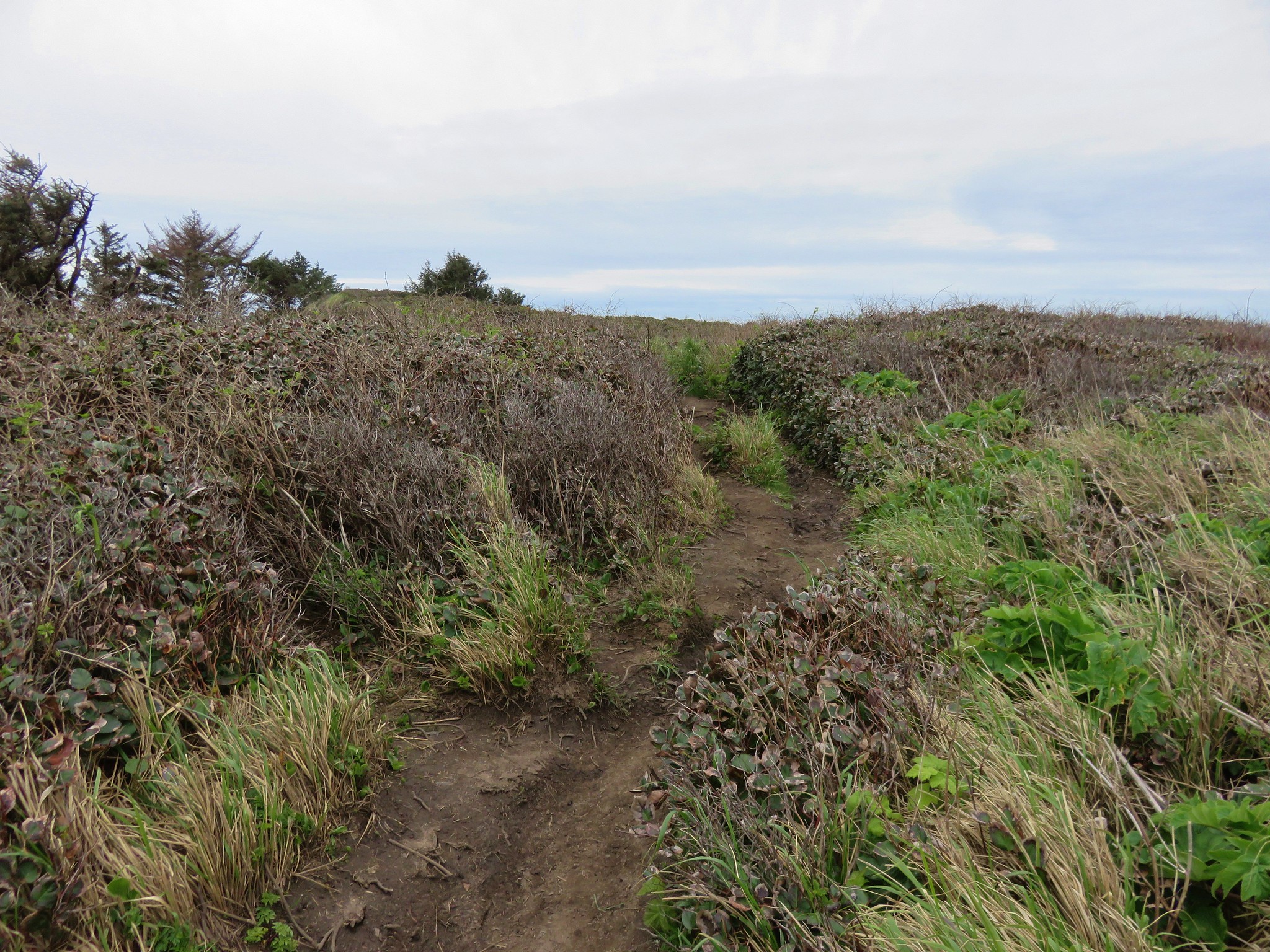
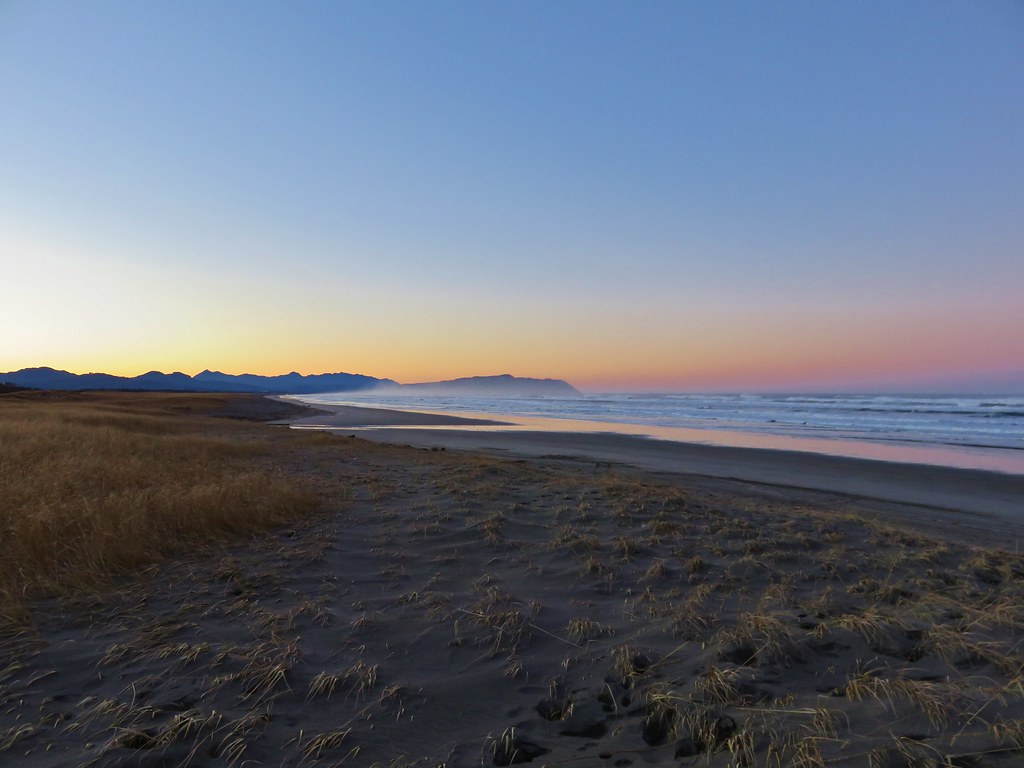
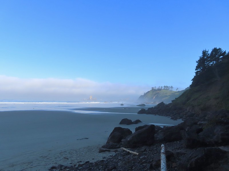
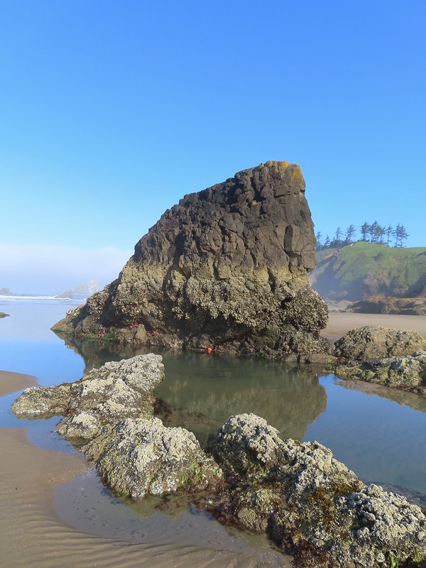
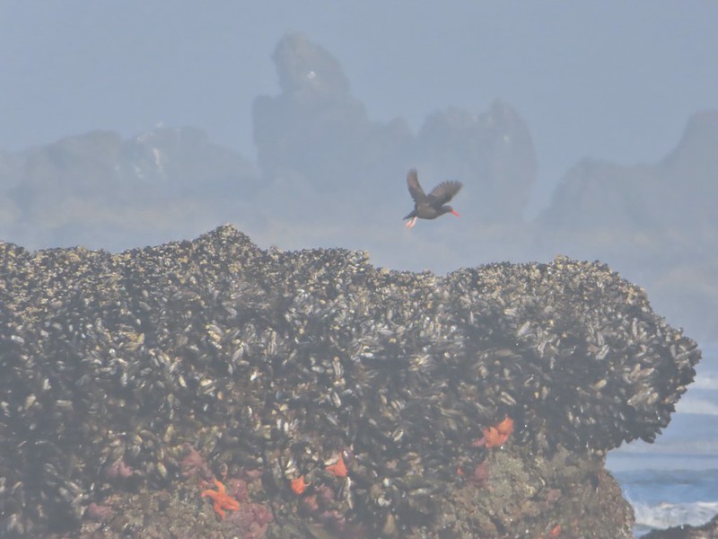
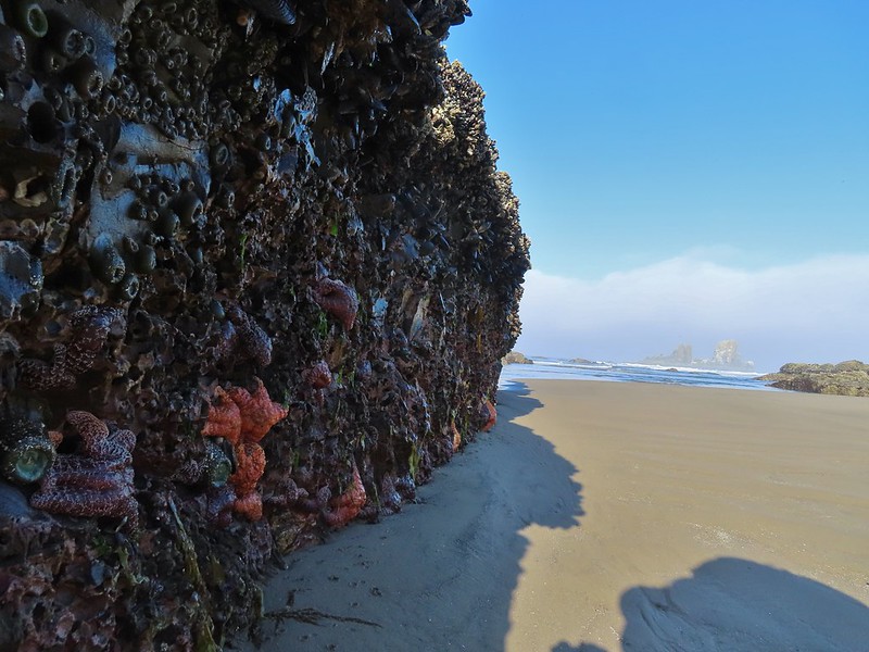
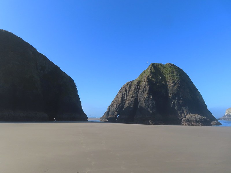
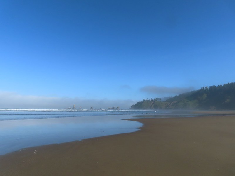
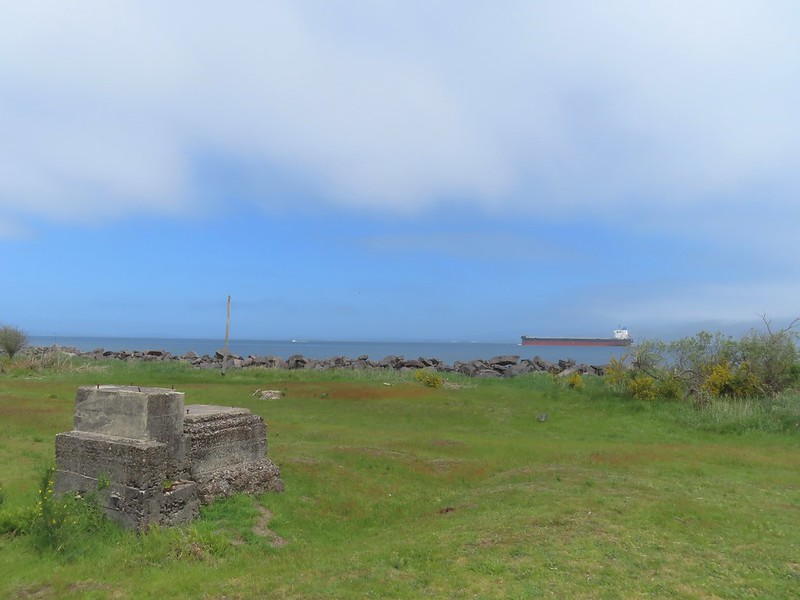
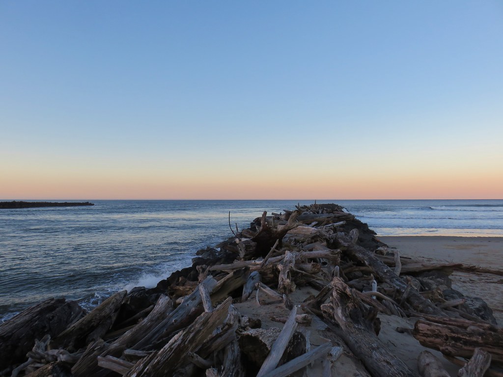
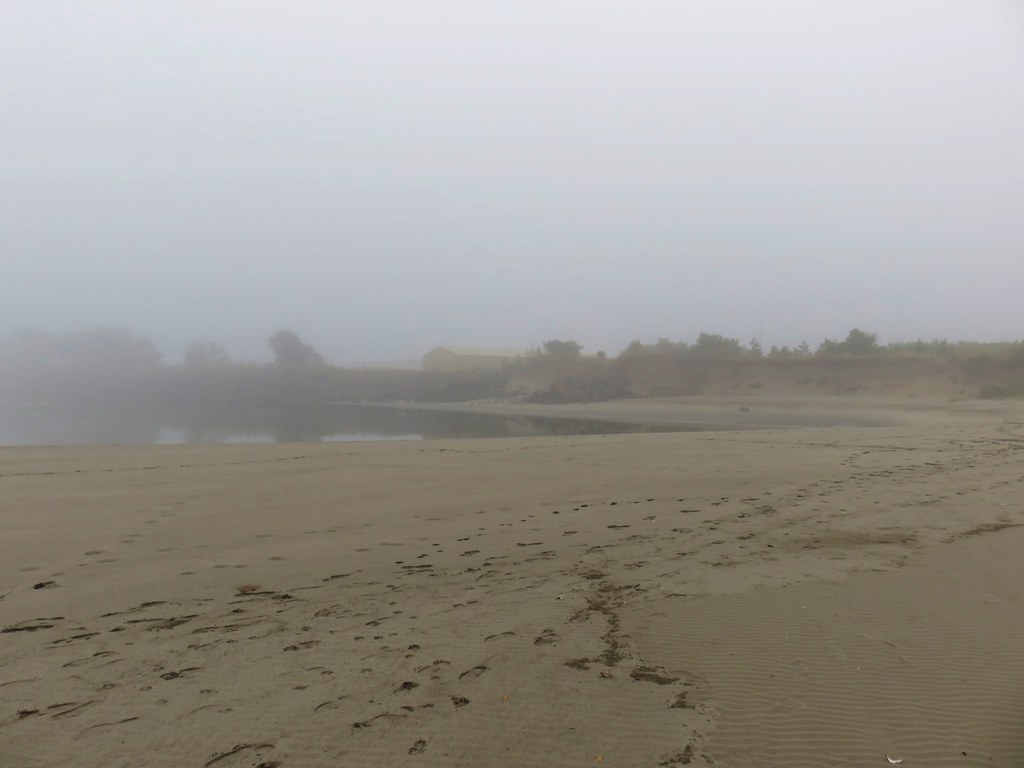
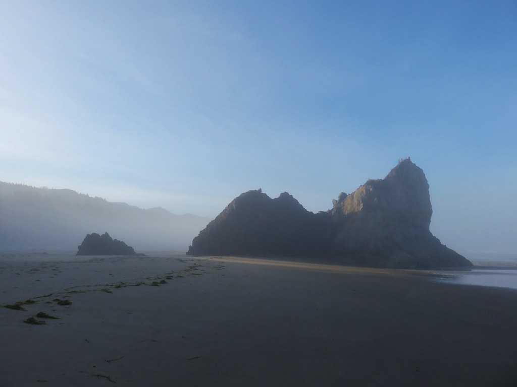
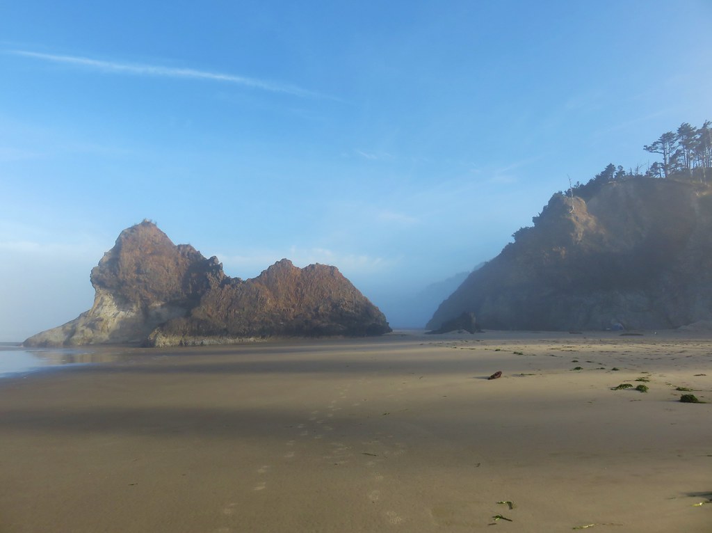
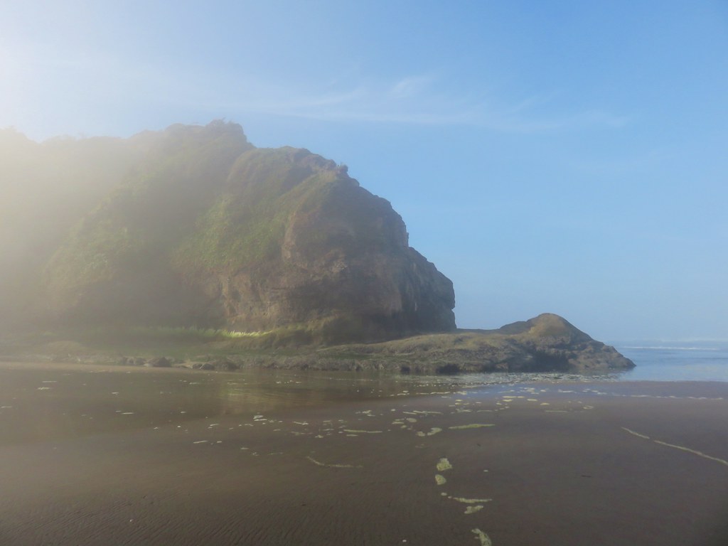
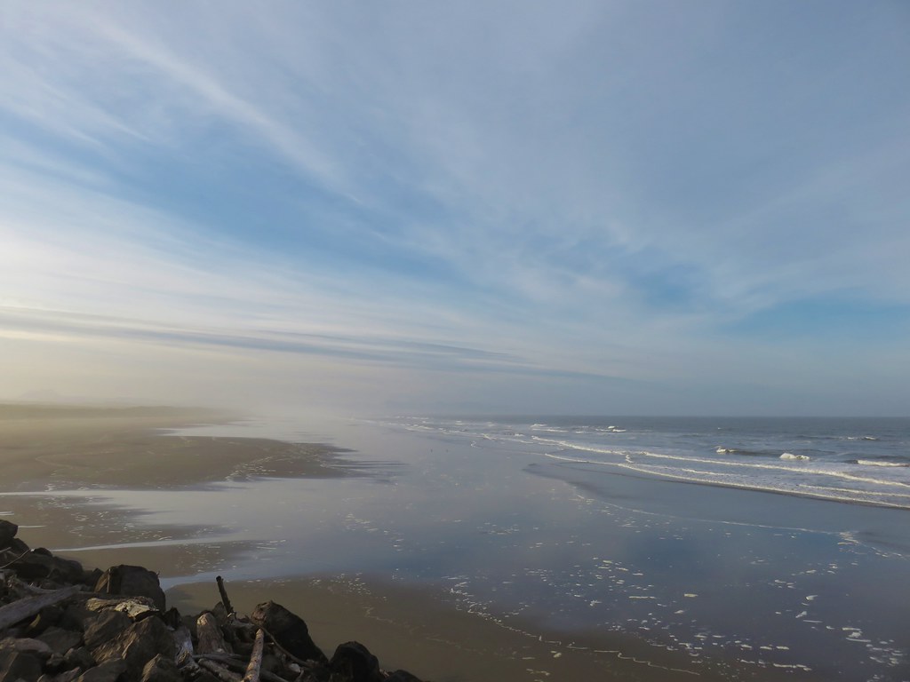
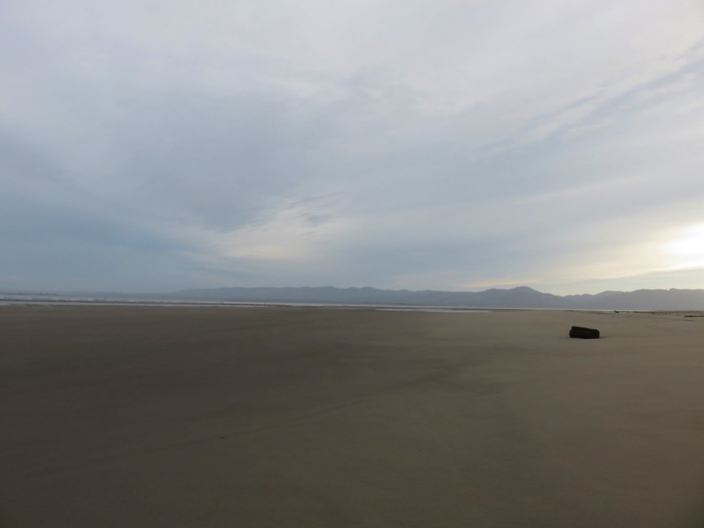
We turned left and continued another two tenths of a mile around Dean Point to the trails end at a rocky river beach.


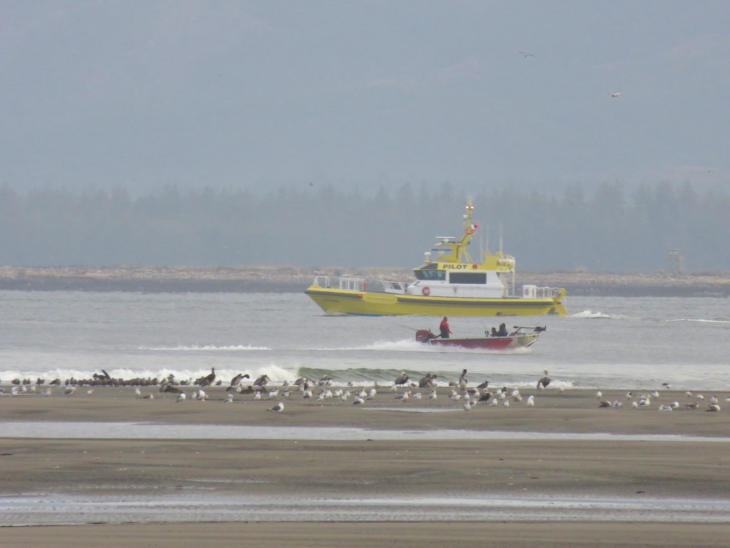
Highway 101 across the Nehalem River.

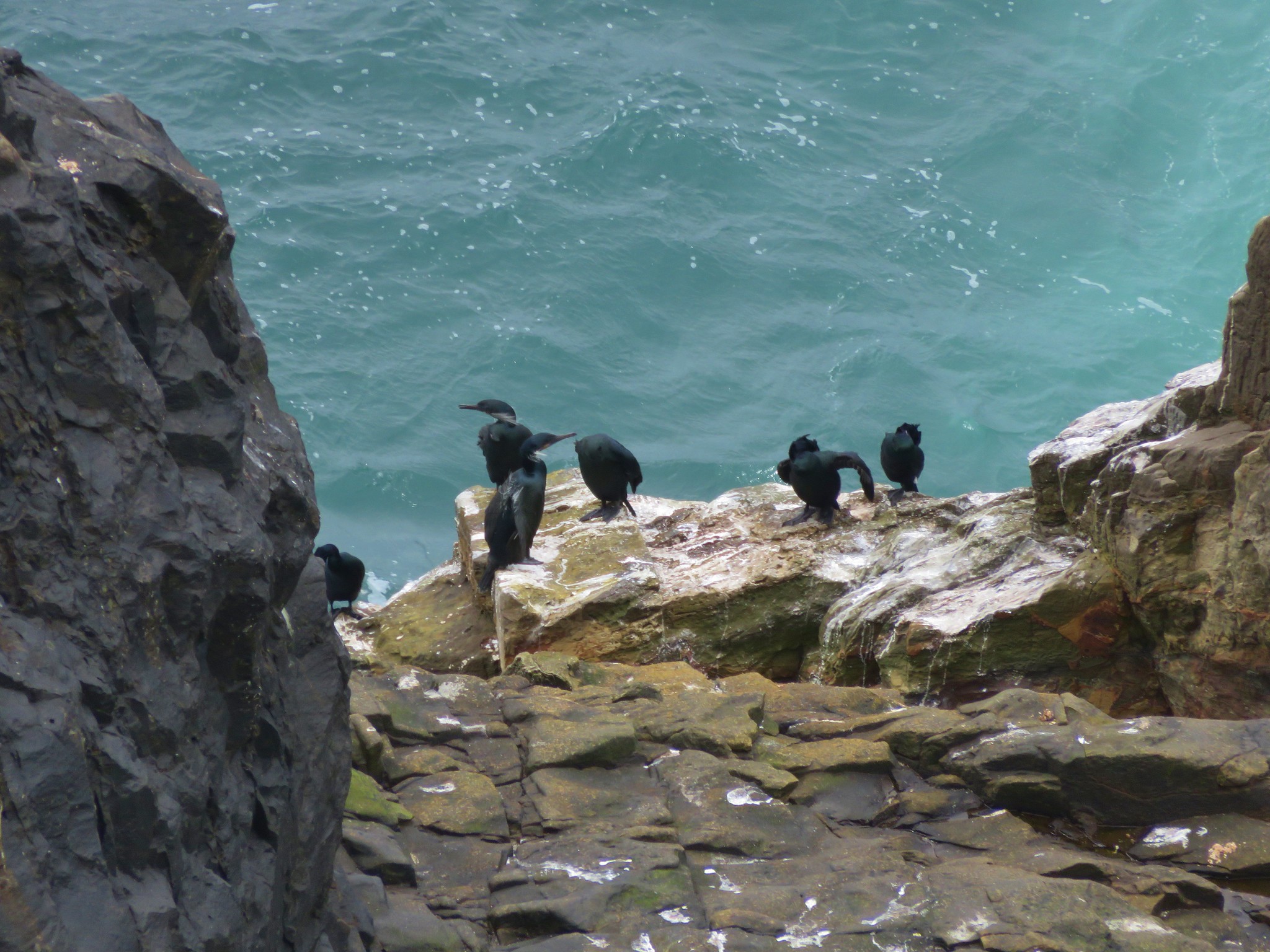
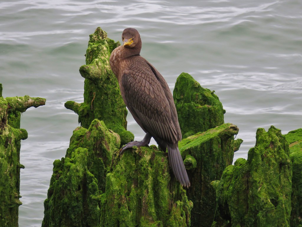
Cormorant

Nehalem River
After taking in the view from the end of the trail we returned to the “T”-junction. We hadn’t originally planned on doing the second loop because we hadn’t checked the tide tables and with the recent rain we weren’t sure how muddy/wet it might be. After seeing that it clearly wasn’t high tide I decided to give it a try. Heather decided to take the conservative approach and return the way we’d come so we split up here and planned to meet back up at the other end of the little loop.
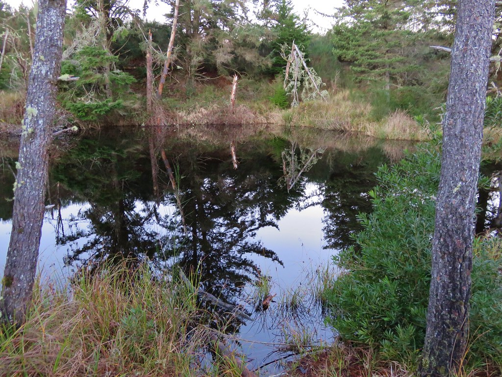
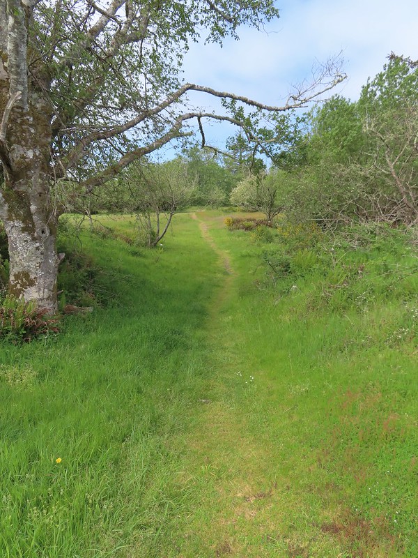
This section of the loop was 0.4-miles long and was quite a bit rougher than the main trail, but it wasn’t too wet and there were only a couple of small muddy sections where the trail briefly dropped off the narrow dike it was following.

The trail briefly followed the river before making a right turn away from it.

Rainbow to the north.

Planks were placed at various points along the trail. They helped avoid muddy spots, but I had to be careful because some of them were really slick.


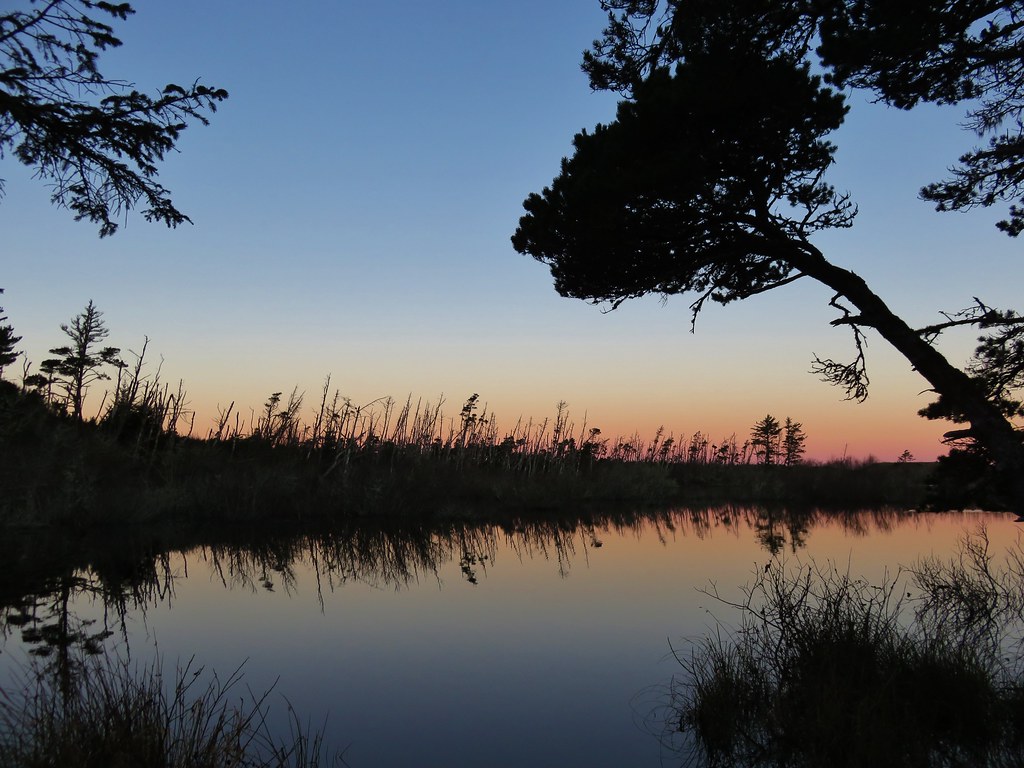
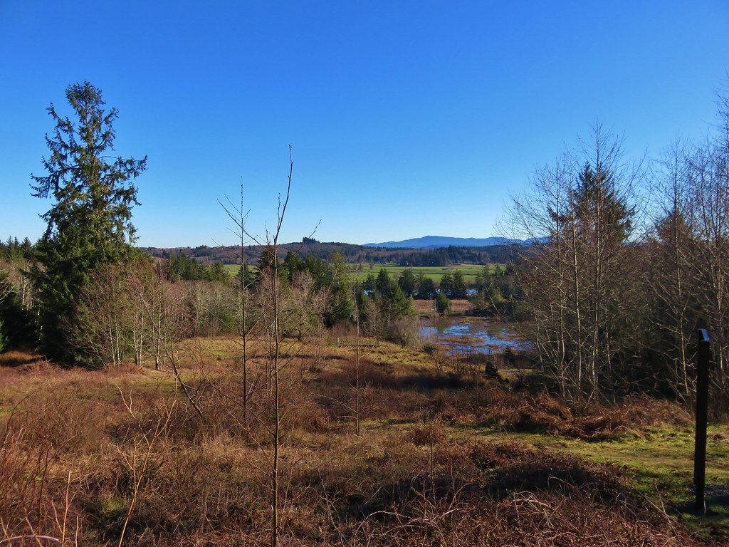
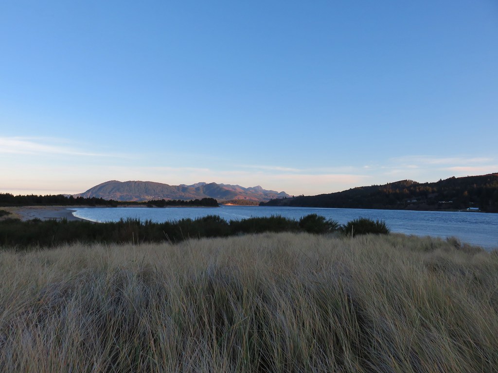
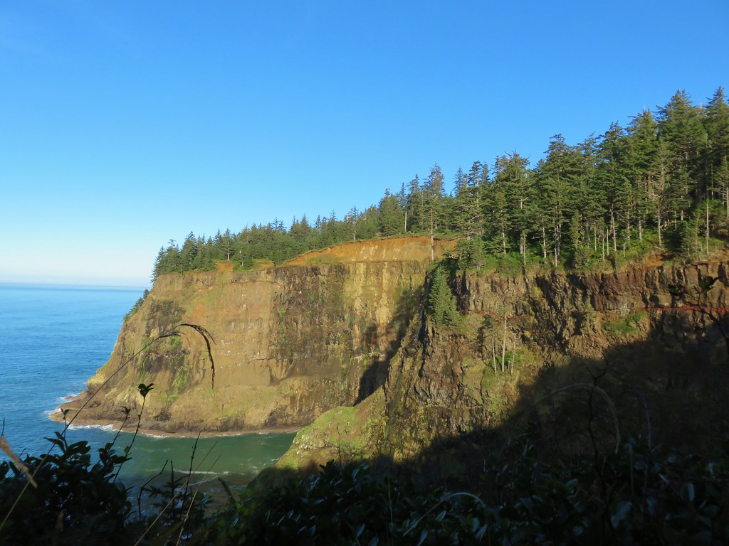
Looking toward Nehalem Bay (post).

Heading north after turning away from the river.

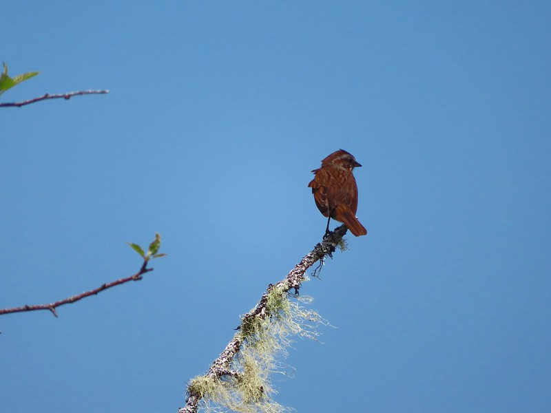
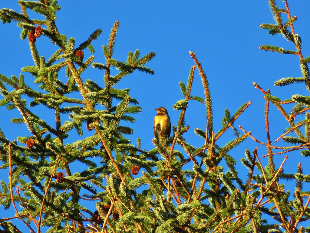
Sparrow

Yarrow

When the trail turned again to complete the loop it crossed a relatively deep (3-4 feet) channel on a narrow plank.

Not long after reentering the trees seen ahead I ran into Heather who had come down from the junction which was just a short distance away.
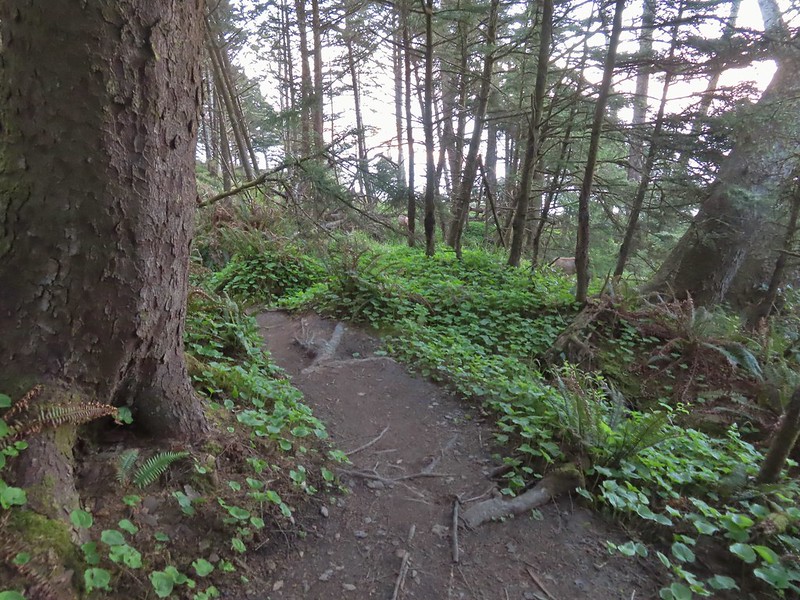
We continued on our way back and when we arrived at the unsigned junction for the first loop we turned left. This was another 0.4-mile section which passed the same meadow we’d seen the elk in earlier from the Alder Creek Trail. They hadn’t moved on so we got to see them for a second time.


On the first loop.

Salal lining the trail.


We snacked on a few evergreen huckleberries while we watched the elk.

Bench overlooking the meadow. There were two similar benches along the other loop.

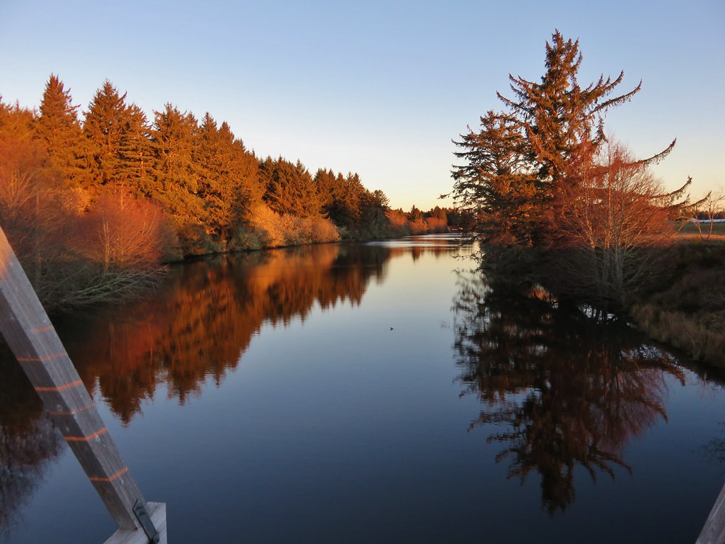
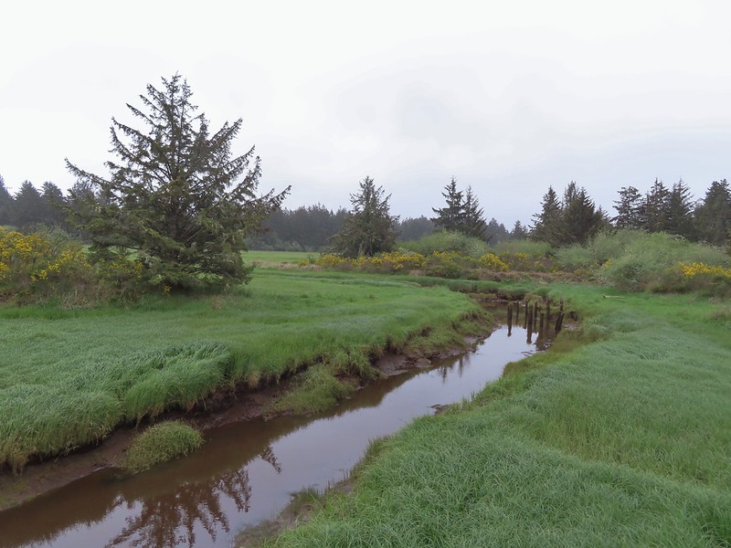
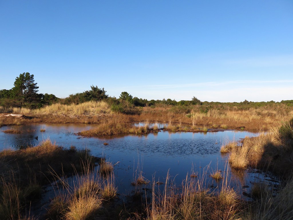
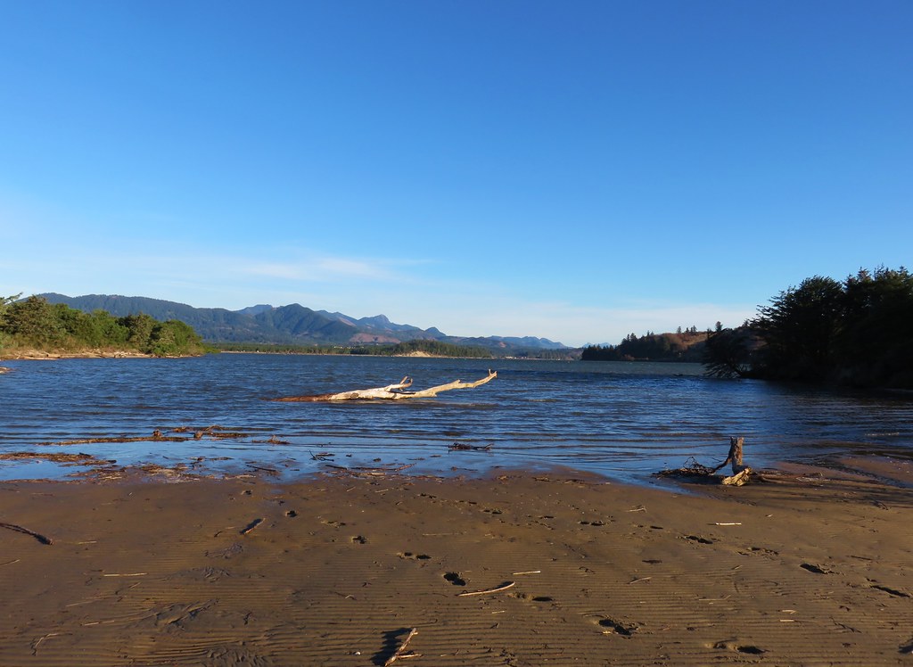
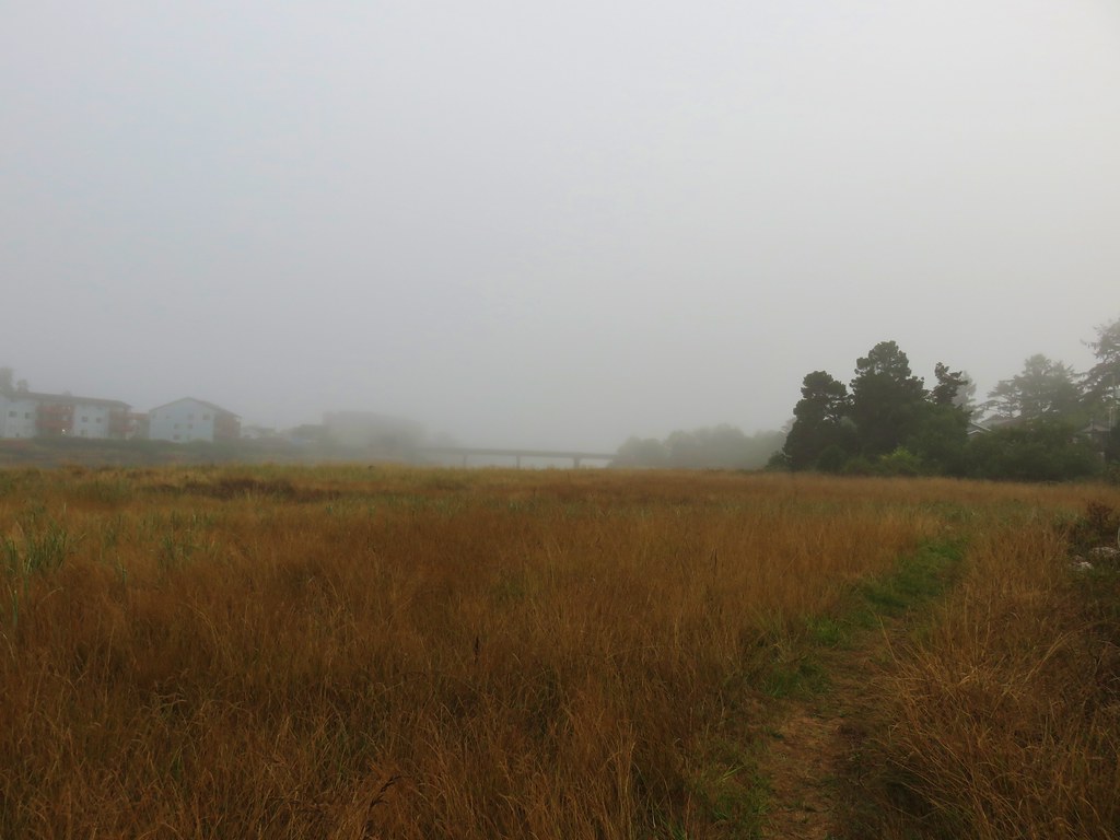
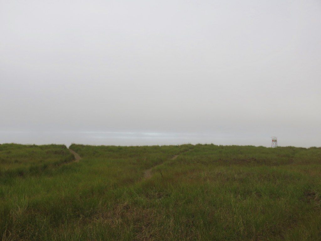
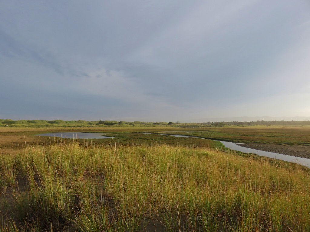
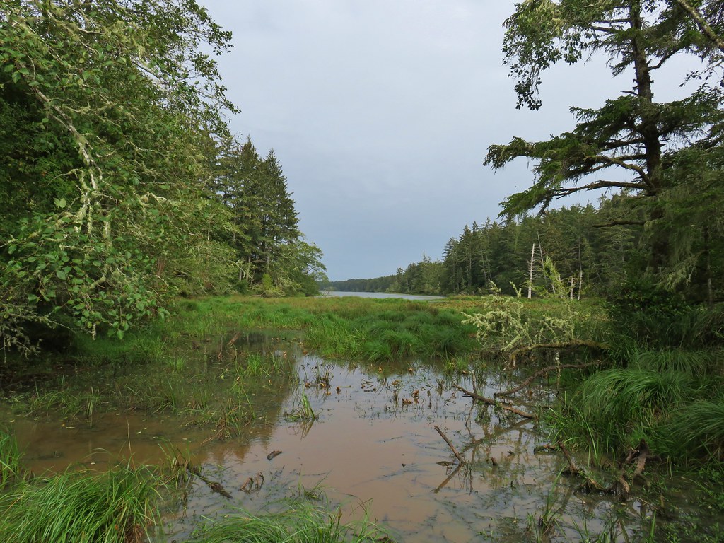
Alder Creek heading out to Nehalem Bay.

Arriving back at the footbridge.
We recrossed Alder Creek and returned to our car. Both our GPS Units showed 3.5-miles for our hikes so doing or not doing the loops didn’t make a difference distance wise. Elevation change was easily under 50′.

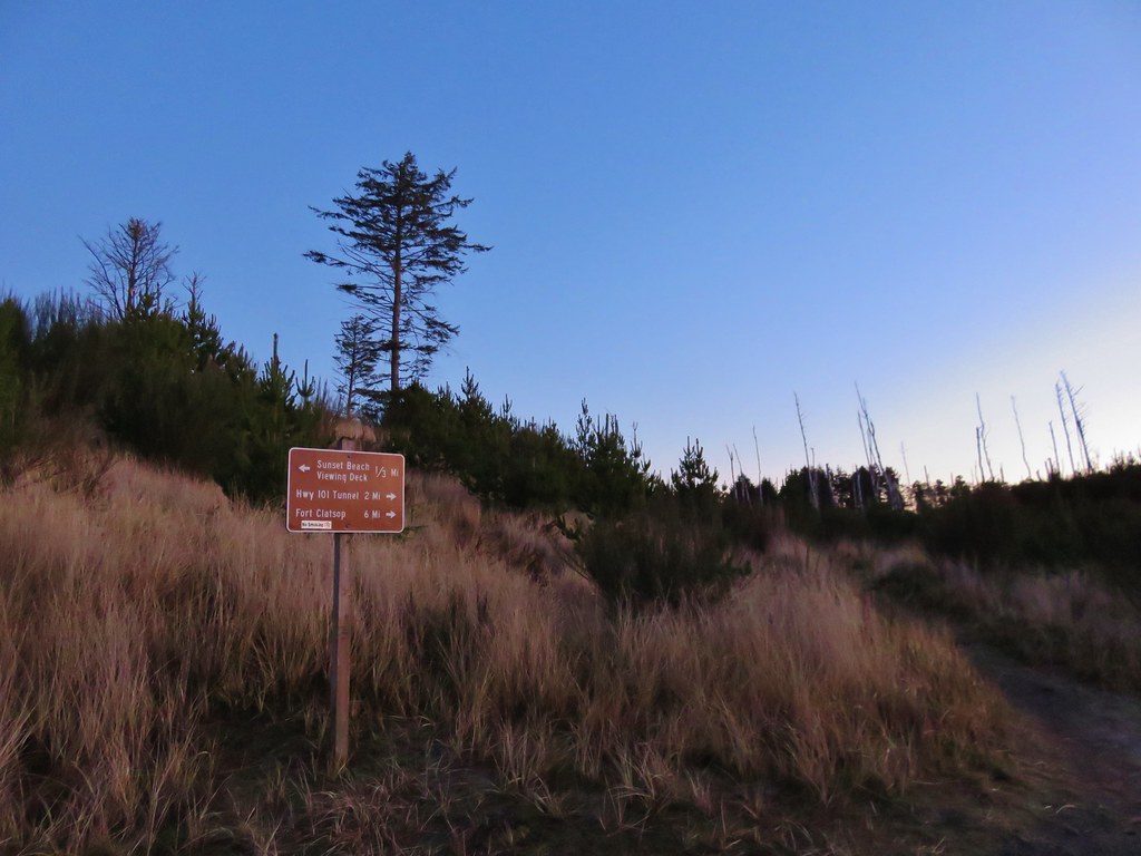
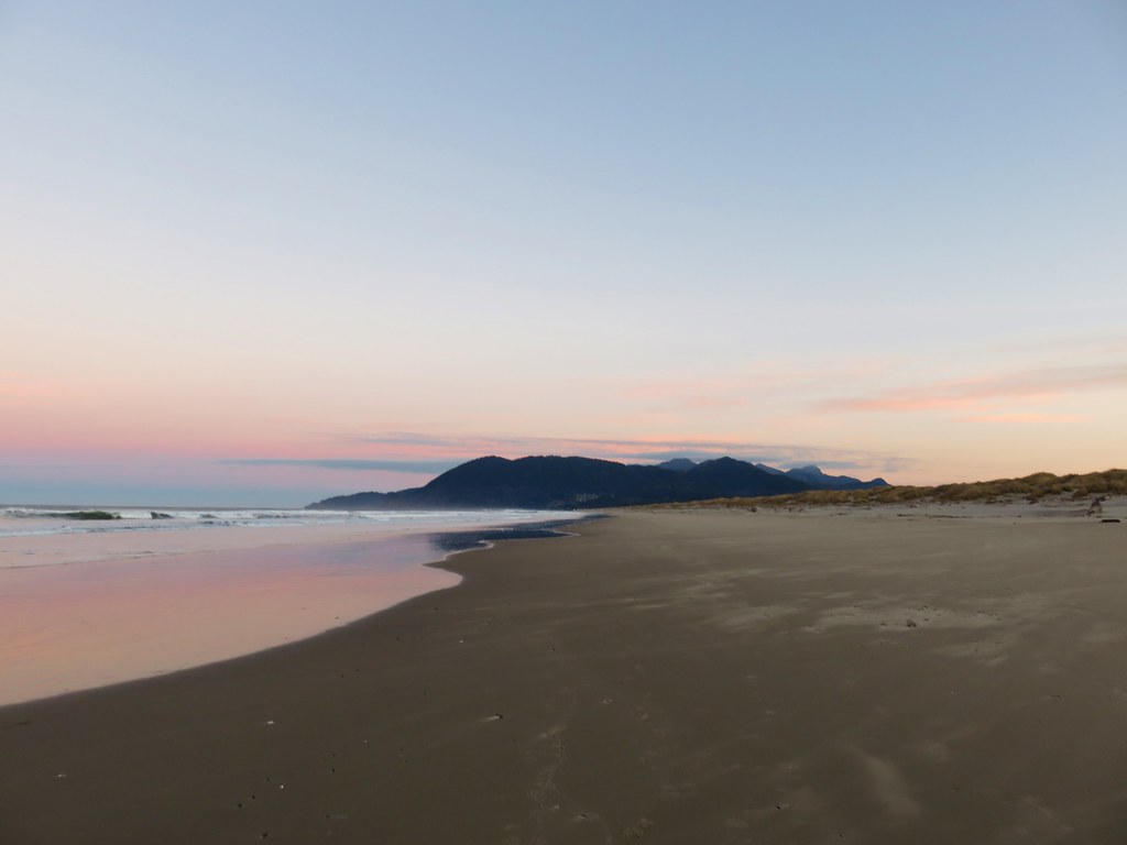
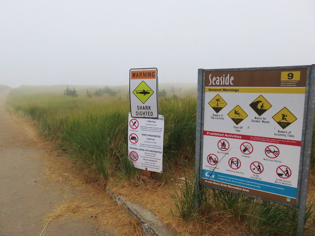
It was about a 15-minute drive to the Manhattan Beach Wayside where we parked near the restrooms which is also where an Oregon Coast Trail pointer was located.


Oregon Coast Trail pointer.
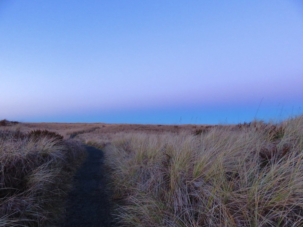
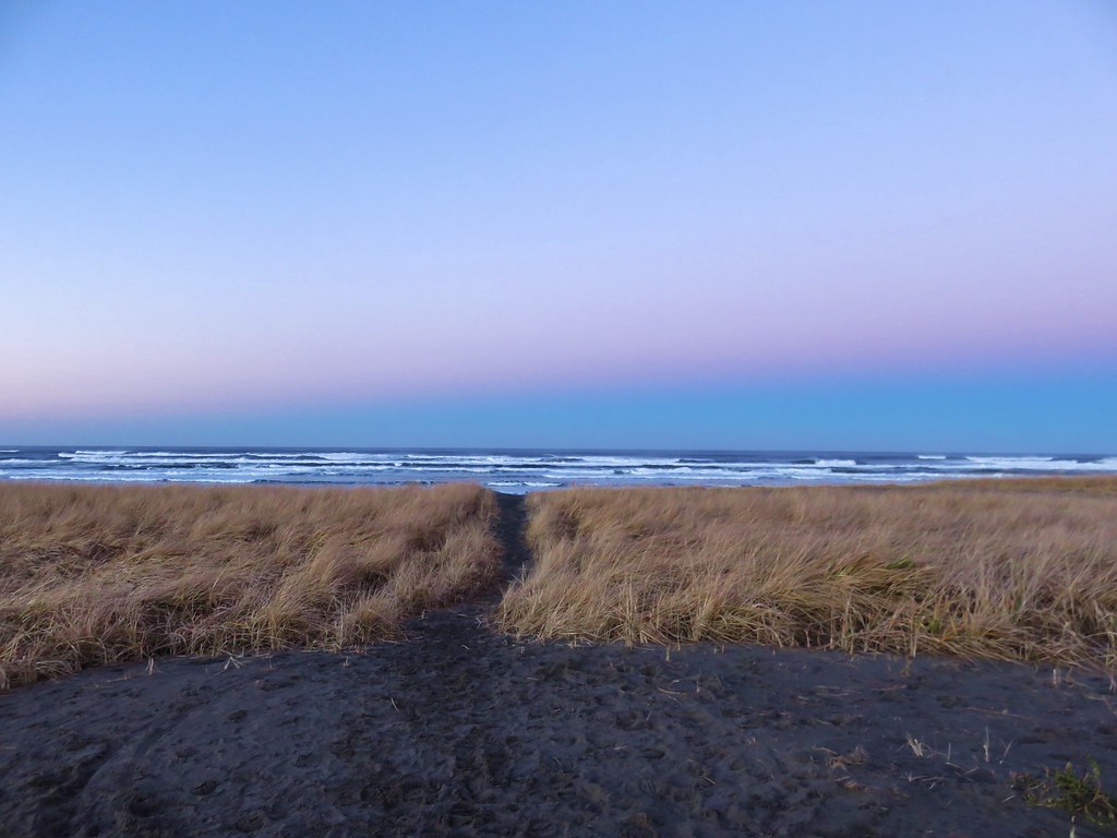
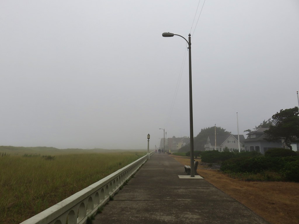
A short trail led through a strip of trees and over the foredune to Manhattan Beach.


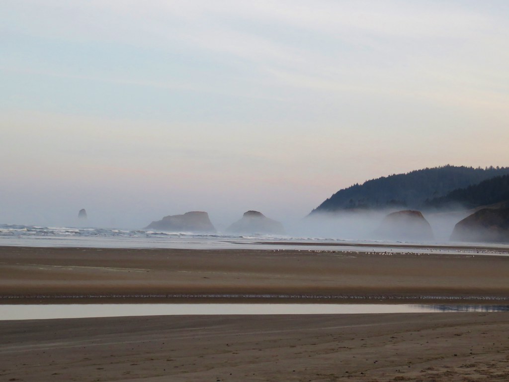
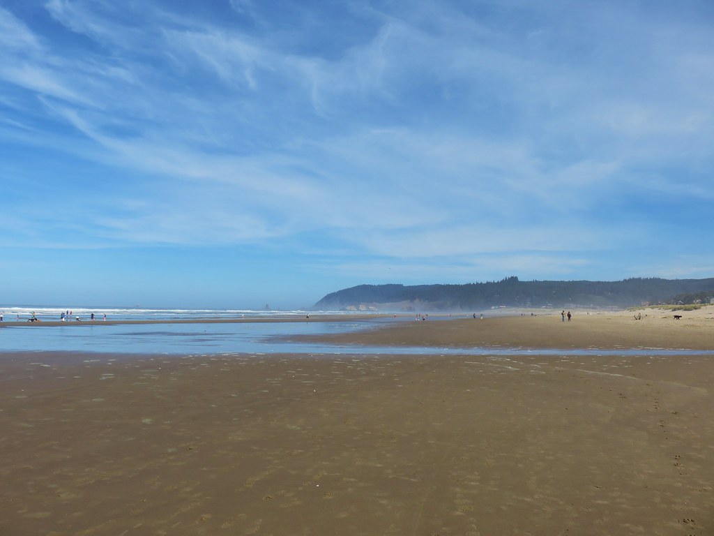
We had a choice of going north or south and planned on doing both before returning to the car. To the north was the mouth of the Nehalem River at Nehalem Bay and to the south was Rockaway Beach where we had started our Twin Rocks hike just five weeks before (post).

To the north we could see Cape Falcon (post) beyond the south river jetty.

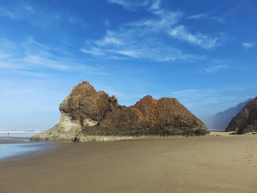
To the south Twin Rocks was visible off the coastline.
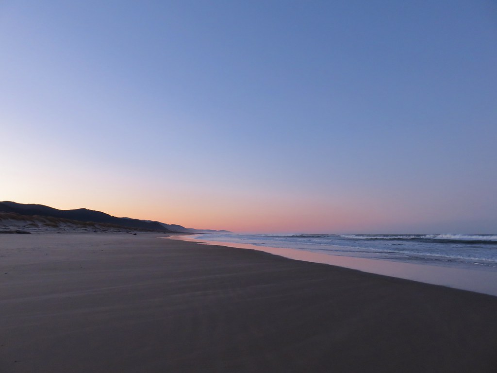
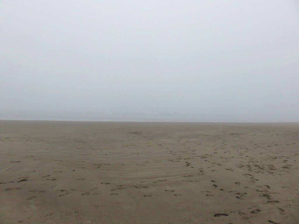
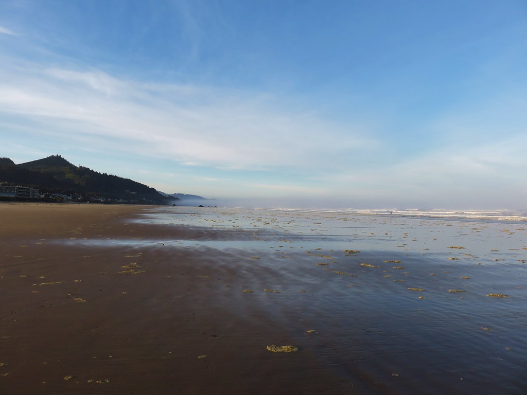
We decided to head south first with our plan being to turn around at the creek just north of the Rockaway Beach Park where we had parked in September. While we had avoided rain during our first hike the rain arrived shortly after we set off along the beach. In typical fashion the wind was blowing south to north, so we were heading into it which prompted us to throw on our rain gear. It also kept me from trying to take too many photos during the nearly 2-mile hike to the creek.

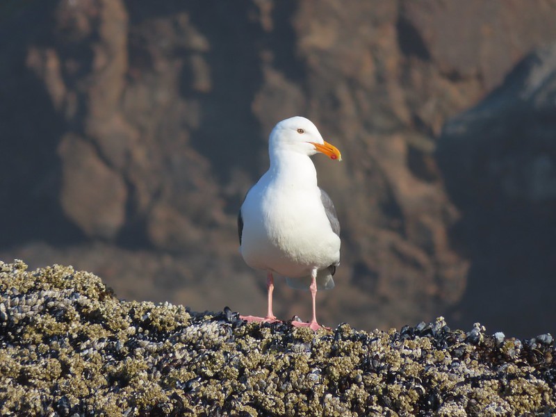
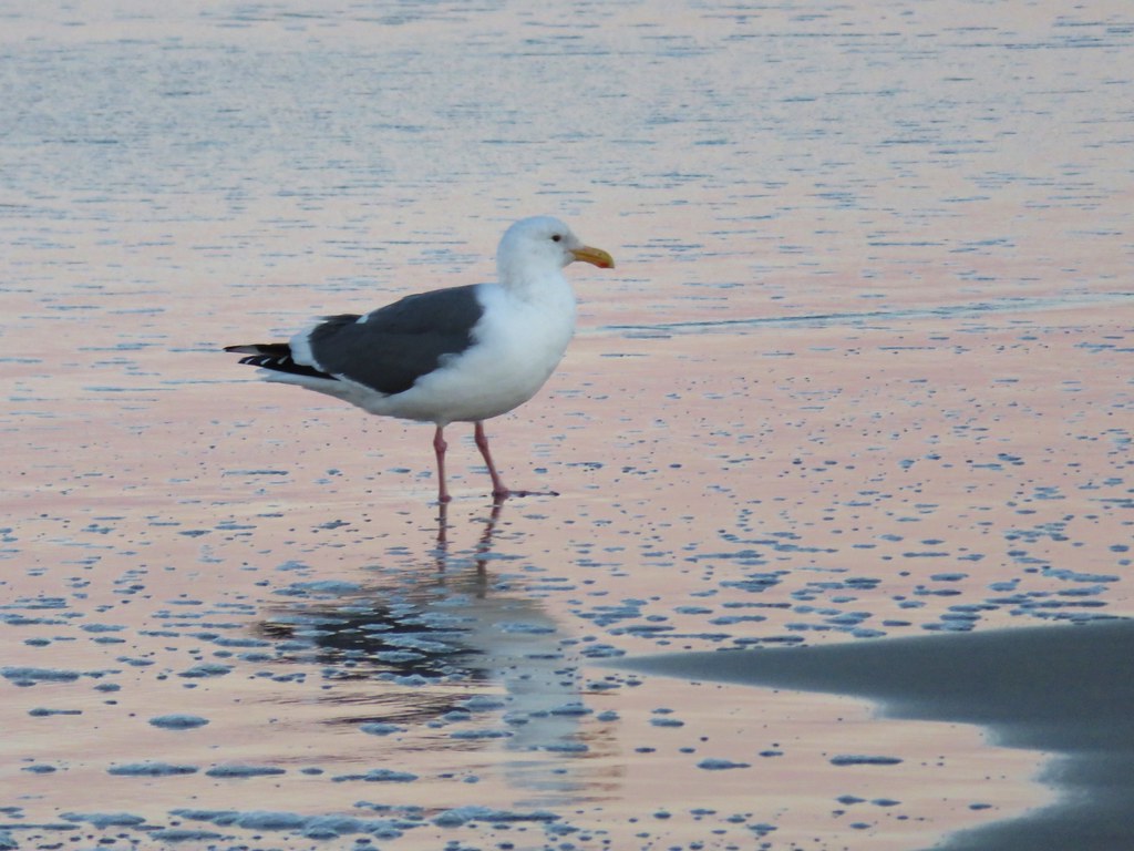
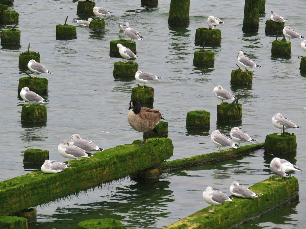
Gulls

Brown pelicans

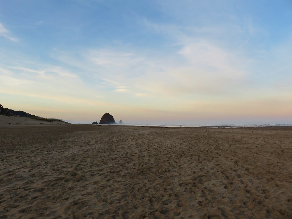
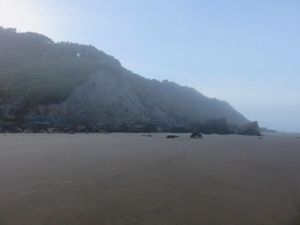
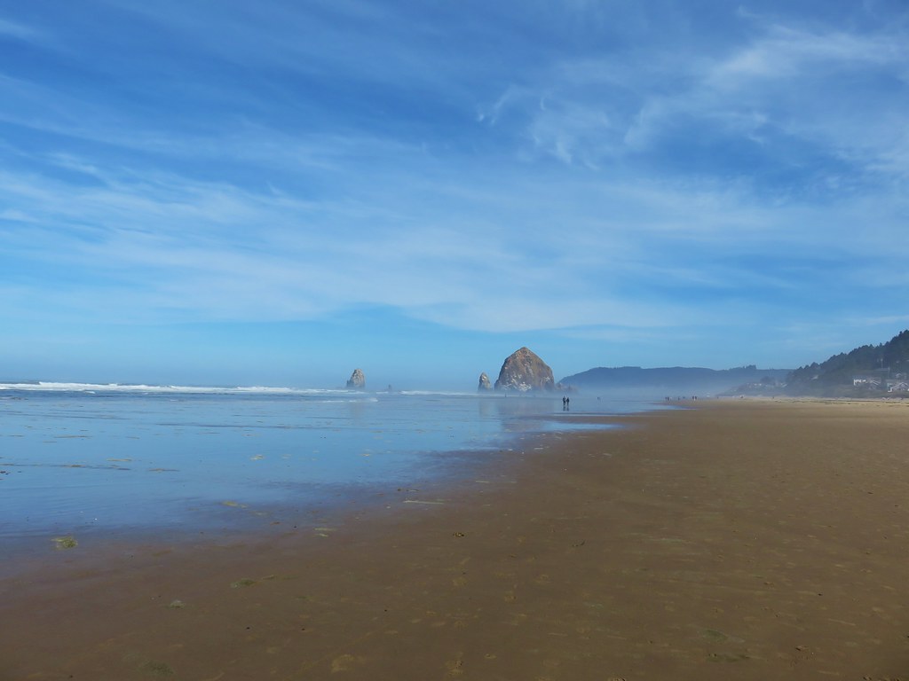
Rockaway Beach


Rain incoming.

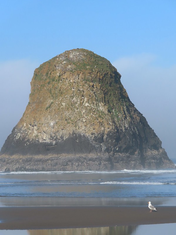
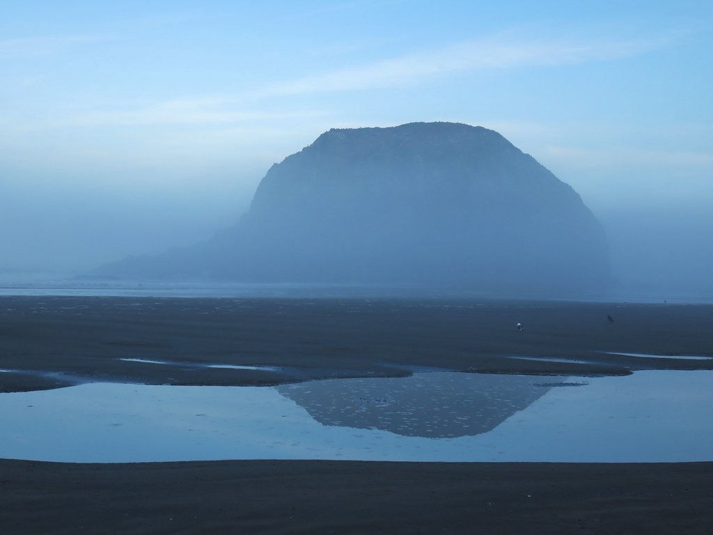
Twin Rocks

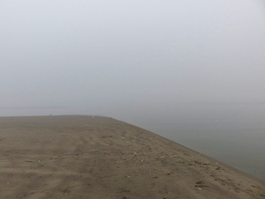
Our turnaround point through the water on the camera lens.
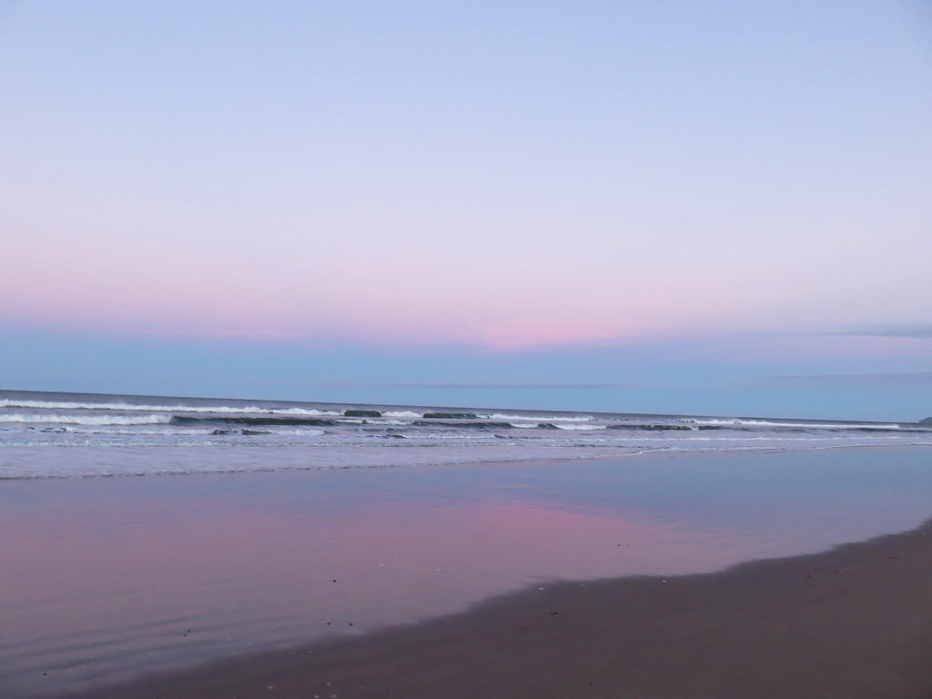
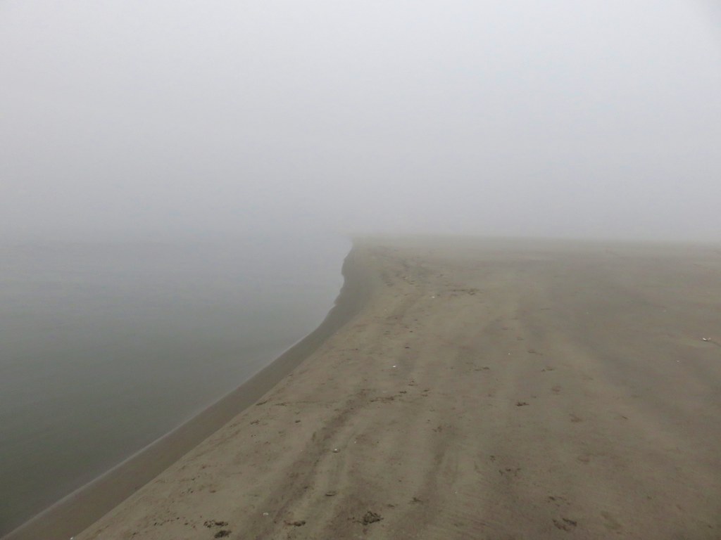
After turning around and putting the wind at our backs it didn’t feel like it was raining as hard and I tried a few more photos as we headed for the jetty which was just under 3-miles from the creek.


Mine! (If you know you know.)

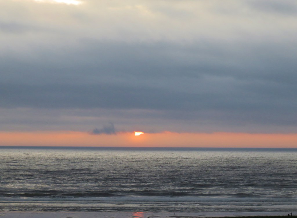
Some heavy rain off the coast heading north.

Homes along Manhattan Beach.

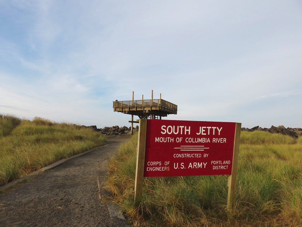
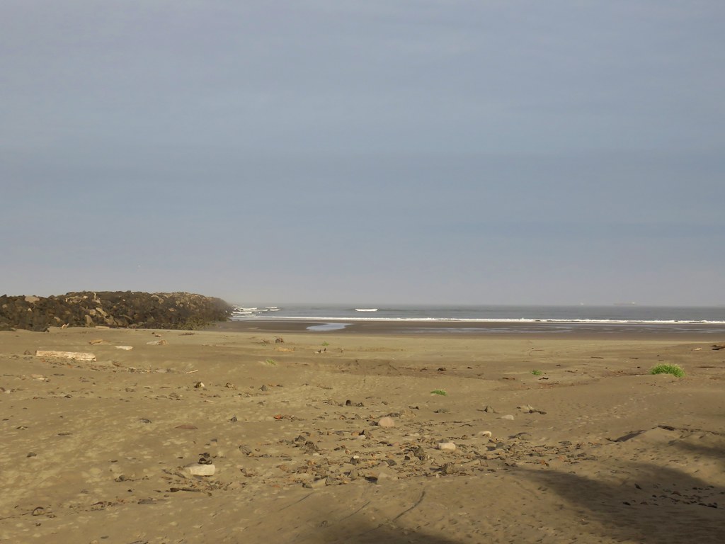
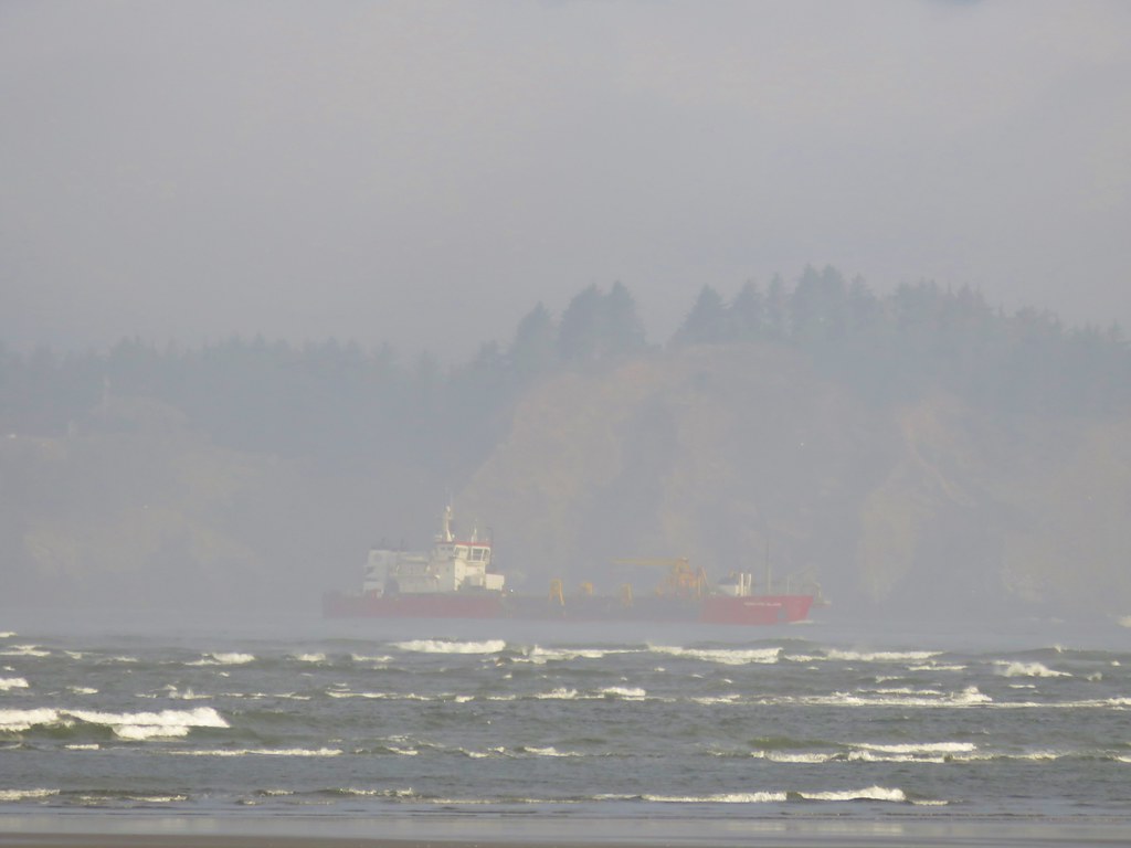
The south jetty.
We climbed onto the jetty to get a look at the Nehalem River.


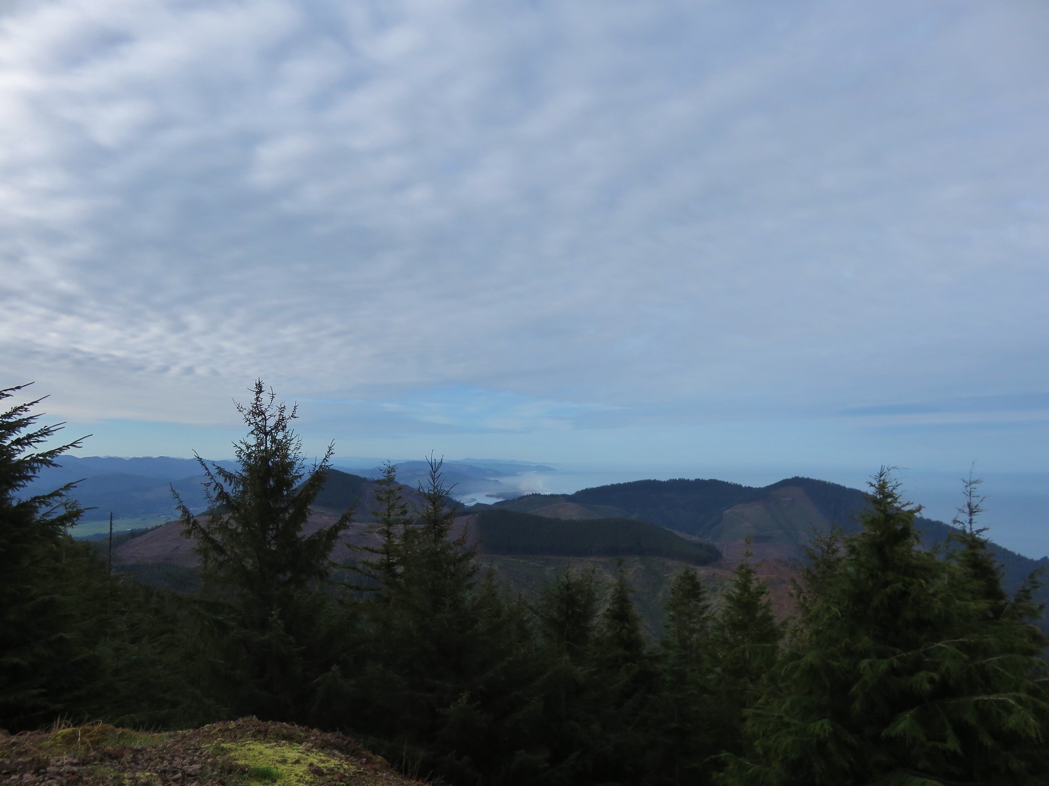
Looking toward Nehalem Bay.
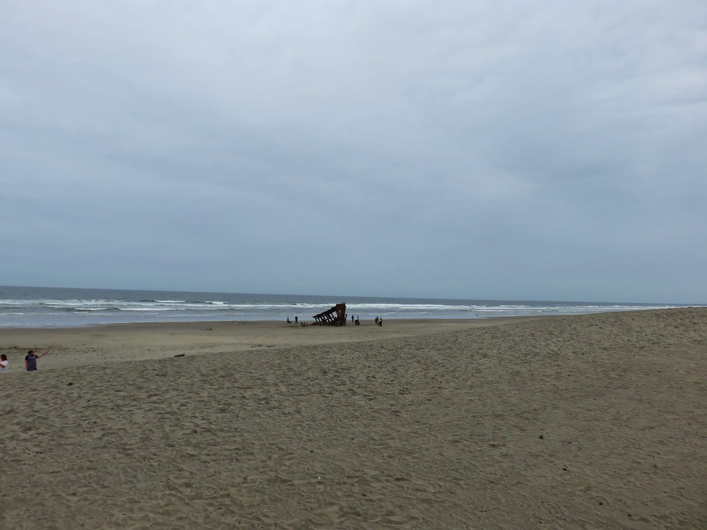
The Oregon Hiker Field Guide entry for Manhattan Beach mentioned hiking inland along the jetty to McMillan Creek. Despite the rainy conditions I decided to go ahead and do that while Heather opted to skip this portion of the quest. Instead of trying to walk directly along the jetty I headed back north to a path near beach mile marker 24 and followed it inland.

The neon sign marking mile 24.
I then picked up one of a number of use paths leading through the grassy spit and veered back toward the jetty.

I was able to find one that led back up to the top of the jetty and then followed the jetty to McMillan Creek.


The jetty was rough with a few sinkholes.


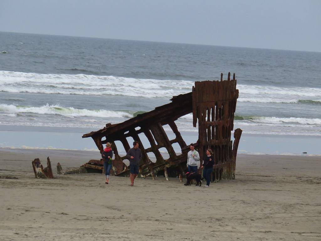
My turn around point, where McMillan Creek passes under the remains of the jetty.

McMillan Creek from my turnaround point.
The rain had let up during my hike down the jetty to the creek, but as I started back the rain picked up noticeably. I cut back across the grassy spit area to mile marker 24 and then hopped back onto the beach. From there it was a mile back to the trail up to the Manhattan Beach Wayside.

I got another brief respite from the rain once I was back on the beach.

Those dark clouds were angry and wet.


Mile marker 25 is up on the foredune to the right which is also where the trail was back to the wayside.
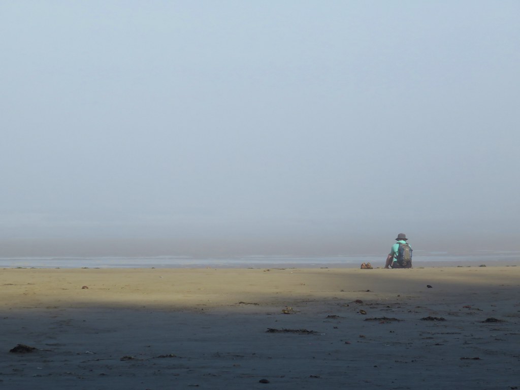
Heather was sitting on a bench on the foredune when I got back and we finished the hike together.

Our car in the wayside parking lot from the trees.
The GPS put my hike at 7.5-miles with minimal elevation gain.

As we were trying to change out of our wet clothes the sky really opened up and it poured. These wound up being great choices for a rainy day. We were especially pleased with the Elk Run hike. It was a relatively quiet hike given how close we were to homes and the highway and it had some really nice views. Seeing the elk also gave it a boost. Happy Trails!

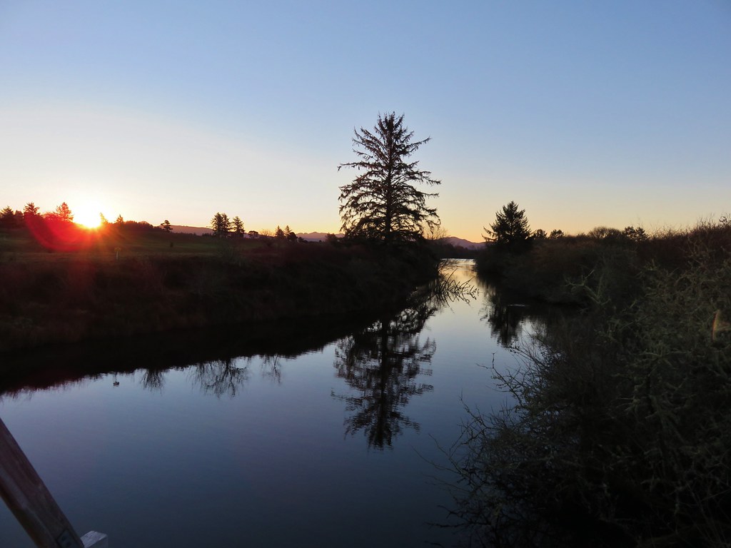
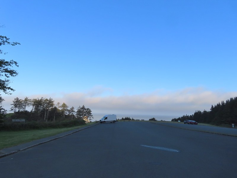
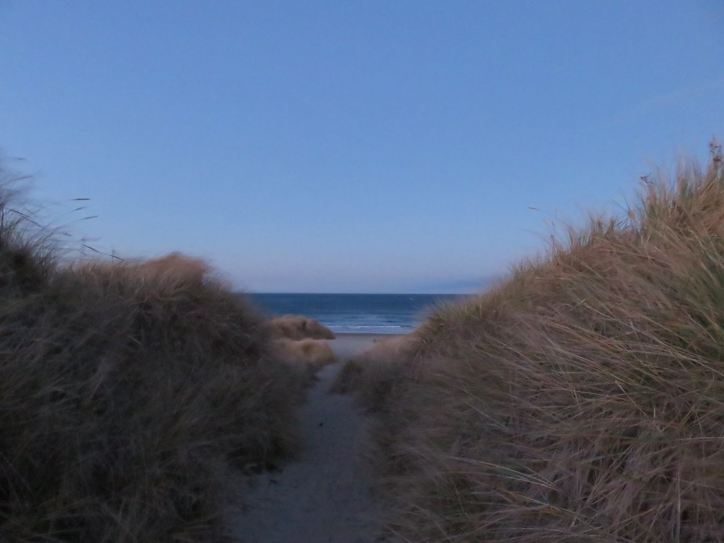
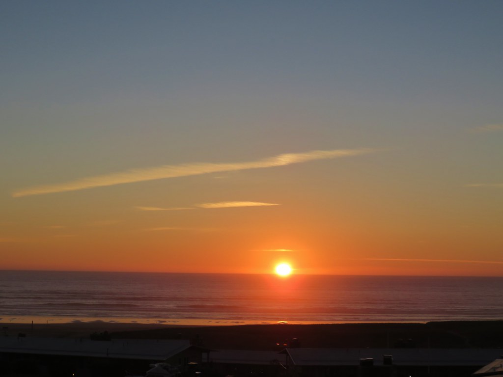
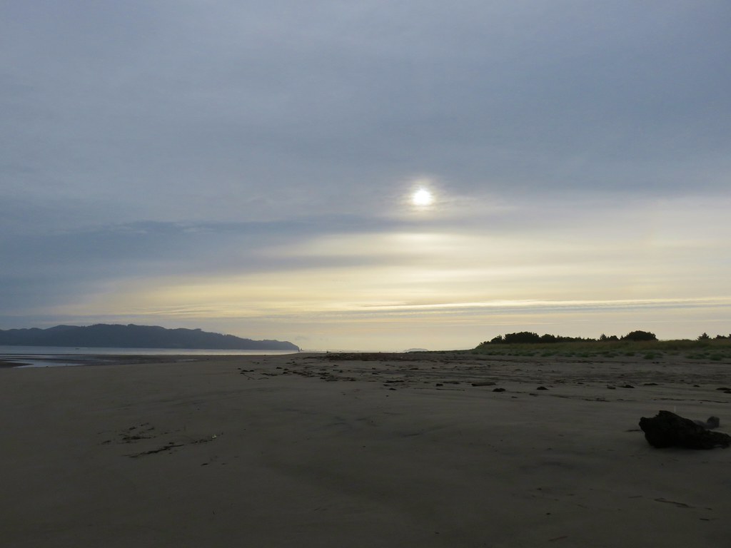
 I had arrived just after 6:30am so it was still a little dark as I set off.

 Please respect private landowners wishes when recreating to ensure that public access continues to be allowed.
 Looking back at the sunrise.

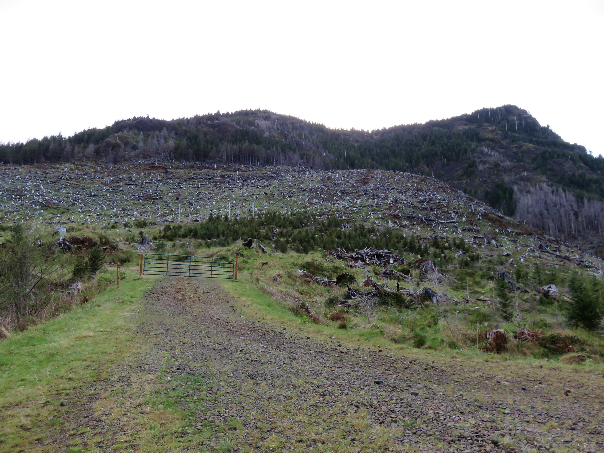
 Entering the clearcut.
 Bleeding heart
 The OCT is well marked.
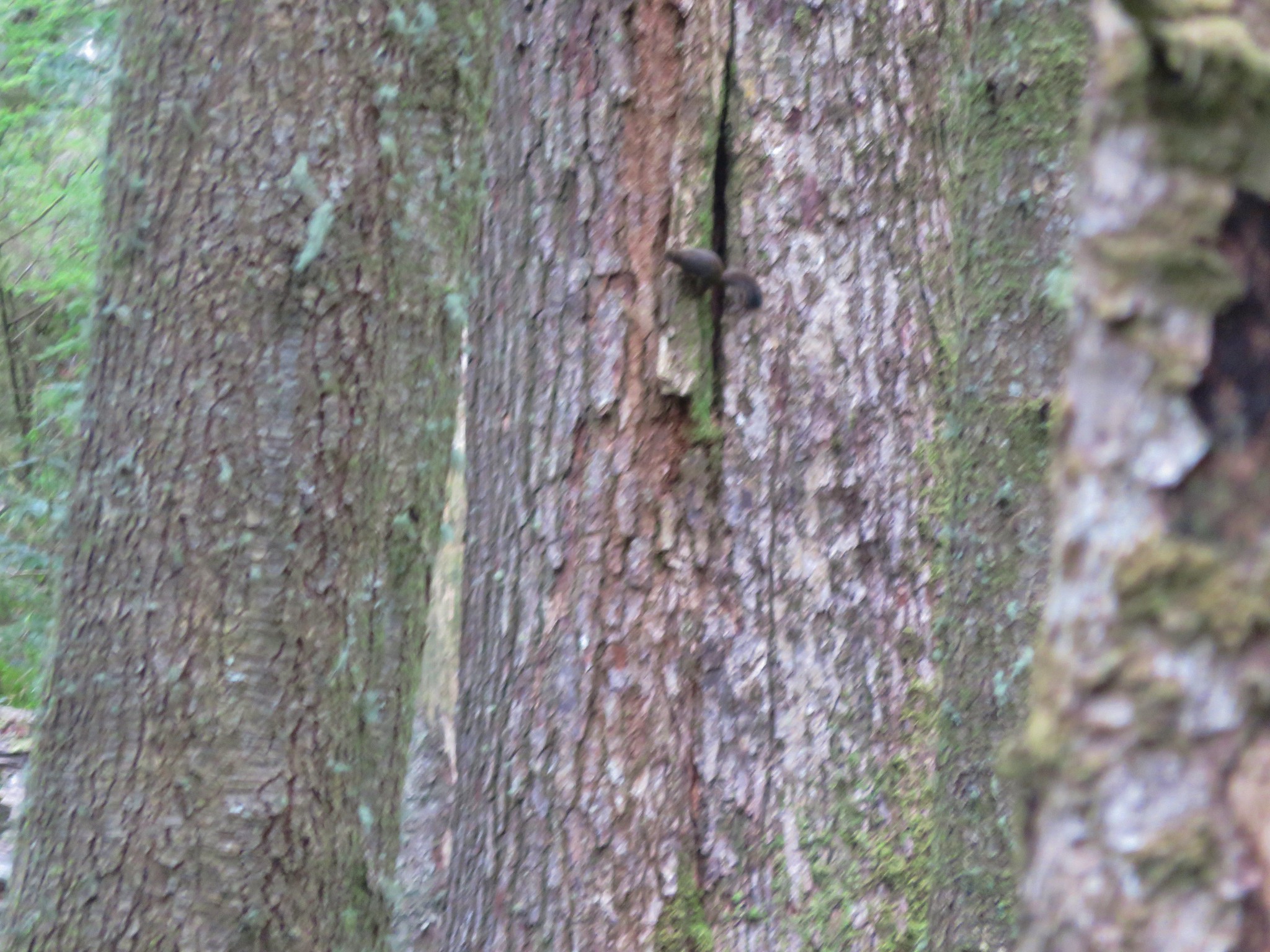
 Woodpecker
 Back in the forest.
 Interpretive signs in the preserve.
 Bench at a viewpoint.
 Nehalem Bay (
 Salmonberry blossom
 Leaving the preserve.
 Violets and pink fawn lilies. These were the first pink fawn lilies I had seen, it seems that we hadn’t timed our coastal hikes right to catch their bloom in the past.


 Trillium
 Fringecup
 Toothwort


 I made use of this bench on the way back to take a break and do some stretching.
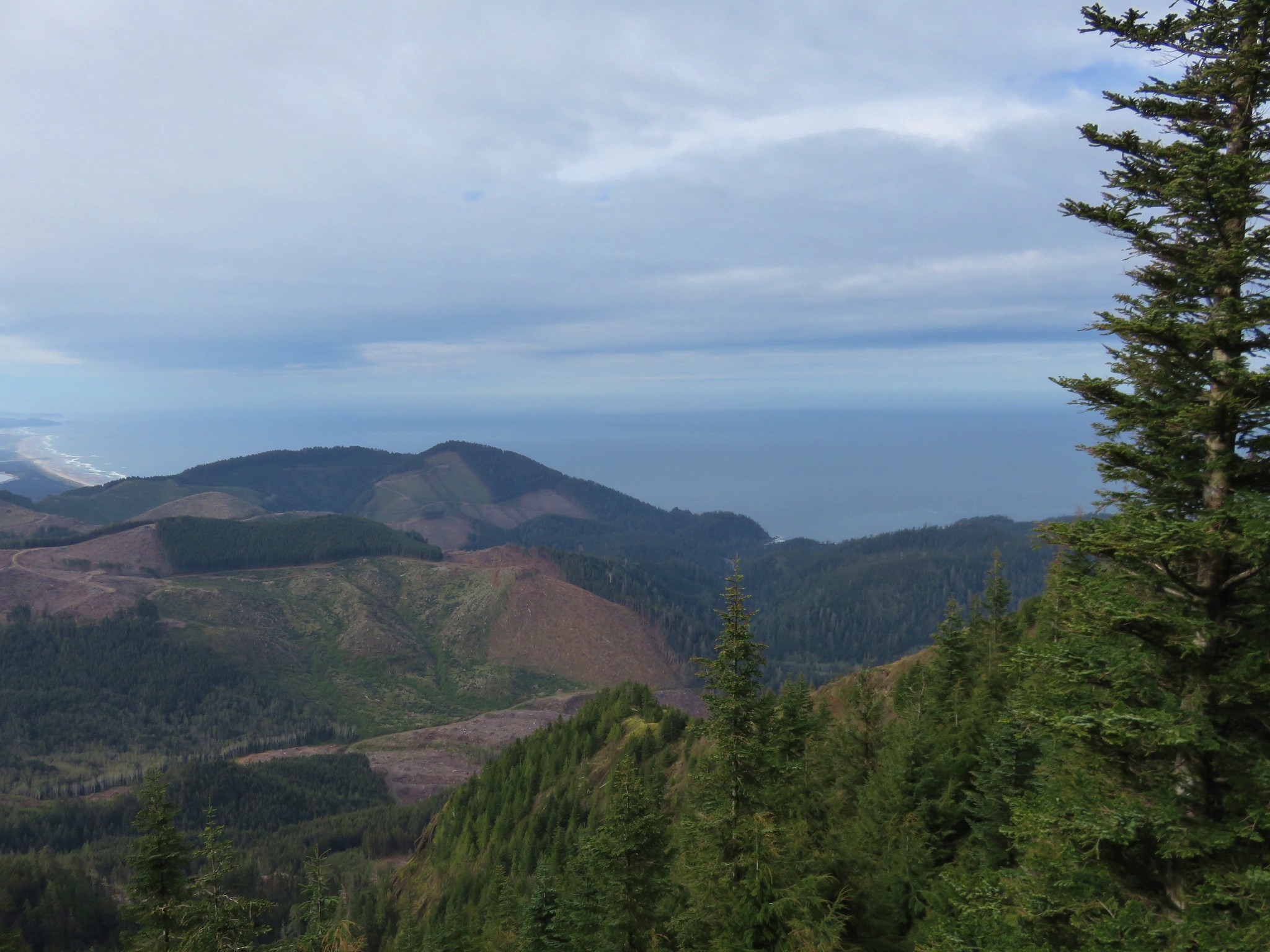
 View to the north.
 Tillamook Head (
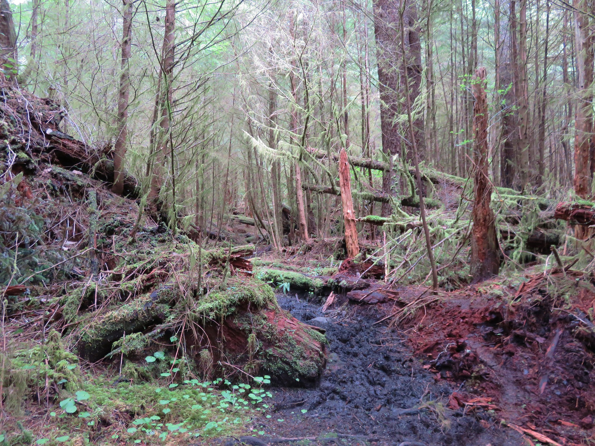
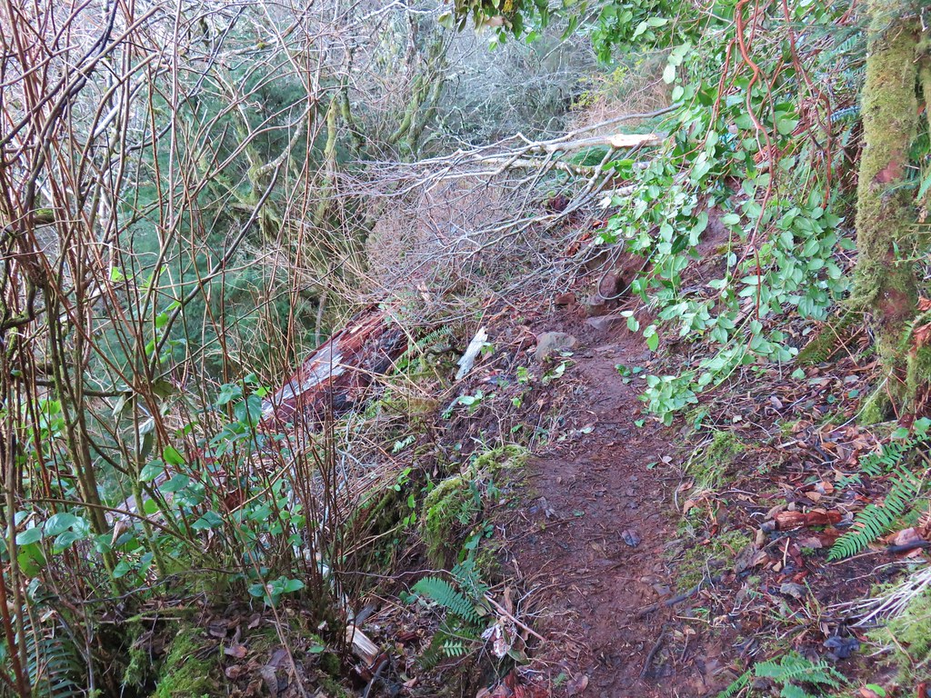
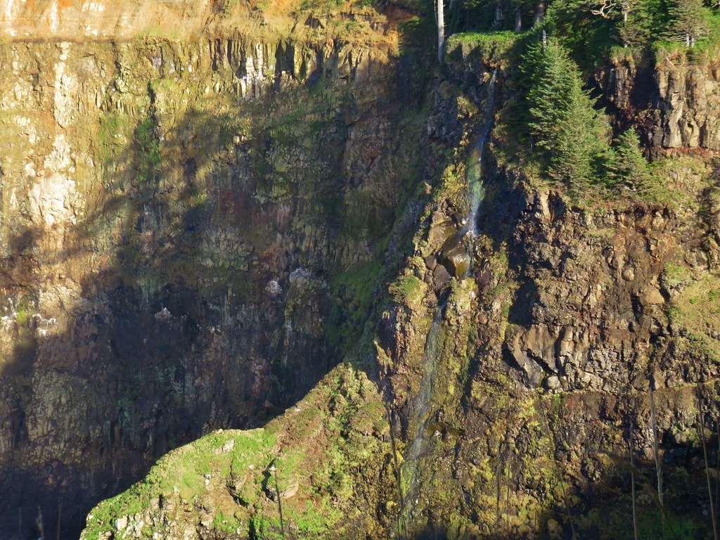
 It was obvious that there had been some work done to try and shore up this section of trail.
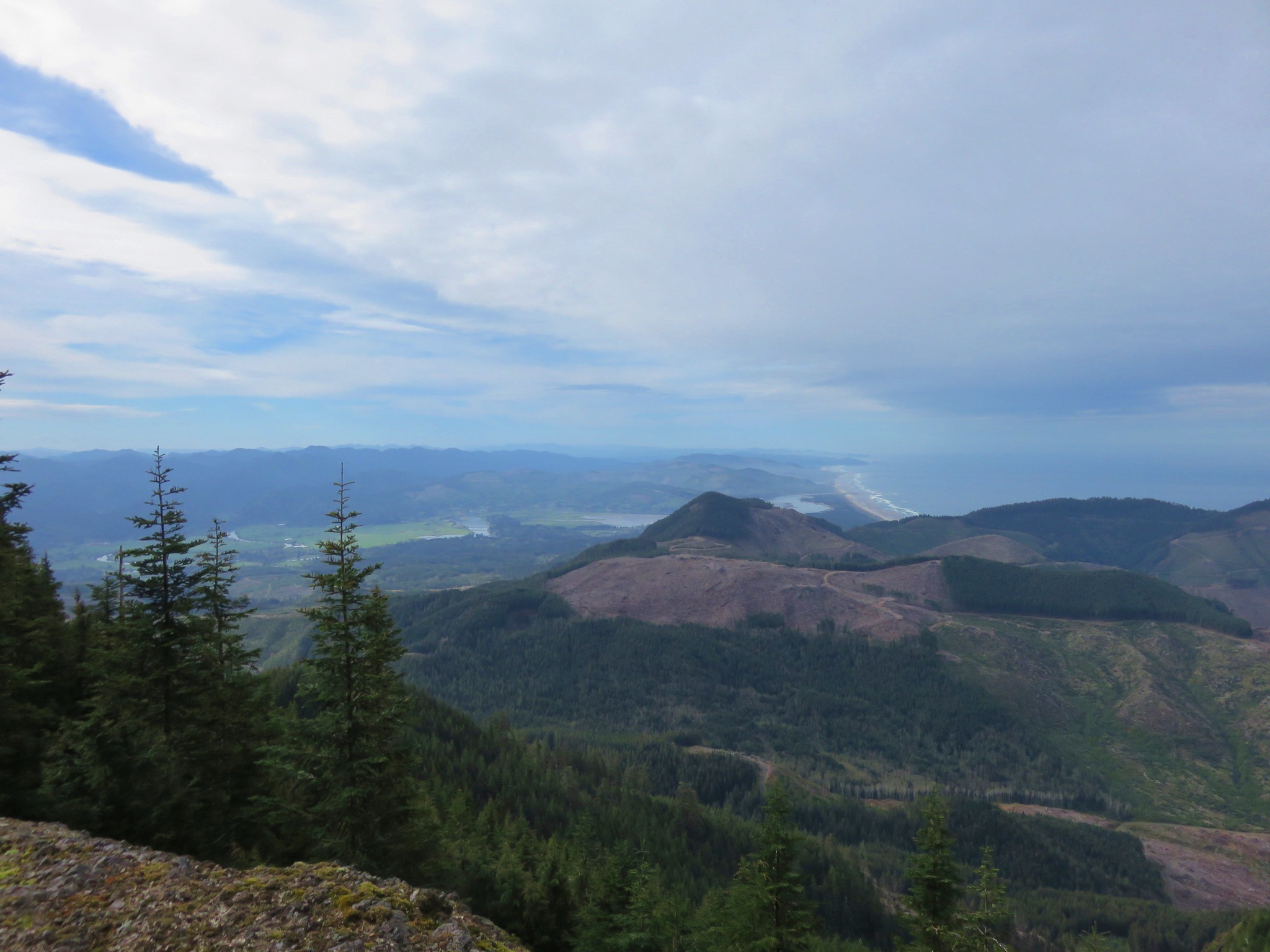
 The view south from the viewpoint.
 Cape Meares (
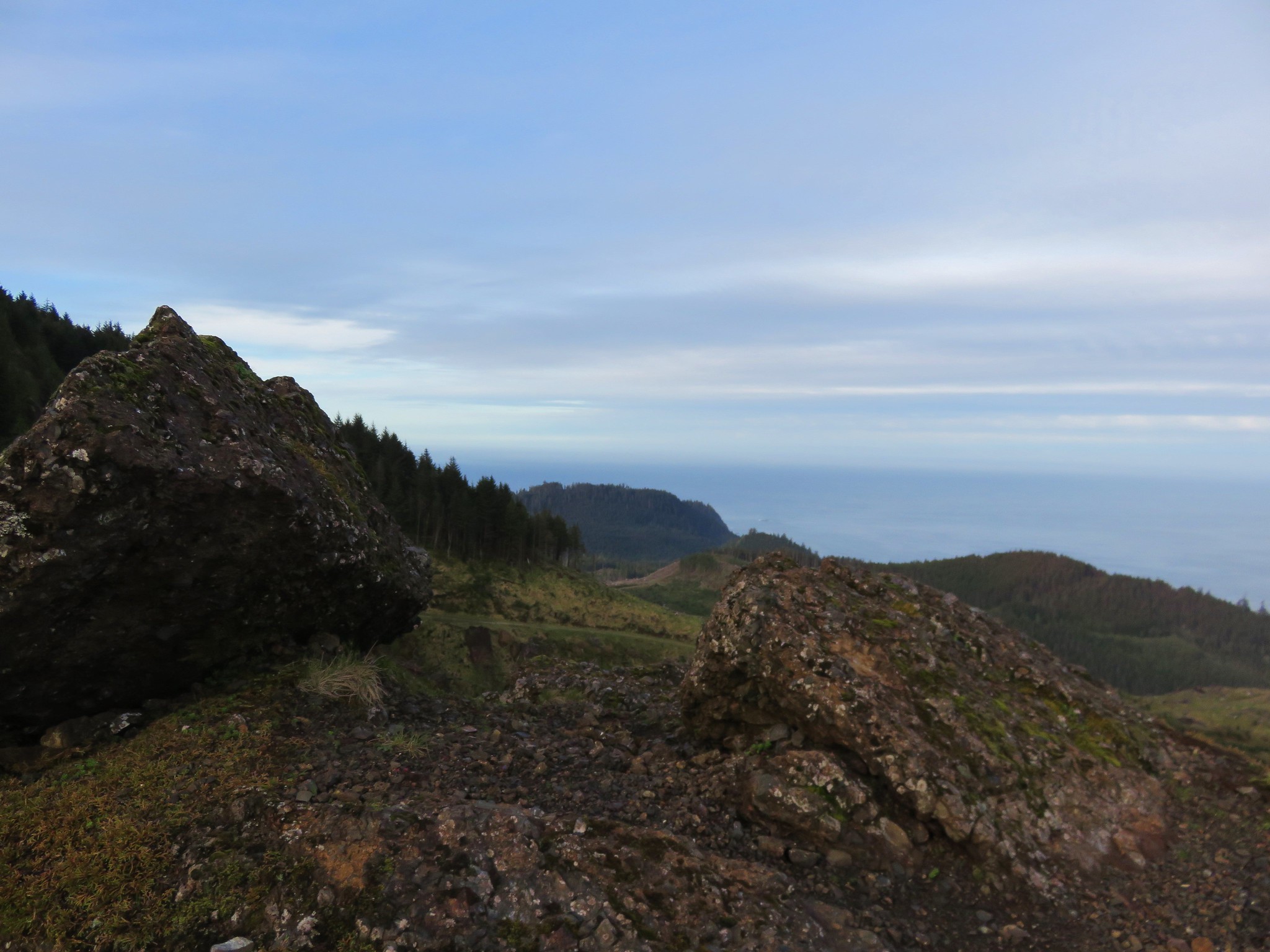
 Cascade desert parsley near the summit.
 Looking up at the viewpoint from the OCT.
 Trillium
 This was the only obstacle that required any sort of maneuvering.
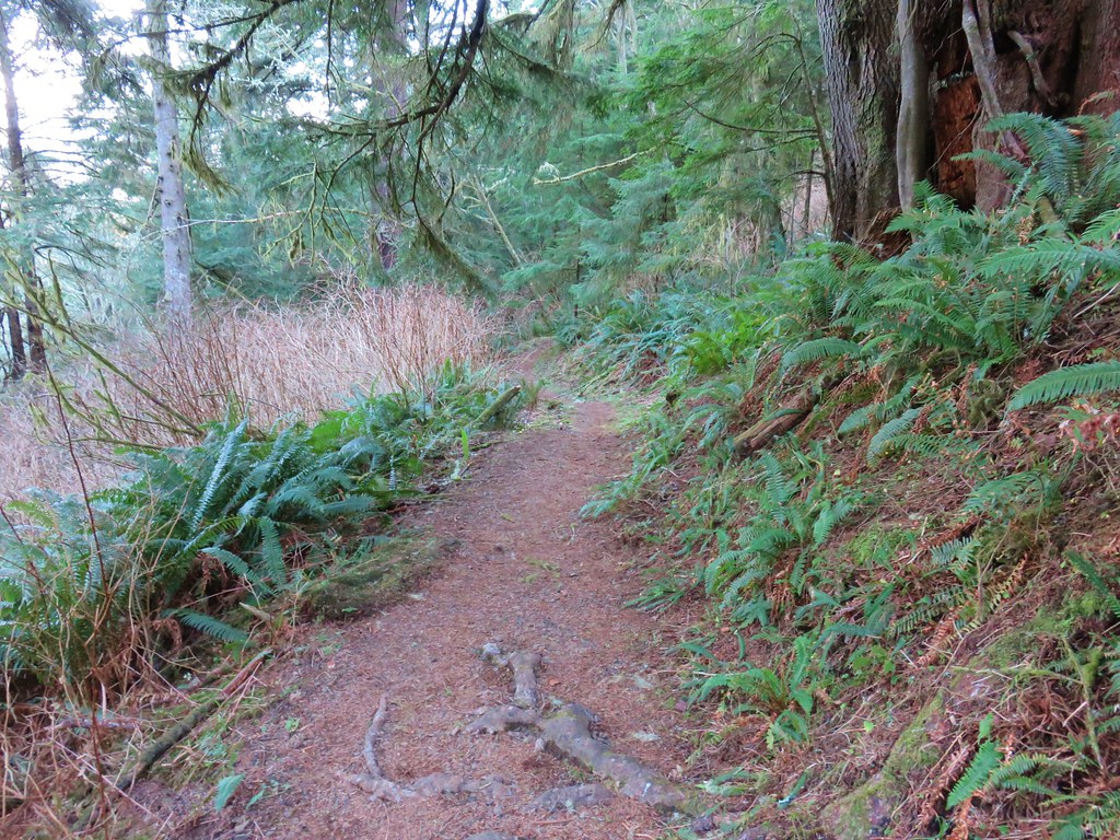
 There are some great trees along the upper section of the trail.
 Violets
 Recent trail work.
 Anemones and violets.
 Entering the storm damaged area.
 Angora Peak (
 Getting creative with the trail route.
 Out of the storm damage.
 Skunk cabbage
 Cape Falcon from the trail.
 Pink fawn lilies
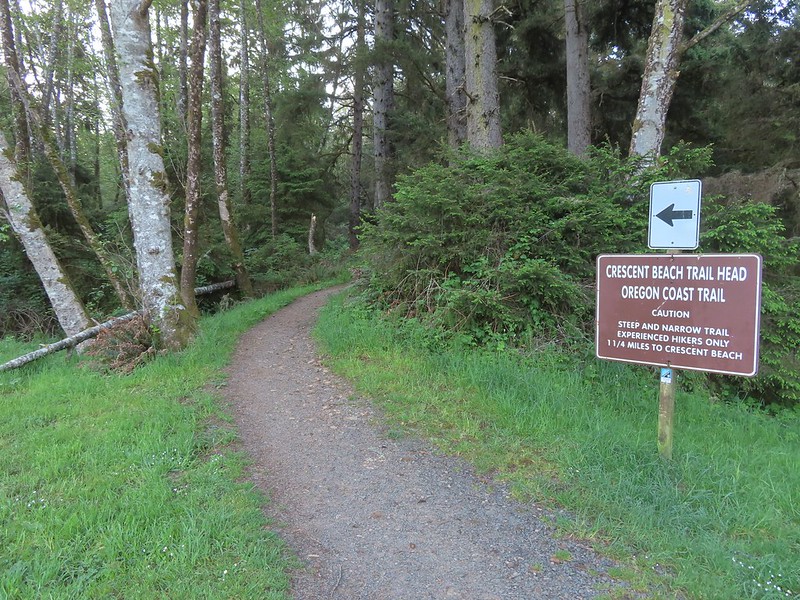
 Arriving at Highway 101 near the North Neahkahnie Mountain Trailhead.


 Snow queen
 He may have been moving faster than I was.
 There is nothing better than hearing wrens sing in the forest.
 More creative trail in the storm damaged area.
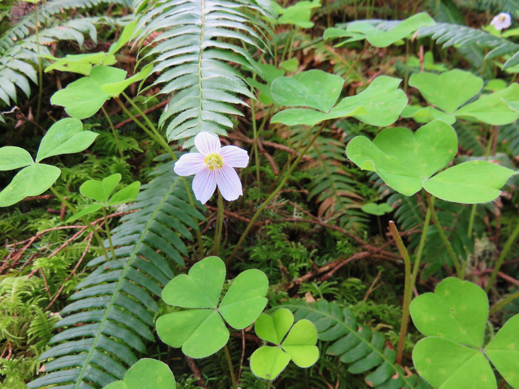
 Wood sorrel
 The view if you don’t scramble up the spine.
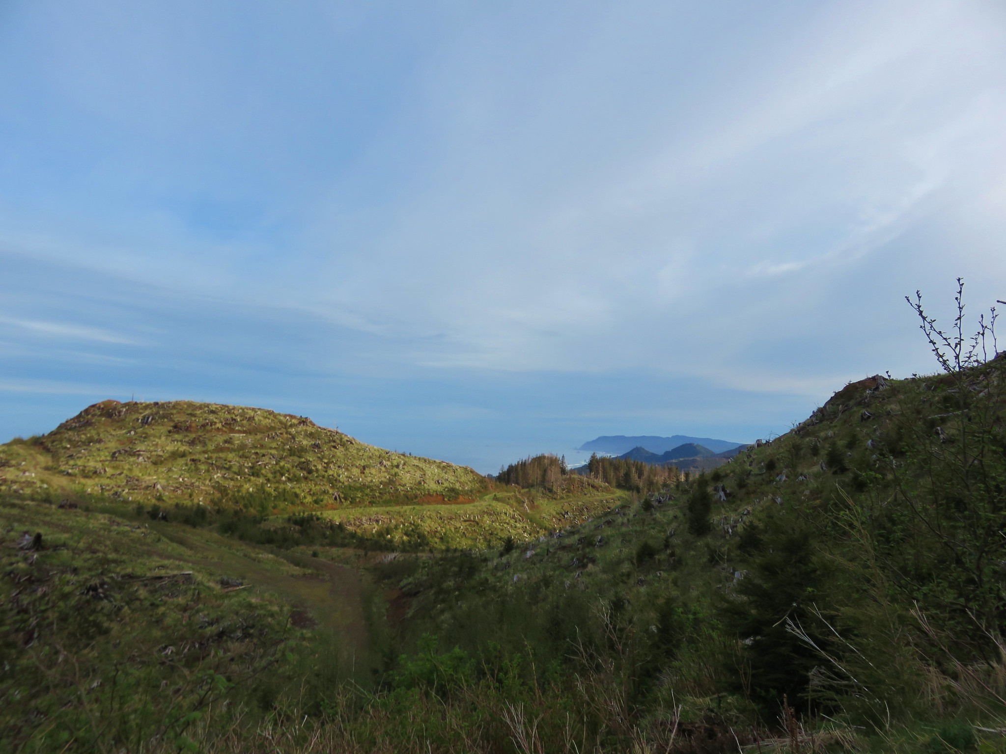
 Trillium with a touch of pink.
 Arriving at the packed trailhead.
 Leaving the crowds behind.
 Big patch of pink fawn lilies.
 Highway 101 from the powerline corridor.
 Margined white
 One of the more impressive trees in the preserve.
 Nearing the Highway 101 crossing. I arrived just as a long line of traffic was passing by but was able to safely cross shortly afterward.


 Thimbleberry
 Coming up on the start of the boardwalk.
 Scouler’s corydalis at the base of the boardwalk.
 The boardwalk junction.

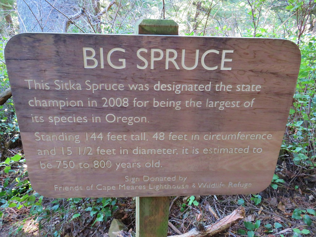
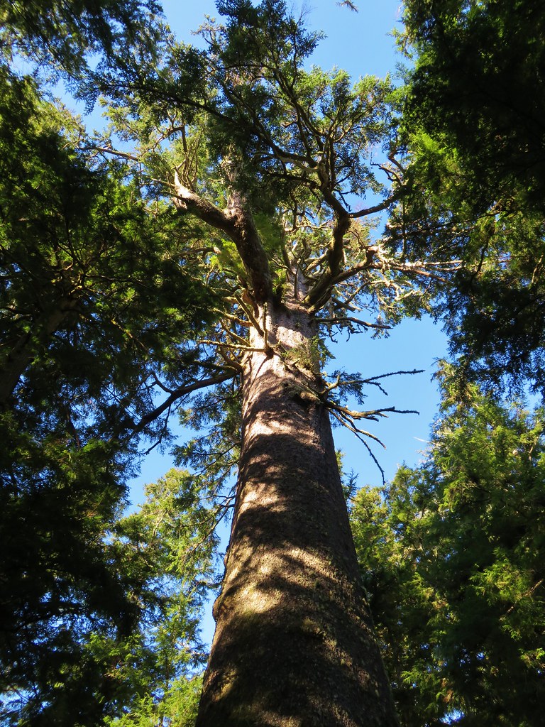
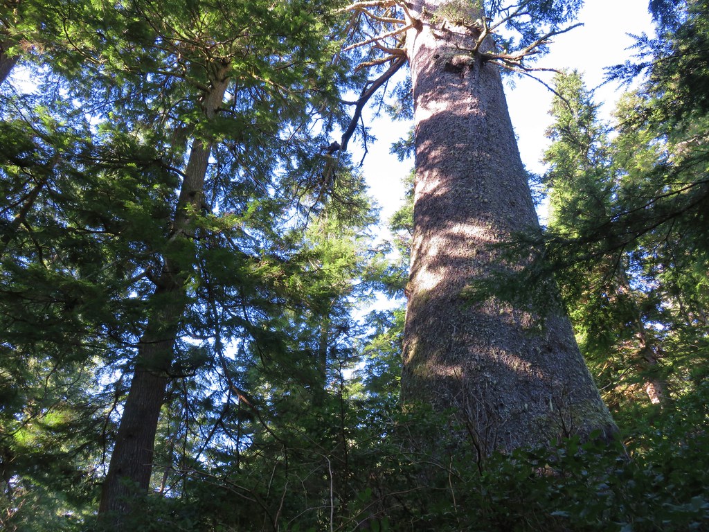
 The base of Cathedral Tree.
 One of two benches near the 300+ year old stika spruce.
 Cathedral Tree

 Beyond the boardwalk the trail was a bit rougher.
 Trail markers were present at times to help identify the correct route.
 Pacific waterleaf
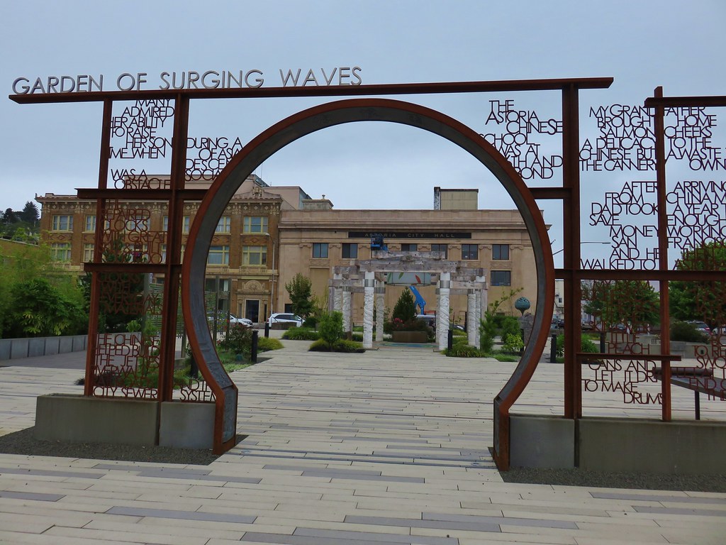
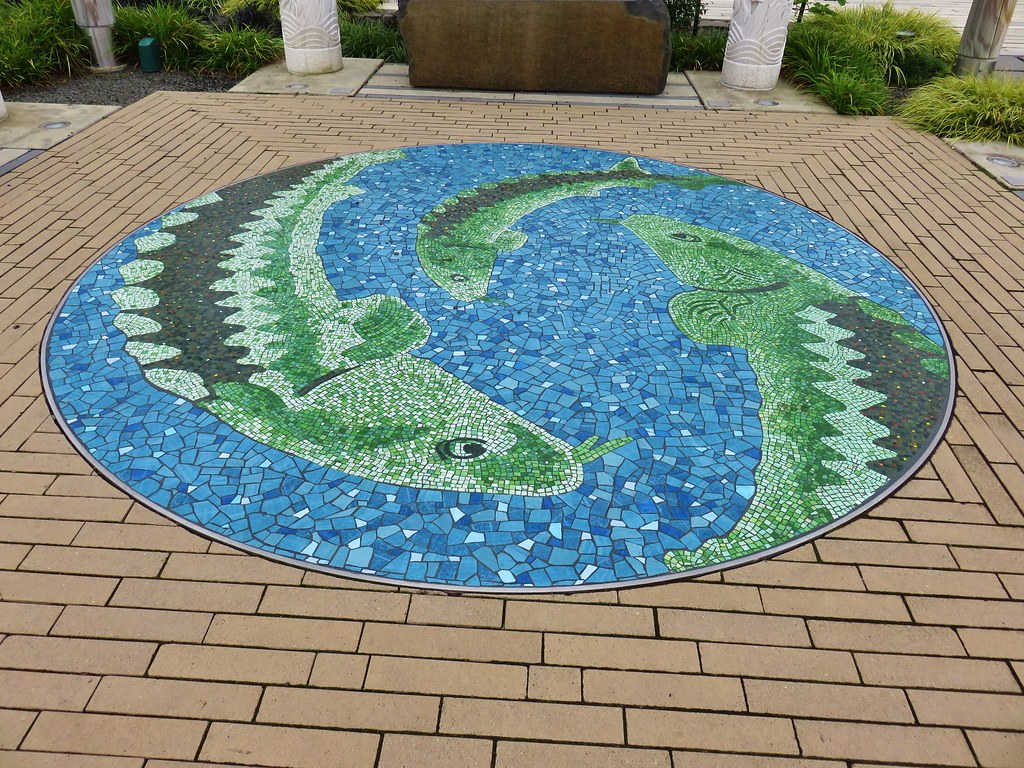
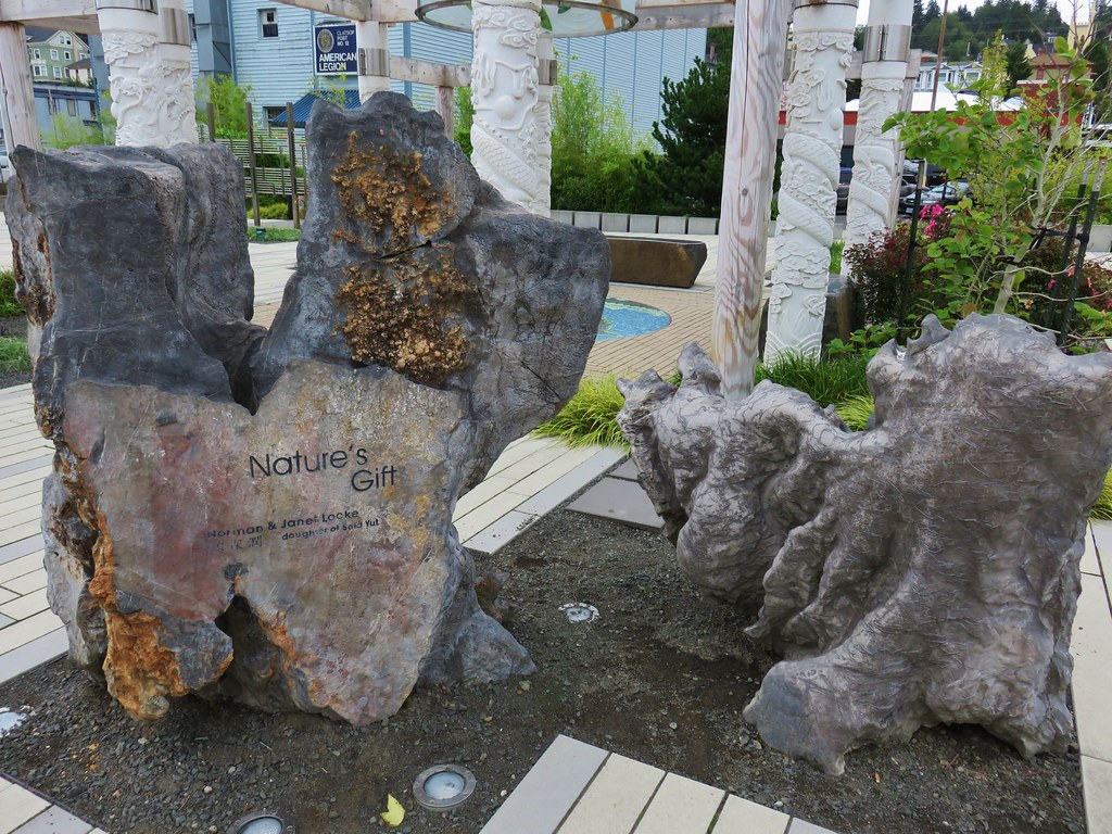
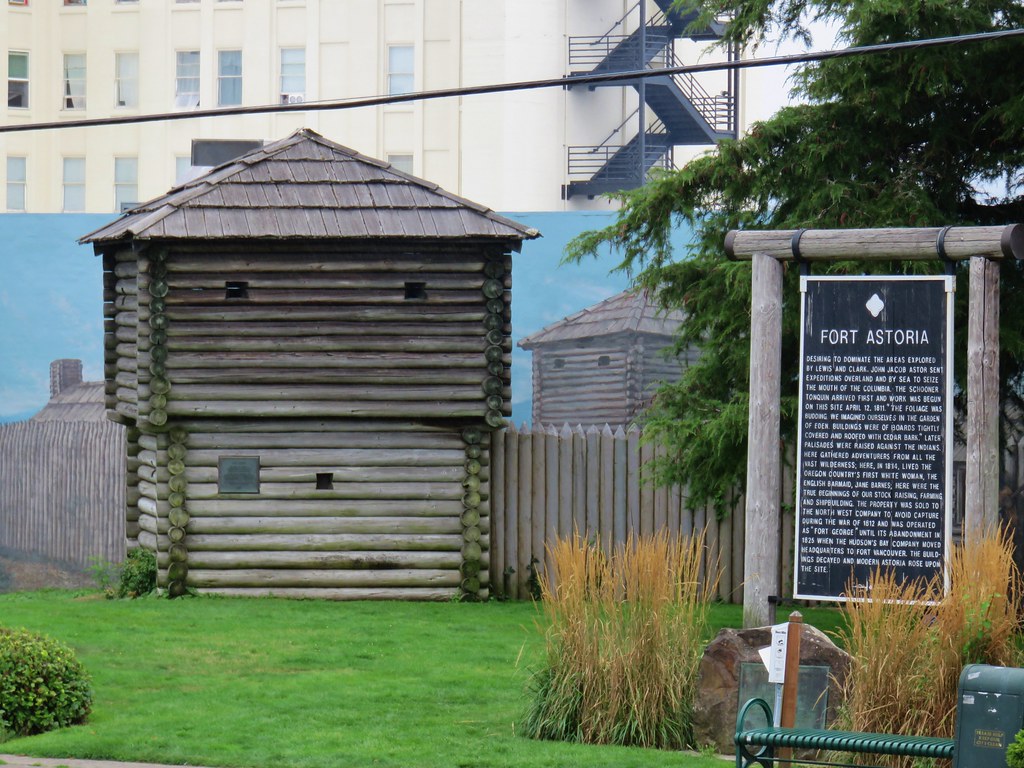
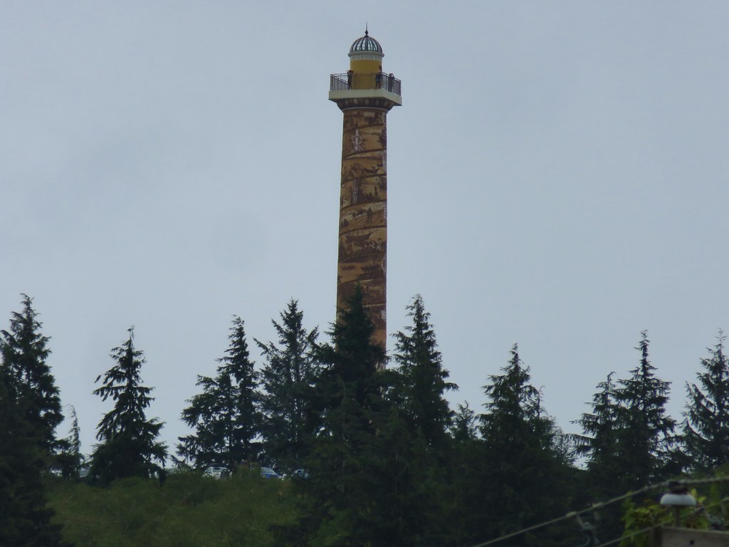
 The Astoria Columnn.
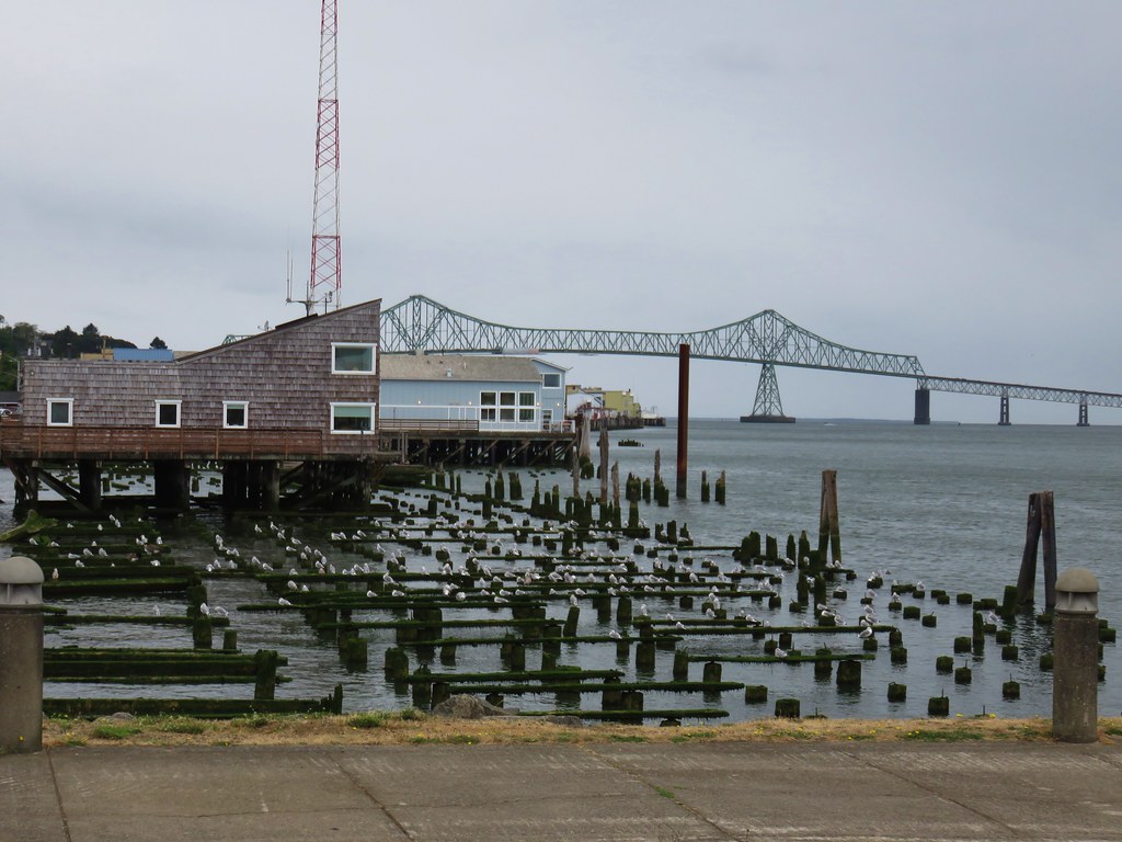
 Megler Bridge


 Young’s River on the left and the Lewis & Clark River on the right
 The early bird.


 The spiral staircase.

 Young’s River
 Traffic on the Columbia River.
 Looking out toward the Pacific beyond Astoria.
 Deer in the grass below the Astoria Column.
 Heather below the column.


 This was a spur trail 0.2-miles from the column (0.6-mile from the trailhead) that also leads down to Irving Street and could be used for a loop if you don’t mind some street walking. We opted to pass and did the hike as an out-and-back.
 False lily-of-the valley
 The last trillium?
 Fringecup
 The start of the short trail to the falls.
 Interpretive signs near the start of the trail.
 The falls were noted during Lewis and Clark’s stay at nearby Fort Clatsop (
 This was a tough one to photograph due to the amount of spray being blown straight at us by the force of the water.
 We pulled over onto the shoulder of Hwy 202 to snap a picture of these bulls.

 Bleeding heart
 Fairybells
 Scouler’s corydalis


 I was joined by a pair of ouzels at the falls.
 Looking back at Heather on the other side of Fishhawk Creek.
 Me through the trees below the falls.
 Please note that you need a permit to park at the refuge.
 The trail begins near the restrooms.
 Ecola Park Road.
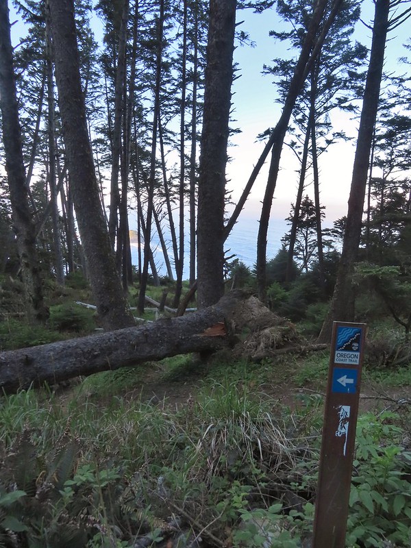
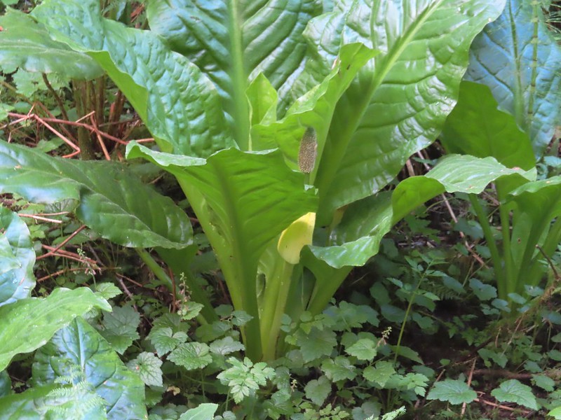 Skunk cabbage
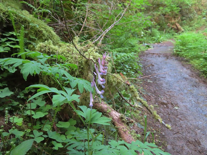 Scouler’s corydalis
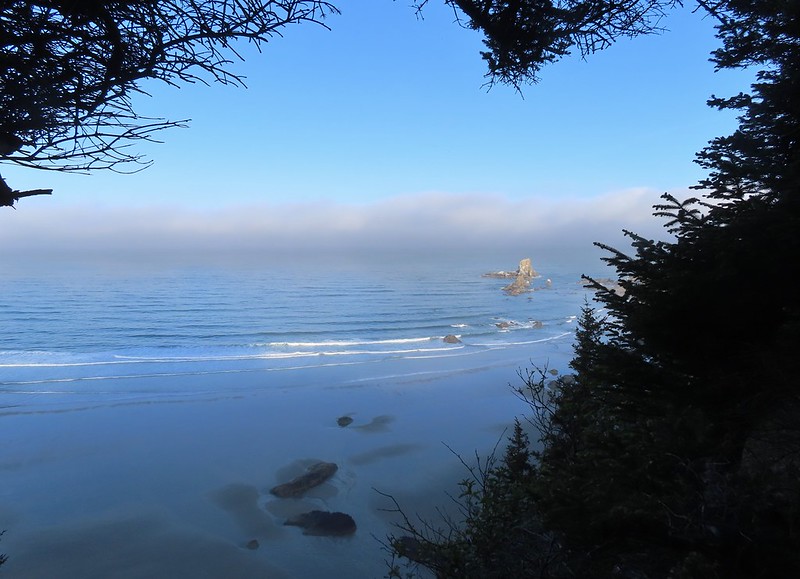 Window to the Pacific.
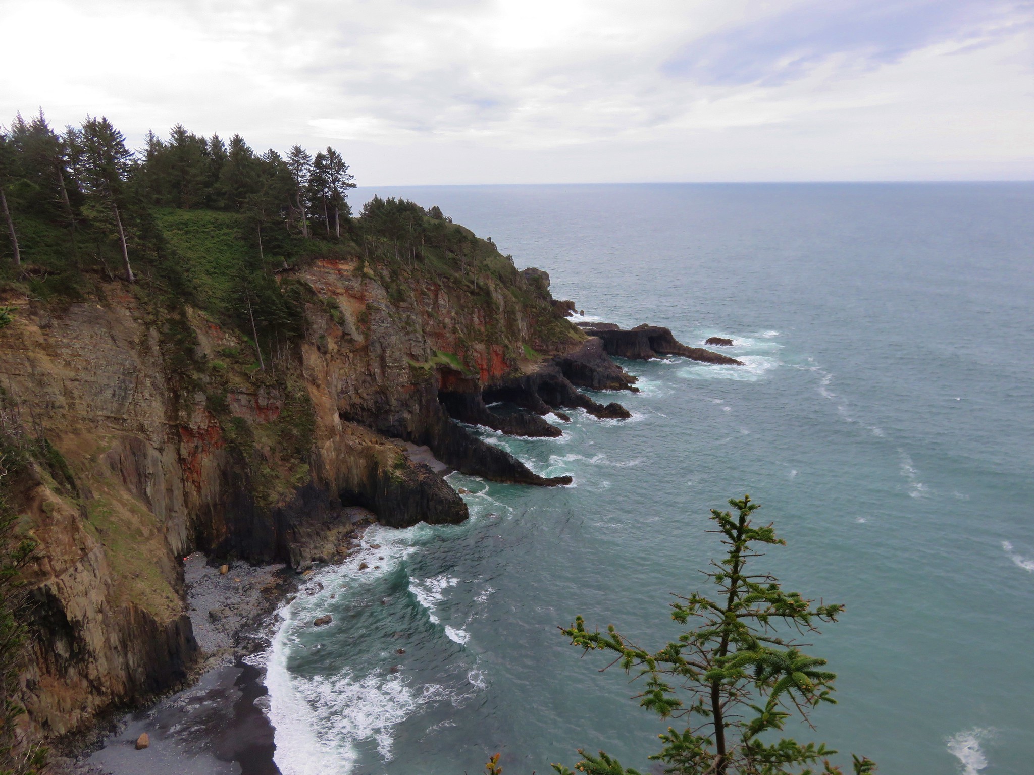

 Ecola Point
 Chapman Point and Bird Rocks
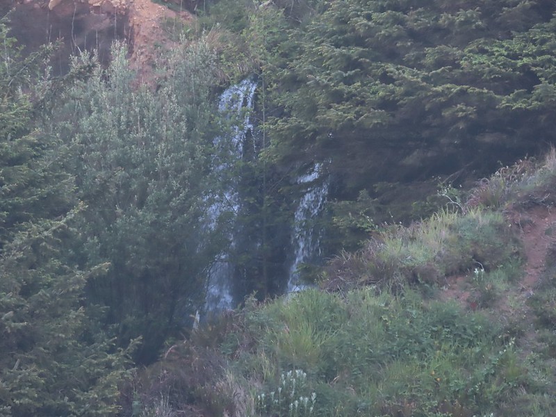 The upper falls.
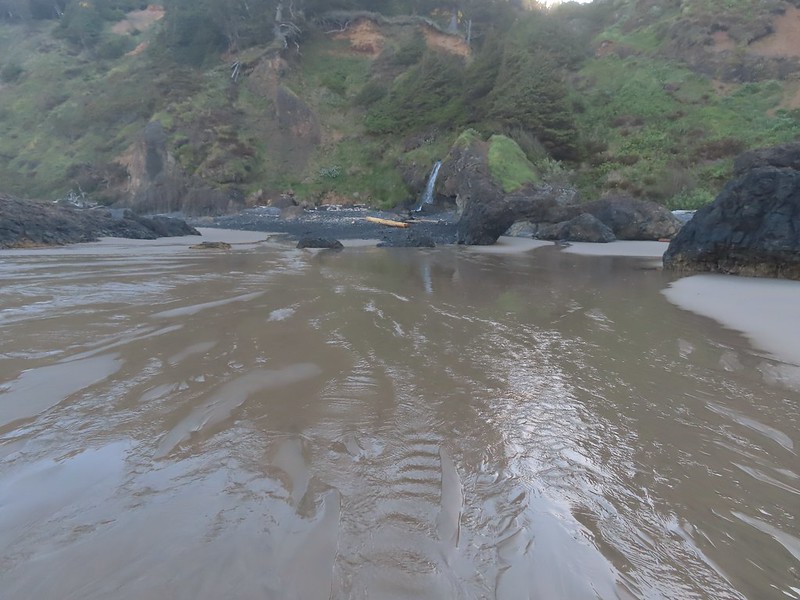 Waterfall Creek
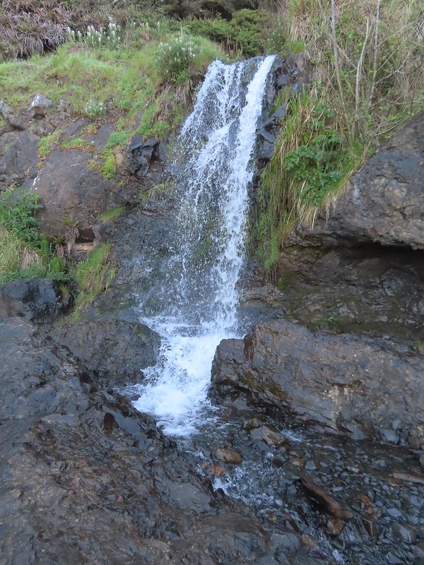 The lower falls.
 The tide pools from Waterfall Creek.
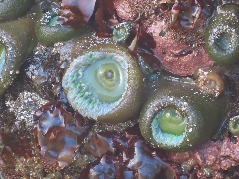
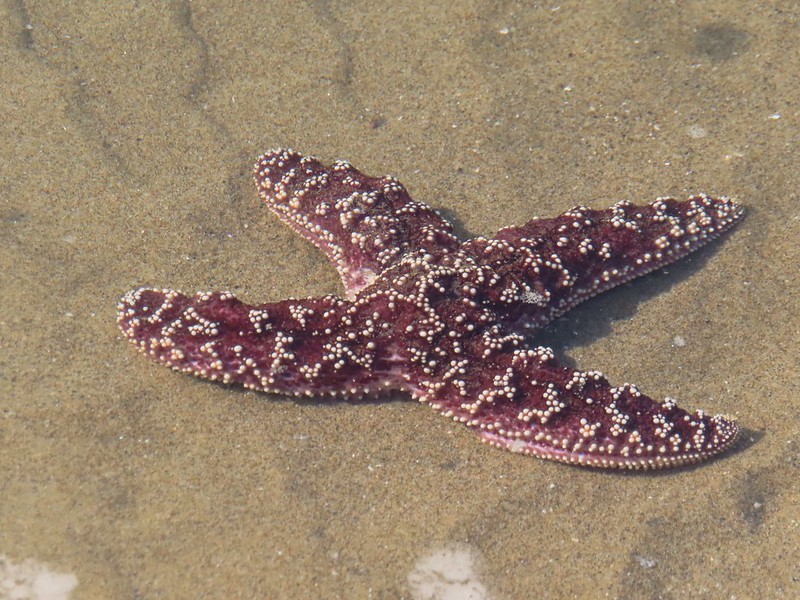
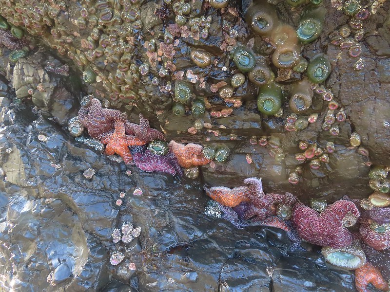
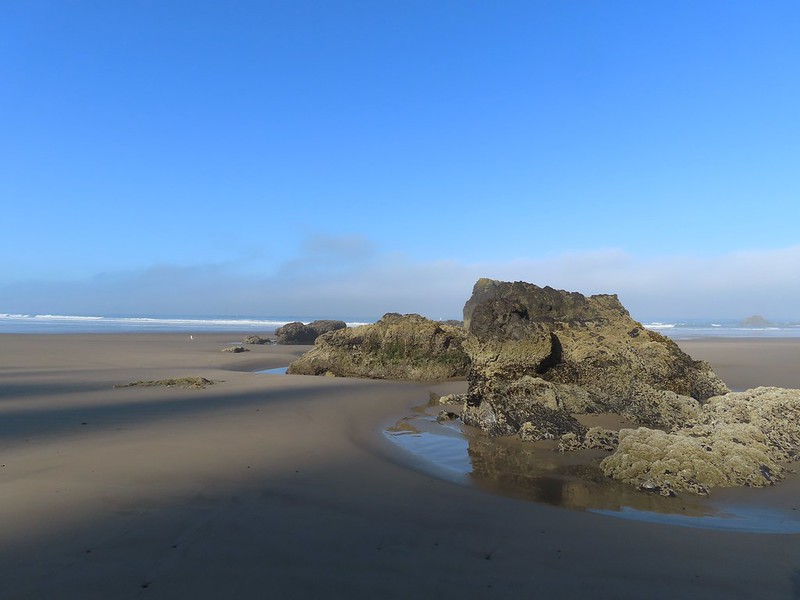
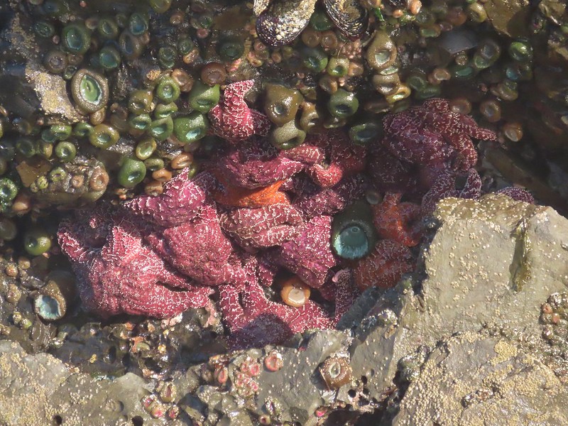


 We found Patrick from Spongebob!
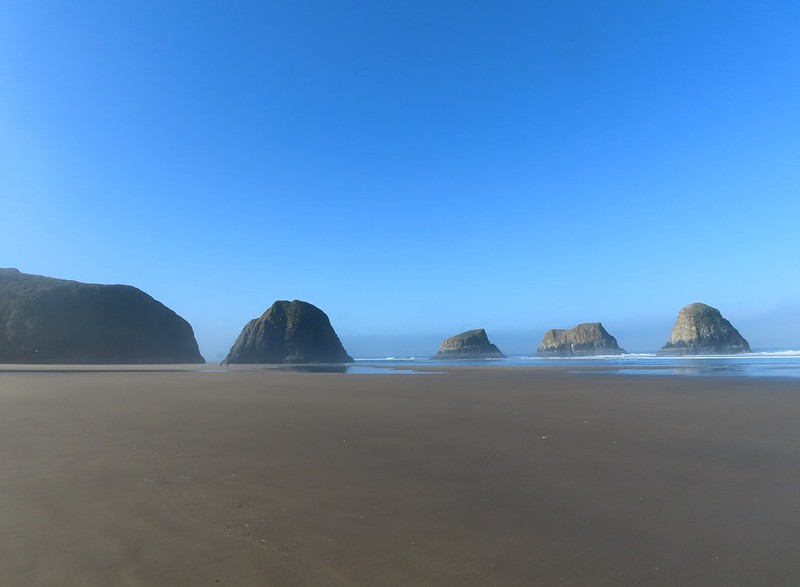
 We were curious as to what forces carved out the backside of this rock.
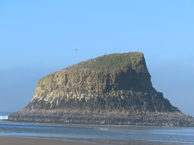
 Chapman Point is only passable at certain low tides. On the far side is Cannon Beach (
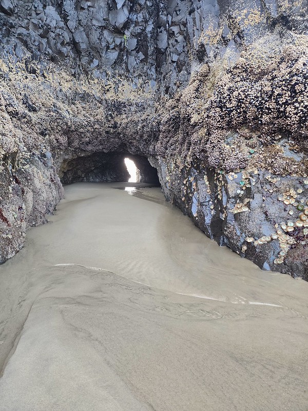 This cave through Chapman Point was flooded at the far end.
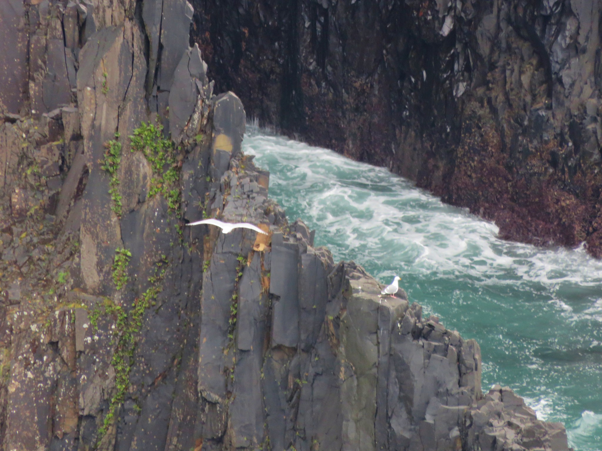
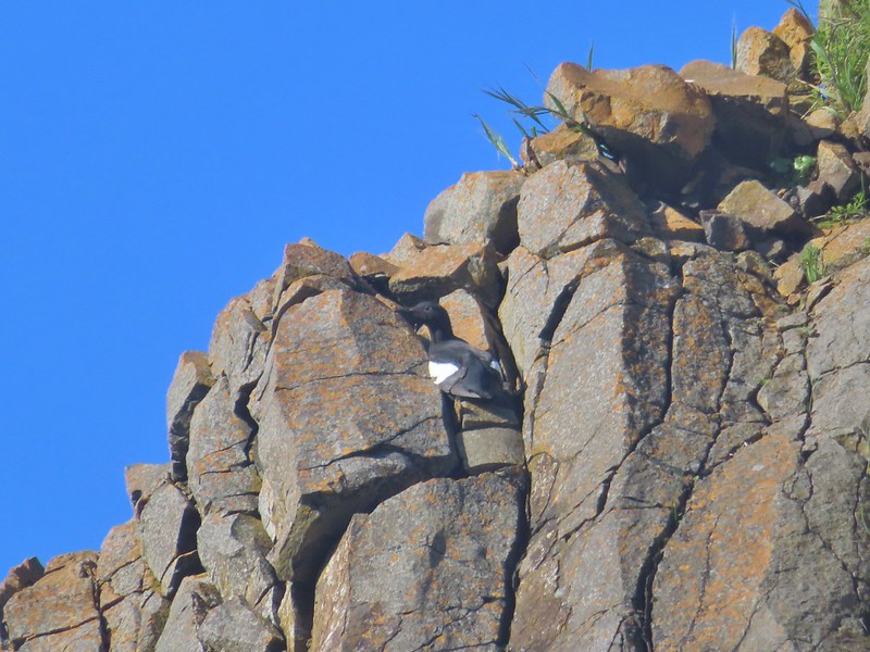 Pigeon guillemot
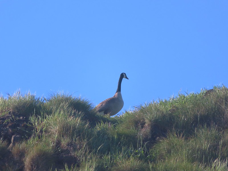 Goose
Goose

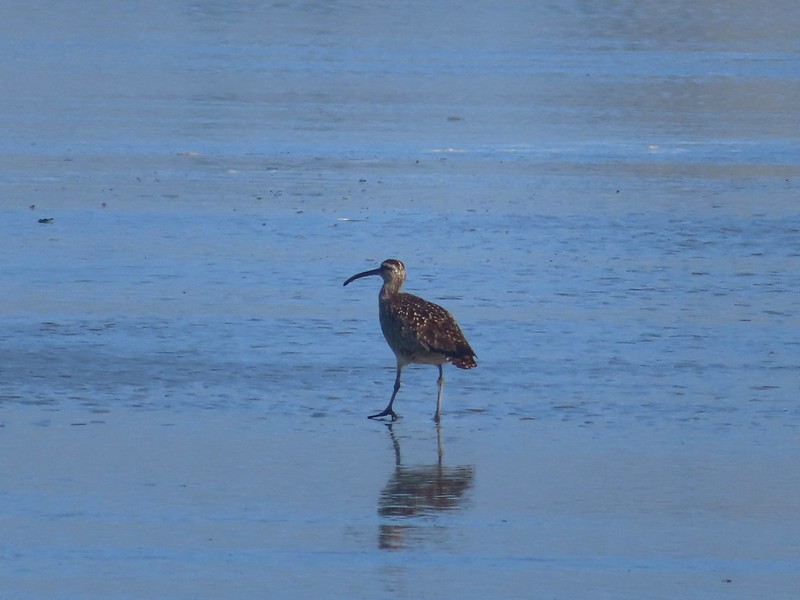 Whibrel
 Seaside bittercress
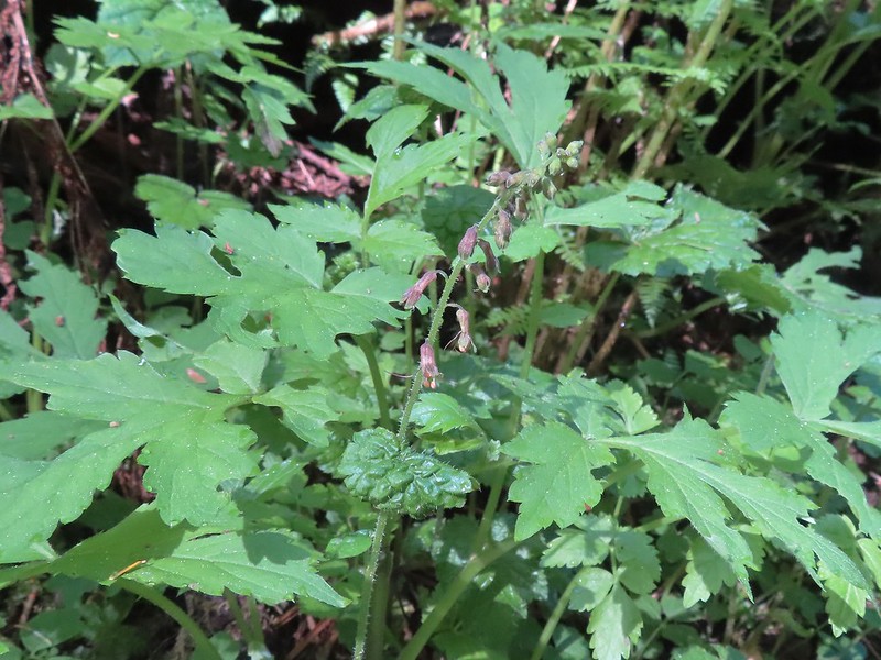 Youth-on-age
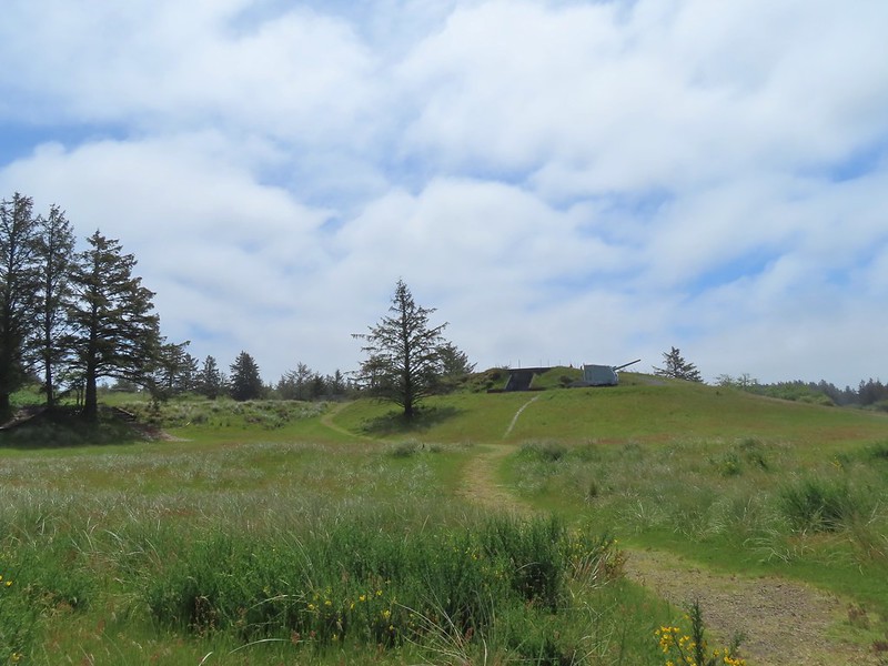
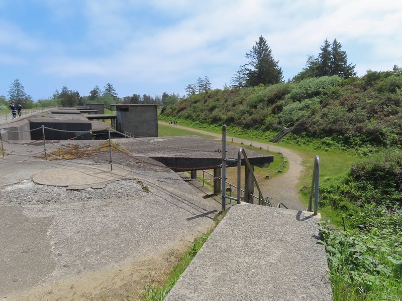
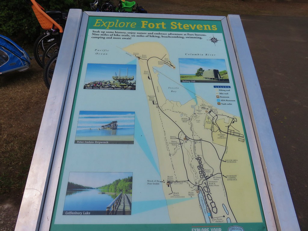
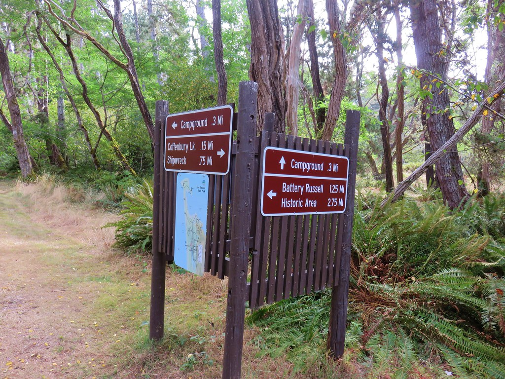
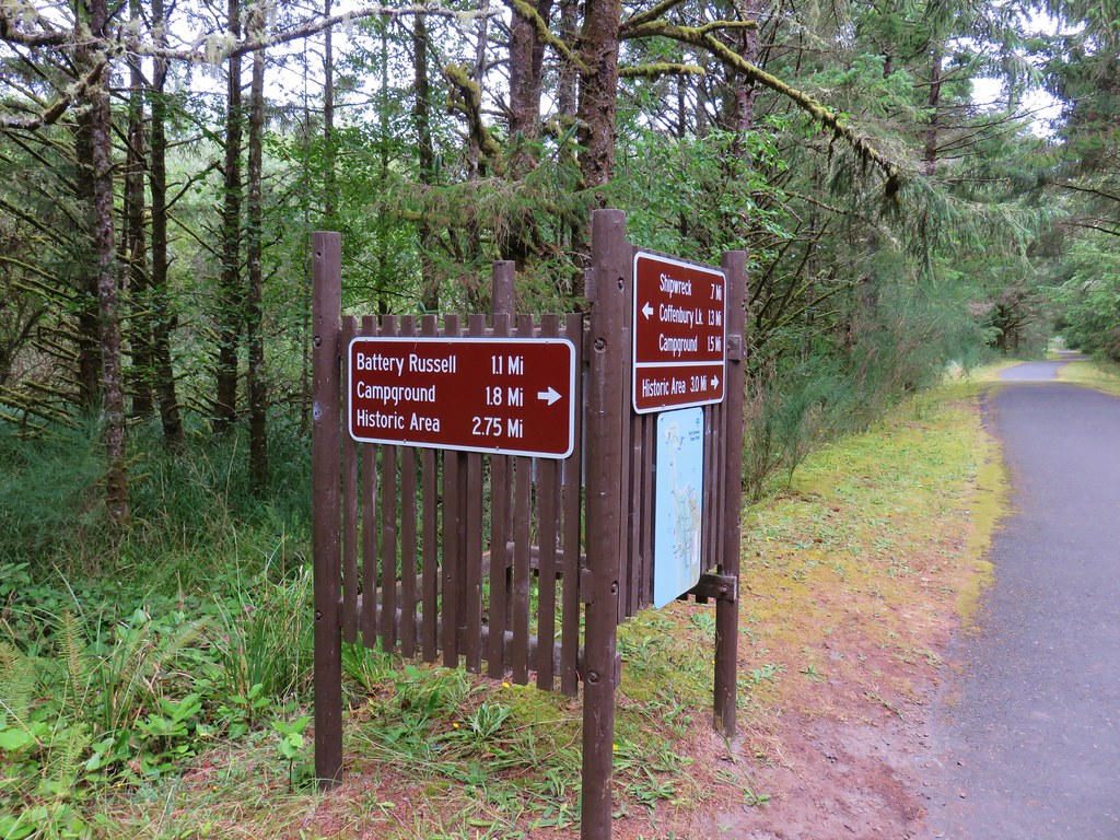
 Battery Russell from the lot.
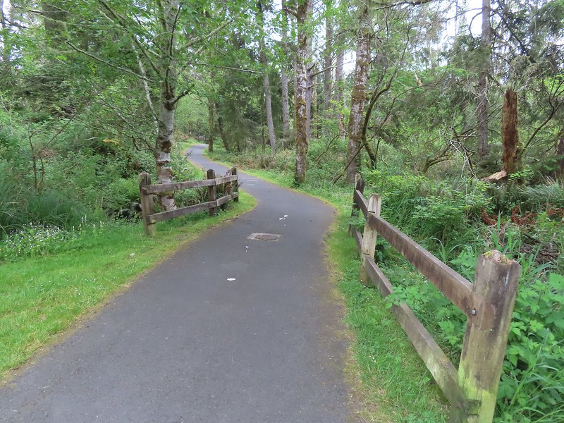

 The overpass
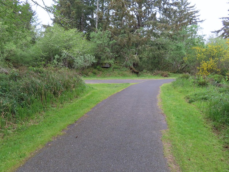


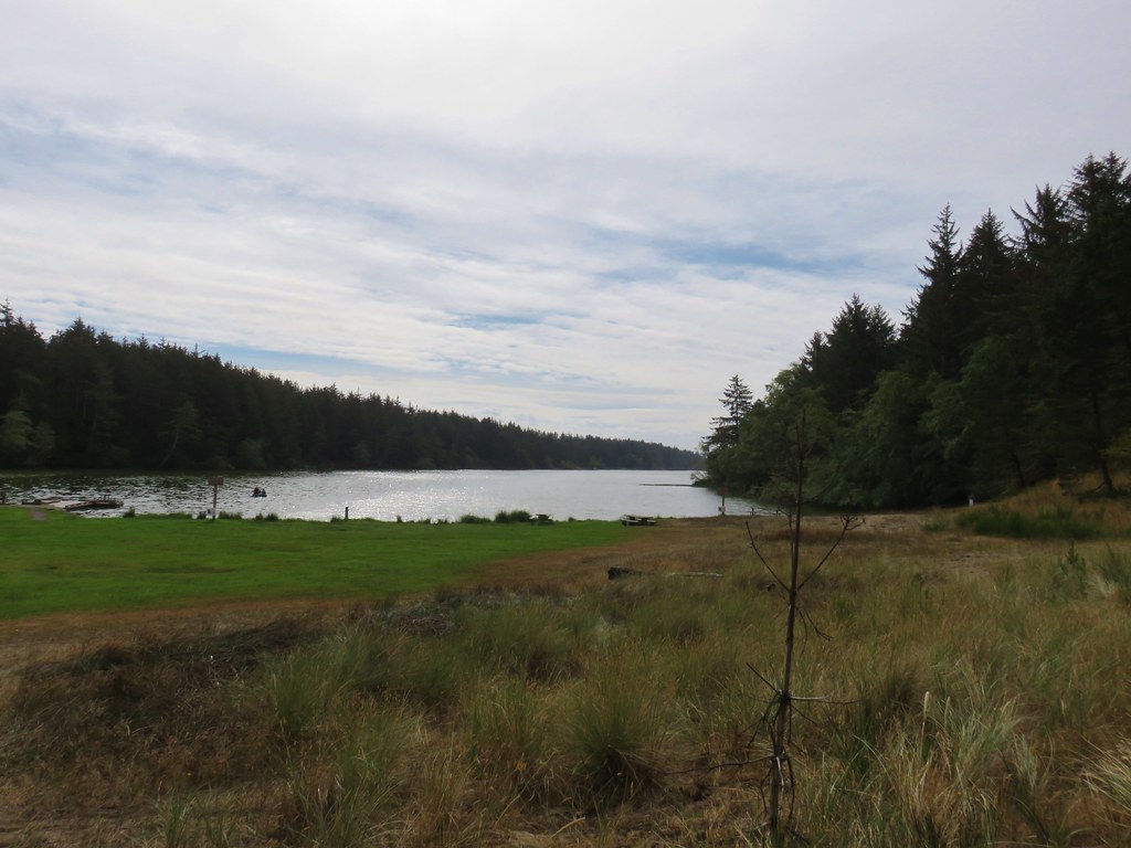
 Looking out toward Swash Lake from the bridge.
 The gate to the Historic Area is locked in the evening.
 Visitor’s center


 The guardhouse on the left.
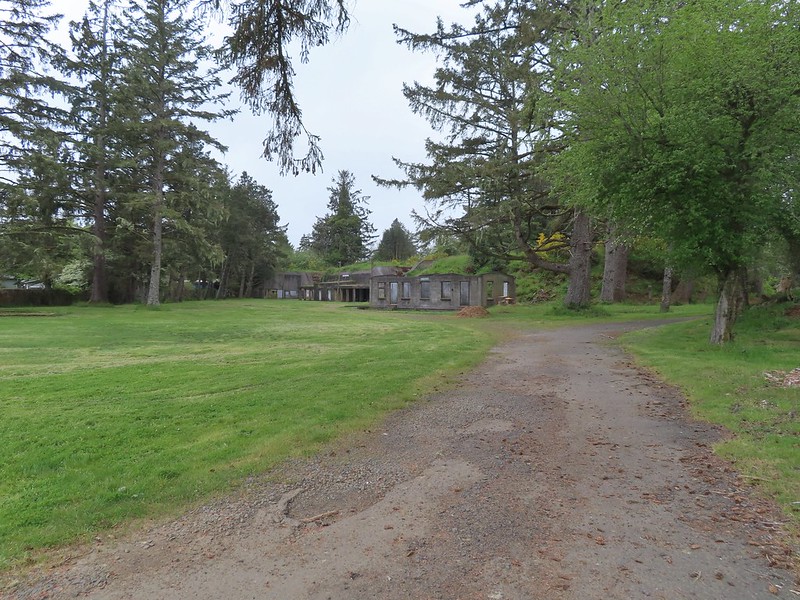 Battery Clark
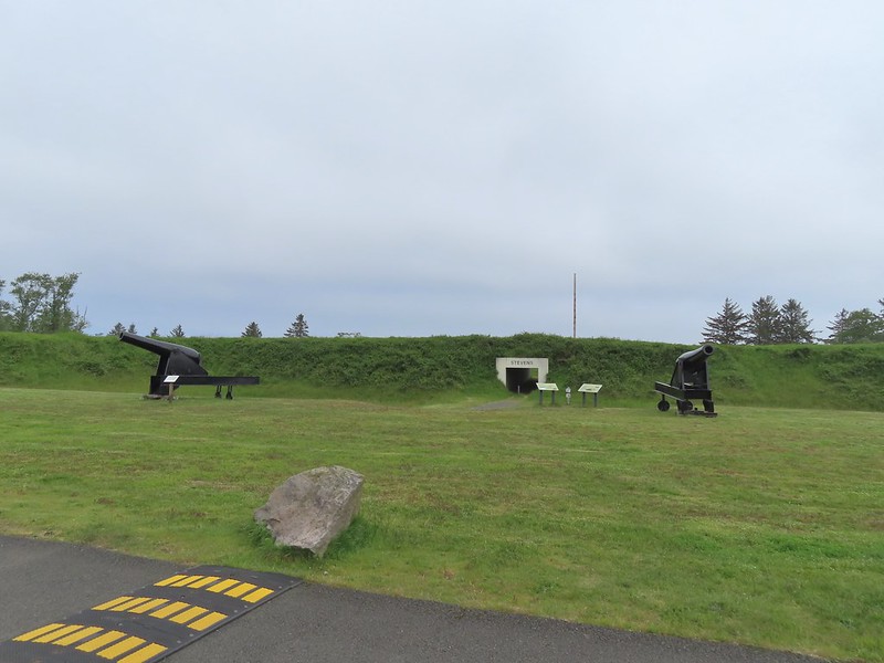
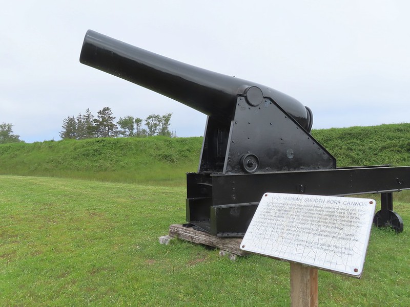


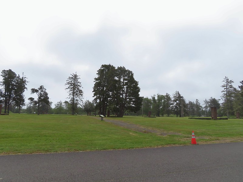
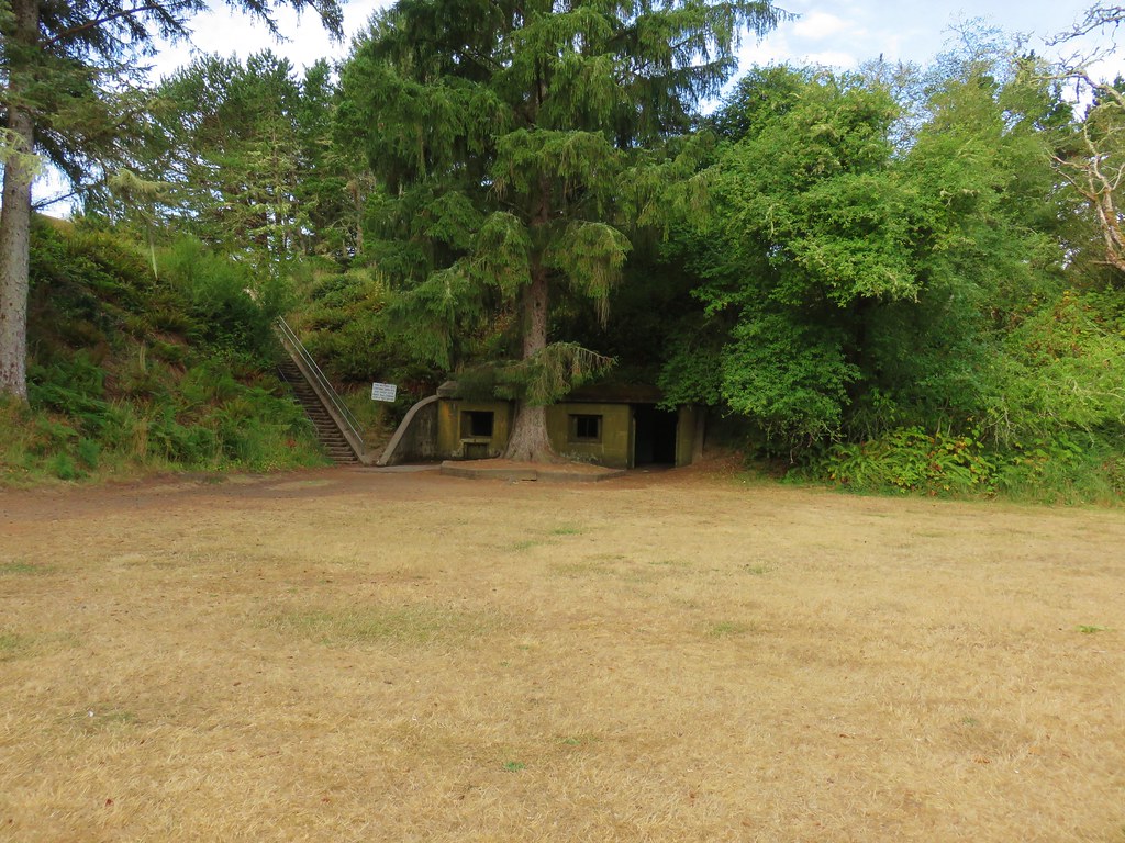
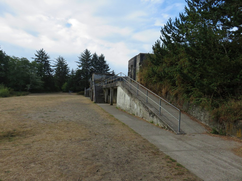
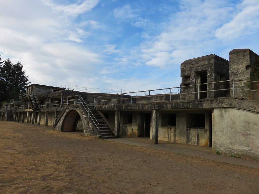
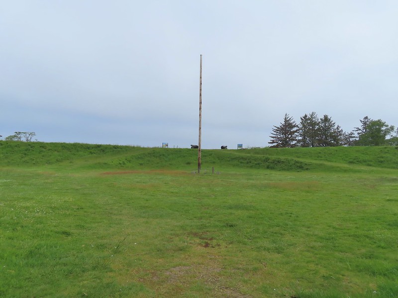 Fort Stevens Earth Works.
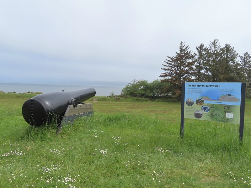
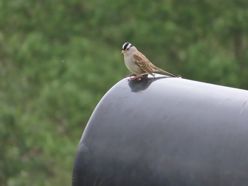 White-crowned sparrow
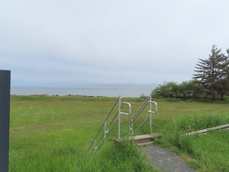 We cut across the grass below to the footbridge in the distance.
 Columbia River
 Looking west toward the Pacific.
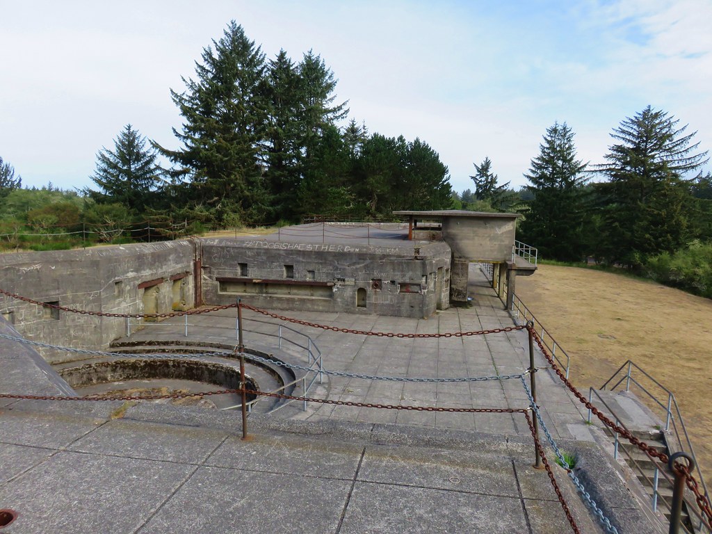
 Battery Smur
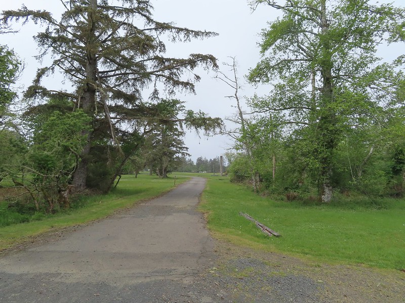 The roadbed coming in from the former barracks site.
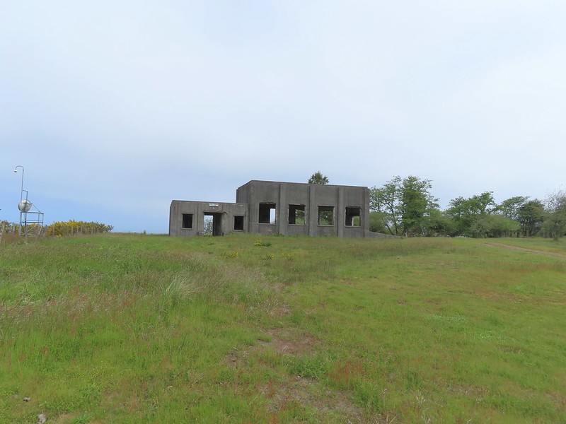 Mine Loading Building
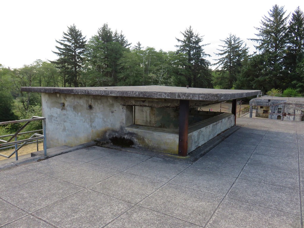
 Searchlight Generator
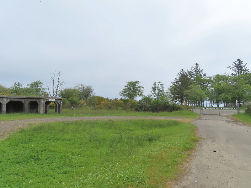
 Torpedo Loading Room


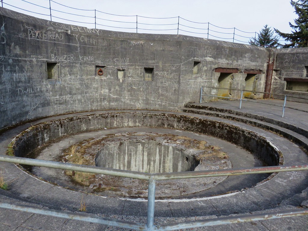
 Battery 245


 Sign for the Lil’ Oozlefinch Putting Course.
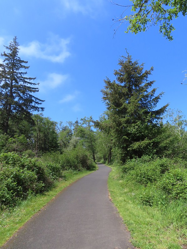
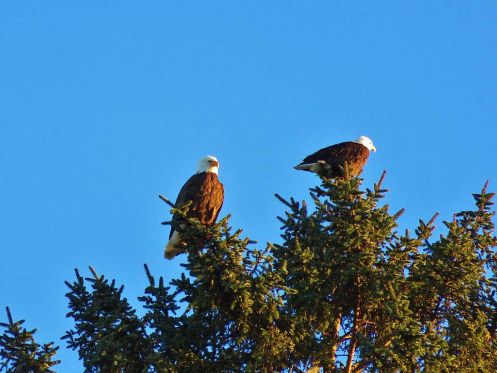
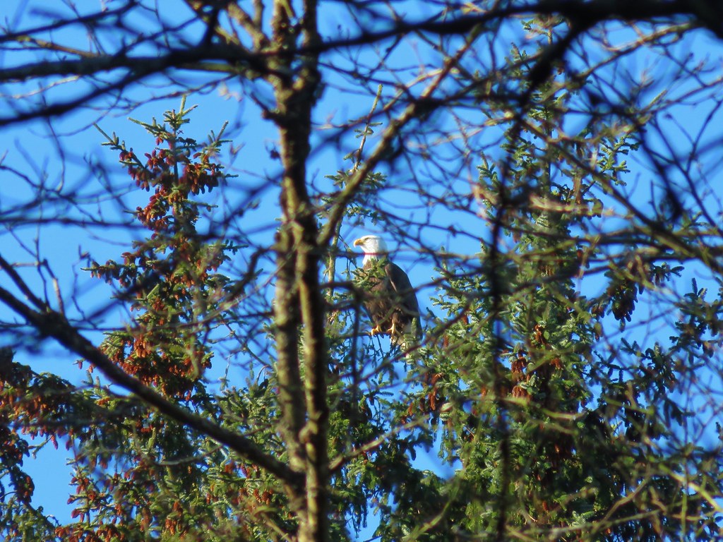
 Bald eagle
 Gate near Jetty Road.
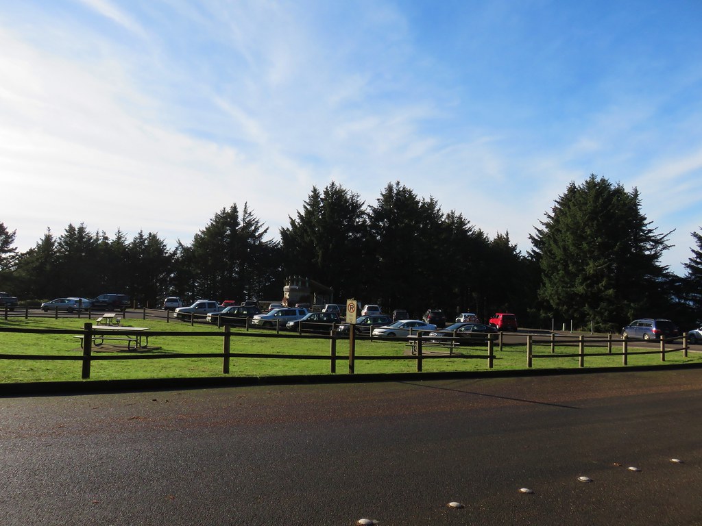
 The parking lot at the park.
 Emerging from the underpass.
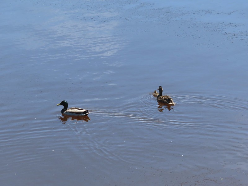 Mallard family
 Sign at the park.
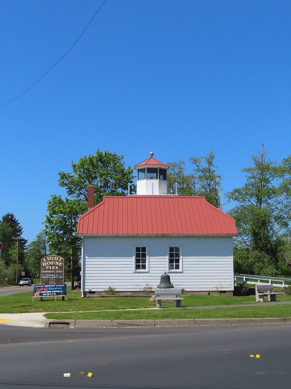
 Eighth Street Dam from the grassy track.
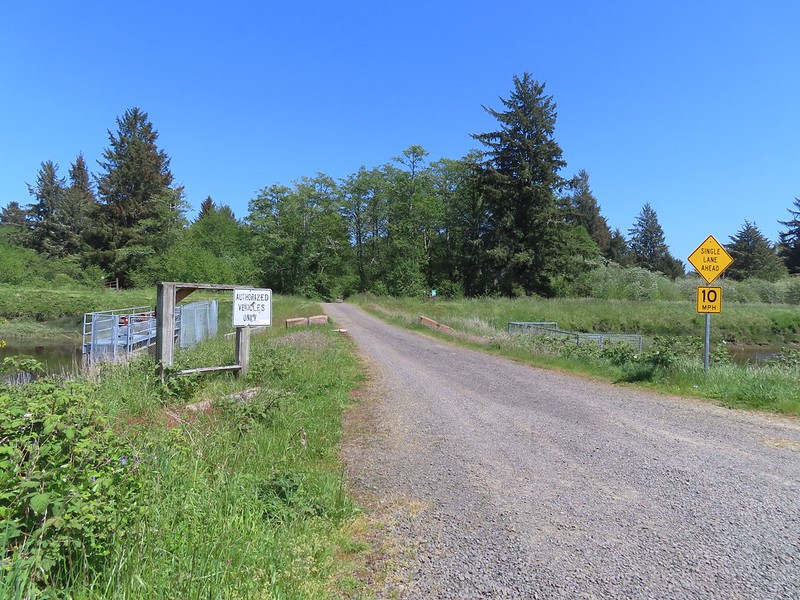
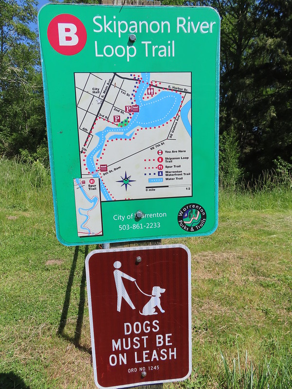 Until we saw this sign we’d been thinking that maybe the trail didn’t exist any longer. We were also questioning how the loop was supposed to get back across the river at the other end since the only bridge across the river there was Harbor Drive. Until seeing this we were thinking of turning around at the dam, but instead we decided that we’d do the loop with Heather getting a table at Nisa’s while I recrossed the river to retrieve the car.

 Not the clearest picture but I think this is a greater scaup based on the head shape. We’ve seen a number of lesser scaups, but this would be our first greater.
 Great blue heron
 Cormorant
 A brief paved section.
 Nisa’s Thai Kitchen across Harbor Drive.
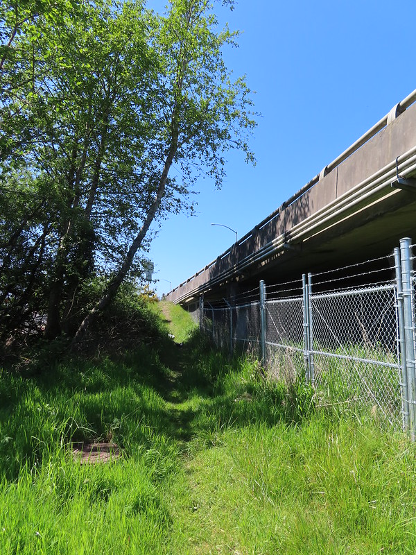 Looking back up the path from Harbor Drive.
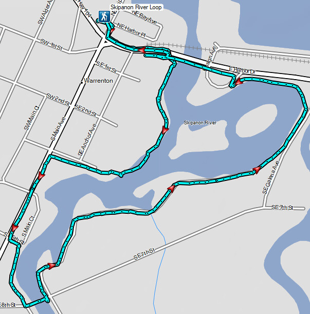


 Nehalem Beach ahead
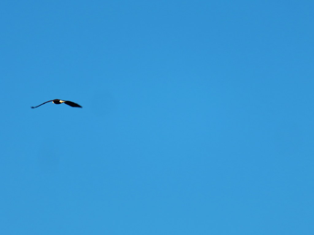


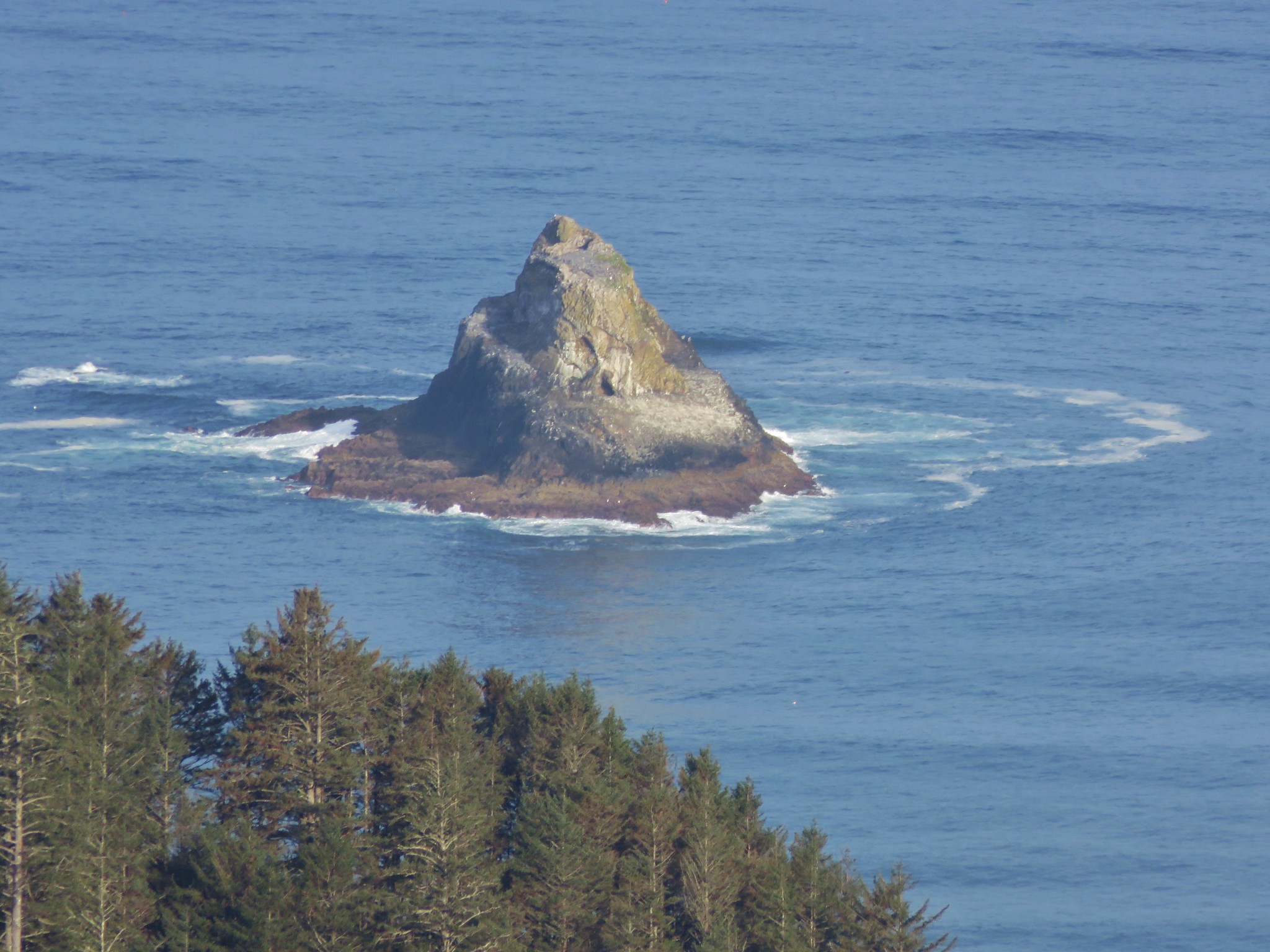
 Jockey Cap
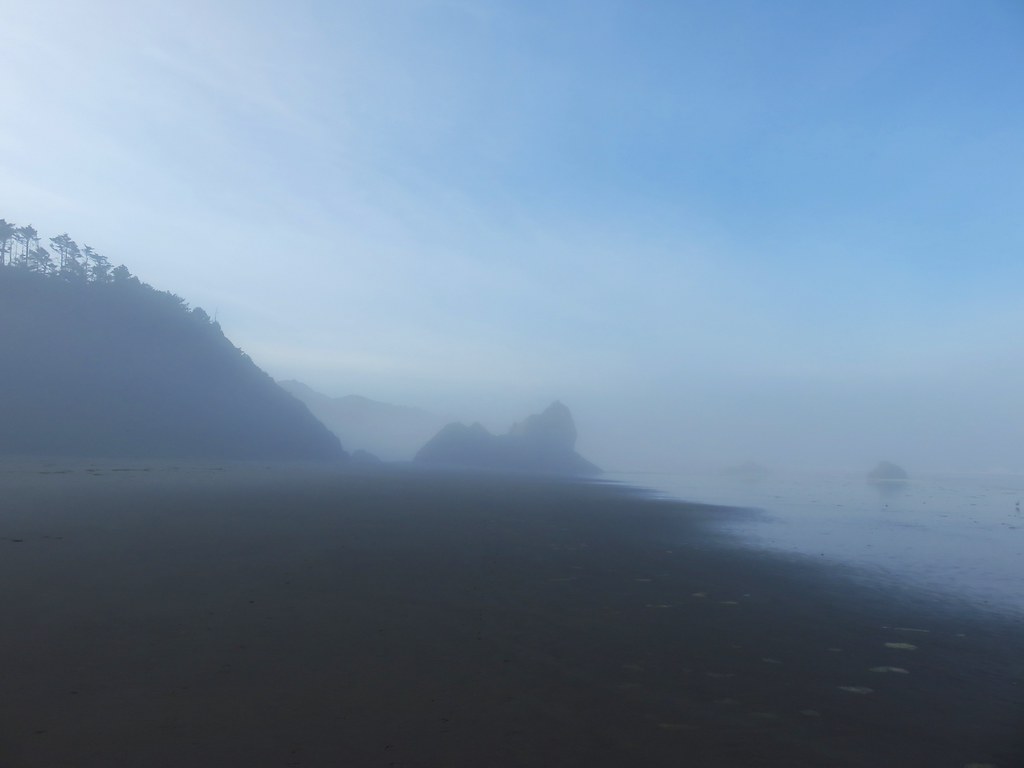


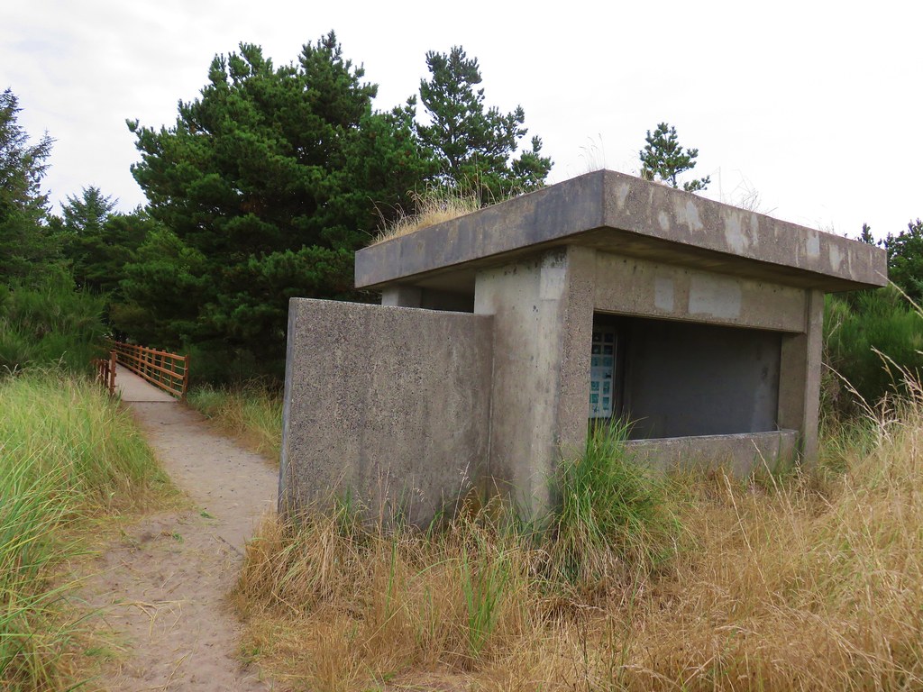
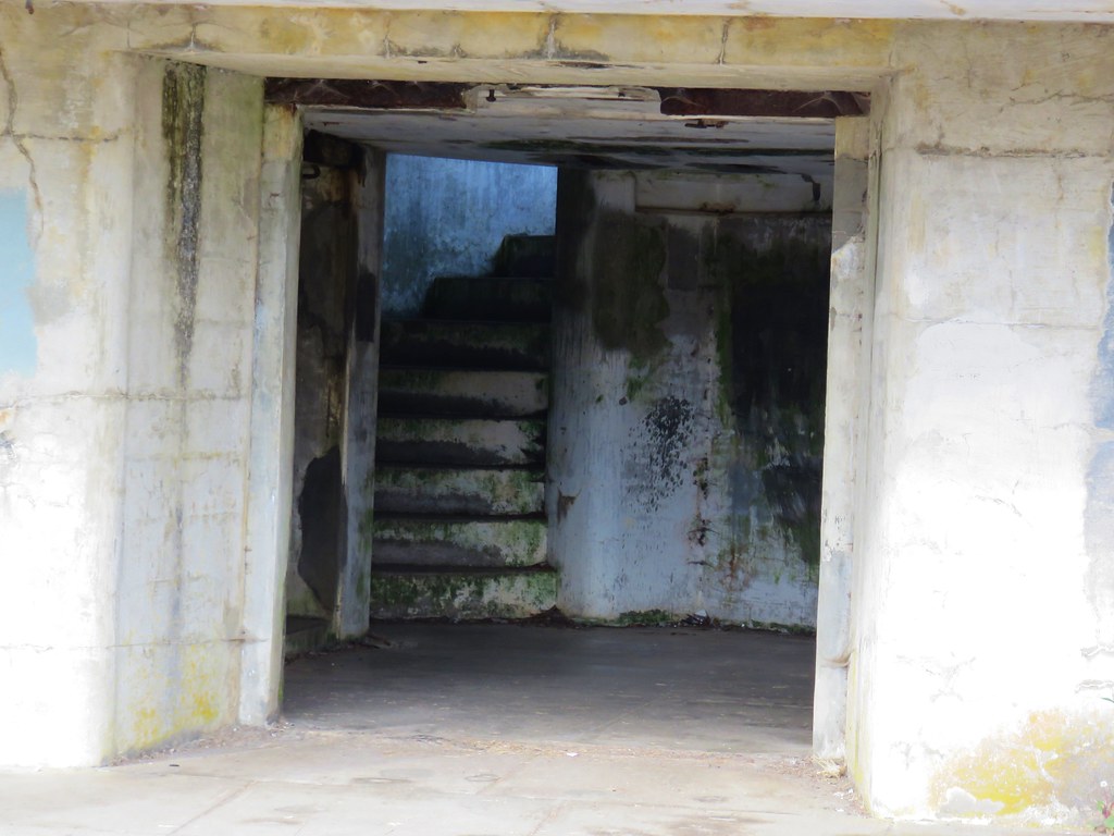
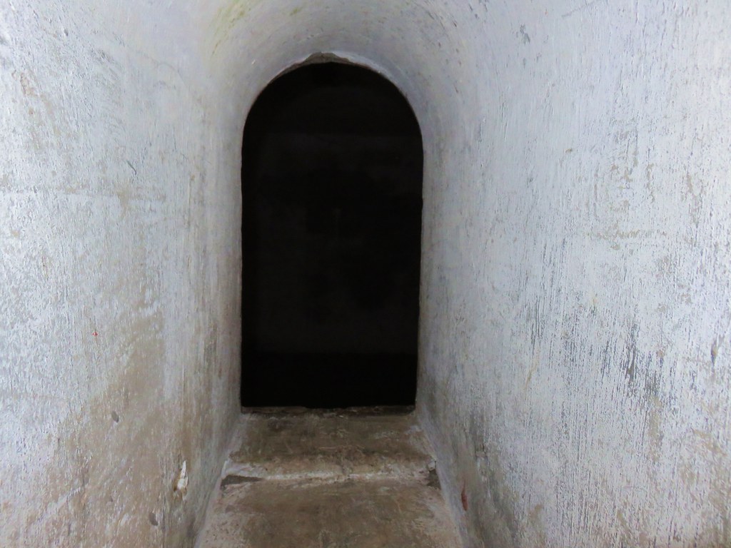
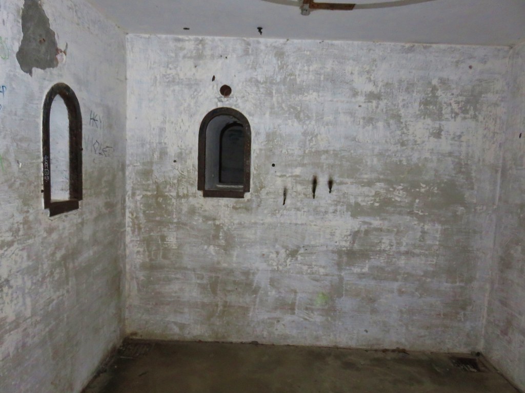
 view from the bunker.
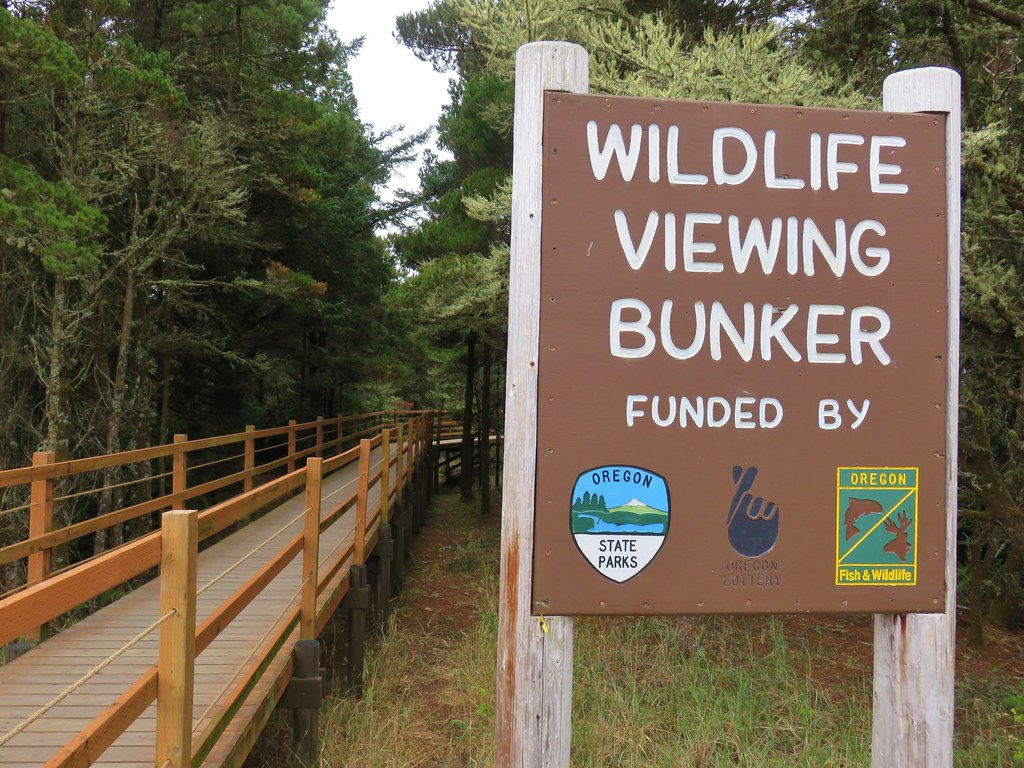


 Tillamook Head
 Tillamook Rock and Tillamook Head
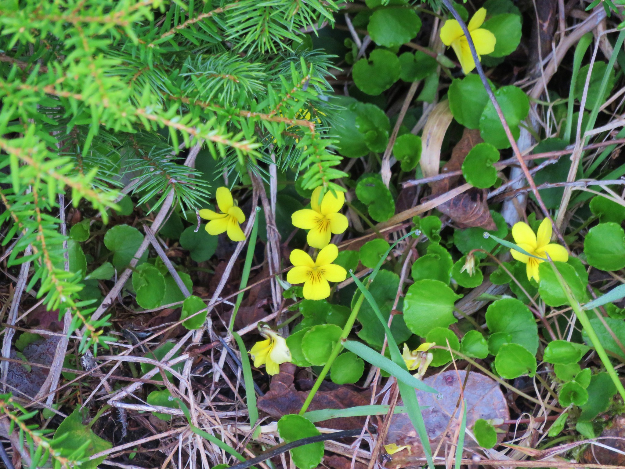 Violets
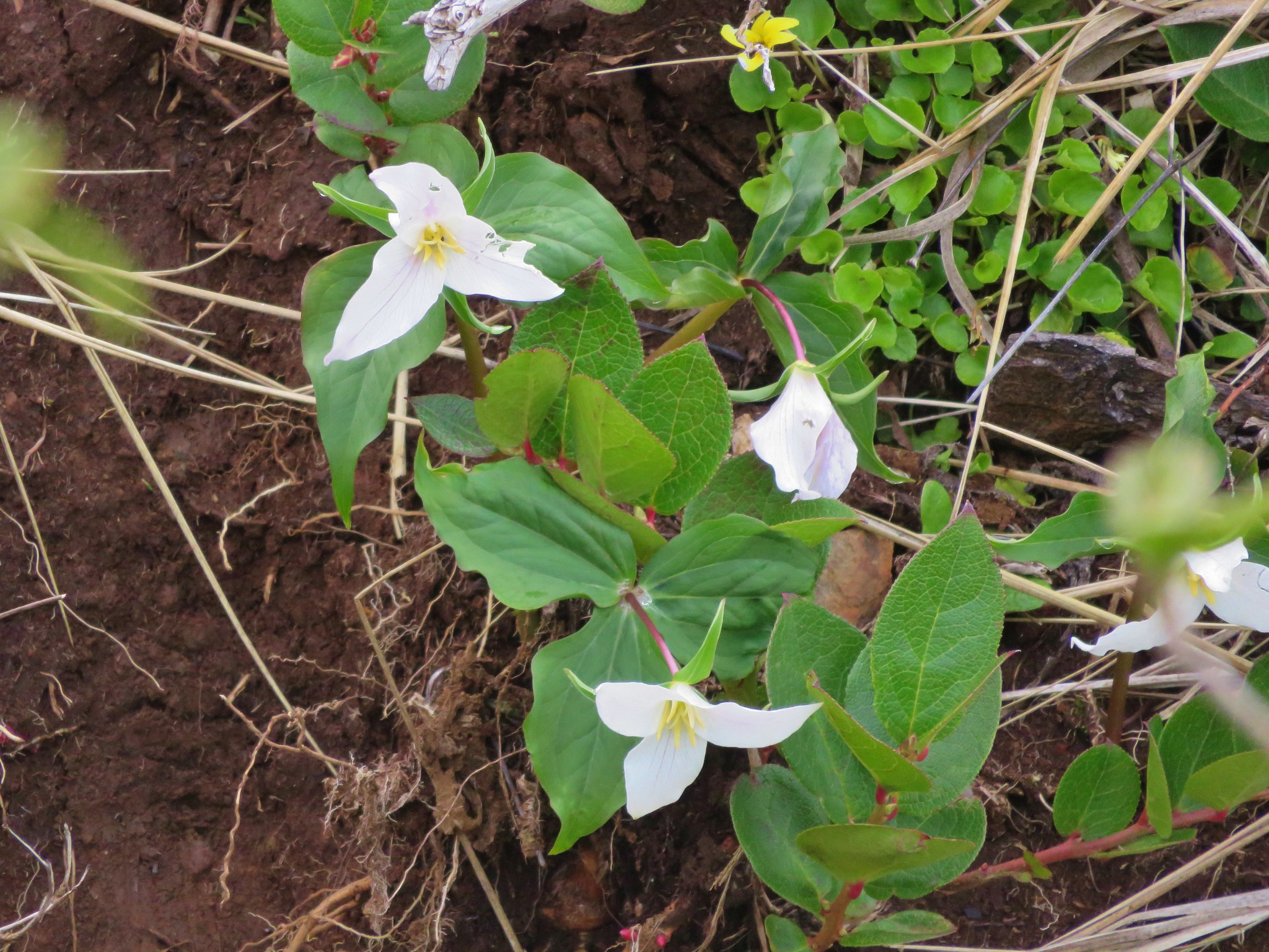 Trillium
 Paintbrush
 Salmonberry
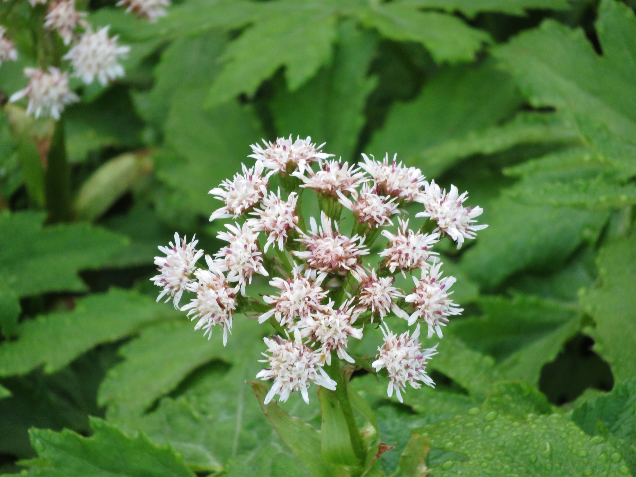 Coltsfoot
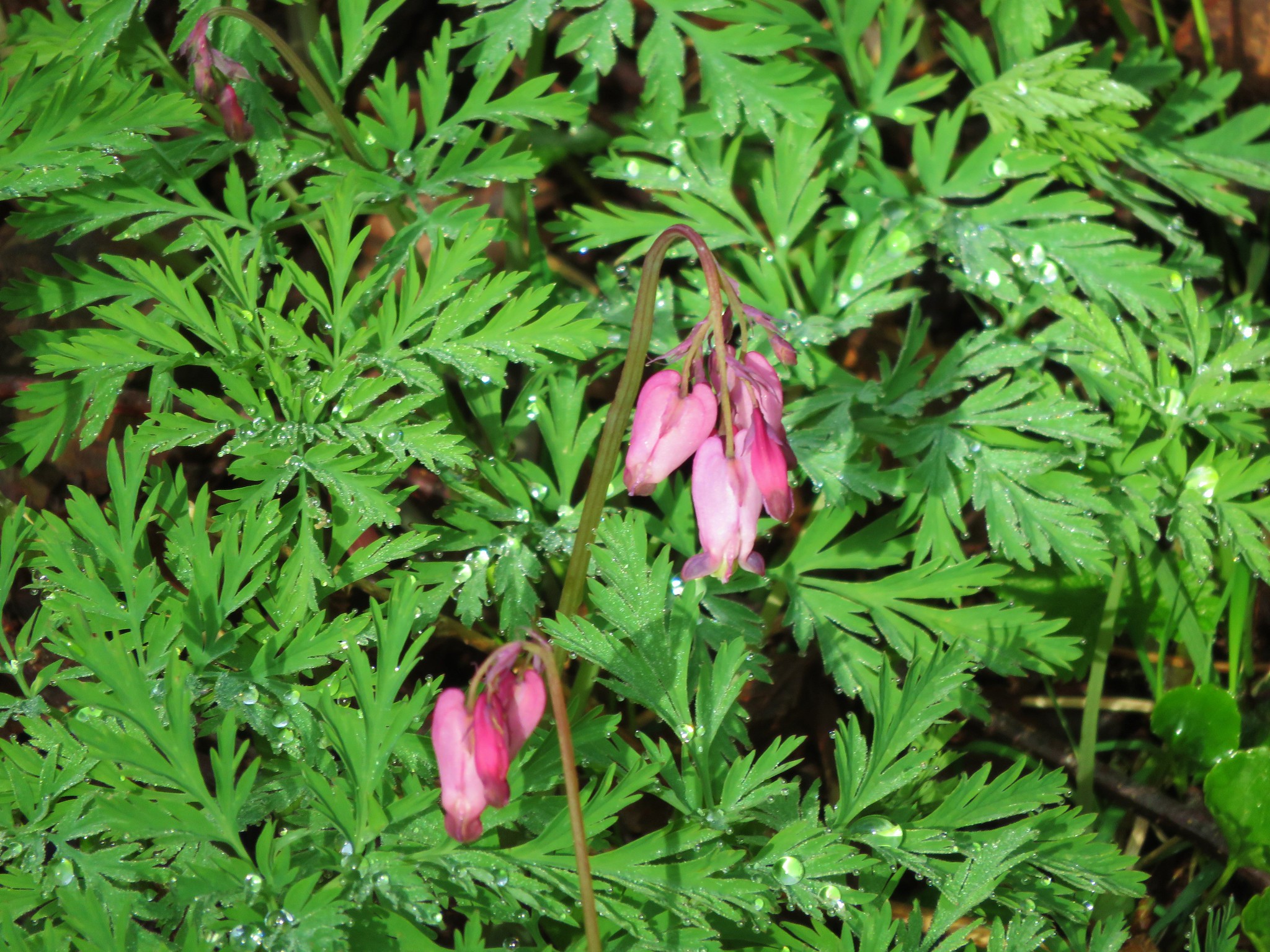 Bleeding heart
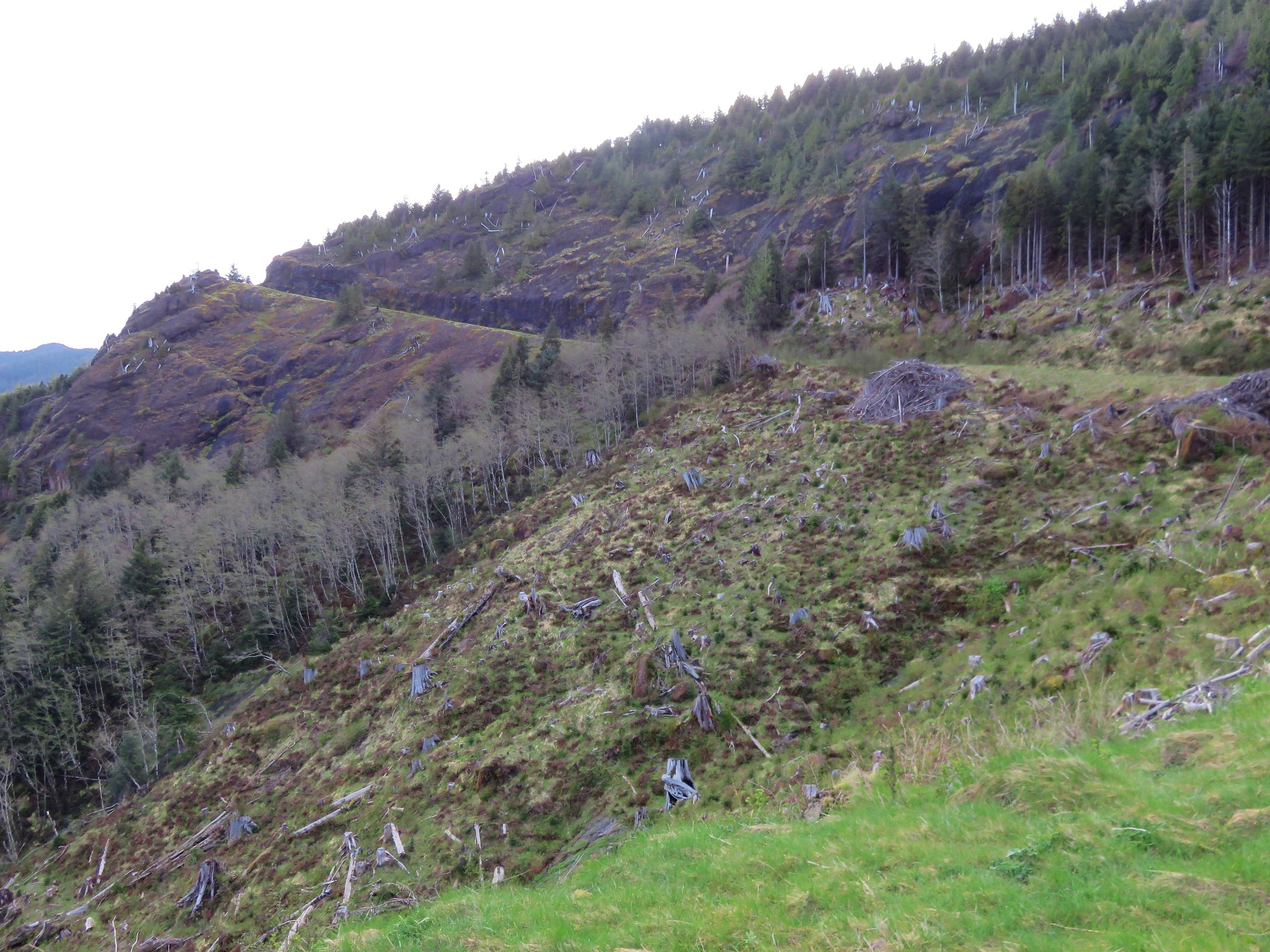


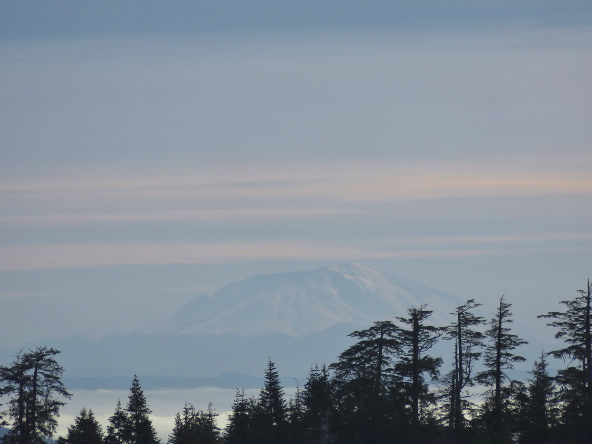 Mt. St. Helens