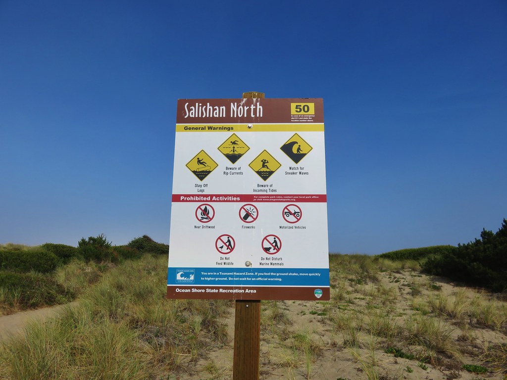
Back on January 1st we kicked off our 2023 hiking year by visiting several trails in Lincoln City, OR (post). During that outing we kept seeing signs referring to the Lincoln City Trail Challenge. A little post hike research revealed that the challenge involved trails in eight of the city’s open spaces, the five we’d visited that day plus The Knoll which we’d visited in 2021 (post) and two hadn’t visited, Nesika Park and Cutler City Wetlands. The actual challenge is to find the trail challenge signs at each open space and snap a selfie, but we rarely ever take a selfie, and we didn’t have a picture of the sign from The Knoll. That didn’t stop us from wanting to at least visit the final two challenge locations, so when a brief window of dry weather presented itself on one of our days off we headed to Lincoln City to do just that.
Given that the two remaining locations provide less than a mile and a half of hiking we consulted the Oregon Hikers Field Guide for additional ideas and landed on their Nelscott Beach Hike. This approximately eight-mile hike would visit a lake, the D River (Once recognized by the Guiness Book of World Records as the worlds shortest river.), and Siletz Bay.
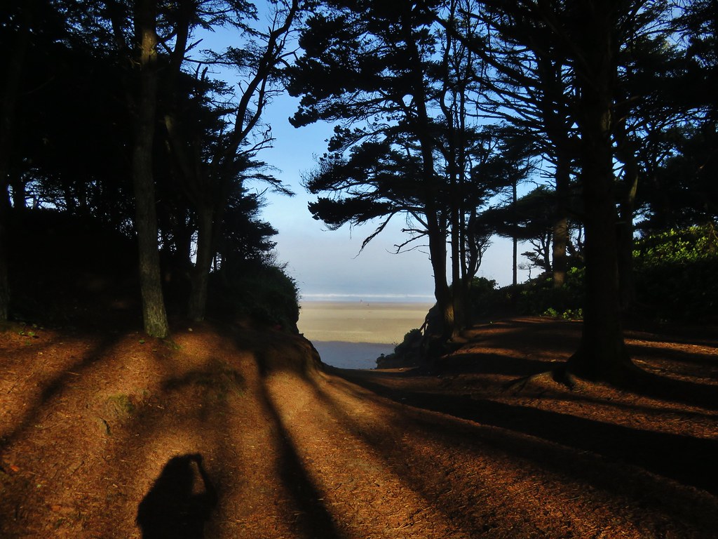
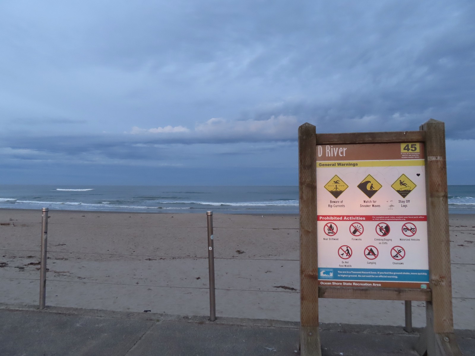
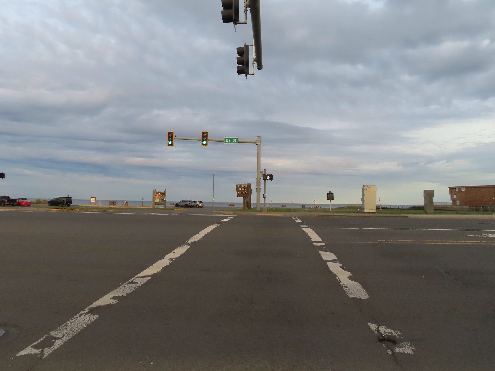
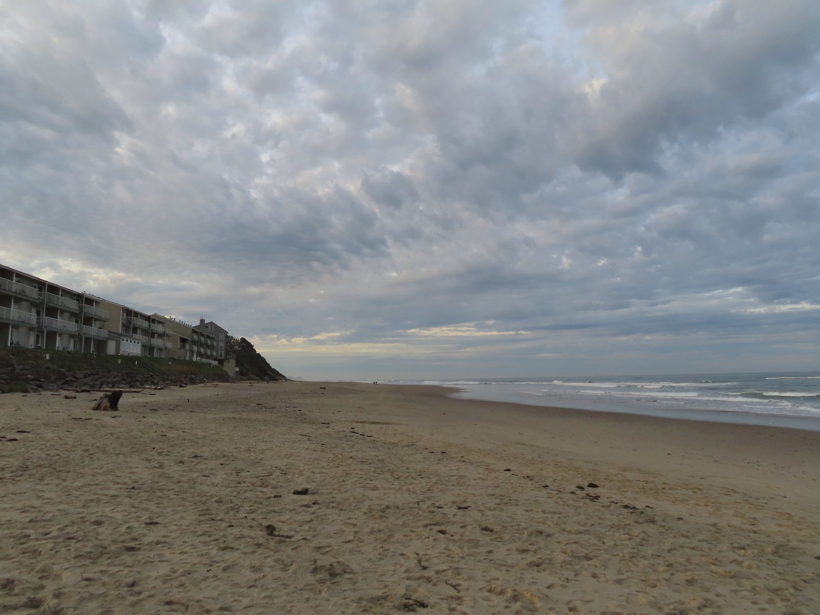
We began the hike at the D River State Recreation Site.
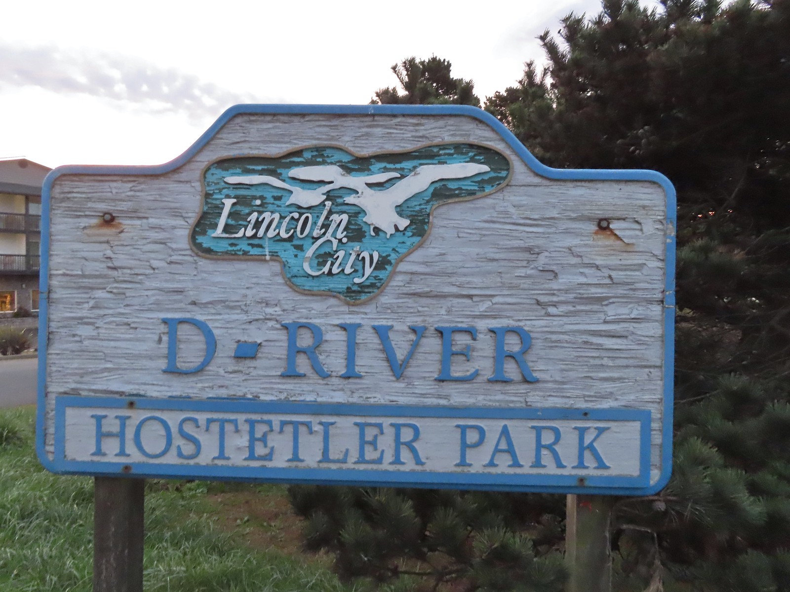
Before heading onto the beach we walked inland, crossing Highway 101 at a stop light, then passed over the D River and turned right into Hostetler Park.
 The highway from the parking lot.
 The D River from the highway bridge. The river flows between Devil’s Lake and the Pacific Ocean and at high tide has a length of approximately 40 yards.
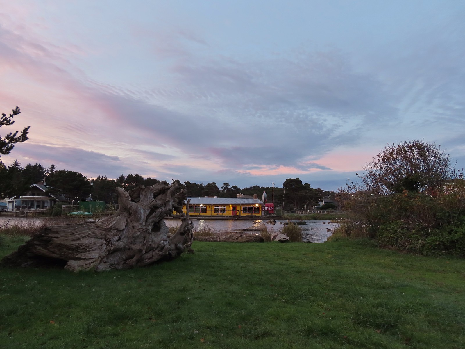 Hostetler Park.
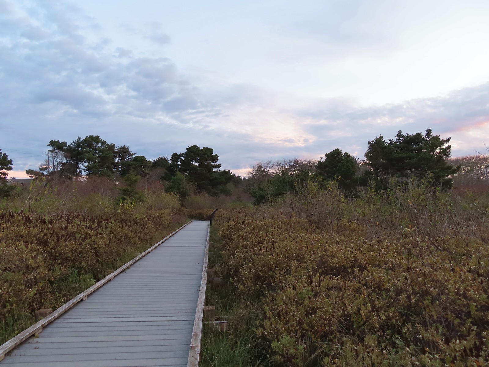
At the far end of the small park was a sign for the D River Open Space and a short trail leading to a long boardwalk.


We followed the boardwalk to a campground at Devil’s Lake State Recreation Area.
 Several interpretive signs were located along the boardwalk.
 One of the interpretive signs.
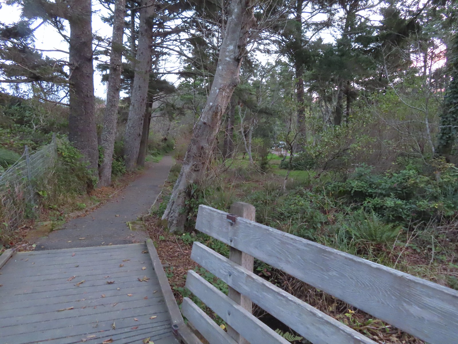 Nearing the campground.
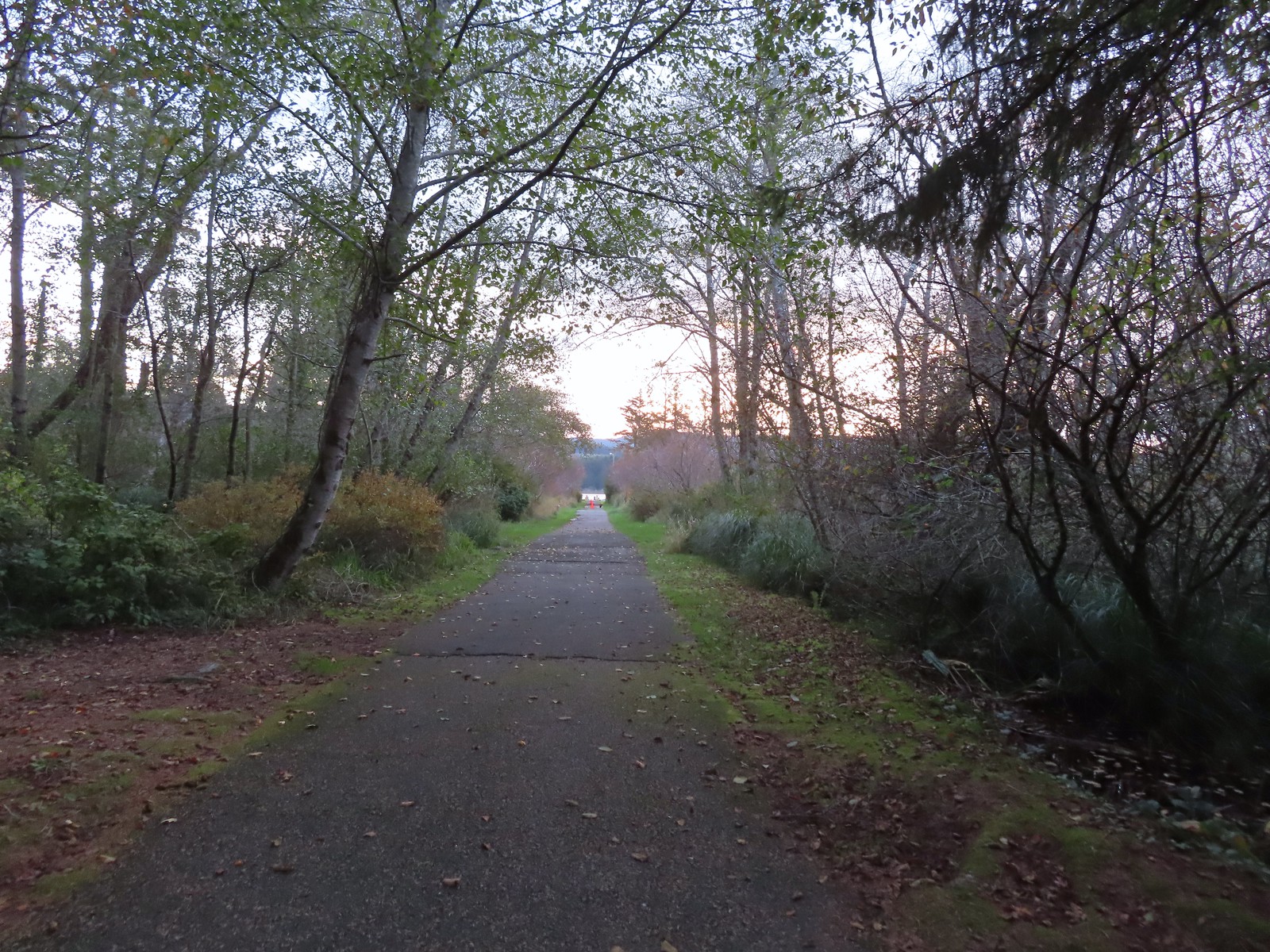
We turned right at the campground entrance and followed the campground road to a paved (and flooded) path to a moorage.

 Orange cones, and a cat, at the far end of the path.
We were able to follow the path far enough to see the moorage and a small portion of the lake.

We returned to the campground road and looped back around to the entrance booth and the boardwalk then hiked back to the parking lot and headed down to the beach.
 Program area in the campground.
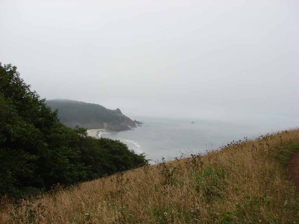
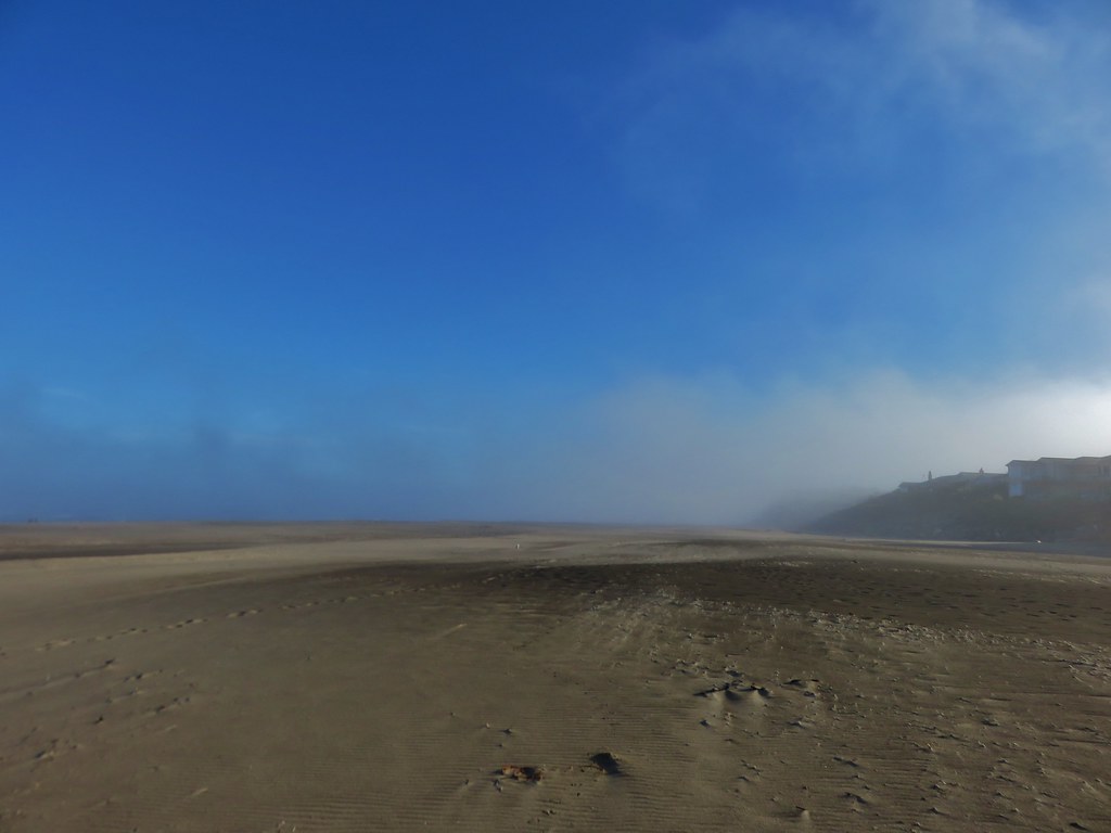
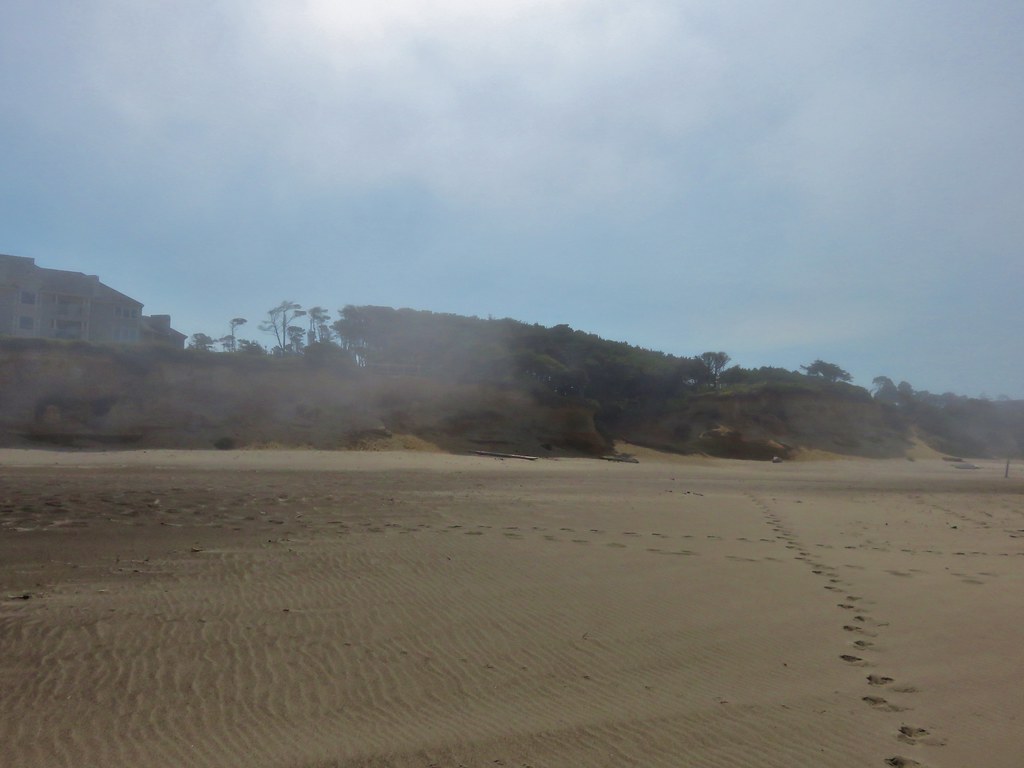
 View North from the beach.
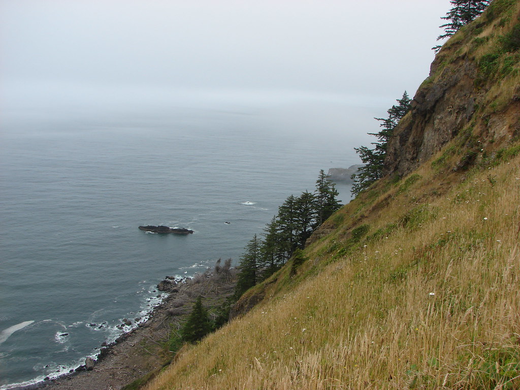
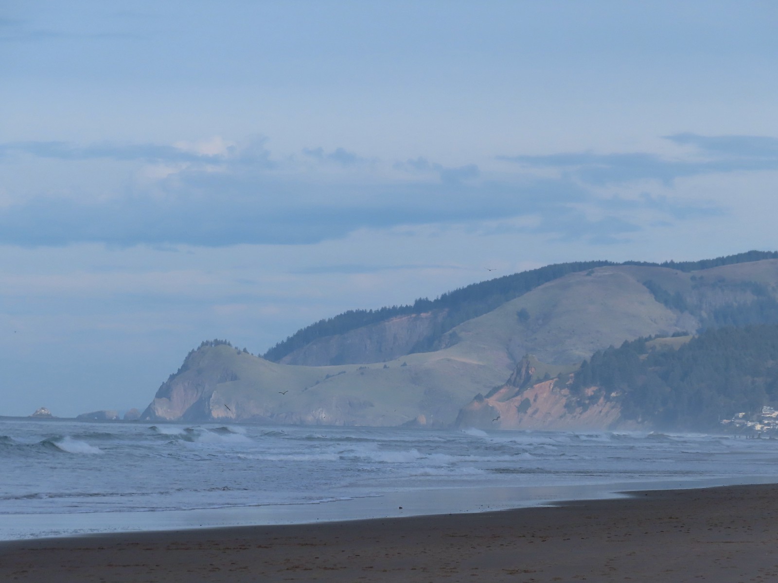
 Cascade Head (post) in the sunlight behind God’s Thumb.
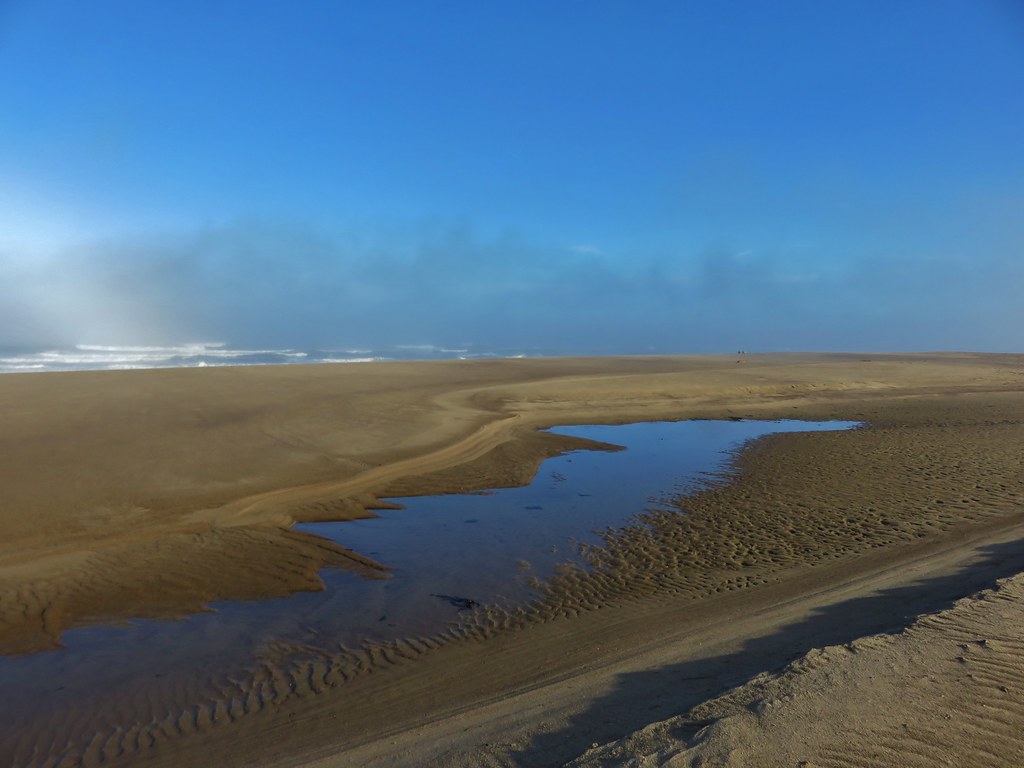
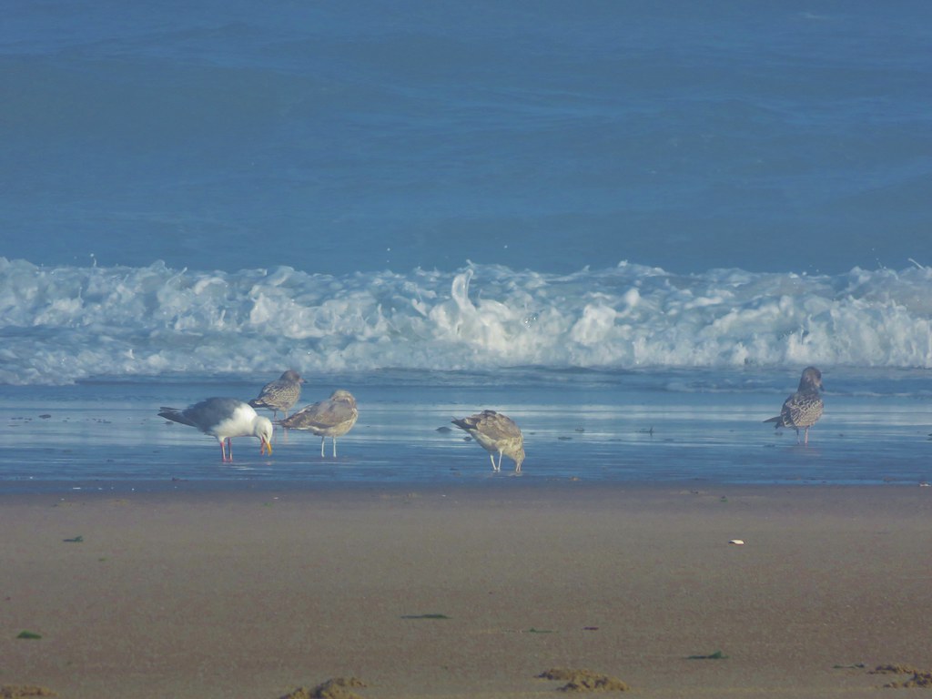
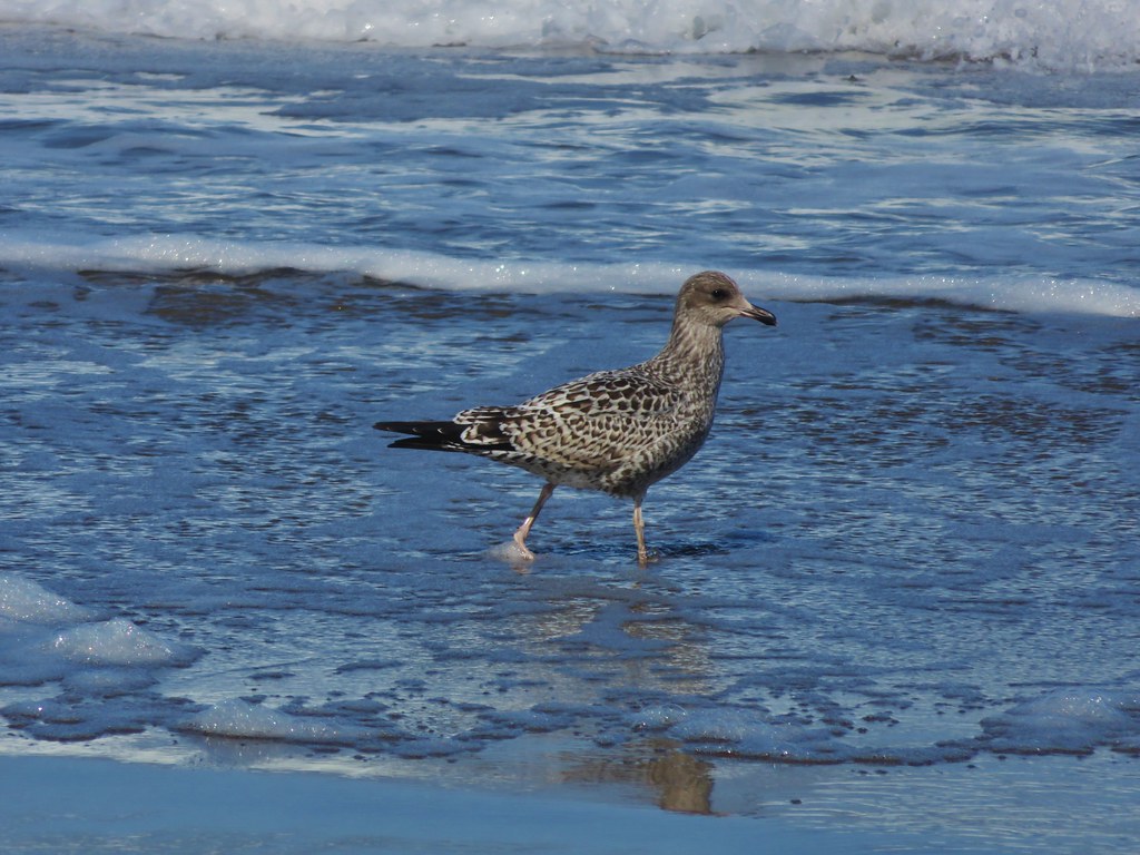
 Seagulls at the mouth of the D River.
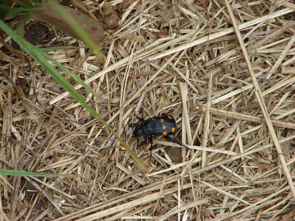
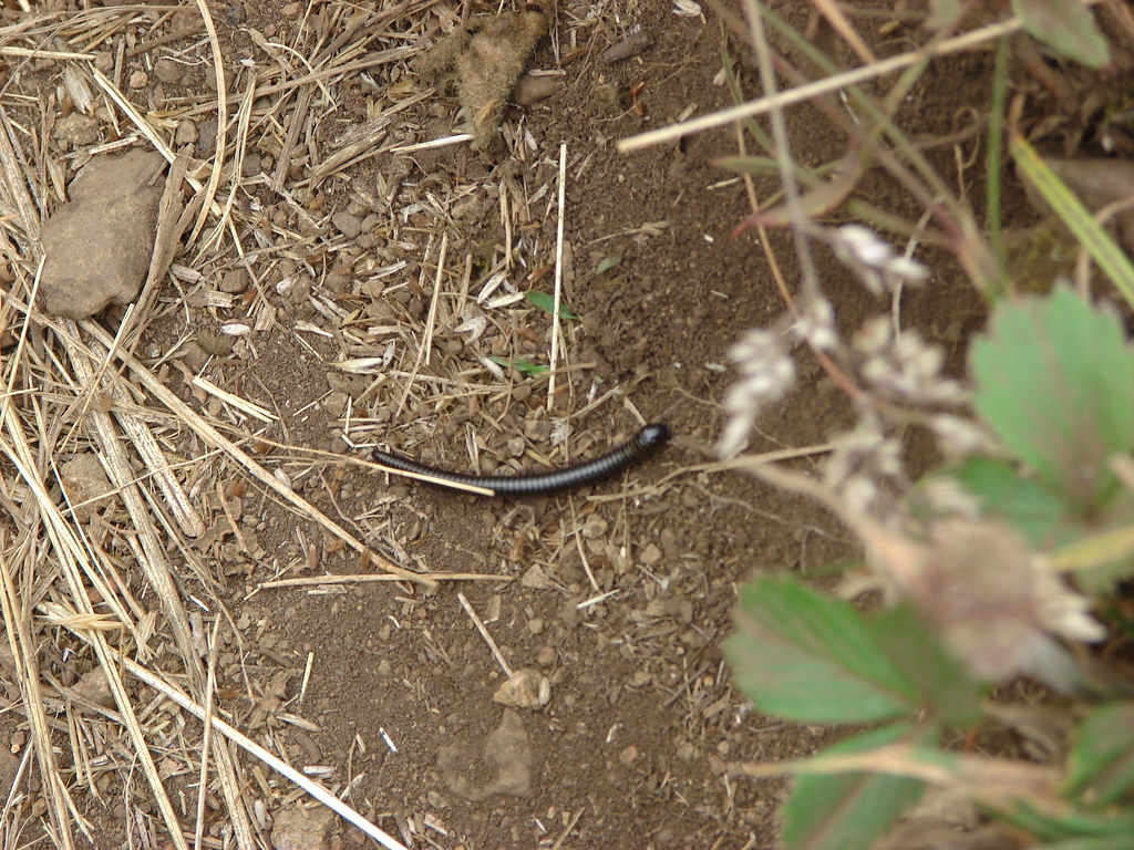
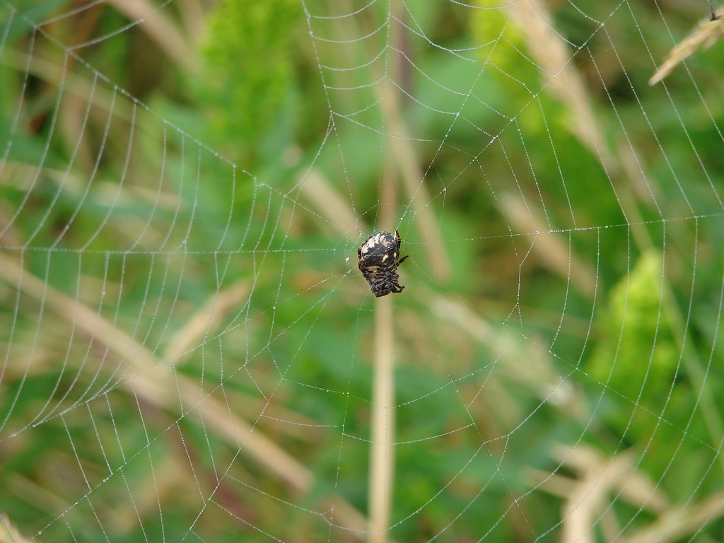
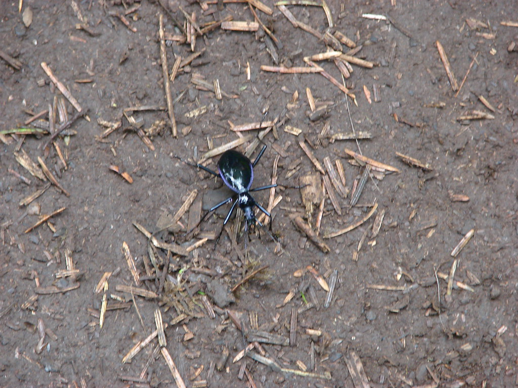
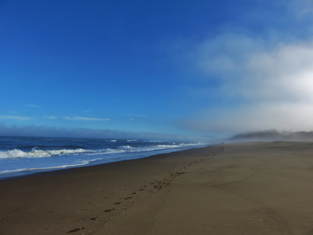
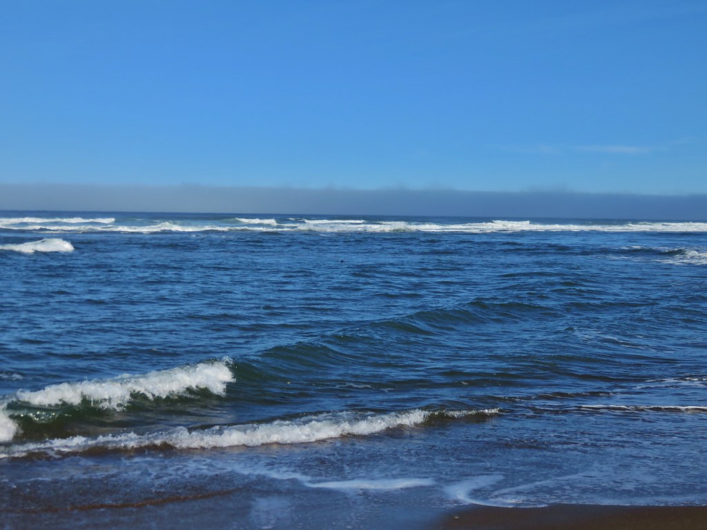
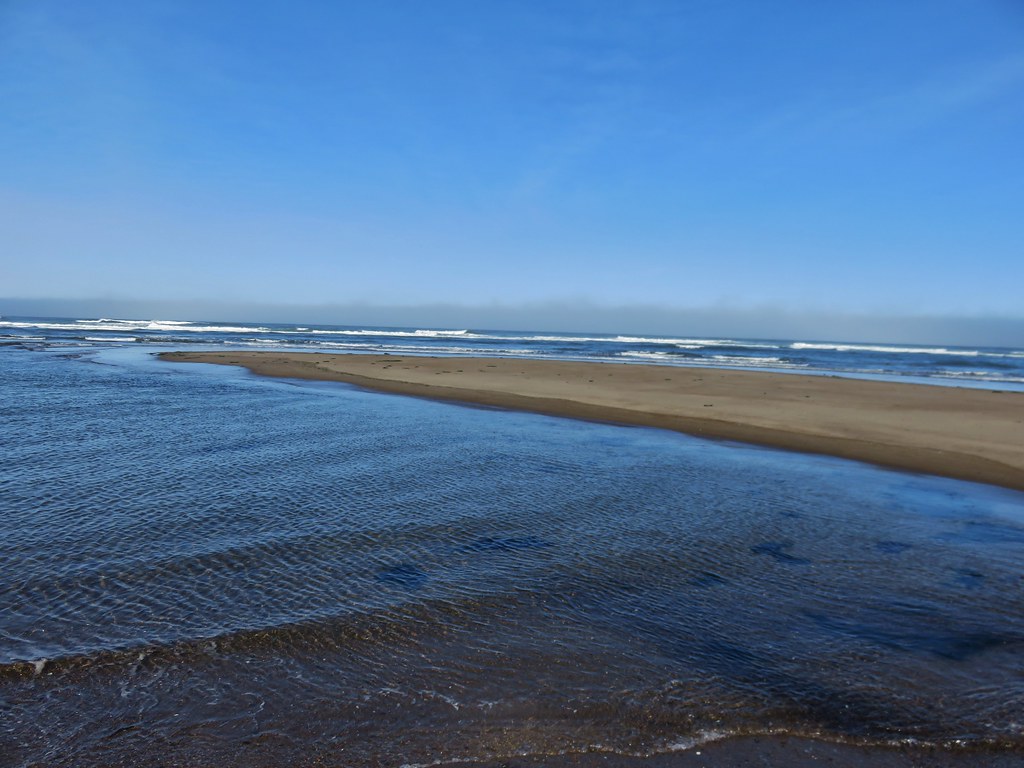
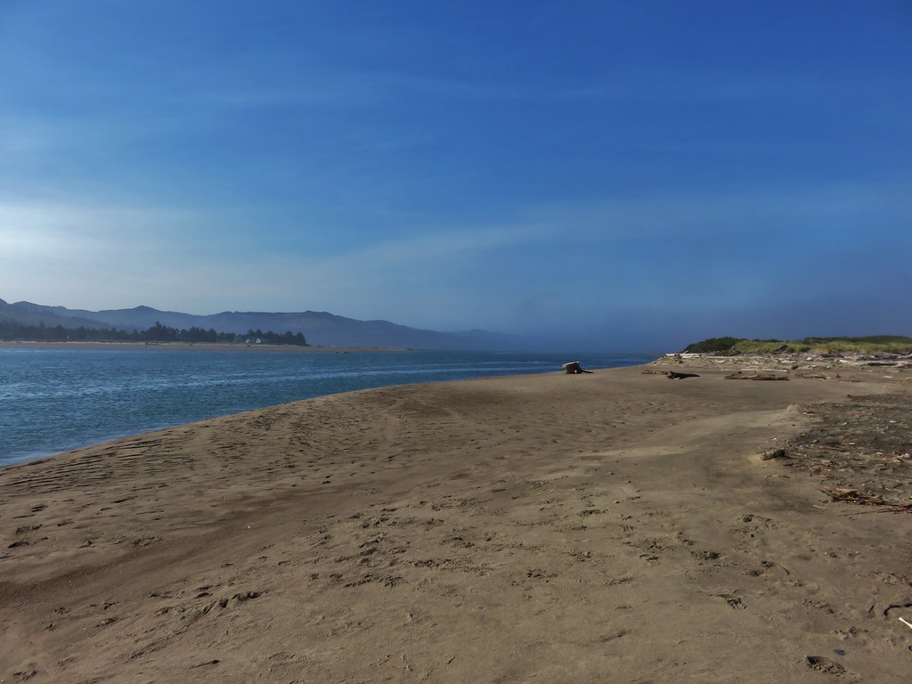
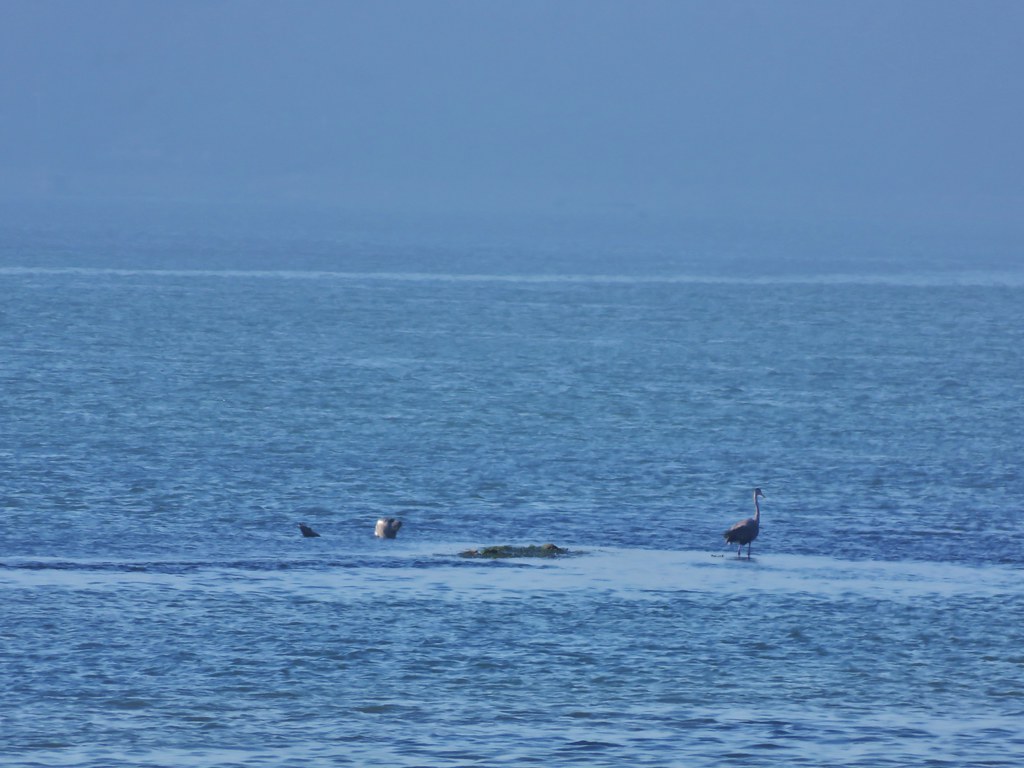
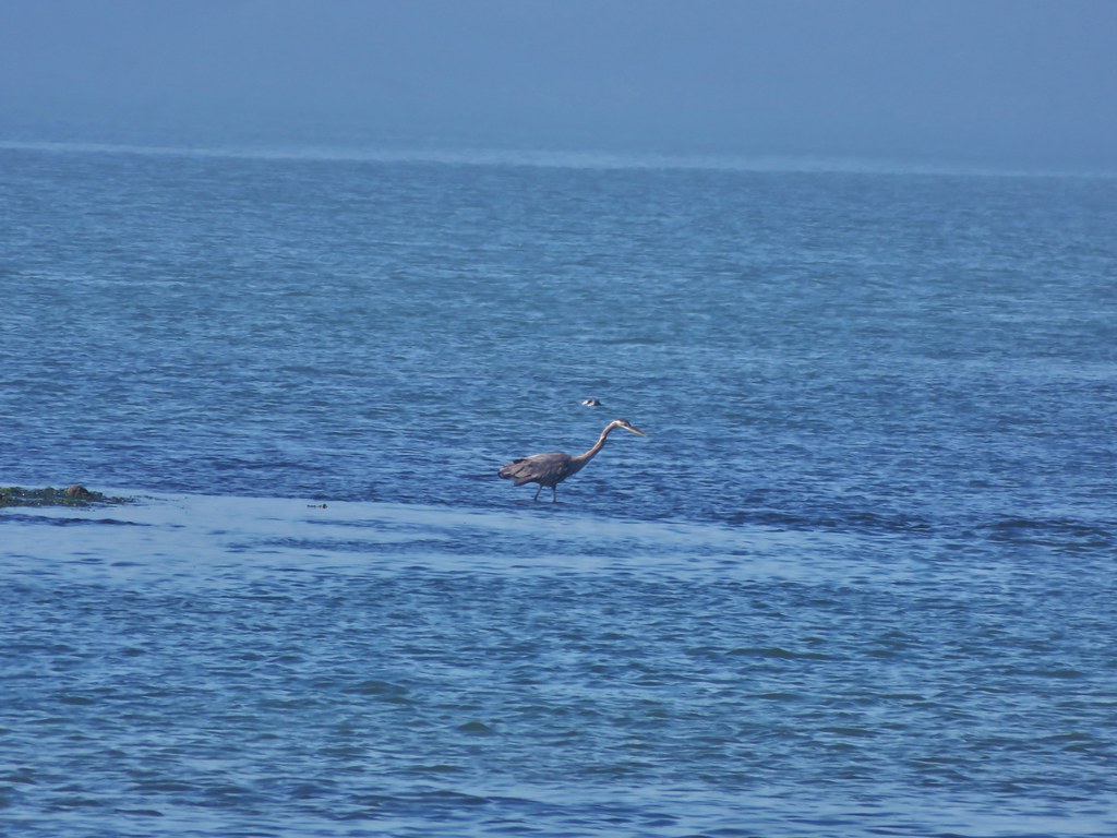
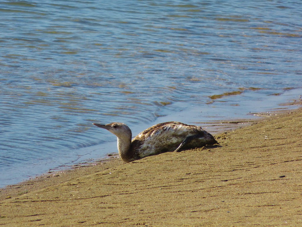
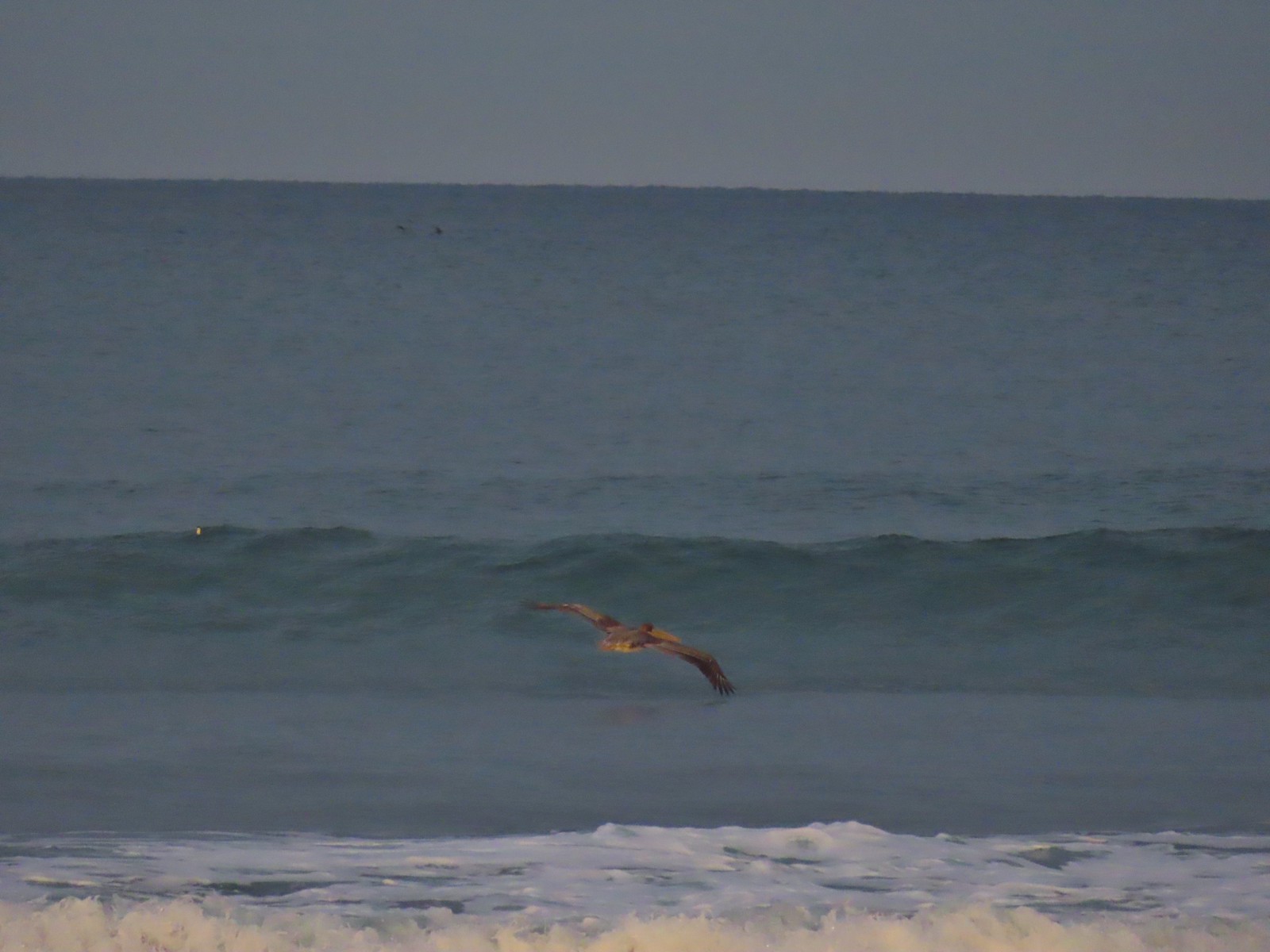
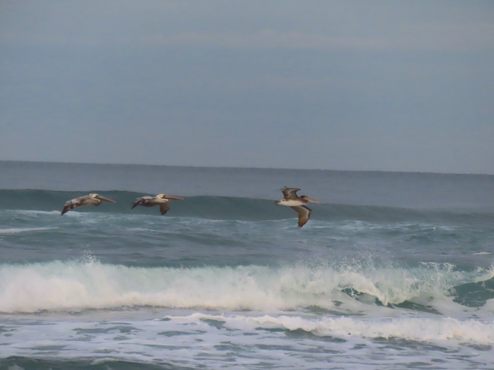
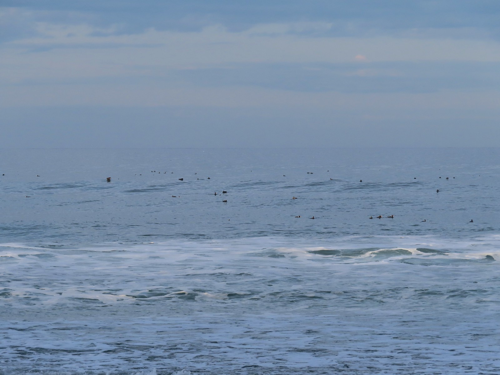
We headed South along the beach for nearly three miles to Siletz Bay where we turned inland across from Salishan Spit (post). It was a beautiful morning. The temperature was perfect and there was little to no breeze. We spent the majority of time watching pelicans glide just above the ocean while the occasional seal would pop it’s head up in the surf. There were also a number of ocean birds floating offshore, mostly surf scooters but there were some others mixed in.


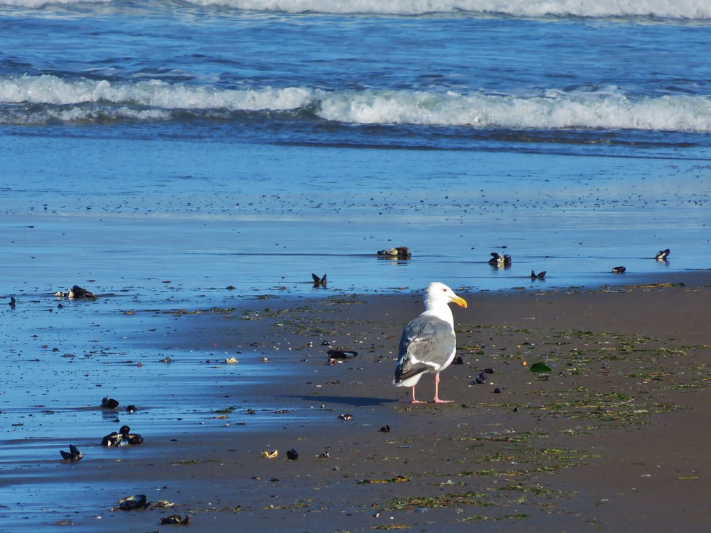
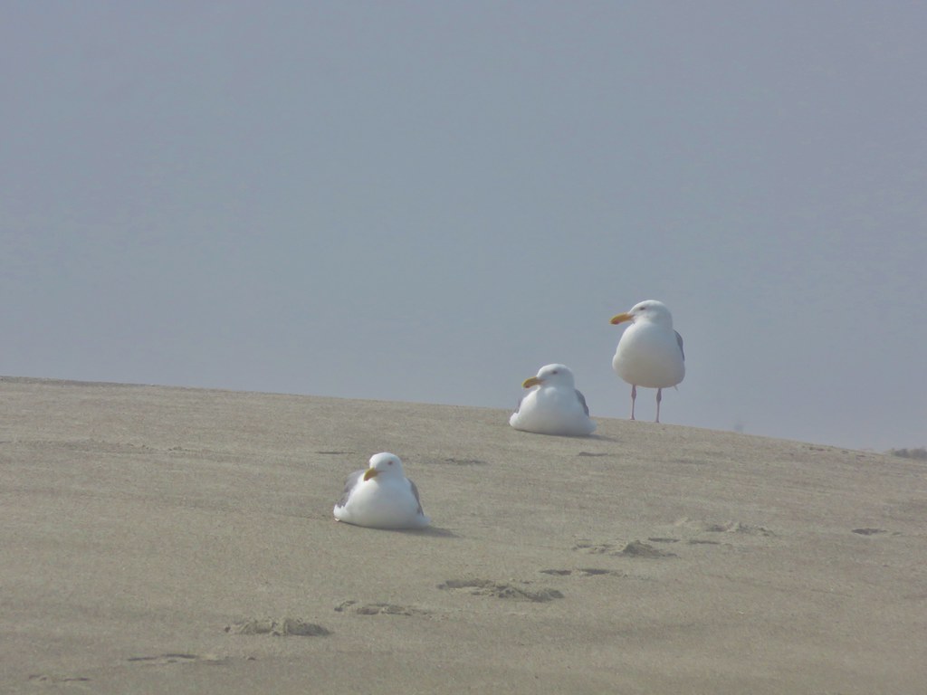
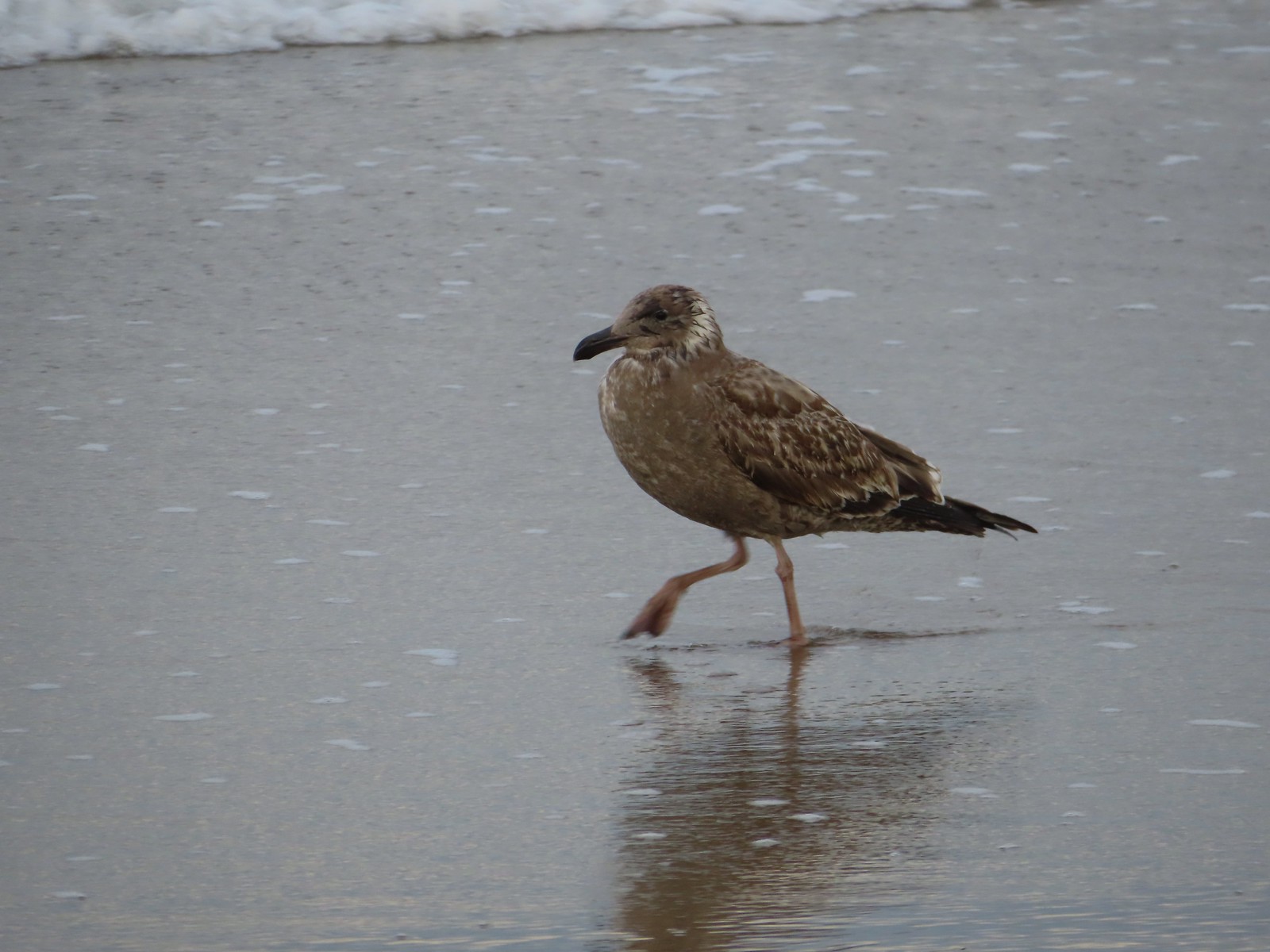 There were of course plenty of seagulls present.
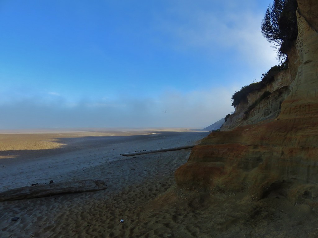
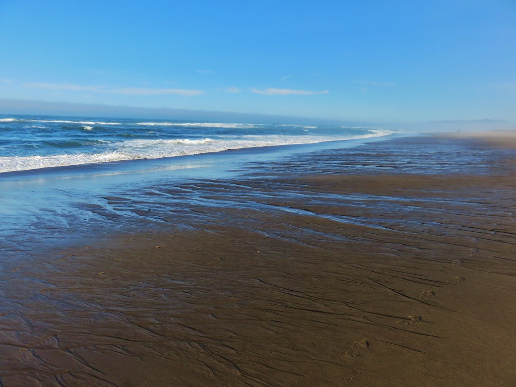
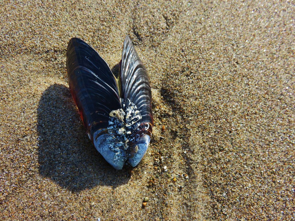
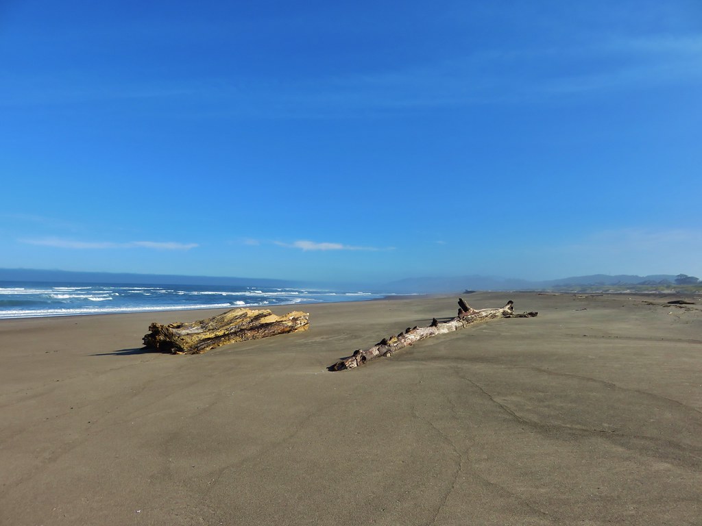
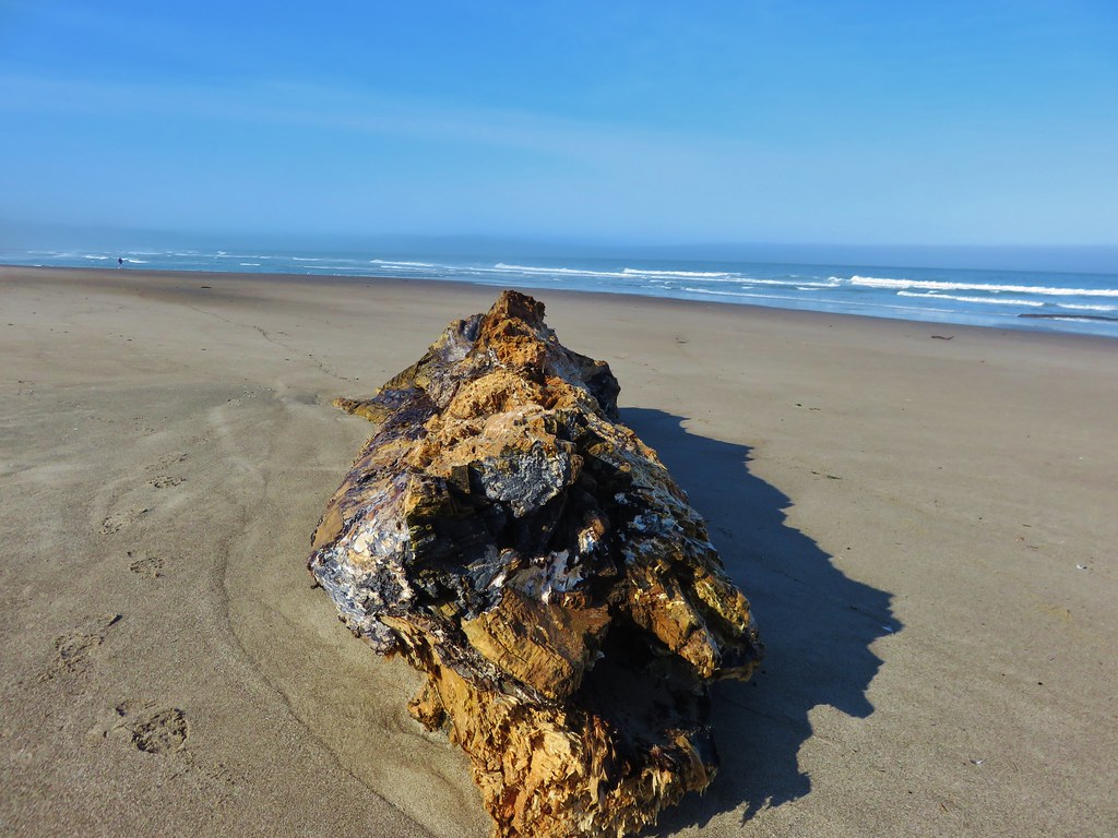
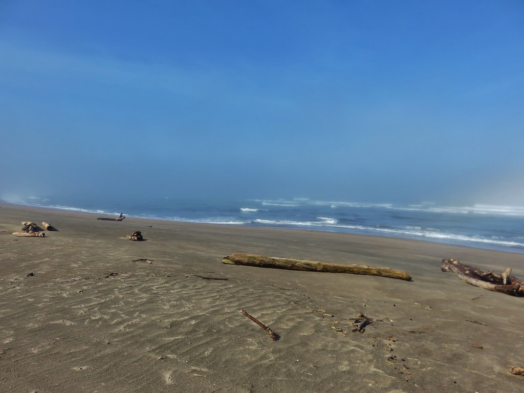
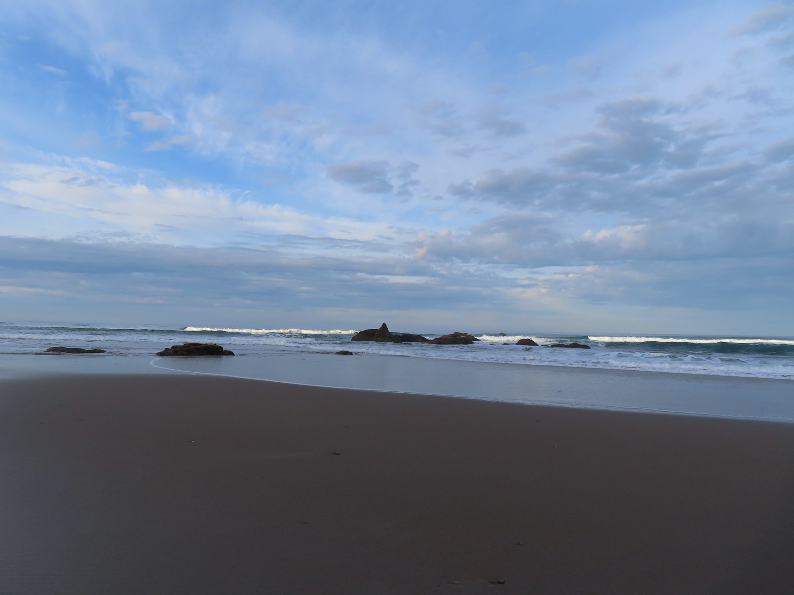 There weren’t very many ocean rocks along this stretch of beach.

 Surf scooters
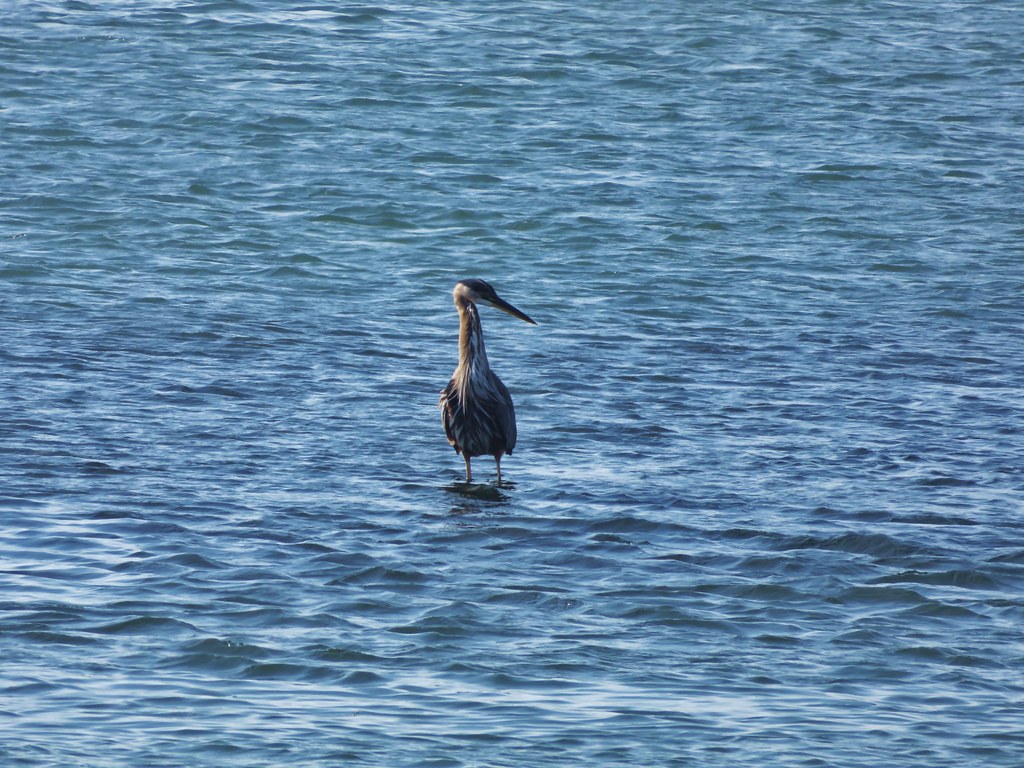
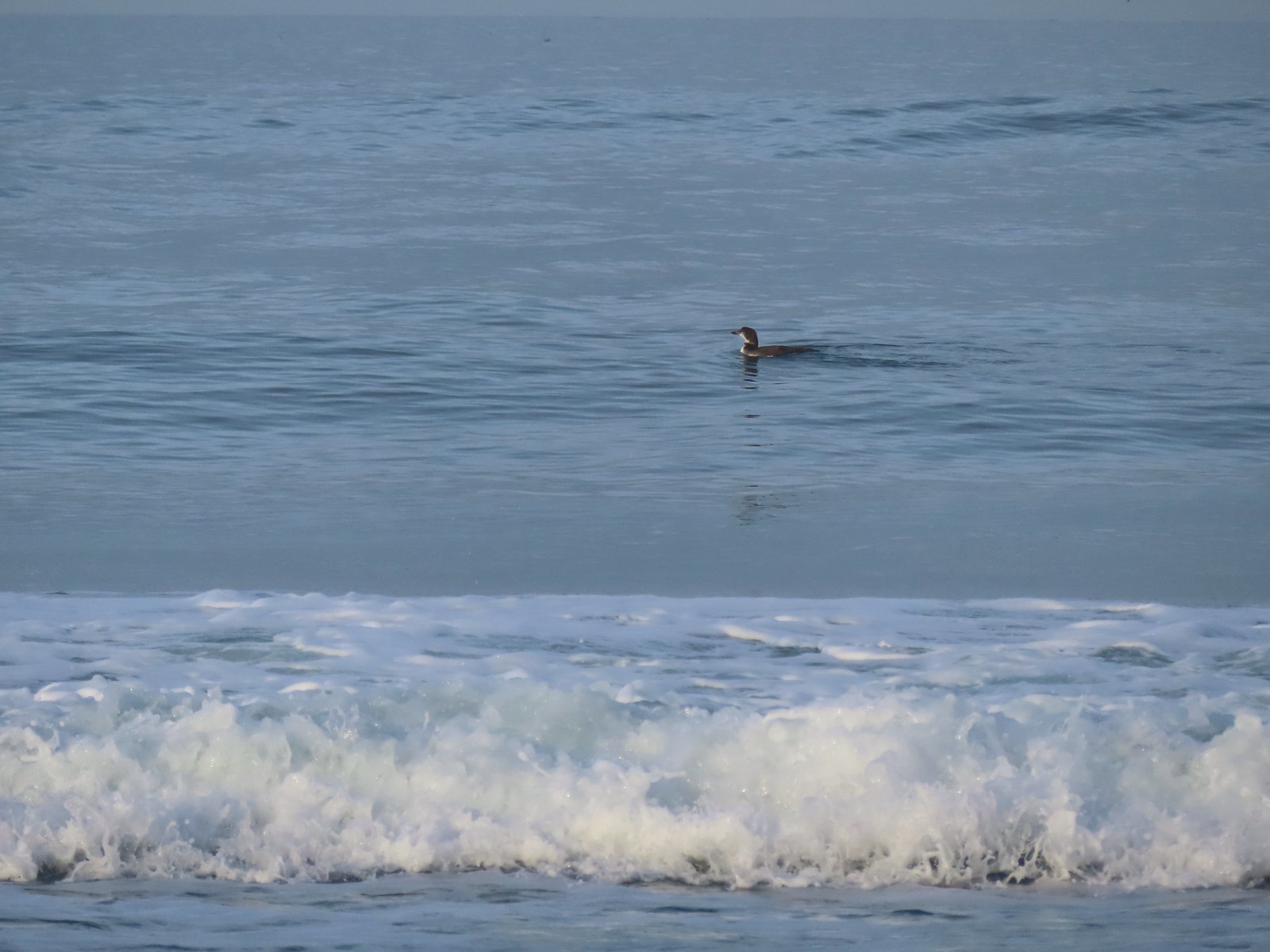 Loon, probably a common loon.
 Baldy Creek
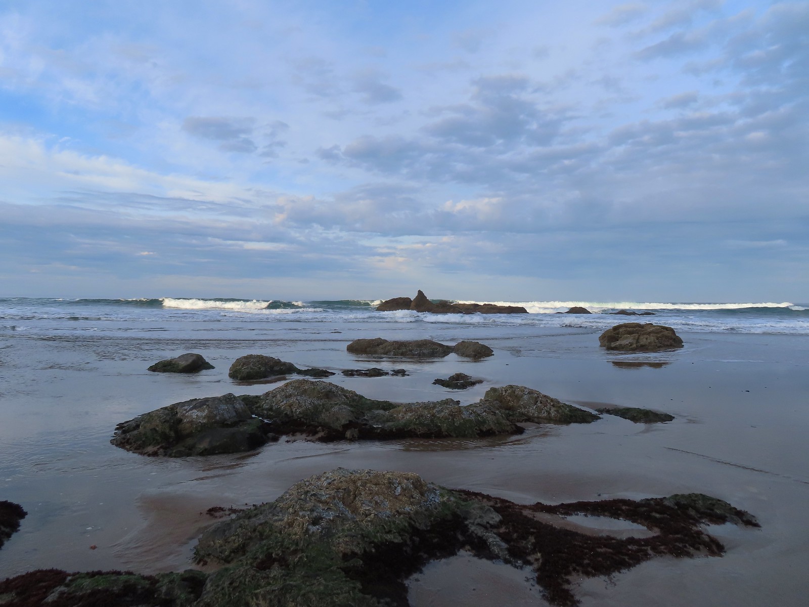
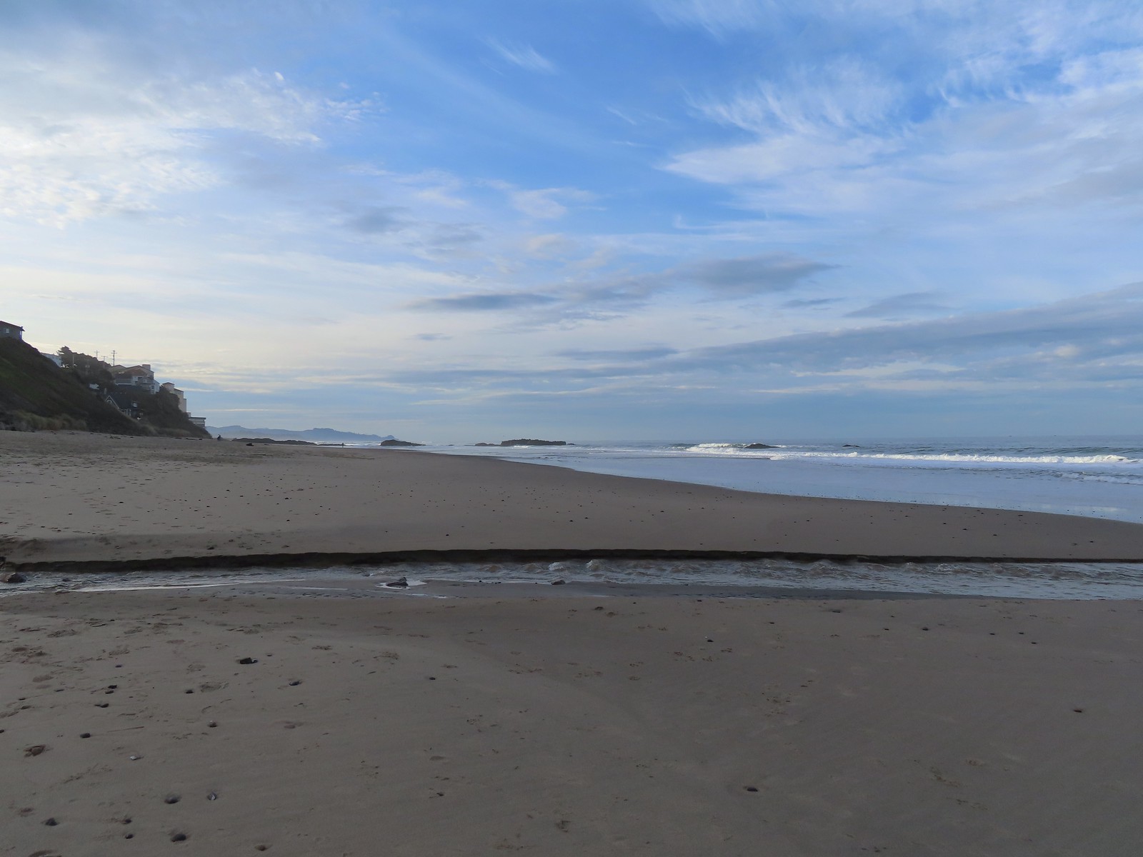
The largest group of offshore rocks were near the Inn at the Spanish Head.
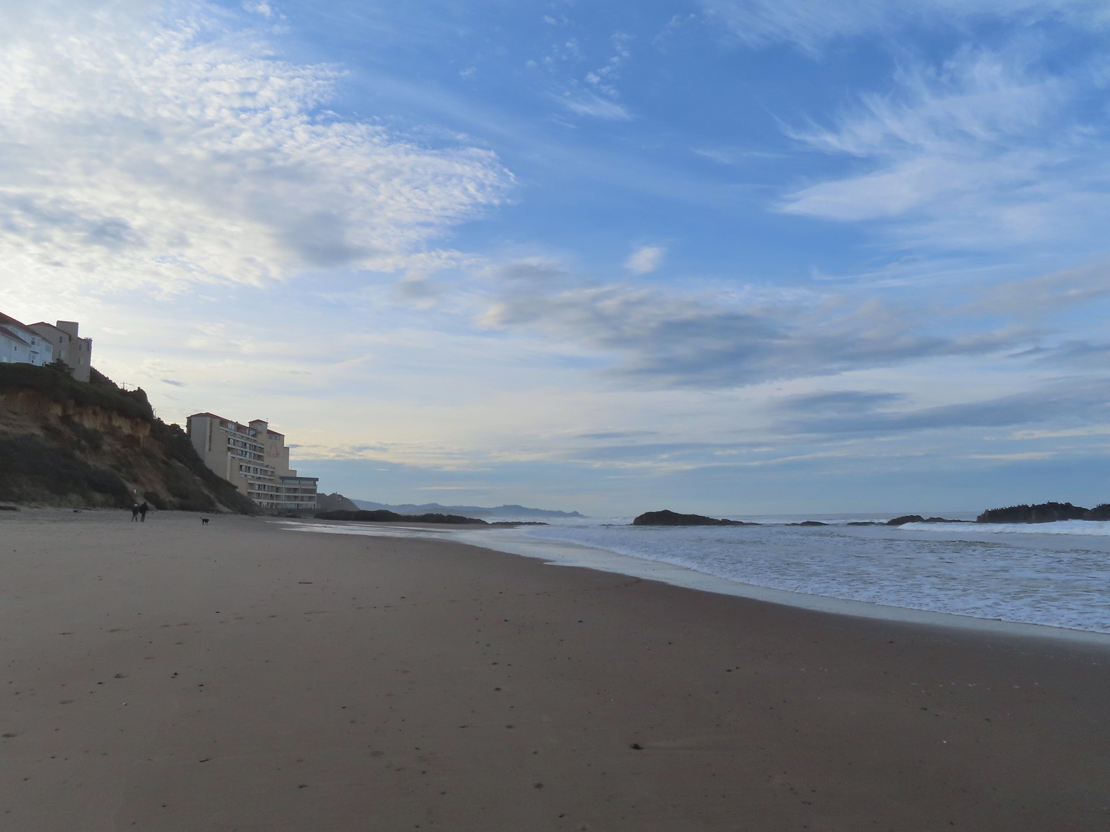 The inn on the left with the rocks extending into the Pacific.

 Cormorants and seagulls
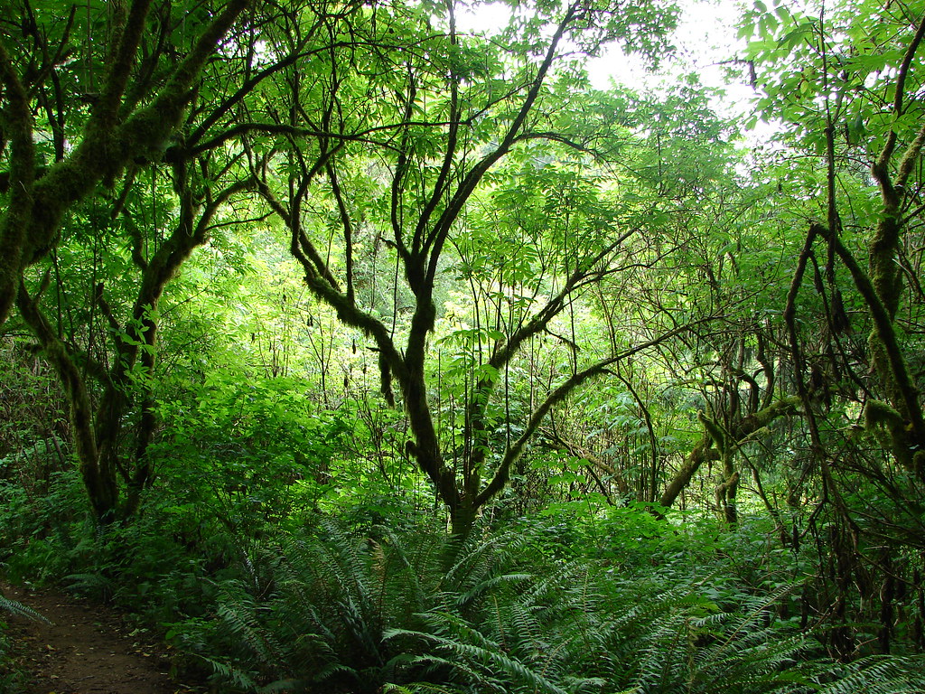
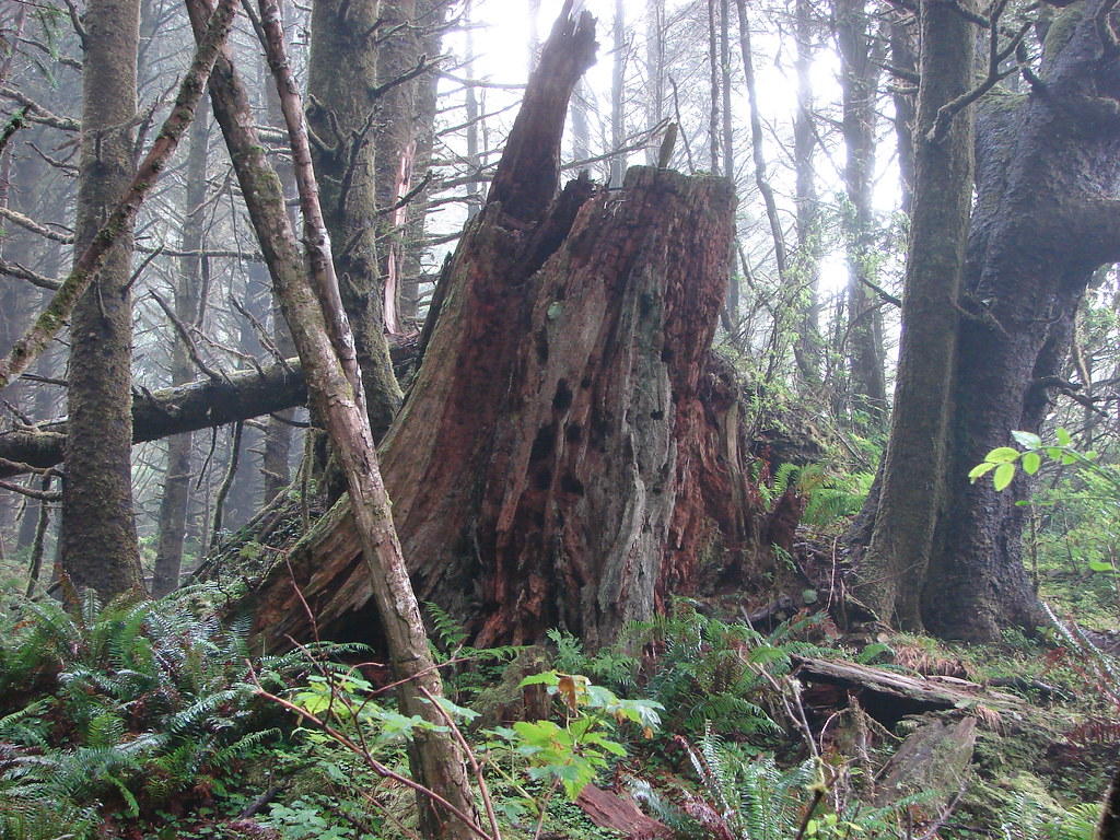
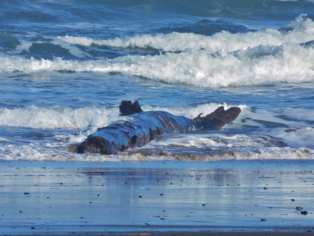
 This was a big tree that we were able to walk under.
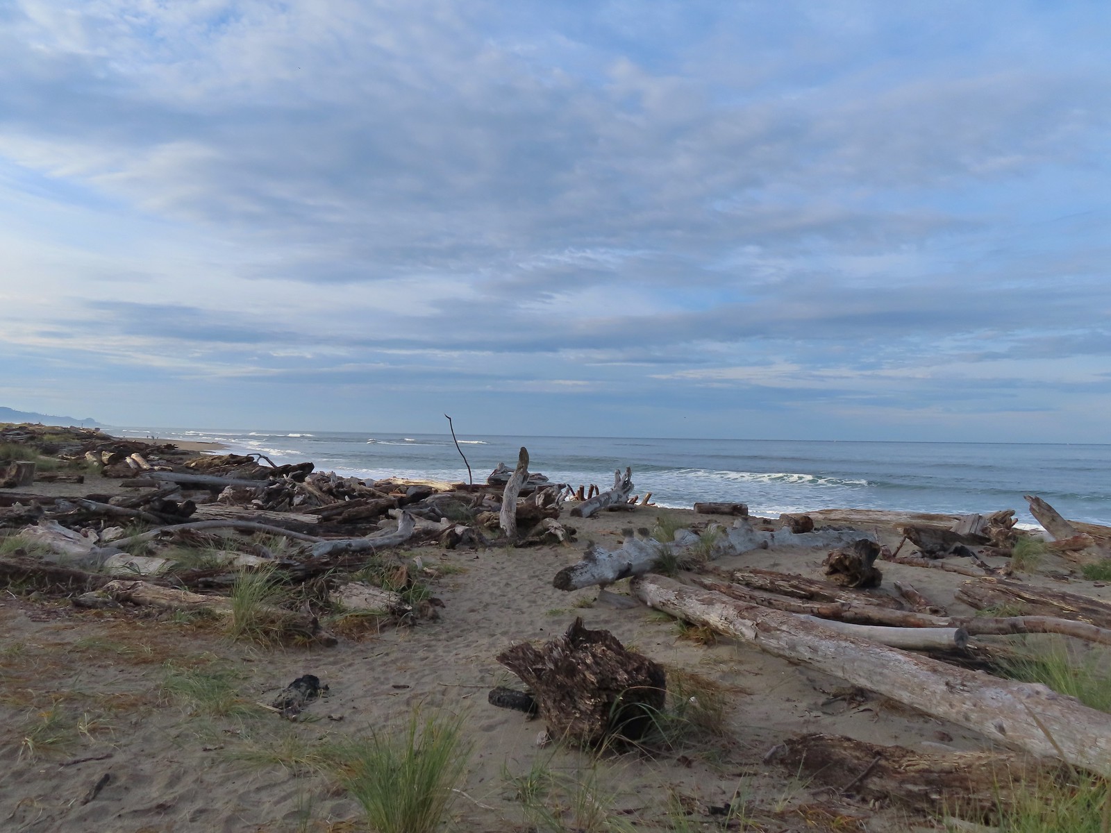
A short distance beyond the Inn at the Spanish Head are some stairs leading down from 44th St. Here the beach widens as it nears the bay. We turned inland toward the stairs and followed paths through the brush and driftwood.
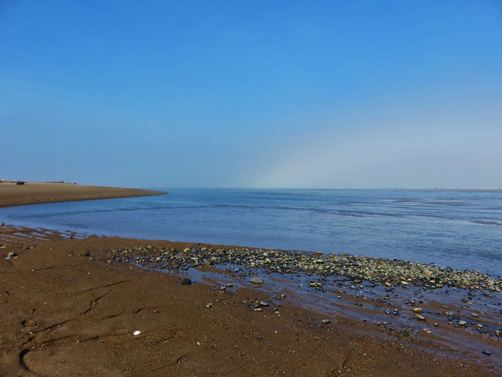
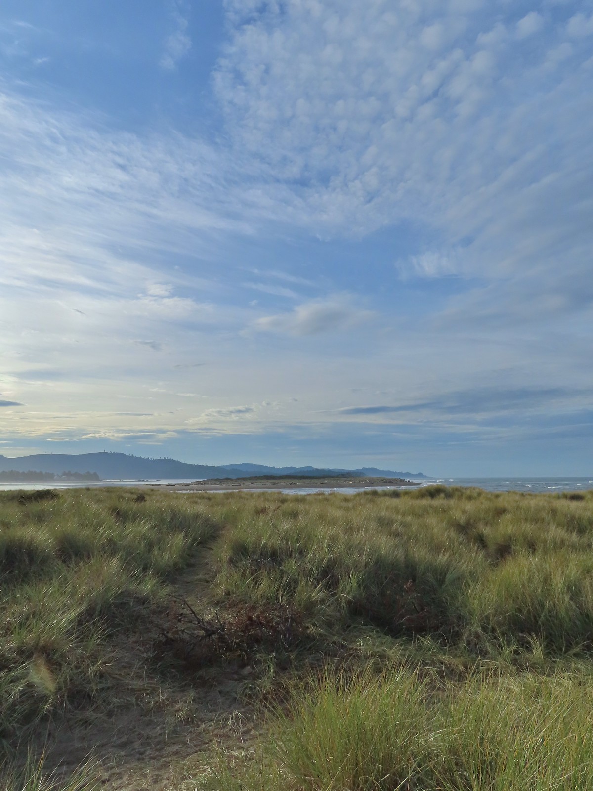 Salishan Spit across the Siletz.
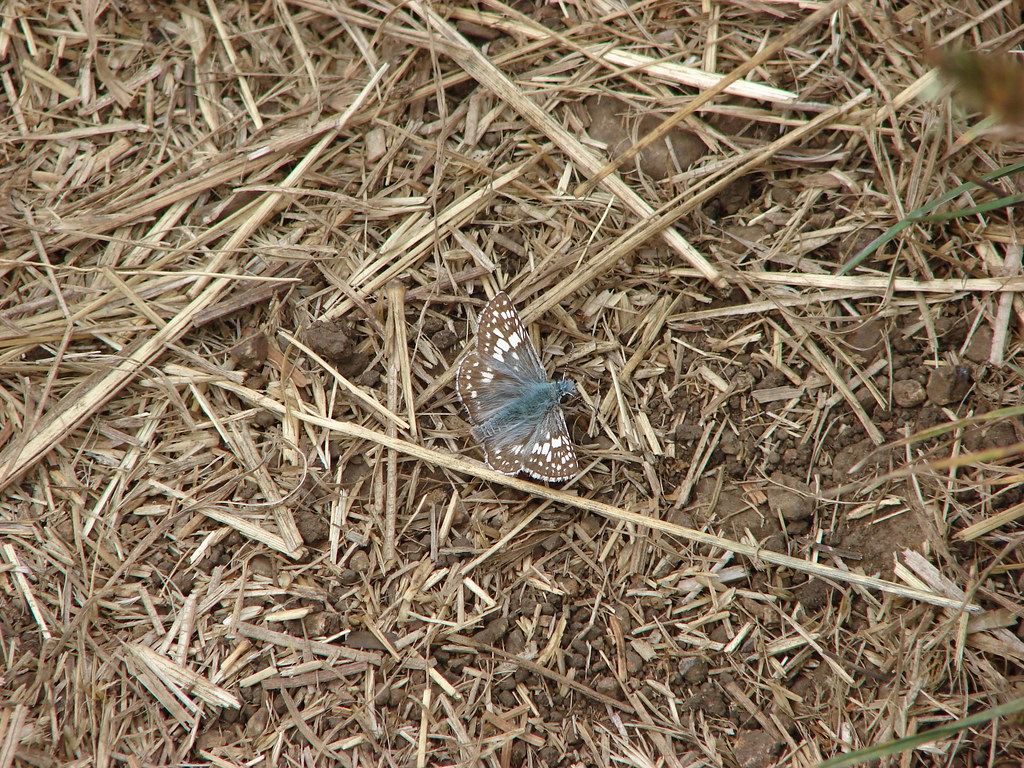
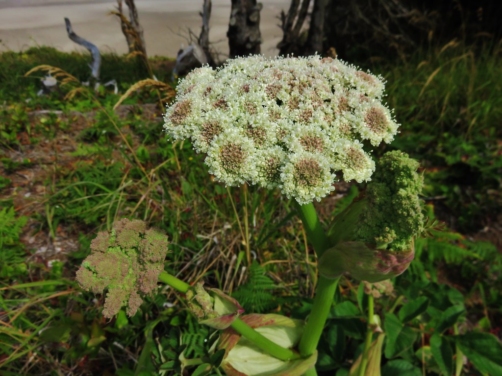
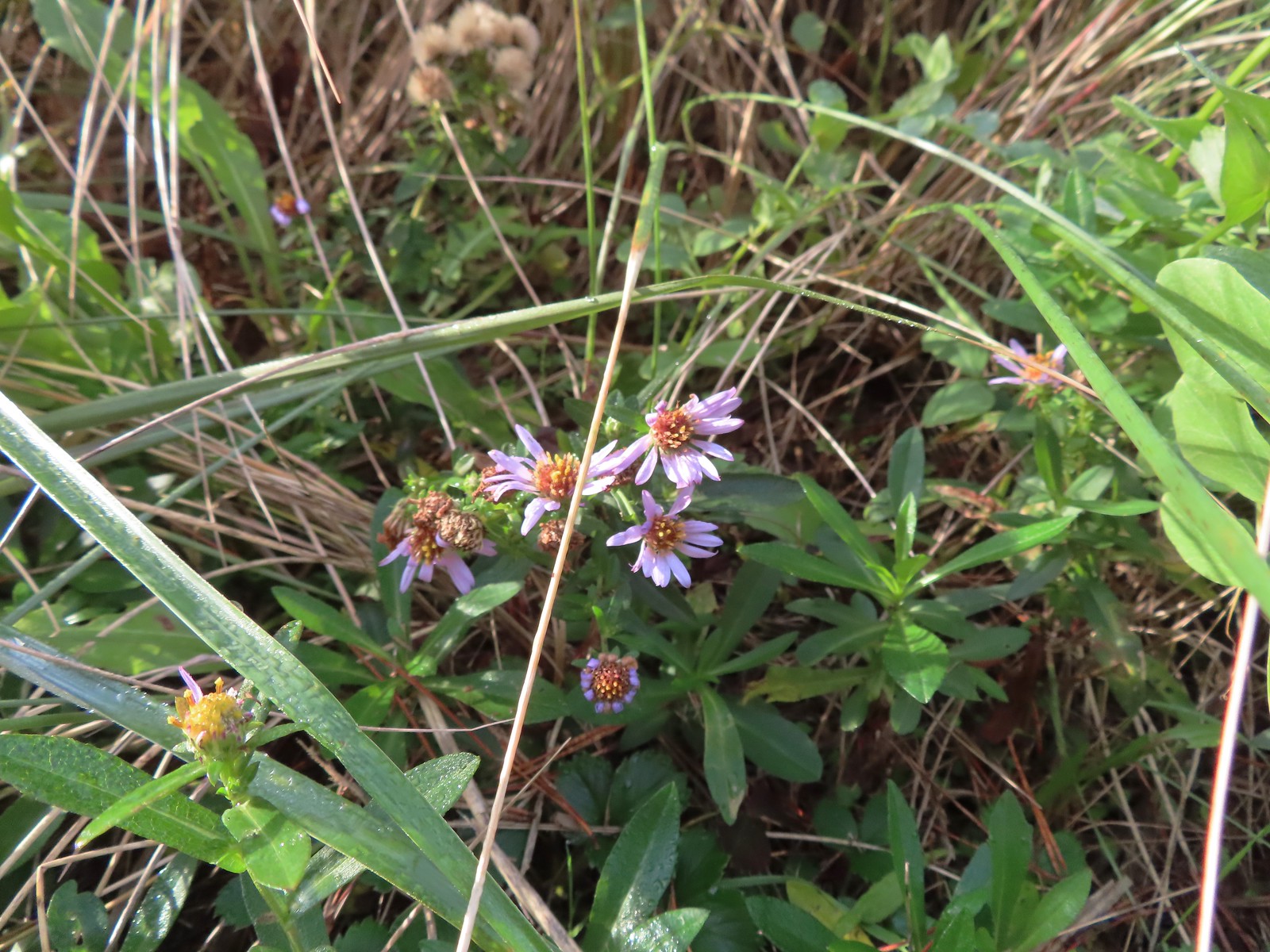 Asters on the beach.
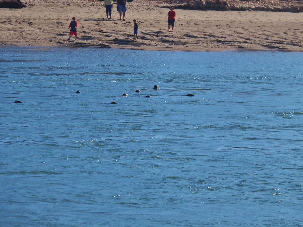
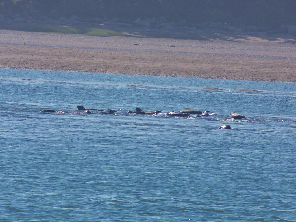
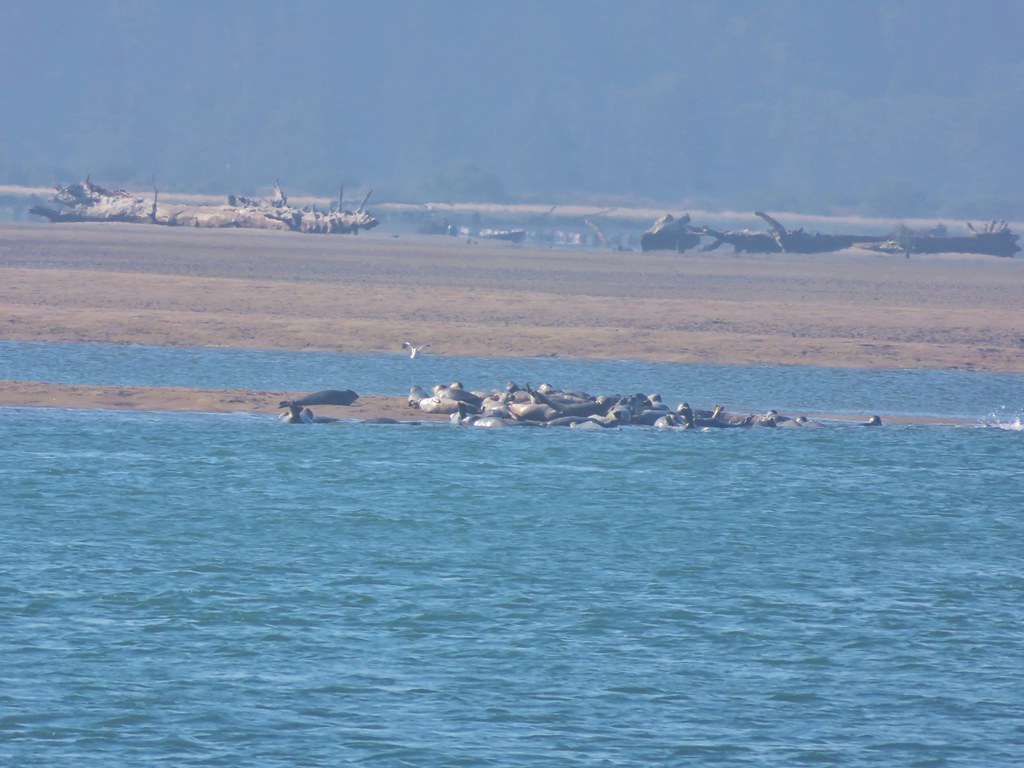
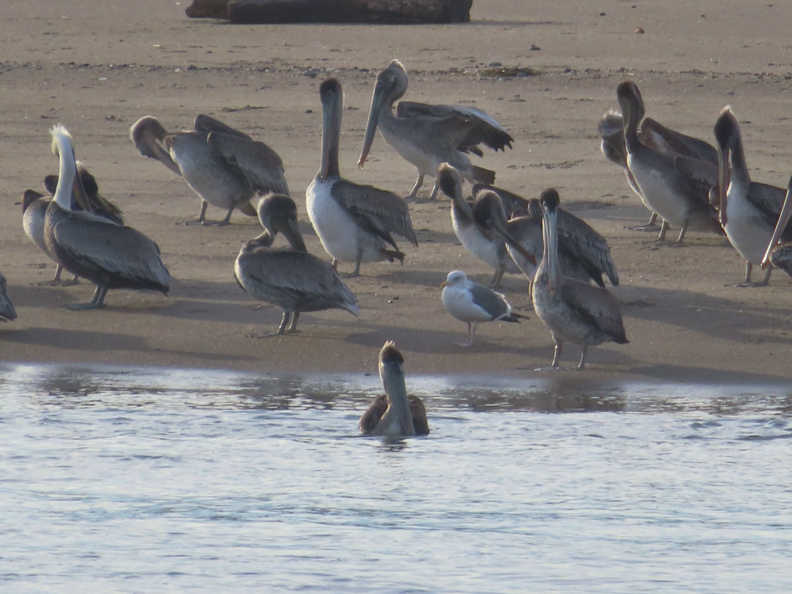
 Pelicans on the left and seals on the right at the end of Salishan Spit.
 Pelicans and seagull
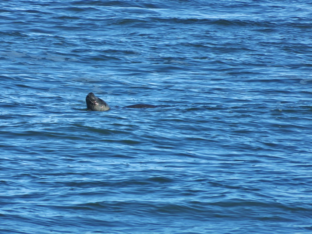
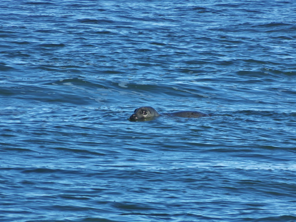
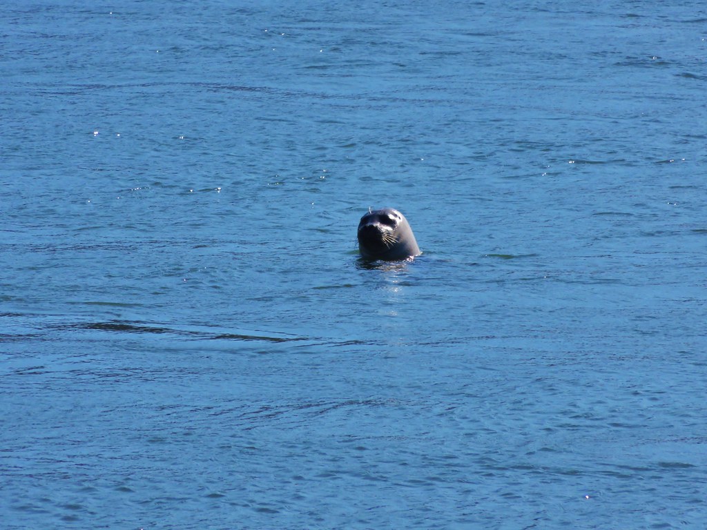
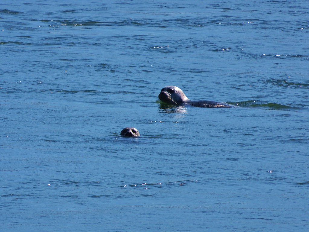
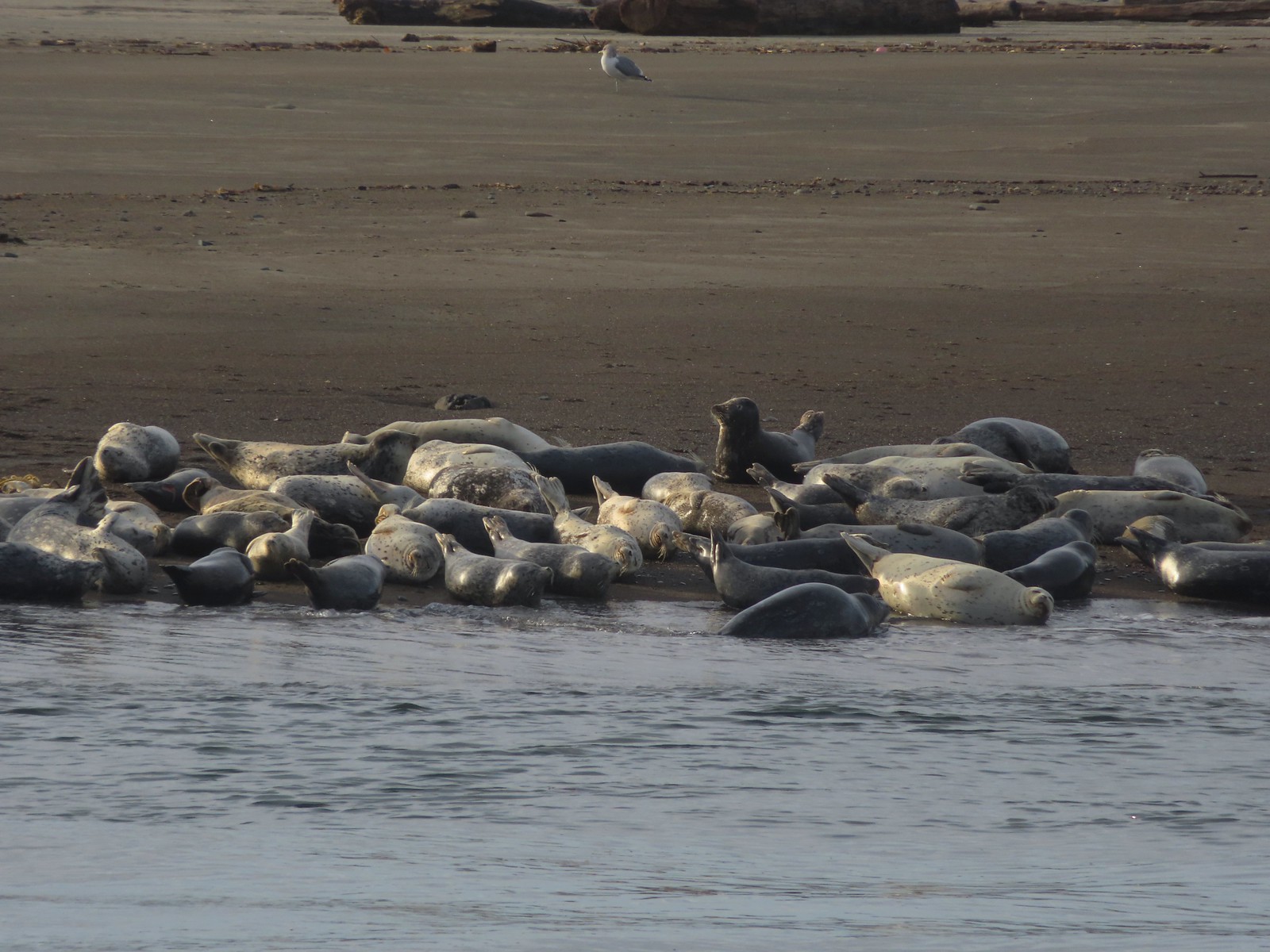 Seals and a seagull
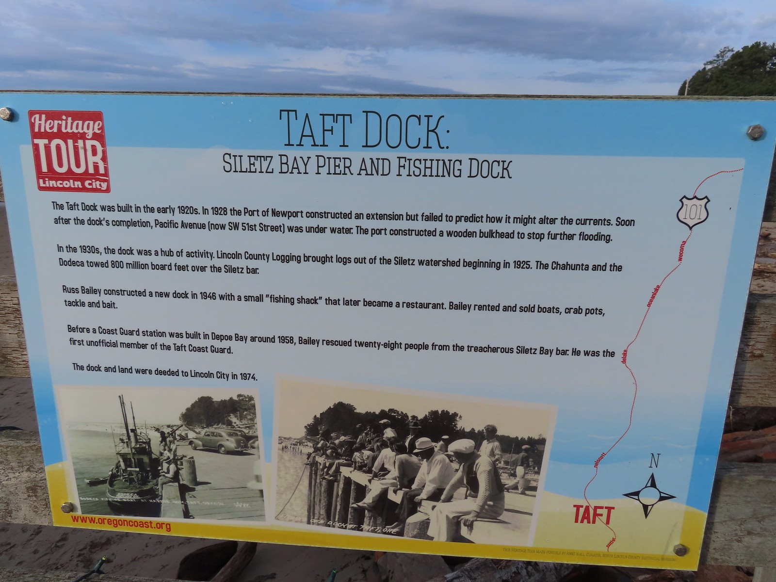
We walked along the bay to the Taft Dock for a short break before heading back.


We stopped briefly on our way back to watch the wildlife on the spit.


 Drying off

On our way back we noticed that some pelicans had joined the cormorants and gulls on the rocks near the Inn at Spanish Head.

 Pelican mouths are a sight to behold (righthand side).
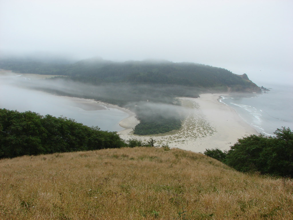
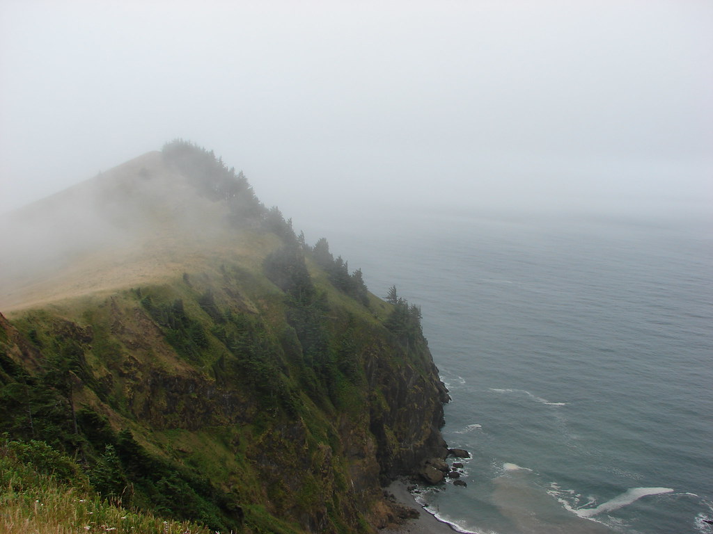
 Cascade Head and God’s Thumb both in the sunlight now.
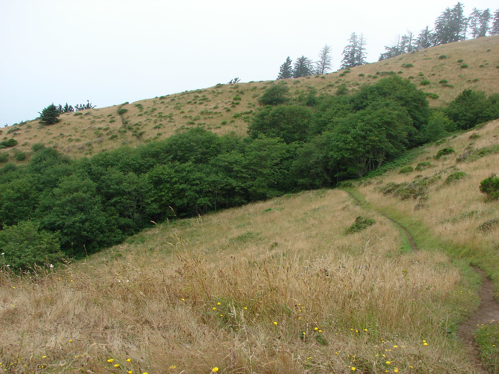
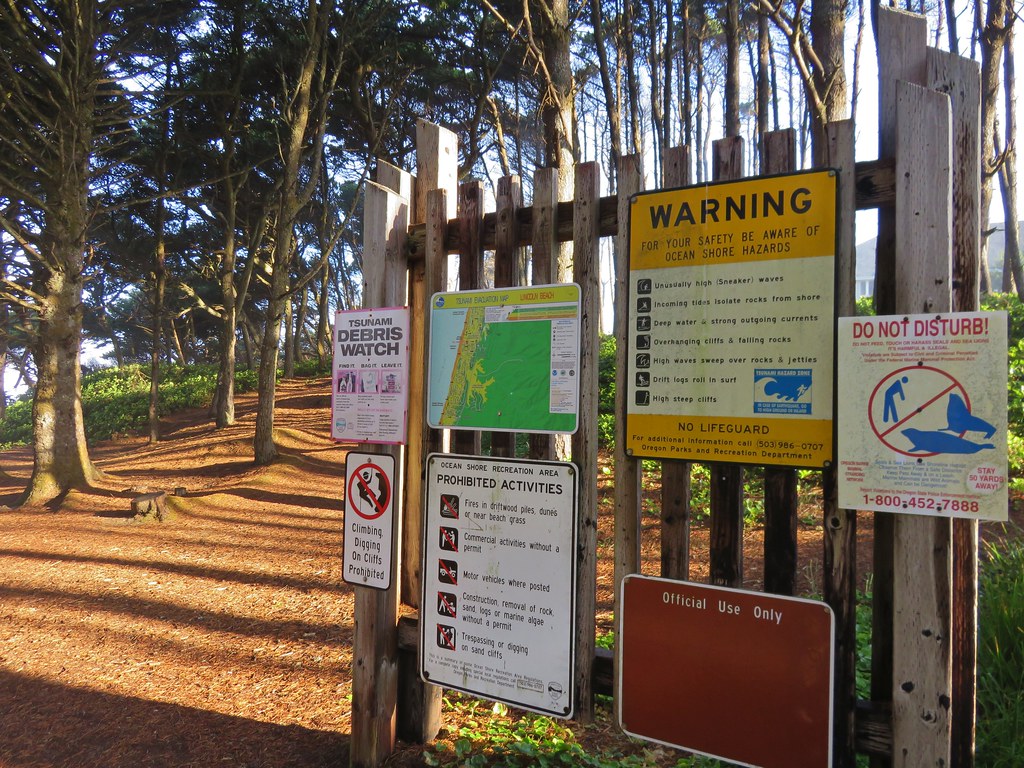
After reaching our car we made the 0.8-mile drive to Nesika Park. The park is part of the trail challenge and home to sign #8. There is only room for a couple of cars at the end of the gravel road which was fine given we were the only car there at 11am.
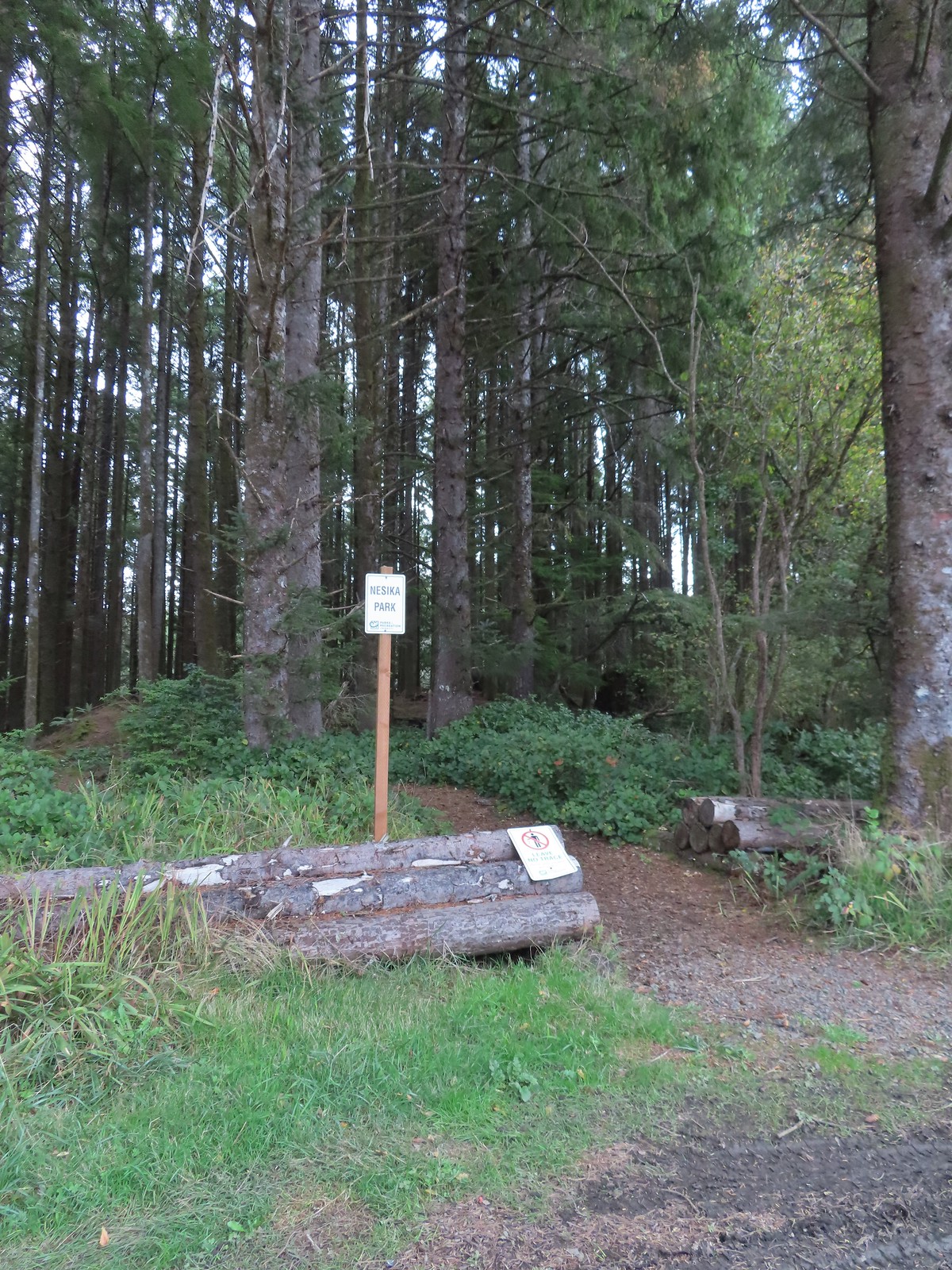
While there is a trail through a small, forested area, the entire outing was just 0.3 miles out-and-back. We did however get a photo of the Trail Challenge sign near the Nesika Park Story Circle.

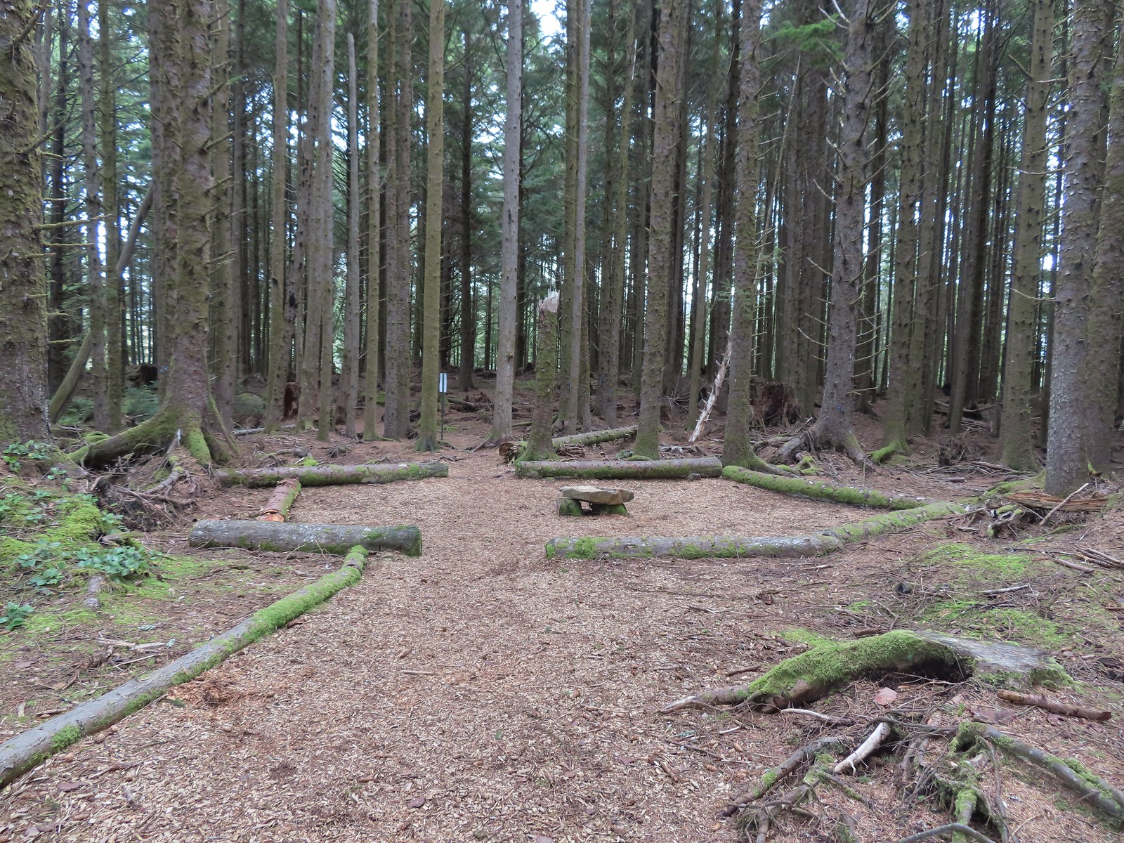 The Story Circle
 Trail Challenge sign #8.
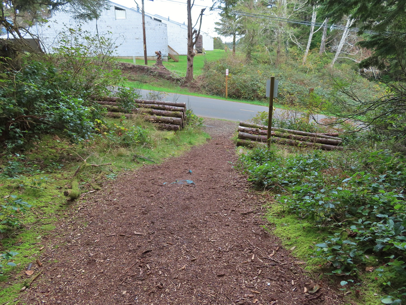 The trail ends at SE 3rd St (no parking available).
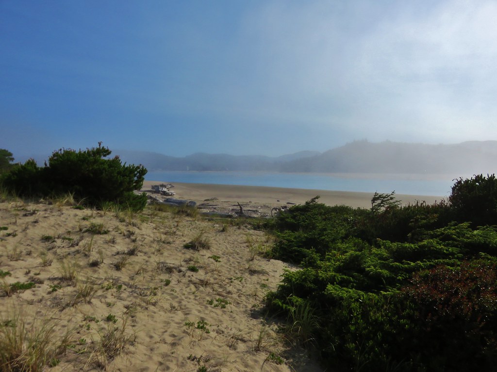
After accomplishing our goal here we hopped back into the car and continued South on Hwy 101 to find the Cutler City Wetlands Trailhead.
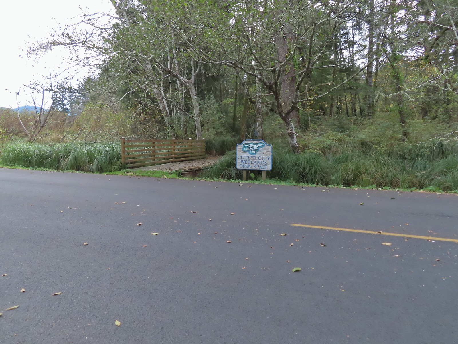
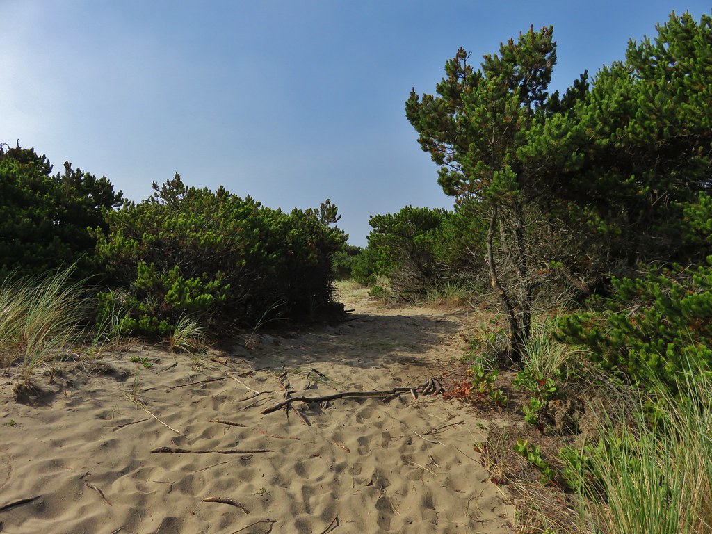
Here there were three other cars and a few more trail options.

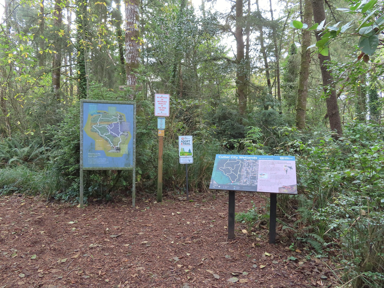
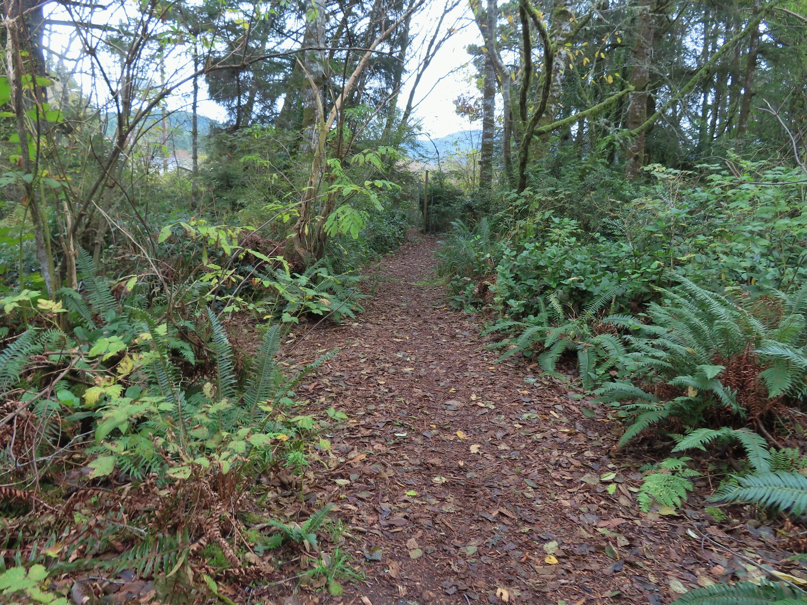
 While there are more trails to choose from here the total milage is just about 1.25 miles. We opted to loop around the outside with detours to the Salt Marsh Overlook and Pond’s Edge.
 To the left is the very short spur to the Salt Marsh Overlook which was too overgrown to really see anything.
 Interpretive sign at the overlook.
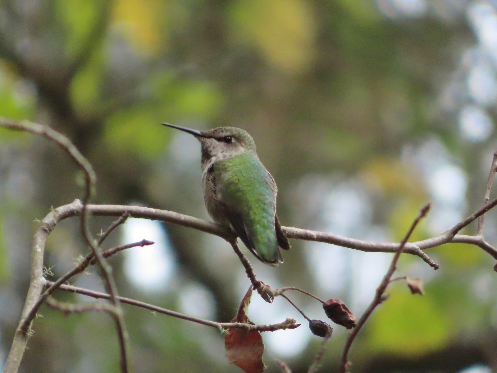 A noisy little hummer near the overlook.
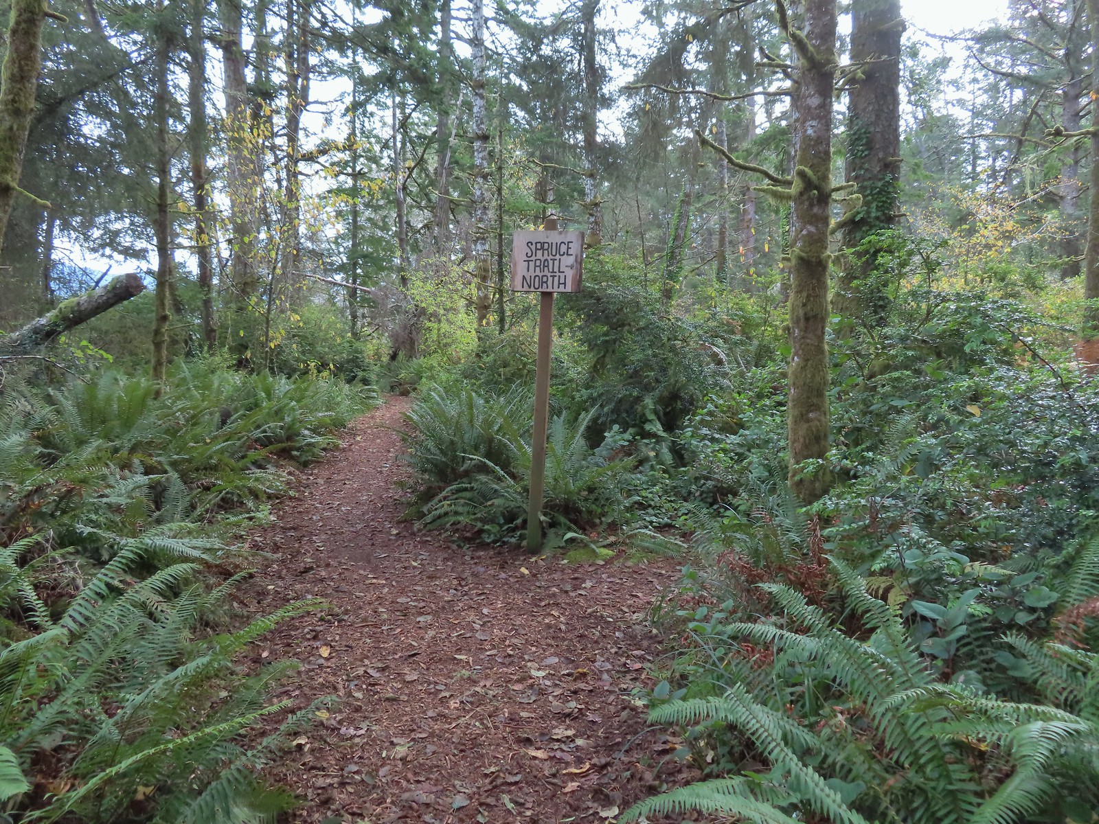 There was pretty good signage at the main trail junctions.


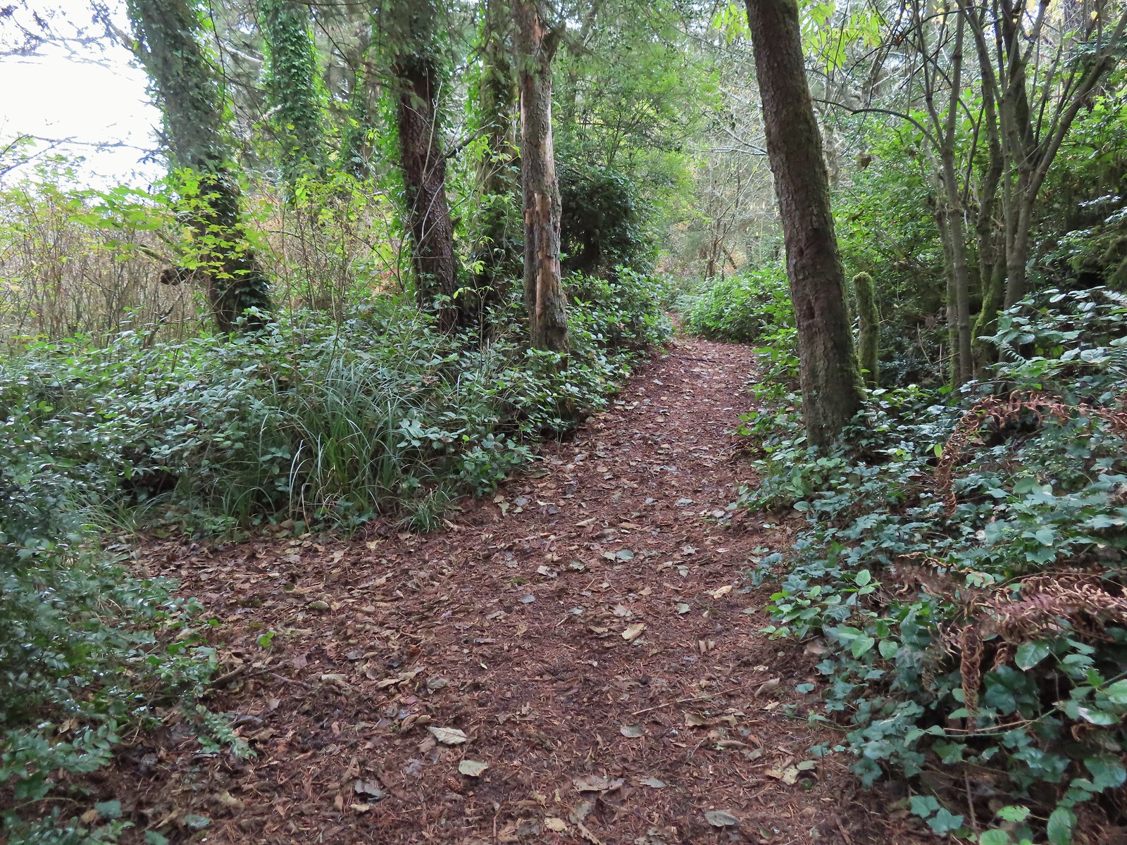
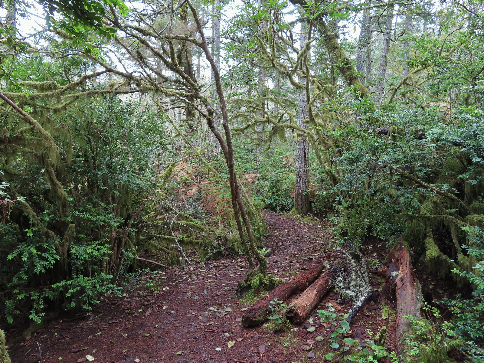
 Boardwalks helped cross the wet areas.
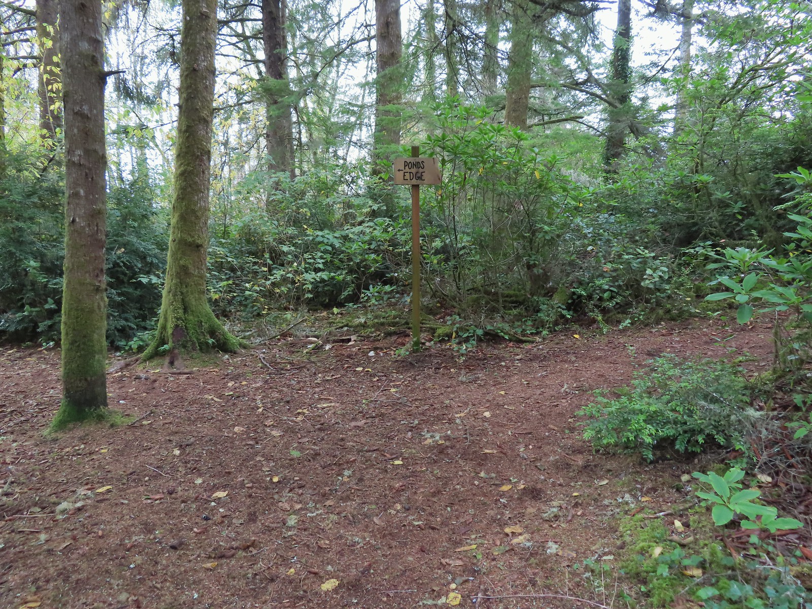 Pond’s Edge spur trail.
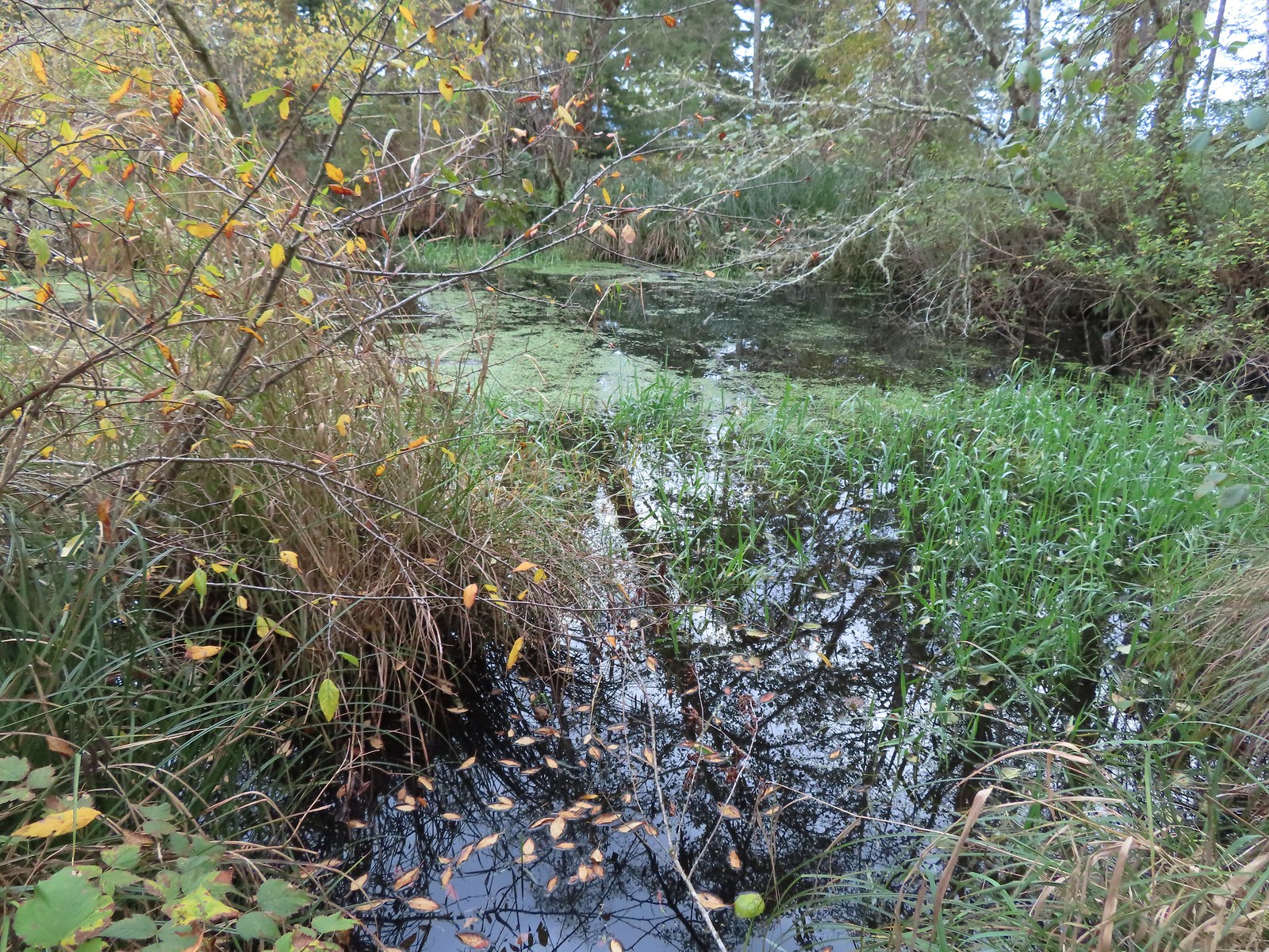
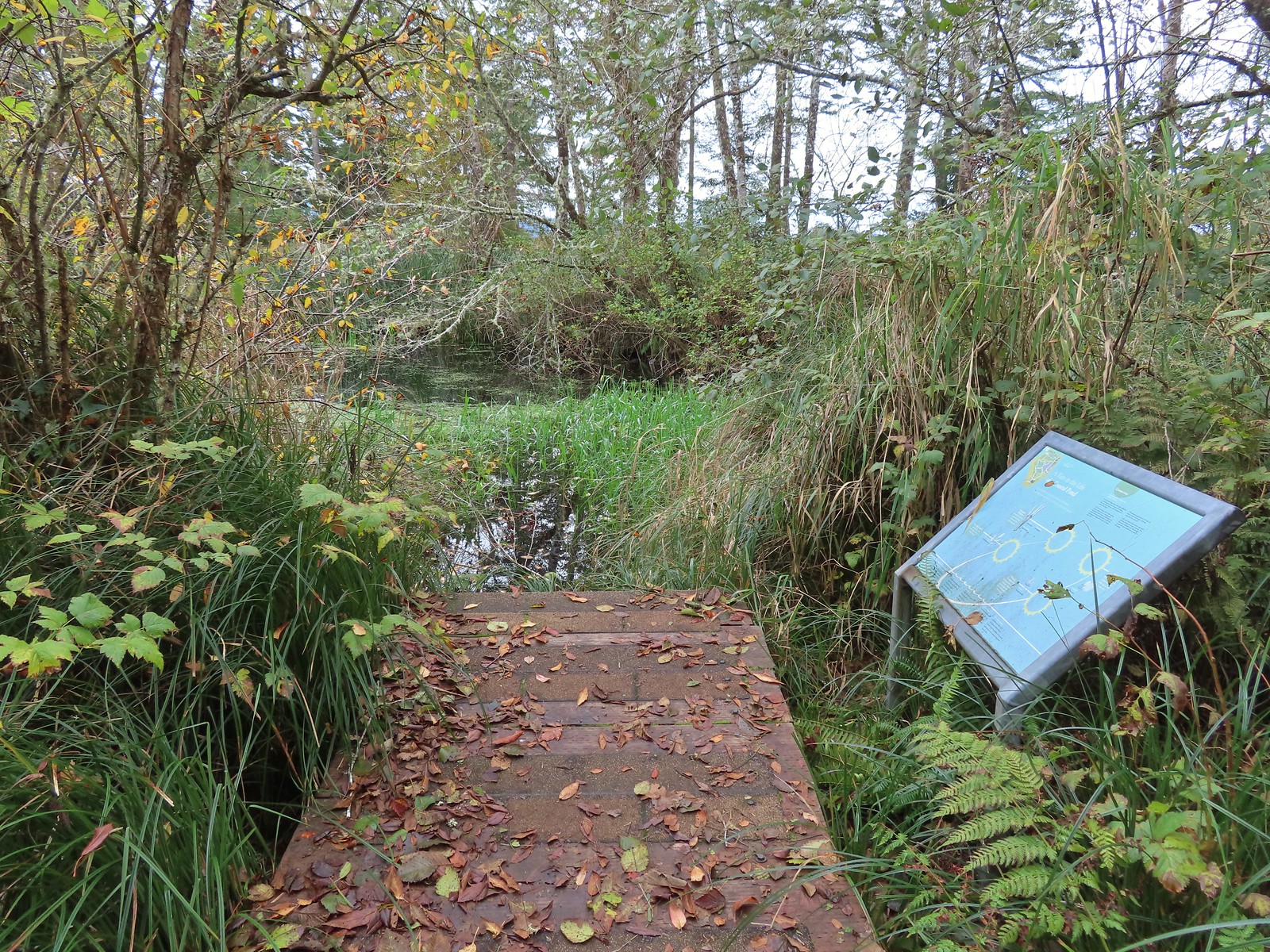 At the edge of the pond.
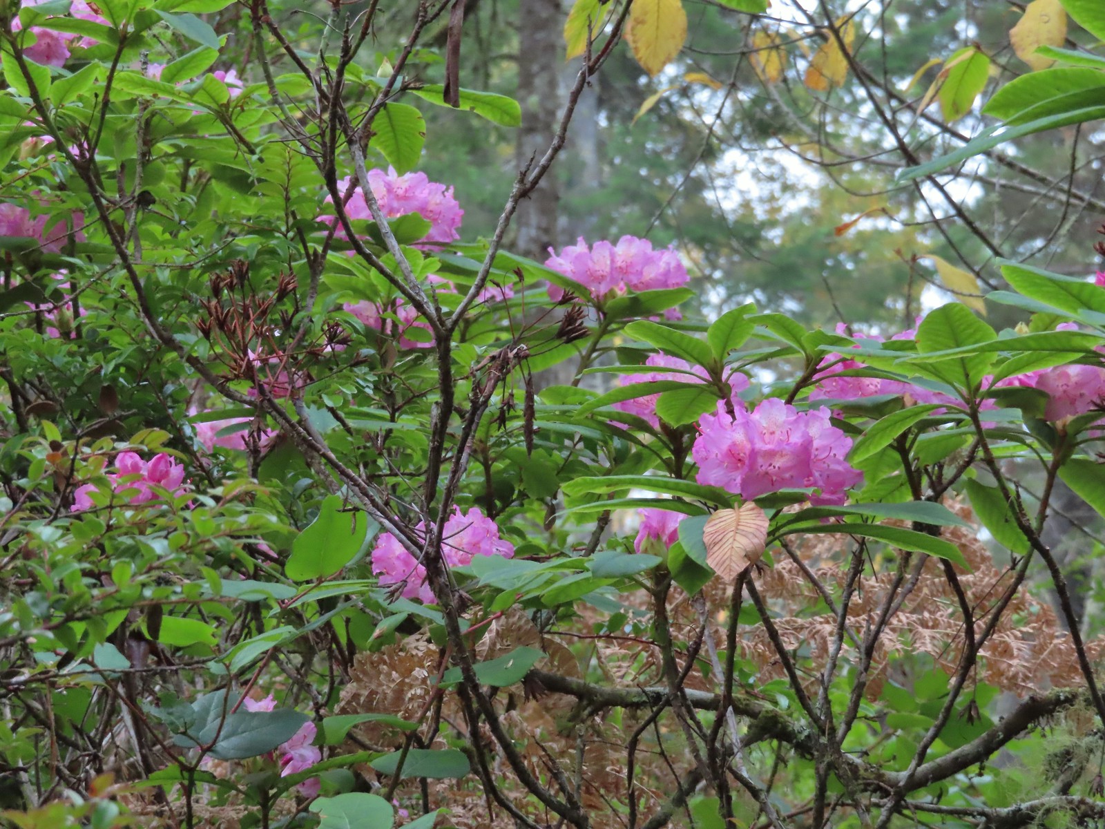
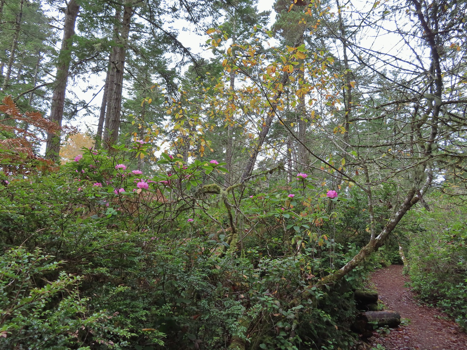 We hadn’t expected to see any blooming rhododendrons.
 Arriving at the signboards at the start of the loop.
This was a nice area and a pleasant hike, but by sticking to the outside trails we missed seeing the Trail Challenge sign. I briefly thought about wandering through the center searching for it, but since we didn’t get a picture of the sign at The Knoll even if I found it, we wouldn’t have a full set. Maybe someday we’ll get actual pictures of those last two but for now we’re satisfied with having visited all these unique little parks/open spaces.
In all the days mileage came in at 9.3 with no more than 50′ of total elevation gain.

Late Fall and Winter are great times to visit the Oregon Coast and today was no exception. Happy Trails!