
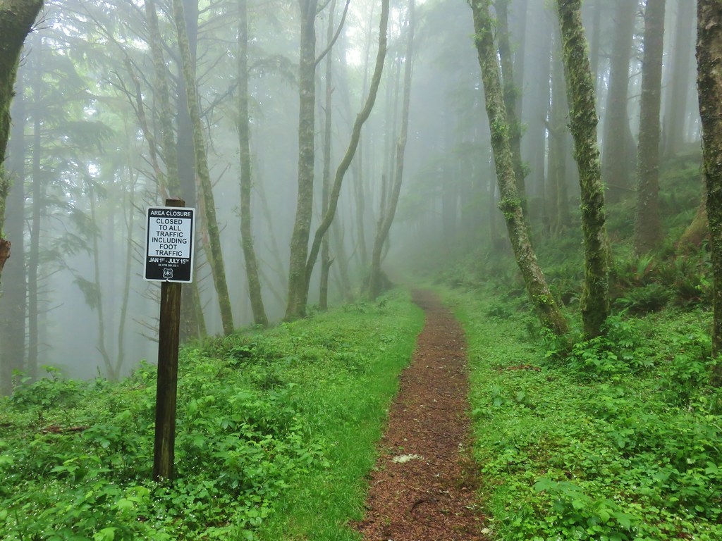
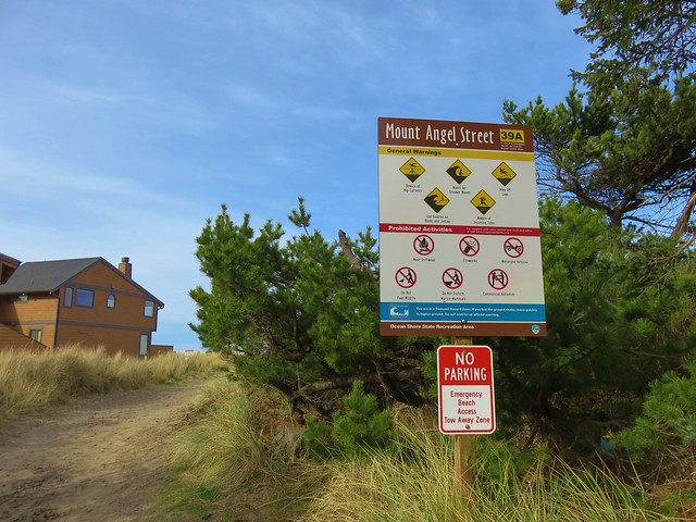
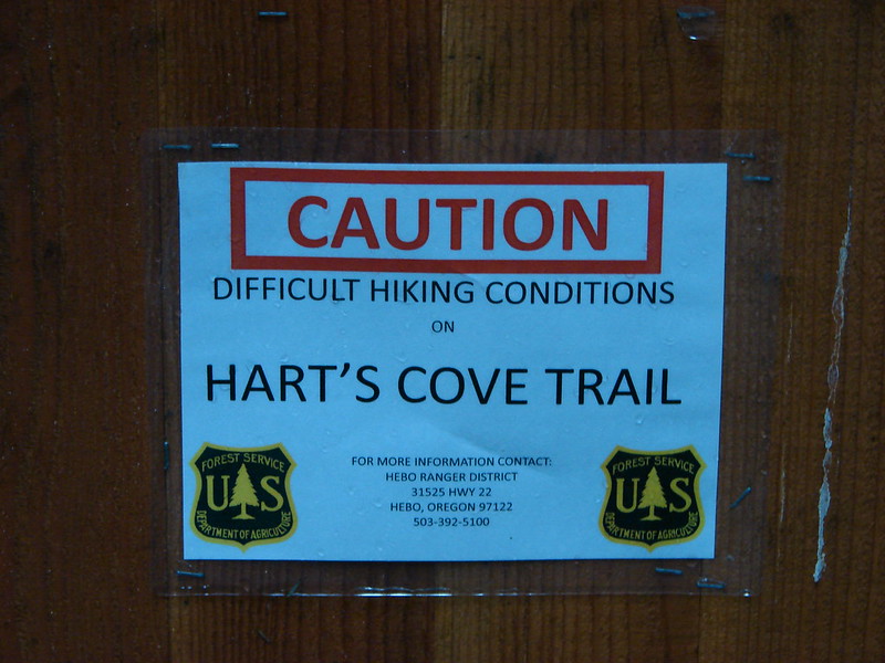
With Heather sidelined for at least a few weeks due to an injury I made some changes to this years remaining hikes so that she might not miss out on places we hadn’t hike yet. I looked through the hikes I had in the works for future years and pulled some of the more challenging seeming outings forward for this October. First up on that list was a hike combining Cascade Head (post) and Hart’s Cove (post). It seemed like a good time to try this hike since the seasonal closure (Jan 1 – July 15) which had kept us from attempting it in 2019 wasn’t in effect and Forest Road 1861 which provides access to both the Hart’s Cove Trailhead and the Nature Conservancy Trailhead is closed. The road closure meant no cars on the road walk between the two trailheads as well as the likelihood of few other hikers on the Hart’s Cove Trail. The downside was the landslide that closed FR 1861 in November 2021 meant that the Hart’s Cove Trail had likely not seen much, if any, maintenance this year and there was limited emergency response capabilities should anything go wrong.
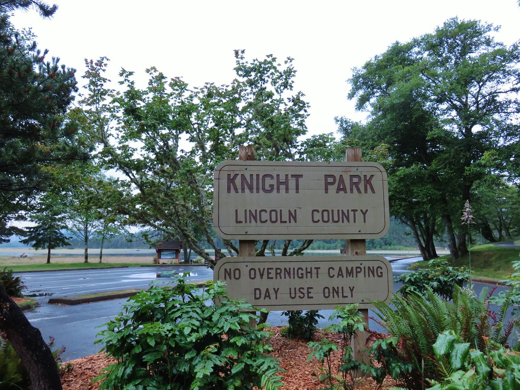
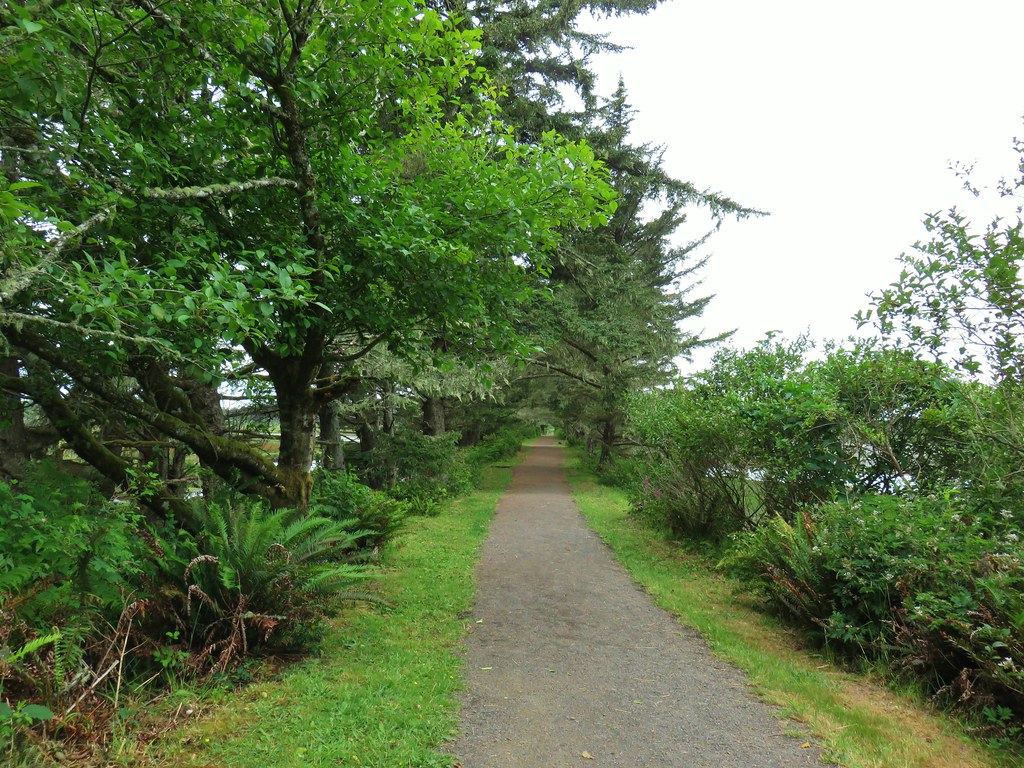
I started from Knights County Park (The same place we’d started on our previous two hikes to Cascade Head) just before 7am.
 It seems this time of year I (we) are always a little ahead of the sunlight which does nothing for photos.
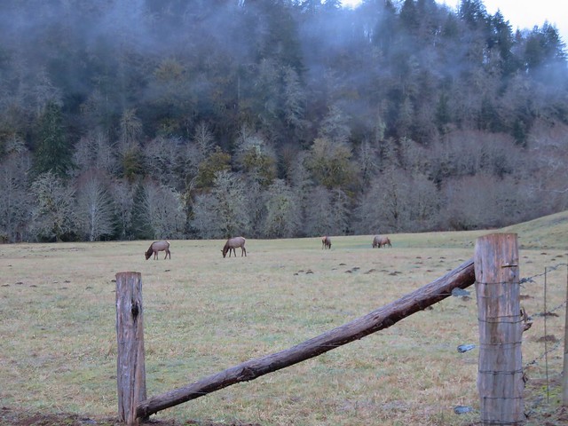
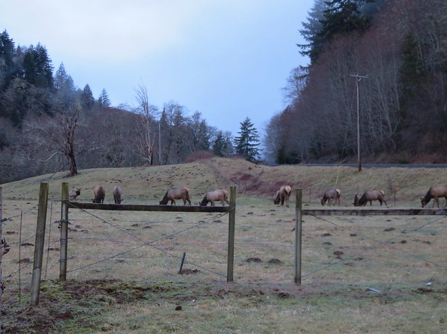
Heather had told me that this was probably the time when I would finally see some of the elk that inhabit Cascade Head since she wasn’t going to be there. She hit the nail on the head. Just after crossing Three Rocks Road (less than a quarter mile into the hike) I spotted several elk grazing in a field.
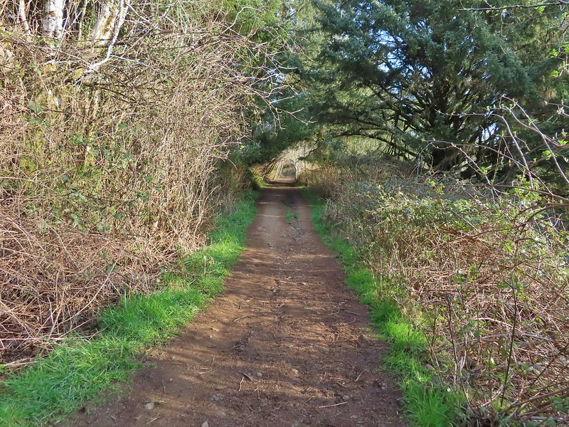
 Coming up on the road crossing.

After crossing Three Rocks Road the trail climbs through the trees along Savage Road before crossing it at the half mile mark. Just before crossing Savage Road I spotted another elk, this time a lone young bull.
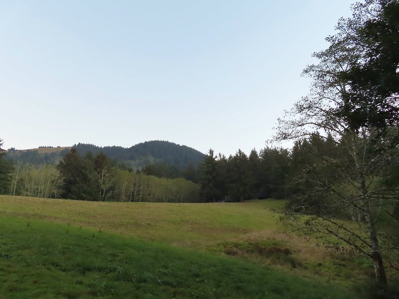 Cascade Head from the trail with the elk at the end of the grass to the right.
 Fuzzy (low light) photo of the elk.
 Crossing Savage Road with the first view of the Pacific.
I recrossed the road a tenth of a mile later at a big trailhead sign where there is no parking.

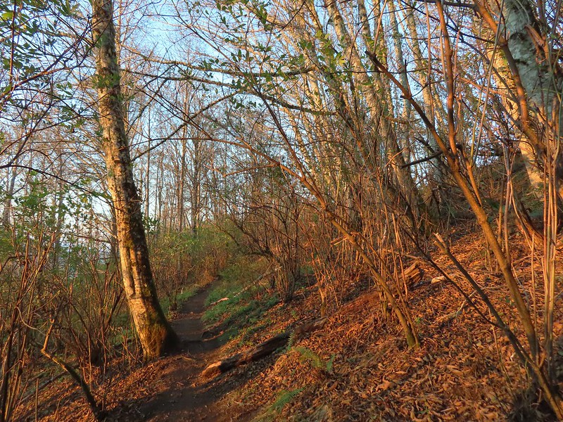
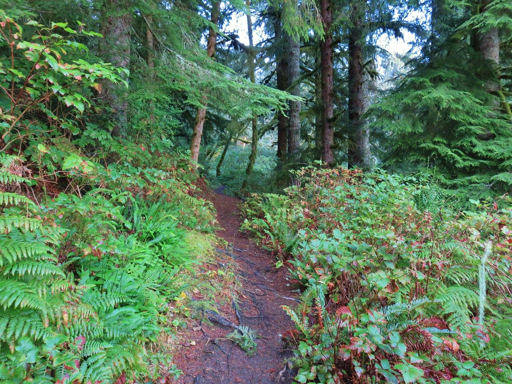
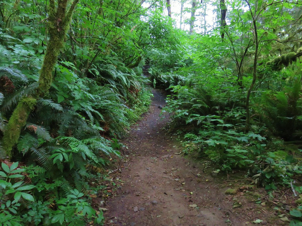
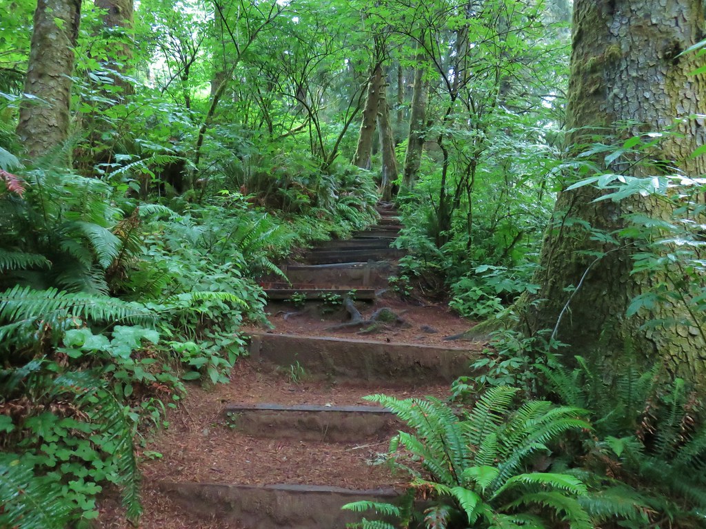
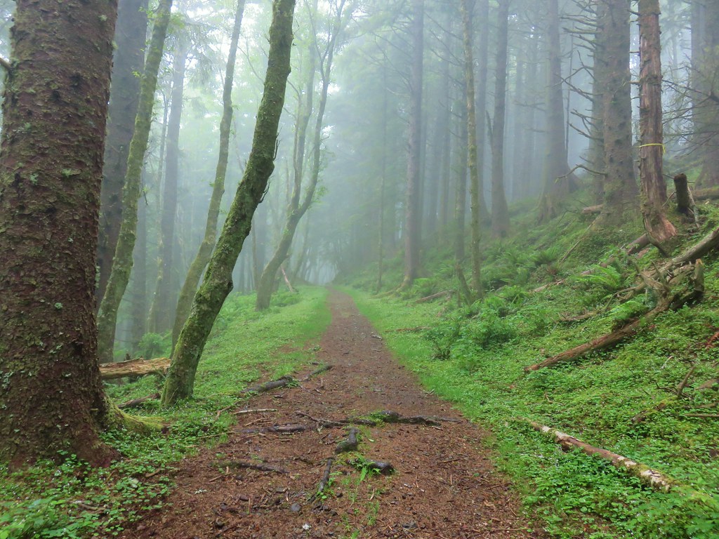
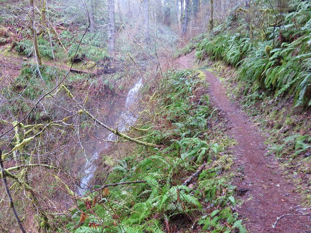
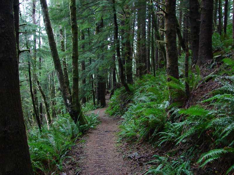
From the no parking trailhead the trail climbs (steeply at first) through the forest before leaving the trees behind after three quarters of a mile.


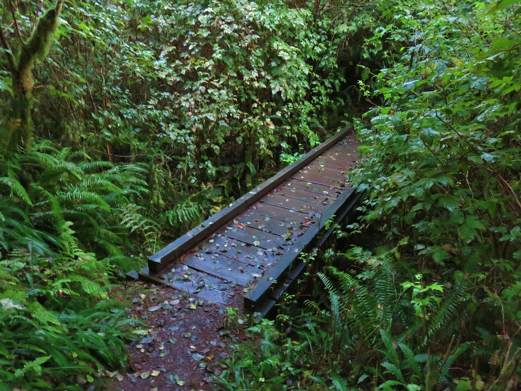
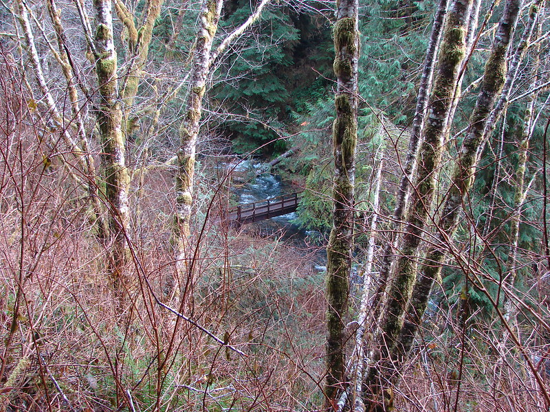
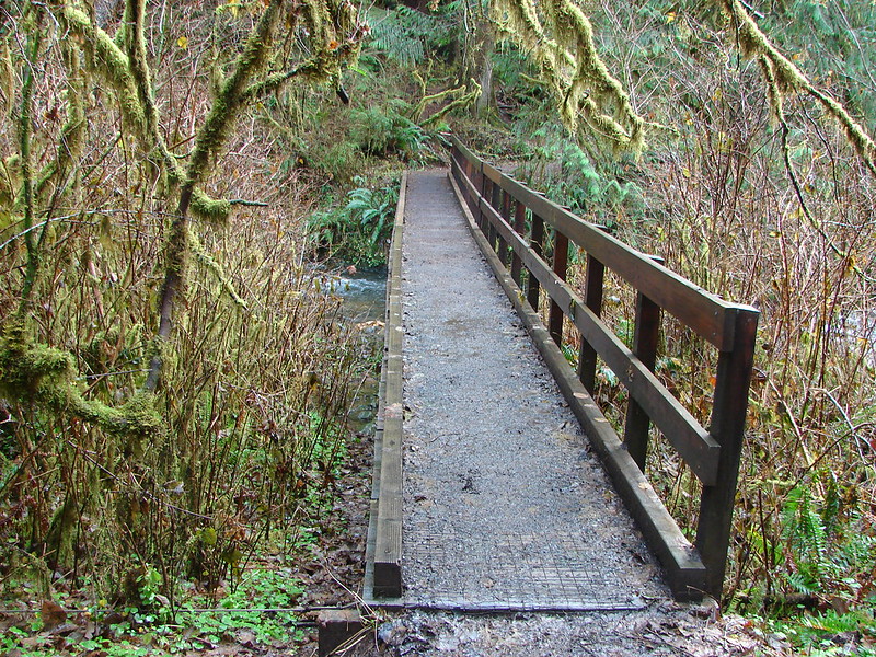
 View from one of five metal footbridges along this section.
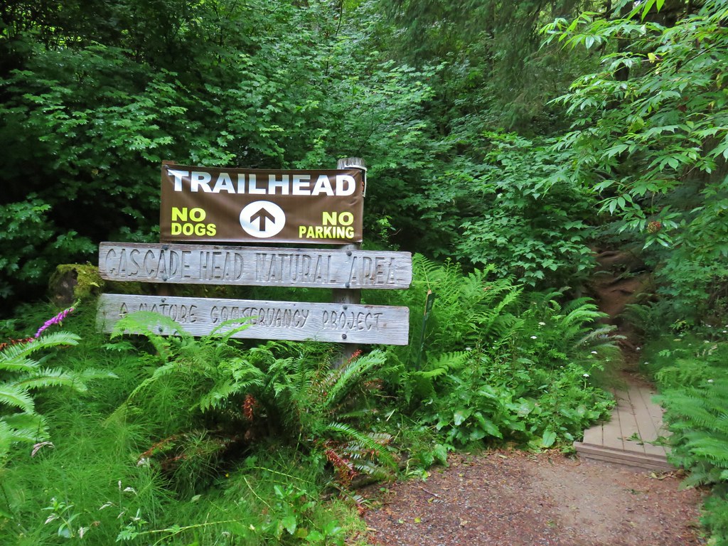
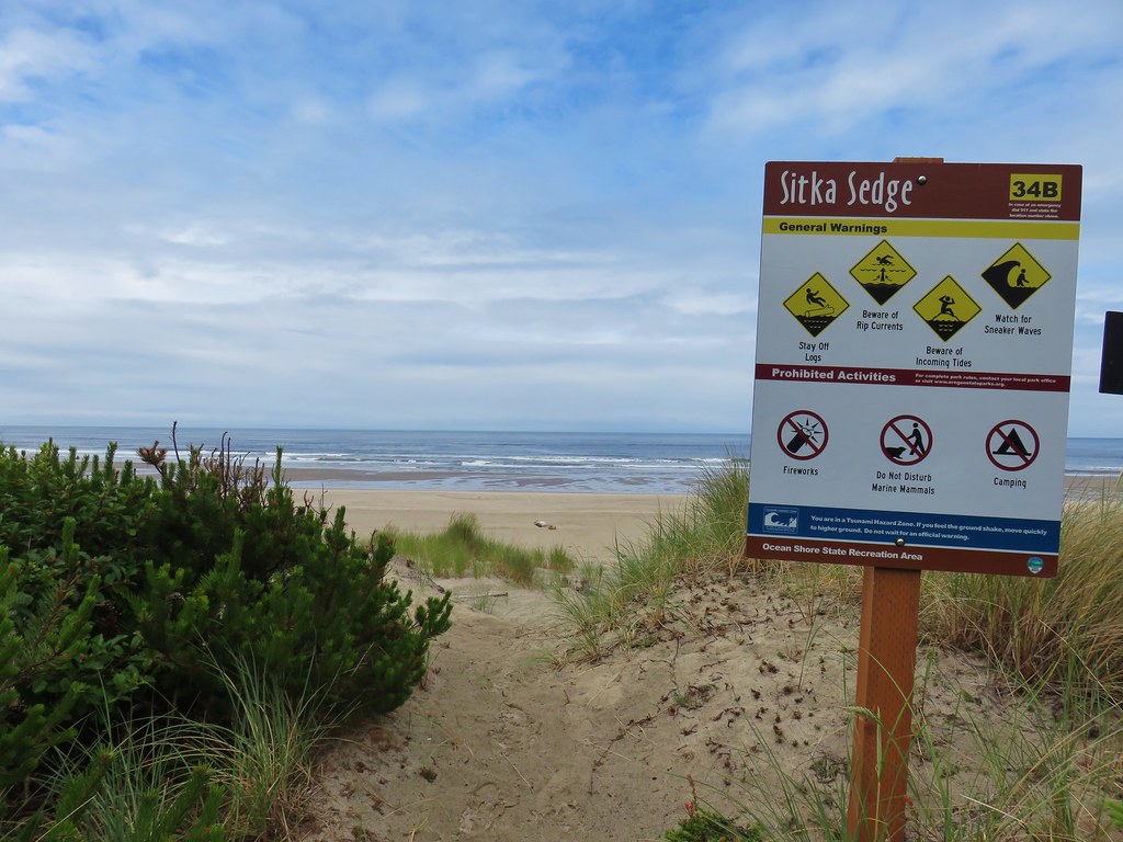
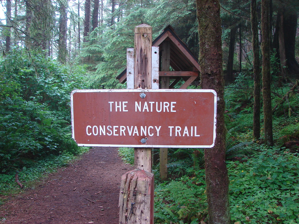
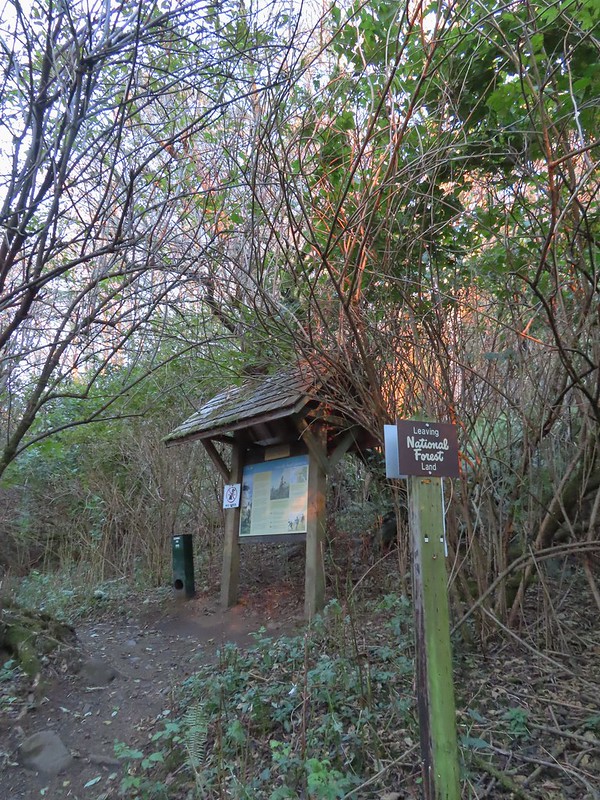 Signboard and donation box at the start of The Nature Conservancy owned land.
 First direct sunlight of the morning.
 Out of the trees and into the meadows.
 Looking uphill
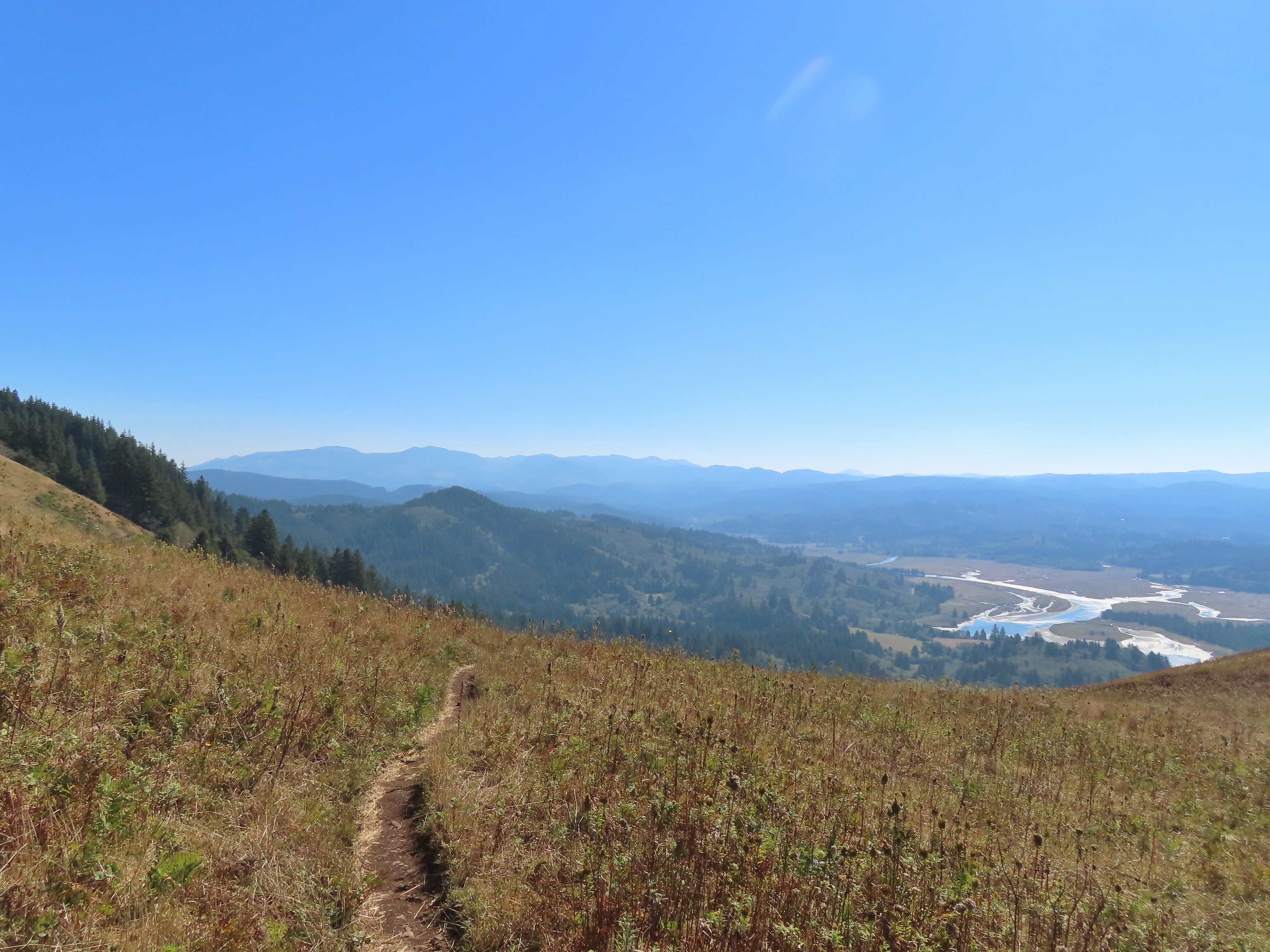
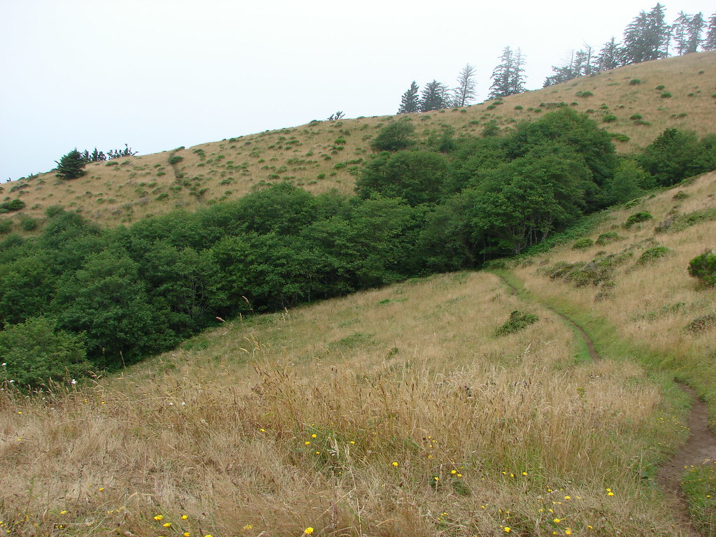
The trail traverses the open hillside for approximately 0.4 miles before turning more steeply uphill along a ridge.
 Snacks
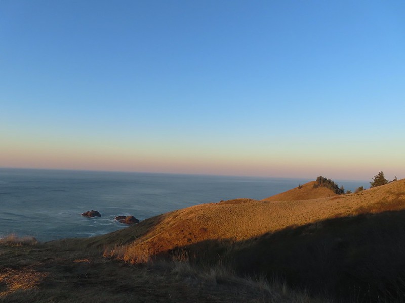
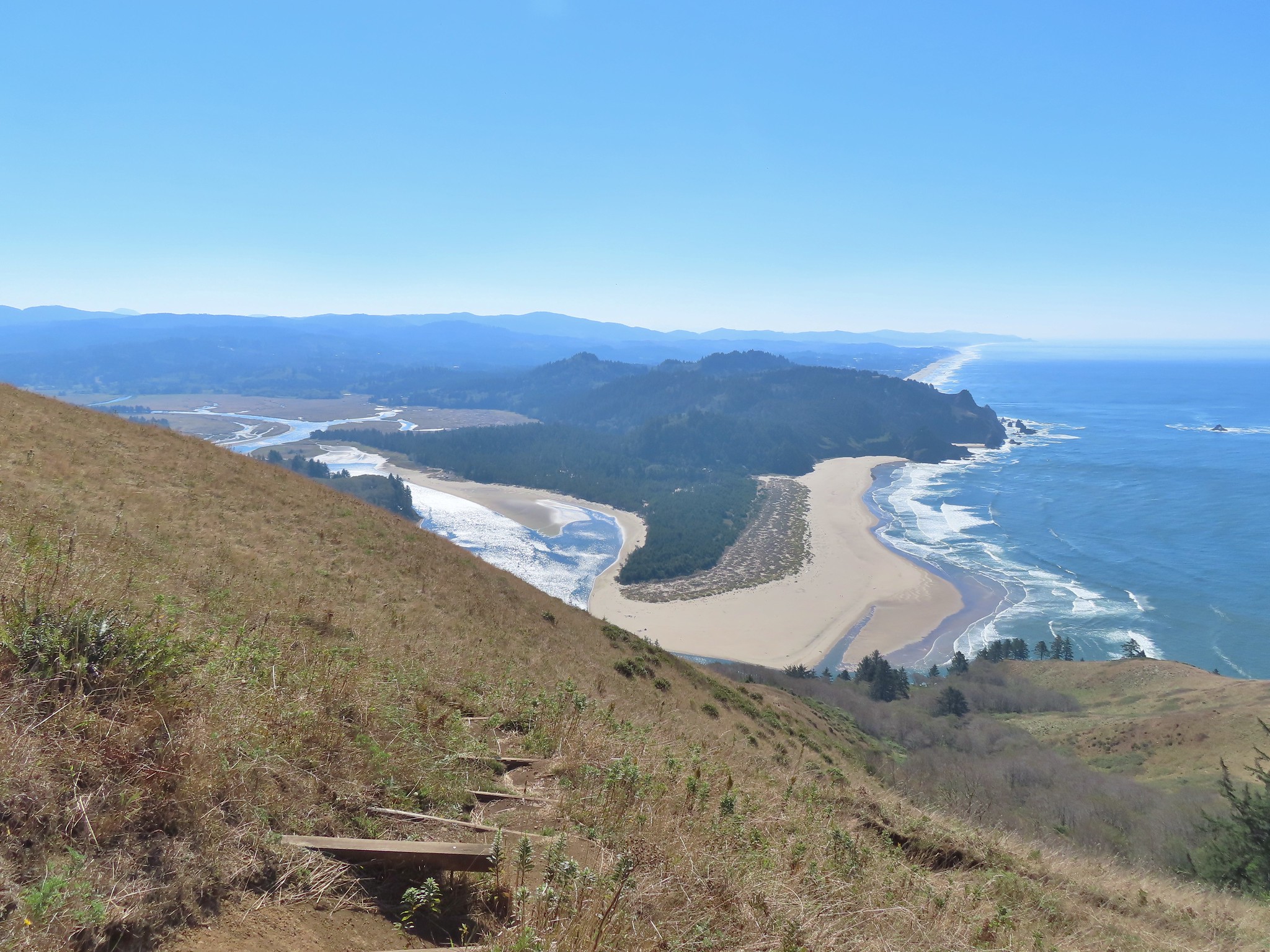
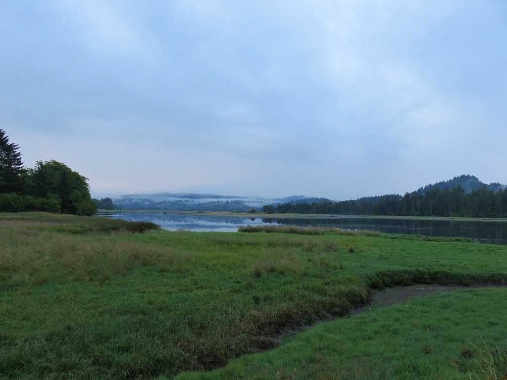
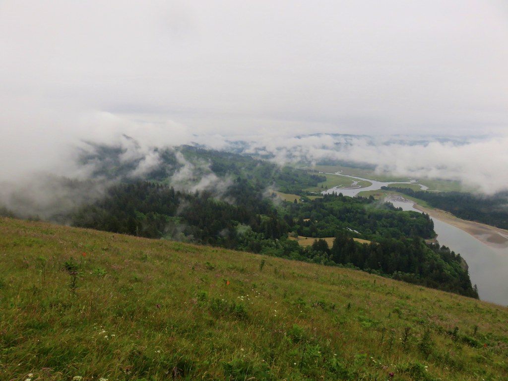
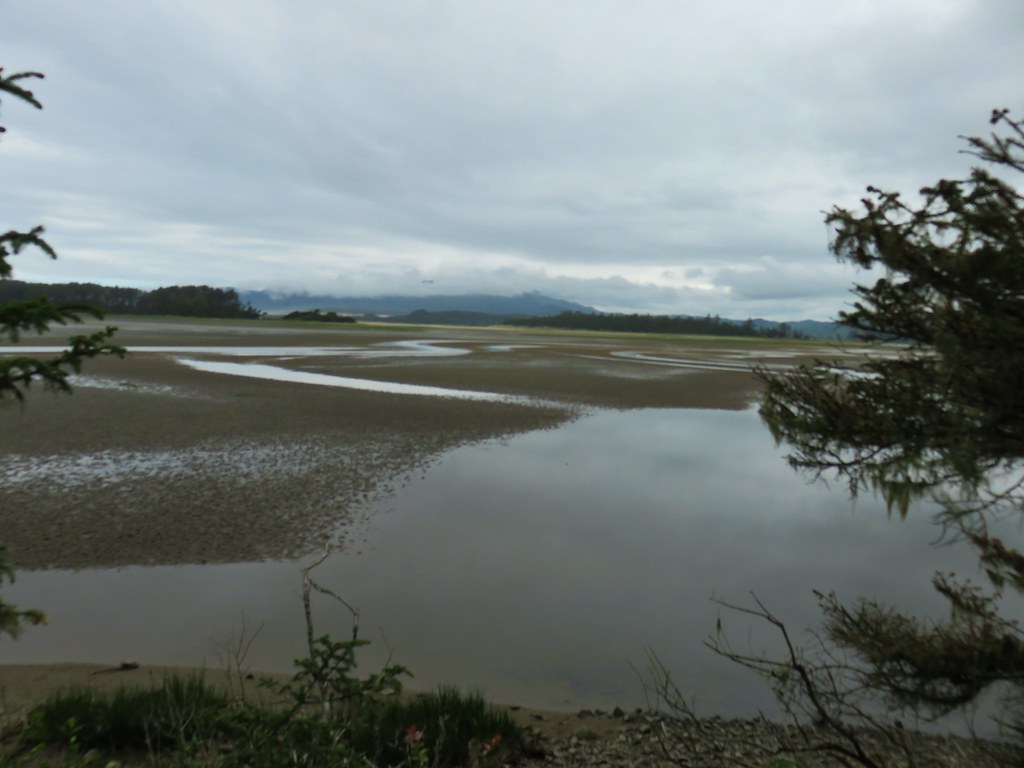
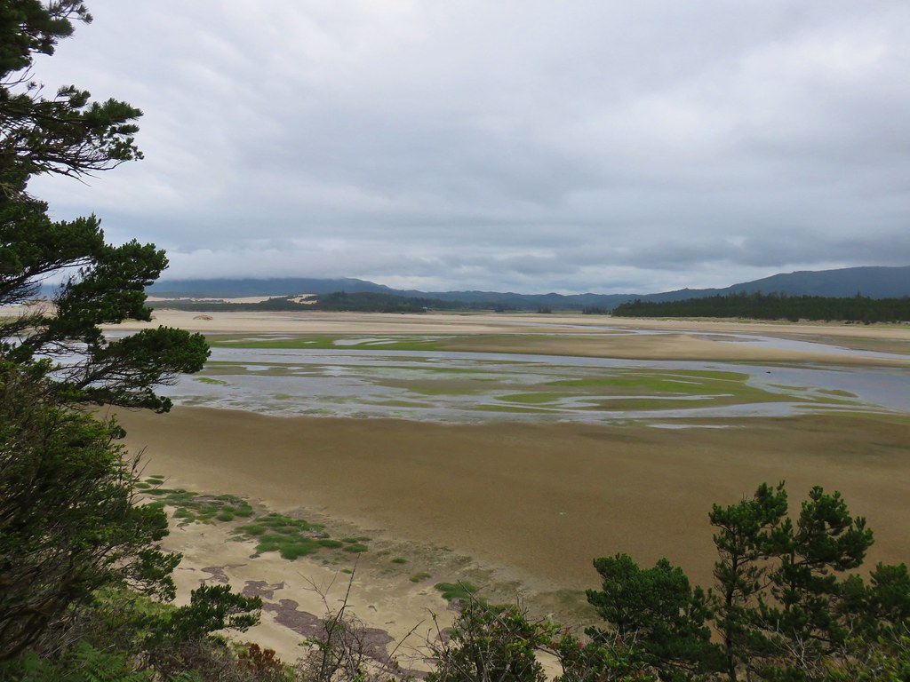
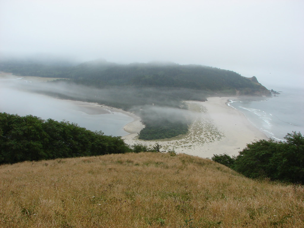
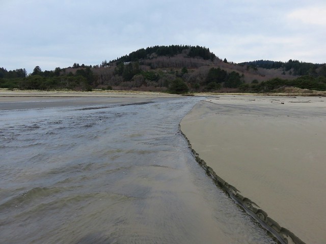
 Salmon River Estuary
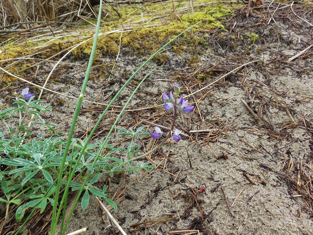
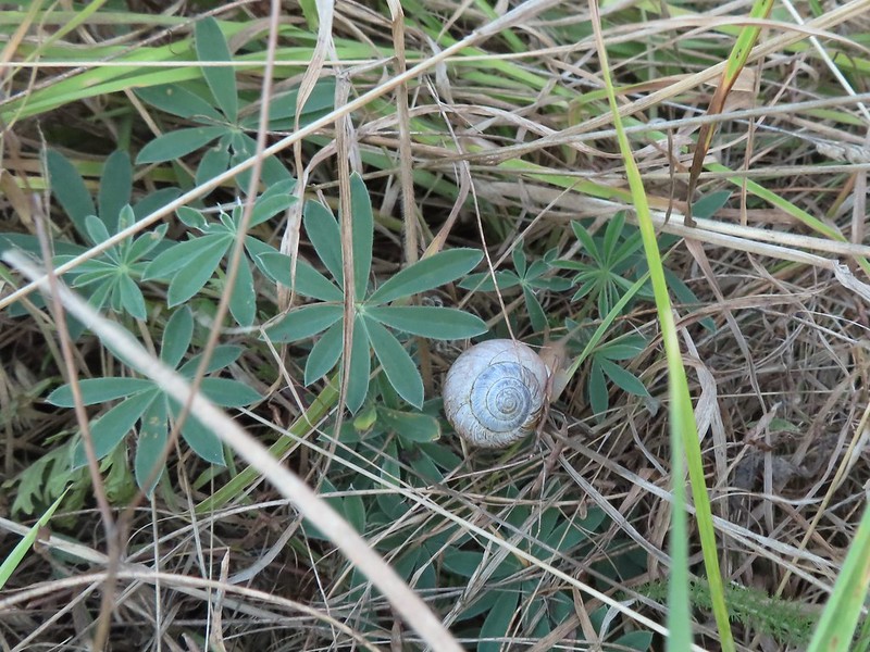 A snail and lupine leaves.
 A small viewpoint just before the trail turns uphill.
 Going up
 The trail gains views as it gains elevation.
 The trail through the meadow below.
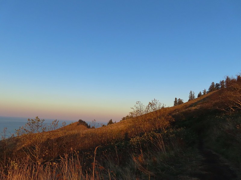
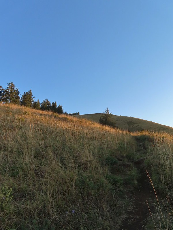
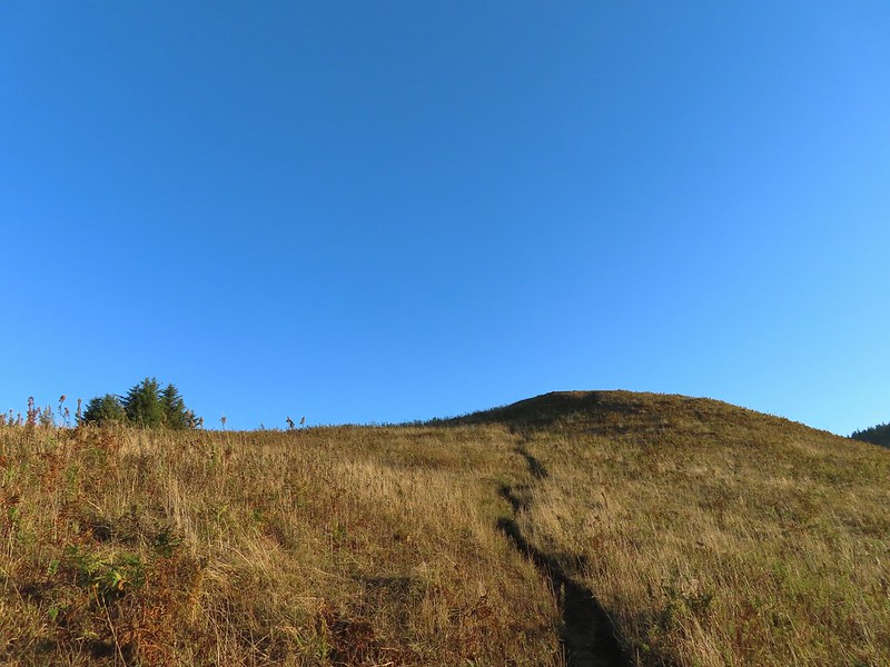 This knoll looks like the high point as you climb, but it’s a trick.
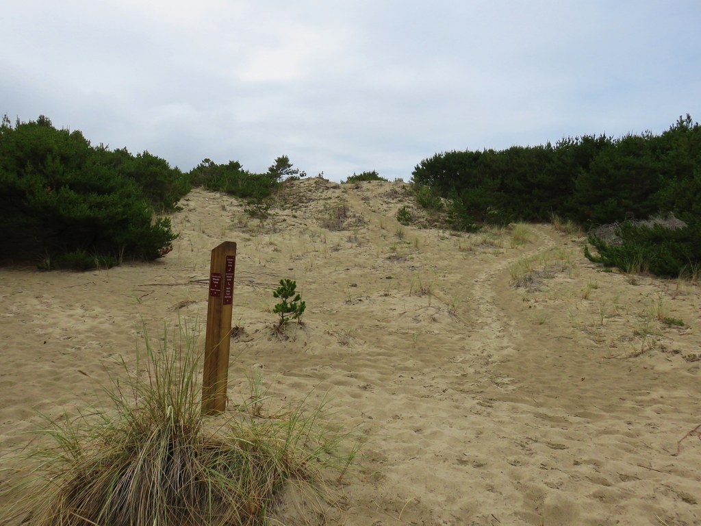
 The high point is actually marked by a post. (Near the right end of the photo).

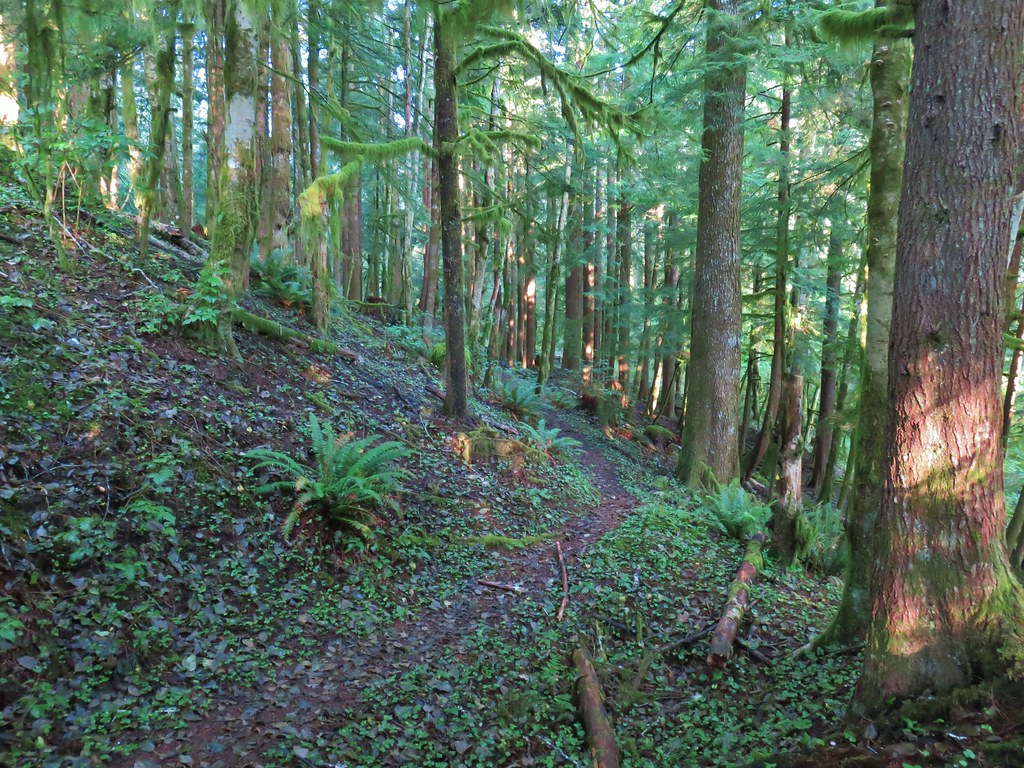
The high point is approximately 2.5 miles from the trailhead at Knights County Park. From there the trail drops slightly and enters the forest after a tenth of a mile.

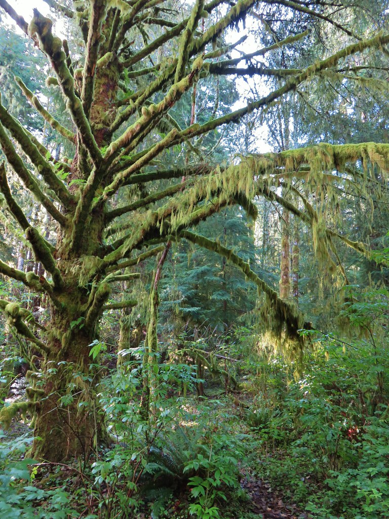
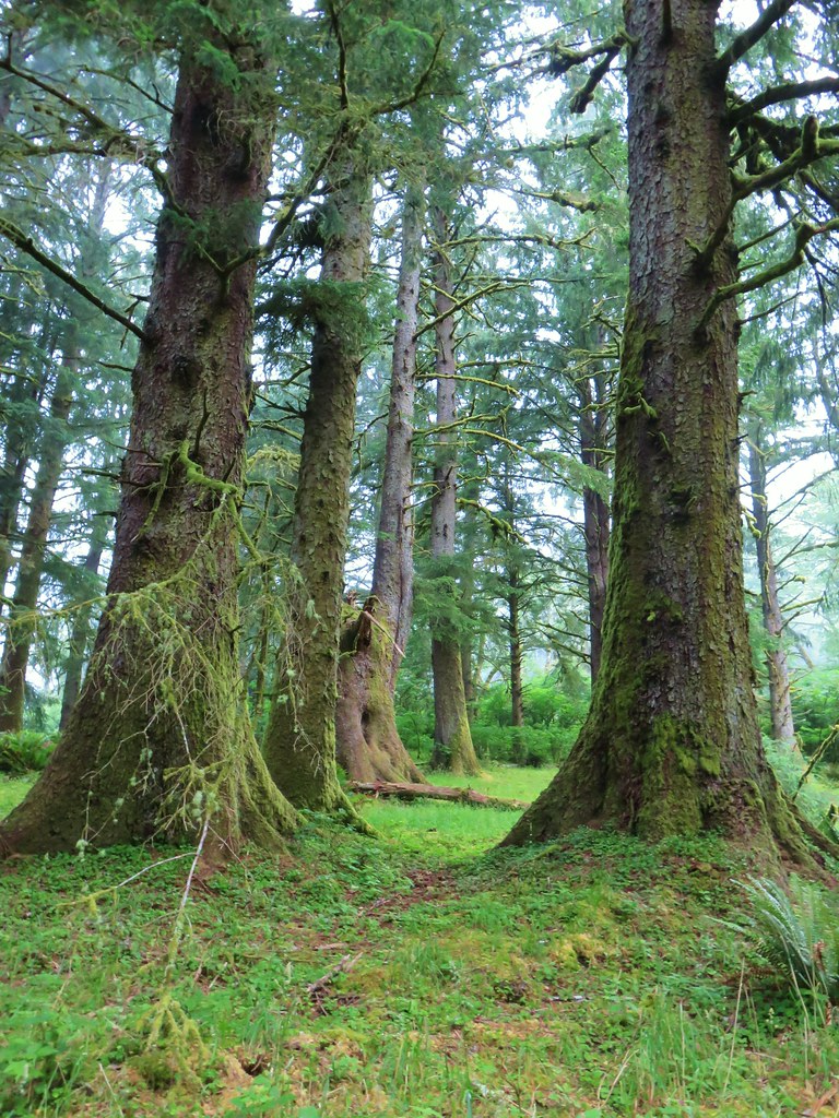
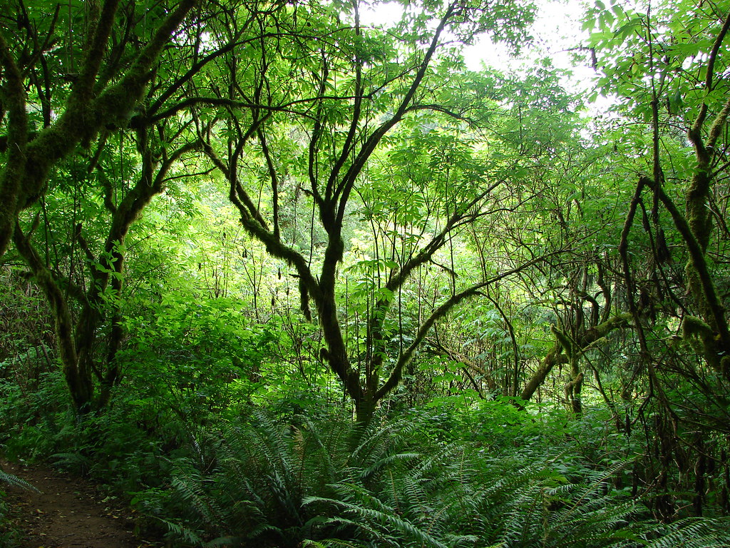
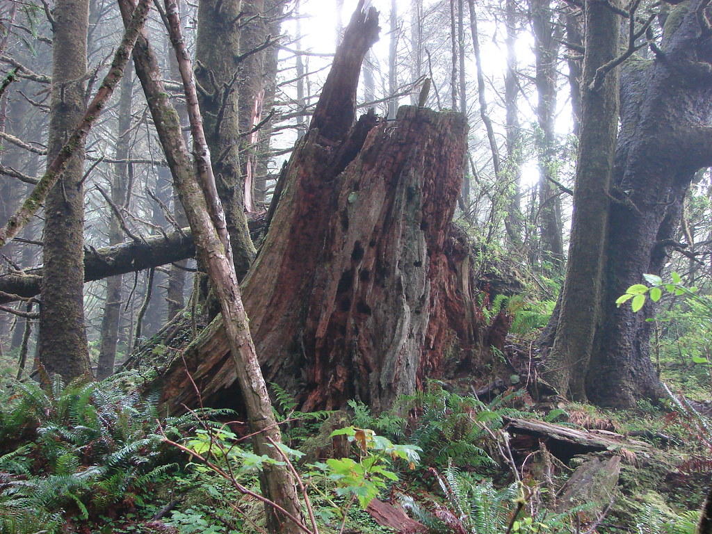
The transition from open meadow to lush green forest here is probably the most abrupt and starkest contrast that we’ve encountered on trail. This was my third time crossing this boundary and it was just as impressive and impactful as the first.

The trail was now nearly level as it followed an old road bed another 0.9 miles to the Nature Conservancy Trailhead.

 Wooden arch over the old roadbed.
 Nearing the upper trailhead.
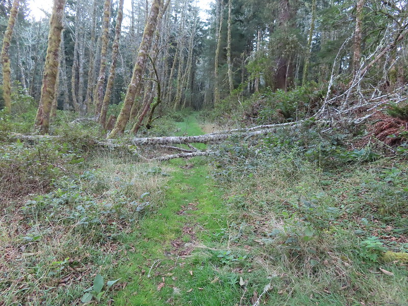
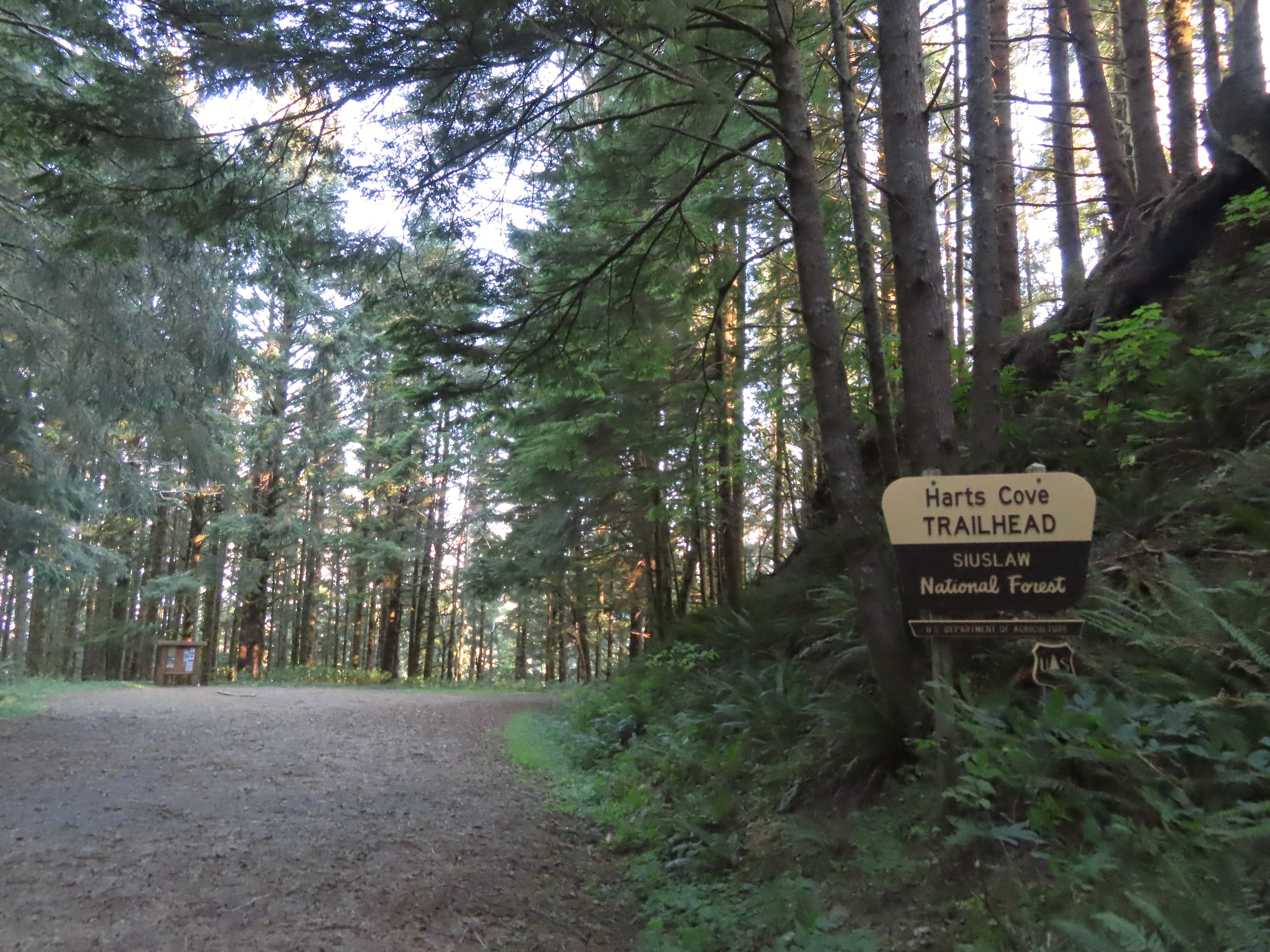
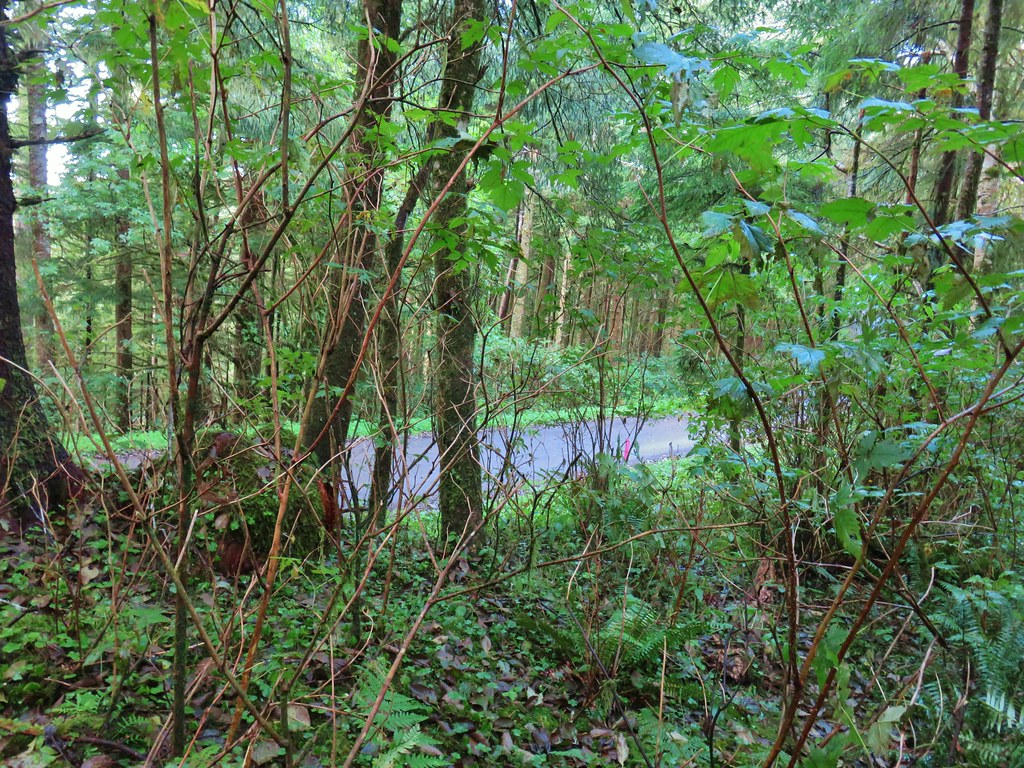
I turned left onto FR 1861 and followed it downhill for 0.8 miles to the Hart’s Cove Trailhead.
 When they do reopen the road there will be a few trees to deal with.

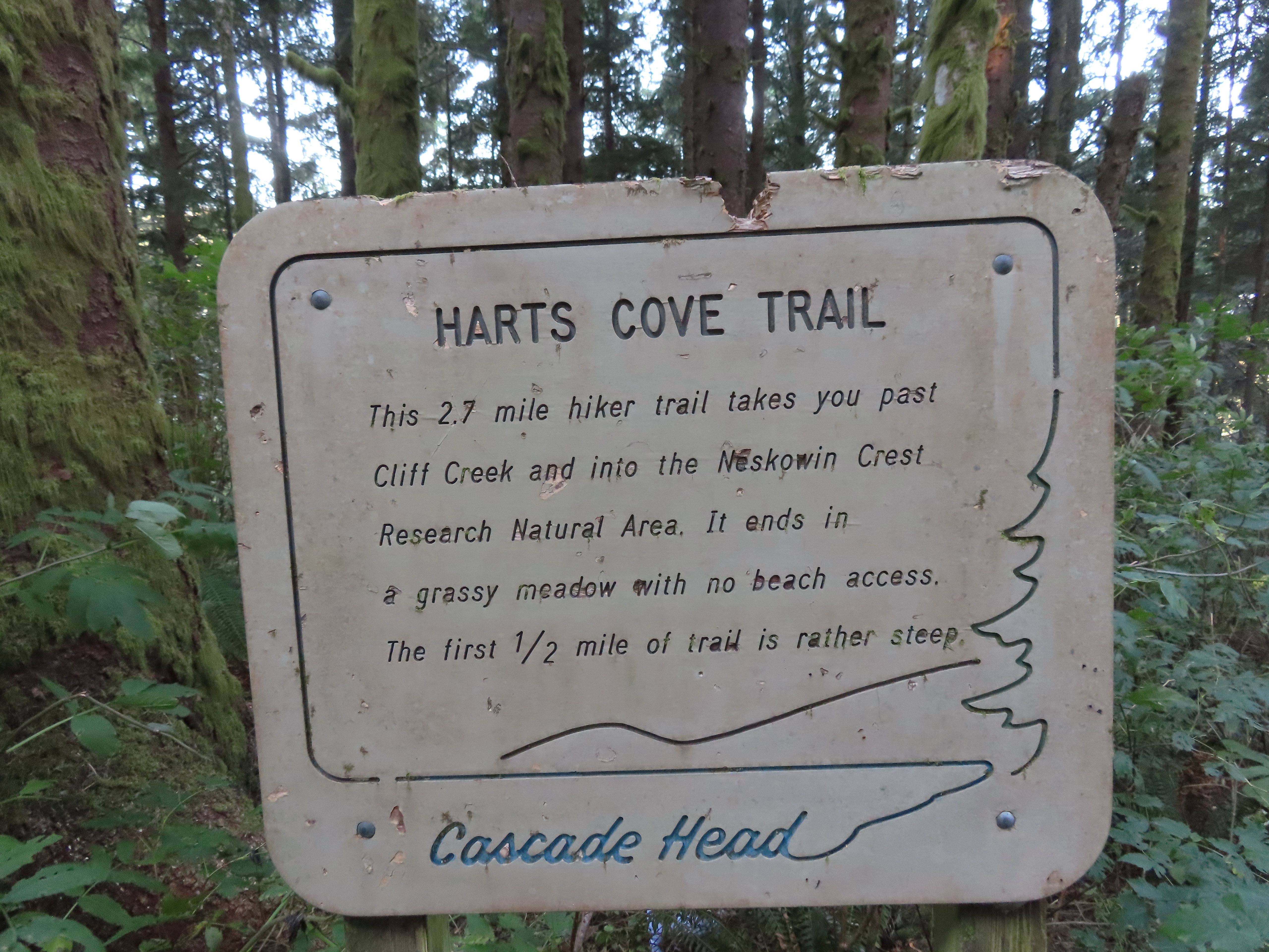
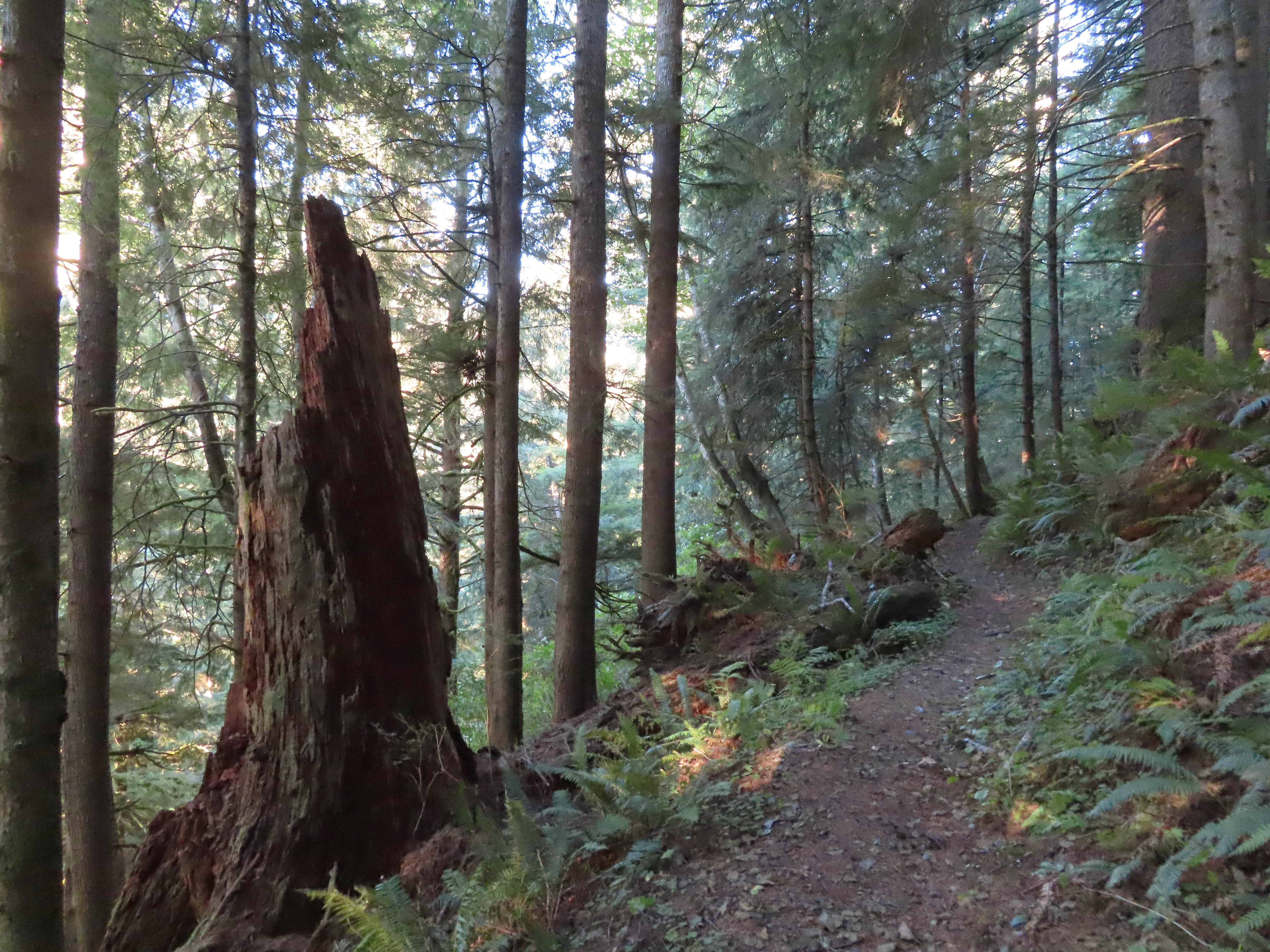
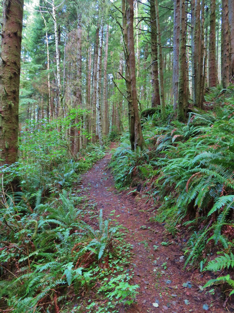
The Hart’s Cove Trail begins with a steep descent via several switchbacks before easing at the 0.6-mile mark.


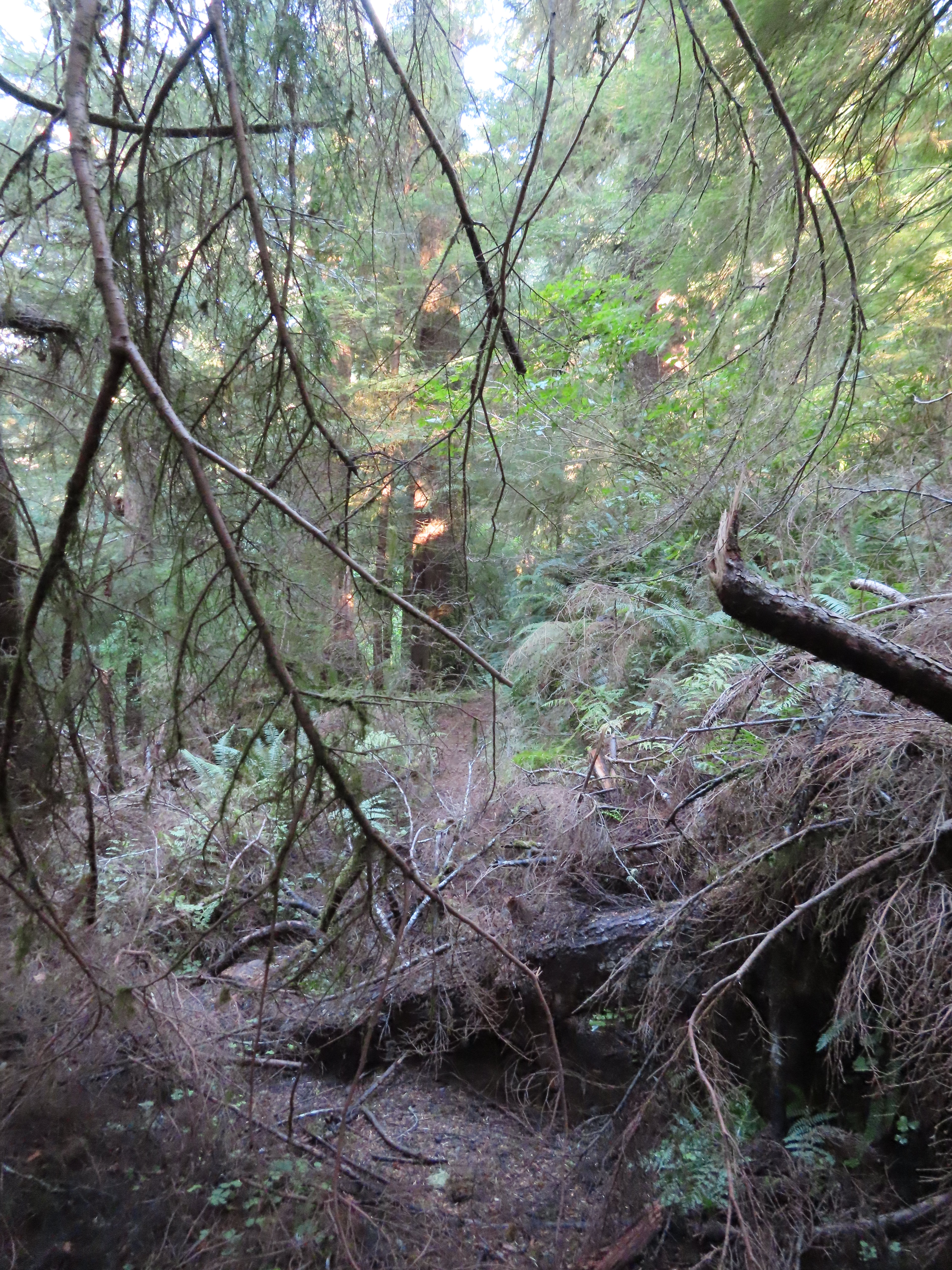
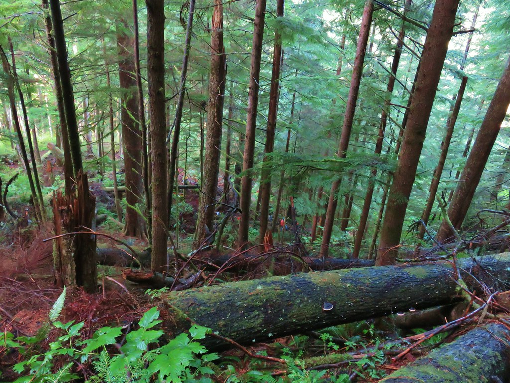
 There were around 18 trees such as this one across the trail from the trailhead to Cliff Creek.
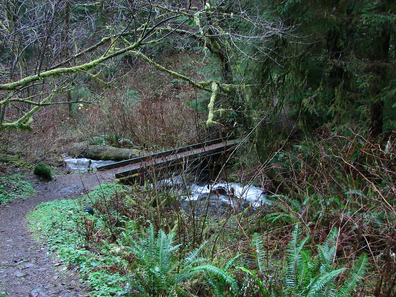
I arrived at Cliff Creek at the 0.8-mile mark without any issues, all of the trees that were down were easily stepped over or around.
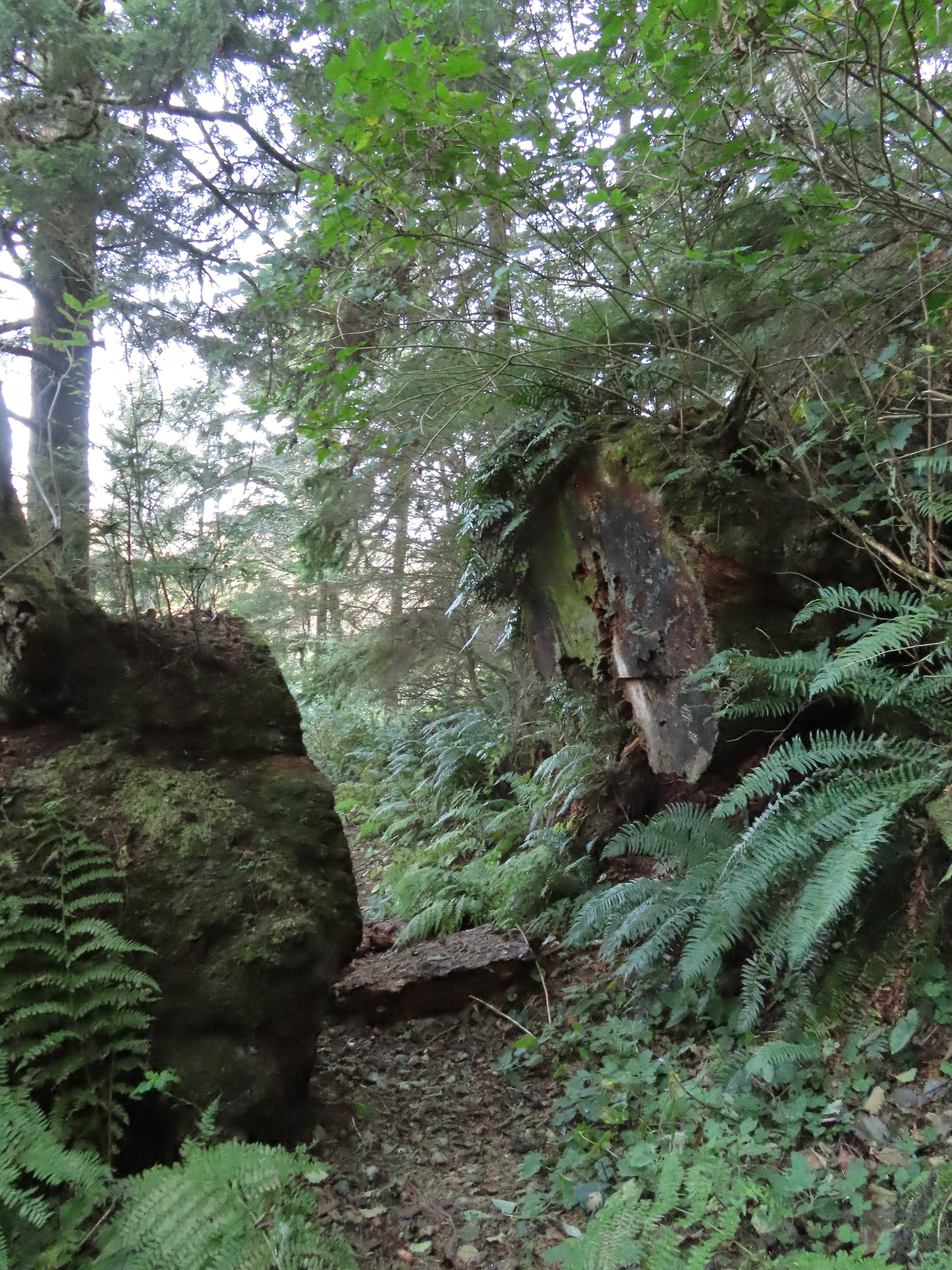
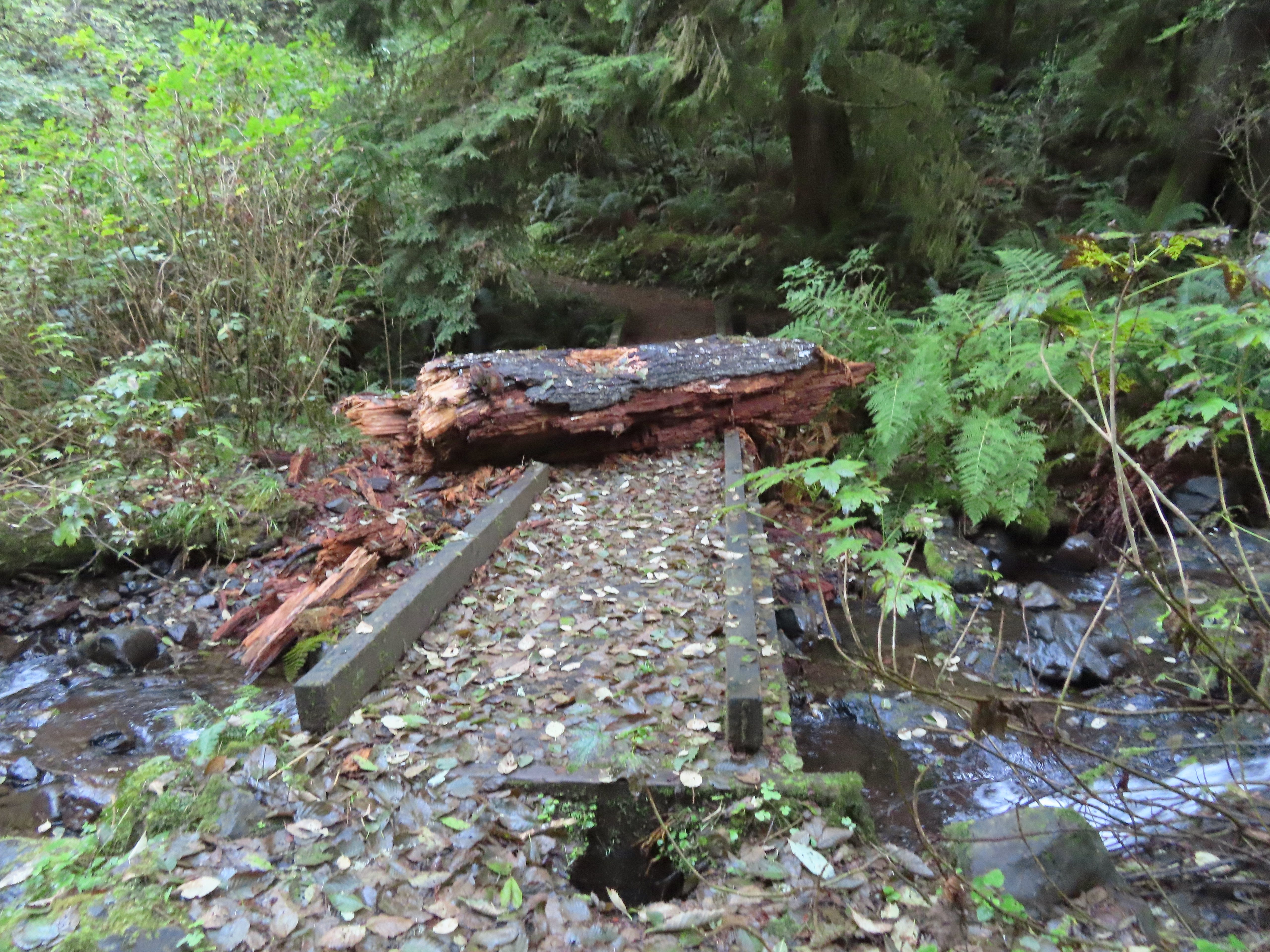 This large chunk of tree trunk has done some damage to the bridge, but it was still passable.
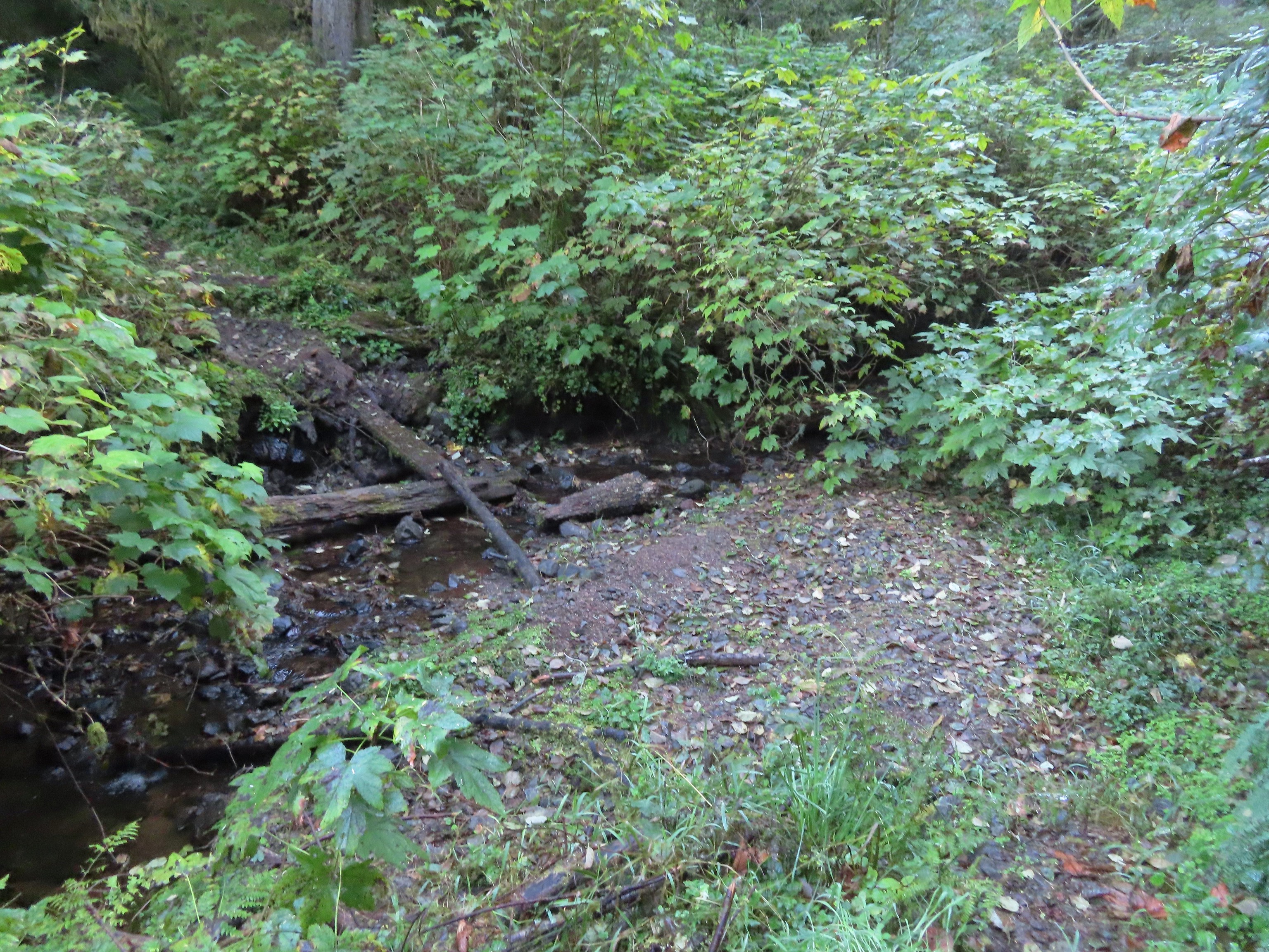
 Cliff Creek
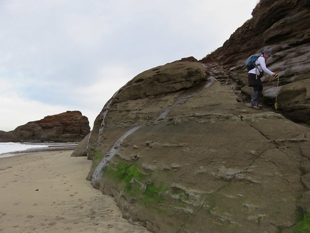
Shortly beyond the crossing I came to the first tricky obstacle.

It was obvious that others had made their way through it and with some careful climbing and ducking I soon found myself on the other side.
A second tricky downed tree was just a bit further along the trail.
I wondered if this was a sign of things to come over the remaining two miles but after making my way through this second obstacle the trail conditions improved and the remaining obstacles were easily avoided.
 At the 1.6-mile mark I entered the Neskowin Crest Research Natural Area

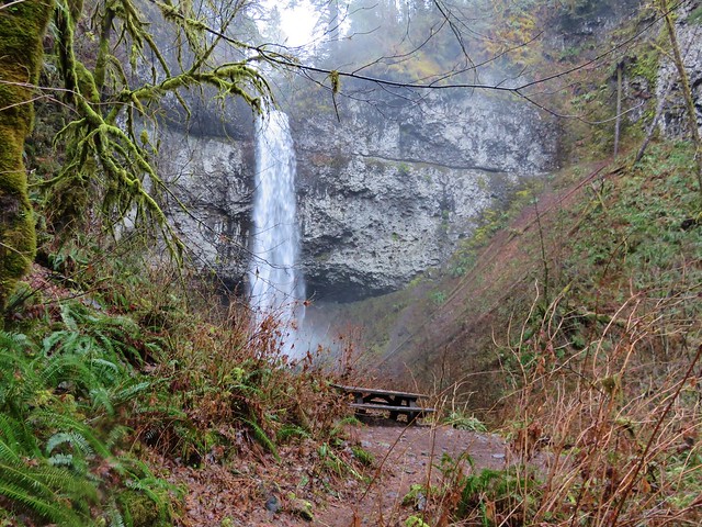
Just beyond the signs the trail rounds a ridge to a bench above Hart’s Cove (still a mile away) with a limited view due to trees.
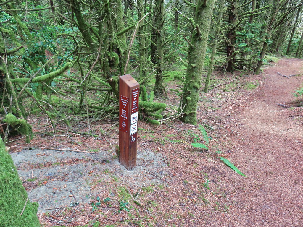
 Sign near the bench.
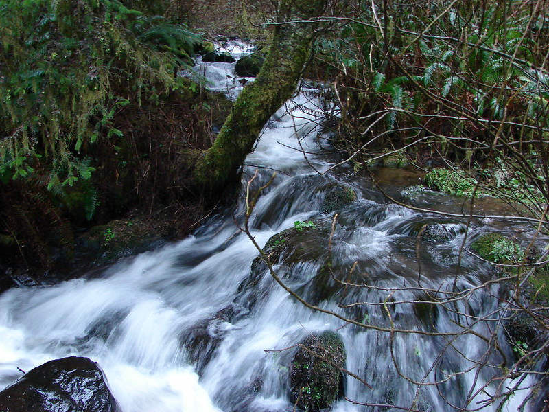
Beyond the bench the trail turns inland to cross Chitwood Creek then heads back towards the Pacific Ocean.
 Big sitka spruce trunk.
 Approaching the Chitwood Creek crossing.
 Chitwood Creek
 Heading back toward the ocean.
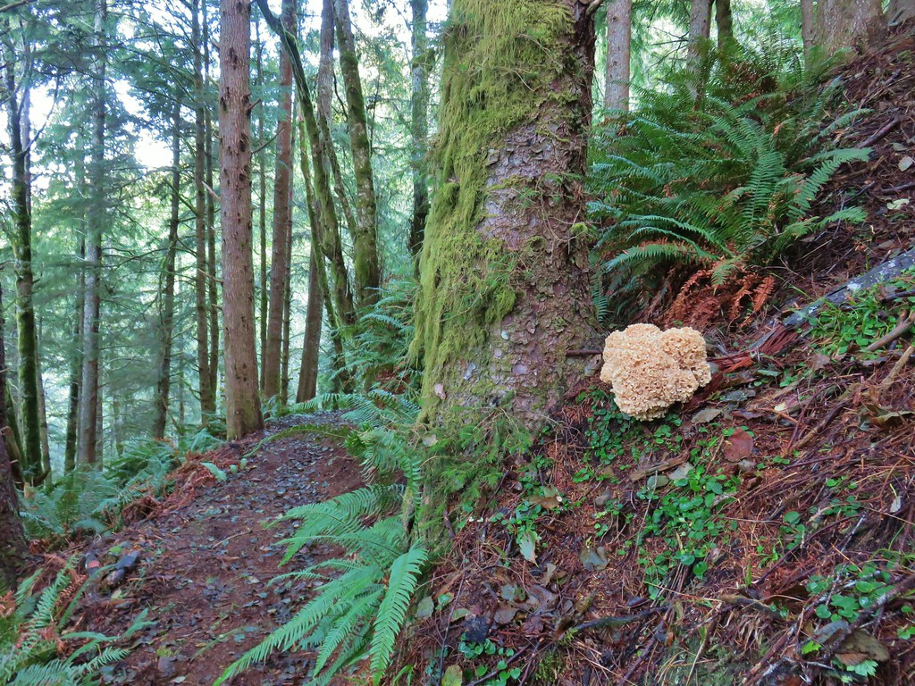
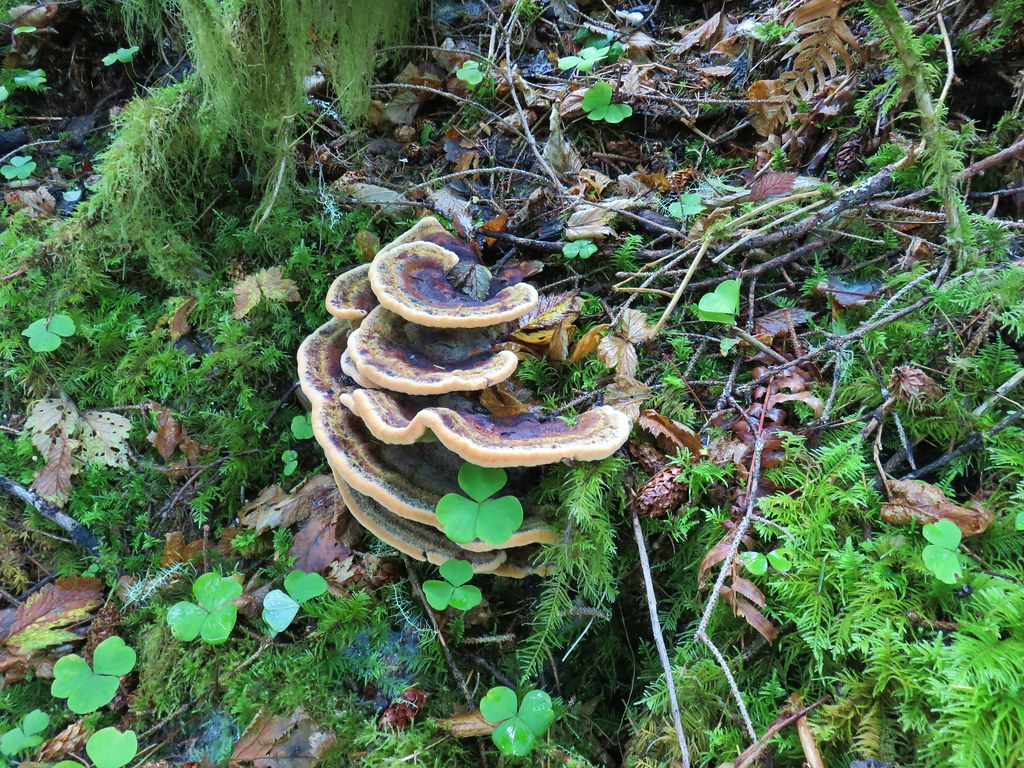
 Someone stuck some feathers in this mushroom.
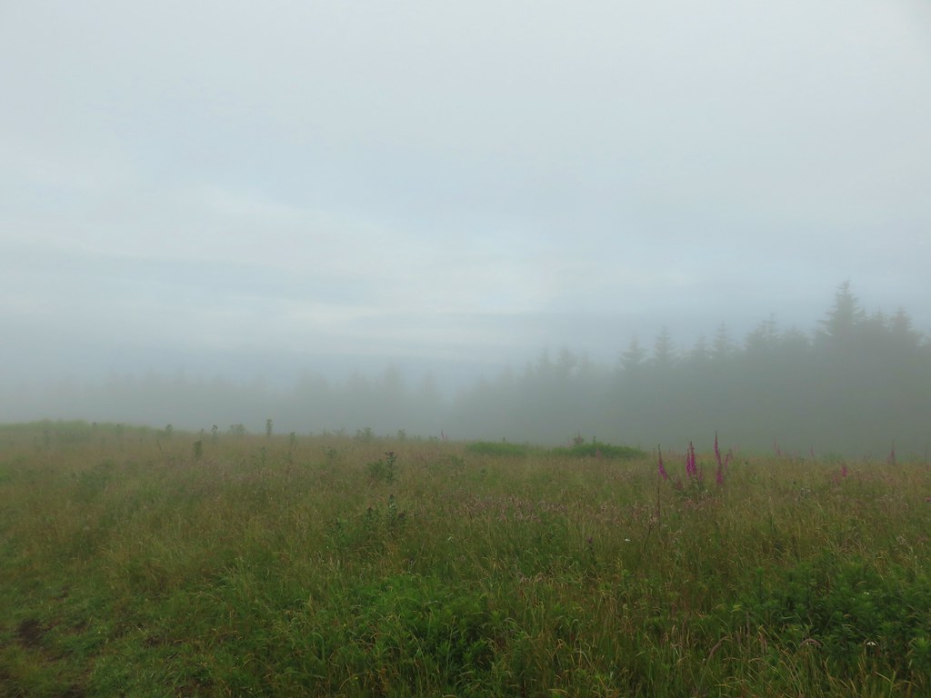
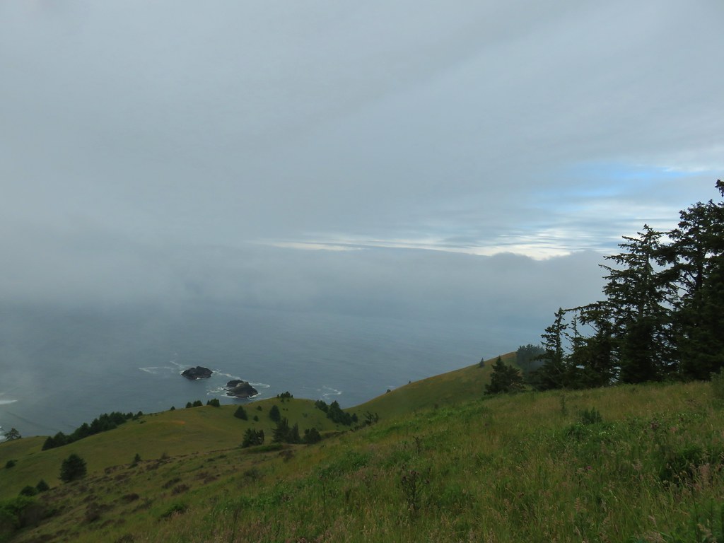
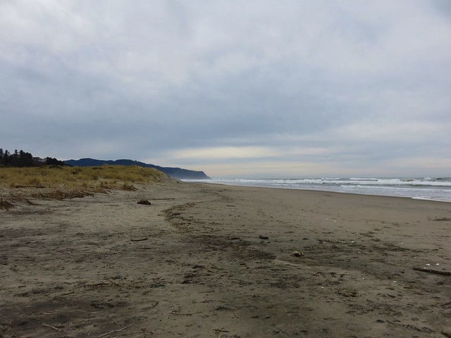
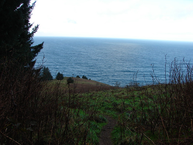
The trail eventually left the forest entering another meadow and descending to a viewpoint.

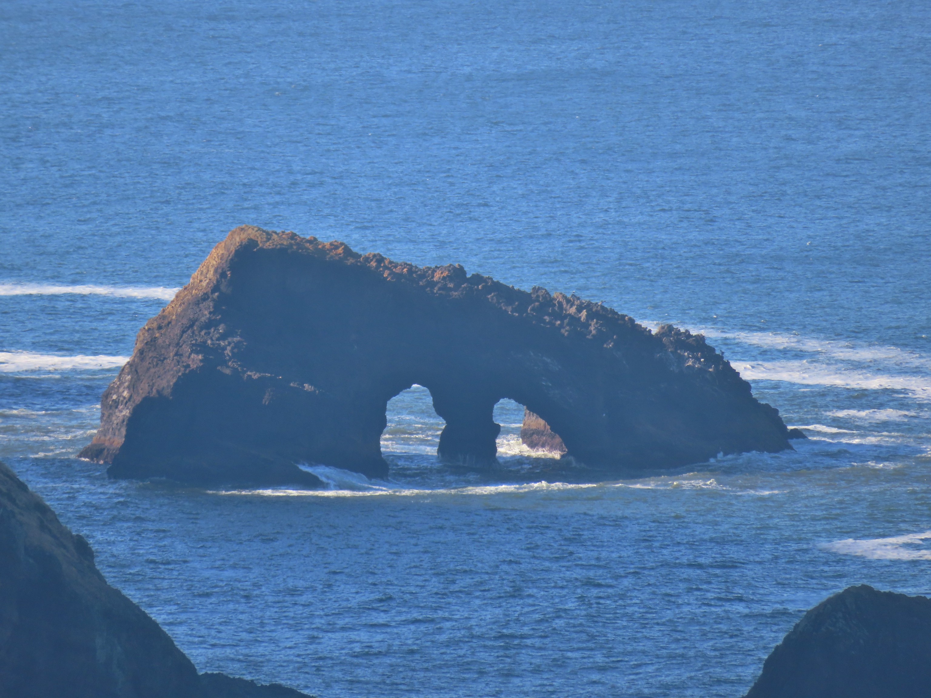
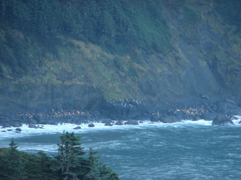
 There was a large number of noisy sea lions on the shaded rocks below Cascade Head. Even though they were quite far away they were loud.

 Seagull hanging out on a sea rock.
 Sea lion heading for its buddies.
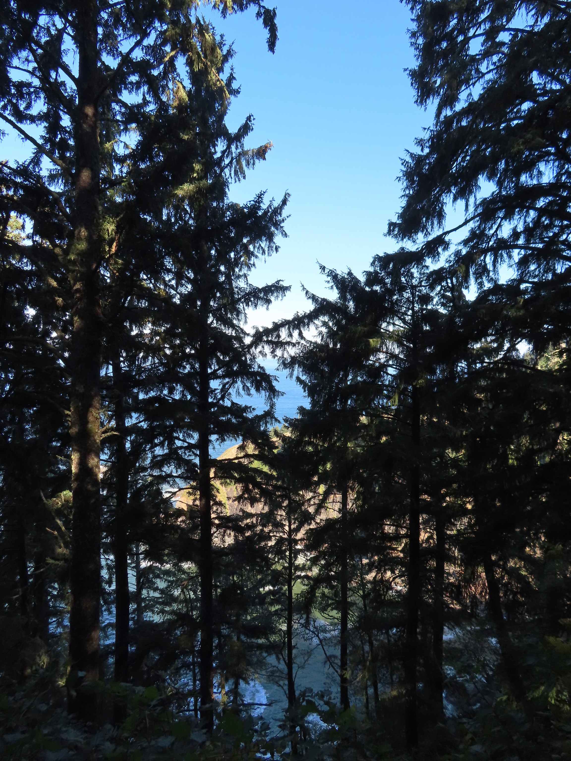
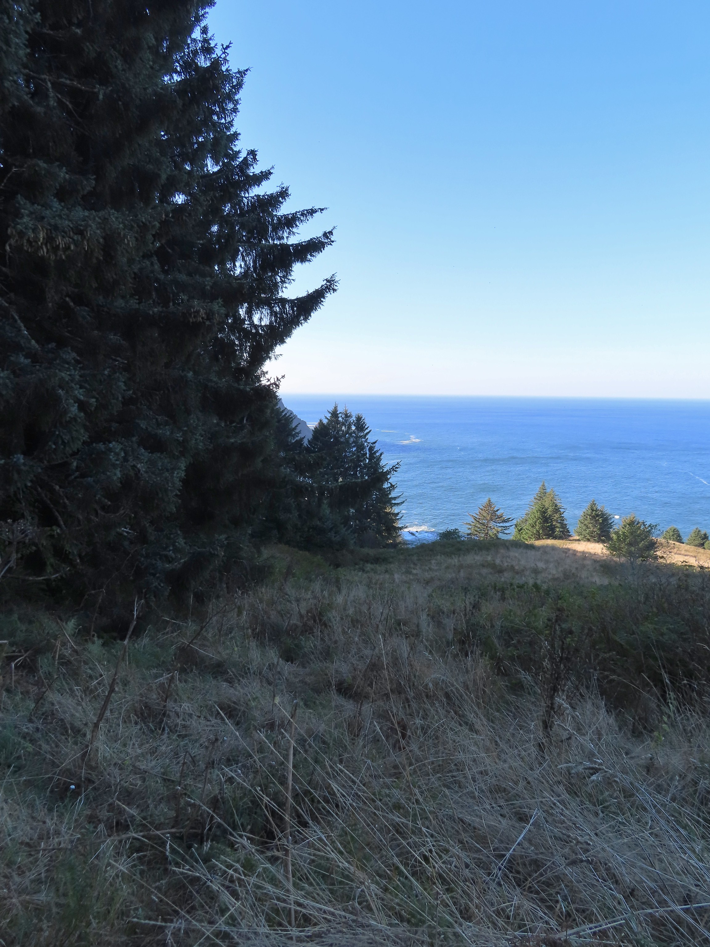
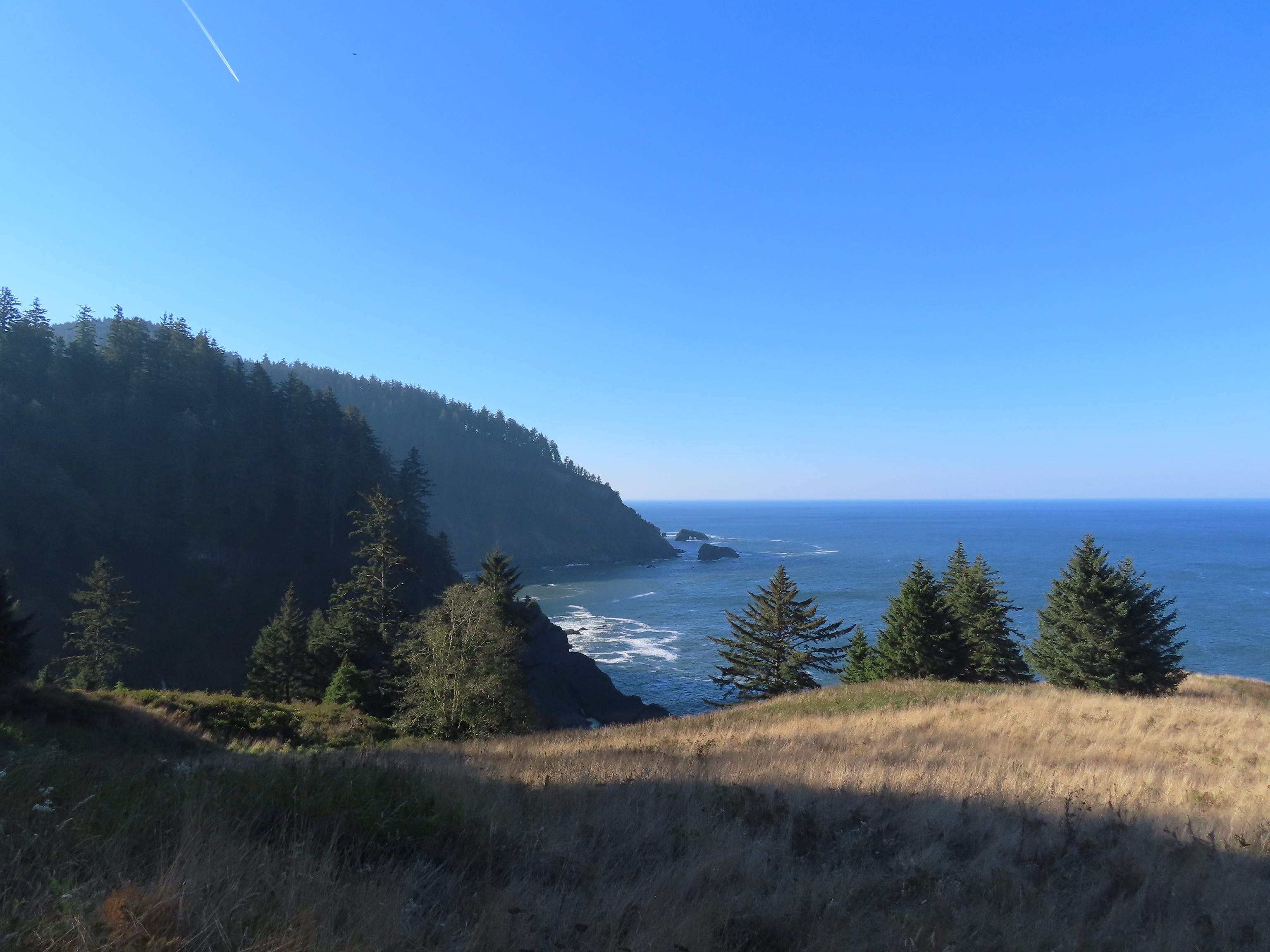
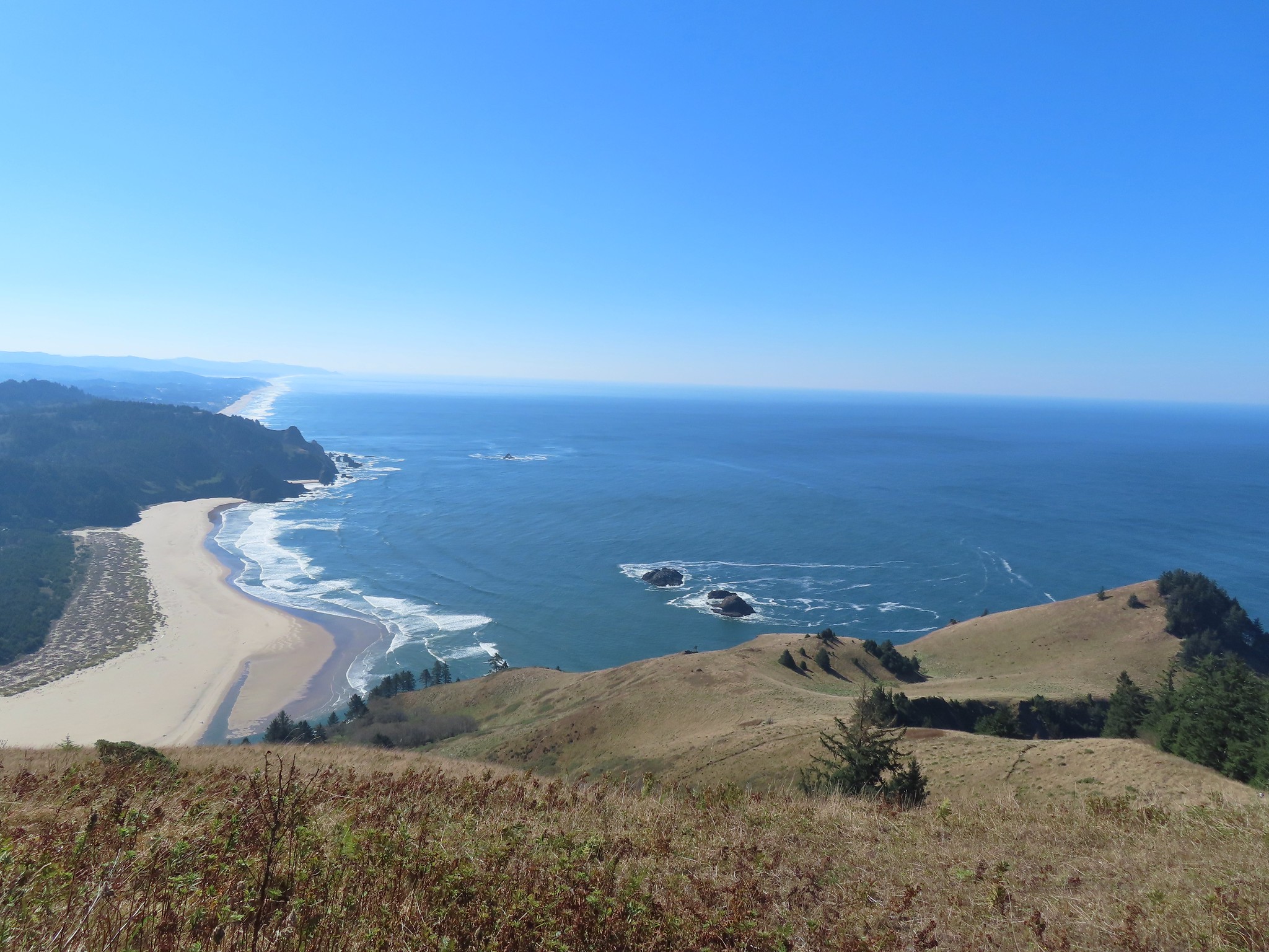
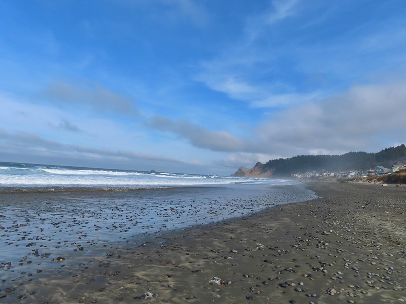
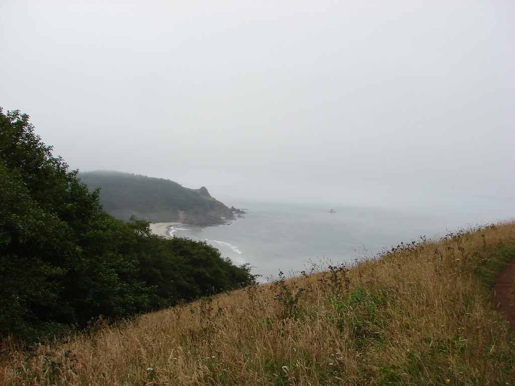
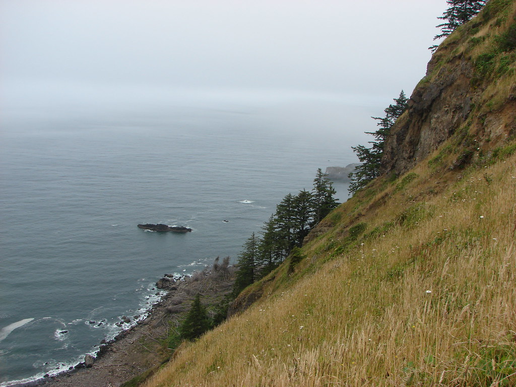
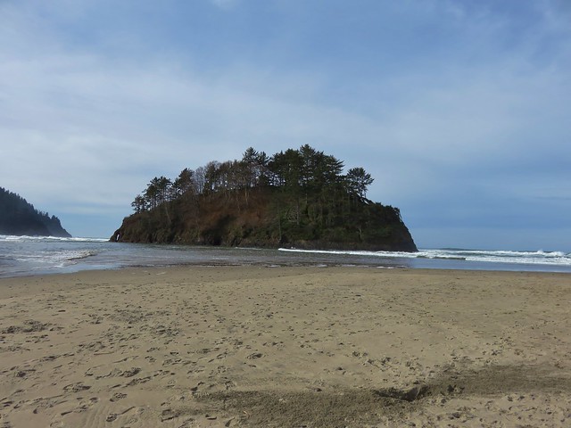
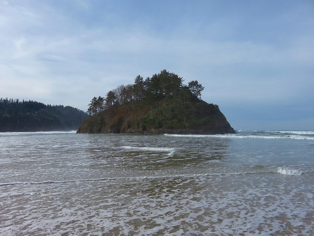
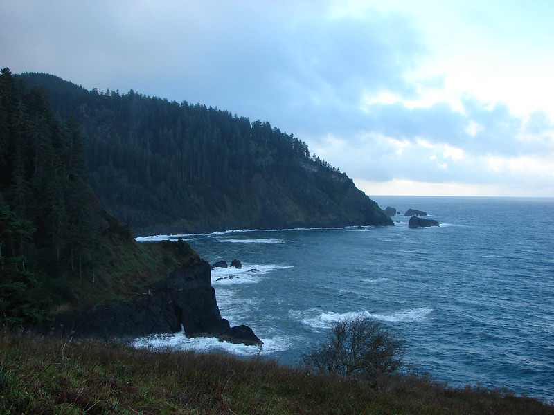
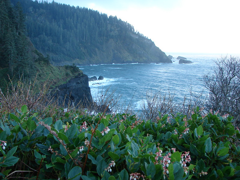
To the north Cape Lookout (post) along with Haystack Rock and Cape Kiwanda (post) were visible.

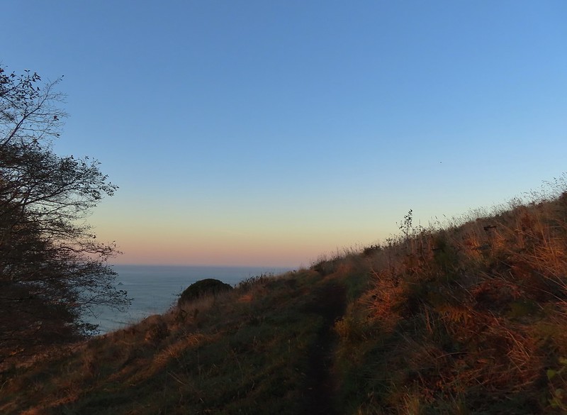
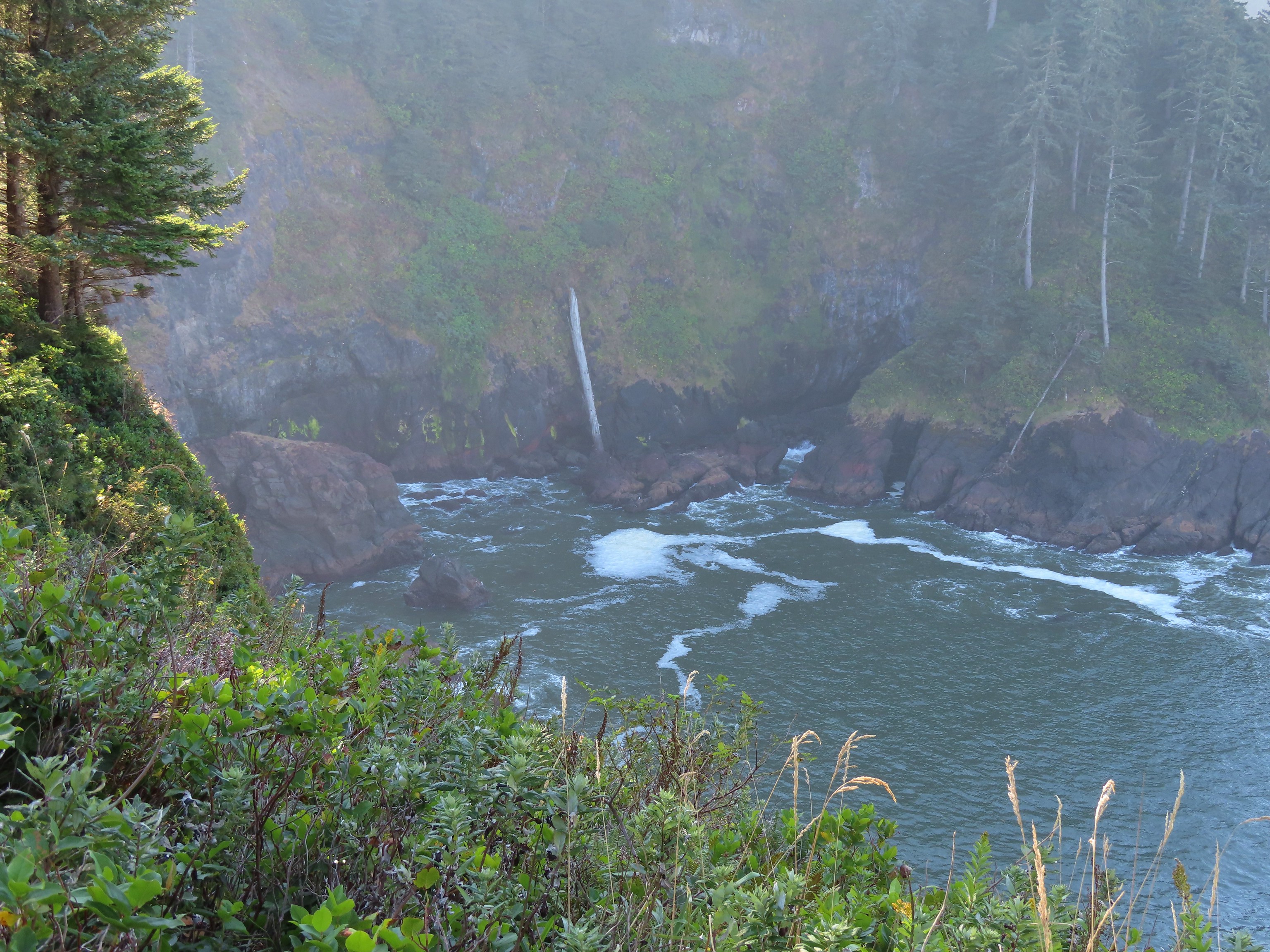
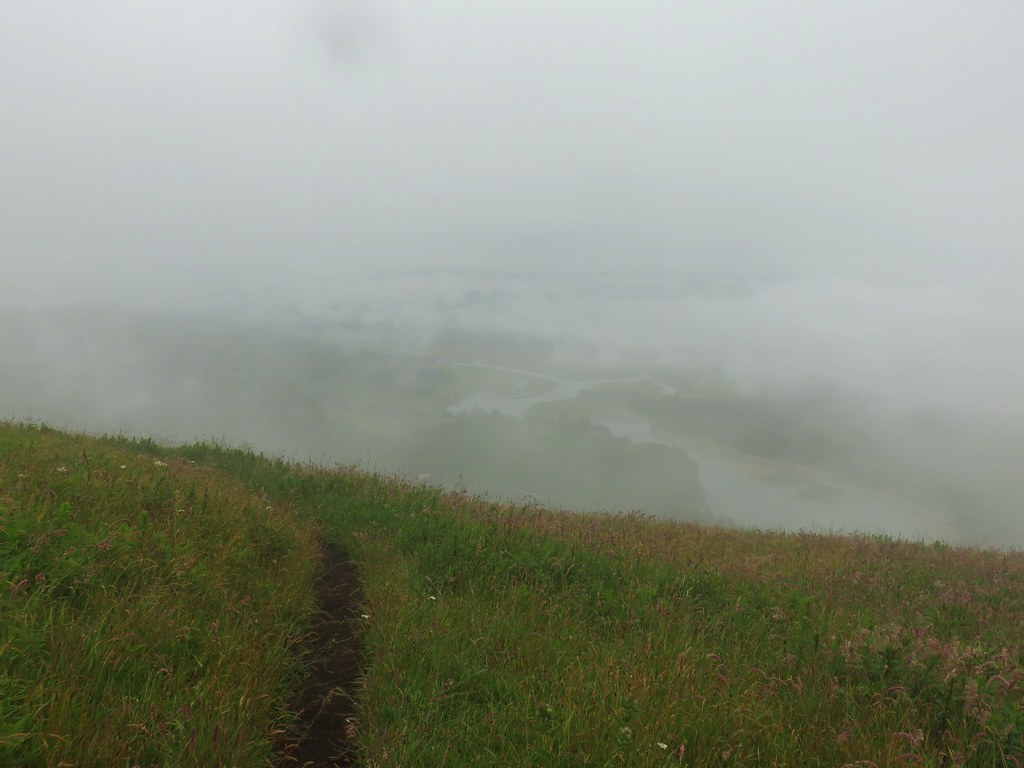
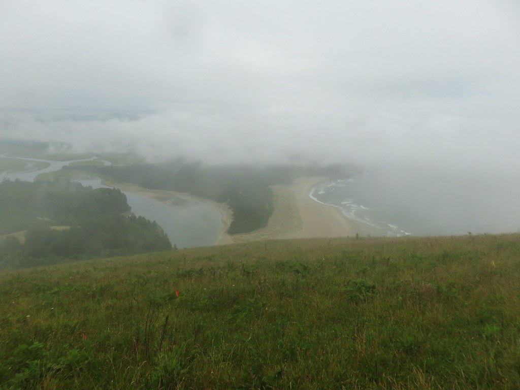
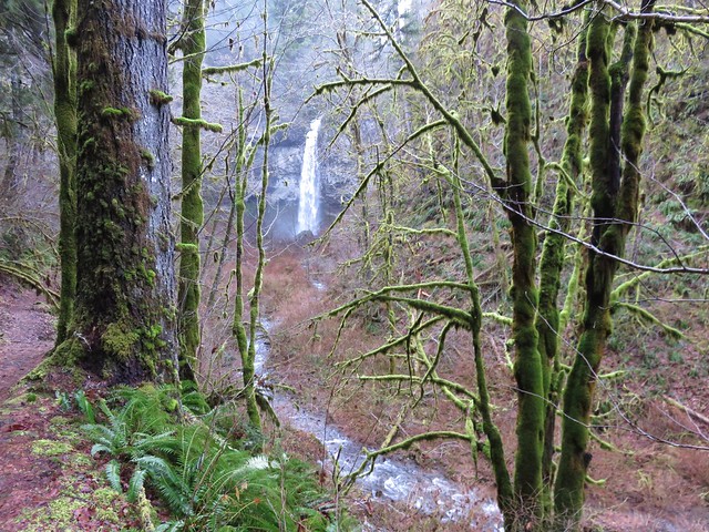
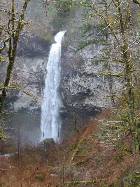
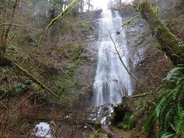
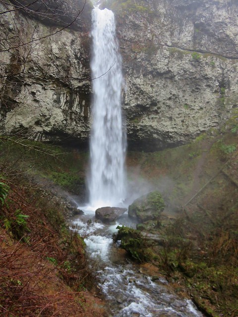
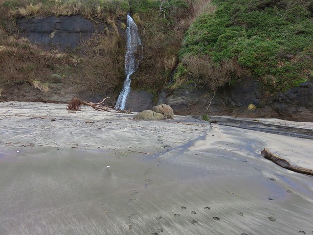
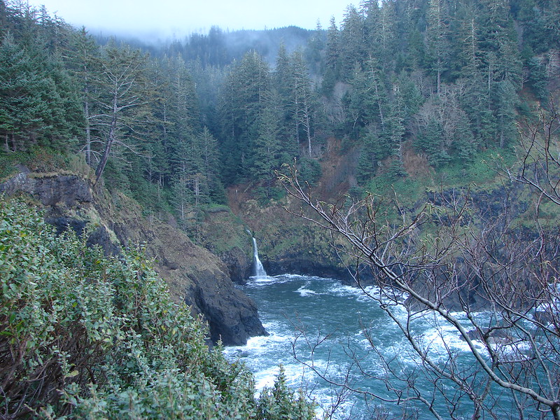
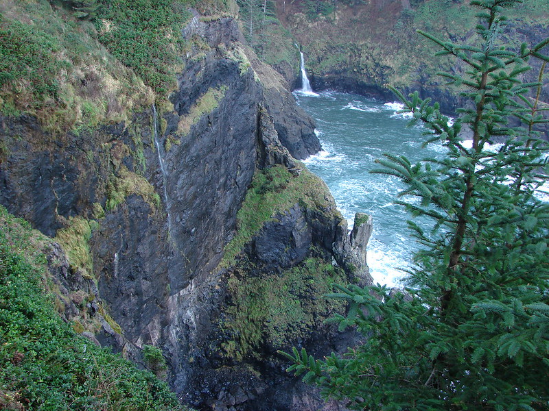
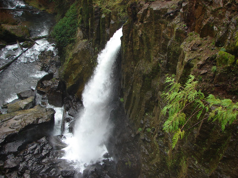
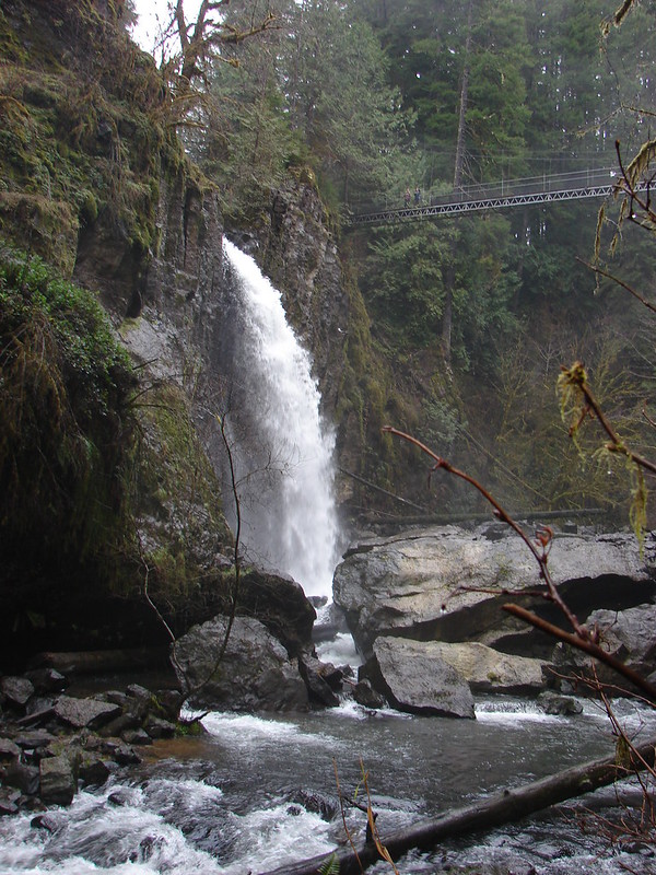
While the ocean views were great, my timing had resulted in the view into Hart’s Cove leaving something to be desired.
 A combination of the position of the Sun and the presence of haze made it very difficult to make out the waterfall on Chitwood Creek. I don’t know if the haze was smoke or just the usual coastal haze. (There was a fairly good east wind blowing steadily all morning.)

I tried several different viewpoints with no luck for the waterfall although I did find a nice one looking out of the mouth of the cove.


After exhausting the potential viewpoints I headed back the way I’d come. I passed two other hikers on their way to Hart’s Cove, one at Chitwood Creek and the second just before the bench viewpoint. I stopped at the bench and changed into some dry socks as my feet had gotten a little wet in the damp, muddy area around Chitwood Creek before continuing on.
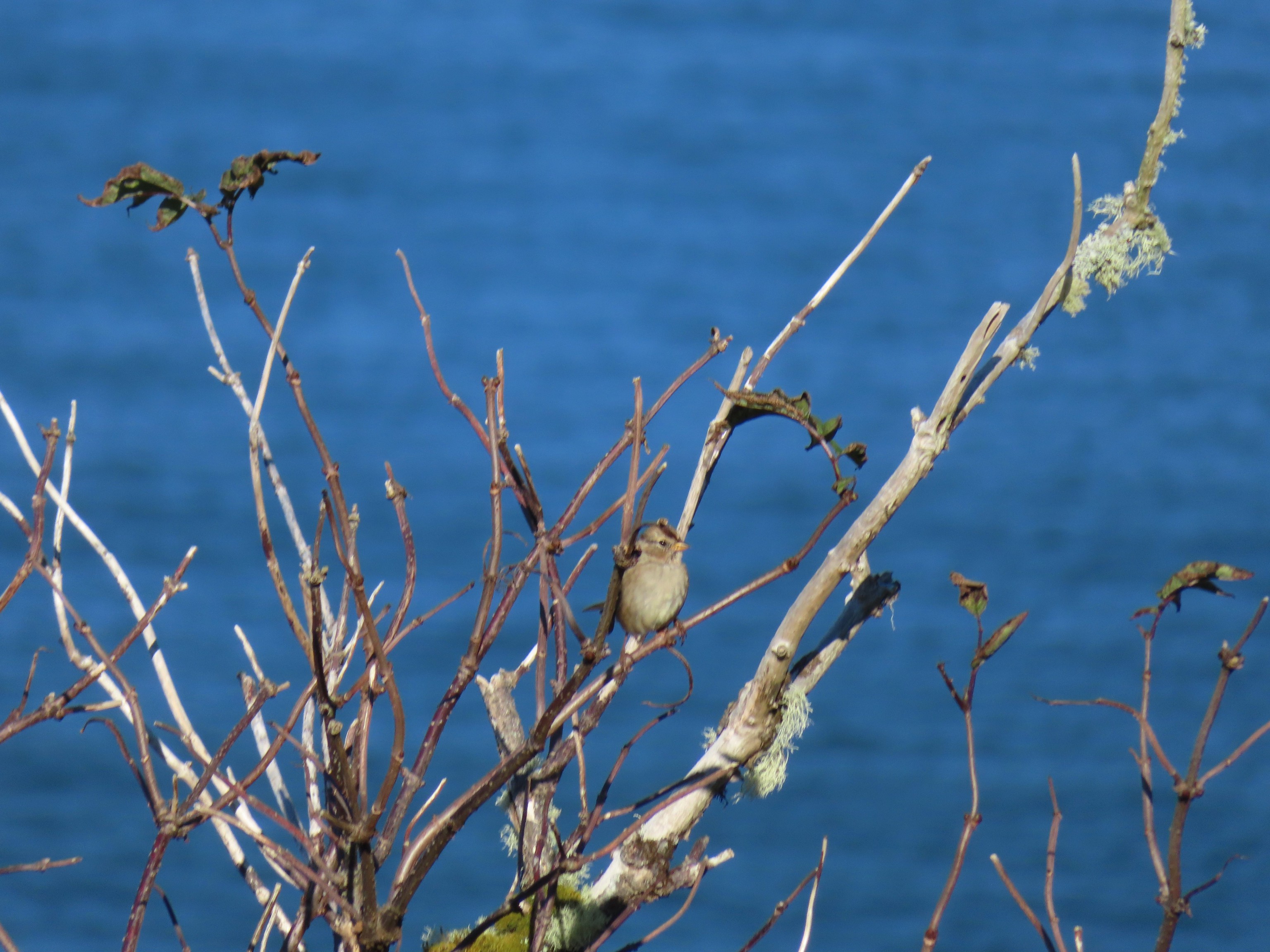 Sparrow in the meadow at Hart’s Cove.
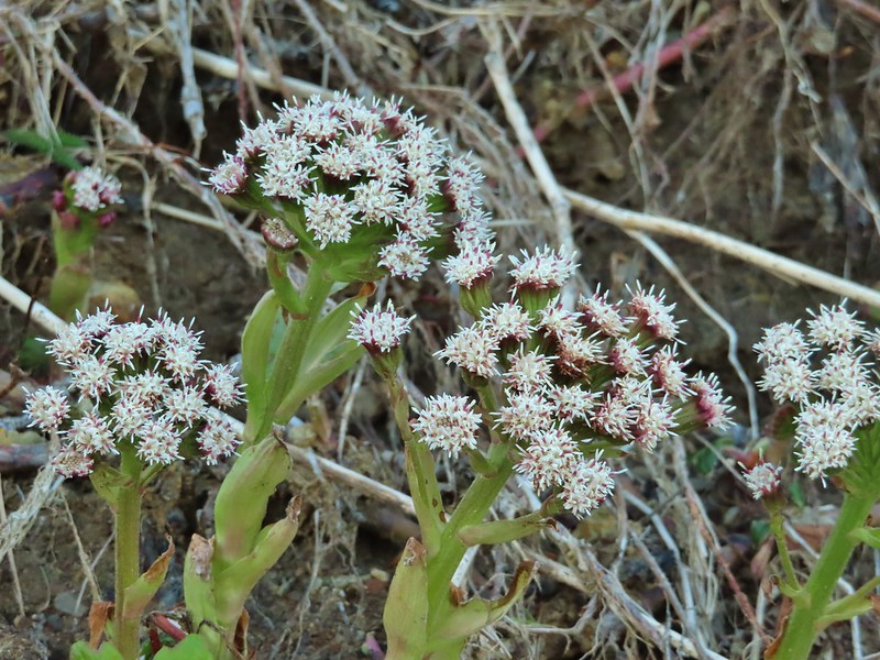
 Pearly everlasting
 Varied thrush

 A reminder of Spring, a trillium that bloomed months ago.
img src=”https://live.staticflickr.com/65535/52398212269_2dca5370f2_3k.jpg” width=”3072″ height=”2304″ alt=”IMG_2949″>Back at the Hart’s Cove Trailhead.
I retraced my steps to Cascade Head and was a bit surprised when I reached the post at the high point without having seen anyone but the two hikers on the Hart’s Cove Trail.
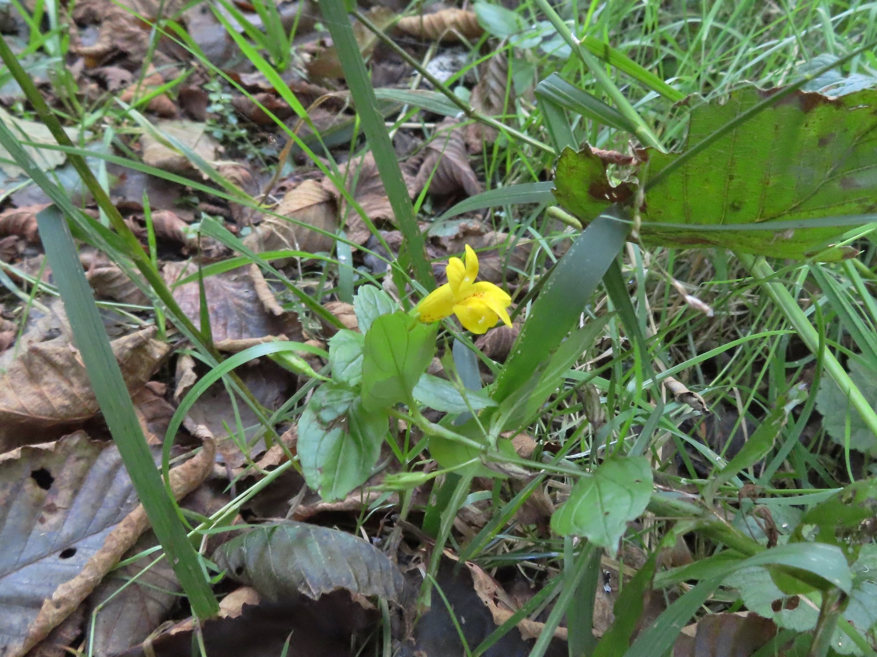 A monkeyflower along FR 1861.
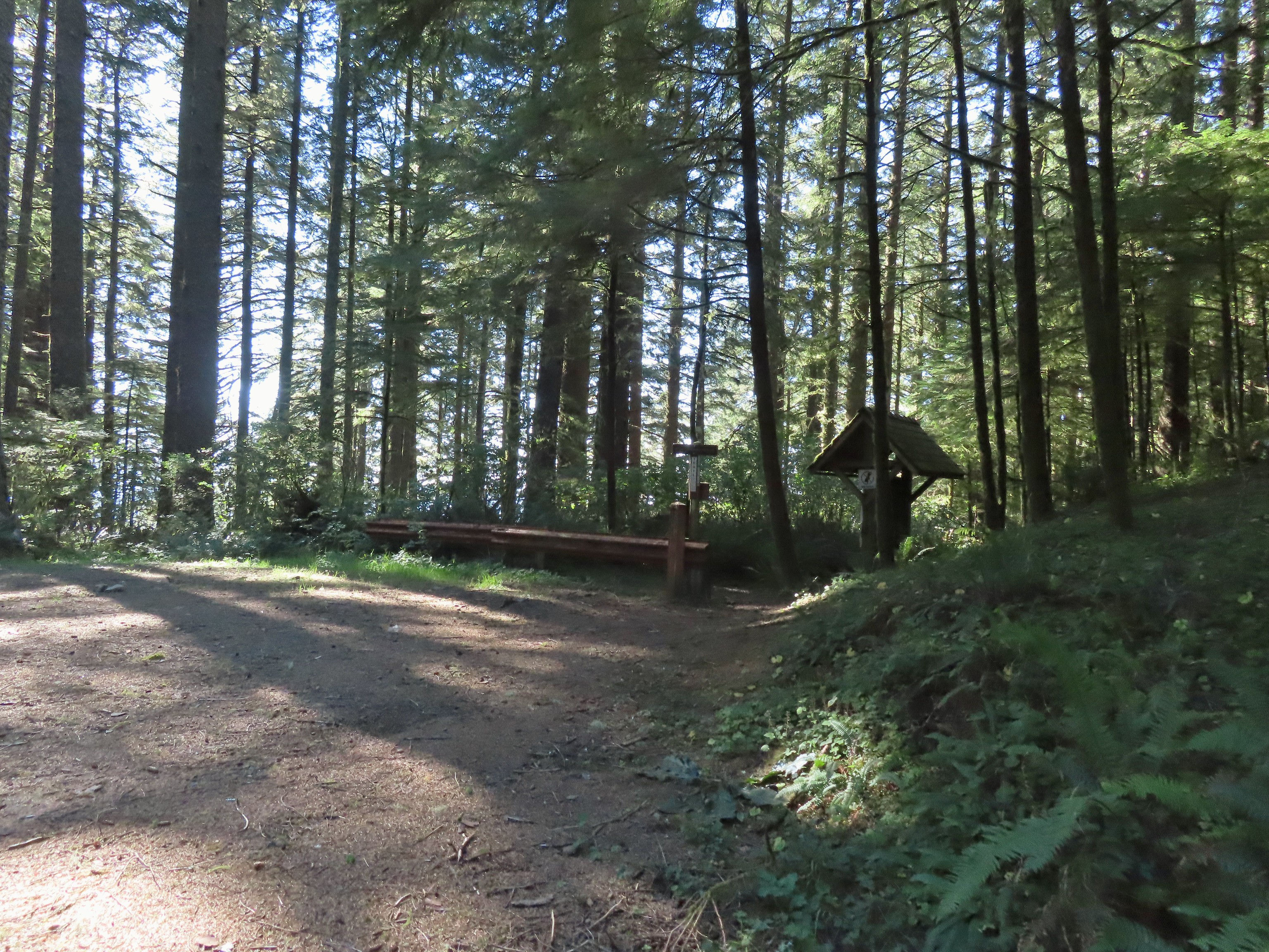 Back at the upper trailhead.
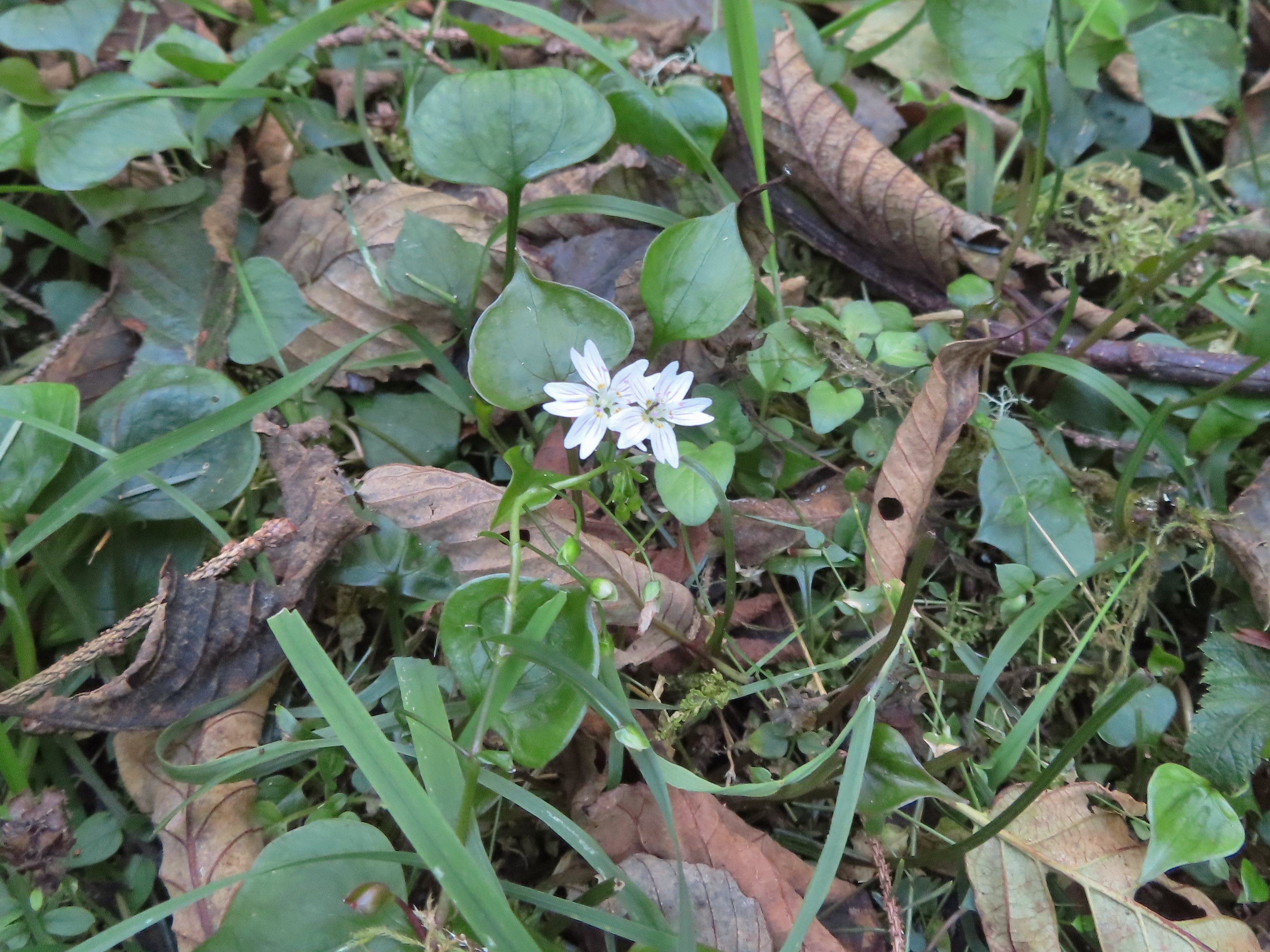 Candyflower
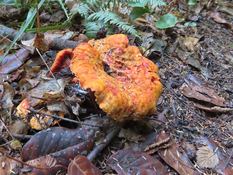
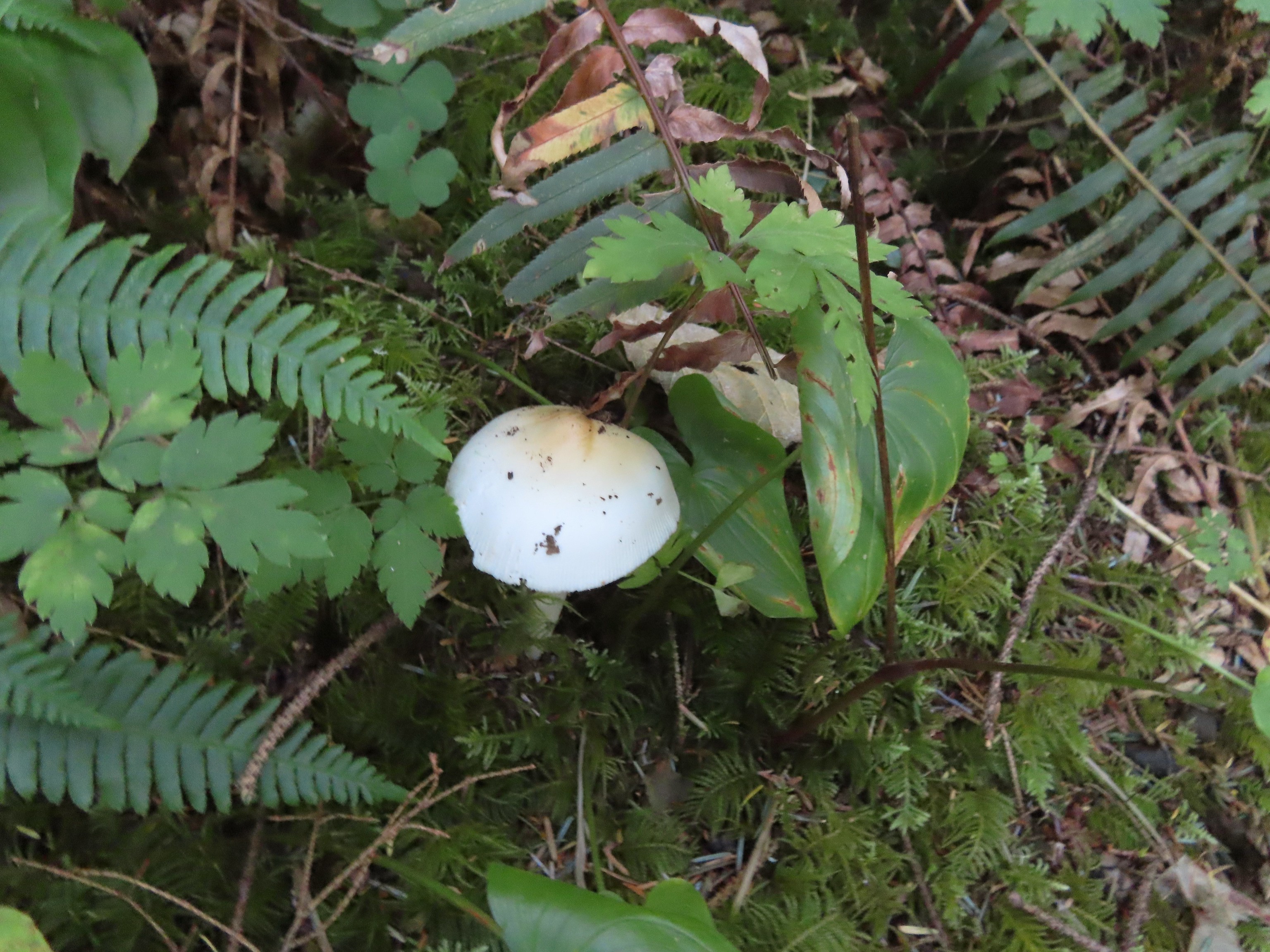
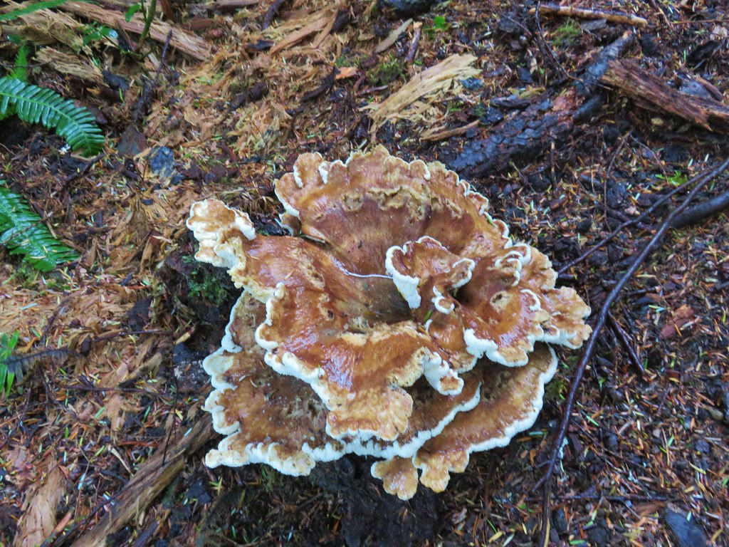
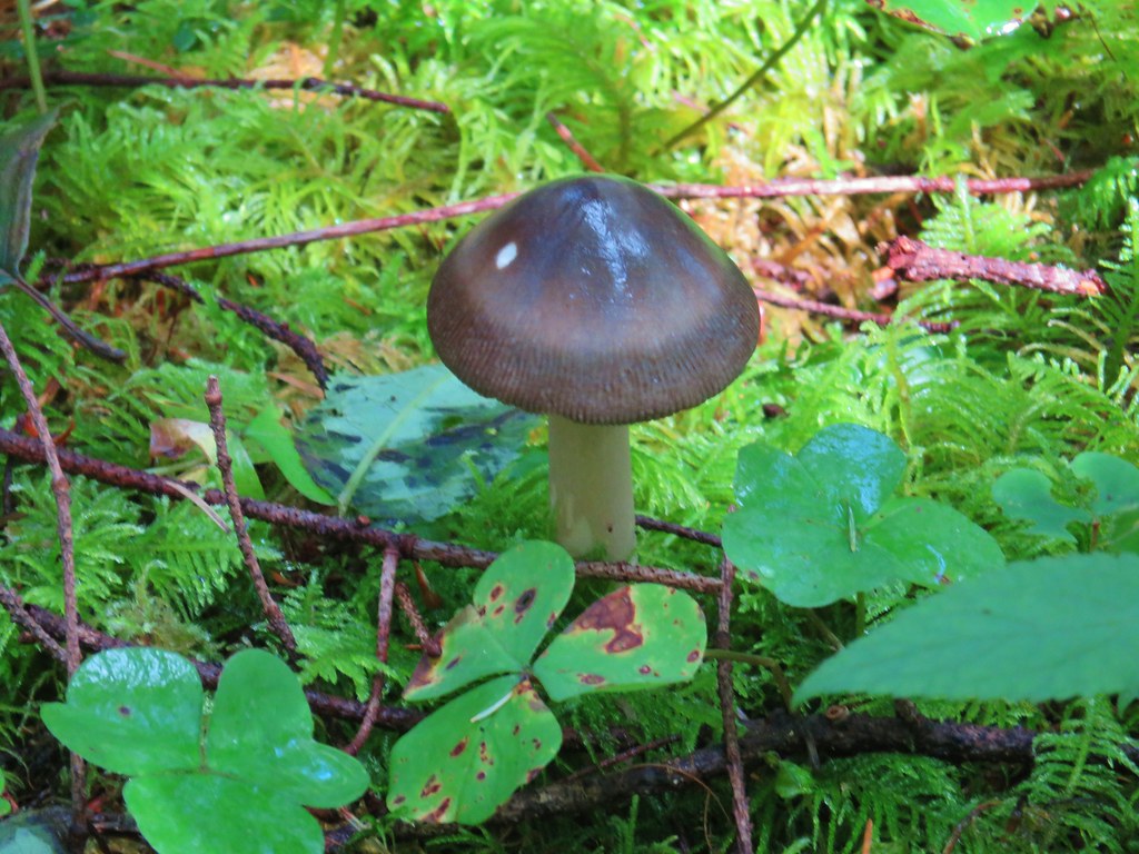
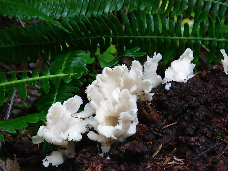
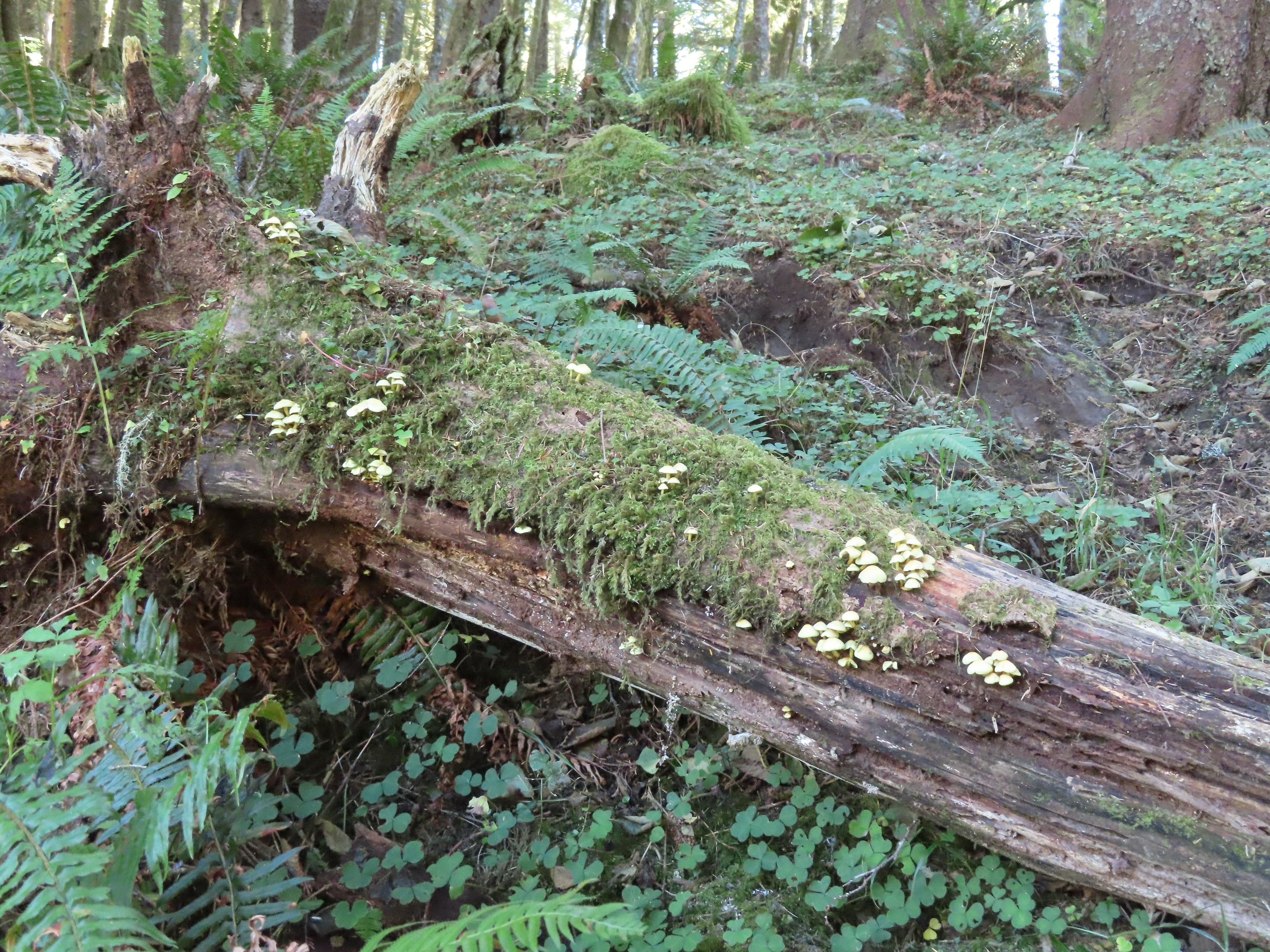 Mushrooms on a log.


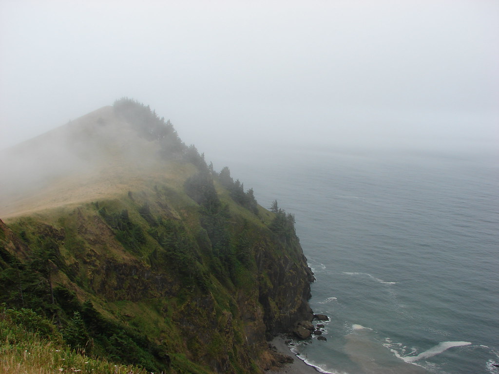
 The Thumb, aka God’s Thumb (post)
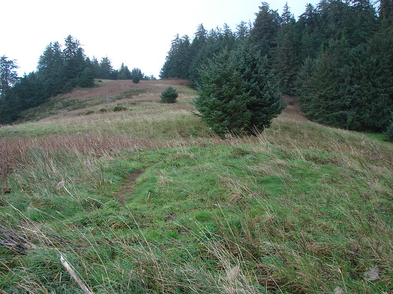
 Heading for the high point.
 Descending Cascade Head
 There were quite a few of these (an aster?) blooming along the trail.
 Not sure what type of bird this is.
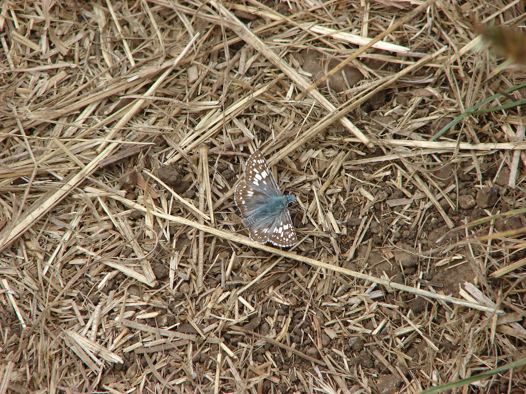
 Sulphur butterfly
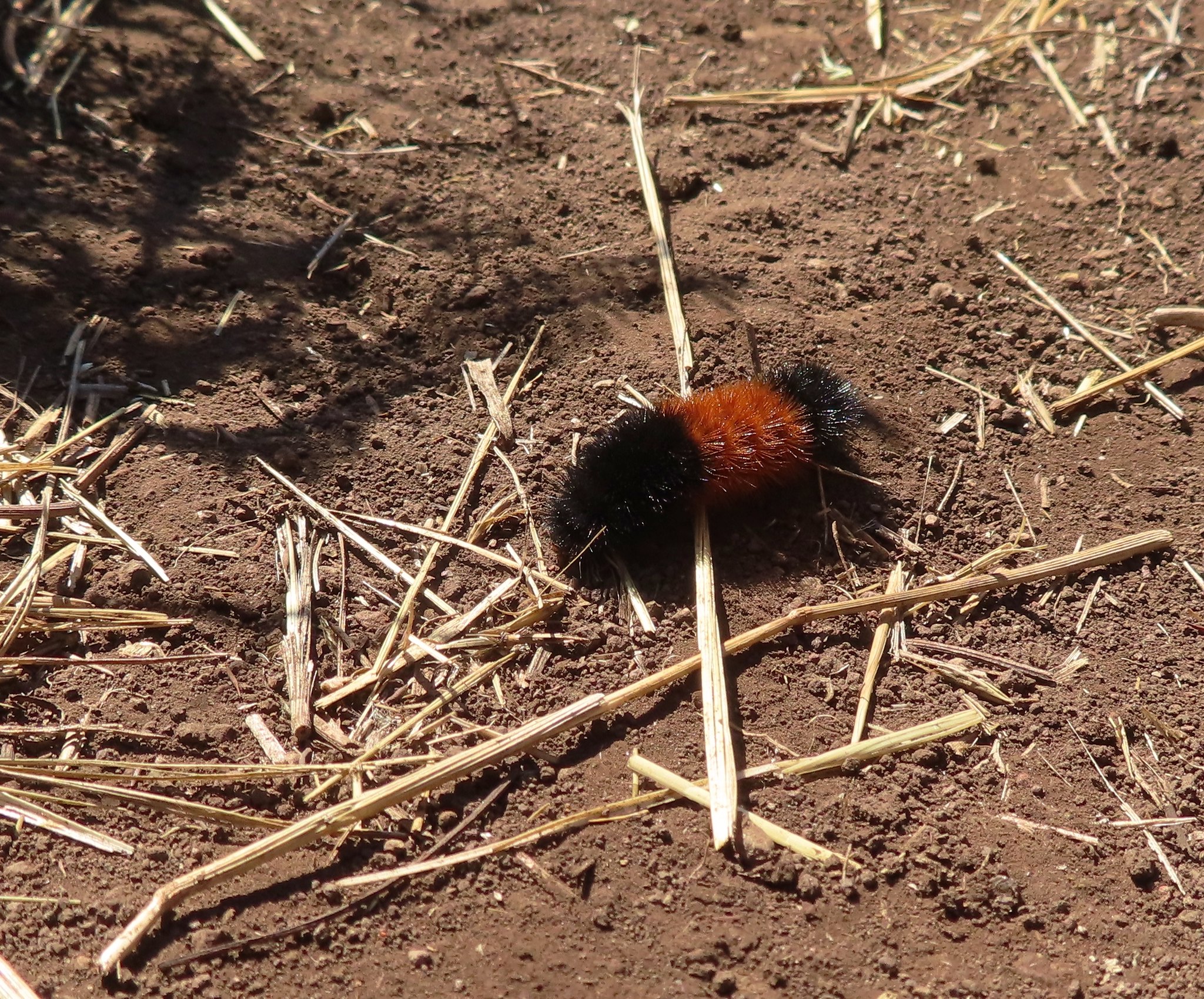 Wooly bear caterpillar, there were many of these on the trail.
When I had a better view of the trail below I could see that I would soon be passing a number of other hikers working their way up Cascade Head.
 Looking back up at one of the first hikers I’d passed.
The remainder of the hike included a lot of pauses as I stepped aside to let the uphill traffic pass. One woman asked if I’d happened to have made it to Hart’s Cove as she was also hoping to make it there. I also spoke briefly with a volunteer from The Nature Conservancy.

 Pretty moth on a bush.
 View to the east of the Coastal Range.
 Heading for the tree line.
 Back where I’d seen the bull elk in the morning.
 Cars parked along Three Rocks Road, the parking area at Knights County Park was full when I got back to the car a little before 1pm.
My Garmin showed this to be a 14.5-mile hike with over 2700′ of elevation gain.

It had been quite a bit warmer than I’d hoped for an October hike with the temperature being well over 70 degrees back at the trailhead. Despite that it had been a good hike with good views save for the waterfall at Hart’s Cove. It was pretty strange not having Heather there but given how warm it was this was a good one for her to miss. Happy Trails!
Flickr: Cascade Head to Hart’s Cove

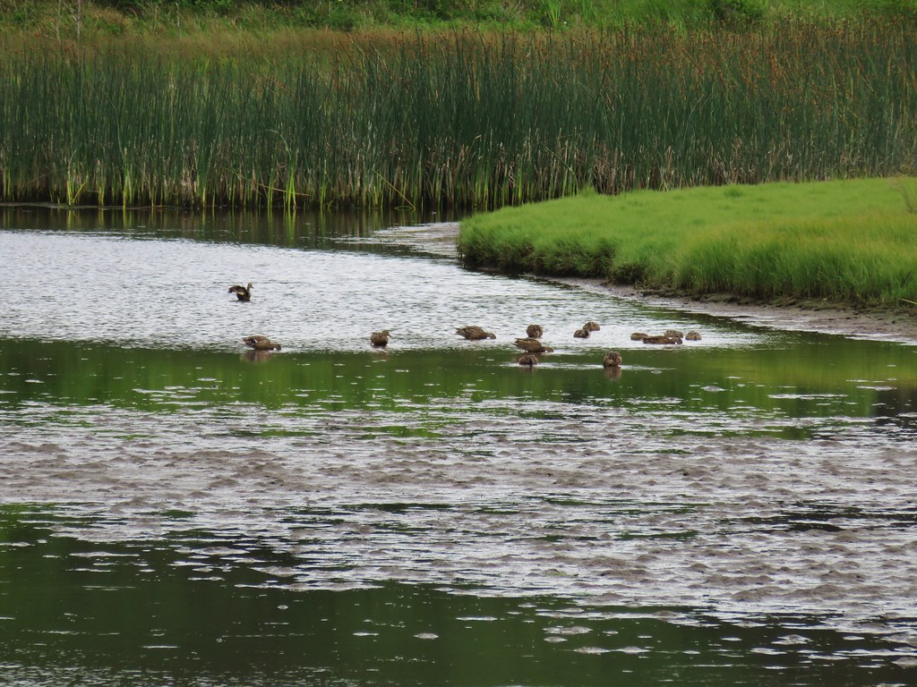
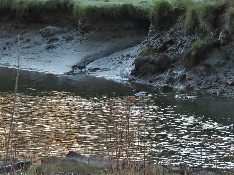 Mallard pair
 Canada geese
 Goose and a mallard in the channels.


 Several interpretive signs were placed along the loop.
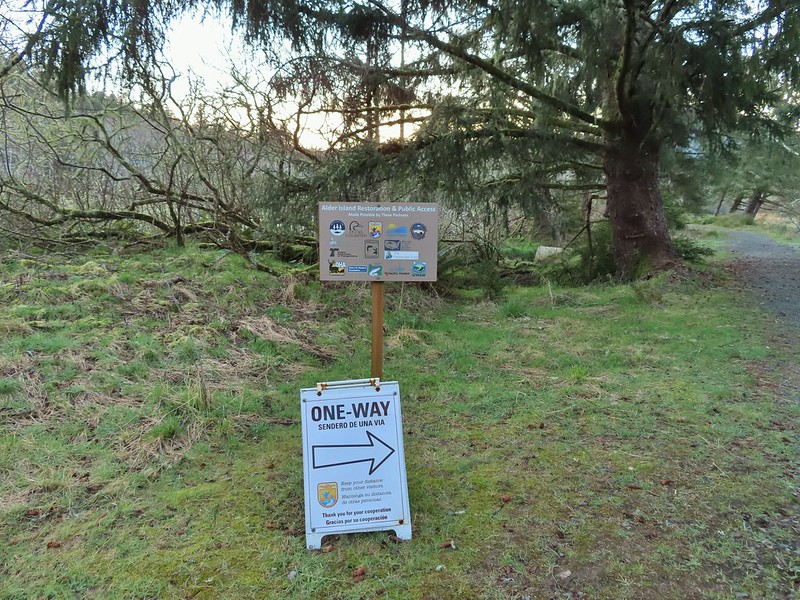 A reminder that COVID-19 is still an issue.
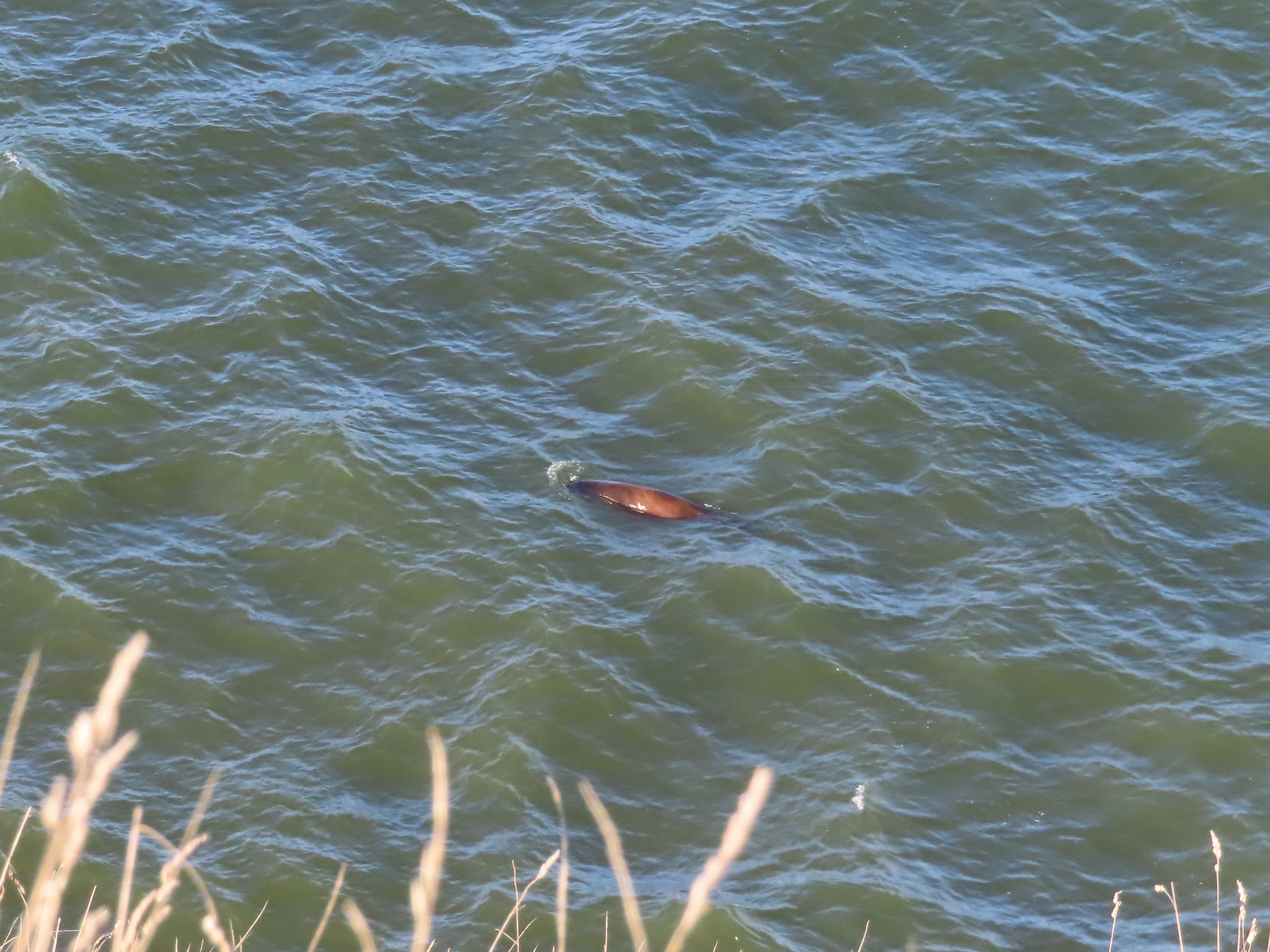
 The larger muddy area along the bank ahead on the right is where Heather spotted the otter.
 Alder lined trail.
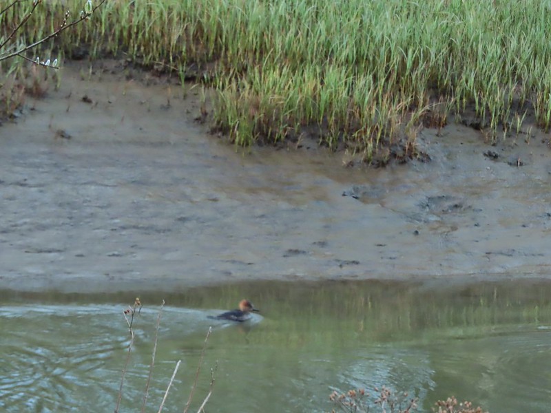 Blurry photo of a non-breeding male hooded merganser.
 The blurry river otter.
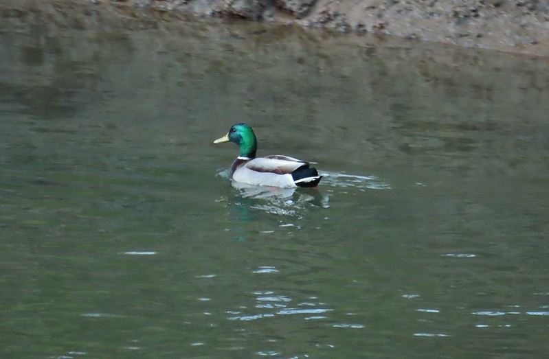 Another mallard
 Canada geese
 Siletz River
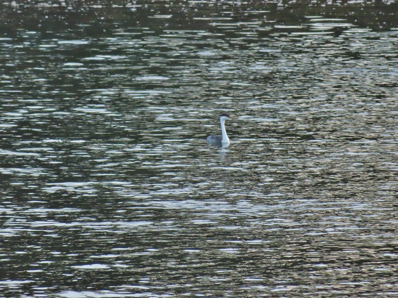 Western grebe
 Goose and a bufflehead (the duck not the post)
 Bufflehead
 Spring is coming!
 Sentry at the Roads End entrance.
 It’s hard to tell just how much uphill this is. Fortunately it wasn’t very muddy.
 A little easier to see the uphill here, this was near the top.
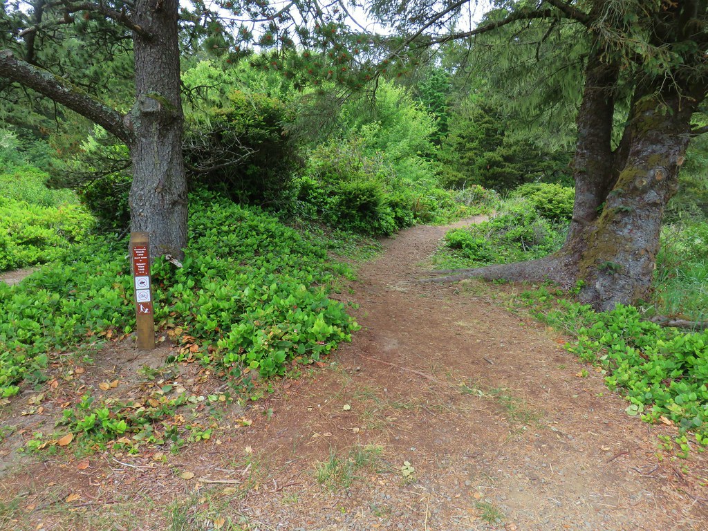
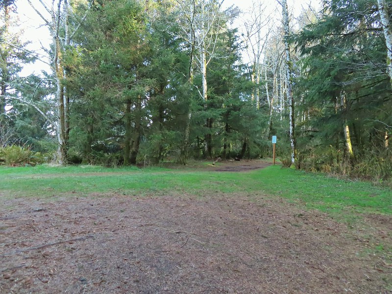 The junction.

 The Roads End parking area is the open green space in the center along the ocean.
 The Pacific Ocean.
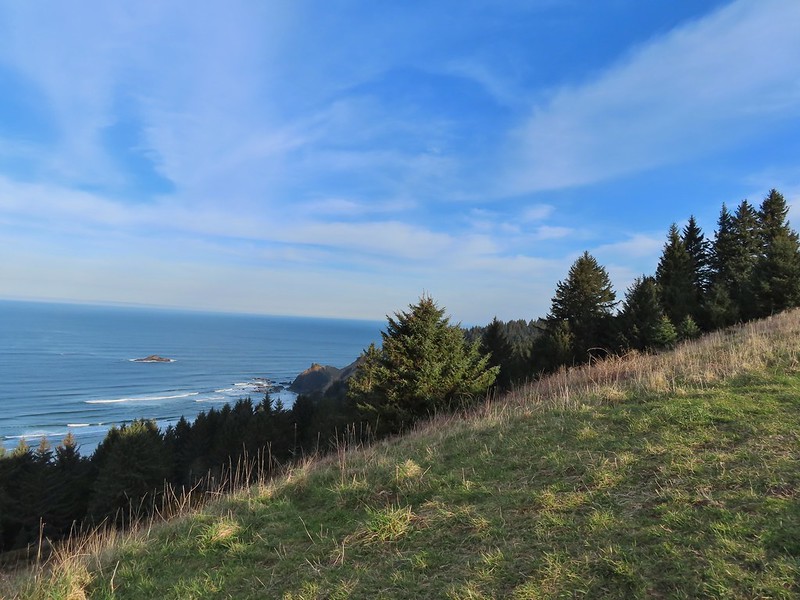 Roads End Point jutting out to the north.
 The Knoll
 Snow queen
 More signs of Spring, salmonberry blossom and buds.
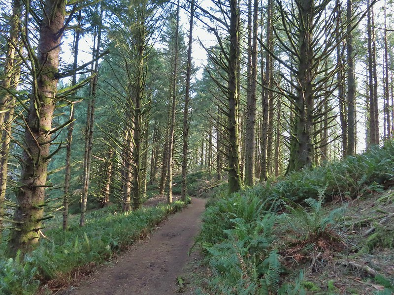 Sitka spruce and ferns along the ridge.
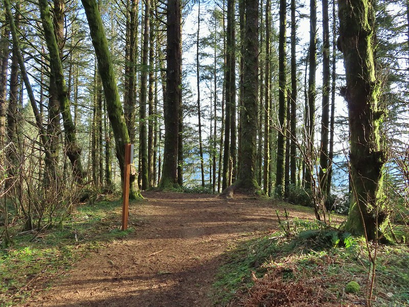
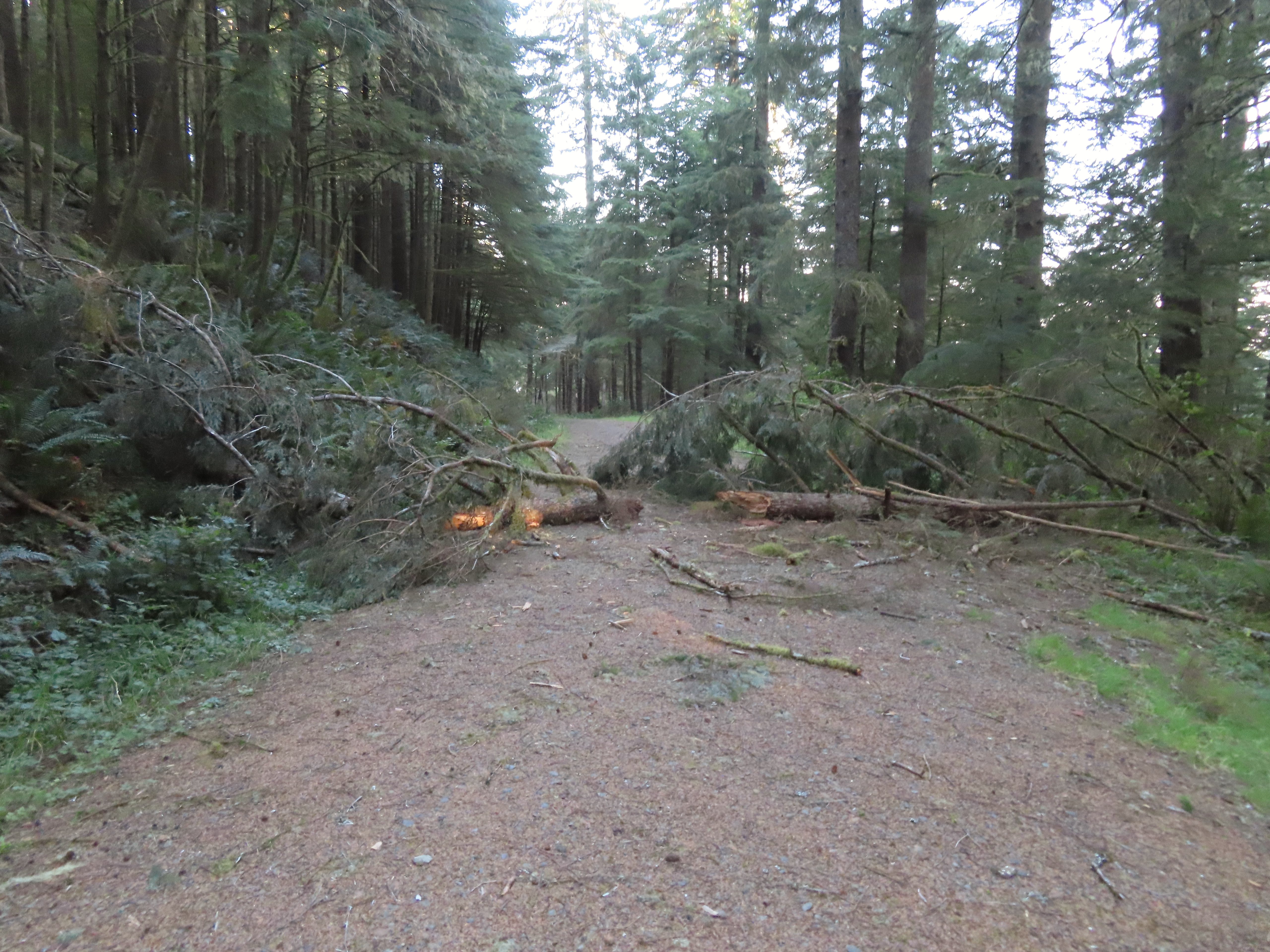
 The downed trees ahead in the distance.
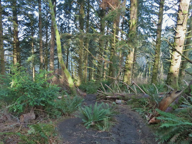 The last of the tree fall.
 Mud had begun to be a bit of an annoyance at this point.

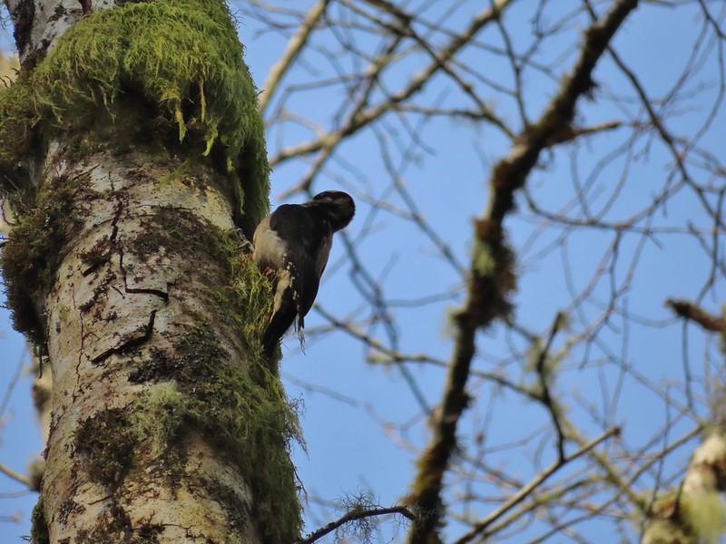 Busy woodpecker
 The trail getting nearing the turn left.
 Lone tree in the meadow.
 Lone robin in the lone tree.
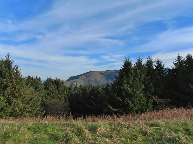


 Heather crossing the saddle (left of the big bush)
 Cascade Head from the saddle.
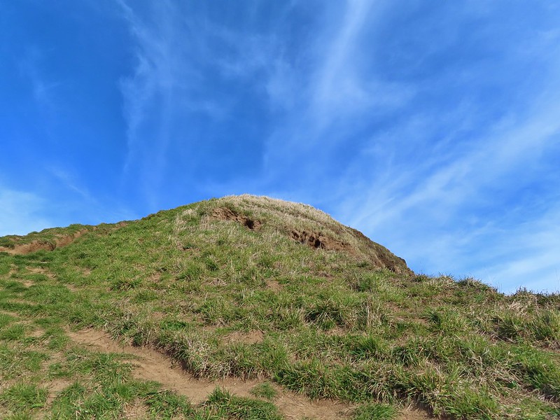 Final pitch up to the top.
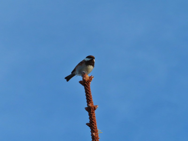 Not quite to ourselves, we shared the space briefly with some chestnut backed chickadees.
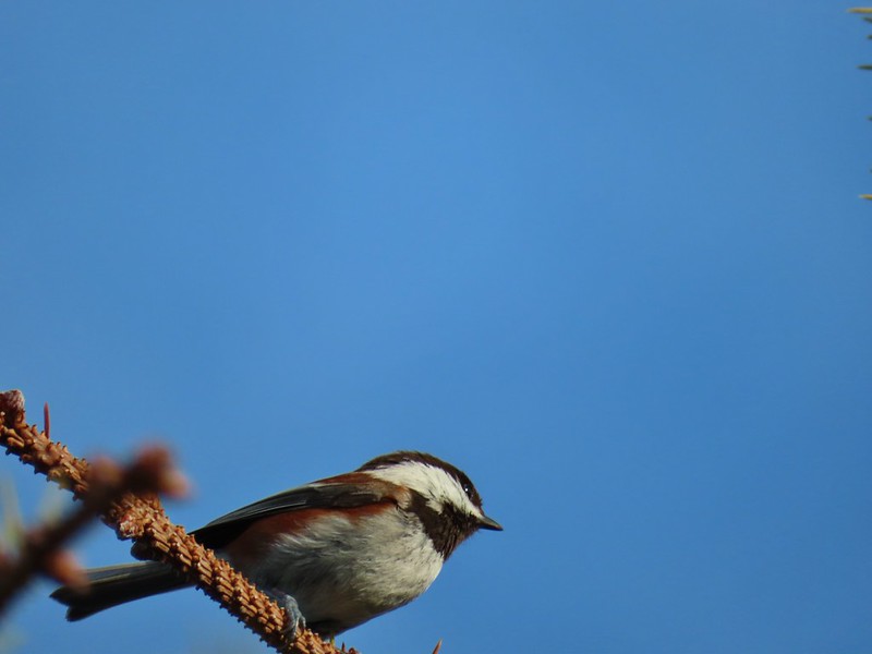
 Cascade Head and the mouth of the Salmon River.
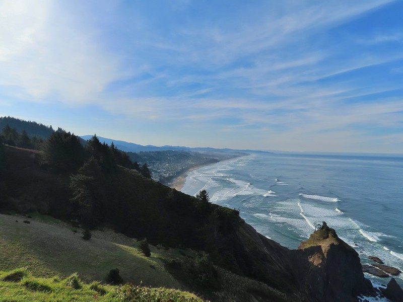 Roads End Point and Lincoln City
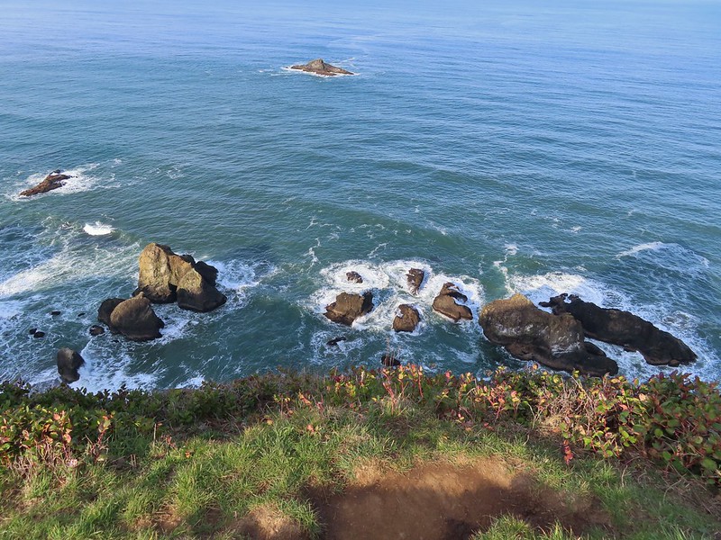 Rocks below God’s Thumb
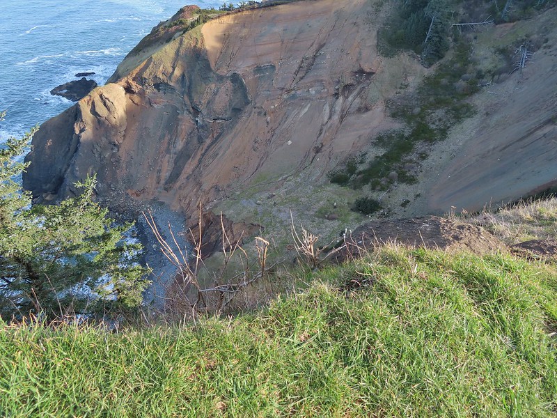
 A reasonable representation of the wet/muddy conditions on this part of the hike.
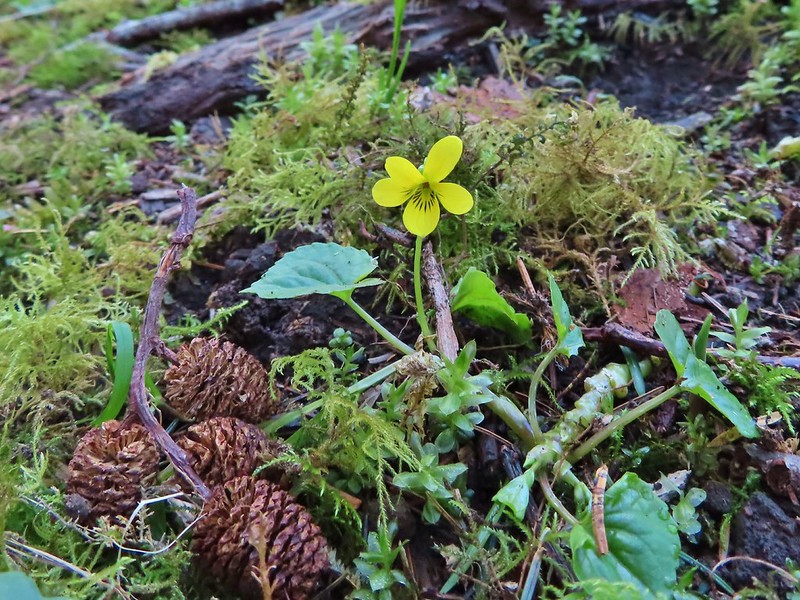
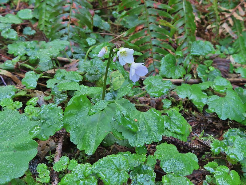 Toothwort
 The gate and Sal La Sea Drive in the distance.
 It’s not a hike at the coast without some skunk cabbage.

 Coltsfoot
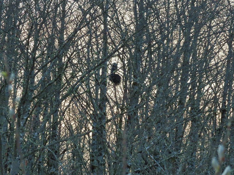
 An immature bald eagle flew overhead at one point.
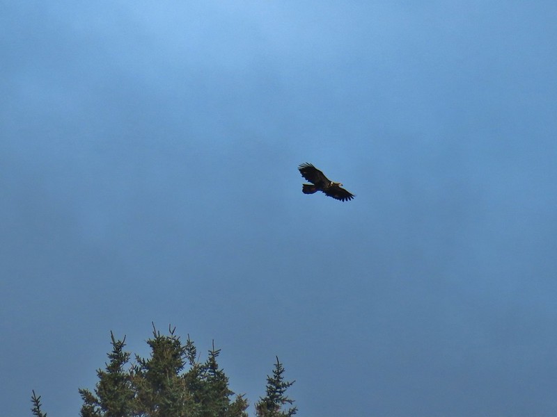
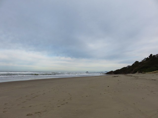
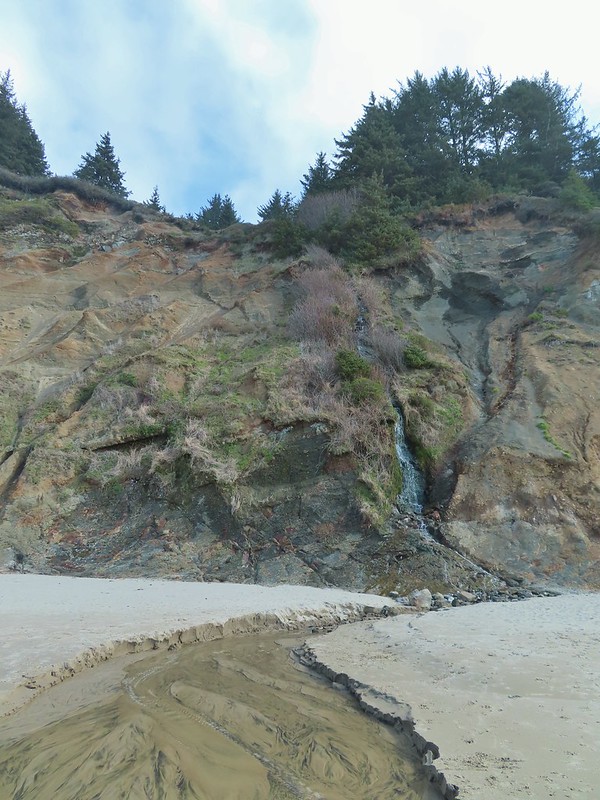 Little waterfall along the beach.
 Roads End Point
 Not going around that today.
 God’s Thumb on the right.
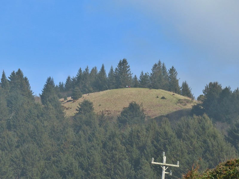 Hikers on The Knoll


 Ferns on a tree trunk.
 Lichen overhanging the trail.
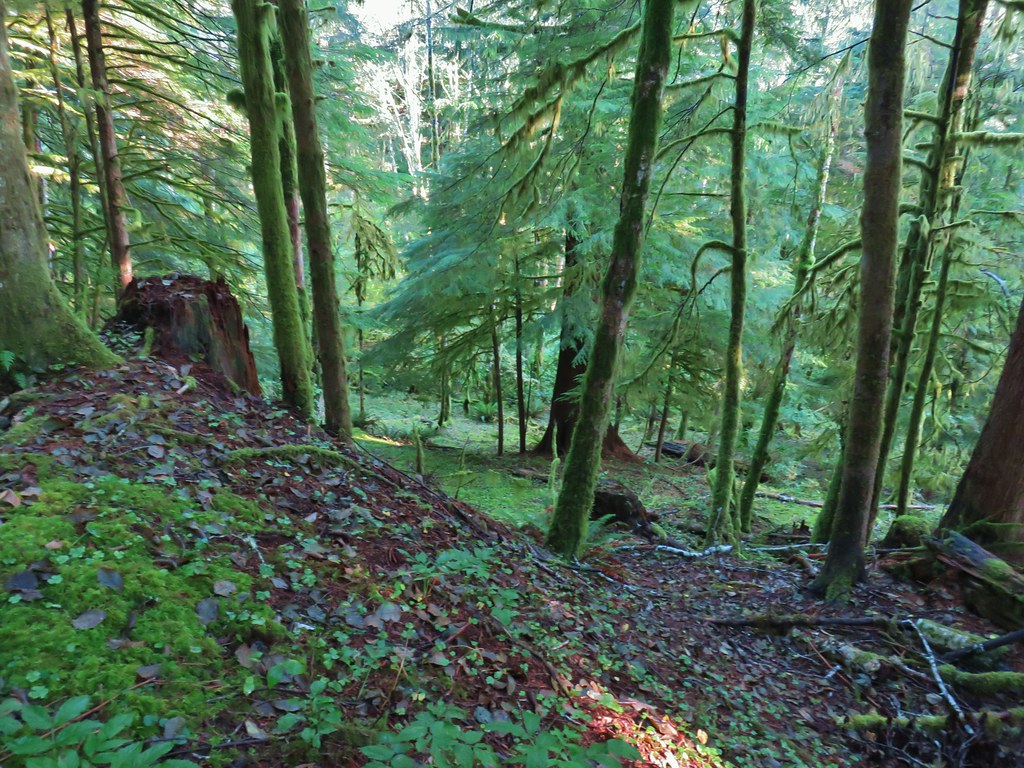

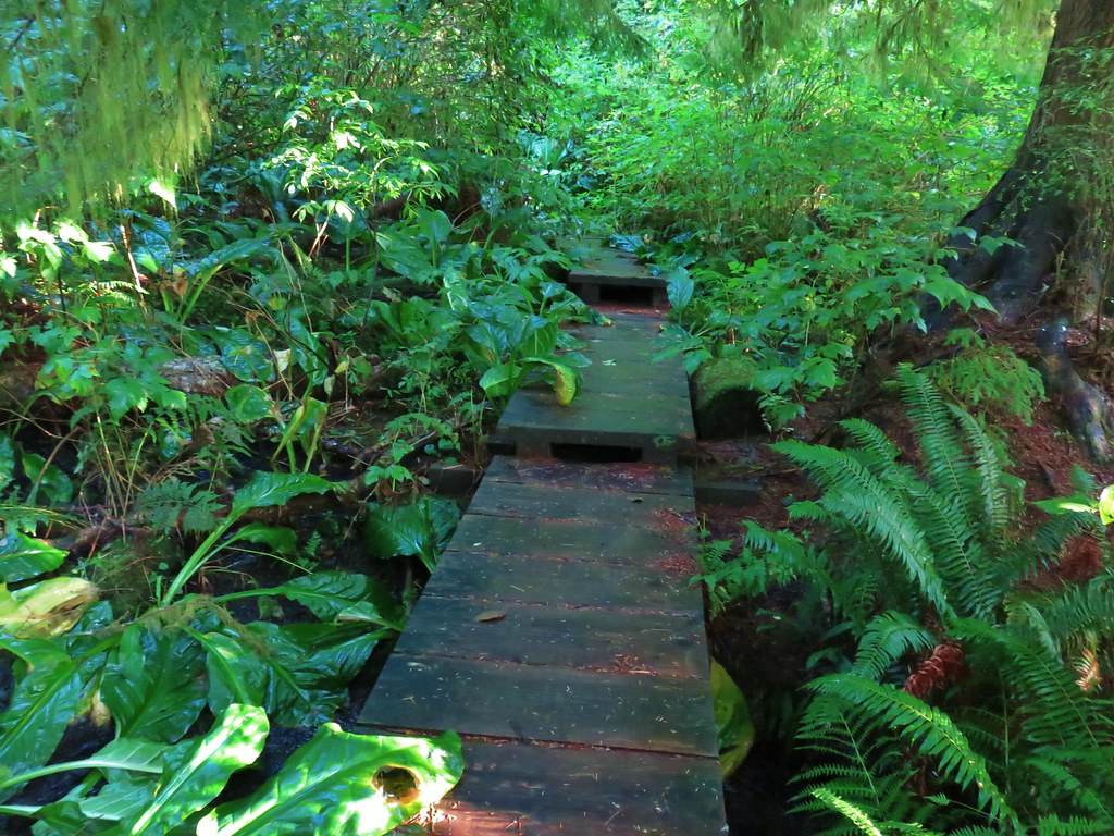 The boardwalk
 Nursery stump
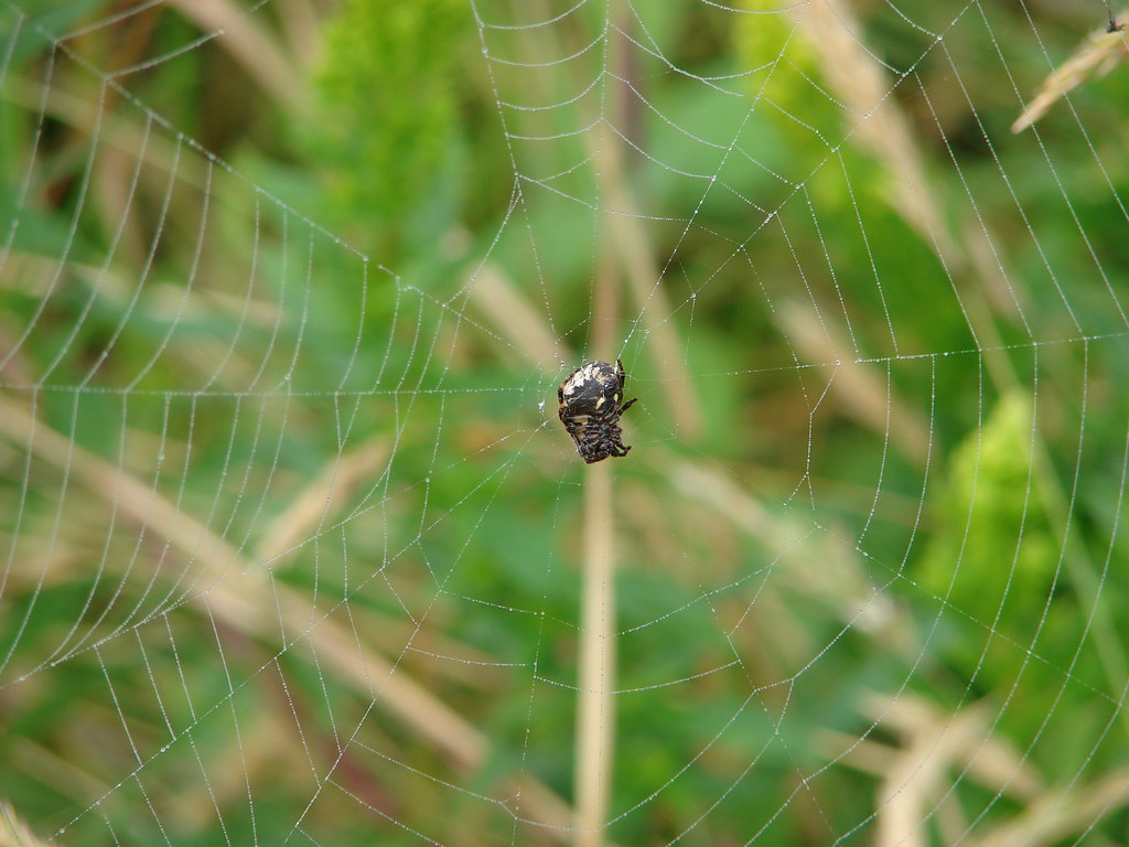
 Spider finishing its morning web.

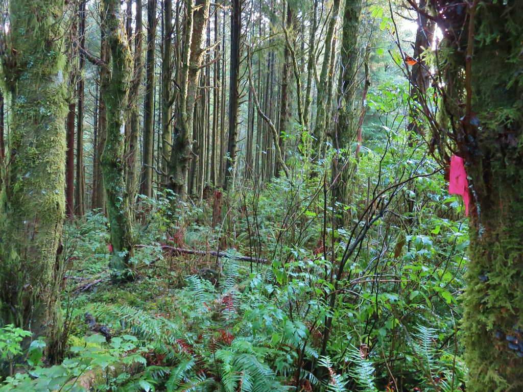
 There is a flag in there.

 Flagging along the trail.
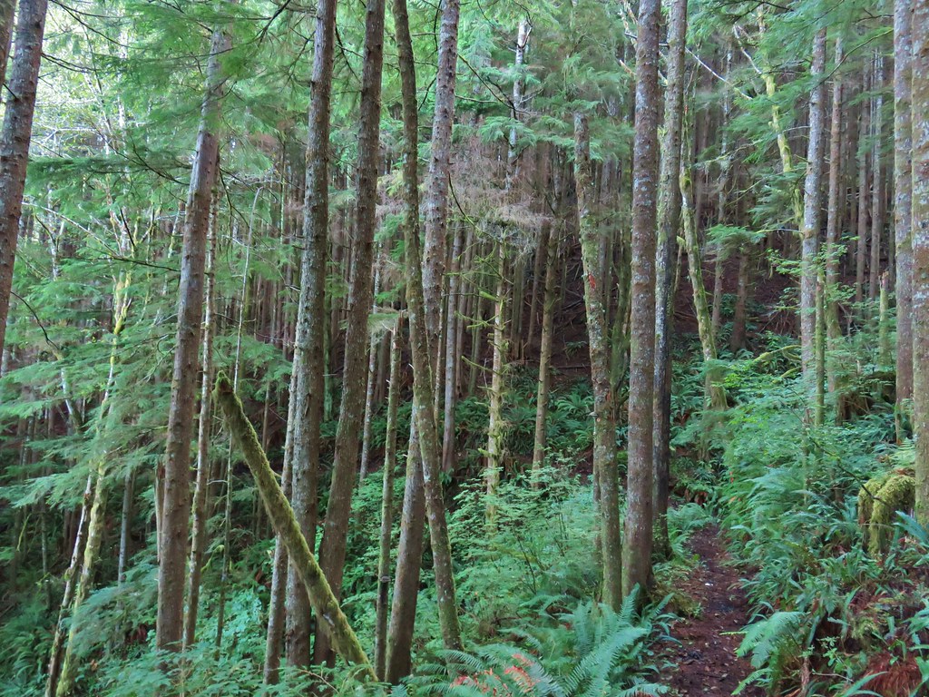
 Elk had obviously been on the trail recently.
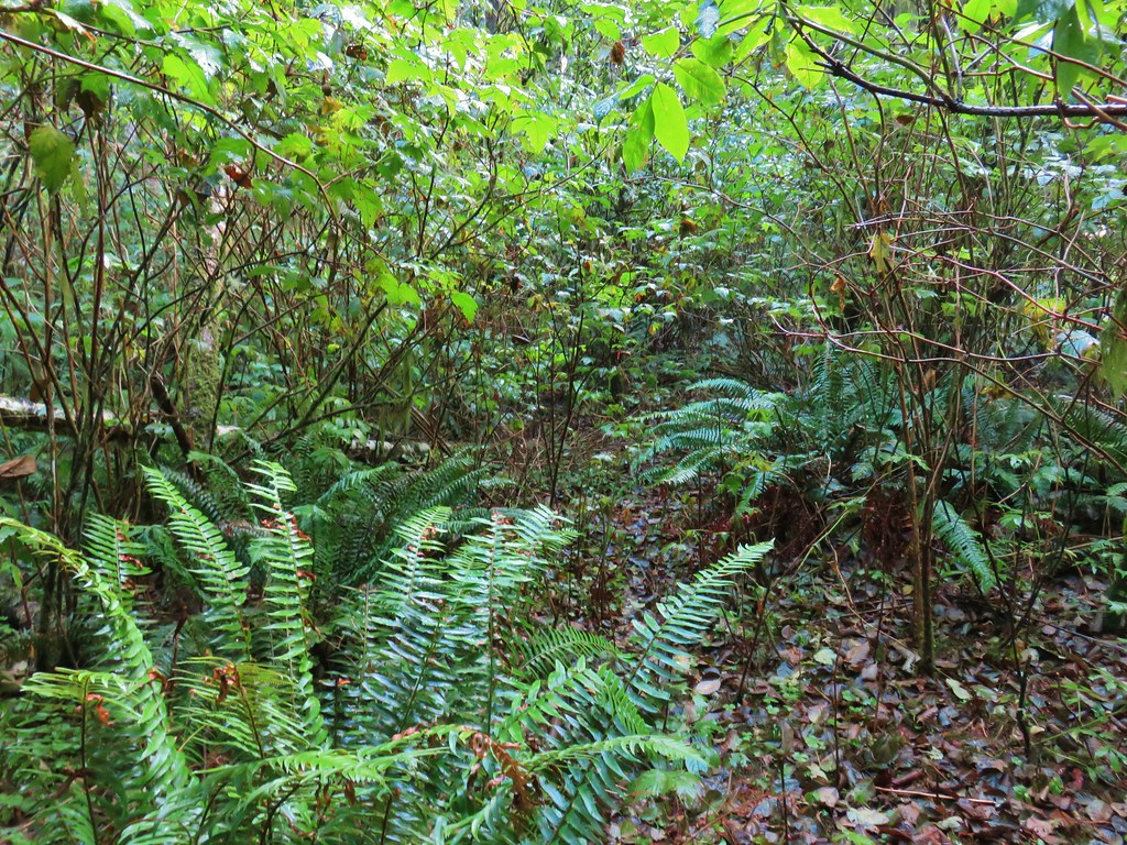
 Fern covered hillside.


 Salmon River at Knight County Park
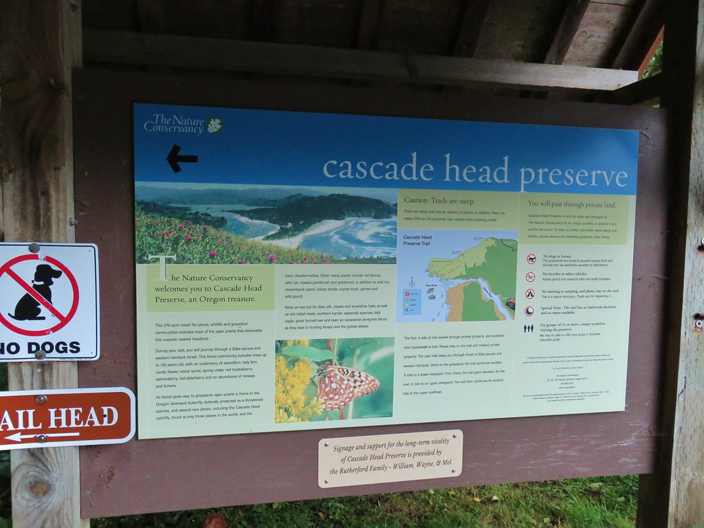


 One of the bridges.
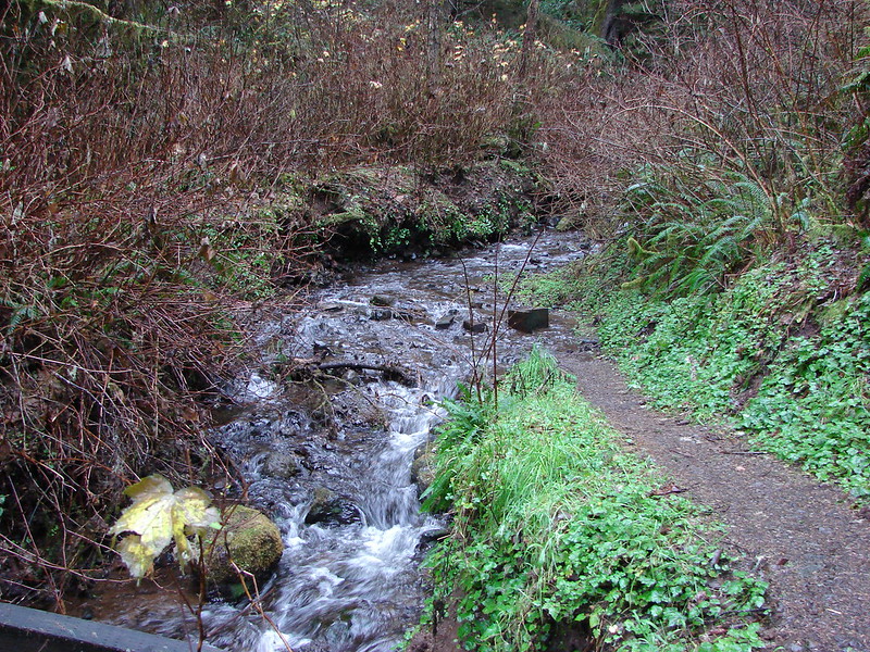
 Overgrown stream
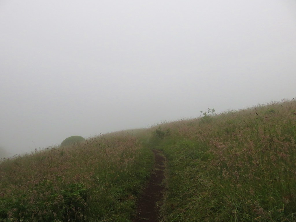
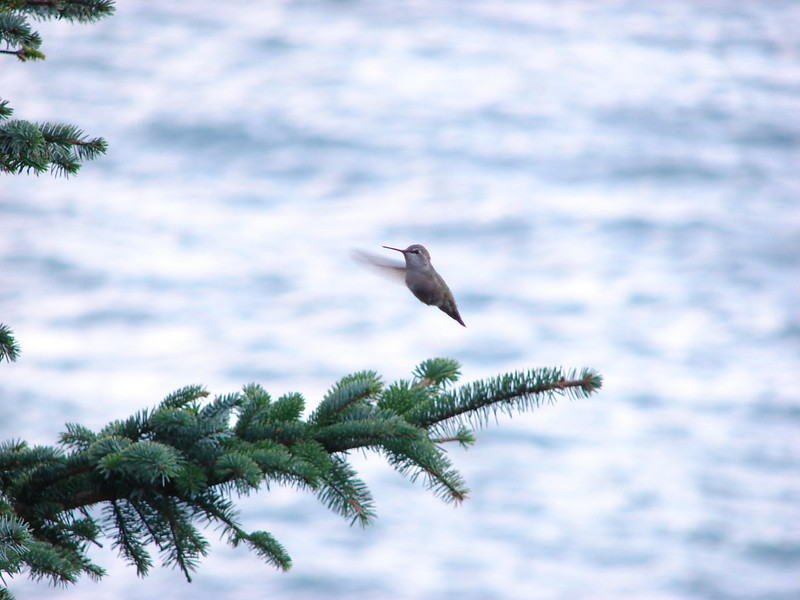
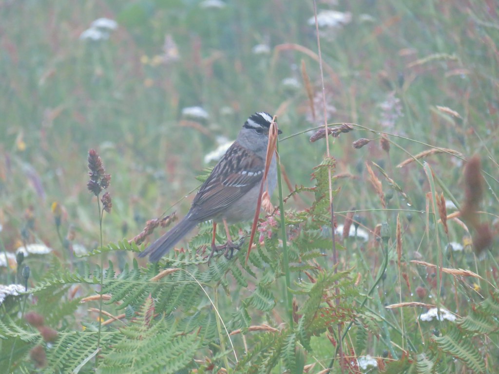 White crowned sparrow
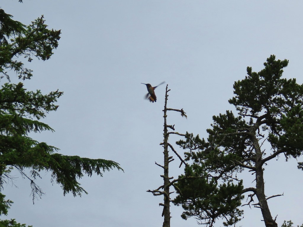
 One of three hummingbirds
 Another white crowned sparrow
 Checkerbloom
 Monkeyflower
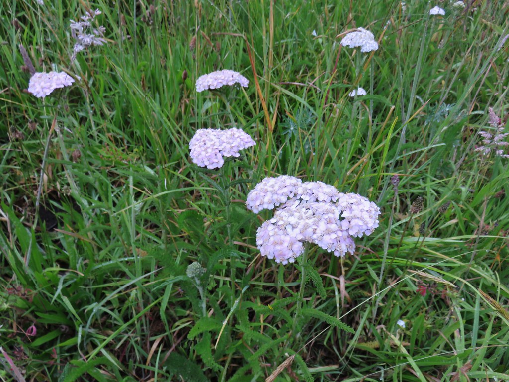 Yarrow
 Field chickweed
 Lupine
 Foxglove with a spider web
 Clovers
 Iris
Iris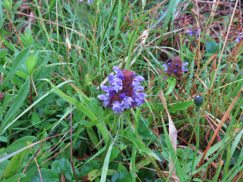 Self-heal
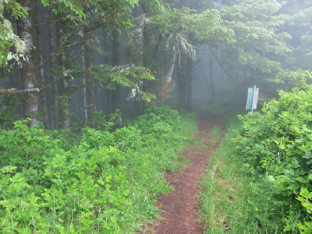
 Look for the head to the right of the tall foxglove stalk.


 Lupine
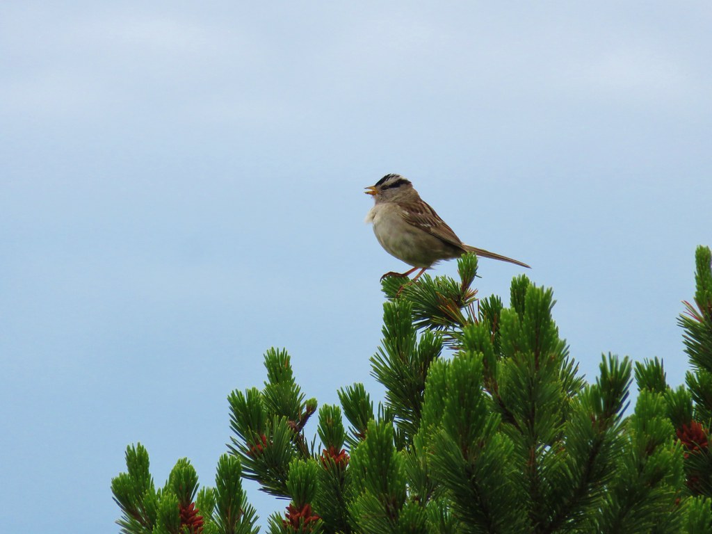 White crowned sparrow
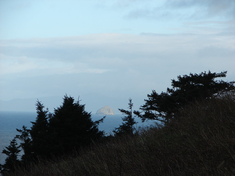
 Cape Lookout (
 Beach morning glory
 Groundcone
 Tiger lily


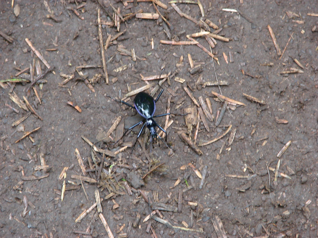
 Obstacle hanging over the trail.


