After we spent our third day in the Elkhorns basically retracing our steps from the second day nearly two thirds of our fourth day would be spent on new trails. Our plan was to leave Summit Lake and return to the trailhead along the jeep track near Cracker Saddle then follow that jeep track down to the Lost Lake Trail which would lead us past Meadow and Lost Lakes before climbing back up to the Elkhorn Crest Trail to the north of Mt. Ruth. From there we would follow the Elkhorn Crest Trail north just under two miles to Dutch Flat Saddle where we would take the Dutch Flat Trail down to Dutch Flat Lake for the night.
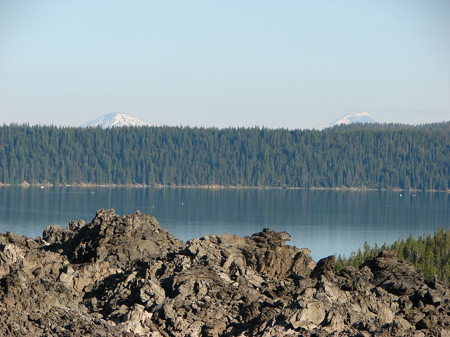
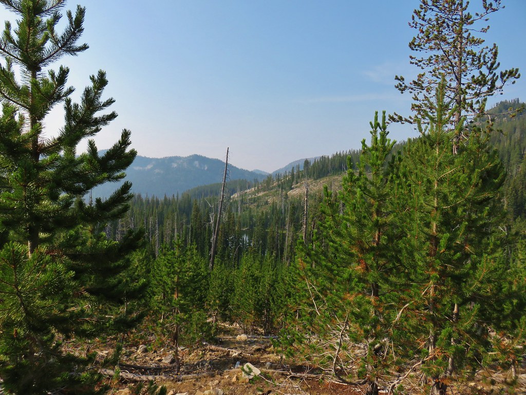
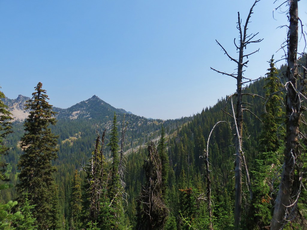
There was still a little haze in the air but the smoke didnt’t seem any worse than the day before.
We could see the haze but never really smelled anything and depending on the angle of the sun and where you looked there were still blue patches of sky to be seen as we left the lake.
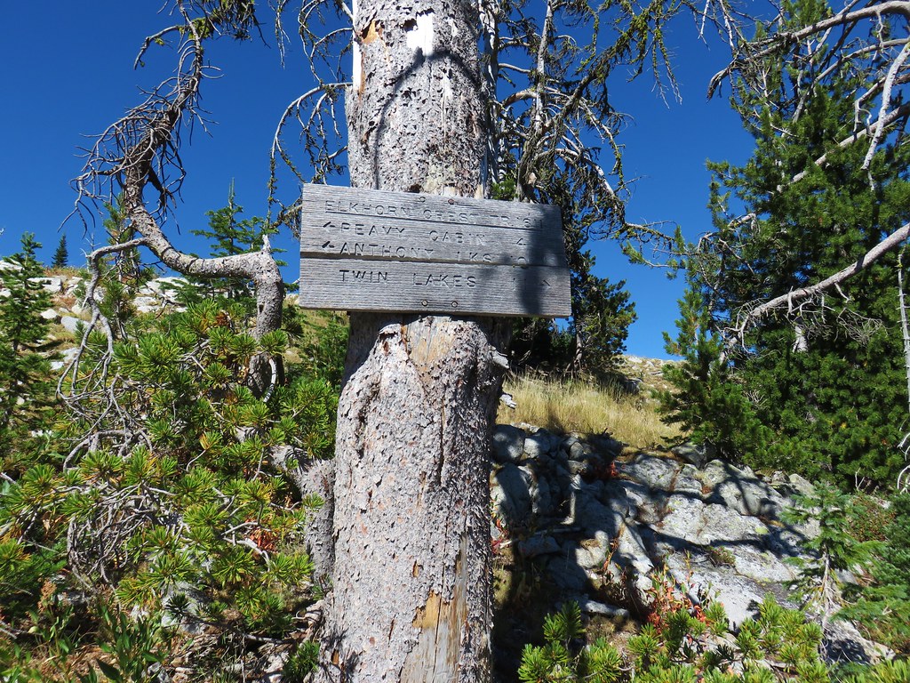
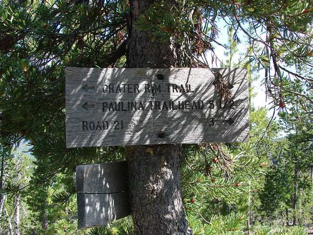
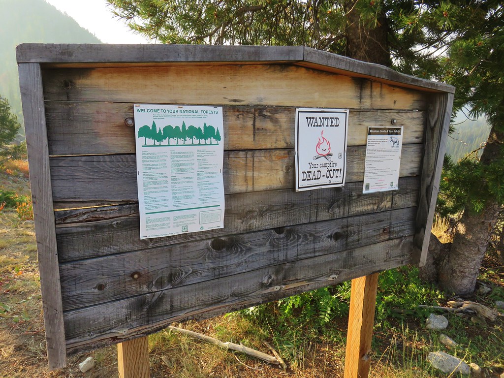
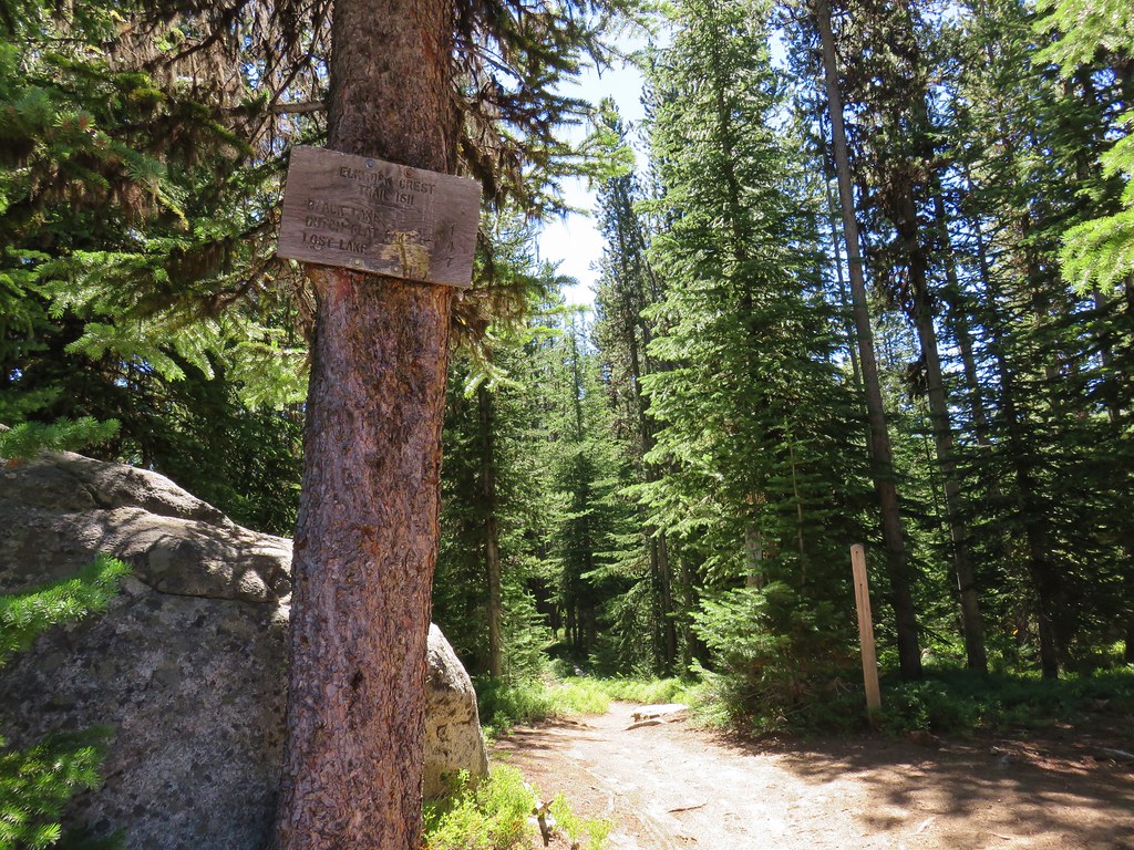
After a mile and a half we arrived at the trailhead signboard and turned right down the jeep track.

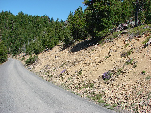
It was a rough, steep road and neither of us would have even considered attempting to drive it.
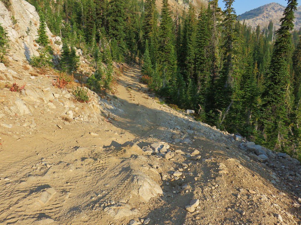
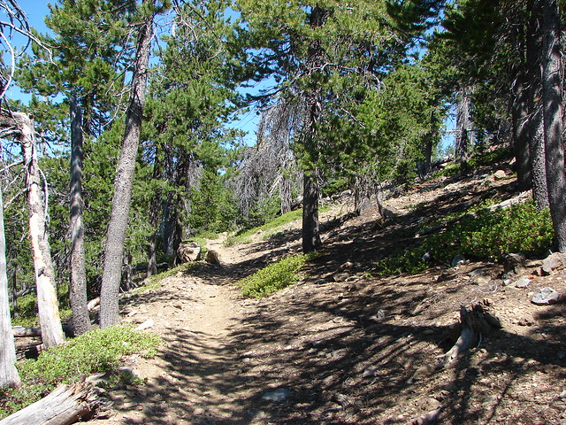
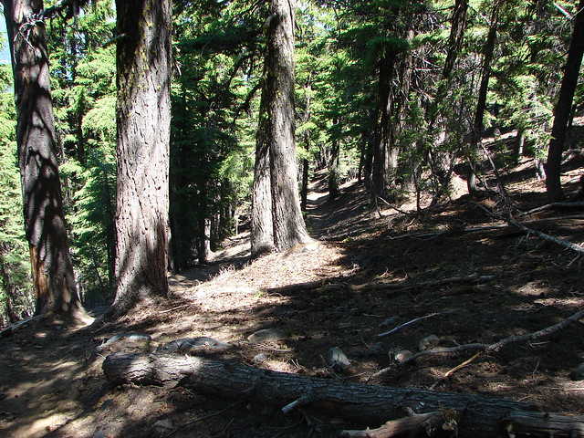
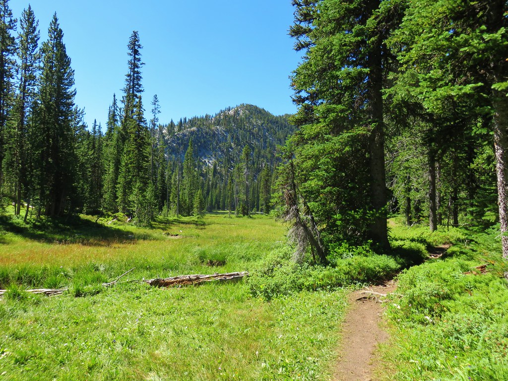
It did eventually level out some and was not without some charm as it passed several meadows and through some nice forested sections.
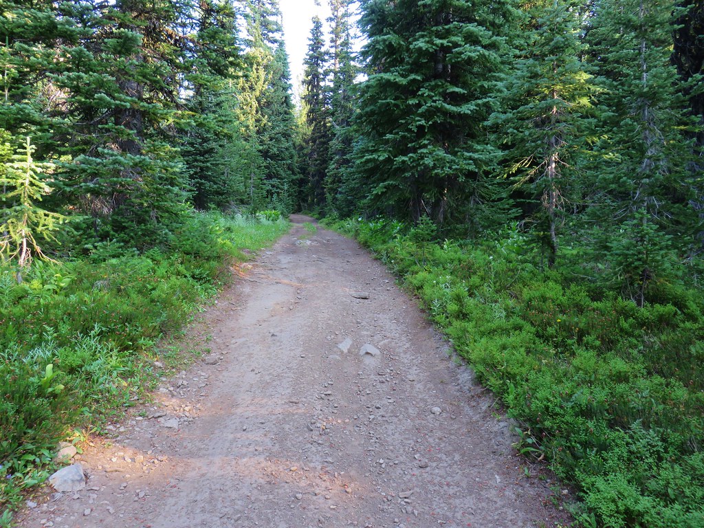

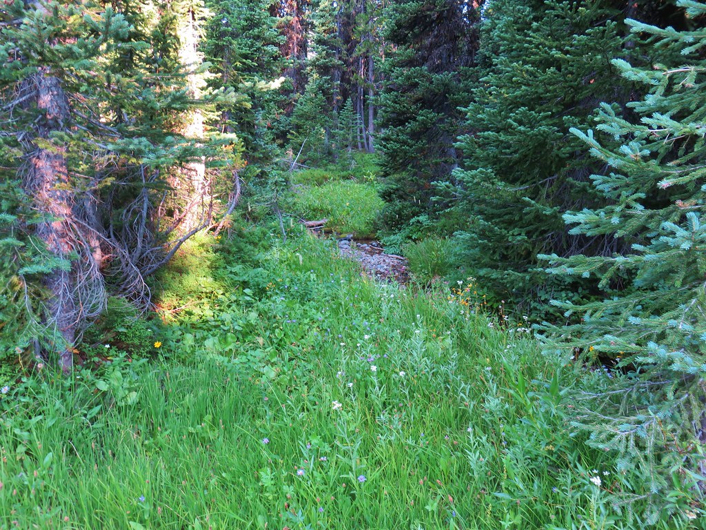
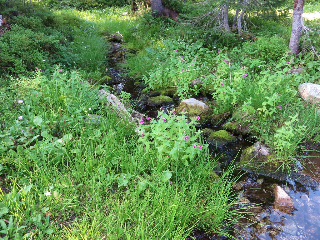
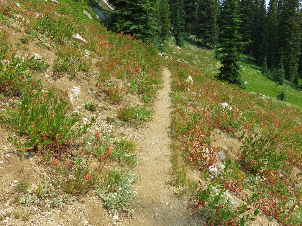
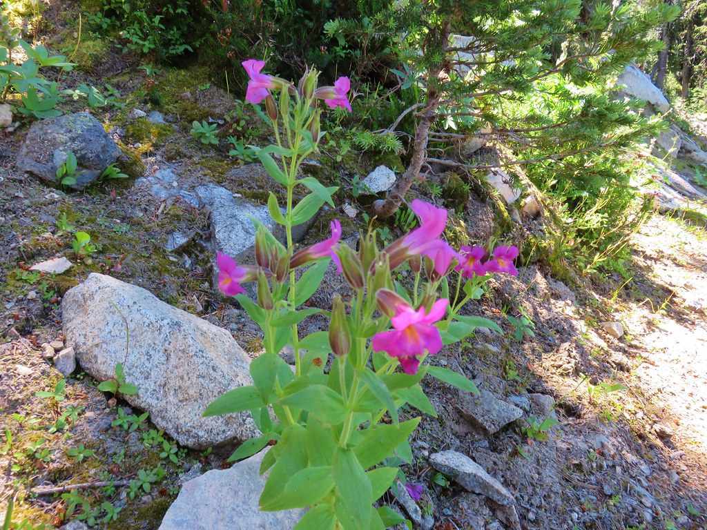
It also crossed a few wildflower lined streams.
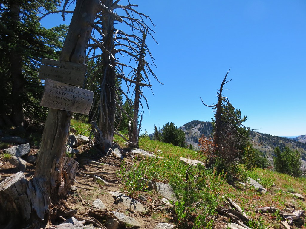
After one and a quarter miles along the road we came to a signed junction with the Lost Lake Trail.

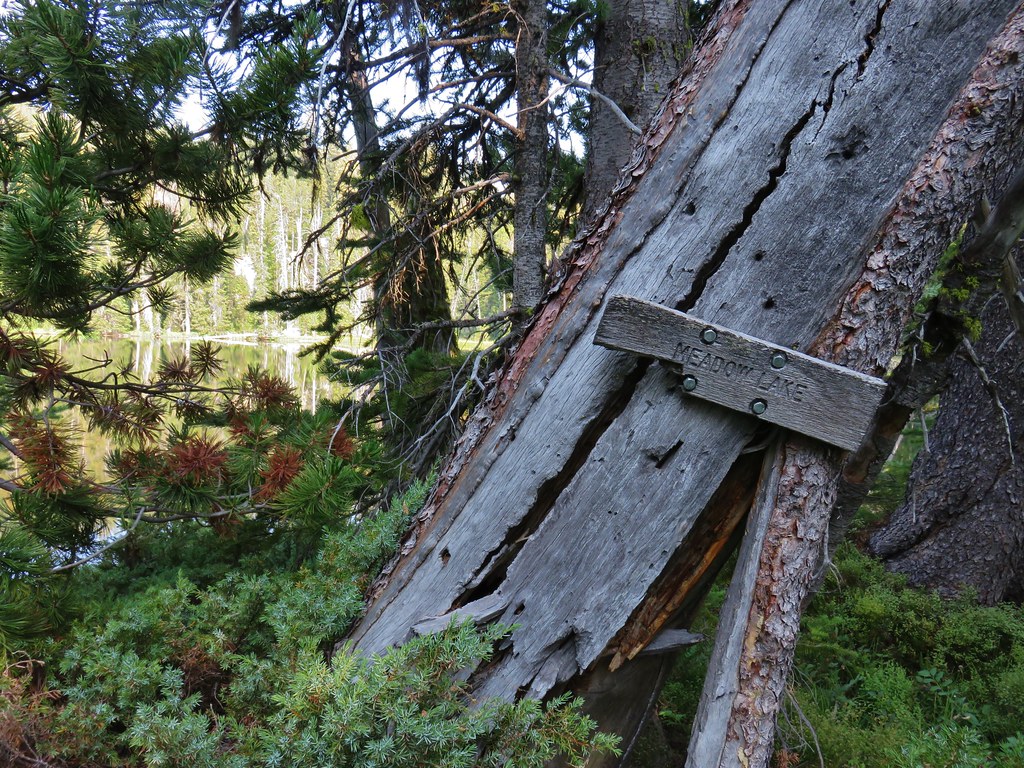
Here we turned left on another double track and headed toward Meadow Lake.
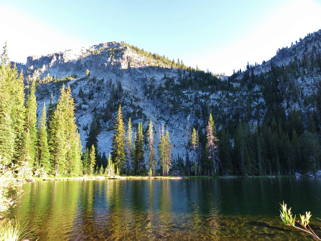
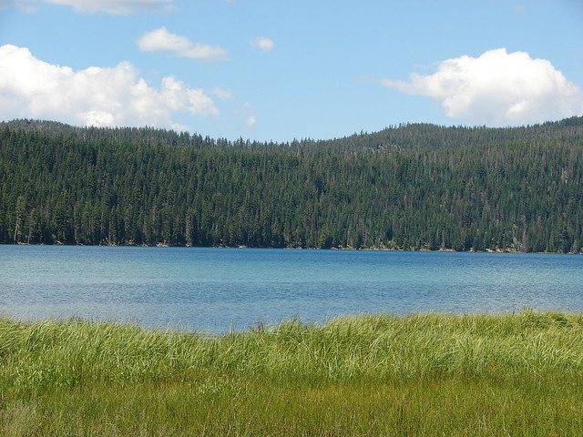
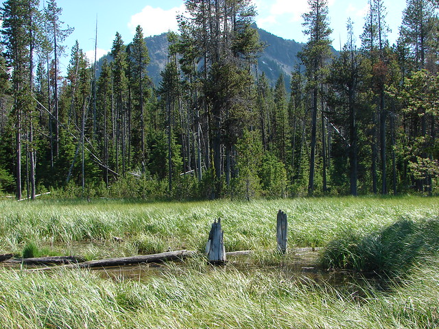
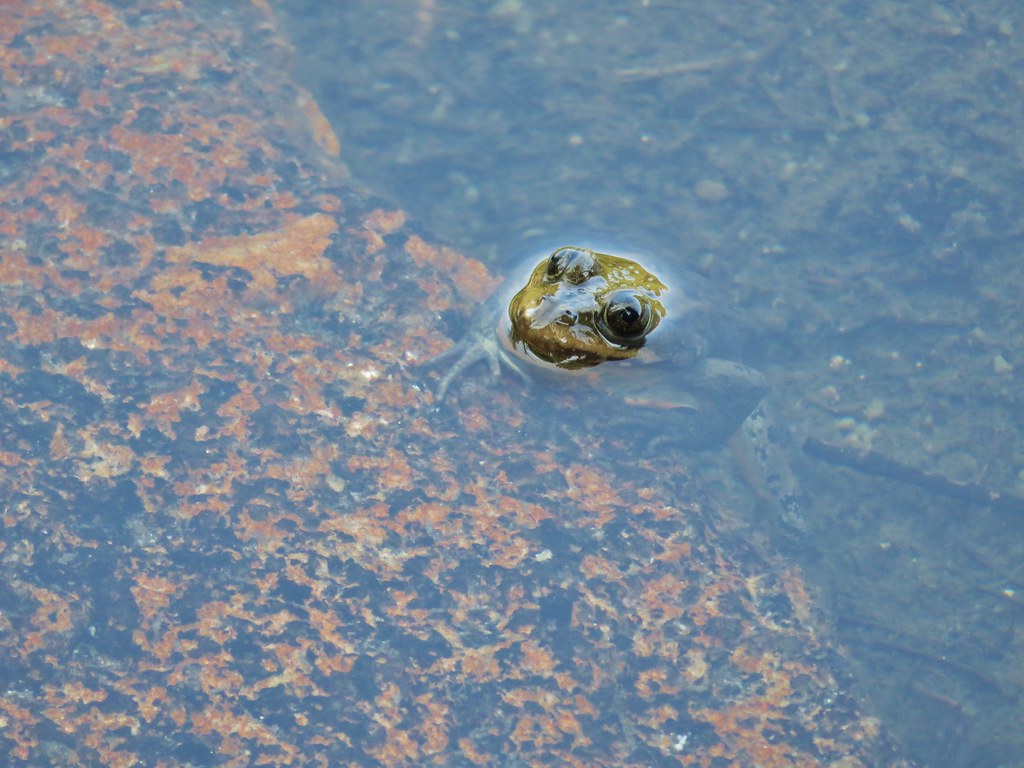
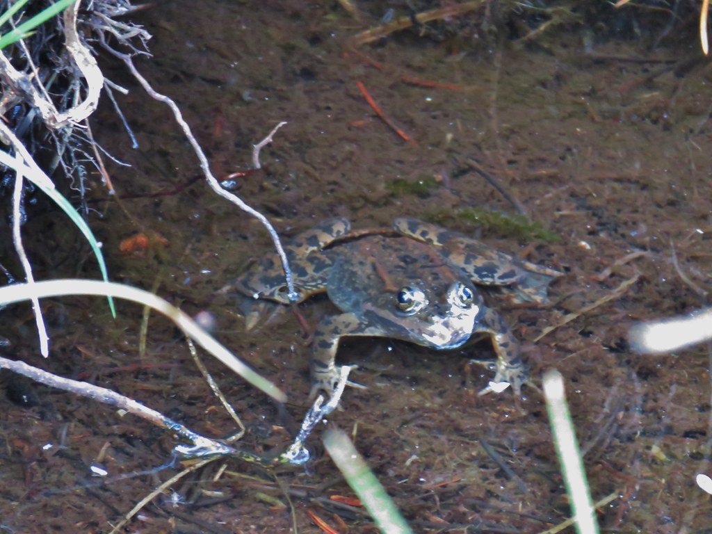
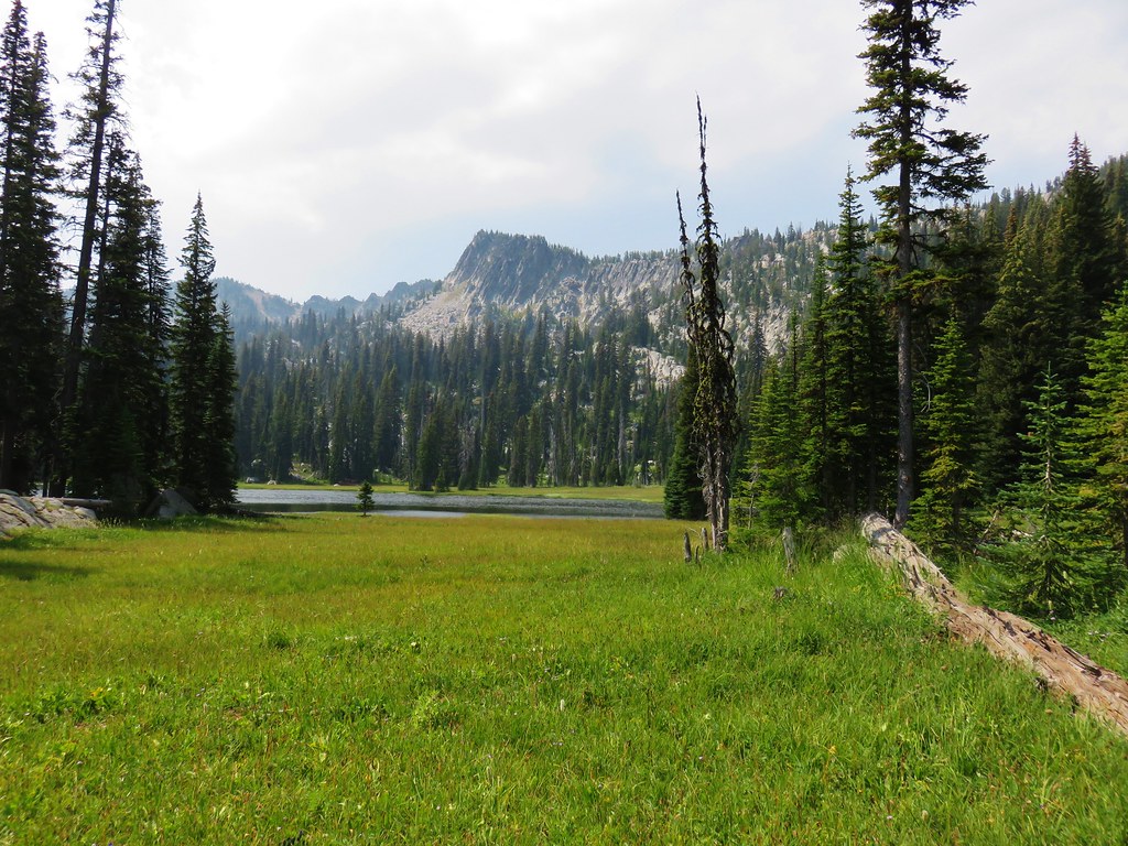
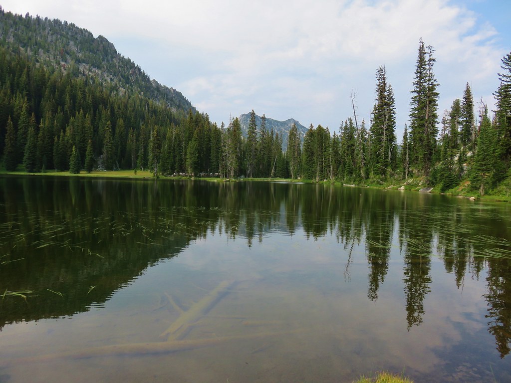
Meadow Lake lay off the Lost Lake Trail to the west just over half a mile from the junction. Both the GPS and the topographic map showed a spur trail/road leading to the lake but we were unable to locate it as we passed by. We used the Garmin to bushwack through some young lodgepole pine trees in the area where the road was supposed to be. After a tenth of a mile picking our way through we came to Meadow Lake.

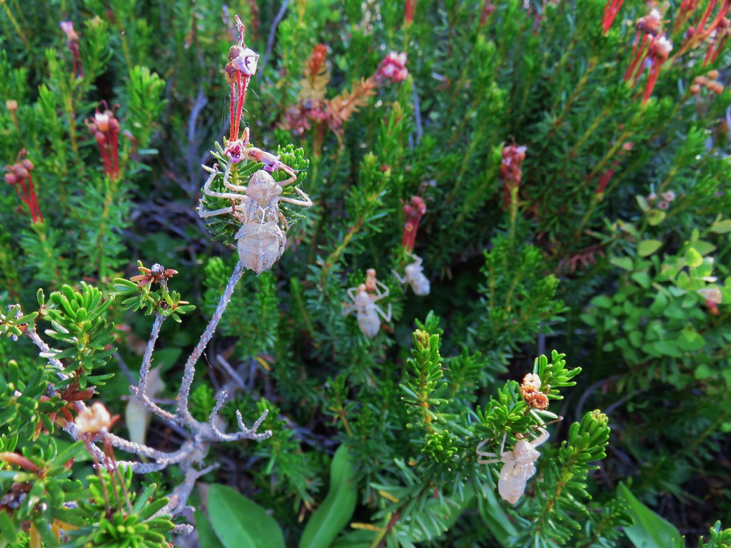
It was a nicer lake than we had expected and was home to many frogs.

There had also been quite an insect hatch (or alien invasion) at some point.
We walked north along the lake and found a sign near a fire pit.
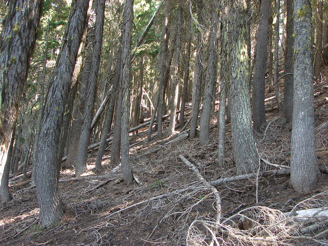
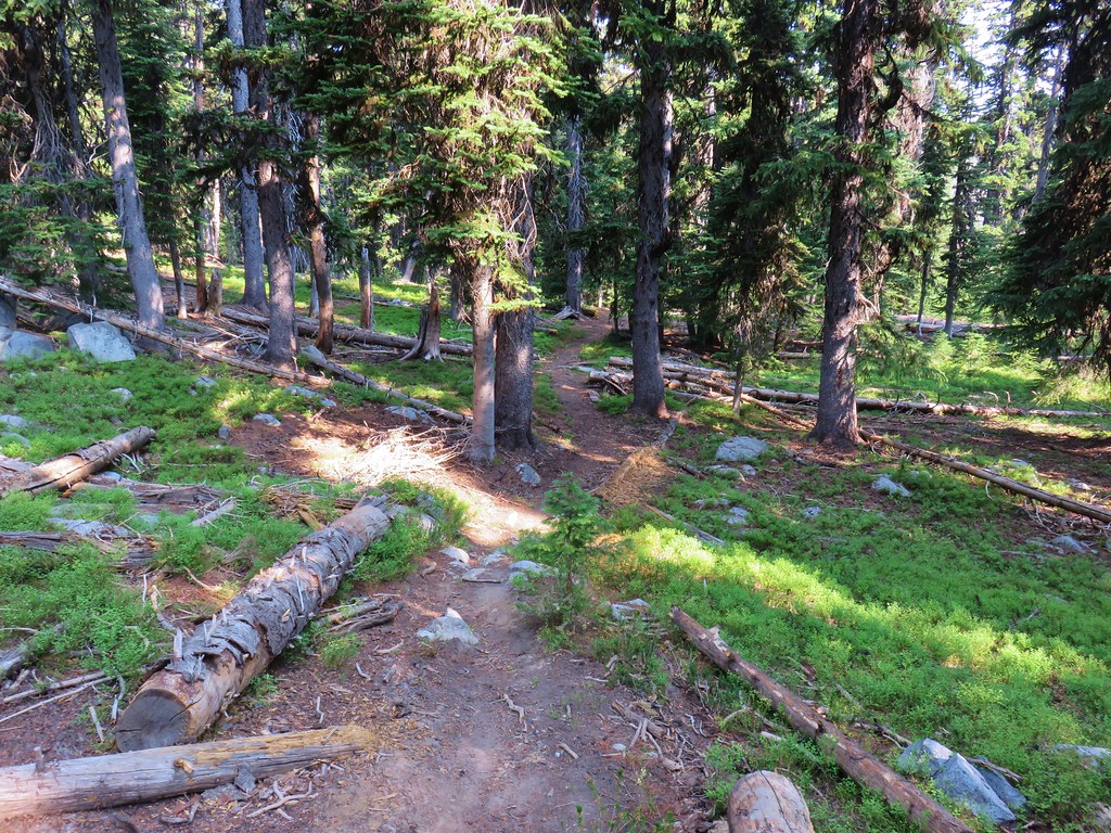
A faint trail appeared to lead away from this area back toward the Lost Lake Trail so we tried following it back. It was only marginally better as it too became lost amid the small lodgepoles. Once we were back on the double track we continued north climbing above Meadow Lake to a saddle.
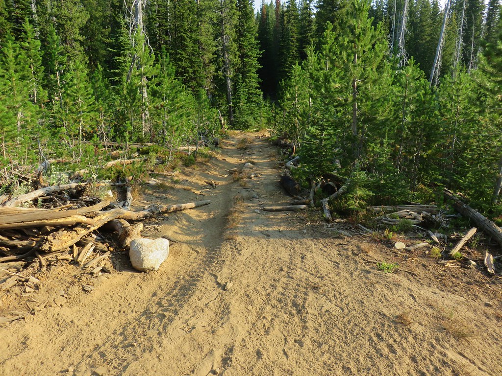
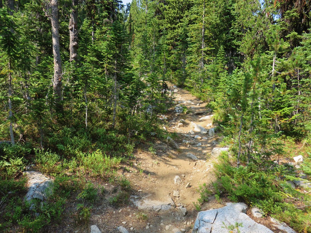
The old road bed then launched seemingly straight downhill. To make matters worse it was covered with fairly good sized rocks.
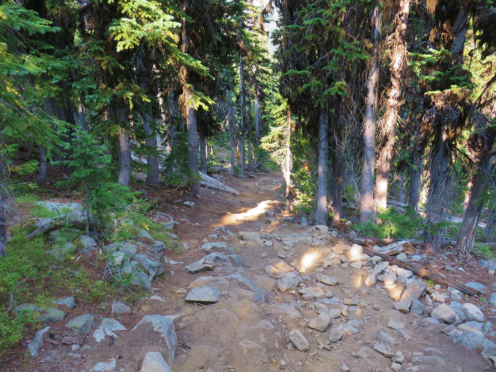
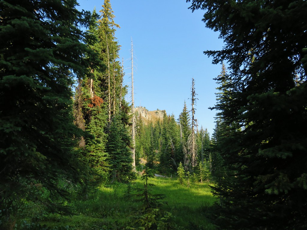
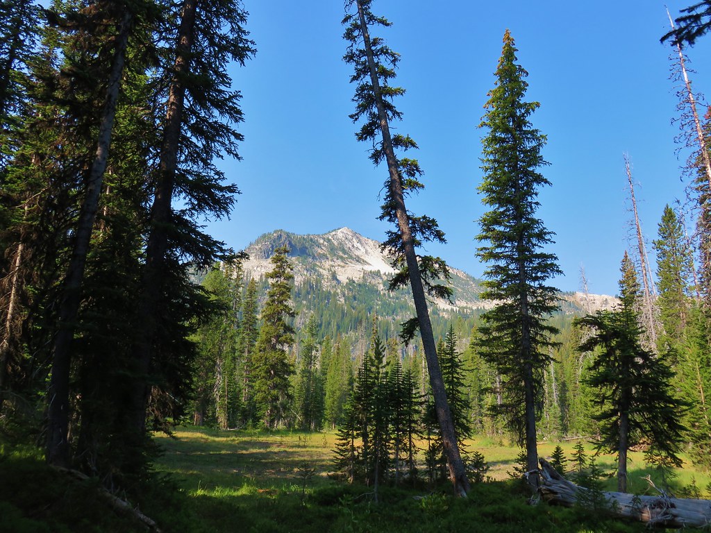
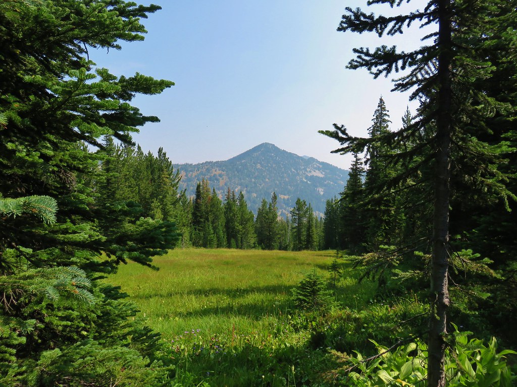
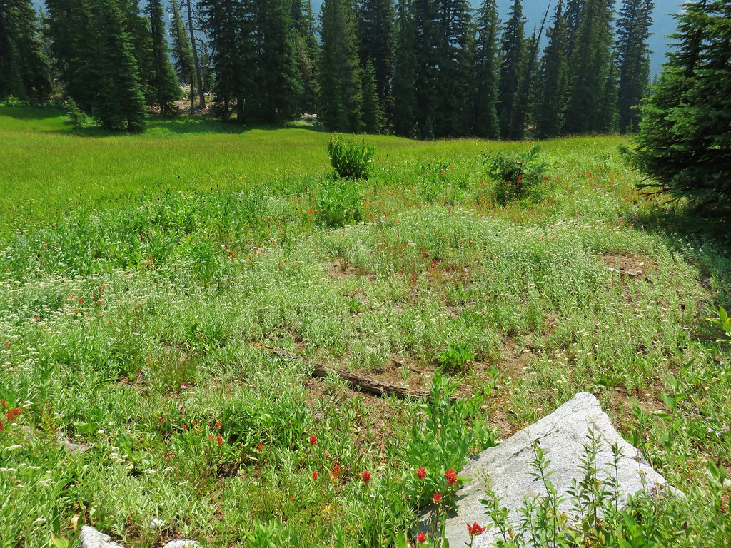
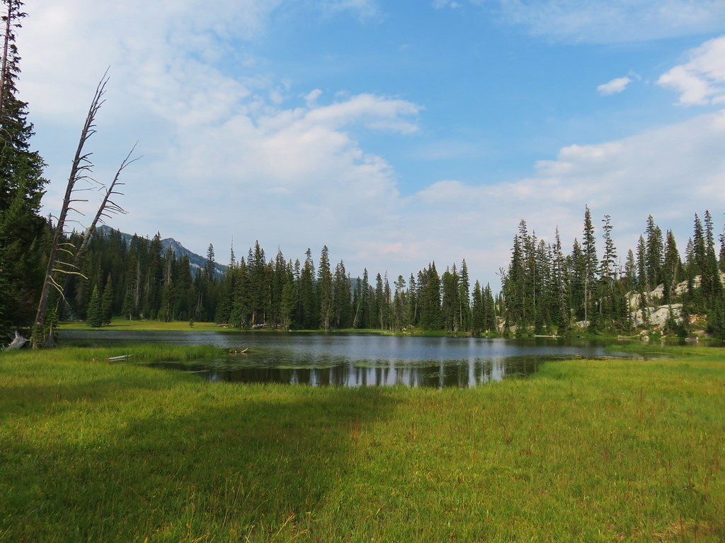
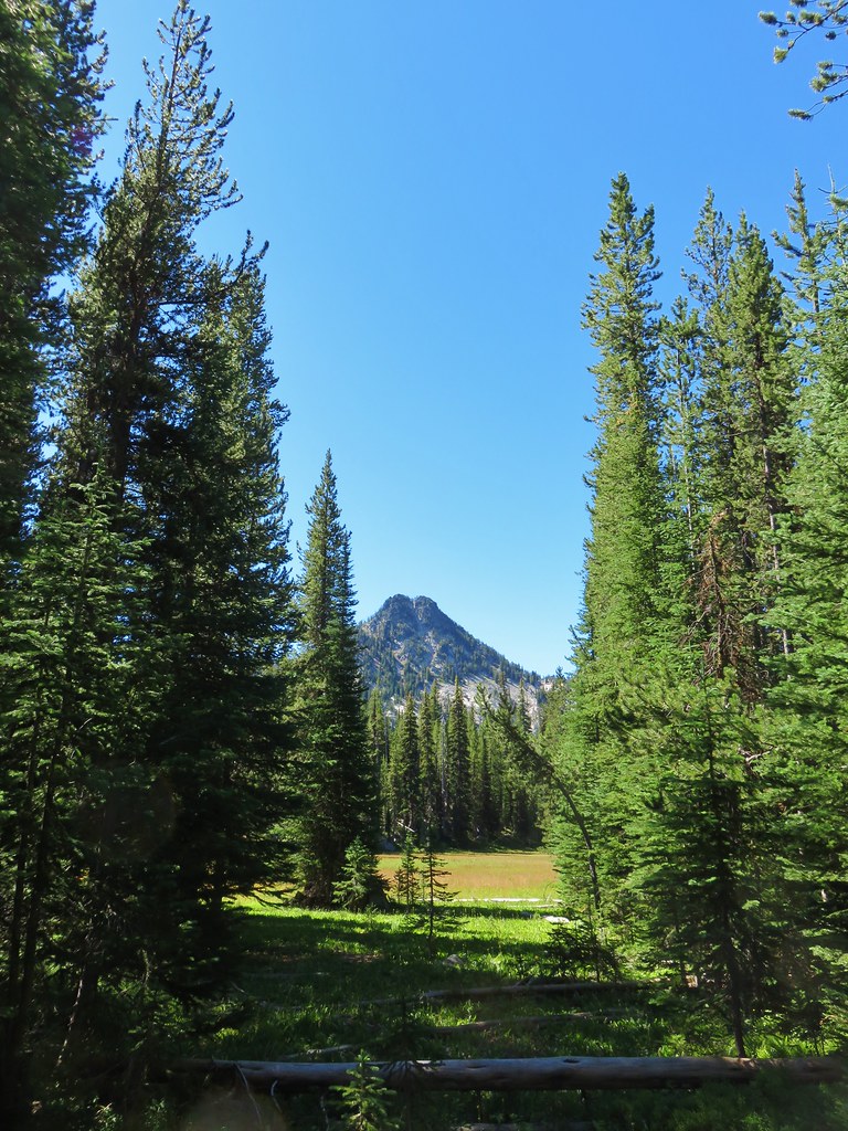
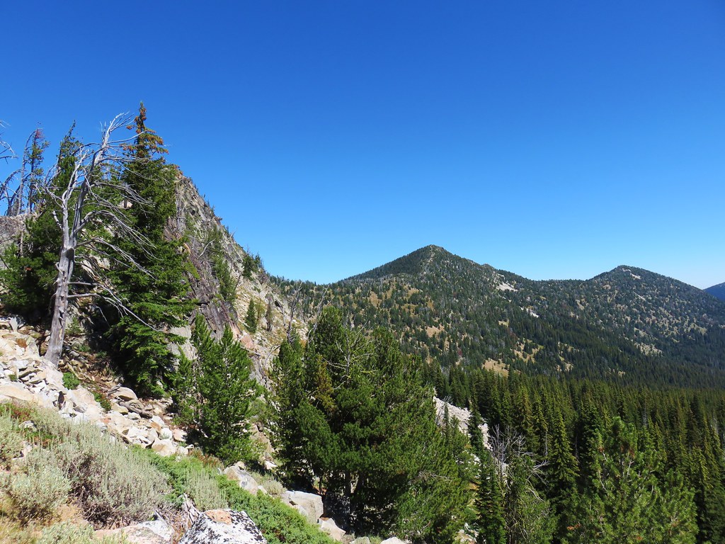
This lasted for about a quarter mile before the trail leveled out in a basin near a nice meadow with a view of Mt. Ruth.
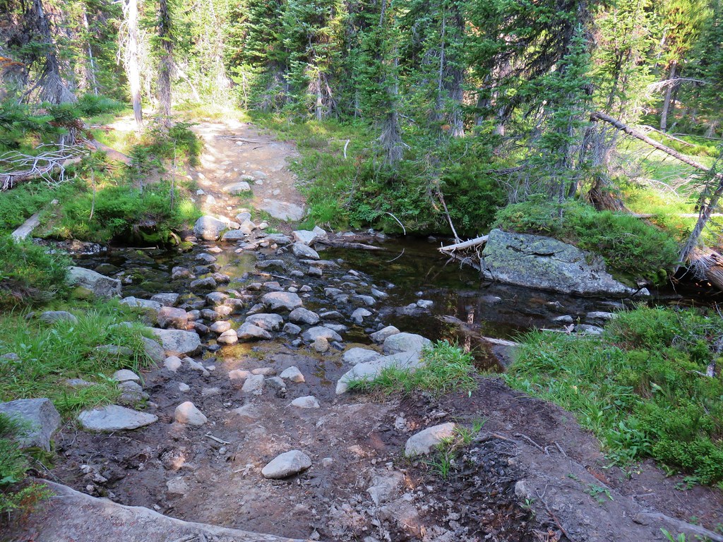
The trail crossed a stream flowing from the meadow and then began to climb in an equally absurd rocky and steep manner.
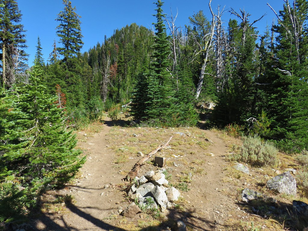
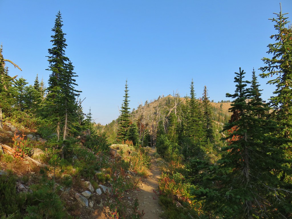
The climb up this side lasted a little over half a mile before leveling off a bit on a forested ridge.
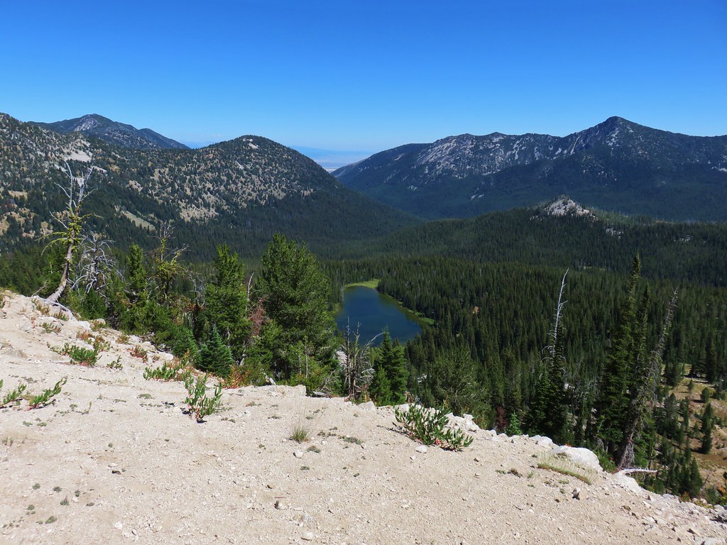
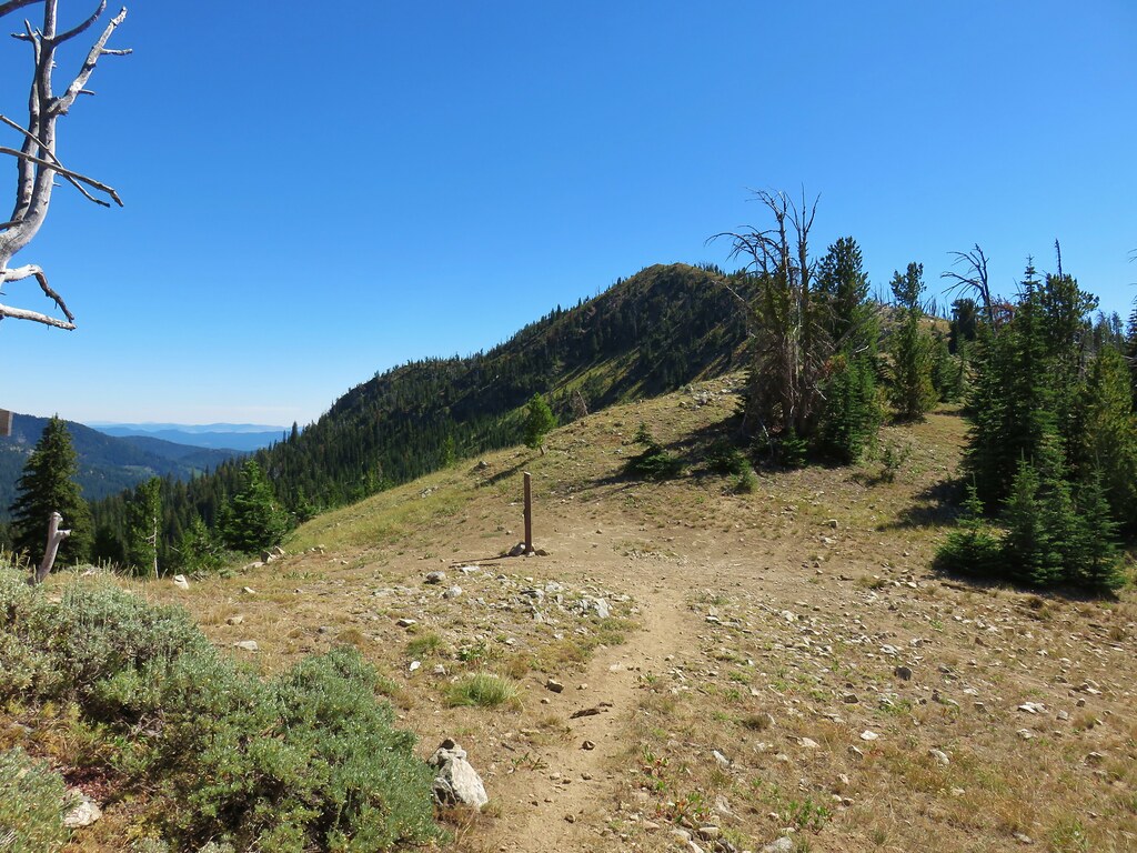
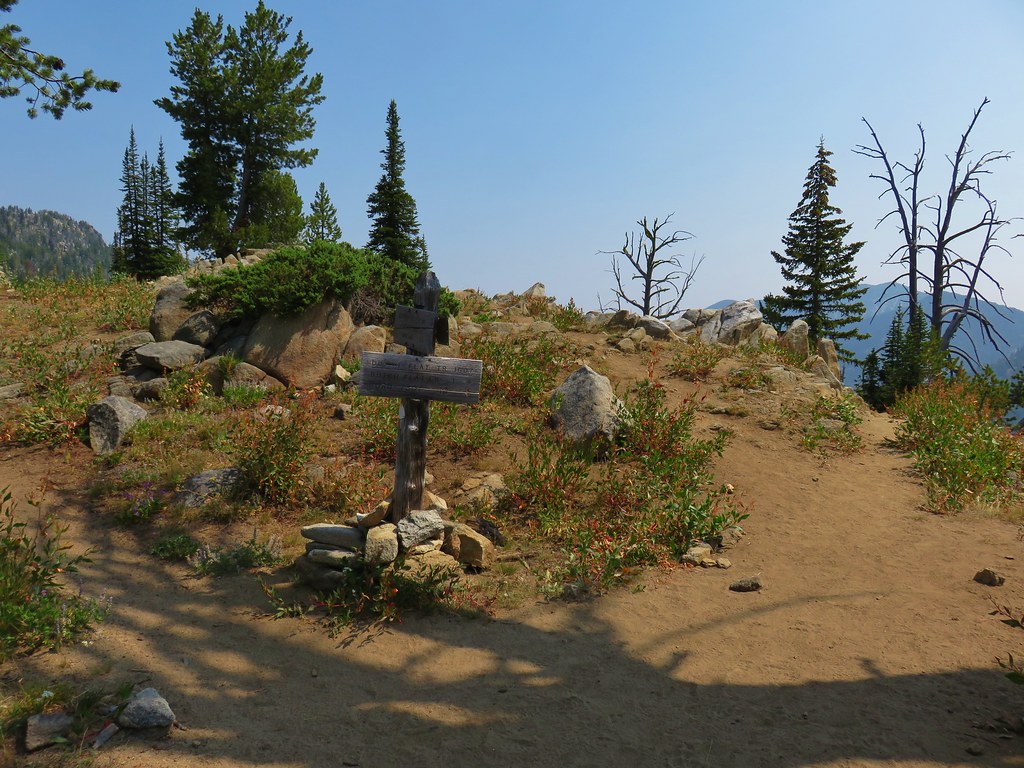
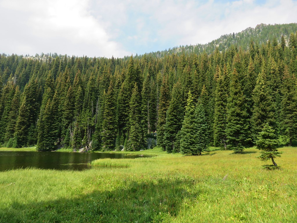
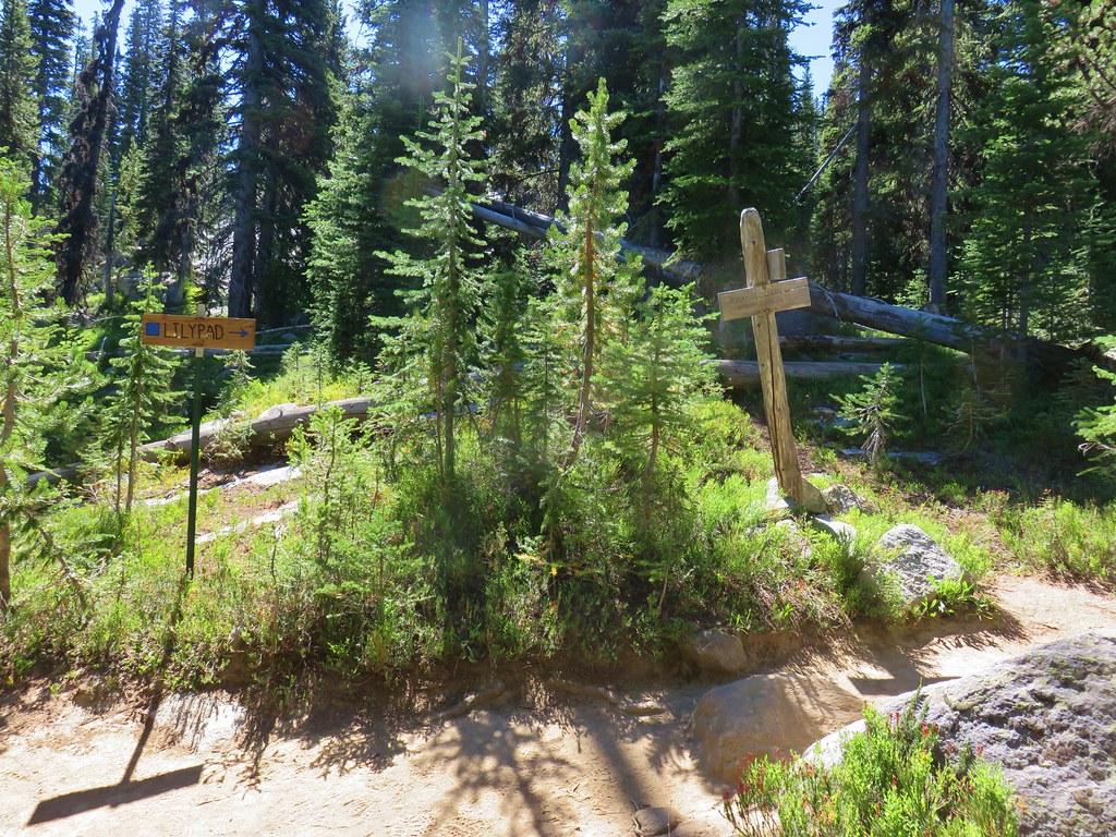
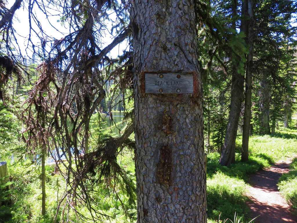
After passing over the ridge a short and less steep descent brought us to a signed junction for Lost Lake.
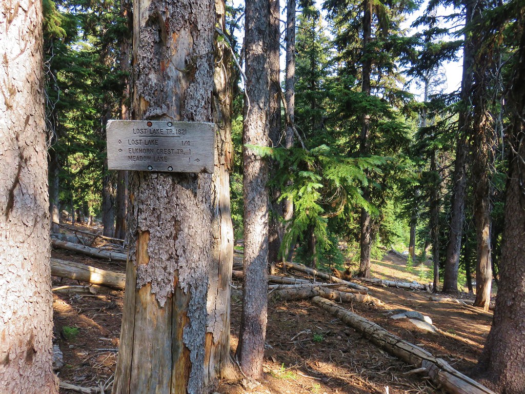
The sign said it was a quarter mile to the lake but it was really only about a tenth of a mile down (steeply again) to the shore.
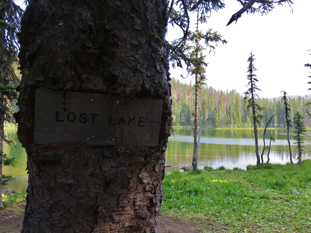

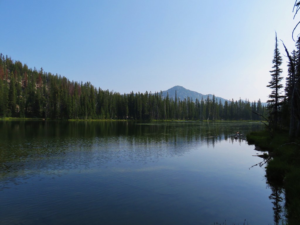
We broke out our camp chairs and rested for about an hour. After eating a bit of food and recovering from the earlier climb we continued on. It was another steep, rocky climb for the first three tenths of a mile from Lost Lake.
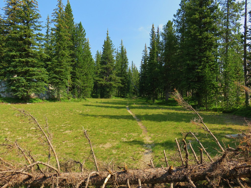
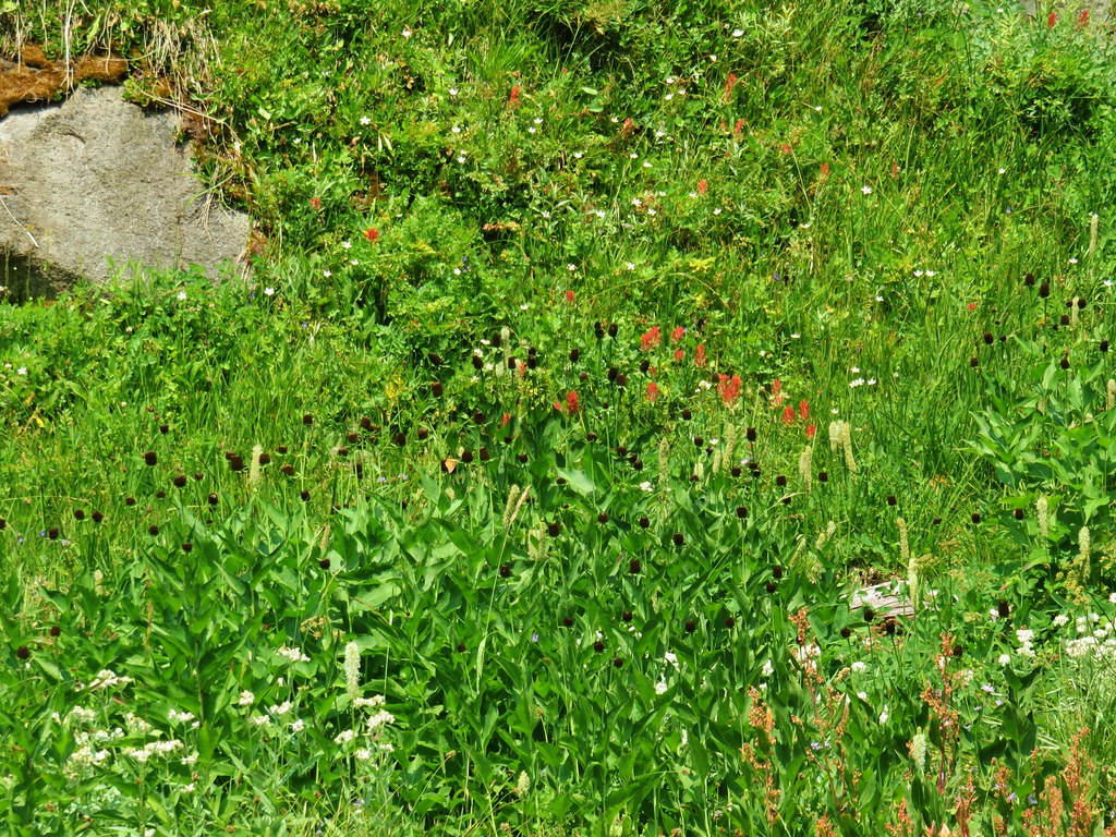
The trail then leveled out as it passed a series of meadows below Lost Lake Saddle.

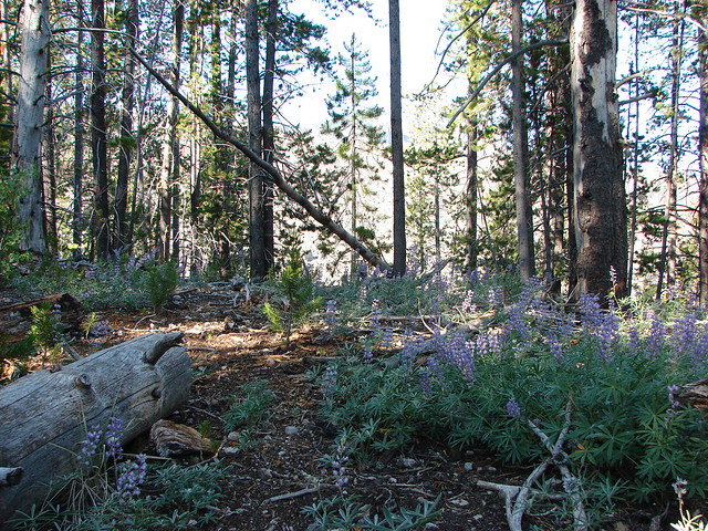
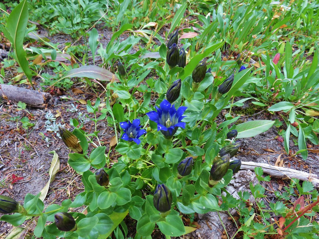
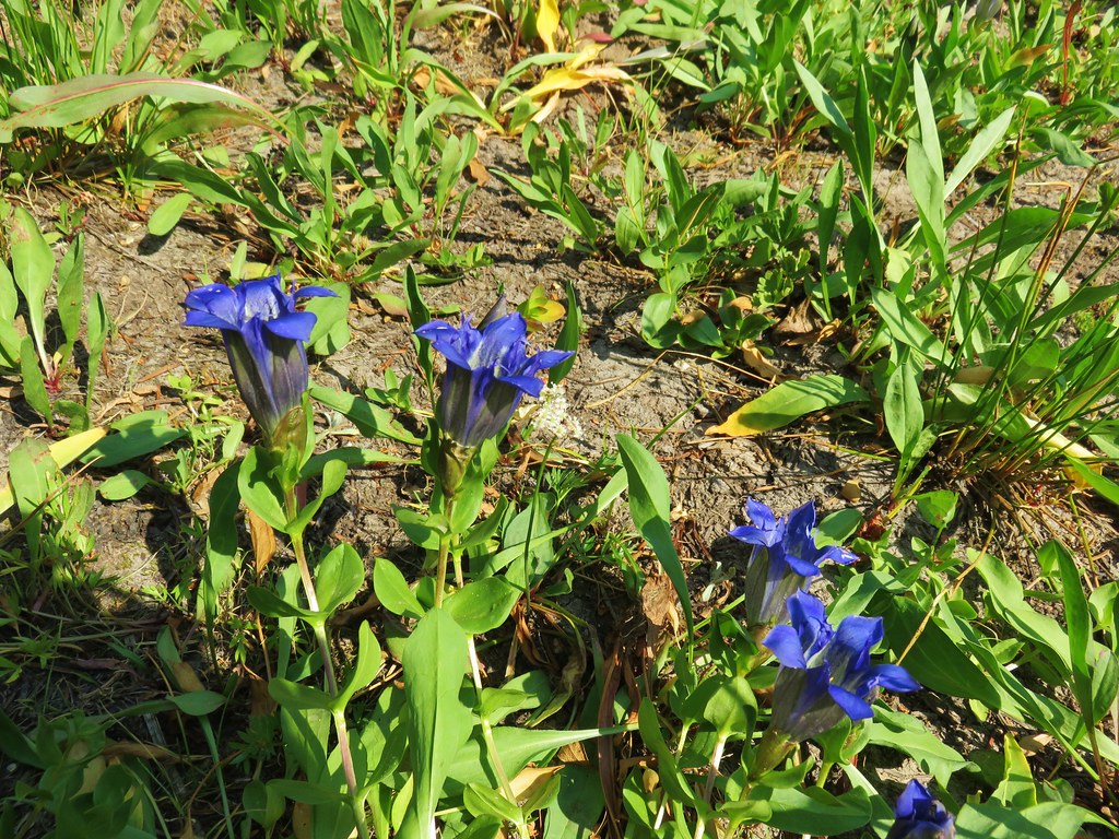
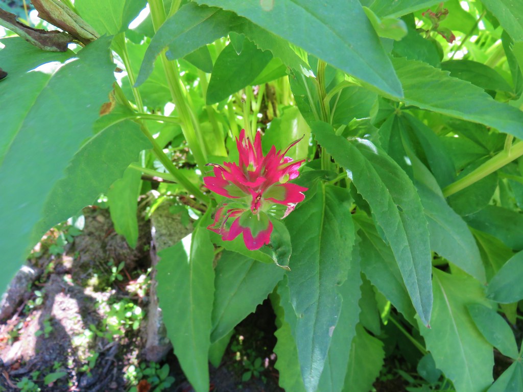
Gentians were abundant in the green meadows.
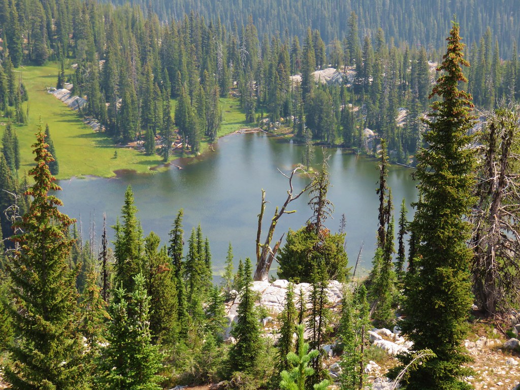
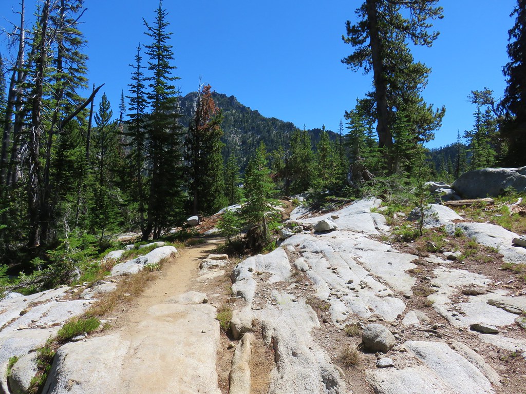
Roughly three quarters of a mile from Lost Lake we passed a rocky ledge where a short side trip brought us to a view of the lake below.
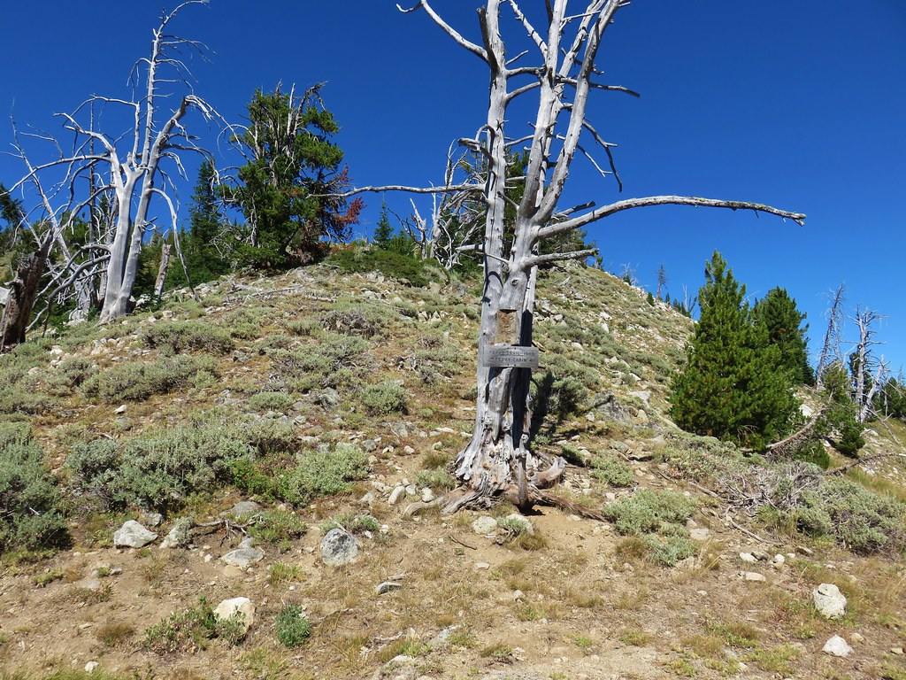
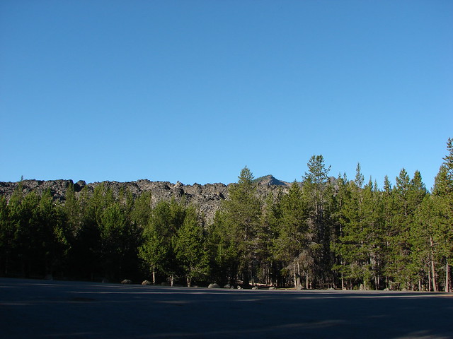
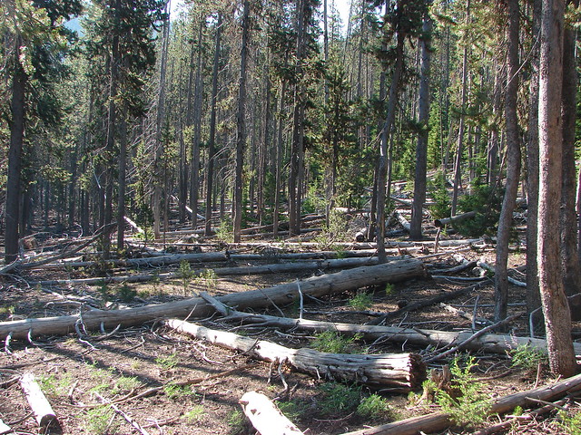
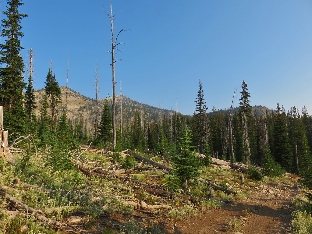
The trail then passed a couple more meadows before entering an old fire zone where some silver snags still stood.
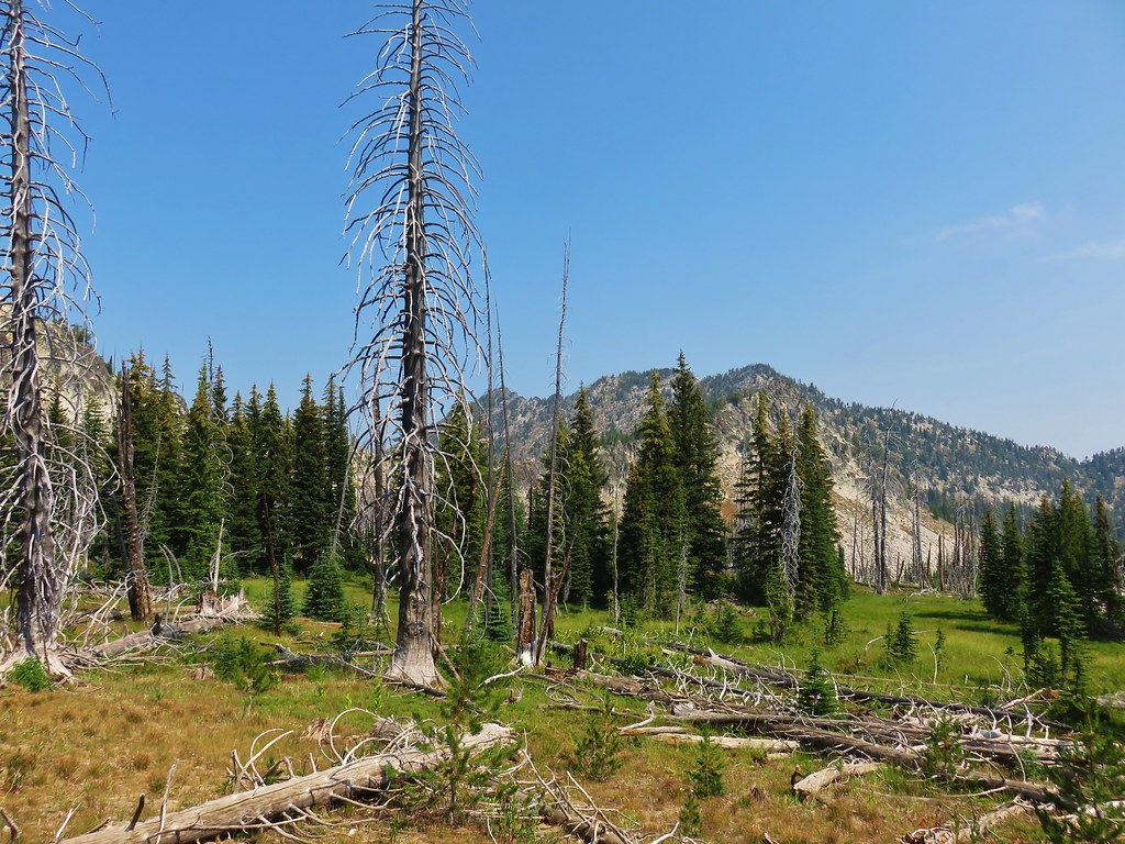
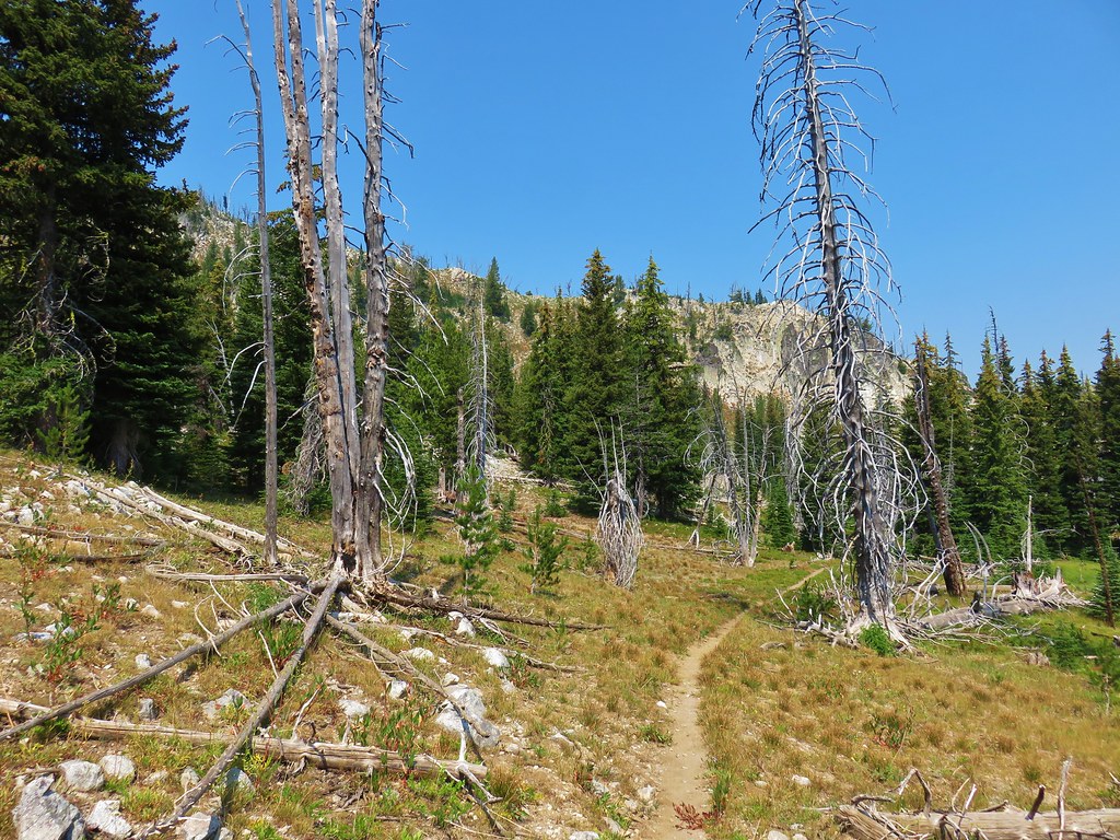
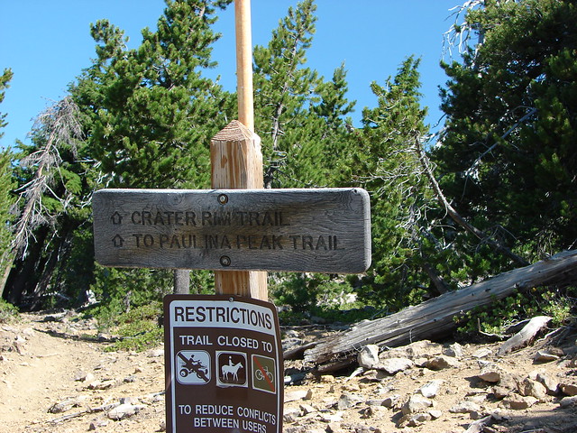
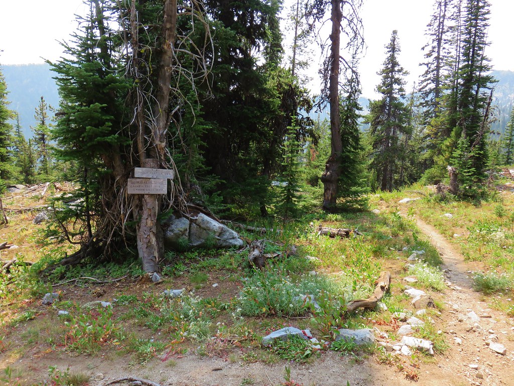
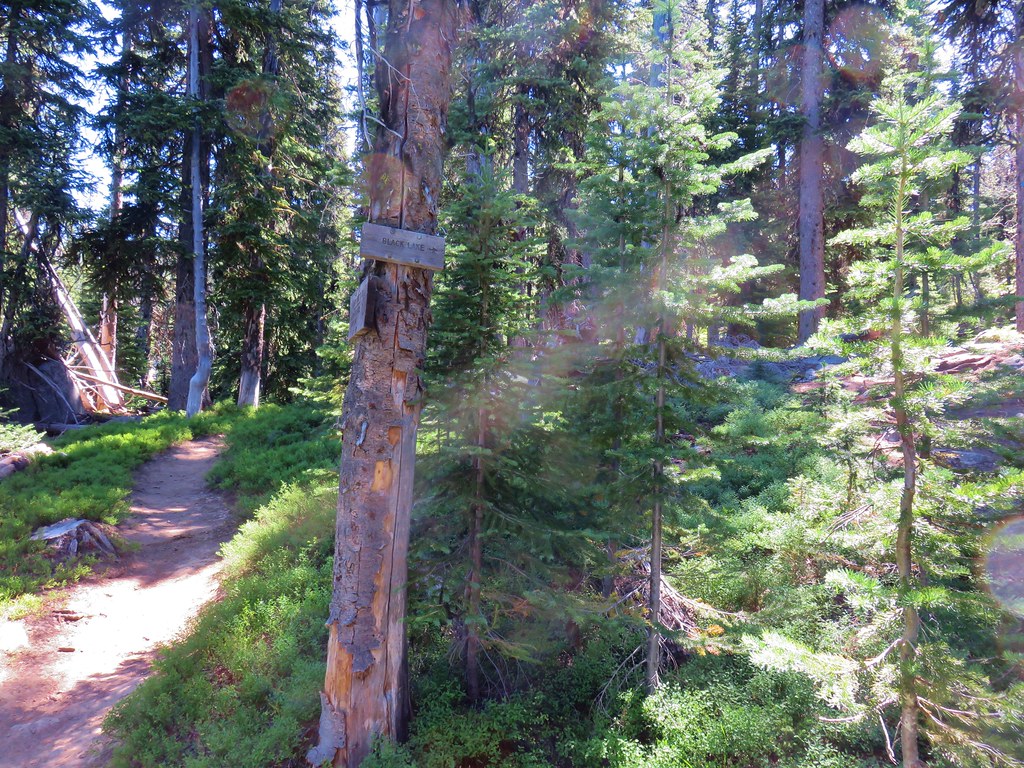
A couple of switchbacks brought us back up to the Elkhorn Crest Trail a total of 1.3 miles from Lost Lake.
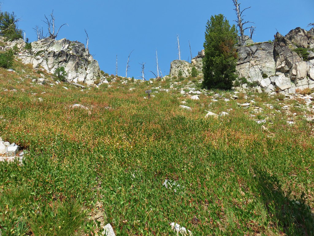

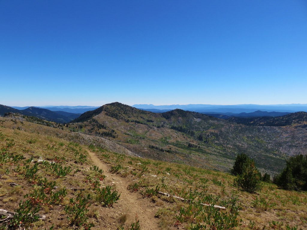
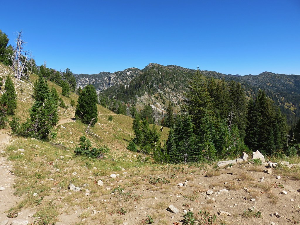
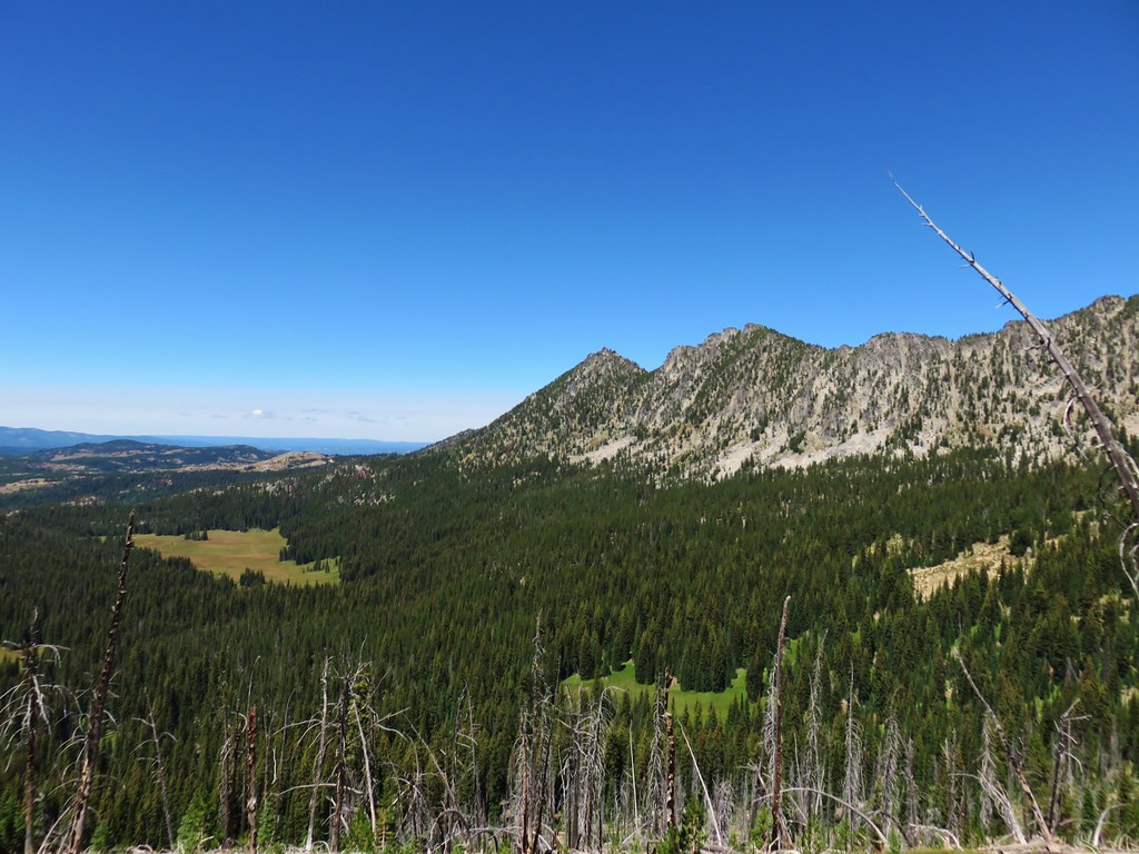
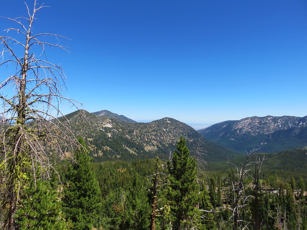
We turned right (north) and promptly passed through Nip & Tuck Pass where the trail now traversed along the western side of the crest above Cunningham Cove.
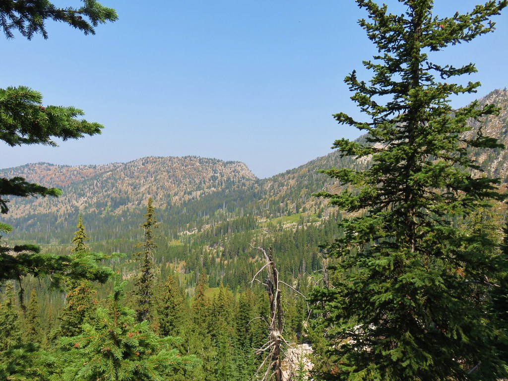
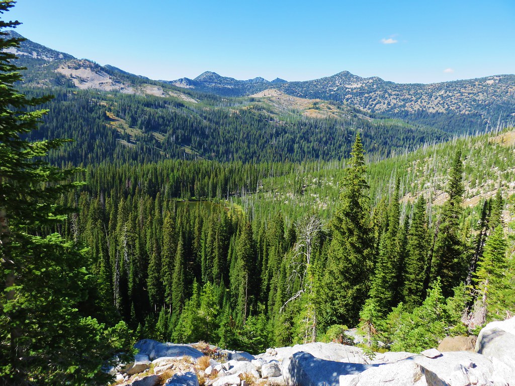
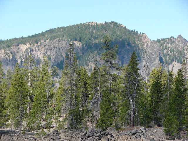
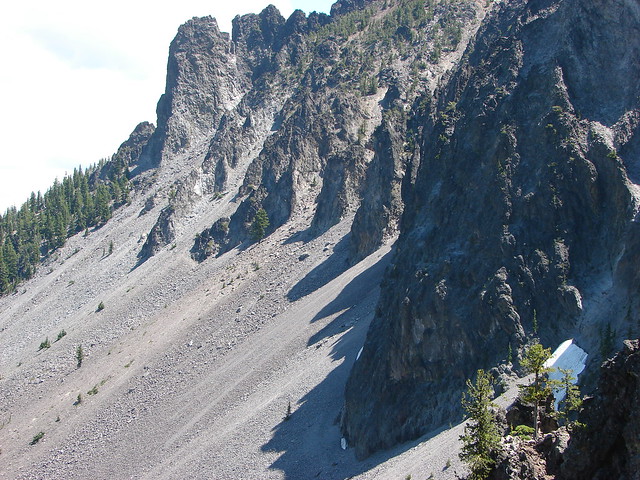
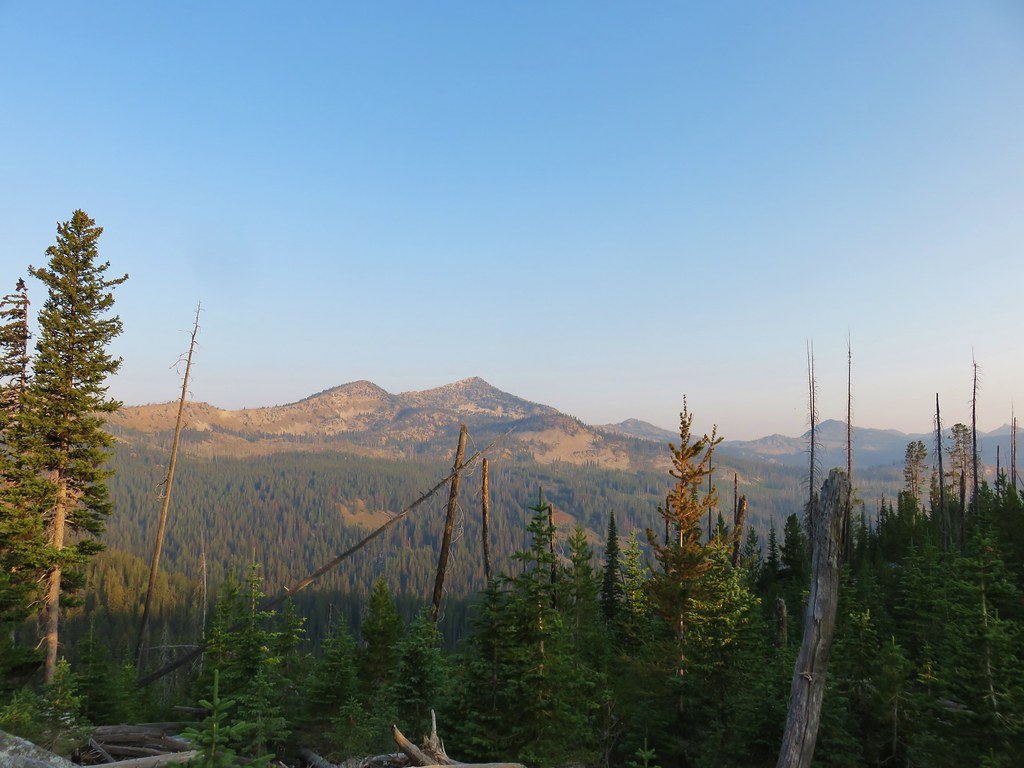
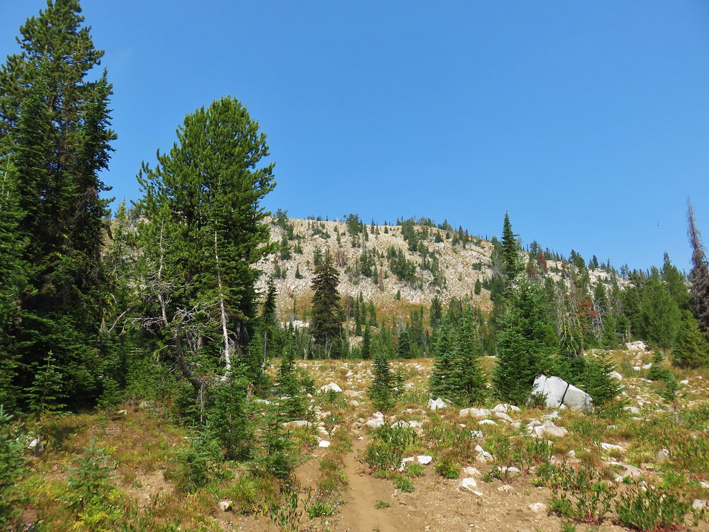
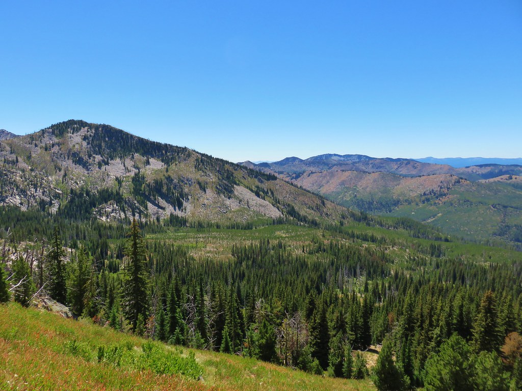
Just over a mile later we crossed over Cunningham Saddle to a view of Crawfish Basin.

Three quarters of a mile away we could see Dutch Flat Saddle along the ridge ahead.
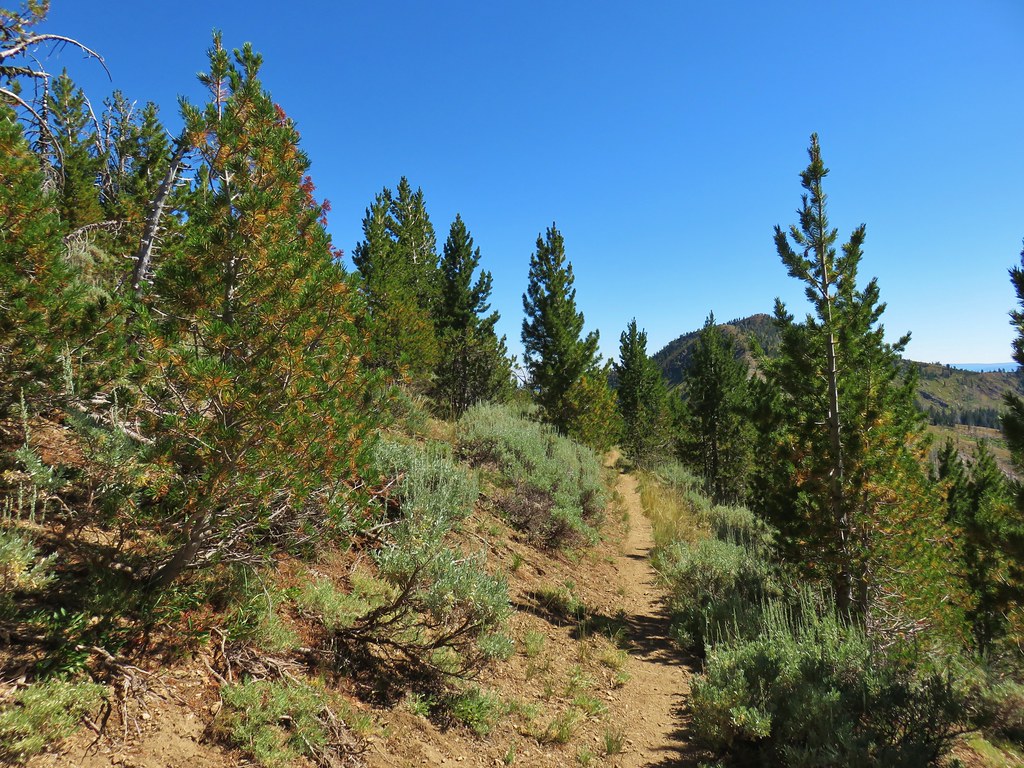
At that saddle we turned right onto the Dutch Flat Trail.
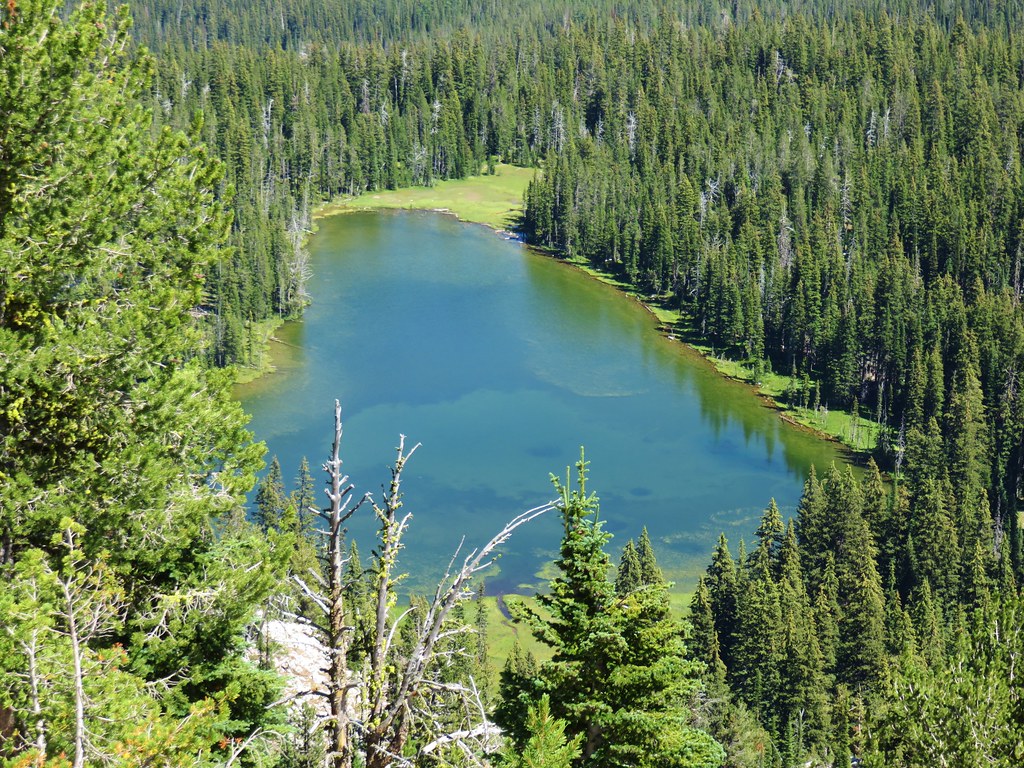
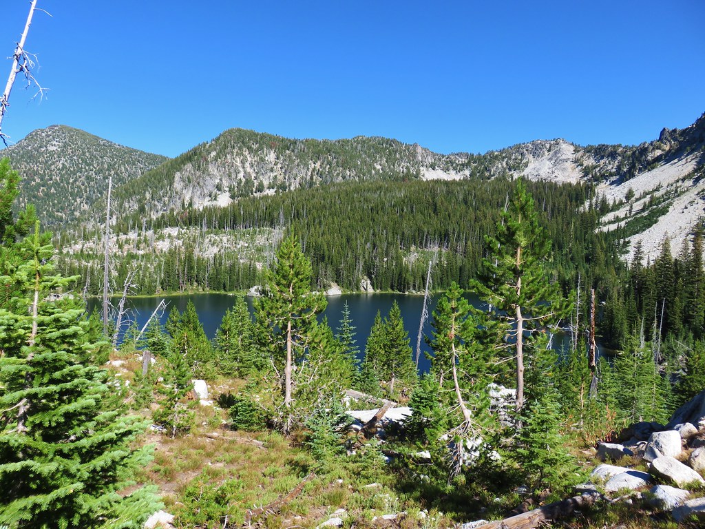
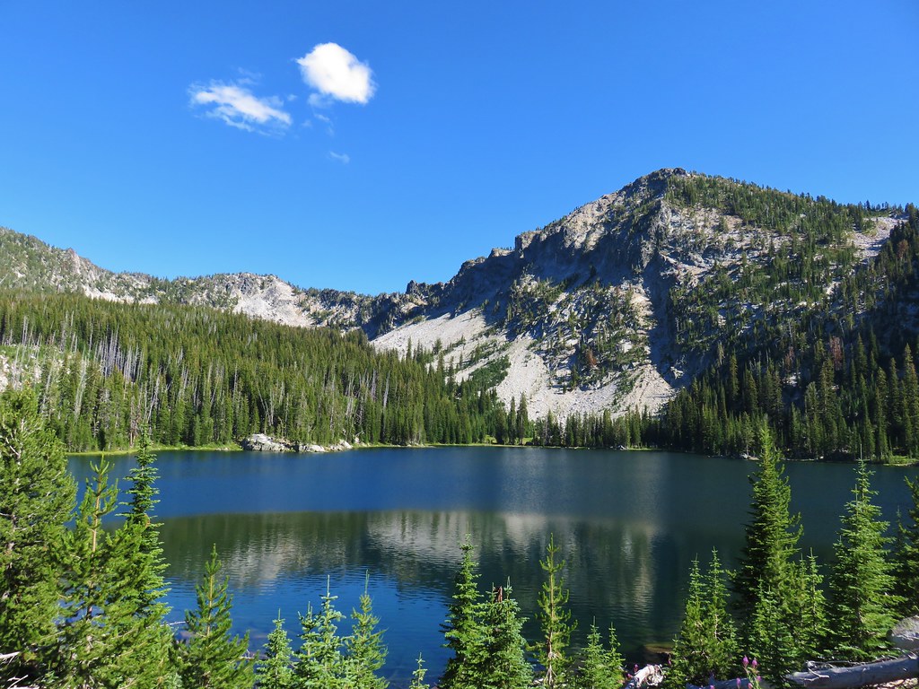
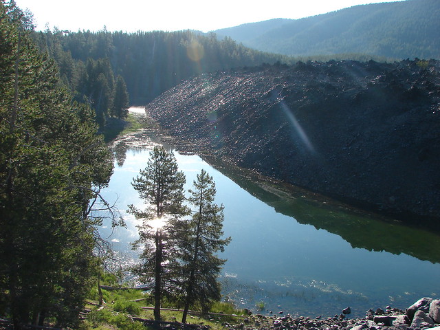
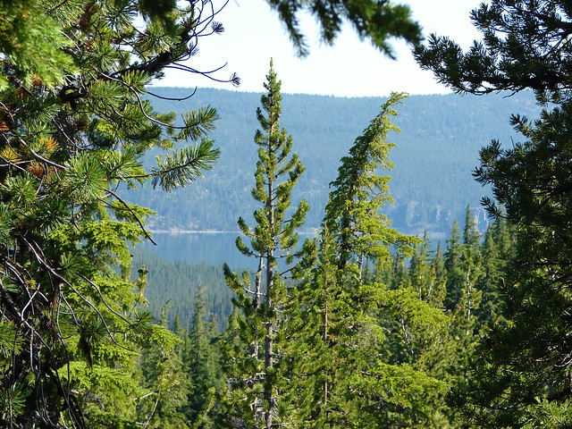
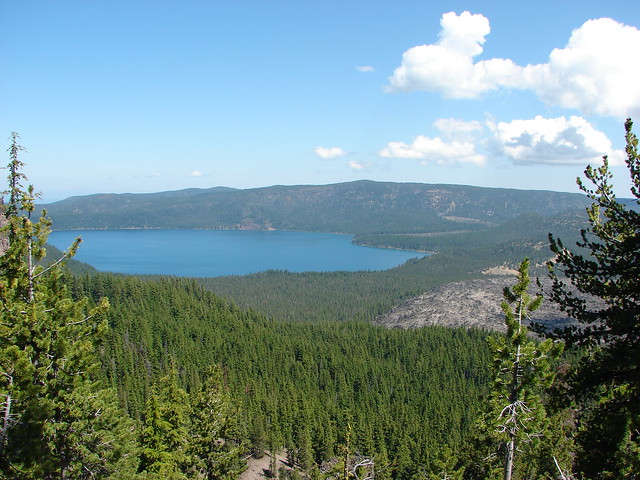
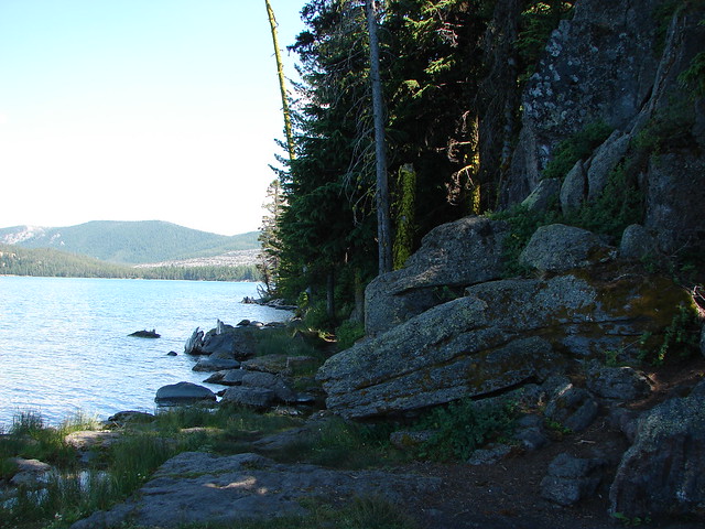
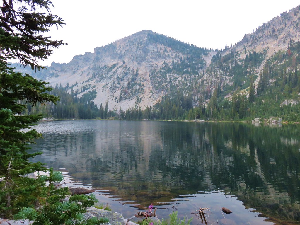
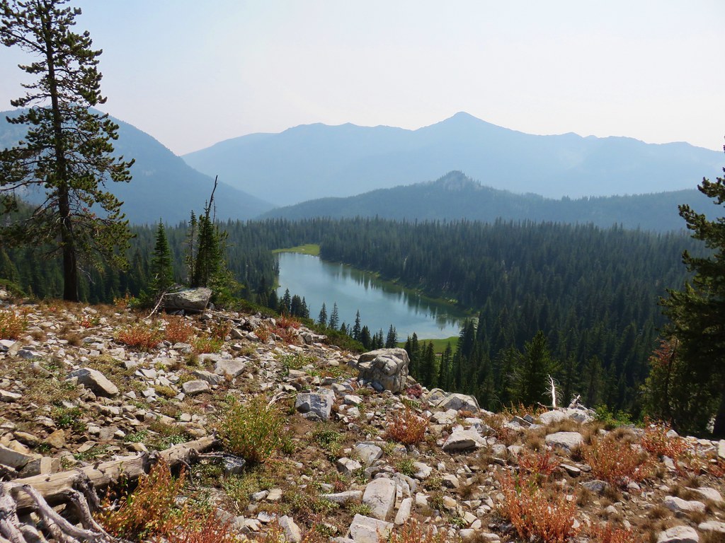
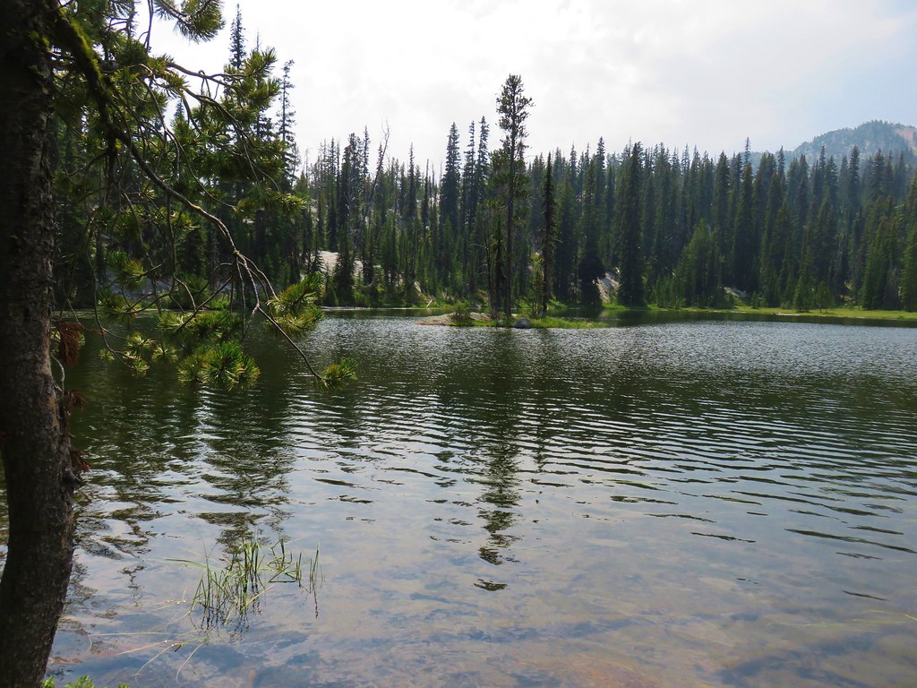
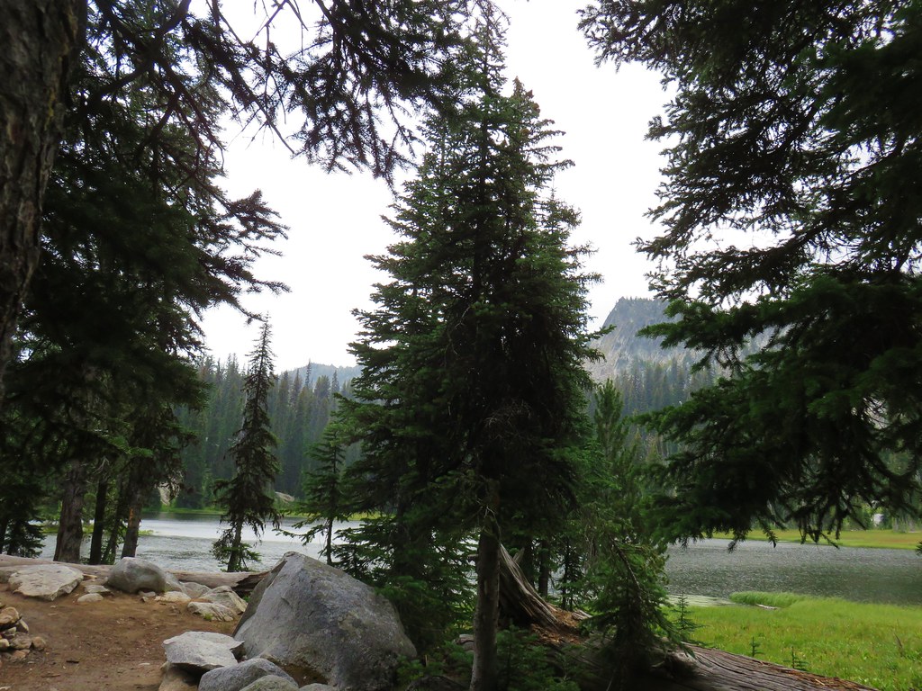
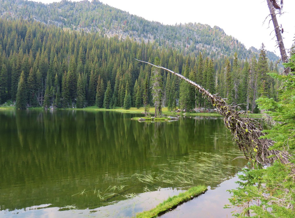
A short distance down the trail we got our first good look at Dutch Flat Lake.

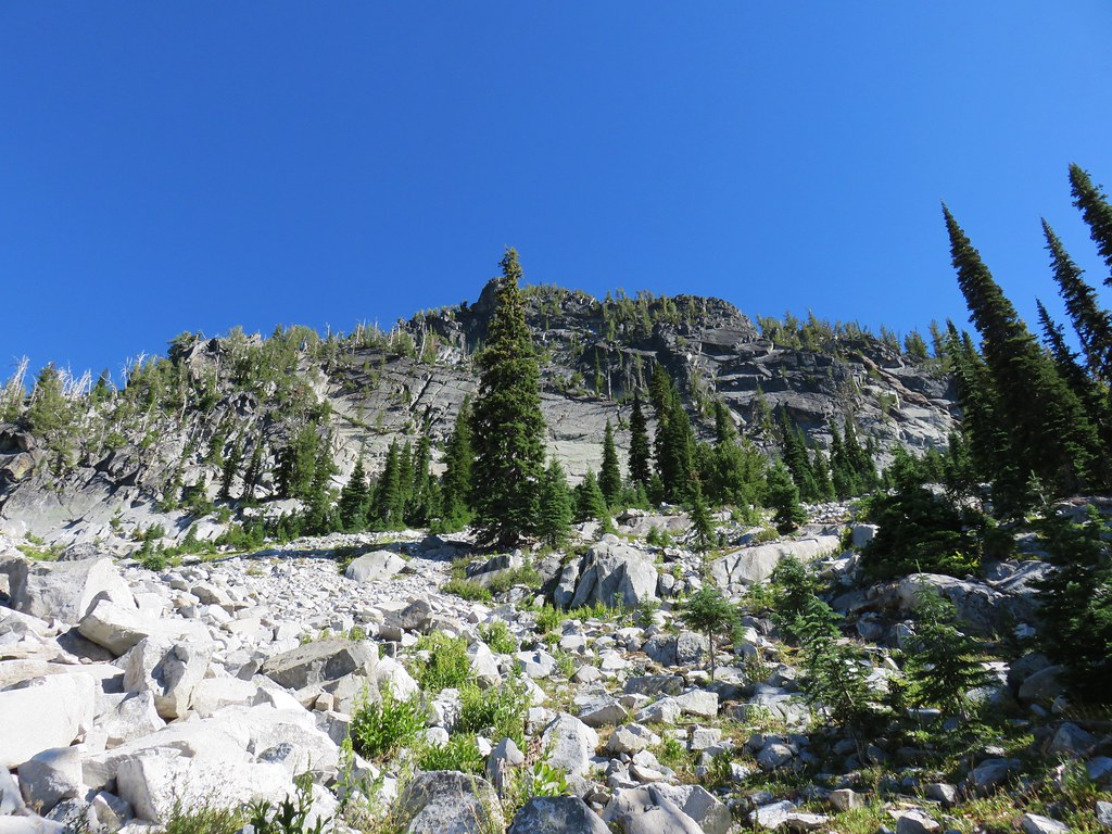
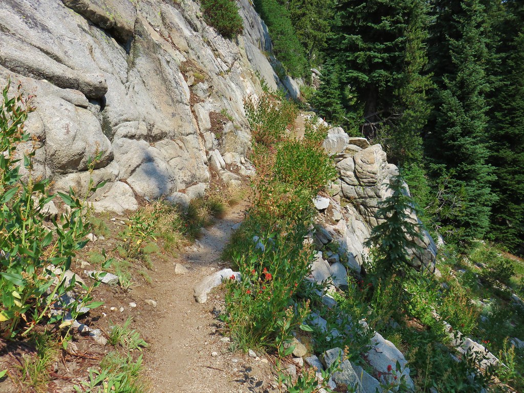
For a mile the trail switchbacked down past rocky cliffs and wildflower meadows to a junction.


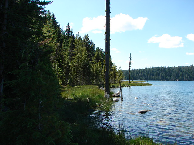
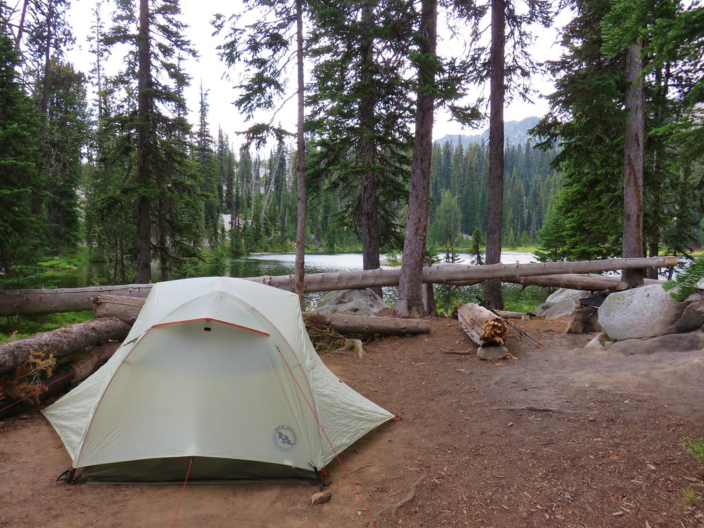
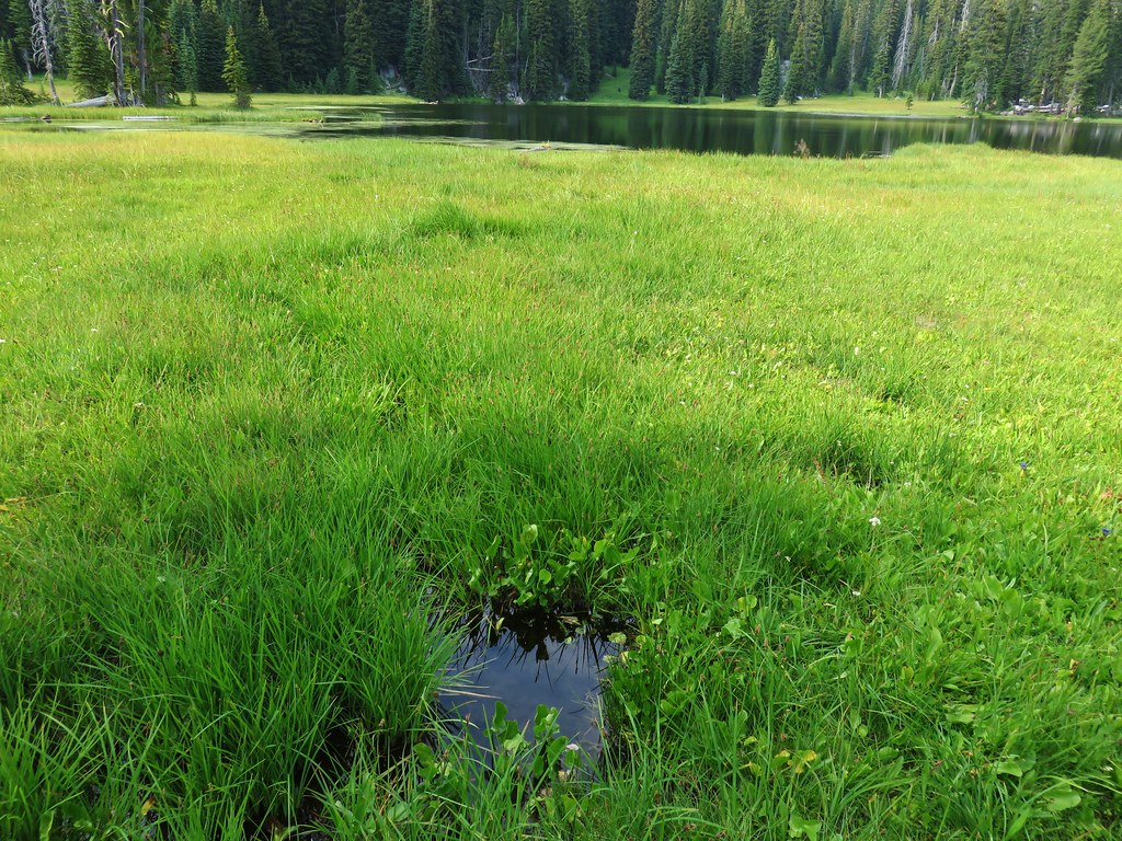
Another quarter mile brought us to the meadow lined lake.
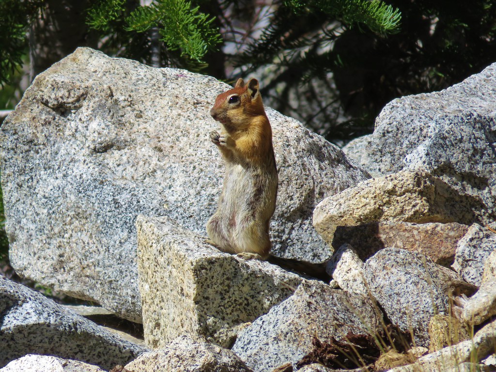
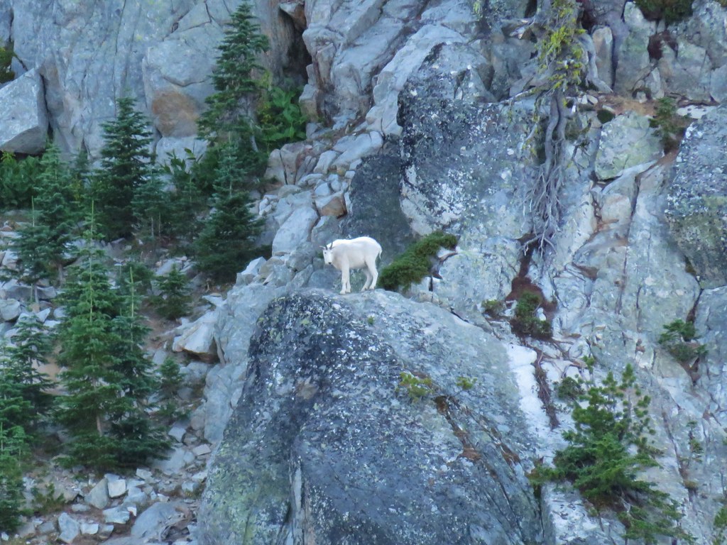
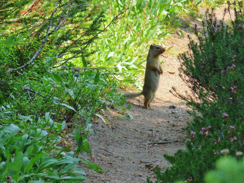
We went about setting up camp then started to explore a bit. I noticed a young bird along the shore so we declared that area off-limits.
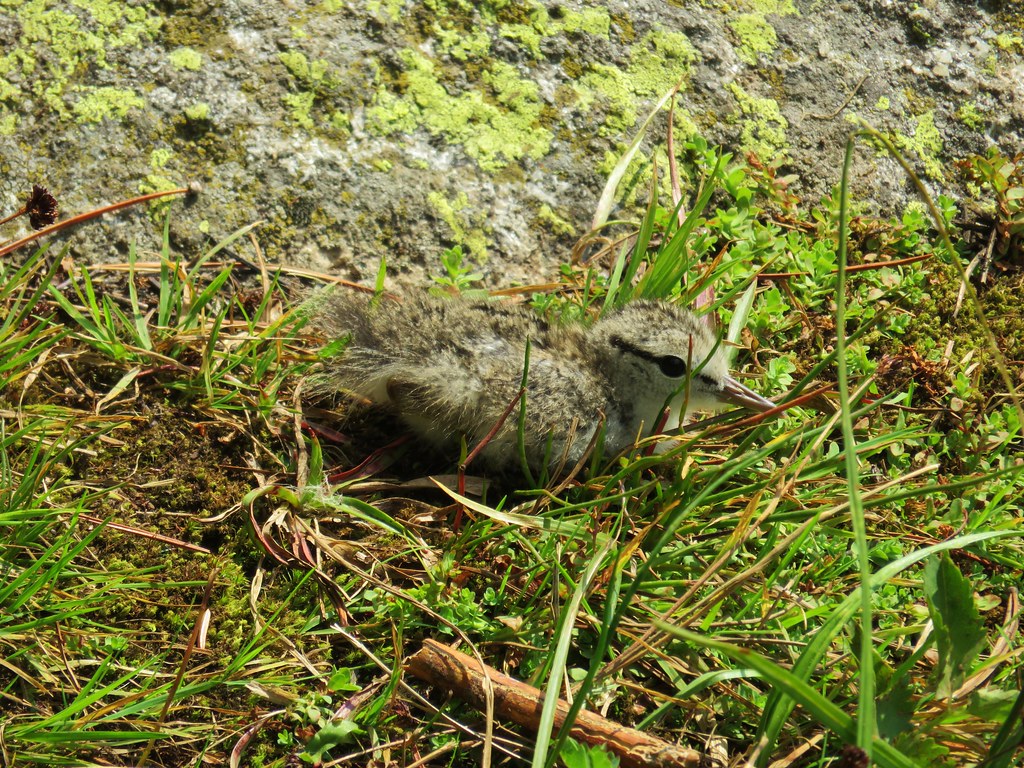 I used the 30x zoom for the picture and didn’t get close to the little one.
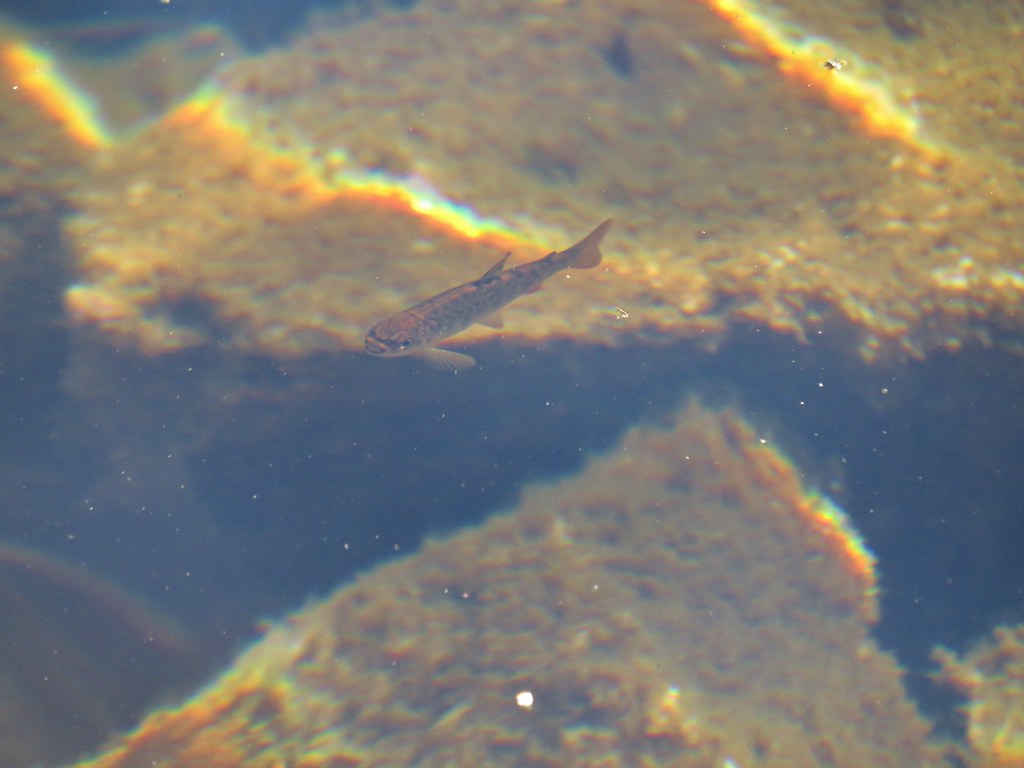
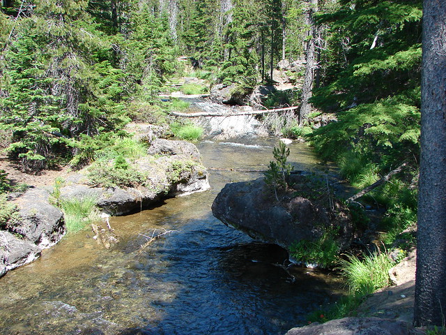
It was an interesting little lake with a tiny island and lots of jumping fish.
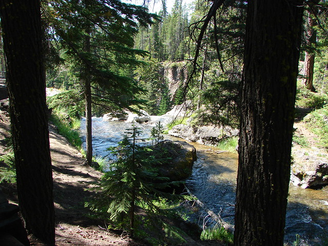
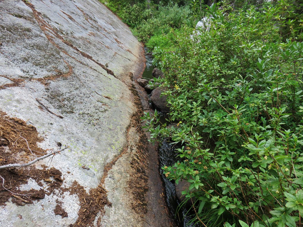
We found the outlet creek to be particularly unique as it squeezed through a narrow channel between rocks.
We did find a nice pool along the creek to get water from and as we were doing that we started to feel rain drops. I raced back to the tent and threw on the rain fly just before a decent little shower passed overhead.
After the rain shower we ate dinner and then walked around the lake which came to a little under half a mile.
The SW end of the lake was particularly marshy with several inlets forcing us to swing out fairly wide.
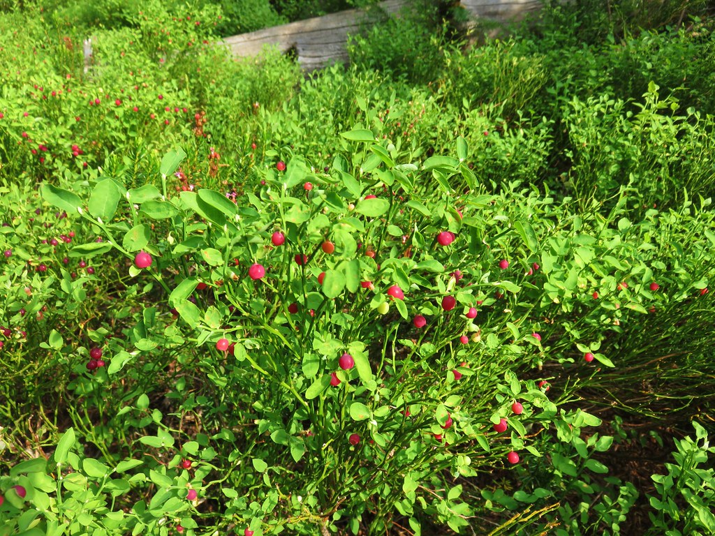
All the wet meadows in the area provided good habitat for huckleberries.
It also appeared to be an area that would have a lot of mosquitoes but we only noticed a couple and neither of us wound up with any bites. It was the only time during the entire trip that either of us even saw any.
With the hike around the lake our days mileage came to just 10.6 which was the least so far with the following day expected to be even less. We were starting to feel a little worn down but knowing the final day was mostly downhill helped lift our spirits.
As the evening progressed I began to wonder about the possibility of thunderstorms, something that we have yet to encounter while backpacking. Heather is not a fan of thunder and lighting at all and I am not in any hurry to have our first experience with it either. It did shower off and on all night but that was the extent of it and never in any significant amounts. Happy Trails!
Flickr: Elkhorn Crest Trail Day 4


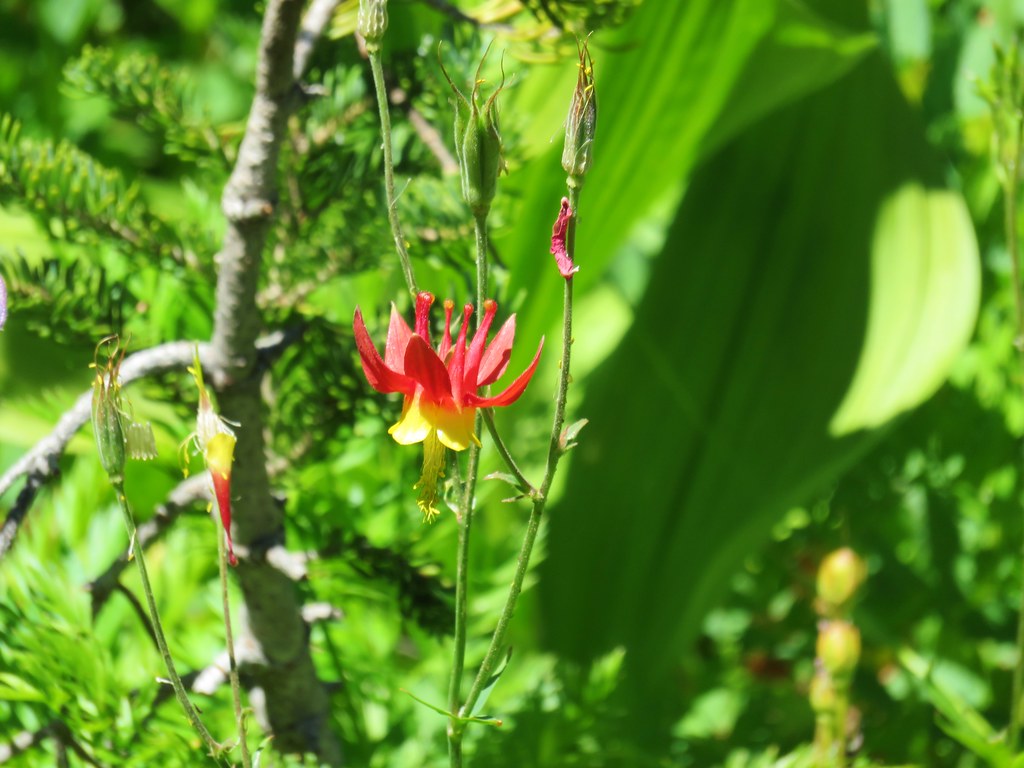 Columbine
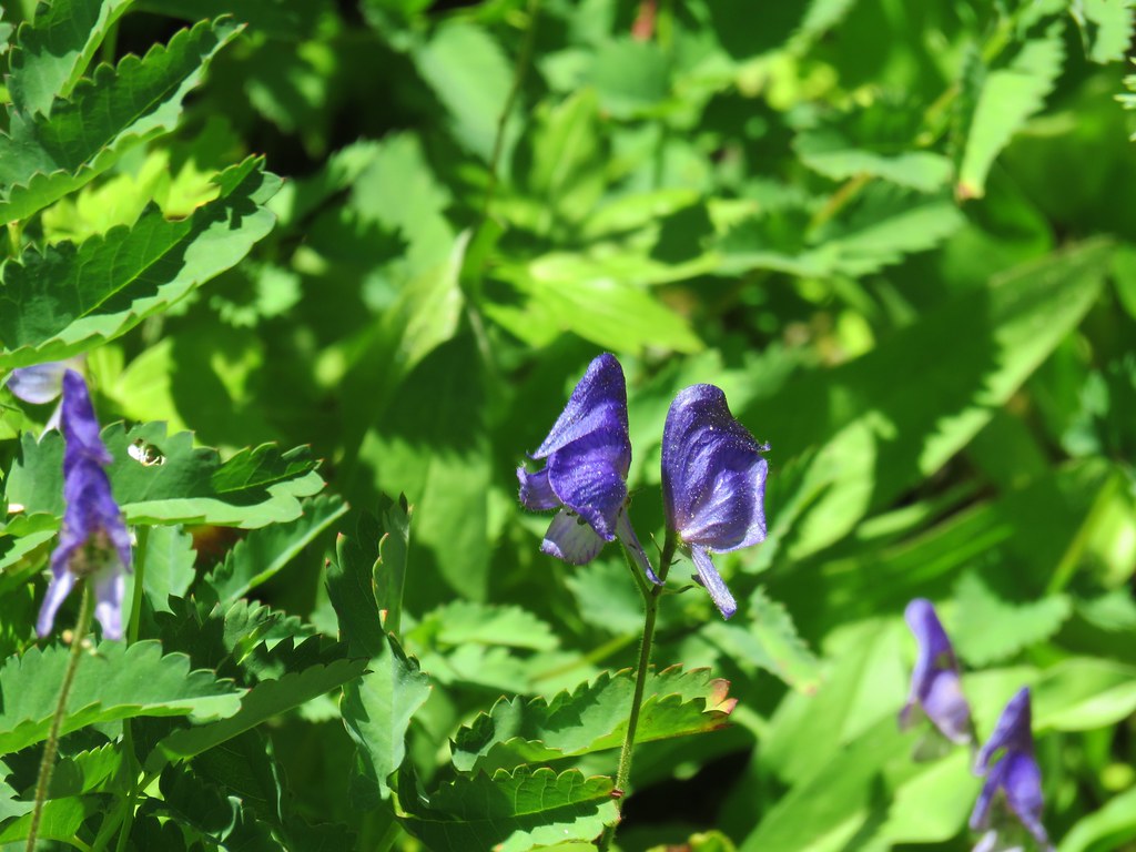 Monkshood
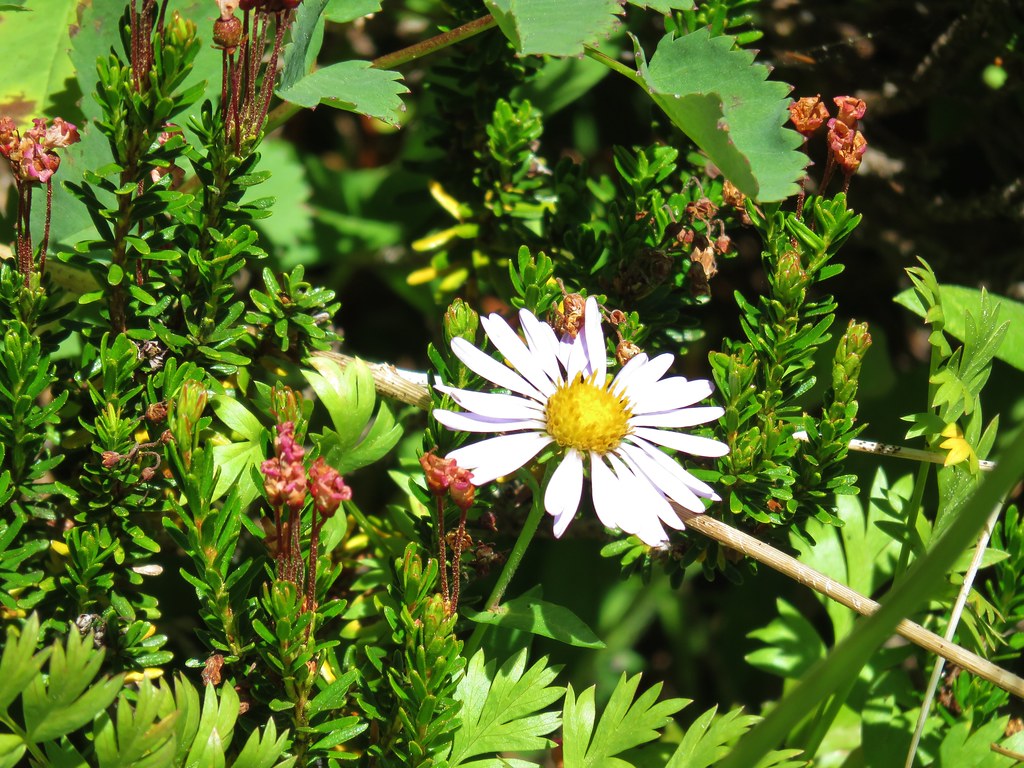 Aster
Aster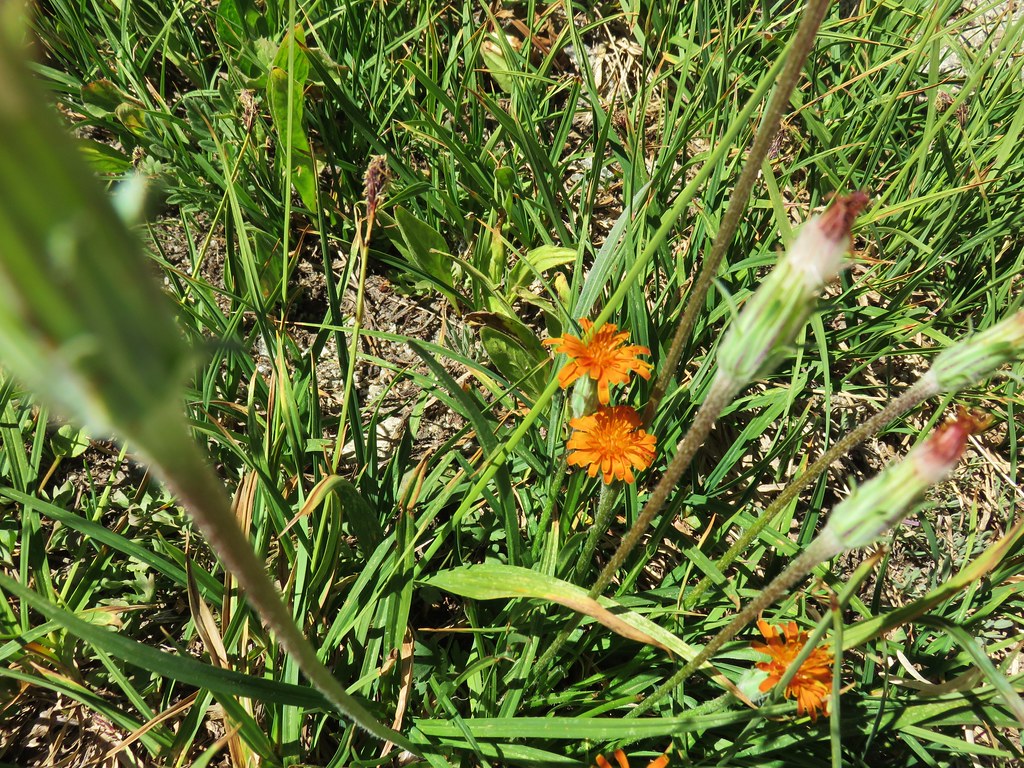 Orange Agoseris
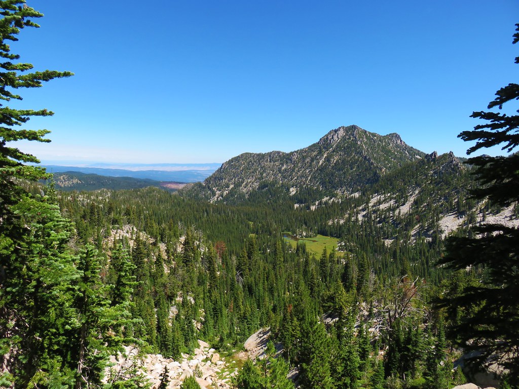 Antone Creek
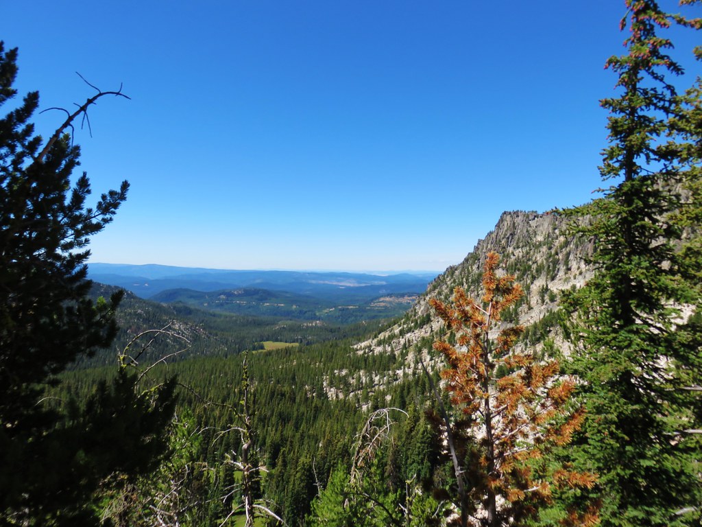 Crawfish Meadow in Crawfish Basin
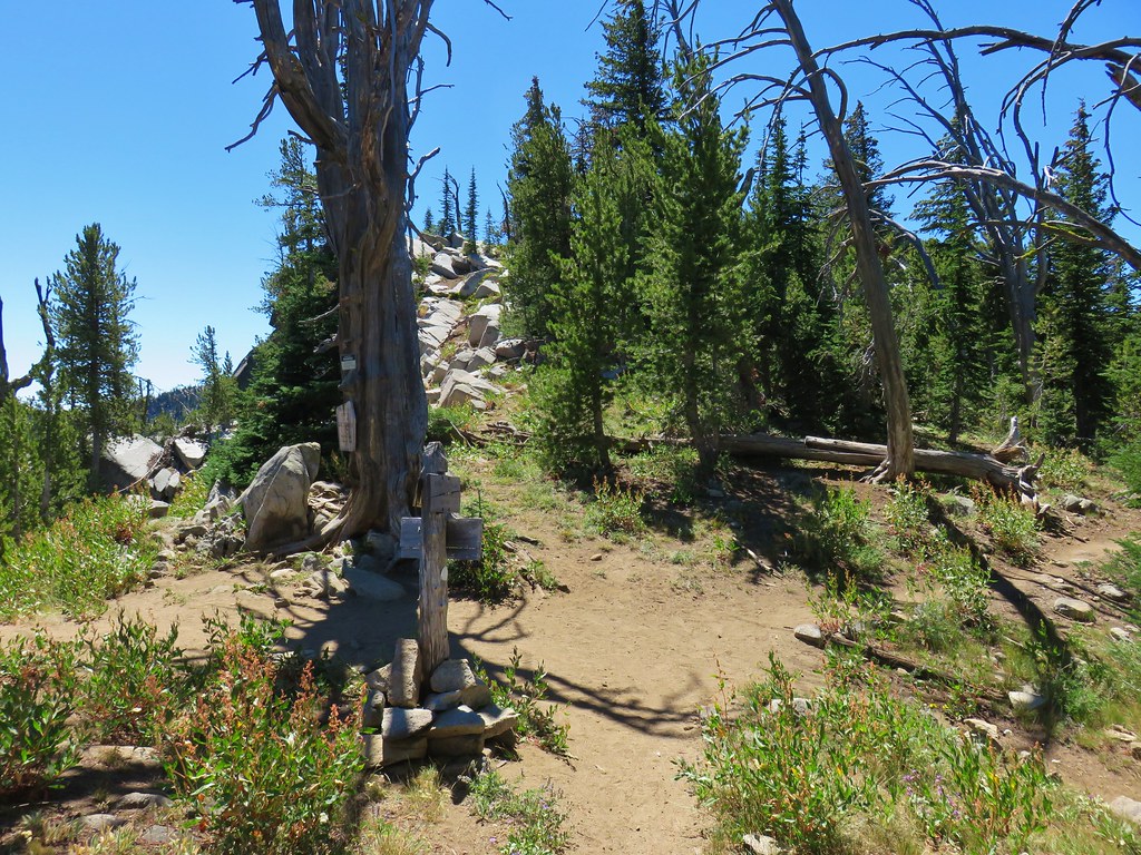


 Cunningham Cove
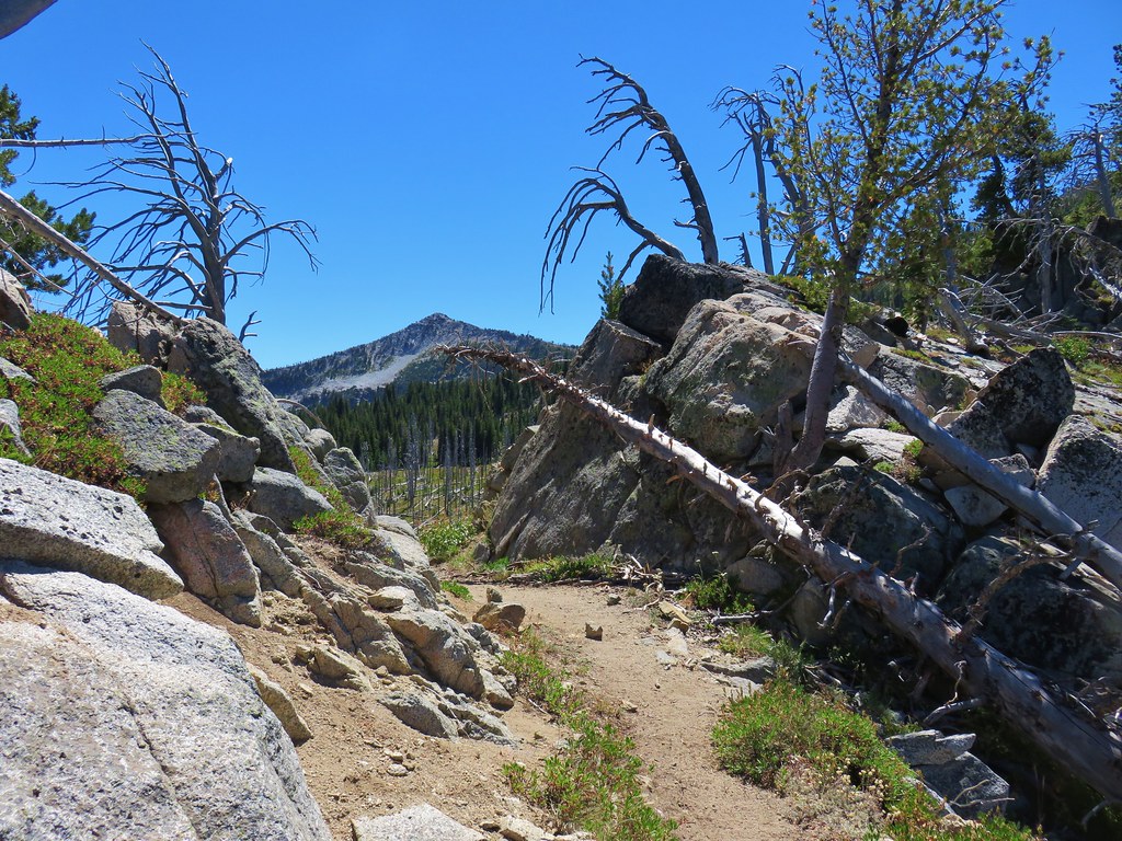
 View north from Nip & Tuck Pass
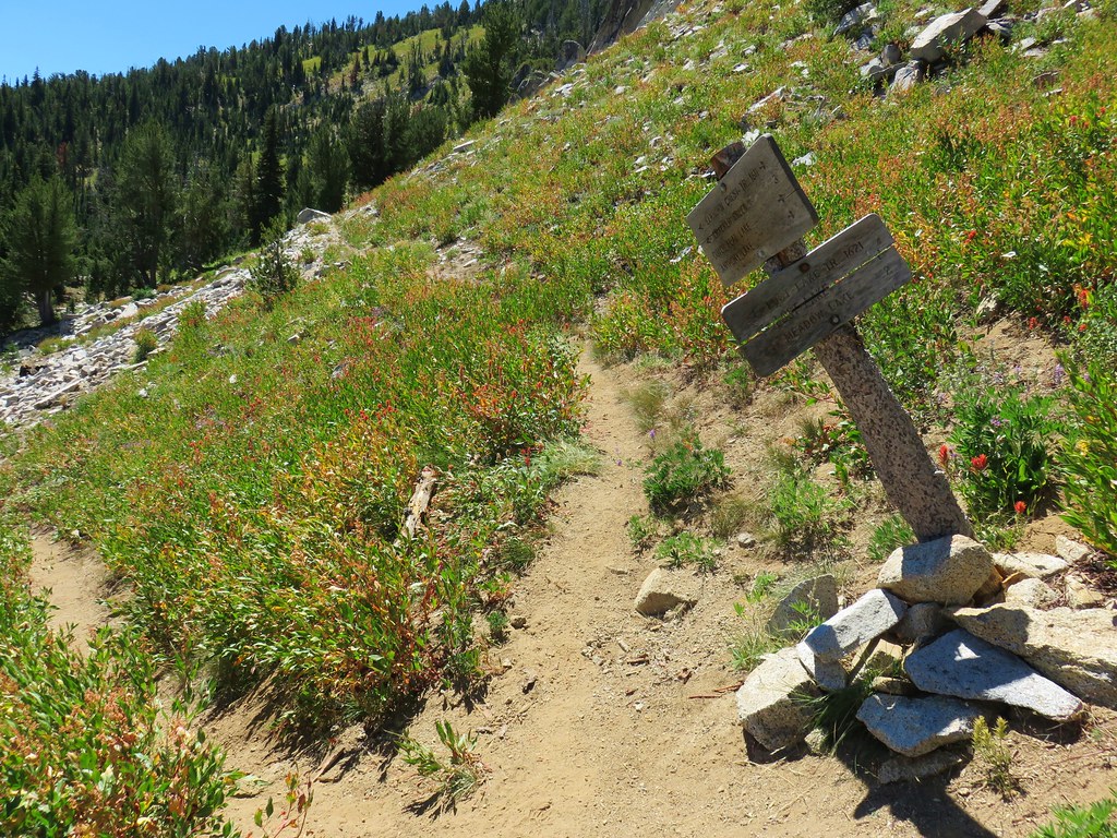
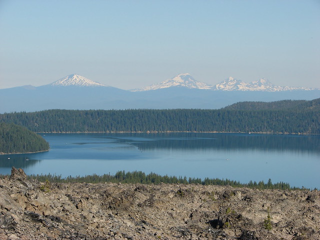
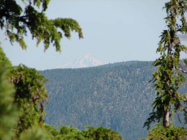
 Looking NE
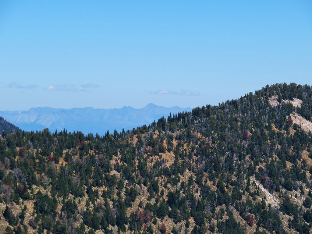 Wallowas
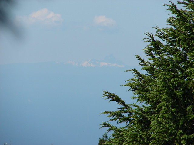
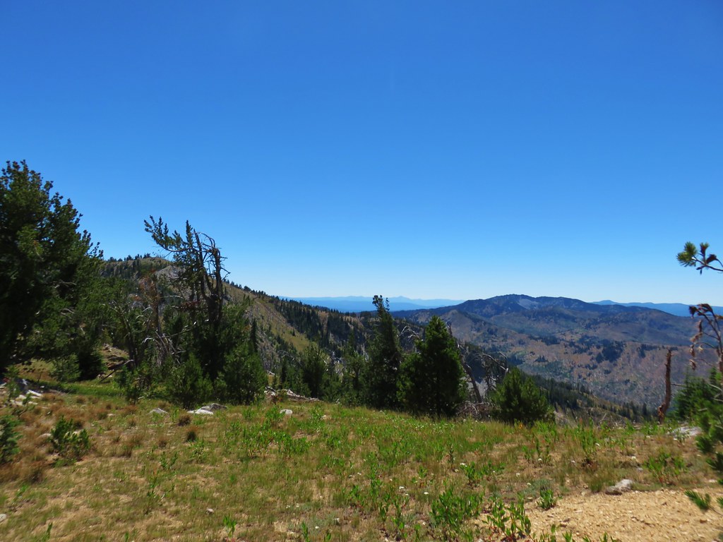 Looking SW
 Strawberry Mountains