As the strangest hiking season we’ve experienced winds down we took our final long distance (over 3 hours away) trip of the year for a long weekend of hiking around Union Creek, OR. Recent rains had knocked down the wildfires for the most part but those rains had given way to a sunny forecast which made for promising hiking conditions. We kicked off our hikes with a stop at the National Creek Falls Trailhead.

Located just west of Crater Lake National Park National Creek Falls is spring fed from water absorbed by the Park’s pumice plain. A short .4 mile trail descends from the trailhead to the creek just below the falls.
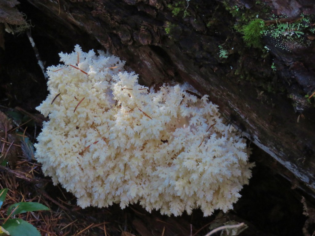
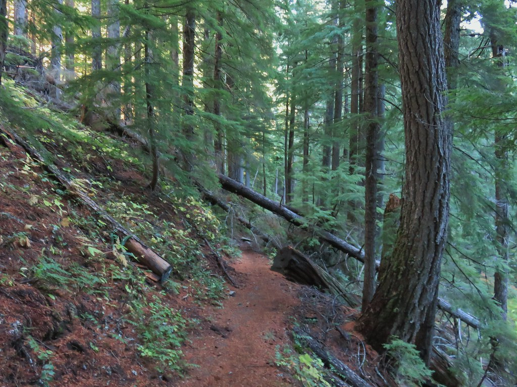 There was just a little bit of blowdown to navigate on the way down.
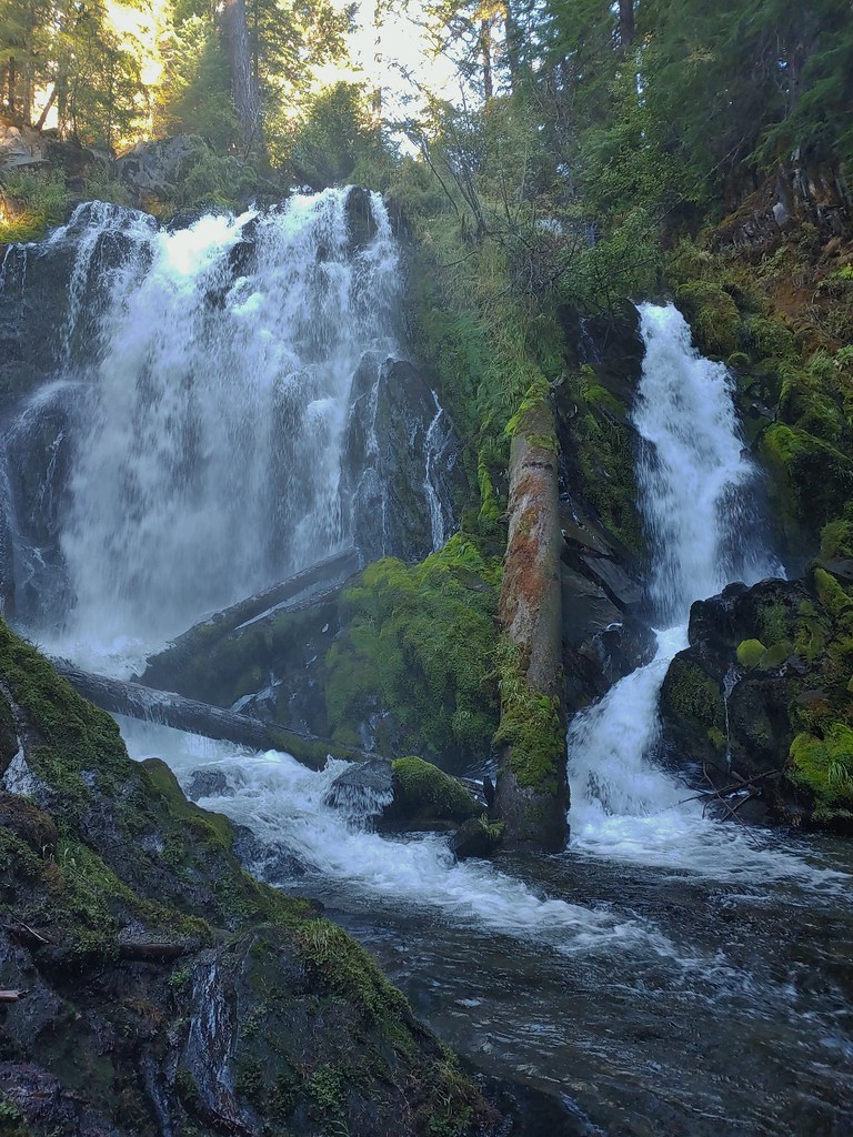
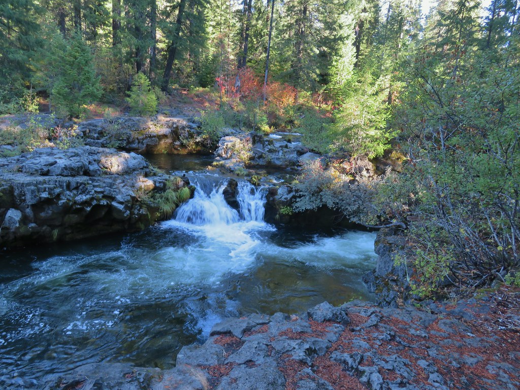
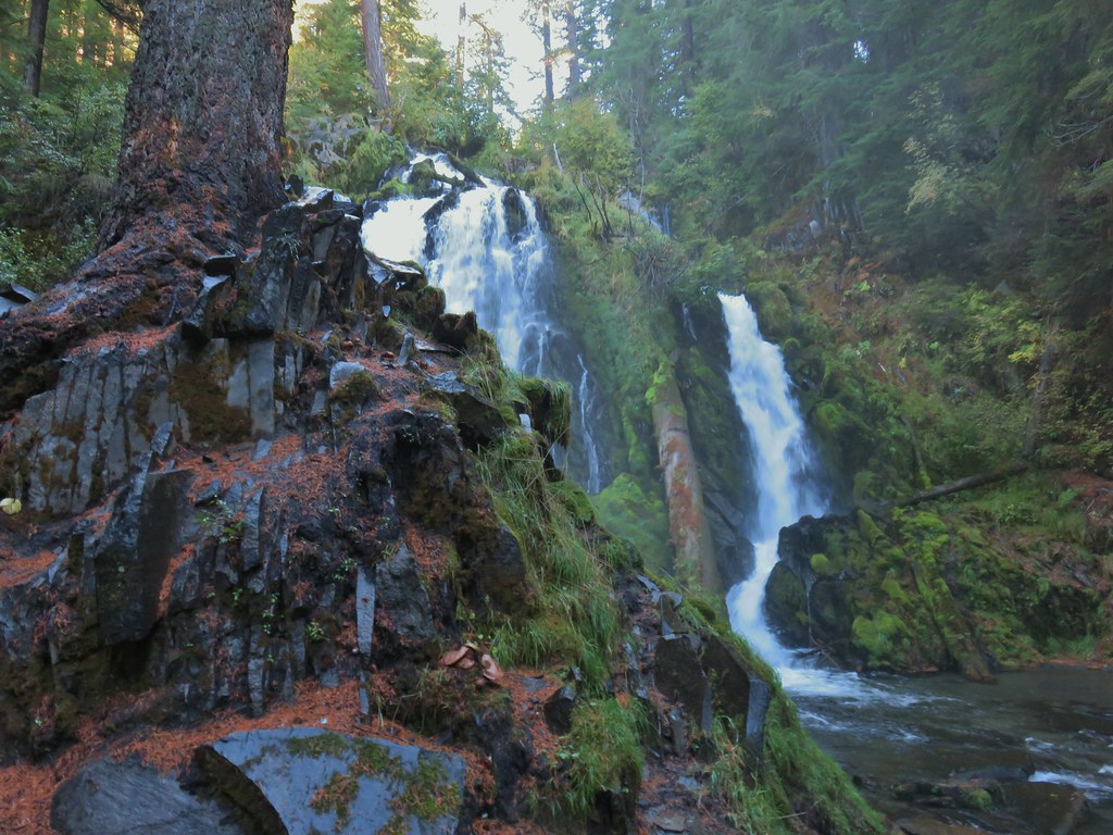 National Creek Falls
On a warmer day we would have loved to stay for a bit and possibly wade across the creek to get a full view of these impressive falls but it was in the mid 30’s this morning and with the moisture generated by the falls we quickly became uncomfortably cold. We settled for the view we could get from the creek side and retreated back up to our car and turned the heat on full blast.
When enough feeling had returned to my hands to grip the steering wheel we returned to Highway 230 following it south to its end at Highway 62 then continued south on that highway past Union Creek to Woodruff Meadows Road (between mileposts 51 and 52). We turned right onto this paved road for one and three quarters of a mile to a small pullout just past the Woodruff Bridge Day Use Area and a bridge over the Rogue River (parking is also available in the day use area).
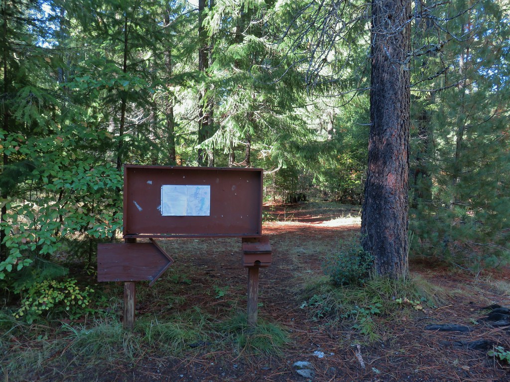 Signboard at the pullout.
We were here to do Sullivan’s Takelma Gorge hike (#32 in the 4th edition “100 Hikes/Travel Guide Southern Oregon & Northern California”). In his book he suggests a quick detour to a small fall beneath the bridge so we crossed the road and made our way down to the river bank to view the cascade.


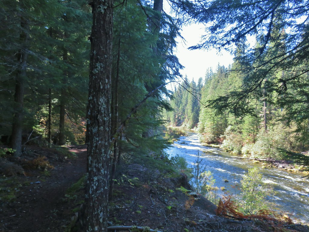
We then recrossed Woodruff Meadows Road and headed south along the river on the Upper Rogue River Trail.

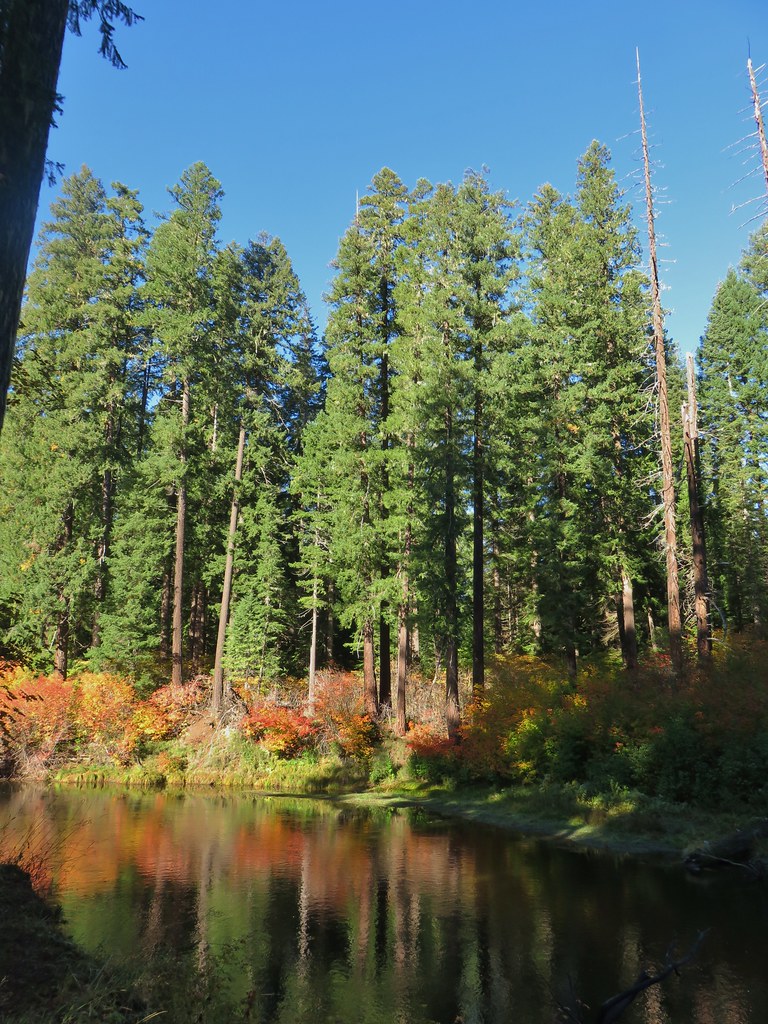
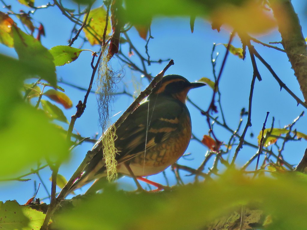
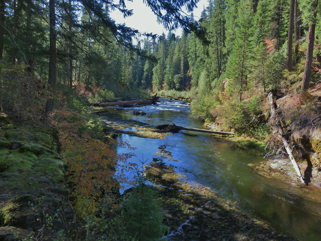
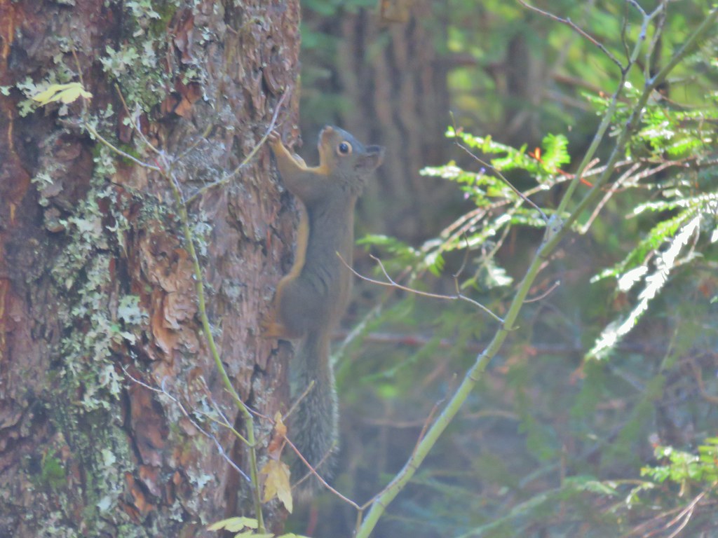
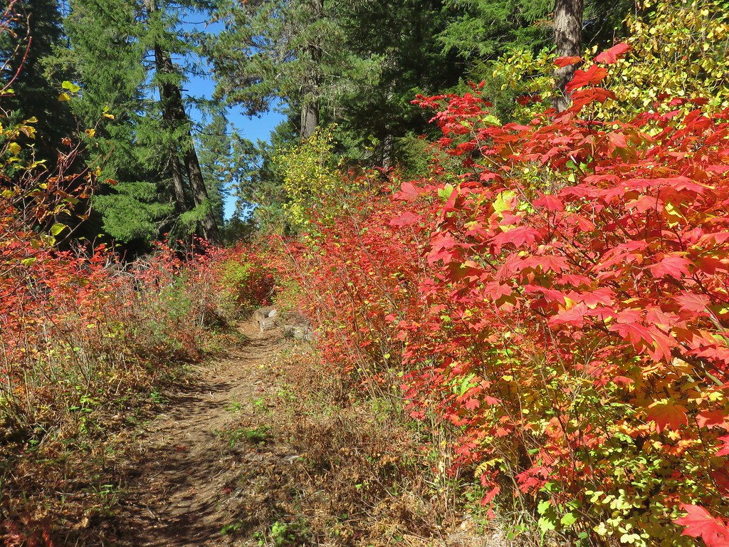
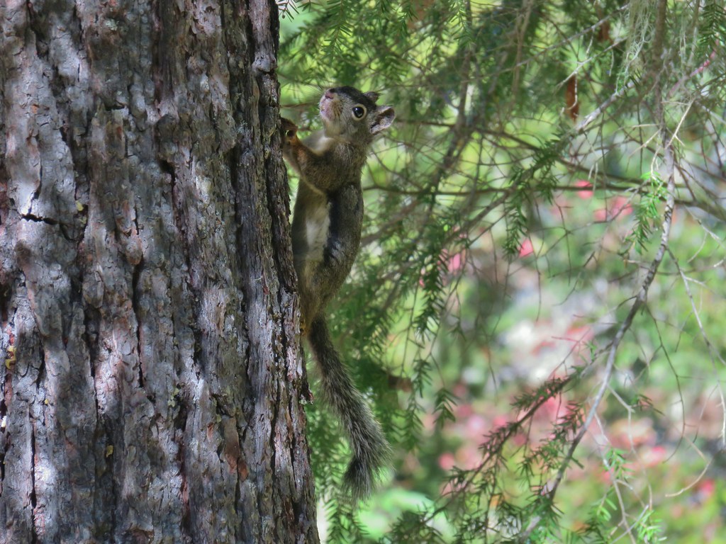
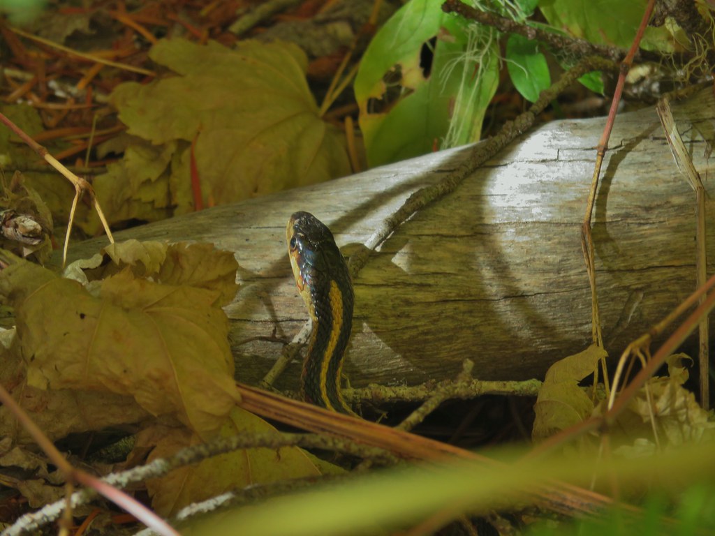
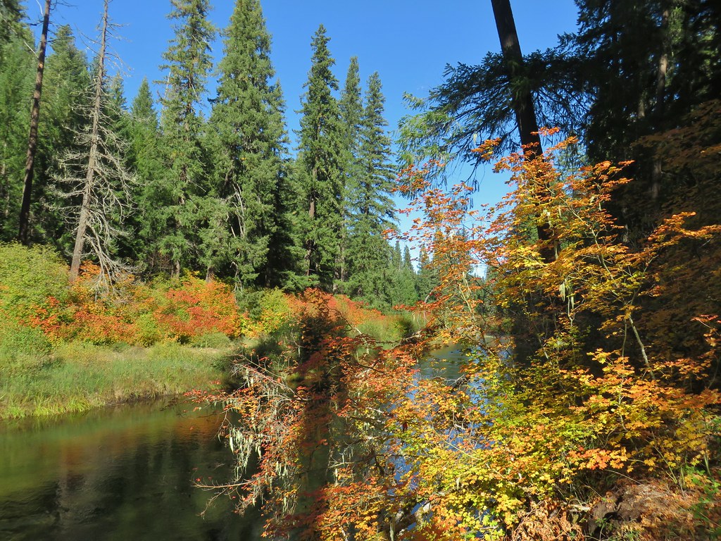
The mile and a half to Takelma Gorge had many river views with lots of fall colors lining the banks. There was also a varied thrush sighting that actually resulted in a few decent pictures (these birds are my nemesis when it comes to getting photos).

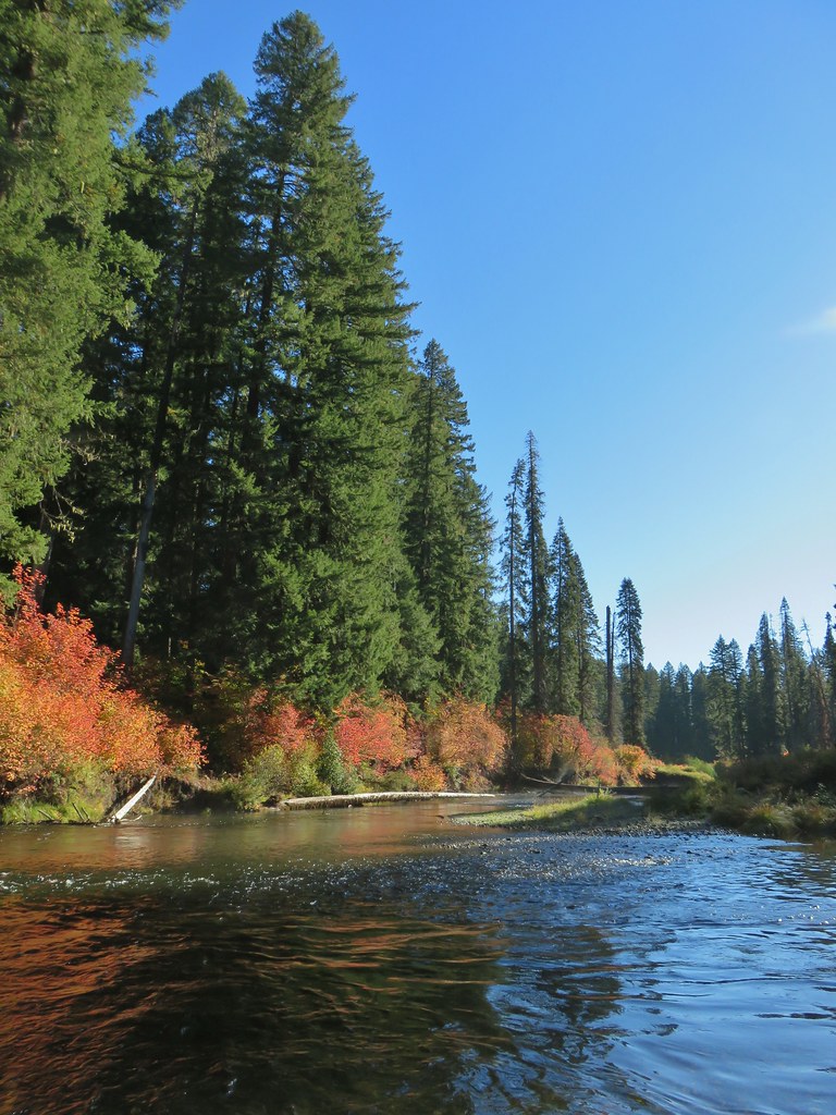


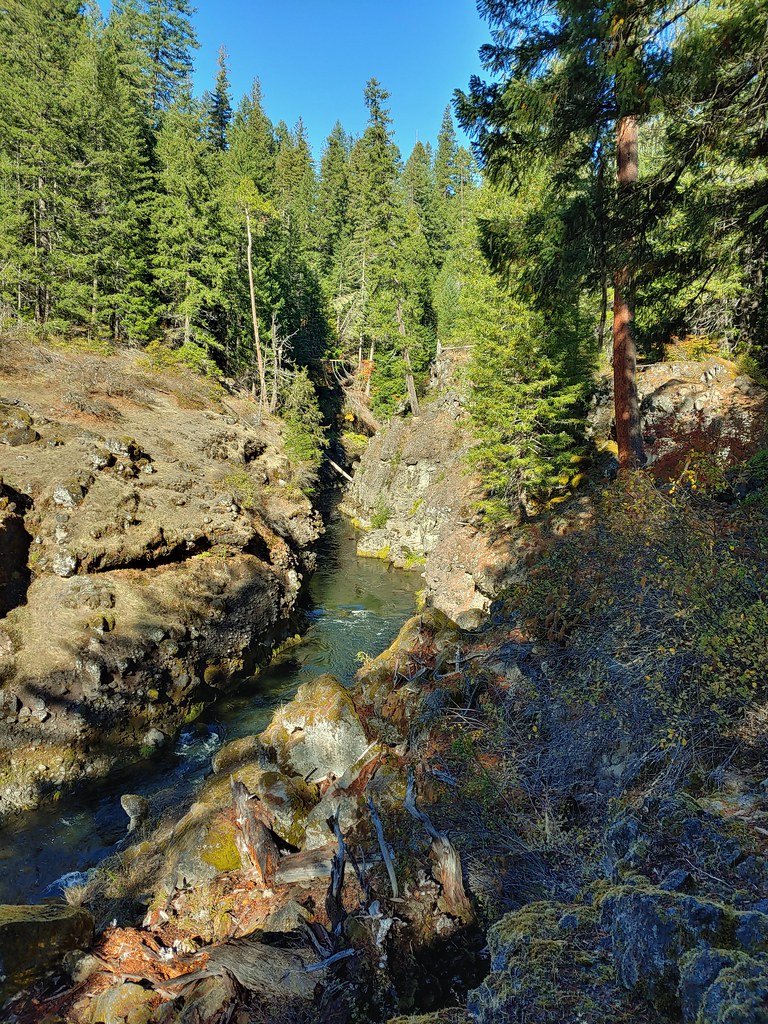
As we neared the gorge the river began to be squeezed through channels created by lava flows.

 Rogue River emerging from a channel.
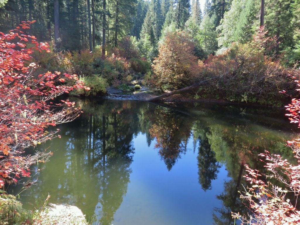
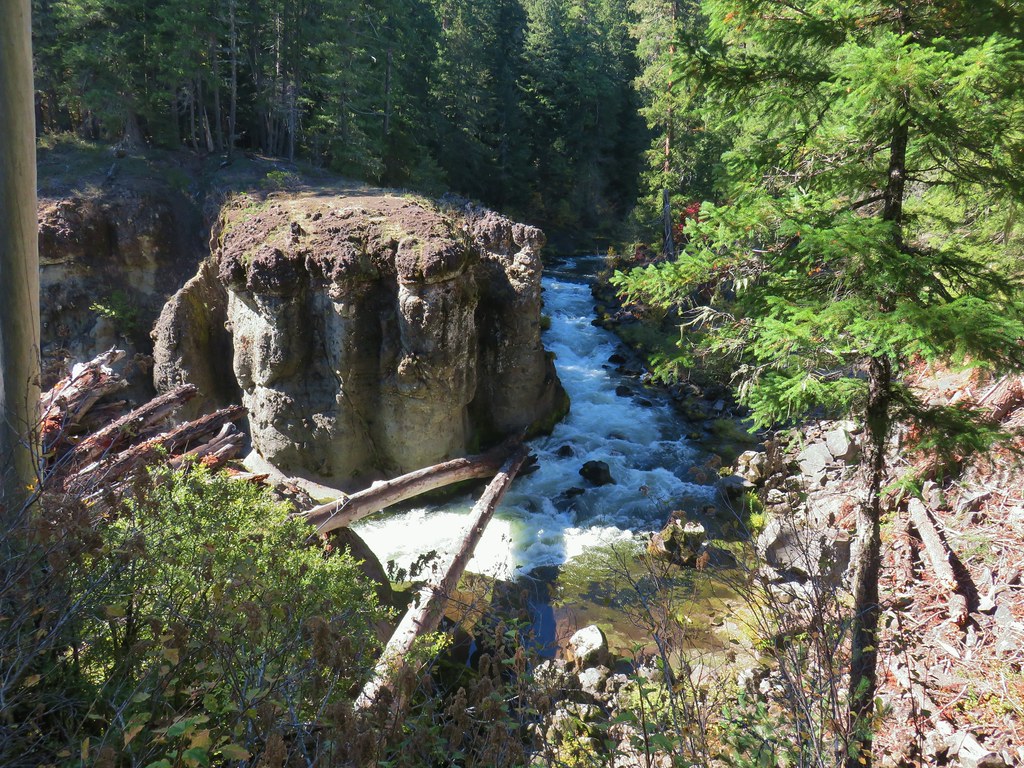
Takelma Gorge is also the result of a lava flow where the Rogue turns a sharp corner and blasts down the gorge.

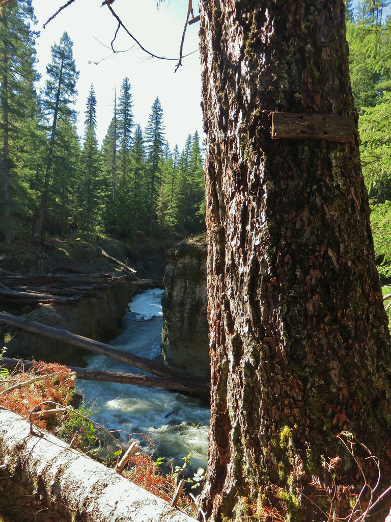

The trail follows along the rim of the gorge passing a couple of viewpoints over the next .9 miles.
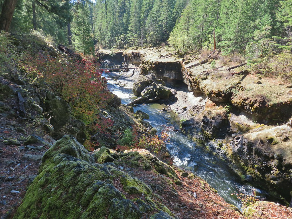


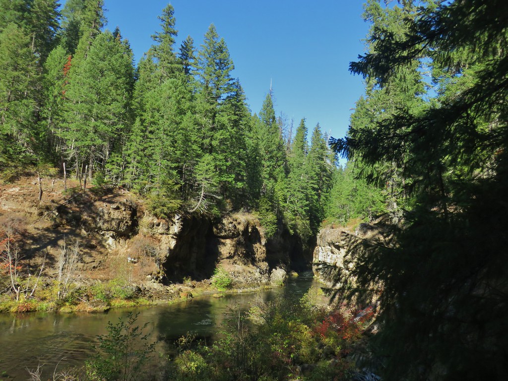 Rogue River emerging from Takelma Gorge.
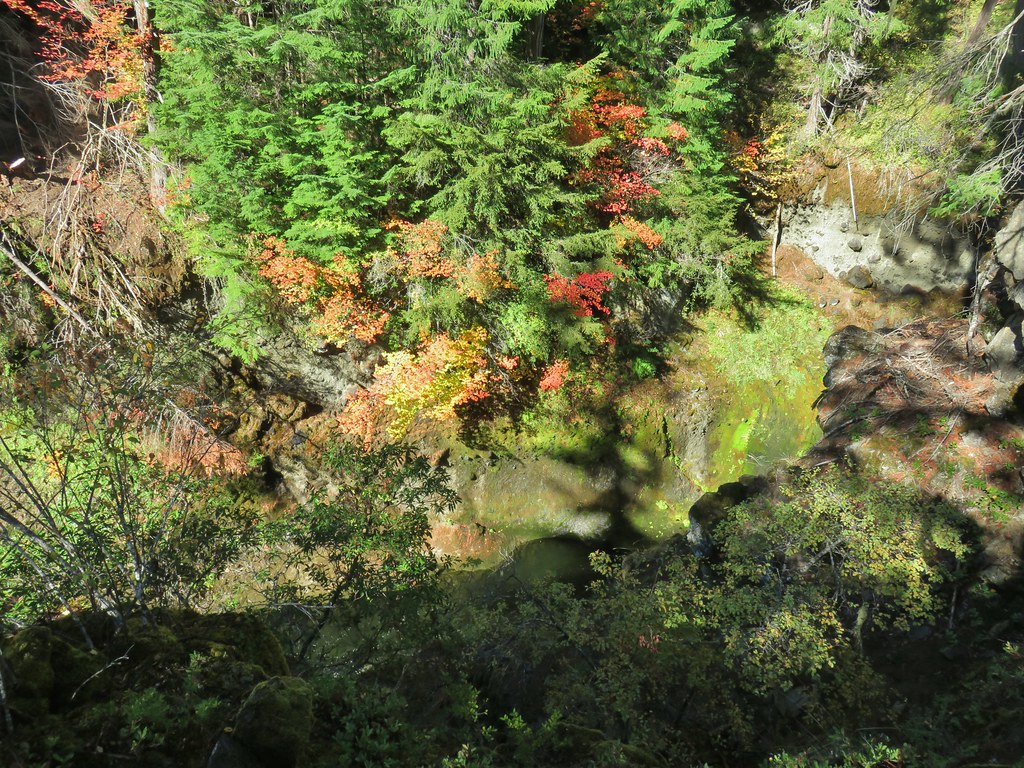
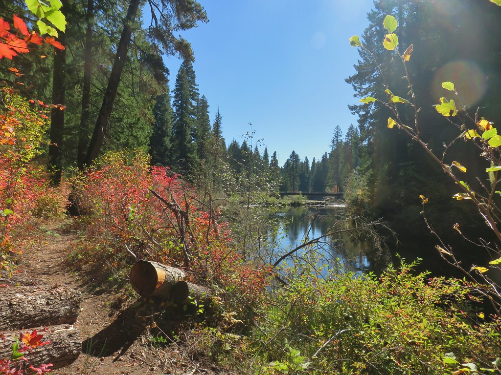
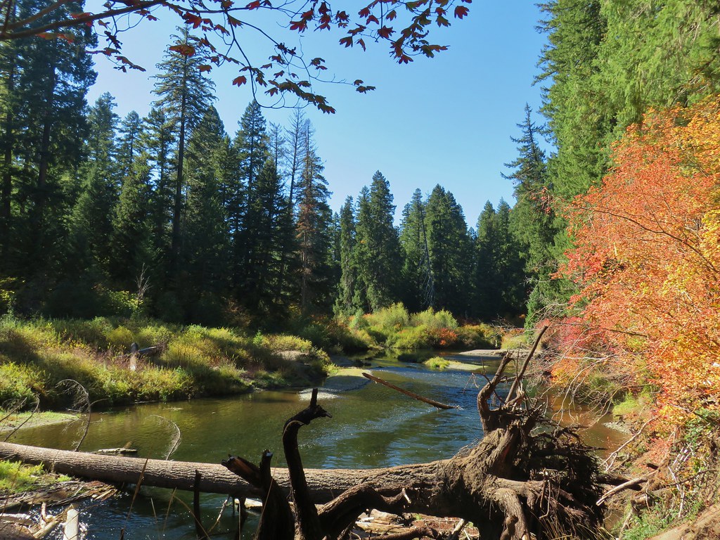
Either end of the gorge could have been turn around points but the Upper Rogue River Trail continues and so did we. From the southern end of Takelma Gorge it was just over two miles to the River Bridge Campground which we planned on making our turn around point. The nearly level trail remained close enough to the river to provide plenty of views.

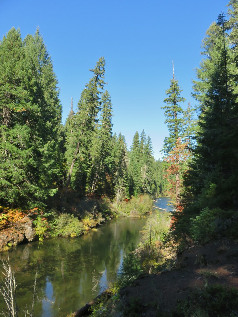
Just under a mile from the gorge we passed the Rogue Baptist Camp.

 Ouzel
Ouzel
 River Bridge
We turned around at the campground and headed back.

It was a beautiful day and somehow the colors and the gorge were even more impressive on the return hike.


When we got back to Woodruff Bridge we noticed some flagging and signage along the trail that had not been there earlier. Apparently there was a 50k race scheduled for Saturday (10/17). The race was an out and back starting and ending in Union Creek. The fact that the race would be happening Saturday helped us decide that Friday we would be doing the Natural Bridge hike since that would have us on trail following part of the race course.
We drove to Union Creek where we checked into the Union Creek Resort then after getting settled we walked across Highway 62 to get dinner from Beckie’s Cafe. After a thoroughly enjoyable dinner we decided to check out the area behind the cafe which was actually part of our next day’s hike. We managed to get ourselves turned around in the Union Creek Campground and our little after dinner stroll turned into a nearly mile out and back along Union Creek. It had been a nice start to the long weekend and we were looking forward to what the next day had to bring. Happy Trails!
