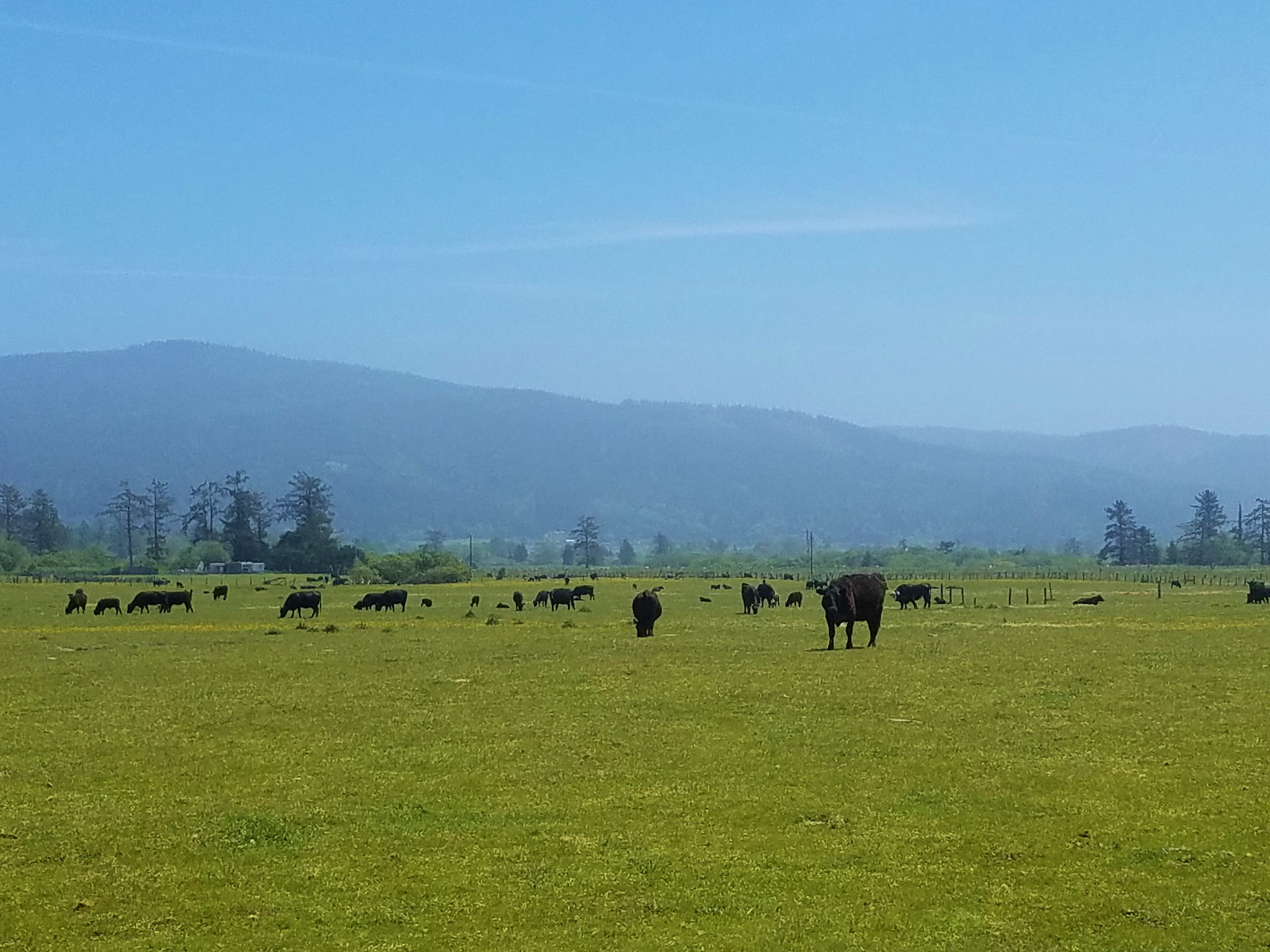
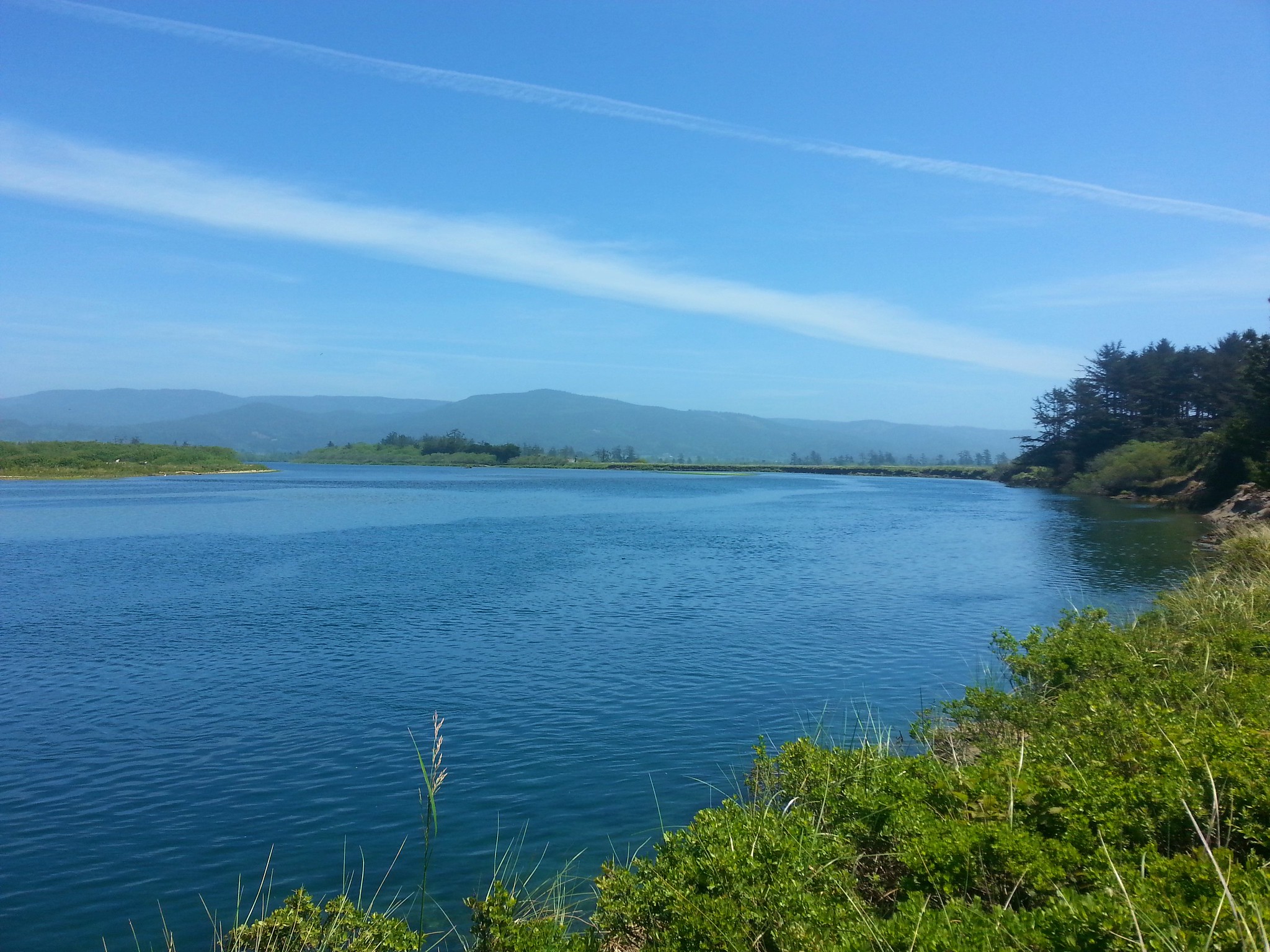
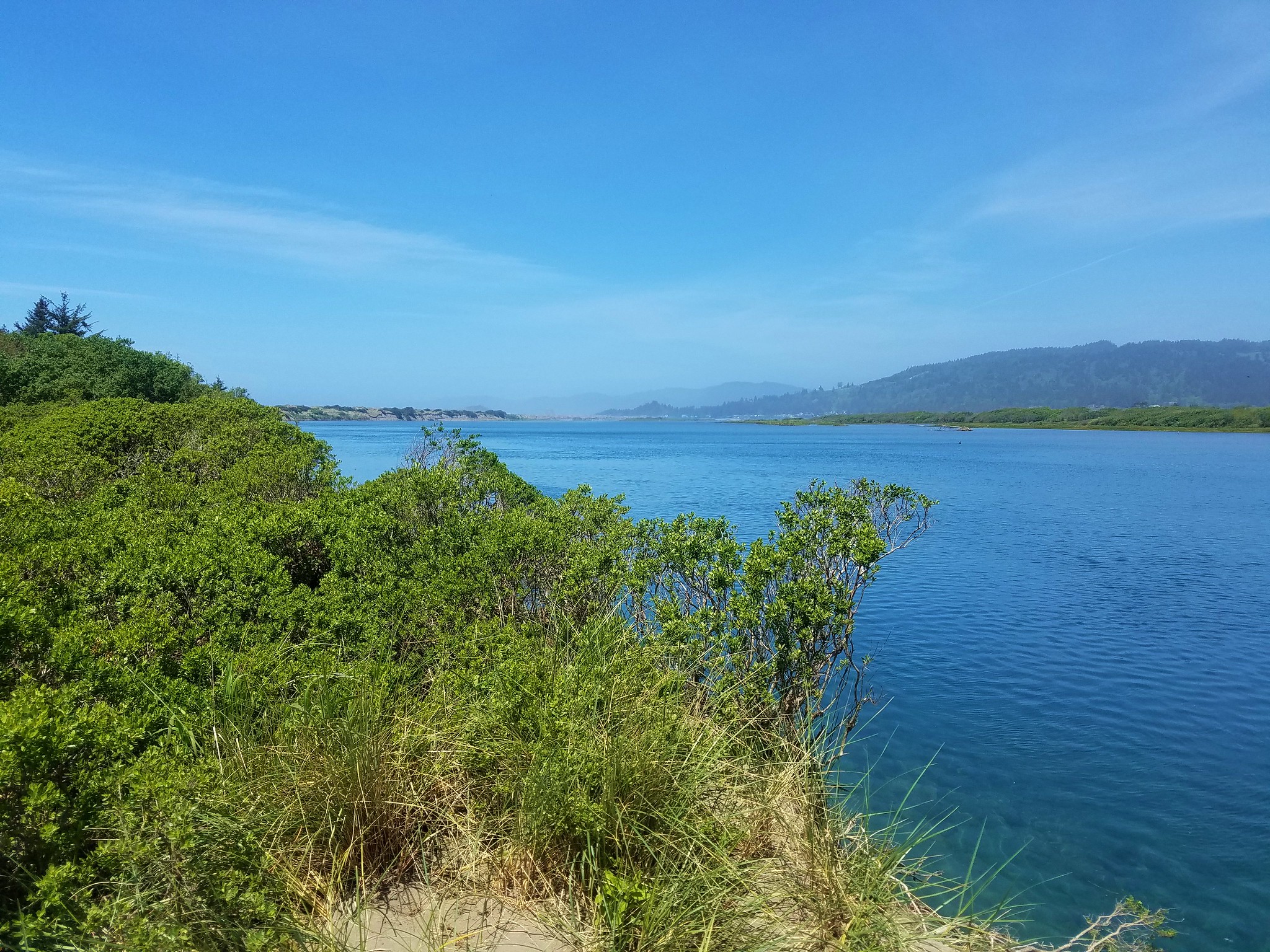
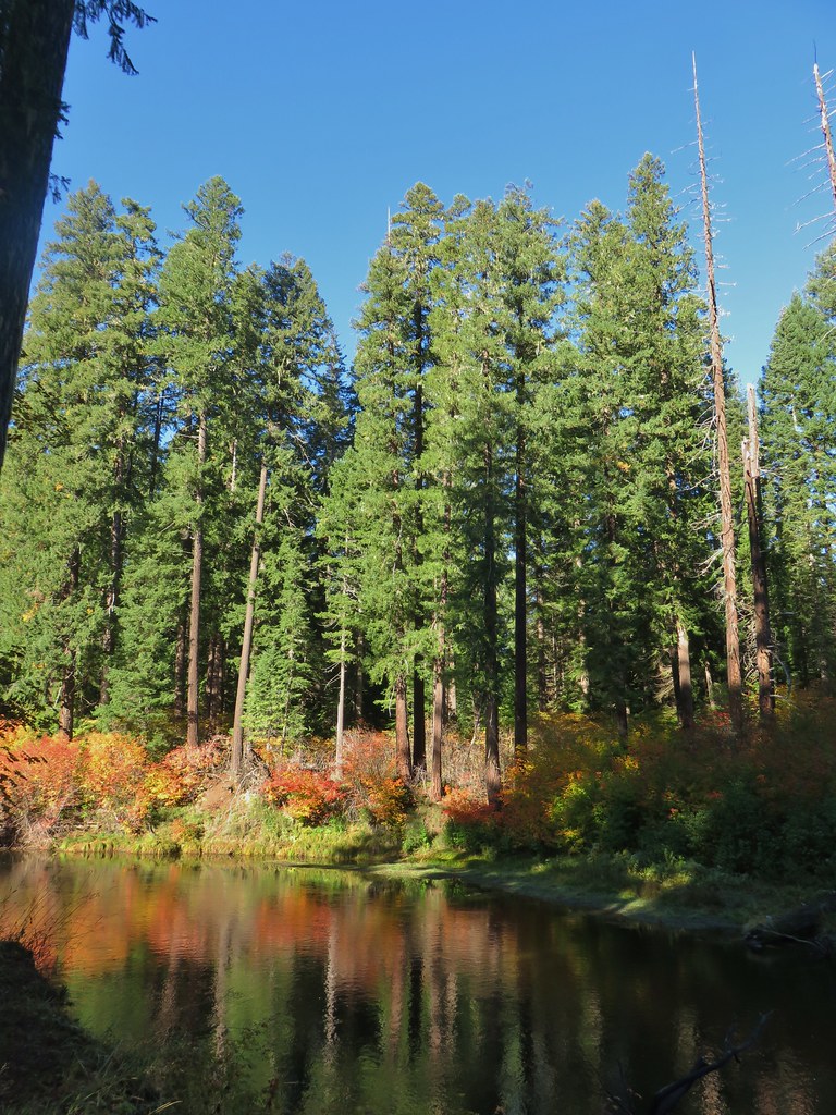
Several years ago we set a goal for ourselves to hike all 500 featured hikes in William L. Sullivan’s “100 Hikes…” series of guidebooks (post). In 2020 we completed the first of these books covering the Central Oregon Cascades (post). We followed that up by completing a pair of books in 2021 starting with Sullivan’s “100 Hikes/Travel Guide Oregon Coast and Coast Range” 3rd edition (post) followed up by “100 HIkes/Travel Guide Northwest Oregon & Southwest Washington” 4th edition (post).
Generally speaking in order to check a hike off our list we need to have hiked a substantial portion of Sullivan’s described hike or visited the main attraction(s) he identifies for the hike. For 66 of the hikes we followed the books described route. For the other 34 hikes various factors contributed to us not completing all of each featured hike. For some we started at a different trailhead, others had portions of trail(s) closed when we visited, and several had longer options that would have required multiple days to complete. In some other cases we did slightly different routes, sometimes by accident.
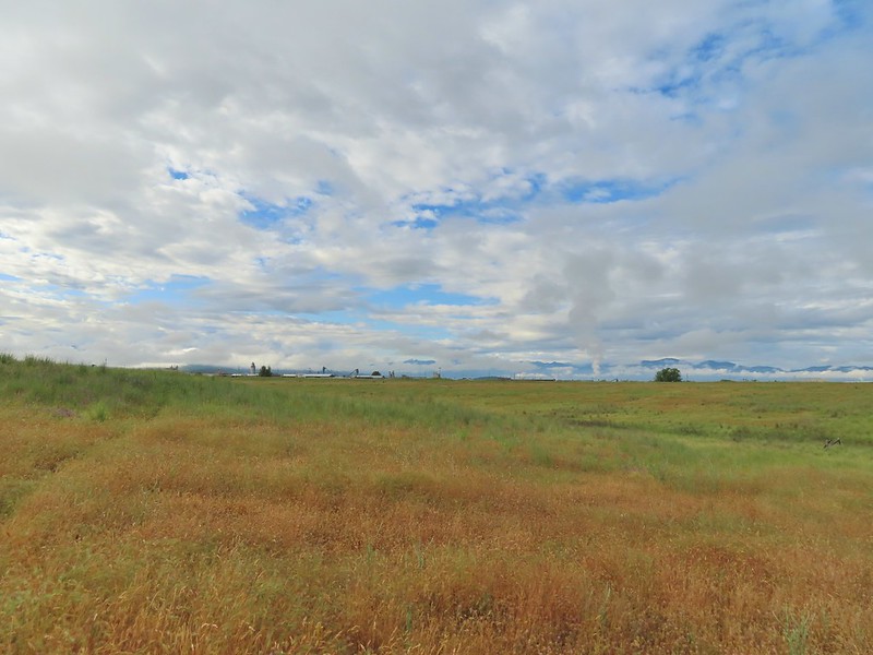
The area covered by Sullivan in this book, as the title suggests includes parts of Southern Oregon and Northern California. It contains his southernmost featured hike, Caribou Lakes. In general the area covered in Oregon begins just North of Roseburg extending East to Highway 97 (with the exception being Klamath Falls which is included in his Eastern Oregon book), South to California, and West to Marial on the Rogue River. In California the area extends south to the Trinity Alps Wilderness, West to the Siskiyou Wilderness, and East to the Mount Shasta Wilderness.


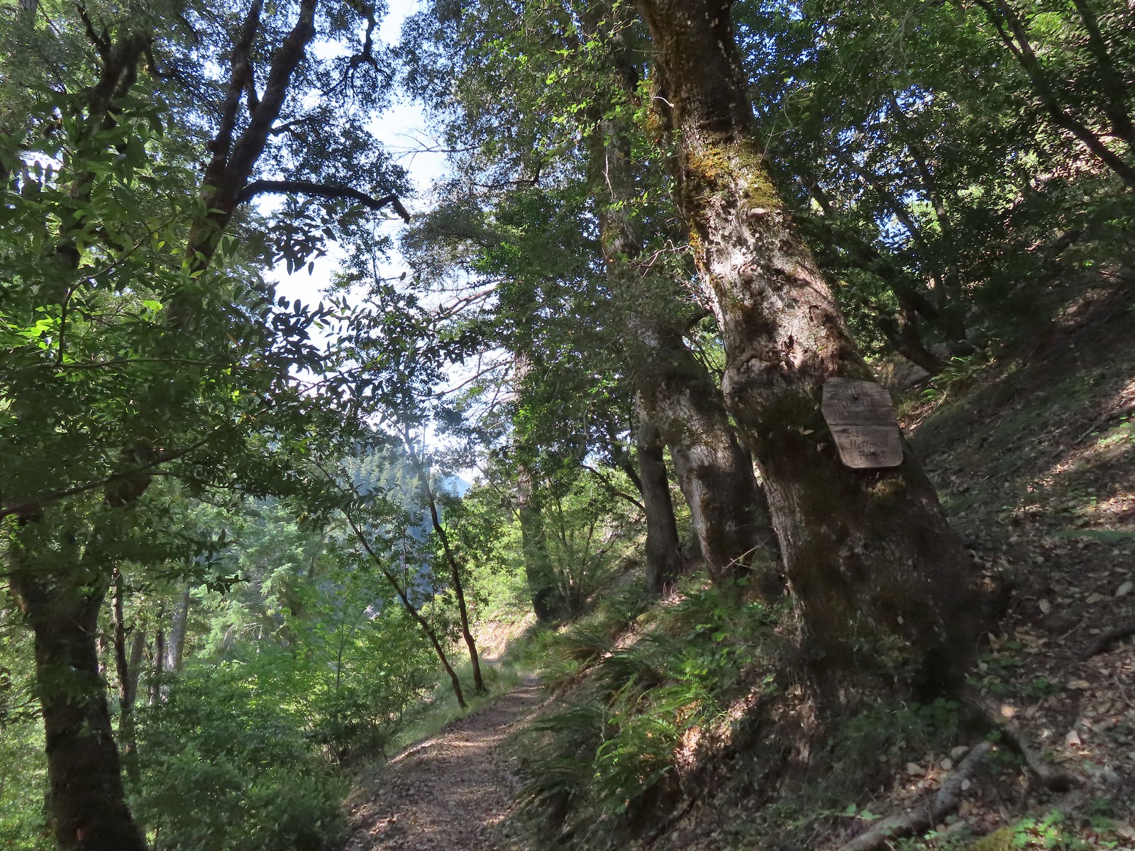
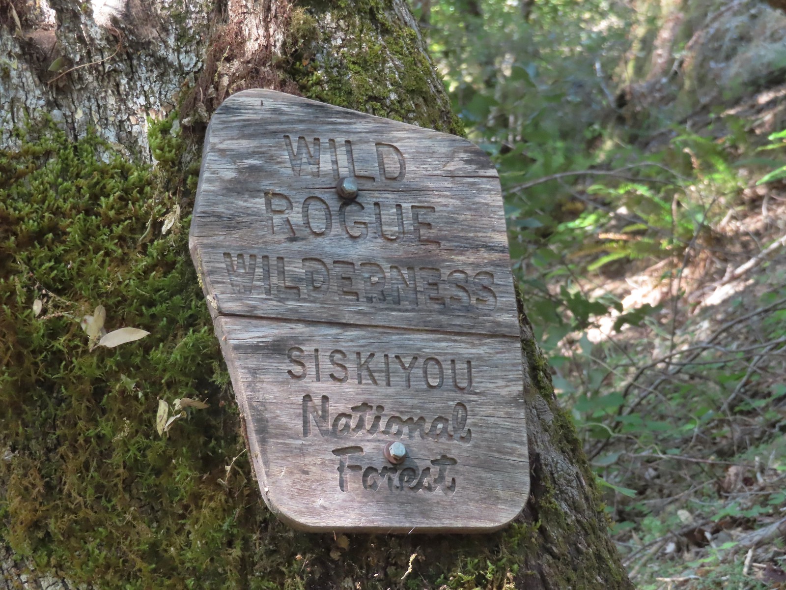
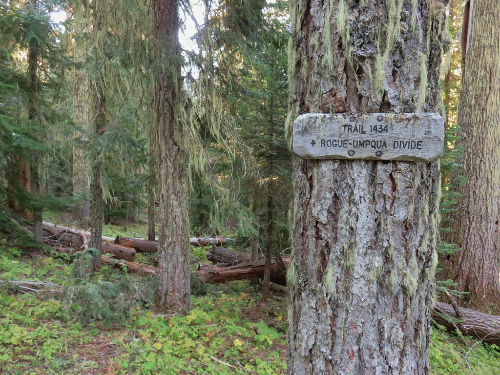
In addition to the three wilderness areas in California mentioned above the featured hikes included visits to the Marble Mountain, Castle Crags, Russian, and Red Buttes Wilderness areas in California. Wilderness areas in Oregon included the Red Buttes (OR & CA share this wilderness), Kalmiopsis, Wild Rogue, Soda Mountain, Mountain Lakes, Sky Lakes, Rogue-Umpqua Divide, Boulder Creek, and Mt. Thielsen.
In addition to the 15 designated wilderness areas there were hikes in two National Monuments – Oregon Caves & Cascade-Siskiyou, and Crater Lake National Park.
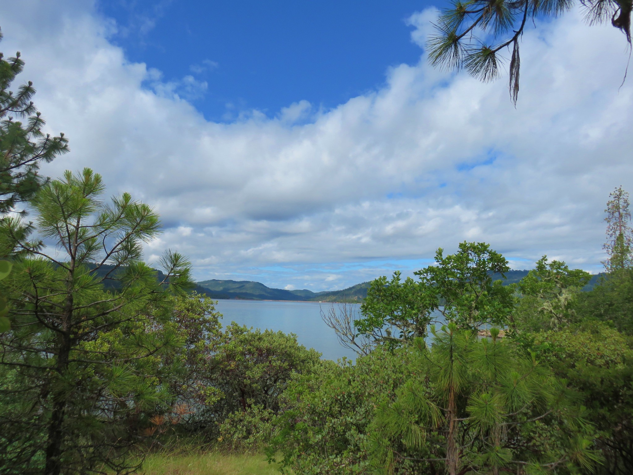
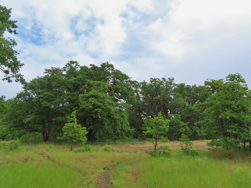
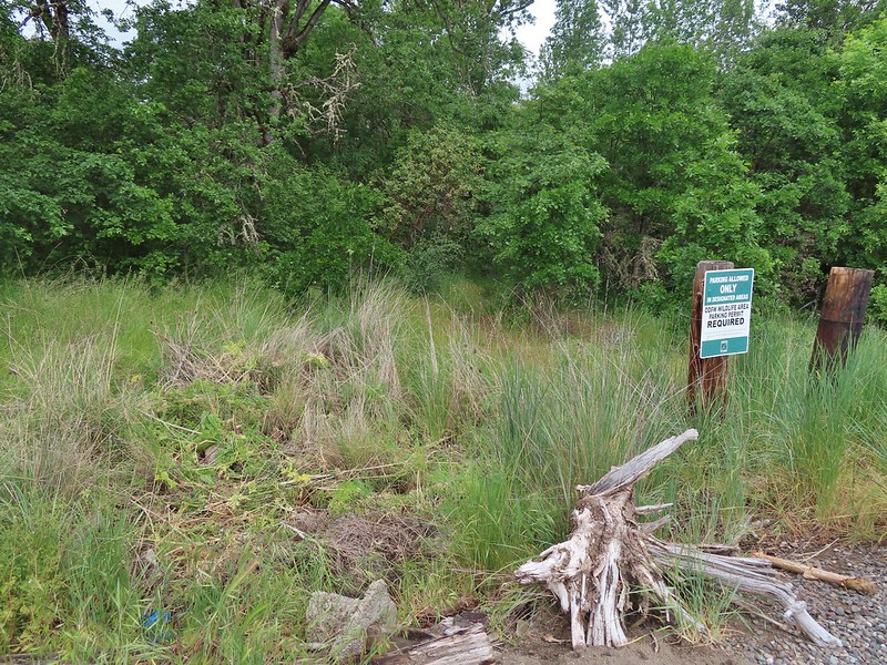
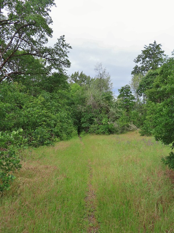
#1 North Bank Ranch-Hiked 6/5/2015 6/25/2023

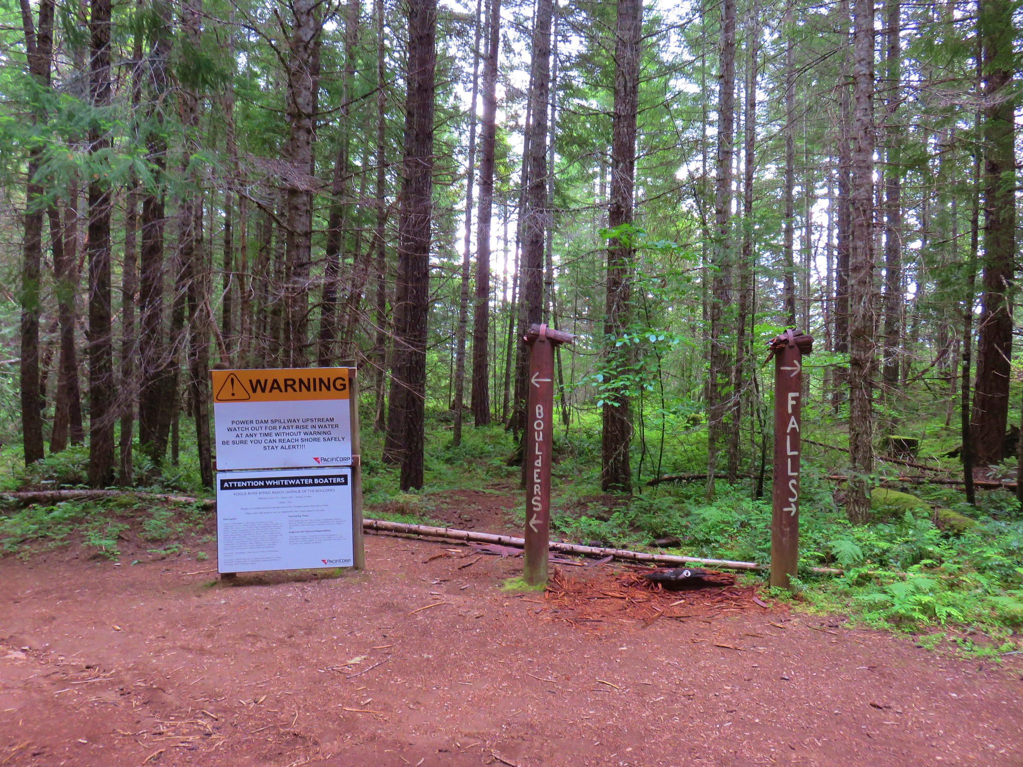
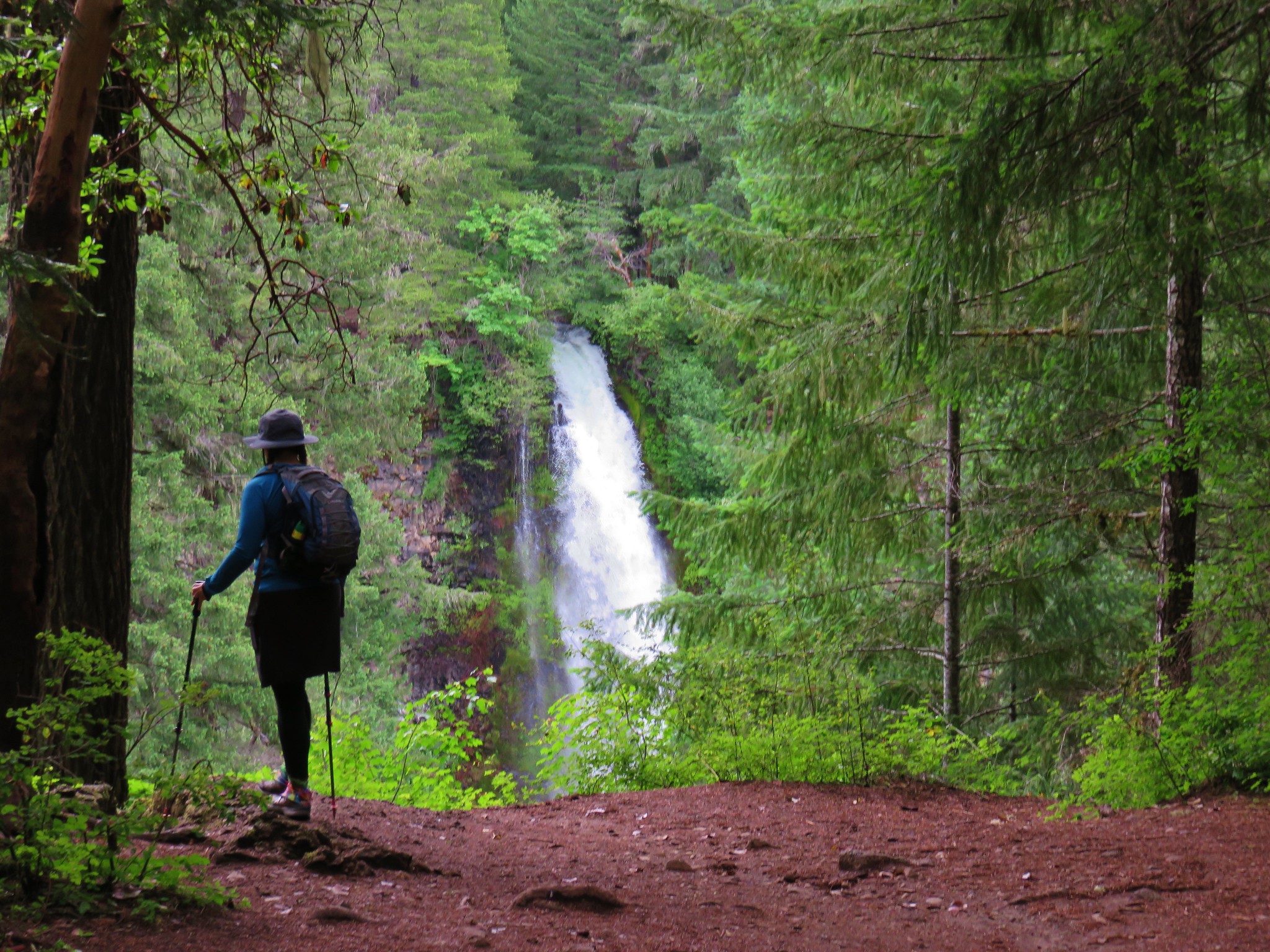
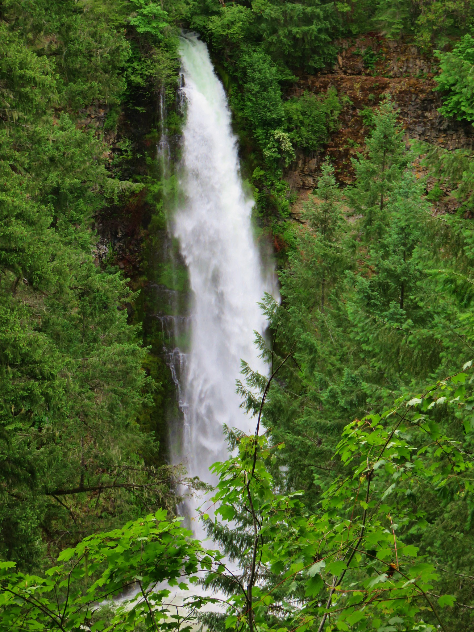
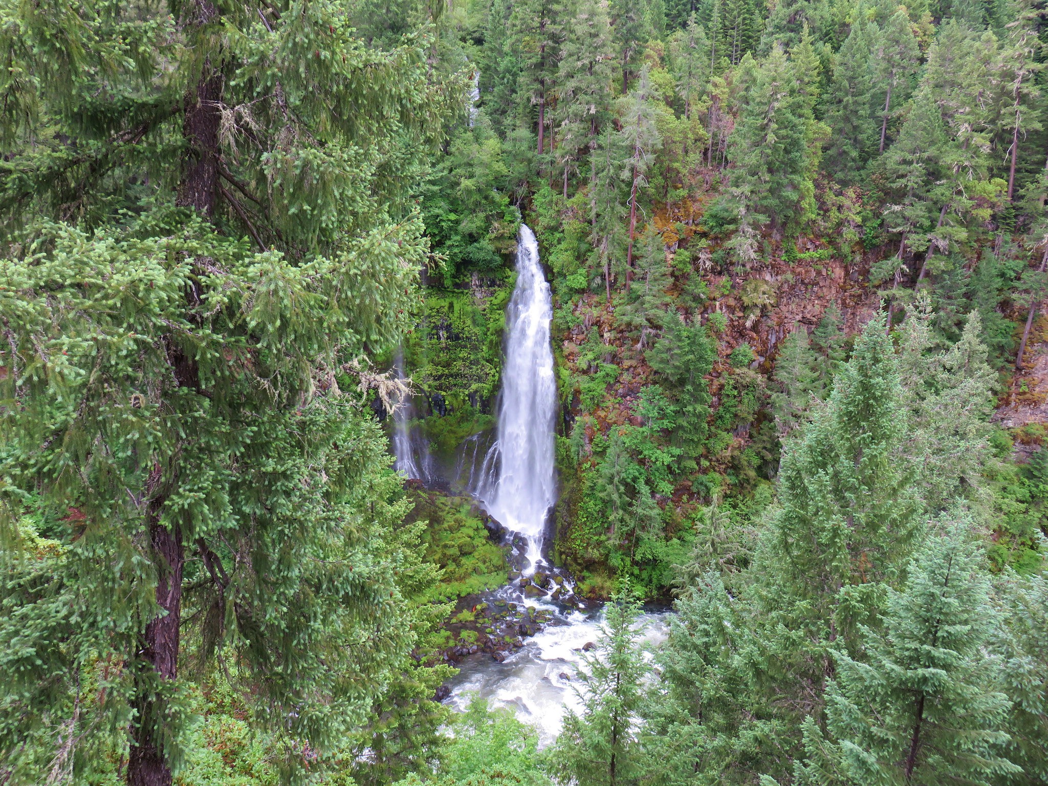
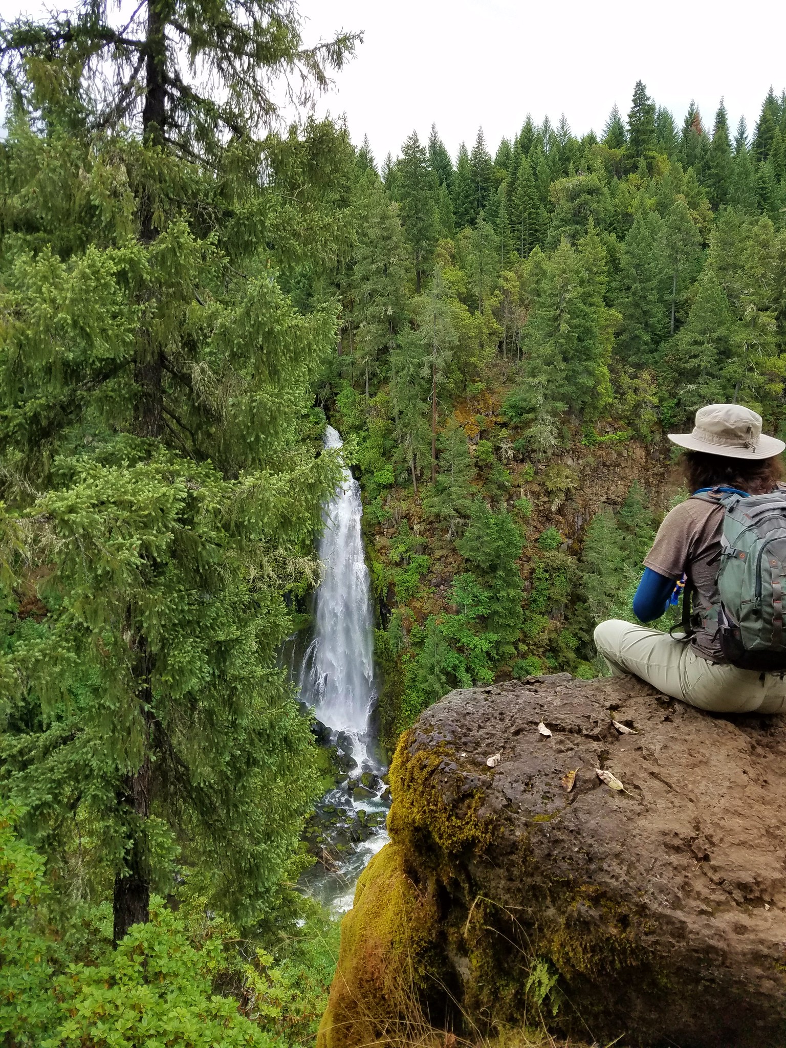
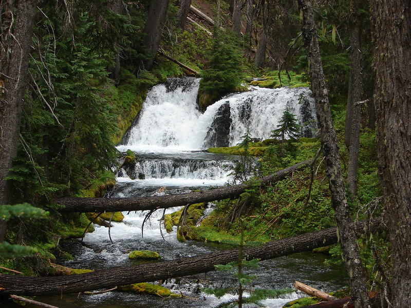
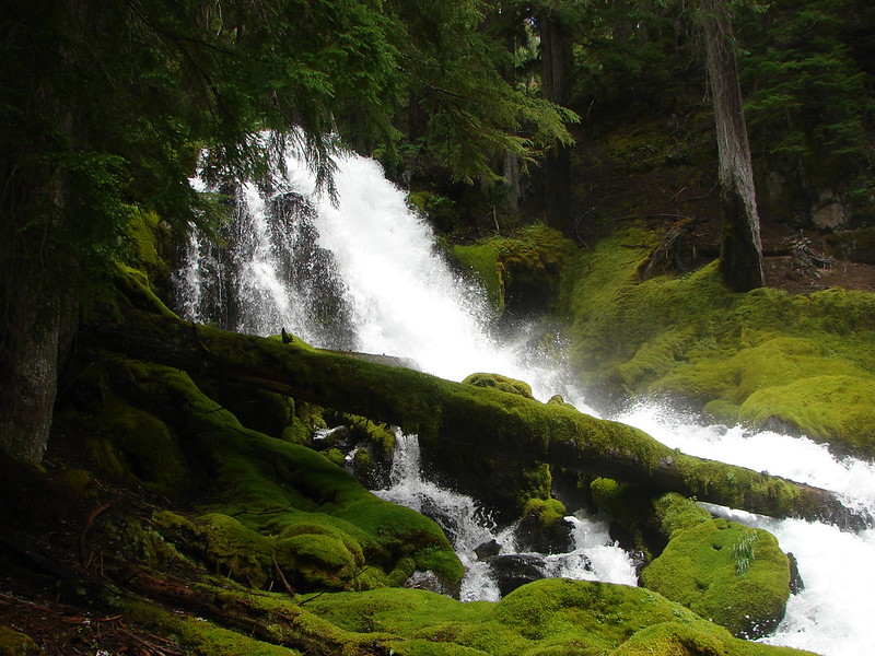
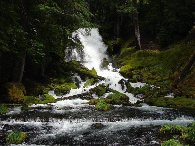
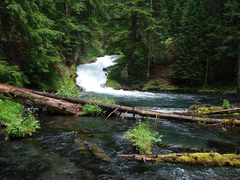
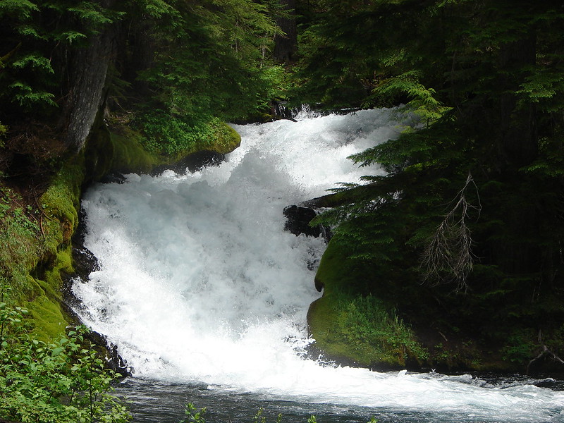
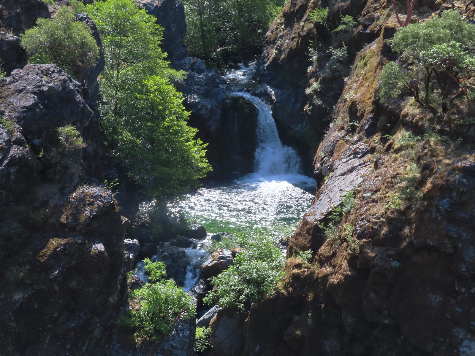
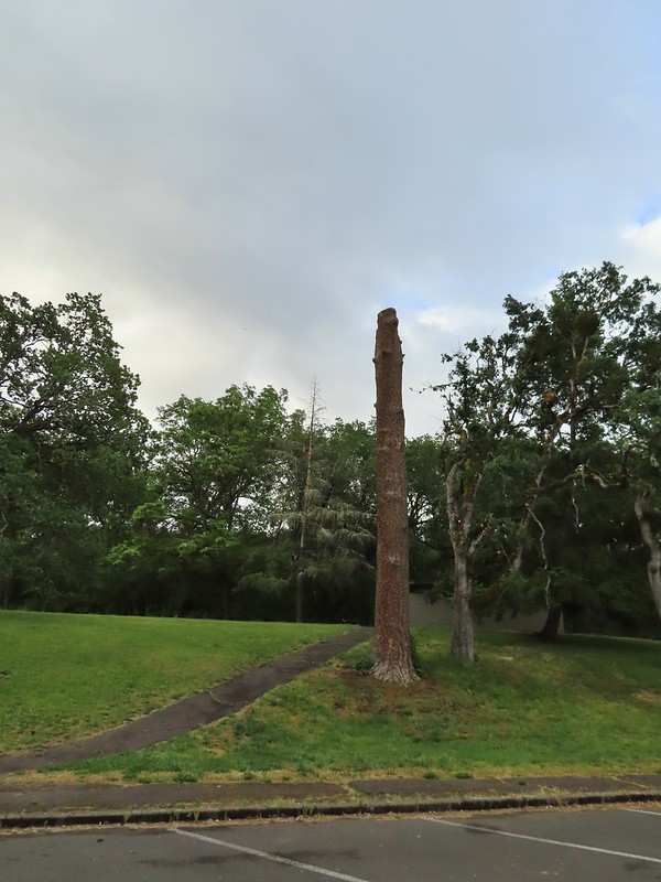
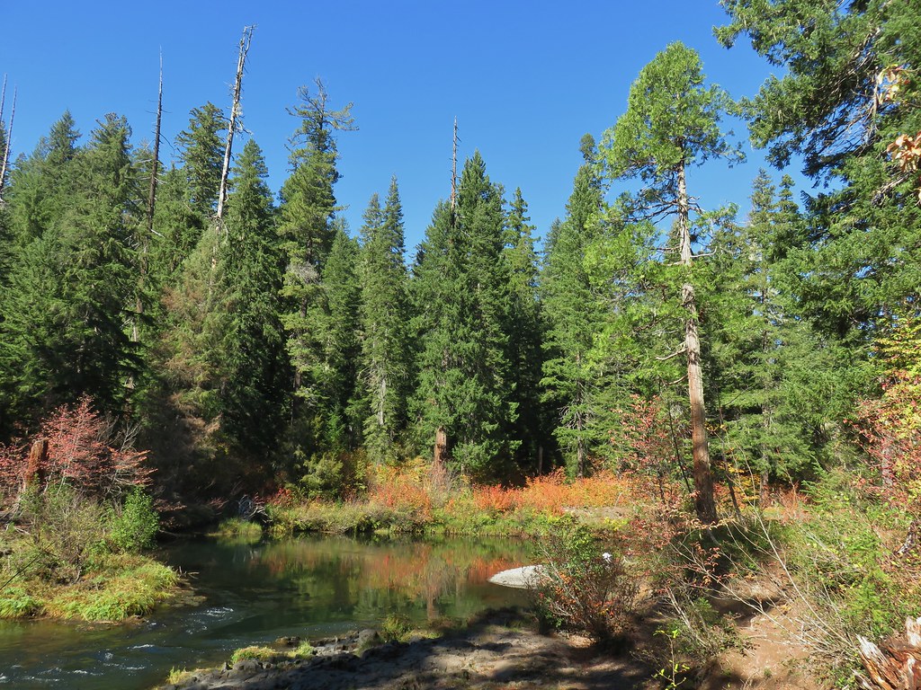
#2 Fall Creek Falls-Hiked 6/13/2022 8/7/2022 6/25/2023
 Fall Creek Falls
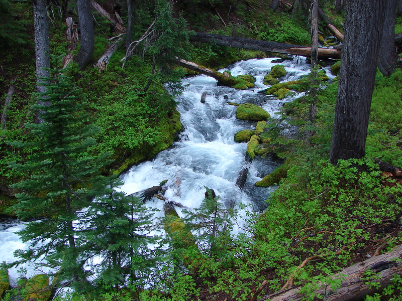
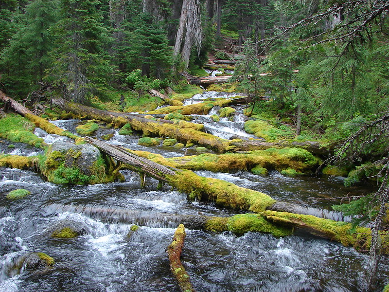
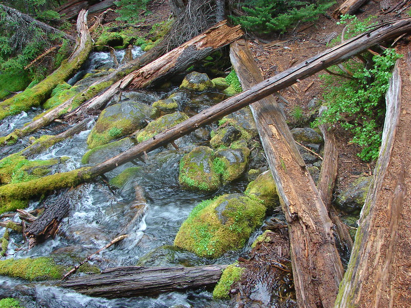
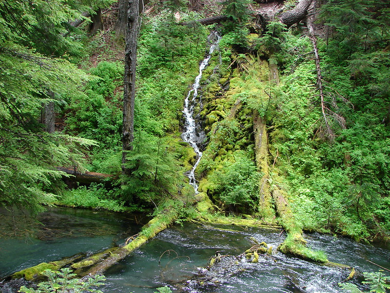
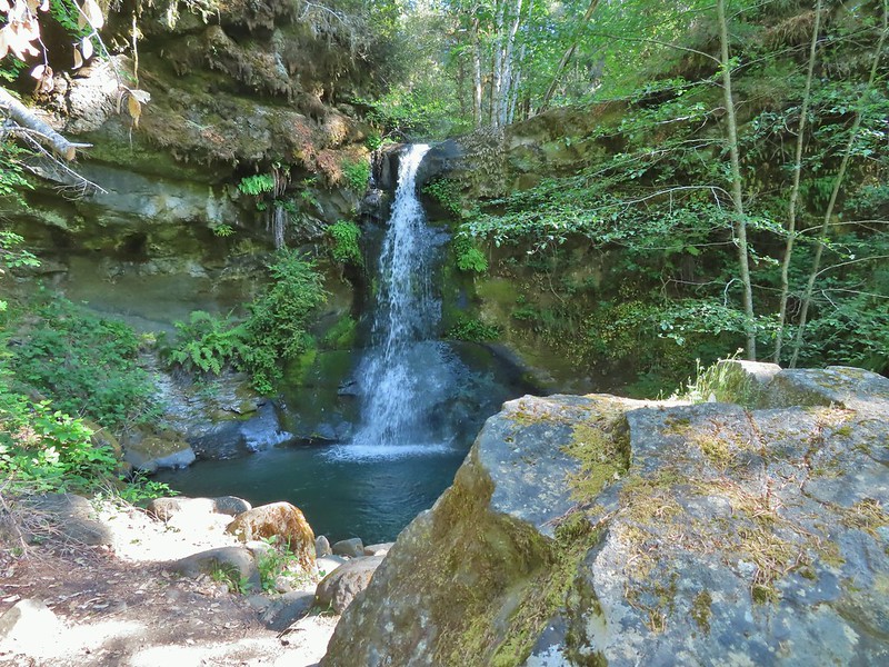
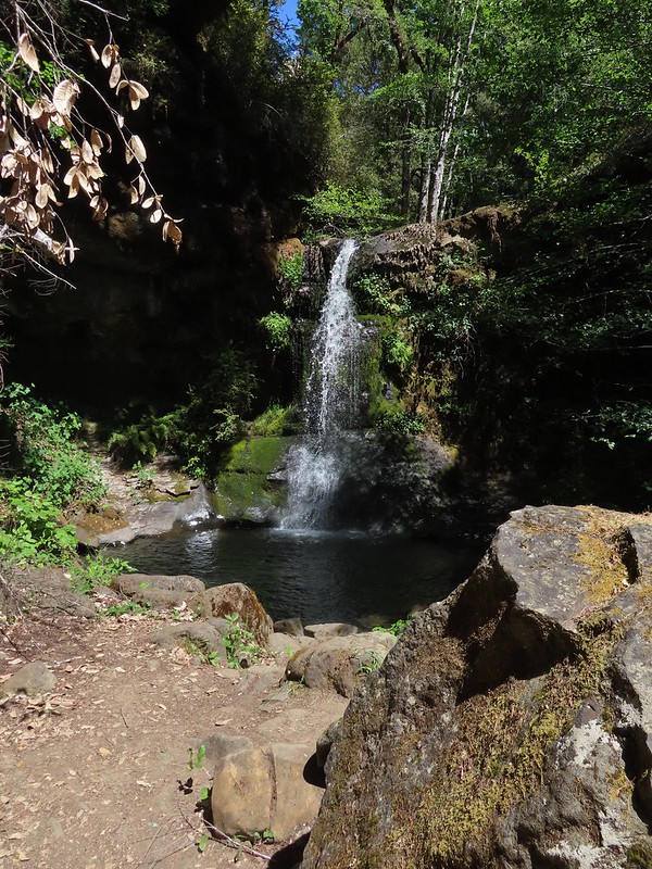
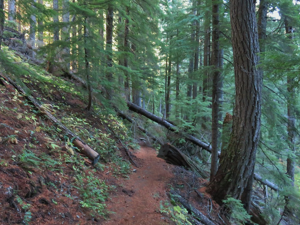
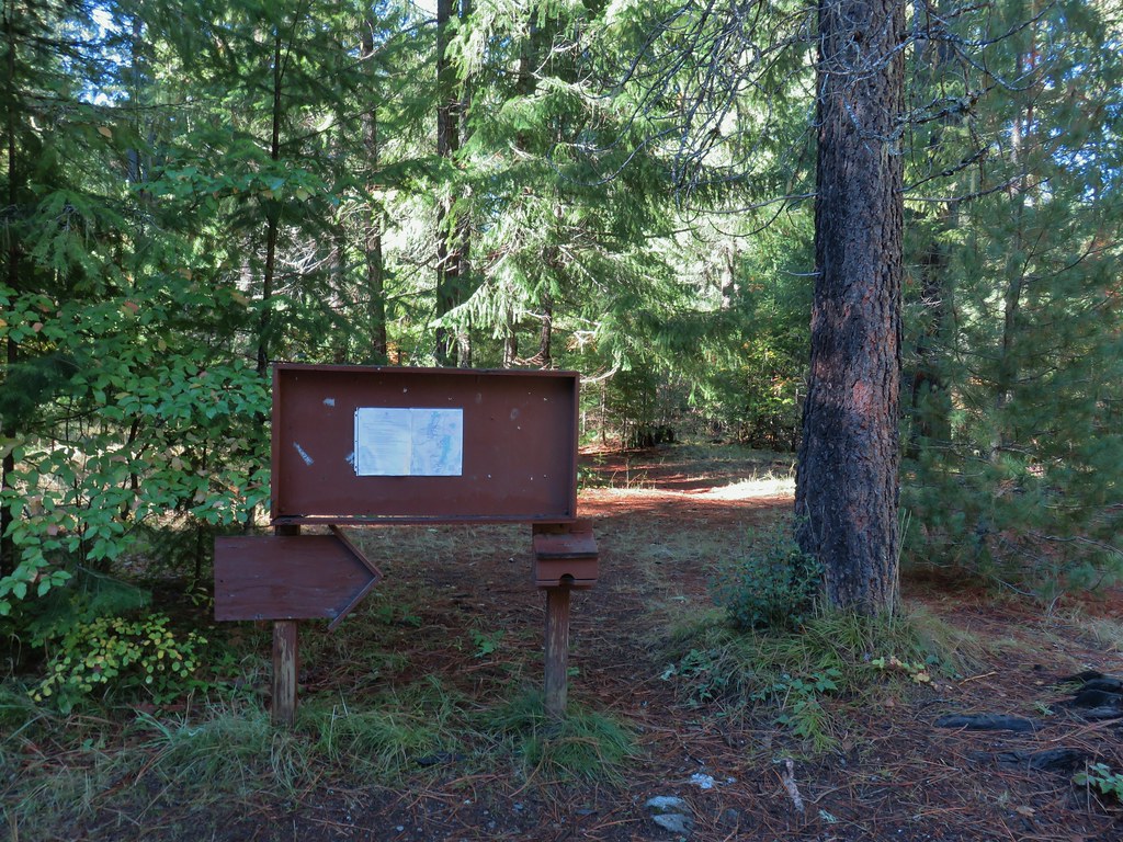
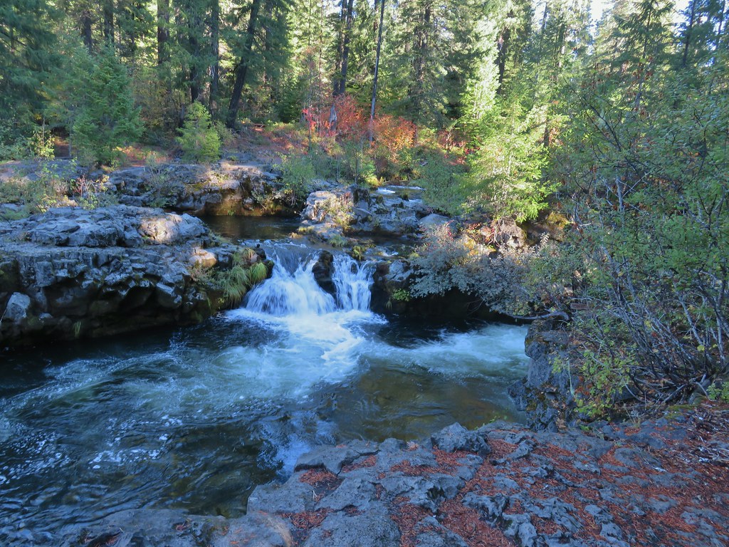
#3 Little River Waterfalls-Hiked 8/7/2022
 Yasko Falls
#4 Boulder Creek-Hiked 9/7/2020

#5 Twin Lakes-Hiked 6/14/2022

#6 Fish Lake-Hiked 9/3/2022

#7 Buckey and Cliff Lakes-Hiked 9/3/2022

#8 Umpqua Hot Springs-Hiked 6/13/2022

#9 Toketee and Watson Falls-Hiked 6/13/2022

#10 Lemolo Falls-Hiked 6/13/2022

#11 Cowhorn Mountain-Hiked 9/15/2016

#12 Miller and Maidu Lakes-Hiked 8/1/2012

#13 Tipsoo Peak-Hiked 10/2/2014

#14 Thielsen Creek-Hiked 8/8/2020

#15 Mount Thielsen-Hiked 9/23/2012

#16 Diamond Lake-Hiked 9/5/2020

#17 Mount Bailey-Hiked 8/12/2012

#18 Boundary Springs-Hiked 6/13/2014

#19 Park Headquarters-Hiked 7/31/2023

#20 Garfield Peak-Hiked 7/31/2023

#21 Discovery Point-Hiked 9/19/2022

#22 The Watchman-Hiked 8/12/2012 7/31/2023

#23 Wizard Island-Hiked 8/1/2023

#24 Mount Scott-Hiked 10/2/2014

#25 Plaikni Falls and The Pinnacles-Hiked 7/30/2023

#26 Crater Peak-Hiked 7/30/2023

#27 Annie Creek & Godfrey Glen-Hiked 7/30/2023 7/31/2023

#28 Union Peak-Hiked 9/17/2022

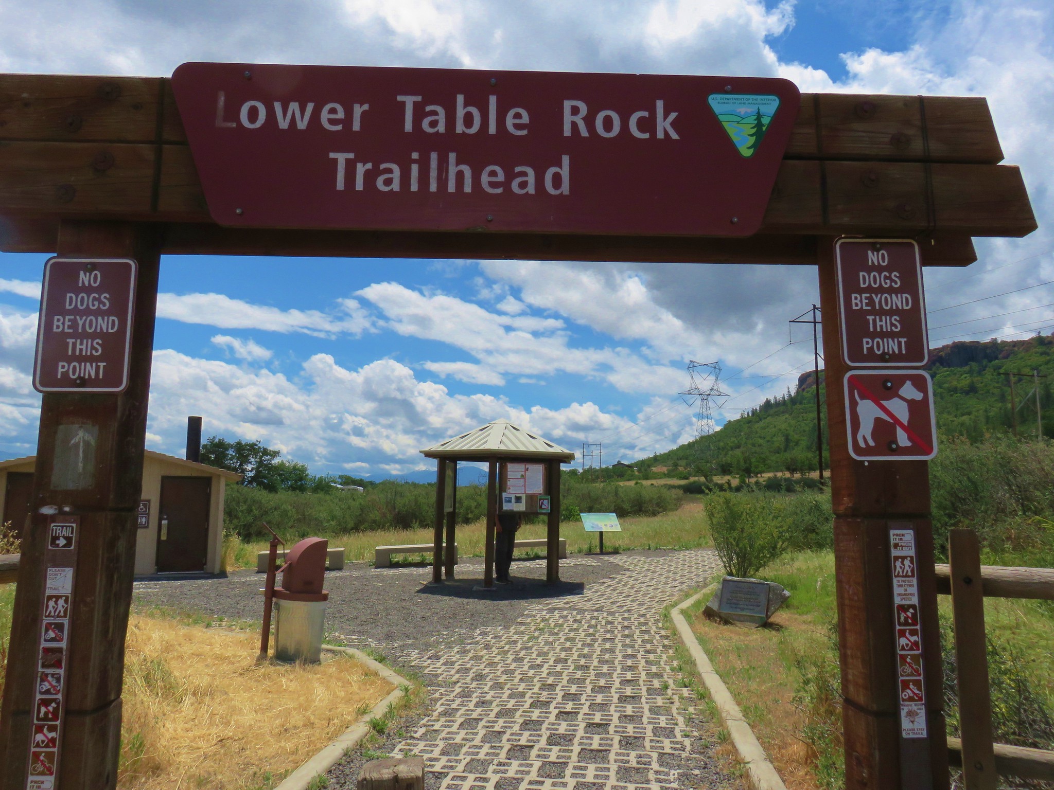
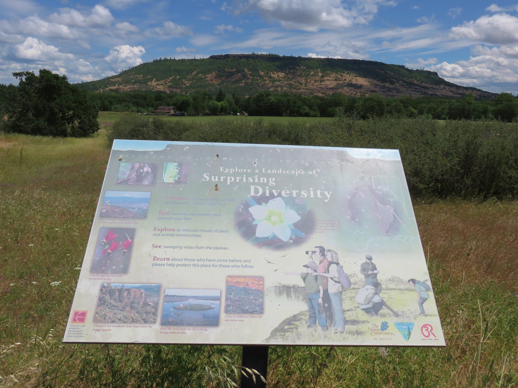
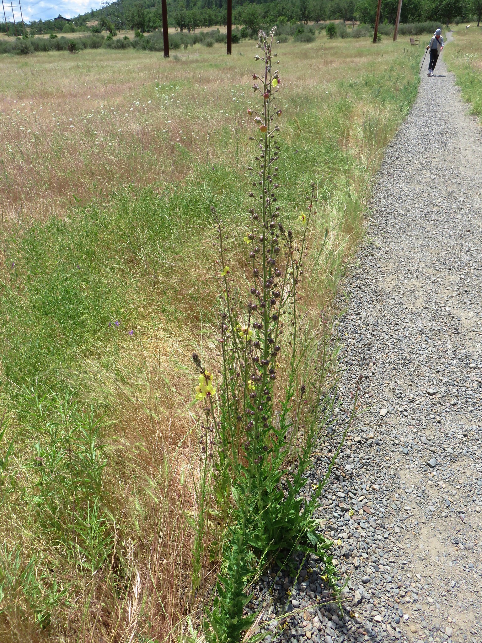
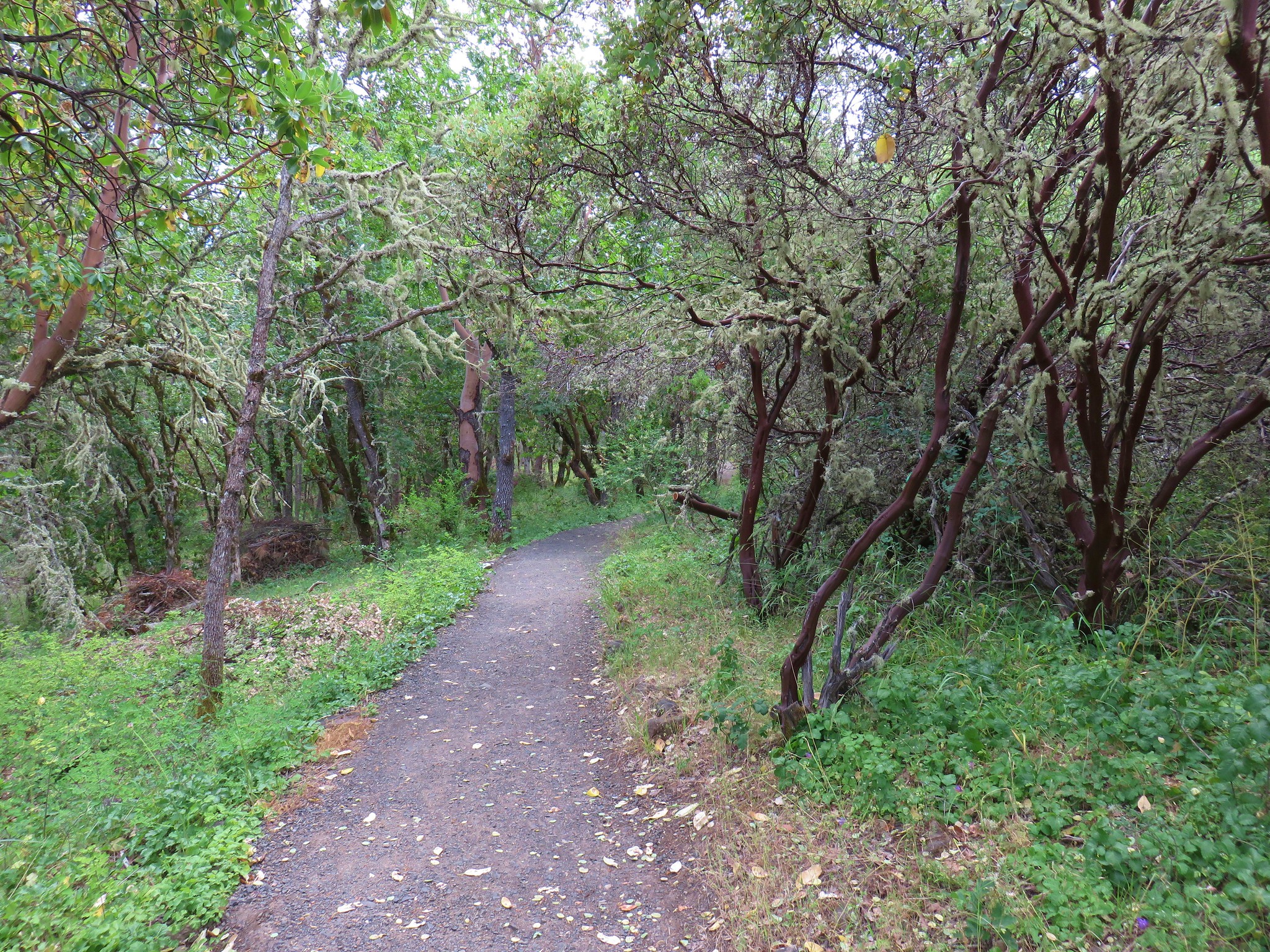
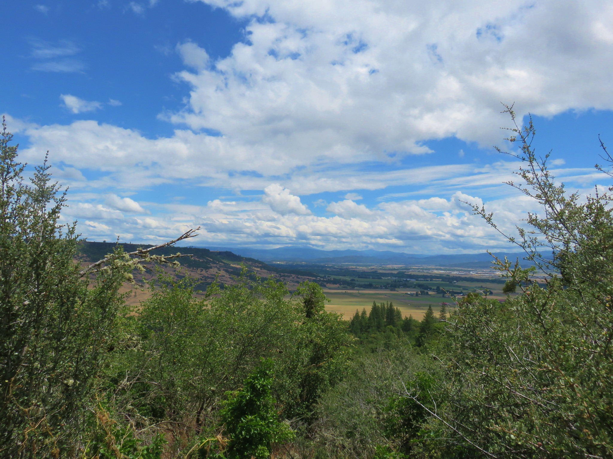
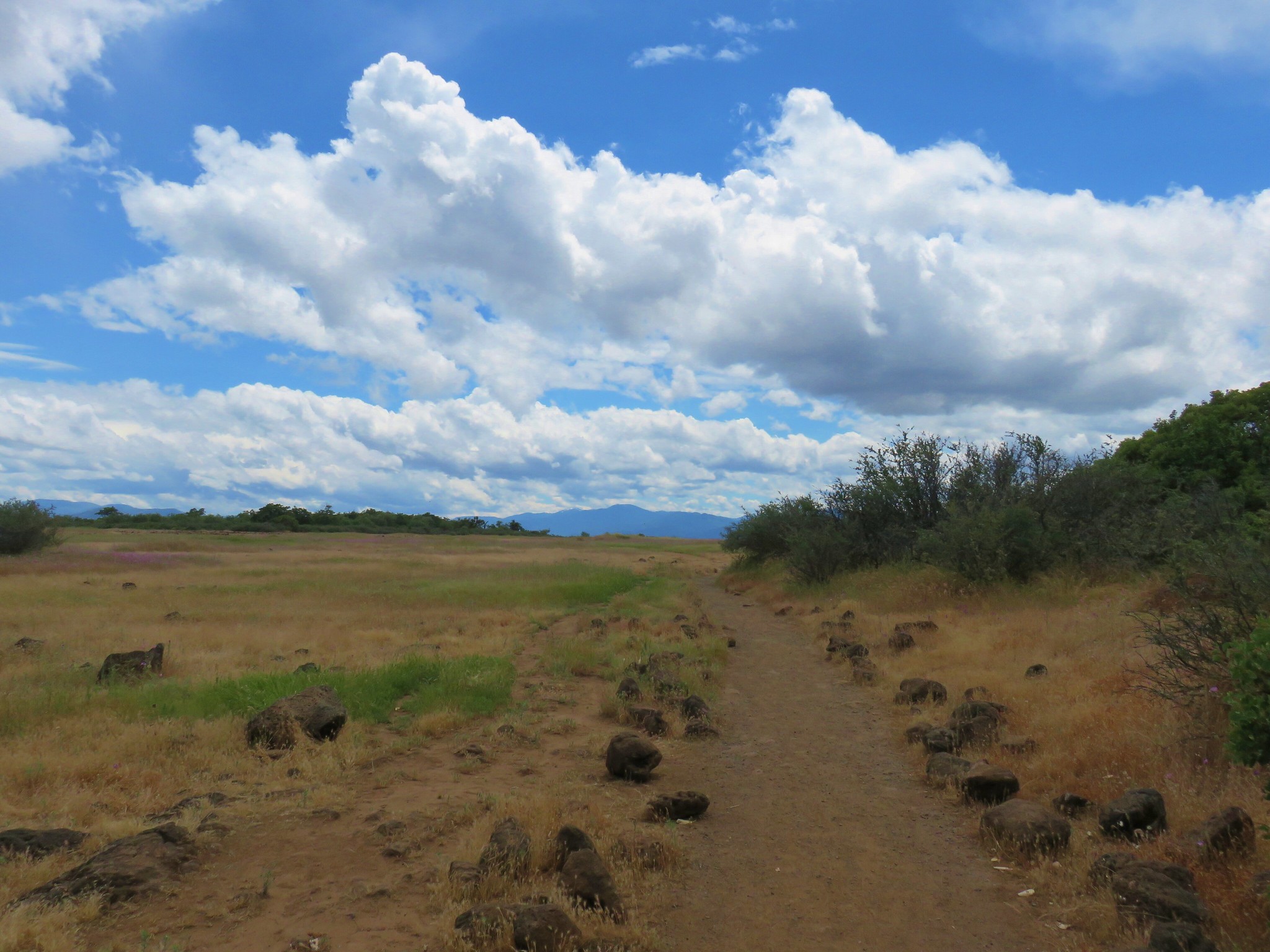
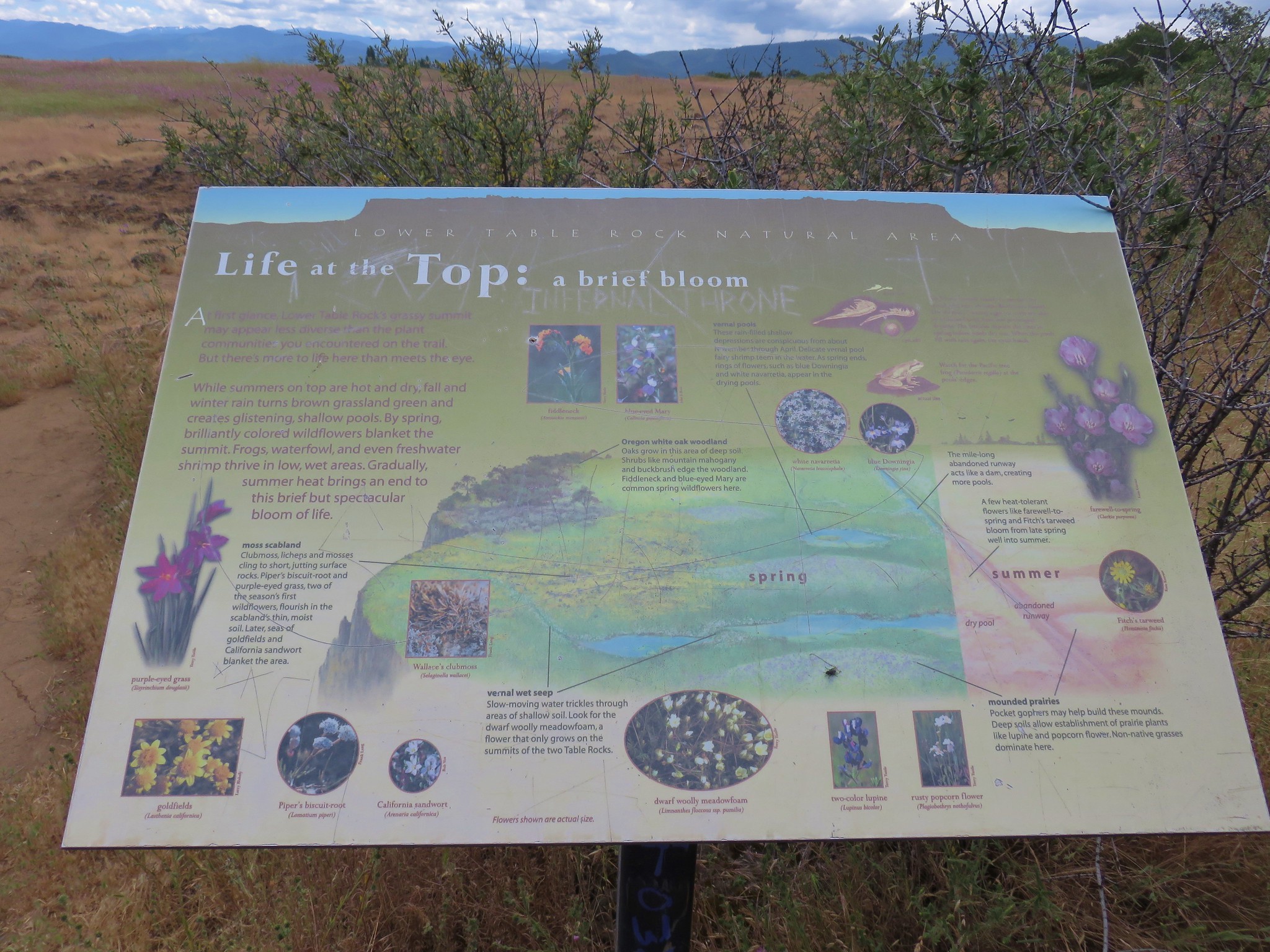
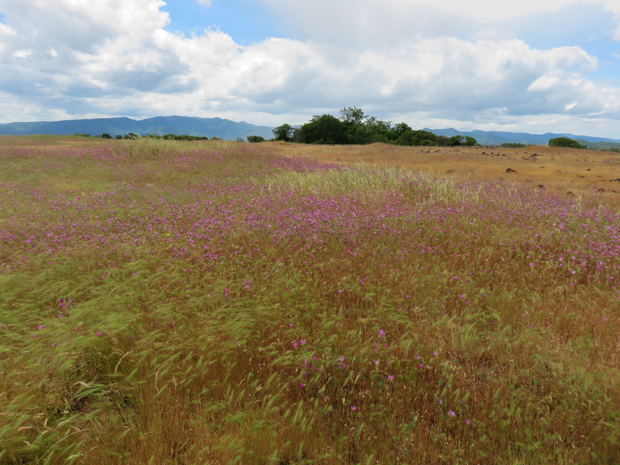
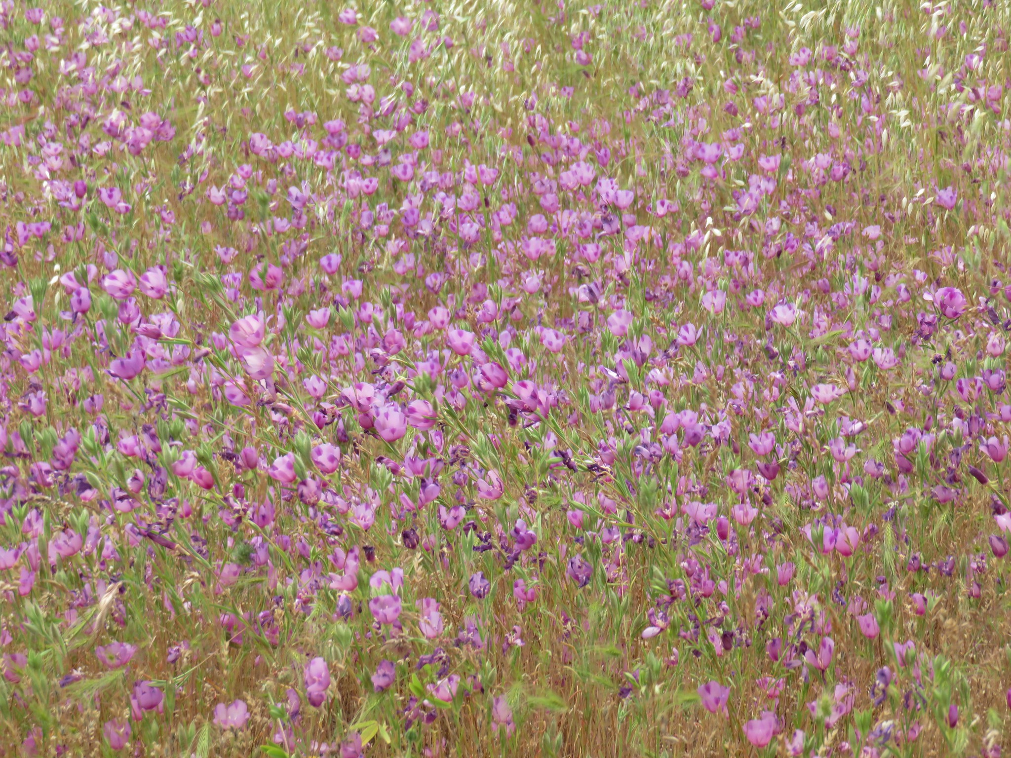
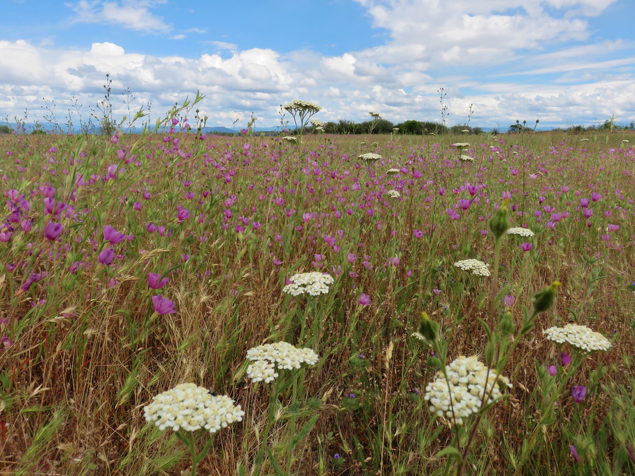
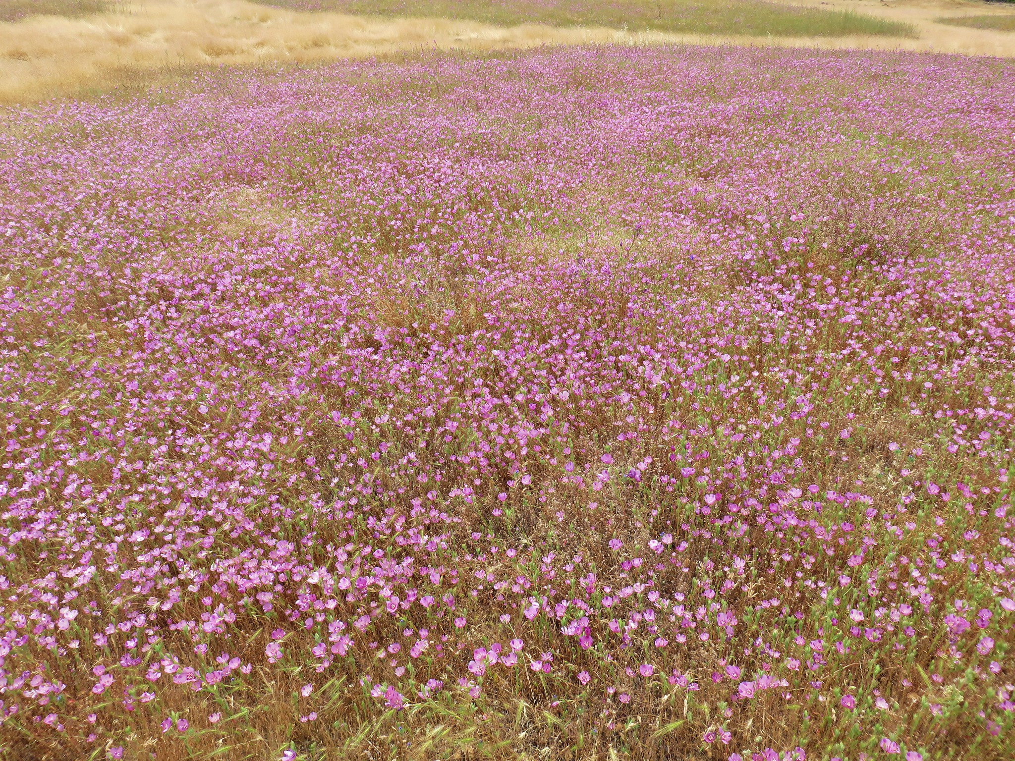
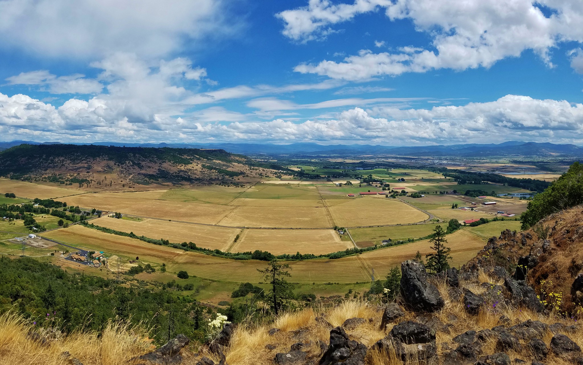
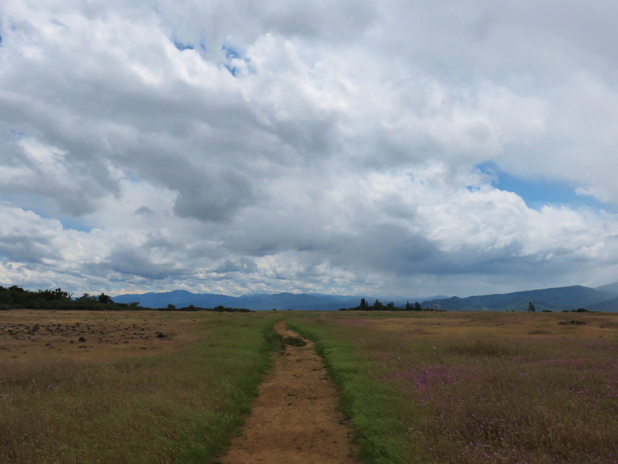
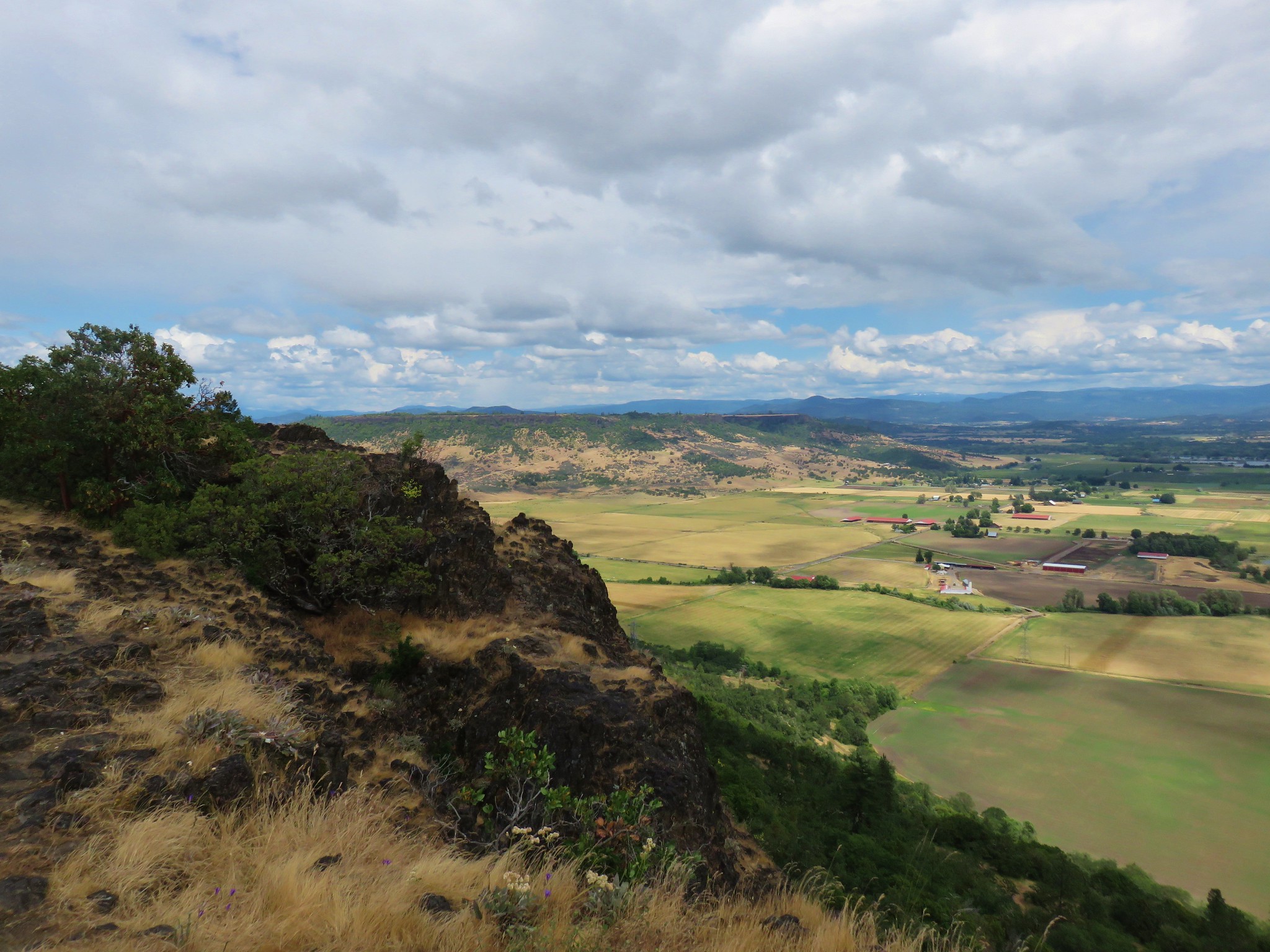
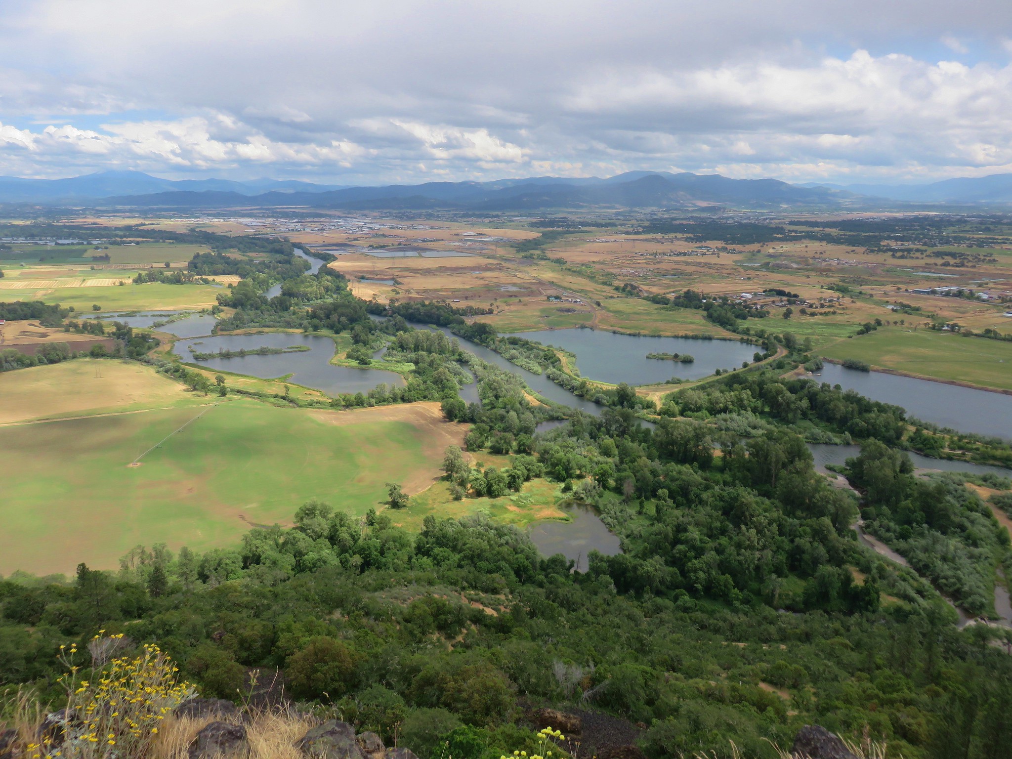
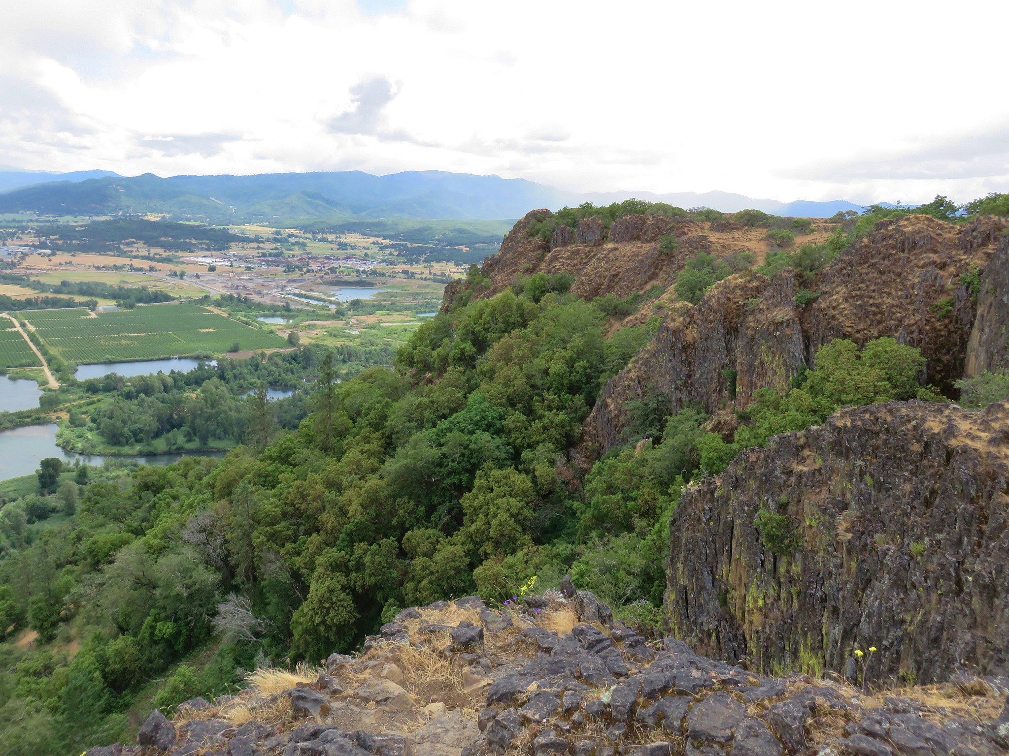
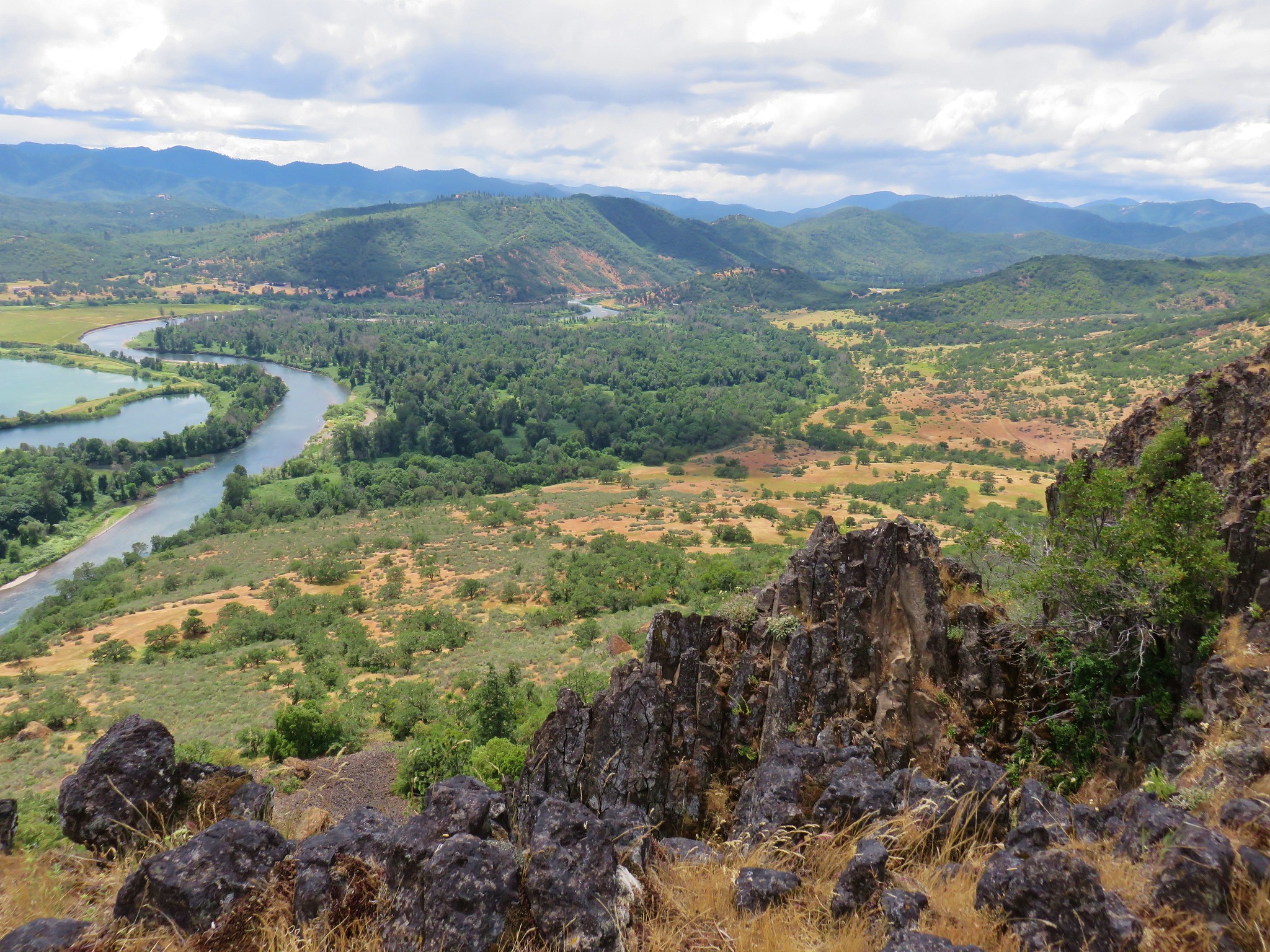
#29 Upper and Lower Table Rocks-Hiked 6/9/2017 (Lower) & 5/26/2022 (Upper)
 Lower Table Rock
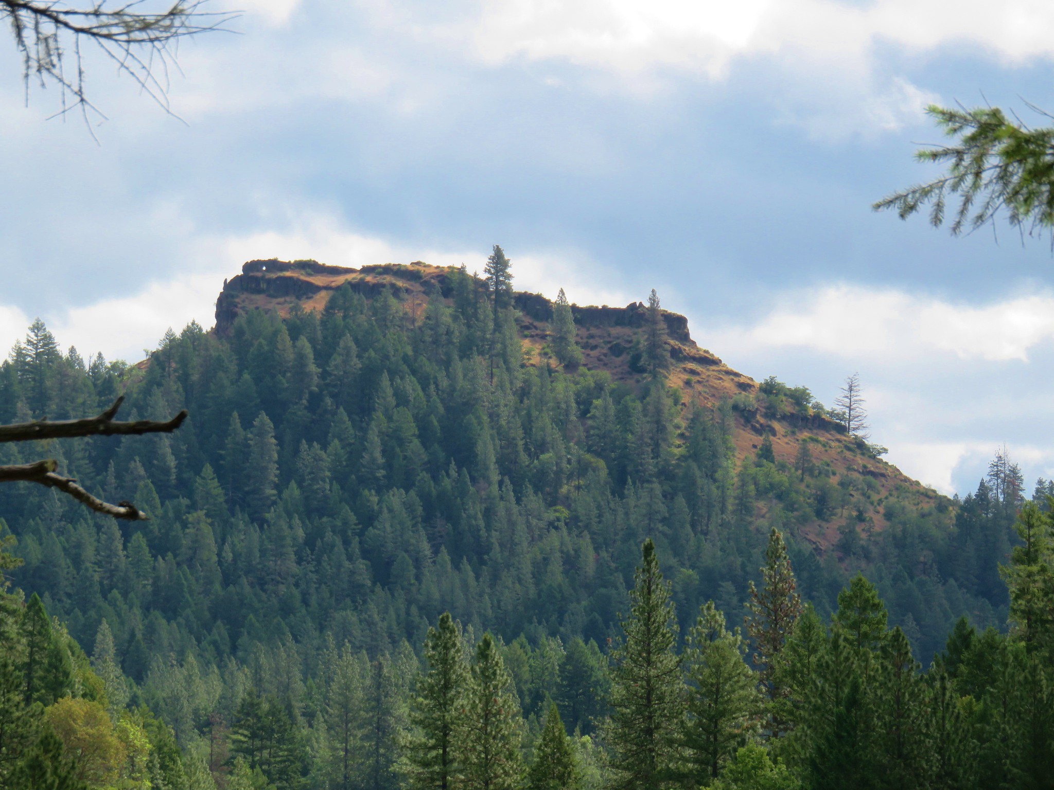
 View from Upper Table Rock
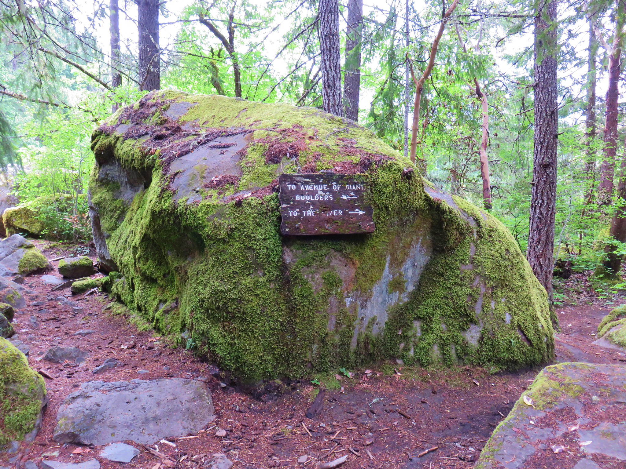
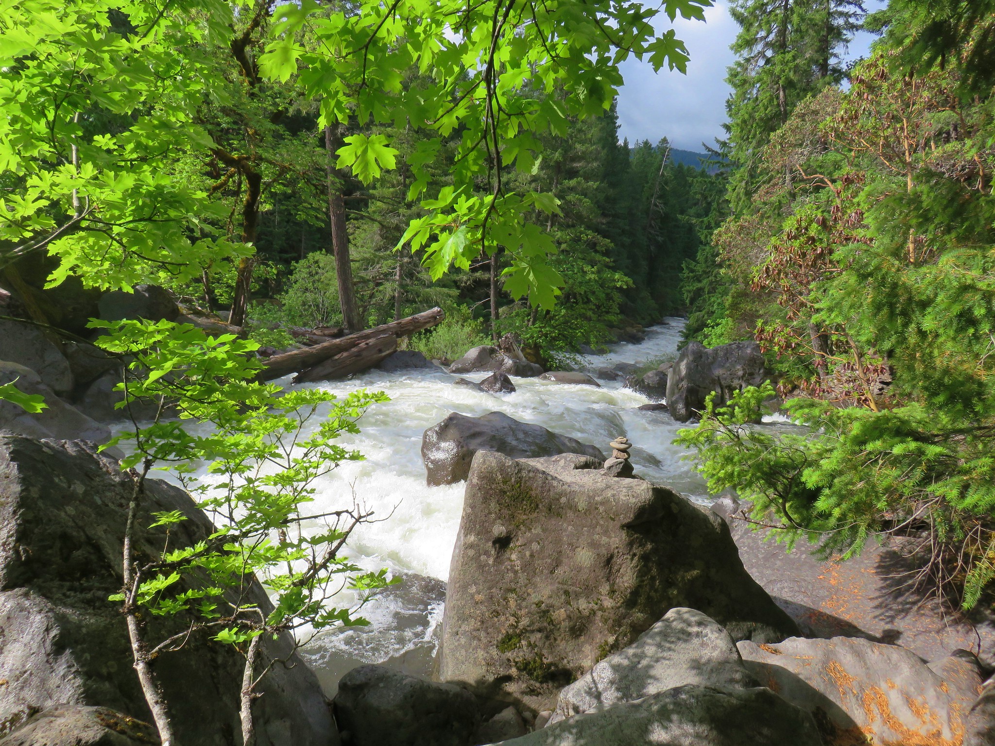
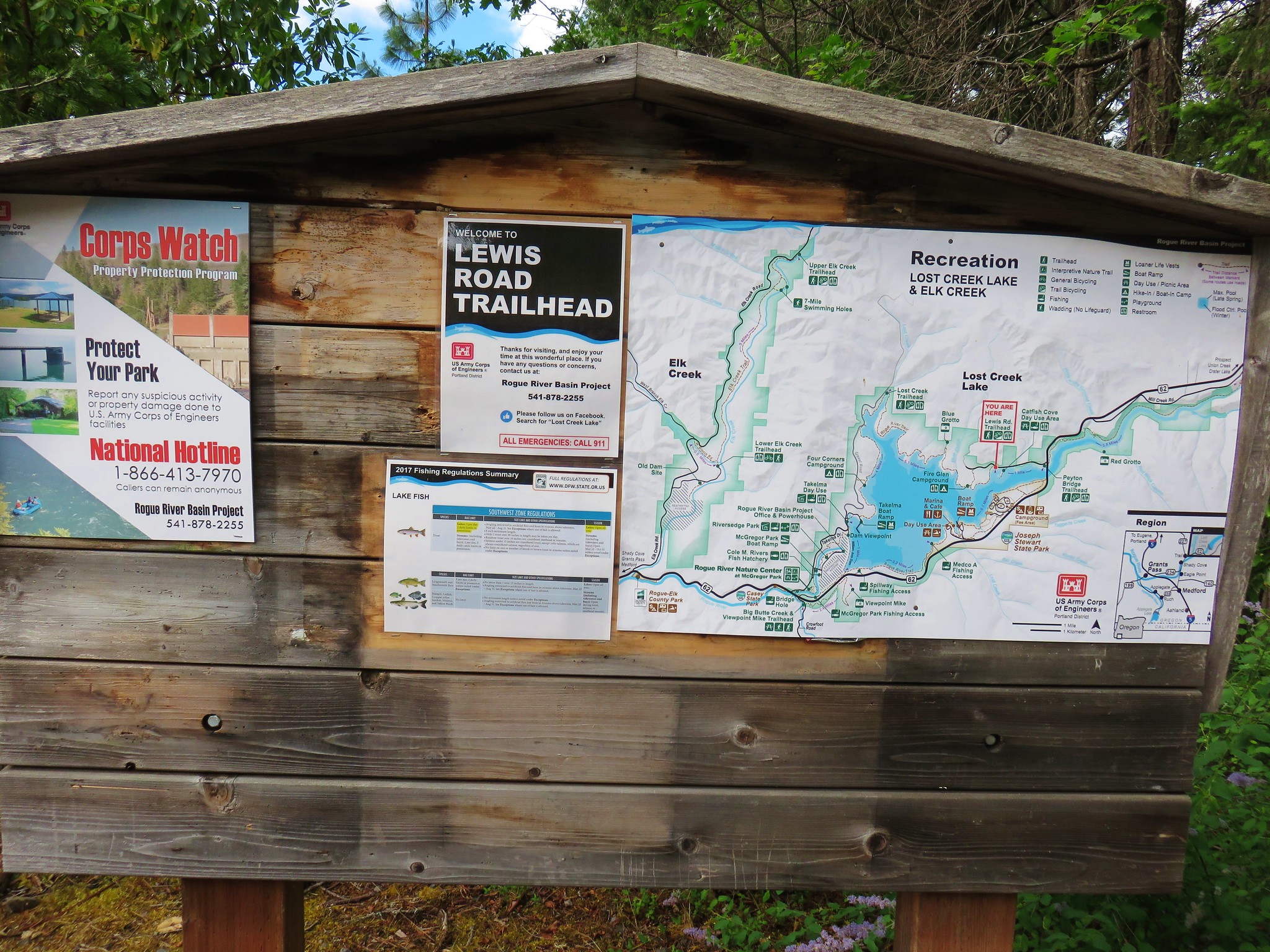
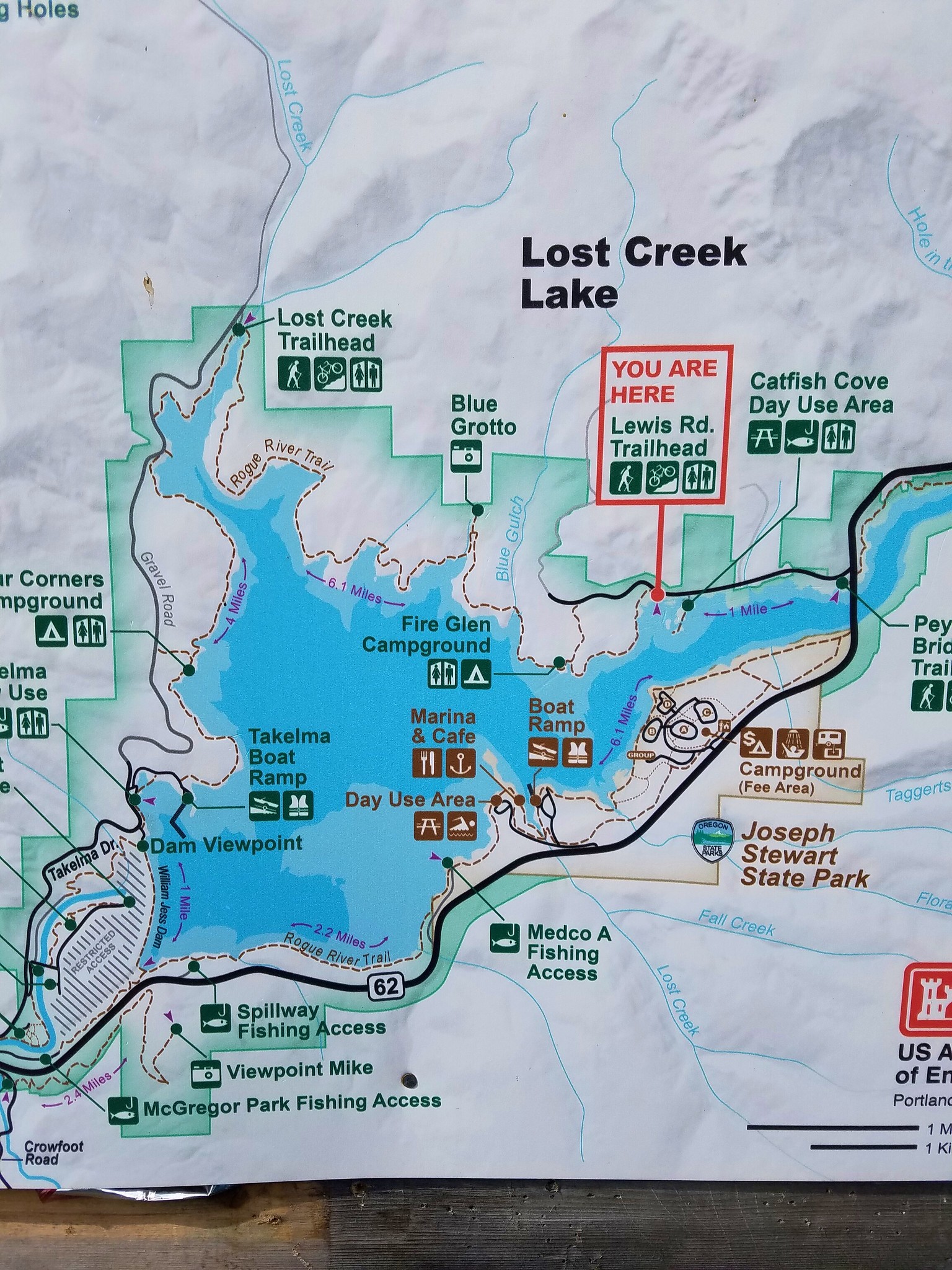
#30 Lost Creek Lake-Hiked 6/9/2017

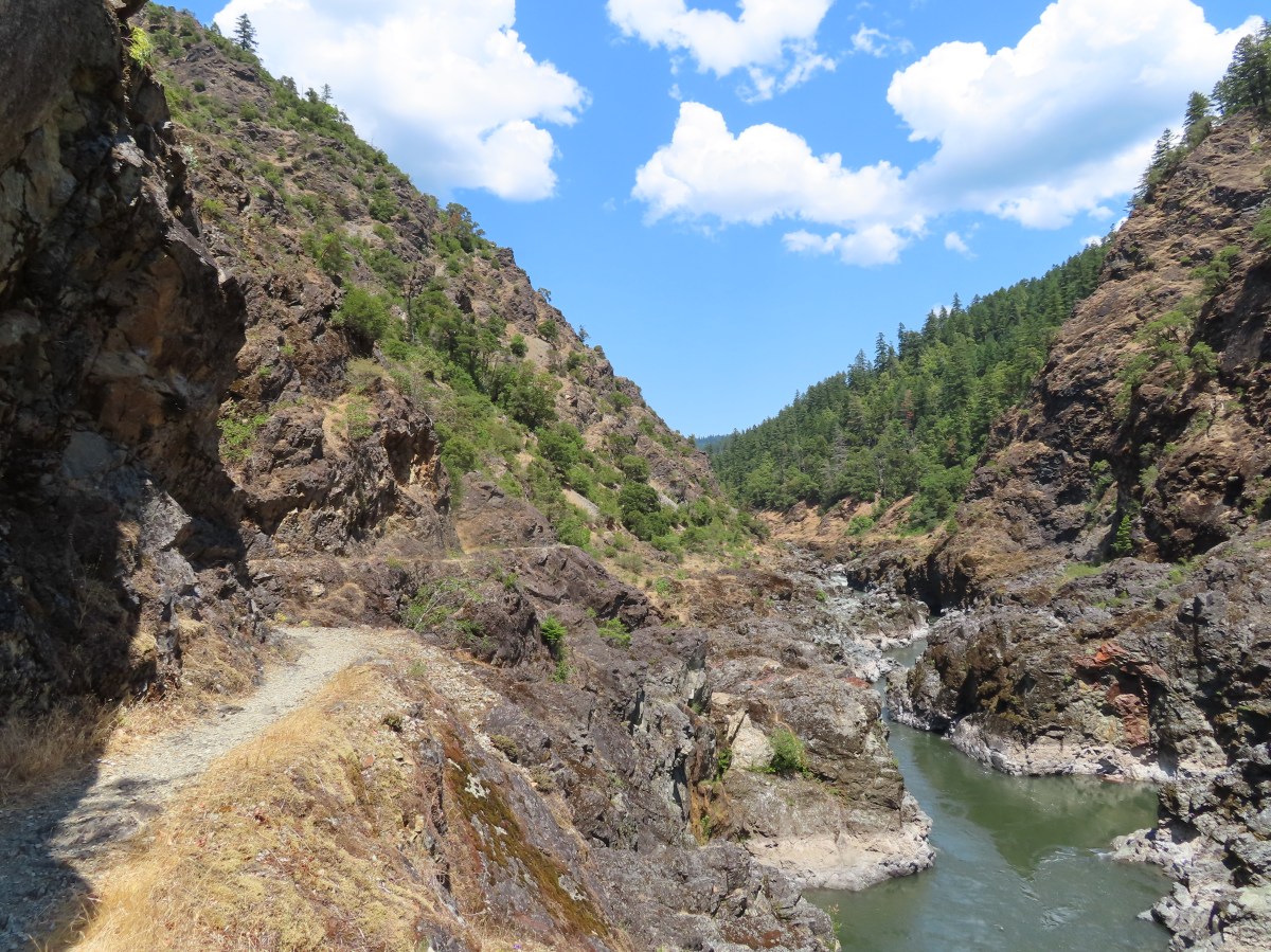
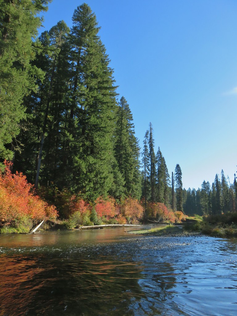
#31 Takelma Gorge-Hiked 10/15/2020

#32 Natural Bridge-Hiked 10/16/2020

#33 Union Creek-Hiked 10/17/2020 9/20/2022

#34 Abbott Butte-Hiked 10/17/2020

#35 Hershberger Mountain-Hiked 10/16/2020

#36 Muir Creek-Hiked 5/27/2018

#37 Rattlesnake Mountain-Hiked 9/6/2020

#38 Seven Lakes West-Hiked 9/9/2023

#39 Seven Lakes East-Hiked 9/9/2023

#40 Blue Lake Basin-Hiked 9/18/2022

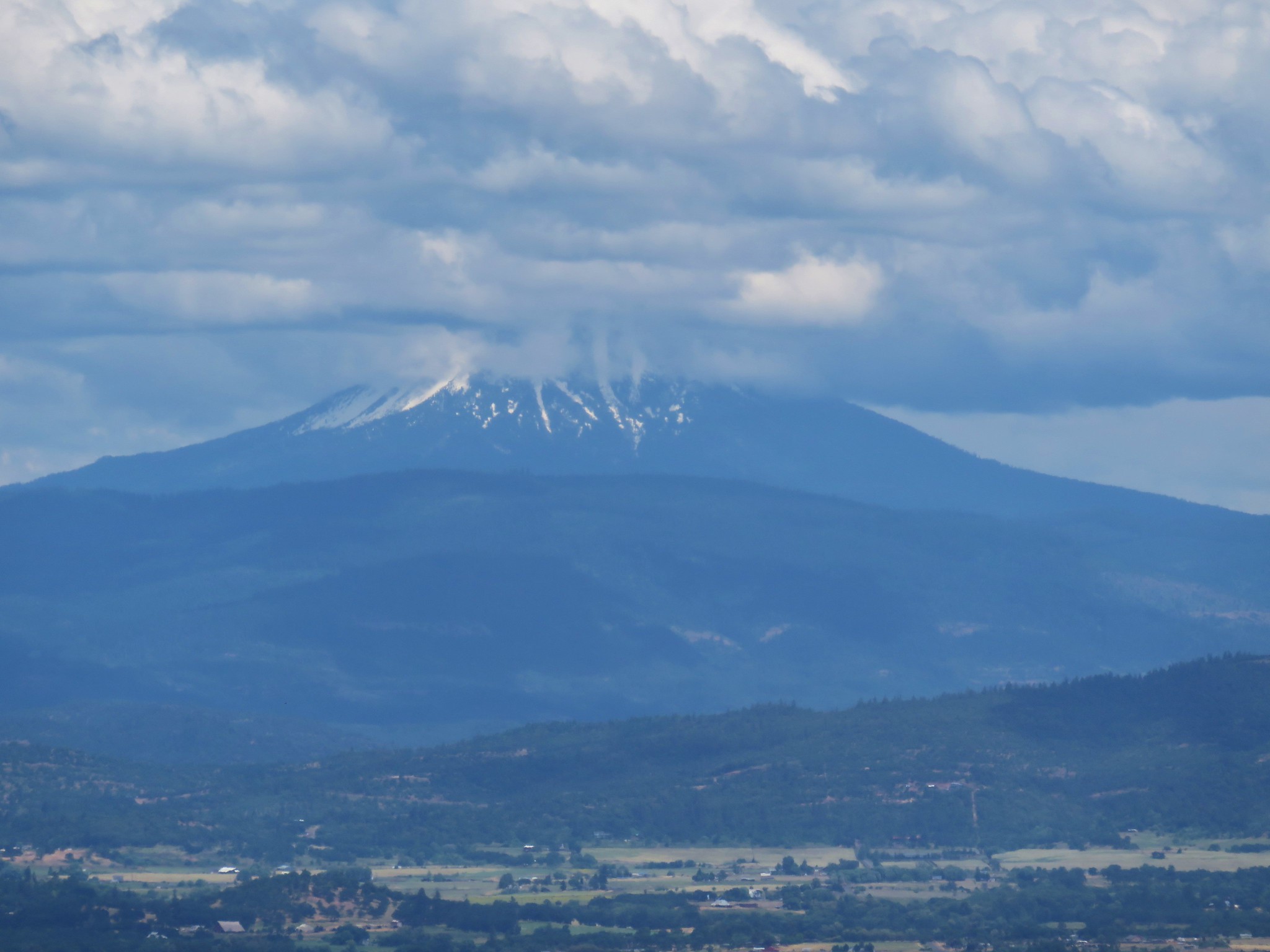
#41 Mount McLoughlin-Hiked 8/27/2016

#42 Fourmile Lake-Hiked 8/26/2016

#43 Sky Lakes via Cold Springs-Hiked 9/24/2022

#44 Sky Lakes via Nannie Creek-Hiked 9/24/2022

#45 Fish Lake-Hiked 10/7/2018

#46 Brown Mountain Lava Flow-Hiked 8/28/2016

#47 Lake of the Woods-Hiked 10/7/2018

#48 Mountain Lakes-Hiked 8/25/2016

#49 Soda Mountain-Hiked 6/3/2015

#50 Pilot Rock-Hiked 7/29/2017

#51 Mount Ashland Meadows-Hiked 6/3/2015

#52 Lithia Park-Hiked 6/2/2015

#53 Bandersnatch Trail-Hiked 6/17/2022

#54 White Rabbit Trail-Hiked 6/17/2022

#55 Grizzly Peak-Hiked 6/5/2015

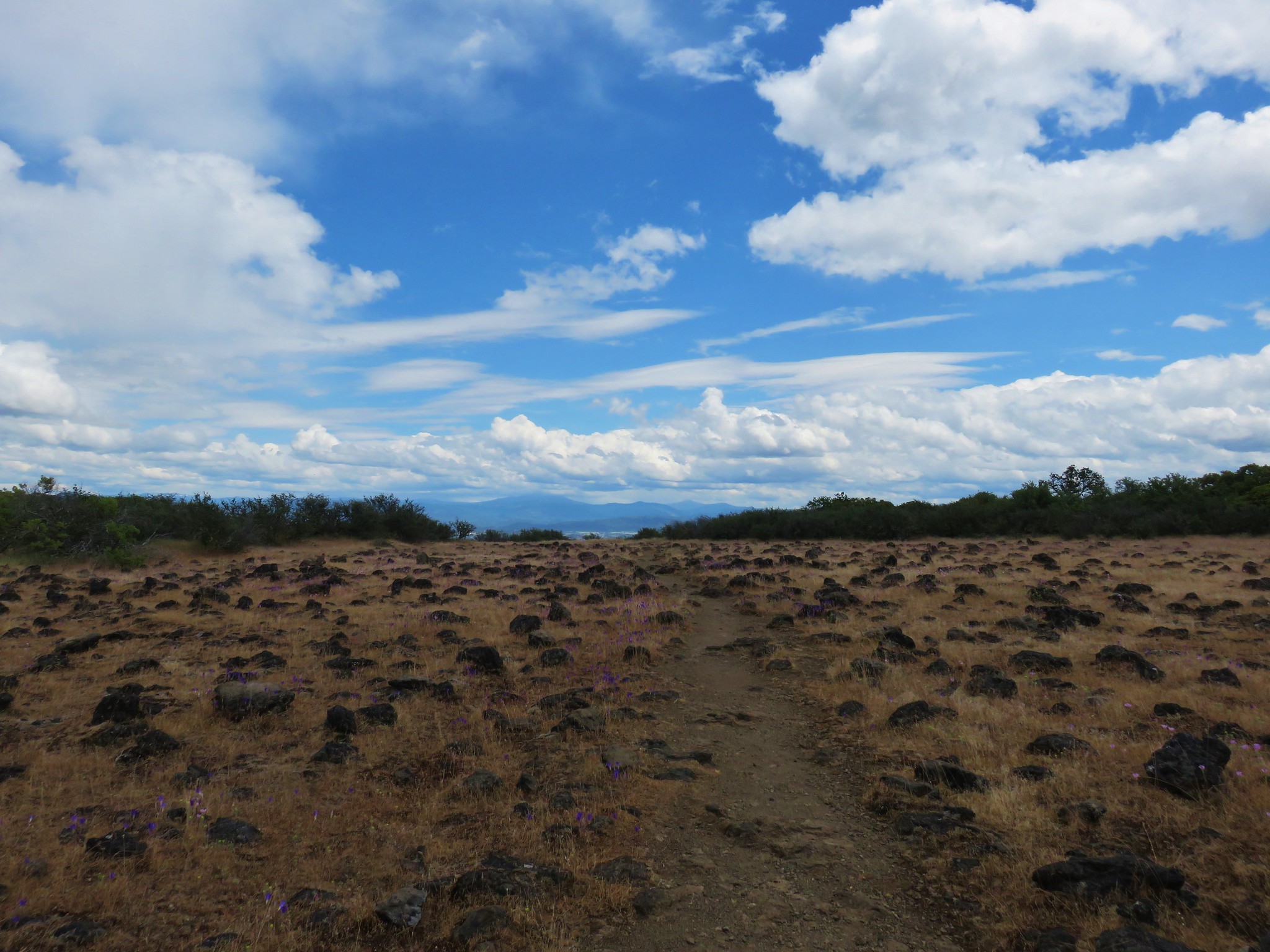
#56 Roxy Ann Peak-Hiked 5/30/2022

#57 Wagner Butte-Hiked 6/4/2015

#58 Siskiyou Gap-Hiked 6/16/2022

#59 Jack-Ash Trail-Hiked 5/27/2022

#60 Sterling Ditch Tunnel-Hiked 6/10/2017 5/2/2023

#61 Jacksonville-Hiked 6/8/2017

#62 Enchanted Forest-Hiked 6/11/2017

#63 Observation Peak-Hiked 6/15/2022

#64 Collings Mountain-Hiked 6/8/2017

#65 Applegate Lake-Hiked 6/8/2017 5/29/2022

#66 Red Buttes-Hiked 10/27/2015

#67 Frog Pond-Hiked 6/18/2022

#68 Azalea Lake-Hiked 10/26/2015

#69 Sturgis Fork-Hiked 10/7/2023

#70 Grayback Mountain-Hiked 10/9/2023

#71 Oregon Caves-Hiked 10/30/2015

#72 Mount Elijah-Hiked 10/7/2023

#73 Sucker Creek-Hiked 10/26/2015

#74 Tanner Lakes-Hiked 10/8/2023

#75 Bolan Lake-Hiked 10/8/2023

#76 Polar Bear Gap-Hiked 7/1/2022

#77 Raspberry Lake-Hiked 7/3/2022

#78 Devils Punchbowl-Hiked 7/2/2022

#79 Rough and Ready Creeks-Hiked 5/12/2017

#80 Babyfoot Lake-Hiked 10/9/2023

#81 Eight Dollar Mountain-Hiked 5/4/2023

#82 Illinois River Beaches-Hiked 5/4/2023

#83 Grants Pass Nature Trails 5/3/2023

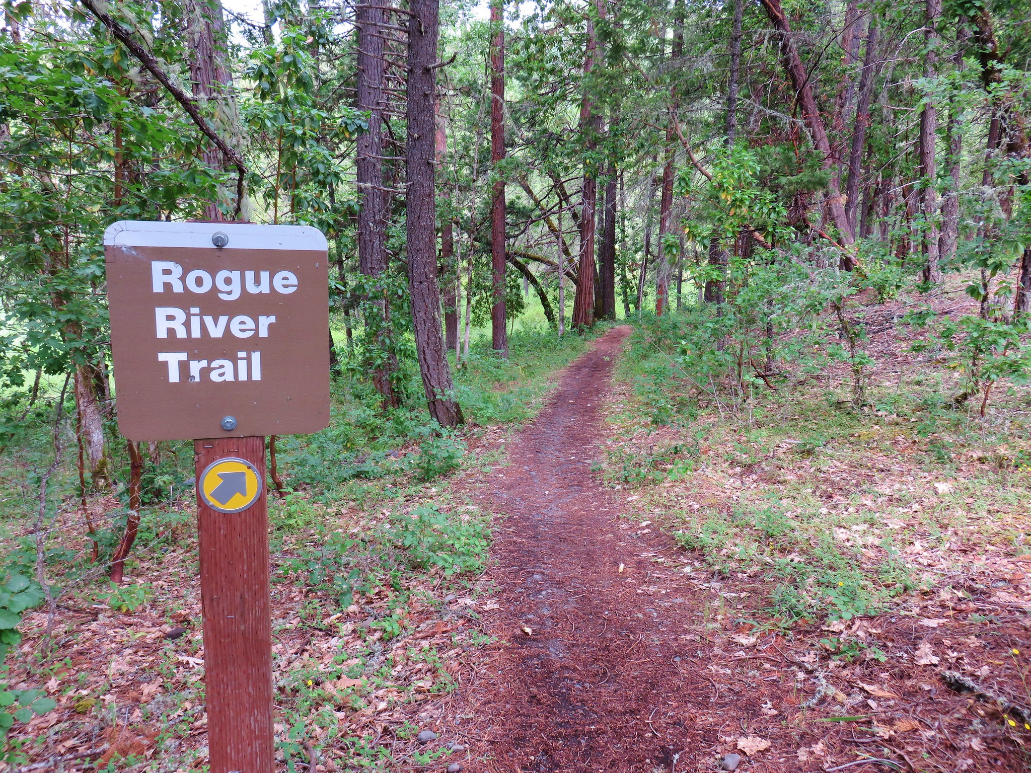
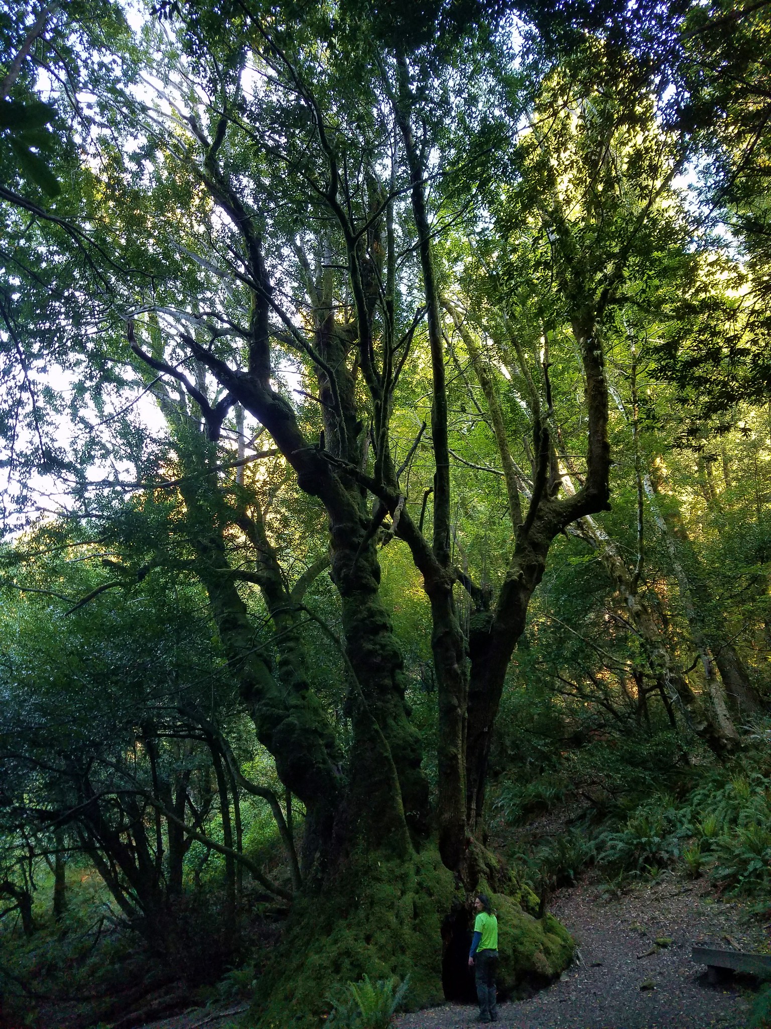
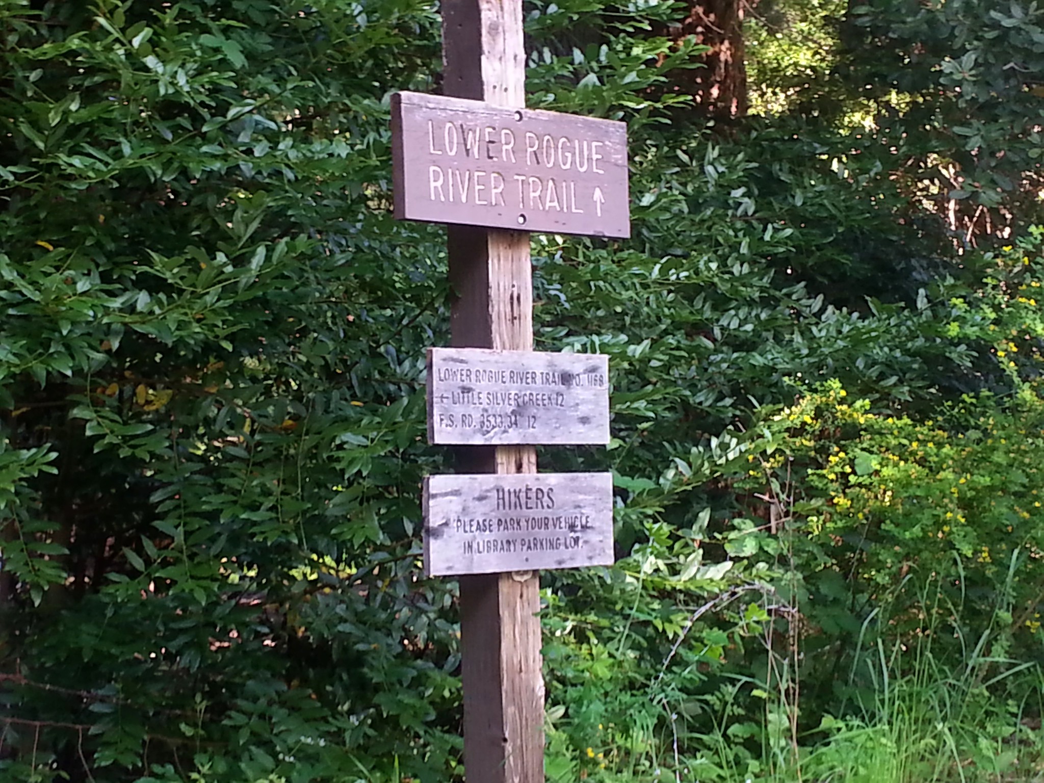
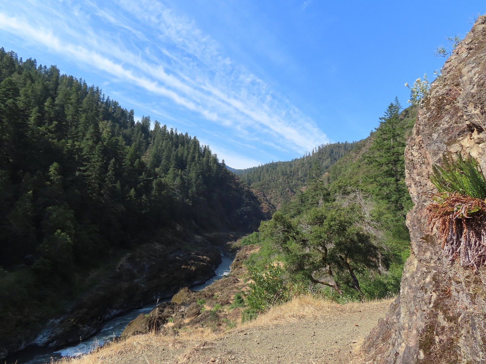
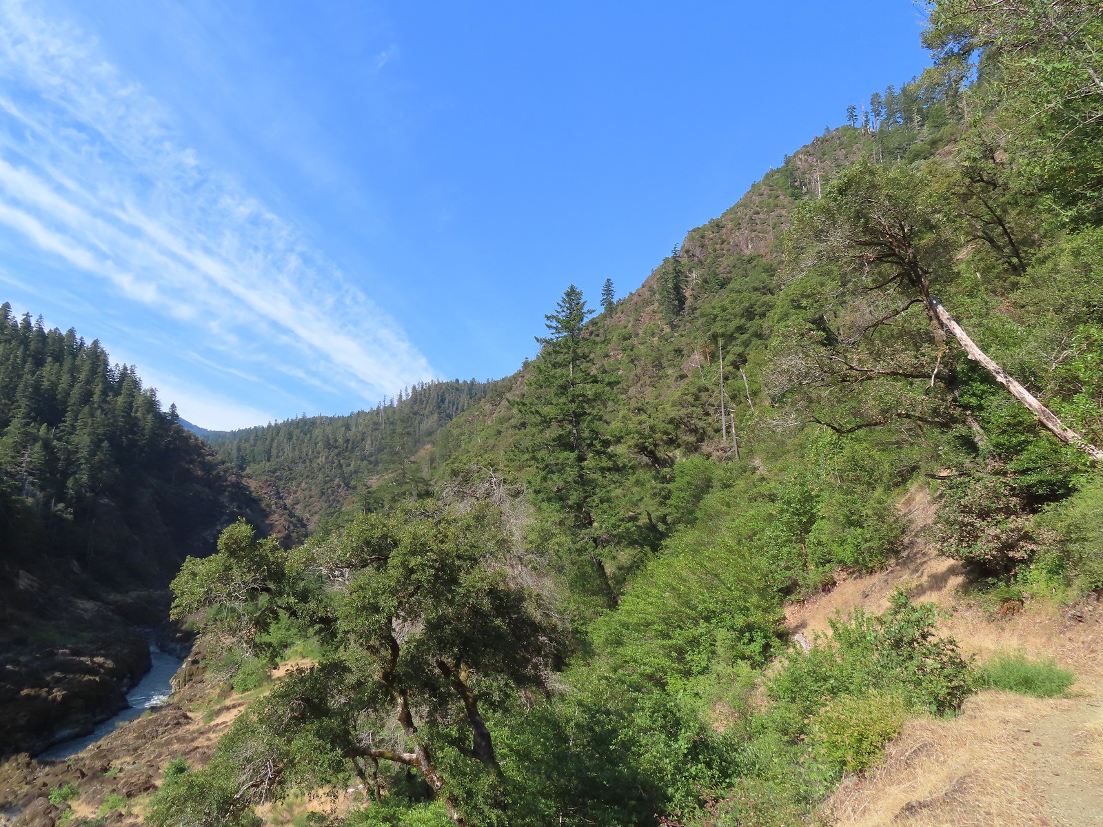
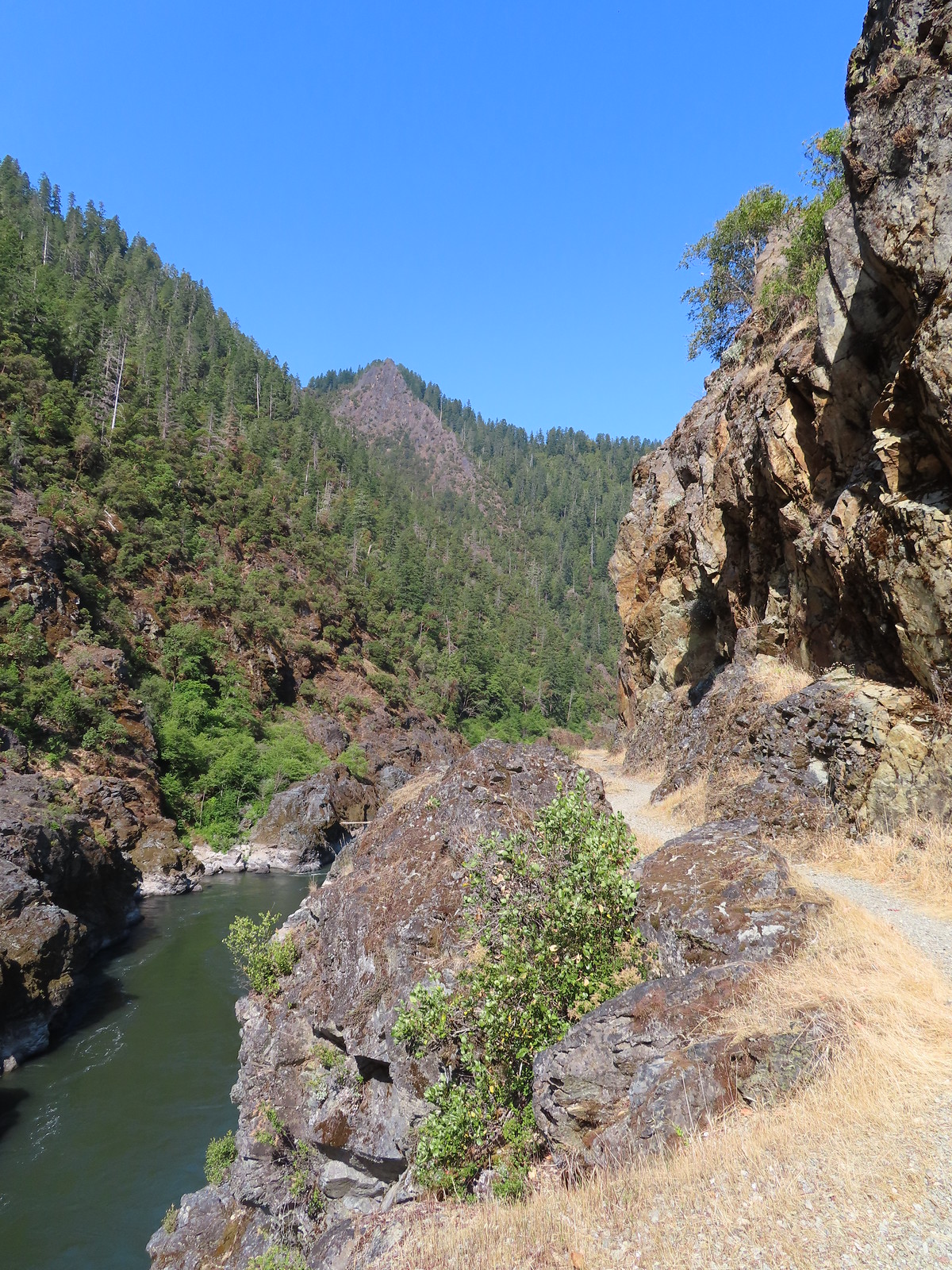
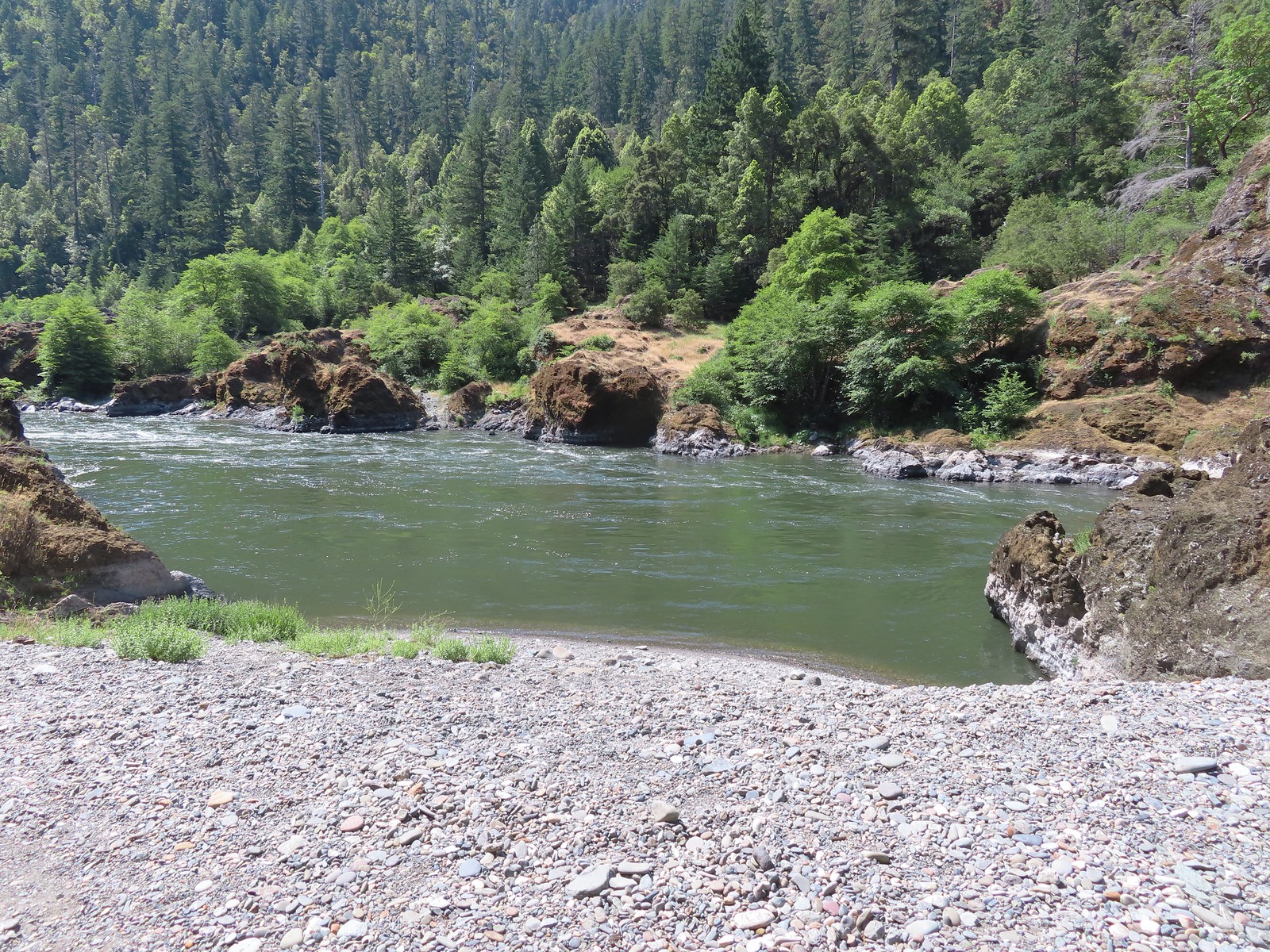
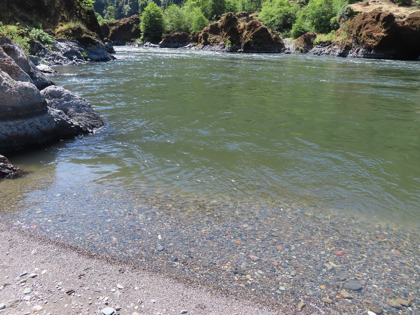
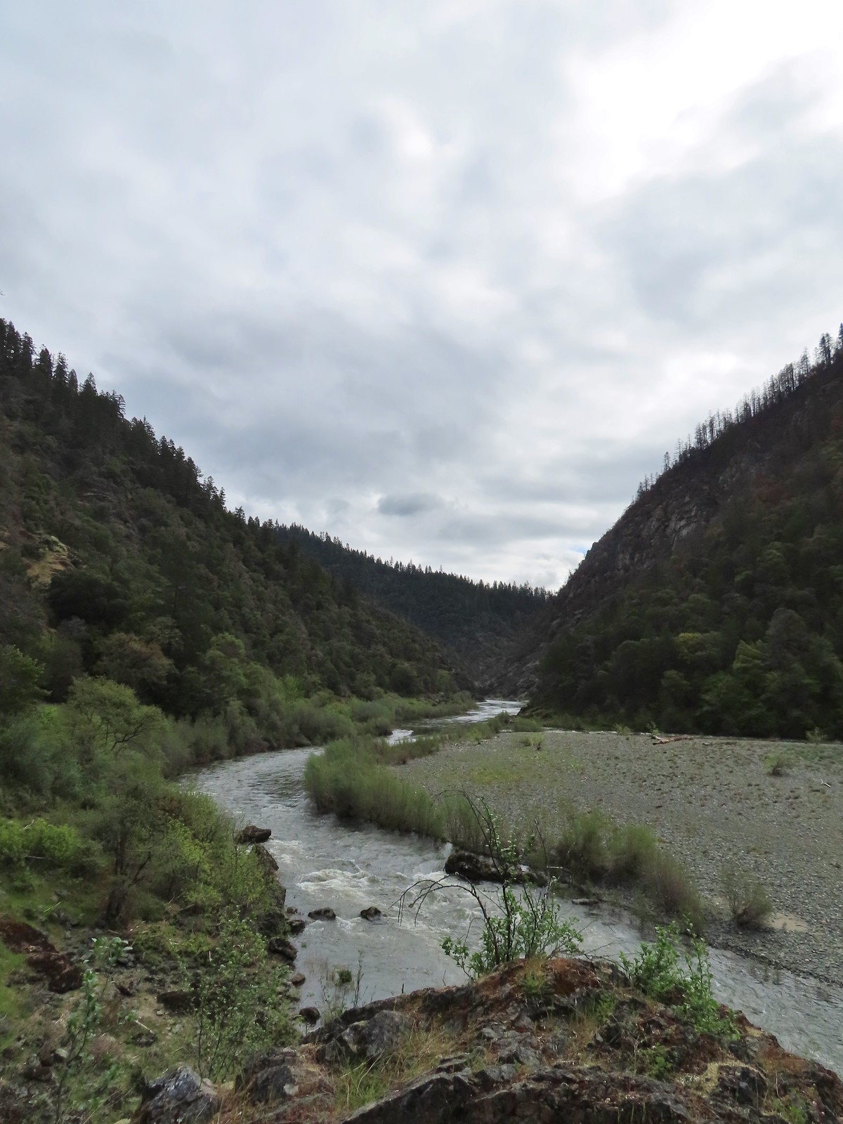
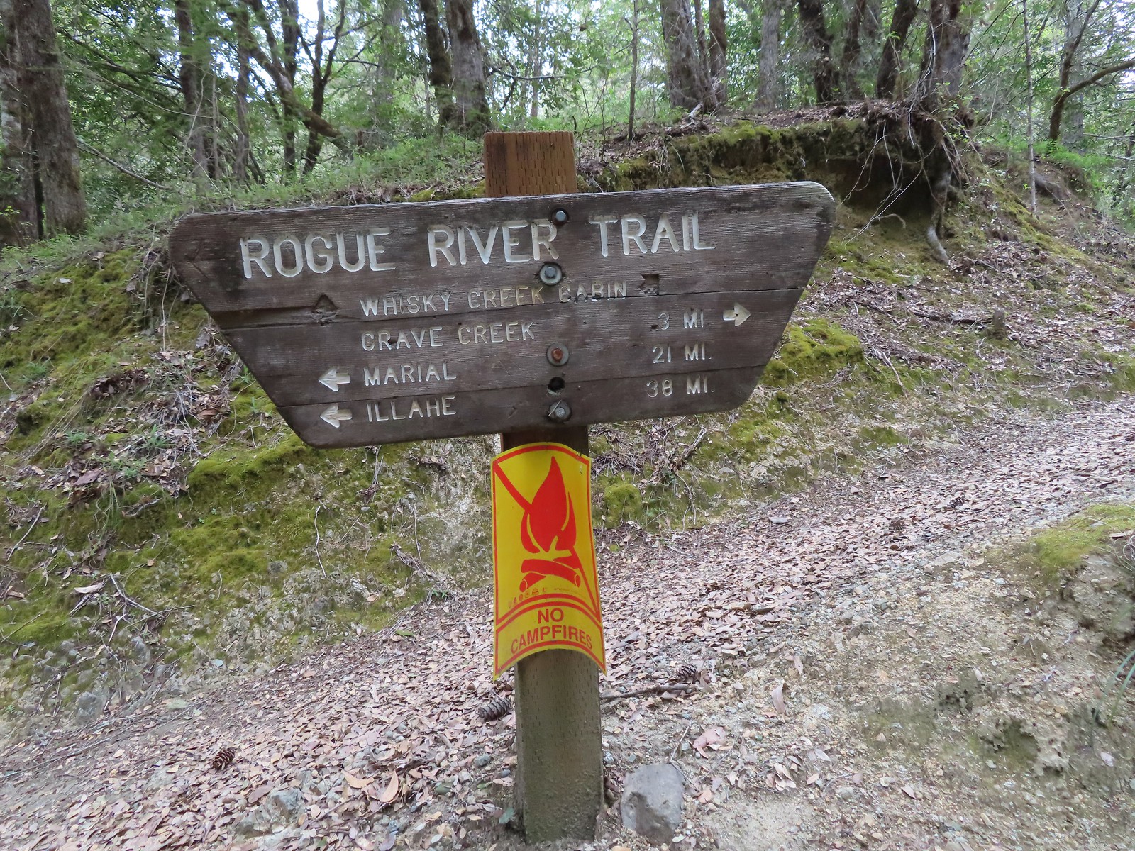
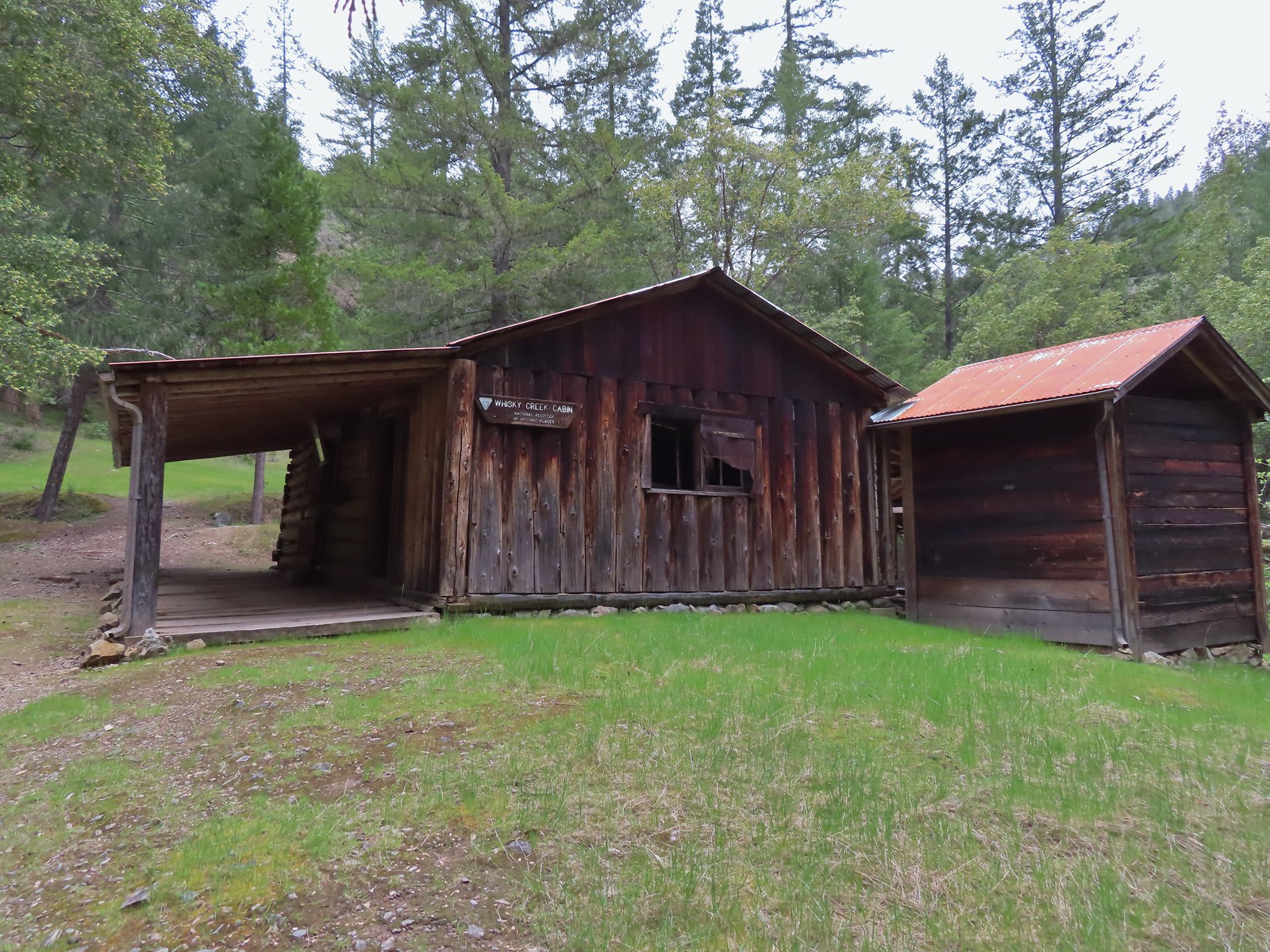
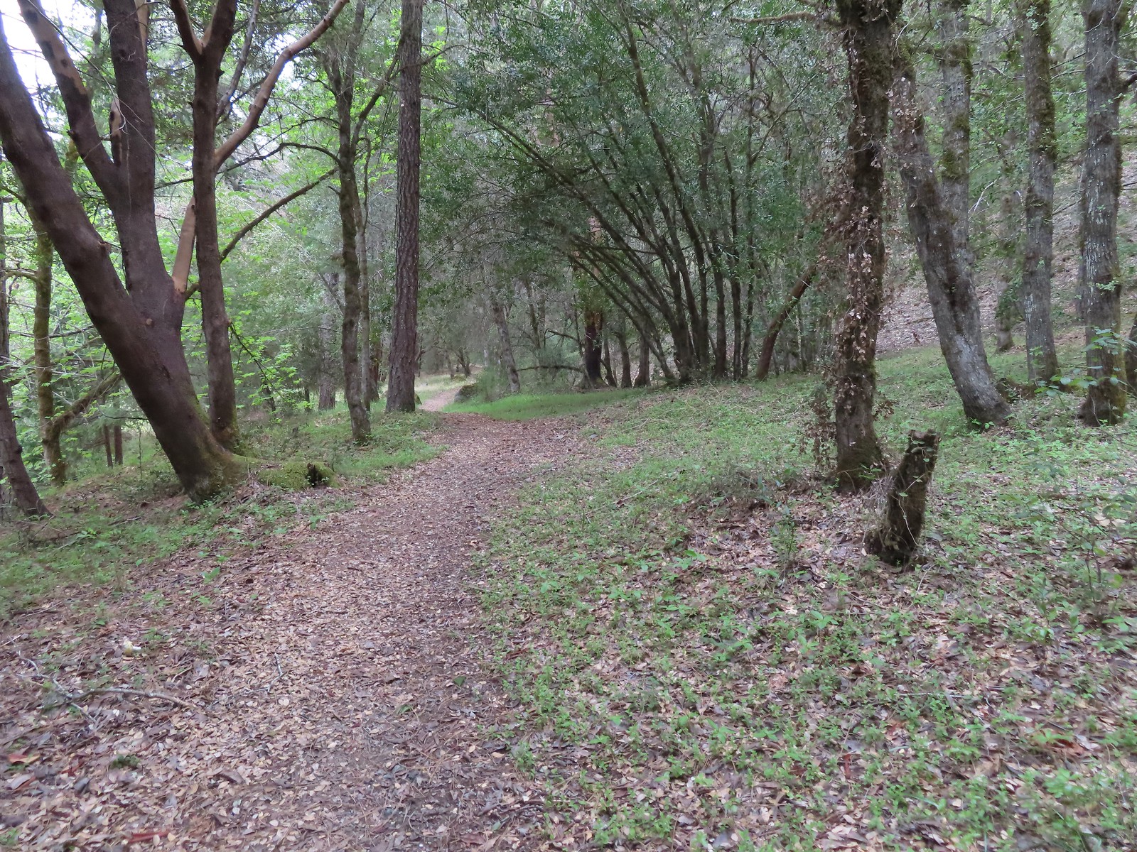
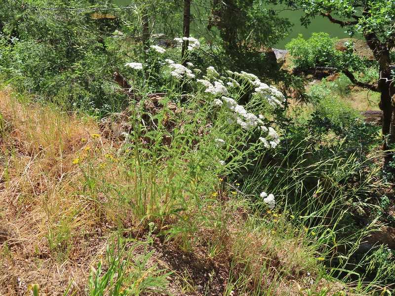
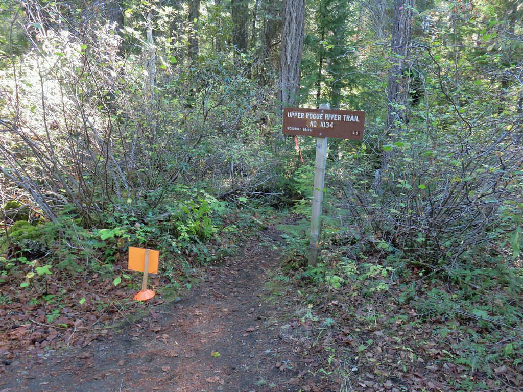
#84 Rouge River Trail East-Hiked 5/1/2023

#85 Rogue River Trail West-Hiked 6/24/2023

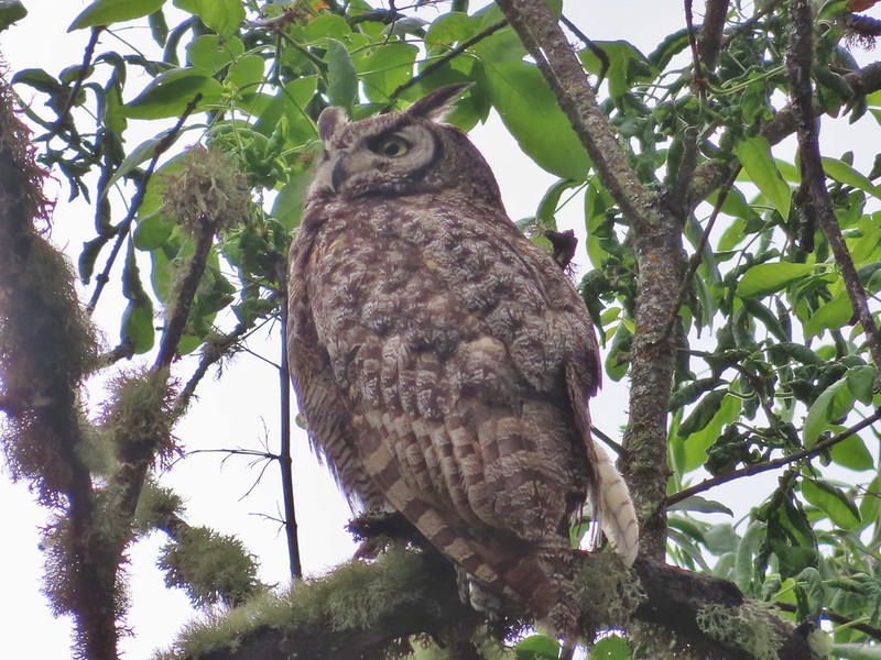
#86 Paradise Lake-Hiked 6/28/2016

#87 Sky High Lakes-Hiked 6/29/2016

#88 Campbell Lake-Hiked 6/27/2016

#89 Paynes Lake-Hiked 7/24/2017

#90 Russian Lake-Hiked 8/24/2022

#91 Hidden & South Fork Lakes-Hiked 8/26/2022

#92 Trail Gulch Lake-Hiked 8/25/2022

#93 East Boulder Lake-Hiked 8/23/2022

#94 Kangaroo Lake-Hiked 7/23/2017

#95 Deadfall Lakes-Hiked 7/25/2017

#96 Caribou Lake-Hiked 7/27/2017

#97 Castle Lake-Hiked 7/26/2017

#98 Castle Crags-Hiked 7/26/2017

#99 Black Butte-Hiked 7/28/2017

#100 Mount Shasta Meadows-Hiked 8/22/2022

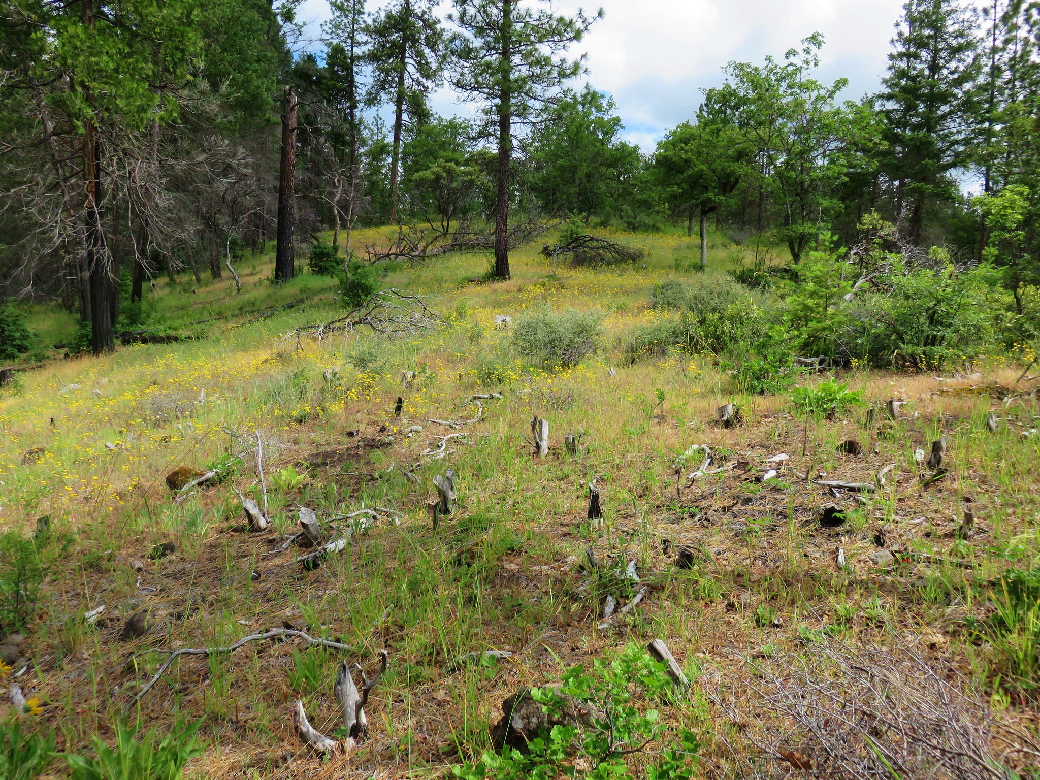
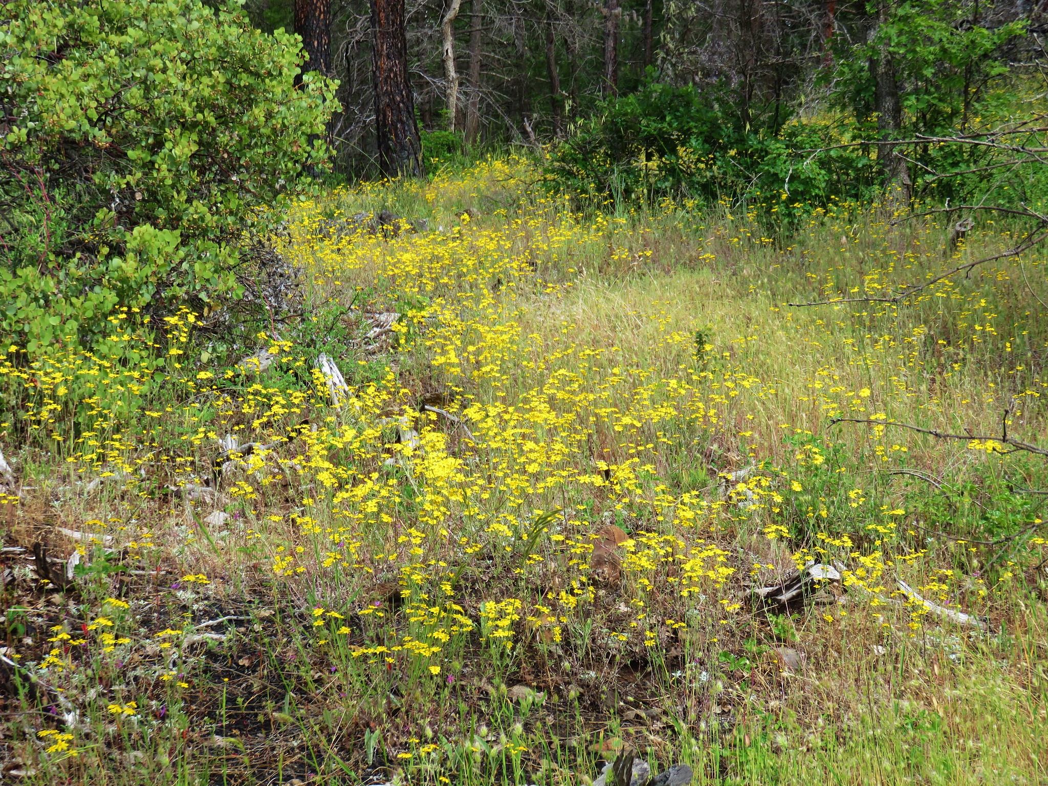
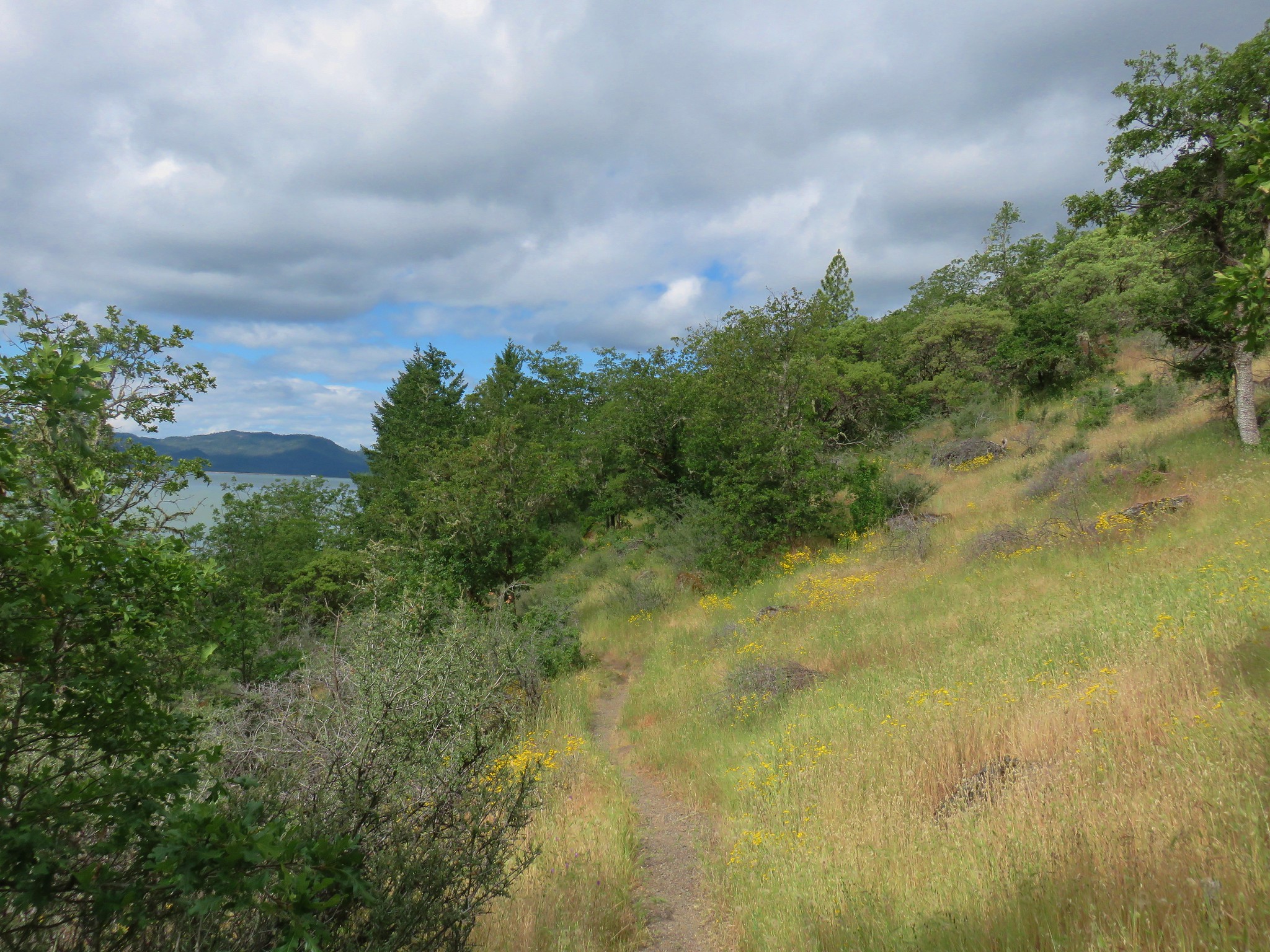
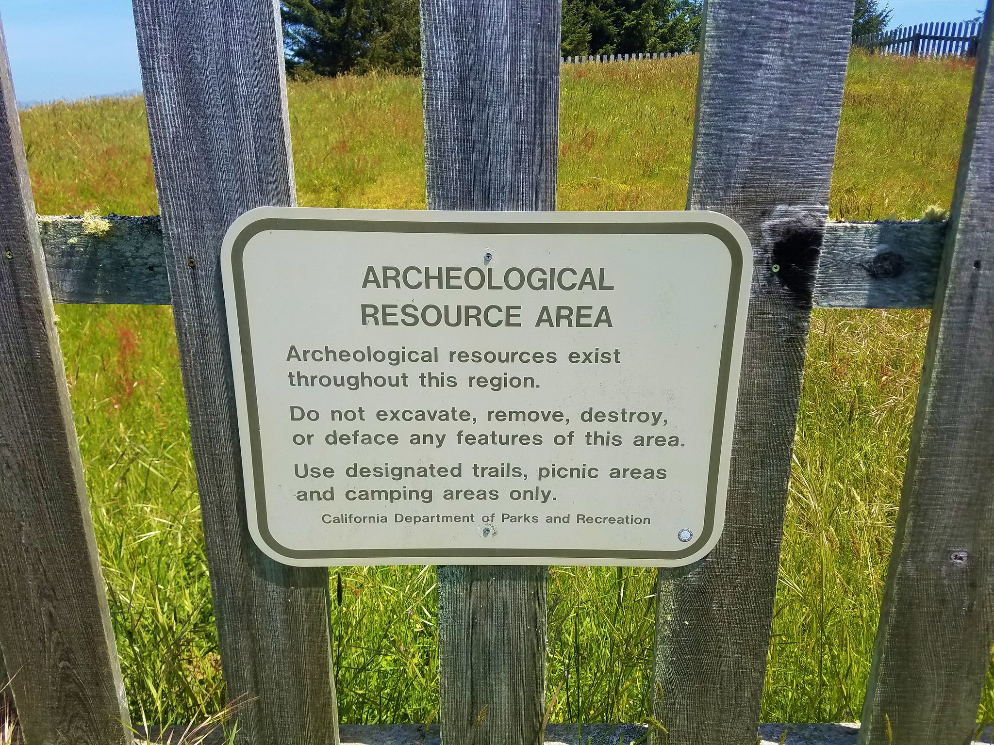
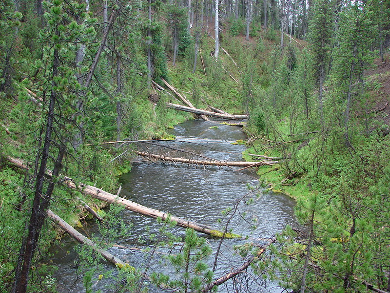
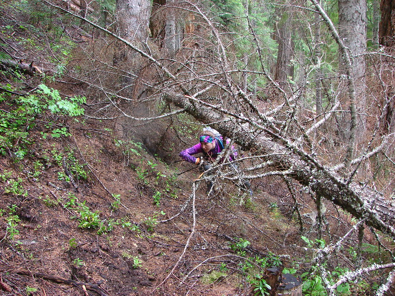
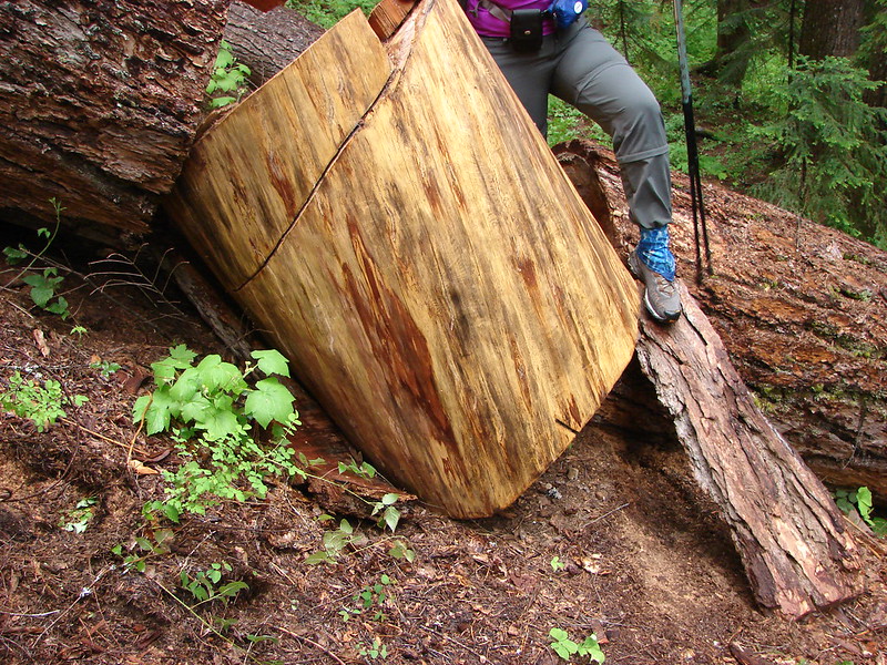
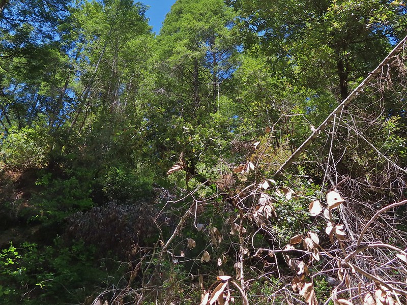
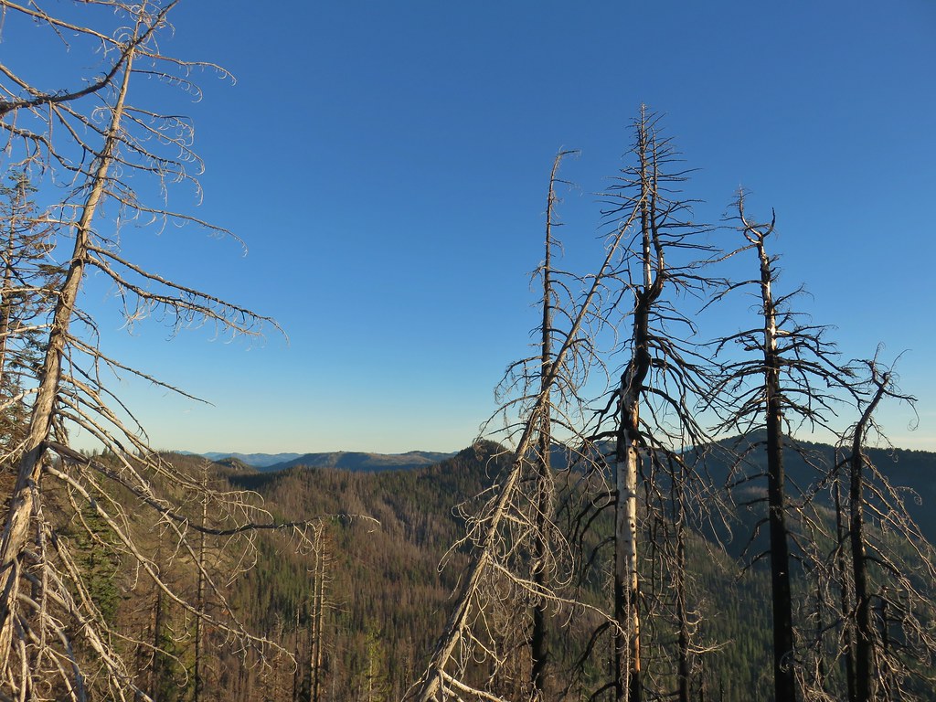
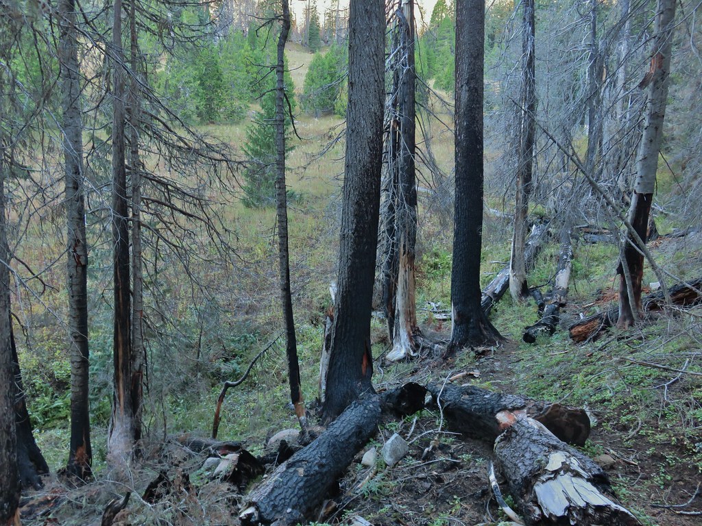
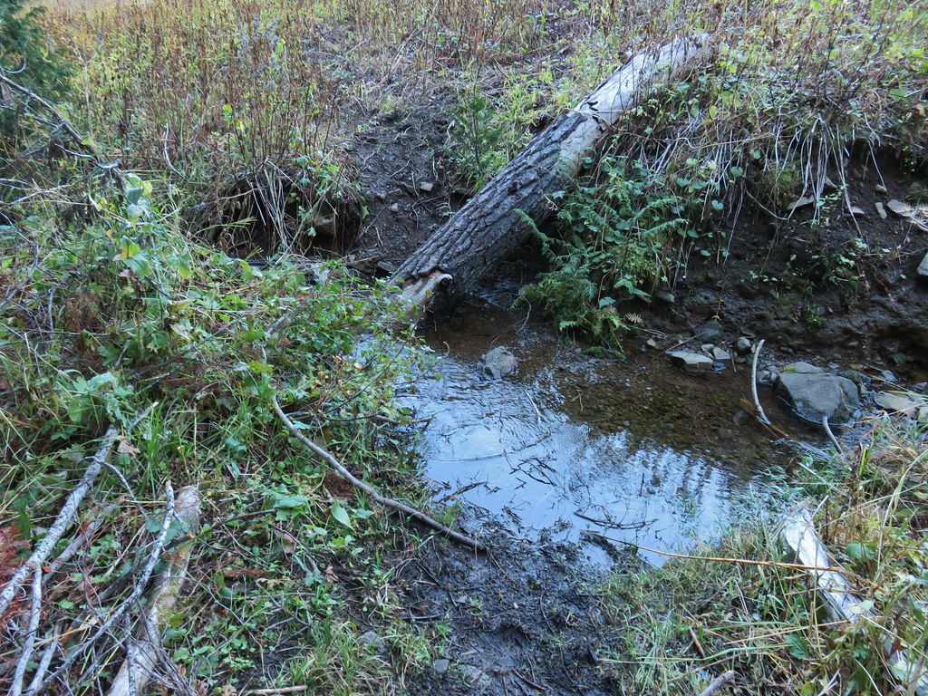
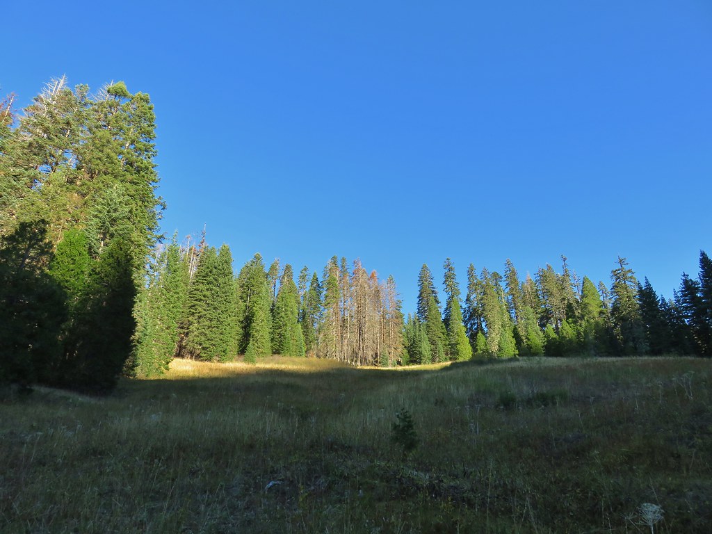
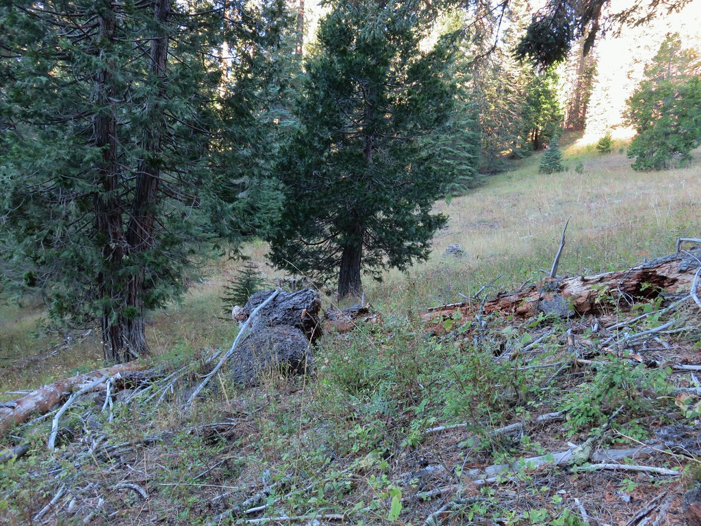
In our minds this was by far the most challenging area to finish even though we did so before completing Eastern Oregon. The difficulty with Eastern Oregon mostly revolves around distance from Salem and the size of the area covered. The Southern Oregon-Northern California area is smaller and the hikes not as far away, but it involved a lot of trails that frankly don’t see the level of maintenance that most of the other areas receive. While we’ve encountered rough trails, all over poison oak is much more prevalent down south which doesn’t invite pushing through overgrown tread or bushwacking around obstacles. This area has also been hit harder by fires over the last couple of decades leaving extra work to reopen them as well as remove additional blowdown as the dead trees fall over. When the conditions were good though the scenery and diverse plant and wildlife made for some spectacular hikes. There are many that we’d love to do again and several non-featured hikes that we have in our future plans, so we aren’t done with area yet. Happy Trails!
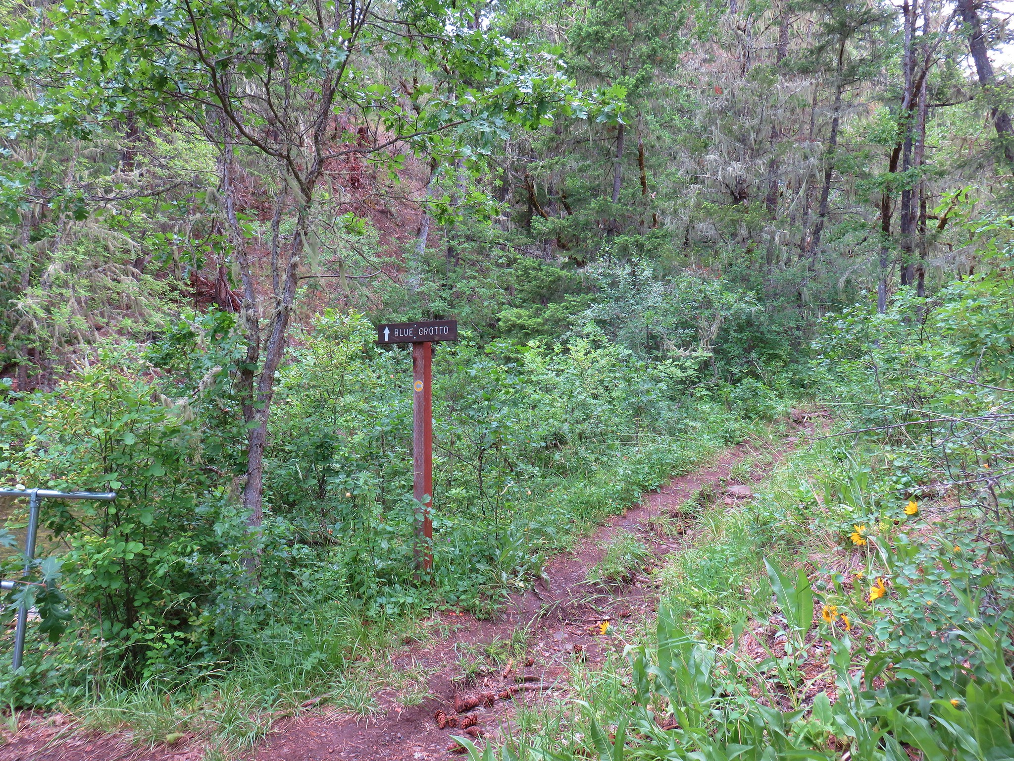
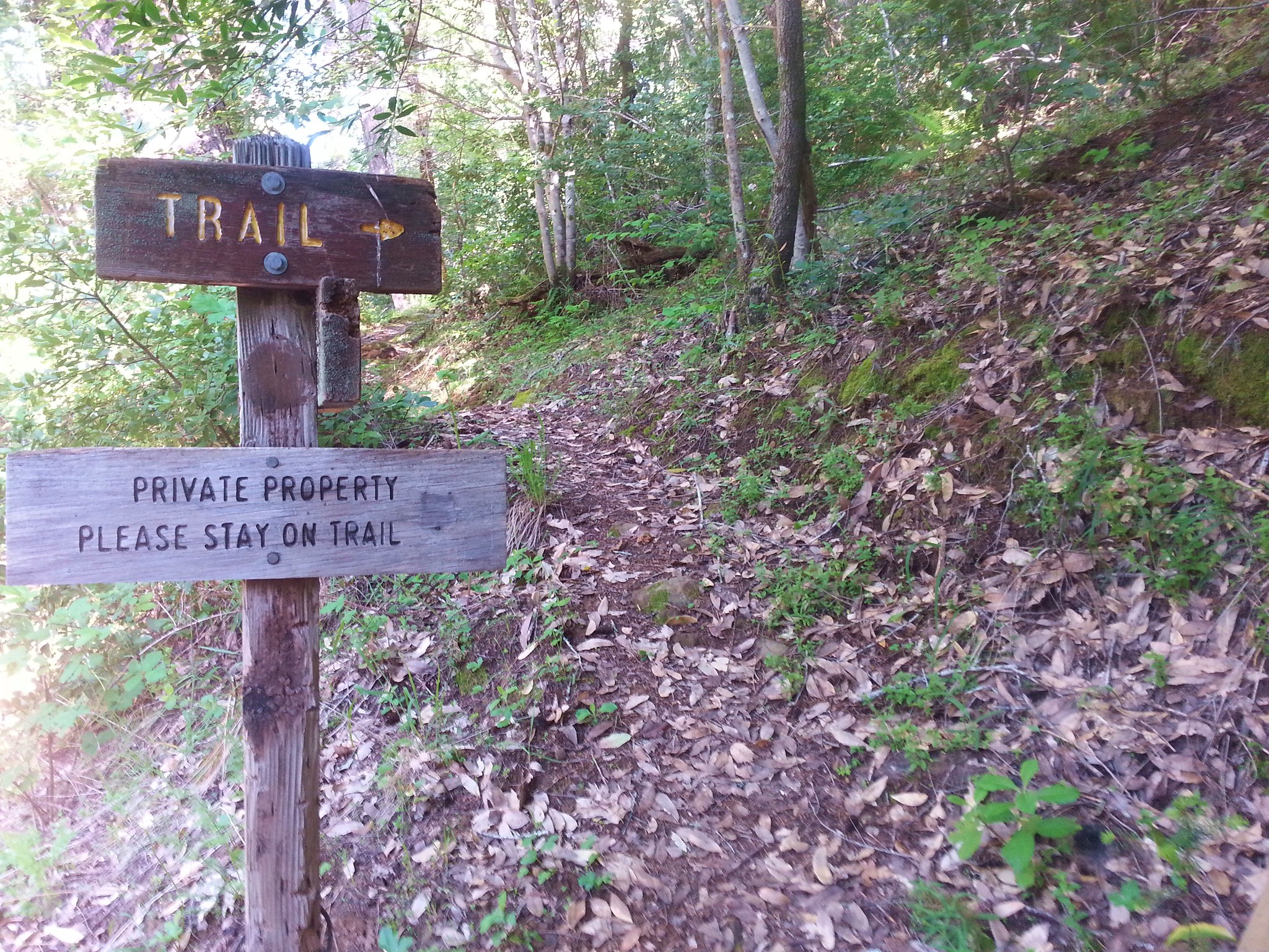
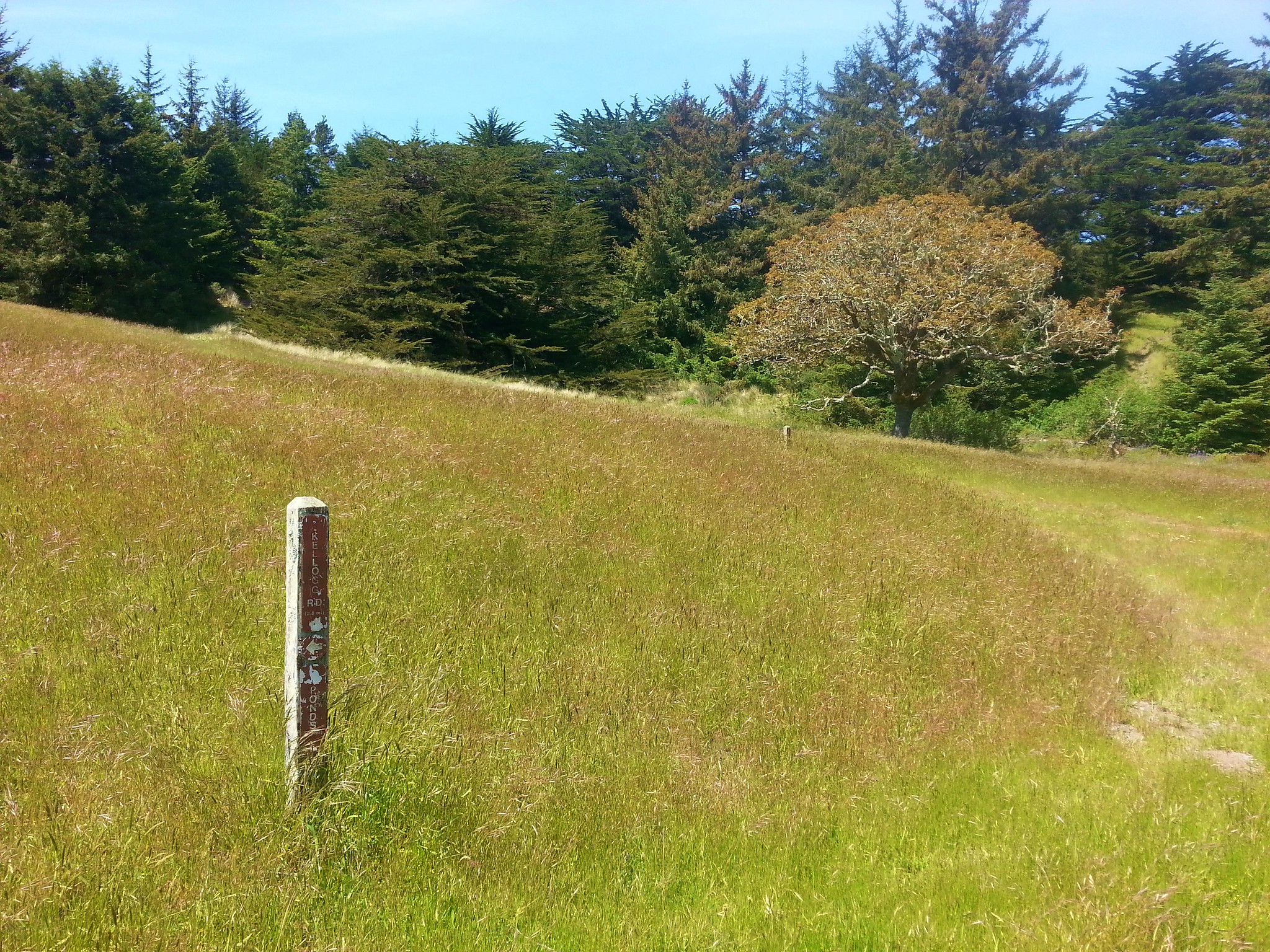
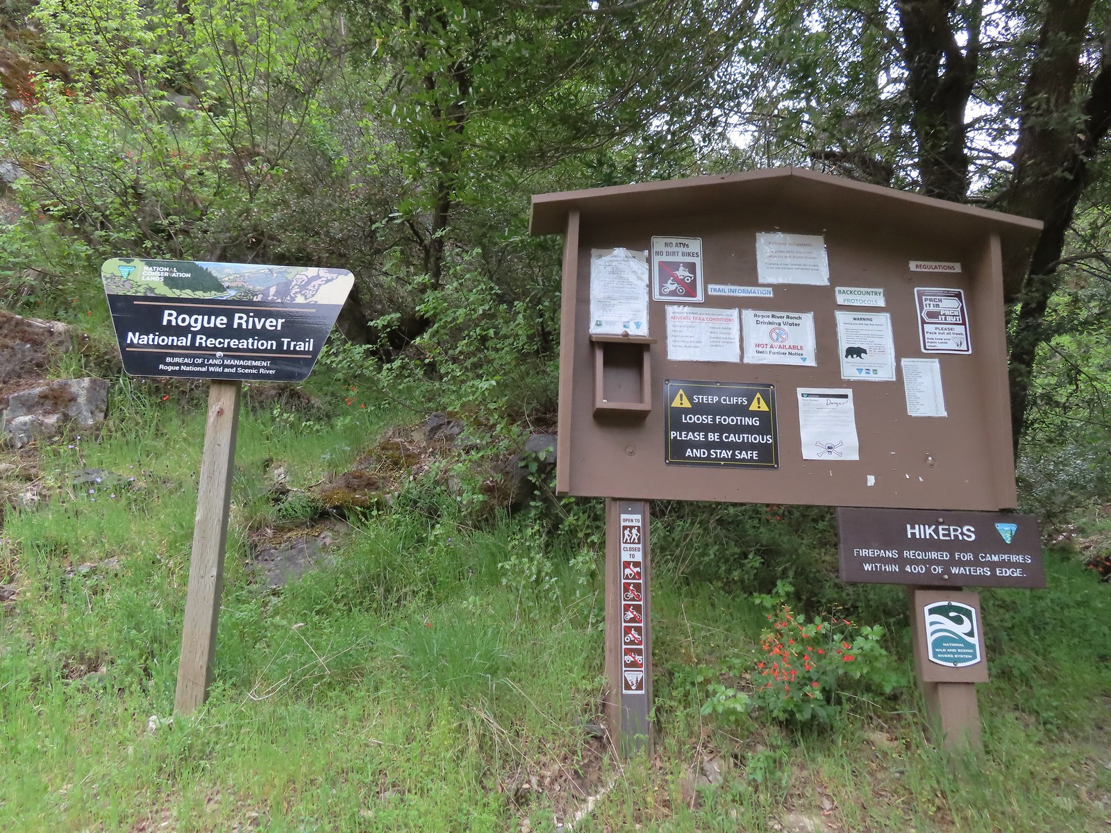
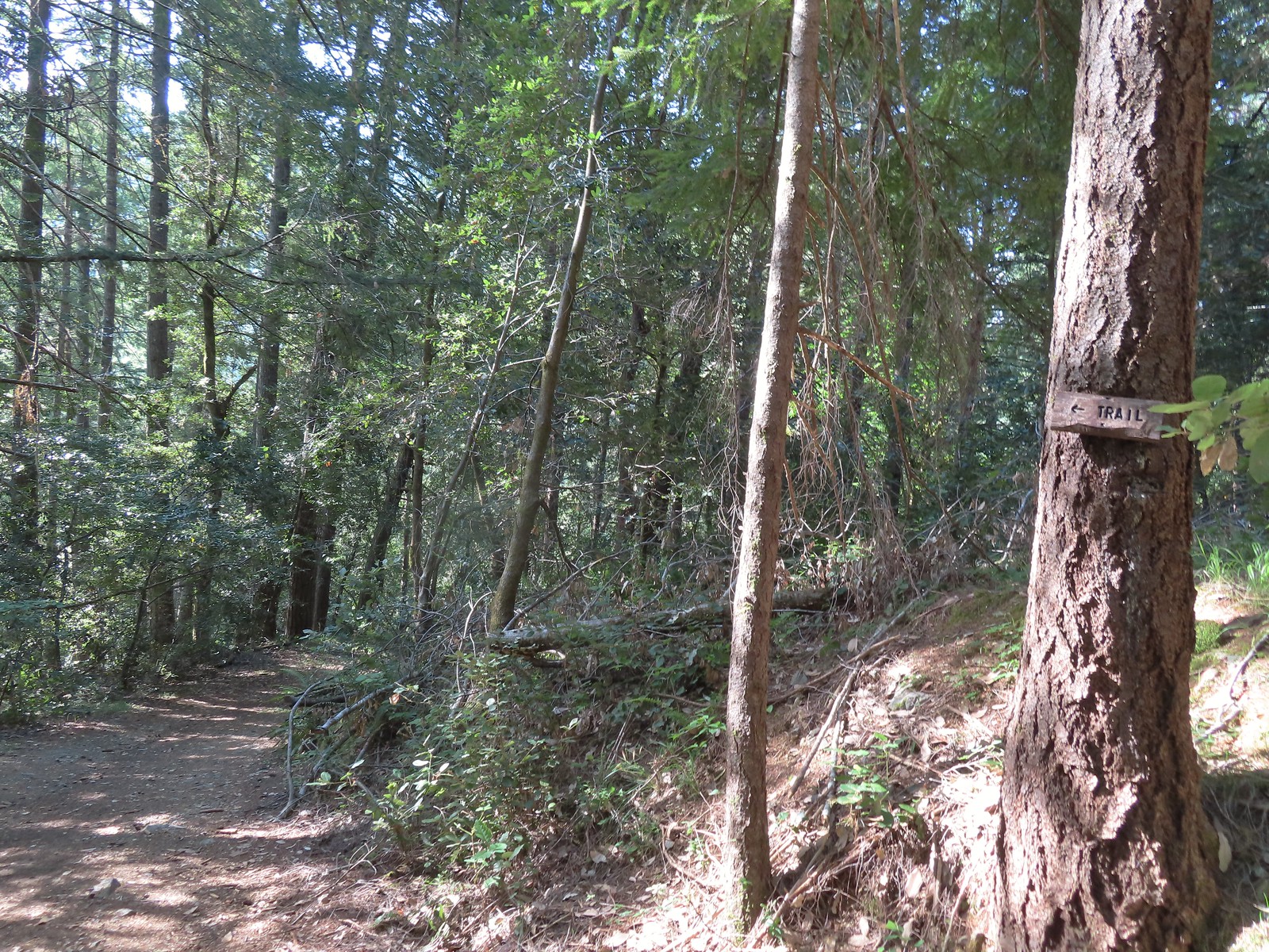 There were trail pointers at spur roads to ensure we stayed on the right one.
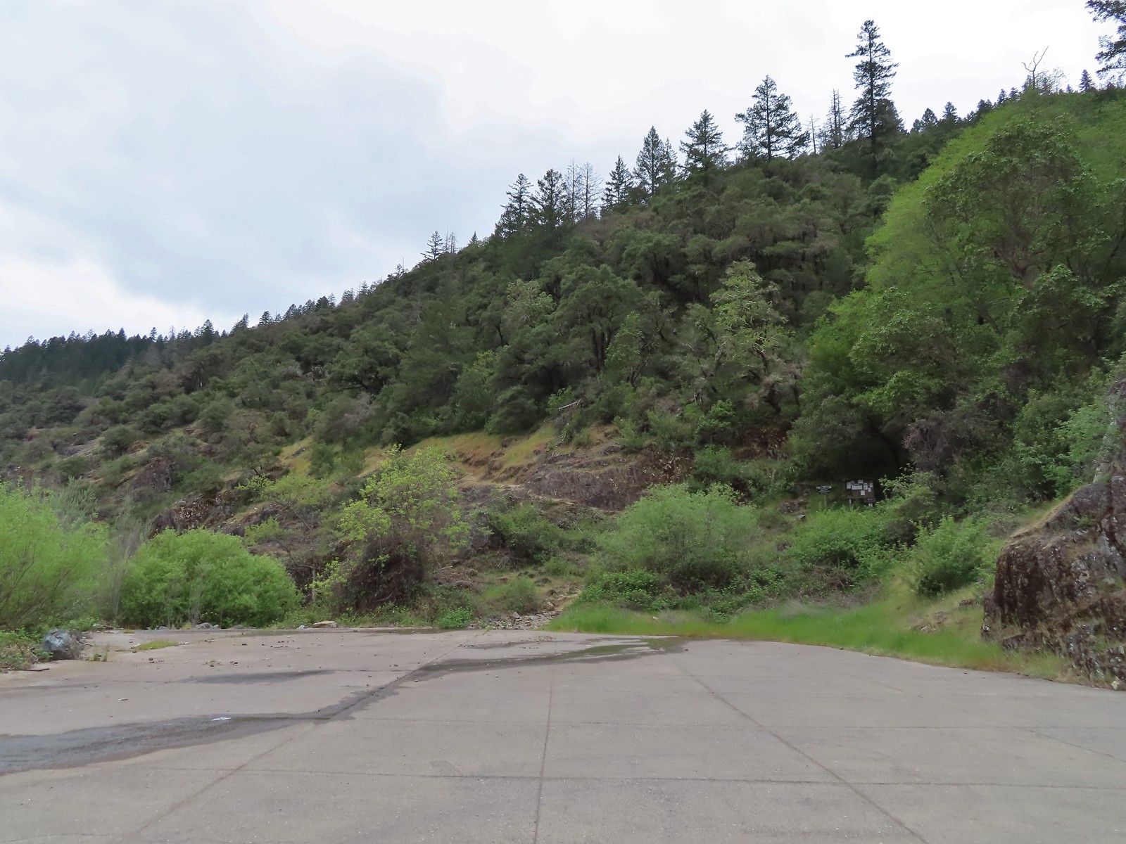
 The trailhead near Marial. I couldn’t find any directions online for this trailhead which is why we used a combination of the BLM’s directions to the ranch and Sullivan’s to the trailhead.

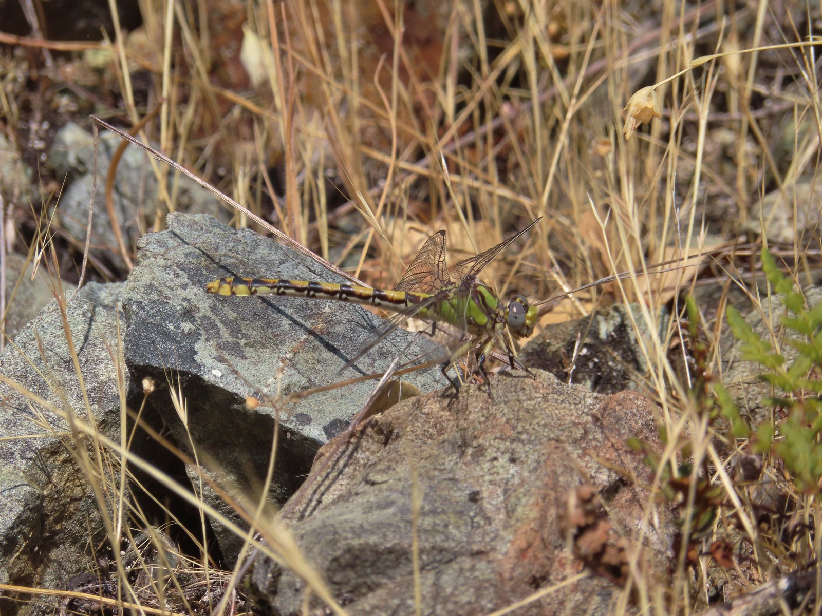 Dragonfly
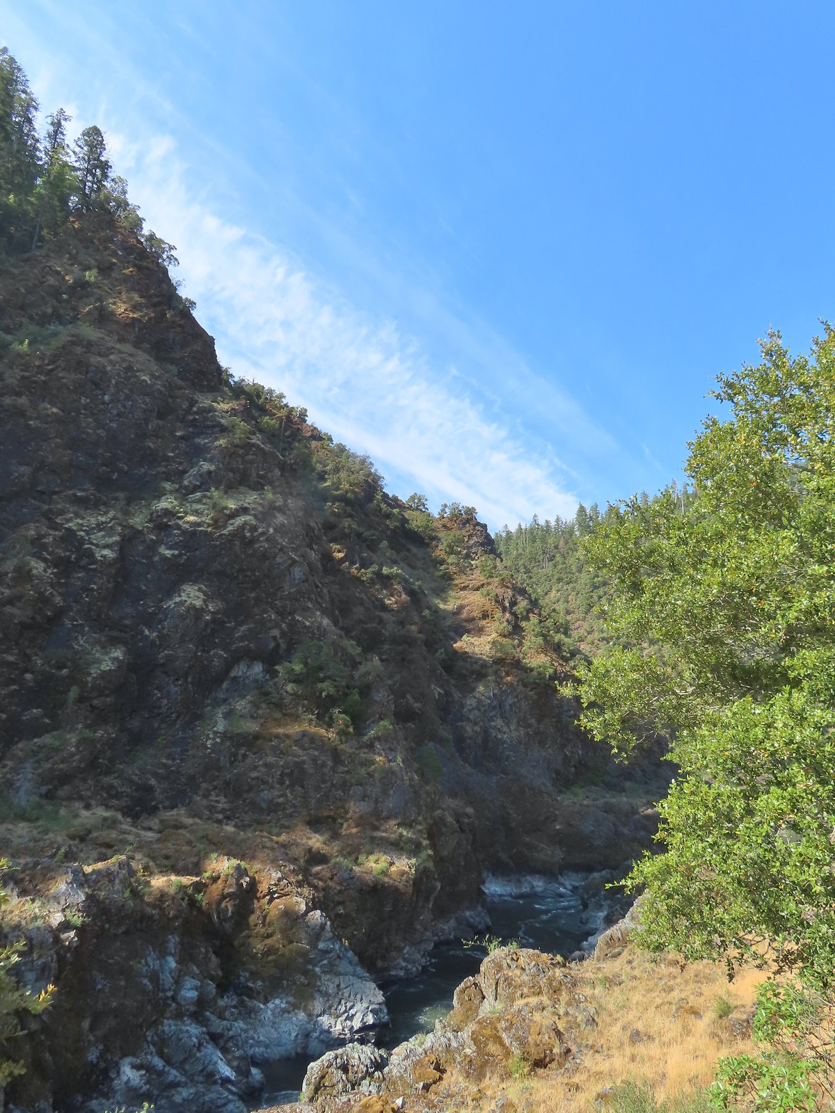
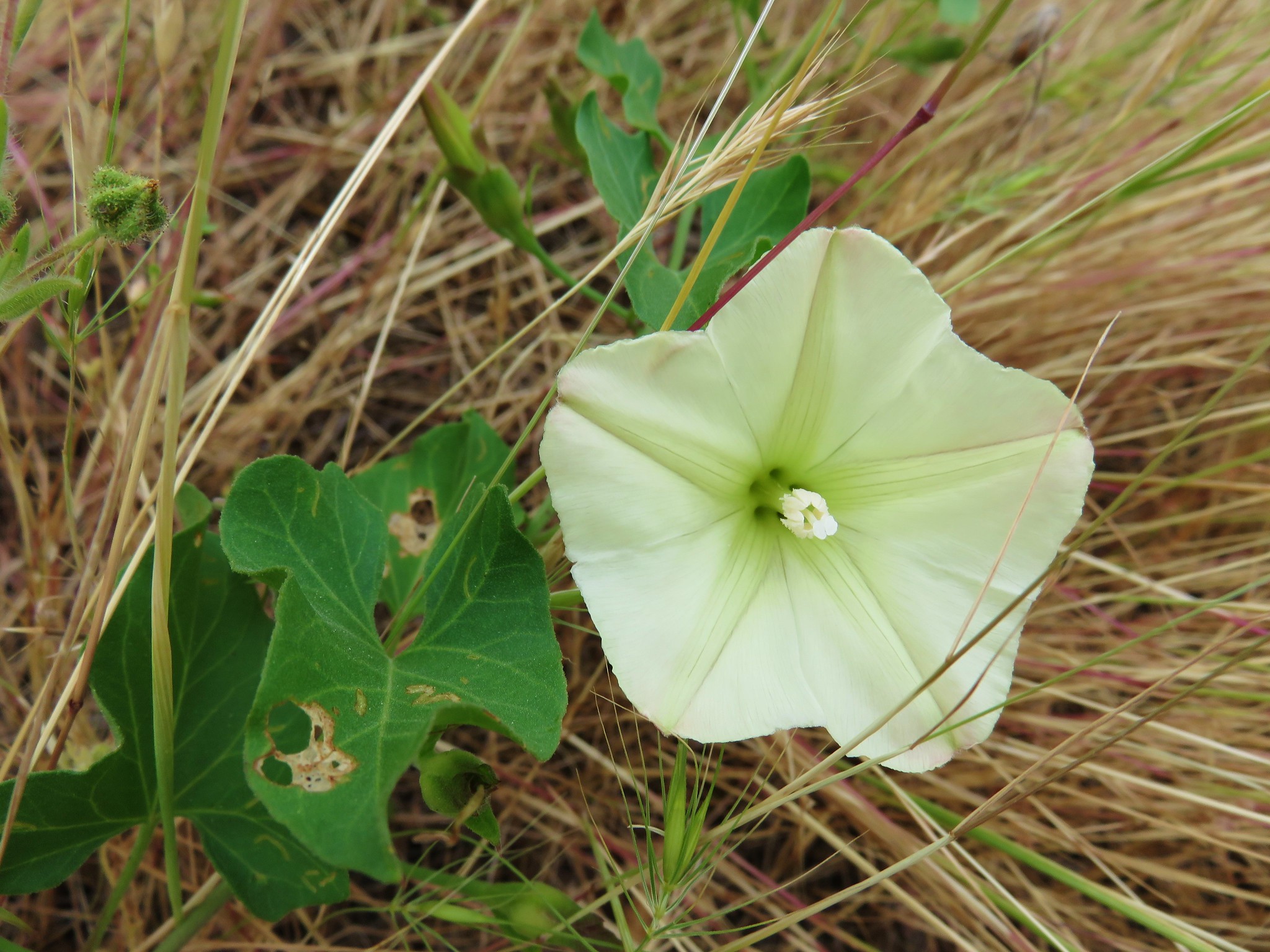
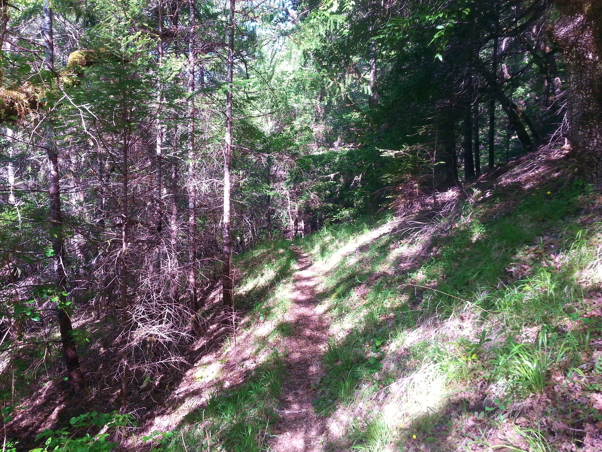
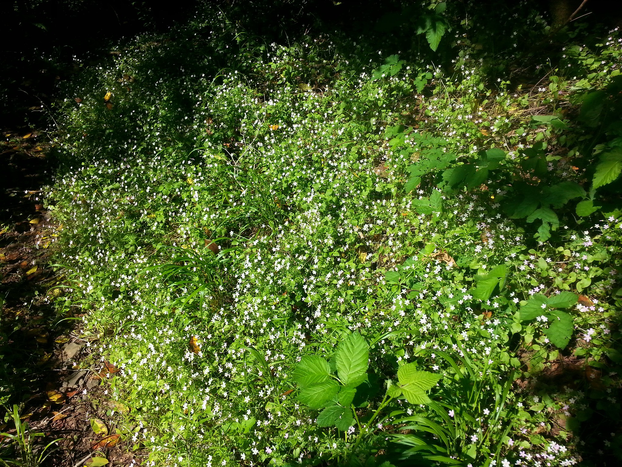
 A peak into Mule Creek Canyon.
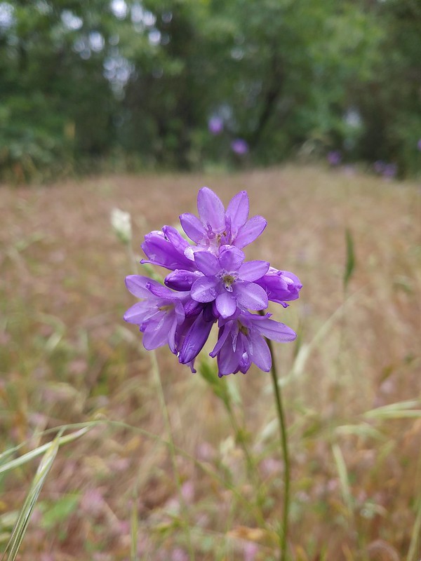
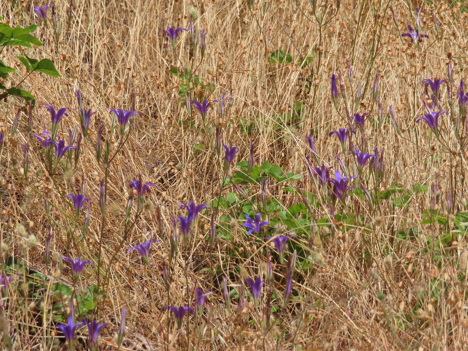 There weren’t many flowers left blooming but we did see a lot of elegant brodiaea.
 Elegant brodiaea
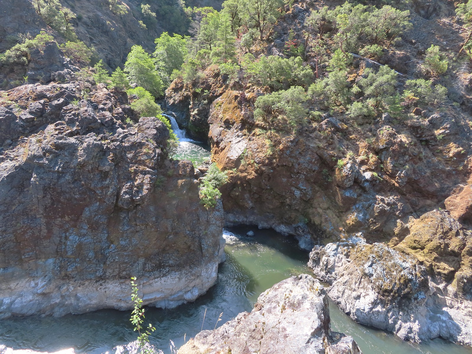
 Mule Creek Canyon from Inspiration Point.
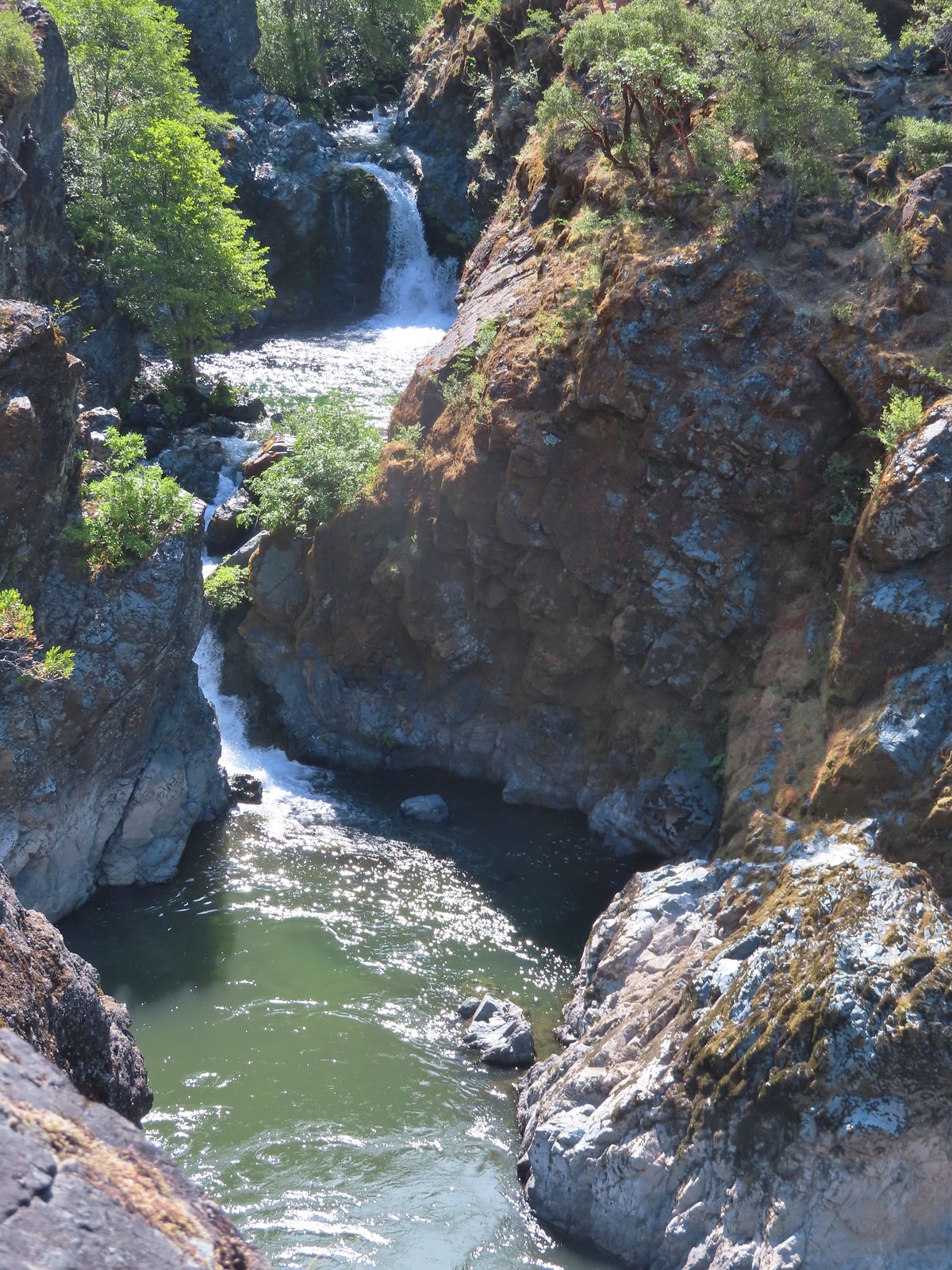
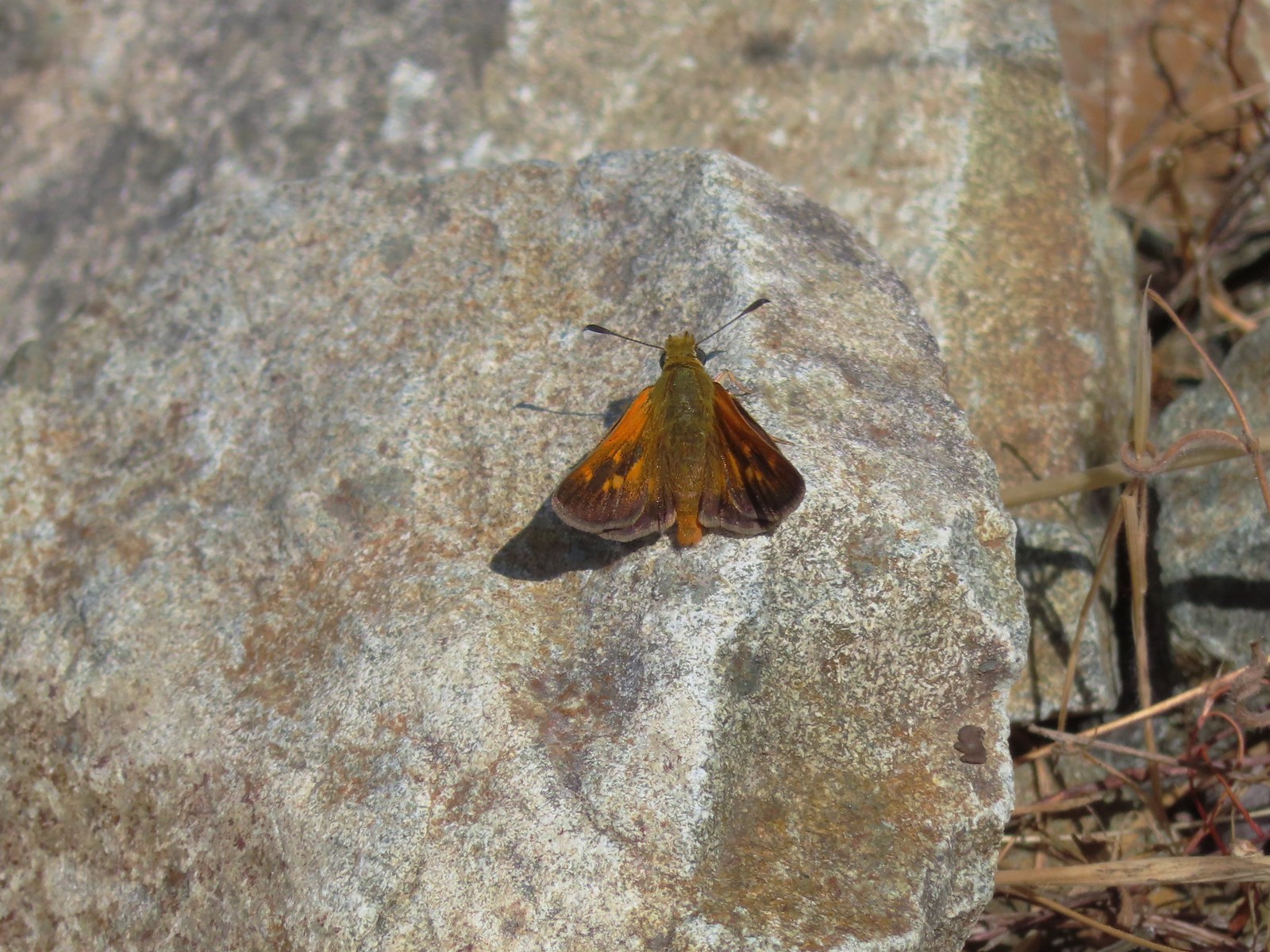 Skipper
 Common wood-nymph
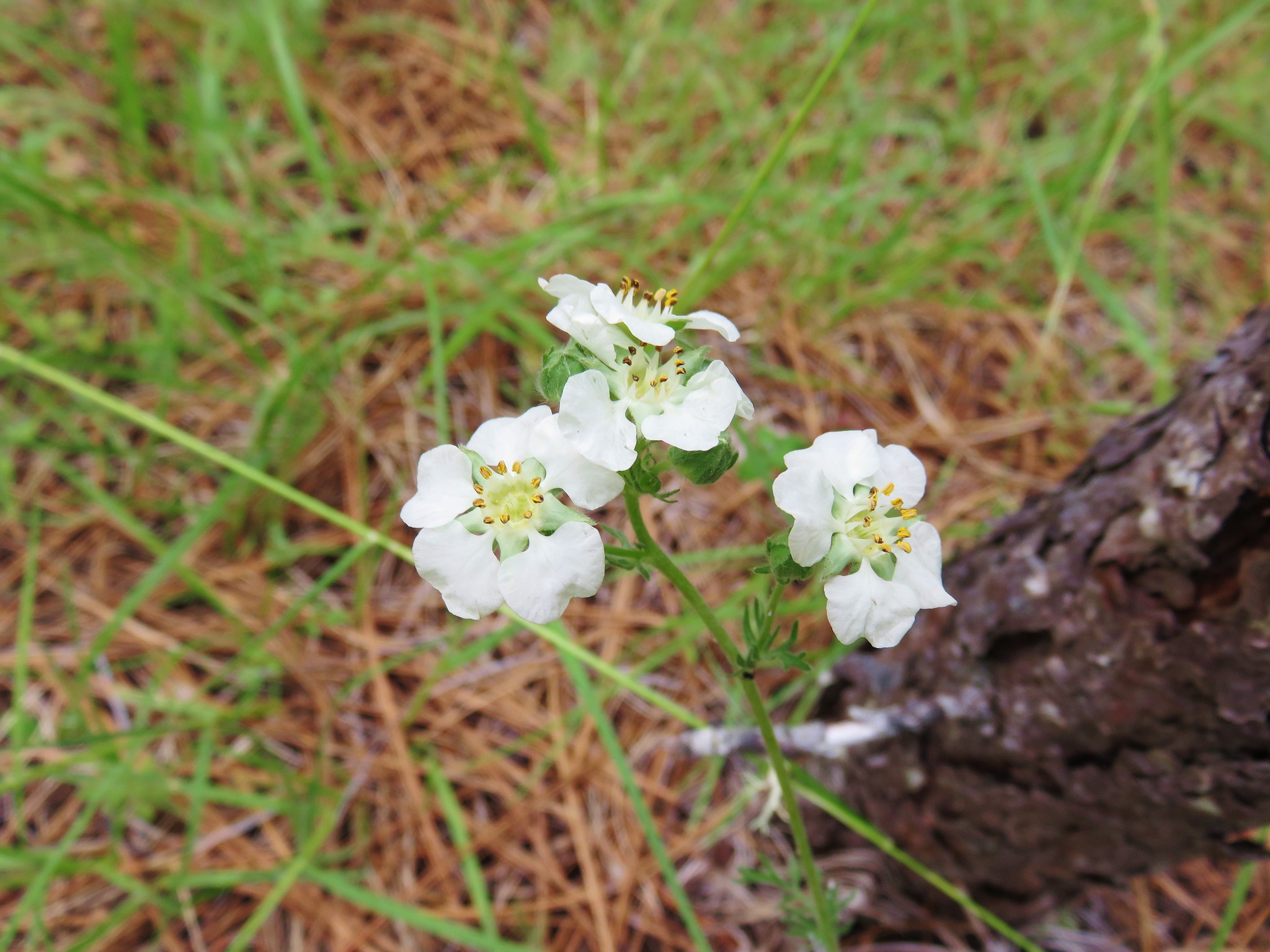
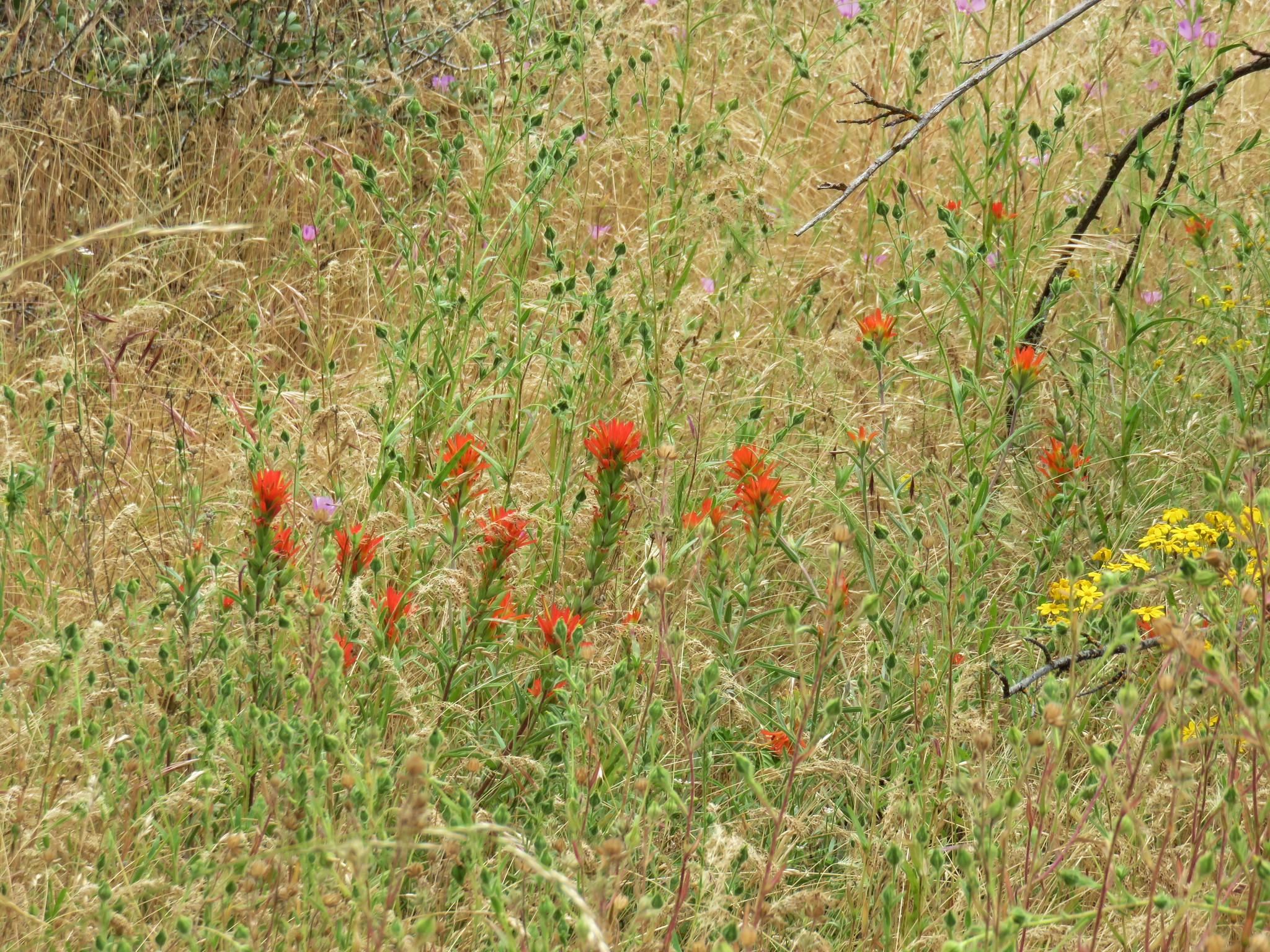
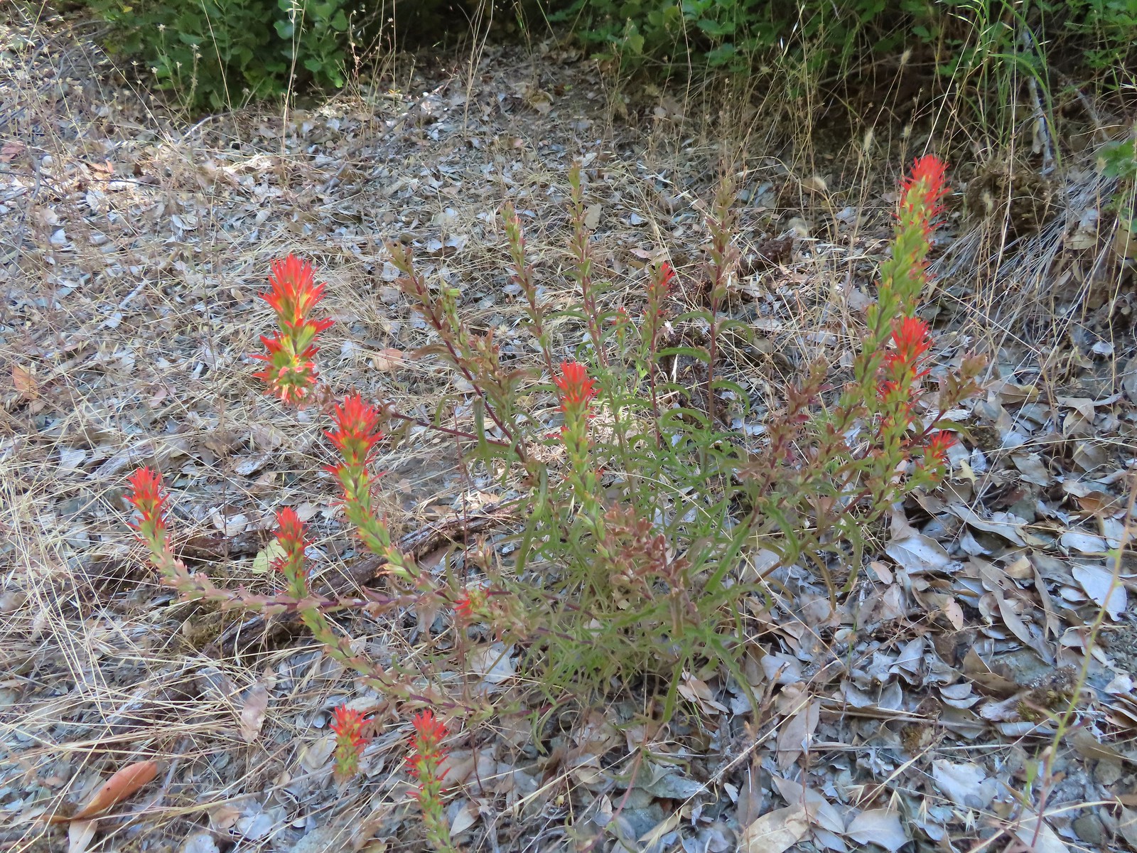 Paintbrush
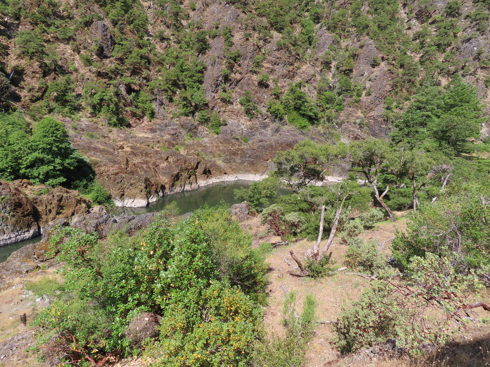 Calmer waters.
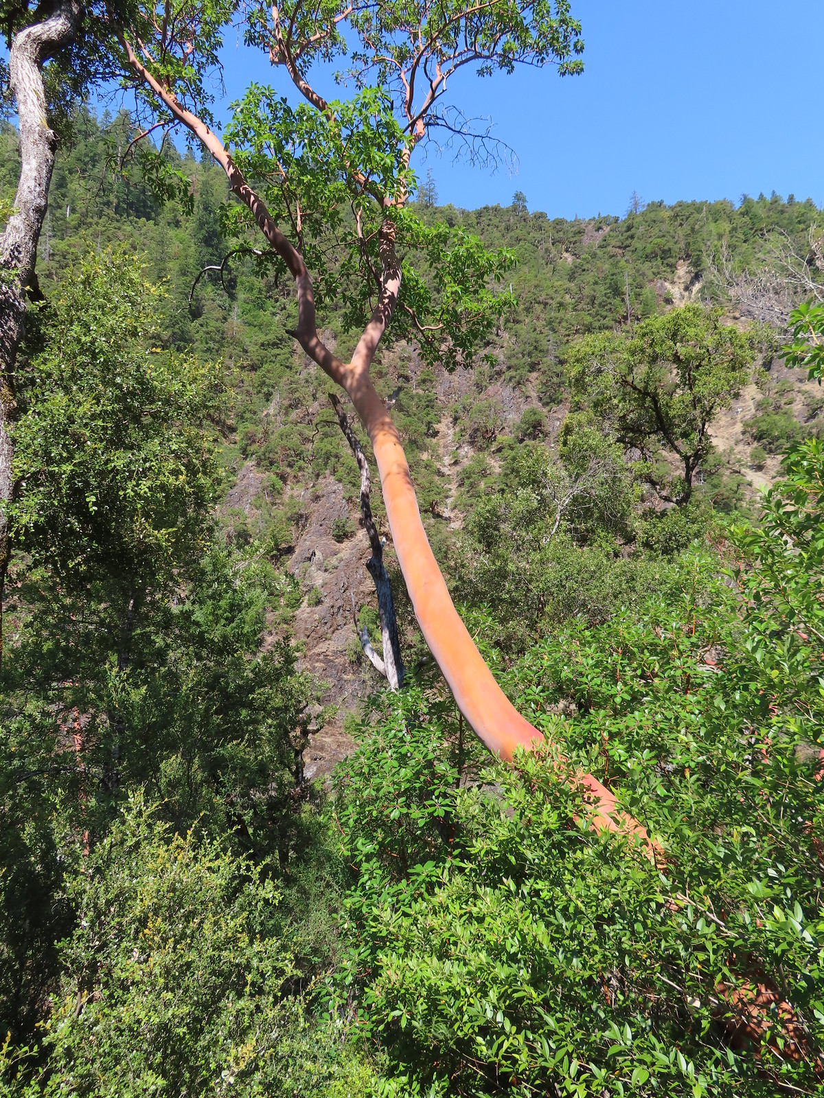 Madrone
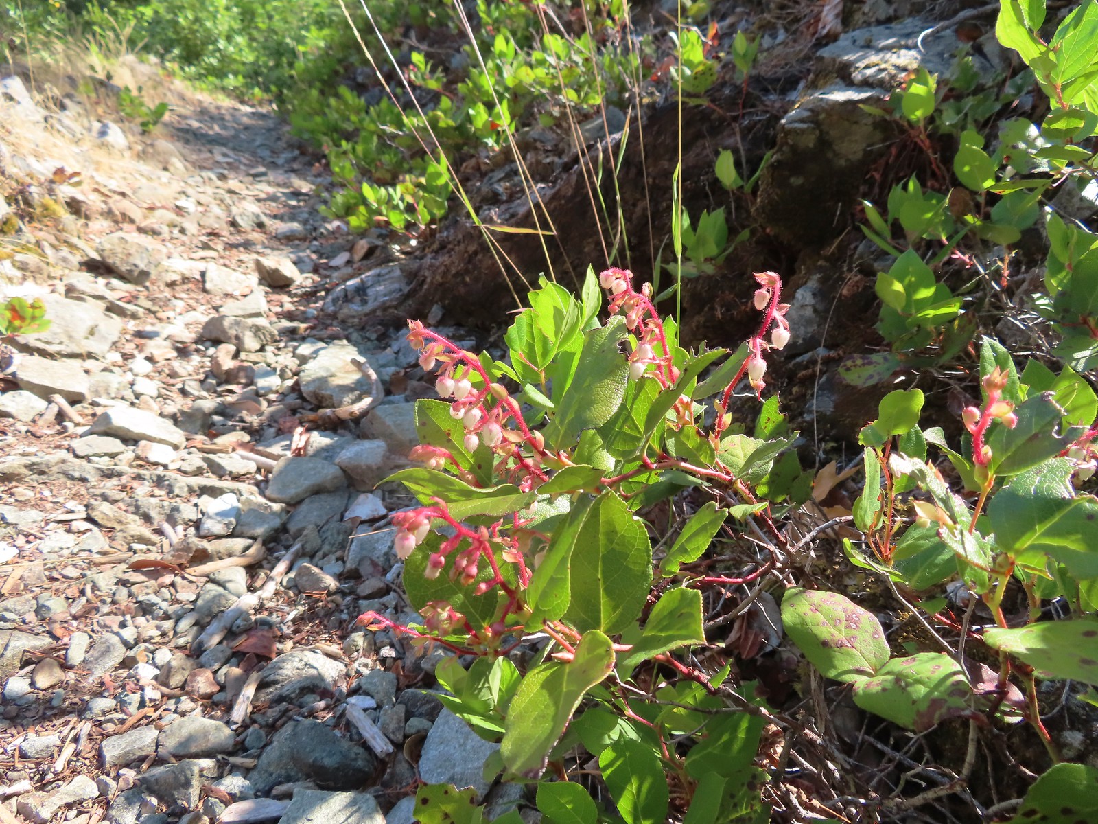 Salal
Salal Some poison oak on the right.
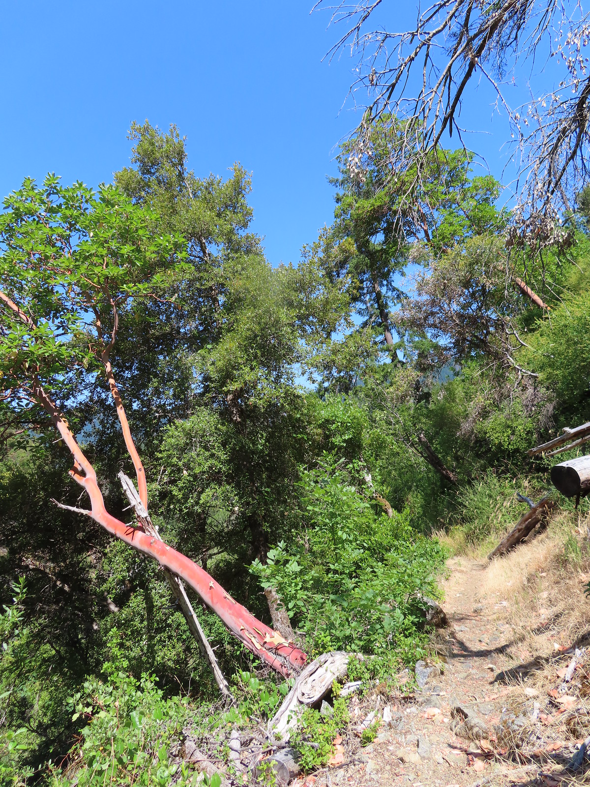 Another madrone at the start of more brush. This area was full of small birds that turned out to be bushtits.
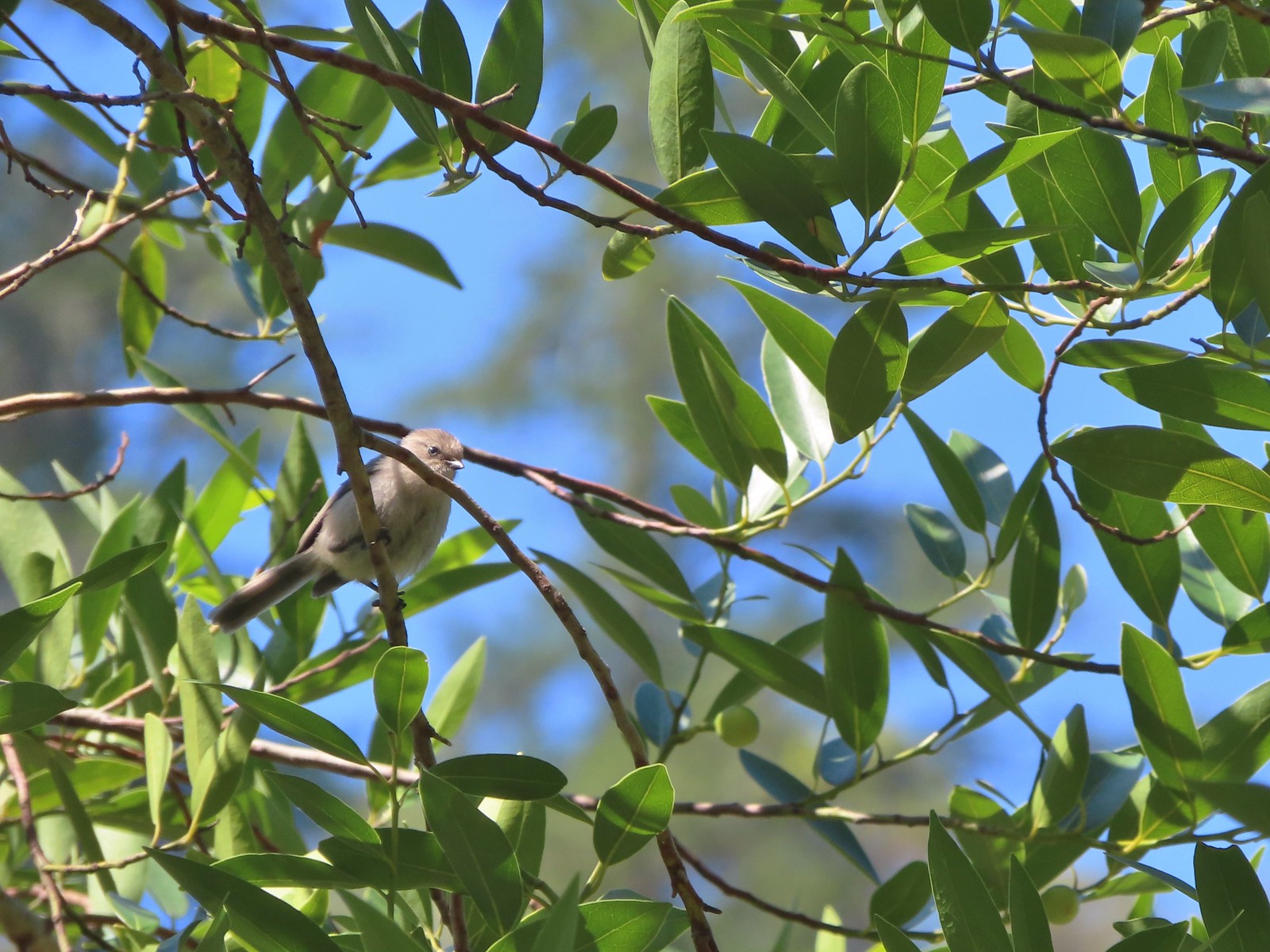 It took a bit to get one of the bushtits out in the open and in the camera frame.
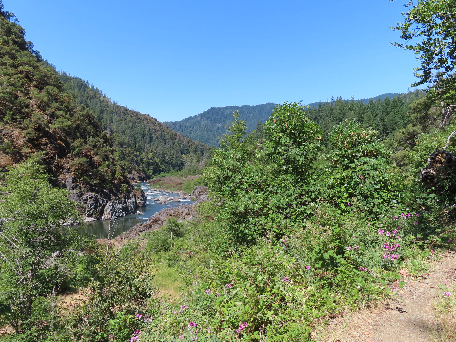
 Blossom Bar Rapid
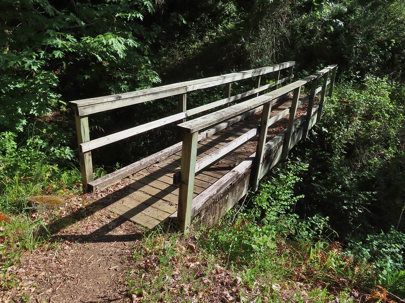
 Footbridge over Burns Creek.
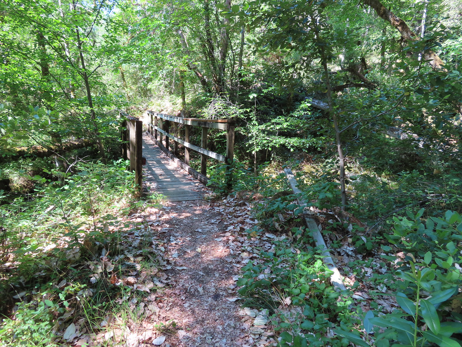 Footbridge over Blossom Creek.
 Blossom Creek
 Trail crossing Blossom Bar.
 Rogue River leaving Blossom Bar.
 Trail to Gleason Bar on the left.
 Variable-leaf collomia
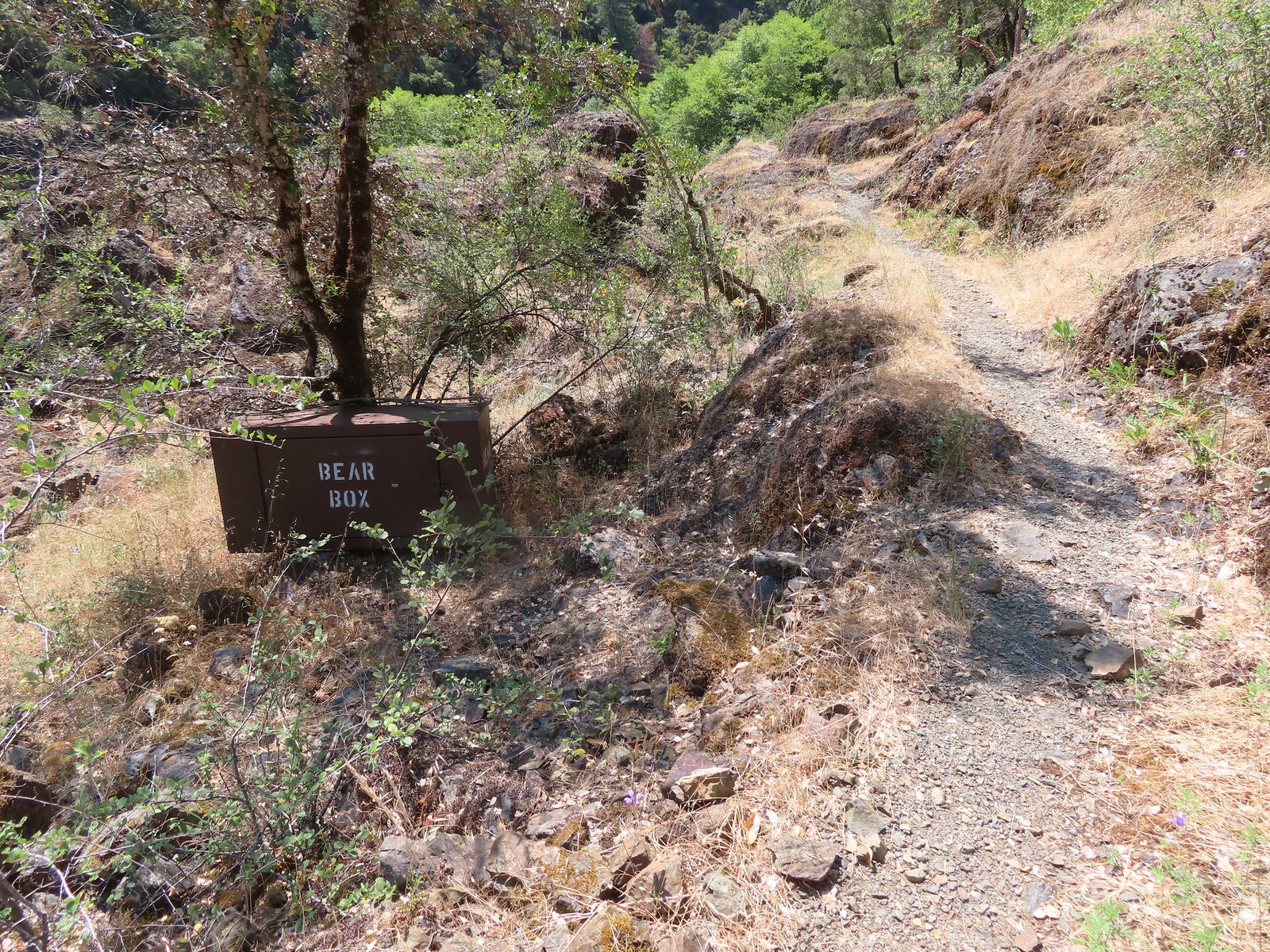 Bear box near Gleason Bar. We didn’t see any bears on our hike but we did have a bear cub run in front of our car on the drive to the trailhead.
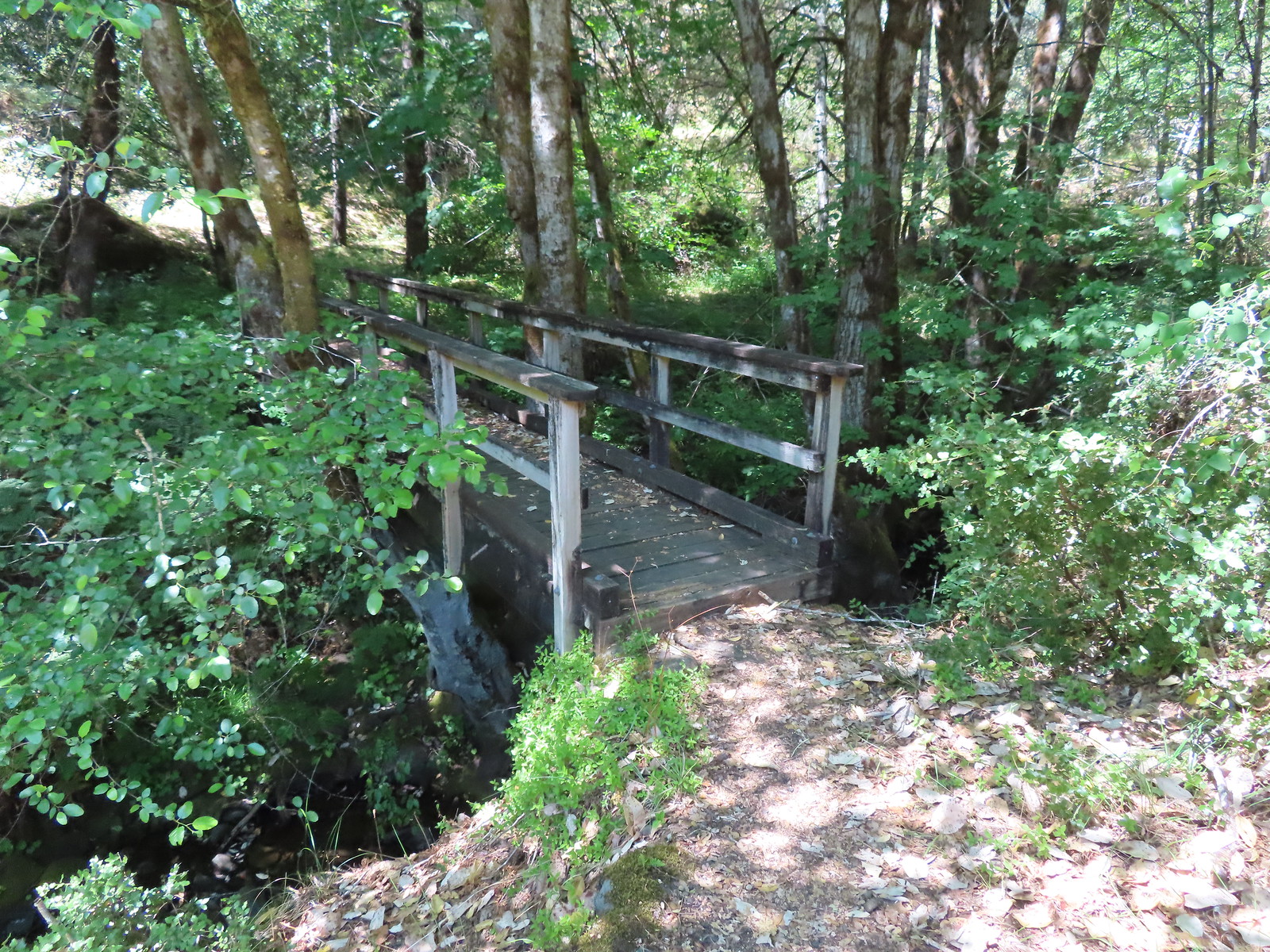
 Paradise Bar
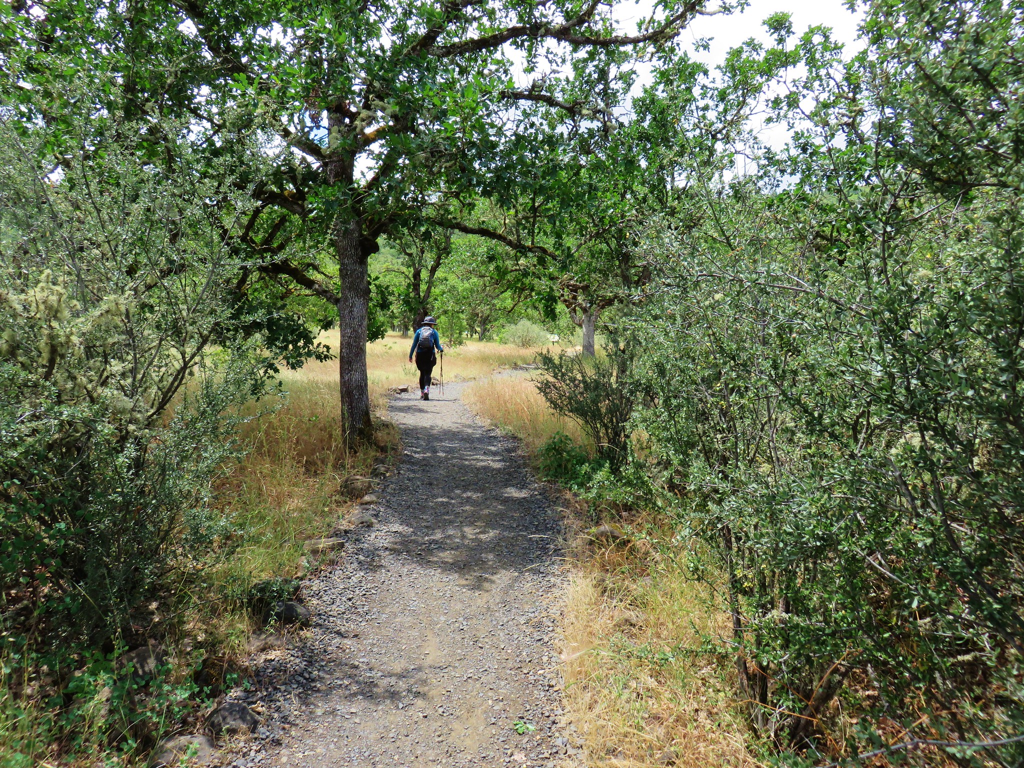
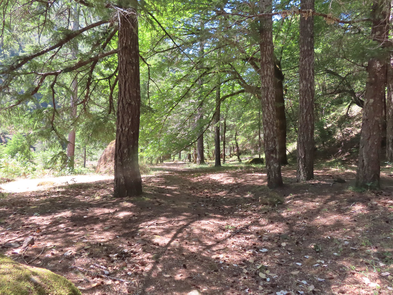
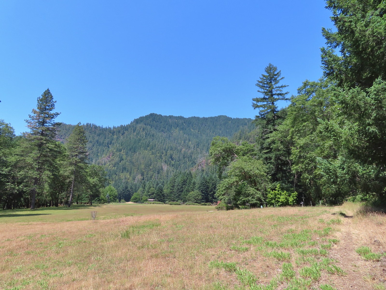 The trail skirted the grassy airstrip before entering the forest.
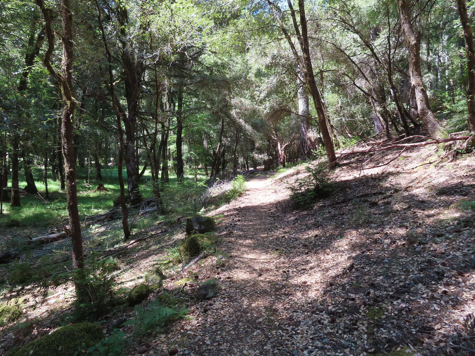
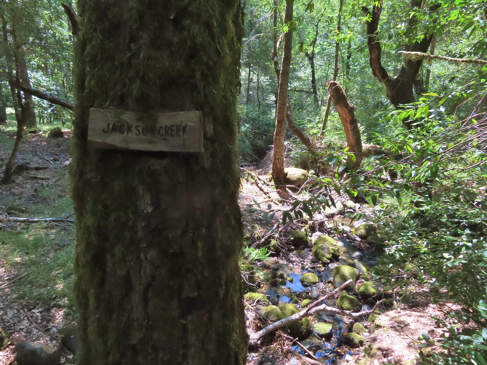 Jackson Creek. Most if not all of the creeks had signs letting us know their names.
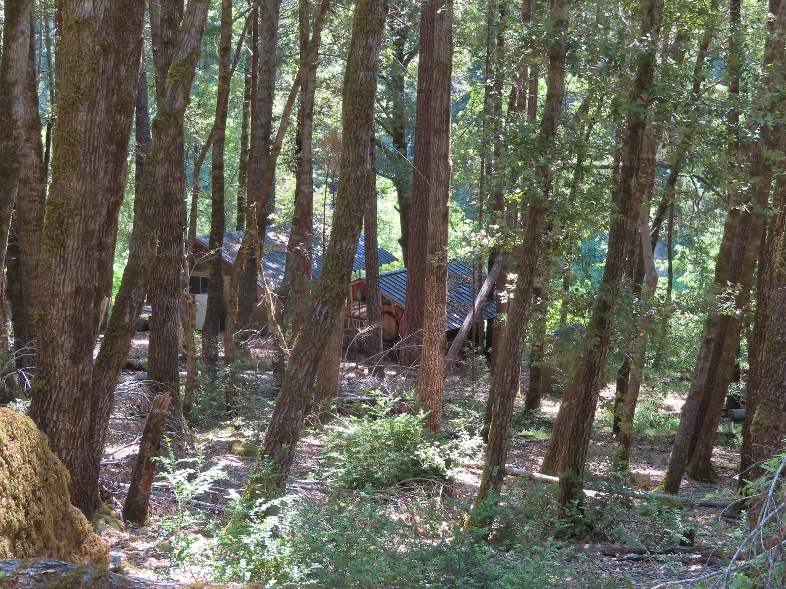 Some of the buildings related to Paradise Lodge.
 Rafters and kayakers passing through Half Moon Riffle.
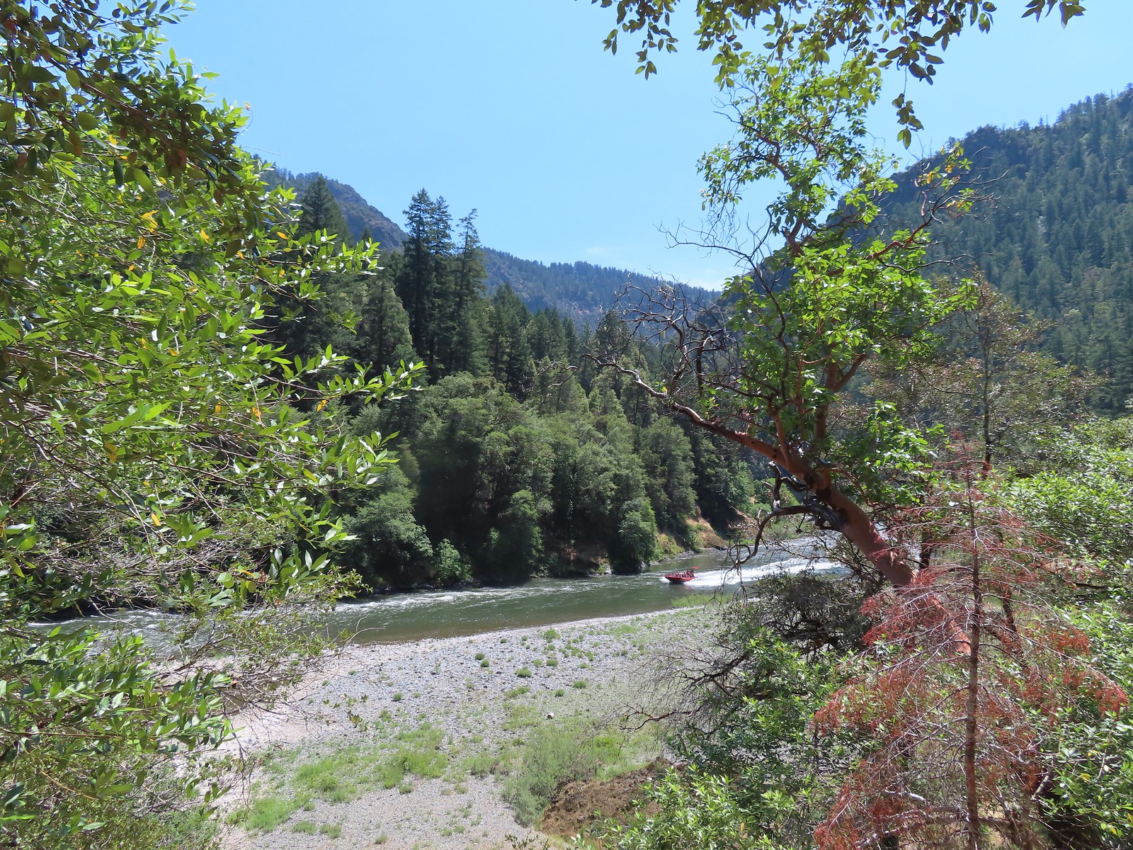 One of
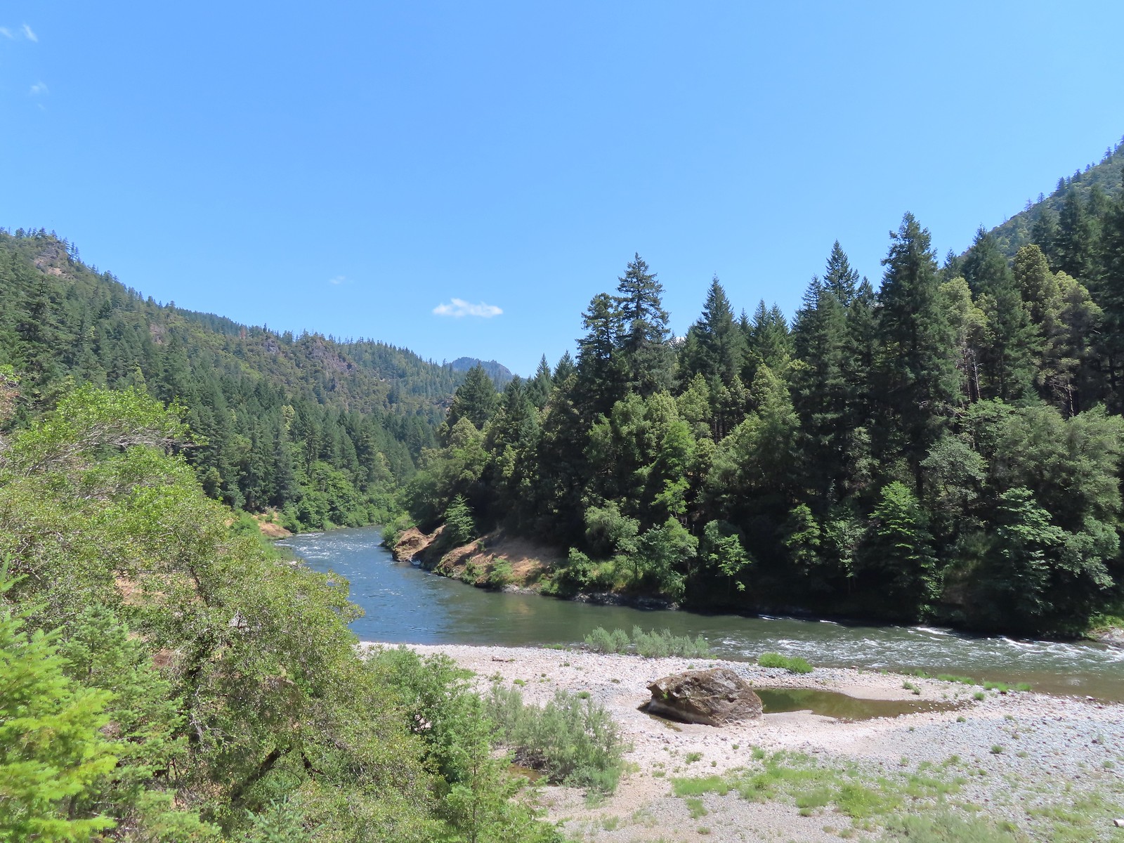
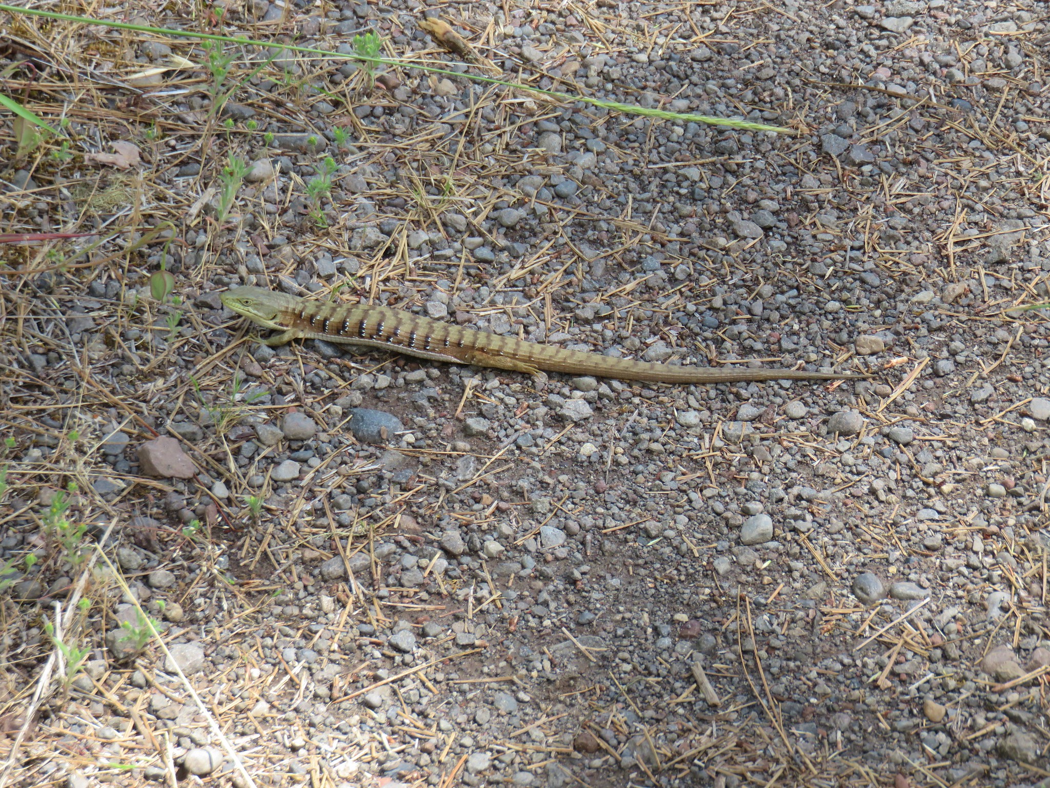
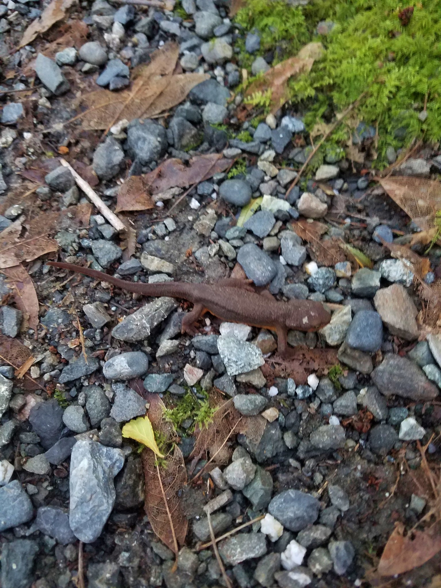
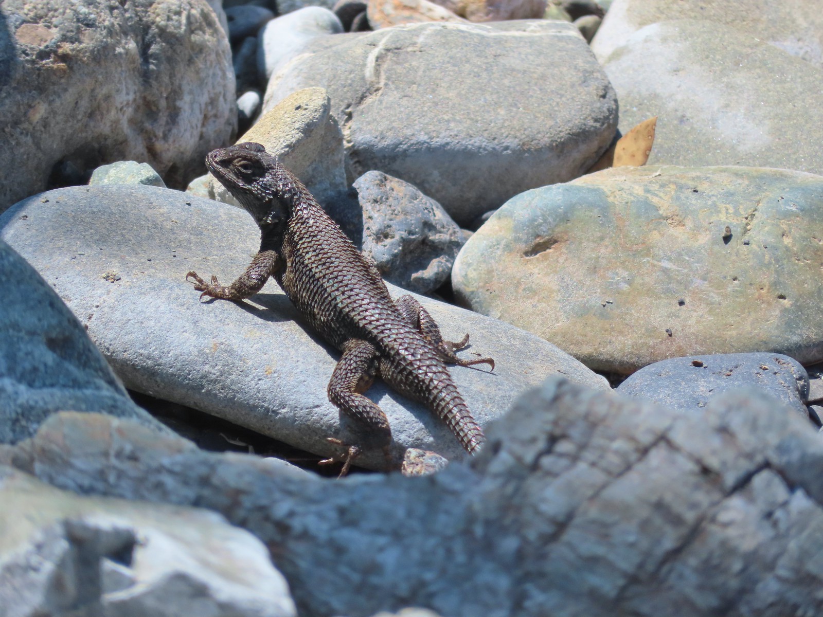
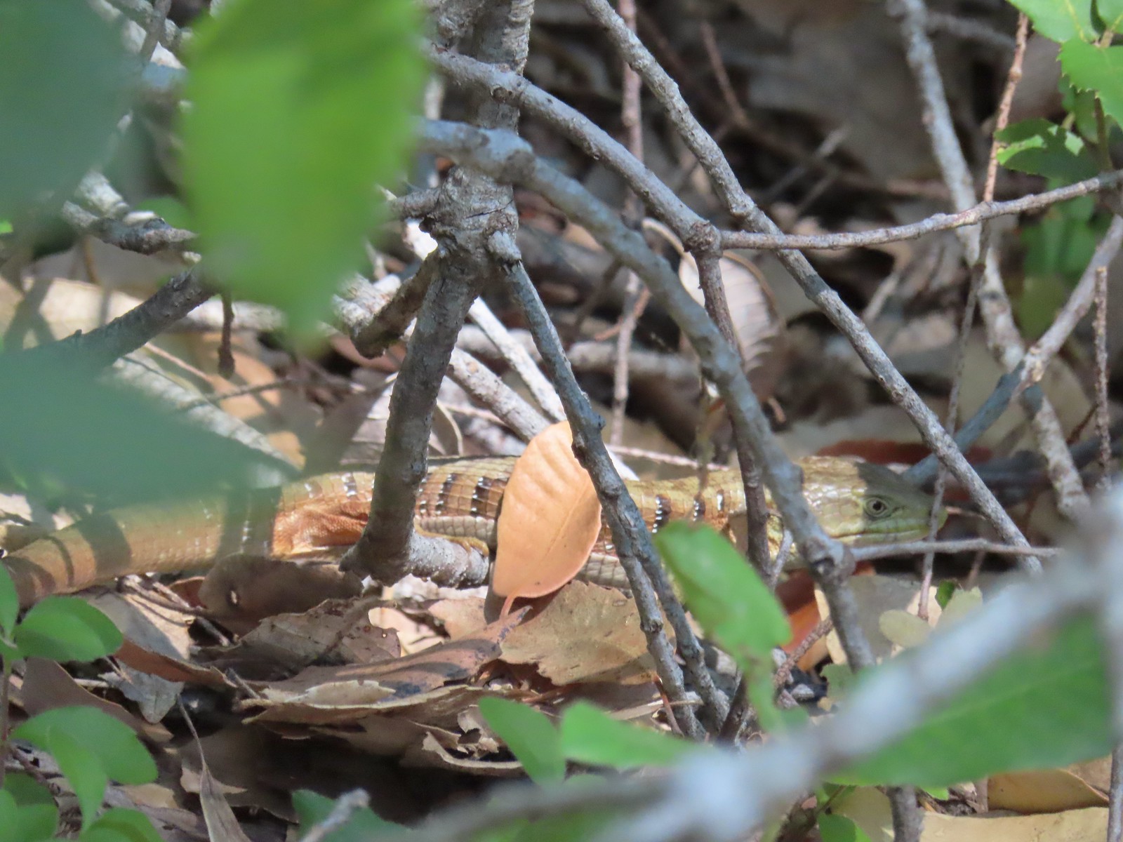 Alligator lizard
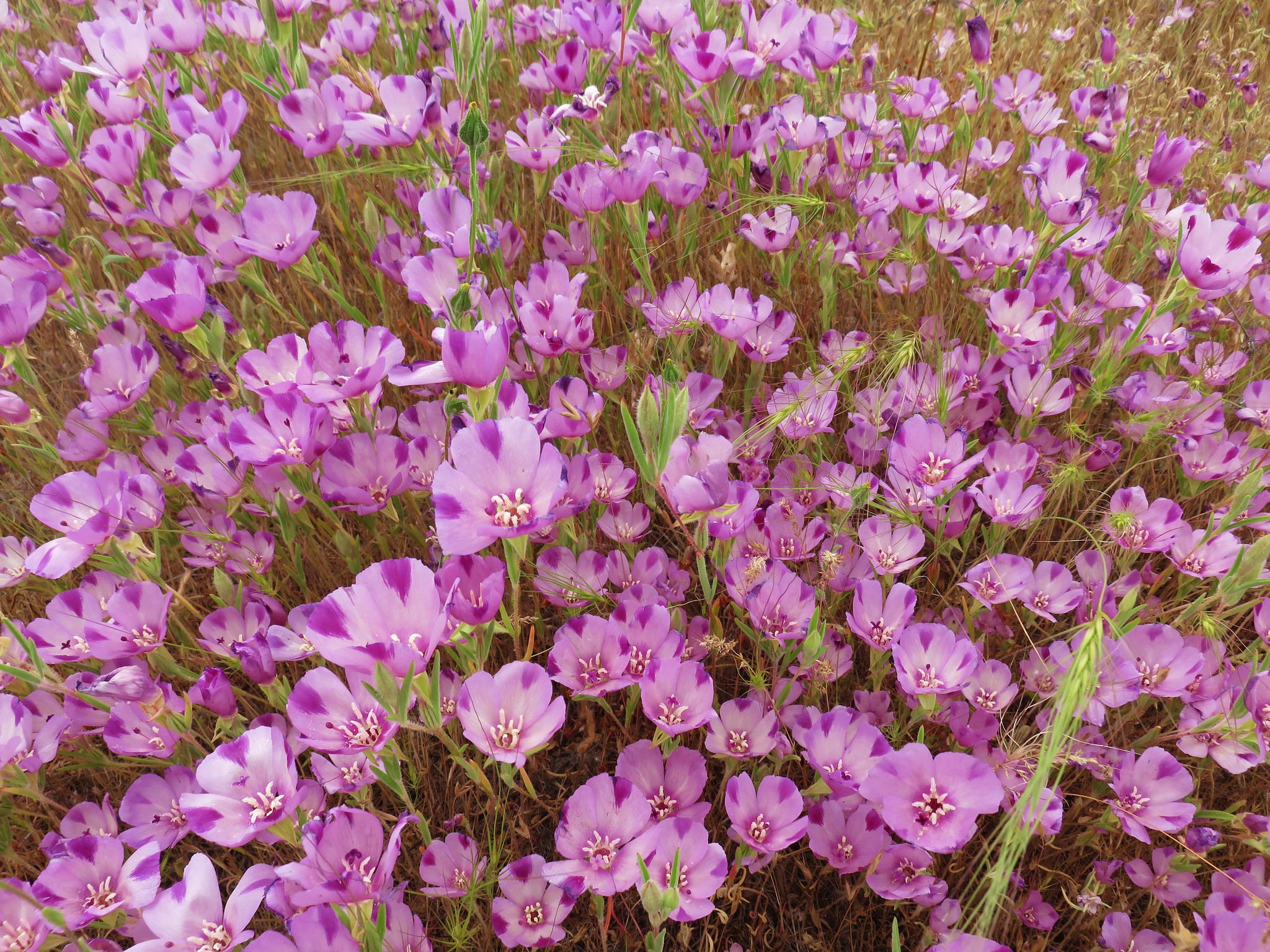
 Wine-cup clarkia
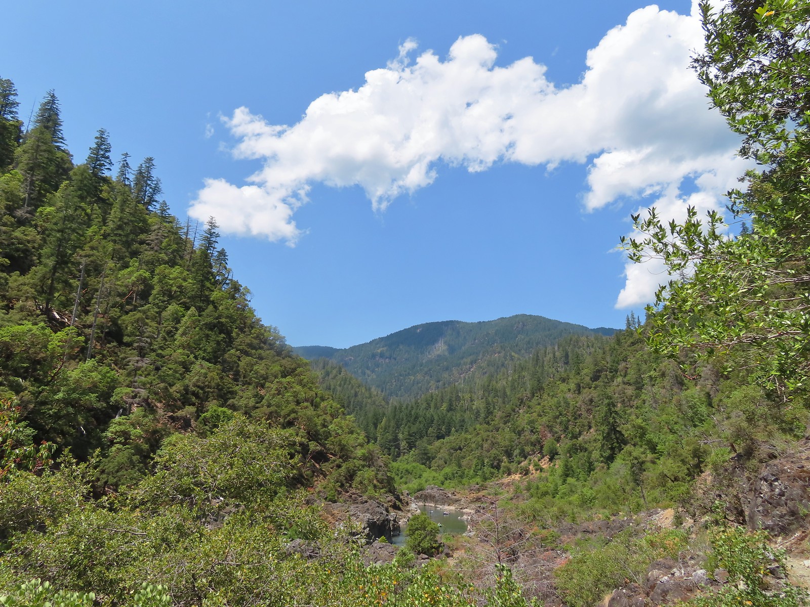 A few fluffy clouds moving in.
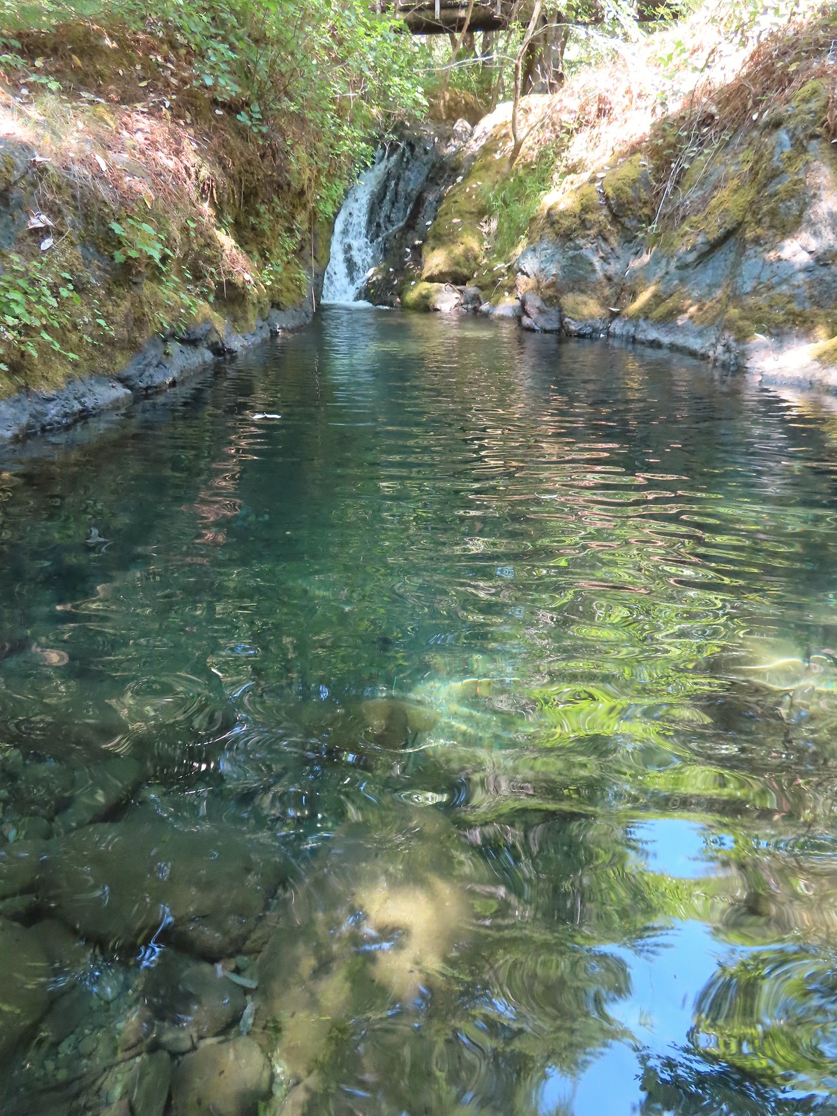
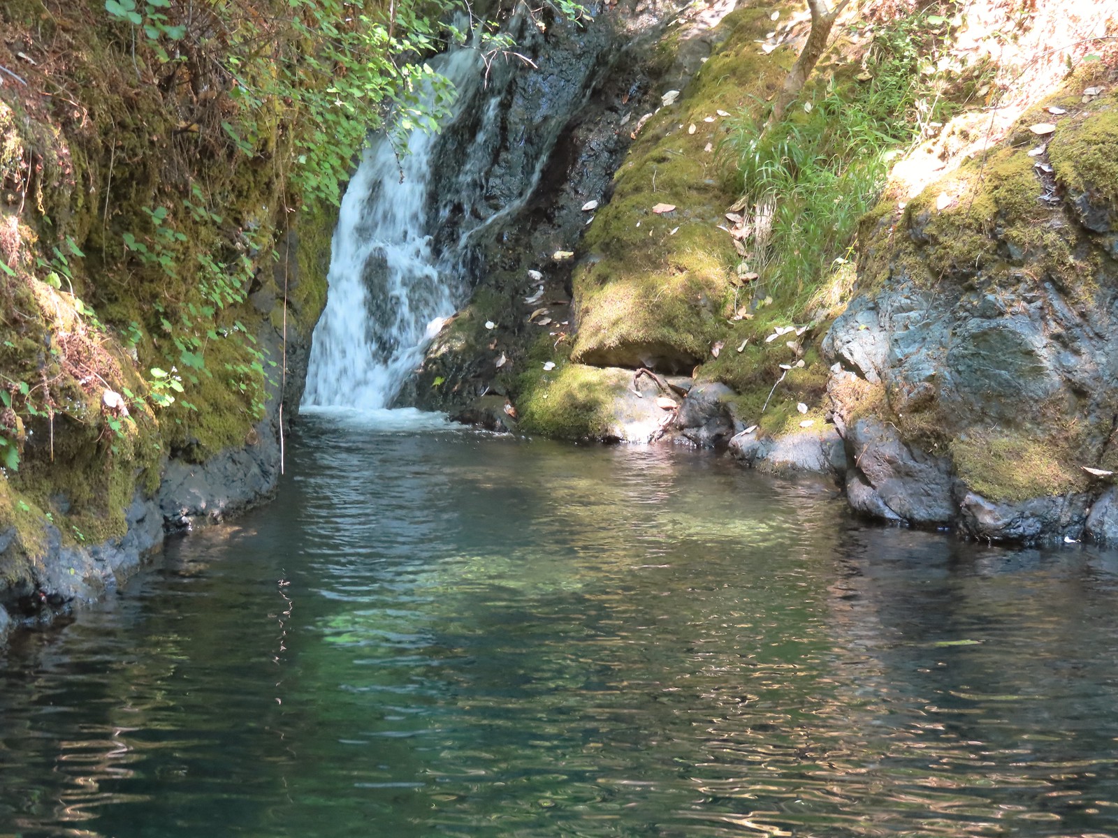
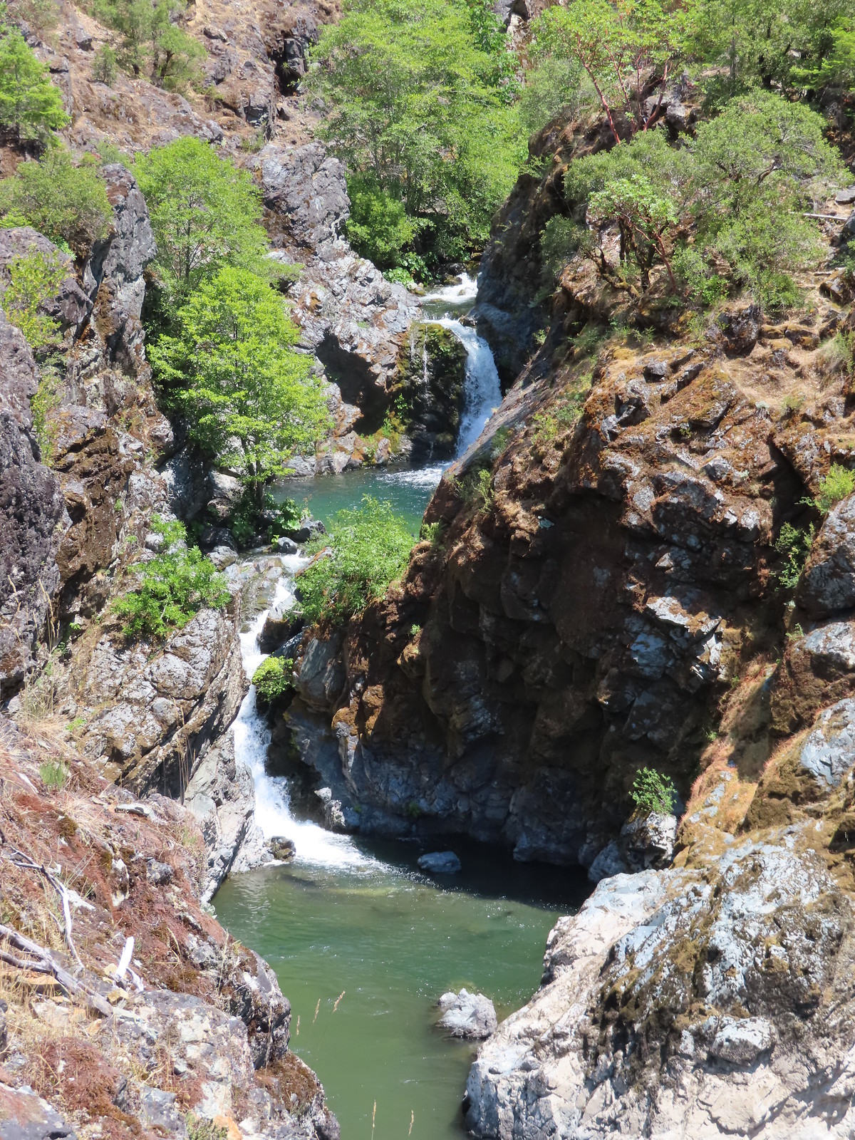 Stair Creek Falls on the way back.
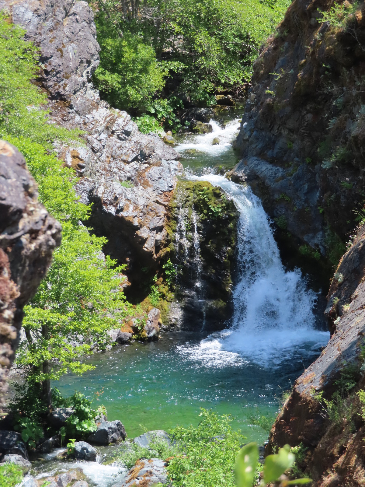
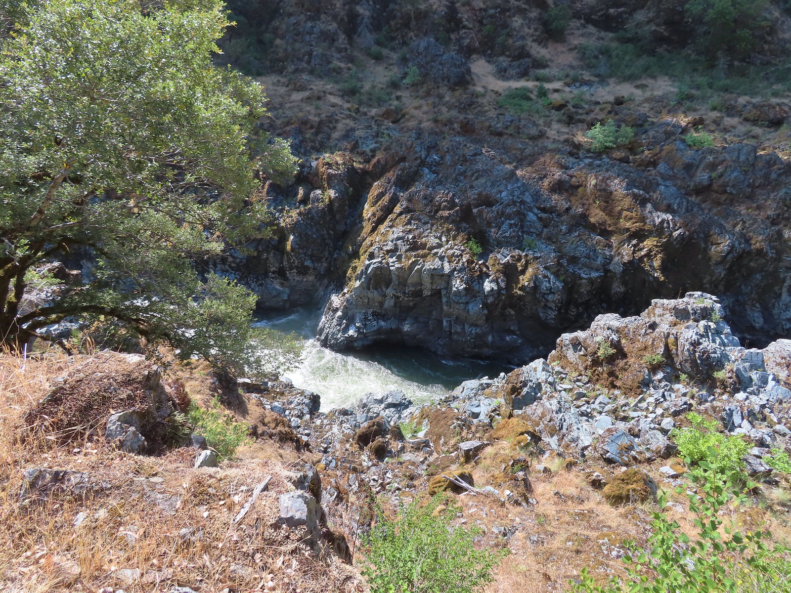
 Mule Creek Canyon
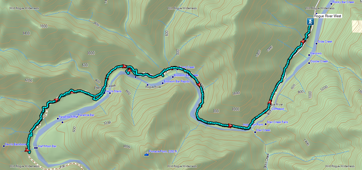

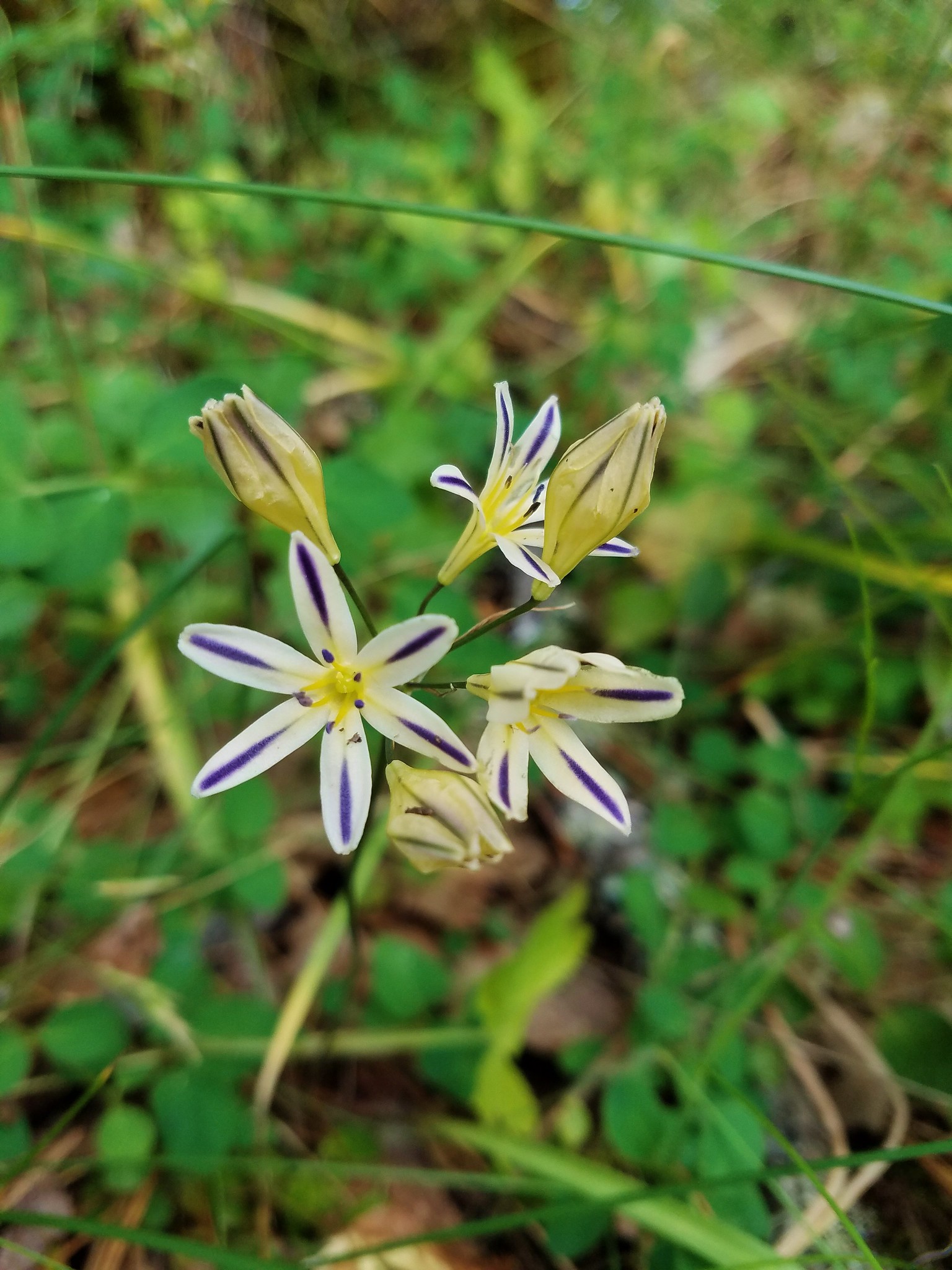
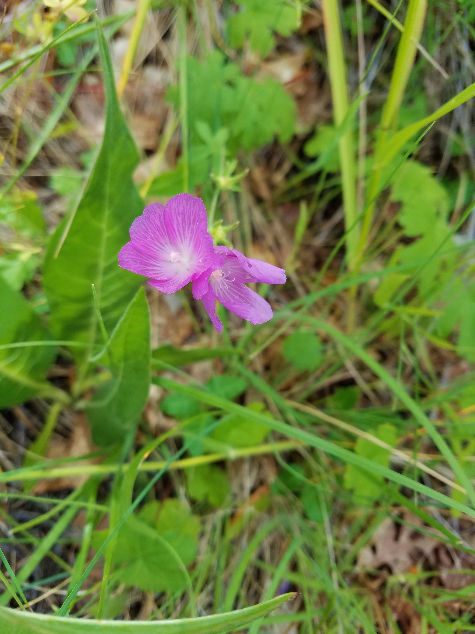
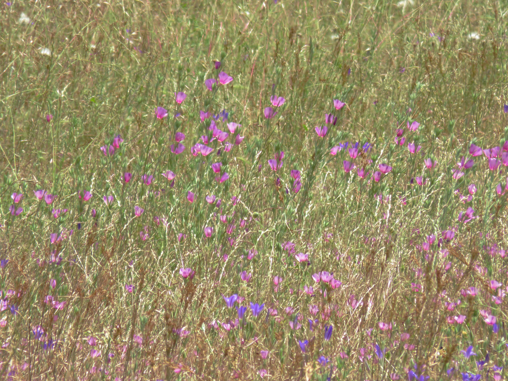
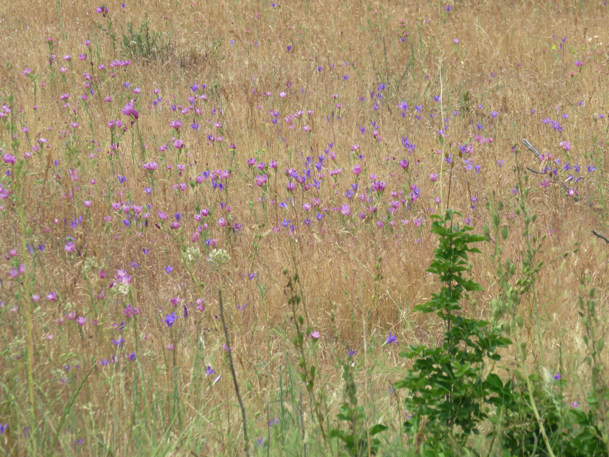
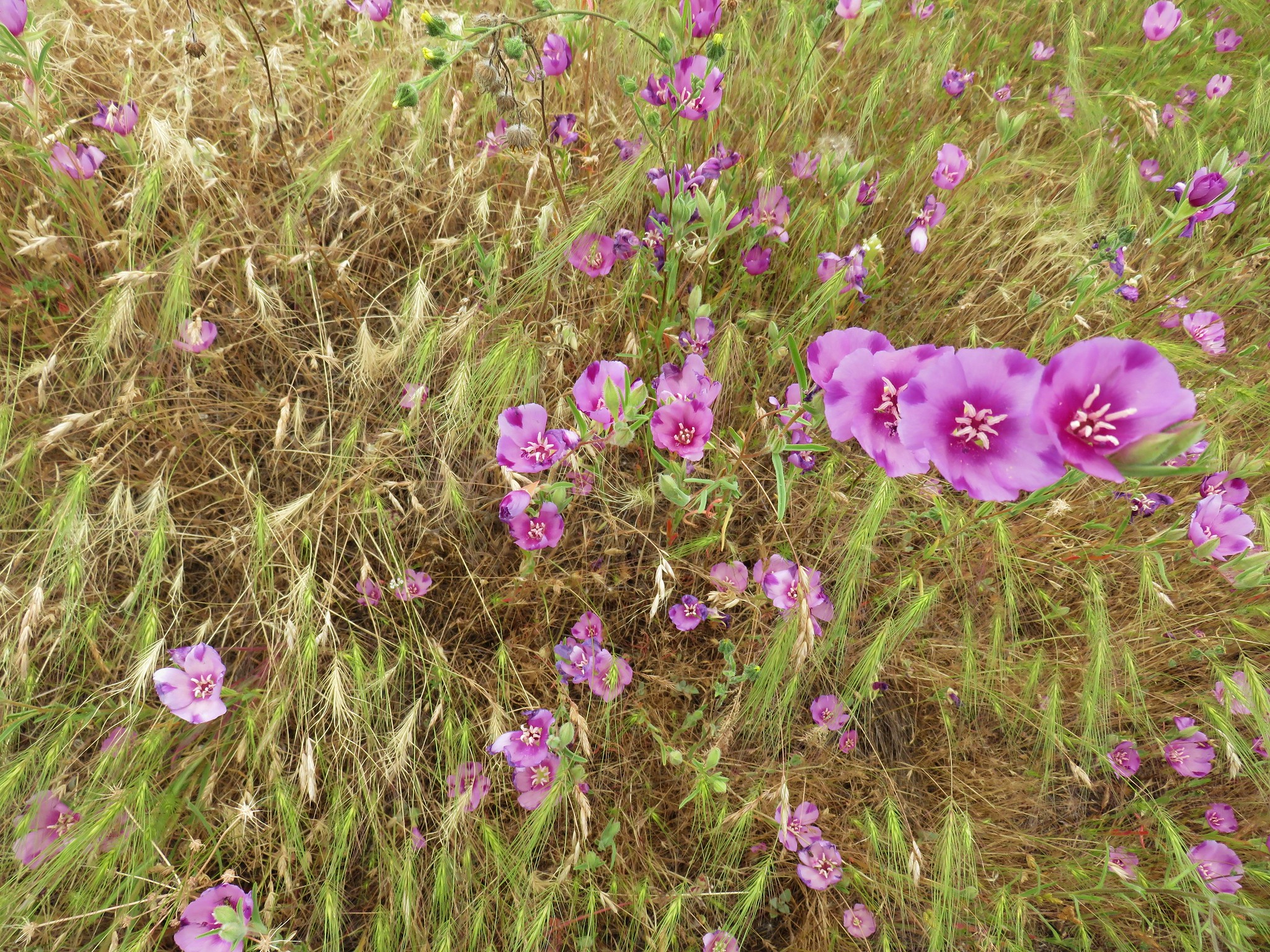
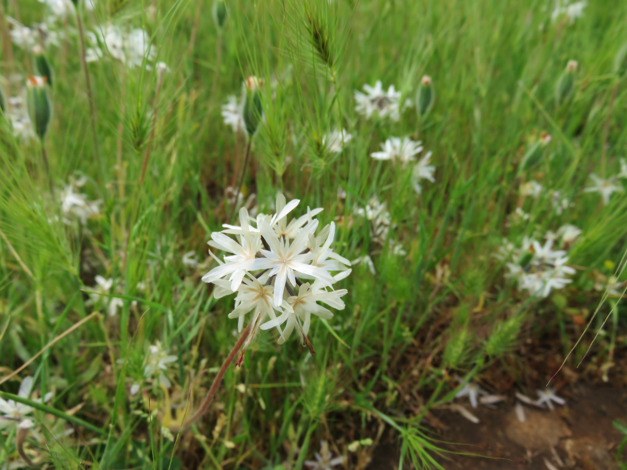
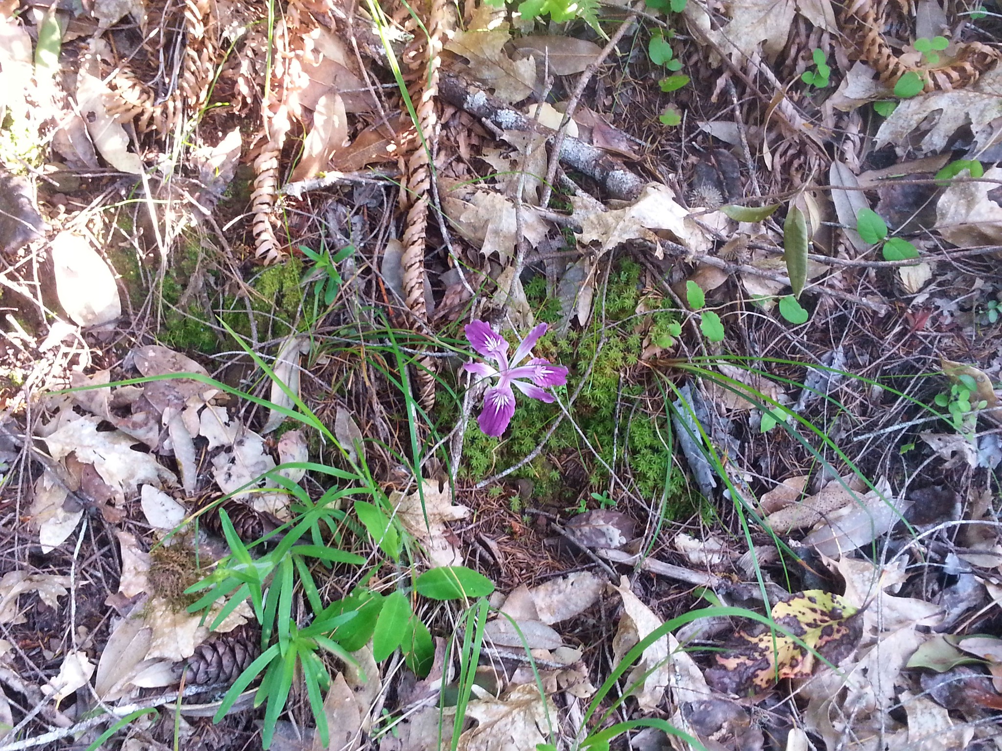
 Red larkspur with blue dicks in the background.
 Lupine
 Red larkspur, madia, blue dicks, and tomcat clover along the trail.
 Blue dicks
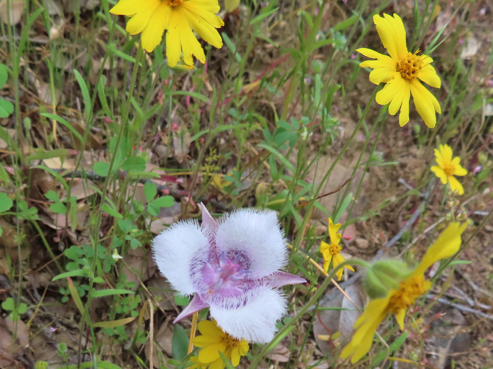 Tolmie’s mariposa lily and some madia.
 Larkspur and a red larkspur
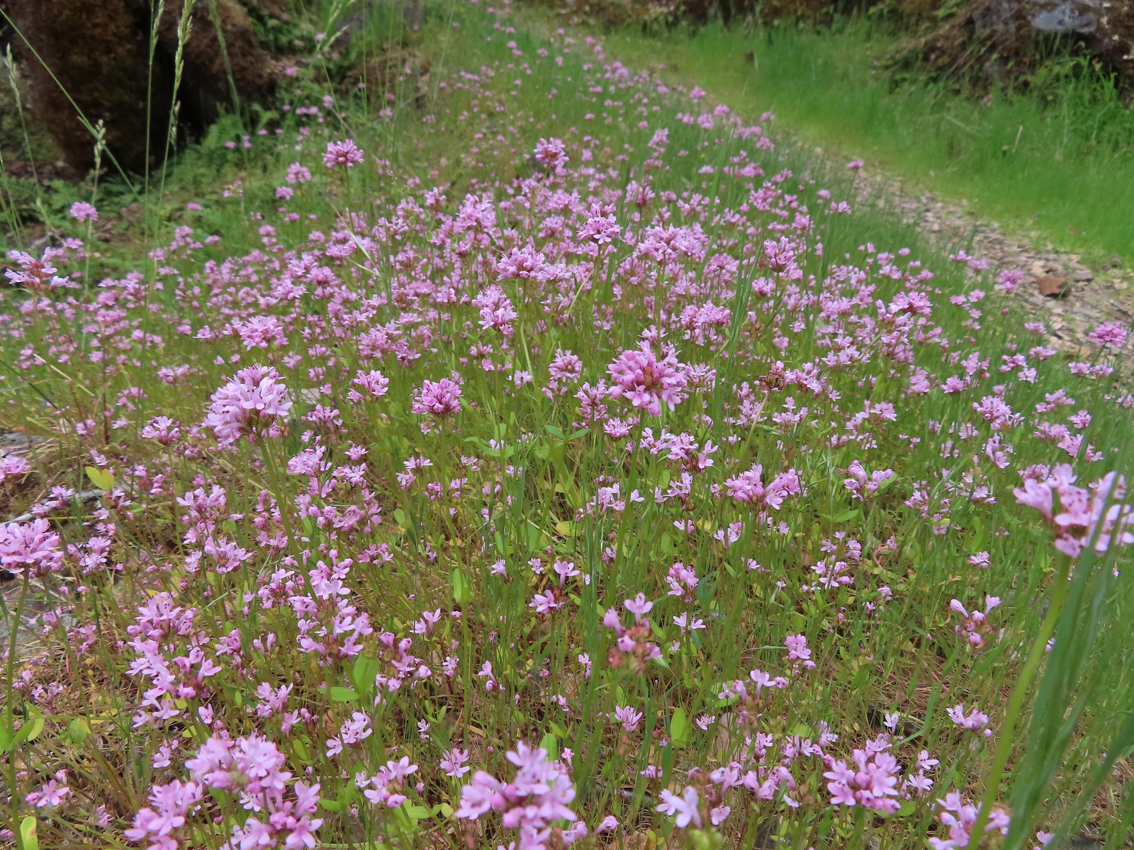 Plectritis
 Monkeyflower
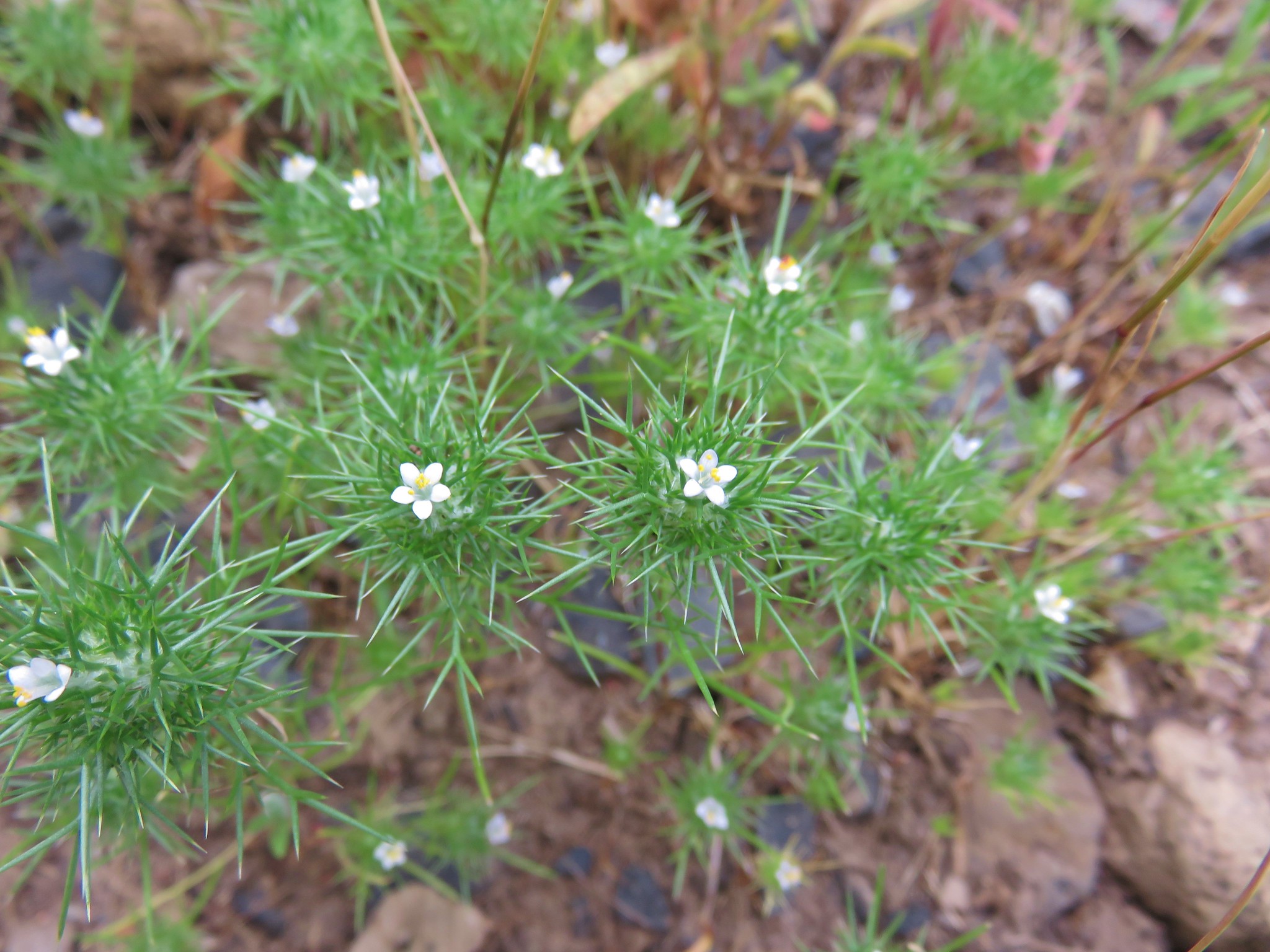
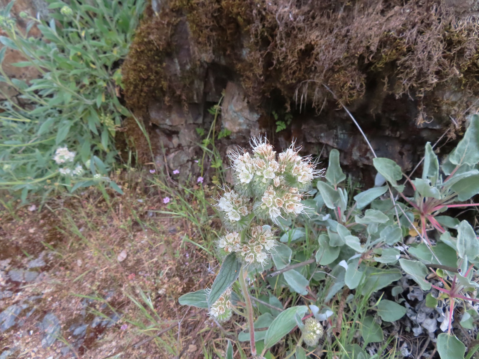 Serpentine phacelia
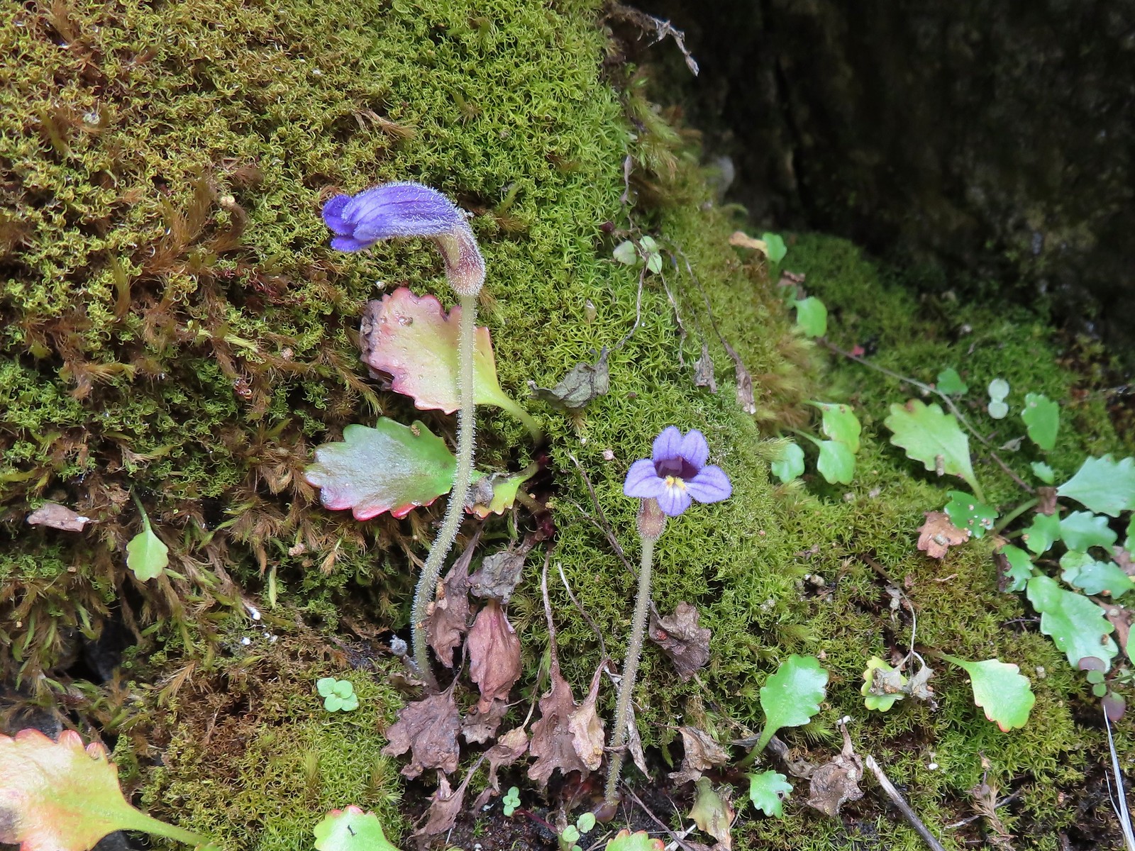 Naked broomrape
 Camas with monkeyflower and plectritis
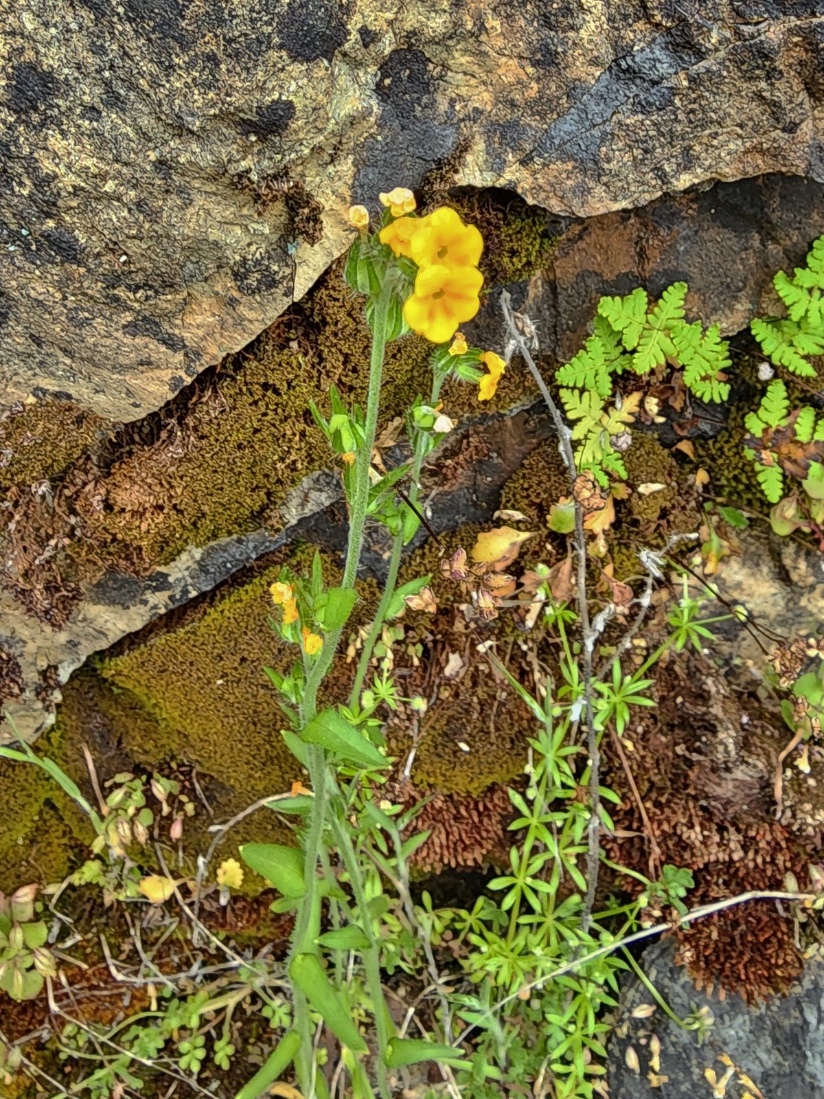 Fiddleneck
 Saxifrage
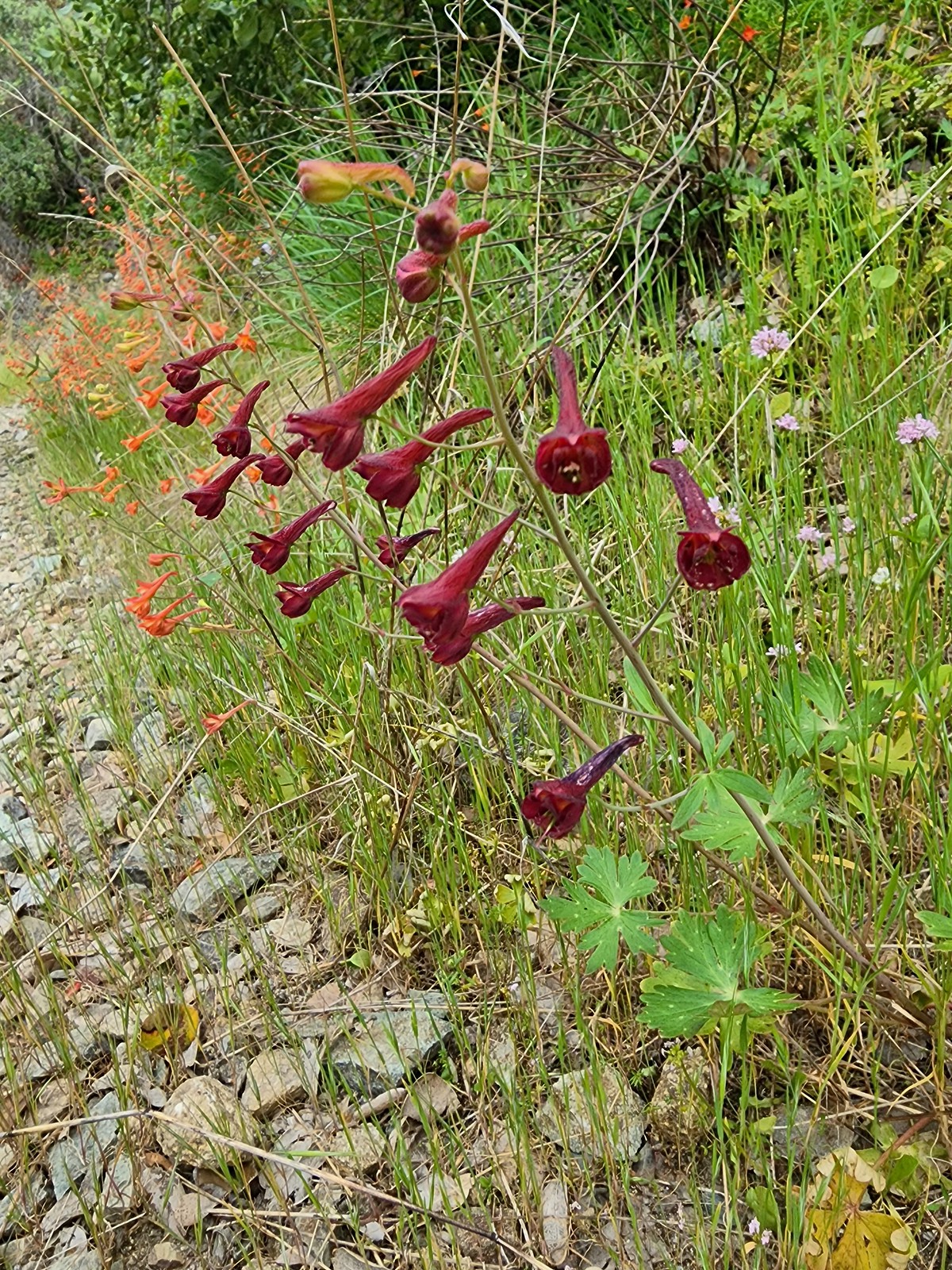 A darker red larkspur
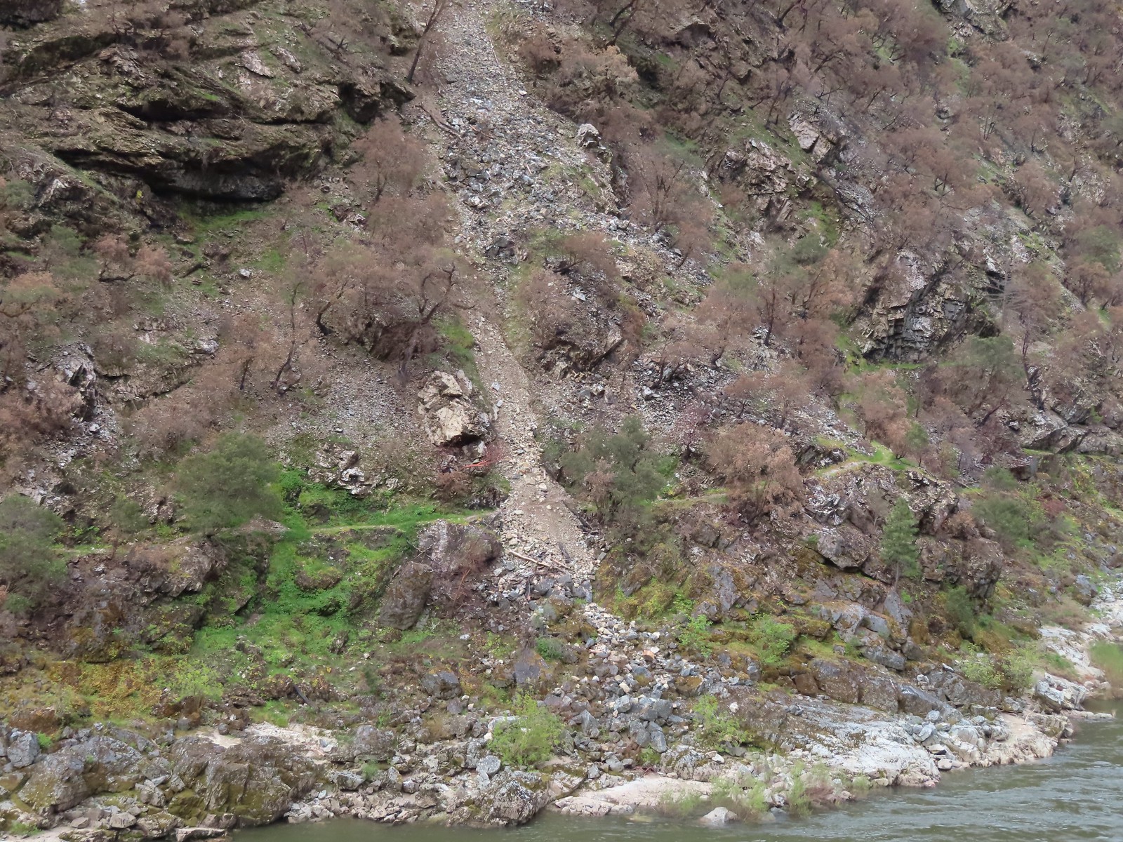 Some of the damage to the trail to Rainie Falls on the opposite side of the river.
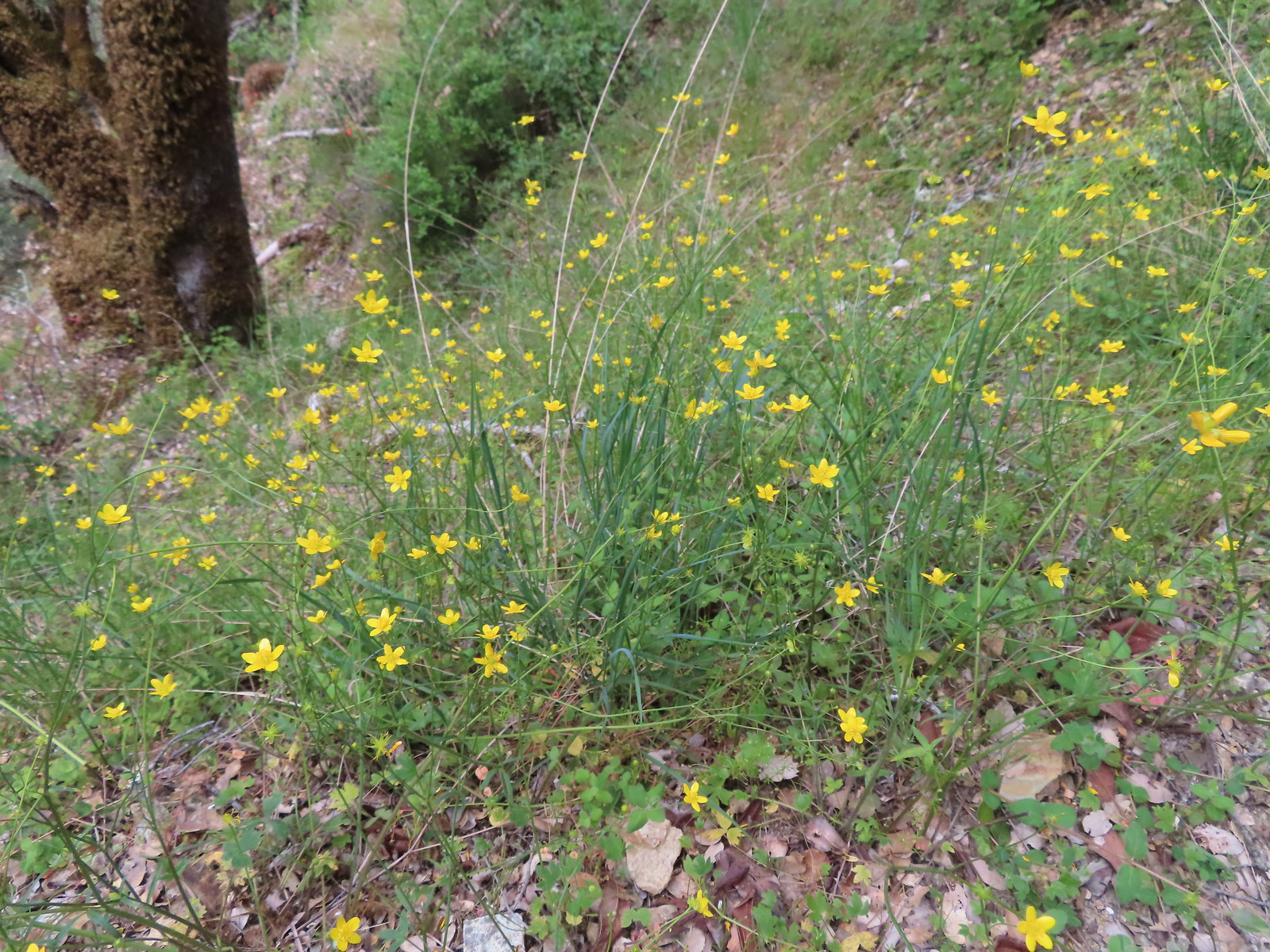 Buttercups
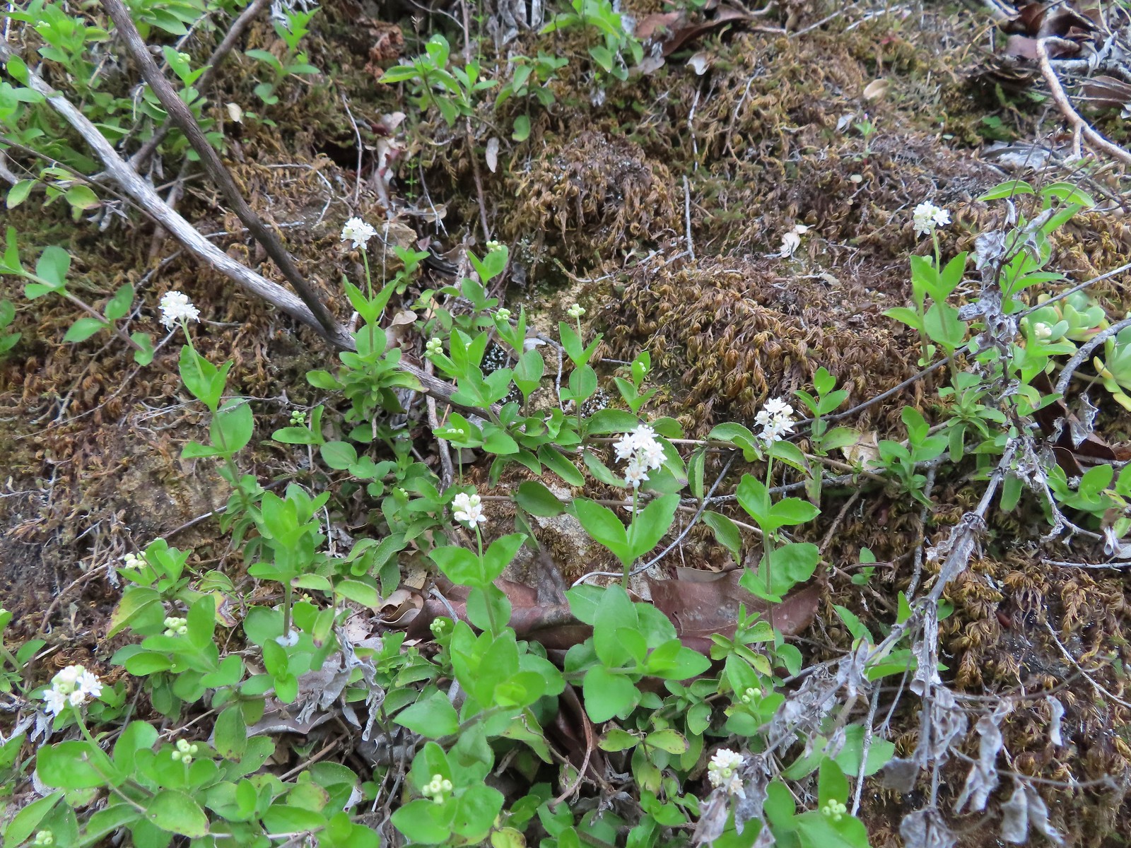 Common whipplea
 Silver crown
 The wet rock here was sneaky slick.
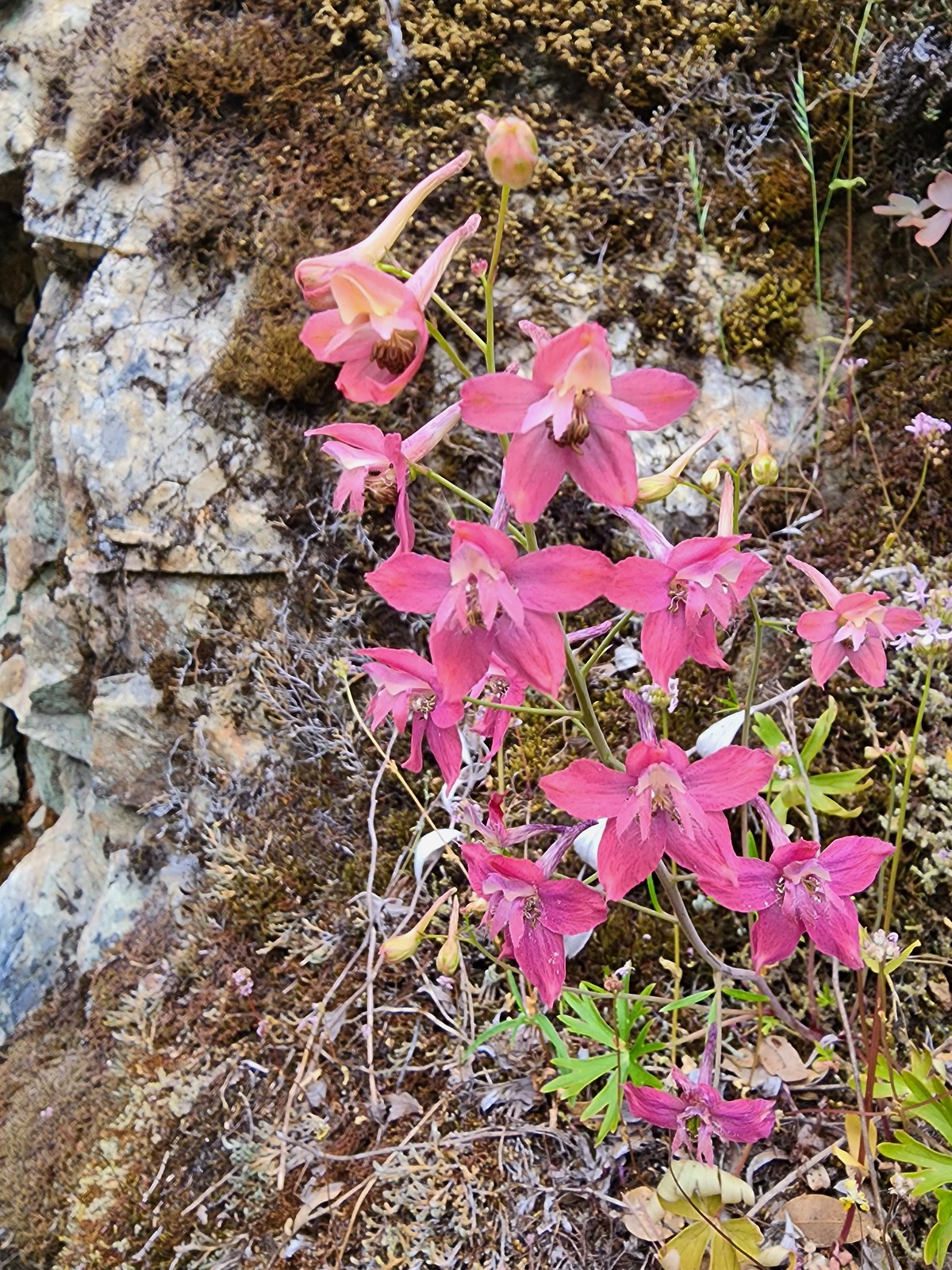 We spotted a couple of pink larkspur.
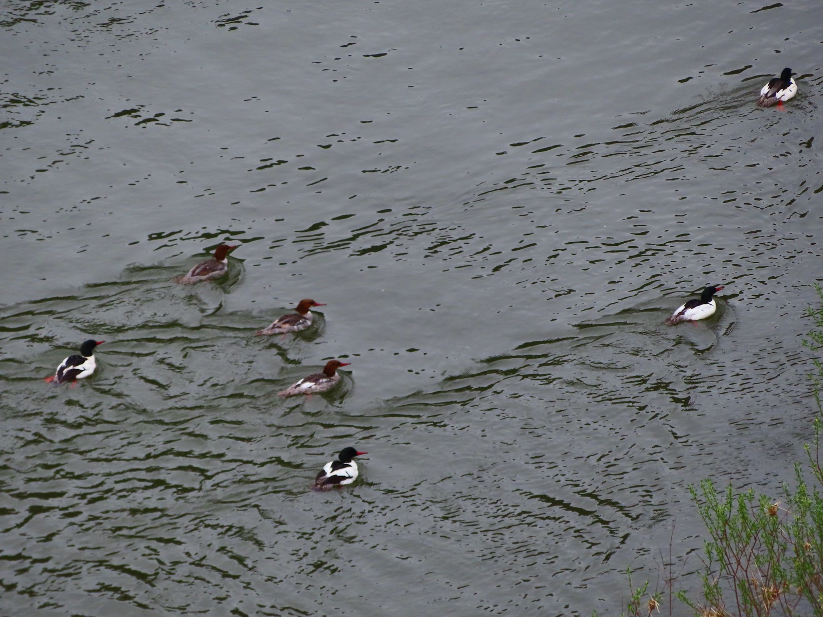 Common mergansers
 Common cryptantha
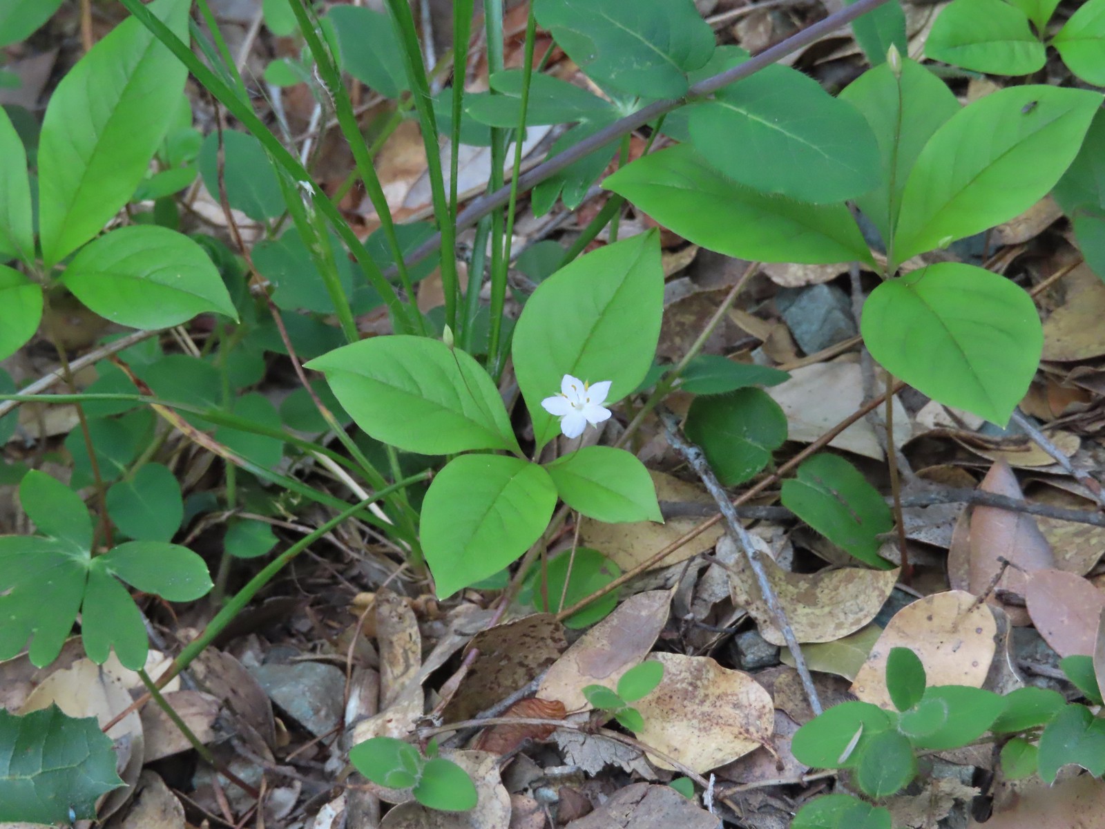 Starflower
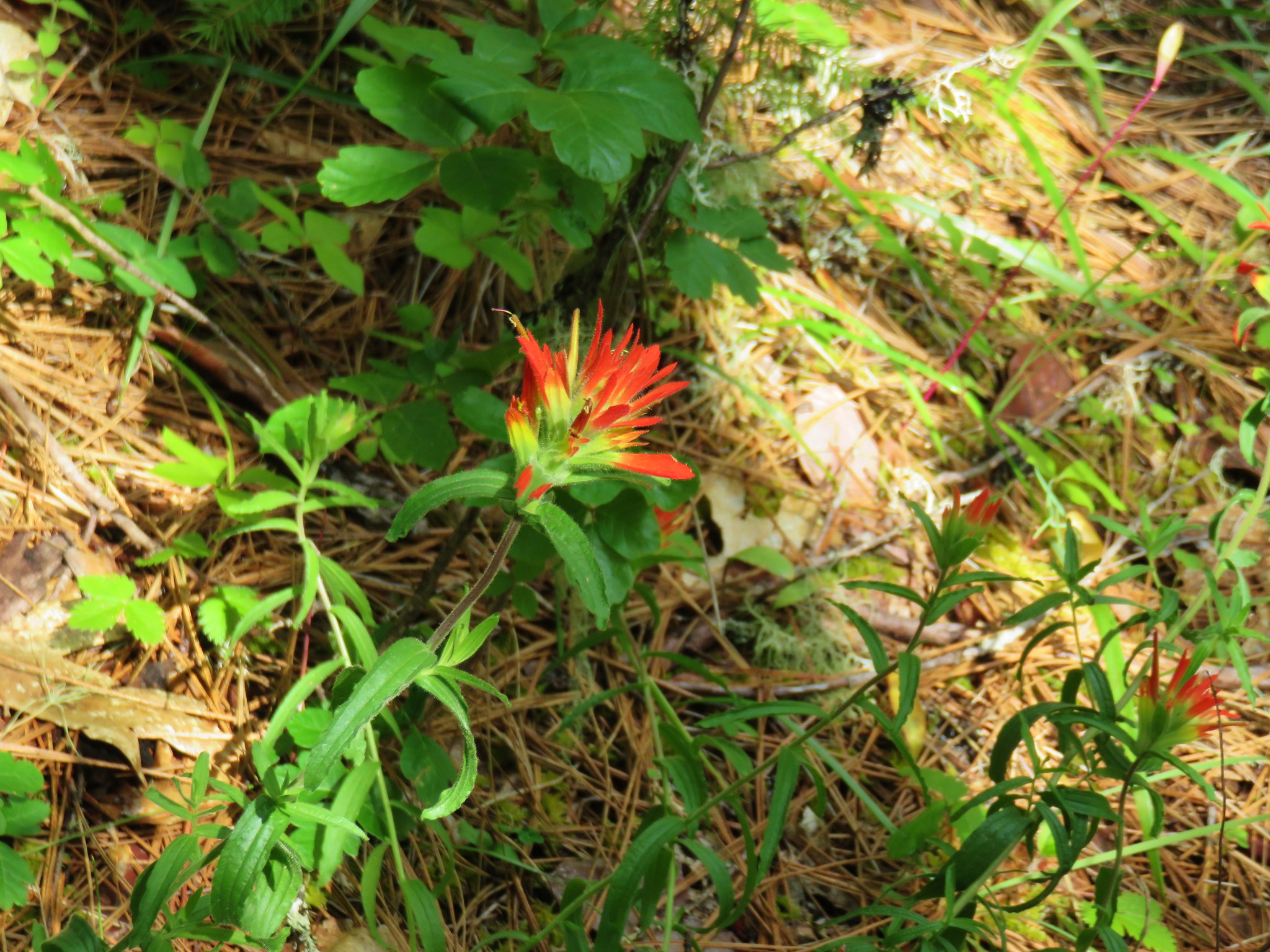
 Paintbrush
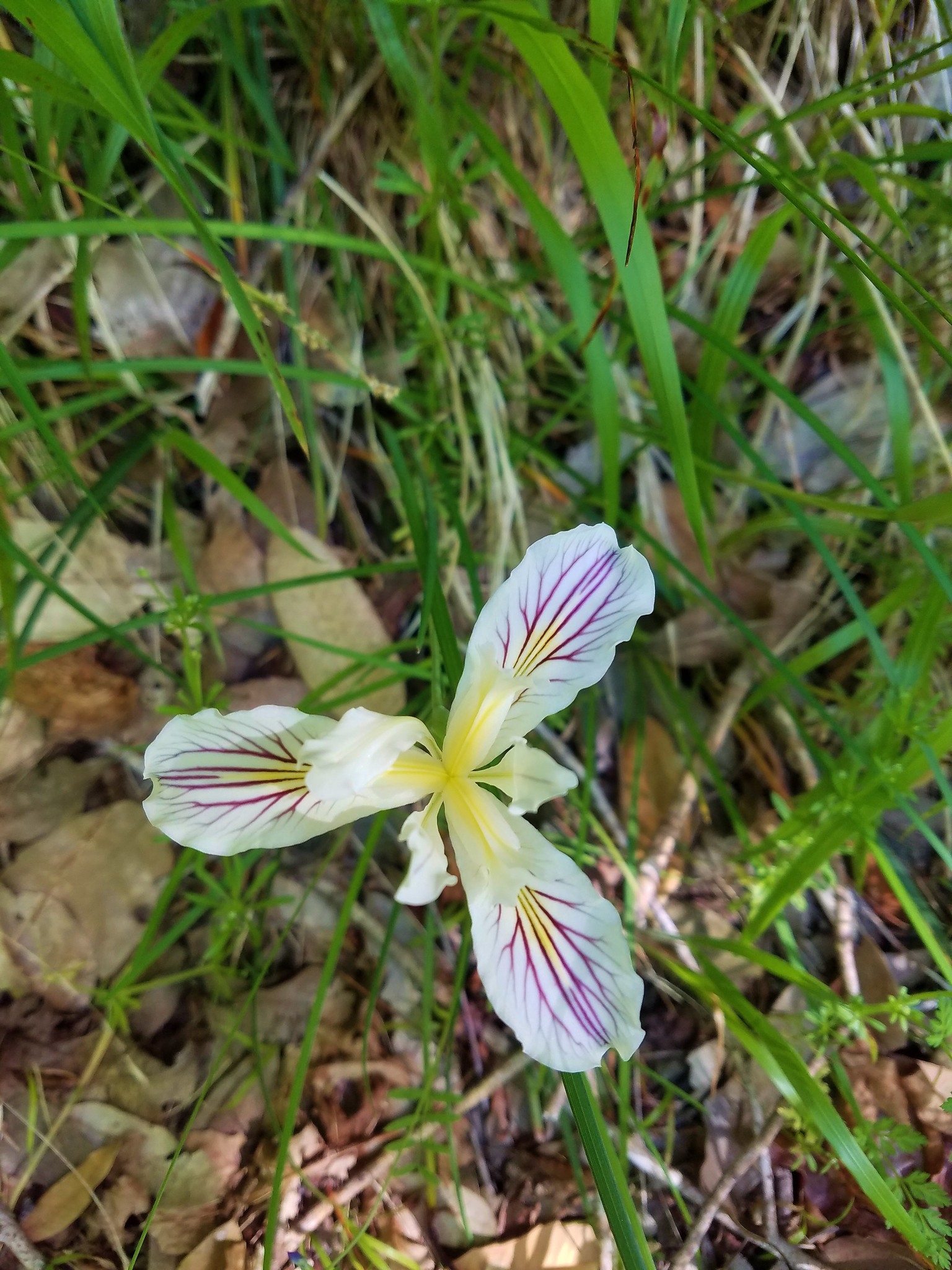
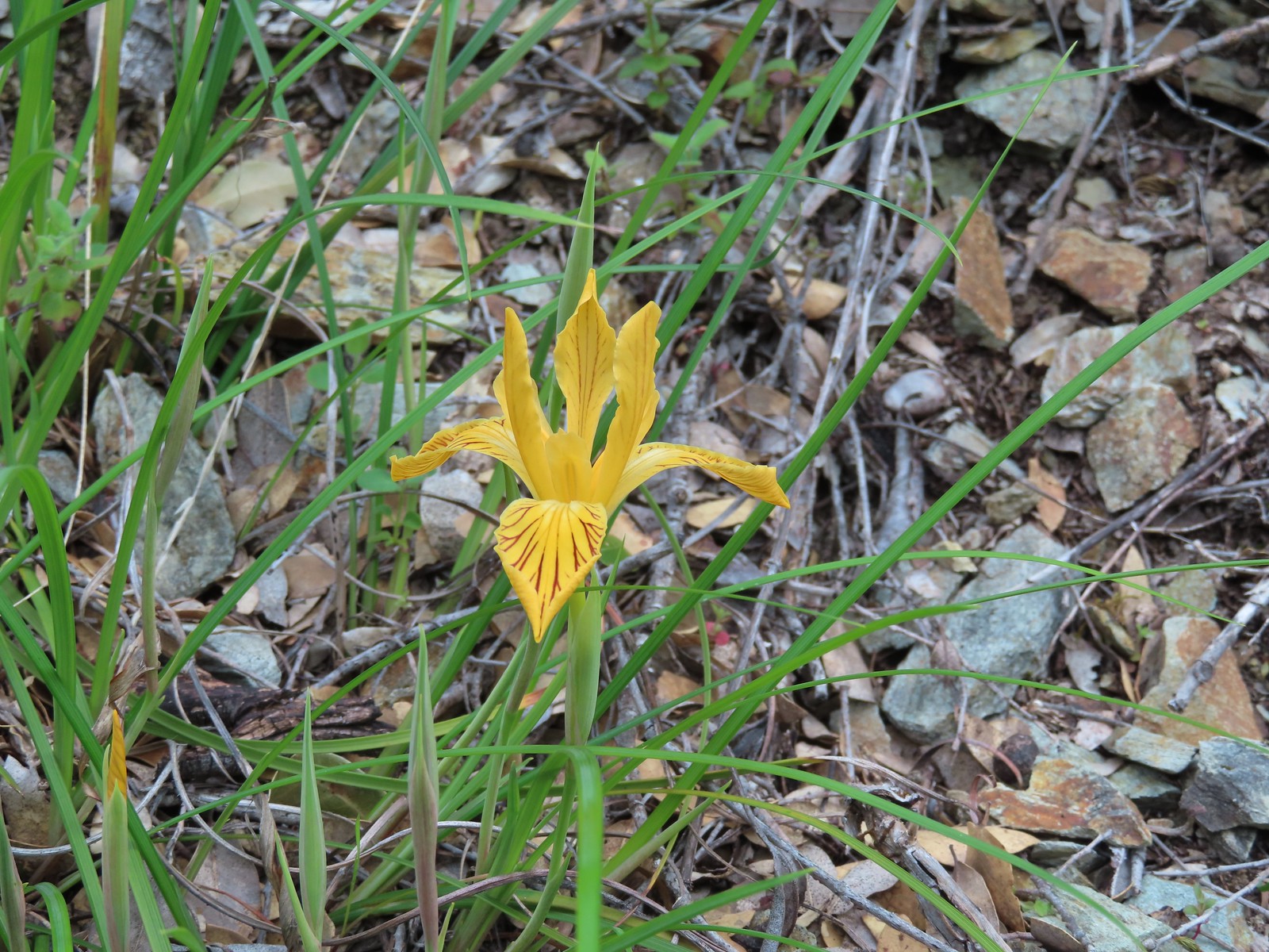 Del Norte iris
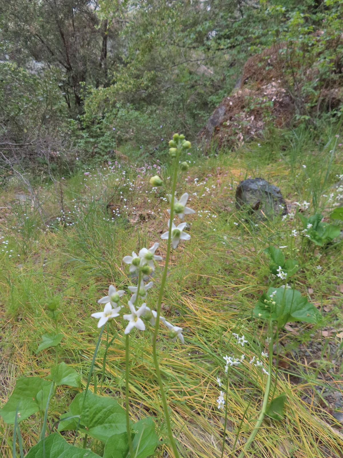 Coastal manroot
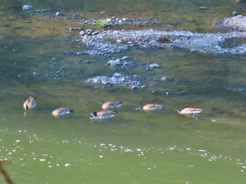
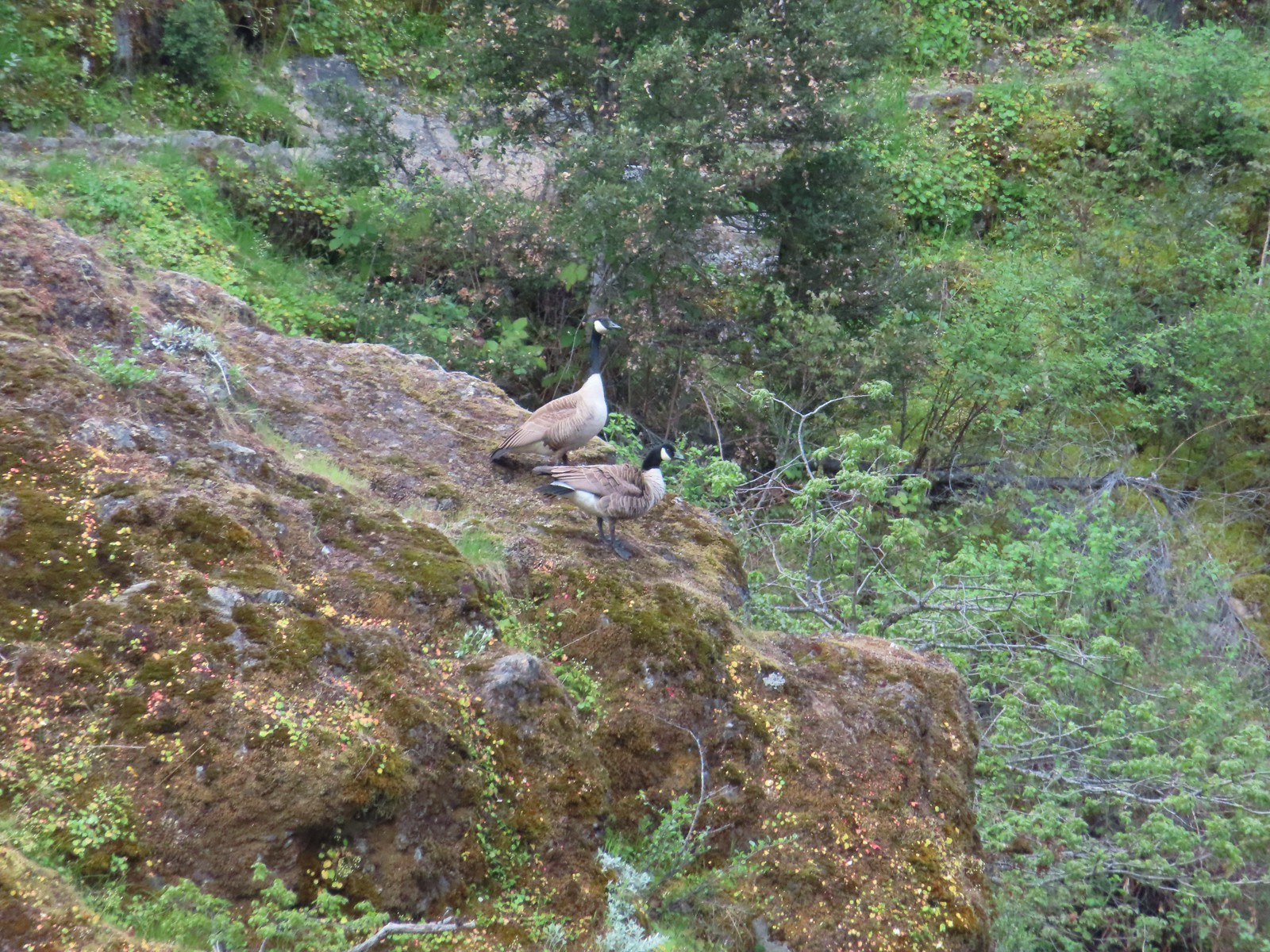 Canada geese
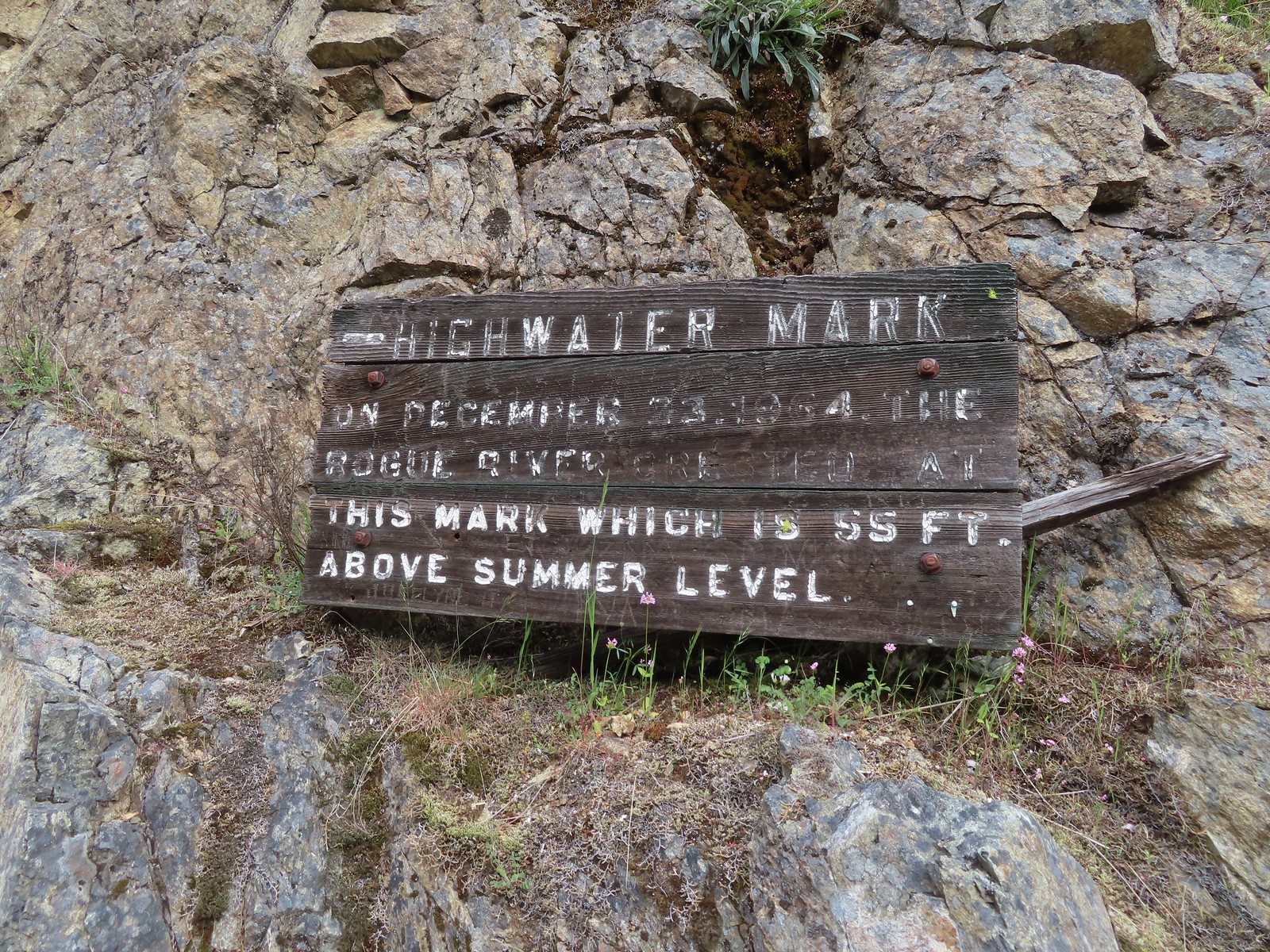
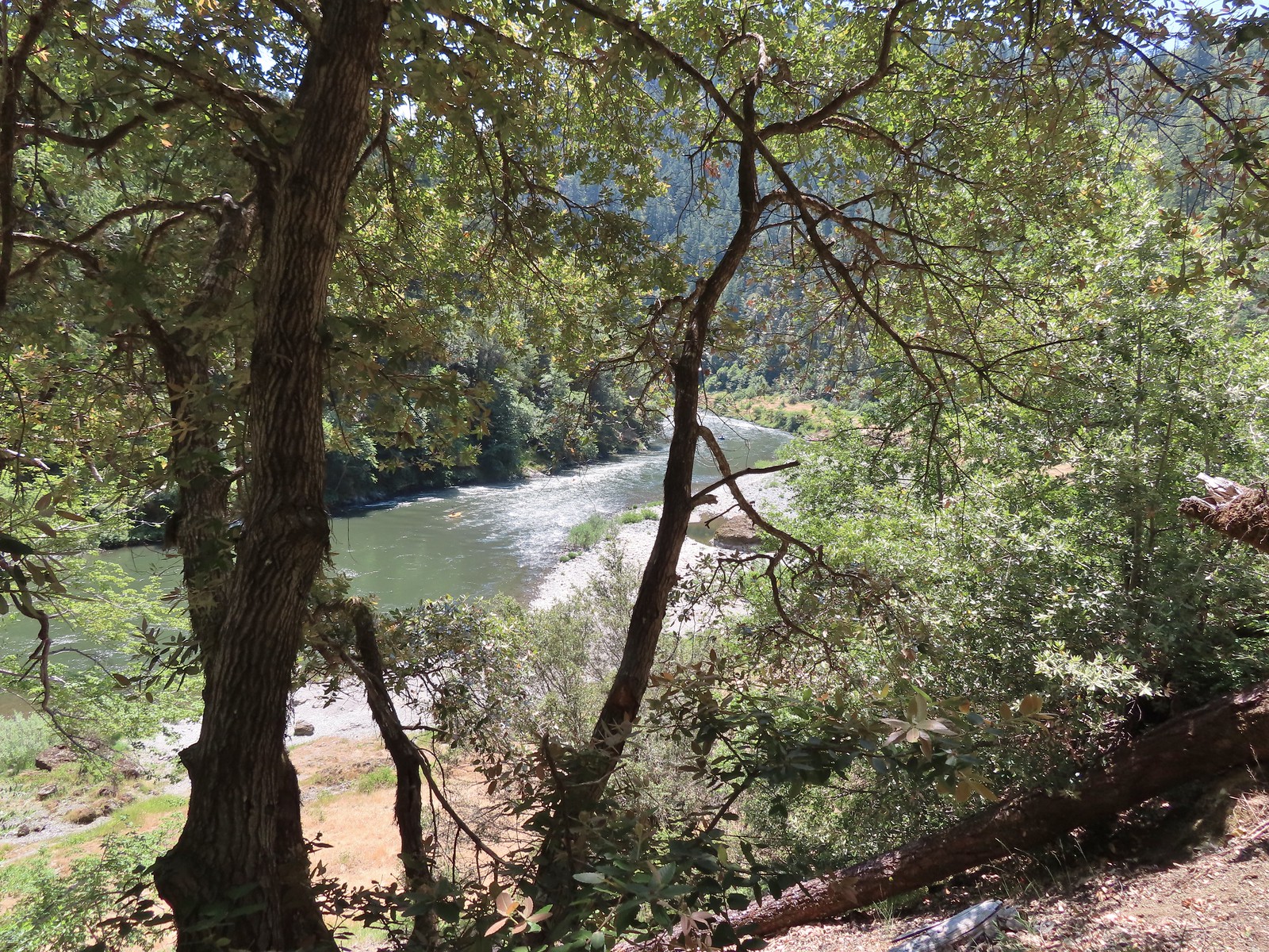
 Looking back upriver from the high water sign.
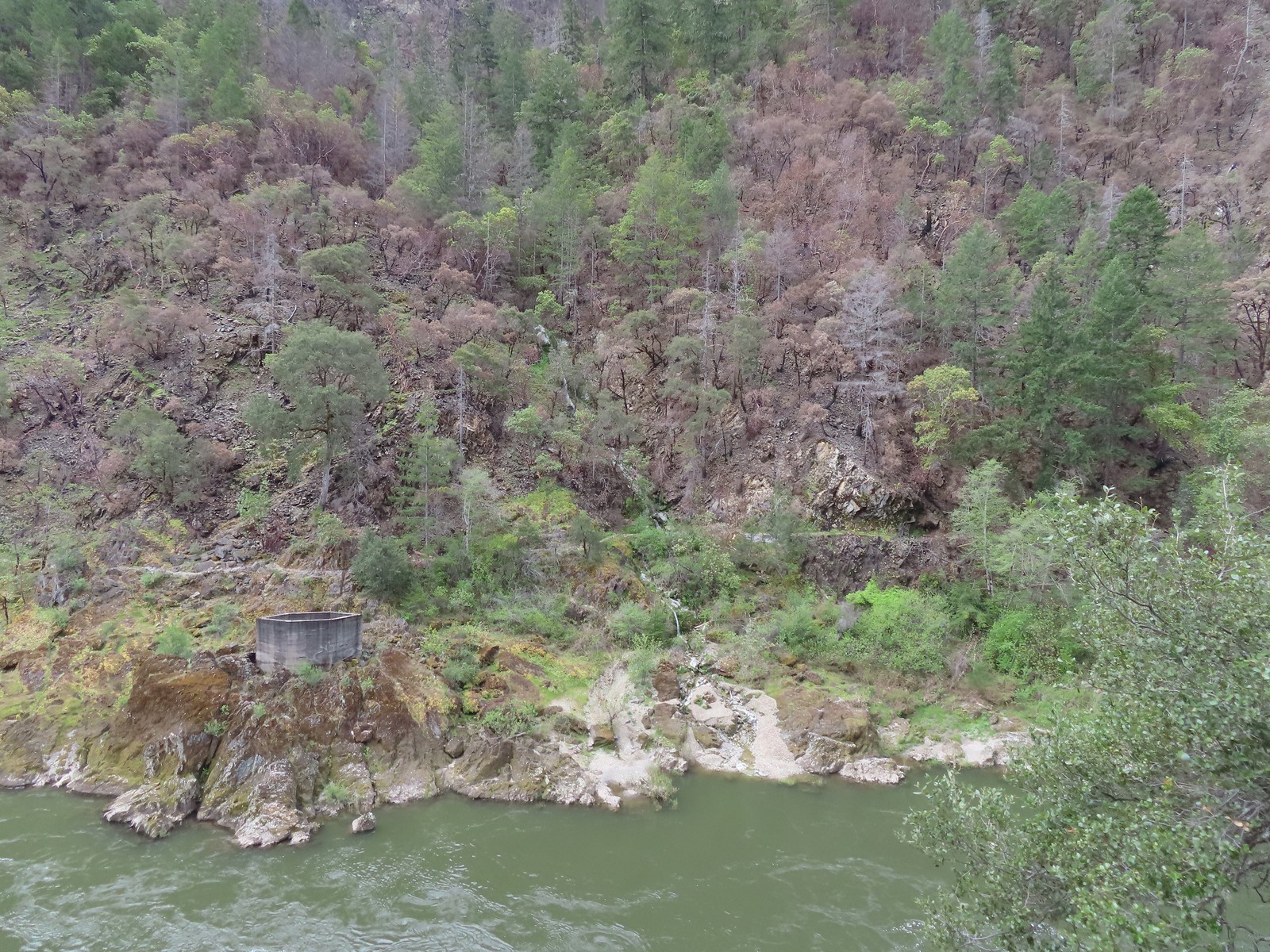 Sanderson Bridge site
 Golden-crowned sparrow
 Scarlet fritillary
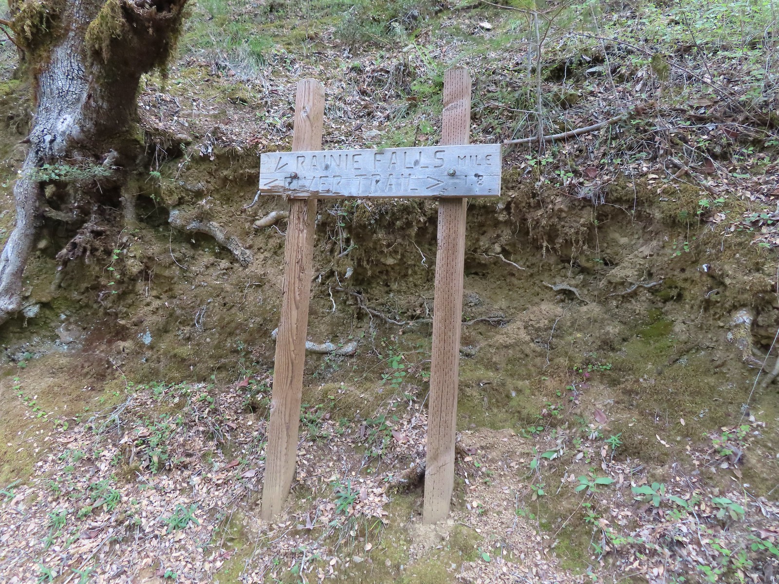
 White campion
 The only water we could make out on the far side of the river.
 Bullock’s oriole
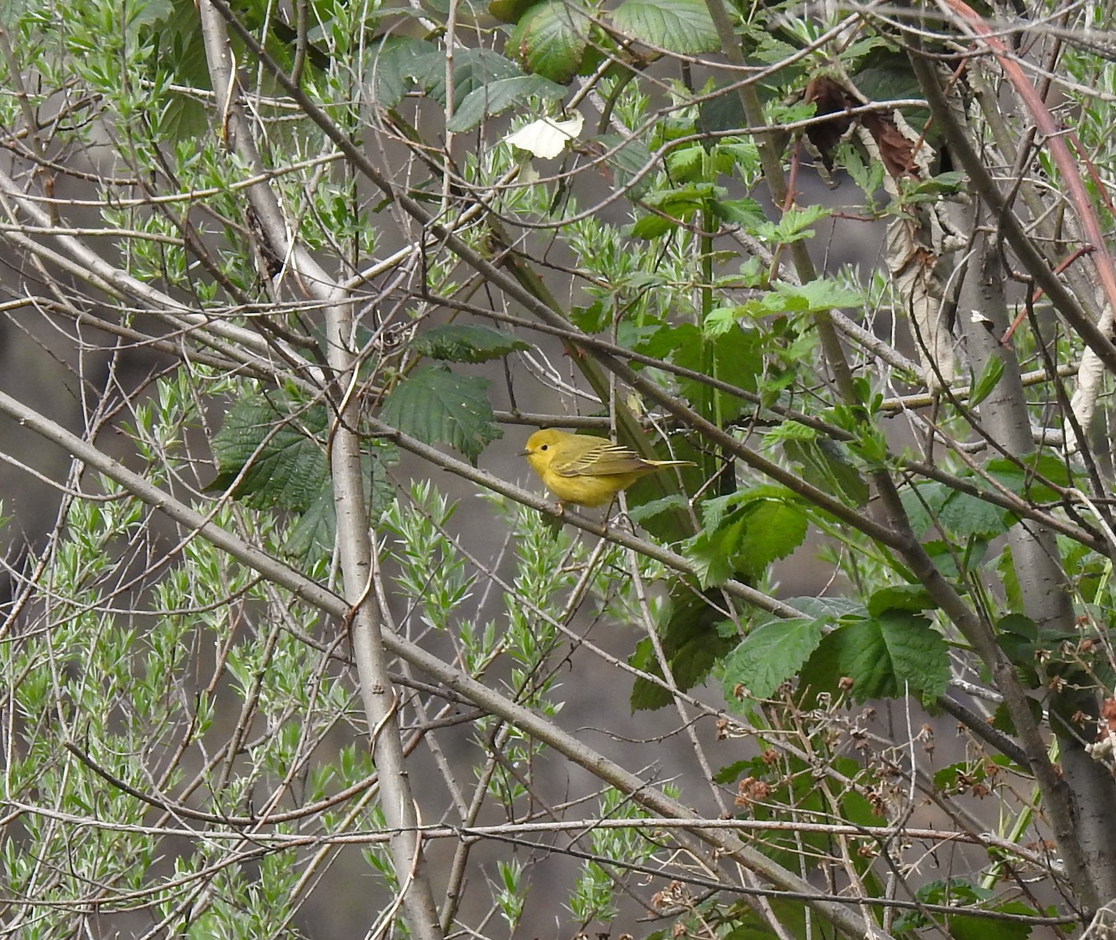 Yellow warbler
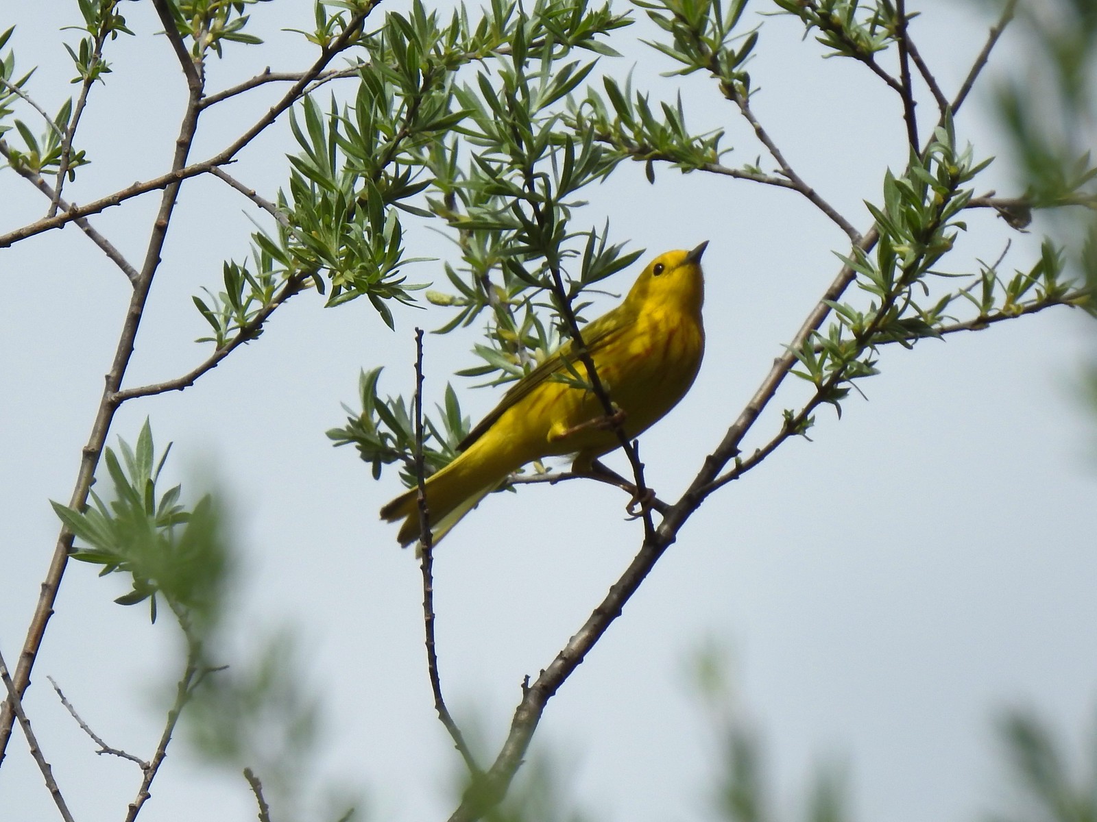 Yellow warbler
 Sandy beach along the Rogue River.
 Shooting star
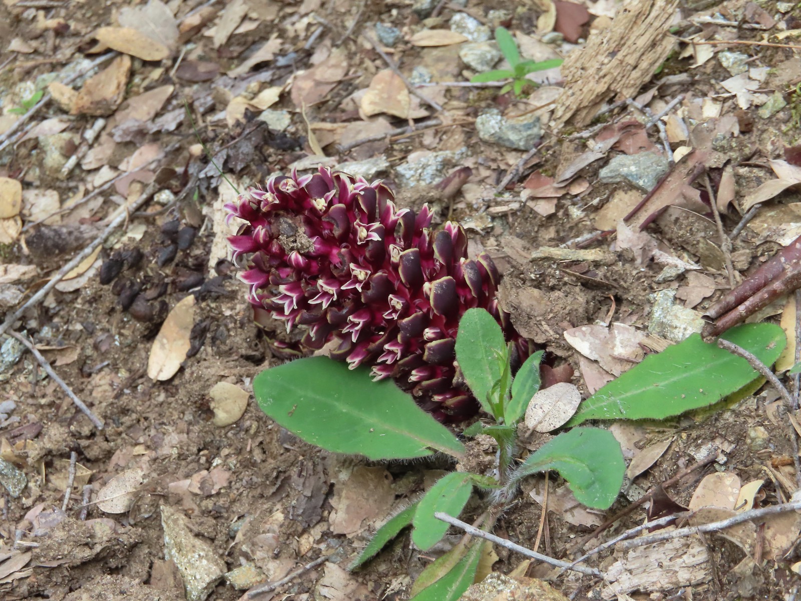 California groundcone
 Small-flowered woodland-star
 Approaching China Gulch
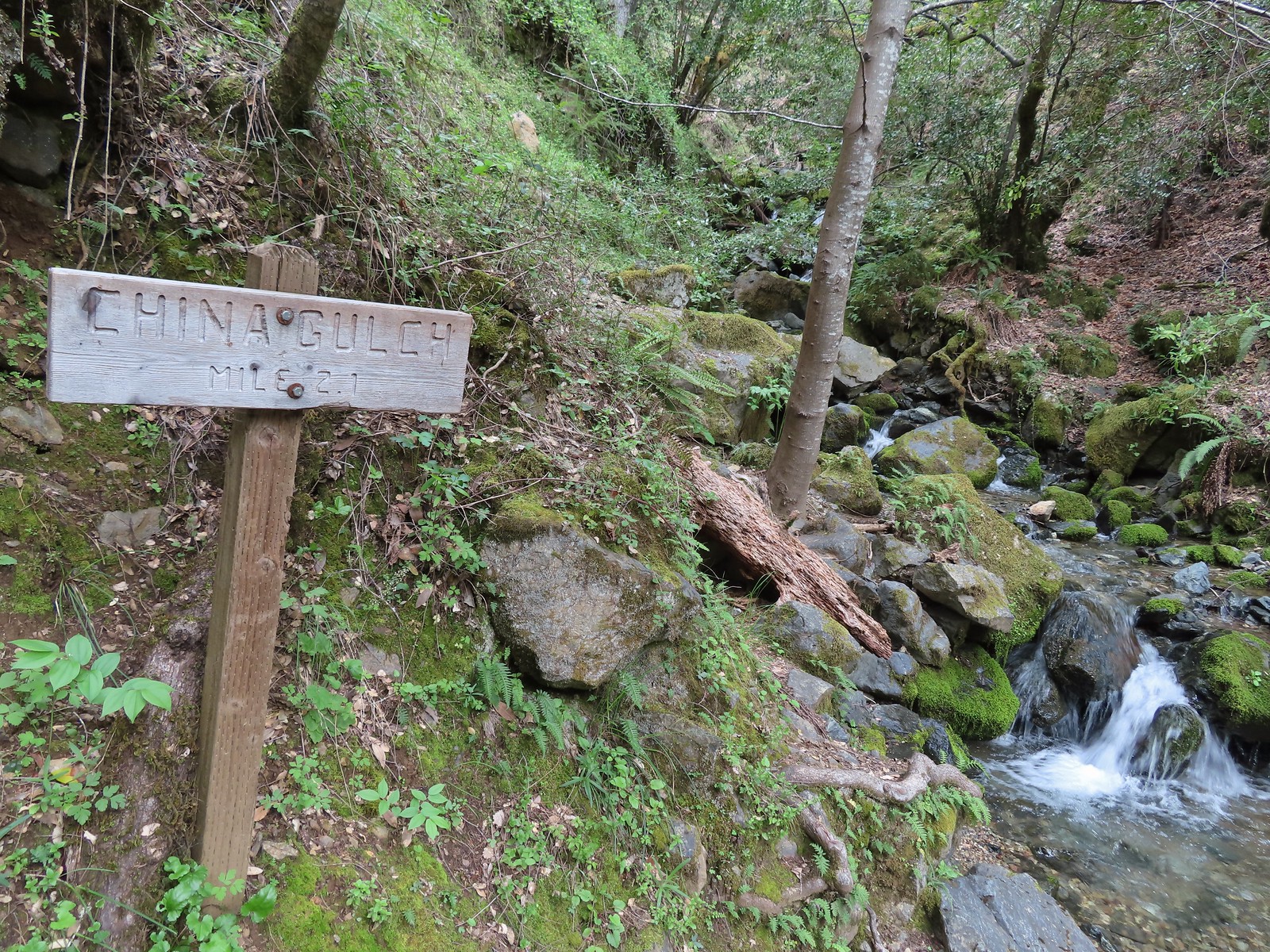
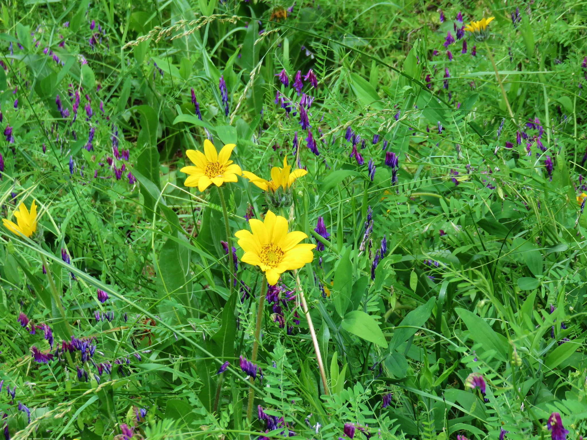
 Vetch
Vetch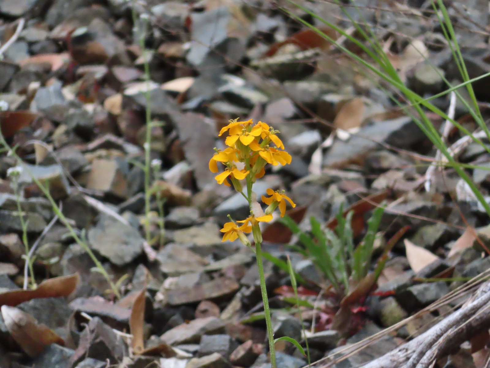 Wallflower
 Silverpuffs
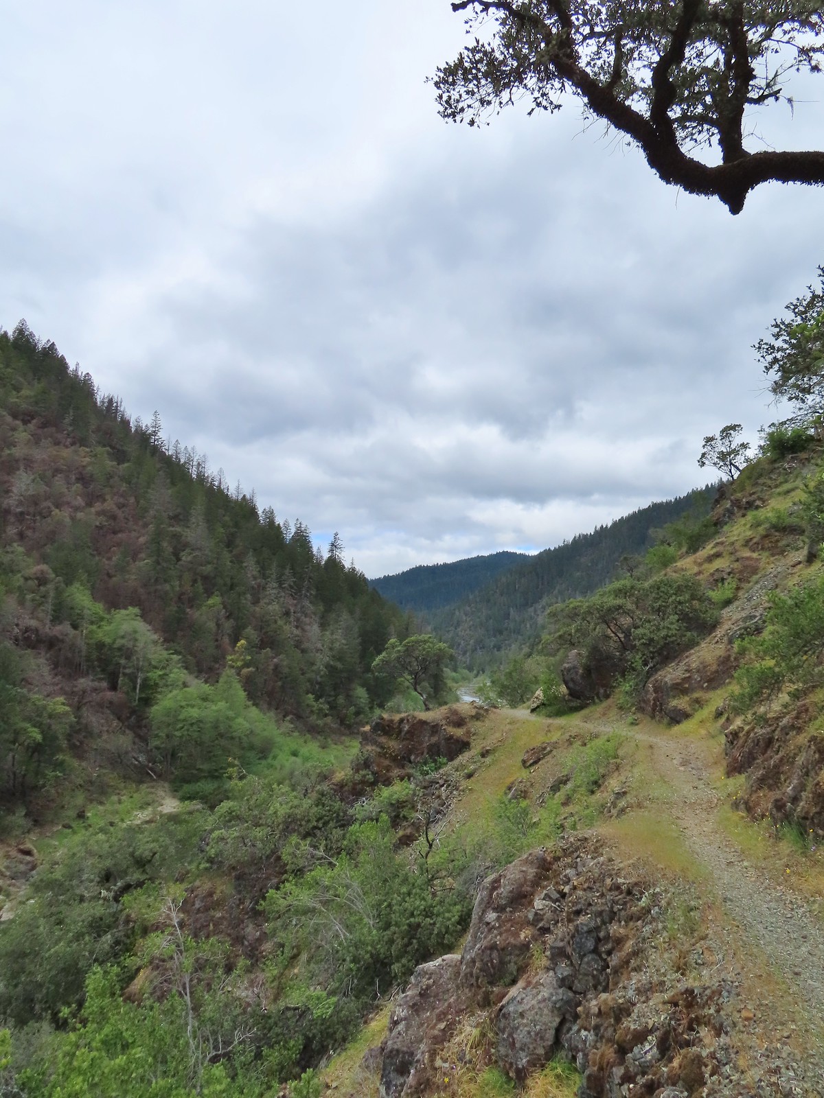
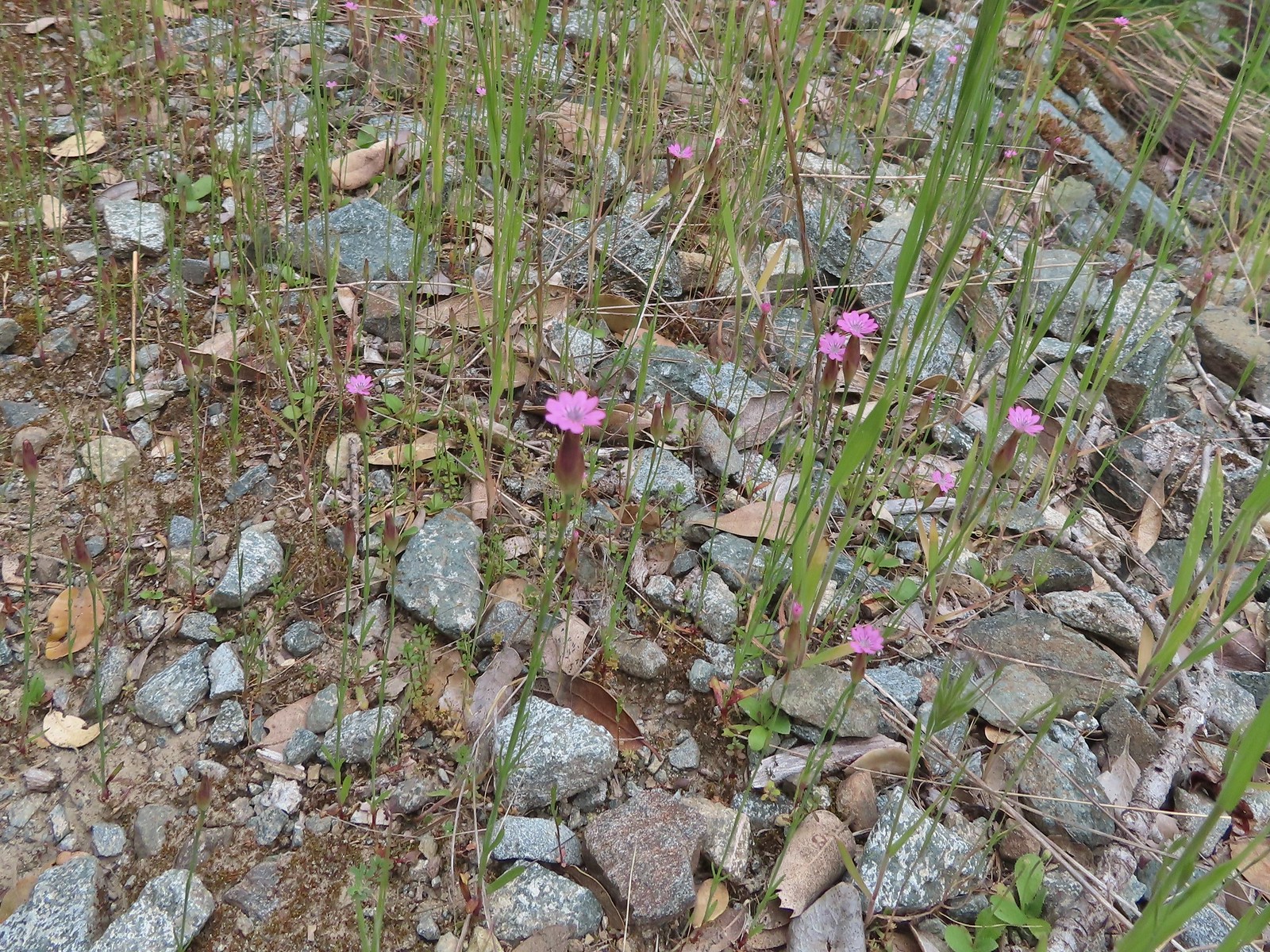 Hairy pink
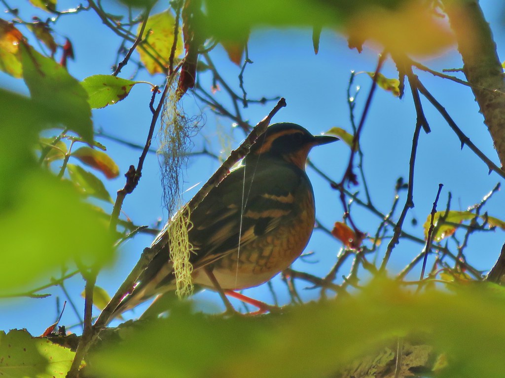
 Robin
Robin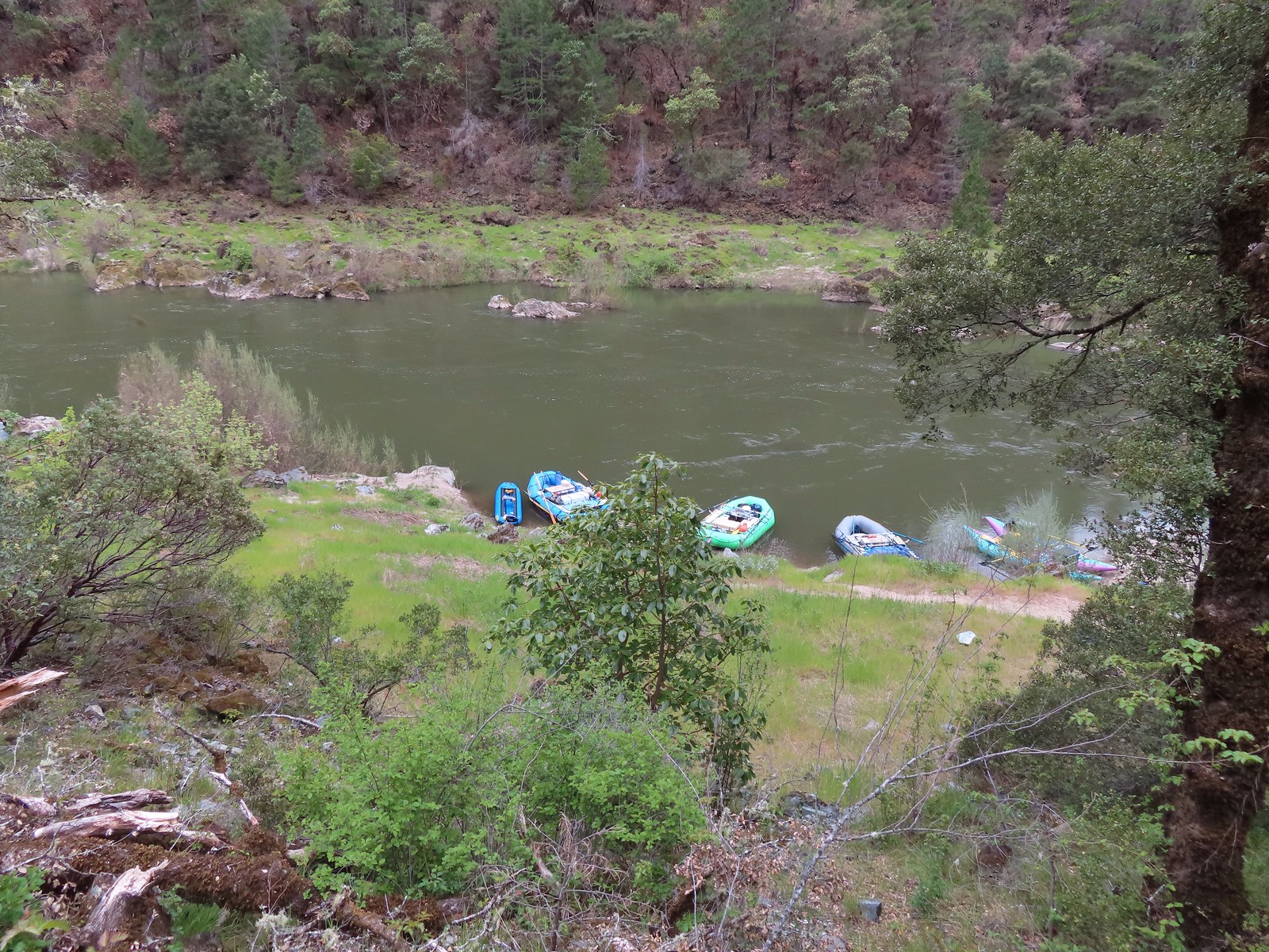 Rafts at Whiskey Camp.
 Whiskey Creek
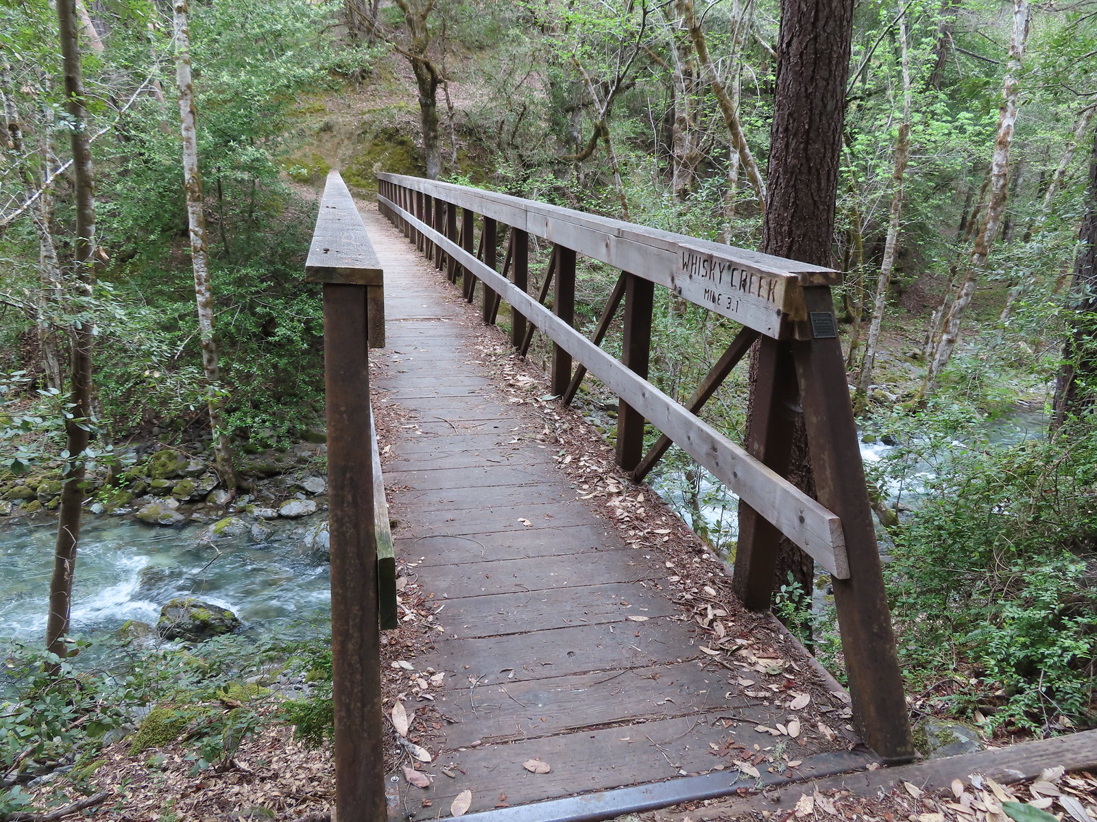 Footbridge over Whiskey Creek
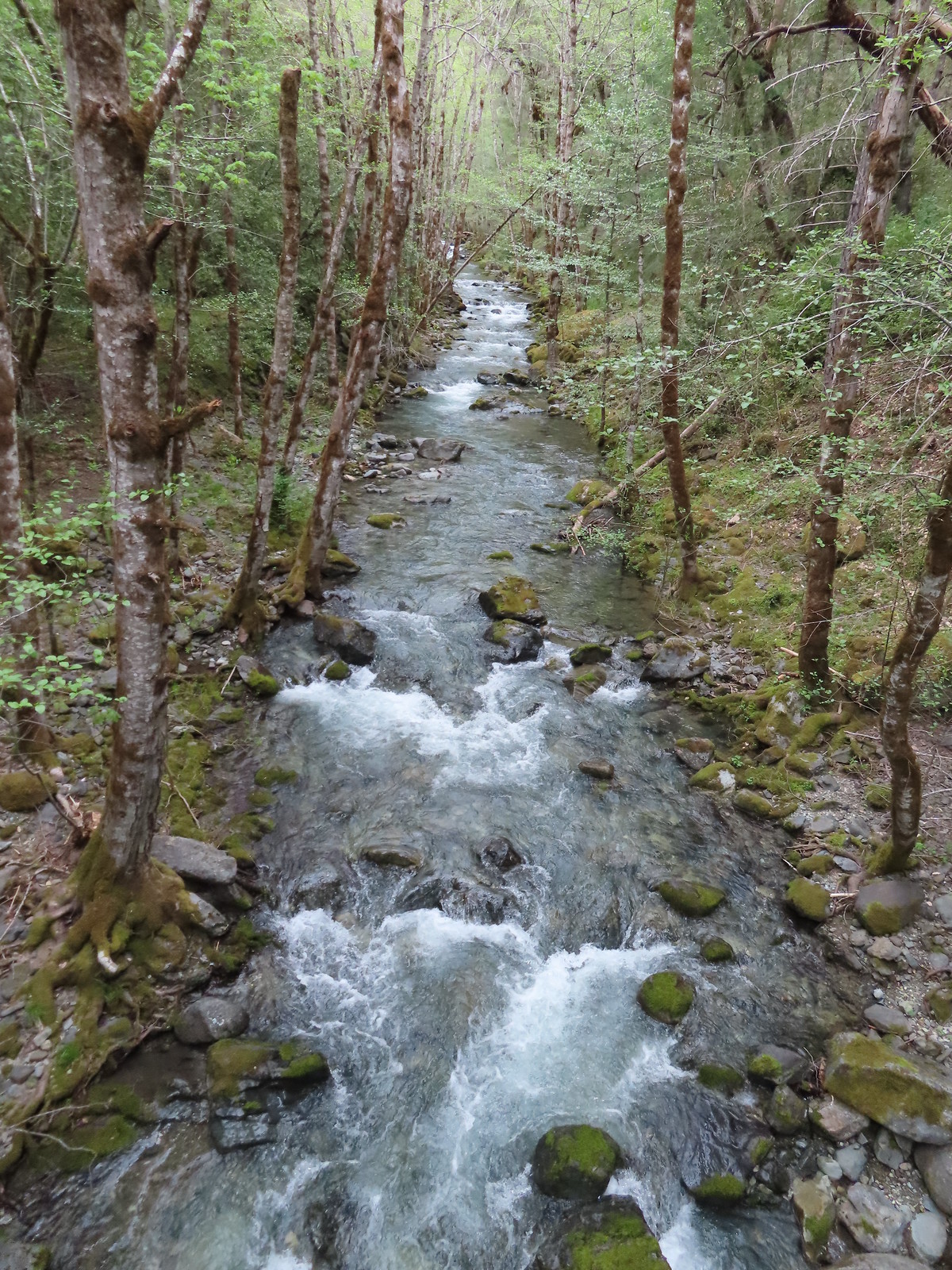
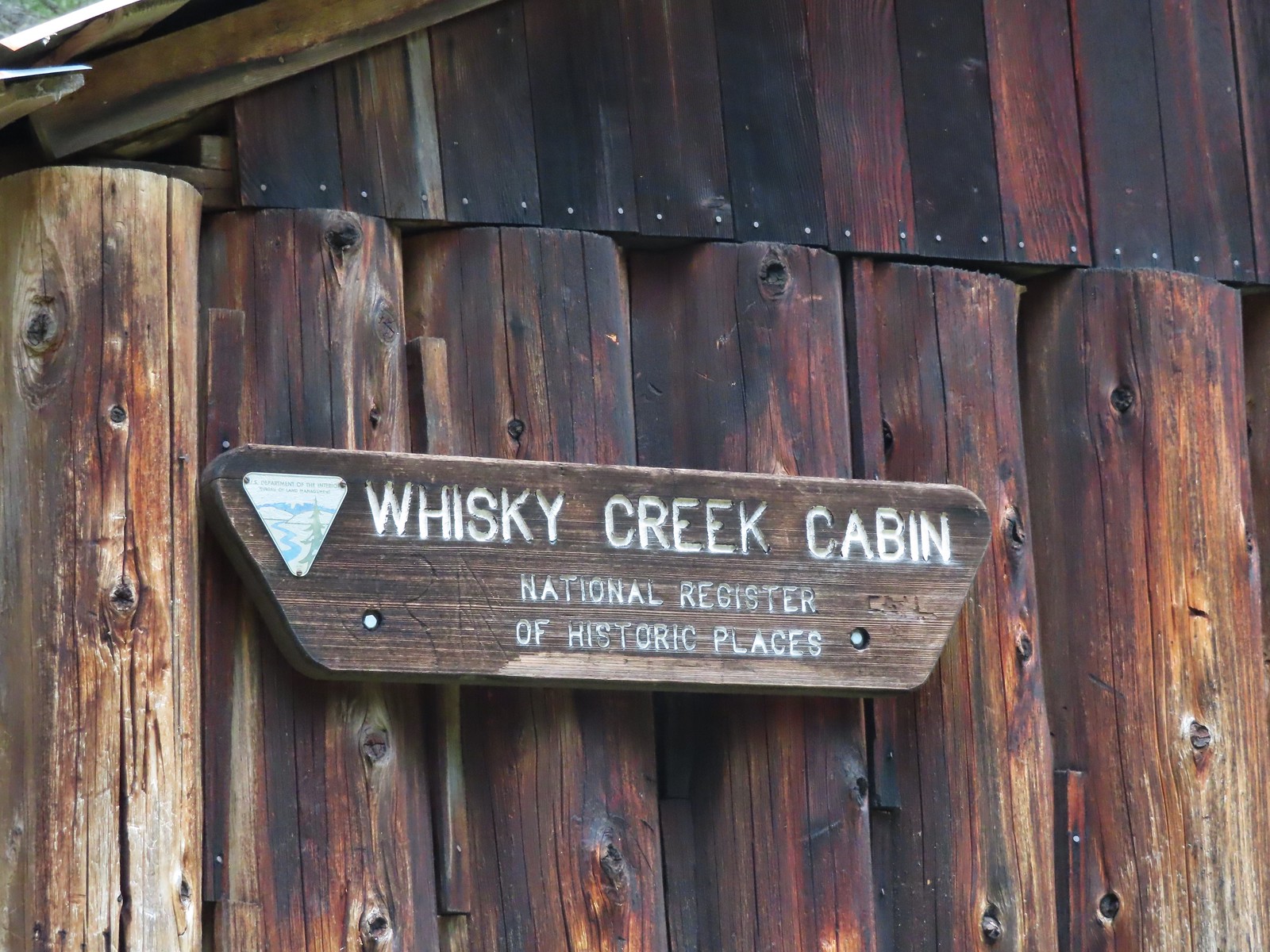
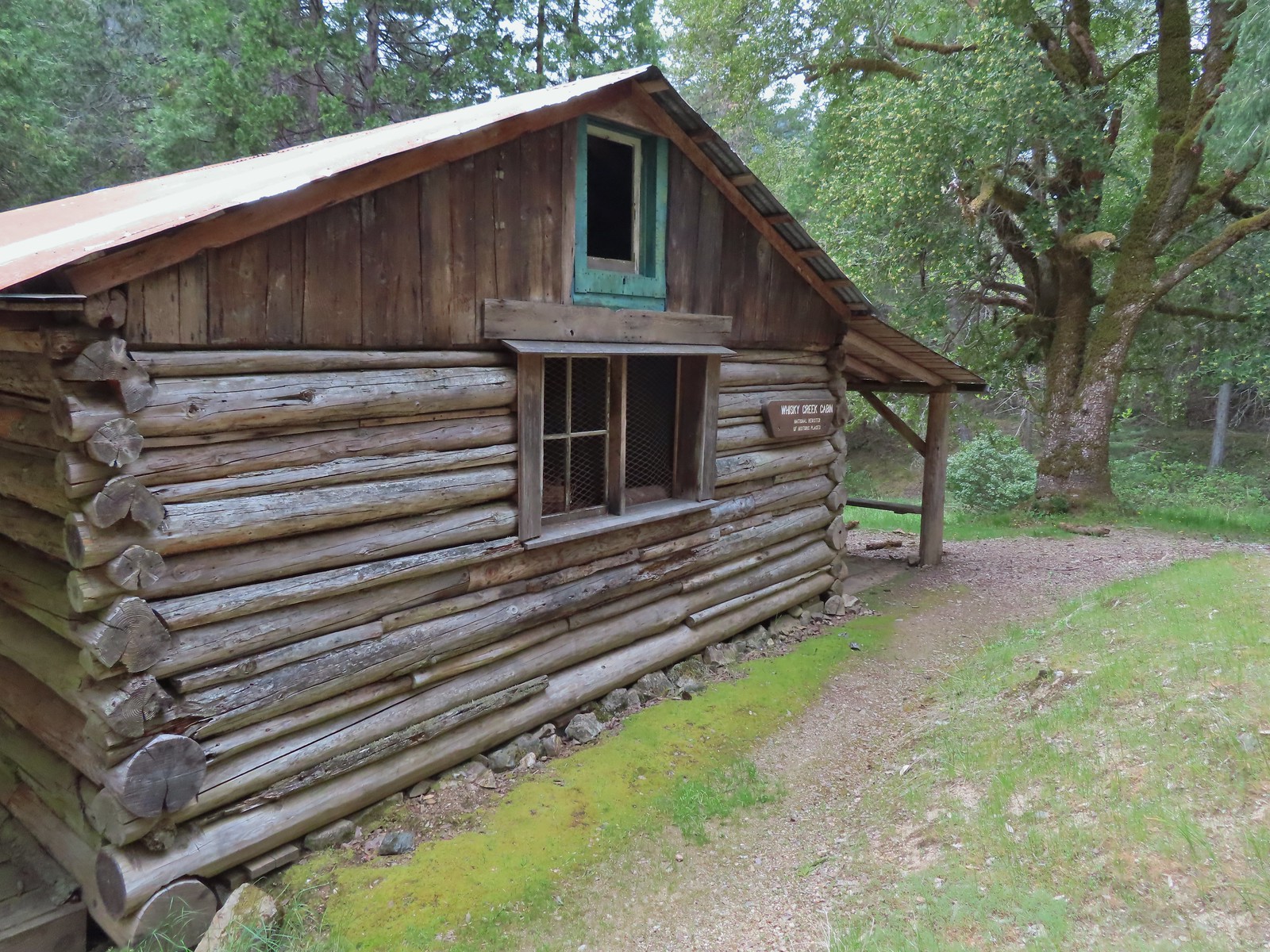
 Sign at the spur trail to the cabin.
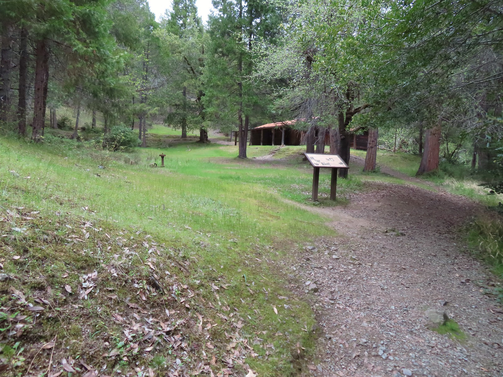


 Del Norte irises
 Big Slide Camp to the left.
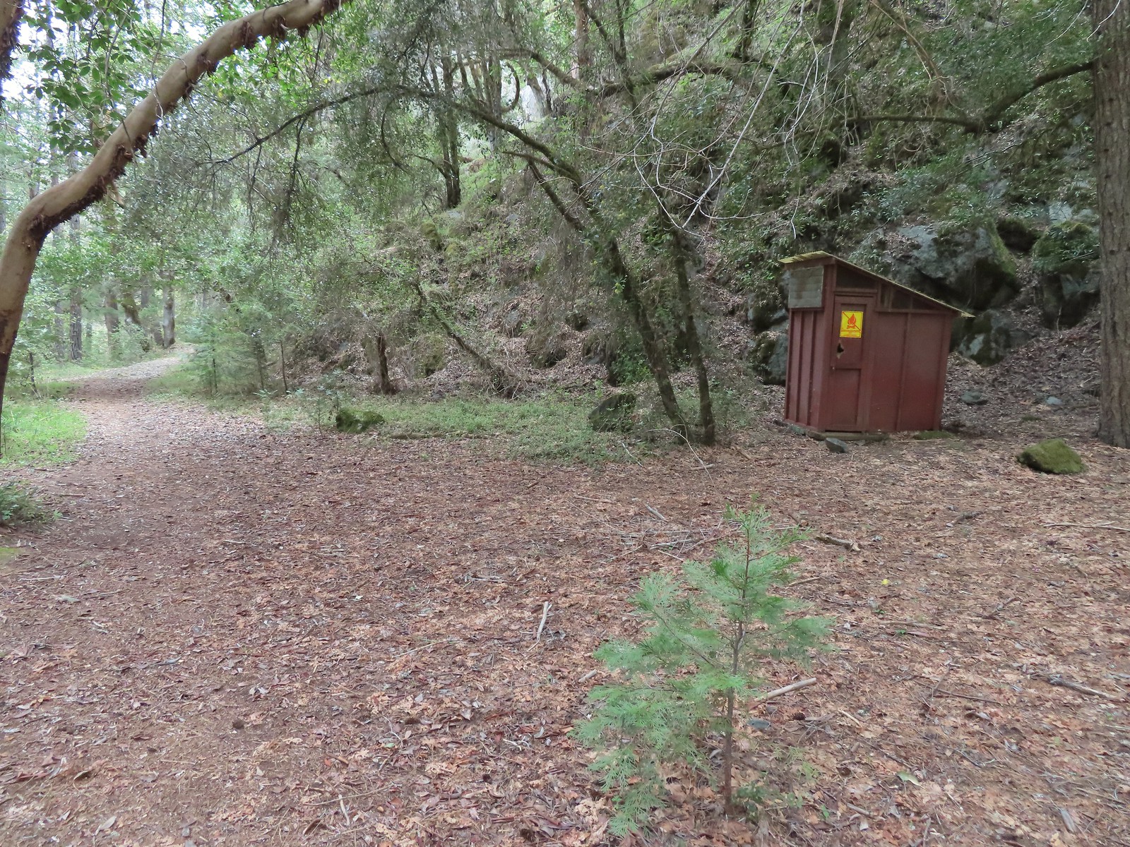 Outhouse at Big Slide Camp.
 Common mergansers
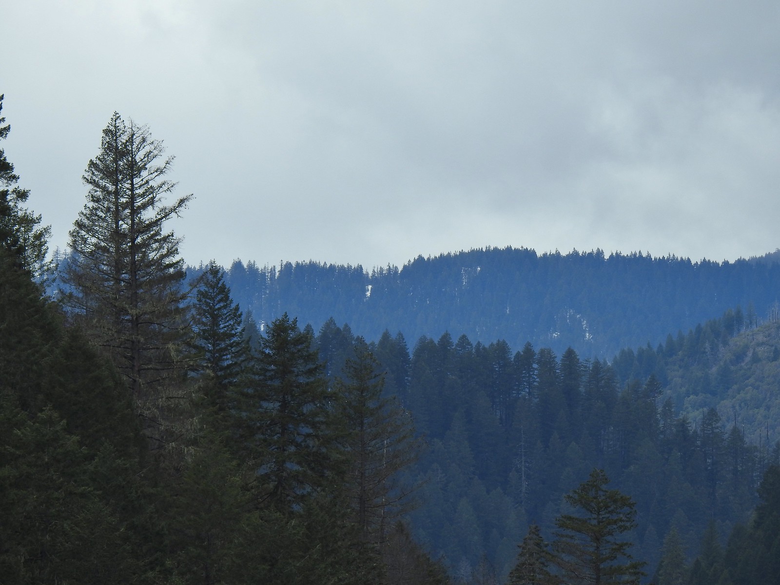 Snow on a ridge above the Rogue River Valley. (This was a sign of issues for us later in the week.)
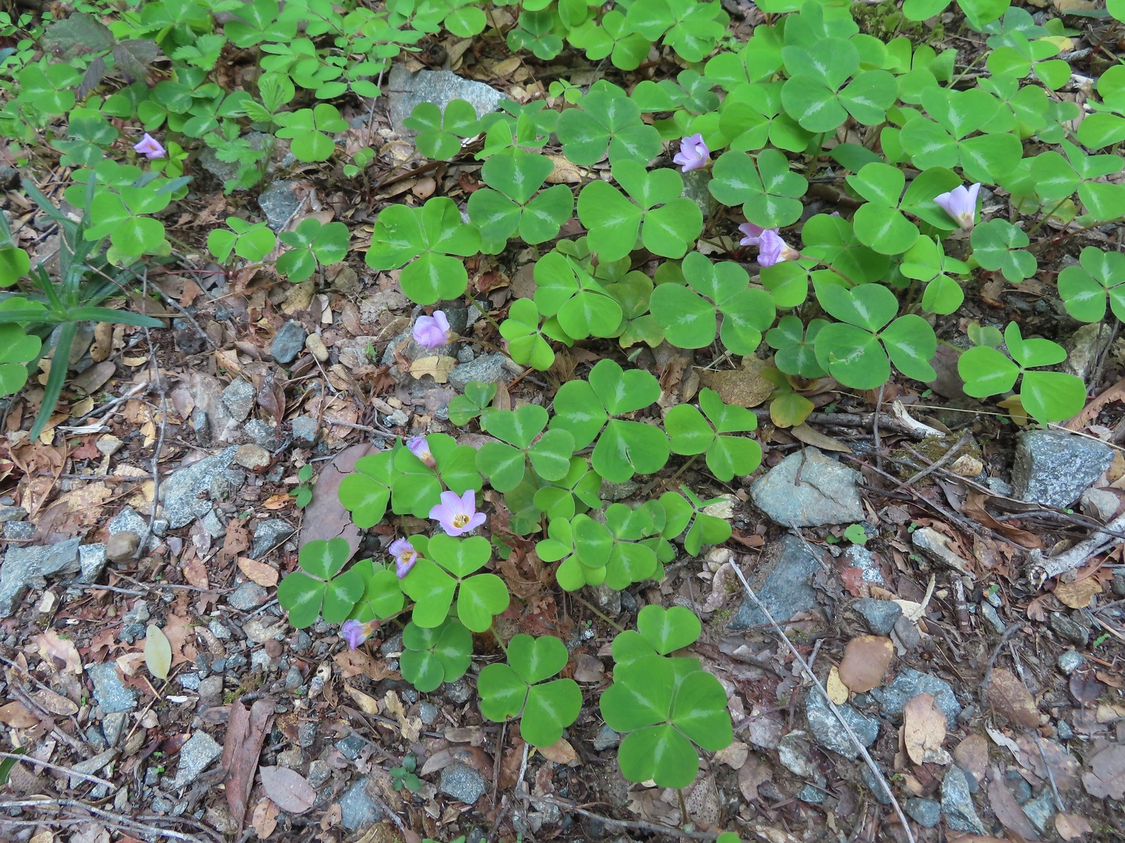 Redwood sorrel along Whiskey Creek.
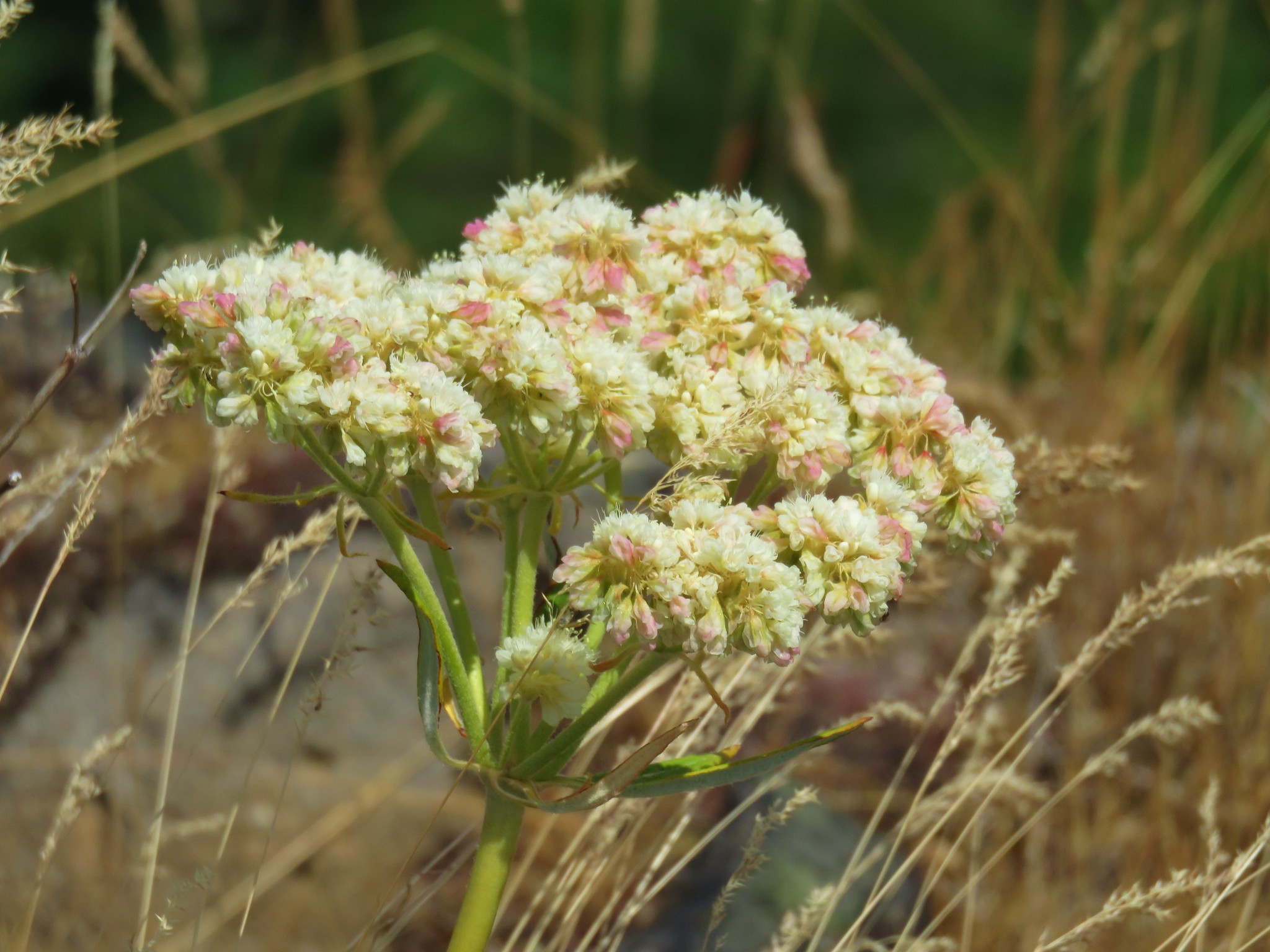
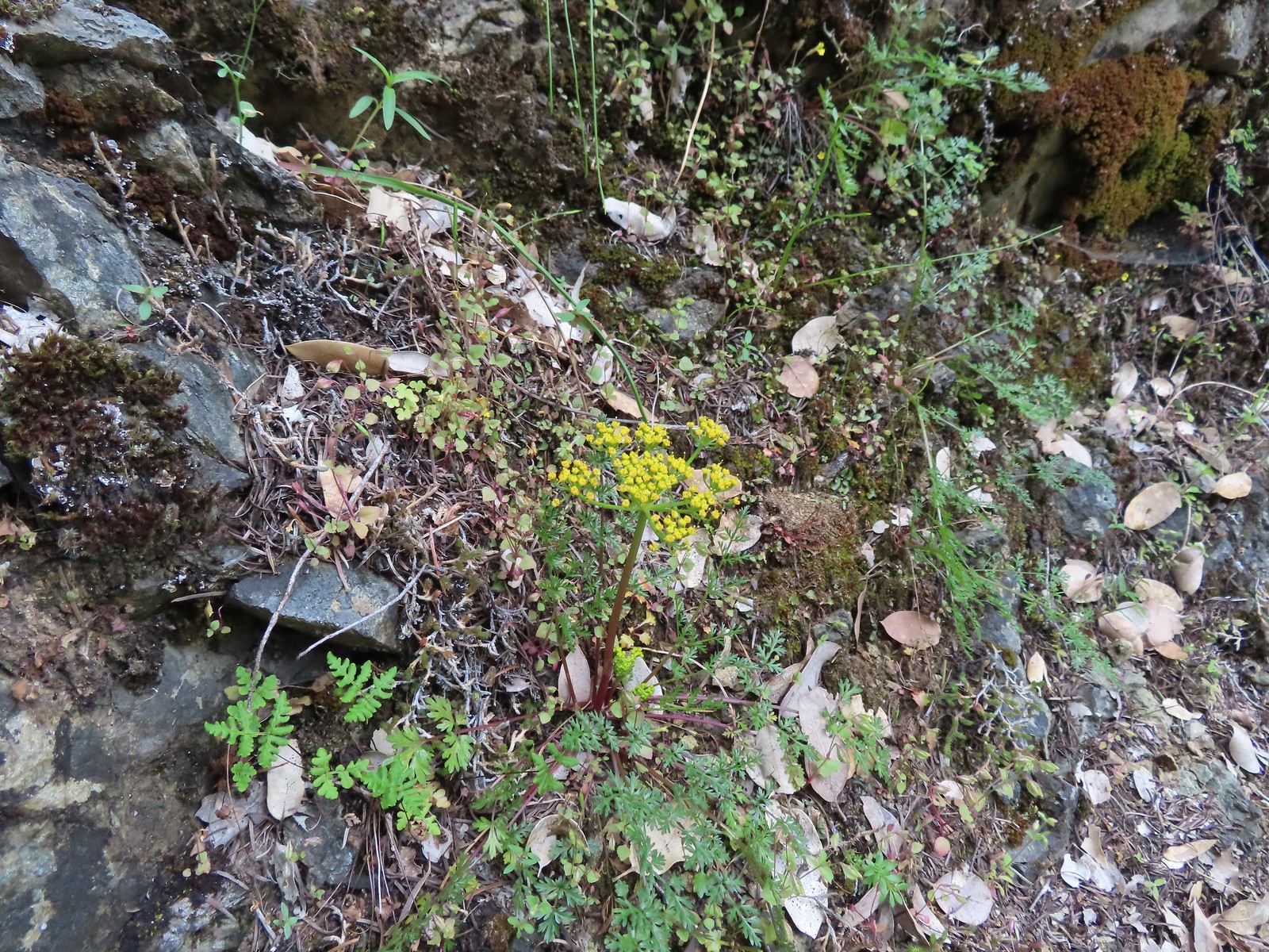 Buiscuitroot
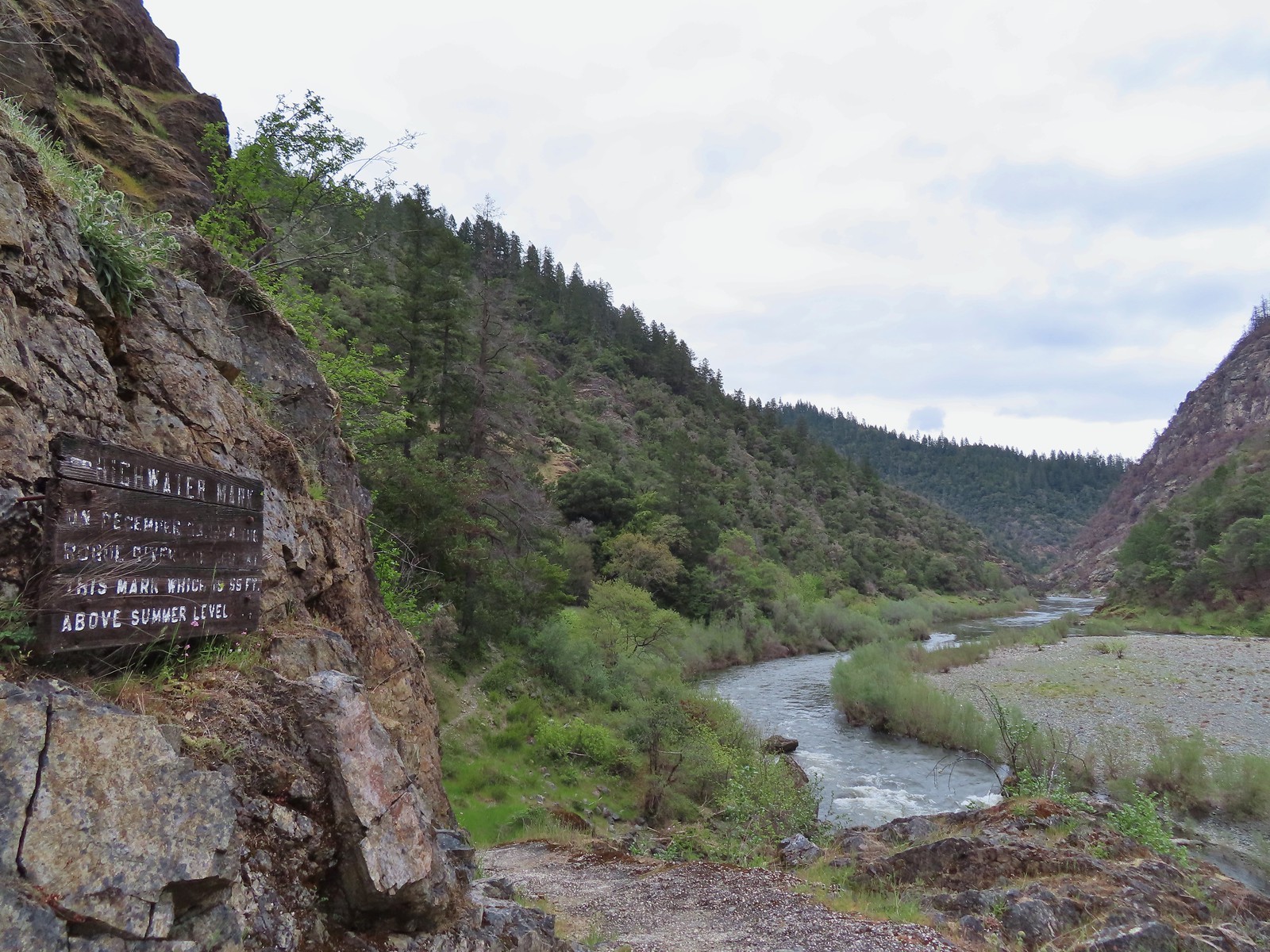 Passing the high water mark.
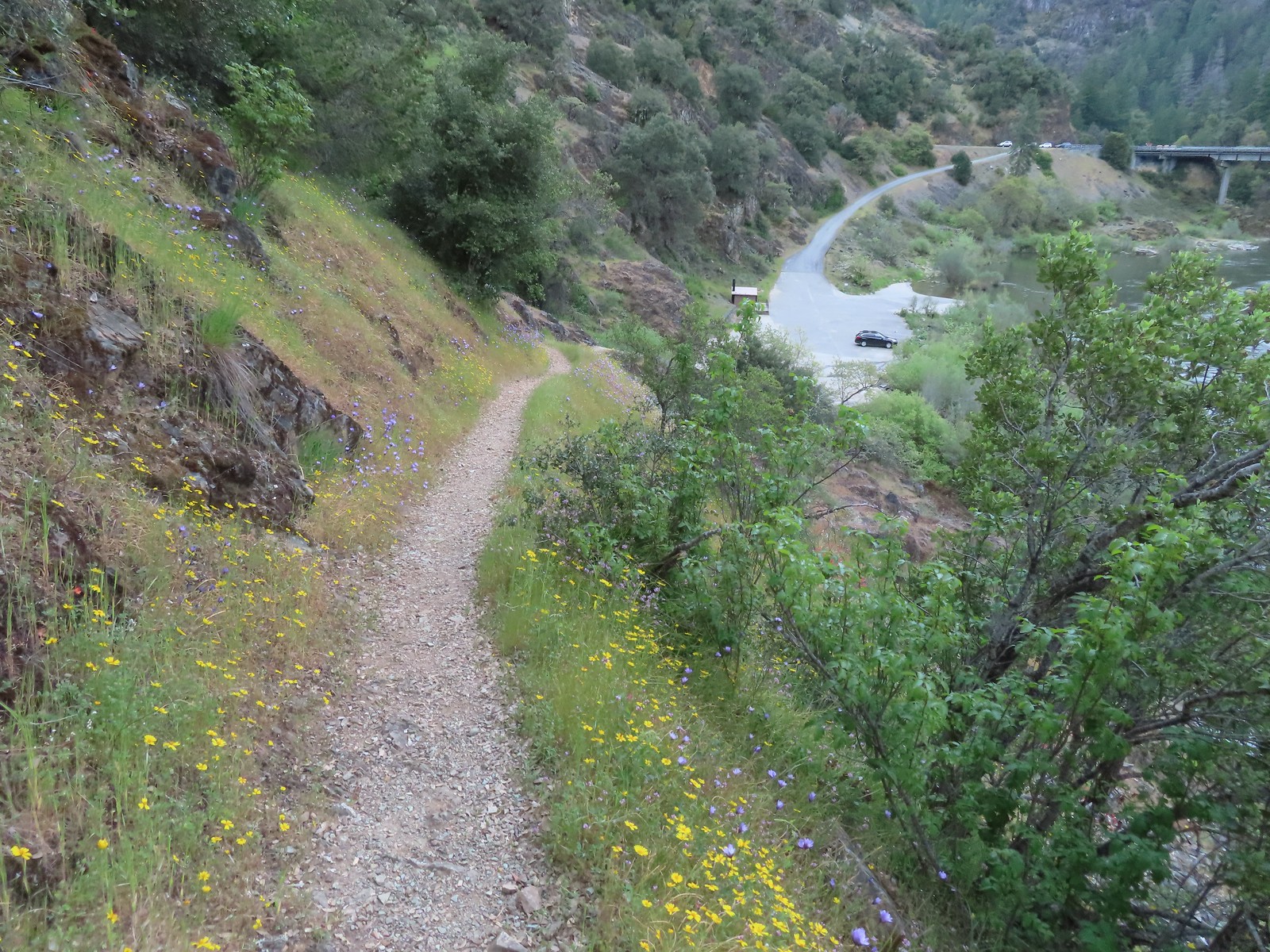 Arriving back at the trailhead.


 Acorns in some of the holes.
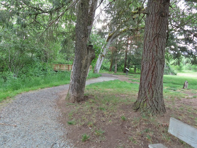 On the nature trail.
 The bridge
 Camas
Camas Ash-throated flycatcher
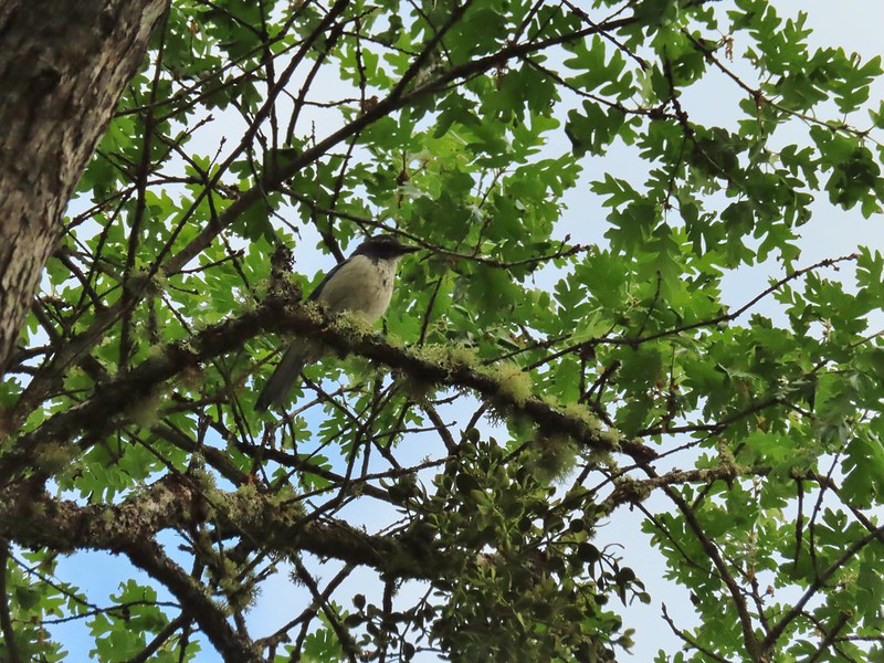 Srub jay
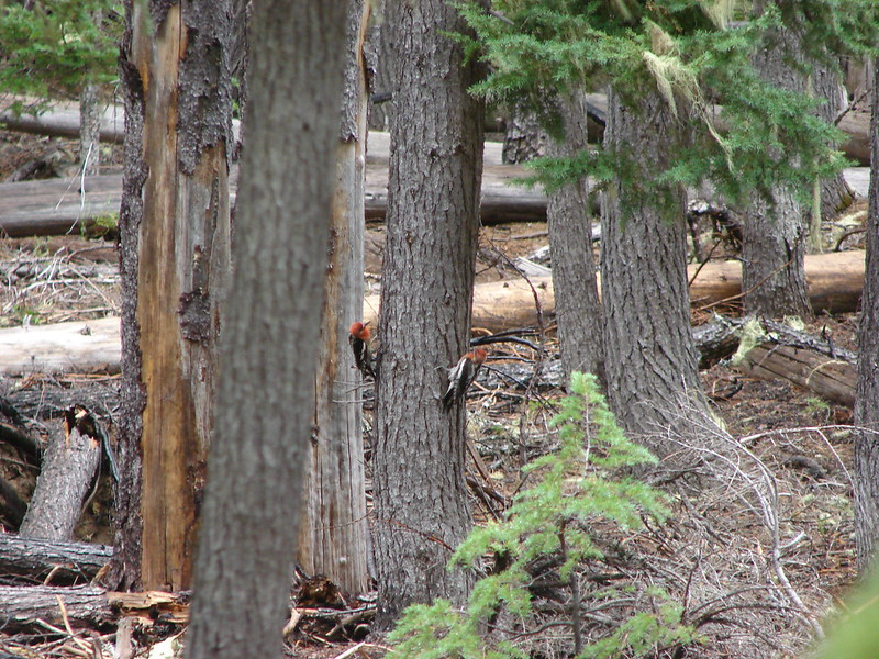
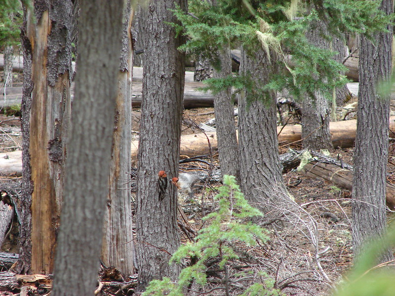
 Acorn woodpecker
 Death camas and vetch
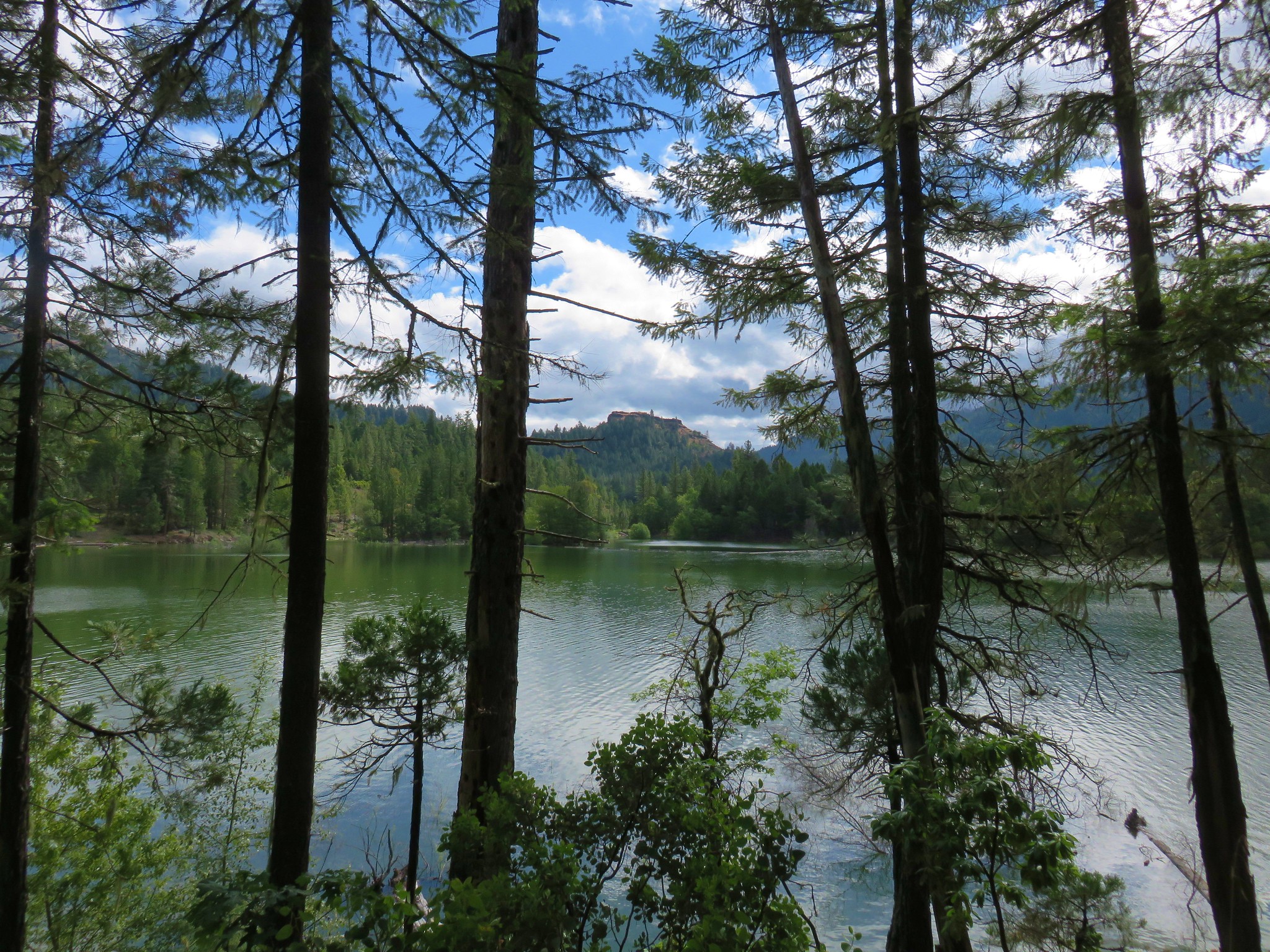
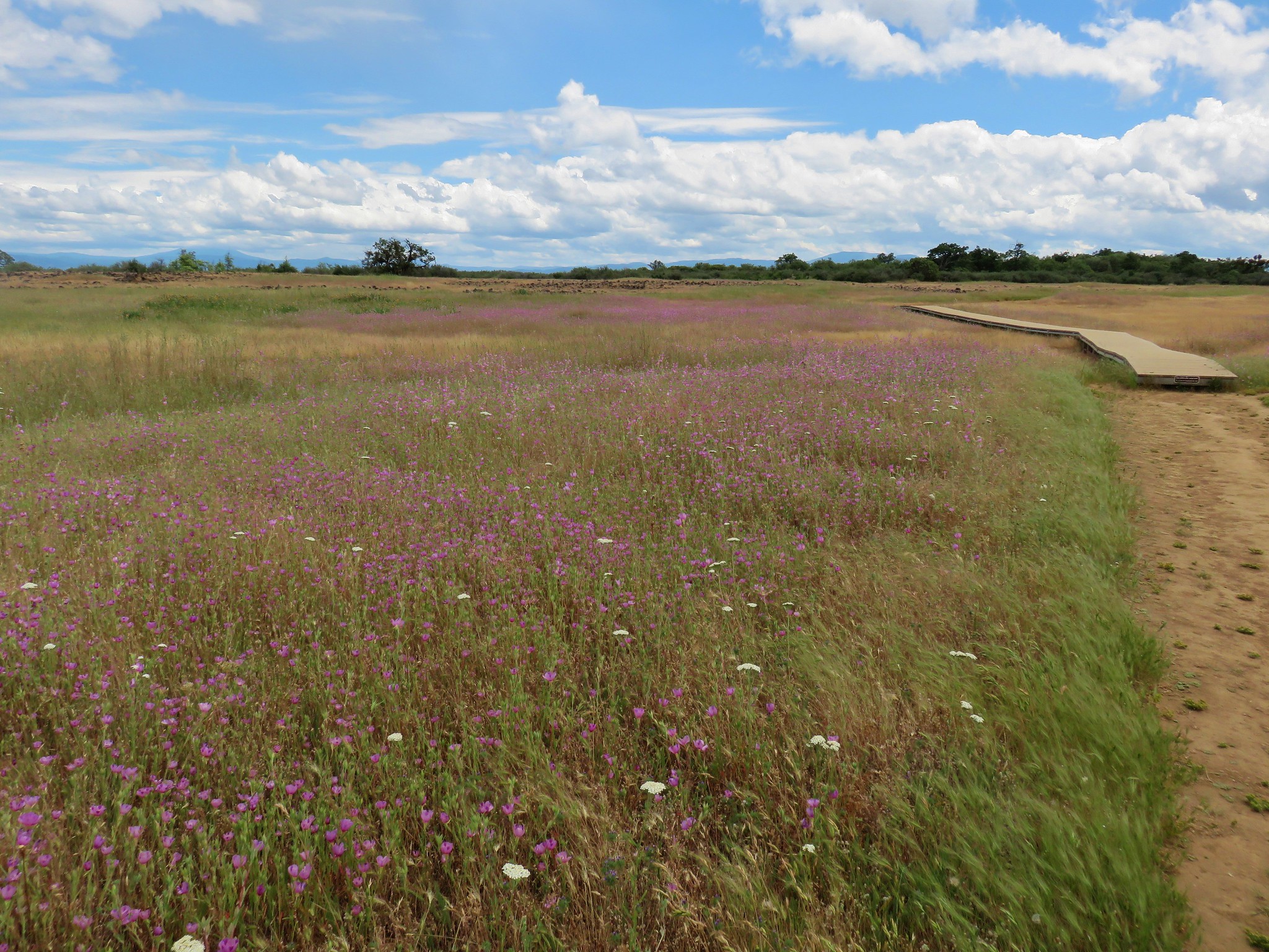
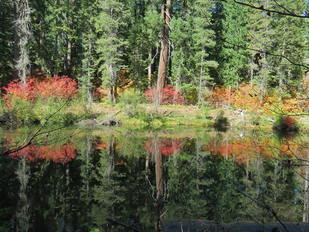
 A second pond with Upper Table Rock (post) behind.
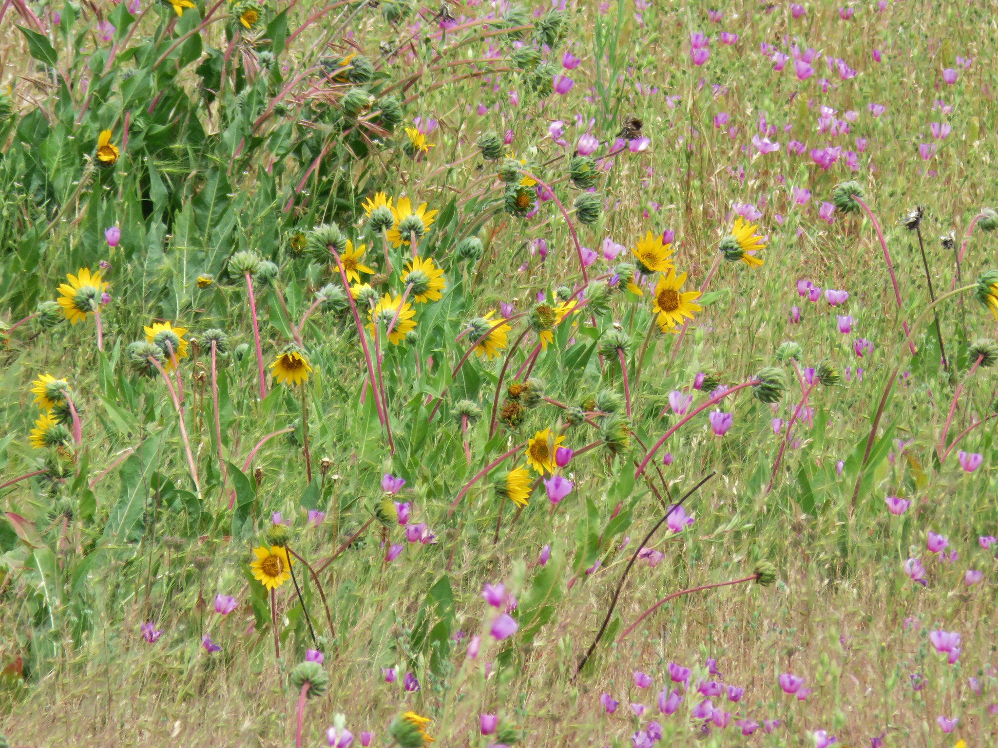
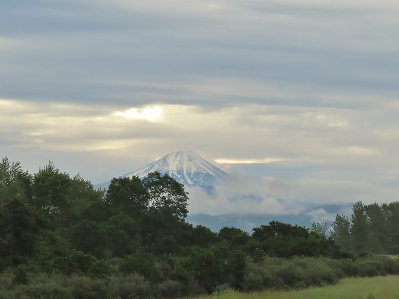 Mt. McLoughlin
 Common madia with Lower Table Rock (
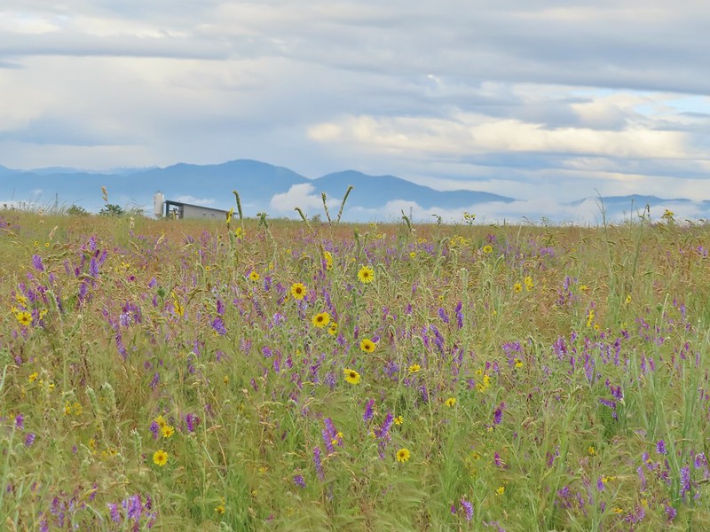 Wildflowers near the bench.
 Upper Table Rock
 The viewpoint bench.
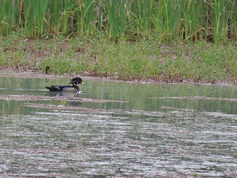 Wood duck
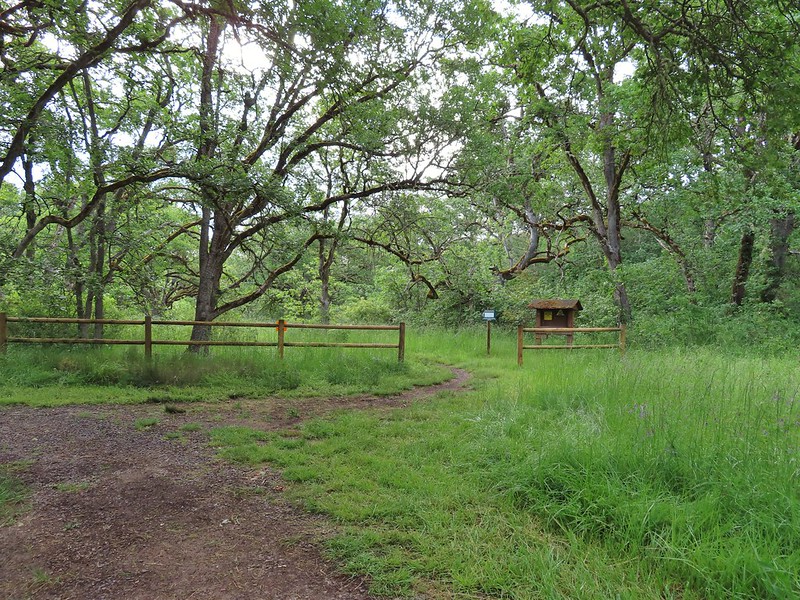
 Denman Trail at TouVille Road.
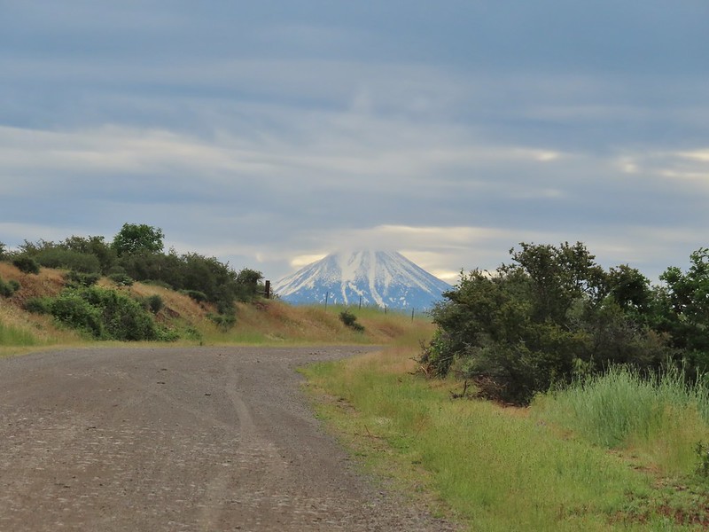 Mt. McLoughlin
 Upper Table Rock from TouVille Road.
 A swallow on a fence post with Mt. McLoughlin behind.
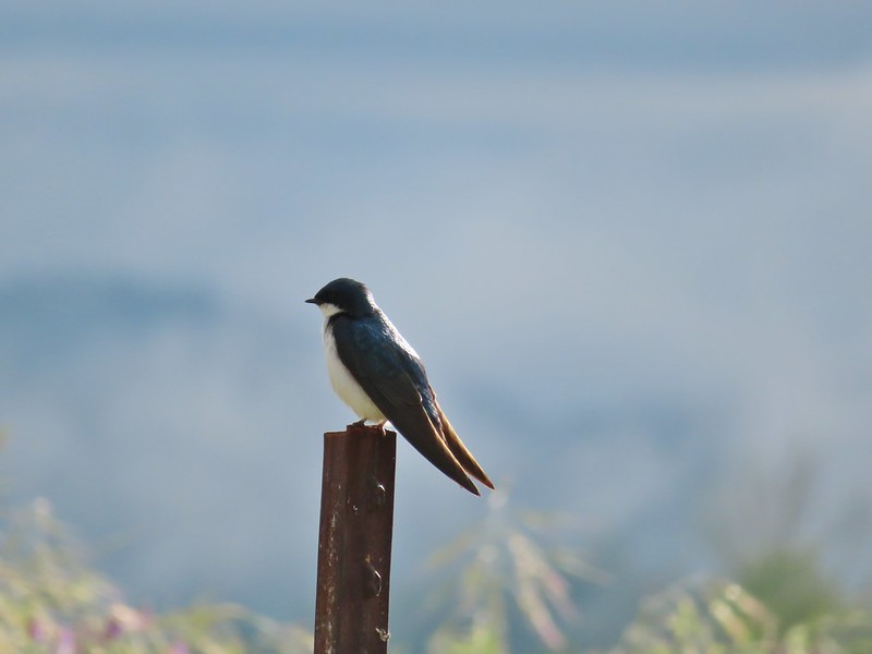 Swallow
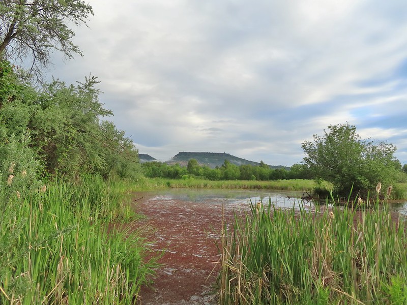
 Yet another pond along Military Slough.
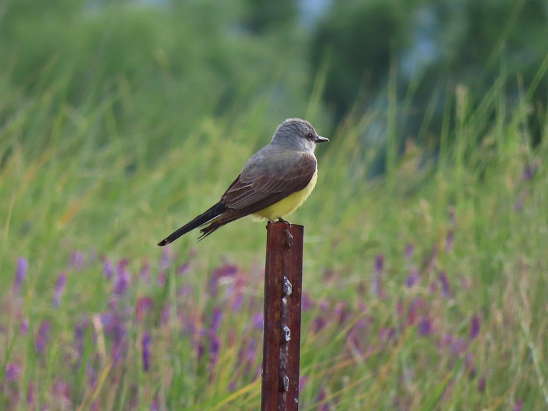 A kingbird, most likely western.
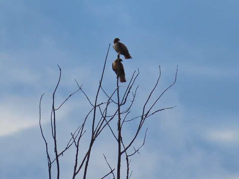 A pair of hawks near the pond.

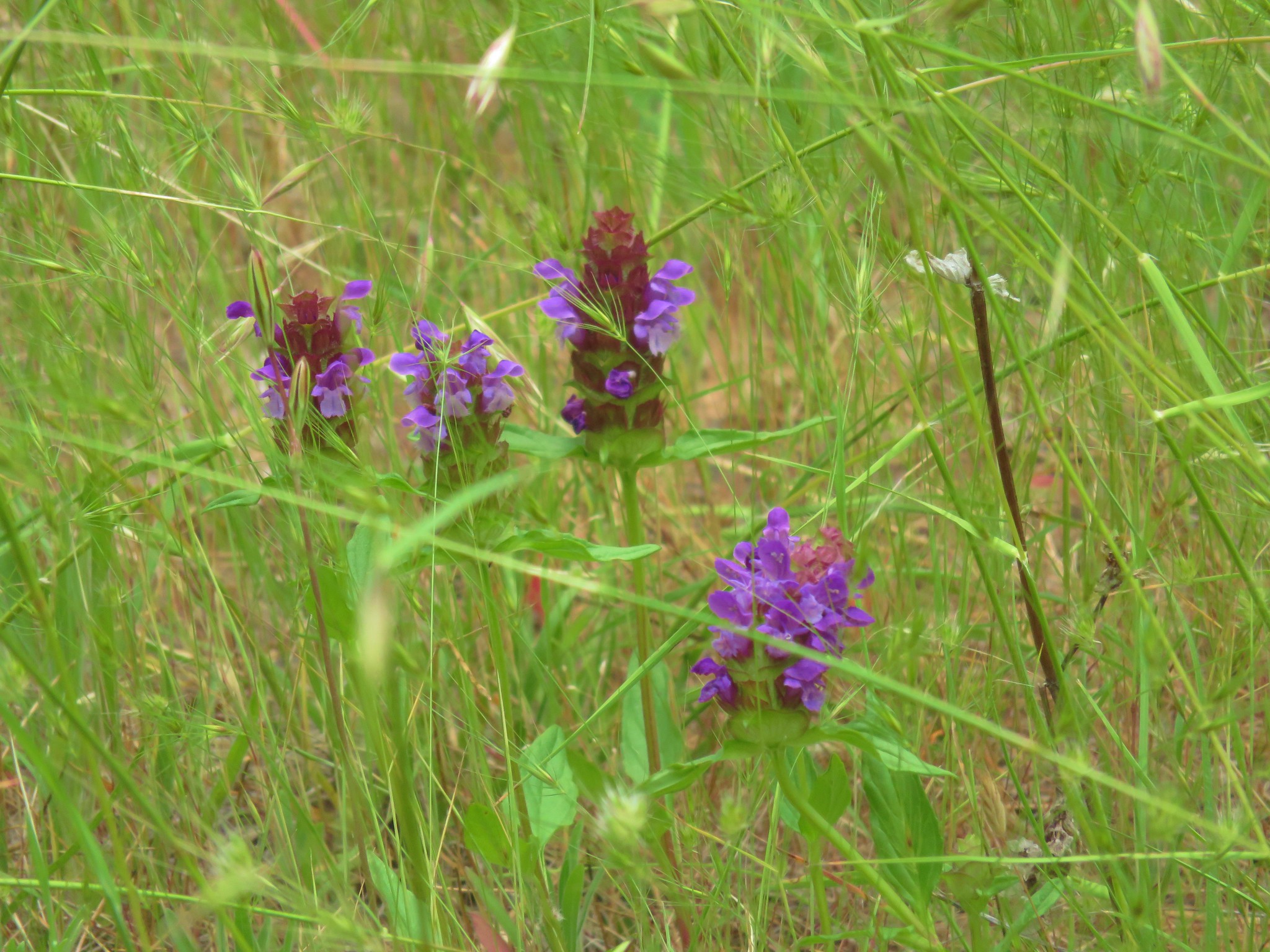
 I I believe this is a paintbrush, possibly Castilleja tenuis – hairy Indian paintbrush.
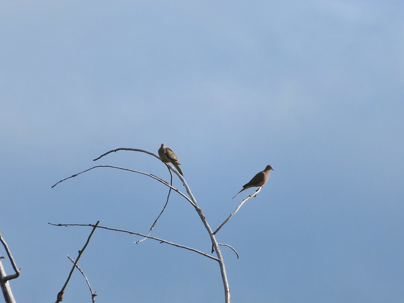 Mourning doves
 Looking back at Upper Table Rock with the stream bed in the trees/brush to the right.
 Mt. Ashland (
 Mt. Ashland
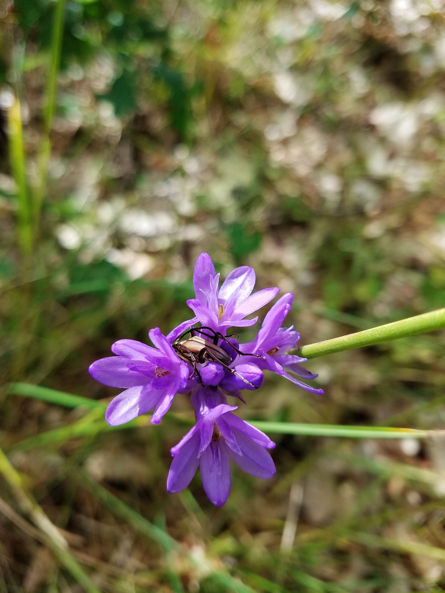
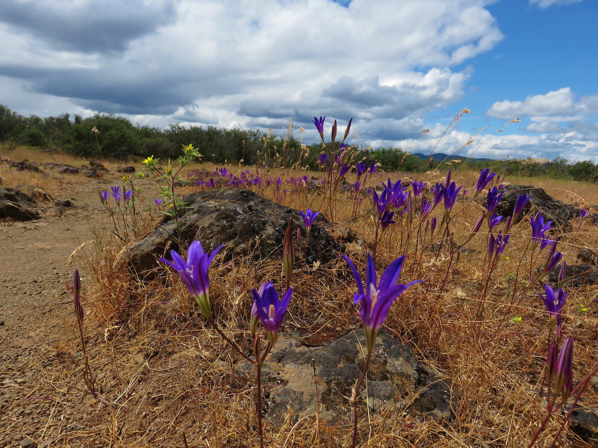
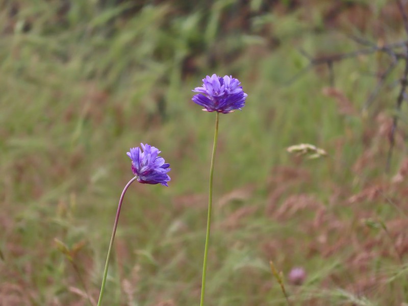 Ookow
Ookow
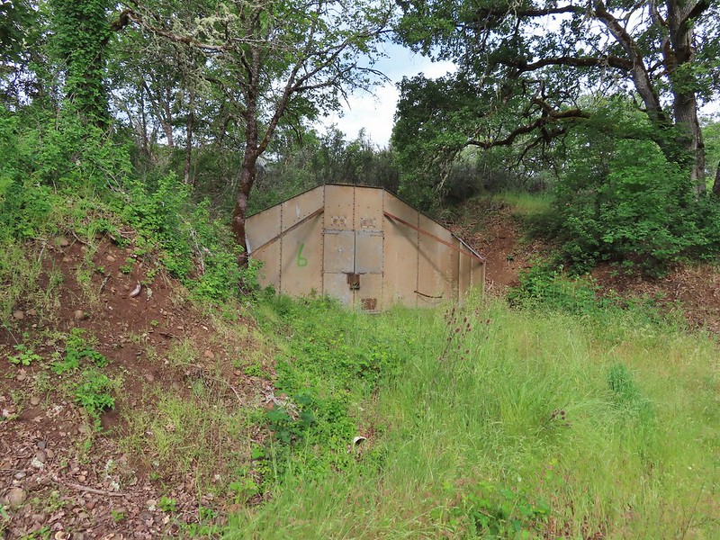 Bunker 6
 Jack rabbit
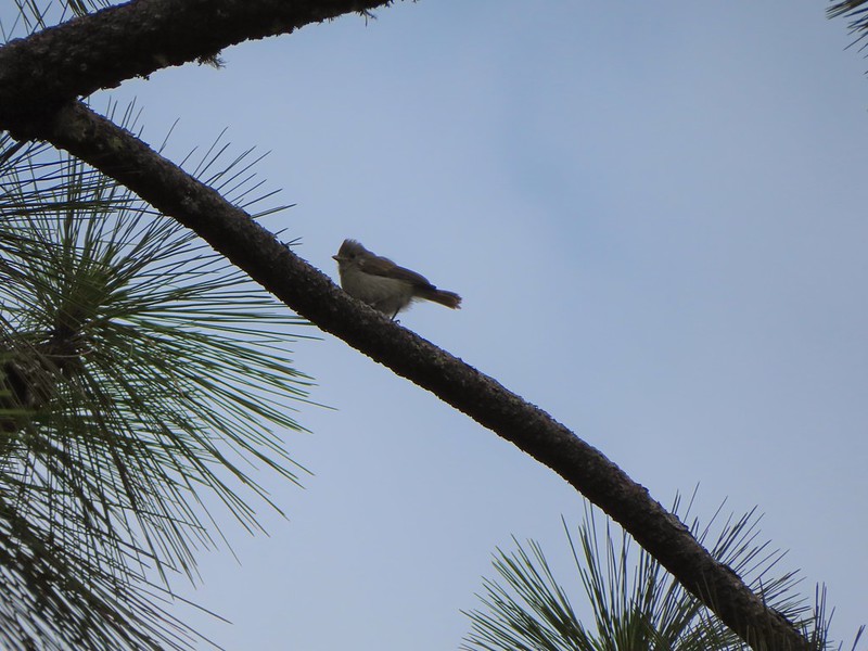 Unsure what type of bird this is.
 Trailhead just off TouVille Road.
 The fork where we went left.
 Passing another bunker.
 Lupine
 White tritellia

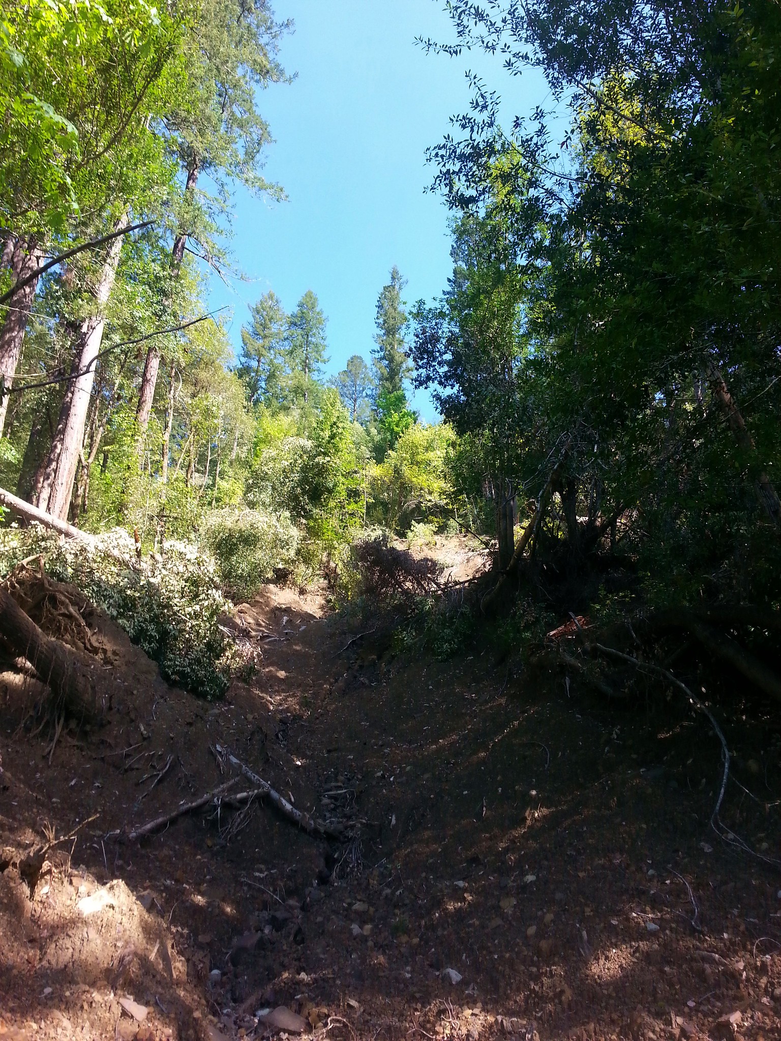
 Occasional open areas were followed by thick brush with poison oak hidden among the other vegetation.
 This section at least had hoof prints.
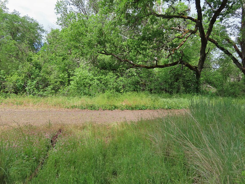
 More ookow
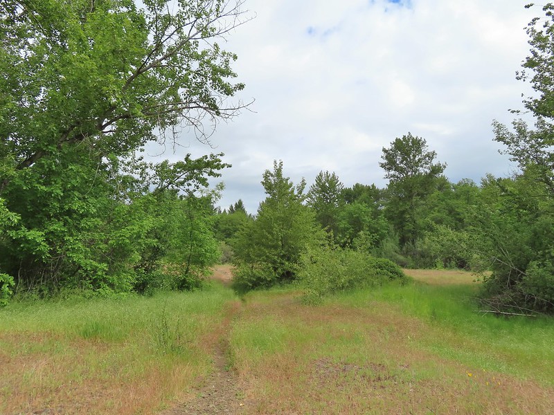 Headed down to the creek.
 Little Butte Creek
 Bachelor button near the creek.
 Another bachelor button

 Nookta rose surrounded by poison oak.
 Don’t touch!
 Maiden fly
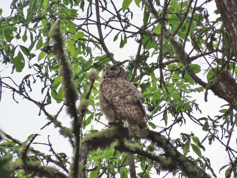
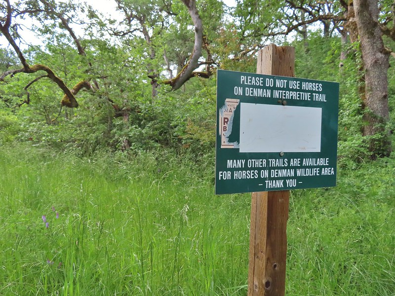
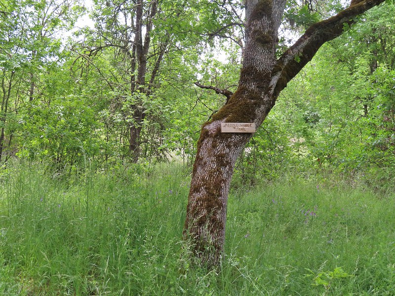 Sign for a Paddle Wheel Trail which we couldn’t really see in the grass.
 TouVille Road
 Bench near the confluence of Little Butte Creek and the Rogue River.
 Rogue River on the left and Little Butte Creek on the right.
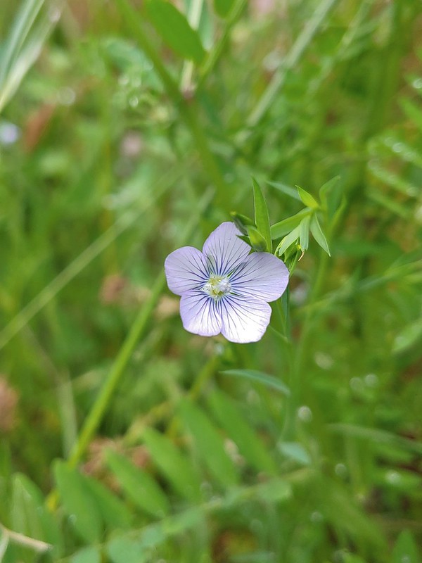 Pale flax
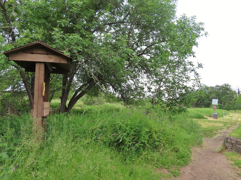 Exiting the Denman Wildlife Area.
 The Rogue River along the TouVille Interpretive Nature Trial.
 Back to the bridge near the parking area.


 Madia
Madia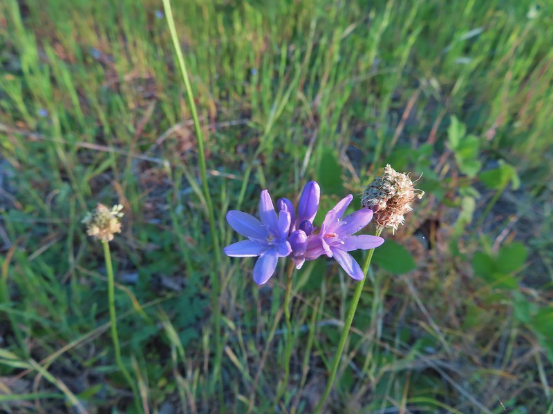 Blue dicks
 The poison oak trap in the afternoon.
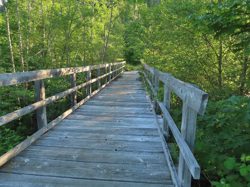 Bridge over Billings Creek.
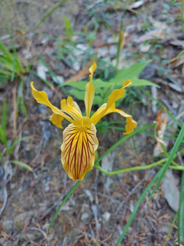 Del Norte iris

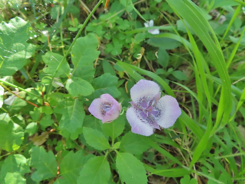
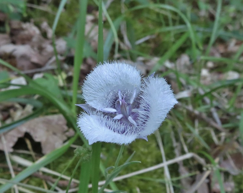 Tolmie’s mariposa lily
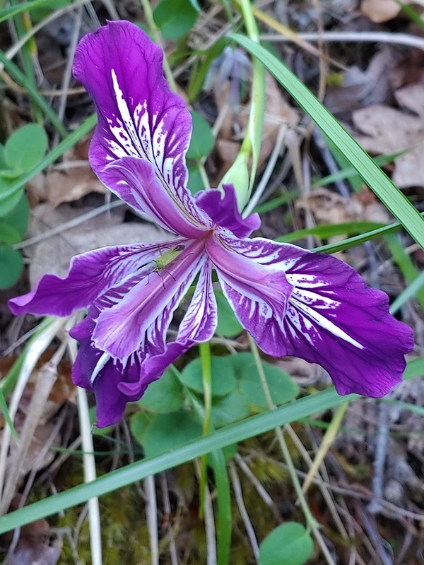 Douglas iris with insect.
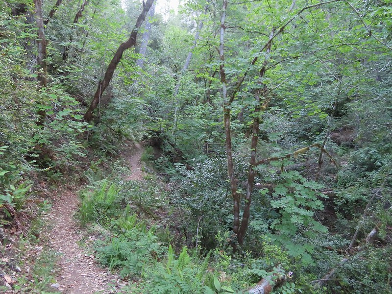
 More mariposa lilies (with a poison oak background)
 Thimbleberry

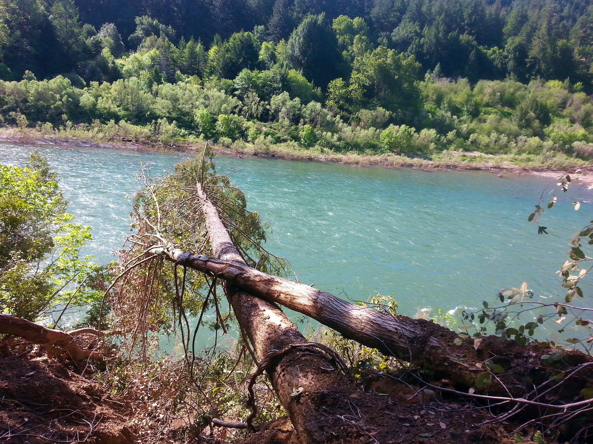
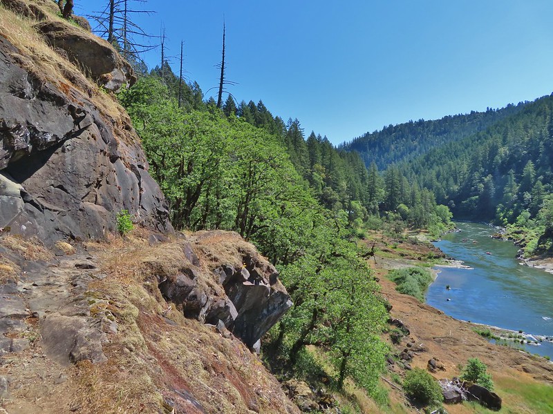
 The Rogue River from the trail during one of the climbs.
 Henderson’s stars
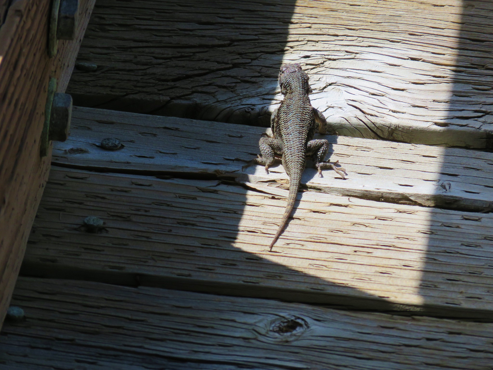
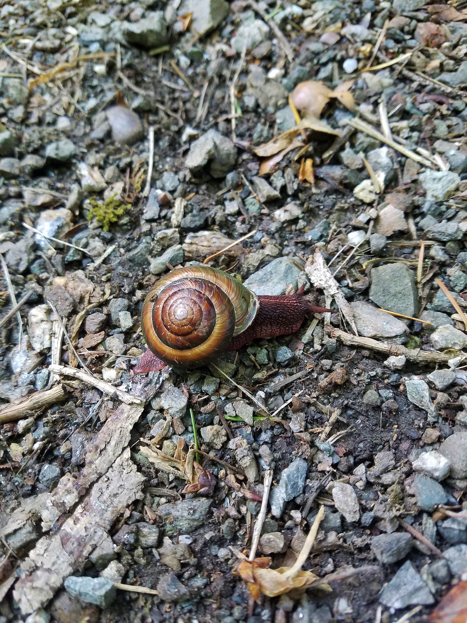
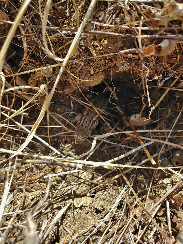
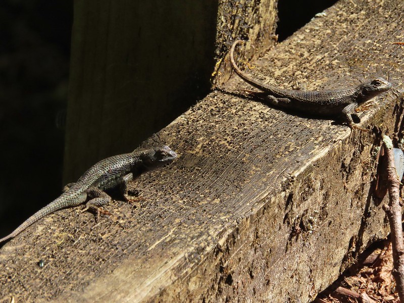
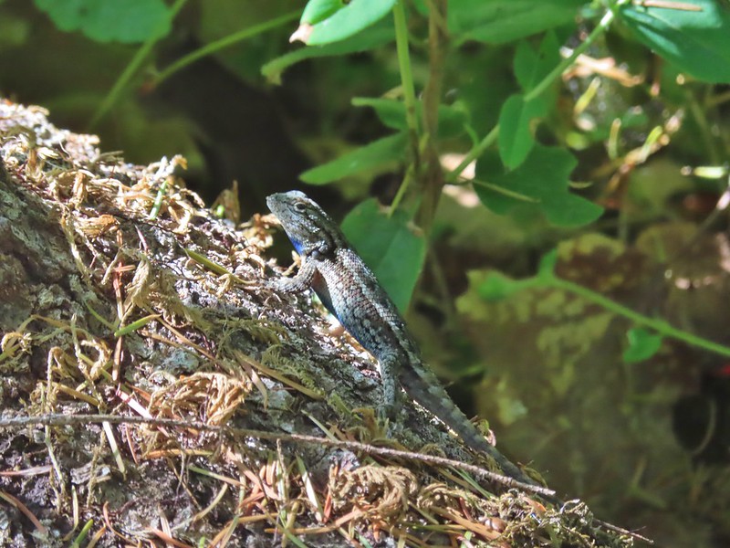 One of dozens of lizards we saw (or heard).
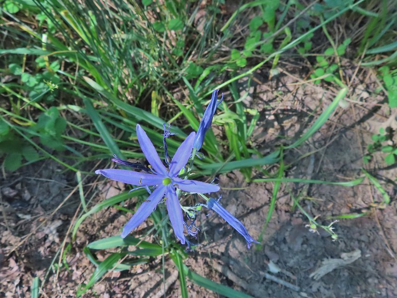 Camas
Camas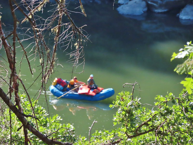
 Footbridge over Flea Creek
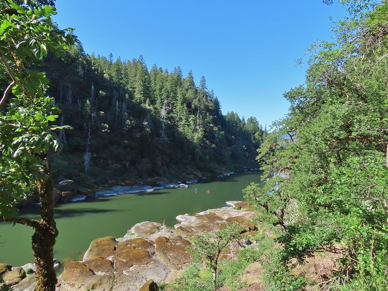
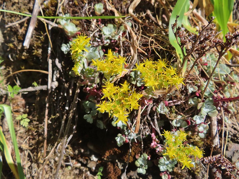

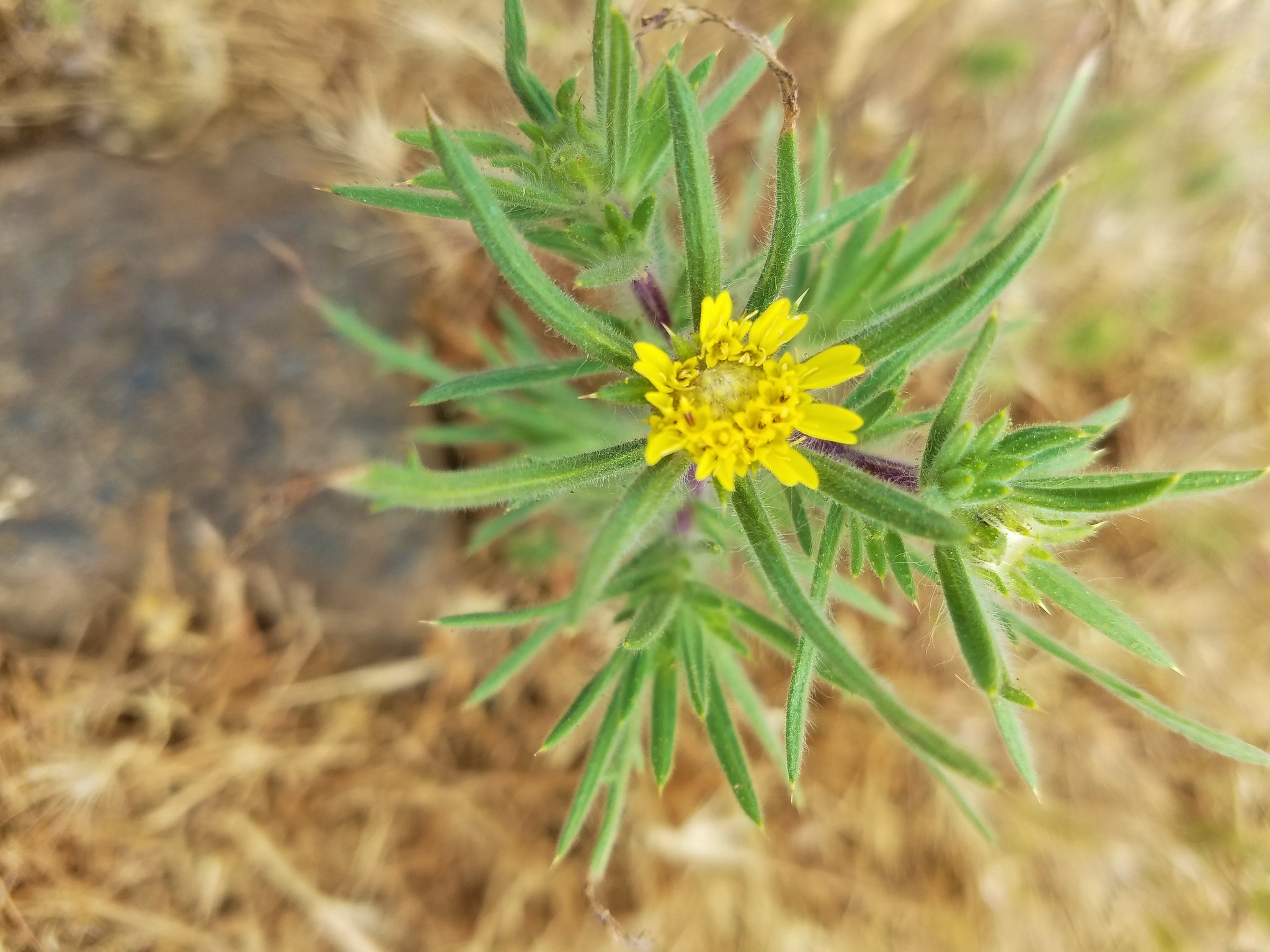
 Oregon sunshine
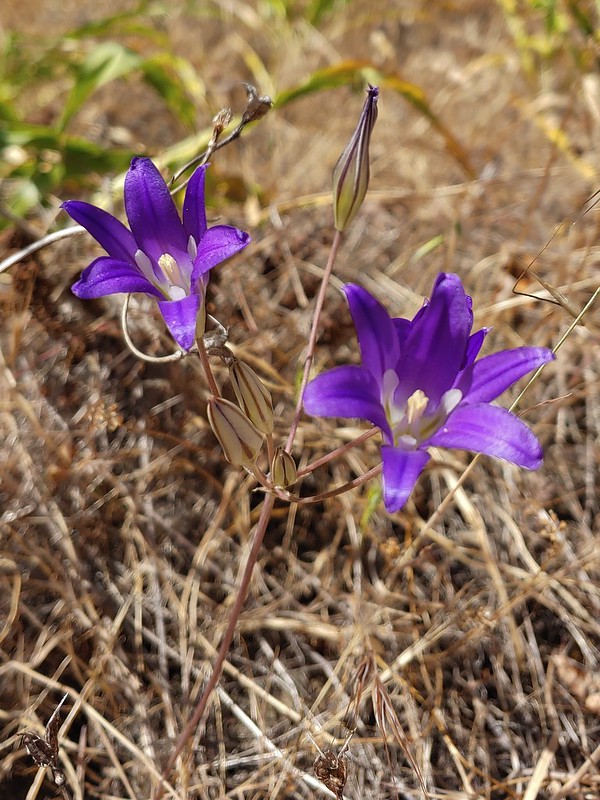 Elegant brodiaea
 Yarrow
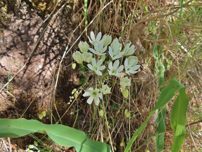
 Bindweed
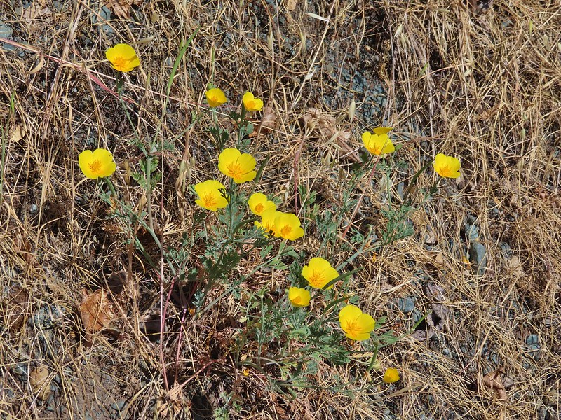 Poppies
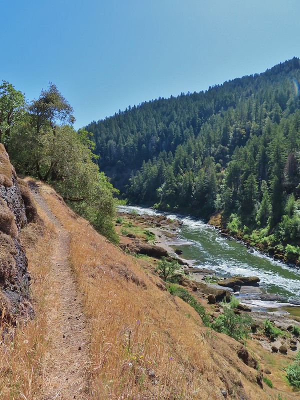


 Clay Hill Lodge
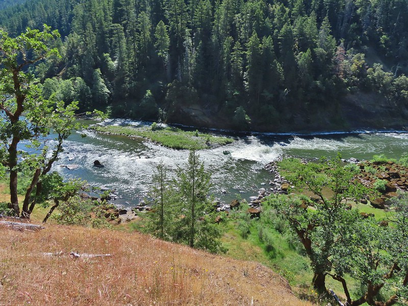 Rafts in Clay Hill Rapids

 Winecup clarkia
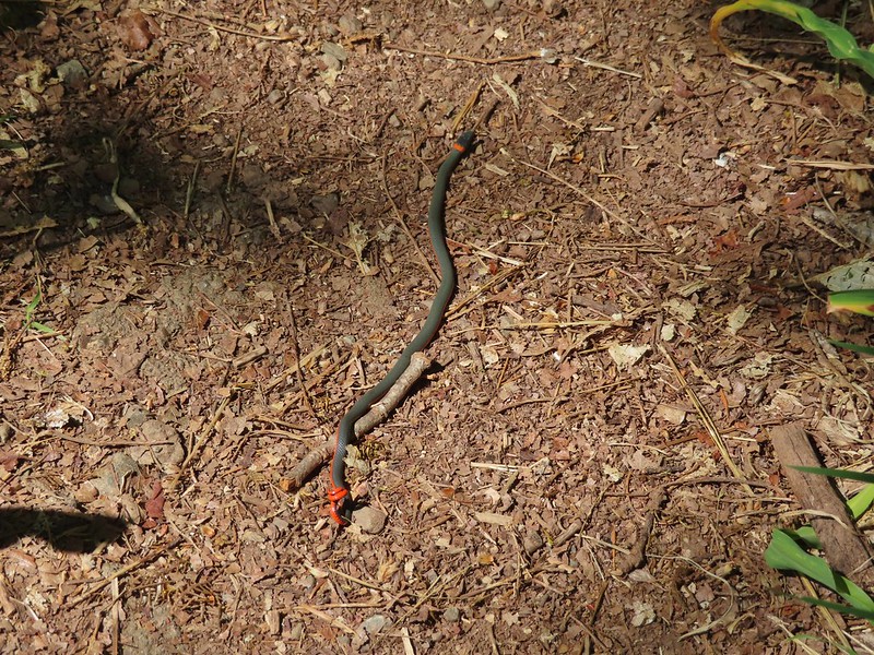

 One of the dozens of photos I took trying to get the swallow tail in flight.
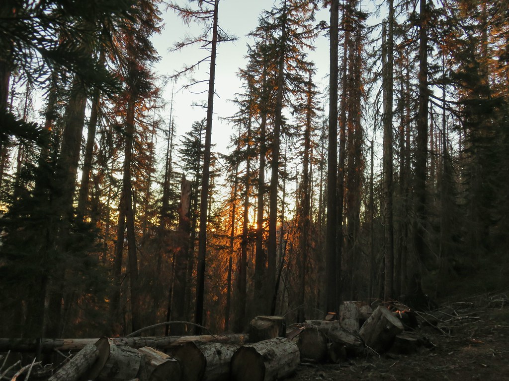 Sunrise from the parking area.


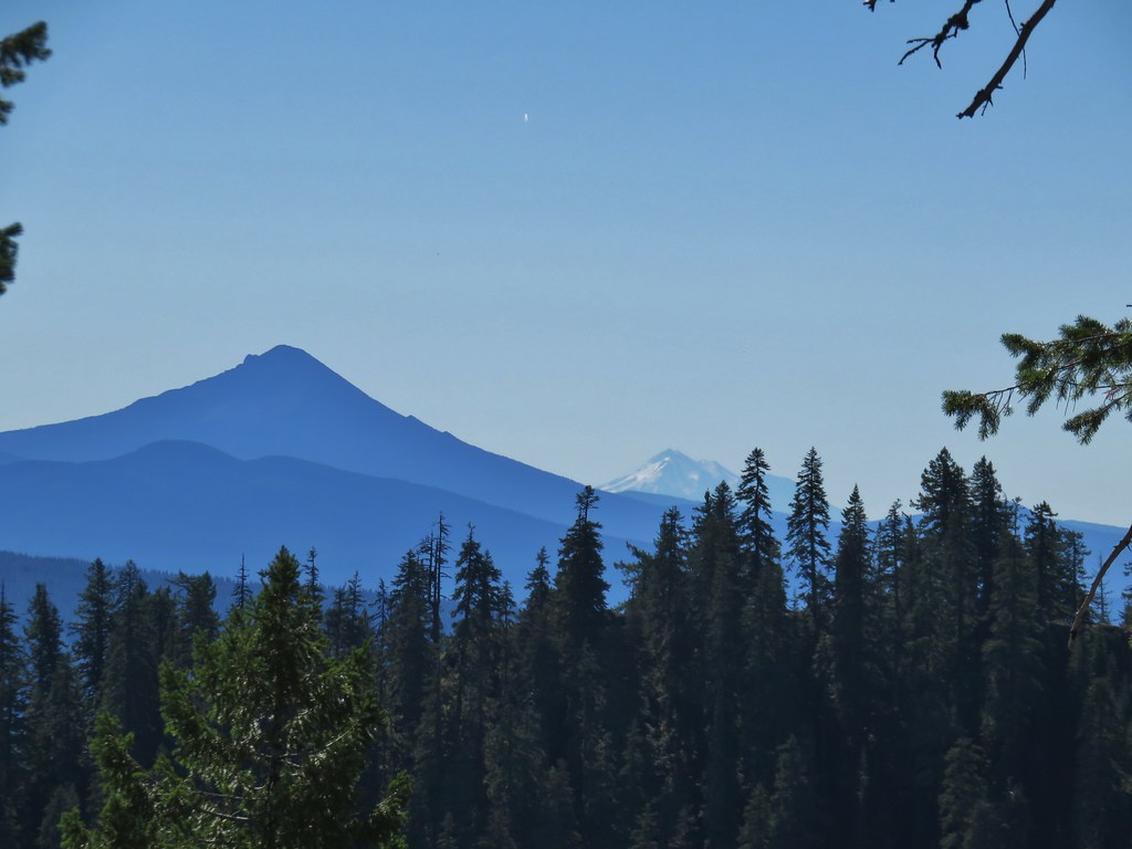
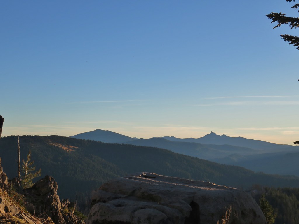 Mt. Bailey, Howlock Mountain, and Mt. Thielsen
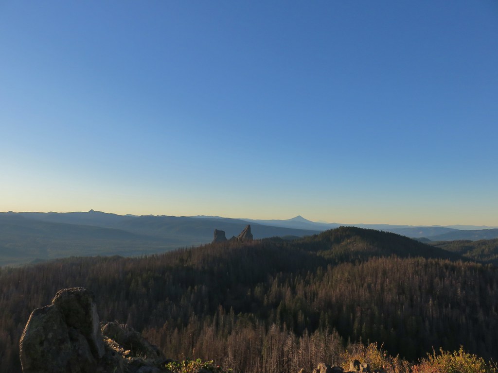 Arant Point, Union Peak, Goose Egg, Klamath Point, Lee Peak, Devils Peak, Pelican Butte, Lucifer Peak, Venus, Rabbit Ears, Mt. McLoughlin, and Mt. Shasta (among others).
 Mt. McLoughlin and Mt. Shasta
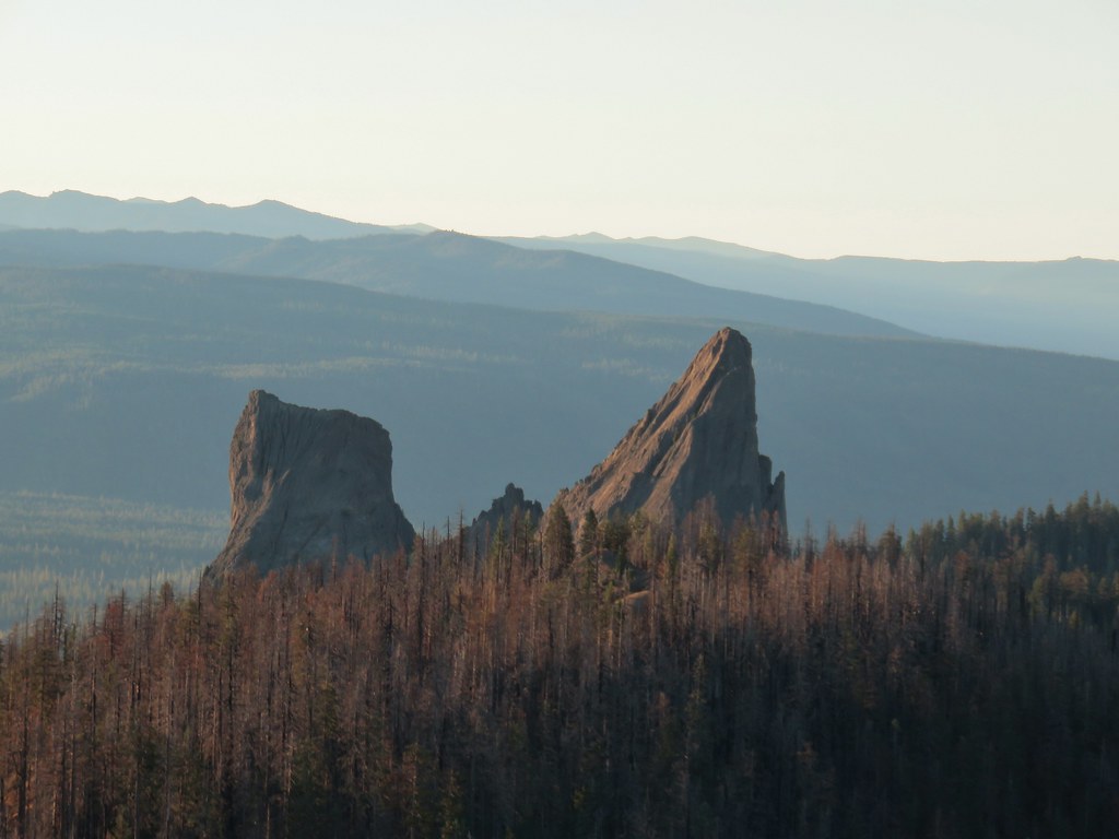 Rabbit Ears
 Sun over Crater Lake National Park
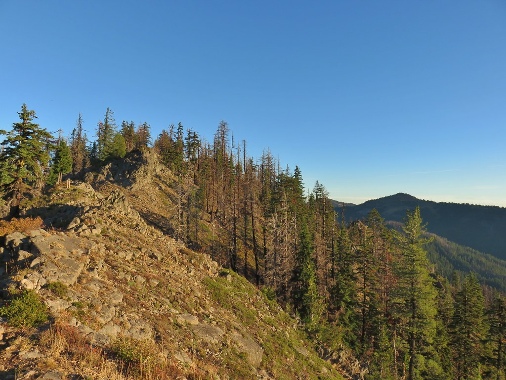

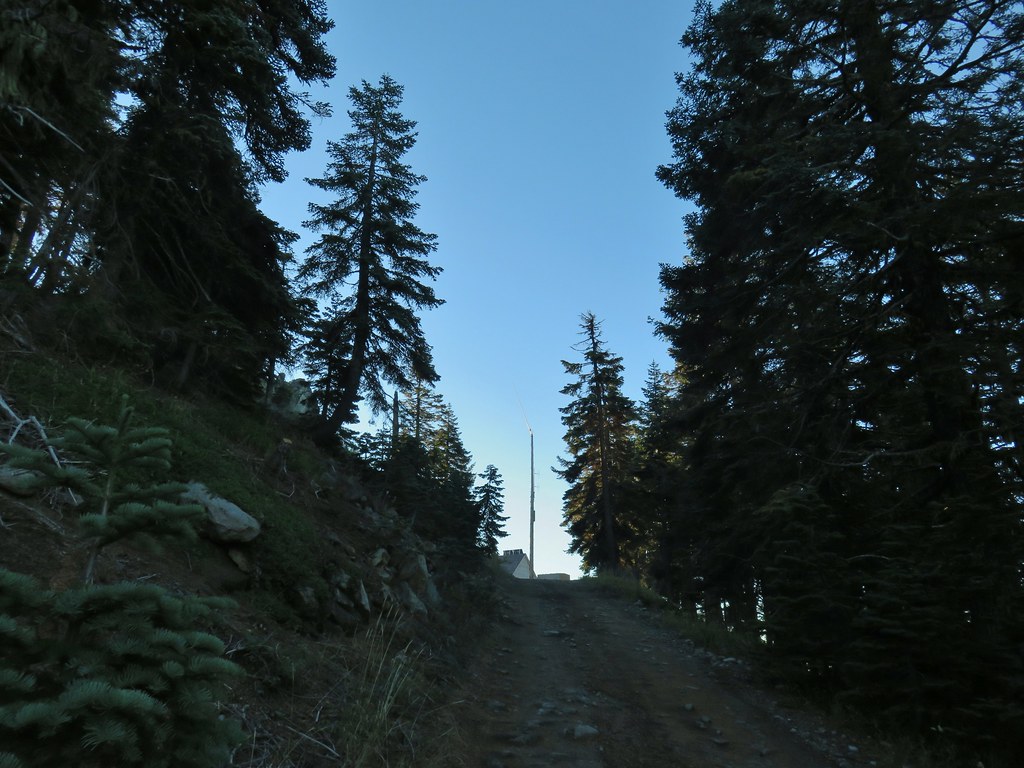
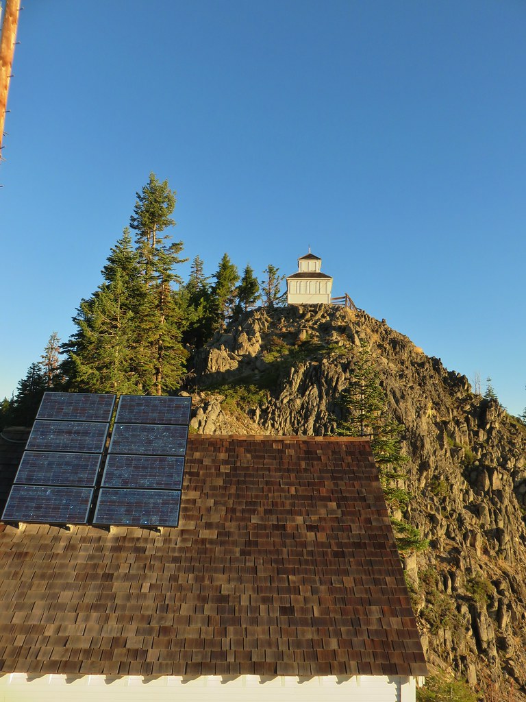
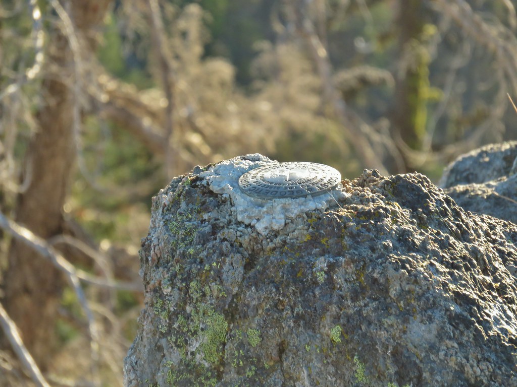 Survey marker at the summit.
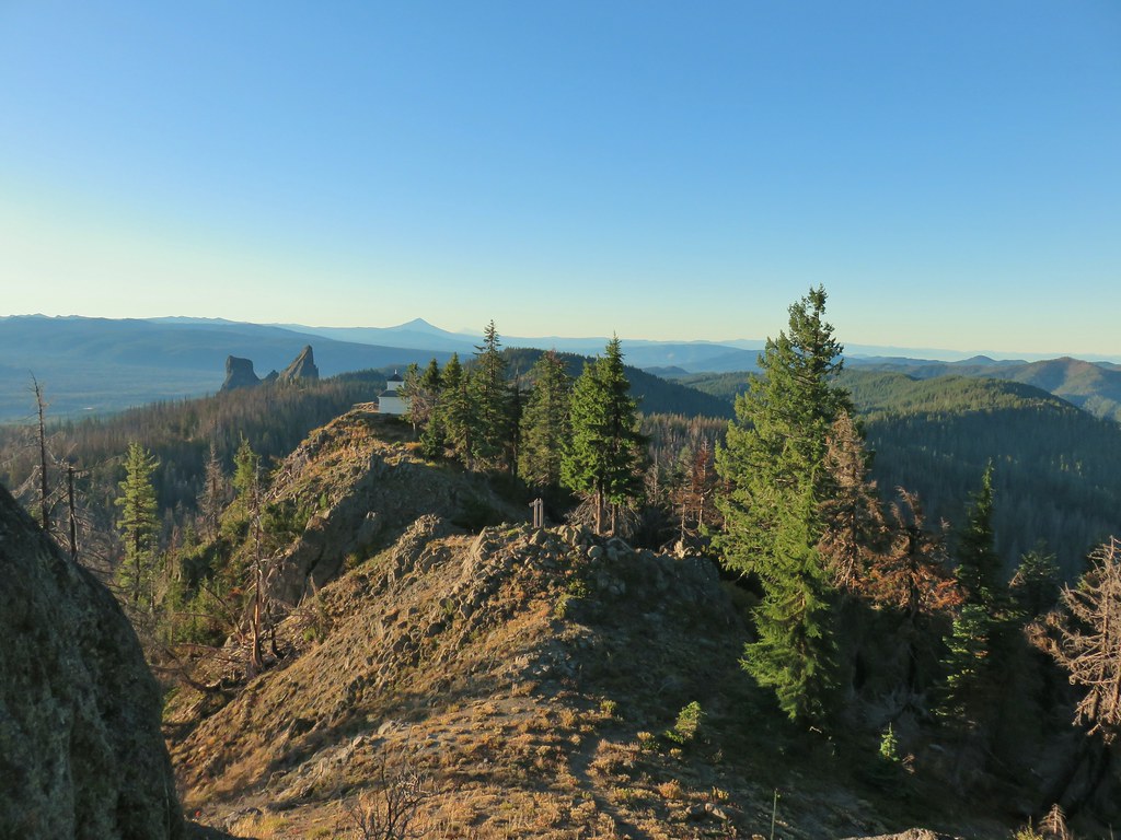 The sign, lookout, Rabbit Ears, Mt. McLoughlin, and Mt. Shasta coming back from the summit.
 Acker Divide Trail leaving FR 580.

 Another cairn to the right of the tree ahead.

 A lonely flower along the Acker Divide Trail
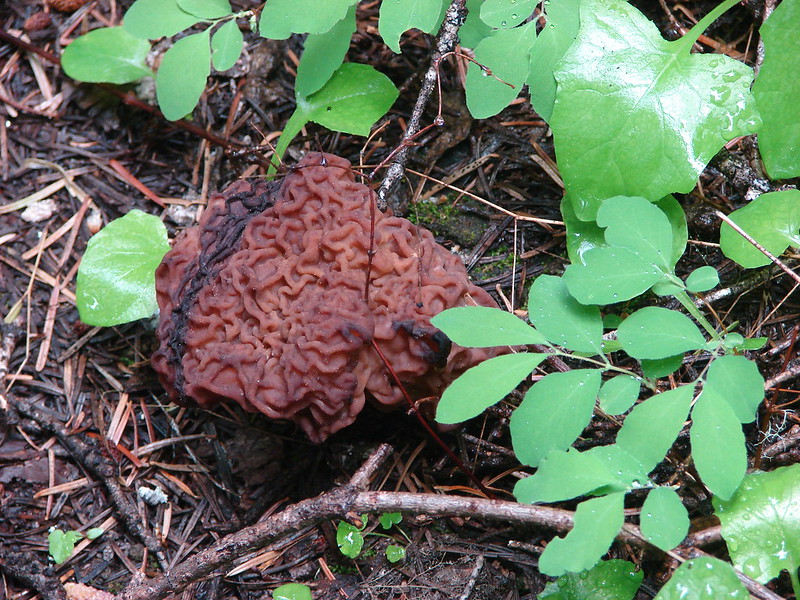
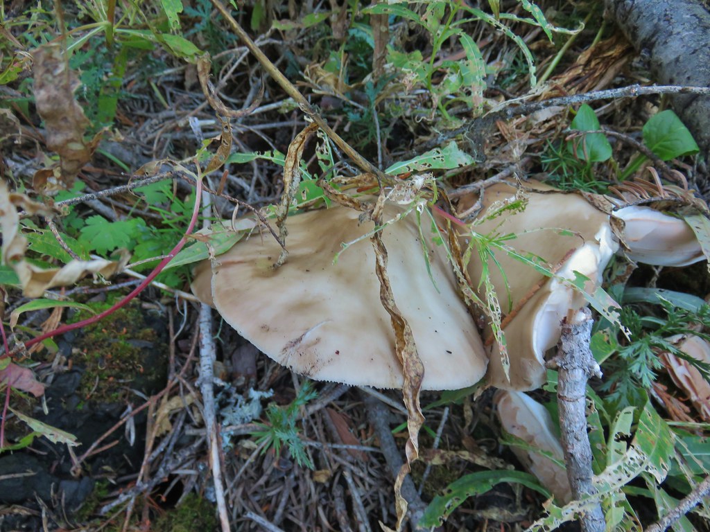
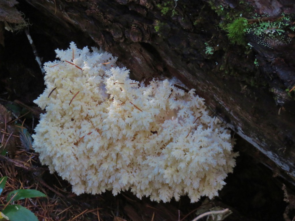
 Mushroom near the meadow.
 Toad Meadow


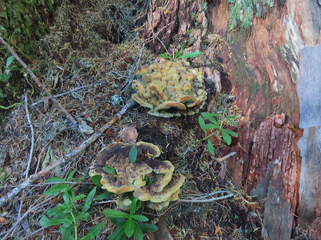
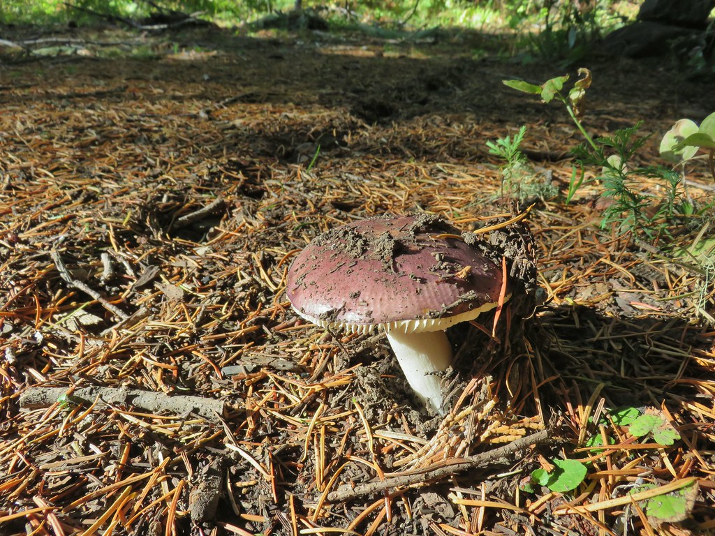 Tis the time of year for Mushroom to replace flowers.
 Candyflower
 Pullout along FR 6515
 Trail to Rabbit Ears
 The split
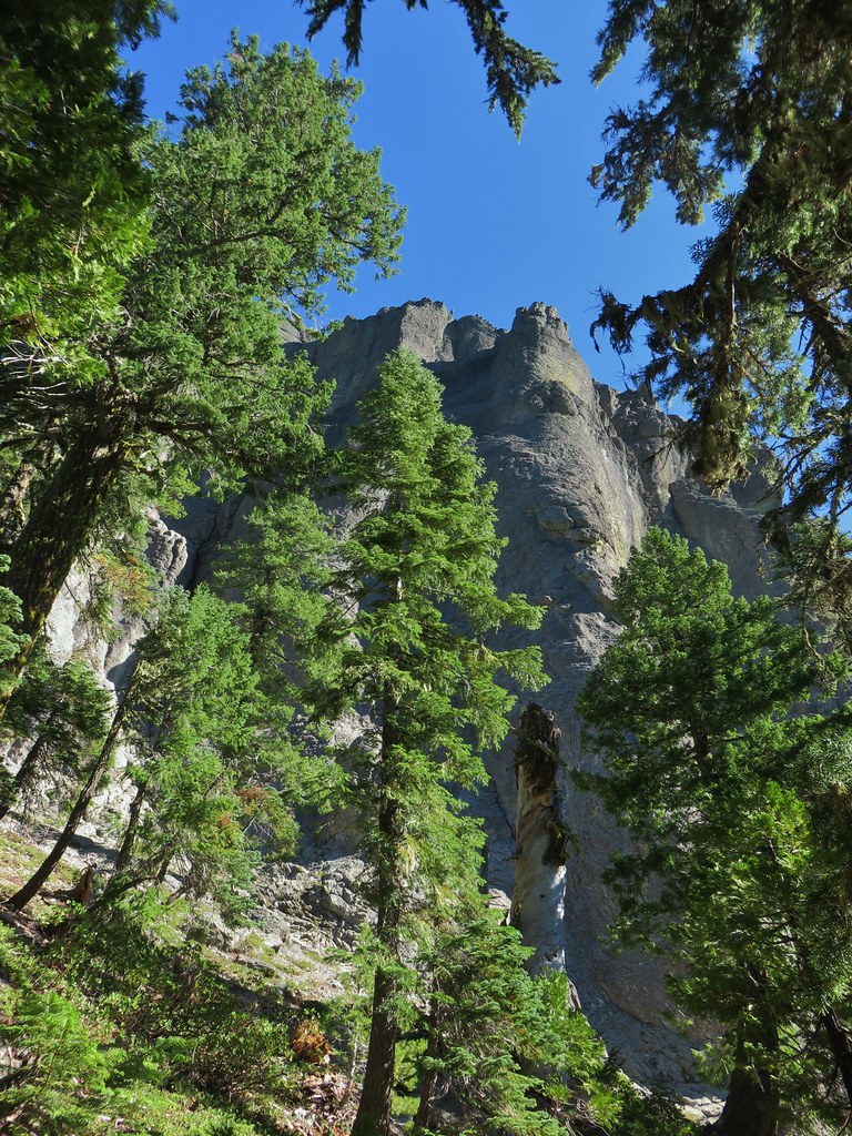


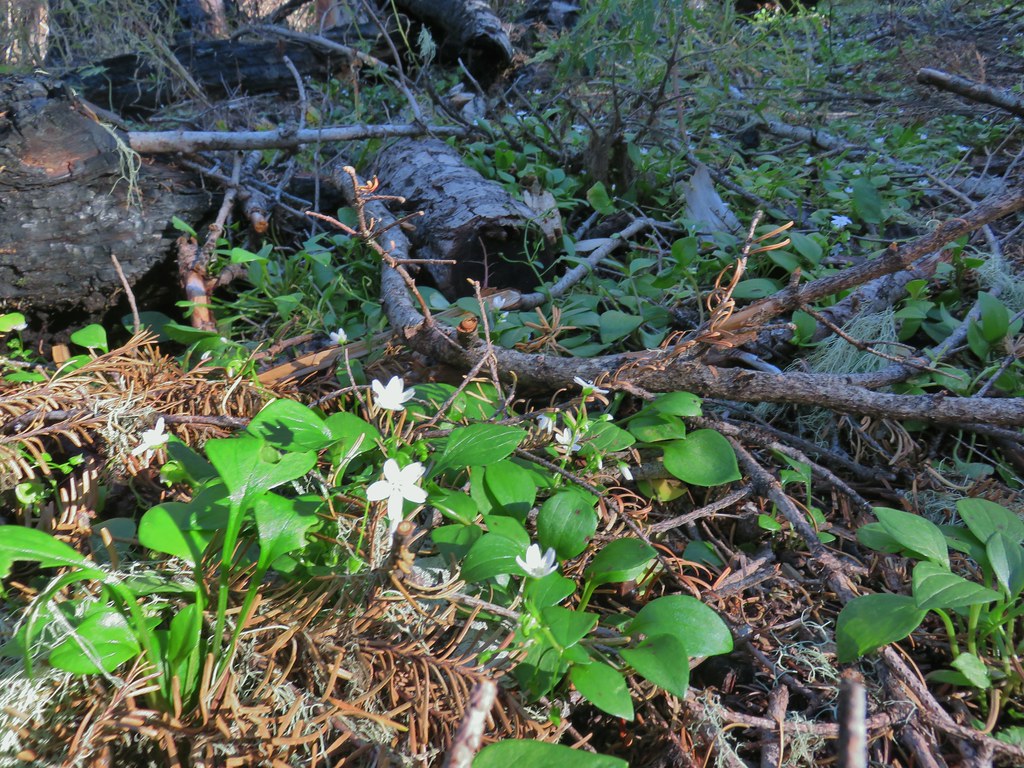
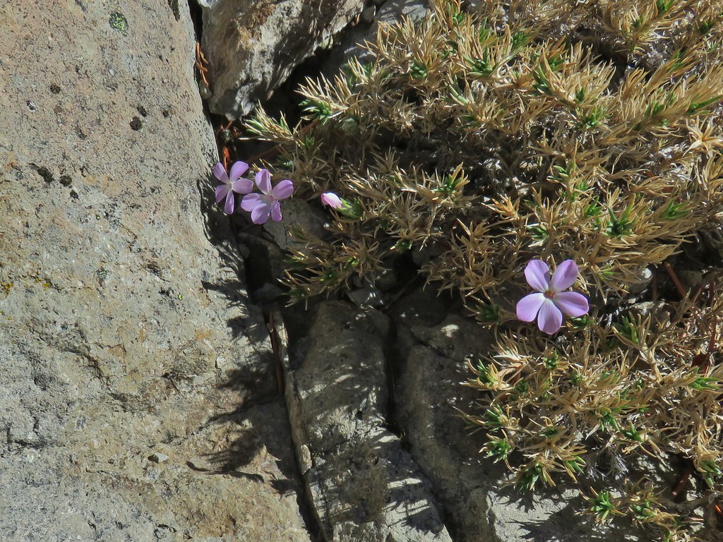 We were surprised to find these phlox blossoms still looking good.

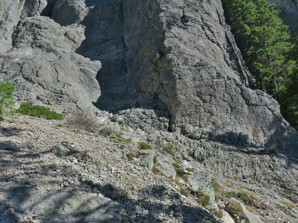
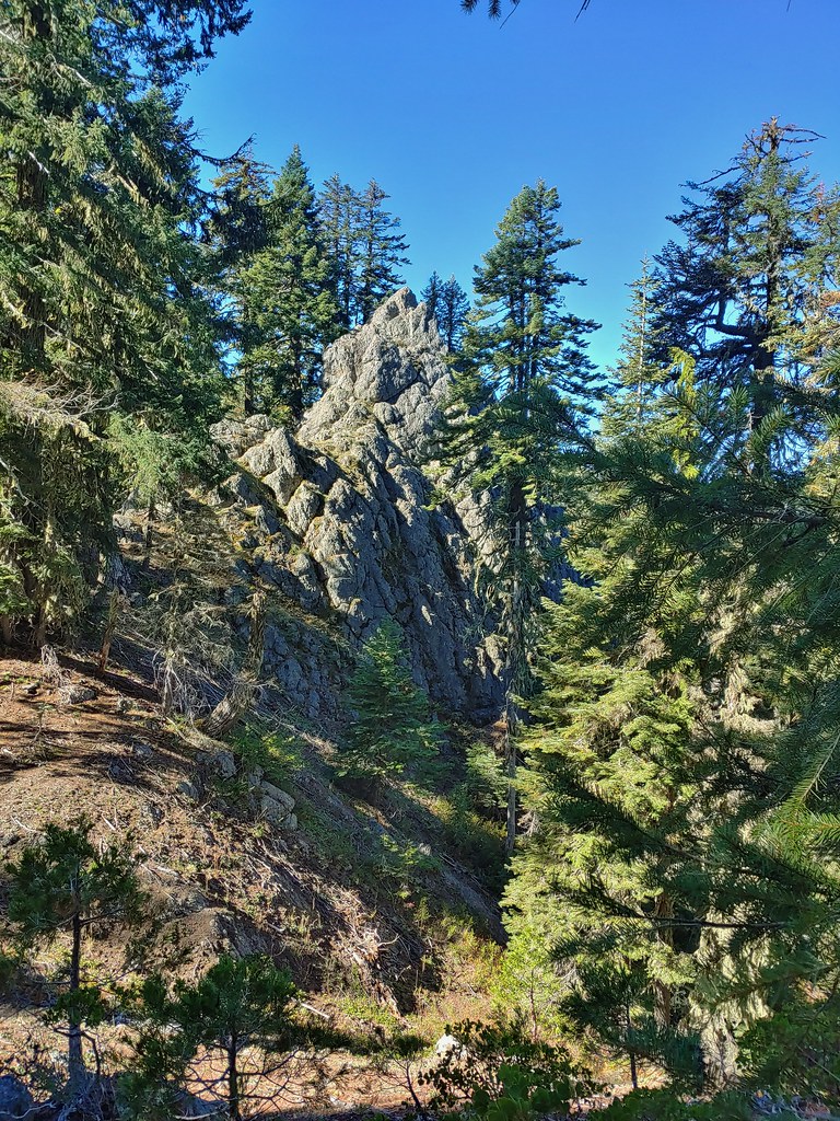 Smaller rock formation along the trail.
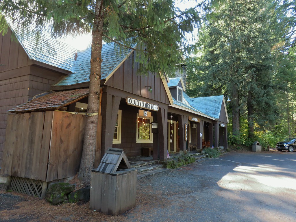
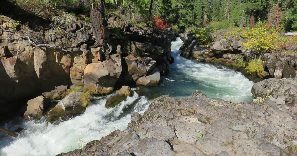
 The Ice Cream shop and to it’s right the sign for the trail to the Rogue Gorge Viewpoint.
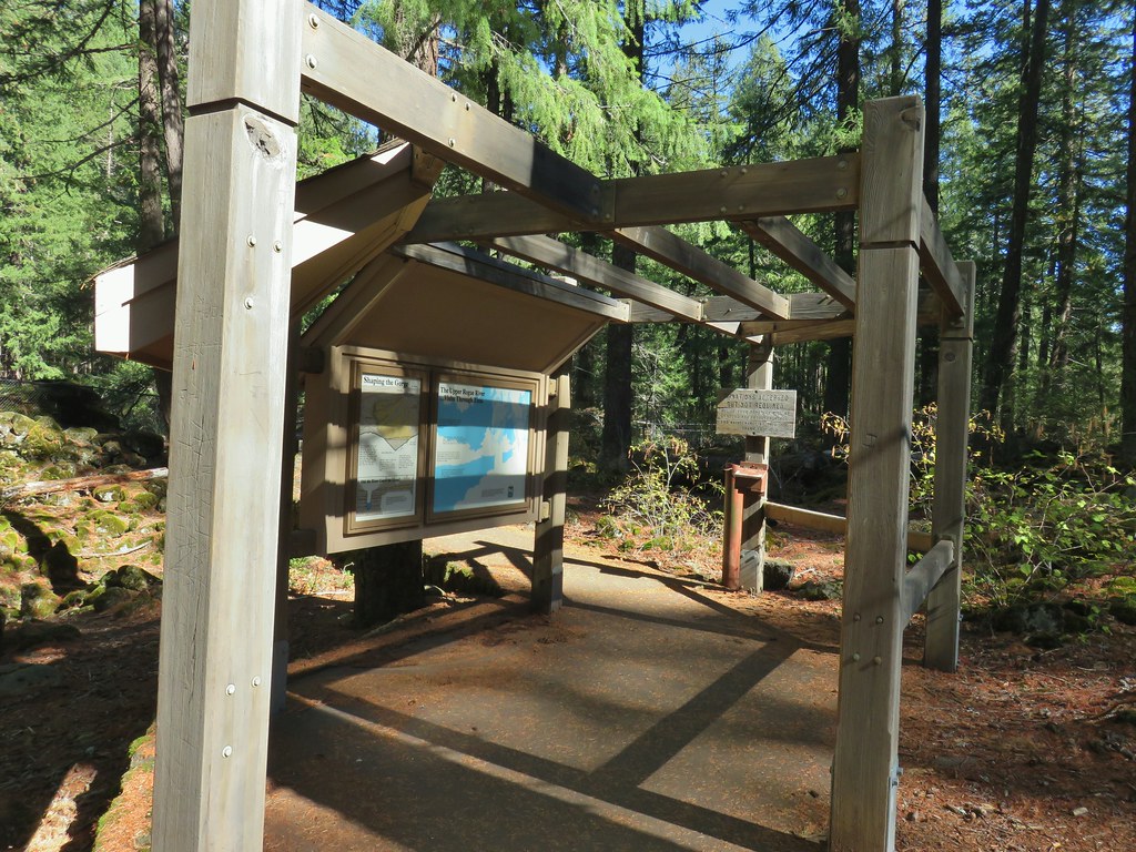 Interpretive signs at the parking area.
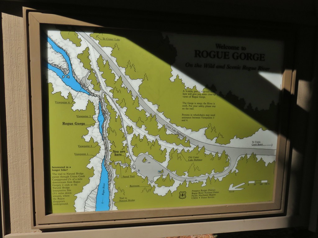
 Viewpoint 4
 Rogue River at viewpoint 4.
 Viewpoint 3
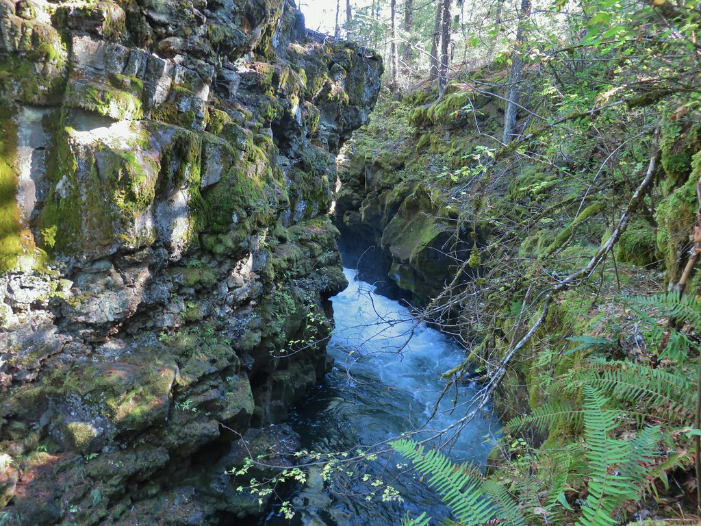 View upriver from viewpoint 3.
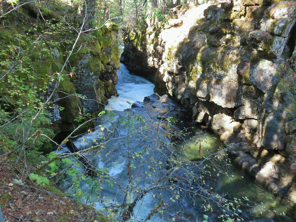 Downriver from viewpoint 3.
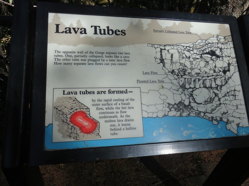 Interpretative sign at the viewpoint.
 The lava tubes.
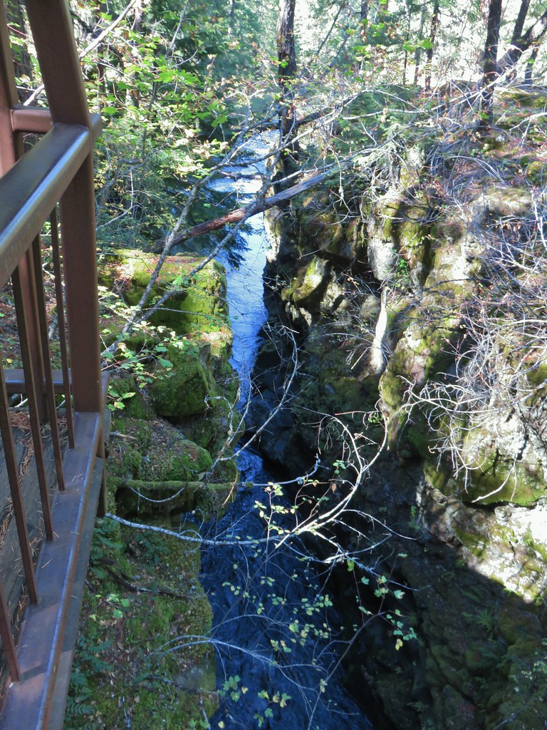 Viewpoint 2
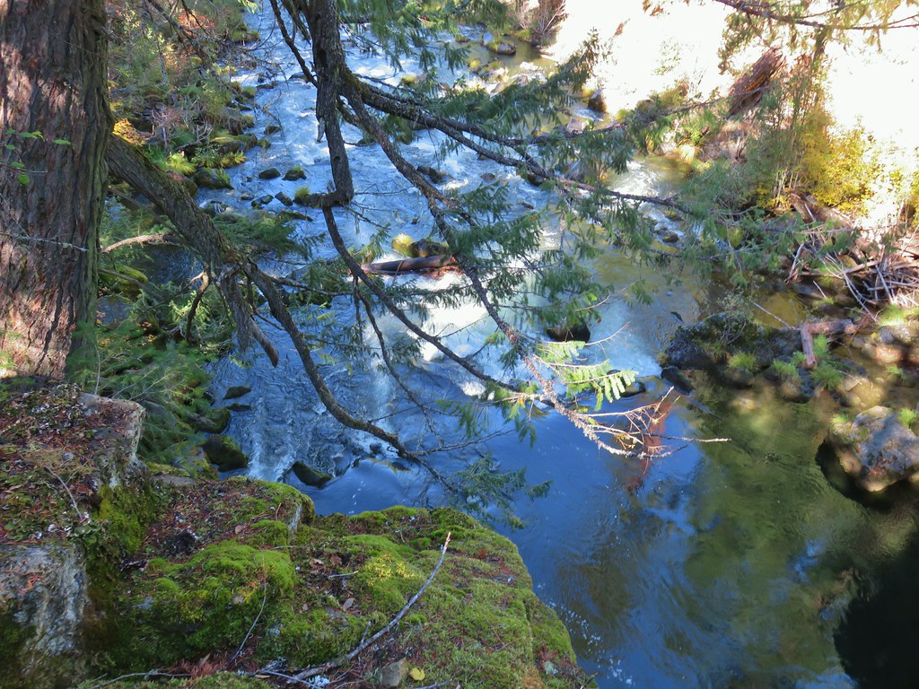 Viewpoint 1 above the end of the Rogue Gorge.


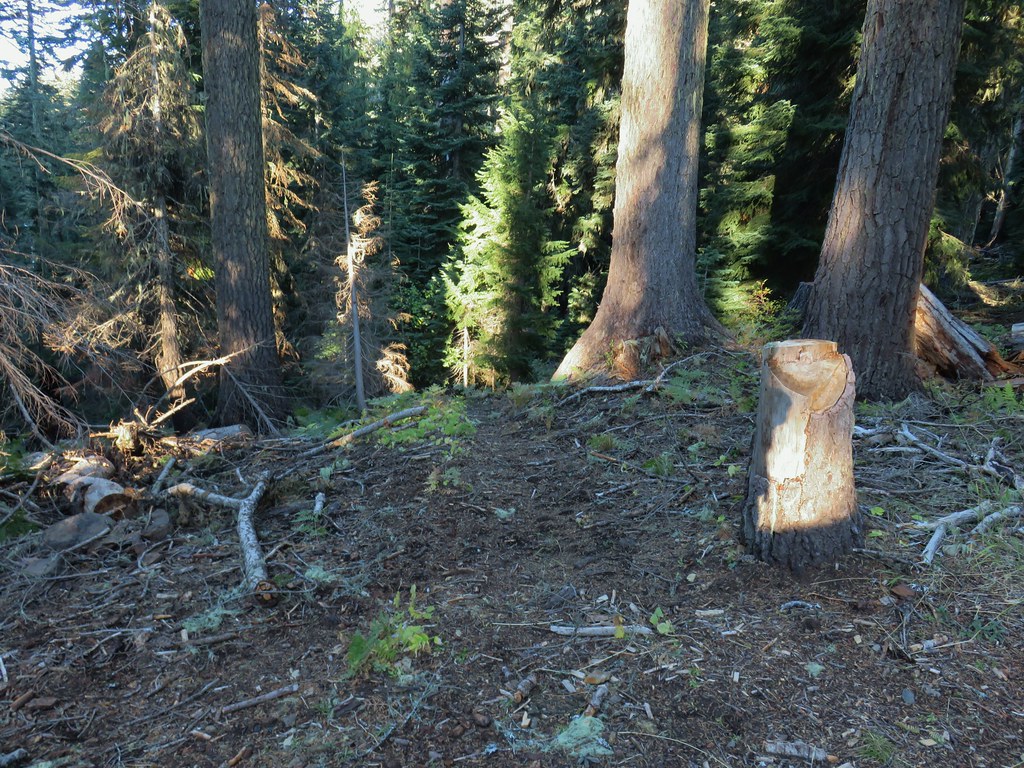
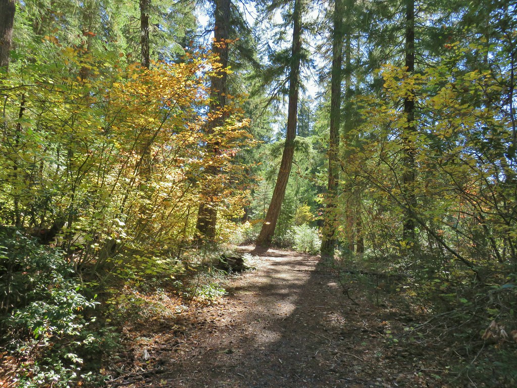
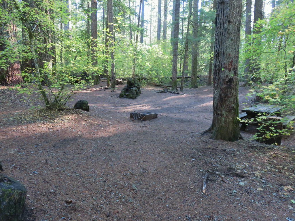
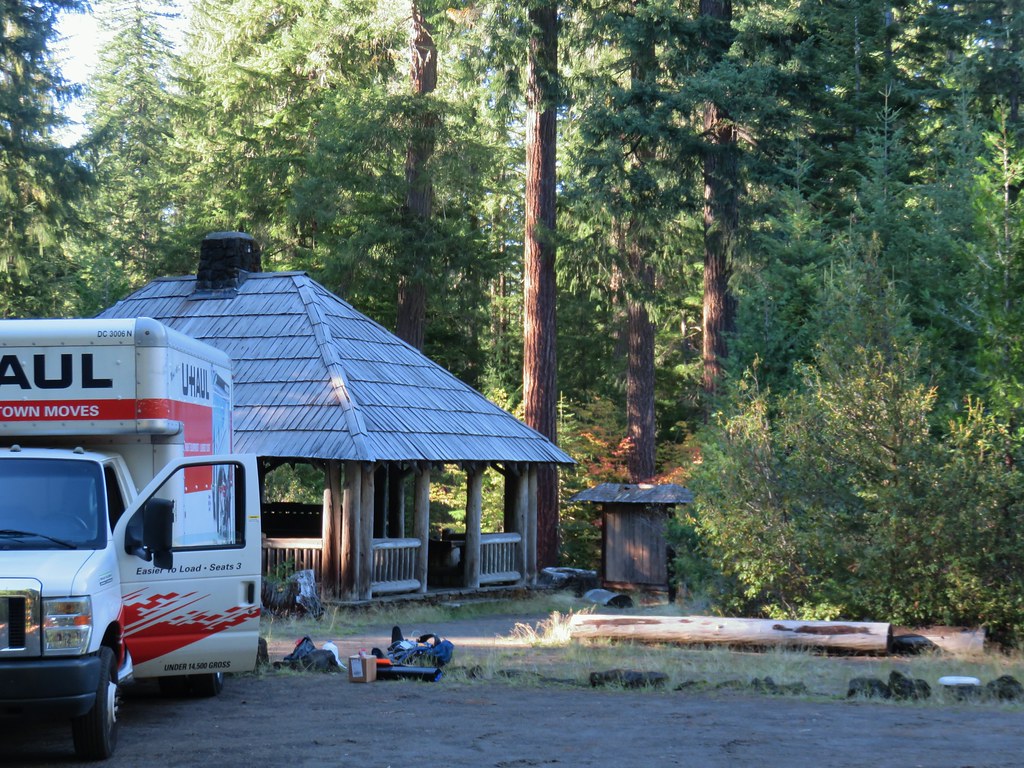
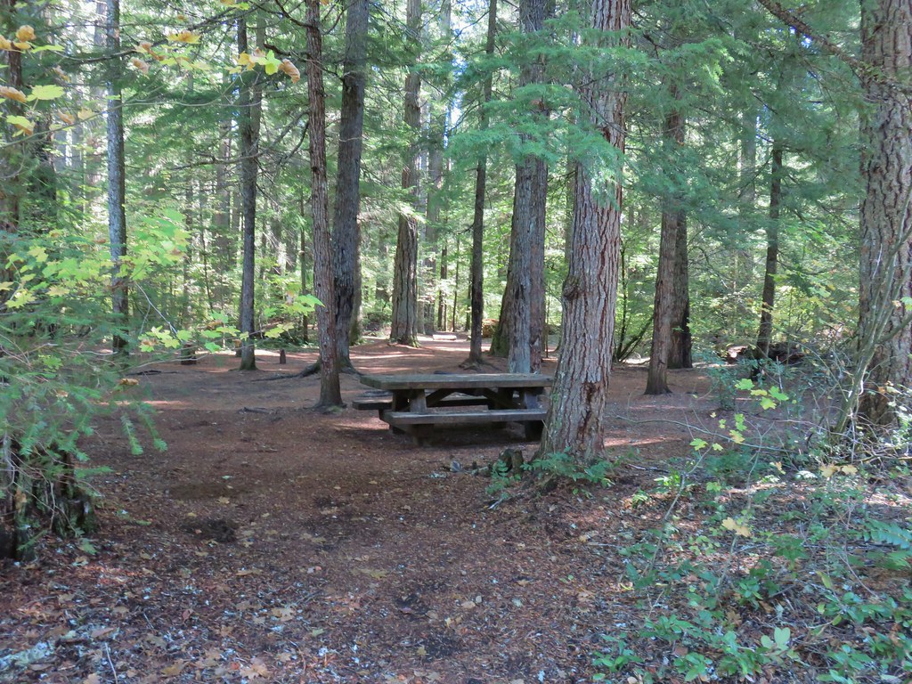 Union Creek Campground
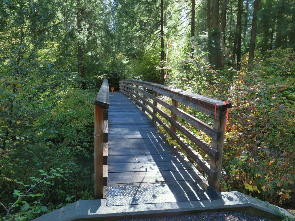 The orange sign and flagging was for a 50k being run the following day.
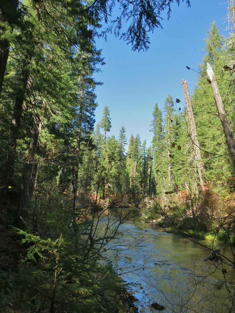
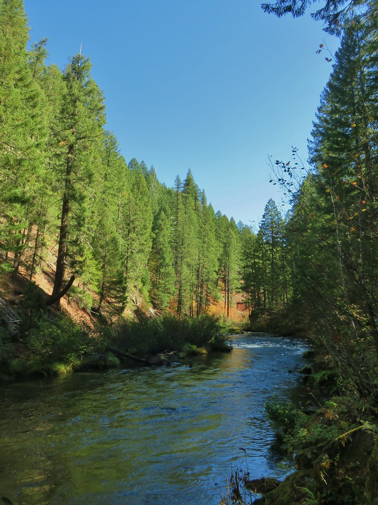
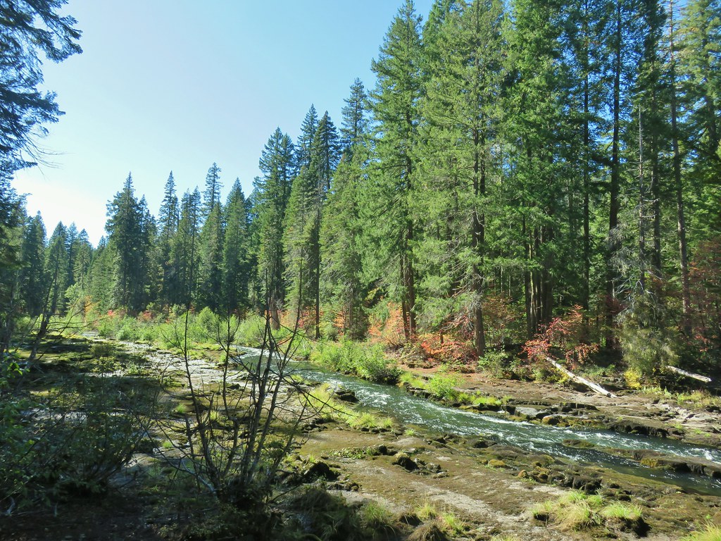
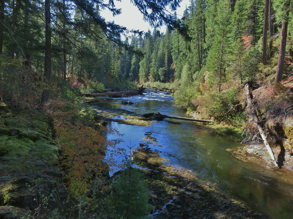
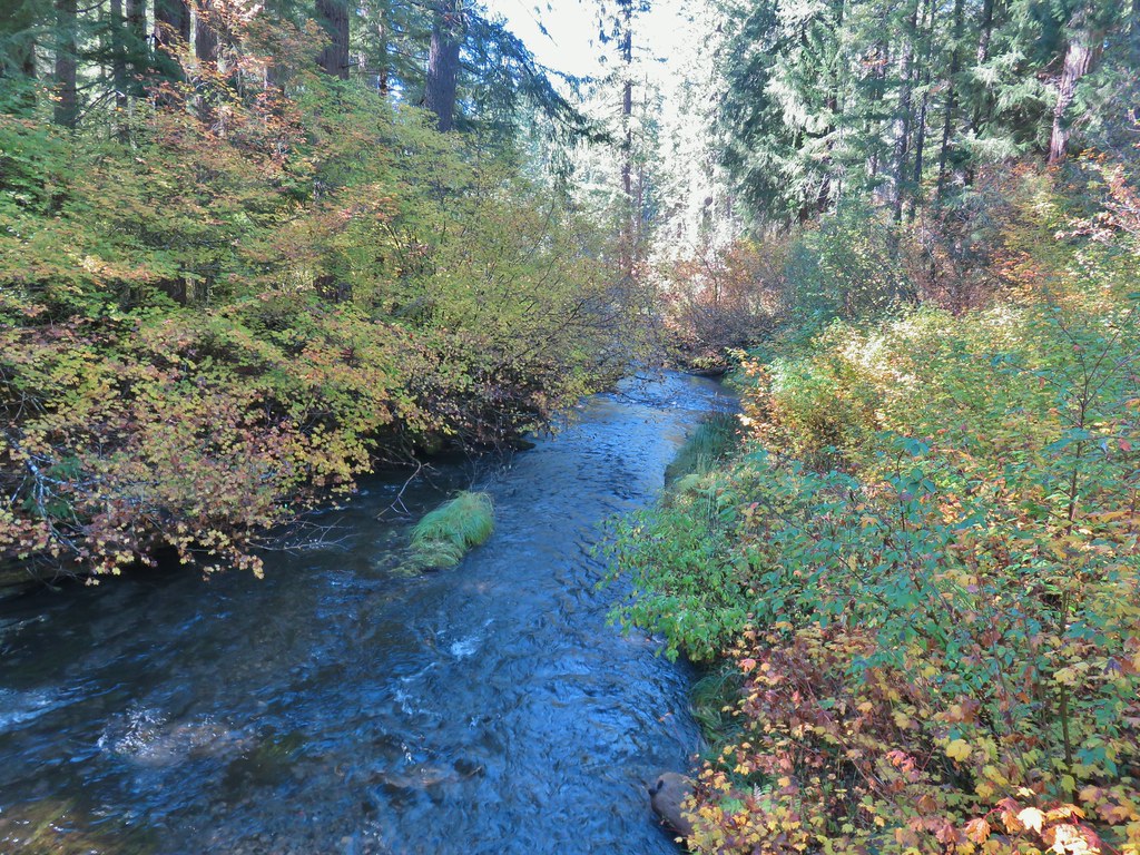 Union Creek
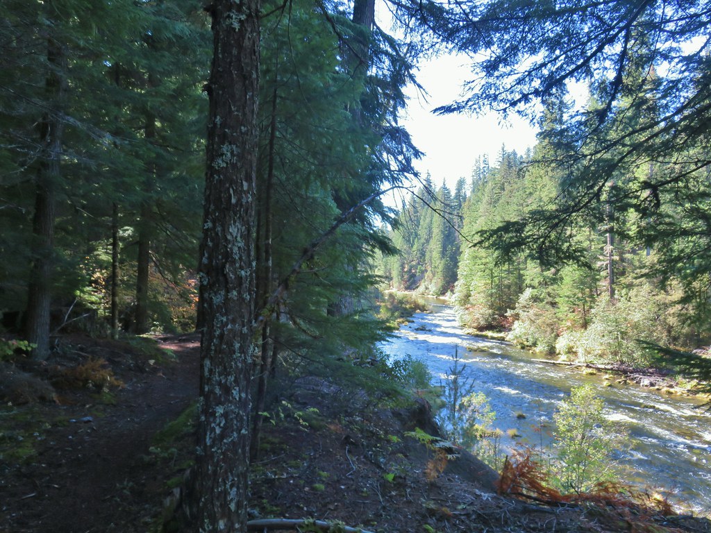


 A Clark’s nutcracker
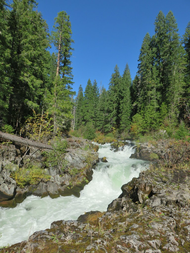
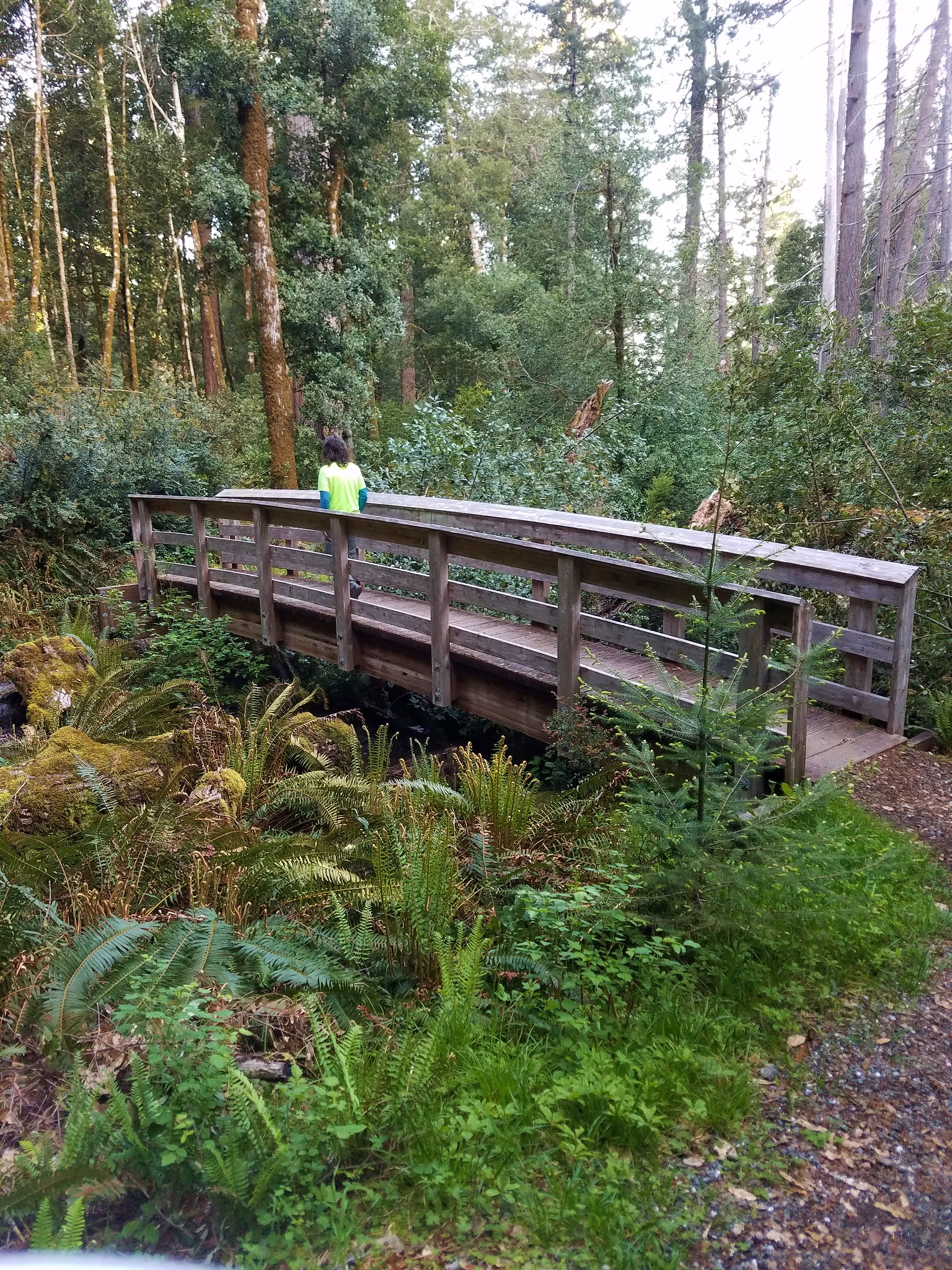
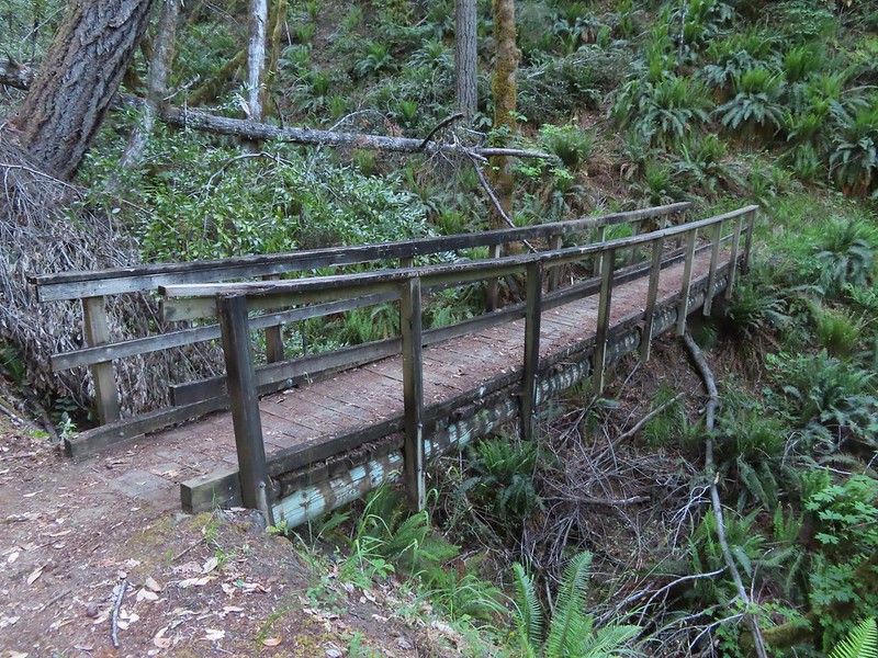
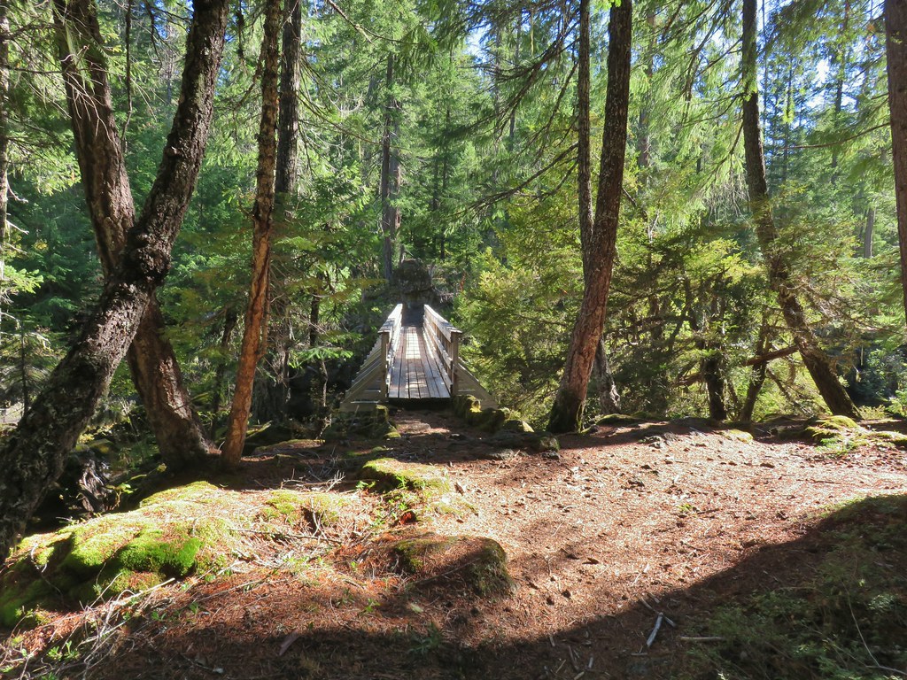
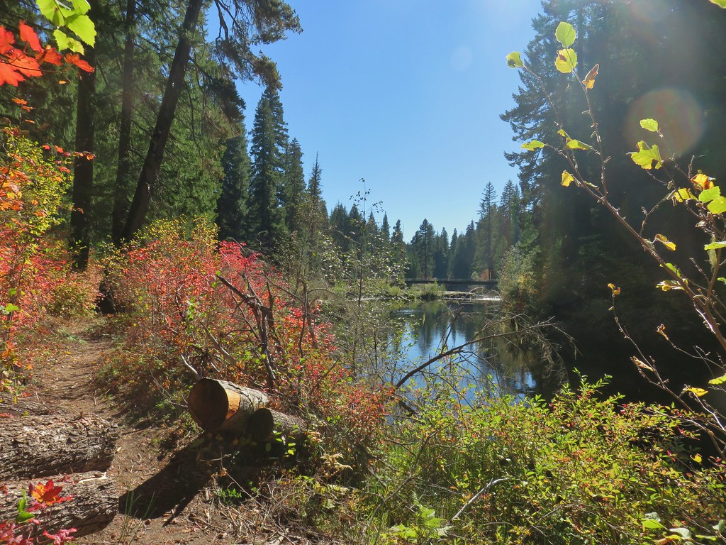
 The footbridge to the upper left.
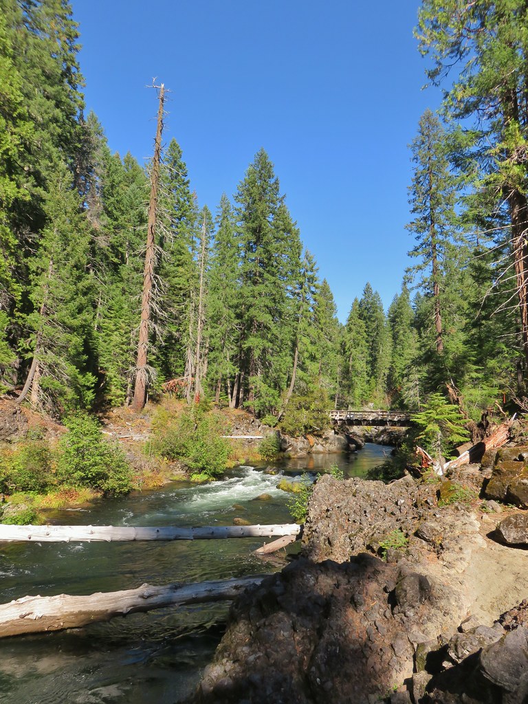
 Rogue River on the other side of the footbridge.


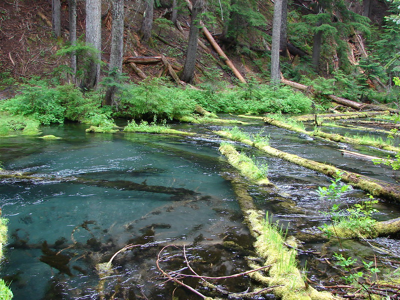
 The inlet


 There was just a little bit of blowdown to navigate on the way down.
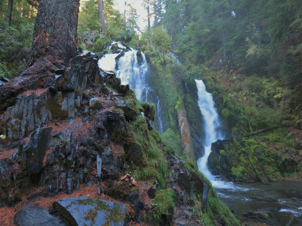 National Creek Falls
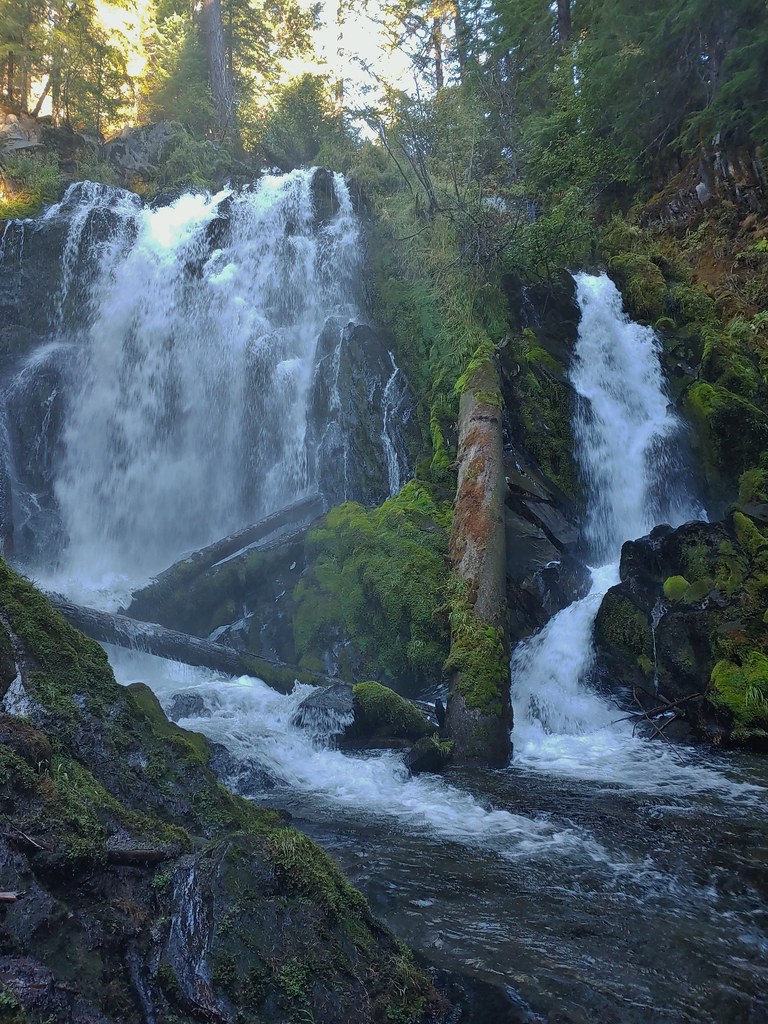
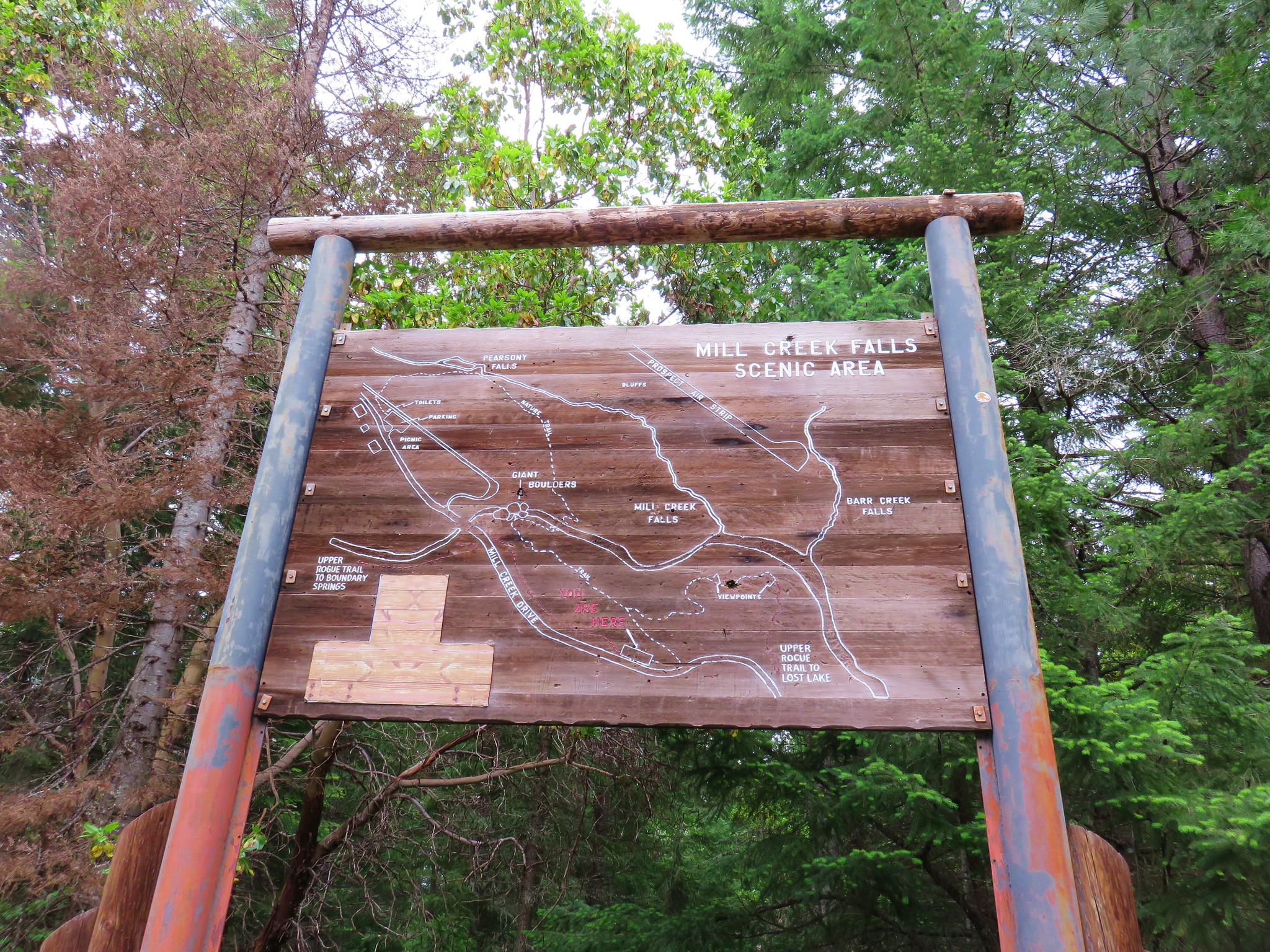
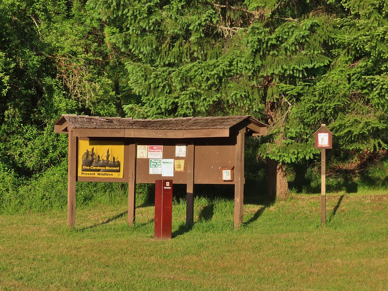
 Signboard at the pullout.


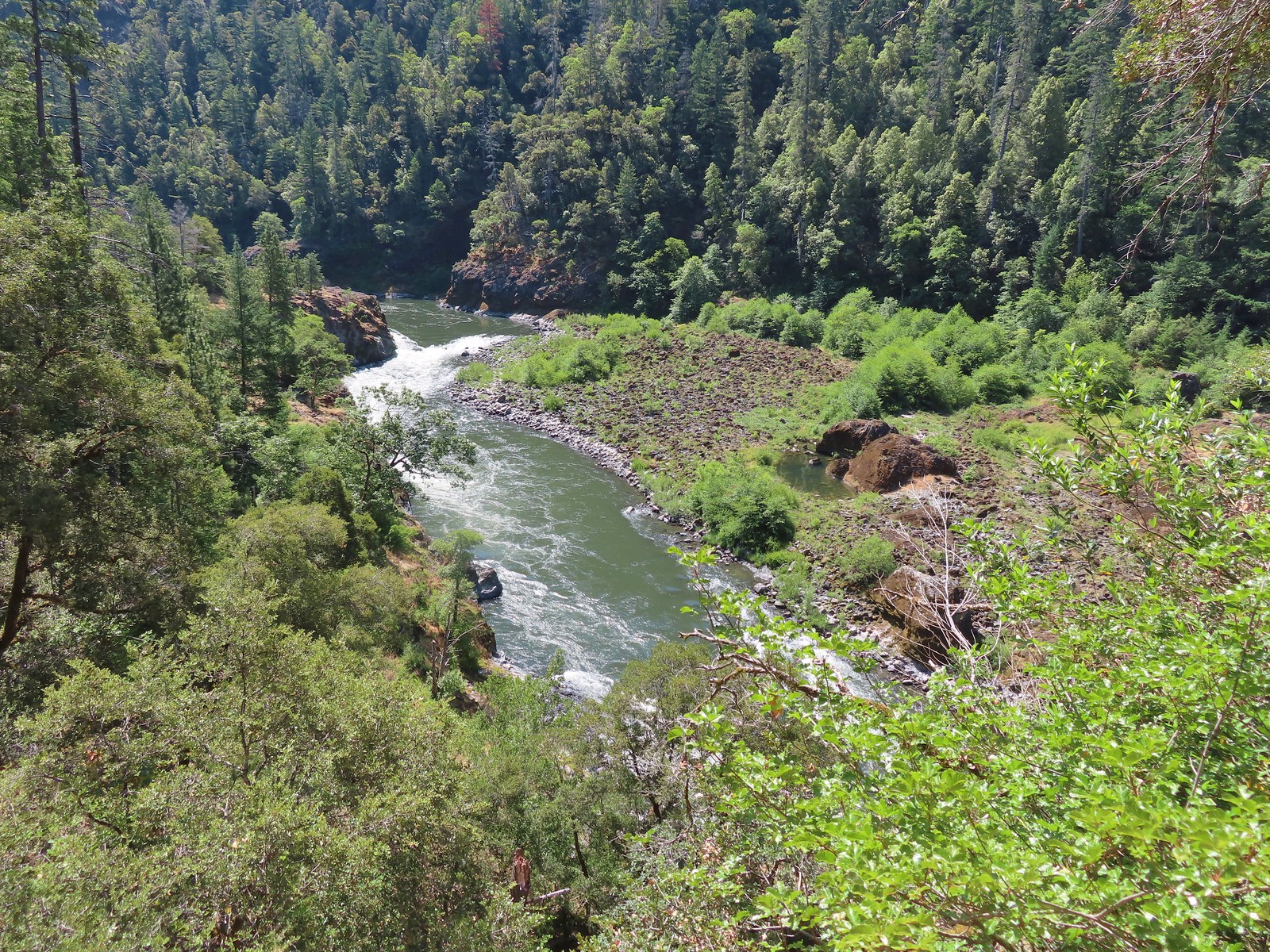
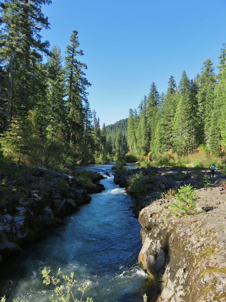
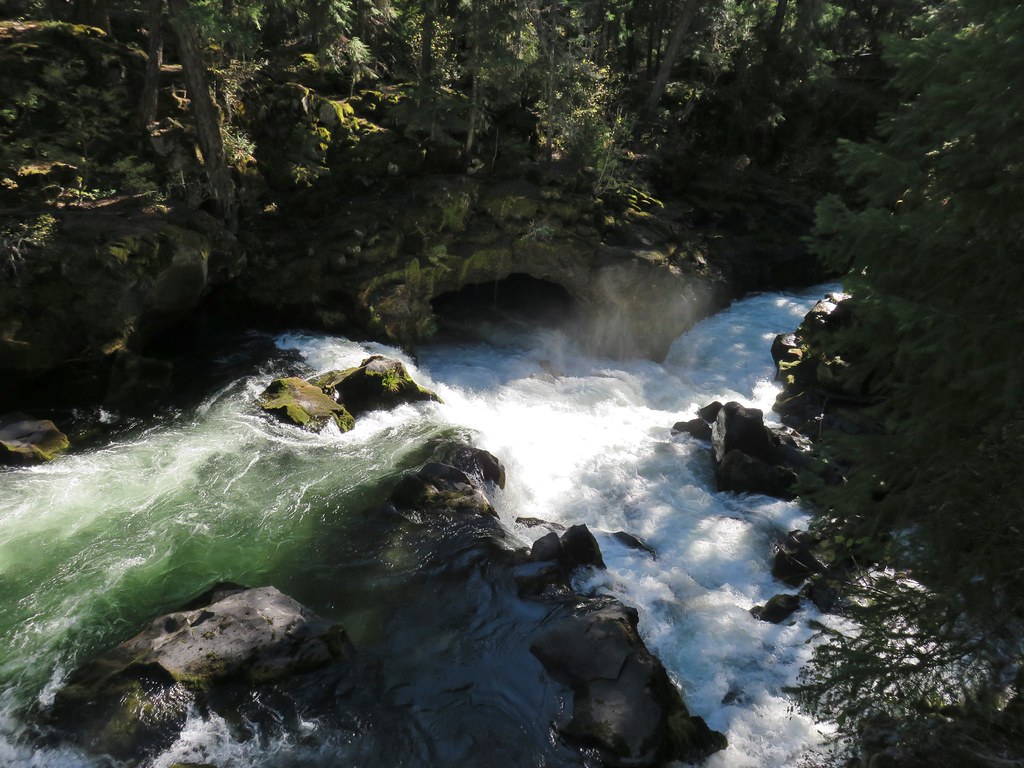
 Rogue River emerging from a channel.
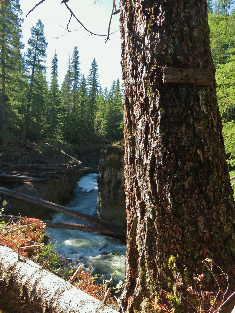

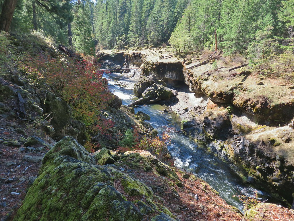
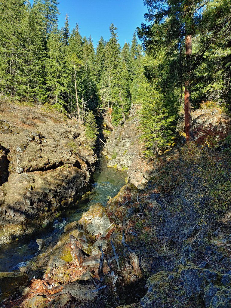


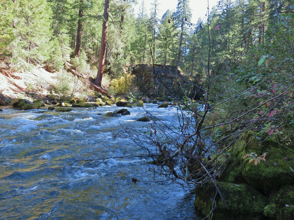
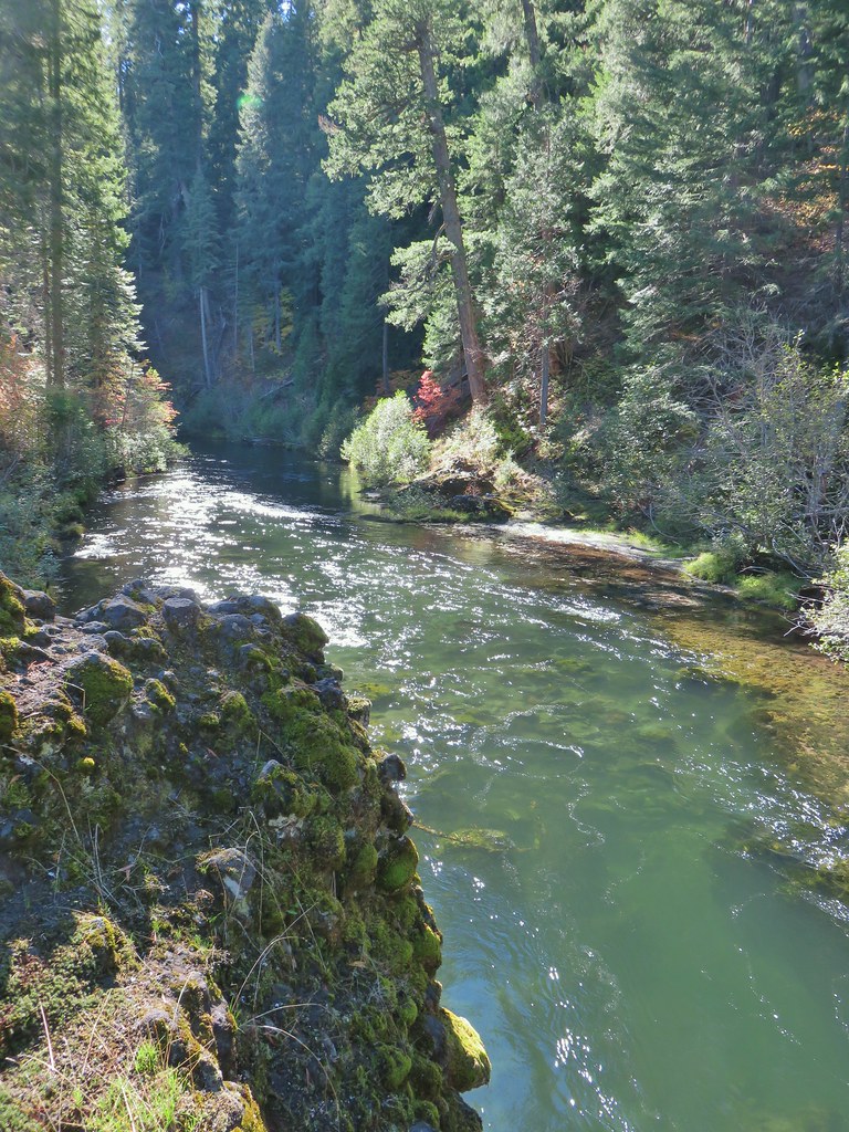
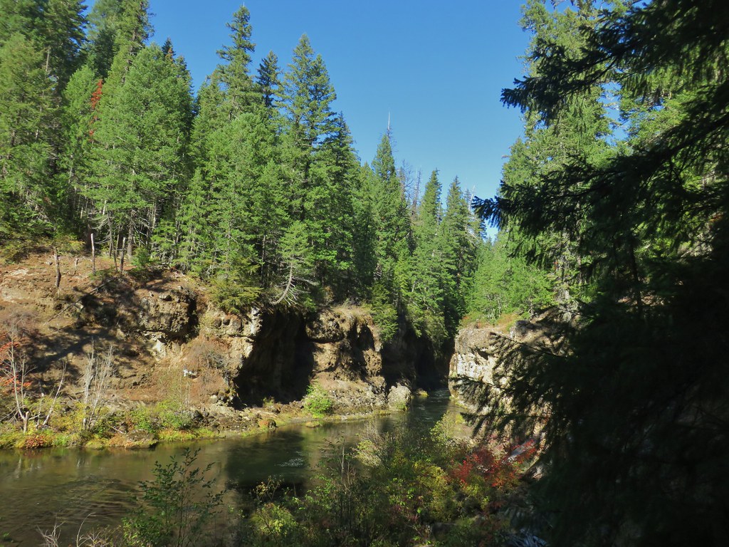 Rogue River emerging from Takelma Gorge.

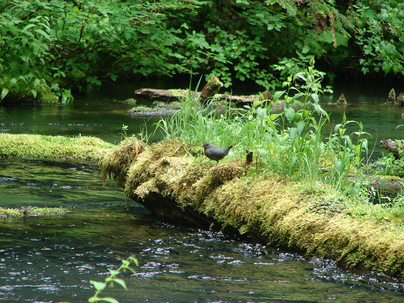
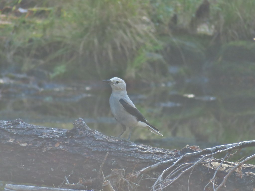
 Ouzel
Ouzel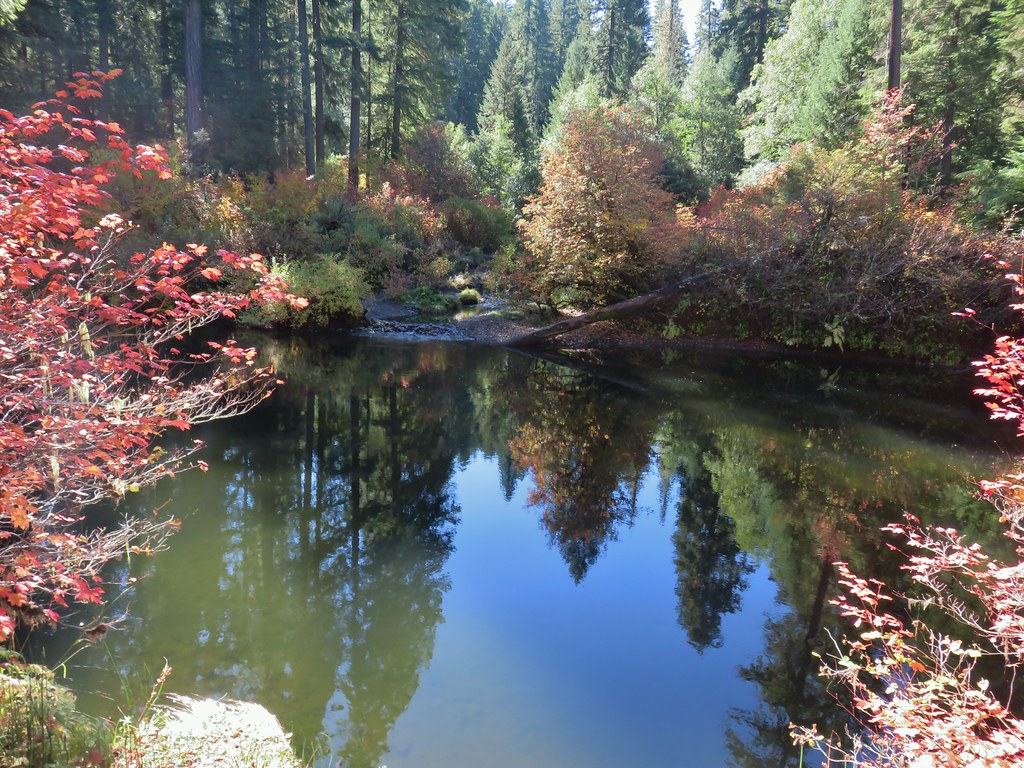
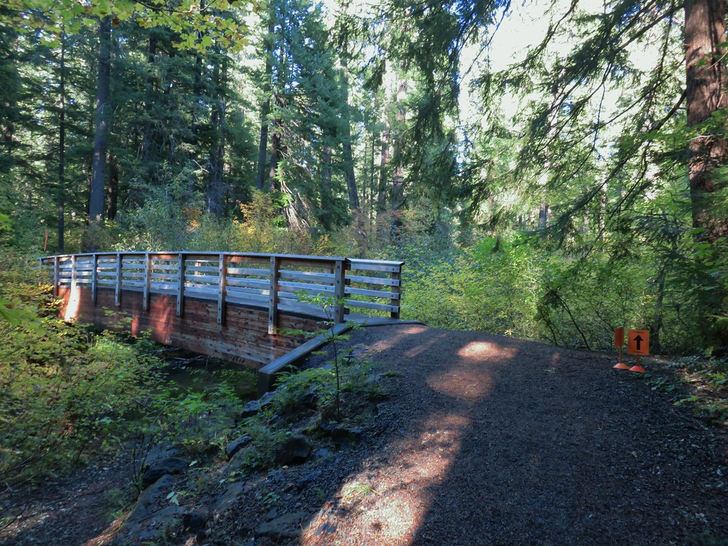
 River Bridge