For our March outing we decided to stick relatively close to home and visit three nearby hikeable areas. Our first stop, and furthest from Salem at just under an hour away, was at the Tualatin Hills Nature Park in Beaverton.
We started from the large parking lot at the Tualatin Hills Nature Center on SW Millikan Way.

The Nature Center is currently open from 8:30am-5pm M-F and 9am-5pm Sat. & Sun. while the park itself is open everyday from dawn to dusk. We arrived at dawn and set off on the paved Vine Maple Trail between the Nature Center and restrooms.
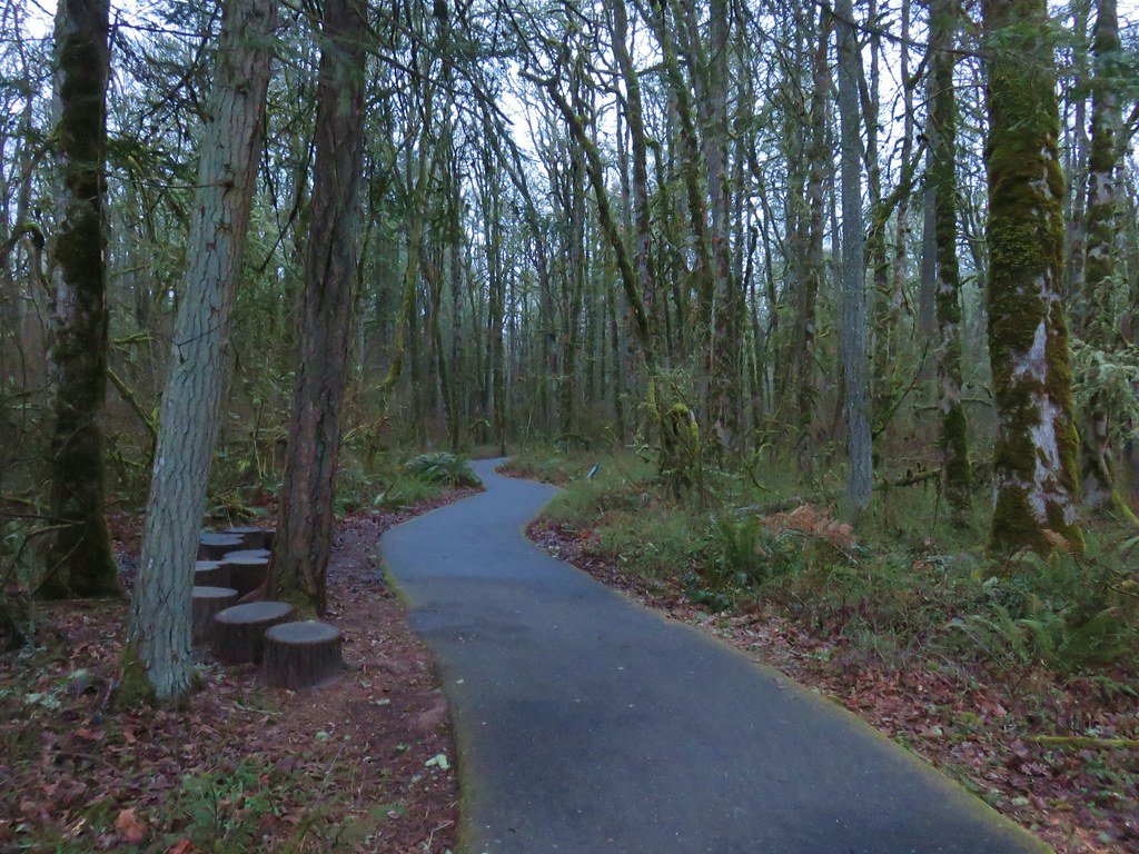
We quickly turned right onto the signed Oak Trail which was also paved.
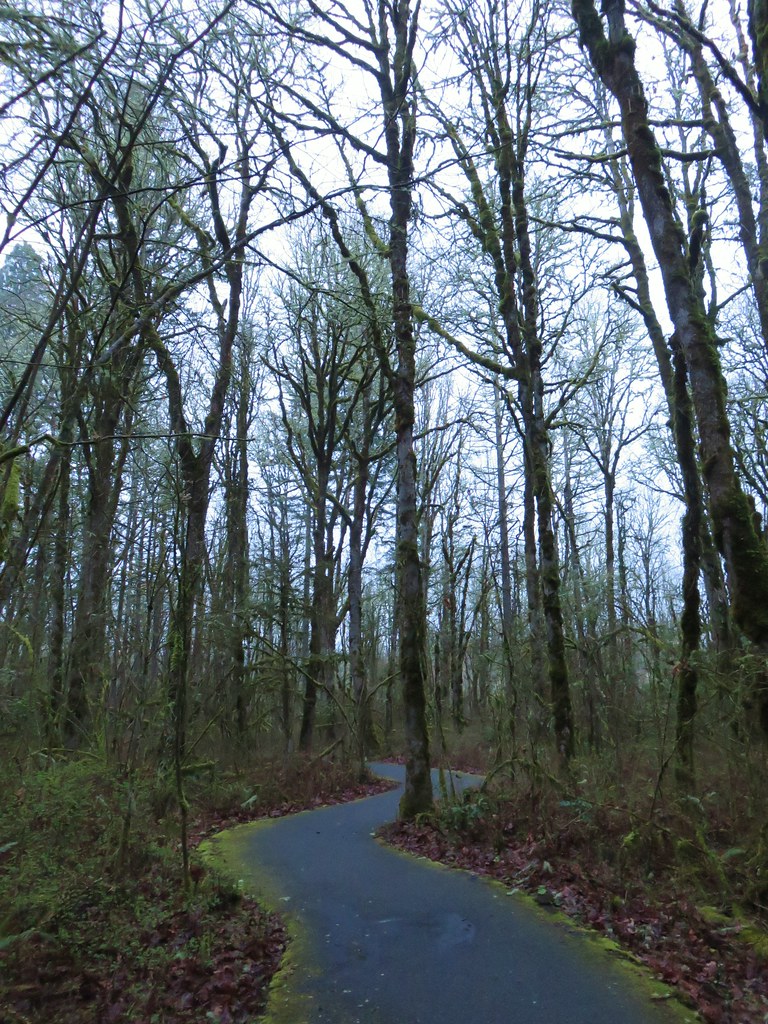
In a third of a mile we detoured briefly at a sign for the Tadpole Ponds.

Although we didn’t see any tadpoles, or other wildlife here, the sounds of birds had not stopped all morning so we knew there were plenty of animals around. We returned to the Oak Trail which passed by Cattail Marsh on the second of three boardwalks.
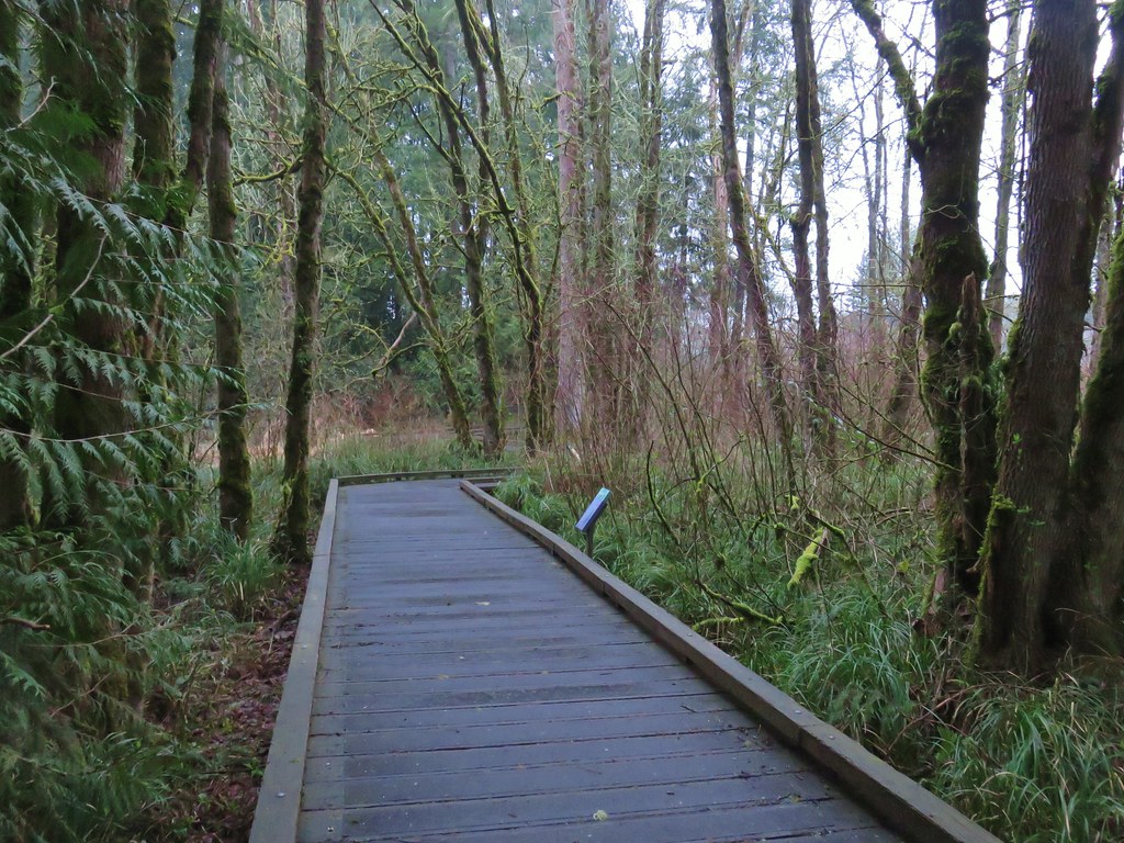

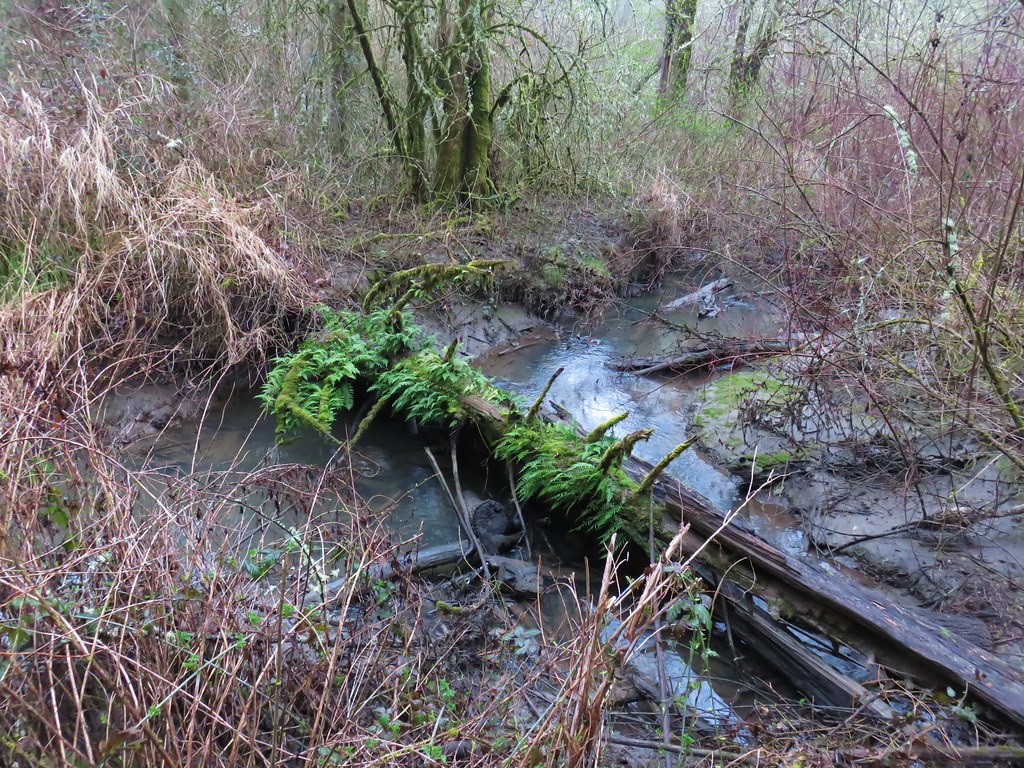
Beyond the marsh we soon came to the third boardwalk which crossed over Cedar Mill Creek.

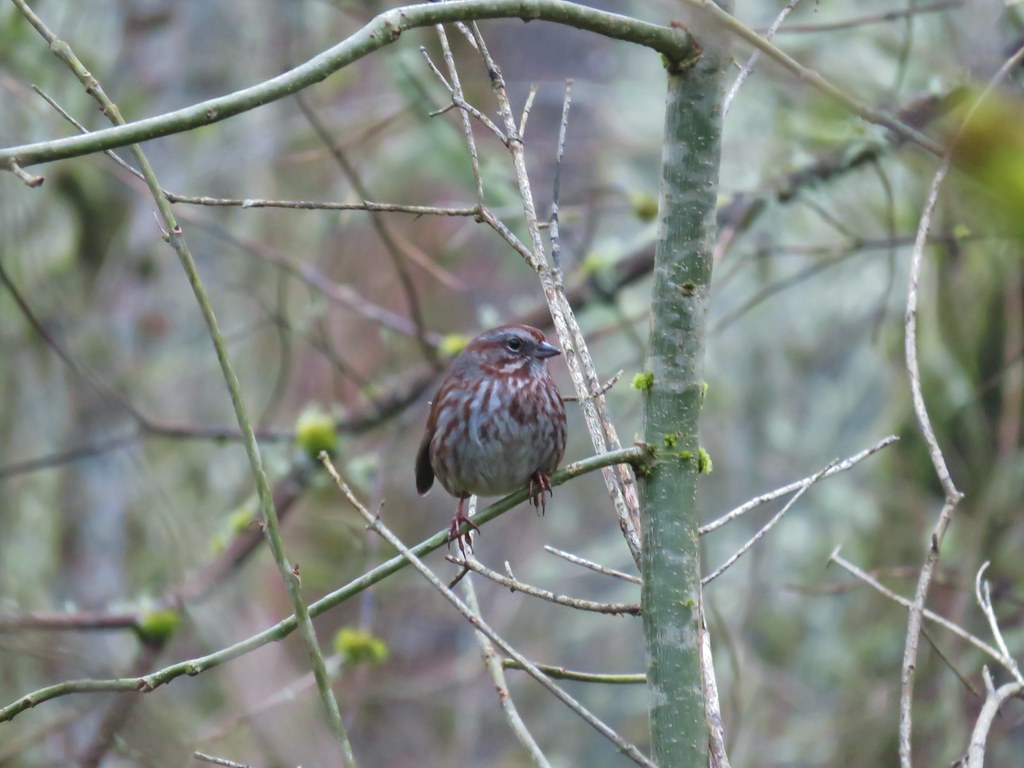
One of the many birds that we’d been listening to was kind enough to pose for a moment as we stood on the boardwalk.
On the far side of the boardwalk was a trail junction where the Oak Trail veered right to the Merlo Rd/158th Ave Max light rail station. To the left was the Old Wagon Trail, a dirt path closed to bikes.

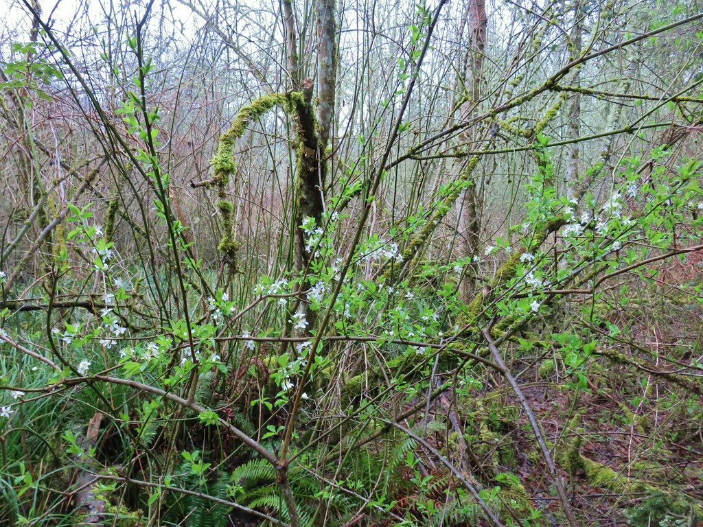
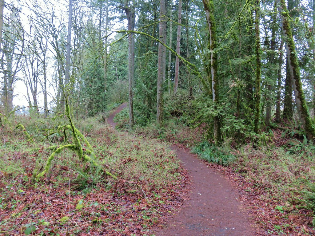
We followed this trail through a forest that was starting to show signs of Spring for a third of a mile to a junction with the Mink Path.
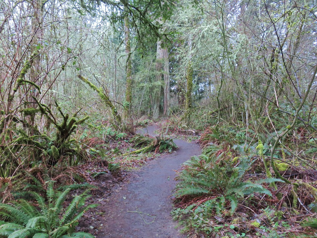

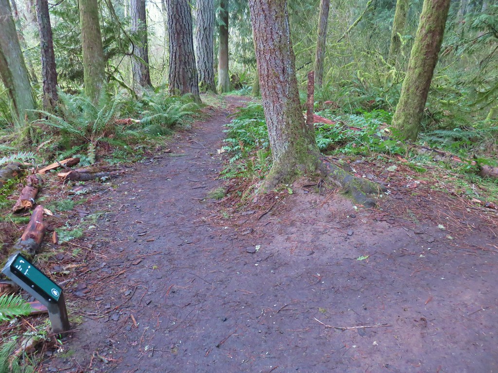 Trail pointer at the Mink Path junction. We appreciated the fact that all of the junctions were signed and those signs were easy to read but placed in such a way that they were unobtrusive.
The Mink Path is a .1 mile connector between the Old Wagon Trail and Vine Maple Trail allowing for a shorter loop back to the Nature Center. We opted to stay on the Old Wagon Trail though and continued to the start of another boardwalk where we stopped so I could try and take a photo of a robin that was hopping around on the trail. As I was working on getting a picture Heather spotted a deer just a bit off the trail.
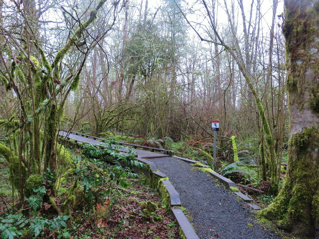 Can you see the deer?
I thought she was seeing things but then I noticed it move.
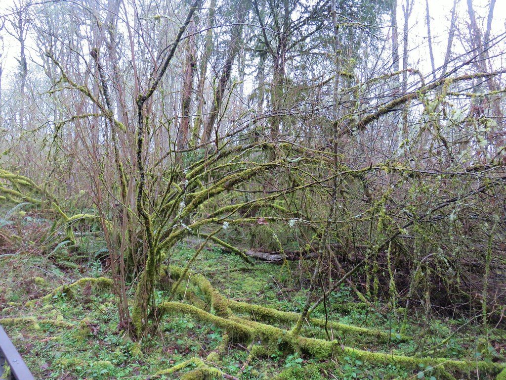 How about now?
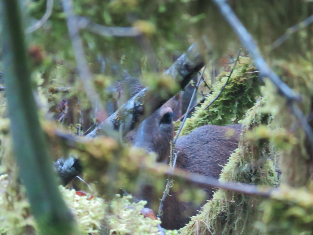
She turned and watched us as I attempted to get the camera to focus on her and not the branches in the foreground.
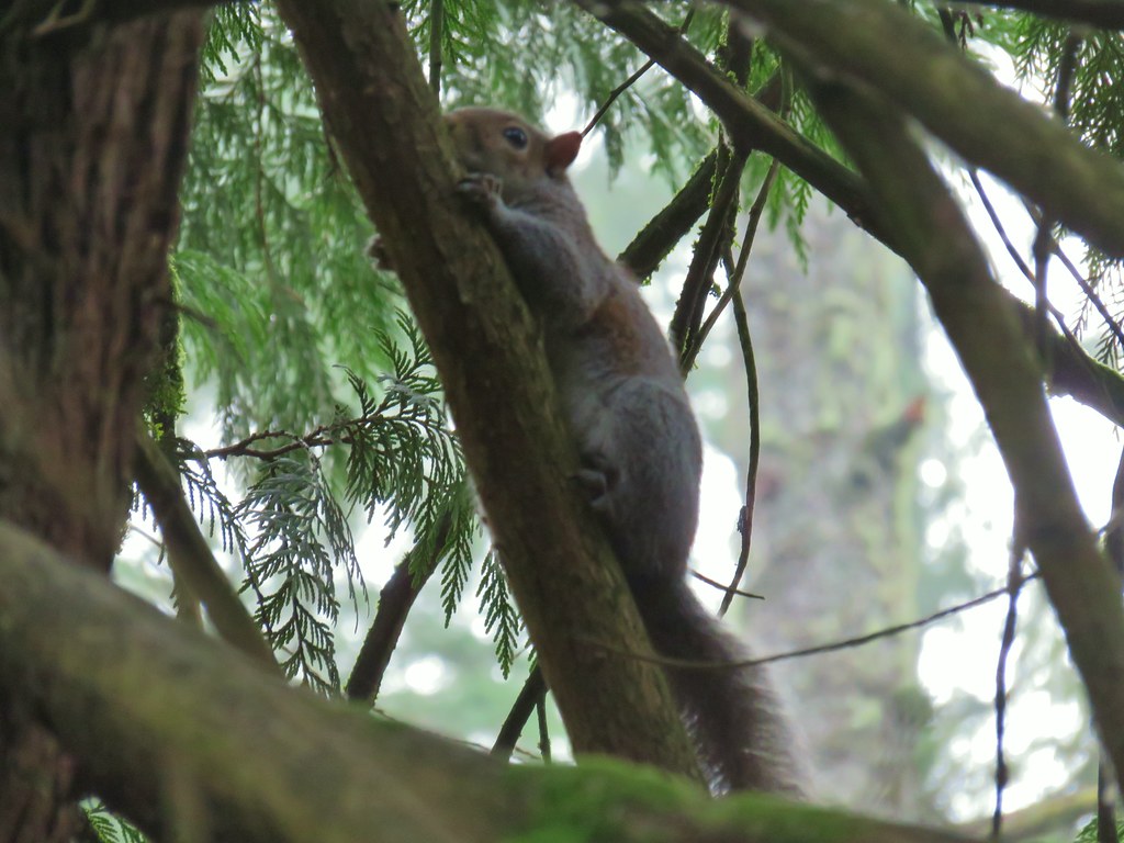
Not far from the deer we spotted a squirrel trying to become one with a limb.
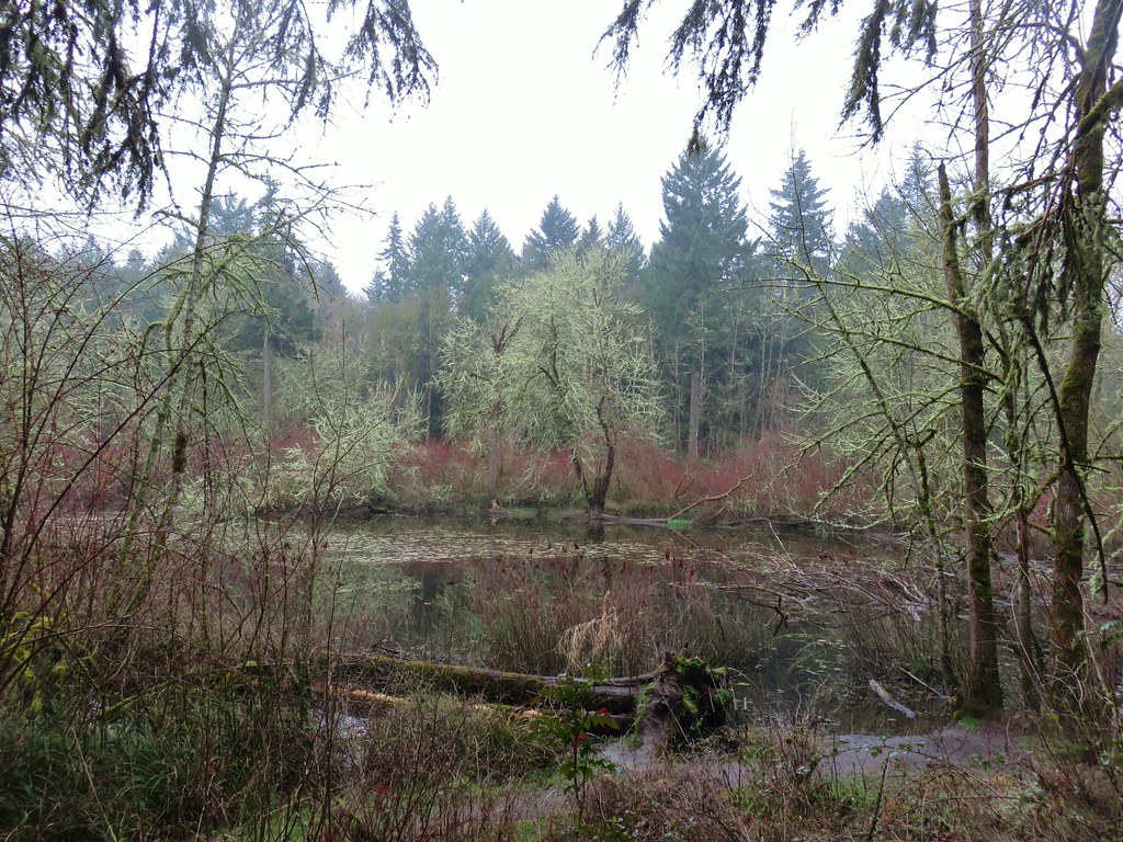
At a “Y” in the boardwalk we veered left keeping on the Old Wagon Trail until we reached a junction with the Vine Maple Trail a total of .4 miles beyond the Mink Path junction. We turned left onto the Vine Maple Trail and then took a right at a pointer for the Lily Pond.
A short path led down to the pond but before we had reached it a pair of wood ducks took flight and landed in a nearby tree.
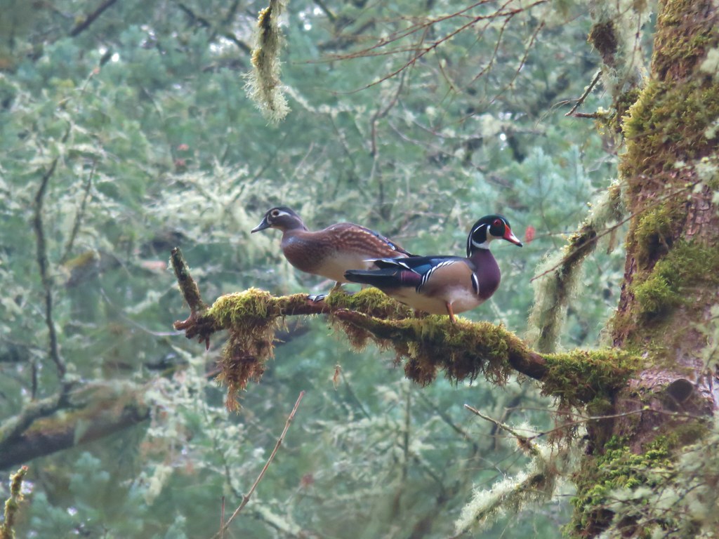
As we were admiring the wood ducks a pileated woodpecker was busy with its breakfast.

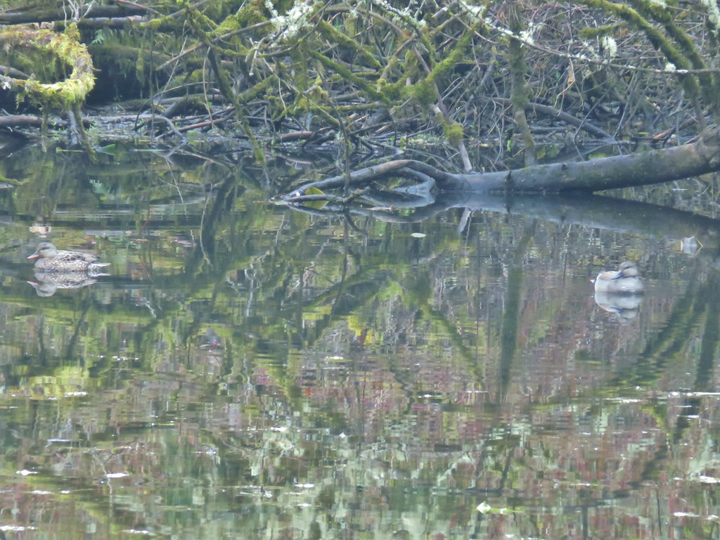
We eventually made it down to the pond where a few ducks remained in the water including what appeared to be a pair of gadwalls.

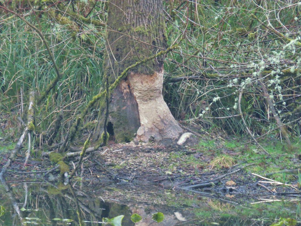
There were also signs of beaver activity but we’ve yet to actually see one in the wild.
After visiting the pond we returned to the Vine Maple Trail which was now paved and followed it past its junction with the Mink Path and across Cedar Mill Creek.
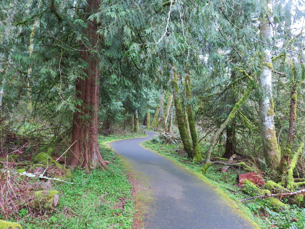

Shortly after crossing the creek we faced another choice. The Nature Center lay a third of a mile away via the Vine Maple Trail but more loop options were available by taking the Elliot Path.
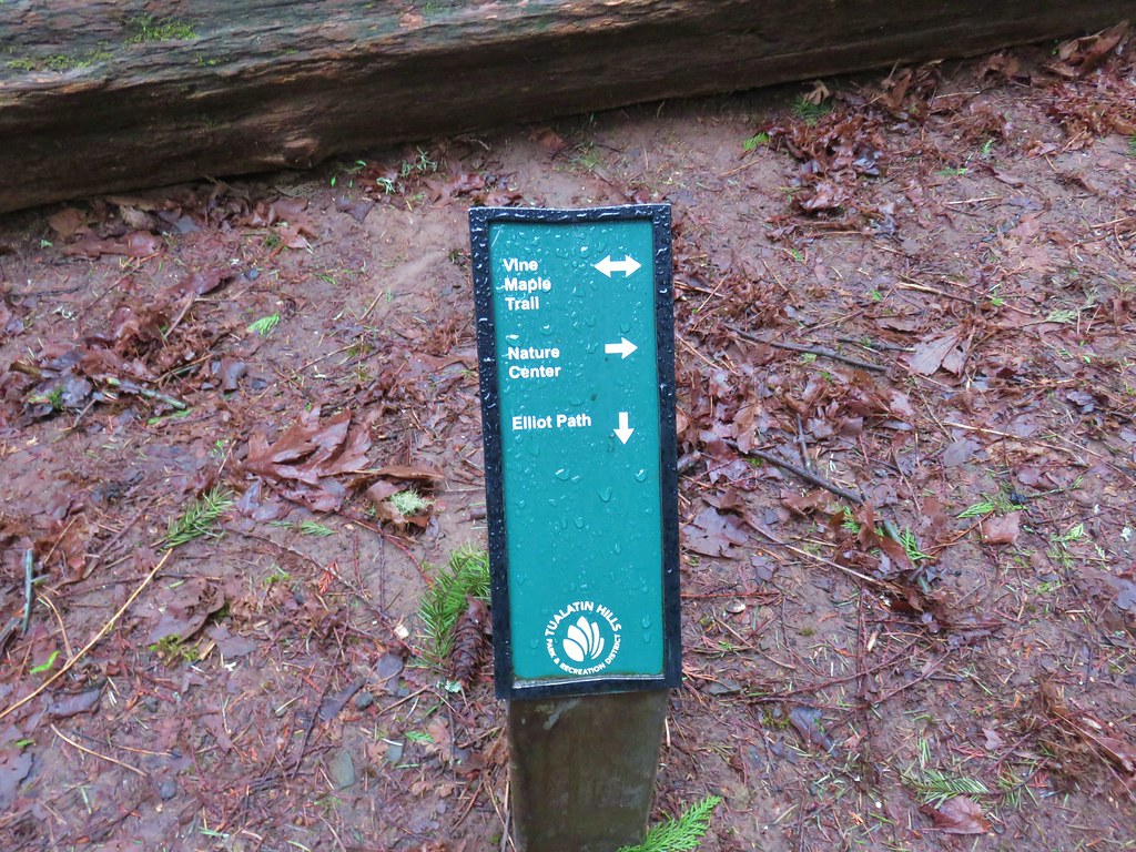
We took the .1 mile Elliot Path to a “T” shaped junction with the Big Fir Trail. Here again was a choice. Left headed back toward the Nature Center while right would take us to the Chickadee and Ash Loops and a short spur to Big Pond. We headed right and then turned left onto the spur to Big Pond.
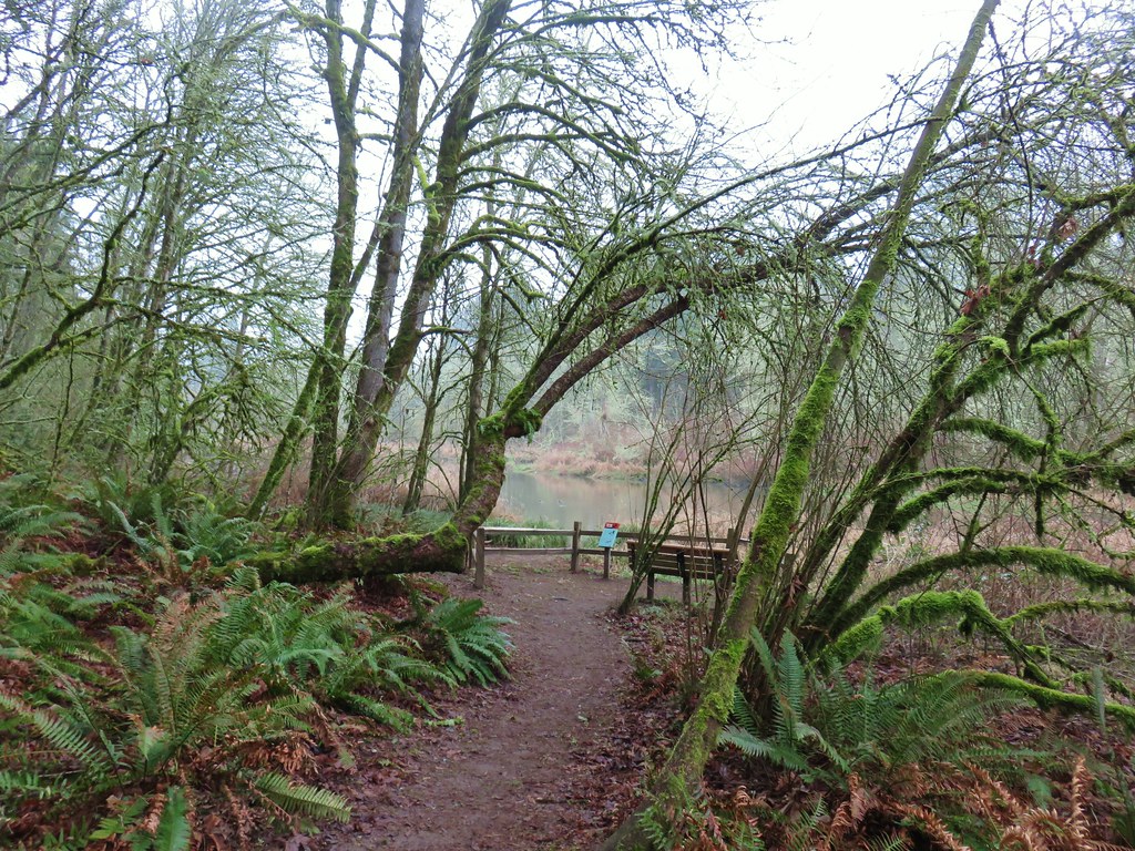
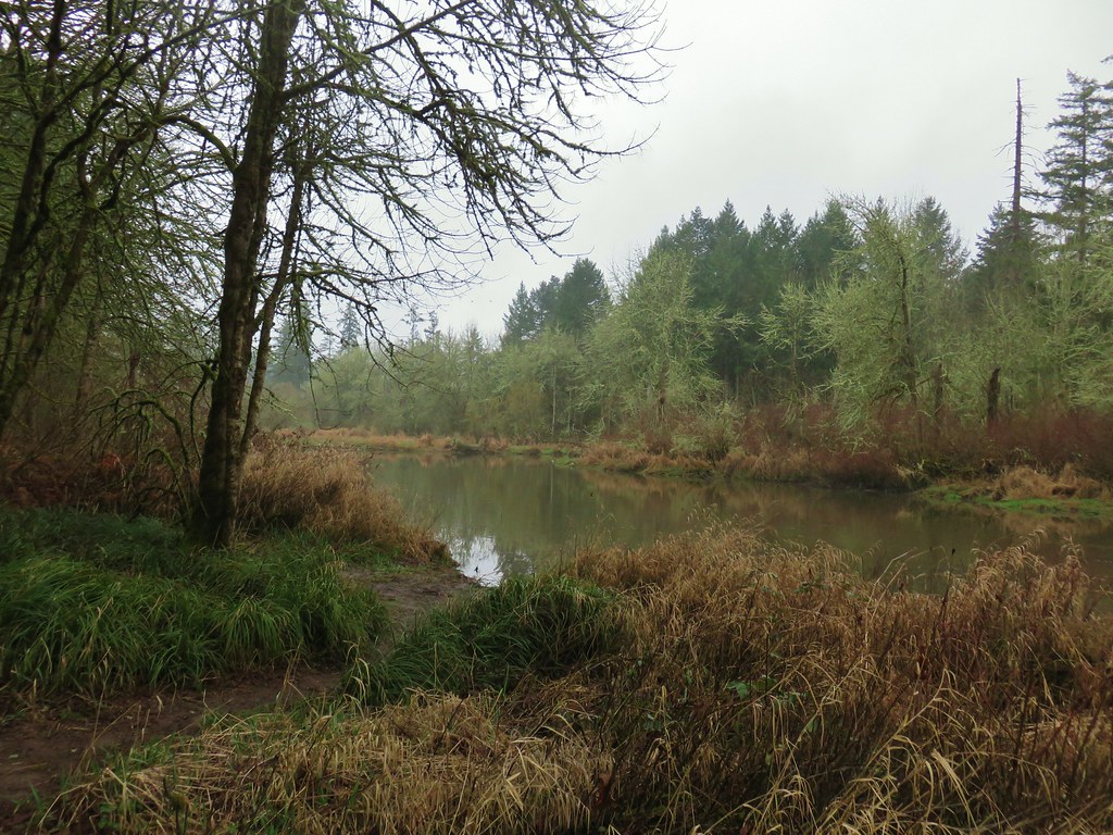
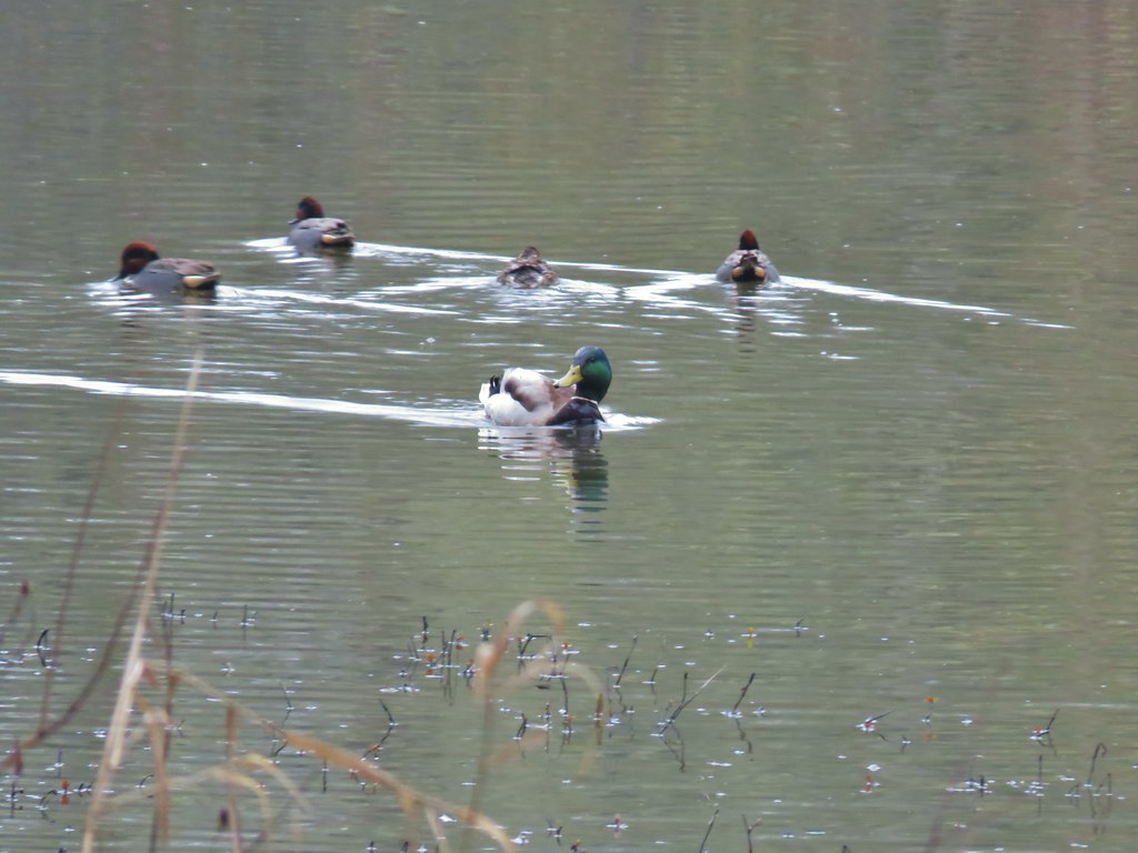
There were plenty of ducks here as well. It appeared that most were mallards and green-winged teals.
We returned to the Big Fir Trail and continued on crossing Beaverton Creek before arriving at a four way junction.
 Beaverton Creek
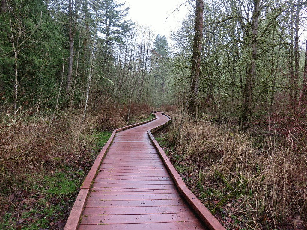
More choices! The Big Fir Trail kept straight while the Chickadee Loop was to the right and the Ash Loop to the left. We began by heading right on the quarter mile Chickadee Loop which had a nice long section of boardwalk.
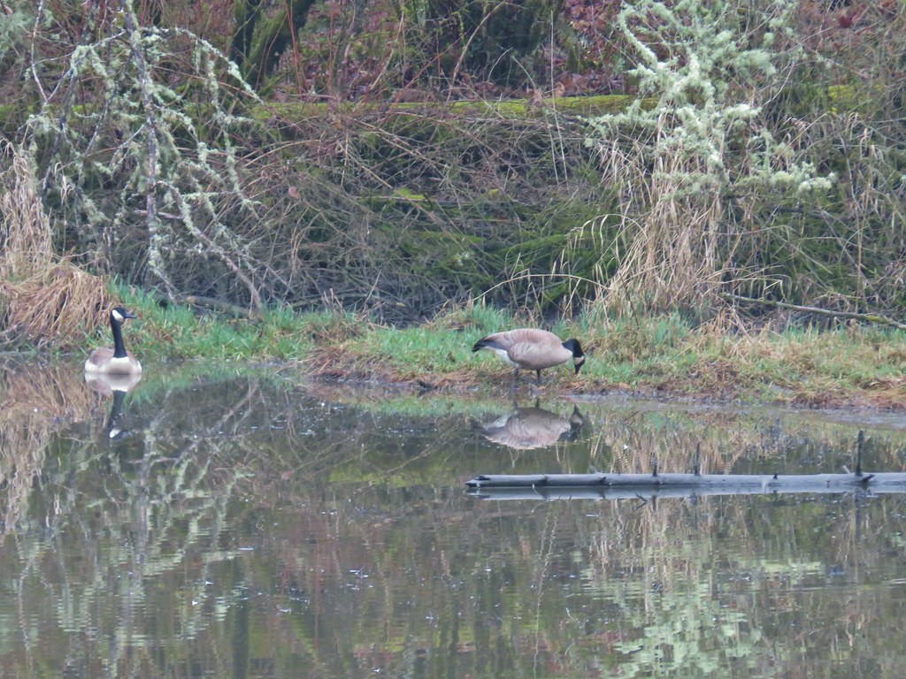
After the quarter mile we were back at the Big Fir Trail where we turned right briefly before making a left onto the Ash Loop. The Ash Loop passed some wetlands where a pair of Canada Geese were enjoying the morning.

After .3 miles on the Ash Loop we found ourselves back at the four way junction where we turned right and recrossed Beaverton Creek and returned to the junction with the Elliot Path. Staying straight on the Big Fir Trail for just .05 miles we then turned right onto the .2 mile Trillium Loop. Oddly we didn’t see many of signs of trilliums along this short loop but we had seen several beginning to bloom along other trails. After completing the Trillium Loop we turned right again onto the Big Fir Trail for another .1 miles to the start of the half mile Ponderosa Loop.
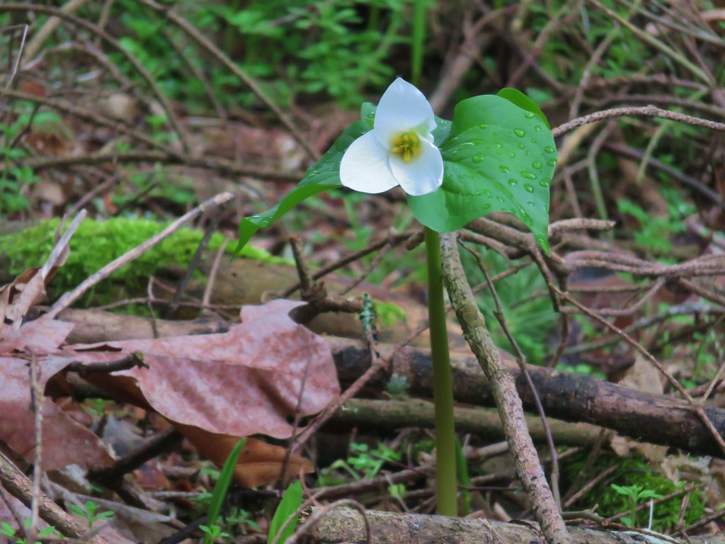
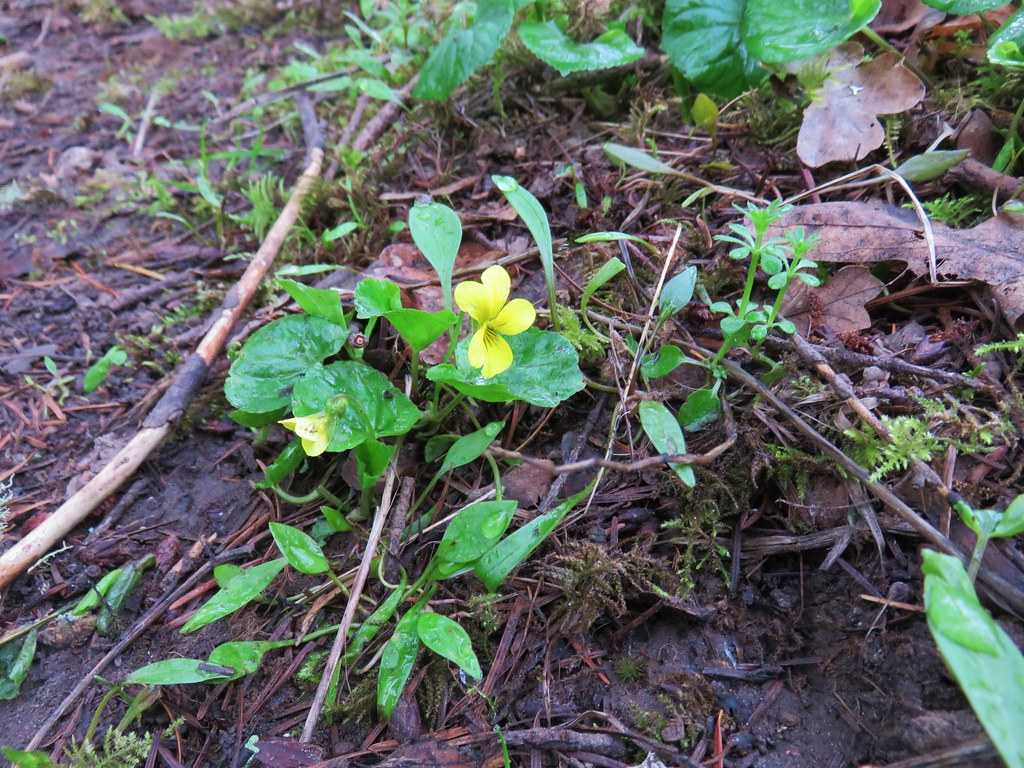
We took the Ponderosa Loop where we spotted more trillium and our first wood violets of the year.
At the end of the Ponderosa Loop we were once again turning right onto the Big Fir Trail. This time it was for less than a tenth of mile and then we were back at the Vine Maple Trail. Several spotted towhees and a couple of chickadees were foraging near this junction. The chickadees wouldn’t sit still but the towhees were a little more cooperative.
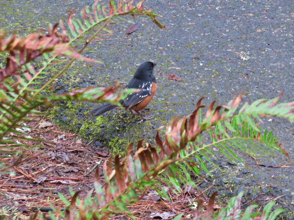
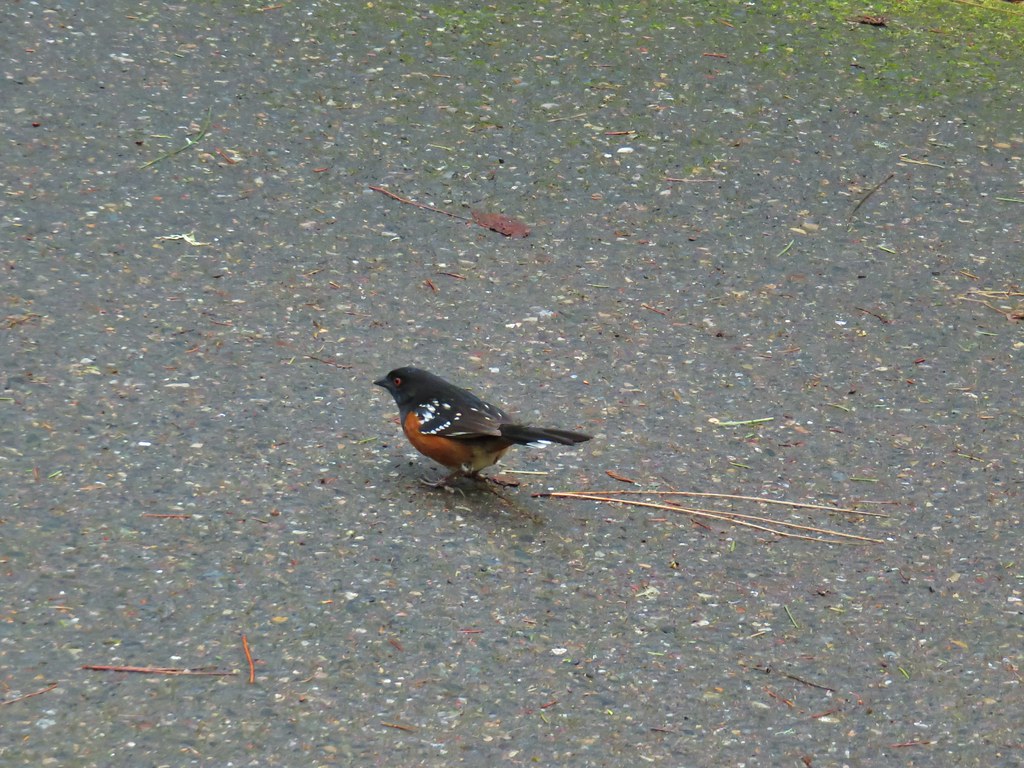
A right turn onto the Vine Maple Trail followed by another .2 miles of hiking brought us back to the parking lot at the Nature Center. The total distance for our hike with all the extra loops was still just 4.2 miles. When we had arrived we were only the second car but the lot was now full as it was just a bit after 9am. We had passed the first volunteer led tour as we were finishing up the along the Ponderosa Trail and another group was preparing to set off shortly.
One of the reasons we had chosen to start our day with this hike was that we knew the park would get busy as the morning progressed which isn’t a bad thing but we always prefer to avoid the crowds when possible. It really was a first rate park though so the popularity is warranted.
We left the nature park and headed for our next stop, the Tualatin River National Wildlife Refuge. I’d found this hike in the Oregon Hikers Field Guide and decided to give it a try.
We parked at the Visitor Center along Highway 99W. The majority of hikeable paths in the refuge are closed from October 1st trough April 30th but the one mile River Trail and the very short Ridge Trail are open year round so we made those the target of this visit.

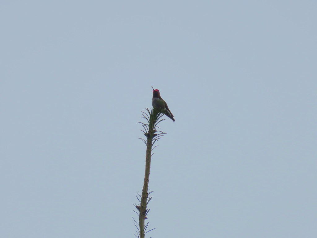
We set off on the River Trail and immediately spotted a hummingbird perched atop a tree.
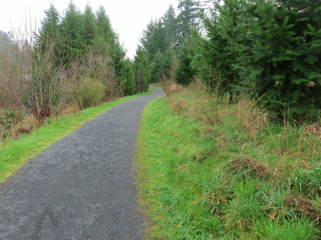
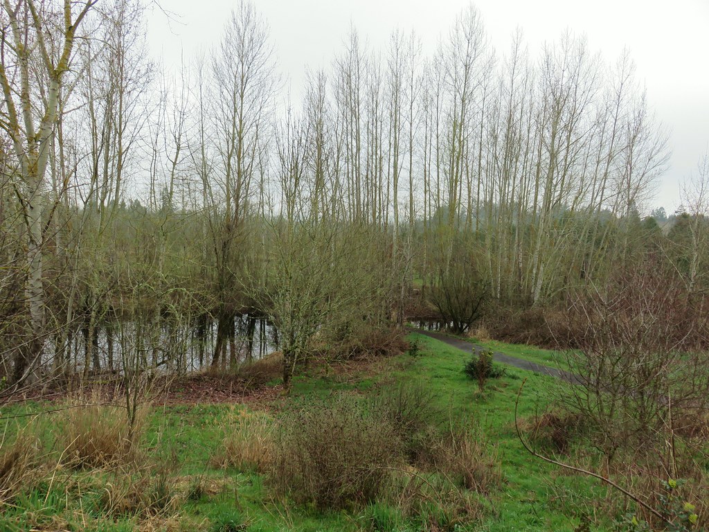
The trail led downhill between a pair of small ponds.
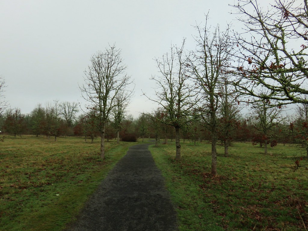
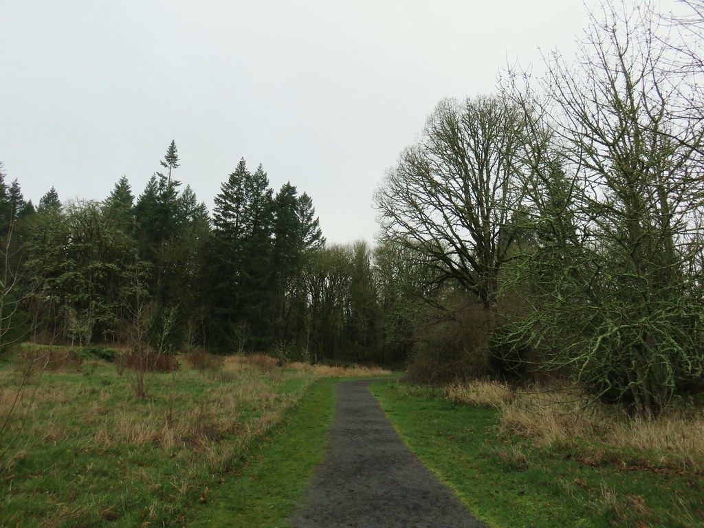
The trail passes through a restored oak savannah before arriving at an observation deck above the Tualatin River a half mile from the parking lot.
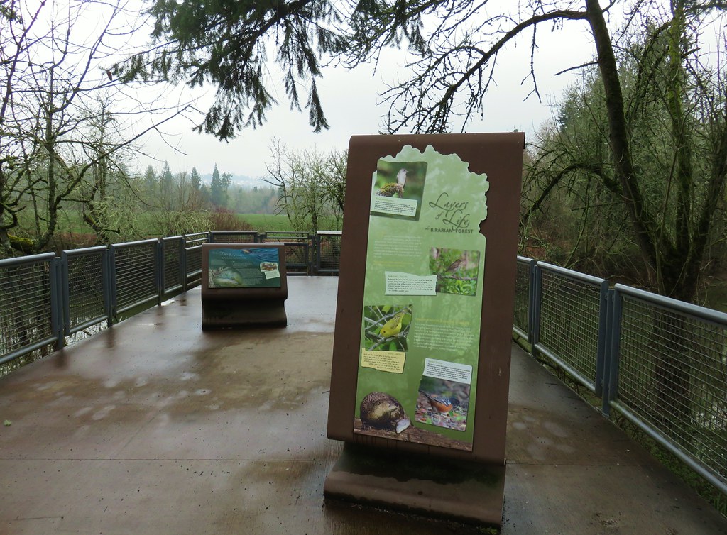

Beyond the deck the trail continues briefly though the restored savannah before entering a forest.
The trail splits in the trees with the Ridge Trail leading left to a viewpoint and the River Trail continuing right to the Wetlands Observation Deck.
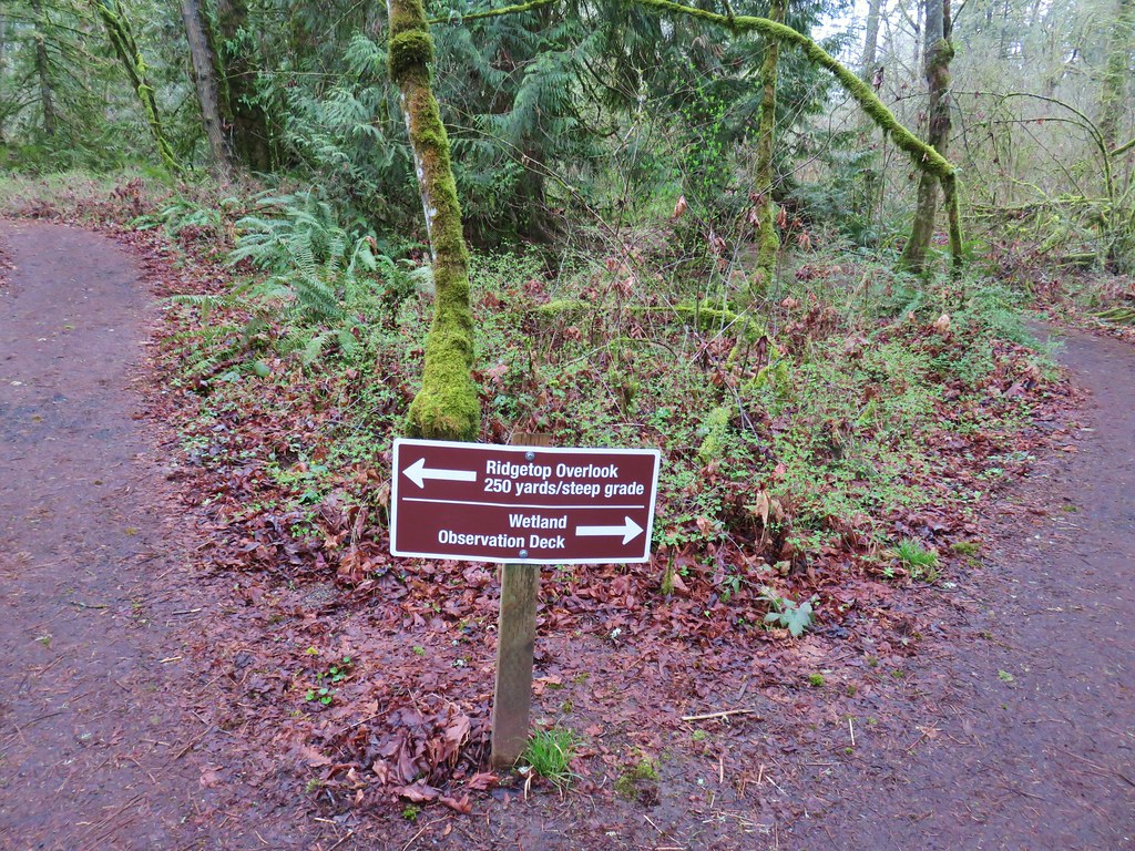
We stayed right visiting the observation deck first.
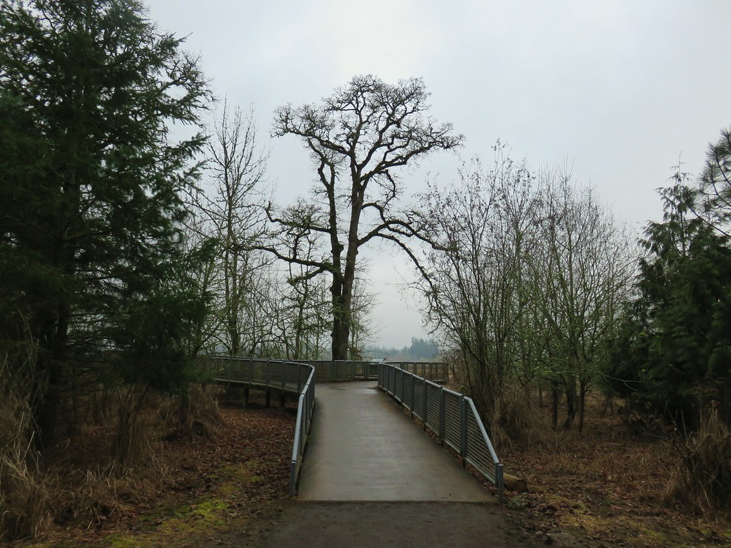

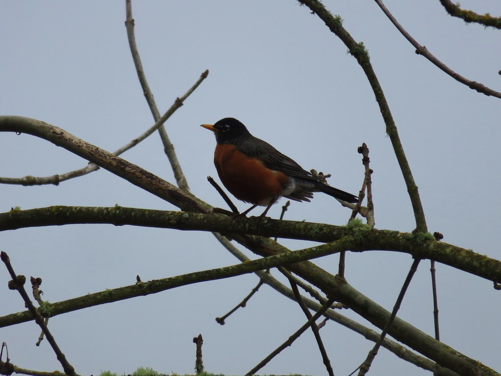
There were a few geese and ducks visible in the distance and a few robins closer by.

We returned to the junction with the Ridge Trail and turned right onto it to climb to the viewpoint. The Visitor Center was visible across the refuge and a number of ducks and other birds could be seen in the water below. At least some of the ducks looked to be northern shovelers.

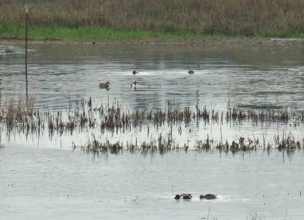
We returned to the parking lot after an easy 2.1 mile hike. We plan on returning in the future when the other trails are open to explore more of the refuge and check out the Visitor Center.
We left the refuge and headed south toward our last stop of the day at Willamette Mission State Park.
The site of the former Willamette Mission the 1600 acre park offers a number of activities besides hiking. The mission was established in 1834 by Rev. Jason Lee and marked the first organized religious enterprise in Oregon.
We had originally intended on a 2.7 mile hike here as described by William L. Sullivan in his “100 Hikes in Northwest Oregon & Southwest Washington” 3rd edition guidebook. Heather had put the book in her pack for the Tualatin Hills Nature Park hike as it was also featured in the guidebook. We hadn’t taken it back out of her pack so we weren’t exactly sure where we were supposed to park for the described hike so after paying the $5 day use fee at the entrance booth we immediately turned right into a parking area with a hiker symbol.
The lot serves as a trailhead for the Willamette Vision Education Trail, which was not where our book called for us to start but we were already parked so we decided to improvise.

We followed a bark path .1 miles to the start of a loop where we turned right.


The trail followed a road bed for half a mile around a field before arriving at Mission Lake. Along the way we spotted a coyote that quickly disappeared back into the vegetation.
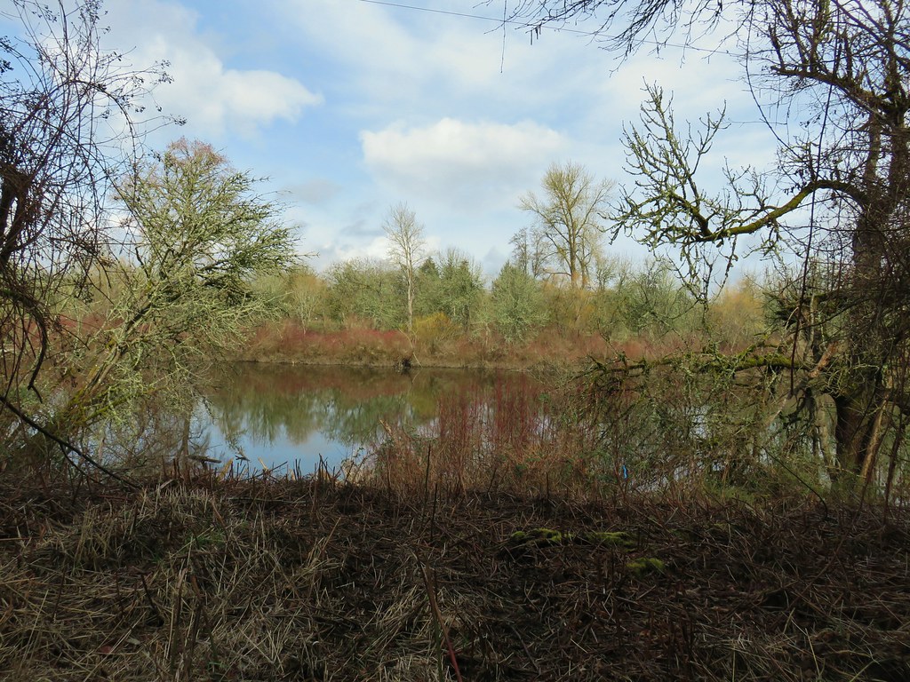
A little over a mile from the trailhead we arrived at the nations largest black cottonwood.


While we were admiring the tree an osprey landed in it and while we were watching the osprey we noticed a squirrel in the upper branches as well.

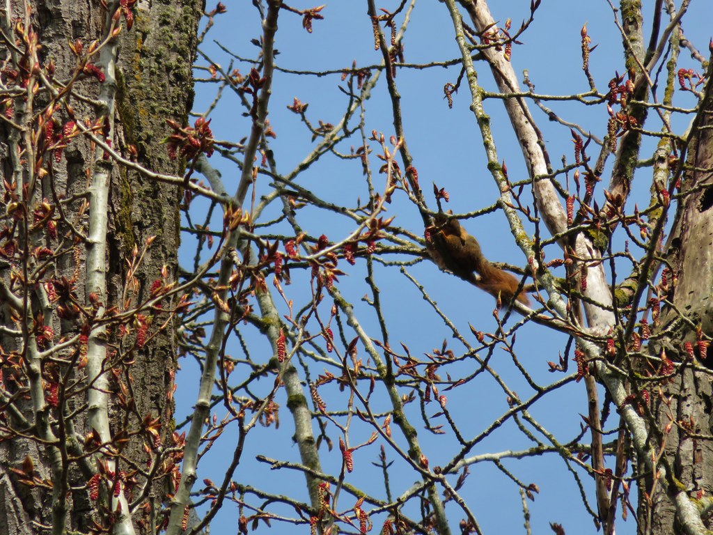
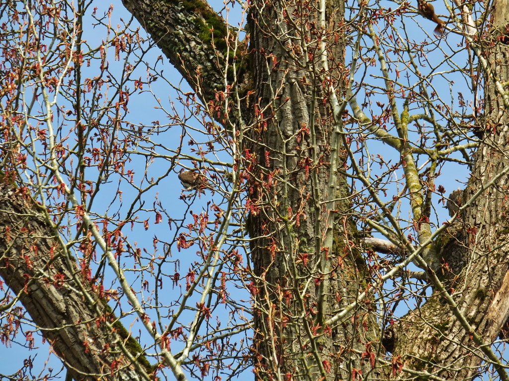 The osprey and the squirrel (upper right hand corner).
A short distance from the cottonwood the loop crossed the park entrance road. In order to do the hike that we had originally intended to do we turned right and walked along the shoulder of the road for a quarter of a mile to a boat launch and pet exercise area where we picked up the Mission Trail.
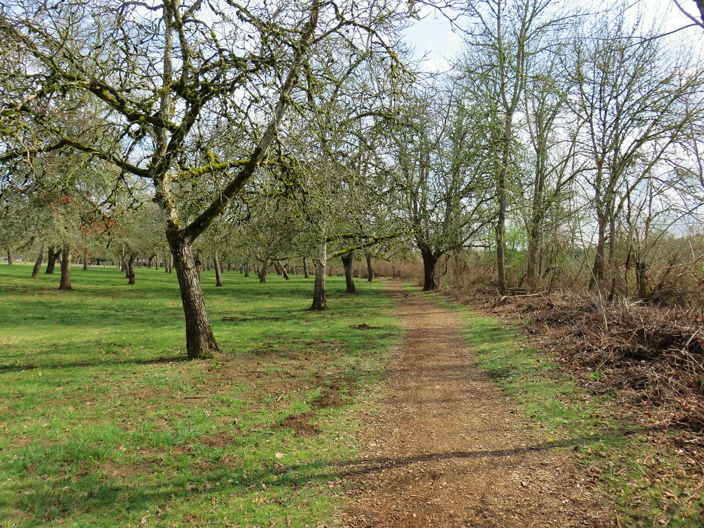
The Mission Trail followed the bank of Mission Lake for .6 miles to the Mission View Site, an observation deck looking across the lake to the site of the former mission.
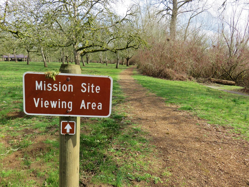
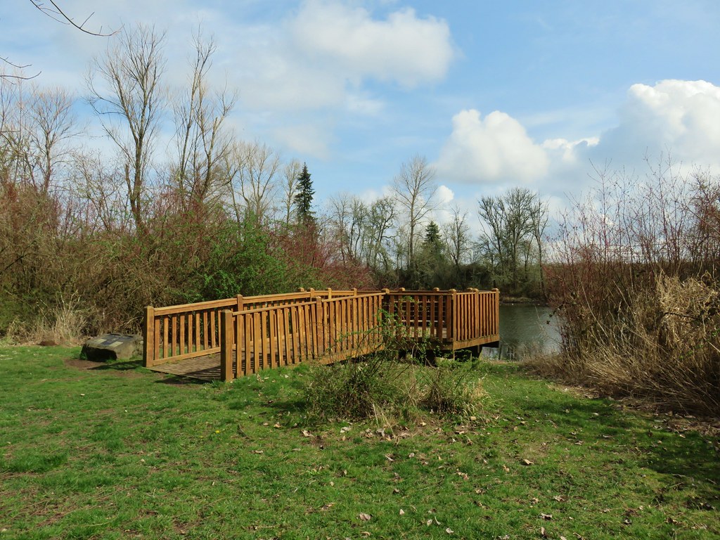

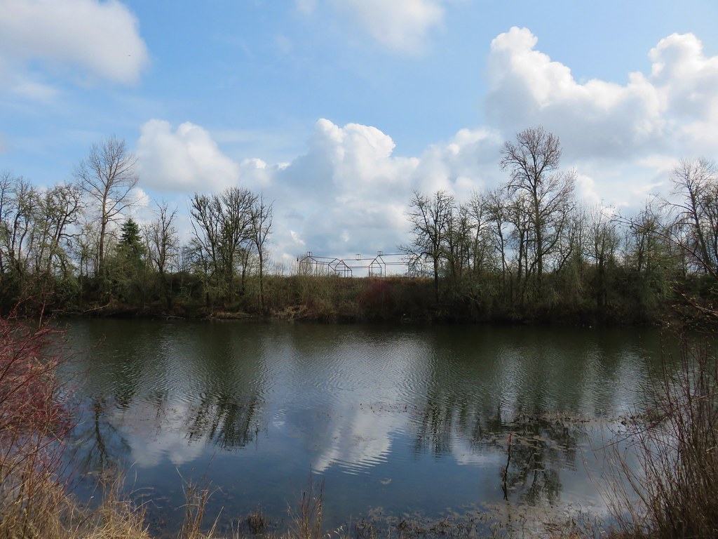
We continued on past the Mission Site for another quarter mile before arriving at a the end of the Mission Trail at a paved bike path. We turned right detouring a quarter mile off the loop to visit the Wheatland Ferry crossing on the Willamette River.
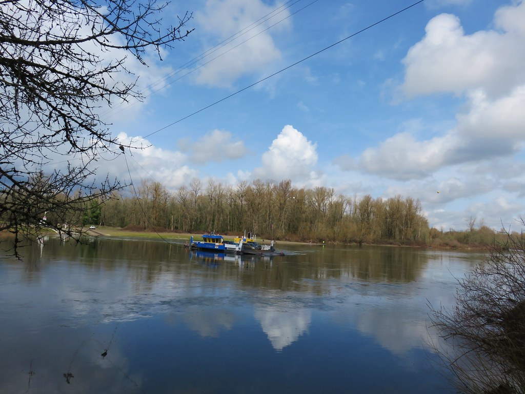
After watching the ferry cross once we headed back along the bike path and followed it along the Willamette River for almost a mile and a half before veering right onto an equestrian trail. Although the bike path paralleled the river there were no real views to speak of due to a strip of trees and vegetation between the path and the water.


We opted to follow the multi-use dirt path instead of the paved bike path since pavement seems to be a lot harder on the feet. Despite being a bit muddy in spots the equestrian trail did finally provide a nice view up and down the Willamette.


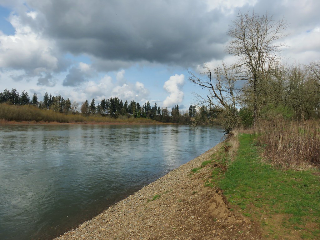
Just prior to reaching the high water channel the equestrian trail came near to the bike path. Staying on the equestrian trail would have taken us to the start of a three mile loop with no opportunity to get back to our car so we hopped back onto the bike path here.
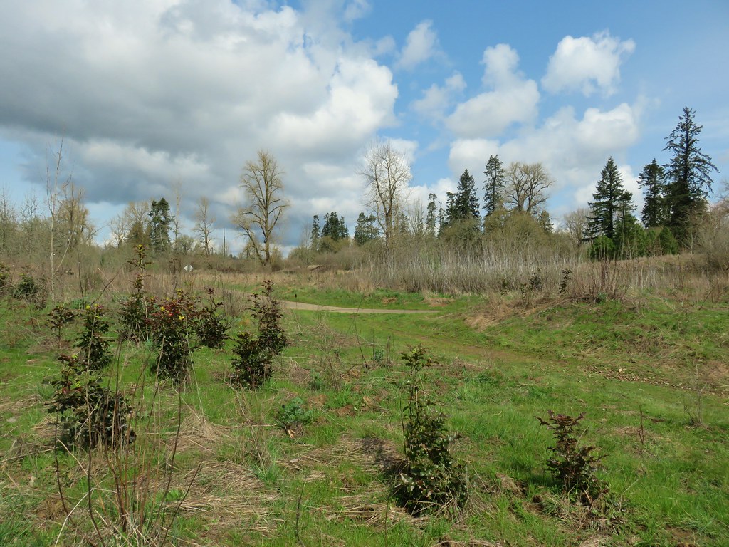
We then followed the bike path back to the park entrance road.
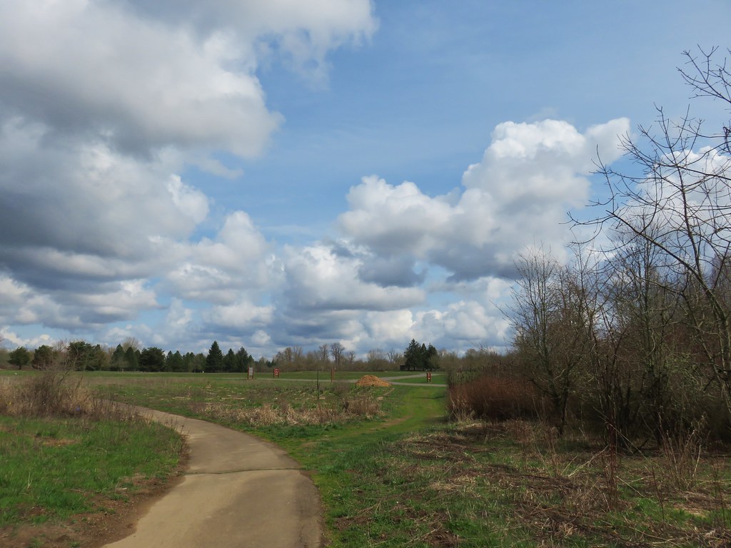
On our way back to the car we did complete the Willamette Vision Education Trail loop but that final 1.4 mile segment was fairly uneventful. The trail loops around a field with views back toward the center of the park. By that time we were passing the 13 mile mark for the day (we had planned on doing 9.2) and I was more focused on my feet than taking pictures. Not only had we started at the wrong spot but the guidebook would have had us cut out some of the bike path and all of the equestrian trail. Instead of 2.7 miles for this stop we had flipped the numbers and done 7.2.
We enjoyed all three stops but the Tualatin Hills Nature Park was definitely our favorite. With that being said they all would be suitable for hikers of all ages and abilities and each offers something unique. We’re lucky to have so many options within an hour of Salem and there are many more that we have yet to visit. Happy Trails!
Flickr: Tualatin Hills NP, Tualatin River NWR, Willamette Mission SP