For our second vacation hike in the Wallowa Mountains we set our sights on the Pine Lakes Trail. This was another of the 100 featured hikes in William L. Sullivan’s “100 Hikes Eastern Oregon” 1st edition (2022) and would be number 96 for us on our quest to finish all 100 (post). Sullivan gives two out-and-back option for this trail, a 4.2-mile hike to Chute Falls and a 14.8-mile hike to Pine Lakes.
Heather and I had already decided that I would try for the lakes while she was going to aim for Chute Falls. She has continued to struggle with a breathing issue which has caused her to keep a slower pace than in years past making longer hikes problematic from a time standpoint. Our plan was to set off at our own paces and Heather would wait for me at or near Chute Falls. We also established a timeframe in which she should expect me.
The hike begins at the Cornucopia Trailhead which is on private land owned by the Cornucopia Lodge and Packstation. We followed pointers at the lodge to the current parking area.


The current trailhead was approximately half mile from where the public parking area was in Sullivan’s description. That meant an extra mile of hiking for each of us. I threw my pack on and set off on the private road following pointers for the Pine Lakes Trail.
 This pointer refers to trail 1880 as “Pine Creek” but other signs and the Forest Service website refer to it as “Pine Lakes”.
 This one says Pine Lakes.
 Sign for the Packstation.
As I neared the packstation a pair of dogs noisily raced toward me, one a German shepherd. Luckily they were all bark and no bite, but it got my adrenaline pumping. I continued on passing the forest boundary and the small parking area Sullivan had described.
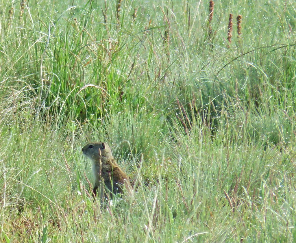
 Squirrel with breakfast at the packstation.

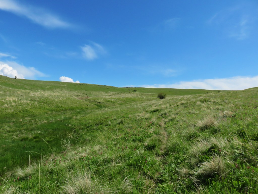
The trail follows an old roadbed for most of the first 2.1 miles.
 Old footbridge over a dry creek bed. It didn’t look particularly safe so I stuck to the road.
 The dry creek bed crossing.
Shortly beyond the dry creek bed I came to the East Fork Pine Creek where a pair of cow elk dashed across the trail and disappeared in the underbrush.

Seeing the elk was exciting. Less exciting was seeing the actual cows after crossing the footbridge. In typical cow fashion their plan for avoiding me was to get onto the trail ahead of me and walk 10 to 20 yards down trail then turn around to see if I was still following.
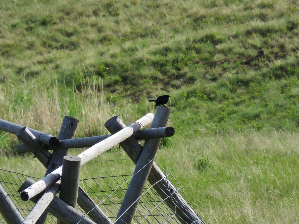
 Black cows on the trail ahead.
Meanwhile Heather was taking pictures of flowers along the road to the packstation.
 Coneflower
 Snowberry
Try as I might to convince the cows that they simply needed to step off the trail to either side they were convinced that sticking to the trail, and booby trapping it with fresh pies, was the best way to lose me.

 West Fork Pine Creek
 Formation on the hillside.
 Western clematis
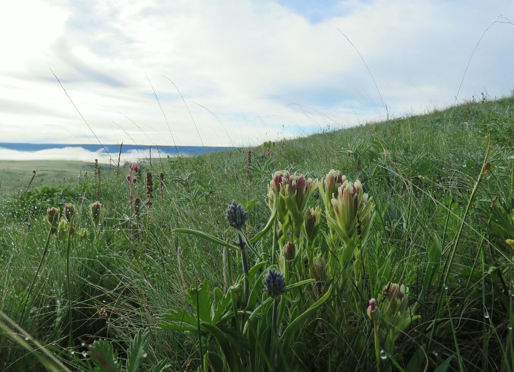
 Paintbrush
 Fireweed
Approximately a mile beyond the packstation I arrived at the first of two bridges over the West Fork Pine Creek. I briefly lost the cows here when they forked right along the creek while I crossed the slightly damaged bride.
 The bridge felt stable despite being slanted at a 45-degree angle.
I picked up my pace hoping to beat the cows to the second bridge which was another 1.1-miles up the trail.

 View from the trail.

I could hear and see the cows on the far side of the creek, and now they seemed to be racing me to the second bridge. Before getting that far I met a second group of cattle on my side of the creek near a ford where the fist group of cows were now crossing. Lucky for me this new group was a little smarter and they led the first group off trail into the brush leaving me cow free.

 The second bridge.
 West Fork Pine Creek
 Heather caught this cool cloud from her currently cow free hike. (She would run into them later where they’d ducked off the trail in front of me.)
Not far from the bridge was an established campsite just before the trail began to switchback uphill.
 Looking back down at the campsite.
Chute Falls is located slightly off-trail near a righthand switchback 0.3-miles from the second bridge.
 The use trail straight ahead at the switchback.
I followed the steep use trail 150 yards to Chute Falls.

I carefully made my way down to the base of the falls.

 The base of Chute Falls.

After visiting the falls I returned to the trail and continued to climb toward Pine Lakes. The trail switchbacked past the 10′ upper tier of Chute Falls.

I continued uphill through the forest past a view of a waterfall on the Middle Fork Pine Creek and passed into the Eagle Cap Wilderness 1.2-miles beyond Chute Falls.


 Looking back down the valley.
 View up the valley.
 Wilderness sign on the tree marking the boundary.
 The Pine Lakes are back up there somewhere.
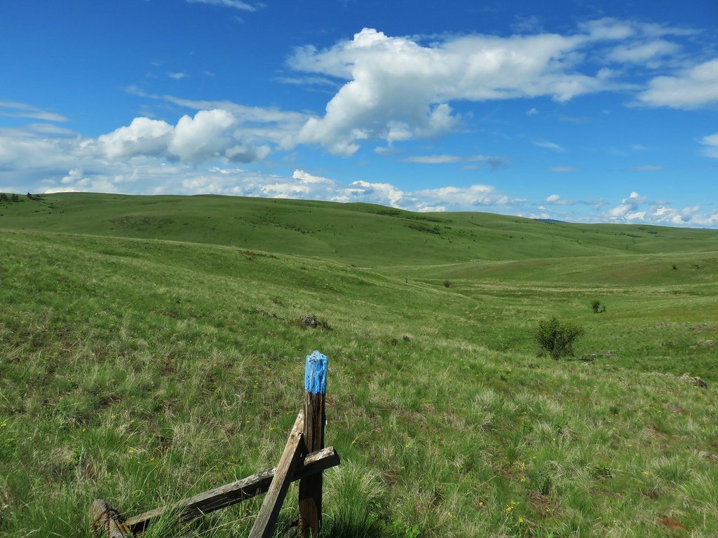
The trail traversed a rocky hillside with excellent views for 0.8-miles after entering the wilderness before reaching another set of switchbacks. While the climb was gradual the rocky trail tread made for some tricky walking.

 Somewhere on the other side of the peaks on the left is the Schneider Cabin where we’d hiked the day before.

 Cliffs above the trail.

As I made my way across the rocks I tried to keep my eyes open for any larger animals on the surrounding hillsides. It wasn’t easy due to the tricky terrain, but it paid off when I spotted a few mountain goats on far side of the valley.
 I spy mountain goats!
 A zoomed in photo of the mountain goats.
I kept my eye on the goats as I continued.


I arrived at another set of switchbacks 0.8-miles from the wilderness boundary that climbed uphill through a rock field where I spotted a single pika that dashed out of sight before I could get a photo.


 I believe that is Cornucopia Peak on the left.
 Going up.
 Fireweed above the trail.
Above the switchbacks the trail leveled out a bit then descended to a basin with a mixture of forest and meadows.

 Paintbrush along the trail.

 The forest on the other side of the pass.
 West Fork Pine Creek
 There was a large waterfall flowing down from the outlet of the Pine Lakes. (Not West Fork Pine Creek whose headwaters were beyond the meadowed basin.

 West Fork Pine Creek begins somewhere above the basin at the far end.

 Rock formations along the cliffs.
 Arnica and pearly everlasting
 I tried to get a clearer look at the large waterfall but couldn’t find a clear line of sight.

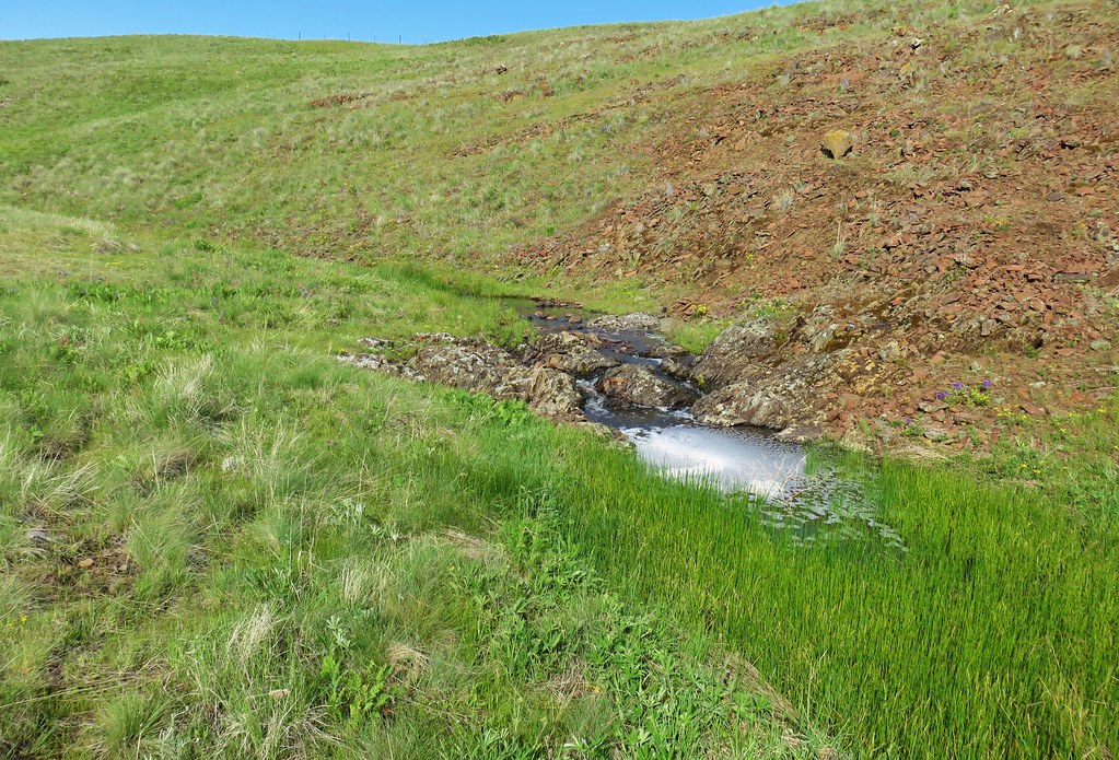
Approximately 3.2-miles from Chute Falls the trail crossed the outlet creek.

 Gentians along the trail.
 Evidence of an avalanche at the far end of this meadow. It took a lot of trail maintenance to clear the snapped trees from the trail.
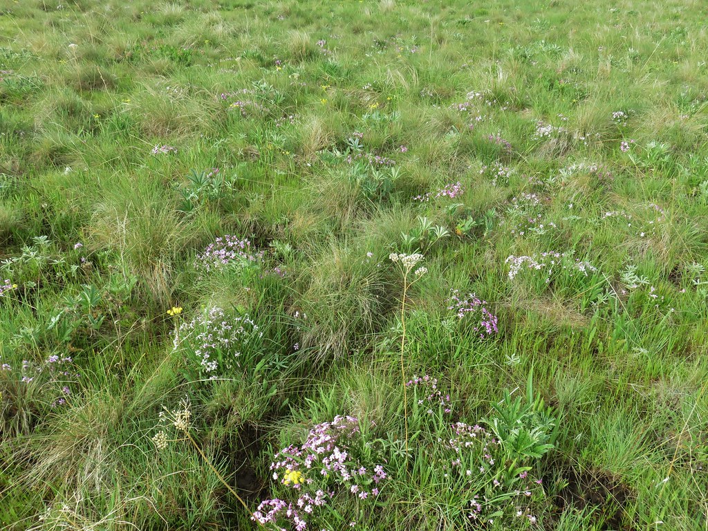
 Wildflowers lining the trail.

The trail began another series of switchbacks in order to climb above the waterfall and to Lower Pine Lake.
 A doe that turned out to be on the trail above me. There was a switchback just ahead of where I was.


 The forest in the basin.
 The Pine Lakes are in the basin ahead.
 Arnica and aster?
 Monkshood
 Seep along the trail.
 Grass of parnassus
 American sawort
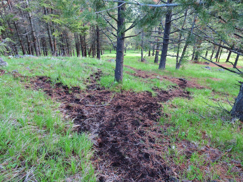
 Something had been bedded down in this little bowl below the trail.
 Goldenrod
 The valley I’d come up to the right.
 Nearly 5-miles from Chute Falls I arrived at the dam at the outlet of Lower Pine Lake. A number of lakes in the Wallows were dammed to control water flow to the surrounding communities.
 Lower Pine Lake

The trail headed north around Lower Pine Lake arriving at Upper Pine Lake 0.2-miles from the dam.

 Lower Pine Lake

 Lower Pine Lake from between the two lakes.
 Upper Pine Lake from the same spot.
 Upper Pine Lake.
I did a little exploration along the eastern shore and then found a spot in the shade to take a brief break and change into a new pair of socks.


 The view from my break spot.
After my break I headed back to Chute Falls to locate Heather. Along the way I stopped for more photos and to look for pikas and mountain goats (to no avail).

 Shrubby cinquefoil

 White mariposa lily, the only one I spotted, and I’d missed it on the way up.
 Yellow columbine, I also missed this on the first pass.
 Dusky flycacther
 A meadow and the forest in the lower basin.
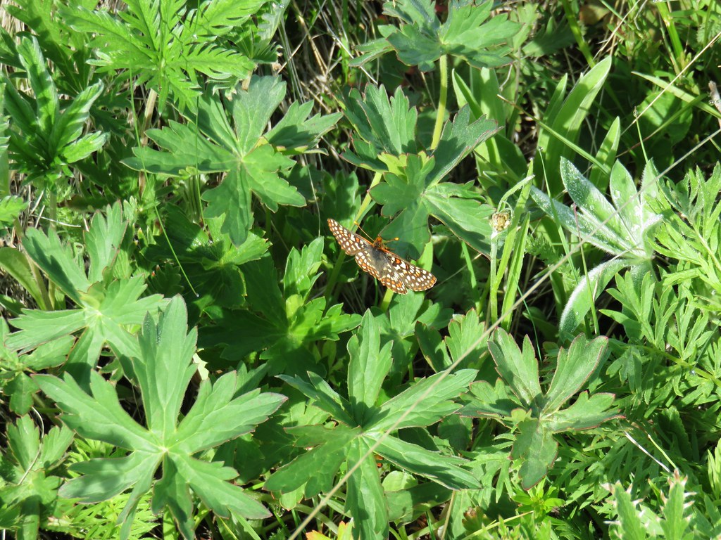
 Fritillary on pearly everlasting
 Trail maintenance in the avalanche section.
 Loved the rock colors in the area.
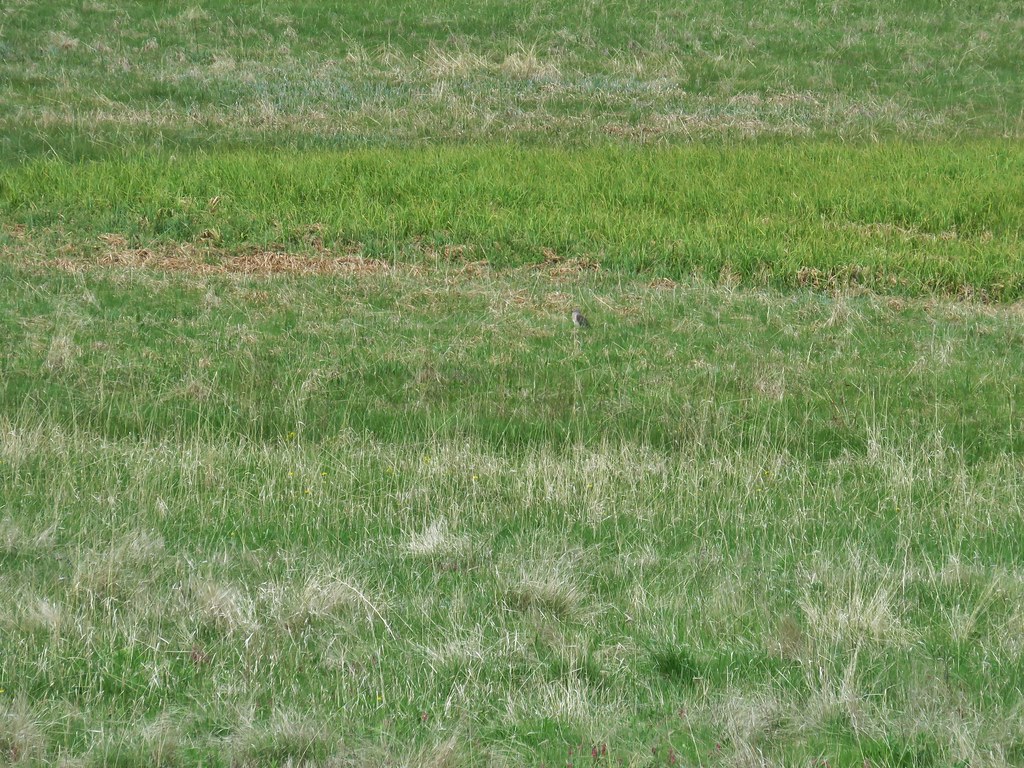
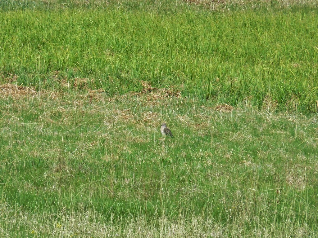
 I’m guessing some sort of wren.
 Caterpillers
I detoured to Chute Falls again to see if Heather was waiting there which she wasn’t, so I hiked down to the campsite where I found her waiting. While I was taking another break we started to talk about the falls and realized that Heather had missed the lower, larger, portion of Chute Falls. She had missed the first user trail and detoured at the next righthand switchback which brought her to the upper tier. I showed her a photo from my phone to confirm that she’d missed that part of the falls then, we hiked up together to check it out.
After making sure she’d seen the rest of Chute Falls we headed for the trailhead.

We picked up the cows again in between the two bridges and herded (followed) them back to where I’d picked up the first group at the East Fork Pine Creek before they finally turned off the trail.
 Herding the cattle back past the damaged bridge.
 West Fork Pine Creek.
 The footbridge across the East Fork Pine Creek ahead. We’d left the cows behind here and made our way back to the trailhead.
Given our starting point, three detours to Chute Falls and some exploring at Upper Pine Lake my hike came in at 16.4-miles and over 2700′ of elevation gain.

The rocky trail surface and amount of sun exposure added to the difficulty of this hike, but luckily there had been a fairly consistent cooling breeze which kept it from feeling too hot. The views were spectacular along the entire route and aside from the cows the variety of wildlife was great. We returned to Baker City and had dinner at the Eagle Cap Grill before turning in for the night for our last night in Baker City. We’d be moving our base to Enterprise the next day for the final three hikes of our trip. Happy Trails!
Flickr: Pine Lakes
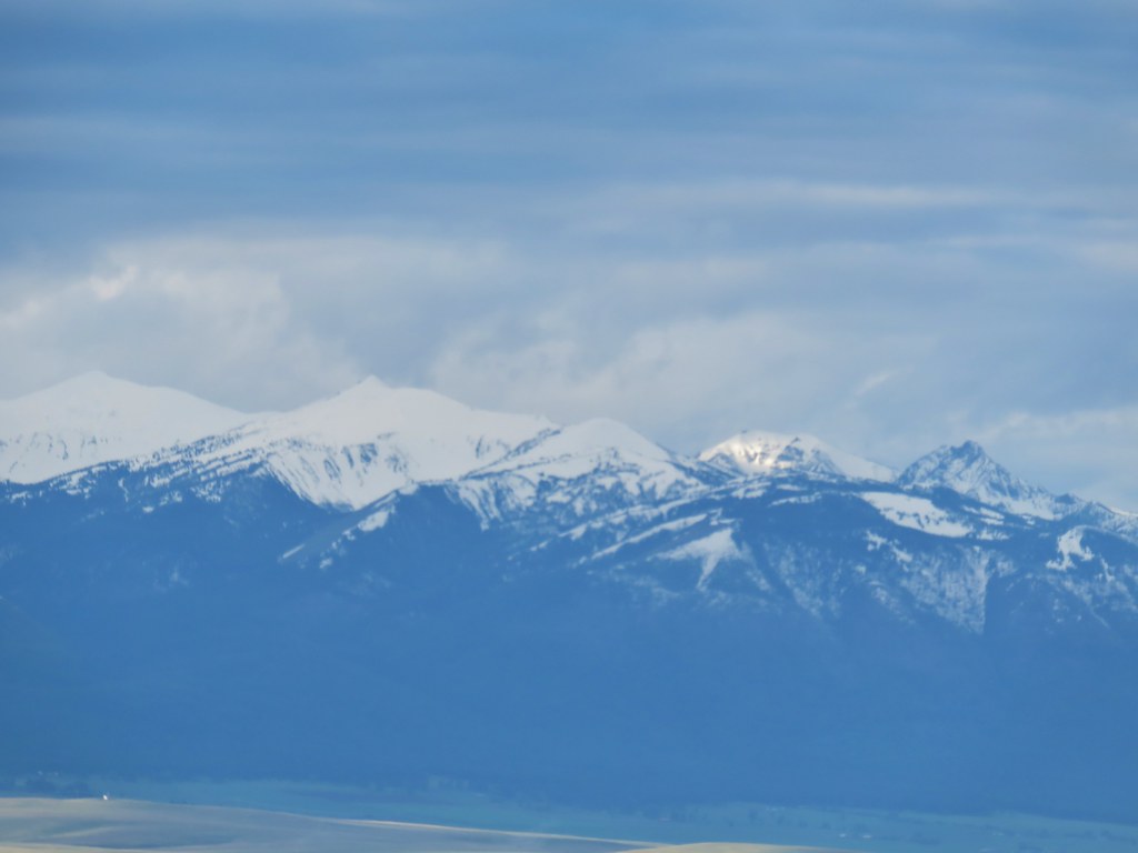
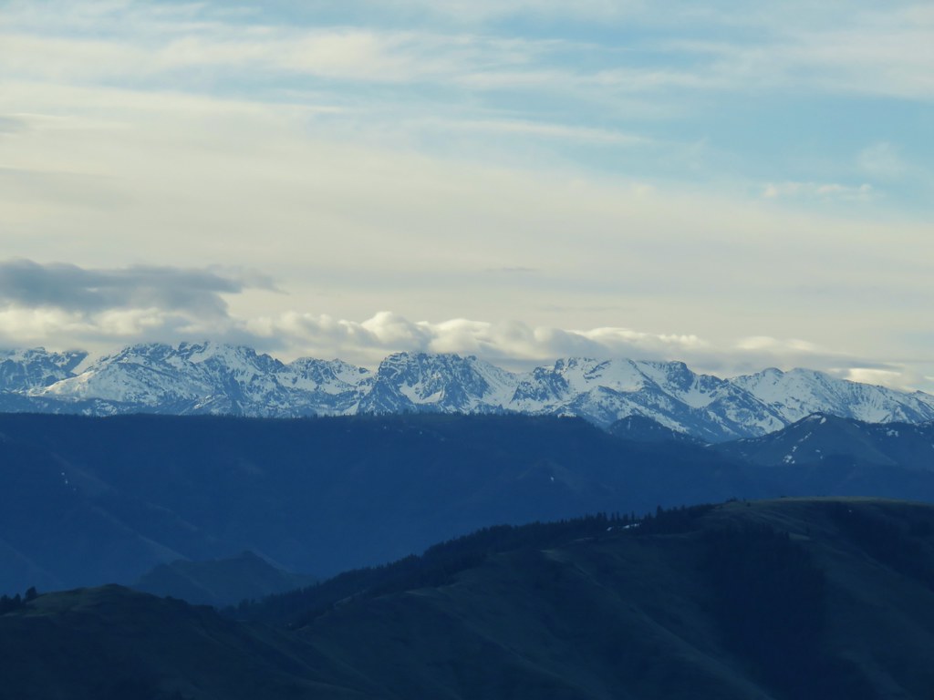
 Looking toward the Seven Devils in Idaho
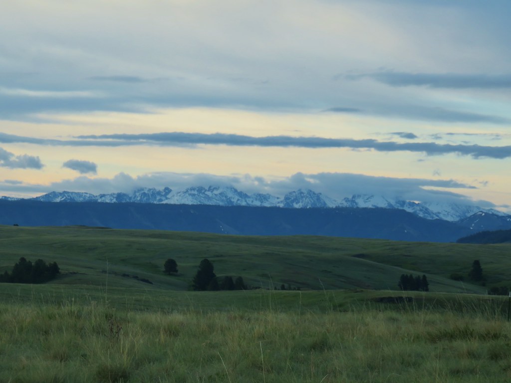

 Findley Buttes (You can see some of the standing water on Duckett Road on the right hand side.)
 Old man’s whiskers
 Phlox with larkspur in the background
 Cusick’s paintbrush
 White-stem frasera
 Paintbrush
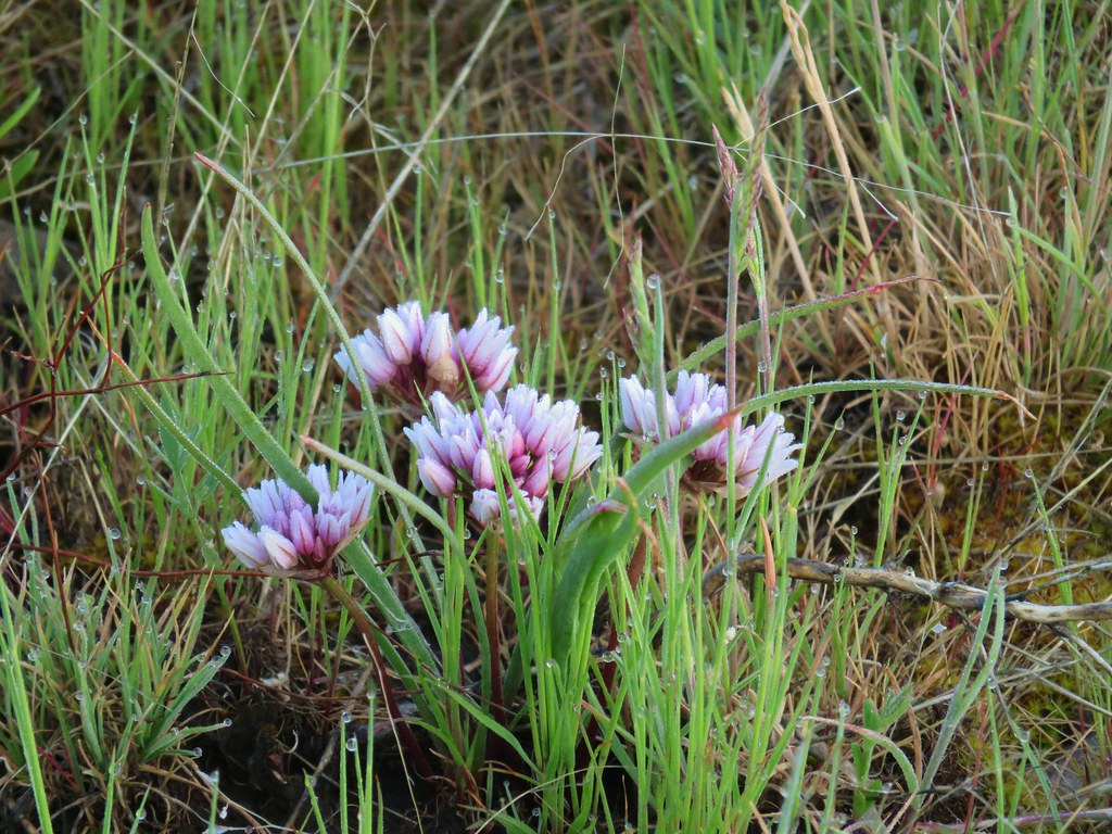 A wild onion
 Larkspur
 Milk vetch
 Chickweed
 Woodland stars
 An assortment of flowers
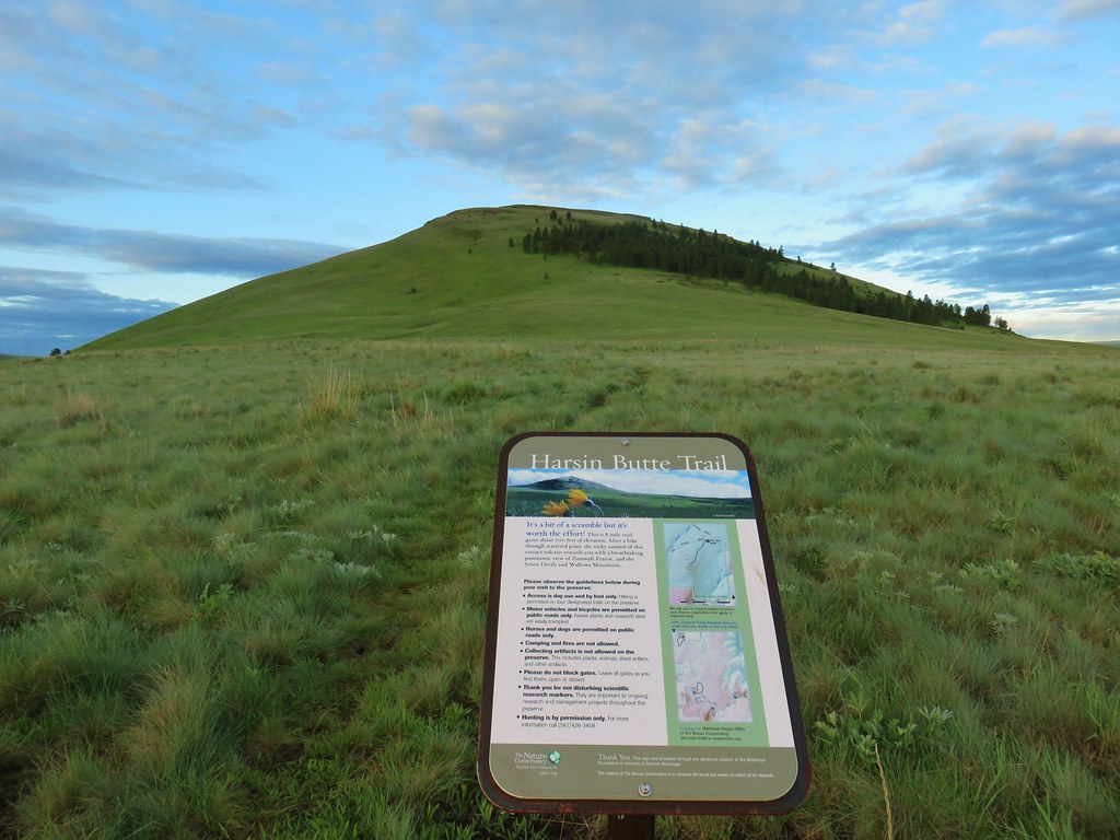
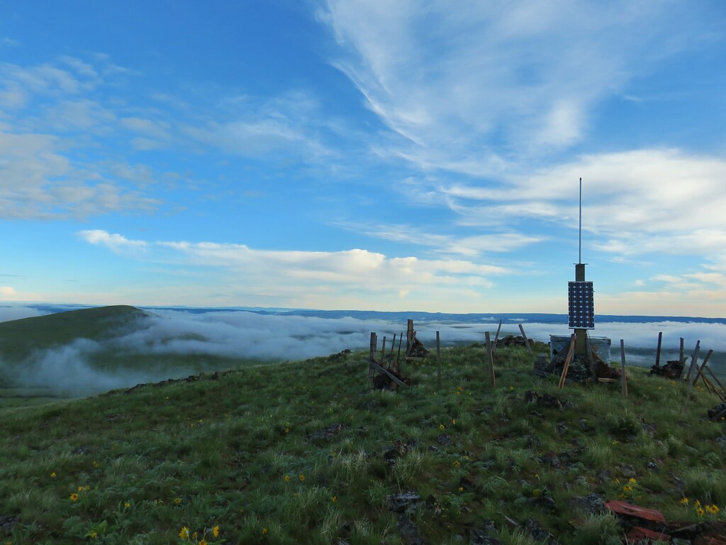
 One of the carins and the trail going up Harsin Butte in the background.

 Monument plant
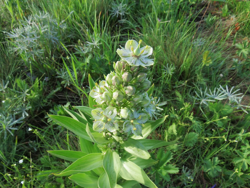 Top of the monument plant
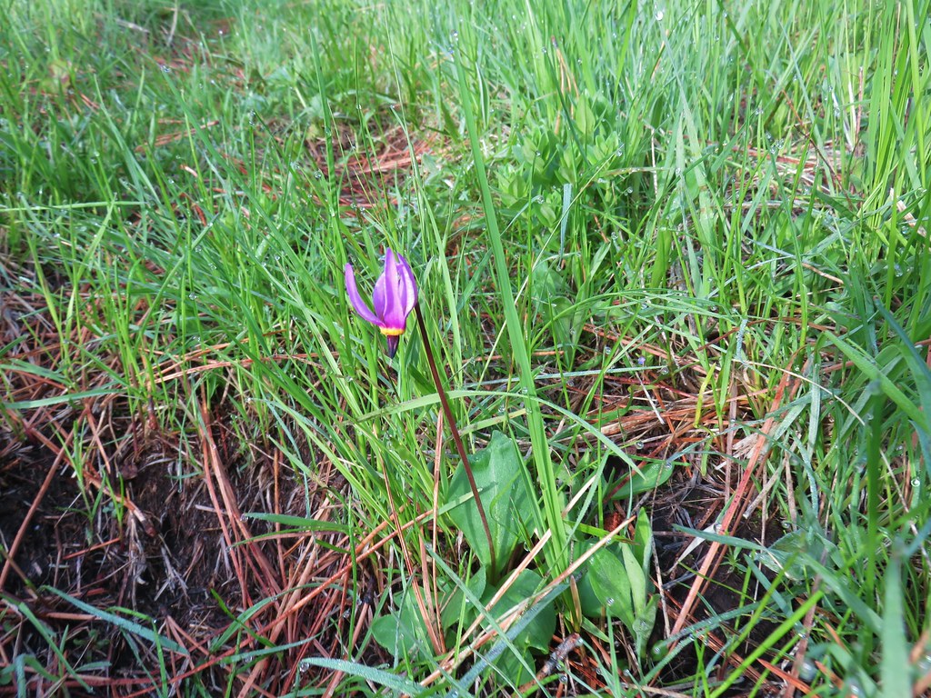 Shooting star
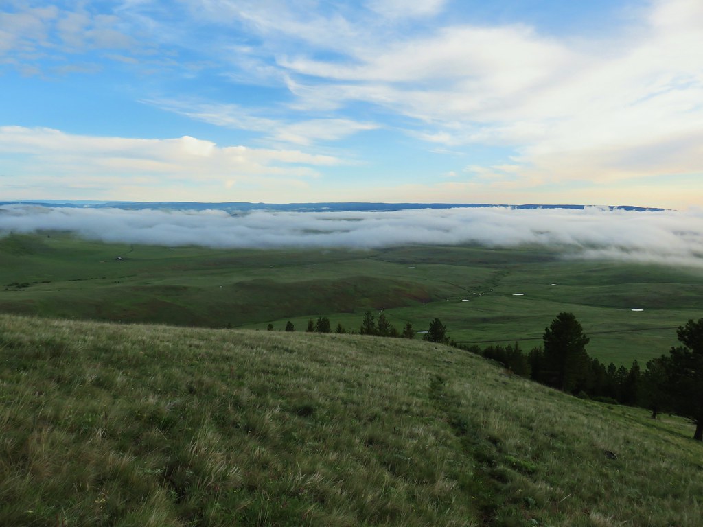 Here comes the clouds.
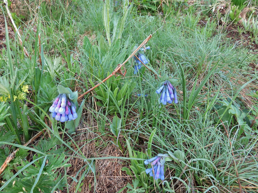 Bluebells
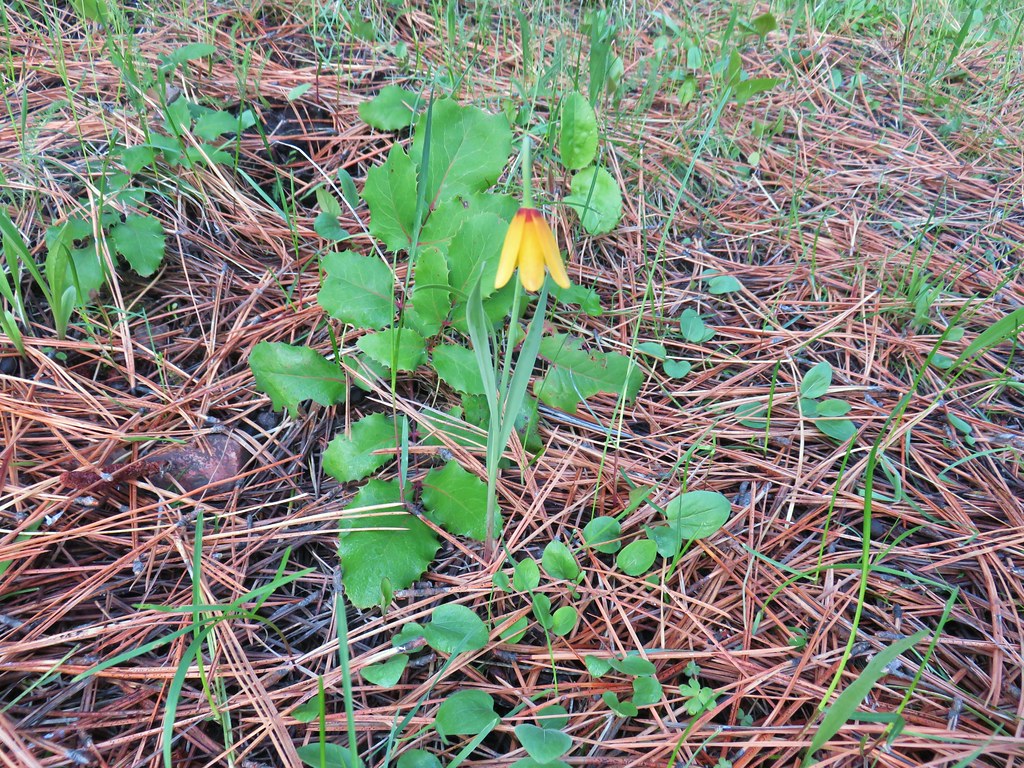 Yellow bell
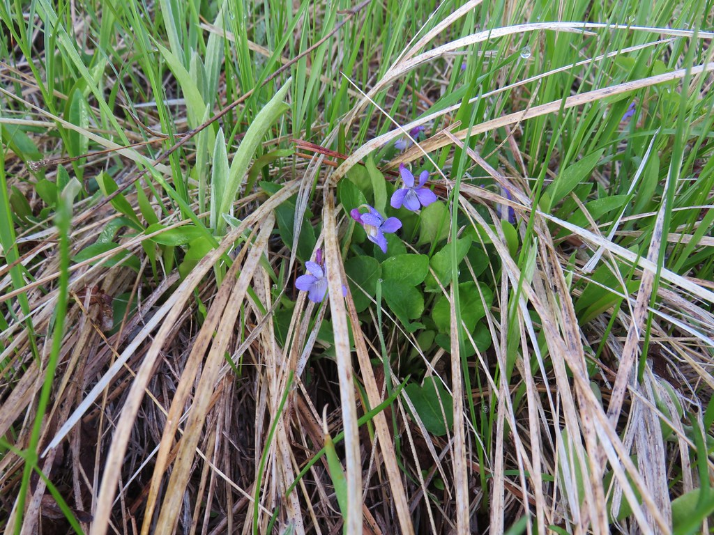 Violets
 Ball-head waterleaf


 Camas
Camas Old man’s whiskers and white-stem frasera
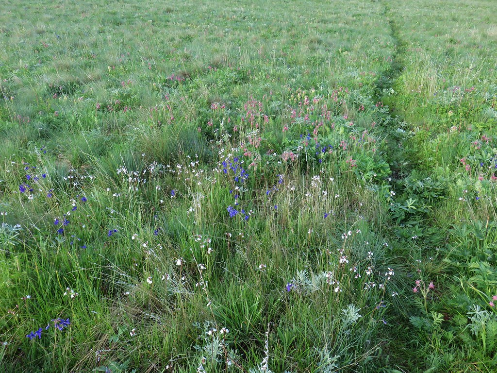
 Lots of phlox
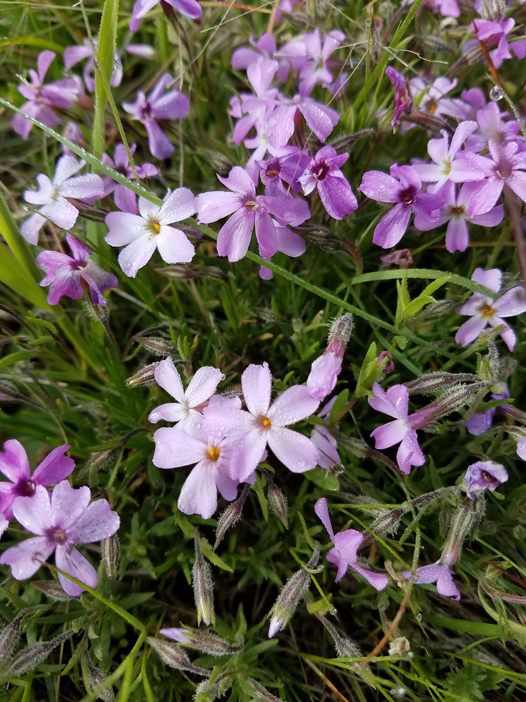 Phlox
Phlox Large head clover, larkspur, and wild onion
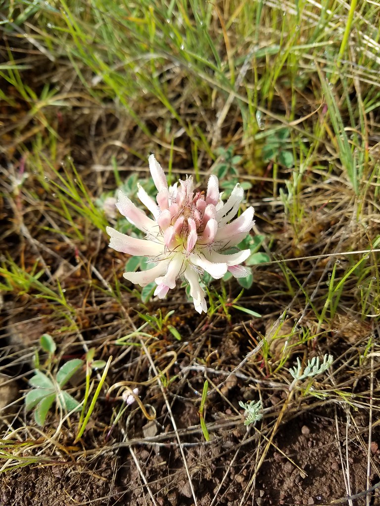 Large head clover
 Wild onion
 Duckett Barn starting to disappears as we descended.
 Possibly hoary balsamroot
 Hoary balsamroot?
 Phlox
Phlox Diffuseflower evening-primrose
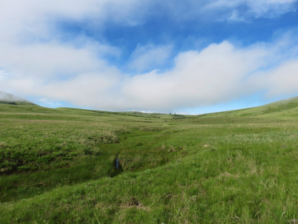 Camp Creek

 Possibly a mustard
 White-stem frasera blooming
 Violets
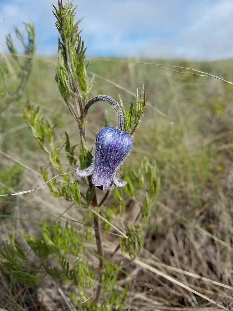 Hairy clematis
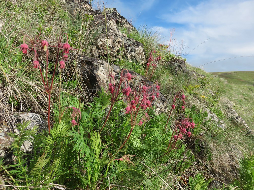 Old man’s whiskers

 Cusick’s paintbrush


 Paintbrush and biscuitroot
 A ragwort or groundsel (I think)
 False sunflower?
 Old man’s whiskers and milk vetch
 Western stoneseed
 I had to dip into the digital zoom to get this photo so it’s a bit blurry.
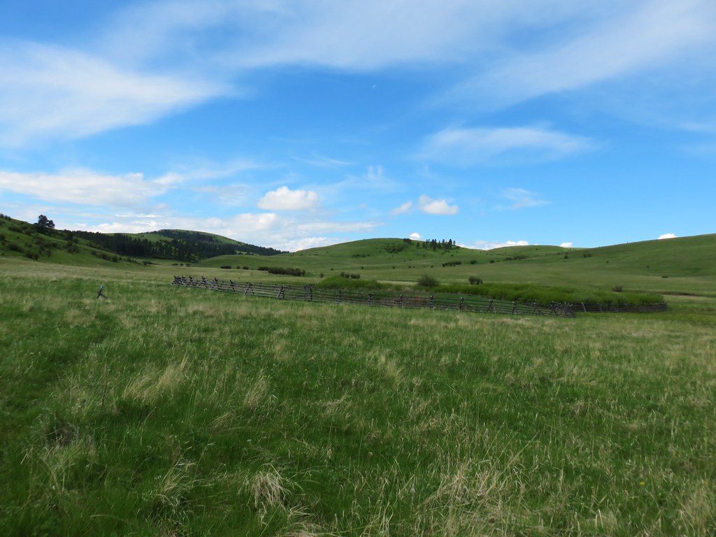


 Dwarf yellow fleabane
 Blue dicks
 Looking back down the draw.