For the Fourth of July weekend we took an extra day off and headed to the Siskiyou Wilderness in California for our first backpacking trip of the year. This would be our first visit to the 179,847 acre wilderness after having had to cancel planned trips several years in a row due to weather, fire, and smoke. All of the previously planned trips had been on the schedule for late Summer and since that didn’t seem to be working out we decided to try an earlier time of the year. Sullivan features three hikes in the wilderness: Polar Bear Gap, Raspberry Lake, and Devil’s Punchbowl and our plan was to check them all off our to-do list on this trip.
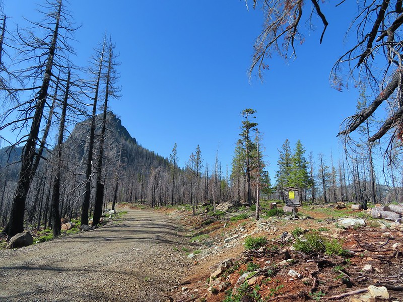
Friday morning we made the long drive back into California to the Black Butte Trailhead near the northern end of the wilderness area. The 2020 Slater Fire burned over the road to this trailhead and into the wilderness.
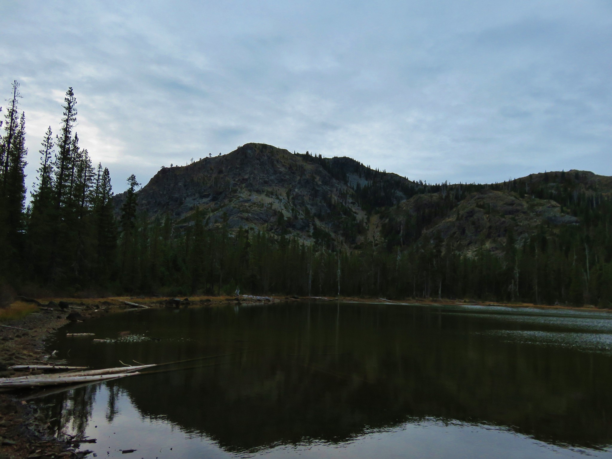
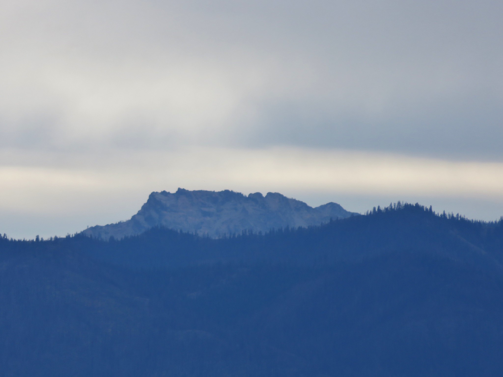
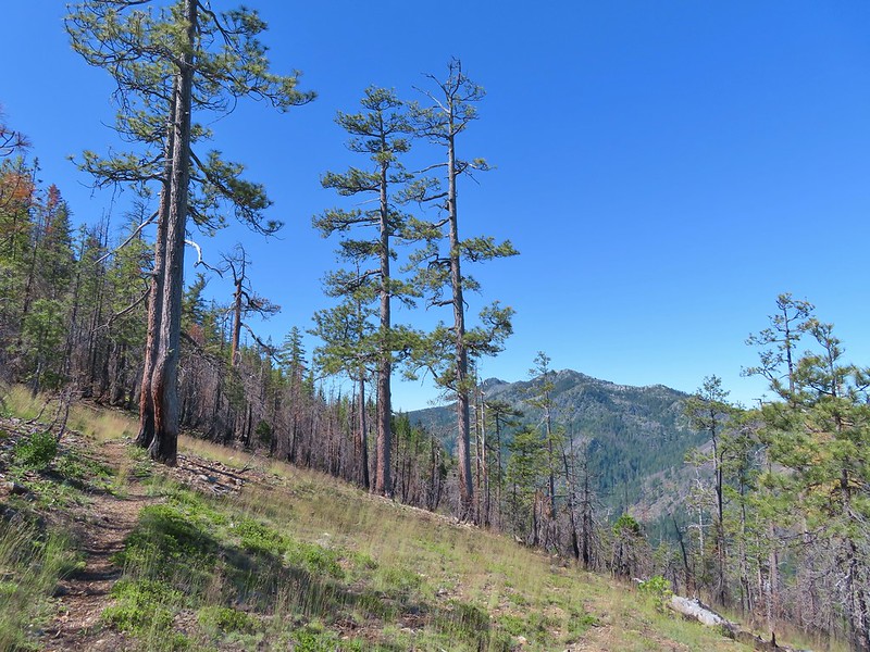
 Black Butte from the Black Butte Trailhead.
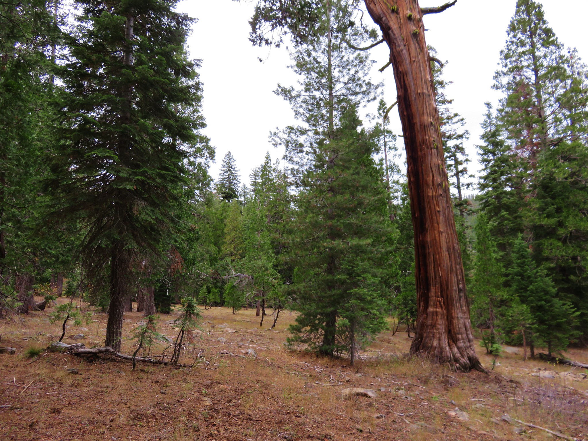
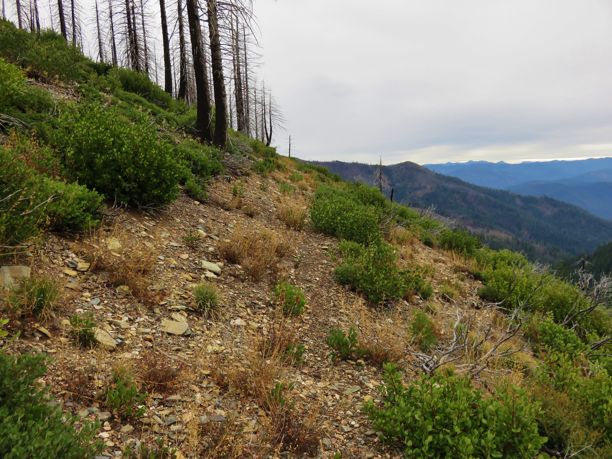
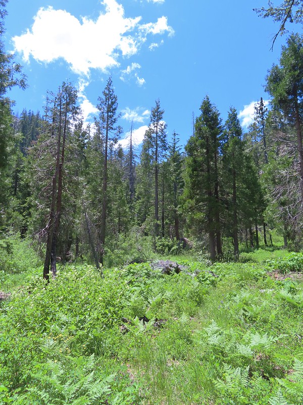
There was one other vehicle at the trailhead and it had a small animal trailer with hay attached to it. Heather guessed goat and was proved correct when we ran into a couple and their three goats not a quarter mile up the trail. Those would be the only people we encountered on this first day. As for the Black Butte Trail it was in pretty good shape to start considering the fire as it led uphill toward the shoulder of Black Butte.

 Penstemon
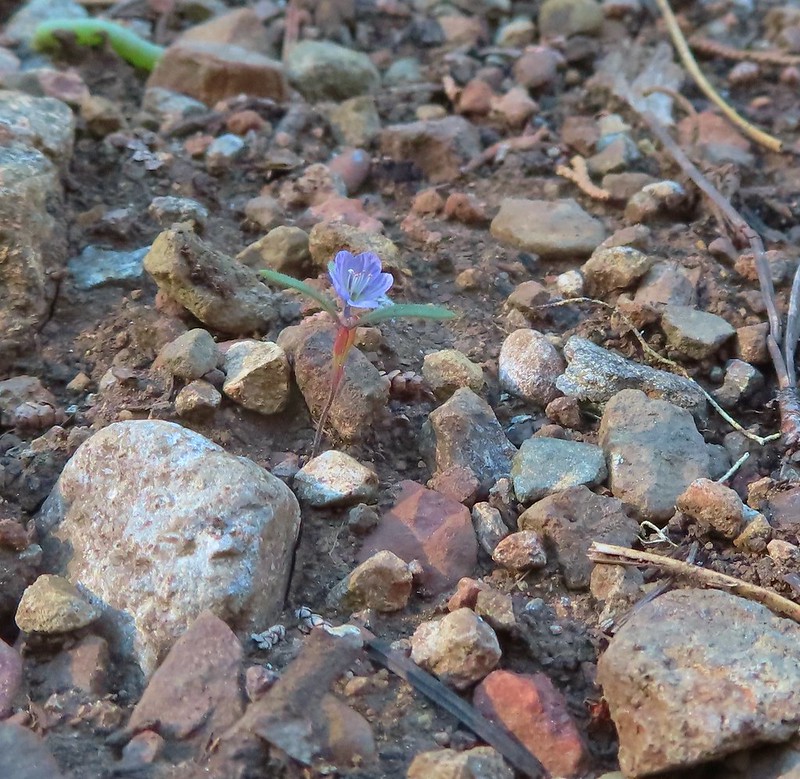
 Narrowleaf blue eyed Mary
 Siskiyou mountain ragwort
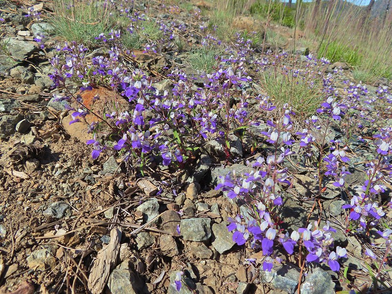
 Wedgeleaf violet
 Sanger Peak
 More penstemon
 Phlox
Phlox
After cresting below Black Butte the trail made a slight descent to a junction with the Black Butte Tie Trail 1.8 miles from the trailhead.
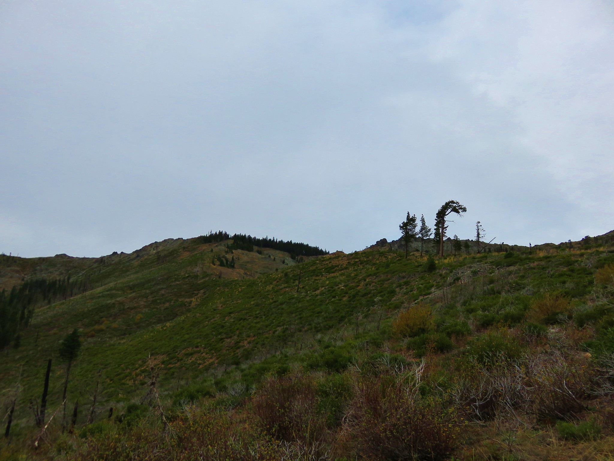
 Youngs Peak
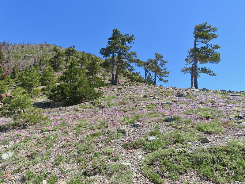
 It turned out to be a beargrass year, at least in the northern part of the wilderness.
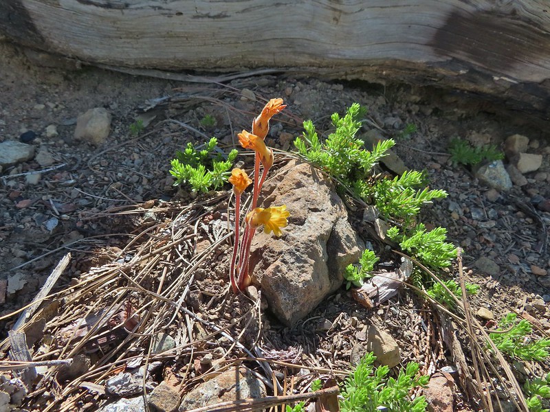 Clustered broomrape
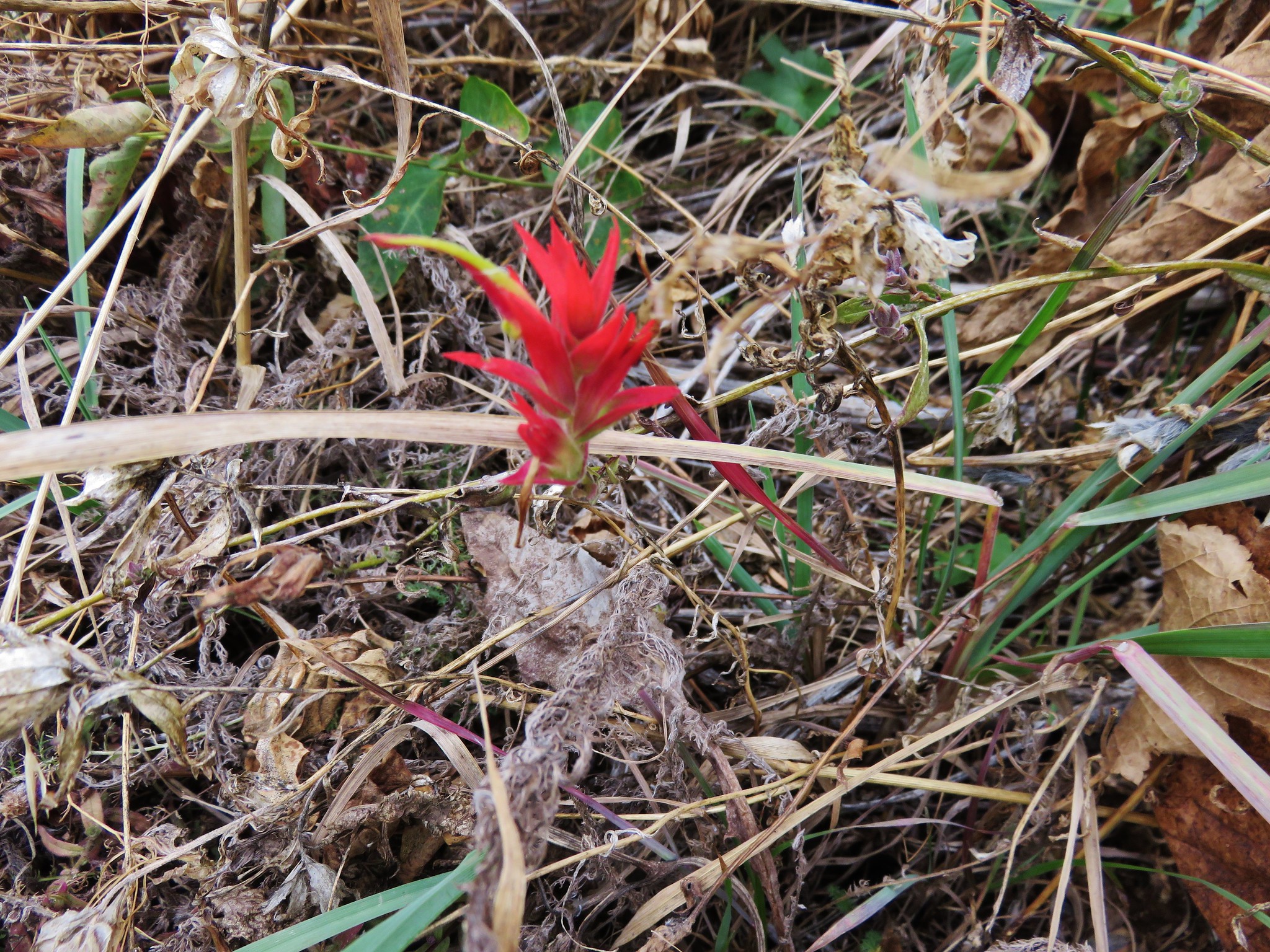
 Paintbrush
 Lizard
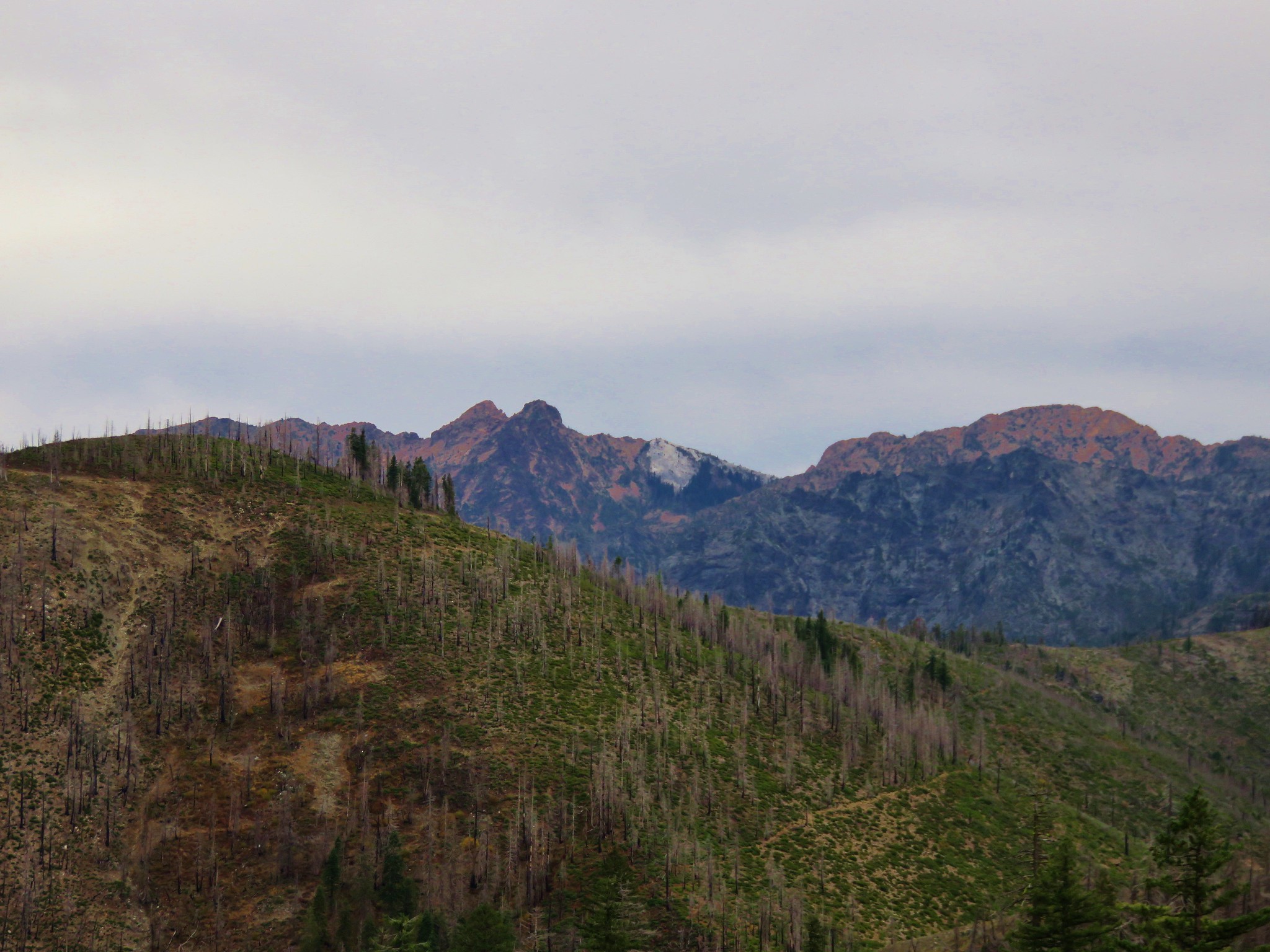
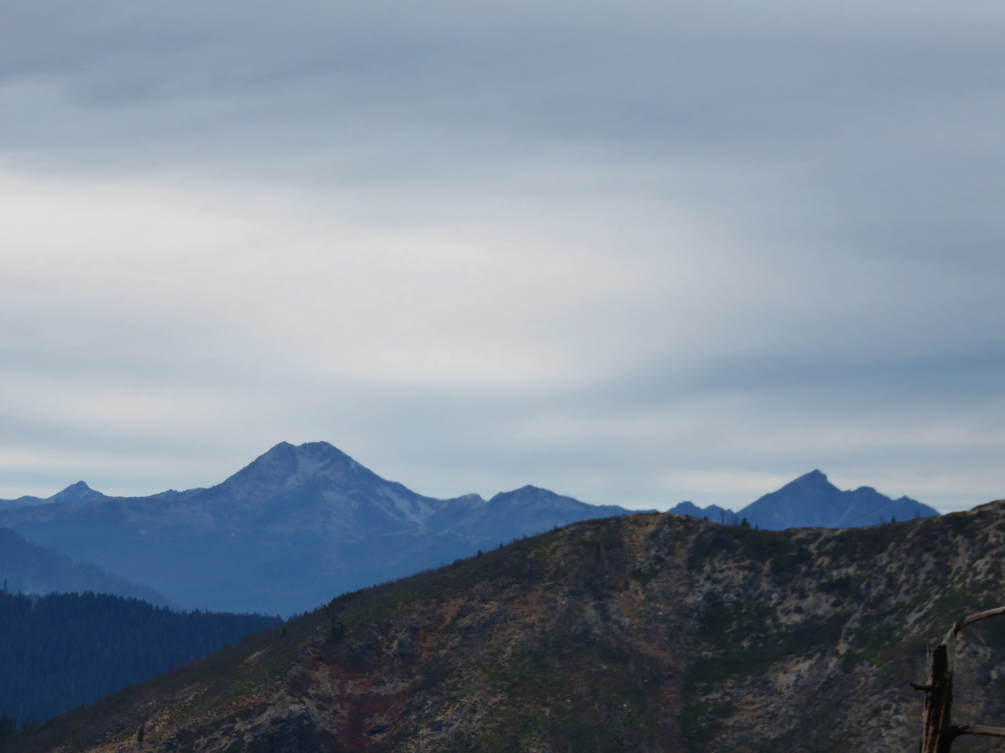
 El Capitan with the snow behind Bear Cub. Bear Mountain is the high point in the center distance with Rocky Knob to the right front of it. Youngs Peak is the high point to the far right of the frame at the end of the ridge.
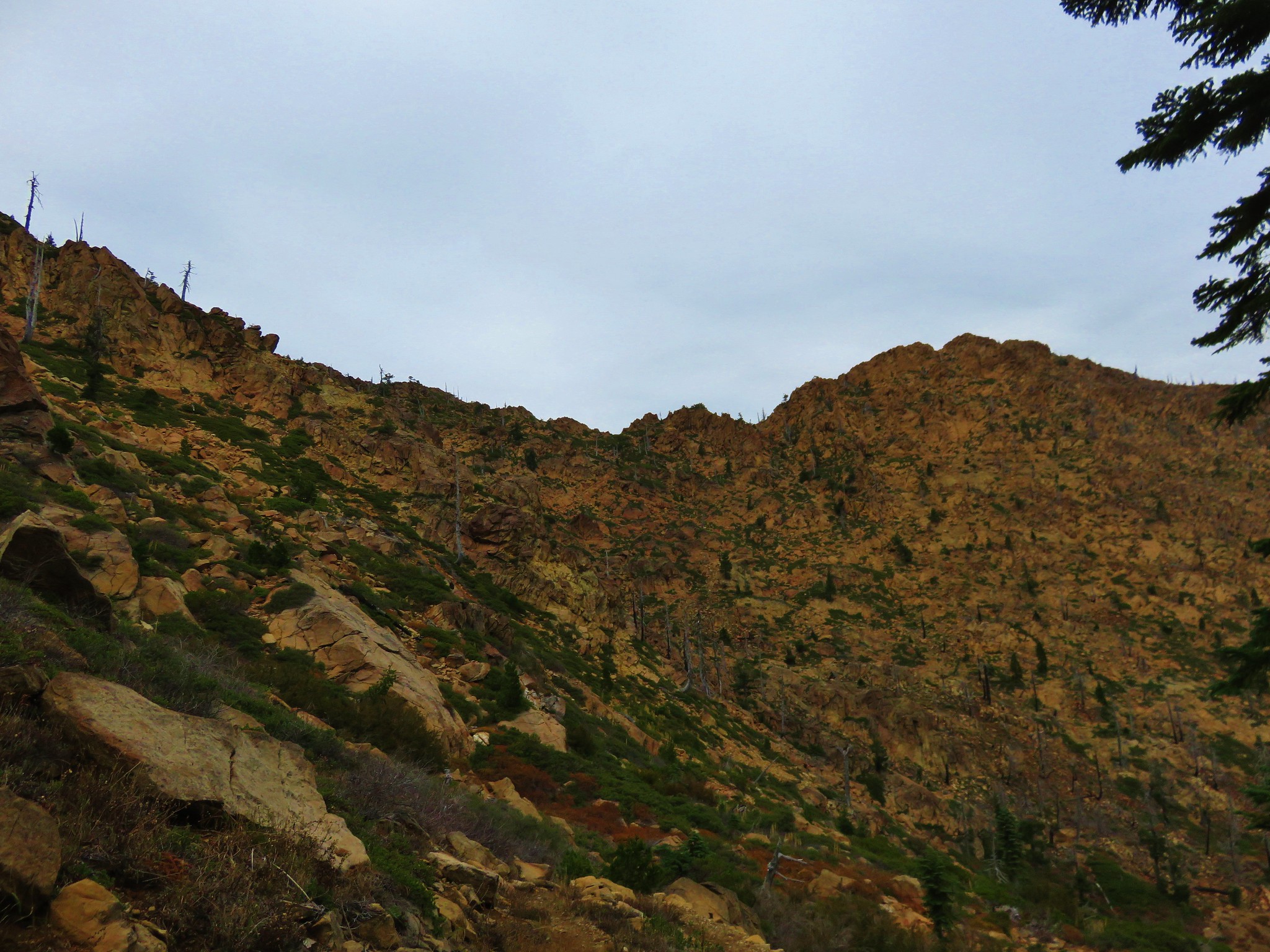
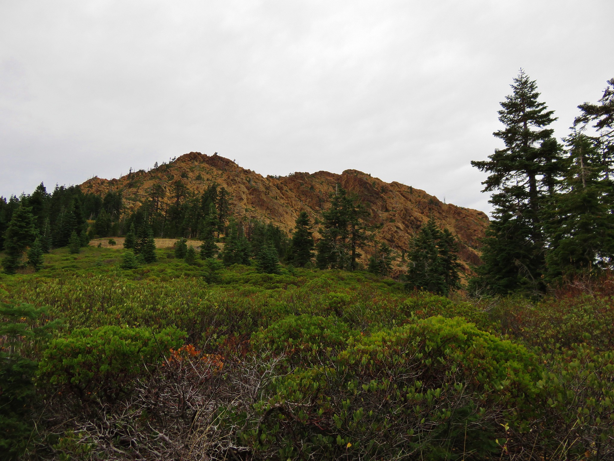
 Looking up at Black Butte.
 Rayless arnica
 Big deervetch
 The junction with the tie trail.
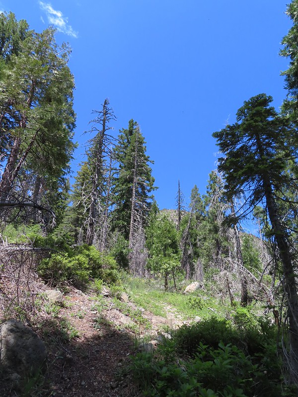
We would be coming up the tie trail on Monday on the way back to our car but for now we forked left sticking to the Black Butte Trail. Our Forest Service Map indicated that the next 2.5 miles of trail was “infrequently maintained” but the first three quarters of a mile to Polar Bear Gap were fine.
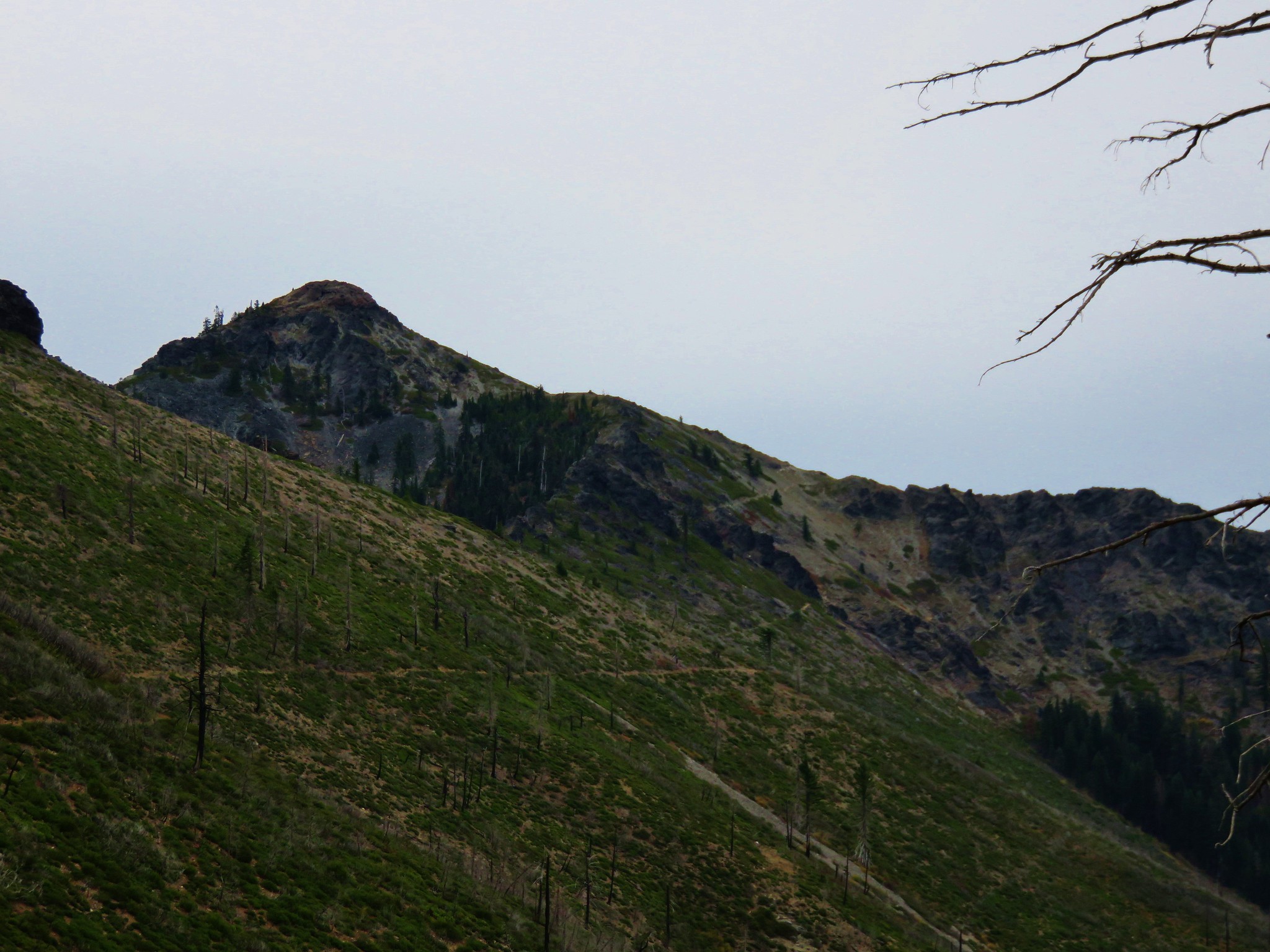
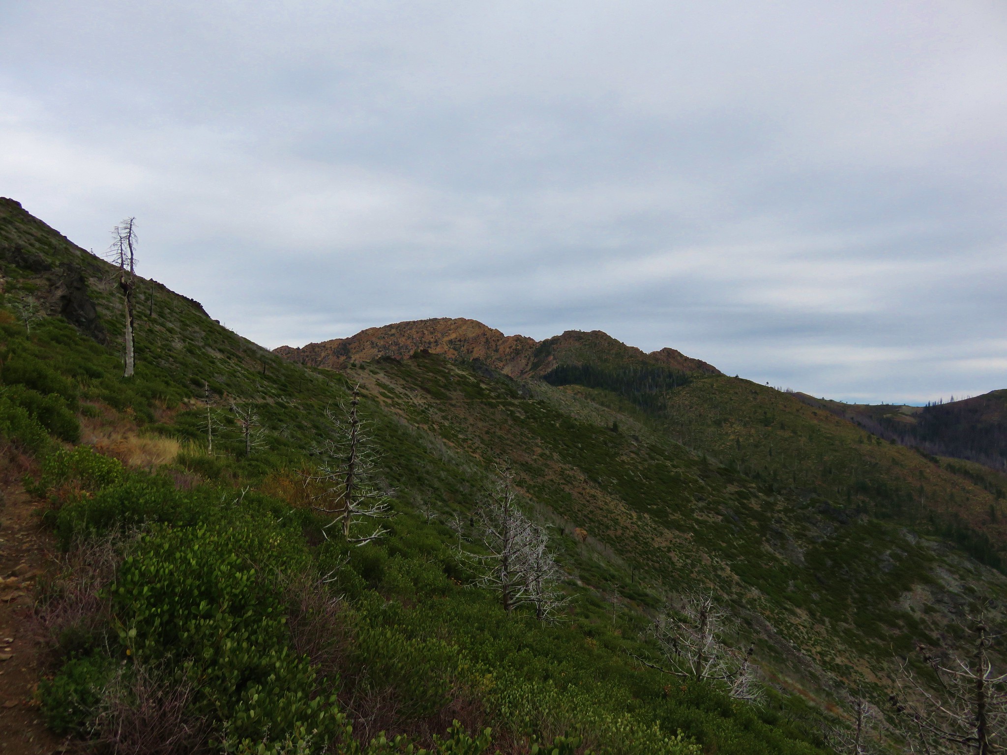
 Polar Bear Mountain ahead.
 Azalea
 A sulphur butterfly
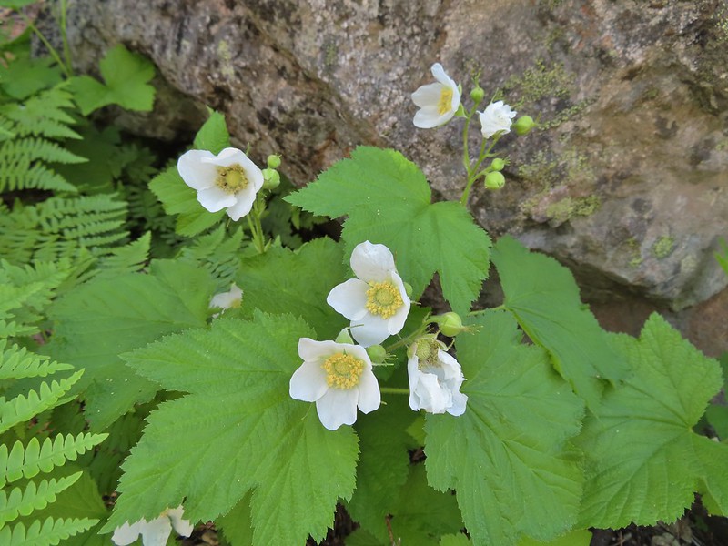 Thimbleberry blossoms
 A tortoiseshell on thimbleberry.
 Wallflower
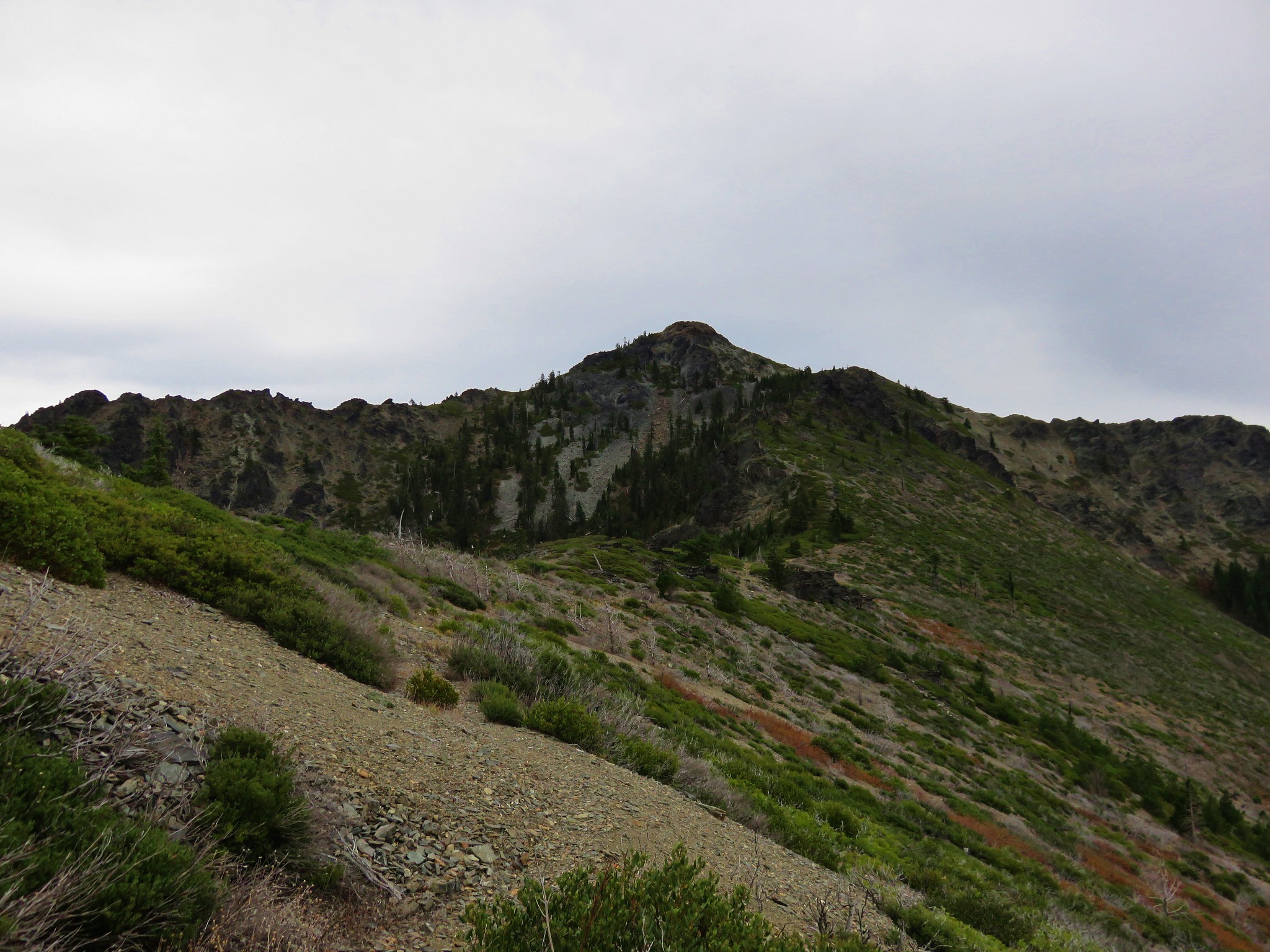
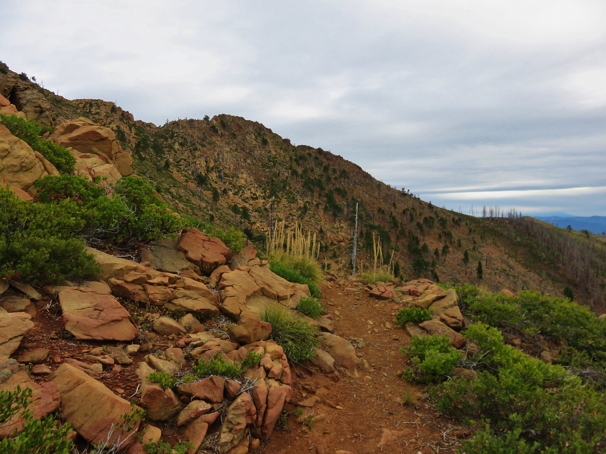
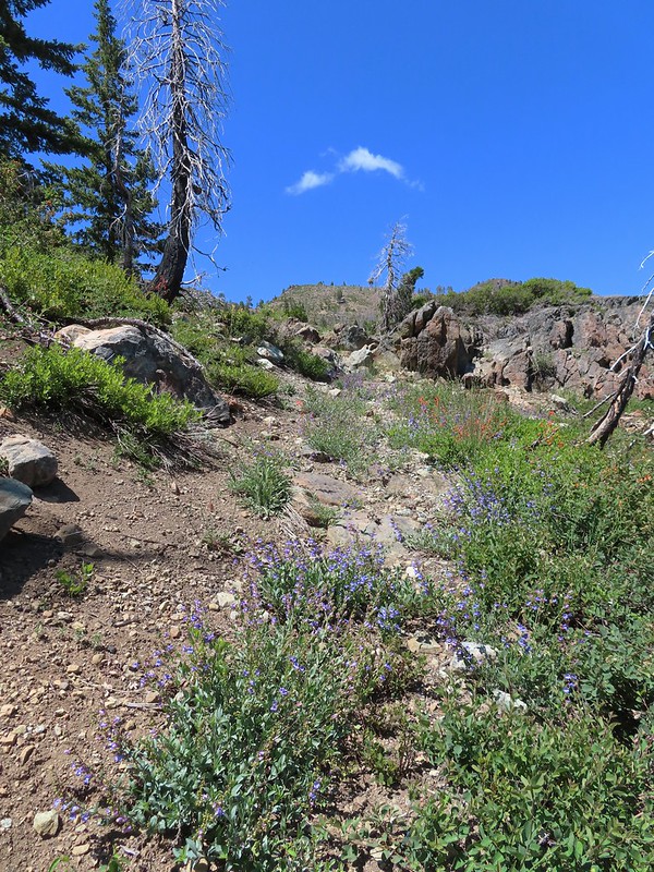
 The trail steepened considerably as it made the final climb to the gap.
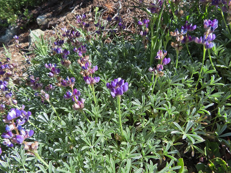 Lupine
 Lewis flax
 Lookout Mountain
 Paintbrush
 A carpet of narrowleaf blue eyed Mary at Polar Bear Gap
 Nuttall’s sandwort surrounded by blue eyed Mary.
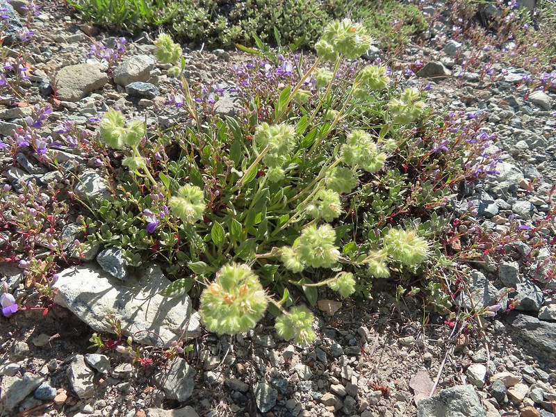 Serpentine phacelia
 Polar Bear Gap
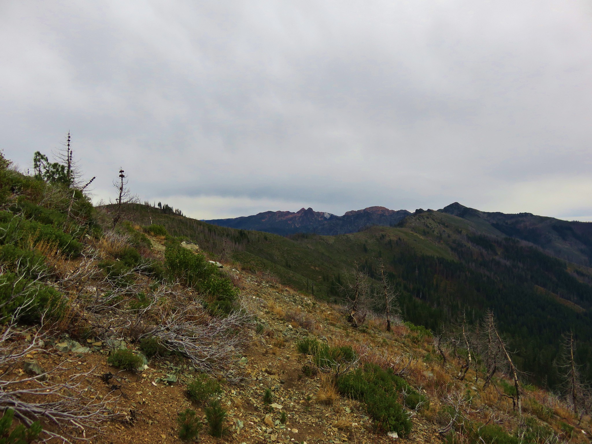
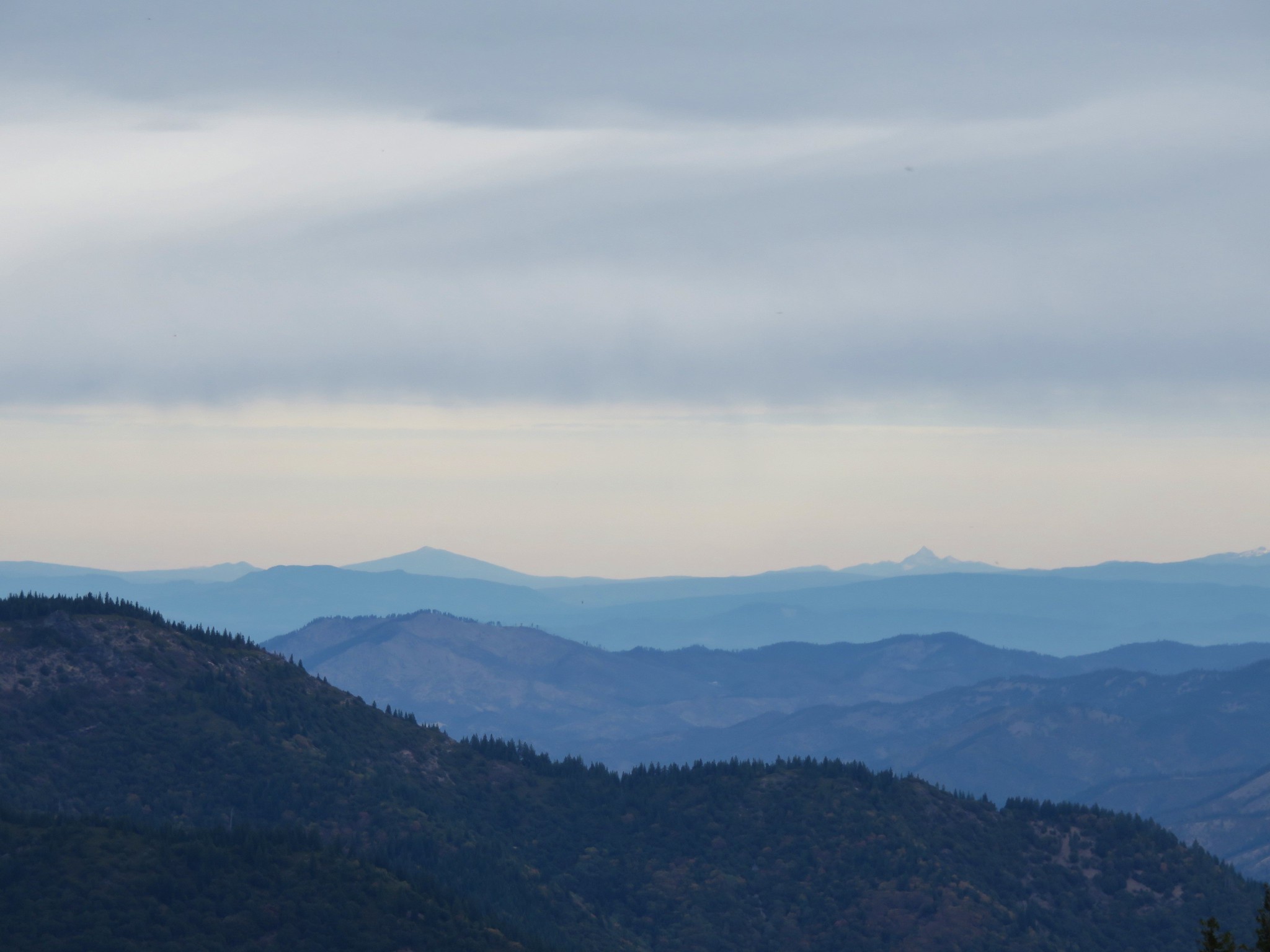
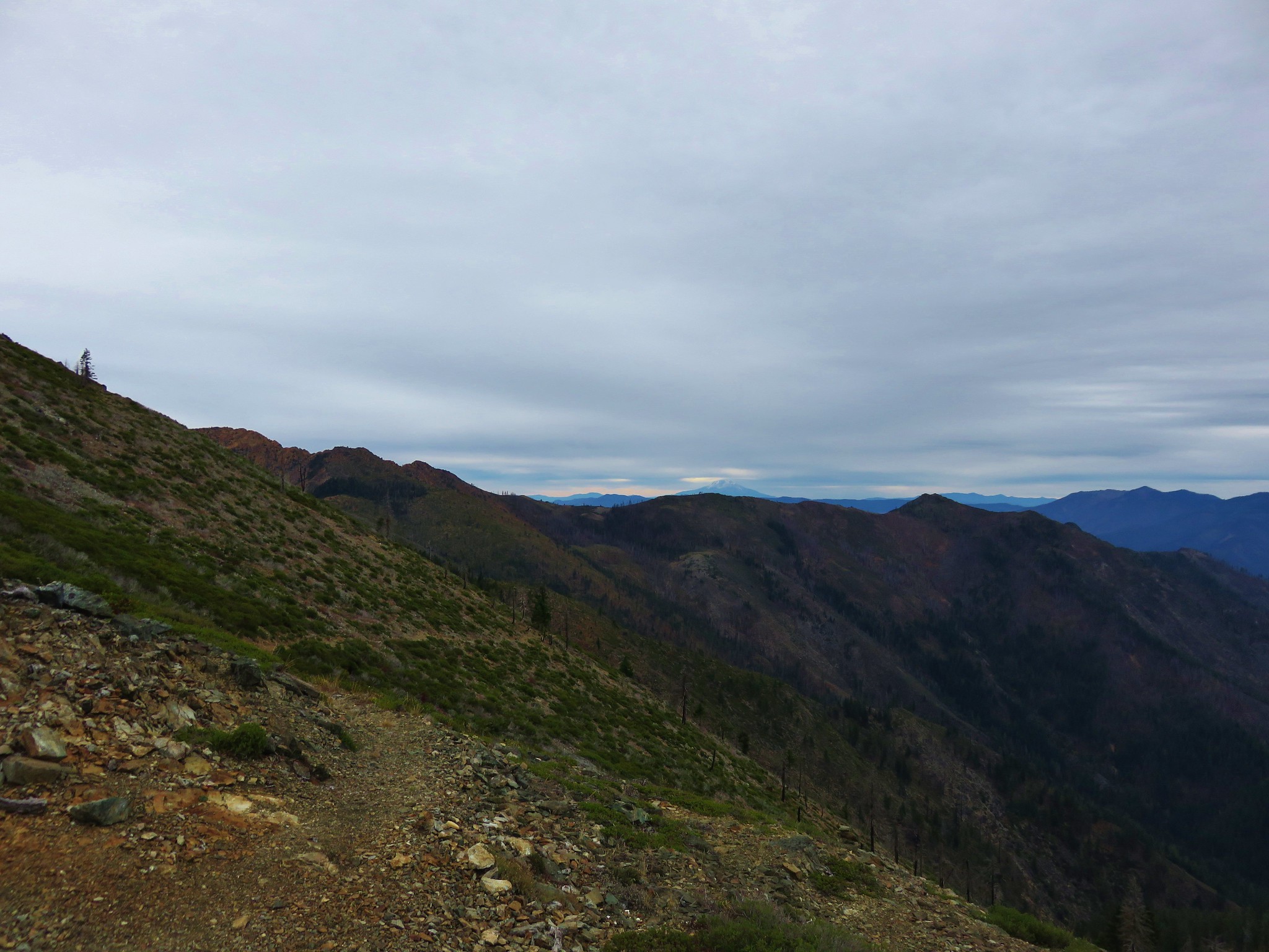
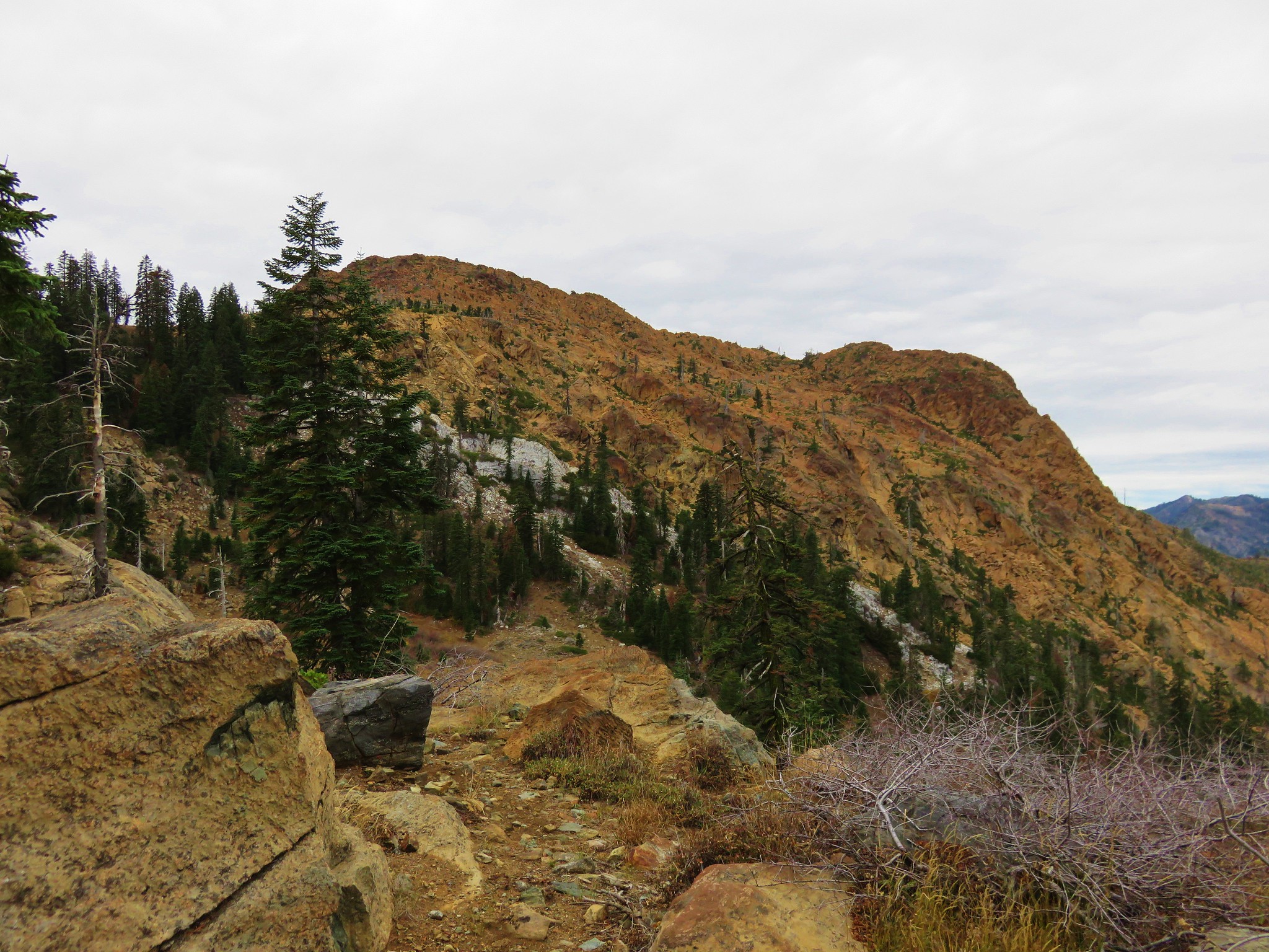
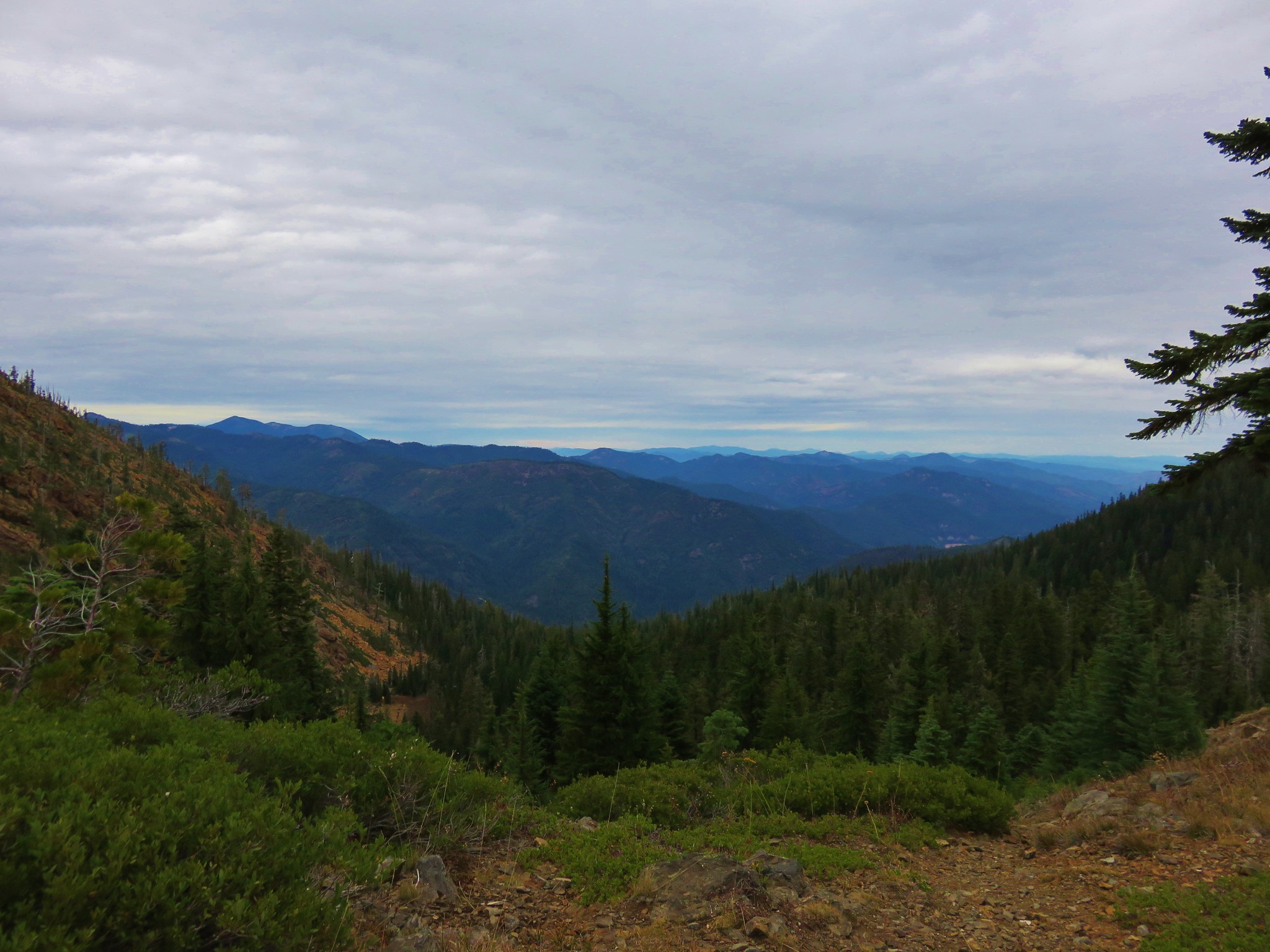
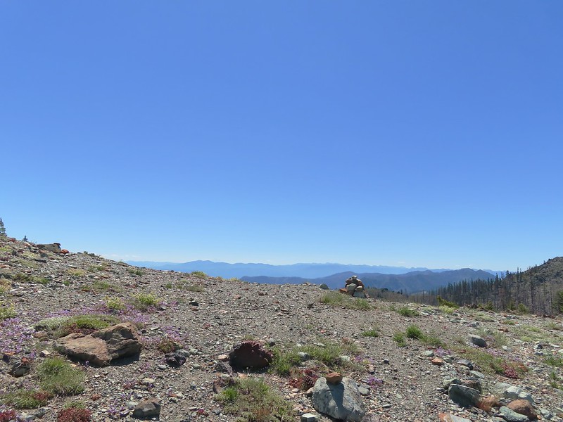
Polar Bear Gap sits between Lookout Mountain to the north and Polar Bear Mountain to the south and provided us our best view eastward of the entire trip.
 Lookout Mountain
 Polar Bear Mountain
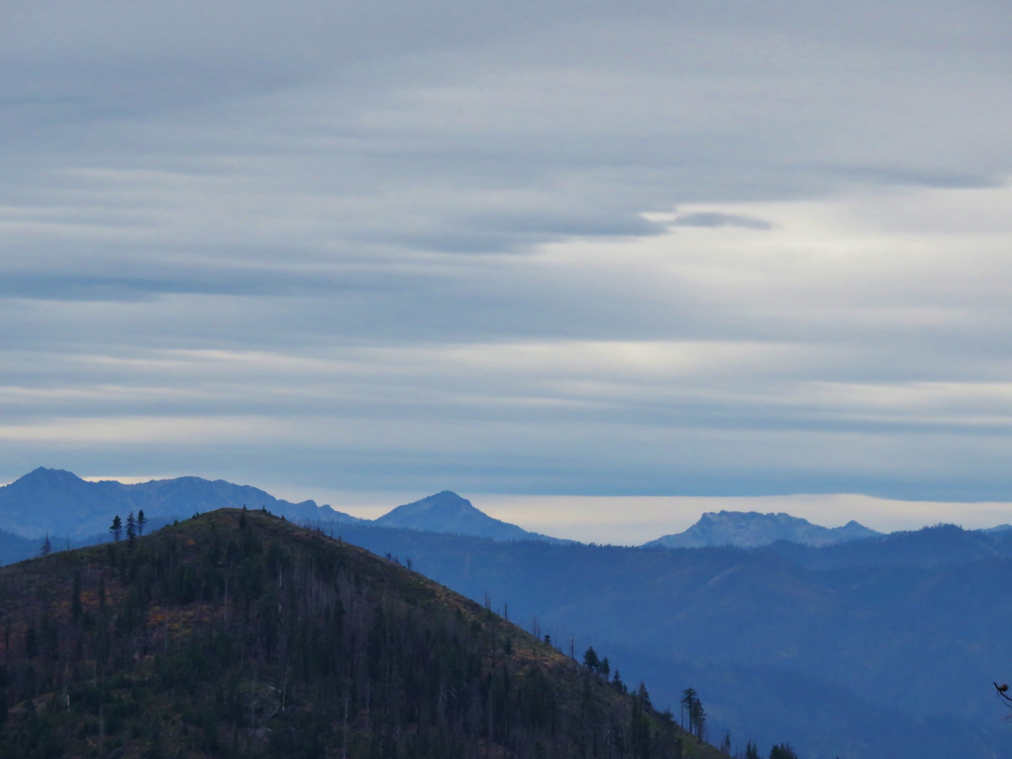
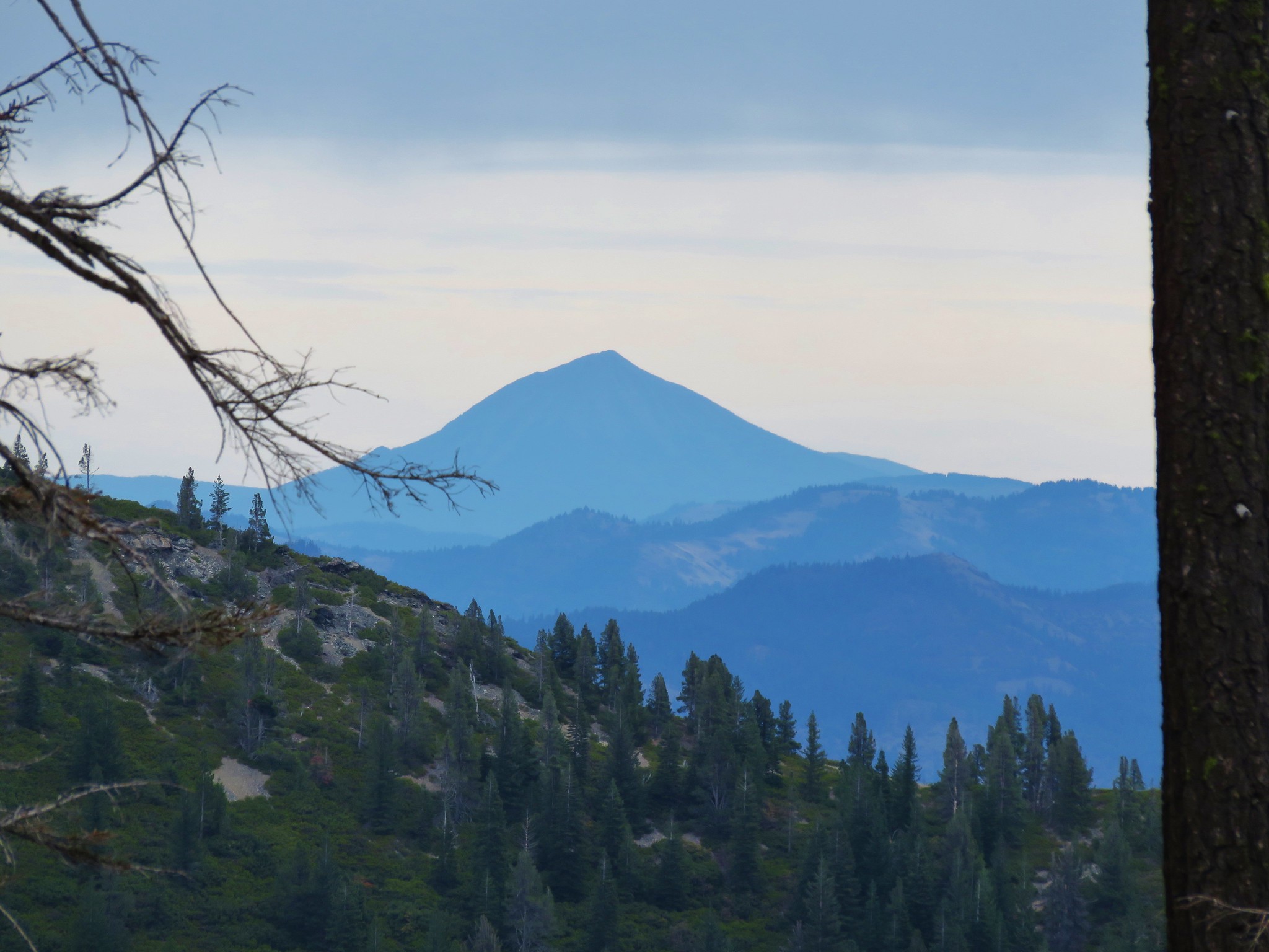
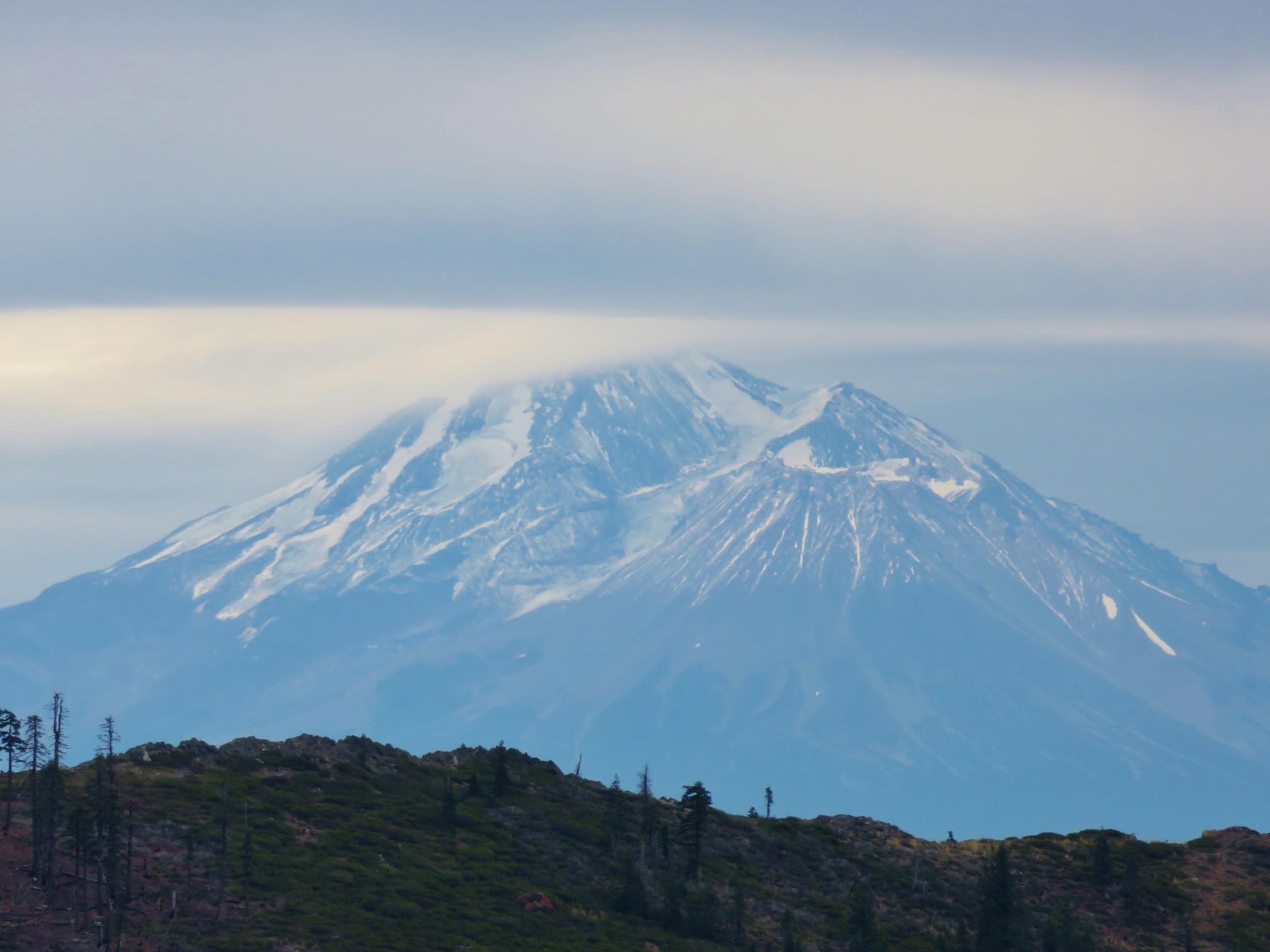
 Looking east toward Mt. Shasta.
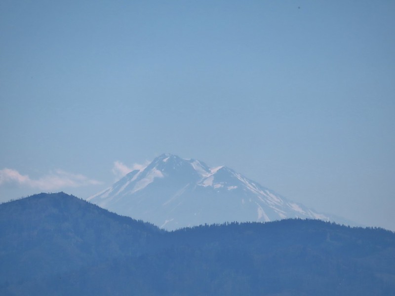 Mt. Shasta
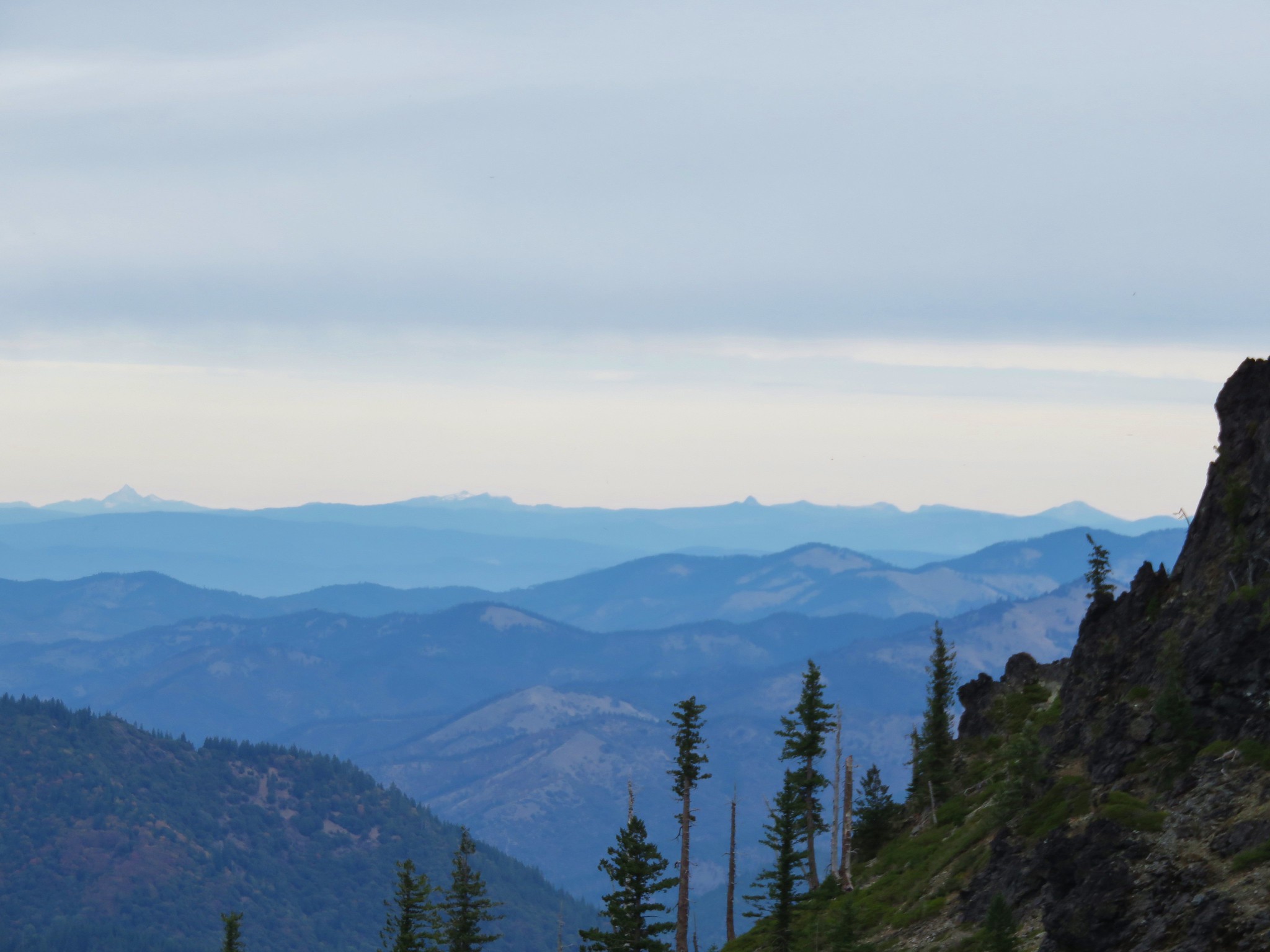
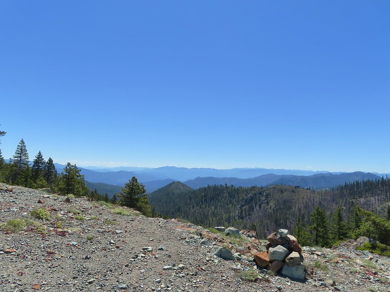
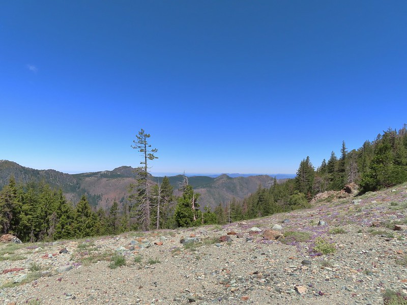 Looking west toward Sanger Peak.
 Sickle-leaved Onion
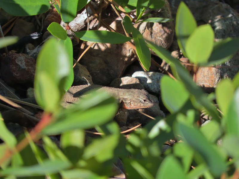
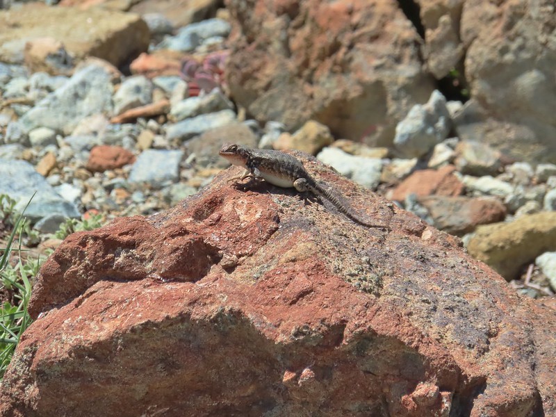 There were lots of lizards in the area.
After a much needed rest at the gap (we aren’t used to carrying full backpacks) we headed down the opposite side of the gap toward Twin Valley.

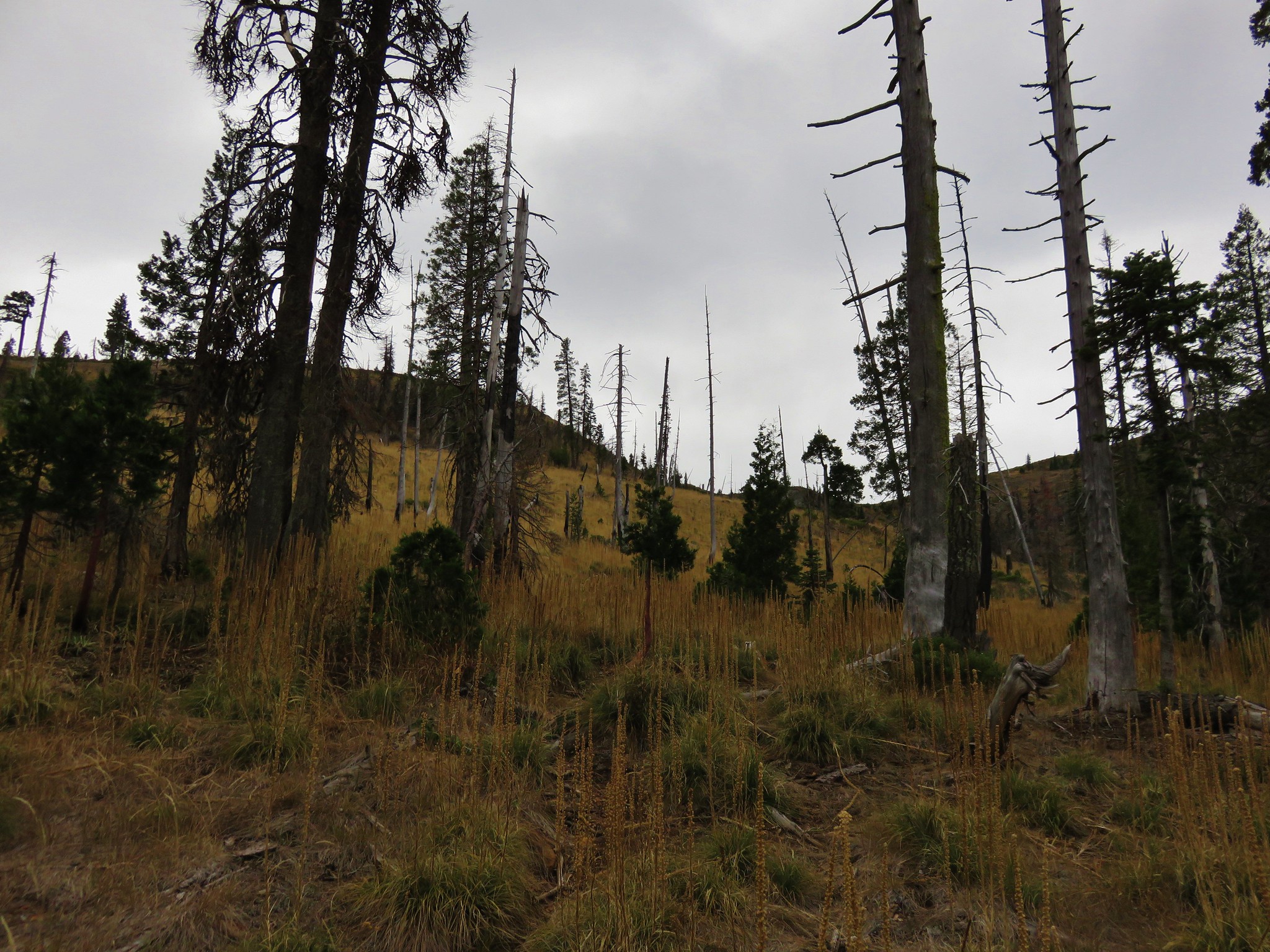
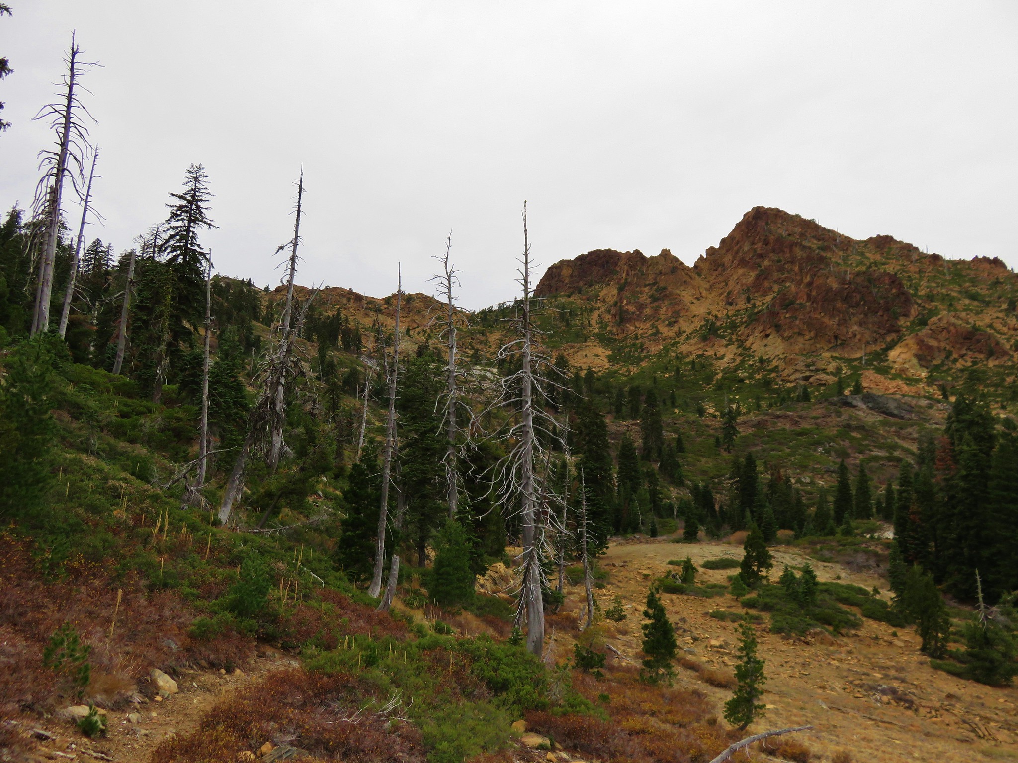
On this side of the gap we traded the 2020 Slater fire scar for the 2018 Natchez fire.
 Heading down into Twin Valley
 Paintbrush and penstemon along the trail.
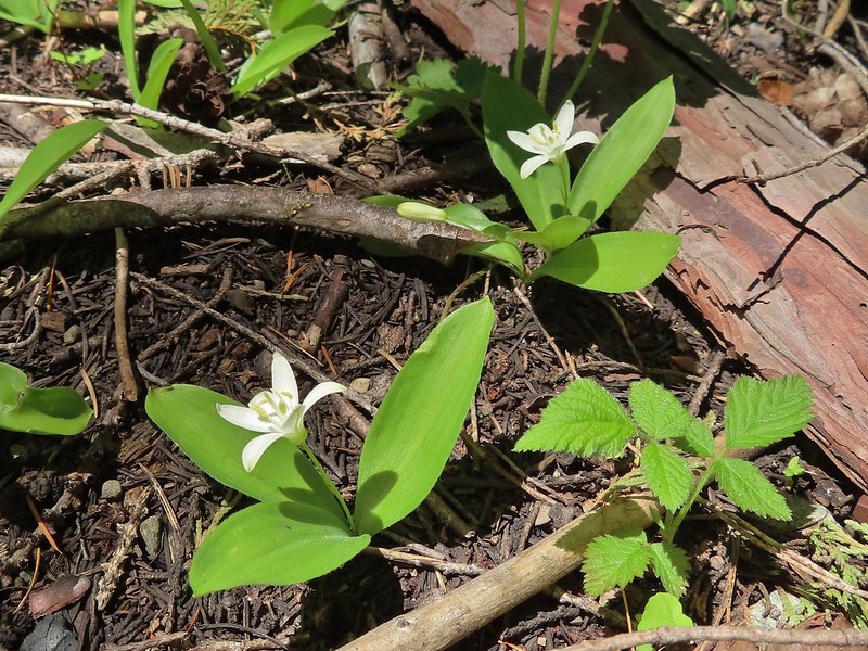 Queen’s cup
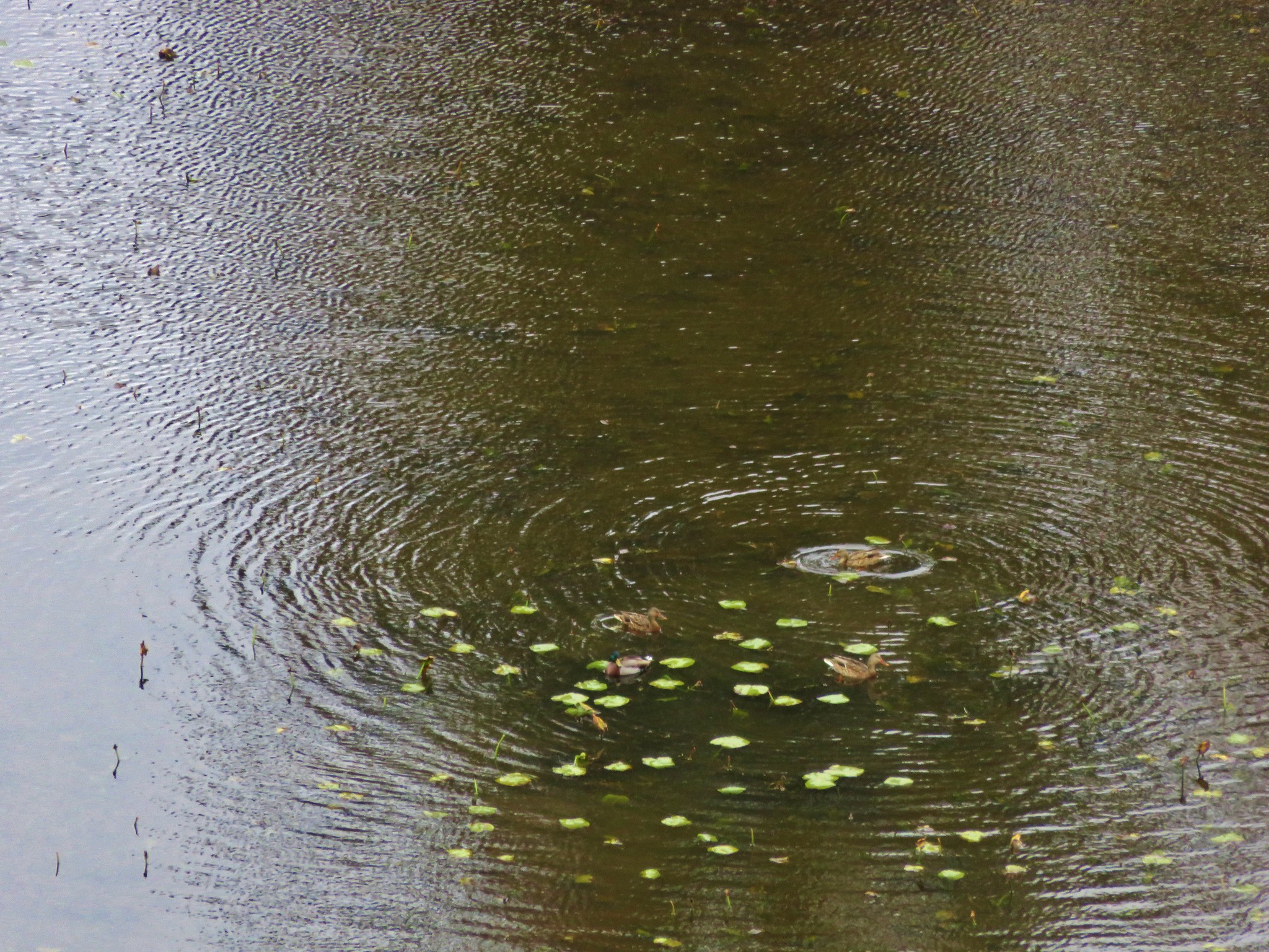
 Frog
Frog
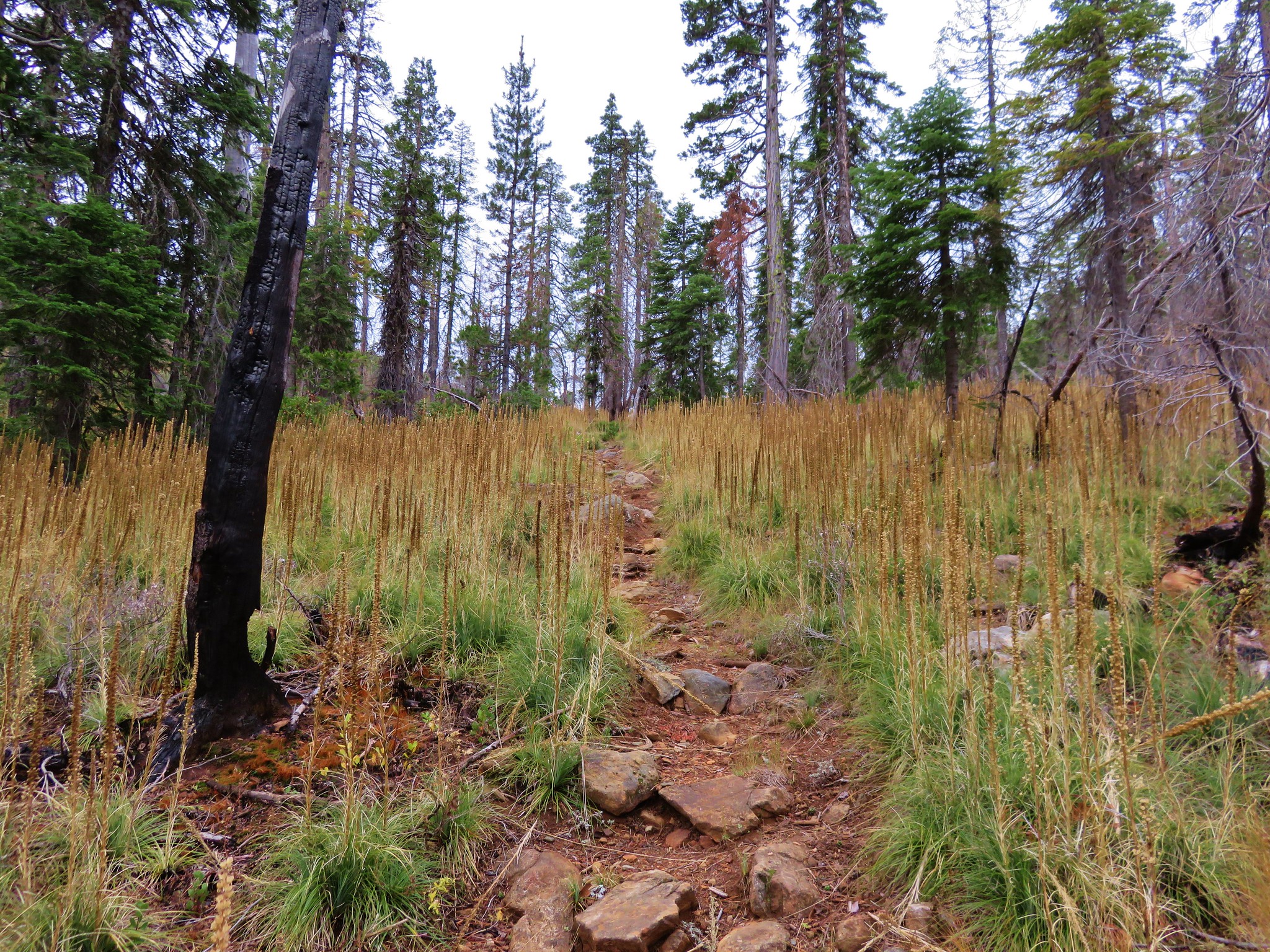
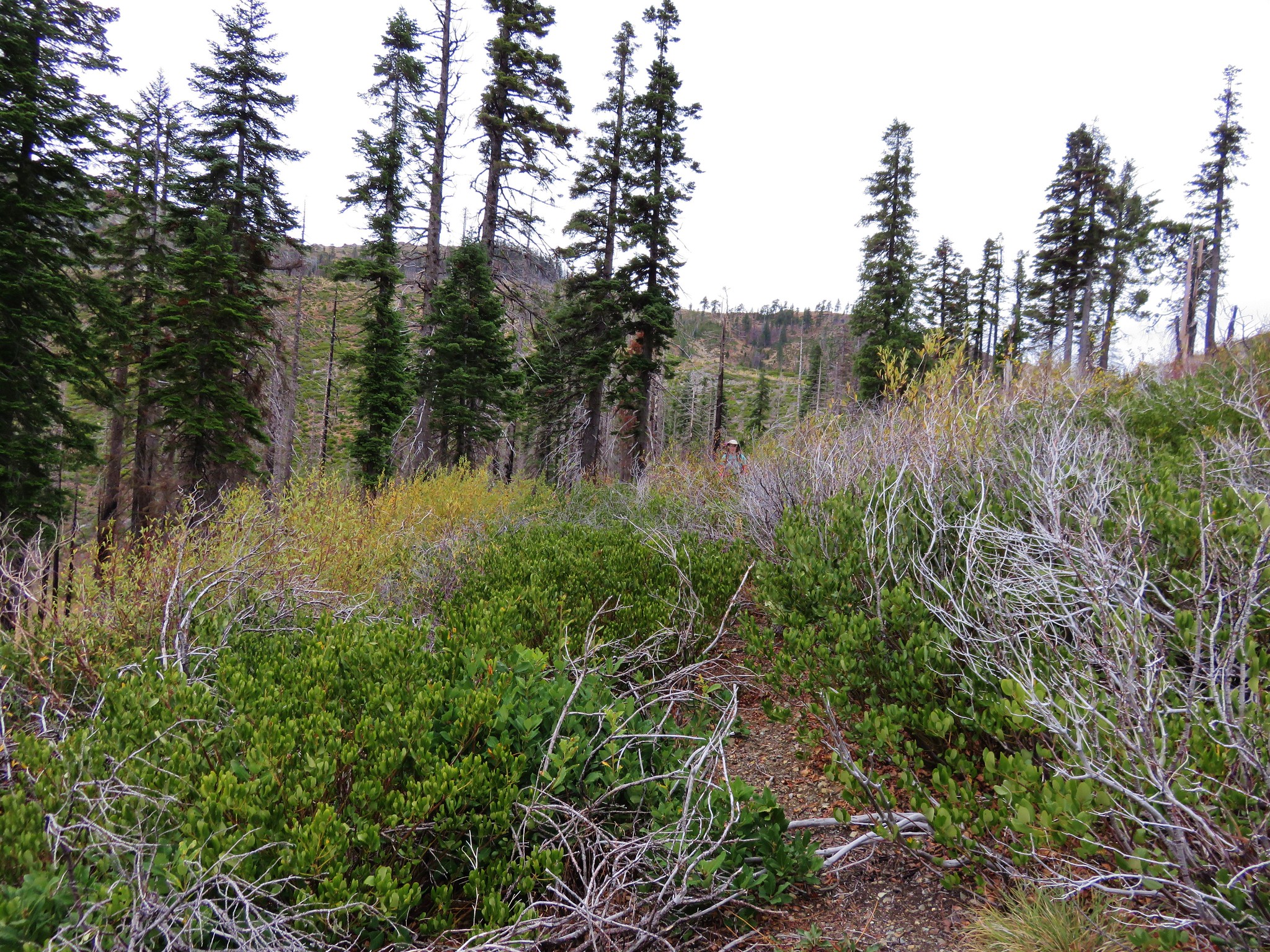
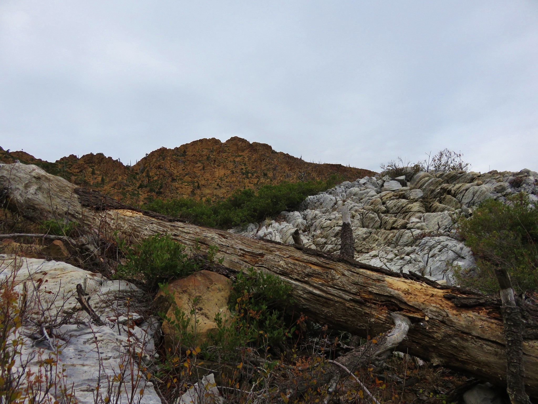
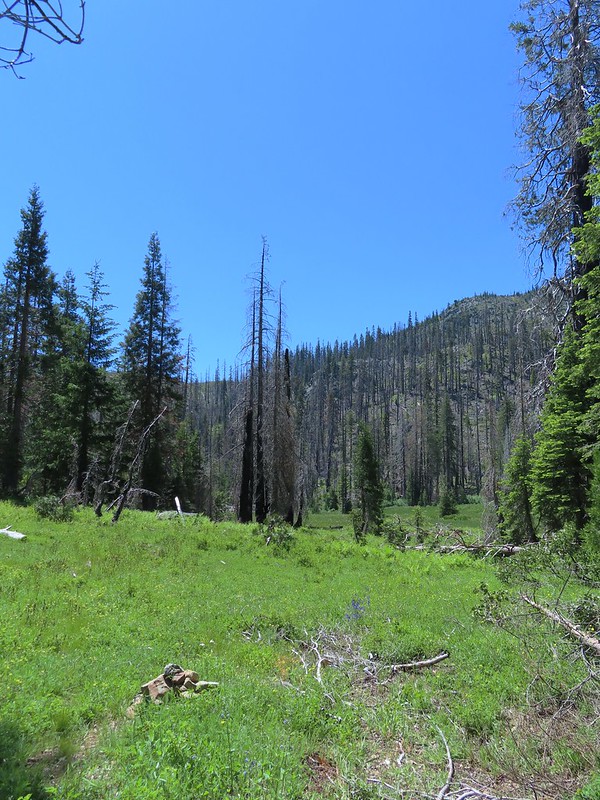
As we neared the first of two meadows in the valley the infrequent maintenance became obvious. The good news was that there were a good number of cairns set up but it was slow going at times trying to locate the next one.
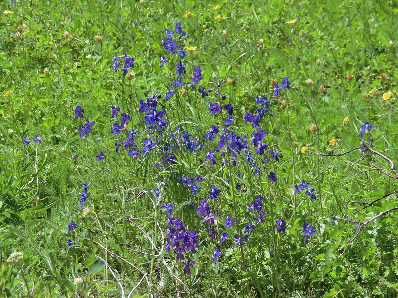 Larkspur
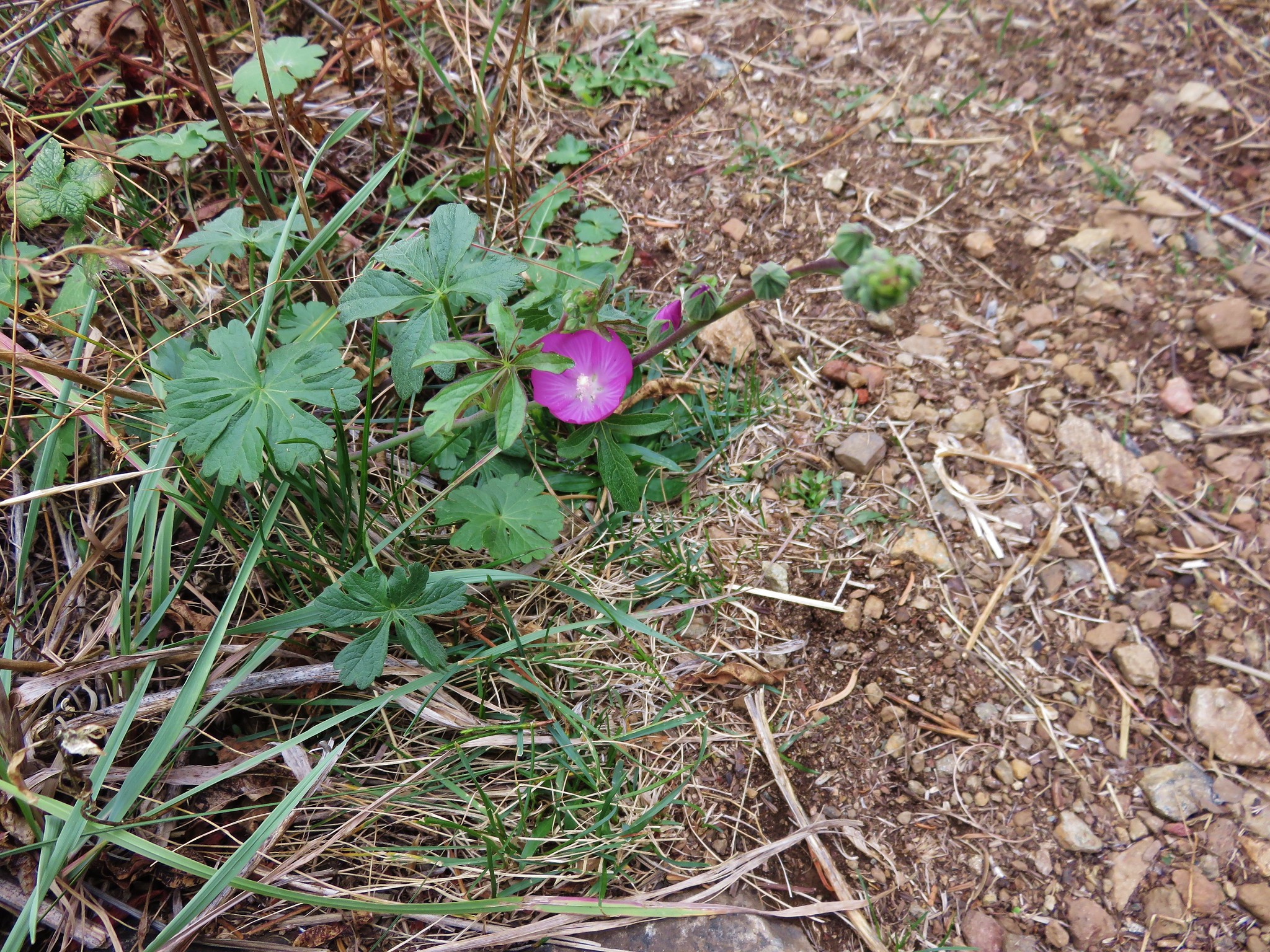
 The yellow is a cinquefoil I believe but I don’t know what the other dark flower is.
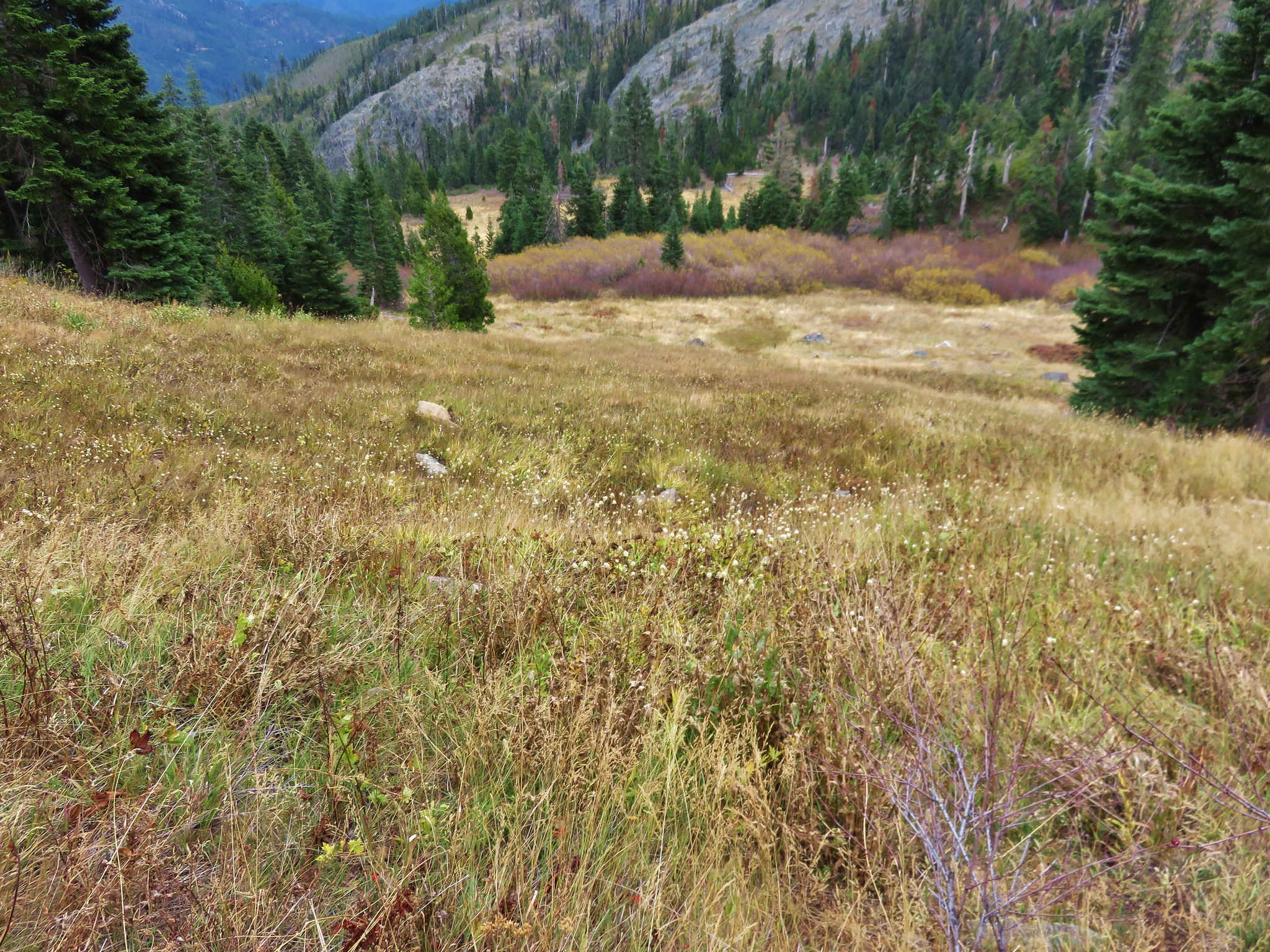
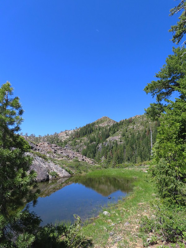
 Meadow in Twin Valley.
The trail passed between the smaller upper and larger lower meadows and continued a slight descent along the lower meadow where we began looking for a junction with the Poker Flat Trail.
 Heading down to a stream crossing between the two meadows.
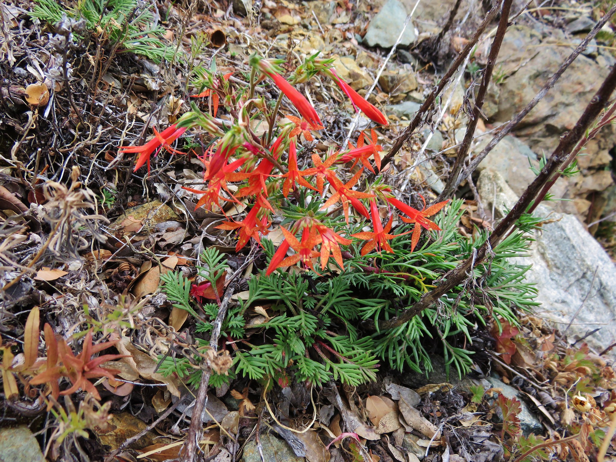
 Scarlet gilia
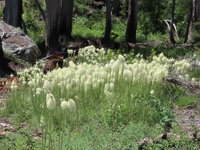 Beargrass
 Creek crossing.
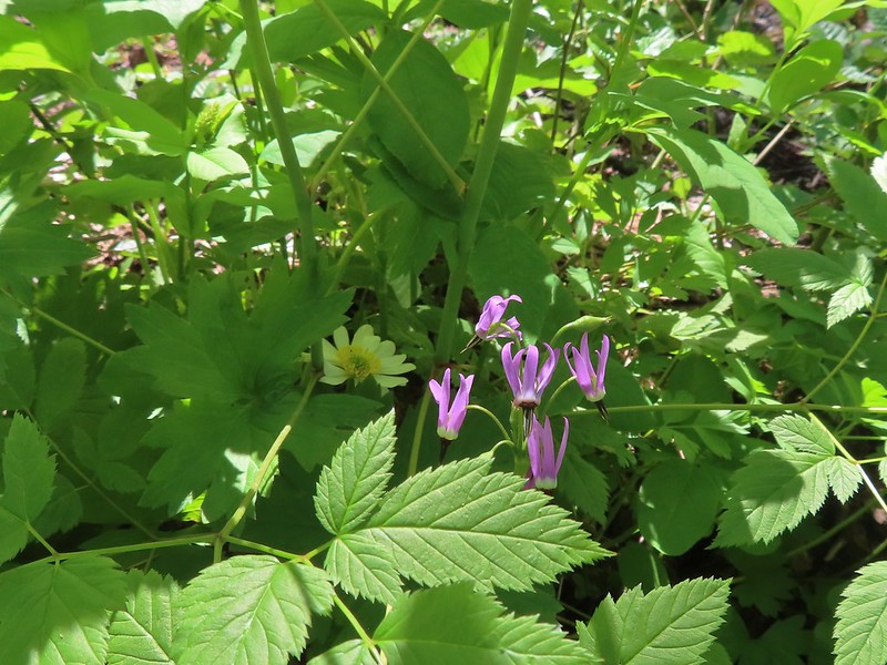 Shooting star and marsh marigold.
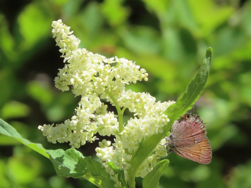 A hairstreak butterfly
 Columbine and cinquefoil
With the trails being faint we were also keeping an eye on our GPS units which both showed that we had gotten below and past the trail junction. Heather decided to strike off cross country first to see if she could find the trail and I soon followed. We lost sight of each other for just a moment and wound up crossing paths without realizing it. She wound up finding the trail junction and turned up the Poker Flat Trail before getting my attention. I made my way over to her and we were back on track.
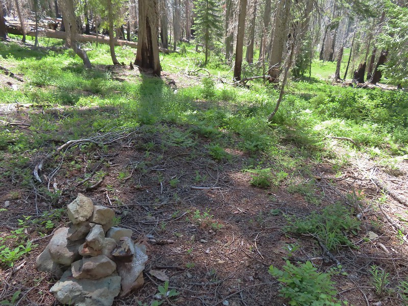
 Cut logs helped identify where the trail was supposed to be.
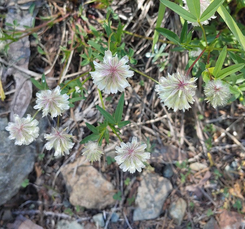 Wolley-head clover
 Oregon violet
 Polar Bear Gap from the Poker Flat Trail.
Sullivan describes the climb out of Twin Valley as being “as graceless as a bobsled run in a quarry”. That was an apt description and making the climb with full packs didn’t help. We were very relieved when the trail crested a ridge end after three quarters of a mile.
 Looking up toward the ridge end.
 Iris at the ridge end.
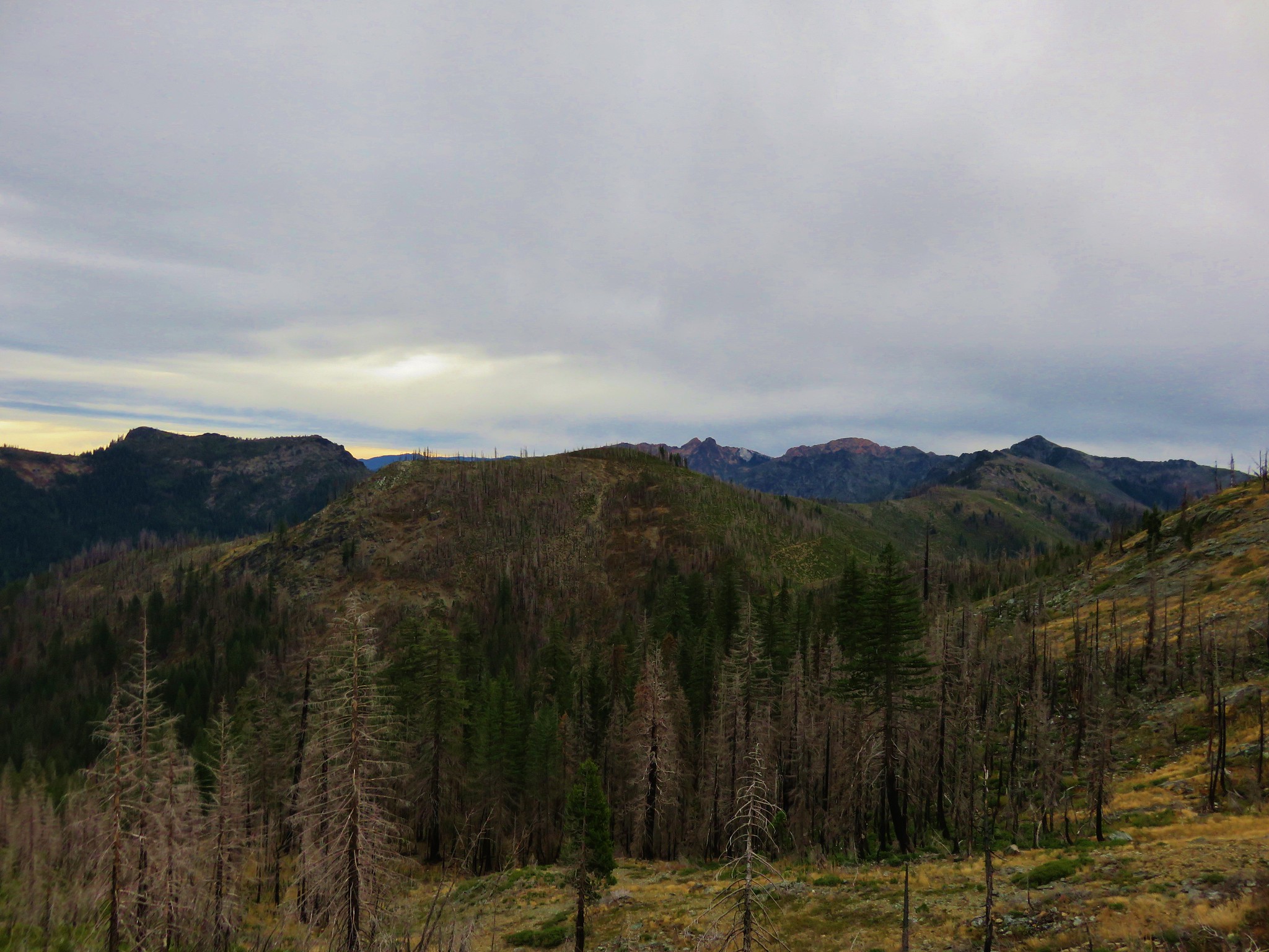
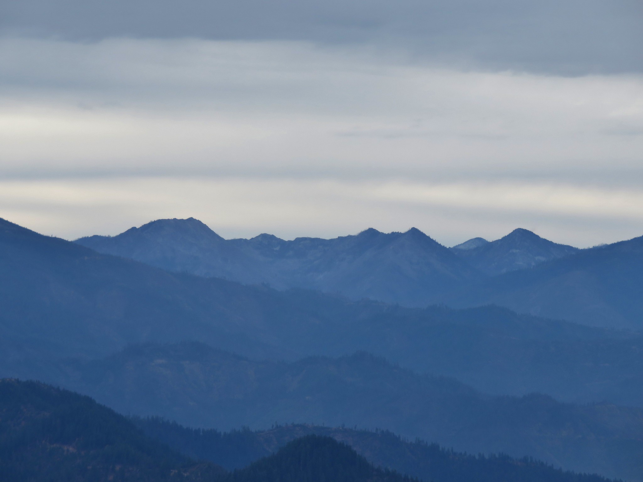
 Red Buttes (post) to the NE.
 Red Buttes
 Lookout Mountain from the ridge end.
 Bee visiting penstemon.
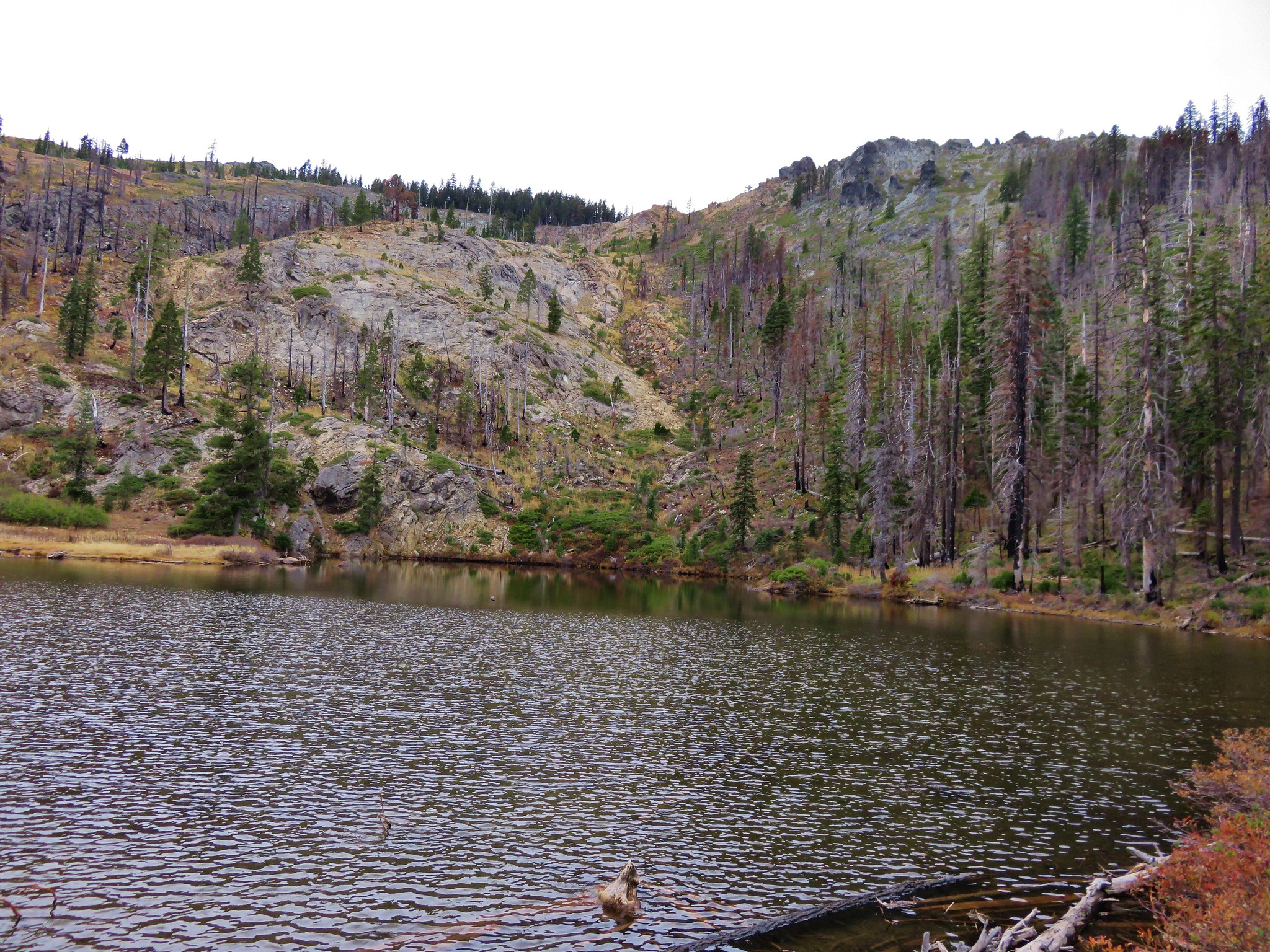
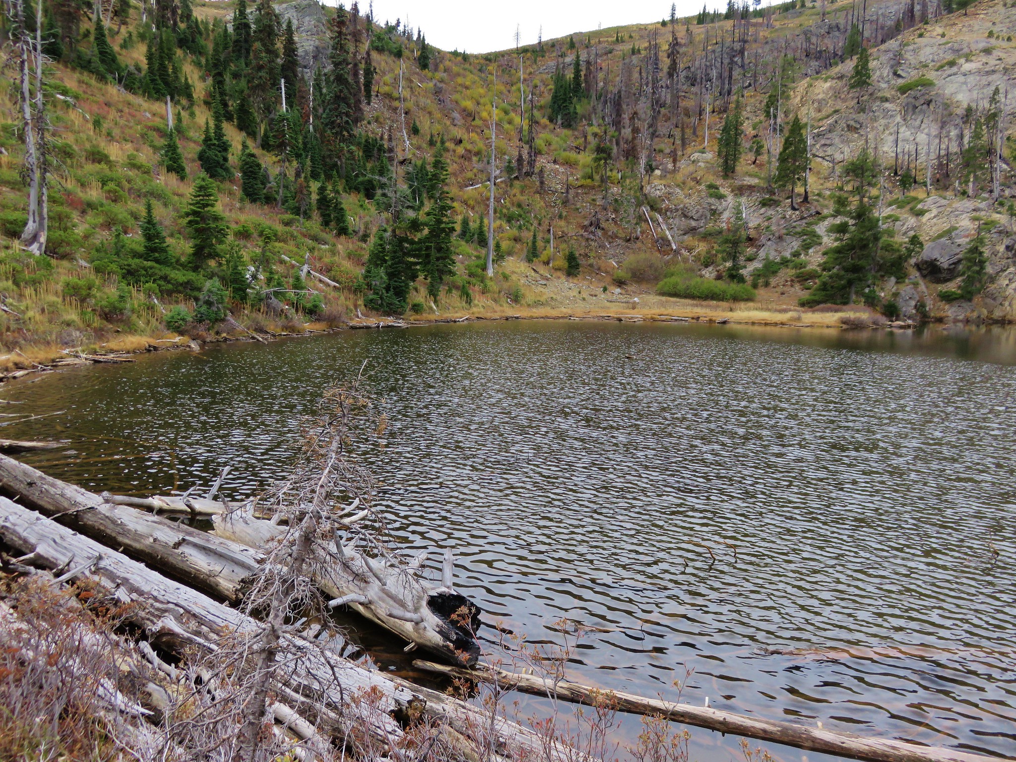
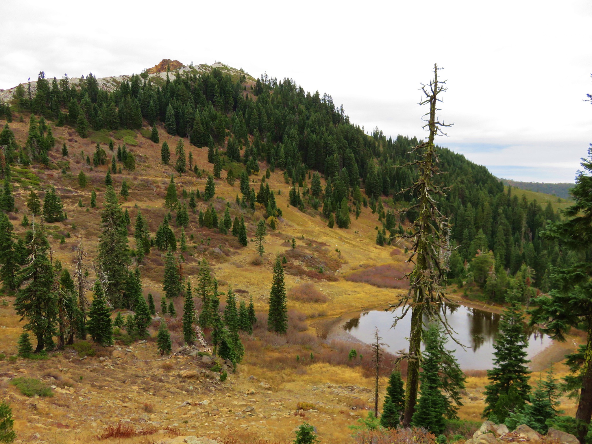
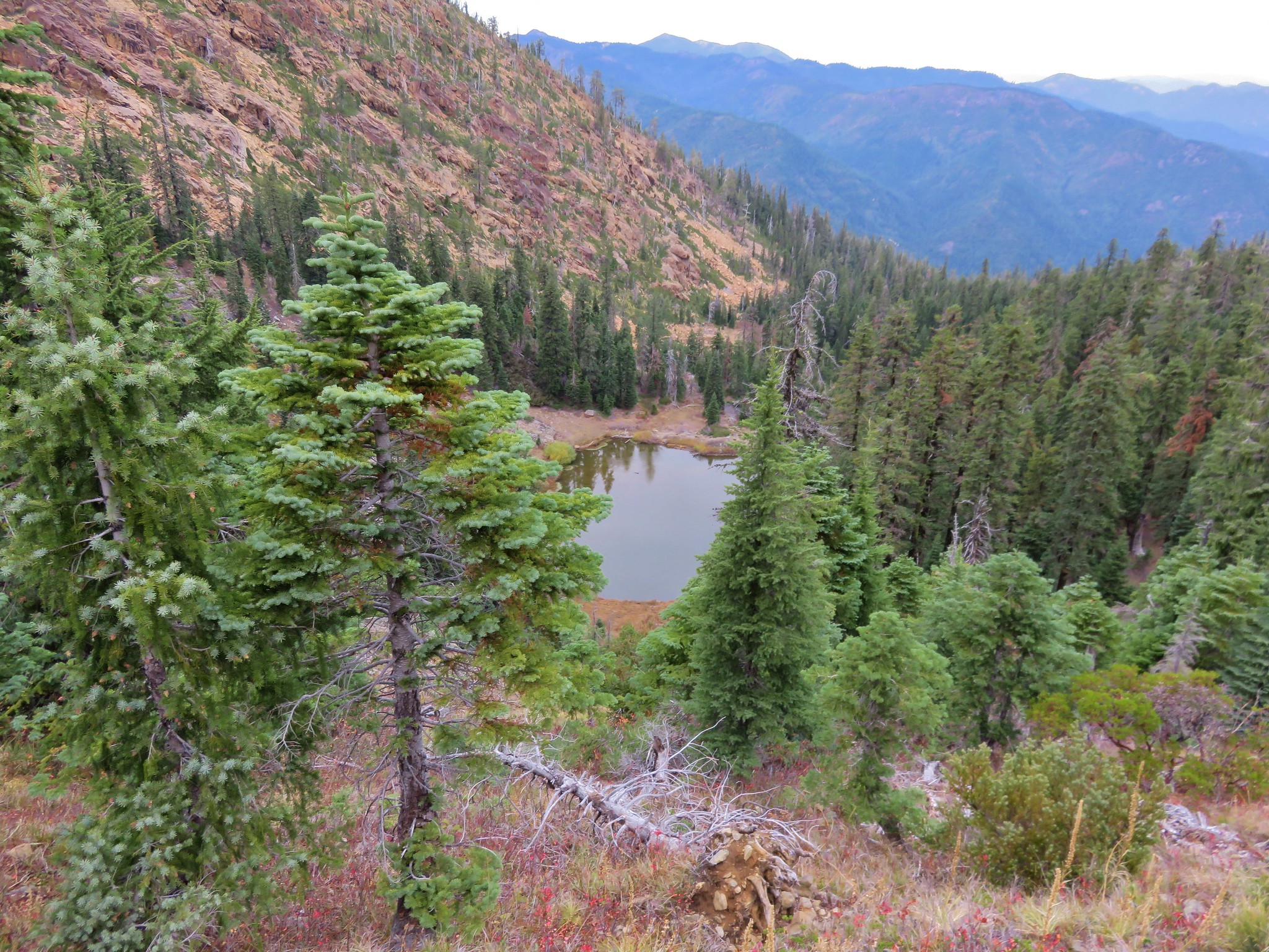
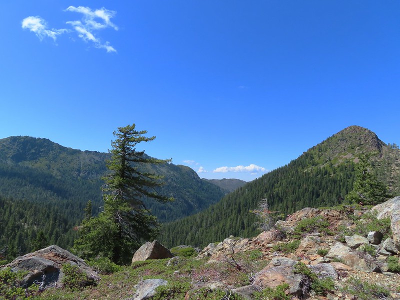
After another break at the ridge end we sallied forth. The trail descended for approximately a mile before climbing fairly steeply again for half a mile to Private Lake. We took a short side trail down to the small lake where we again rested.
 The Lieutenants and El Capitain
 Clustered broomrape
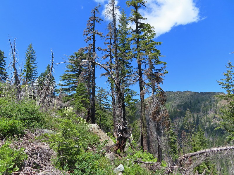
 We were starting to see a lot of bear sign.
 An as-of-yet unidentified flower.
 This may be sticky blue eyed Mary.
 Mariposa lily
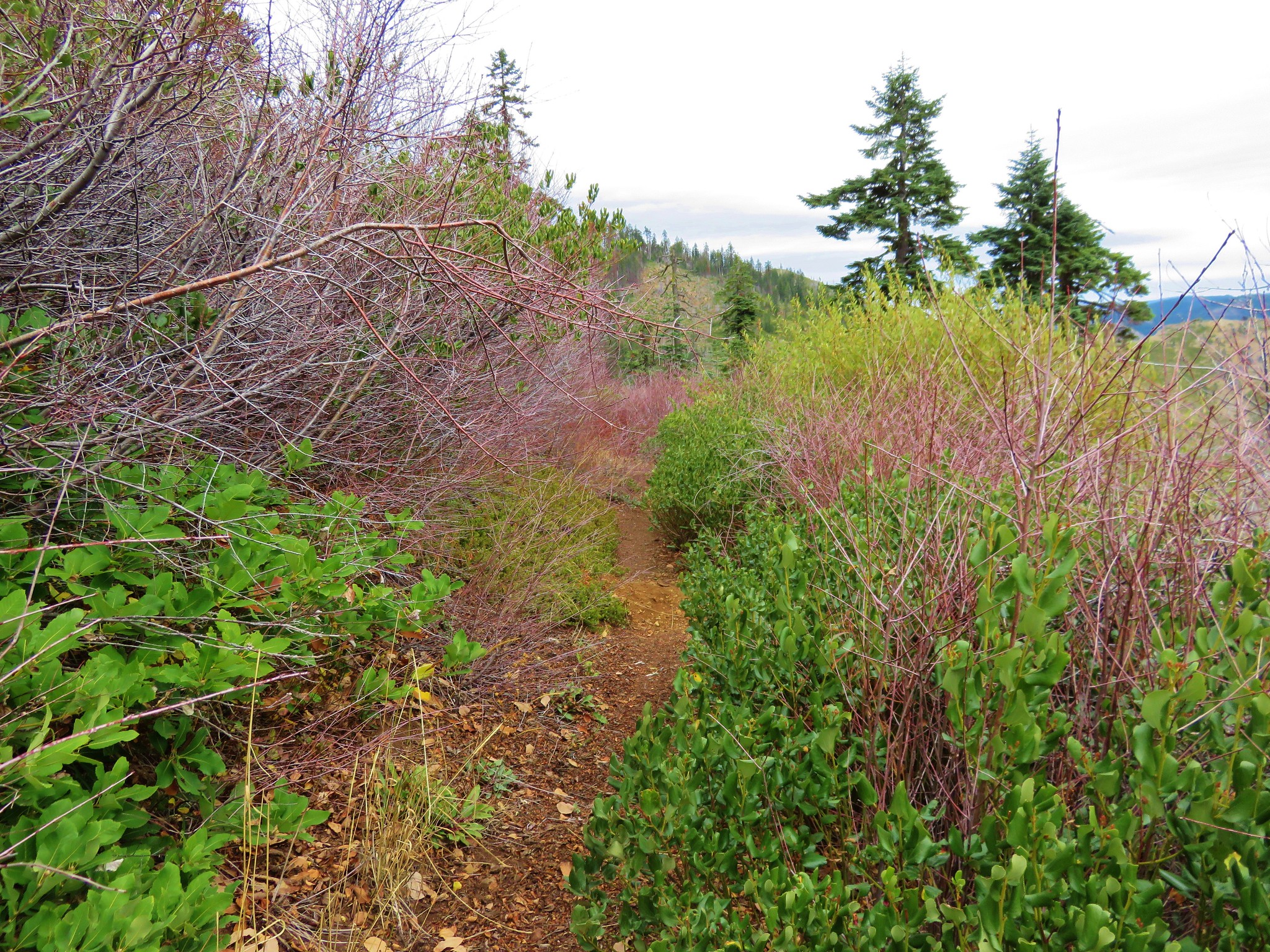
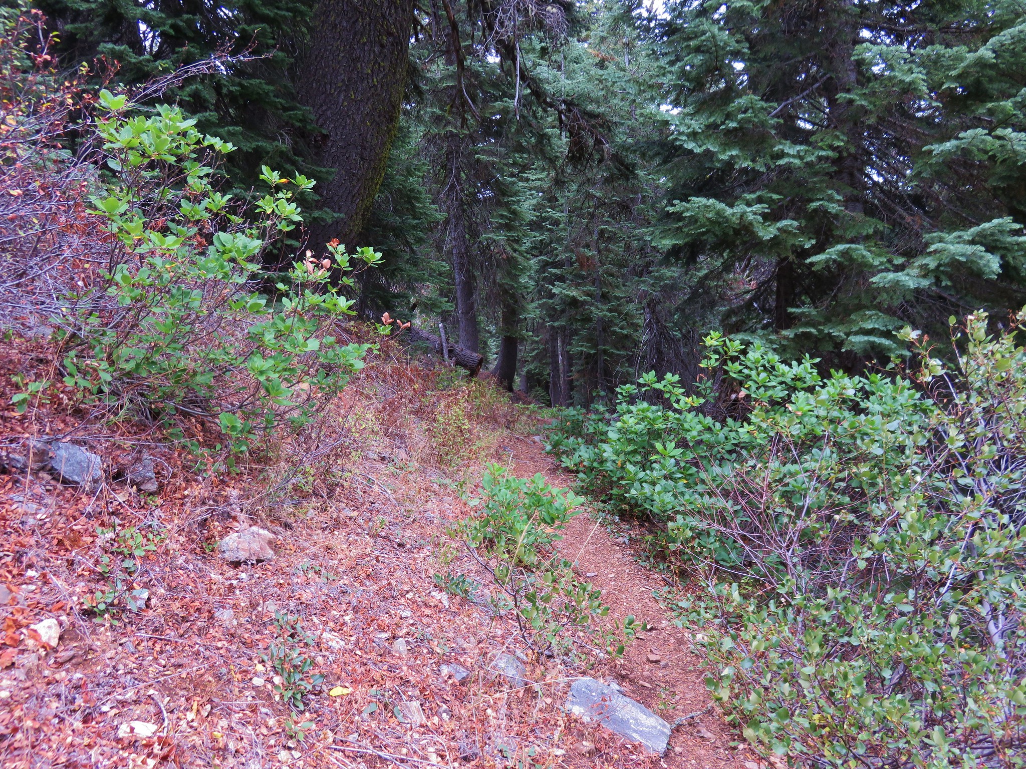
 More faint trail.

 Time to climb.
 Anemone
 Meadow along the Poker Flat Trail.
 Approaching Private Lake.
 Siskiyou lewisia
 Private Lake below The Lieutenants.


After we’d eaten and rested we resumed our trek and climbed steeply for a half mile to a pass between The Lieutenants and Bear Cub.
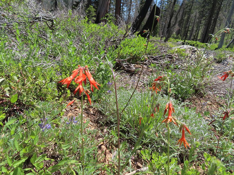
 Scarlet gilia and penstemon
 Heather heading for the pass.
 Arnica
 Nearing the pass.
 Bear Cub
 Youngs Peak just to the left of the snag.
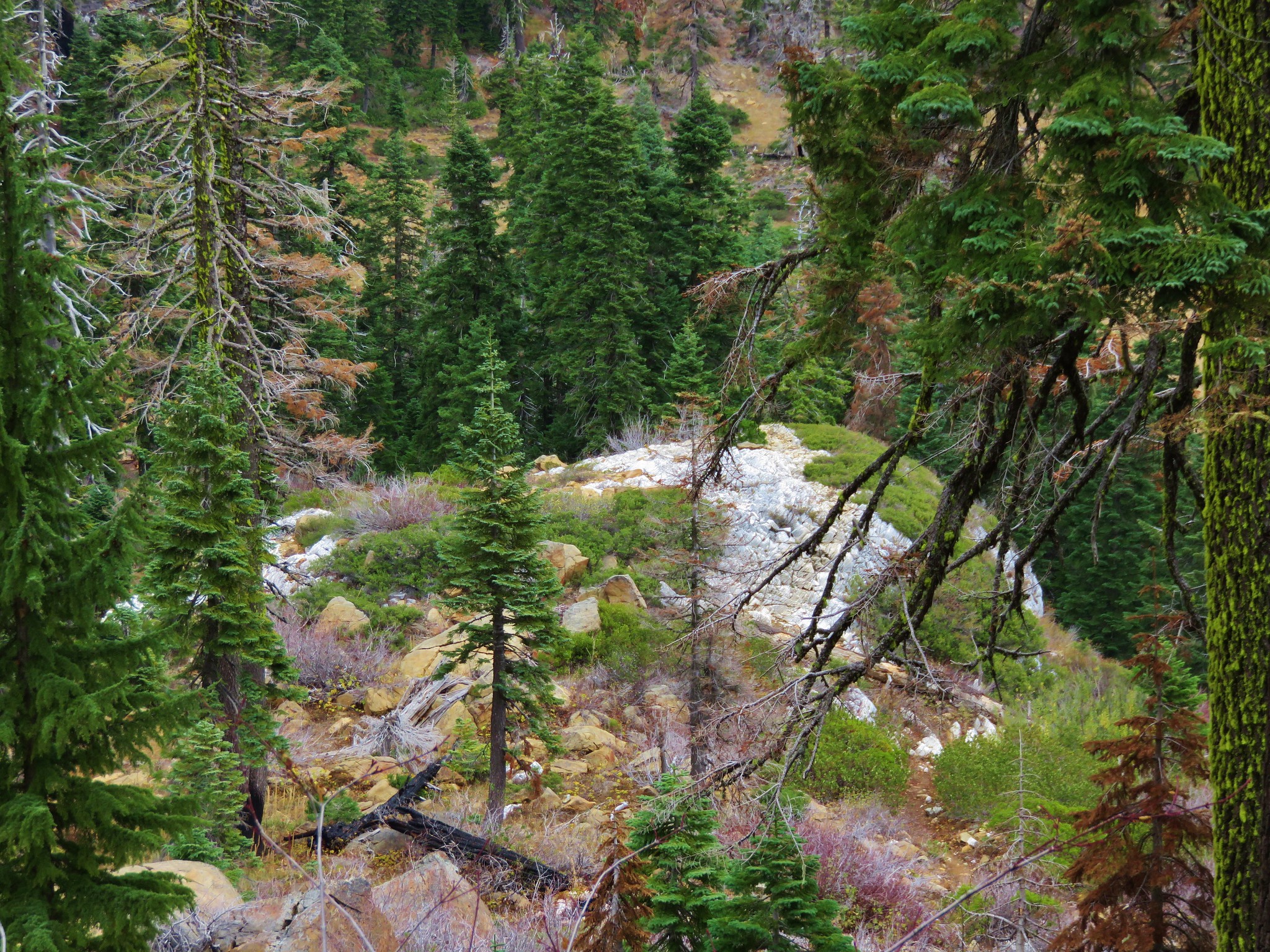
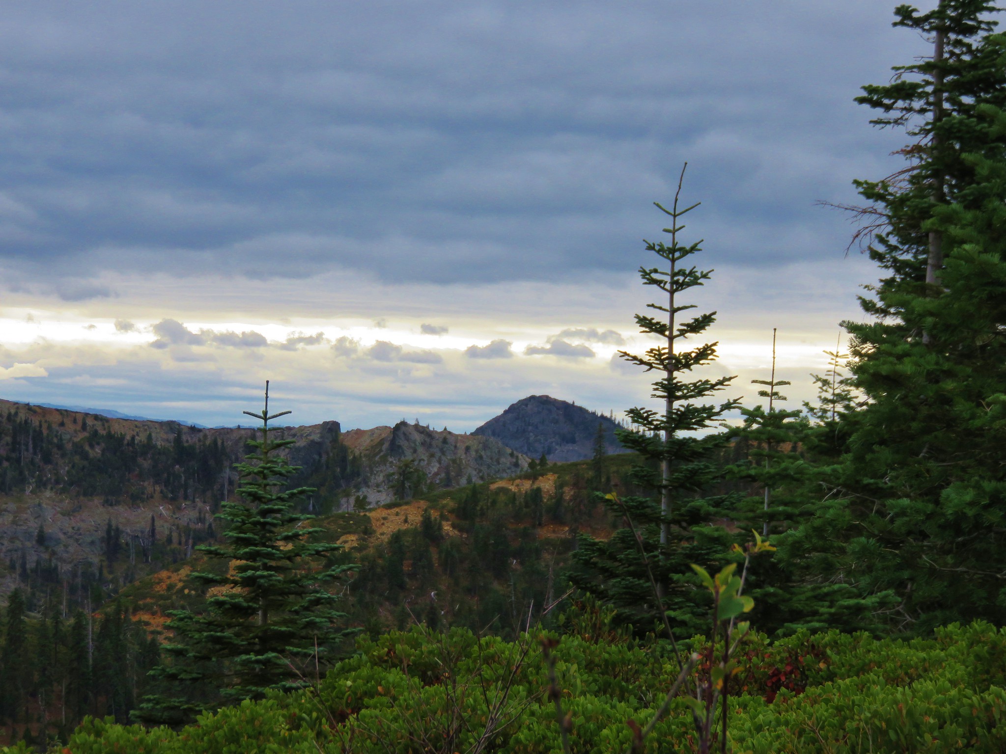
The trail descended to a small snow melt tarn then continued down a rocky ridge.
 Bear Cub on the right.
 Youngs Peak behind the tree.
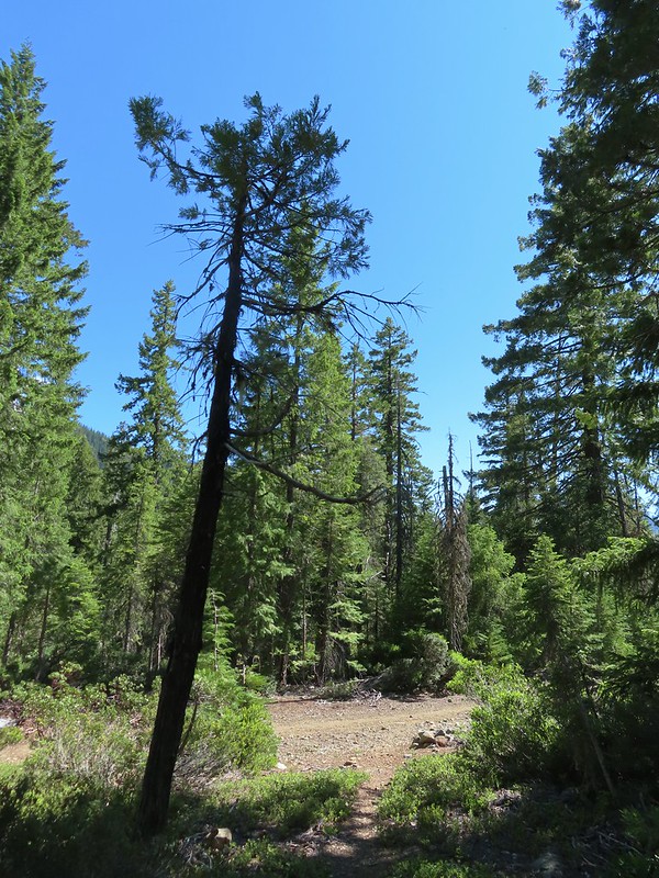
Approximately 1.4 miles from the pass we arrived at an old road bed that is now the Raspberry Lake Trail.
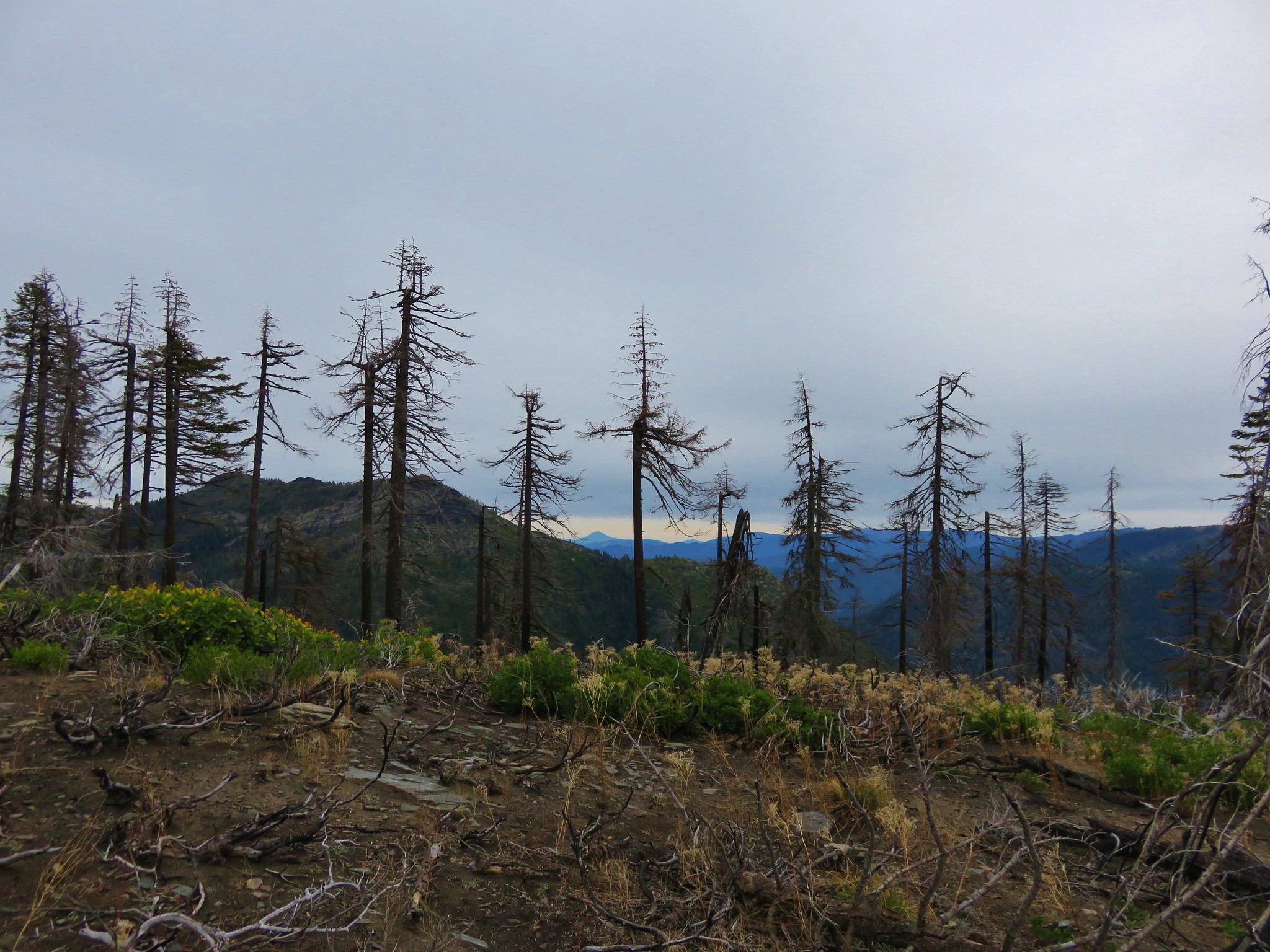
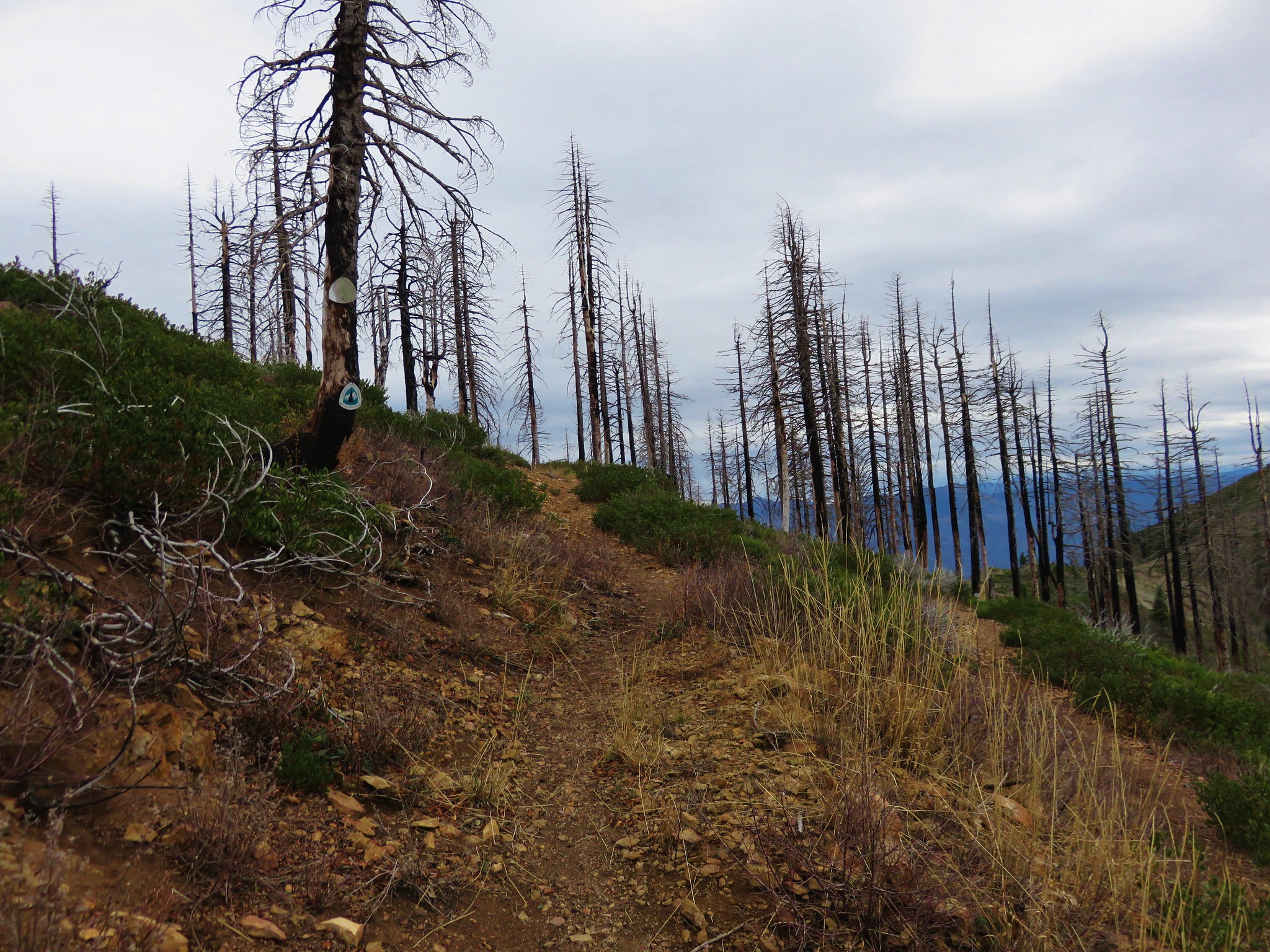
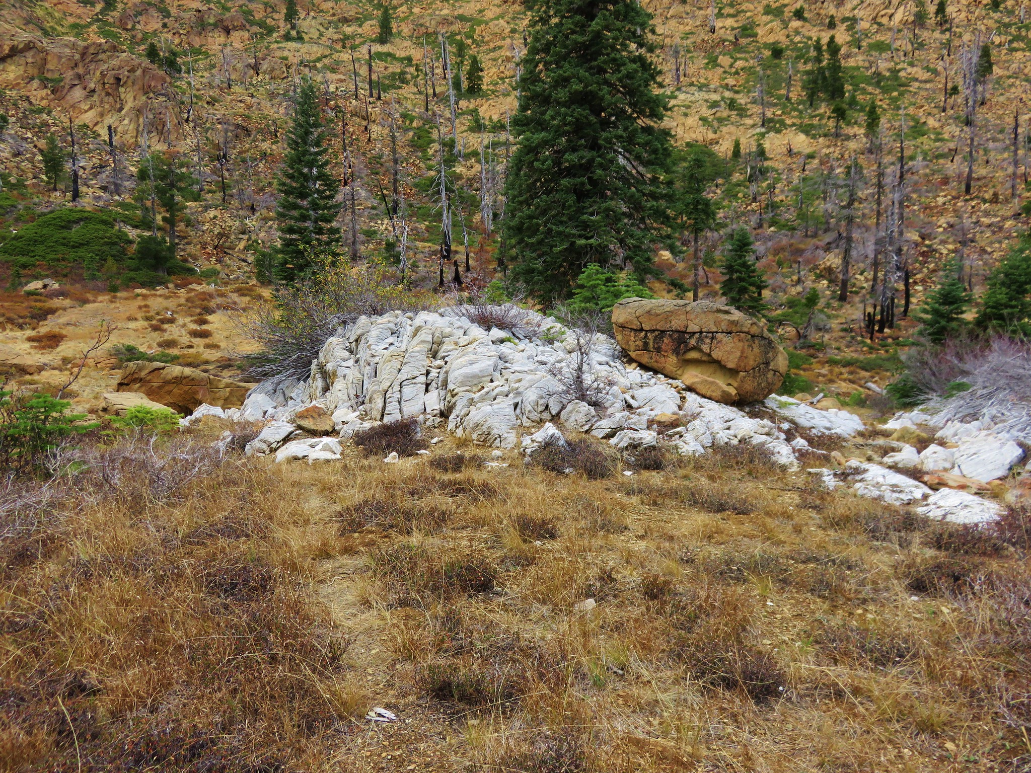
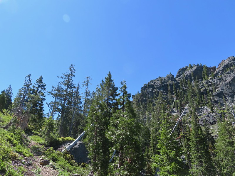
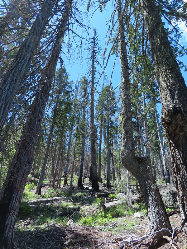
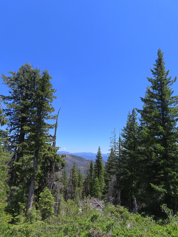
 Finally out of the fire scars.
 Snow plant
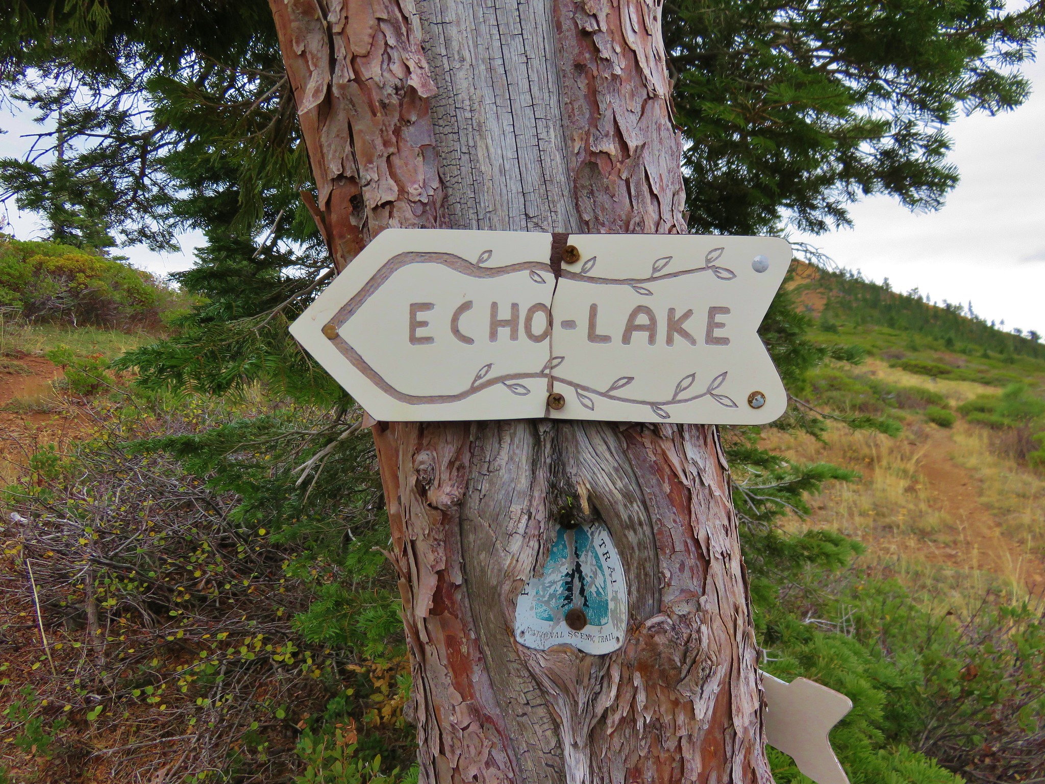
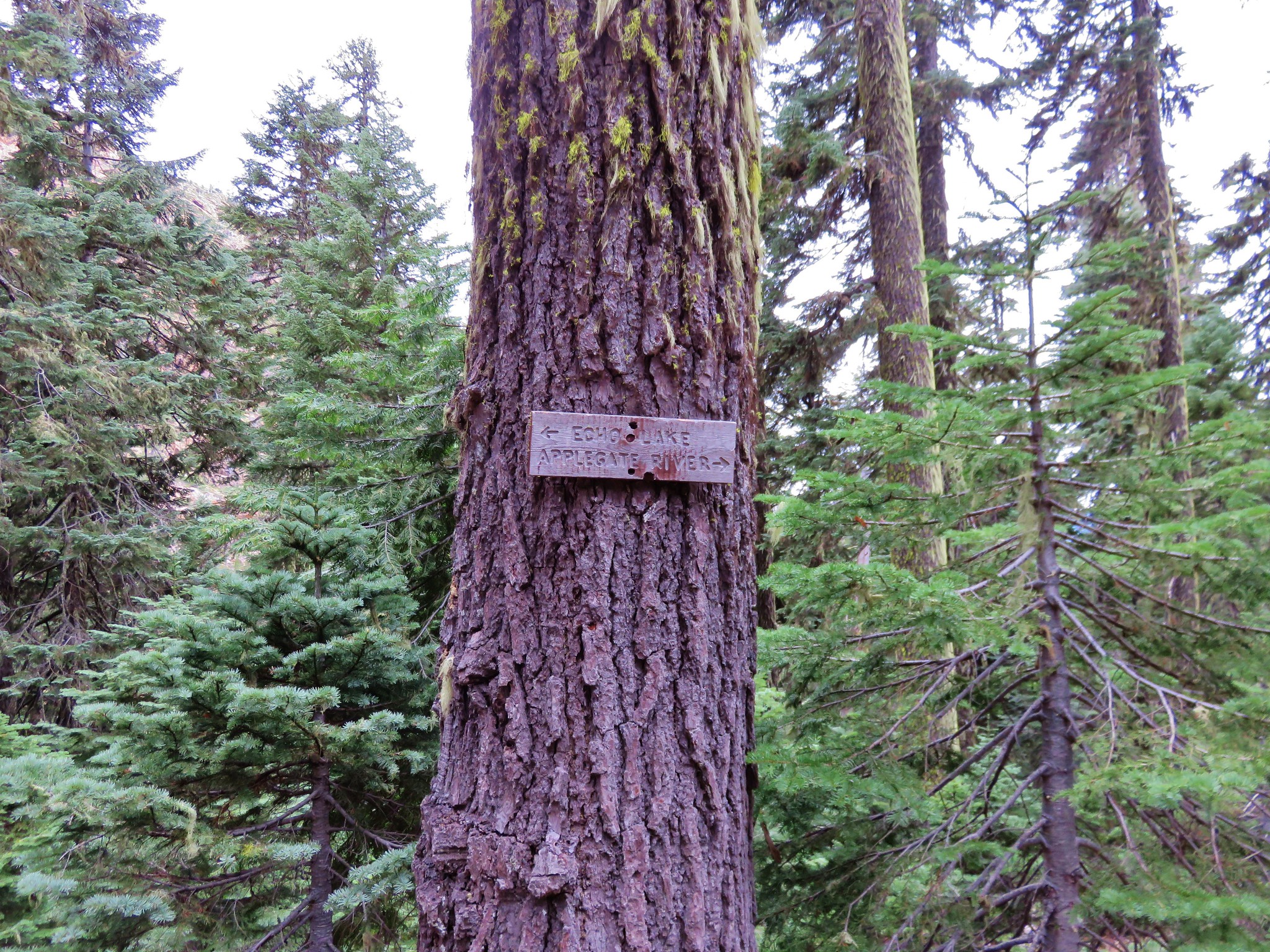
We should have turned right here for two tenths of a mile then taken a left onto another old road bed but after the long drive and challenging hike we weren’t thinking all that clearly and mistook this junction for the next and turned left. We realized our mistake after a little more than 100 yards and backtracked past the junction to the correct left hand turn onto the road bed that doubles as the Clear Creek National Recreation Trail near a large meadow in Youngs Valley.
 Sign for Raspberry Lake at the Raspberry Lake Trail/Clear Creek National Recreation Trail junction where we correctly turned left.
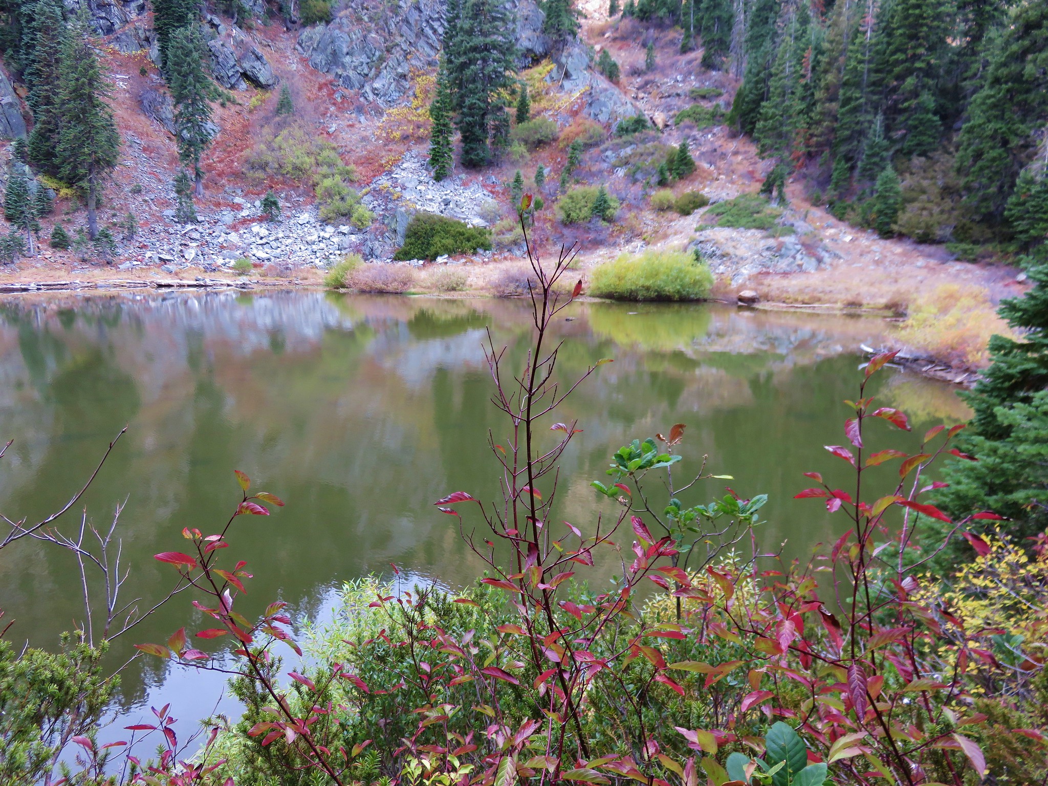
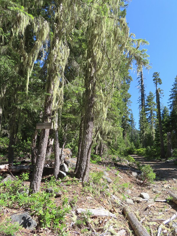
At the southern end of the meadow the Clear Creek Trail leaves the road bed and continues south following Clear Creek ending almost 20 miles later at No Mans Trailhead. We stayed on the road bed as it continued around the meadow. After crossing a branch of Clear Creek we started looking for a campsite.
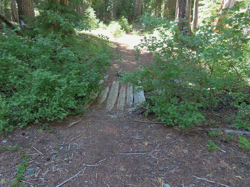 Footbridge over the creek.
 Bear Cub from Youngs Valley.
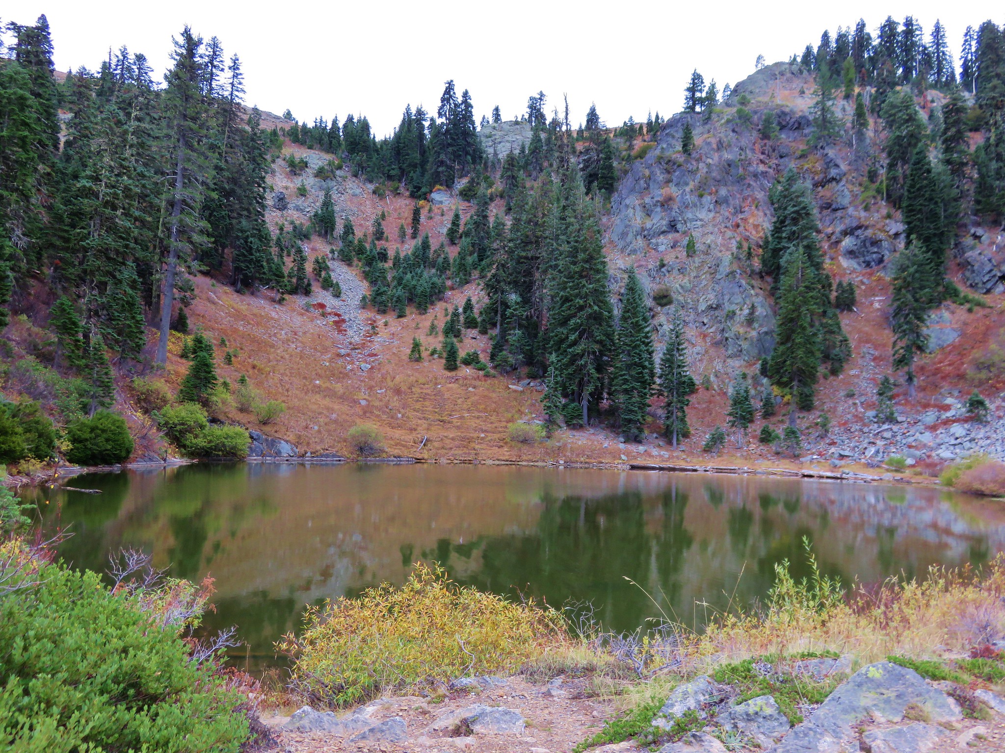
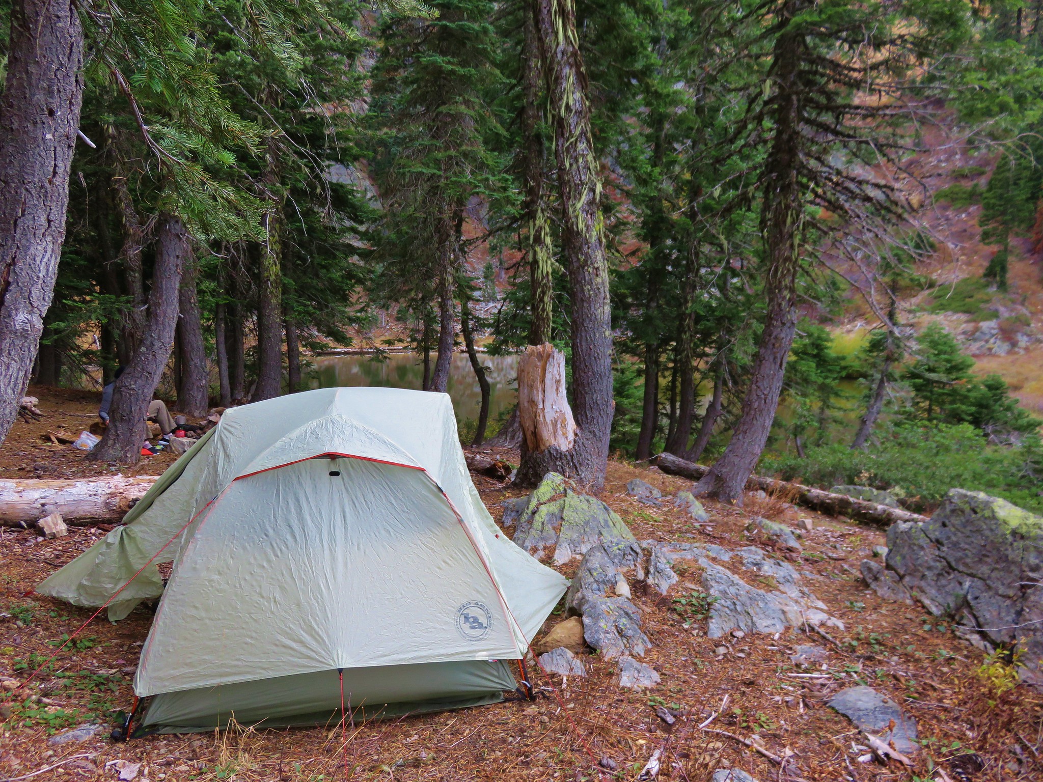
 Camp
Camp
There were plenty of open sites as we appeared to be the only people around. There were other creatures about though.
 Dragon fly
 El Capitan
 Bucks in the meadow.

 Caterpillar
We did a little exploring to check out the wildflowers in and around the meadow.
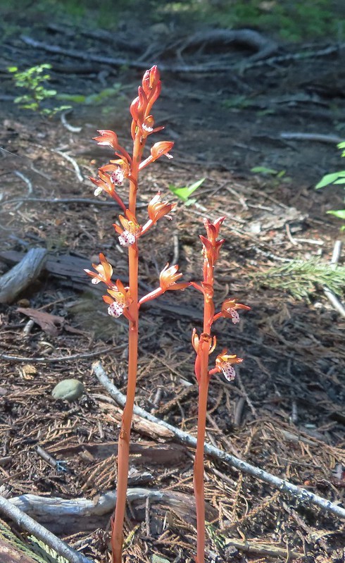 Spotted coralroot
 Wedgeleaf violets
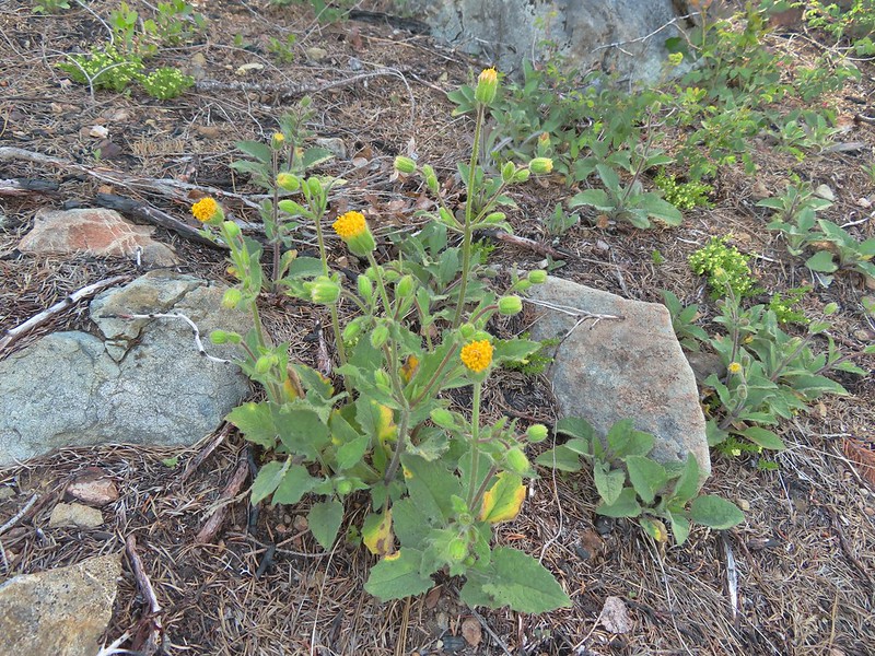
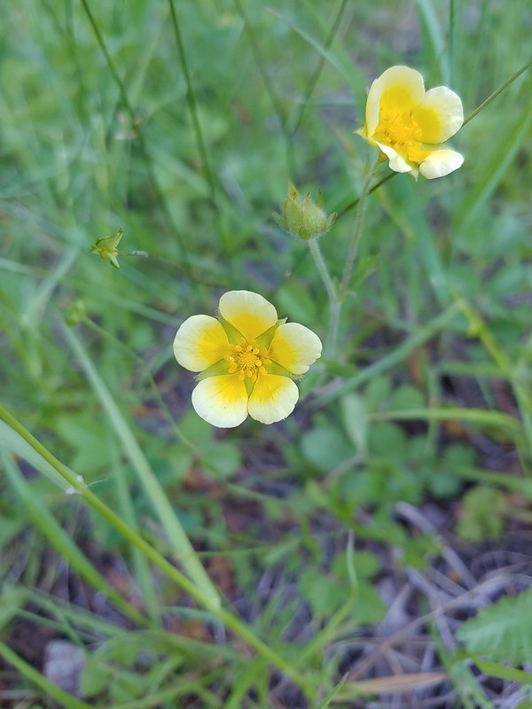 Maybe a cinquefoil
 Bistort
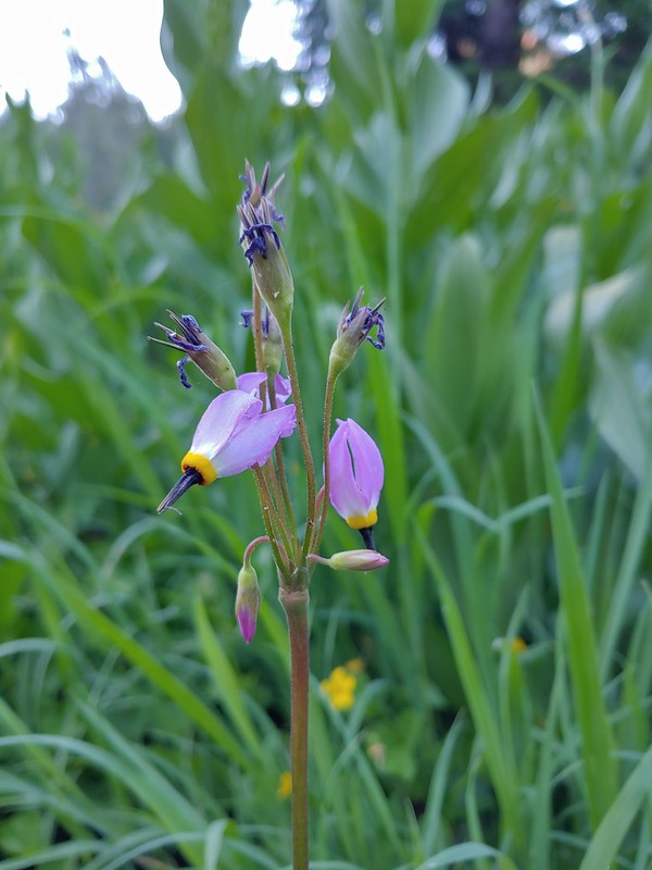 Shooting star
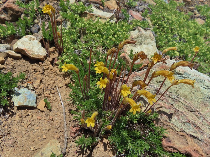
 Monkeyflower
 There were quite a few of these tiny flowers. I haven’t been able to identify this one yet.
After getting water, eating dinner, and setting up the tent we were plenty tired so we turned in early. The hike had been a little over 9 miles with approximately 3000′ of elevation gain spread out over several steep climbs.

It had been a great start from a scenery standpoint but we were not used to carrying the larger packs so before bed we decided that we were going to tweak our plans just a bit and instead of packing up camp in the morning and moving 5+ miles to the south just to pack up again and come back to Youngs Valley for the last night this would be our base for the entire trip. We were looking forward to seeing what else this wilderness had in store over the next three days. Happy Trails!
Flickr: Polar Bear Gap