**Note the 2020 Devil Fire burned a portion of this hike.**
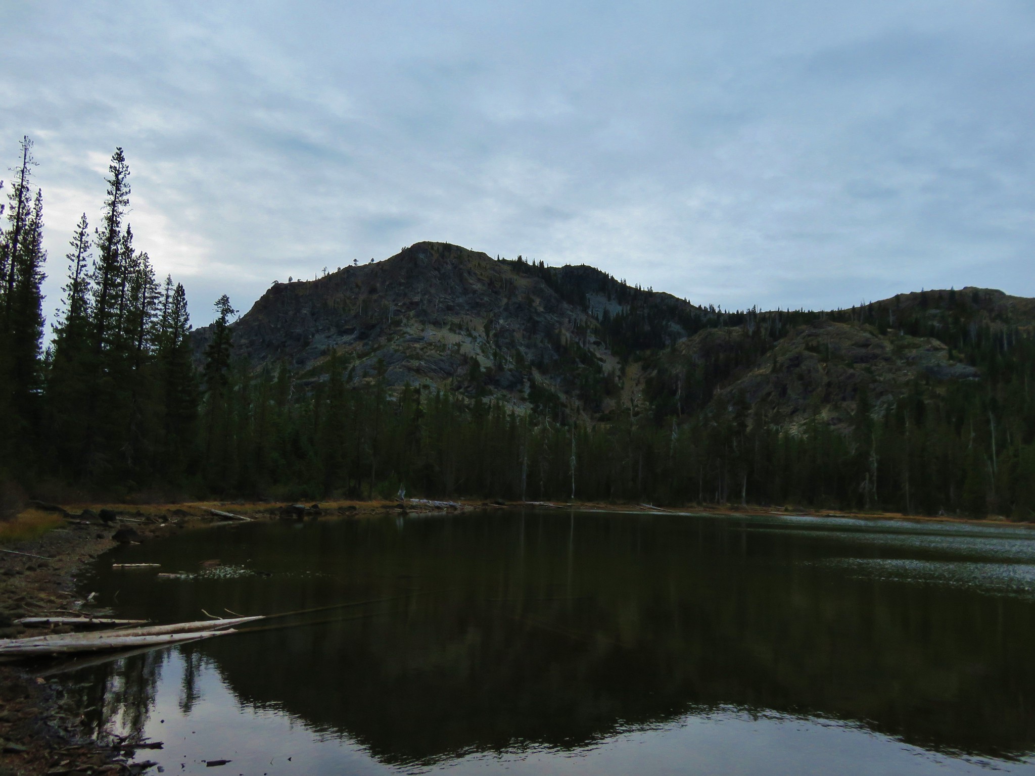
After a good nights sleep at Azalea Lake we packed up and got ready to hit the trail.
 //embedr.flickr.com/assets/client-code.js
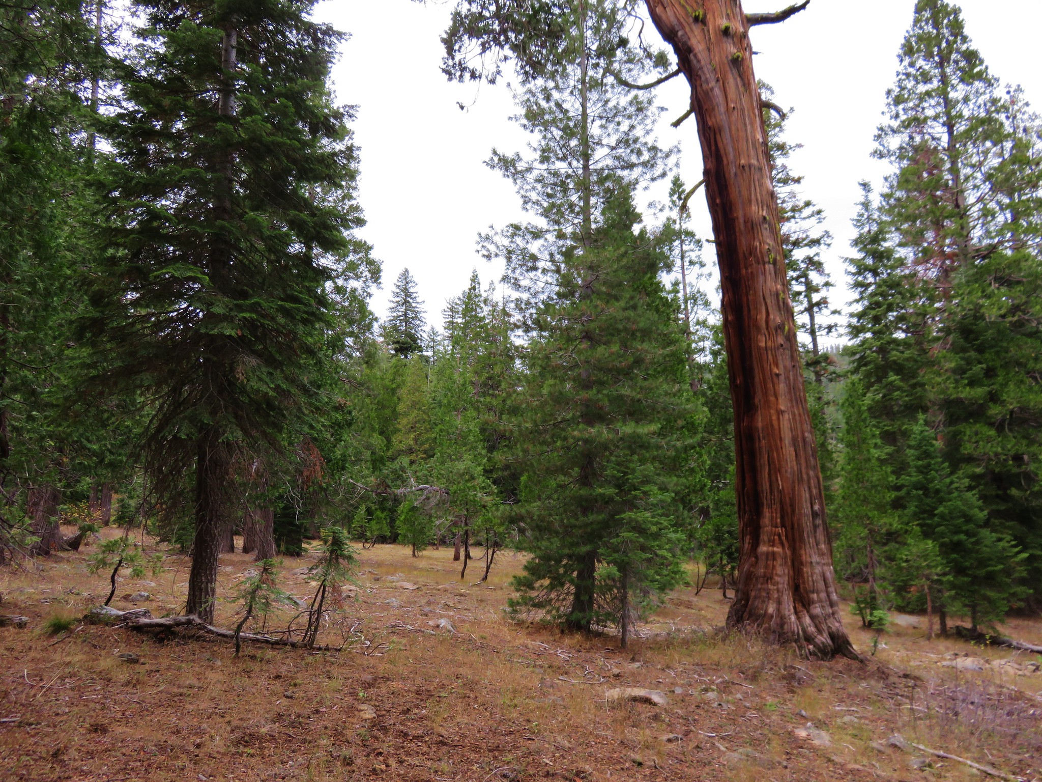
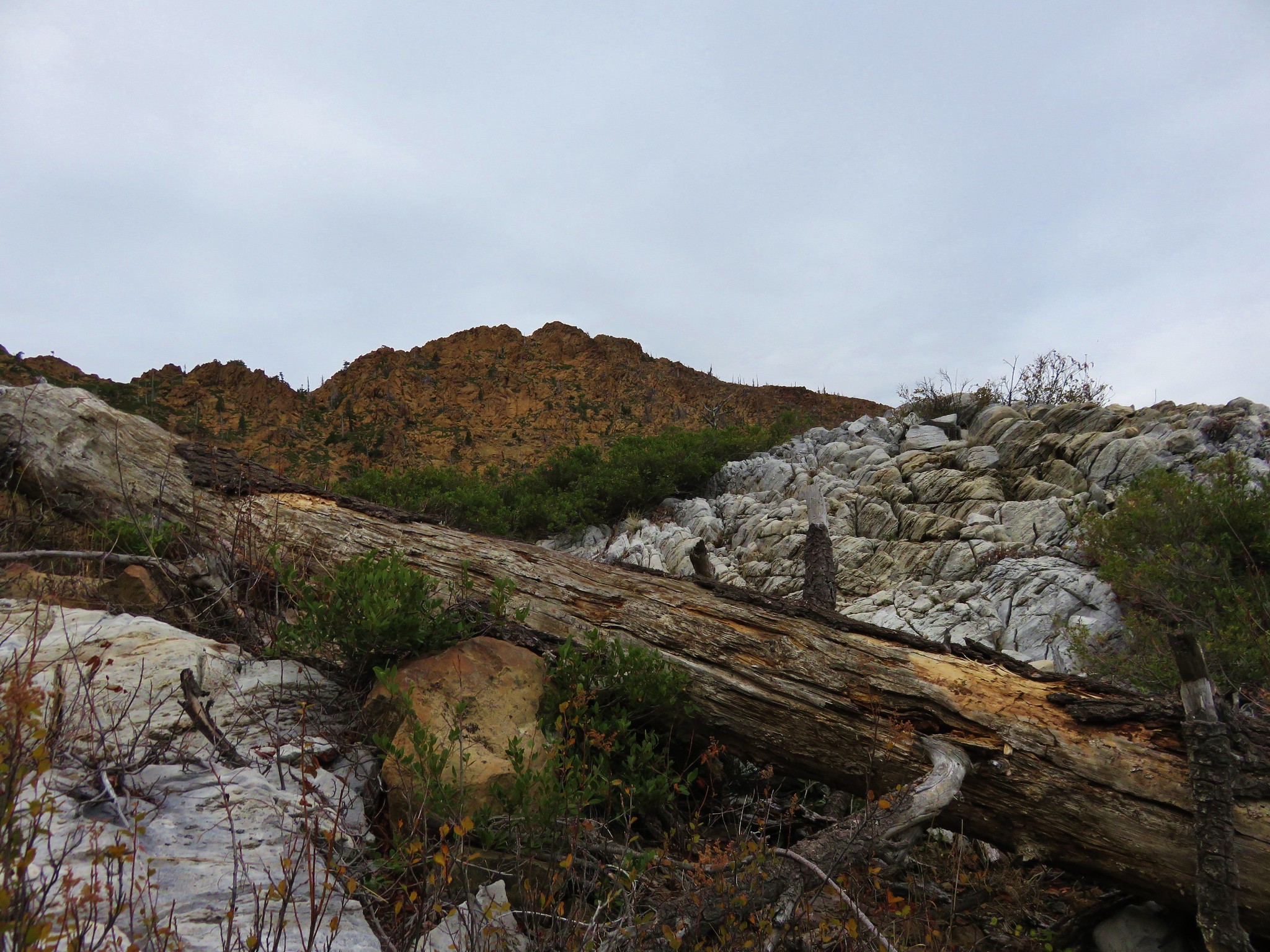
We followed the Butte Fork Trail from the lake and headed downhill toward Cedar Basin which was .9 miles away.
 //embedr.flickr.com/assets/client-code.js
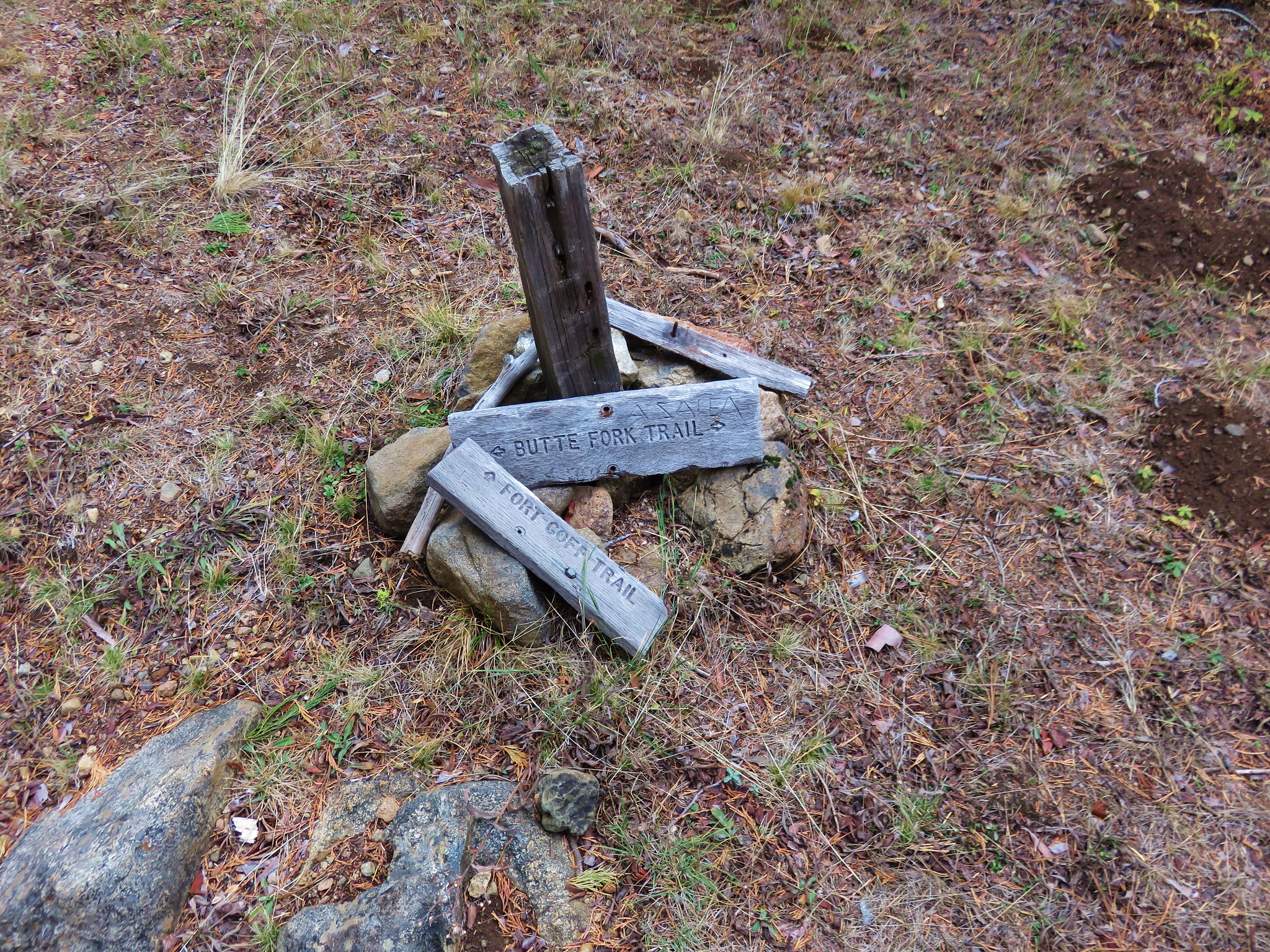
At a trail junction in the basin we turned right following a pointer for Fort Goff.
 //embedr.flickr.com/assets/client-code.js
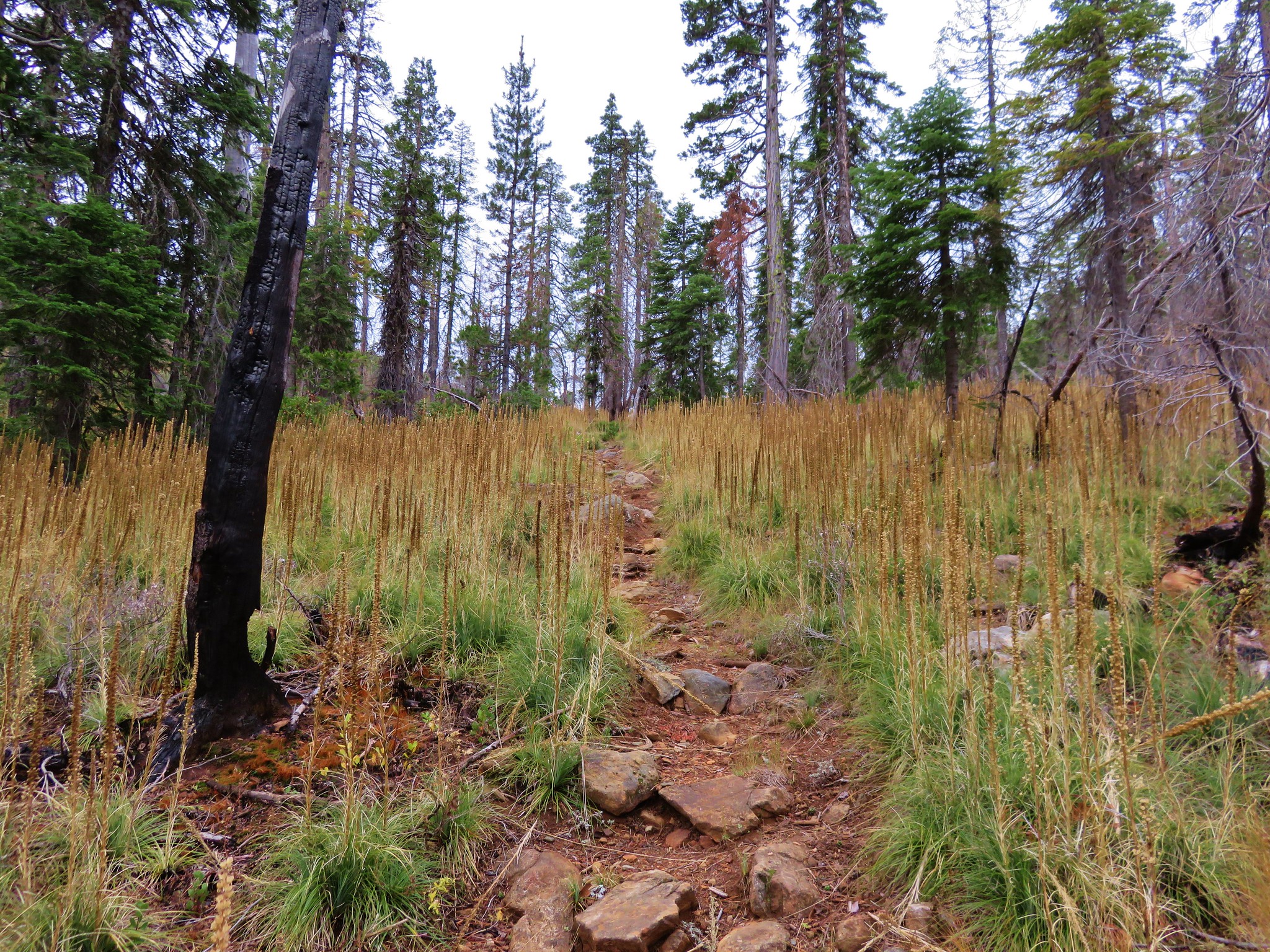
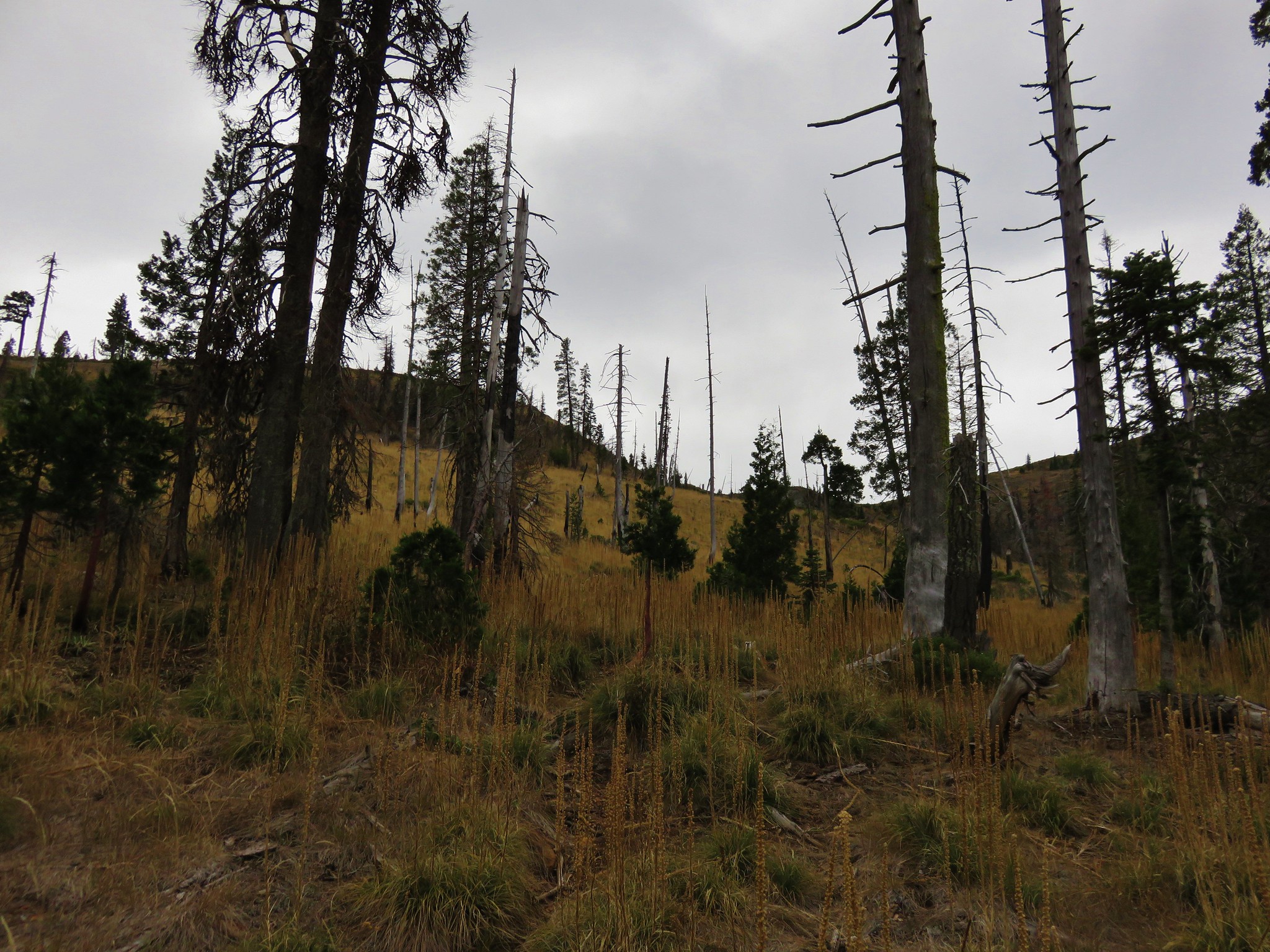
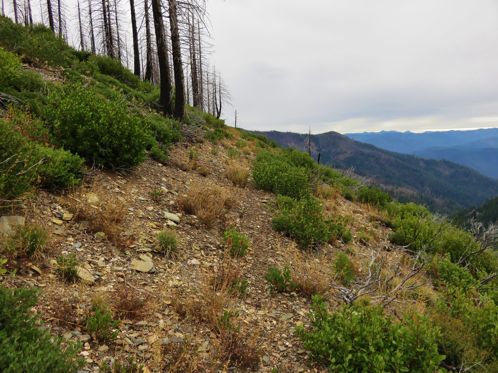
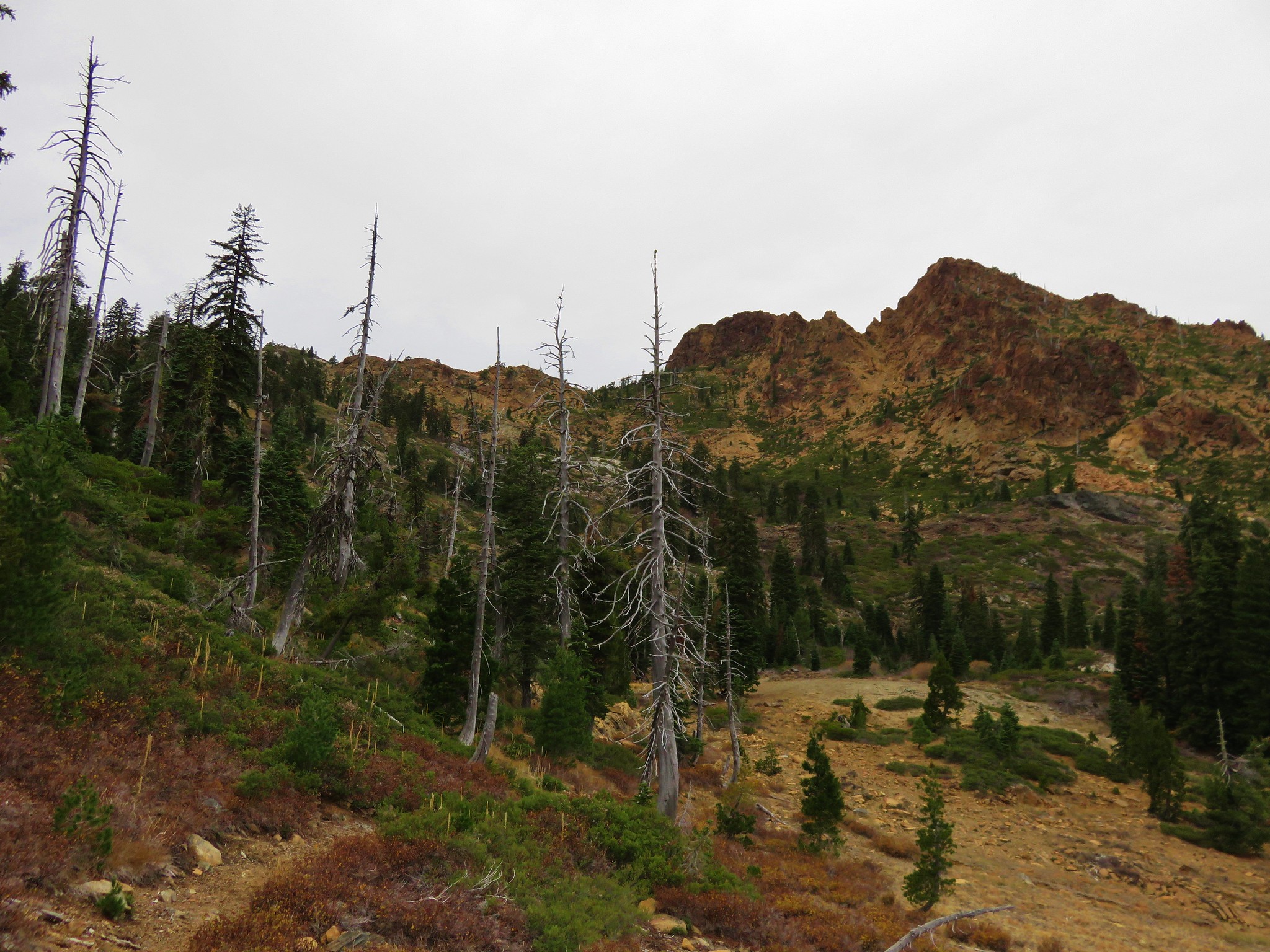
This trail began climbing gradually through beargrass meadows in a forest that had been impacted by the 2012 Fort Complex Fire.
 //embedr.flickr.com/assets/client-code.js
 //embedr.flickr.com/assets/client-code.js
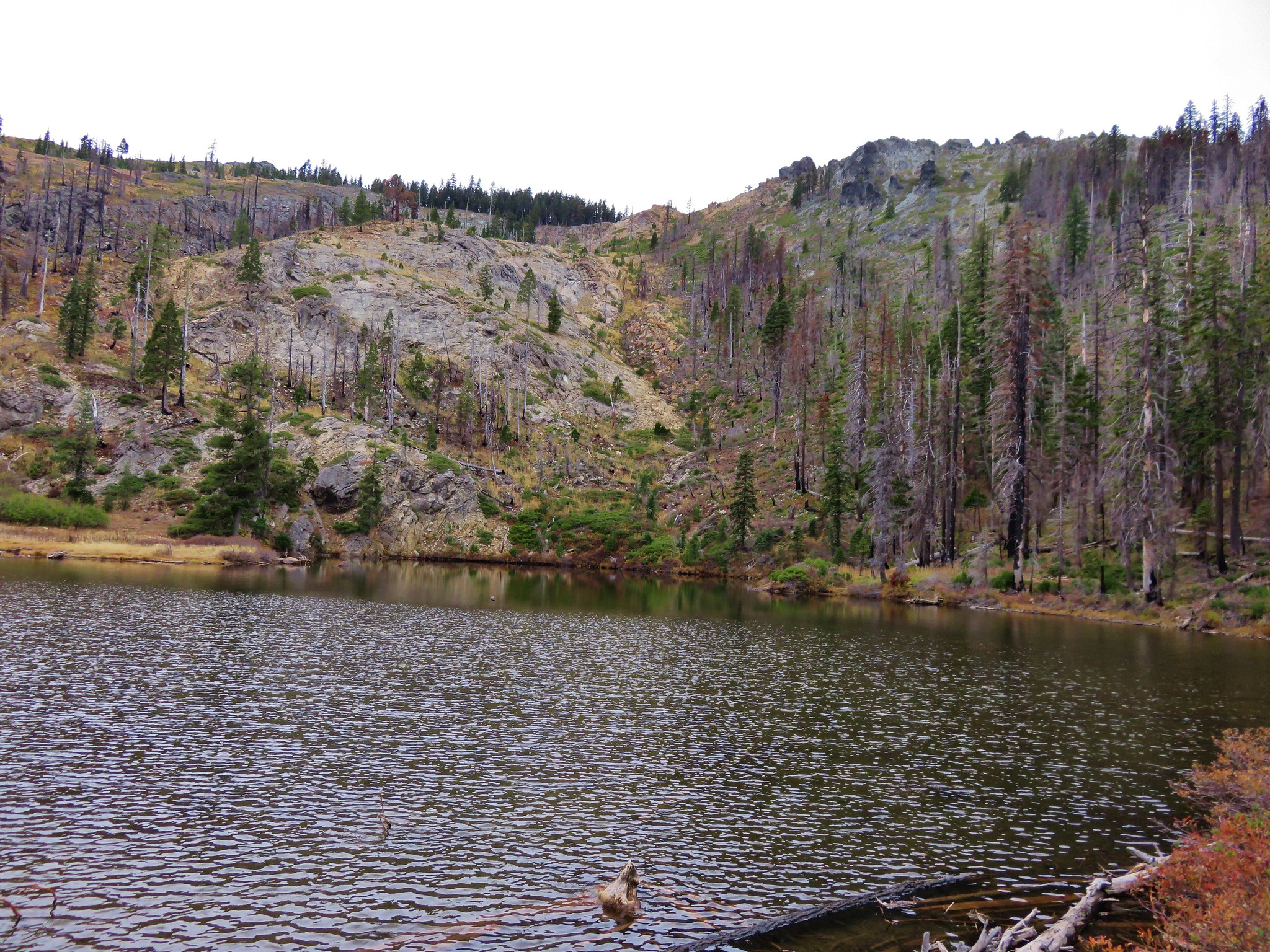
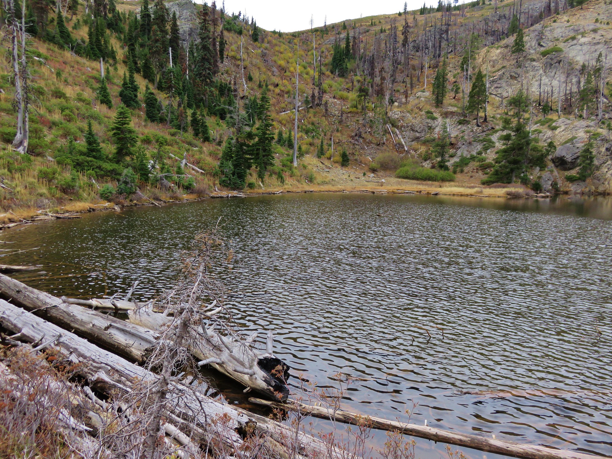
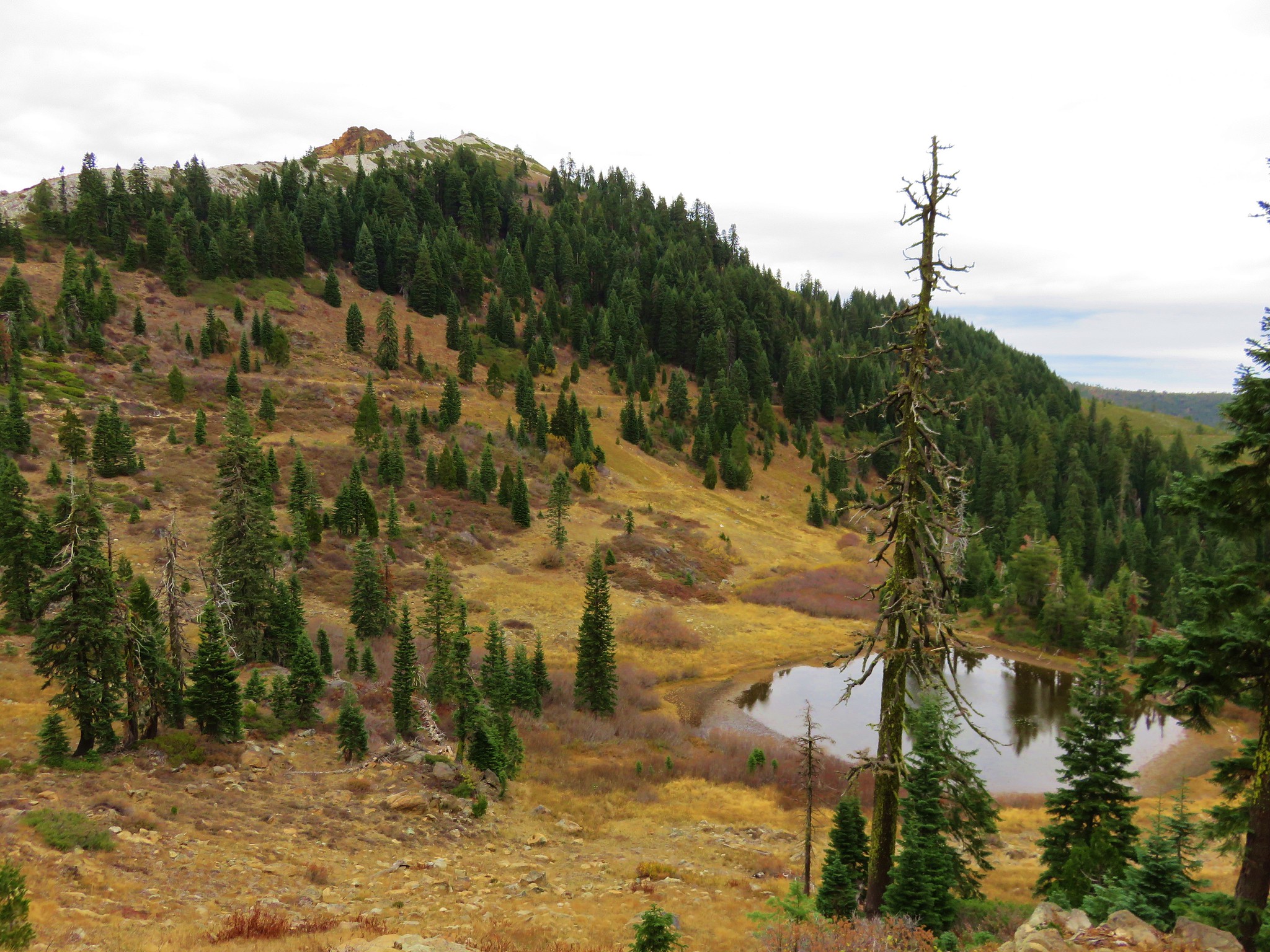
After almost a mile and a half we took a side trail to the right to visit Lonesome Lake where we had originally planned on staying the night before. As it turned out much of the area around the lake had been burned by the same fire and there didn’t seem to be many places to set up a tent.
 //embedr.flickr.com/assets/client-code.js
 //embedr.flickr.com/assets/client-code.js
From Lonesome Lake the trail continued to climb up to the Siskiyou Crest where views extended ahead to the Red Buttes. To Echo Lake, our goal for the day, we would need to make it around the back side of the buttes where we would pick up the Horse Camp Trail and descend a half mile to the lake.
 //embedr.flickr.com/assets/client-code.js
 //embedr.flickr.com/assets/client-code.js
While looking back at the hillsides above Lonesome Lake I spotted something that looked brown and thought that maybe it was a deer.
 //embedr.flickr.com/assets/client-code.js
As I was busying zooming in on a rock Heather spotted a bear moving across the rocky slope to the right of were I was looking. She lost it in this clump of trees but I took a picture anyway. There is a suspicious black thing in front of the trees but we couldn’t tell if it was in fact the bear or if it is a piece of burnt wood.
 //embedr.flickr.com/assets/client-code.js
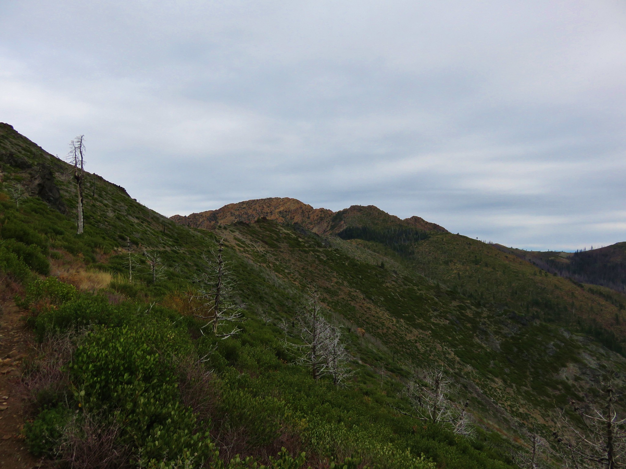
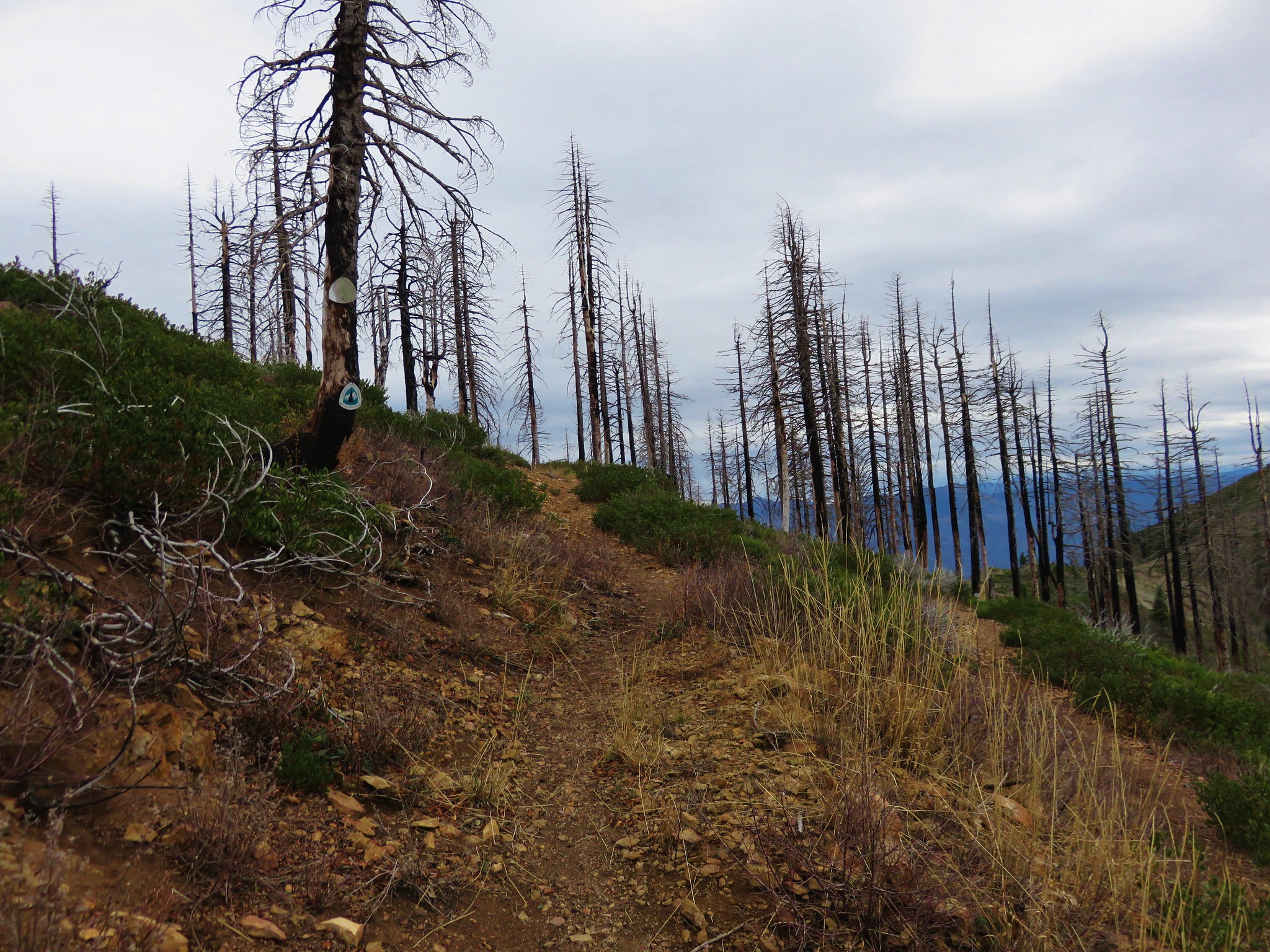
After crossing over the crest we were now on the Boundary Trail which followed the crest east joining the Pacific Crest Trail on the shoulder of Kangaroo Mountain. The Fort Complex Fire over-swept the entire section of the trail between Lonesome Lake and the PCT as well as a portion of the PCT. This left a lot of burnt trees and some sections of thick brush that has since grown up along the trail.
 //embedr.flickr.com/assets/client-code.js
 //embedr.flickr.com/assets/client-code.js
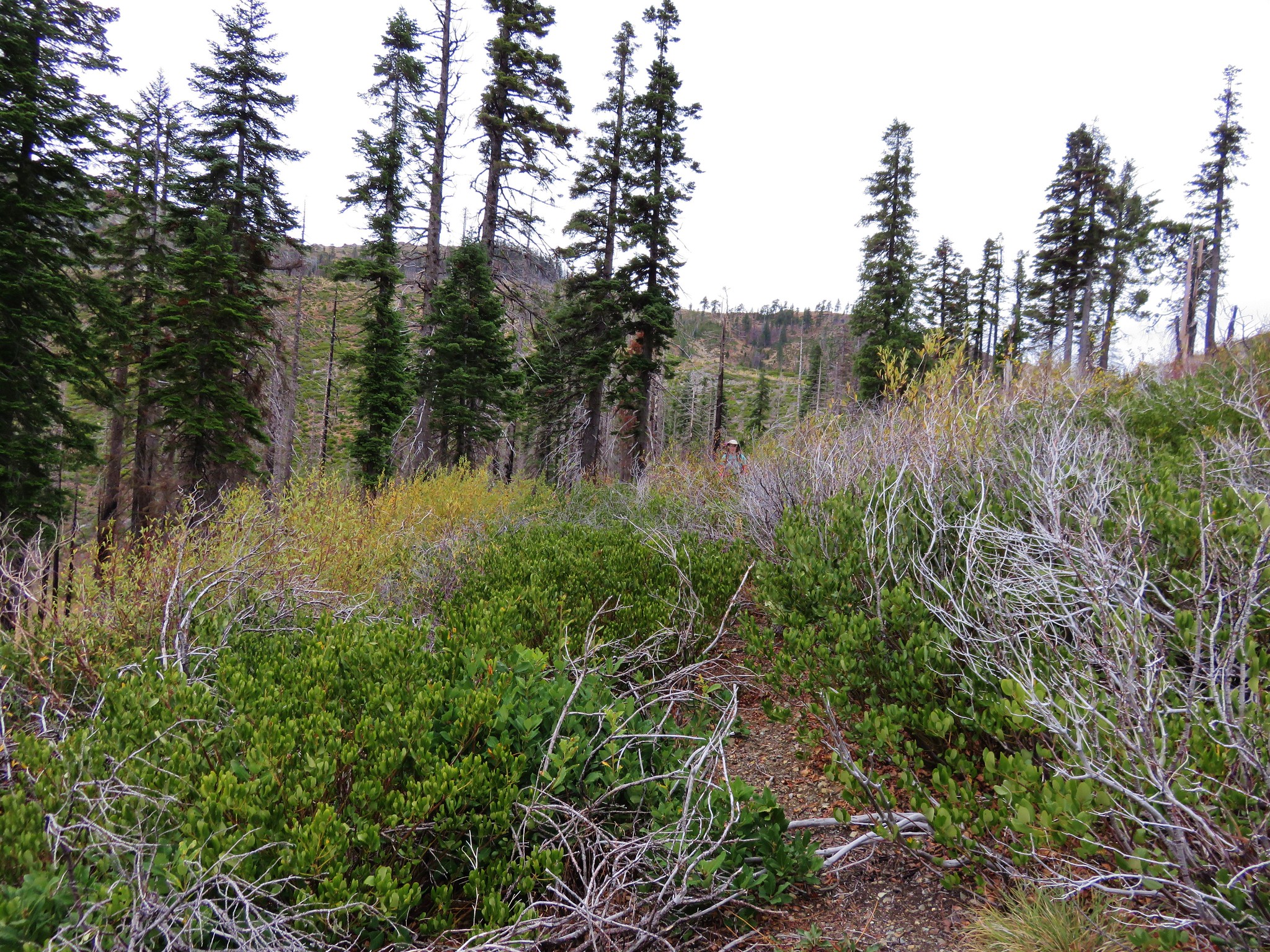
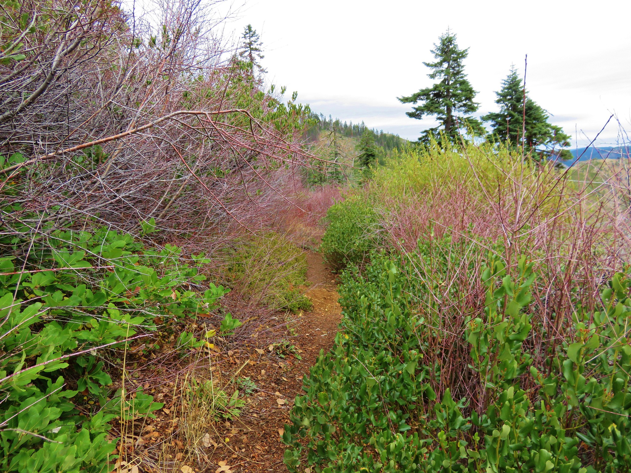
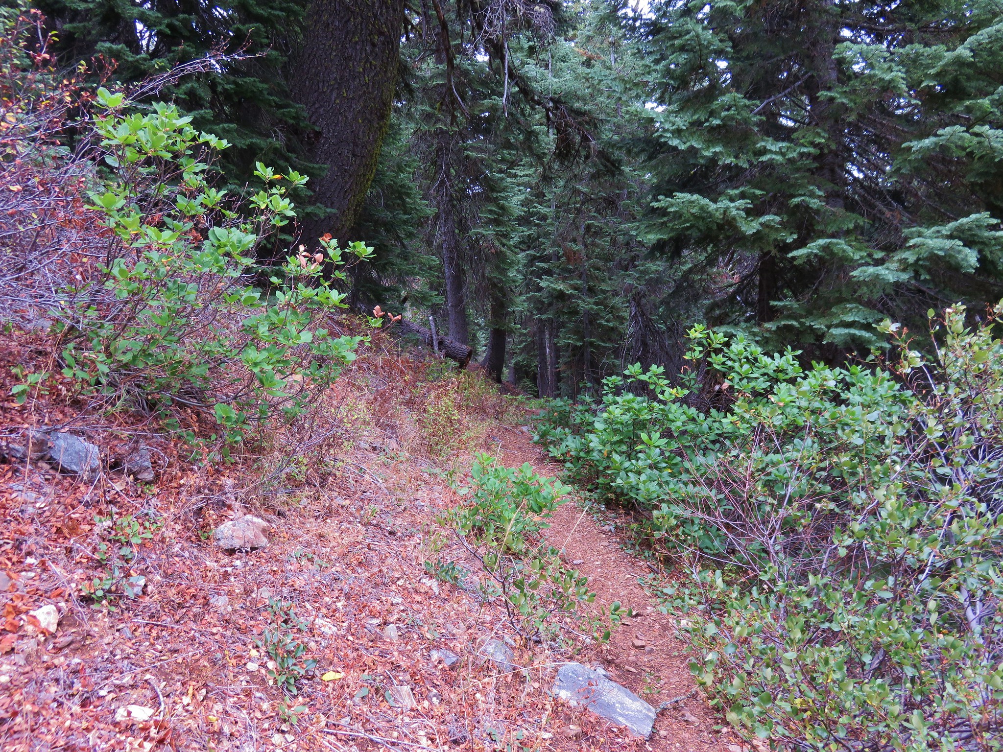
The brush was the thickest in the first quarter of a mile or so and then it thinned out some. The trail here was a little tricky to follow so we had to make sure we were paying close attention to it’s location both ahead on the hillside and directly in front of us.
 //embedr.flickr.com/assets/client-code.js
 //embedr.flickr.com/assets/client-code.js
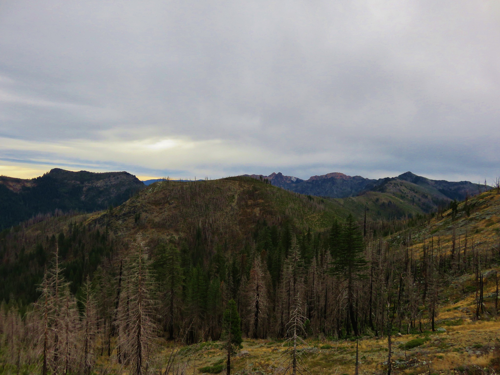
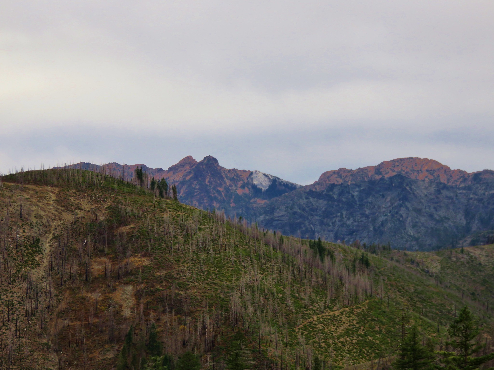
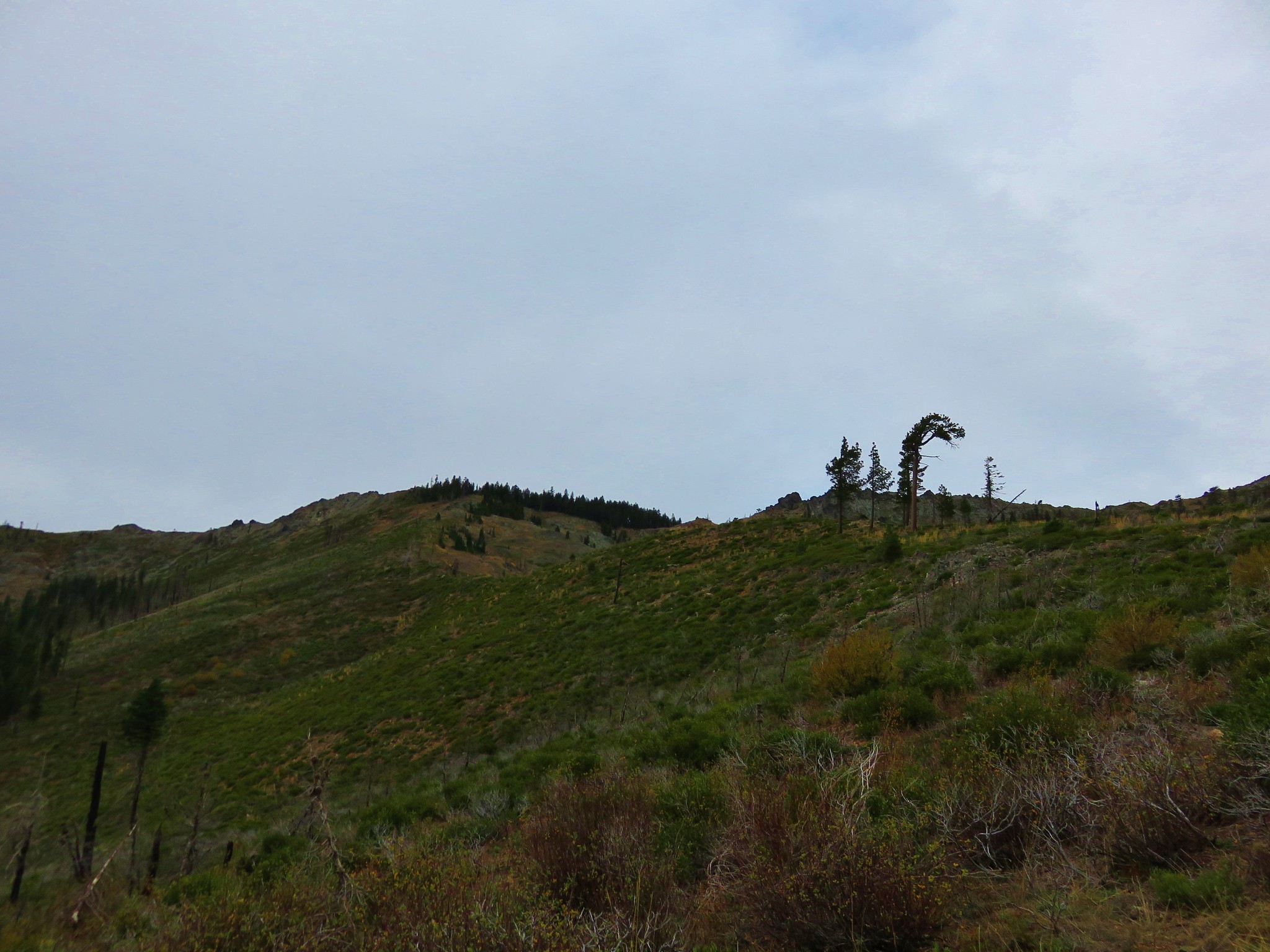
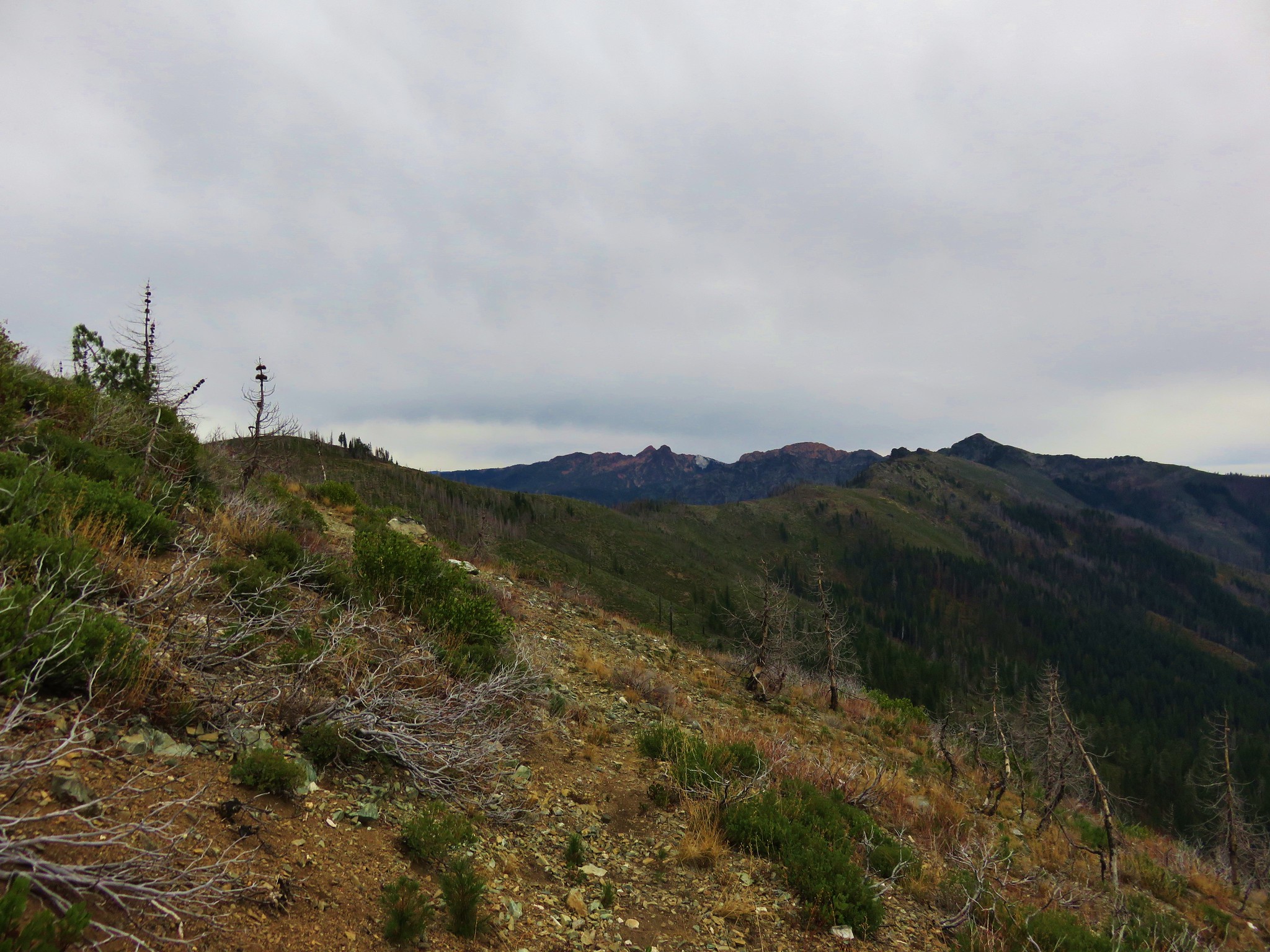
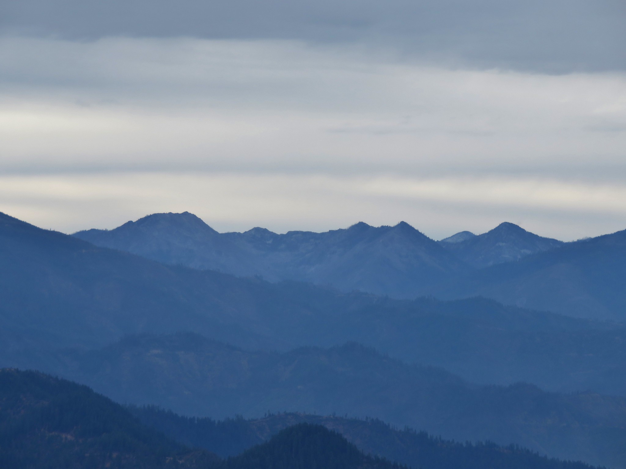
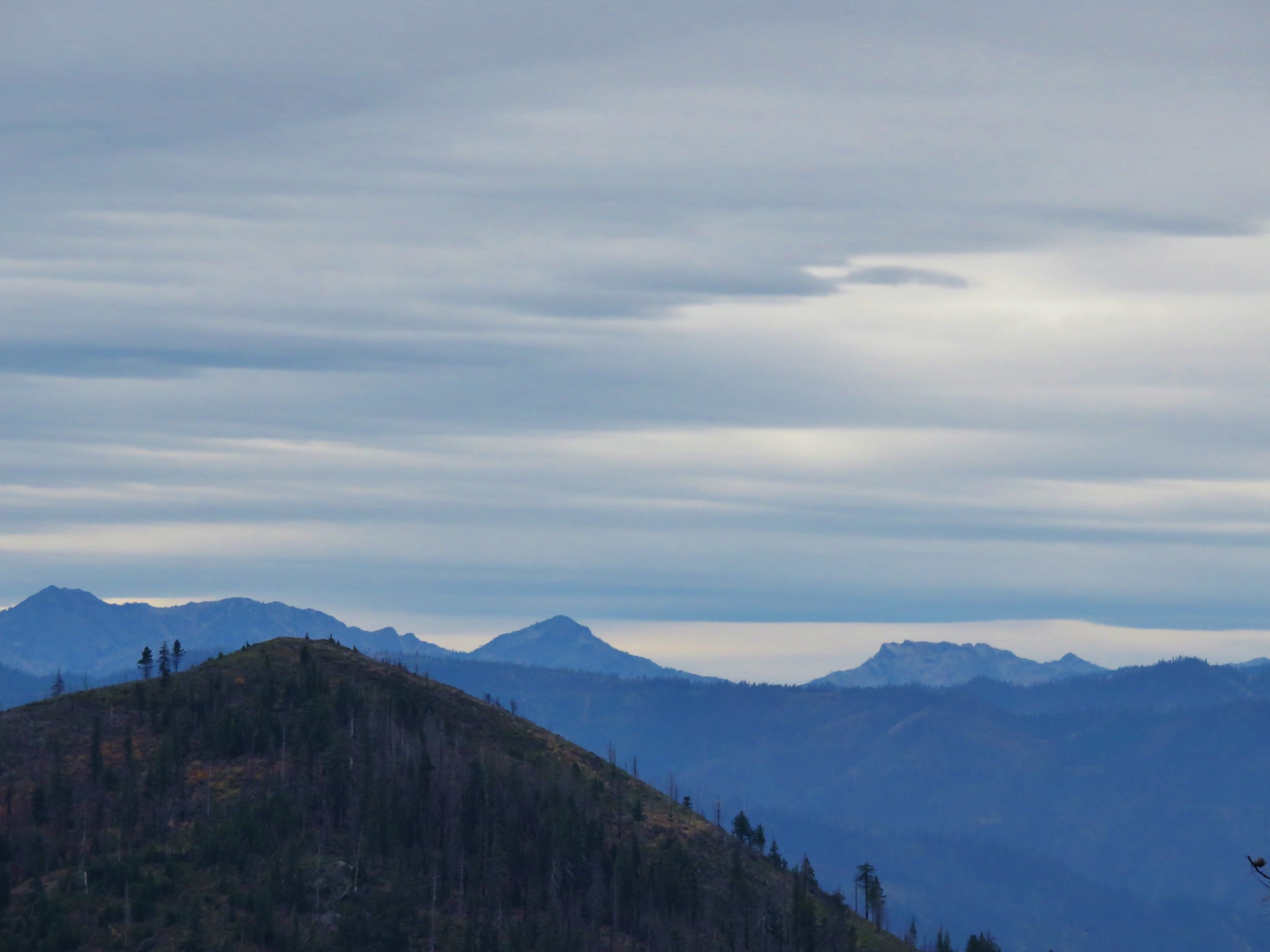
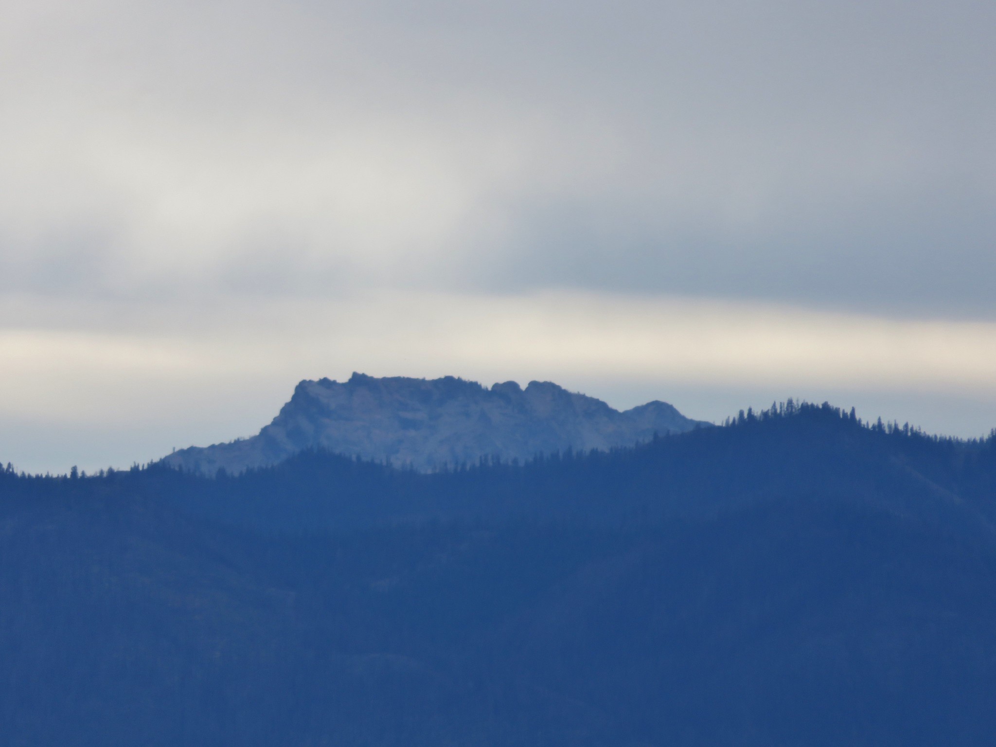
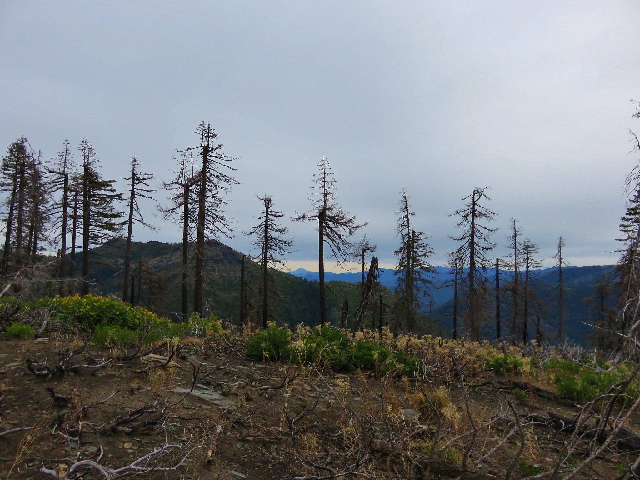
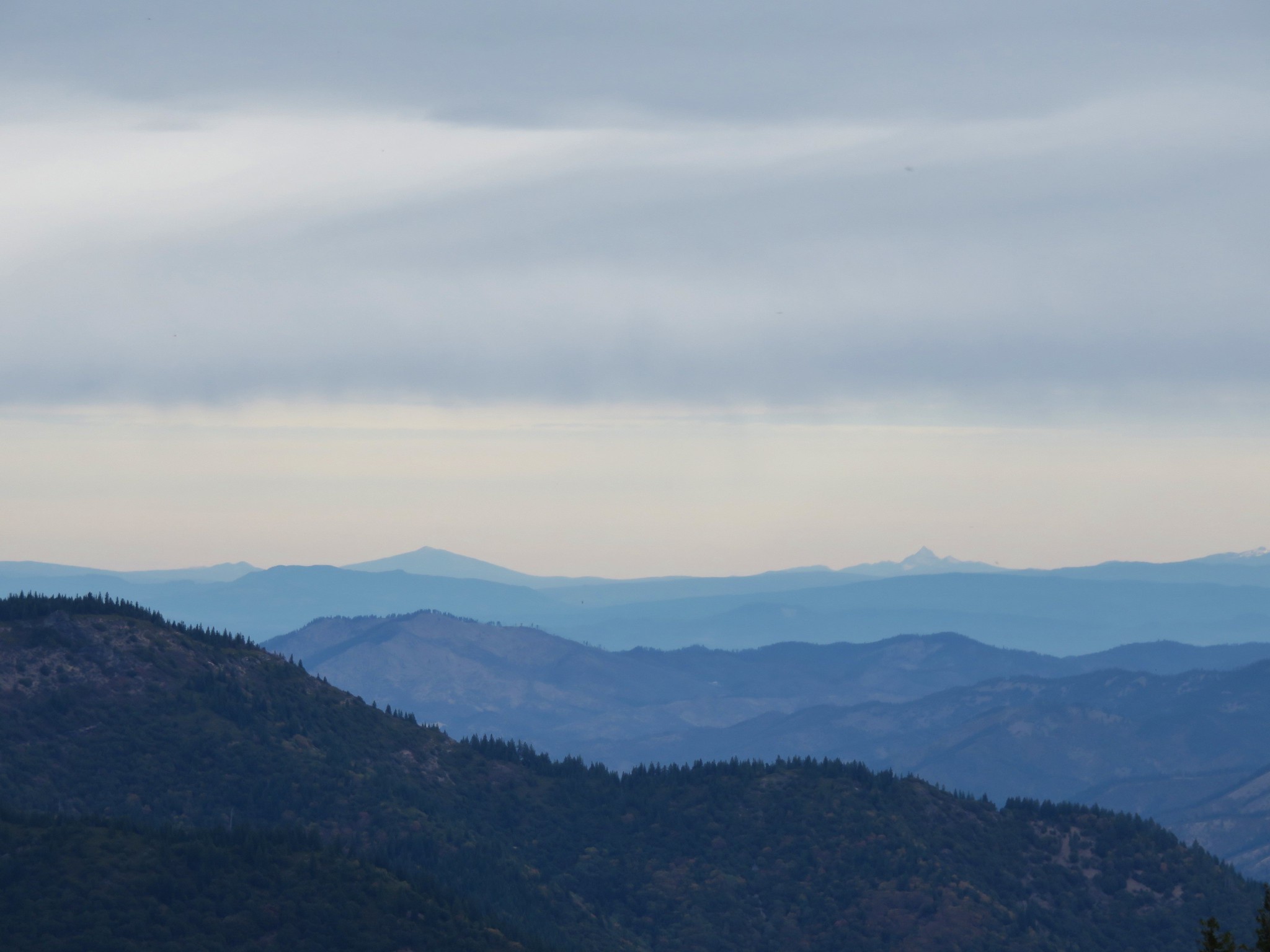
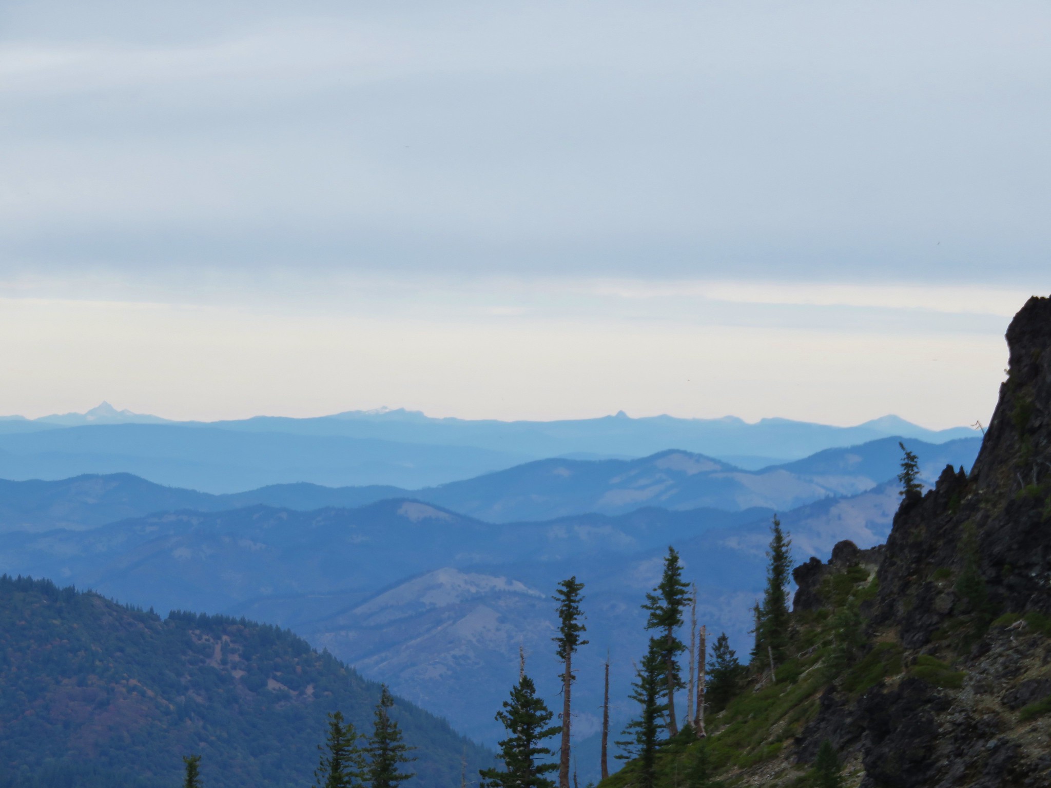
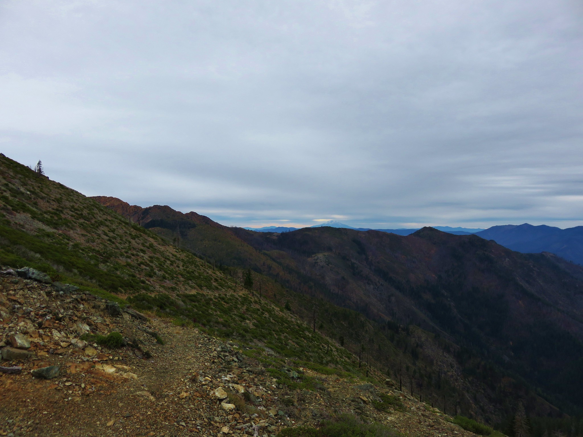
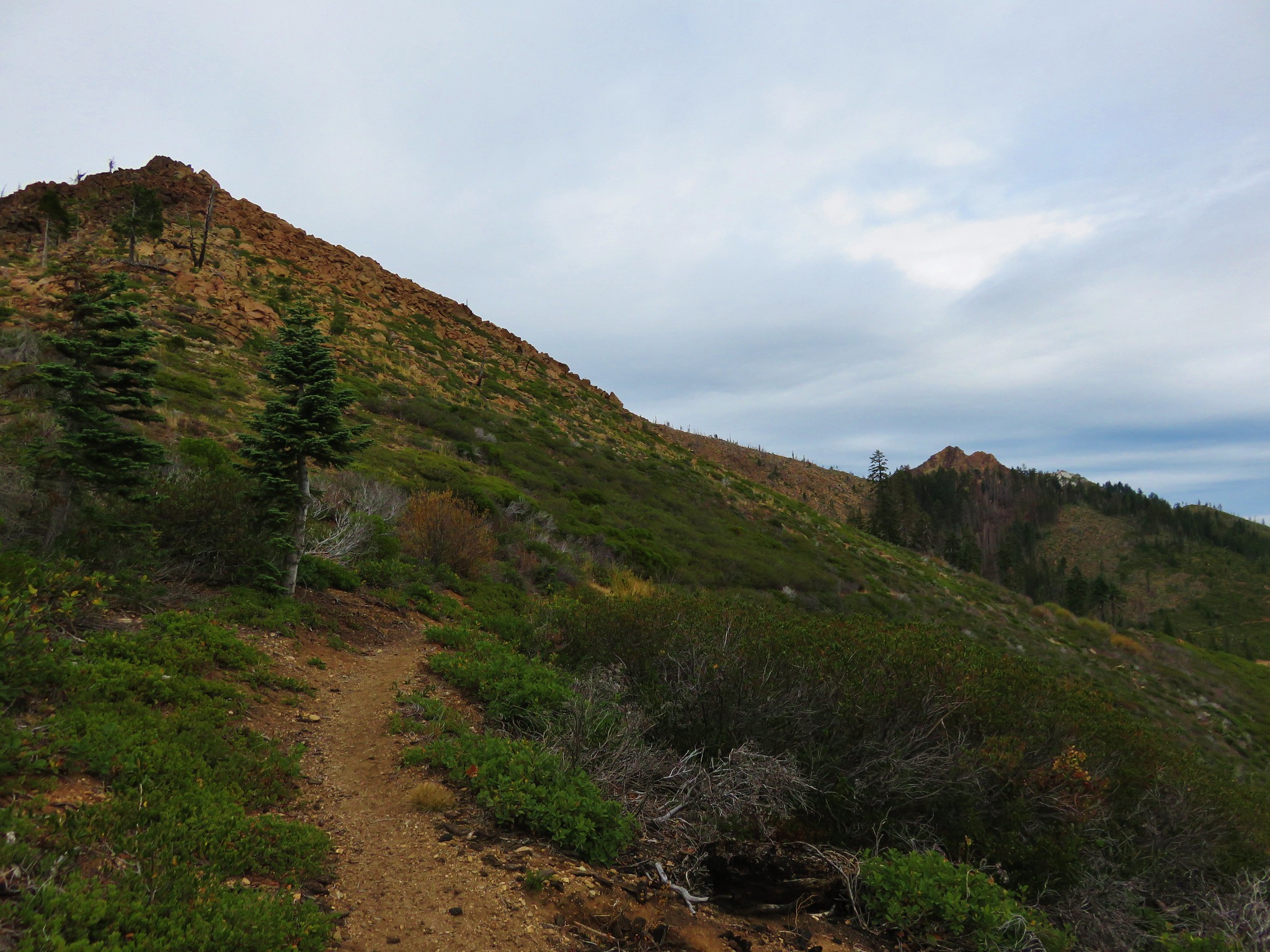
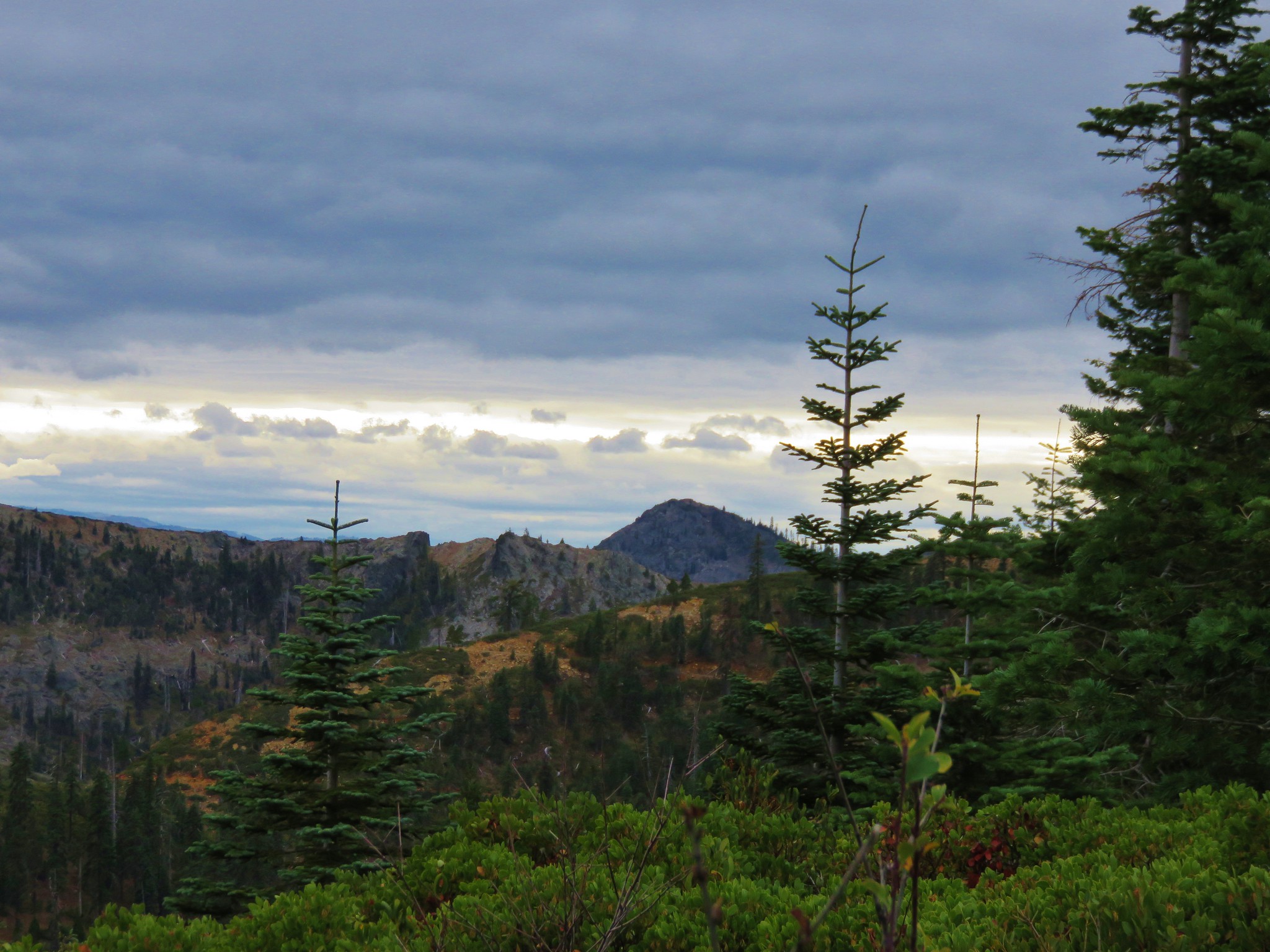
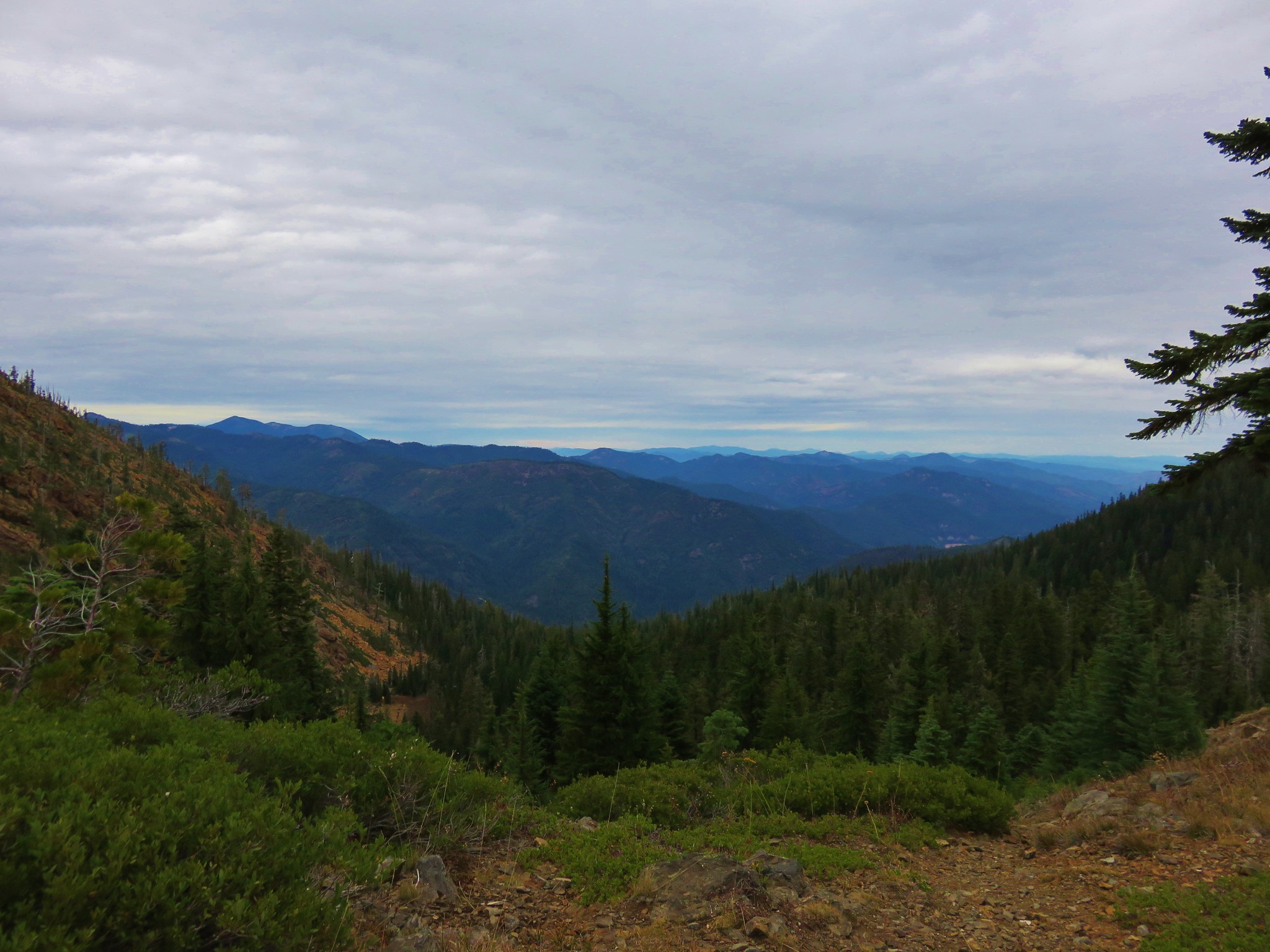
The views along the trail were great. With very few trees left we could see unobstructed in every direction. It was a cloudy day but they were high enough in the sky to reveal many of NW California’s peaks, most of which we were unfamiliar with.
 //embedr.flickr.com/assets/client-code.js
 //embedr.flickr.com/assets/client-code.js
 //embedr.flickr.com/assets/client-code.js
Polar Bear Mountain, Preston Peak, and El Capitan
 //embedr.flickr.com/assets/client-code.js
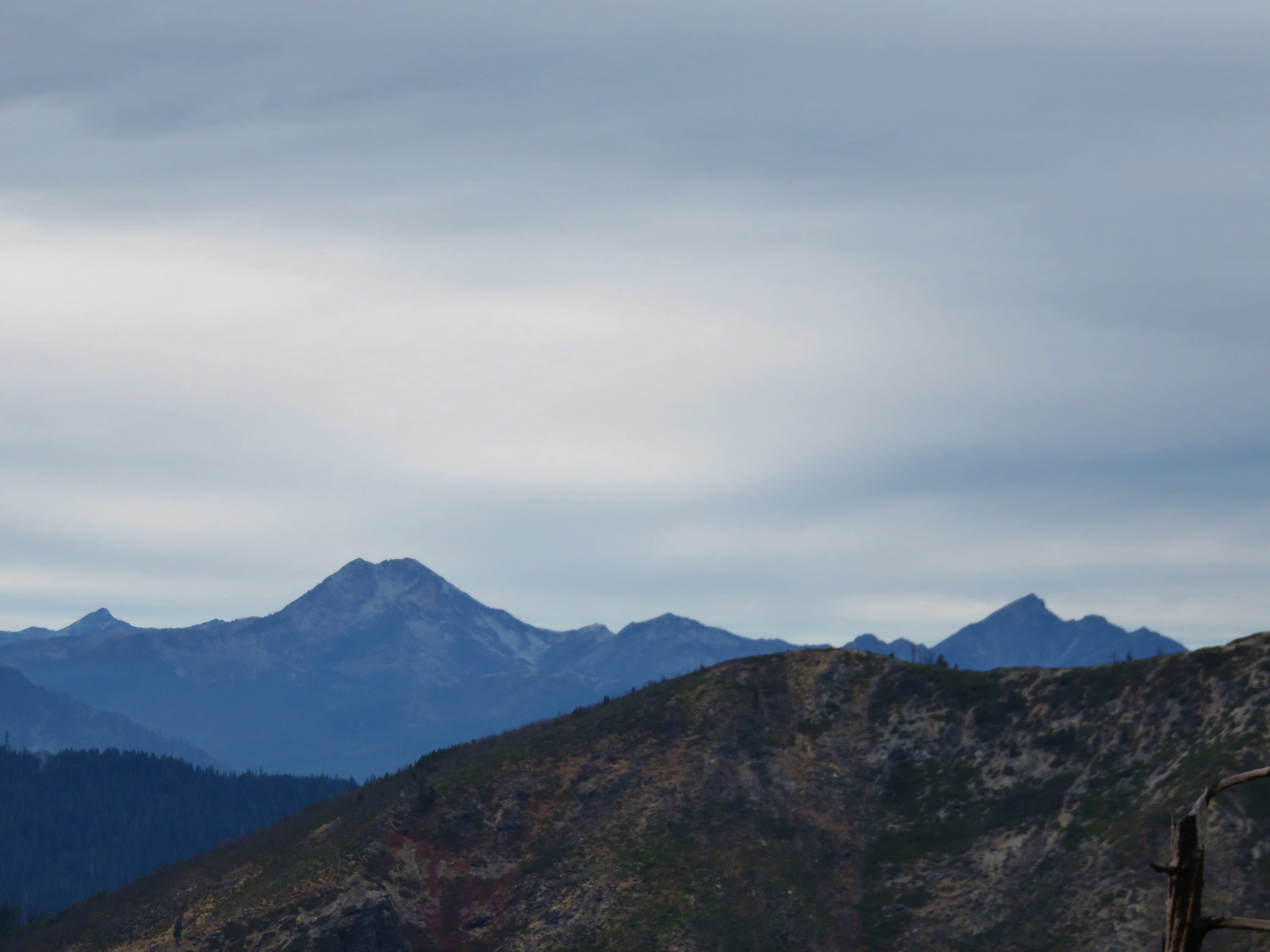
To the NE were some more familiar peaks.
Mt. McLoughlin
 //embedr.flickr.com/assets/client-code.js
 //embedr.flickr.com/assets/client-code.js
Mt. Bailey and Mt. Thielsen
 //embedr.flickr.com/assets/client-code.js
Mt. Thielsen and the peaks around the rim of Crater Lake
 //embedr.flickr.com/assets/client-code.js
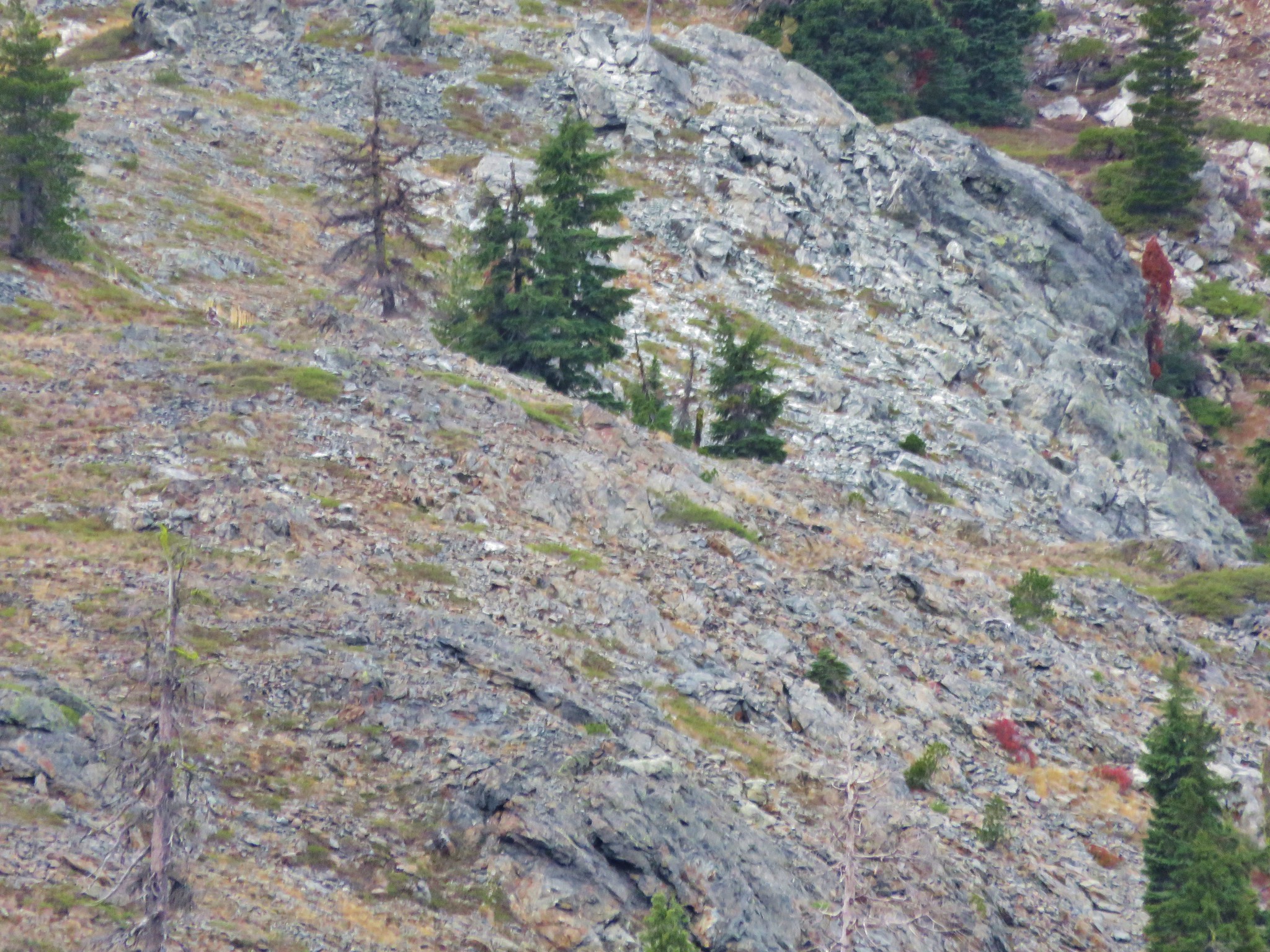
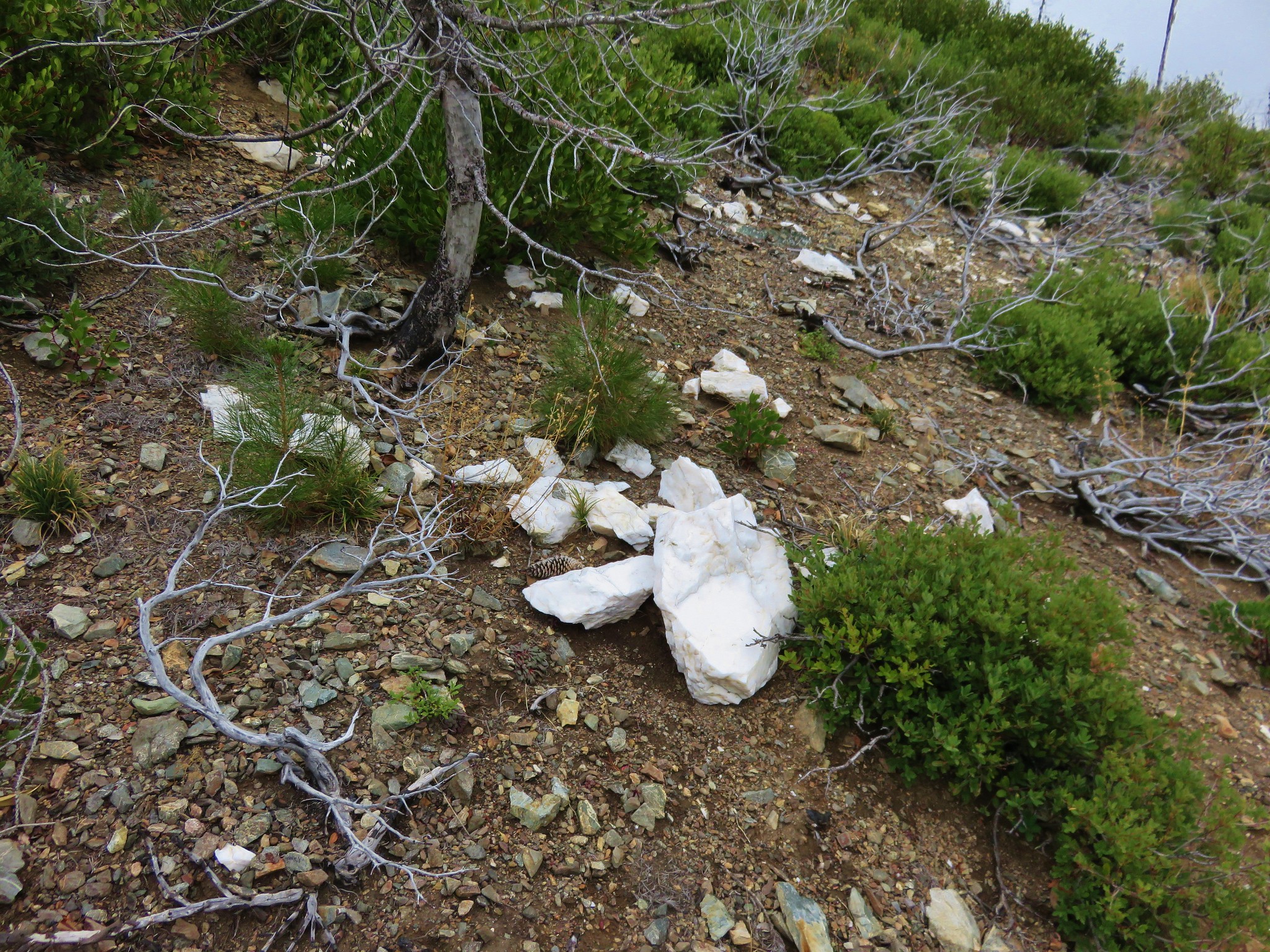
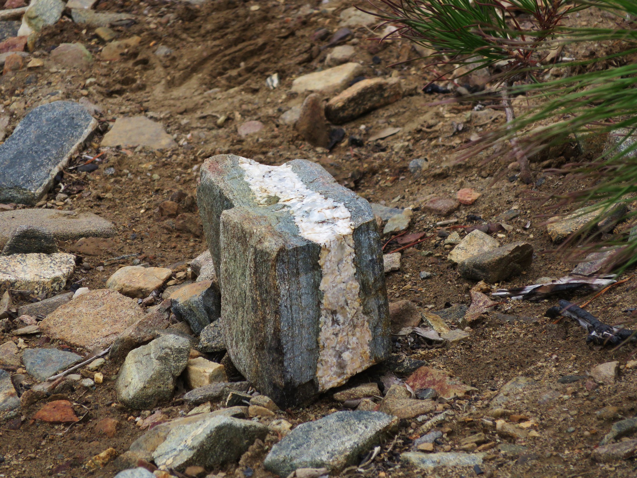
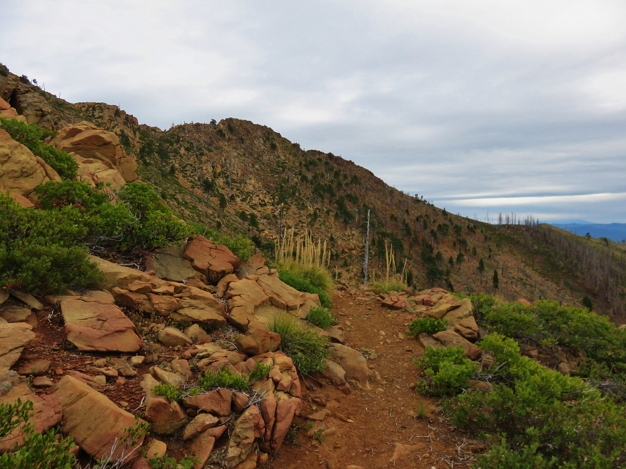
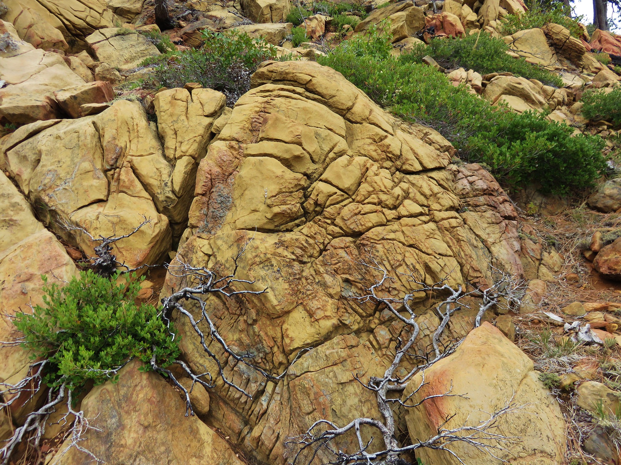
We were also beginning to see more and more interesting rocks along the trail.
 //embedr.flickr.com/assets/client-code.js
 //embedr.flickr.com/assets/client-code.js
 //embedr.flickr.com/assets/client-code.js
Often we could see the trail further ahead easier than it was to pick out directly in front of us. A good example of this was the trail leading up and around Desolation Peak.
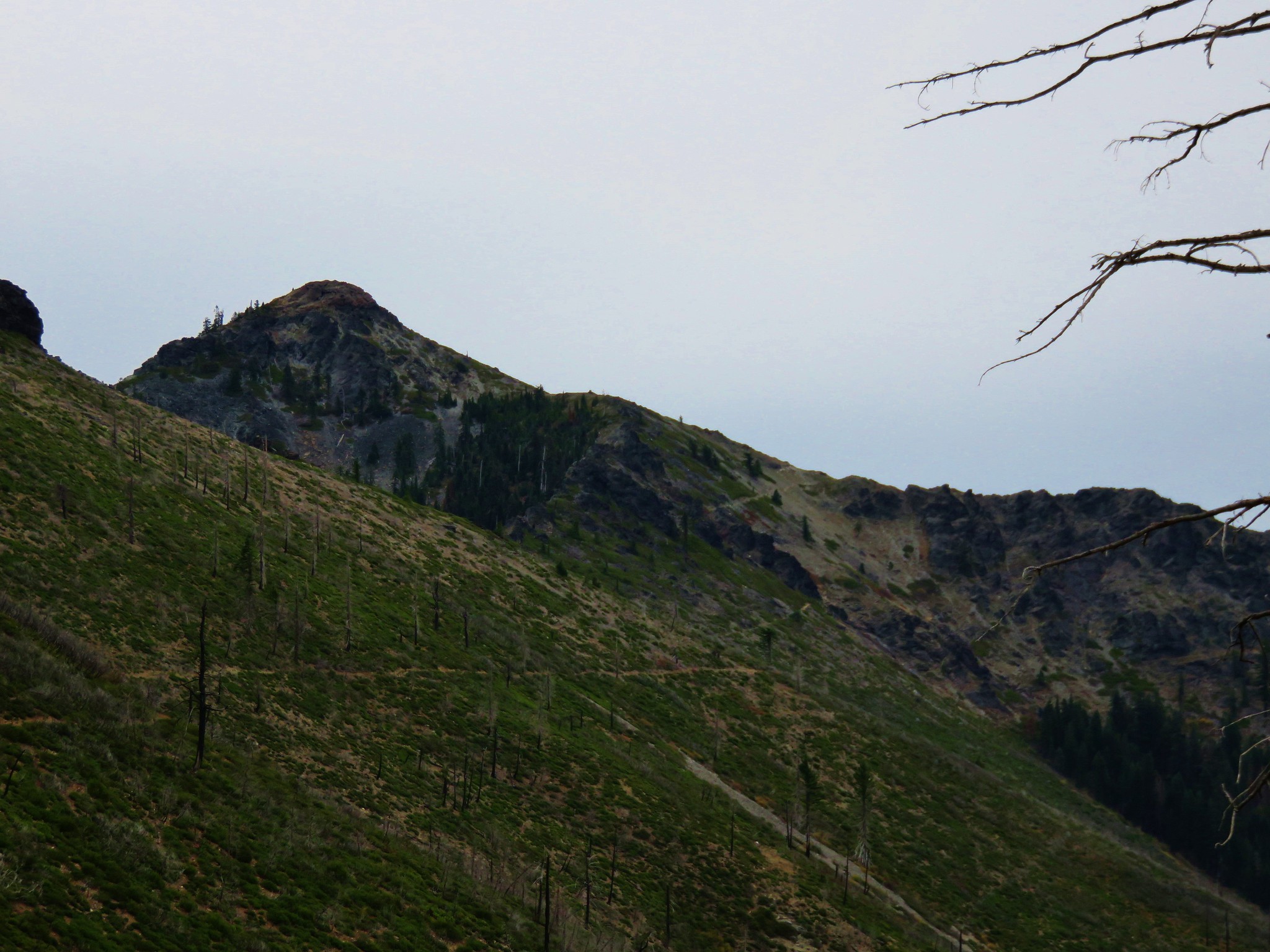 //embedr.flickr.com/assets/client-code.js
 //embedr.flickr.com/assets/client-code.js
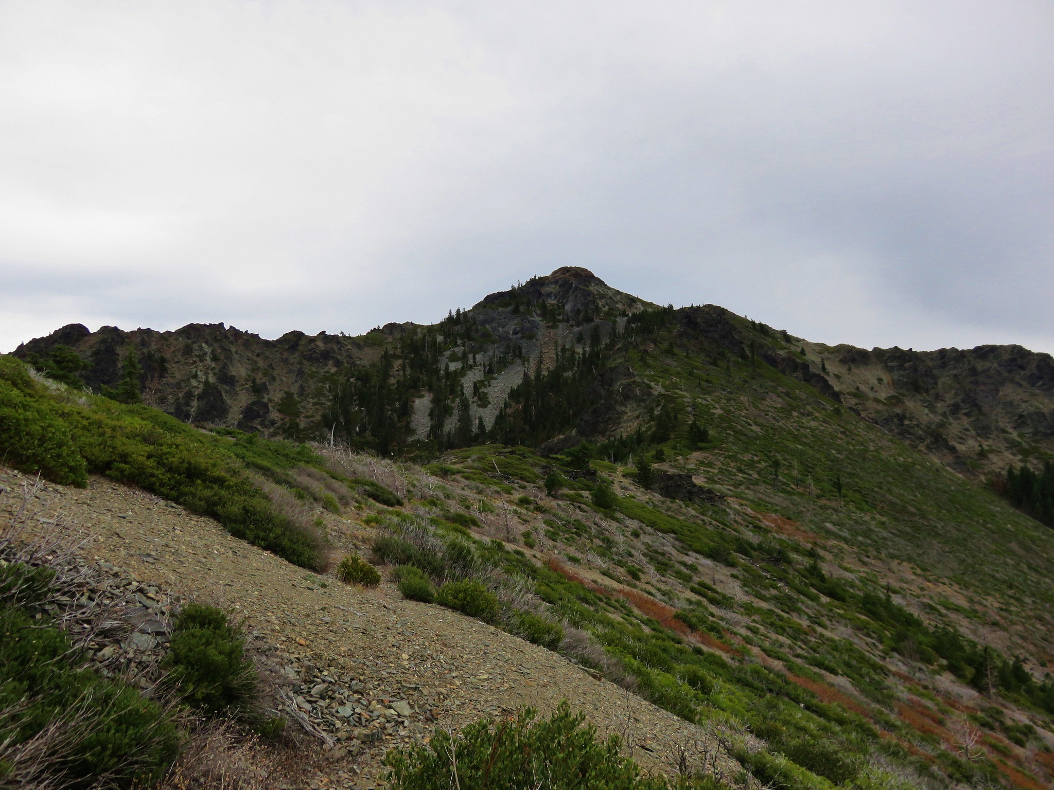
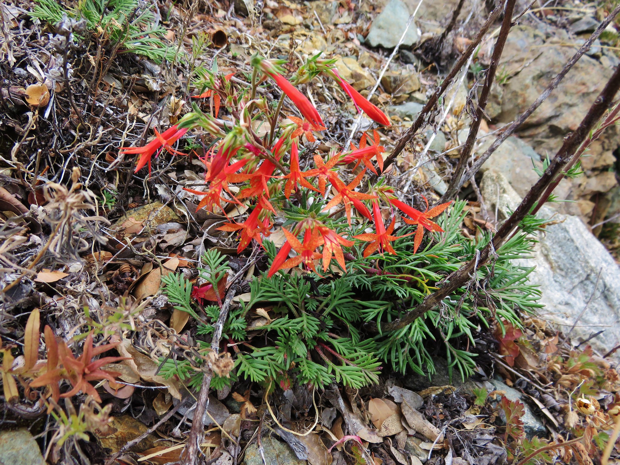
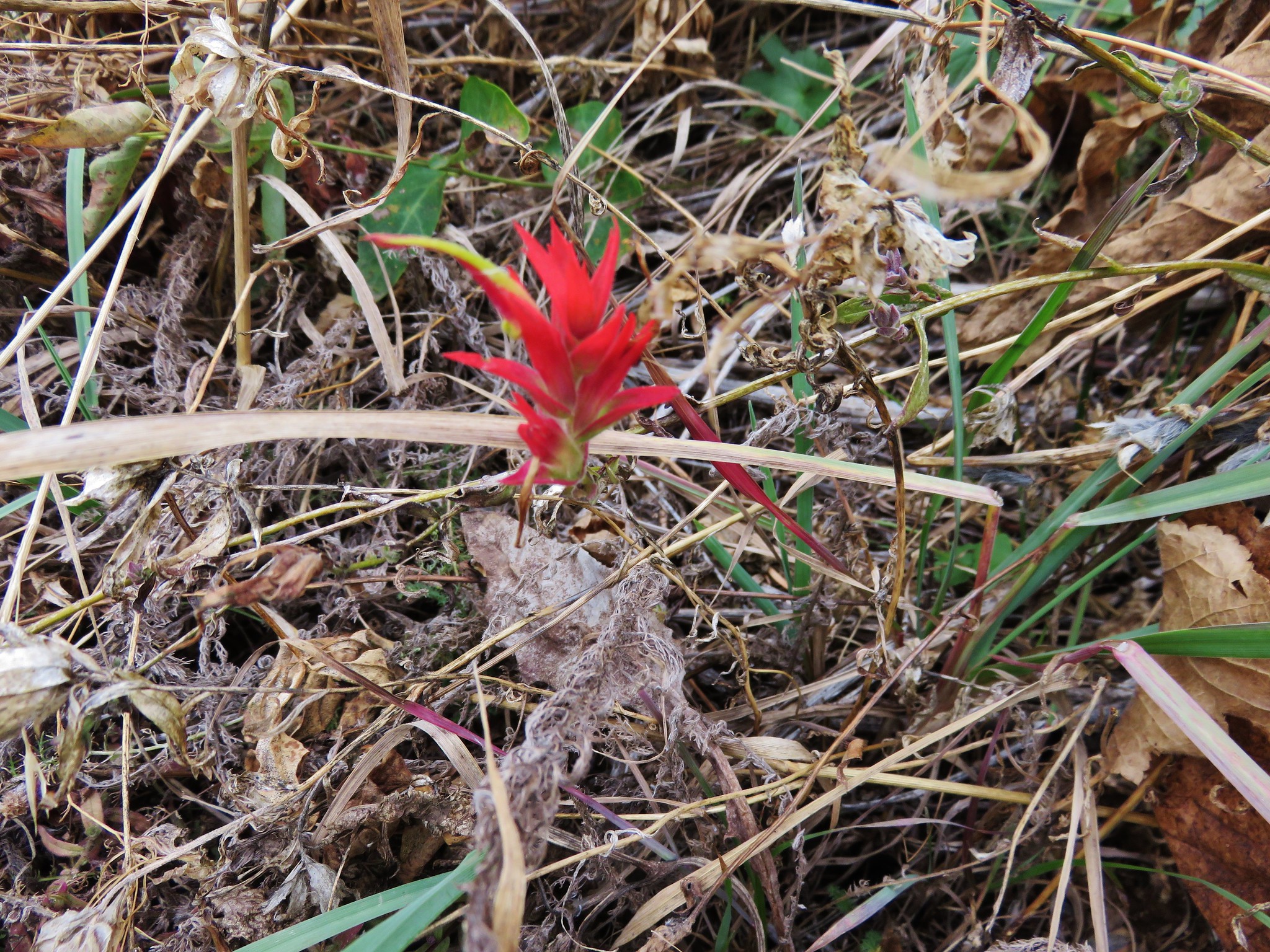
The trail climbed in a series of switchbacks on the side of Desolation Peak where we were surprised to find some scarlet gilia still in bloom.
 //embedr.flickr.com/assets/client-code.js
Switchback on Desolation Peak
//embedr.flickr.com/assets/client-code.js
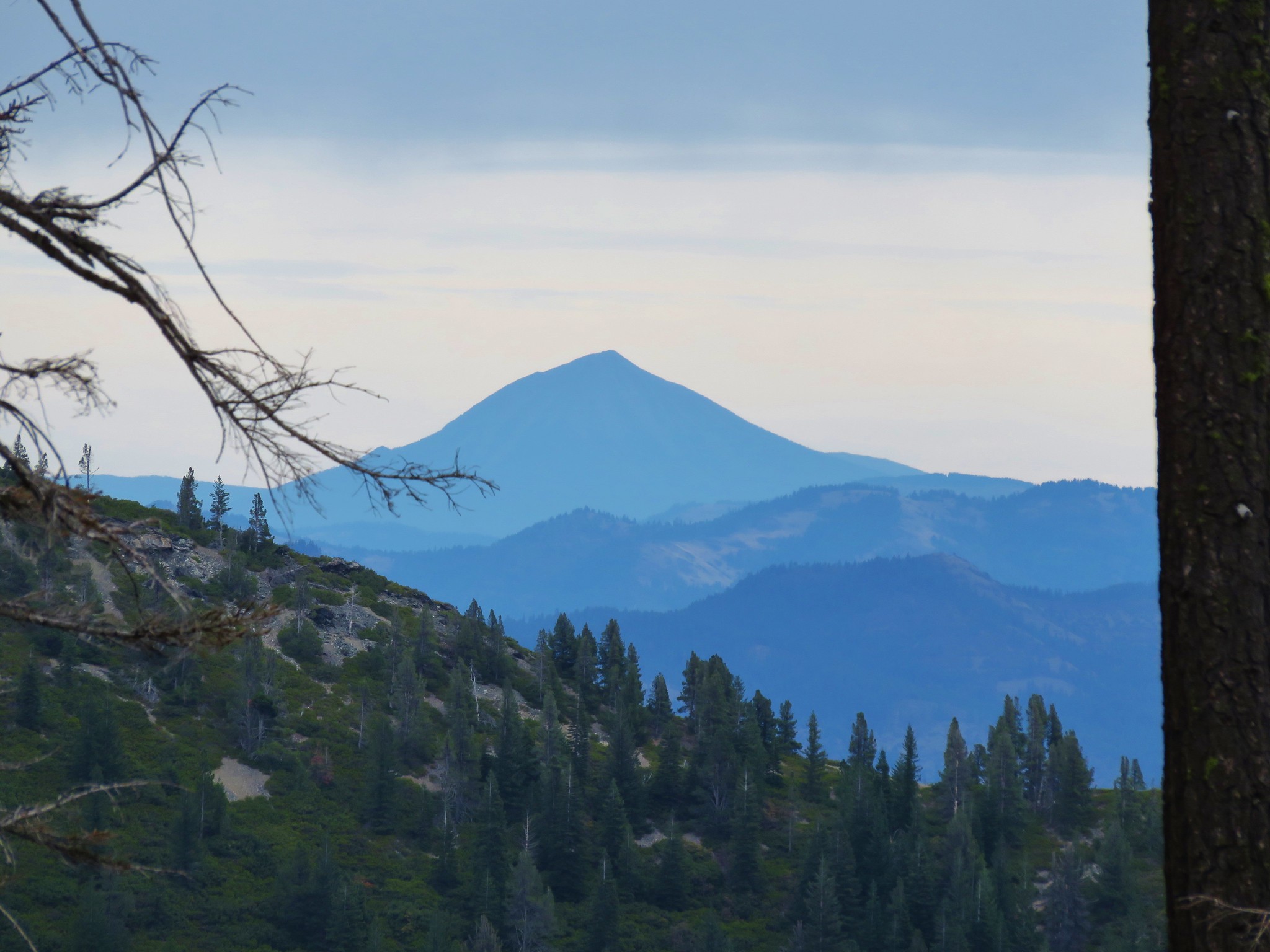
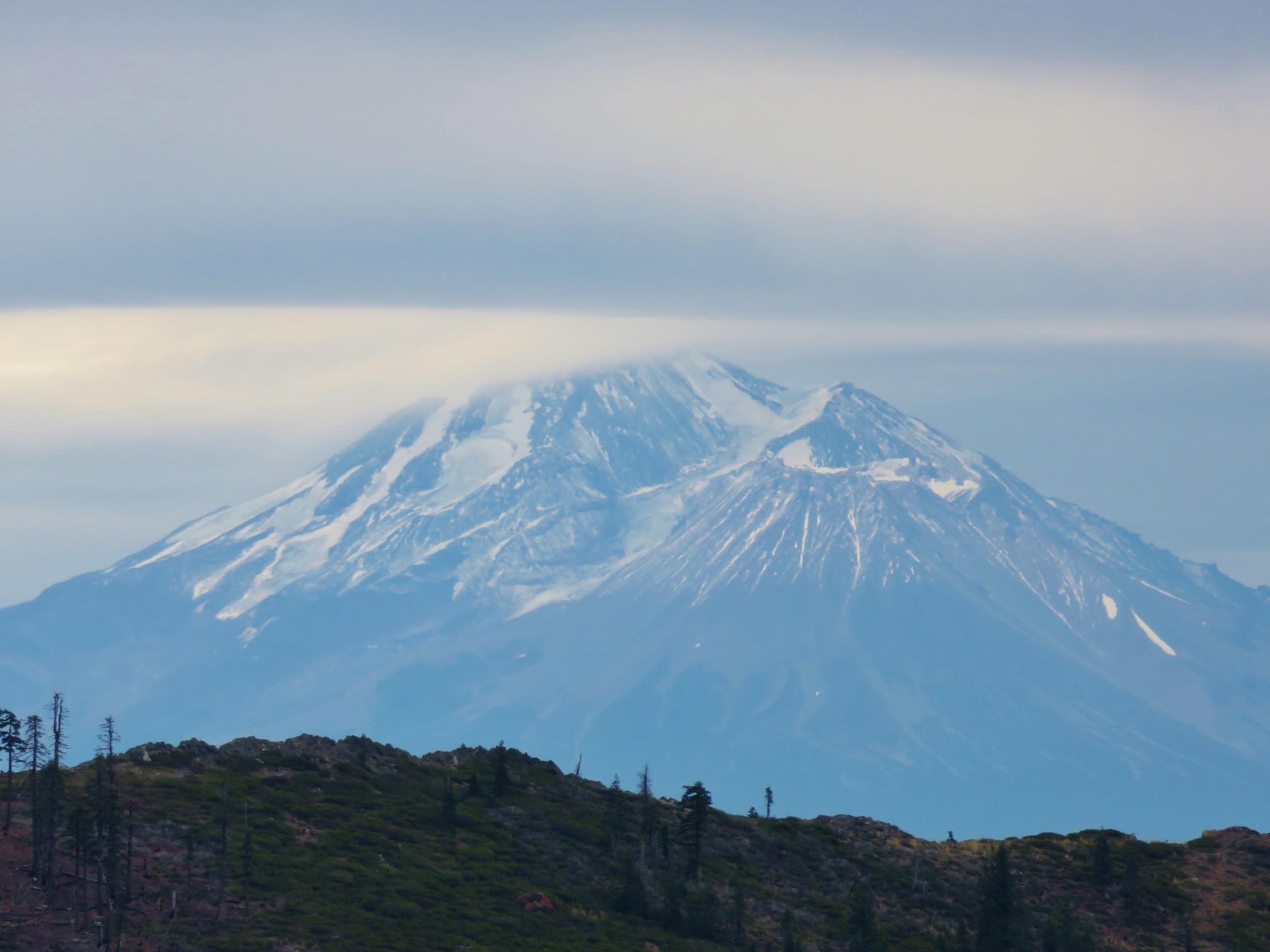
After getting around Desolation Peak we got our first look at Mt. Shasta.
 //embedr.flickr.com/assets/client-code.js
 //embedr.flickr.com/assets/client-code.js
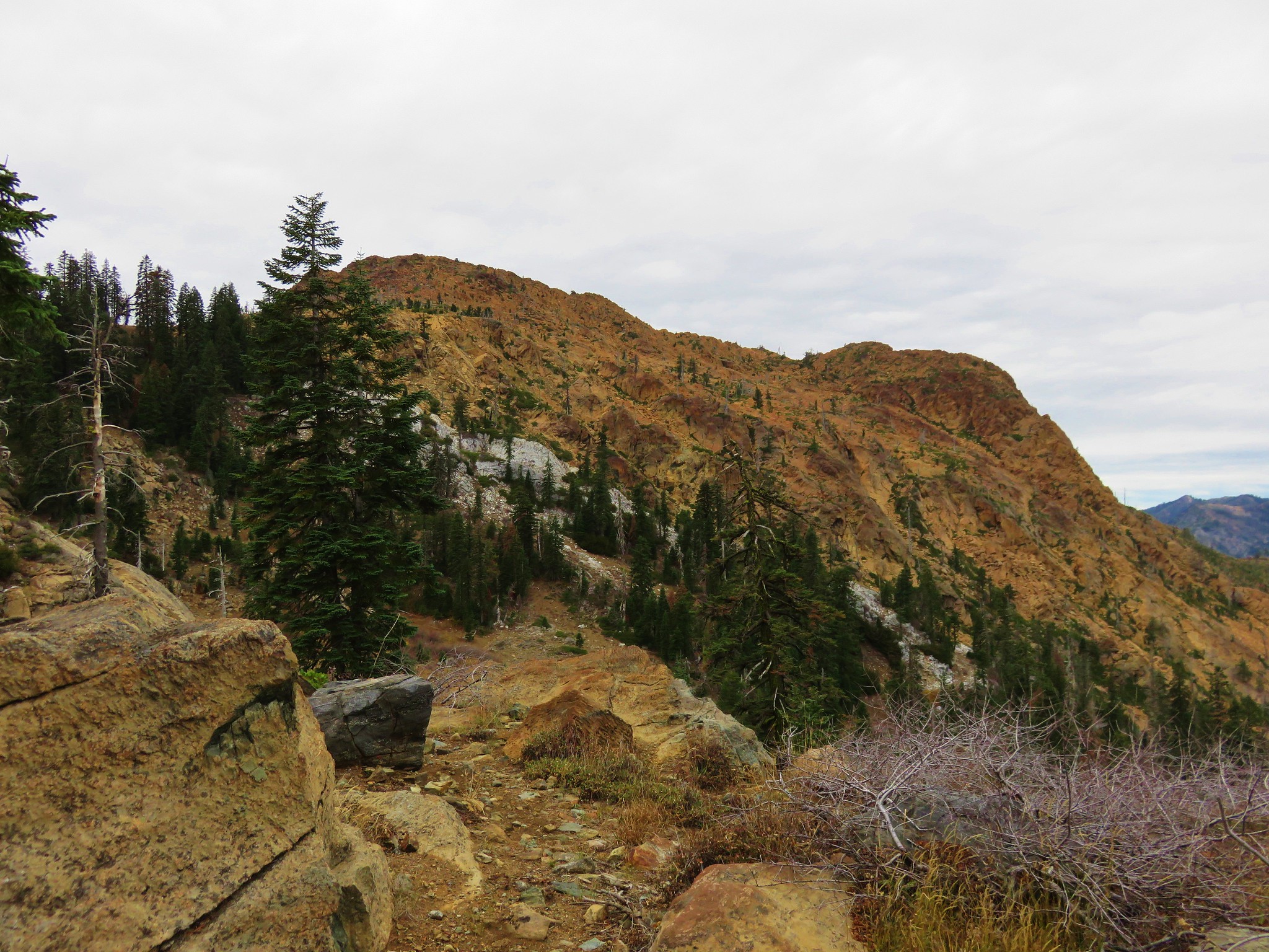
We had passed around Goff Butte, Rattlesnake Mountain, and Desolation Peak and up next was Kangaroo Mountain where we would find the PCT.
 //embedr.flickr.com/assets/client-code.js
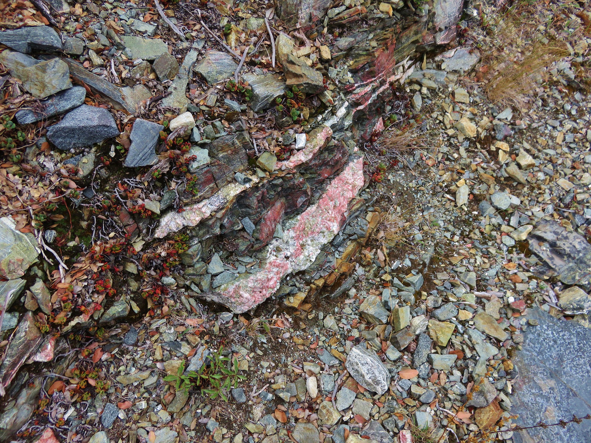
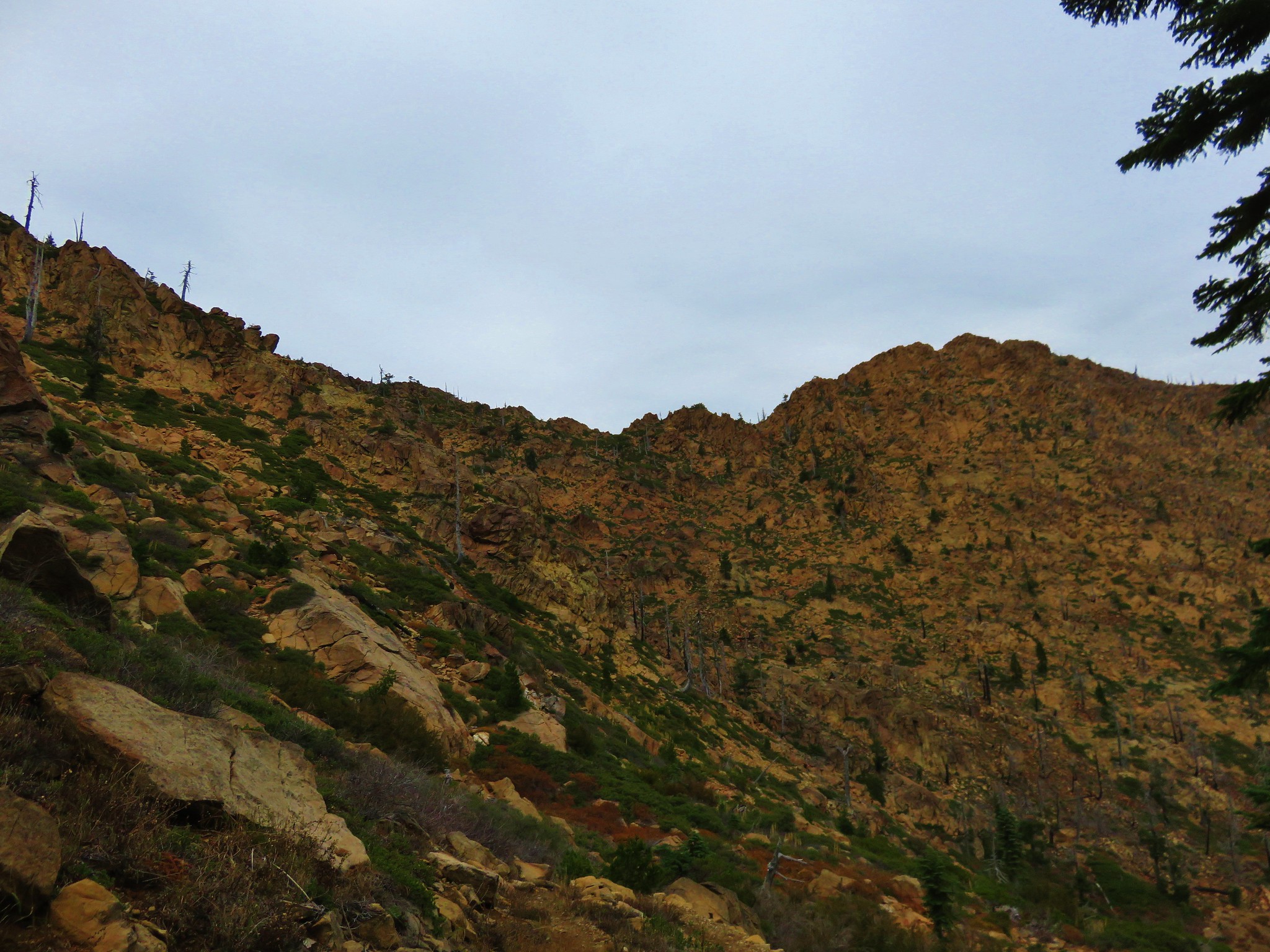
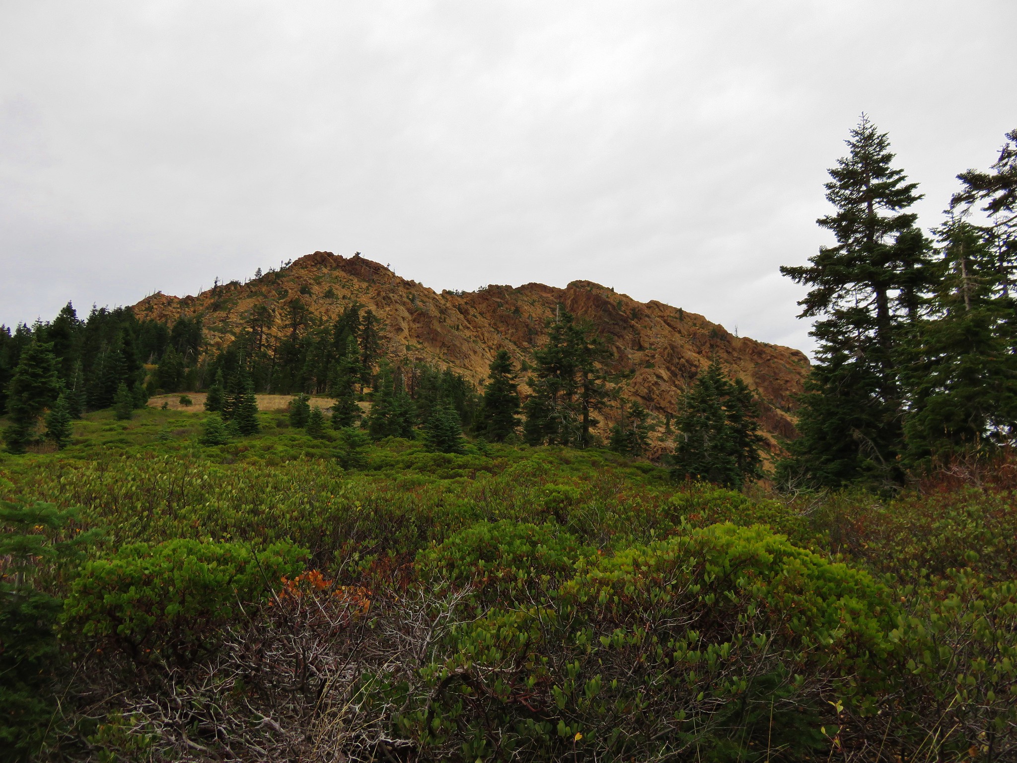
Kangaroo Mountain is made up of the same type of red rock, peridotite, as Red Buttes.
 //embedr.flickr.com/assets/client-code.js
 //embedr.flickr.com/assets/client-code.js
We met the PCT on the south side of Kangaroo Mountain and took a celebratory break.
 //embedr.flickr.com/assets/client-code.js
While the Boundary Trail has seen little to no maintenance since the 2012 fire the PCT has been. While we were sitting on a log having a snack we saw our first other humans of the trip. Three members of the Forest Service out on a tree survey were hiking up the PCT and heading back to their vehicle. After a brief conversation they went on and we soon followed heading toward Red Buttes.
 //embedr.flickr.com/assets/client-code.js
 //embedr.flickr.com/assets/client-code.js
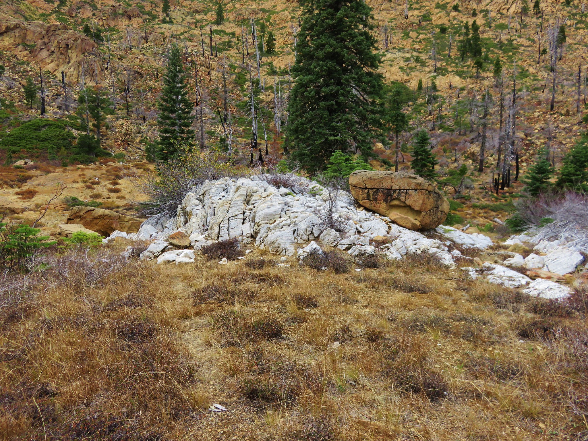
Kangaroo Mountain was by far the widest peak that we’d gone around that day and the backside was an interesting mix of rocks with marble outcrops dotting the red peridotite.
 //embedr.flickr.com/assets/client-code.js
 //embedr.flickr.com/assets/client-code.js
We arrived at Kangaroo Spring to find the springs dry although there did appear to be some water further offtrail on the downhill side of the PCT.
 //embedr.flickr.com/assets/client-code.js
 //embedr.flickr.com/assets/client-code.js
 //embedr.flickr.com/assets/client-code.js
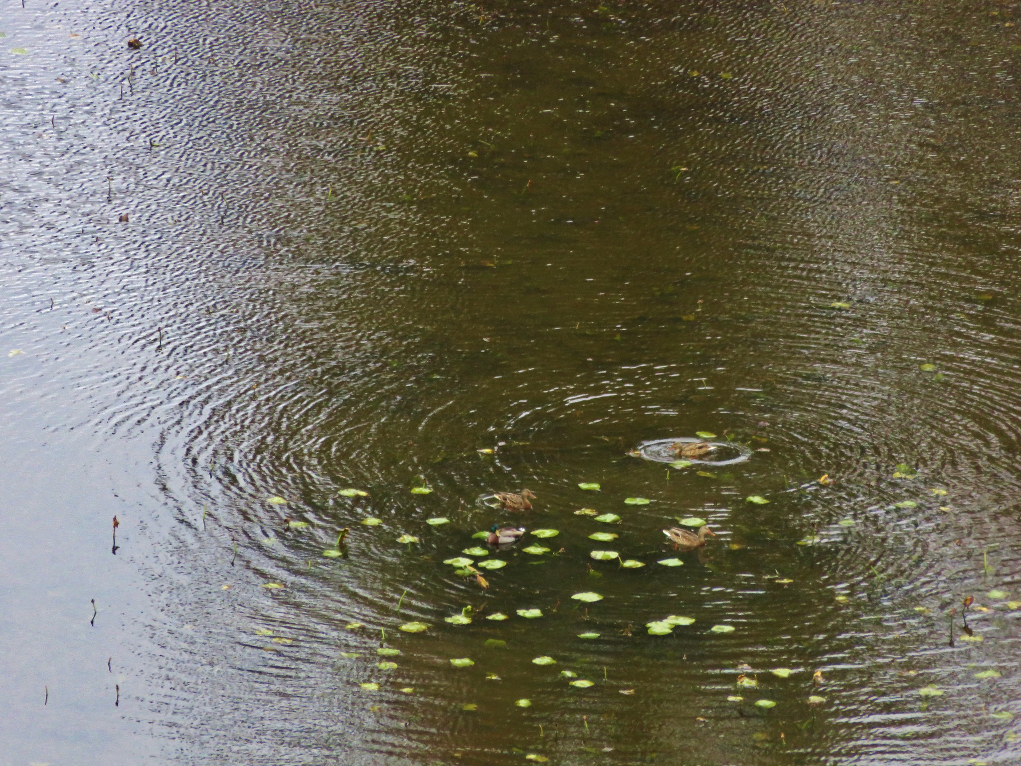
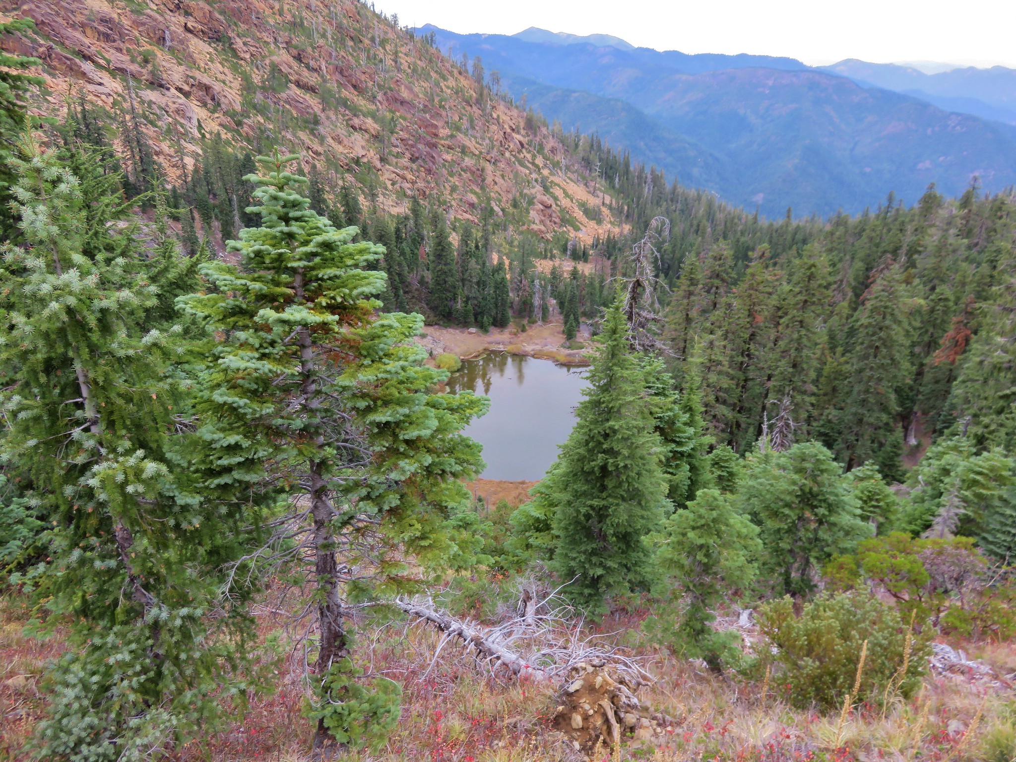
Next we passed Lily Pad Lake where several ducks were paddling about.
 //embedr.flickr.com/assets/client-code.js
 //embedr.flickr.com/assets/client-code.js
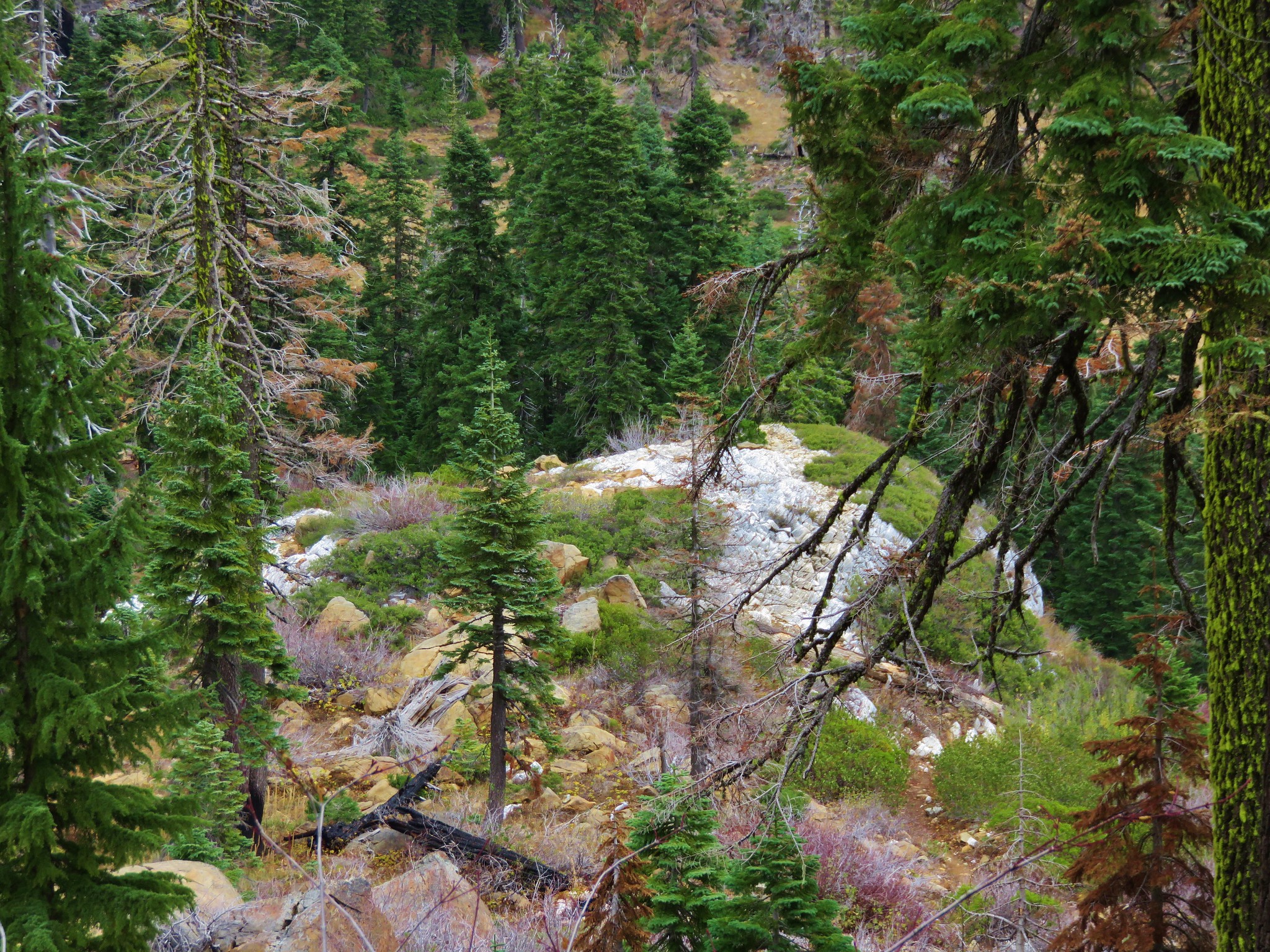
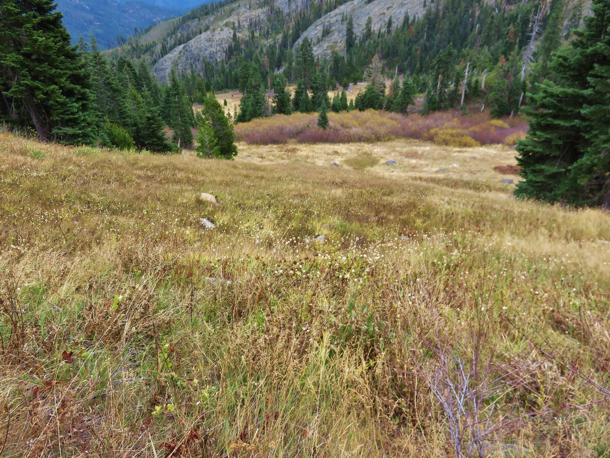
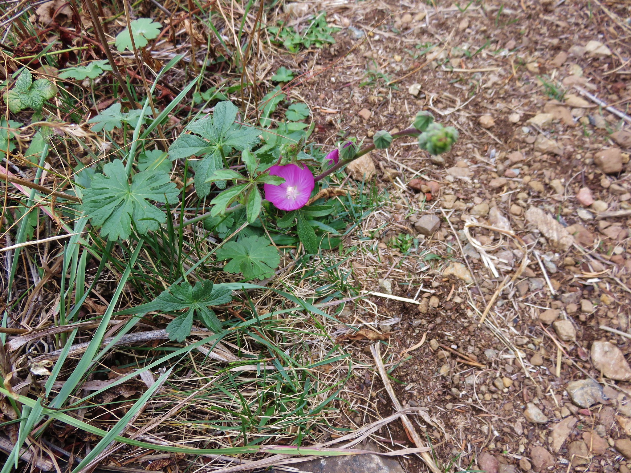
We were coming out of the burn area and passing a series of meadows that still held a few wildflowers.
 //embedr.flickr.com/assets/client-code.js
 //embedr.flickr.com/assets/client-code.js
 //embedr.flickr.com/assets/client-code.js
 //embedr.flickr.com/assets/client-code.js
 //embedr.flickr.com/assets/client-code.js
We popped out of the trees below Red Buttes near Bee Camp.
 //embedr.flickr.com/assets/client-code.js
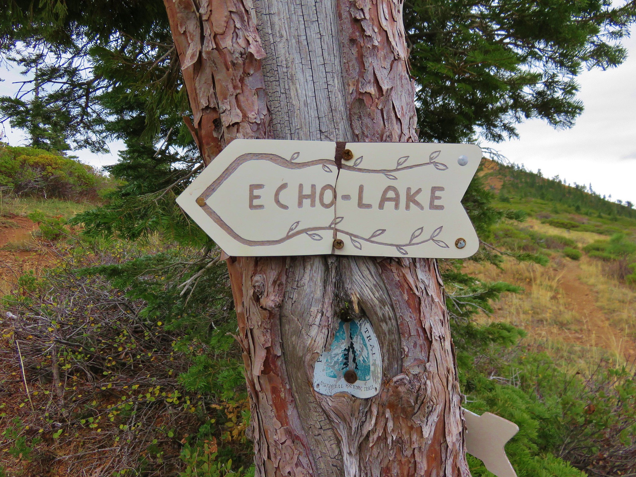
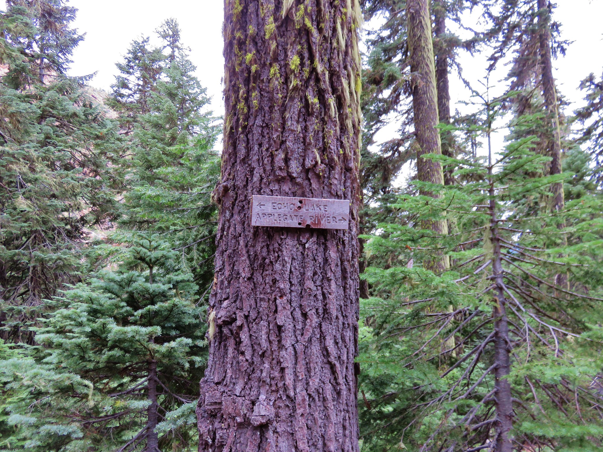
A half mile after crossing an old road we arrived at the junction with the Horse Camp Trail and a unique pointer for Echo Lake.
 //embedr.flickr.com/assets/client-code.js
We took a moment to take in the view then spied the lake below us and began the half mile descent to the lake.
 //embedr.flickr.com/assets/client-code.js
 //embedr.flickr.com/assets/client-code.js
 //embedr.flickr.com/assets/client-code.js
 //embedr.flickr.com/assets/client-code.js
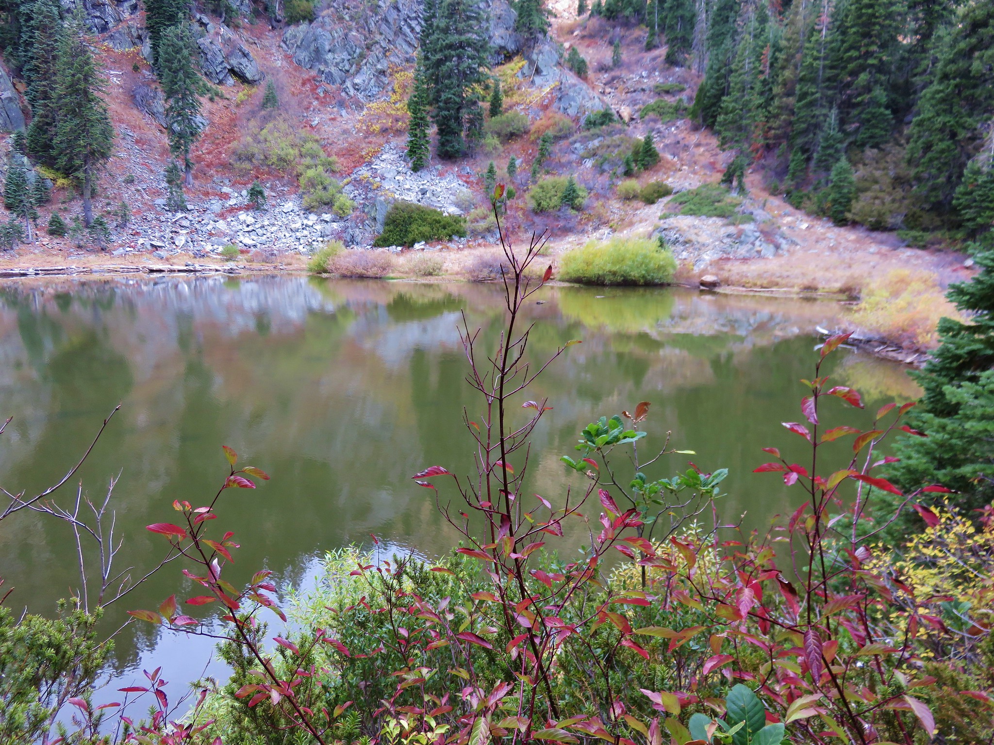
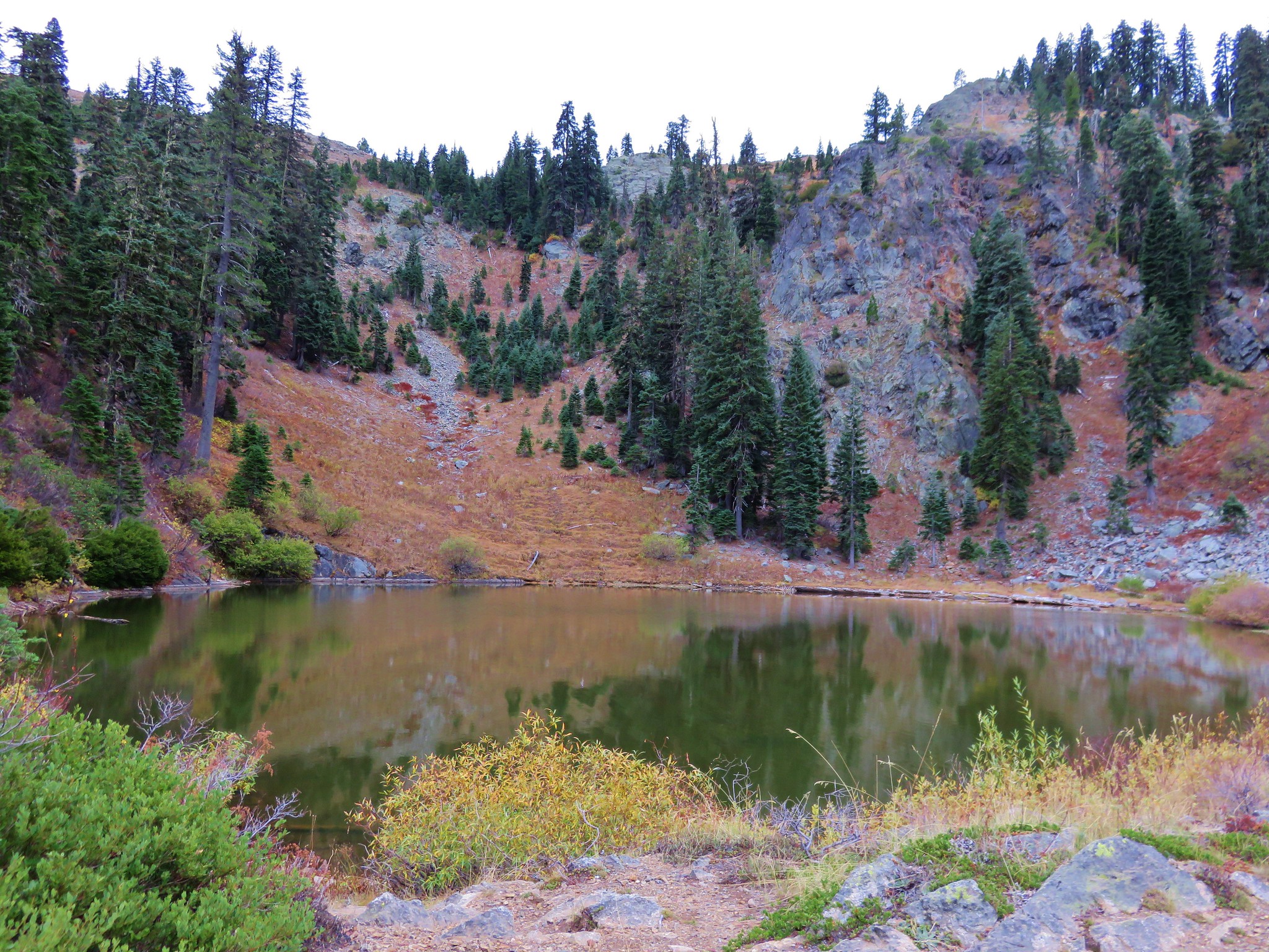
We turned left at another pointer for Echo Lake before arriving at the pretty little lake.
 //embedr.flickr.com/assets/client-code.js
 //embedr.flickr.com/assets/client-code.js
 //embedr.flickr.com/assets/client-code.js
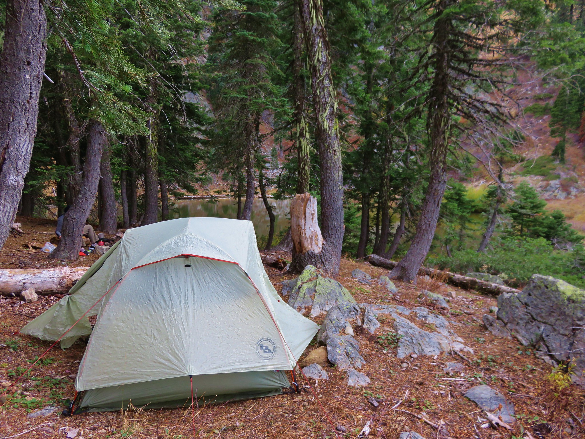
We set up out tent and rainfly as the forecast when left had been for a chance of showers Tuesday night and rain on Wednesday.
 //embedr.flickr.com/assets/client-code.js
No sooner had we gotten settled into the tent when it began to rain. The wind blew and the rain fell all night long. We got what sleep we could wondering what Wednesday would be like and just how wet we were going to get. Happy Trails!
Flickr: https://www.flickr.com/photos/9319235@N02/albums/7215766058094952

4 replies on “Red Buttes Wilderness Day 2 – Azalea Lake to Echo Lake”
[…] Red Buttes – 2015 […]
[…] The Red Buttes (post) […]
[…] Buttes (post) to the […]
[…] Collings Mountain-Hiked 6/8/2017 #65 Applegate Lake-Hiked 6/8/2017 5/29/2022 #66 Red Buttes-Hiked 10/27/2015 #67 Frog Pond-Hiked 6/18/2022 #68 Azalea Lake-Hiked 10/26/2015 #69 Sturgis Fork-Hiked 10/7/2023 […]