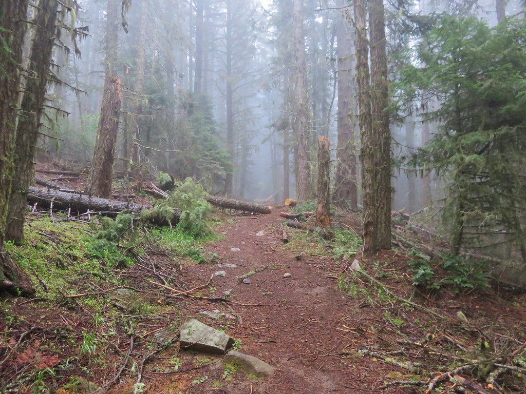
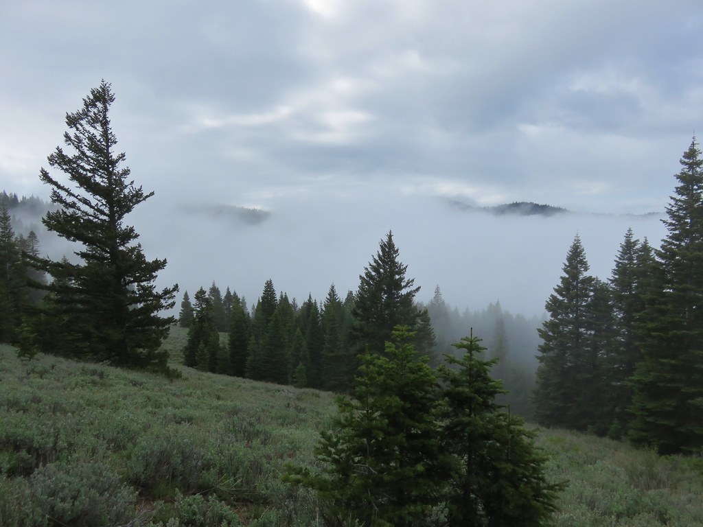
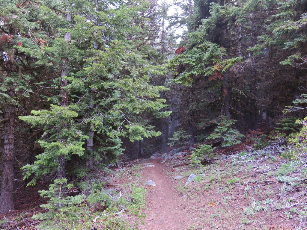
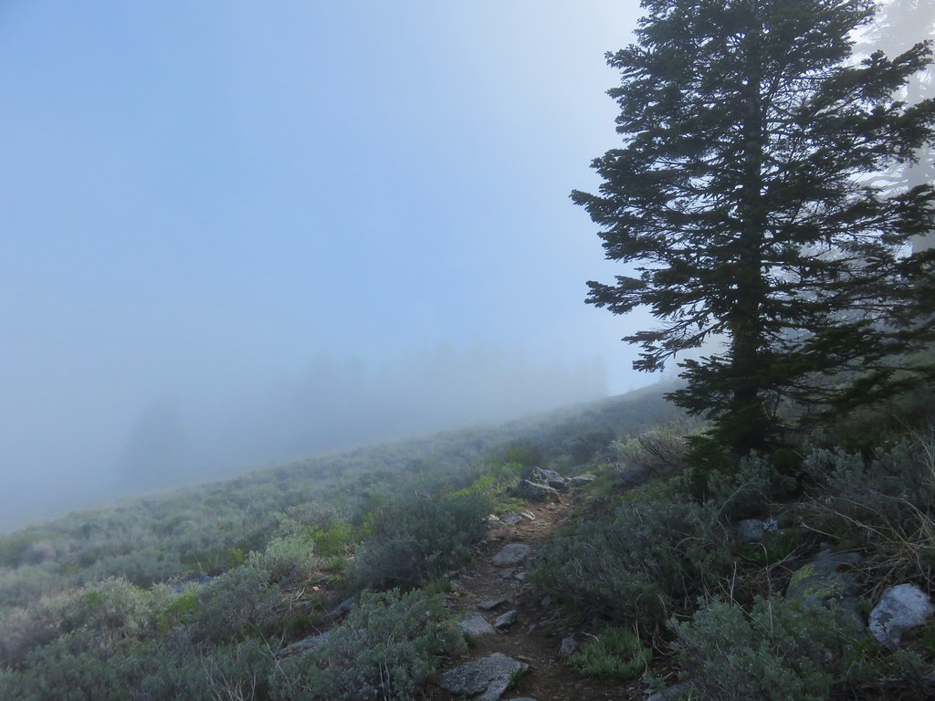
We continued our exploration of the trails around Ashland on the fourth day of our trip. Our destination this time was the former lookout site atop 7140′ Wagner Butte. This trail sometimes does not open until mid-June due to snow but this year that wasn’t an issue. What could have been an issue was a forecast that called for a slight chance of thunderstorms. We checked the forecast once more before leaving in the morning and the possibility of thunder storms had been removed although it still called for mostly cloudy skies. The drive to the trailhead was indeed through thick fog and once again we were setting of on a trail in the clouds.
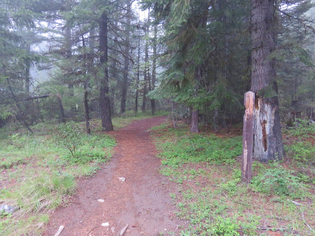
The trail climbed for almost a mile along an old road before leveling out through a series of meadows.
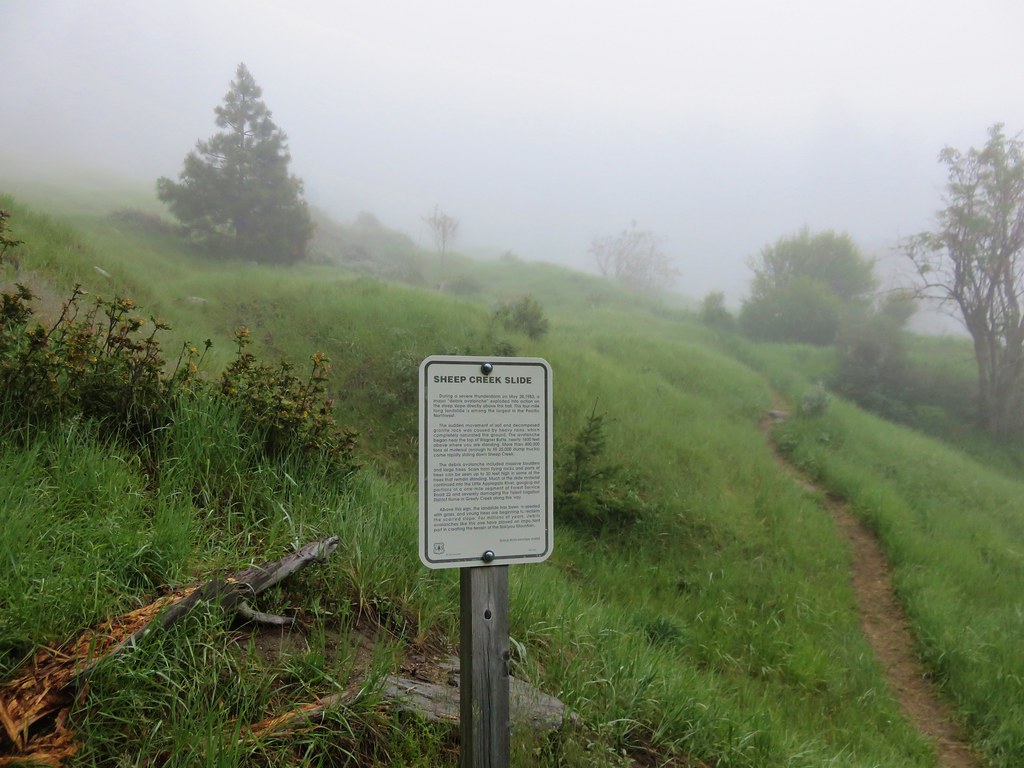
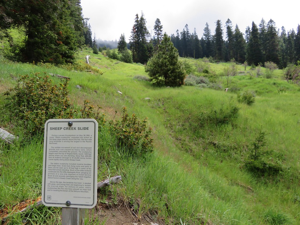
The largest meadow having been created in 1983 by the Sheep Creek Slide when 400,000 tons of debris slid down from high up on Wagner Butte.
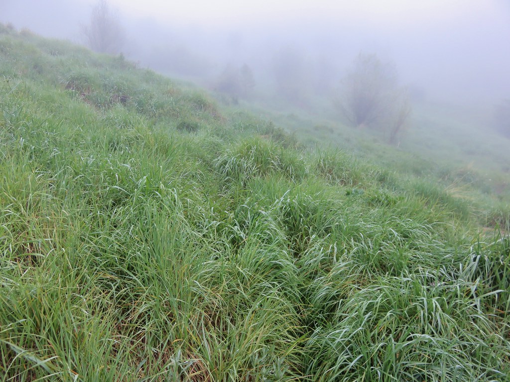
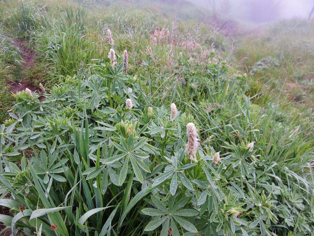
There weren’t many flowers yet in the meadow but we could easily see how it would be an impressive show once the bloom began.
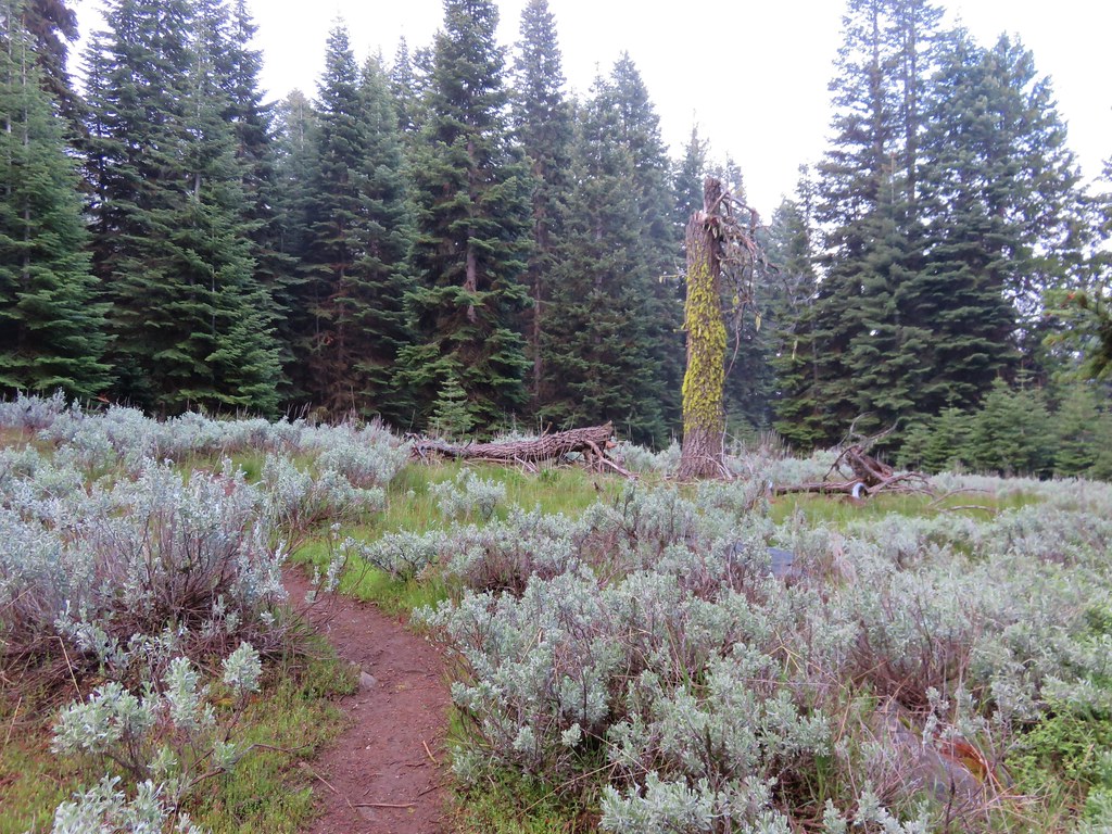
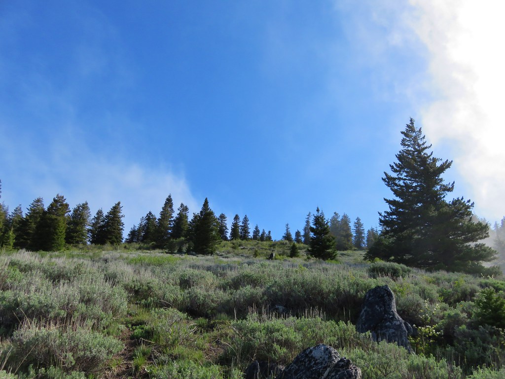
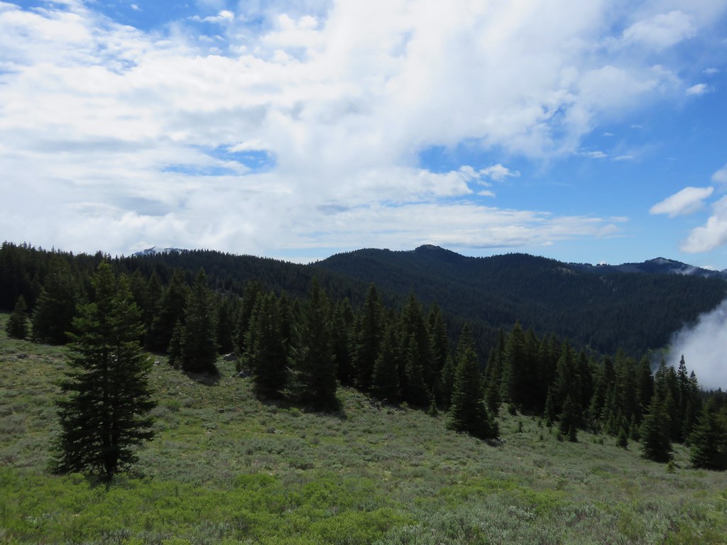
Beyond the Sheep Creek Slide the trail continued to pass through meadows where an increasing amount of sagebrush was present. We also began to get glimpses of blue sky above which we began to think might mean there was a chance that we would be above the clouds once we reached the summit.
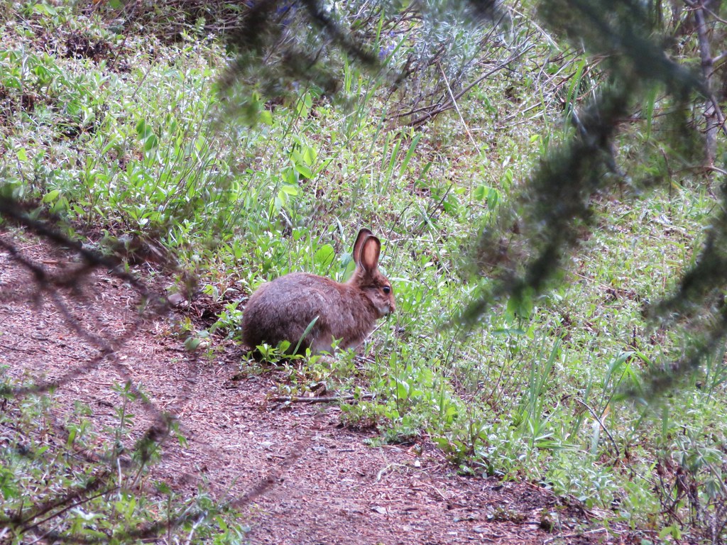
We had seen several rabbits on the drive in and one on the trail near the slid meadow. I had not been able to get a picture of that one but we wound up spotting another one that was too busy eating to worry about my picture taking.
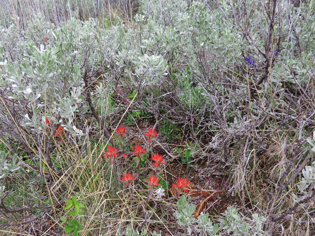
At the 2.4 mile mark the trail began to switchback up through sagebrush filled meadows where there was more evidence of the clouds breaking up.
We climbed for almost a mile before reaching a sign announcing Wagner Glade Gap.
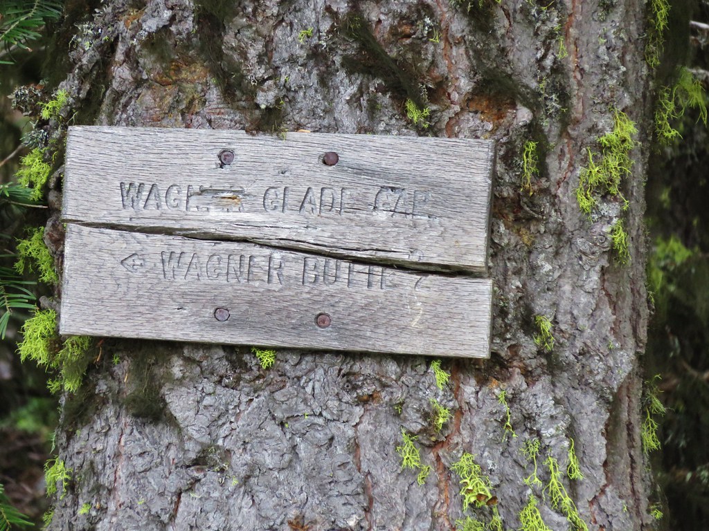
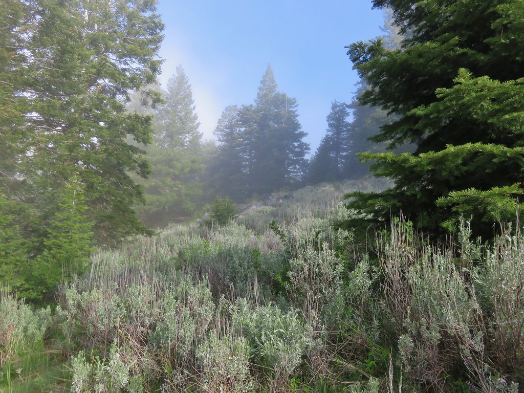
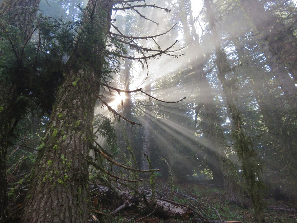
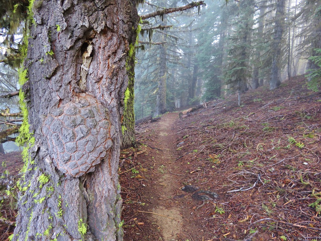
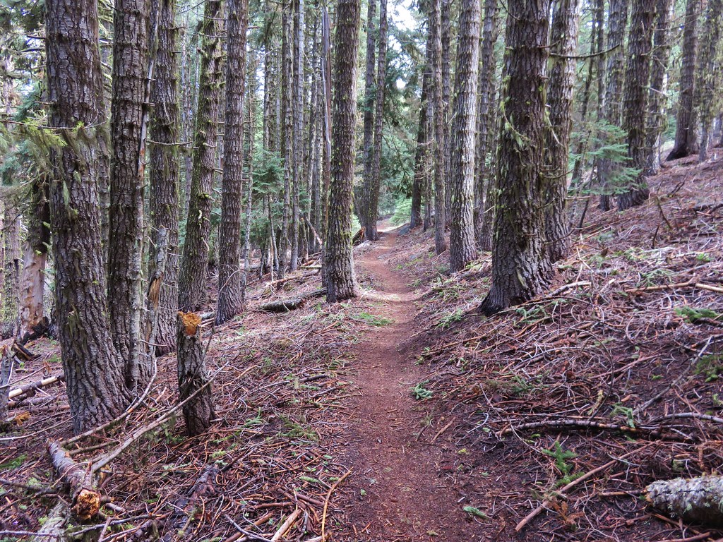
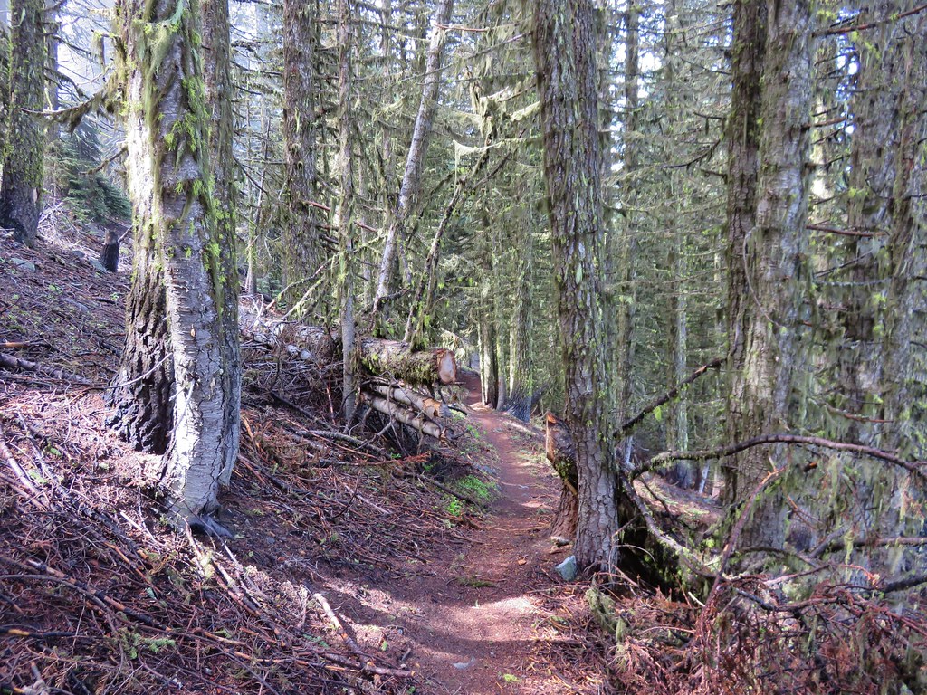
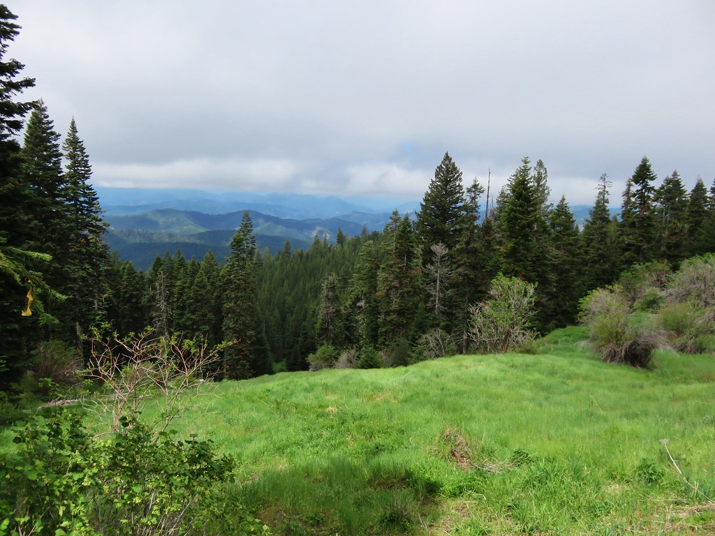
From the gap the trail turned left for the final 1.9 mile climb to the summit. We passed through trees and meadows, some in the fog and some in the sun.
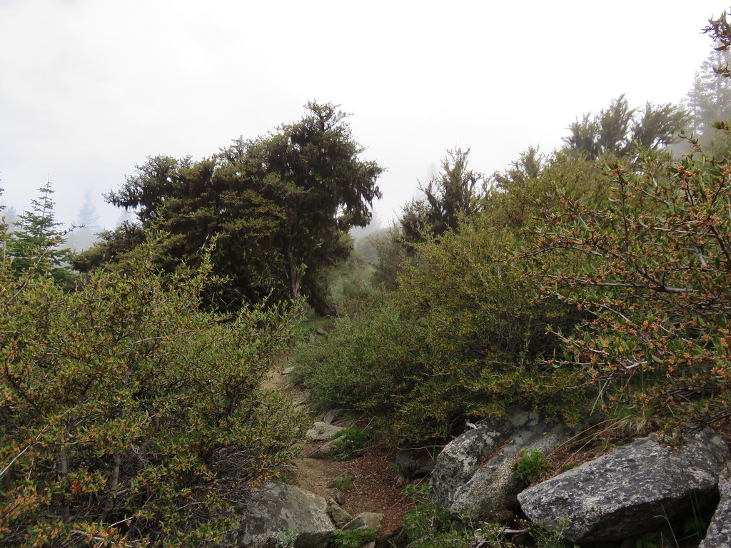
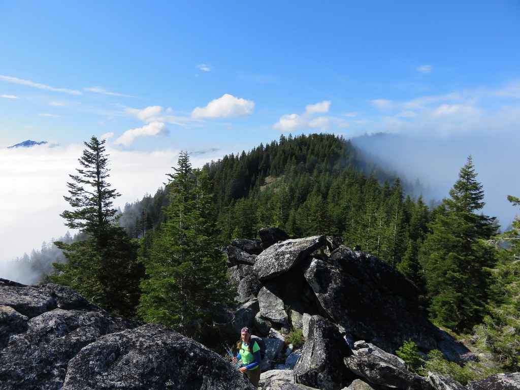
This portion of the climb was never very steep and when we arrived on the ridgecrest for the final scramble we were indeed greeted with blue skies.
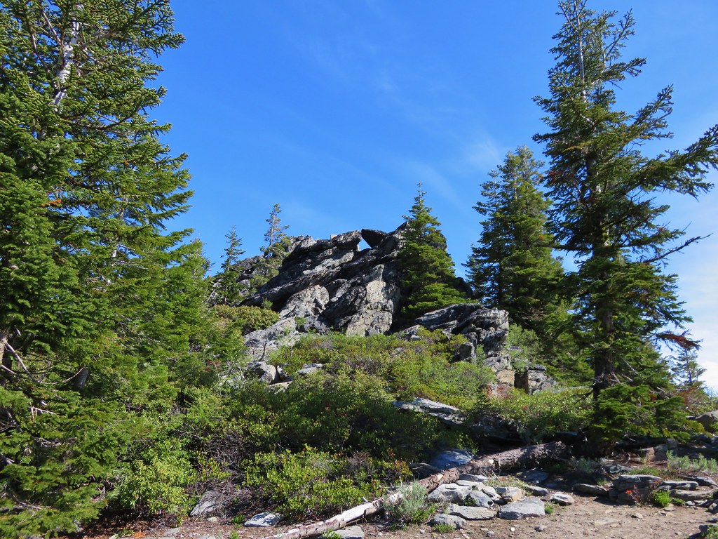
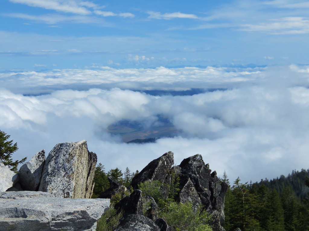
To reach the former lookout site requires a bit of rock scrambling. The trail seems to end at a pile of boulders below a railing where the lookout once stood.
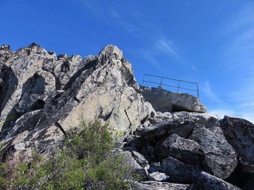
A faint path around to the right led to a fairly easy scramble up the rocks to the top of the rocks and spectacular views.
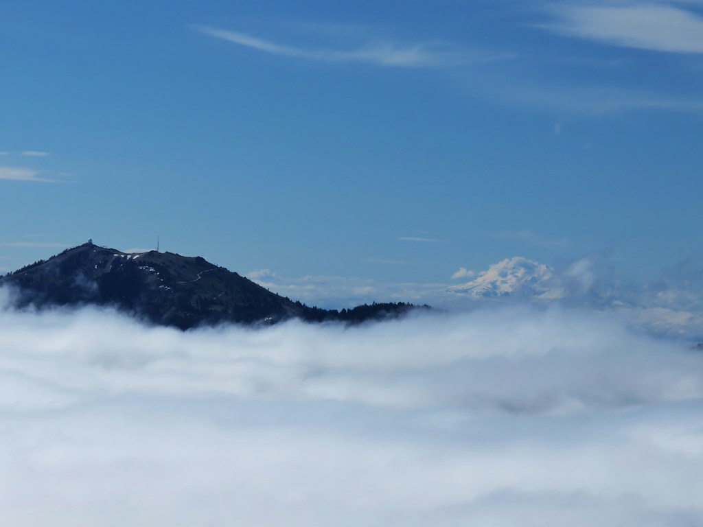
Mt. McLoughlin along with Brown Mt. to the right and Mt. Scott, Mt. Thielsen, and Mt. Baily to the left.
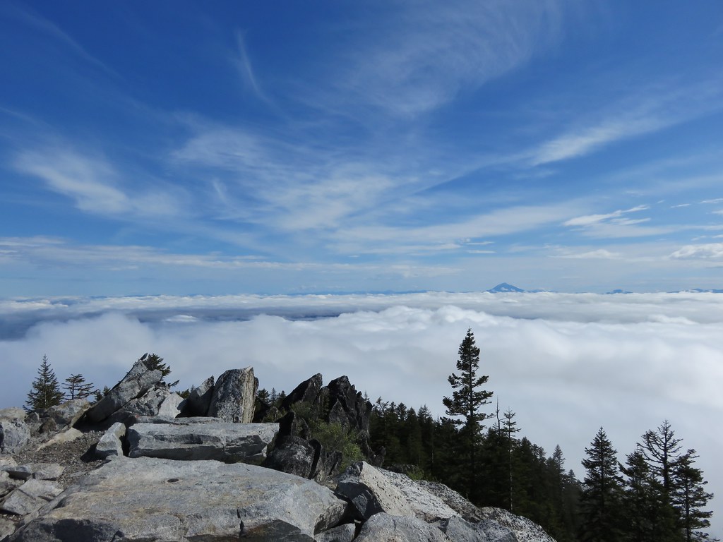
Mt. Ashland and Mt. Shasta to the south.

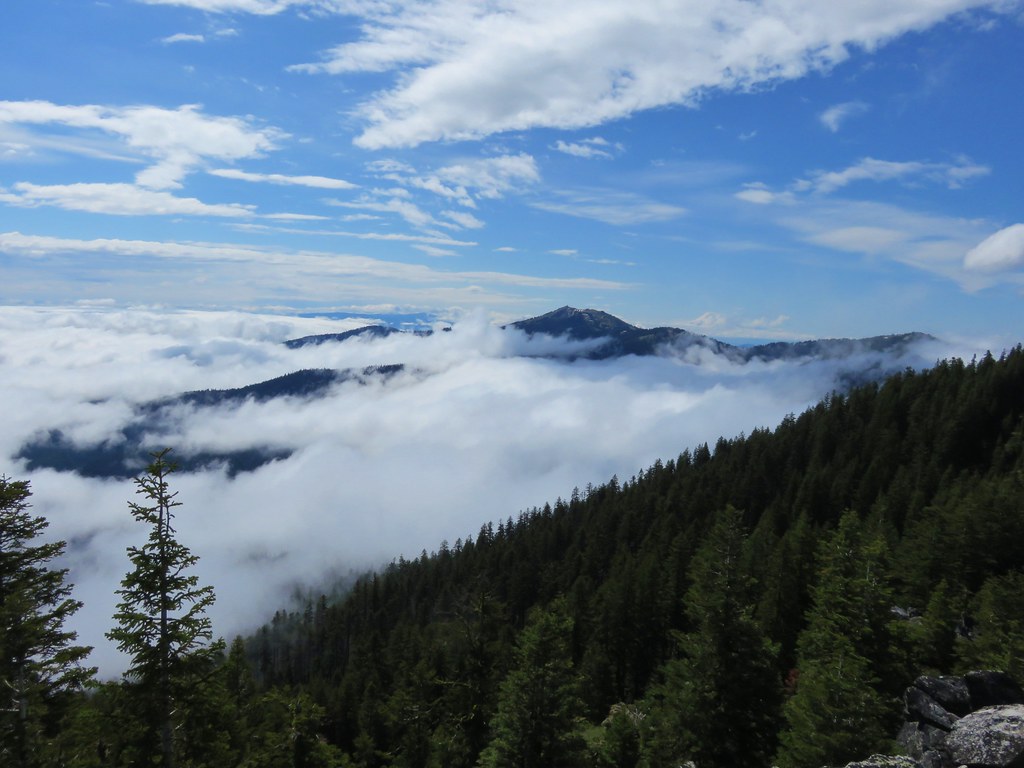
We couldn’t see much to the SW which was still mostly covered by a layer of clouds.
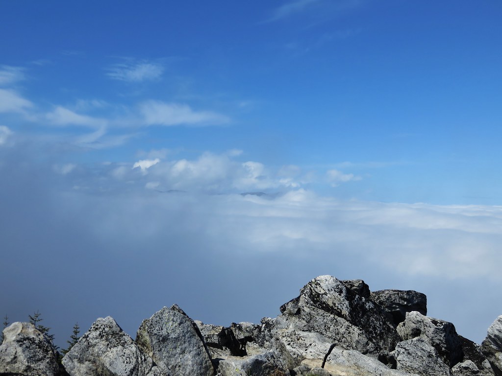
We stayed at the summit for awhile watching the clouds continue to break up.
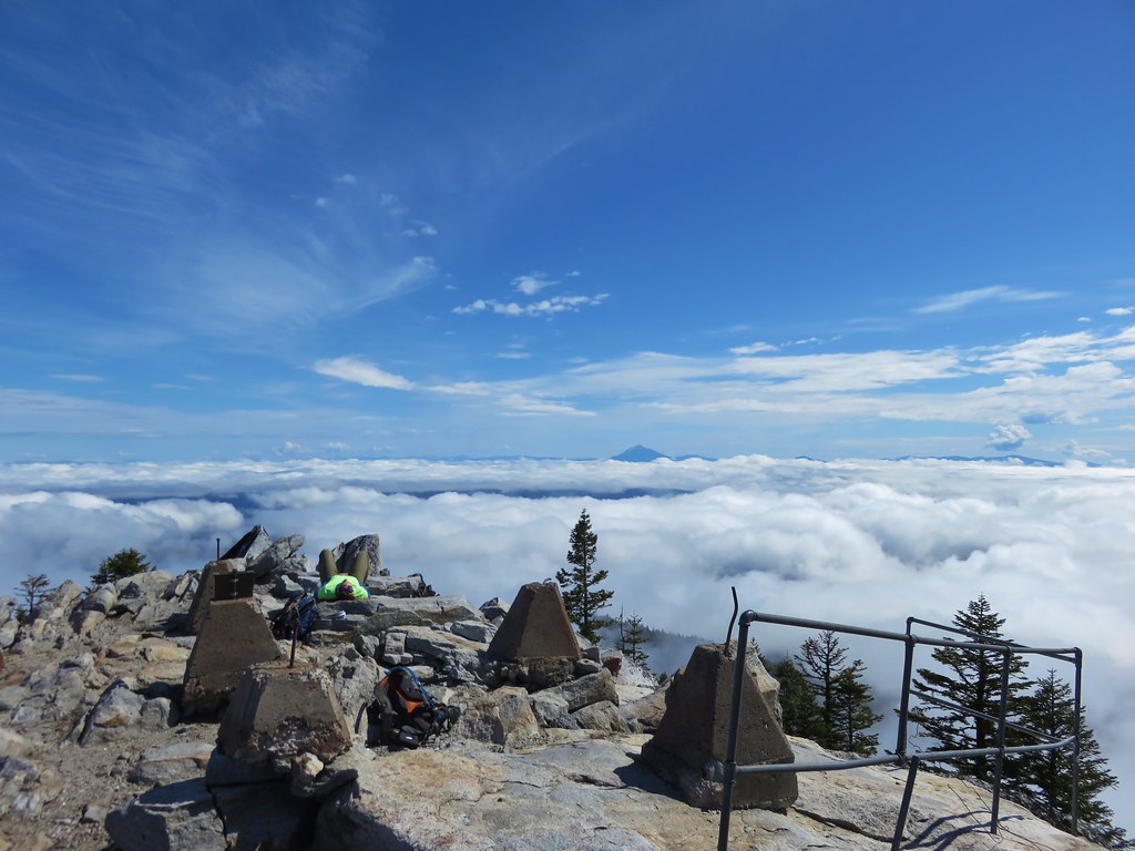
When we noticed another batch of clouds moving toward our position on the summit we decided to head back down. The meadows and forest was now mostly fog free allowing for better views.
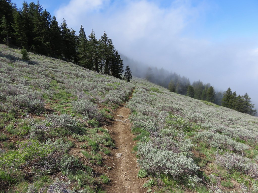
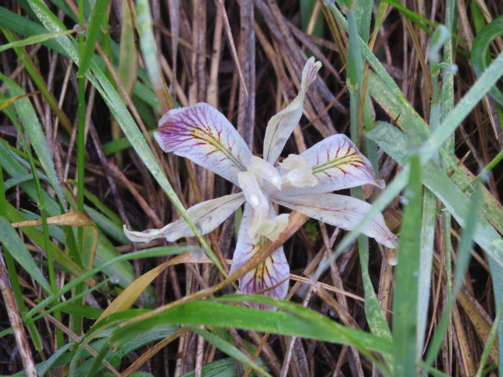
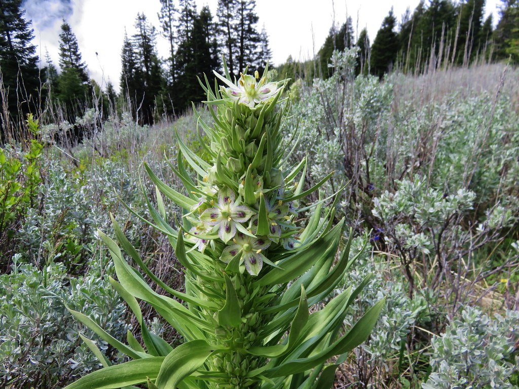
As we passed back through the meadows we noticed several types of flowers we had somehow missed on the way up including the very interesting elkweed or monument plant. A large stalk several feet tall full of pretty blossoms which we have no idea how we managed not to notice it earlier.

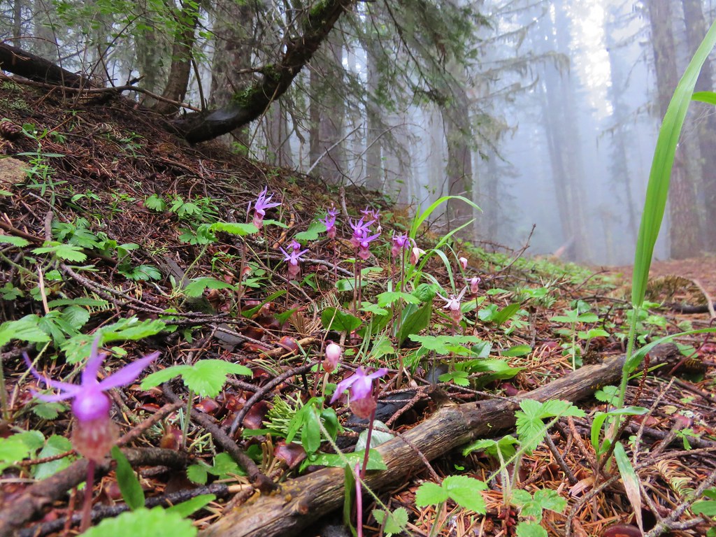
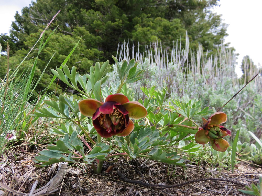
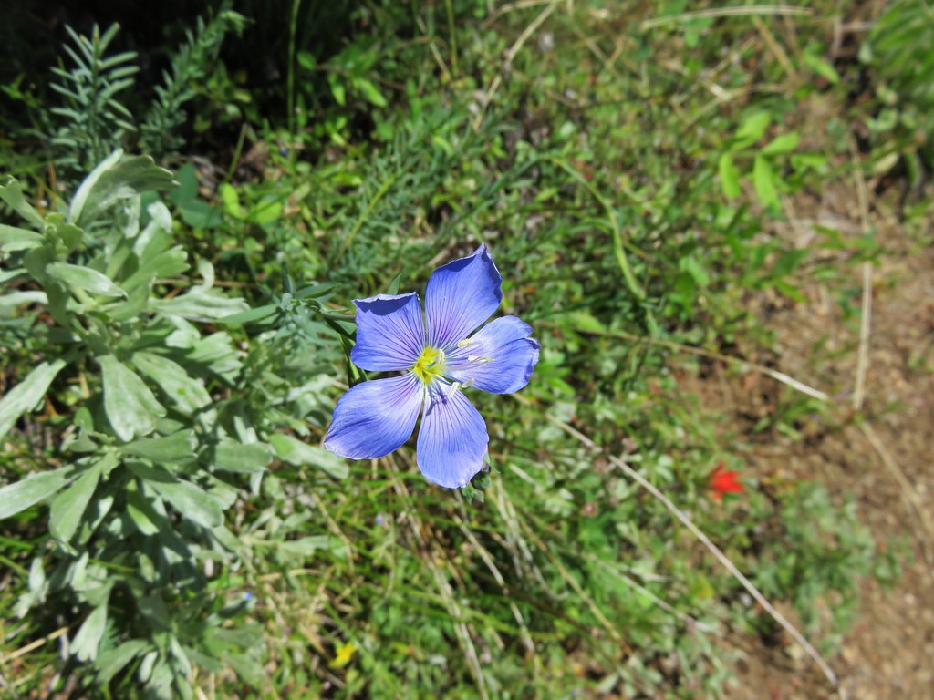
We eventually made it back down into the cloud bank, but the lower meadows were far less foggy revealing some additional flowers and views as well.

For the fourth straight day we had somehow managed to sneak in some views despite the cloudy/foggy conditions. Southern Oregon was not disappointing with its hikes and we had one day left. Happy Trails!
flickr: https://www.flickr.com/photos/9319235@N02/sets/72157654117259261





6 replies on “Wagner Butte”
[…] To the south was the snowy Mt. Ashland and Wagner Butte. […]
[…] Mountains including Mt. Ashland (post), Wagner Butte (post), and Dutchman […]
[…] see Mt. Thielsen (post), the rim of Crater Lake (post) and Mt. McLoughlin beyond Wagner Butte (post) and Mt. Ashland […]
[…] break at the summit we headed back to the PCT and returned to the 5-way junction. Wagner Butte (post) on the left with the PCT on the hillside below FR 20. Mt. McLoughlin is behind the ridge middle […]
[…] A snowy Wagner Butte (post). […]
[…] #55 Grizzly Peak-Hiked 6/5/2015 #56 Roxy Ann Peak-Hiked 5/30/2022 #57 Wagner Butte-Hiked 6/4/2015 #58 Siskiyou Gap-Hiked 6/16/2022 #59 Jack-Ash Trail-Hiked 5/27/2022 #60 Sterling Ditch […]