Our time in Lakeview had come to an end and we were ready to head home after a week of hot, challenging, but enjoyable hiking. Before we went home though we had planned two more stops on the way. The second stop was to do the final featured hike in William L. Sullivan’s “100 Hikes/Travel Guide Easter Oregon” 3rd edition in the Klamath Falls section. That hike was at the Summer Lake Wildlife Area but before that hike we had originally planned to hike to the top of Abert Rim.
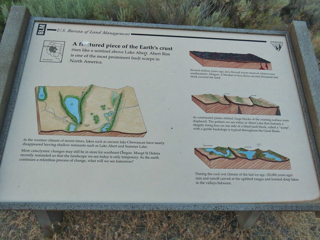
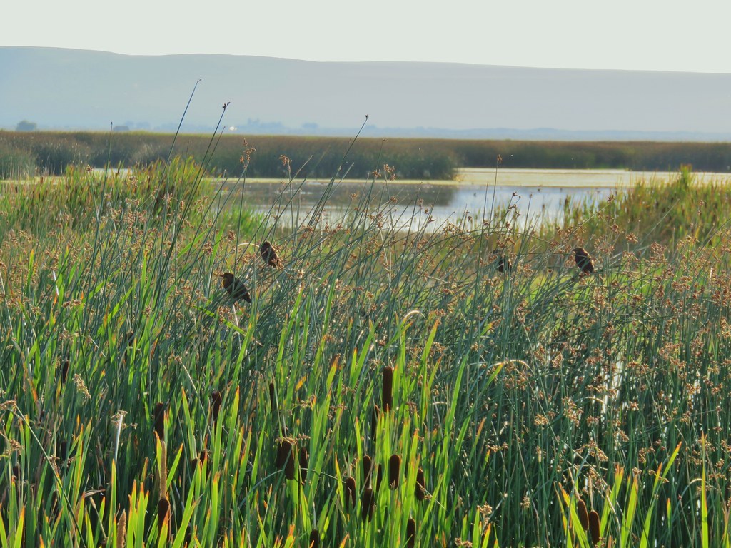
The Abert Rim hike had been a featured hike in the 2nd edition of Sullivan’s book but was now relegated to an “additional” hike. The hike to Abert Rim entails a 1.6 mile, 2100′ elevation gain climb entirely off-trail. By this point of our trip we just weren’t up for another off-trail adventure let alone one that gained 2100′ in 1.6 miles. We decided that instead of climbing Abert Rim we would park at the wildlife viewing area where the hike would begin and walk down to Abert Lake. We parked at a signed pullout between mile posts 84 & 85 of Highway 395.

After reading the interpretive signs at the pullout we headed down a steep trail (we missed the dirt road that led down at a much gentler grade).


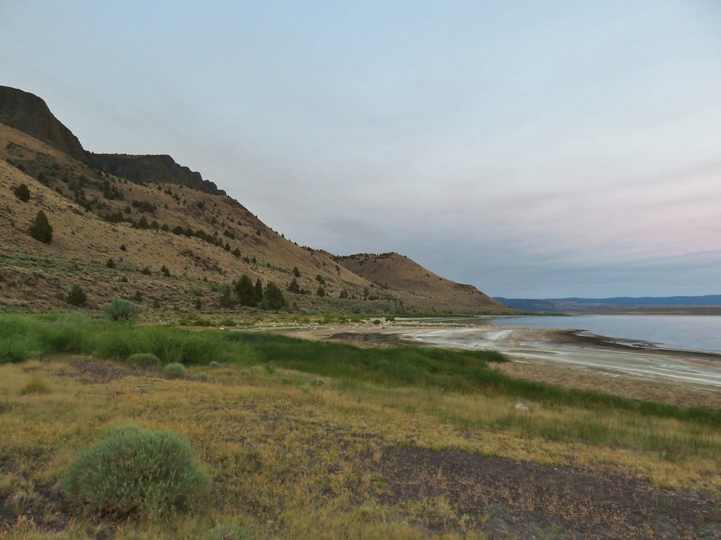
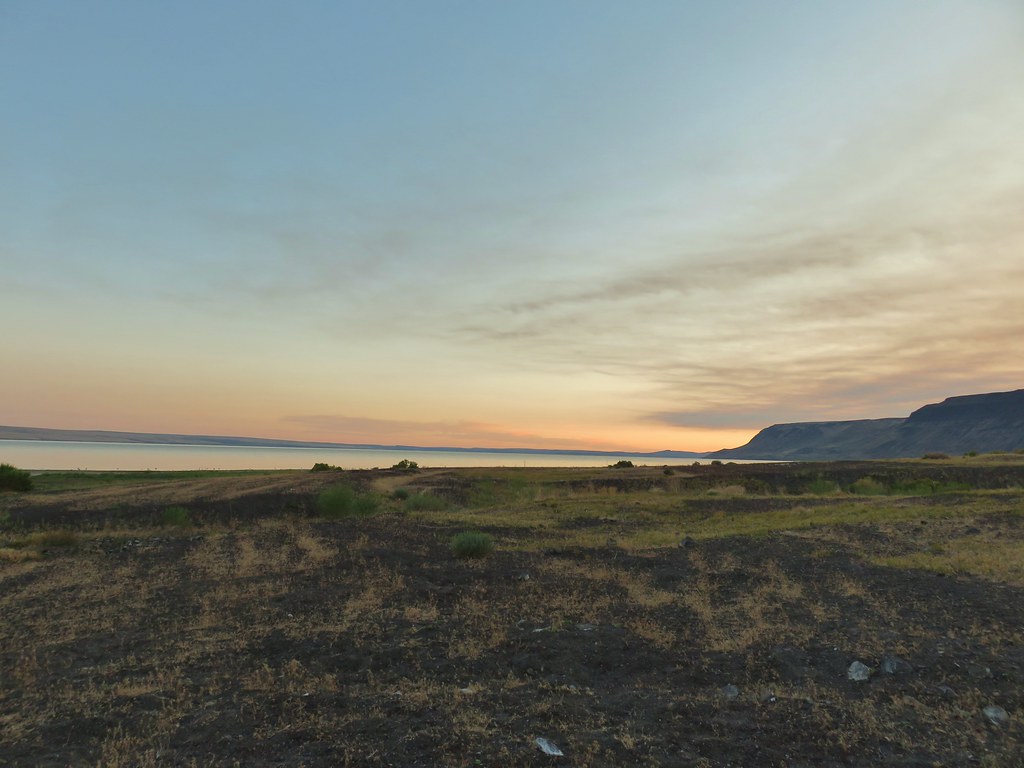
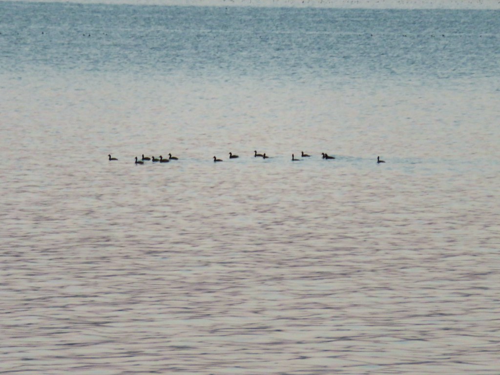
Once we were down the steep little hill we found the dirt road and followed it right along the lake watching the birds and the sunrise.


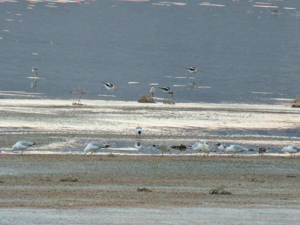 Gulls and avocets
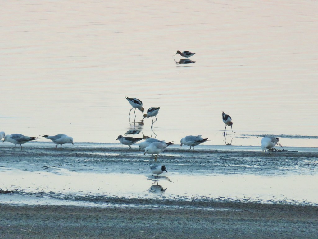
 American avocets
We walked down the shore until we reached a brushy area which was likely Juniper Creek. From here we had a good look across the highway at Juniper Gulch which would have been where we bushwacked up to the rim.

To get back to our car we followed the dirt road up from the lakeshore.

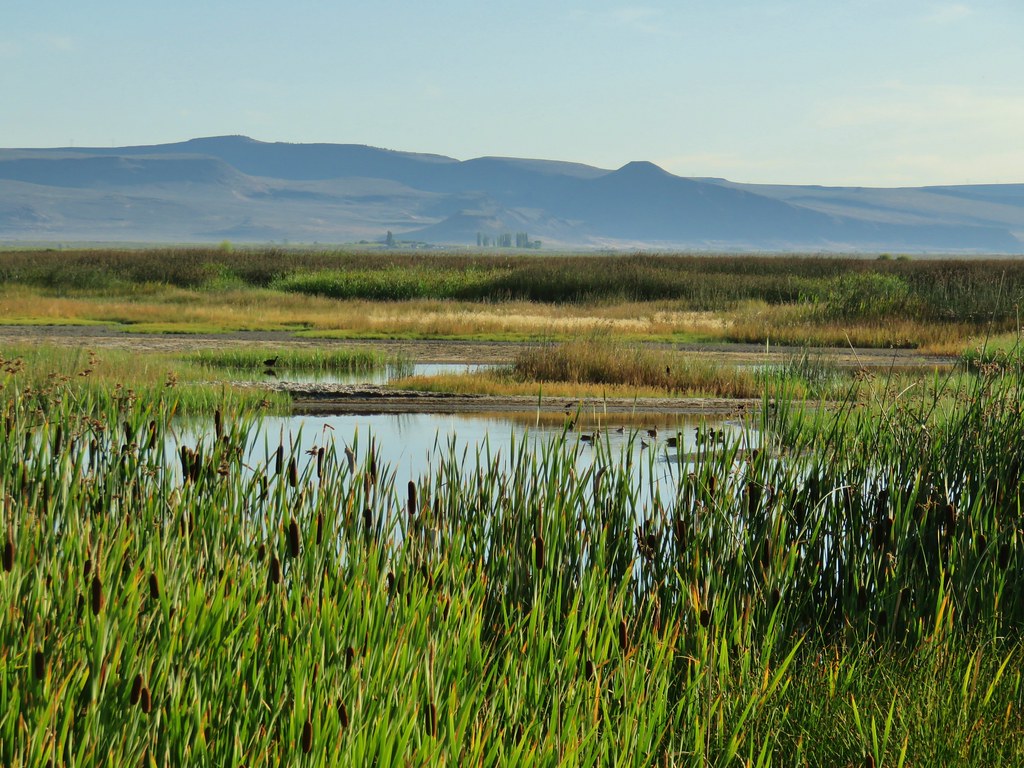
We wound up doing a short .7 mile loop which was perfect. From there we drove back south on Hwy 395 to Hwy 31 and turned right (NW). We turned into the wildlife area headquarters (near milepost 70) and followed a pointer fot a “Wildlife Viewing Loop”. After 1.6 miles at a junction we turned right and followed this road to its end at the Windbreak Campground (a $10 parking permit is required, we purchased ours online prior to our trip).

When planning the trip we had been worried about mosquitoes but for the most part they had been a non-issue. They were a bit of a nuisance along South Fork Crooked Creek (post) and behind Barnhardi Cabin (post) but that had been it. I had received one bite (I think) while Heather had not been quite as lucky, her shoulders were pretty bumpy with just a few on the legs. Our luck ran out at Summer Lake with it’s marshes and ponds it was the prefect recipe for the little buggers. Deet was applied quickly but not before Heather had a 20+ new bites.
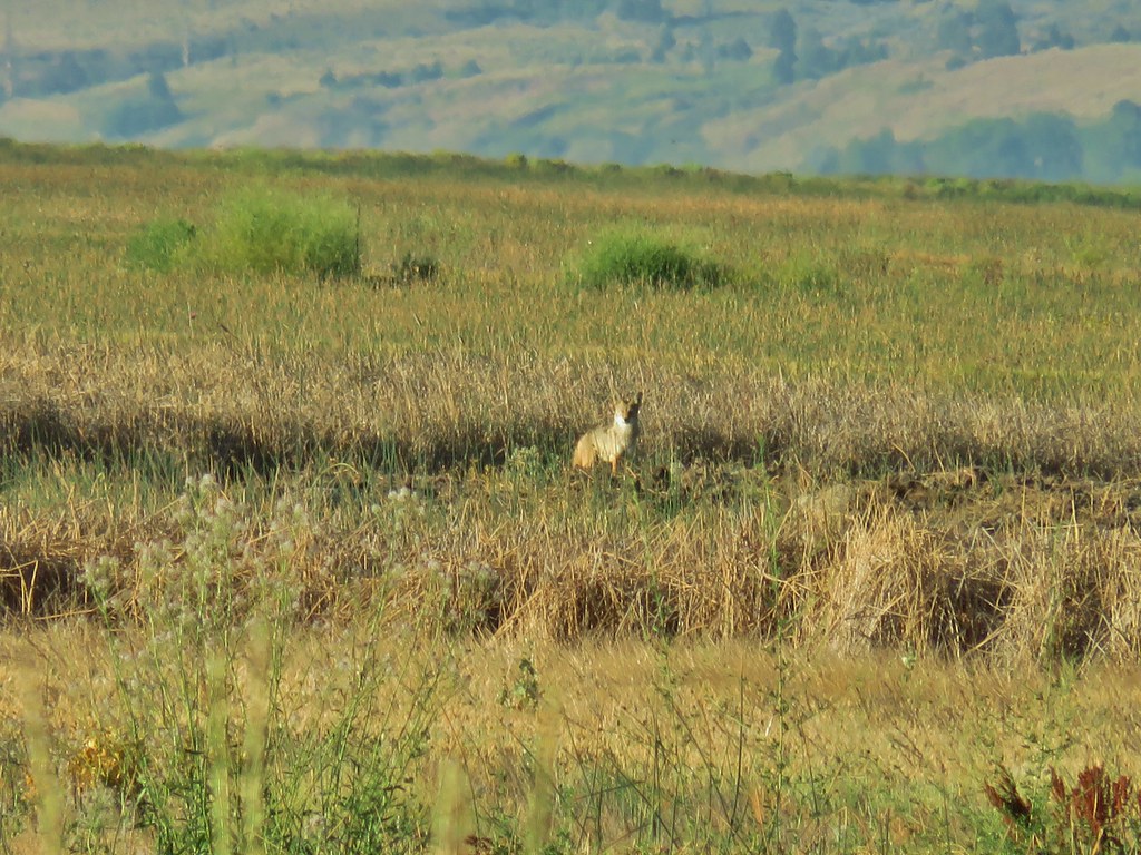
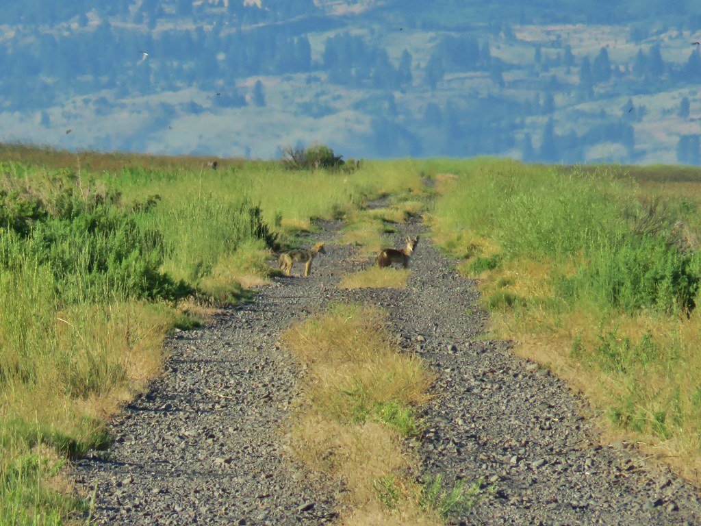
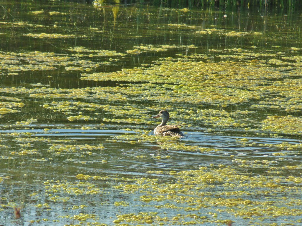
Despite that the hike here was nice, it was flat following dikes for 2.3 miles which meant no elevation gain. Birds were almost as plentiful as mosquitoes but boy are they skittish. Most of the ducks flew off before we really got a chance to focus on them. The white faced ibis were more photogenic and we got to see another sandhill crane. We also spotted a coyote and two pups crossing the dike.


 A white faced ibis and some ducks.


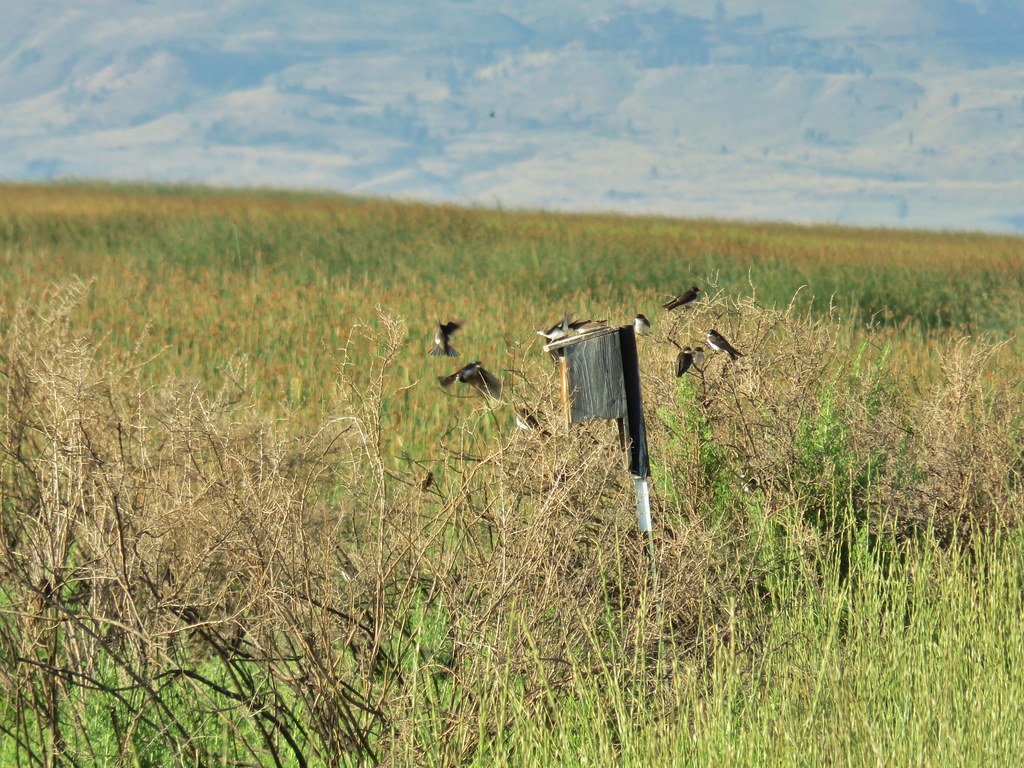 Swallow rave
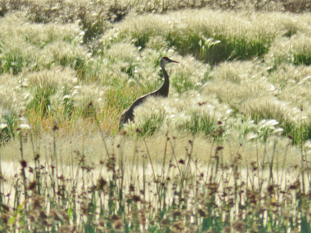 Sandhill crane
 Look more ducks!
 White faced ibis coming in for a landing.

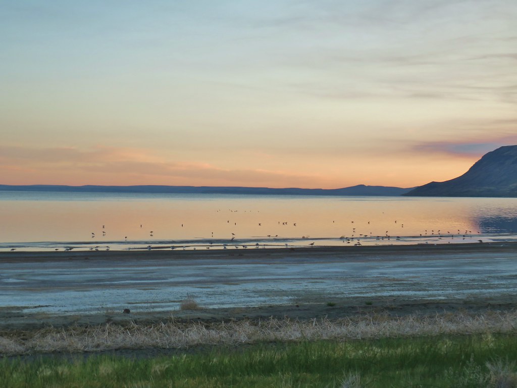
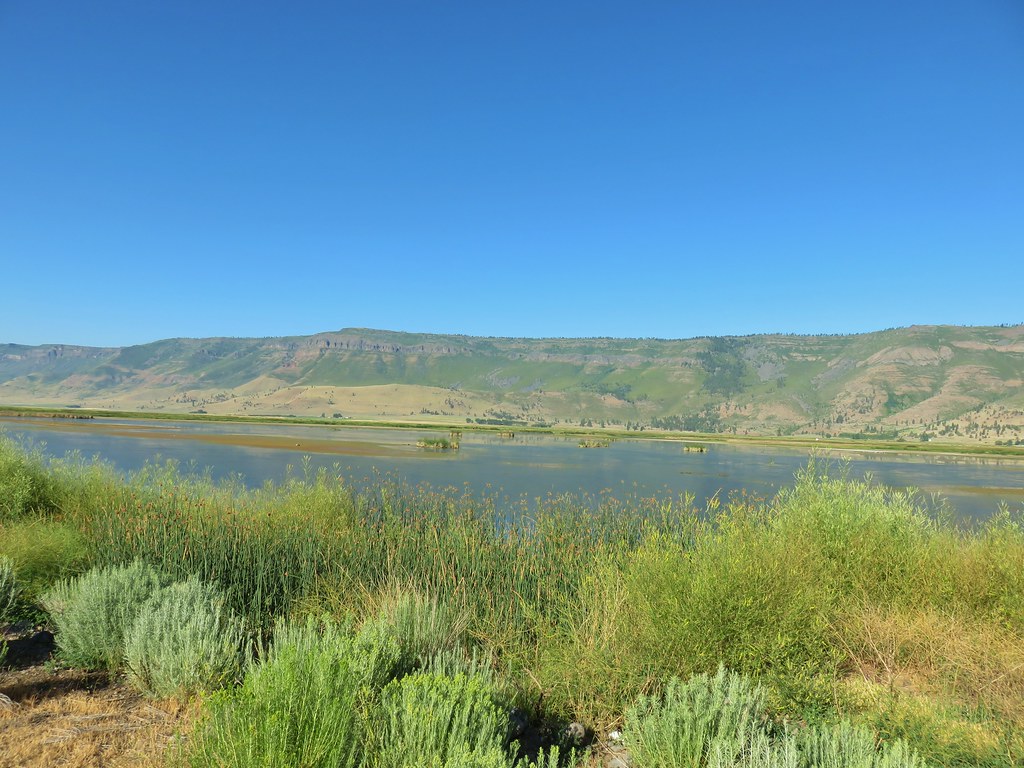
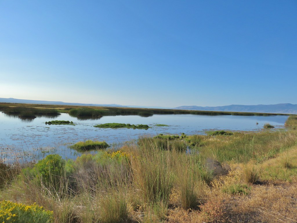 Looking out over Summer Lake
 White faced ibis

 Black-neck stilt
 Killdeer

 Great blue heron in flight.

After 2 miles the dike made a hard right and .3 miles later (at a tractor) we reached private land and turned back.

The dike also provided a good view of Winter Ridge where we had started our Lakeview area hikes (post).
We double timed it back to the car in an attempt to keep the bugs at bay. We could have done without those pests but c’est la vie. It had been a fun week but our feet were done and by the time we had gotten back to the car we were even happier with our decision to save Abert Rim for another time. Happy Trails!
Flickr: Lake Abert and Summer Lake


 Prairie smoke (old man’s whiskers)
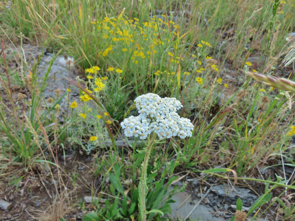 Yarrow and Oregon sunshine
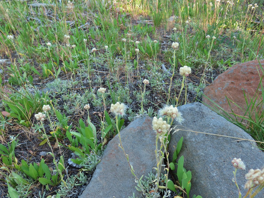 Pussytoes starting to go to seed.
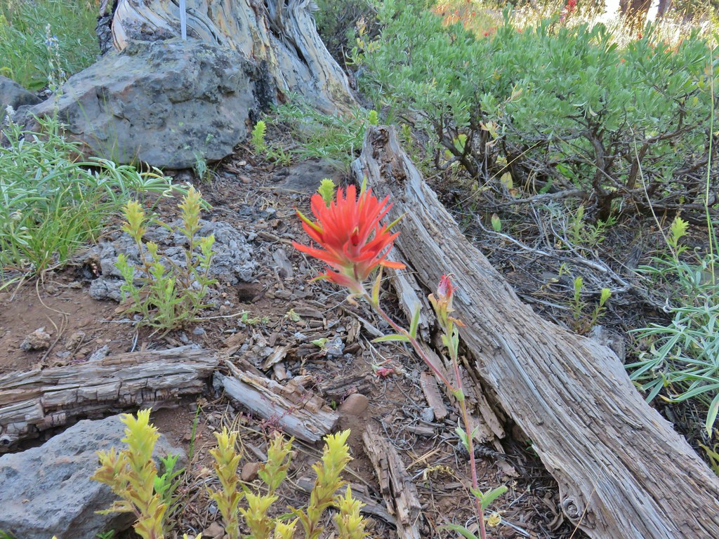 Paintbrushes
 Scarlet gilia
 Lupine
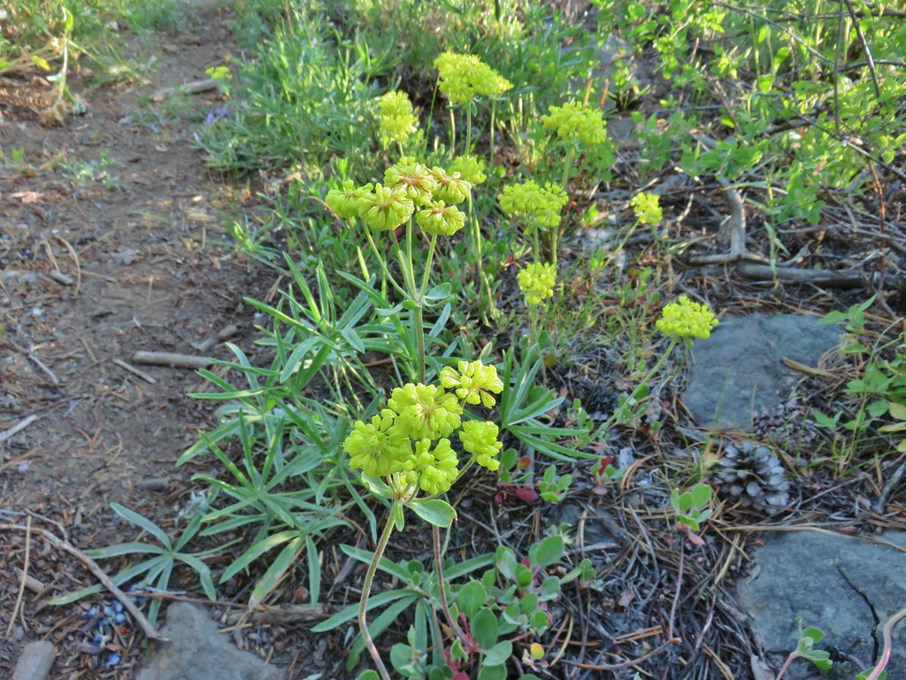 Buckwheat
 Orange agoseris
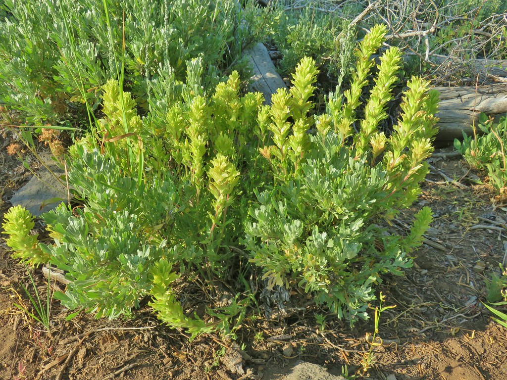 Paintbrush
 Sticky purple geranium
 Sticky sandwort
 Nuttall’s linanthus
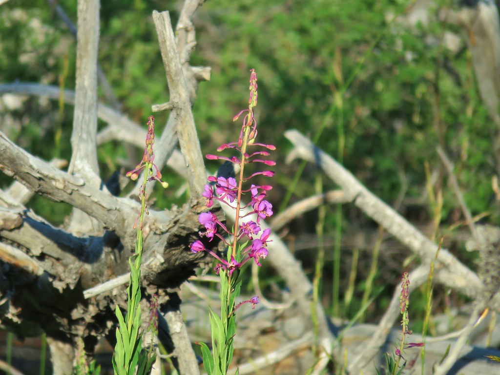 Fireweed
 Hyssop
 Golden mantled ground squirrel also enjoying the views.

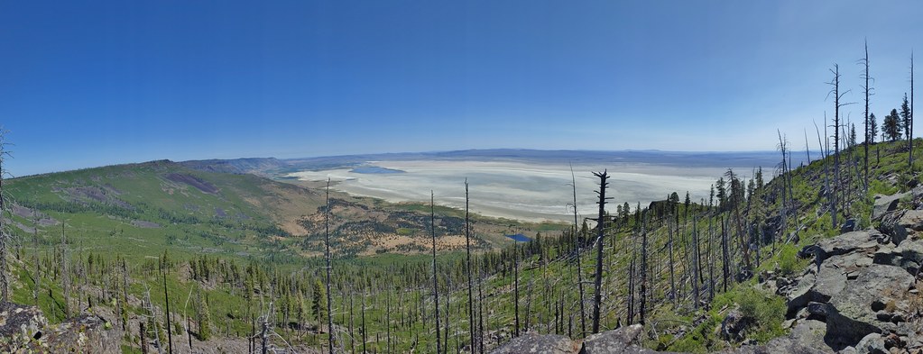
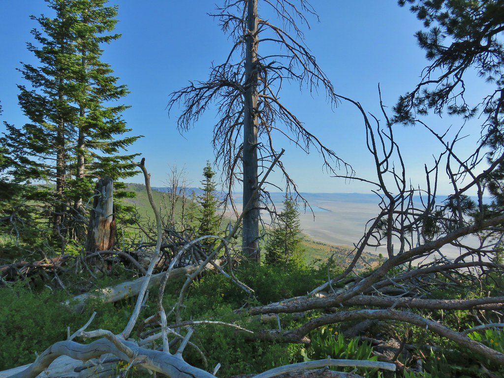 Looking down at Summer Lake
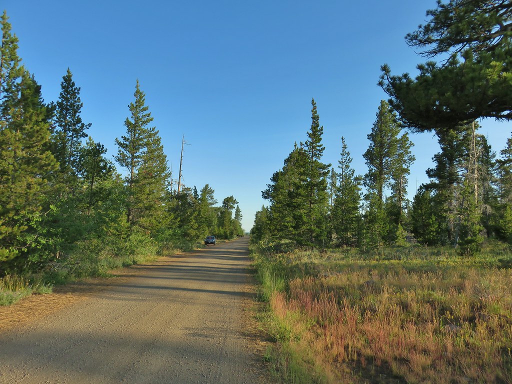
 FR 29 coming up the hillside to the right.
 Woodpecker
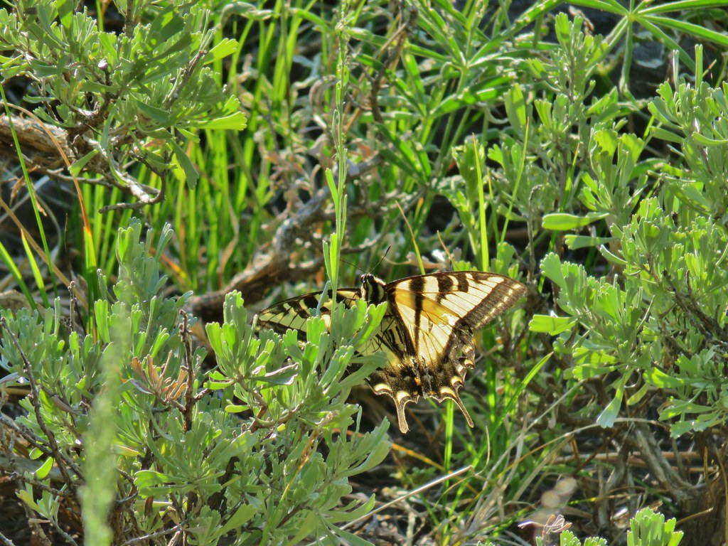 Swallowtail
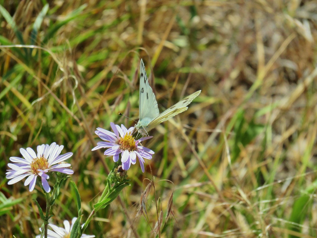
 Fritillary butterfly
 Passing through a grove of quaking aspen.
 California corn lily
 California corn lily
 Chipmunk
 More cows at the horse camp.


 Brewer’s blackbird

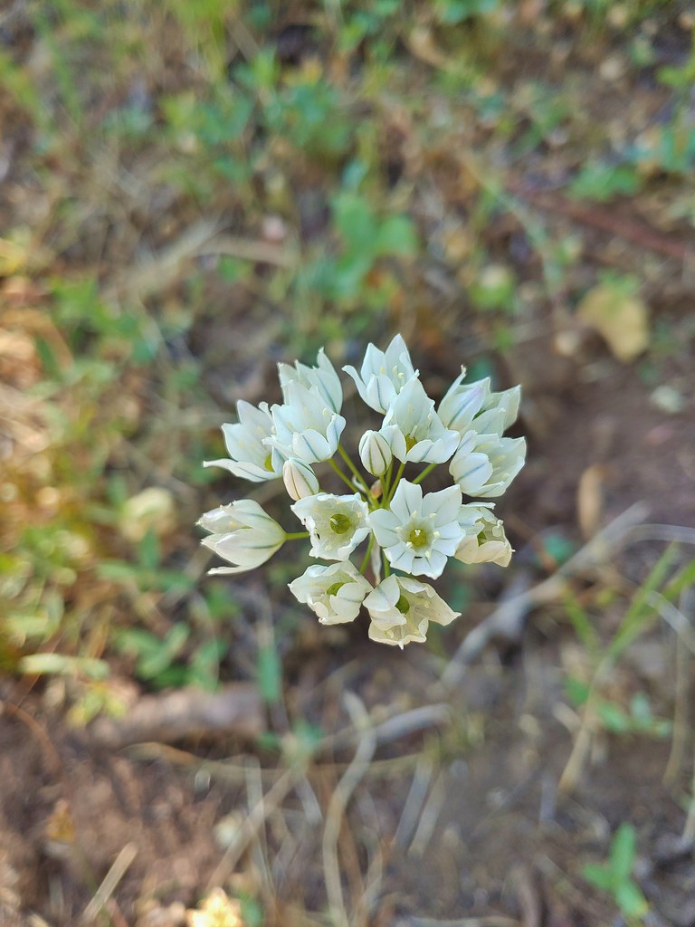 White triteleia
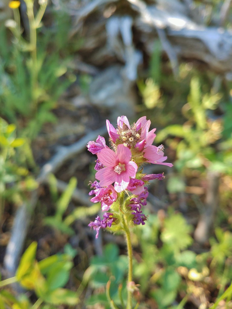 A checkermallow
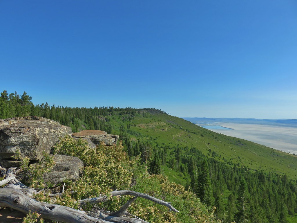 A view north along the ridge.
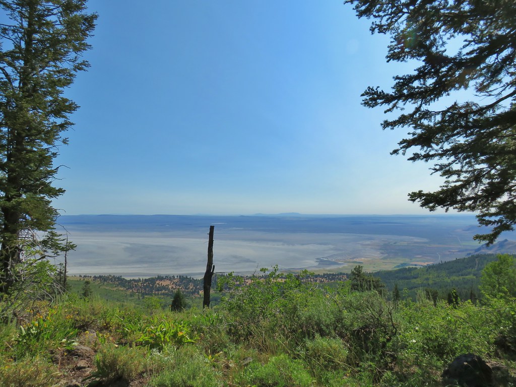 Looking NE from Winter Ridge.
 Grand collomia
 Hummingbird
 Rosy pussytoes
 Scouler’s woollyweed (maybe)
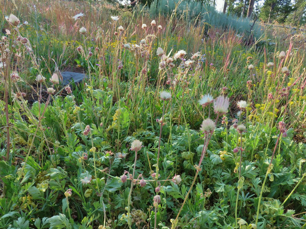
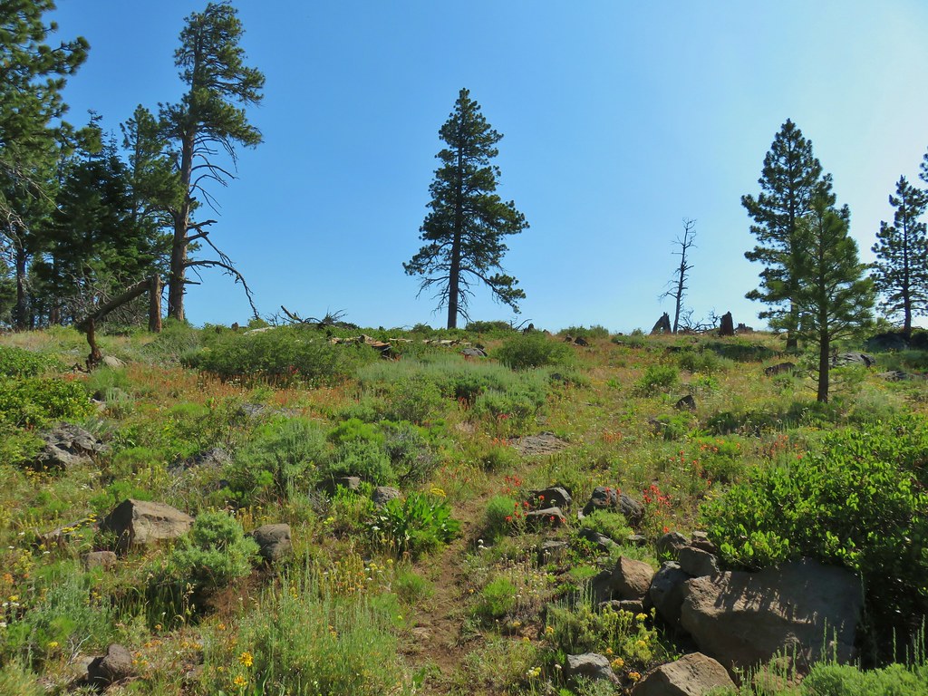 Wildflowers along the Fremont Trail
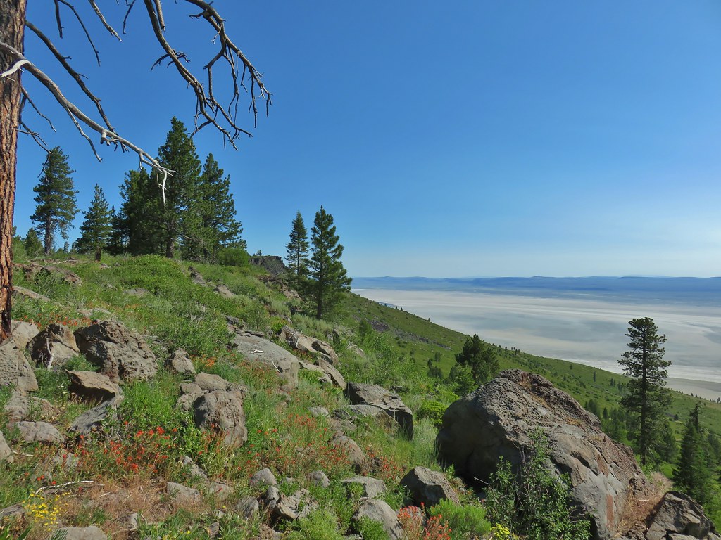 Another viewpoint
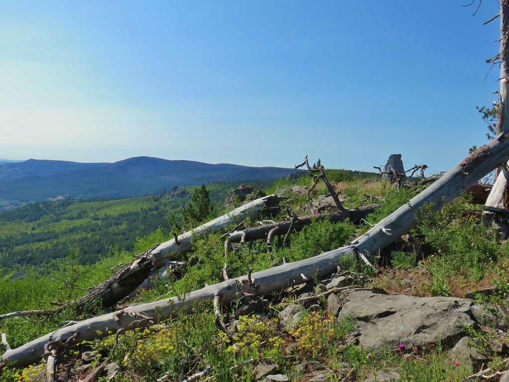 Looking south along the ridge.
 More musk thistles.
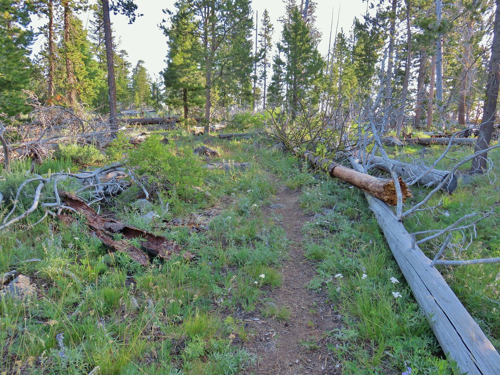
 Fremont Trail along Winter Ridge.
 Buck watching us through the trees.
 The buck heading off.
 Western tanager near the junction.
 Snowbrush along the trail.
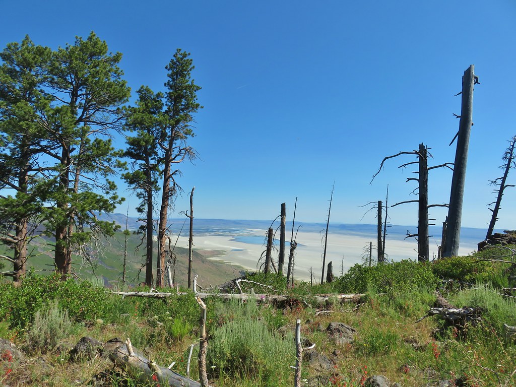 Where we wound up along the rim of the ridge.
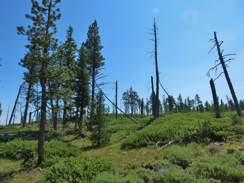 Looking up toward the viewpoint.
 I made it to this rock outcrop which wasn’t the viewpoint I was looking for.
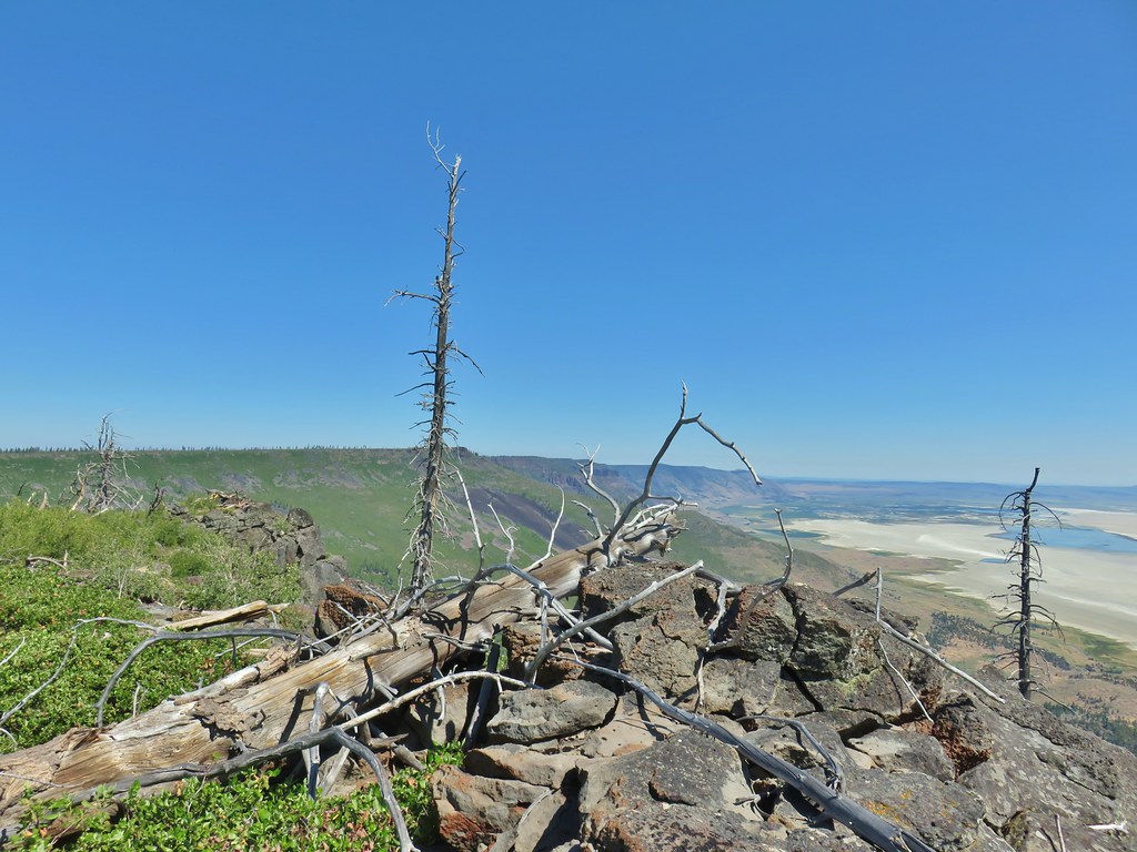 A second rocky viewpoint (with the first down the ridge a bit), still not the viewpoint I was looking for.
 Looking up the ridge from the second rock outcrop. The number of snags and thicker snowbrush caused me to abandon the ridge here and follow the line that Heather was taking just a bit in from the rim.
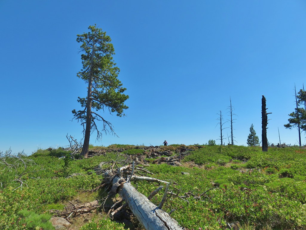
 Looking north across the landslide to Summer Lake.
 Looking south
 Balsamroot near the viewpoint.


 Becker’s white on subalpine fleabane.
 Slender cinquefoil