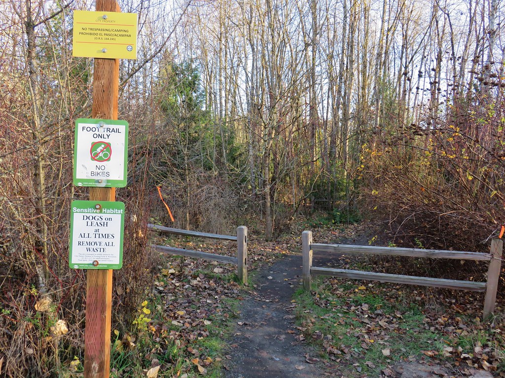
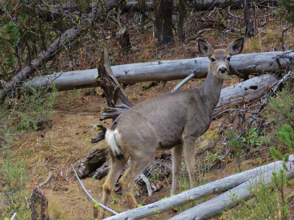
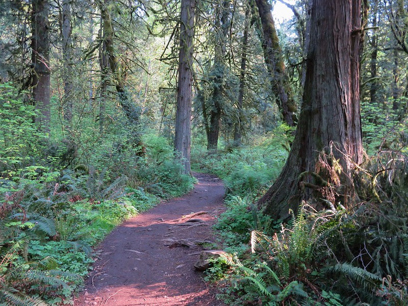
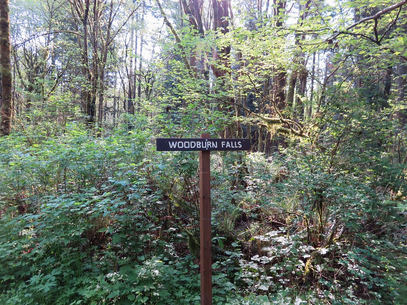
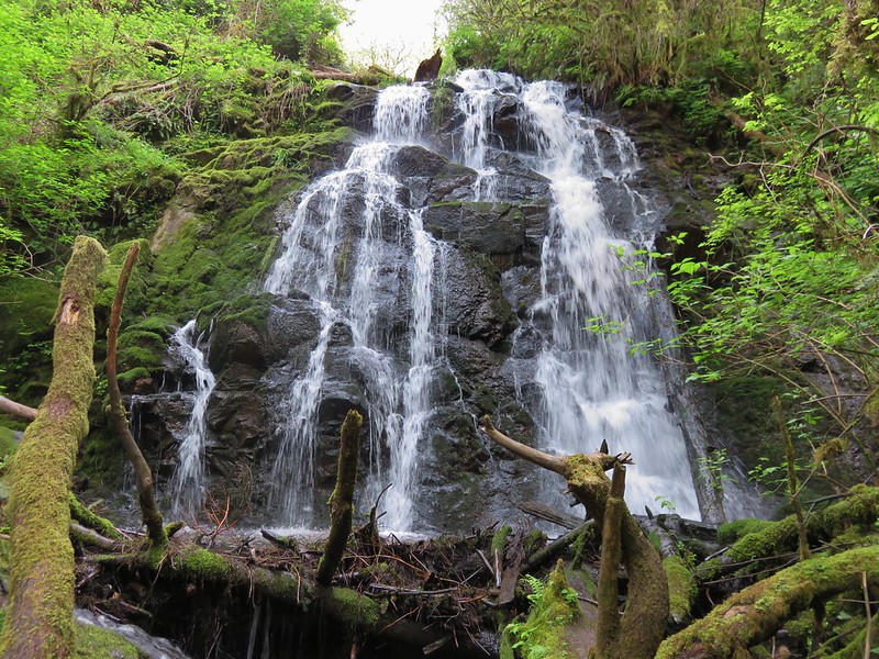
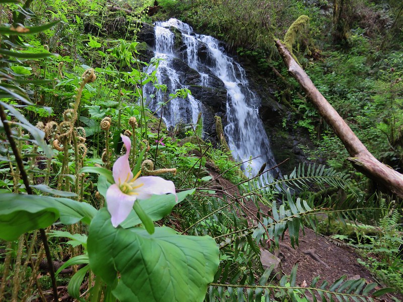
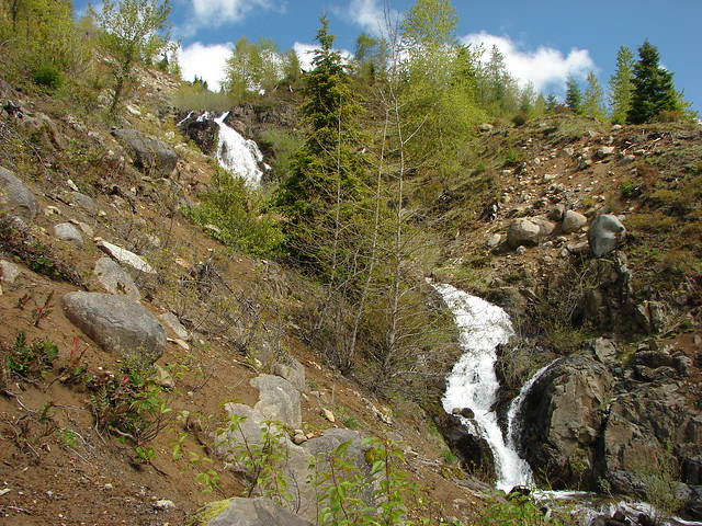
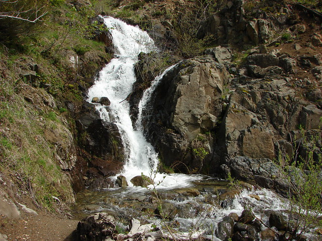
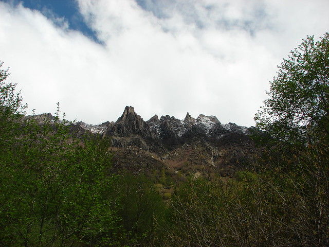
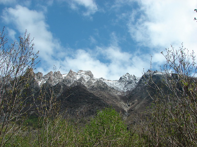
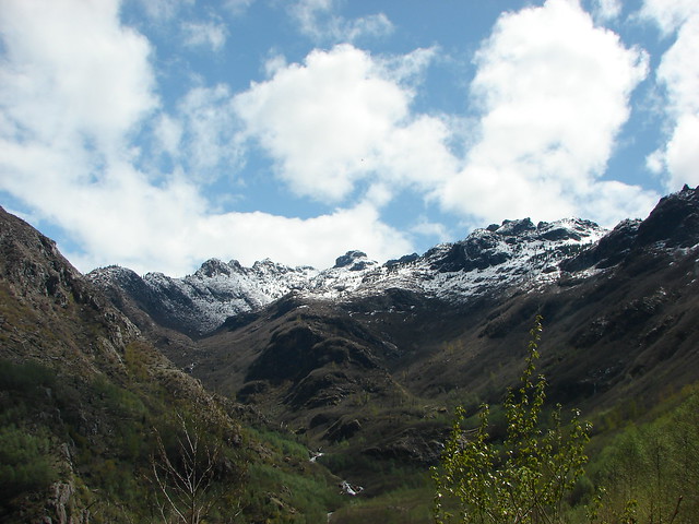
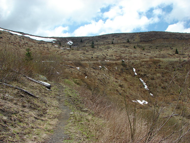
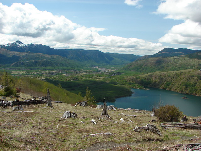
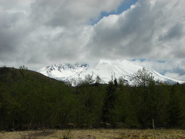
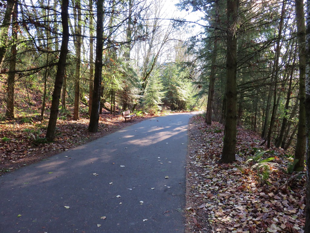
A mostly sunny, near 60-degree forecast, looked too good to pass up so we decided to head out and attempt a pair of short hikes in the Oregon Coast Ranges Tillamook State Forest. Our first stop was along Maple Creek Road for a hike to Ki-a-Kuts Falls.
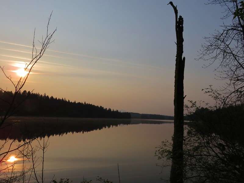
 Sunrise from the trailhead.
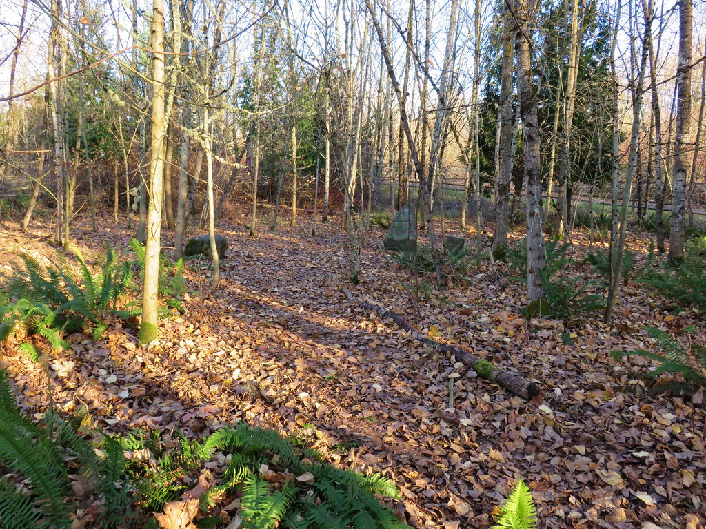
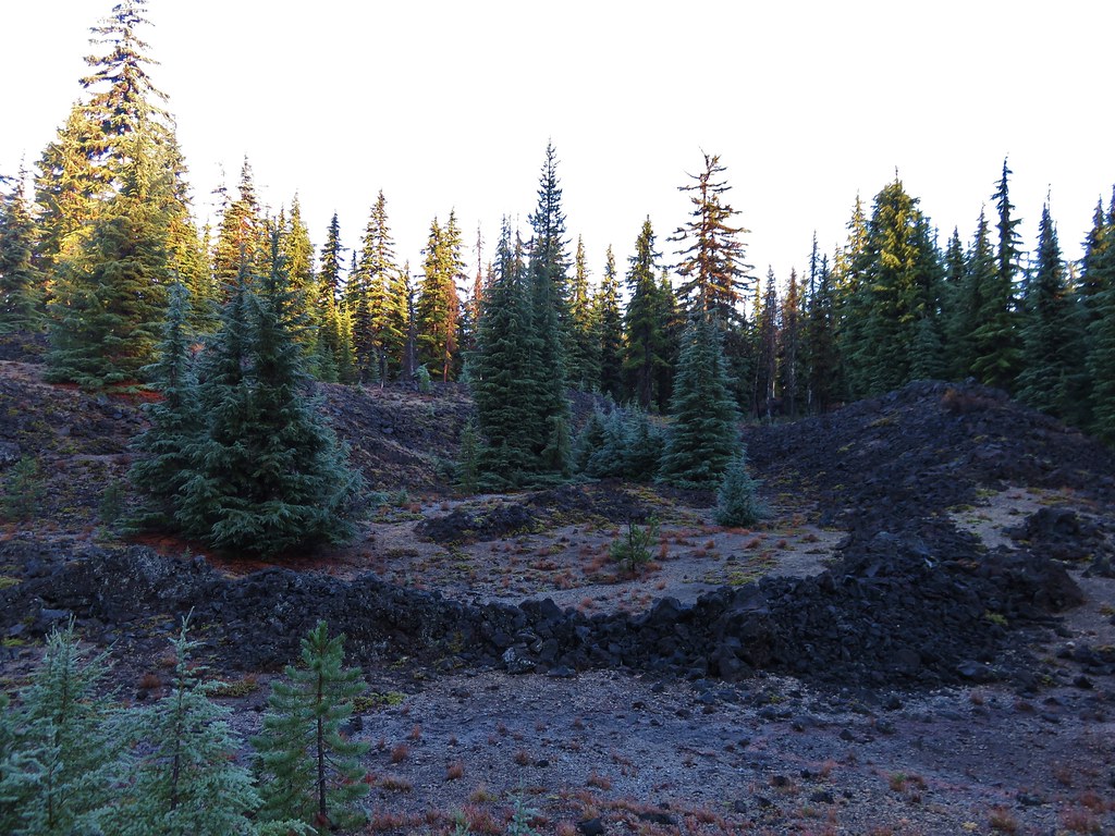
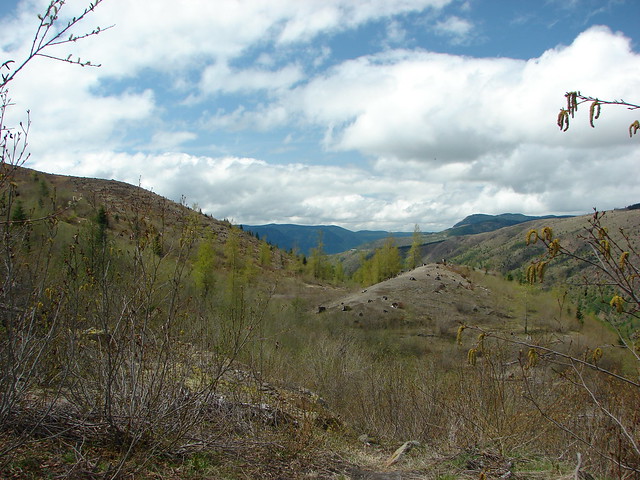
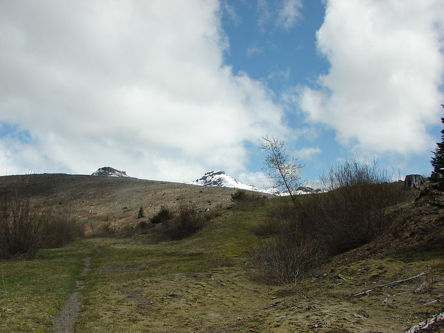
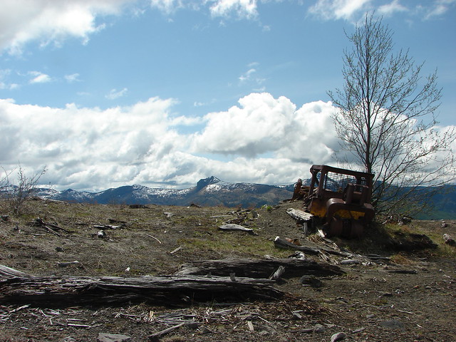
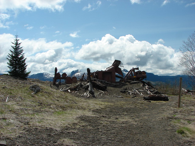
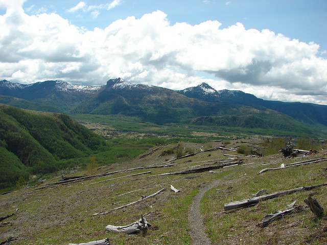
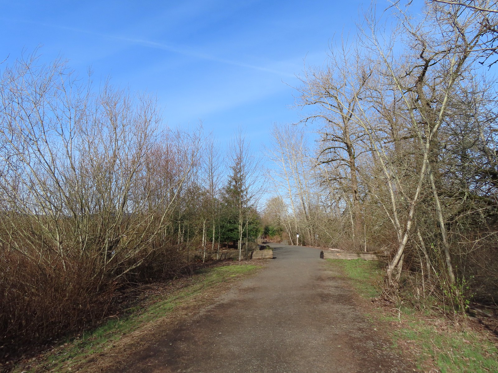
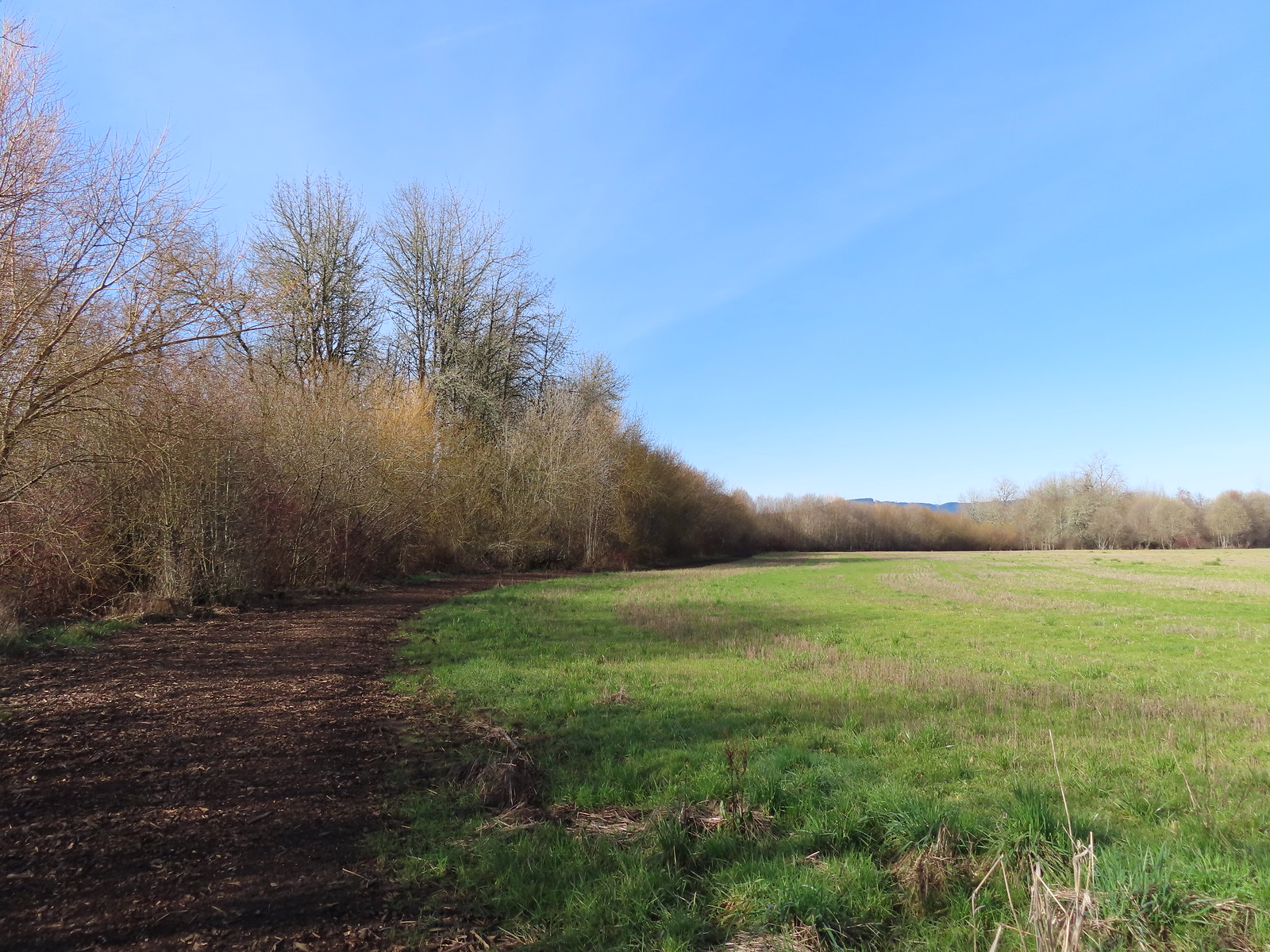
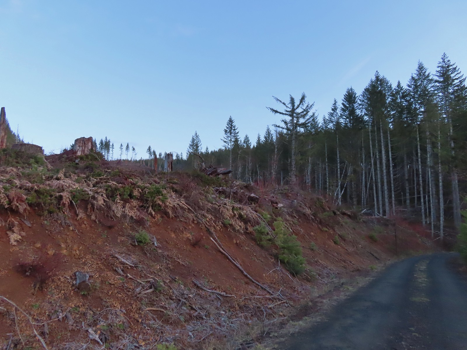 Clear cut at the trailhead.
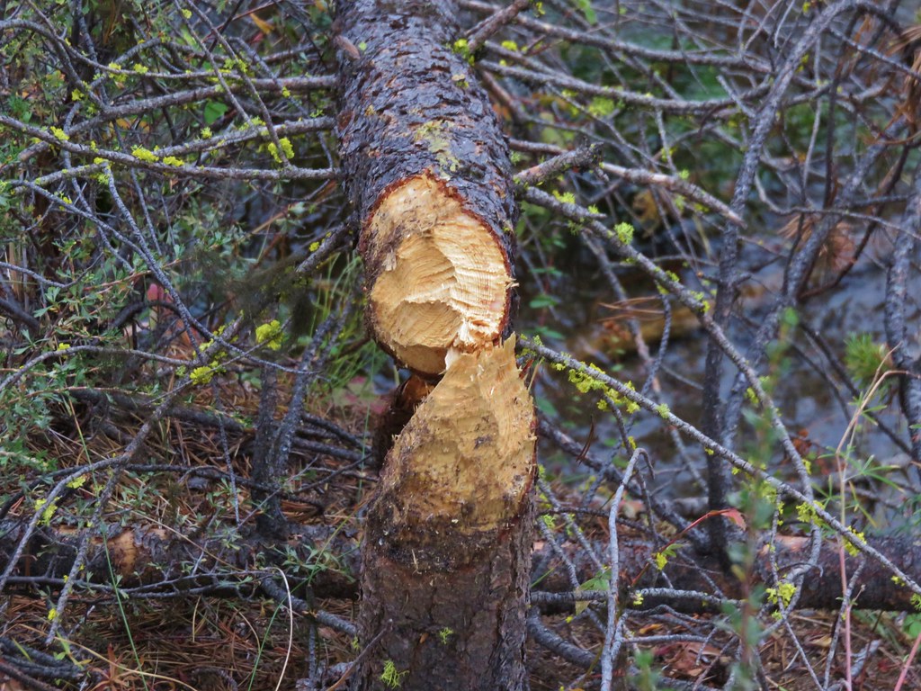
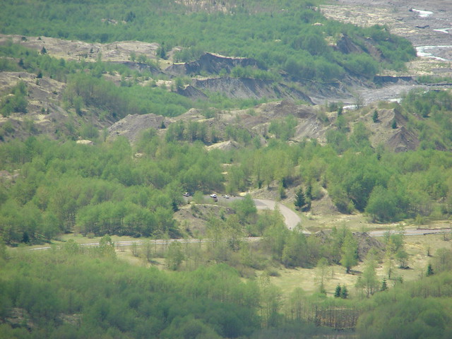
The old alignment of the road was said to be located approximately 80 yards from the trailhead, but it appears that between time, storms, and logging operations the old road has become far less obvious.
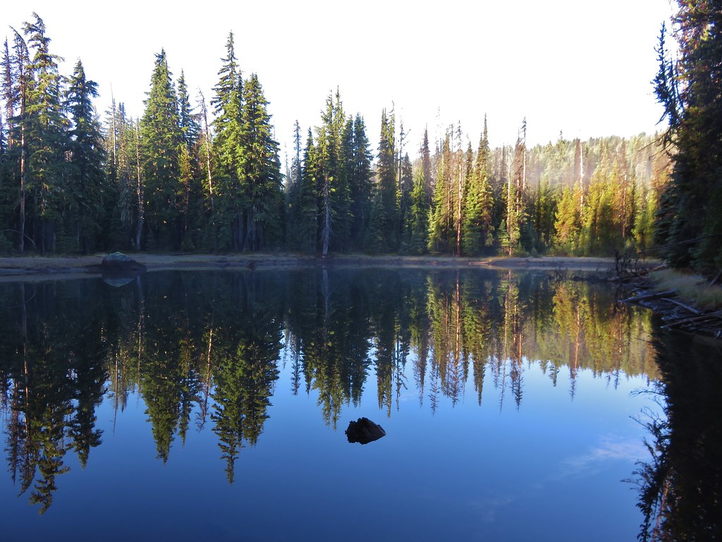
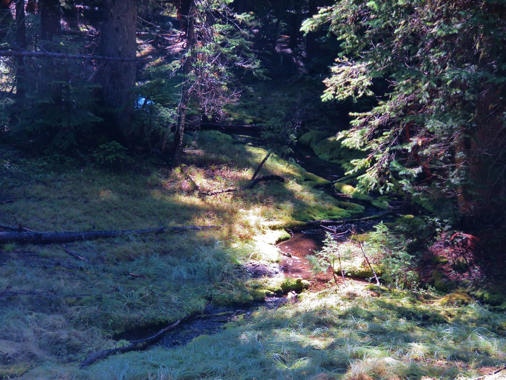
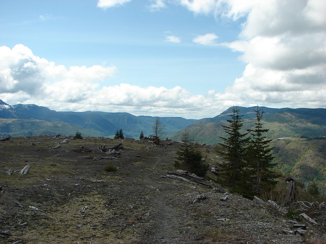
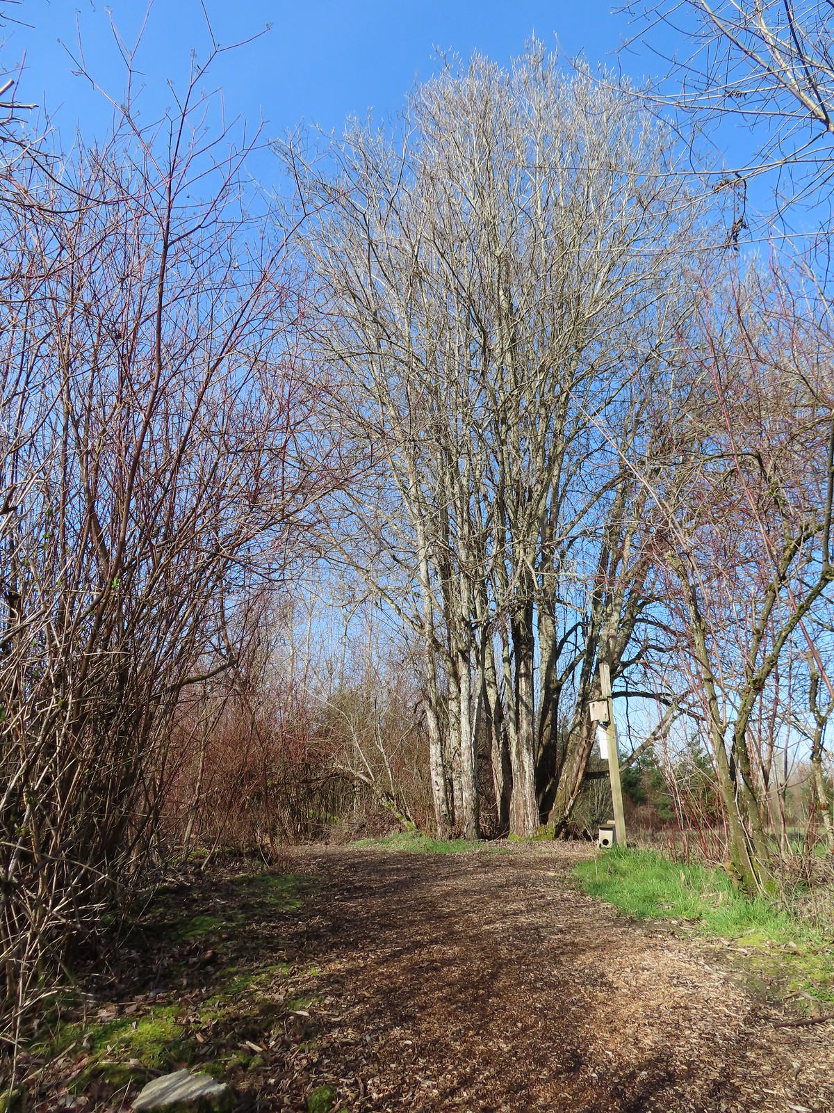
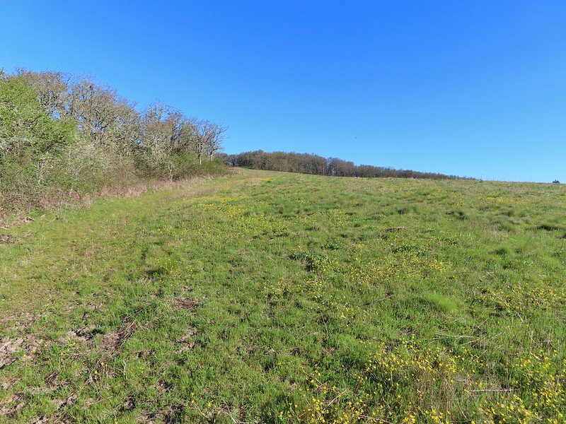
 This was the view through the forest from Maple Creek Road around the 80-yard mark.
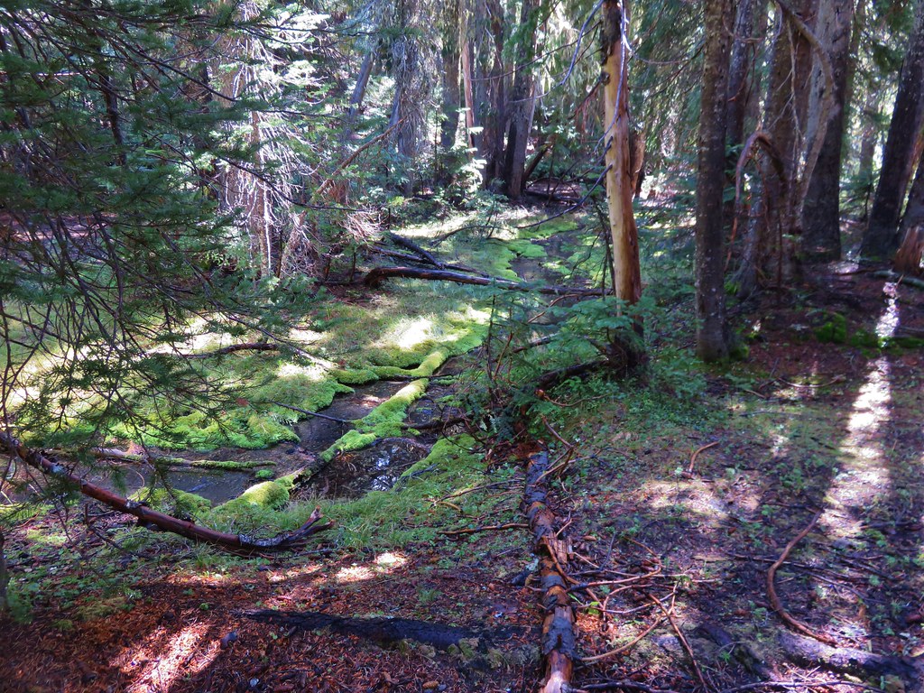
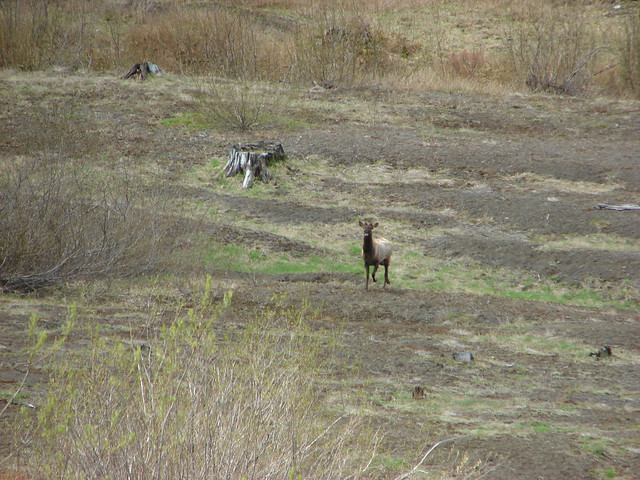
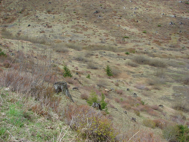
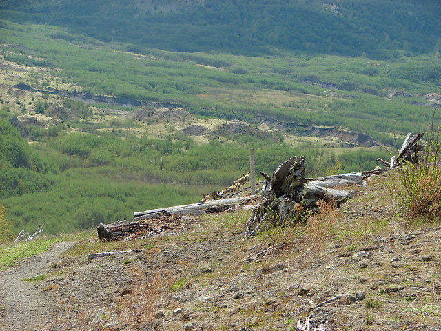
We hiked further up Maple Creek Road and checked for a way down to the old alignment, but in the end decided that the slick conditions combined with the amount of blowdown on the hillsides would have made for a much more challenging hike than we were looking to tackle.
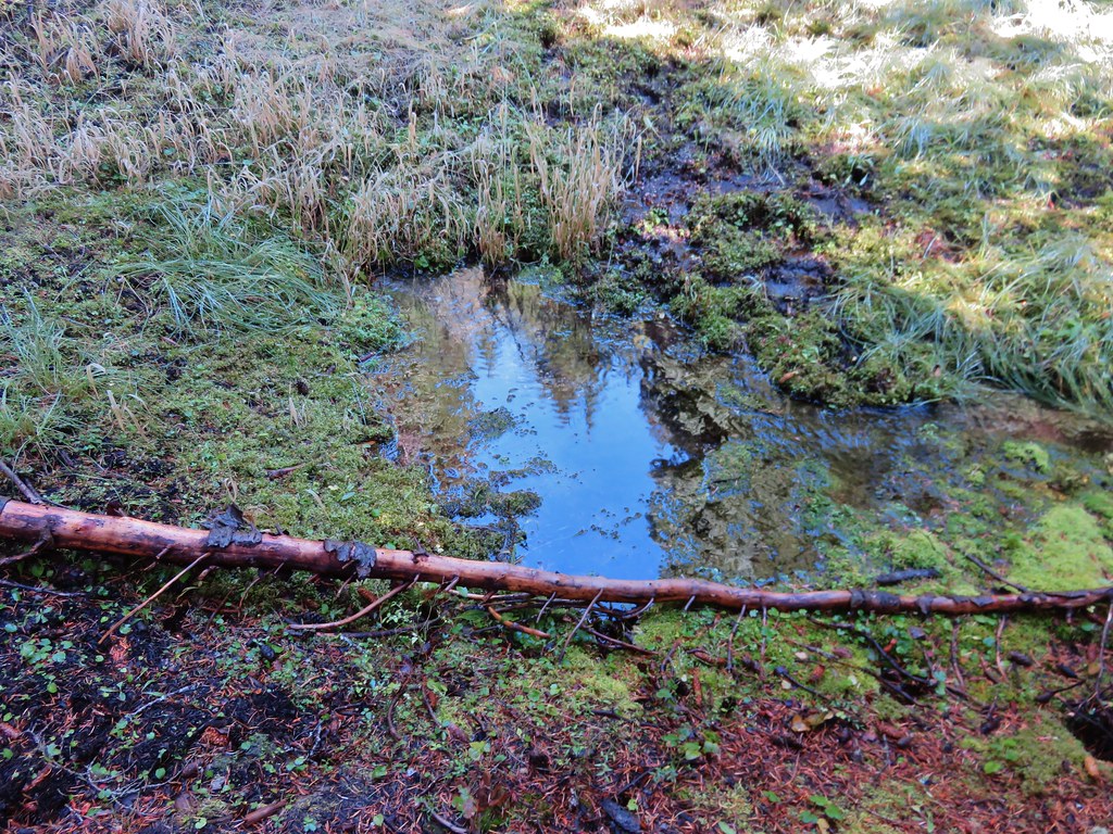
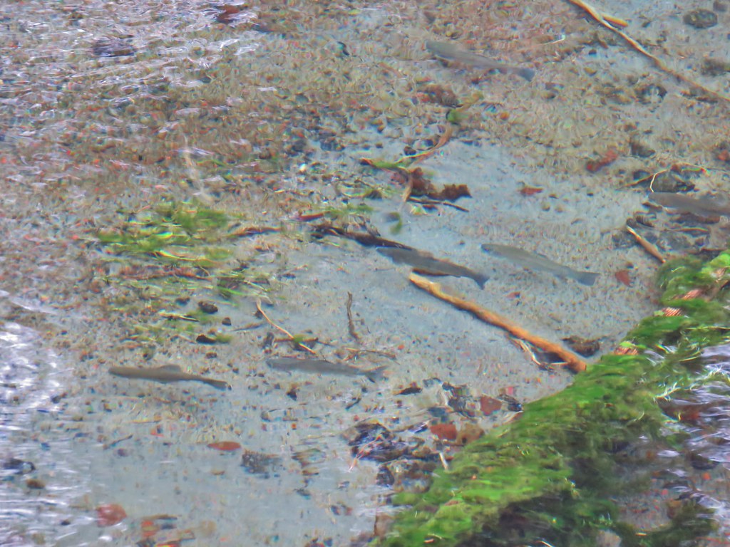
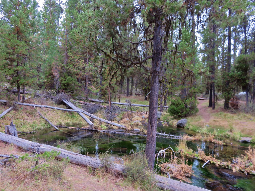
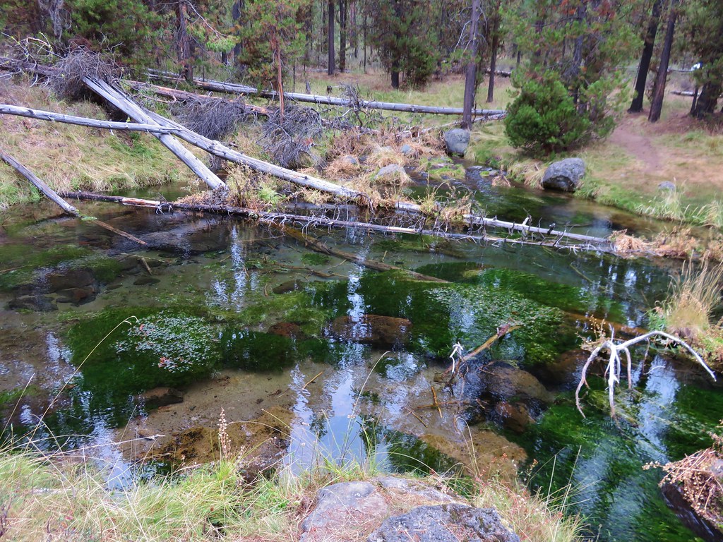
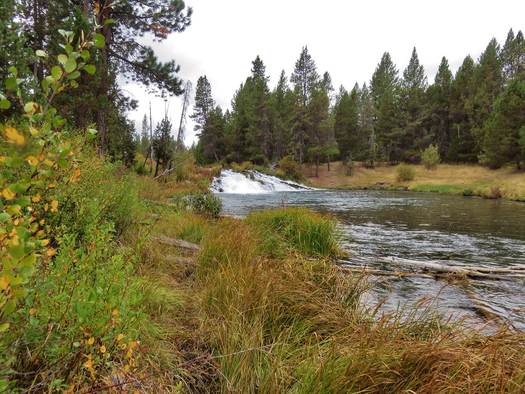
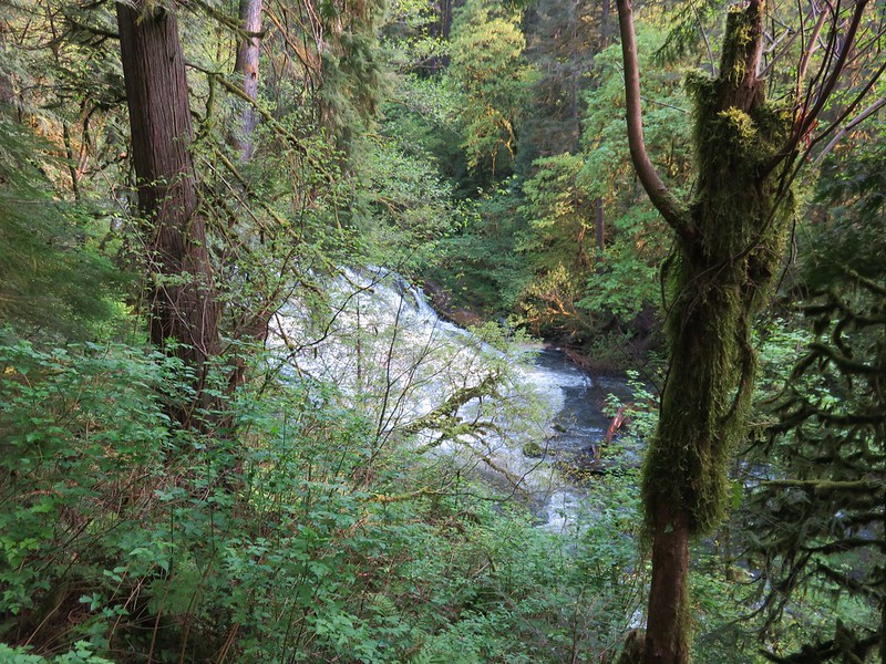
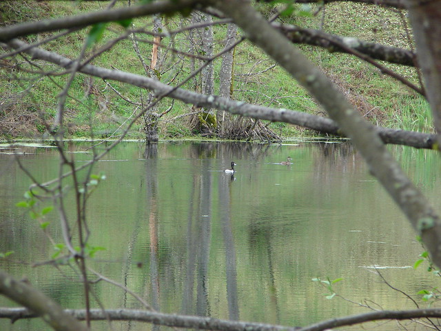
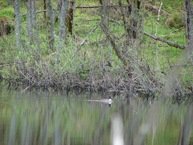
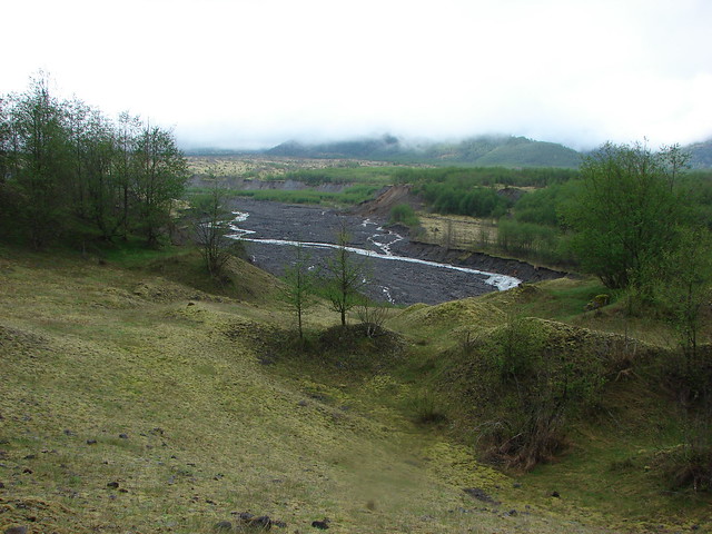
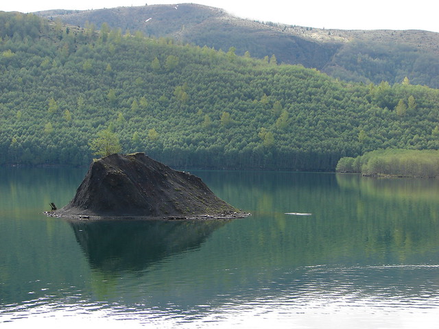
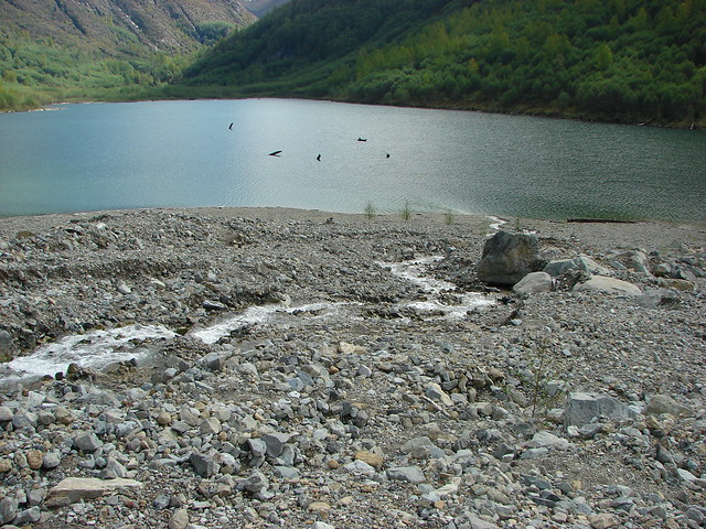
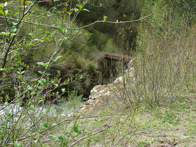
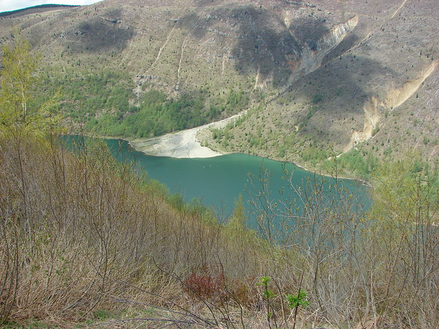
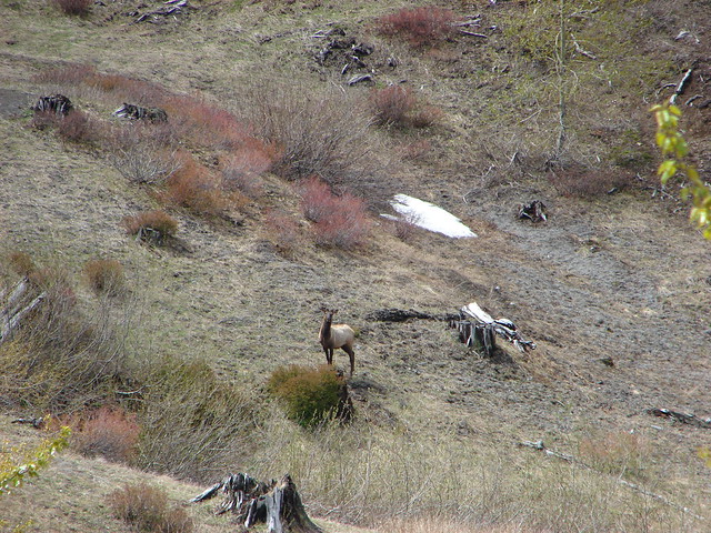
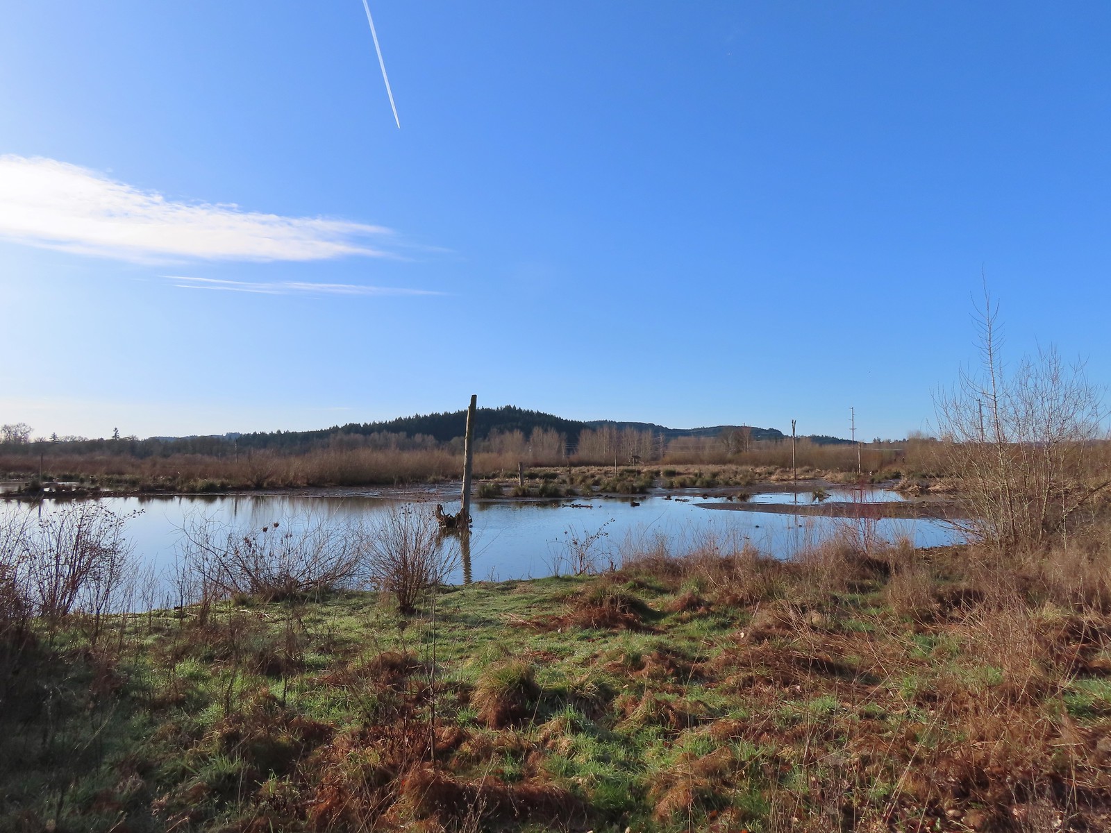
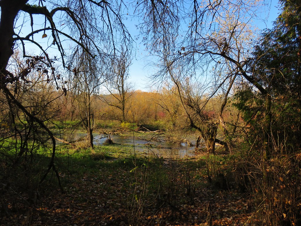
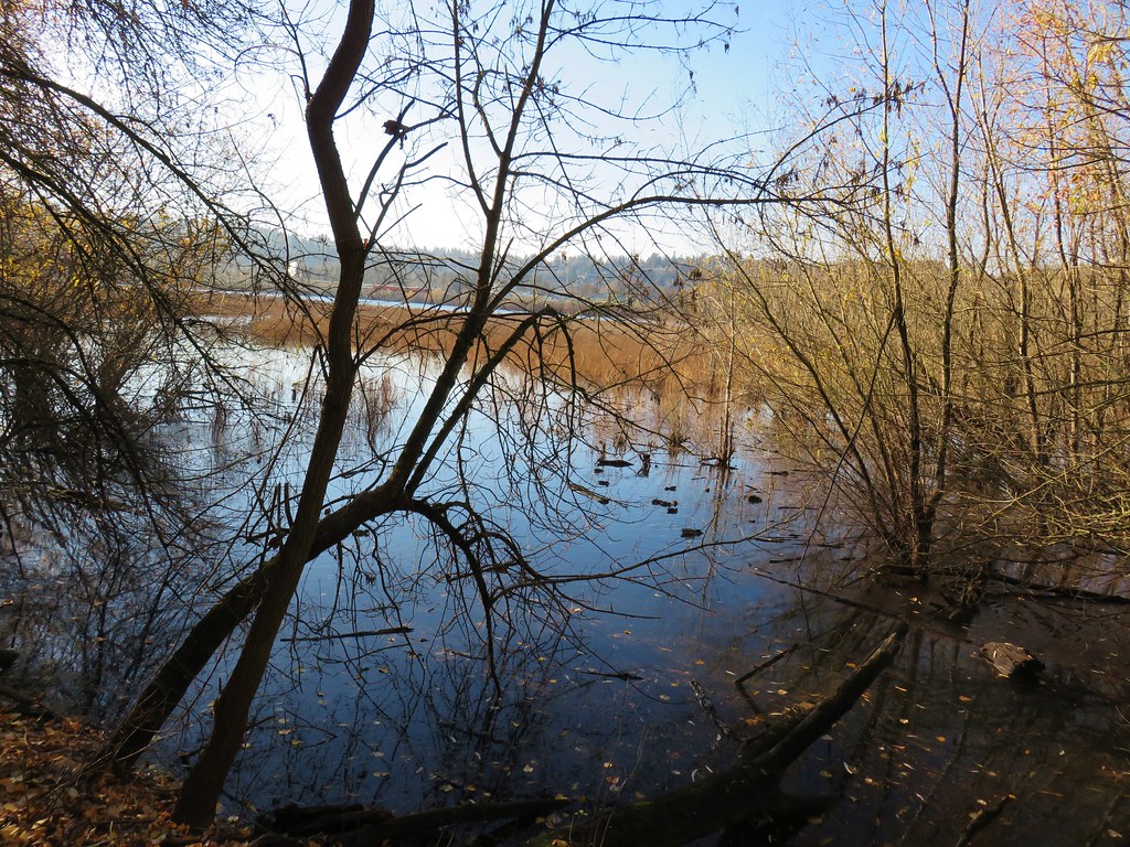
 We could hear the Tualatin River in the valley below and I managed to get far enough down the hill to get a glimpse of the water. I had descended from a pullout with a fire ring about 50-75′ looking for the old roadbed, but I still couldn’t make out where it actually was and had been slipping a lot on wet wood.
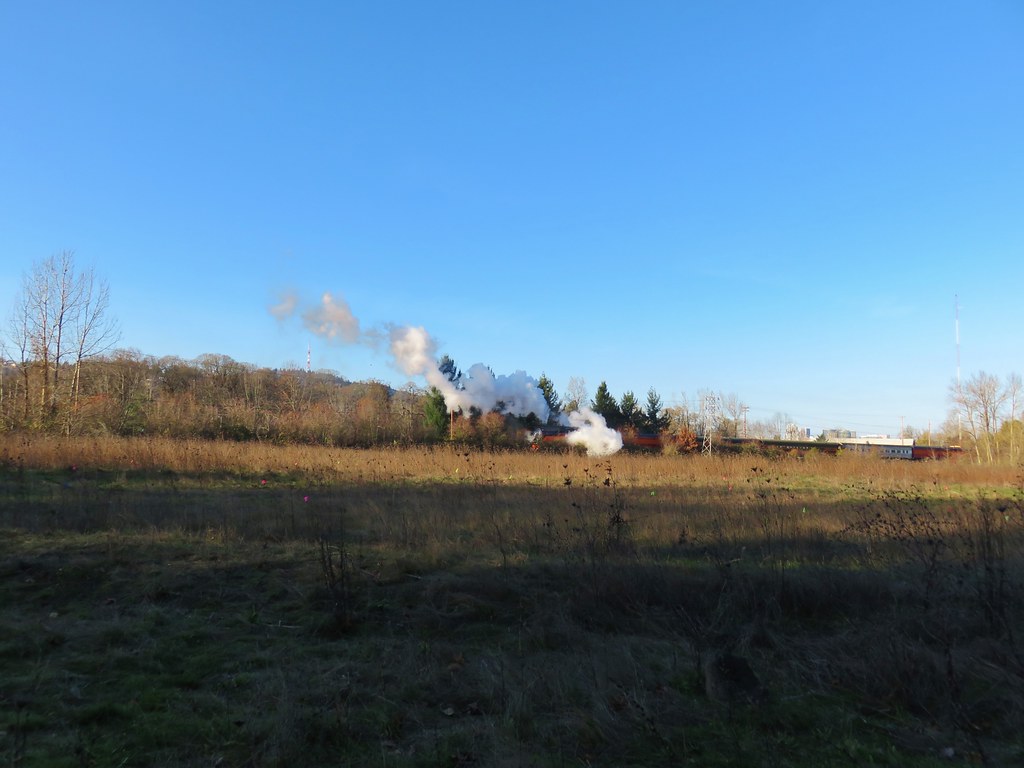
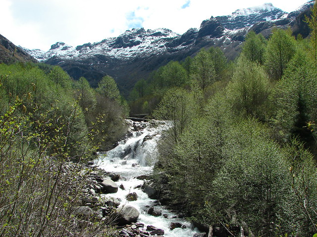
After climbing back up to Heather I called an audible and we turned to Plan B. The second hike we’d originally planned on was a 1.5-mile out and back further into the forest to visit Stairstep Falls, a rapid more than a fall, that requires fording the 25 yard wide Middle Fork North Fork Trask River. We decided against attempting that hike because it would effectively end our hiking day by leaving the only pair of hiking shoes I’d brought soaked. That was fine when it was going to be the final hike of our day, but we wanted to get a little more than 2.5-miles in. (We’d done close to 1 looking for the way to Ki-a-Kuts Falls.)
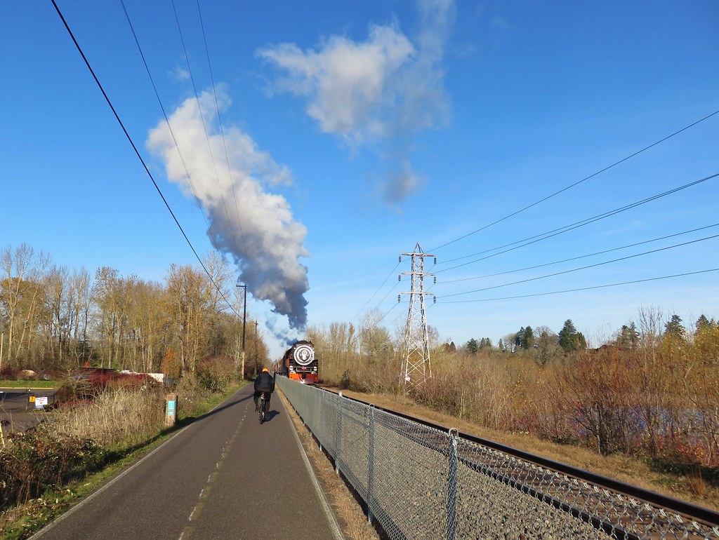
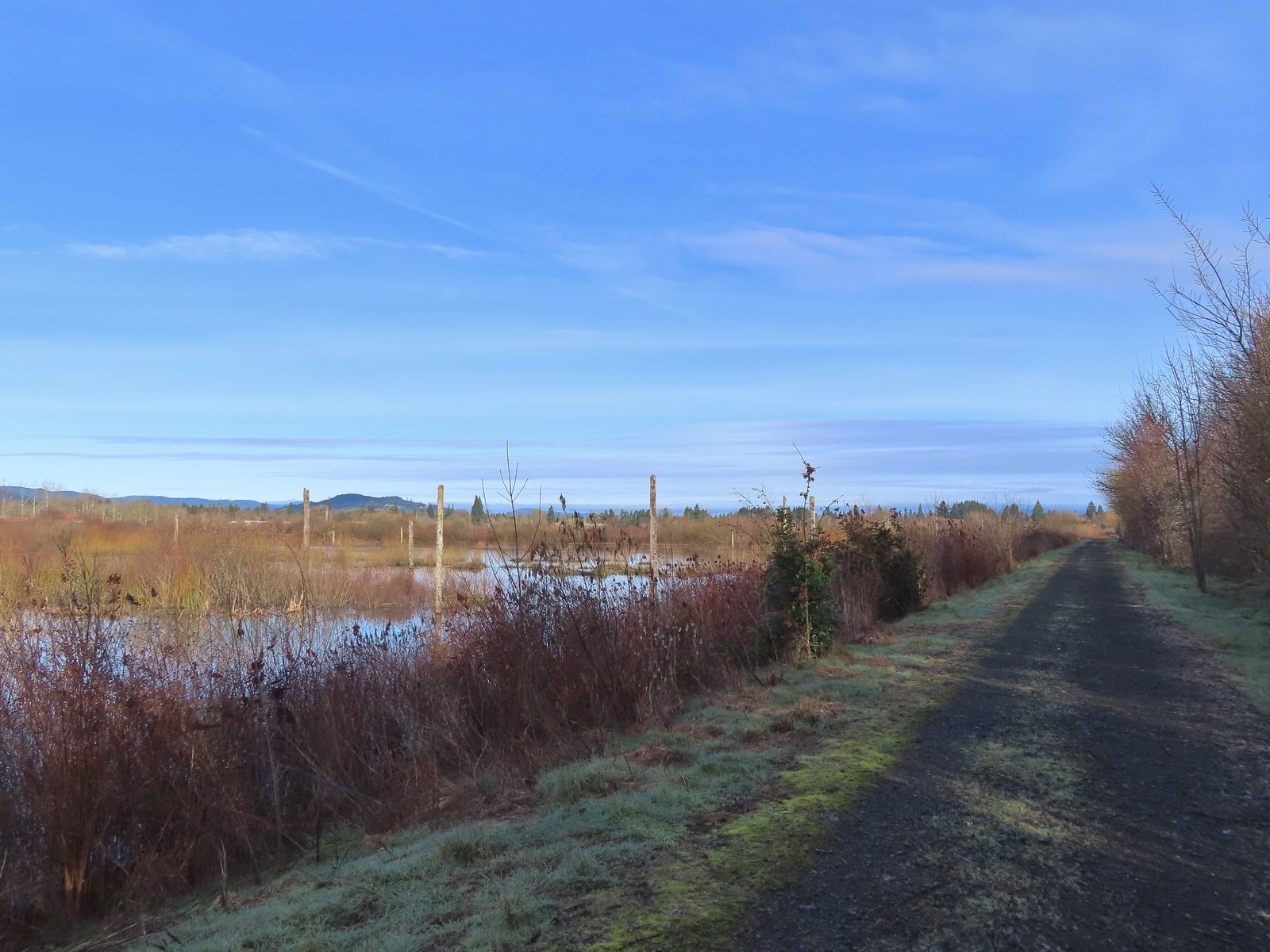
I’d known going in that there was a chance that we’d need to turn to Plan B because the most recent trip reports I could find for Ki-a-Kuts Falls was from 2014. That Plan B had been Fernhill Wetlands. Located in Forest Grove, OR the trailhead was just 26-miles from where we were. We drove back to Yamhill and then headed North on Highway 47 to the Fernhill Wetlands Trailhead.

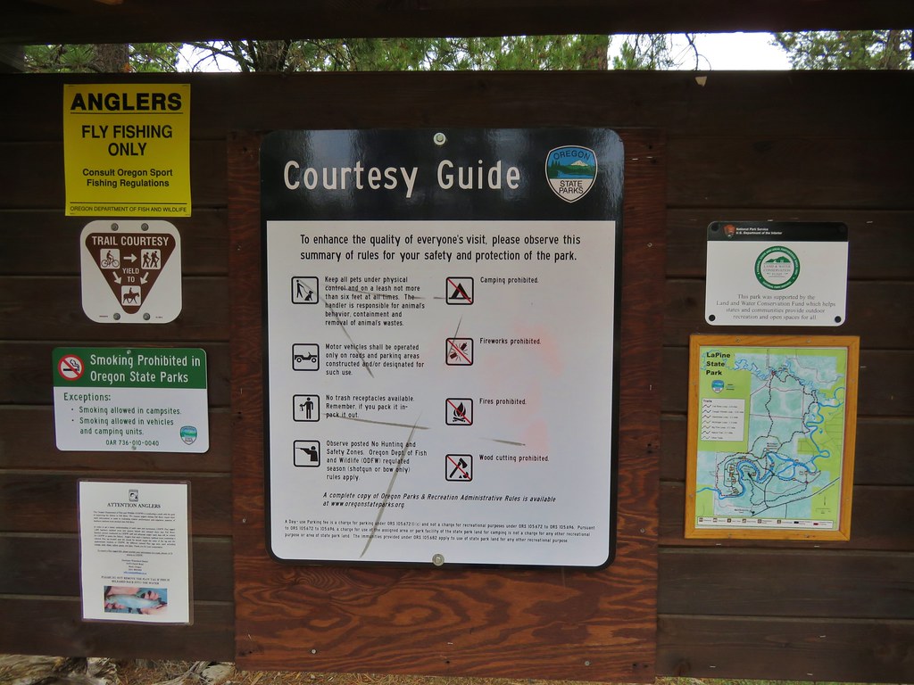
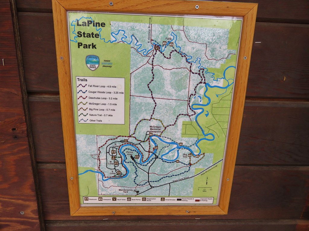
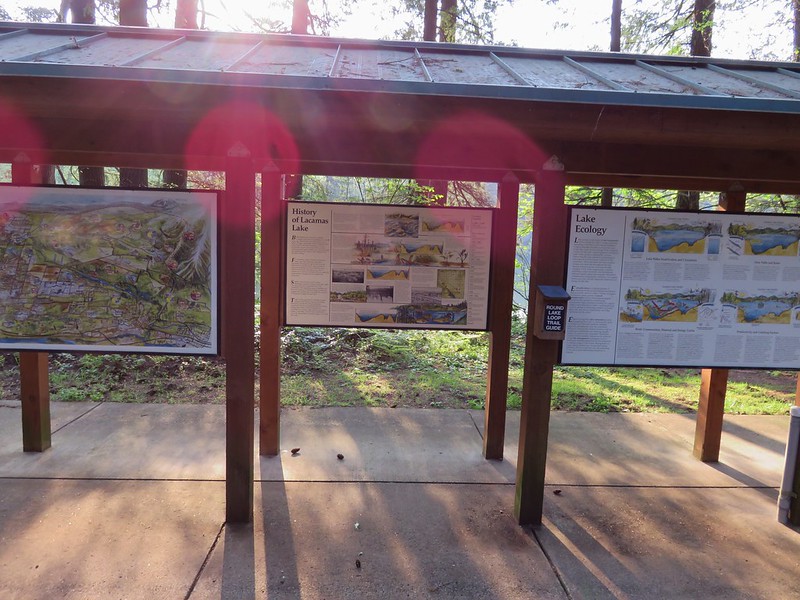
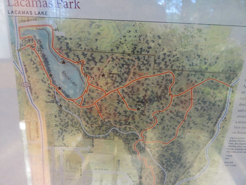
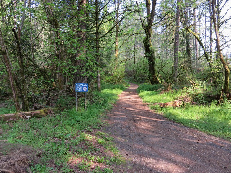
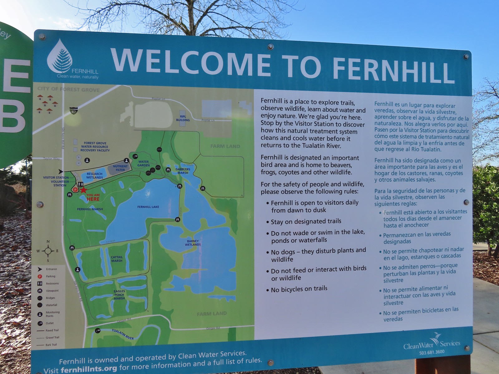 Map and information at the trailhead.
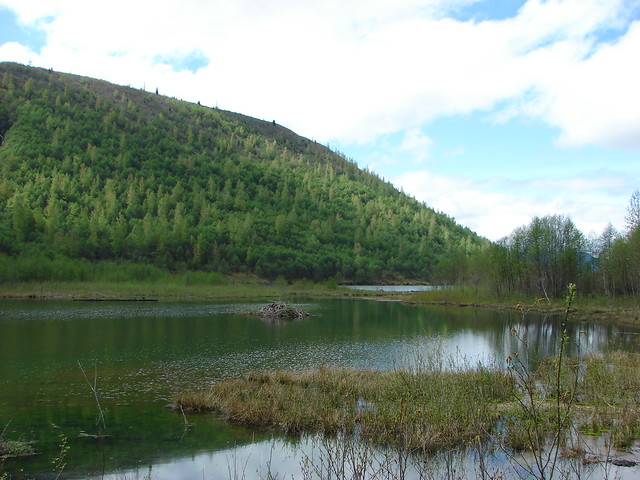
There are several loops possible at the wetlands and we hoped to maximize these, so we headed south along Fernhill Marsh.
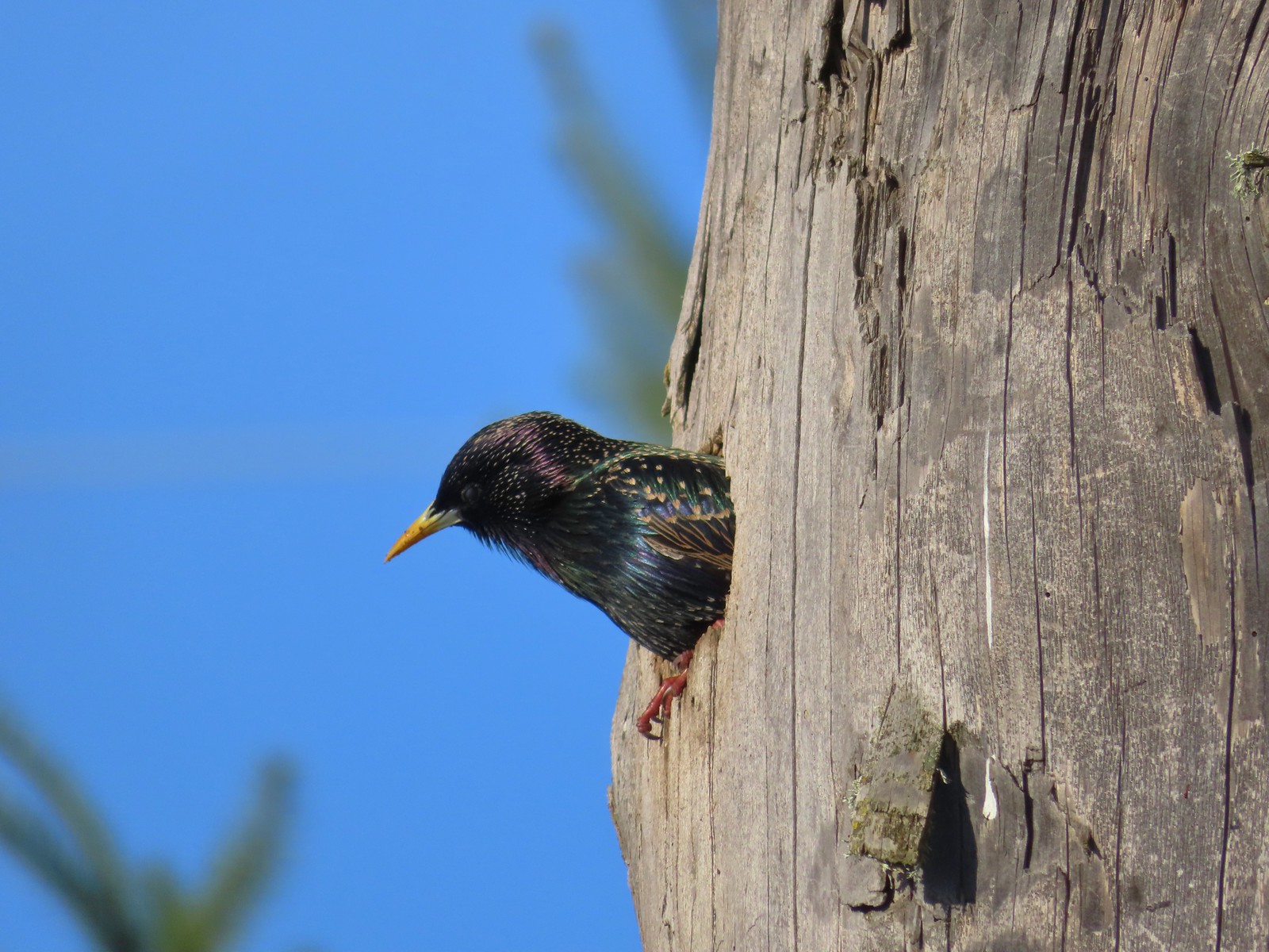 Starling
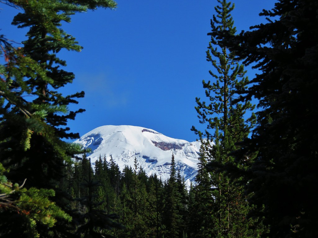
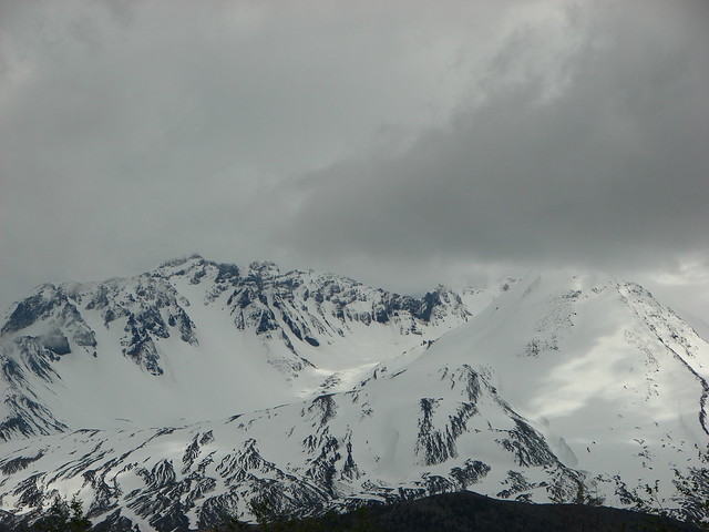
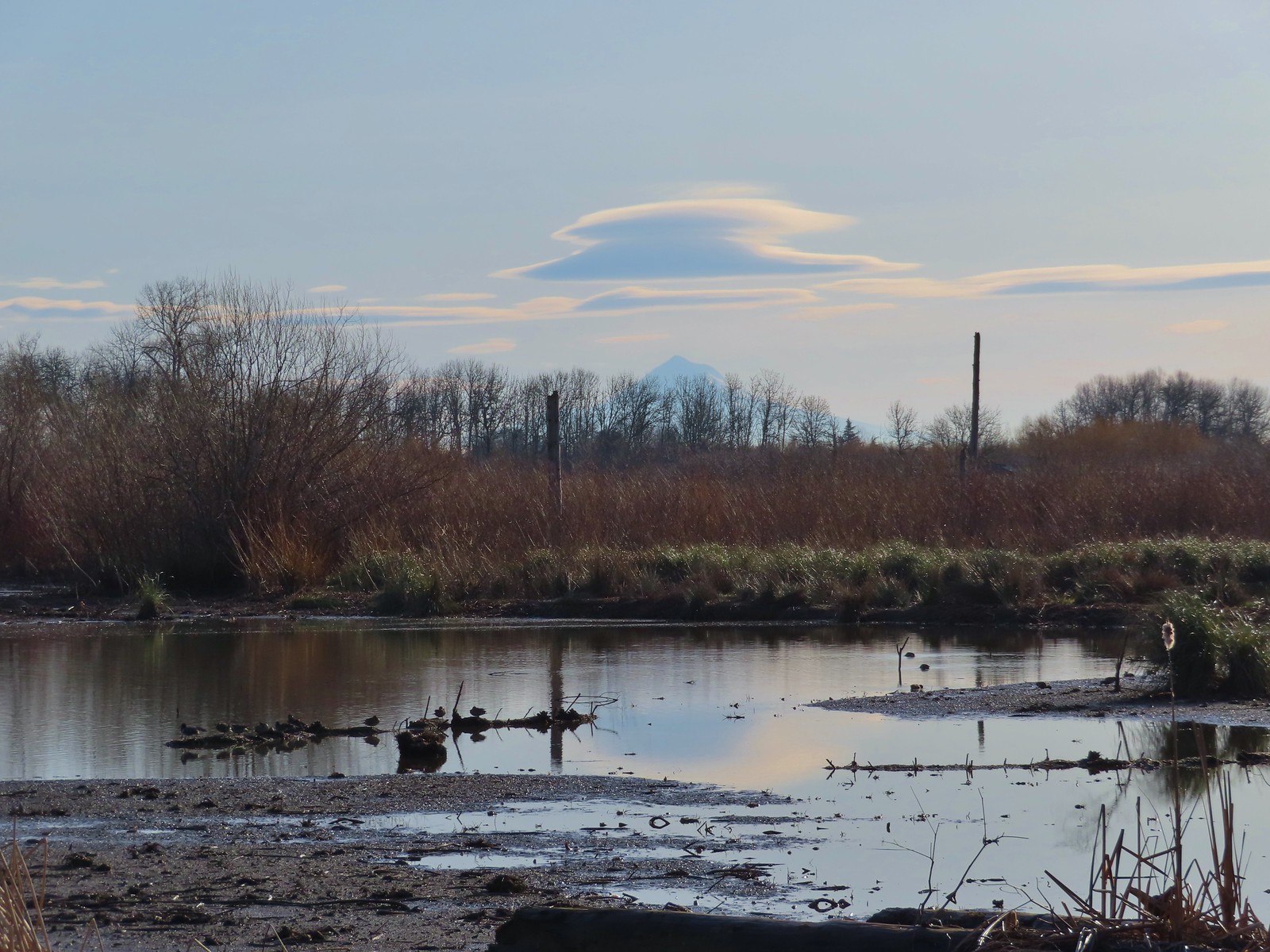 Lenticular clouds over Mt. Hood in the distance.
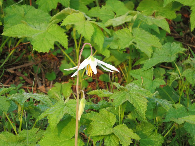
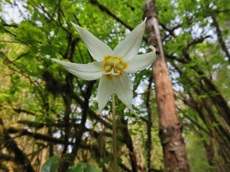
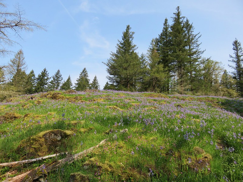
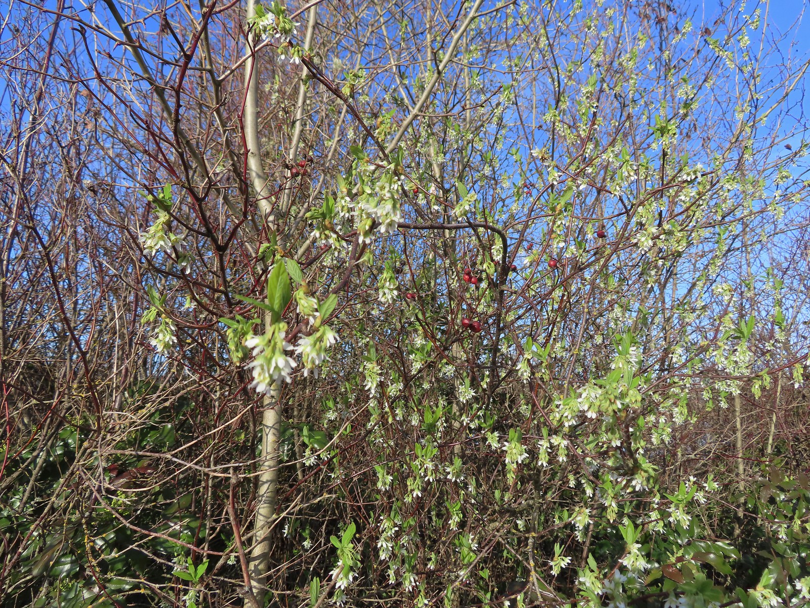 Our first wildflower of the year is Indian plum in 2024.
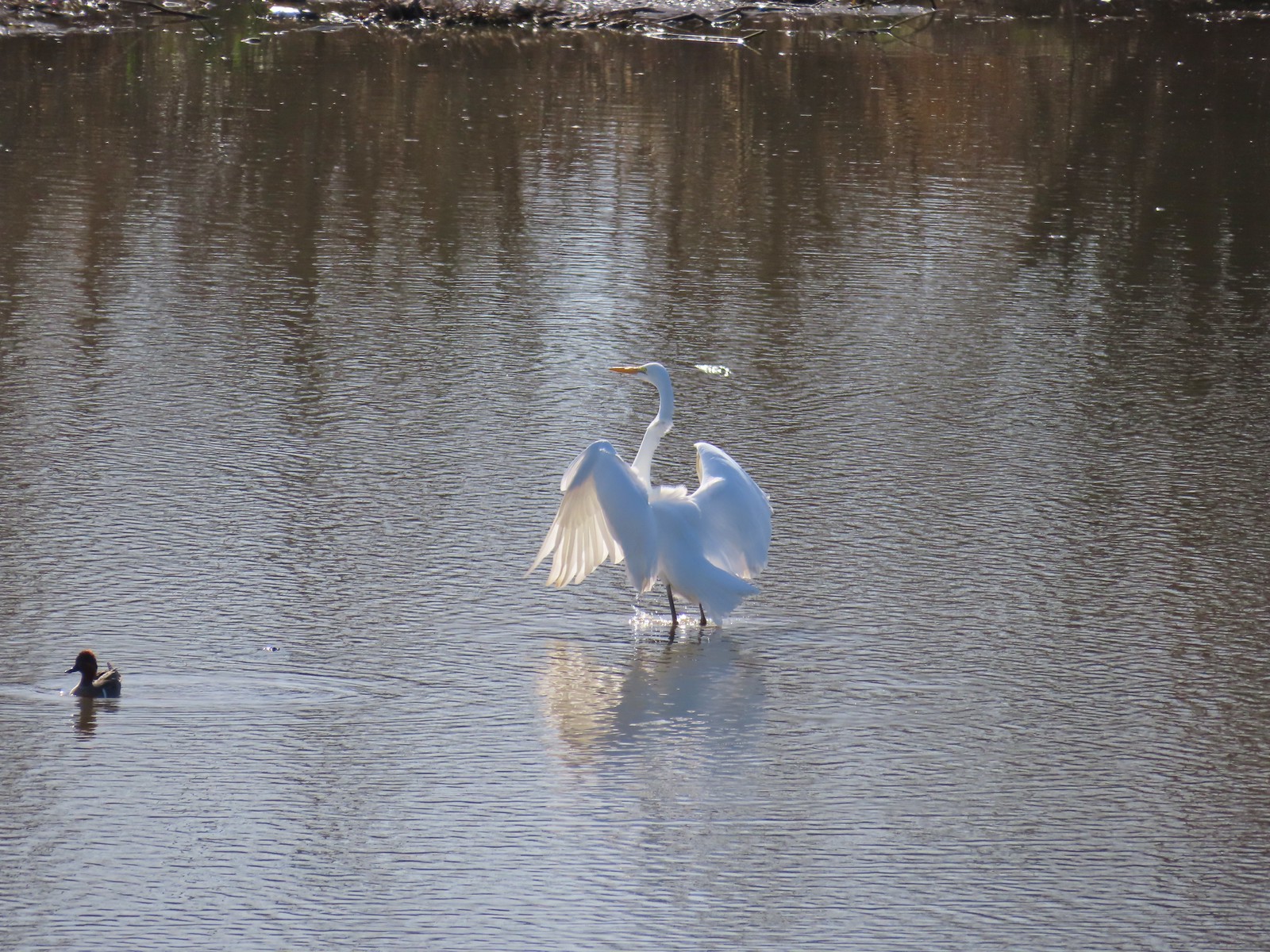
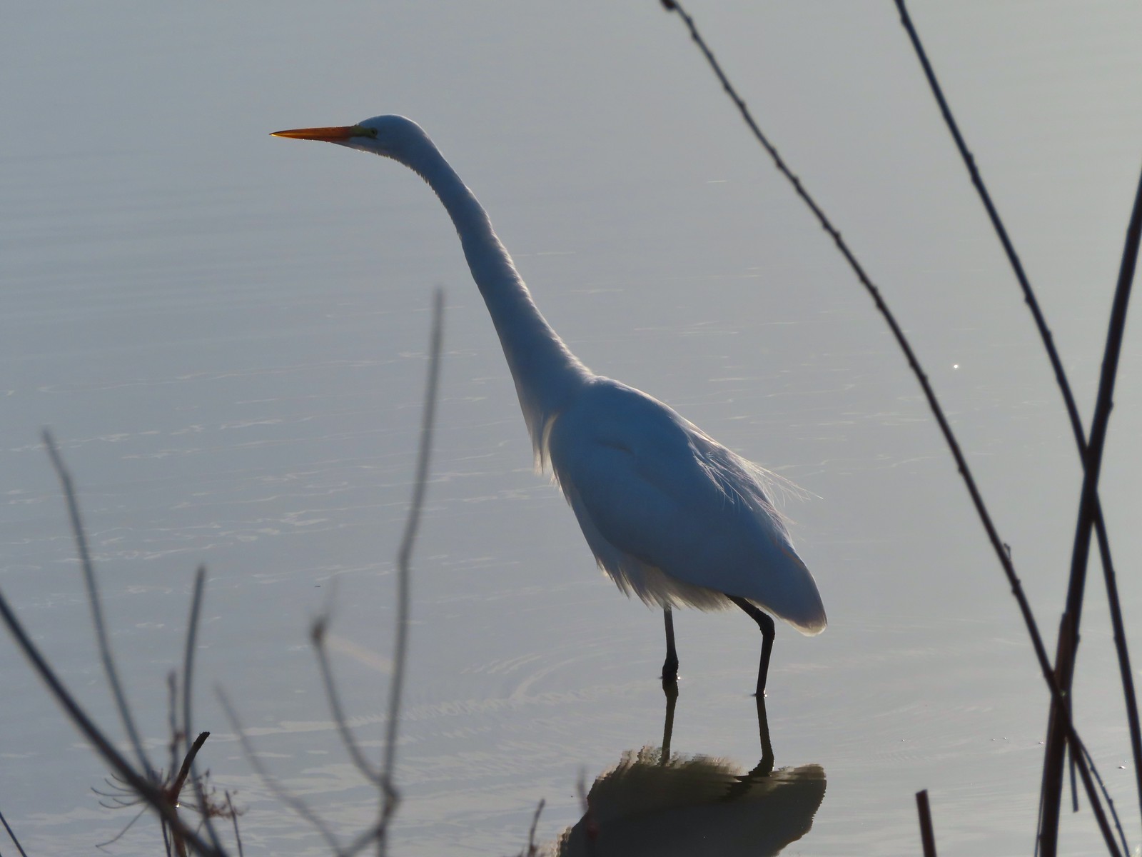 Egret
Egret
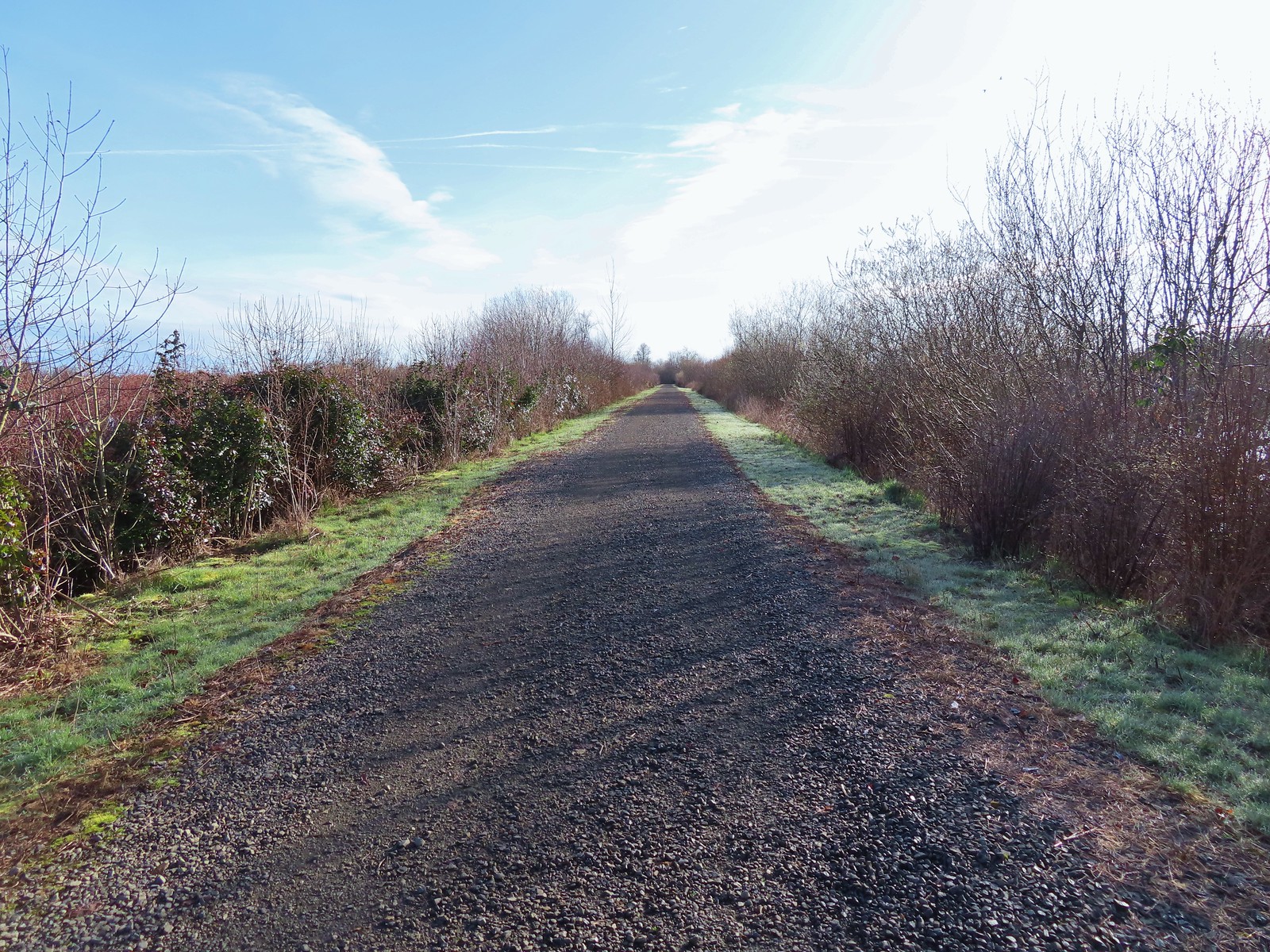
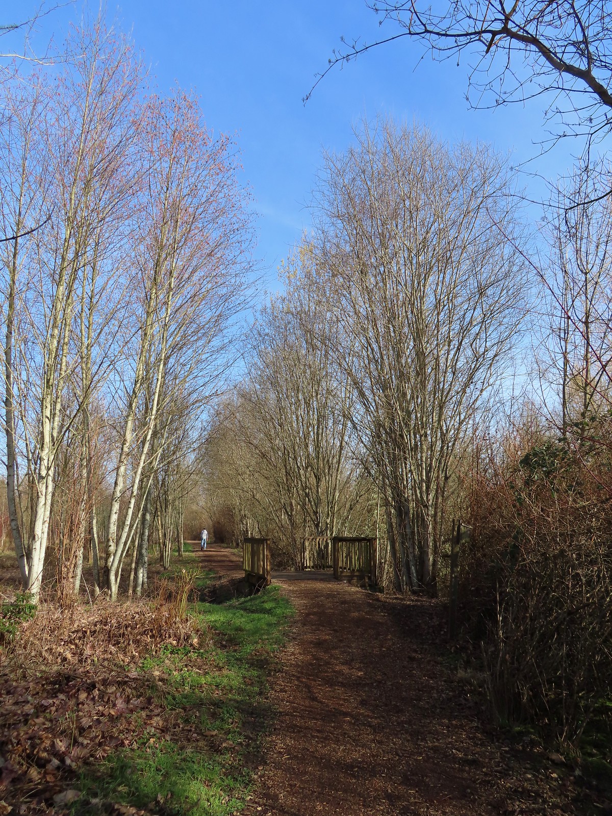
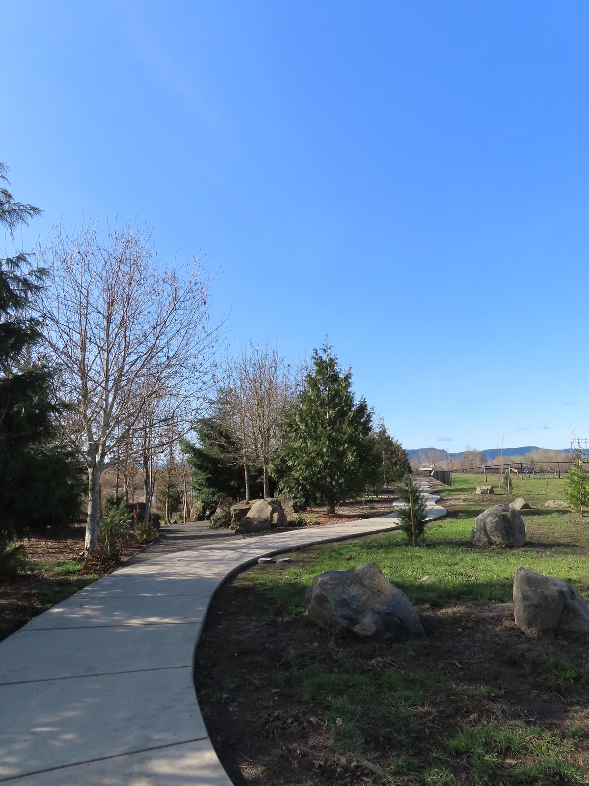
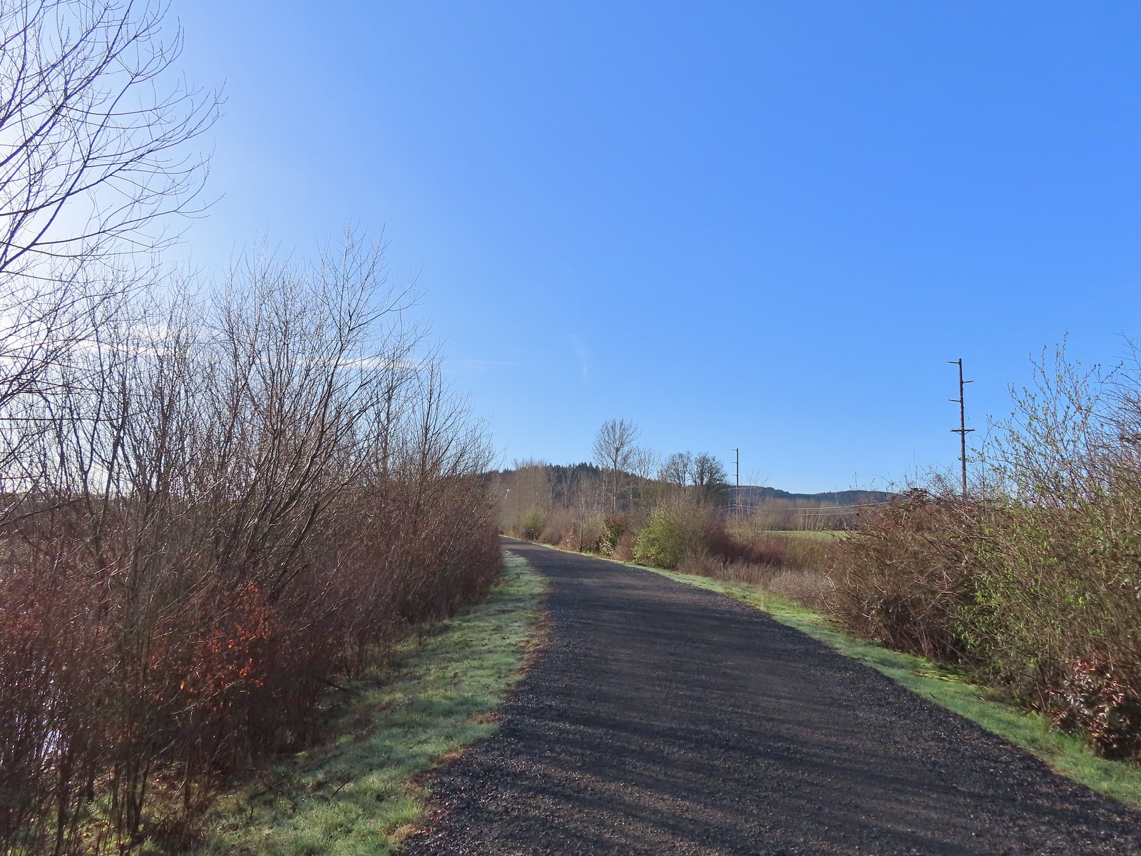 Path at Fernhill Wetlands.
We stayed straight at a junction with a path between Fernhill Marsh and Cattail Marsh.
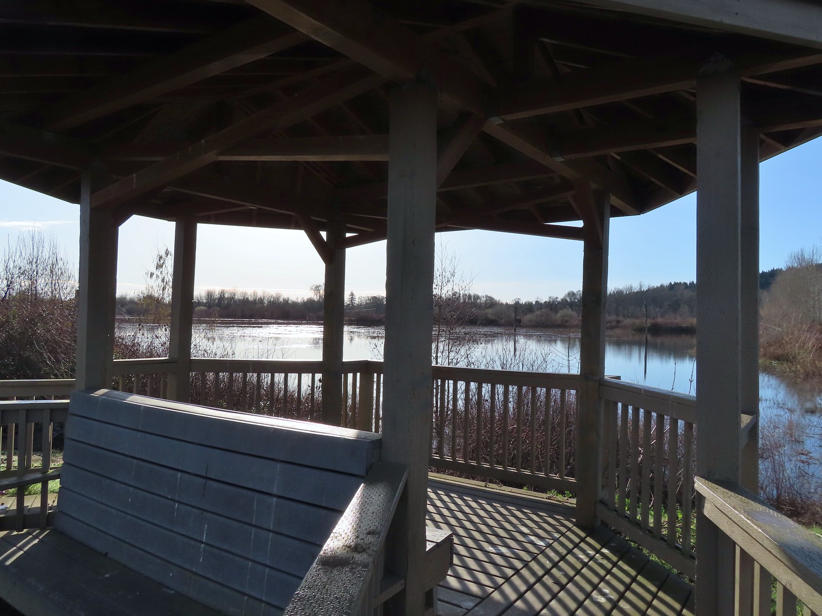 Gazebo overlooking Cattail Marsh.
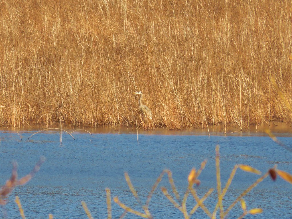
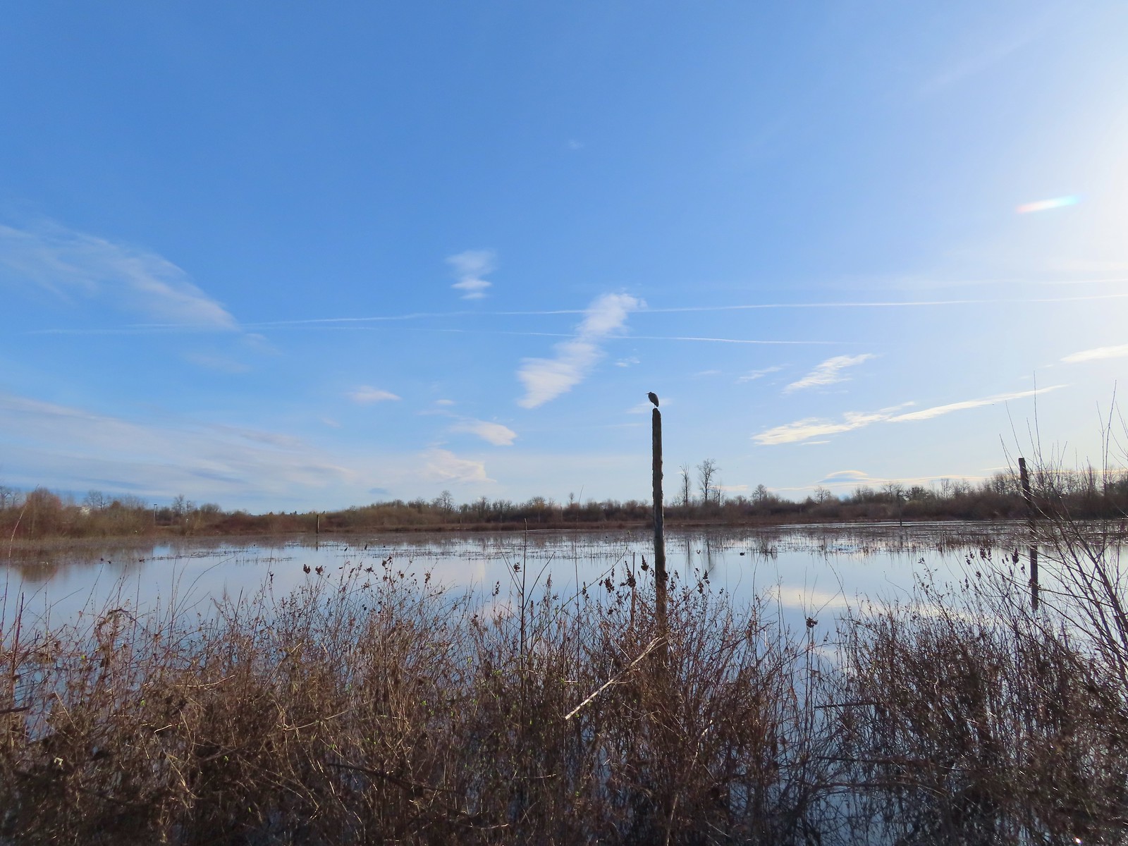 Great blue heron on a post above Cattail Marsh.
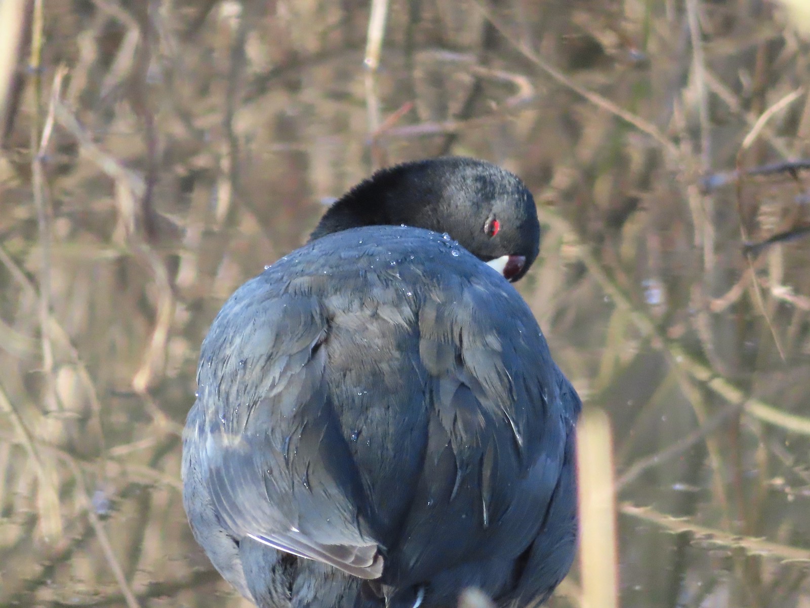 American coot
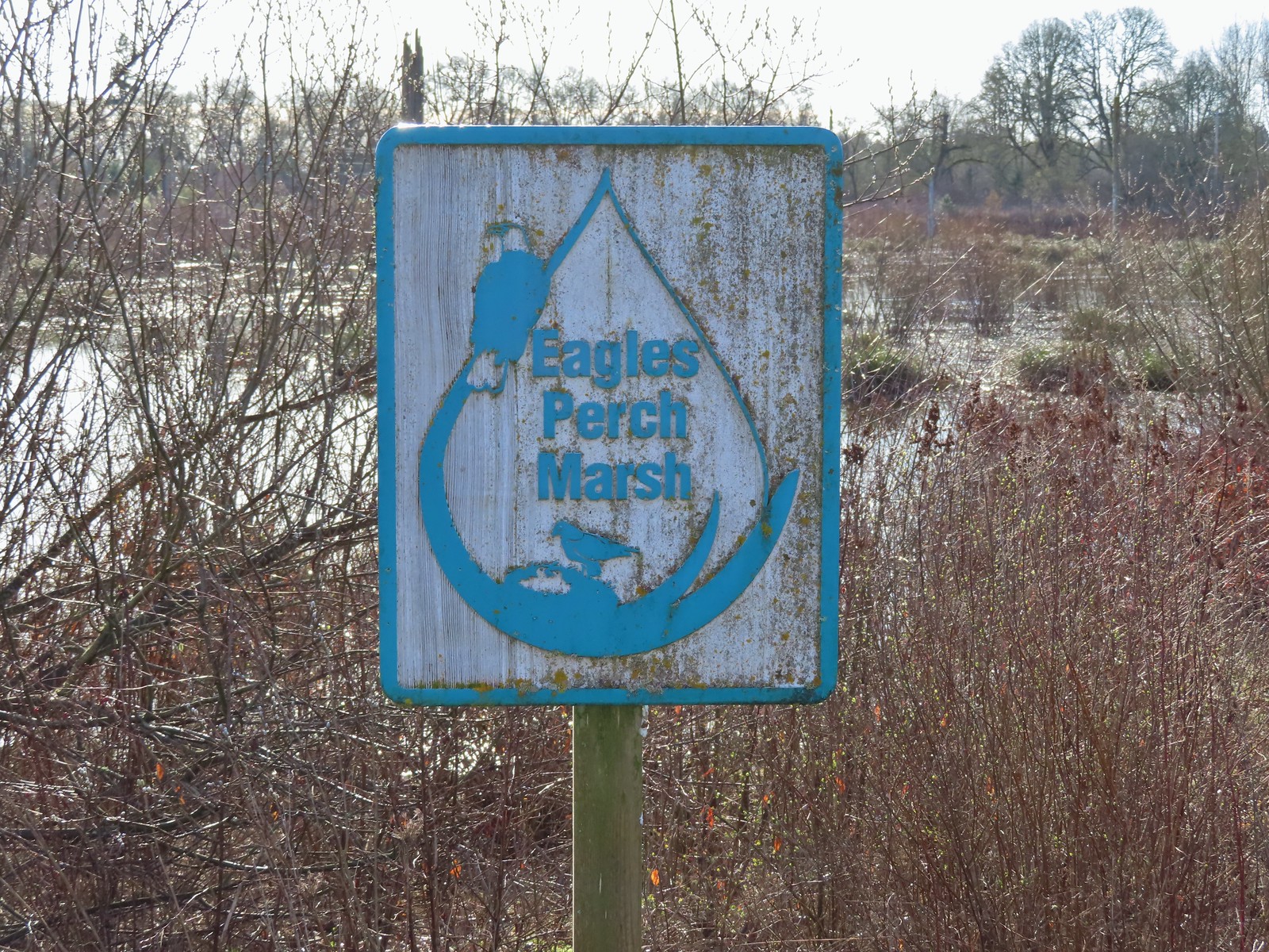
At the next junction we turned left between Cattail and Eagles Perch Marshes.
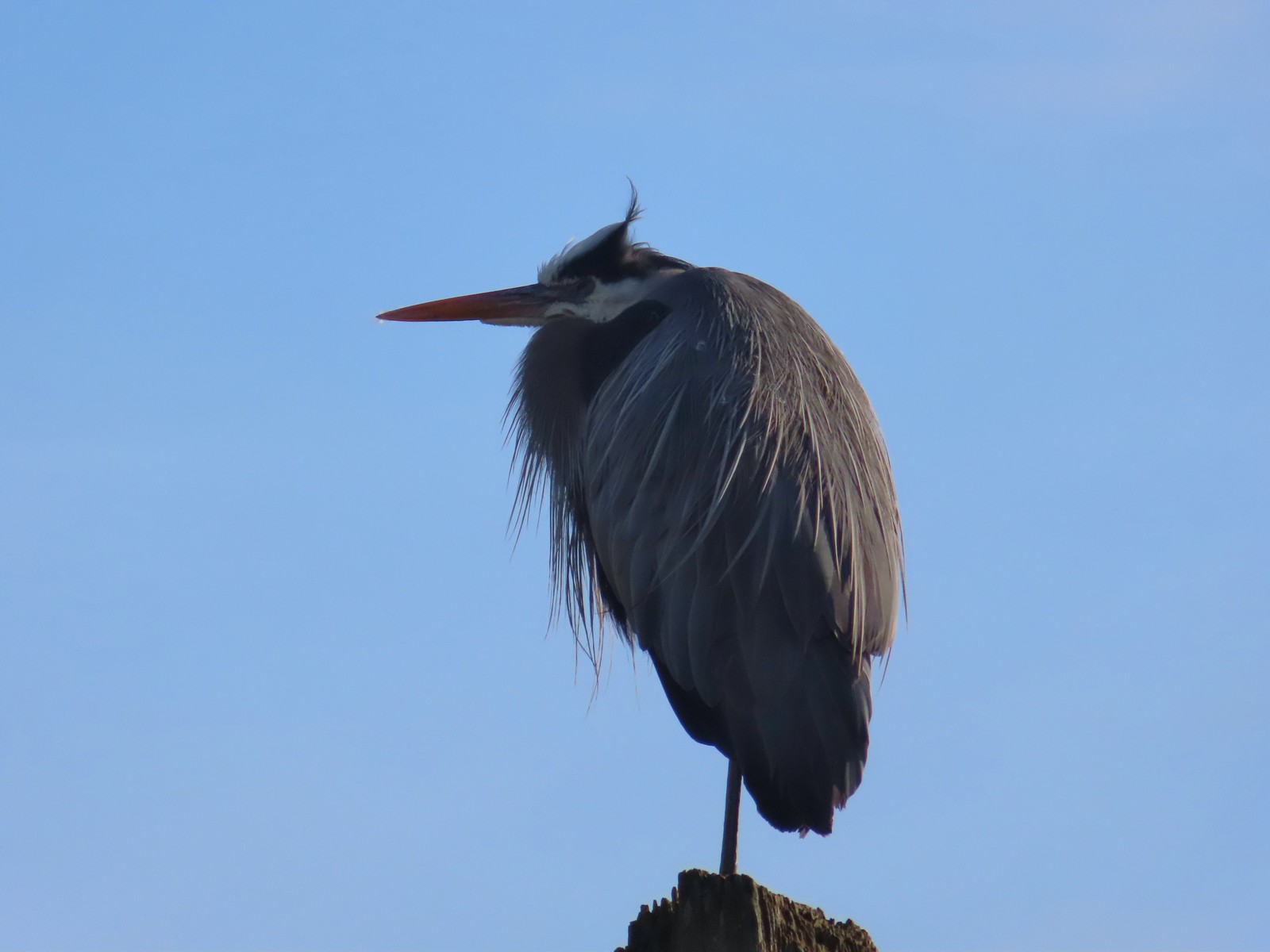
 Another great blue heron.
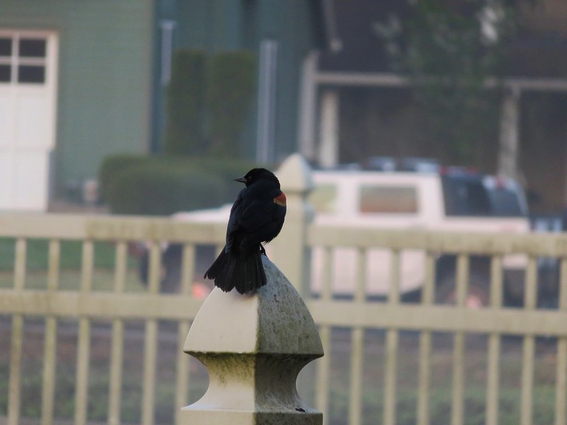
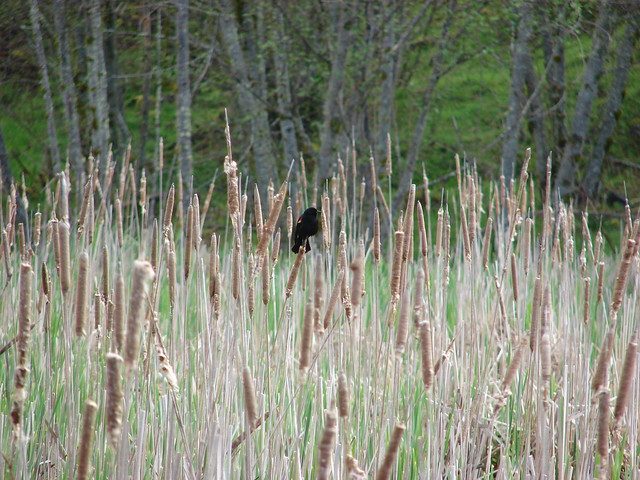
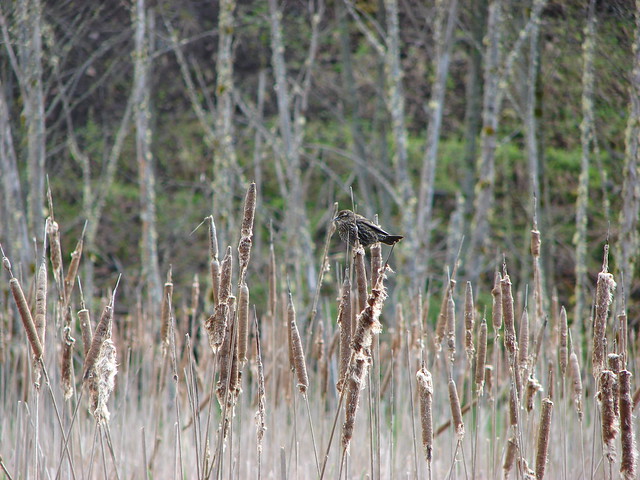
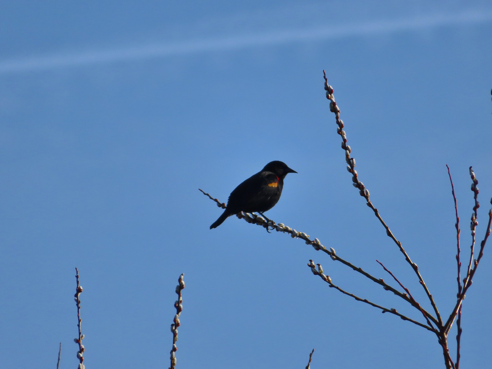 Red-winged blackbird
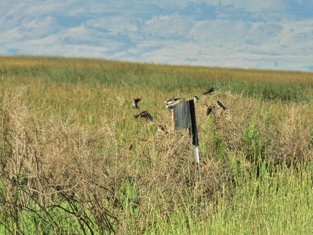
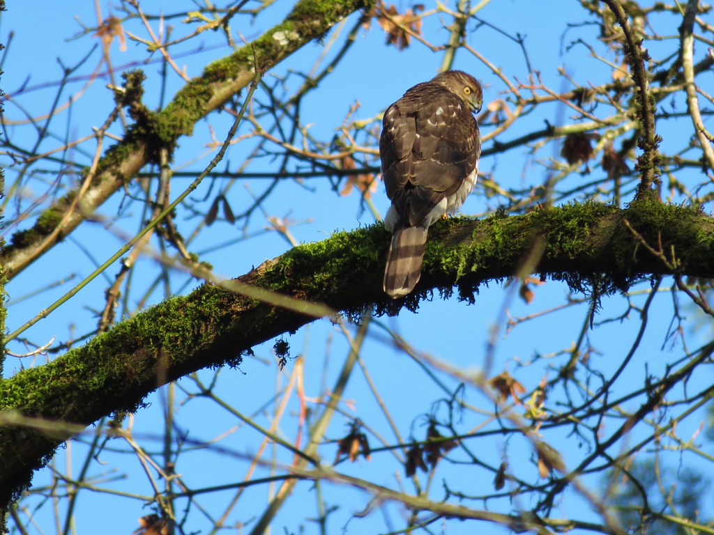
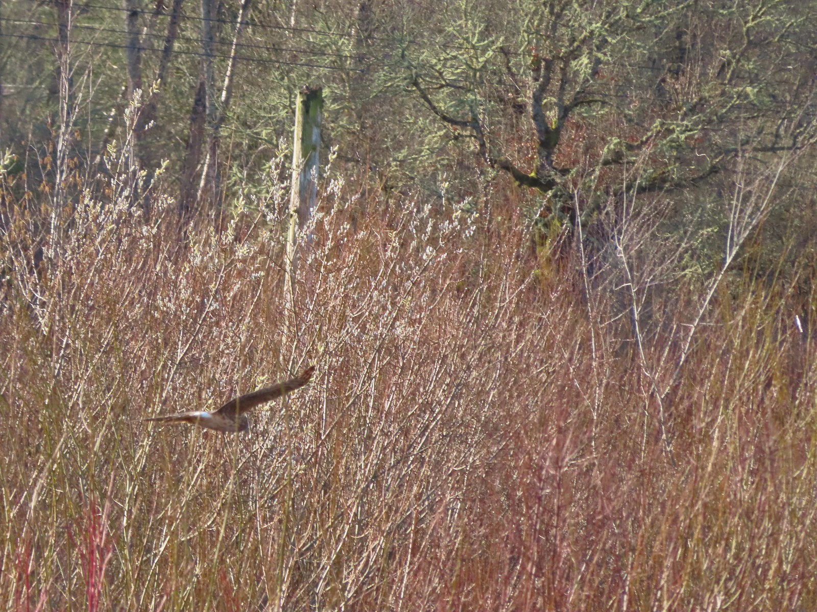 Hawk flying over Eagles Perch Marsh.
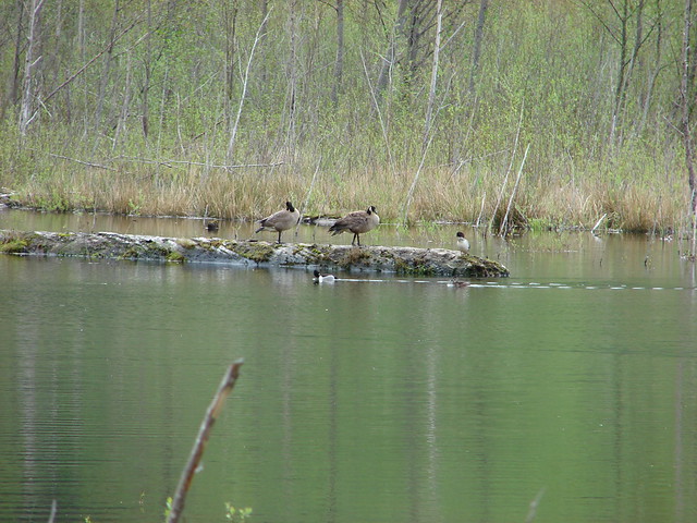
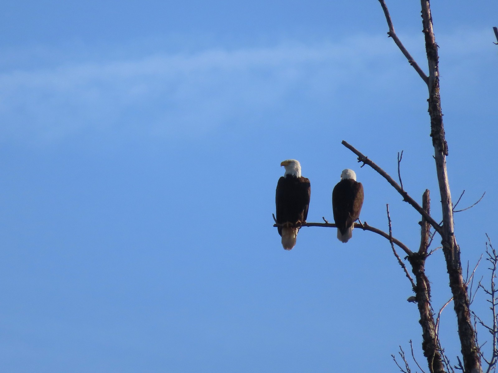
Fittingly at the far end of the marsh were a pair of bald eagles.
We turned right and walked along Eagles Perch Marsh for a tenth of a mile to a gate along SW Geiger Rd.

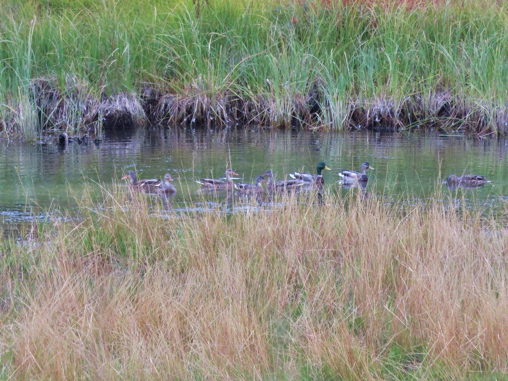
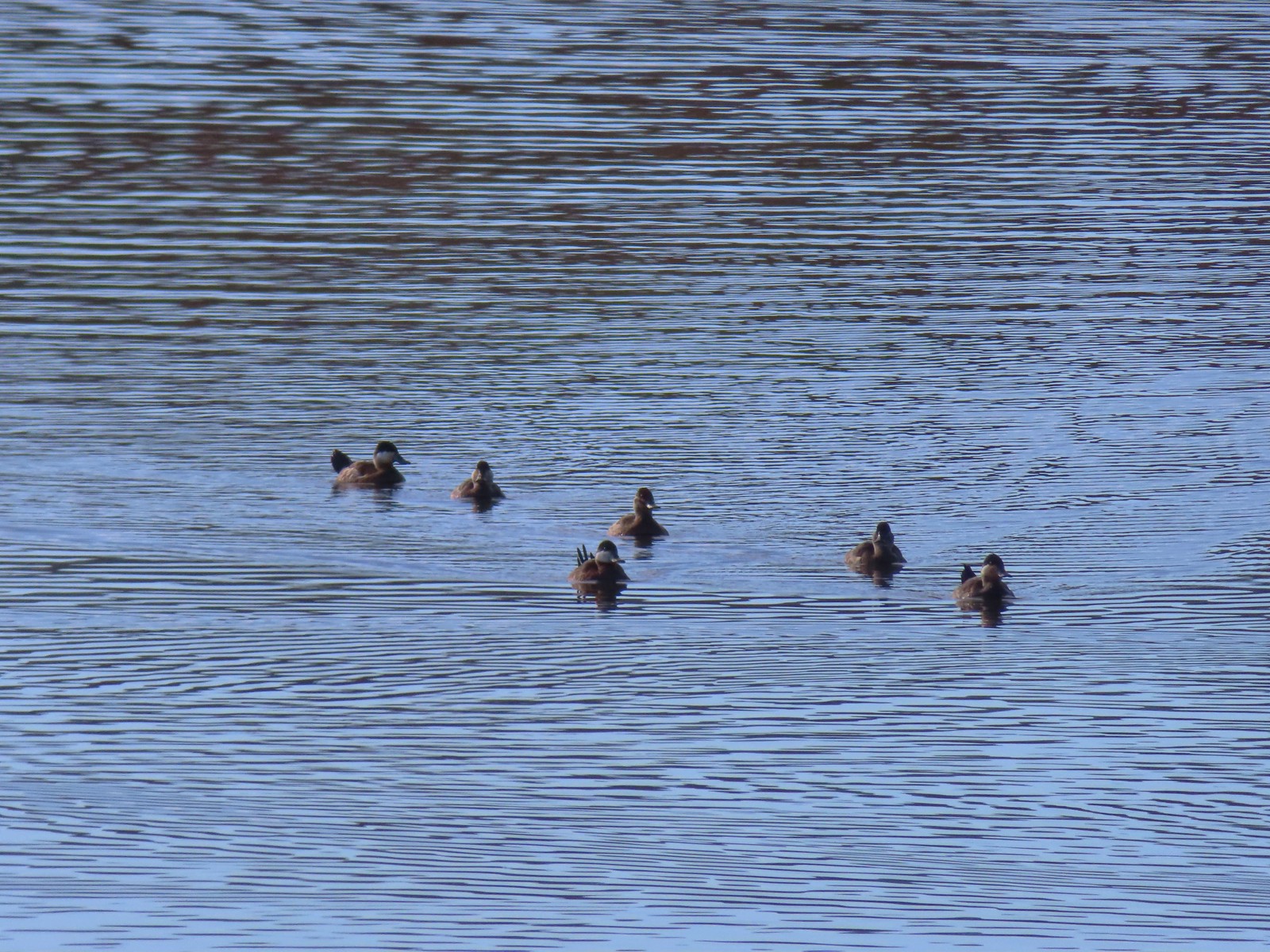
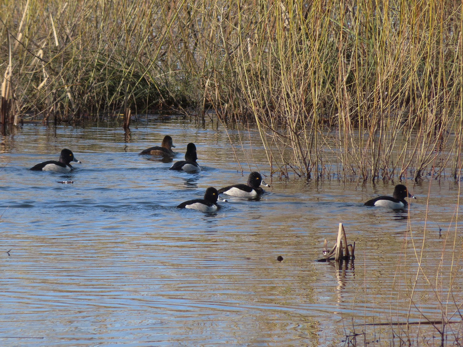 Ring-necked ducks
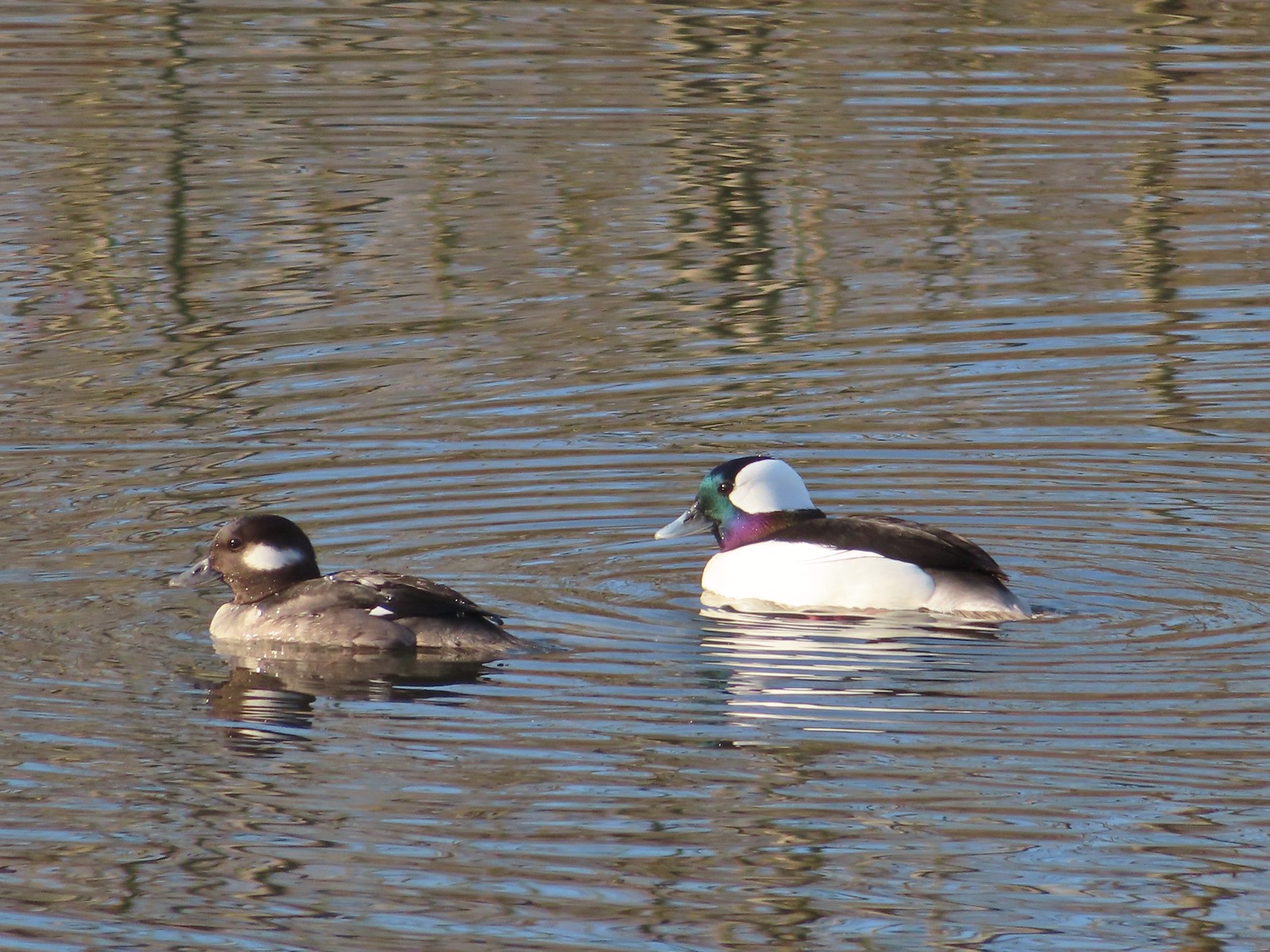 Buffleheads
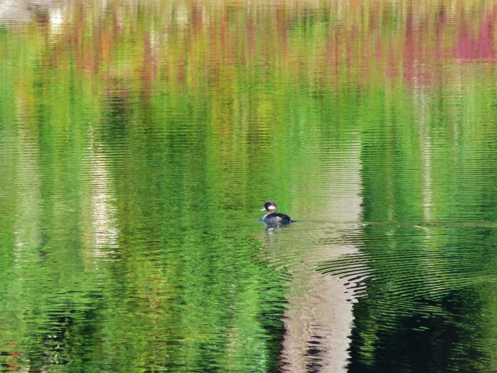
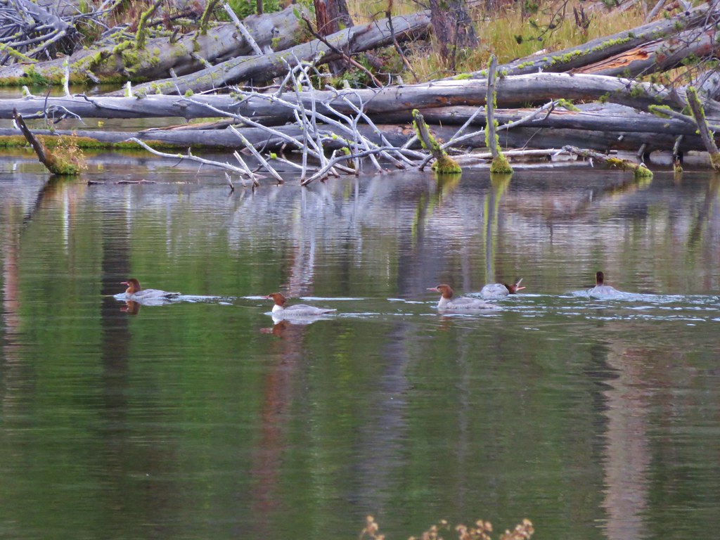
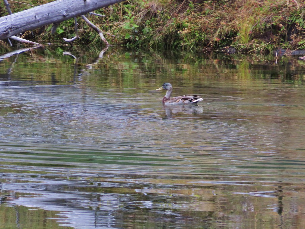
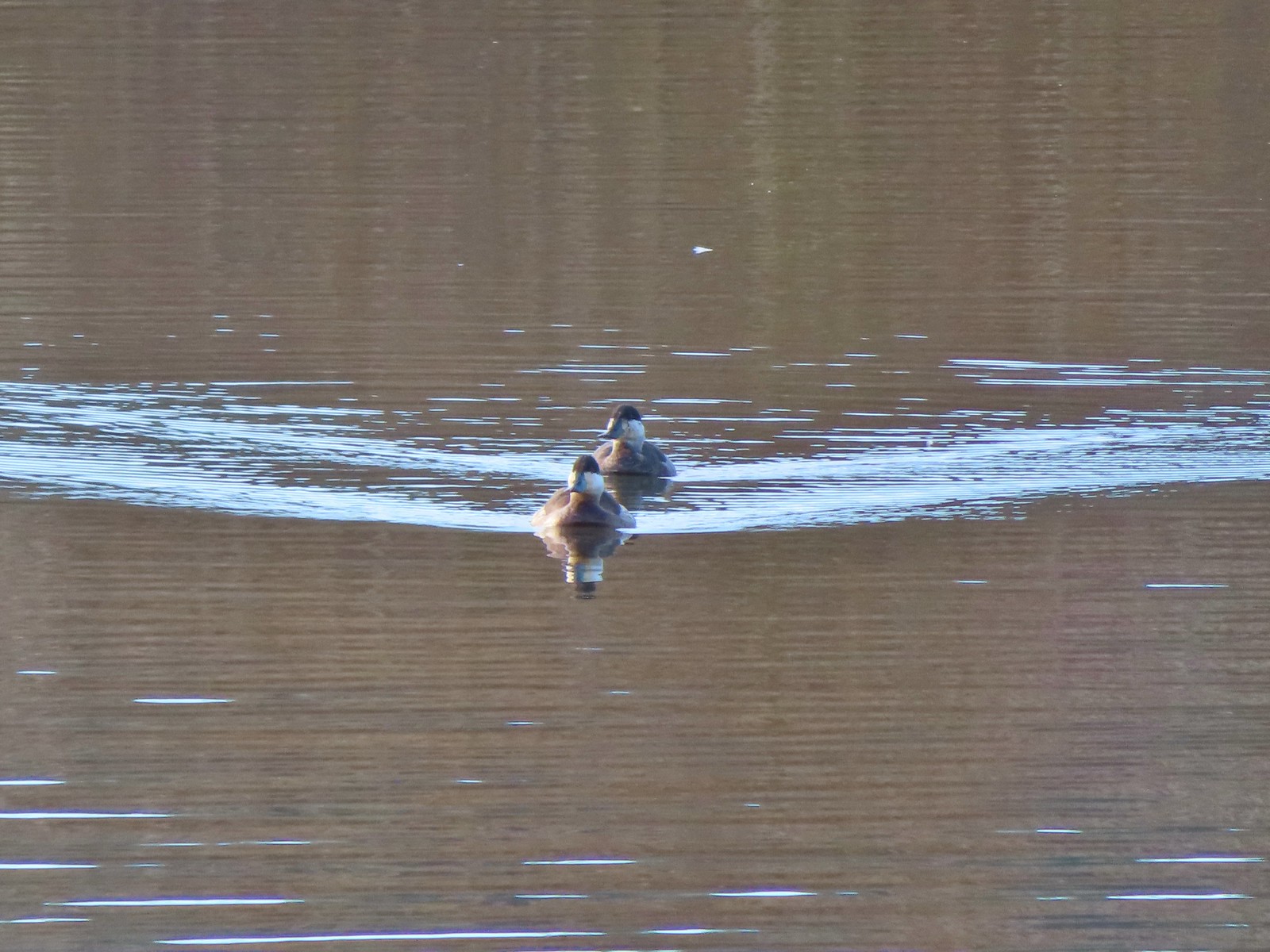
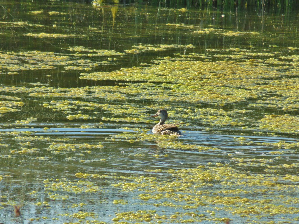
 This one might be a hooded merganser?
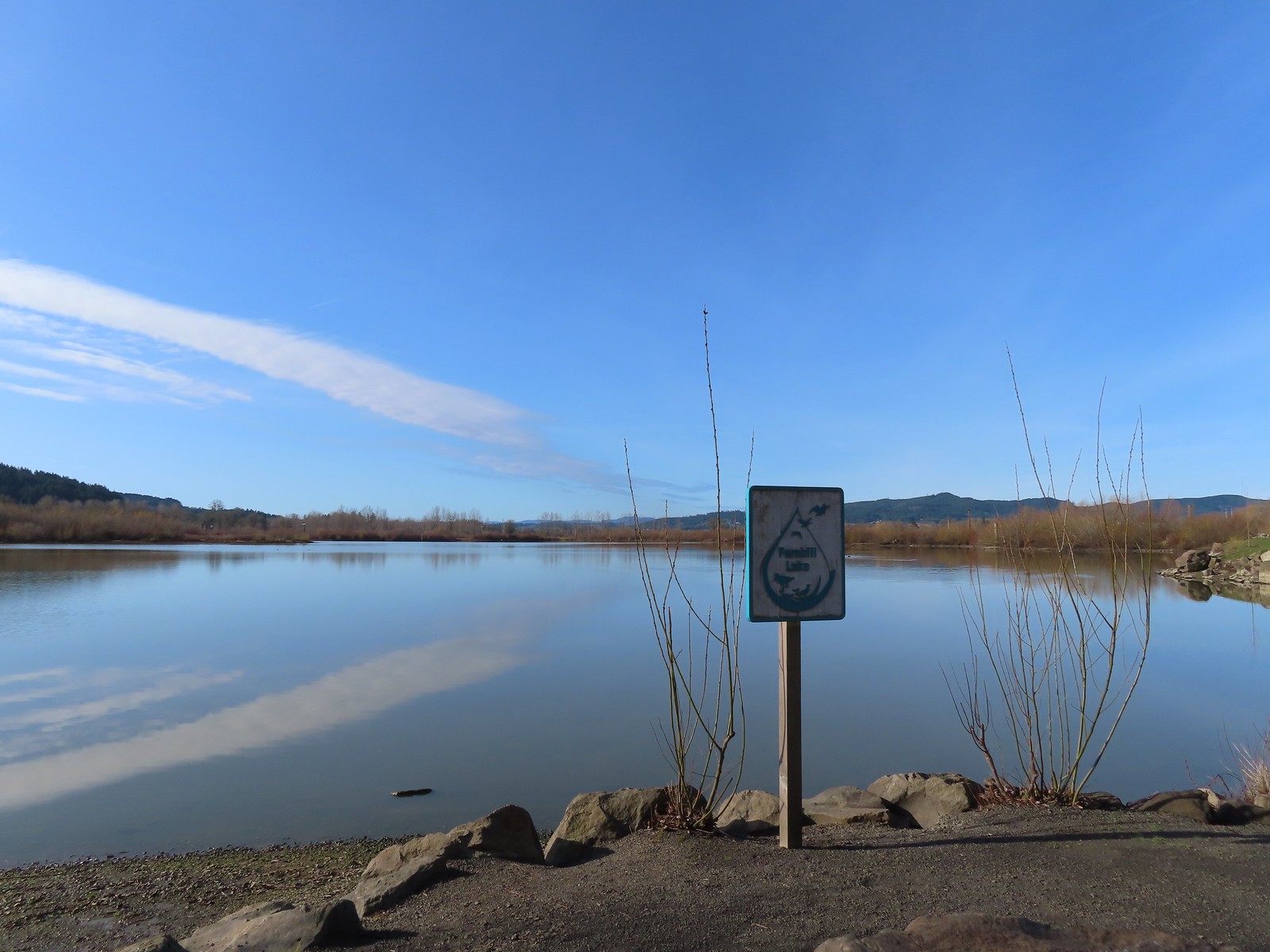
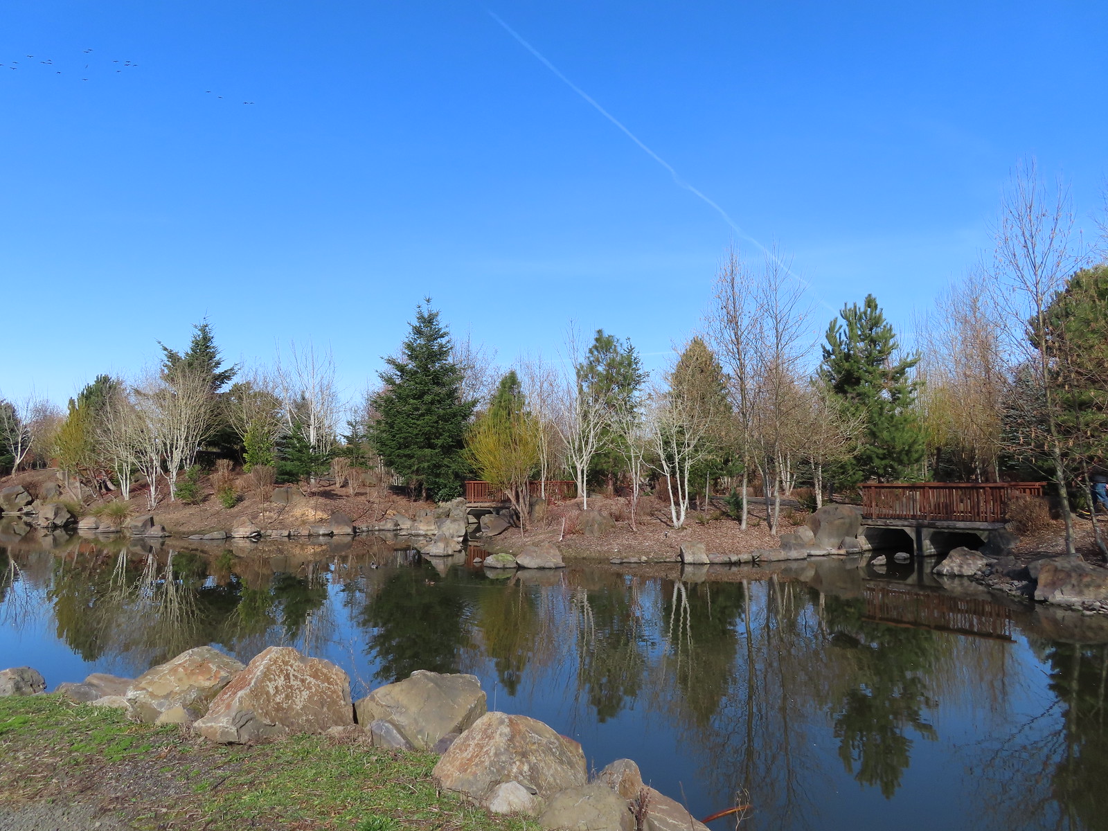
After turning around we headed north passing Cattail Marsh and arriving at Fernhill Lake.
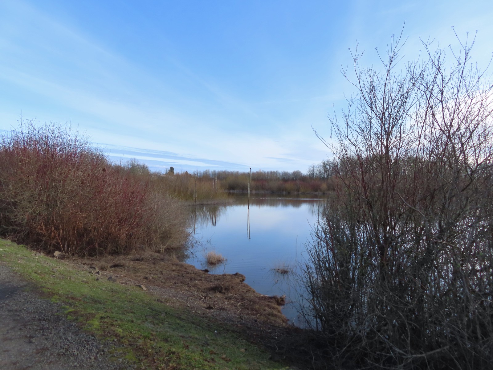
 Fernhill Lake
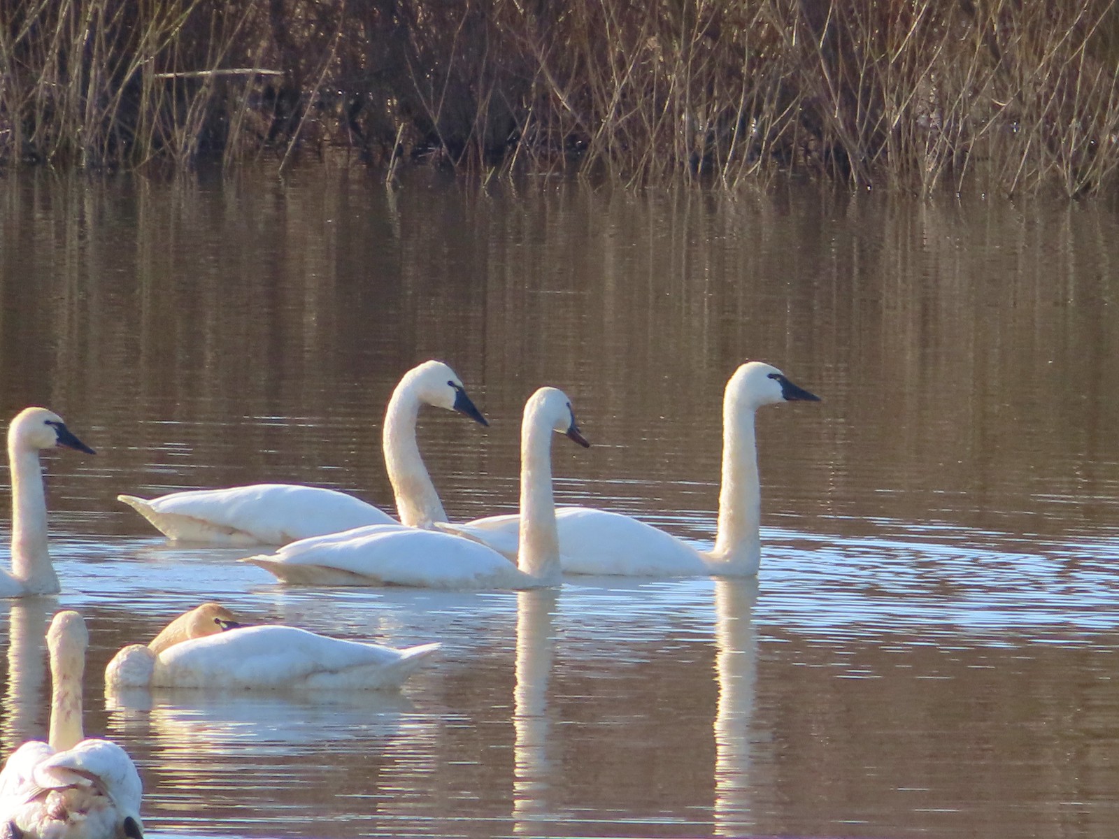
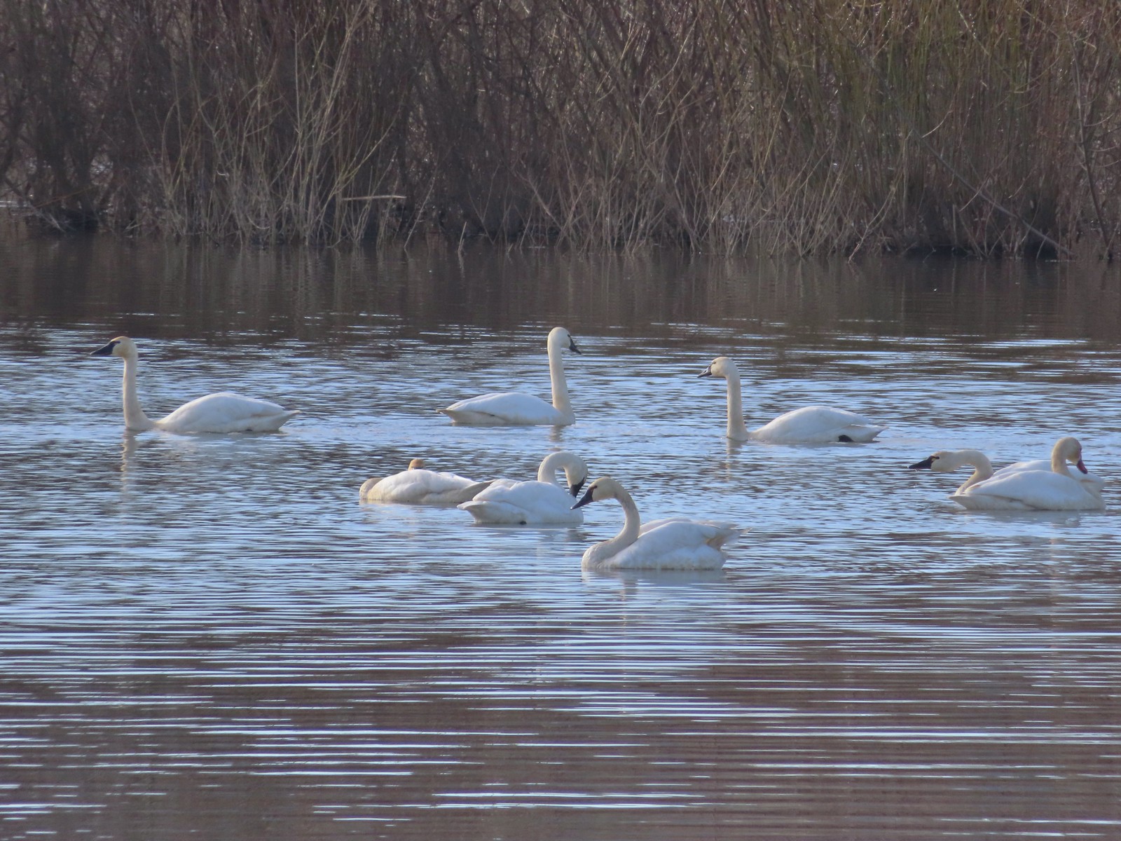
The trail bent eastward along the lake to a gazebo overlooking Barney Wetlands. From the gazebo we watched a flock of tundra swans. This was our second outing in a row (Wapato Lake) seeing tundra swans after not ever having seen them on a hike prior.
 This is where the trail turned east (for obvious reasons).
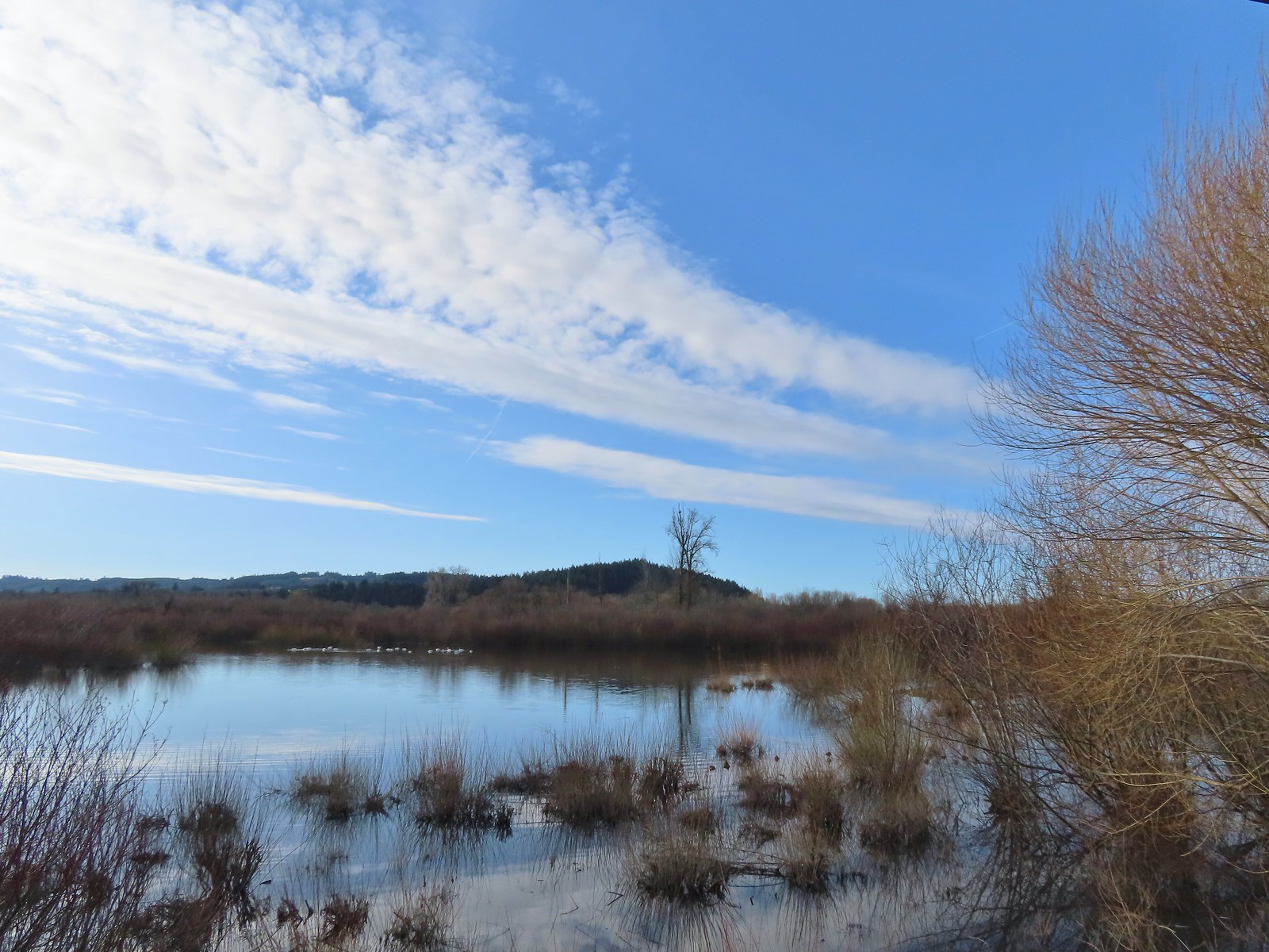 Barney wetlands


There were also quite a few ruddy ducks here which we don’t often see.


After a good long break watching the swans we continued around Fernhill Lake to Dabblers Marsh.
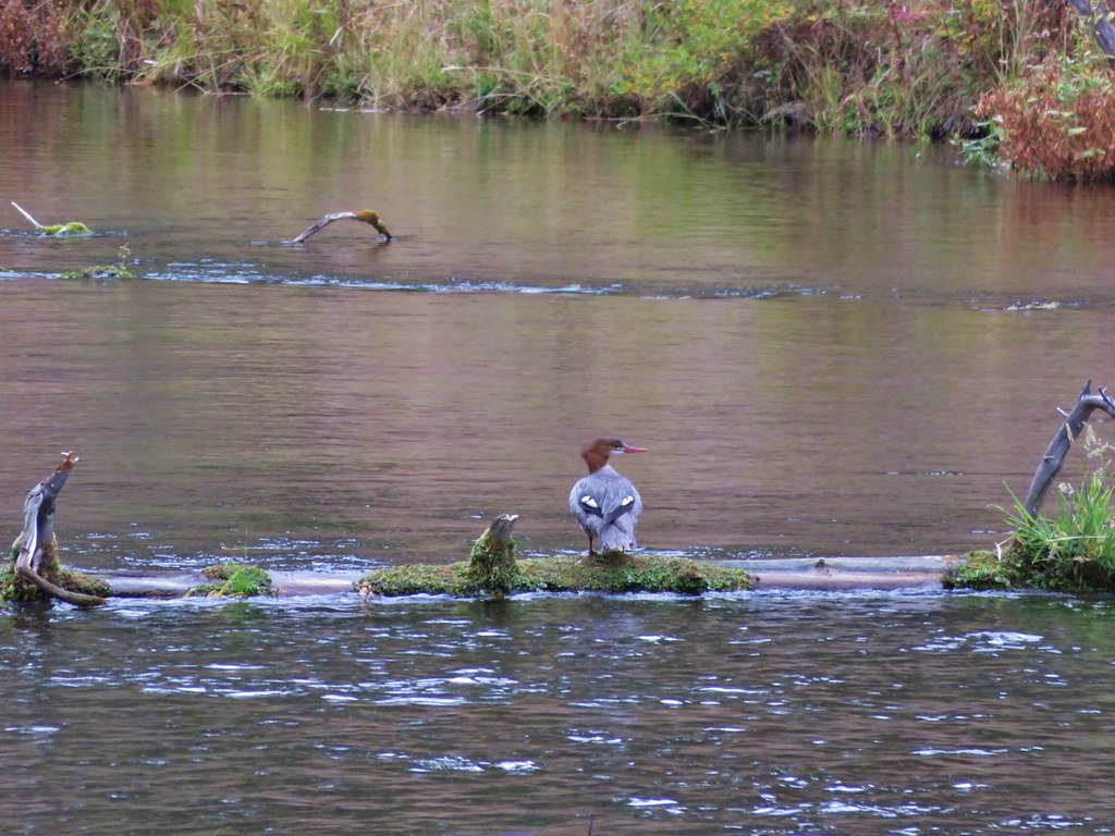
 Double-crested cormorant on a post in Barney Wetlands.
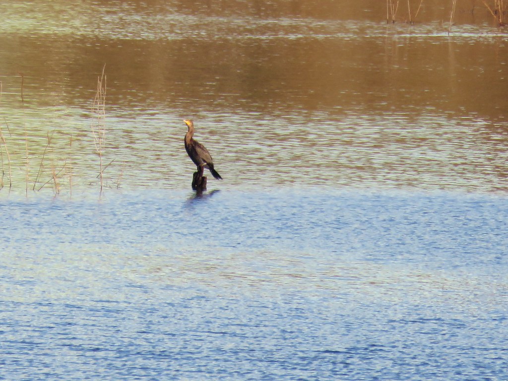
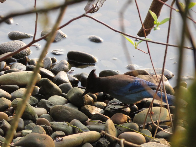
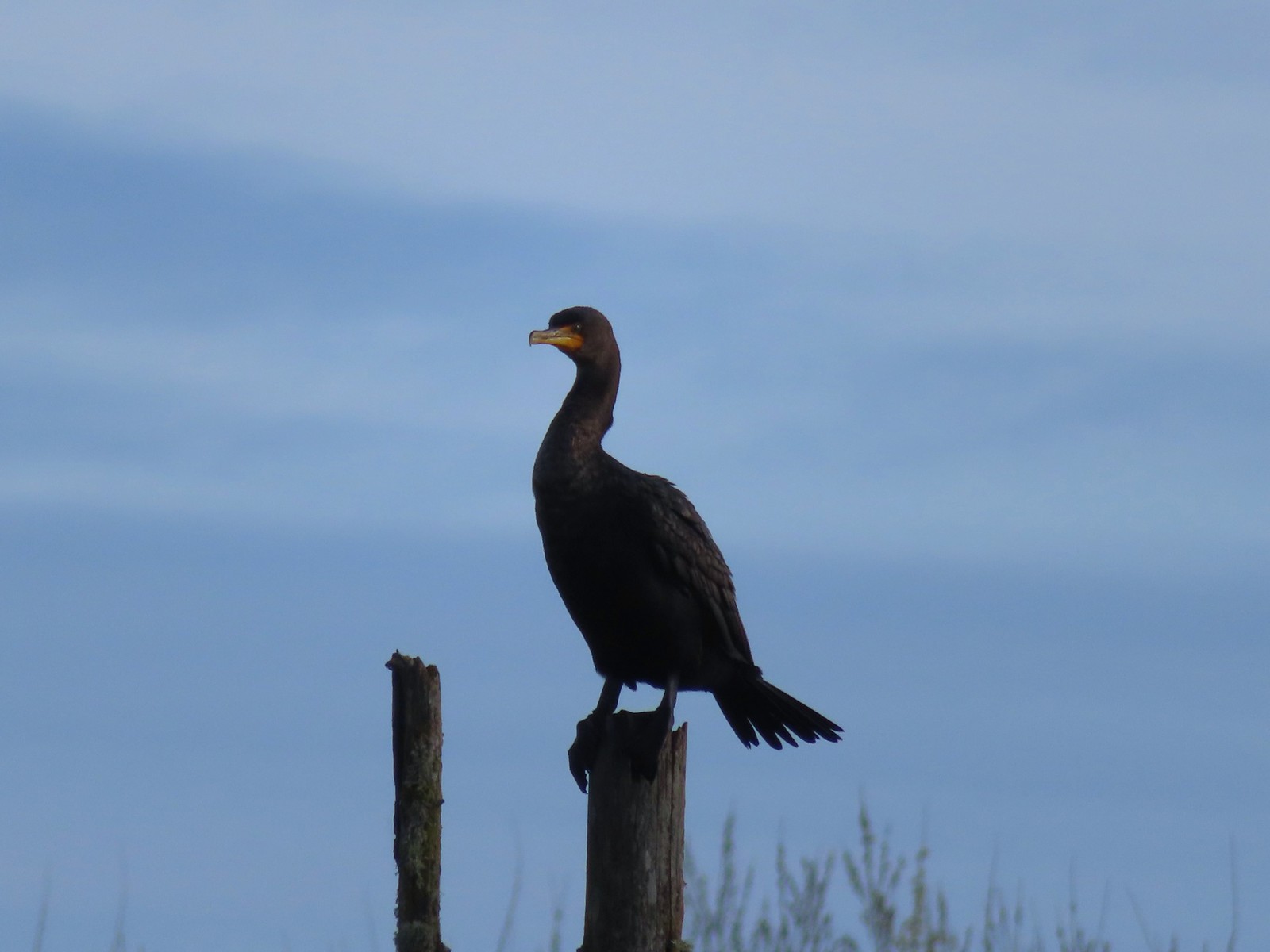 Double-crested cormorant
 Drying off in the sun.
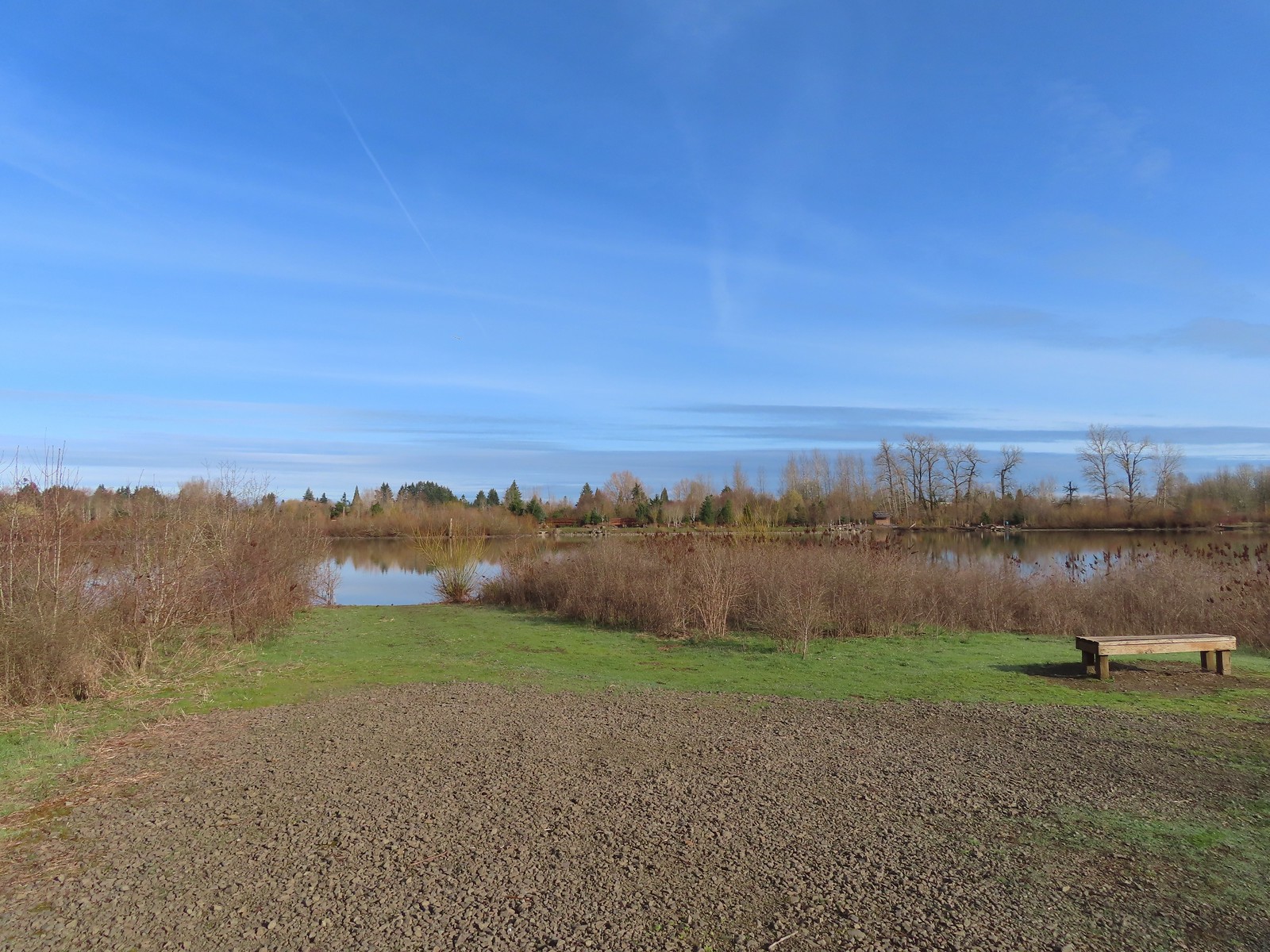
 Nurtia at a bench near Dabblers Marsh
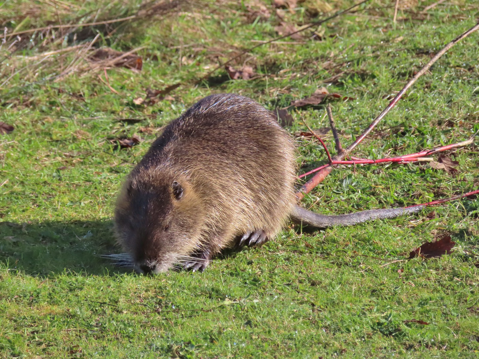 Nutria
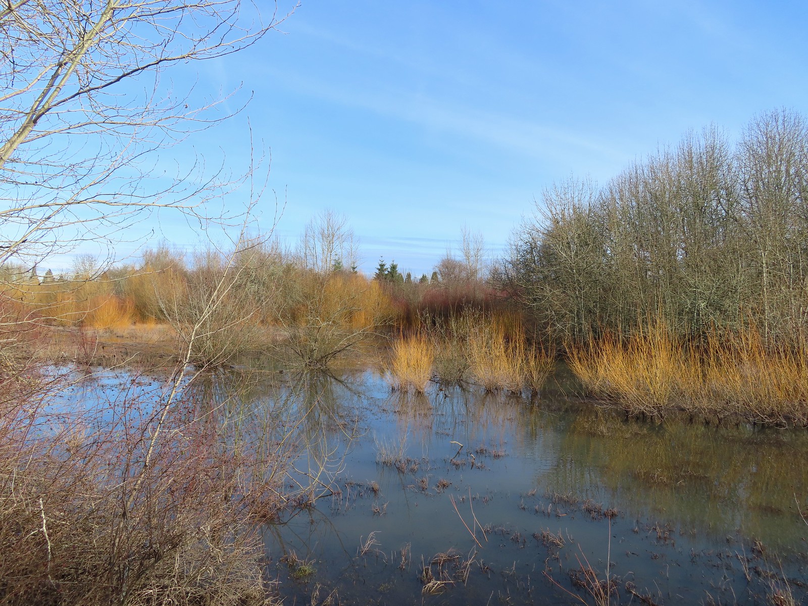 Dabblers Marsh
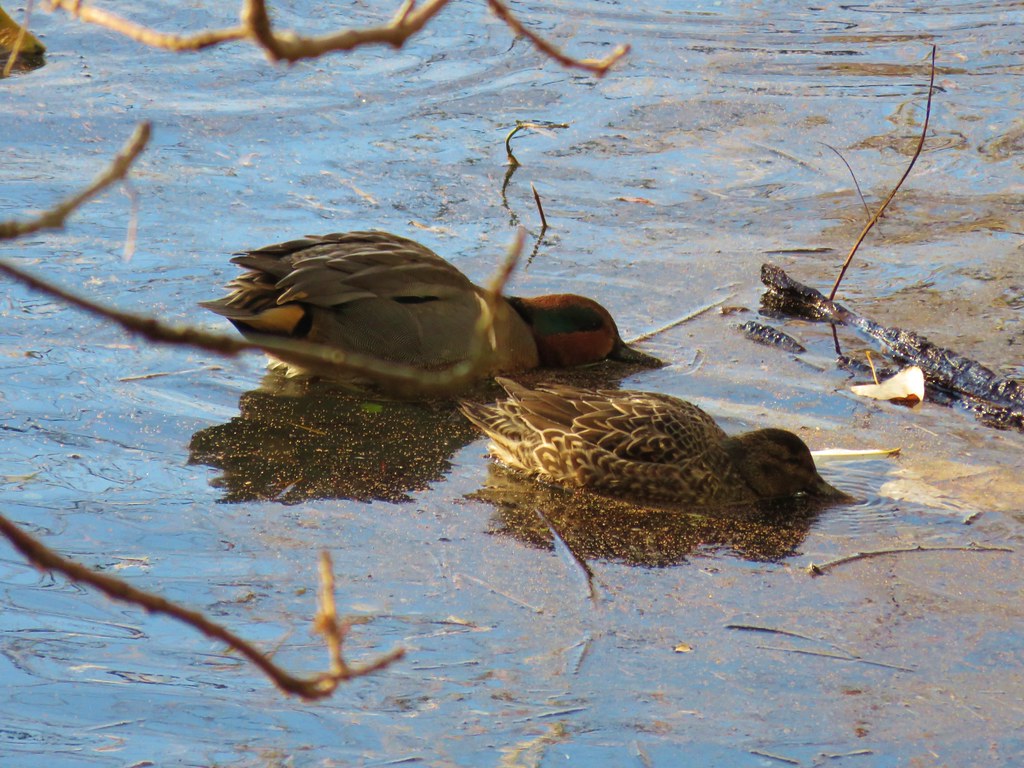
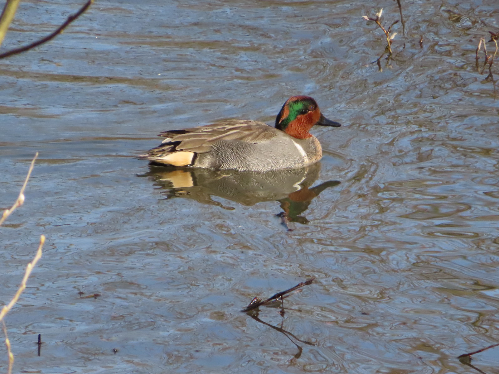 Green-winged teal
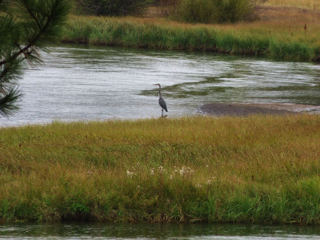
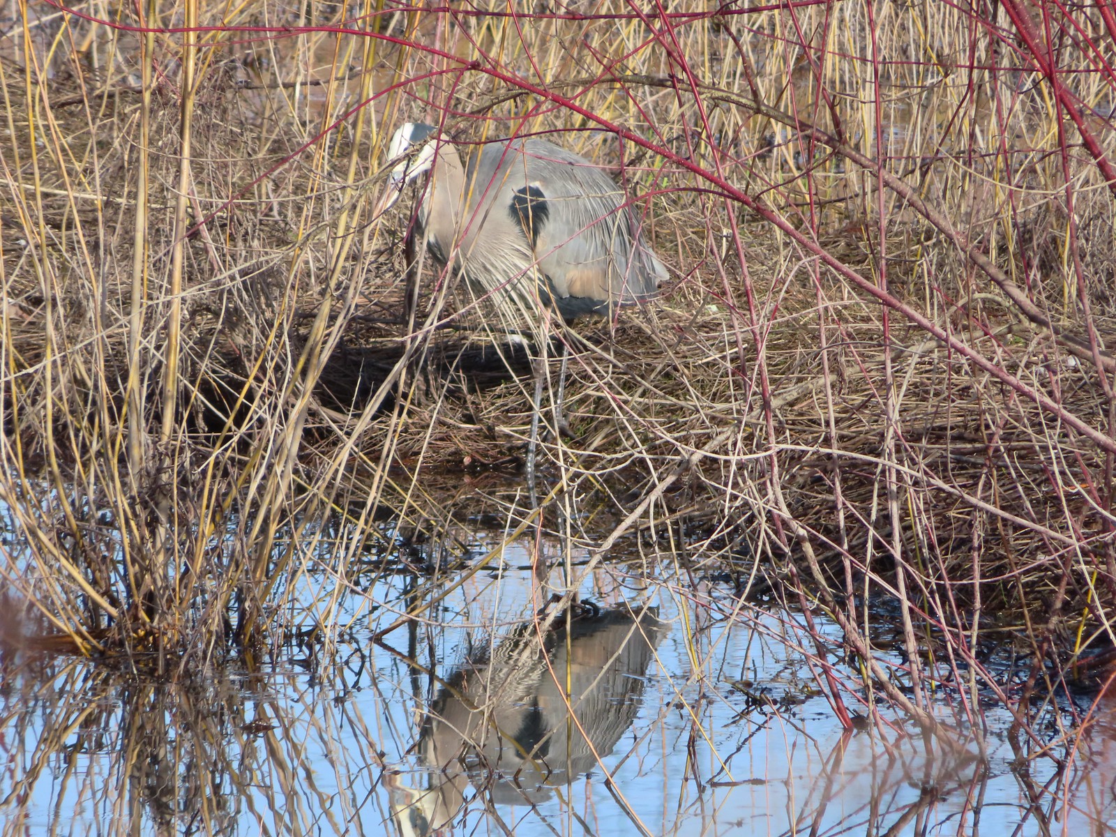 Great blue heron
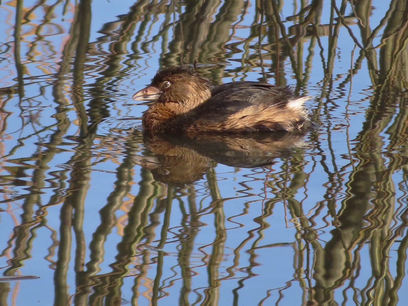 Pie-billed grebe
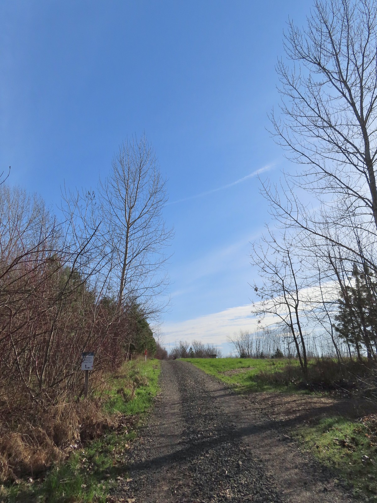
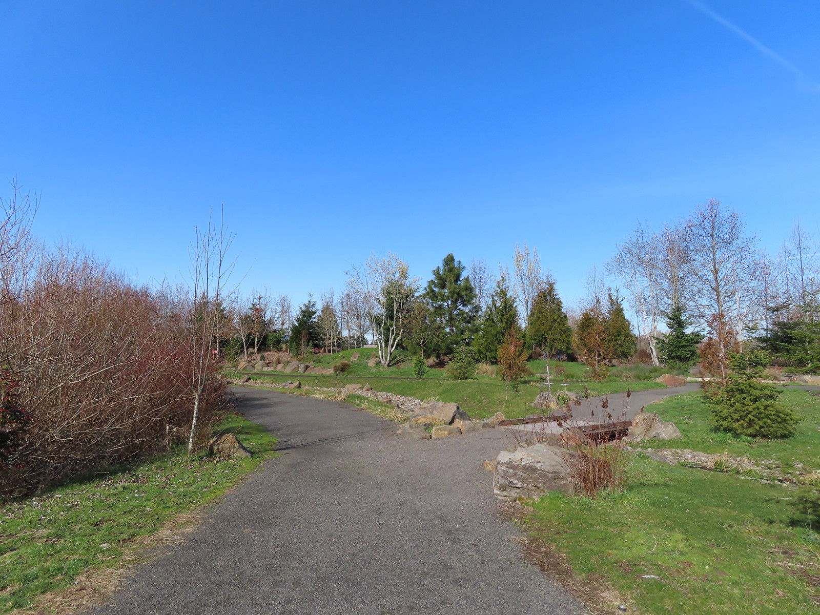
We turned west between Fernhill Lake and Dabblers Marsh and came to a nice view of the lake and the start of the Dabblers Marsh Loop Trail.
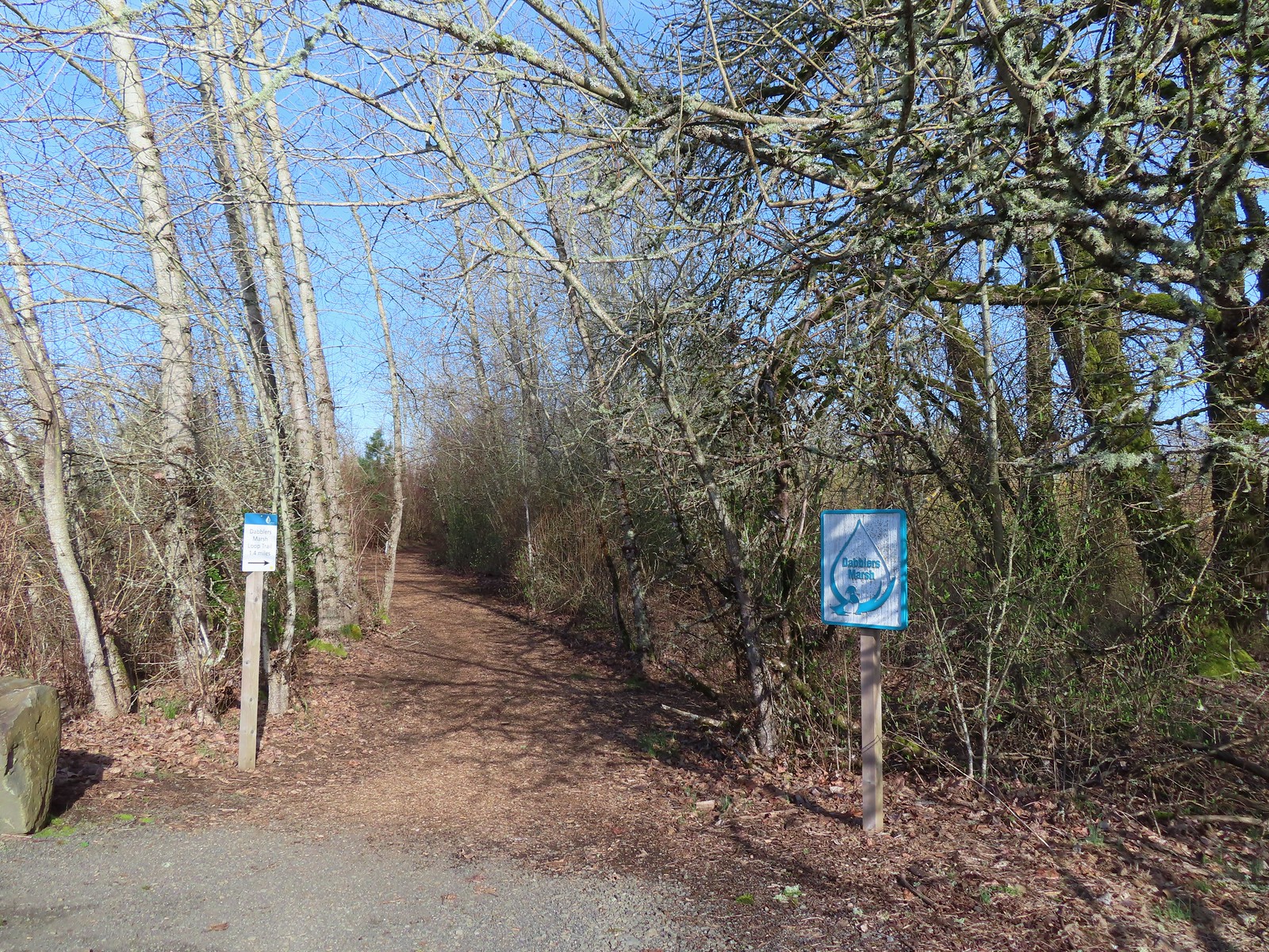
We turned onto the woodchip path along Dabblers Marsh and followed pointers to a loop around some farmland.
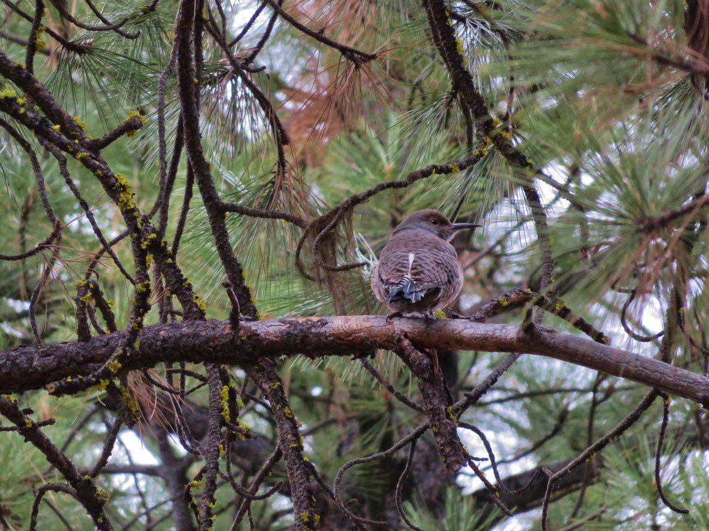
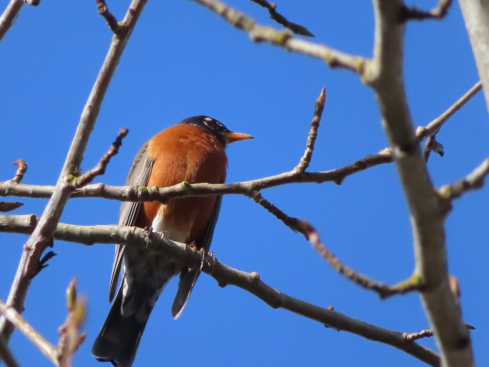 Robin
Robin

 The start of the loop at the edge of the farmland. We stayed left opting to hike the loop clockwise.
 Anna’s hummingbrid
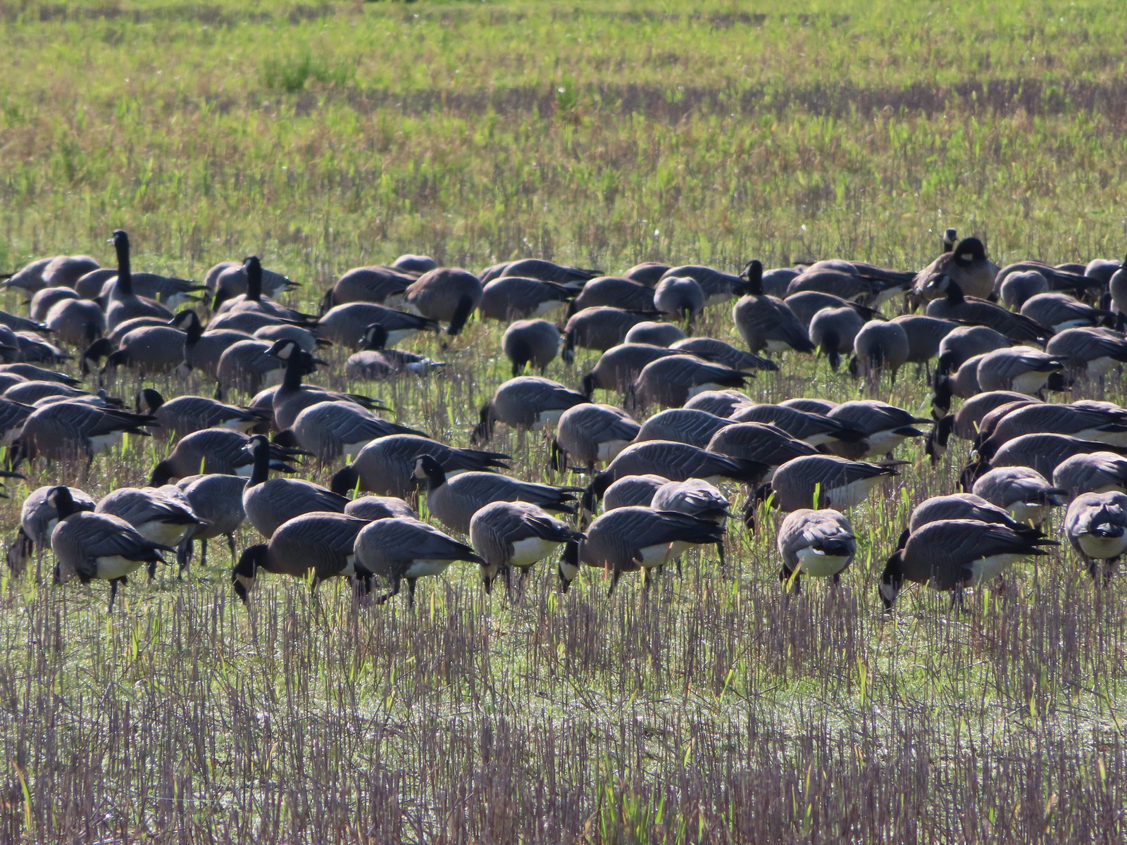
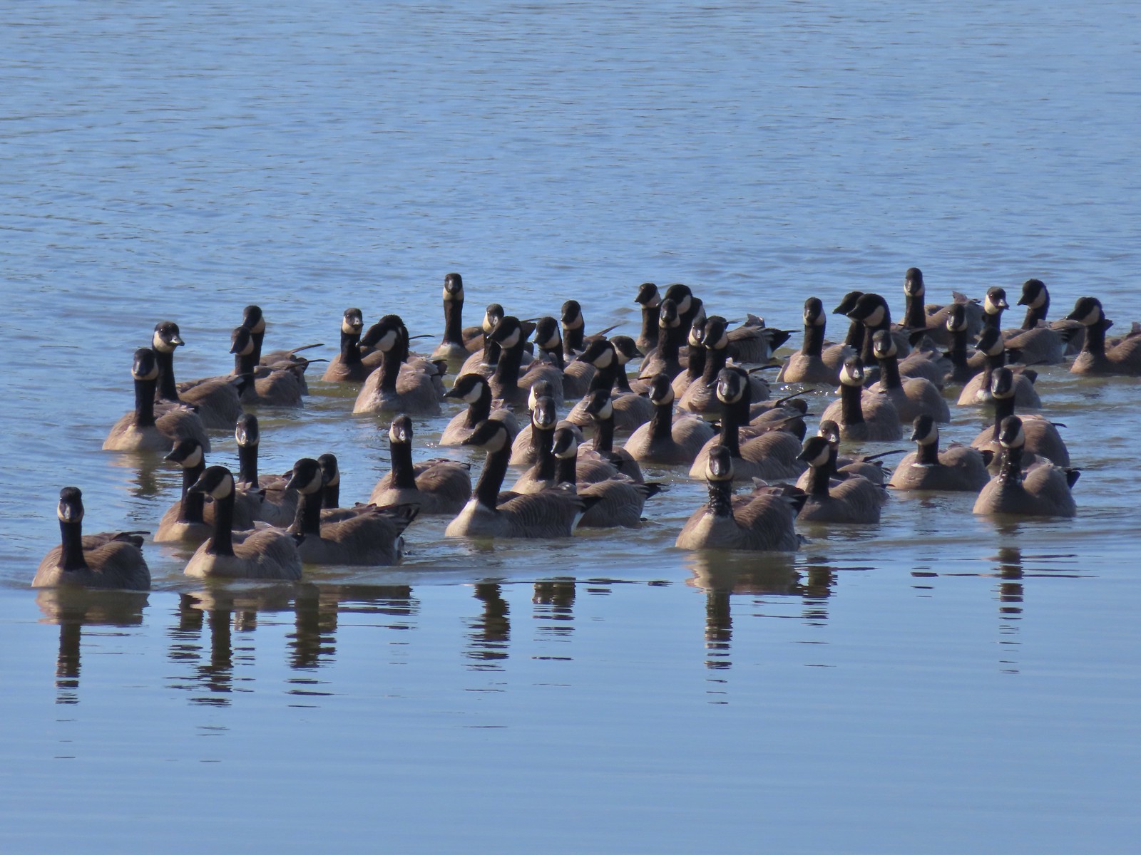
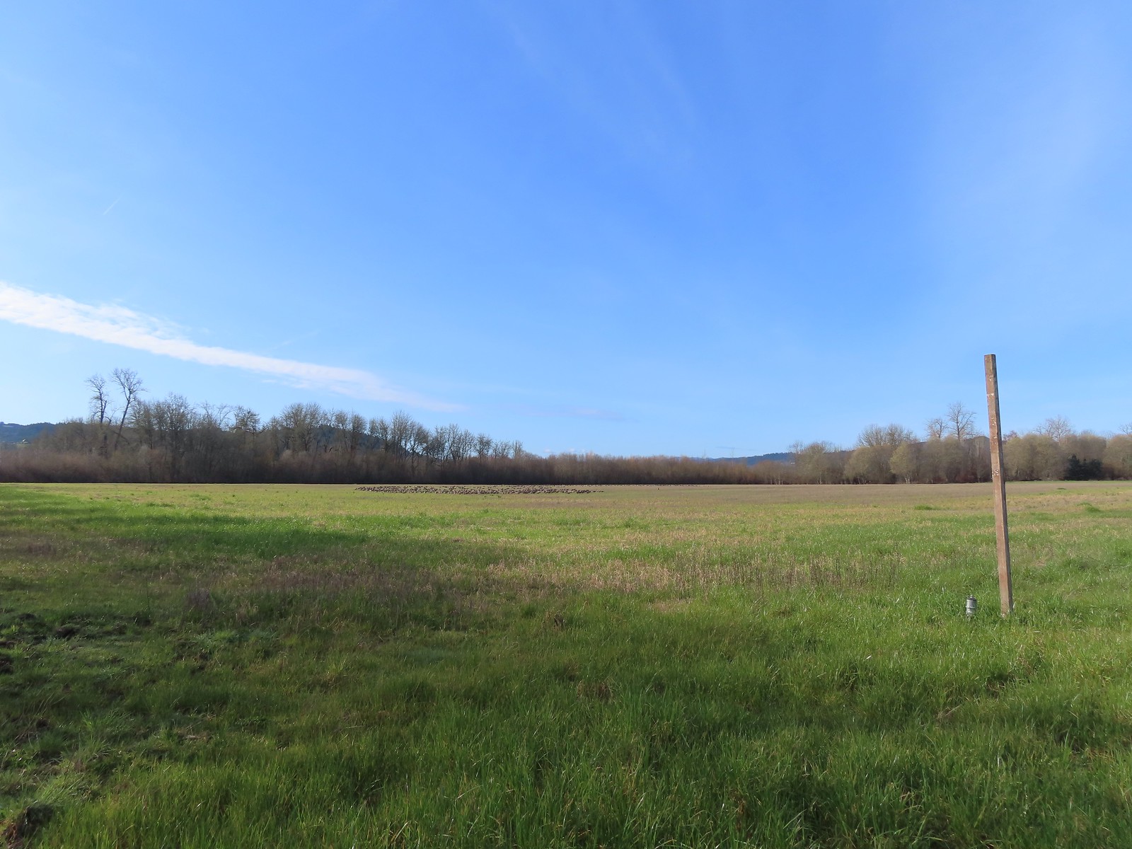 A gaggle of geese in the field.
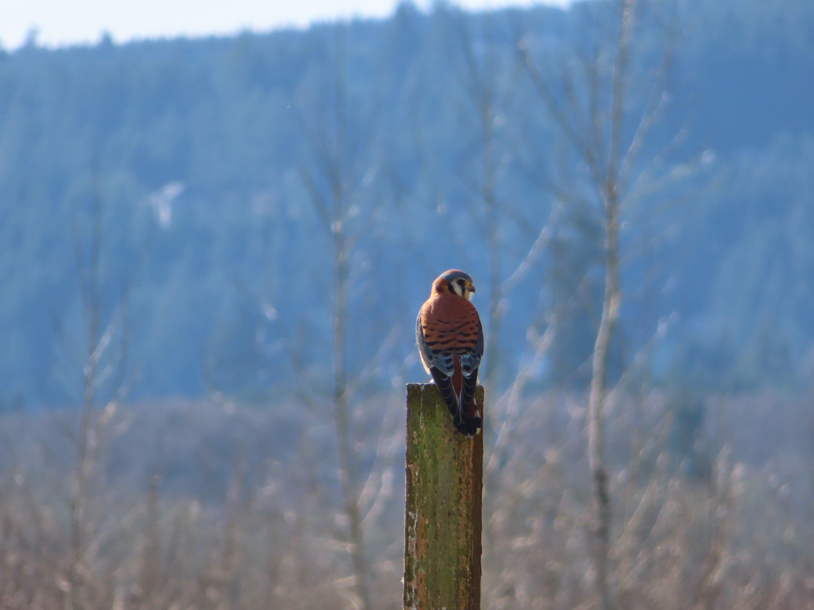
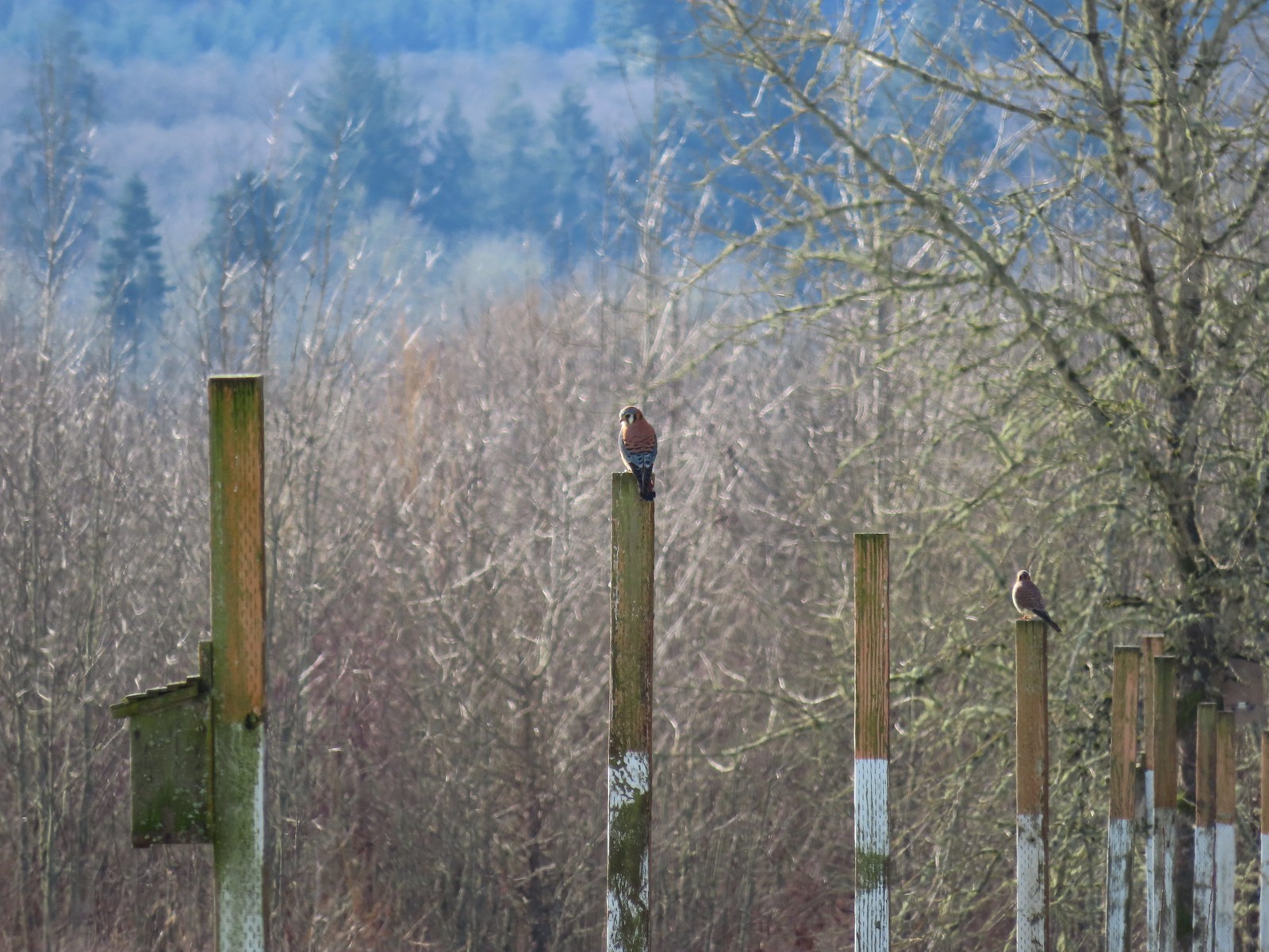 American kestrels manning their posts.
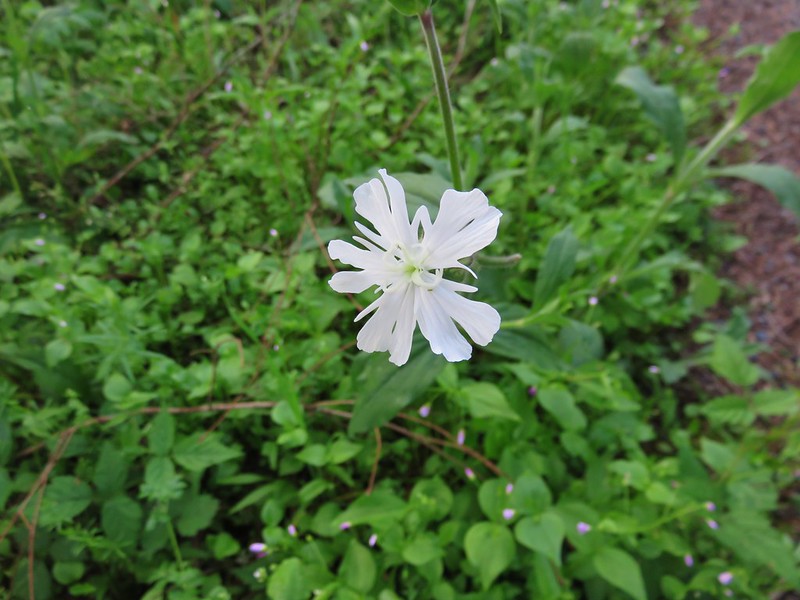
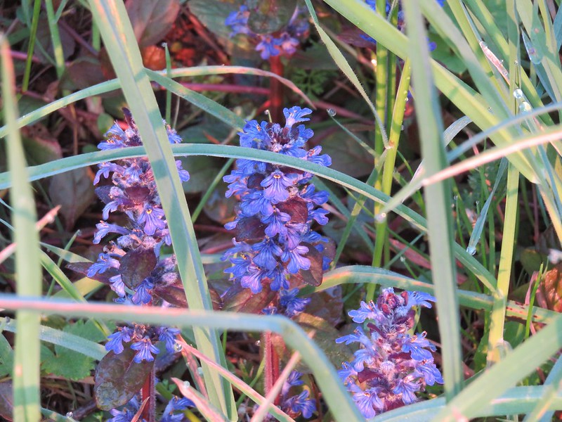
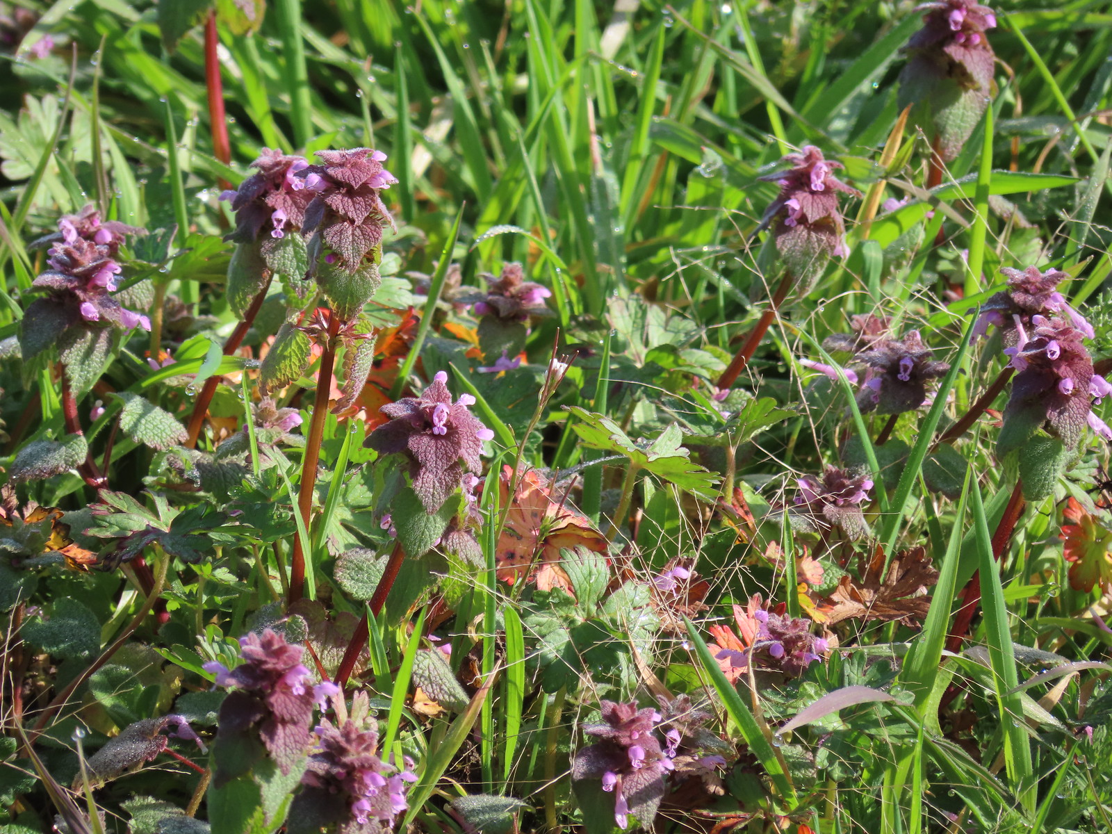 Purple dead-nettle
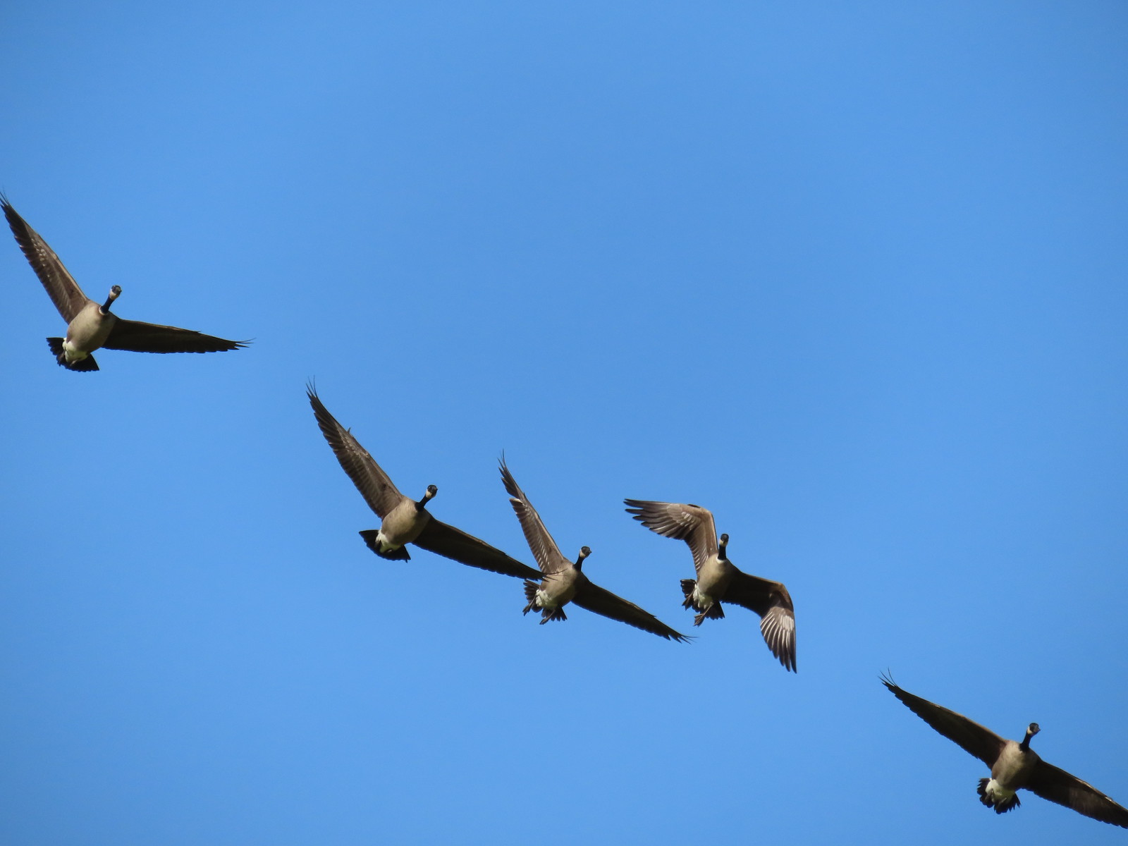 More geese coming in for a landing.
 Near the end of the loop the trail left the field along Dabblers Marsh.
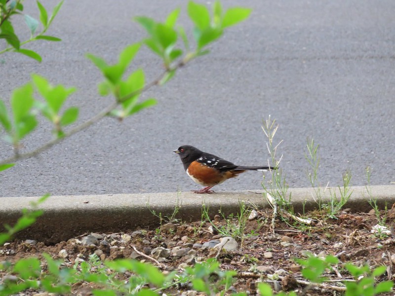
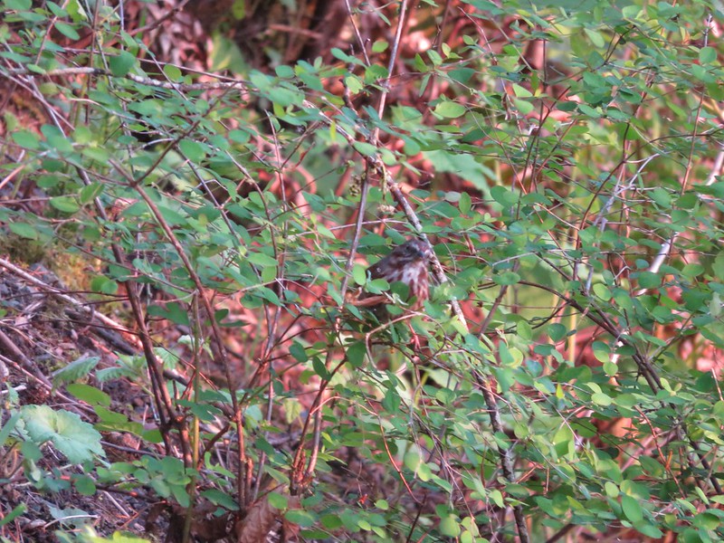
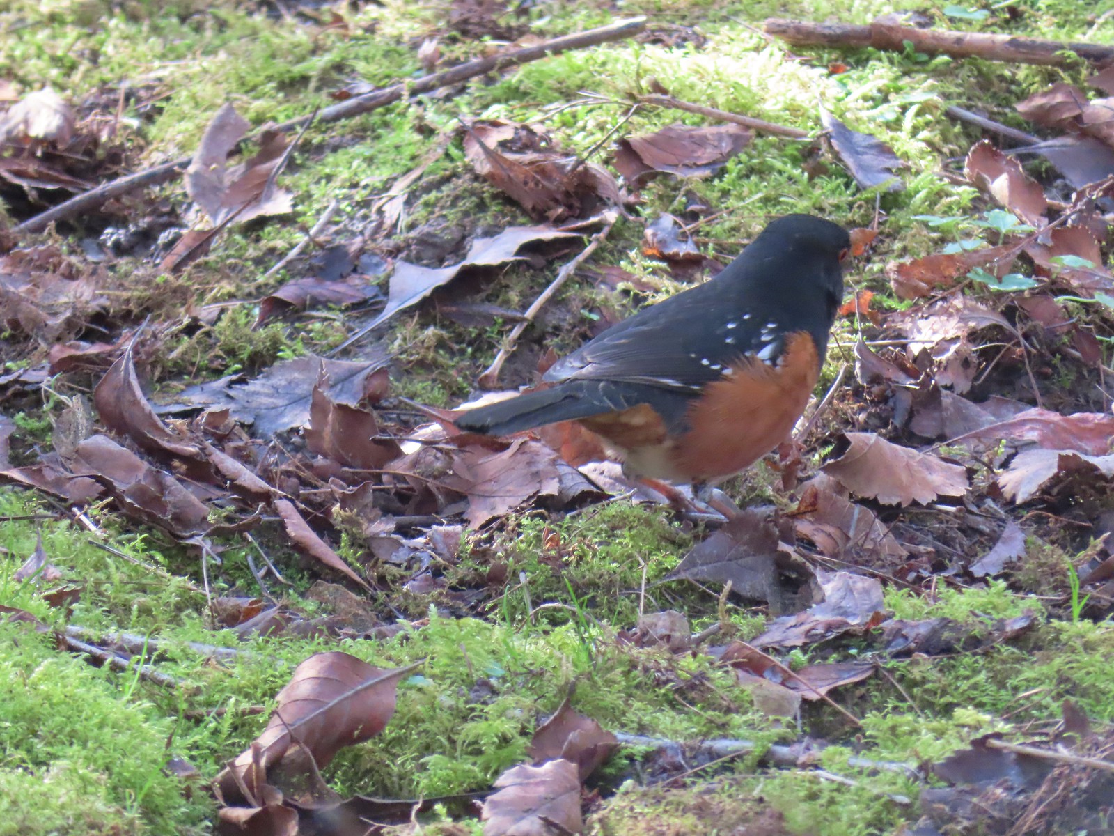 Spotted towhee
 Rabbit
After completing the loop and returning to Fernhill Lake we did a loop through the Water Gardens.
 Geese on Fernhill Lake
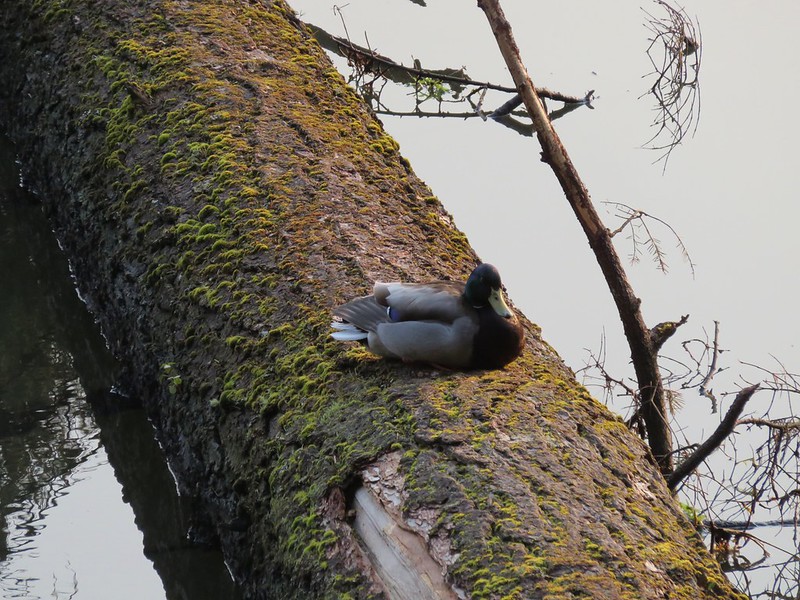
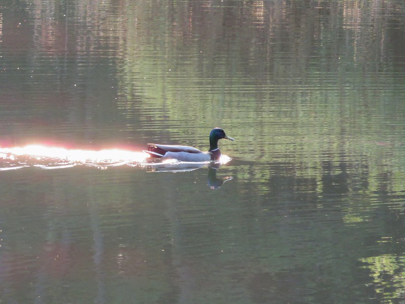
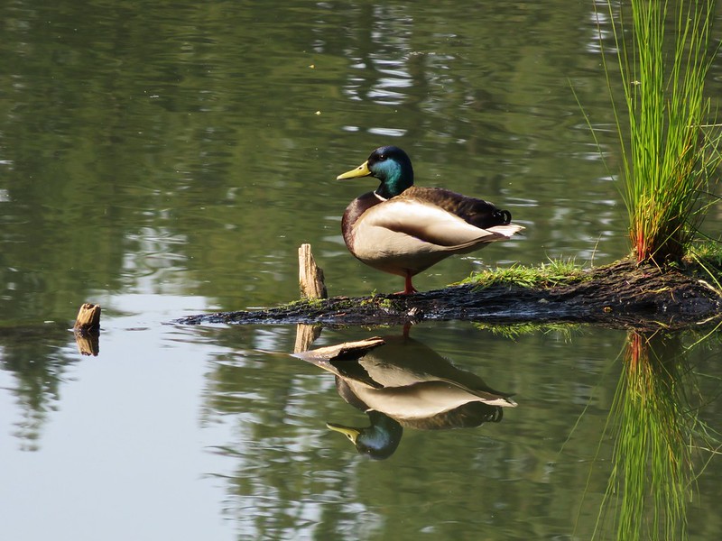
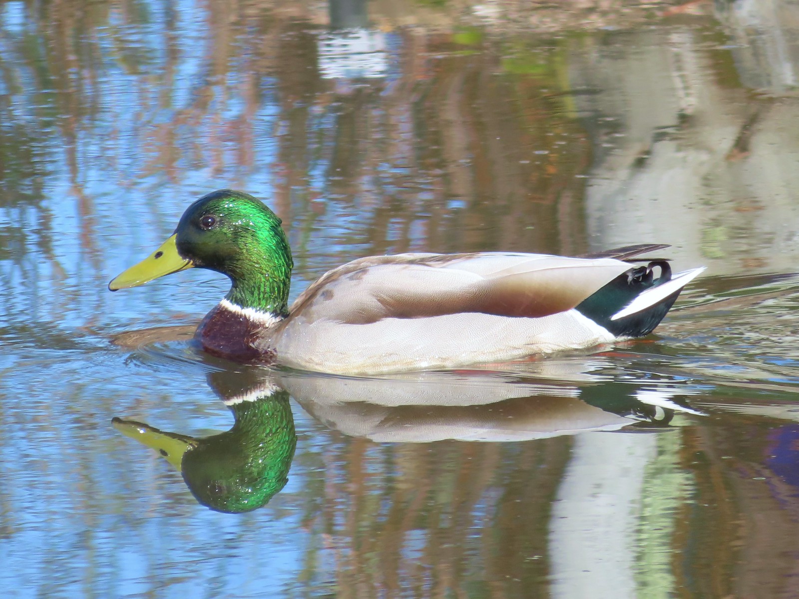 Mallard drake
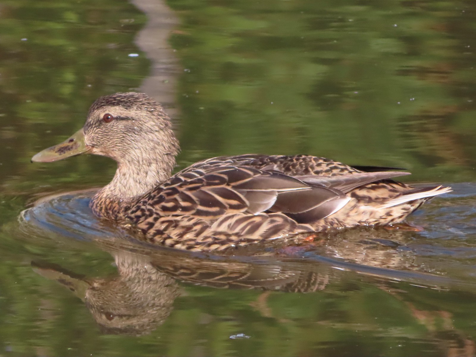 Mallard female
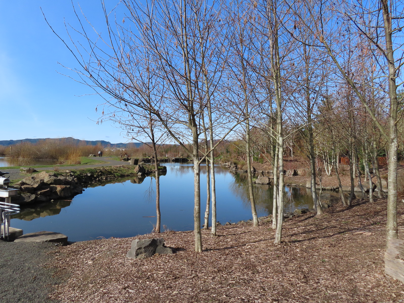
 Water Gardens

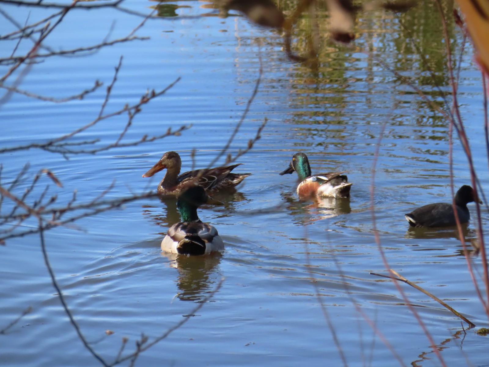 Northern shovelers, a mallard, and a coot.
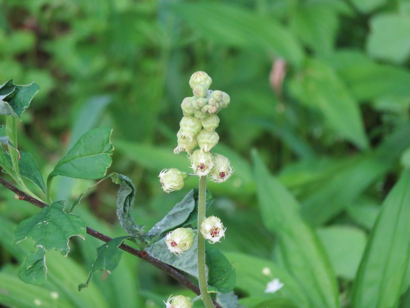
 Oregon grape beginning to bloom.
 Northern shoveler
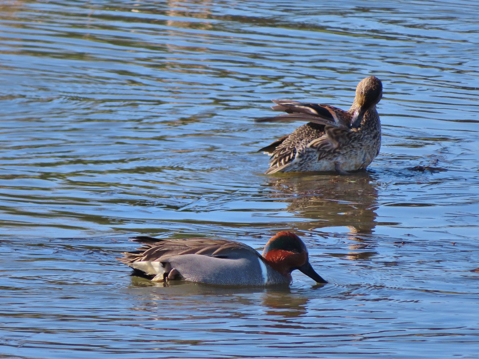 Green-winged teal pair
 Path along the Research Wetlands.
 Egret near the parking lot at Fernhill Marsh
 Looking back at the Research Wetlands from the near the trailhead.
We managed to get 3.7-miles in at the wetlands and saw a lot of birds and other animals. While there were quite a few more folks here than we’d seen on our previous hike at nearby Wapato Lake Wildlife Refuge, it never felt too busy. Plan B had earned an A+ in our books. Happy Trails!


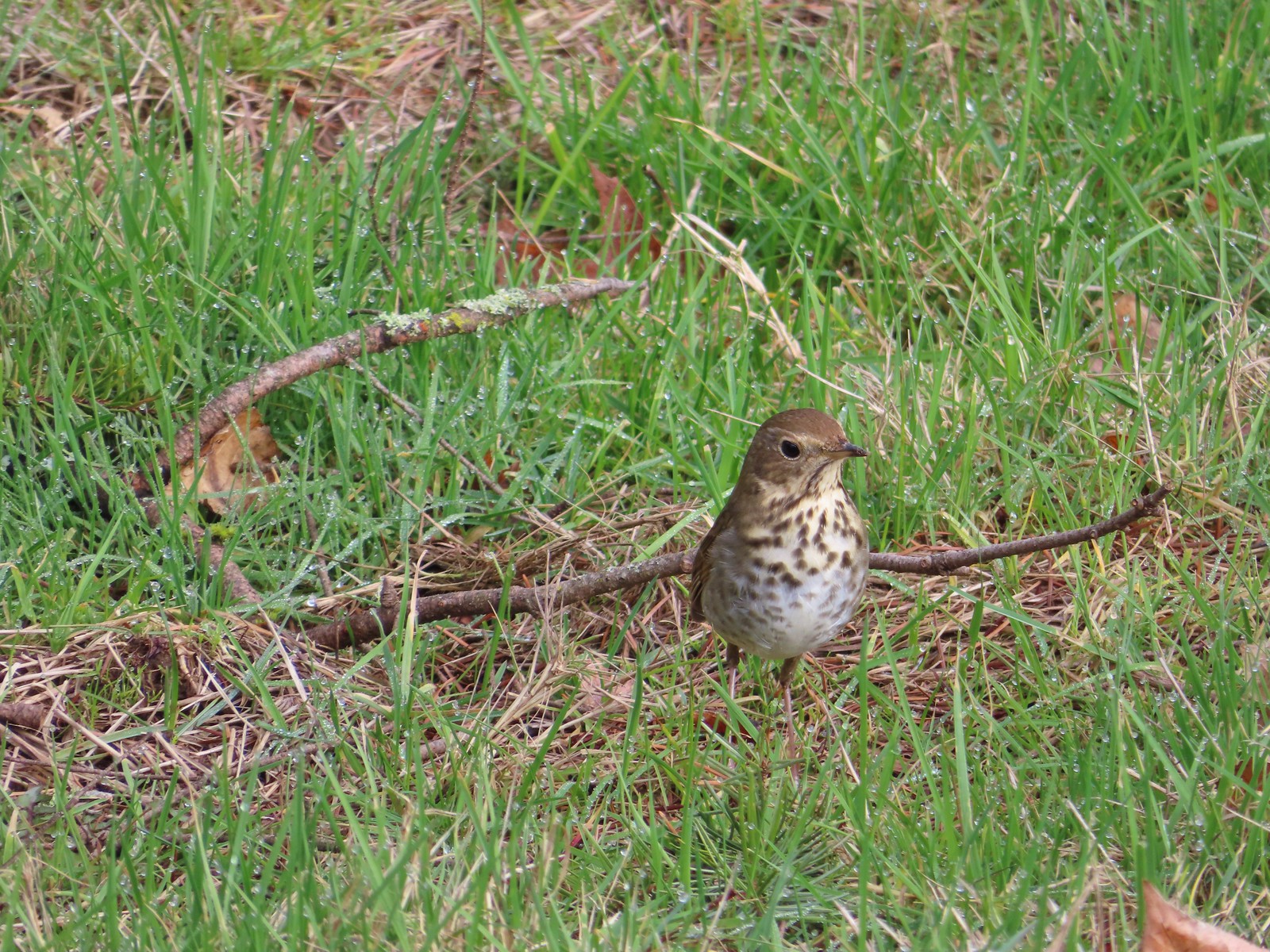 Hermit thrush – 2/11/23, Council Crest Park, Portland
 Pied billed grebe – 3/19/23, Minto-Brown Island Park, Salem
 Ring-necked duck – 3/25/23, Minto-Brown Island Park, Salem
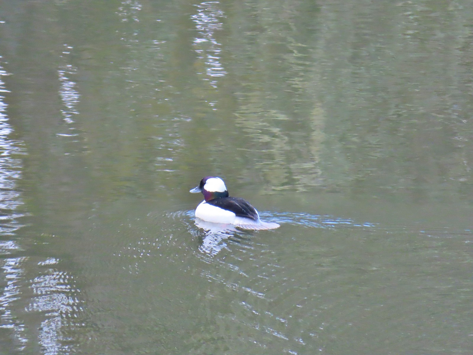 Bufflehead – 3/25/23, Minto-Brown Island Park, Salem
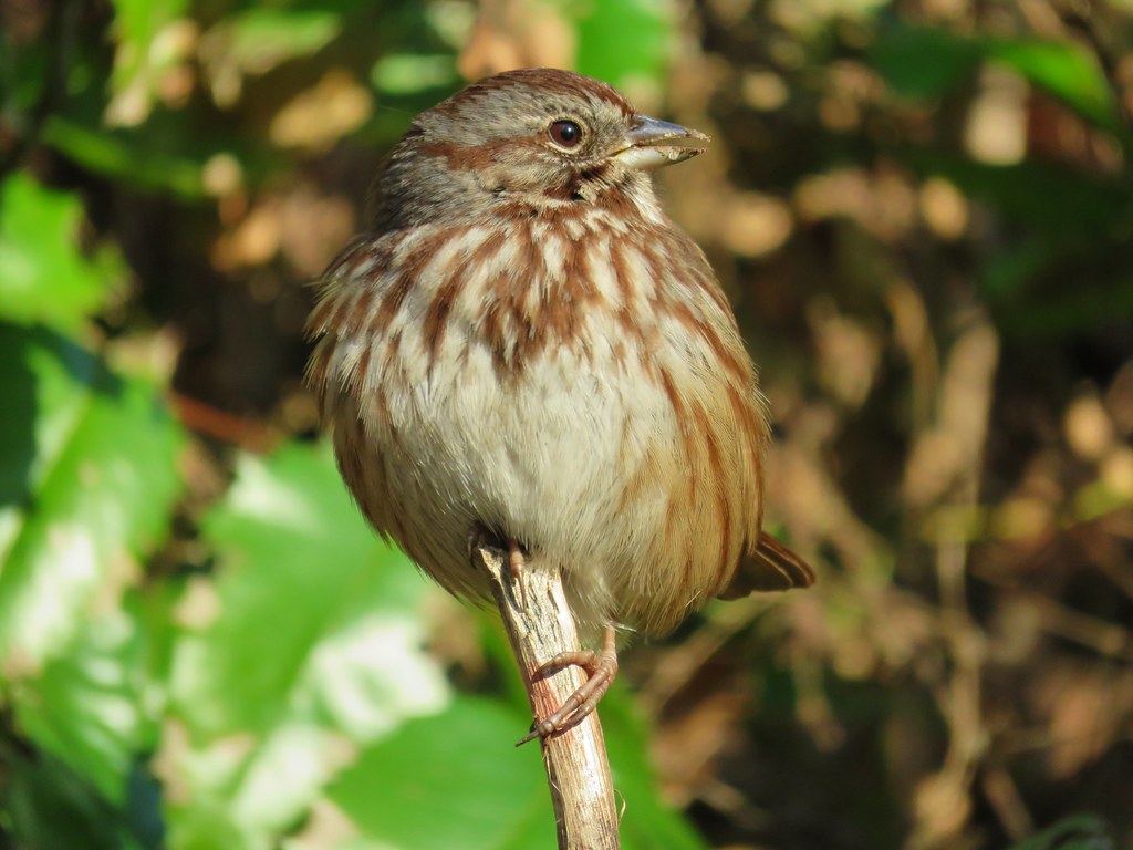
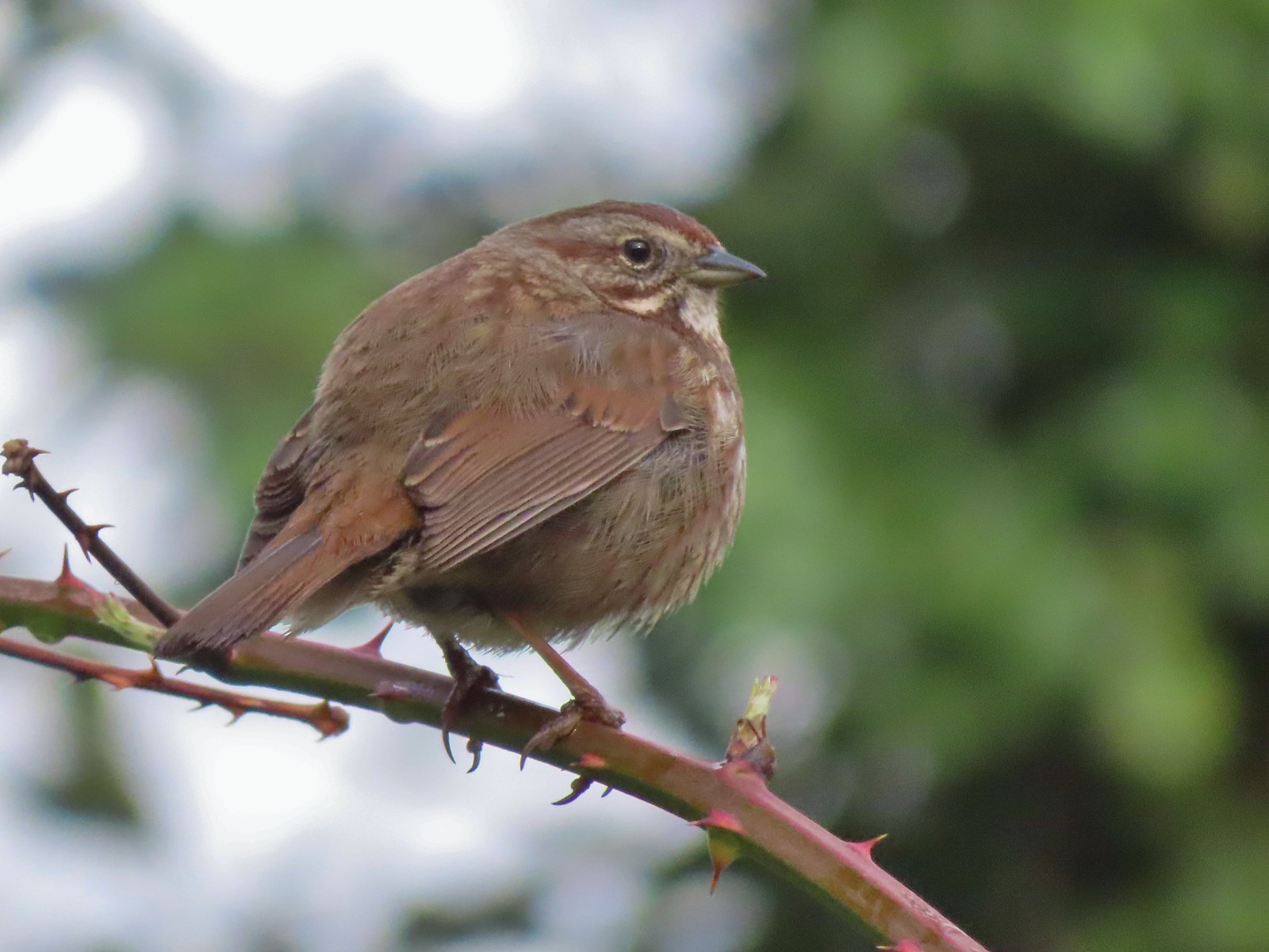 Sparrow – 3/25/23, Minto-Brown Island Park, Salem
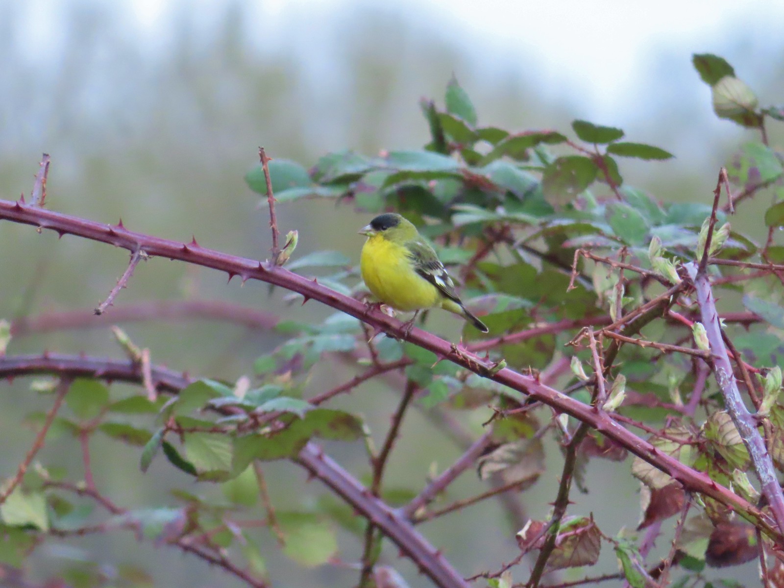 Lesser goldfinch – 4/8/23, Minto-Brown Island Park, Salem
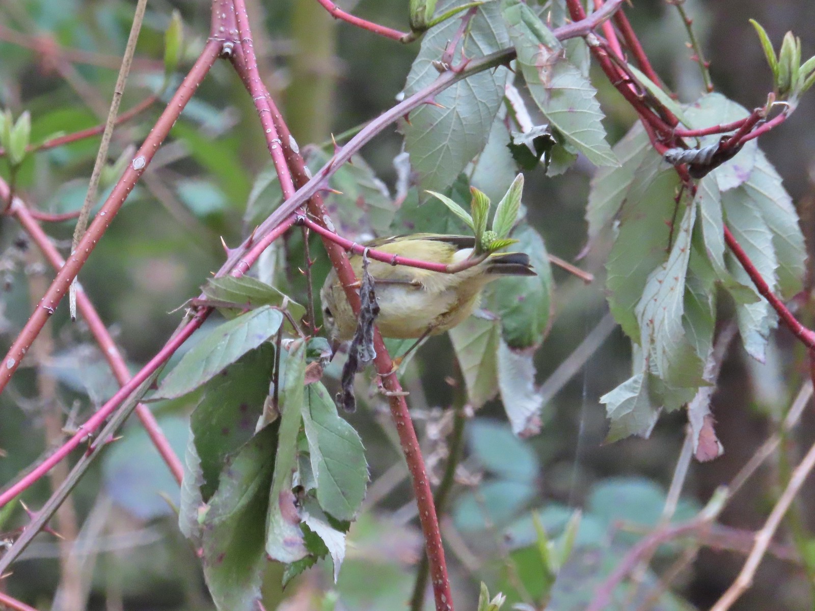 Ruby-crowned kinglet? – 4/8/23, Minto-Brown Island Park, Salem
 Egret – 4/8/23, Minto-Brown Island Park, Salem
 Marsh wren – 4/13/23, Baskett Slough National Wildlife Refuge, Rickreall
 Geese, I believe both cackling and Canada – 4/13/23, Baskett Slough National Wildlife Refuge, Rickreall
 California quail – 4/13/23, Baskett Slough National Wildlife Refuge, Rickreall
 Northern shoveler – 4/13/23, Baskett Slough National Wildlife Refuge, Rickreall
 Western meadowlark (Oregon’s state bird) – 4/13/23, Baskett Slough National Wildlife Refuge, Rickreall
 Red-winged blackbird – 4/13/23, Baskett Slough National Wildlife Refuge, Rickreall
 Ruddy duck – 4/13/23, Baskett Slough National Wildlife Refuge, Rickreall
 Savannah sparrow – 4/13/23, Baskett Slough National Wildlife Refuge, Rickreall
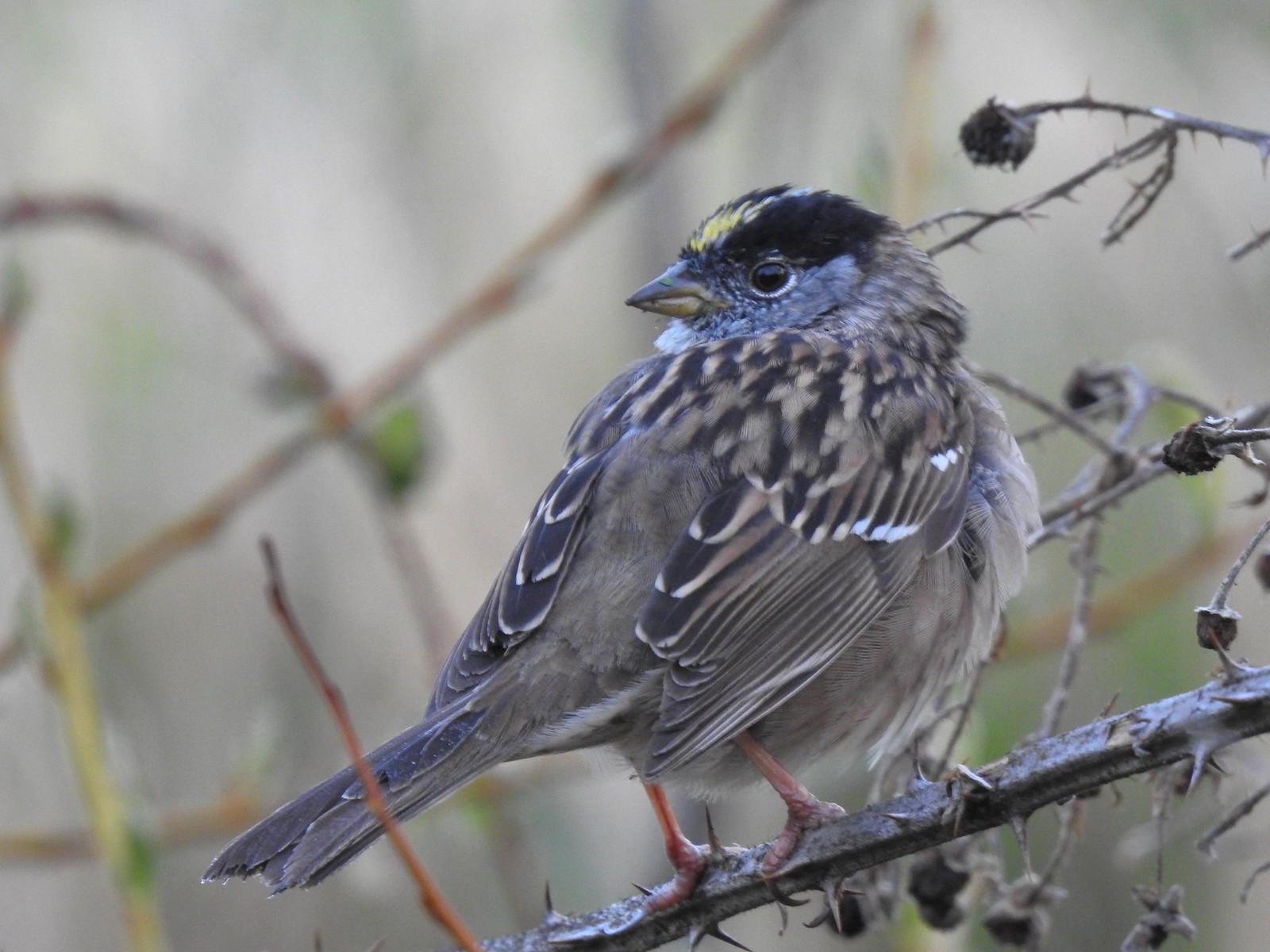 Gold-crowned sparrow – 4/14/23, Minto-Brown Island Park, Salem
 Red-breasted sapsuckers – 4/14/23, Minto-Brown Island Park, Salem
 Hummingbird (Rufous?) – 4/14/23, Minto-Brown Island Park, Salem
 Orange-crowned warbler – 4/14/23, Minto-Brown Island Park, Salem
 Dark-eyed junco – 4/14/23, Minto-Brown Island Park, Salem
 Northern flicker – 4/14/23, Minto-Brown Island Park, Salem
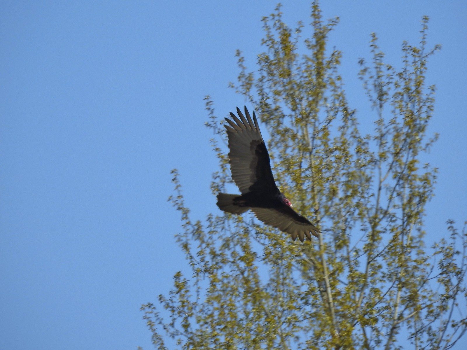 Turkey vulture – 4/14/23, Minto-Brown Island Park, Salem
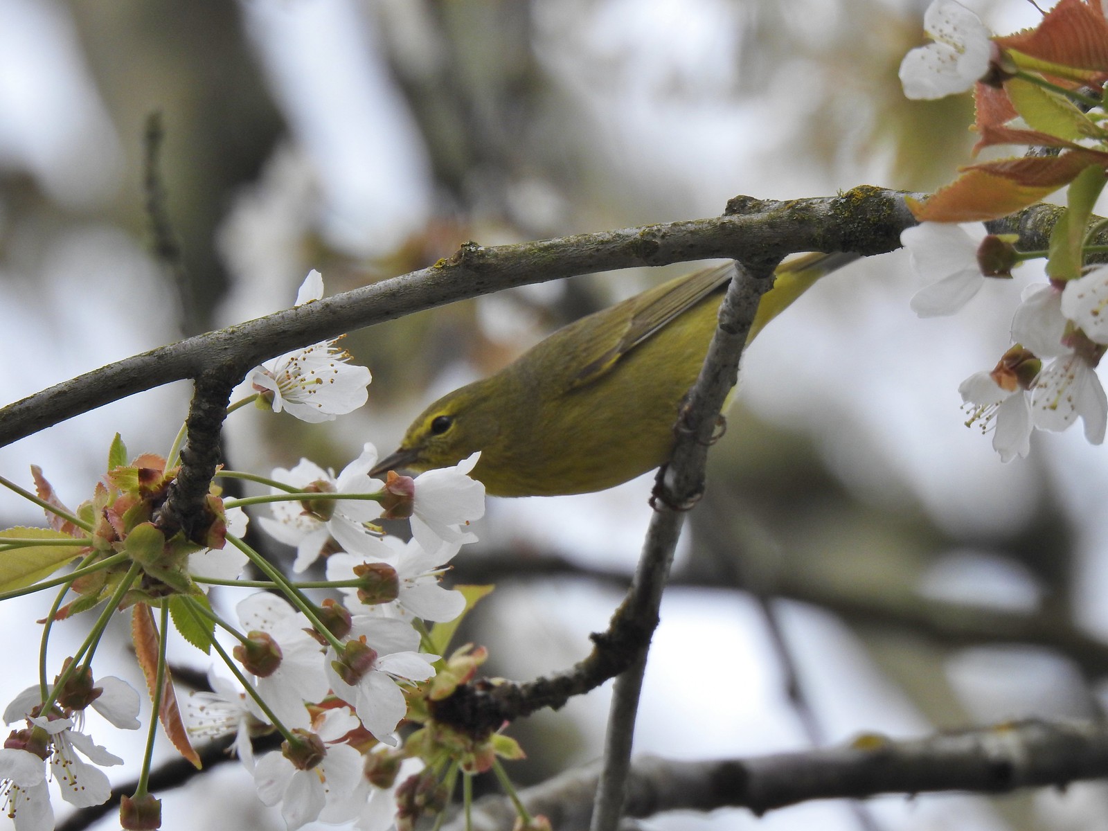 Warbler? – 4/22/23, Dave Clark Riverfront Path, Albany
 Osprey – 4/22/23, Dave Clark Riverfront Path, Albany
 Cormorant – 4/22/23, Dave Clark Riverfront Path, Albany
 Red-winged blackbird (female) – 4/22/23, Talking Water Gardens, Albany
 Green-winged teal – 4/22/23, Talking Water Gardens, Albany
 Yellow-rumped warbler (Audubon’s) – 4/22/23, Talking Water Gardens, Albany
 Black phoebe – 4/22/23, Talking Water Gardens, Albany
 Acorn woodpecker – 4/22/23, Talking Water Gardens, Albany
 Hawk – 4/22/23, Talking Water Gardens, Albany
 Mallards – 4/22/23, Talking Water Gardens, Albany
 Chickadee (chestnut-backed?) – 4/22/23, Talking Water Gardens, Albany
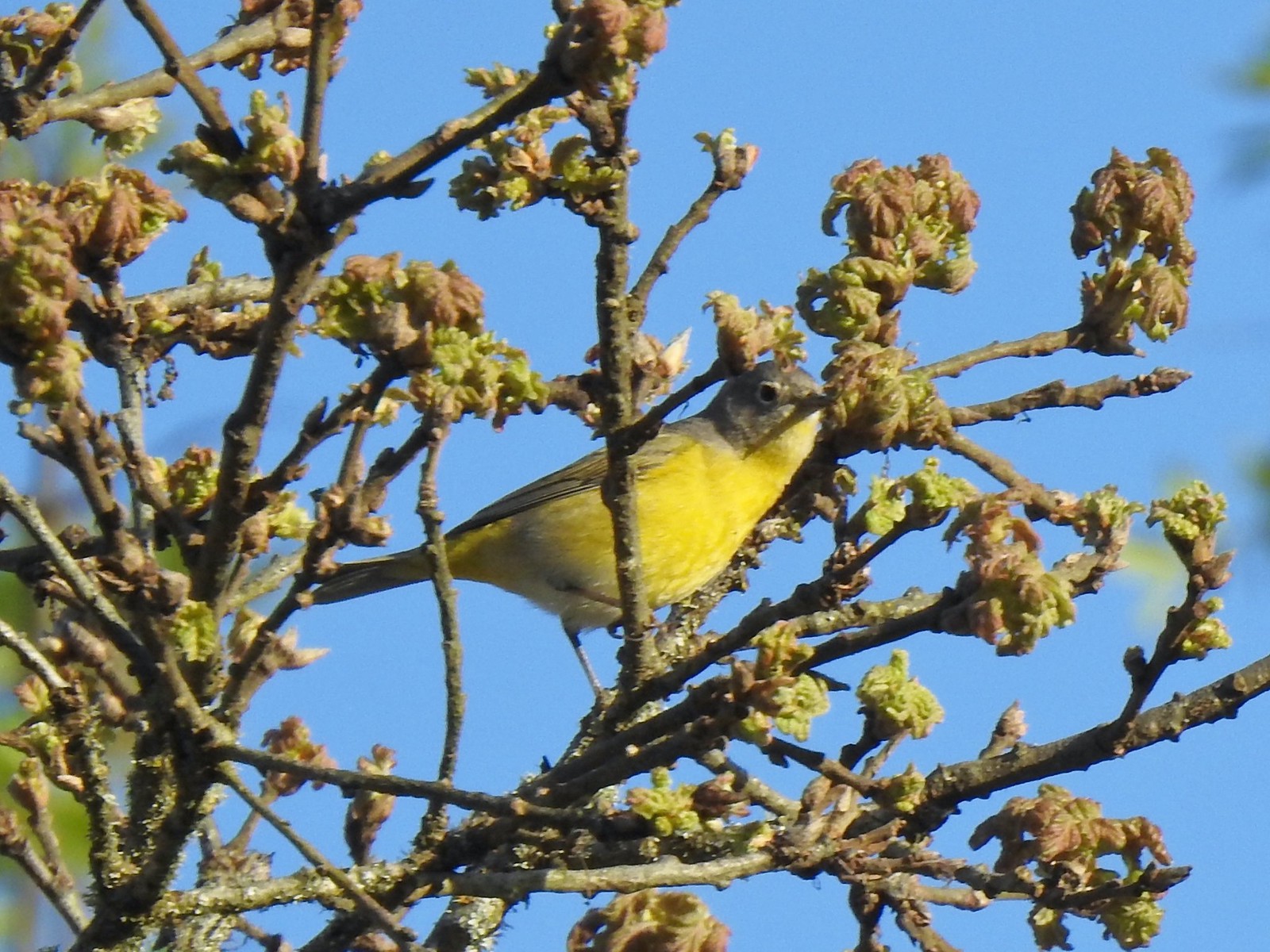 Nashville warbler – 4/29/23, Canemah Bluff Nature Park, Oregon City
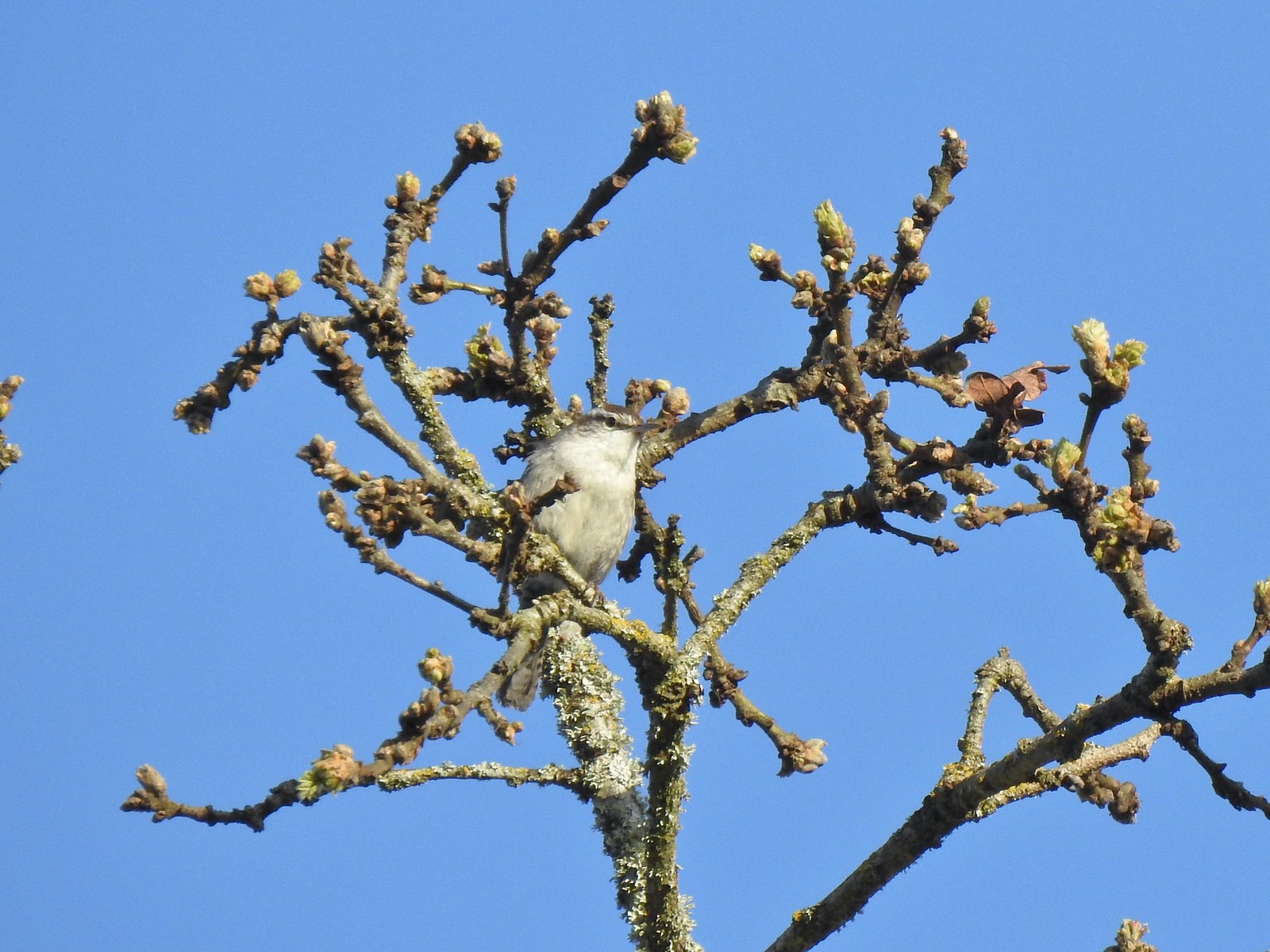 Bewick’s wren – 4/29/23, Canemah Bluff Nature Park, Oregon City
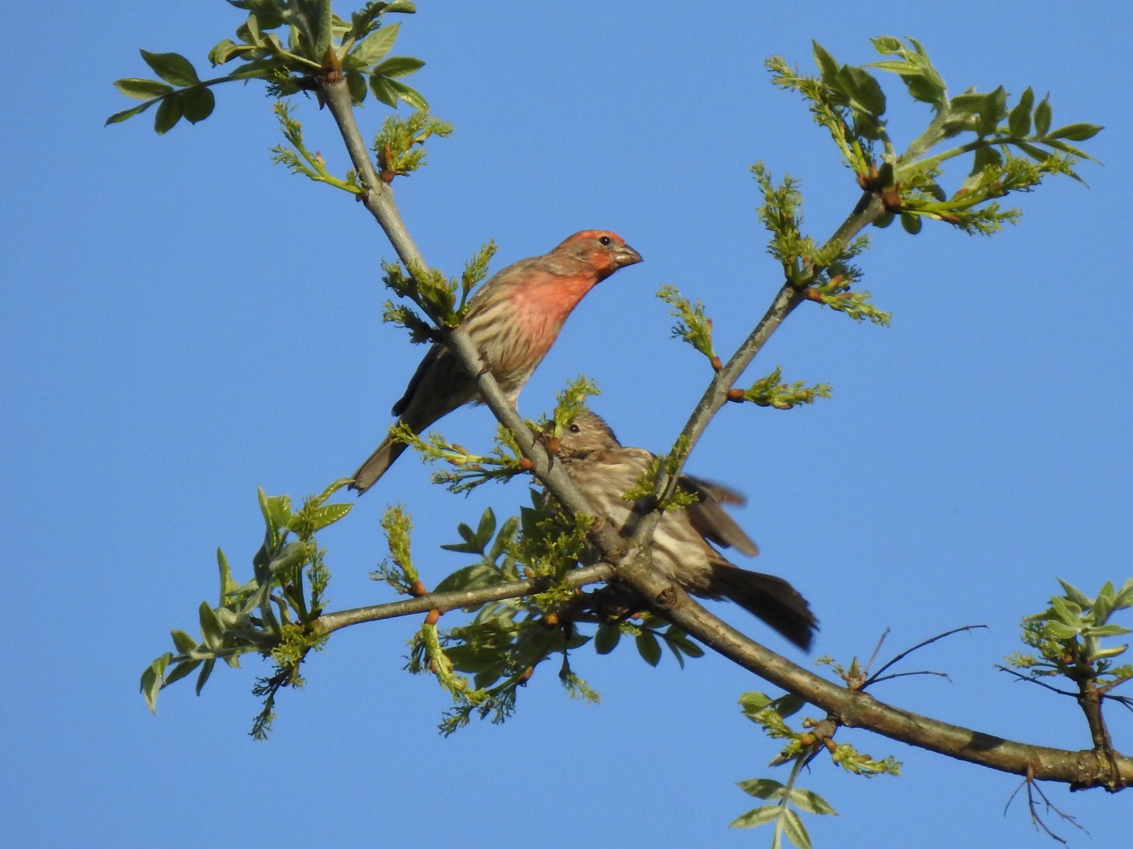 House finches – 4/29/23, Canemah Bluff Nature Park, Oregon City
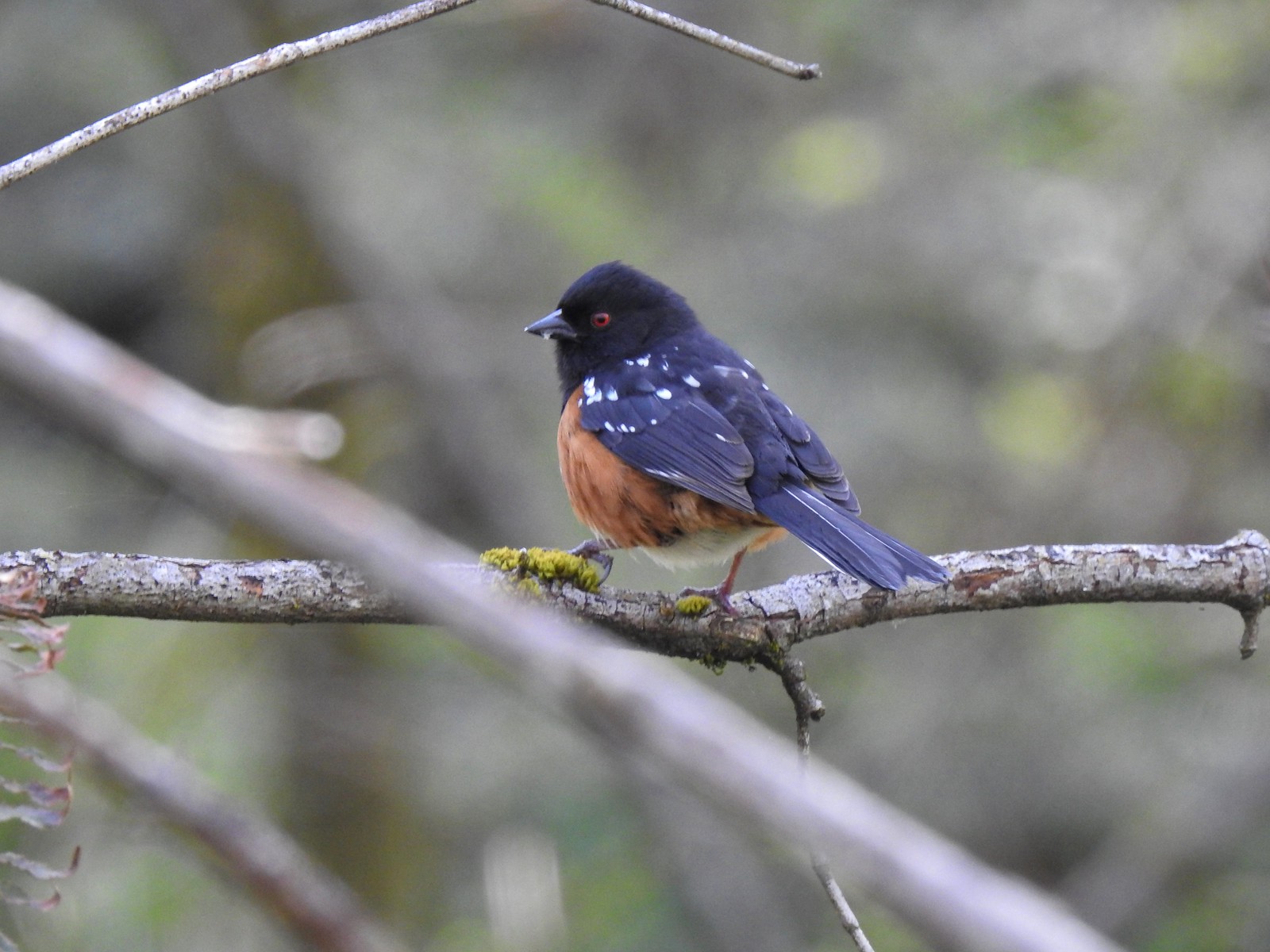 Spotted towhee – 4/29/23 Newell Creek Canyon Nature Park, Oregon City
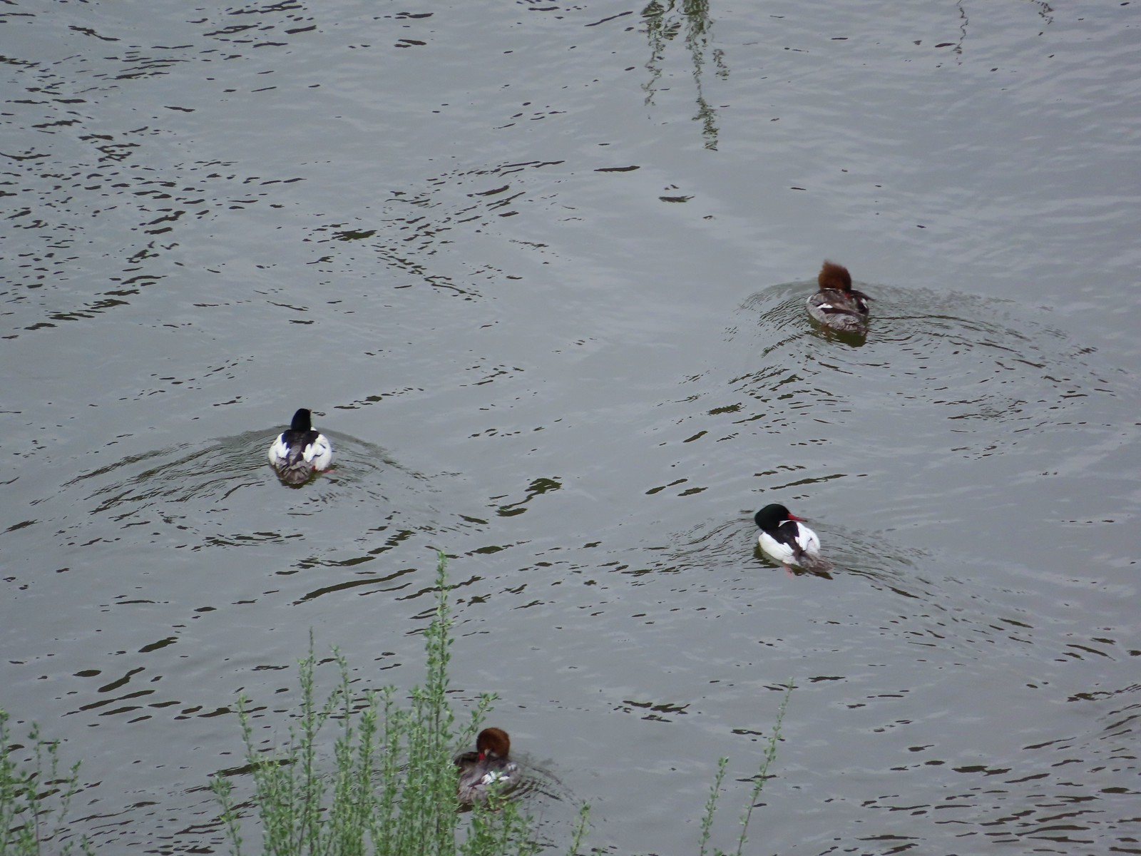 Common mergansers – 5/1/23, Rogue River National Recreation Trail, BLM Medford District
 Bullock’s oriole – 5/1/23, Rogue River National Recreation Trail, BLM Medford District
 American robin – 5/1/23, Rogue River National Recreation Trail, BLM Medford District
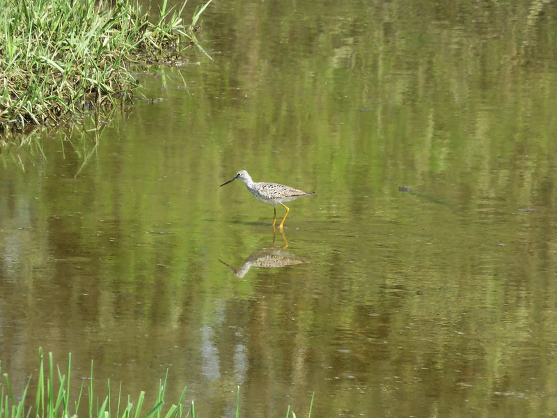
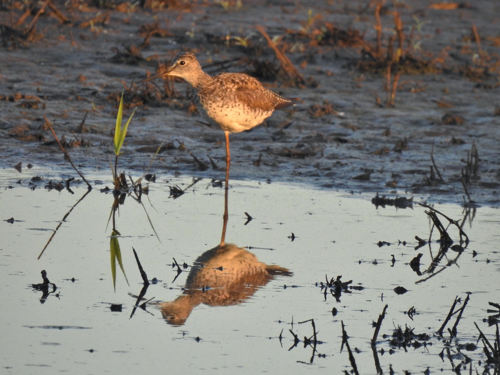 Greater yellowlegs – 5/13/23, Tualatin River National Wildlife Refuge, Sherwood
 Mourning dove – 5/13/23, Tualatin River National Wildlife Refuge, Sherwood
 Gadwall – 5/13/23, Tualatin River National Wildlife Refuge, Sherwood
 Killdeer – 5/13/23, Tualatin River National Wildlife Refuge, Sherwood
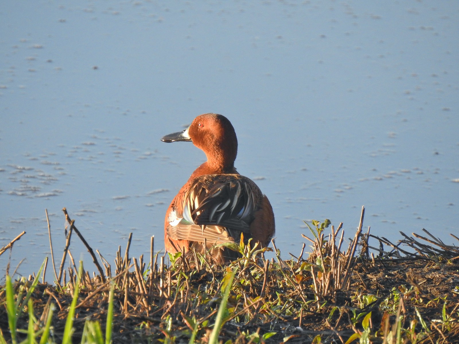 Cinnamon teal – 5/13/23, Tualatin River National Wildlife Refuge, Sherwood
 Anna’s hummingbird – 5/13/23, Tualatin River National Wildlife Refuge, Sherwood
 American kestral – 5/13/23, Graham Oaks Nature Park, Wilsonville
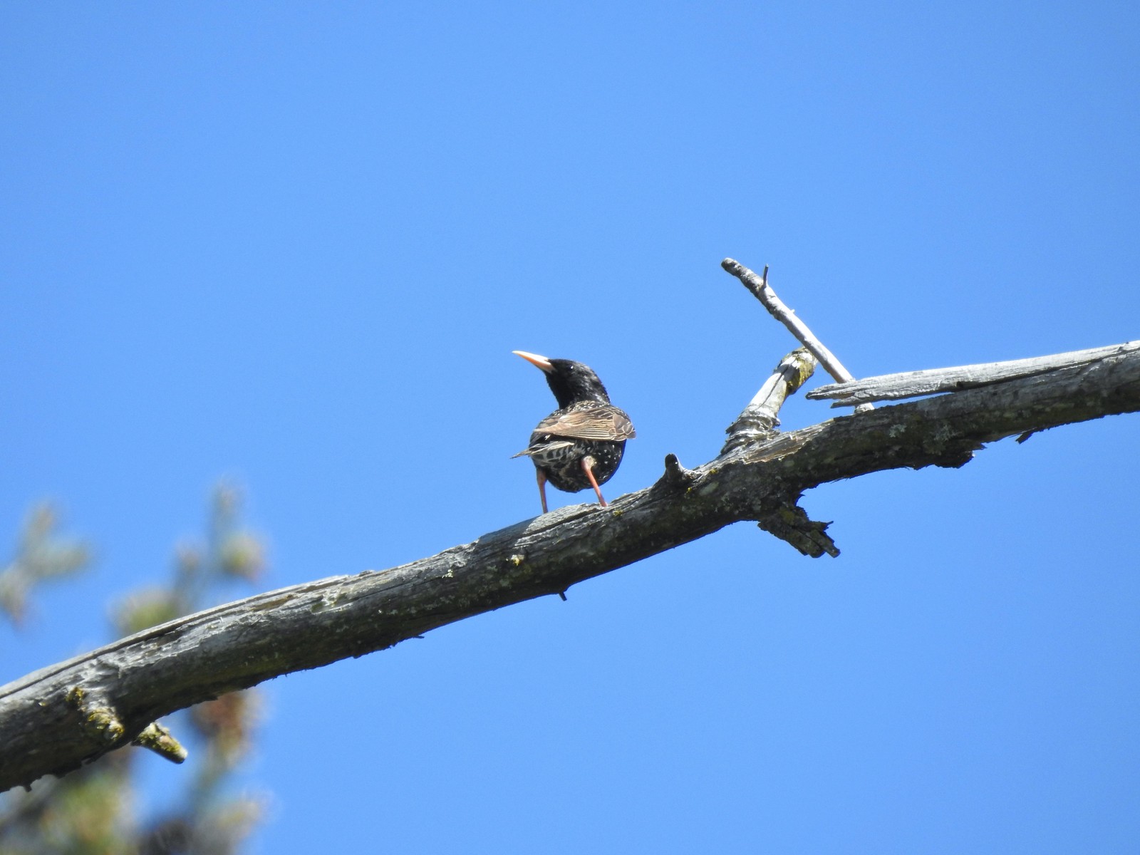 European starling – 5/13/23, Graham Oaks Nature Park, Wilsonville
 Wood duck – 5/23/23, Stigerwald Lake National Wildlife Refuge, Washougal, WA
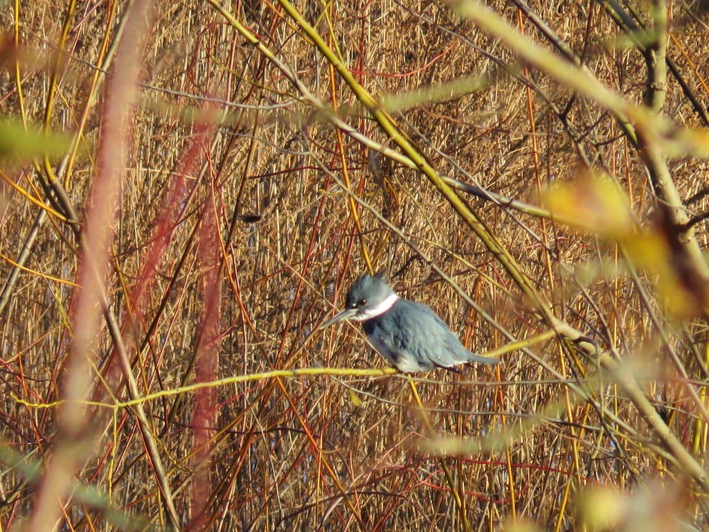
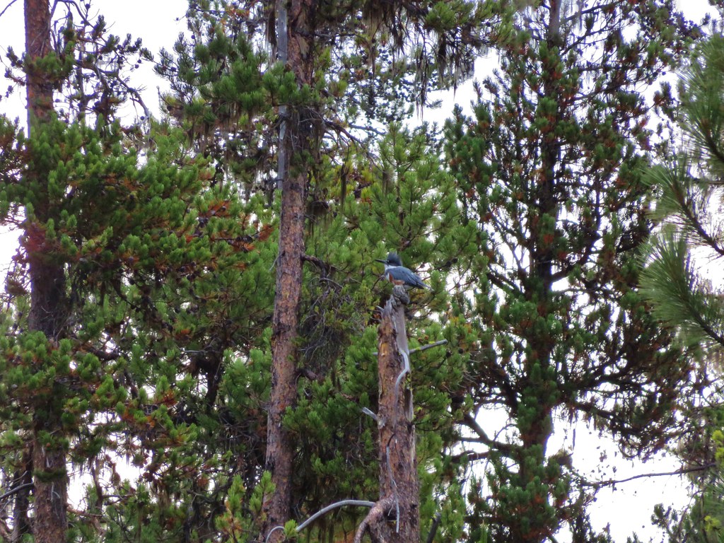
 Belted kingfisher – 5/23/23, Stigerwald Lake National Wildlife Refuge, Washougal, WA
 American goldfinch – 5/23/23, Stigerwald Lake National Wildlife Refuge, Washougal, WA
 Spotted sandpiper – 5/23/23, Stigerwald Lake National Wildlife Refuge, Washougal, WA
 Purple martin – 5/23/23, Stigerwald Lake National Wildlife Refuge, Washougal, WA
 Common yellowthroat – 5/23/23, Stigerwald Lake National Wildlife Refuge, Washougal, WA
 American bittern – 5/23/23, Stigerwald Lake National Wildlife Refuge, Washougal, WA
 Lark sparrow – 5/28/23, Criterion Tract, BLM Prineville District
 Horned lark – 5/28/23, Criterion Tract, BLM Prineville District
 Mountain bluebird – 5/28/23, Criterion Tract, BLM Prineville District
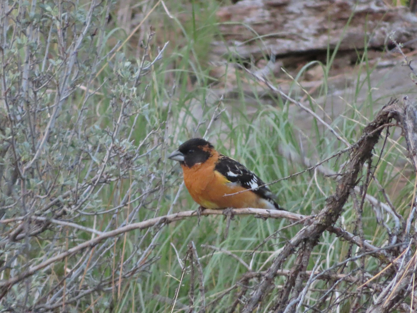 Black-headed grosbeak – 5/29/23, Riley Ranch Preserve, Bend
 Lewis’s woodpecker – 5/29/23, Tumalo State Park, Bend
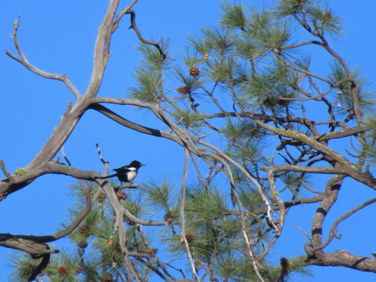 Magpie – 5/29/23, Tumalo State Park, Bend
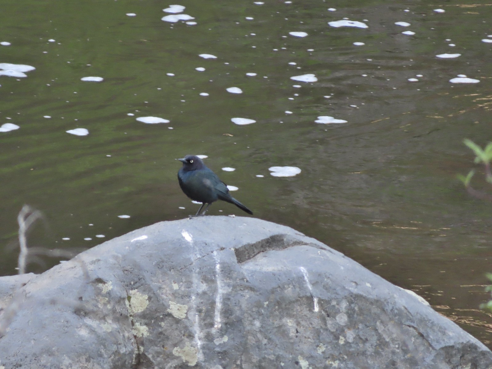 Black-headed cowbird – 5/29/23, Tumalo State Park, Bend
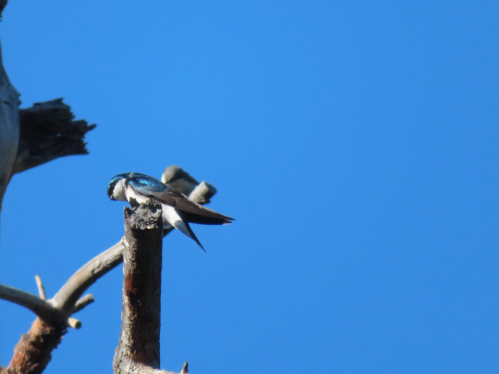 Tree swallow – 5/29/23, Tumalo State Park, Bend
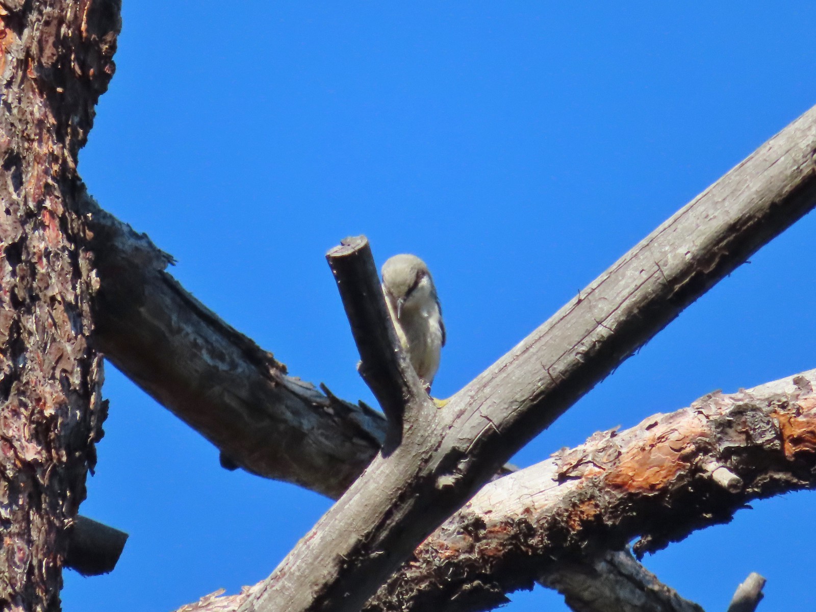 Pygmy nuthatch? – 5/29/23, Tumalo State Park, Bend
 Lazuli bunting – 6/3/23, Conboy Lake National Wildlife Refuge, Trout Lake, WA
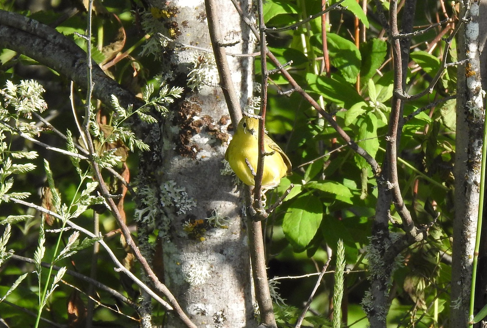 Yellow warbler – 6/3/23, Conboy Lake National Wildlife Refuge, Trout Lake, WA
 Western bluebird – 6/3/23, Conboy Lake National Wildlife Refuge, Trout Lake, WA
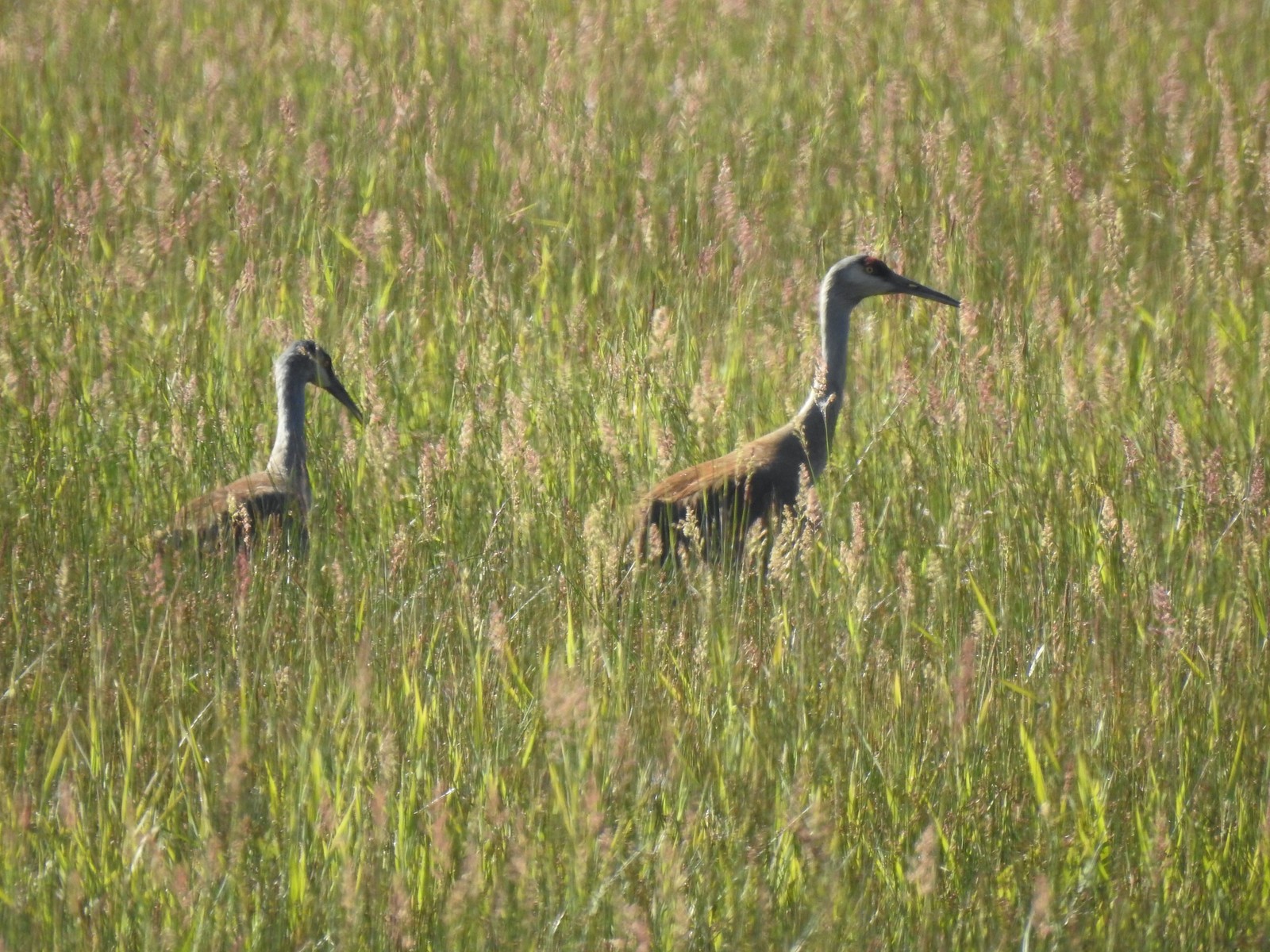 Sandhill cranes – 6/3/23, Conboy Lake National Wildlife Refuge, Trout Lake, WA
 Warbling vireo – 6/3/23, Conboy Lake National Wildlife Refuge, Trout Lake, WA
 Raven – 6/11/23, Lewis & Clark Trail, Hermiston
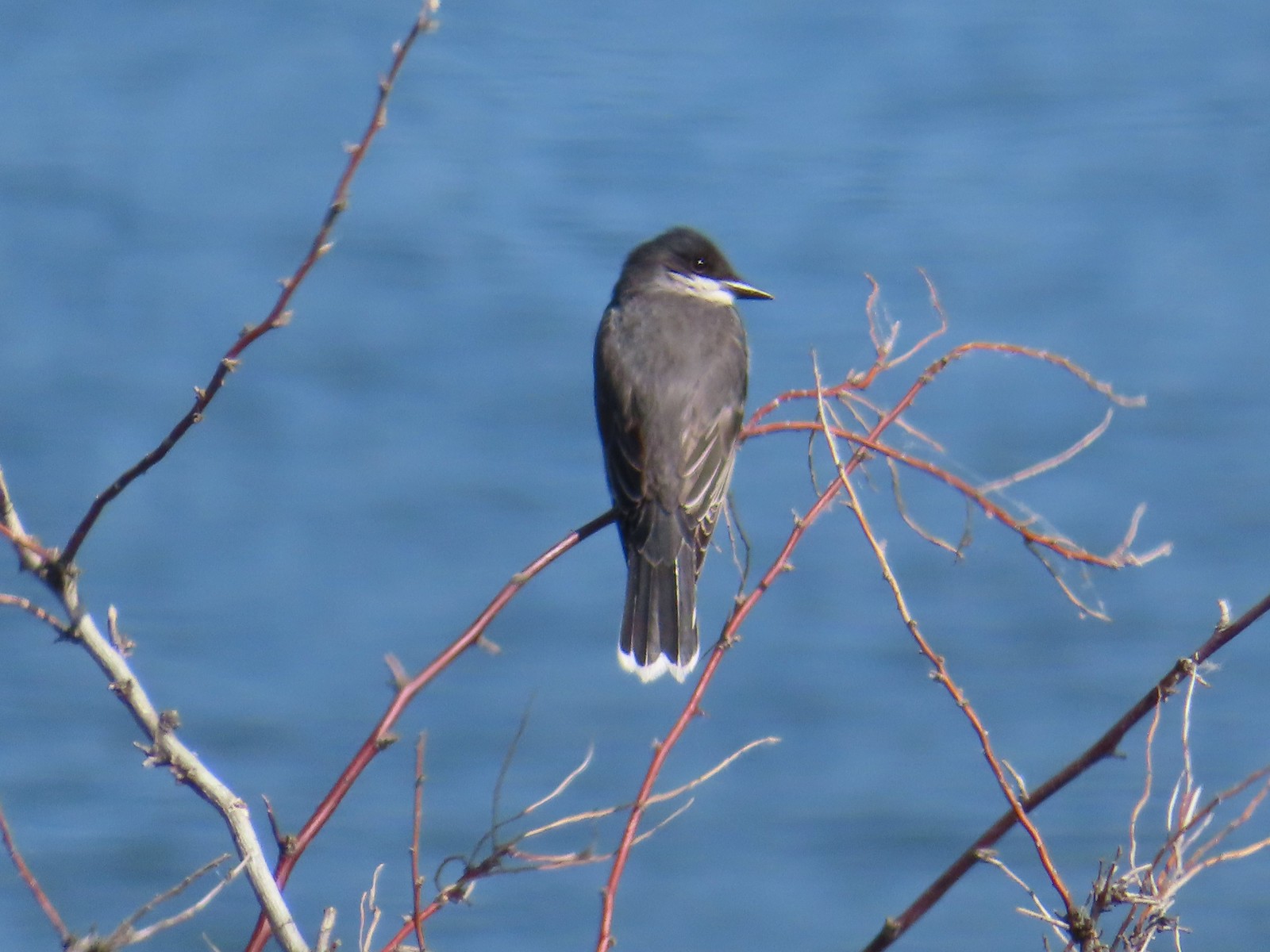 Eastern kingbird – 6/11/23, Lewis & Clark Trail, Hermiston
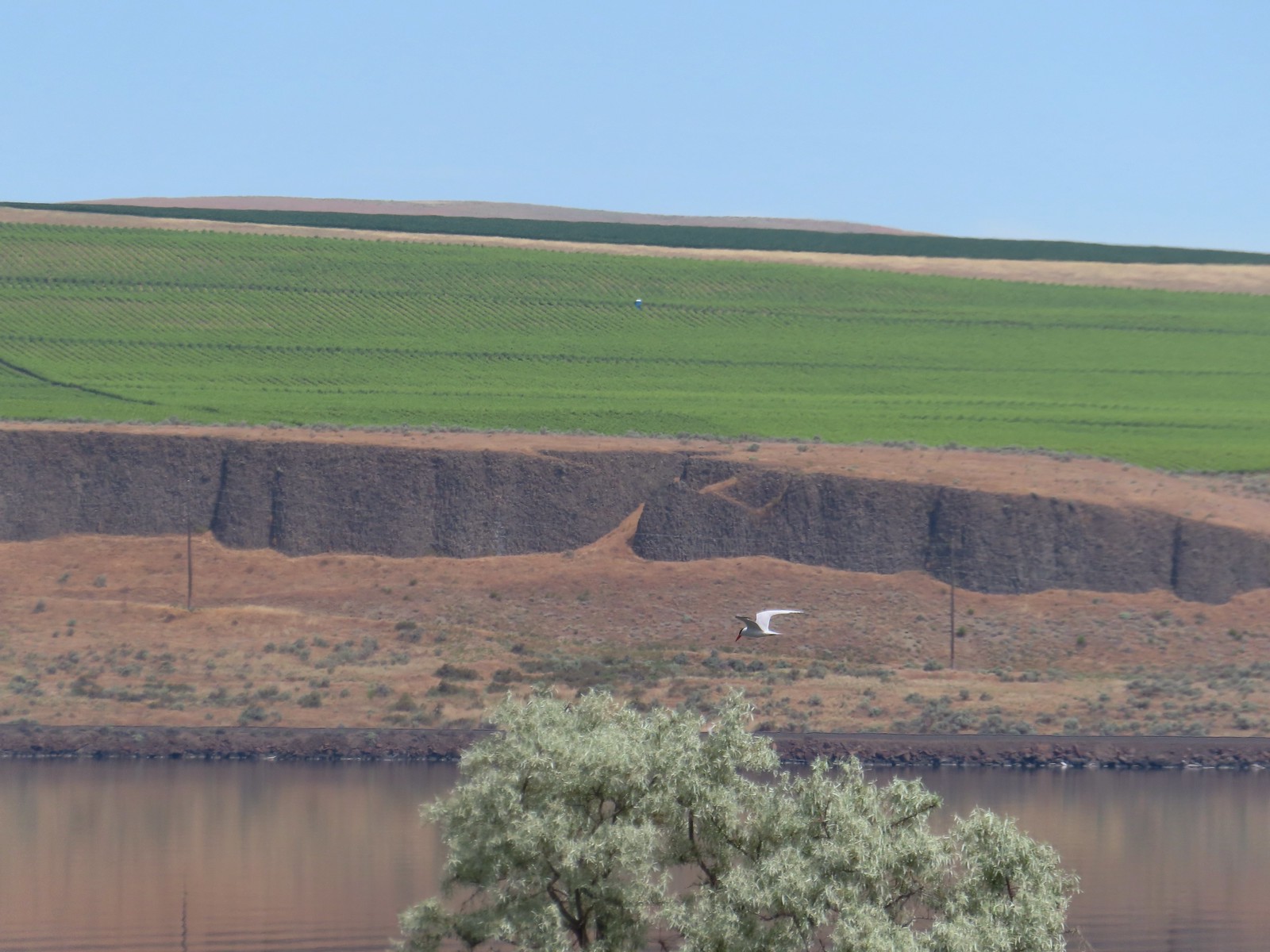 Caspian tern – 6/11/23, Lewis & Clark Trail, Hermiston
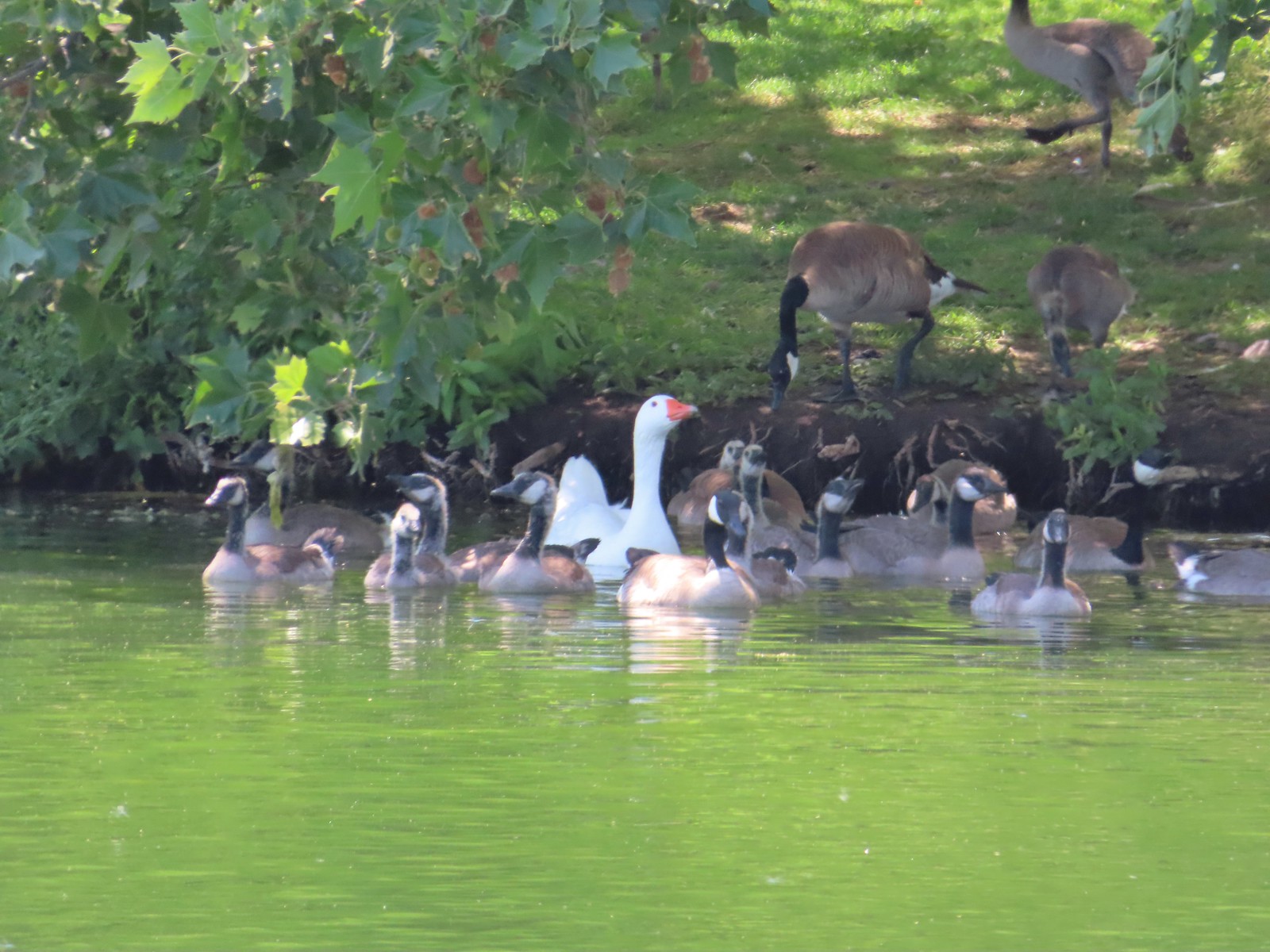 Geese – 6/11/23, Hat Rock State Park, Hermiston
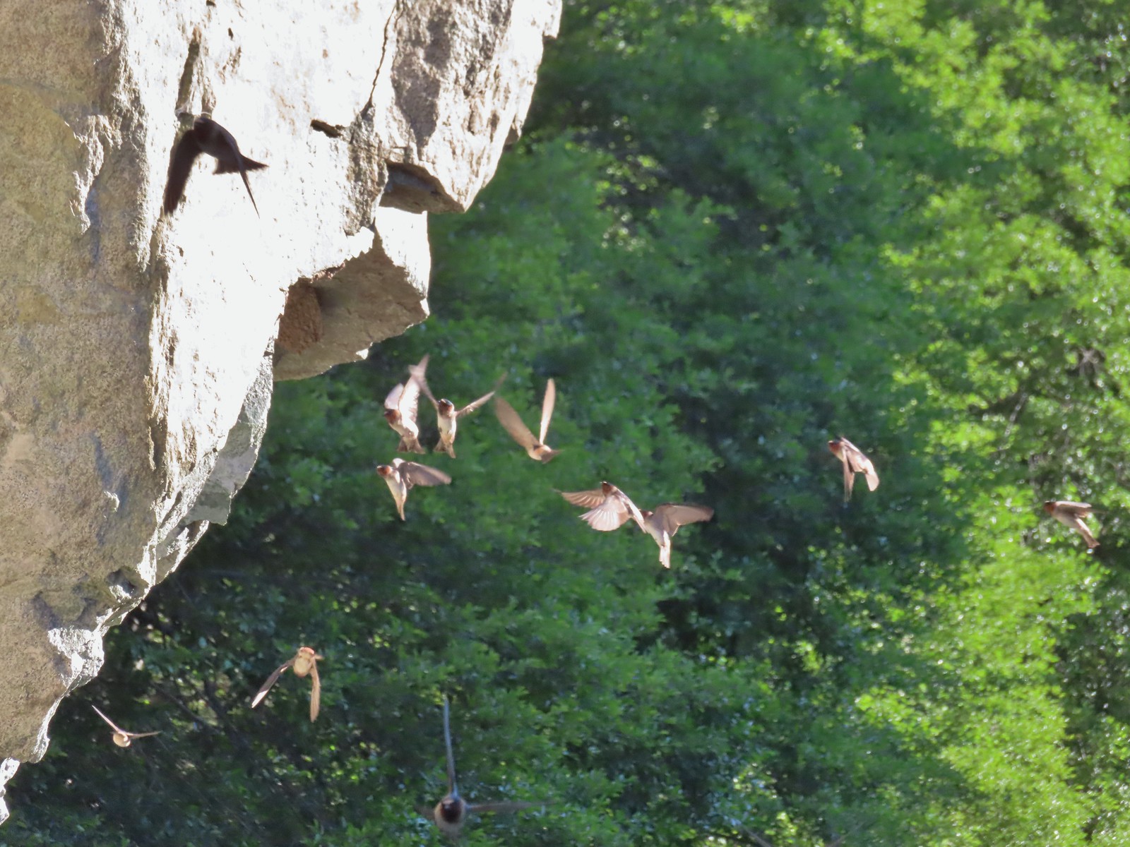 Cliff swallows – 6/14/23, Imnaha Trail, Hells Canyon National Recreation Area
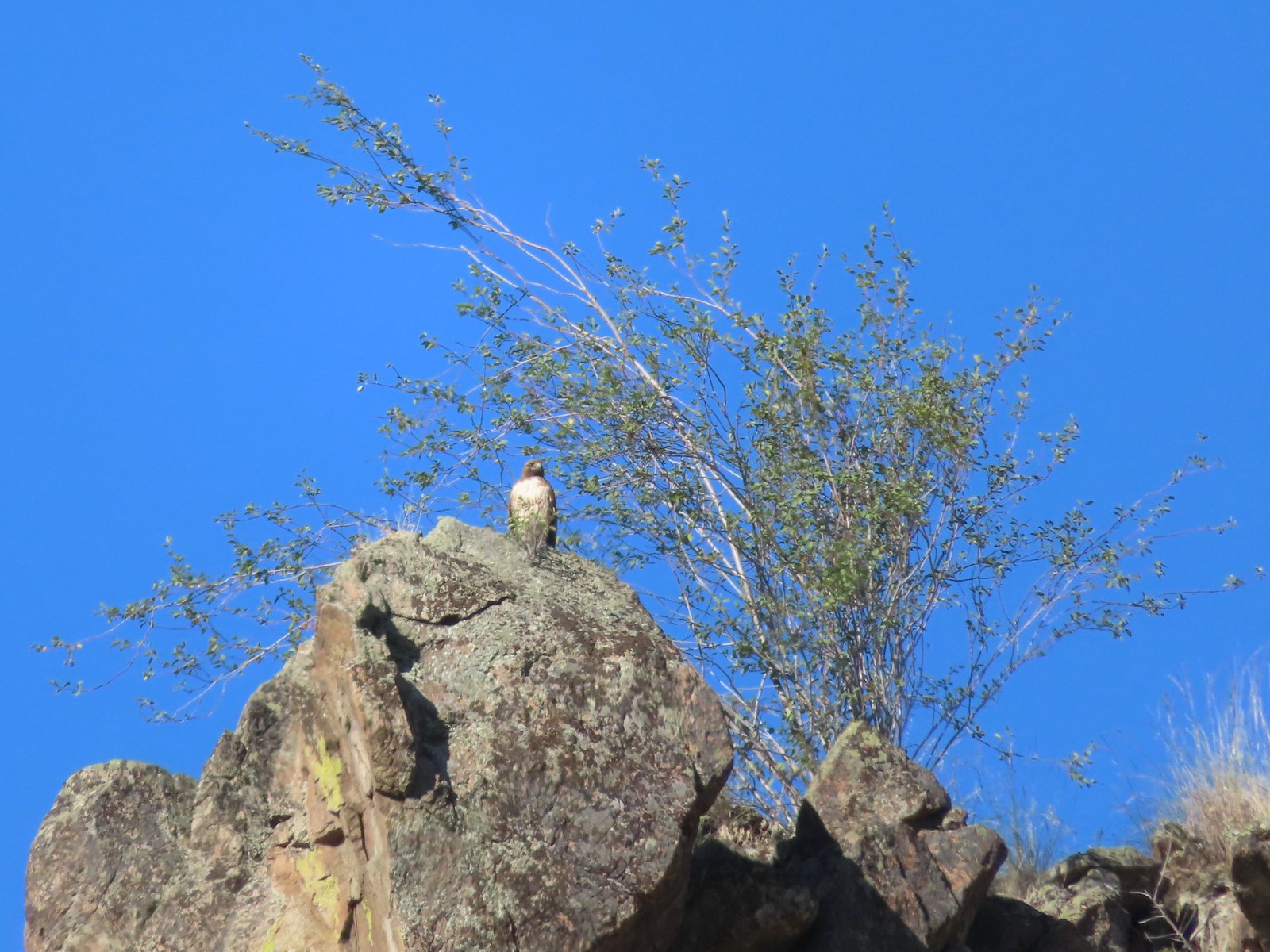 Hawk – 6/14/23, Imnaha Trail, Hells Canyon National Recreation Area
 Common nighthawk – 6/15/23, Hells Canyon National Recreation Area, Wallowa-Whitman National Forest
 Chipping sparrow – 6/15/23, Hells Canyon National Recreation Area, Wallowa-Whitman National Forest
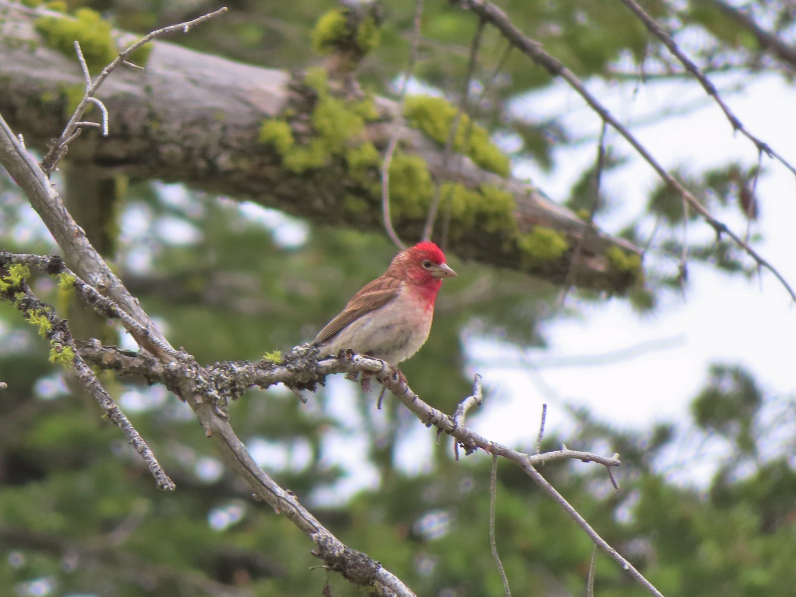 Cassin’s finch – 6/15/23, Hells Canyon National Recreation Area, Wallowa-Whitman National Forest
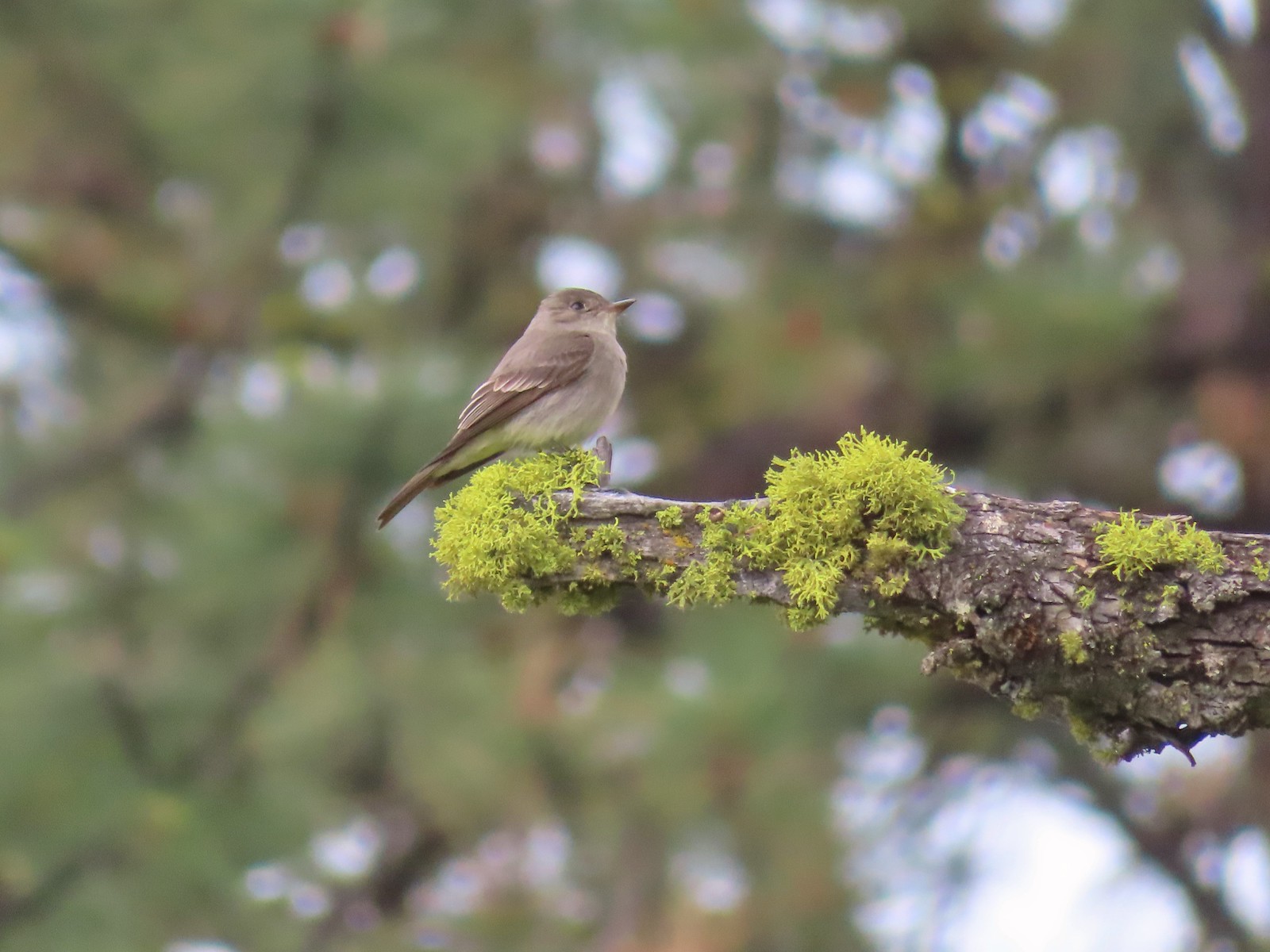 Western wood pee-wee – 6/15/23, Hells Canyon National Recreation Area, Wallowa-Whitman National Forest
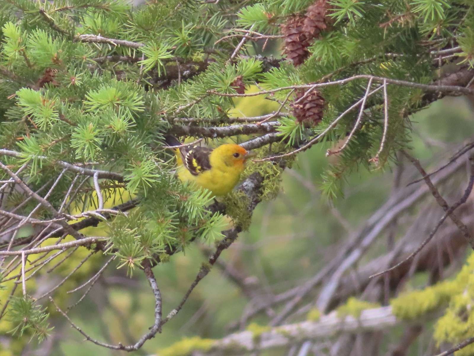 Western tanager – 6/15/23, Hells Canyon National Recreation Area, Wallowa-Whitman National Forest
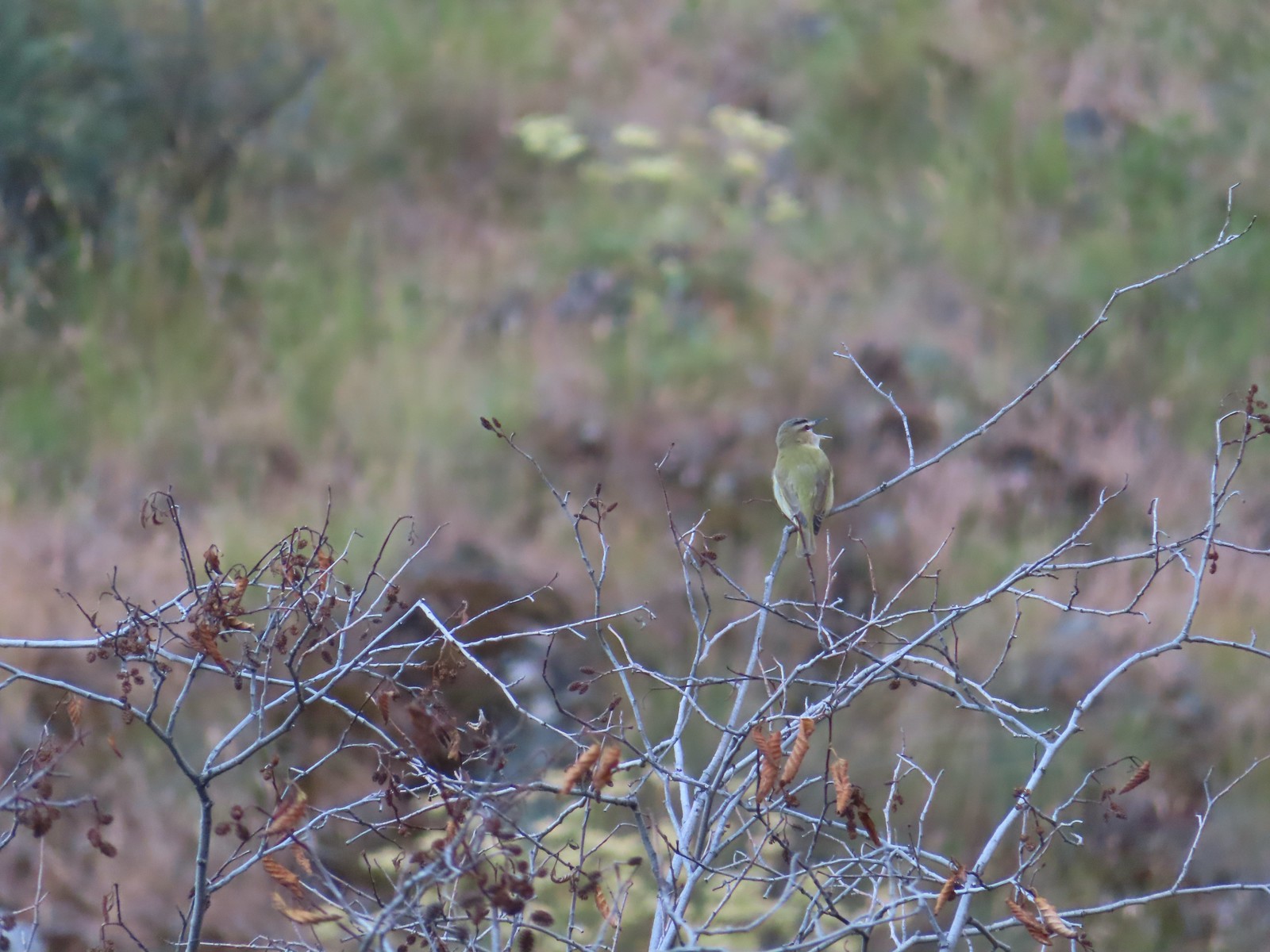 Red-eyed vireo – 6/16/23, Trail 1890, Hells Canyon Wilderness
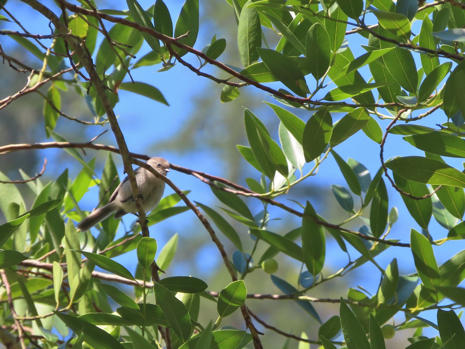 Bushtit – 6/24/23, Rogue River National Recreation Trail, Wild Rogue Wilderness
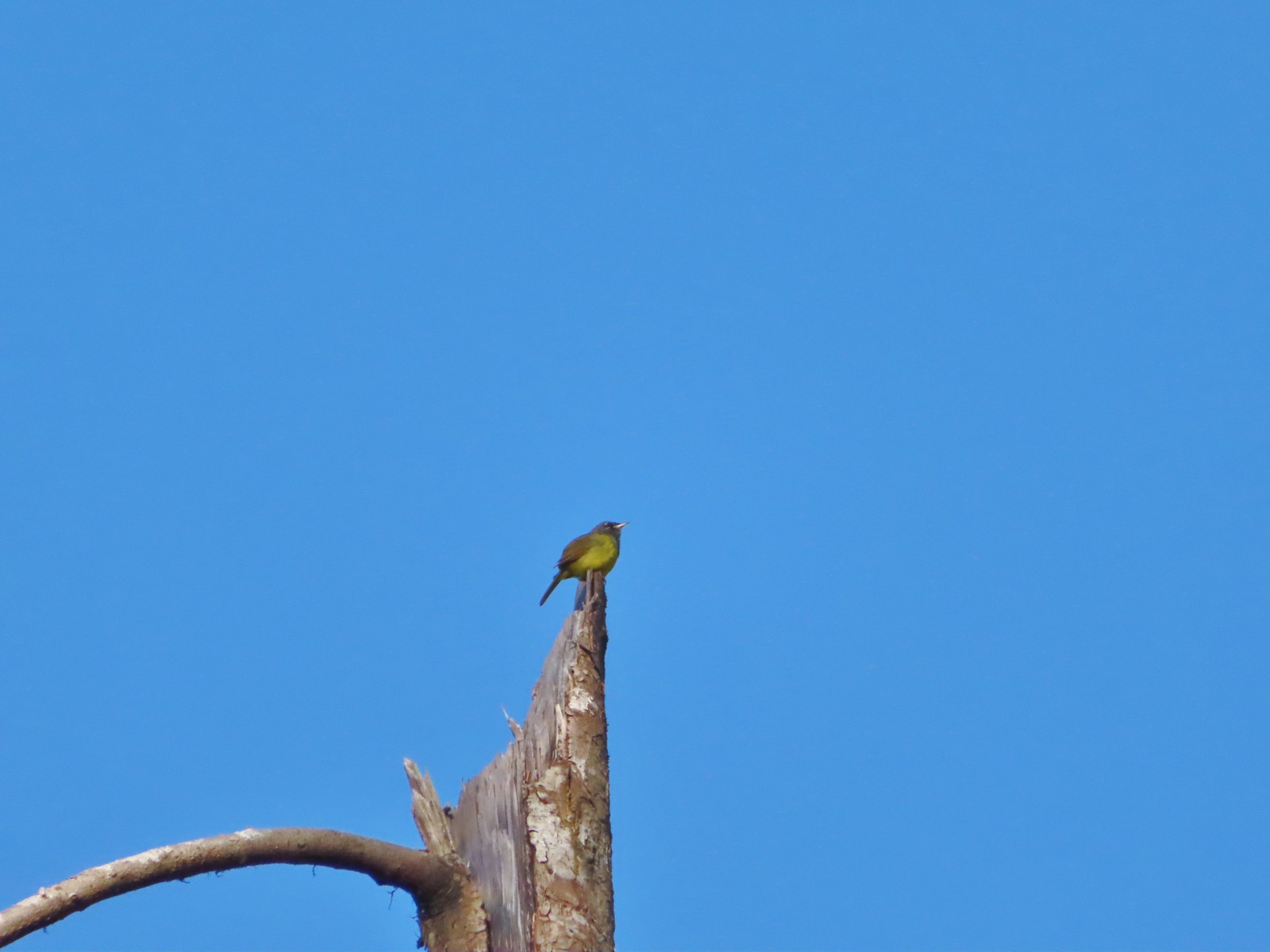 Macgillivray’s warbler? – 6/25/23, North Umpqua Trail, BLM Roseburg District
 Woodpecker – 6/25/23, North Umpqua Trail, BLM Roseburg District
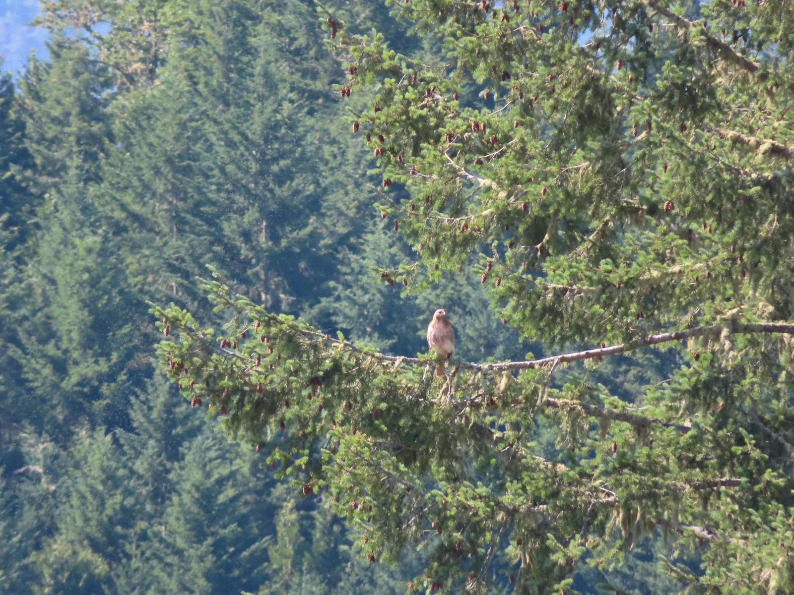 Hawk – 6/25/23, North Bank Habitat, BLM Roseburg District
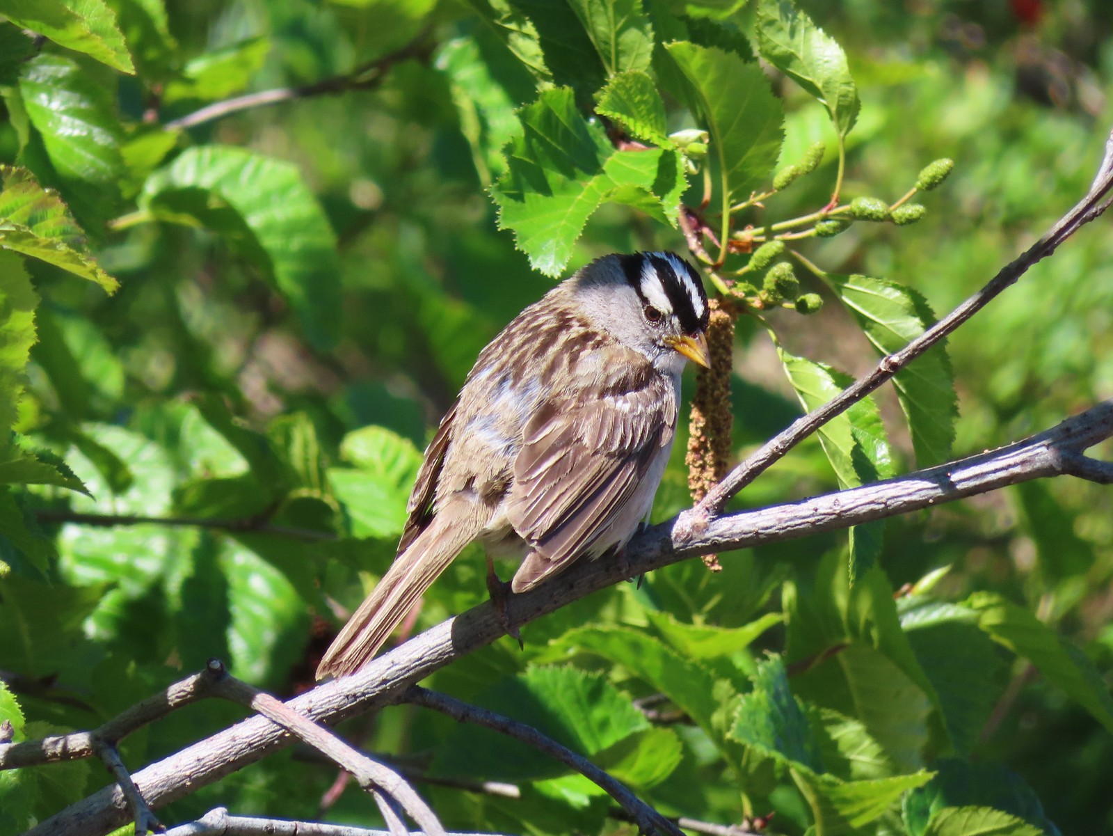 White-crowned sparrow – 7/1/23, Boundary Trail, Mt. St. Helens National Volcanic Monument
 Cedar waxwings – 7/1/23, Boundary Trail, Mt. St. Helens National Volcanic Monument
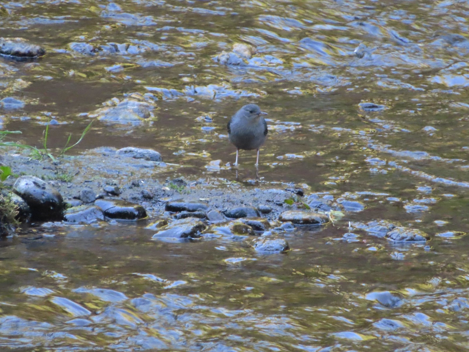 Ouzel – 7/22/23, Metolius River Trail, Deschutes National Forest
 Sooty grouse – 7/22/23, Metolius River Trail, Deschutes National Forest
 Canada jay – 8/5/23, Timberline Trail, Mt. Hood Wilderness
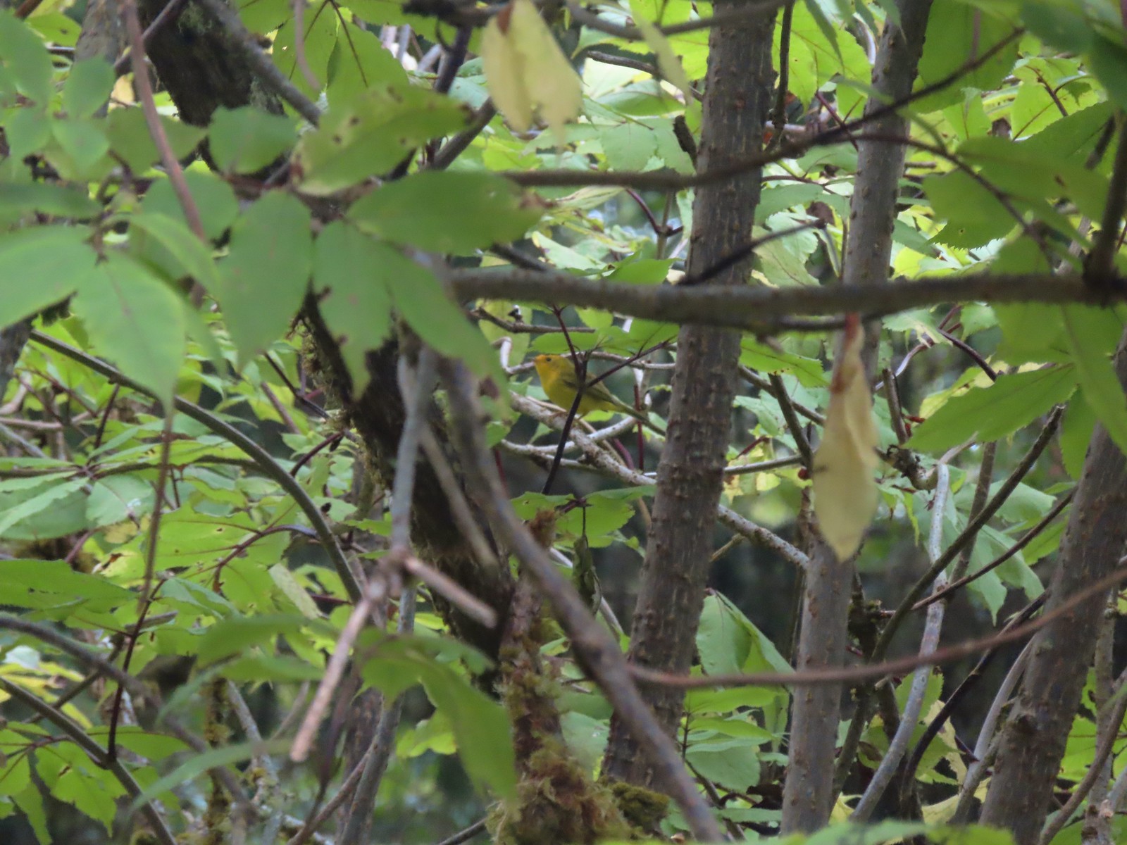 Wilson’s warbler? – 8/29/23, Nestucca Bay National Wildlife Refuge, Cloverdale
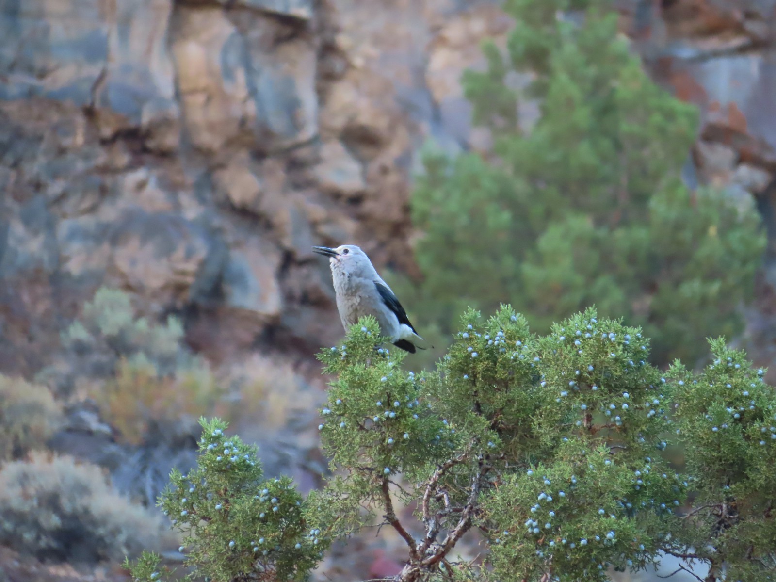 Clark’s nutcrakcer – 9/2/23, Dry River Canyon, BLM Prineville District
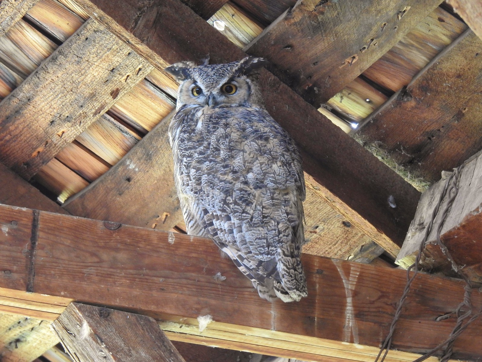 Great horned owl – 9/3/23, P Ranch, Malheur National Wildlife Refuge
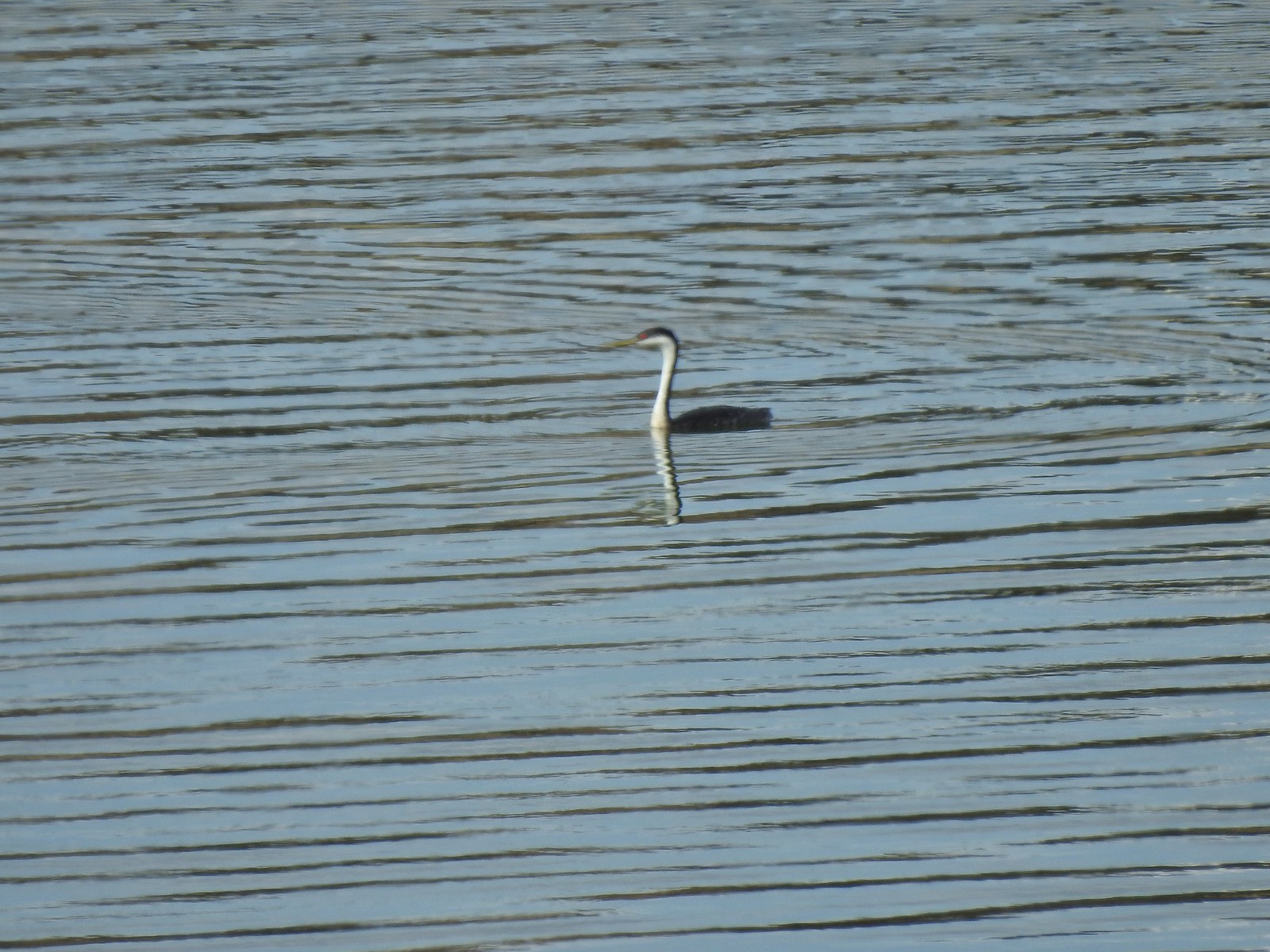 Western grebe – 9/3/23, Krumbo Reservoir, Malheur National Wildlife Refuge
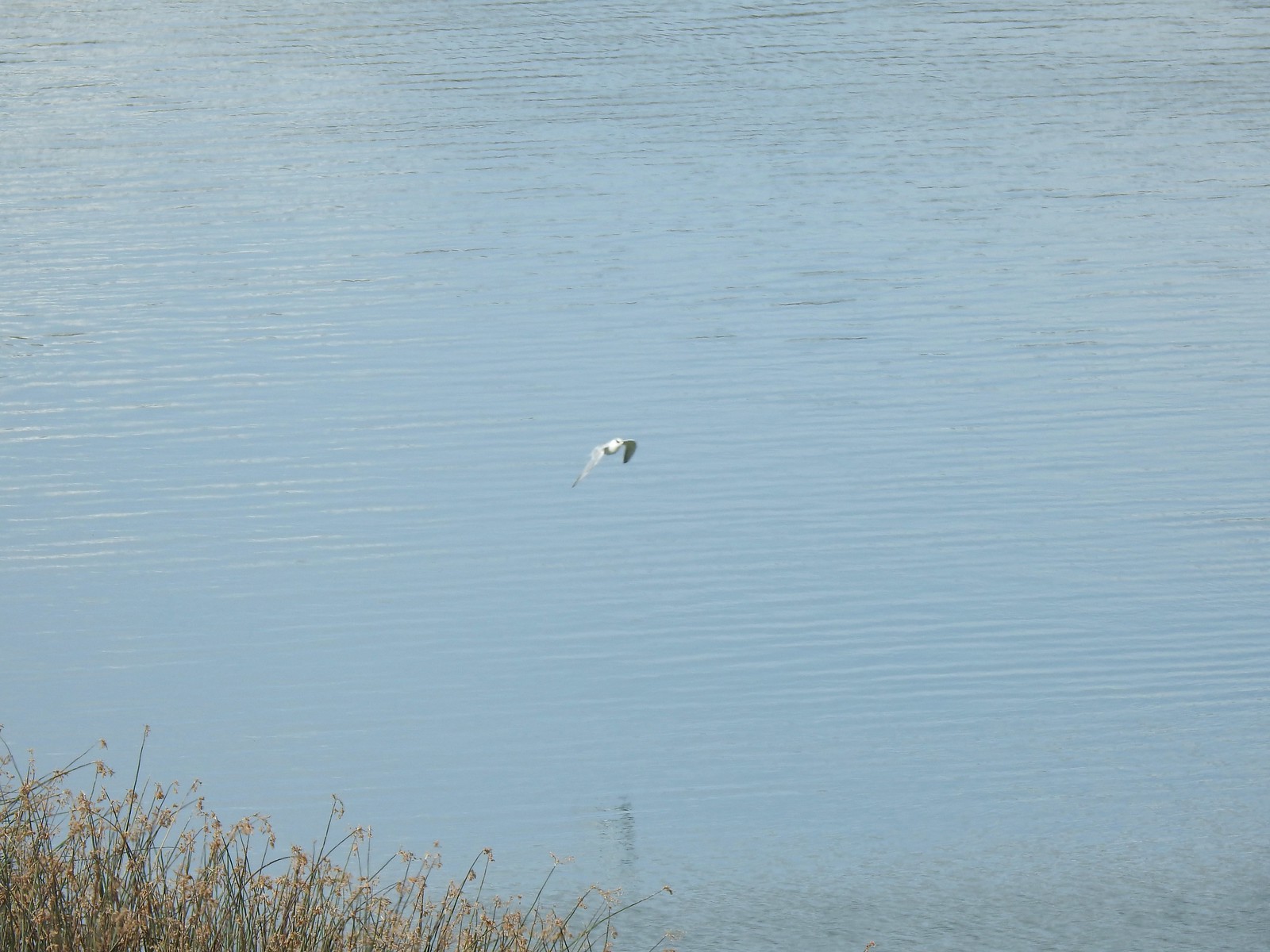 Unidentified bird – 9/3/23, Krumbo Reservoir, Malheur National Wildlife Refuge
 White-faced ibis – 9/3/23, Cental Patrol Road, Malheur National Wildlife Refuge
 Ring-necked pheasant – 9/3/23, Central Patrol Road, Malheur National Wildlife Refuge
 Townsends solitaire – 9/4/23 Fryrear Canyon, BLM Prineville District
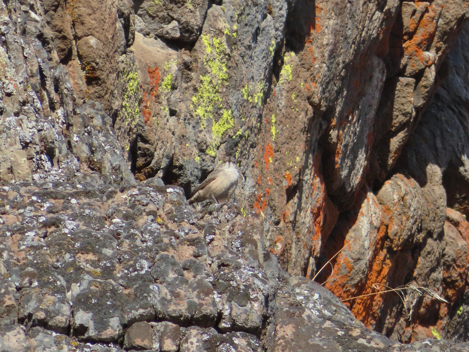 Rock wren? – 9/4/23 Fryrear Canyon, BLM Prineville District
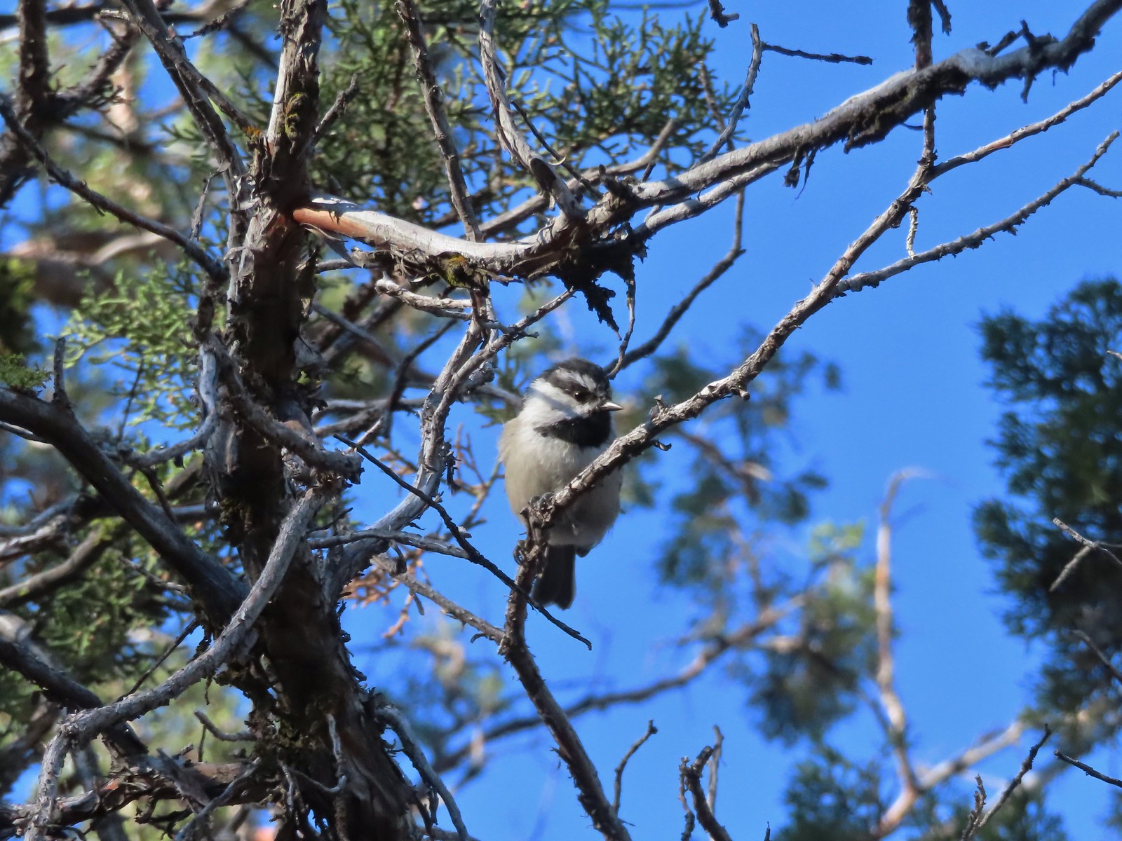 Mountain chickadee – 9/4/23 Fryrear Canyon, BLM Prineville District
 Black-backed woodpecker – 9/9/23, Pacific Crest Trail, Sky Lakes Wilderness
 American pipit – 9/9/23, Devil’s Peak, Sky Lakes Wilderness
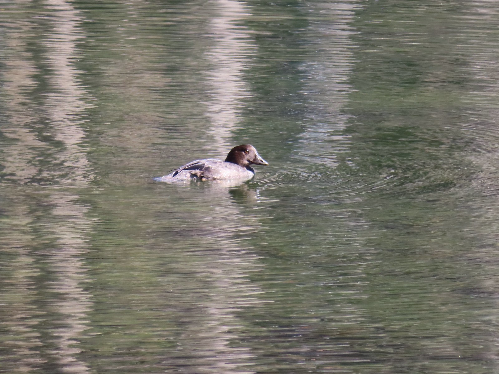 Golden eye – 9/16/23, Fish Lake, Mt. Hood National Forest
 White-breasted nuthatch – 9/16/23, Fish Lake Trail, Mt. Hood National Forest
 Stellar’s jay – 9/30/23, Big Creek Park, Newport
 Red-tailed hawk – 9/30/23, Strom Boulder Ridge, Burnt Woods
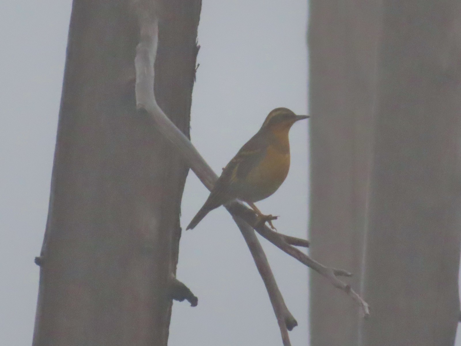 Varied thrush – 10/9/23, Babyfoot Lake Trail, Kalmiopsis Wilderness
 Seagull – 10/28/23, Oceanside Beach, Oceanside
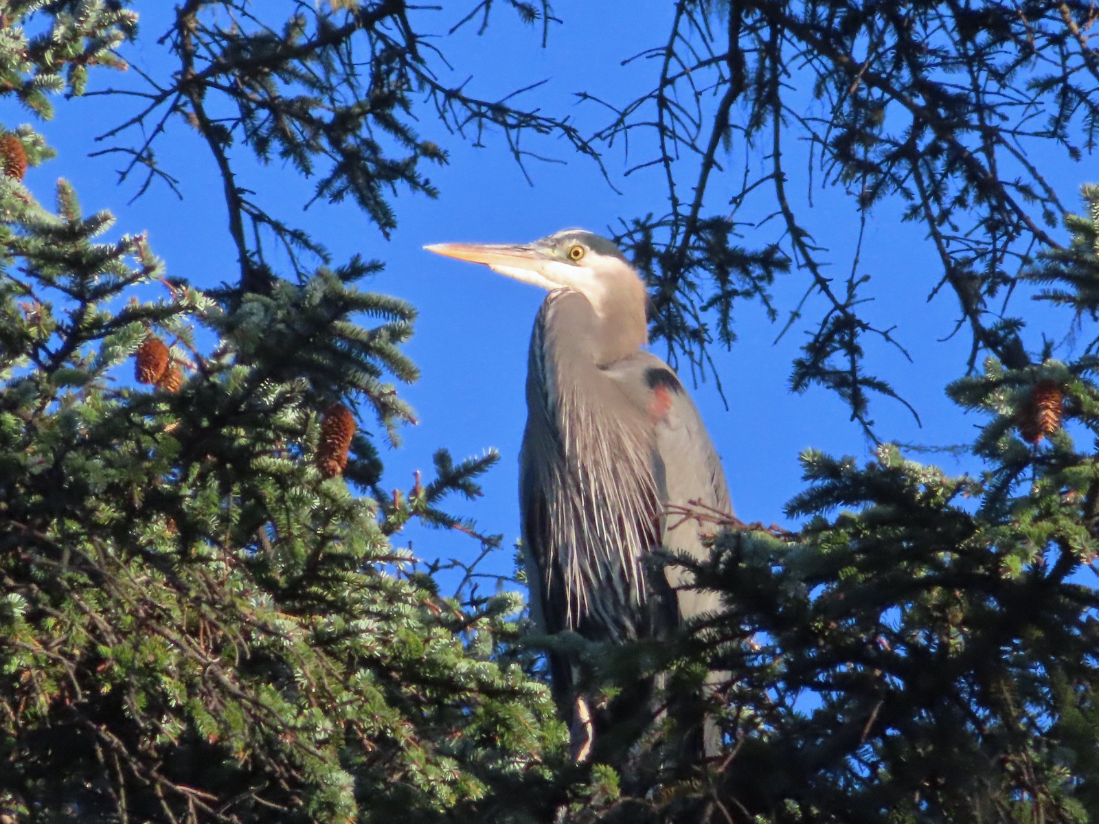 Great blue heron – 10/28/23, Oceanside Beach, Oceanside
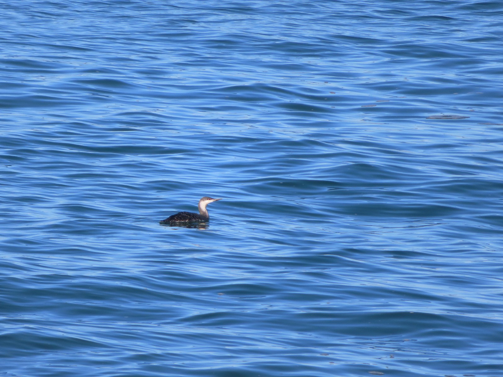 Red-throated loon – 10/28/23, Pacific Ocean, Oceanside
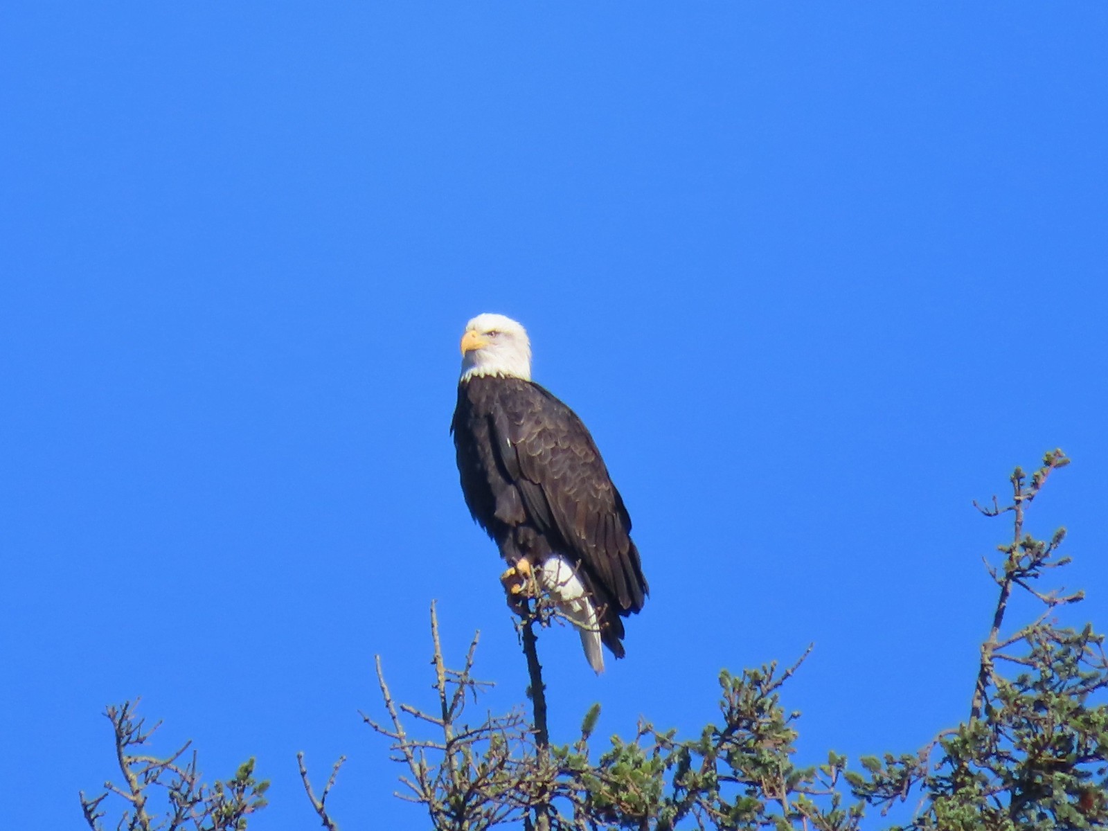 Bald eagle – 10/28/23, Tillamook Wetlands, Tillamook
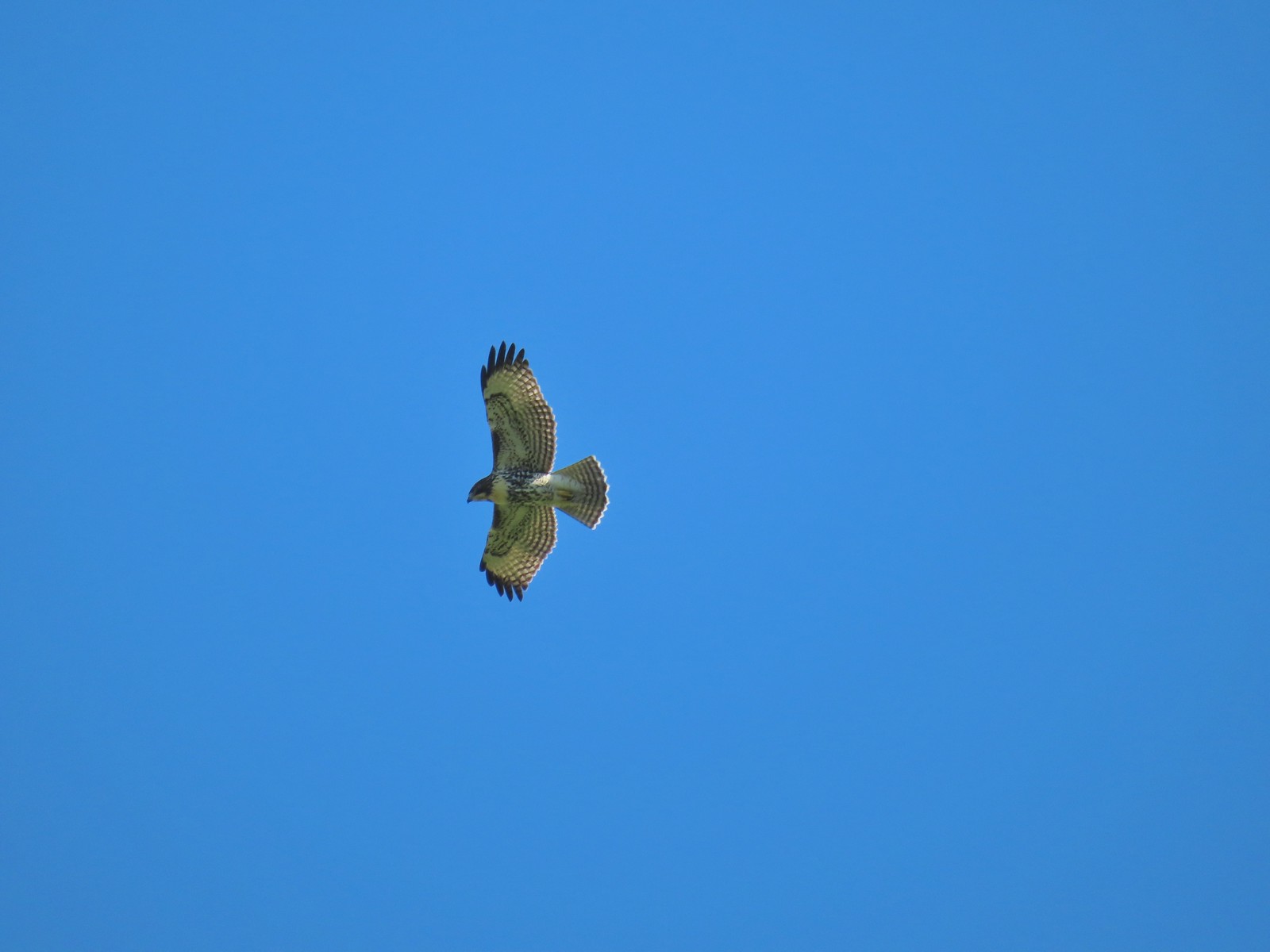 Hawk – 10/28/23, Tillamook Wetlands, Tillamook
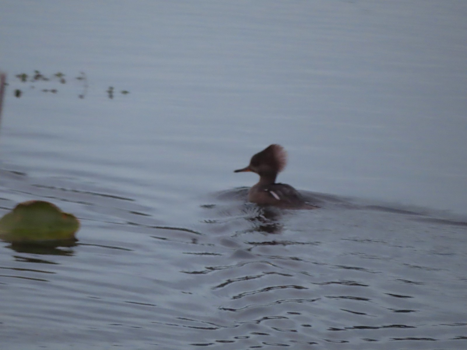 Hooded merganser – 11/18/23, D River, Lincoln City
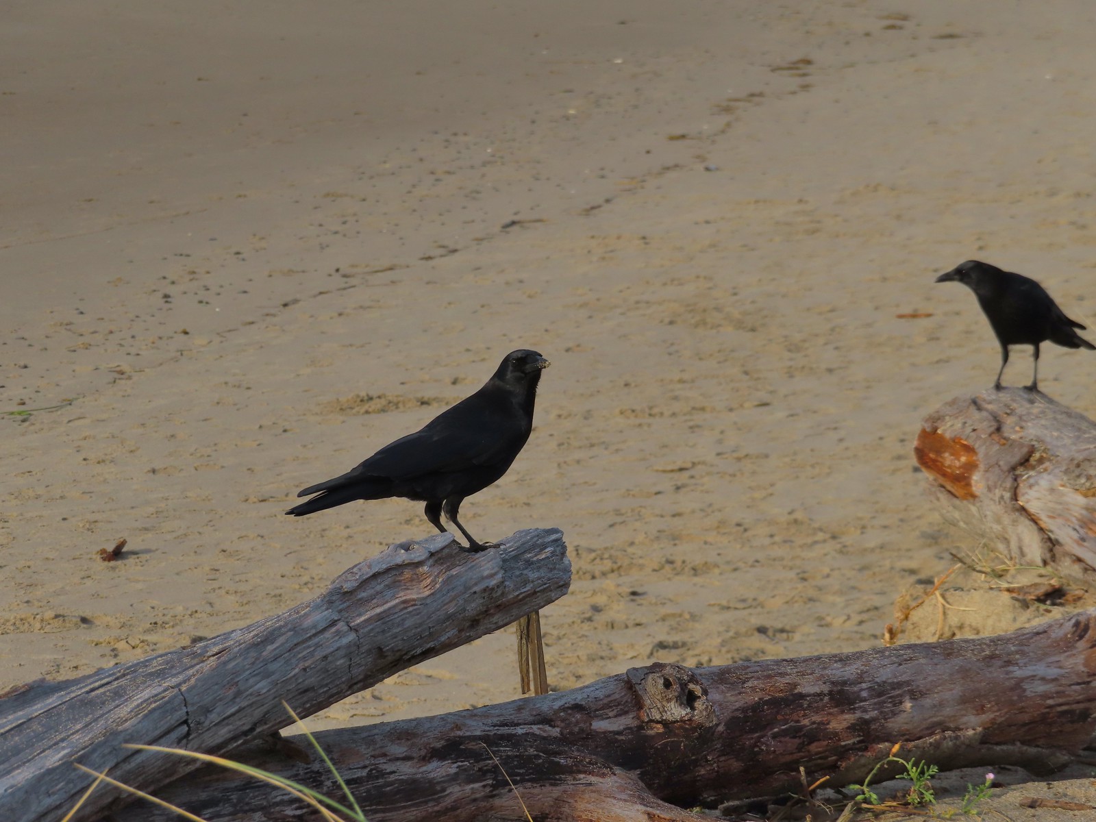 Crows – 11/18/23, Siletz Bay, Lincoln City
 Brown pelicans – 11/18/23, Siletz Bay, Lincoln City
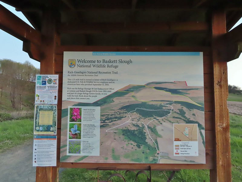
 Mt. Jefferson from the trailhead.
 A few lupine and buttercups
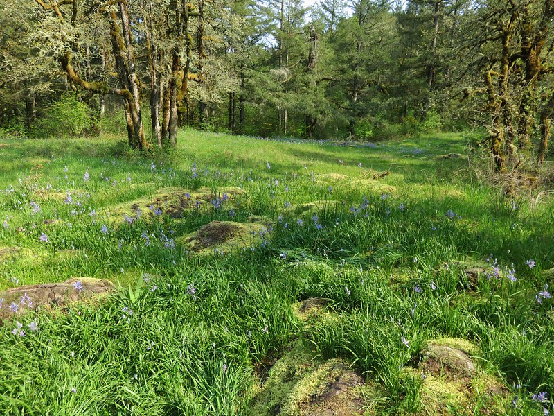
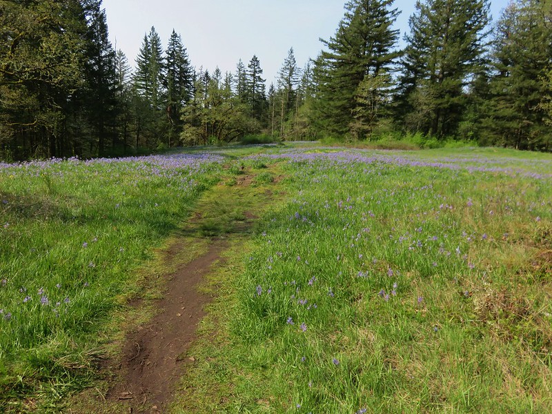
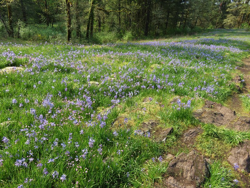
 Camas
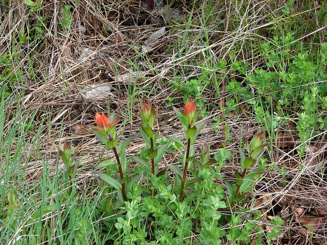
Camas Castilleja levisecta – Golden Paintbrush
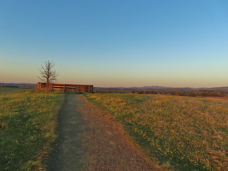
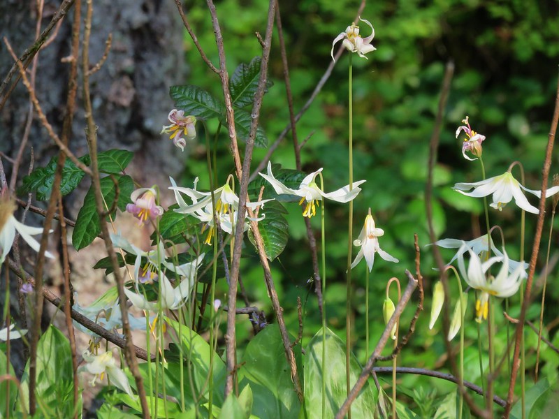
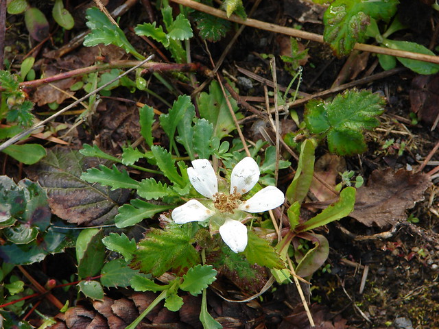
 A few little flowers starting to open up.
 View from the deck.
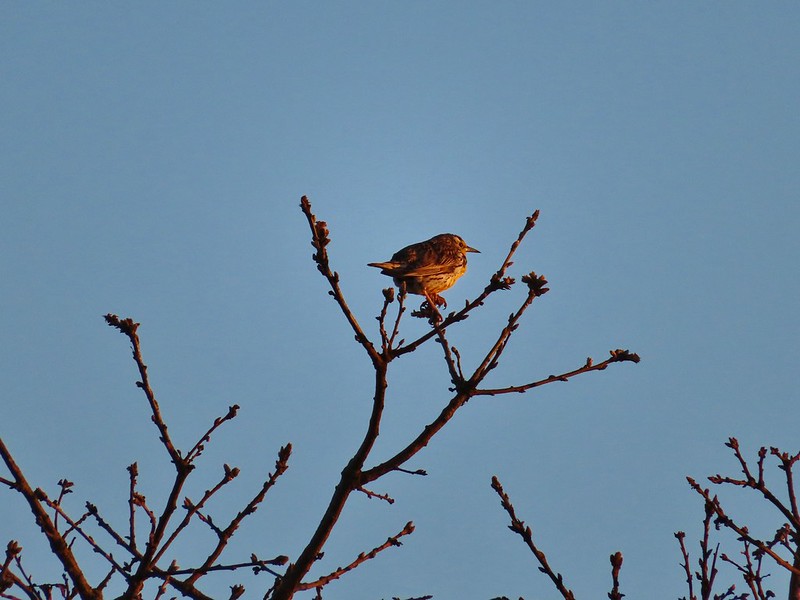 Western meadowlark
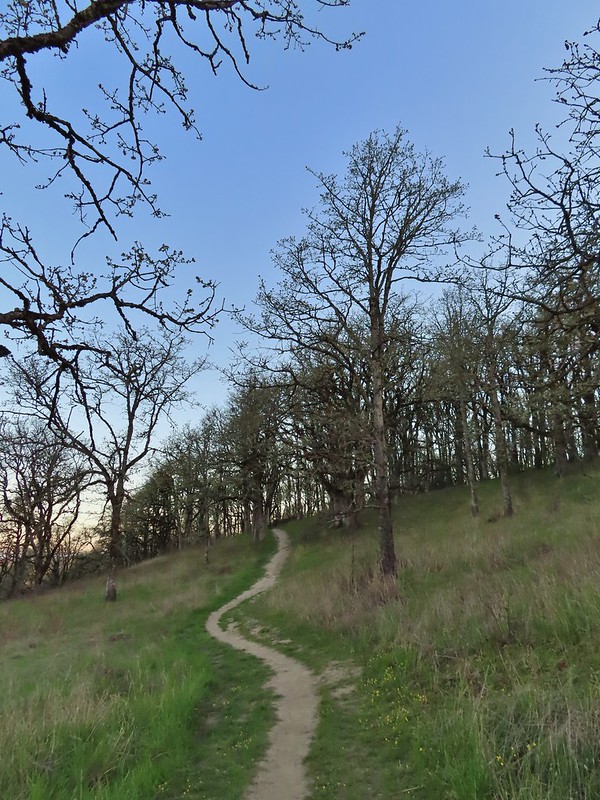


 Camas pretending to be part of a lupine plant.
 White crowned sparrow
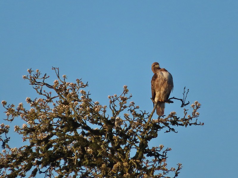 Hawk
Hawk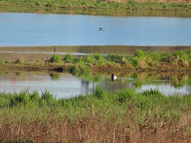 Lesser scaup
 American wigeons
 Pied billed grebe
 Yellowlegs
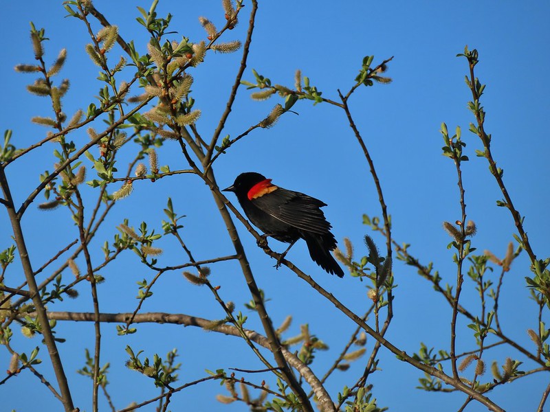

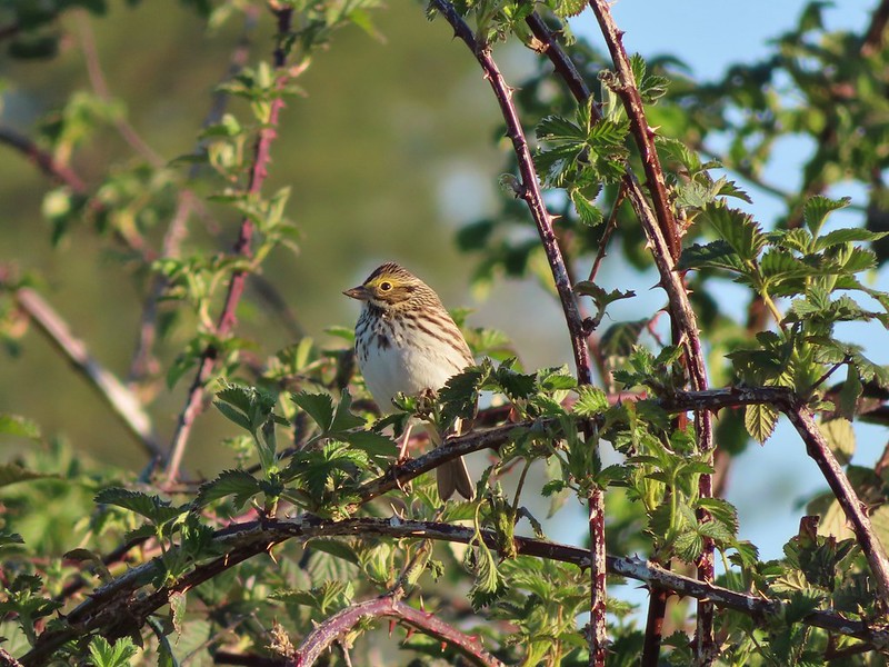 Savannah sparrow
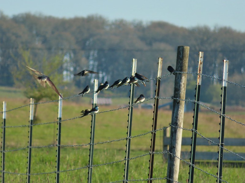 Swallows
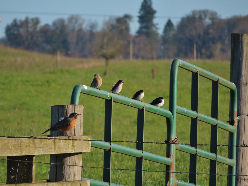 A robin, a western bluebird and swallows
 A green winged teal and a cinnamon teal in a small marsh.
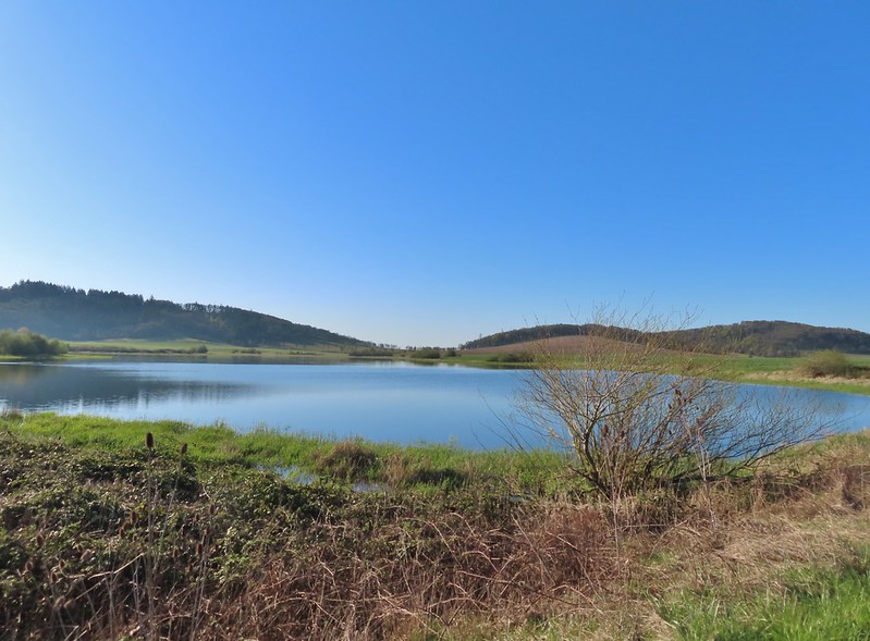
 This scrub jay wasn’t shy.
 Neither was this serious looking spotted towhee
 Norther shovelers heading to the opposite side of the lake.
 A bufflehead and some lesser scaups
 Canada goose flyover
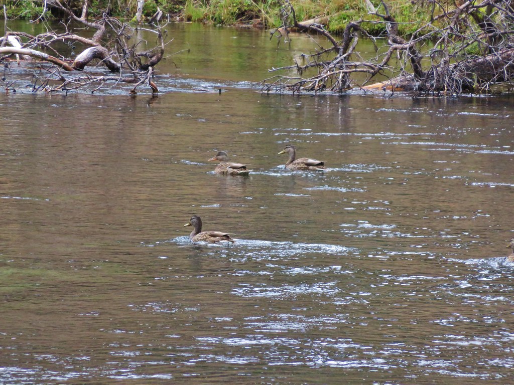
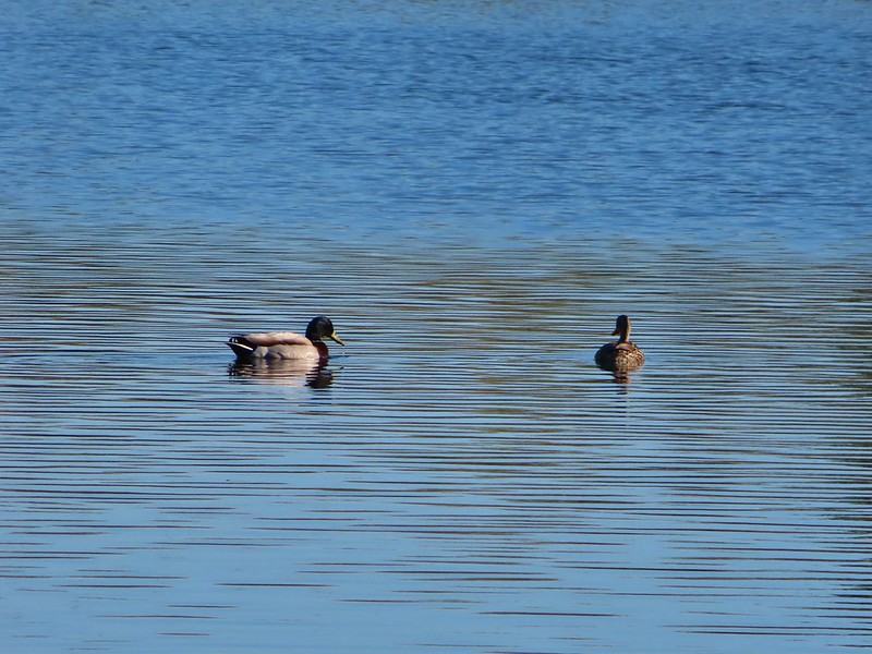 Mallard pair
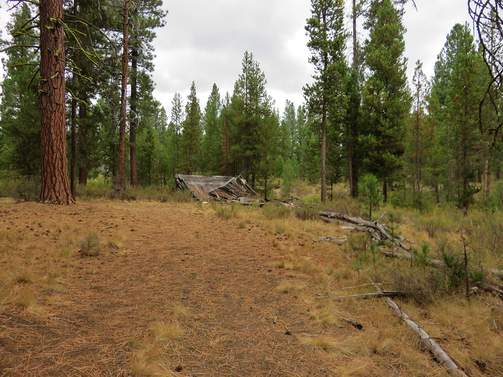
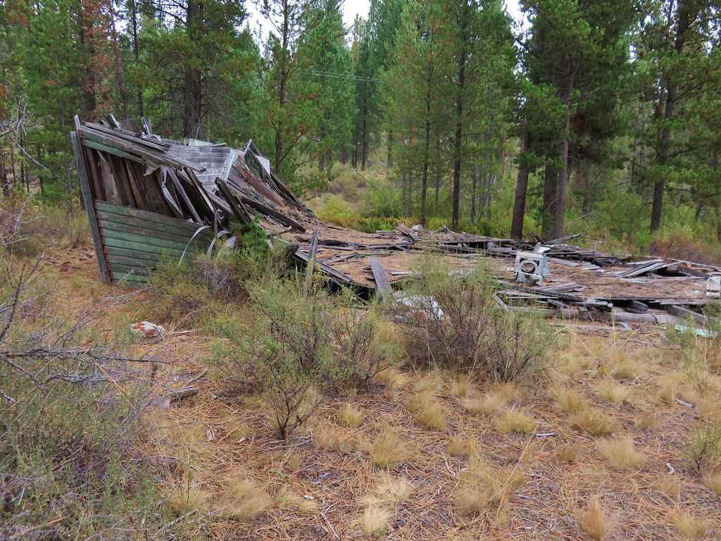
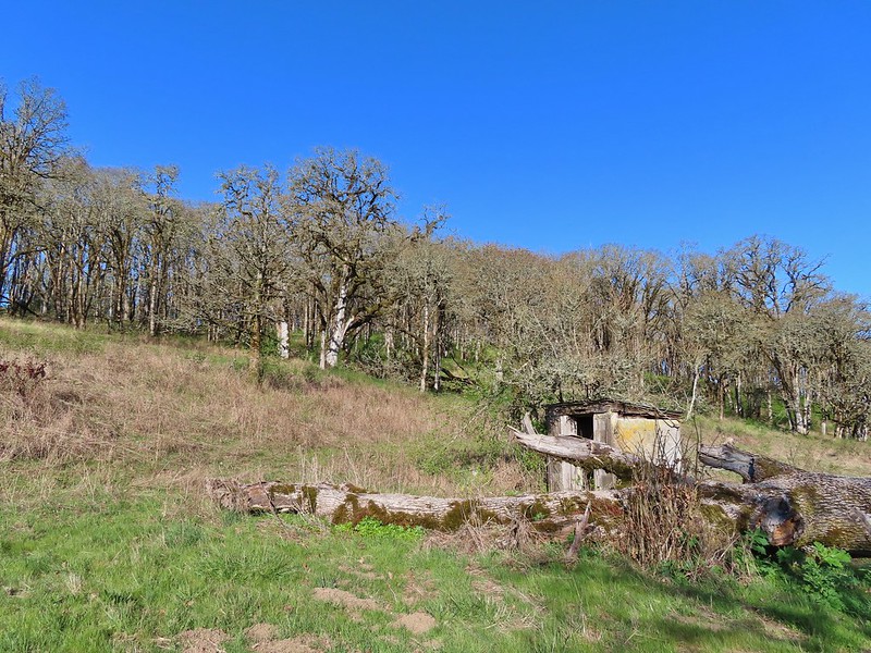 Old out building below Baskett Butte.
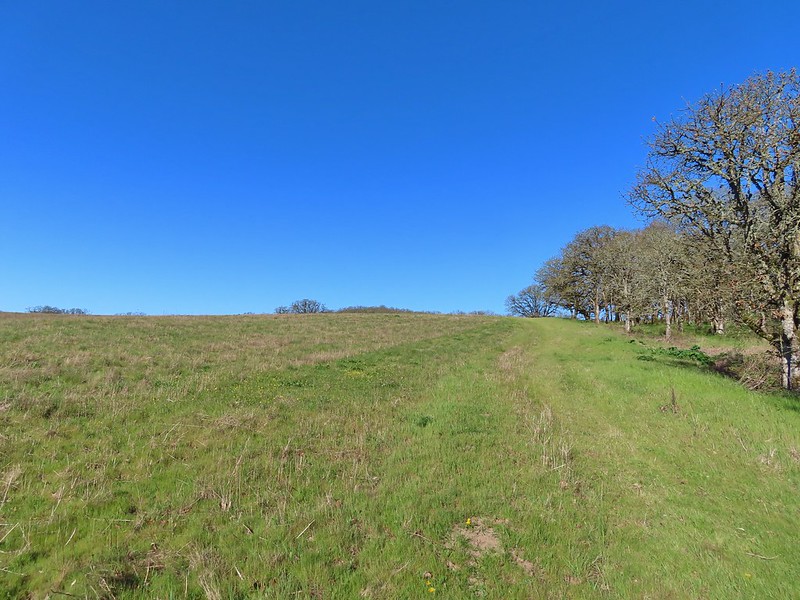 Not only was this uphill but we didn’t know for sure where it might lead.
 Along the field we went.

 Looking uphill along the row of brush.
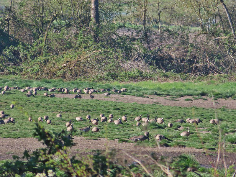 An extremely small portion of the geese.
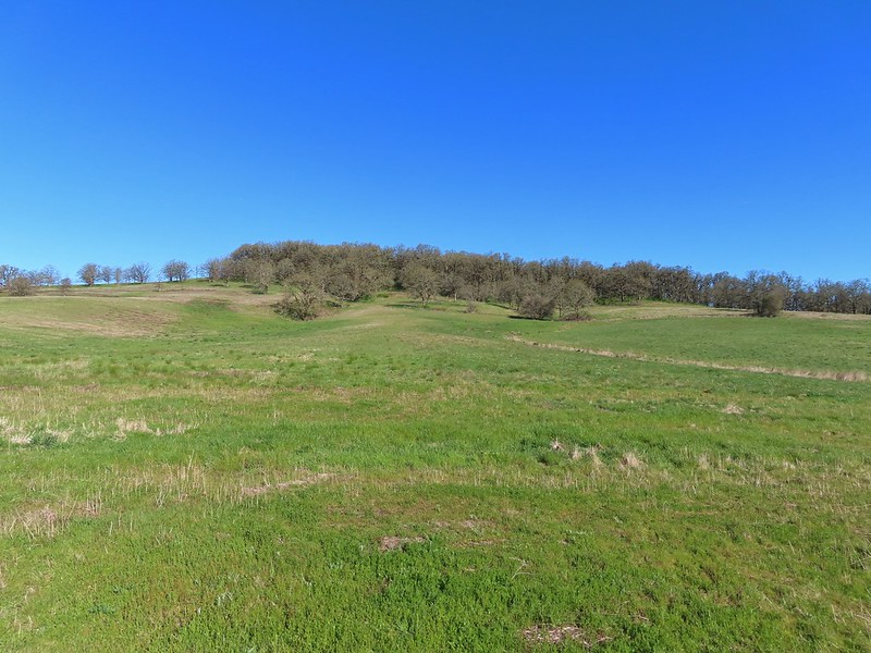 Baskett Butte from the field.


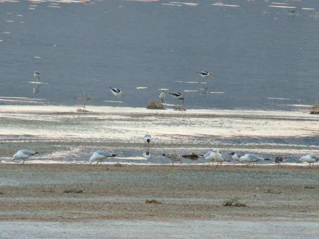 Gulls and avocets
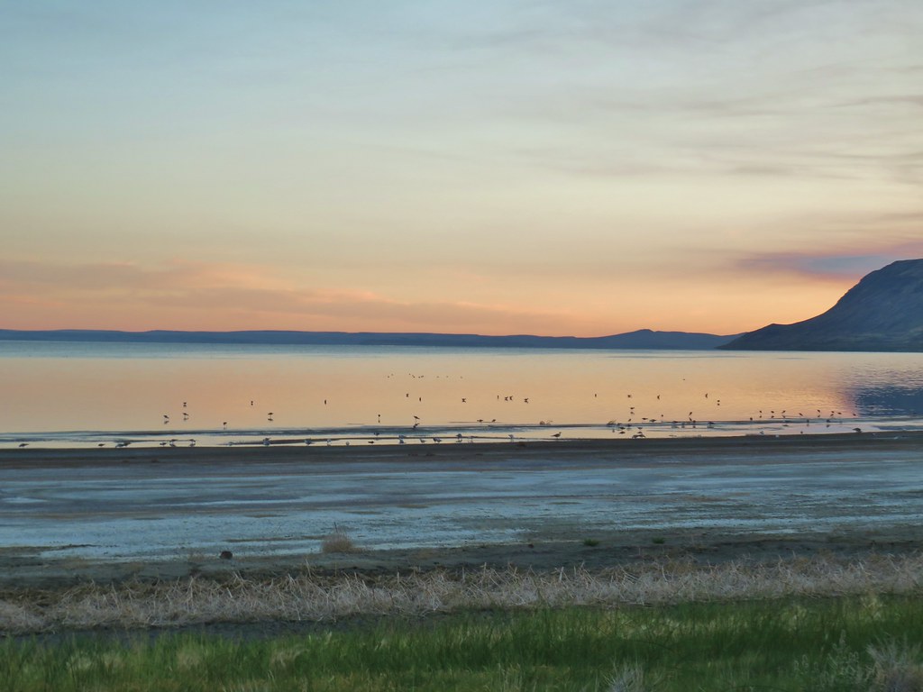
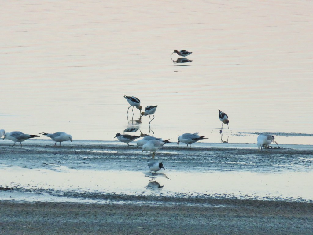
 American avocets


 A white faced ibis and some ducks.

 Swallow rave
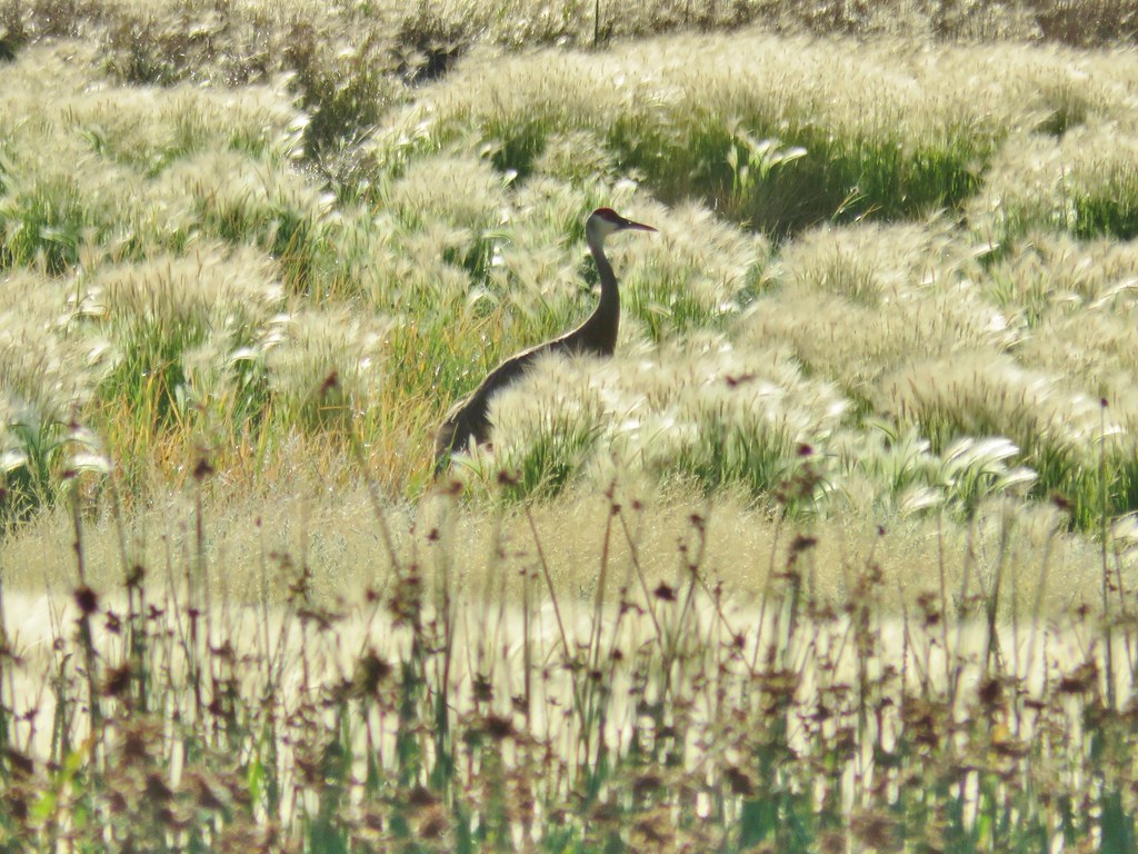 Sandhill crane
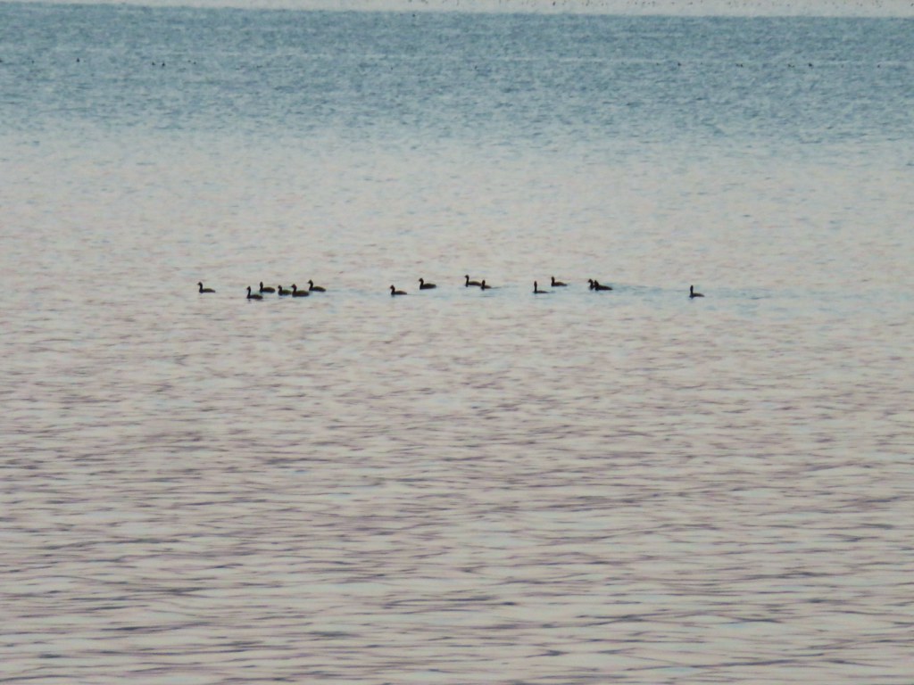
 Look more ducks!
 White faced ibis coming in for a landing.
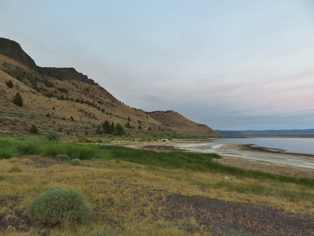
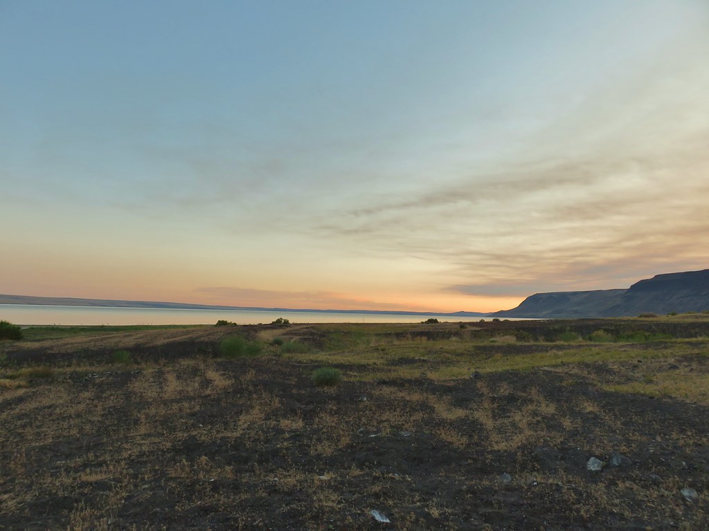
 Looking out over Summer Lake
 White faced ibis
 Black-neck stilt
 Killdeer
 Great blue heron in flight.


 Green-winged teal
 Wood duck
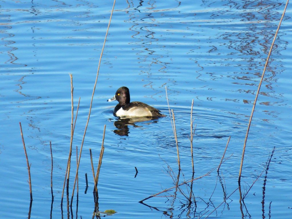 Ring necked duck?
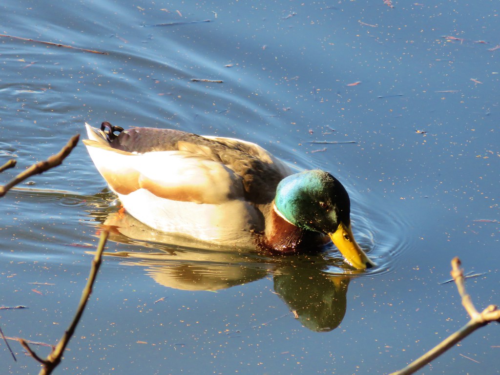 Mallard
 Not sure what kind of duck is in the upper left hand corner.