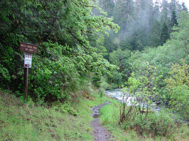
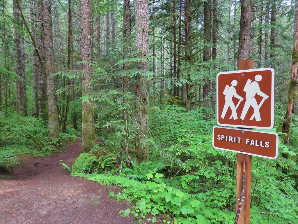
After spending the night in Roseburg (post), we were finally headed to the Cow Creek Trail. There wasn’t much recent information online regarding trail conditions. The trail is an additional hike in the back of William L. Sullivan’s “100 Hikes/Travel Guide Southern Oregon”. It also doesn’t help that the Forest Service websites have been undergoing an update and trail information is basically non-existent at this point. VanMarmot’s Travels has the best write up on the trail, but his visit was back in 2018. There were a couple of brief write ups from 2023 & 2024 from outings that didn’t provide details, nor did they appear to have hiked the entire 6-mile trail.
Located about an hour SE of Roseburg, the Cow Creek Trailhead is not identified on Google Maps but there is a pit toilet and room for a number of cars.


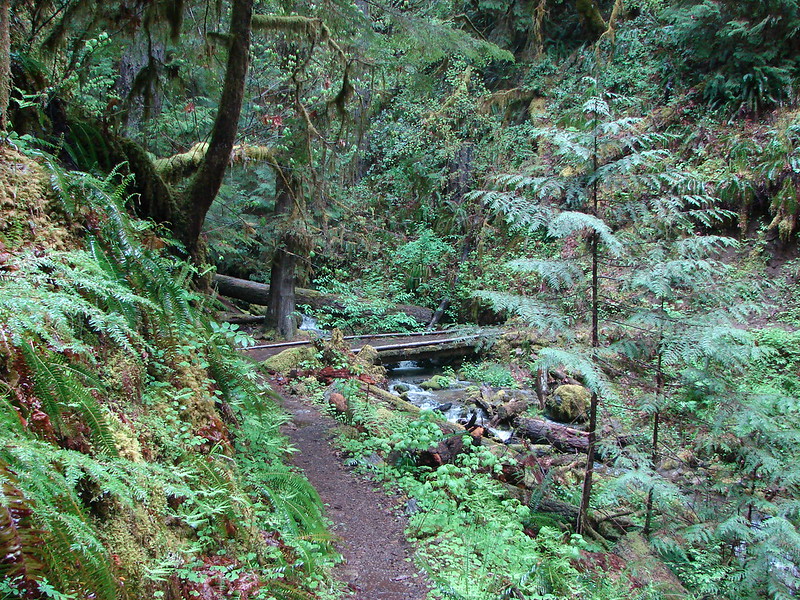
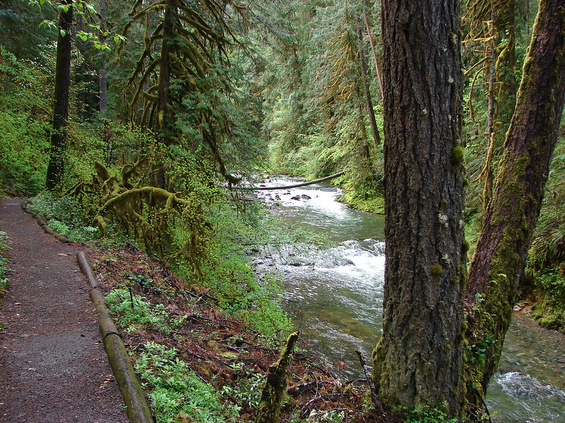
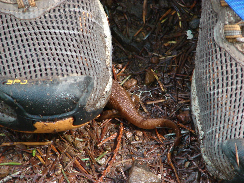
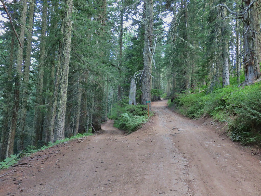
The trail begins next to the East Fork Cow Creek next to a small memorial plaque.


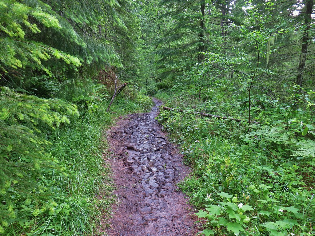
The trail was pretty overgrown which was fine except for the fact that the previous day’s rain was still sitting on the leaves which quickly soaked us.

The trail climbed a bit and swung around a ridge leaving the East Fork Cow Creek drainage and entering the South Fork Cow Creek drainage.


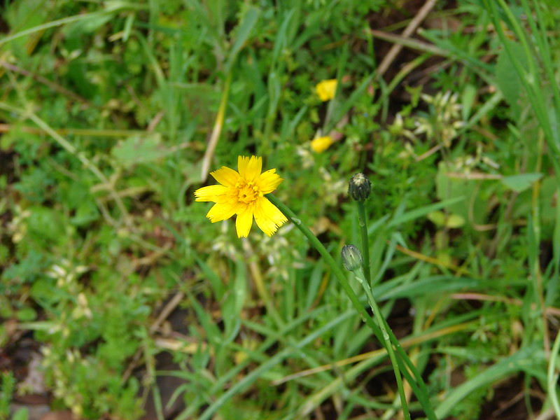
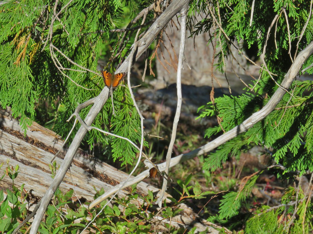
Madia along the trail.

Madrone along the trail.
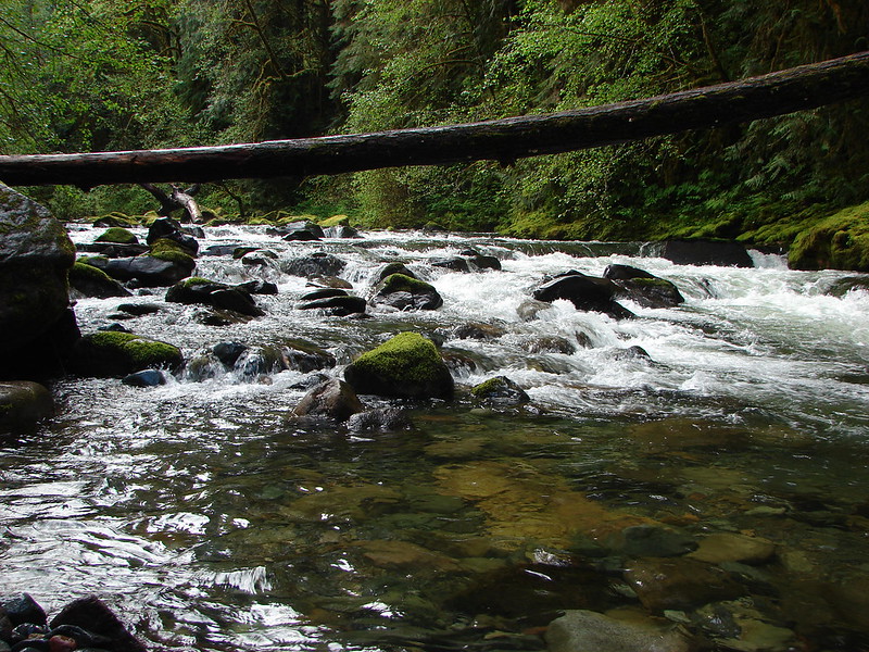
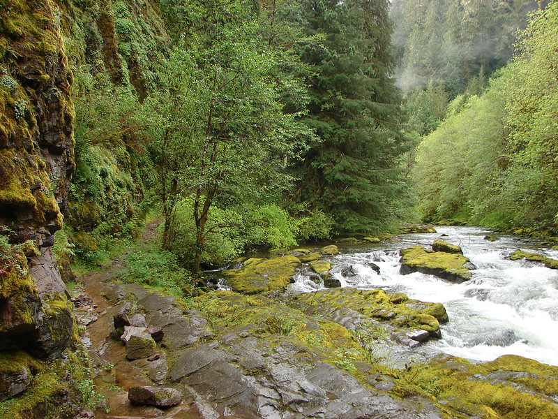
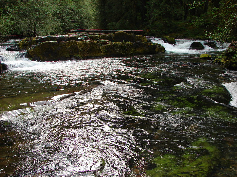
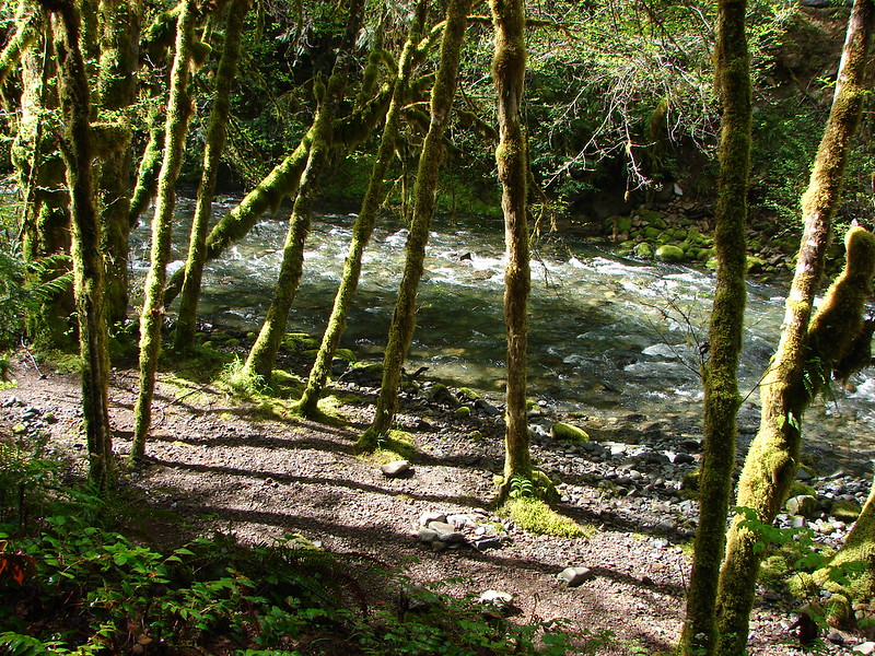
The trail then descended to the first of several bridgeless crossings of the South Fork Cow Creek.


We had brought our water shoes for the fords which we changed into even though our feet were damp from the wet vegetation anyway.

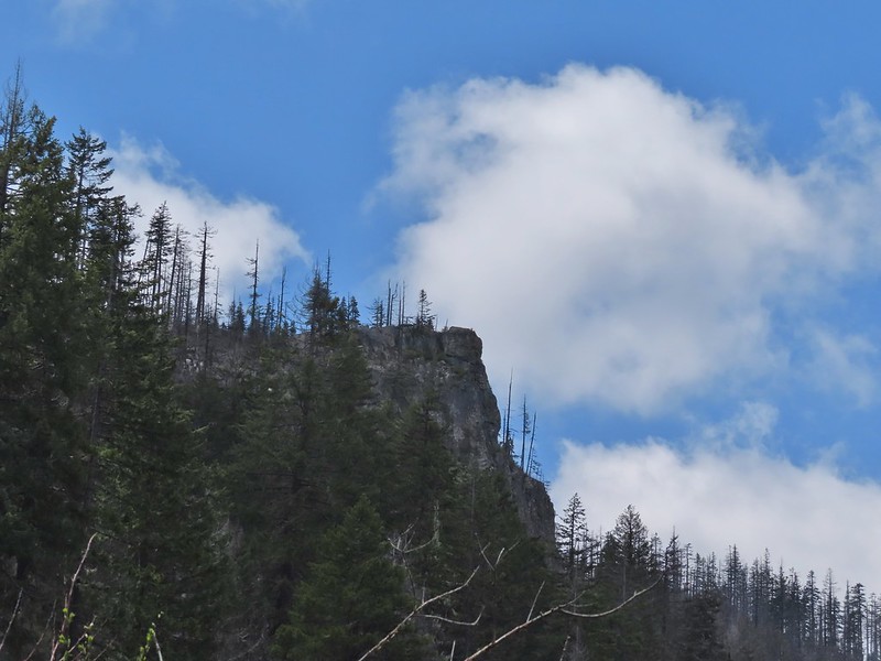
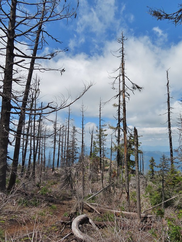
Shortly after crossing the creek we entered the 2021 Wildcat Fire scar which burned almost down to the creek.


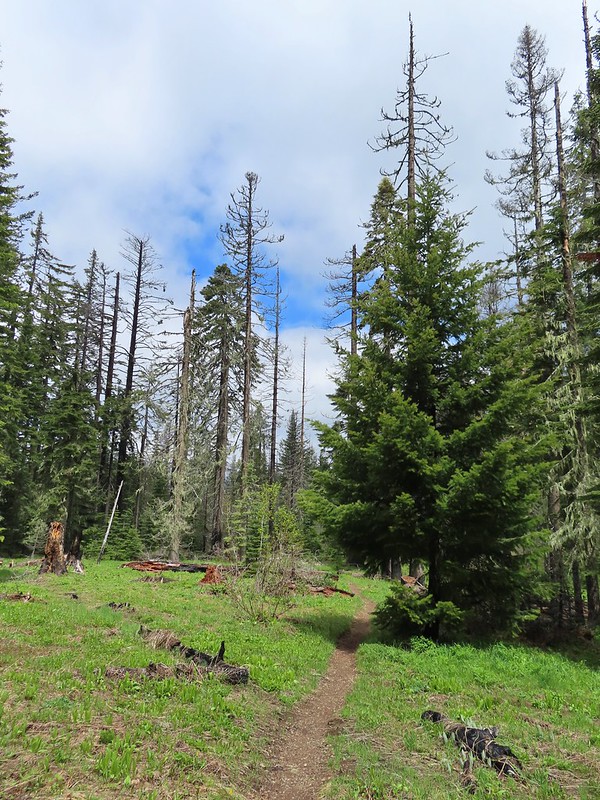
Another overgrown section of the trail.


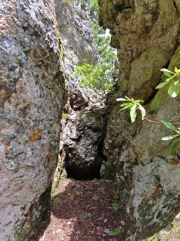
The first tricky obstacle we had to get through.


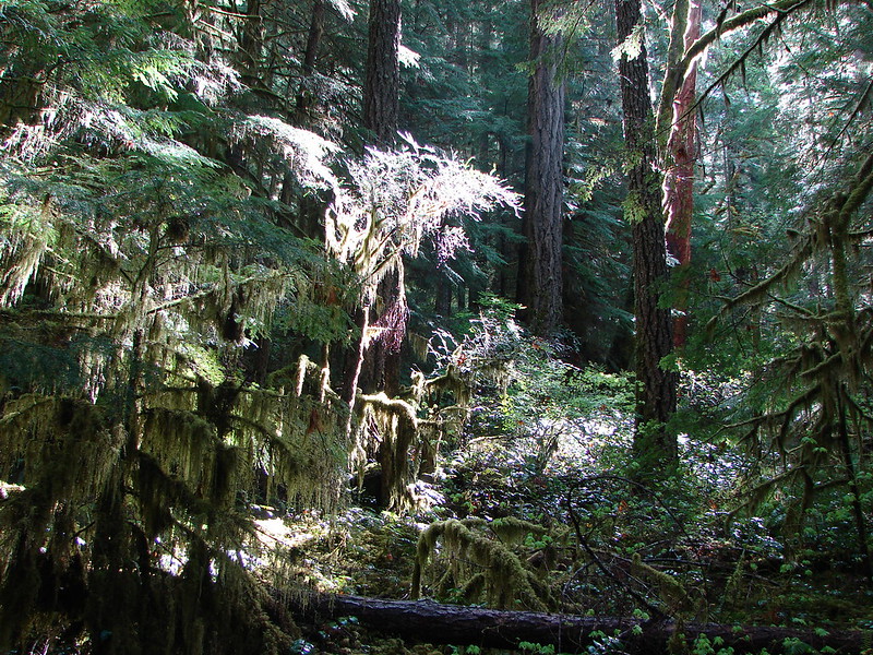
There were some big trees along the trail.
About a mile from the trailhead we came to the second ford of the creek. At this point we’d left the fire scar behind.

The trail is straight ahead on the far side.
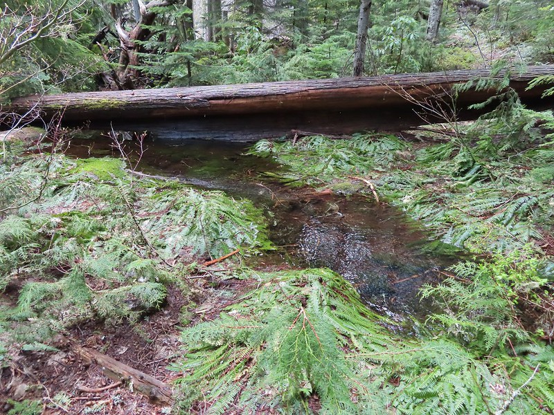
We came to the third ford less than a quarter mile from the second.


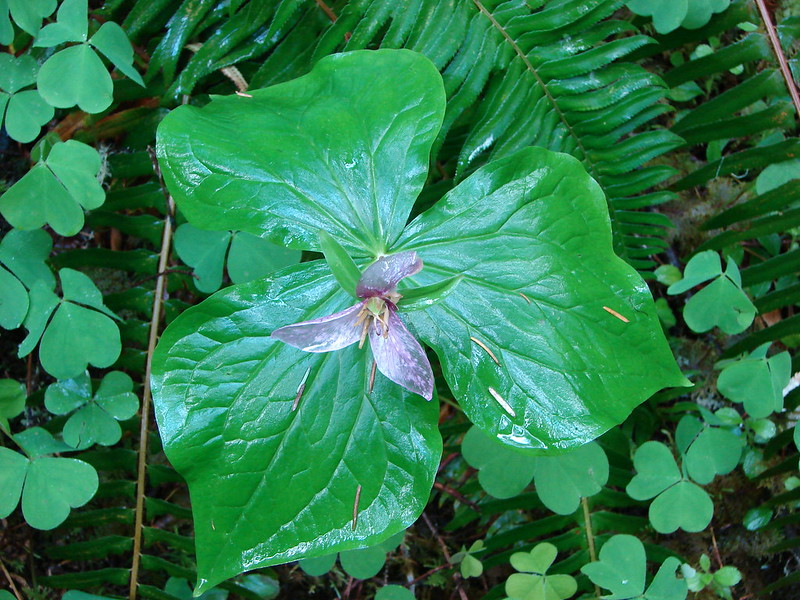
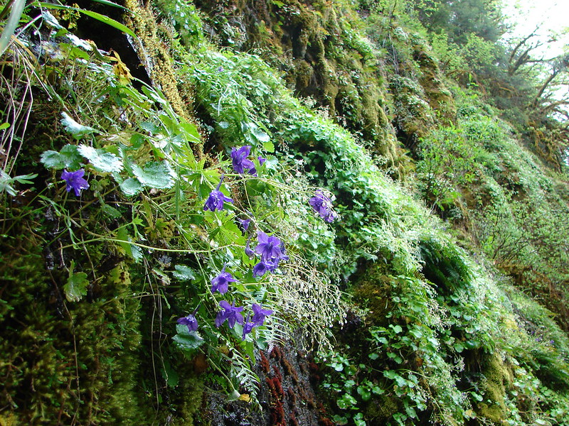
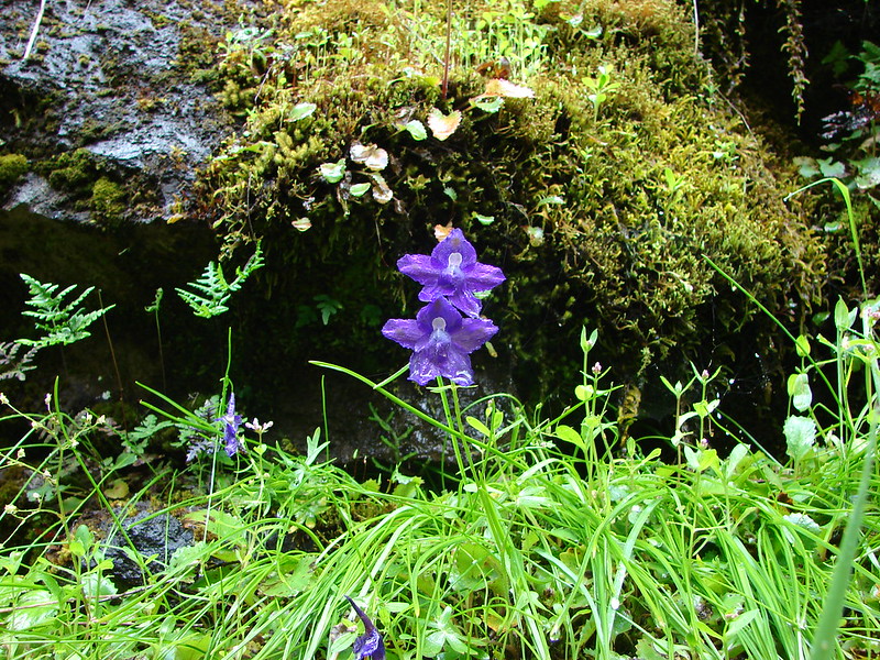
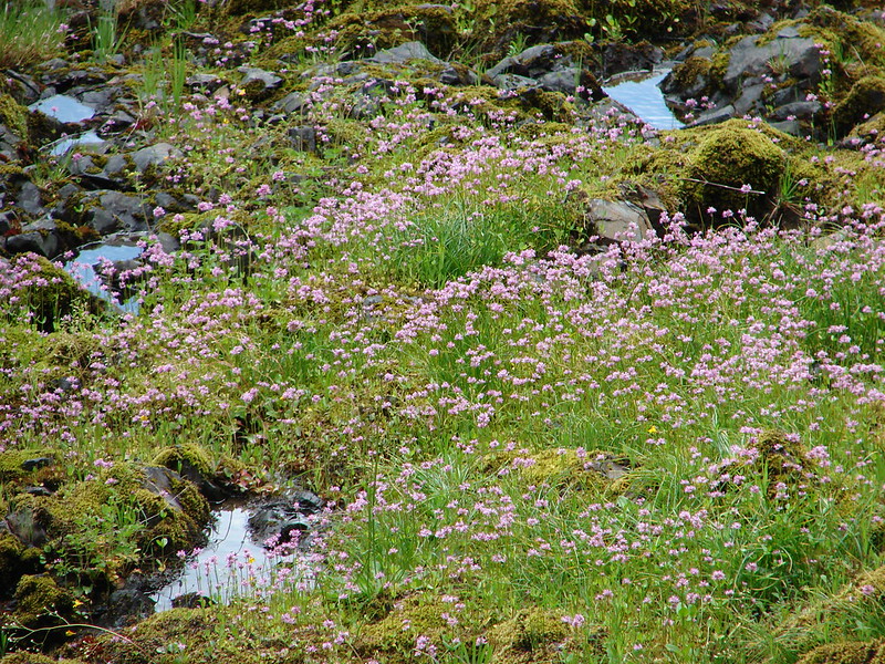
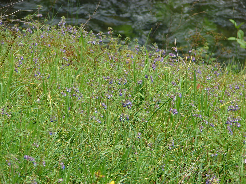
Wildflowers in the trail.
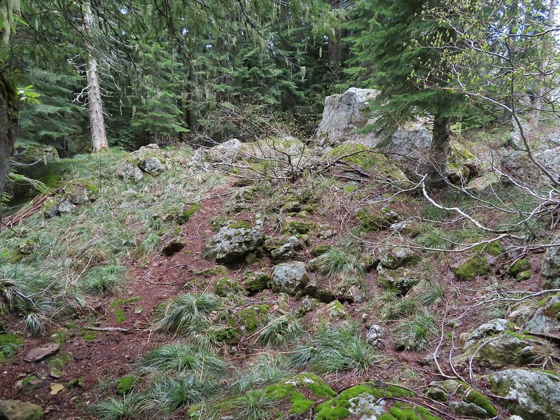
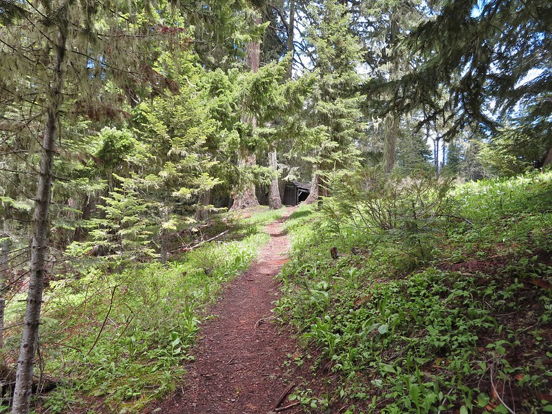
The trail became even more overgrown beyond the third crossing.


Columbine and blowdown along the trail.


Twinflower

The trail here was completely covered by salal.

Rhododendron above the trail.


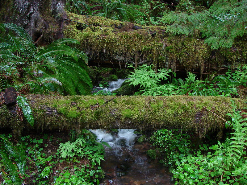
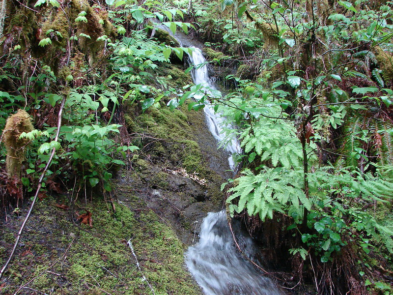
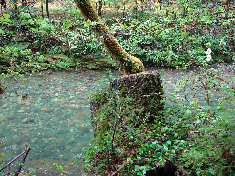
Pond along the trail.
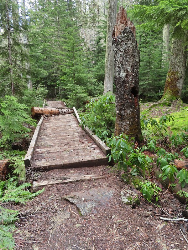
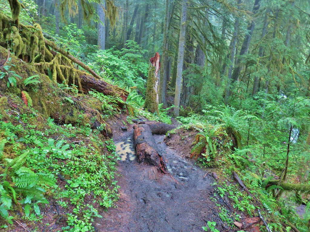
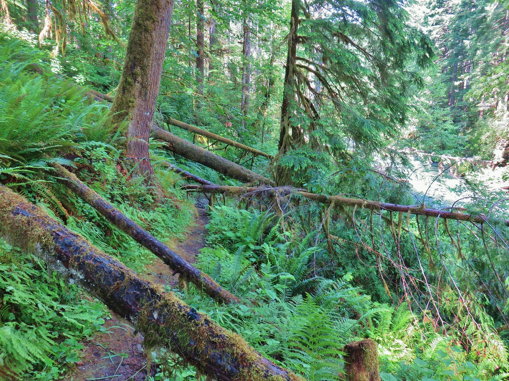
The trail had climbed above the creek which helped with the amount of brush along the trail, but it presented new challenges with downed trees.


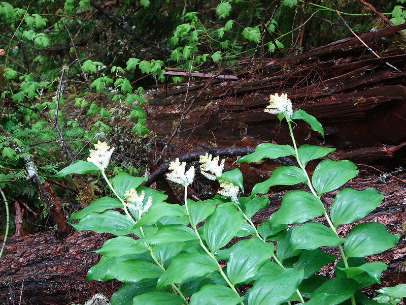
Wintergreen

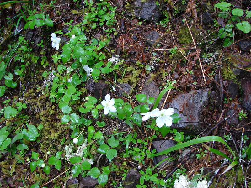
Anemones

This section of downed trees required crawling under a few and over others.

I had gotten ahead of Heather and at approximately the 2.75-mile mark I came to a pair of large, downed trees that had caused a small slide on the far side of them. These could not be ducked under and in order to get over them I had to go between the two by bracing my left foot on the upper tree and then hoisting myself over the large lower tree.

I paused on the far side assessing the trail ahead while realizing that Heather’s legs aren’t long enough to make it over this obstacle as I did. Going below the trees wasn’t an option due to their length and the steepness of the hillside, and going around above them would have led through the small slide which didn’t seem like a safe choice. Then I looked back and realized that getting back over these trees from the side I was on was going to be even harder than getting over had been due to the angle of the trees. While there were no other visible obstacles ahead along the small portion of trail I could see I knew I was still over 3-miles from the upper end at Railroad Gap with no idea what the conditions ahead were. I decided to call it and work on figuring out a way back over the trees.
I was barely able to get my leg high enough onto the tree to pull myself over using the bark of the tree for a grip (good thing it didn’t come off). A couple of minutes later I met up with Heather and let her know about the obstacle ahead and we headed back to the car. While it was a little disappointing to turn back we would at least be getting home earlier than we’d expected.
We skipped the water shoes on the way back since fording the creek couldn’t add any more water to our shoes/socks and just enjoyed the scenery along the trail.

Pink pyrola

Northern phlox

Snail

Another look at the first major obstacle.

Pinesap

Tiger lily

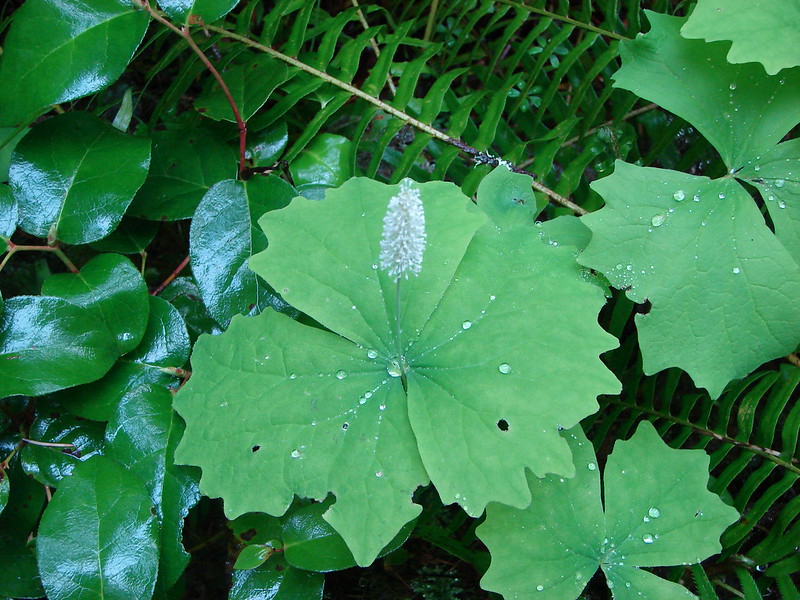
Coral root dressed as vanilla leaf.


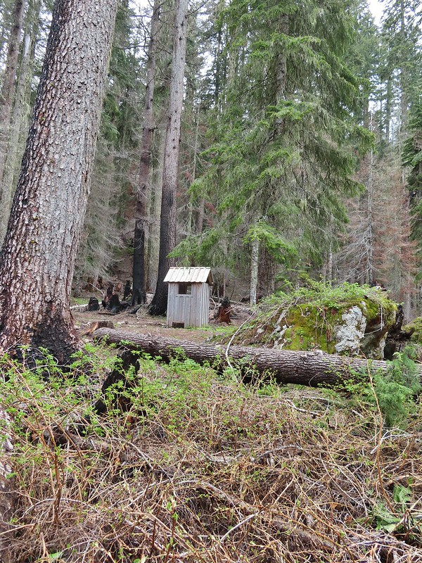
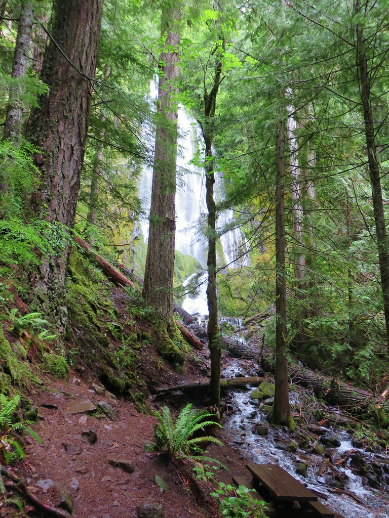
Since we had ended the hike early we decided to stop at the Cow Creek Falls Trail which we’d passed on the drive to this trailhead. Located across form the entrance to the Devil’s Flat Campground we parked near old Devil’s Flat Guard Station.

We followed a pointer for the Cow Creek Falls Trail to complete a 0.4-mile loop passing above Cow Creek Gorge.


Devil’s Flat Guard Station

Cow Creek Falls Trail


Tiger lilies
We came to an unsigned fork near a footbridge and correctly chose to turn left.

The right-hand fork just led back up to Cow Creek Road according to the GPS.

We had to keep an eye out for poison oak along this trail.

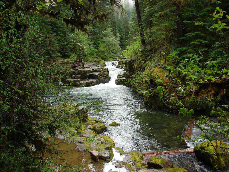
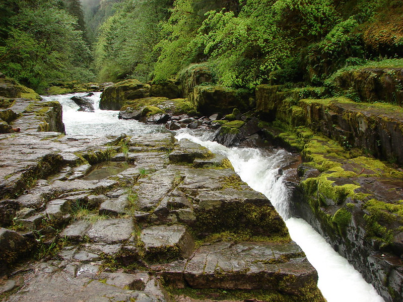
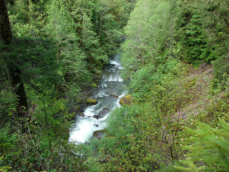
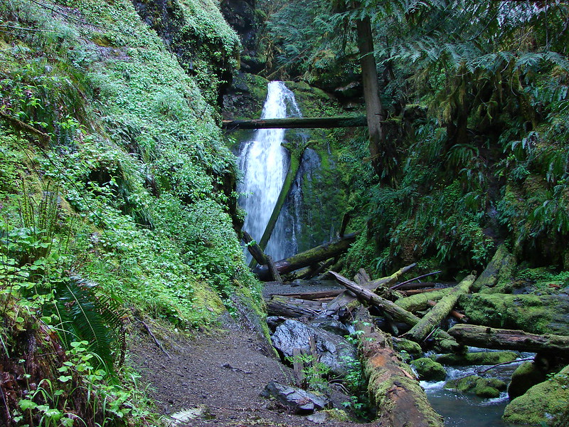
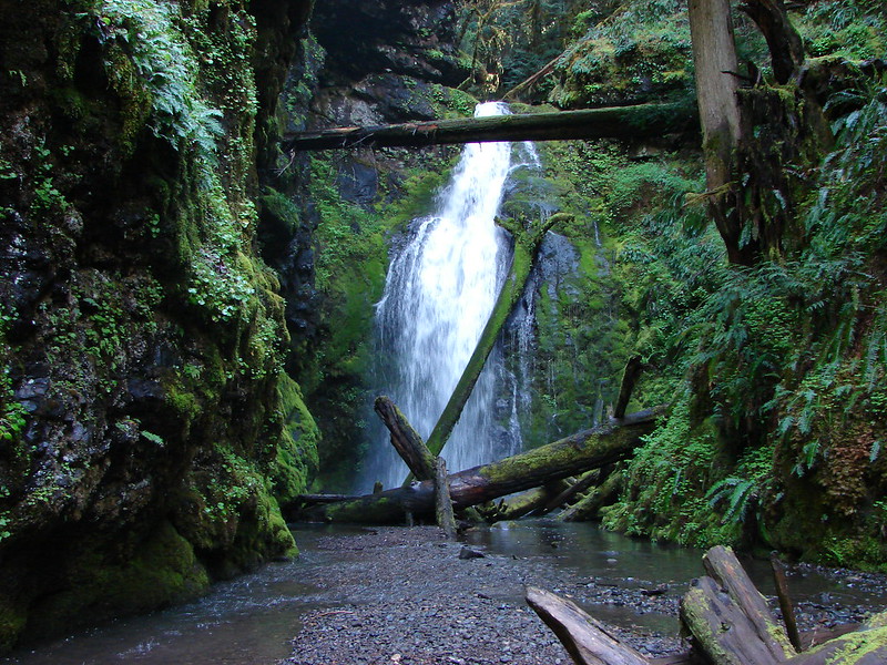
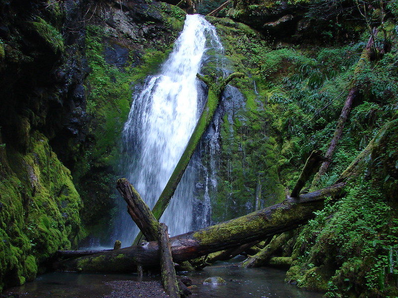
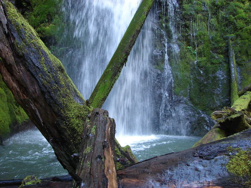
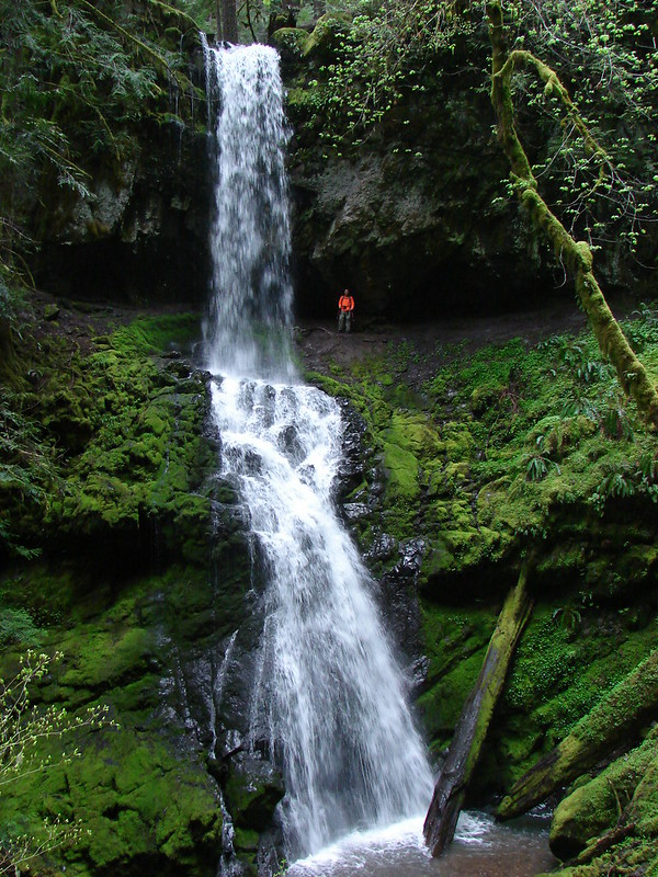
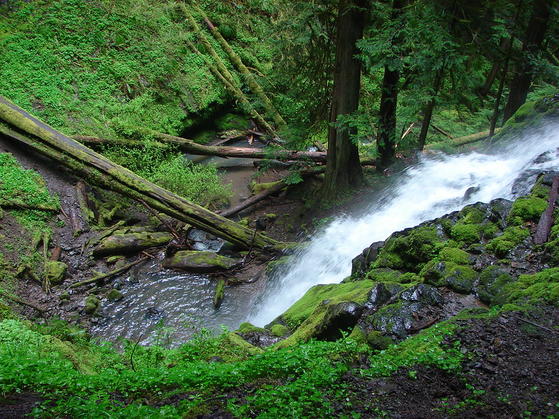
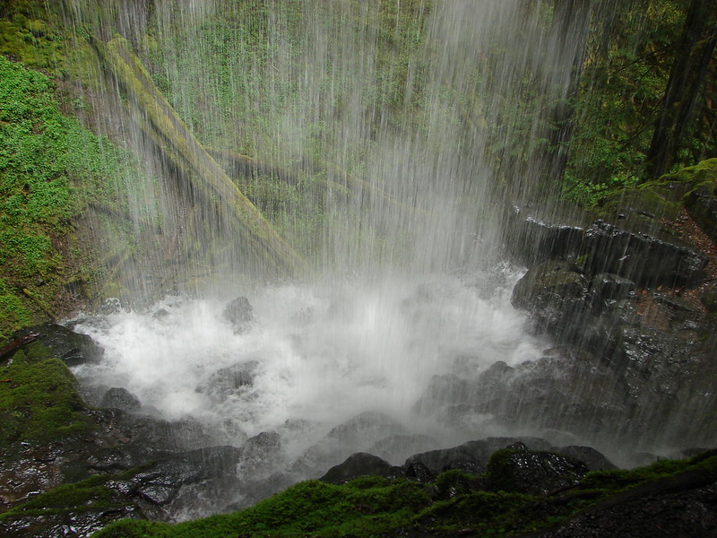
Cow Creek Gorge
 Cow Creek Gorge


Stable from the trail.
 Prince’s pine

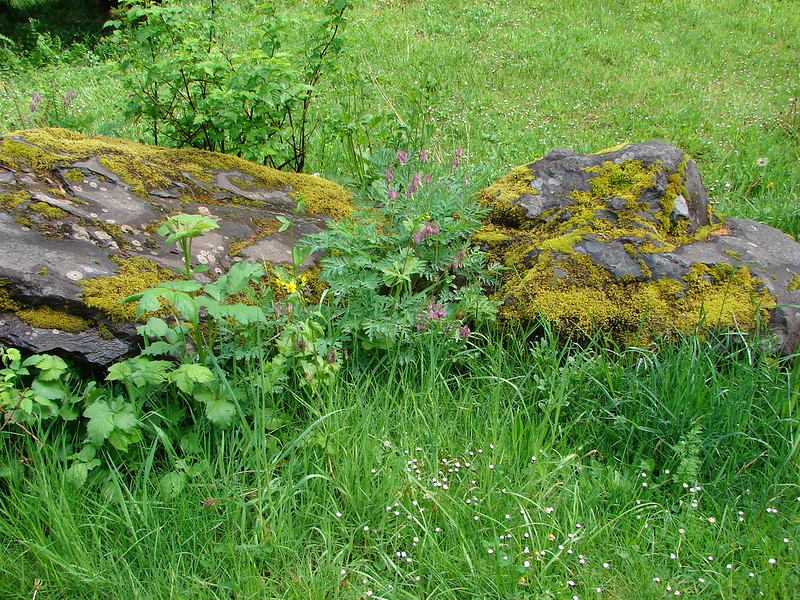
Stonecrop
The loop led back up the Devil’s Flat near the old stable.


From the stables we followed a road back to our car near the Guard Station.


My 5.5-mile track at Cow Creek and our hike at Cow Creek Gorge.
The Cow Creek Trail was beautiful so it’s unfortunate that we weren’t able to hike the whole thing, but we enjoyed the portion that we could. Maybe the trail will see some maintenance, but that is becoming harder and harder with budget cuts and now the current administrations staffing cuts. Combine that with the possibility of public lands being sold off and the outlook is a little bleak. Knowing that things don’t last forever is one of the reasons that we have been trying to visit as many different trails as possible while we can. The other thing we can do is let our representatives know how important it is to keep our recreational lands open to the public. Happy Trails!
Flickr: Cow Creek Trail and Gorge

 This trail would eventually end at the LoneWolf/Patterson Mountain Trail (
 The small trailhead along Highway 58.
 Wrong way dummy.
 The South Willamette Trail to the right.

 It was clear that mountain bikers use this trail regularly.


 I actually waited until I was on my way down to step off trail and look at the arch.
 Eula Ridge Trail sign at the Hardesty Trail junction.
 The lefthand fork leads to the viewless summit while the right is the Hardesty Cutoff Trail which bypasses the summit.
 Forest below the Hardesty Cutoff Trail.
 The Sawtooth Trail dropping to the right.
 I was not looking forward to climbing back up some of these sections later.
 Another saddle.
 A view through the trees.
 I passed the Hardesty Way Trail 1.5-miles from the Hardesty Cutoff Trail.
 Mount June from the hillside.
 Wallflower
 Junction with the Lost Creek Trail.
 The pointer for Eagles Rest (
 I called this section “rhododendron ridge”.
 The Mt. June Trail coming up from the right.


 If you look closely, you can see the tops of the Three Sisters poking up over the smoke in the distance. The open hillside in the foreground is the meadow below Sawtooth Rock and the hump just behind is Hardesty Mountain.
 Heading down from the summit.
 Climbing the hillside below Sawtooth Rock.
 Sawtooth Rock
 There was just a little smoke now and then in the forest.
 The Eula Ridge Trail coming into view.
 There wasn’t much in the way of Fall colors along the trail, but these leaves really stood out.
 Lookout Point Lake (Middle Fork Willamette River) from the trail.
 There was one more small uphill on the far side of South Creek before dropping to the trailhead.
 South Creek


 We parked in a pullout just before this section.
 The Boulder Creek Wilderness (
 FR 104
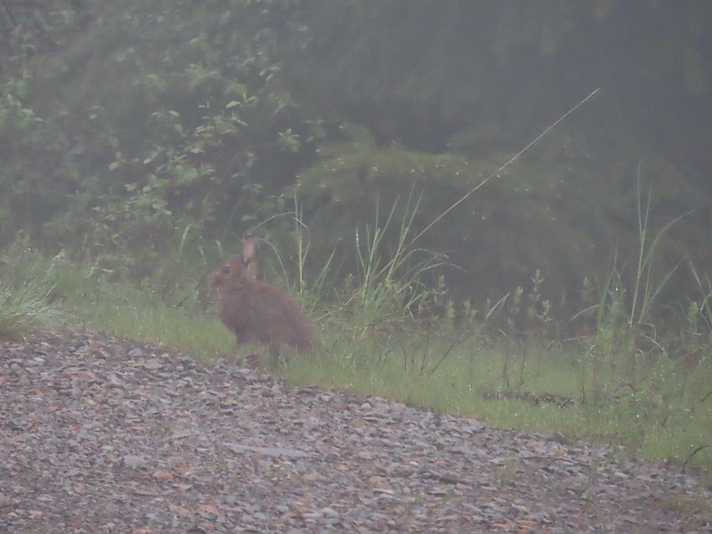 Rabbit on FR 100
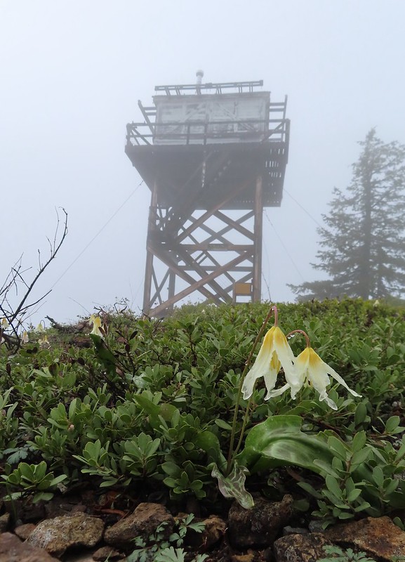
 Lots of fawn lilies along the road and trails.
 Red flowering currant
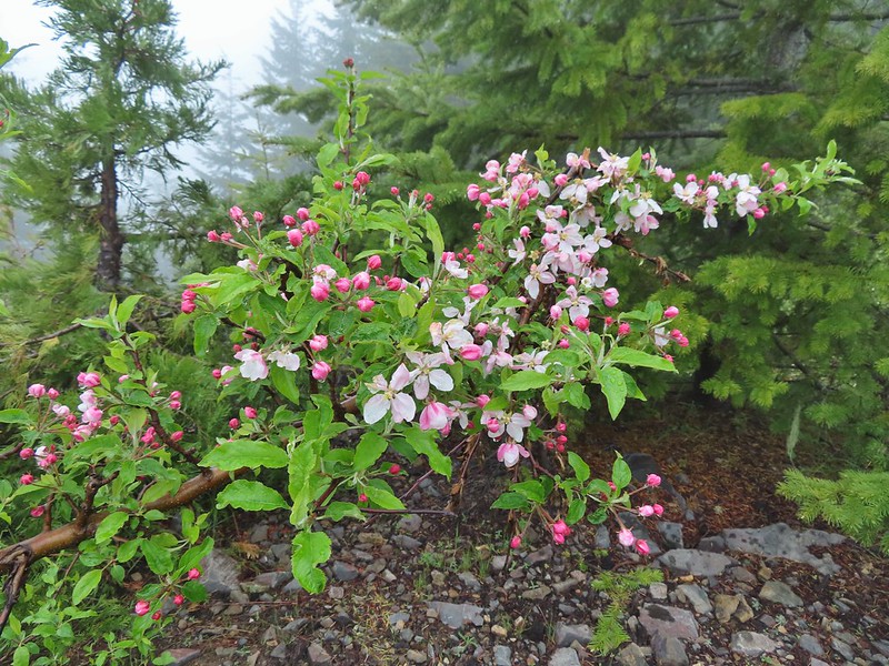 Is this an apple tree? Whatever it is it seemed very out of place.
 FR 105 on the left and FR 100 on the right.


 A cairn on the left.
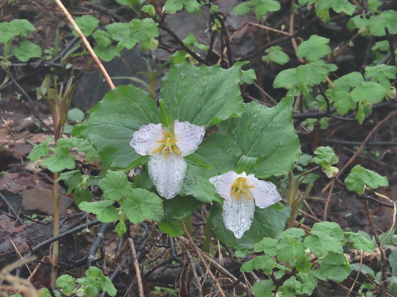 Damp trillium
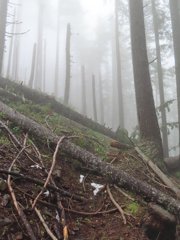
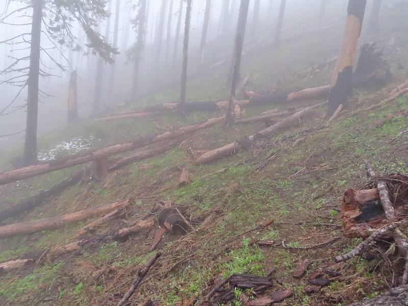 Downed trees across the trail near Illahee Spring.
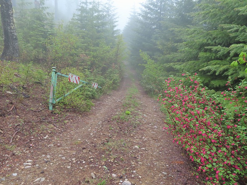
 Gooseberry
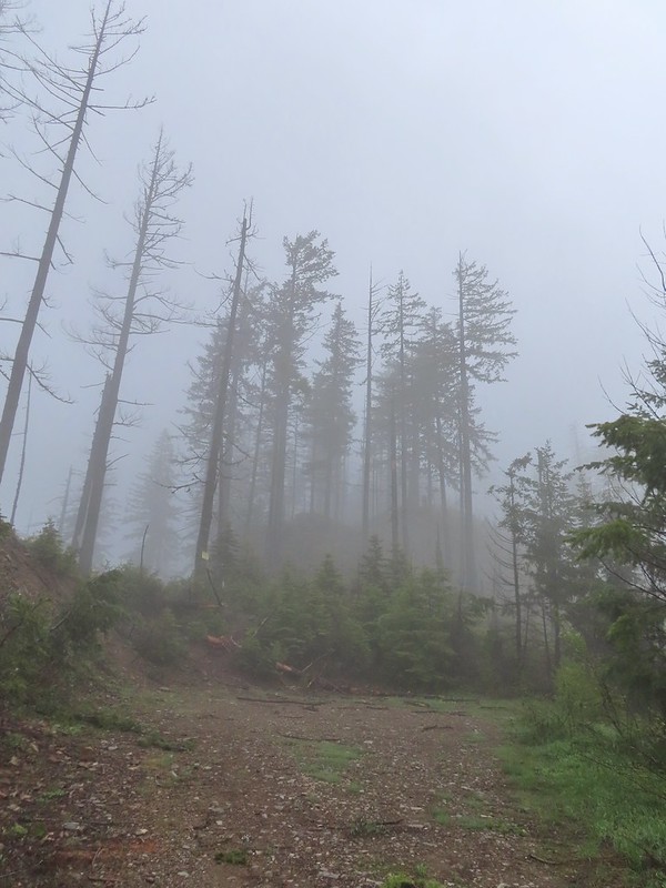

 The tread was a little faint but otherwise in good shape.
 Lots of cool rock outcrops along the trail.
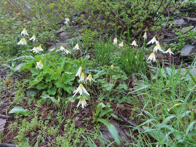 Fawn lilies
 Typical trail condition.
 Ragwort and blue-eyed Mary covered hillside.
 Blue-eyed Mary
 Ragwort
 Rocky hillside below the lookouts.
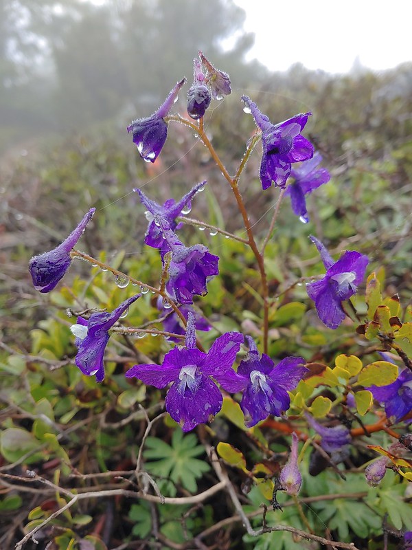 Larkspur
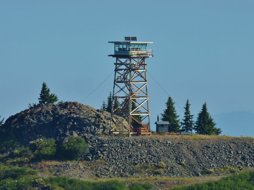
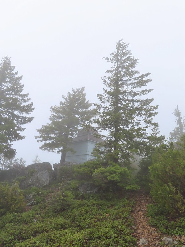 1925 Cupola style lookout.
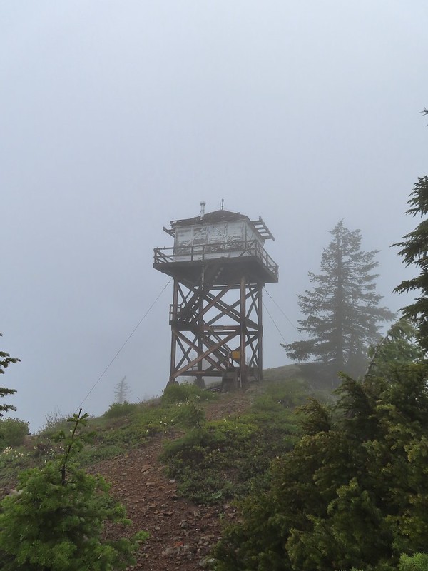 1956 L-4 tower lookout
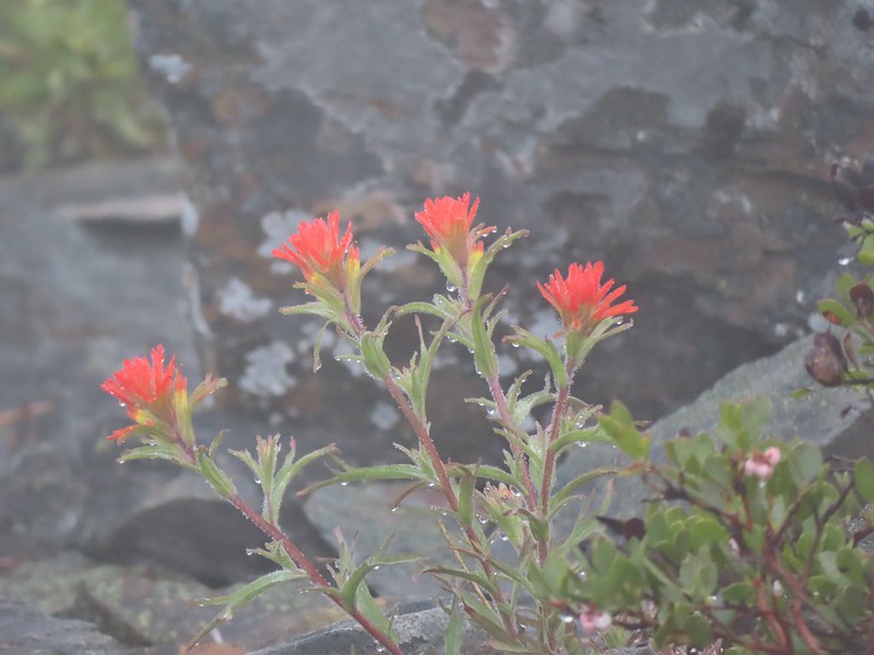 Paintbrush
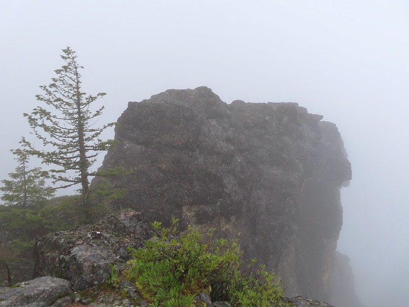 Illahee Rock
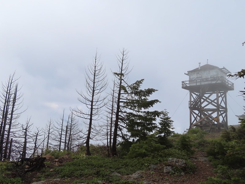 A sliver of hope for blue sky at some point.


 Back at the trailhead.
 On FR 100
 Wallflower
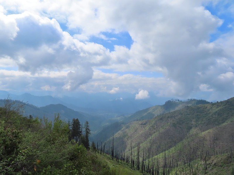 The Boulder Creek Wilderness

 Meadow along the trail.
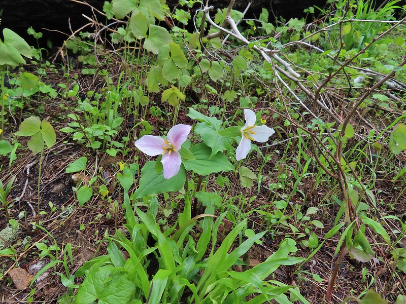 Trillum
 Becoming sunny in action. From this viewpoint Diamond Peak, Mt. Thielsen, and Mt. Bailey are visible sans clouds.
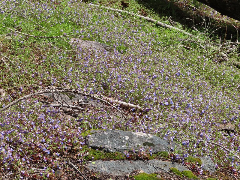 A carpet of blue-eyed Mary at the viewpoint.
 Illahee Rock was visible from the viewpoint despite the clouds.
 The lookout tower on Illahee Rock.
 Indian plum
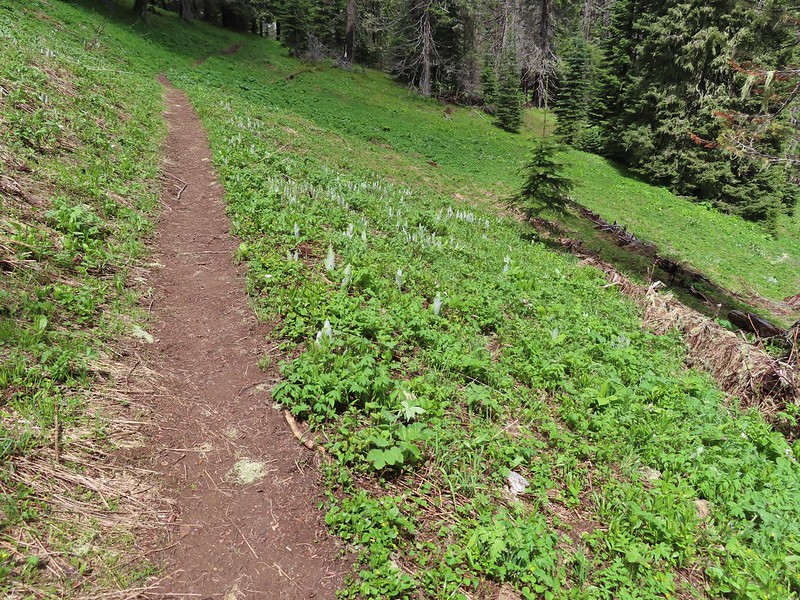 Hellbore starting to sprout in a meadow.
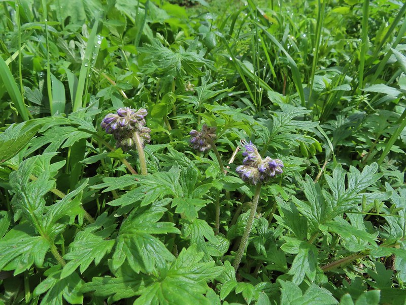 Waterleaf
 Nearing the junction.
 Woodpecker
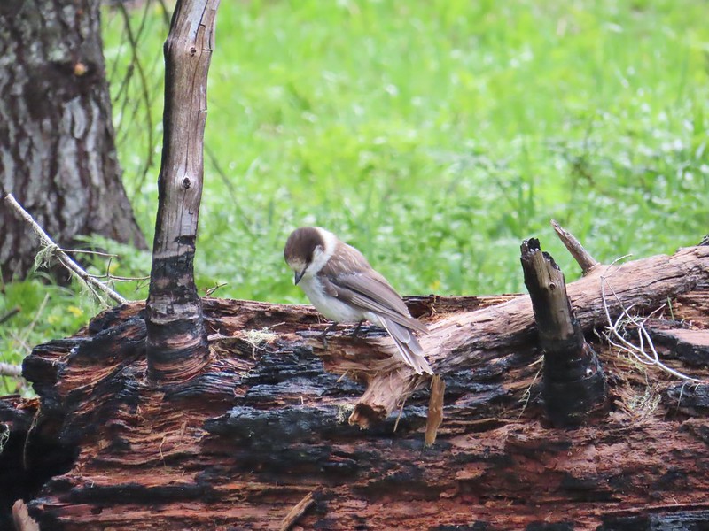 Gray jay
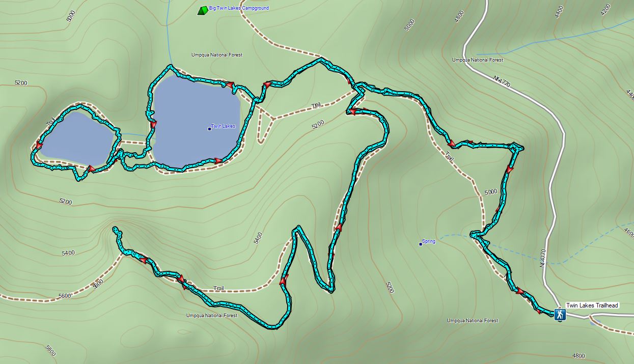
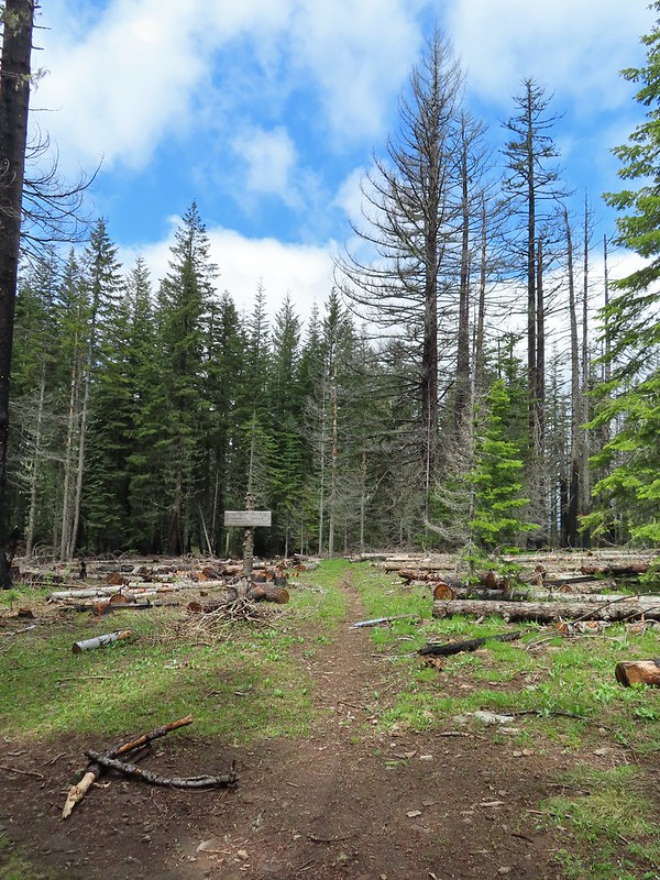 The second junction where we turned left.
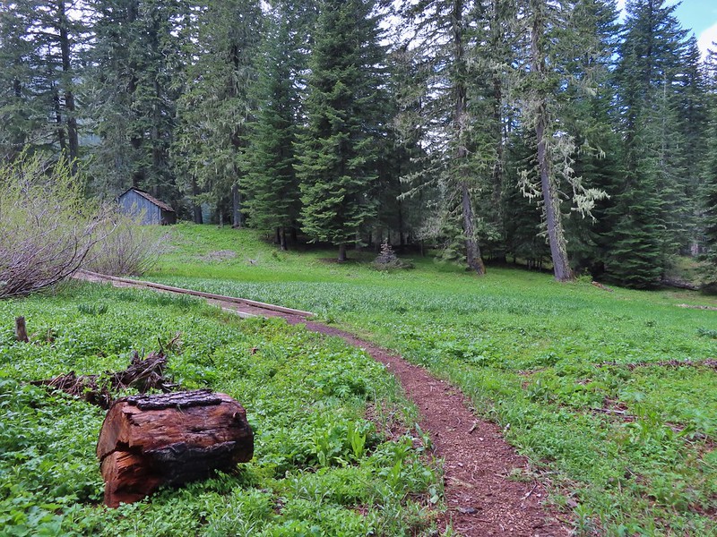


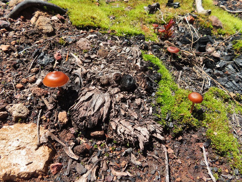
 Mushroom near the shelter.


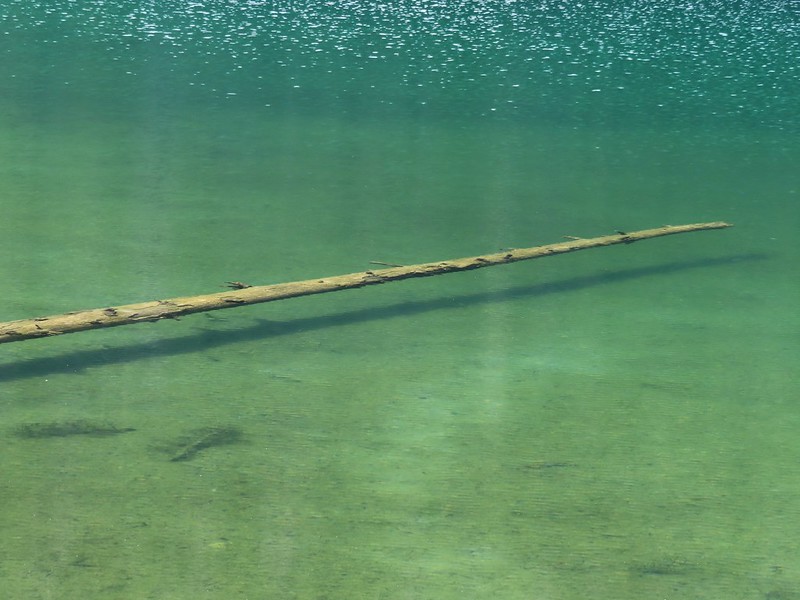 No fish but it was easy to see them when they were present.
 This big rock added to the scenery.
 We couldn’t decide if that was an old bridge or dock in the water.
 Passing behind the big rock.
 The rock turned out to be split.
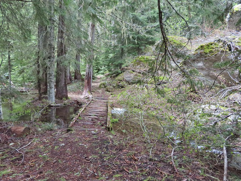
 There was a lot of water in the section between the two lakes. Fortunately there didn’t seem to be any mosquitos which was really surprising but in a good way.
 This looked like it could be a trail.
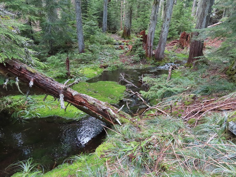 How were there not any mosquitos in here.
 A local wondering what we were up to.
 The outlet creek.
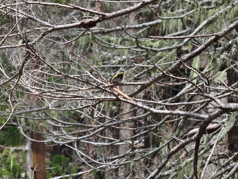 Yellow-rumped warbler
 Red-breasted sapsucker
 Stellar’s jay


 This cracked us up, someone just nailed the planks into the tree that broke the bridge.
 A small sign at the junction.

 Another meadow along the 1.1 mile section.
 The 2017 fire hit this section pretty hard.
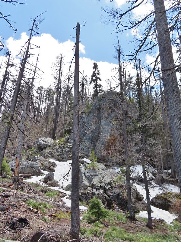

 The larger lake.
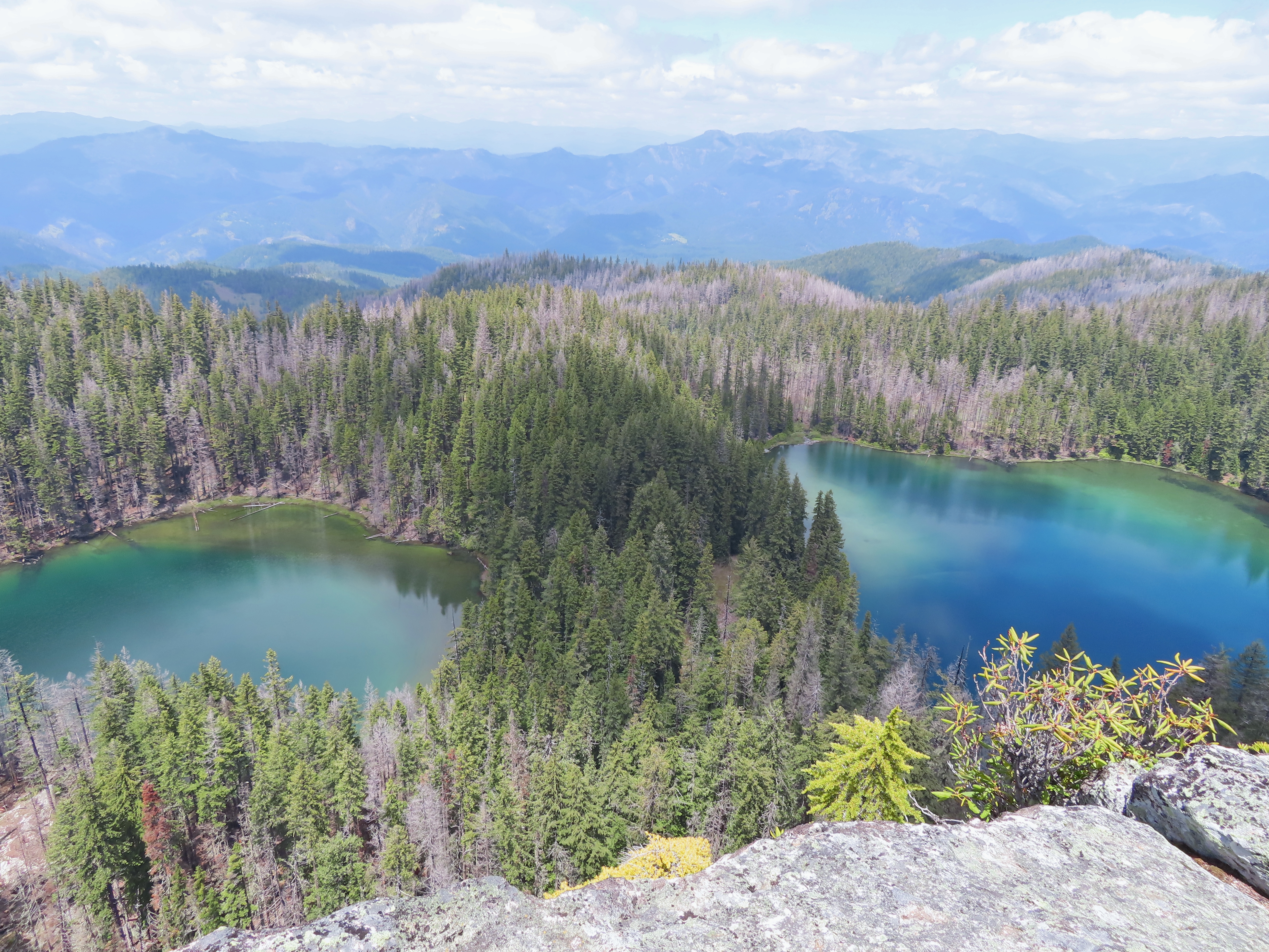
 The smaller lake.
 Illahee Rock from the viewpoint.
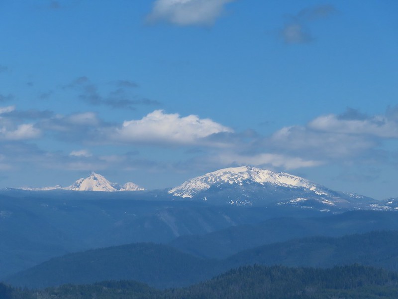
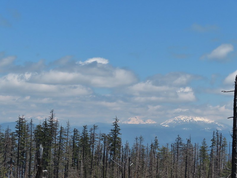 The lower flanks of Howlock Mountain, Mt. Thielsen (
 Bee on an anemone.
 Glacier lily
 Moth and a violet.
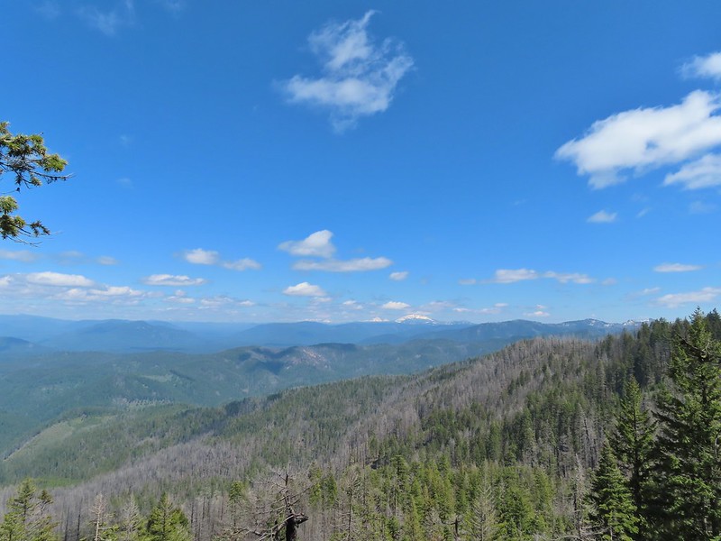
 Mt. Thielsen and Mt. Bailey
 Black Rock on the right.
 Highrock Mountain
 Howlock Mountain
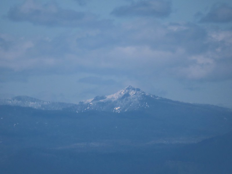 Cowhorn Mountain (
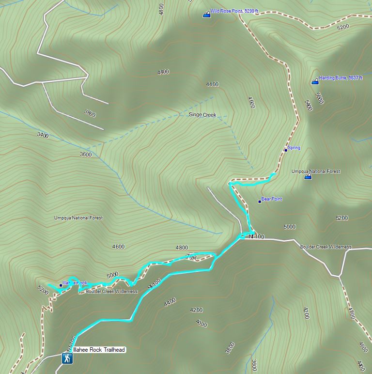

 Bohemia Mountain from the road.


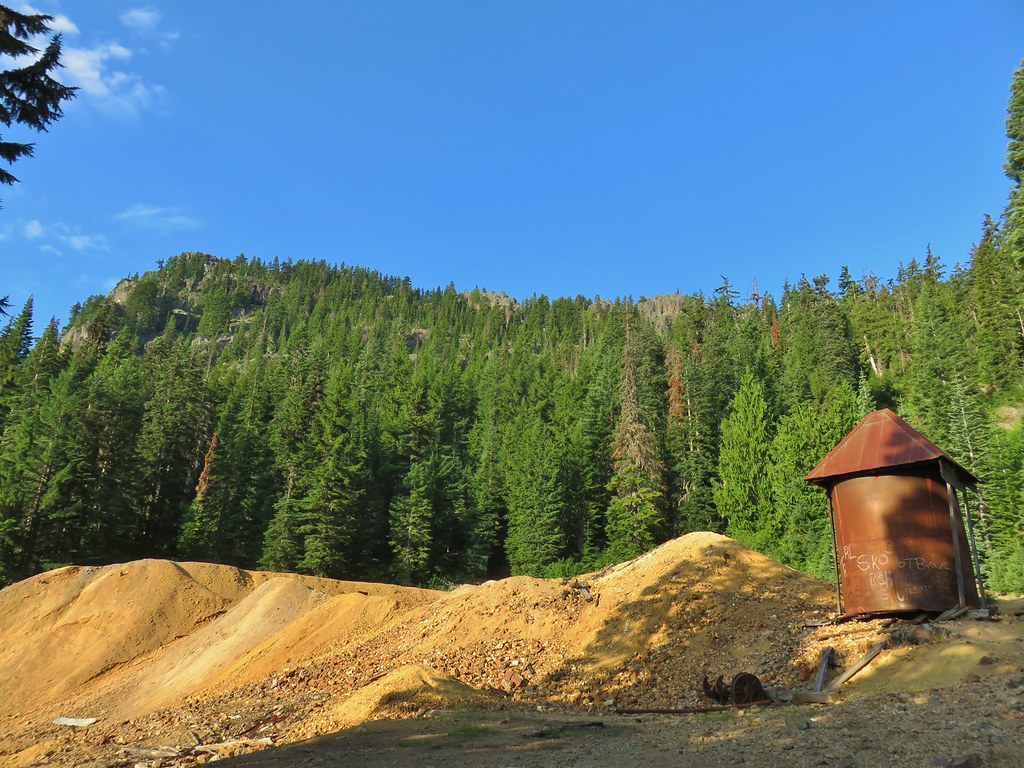 Old mining structure from the road near the post office.
 No miners were seen but I did spot a pika nearby.
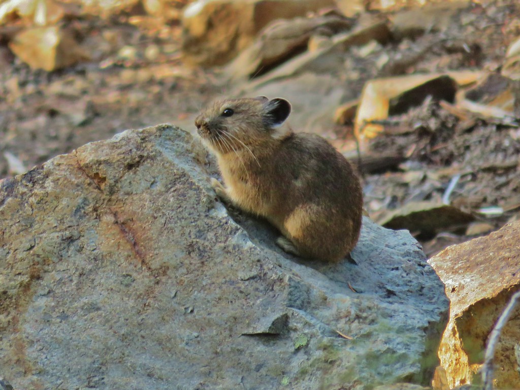
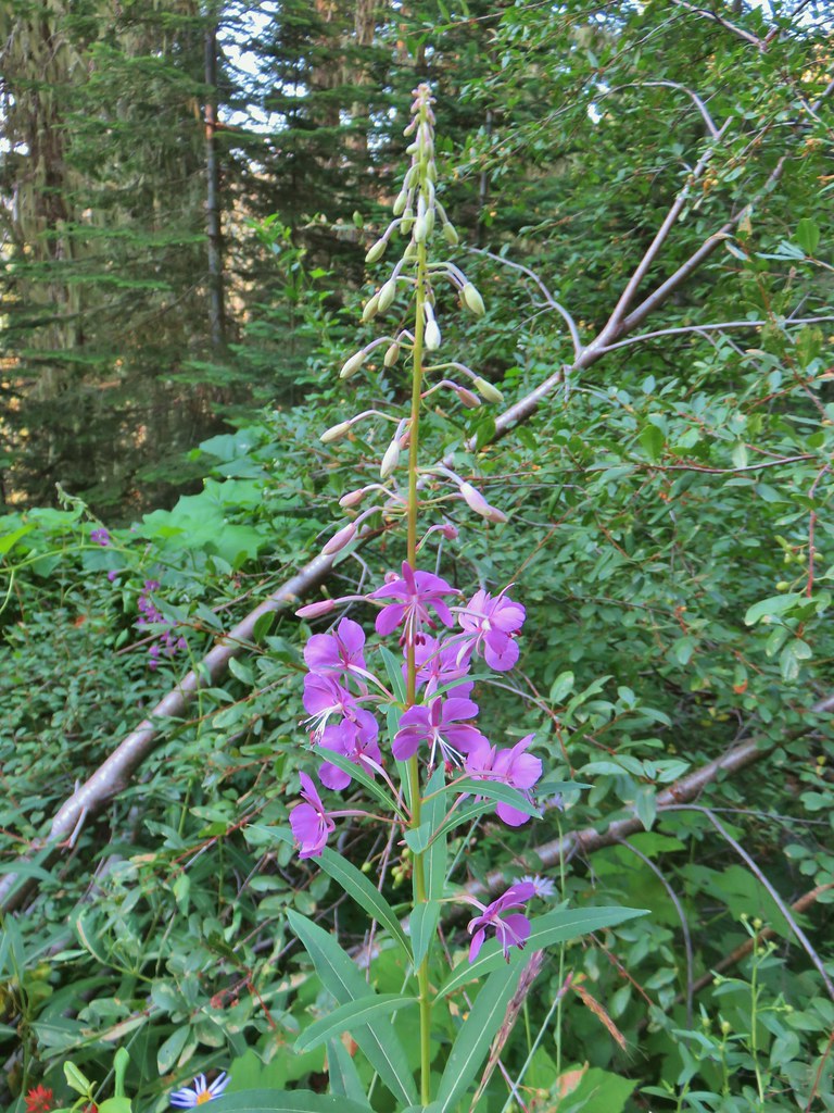 Fireweed
 Beardtongue
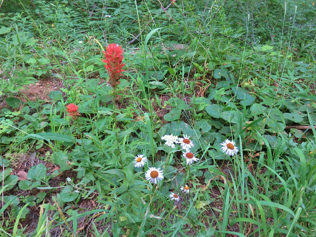 Paintbrush, pearly everlasting, and some type of fleabane
 Large boykinia
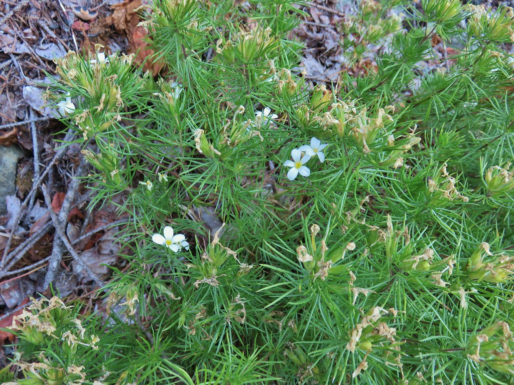
 Spreading dogbane
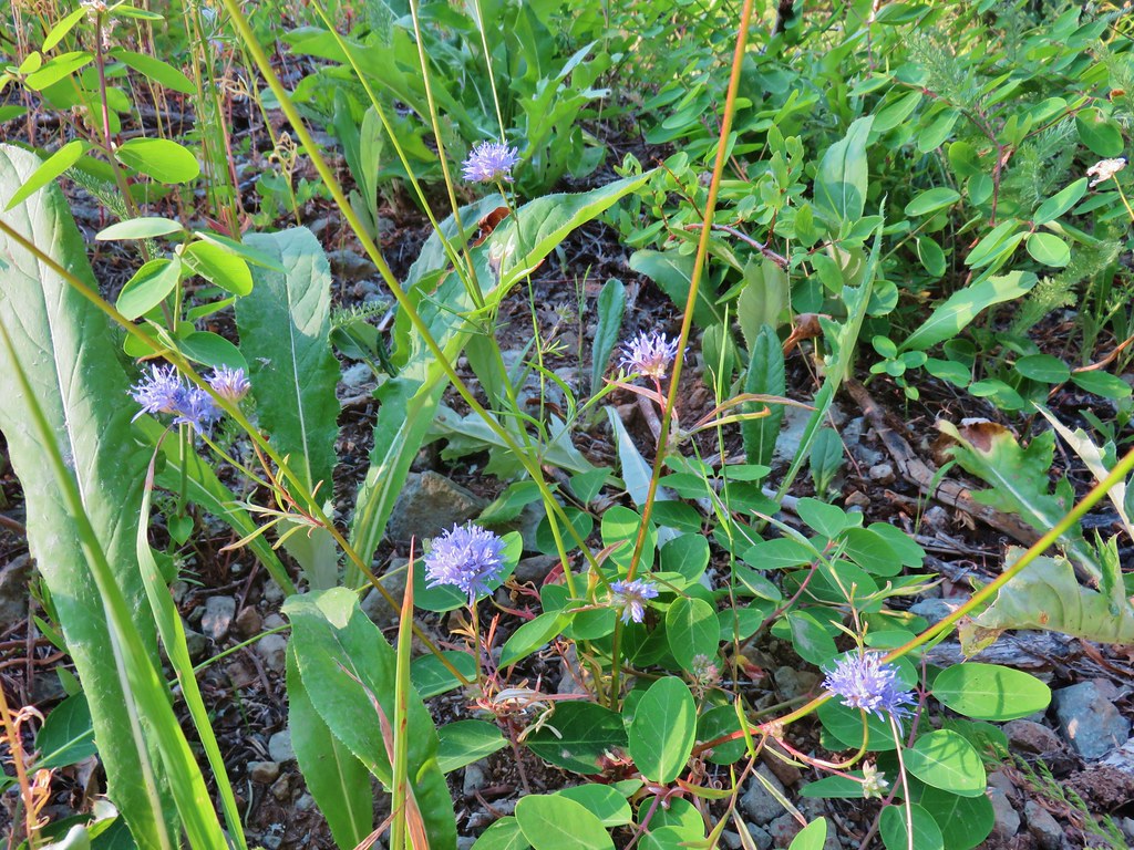 Blue head gilia
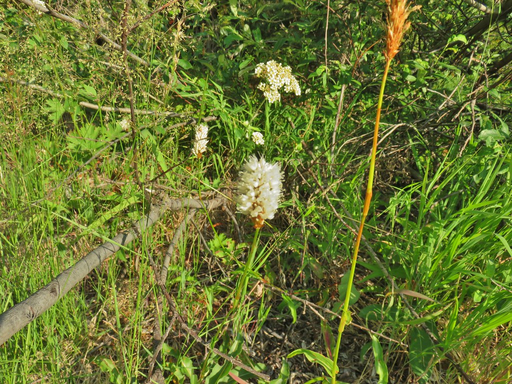 Bistort
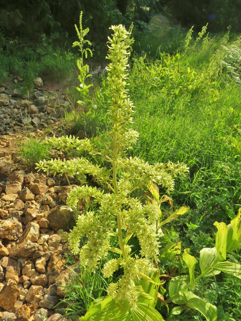 False hellebore
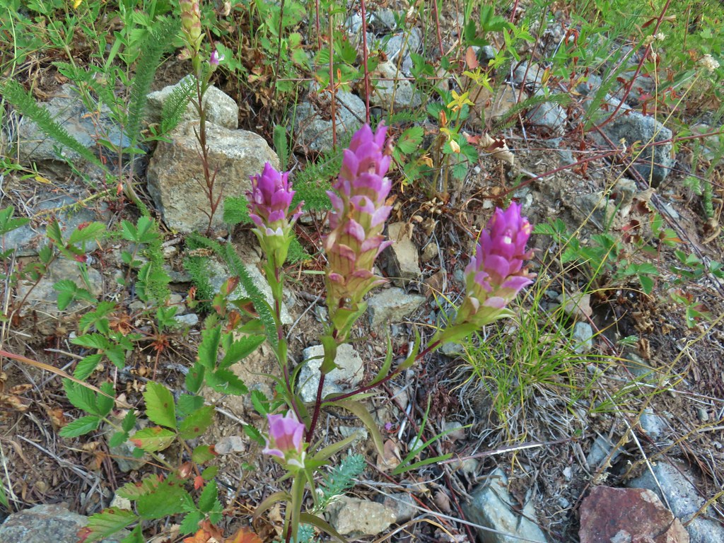 Owl’s clover
 Mountain parnassian butterfly on pearly everlasting.
 A lone lupine still in bloom.
 Skipper
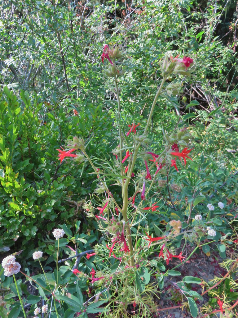 Scarlet gilia
 Bohemia Saddle
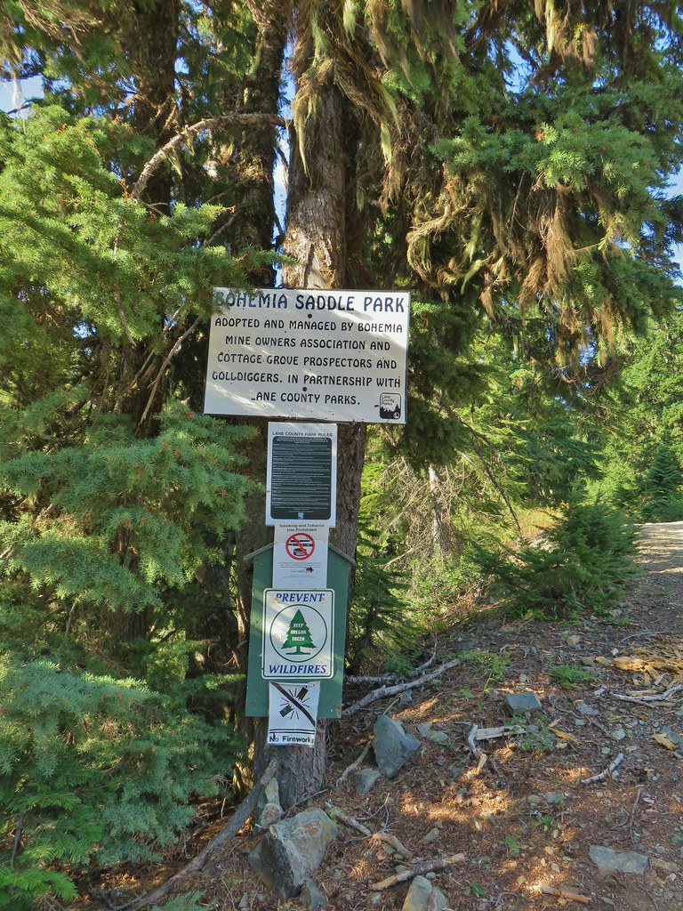 Signage at Bohemia Saddle
 Sign marking the start of the trail.
 Starting up Jackass Ridge
 Rainiera
 Paintbrush and fleabane
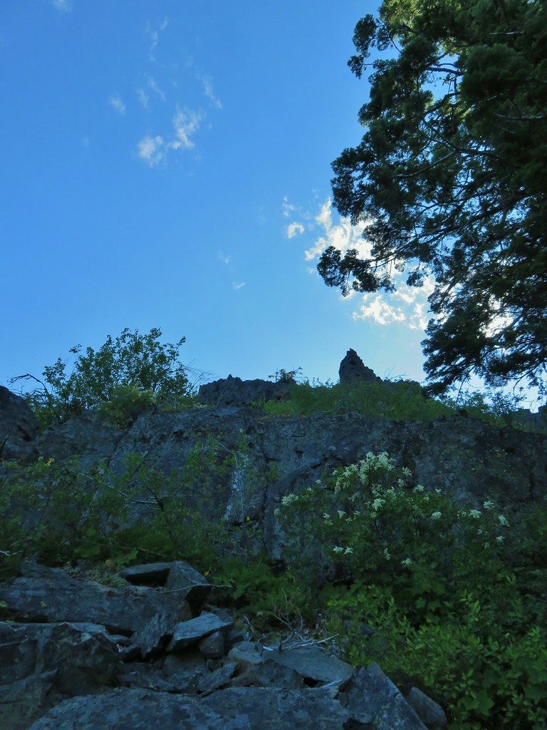 The rocky ridge provided shade during the climb.
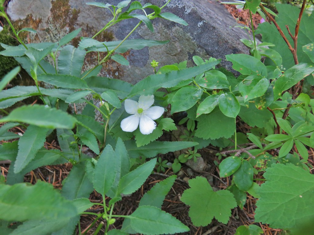 A lingering anemone.
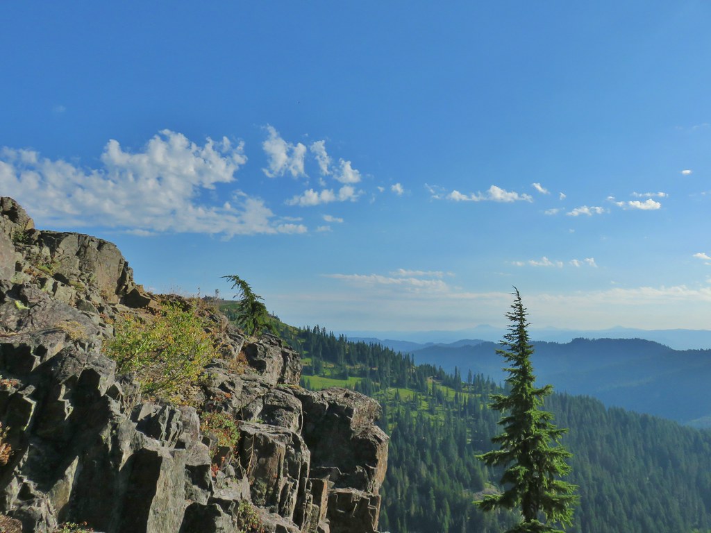 The Fairview Peak lookout tower to the left with the Three Sisters, Broken Top, and Mt. Bachelor in the distance.
 Three Sisters, Broken Top, and Mt. Bachelor in the distance.
 Nearing the summit.
 Mt. Bailey and Mt. Scott in the distance.
 Mt. Bailey and Mt. Scott
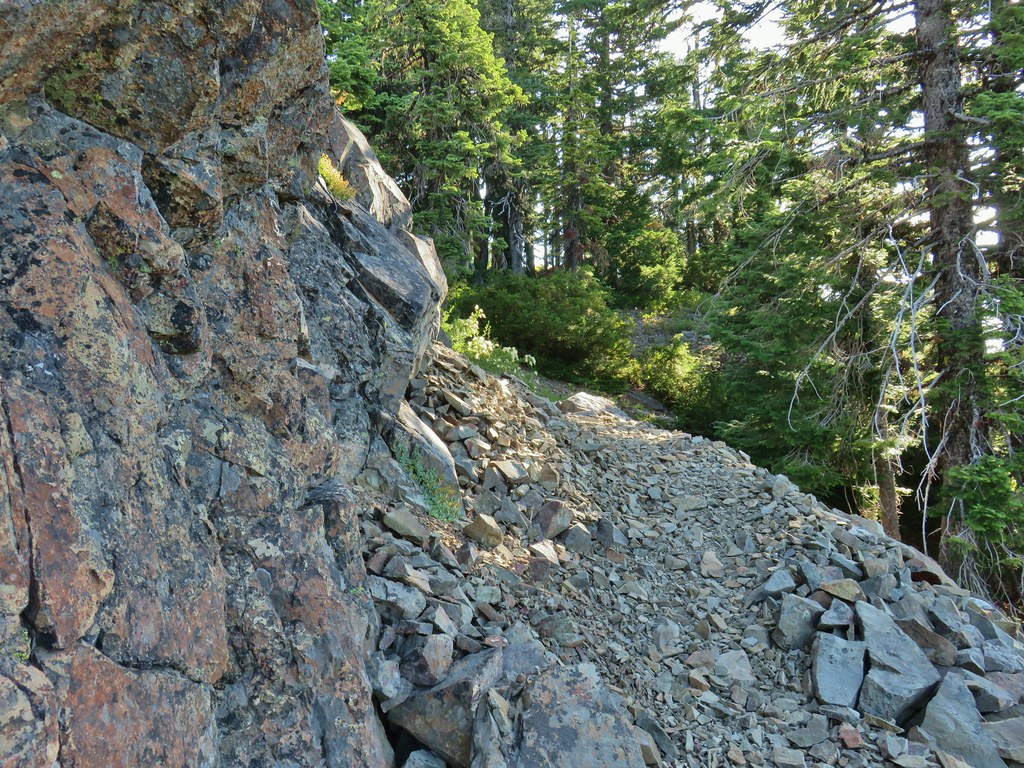
 Bohemia Mountain summit
 Mt. Jefferson and Three Fingered Jack
 Mt. Washington and the North & Middle Sisters
 Three Sisters, Broken Top, and Mt. Bachelor
 Mount Yoran and Diamond Peak
 Tipsoo Peak, Howlock Mountain, Mt. Thielsen, Mt. Bailey, Mt. Scott, Hillman Peak and The Watchman.

 Fairview Peak lookout
 A lot more yet to ripen.
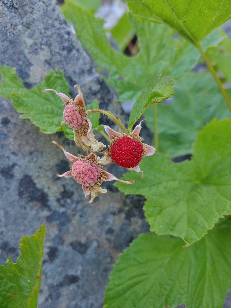 We also found a few ripe thimbleberries.
 Alligator lizard


 Downed tree across the road.


 Looking back at some of the obstacles.
 More obstacles ahead.
 Ferns along the Swordfern Trail.


 Self heal
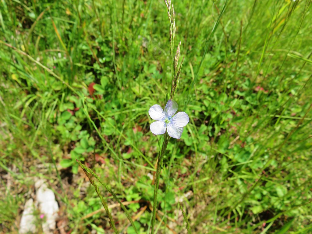 Pale flax
 Poppy
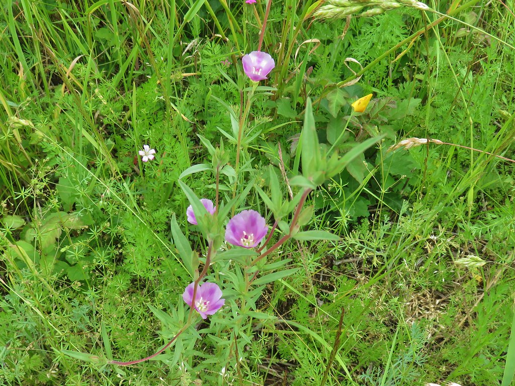
Poppy Looks like something in the mallow family.
 Red beetle
 Sneaky poison oak


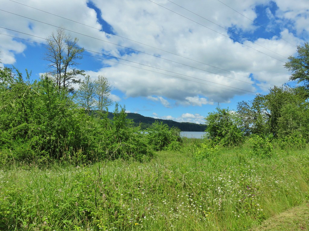 Approaching Dorena Lake
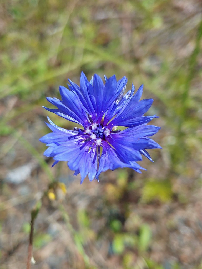 Bachelor button
 No idea what this is, possibly non-native.
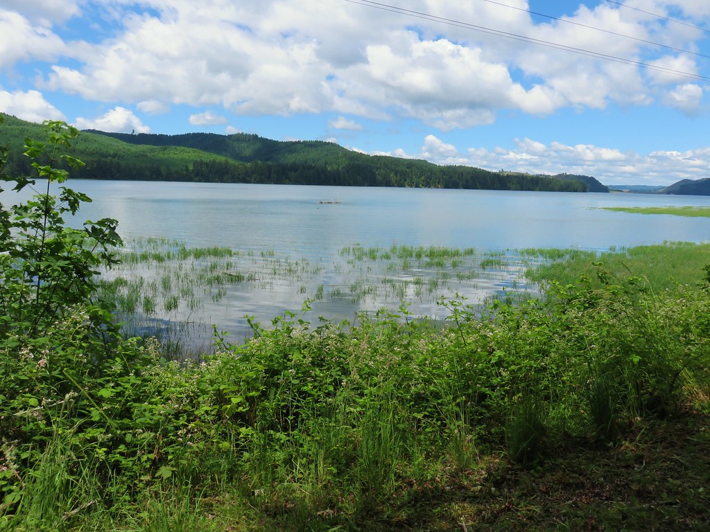


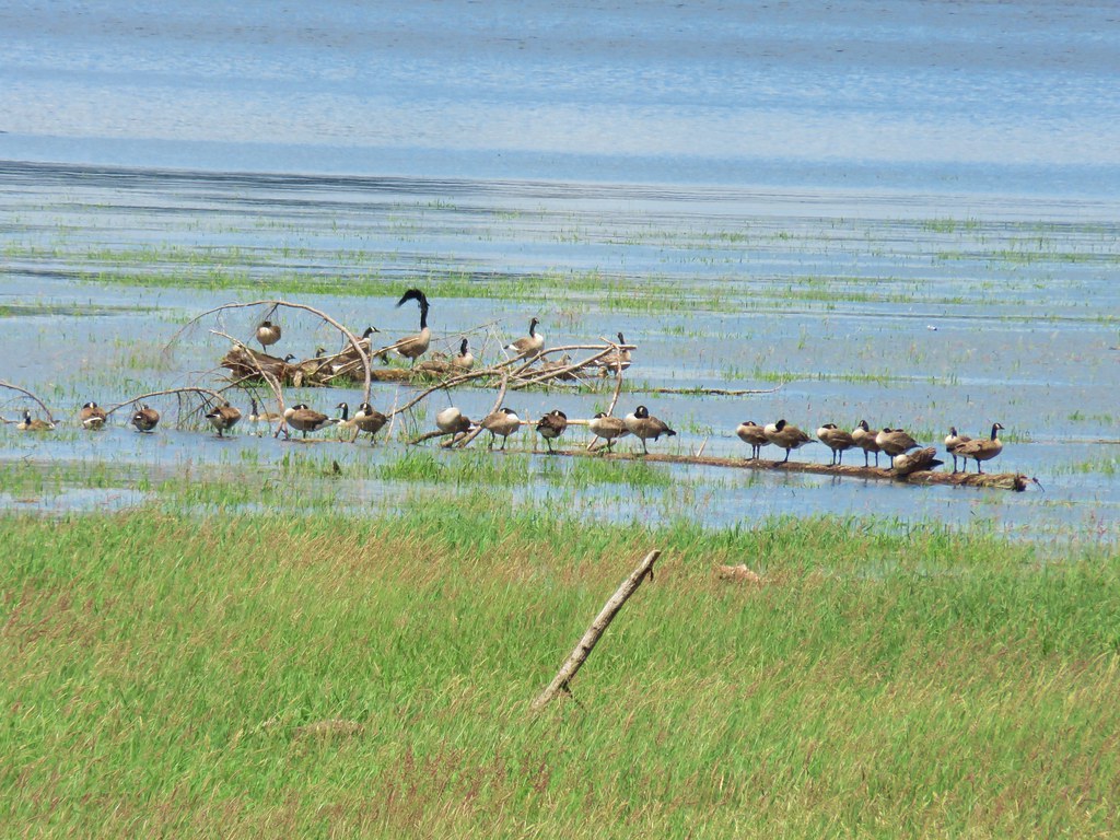 Canada geese
 A great blue heron with at least one duck in the grass.

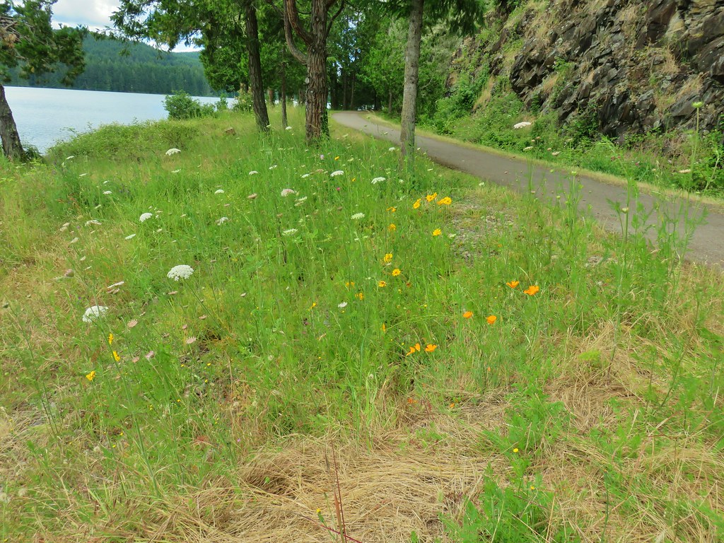 You can see a bit of the rocks on the opposite side of the trail.
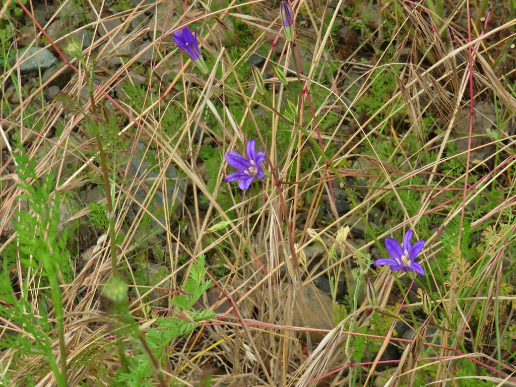 Brodiaea
 Poppy
Poppy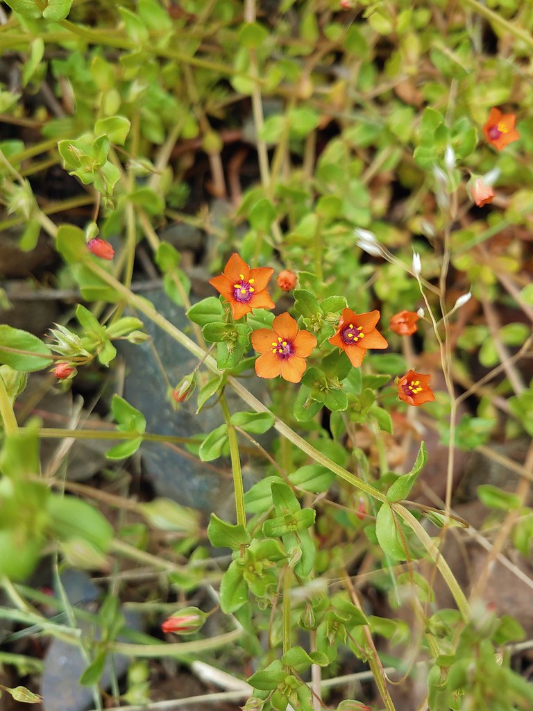 Scarlet pimpernel
 Dorena Lake from Rat Creek
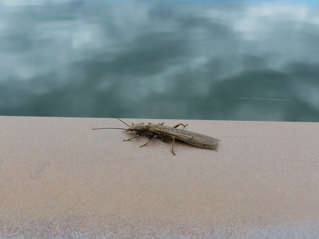 Bug on the Rat Creek bridge.