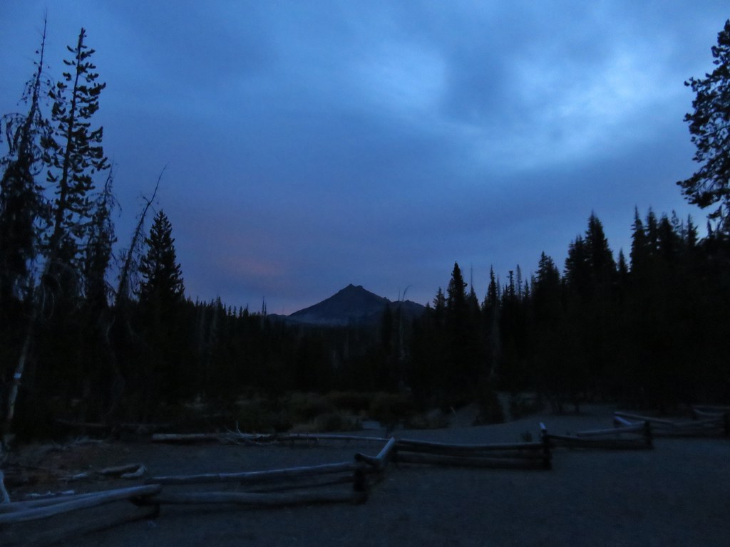
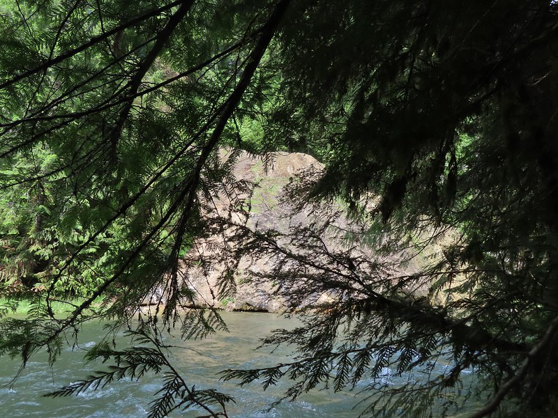
In June 2022 we spent a night in Roseburg during a week of vacation. Before checking into our room we had spent the day visiting several waterfalls along Highway 138 (post). The next day we had originally planned on hiking the Cow Creek Trail on our way to Ashland, but we wound up doing other hikes instead and saved Cow Creek for another year (post). This was the year that we put Cow Creek back on our schedule. The plan was to hike the Cow Creek Trail Saturday morning then spend the night in Roseburg and the following morning hike the 1-mile Shadow Falls Trail before returning home.
Our timing coincided with the first weekend of Summer as well as some unseasonably cold and wet weather. As the weekend neared and the forecast became clearer, Saturday called for rain showers along with temperatures in the upper 30’s to low 40’s (Fahrenheit). Sunday however was going to be rain free with partly sunny skies emerging later in the day.
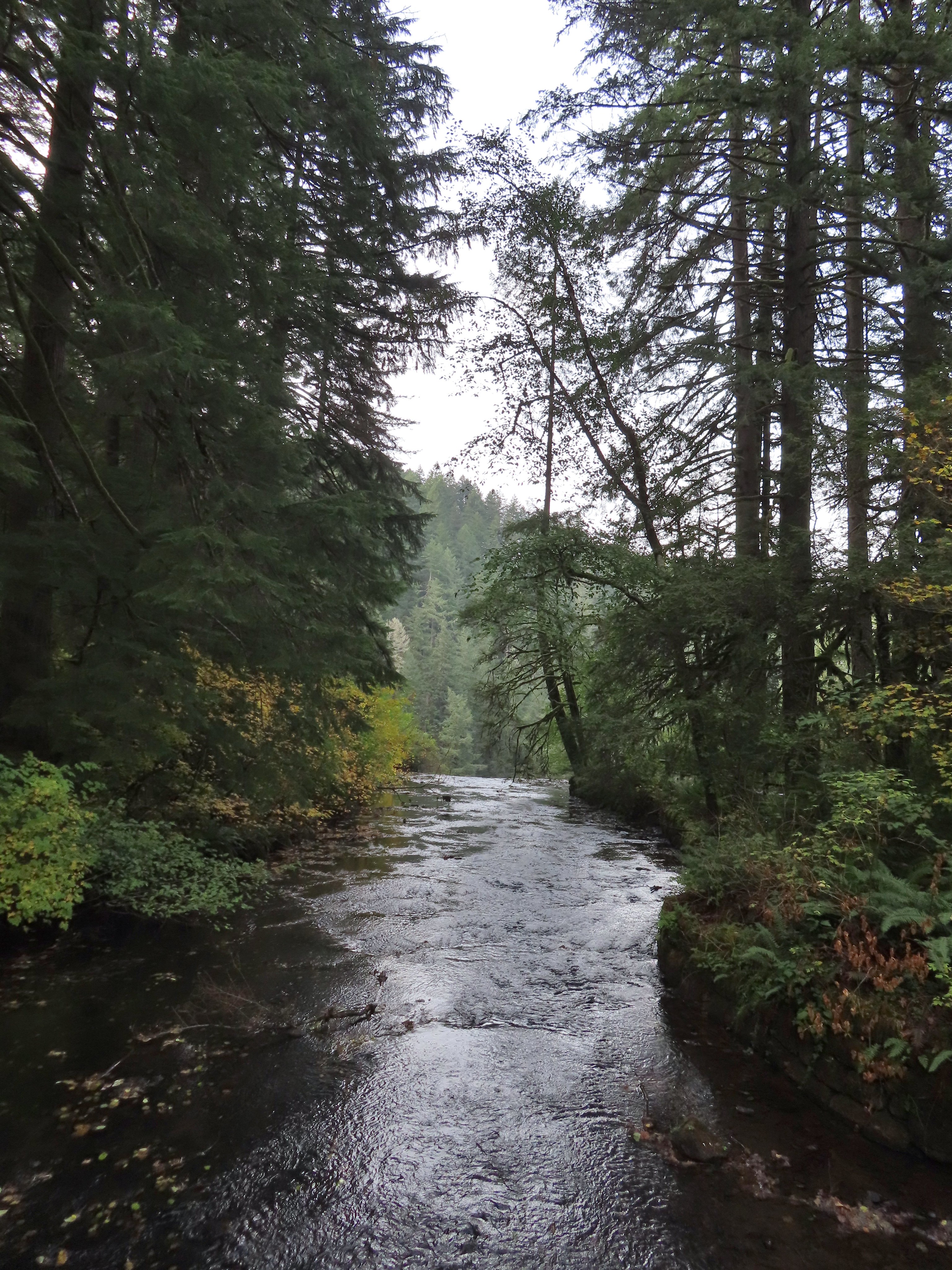
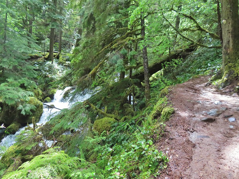
Friday evening we decided to tweak our plans and visit Shadow Falls on Saturday morning and save Cow Creek for Sunday. With Shadow Falls only being a two-mile hike we would have plenty of time to add some other stops. While we had visited most of the well-known waterfalls along Highway 138 in 2022 there were a couple that we had not stopped at so we added those to the itinerary along with a stop at Cavitt Creek Falls near Shadow Falls and the Clearwater River Trail along Highway 138. This would give us a 5 stop day and close to 6.5-miles of hiking.
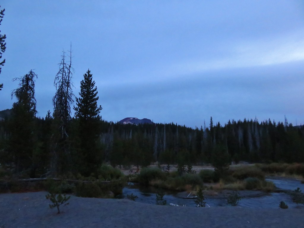
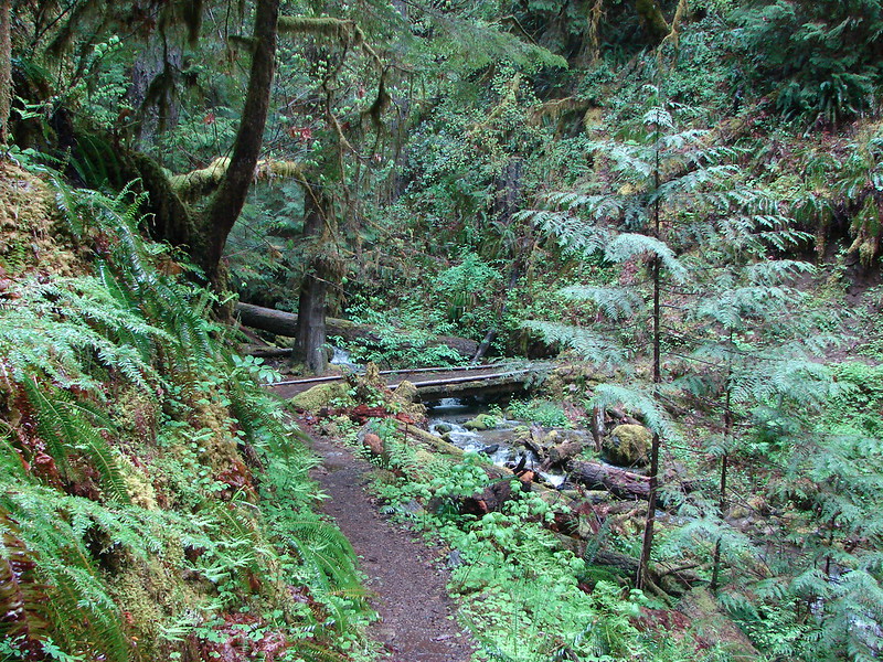
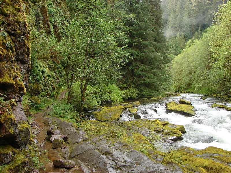
We made the approximately three-hour drive from Salem to the Shadow Falls Trailhead along Forest Road 25 in the Umpqua National Forest. The drive took us to Glide on Highway 138 where we turned off onto Little River Road which we were familiar with from our visit to Wolf Creek Falls in August 2022 (post).
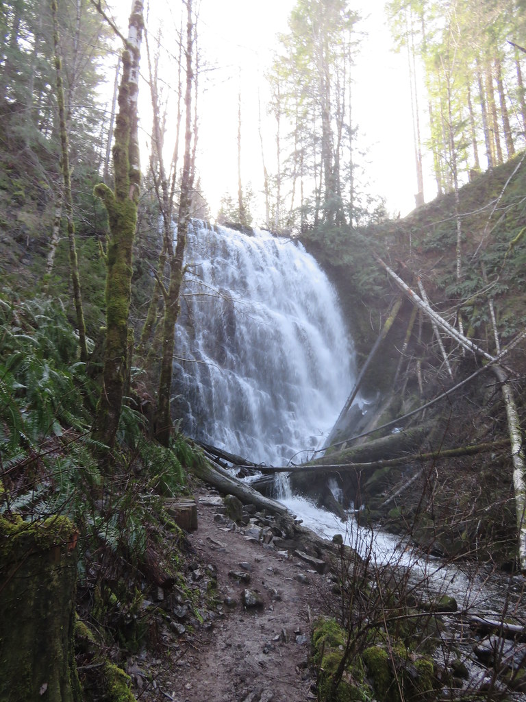
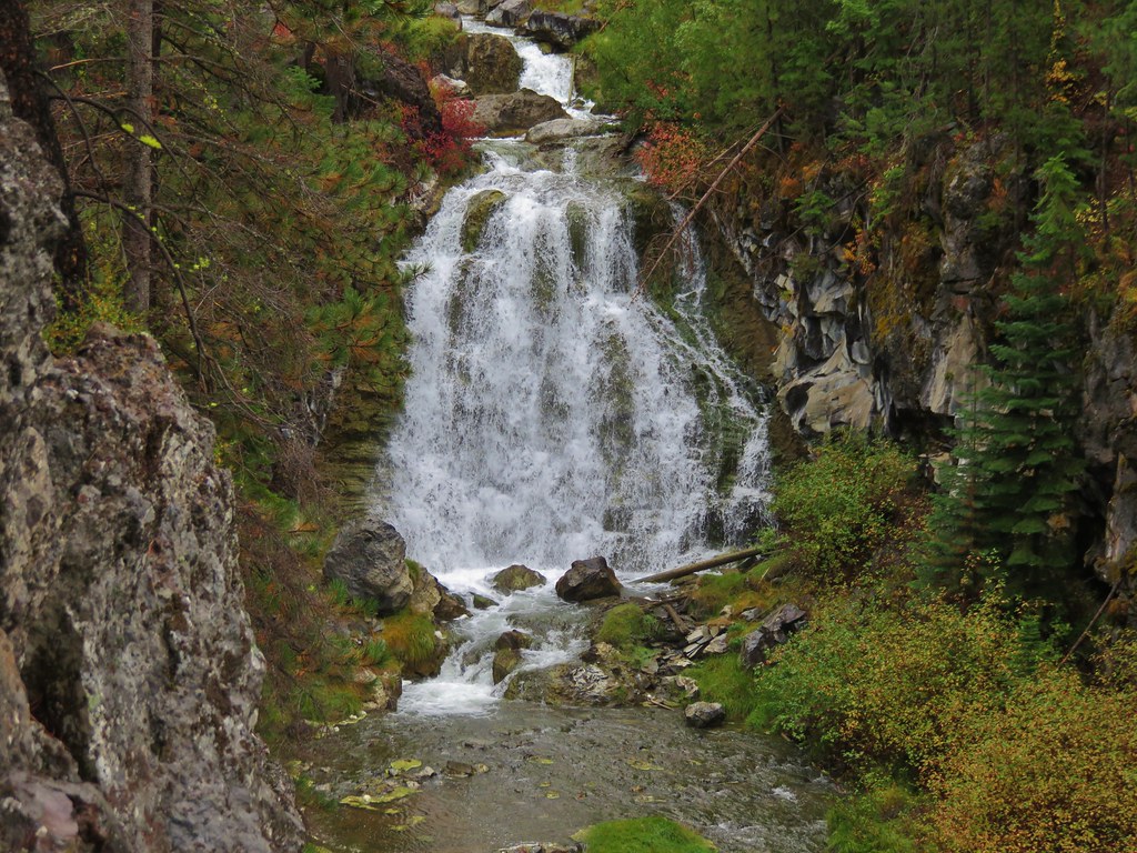
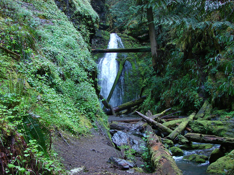
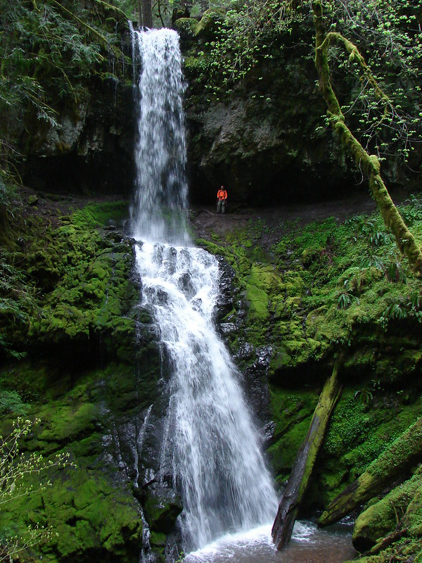
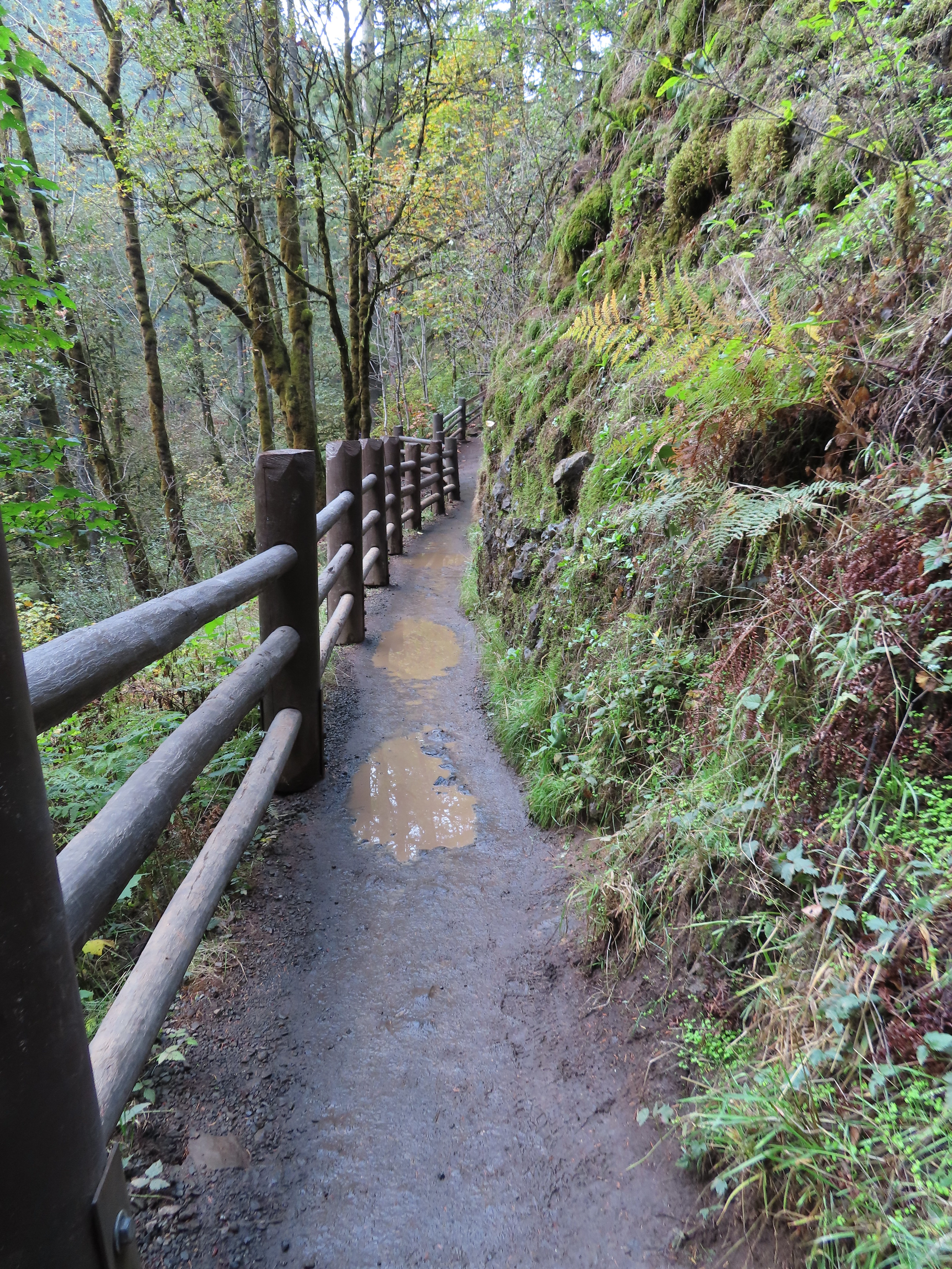
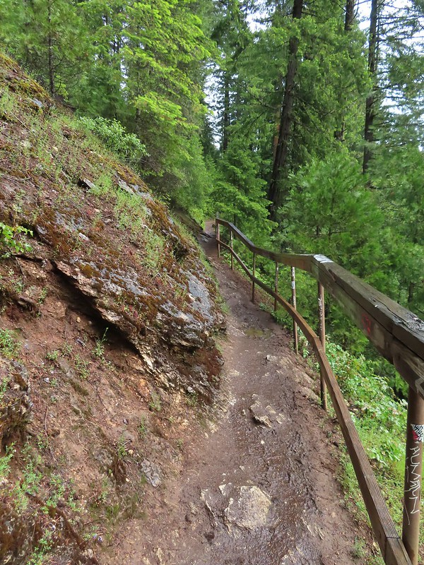
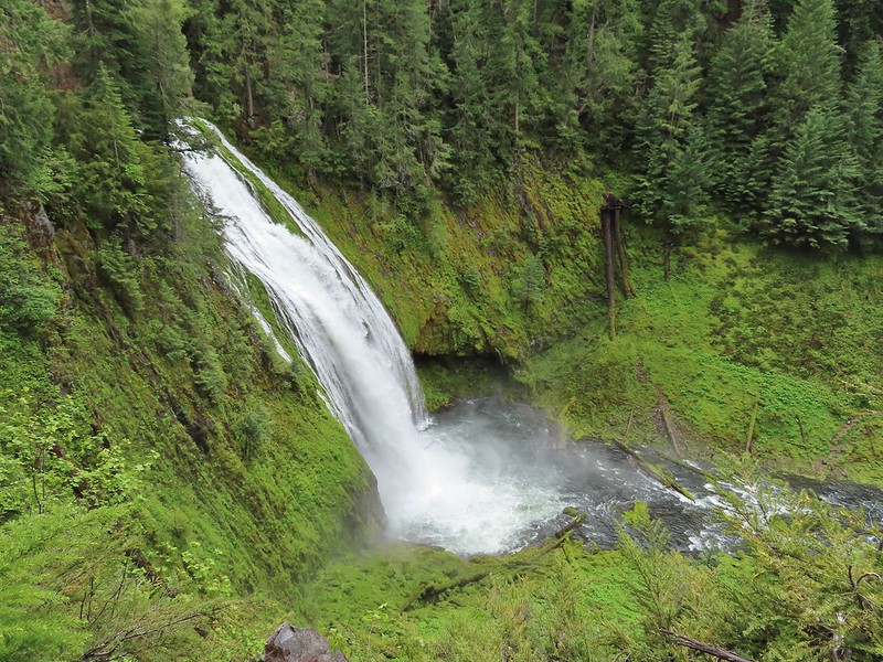
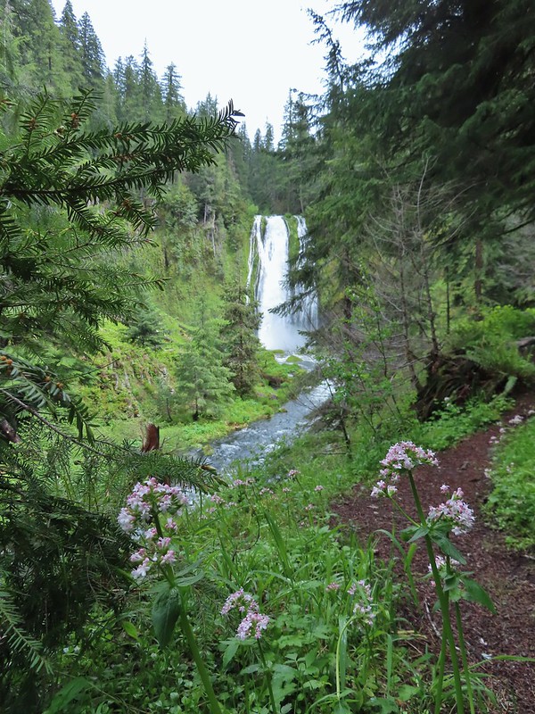
The hike here is straightforward with the trail losing a little over 300′ of elevation in a mile to a viewpoint of the waterfall.
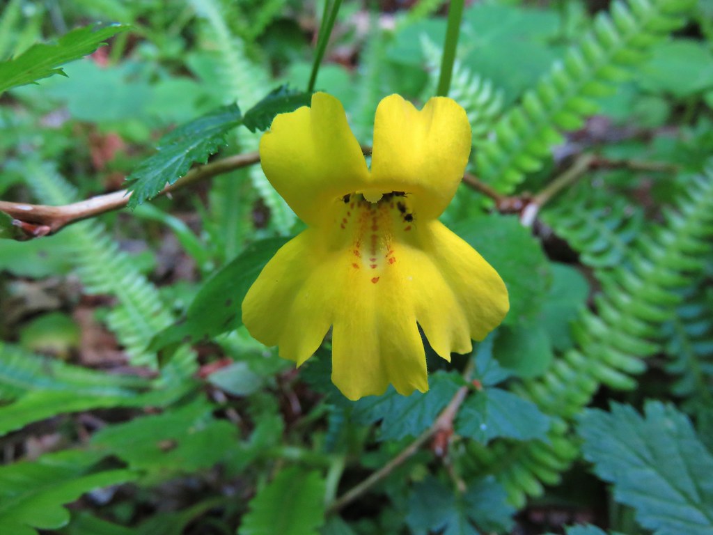
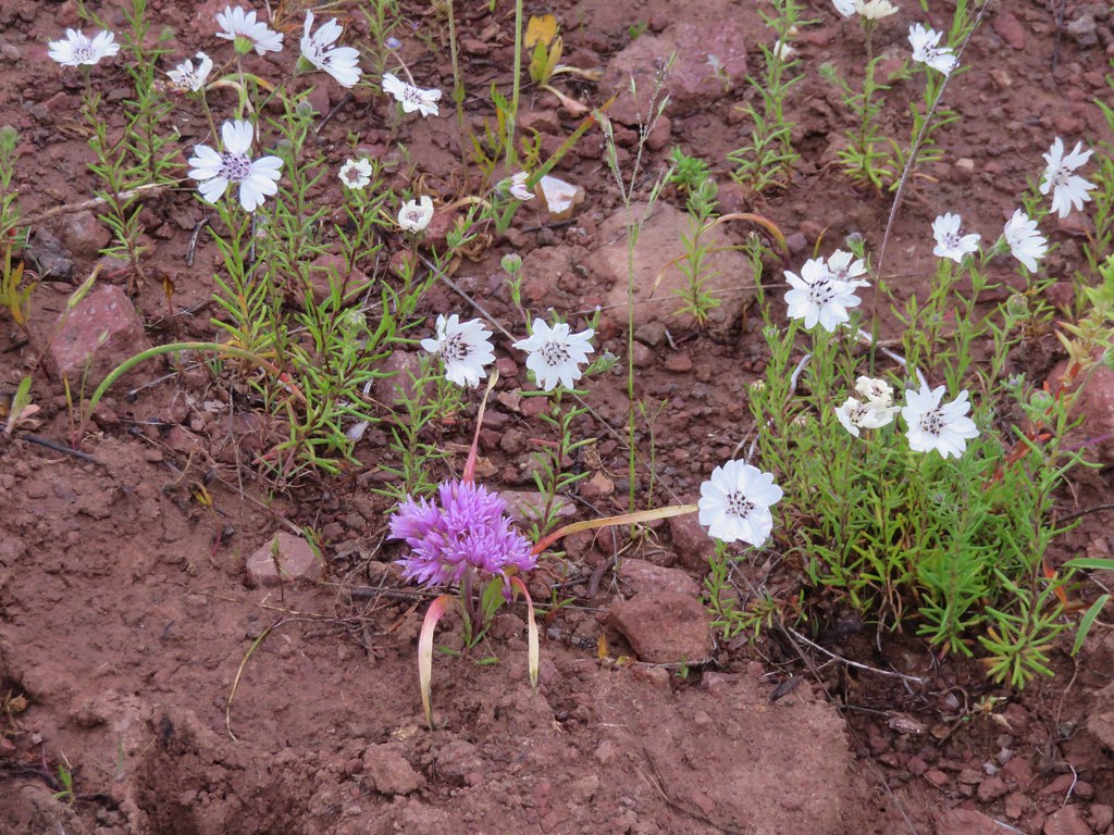
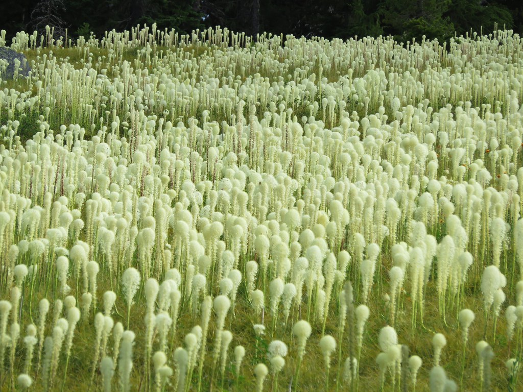
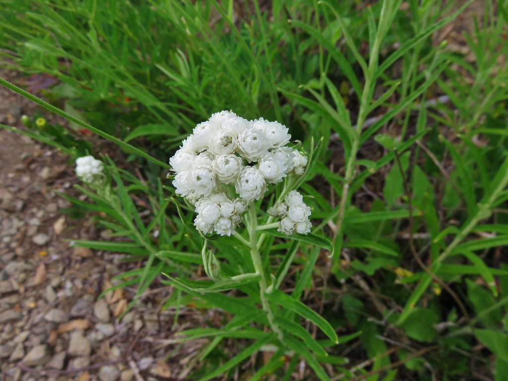
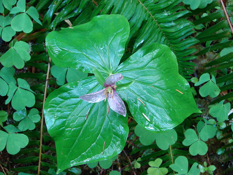
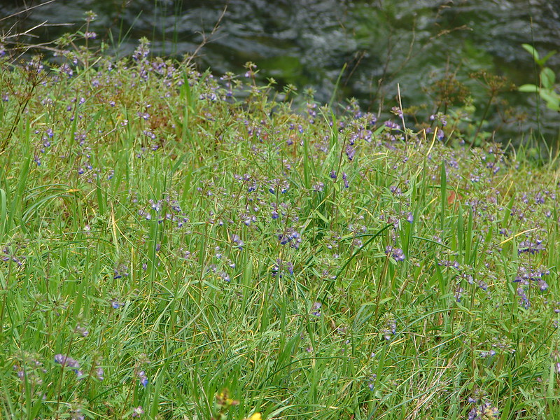
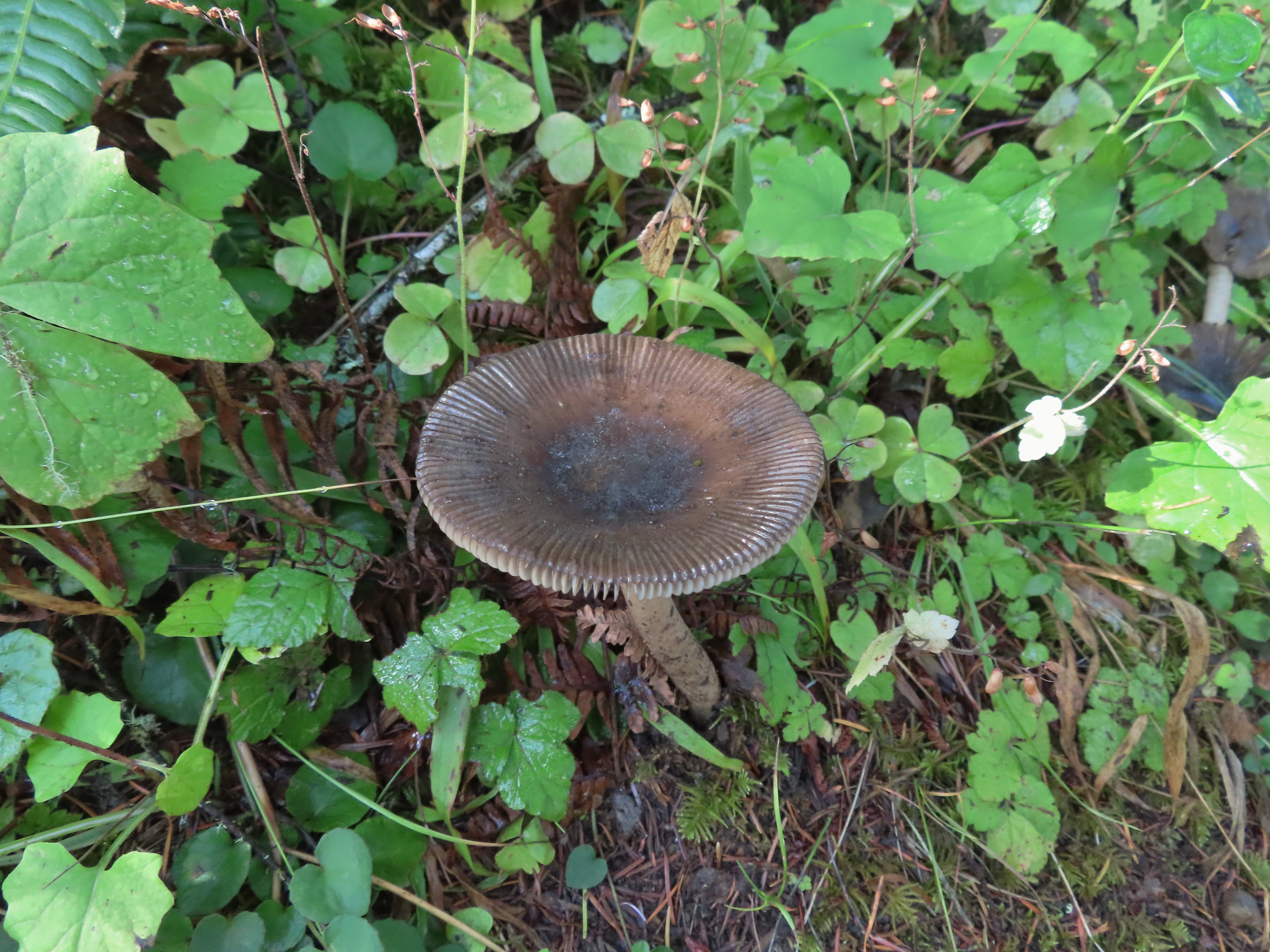
Salal
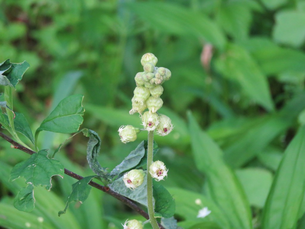
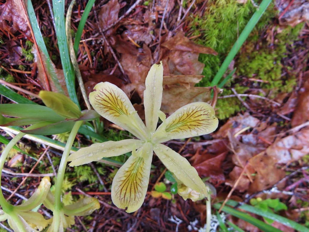
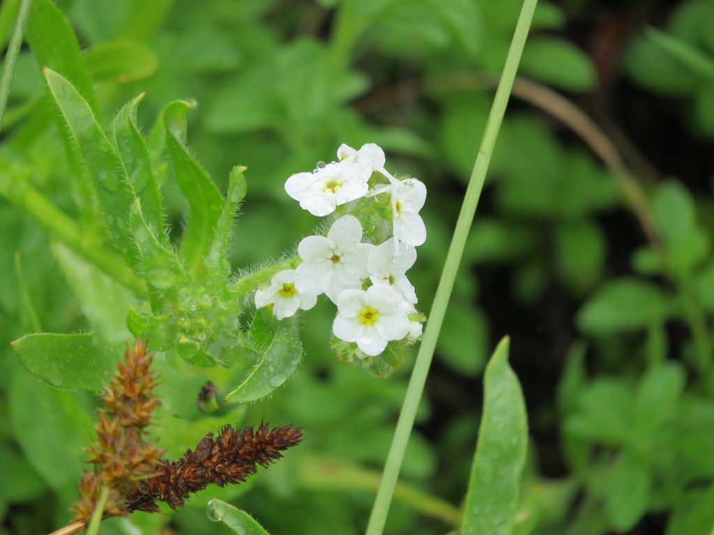
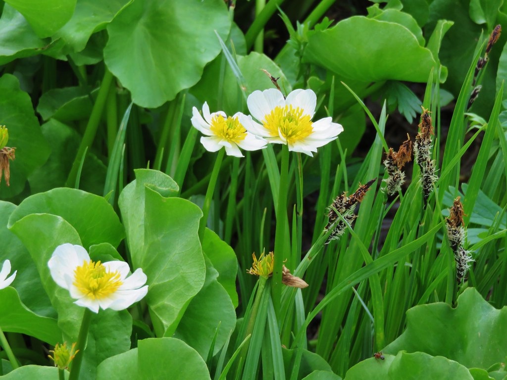
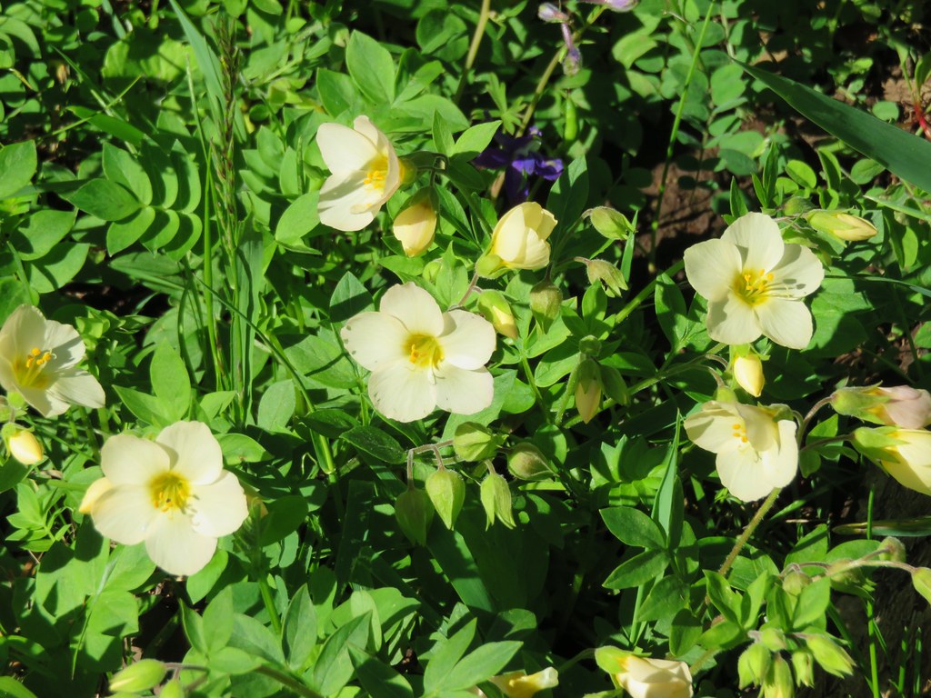
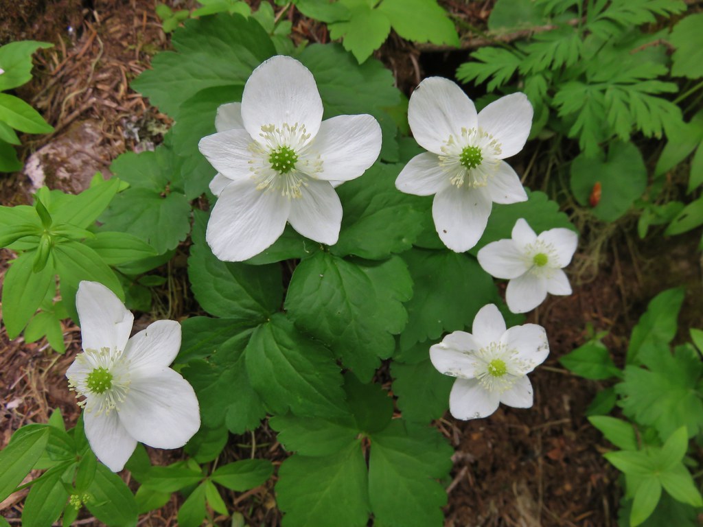
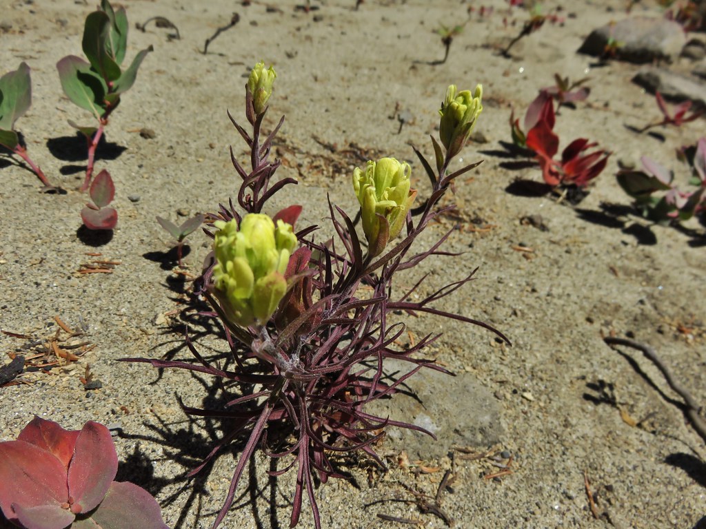
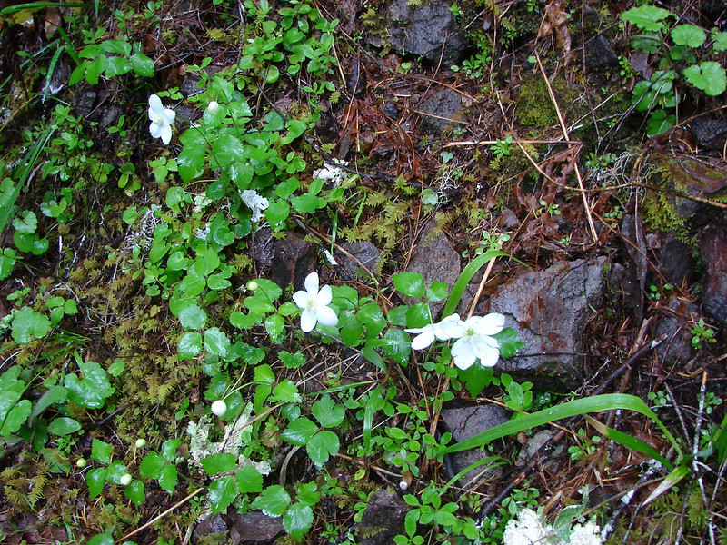
Oregon goldthreads
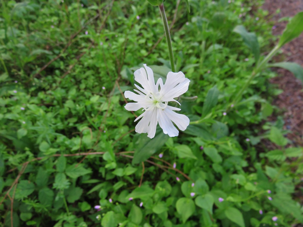
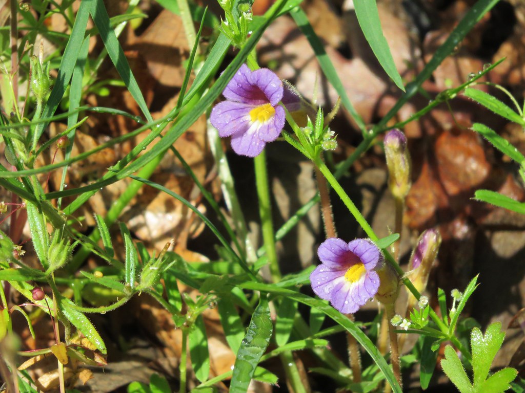
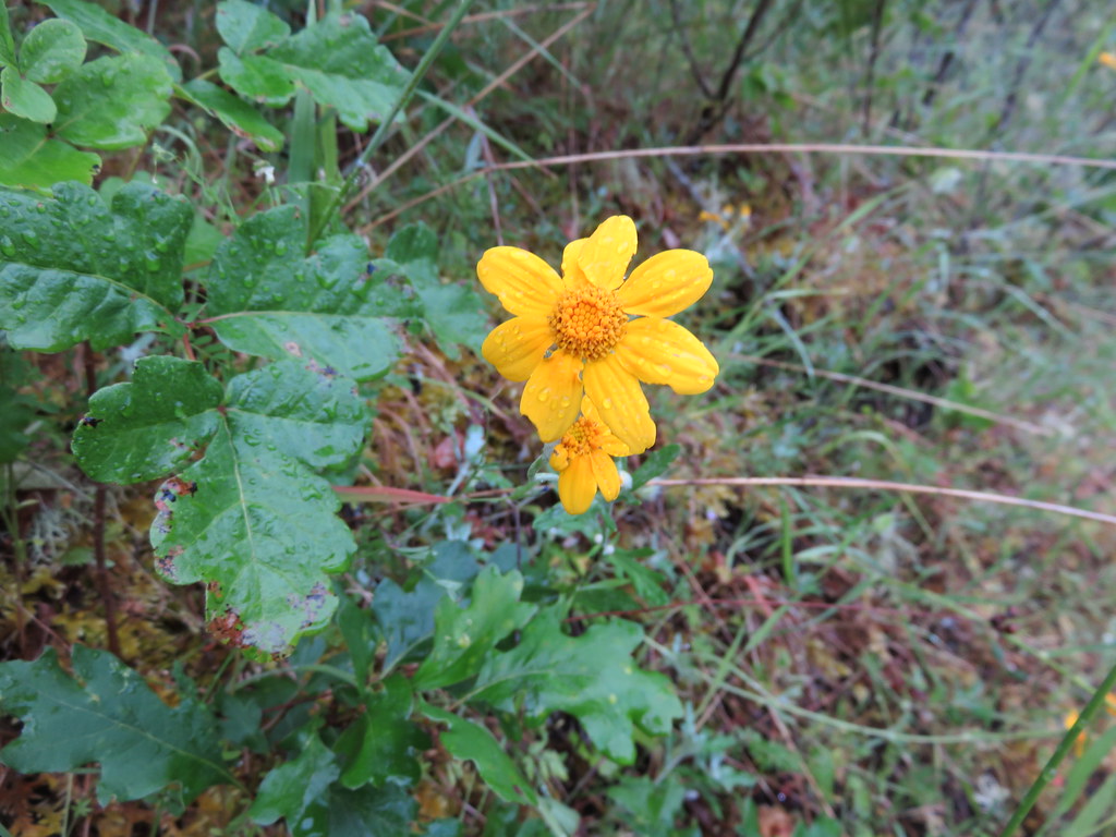
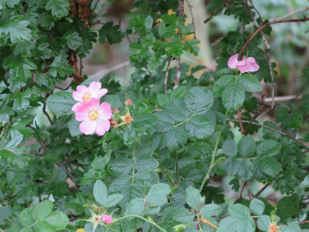
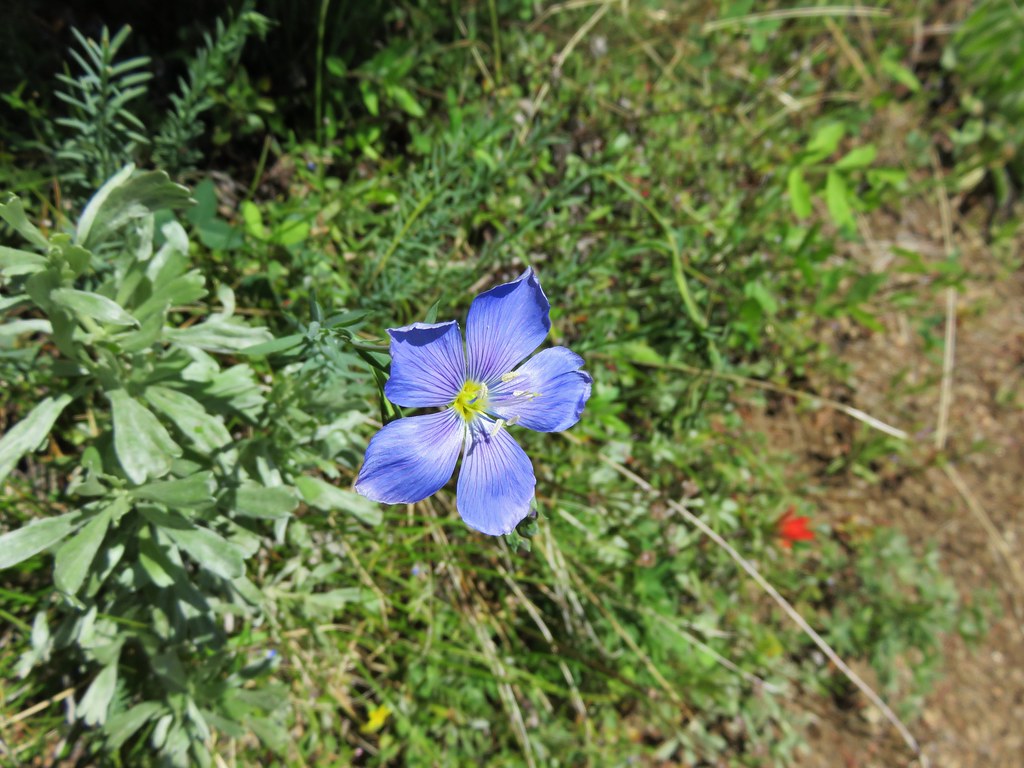
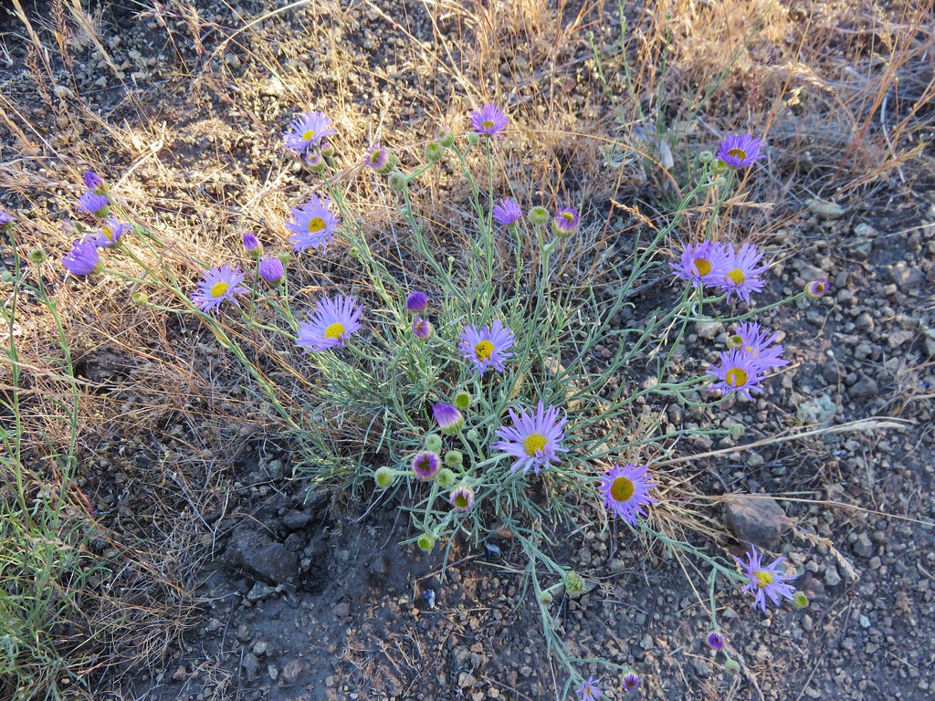
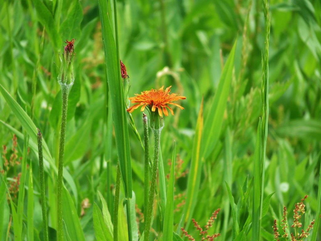
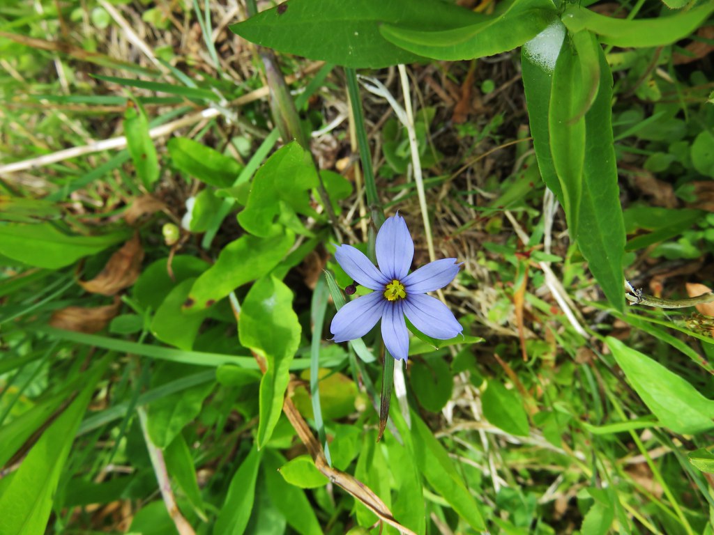
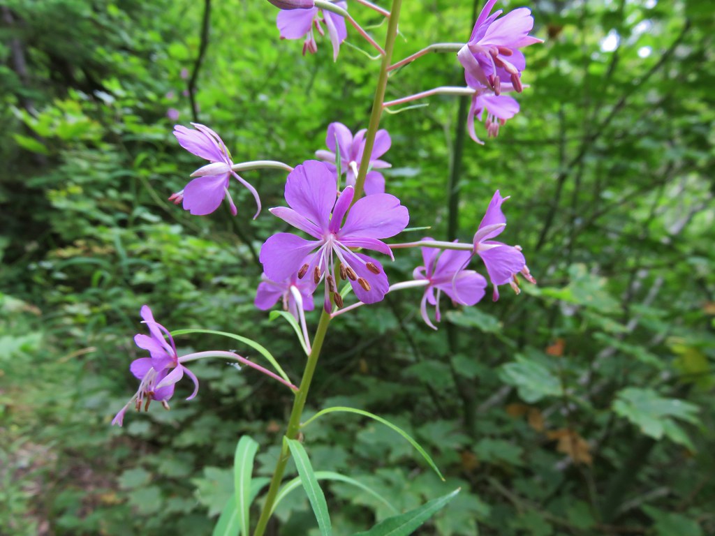
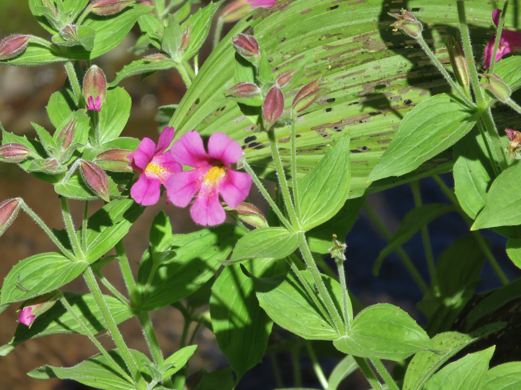
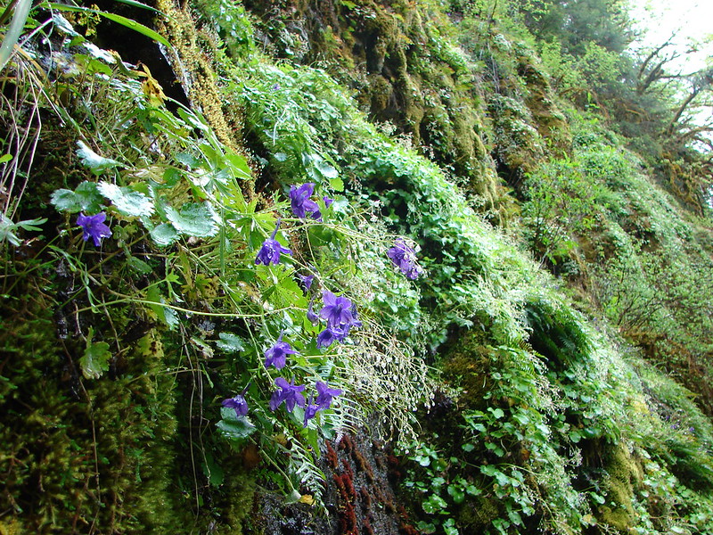
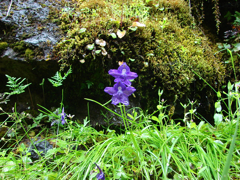
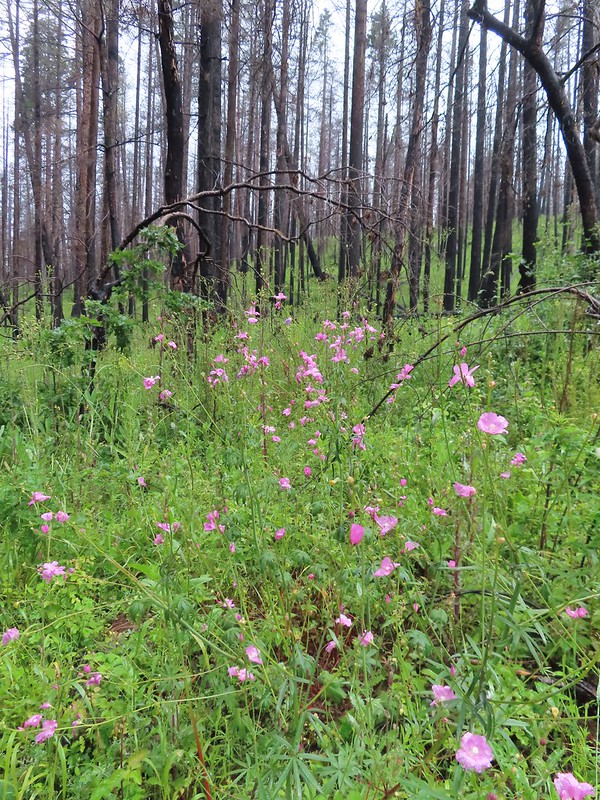
Geranium
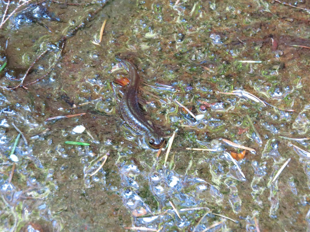
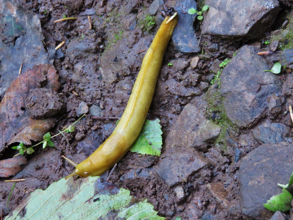
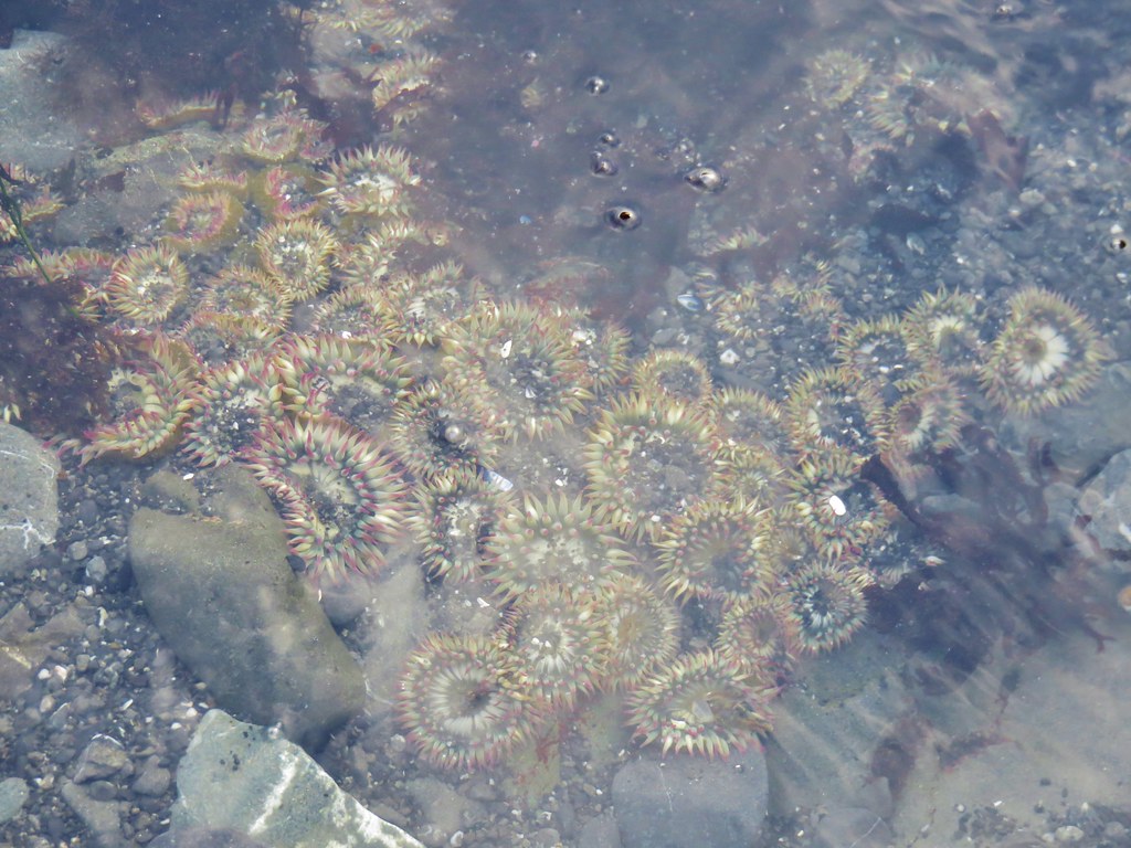
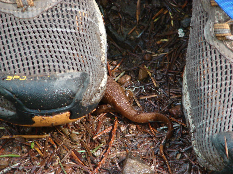
Snail
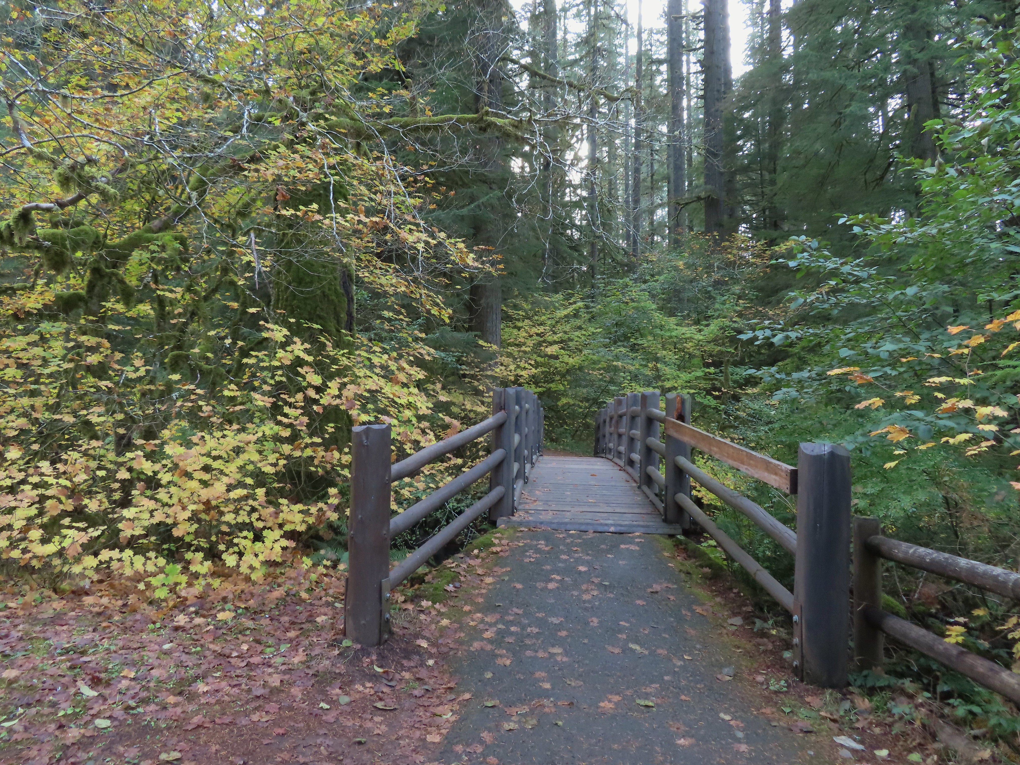
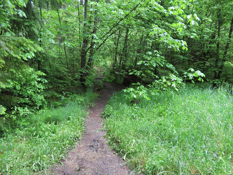
Footbridge over Cavitt Creek.
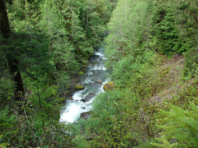
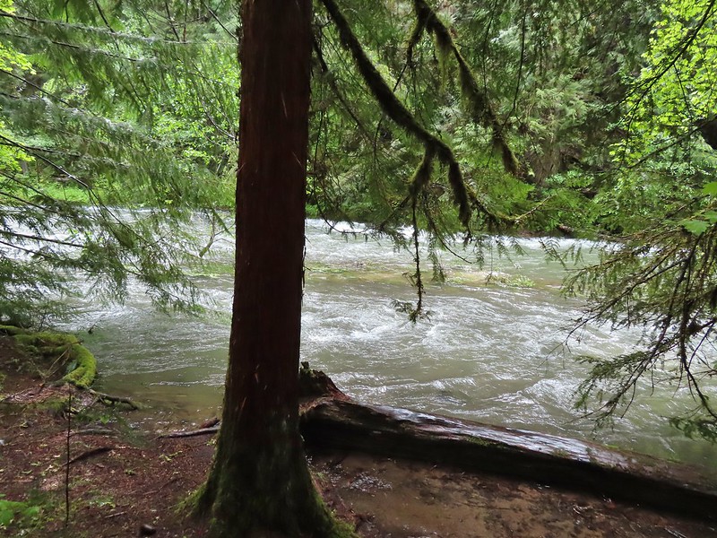
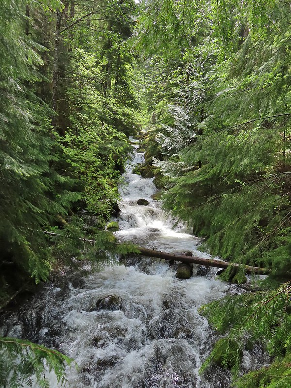
Cavitt Creek
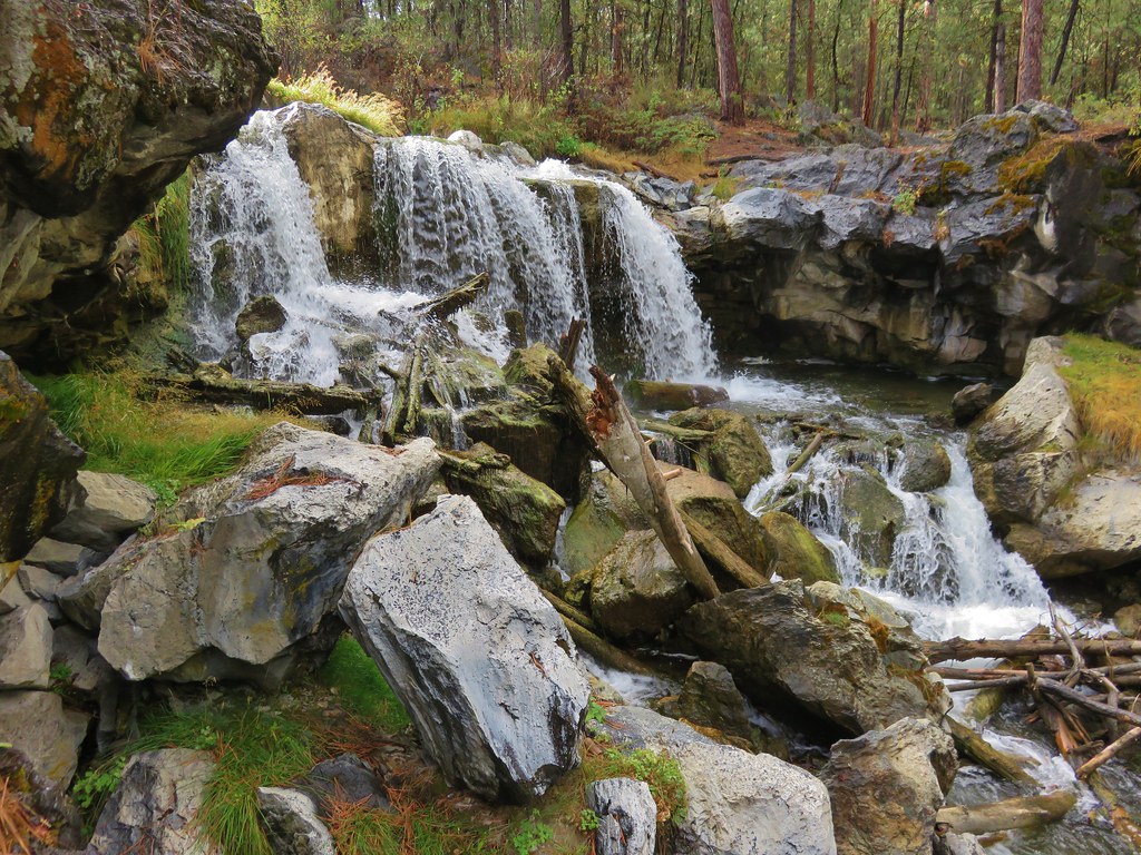
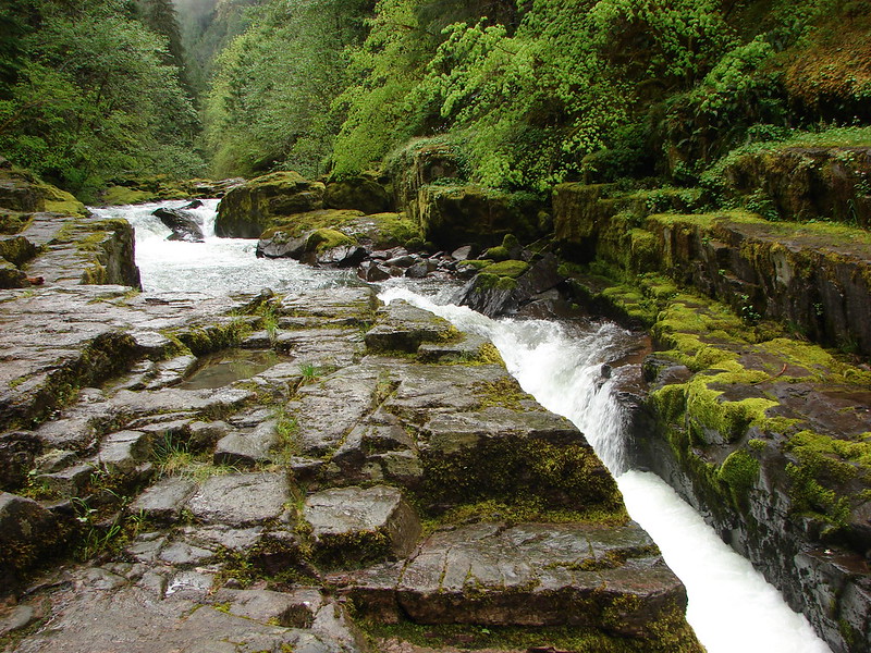
There were some nice rock formations along the creek.
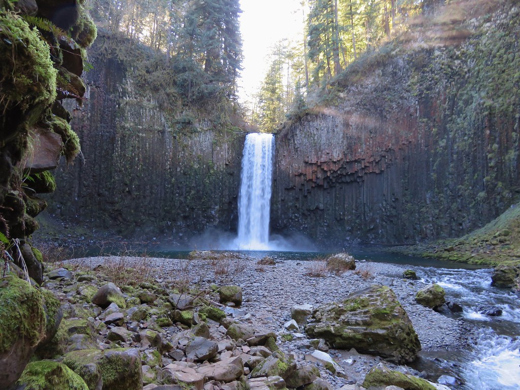
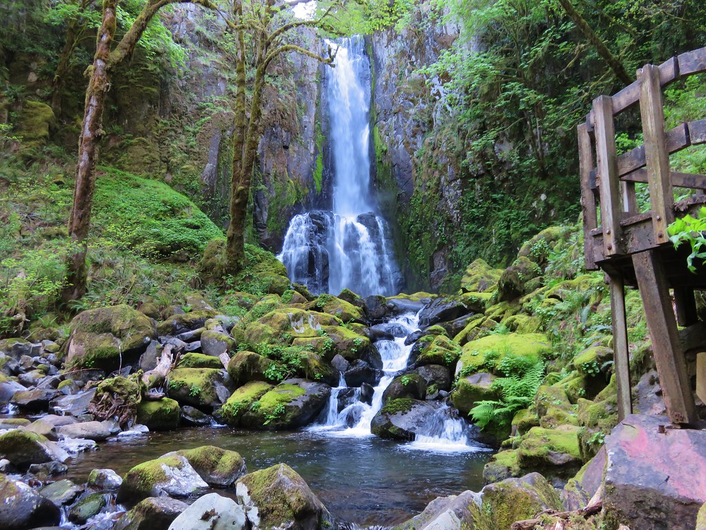
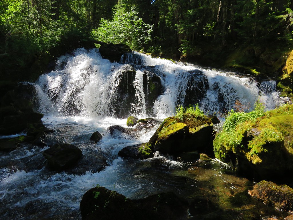
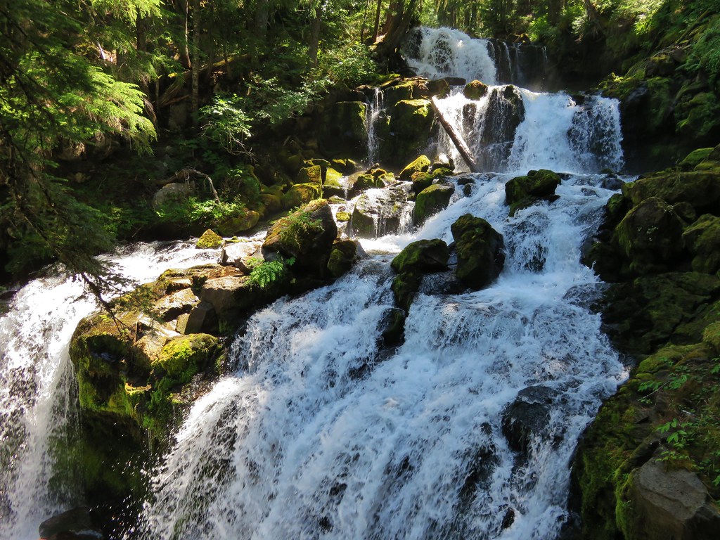
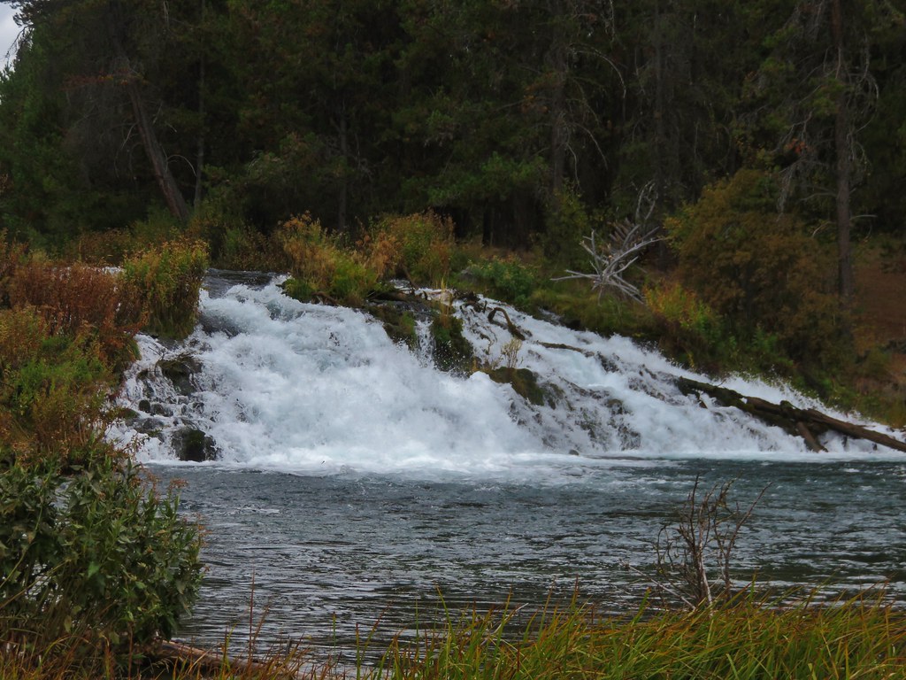
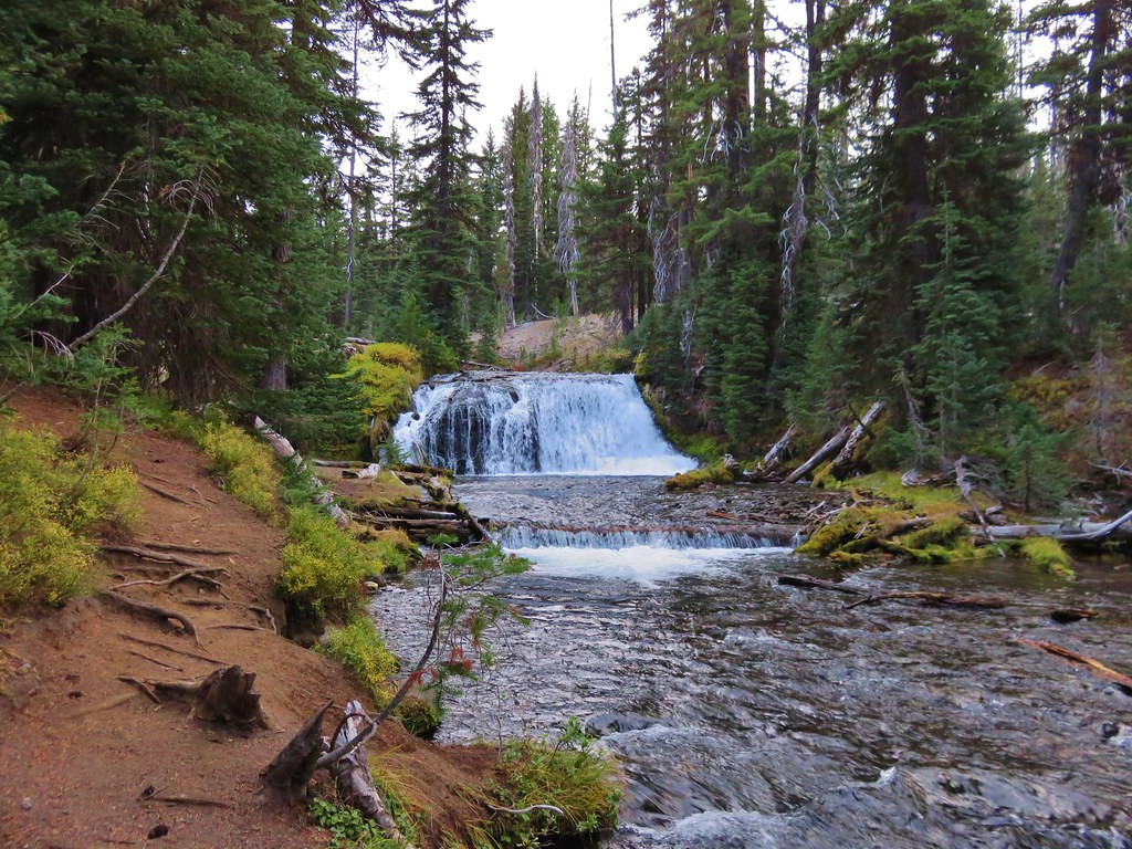
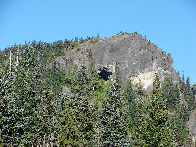
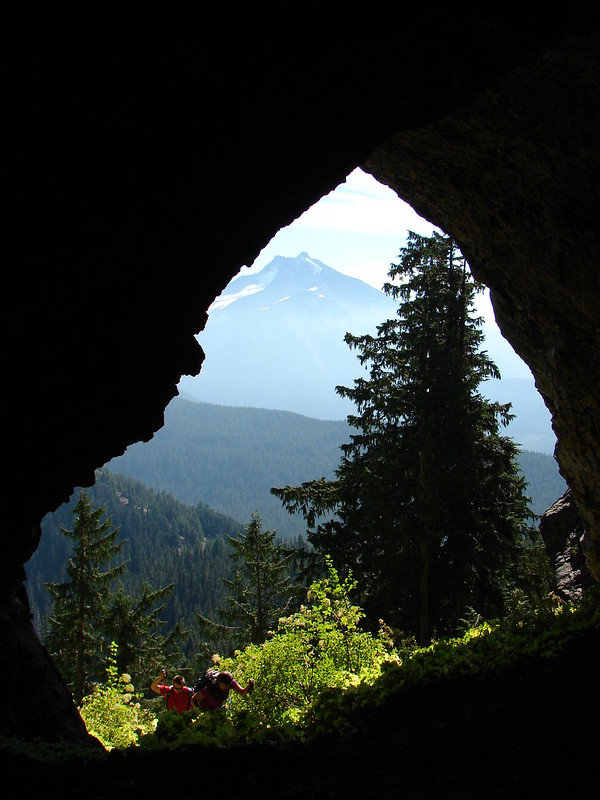
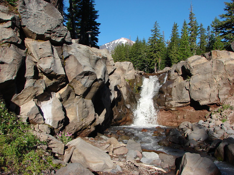
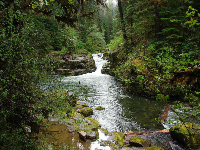
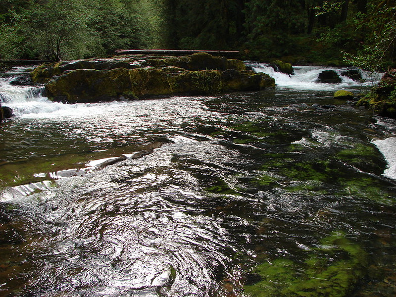
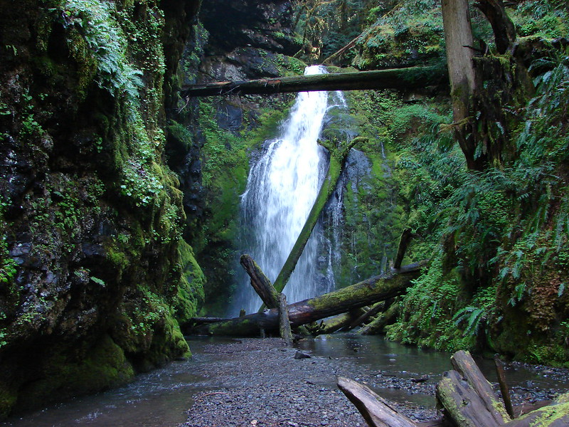
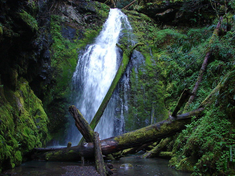
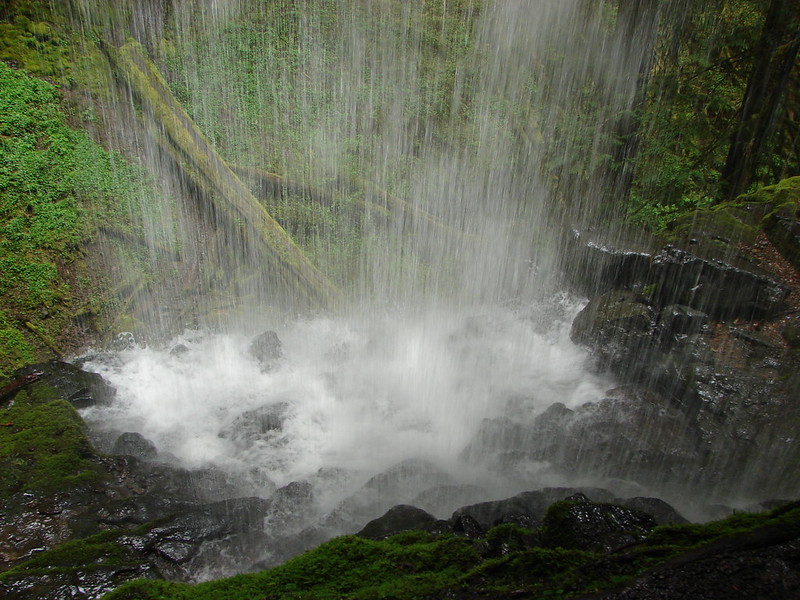
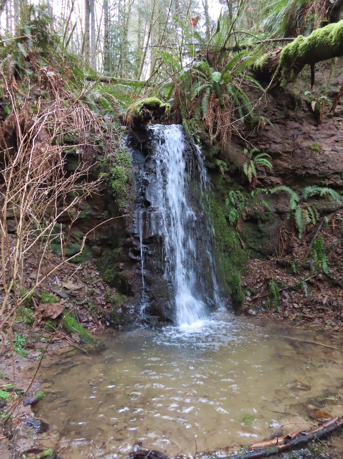
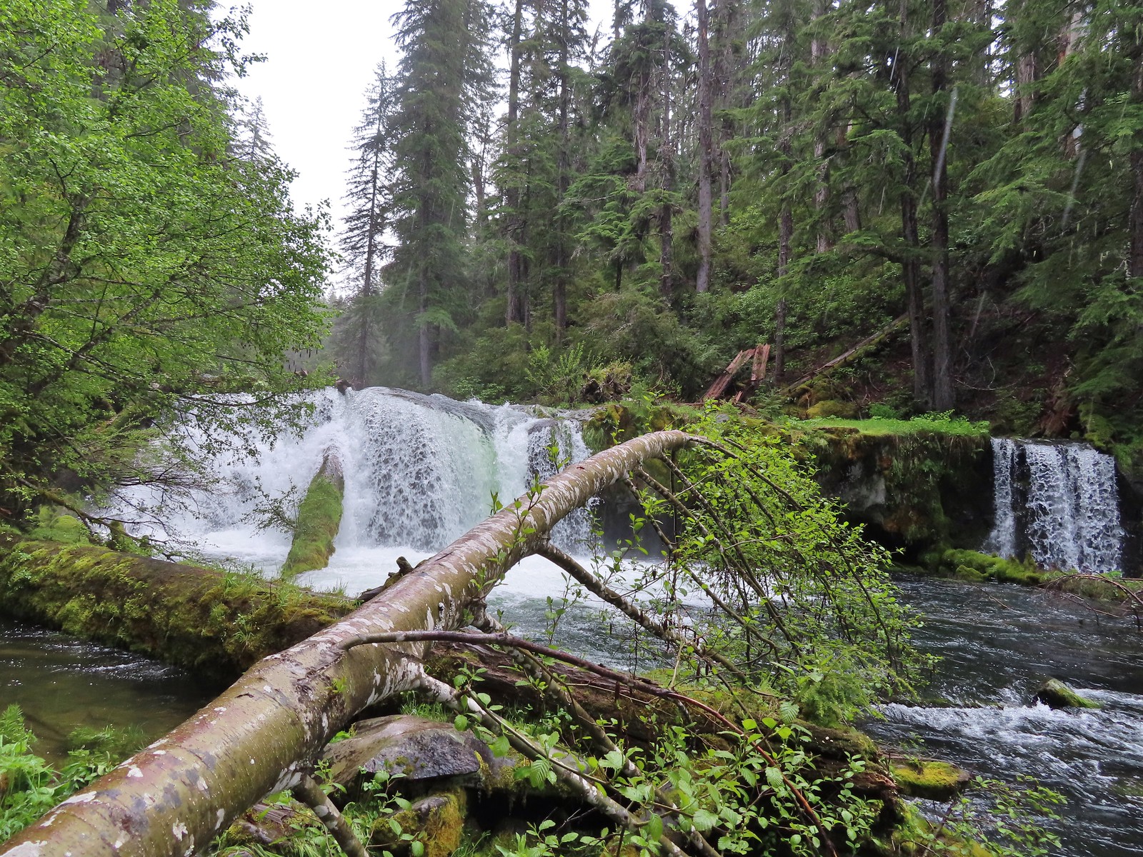
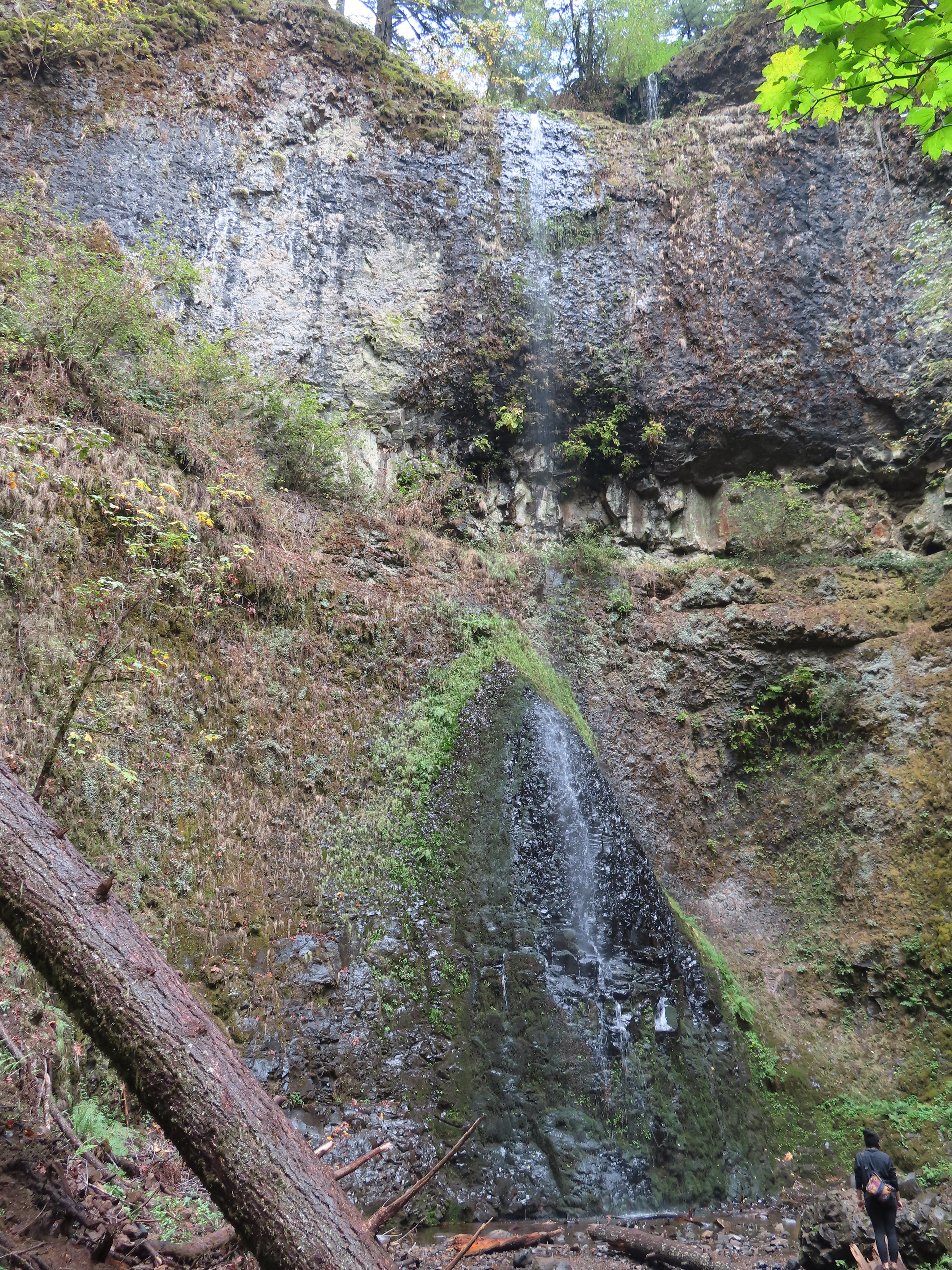
Shadow Falls
Shadow Falls
There was a rope and scramble trail next to the fence at the viewpoint, but with the wet and muddy conditions we stuck with the view from the end of the official trail. After spending a little time admiring the waterfall we headed back up to the car.
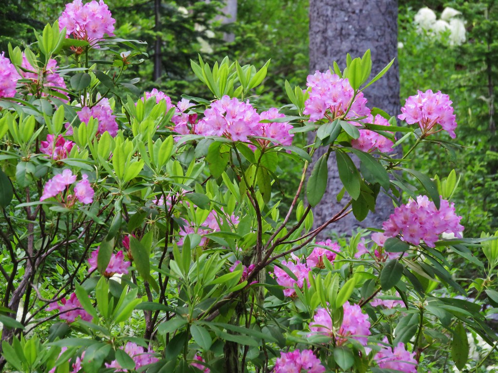
Rhododendron
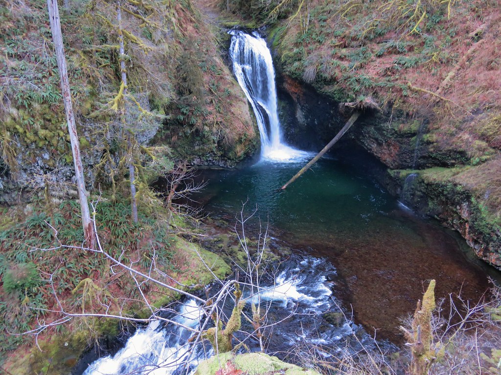
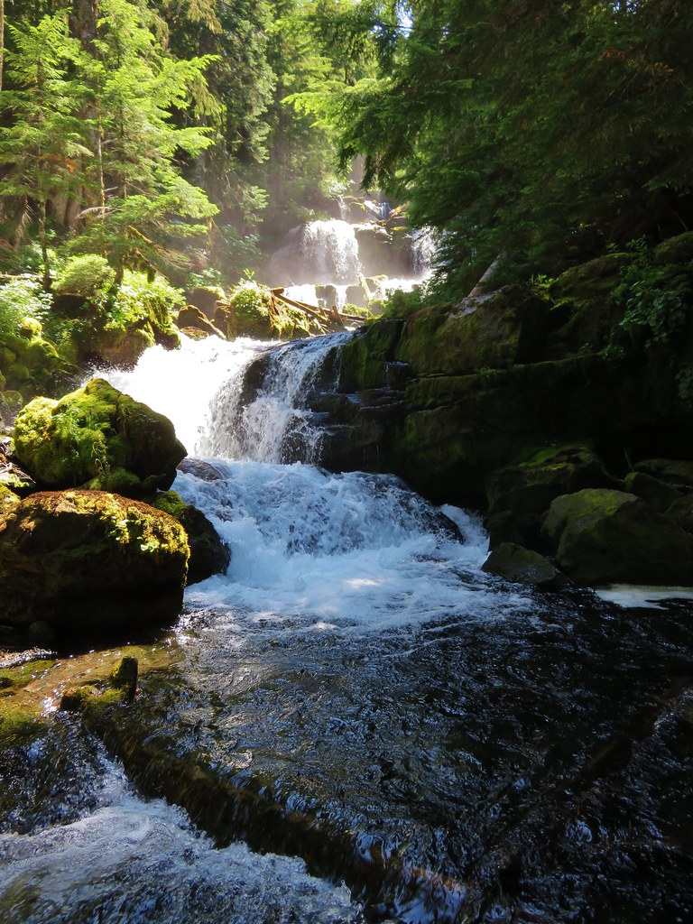
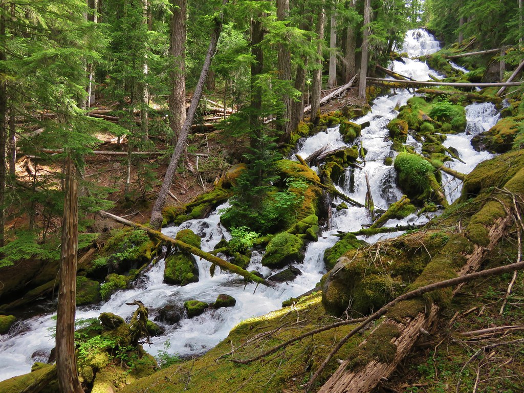
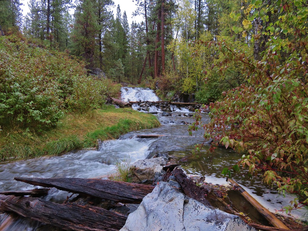
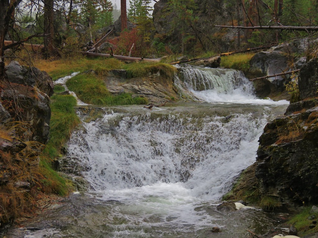
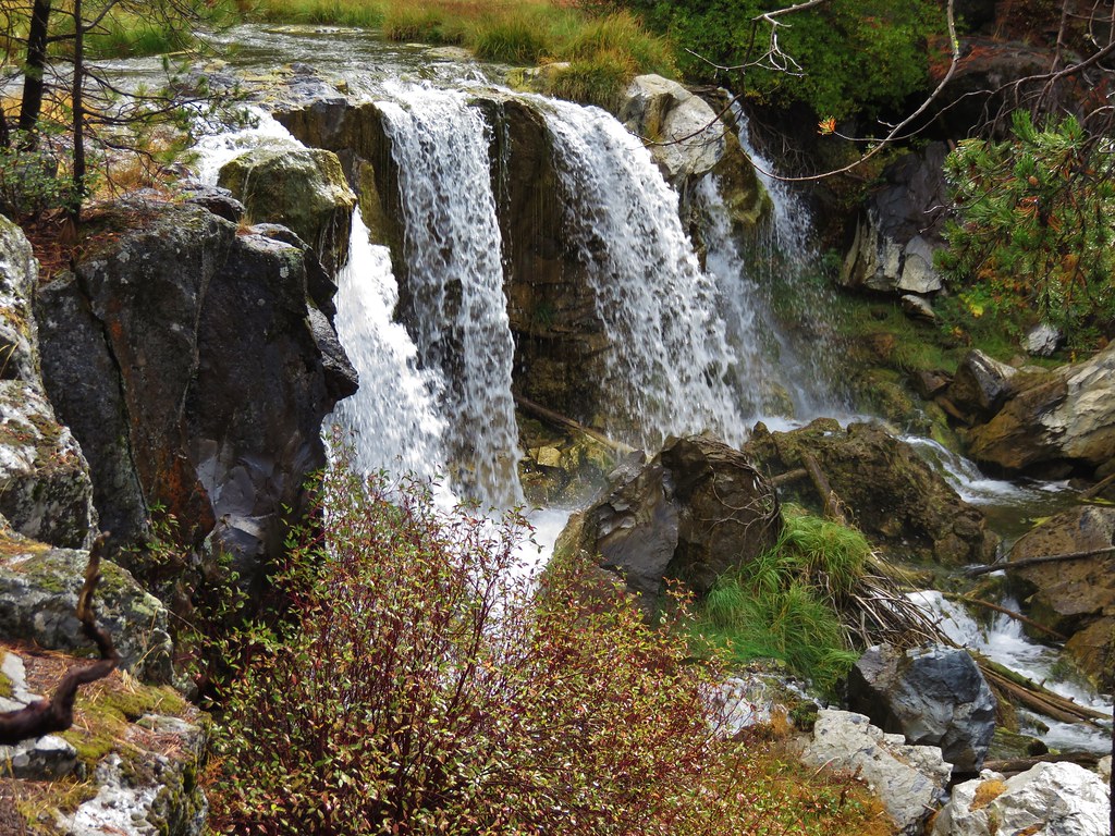
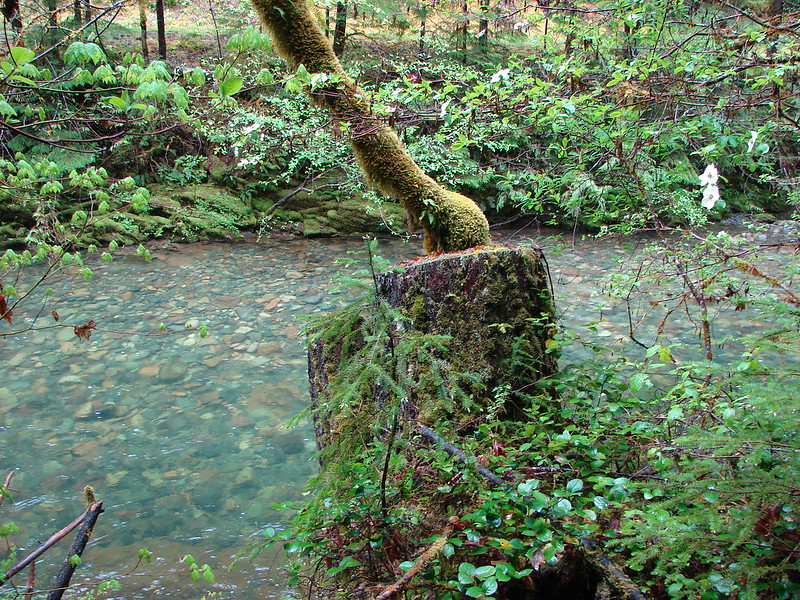
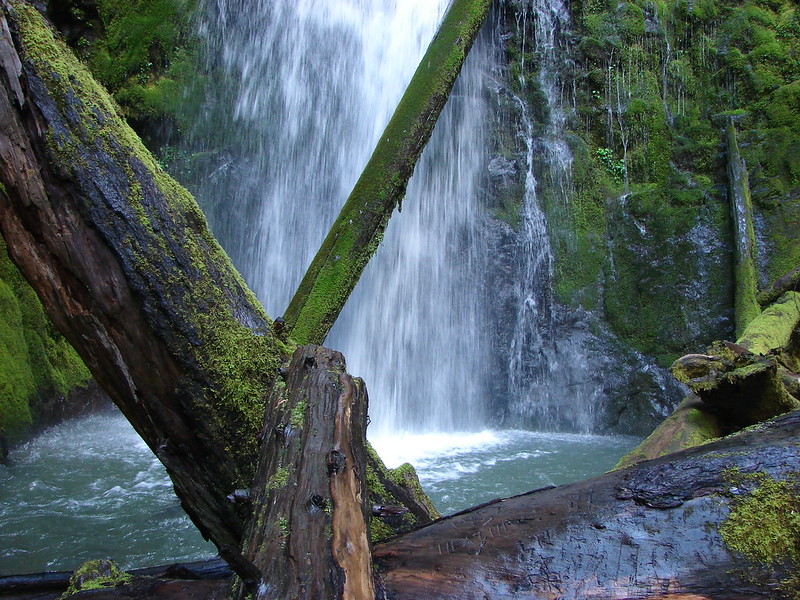
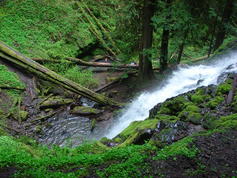
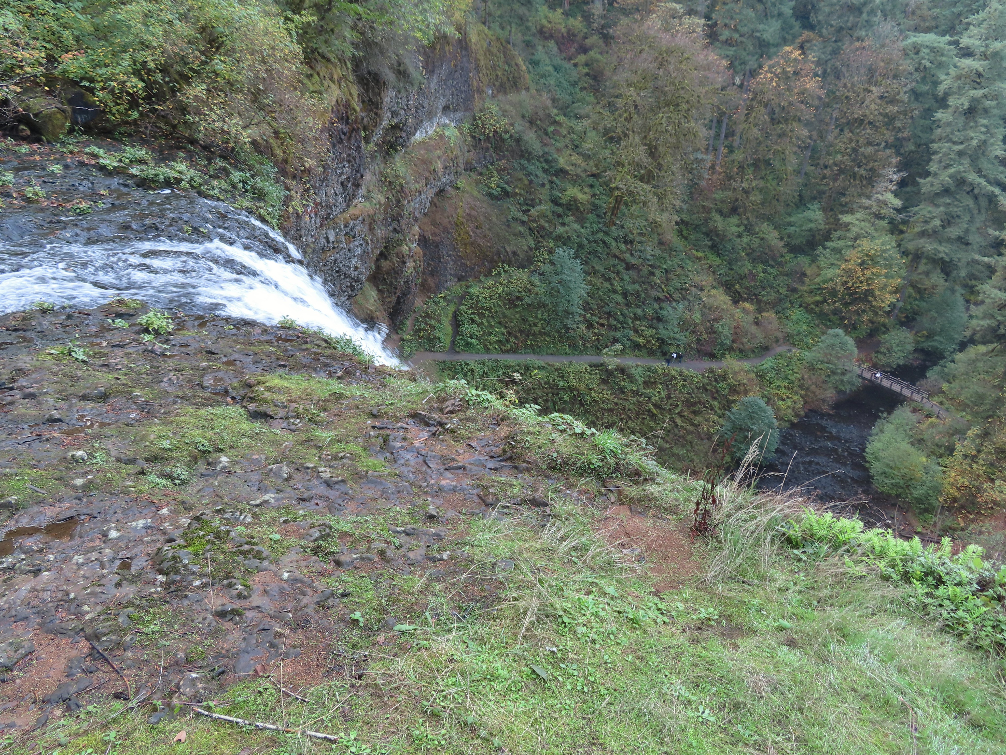
Looking down from above the falls.
The top of Shadow Falls.
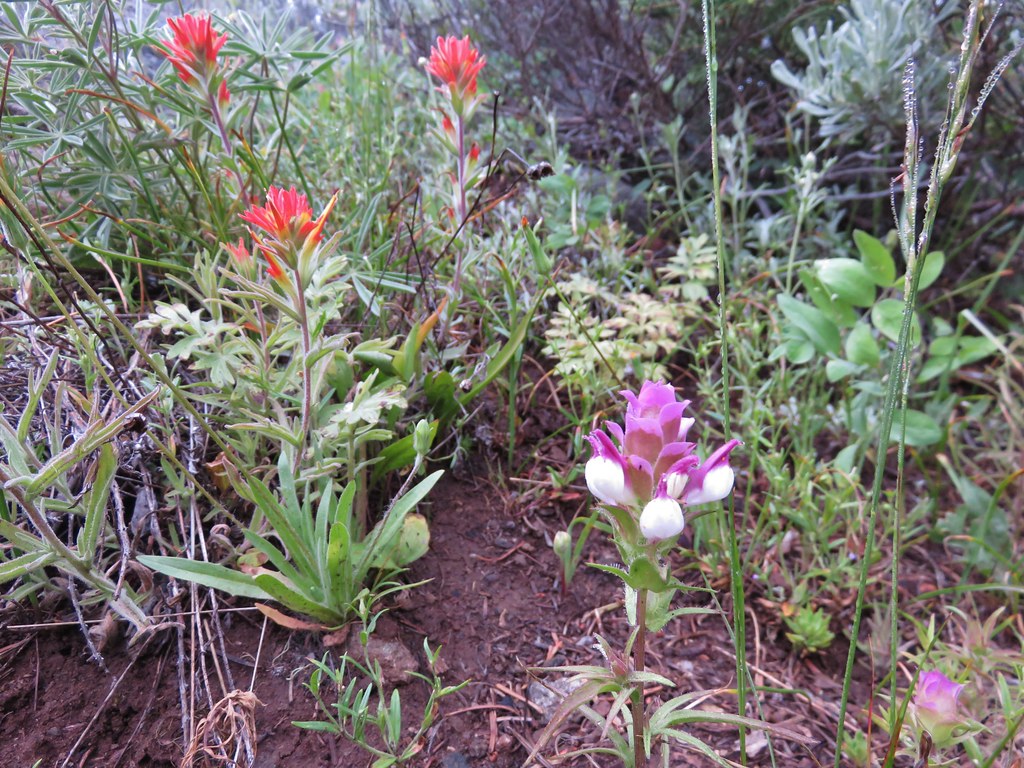
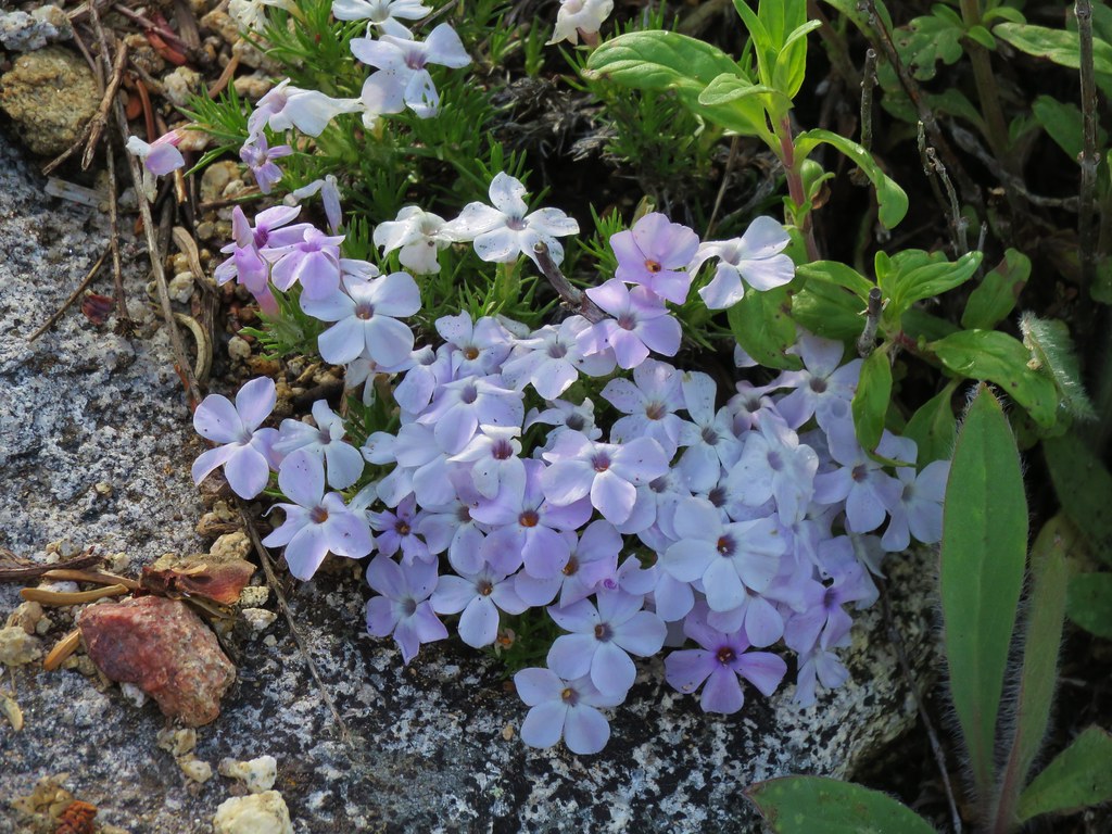
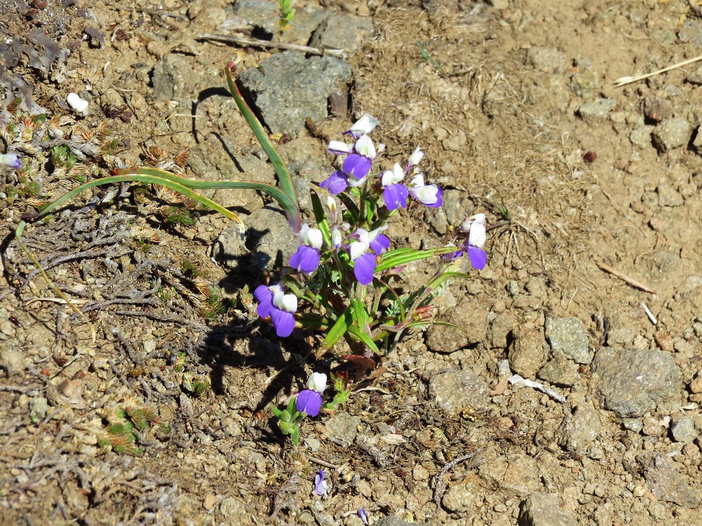
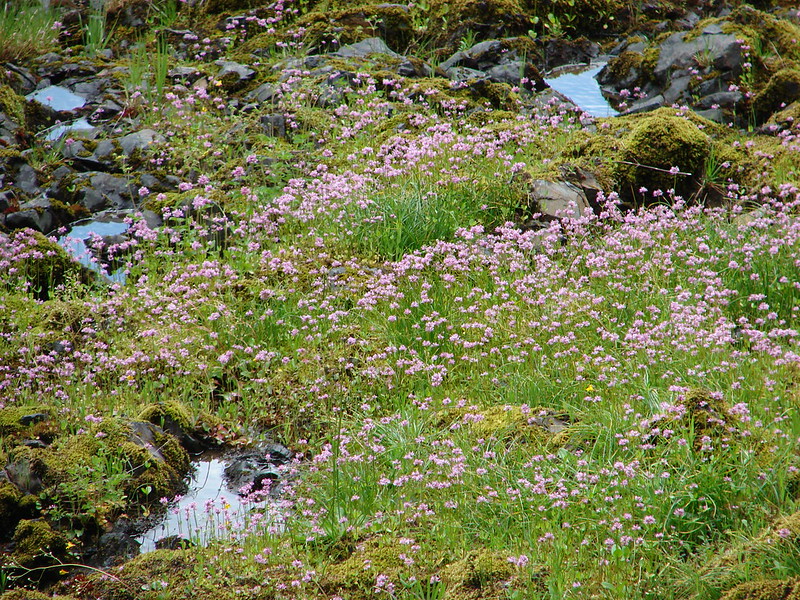
Northern phlox
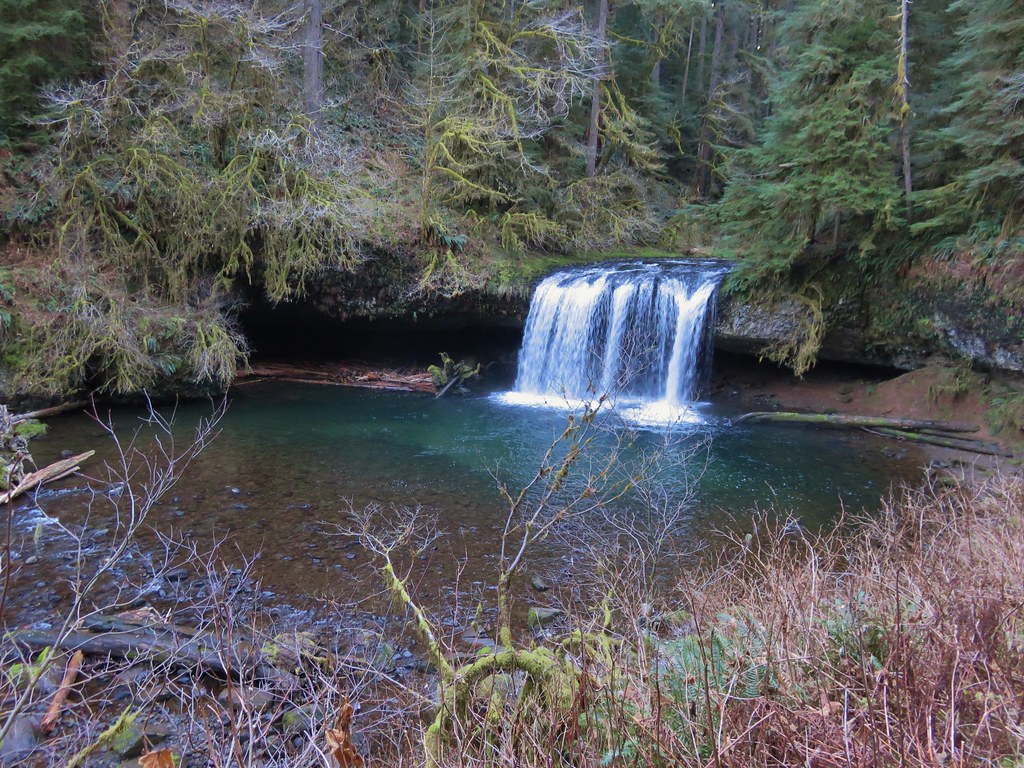
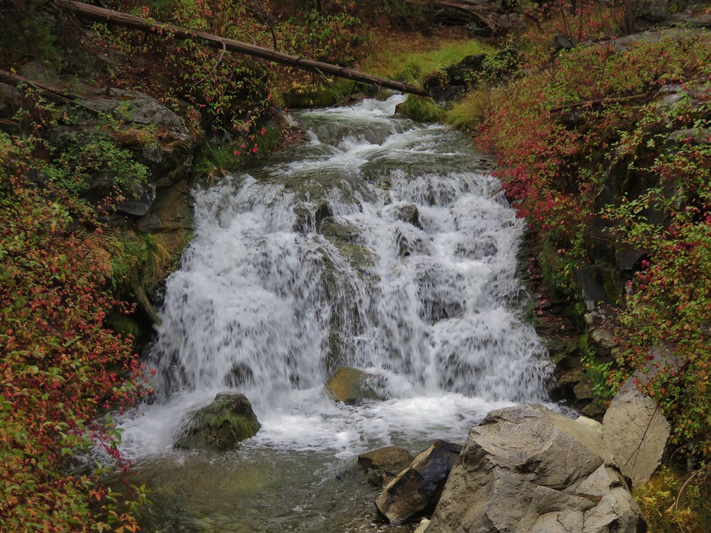
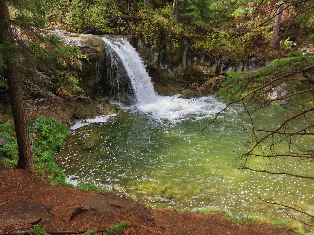
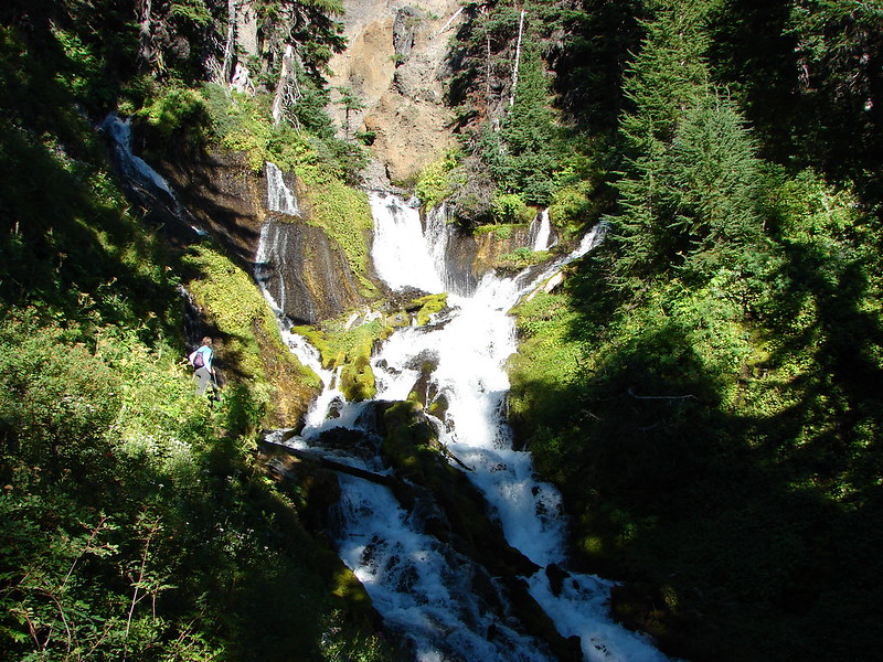
From the trailhead we drove back along FR 25 8.5-miles to the BLM managed Cavitt Creek Falls Recreation Site. The site consists of 10 campsites ($10.00 fee and reservations must be made 5 days in advance) and a day-use picnic area. The main attraction is a swimming hole below Cavitt Creek Falls. The falls themselves are under 10′ in drop, but they are a scenic little cascade. An ADA accessible trail leads down to a viewpoint above the falls, and a set of stairs continues down to the swimming hole.
The campground host from the small day-use parking area.
The wheelchair accessible path.
Picnic area near the viewpoint above the falls.
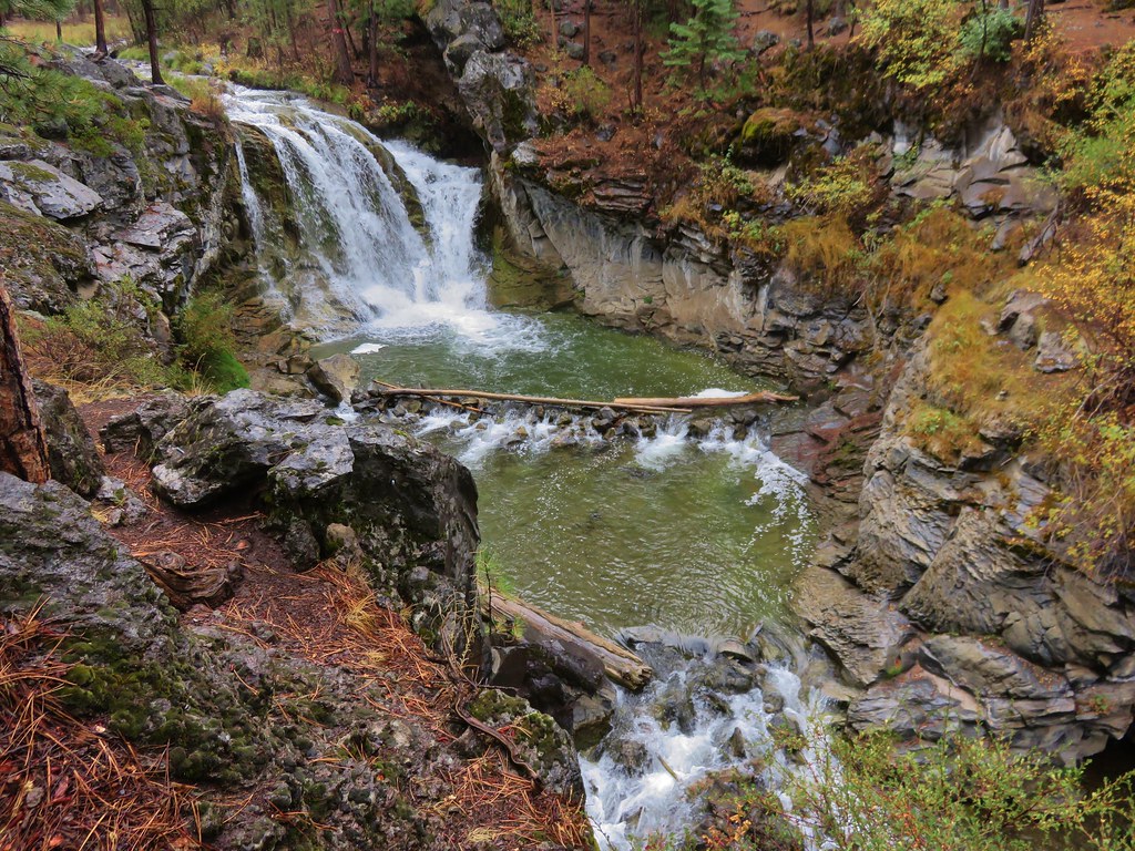
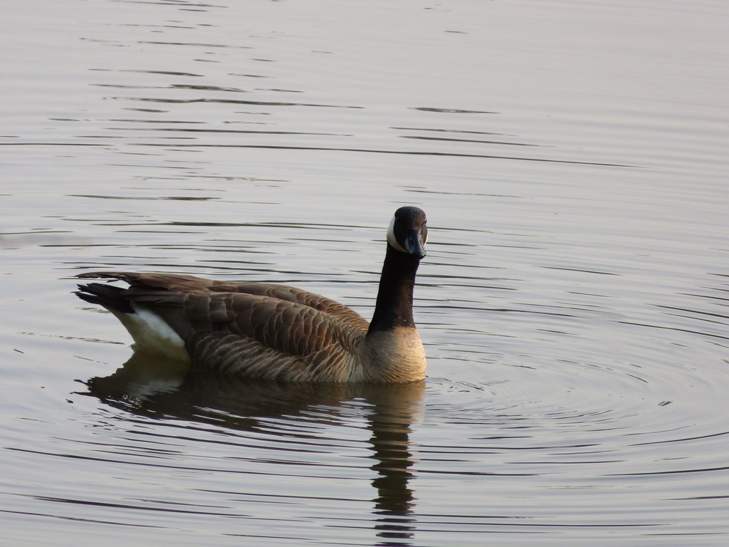
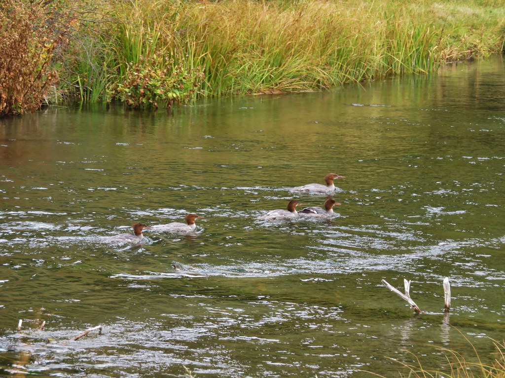
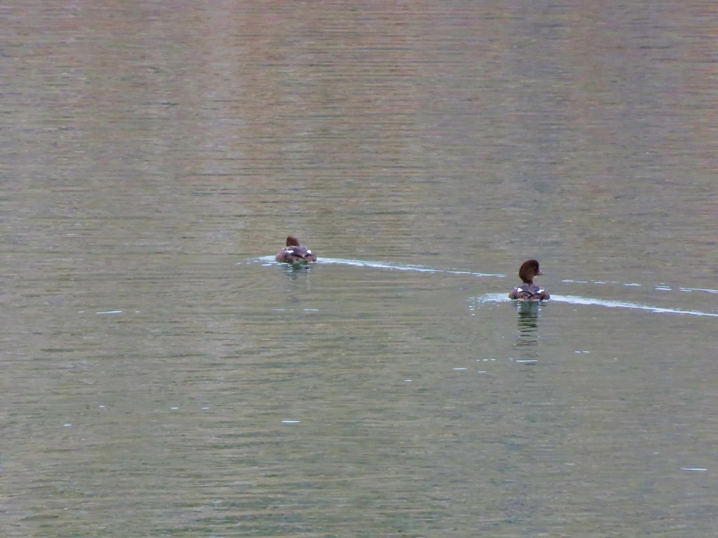
The swimming hole was empty except for this common merganser.
Cavitt Creek below the falls.
This was a nice little stop where we managed to get in almost a third of a mile of walking. Being there on a wet, chilly morning worked out great for just checking out the waterfall. We returned to our car and made our way back to Highway 138 where we turned right (east) and headed for our next stop at Clearwater Falls. It was a little over 63 miles from the Cavitt Creek Falls Recreation Site to the Clearwater Falls Campground where we parked near the picnic area and followed a short (one tenth of a mile) path to the beautiful Clearwater Falls.
Rogue-Umpqua Scenic Byway Map at the picnic area.
First time we’ve seen a wolf warning; it is usually bear or cougar.
Understandably this was the first stop where there were other people, but it wasn’t crowded, and everyone got a chance for a little solitude on the observation deck. After taking our turn we returned to the car and headed back west on the highway just 3.6-miles to Whitehorse Falls Campground.
The small parking area near the picnic grounds.
An even shorter trail here led to a viewing platform for Whitehorse Falls. We saw several of the same faces here as we’d seen at Clearwater Falls.
Clearwater River below Whitehorse Falls.
Once again we returned to the car and continued west, this time 8.8-miles to the Clearwater (East) Trailhead.
The trailhead is just a pullout along the shoulder of FR 4776.
The 1.7-mile Clearwater River Trail begins (or ends if you start at the Clearwater (West) Trailhead) on the opposite side of the road.
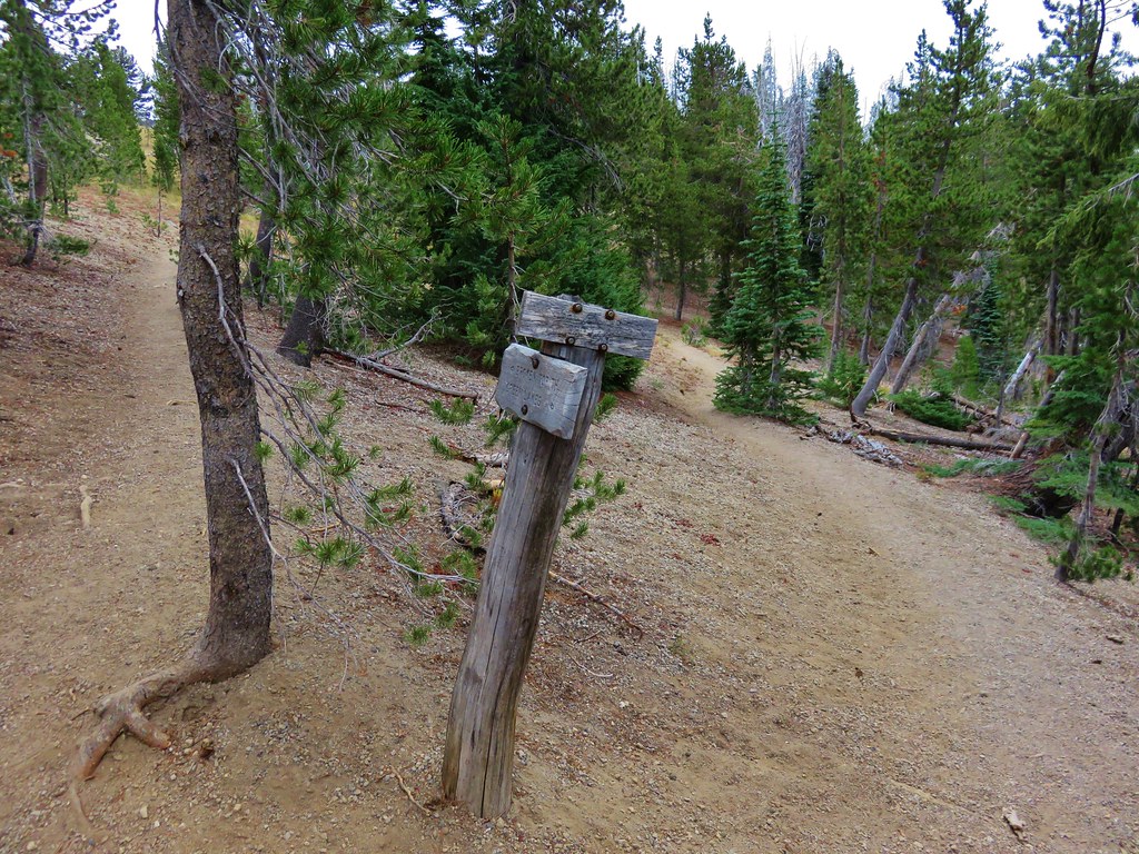
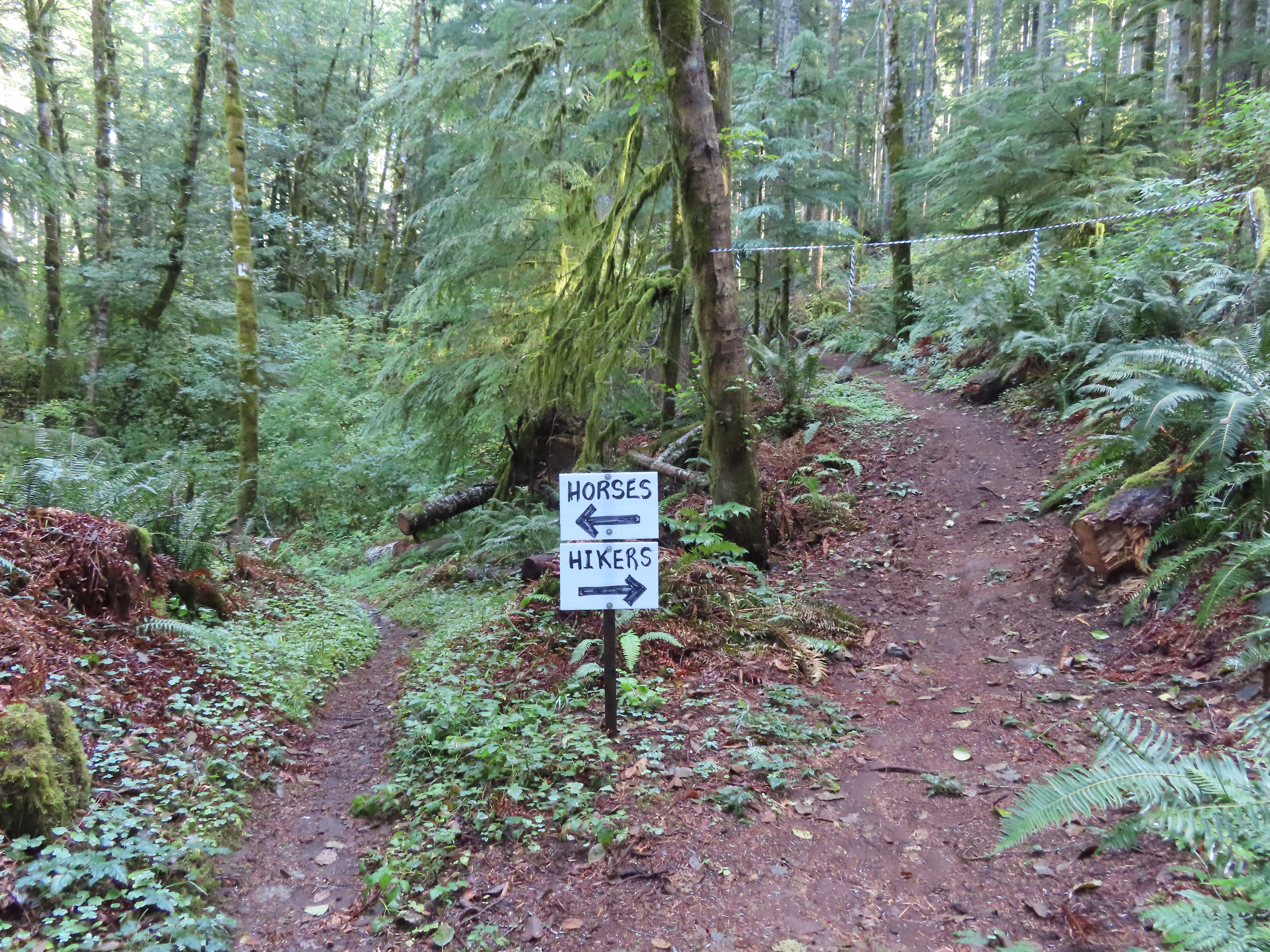
The pointer to the right was labeled “Unmanaged Trail” which was a term we had not encountered before. We would pass four such signs along this trail and can only assume they are use trails connecting to FR 4776 at various points.
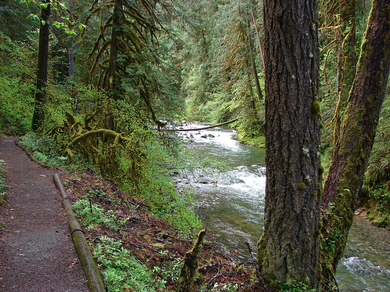
This was a lovely trail which made a couple of ups and downs as it followed the river toward Toketee Lake.
Crab spider on prince’s pine.
Twin flower
This was the biggest skunk cabbage that we’d ever seen.
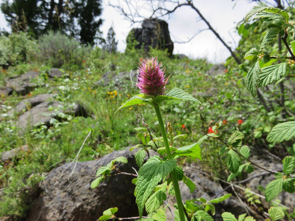
Hedge nettle
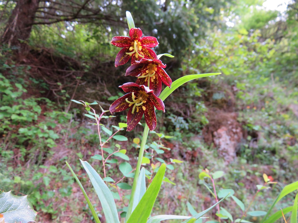
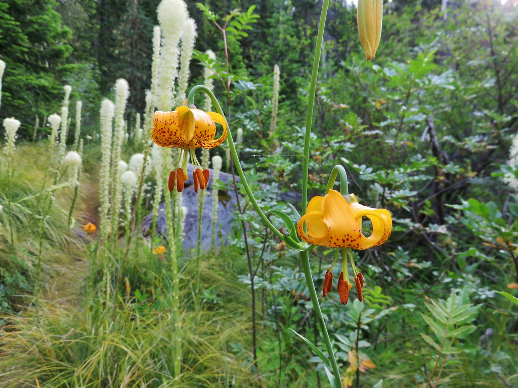
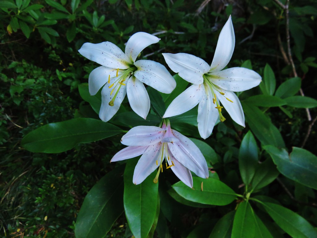
Tiger lily
Northern phlox
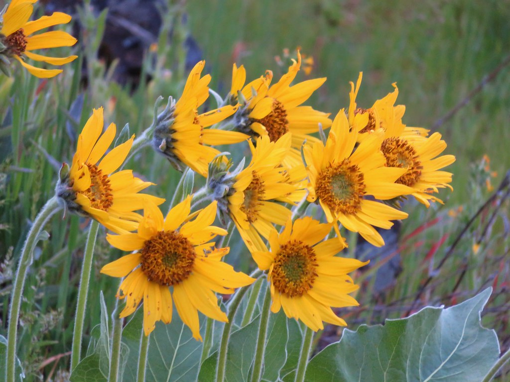
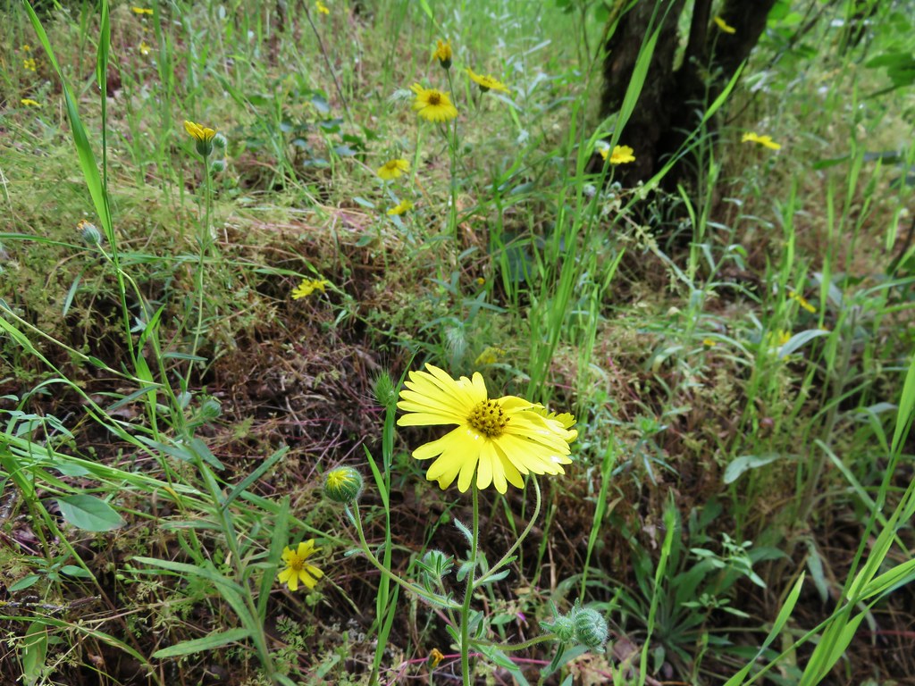
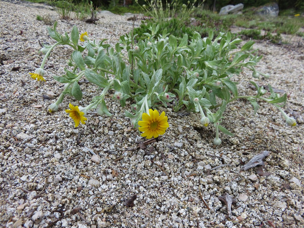
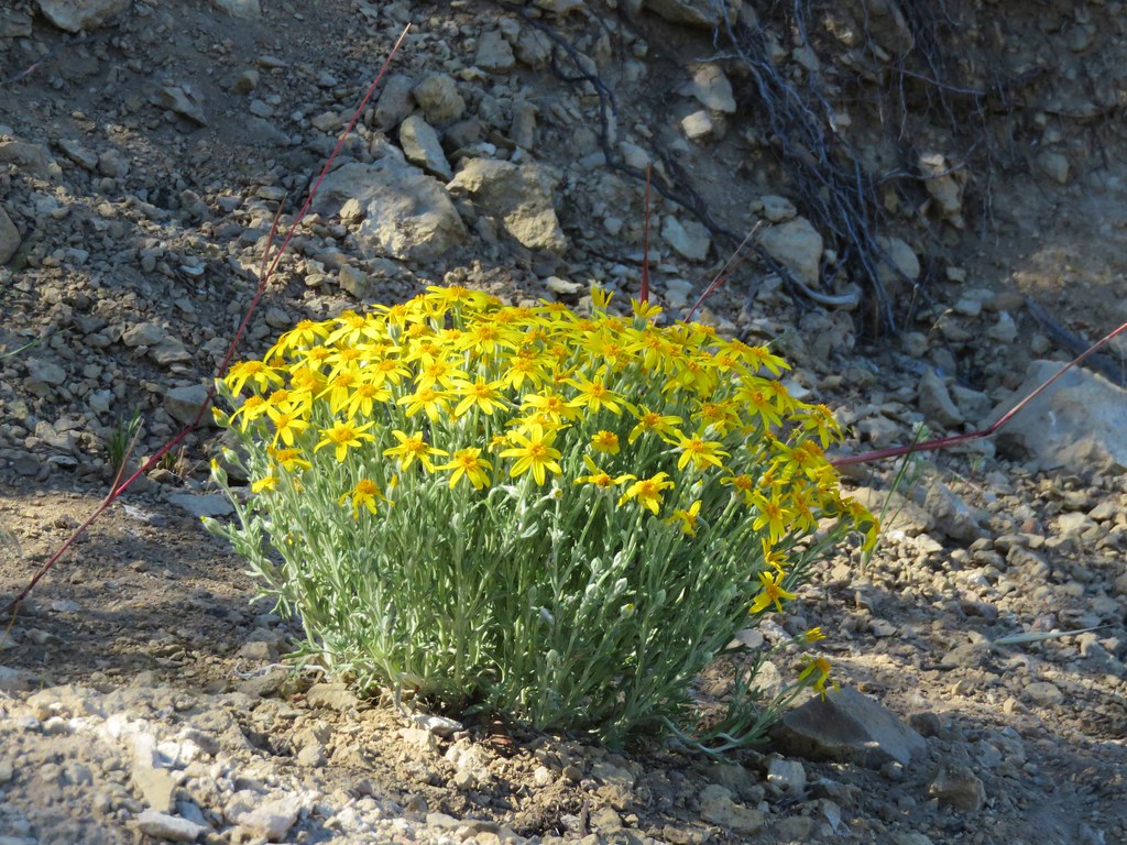
Arnica
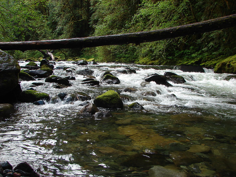
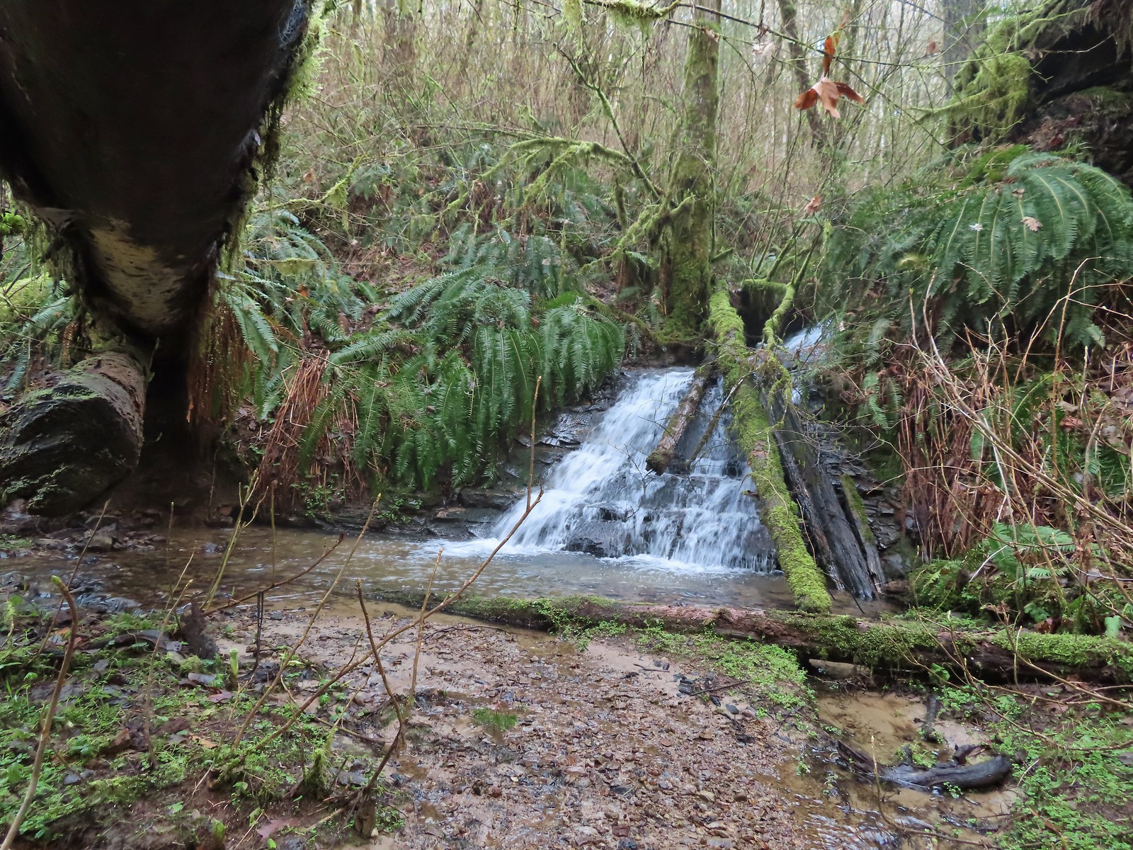
One of several small cascades along the river.
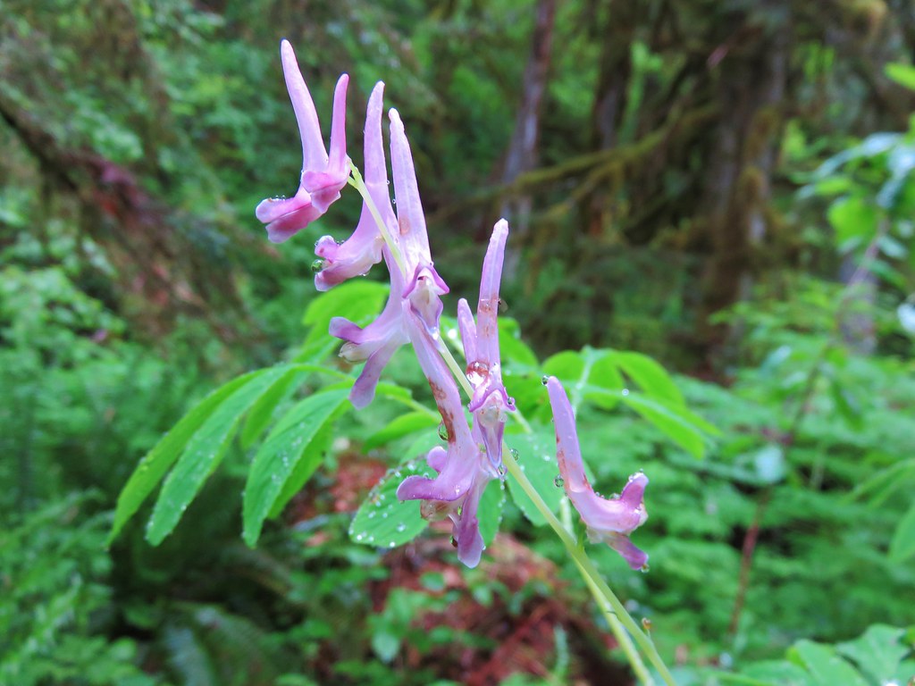
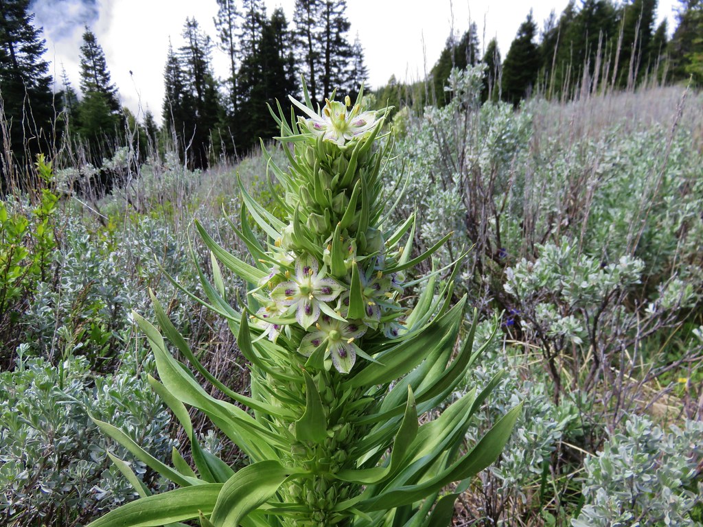
Scouler’s bluebells
Rhododendron
Another Unmanaged Trail heading off to the right.
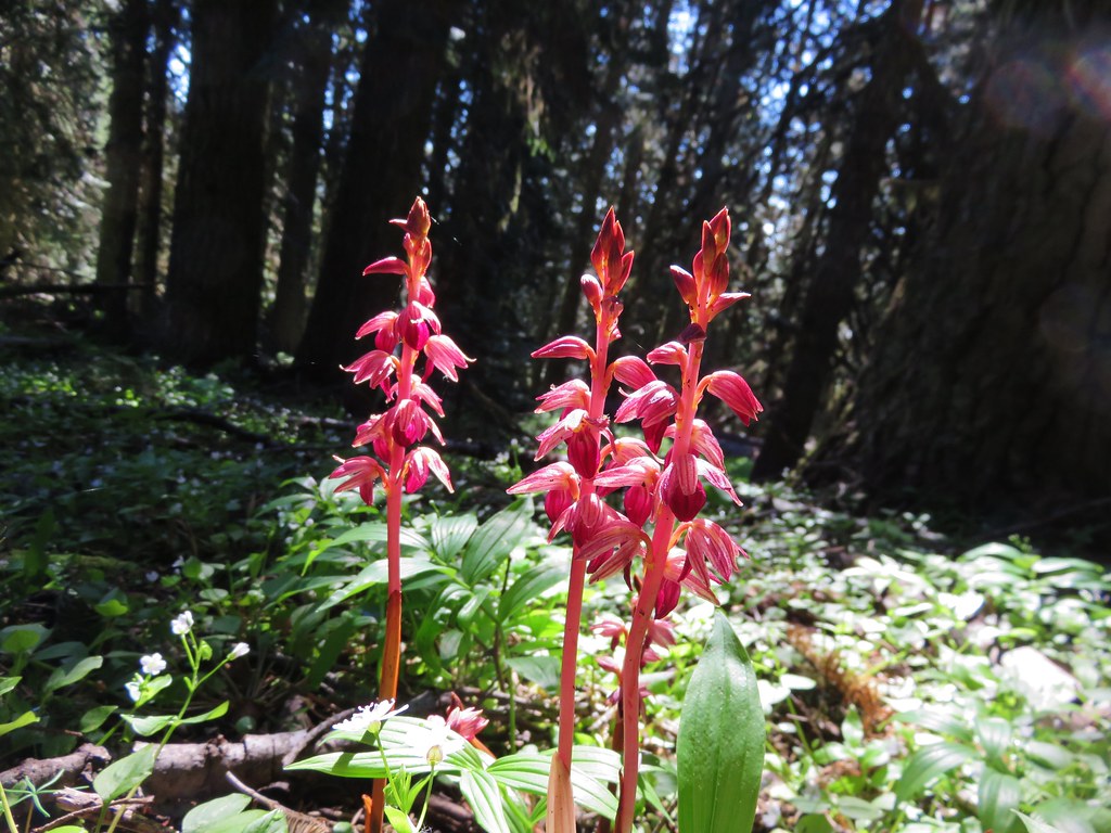
Candysticks
Yet another Unmanaged Trail.
Arriving at the west trailhead.
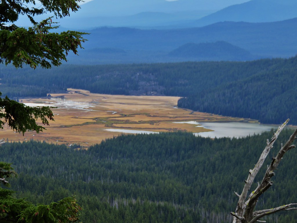
We were hoping for a view of Toketee Lake, but we would have had to road walk a bit to get one.
We returned the way we’d come without seeing another person on this trail.
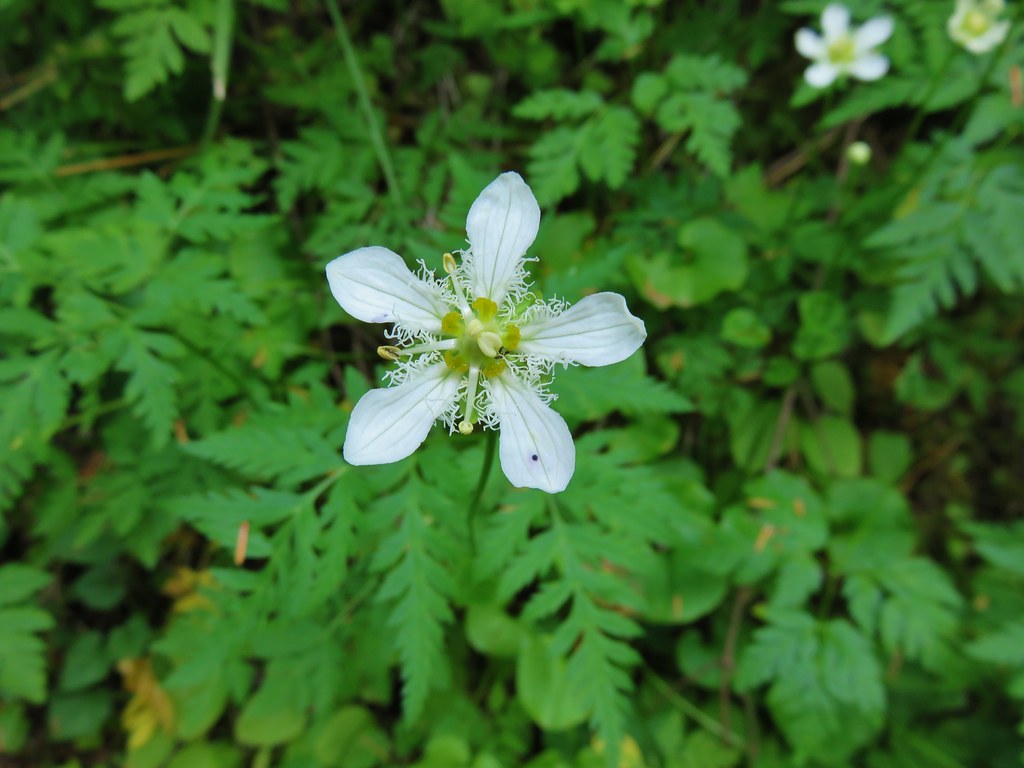
Foam flower
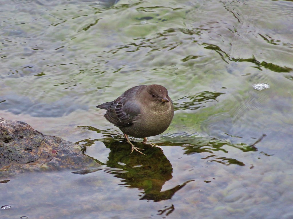
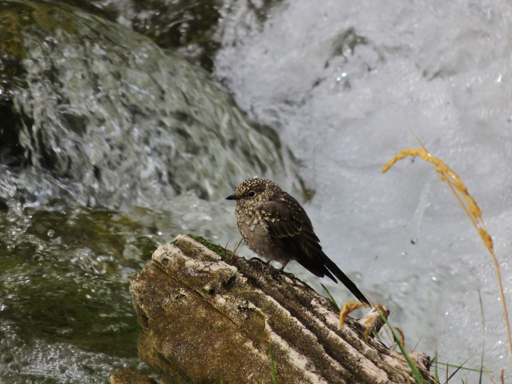
There were a pair of ouzels flying around this cascade.
Ouzel aka American dipper.
This stop came to 3.5-miles, our longest hike of the day. There was a little noise from the highway at brief times along the trail but for the most part the river drowned out the cars. It was a good way to end the day as far as hiking went.
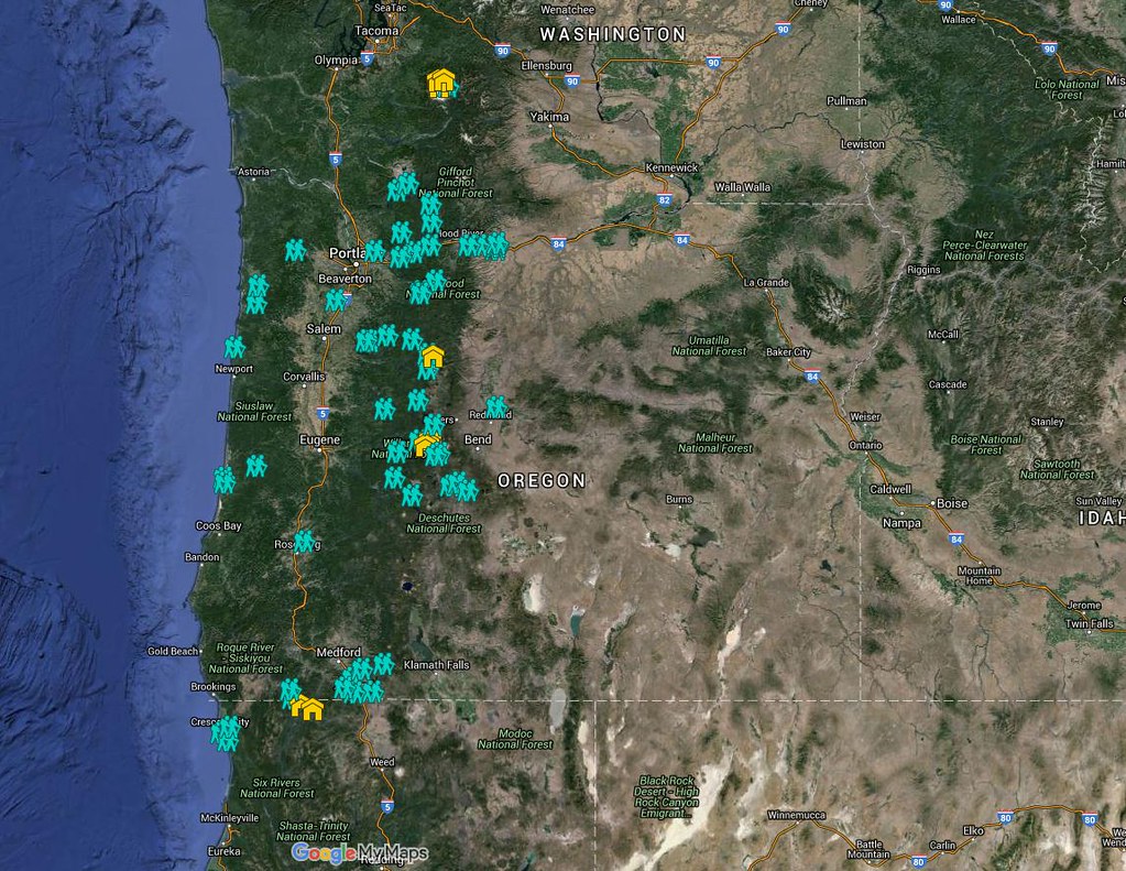
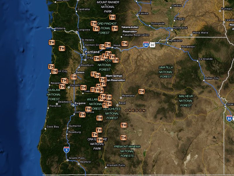
With all the stops being short and/or simple out-and-backs instead of the individual tracks here is a map of their relative locations.
This image includes our 2022 visits as well.
We timed things pretty well too with the rain really letting loose on our drive into Roseburg. After checking in to our room and getting changed we headed out to get some dinner at 7 Seven Thai which turned out to be a great pick, then headed to Fred Meyer for some room snacks before turning in for the evening. Happy Trails!
The 2022 hiking season wound up being full of waterfalls. That wasn’t necessarily the plan at the beginning of the year but when Heather’s season was cut short I wound up doing three waterfall filled hikes on top of several waterfall hikes we’d done earlier in the year. By the end of the year we’d seen 50+ named waterfalls and 20 unnamed cascades. That seems like enough to warrant a post so here are the waterfalls and cascades that we saw throughout the year.
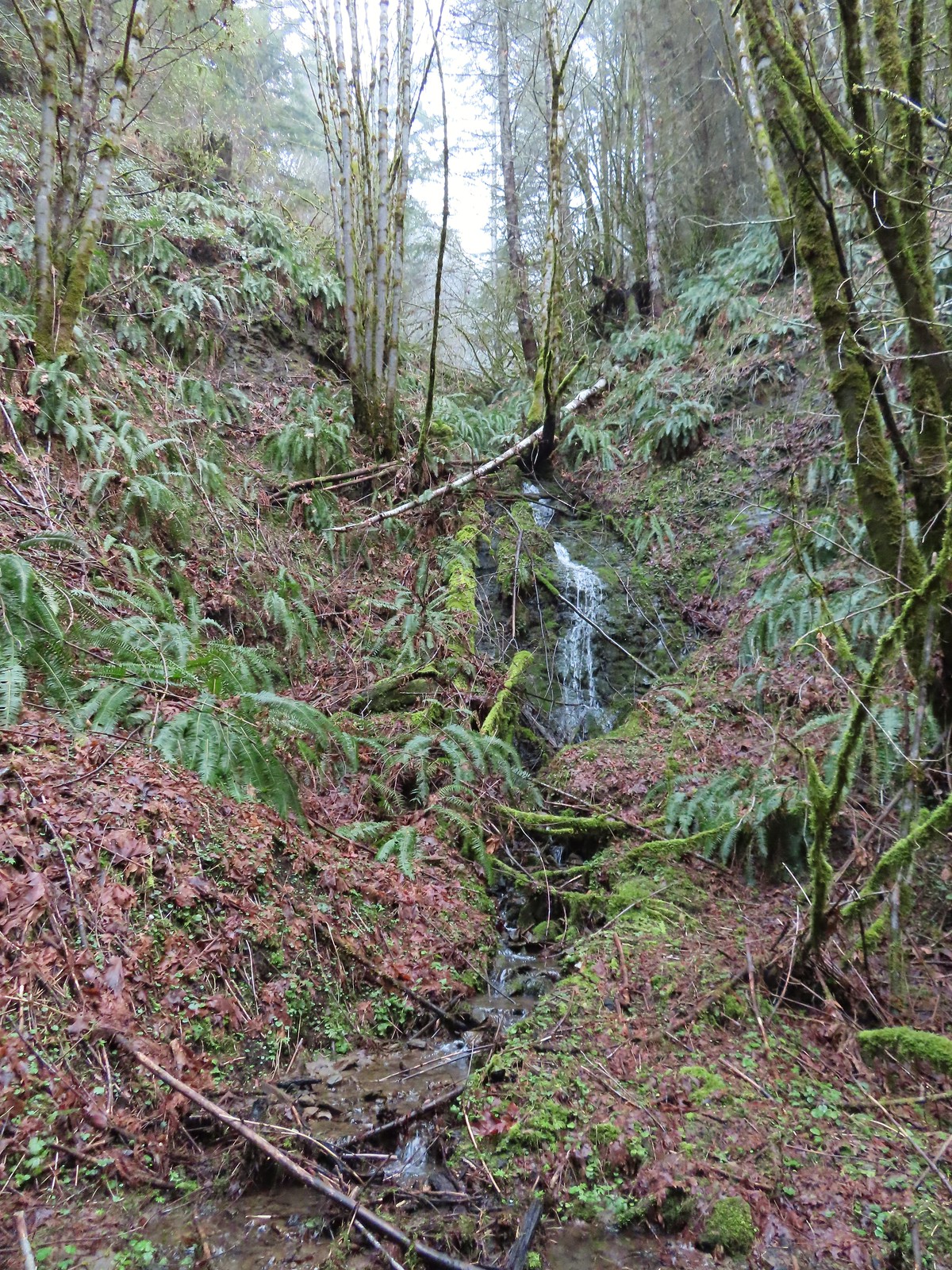
Starting with the unnamed cascades were a pair of small drops near the Nehalem Divide Railroad Tunnel.
On that same hike we visited a seasonal fall just off the Crown Zellerbach Trail.
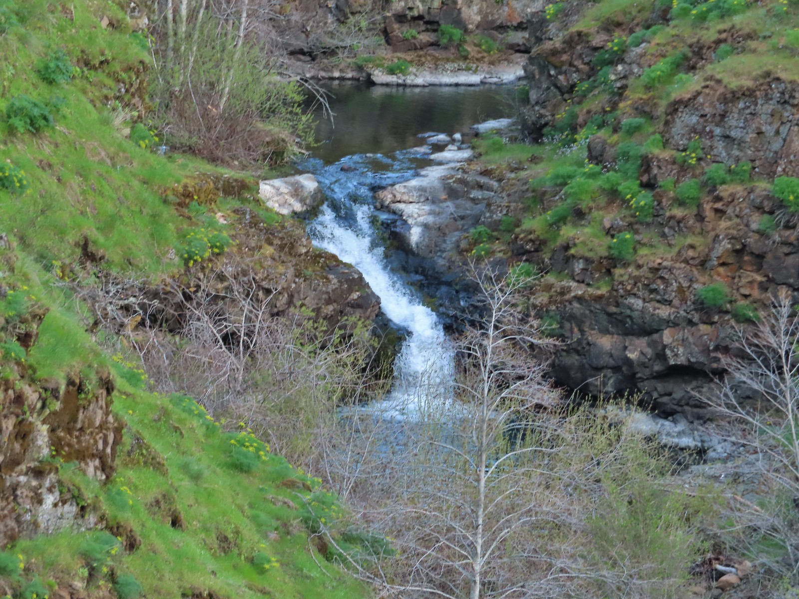
In April we saw a series of cascades along Silvas Creek from the Klickitat Trail
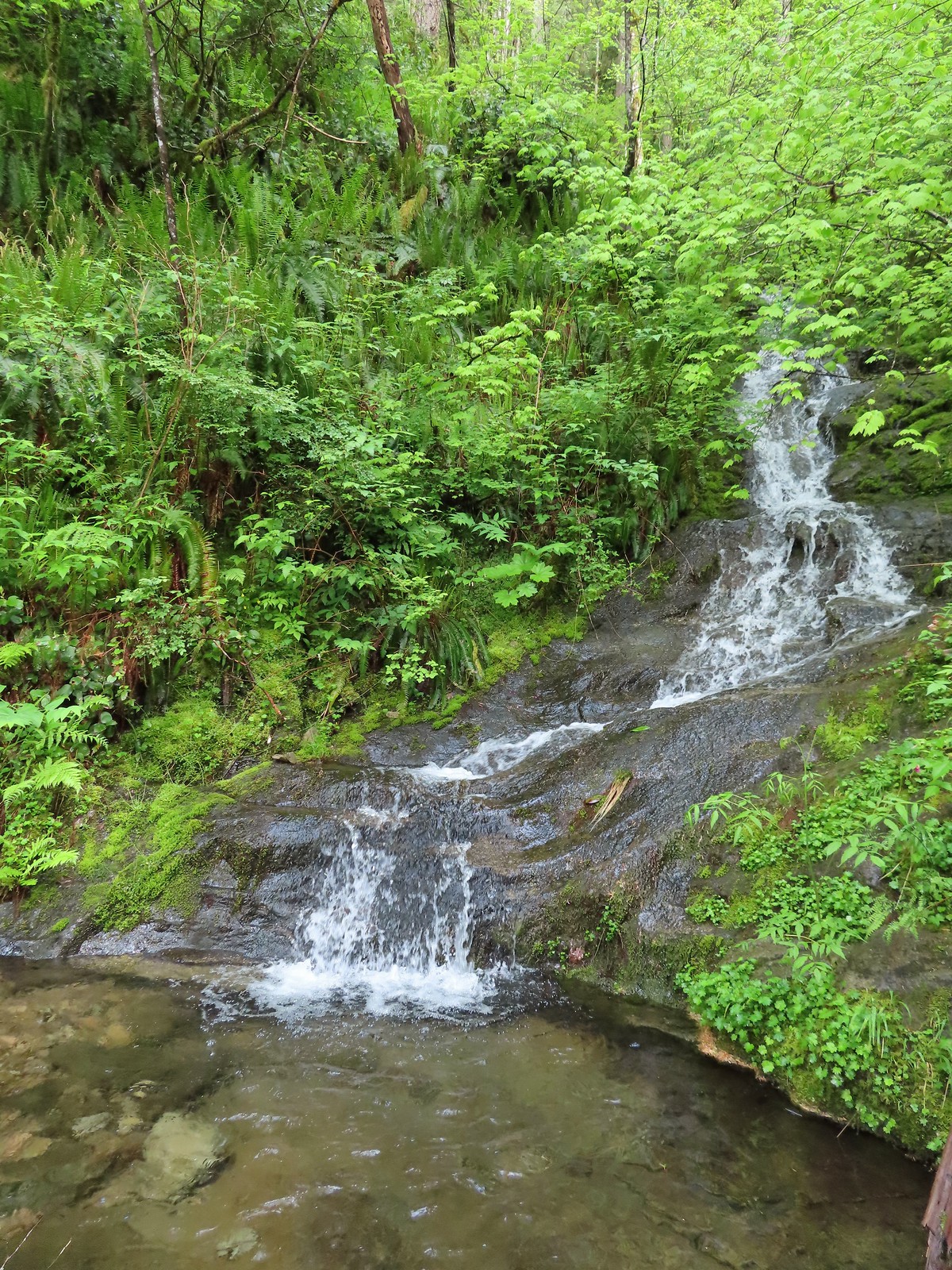
During a June hike to Black Hole Falls we passed three unnamed cascades on the North Fork Siouxon Trail.
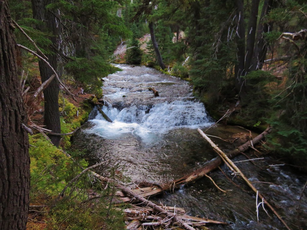
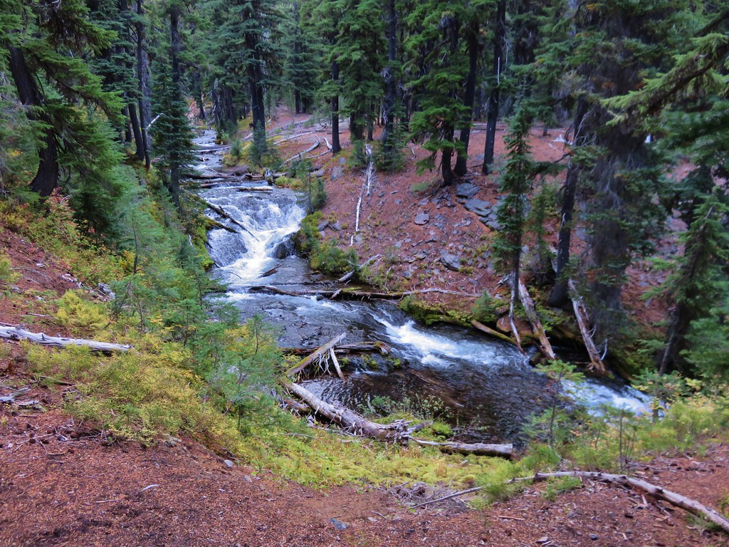
The following week we passed a nice little fall on the North Umpqua River Trail heading to Lemolo Falls.
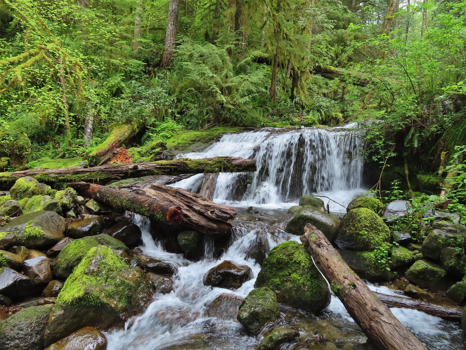
Our next notable unnamed cascade was below Devil’s Punchbowl in the Siskiyou Wilderness which we visited on July 2nd.
On July 12th we encountered an impressive split cascade in the Eagle Cap Wilderness on the way to Burger Pass along the Buck Creek Trail.
In August we saw a few unnamed falls/cascades starting with a little slide falls along Hemlock Creek.
Unnamed waterfall along Riley Creek in the Mt. Adams Wilderness
Unnamed waterfall below East Boulder Lake in the Trinity Alps Wilderness.
A September hike along Union Creek produced several unnamed cascades.
My October waterfalls hikes produced two unnamed cascades. Cascade on Wahkeena Creek.
Small cascade along the North Fork Silver Creek.
The final unnamed cascade came on a chilly November hike along the Eagle Creek Trail beyond Seven Mile Falls.
With October and our official hiking season coming to an end I was hoping to go out with a bang by doing a long loop around Silver Falls State Park. I had gotten the idea during our 2021 hike in the backcountry of the park (post). While looking at the map for that hike I had started doing the math for the loop and it appeared to be a little over 20 miles which would be a long day but doable. Heather was not as enthused as I was about the possibility, so I had originally planned on attempting the loop on a day off while she was working. With her knee ending her season early it seemed like a good way to put an exclamation on the end of mine.
As the day neared I started second guessing myself. Some much need wet weather had moved in, and Friday was the wettest day we’ve had in months. The forecast for Saturday was for more rain in the morning, a 70% chance, followed by several hours of patchy fog then mostly cloudy skies. Twenty plus miles with wet feet wasn’t my ideal way to spend a hike but I decided to give it a try figuring I could cut the loop short by using one of the many trails running through the park. I packed some extra pairs of socks in a dry sack and had my rain gear ready as I made the 40-minute drive to the South Falls Trailhead.
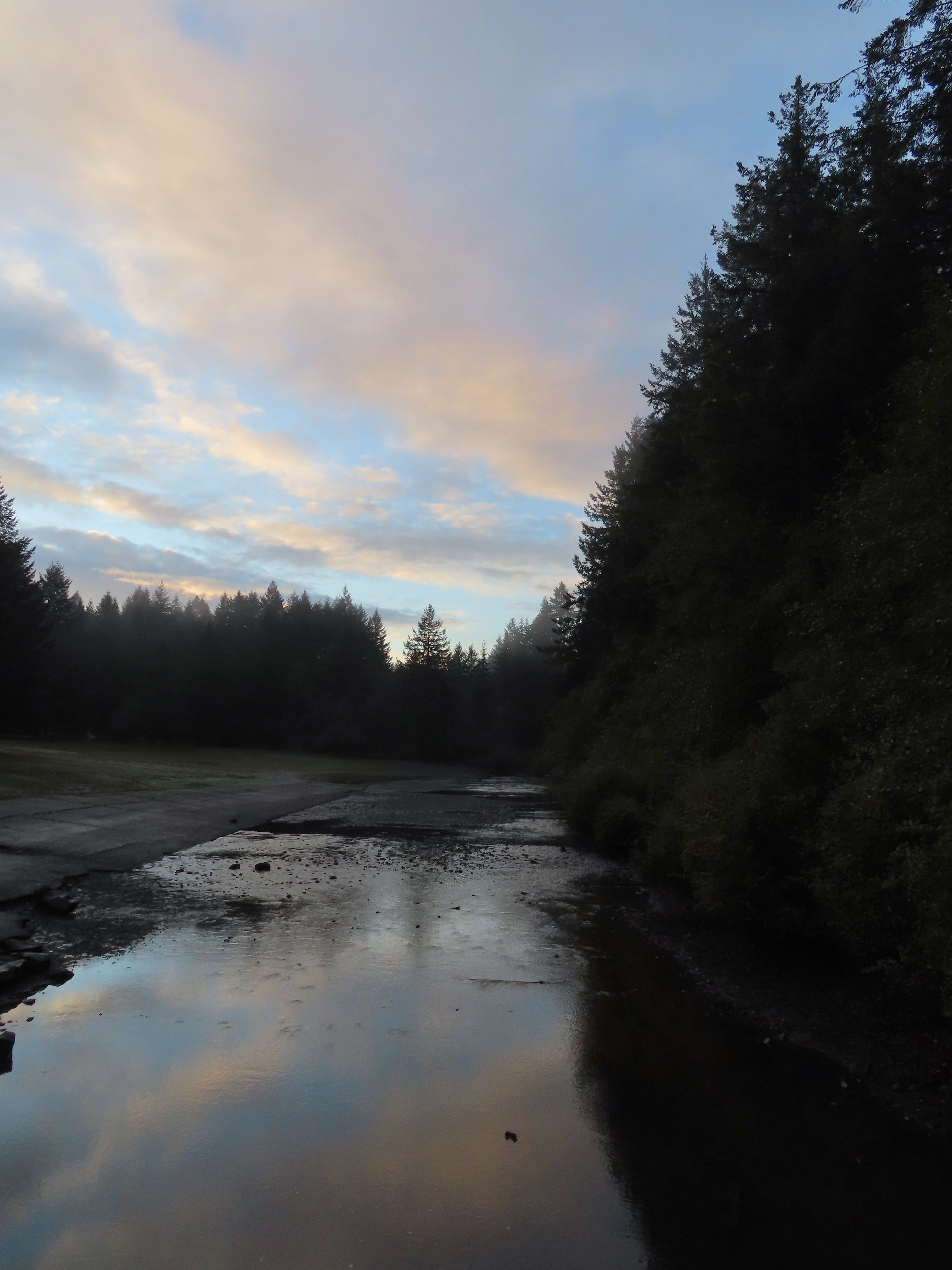
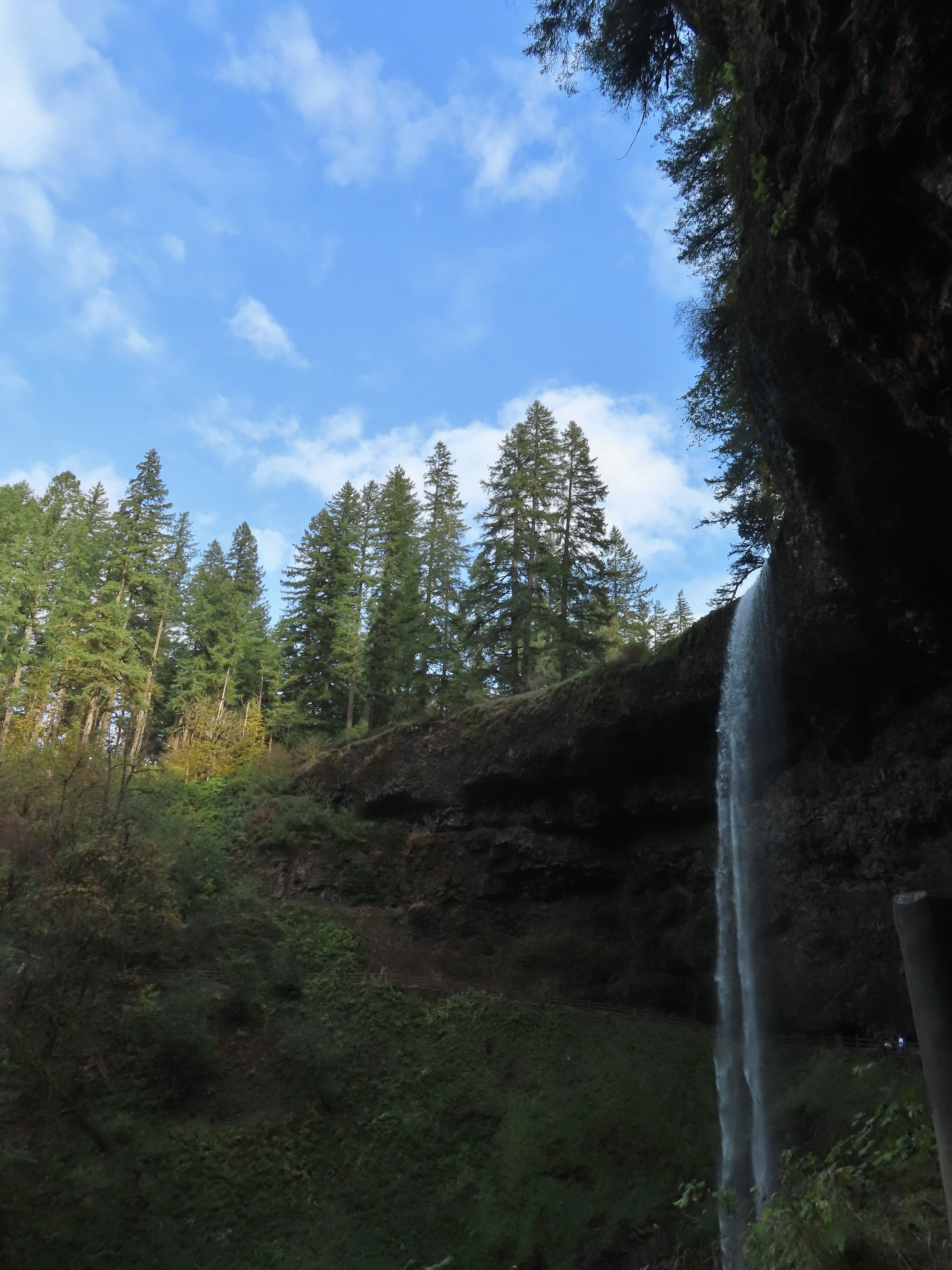
It was a dark and raining when I left home but shortly after turning onto Highway 214 I popped out of the low clouds and left the rain behind. Things were trending positive. When I got to the South Falls Day Use Area entrance I was reminded that by the gate that the Park opens at 8am and not 7am from October through March and it was only 7:30am. I needed to purchase a pass so I drove to the North Falls Trailhead where I knew there was a pay kiosk, only I had forgotten that the station there only accepts cash which I didn’t have. After using the restroom there I drove back through the park to the campground entrance remembering that there was a station along the entrance road that did take cards. I decided that I would get a pass there and then park at the 214 Trailhead like we had in 2021 since there was no gate blocking that one. At the kiosk I immediately inserted my card into the cash slot. Things were trending down. I managed to retrieve the card using a pair of travel nail clippers and finally got my pass. It was nearly 8am as I came to the turn into the trailhead at Lookout Mountain Road. Given the time I changed my mind here and decided to revert back to my original plan and drove back to the now ungated South Falls Day Use Area. A lot more blue in the sky than I had expected to see.
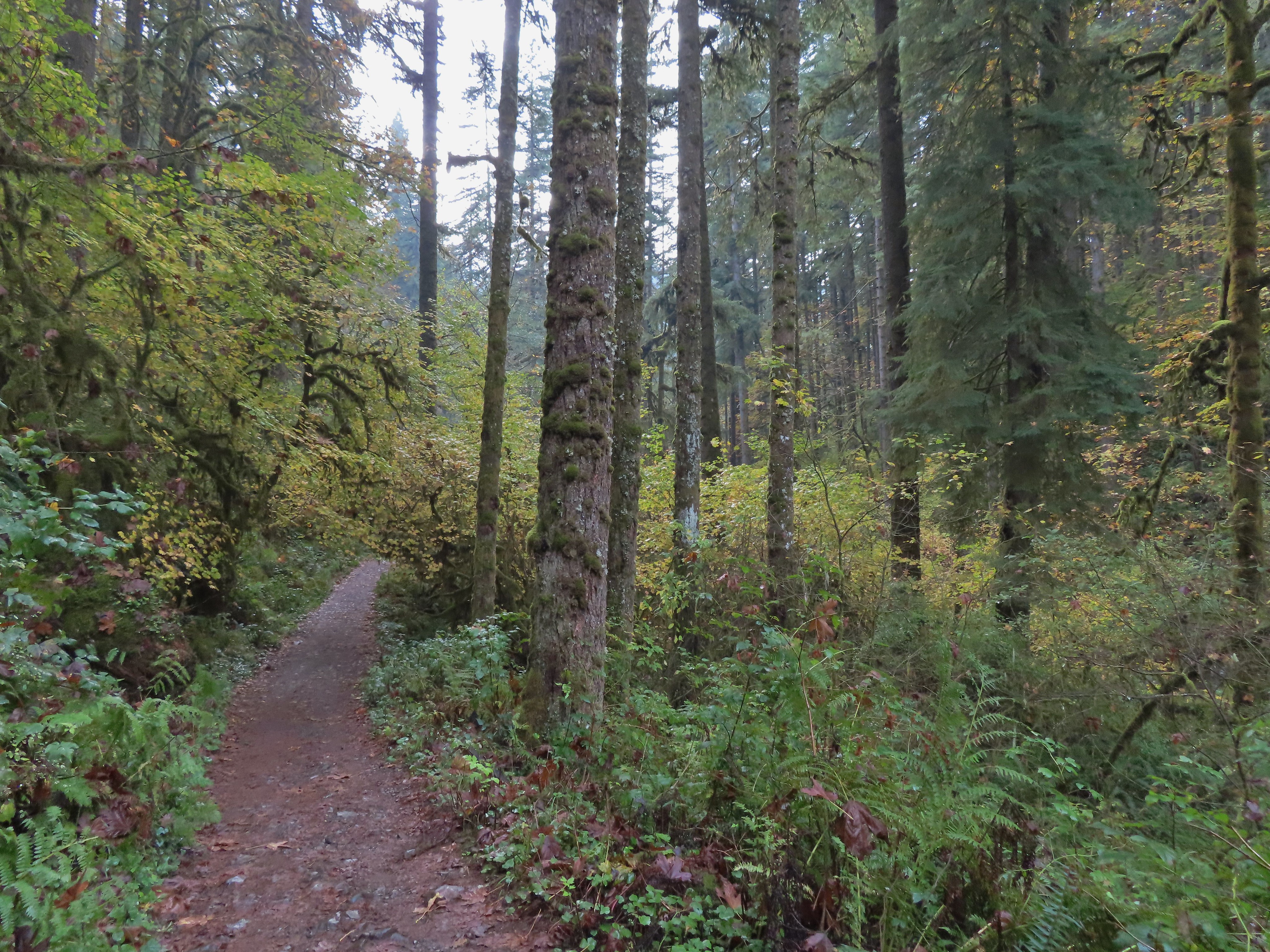
The route I had penciled out was to take the paved bike path from the parking lot to the campground where I would pick up the Nature Trail. I could take that trail to the 214 Trail followed by a portion of the Newt Loop to the Catamount Trail. I hoped to take that trail up to Buck Mountain then take the Perimeter Trail down to the Trail of Ten Falls near the North Falls Trailhead. I planned on visiting all ten falls and returning to the parking area via the Canyon Trail portion of the Trail of Ten Falls. I crossed South Fork Silver Creek on a footbridge to pick up the Bike Path on the far side where I turned left.
Crossing Highway 214 to the campground.
I detoured left to check out this bridge over Howard Creek.
Howard Creek
With the Nature Trail being a loop I could have gone either direction from the campground to reach the 214 Trail. Going left was a tenth of a mile shorter but I really wanted to make the loop as wide as possible so I went right at a pointer for the trail and Ampitheater.
We had been on the Nature Trail in 2021 so it was familiar surroundings as I made my way to the 214 Trail where I turned right.
Sign at the 214 Trail junction to let people know that there are no waterfalls in the backcountry.
I followed the 214 Trail for 1.3 miles to the Newt Loop. Just a little fog but no rain.
Passing the Smith Creek Trail (left) after 0.6 miles on the 214 Trail.
Rough skinned newt on the 214 Trail. (Probably headed for the Newt Loop too.)
Big nursery tree along the 214 Trail.
The trail post at the junction shows the Catamount Trail instead of the Newt Loop but the map at the junction labels it the Newt Loop.
Map check.
I turned right onto the Newt Loop and arrived at a junction with the Catamount Trail after 0.4 level miles. This second post included the Newt Loop along with a pointer for the Catamount Trail.
Crossing a CAT road along the Newt Loop.
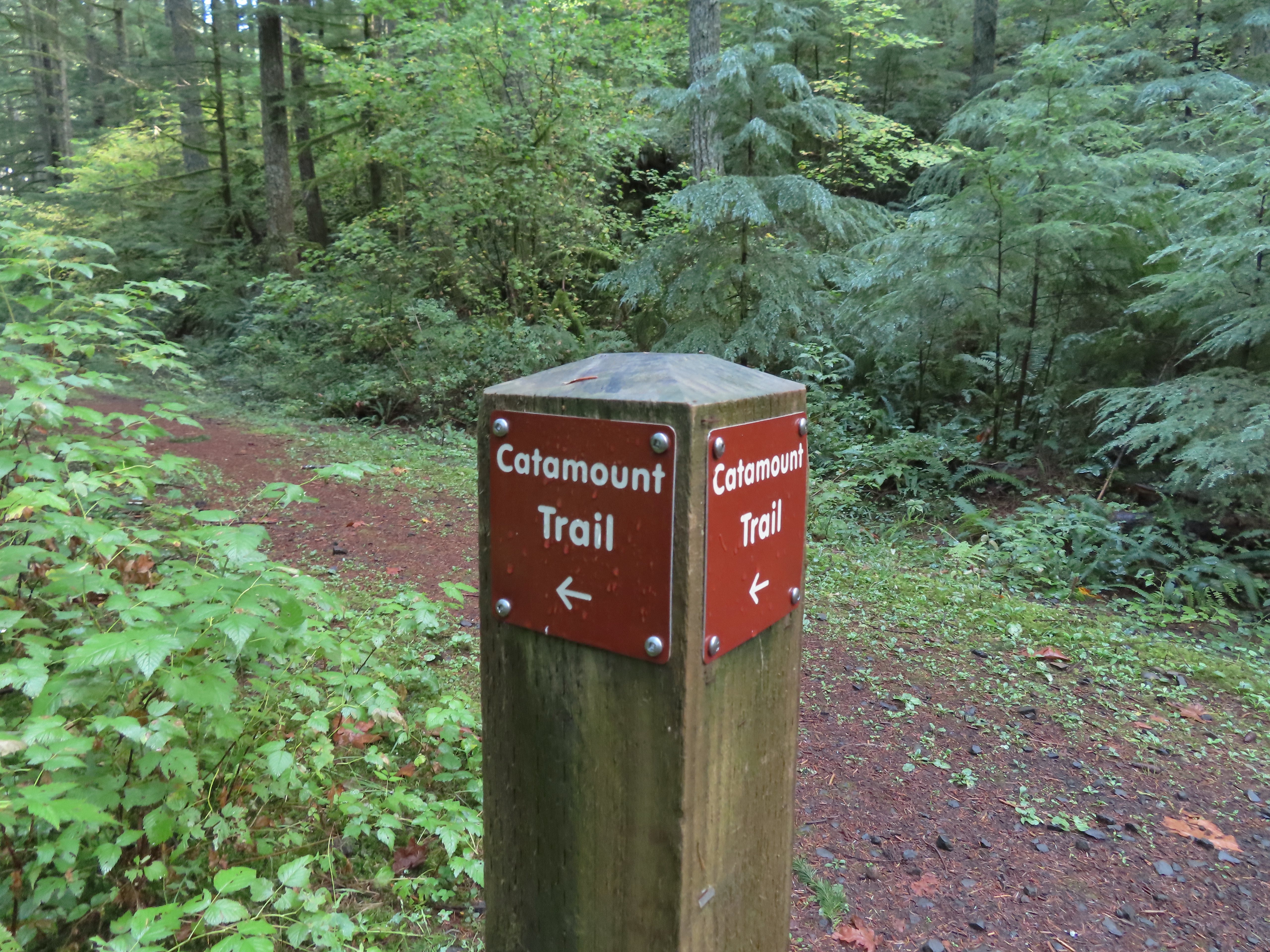
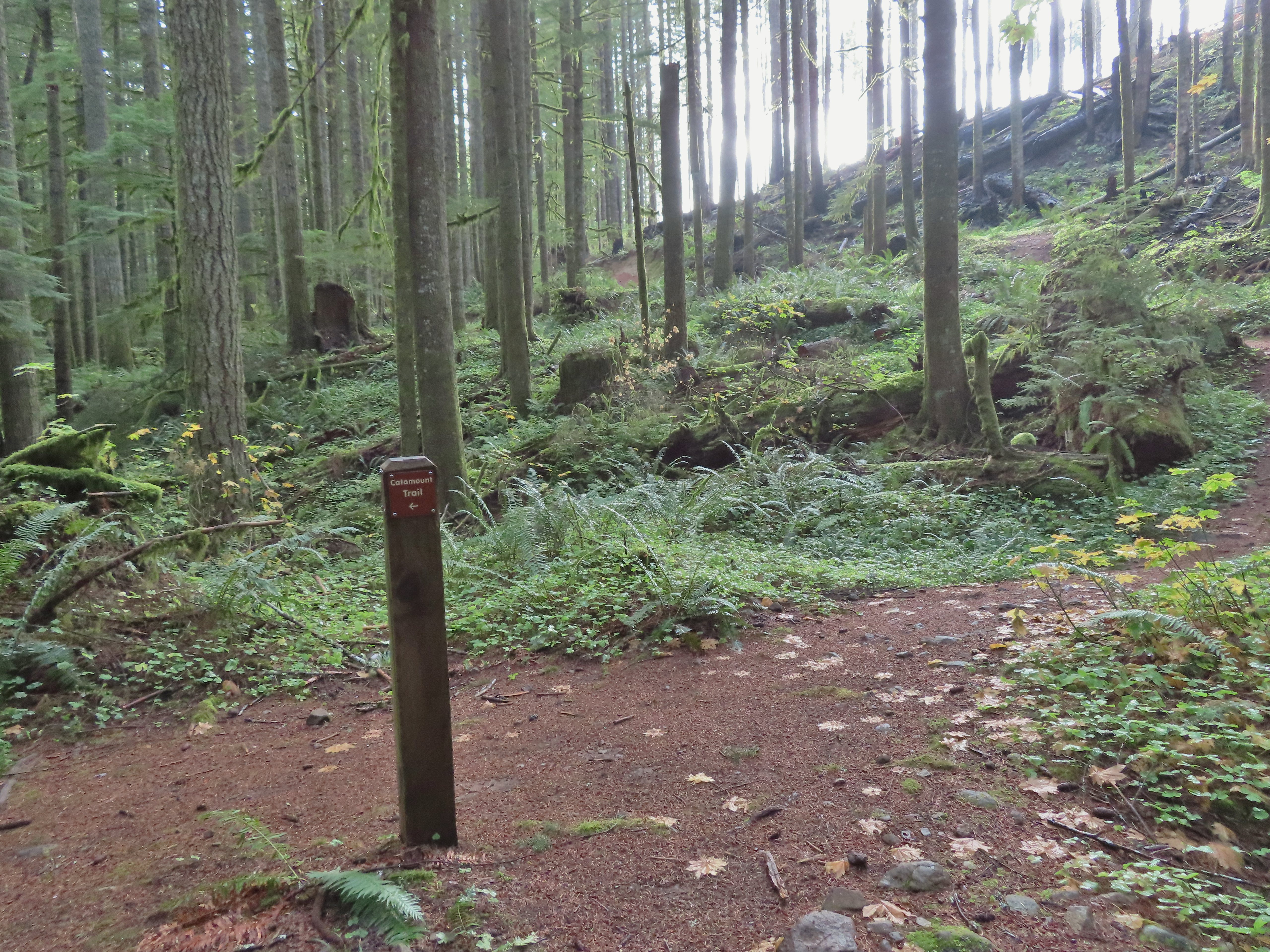
Turning onto the Catamount Trail.
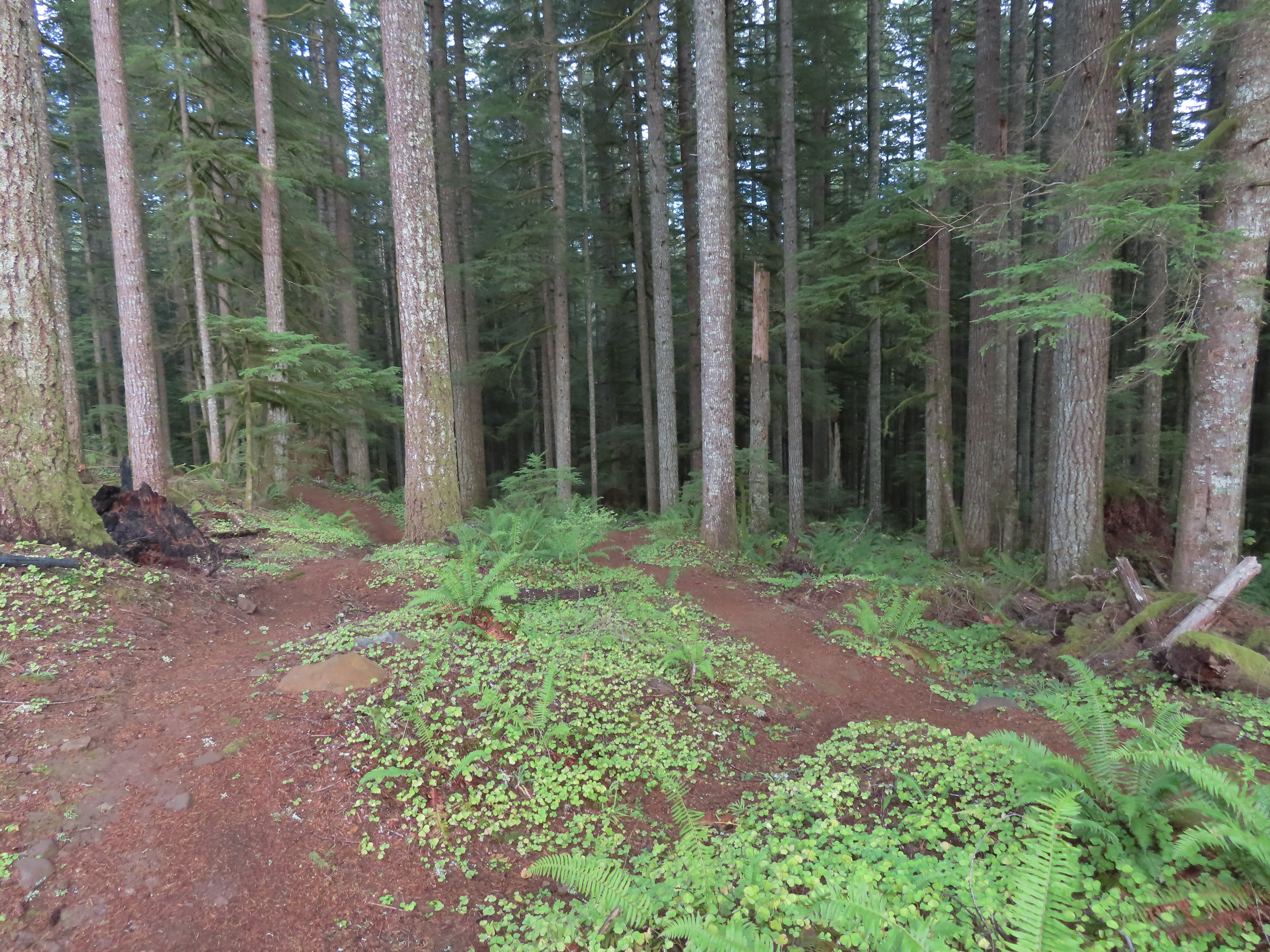
The Catamount Trail was new trail for me having not used it on our loop in 2021. The park map showed this trail extending 4.6 miles to a junction with the Lost Creek Trail then continuing another 0.9 miles to Buck Mountain. As a mountain bike trail the Catamount wound steadily uphill through the forest. Lots of nursery stumps along the trail.
Another nursery stump.
Side trails were well marked.
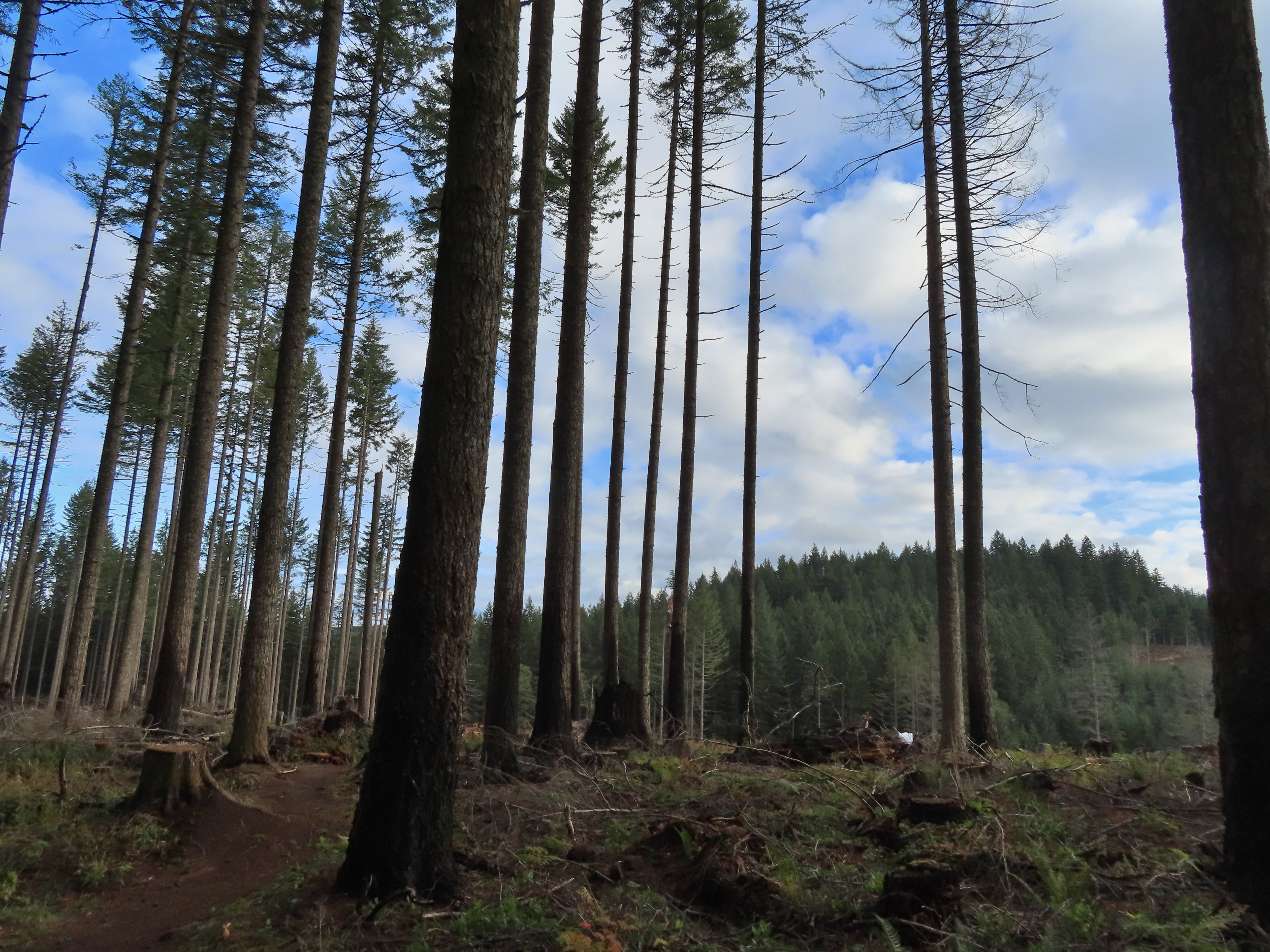
Did not expect to see that overhead today.
I believe this short section of fire scar was from the 2020 Beachie Fire.
After 3.8 miles on the Catamount Trail I came to a 4-way junction with a maintenance road.
The Catamount Trail continued on the far side the road only there was a “Do Not Enter One-Way” sign on the post.
This was the first I’d heard of the trail here being one-way and I haven’t had a lot of luck since my hike in finding that information online or maps, but I honored the sign and turned left on the maintenance road following a Catamount Trail pointer. Turning onto the road.
The opposite side of the post had a pointer for the Lost Creek Trail.
I followed the road for half a mile to the Lost Creek/Buck Mountain Trail junction.
I veered uphill to the right here.
The Lost Creek/Buck Mountain junction.
On our previous visit we had arrived at this same junction having come down the Buck Mountain Trail. To make this hike as different as possible (and to remain as far to the outside of the park as possible) I turned right on the Lost Creek Trail. The Lost Creek Trail doubles as a fire road.
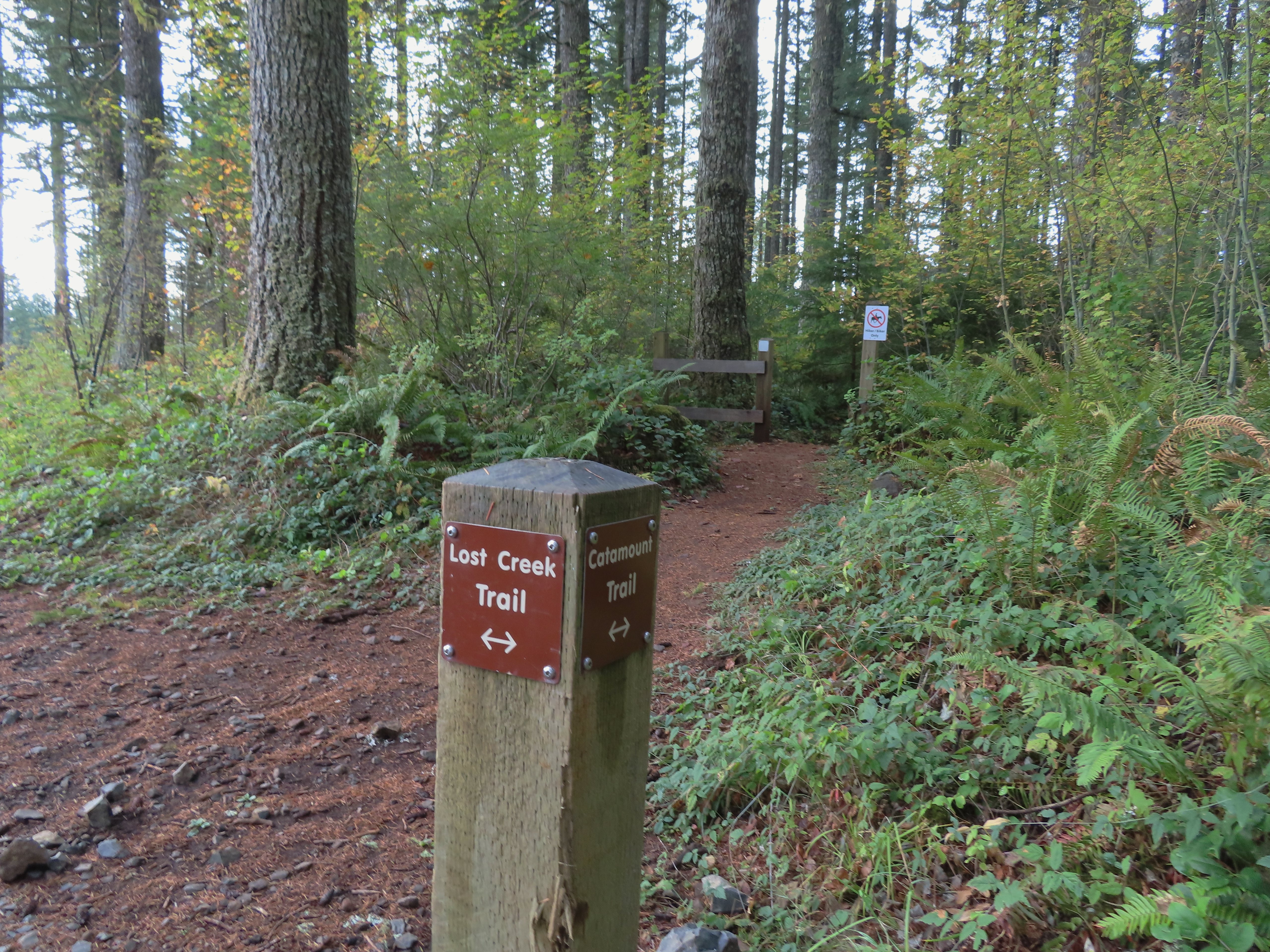
I followed this trail for 0.8 miles to a junction with the Catamount Trail at the edge of a clear cut.
Here is where I would have come up had the Catamount Trail did not have the on-way section. (Note that on some mountain biking maps the one-way section is labeled “Upper Catamount Trail.)
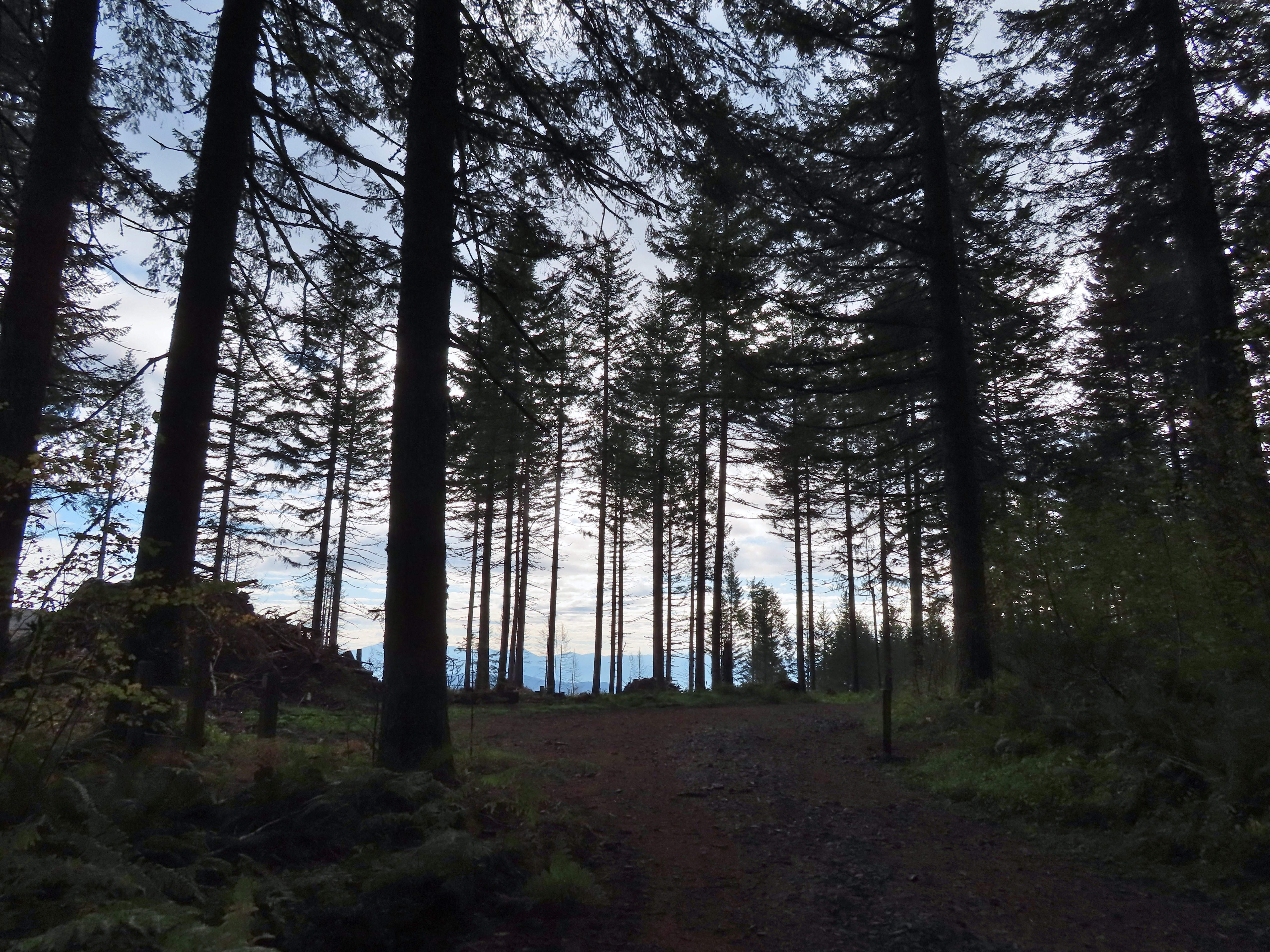
I turned left onto the Catatmount Trail at the junction and quickly found myself walking through the clear cut.
The treeless section wasn’t long. It appeared to have been an area impacted by the 2020 Beachie Fire.
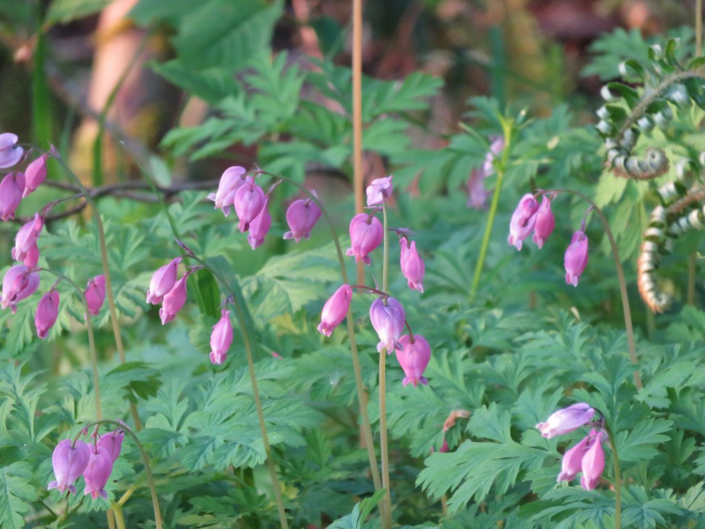
Still some bleeding heart blooming.
There wasn’t a lot of bright Fall colors in the backcountry, but this maple stood out.
Was a bit surprised to see a few violets along this section.
Nearing the end of the logged area.
At the tree line the trail split unexpectedly (another feature not shown on the park map) into two one-way trails. The right hand fork (in this direction) was one-way uphill while the left down. I was going down at this point so I stayed to the left.
It wasn’t long before the two trails rejoined. The trail continued downhill to the Buck Mountain Loop near its crossing of Howard Creek. The rejoining of the trails.
There were several bridges along this section of the trail. I also ran into the only mountain bikers that I would encounter all day in this area, a group of five.
The Buck Mountain Loop junction.
I turned right at the junction and crossed Howard Creek then turned right again back onto the Catamount Trail. Bridge over Howard Creek.
The continuation of the Catamount Trail on the right.
The trail now climbed uphill for 0.2 miles to the large trail junction on Buck Mountain, a total of 1.1 miles from the Lost Creek Trail junction.
The map showed the section I had just done as 0.9 miles, but my track was a bit more twisty than the map.
From the junction I took the Perimeter Trail.
The park map lists this trail as 5.9 miles in length and has a “Steep” warning not far from the Buck Mountain junction. The trail was in good shape and although it lost over 350′ of elevation in just under a mile to a crossing of South Fork Silver Creek the grade was reasonable. Compared to some of the other trails we’d been on this year it didn’t seem all that steep.
A small opening on the way down.
Footbridge over South Fork Silver Creek.
South Fork Silver Creek
If I had paid better attention to the elevation numbers shown on the park map I might not have been so surprised when the trail began to climb on the other side of the creek. Over the next 2.1 miles the trail gained over 650′ before arriving at junction with the Rackett Ridge Trail. Up until the Rackett Ridge junction I had only encountered 8 people, the group of 5 mountain bikers and three trail runners (one solo and two together). The number of people seen doubled at this junction.
I’m a hiker so I went right here.
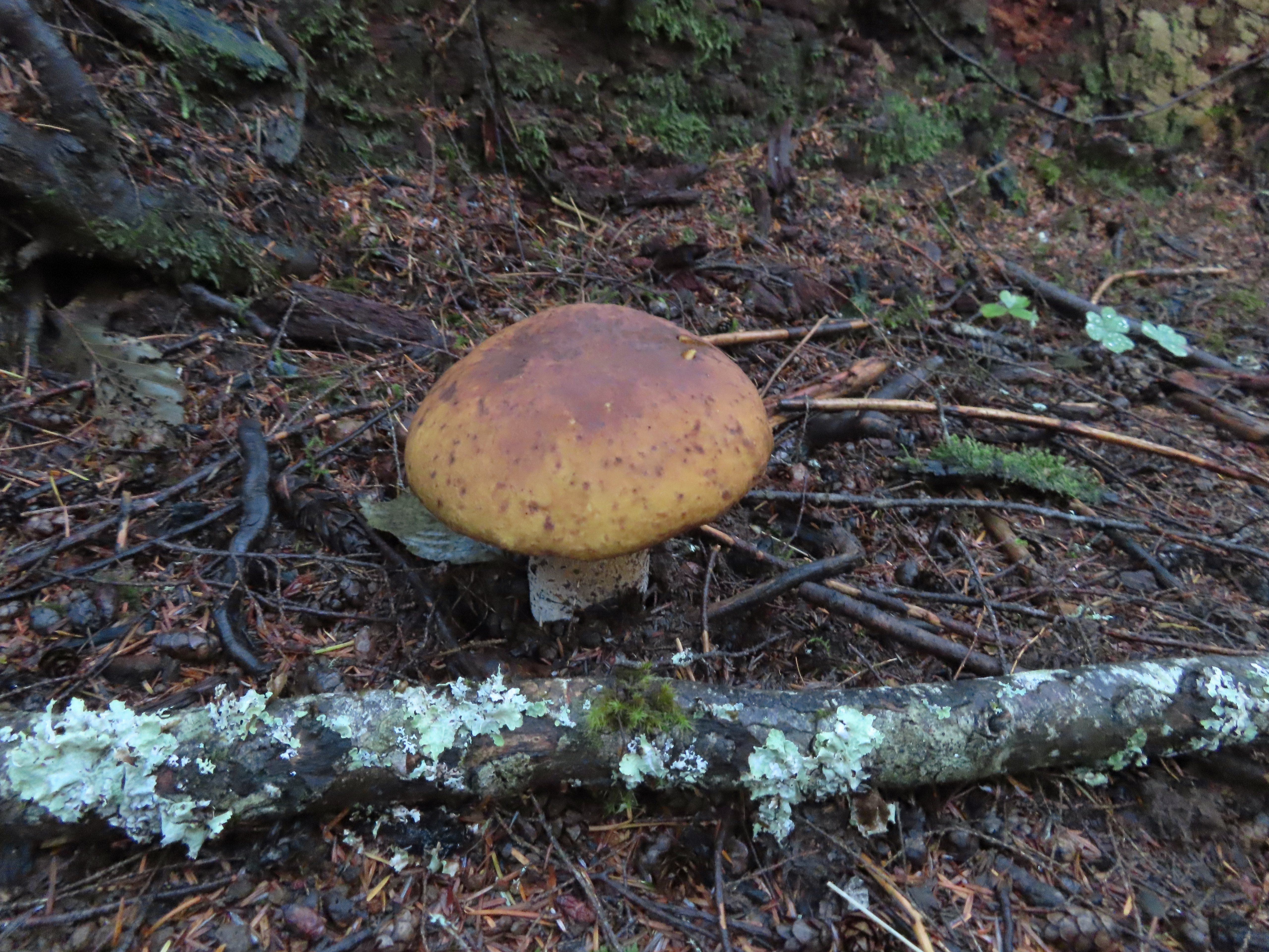
Big fungus on the tree ahead.
Map at the Rackett Ridge junction.
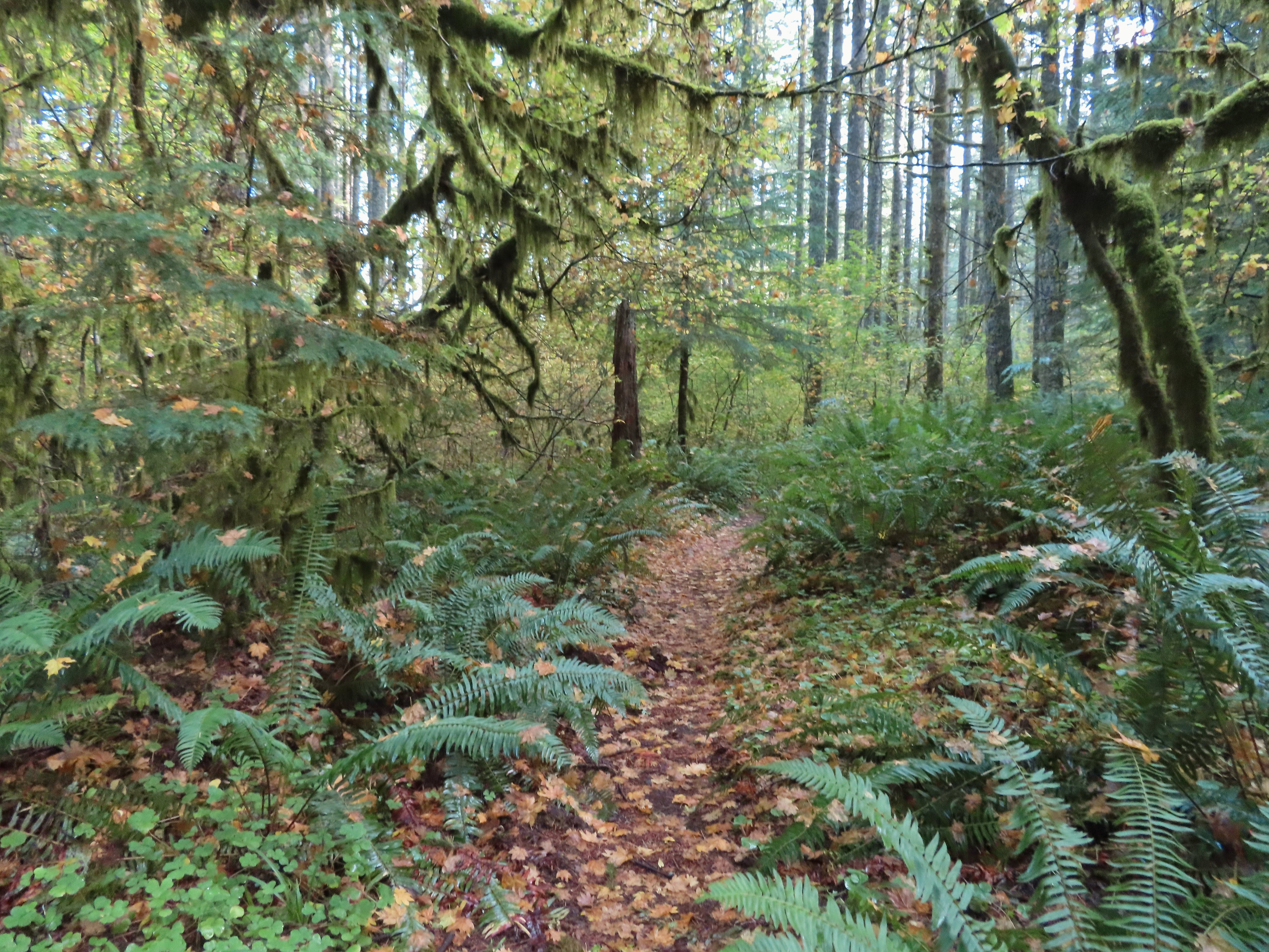
I continued on the Perimeter Trail which now began a nearly 3-mile descent that was at least as steep as the section before with the warning. The use of switchbacks allowed the grade to stay reasonable though.
Another impressive nursery log.
I stopped in this area to change out of my sweaty socks and into one of the extra pairs I’d brought expecting rain.
The vegetation went through several changes as the trail lost elevation.
This was a big tree in the midst of much smaller ones.
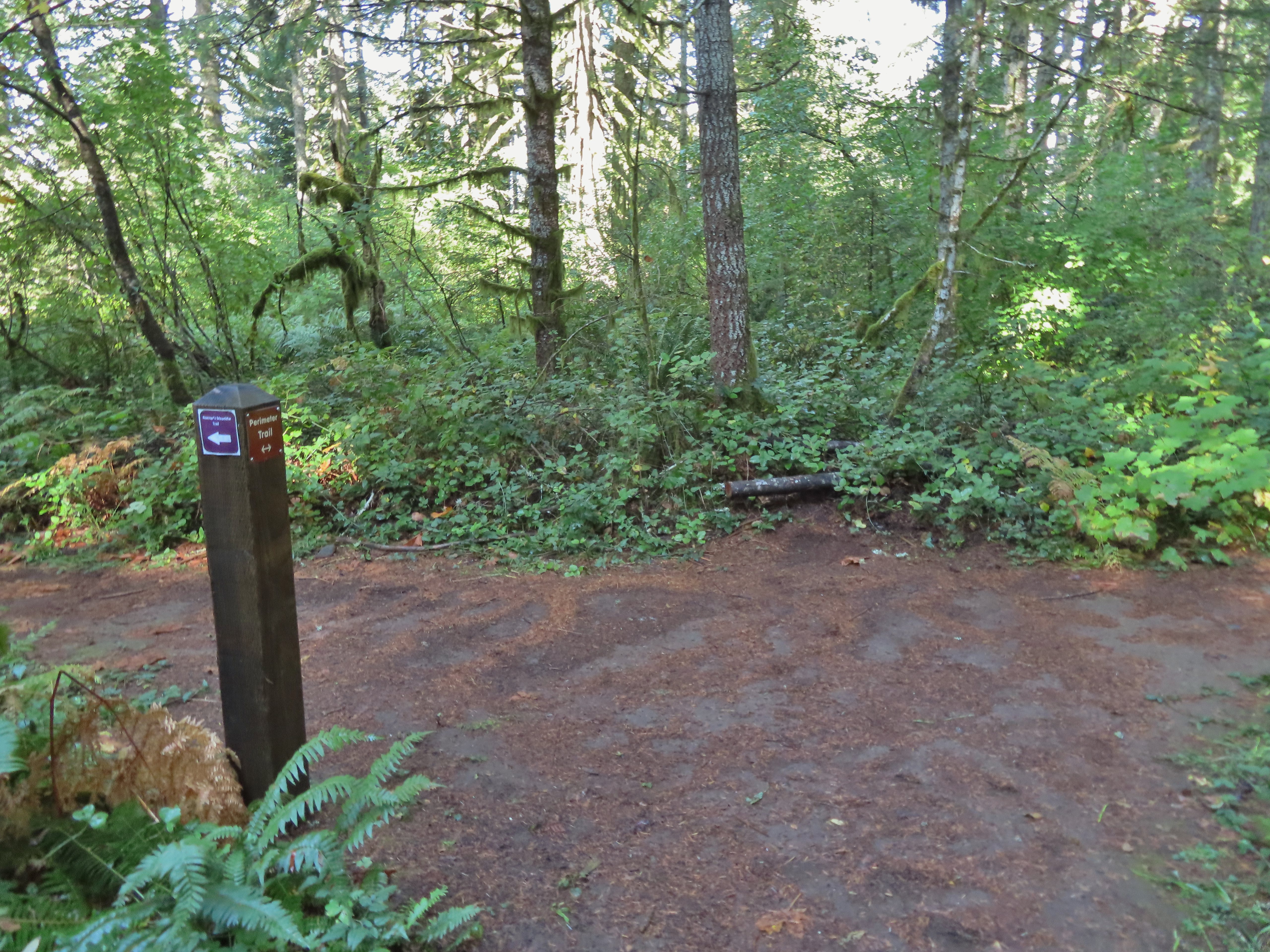
Roemer’s Meadow Trail (left) isn’t shown on the park maps yet, but it was completed in 2021 with help from the Salem Area Trails Alliance. (They do a lot of good work in the park and the area.) The trail is approximately 1.7 miles from the Rackett Ridge junction.
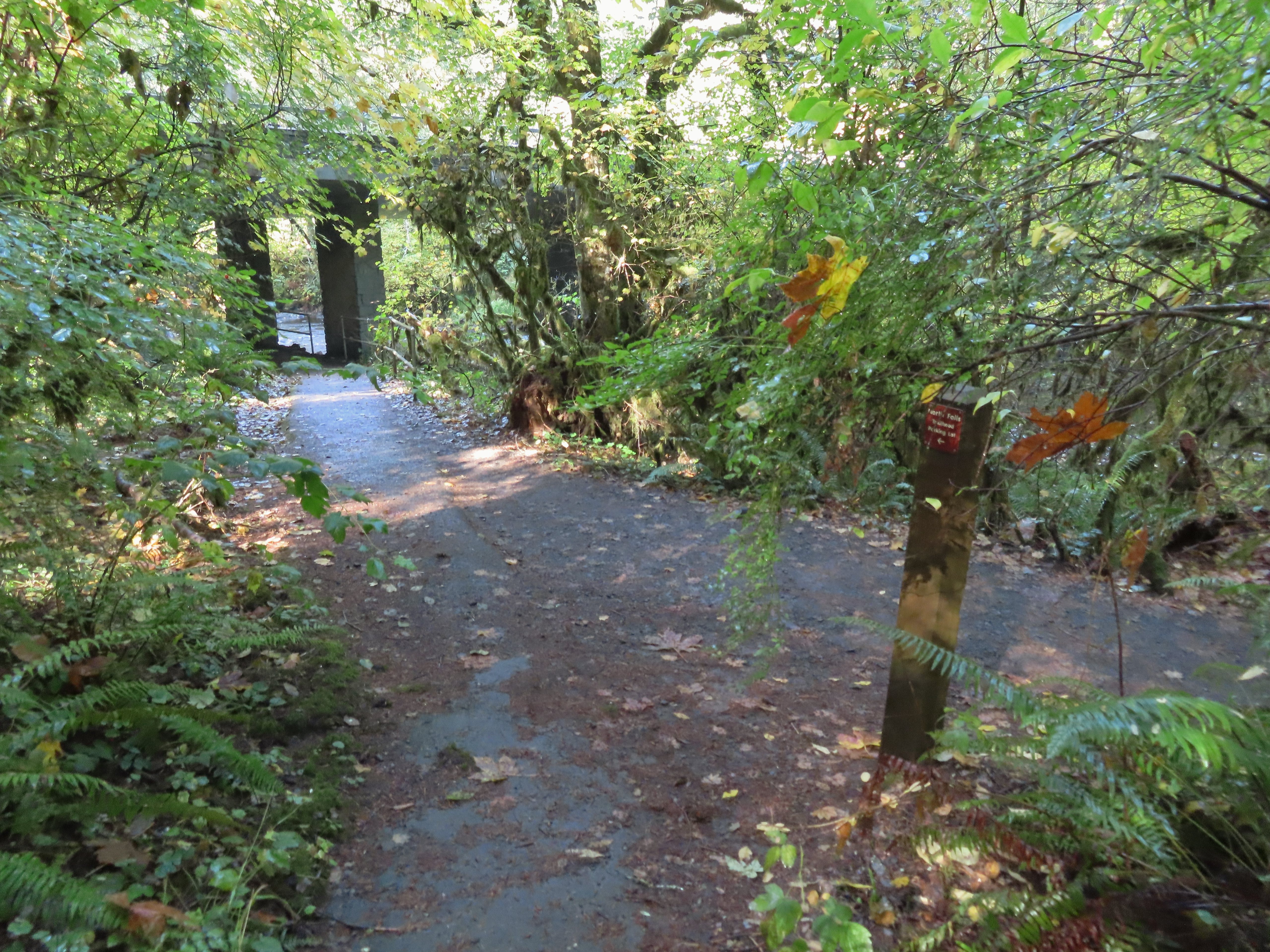
The Trail of Ten Falls junction near Highway 214.
Looking back up the Perimeter Trail.
For the hike to be a true loop I would have turned left onto the Trail of Ten Falls, but in order to see Upper North Falls I needed go right for 0.3 miles so that’s what I did.
Upper North Falls
After visiting the falls I headed back and passed under the highway to a large map at a “T” junction.
A left would have taken me to the North Falls Trailhead.
I turned right at the signboard then veered right onto the Canyon Trail at a congested fork in the trail. The Rim Trail to the left and Canyon Trail to the right, both part of the Trail of Ten Falls.
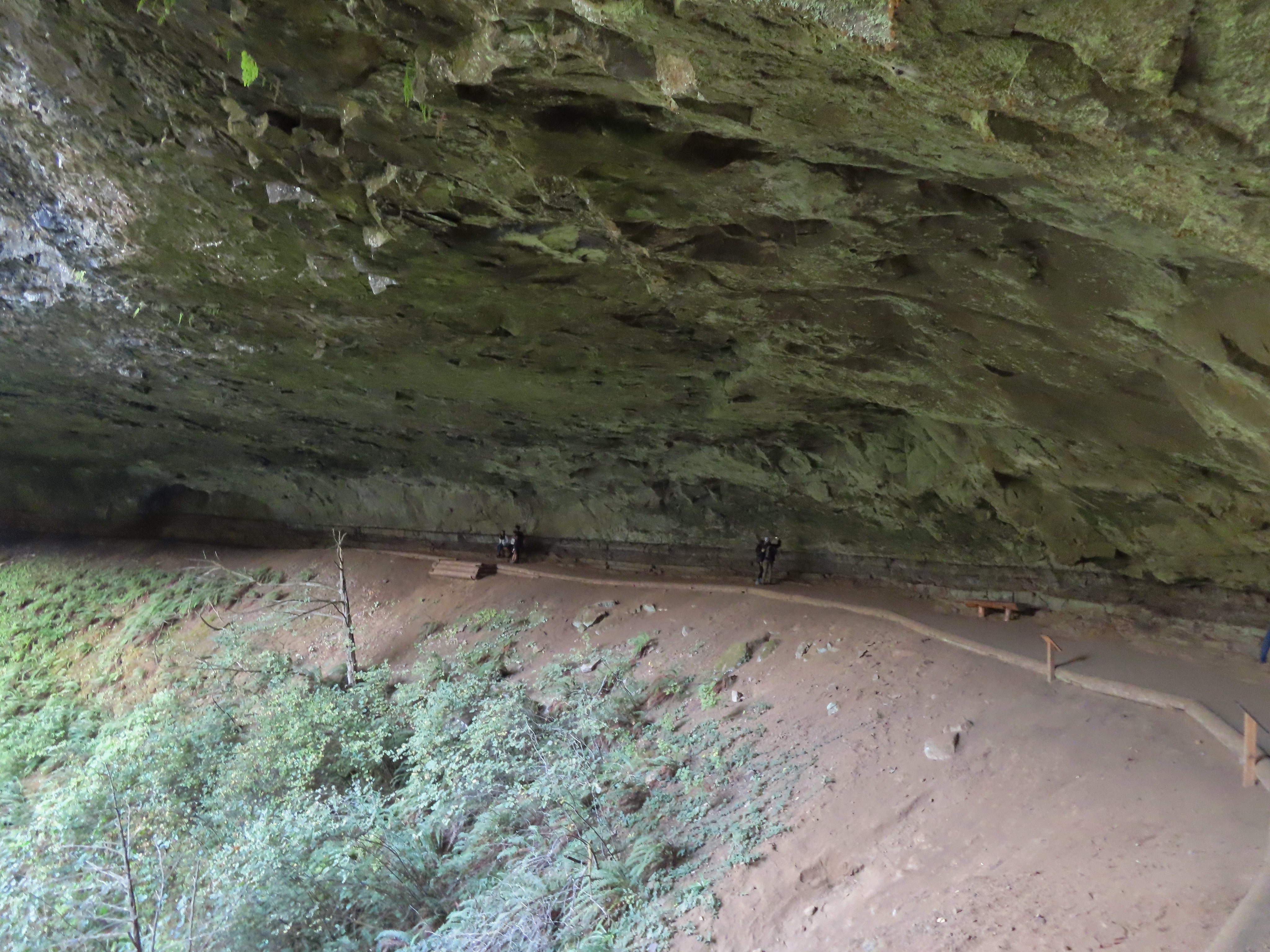
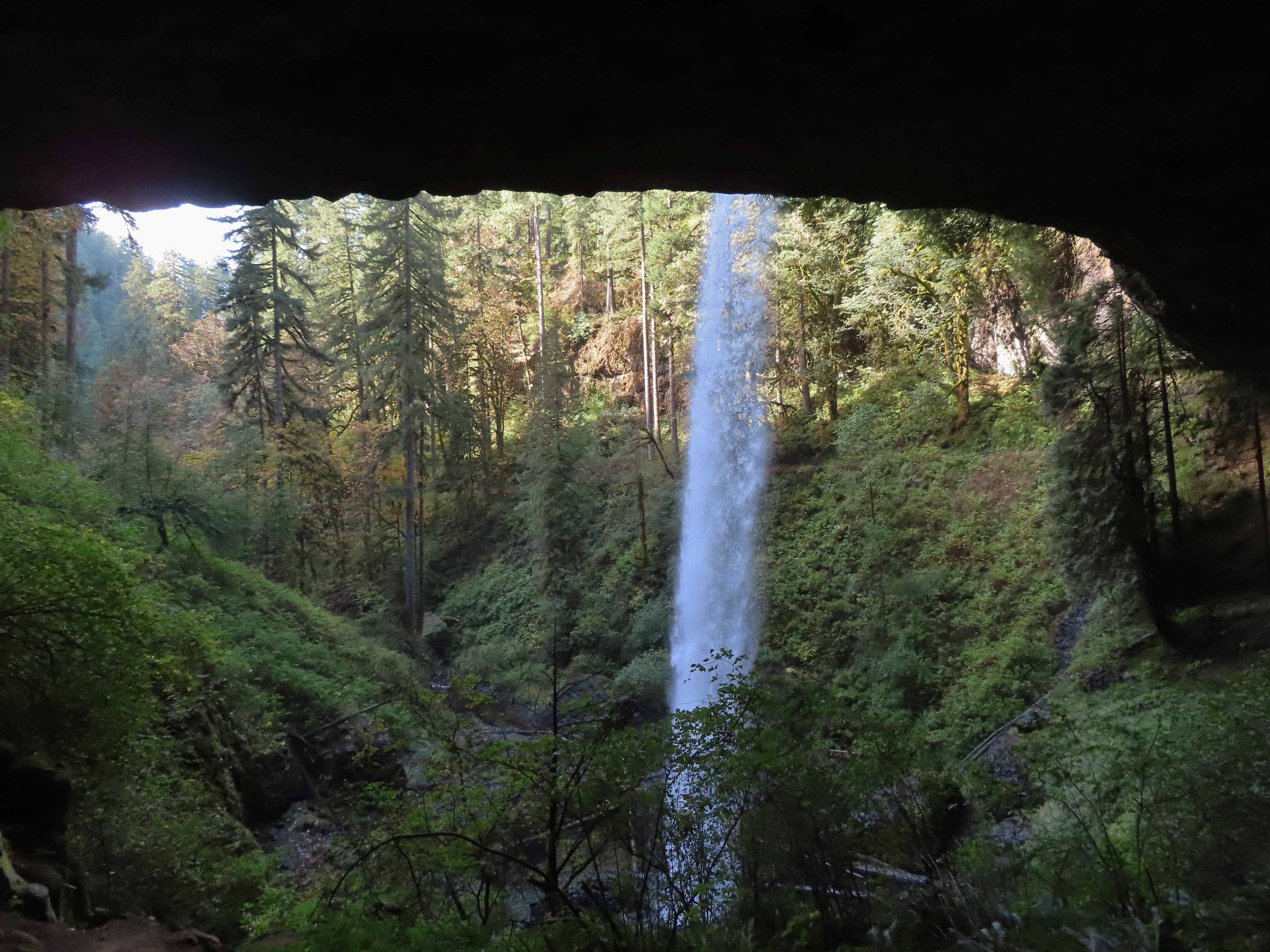
The Canyon Trail descended some stairs then wound its way behind North Falls in approximately a tenth of a mile.
The trail followed the creek arriving at Twin Falls a little over three-quarters of a mile from North Falls.
I’m always impressed by the size of this rock in the creek.
Not Twin Falls, but a nice little cascade nonetheless.
This post could be a little confusing without a map. The Twin Falls Trail climbs uphill to a group camp and does not lead to Twin Falls. The falls are the opposite side along a very short spur trail that connects at either end to the Canyon Trail.
Twin Falls isn’t very easy to see from the spur trail either even though you’re right next to it.
I was able to find a better viewpoint of Twin Falls further along the Canyon Trail.
Twin Falls
My next detour came 0.3 miles beyond Twin Falls when I turned left onto the Winter Falls Trail.
The Winter Falls Trail crosses the creek on a footbridge then climbs gradually to the base of Winter Falls before steepening to climb up to the Rim Trail. I turned around before the steep part.
North Fork Silver Creek
Winter Falls, as the name suggests it’s not much of a waterfall outside of Winter when rain and snowmelt provide more water.
With the dry Summer it isn’t a great Fall color year but there was a decent display along this trail.
After saying hi to Winter Falls I returned to the Canyon Trail and continued toward the South Falls Day Use Area. Next up was Middle North Falls and another detour to go behind this one as well. I turned left here on the spur trail behind Middle North Falls.
I again returned to the Canyon Trail and quickly arrived at the Drake Falls viewing platform. Middle North Falls from the Canyon Trail.
The 27′ Drake Falls.
Approximately a quarter mile beyond Drake Falls I turned right onto the Double Falls Trail.
Much like Winter Falls, Double Falls is on a side creek which has a low flow much of the year. The hiker at the base gives a good idea of the fall’s height, you just have to use your imagination to add water.
On my way back to the Canyon Trail I ran into one of Heather’s friends which allowed me to pause for a moment to talk and update her on our new kittens. Just beyond the Double Falls Trail I passed the eighth waterfall of my hike, Lower North Falls.
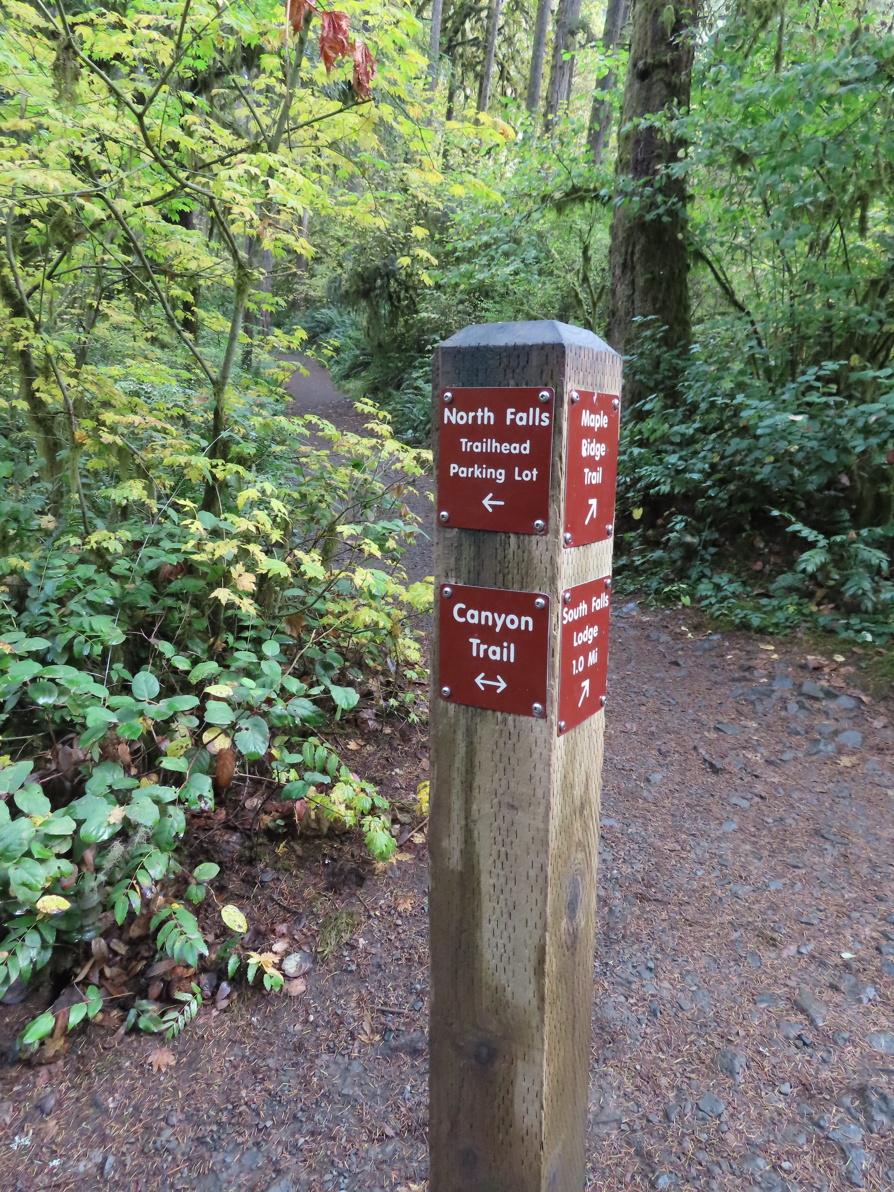
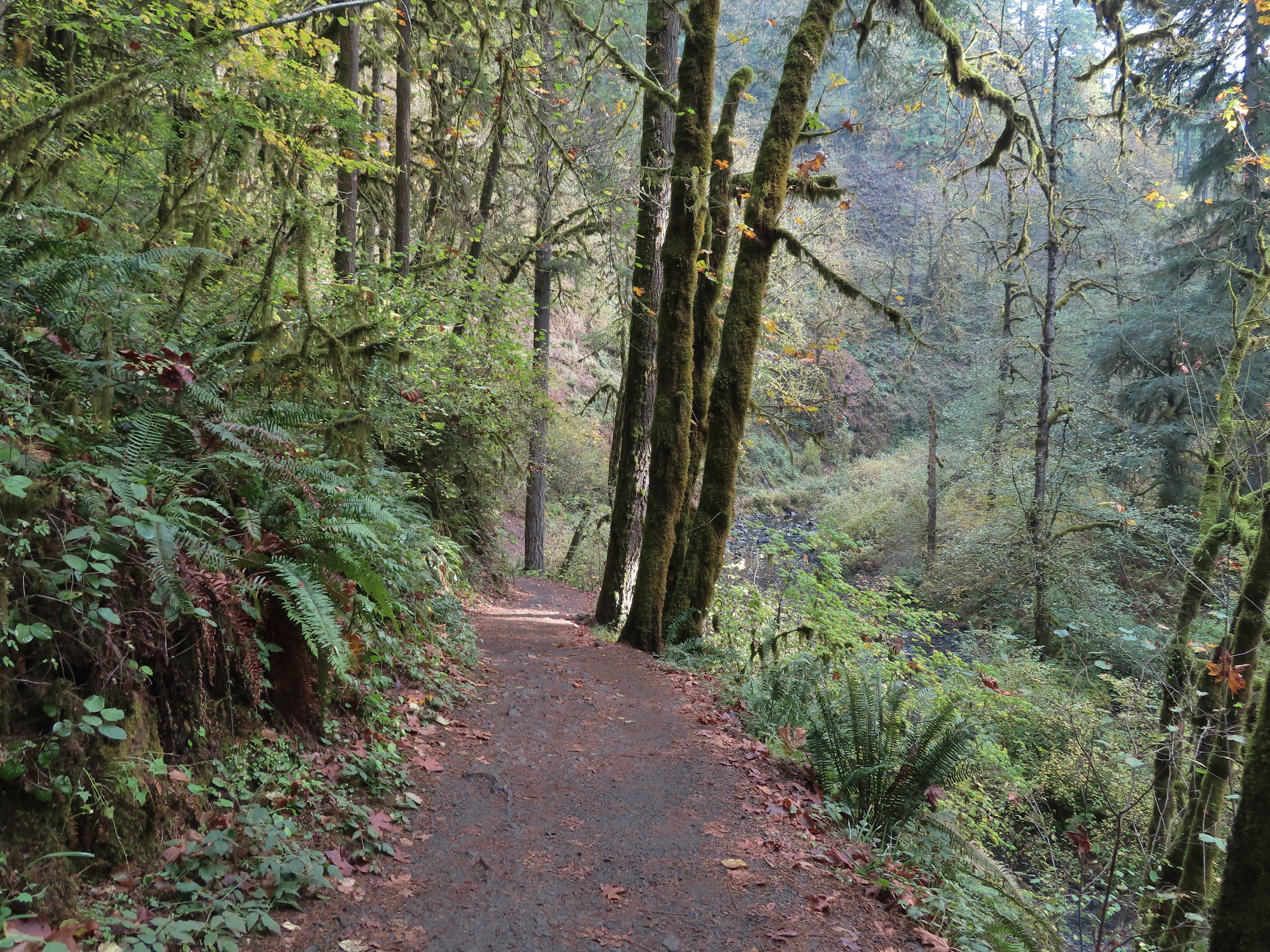
It was about here that my feet started to let me know that this was a long hike. It was almost a mile from Lower North Falls to my next marker, a junction with the Maple Ridge Trail. The Canyon Trail crosses the creek just downstream from Lower North Falls then makes a short climb to get above the canyon cliffs.
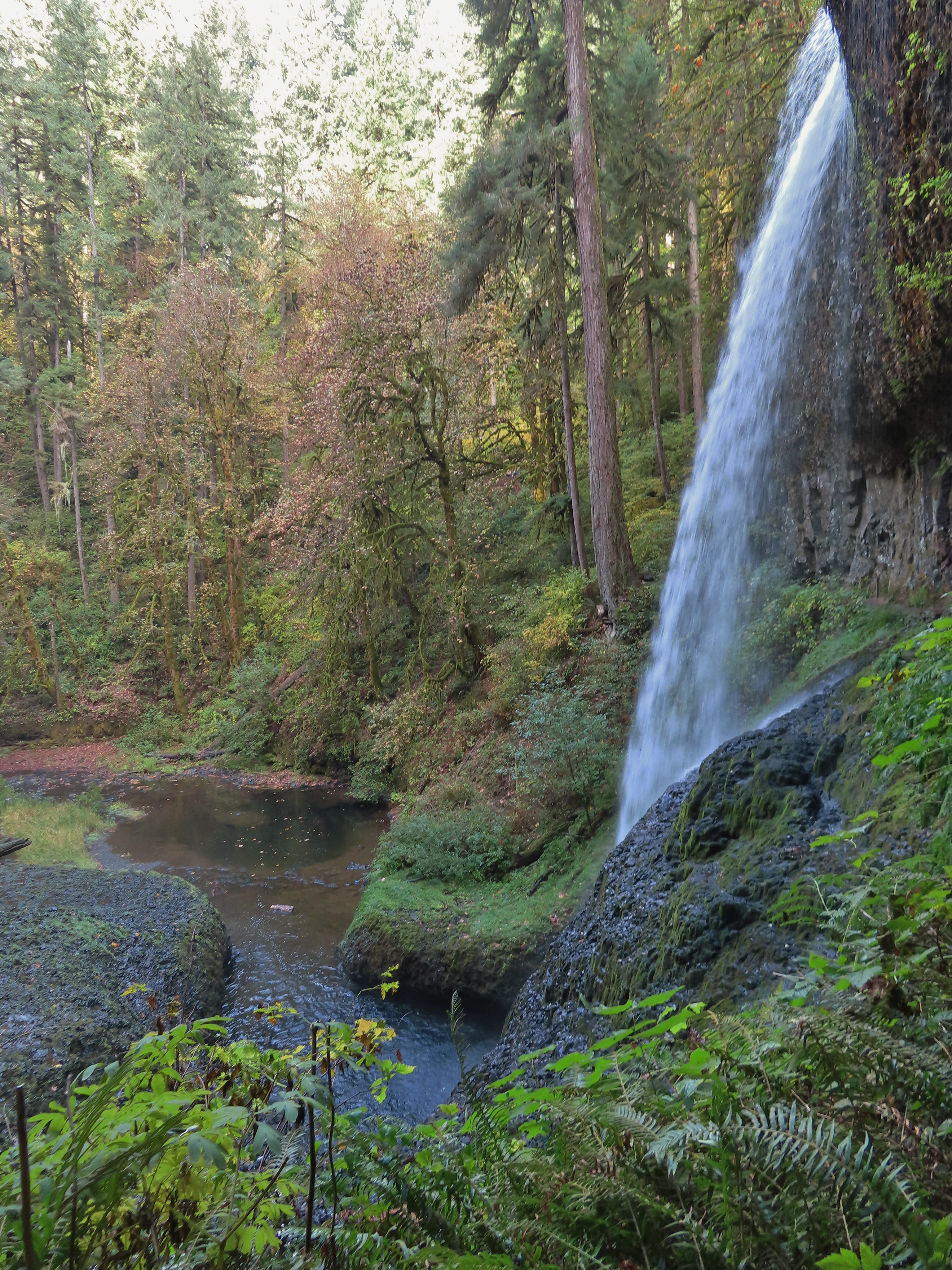
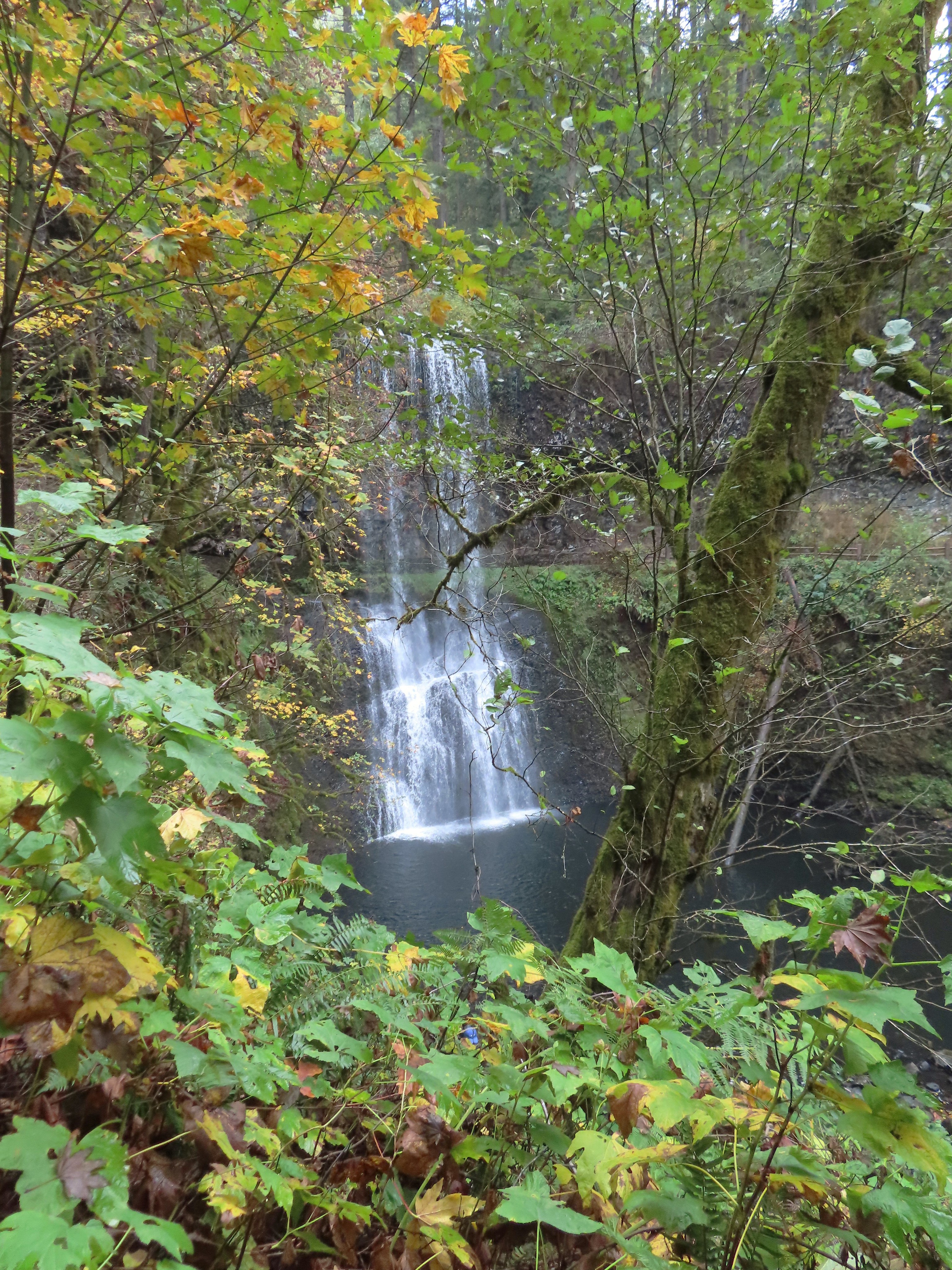
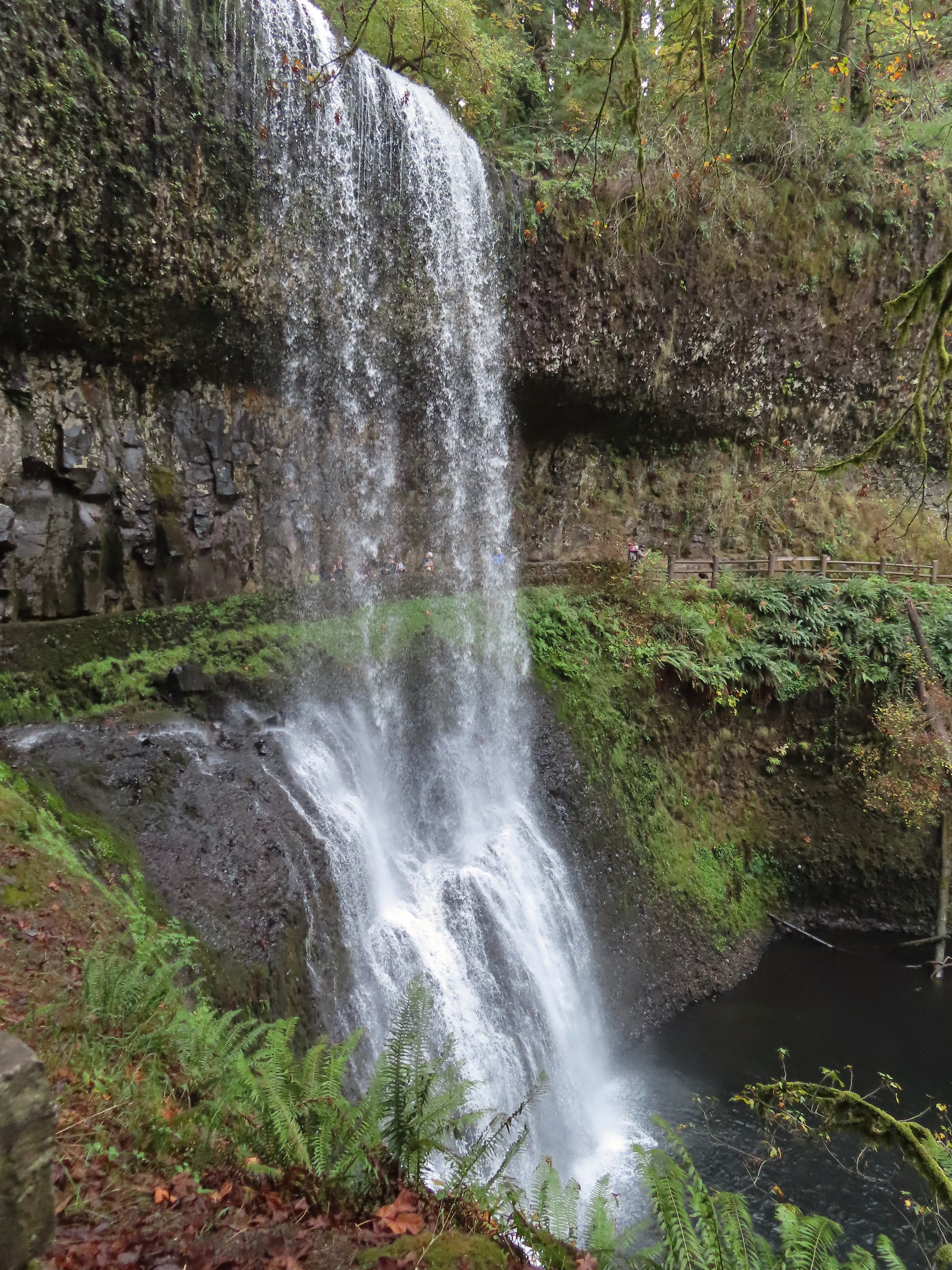
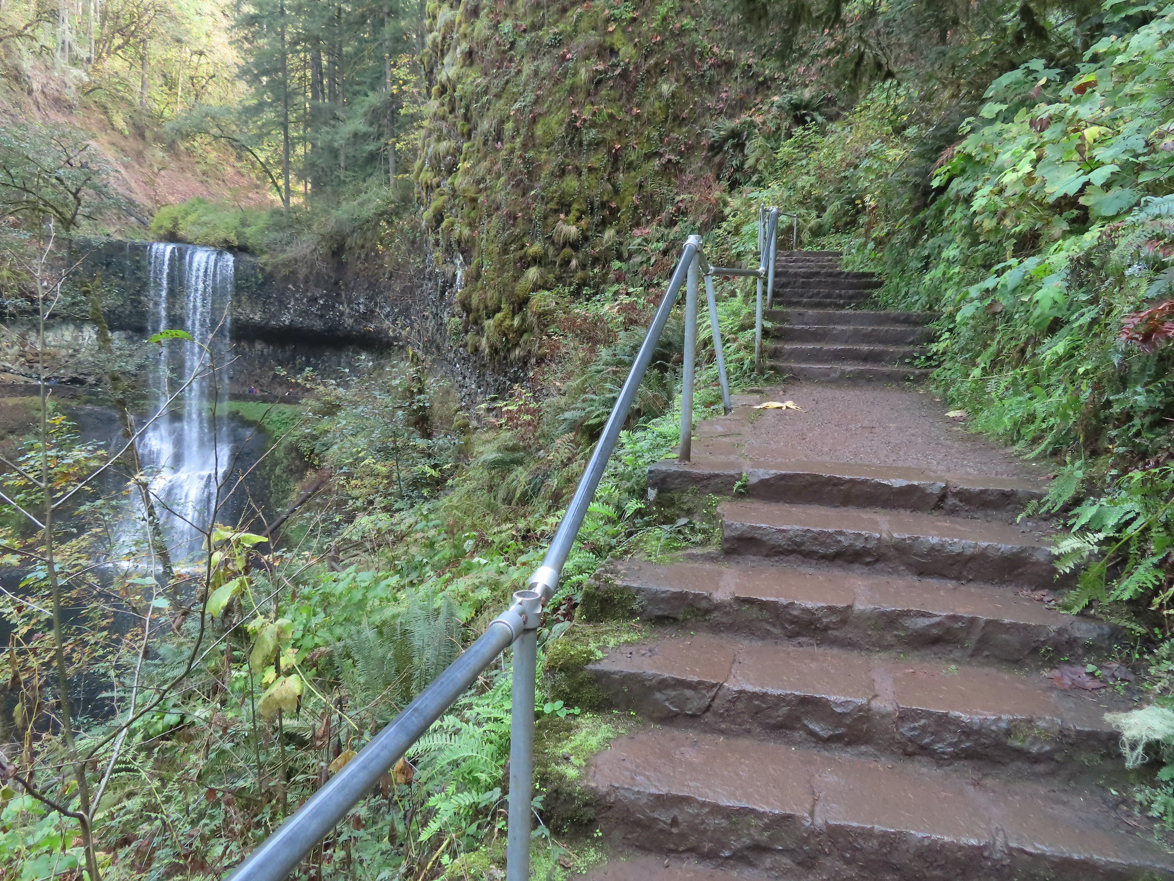
A quarter mile from the Maple Ridge junction was Lower South Falls, another that the trail passes behind.
After passing behind the falls the trail climbs a number of stairs which at this point of the hike was a mean trick.
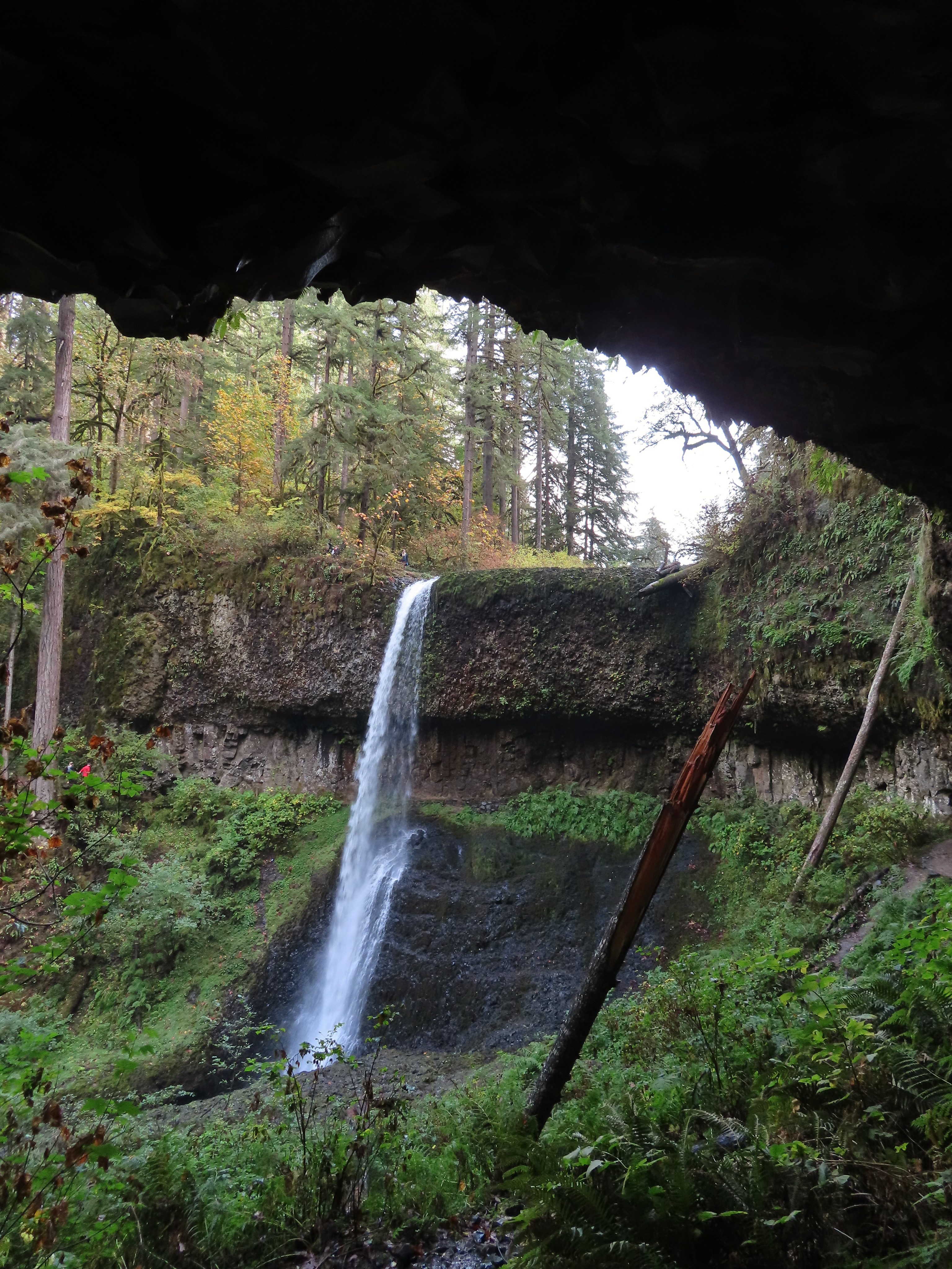
After conquering the stairs it was another 0.6 miles level miles to a footbridge at a fork in the trial within sight of the tenth and final waterfall, South Falls.
I walked out onto the bridge for the view then returned to the junction to take the right hand fork and go behind this fall as well.
I stayed right at junctions as I climbed to the top of South Falls then followed a paved path to a footbridge where I crossed the creek.
View toward South Falls from the footbridge.
I followed the paved path to the Bike Path where I recrossed the creek then made my way along the parking lot to the car.
Not sure what this old building was, possibly restrooms by the doors.
One of several picnic shelters in the park.
Approaching the Bike Path where I recrossed the creek.
I can see the car!
The hike turned out to be close to 22 miles with somewhere around 2900′ of cumulative elevation gain. The GPS originally said 22.4 miles but that was partly due to it jumping around when I was behind the different falls and it didn’t have a good connection to the satellites. Removing some of the points put the total down to 21.5 miles but doing that lost the out-and back behind Middle North Falls and some of the switchbacks up from South Falls. Whatever the actual distance it was a lot for me but overall everything held up pretty well. A couple of small blisters on one heel were the worst consequence. The fact that it hadn’t rained surely helped with the feet.
Track prior to trying to remove some of the jumps in data points.
The lack of people in the backcountry is almost a shame as the forest is lovely and the trails well maintained. I say almost a shame because for those of us who do take the time to explore it, the solitude only adds to the beauty. The Trail of Ten Falls was busy comparatively, but it wasn’t the zoo that it would have been on a Summer weekend which was nice. Doing the loop in reverse would have resulted in less folks at the falls but we’d been to the falls in the morning on all our other visits so this gave me a chance to see them with the Sun at a different angle. The only minor bummer was not being able to hike the full Catamount Trail due to the one-way section. If I were to do it over I would probably start at the North Falls Trailhead and go clockwise so that I would have been going the right way for that section and still would have ended with most of the Trail of Ten Falls. Happy Trails!
The last two years have created a bit of urgency to our goal of completing the 100 featured hikes in all five areas covered by William L. Sullivan in his 100 hikes guidebook series (post). Between the pandemic and 2020 wildfire season it became clear that taking our time could create issues down the road so starting last year we refocused our efforts on finishing the 500 hikes as soon possible. As we started 2022 we were down to just the Eastern and Southern Oregon (and Northern CA) areas to complete (post). The majority of the remaining hikes were from the southern book where a number of planned trips had been canceled in recent years due to weather and/or the effects of wildfires. We spent a week in Medford earlier in June checking off Roxy Ann Peak (post) and the Jack-Ash Trail (post) and we headed back south a couple of weeks later to hopefully check off more.
A cool and wet Spring has left parts of Oregon, in particular the northern and central Cascade Mountains with a lot of lingering snow. Many trails and trailheads in those areas that in recent years would be open are still snowed in but Southern Oregon had been dealing with an extreme drought, so the recent weather has not had as much of an impact leaving trails accessible. While accessibility wasn’t an issue the weather forecast was a bit of one. More wet weather was forecast for the start and end of our six-day trip with the possibility of snow at higher elevations. After some substituting and rearranging of hikes we settled on a tentative plan that gave us some flexibility in case the forecast tried to pull a fast one on us. Since Monday was supposed to be mostly cloudy with a chance of showers off and on all day we decided to combine a number of stops east of Roseburg along Highway 138 to check out seven different waterfalls.
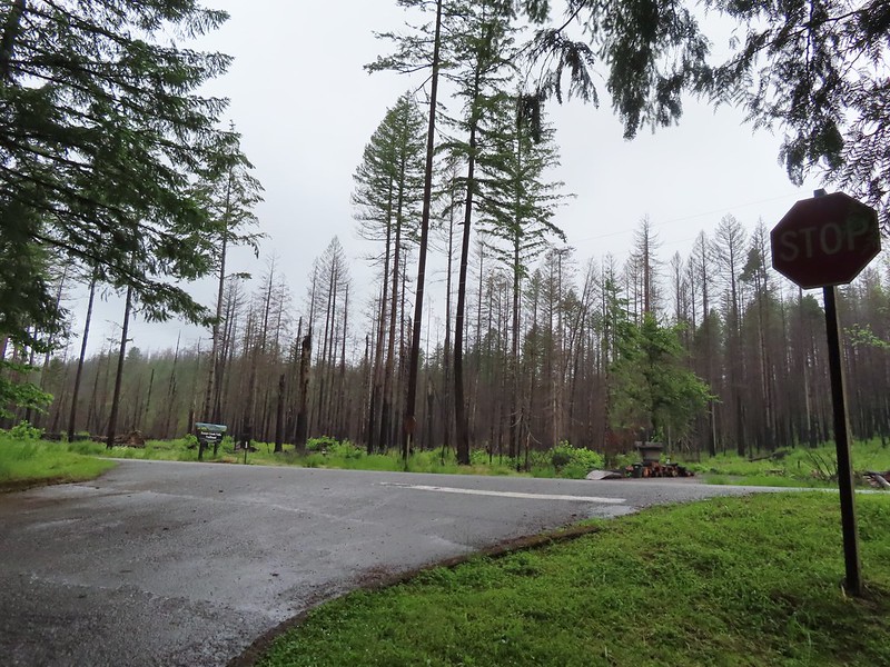
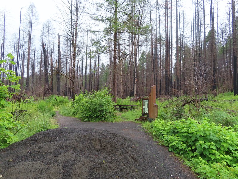
We started our morning off at Susan Creek Falls. This waterfall is one of three stops listed in featured hike #2, Fall Creek Falls (4th edition). This area was burned in the 2020 Archie Creek Fire and to date the other two stops at Fall Creek Falls and the Tioga Segment of the North Umpqua Trail remain closed. The BLM has managed to get the 0.7 mile Susan Creek Trail open although the trailhead on the north side of the highway was full of logs forcing us to park across the street at the Susan Creek Picnic Area.
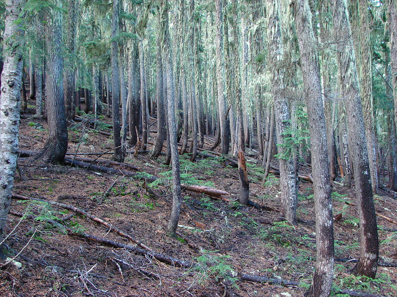
After dashing across the highway we set off on the trail through the burned forest.
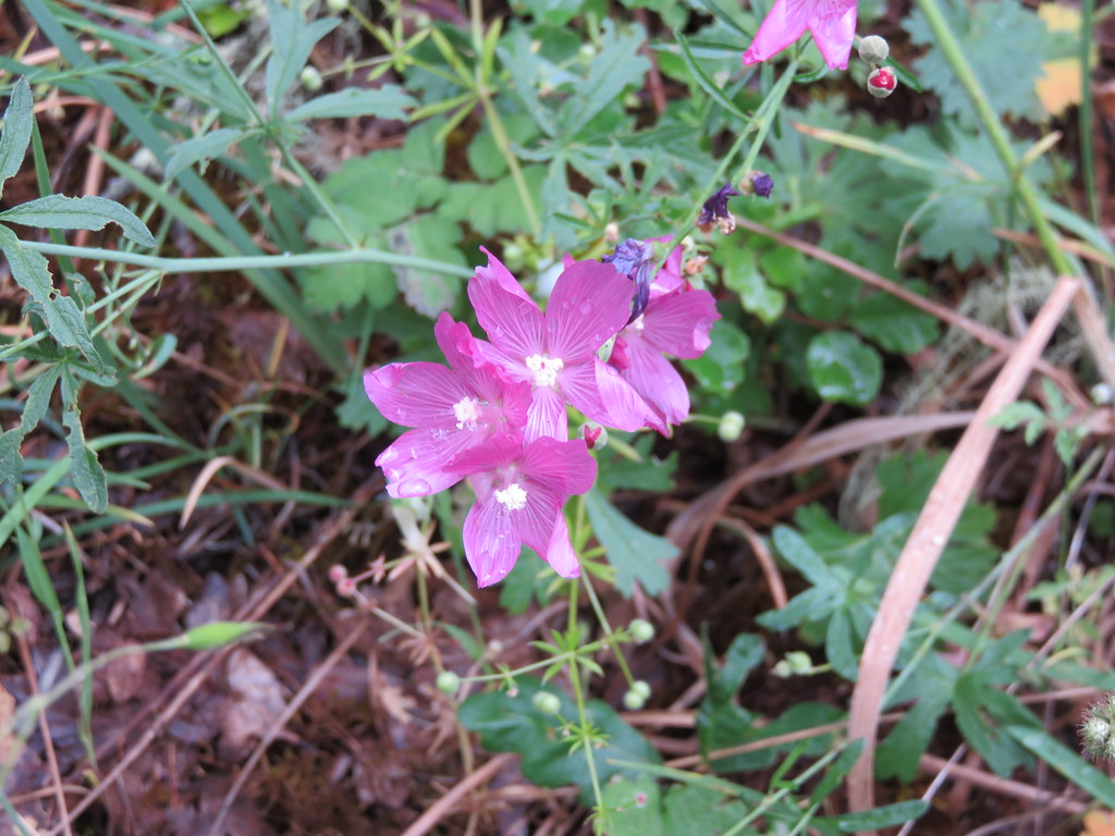
Checkermallow
A slug and a bug on a flower.
Pea
Approaching the falls.
Columbine
Susan Creek Falls
This short trail only gained about 150′ and was a nice leg stretcher after the drive down from Salem. After admiring the falls we returned to the car and continued east on 138 to milepost 59 and turned left onto Forest Road 34 to the Toketee Falls Trailhead. One of two stops that make up featured hike #9 (edition 4.2) a 0.4 mile trail leads to a platform above the falls which spill out of gap in basalt cliffs.
Evidence of overnight rains on the trail.
A very faint rainbow over the North Umpqua River.
Stairs down to the viewpoint platform.
Toketee Falls
We spent some time admiring this waterfall which is one of Oregon’s more recognizable falls before returning to the car and continuing on FR 34 to FR 3401 and following it to the Umpqua Hot Springs Trailhead.
The hike starting here is not the second part of featured hike #9 but rather its own entry (featured hike #8, edition 4.2). Sullivan gives two 0.6 mile round trip options starting from this trailhead. The first is a 120′ climb to Umpqua Hot Springs overlooking the North Umpqua River. To reach the hot springs we crossed the river on a footbridge and turned right to make the climb up to the springs.
Candy sticks along the trail.
Just before the hot springs I veered downhill on a side trail to visit the river.
During lower flow there is another hot spring along the river bank in the area.
I climbed back up to find Heather sitting near the springs. There were a number of people enjoying a soak and with clothing being optional pictures were very limited.
We climbed down from the hot springs and returned to the trailhead where we took a short trail up to FR 3401 and turned left following a short distance to the resumption of the North Umpqua Trail. Heading up to the road.
The North Umpqua Trail on the left leaving the FR 3401.
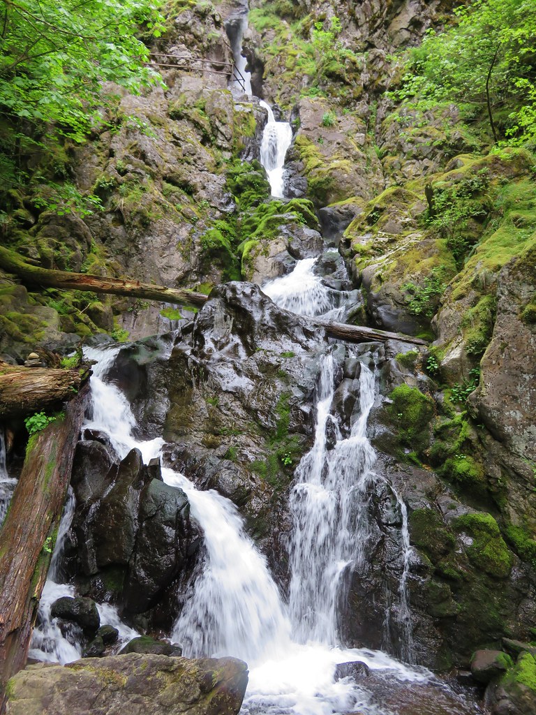
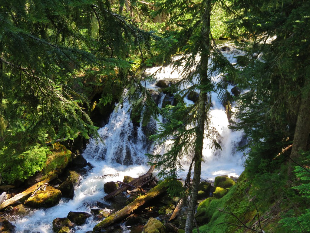
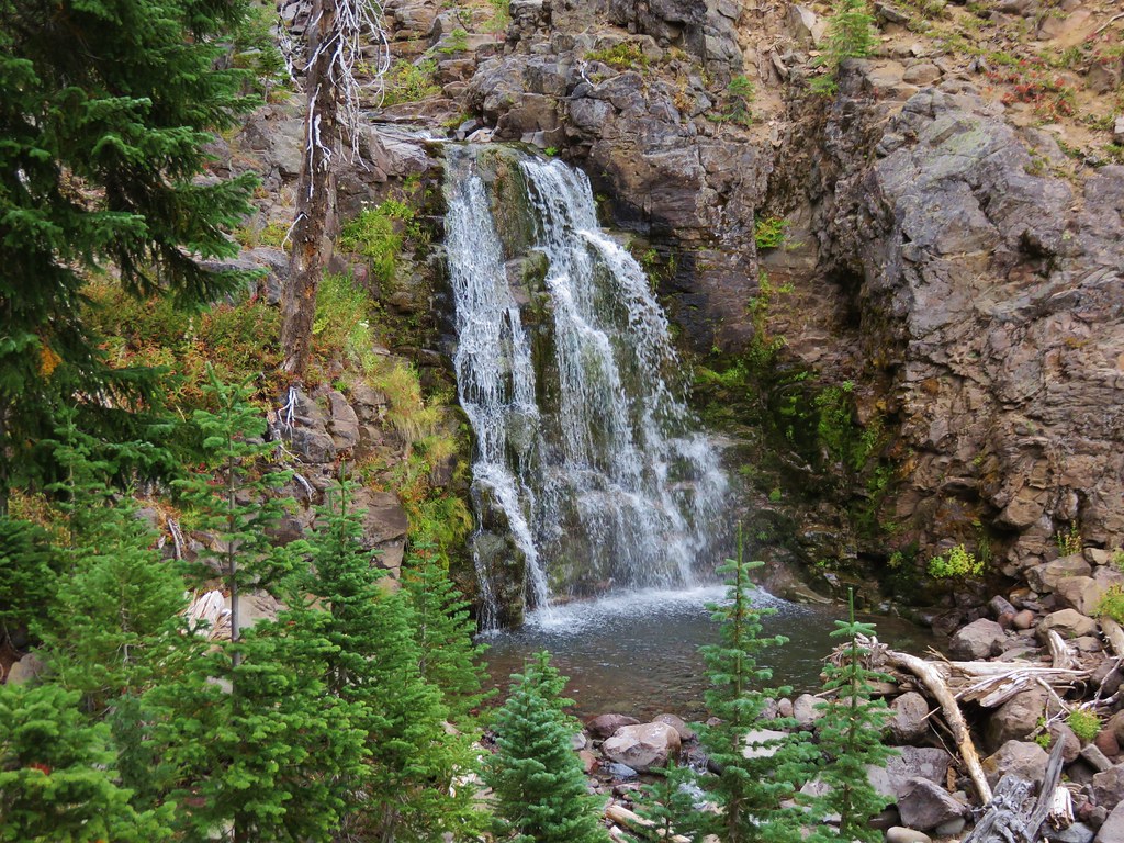
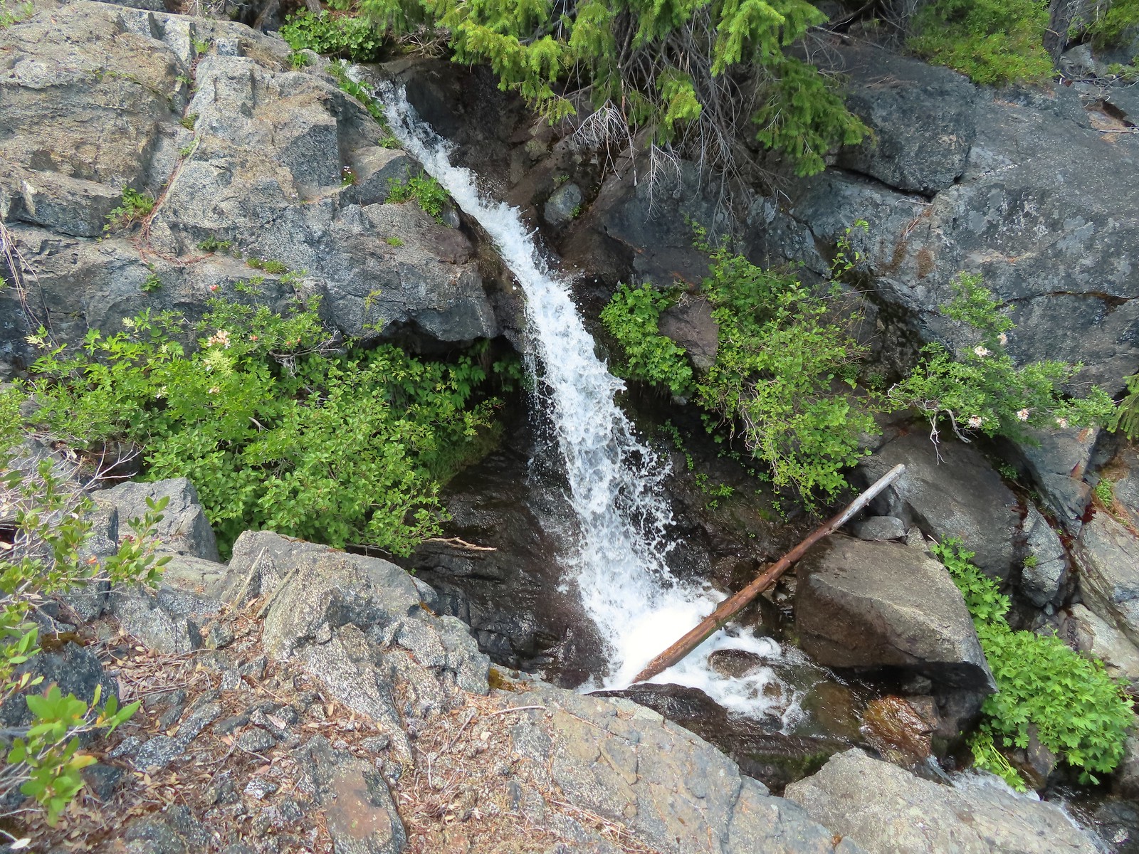
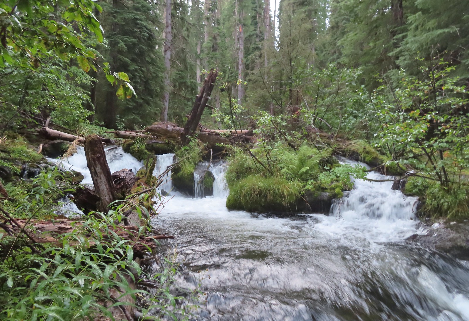
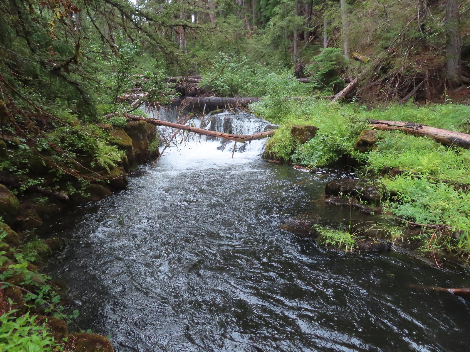
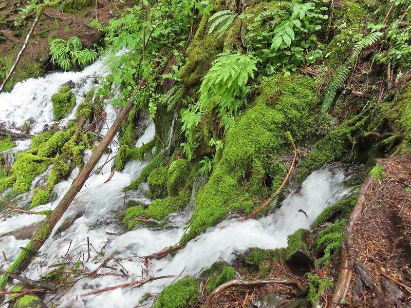
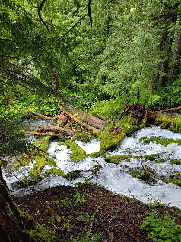
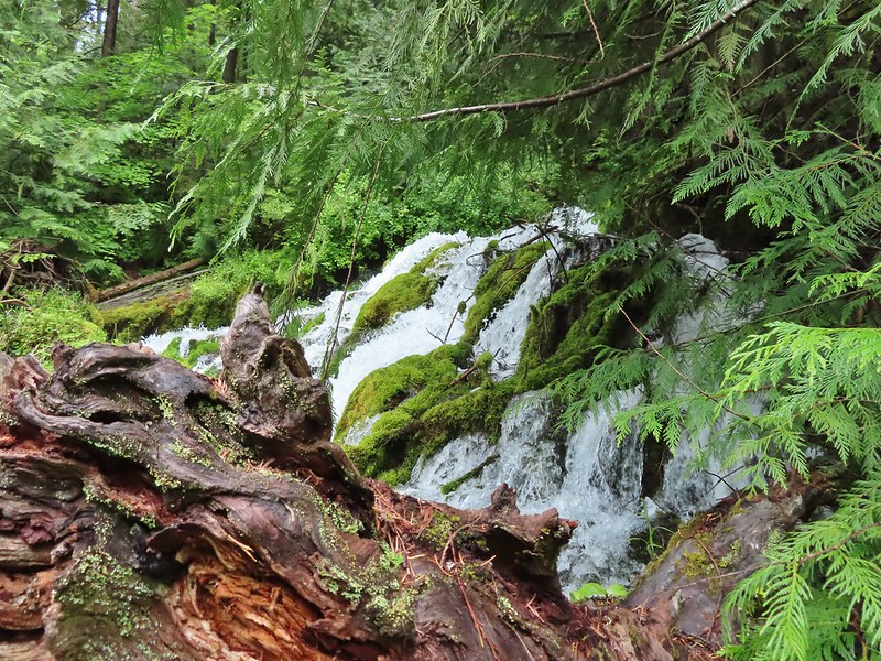
Approximately a quarter mile along this segment we arrived at Surprise Falls, a cascade created by cold springs bursting from the hillside below the trail.
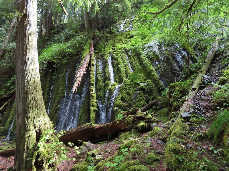
The mossy cascade was beautiful and we spent quite a while enjoying the lush green surroundings. A very short distance further we arrived at our turn around point at another spring fed waterfall, Columnar Falls.
This fall gets its name due to the columnar basalt that the water both cascades down and spouts right out of.
The hot springs across the river from Columnar Falls.
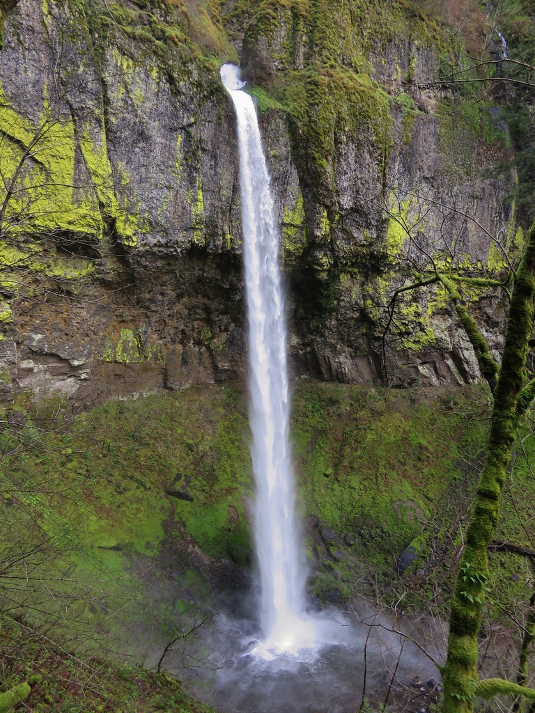
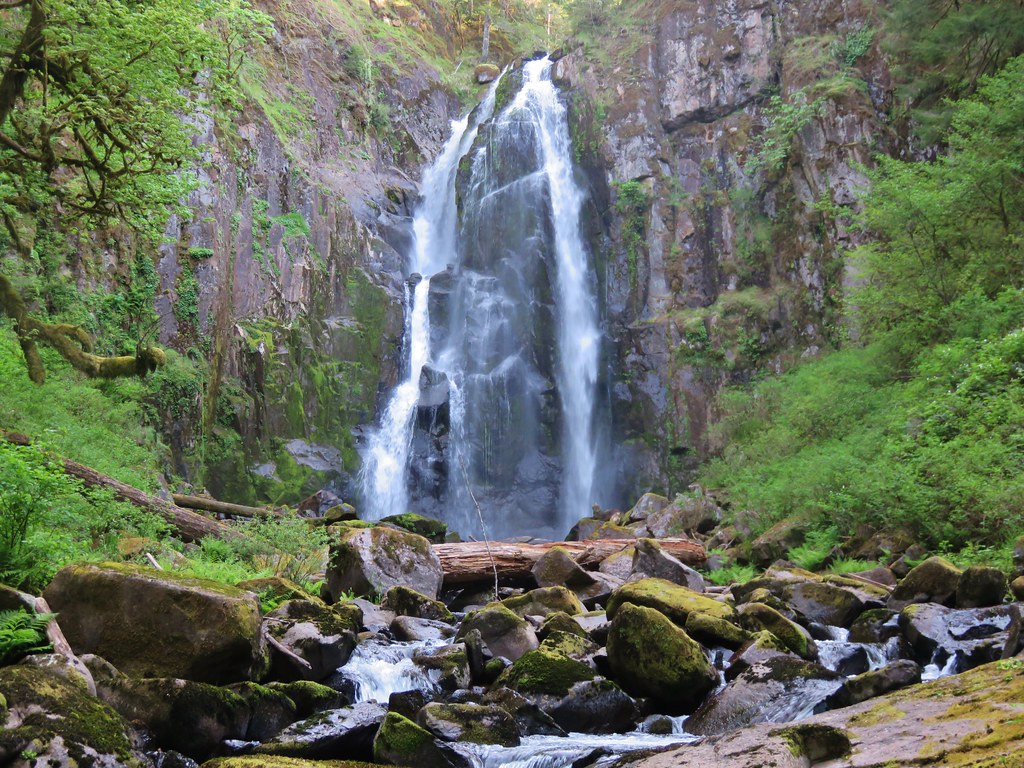
We returned the way we’d come and hoped back into our car and drove back to Highway 138 where we again turned east. Our next stop was the second waterfall in featured hike #9, Watson Falls. Another short (0.4 mile) trail leads from the Watson Falls Trailhead to Southern Oregon’s tallest waterfall. The top of Watson Falls from the trailhead signboard.
This trail gains 300′ as it climbs to a viewpoint part way up the 272′ waterfall.
Watson Falls from below.
Footbridge over Watson Creek.
Heather at the viewpoint.
The splash pool.
On the way back down we took the loop back trail which splits off just before the creek crossing.
This trail follows Watson Creek down to FR 37 where a right turn and short road walk completes the loop.
Watson Creek at FR 37.
A little bit of blue sky and sunlight along FR 37.
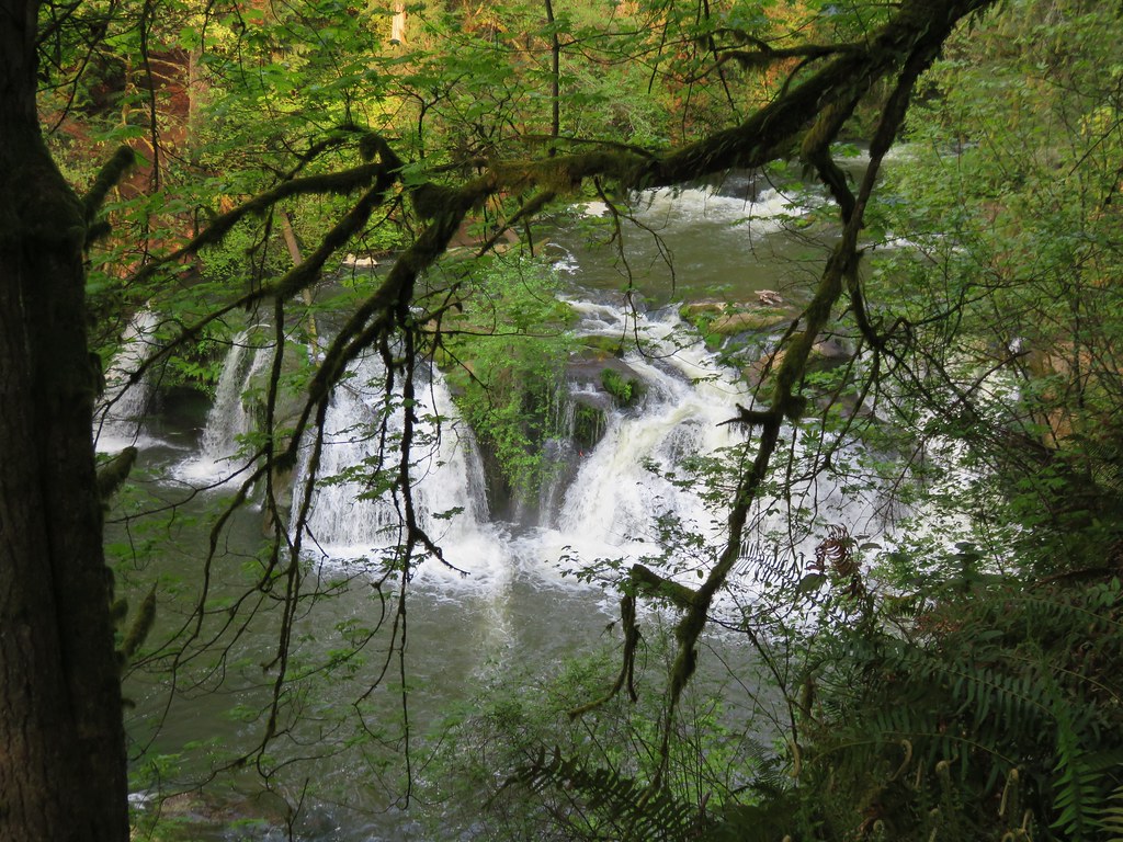
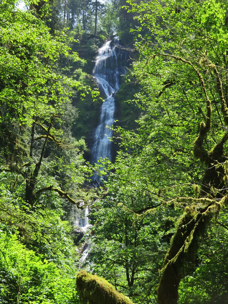
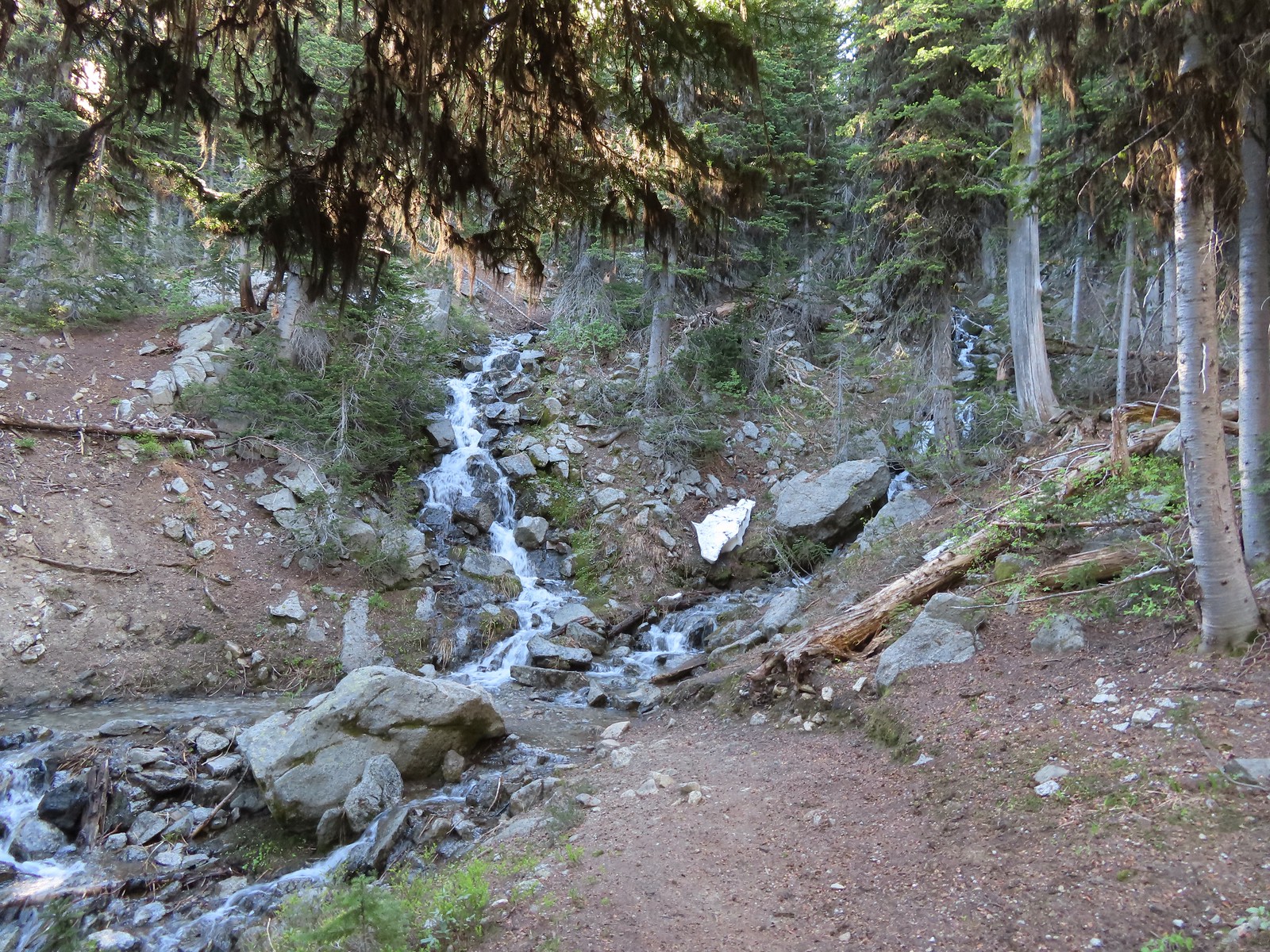
Once again we returned to Highway 138 and continued east. Our next three stops were in the Lemolo Lake Recreation Area so we turned off of the Highway onto FR 2610 at a pointer for the Recreation Area. Our first stop was at the Warm Springs Trail.
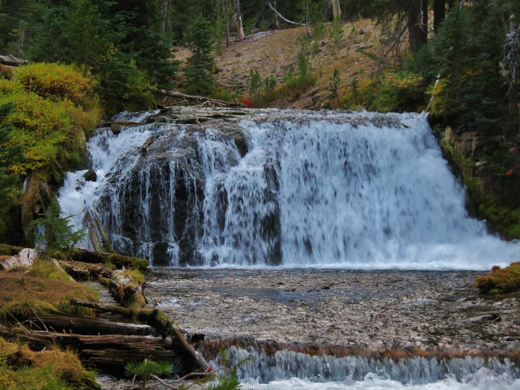
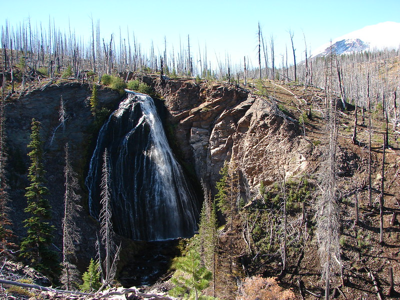
Yet another short trail (0.3 miles) that led to a scenic waterfall.
Viewing platform above the falls.
We both really liked the angled basalt cliff on the far side of these falls.
This waterfall surprised us a bit with how much we both liked it. We headed back to the car and drove back the way we’d come until reaching a canal bridge along FR 2610 where we turned across it to the North Umpqua Trail. The canal bridge is 5.6 miles from Highway 138 on FR 2610.
Sign near the canal bridge.
The North Umpqua Trail.
The section between Lemolo Lake and the Umpqua Hot Springs Trailhead is called the “Dread and Terror Segment” but both sections we hiked were beautiful.
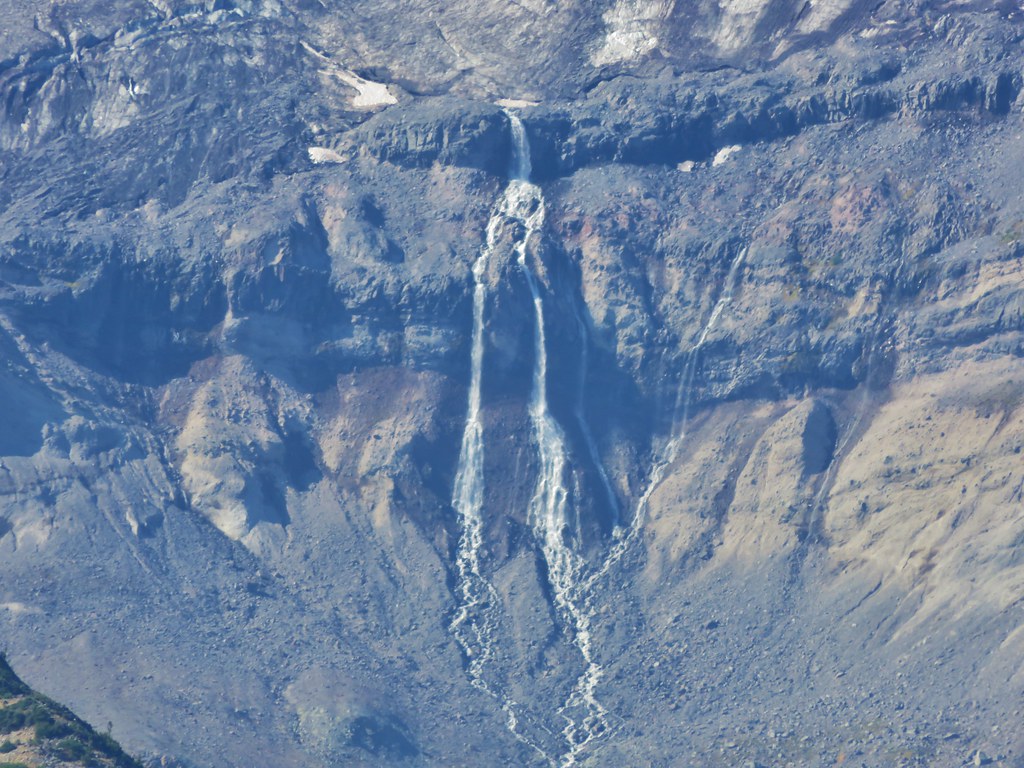
This would be our longest hike of the day at 3.5 miles round trip. The trail followed the North Umpqua River providing numerous views while losing 400′ to a viewpoint above Lemolo Falls.
Numerous seasonal streams and seeps flowed across the trail.
Unnamed fall along the river.
Trillium
Ouzel
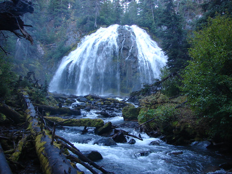
Lemolo Falls
We took a short break at the viewpoint then headed back. We had one final stop to make on the other side of the river to visit a better viewpoint below Lemolo Falls. Red flowering currant along the trail.
Bleeding heart.
From the canal bridge we drove back toward Lemolo Lake crossing the dam then in half a mile turned right on FR 3401 for another half mile to FR 800 where we again turned right. We followed FR 800 for 1.6 miles to a spur road (FR 3401-840). The trailhead is located approximately a quarter-mile down this road but we parked as soon as we had a chance due to this road being in the worst condition we’d experienced this day. Approaching the trailhead.
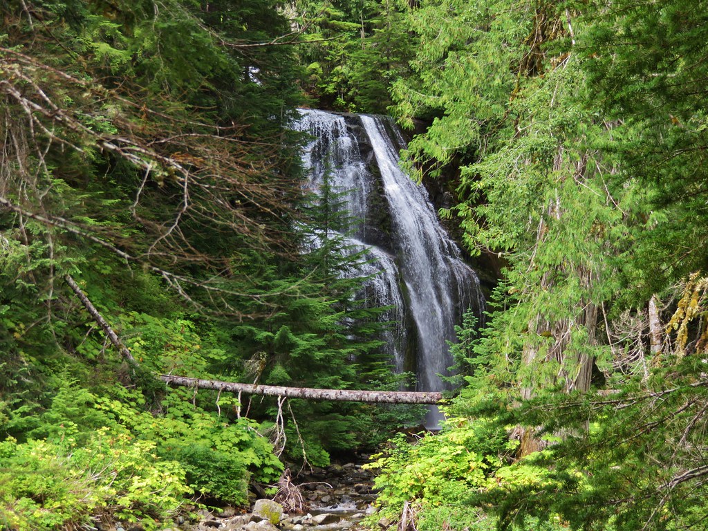
This old trail/trailhead was recently reopened and aside from the poor access road the trail was in good shape. The first 0.6 miles follows an old roadbed to a former picnic area where the Lemolo Falls Trail used to begin. Three quarters of a mile later the trail arrives at the North Umpqua River below Lemolo Falls.
The former picnic area (Note the picnic table in the trees to the right.)
Valerian along the trail.
One of many brief appearances of blue sky during the day.
This was by far the superior view and a great way to end the day. We climbed back up the 500′ that we’d descended to the falls and called it a day. Our seven stops was a new personal record (previously six on a trip down the Oregon Coast). With most of the hikes being rather short our mileage for the day was just a smidge over 11 miles with a little over 1800′ of cumulative elevation gain. It was a long day made longer by a couple of delays due to road construction so it was later than we’d planned when we pulled into our motel in Roseburg but we had managed to finish three more featured hikes (and one third of a fourth) and although it had sprinkled off and on all day we’d also had a few sun breaks which made it a perfect day for chasing waterfalls. Happy Trails!
Another year of wandering the trails of the Pacific Northwest has come to an end. Since 2010 we have been on over 200 hikes covering over 2200 miles and we continually find ourselves in awe of God’s creation.
We managed to hit the trails at least once every month ending with 56 hikes for myself and 55 for Heather. I was able to sneak an extra one in by meeting my parents at Columbia Hills State Park in April while Heather was still running. These were the most hikes we’d done in a single year which also led to our highest mileage totals – 660.4 for myself and 652.6 for Heather. The hikes ranged from 2.9 miles (Butte Creek & Abiqua Falls) to 19.1 miles (Green Lakes Loop). Below is a link to a Google map showing the various trailheads and campsites (denoted by picnic tables).
In addition to my Columbia State park hike we met my parents for hikes at McNeil Point and Jefferson Park. We also met a couple of regular contributors to Oregonhikers.org out on the trails, miah66 on Silver Star Mountain and justpeachy in Jefferson Park. In December we attended the Trail Keepers of Oregon/Oregon Hikers annual Winter Meet-n-Deet in Portland where we were able to put a few more faces to the names we’ve gotten to know on the hiking forums. It was a blast and we’re hoping to continue attending the event in future years.
As in previous years our primary focus was to visit new places and spend time on trails we had not previously hiked. We continued to expand the area in which we’ve hiked by spending 4 days hiking the Northern Loop Trail in Mt. Rainier National Park and spending some time hiking in California around Crescent City and in the Red Buttes Wilderness. Other areas which were brand new to us included the area around Ashland, OR, Indian Heaven Wilderness, and The Oregon caves National Monument. In all 43 of our 56 days of hiking were spent on sections of trails we had never been on before. The remaining 13 days were spent on trails that we had visited in prior years, but we managed to do something different this time around on each trip allowing us to see something new every time out.
This year just reinforced what has become one of our favorite aspects of hiking, the variety. In visiting so many new trails we were able to see flowers, trees, animals, and even mountains that we had not previously encountered on our hikes. Even in the familiar areas there always seems to be something new to experience. It’s not just the sights that provide the variety though, the smells, sounds, and even the feeling of the air and the forest can change multiple times on any given hike.
Although the camera cannot adequately capture the beauty of nature a look back at some of this year’s pictures will hopefully give some indication of the many different sights we were blessed with.
Views:
Oregon Dunes Overlook
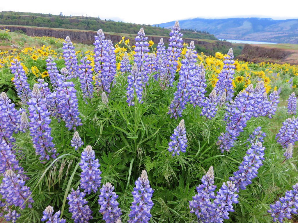
Rowena Crest
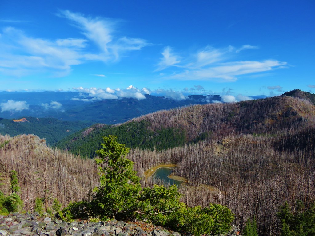
Mt. Hebo Trail
View from Boccard Point
French Pete Creek
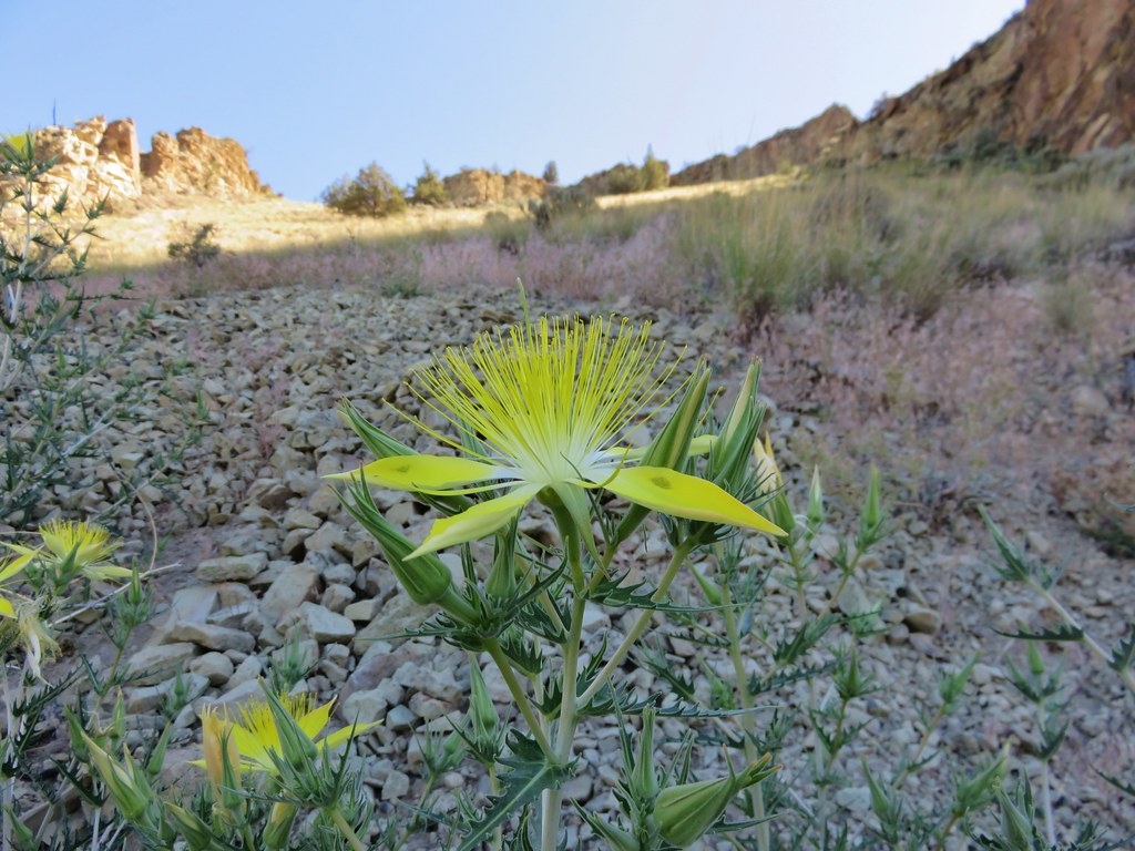
Smith Rock State Park
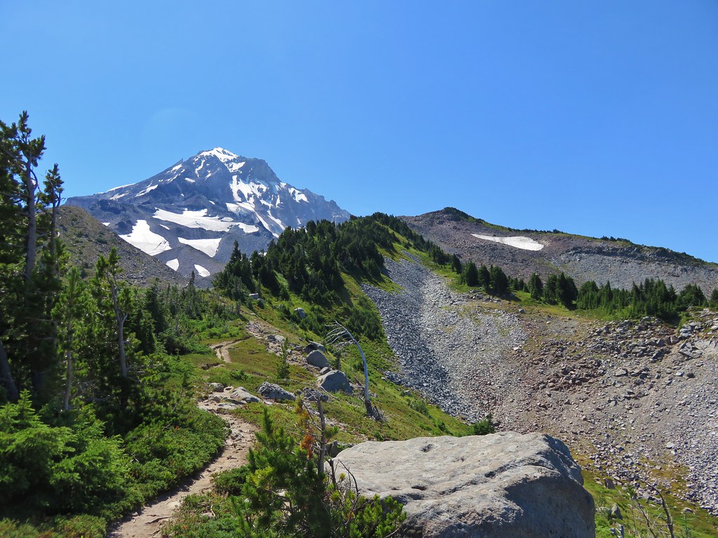
Mt. Hood from the McNeil Point Trail
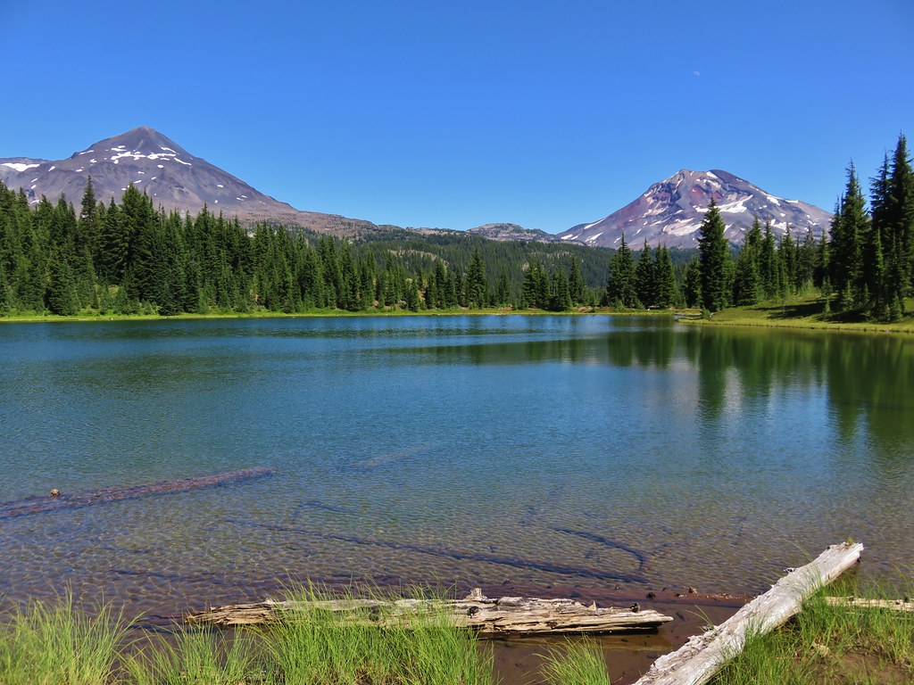
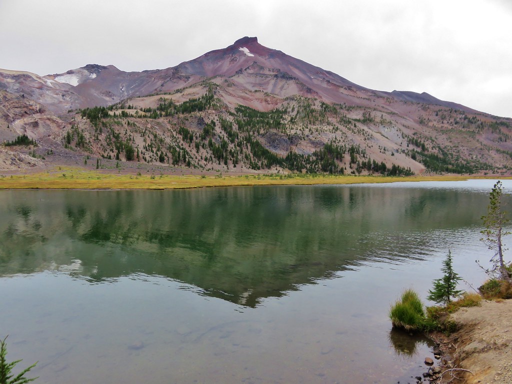
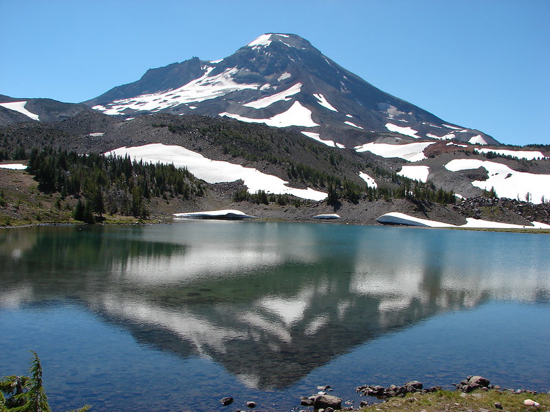
Middle & South Sister from Eileen Lake
Middle & South Sister from Linton Meadows
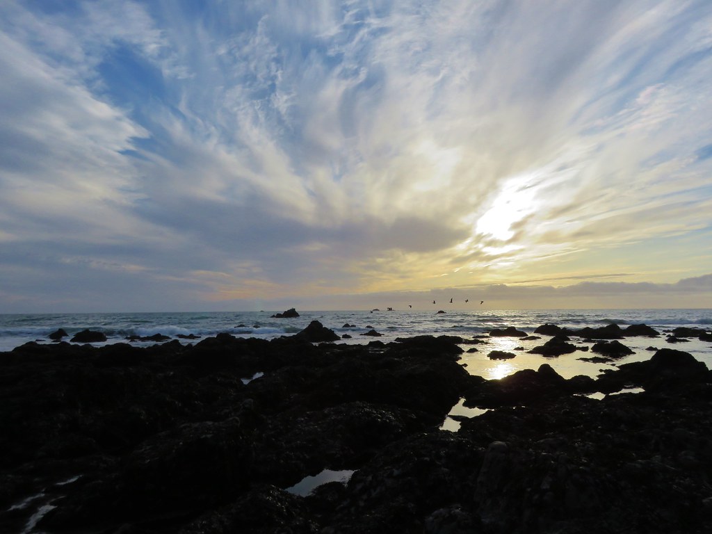
Pacific Ocean from Salishan Spit
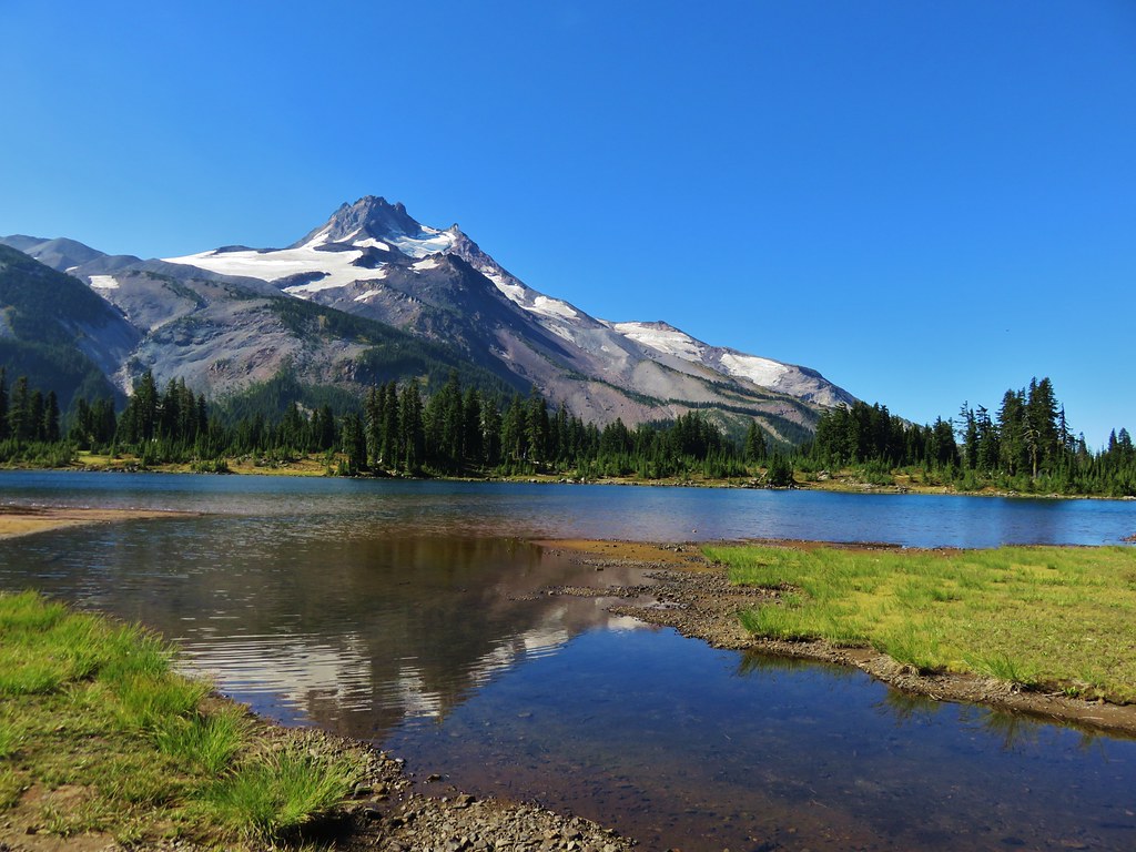
Mt. Jefferson from Russell Lake
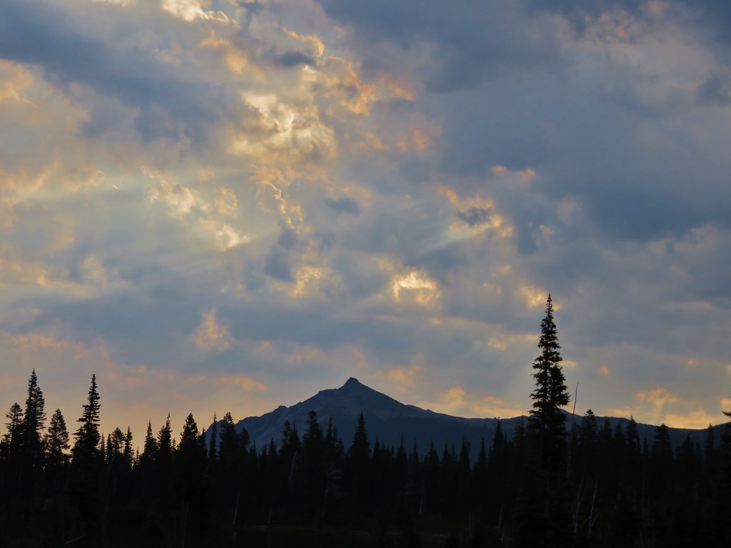
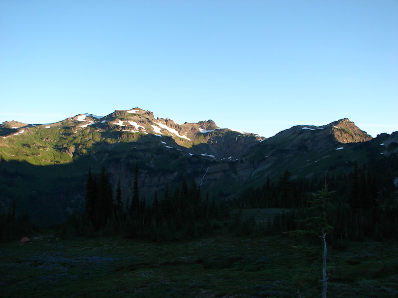
Sluiskin Mountain
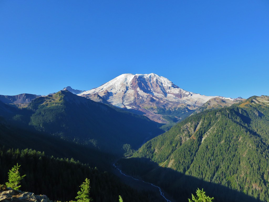
Mt. Rainier
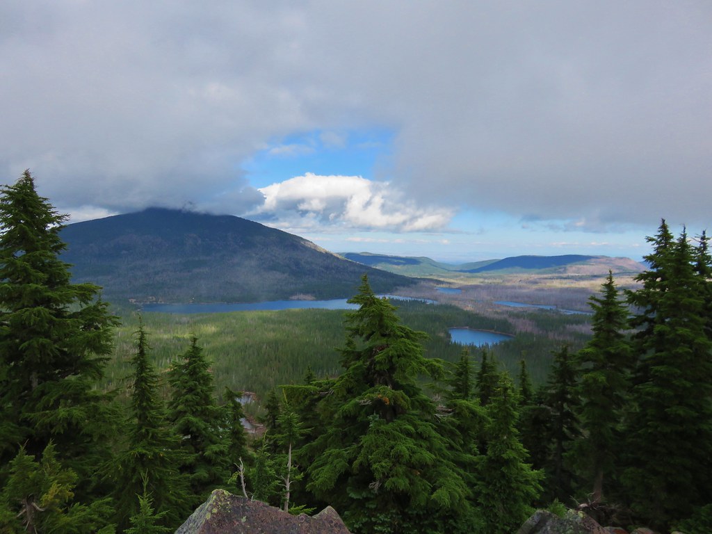
Olallie Lake Scenic Area
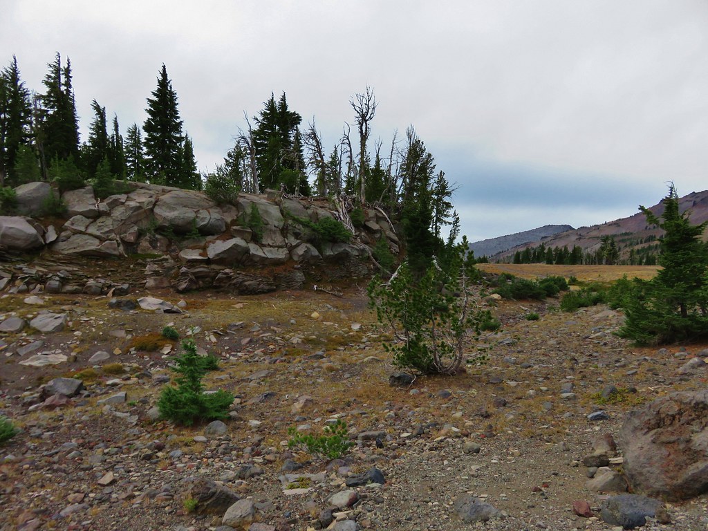
Indian Heaven Wilderness
Mt. Washington Wilderness
Belknap Crater
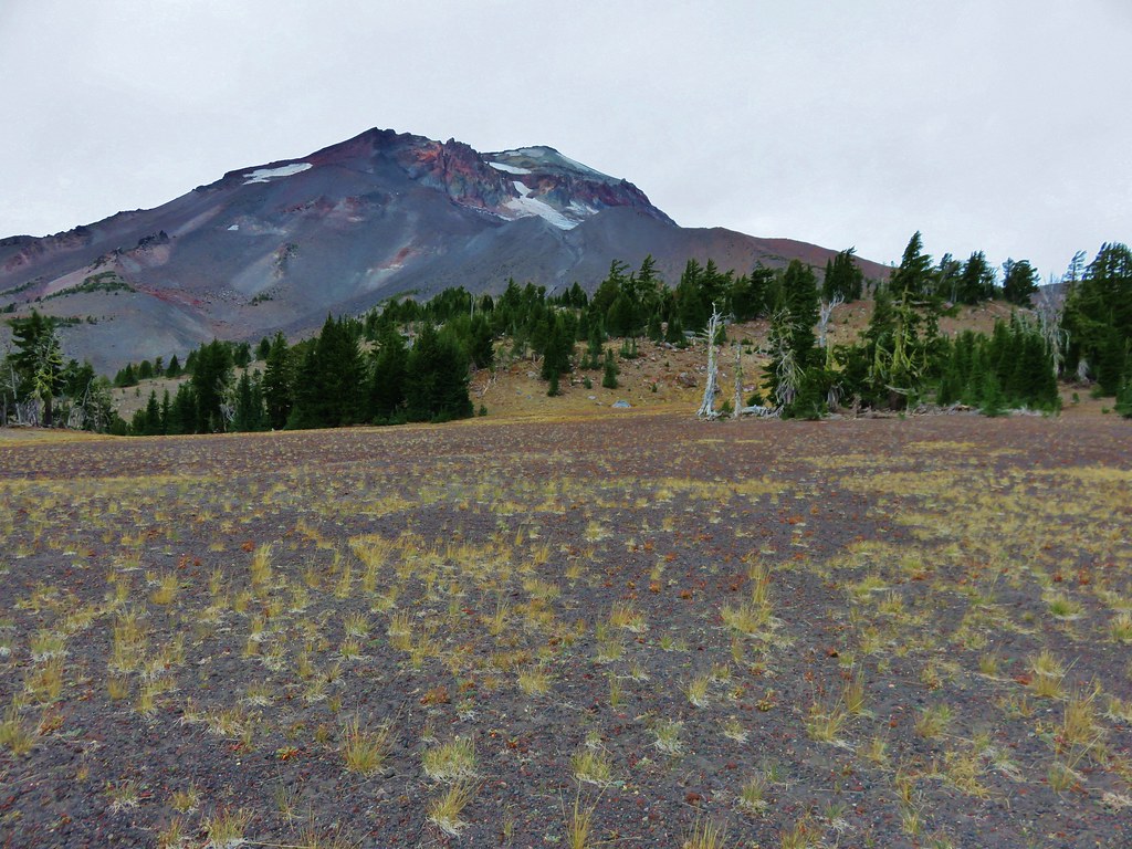
South Sister from the Green Lakes
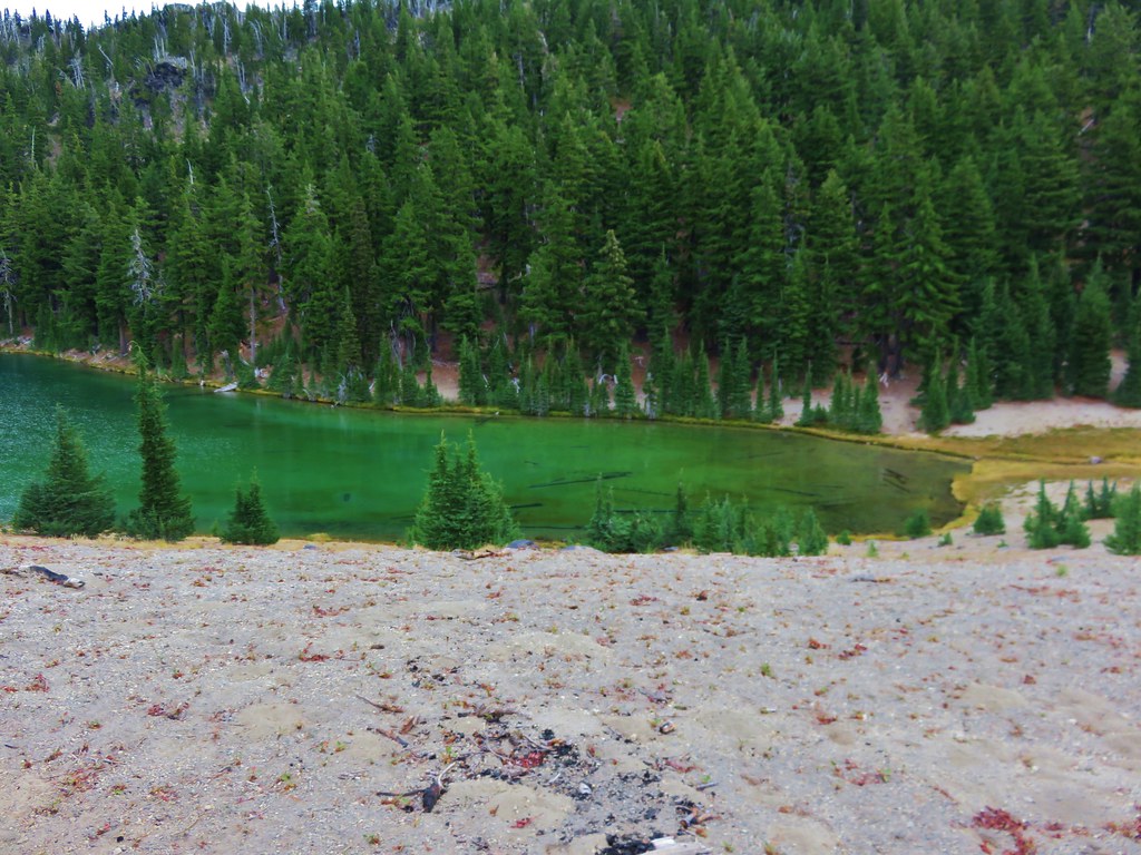
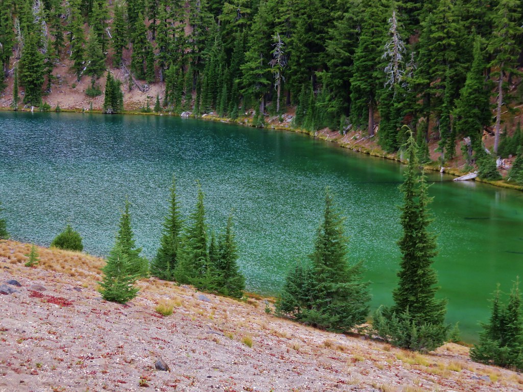
South Sister from Denude Lake
Wind and Dog Mountain from Indian Point
Bull of the Woods Wilderness
Pacific Ocean near Damnation Creek
Redwoods in Jedediah Redwoods State Park
Red Buttes Wilderness
Kangaroo Mountain
Paradise Lost, Oregon Caves National Monument
Waterfalls:
University Falls
Lower Butte Creek Falls Upper Butte Creek Falls
Abiqua Falls Upper McCord Falls
Wahclella Falls Elowah Falls
The Potholes Woodburn Falls
Rodney Falls Upper Kentucky Falls
Lower Kentucky Falls North Fork Falls
Munson Falls
Unnamed waterfalls along Linton Creek
Duncan Falls
Upper Portion of Linton Falls
Indian Holes Falls Unnamed waterfall – Mt. Rainier National Park
Garda Falls Another unnamed fall in Mt. Rainier National Park
We are already looking forward to next year’s hikes. I freely admit that I already have a preliminary schedule laid out (I will not admit to how far out it extends though 😉 ). As it currently stands we will be visiting 6 new wilderness areas, another national monument, and summiting three peaks over 9000′ tall. If history is any guide the list of completed hikes at this time next year will look vastly different from this preliminary one, but then that’s just part of the adventure. One thing is for sure though, we are sure to see some amazing sights along whatever trails we wander. Happy Trails!
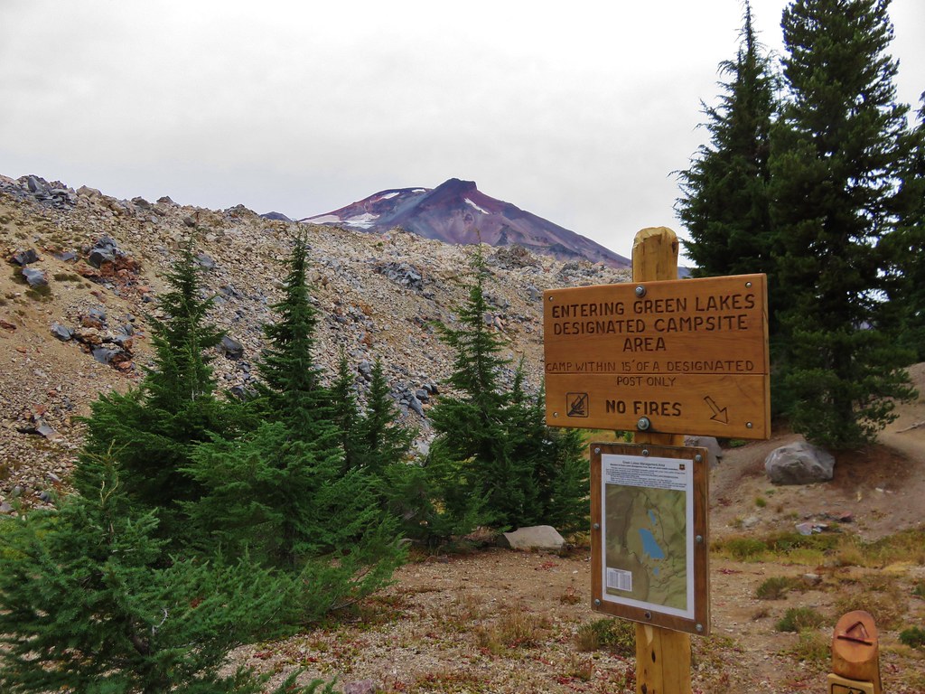
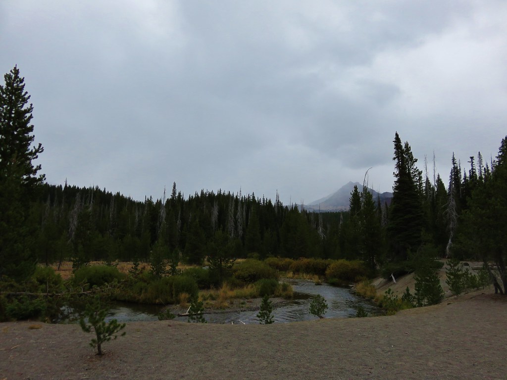
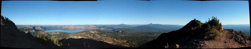
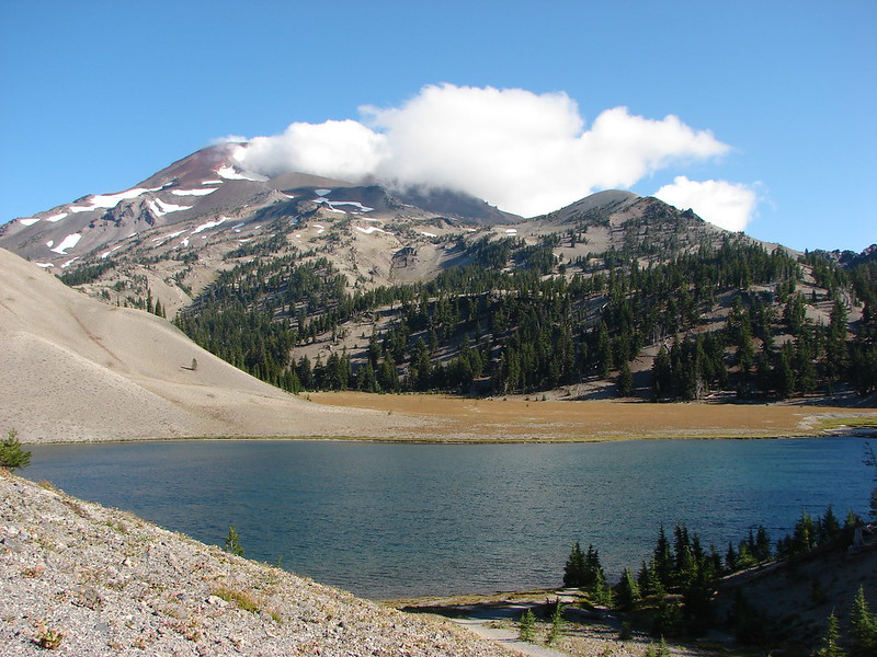
If you are familiar with our hiking past you may recall that on 5 previous occasions we had planned to and failed to see the Green Lakes in the Three Sisters Wilderness. Over 20 years since our foolish first attempt we finally made it to the lakes when we could see them. Ironically our visit was prompted by some of the very reasons we had been forced to abandon previous quests to see the lakes. Snow, fires, and the threat of thunderstorms had forced us to cancel our backpacking plans and led us to Central Oregon for a series of vacation day hikes. On Tuesday we headed for the Green Lakes Trailhead, once again attempting to reach the lakes.
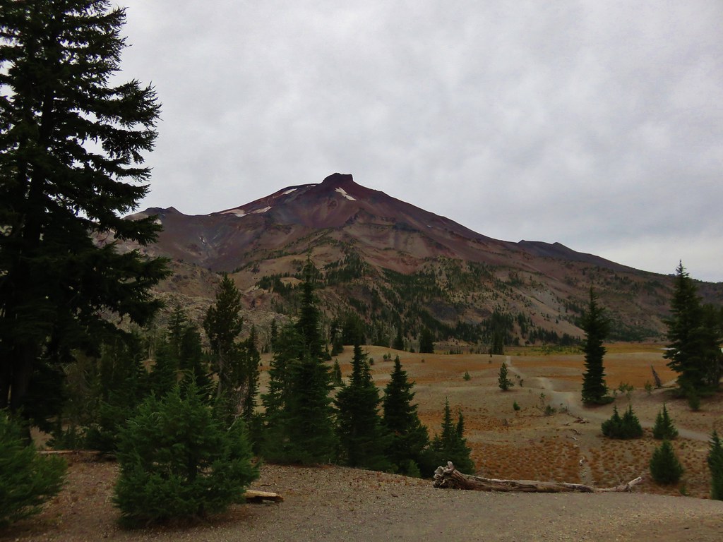
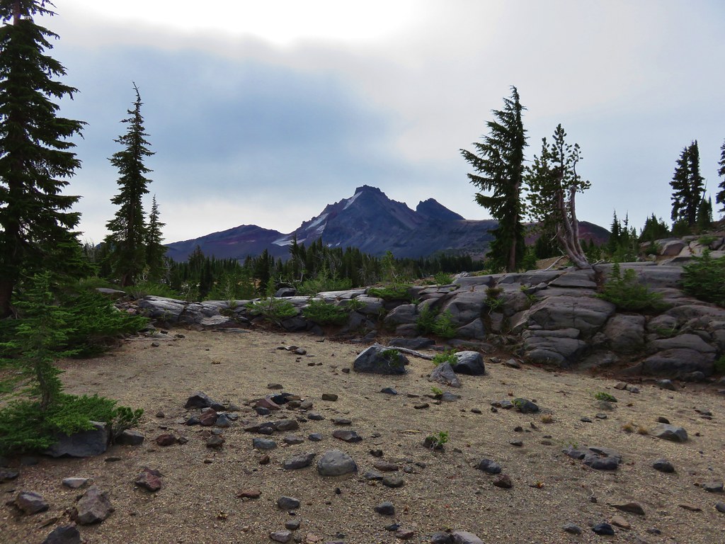
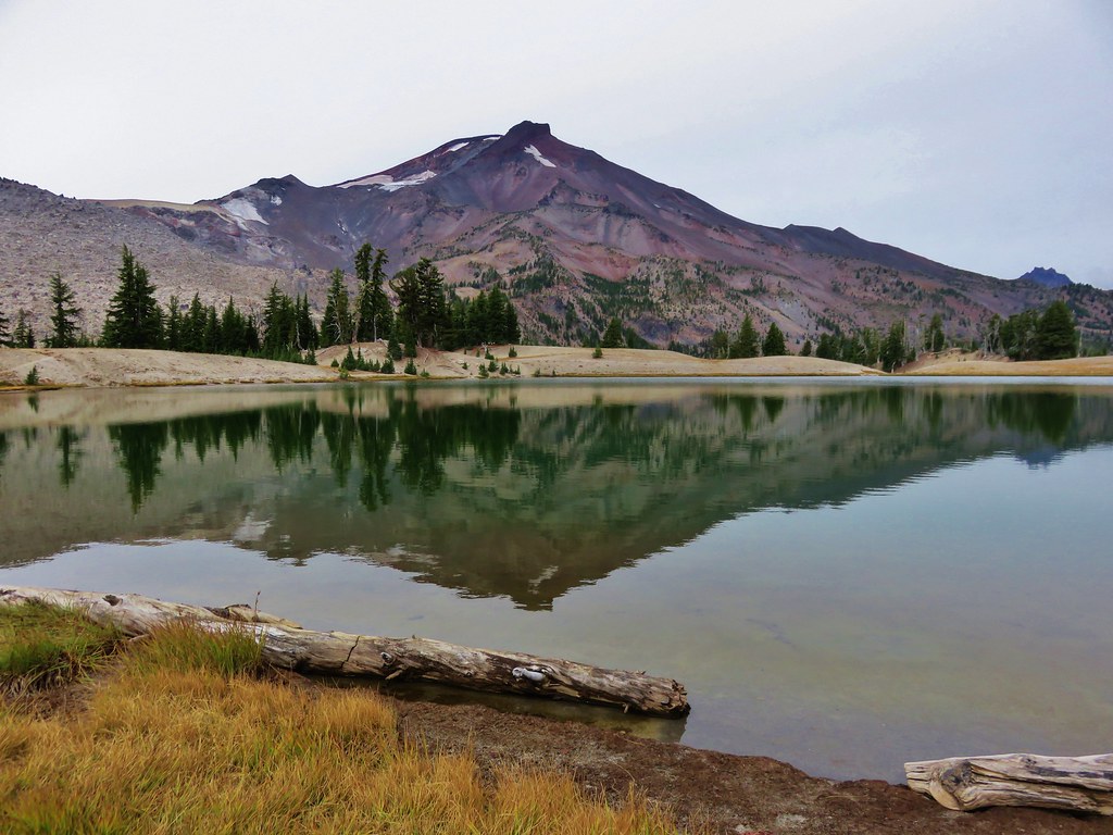
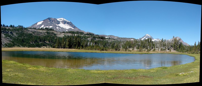
The forecast called for overcast skies but there was no threat of thunderstorms and the snow wasn’t scheduled to arrive until later that night. We arrived at the trailhead as the sun was rising. The mountain peaks were fully visible under a high ceiling of clouds. //embedr.flickr.com/assets/client-code.js
After passing the trail junction to Moraine Lake we were on unfamiliar trail. We had hiked this section before but it was by headlamp on the way out of the wilderness after mistakenly thinking a fire and started nearby while we were camped at a tarn below Broken Top. We had packed up at dusk and hiked out in the dark missing the lakes and the scenery along the trail. Fall Creek was much calmer along this portion of trail flowing between the trail and a lava flow. //embedr.flickr.com/assets/client-code.js
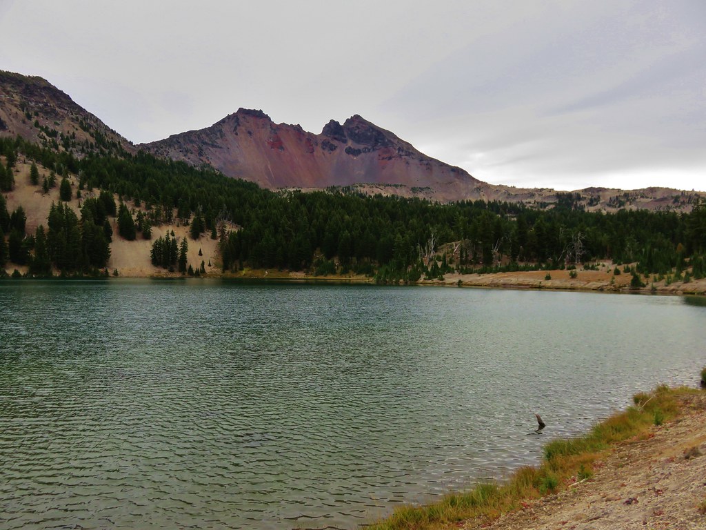
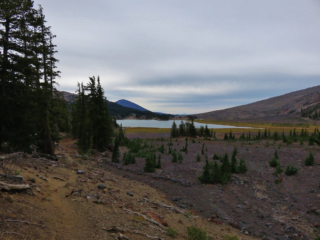
Several trails shot off in different directions and we veered left toward the day use peninsula of the middle and largest of the three Green Lakes. //embedr.flickr.com/assets/client-code.js
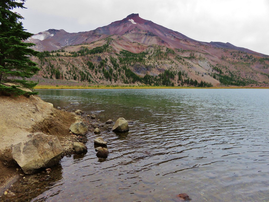
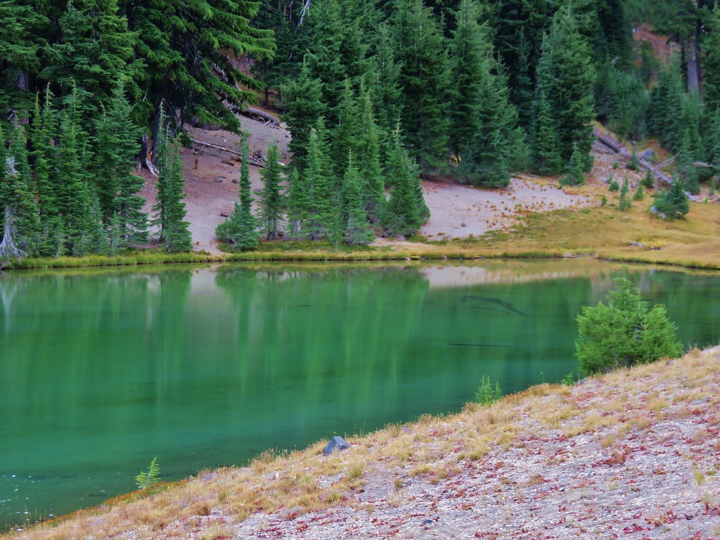
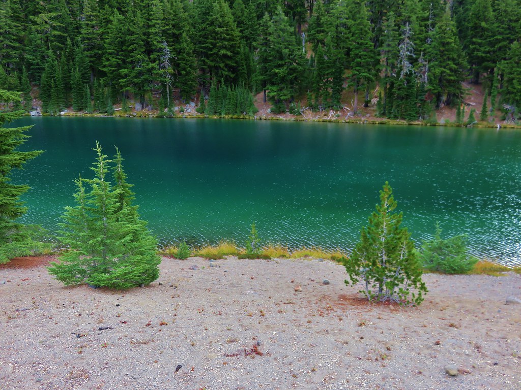
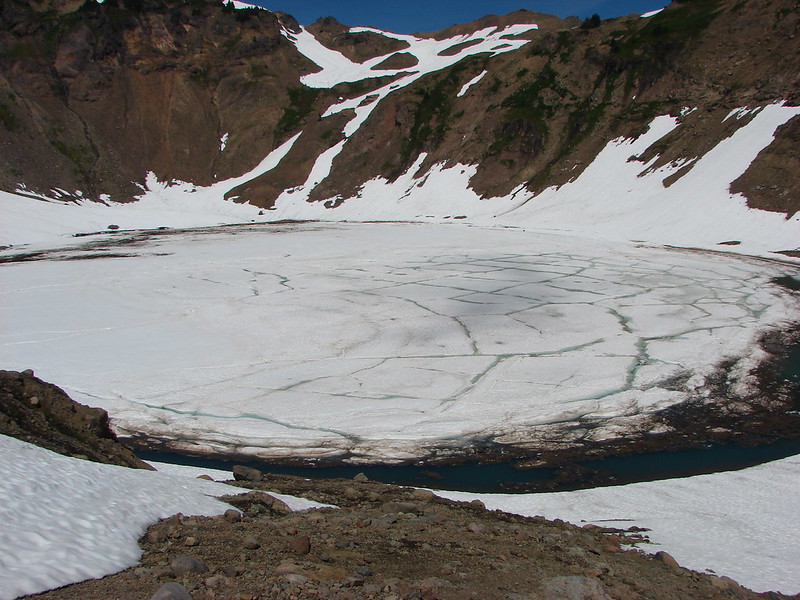
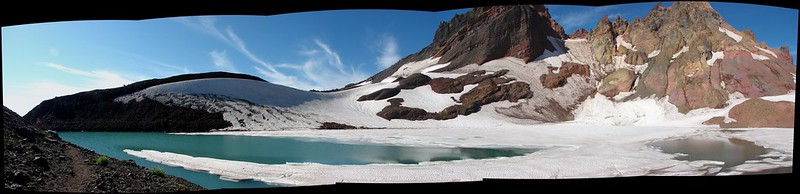
We resumed our hike passing along the east side of the lake heading toward the third and final lake. This lake truly lived up to the Green Lakes name. //embedr.flickr.com/assets/client-code.js
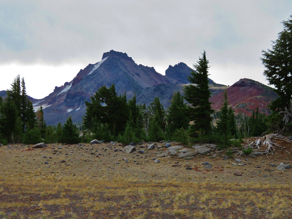
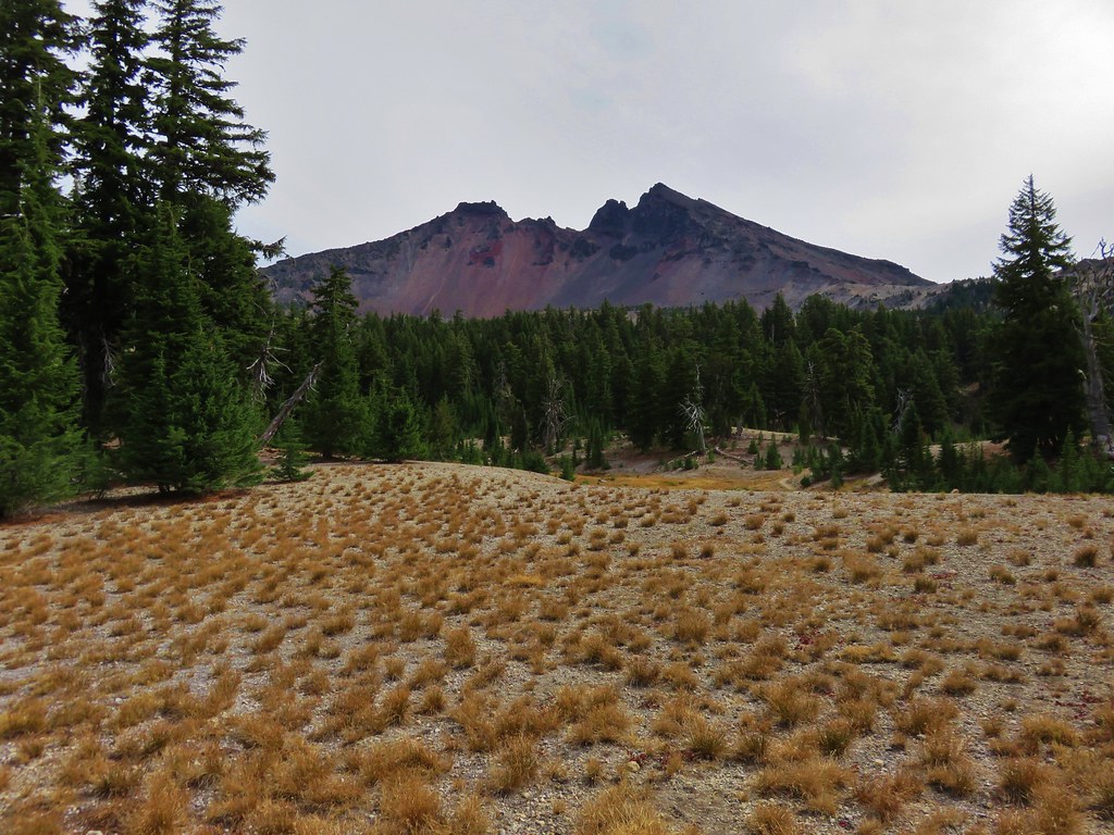
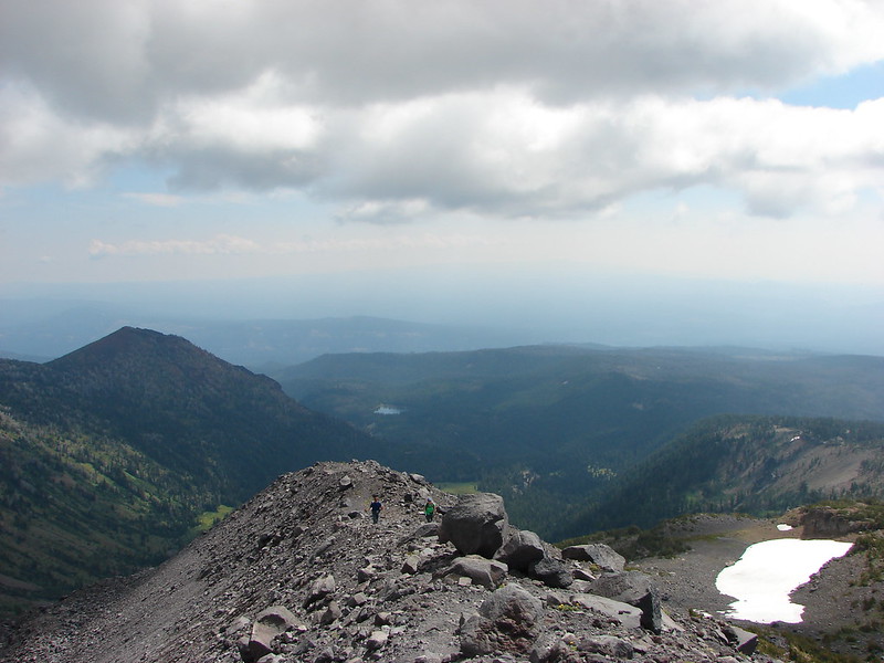
The Green Lakes Trail continues past the lakes climbing .7 miles to a pass between Broken Top and the South Sister before continuing down to Park Meadow. We headed for the pass to check out the views we’d missed on our night hike. We discovered an interesting landscape including some rocks showing the signs of long gone glacier. //embedr.flickr.com/assets/client-code.js
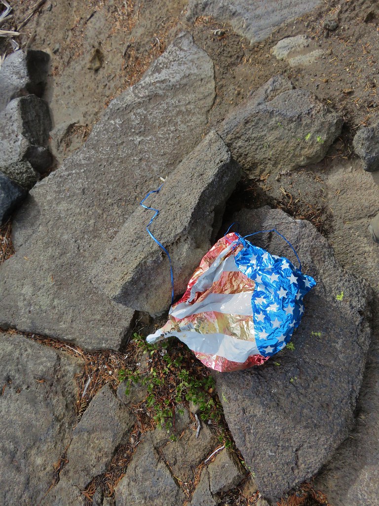
After doing a little exploring (and picking up another balloon) we headed back down to the Green Lakes.
The balloon in the trees. //embedr.flickr.com/assets/client-code.js
We were interested in checking out what appeared to be springs feeding into the third Green Lake and followed a path around the north shore only to discover a small “Area closed for restoration” sign less than 10′ from the springs. We couldn’t figure out why the forest service didn’t put a sign where the path split off from the main trail instead of clear back by the spring, but we obeyed the sign and turned around after taking a picture of what we could see. //embedr.flickr.com/assets/client-code.js
It was a little over a mile from the third lake to the first lake which we had skipped earlier when we headed directly to the day use peninsula on the middle lake. We explored the area around the first lake before picking up the Broken Top Trail which came from the east to join the Green Lakes Trail just south of the first lake. //embedr.flickr.com/assets/client-code.js
The Broken Top Trail makes it possible to turn the hike into a loop and we took advantage of this and headed east on the trail. //embedr.flickr.com/assets/client-code.js
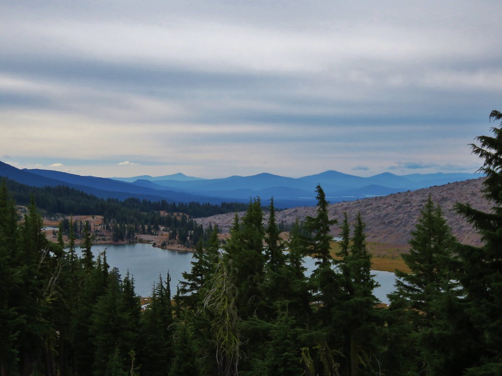
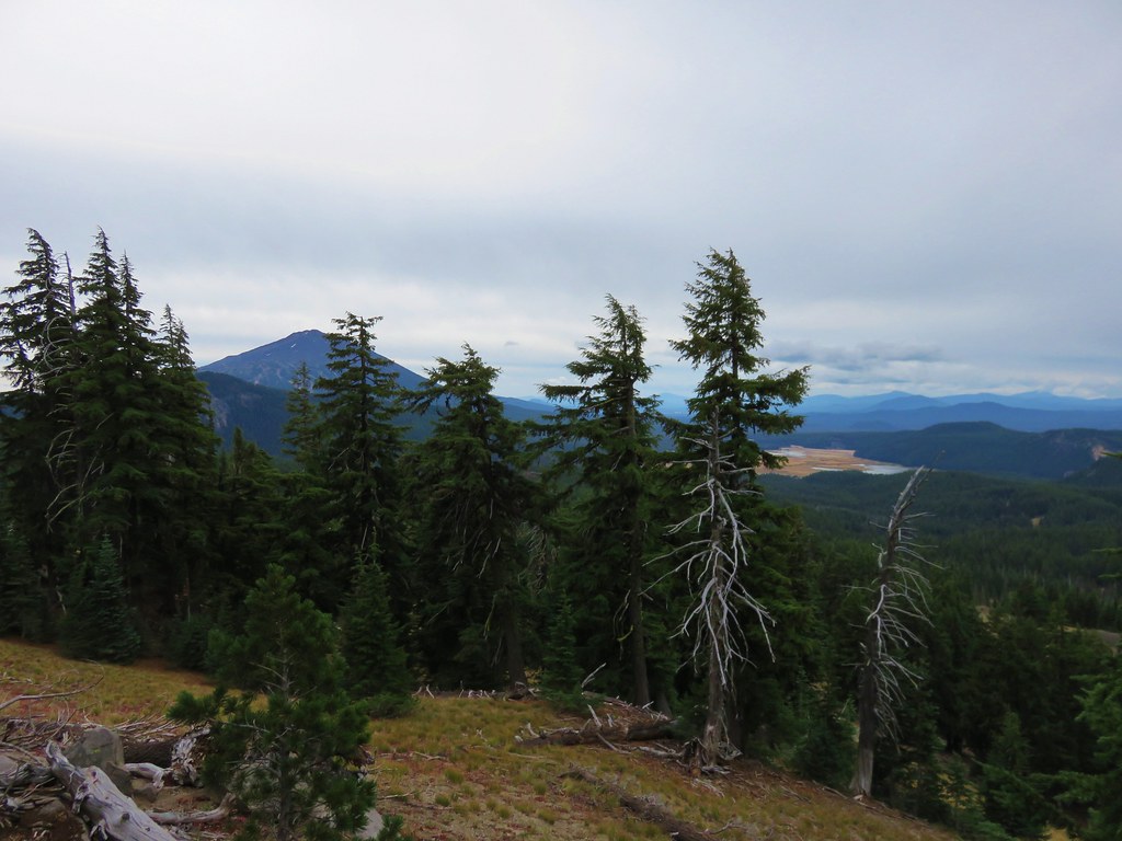
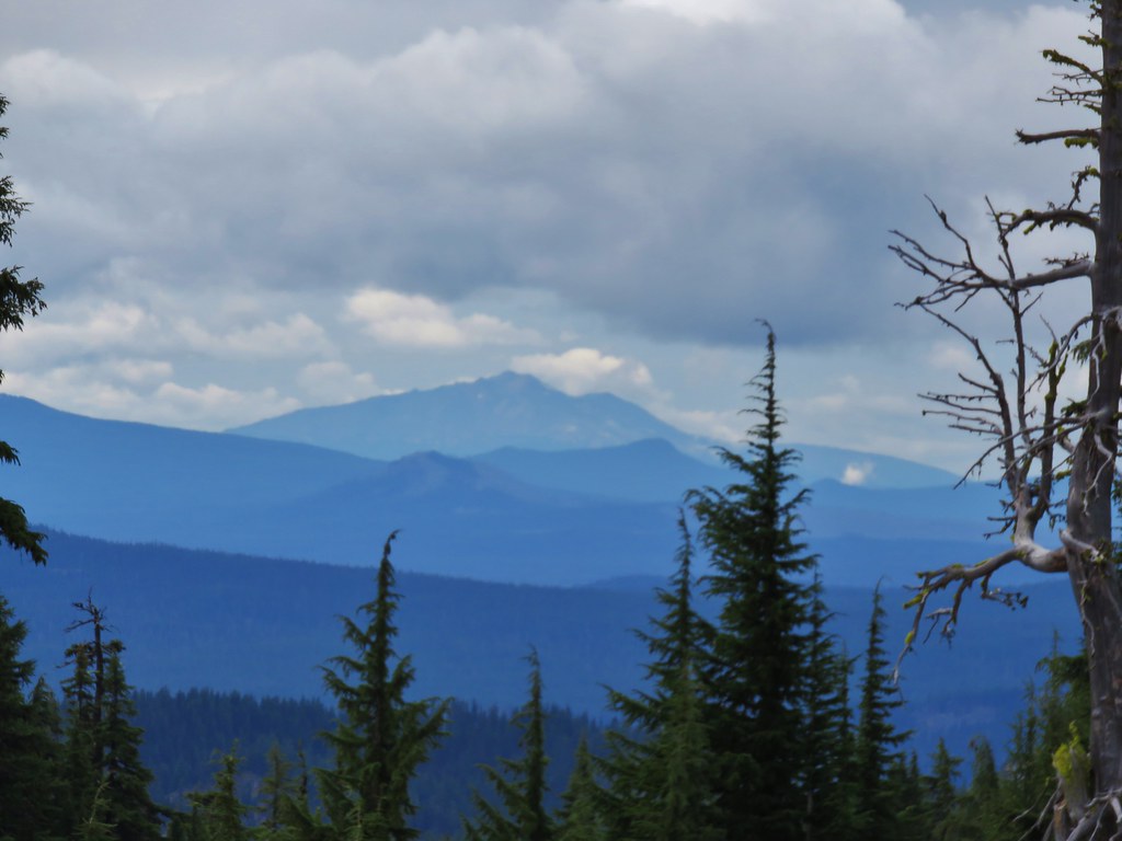
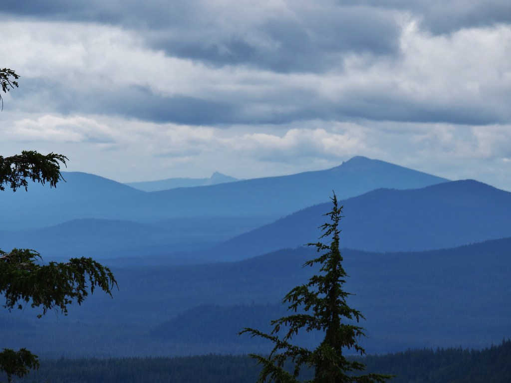
The trail had some nice views of Broken Top and also offered glimpses of Mt. Bachelor, Sparks Lake, Cowhorn Mountain, and Diamond Peak. //embedr.flickr.com/assets/client-code.js
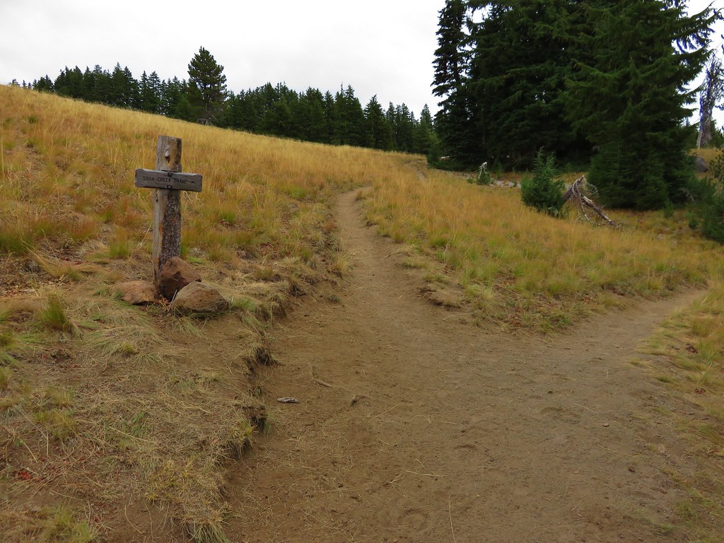
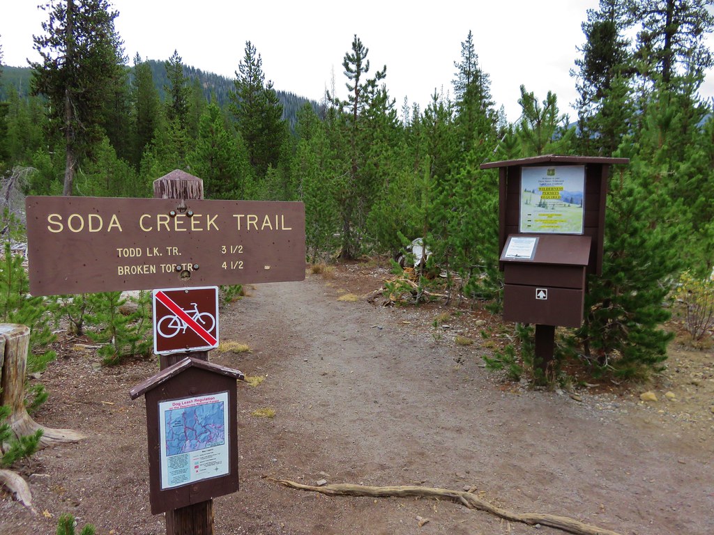
The trail from Todd Lake which we had used on our visit to Broken Tops No Name Lake joined on the right and we turned down it for .9 miles to another junction where we turned right again on the Soda Creek Trail. //embedr.flickr.com/assets/client-code.js
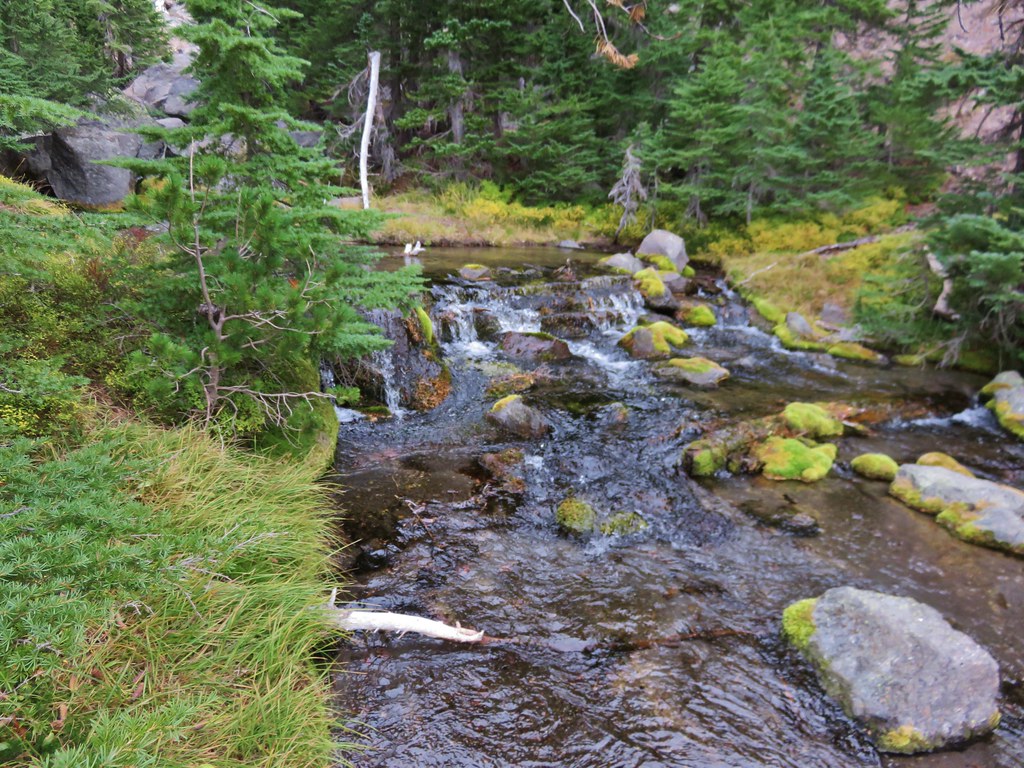
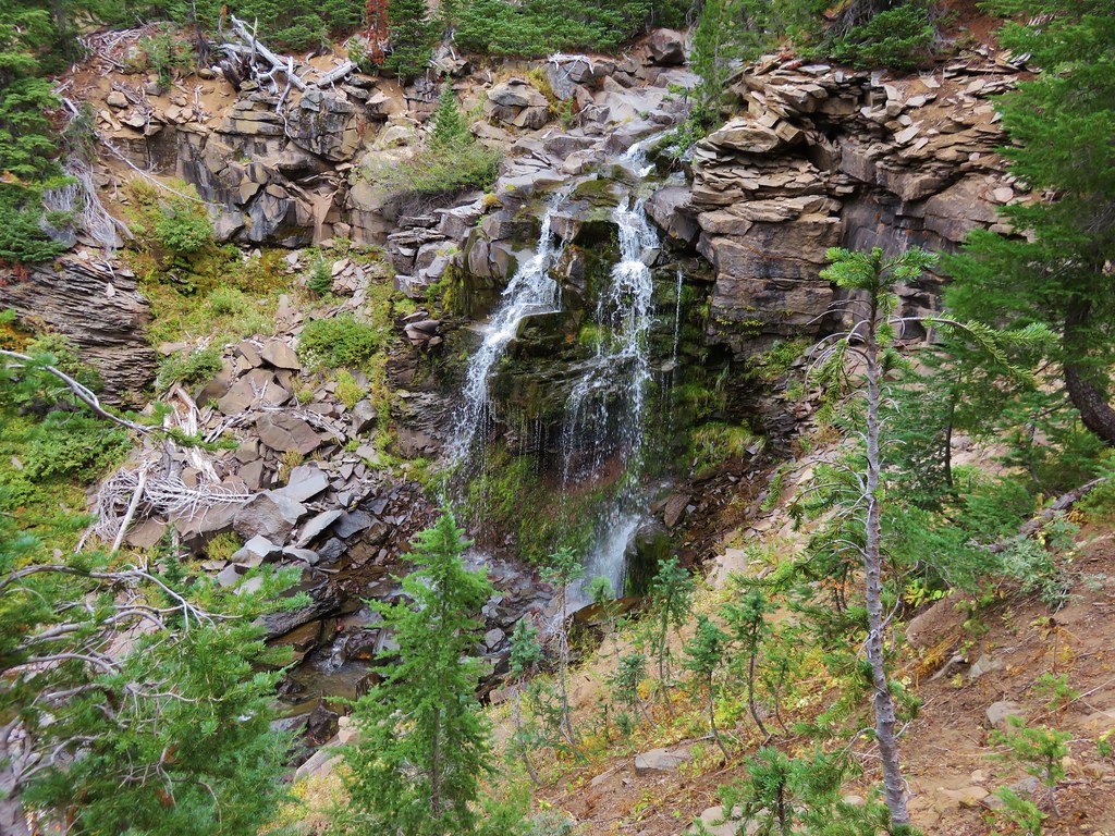
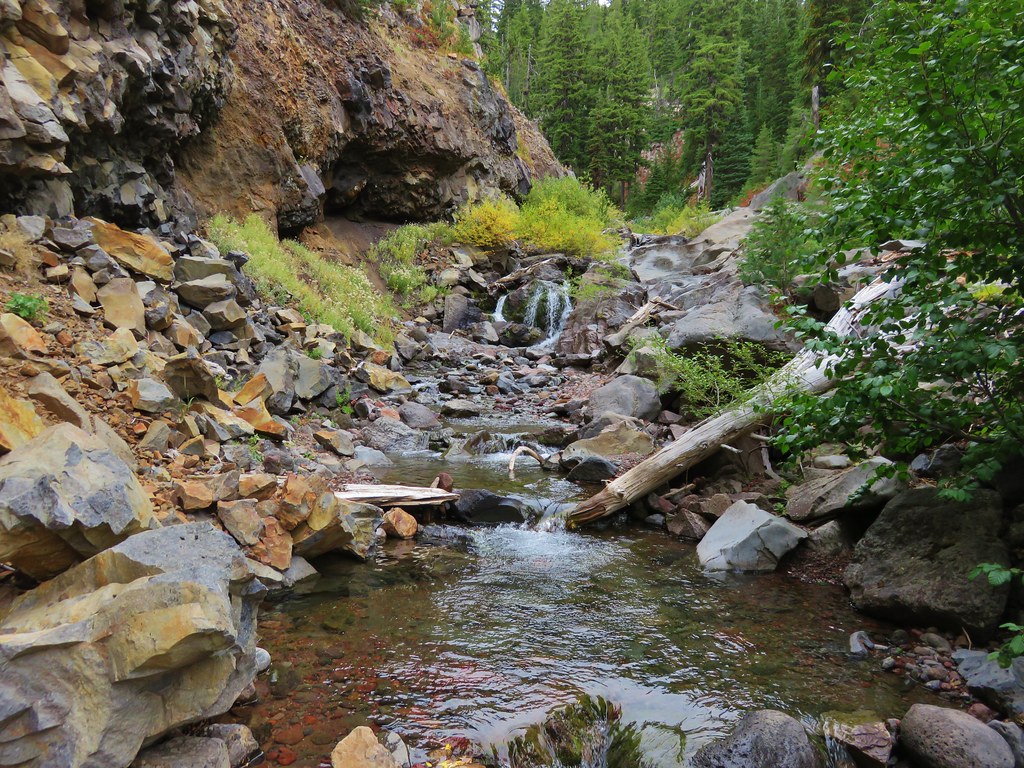
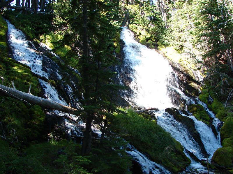
We got a bit sidetracked on our way down this trail. We began searching for waterfalls along Crater Creek when we spotted what looked like prime waterfall terrain. After a little off trail exploration we discovered a pair of pretty little falls. //embedr.flickr.com/assets/client-code.js
The falls were a little low on water but looked like they would be really nice with a higher volume of water. Later I discovered there were a couple of other falls in the area along Crater Creek while doing a little research on waterfallsnorthwest.com.
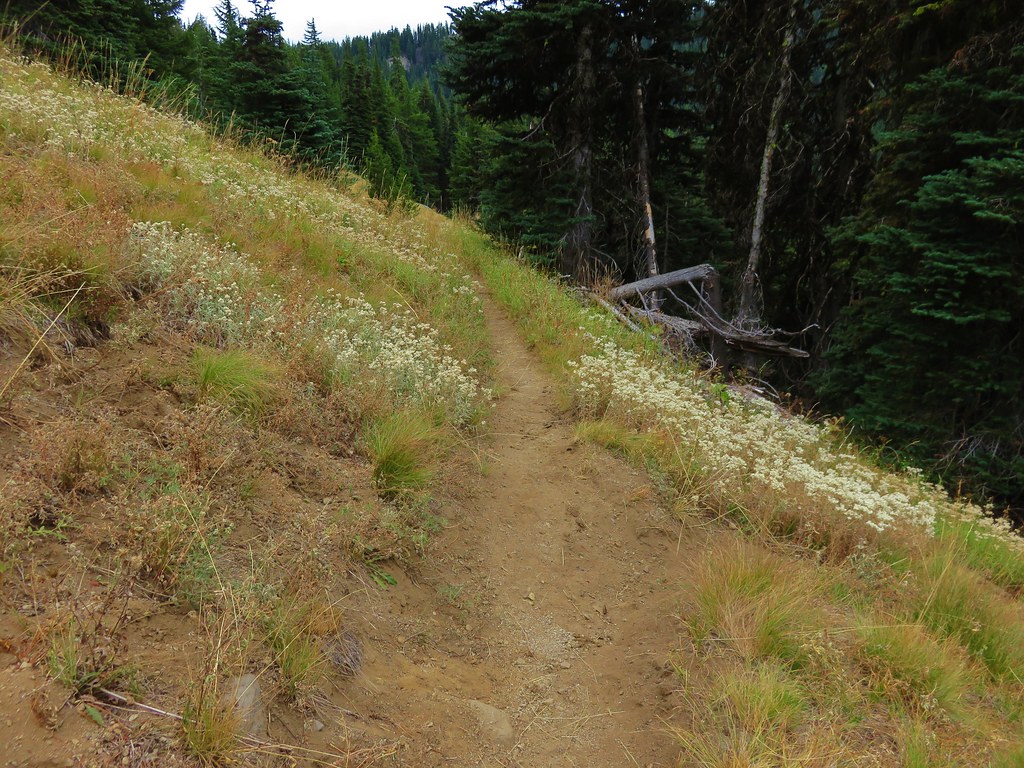
After regaining the trail in a meadow where we startled a pair of deer we began to switchback down toward Soda Creek. Corner Falls was the only fall marked on the map in our guidebook which was located at the corner of the final switchback. It wasn’t quite as impressive as the falls on Crater Creek and we were unable to get a clear view due to another “Area closed” sign at the path leading away from the switchback. //embedr.flickr.com/assets/client-code.js
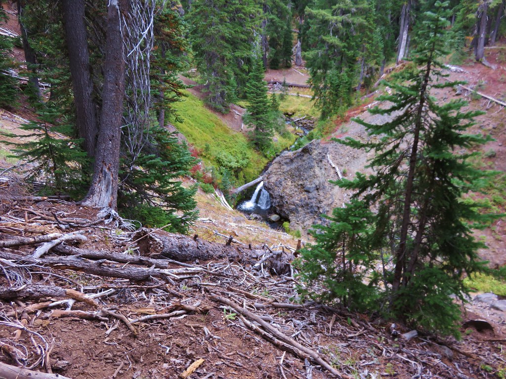
The trail then gradually descended another 1.3 miles to a crossing of Crater Creek where we found another nice little waterfall. //embedr.flickr.com/assets/client-code.js
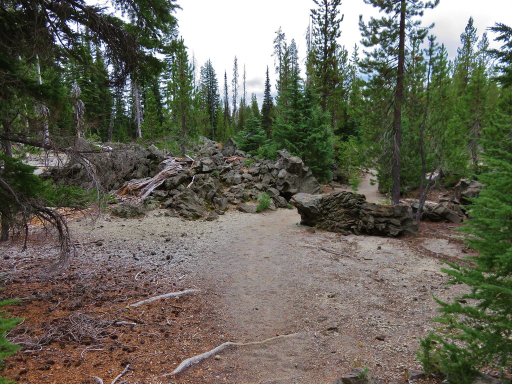
The forest turned to drier lodgepole pine and passed through some old lava flows in the final 1.5 miles before popping us out at the Green Lakes Trailhead parking area. //embedr.flickr.com/assets/client-code.js
We had felt a few drops of rain over the final half mile or so of the hike, and as we were changing at the car we began to notice a few small snowflakes mixed in the rain. //embedr.flickr.com/assets/client-code.js
Later when we looked at the GPS information it showed a distance of 19.1 miles for the day. We hadn’t meant to go that far but there is something about the Three Sisters Wilderness that makes it really easy to wander. Happy Trails!
It’s hard to believe that it is time for our year end entry, but the calendar doesn’t lie. It was a busy year for us in which Dominique graduated from high school, we trained for and ran several races including the Vernonia Marathon, and of course we did some hiking.
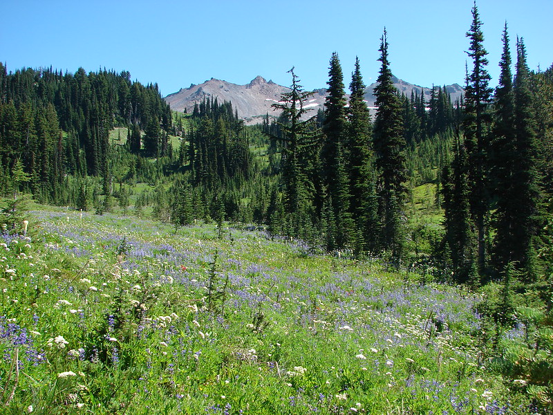
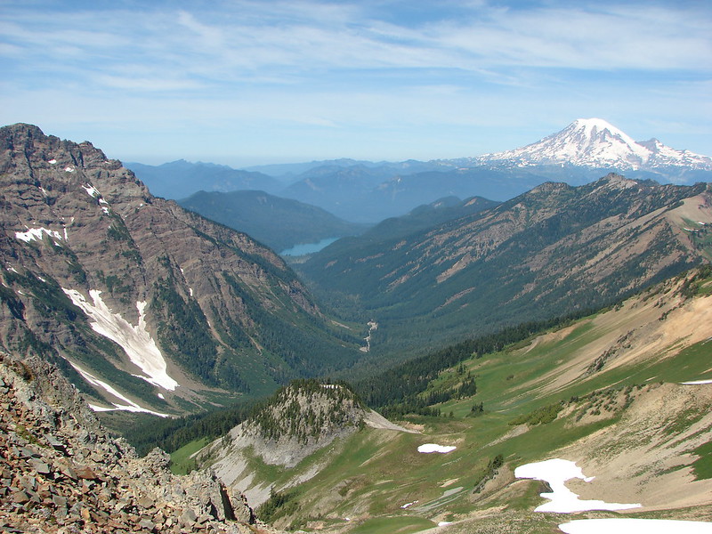
We were able to get 52 days’ worth of hiking in this year. We stared off slow while we trained for the marathon having completed only 5 hikes before the end of April. We did however take a map reading and route finding class through the Chemeketans, a local hiking/climbing club which was extremely helpful and a lot of fun. We cranked up the hiking in May and only slowed down at the end of October when the weather began to turn ugly. We managed to expand the area we’ve hiked in by taking hikes further to the North (Goat Rocks Wilderness, WA), South (Mt. Scott), and East (Lookout Mountain in the Ochoco Mountains) than we had before. Below is a map showing all the locations for the trailheads we visited as well as a link to an interactive version.
Here is a quick look at some of the statistics for the year:
Total Miles – 617.8
Shortest Hike – 2.2 miles (tie McDowell Creek Falls & Ankeny Wildlife Refuge)
Longest Hike – 21.4 miles (Fall Creek trailhead to Linton Meadows with a lot of extra exploring)
Average Moving Speed – 2.171 mph
Lowest Elevation – Sea level (Short Sand Beach, Neahkahnie Mt. Hike)
Highest Elevation – 8926′ (Mt. Scott summit)
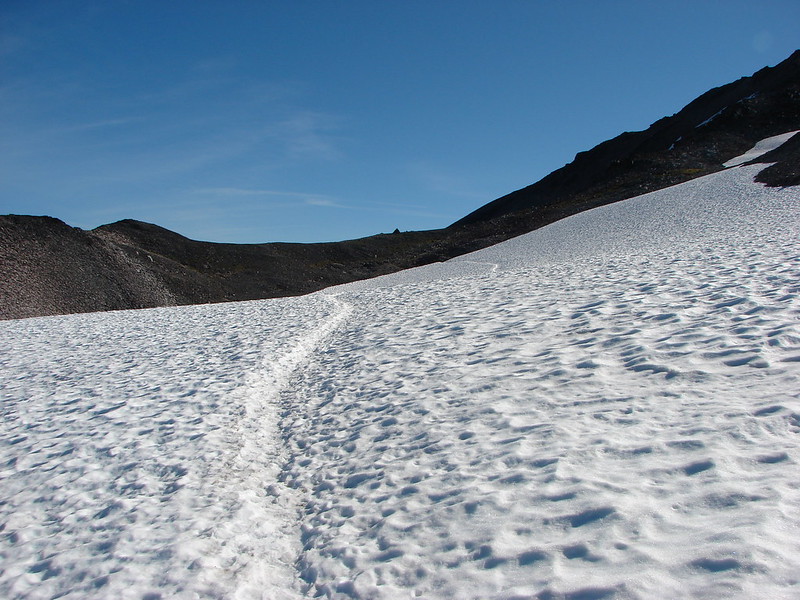
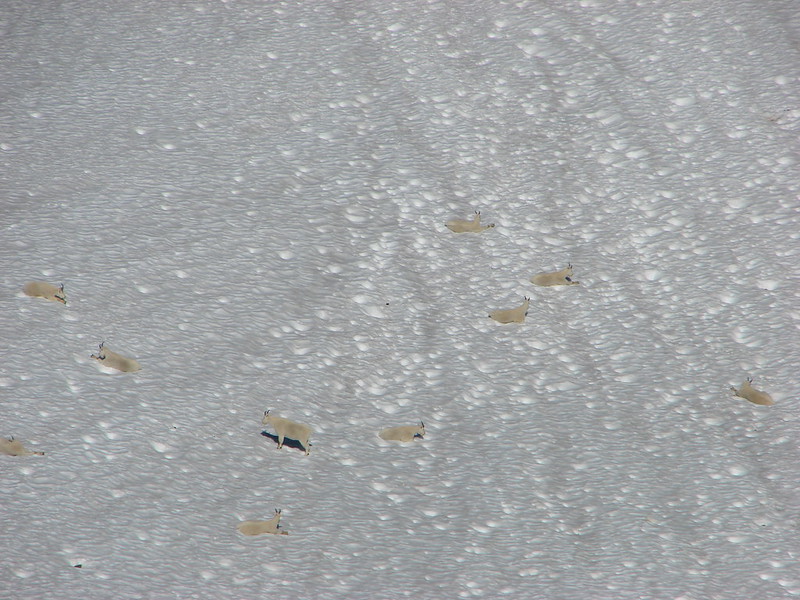
My favorite statistic though has to be that 65% of our hikes (15 out of 23) during summer involved us either walking on or next to snow. The rest of the year only 10% (3 out of 29) of our hikes involved a close encounter with snow.
As much as I am a numbers junkie they are just quantitative data without a story, and the story is the reason we head out. We tried really hard this year to time our hikes to maximize the sights each area had to offer. Having learned from our past experiences and keeping an eye on trip reports from other hikers (A big thank you to the folks at Portlandhikers.org) we were better able to plan when to go where. We visited a wildlife refuge, 2 county parks, 3 state parks, 1 memorial forest, 1 state forest, and 11 different national forests. In the national forests were 14 different designated wilderness areas, a national volcanic monument, a national scenic area, and a national park.
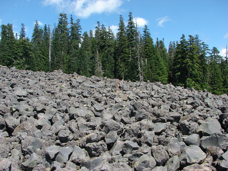
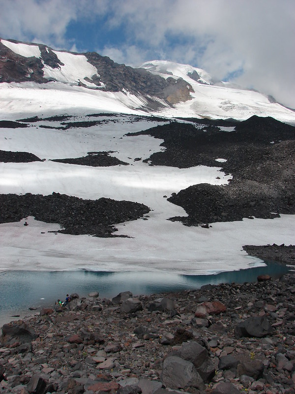
We started and ended our year at the Oregon Coast as has become our tradition. Rivers, creeks, and waterfalls dominated the early part of the year followed by wildflowers and mountains and finally lakes. The variety of vegetation, terrain and natural features we were lucky enough to visit was amazing. We passed over rock fields
pumice plains
lava flows
and snowfields
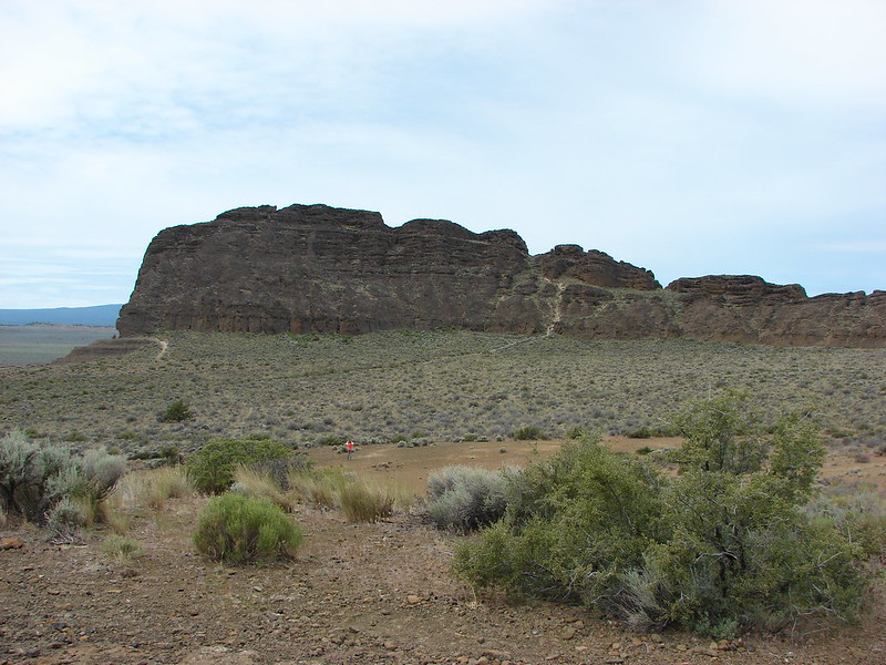
We hiked through high desert sagebrush
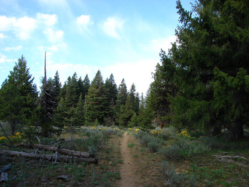
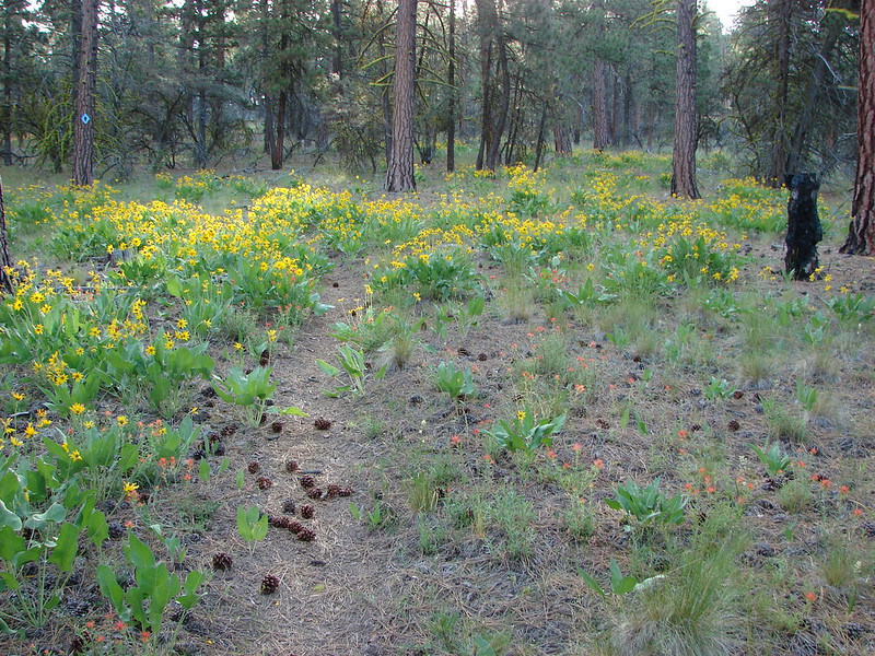
alpine meadows filled with wildflowers
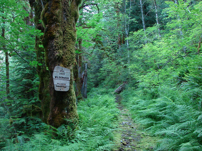
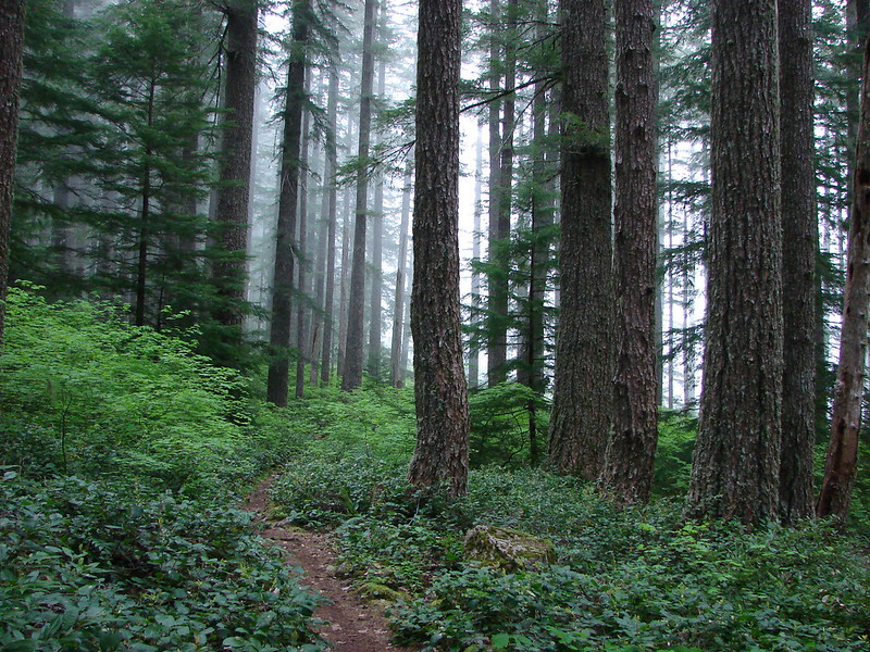
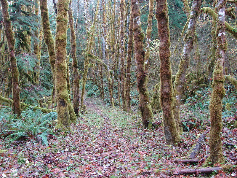
and a variety of forest types
We visited waterfalls
caves
springs
frozen lakes
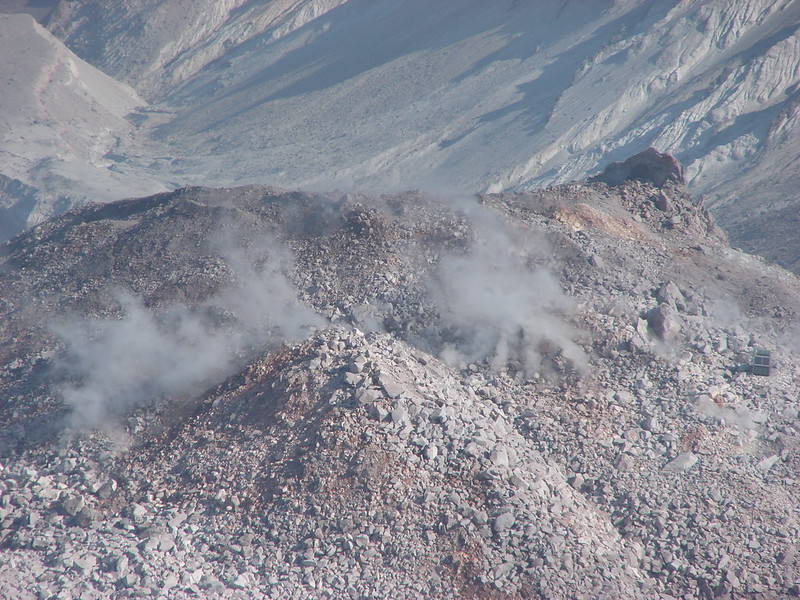
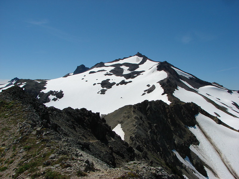
and a steaming volcano
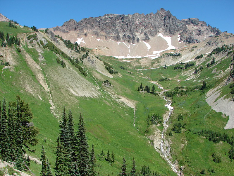
One of the new things we did this year was backpacking. We took five overnight trips. The first few were single night excursions to get used to our packs and equipment followed by two longer trips. The first of which was a 4 day/3 night stay in the Goat Rocks Wilderness. It quickly became the favorite place that we have visited.
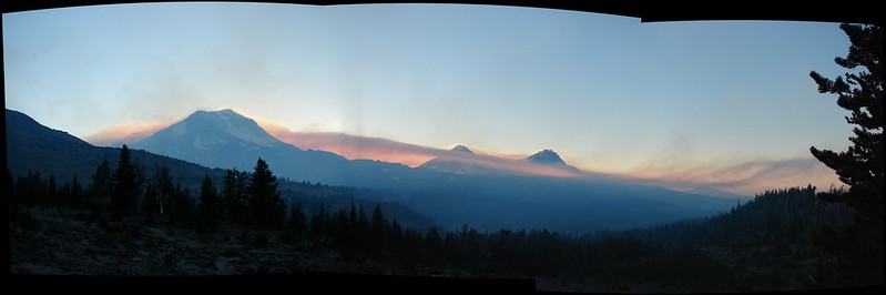
The second extended trip was a 3 day/2 night loop around the South Sister. We had originally planned on an extra day/night but wound up cutting it short when smoke suddenly filled the area. It turned out to be from a fire over 40 miles away but not knowing that at the time we packed up camp and experienced our first night hike.
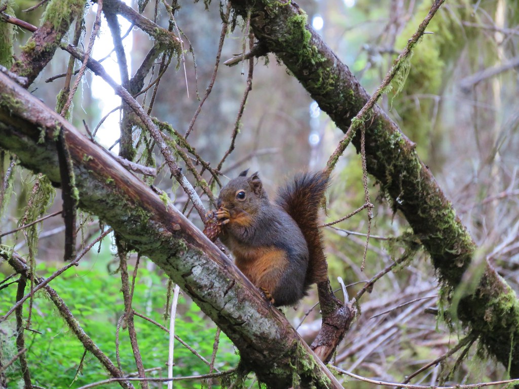
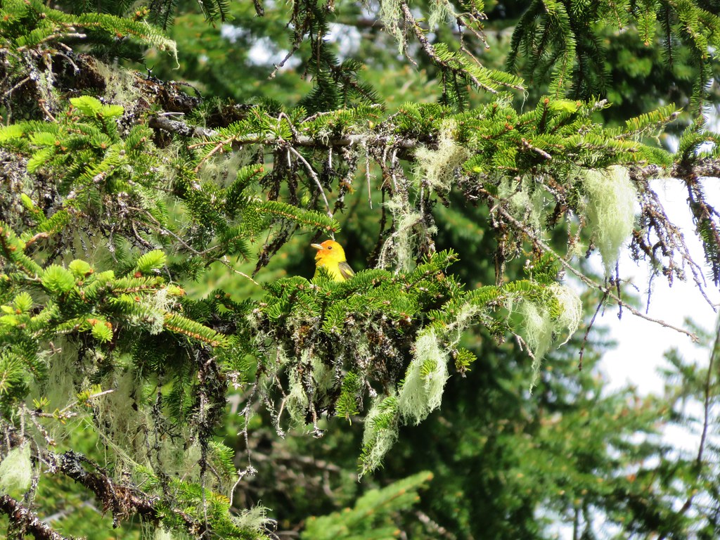
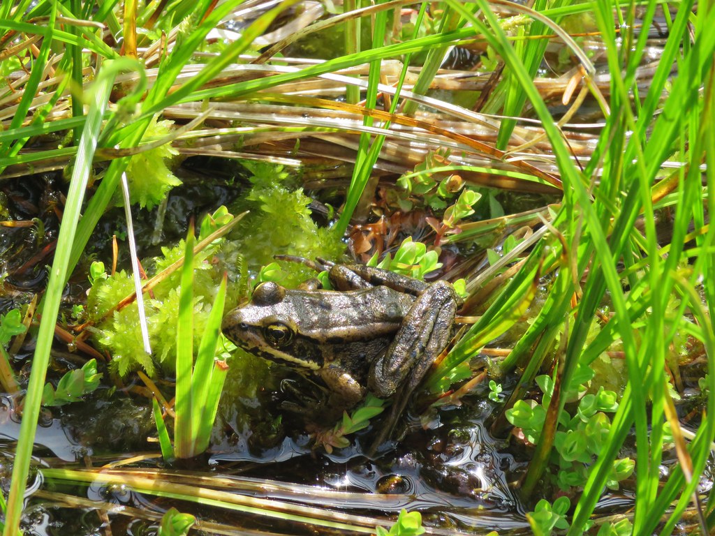
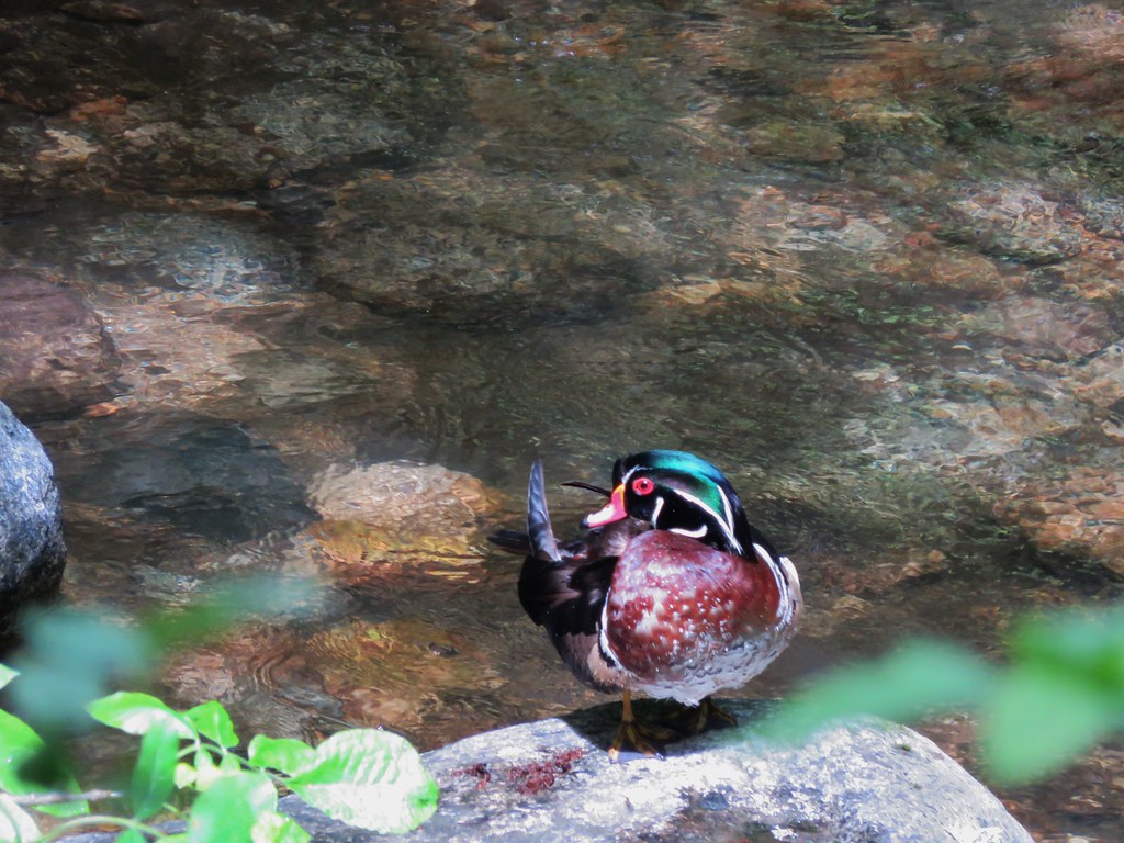
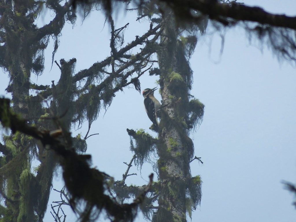
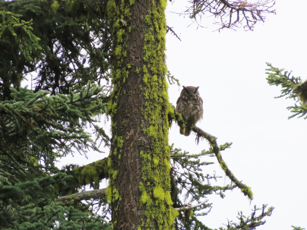
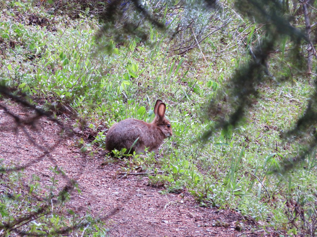
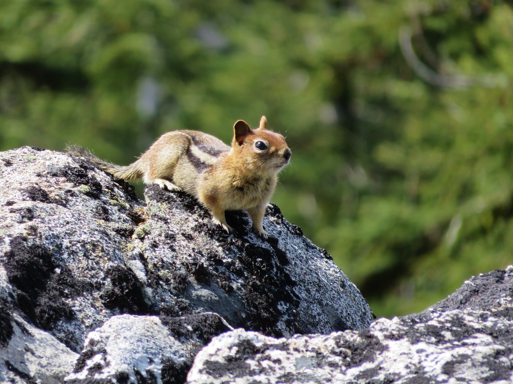
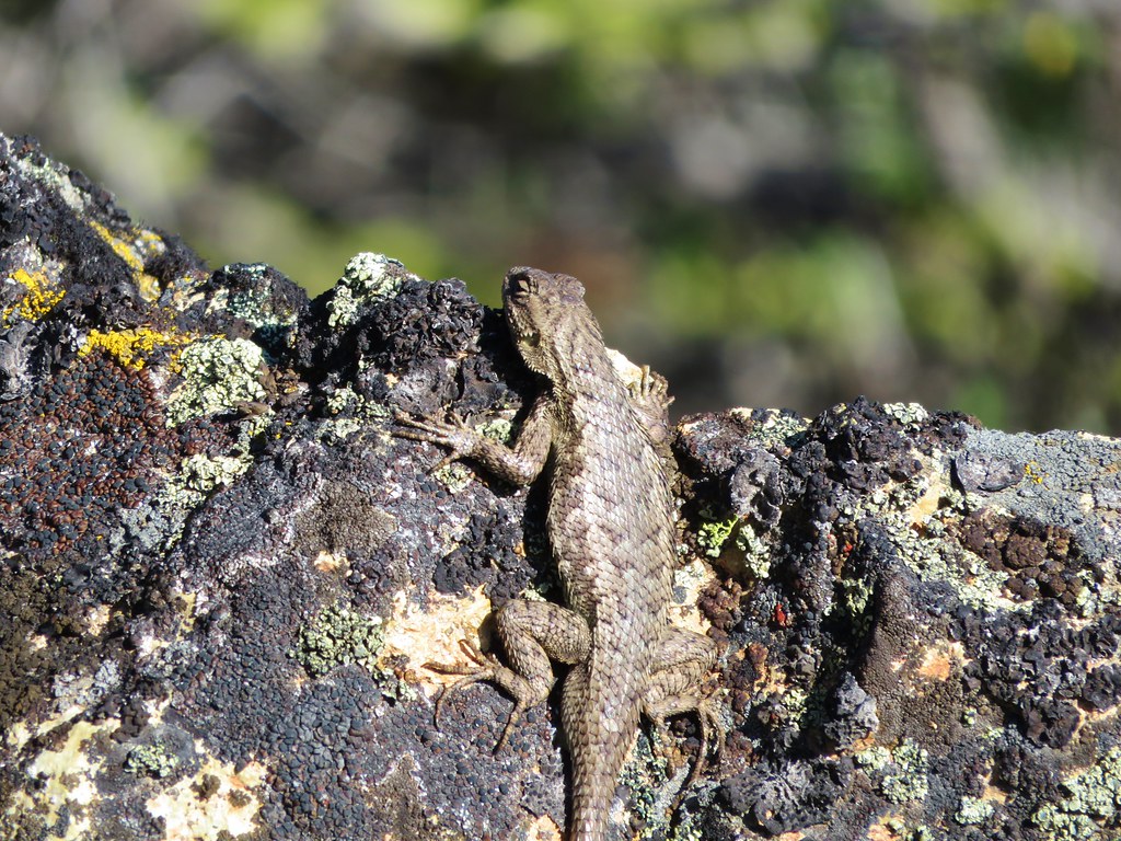
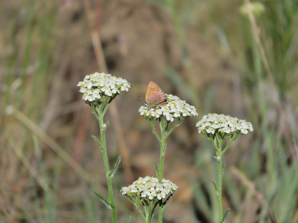
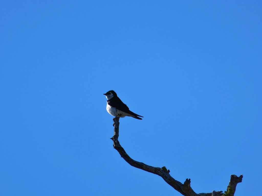
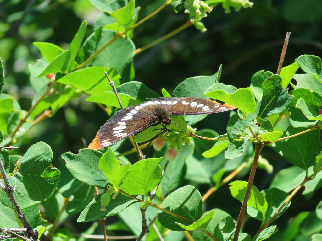
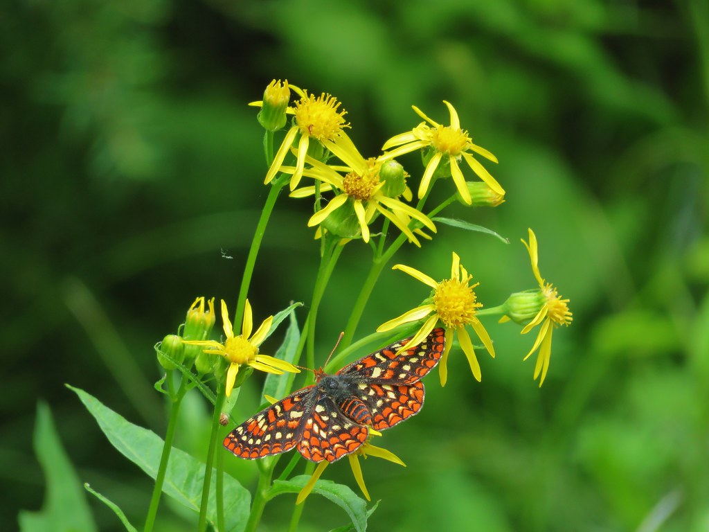
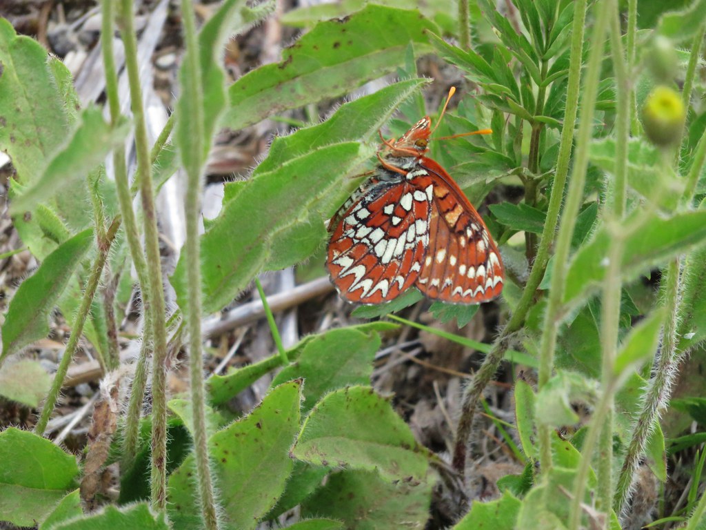
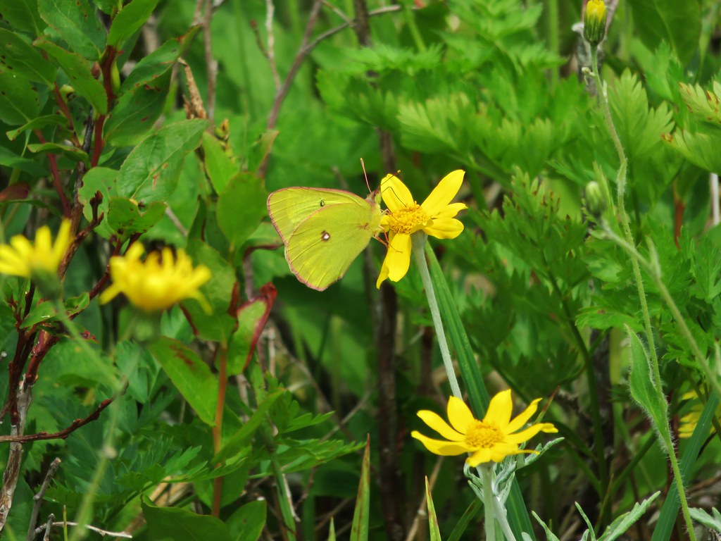
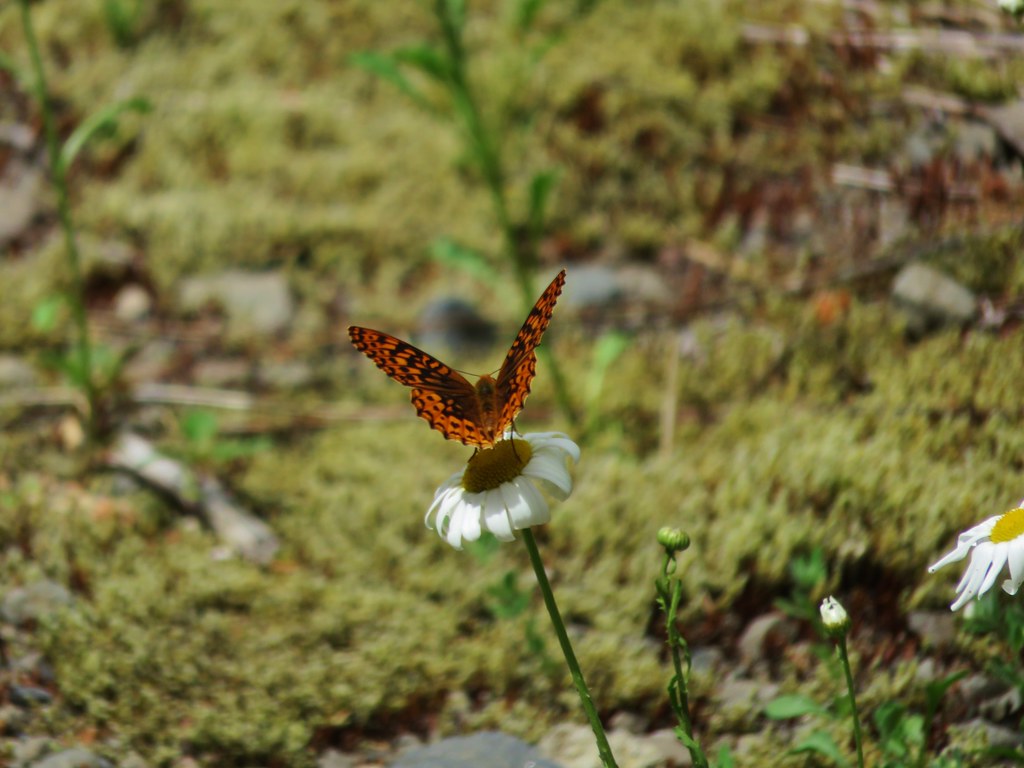
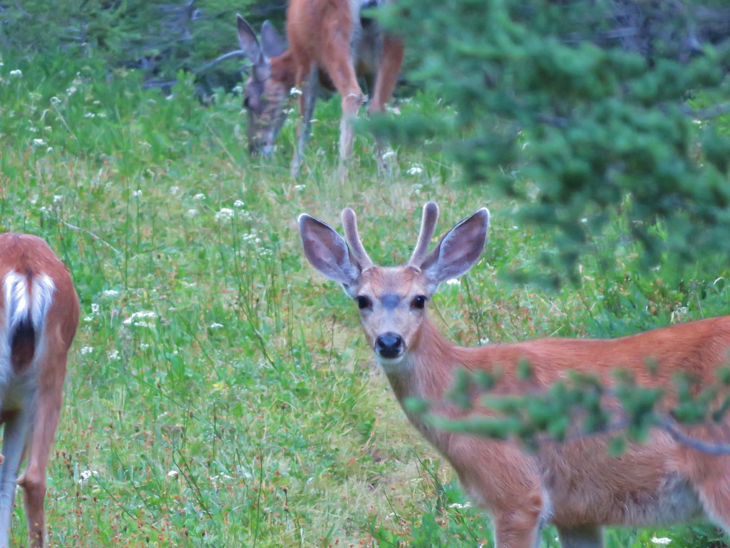
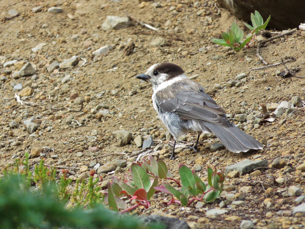
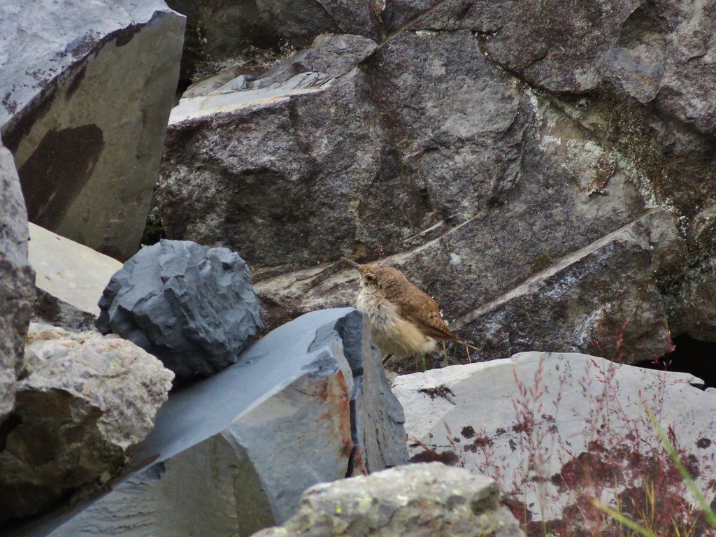
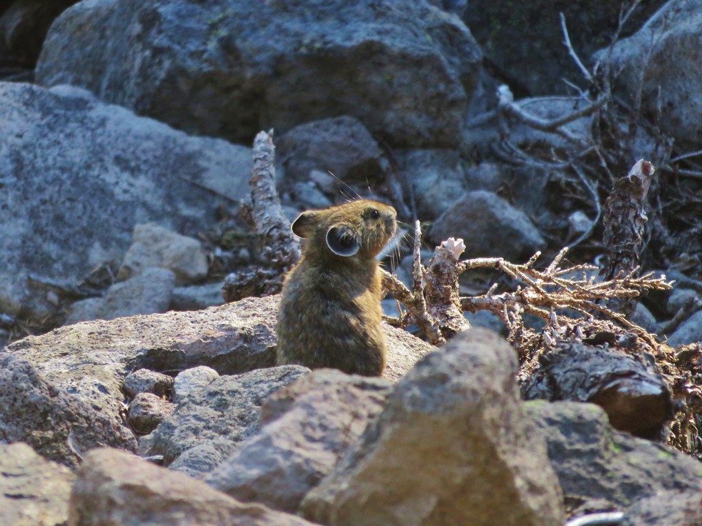
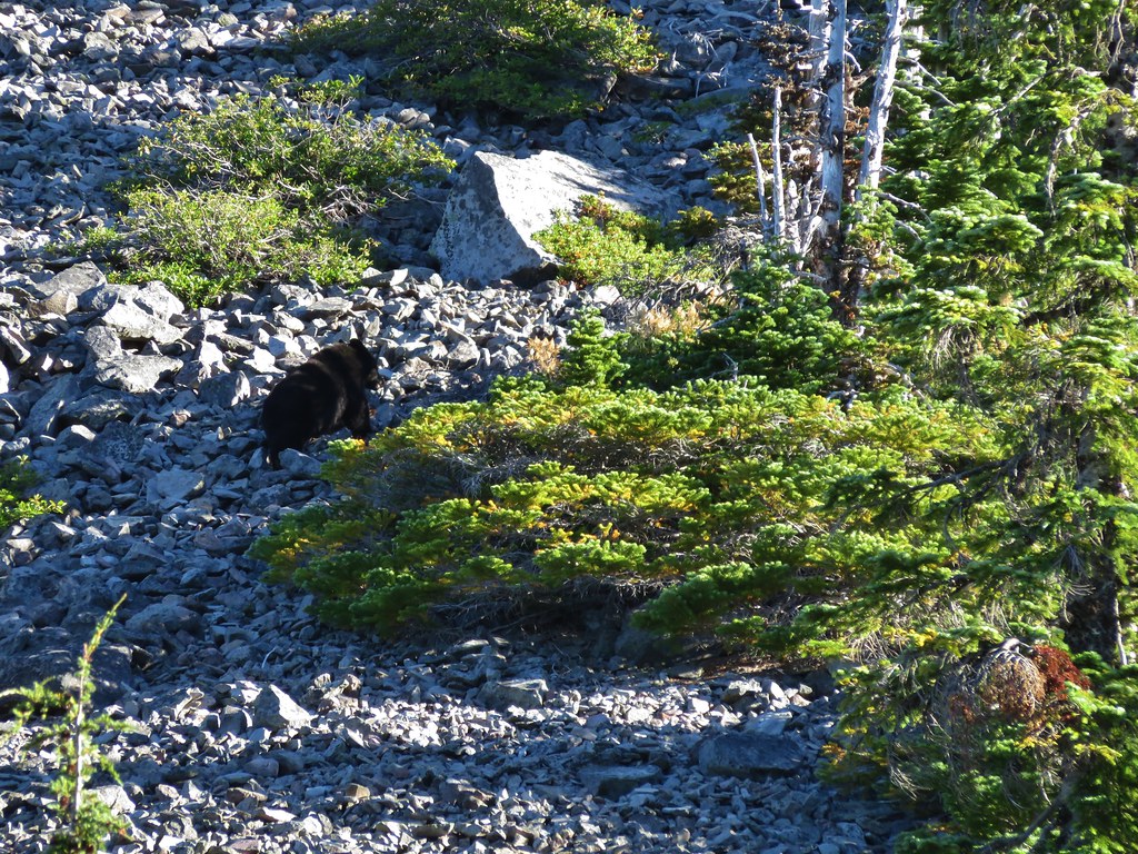
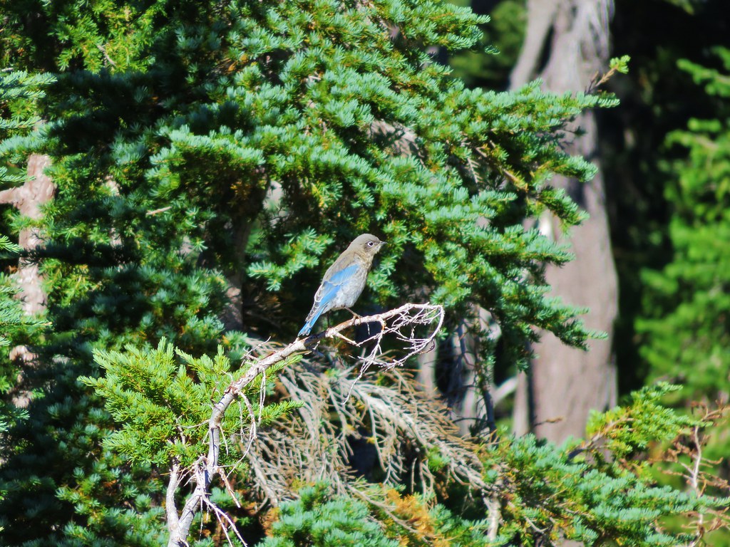
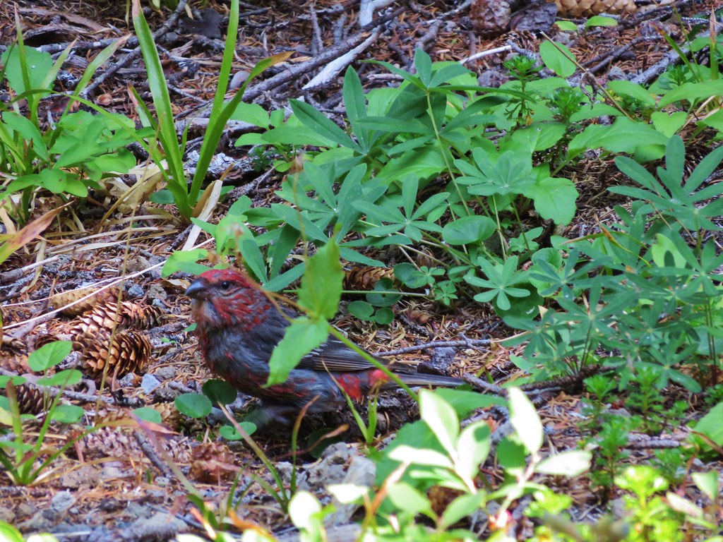
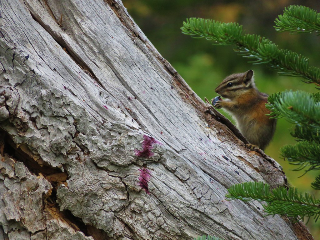
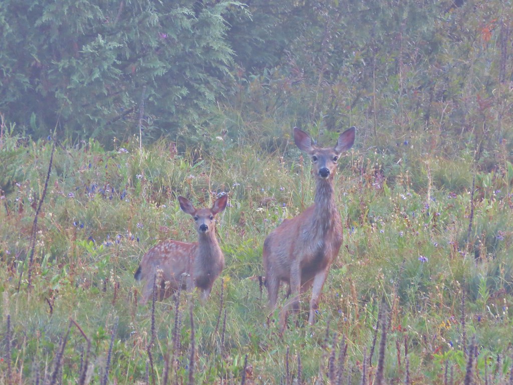
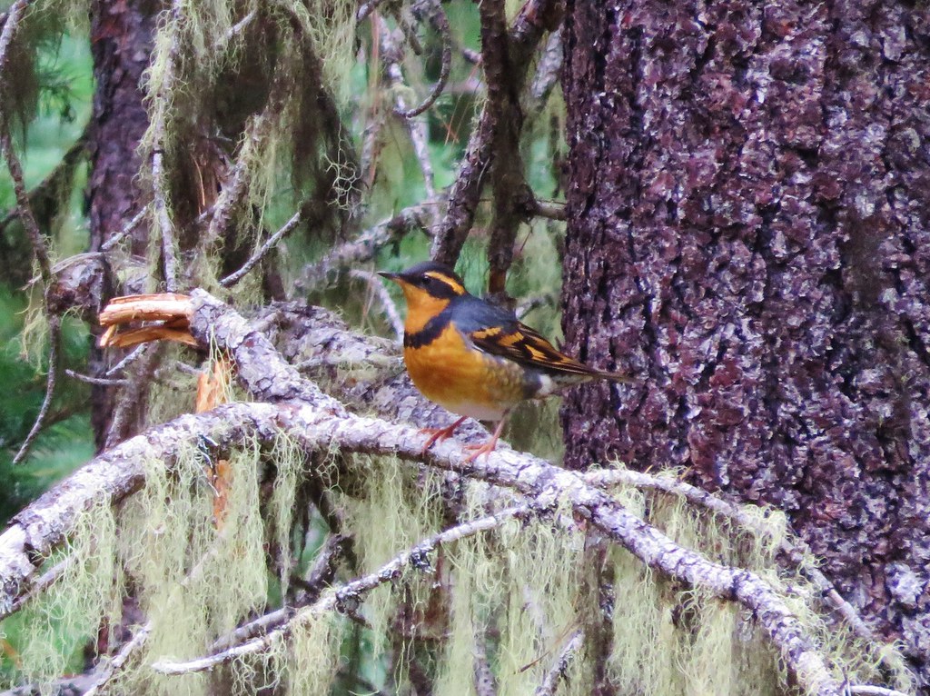
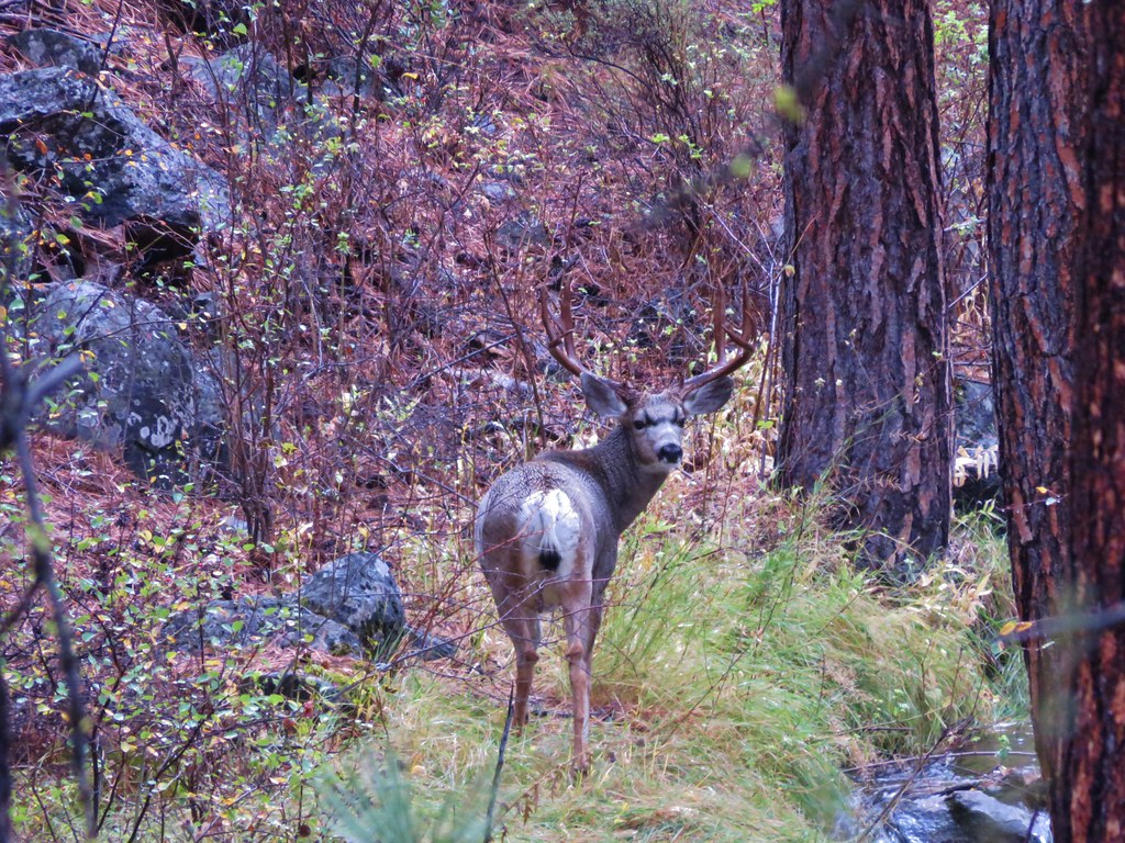
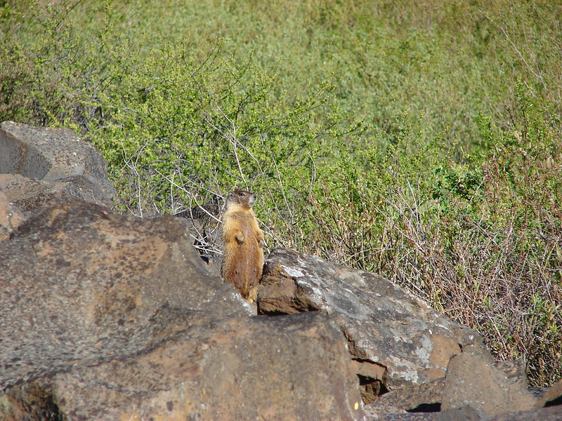
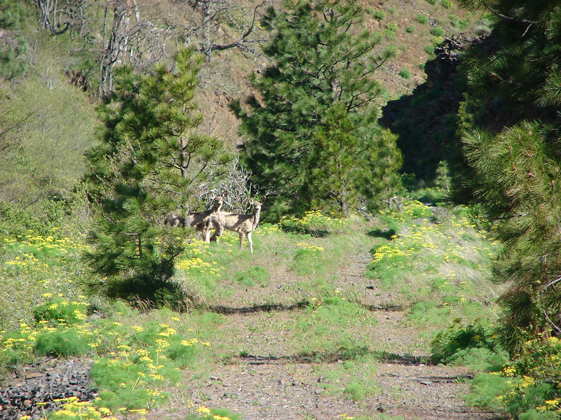
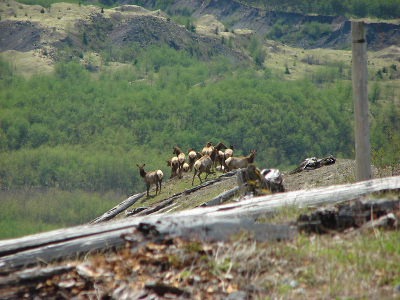
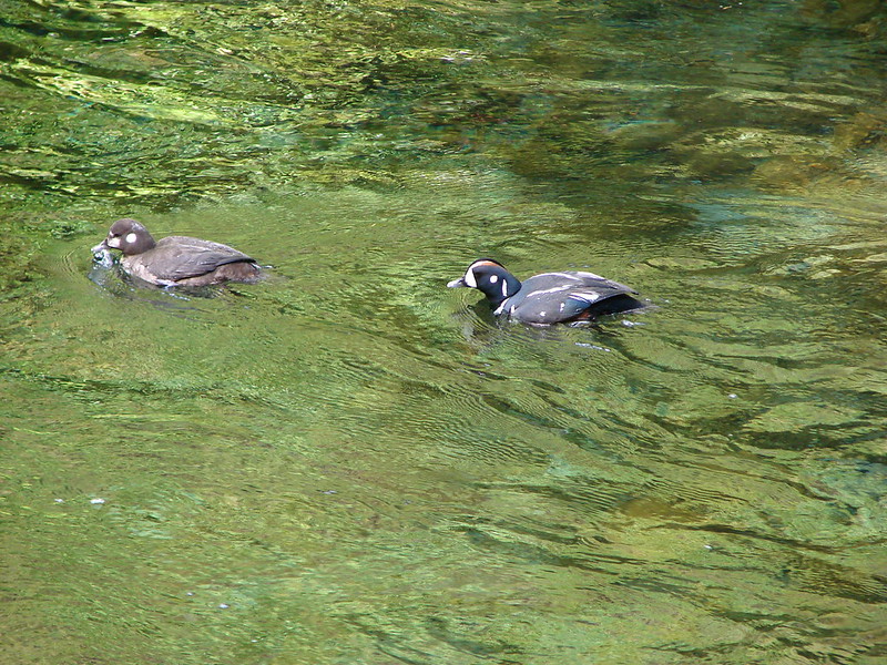
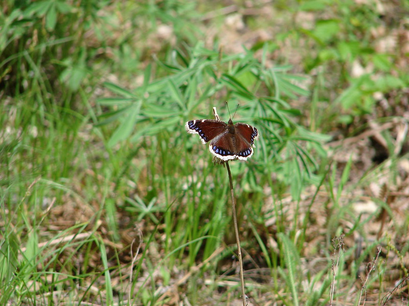
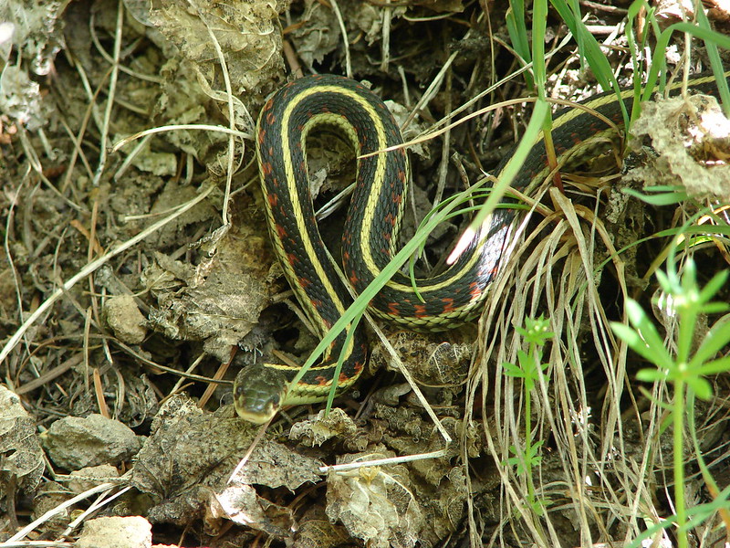
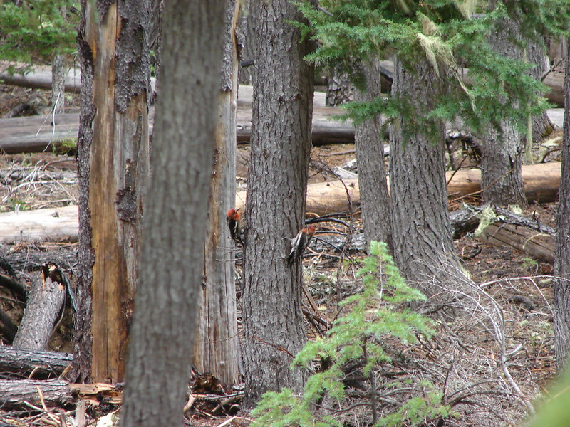
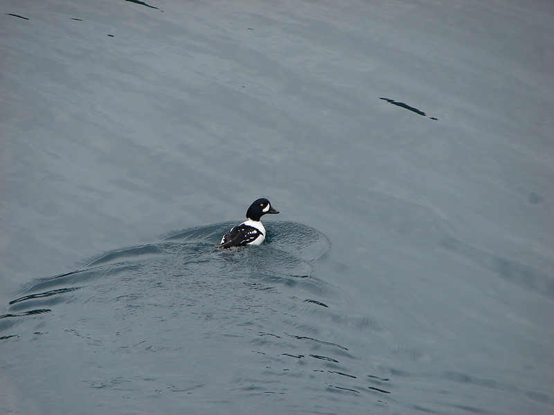
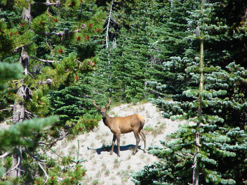
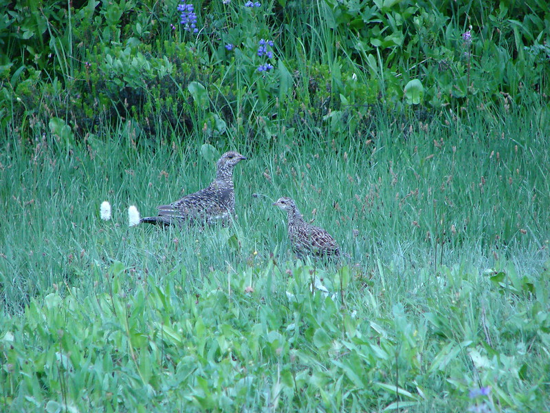
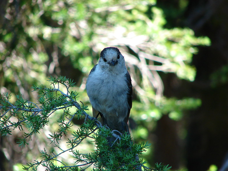
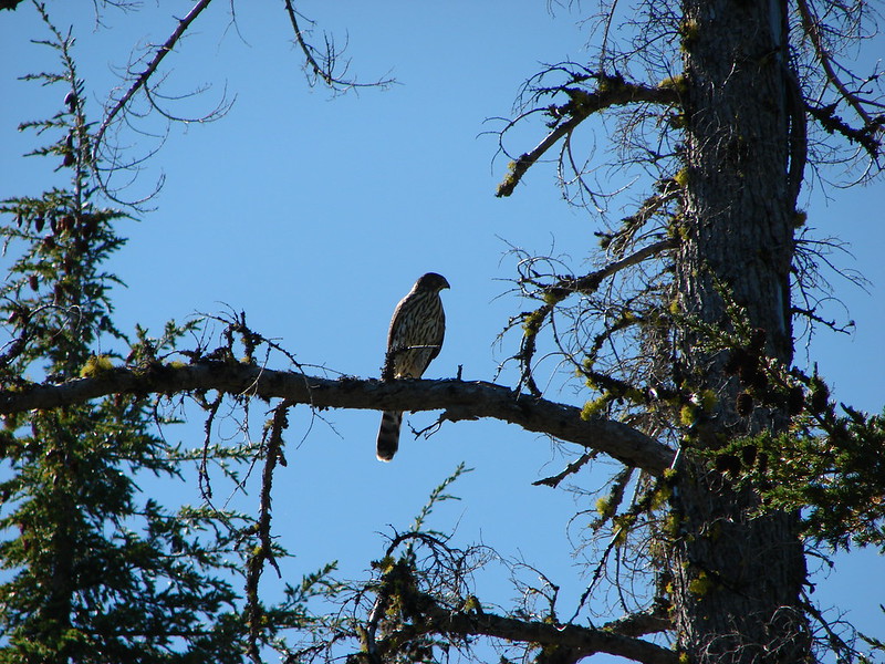
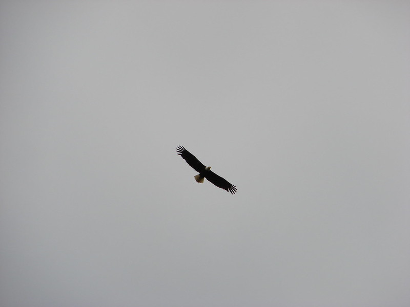
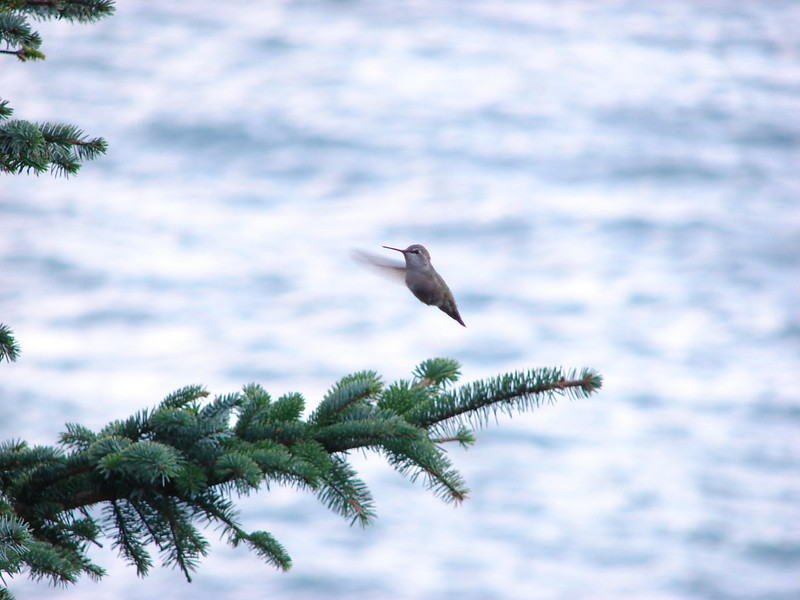
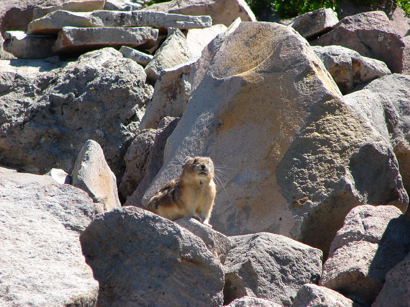
Hands down the most exciting thing that happened this year was our first bear encounter on our way down the Zig Zag Mountain trail. It sure got the adrenaline pumping even though it didn’t threaten us at all and in fact turned and ran as fast as it could in the other direction. I failed to get a picture of it but here are some of the other critters I did manage to get photos of.
Looking ahead to next year we hope to continue to add to the areas we’ve visited. There are still a number of destinations we have yet to make it to including the Wallowas, Mt. Rainier, the Olympic Peninsula, Steens Mountain and the Indian Heaven Wilderness. Someday we’ll also get down to northern California. One thing is for sure, we won’t run out of new options any time soon. Happy Trails!
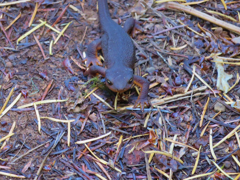
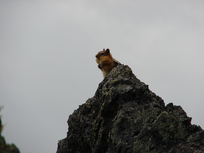
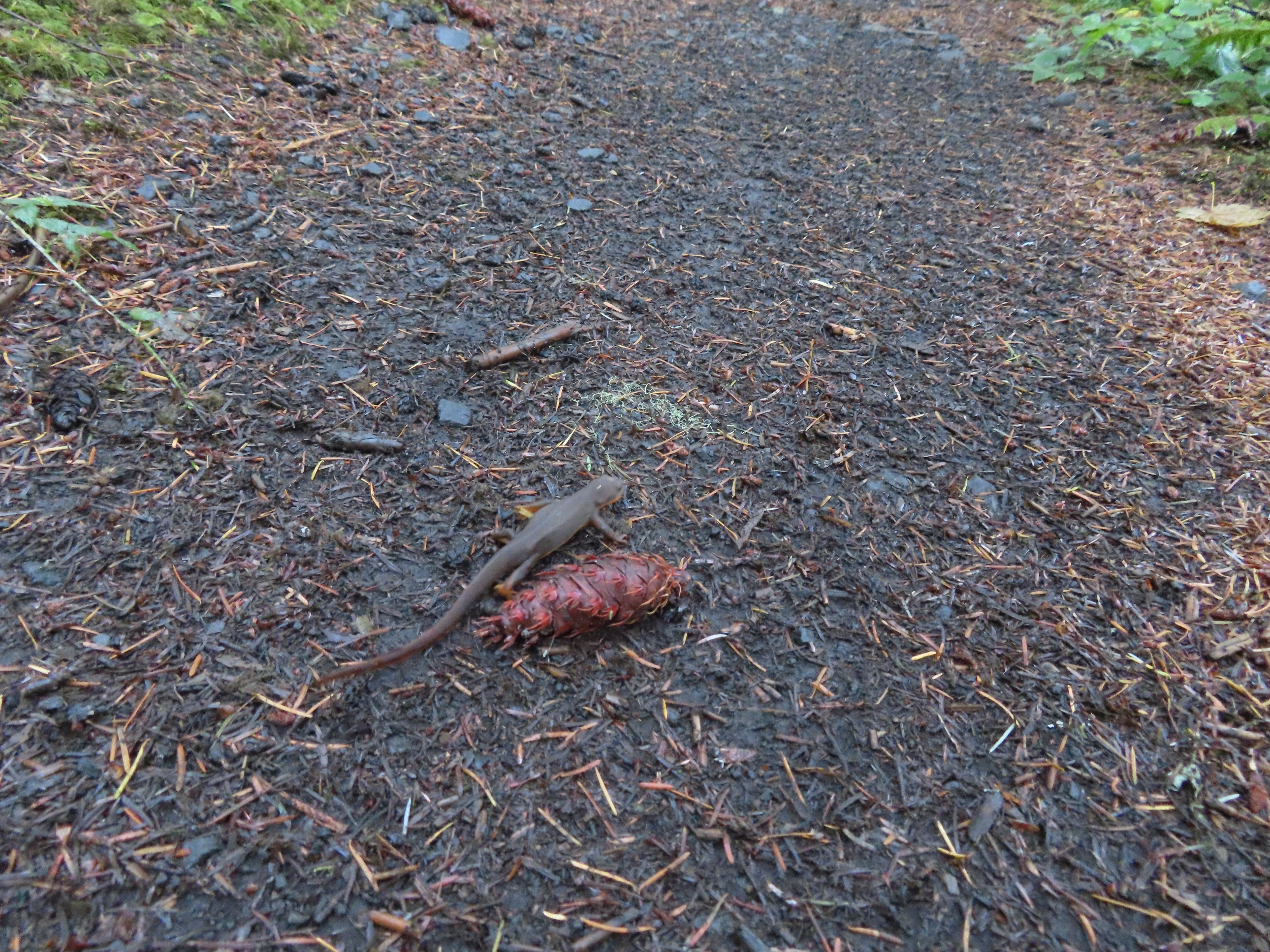
A few posts ago I mentioned that the trail was a classroom. It seems as though we always learn something out on a hike, and our recent trip to Brice Creek was no different. During the hike we learned that rough-skinned newts love to play hide-and-seek, and they stink at it. 😀 We’ll get to that later, but first a little about the trail.
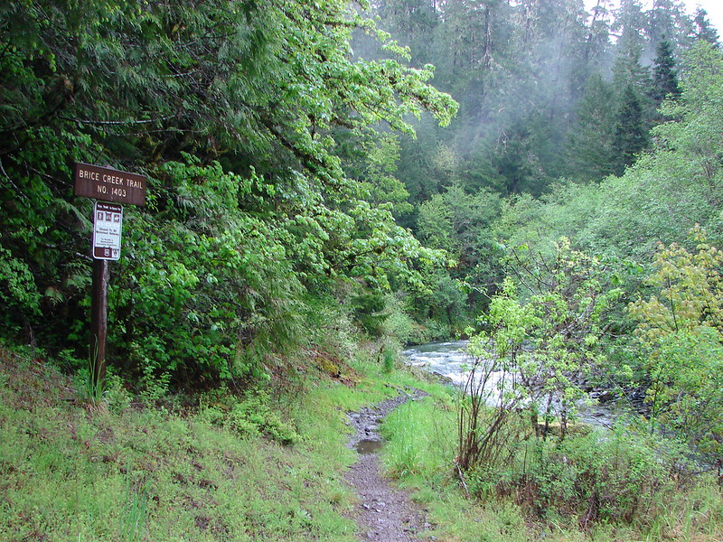
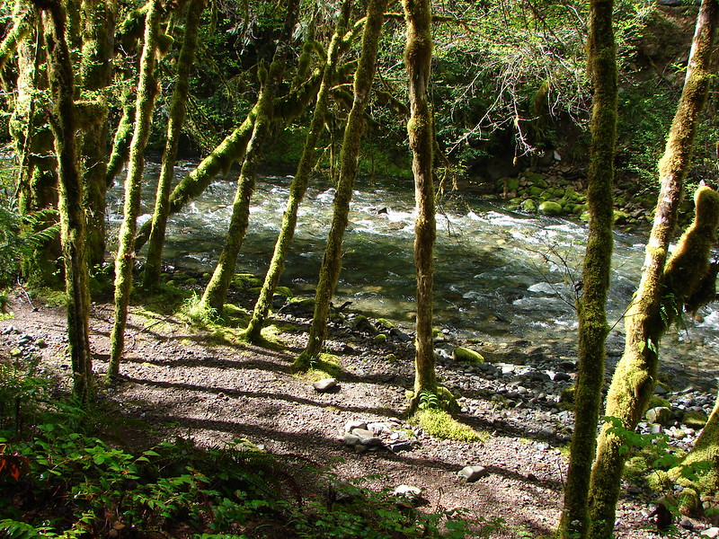
Brice Creek is located to the east of Cottage Grove, OR and flows into the Row River which in turns empties into the Willamette. There are several trailheads located along the creek in the Umpqua National Forest making it possible to choose the length of your hike. We chose to start at the West Brice Trailhead and hike to the other end of trail at the Champion Creek Trailhead. From there we could visit a pair of waterfalls on Trestle Creek.
It was a little misty and cloudy as we set off on the trail.
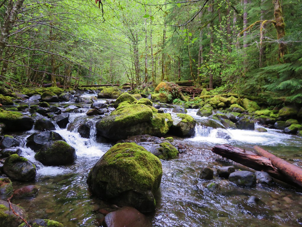
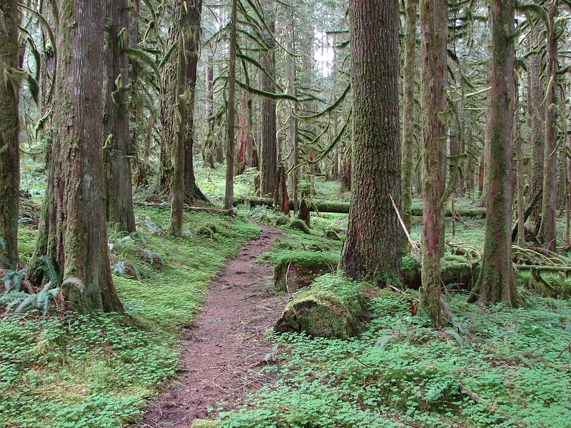
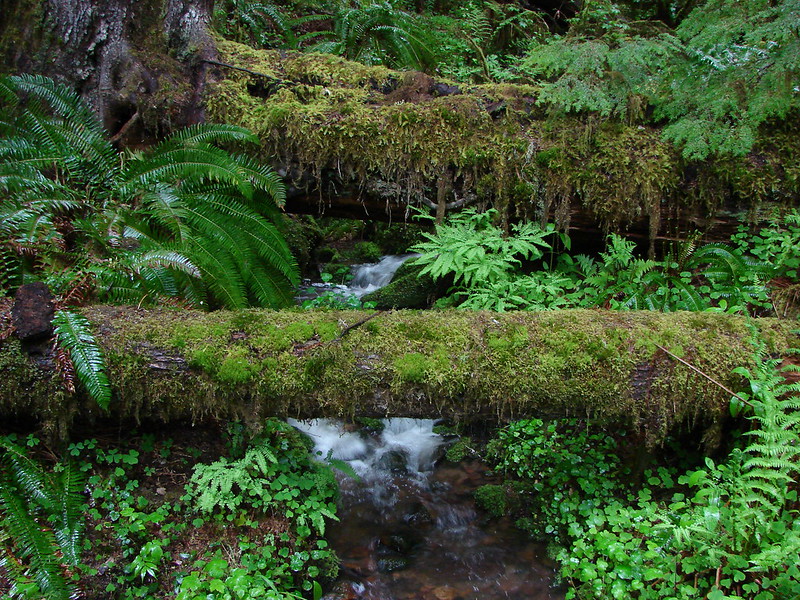
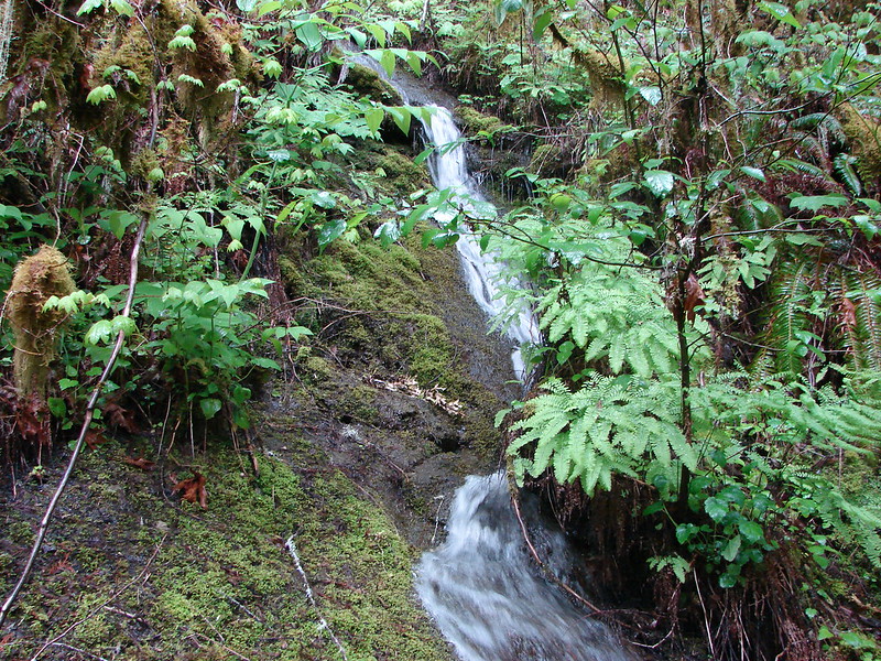
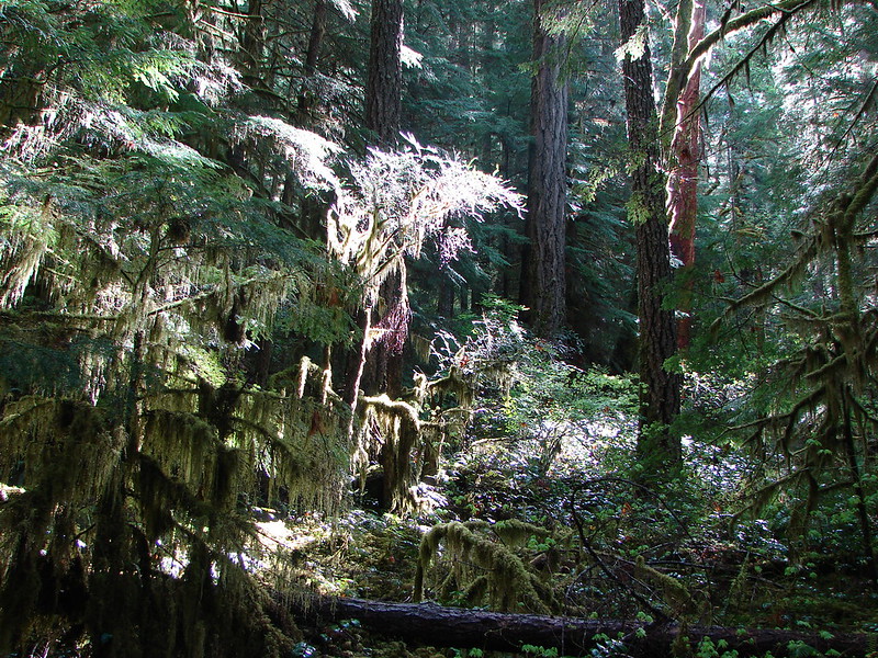
After a brief stint on an exposed hillside the trail entered an old growth forest with plenty of lush green moss on the ancient trees. We also crossed several small but scenic streams.
There were a few flowers blooming, mostly white varieties that are typical in older/denser forests.
Anemone
Vanilla Leaf
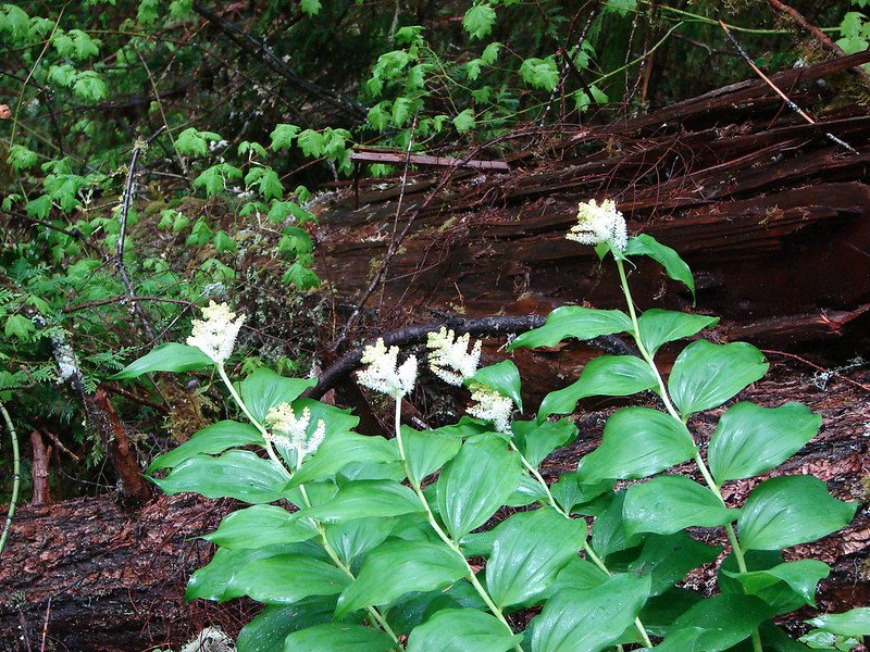
Solomonseal
Most of the trillium was already finished but from the leaves and the few we did see it was clear they were very large in this area.
The trail had been up above Brice Creek until coming down to the bridge for the campground. From there the trail stayed closer to the creek for awhile providing a number of chances to get to the creek and get an up close view.
At one point the trail disappears along a bedrock section. The wet weather made for some slipper footing but the exposed rock was home to the most colorful flowers we would see all day.
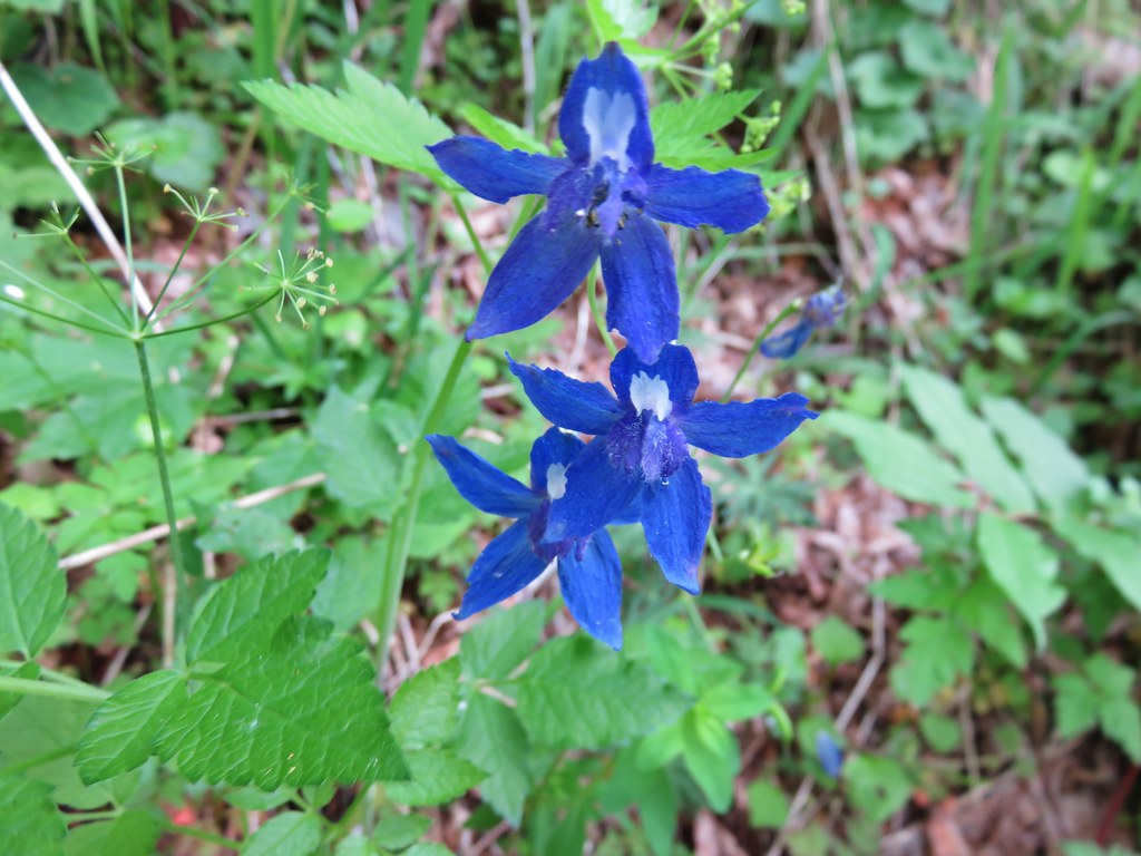
Larkspur
The creek had many moods in this section and the clear water made it easy to see what was underneath the surface.
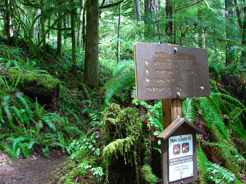
We then climbed up and away from the creek again before descending to another footbridge 2.6 mi from the last, this time to Lund Park.
We’d read that there was a meadow at Lund Park and were hoping that it might have some good wildflowers. We were a little disappointed when we arrived to find a couple of yellow flowers, some bleeding heart, and a lot of white wild strawberry blooms was all there was.
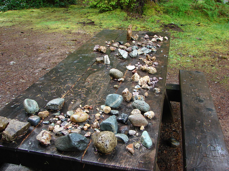
Someone had put together a somewhat substantive rock collection on one of the picnic tables though.
We started getting a few sun breaks after reaching Lund Park and in just another .5mi we reached a trail junction with Upper Trestle Falls trail. We would be returning down this trail after visiting the lower falls and taking the Upper Falls trail from the other end at the Champion Creek Trailhead. Before we get to that though this is where the hide-and-seek lesson comes in.
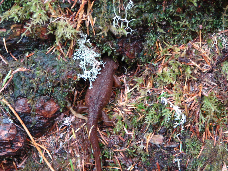
We had been seeing a lot of newts on the trail and noticed that when they were trying to get our of our way they tend to stick their head into or under something.
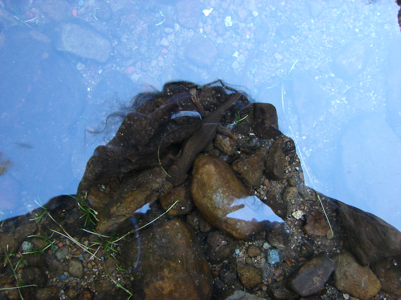
This wasn’t the first time we’d observed this behavior. From a 2011 hike:
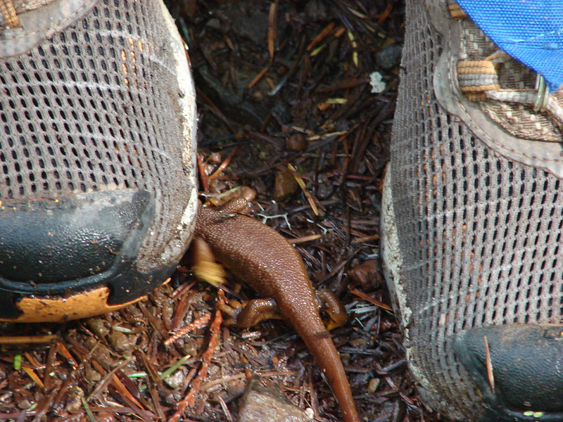
Just after leaving Lund Park I passed by one of them and turned to Heather to have her stop to make sure it didn’t get stepped on. When we stopped it headed for the first thing it could stick it’s head under – Heather’s shoe 😀
All I could think of is a toddler playing hide-and-seek. Apparently if they can’t see us we can’t see them. Heather was able to move and leave the newt unharmed and we’d discovered natures worst hide-and-seek players.
Back to the trail junctions and sun breaks.
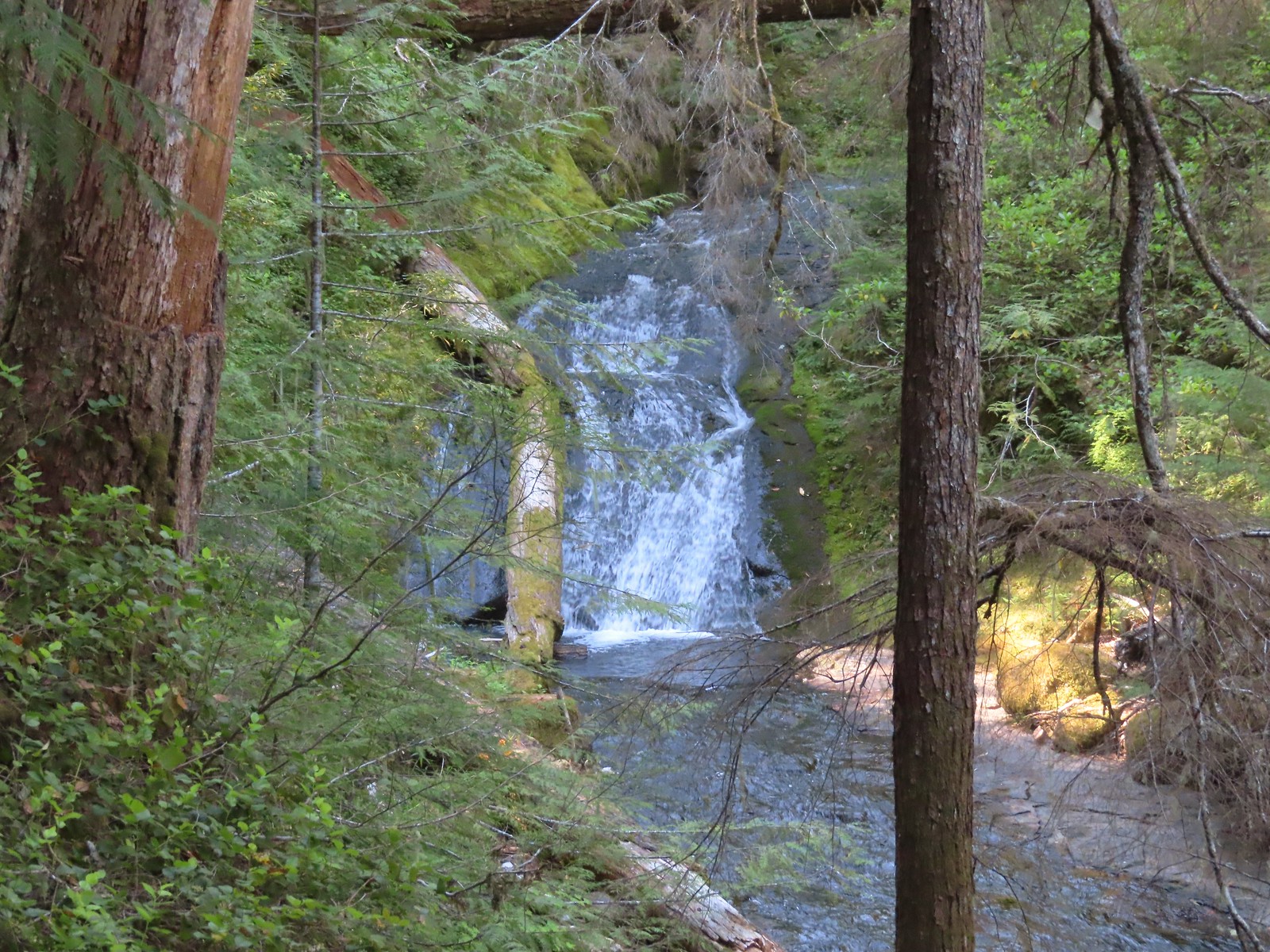
In another .5mi we had reached Trestle Creek Falls trail which would take us to the lower falls. After a brisk quarter mile climb we could see our destination.
I got to the end of the trail where a pile of debris had collected and took another picture but the log was still interfering with the view.
Some careful log walking got me to the gravel bar on the other side of the debris where I was able to get an unobstructed photo.
There was another little island of exposed rocks just before the next set of logs but a 15 to 20 foot gap lay between them and my rocks. I decided that wet socks were worth a look at the splash pool and dashed across the water to the other set of rocks. I was getting over this set of logs so I declared victory there and did the splash and dash back and carefully picked my back to the trail.
As we were preparing to leave the falls we met a group of hikers coming up the trail. They were lamenting the fact that they had not brought their trekking poles with them and asked about the loop to the upper falls. We had both expected to see them again on the loop but never did. Returning to the Brice Creek trail we crossed Trestle Creek on a nice footbridge and finished the last half mile to the Champion Creek TH. The Upper Falls Trail starts just a bit down the road from the trailhead and climbs stiffly 1.4 miles to the Upper Falls. We both thought it was a pretty challenging 900′ climb but the reward at the top was well worth it. The upper falls was located in a wide bowl and was split into two levels. The trail wound around the bowl and behind the falls allowing us to experience the full force of the falls up close.
The Sun was out for our return trip which we made in pretty good time since I’d taken most of the pictures on the way by the first time. We had been discussing the lack of colorful flowers along the way, and when we got back to first exposed area we noticed that we had completely missed a field of plectritis. There was also a patch of what I believe to be giant blue eyed mary.
There was also a lone yellow flower.
It took us a lot longer than I had figured to complete the hike, but when we got home and looked at the GPS it had us going a couple of miles further than I had calculated. I’m not entirely sure what made up the difference, but it explained the extra time so we decided to just go with it since it made us feel better about getting back later than expected.
It seems like it has been forever since our last post. We’ve been busy training for our marathon and also dealing with some overdue Winter weather. We had originally planned on hiking along the Salmon River near Zig Zag, OR but wound up changing our minds and decided on a much shorter, closer hike. The state had gotten a lot of snow during the prior weekend and then snow level rose to around 7000′ causing much of that snow to melt. We’ve also had a good amount of rain in addition to the snow melt so many of the rivers and creeks swelled with all the additional water. We felt too fatigued from our training for a 12+ mile hike but we still wanted to get out and do something so we chose McDowell Creek Falls in hopes that the extra water would mean extra good falls.
McDowell Creek County Park is located about 15 miles from Lebanon, OR along McDowell Creek. An approximately 2 mile loop passes several falls crossing the creek a number of times on footbridges. We parked at the west end of the park and set off across the creek on a bridge just up stream from Lower McDowell Creek Falls.
Just .2 miles from the trailhead we came to the start of the loop and also the first view of Royal Terrace Falls which is actually not on McDowell Creek but a side stream that feeds into the creek. The falls were roaring with all the extra water and were really spectacular.
Turning left on the loop we crossed the stream below the falls where a bench offers a great front row view of the falls.
The storms that had brought the rain and snow had downed a lot of trees and limbs but this portion of trail had been cleared already. A fairly level .4 miles brought us to Crystal Falls above Crystal Pool. The water flow was so strong that Crystal Pool was not identifiable, but Crystal Falls was putting on a good show.
Beyond Crystal Falls .2 we came to a pretty impressive footbridge across the creek.
As we approached the bridge Majestic Falls came into view around a bend in the creek.
Stairs led up to the top of the falls where an observation deck is located. A downed tree had smashed the railing and was blocking the deck entrance but it appeared the deck itself was okay. The trail then came to the eastern parking lot and continued on the far side. Unlike the earlier section of trail this portion had not been cleared yet of the storm debris. We picked our way over, under, and around several messy sections before reaching the stream above Royal Terrace Falls. Another footbridge brought us across the stream and directly above the falls.
A series of stone steps led to the trail junction and the end of the loop, but first I decided to check out a narrow trail that looked to lead to the “terrace” of Royal Terrace Falls. Wary of the wet conditions I carefully made my way along the trail and to the base of the upper section of the falls.
After completing the loop we had one more fall to check out. We returned to the parking area and picked our way down stream through some more blow down and found a good view of Lower McDowell Creek Falls.
The tree hanging out in front of the falls looked to have fallen during the storm, but the green moss made for a nice contrast to the white water of the falls in the background.
We couldn’t have picked a better day to visit these falls. Not only were they flowing full force but we had mostly dry conditions and even saw the Sun once or twice.
This coming weekend we’ll be taking a route finding and navigation class put on by the local outdoors group The Chemeketans. We’re looking forward to getting more comfortable with our map & compass skills as we are hoping to do a little more off trail exploration this year. The best way to enjoy the trails is to stay safe on them and this should help keep us that way. Until next time – Happy Trails!


 Unnamed waterfall along Riley Creek in the Mt. Adams Wilderness
 Unnamed waterfall below East Boulder Lake in the Trinity Alps Wilderness.

 Cascade on Wahkeena Creek.
 Small cascade along the North Fork Silver Creek.
 Mosier Creek Falls (
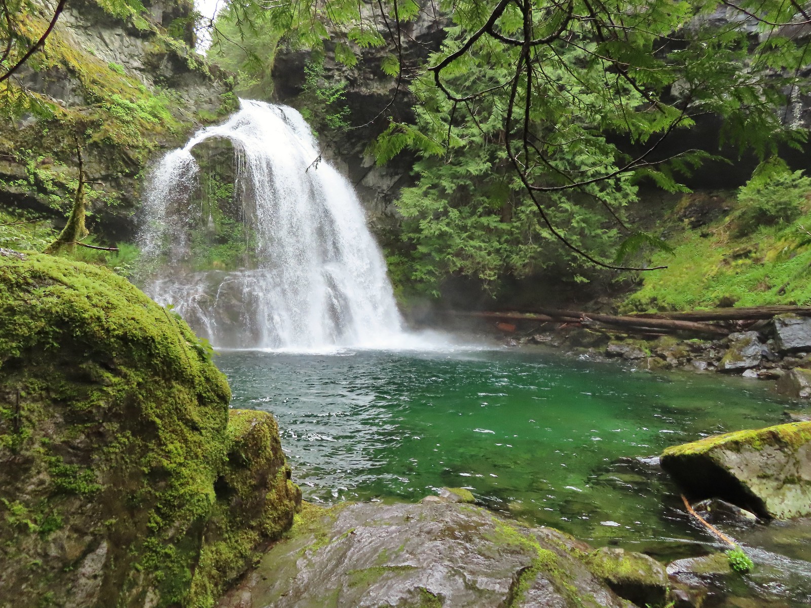 Black Hole Falls (
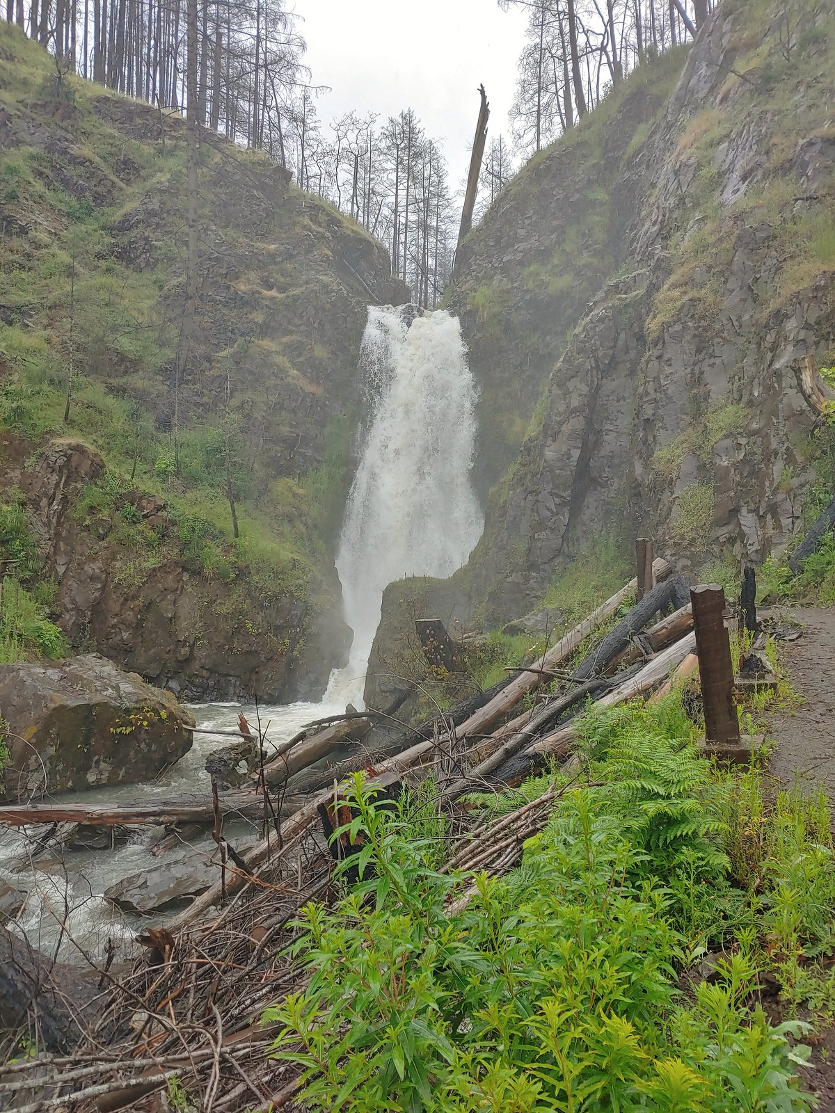 Susan Creek Falls
 Toketee Falls
 Surprise Falls
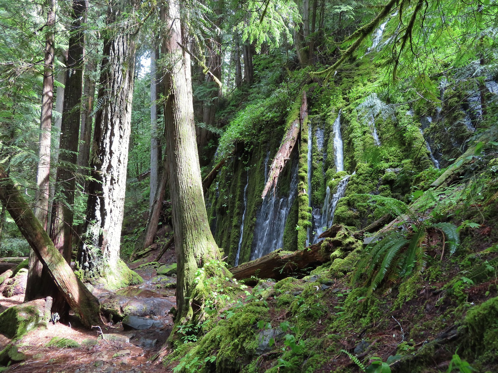 Columnar Falls
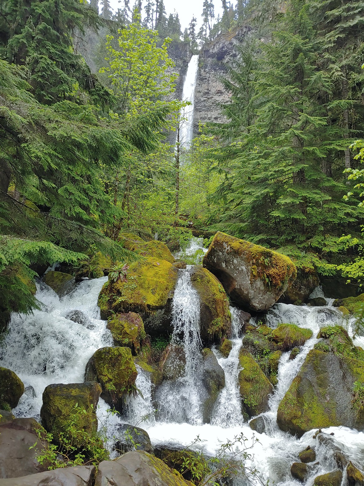 Watson Falls
 Warm Springs Falls
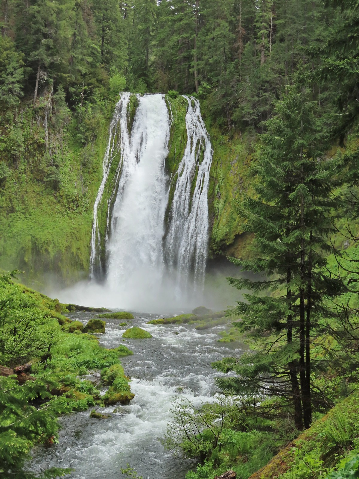 Lemolo Falls
 Alsea Falls
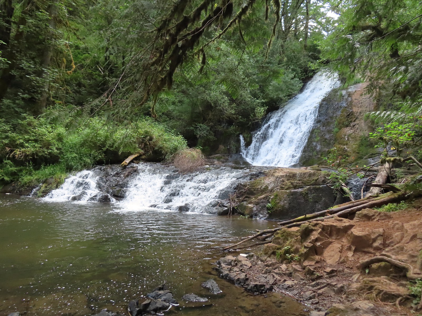 Green Peak Falls
 Yasko Falls
 Hemlock Falls
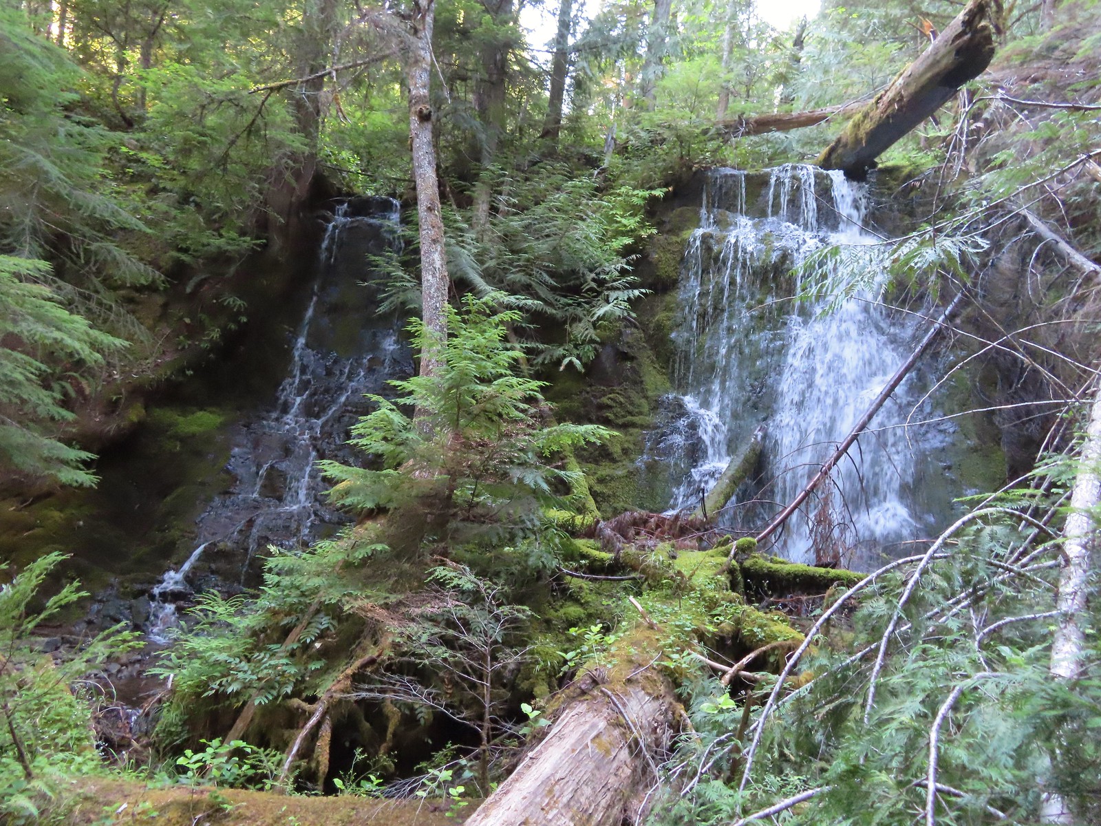 Tributary Falls
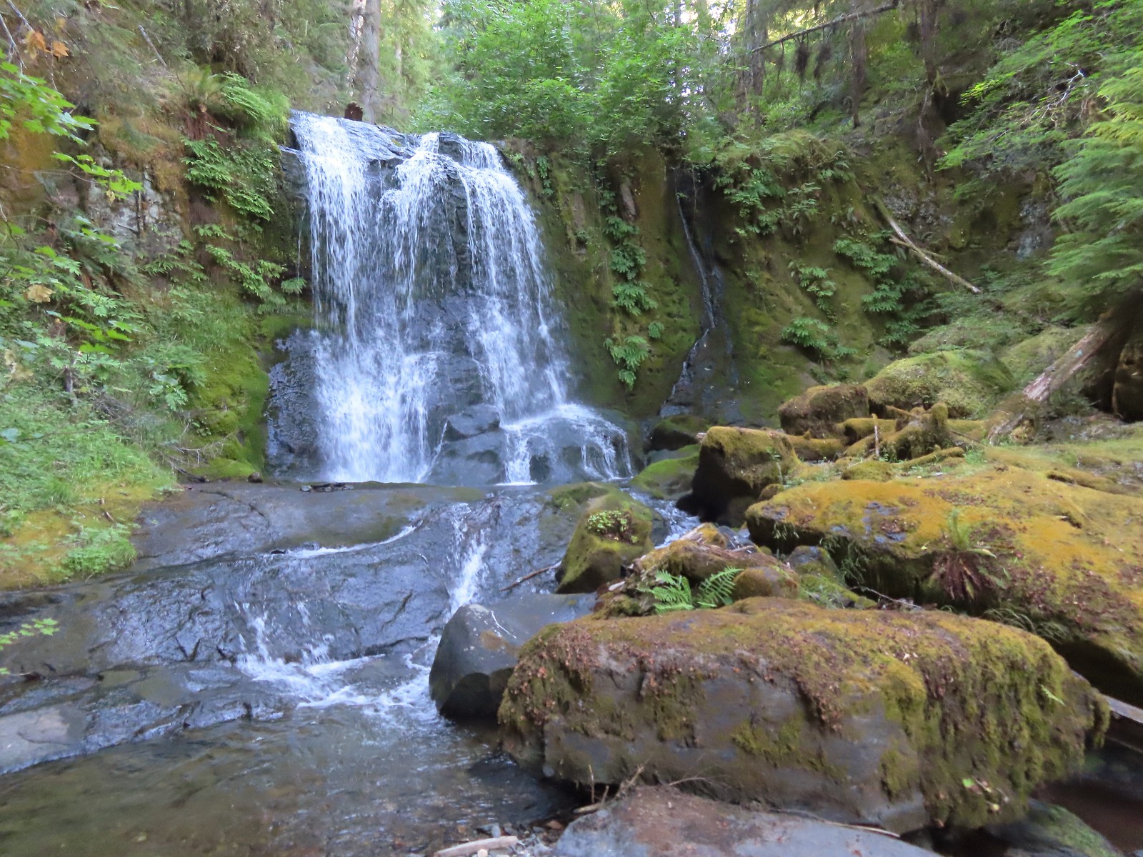 Middle Hemlock Falls
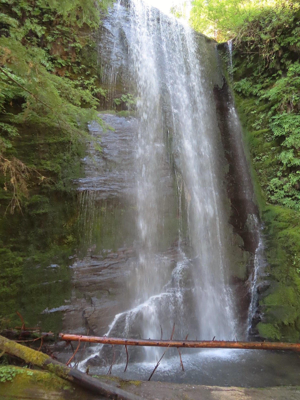 Clover Falls
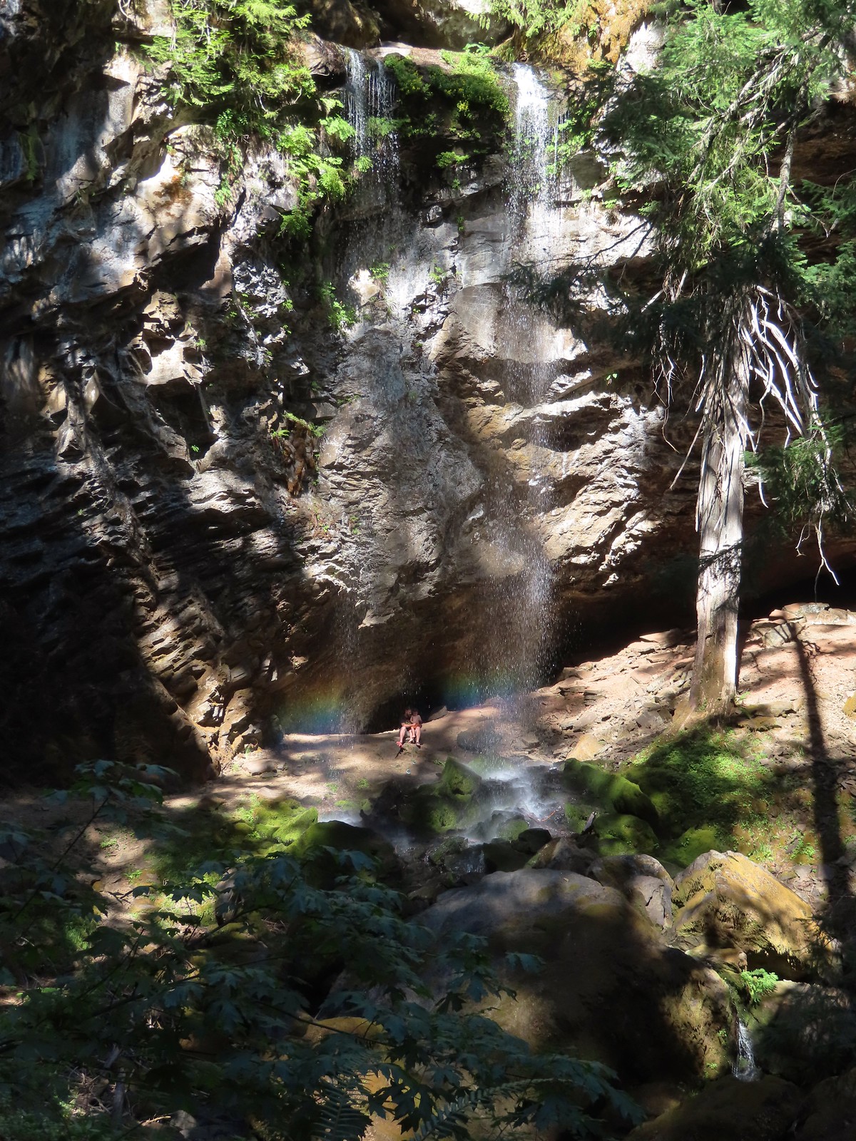 Grotto Falls
 Fall Creek Falls
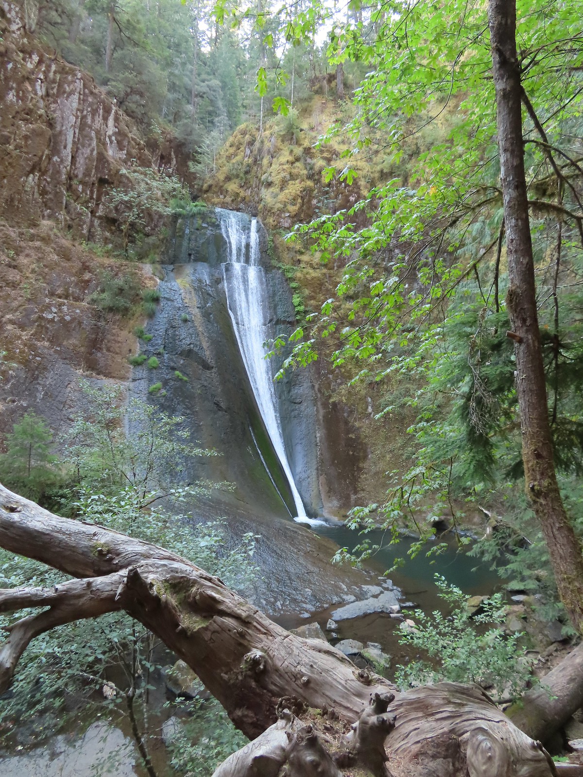 Upper tier of Wolf Creek Falls
 Lower tier of Wolf Creek Falls
 South Umpqua Falls (
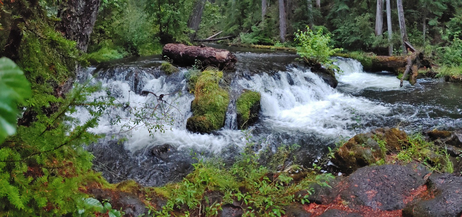 Union Creek Falls (
 Chitwood Creek Falls
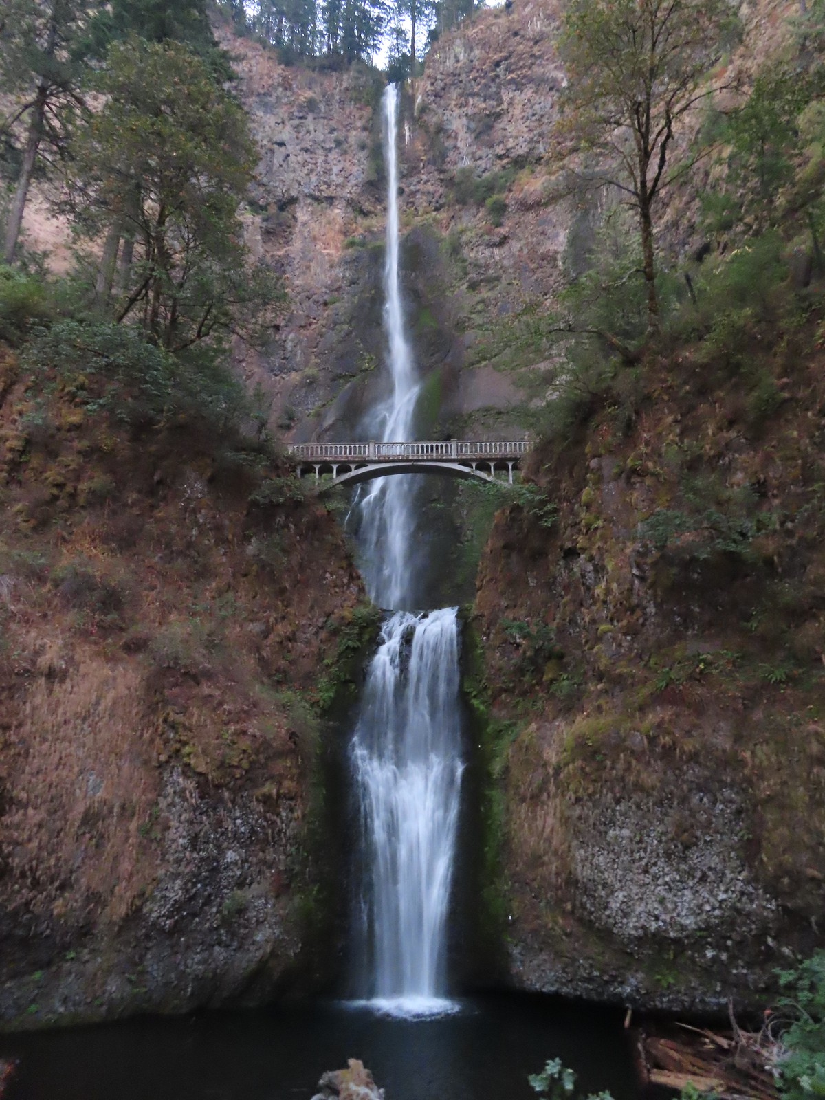 Multnomah Falls
 Lower Dutchman Falls
 Upper Dutchman Falls
 Wiesendanger Falls
 Ecola Falls
 Fairy Falls
 Wahkeena Falls
 Upper North Falls
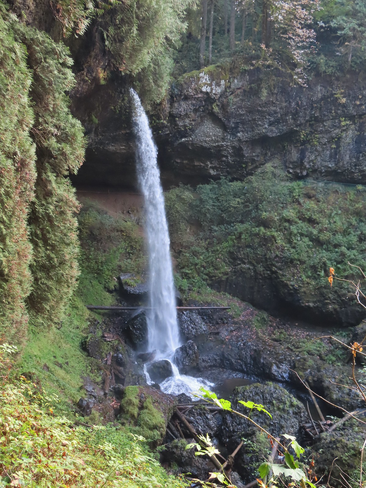 North Falls
 Twin Falls
 Winter Falls
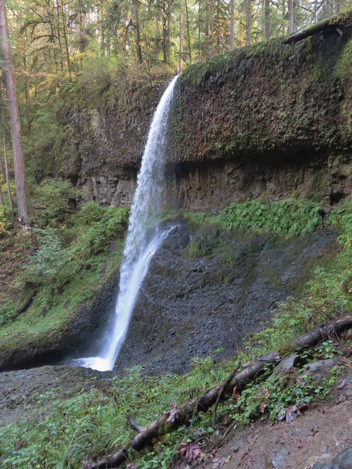 Middle North Falls
 Drake Falls
 Double Falls
 Lower North Falls
 Lower South Falls
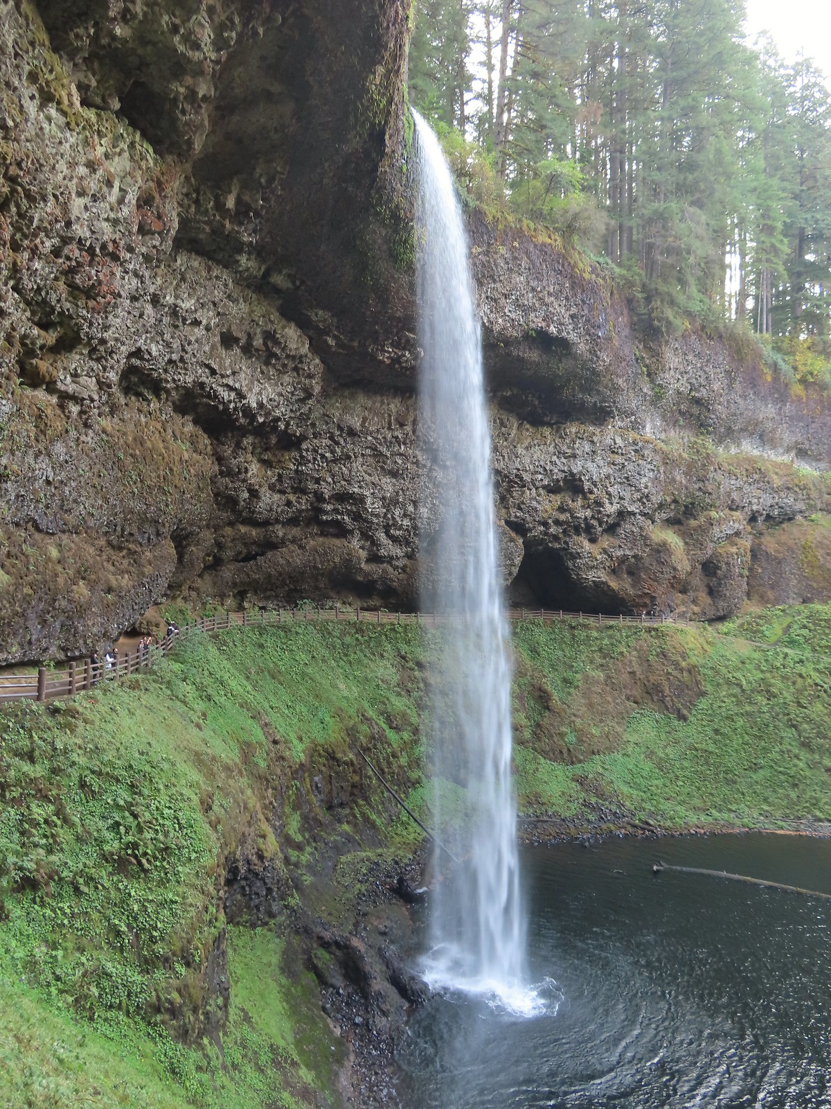 South Falls
 Sorenson Falls
 Metlako Falls
 Lower Punchbowl Falls
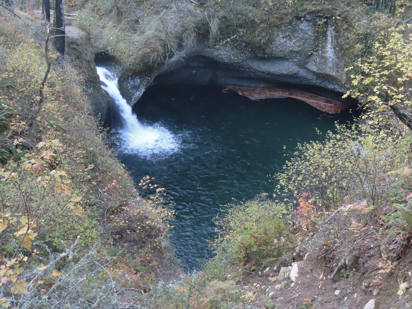 Punchbowl Falls
 Loowit Falls
 Skoonichuck Falls
 Four Mile Falls
 Tenas Falls
 Wy’East Falls
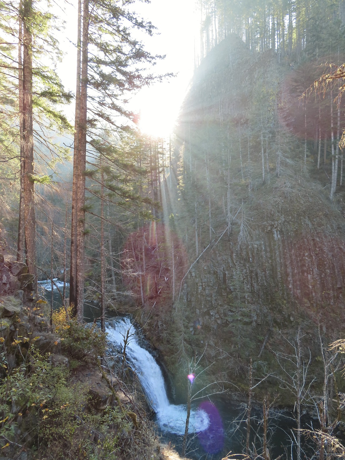 Grand Union Falls
 Tunnel Falls
 Twister Falls
 Seven Mile Falls
 A lot more blue in the sky than I had expected to see.

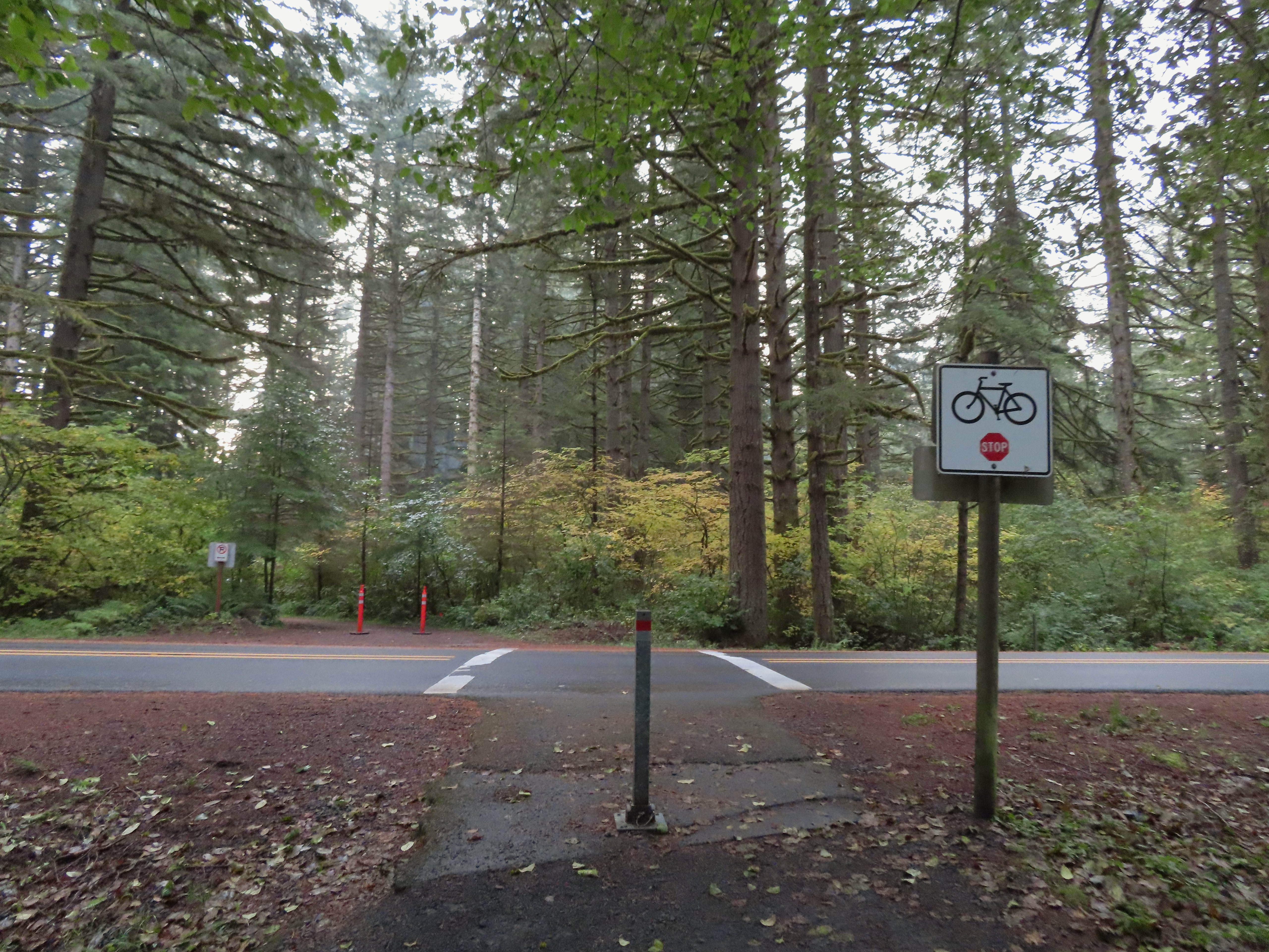 Crossing Highway 214 to the campground.
 I detoured left to check out this bridge over Howard Creek.
 Howard Creek
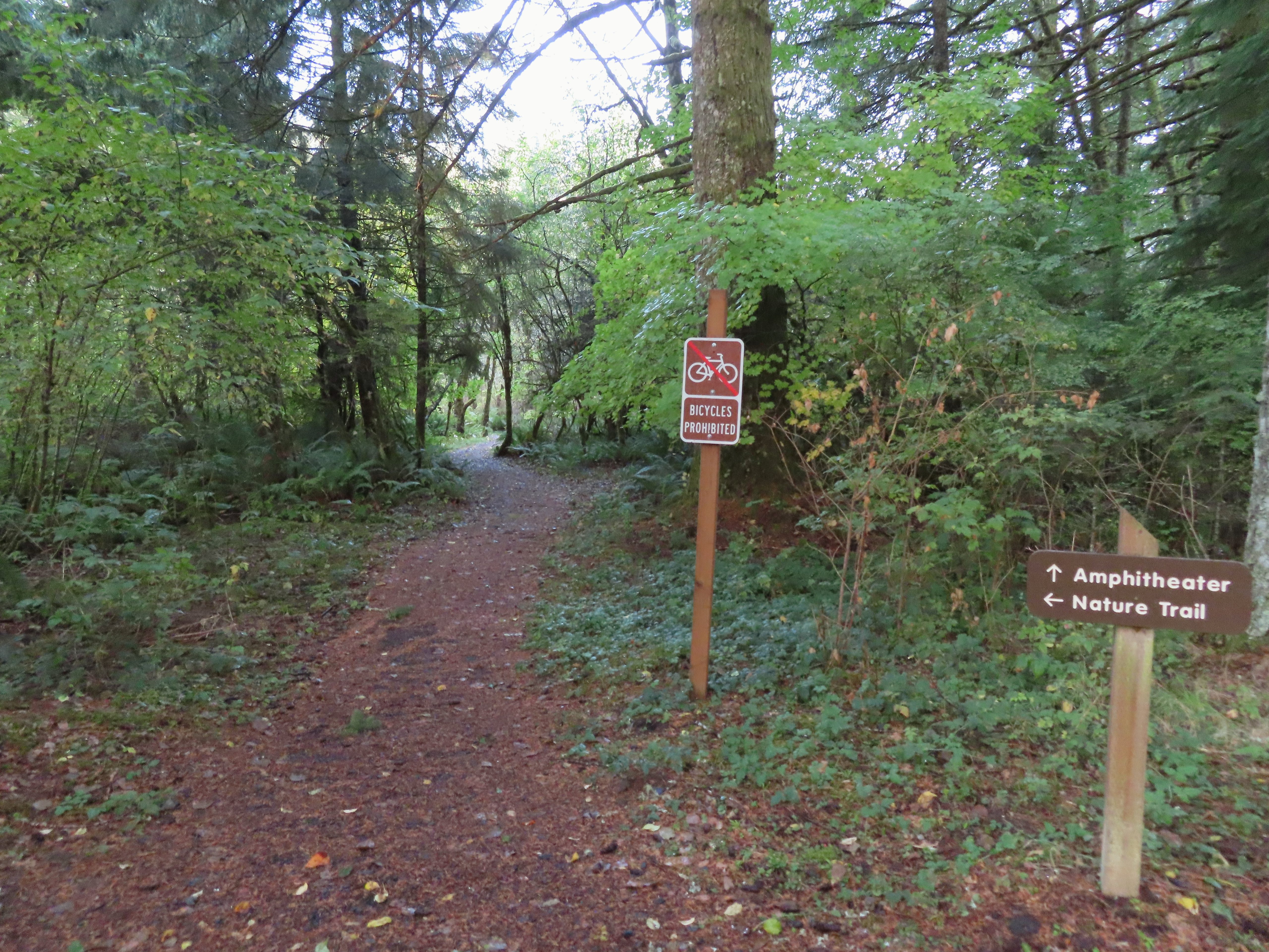

 Sign at the 214 Trail junction to let people know that there are no waterfalls in the backcountry.
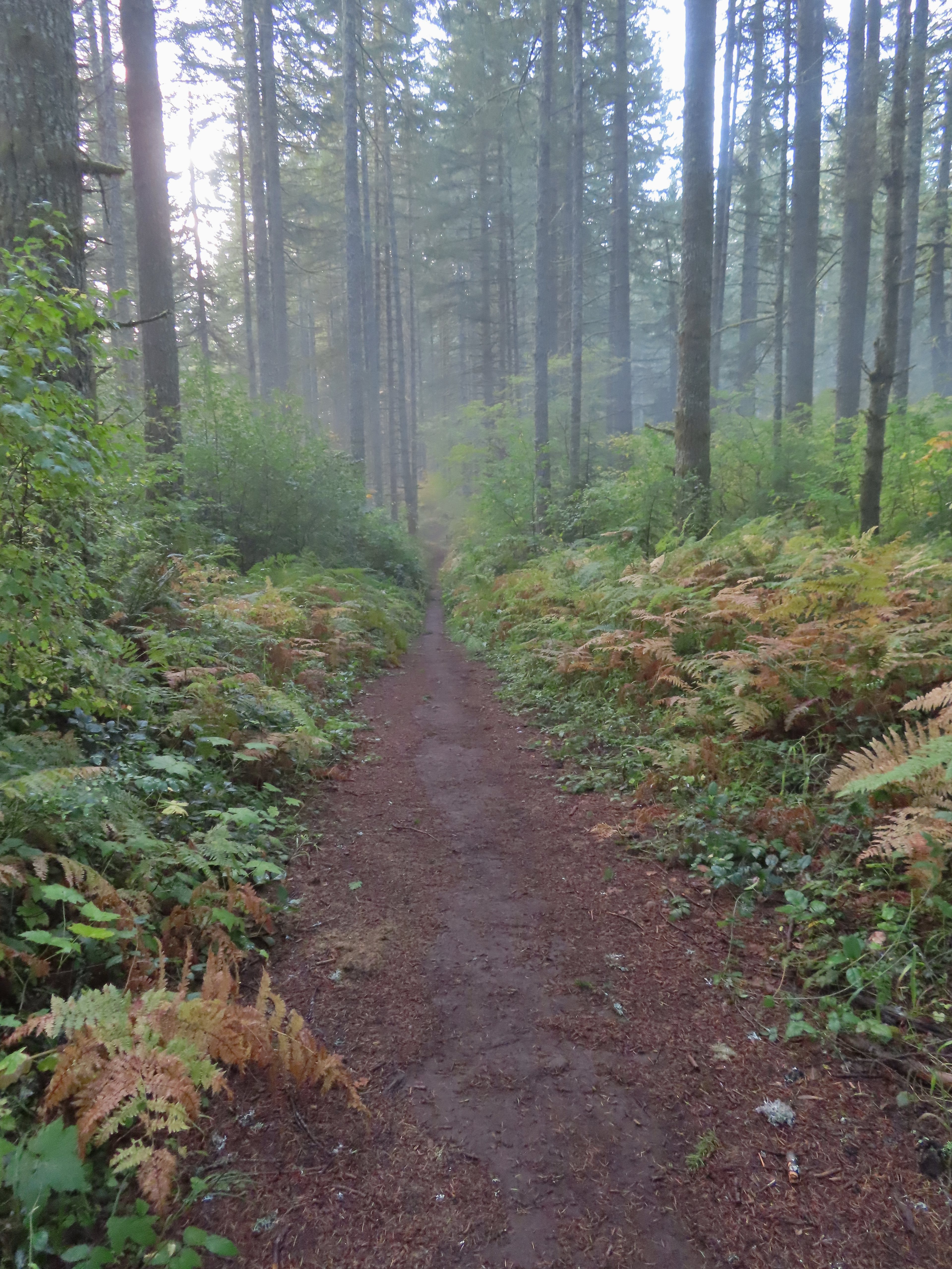 Just a little fog but no rain.
 Passing the Smith Creek Trail (left) after 0.6 miles on the 214 Trail.
 Rough skinned newt on the 214 Trail. (Probably headed for the Newt Loop too.)
 Big nursery tree along the 214 Trail.
 The trail post at the junction shows the Catamount Trail instead of the Newt Loop but the map at the junction labels it the Newt Loop.
 Map check.
 This second post included the Newt Loop along with a pointer for the Catamount Trail.
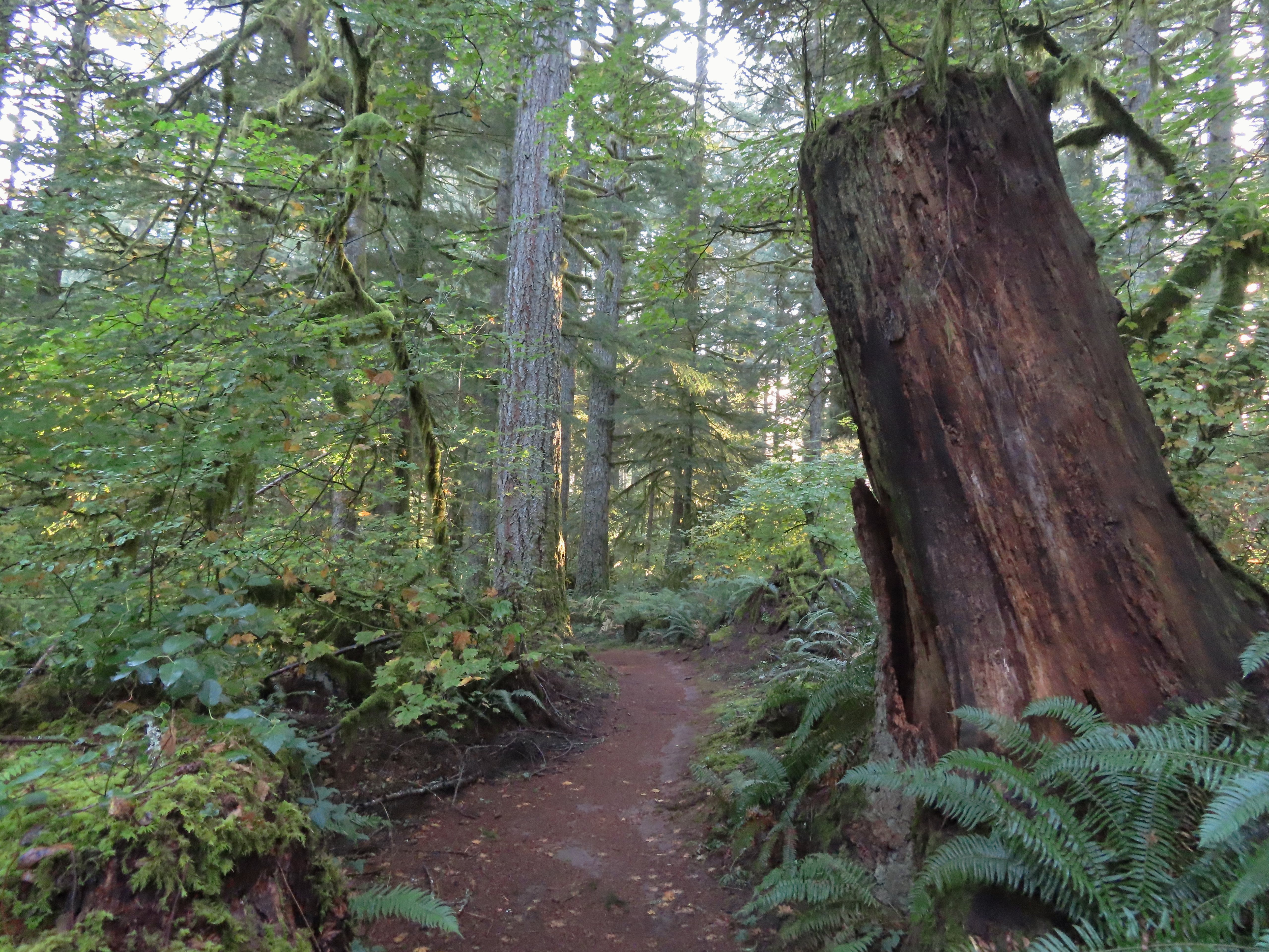
 Crossing a CAT road along the Newt Loop.
 Turning onto the Catamount Trail.
 Lots of nursery stumps along the trail.
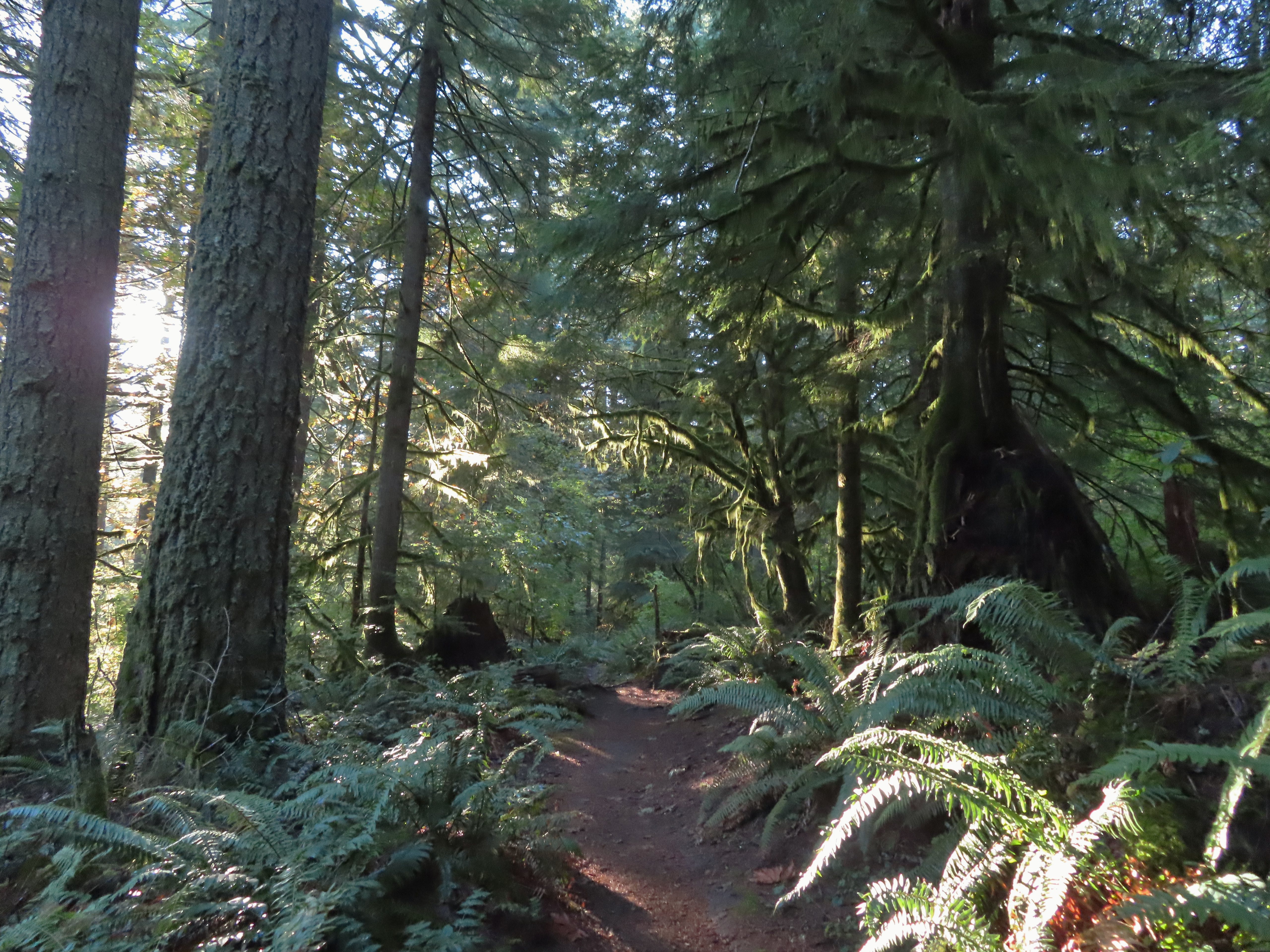 Another nursery stump.
 Side trails were well marked.
 Did not expect to see that overhead today.


 I believe this short section of fire scar was from the 2020 Beachie Fire.

 Turning onto the road.
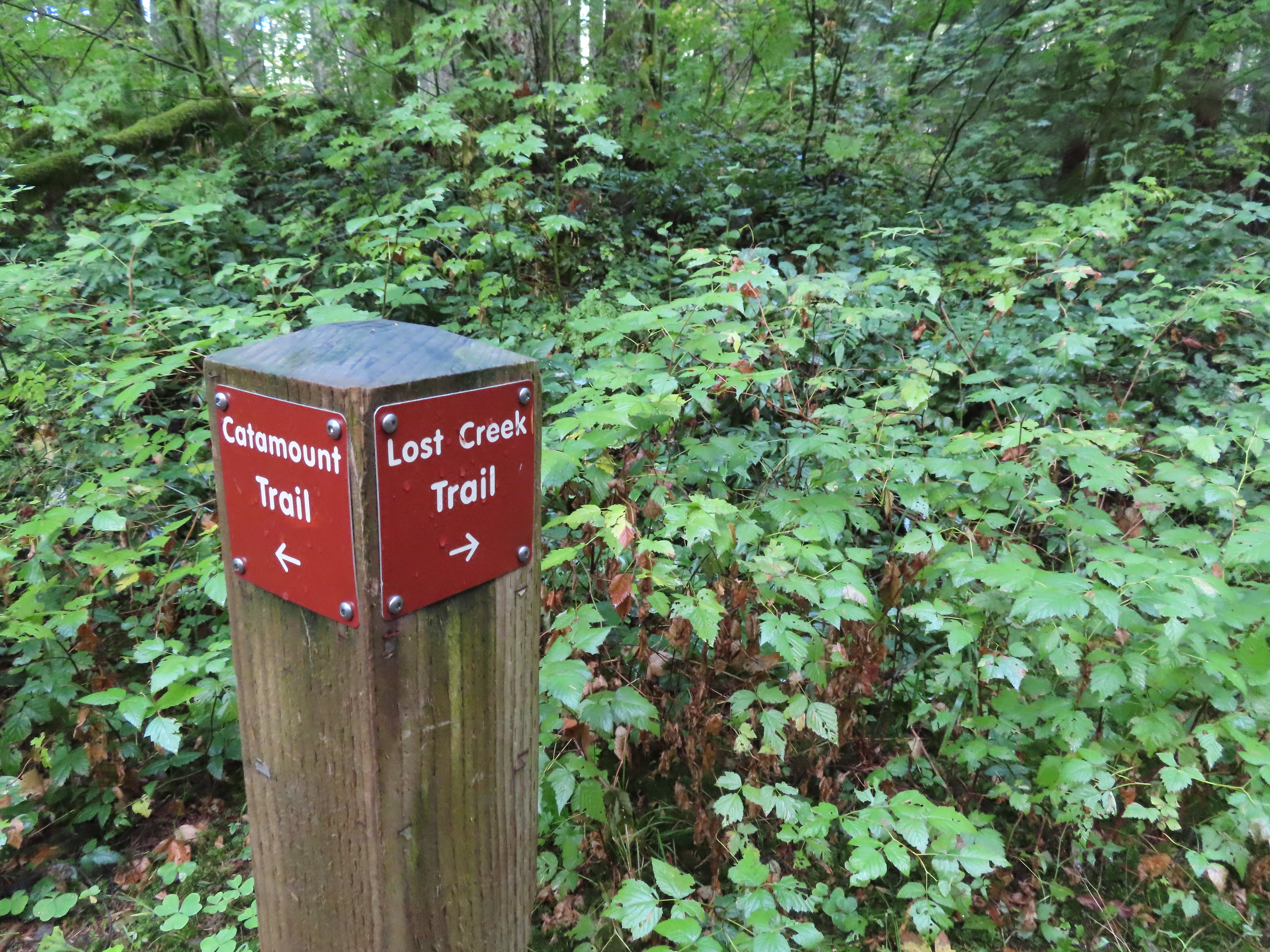 The opposite side of the post had a pointer for the Lost Creek Trail.
 I veered uphill to the right here.
 The Lost Creek/Buck Mountain junction.
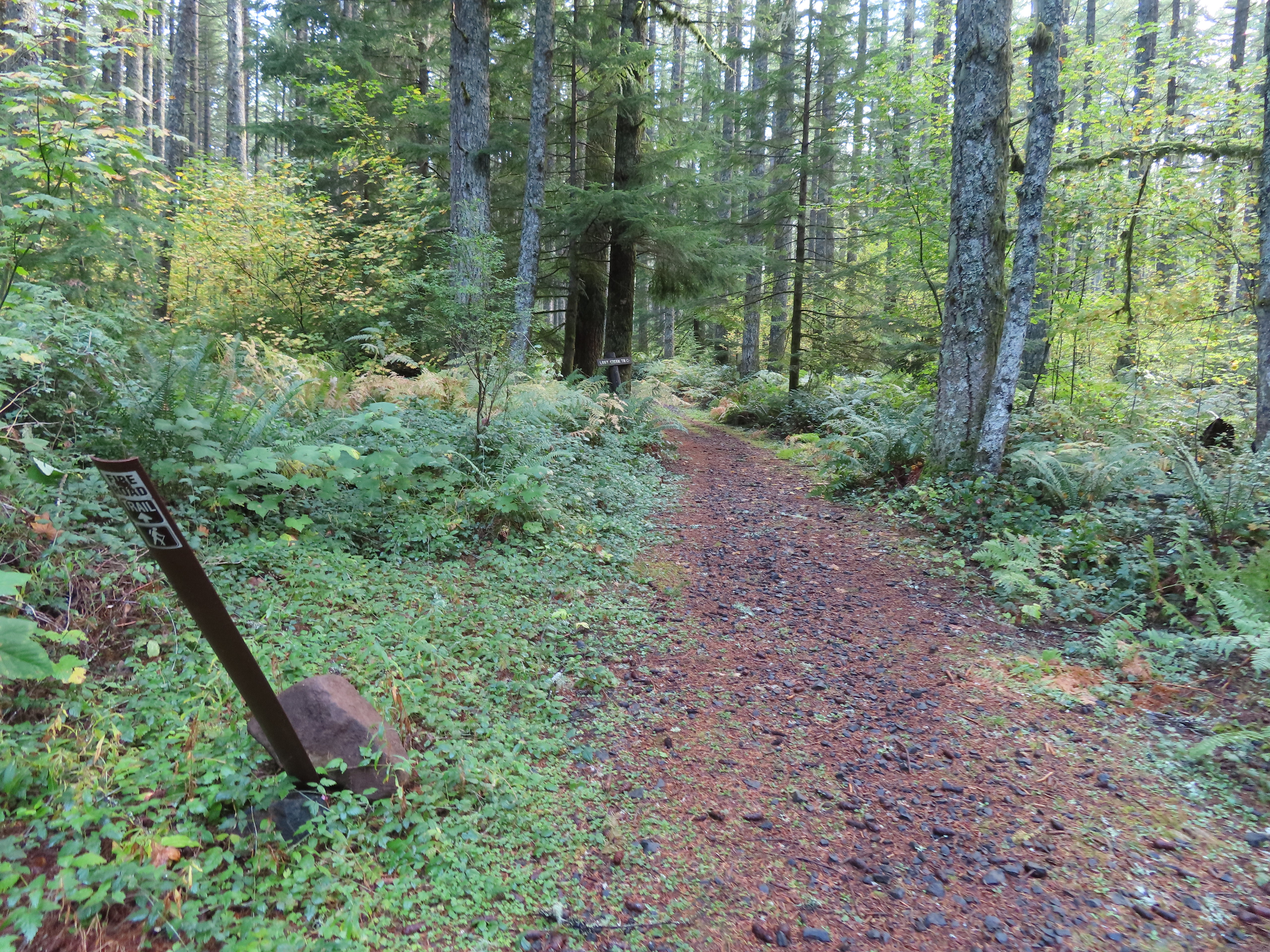 The Lost Creek Trail doubles as a fire road.
 Here is where I would have come up had the Catamount Trail did not have the on-way section. (Note that on some mountain biking maps the one-way section is labeled “Upper Catamount Trail.)
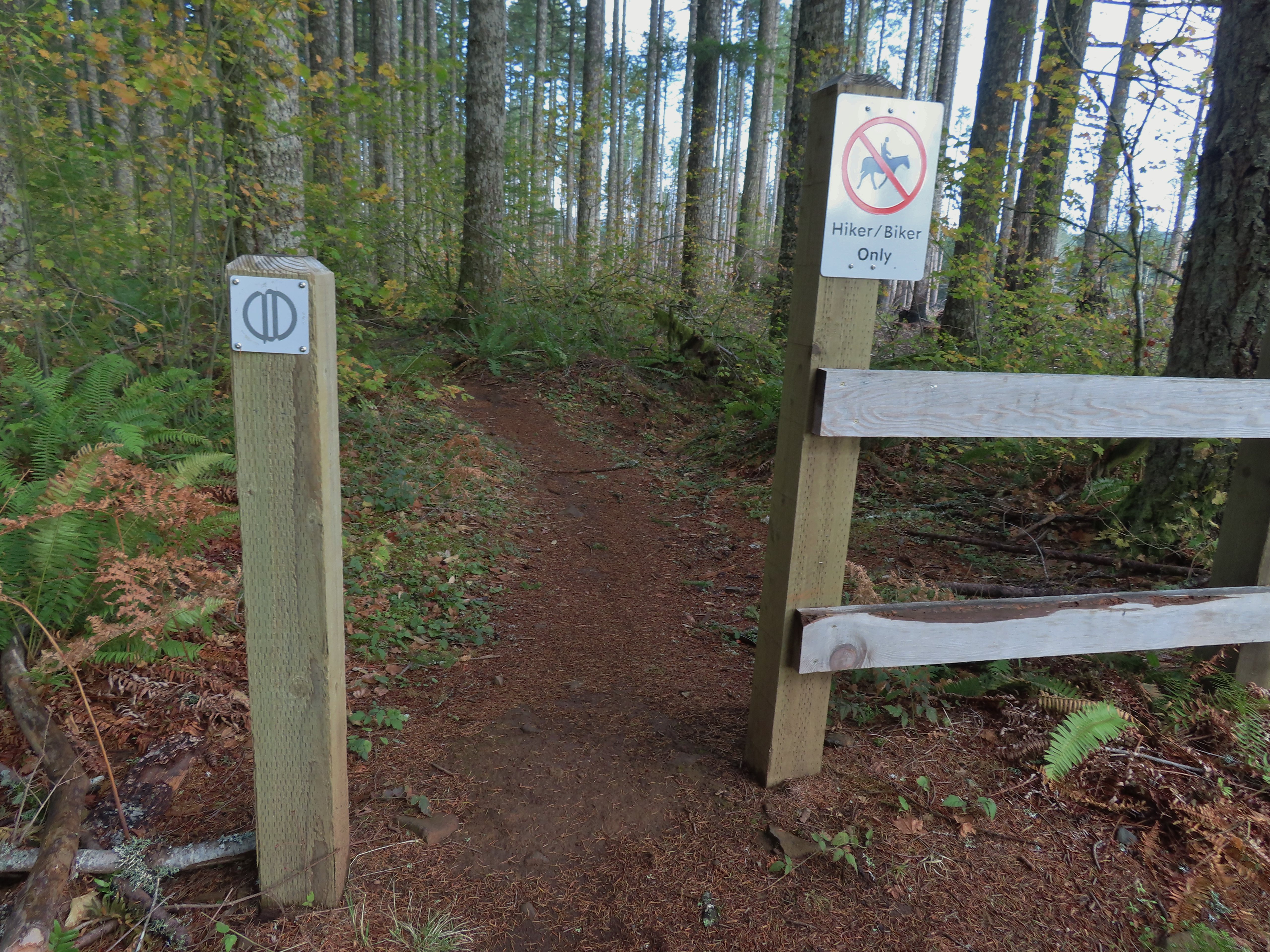
 The treeless section wasn’t long. It appeared to have been an area impacted by the 2020 Beachie Fire.
 Still some bleeding heart blooming.
 There wasn’t a lot of bright Fall colors in the backcountry, but this maple stood out.
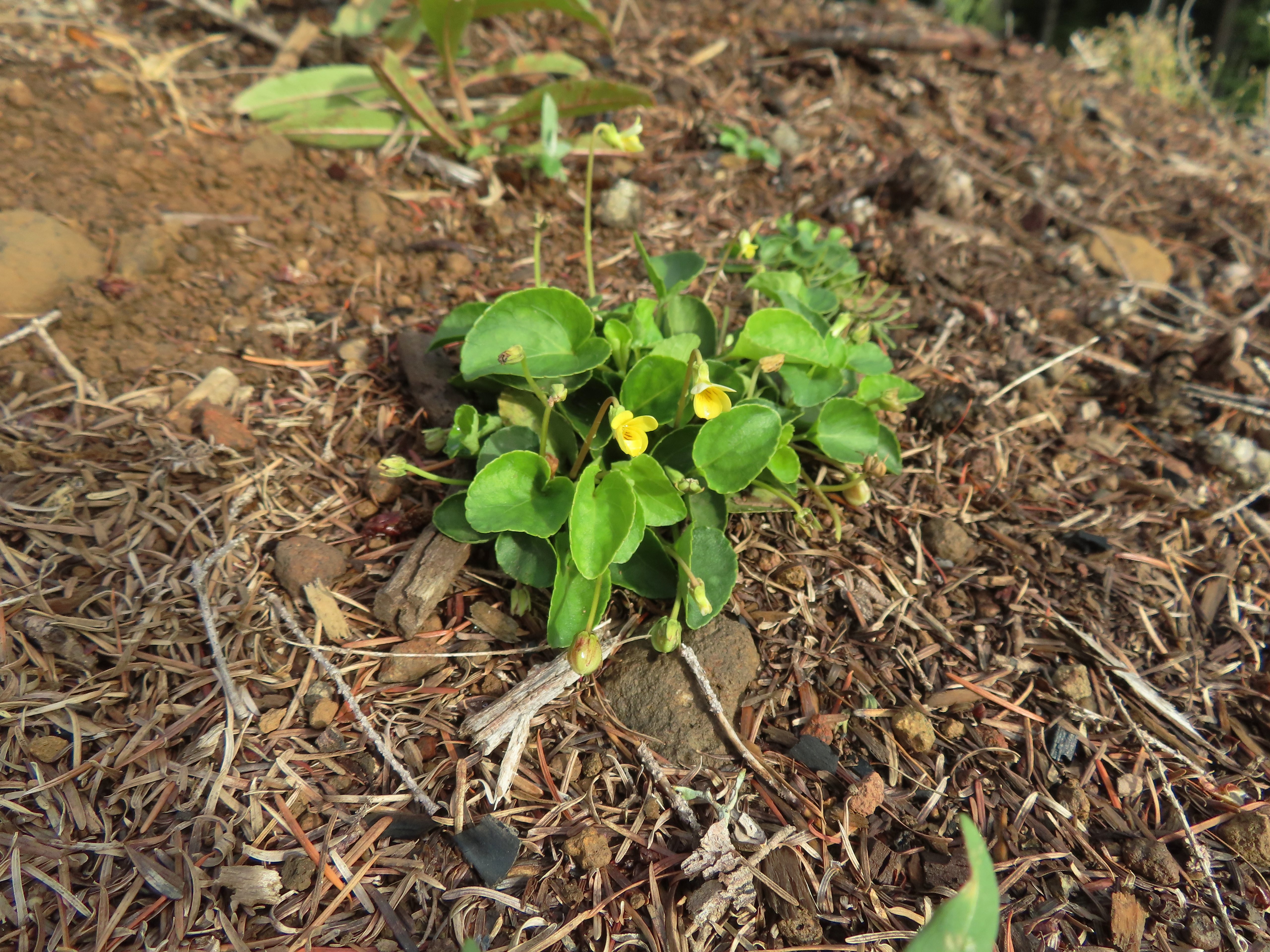 Was a bit surprised to see a few violets along this section.
 Nearing the end of the logged area.
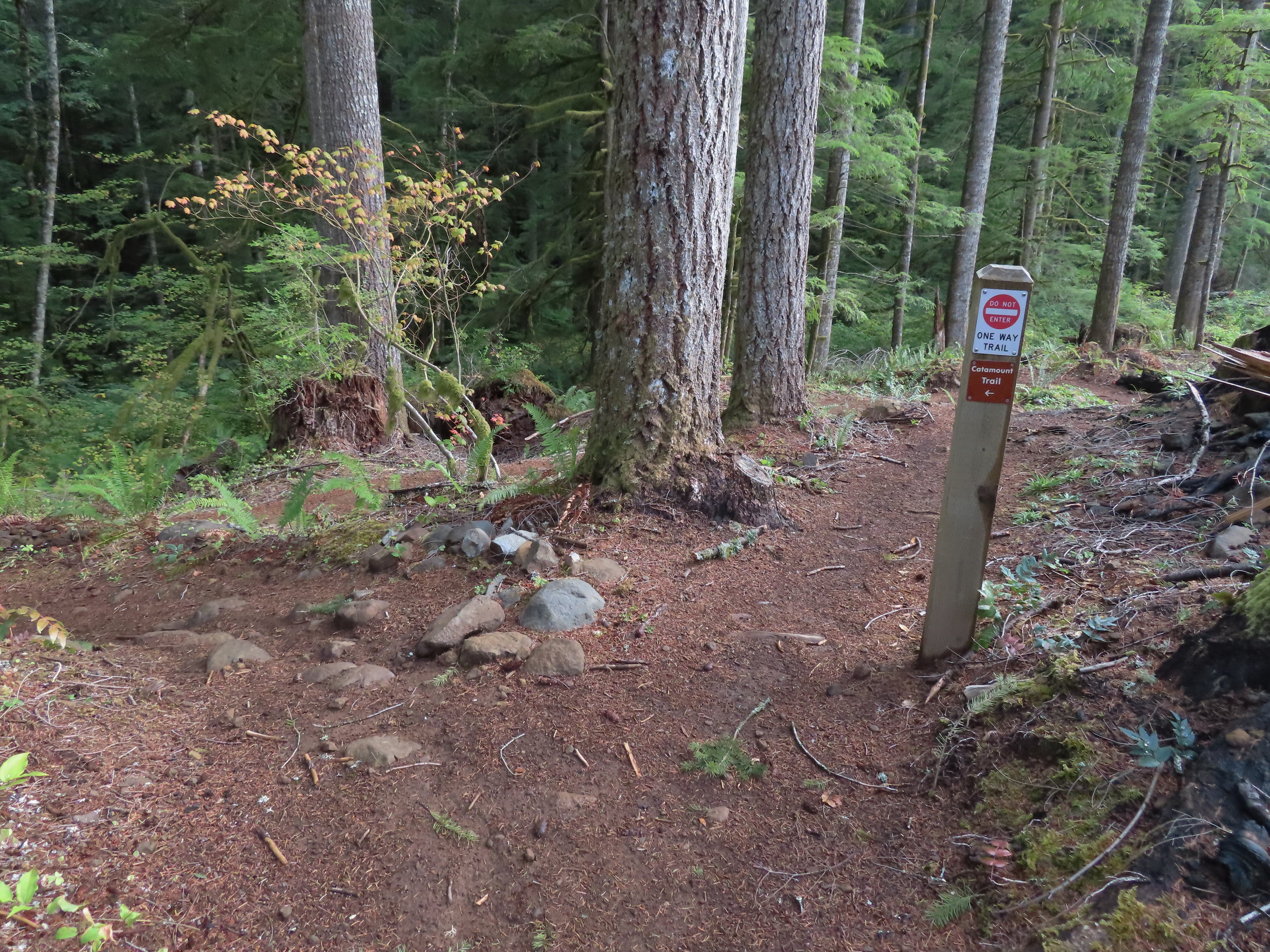
 The rejoining of the trails.
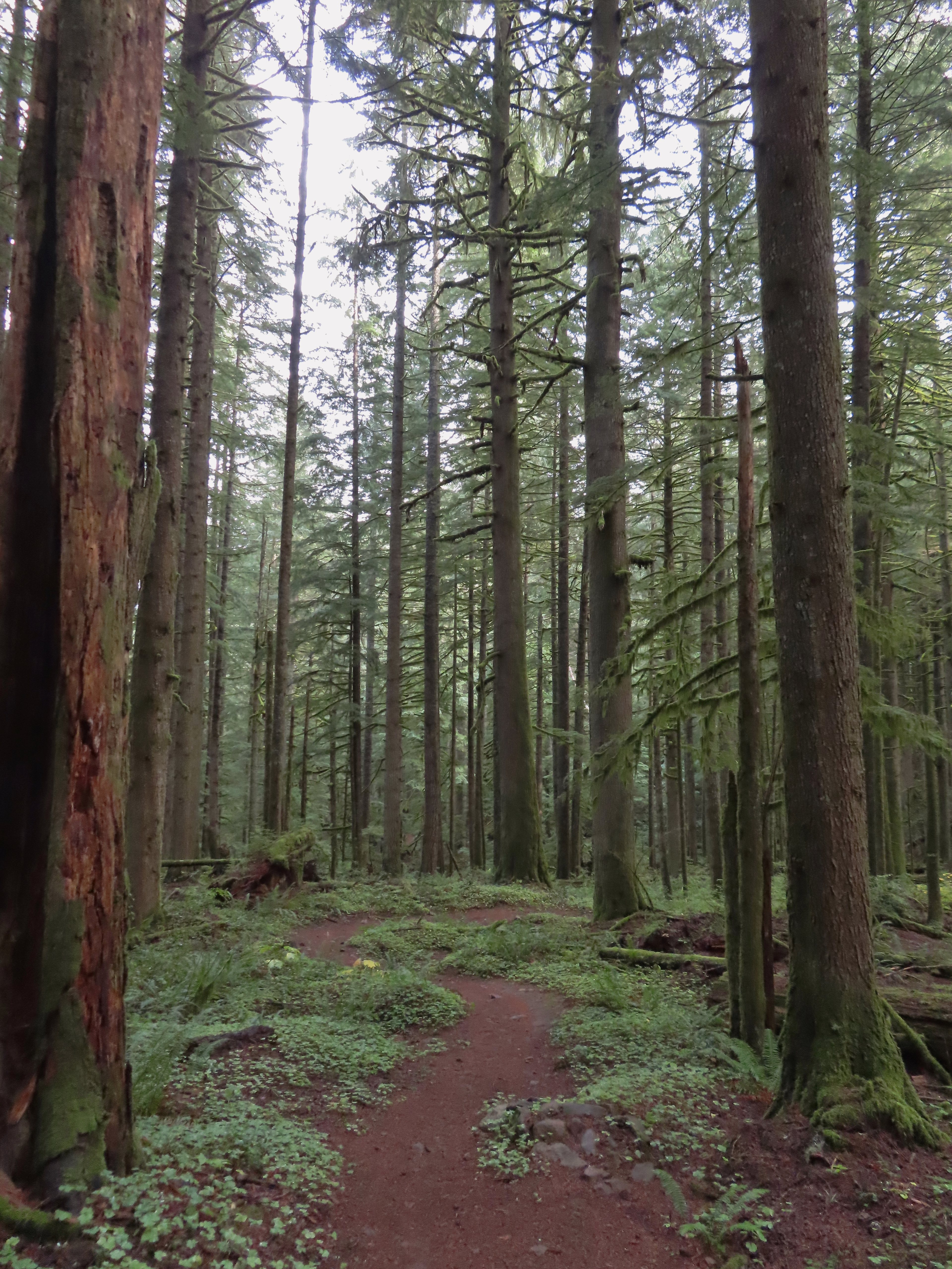
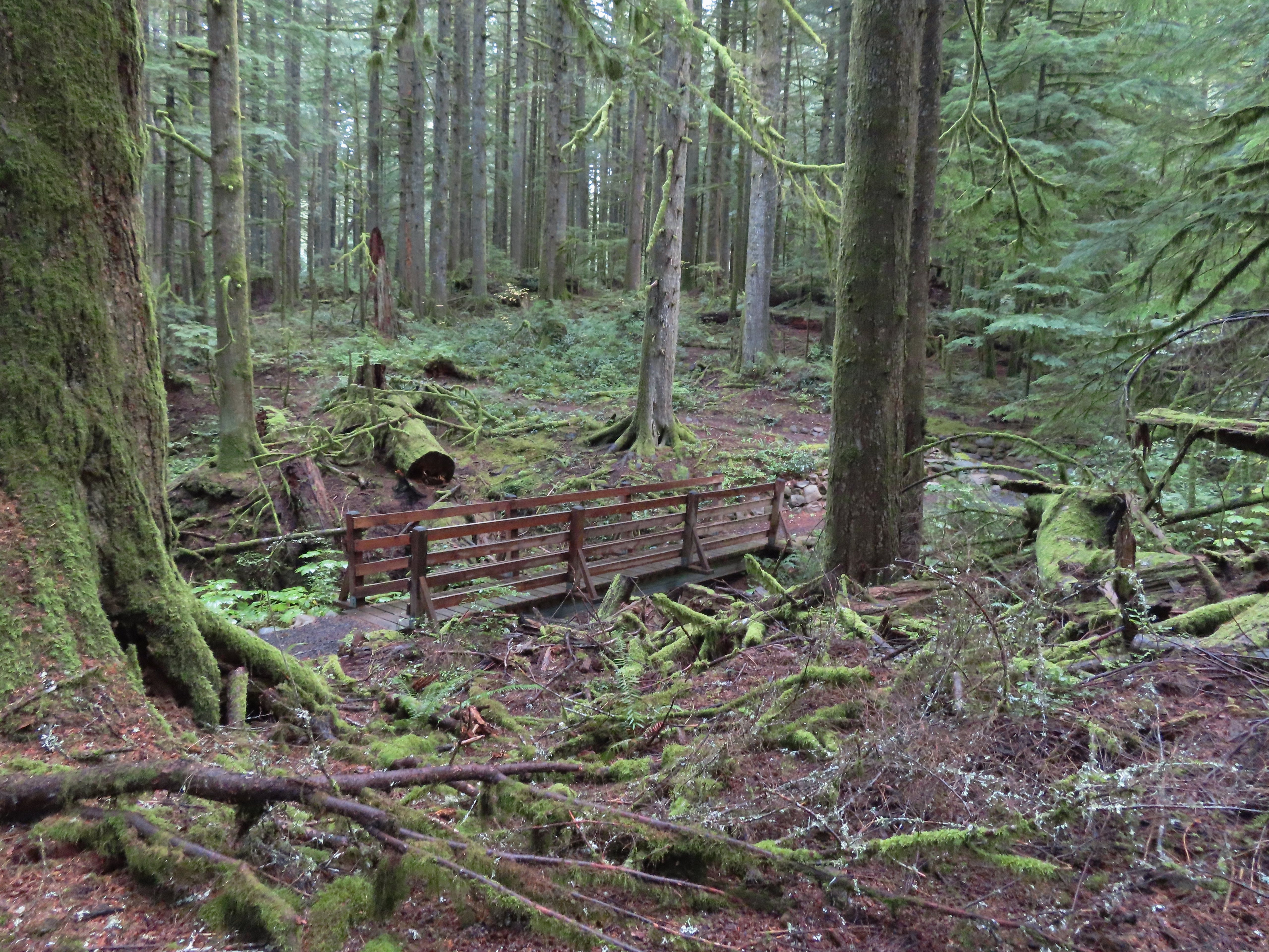 There were several bridges along this section of the trail. I also ran into the only mountain bikers that I would encounter all day in this area, a group of five.
 The Buck Mountain Loop junction.
 Bridge over Howard Creek.
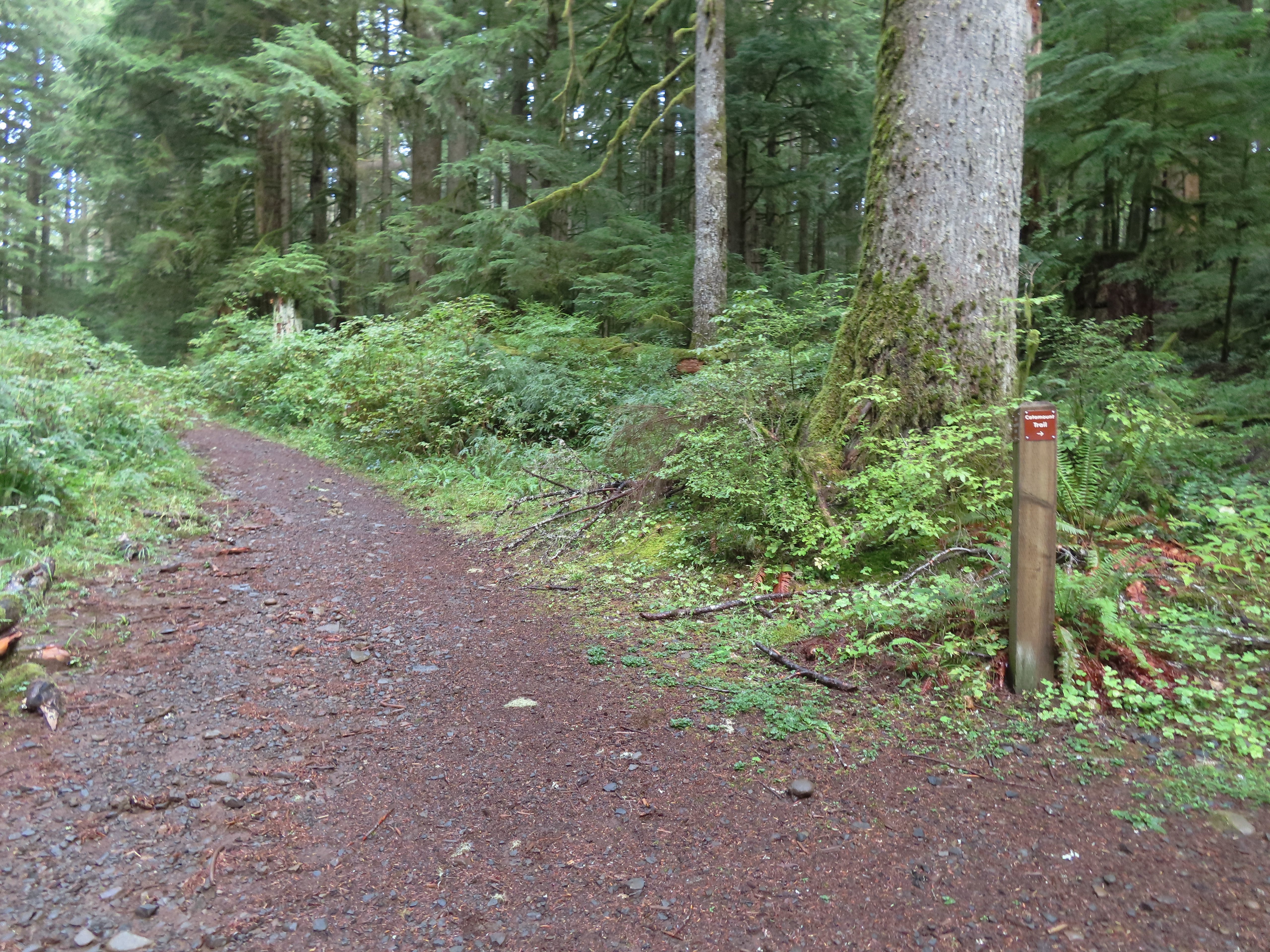 The continuation of the Catamount Trail on the right.
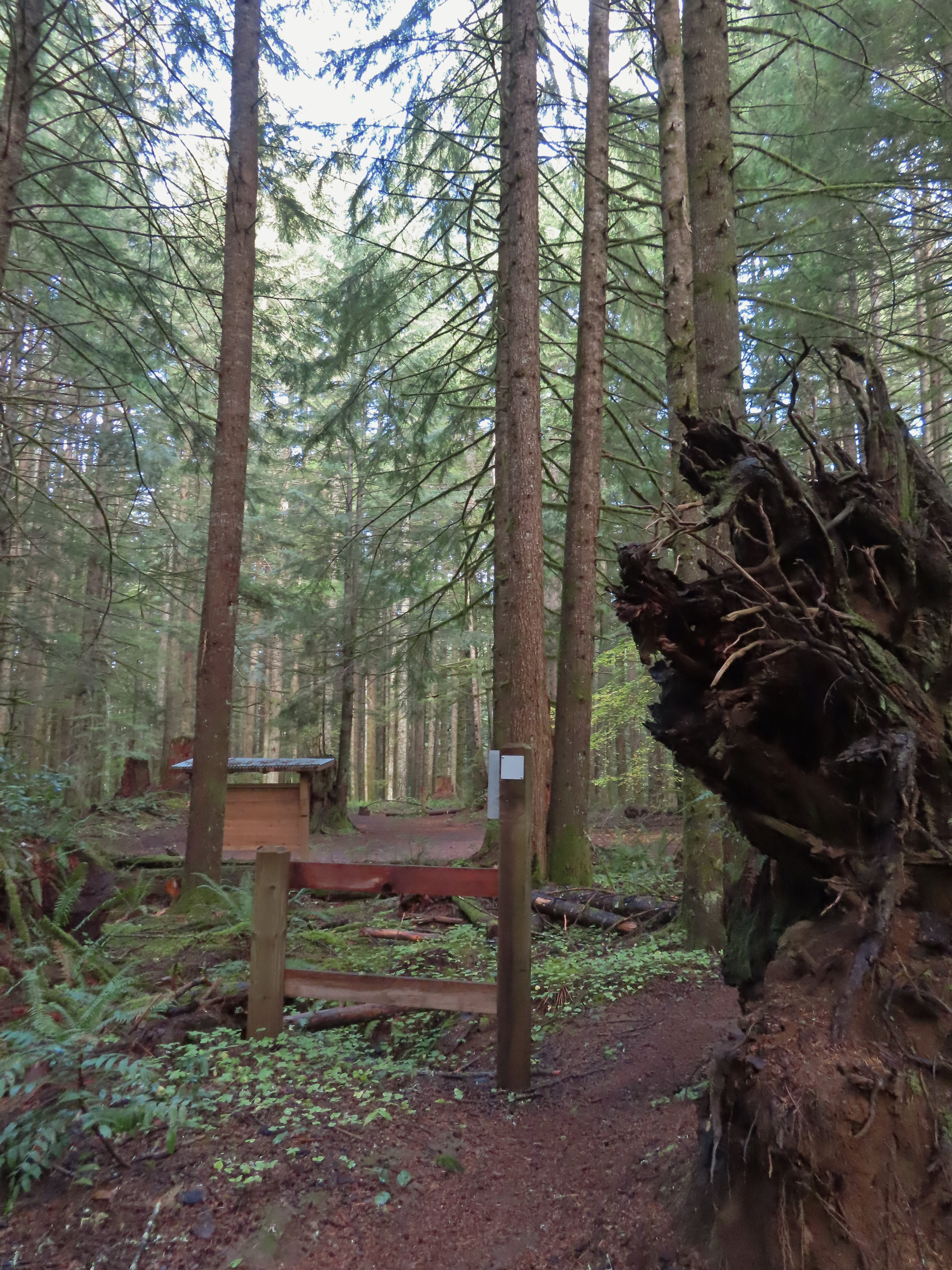
 The map showed the section I had just done as 0.9 miles, but my track was a bit more twisty than the map.
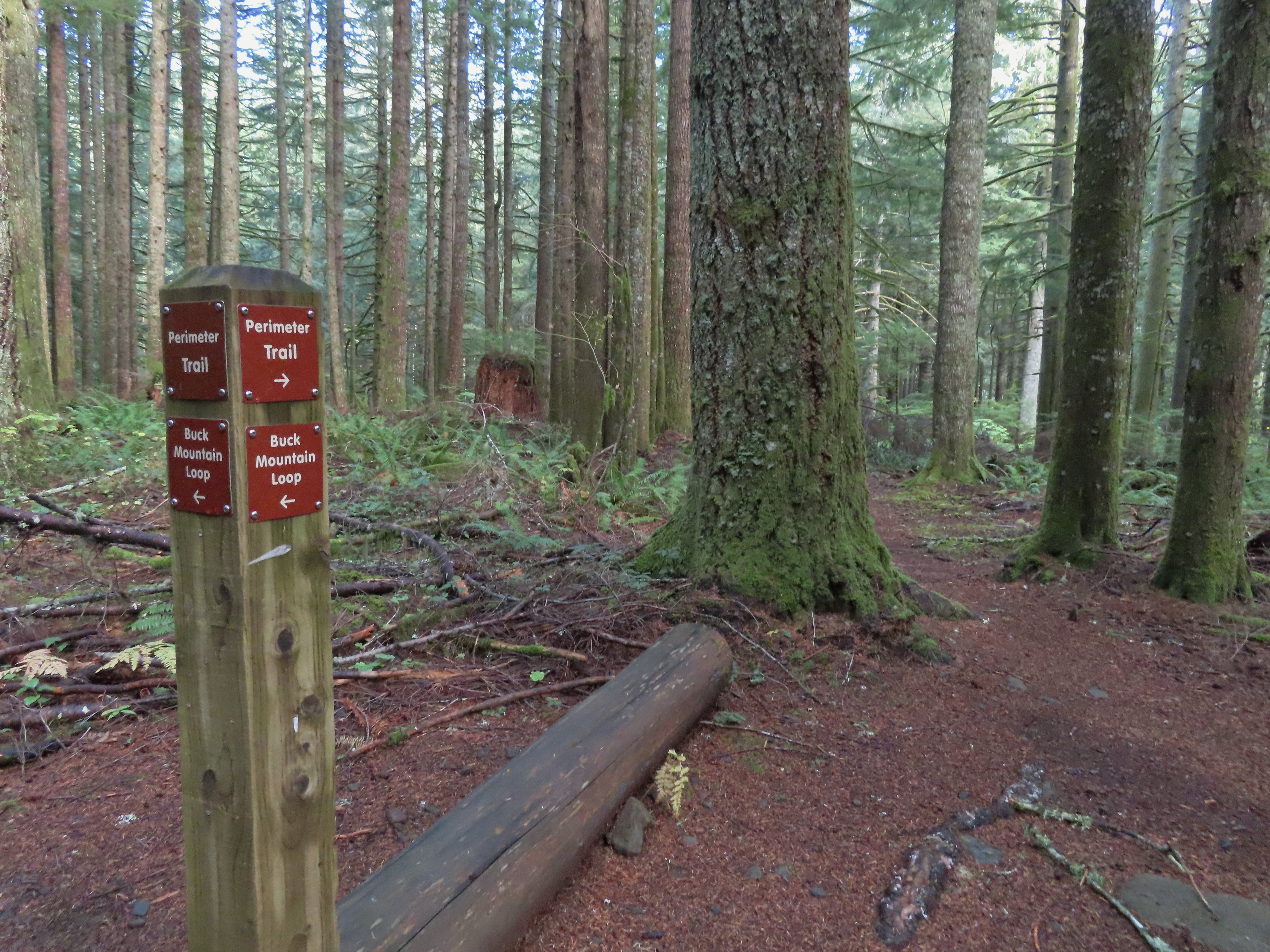
 A small opening on the way down.
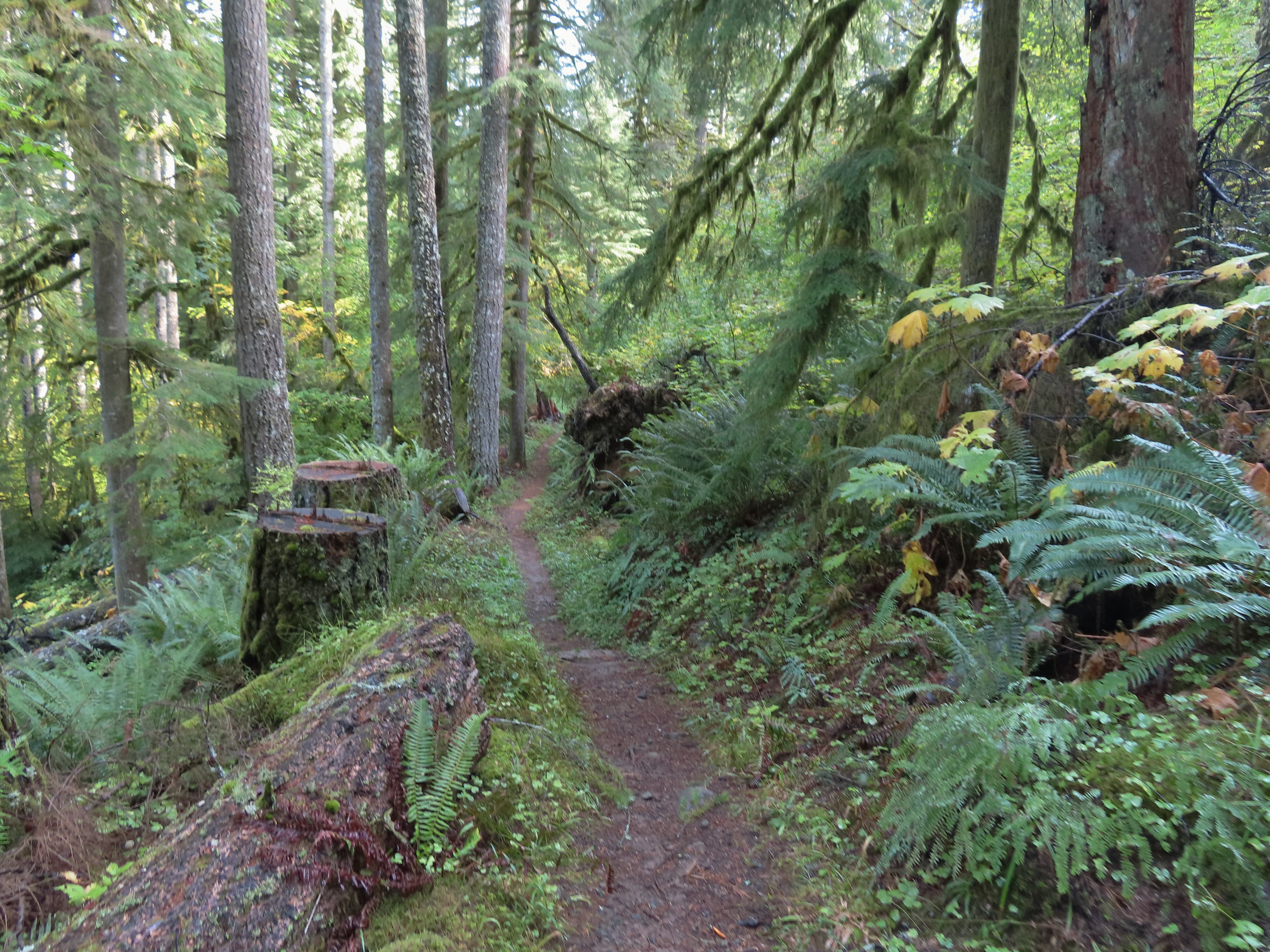

 Footbridge over South Fork Silver Creek.
 South Fork Silver Creek


 I’m a hiker so I went right here.
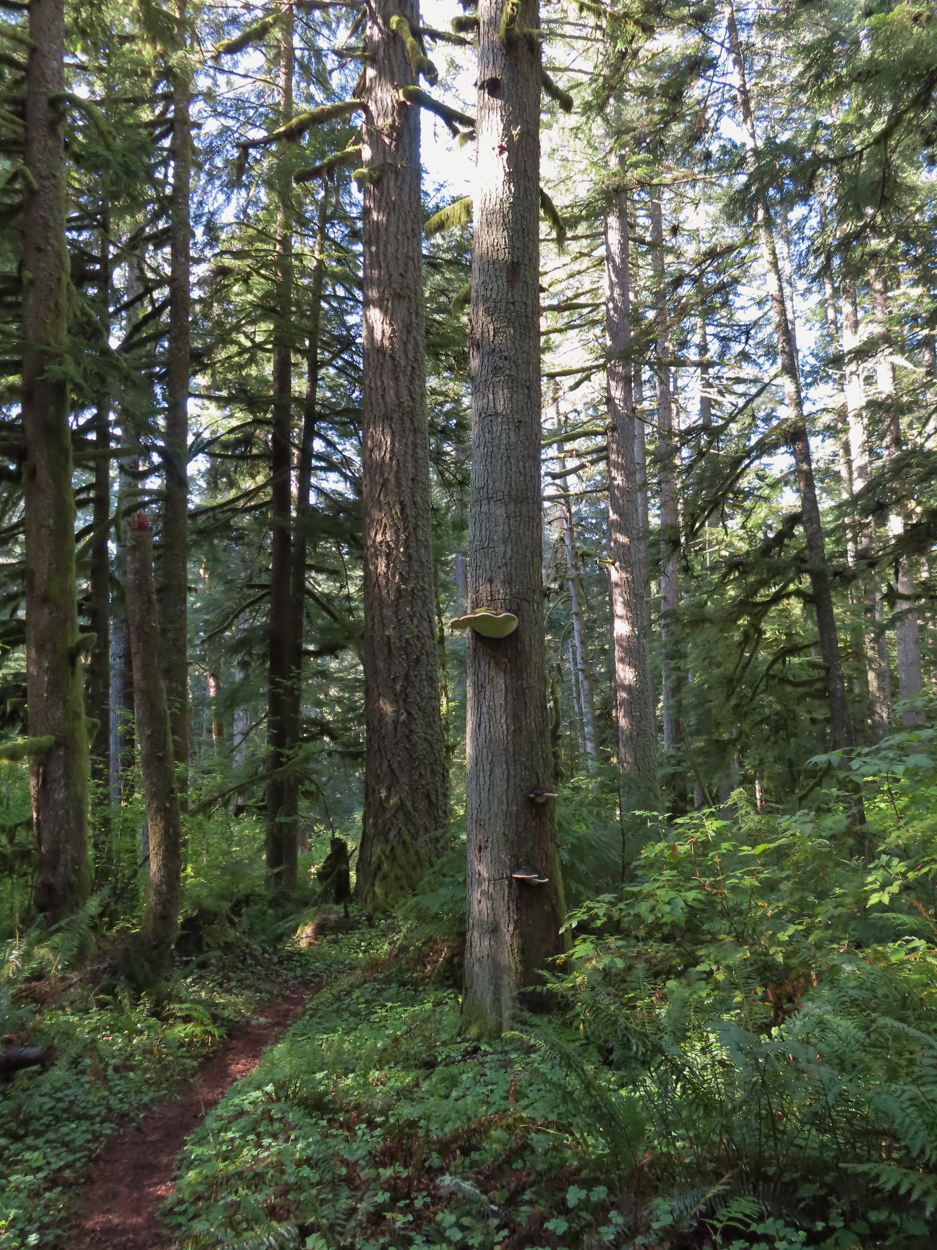 Big fungus on the tree ahead.
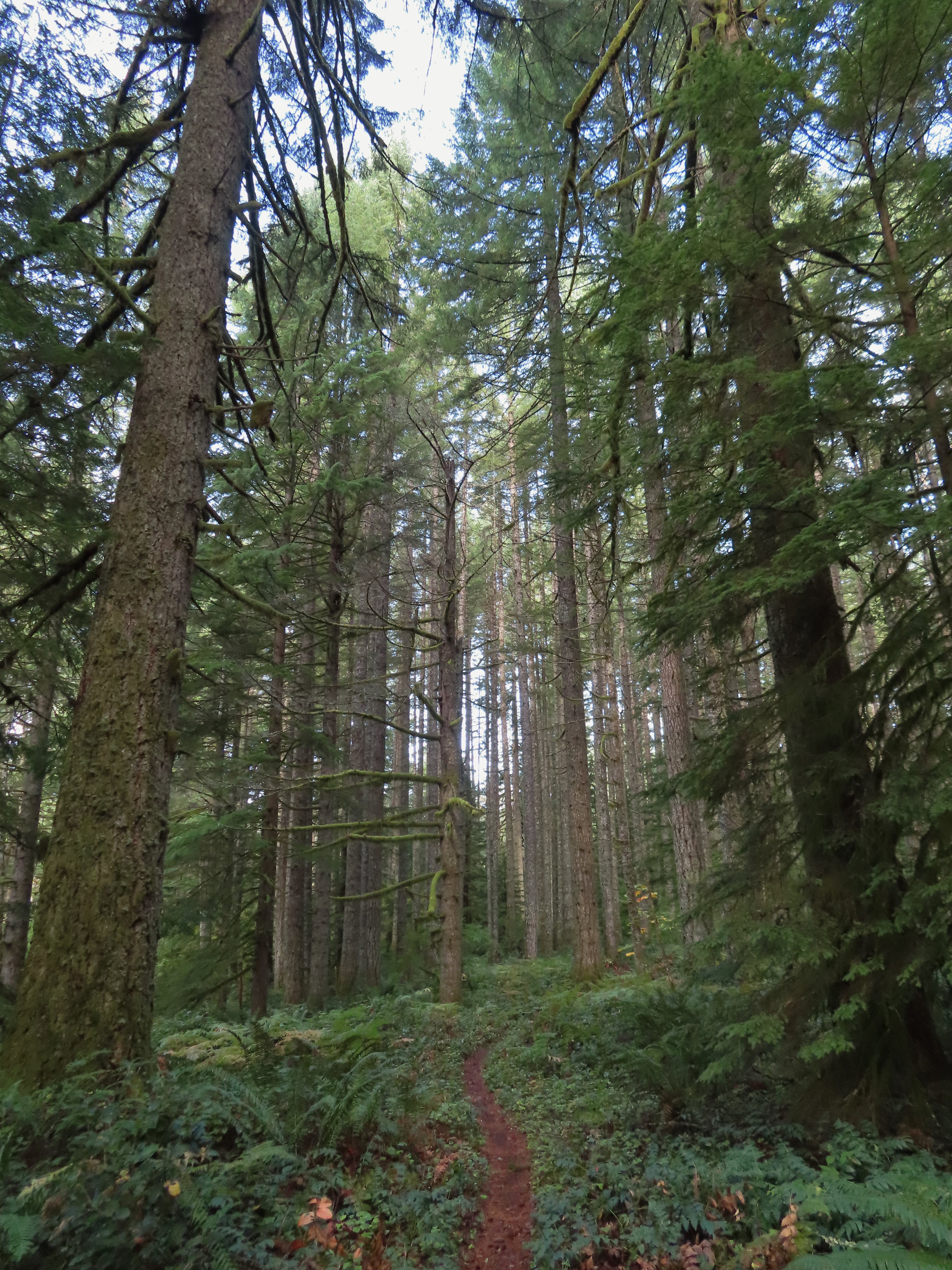

 Map at the Rackett Ridge junction.
 Another impressive nursery log.
 I stopped in this area to change out of my sweaty socks and into one of the extra pairs I’d brought expecting rain.
 The vegetation went through several changes as the trail lost elevation.
 This was a big tree in the midst of much smaller ones.
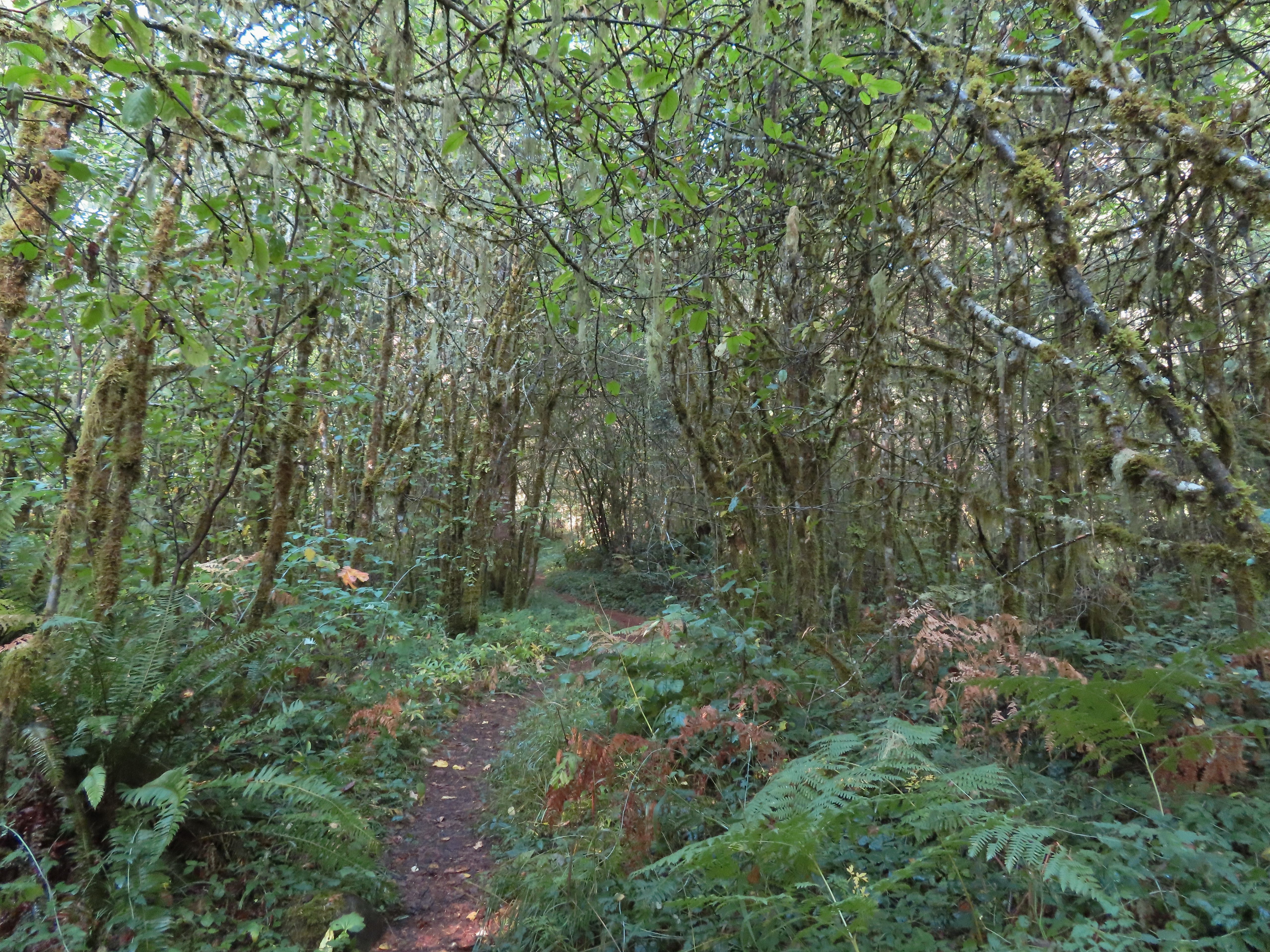
 Roemer’s Meadow Trail (left) isn’t shown on the park maps yet, but it was completed in 2021 with help from the
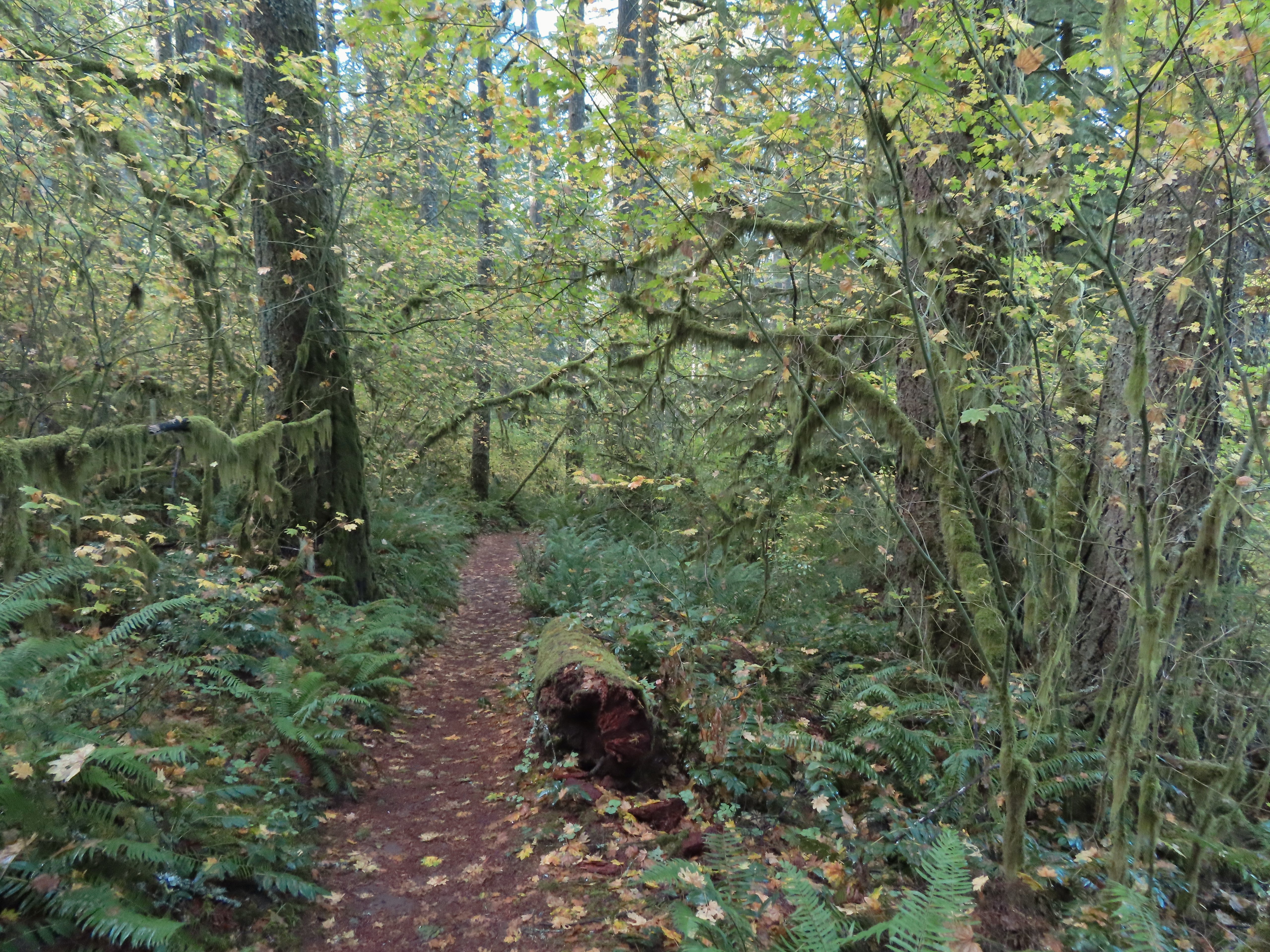
 The Trail of Ten Falls junction near Highway 214.
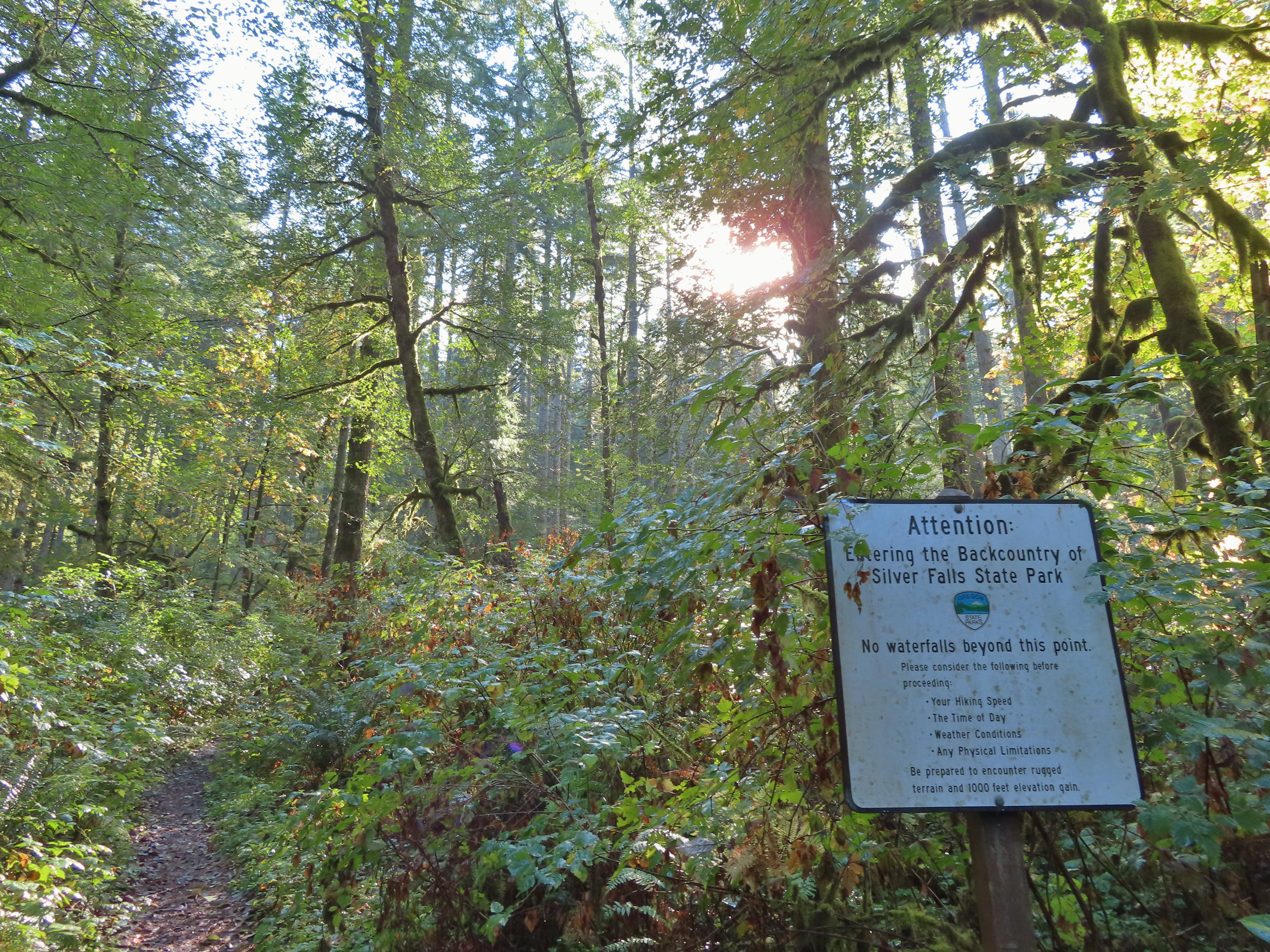 Looking back up the Perimeter Trail.
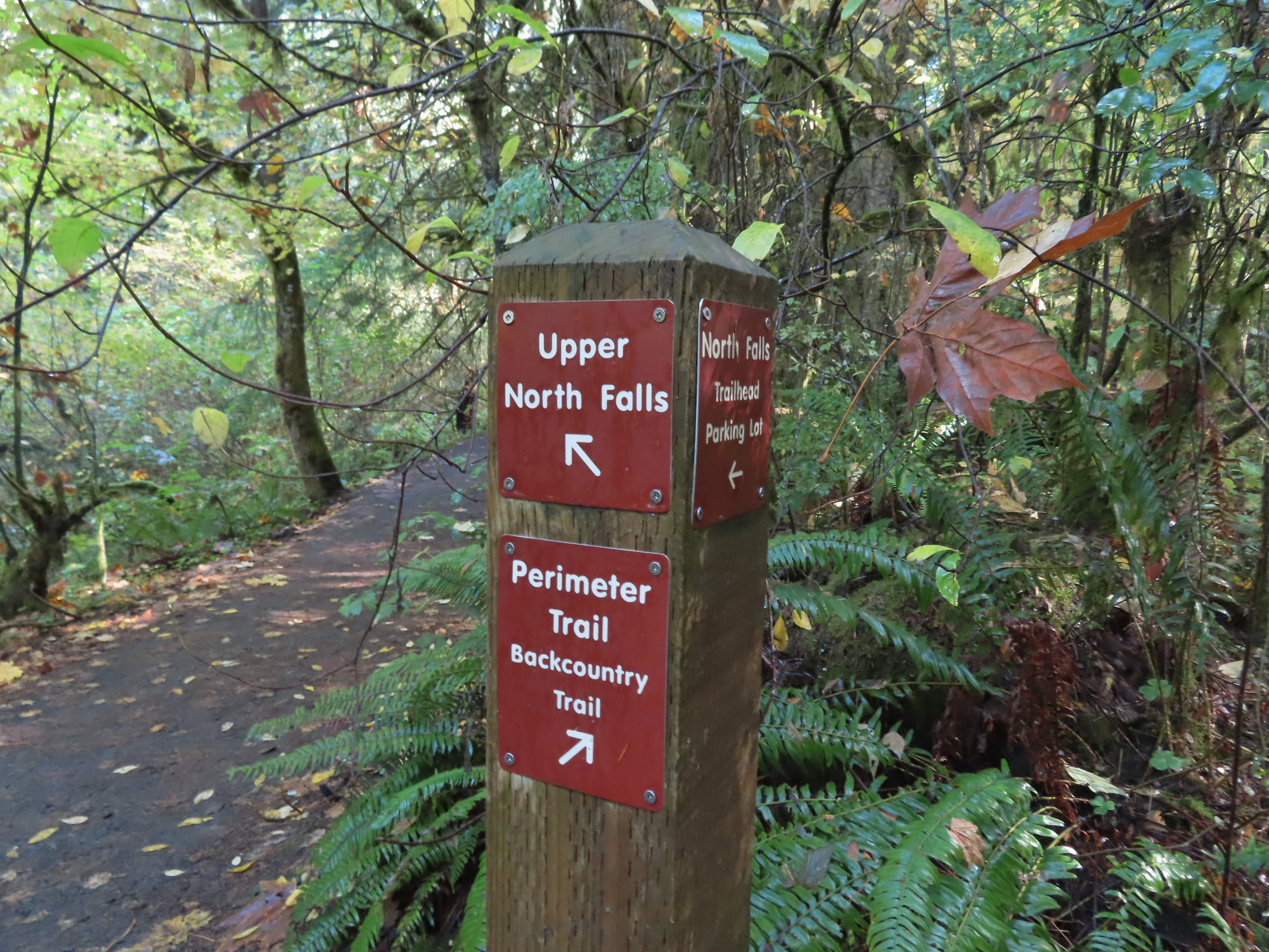
 Upper North Falls
 A left would have taken me to the North Falls Trailhead.
 The Rim Trail to the left and Canyon Trail to the right, both part of the Trail of Ten Falls.


 I’m always impressed by the size of this rock in the creek.
 Not Twin Falls, but a nice little cascade nonetheless.
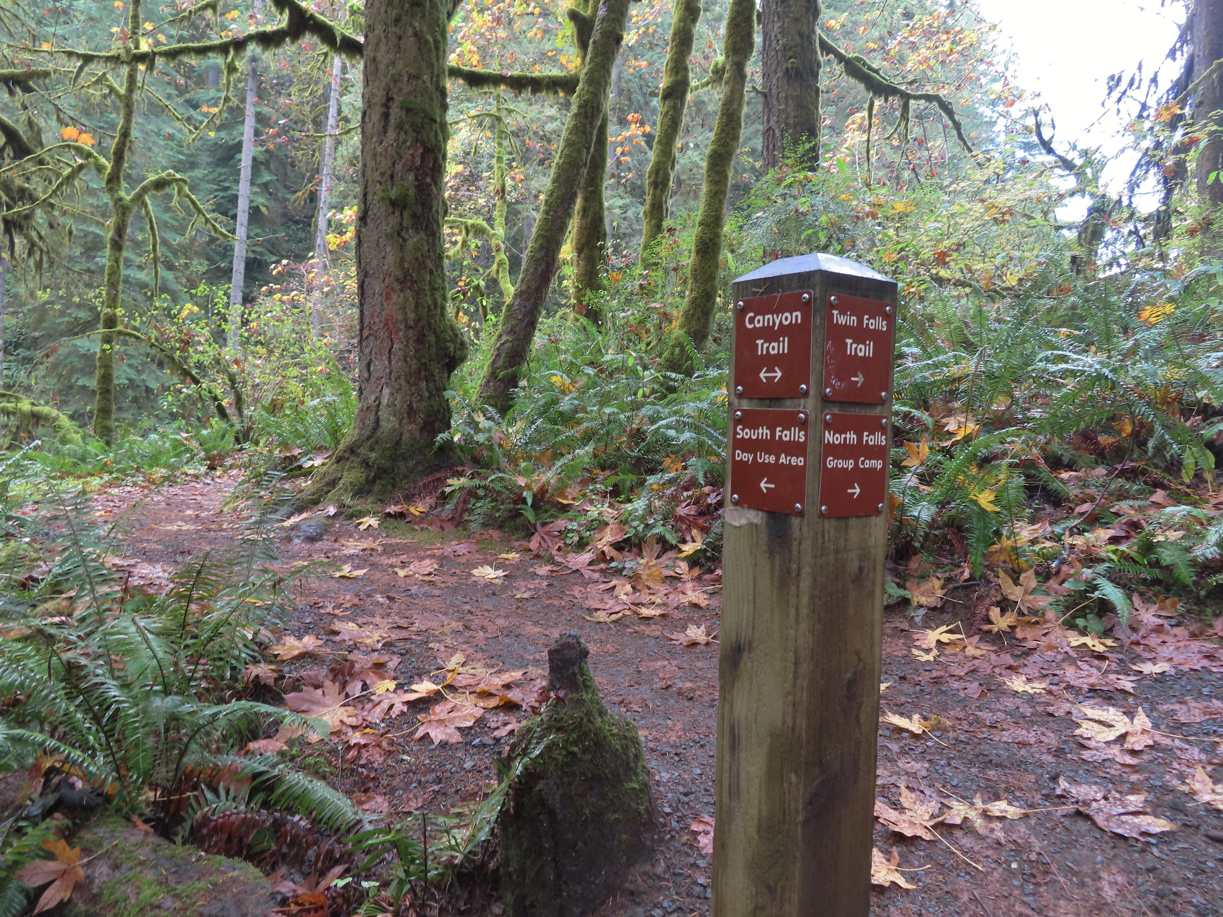 This post could be a little confusing without a map. The Twin Falls Trail climbs uphill to a group camp and does not lead to Twin Falls. The falls are the opposite side along a very short spur trail that connects at either end to the Canyon Trail.
 Twin Falls isn’t very easy to see from the spur trail either even though you’re right next to it.
 Twin Falls

 North Fork Silver Creek
 Winter Falls, as the name suggests it’s not much of a waterfall outside of Winter when rain and snowmelt provide more water.
 With the dry Summer it isn’t a great Fall color year but there was a decent display along this trail.
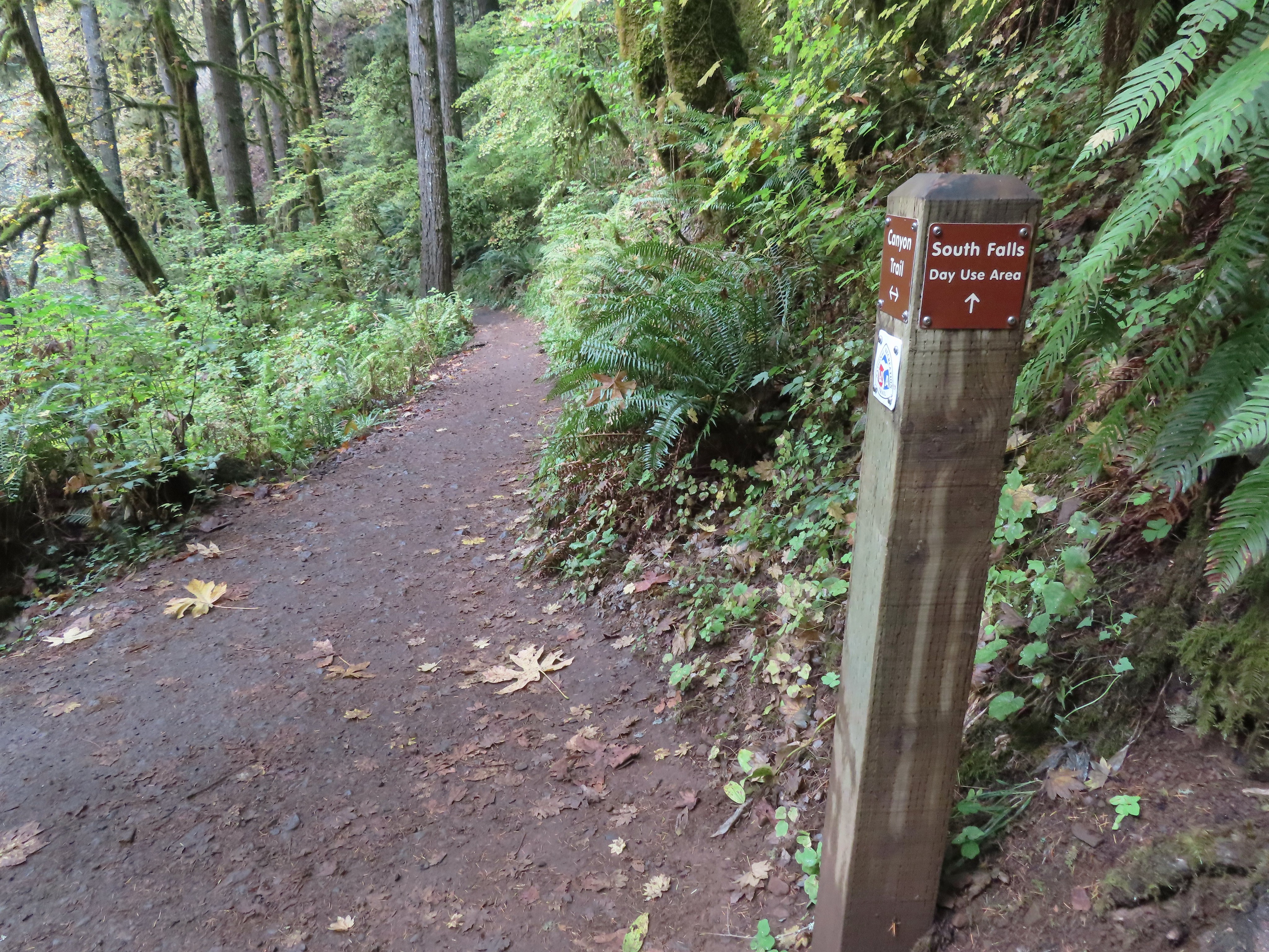 I turned left here on the spur trail behind Middle North Falls.


 Middle North Falls from the Canyon Trail.
 The 27′ Drake Falls.
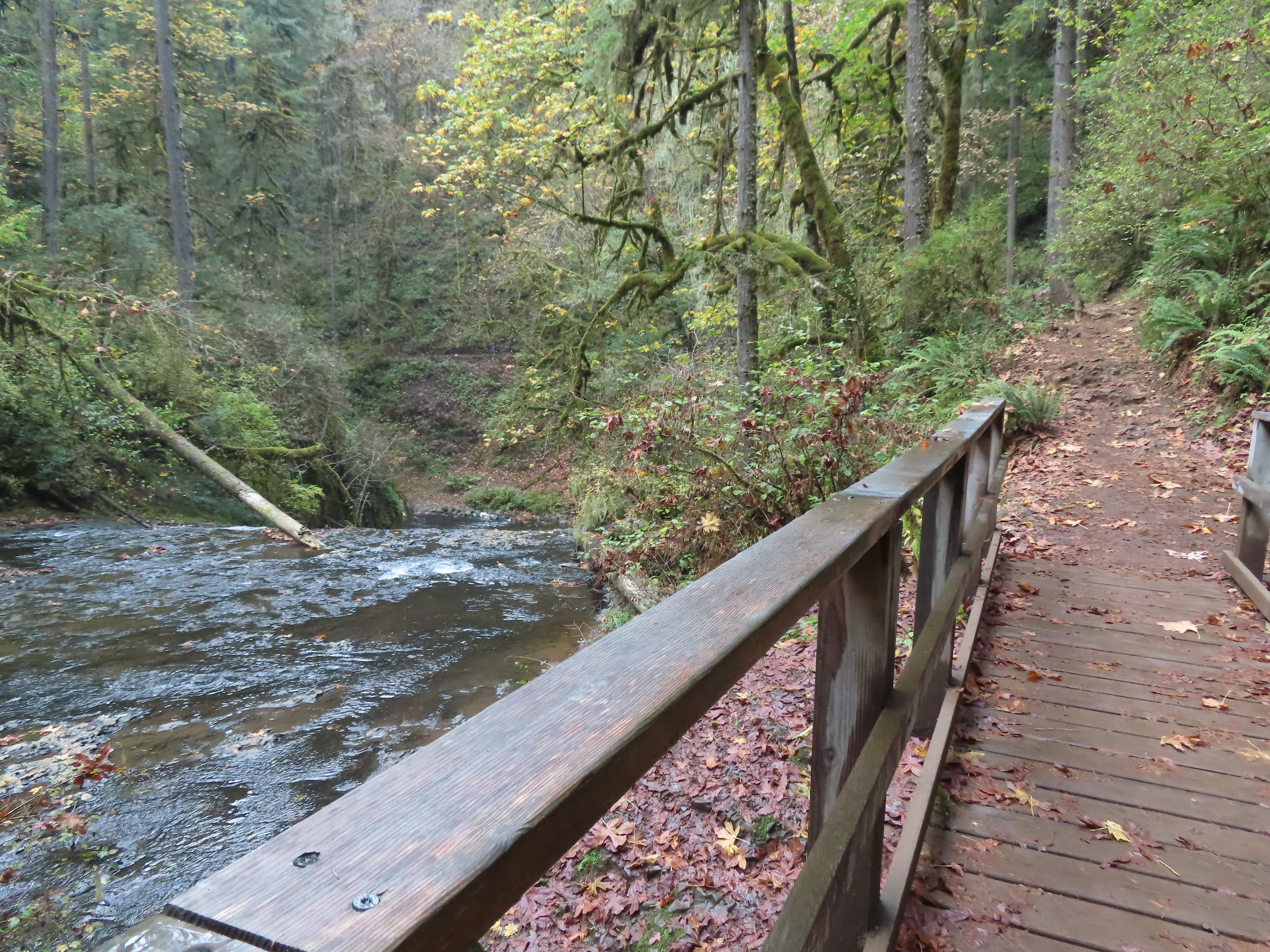

 The hiker at the base gives a good idea of the fall’s height, you just have to use your imagination to add water.

 The Canyon Trail crosses the creek just downstream from Lower North Falls then makes a short climb to get above the canyon cliffs.


 I walked out onto the bridge for the view then returned to the junction to take the right hand fork and go behind this fall as well.
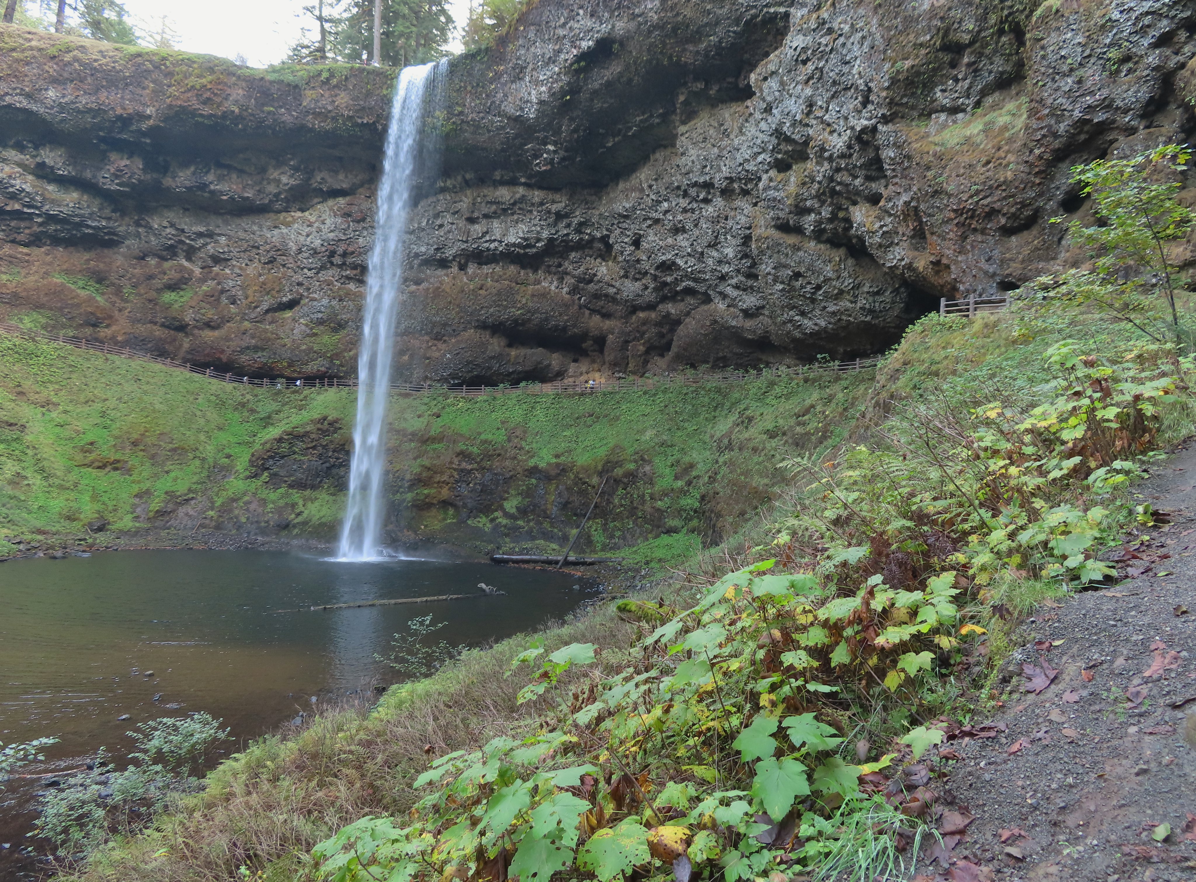


 View toward South Falls from the footbridge.
 Not sure what this old building was, possibly restrooms by the doors.
 One of several picnic shelters in the park.
 Approaching the Bike Path where I recrossed the creek.
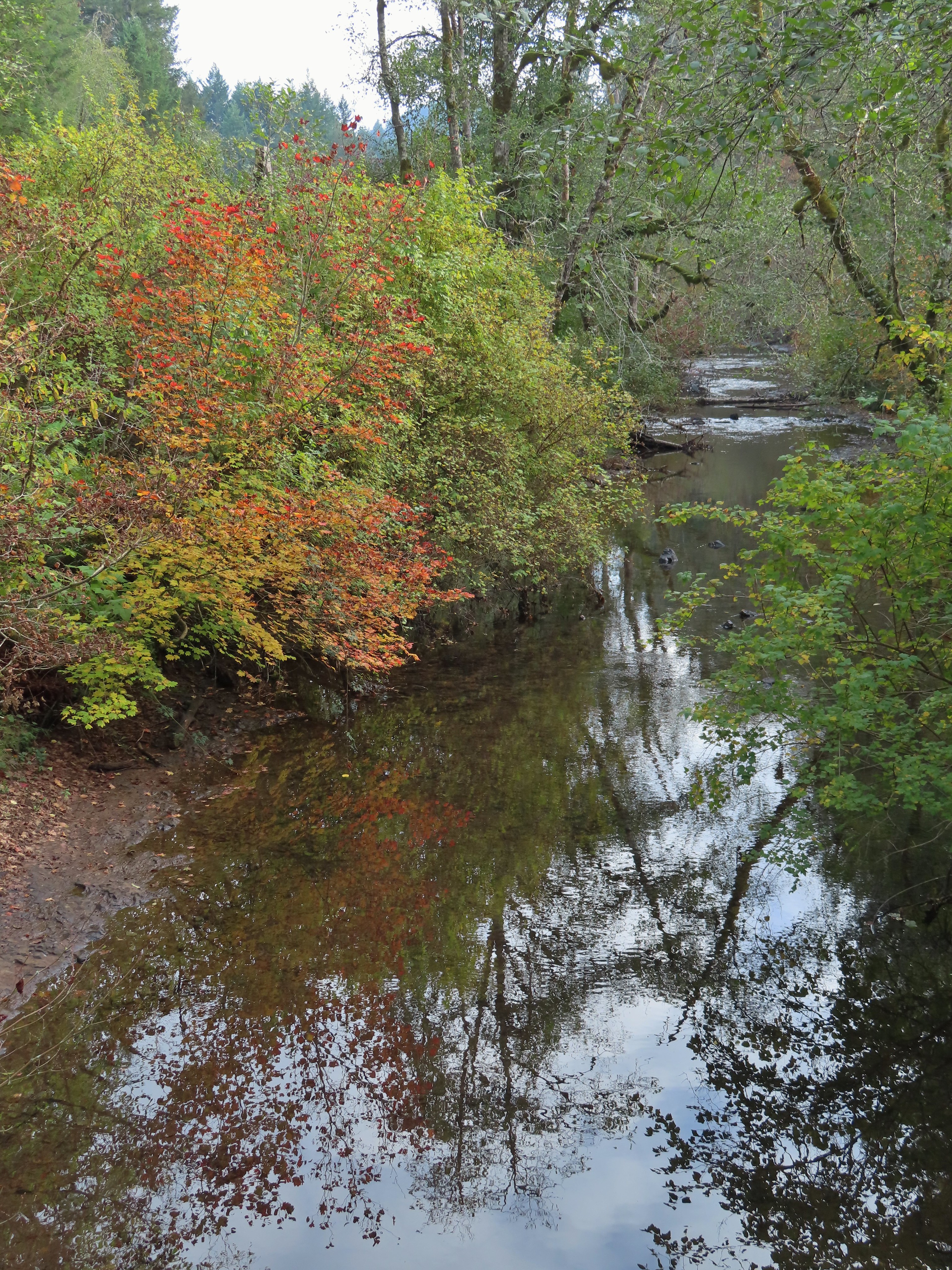
 I can see the car!

 Checkermallow
 A slug and a bug on a flower.
 Pea
Pea
 Approaching the falls.
 Columbine
 Susan Creek Falls
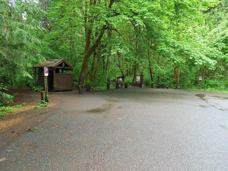
 Evidence of overnight rains on the trail.
 A very faint rainbow over the North Umpqua River.
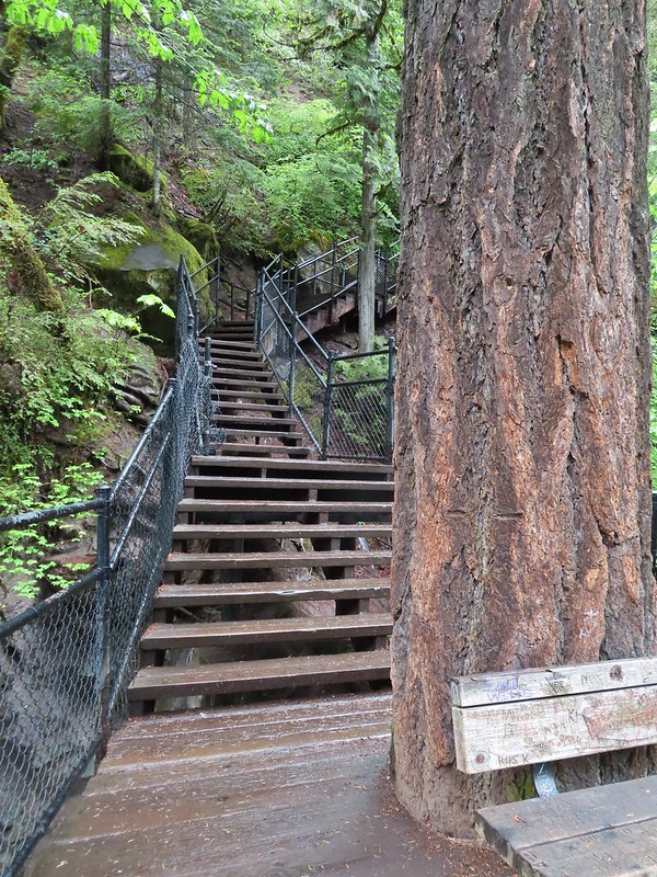 Stairs down to the viewpoint platform.
 Toketee Falls


 Candy sticks along the trail.
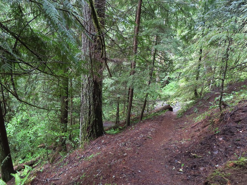
 During lower flow there is another hot spring along the river bank in the area.

 Heading up to the road.
 The North Umpqua Trail on the left leaving the FR 3401.


 The hot springs across the river from Columnar Falls.
 The top of Watson Falls from the trailhead signboard.
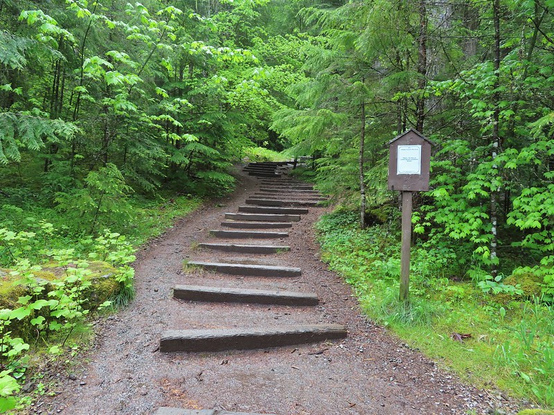
 Watson Falls from below.
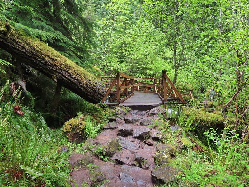 Footbridge over Watson Creek.
 Heather at the viewpoint.
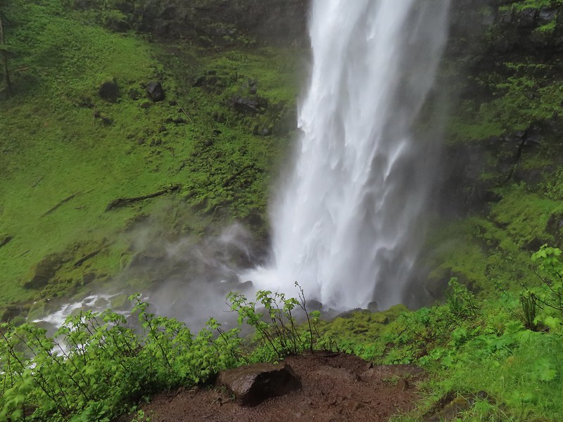 The splash pool.
 Watson Creek at FR 37.
 A little bit of blue sky and sunlight along FR 37.

 Viewing platform above the falls.
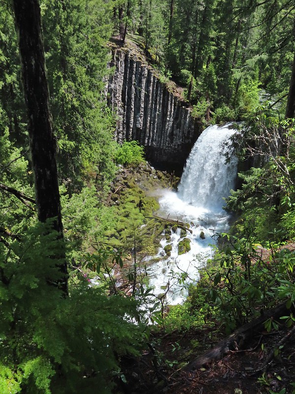 We both really liked the angled basalt cliff on the far side of these falls.
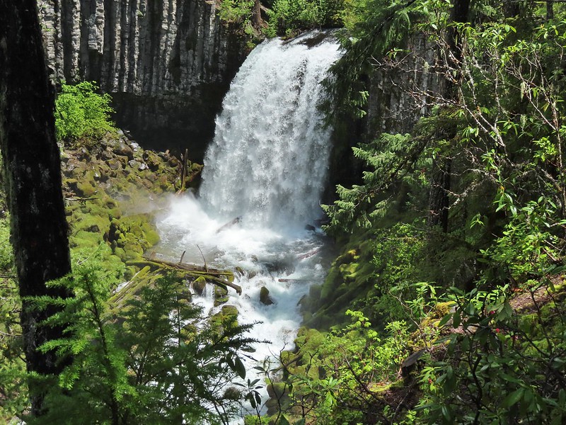
 The canal bridge is 5.6 miles from Highway 138 on FR 2610.
 Sign near the canal bridge.
 The North Umpqua Trail.
 The section between Lemolo Lake and the Umpqua Hot Springs Trailhead is called the “Dread and Terror Segment” but both sections we hiked were beautiful.
 Numerous seasonal streams and seeps flowed across the trail.
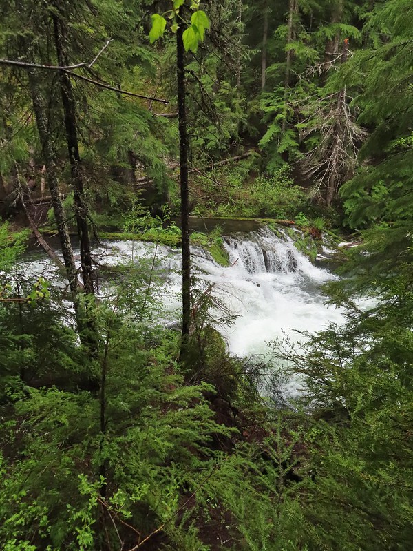
 Unnamed fall along the river.
 Trillium
 Ouzel
Ouzel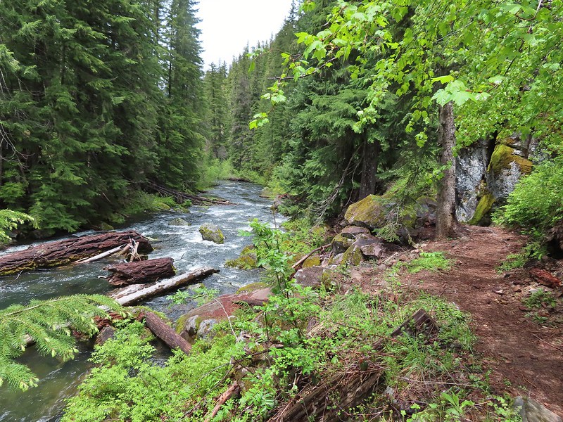
 Lemolo Falls
 Red flowering currant along the trail.
 Bleeding heart.
 Approaching the trailhead.
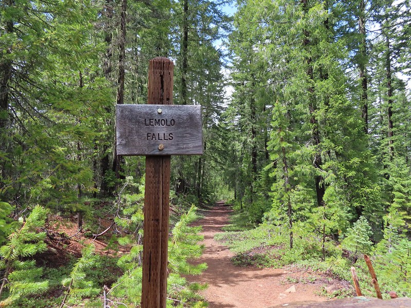

 The former picnic area (Note the picnic table in the trees to the right.)
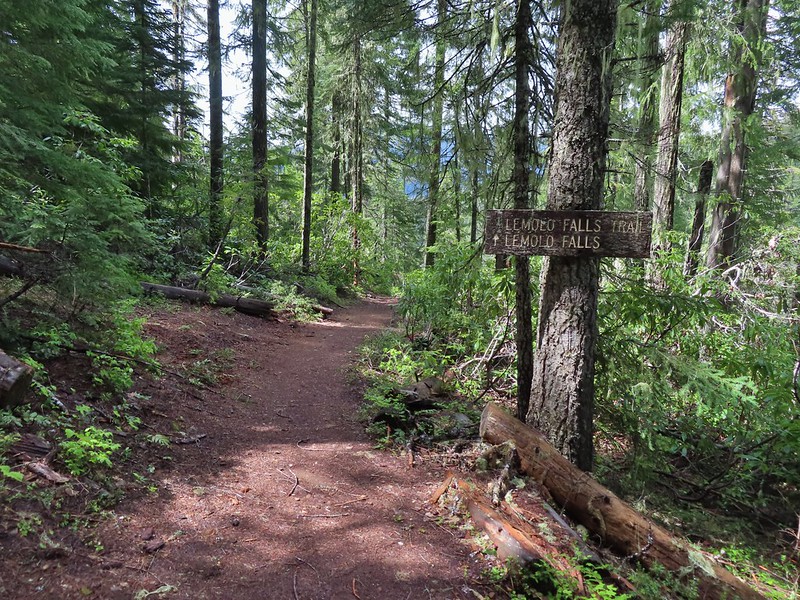
 Valerian along the trail.

 One of many brief appearances of blue sky during the day.