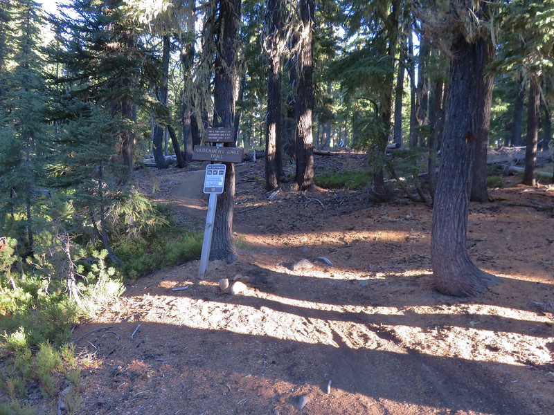
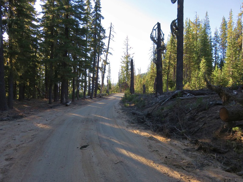
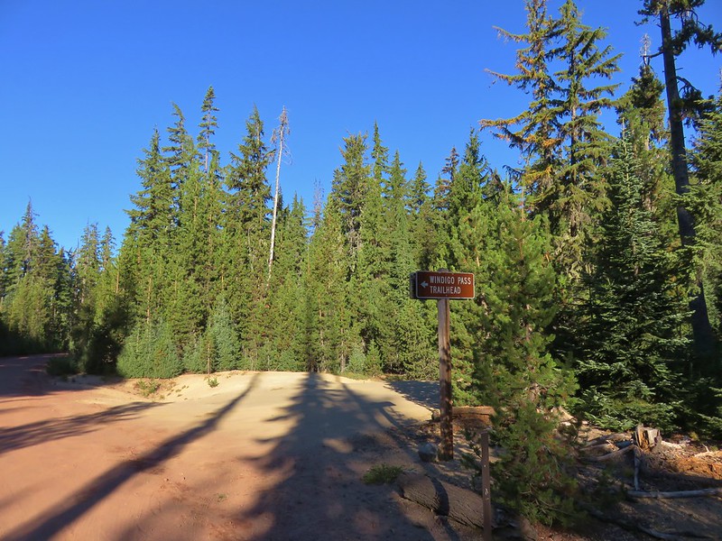
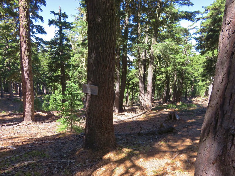
For our final multi-night backpacking trip this year we planned on hiking up a pair of lesser known Cascade peaks located between the Diamond Peak and Mt. Thielsen Wilderness Areas. At the center of our plans was 7669′ Cowhorn Mountain which we would ultimately make a loop around. Our first trail would be the Pacific Crest Trail which passes within .4 miles of Cowhorn Mountain’s summit. We planned on accessing the PCT from the Windigo Pass Trailhead located along Forest Road 60 at Windigo Pass. Forest Road 60 runs between Crescent Lake along Highway 58 and Highway 138 north of Diamond Lake. We came from Crescent Lake and decided to park 3/4 of a mile from the Windigo Pass Trailhead at the Oldenburg Lake Trailhead instead since this would be the trail we used to return on the final day of our trip and we prefer starting with a road walk over ending with one.

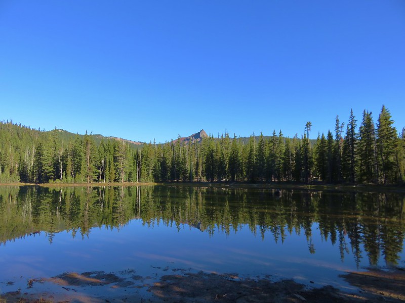
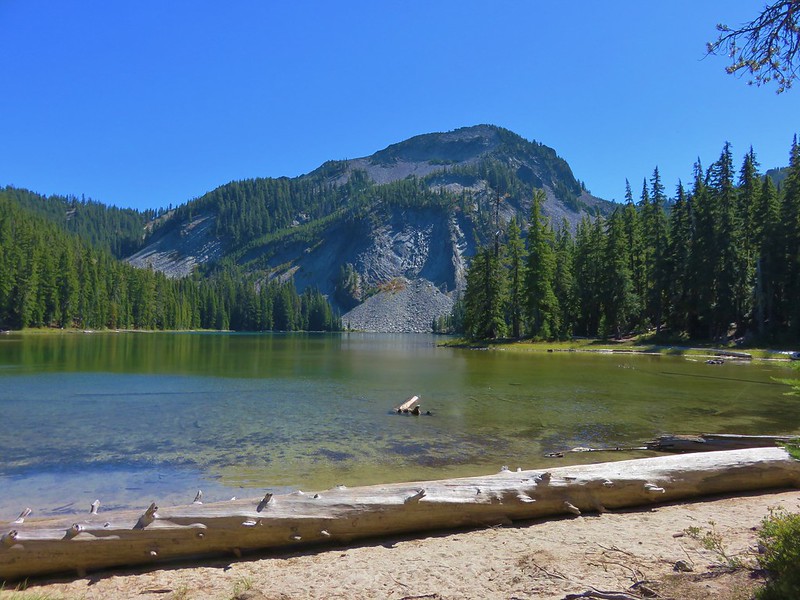
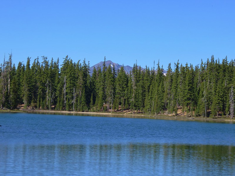
We hadn’t been on the PCT long before we took our first off-trail detour of the day. We wanted to check out one of the Windigo Lakes which are located off the PCT to the east. Using topographic maps and our GPS we found our way to the first of the two Windigo Lakes where we had a nice view of Cowhorn Mountain.
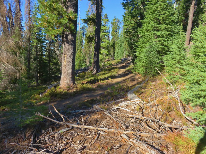
We left the lake and headed back uphill toward the PCT. We were aiming for a switchback about a mile from where we had left the PCT. The climb up to the switchback was a good deal steeper than the slope we had originally come down to reach the lake and as we neared the PCT we encountered some tightly packed young trees which dictated where we were able to go. We managed to regain the PCT maybe a hundred yards from where we had been shooting for.
When we reached the switchback that we had been aiming for we could see the lake below.
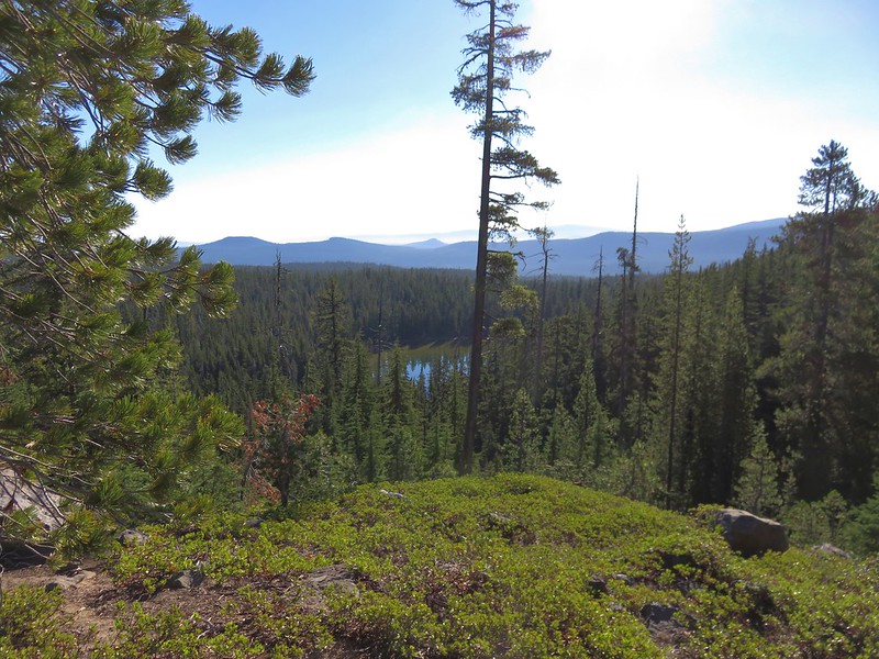
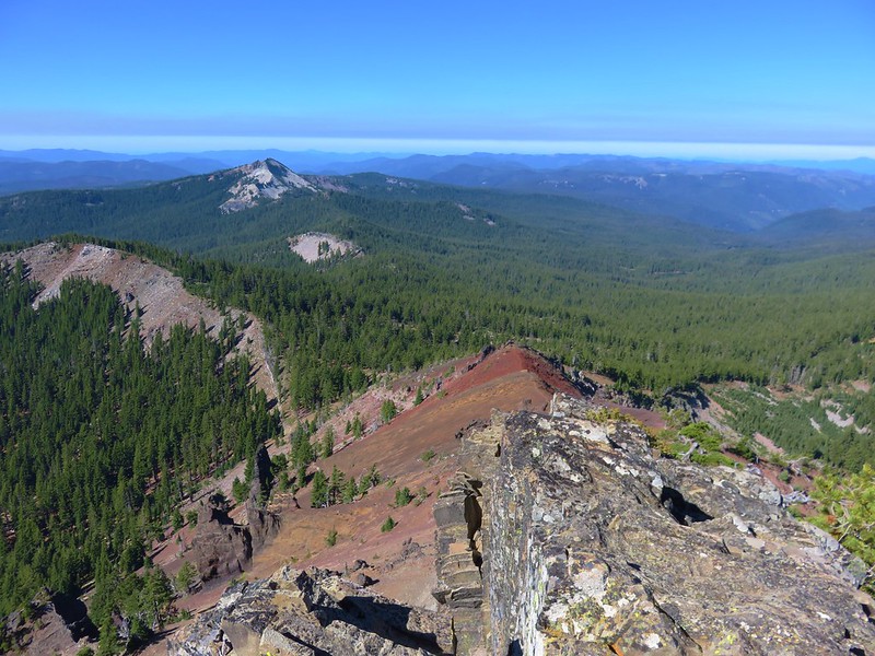
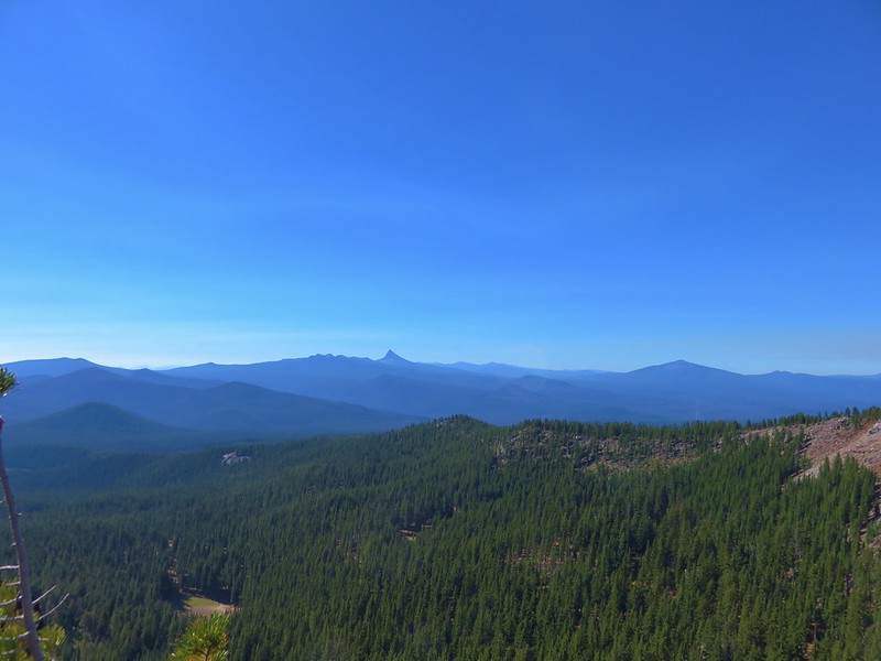
It was approximately 3.3 miles from the switchback viewpoint to the summit trail. The PCT stayed near the top of the ridge offering several views to both the north and south as well as our next goal.
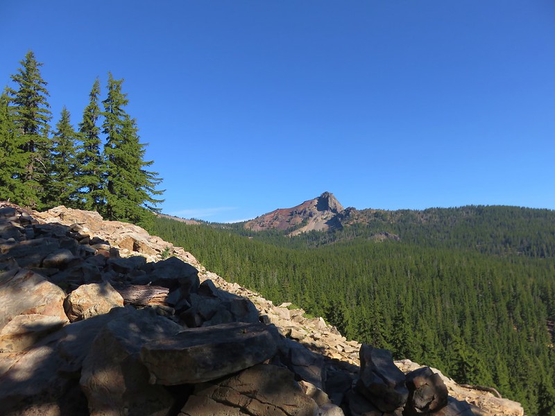
Cowhorn Mountain
Sawtooth Mountain

Mt. Thielsen
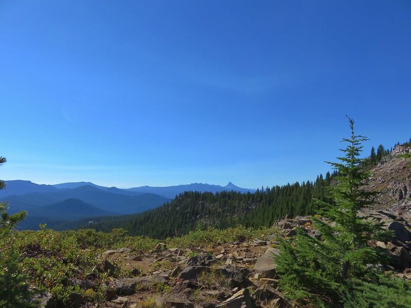
Diamond Peak
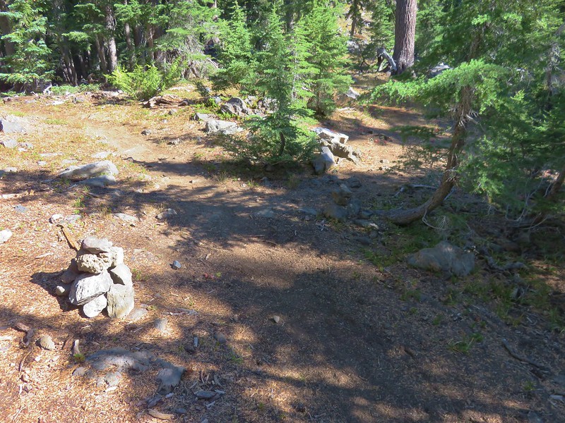
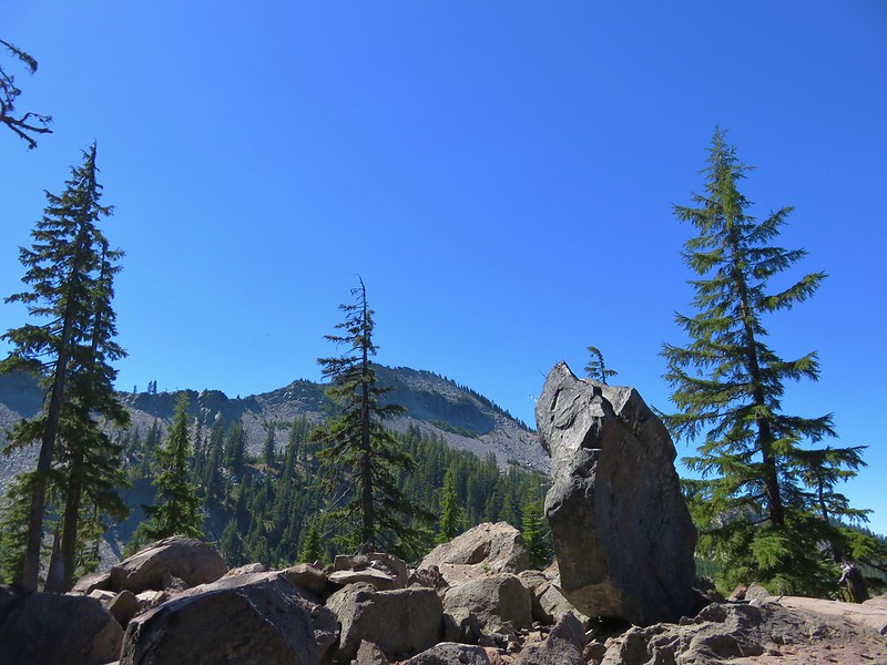
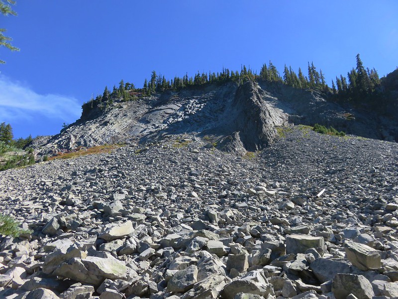
The unofficial trail to the summit was marked by rock cairns on the shoulder of Cowhorn Mountain.

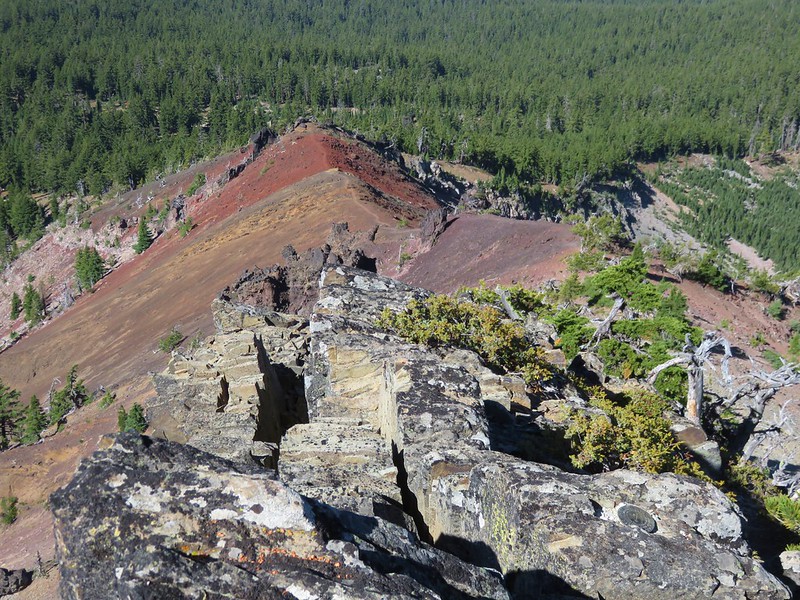
The trail was worn enough to be fairly easy to follow as it crossed a cinder ridge.

Halfway along the ridge was an outcrop made of black rock followed by another cinder covered section of ridge. We had our full backpacks on up until this point but we decided to ditch them before crossing the final cinder ridge and left them by a stunted pine tree. The climb to the summit is a class 2/3 scramble to the current high point. The mountain lost it’s spire top in a 1911 storm.
We had a great 360 degree view from the summit. To the west was Sawtooth Mountain which we were planning on hiking up the next day.
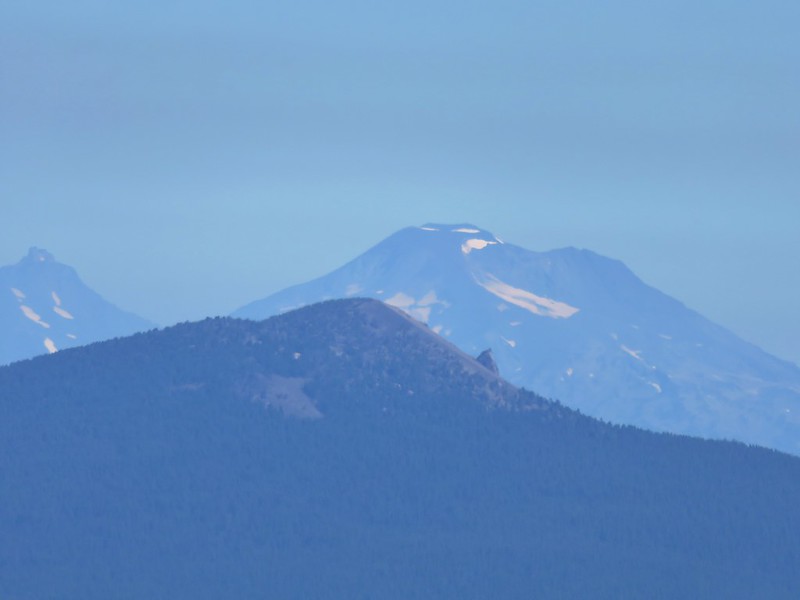
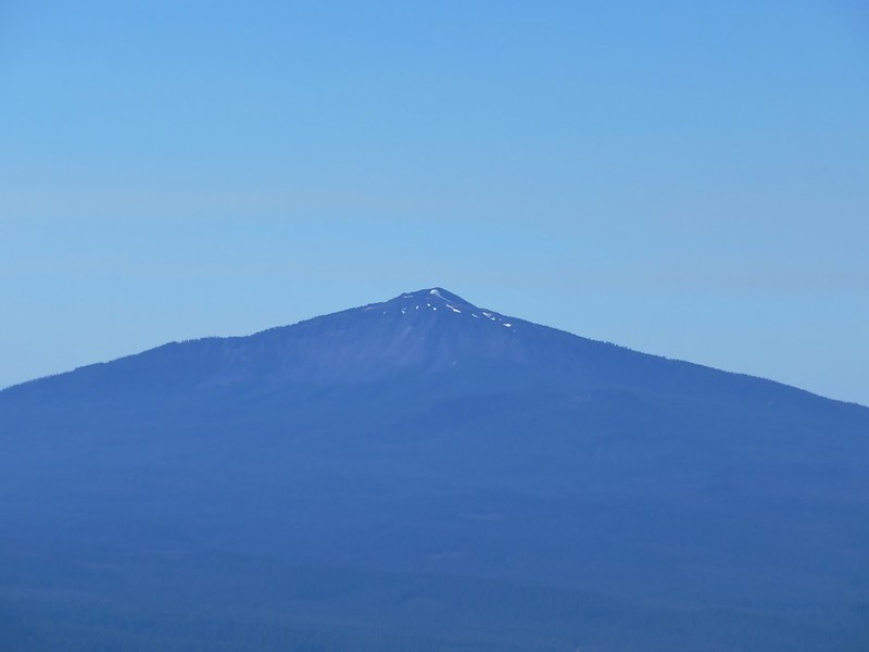
To the north the view included nearby Diamond Peak, the Three Sisters, Broken Top, and Mt. Bachelor.
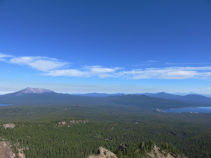
Maiden Peak was in front of the Three Sisters and it was interesting to see how close they looked to that peak from our current location. We had just recently been on Maiden Peak and even though those mountains had been mostly hidden by clouds they seemed further away from that peak than they did now.
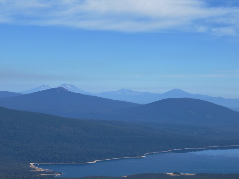
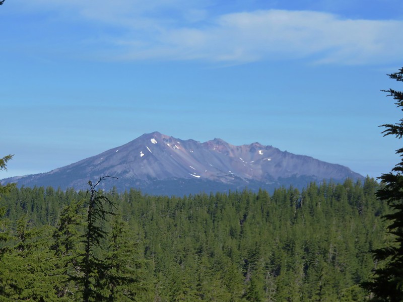
To the south Mt. Thielsen and Mt. Bailey rose above several other Cascade peaks.
Tipsoo Peak, Howlock Mountain, and Mt. Thielsen
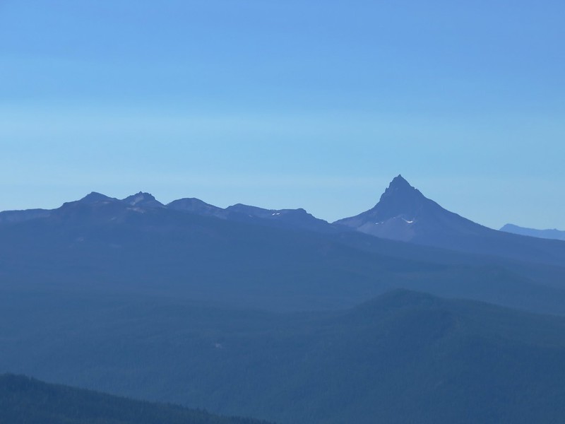
Mt. Bailey
We had brought a snack with us up to the summit and had hoped to take a nice long break up there but we wound up not staying as long as we planned due to there being quite a few yellow jackets flying around. Heather (and the rest of my family) can tell you I am not a bee person and I am especially uncomfortable around yellow jackets and wasps. I have been doing better the last couple of years with honey bees and bumble bees but I have no use for yellow jackets and can only handle their buzzing around me for a short time before I start to go crazy, and I really didn’t want to do something stupid on the top of a mountain, so we headed back down, retrieved our backpacks, and returned to the PCT.
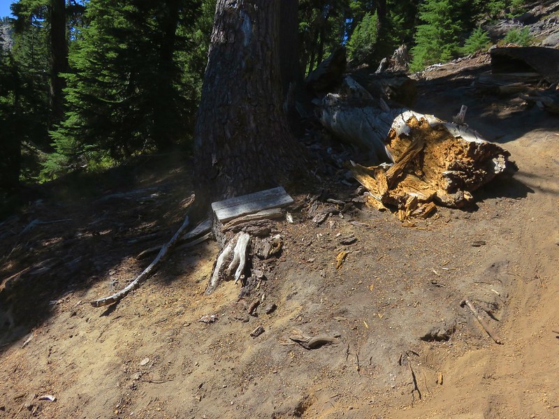
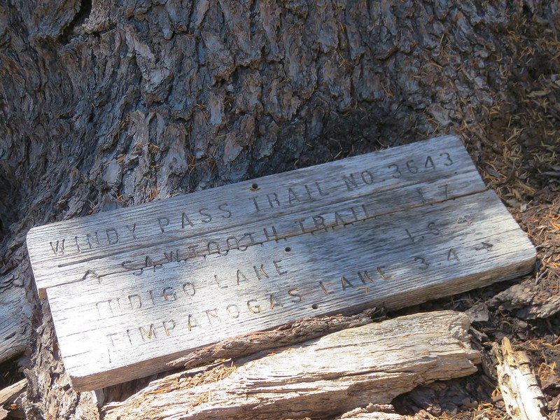
We continued north on the PCT just over a quarter of a mile to a signed junction with the Cowhorn Traverse Trail.
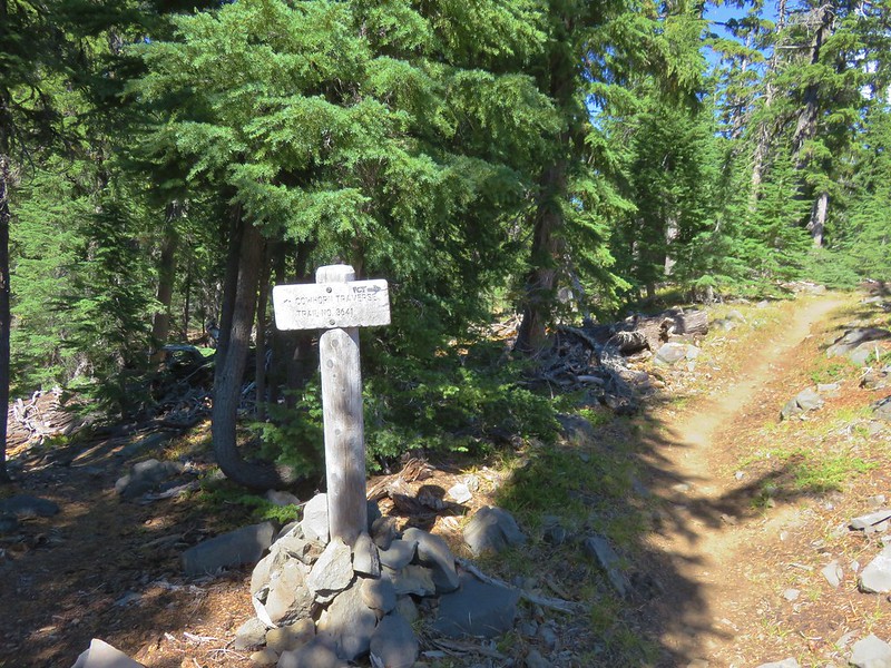
We left the PCT here and took the Cowhorn Traverse Trail downhill for .3 miles to another junction, this time with the Windy Pass Trail.
We were now in the Oregon Cascades Recreation area, the largest unprotected roadless area left in the Cascades. We headed left on the Windy Pass Trail which followed a ridge west toward Sawtooth Mountain for approximately two miles to a junction with the Indigo Extension Trail.
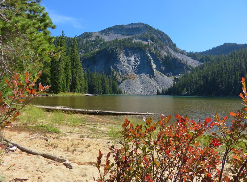
The Windy Pass Trail continued to the left passing behind Sawtooth Mountain. We would be taking that trail the next day when we climbed Sawtooth Mountain but for now we headed right toward Indigo Lake. The trail passed a nice viewpoint of Sawtooth Mountain before beginning a steeper descent toward the lake via a series of switchbacks.
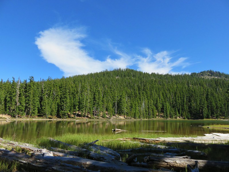
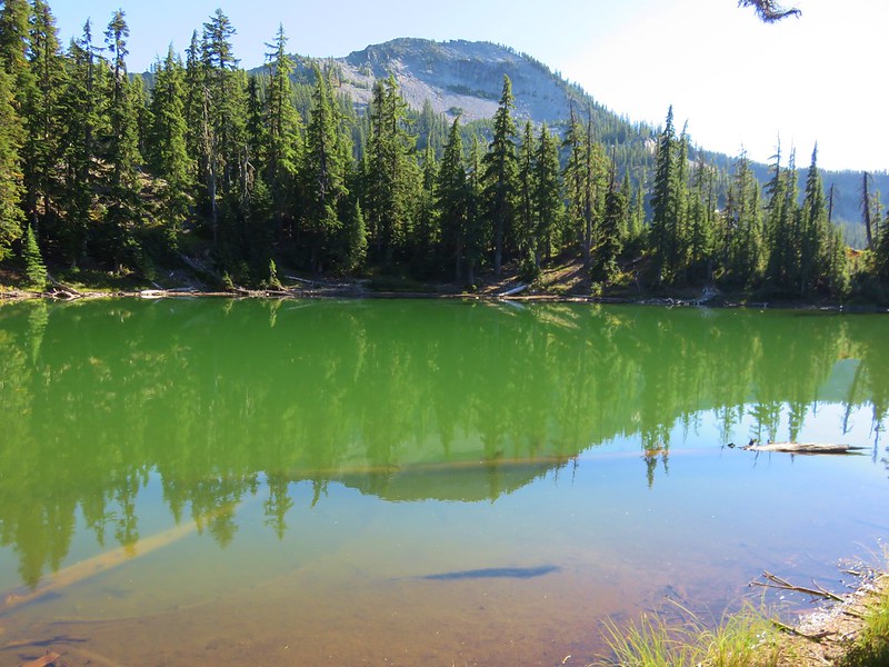
We decided to take another detour off-trail prior to reaching Indigo Lake to see if we could get to a small unnamed lake shown on the map. We left the trail when we appeared to be at a comparable elevation to the lake and managed to find it without much difficulty. The little lake was a beautiful green and had a nice view of Sawtooth Mountain.
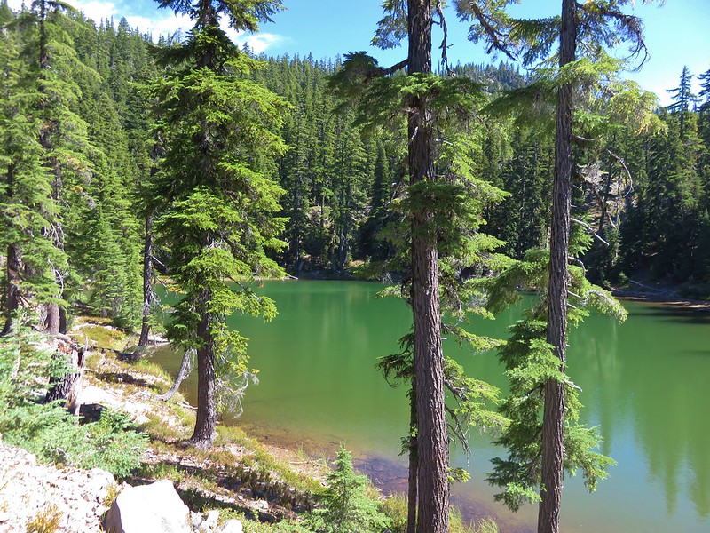
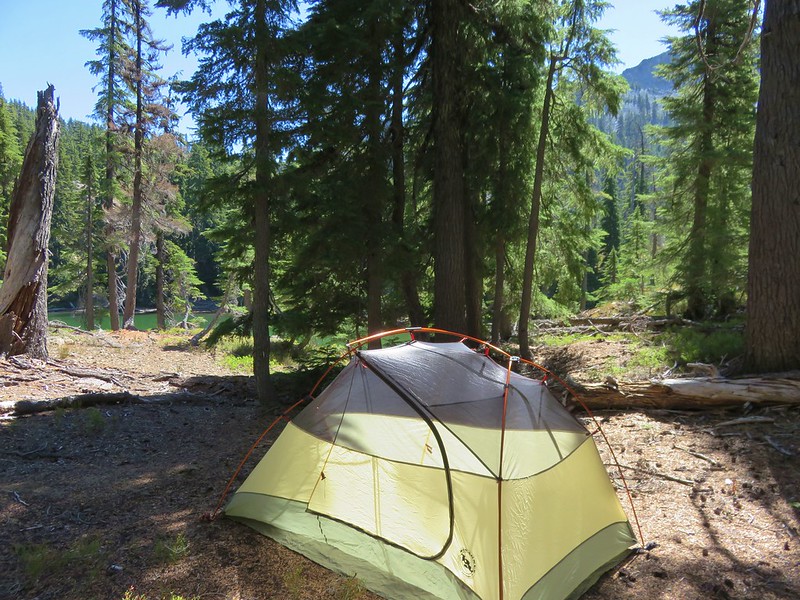
There was also a nice area for a tent so we called an audible and decided to set up camp here instead of down at Indigo Lake.
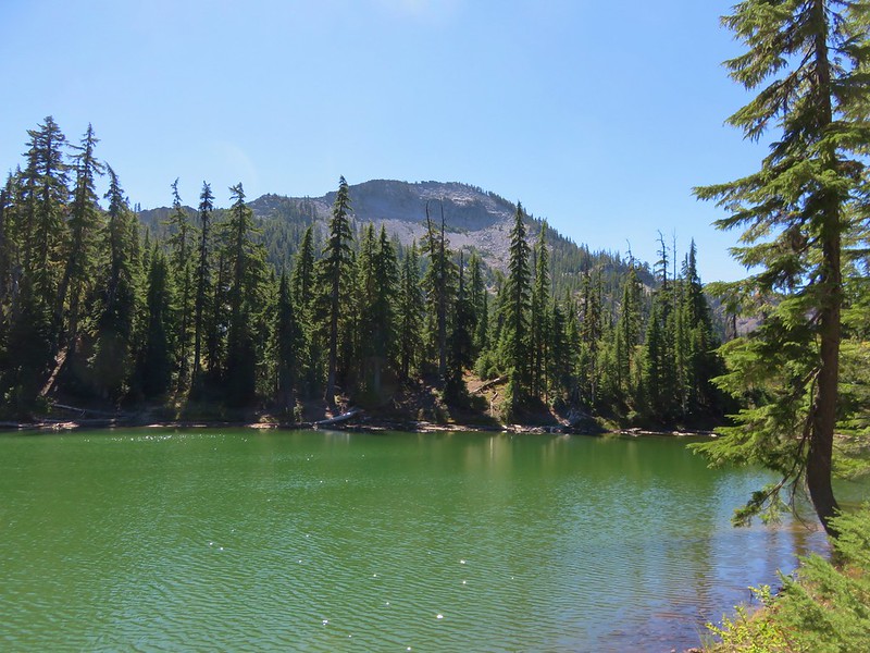
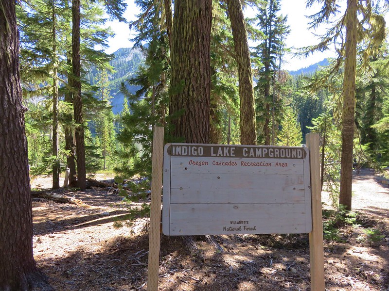
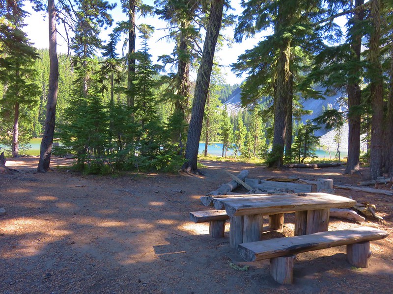
After getting our camp set up we switched to our day packs and headed back to the trail to go see Indigo Lake. After a few more switchbacks we arrived at the lake’s primitive campground.
We didn’t see anyone else there as we made our way counter-clockwise around the lake.

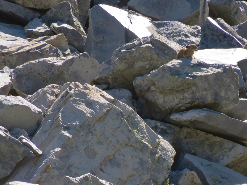
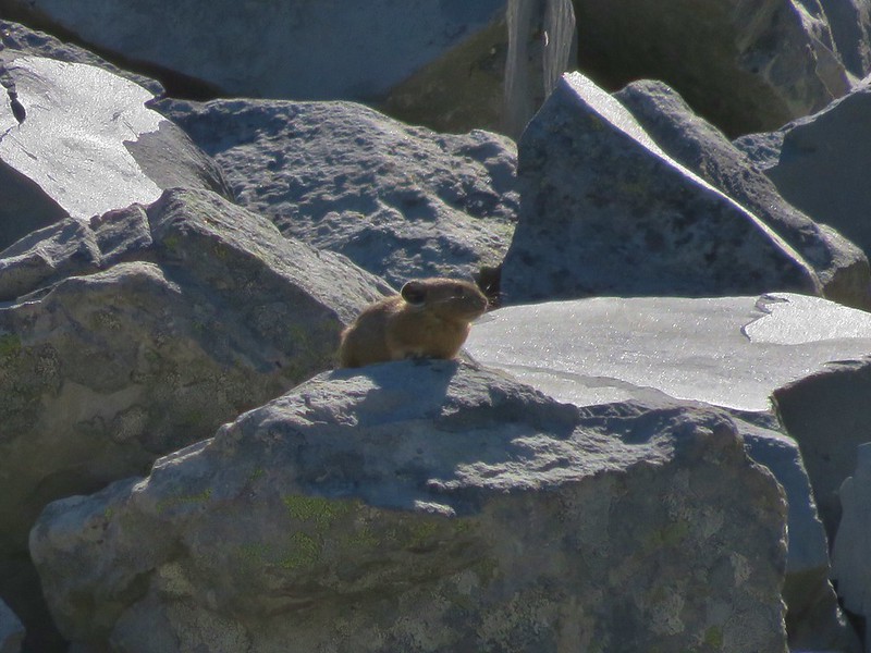
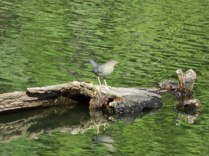
At the south end of the lake was a talus slope where we spotted a couple of pikas.
The southern end of the lake also provided a glimpse of Diamond Peak.
We finished the loop around the lake and then sat at one of the wooden picnic tables for a bit.
After our break we climbed back up to the unnamed lake and decided to walk around it as well. There weren’t any other people there either but we were far from alone.

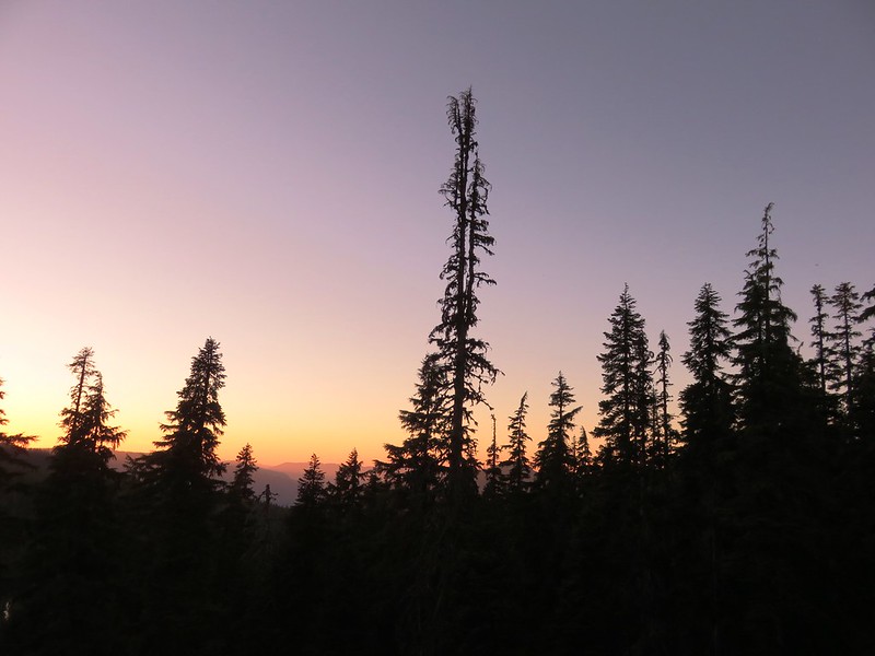
We spent the rest of the evening at the little lake watching the sunset after having dinner and then turning in for the night.

Happy Trails!
Flickr: https://www.flickr.com/photos/9319235@N02/albums/72157674041143915

12 replies on “Cowhorn Mountain and Indigo Lake”
Nice trip account. I like that you’re covering some of the more remote, untraveled areas. Also, glad to see you finally got a shot of a rock pica. I’ve never gotten that close.
[…] the Diamond Peak rose between to lesser peaks. Sawtooth Mountain rose to the left and the spire of Cowhorn Mountain rose to the right of the larger snow covered […]
I would like good directions from Highway 58 to Windigo Pass Trailhead on PCT. Even a text 503-302-9997
Dan – The best directions can be found on Summitpost.org for Cowhorn Mountain: From the north (Portland/Eugene/etc.) take I-5 south to Highway 58 in Goshen. Take 58 east past Crescent Lake to a small road on the right labelled 6020. It is just to the southeast of Odell Butte. Take this gravel road 5.2 miles along teeth-loosening washboard gravel to Road 60 (Windigo Pass Road). Turn left on Road 60 and take this 9.1 miles to the trailhead on the RIGHT side of the road.
If you’re coming from Central, OR turn left on 6020 just before Odell Butte and follow those directions.
[…] were a little less cloudy to the south where Cowhorn Mountain (post) and Mt. Thielsen (post) seemed to be cloud free while Diamond Peak wasn’t so […]
[…] Llao Rock was visible over the right shoulder of Mt. Thielsen from this angle. The closest rocky peak to the right of the photo is Cowhorn Mountain (post) […]
[…] From the saddle we could see the patch of open space in the trees below where camp was and on the horizon were Diamond Peak, Sawtooth Mountain (post), and Cowhorn Mountian (post). […]
[…] Cowhorn Mountain (post) […]
[…] Mountain (post) to the left of Mt. Thielsen and Howlock Mountain to the […]
[…] Mountain (post), Maiden Peak (post), the Three Sisters, and Mt. […]
[…] and Watson Falls-Hiked 6/13/2022 #10 Lemolo Falls-Hiked 6/13/2022 #11 Cowhorn Mountain-Hiked 9/15/2016 #12 Miller and Maidu Lakes-Hiked 8/1/2012 #13 Tipsoo Peak-Hiked 10/2/2014 #14 Thielsen […]
[…] Mountain (post) is the leftmost pointy peak followed by Howlock Mountain, Mt. Thielsen, Sawtooth Mountain (post), […]