Oh those pesky clouds. We had been moving this hike all over the calendar in hopes of catching the wildflowers that this hike is famous for at the optimal time. After checking in on portlandhikers.com and seeing some encouraging trip reports we decided it was now or never. The forecast was iffy but there was a chance of some sunshine and little chance of rain and this hike fit our schedules here better than it would again while the flowers were still in bloom. A more flexible schedule would have allowed us to head up earlier in the week when the sky was clear and the sun shining, but that won’t happen for some time yet. For now we are at the mercy of the weather.
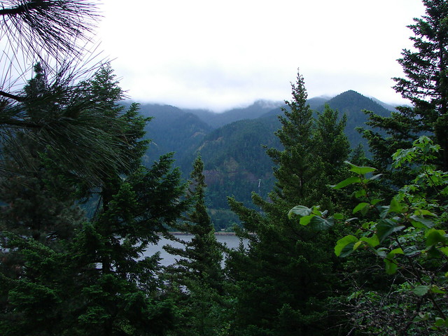
Dog Mountain is on the Washington side of the Columbia River just east of Carson. This is a very popular hike, especially during flower season, so we were sure to leave extra early to beat the crowds. We were car number 4 at the trailhead when we arrived shortly before 7am. We were beneath the clouds and could see their edge to the east where clear sky taunted us just a bit further up the gorge. As we began the 3 mile climb to the summit we could see that Mt. Defiance was cloud covered on the Oregon side of the river.
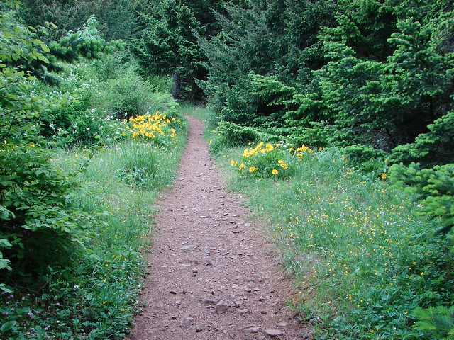
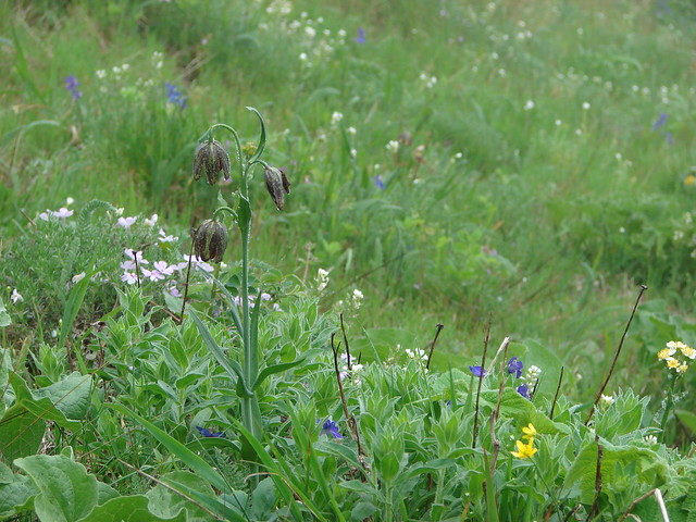
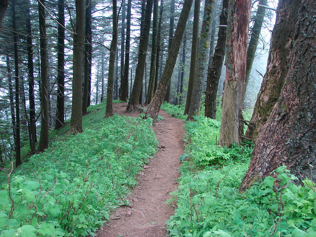
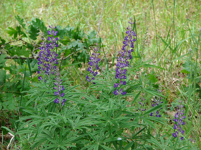
There were some nice flowers along the early part of the trail but I had a hard time getting decent pictures due to the cloud cover and dim light of the more forested lower parts of Dog Mountain.

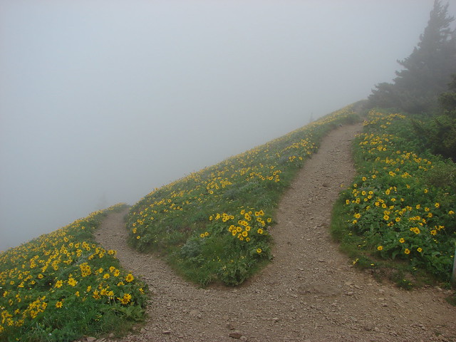
At the half mile mark (which seems much further given the almost 700′ the trail has already climbed) the trail splits offering two routes to the upper meadow. The right hand spur is the recommended spur both for scenery and ease. For once we took the “less difficult” route and opted for the scenery of the lower meadow.
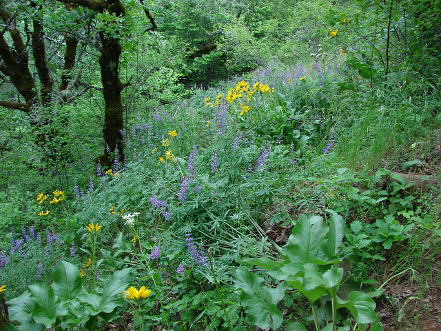
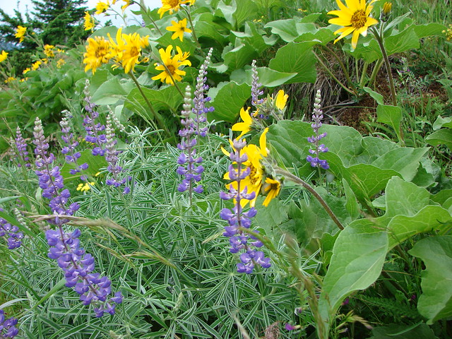
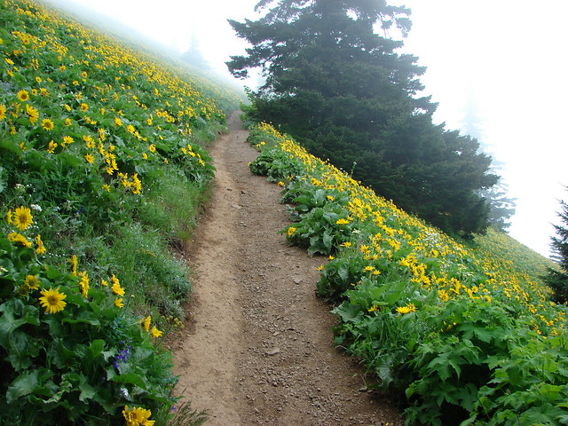
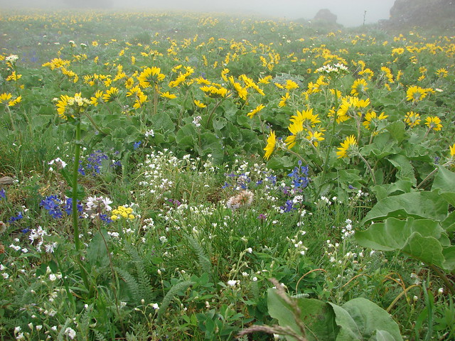
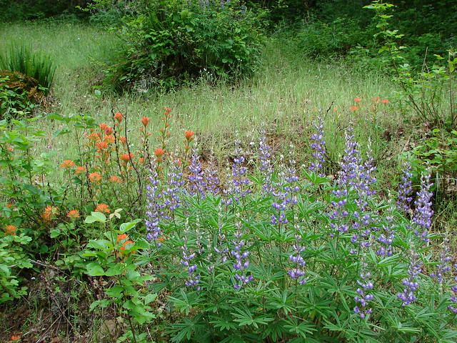
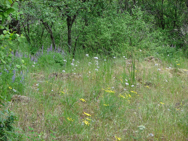
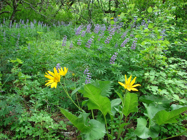
Just about a mile form the split we came to our first view of the lower meadow which was filled with a large variety of flowers, but dominated by yellow balsamroot.
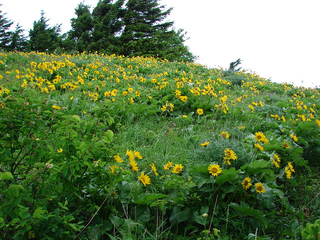
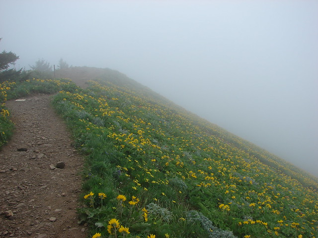
The wind was really blowing on the exposed hillside and the clear skies to the east were still teasing us but the beauty of the flowers trumped all.

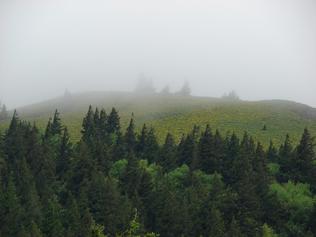
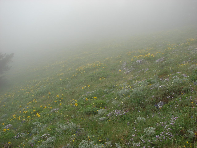
We could see the lower portion of the upper meadows from here and it was obvious that the clouds were passing right over the summit area. We held out hope that by the time we climbed the final 1.6 miles the conditions would improve.
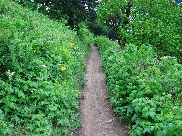
After leaving the lower meadow the trail reentered the forest.

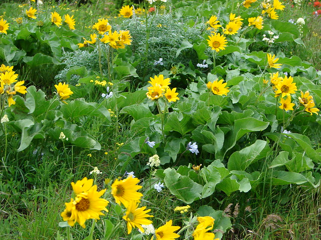
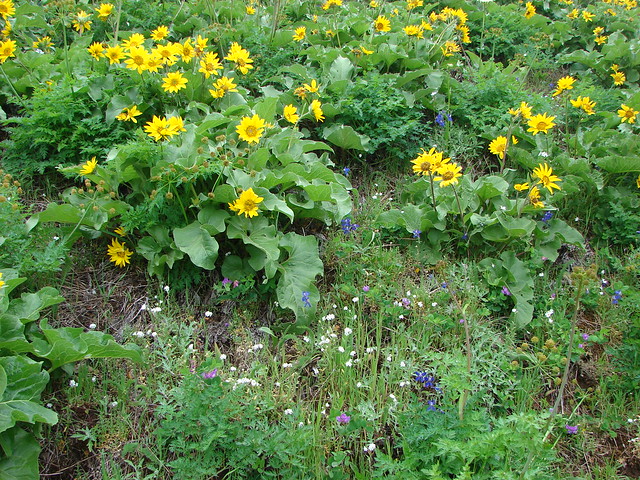
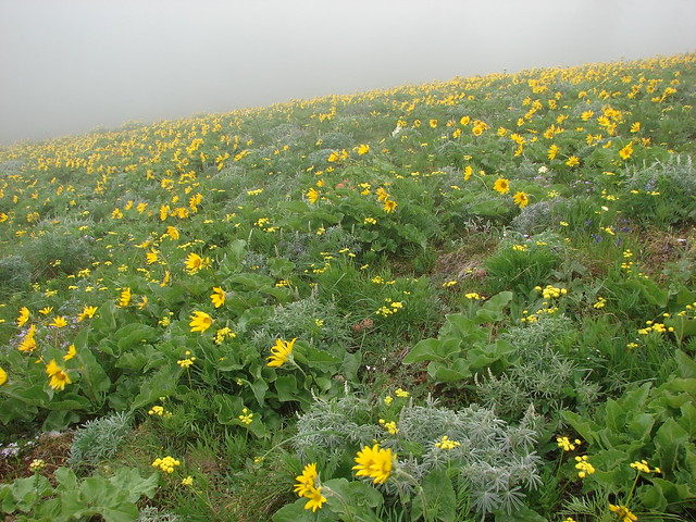
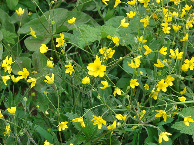
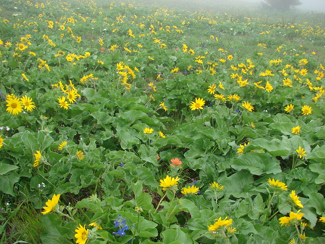
As the trail emerged from the trees we passed through a short stretch of thimbleberry bushes before entering a hillside filled with balsamroot.
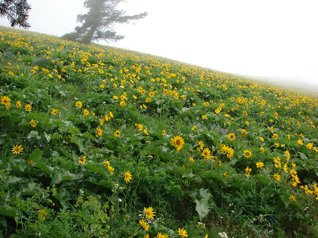
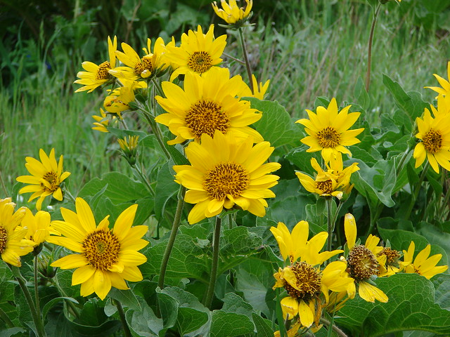
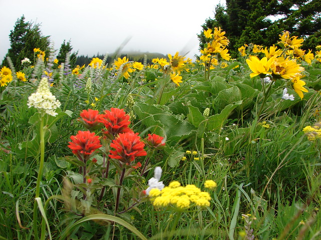
There were many other wildflowers mixed into the balsamroot too. We were doing our best to spot all the different varieties.


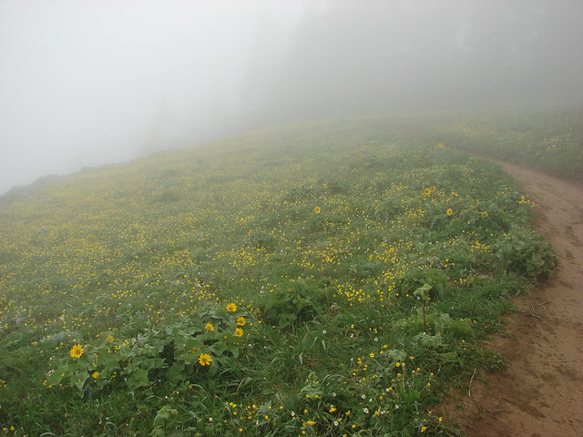
There is a viewpoint that was the site of a lookout in this lower portion of the meadow but on this day we didn’t have a view.
Except for that of the meadow.
The viewpoint as we continued up.
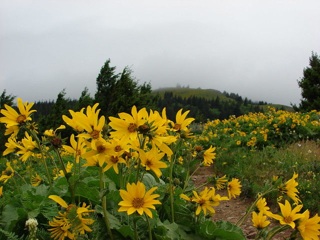
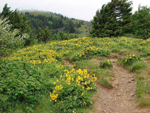
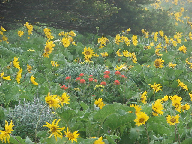
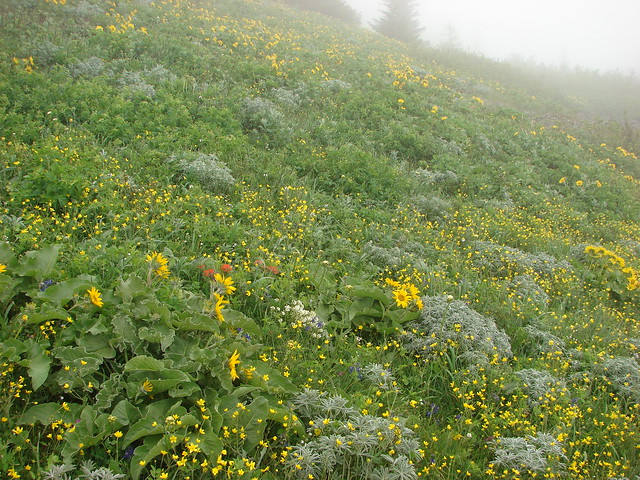
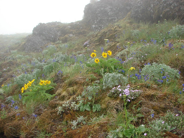
The flower display continued as we kept climbing. It was pretty cold due to the moist air and steady wind and even climbing couldn’t keep our hands from being a bit numb. The flowers that were in bloom changed as we got closer to the summit showing that there would still be time to get up there and enjoy them in the next couple of weeks.

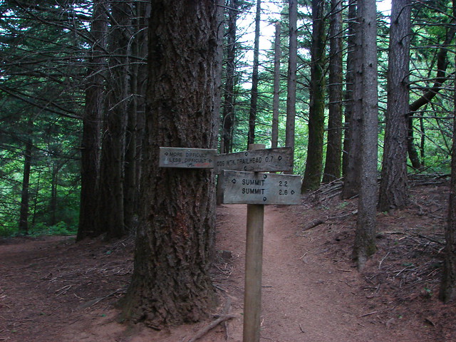
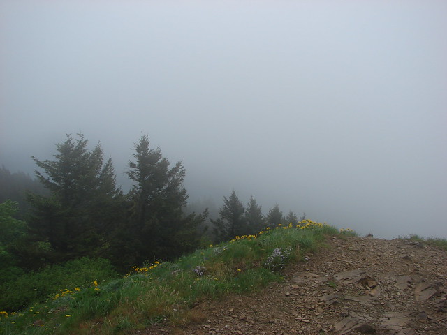
A trail junction announces the final .1mi to the summit where a little balsamroot was outnumbered by some smaller yellow flowers.
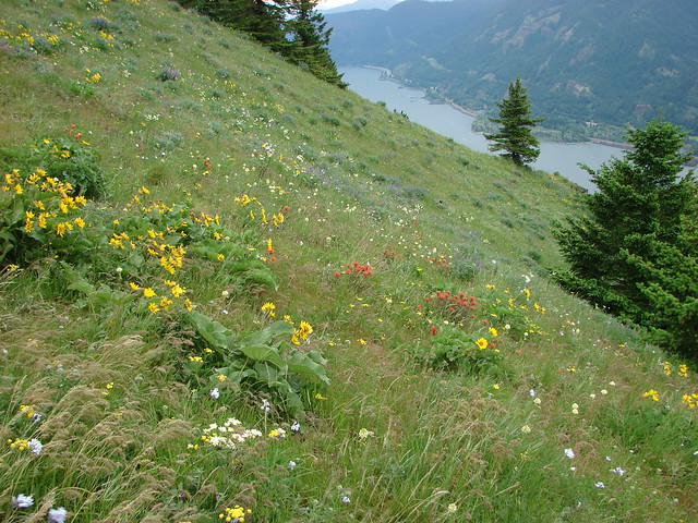
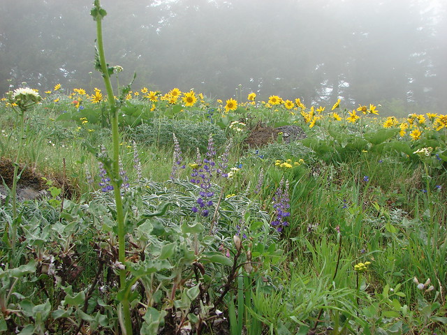
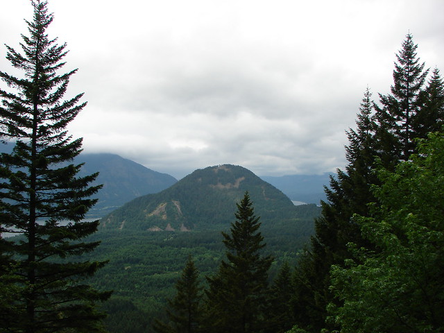
On a clear day Mt. Hood would have been peaking over the shoulder of Mt. Defiance and the Columbia River would be snaking along below but with no sign of the clouds ending we took a short break and began our return. For the return trip we turned right at the junction and headed for the Augspurger Mt. trail. This trail passed through even more wildflower meadows before reaching the Augspurger Trail in just over a mile.

The Ausgsuprger Mt. trail headed down a narrow ridge and then wound around Dog Mt. back to the parking area.
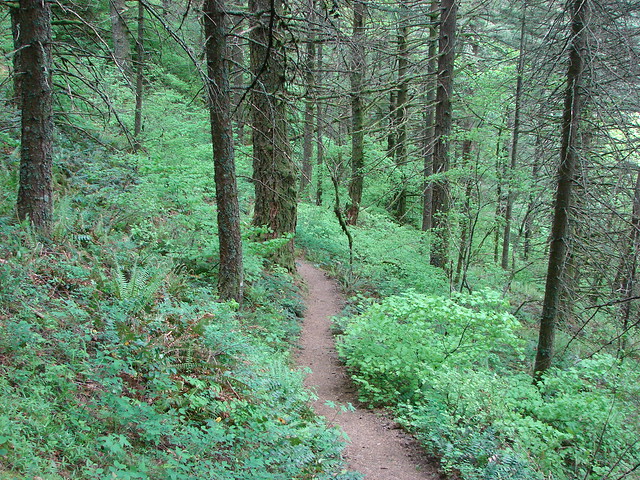
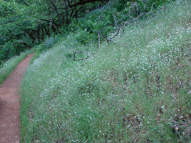
Along the way were many woodland flowers in the forest and the occasional view once we had descended below the clouds.
Wind Mountain:
As we got closer to the trailhead small patches of wildflowers began to be more frequent. In places where there the hillsides were free of trees flowers reigned.
The parking lot had filled when we made it back just before 10:30. We’d seen a handful of hikers coming up the Augspurger trail but the majority of them obviously went up the way we had. We had joked about doing the loop again if the sky had cleared by the time we got back to the car. It hadn’t and seeing the number of cars in the lot all I could picture was a conga line going up the trail so even if it had I think I would have passed and saved the view for another visit. The wildflowers had certainly lived up to their hype even with the poor visibility. We plan on putting this hike back on the to do list in coming years, and this time we’ll look for a sunny day on which to tackle it. Happy trails!
flickr:https://www.flickr.com/photos/9319235@N02/sets/72157644304483710/
facebook:https://www.facebook.com/deryl.yunck/media_set?set=a.10204011105305136.1073741877.1448521051&type=1

5 replies on “Dog Mountain”
[…] This was our second visit to Dog Mountain and probably our final one for several years at least. While the wildflower meadows on Dog Mountain are arguably the best in the Columbia Gorge, that distinction brings crowds. We do our best to avoid crowded hikes, but our visit in May 2014 was on a morning when low clouds covered the upper meadows limiting views of the gorge and the flowers. https://wanderingyuncks.wordpress.com/2014/05/18/dog-mountain/ […]
[…] It seemed like a nice “little” waterfall but interestingly this lower portion was only a small part of a much taller fall as we would discover in 2014 when we spotted the waterfall from across the Columbia River on the Dog Mountain Trail (post). […]
[…] Dog Mountain – 5/17/2014 & […]
[…] Dog Mountain (post) […]
[…] at the green up to the left is Augspurger Mountain (post) and Dog Mountain (post) on the Washington side of the Columbia River Gorge. Mt. Defiance (post) is the high point on the […]