
** Note the 2025 Burdoin Fire burned over much of the route described here. **
A combination of inclement weather and illnesses had kept us off the trails for a few weeks, so we were excited to get a chance to head out and check out some wildflowers. We decided to revisit a pair of hikes that we’d done back in 2016 as part of our 500 featured hikes quest. On our 2016 outing we made separate stops at Catherine Creek and Coyote Wall but this time our plan was to hike a loop between the two areas.
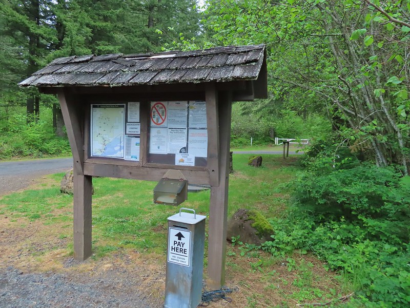
We based our route on a loop described in the Oregonhikers.org field guide which begins at the Catherine Creek Trailhead.


The Forest Service along with the Washington Trails Association have been working on restoring these areas including by improving, rerouting and decommissioning various user created trails. It is a work in process so knowing the current conditions and respecting any closed trails/areas is important before visiting.

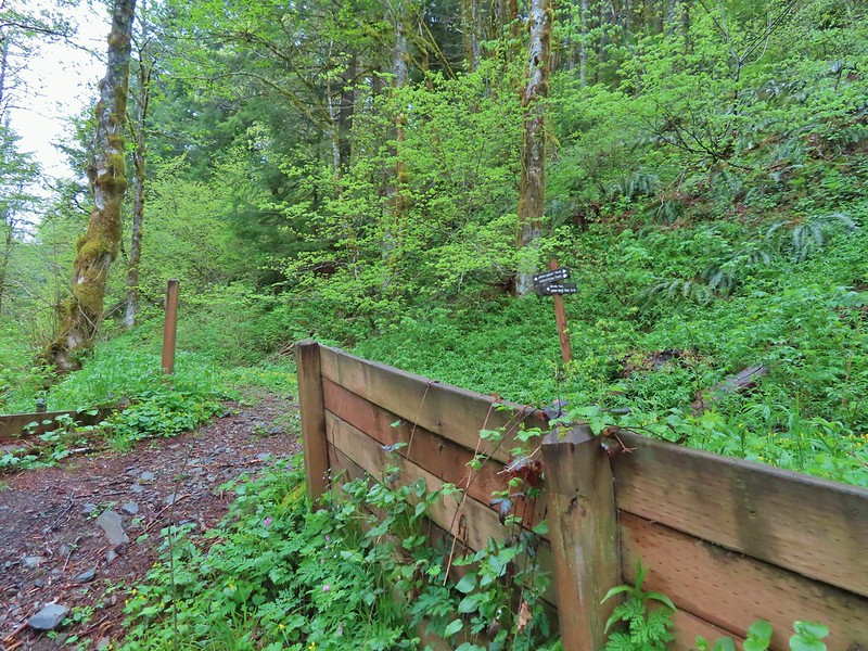
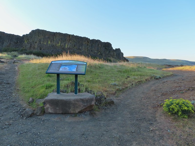
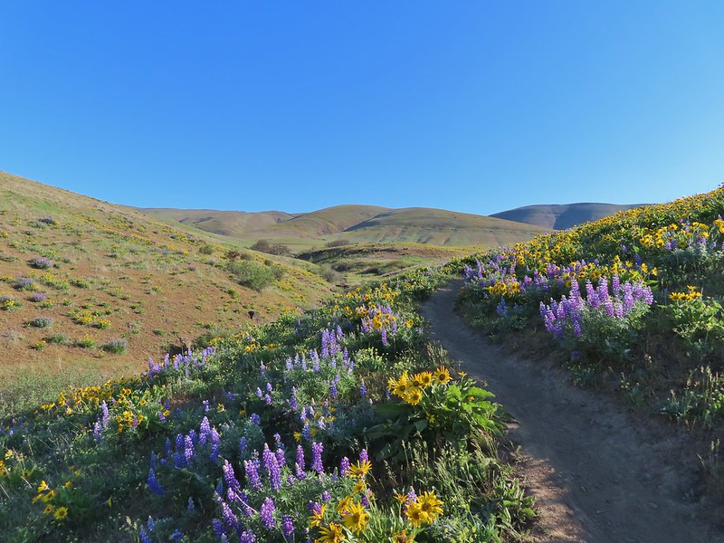
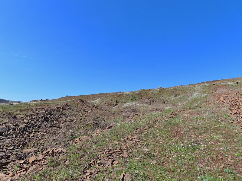
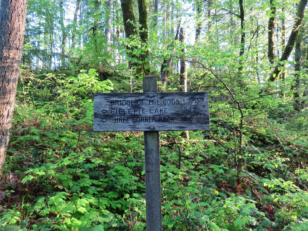
For our loop today we began by following Atwood Road (right of the signboard).
 Atwood Road
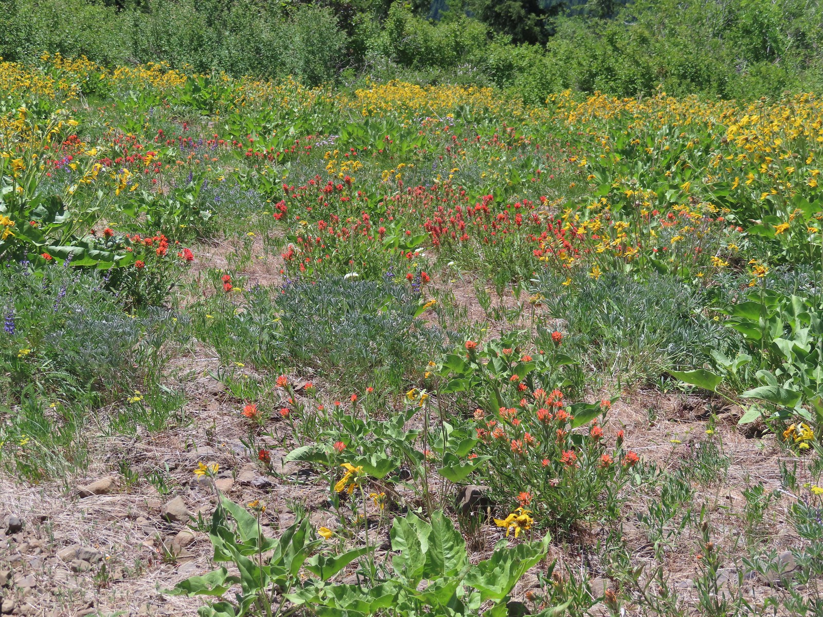
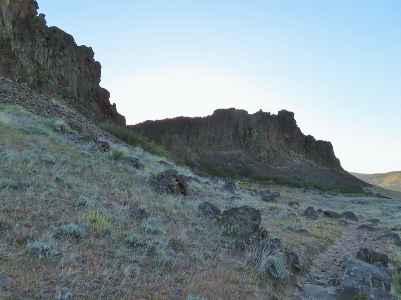
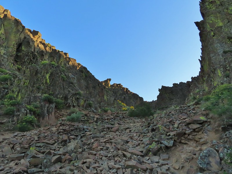
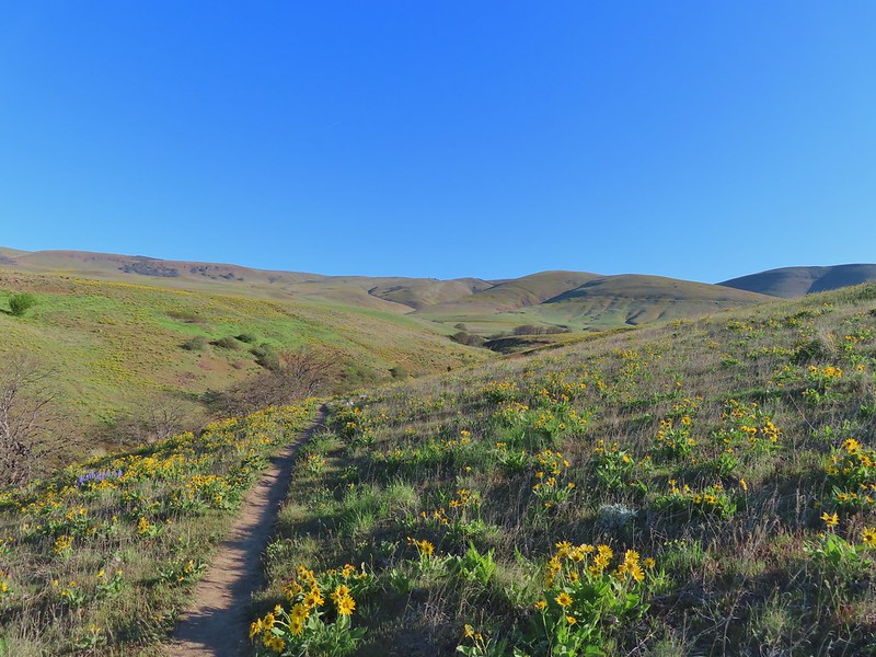
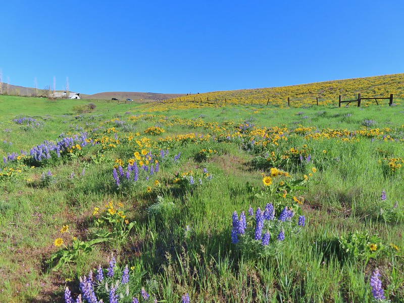
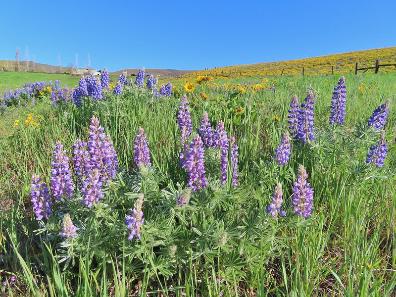
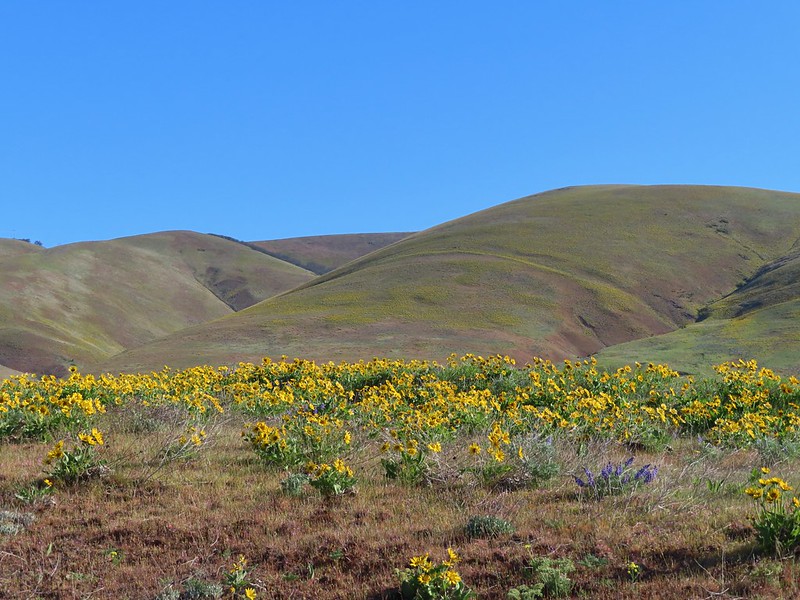
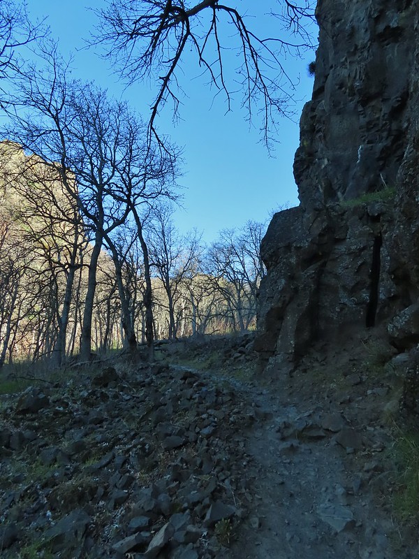
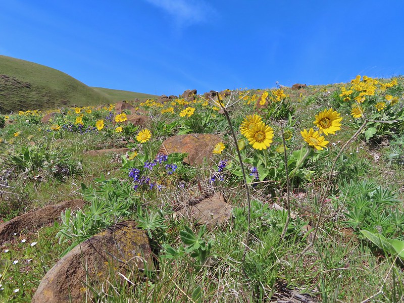
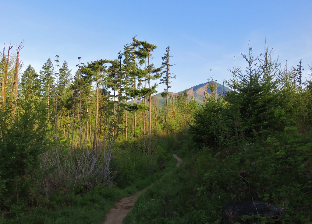
The first 3.5 miles of our loop followed this old roadbed. The initial 1.5 miles climbed steadily before the road turned west to traverse the hillside toward Coyote Wall. There were a variety of wildflowers blooming along the lower portion of the road.
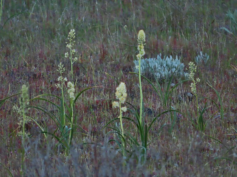
 Death camas
 Saxifrage and a yellow bells.
 Grass widows

 Gold stars, wood-land stars, and blue-eyed Mary.
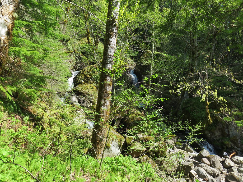
 Catherine Creek from Atwood Road.
 Pungent desert parsley


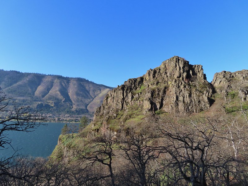
Catherine Creek Arch from Atwood Road.
 Closer look at the arch.
 Buttercup
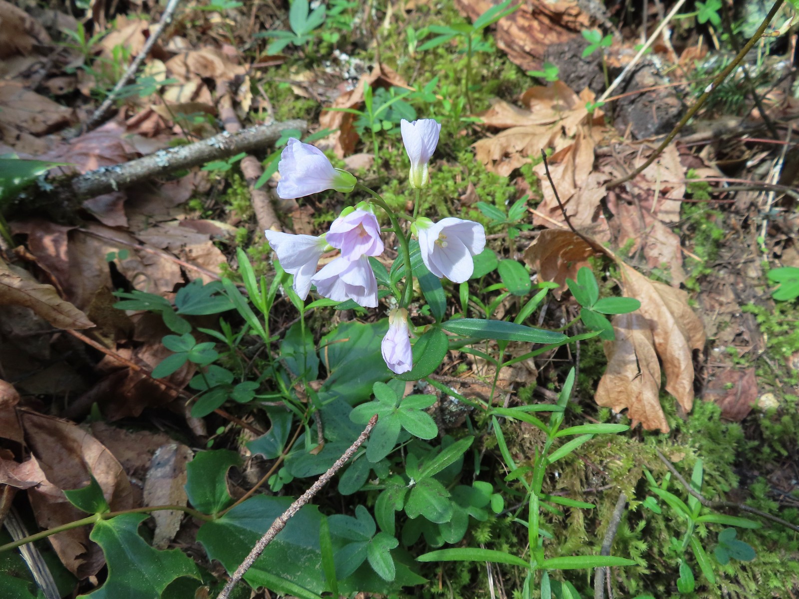
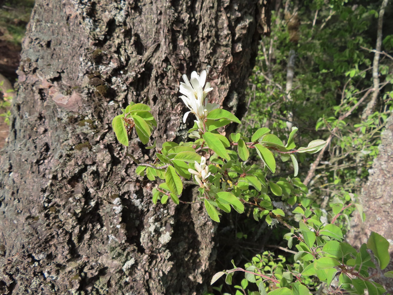
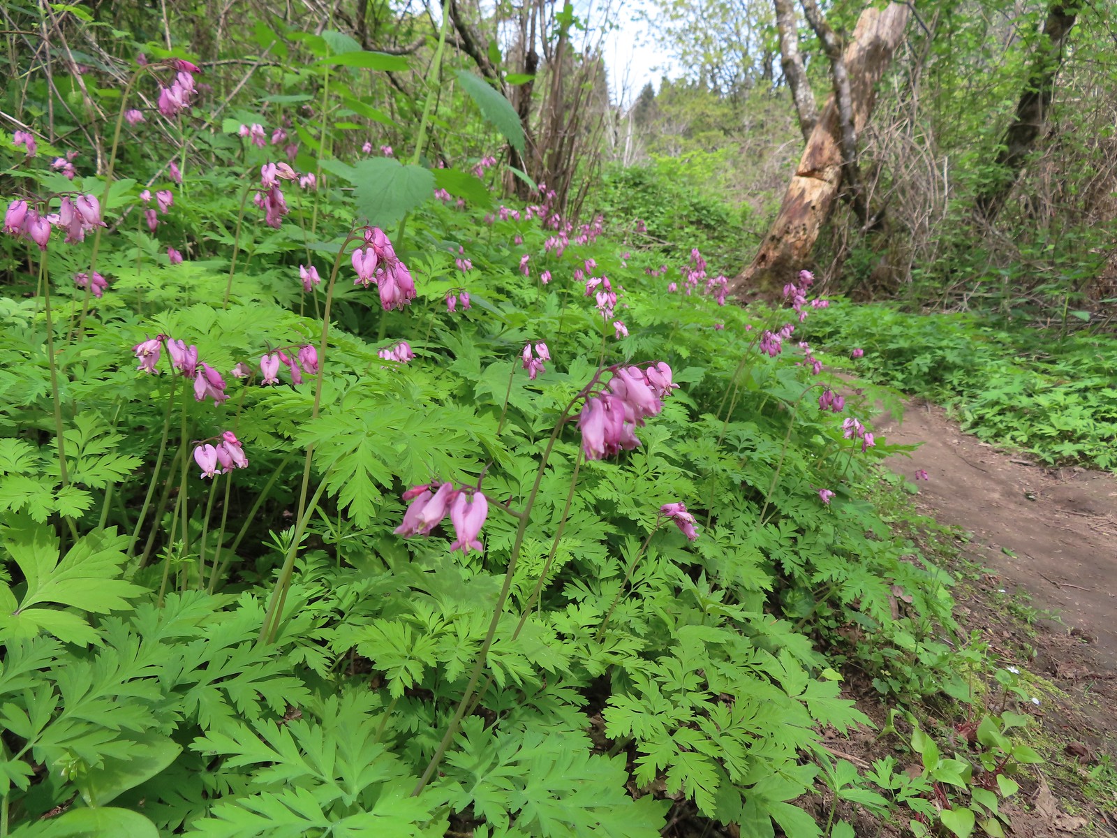
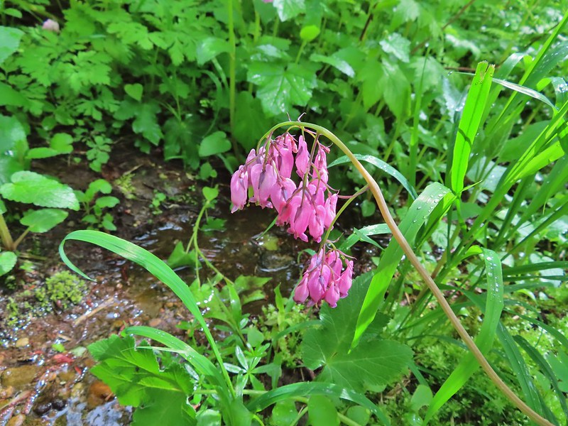
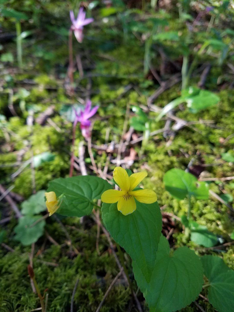
One of the highlights of the day was spotting a number of Dutchman’s breeches on a hillside below some cliffs.
 I believe this was just our second time coming across these flowers.
 Closer look at the Dutchman’s breeches.

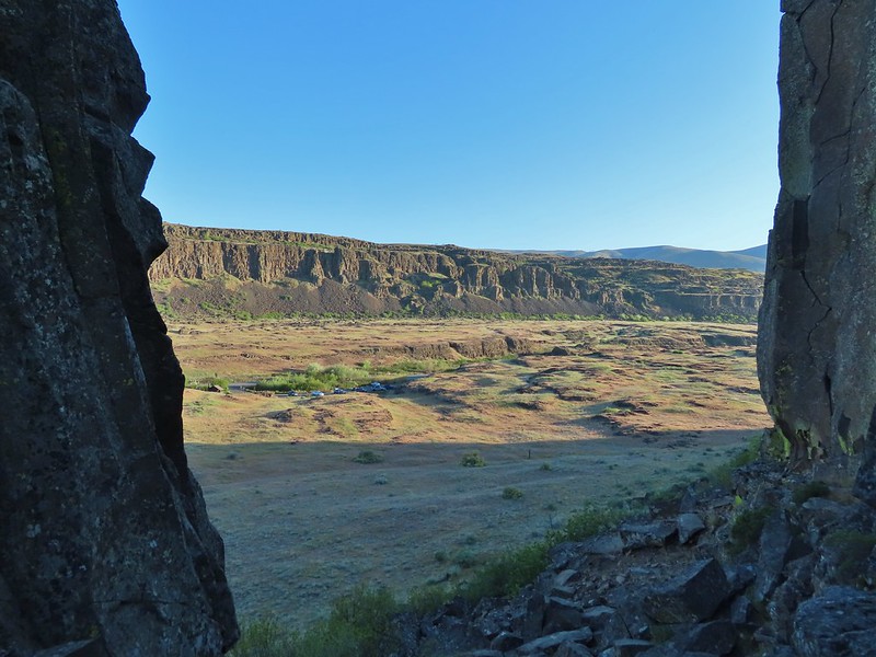
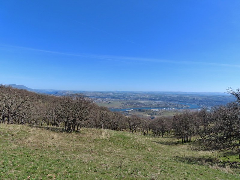
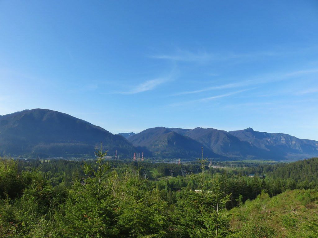
The Columbia River from Atwood Road.
 Hairy bittercress (non-native)
 Entering the sunlight.
 Glacier lilies
 wood-land stars
 Toothwort

Nearing the forest.
 Columbia desert parsley
Shortly before Atwood Road turned we passed a roadbed on the right that led to an old stove.


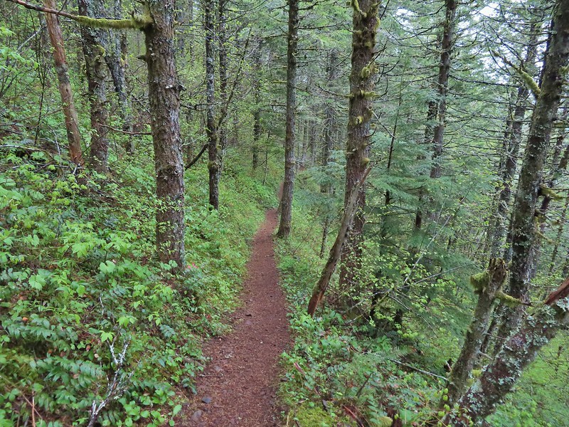
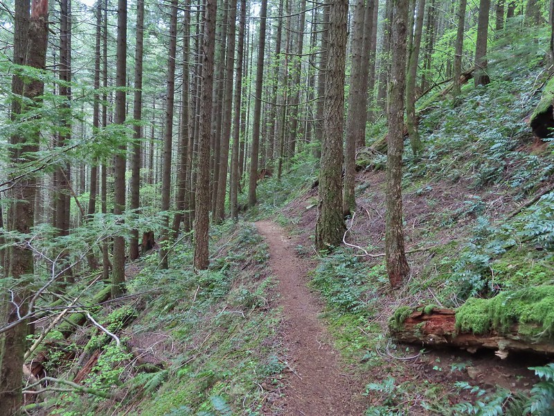
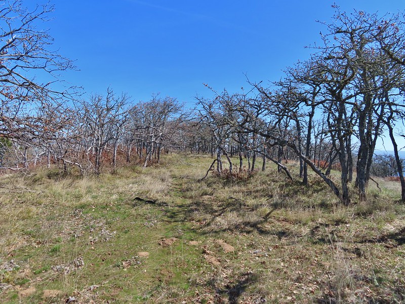
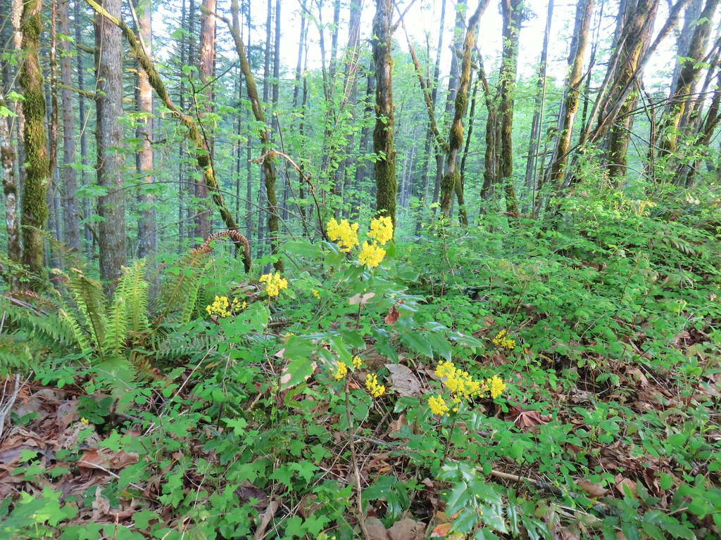
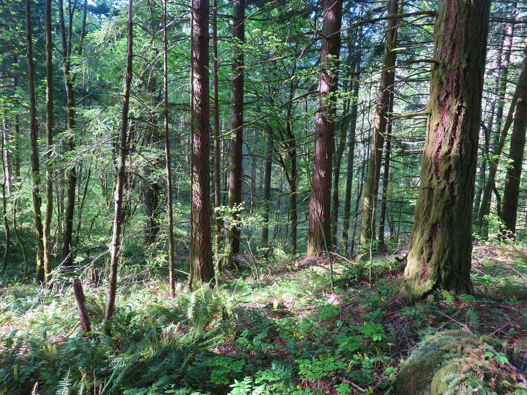
 Heading through the forest.
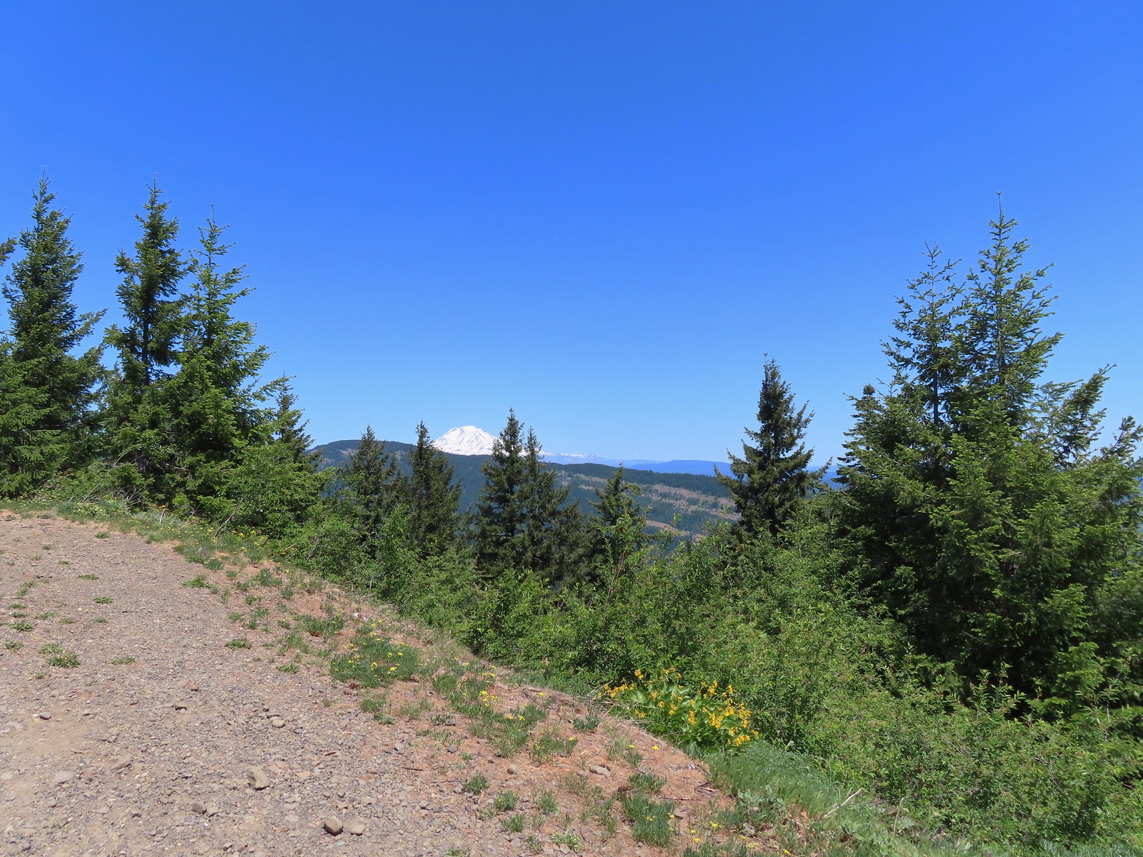
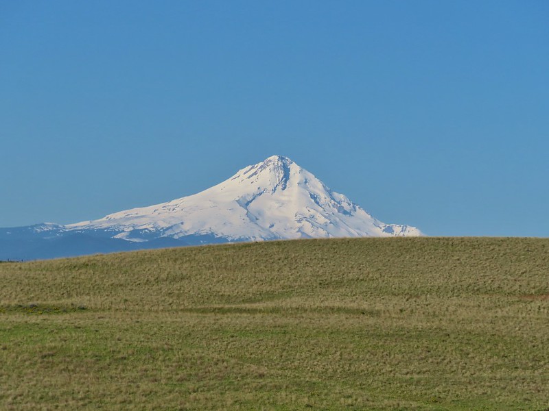
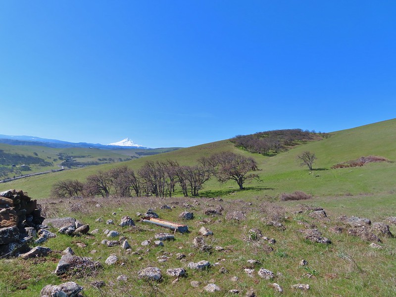
The road exited the forest not long after turning west and passed through an open hillside with views of Mt. Hood.
 Looking east as the road emerged from the forest.
 Grassy hillside

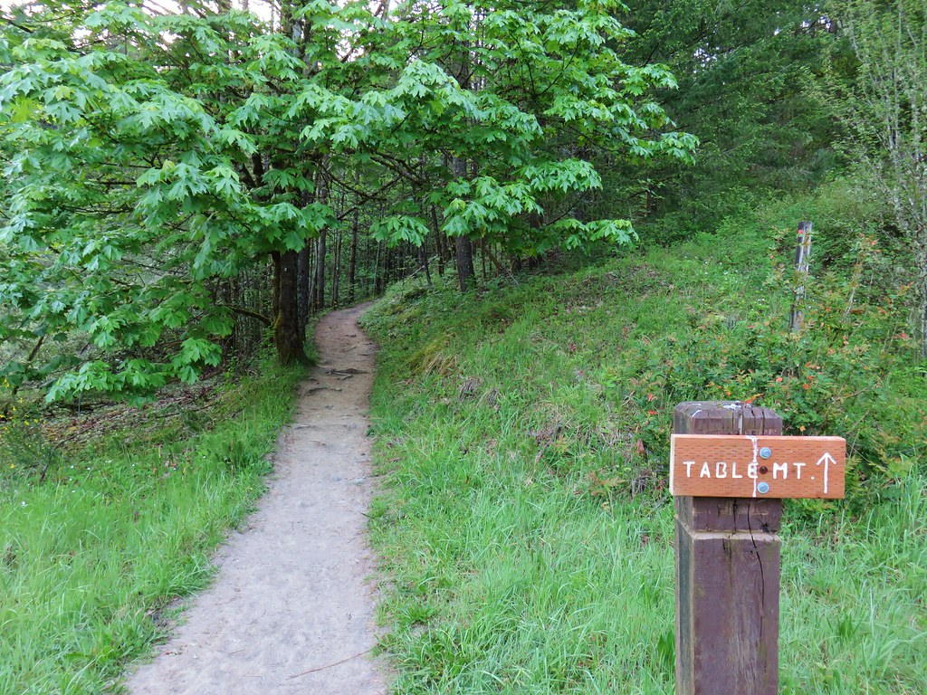
This signed trail heading down Sunflower hill is the Bitterwood Trail aka Ca2. This is not yet an official trail, and the Forest Service plans to reroute and build out an official trail in 2025. (Assuming they have employees and funding.)
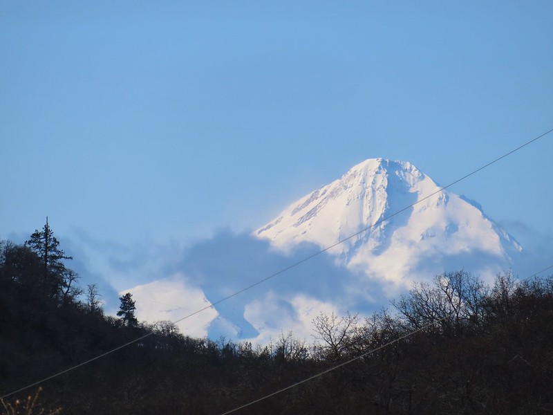
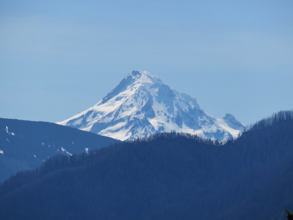
 Mt. Hood behind a few clouds.
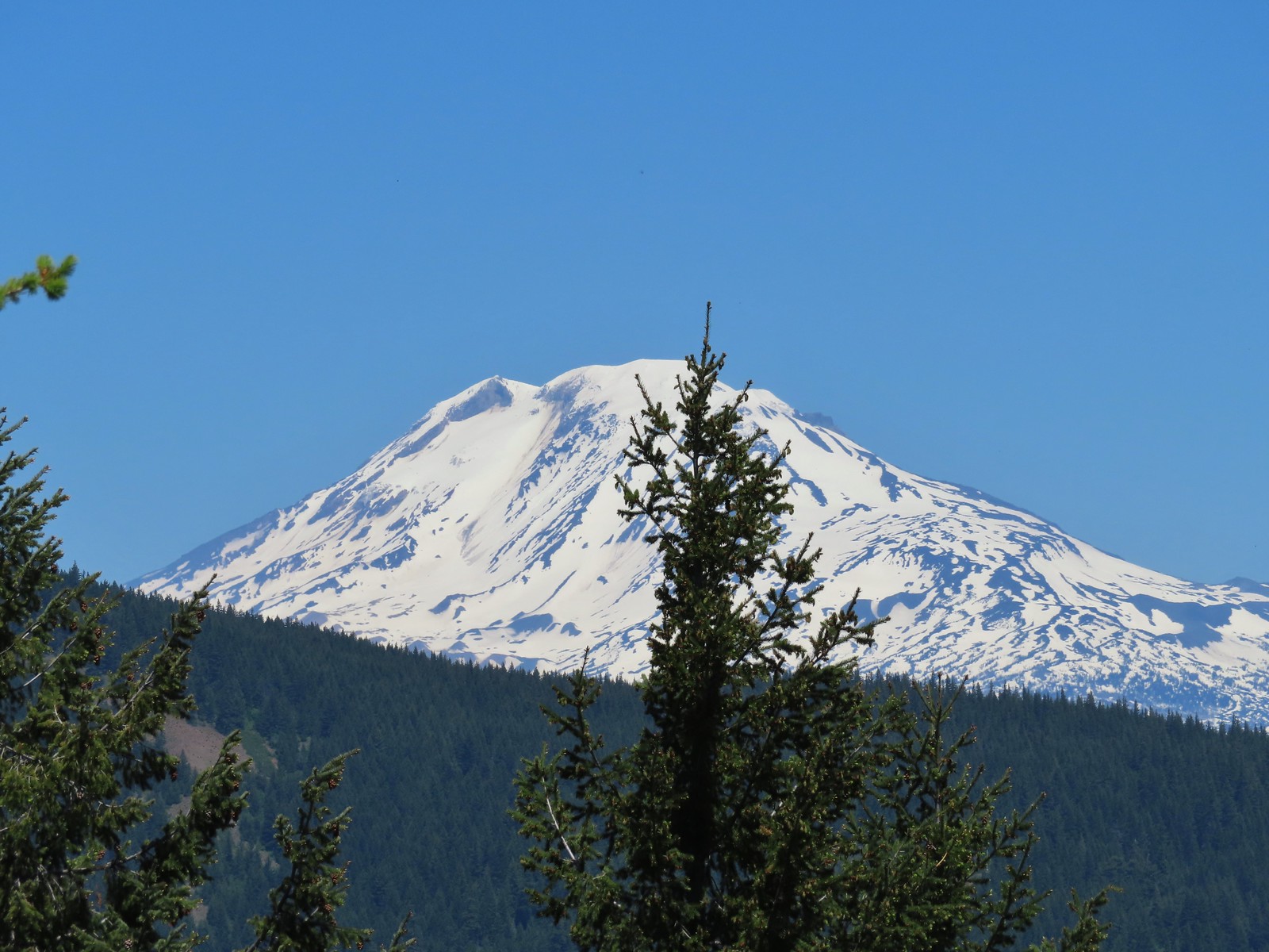
 Mt. Hood
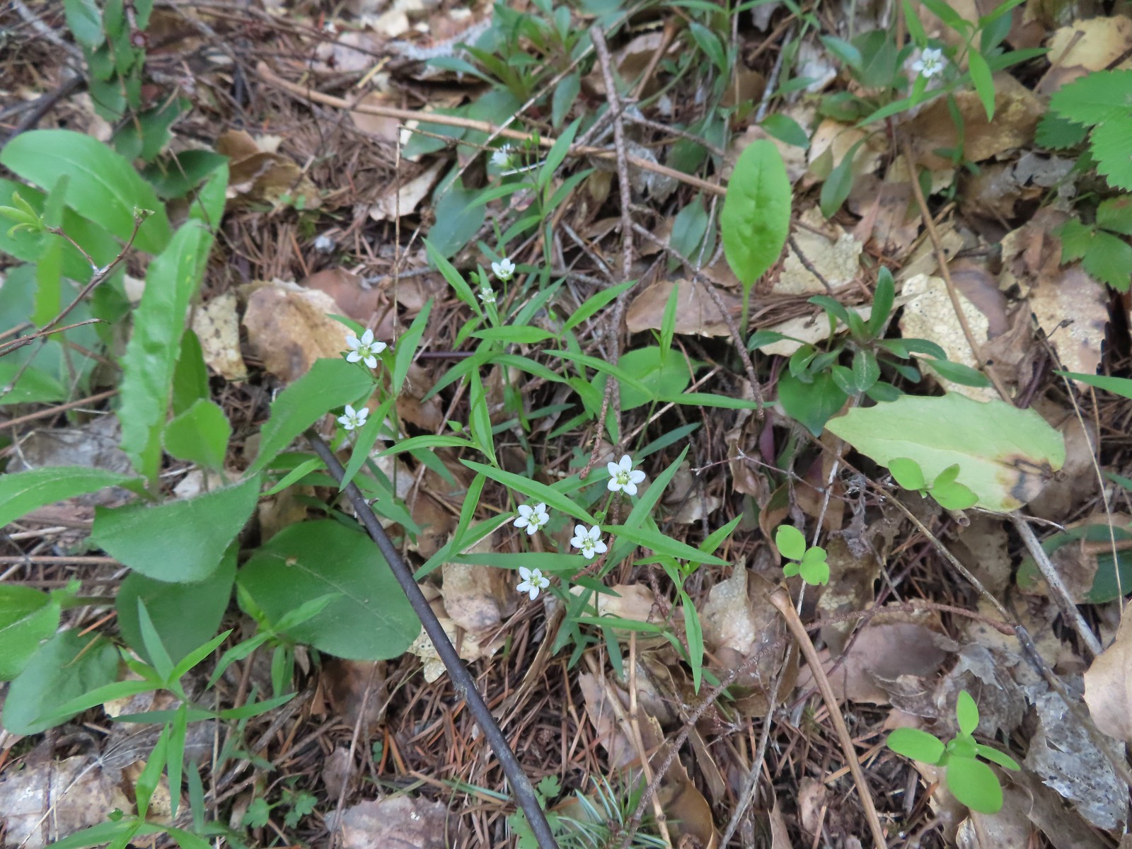
 Popcorn flower
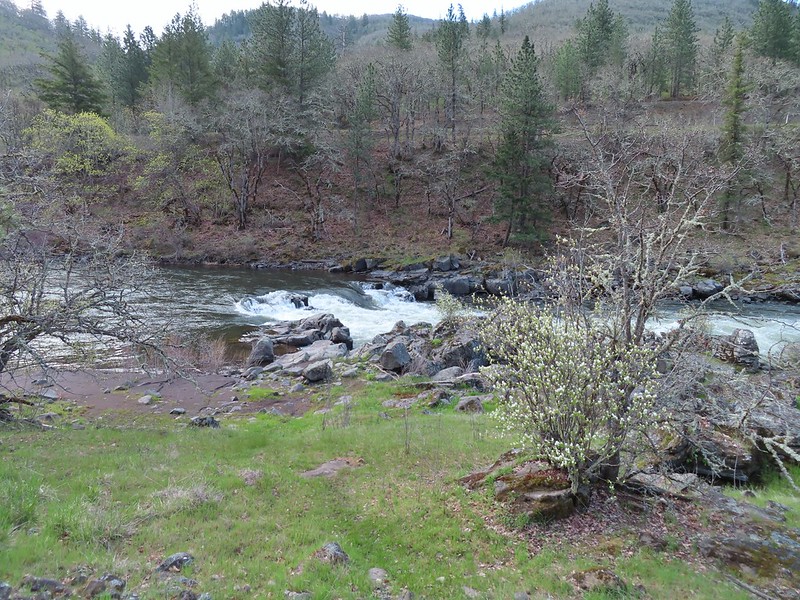
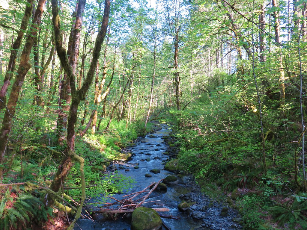
The trail descending into another stand of trees to cross Rowland Creek and continued to alternate between open hillsides and stands of trees before arriving at a signed junction.

 Rowland Creek
 Another user trail on the left, referred to as the Shoestring Trail by the Oregonhikers Field Guide. This trail is not shown on the Forest Service map nor is it mentioned on their website.

 Coastal manroot

 Grass widows

 View of Mt. Hood’s summit.
 Robin hunting worms.
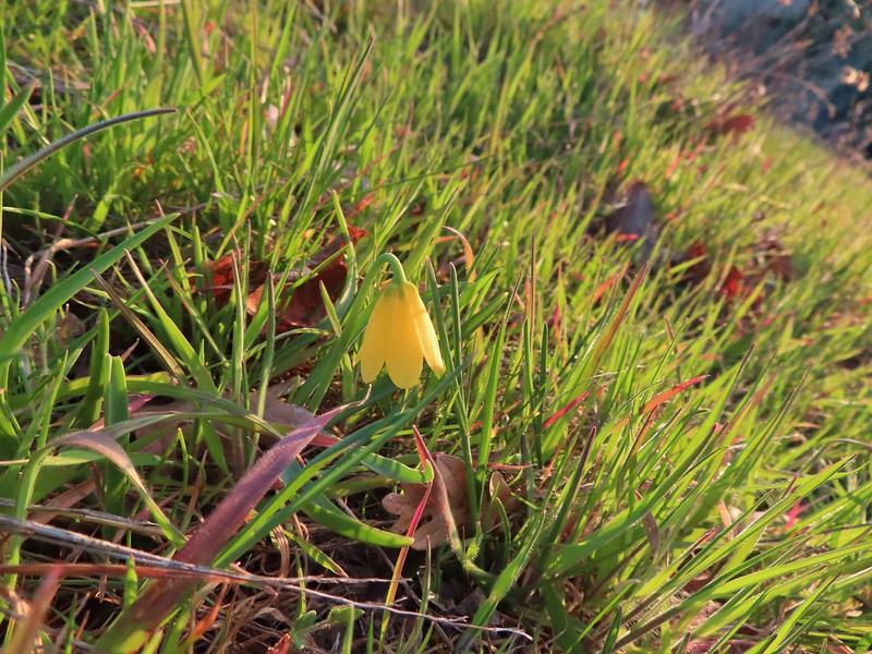
 Daffodils
 The Upper Labyrinth Trail (aka Co8) joining from below. This was the first junction with signs naming official trails.
We had come up the Upper Labyrinth Trail in 2016 making the next three quarters of a mile a repeat.

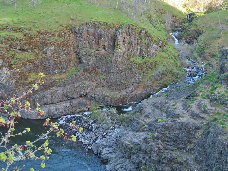
 Labyrinth Creek below Atwood Road.
 The Labyrinth Creek crossing.
 Wet trail climbing away from Labyrinth Creek.
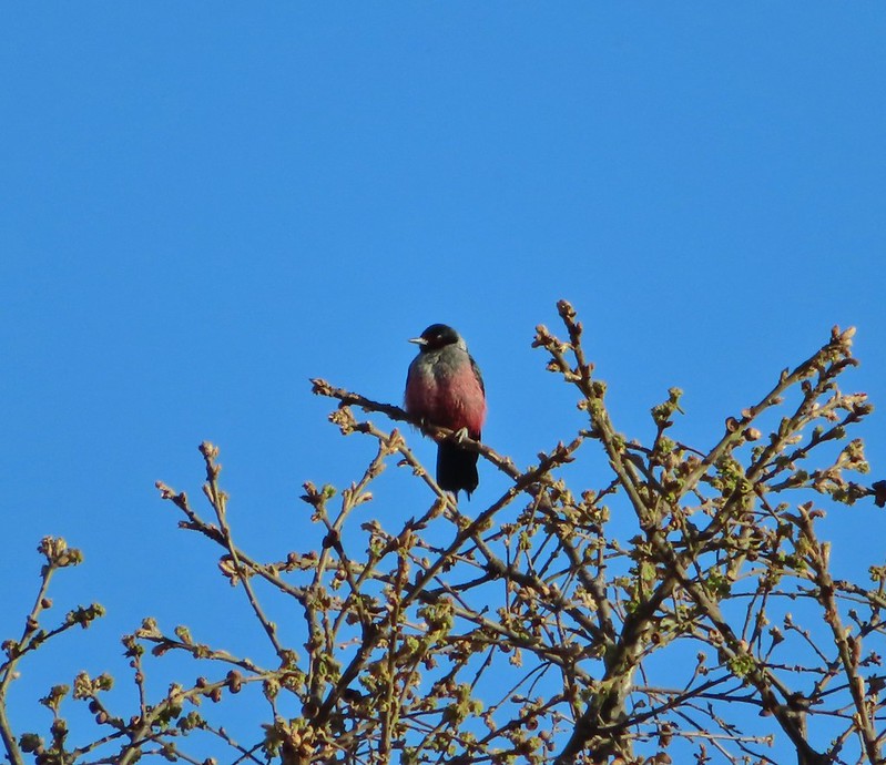
 Red-tailed hawk
A half mile from the Upper Labyrinth Trail junction, and 3.5-miles along Atwood Road, we arrived at another signed junction at a boundary with some private land.


Here Atwood Road enters the private property, so we followed the pointer for the Old Ranch Trail #4426. We followed this trail downhill 0.3-miles to a signed junction with trail #4427 – Traverse to Coyote Wall where we turned right.

 Yellow bells

This was once again new trail for us and we followed it uphill just over three quarters of a mile to a confusing signed junction near the rim of Coyote Wall.

 We stayed left here.
 We ignored the singletrack leading right on the far side of this unnamed stream.
 Here we veered right on the single track. I believe the single track is the “official trail” although both paths led to the signed junction.
 A multitude of tracks near the junction.
It appears that the ultimate plan is to have one official route for the Coyote Wall Trail #4428 (aka Co1) and to decommission all others. At this point there was only one small sign identifying a closed trail and it was a path along the rim of Coyote Wall that was covered in a type of netting. We turned uphill at the junction to visit the meadow at the junction but were unsure which path to take. The field guide map has not been updated to identify the new official route and showed a narrow-elongated loop. There was no consistency watching other trail users, so we picked a hiker and followed his route up.

We eventually came to the conclusion that the new official trail was the one that used a series of switchbacks to reach the upper viewpoint.
 On one of the switchbacks.
 Turkey vulture
 The upper viewpoint.
After a short break at the viewpoint we headed back down to the signed junction where we continued down the Coyote Wall Trail.

 Balsamroot
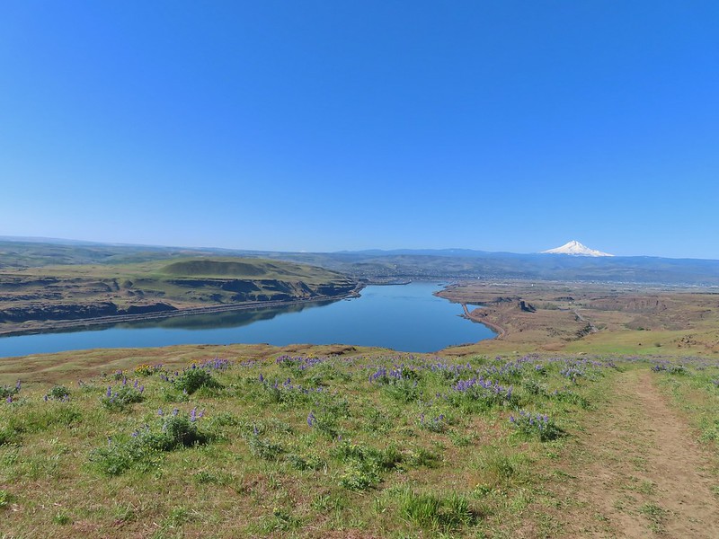
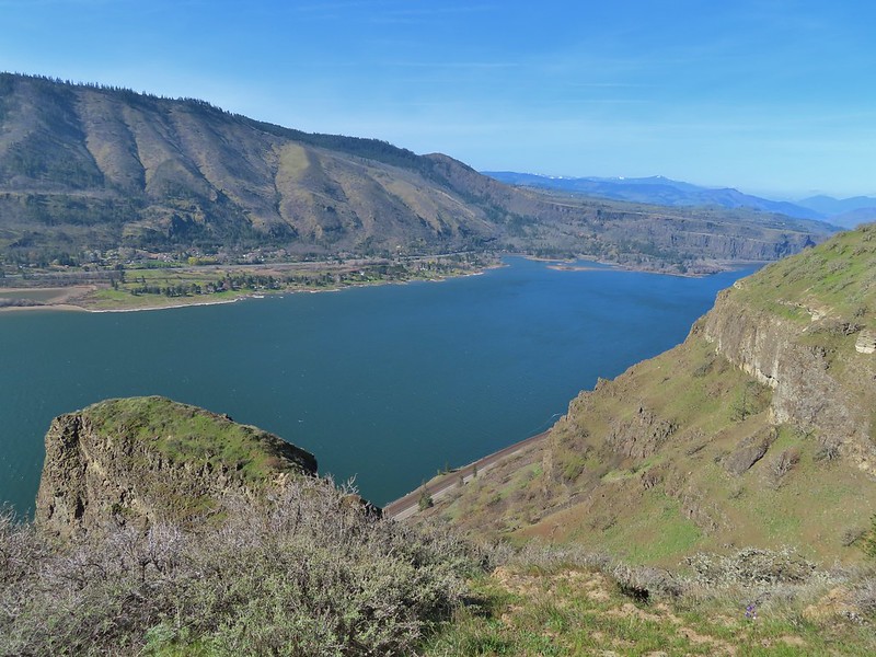
 Looking east over the Columbia River.
 Gold stars
A mile beyond the junction the Old Ranch Road Trail joined from the left at a three way junction.

Here we stayed right on the Little Moab Trail (Co3) and continued downhill along Coyote Wall.

Coyote Wall
 The
The  Woolly-pod milk-vetch

 Miniture lupine, redstem storksbill and a popcorn flower.
 Fiddleneck

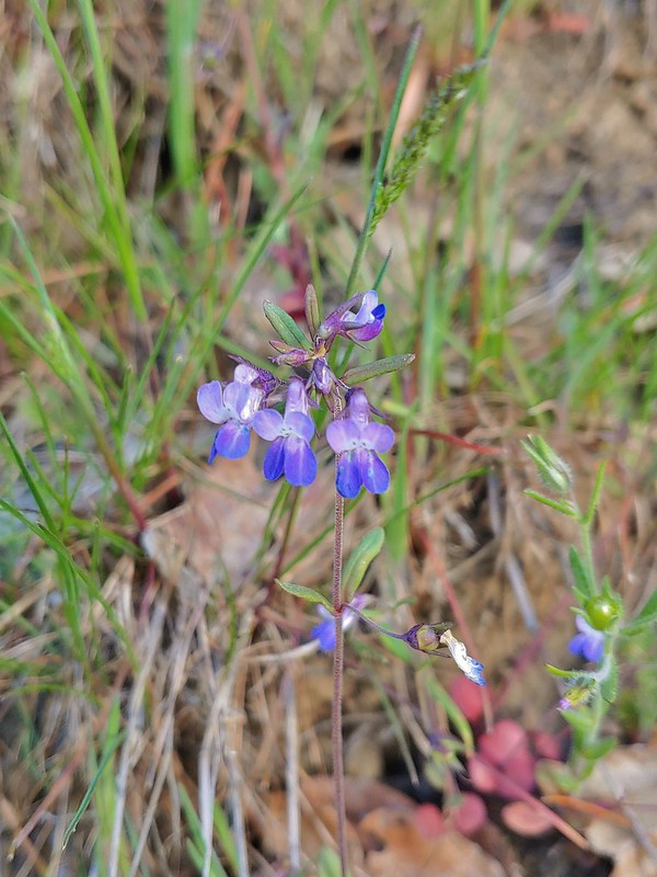
Poet’s shooting star
 We turned right at this junction with the Old Ranch Trail to continue downhill.

 Naked broomrape and redstem storksbill


We took another right at this junction with the Little Maui Trail to drop down even further to an old highway.
 Tomcat clover and redstem storksbill

The old highway below.
We turned left (east) on the highway and followed it for 0.3-miles to the Labyrinth Trail #4423 (Co7) where we turned left.


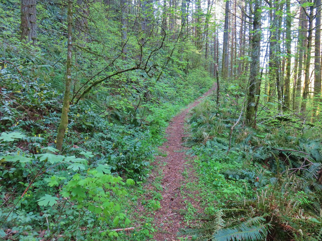
The Labyrinth Trail wound through rocky outcrops for 1.2-miles to an unsigned junction with the Upper Labyrinth Trail on an open hillside.
 We ignored the Little Maui Connector Trail on the left near the old highway.

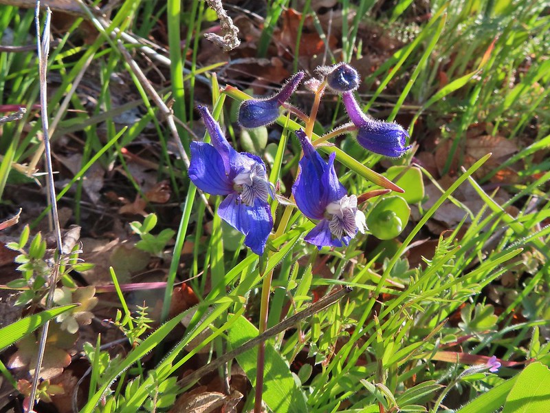
 Larkspur

The trail to the right here is a spur to Labyrinth Falls.

Labyrinth Falls

 Crossing for Labyrinth Creek.

Labyrinth Trail


 First view of the Catherine Creek Trailhead on the plateau ahead.

At the junction we stayed right on the Labyrinth Trail. We were happy to not be climbing for a bit as the Labyrinth Trail traversed the hillside before dropping to an ancient rockslide where Native Americans built vision quest pits.

 Hound’s tongue
 Rowland Creek
 Rowland Basin


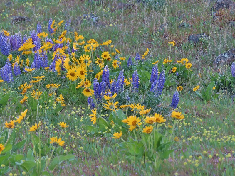
 Lupine and balsamroot
We’d done a pretty good job staying on course given the numerous trail junctions, a good number of which were unsigned, but that ended when we reached another unsigned junction with a rough trail on the left marked by a small rock cairn.


We should have turned left here but got confused reading the field guide entry and wound up staying straight. Apparently straight is the Raptor Trail (Ca1). We didn’t realize our mistake until we spotted the highway below.
At that point I turned around to go back to the junction. Heather was just behind me on her way down and when I informed her of the mistake she decided not to climb back up to the junction but to simply walk the highway a little over a third of a mile to the trailhead. (Apparently the Raptor Trail is closed seasonally from Feb 1 – July 15th, but we didn’t see any signs to that effect.)
I returned to the cairn and turned right up the rough path which led to basalt cliffs and up a scree slope to another unsigned junction after just 0.2-miles.

 The Rowland Pinnacle

I turned right at the junction and followed this trail just over half a mile back to the trailhead where Heather was waiting. (Eventually the Bitterroot Trail (Ca2) will replace this user created trail.)


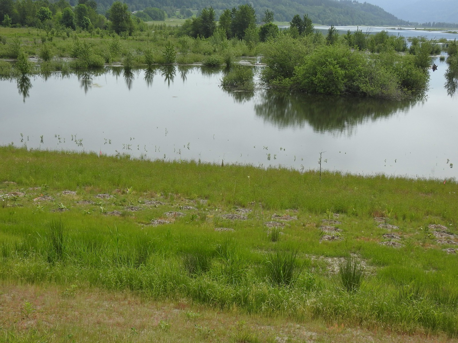
One of several small vernal pools.

The GPS put this hike at 11.9 miles consisting of a little over 2900′ of elevation gain.

There was more climbing than we’d anticipated between Coyote Wall and the Upper Labyrinth Trail junction, but we should have expected it since we’d hike that section before. There was an extra 0.6-miles in that total from the Raptor Trail mistake (which also added 280′ of the elevation gain). It was a great hike though with a lot of variety both in flowers and scenery. Hopefully the Forest Service will be able to finish their projects at these areas and add signage to the official trail junctions to help keep people on the correct trails. These are busy areas (as can be seen from the trailhead photos) in later Winter/early Spring when the wildflowers are blooming. Starting early and doing the longer loop as we did helped to keep our hike from feeling overly busy, but if you can swing a weekday, it would be ideal. Happy Trails!
Flickr: Catherine Creek-Coyote Wall Loop

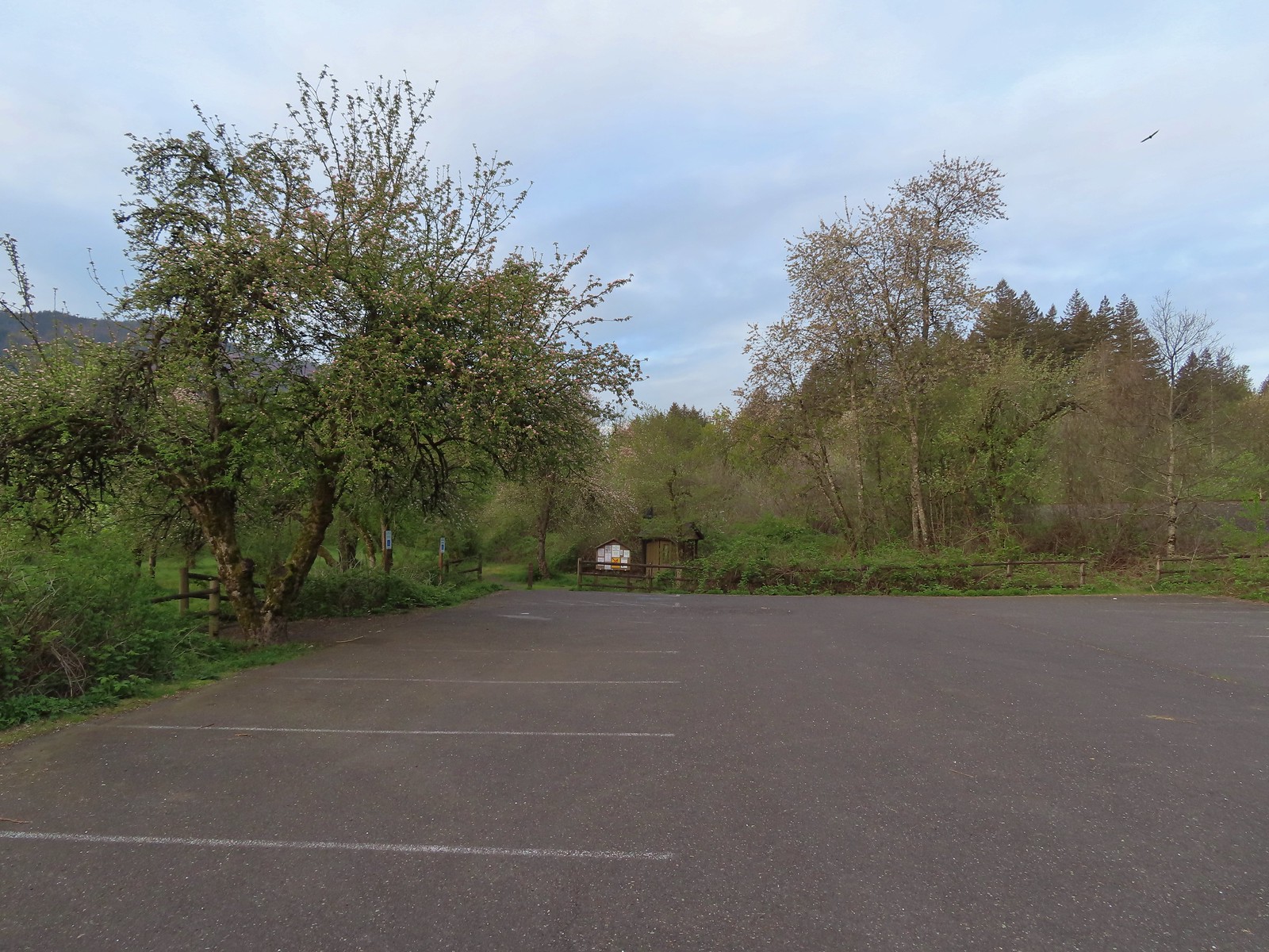
 The trailhead is just a large gravel pullout along Cook-Underhill Road.
 There is no parking for the trail anywhere along Jackson Rd.


 Ookow surrounded by poison oak.
 Mt. Defiance (
 Large-flower triteleia
 Monkeyflower along the road.
 Ookow
Ookow
 Small waterfall through the vegetation.
 The first of two crossings of this unnamed creek.
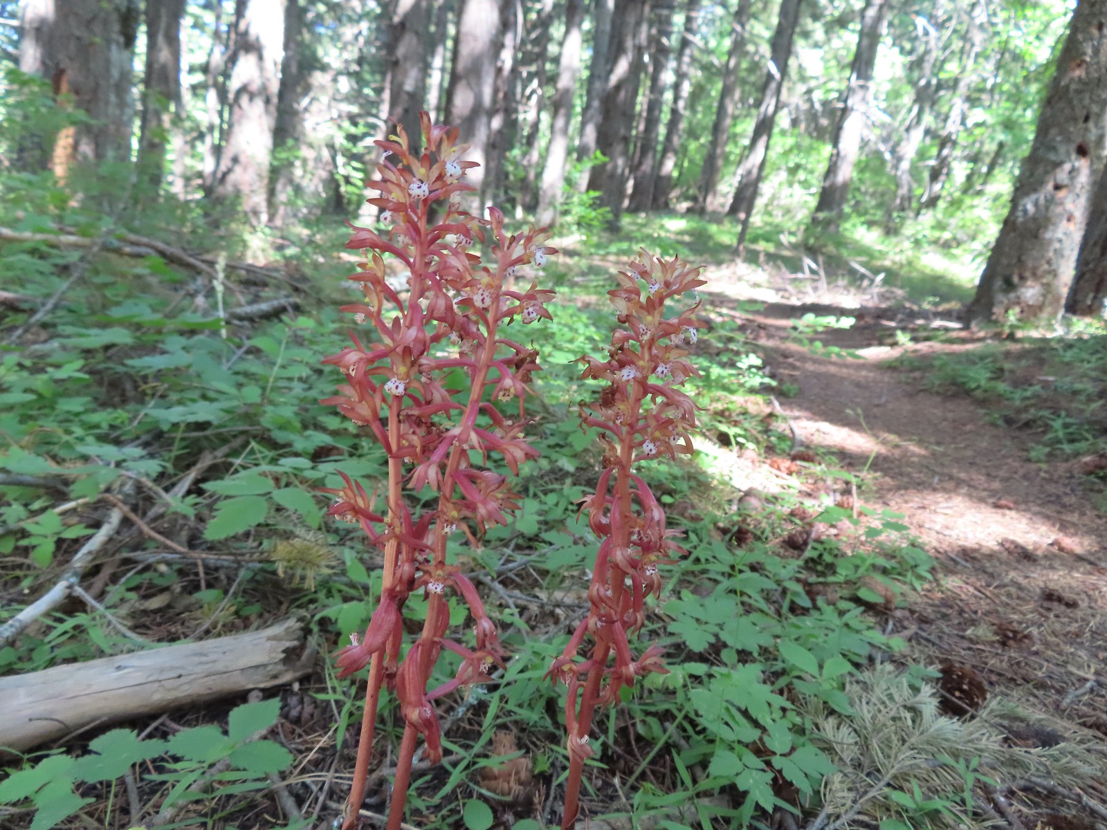
 There was a lot of spotted coralroot along the road.
 Most of the trees had been cleared from the road, those that remained were easily stepped over.
 Anemones
 The second creek crossing.
 Lupine
 White groundsel
 Small spring near the junction with the start of the loop.
 Reeder mentioned a rock cairn at the start of the loop which was still present, but now there were signs too.
 Going counterclockwise seemed to be preferred direction based on trip reports. This was also the shorter distance to the summit at 1.6-miles.
 The clockwise sign listed the summit as 2.8-miles away in that direction.
 Arriving at the lower meadow.
 Balsamroot
 Groundsel and balsamroot
 Lupine
 Death camas
 The rocks up ahead made for some nice seats to take in the view from.
 Mt. Hood peaking over the ridge to the left with Mt. Defiance to the right.
 Mt. Hood
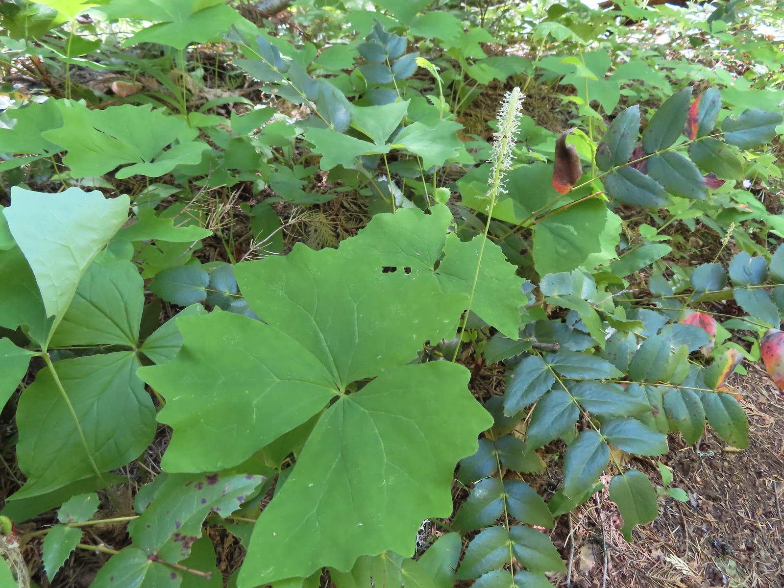
 Vanilla leaf
 Starflower
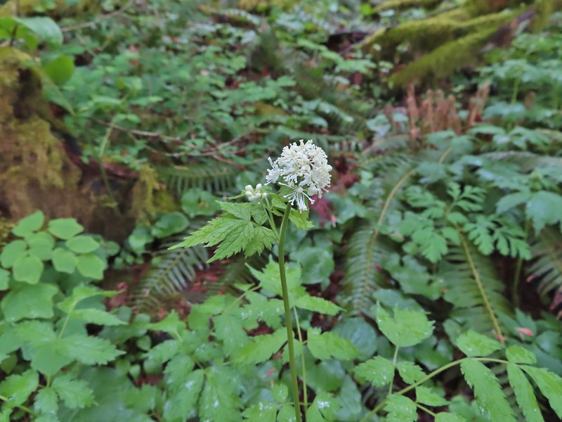
 Fairybells
 The start of the long upper meadow.
 Larkspur
 Violets
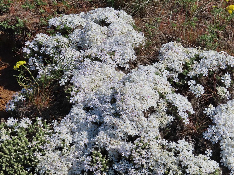
 Slender phlox and blue-eyed Mary
 Phlox
Phlox Balsamroot surrounded by larkspur and coastal manroot.
 Coastal manroot
 Groundsel
 Dog Mountain from the meadow.
 Chocolate lily
 This was the closest lupine to blooming in the upper meadow.
 Chickweed
 Oregon sunshine yet to boom.
 Mt. Hood from the meadow.
 Woodland stars, larkspur, and lomatium.
 Yellow buttercups lining the trail.
 Mt. Hood and Mt. Defiance
 Mt. Hood
 Mt. Defiance
 Alpine pennycress
 Larkspur and lomatium

 Chocolate lily eating a buttercup.
 Largeleaf sandwort
 The final stretch of the upper meadow.
 Violets
 Phlox
Phlox Dog Mountain
 Mt. Hood and Mt. Defiance from the upper meadow.
 Table Mountain (
 Phlox, paintbrush, and lomatium


 Mt. Adams from between trees.
 Arnica
 The final stretch of the steep descent was through this forest with no understory.
 Vine maple overhanging the trail.
 It’s hard to tell from the photo but these were huge paintbrushes.
 Another view of Mt. Hood and Mt. Defiance.
 Dogwood
 Trillium
 The first tower.

 Looking toward Mt. Adams from beneath the powerlines.
 Mt. Adams
 Wind Mountain (
 The faint roadbed heading left back toward the forest.

 Wild ginger
 Candyflower
 The trail passed under a talus slope where a fair number of flowers were present.
 Lupine and yarrow
 Stonecrop
 Bee visiting penstemon.
 The talus slope.
 Descending to the junction.
 Ookow and bachelor buttons along the trail.
 Bachelor button
 Heather spotted this arctic skipper on some vetch.
 Clarkia. It wasn’t open yet when we’d passed by in the morning.
 There were a lot of phantom orchids starting along the lower portion of the hike, but this was the only one with any flowers opened.
 Cook-Underhill Road from Jackson Road.

 The brown strip in the grass near the center of the photo is the trail.
 The trail entering the woods.
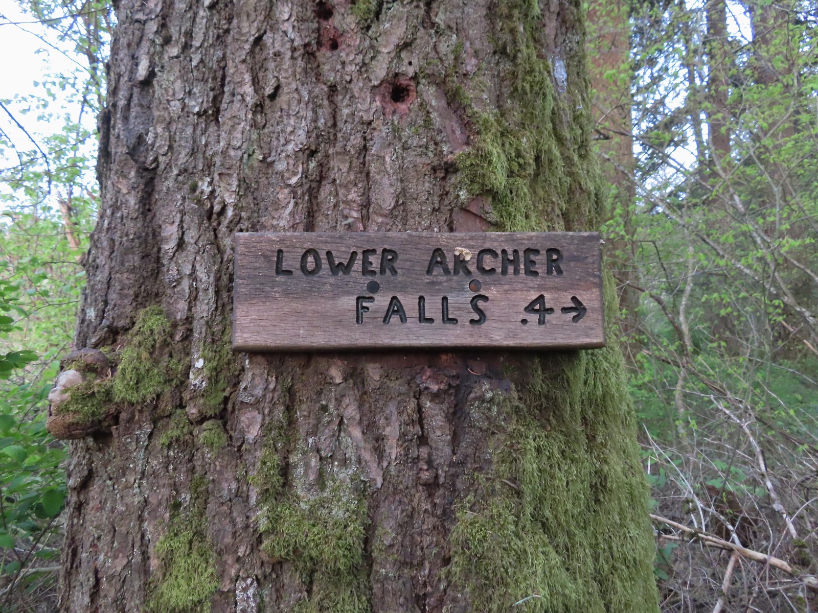 Pointer for Lower Archer Falls.
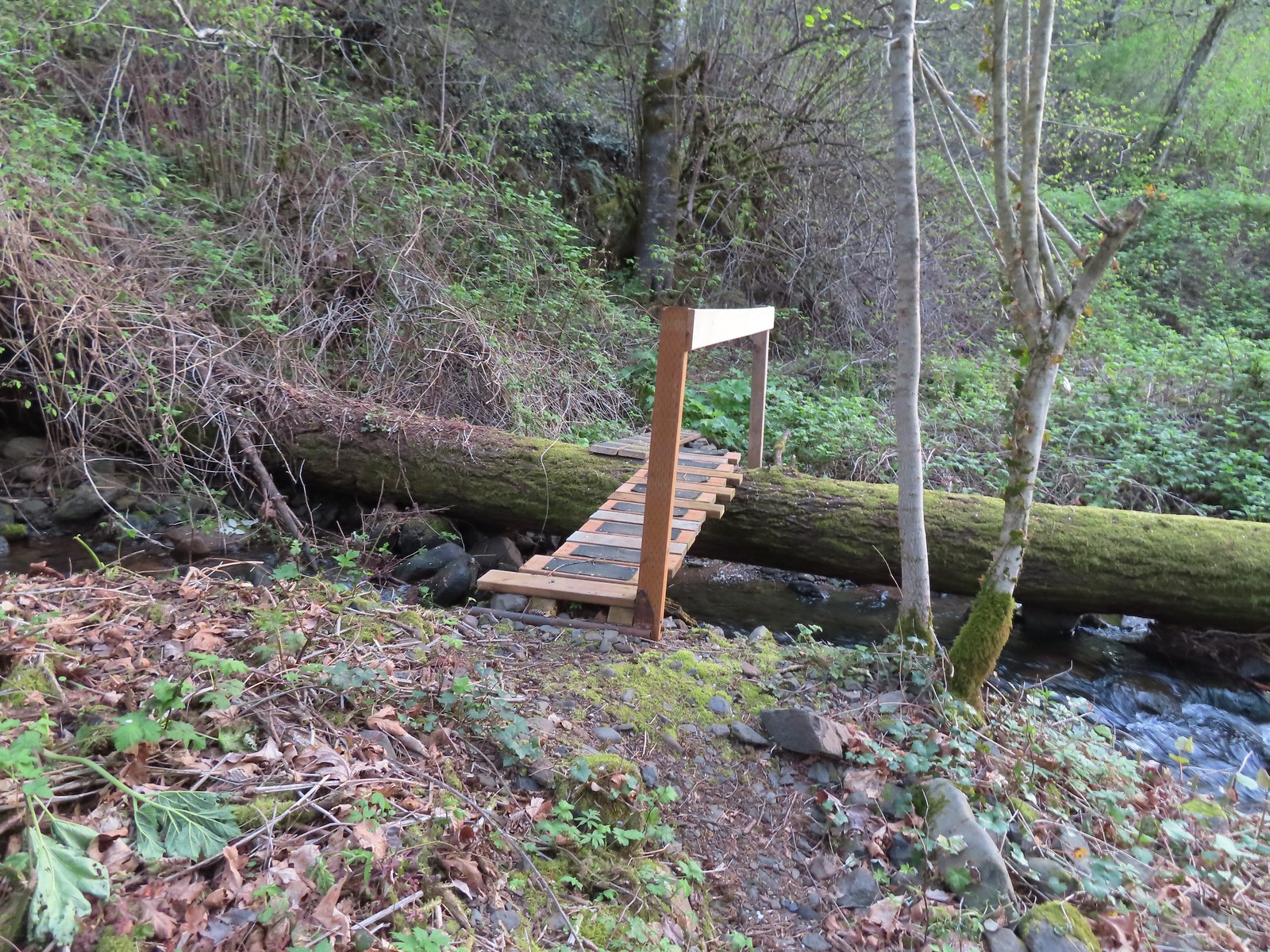 Bridges over Gable Creek.
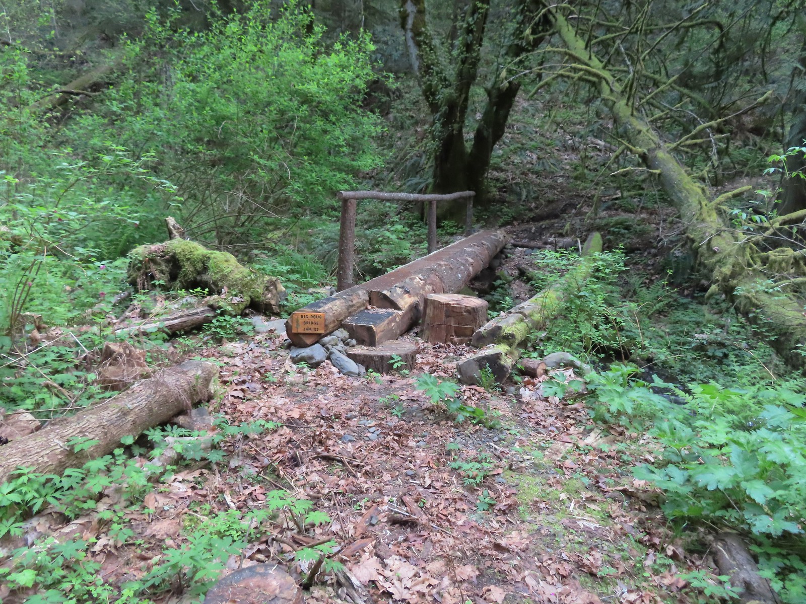 Big Doug Bridge (Jan 23) over Archer Creek.
 Archer Creek
 After crossing the creek the trail did a short climb gaining approximately 150′ of elevation.
 Trillium along the trail.
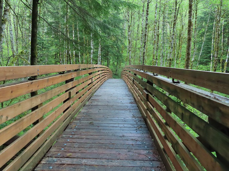
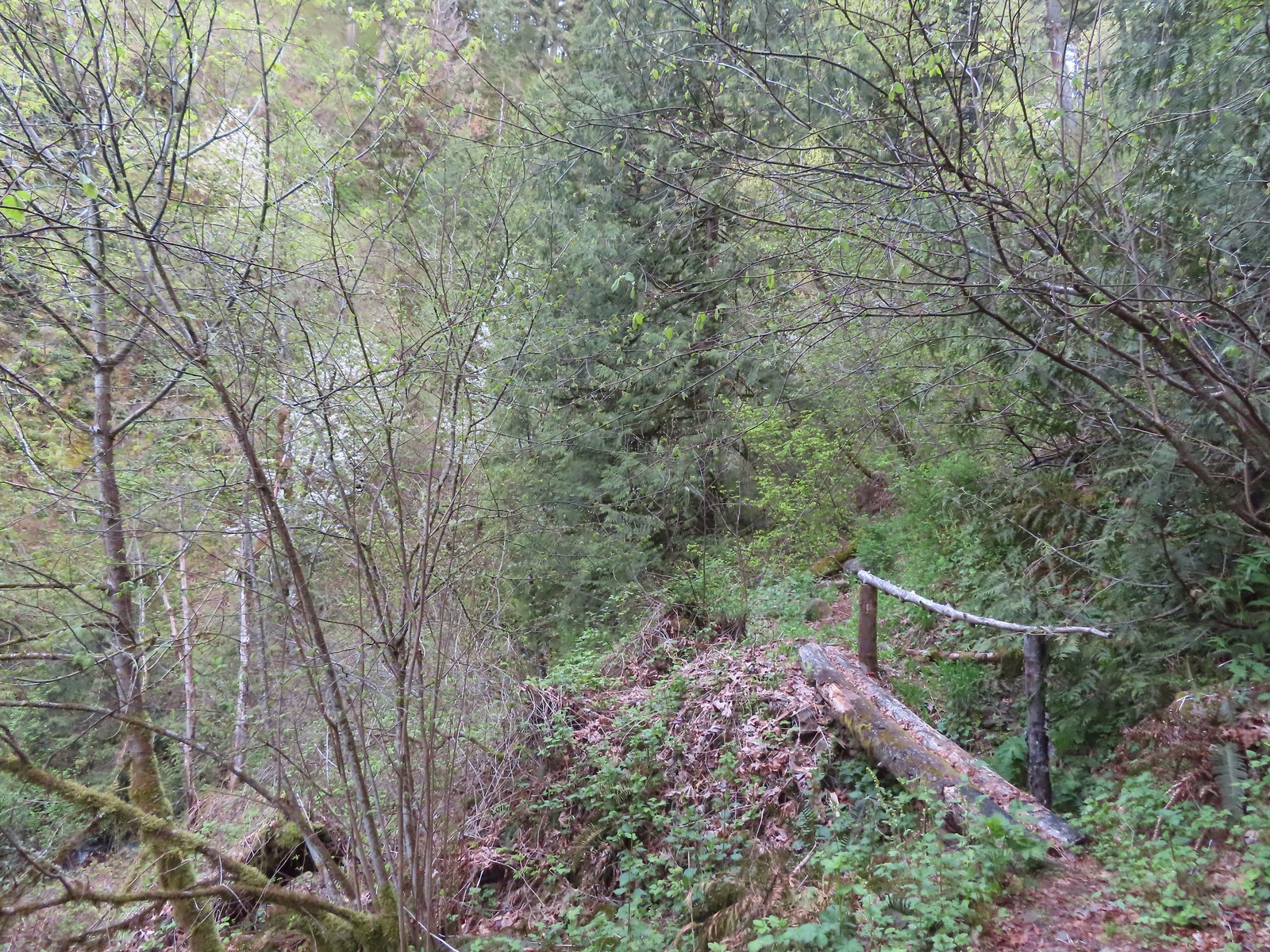 One of several of these style bridges on the way to the falls.
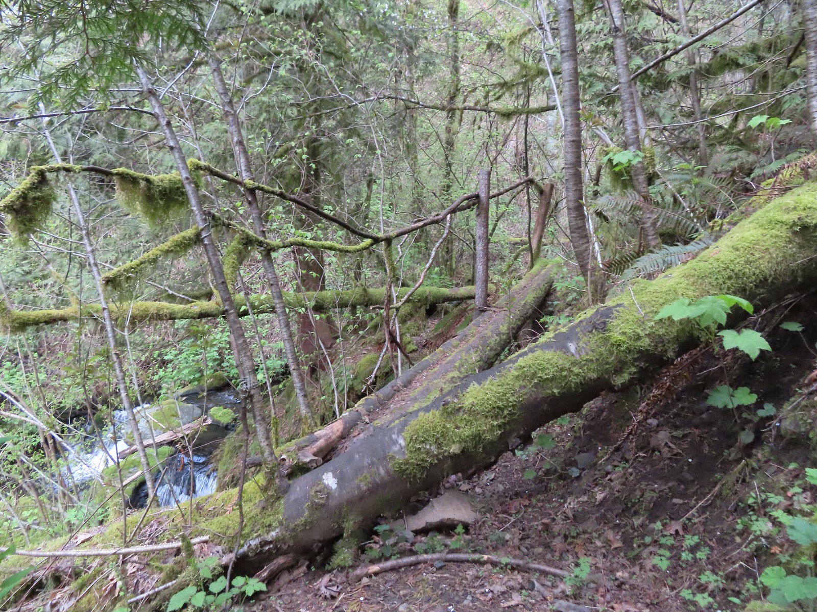 The “sketchy” bridge. It felt pretty solid underfoot, but the rail seemed ornamental only.
 The final footbridge before the falls.
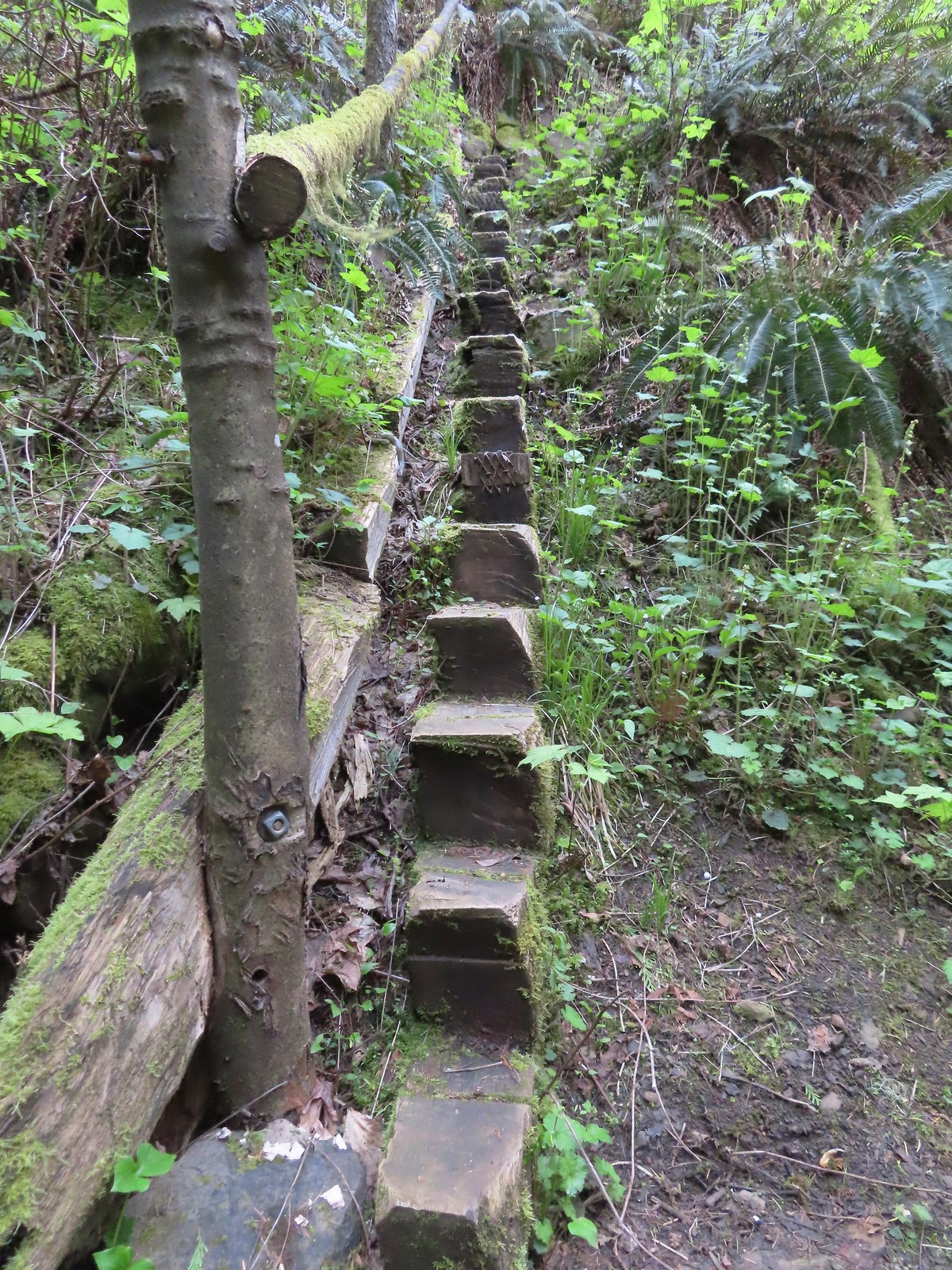 Steps leading up from Lower Archer Falls.
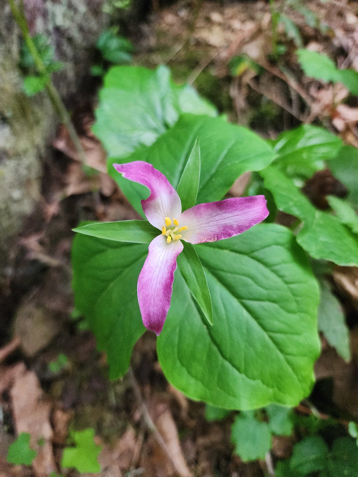 Trillium
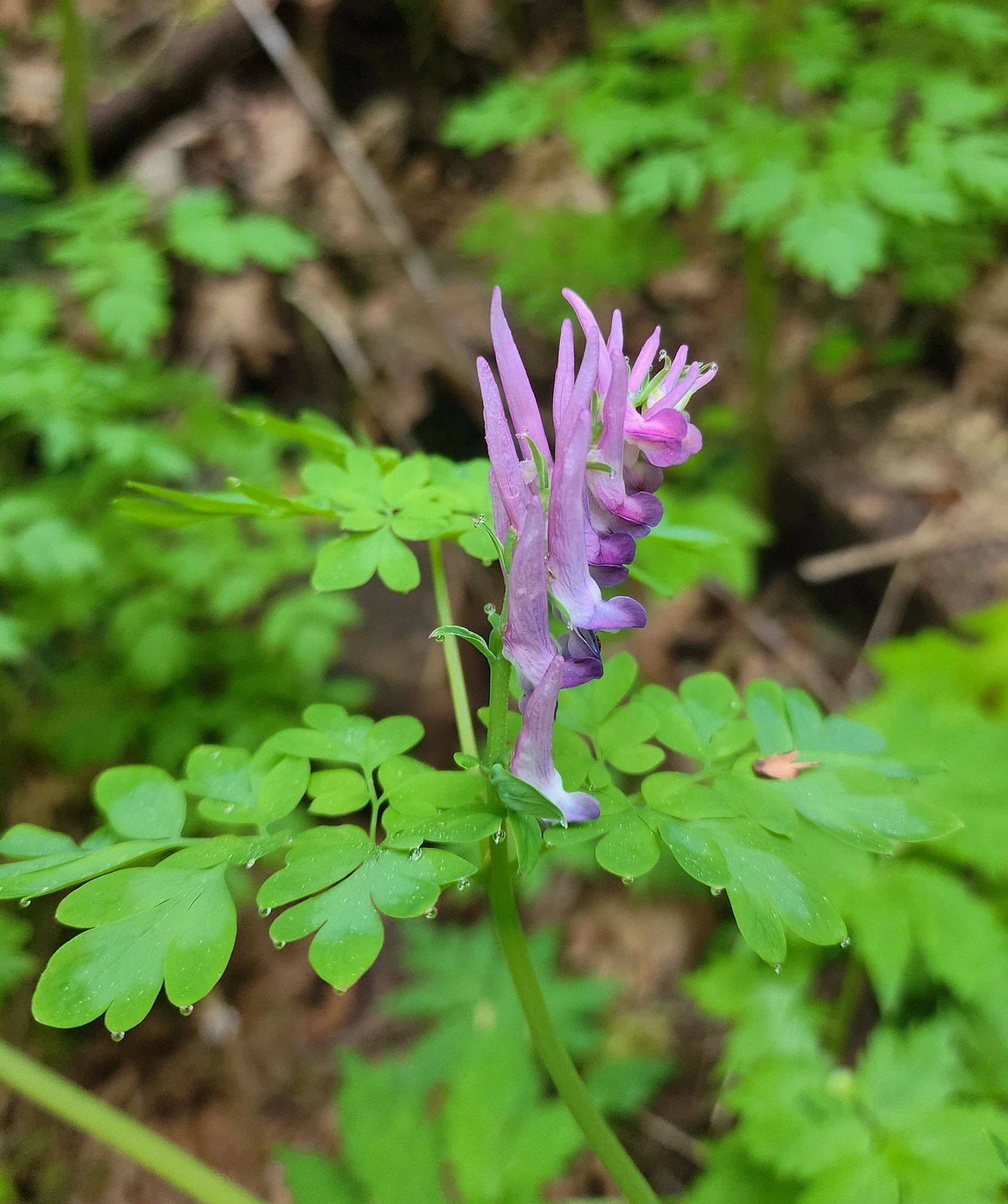 Scouler’s corydalis
 Bleeding heart
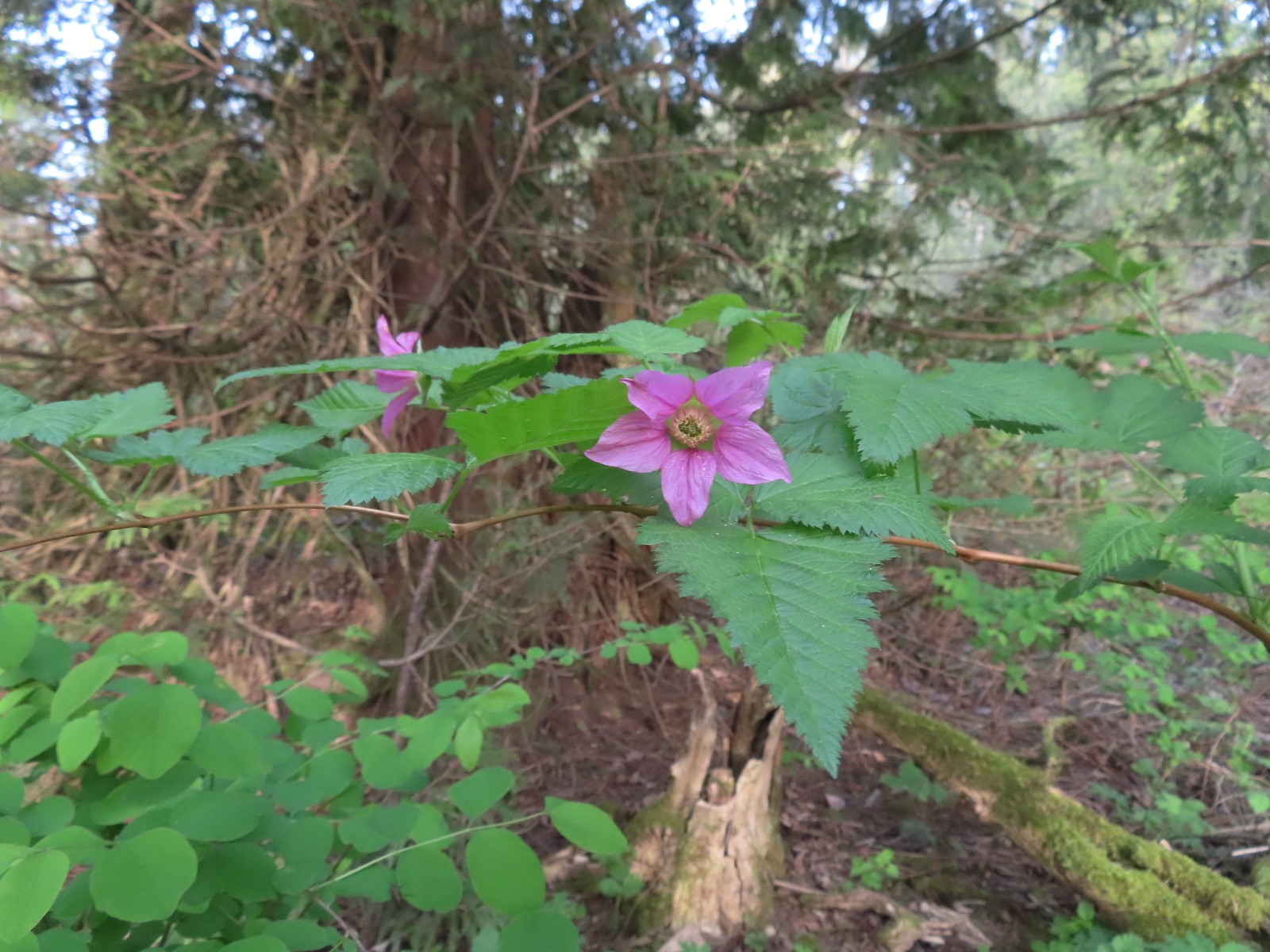 Salmonberry
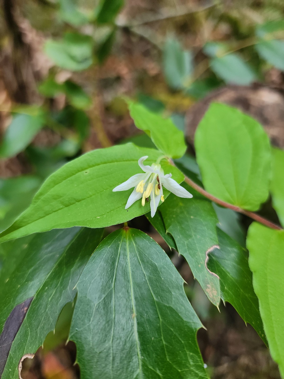 Fairy bell
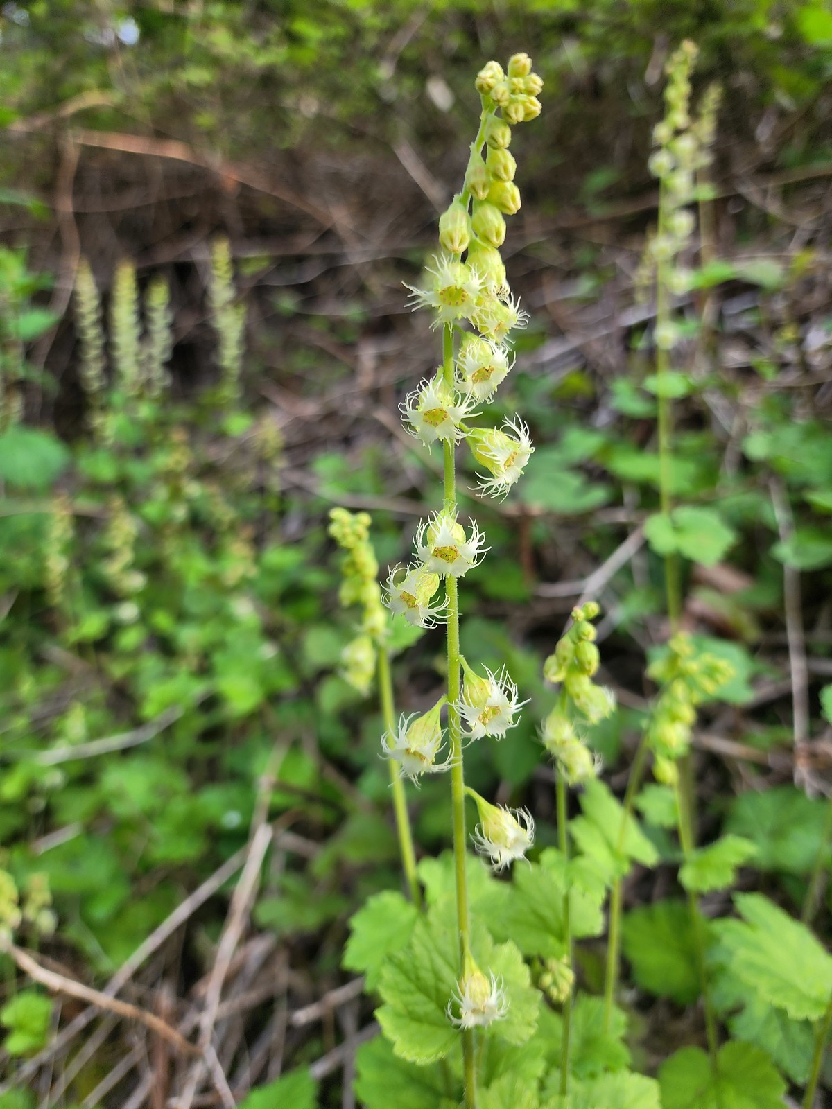 Fringecup
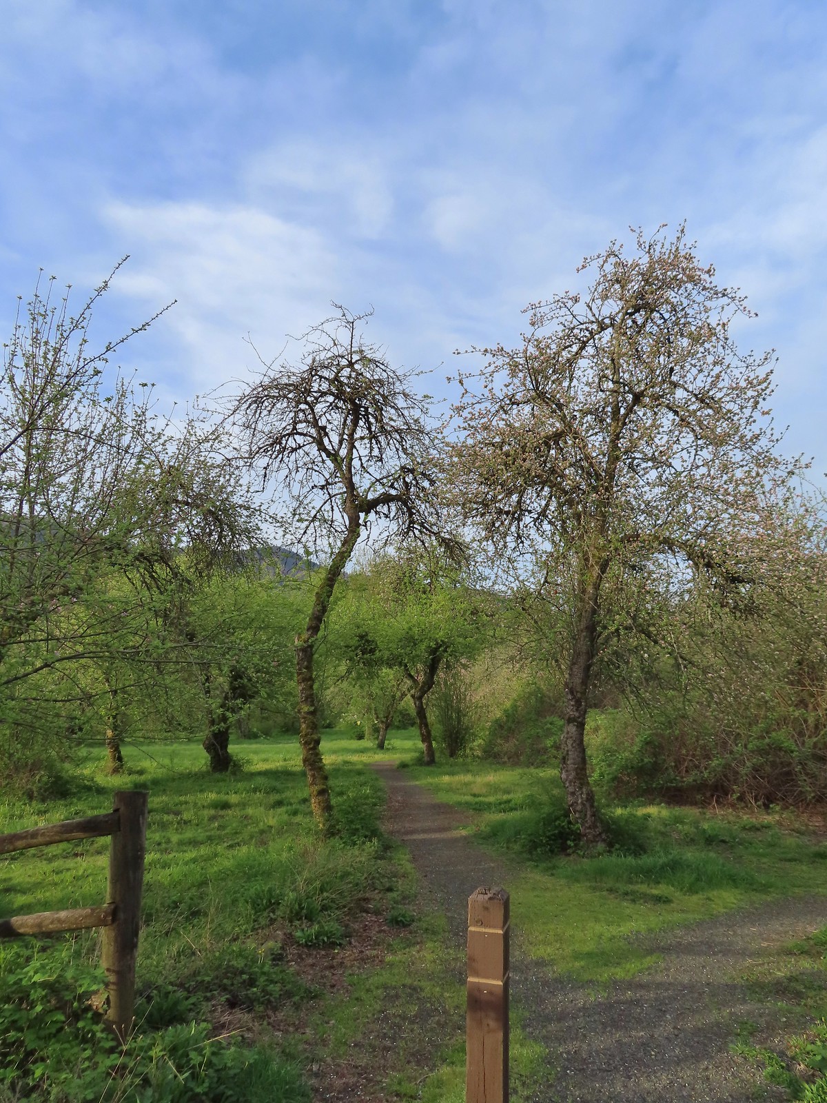 The start of the loop.
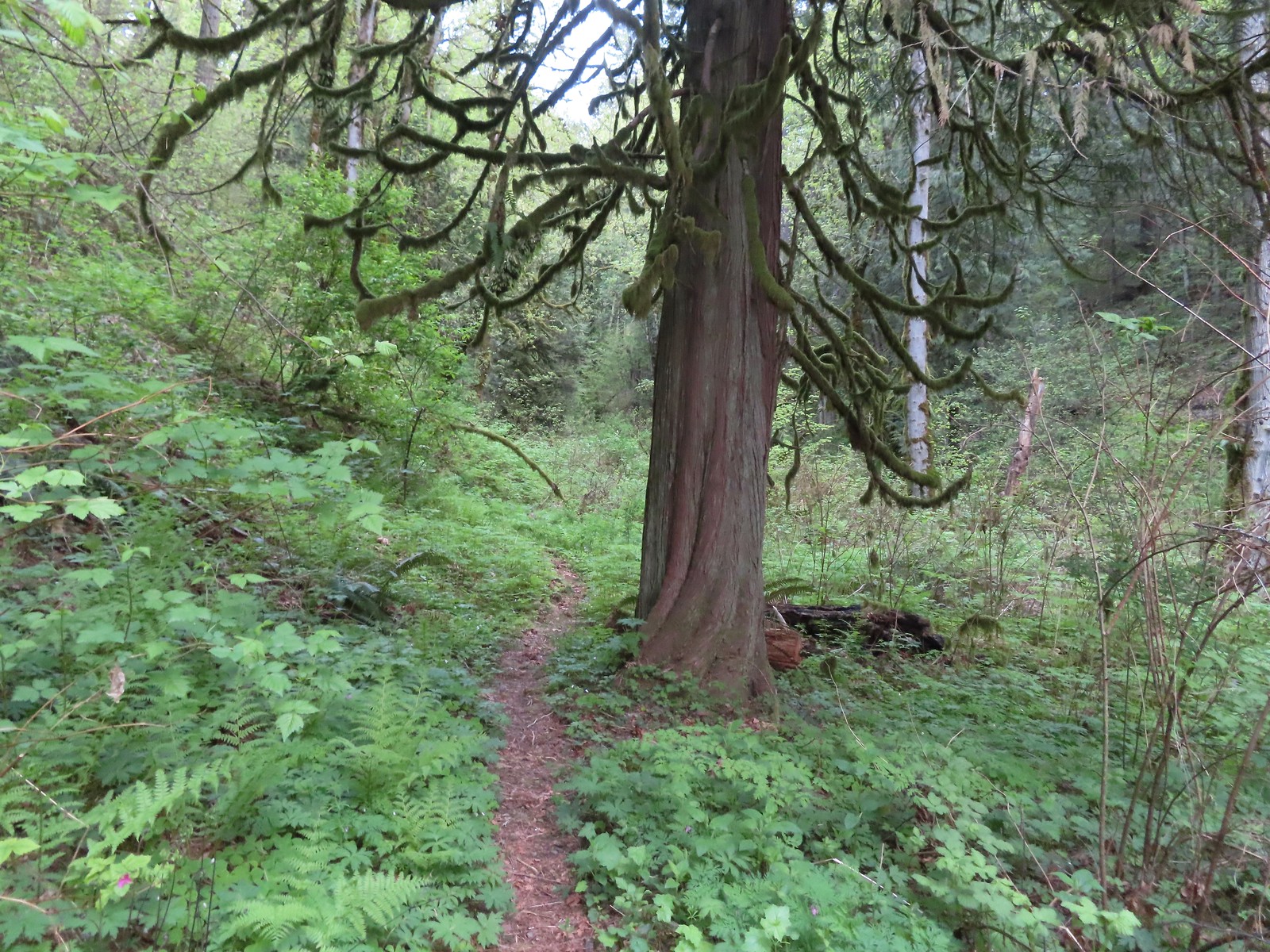
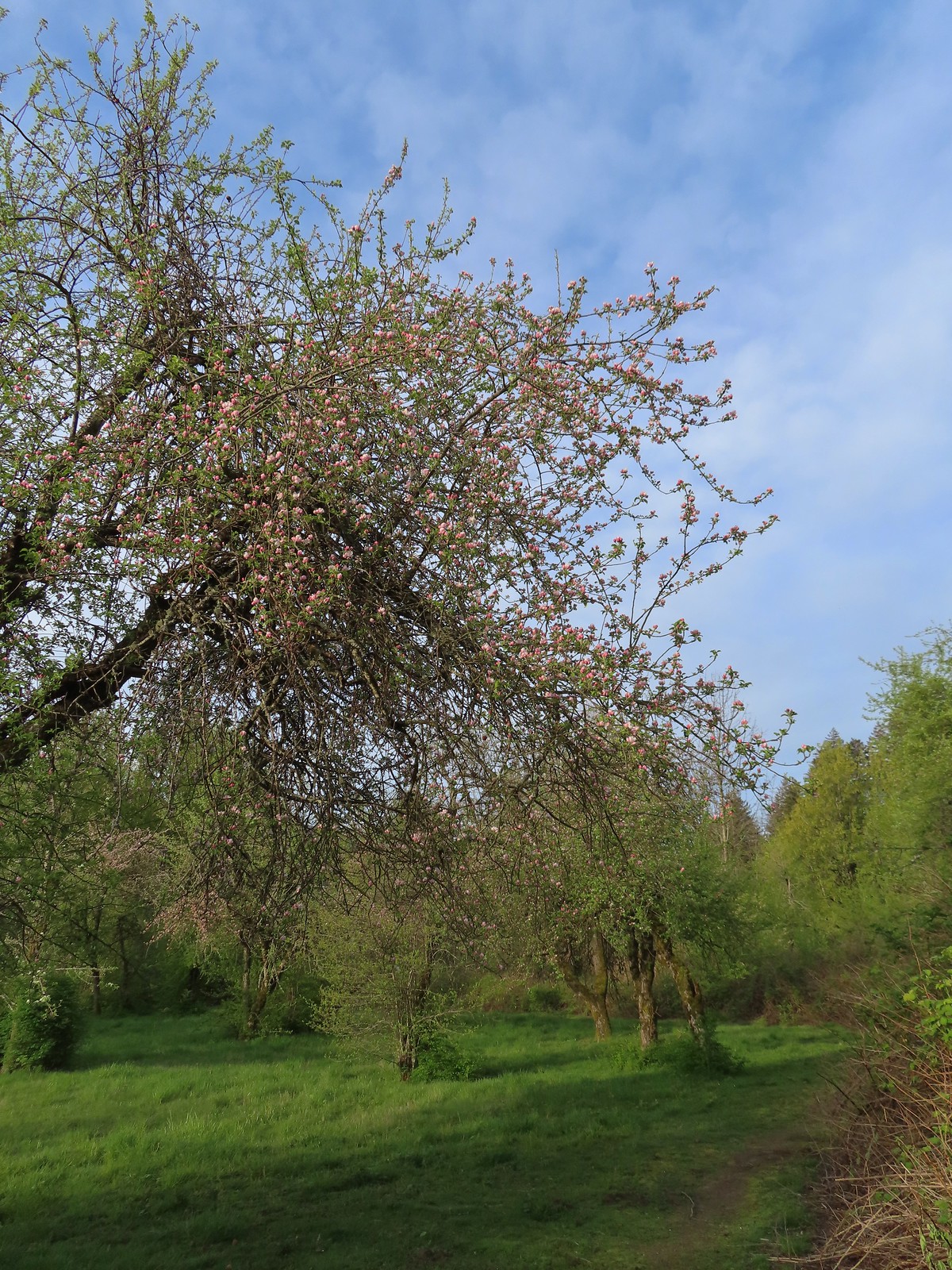 The trail loops around a former apple orchard.
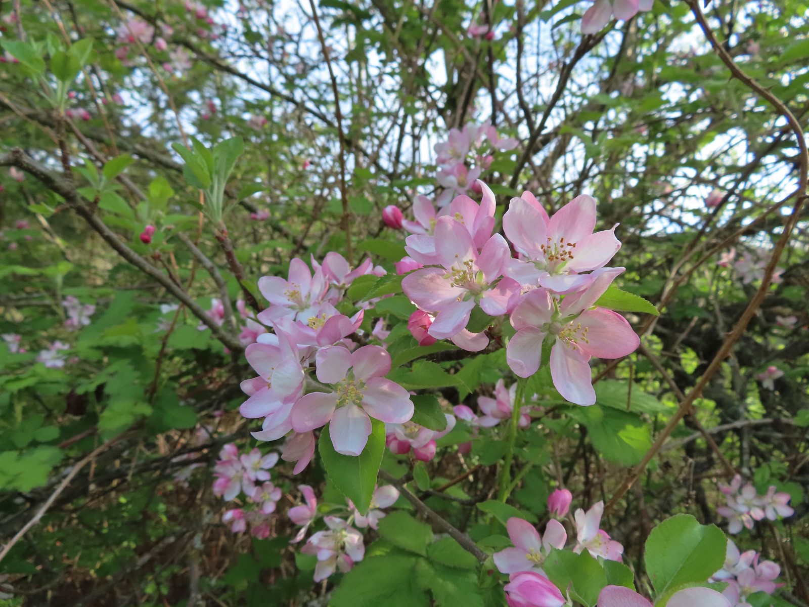 Apple blossoms
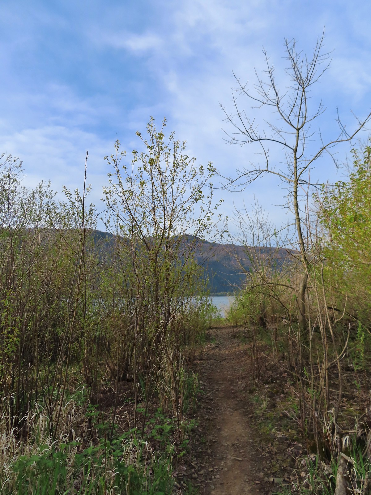 A spur trail leading down to the Columbia River.
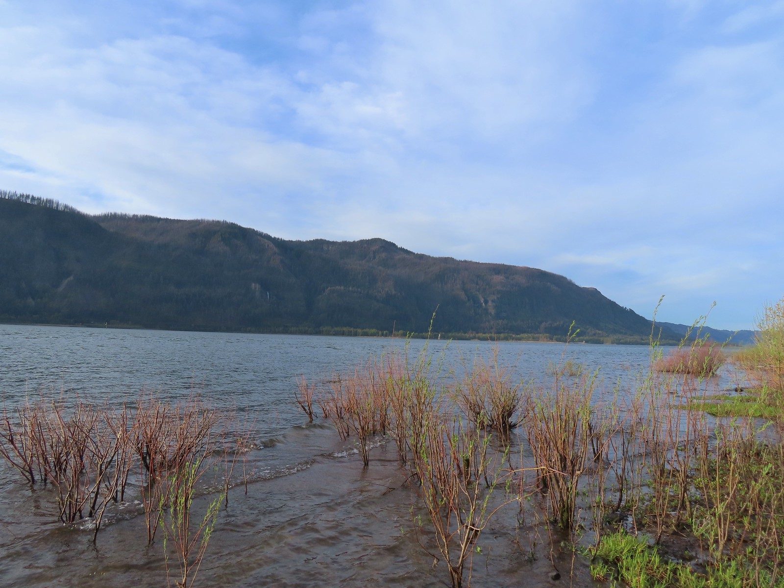 Devil’s Rest and Multnomah Falls (
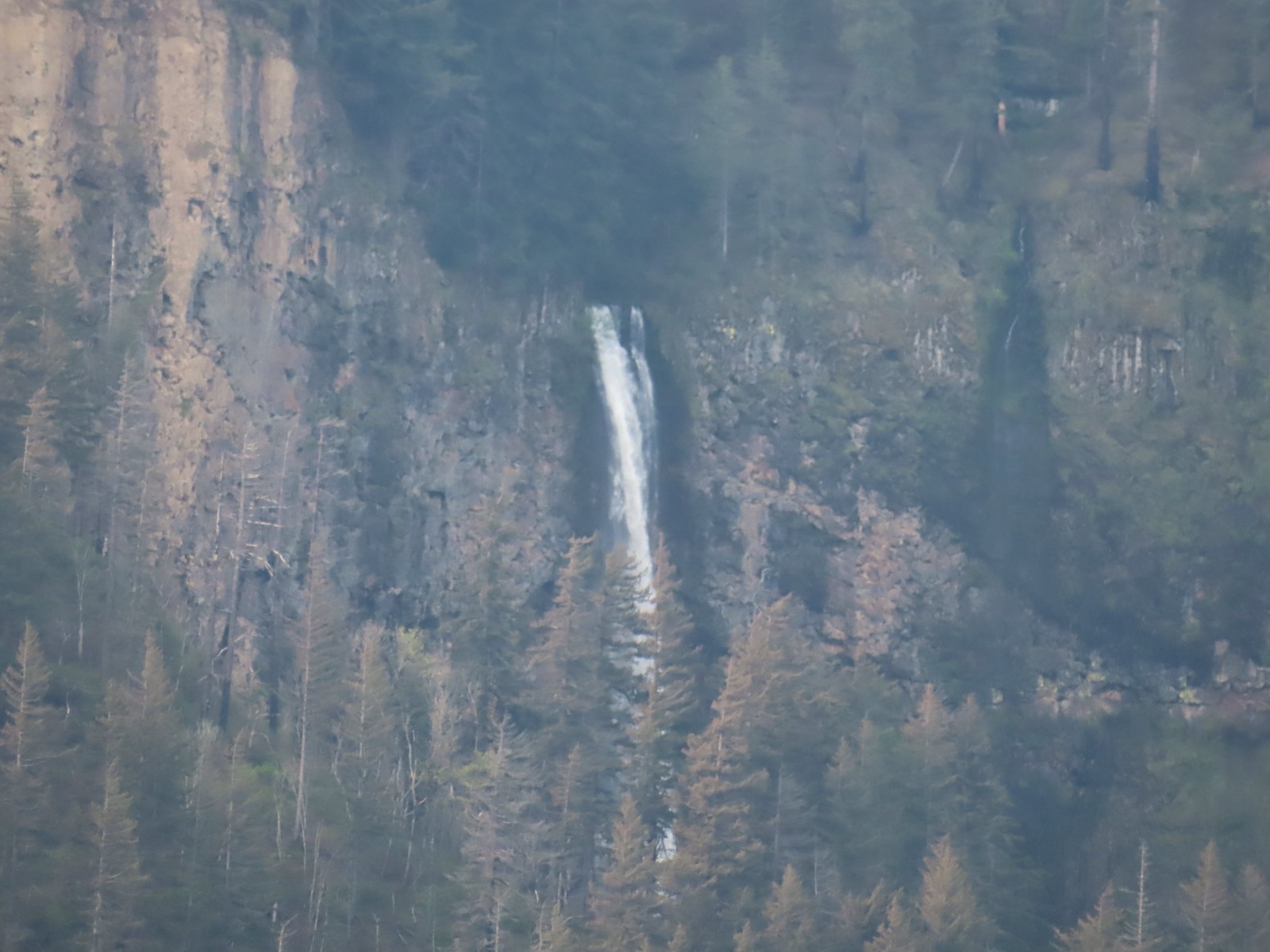 Multnomah Falls
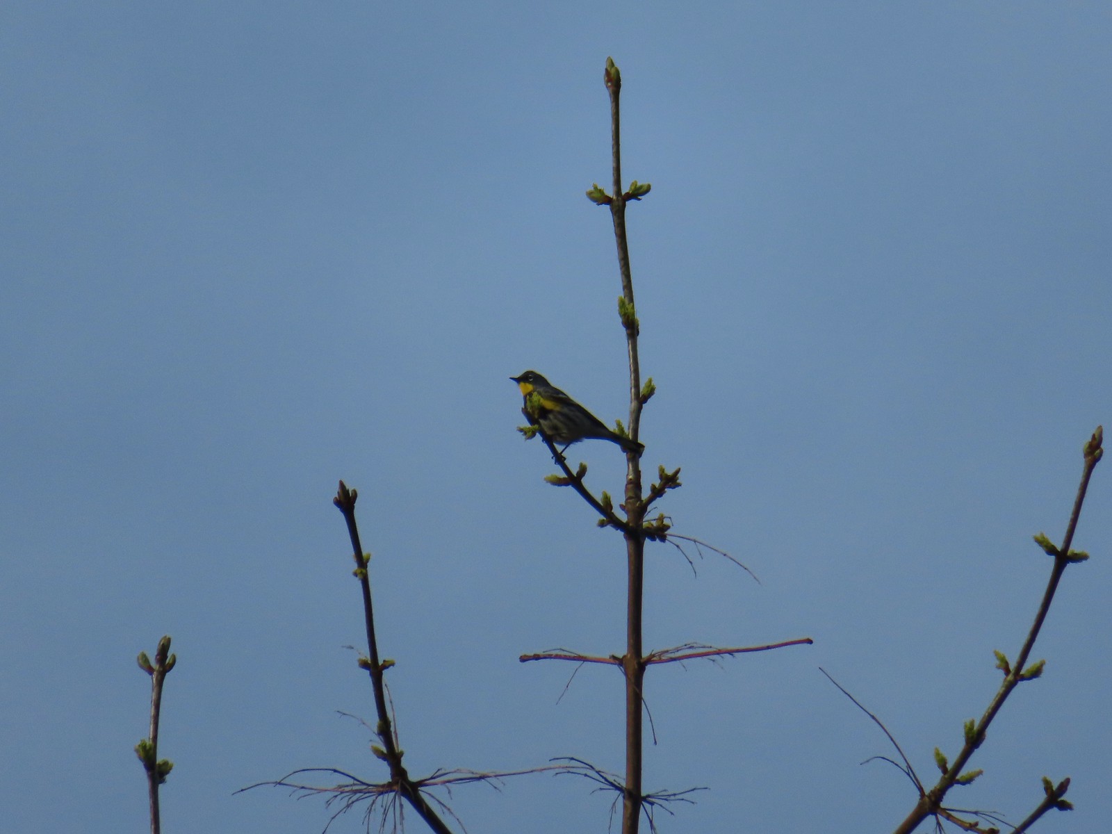 Yellow-rumped warbler.
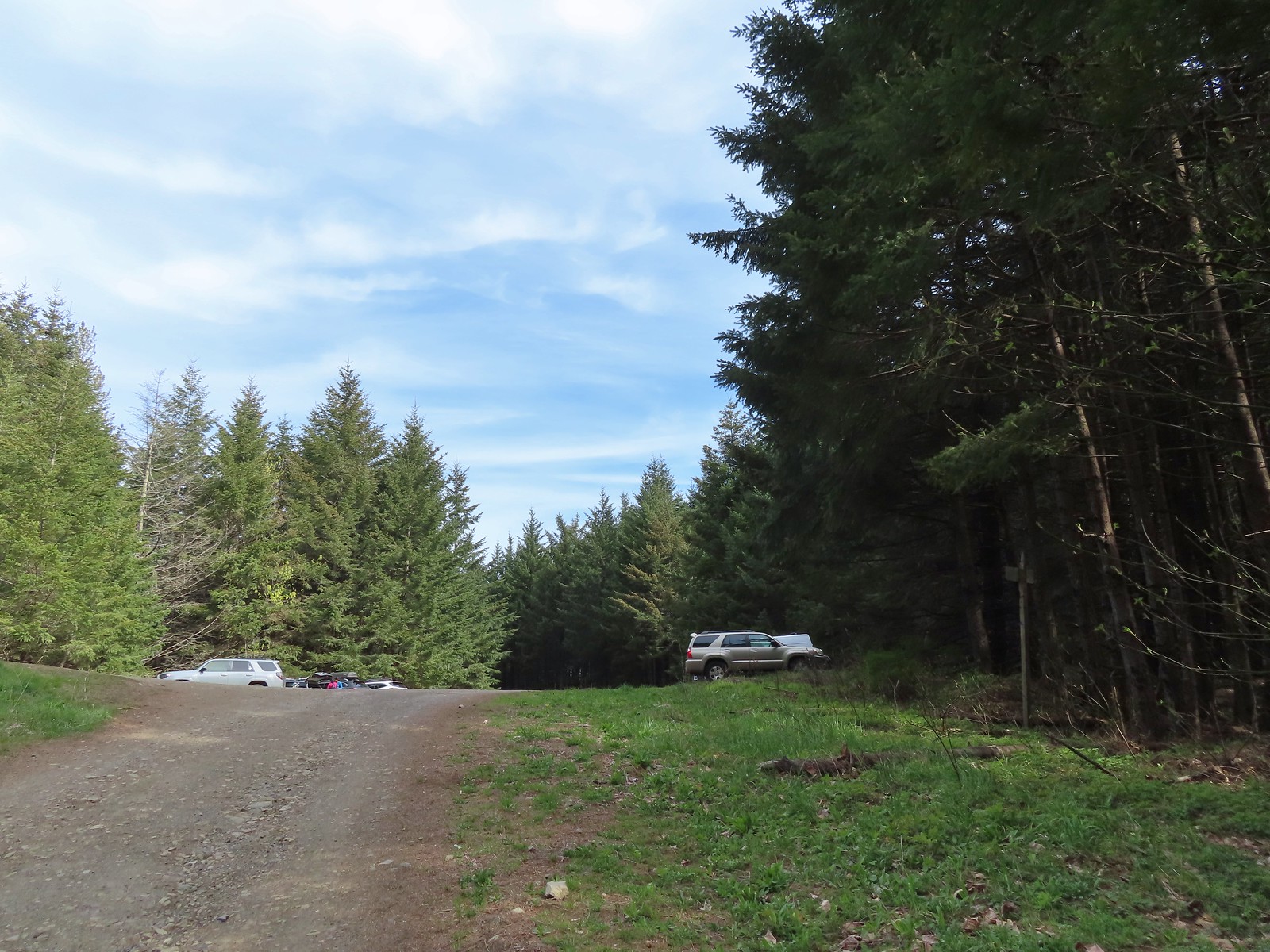 The quarry later in the morning.
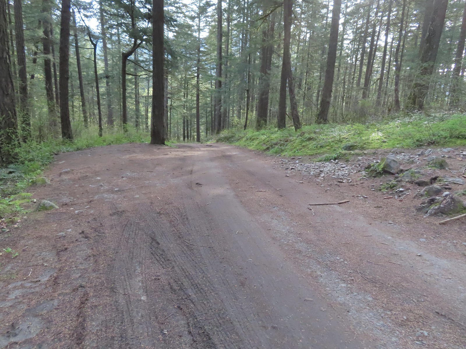 Pullout at the actual trailhead.
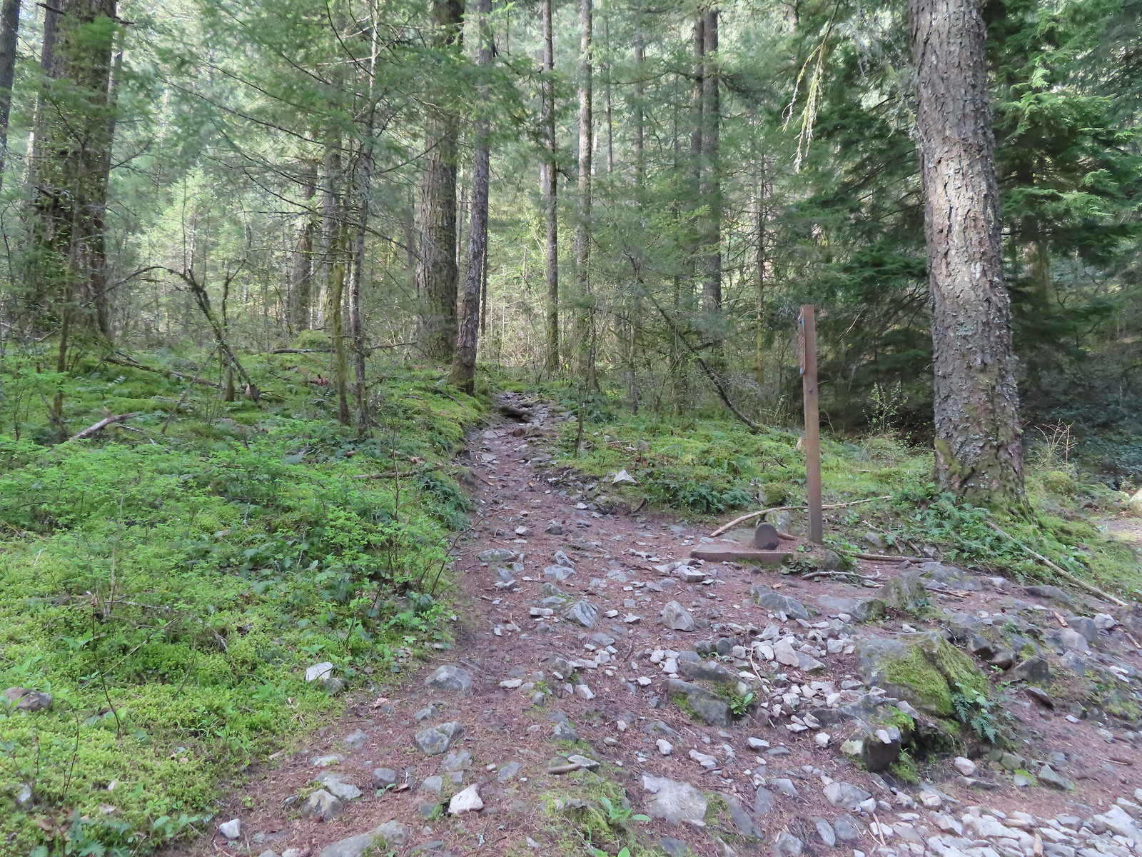 The Wind Mountain Trail at the trailhead.
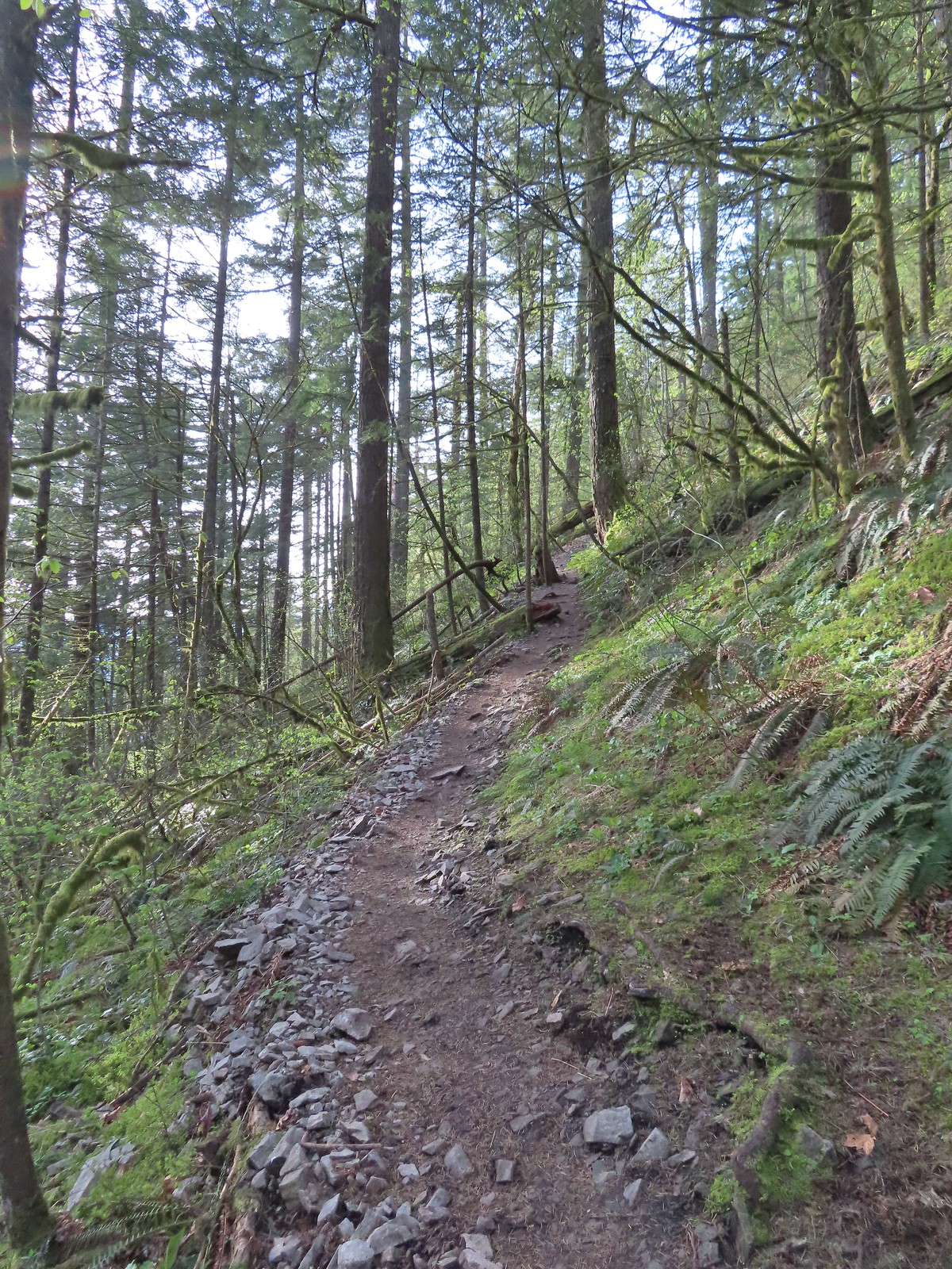
 Slender toothwort
 Trillium
 Red flowering currant
 Close up of red flowering currant
 Pioneer violet
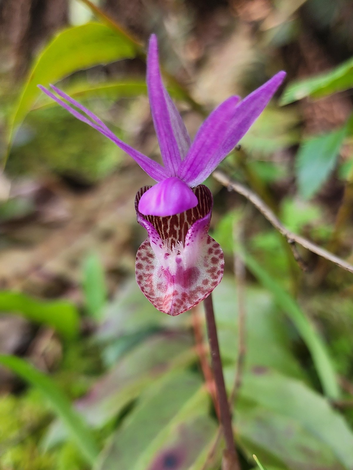 Fairy slipper
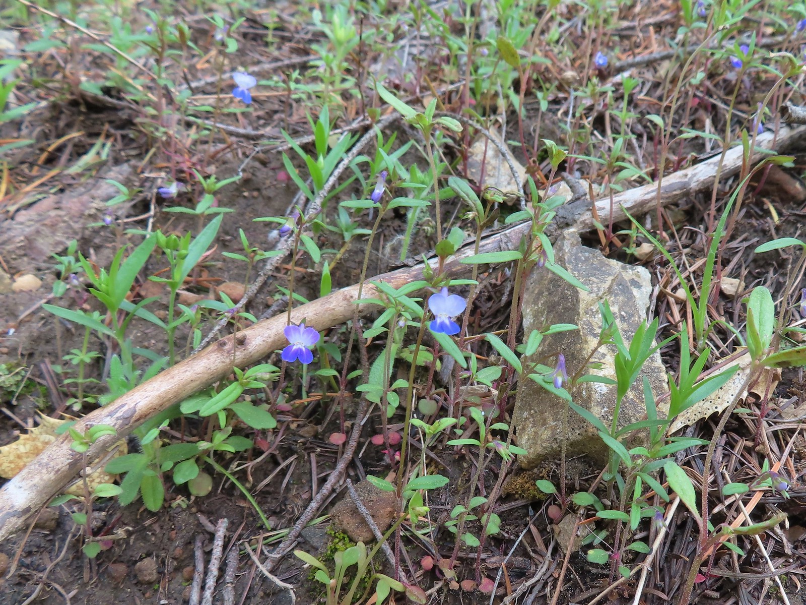 Blue-eyed Mary
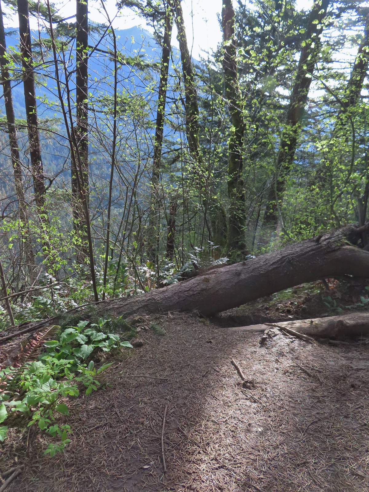 The spur trail down to the outcrop.
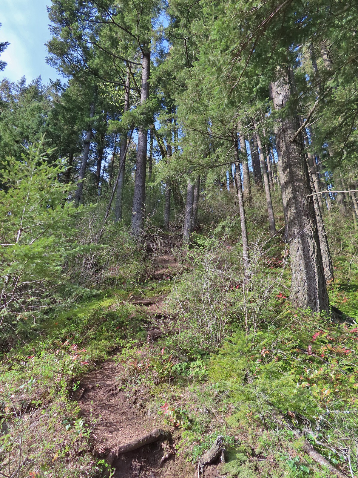
 Serviceberry
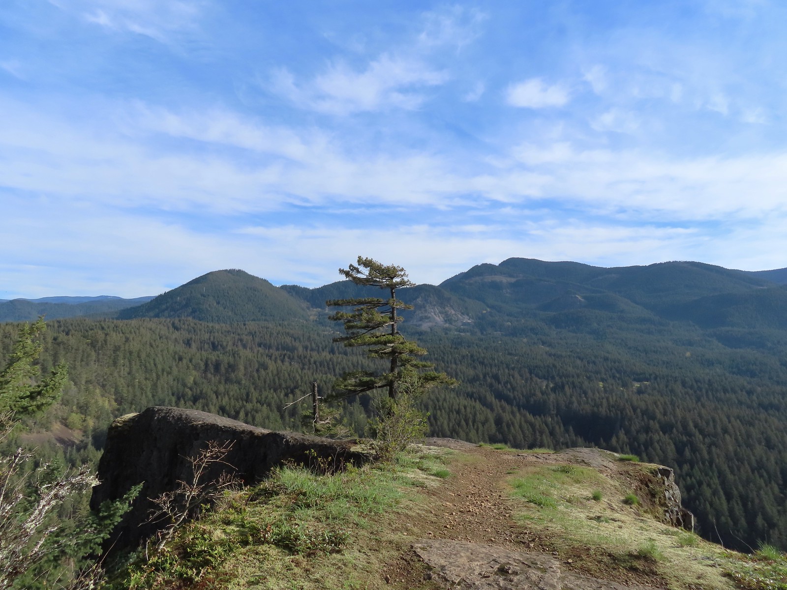 Augspurger Mountain (
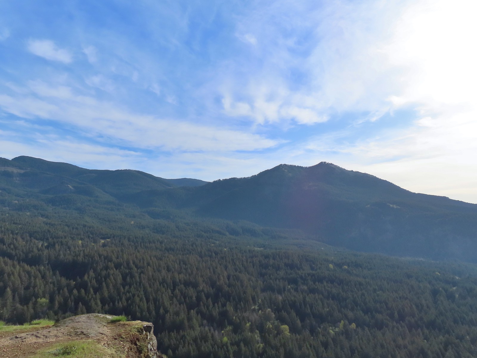 Dog Mountain (
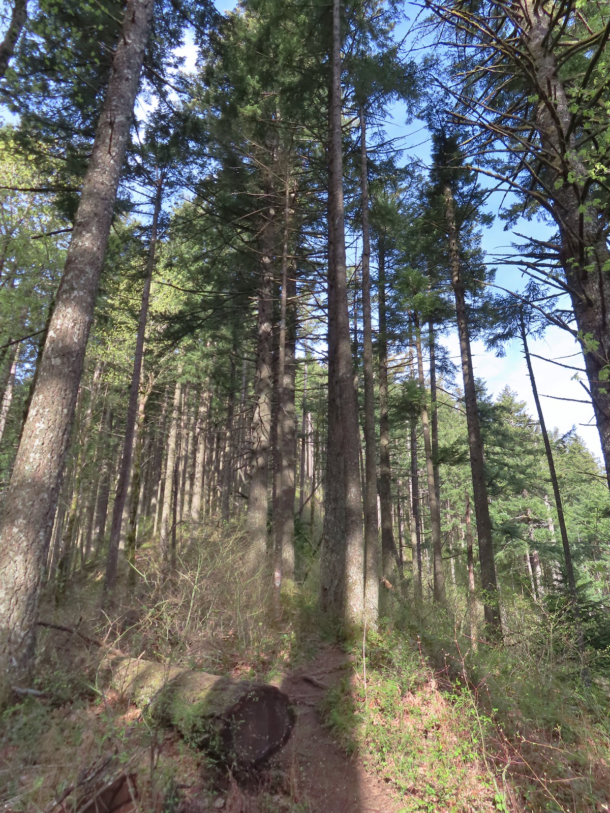
 Largeleaf sandwort
 Talus slope on Wind Mountain.
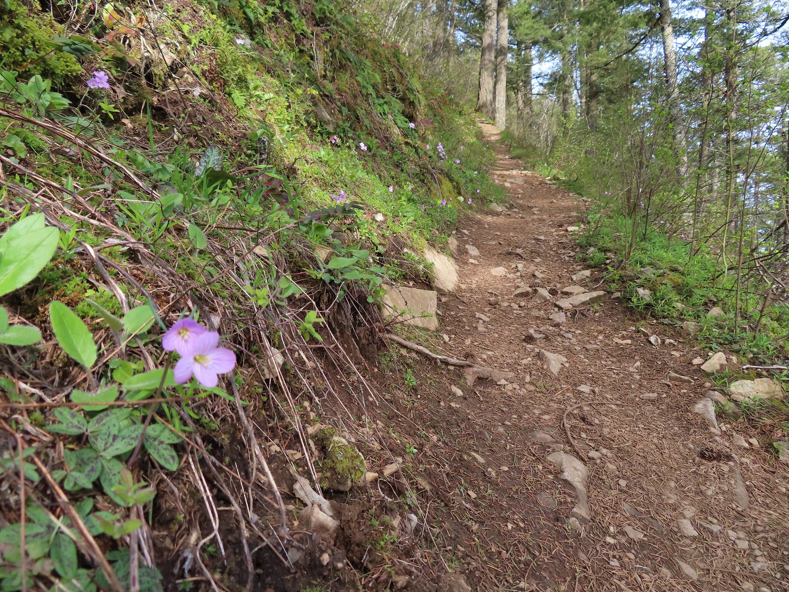 Slender toothwort along the trail.
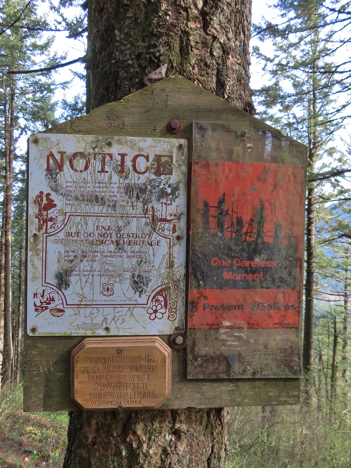 One of the signs near the summit.
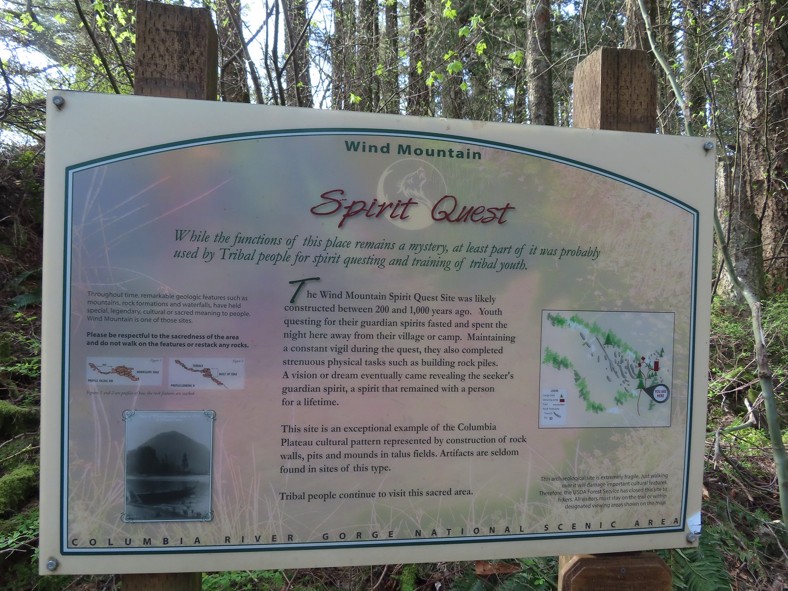 Interpretive sign with a map of the areas open to hikers.
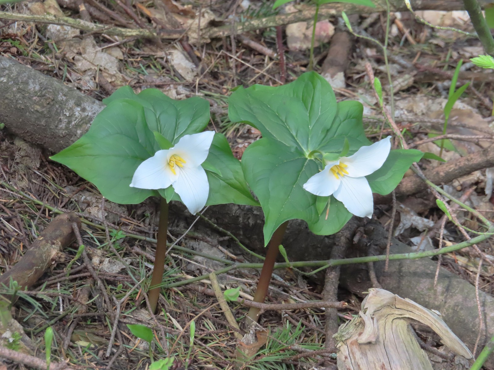 Trillium
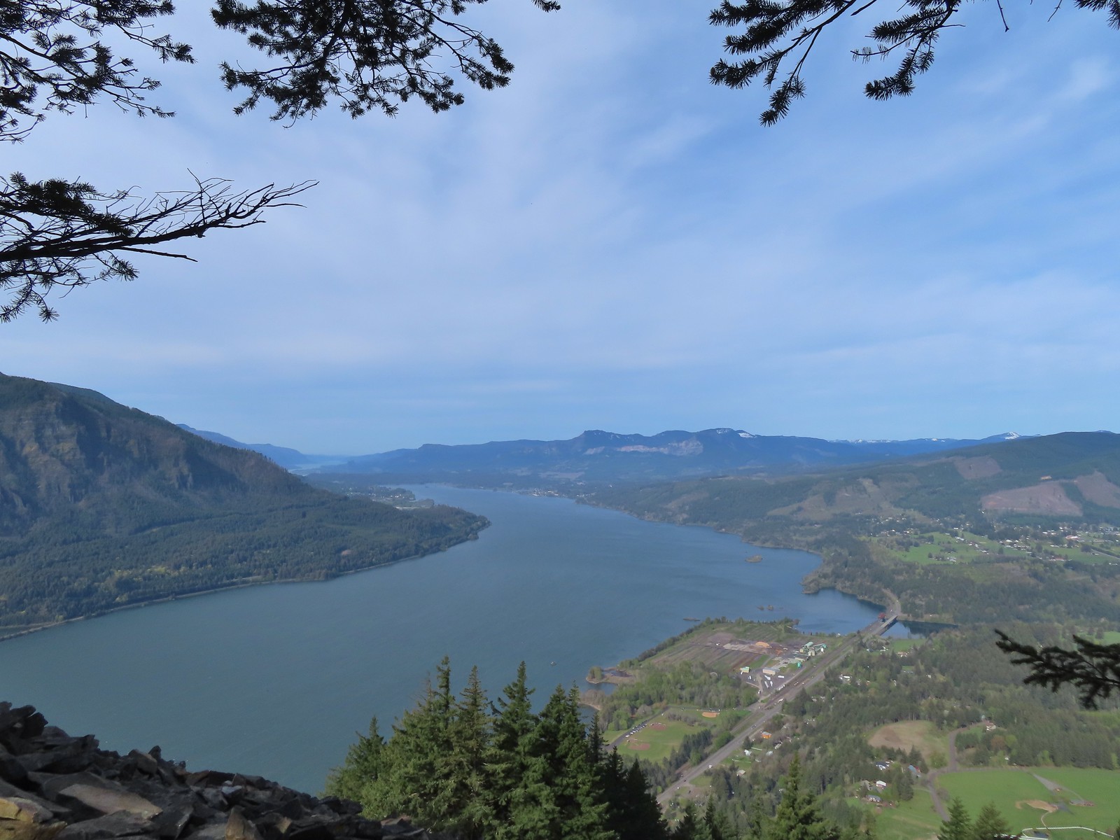 View west down the Columbia River. Hamilton Mountain (
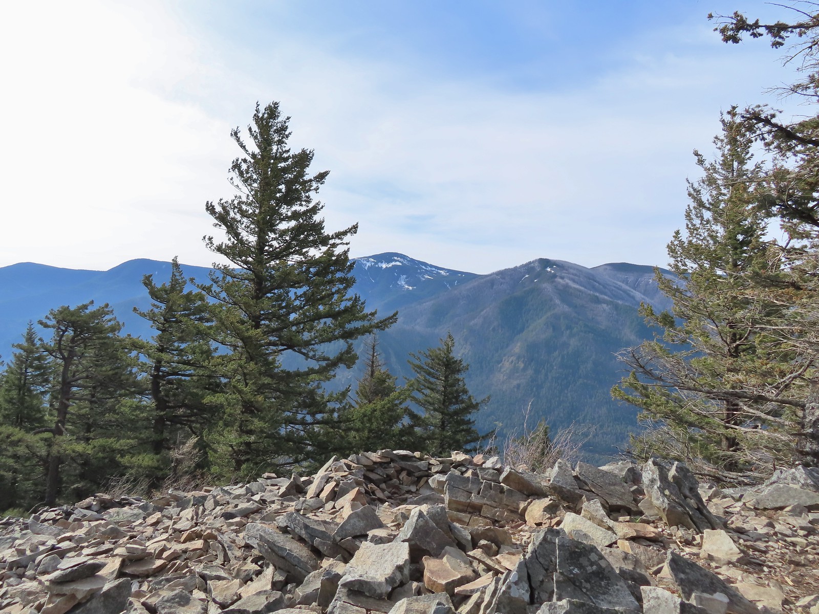 Mt. Defiance (
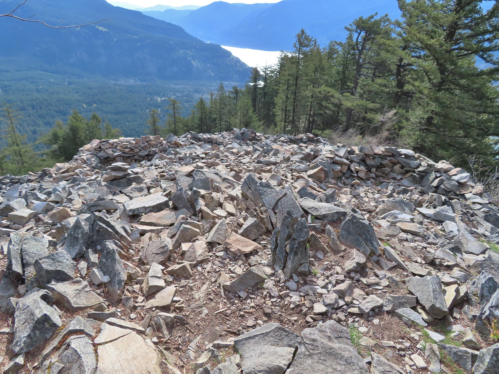 Vision quest pits on Wind Mountain.
 Mt. Adams beyond Augspurger Mountain.
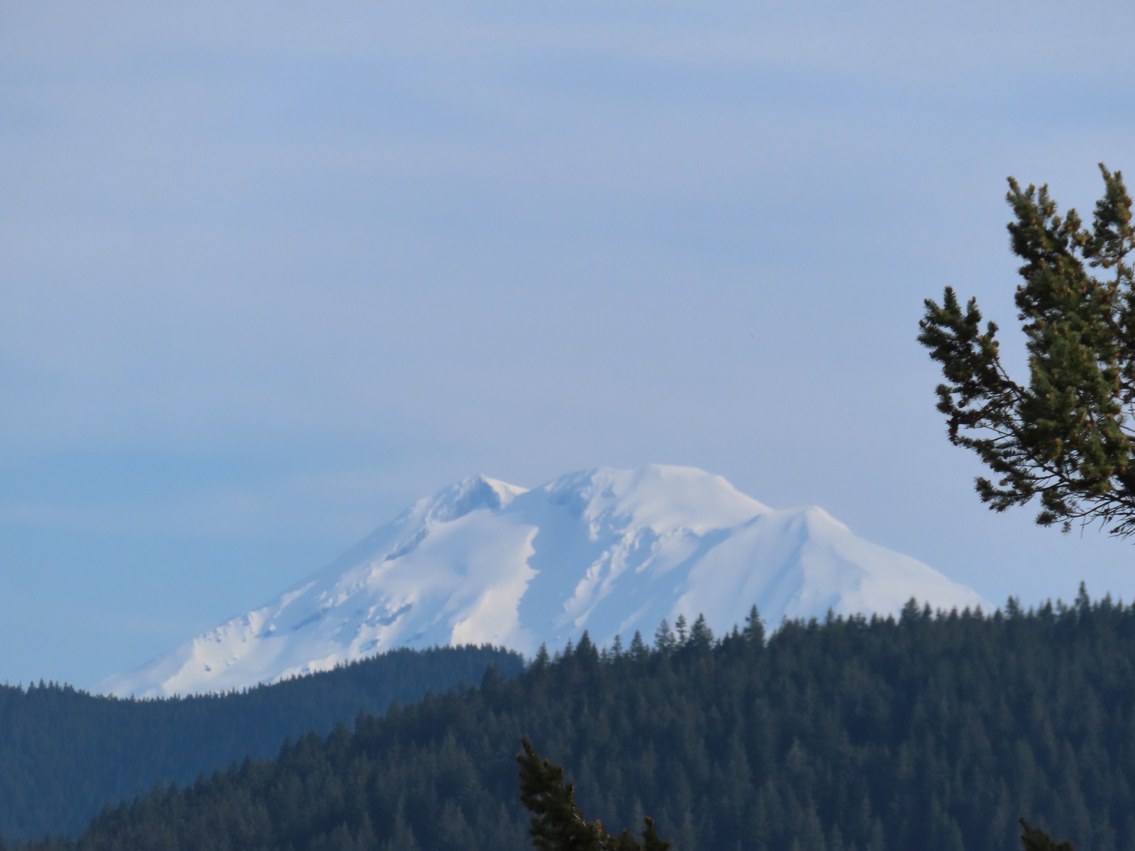 Mt. Adams
 Looking across the Columbia River.
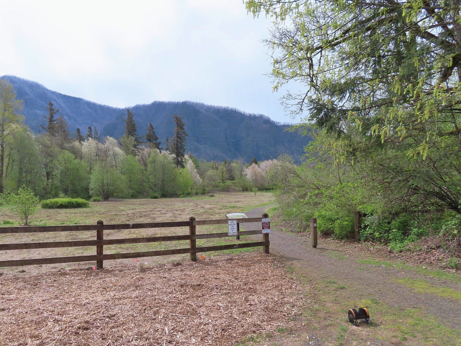
 The first split where we went right.
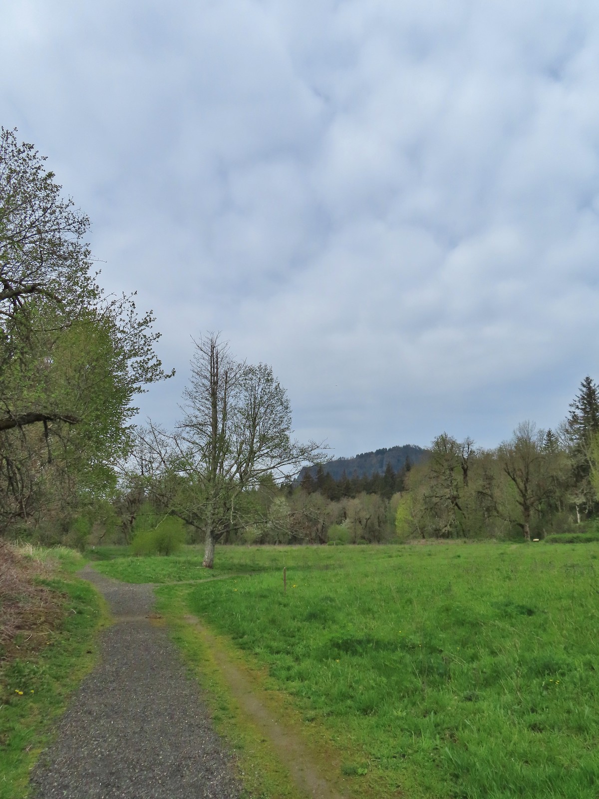 To continue on the counterclockwise loop we should have turned right at the junction ahead.
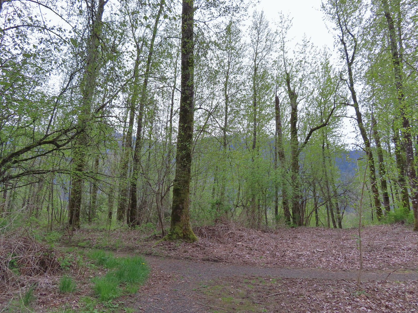 We turned right at the junction now doing the loop clockwise.
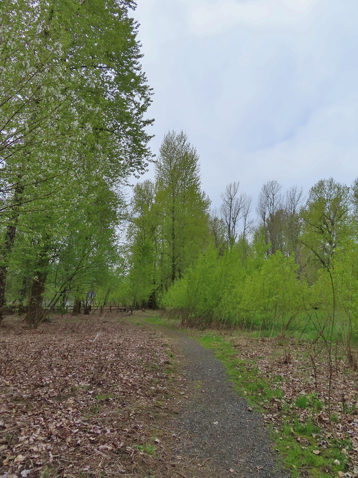 Coming up on one of the picnic tables along the loop.
 The Columbia River from the picnic table.
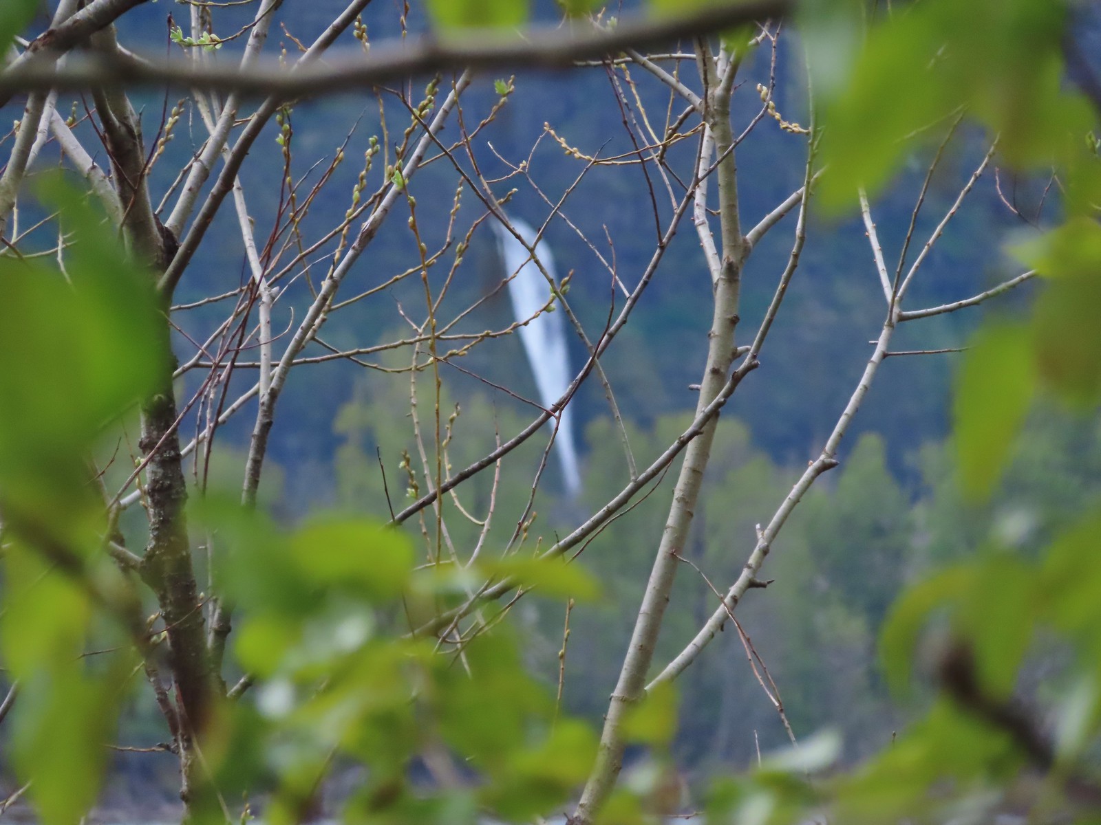 Horsetail Falls (
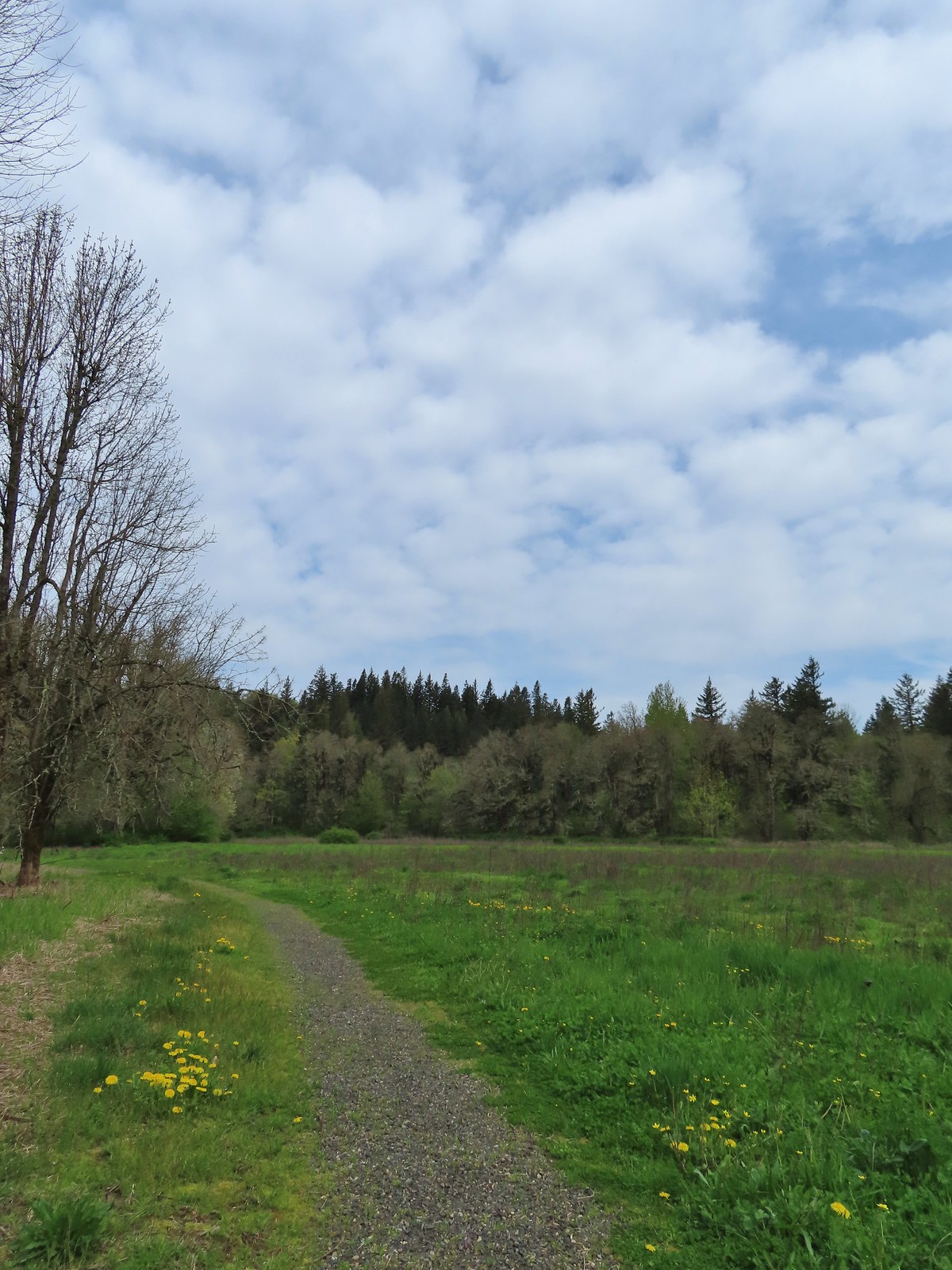
 Chipping sparrow
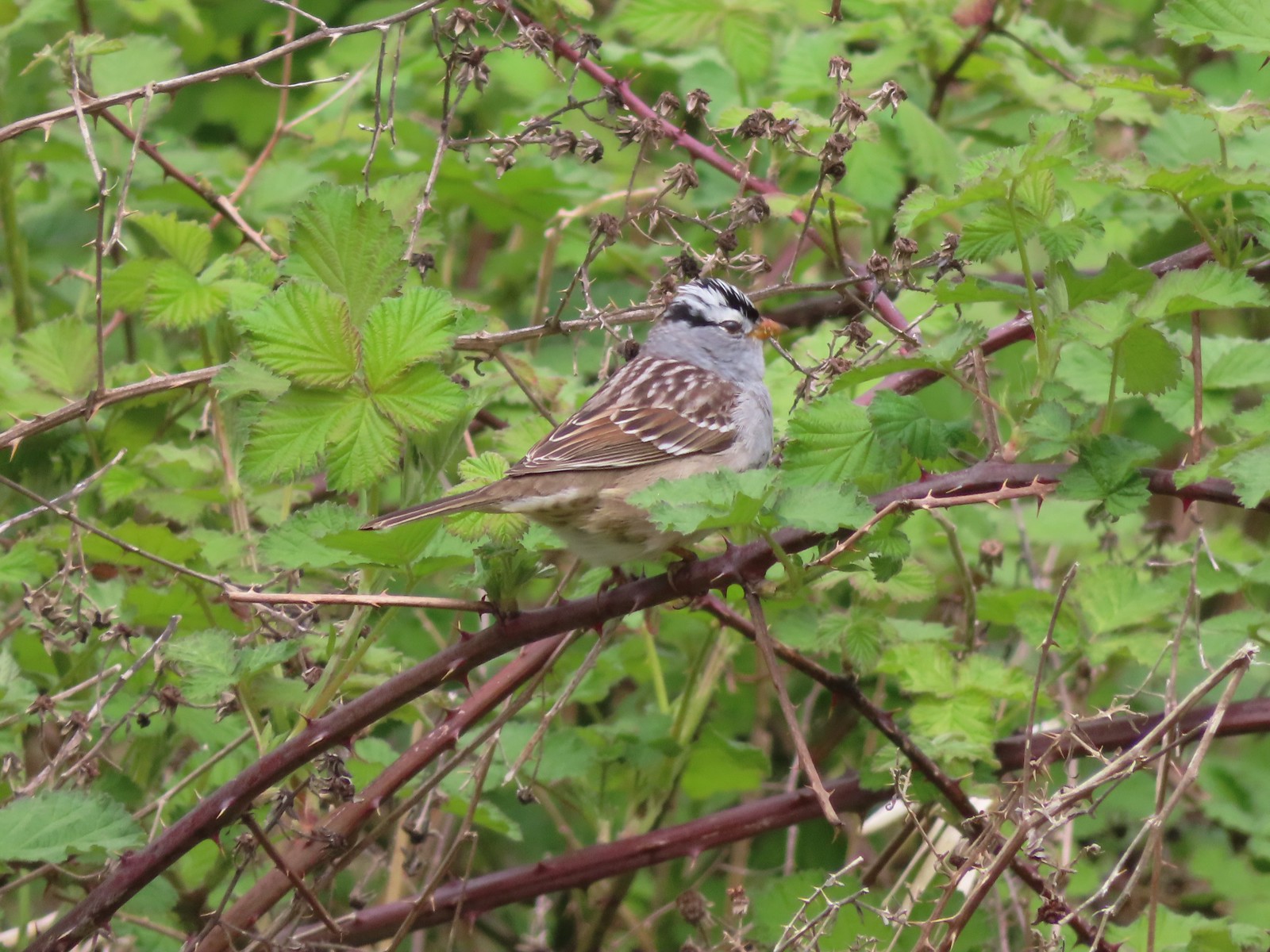 White-crowned sparrow
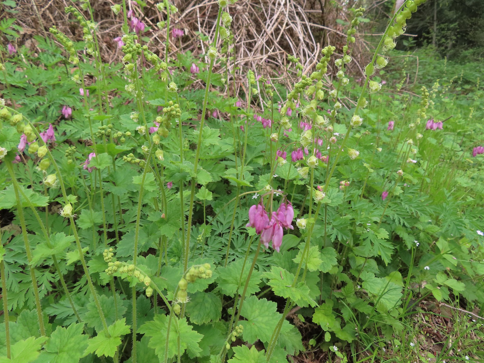 Bleeding heart and fringecup
 The cedar grove
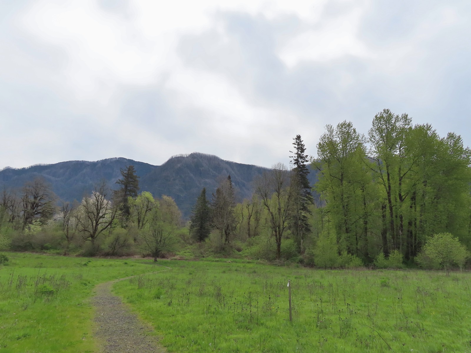 Completing the first loop.
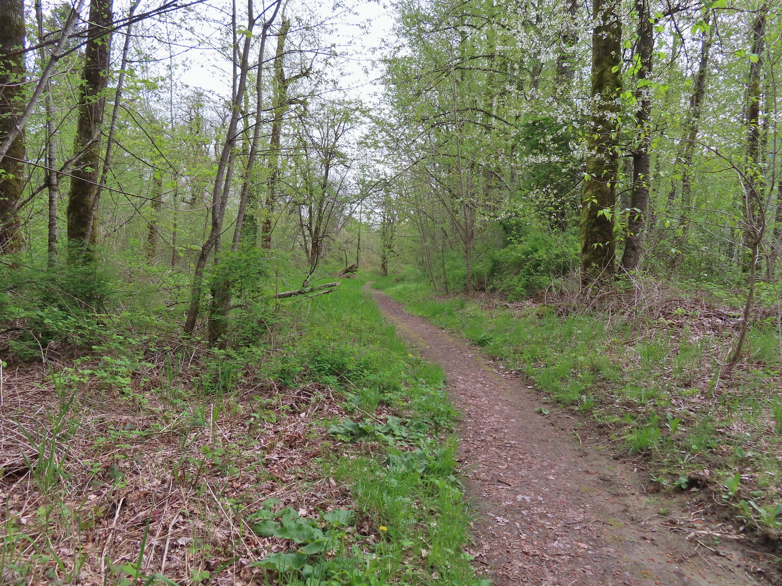
 Spider on perriwinkle
 Kiosk at Doetsch Ranch.
 Beacon Rock (
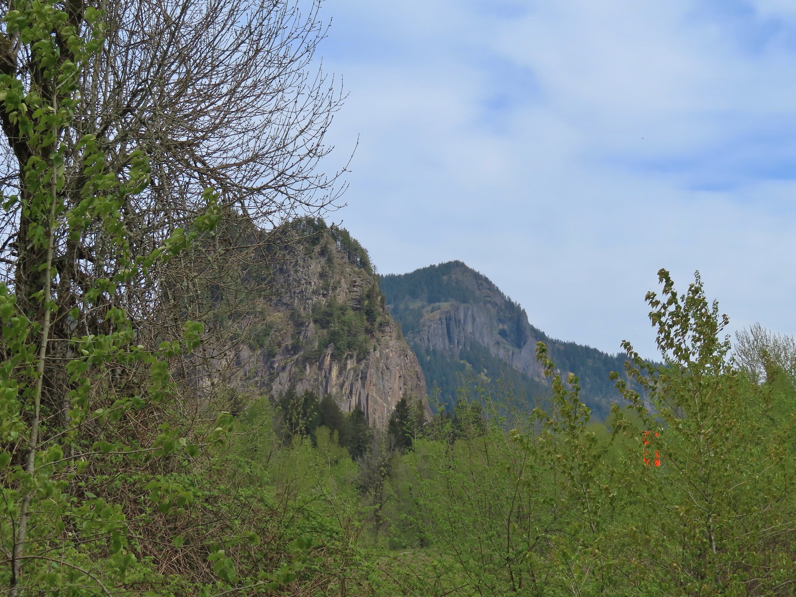 Beacon Rock and Hamilton Mountain.
 Coming up on the other parking area.
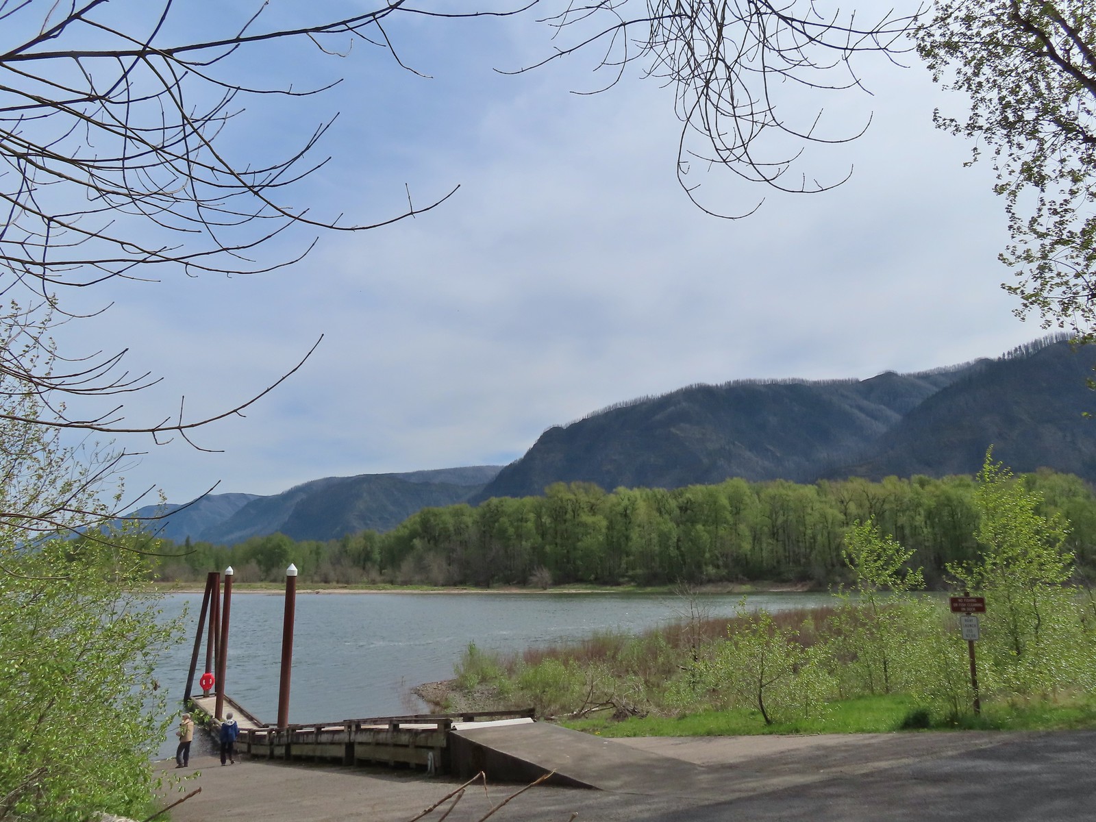

 Woodward Creek
 Fairy bells, vine maple, and fringecup
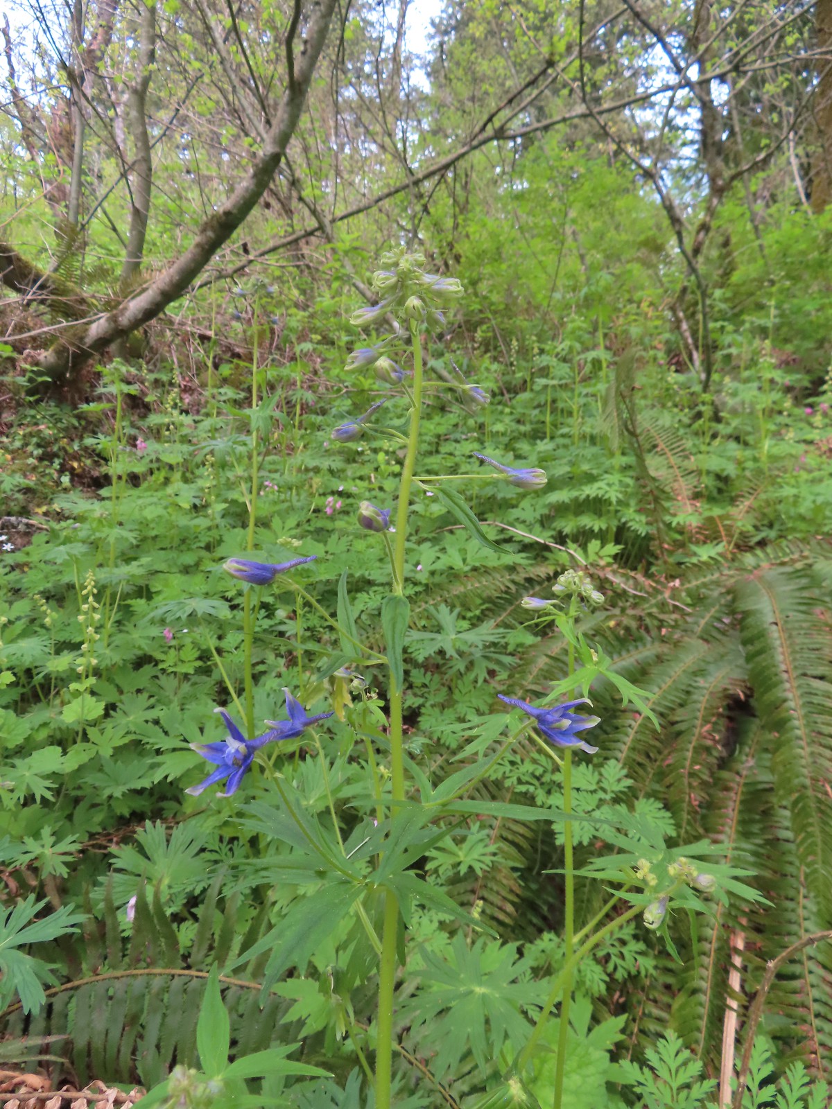 Columbian larkspur
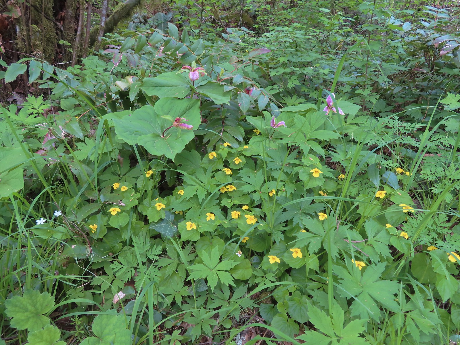 Trillium and voilets
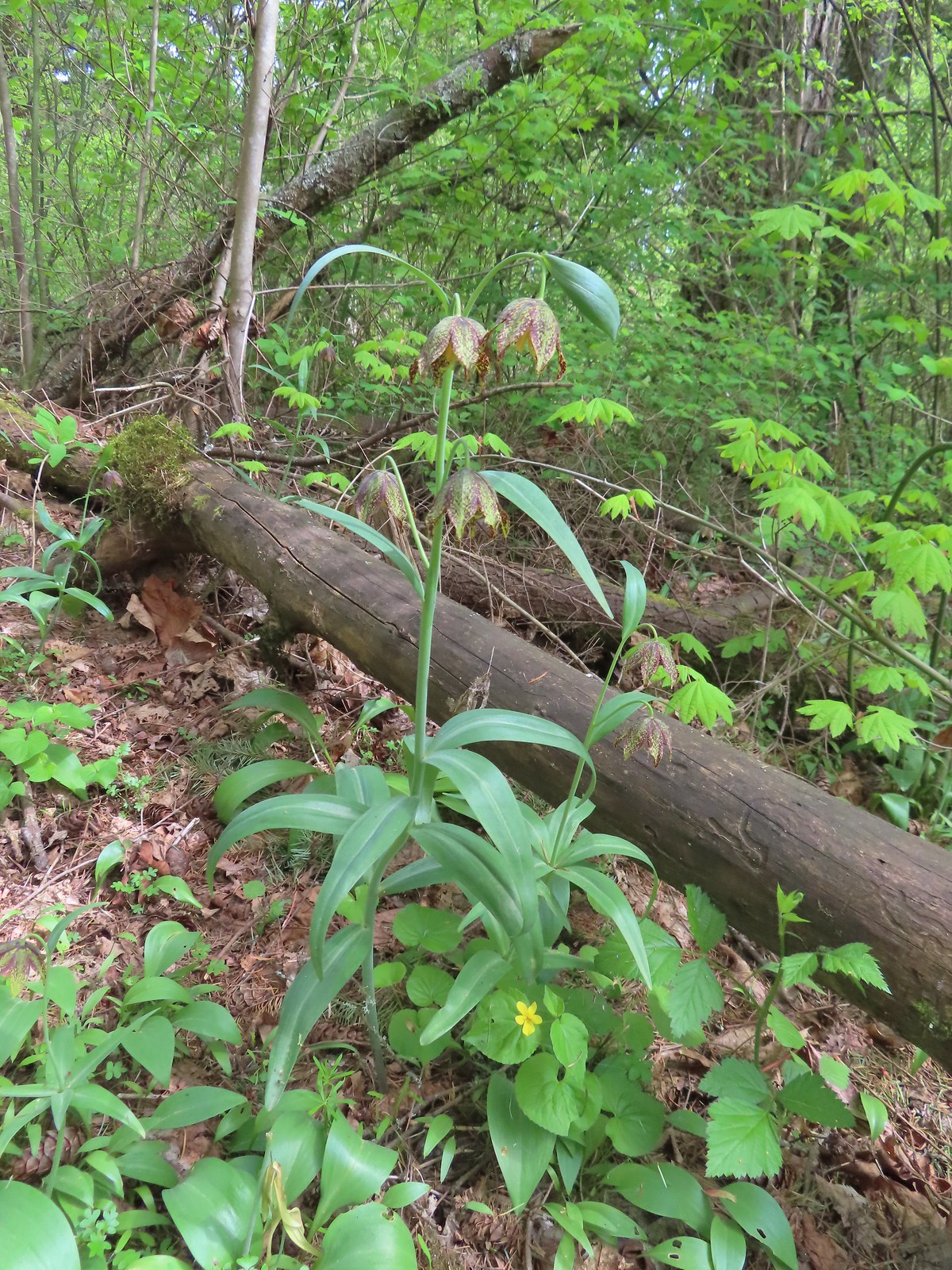 Checker (chocolate) lilies
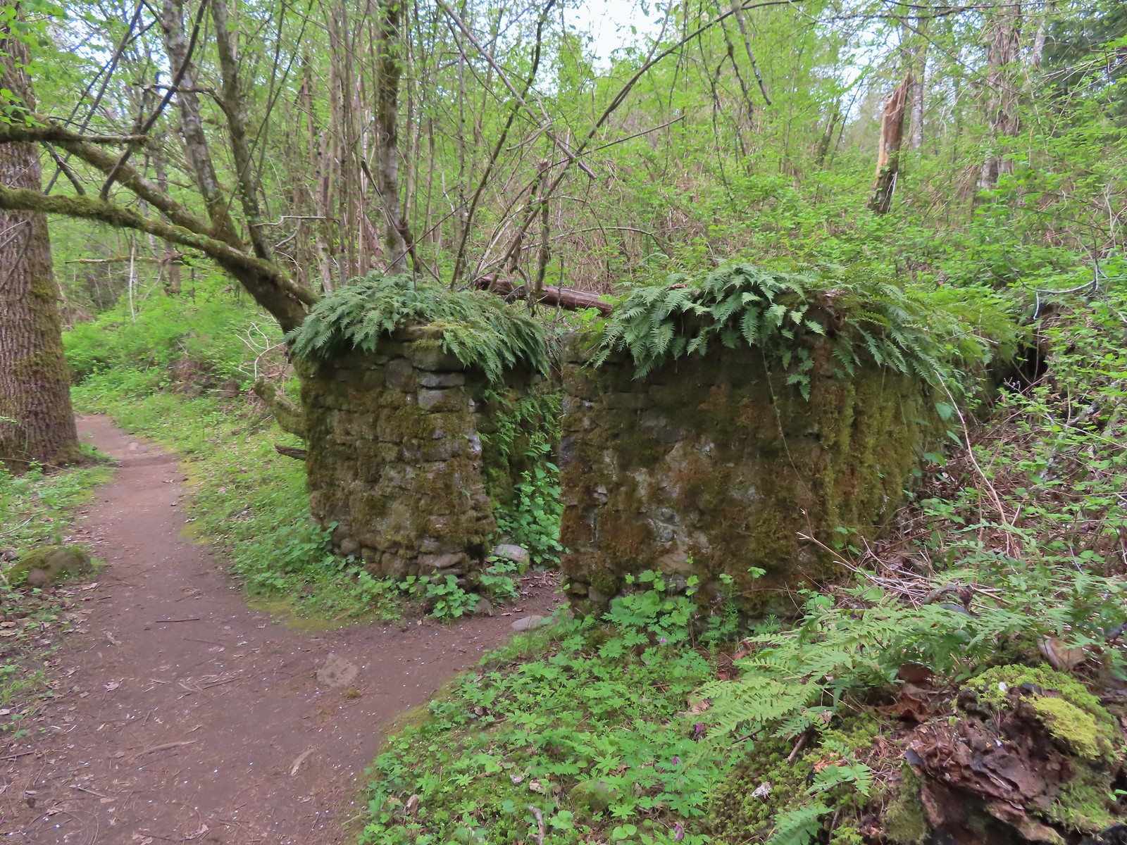

 Bleeding heart
 This was just one part of the best display of chocolate lilies we’d ever seen.
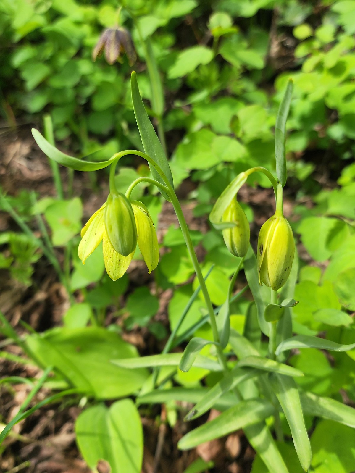 There were a couple of lilies with this coloration which was new to us.
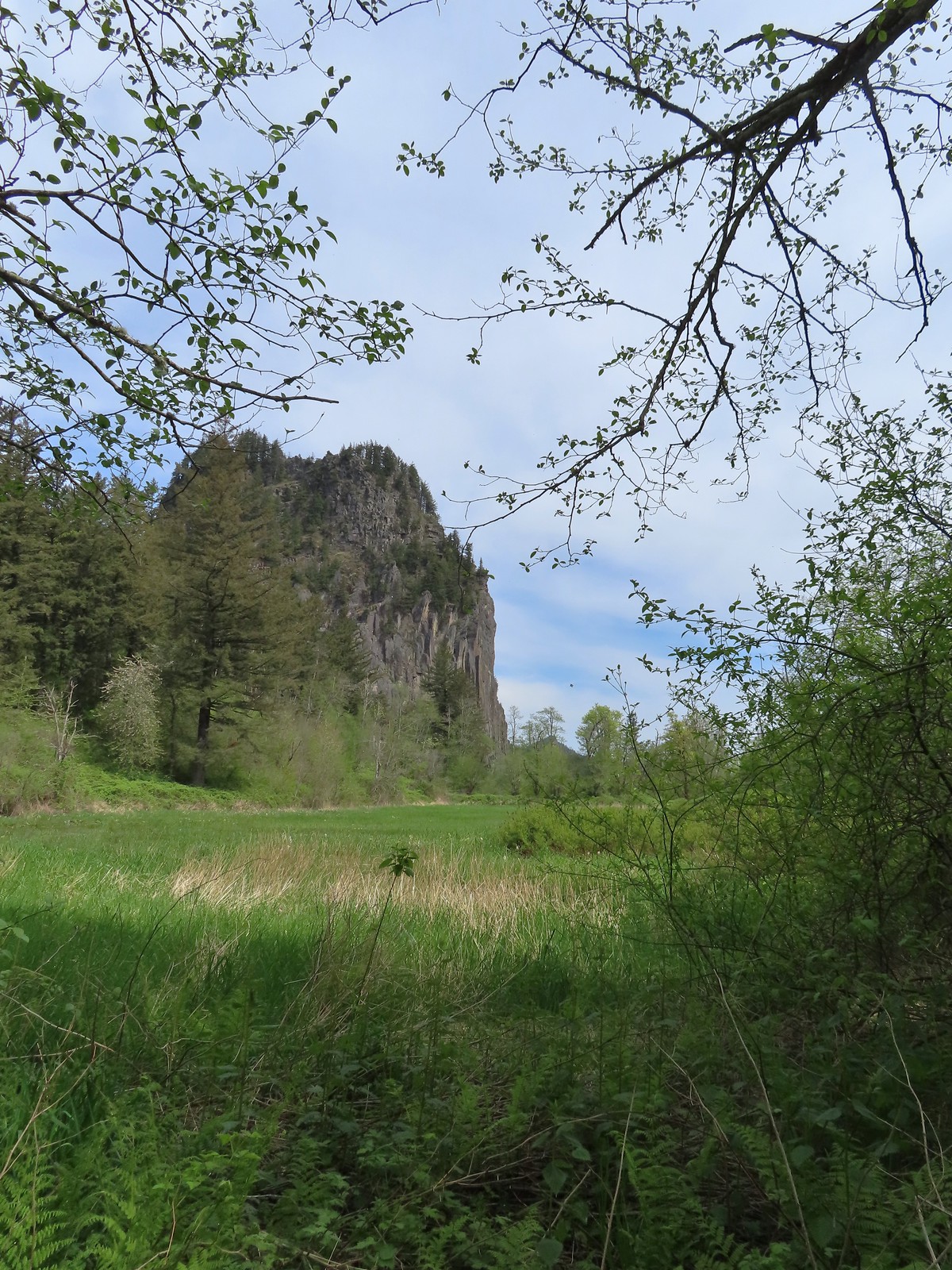 Riddle Lake
 Dropping down to the River to Rock Trailhead.
 Looking back up the River to Rock Trail.
 Passing back by the large patch of chocolate lilies.
 Our first butterfly of 2024, an echo azure.
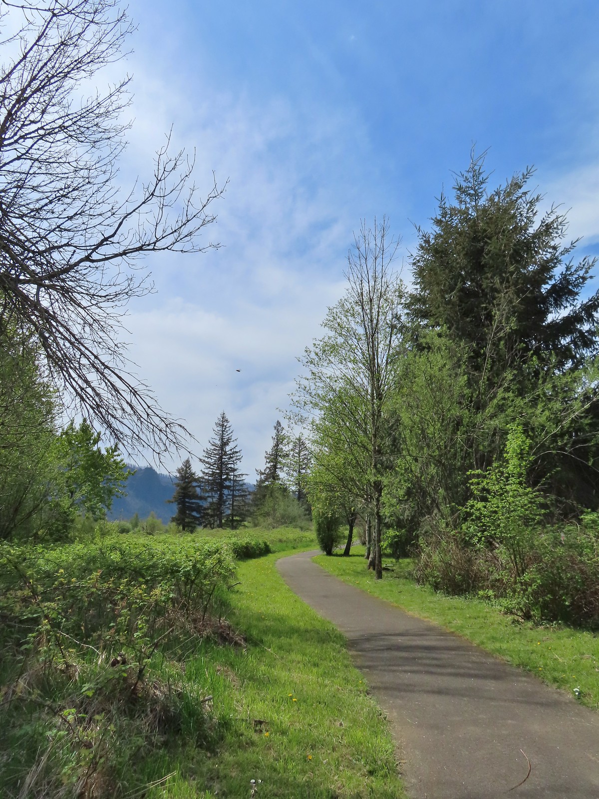
 Completing the loop.
 St. Cloud and Lower Archer Falls
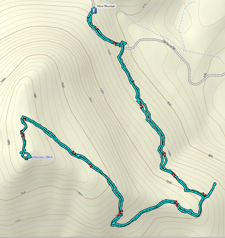 Wind Mountain
 Sams-Walker
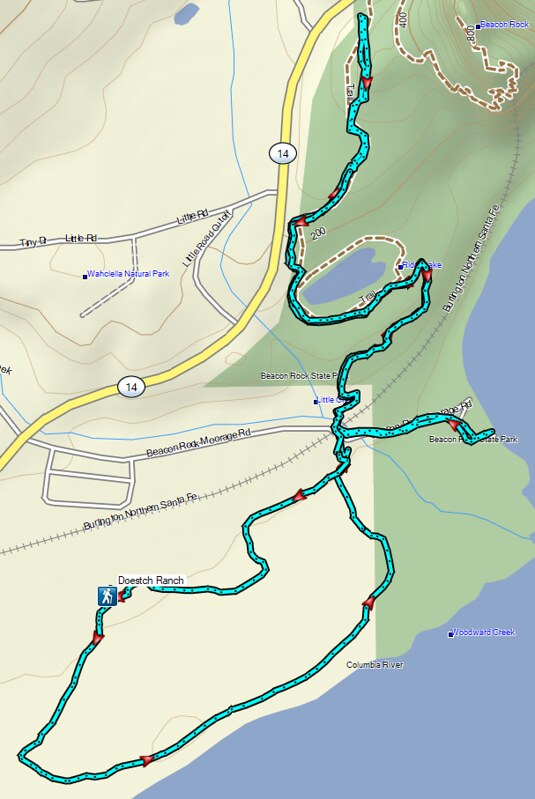 Doetsch Ranch
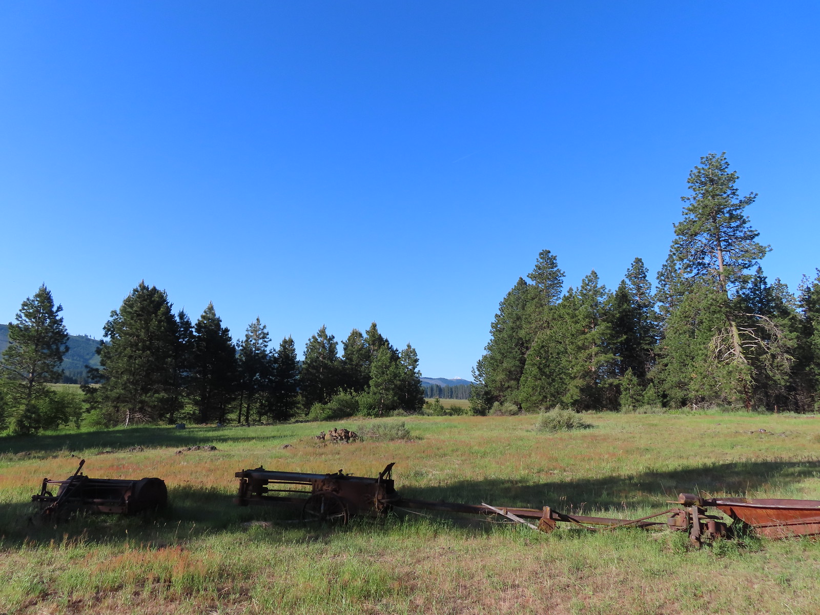
 The path to the cabin on the right.
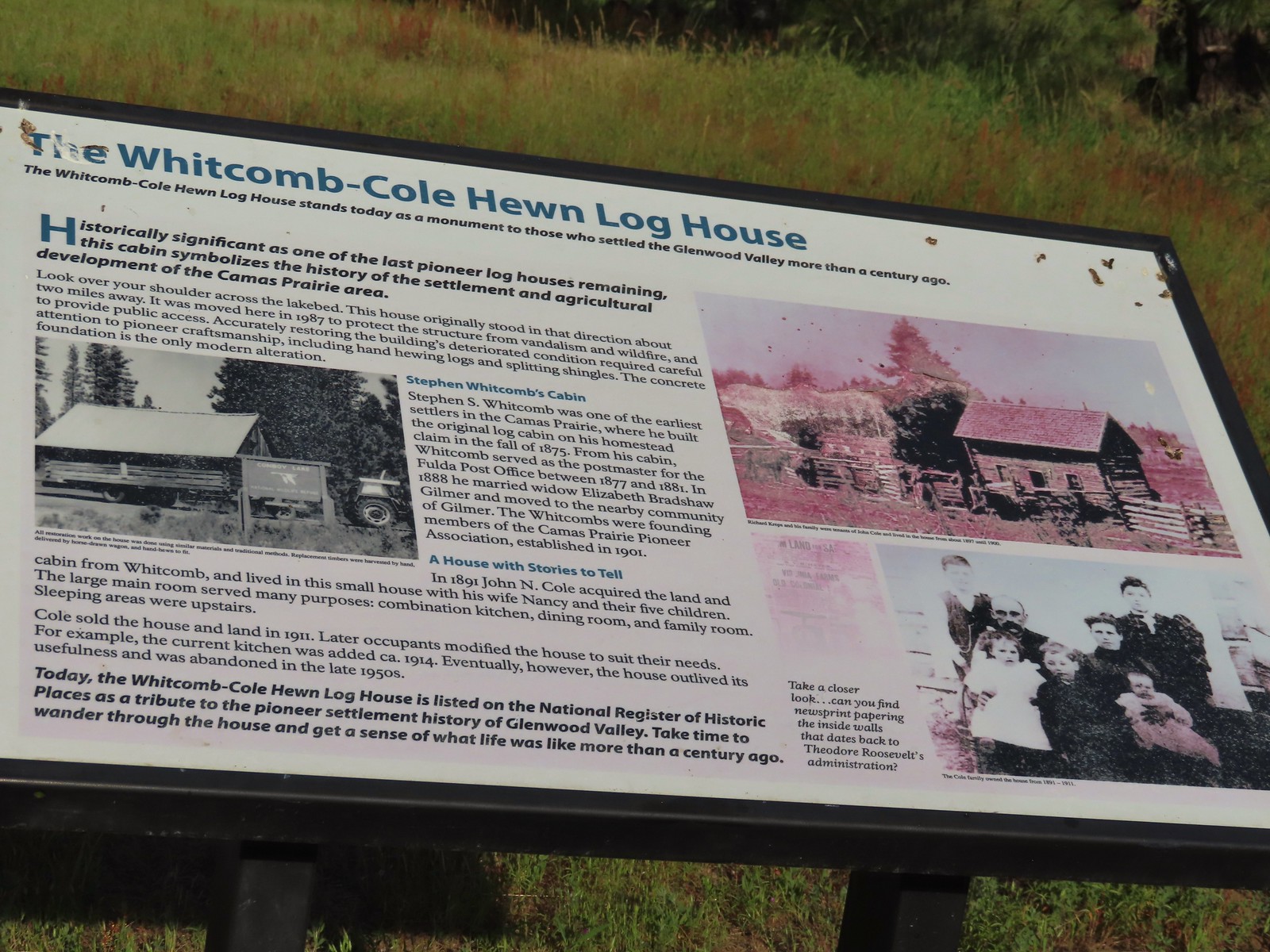 Built in 1875 the cabin was moved from its original location in 1987.

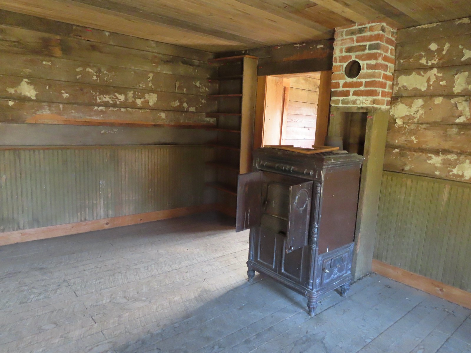
 The snowy top of Mt. Hood from the cabin.

 There was a lot of monkeyflower in and along the ditch.
 Lupine along the ditch.
 Lazuli bunting
 Robin
Robin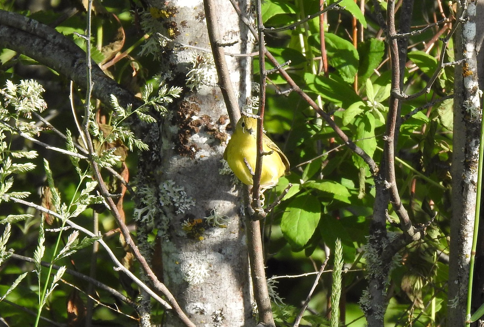 Yellow warbler (according to the Merlin app).
 Red-winged blackbird
 The top of Mt. Adams above the trees.

 Swallow
 Western bluebirds

 Honeysuckle
 Columbine
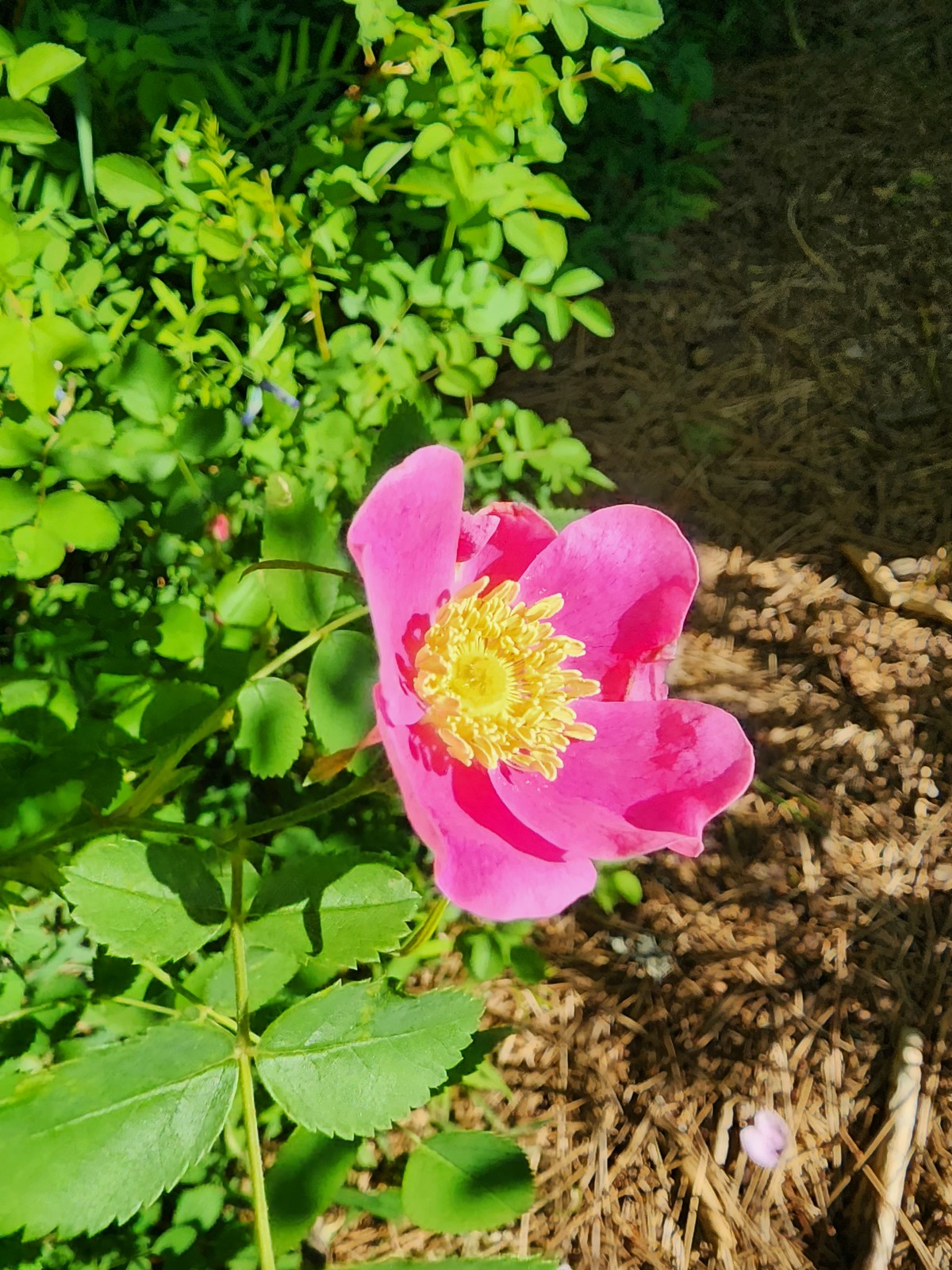 Rose
Rose


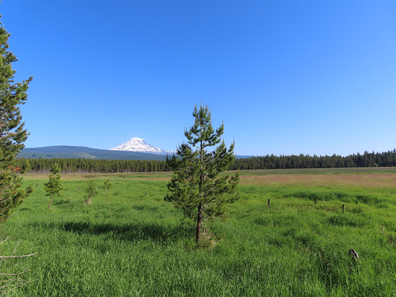
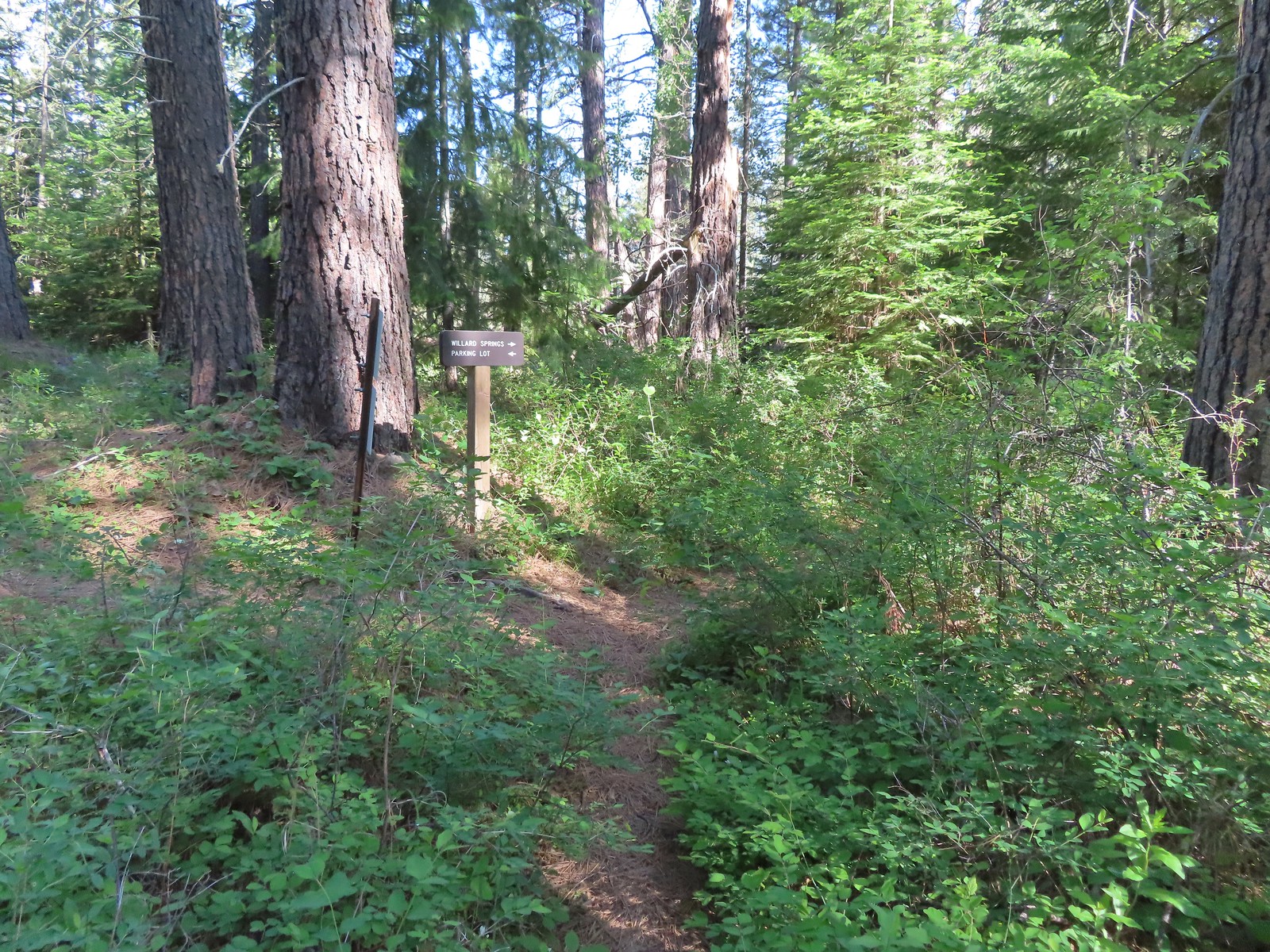
 Continuation of the Willard Springs Trail behind the sign.


 We hung around long enough that this warbling vireo came to check on us.
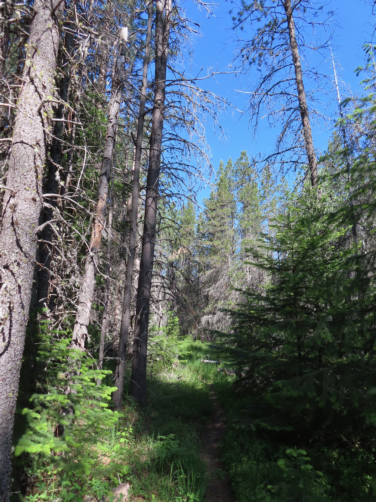


 Willard Sprins hidden in the vegetation. We could hear them better then we could see them.
 A healthy lupine near the springs.
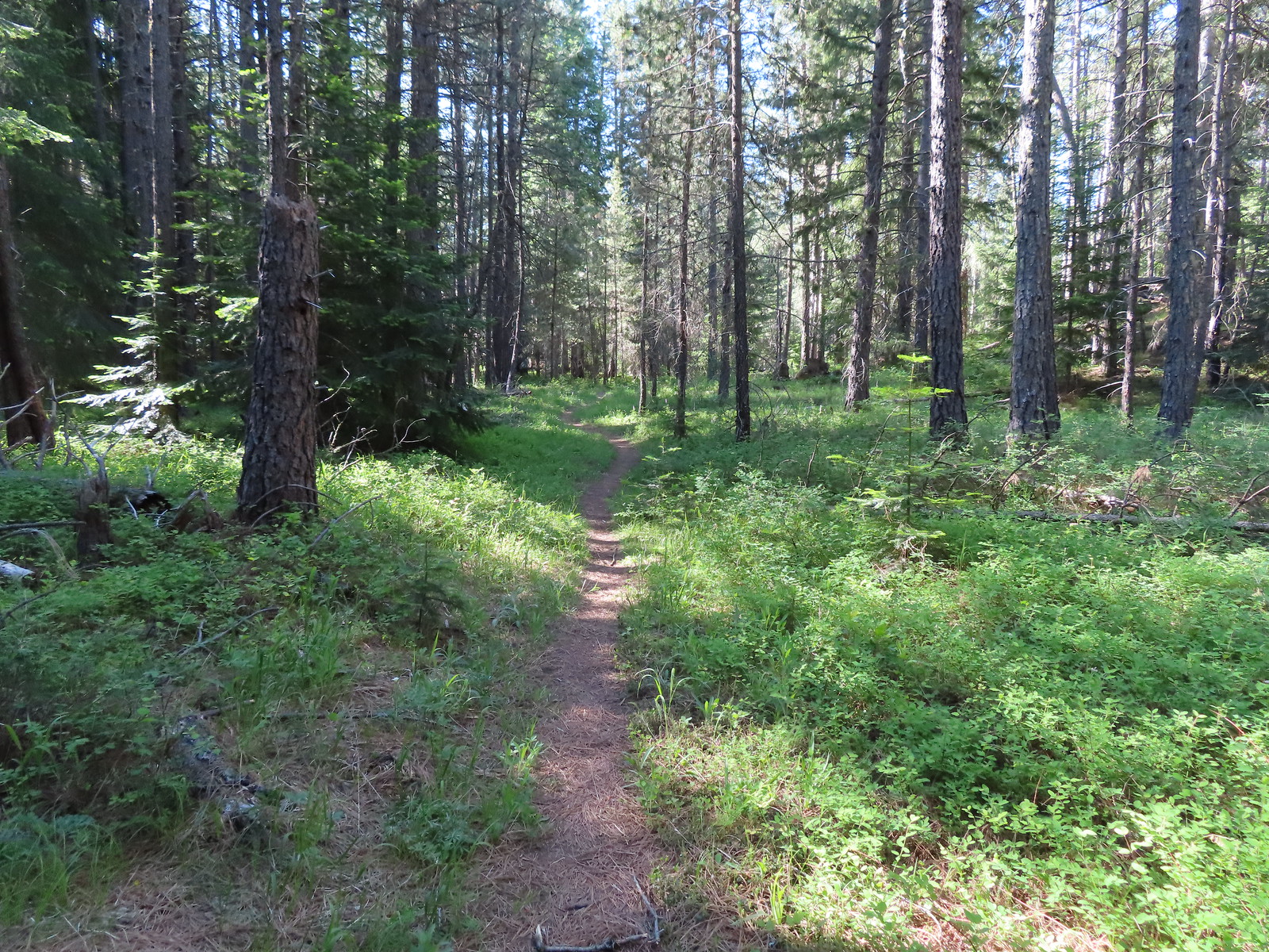
 Cat’s ear lily
 Hitchhiker
 Lupine along the trail.
 Golden-mantled ground squirrel
 Swallowtail
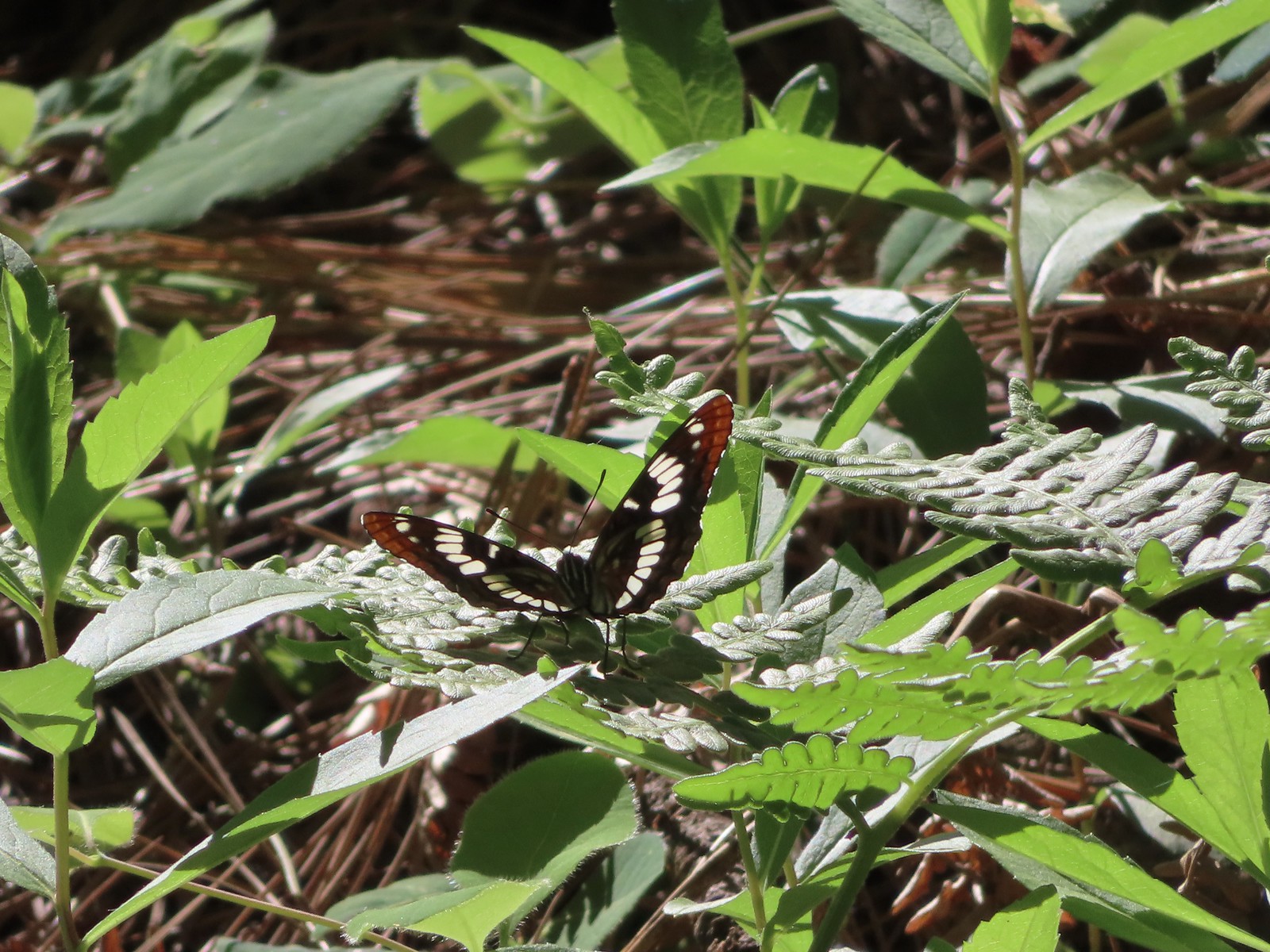 Lorquin’s admiral
 Arriving back at the refuge headquarters.
 Trail map at the trailhead.


 There were lots of phantom orchids blooming along the lower sections of the hike.
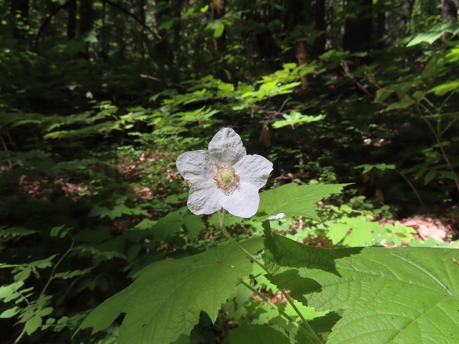 Thimbleberry
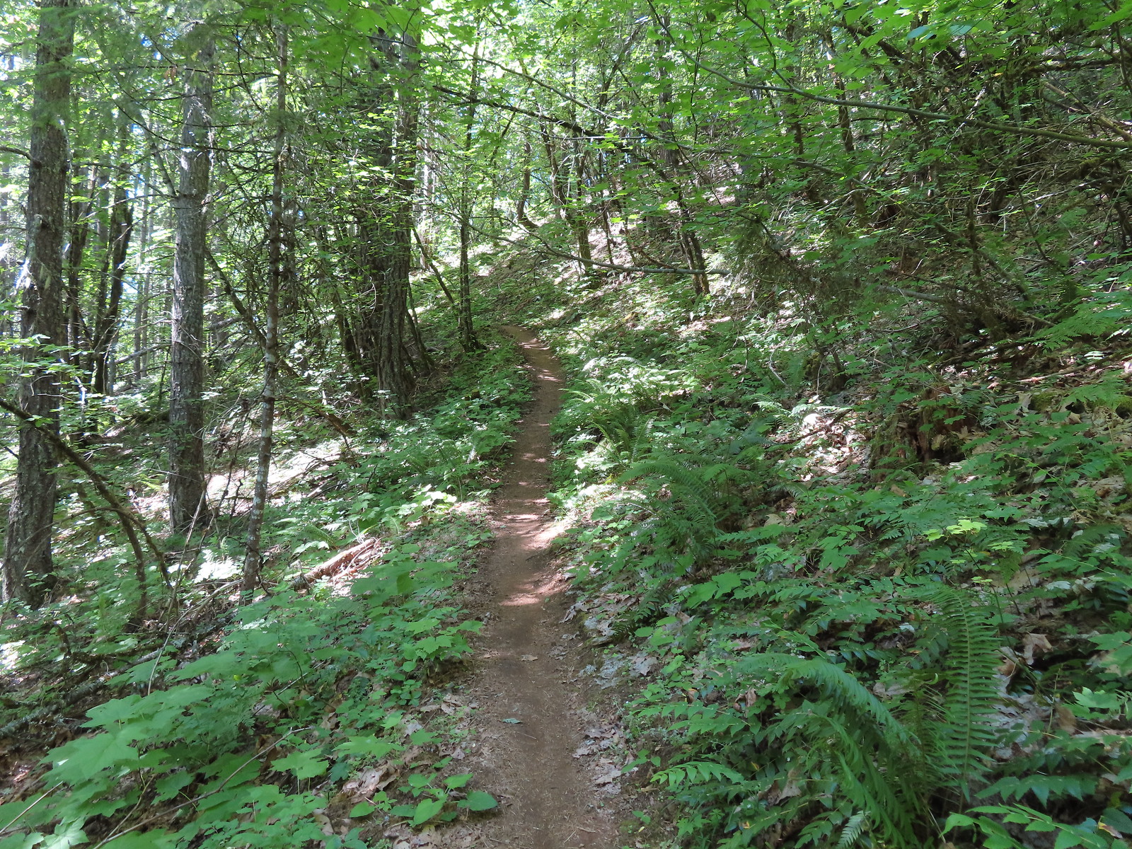
 Spotted coralroot was also plentiful.
 Wallflower


 One of only two trees that were down over the trail, both were easily manageable.
 The one small stream crossing.
 There was enough sunlight getting through to really heat up the trail.
 While there wasn’t much there we did occasionally see poison oak throughout most of the lower 2/3rds of the hike.
 Sign above the switchbacks warning mountain bikers that they were ahead.
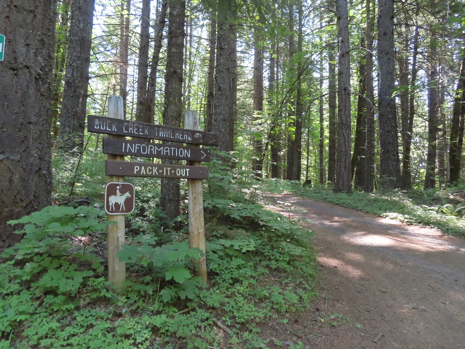
 Buck Creek Trail to the left near the roads end.
 More spotted coralroot.

 Vanilla leaf
 Queen’s cup
 Anemone
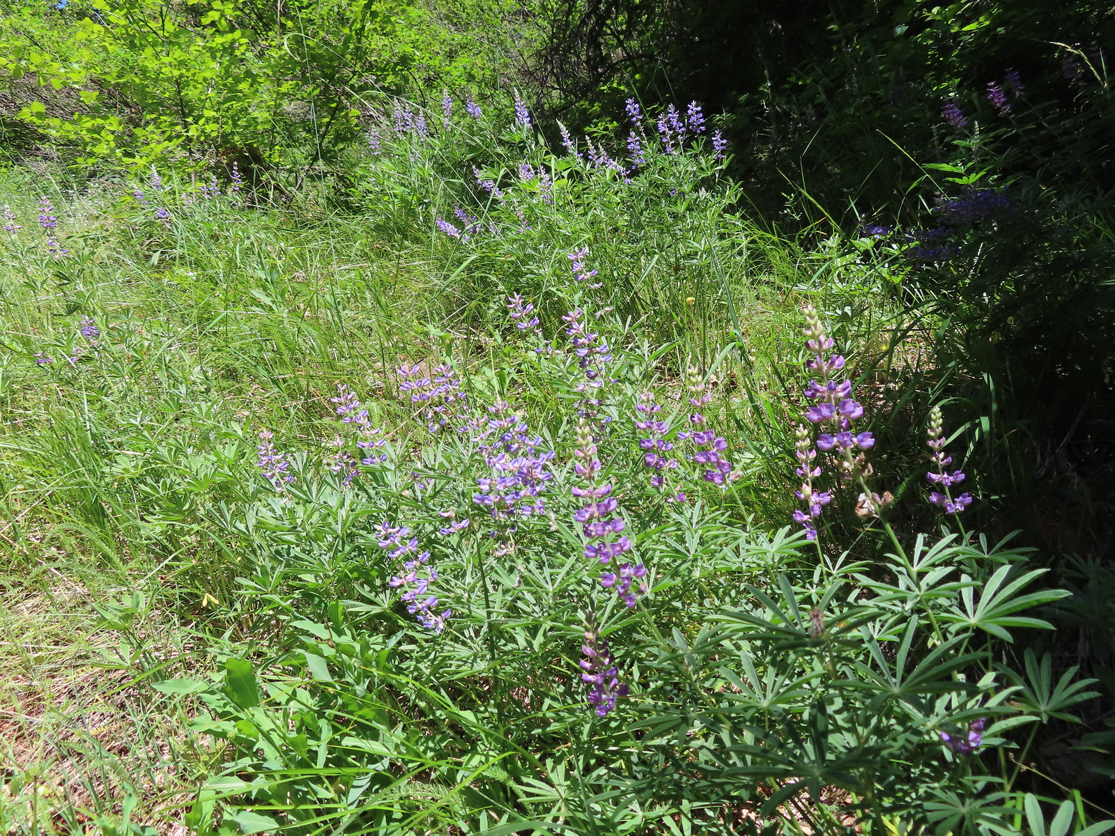 Lupine
 Mt. Hood from the Buck Creek Trail.
 Mt. Hood
 Cedar hairstreak on yarrow.
 Paintbrush, lupine, penstemon, and balsamroot.
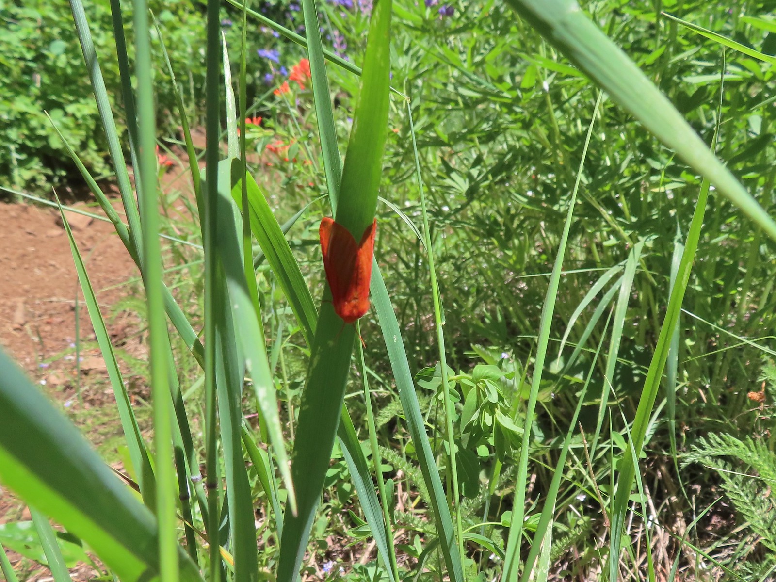 Moth
Moth Penstemon
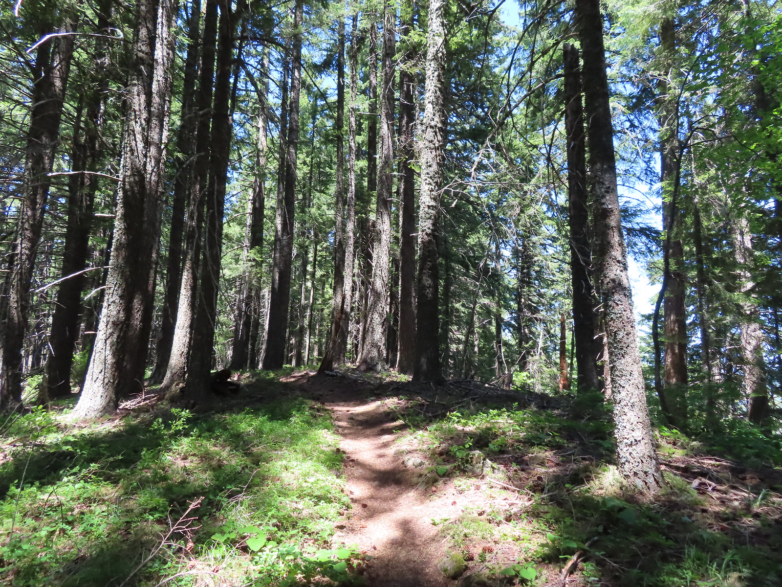 Gaining the ridge.
 Paintbrush
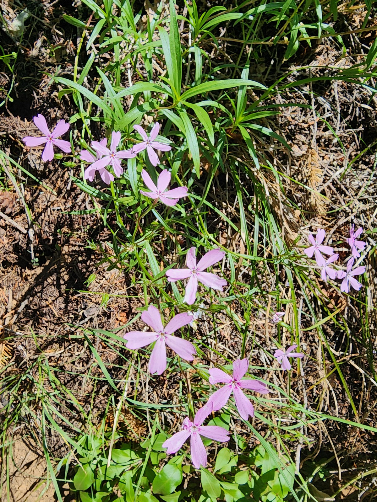 Showy phlox
 Approaching the start of the final climb.
 Sub-alpine mariposa lily
 Showy phlox
 Road N-1600.


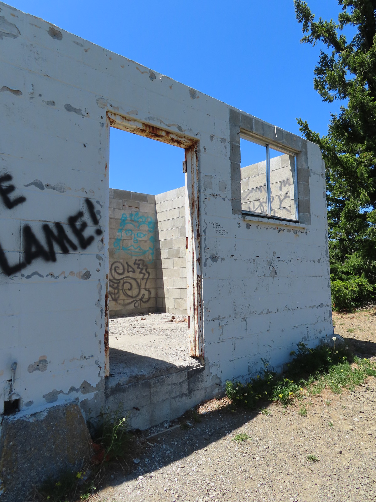 Unfortunate amount of graffiti on the old shed.
 Mt. Hood and balsamroot.
 Mt. Hood
 Oregon sunshine
 Boisduval blues
 Duskywing
 Balsamroot
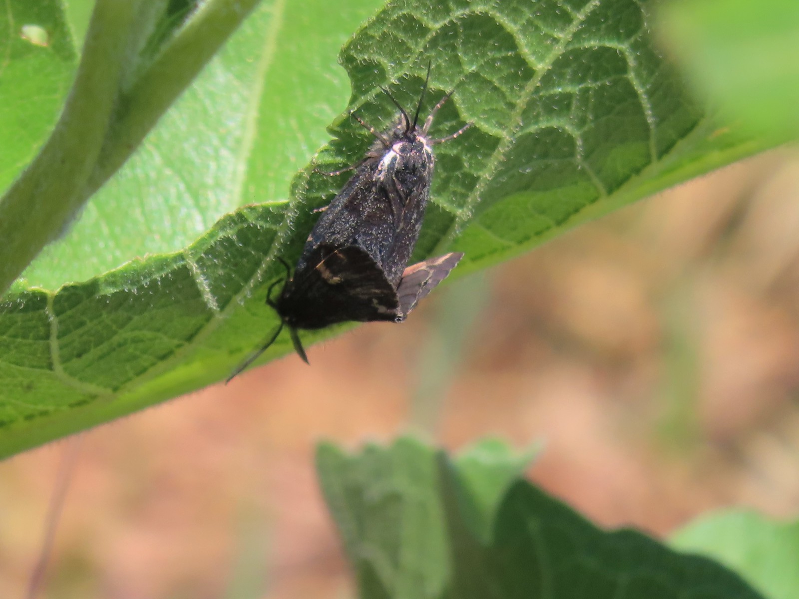 Moths
Moths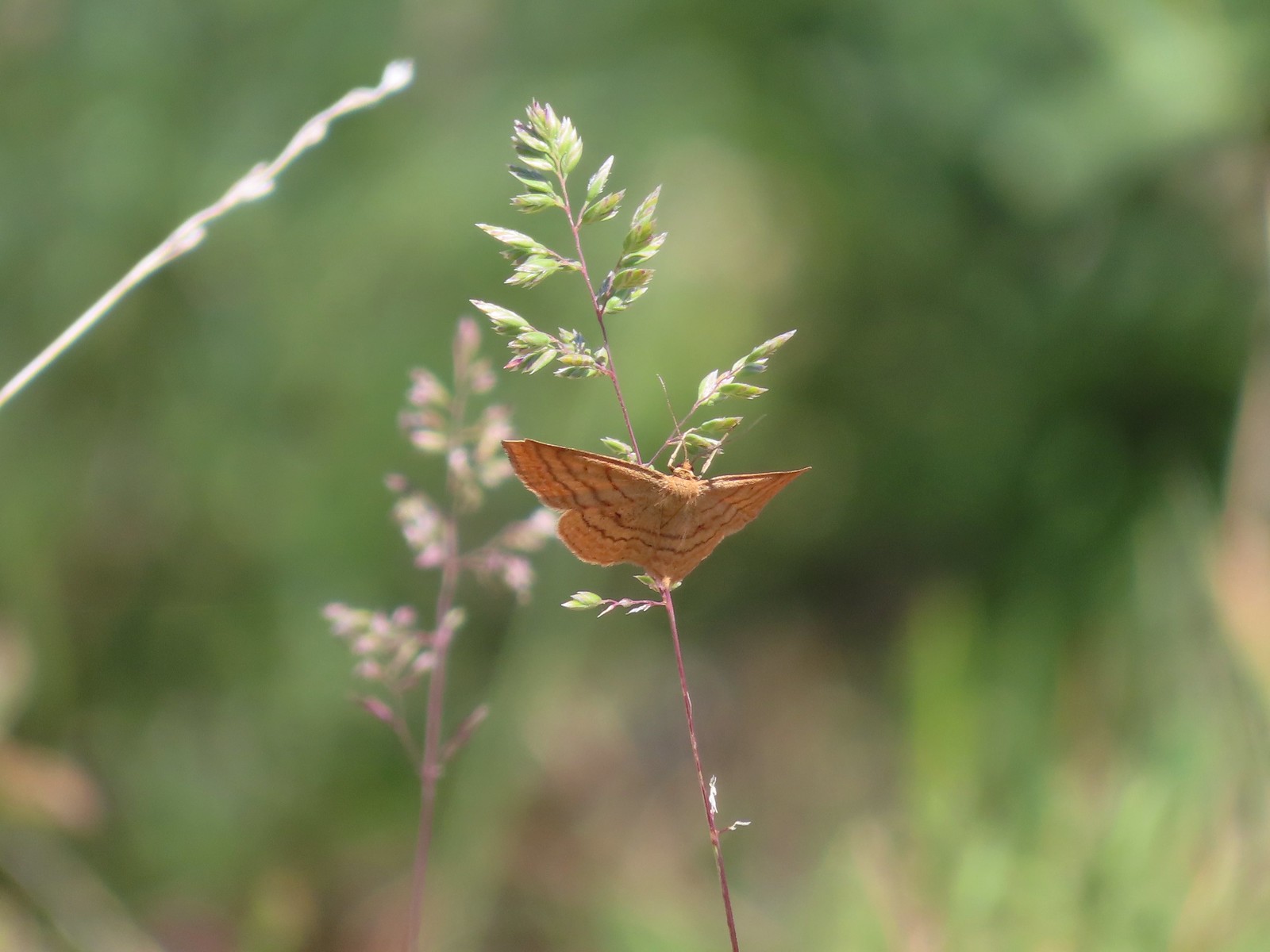 Moth
Moth Lupine
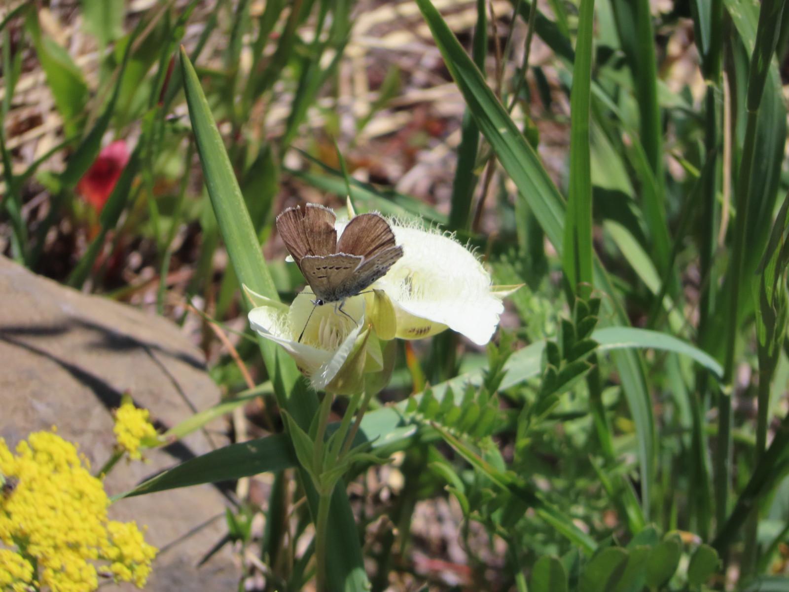 Butterfly on cat’s ear lily.
 Woodland stars
 Paintbrush
 Blue-head gilia
 Ookow
Ookow Winecup clarkia
 Mountain lady slipper

 The Mountain View Trail is named so because of the view of Mt. Hood, which on this morning was hiding behind the clouds on the left side of the photo.
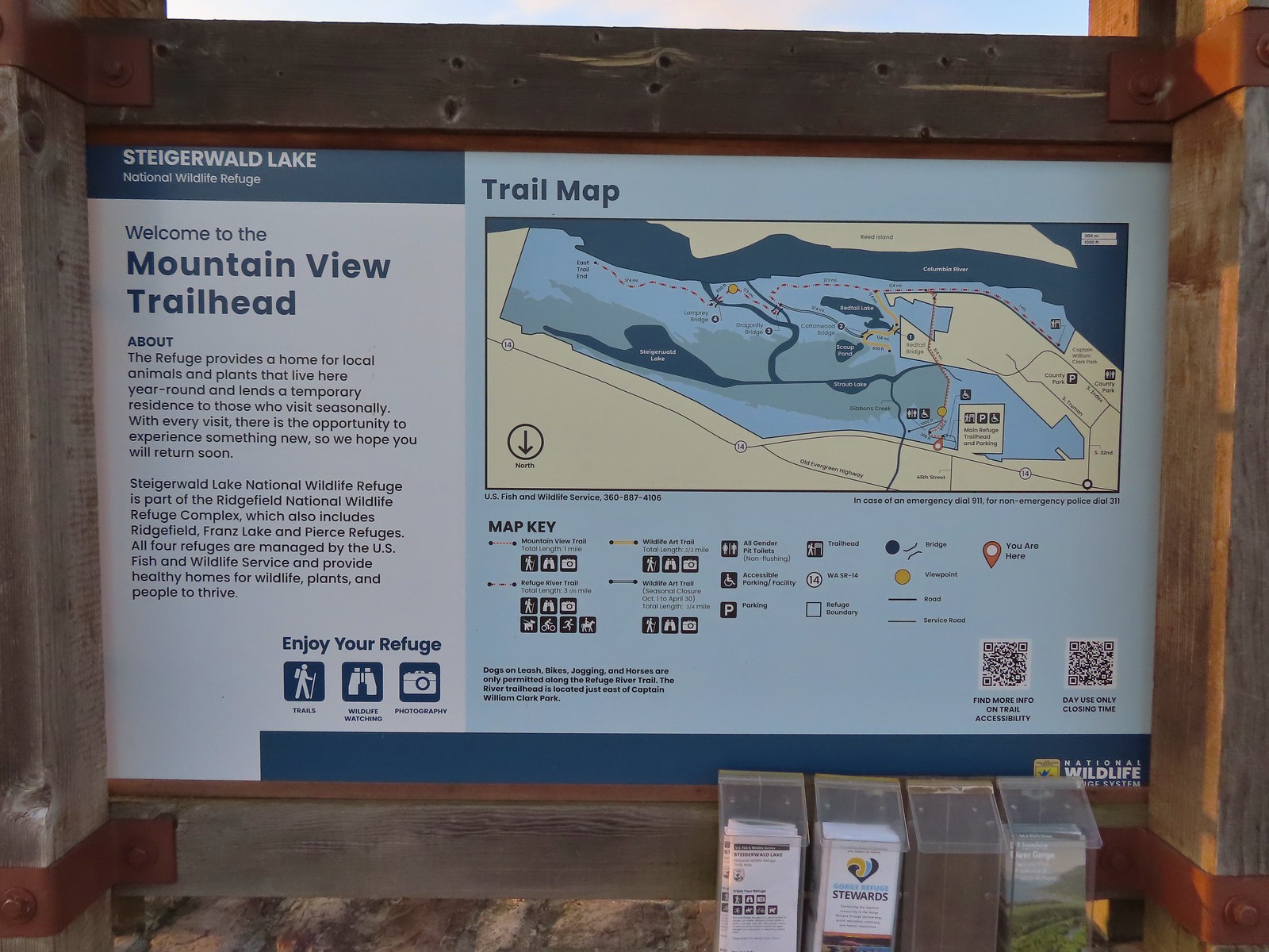 Map and information at the trailhead.
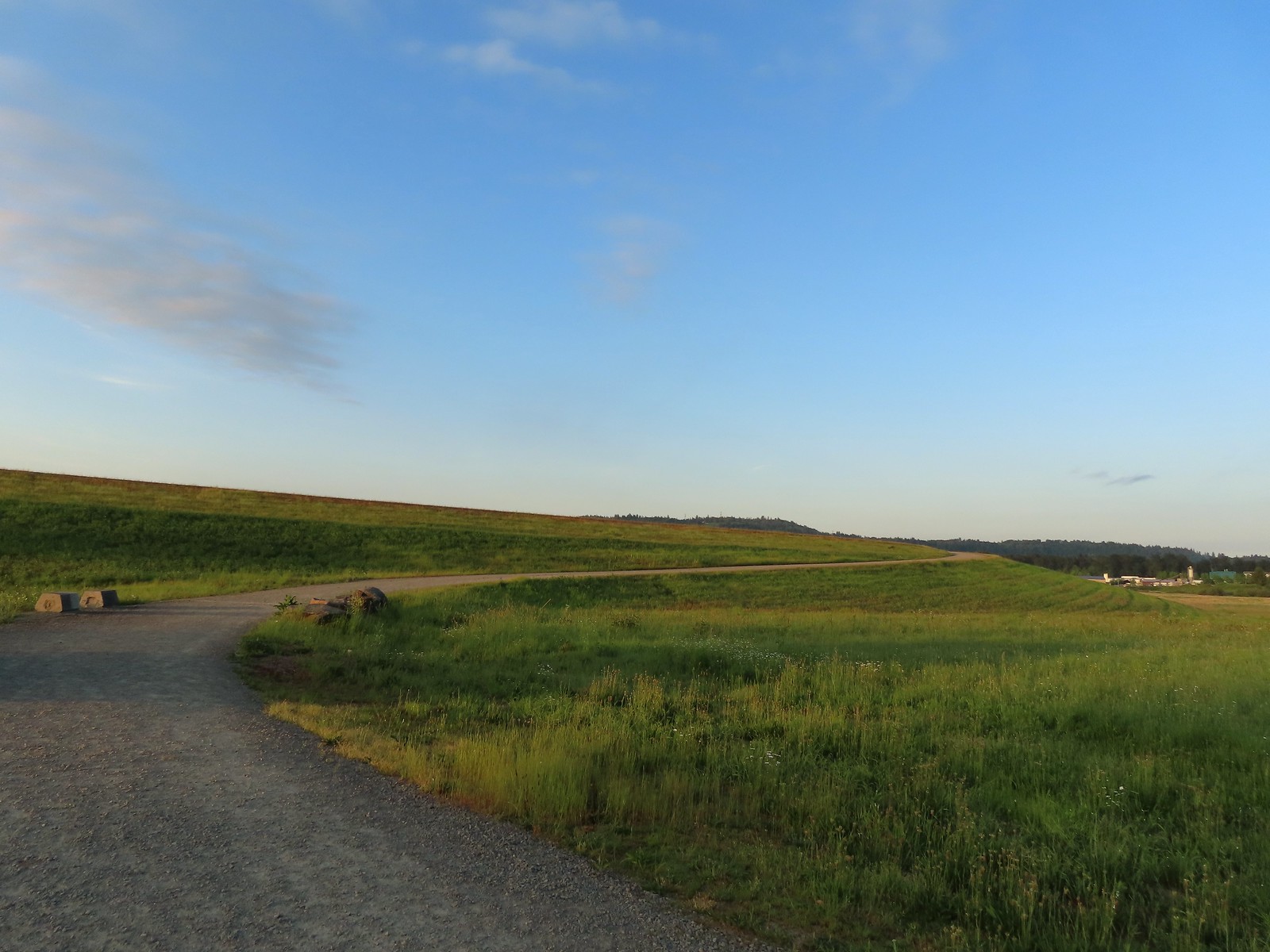
 View to the East.
 Looking West toward Washougal.
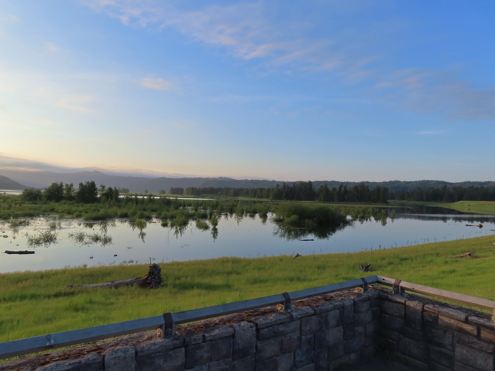
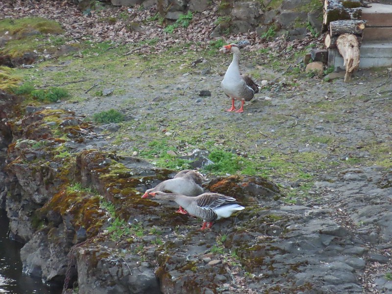
 Mallards
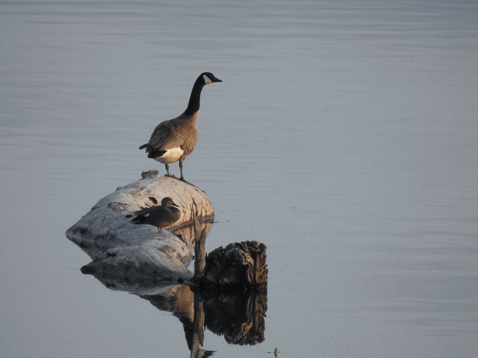 A duck and a goose sharing a log.
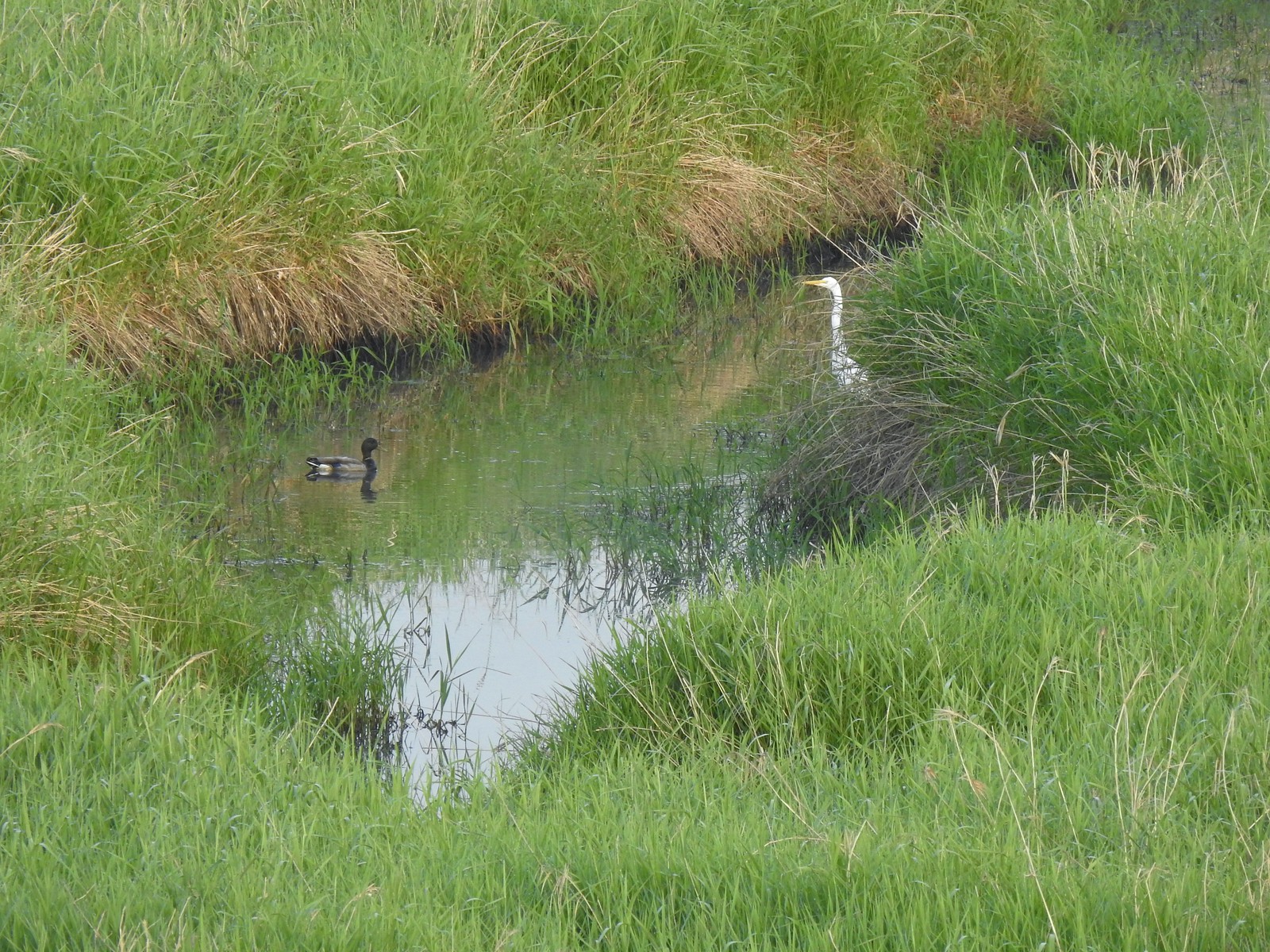 A mallard and an egret in a channel to the West.
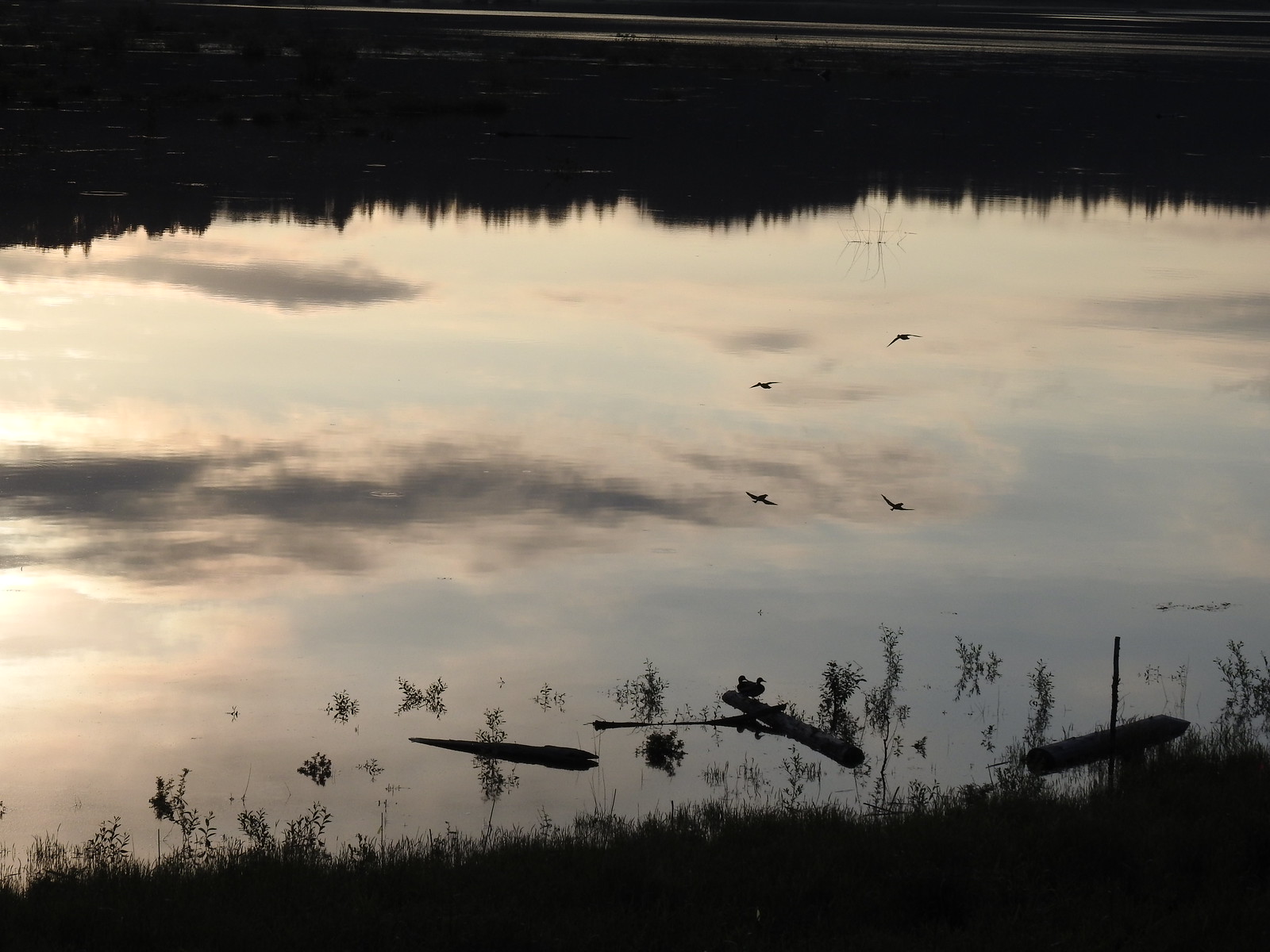 Ducks flying over the wetlands casting clear reflections.
 Water dripping from a mallards bill.
 One of several rabbits we spotted to the West.
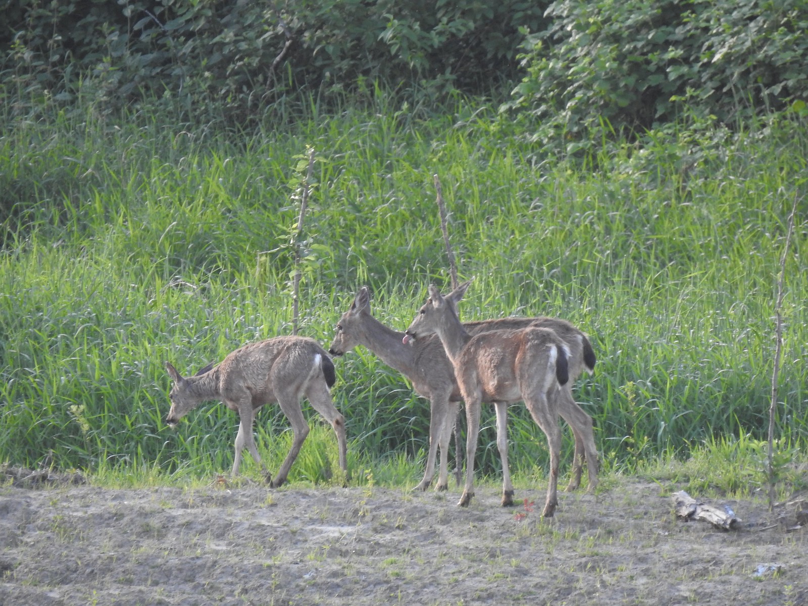 Deer across the wetlands. (The young buck may have been sticking his tongue out at us.)
 Families of geese.
 Wood duck mallard
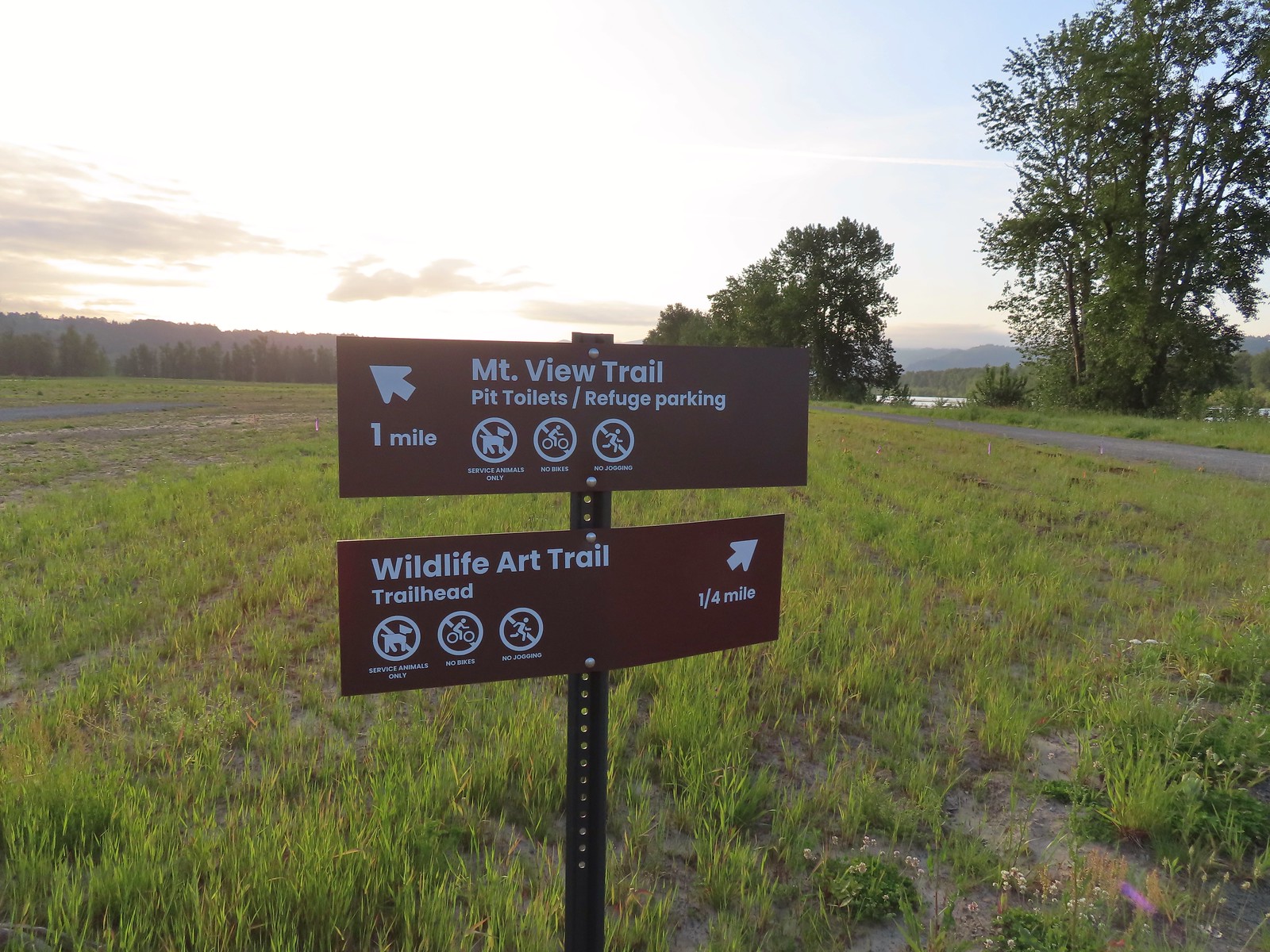 Trail sign at the junction with the Refuge River Trail.
 Sparrow
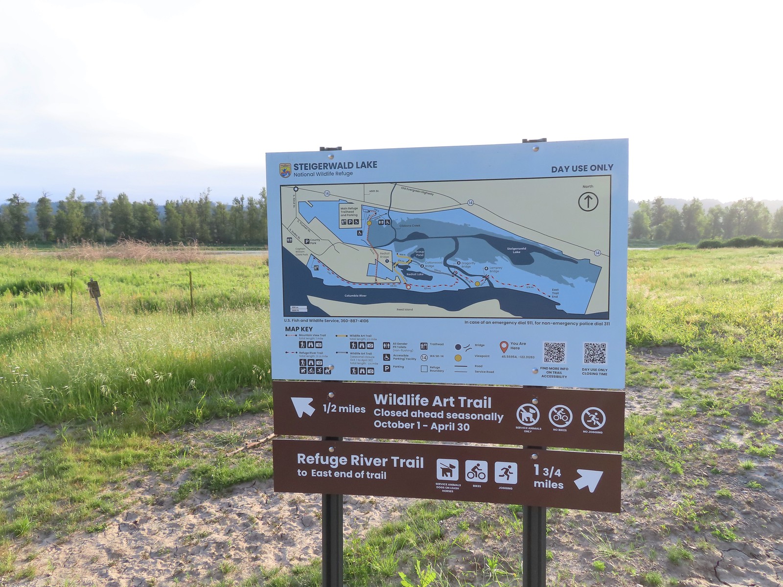
 Coming in for a landing.
 Red Tail Lake to the right of the Wildlife Art Trail.
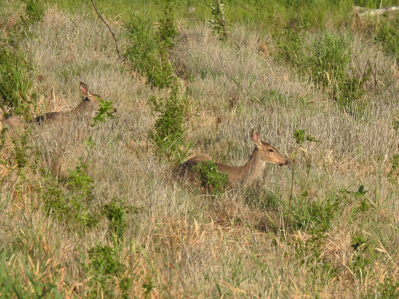 Pretty sure these are the same three we saw from the Mountain View Trail.
 This deer laying along the shore of Red Tail Lake was new though.
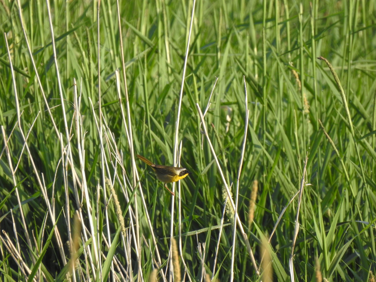 Common yellow throat
 One of many great blue herons that we watched fly overhead throughout the day.
 The Wildlife Art Trail passing around Redtail Lake.
 Gibbons Creek is in that grass somewhere with at least one deer.
 Killdeer along Redtail Lake.
 Turns out the deer laying on the lake shore wasn’t alone.
 Roses
Roses Purple martins
 Just beyond the Cottonwood Bridge the trail forks. To the right is the seasonal section of the loop open May 1st through September 30th. The left-hand fork dead-ends in a tenth of a mile overlooking the wetlands.
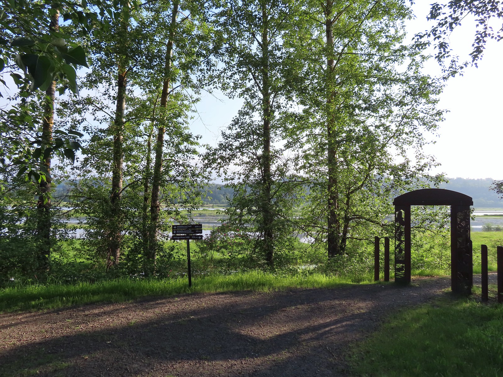 We headed left to the overlook before continuing on the loop.
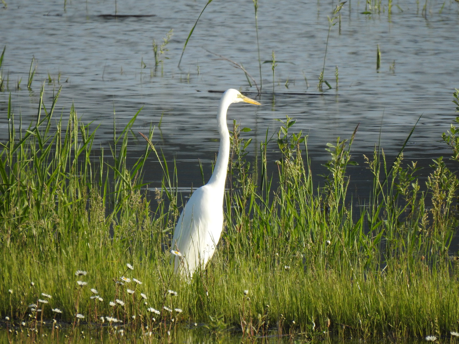 Egret at Scaup Pond.
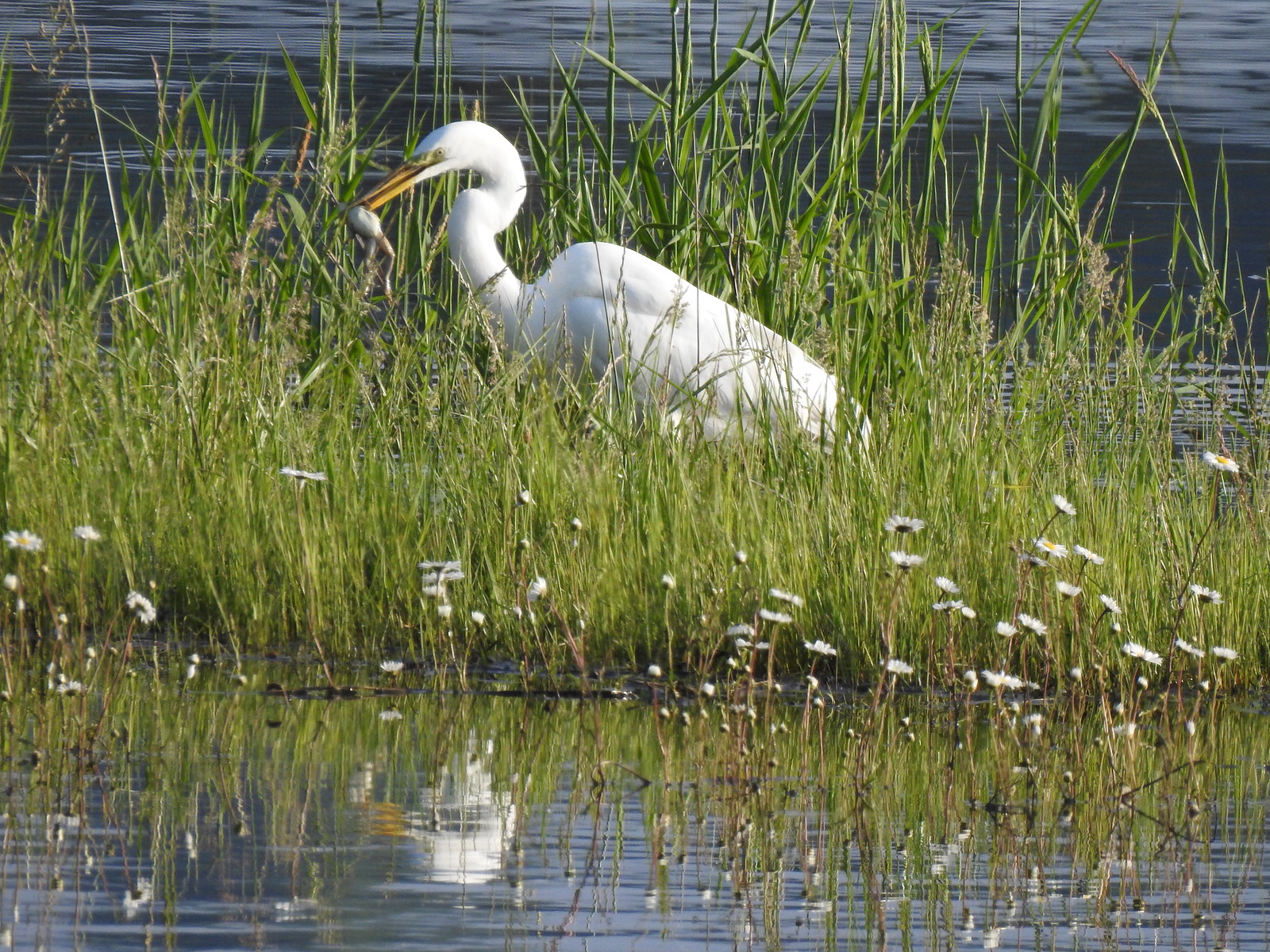 Egret with a frog meal.
 Mushrooms
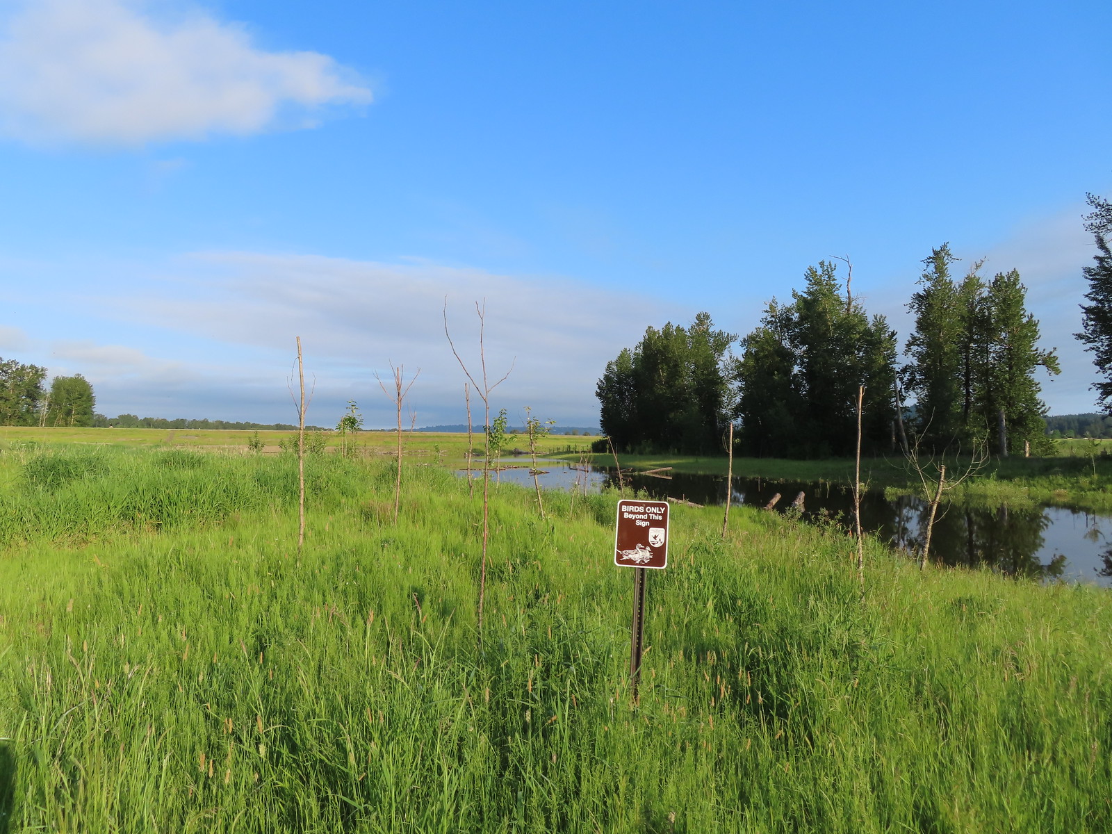 We got a kick out of the “Birds Only Beyond This Sign”.
 Kingfisher
 We’ve only seen two bitterns on our hikes and both times we only spotted them as they flew off from the grassy cover that they’d been hiding in so I was pretty disappointed when I realized I’d been duped, but kudos to the artist because it looked real at first glance to me.

 You have something in your teeth.
 Spotted towhee
 At least two deer in the grass.
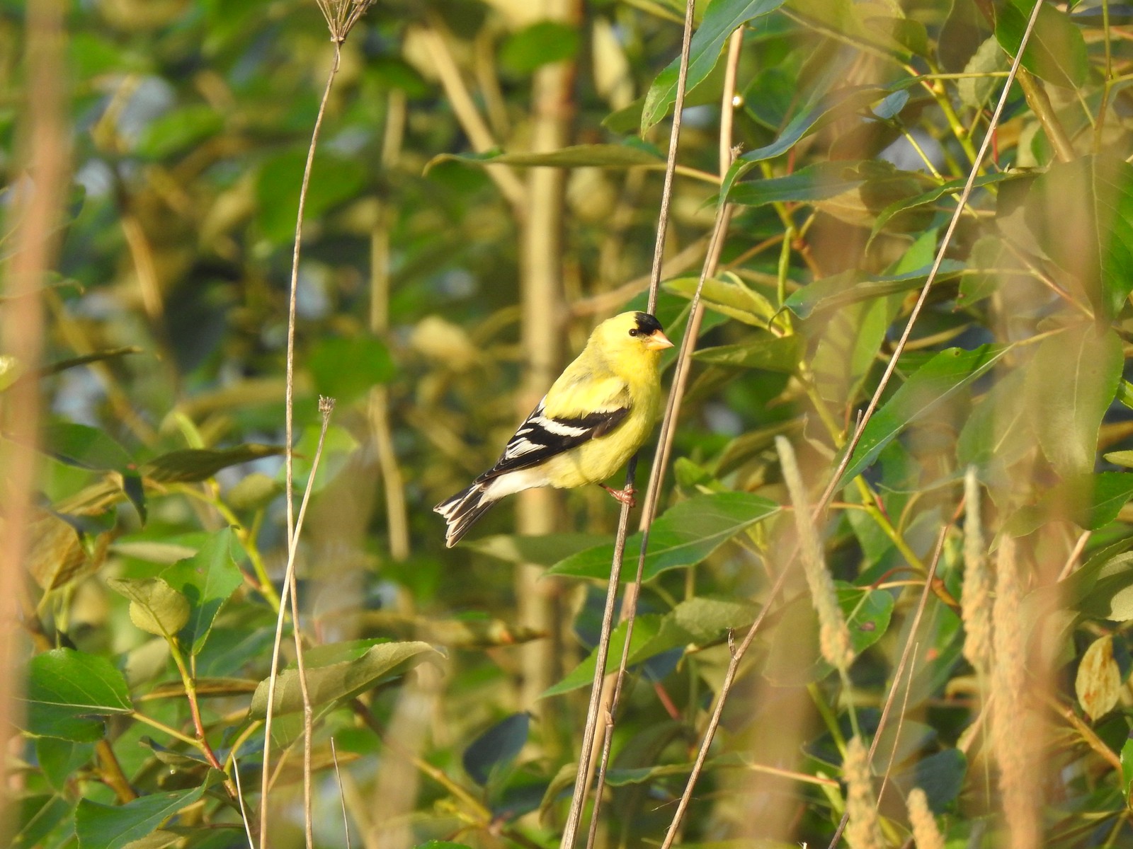
 Another American goldfinch.


 Spotted sandpiper
 Oregon sunshine and yarrow
 The Columbia River ahead.
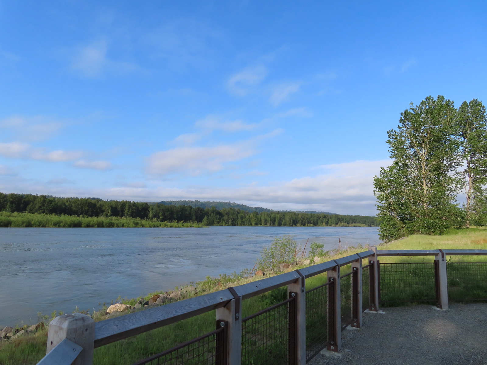 Viewpoint along the Columbia River.
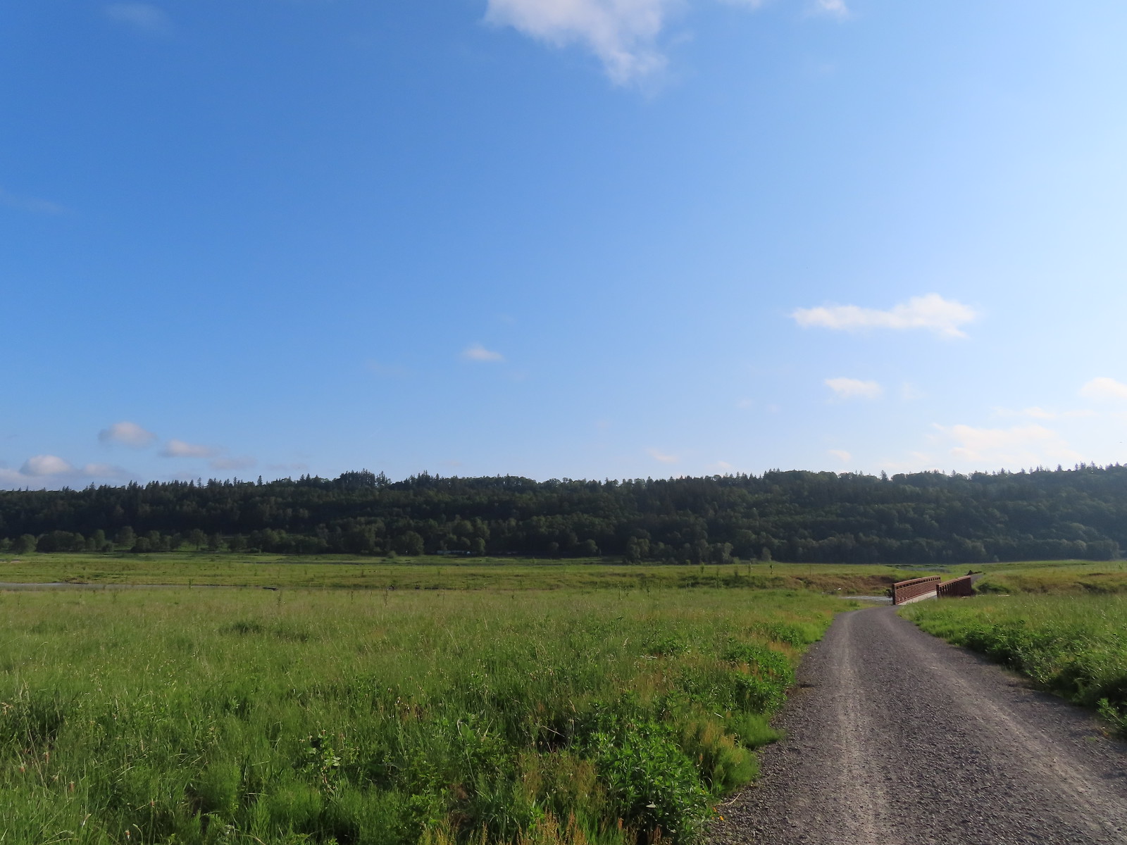 Approaching the Lampray Brdige.
 Looking back from across the bridge there was a bald eagle in the dead snag along the river.
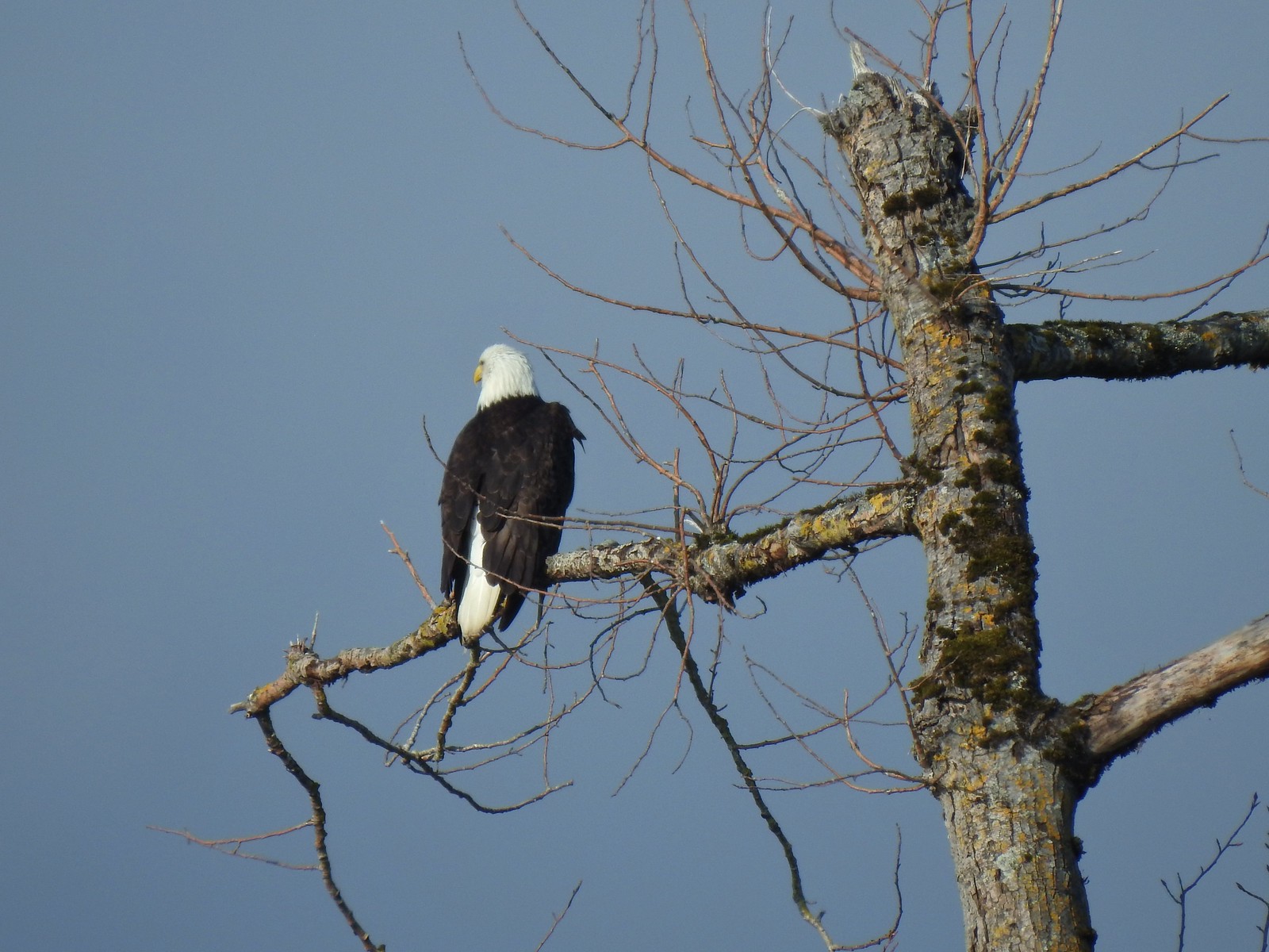
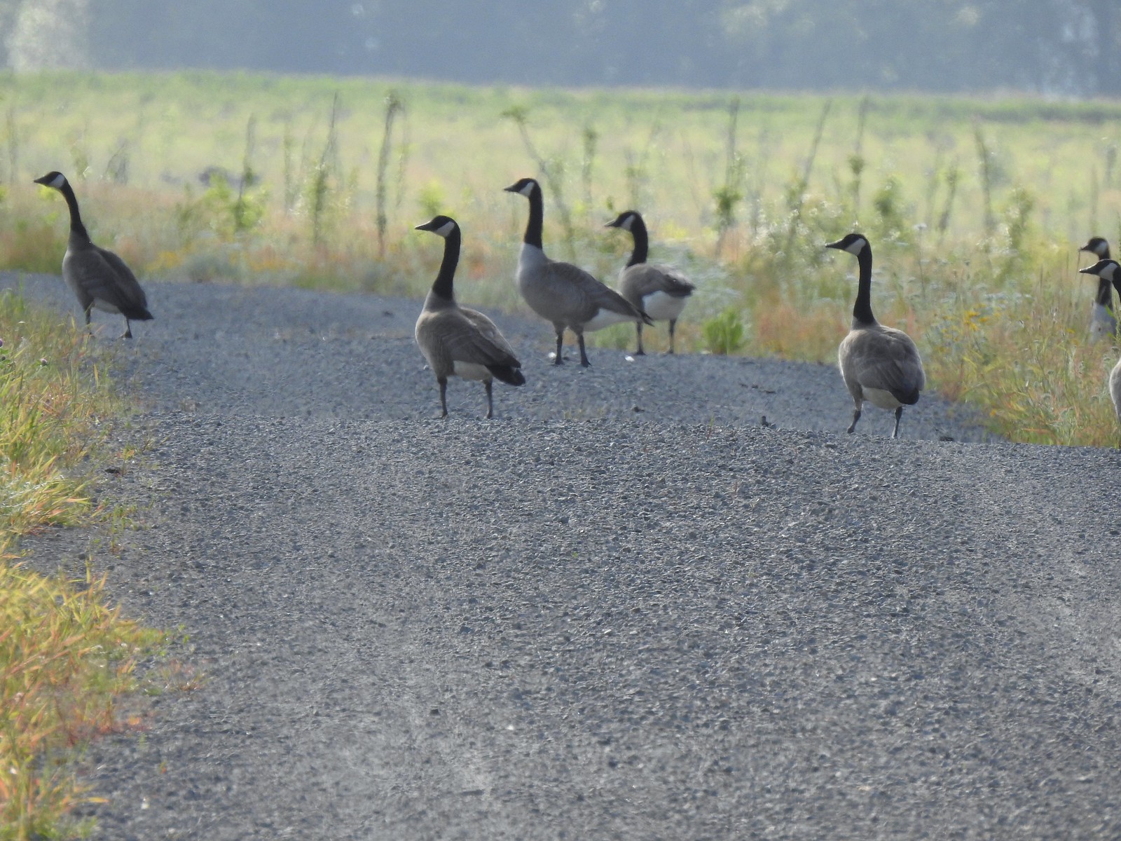 There were lots of geese along this section of trail.
 Red clover in some Oregon sunshine
 Another spotted sandpiper
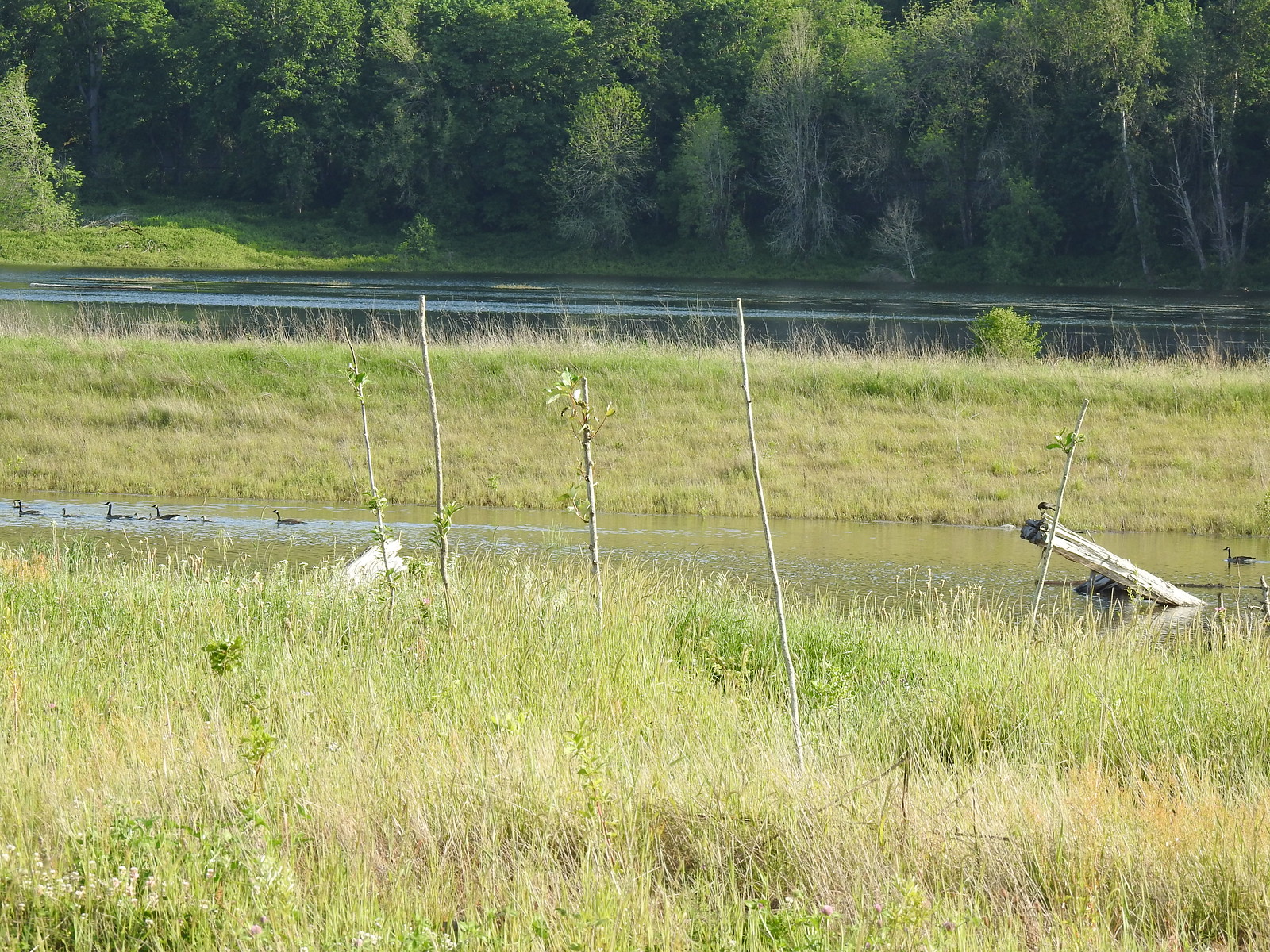 Steigerwald Lake in the distance with a family of geese and crow on a log in the near channel.
 End of the trail.
 It was about 8:15am when we turned around and it was already feeling fairly warm, but there was relief on the way in the form of some clouds coming in from the Pacific.
 Savannah sparrow
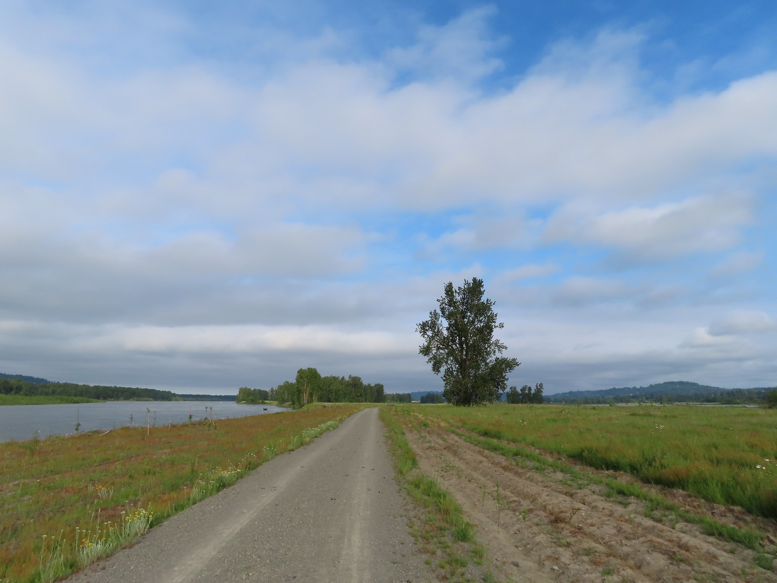 Here come the clouds.
 Double the eagles.
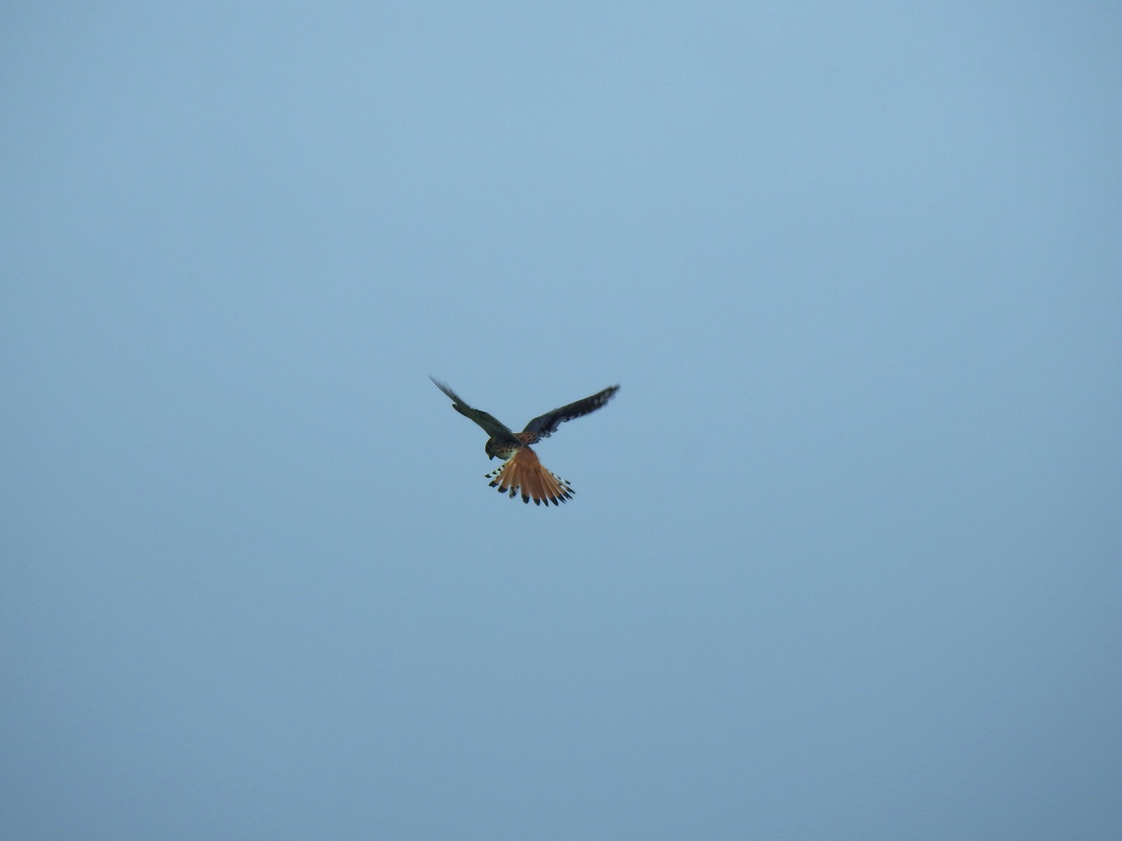 For the second week in a row we got to watch an American Kestral on the hunt.
 Arriving back at the Dragon Fly Bridge and the junction with the Wildlife Art Trail.
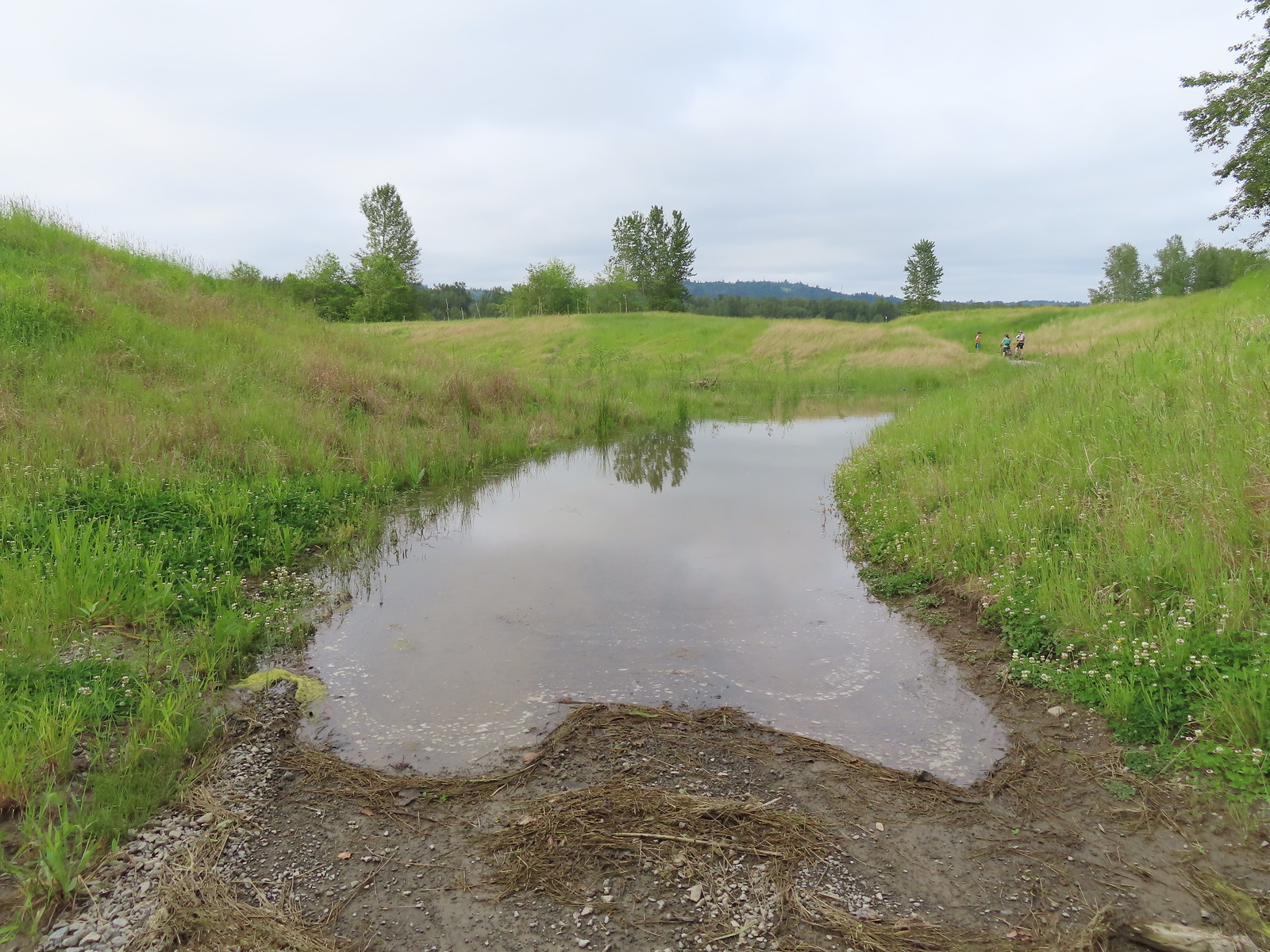

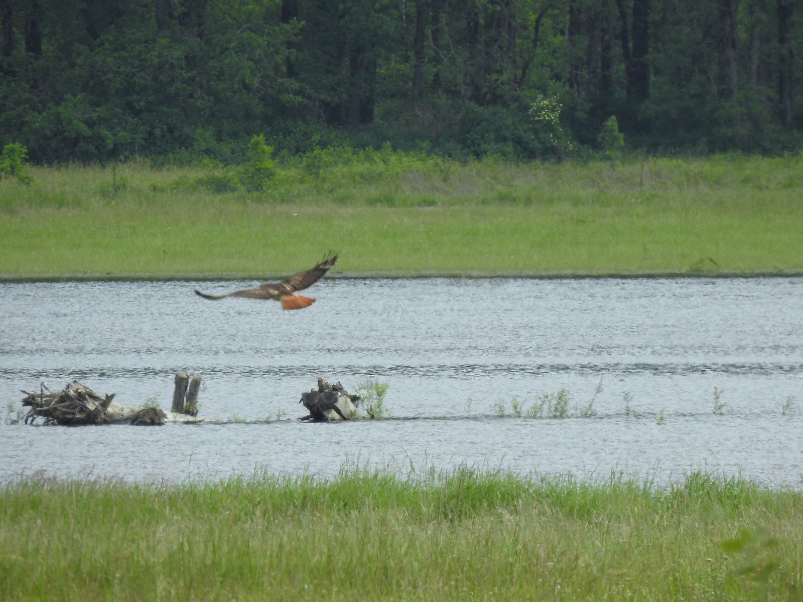 Red tailed hawk
 Geese nesting atop a snag.
 More deer in the grass along Gibbons Creek.
 Egret at Redtail Lake.
 Great blue heron at Redtail Lake.
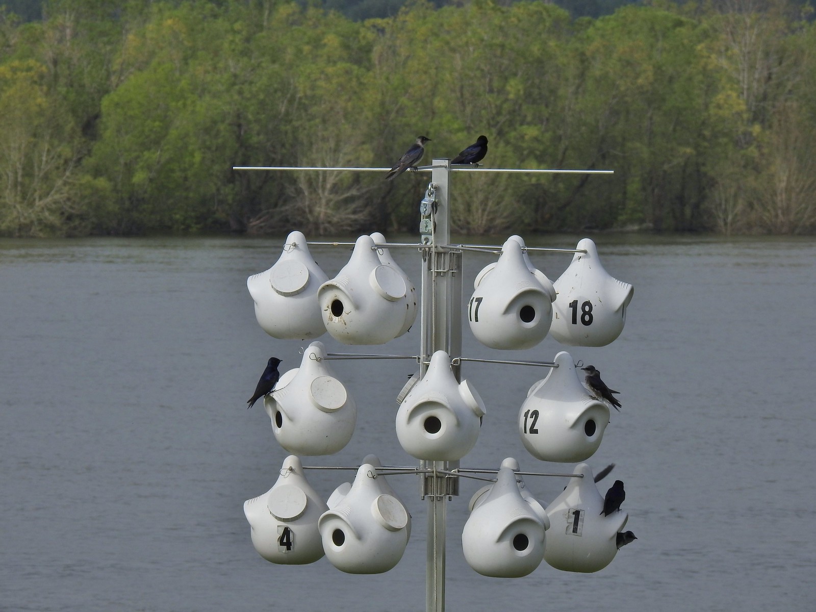 Purple martins
 When the light catches the feathers right it’s obvious where the purple martin’s name comes from.
 Common yellowthroat
 House finch
 A mile from the Mountain View Trail we arrived at the refuge boundary with Captain William Clark Park.
 The trail follows a dike to Steamboat Landing.
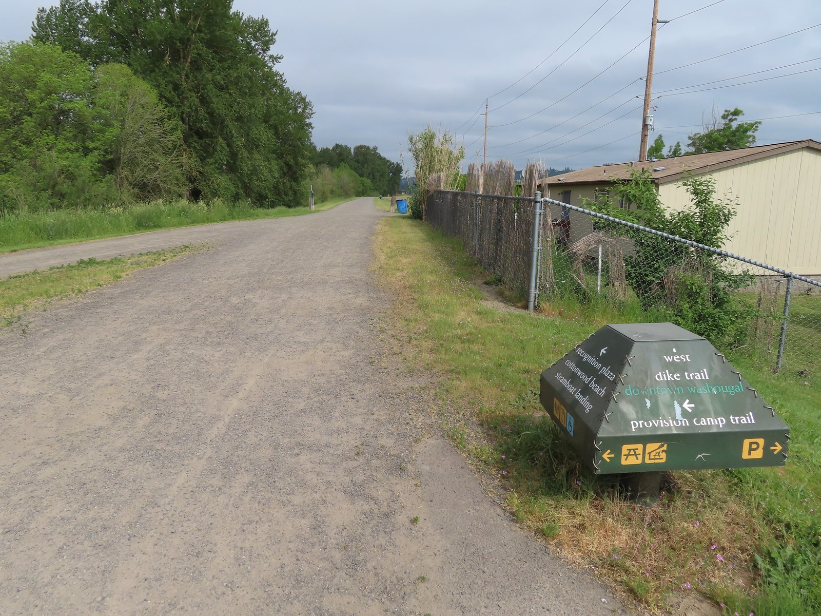
 The Provision Camp Trail


 Northern flicker
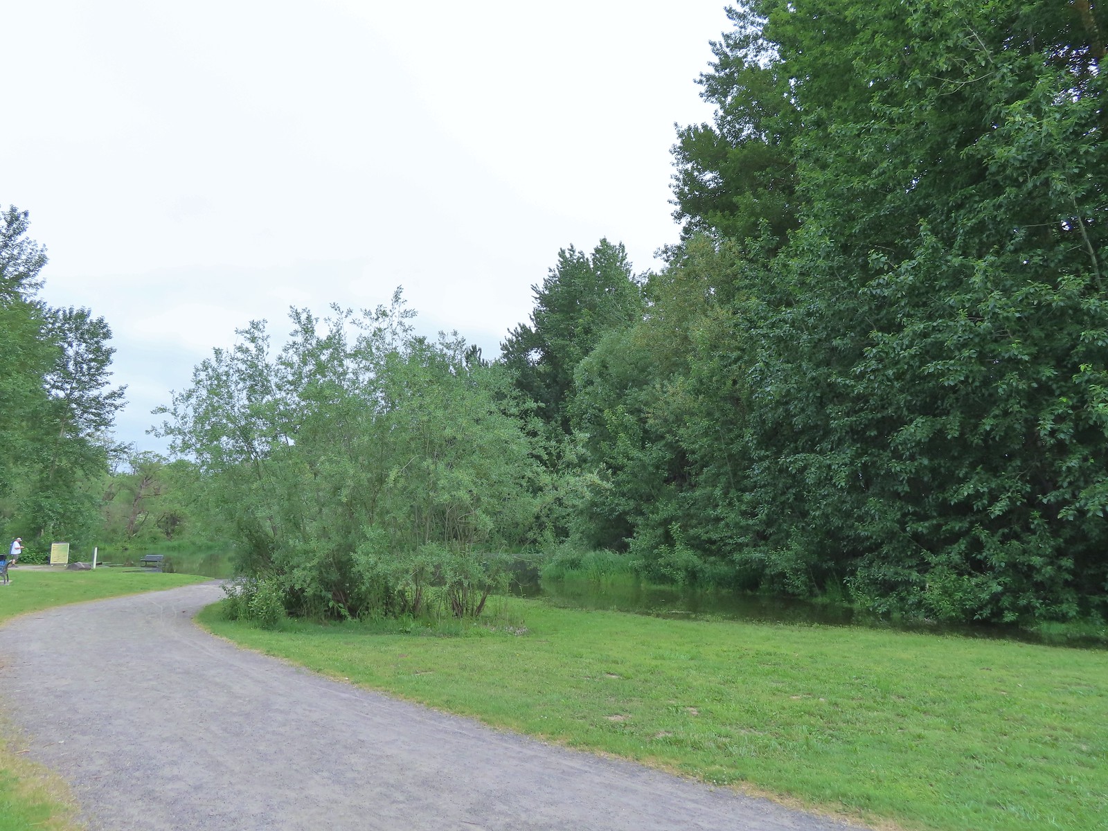 Flooded trail ahead.
 Black headed grosbeak
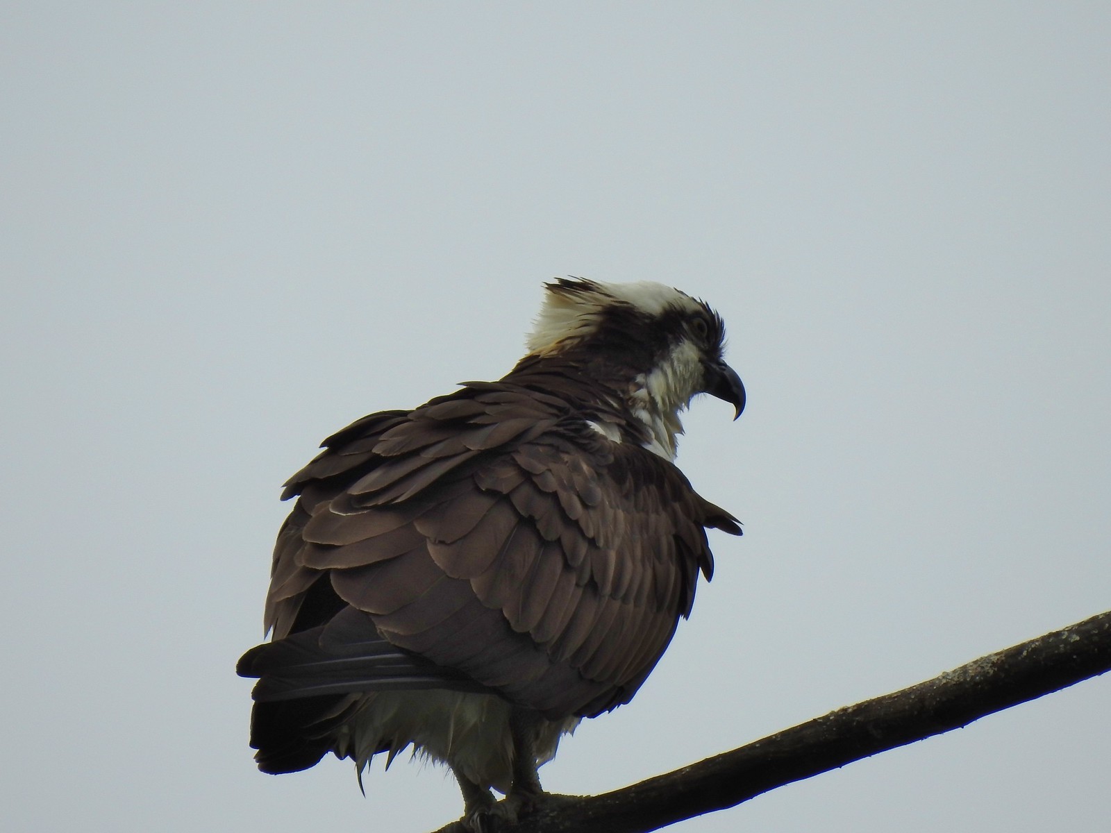 Osprey
 Back on the dike.
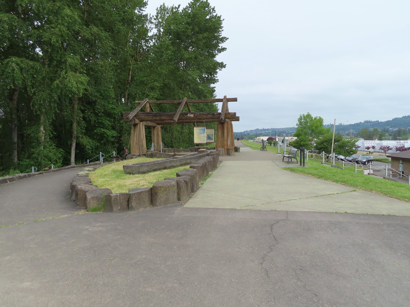

 The flooded section of trail from above.
 Turtles!
 Another turtle
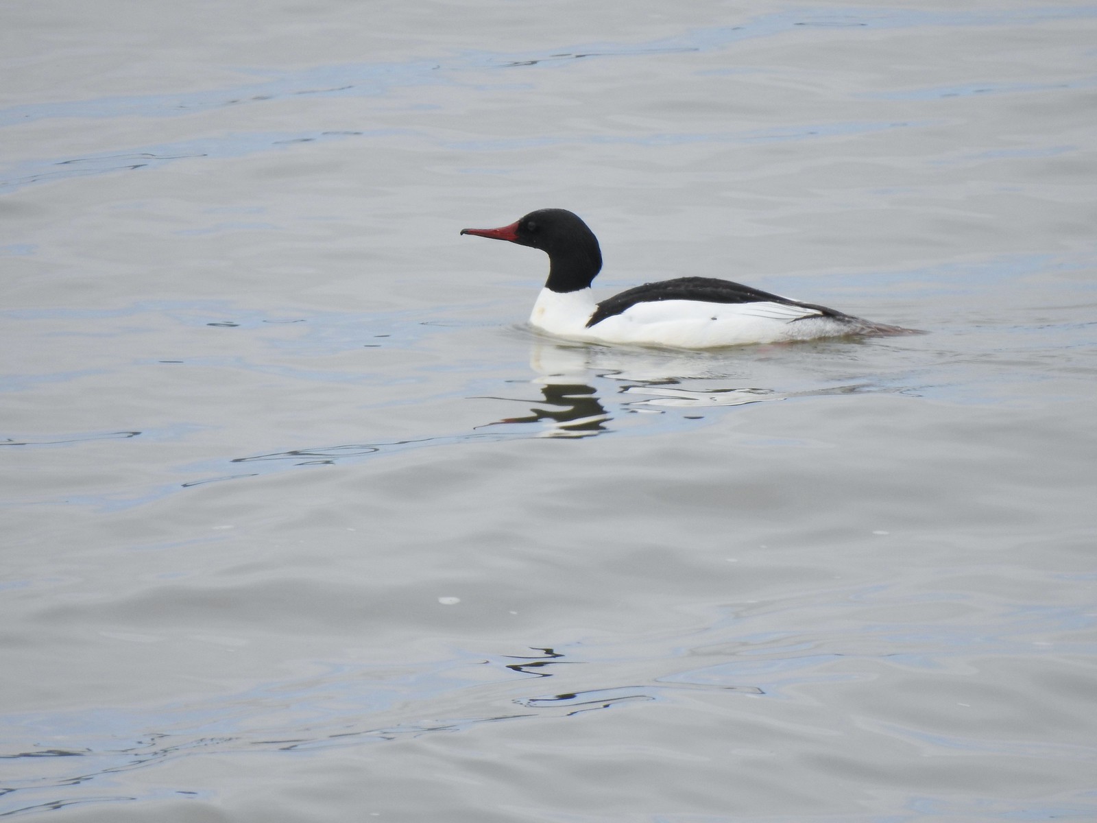 Common merganser
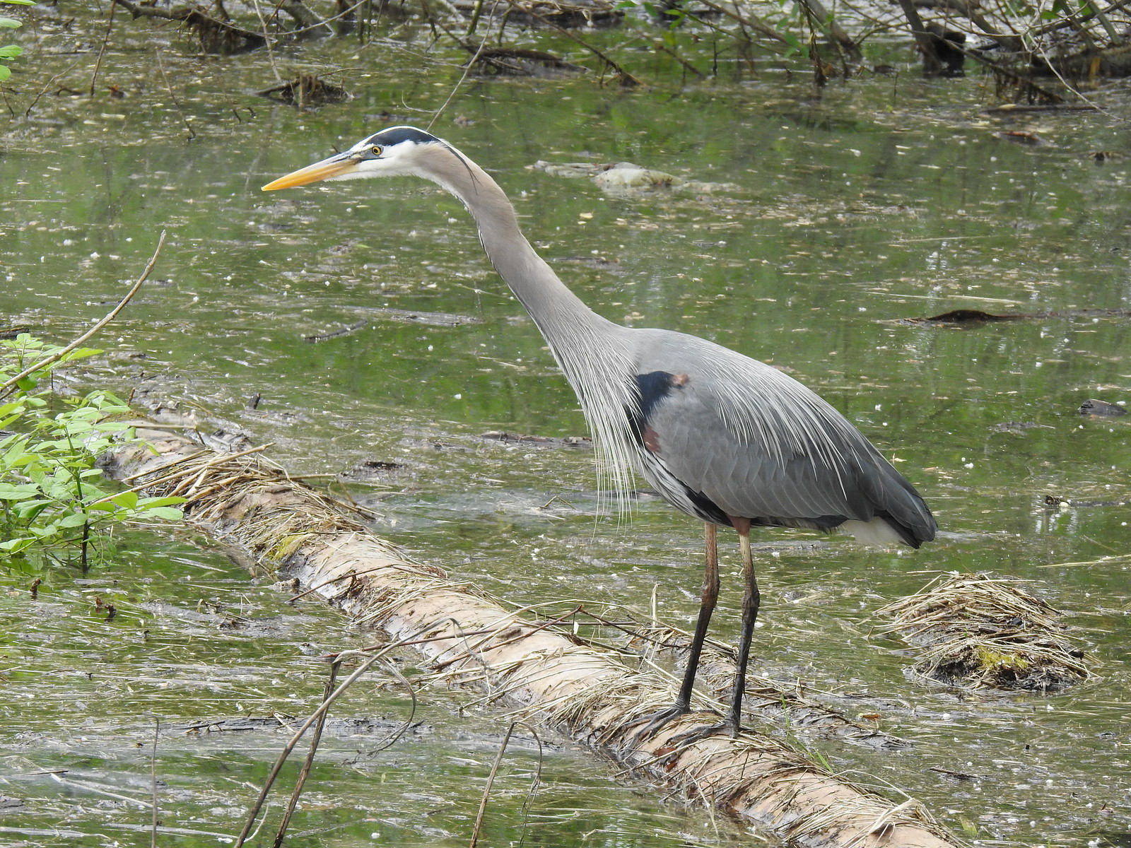 Great blue heron
 Steamboat Landing
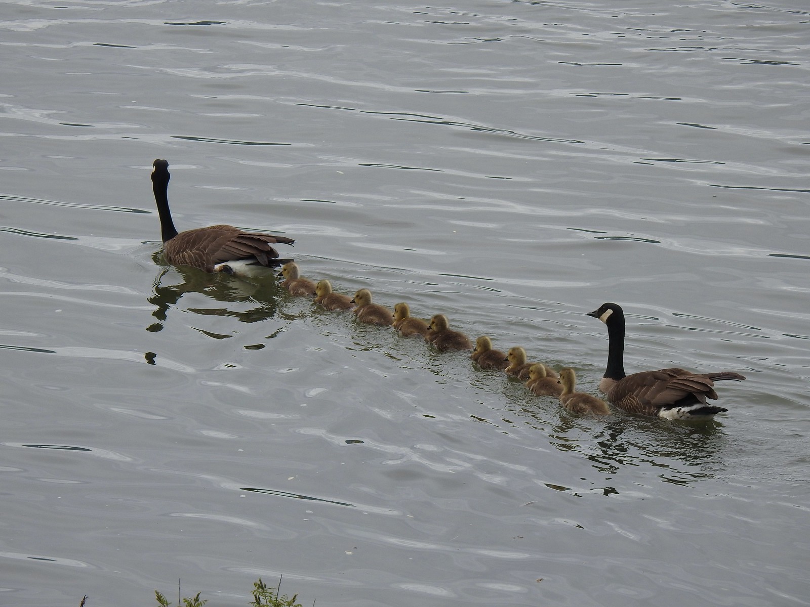 A family of geese out for a float.
 The large “hump” ahead is Larch Mountain (
 Grainy proof of Mt. Hood’s existence.
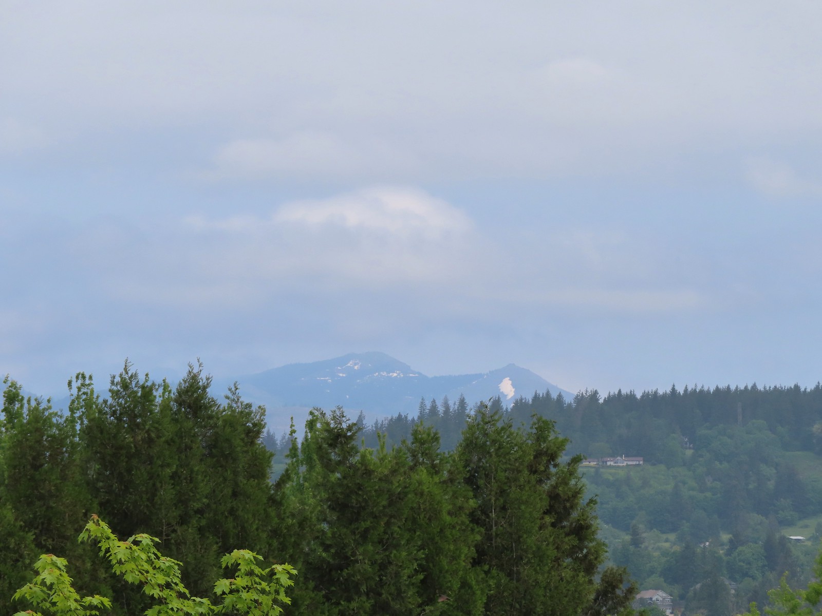 Silver Star Mountain (
 The American bittern in the grass.

 We’d been the first car in the lot that morning.


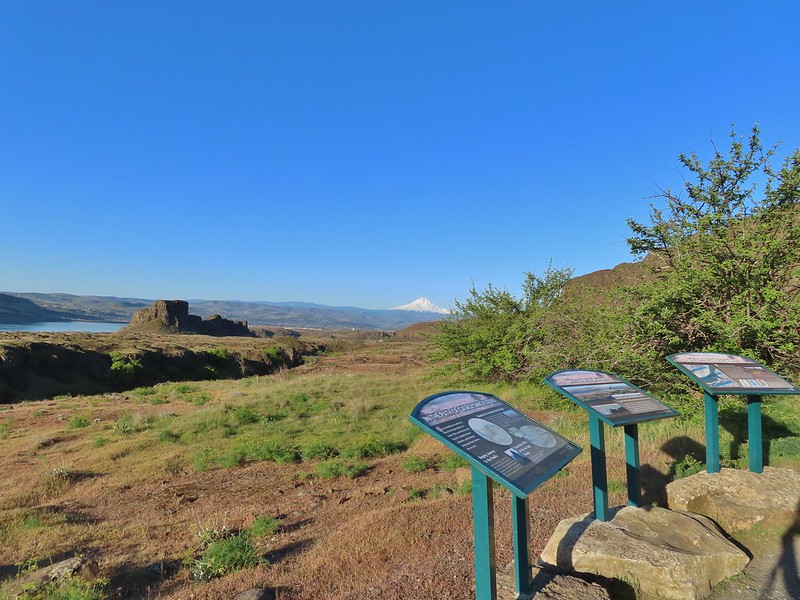
 Rowena Plateau and Tom McCall Point (


 A blurry heron along the river.
 Acorn woodpecker
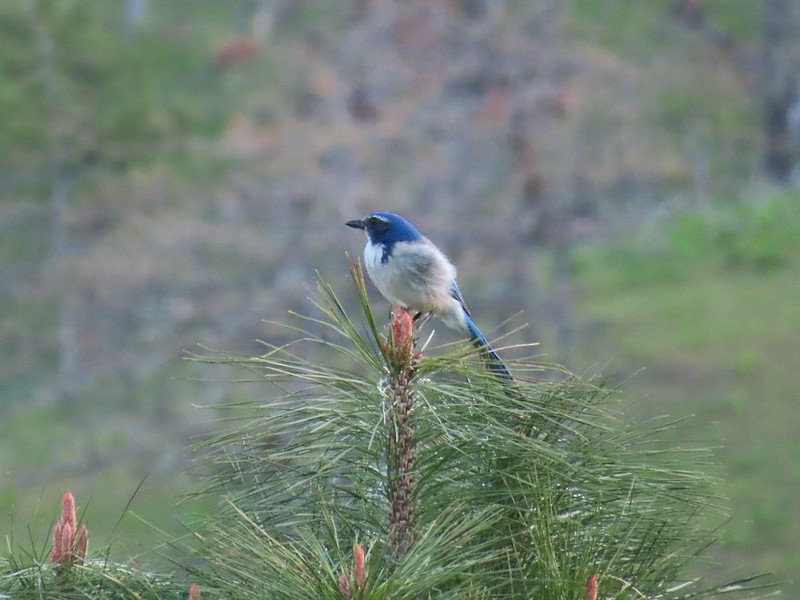 Scrub jay
 View from the picnic table.
 This trail was not paved.
 Woodland-stars
 View from a bench at the end of the trail.
 Mallards on the water below.

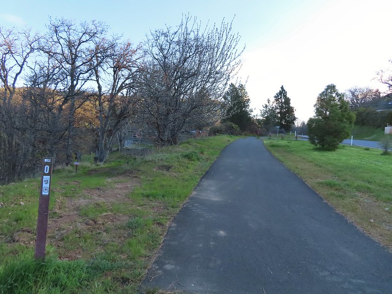 Starting at mile 0.
 Keep your eyes out for poison oak which was prevalent along the trail. Luckily the trail is nice and wide so avoiding it was easy enough.
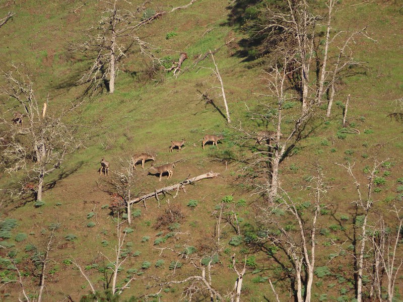
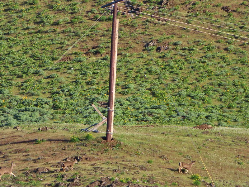 Heather spotted these three deer across the river.
 Another group of deer.
 Bald eagle
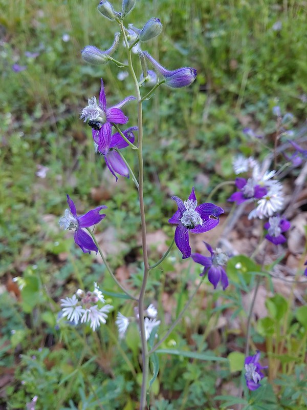 Larkspur and woodland-stars
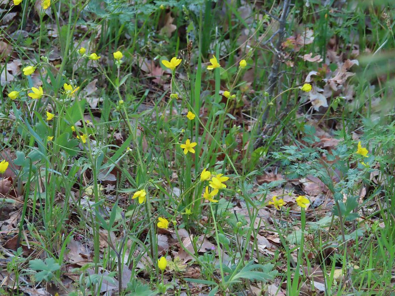 Buttercups
 Pacific hound’s tongue
 Milepost 1
 Saxifrage
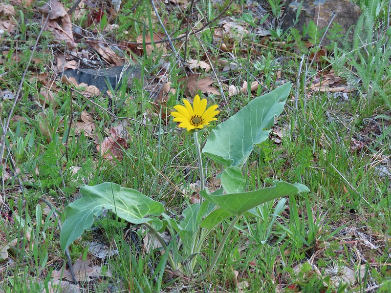 Balsamroot
 Silvas Creek


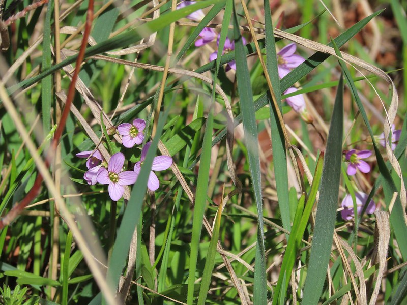
 Blue-eyed Mary


 Seasonal pool along the trail.
 Common mergansers

 Popcorn flower
 Columbia desert parsley
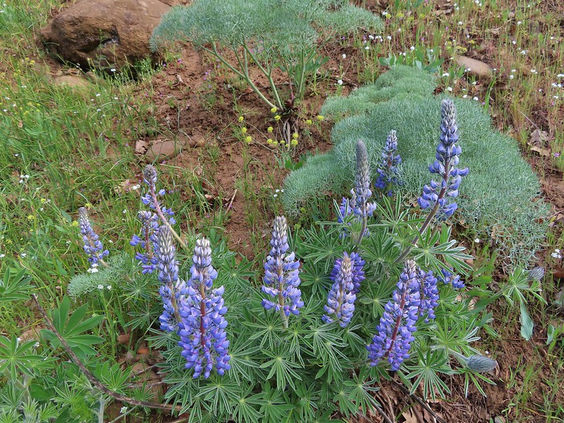 Lupine
 Balsamroot
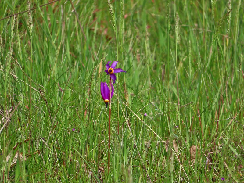 Shooting stars
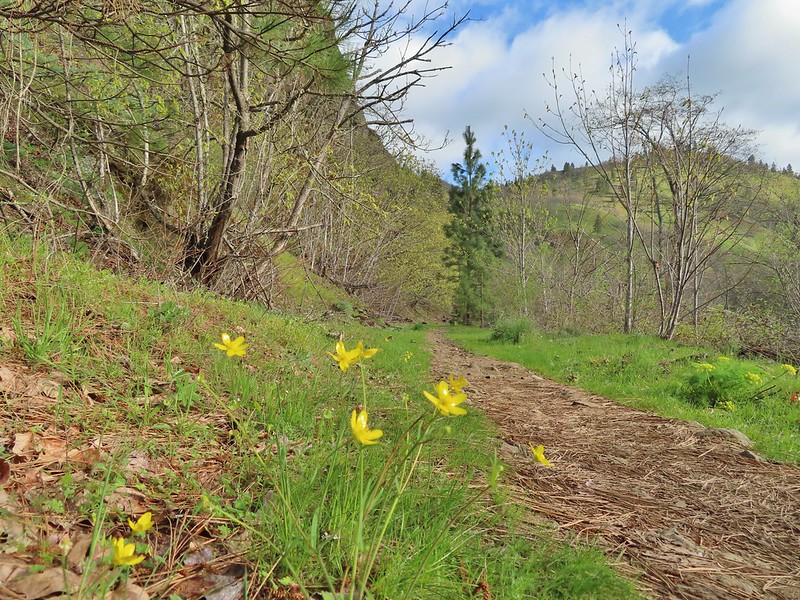 Buttercups
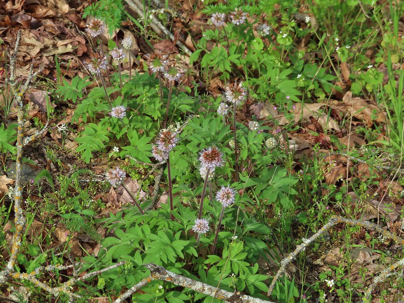 Waterleaf
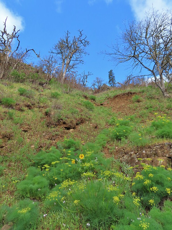 A balsamroot amid pungent desert parsley
 Big-leaf maple trees lining the trail.
 Big-leaf maple blossoms
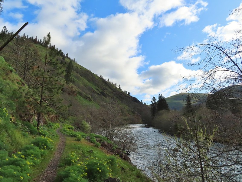
 Gold stars
 Larkspur, poison oak, and buttercups
 Spotted towhee
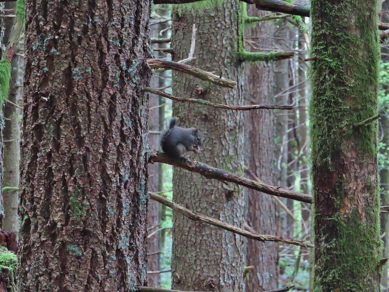
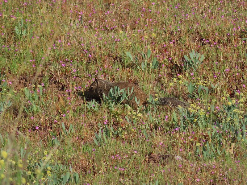
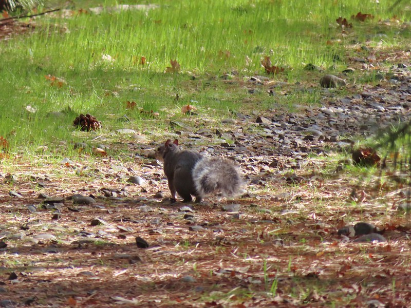 Squirrel
 Dillacort Canyon
 Red-stem storksbill

 Couldn’t get a good look at this small moth but it was pretty.
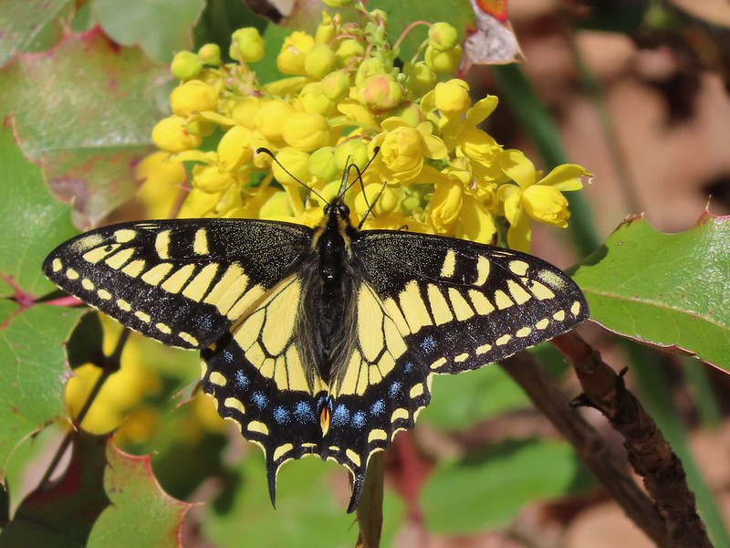 Anise swallowtail
 Sara’s orangetip
 Grass widow
 Slender phlox
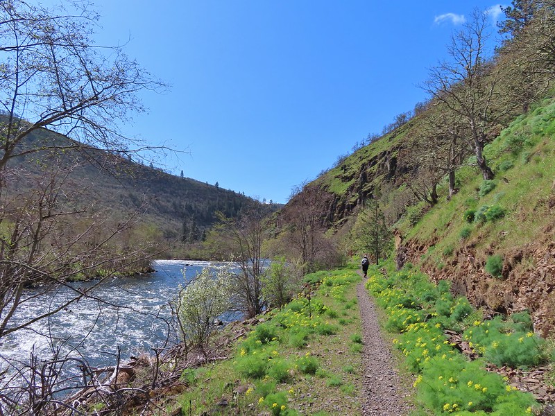 Heading back.
 Immature bald eagle
 Propertius duskywing – Erynnis propertius
 The mergansers had moved to the near bank.
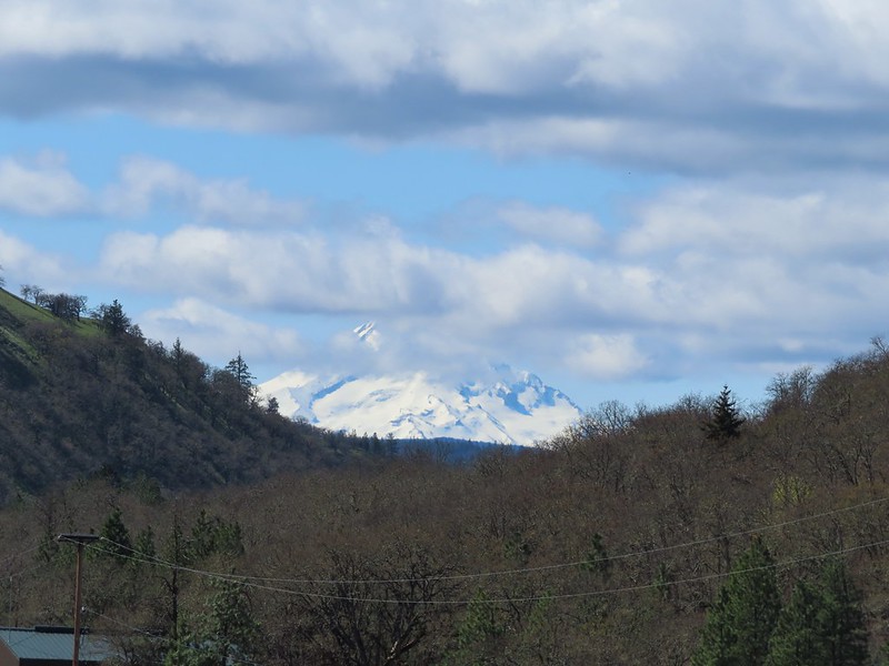 Hood behind some clouds.
 Ground squirrel
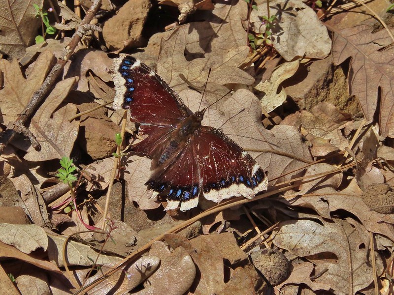 Mourning cloak
 Lizard

 Arriving back at the Lyle Trailhead.
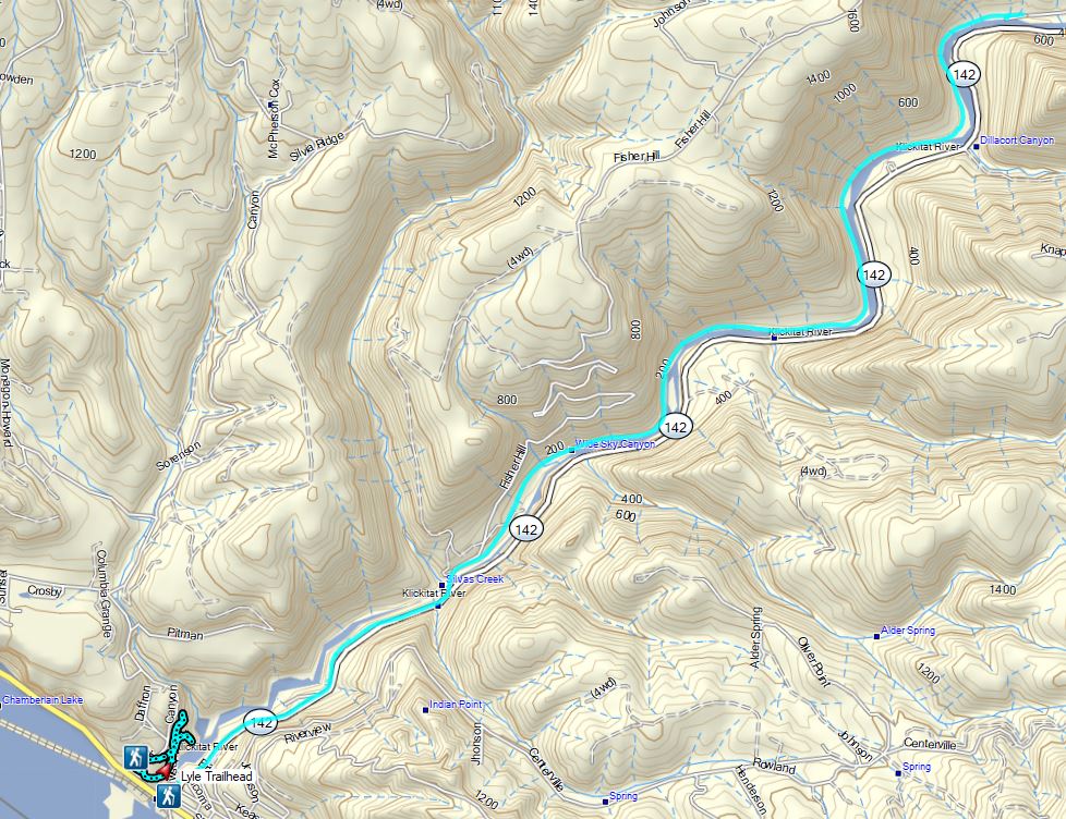
 Equestrian Trail at the trailhead.
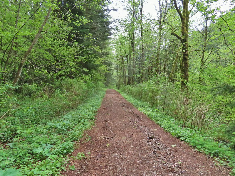
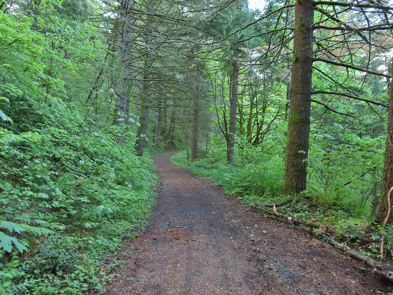 On the old roadbed/Equestrian Trail.
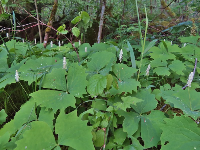 Vanilla leaf
 Fairy bells
 Violets
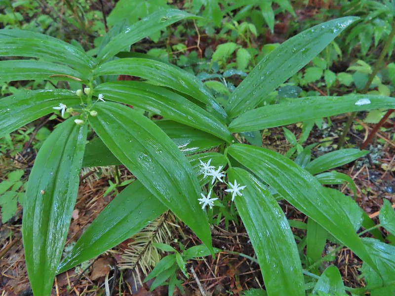 Star-flowered false solomon seal
 Youth-on-age
 Possibly a cinquefoil
 Thimbleberry
 Fringecup
 At the 4-way jct the Equestrian Trial continued straight with the West Hardy Trail to the left and Lower Loop Trail to the right.
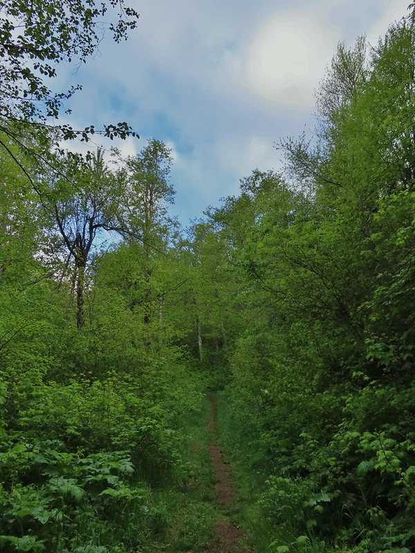

 Salmonberry
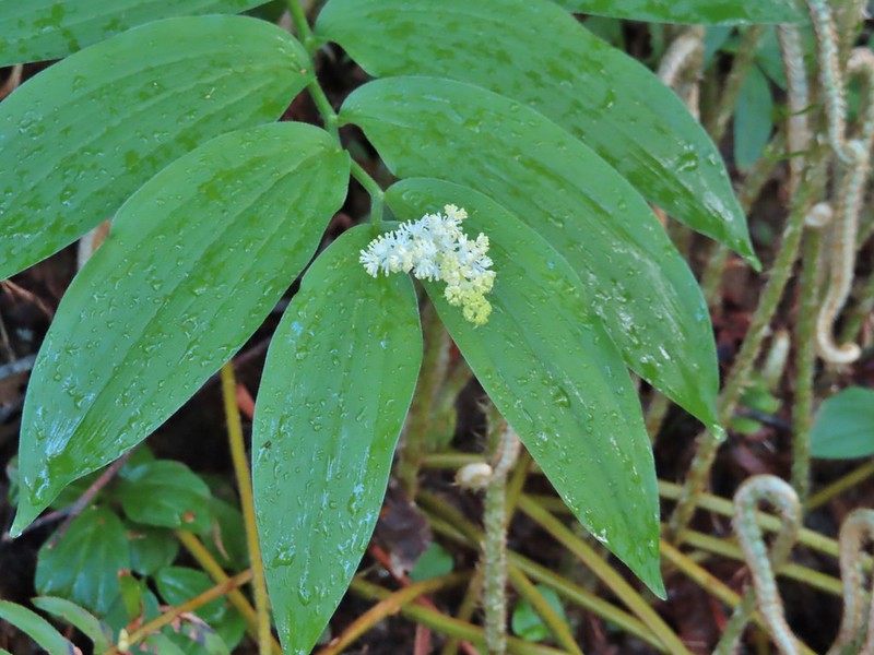 False solomon seal
 Bleeding heart
 Here come the clouds.
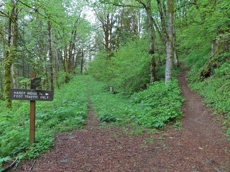

 Baneberry
 Trillium
 Paintbrush
 Red flowering currant
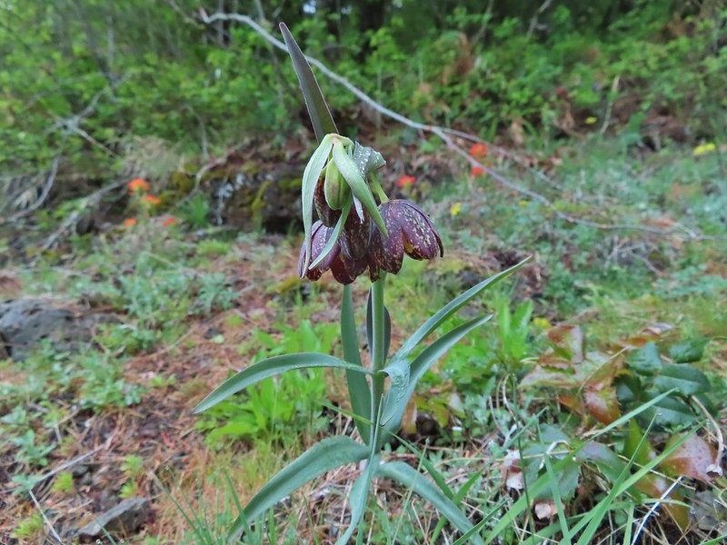 Chocolate lily
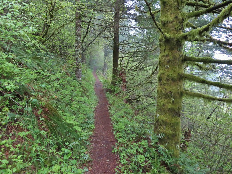
 Anemones
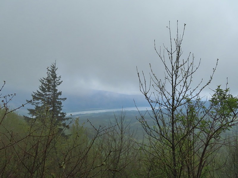 Looking across the Columbia River into Oregon.
 Horsetail Falls (
 Field chickweed and Oregon grape
 Junction at the saddle.
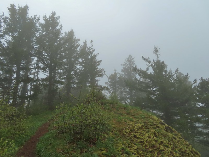
 Glacier lily
 Trilliums
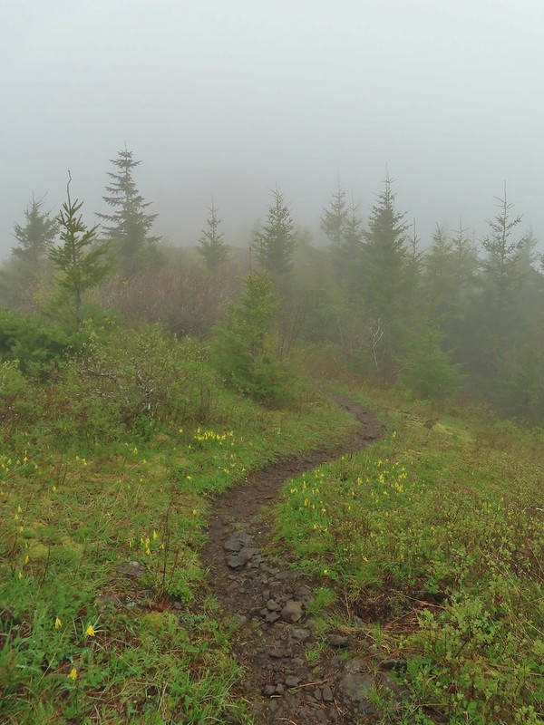 Glacier lilies along the trail.
 Another hiker caught up to us at this rock field not far from the high point. It looked like the trail was going across the rocks for a bit and she decided to turn around but after just a few feet the trail resumed behind a bush.
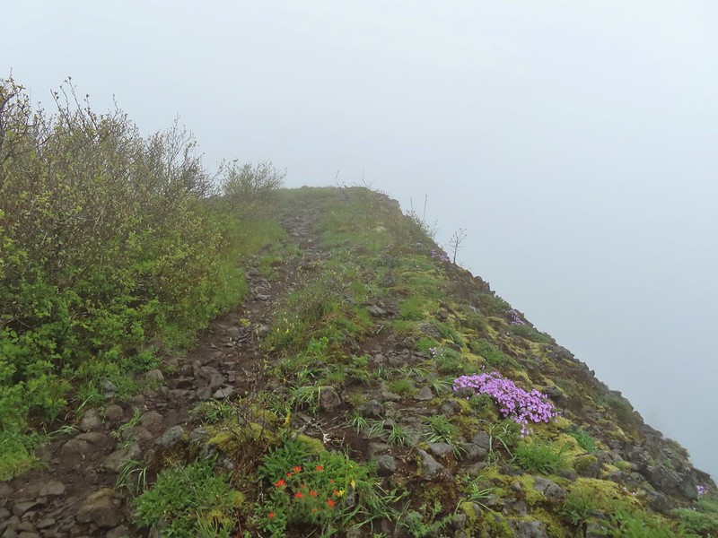
 Phlox
Phlox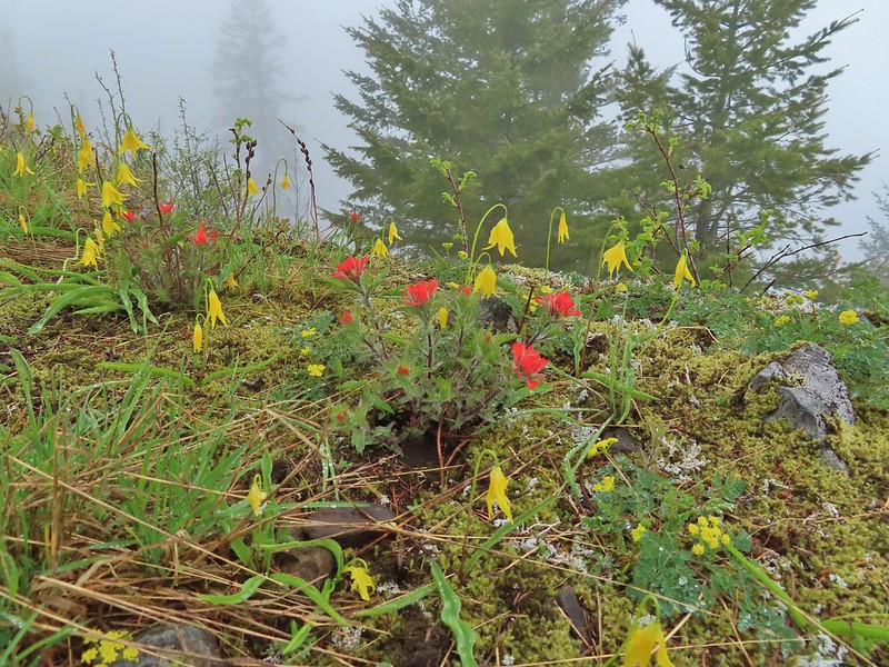 Paintbrush and glacier lilies.
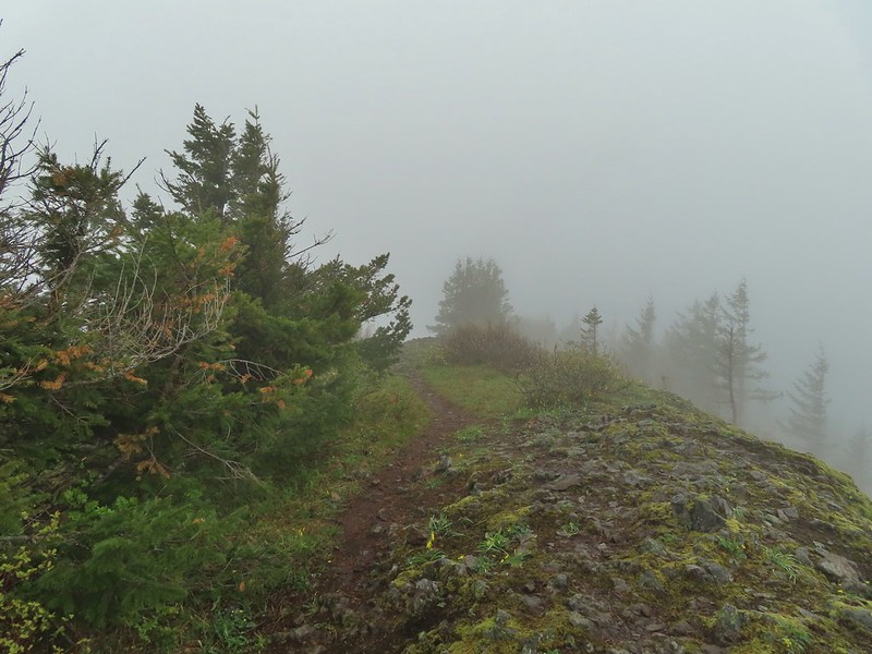 The high point.
 Glacier lilies at the high point.

 Hamilton Mountain (high point to the right) and the Columbia River.
 Bonneville Dam and the Hamilton Mountain Trail crossing The Saddle.
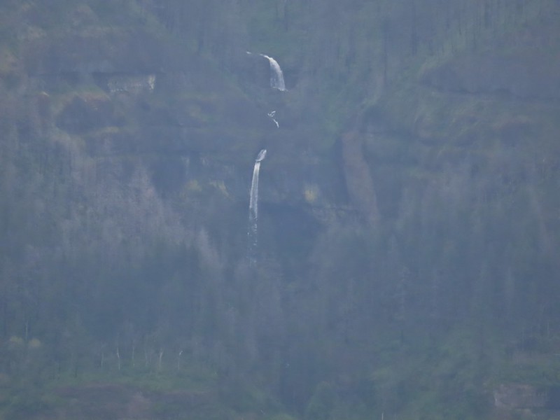 Upper McCord Creek Falls (
 Squirrel
 Snail
Snail

 Bleeding heart along a little stream.
 False lily-of-the-valley getting ready to bloom.
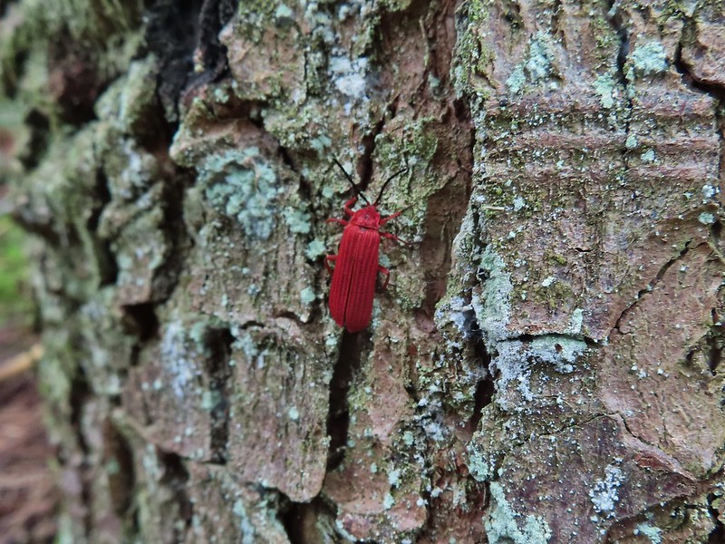 Possibly a Dictyoptera aurora (Golden net-winged beetle)
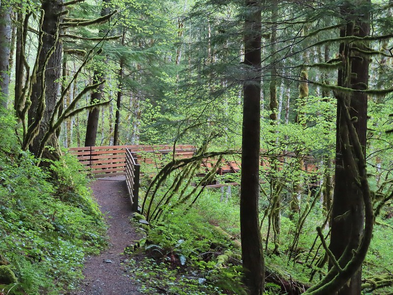


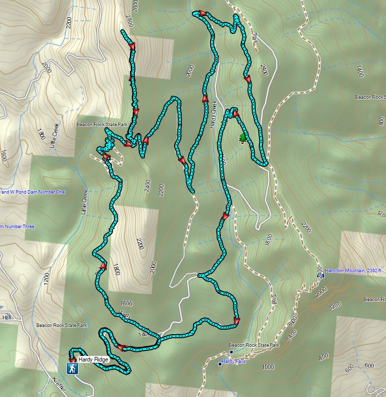
 Hardy Ridge from the Upper Hardy Trail.
 The left fork would have been slightly longer by leading us around the back side of a knoll and making a 180 degree turn following the east side of the ridge toward The Saddle.
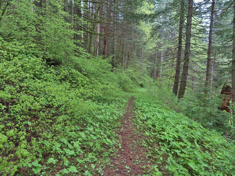 We turned right opting for the slightly shorter route to The Saddle.
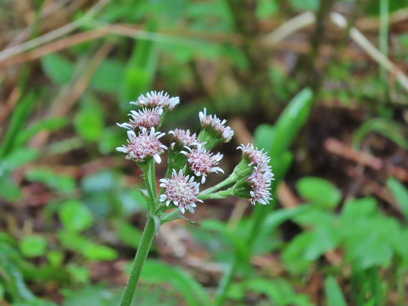 Coltsfoot
 Southern junction of the two forks of the Upper Hardy Trail.
 Hikers coming down from Hamilton Mountain.
 Dons Cutoff Trail nearing the Upper Hardy Trail.
 Upper Hardy Trail
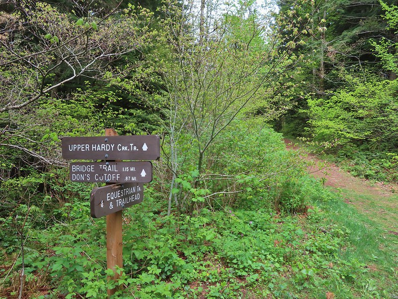
 Equestrian Trail
 Hardy Creek


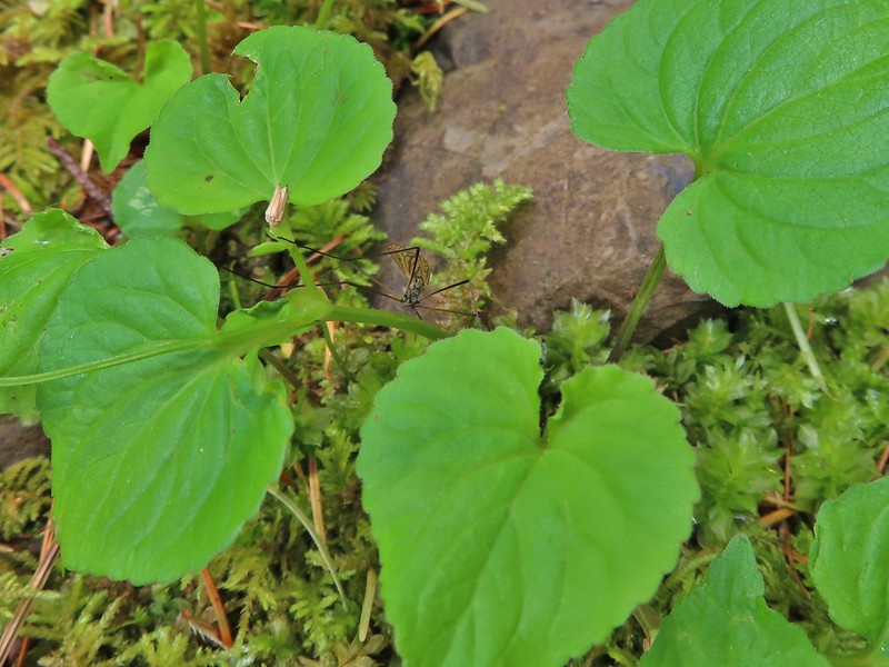 Spotted this guy while I was photographing the slug above. Not sure if it’s a crane fly or ?
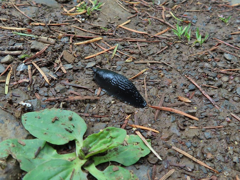
 Mt. Hood from the trailhead.
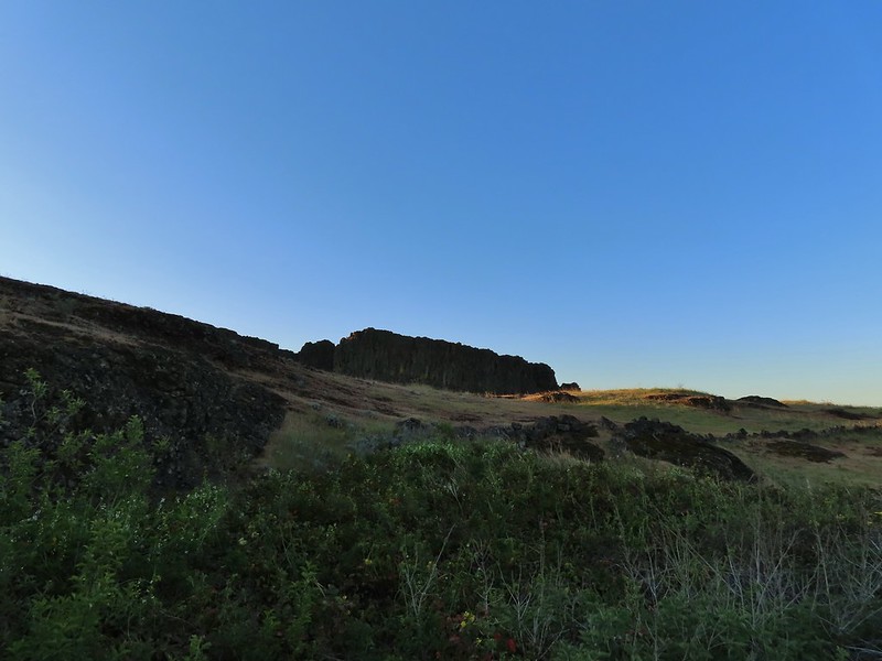
 Death camas
 Western stoneseed
 Fiddleneck
 Large-flower tritelia
 Mt. Hood beyond Horsethief Lake
 Standing at the fence looking east.
 Wren
Wren Horsethief Butte
 Lupine


 Horsethief Butte and Mt. Hood from the viewpoint.
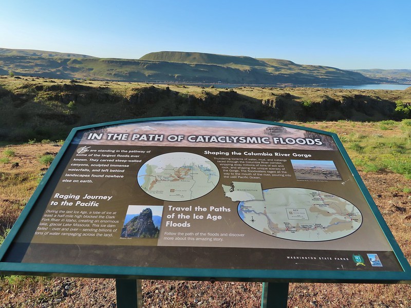

 Purple cushion fleabane
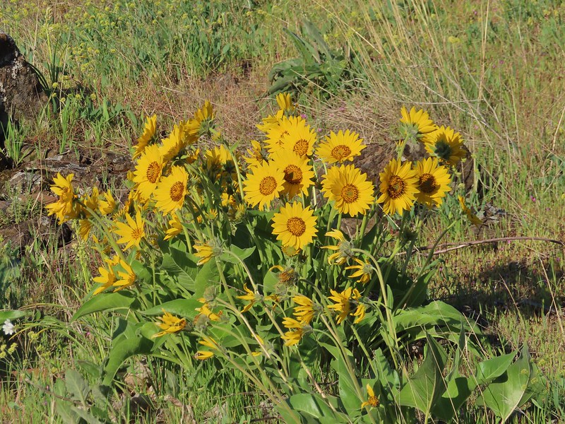 Balsamroot

 Western bluebird
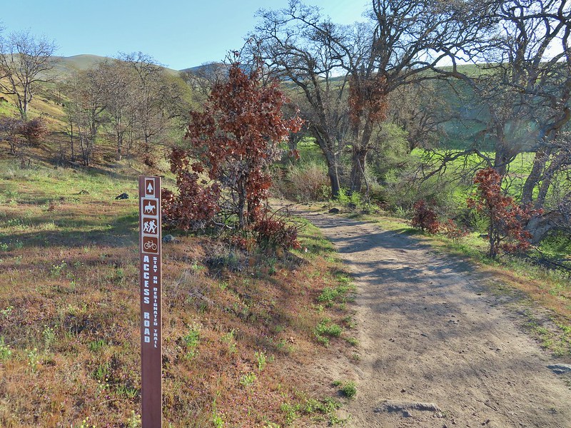
 Ground squirrel


 Lupine, balsamroot and parsley
 The Crawford Ranch Complex ahead to the left.
 Phlox
Phlox


 Approaching the fence line.
 Yellow-rumped warbler
 Back of a scrub jay


 Mt. Hood
 Mt. Jefferson
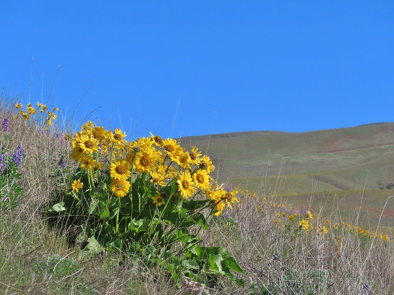


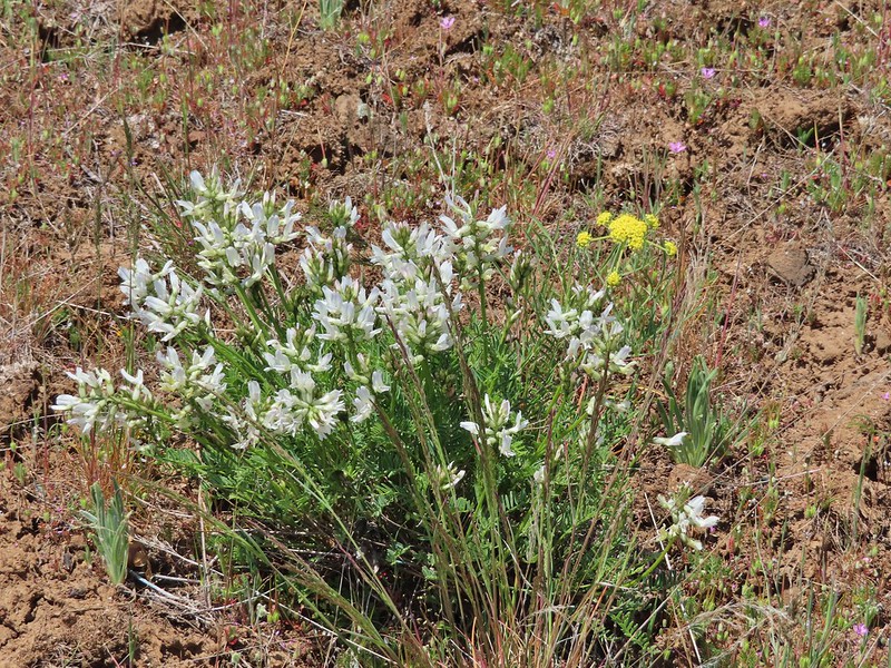
 Yakima milk-vetch
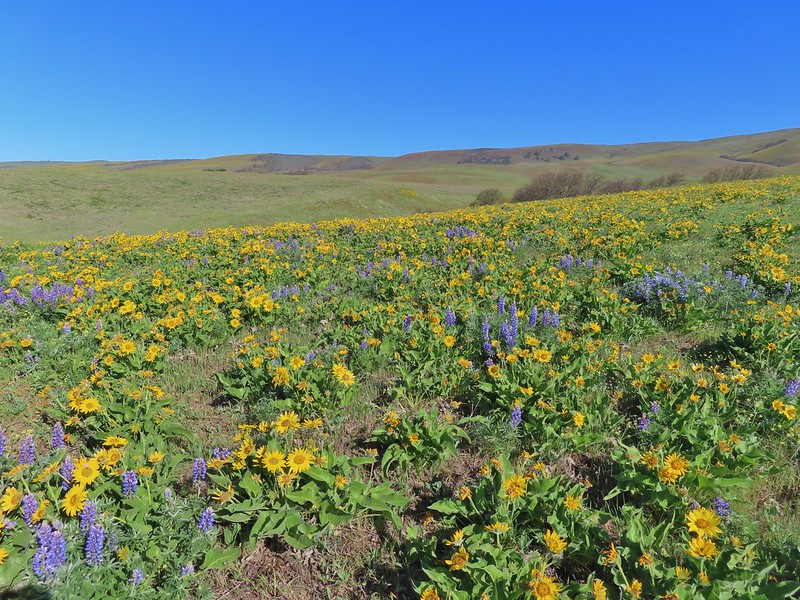


 The Columbia River, Horsethief Butte, and Mt. Hood
 Death camas
 Large head clover
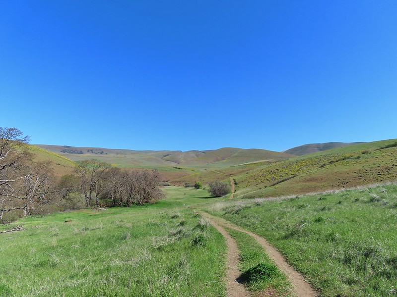 Approaching the junction.
 Hawk watching all the hikers.
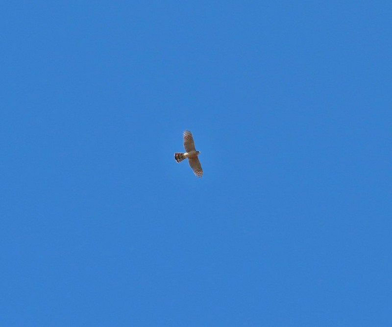 A different hawk? watching the goings on.
 Western fence lizard watching everything.
 Poppy, manroot, and red-stemmed storksbill
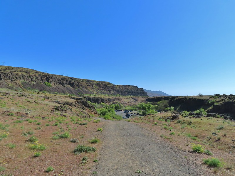 The crowded trailhead
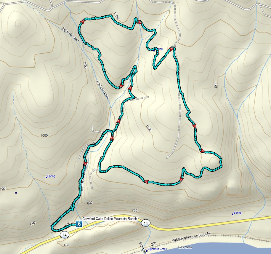

 While both were part of the Crawford Ranch, Stacker Butte is not part of the Columbia Hills State Park but is part of the Columbia Hills Natural Area Preserve.
 Yakima milk-vetch
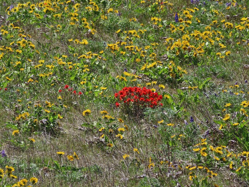 Paintbrush amid the balsamroot.
 Phlox
Phlox
 Big-seed biscuitroot
 Sicklepod rockcress
 Sagebrush false dandelions
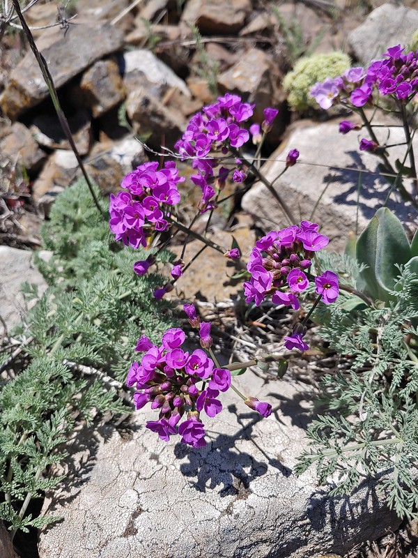 Daggerpod
 Daggerpod
 Slender toothwort?
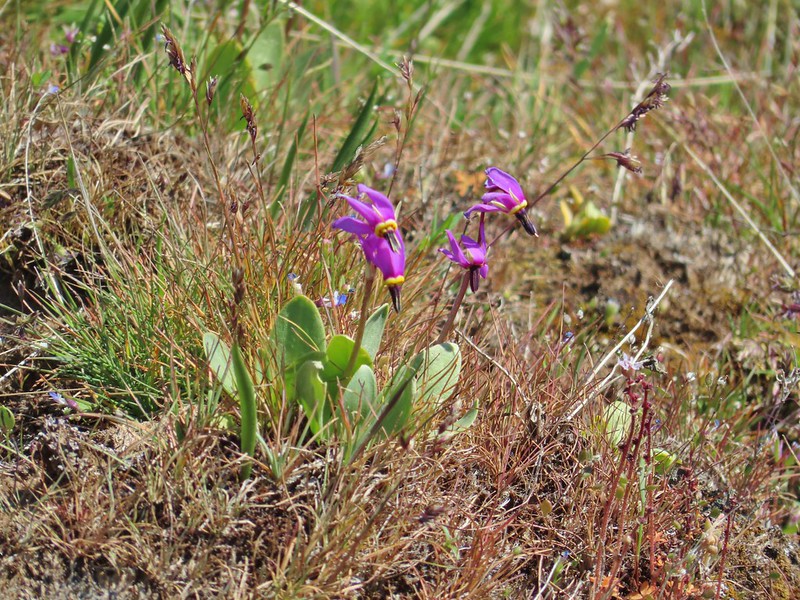 Shooting stars in front of a little blue-eyed Mary
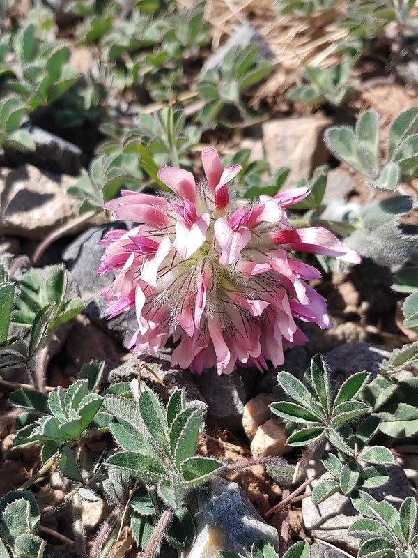 Large head clover
 Popcorn flower
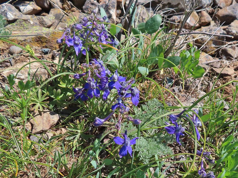 Larkspur
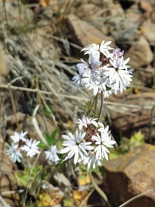 Woodland stars
 Mt. Adams
 Mt. Rainier
 Goat Rocks
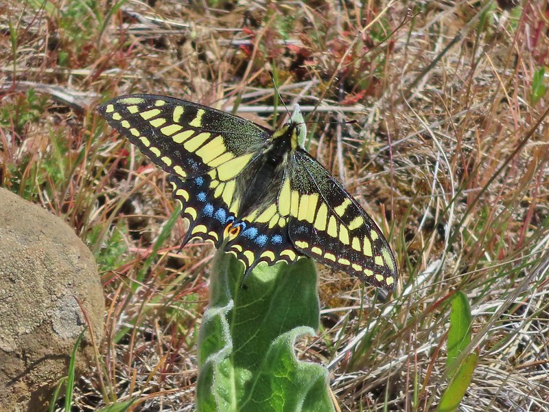 Swallowtail
 Western fence lizards
 White crowned sparrow
 Another sparrow
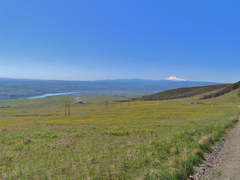 Mt. Jefferson and Mt. Hood as we neared the trailhead.
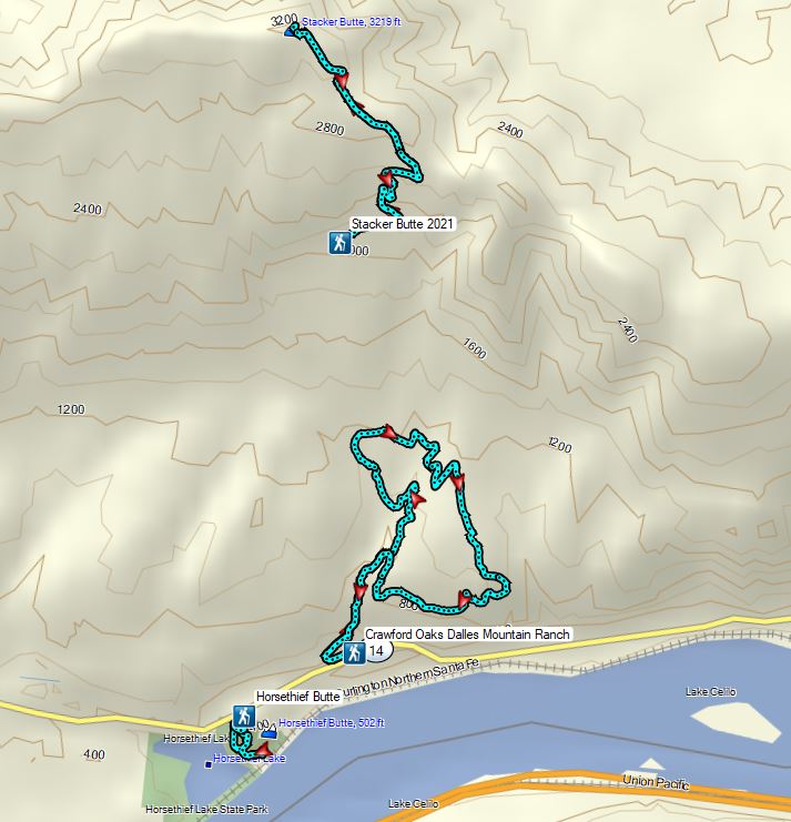

 Bench at a switchback.

 Reroute below Mitchell Point
 Mushrooms’ and some sedums.

 Houndstongue
 Grass Widows
 Woodland stars
 Yellow bell lily
 Desert parsley and woodland stars
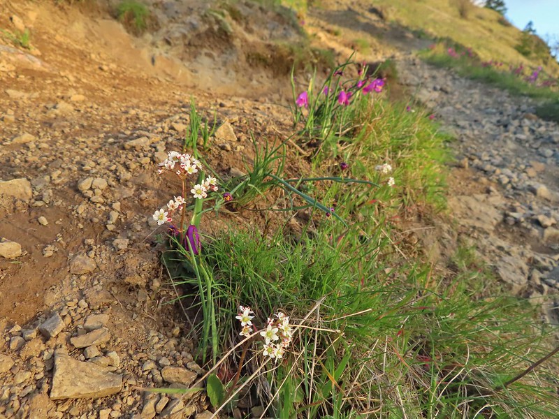 A saxifrage
 Gold stars and woodland stars
 Looking west
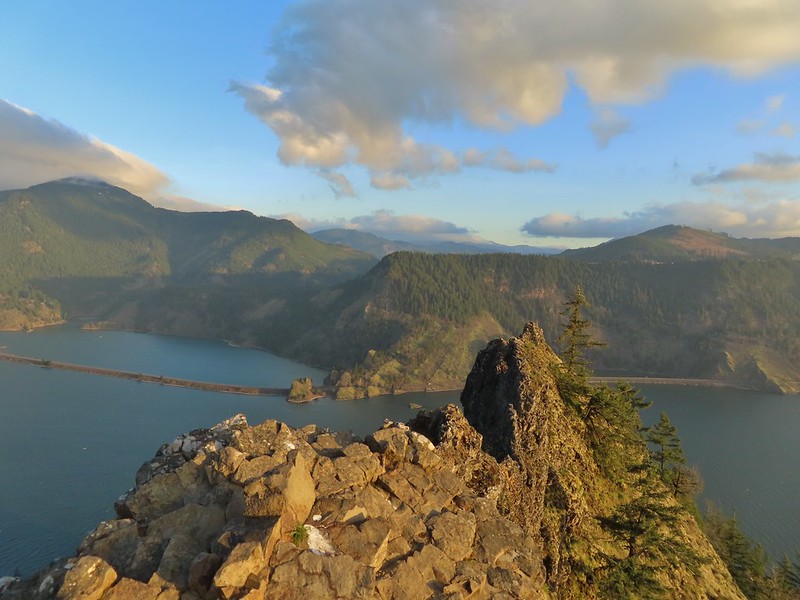 North across the Columbia River into Washington
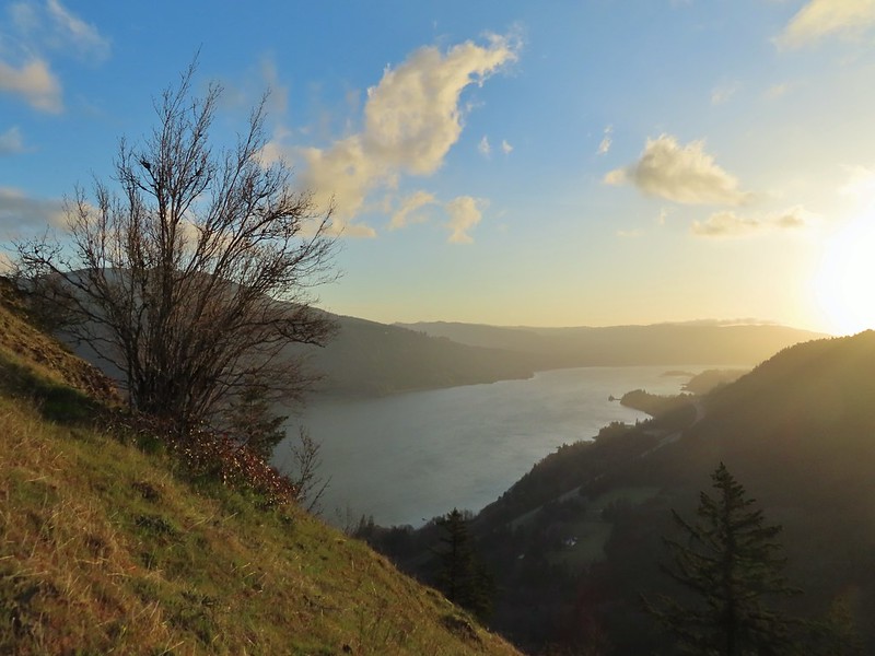 East
East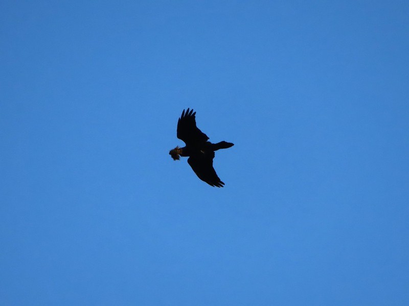 Looks like moss for a nest maybe?
 Turkeys on the Wygant Trail
 Red leaves of poison oak behind a death camas
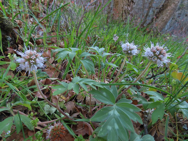 More poison oak behind a waterleaf
 Poison oak around some balsamroot


 Fiddleneck
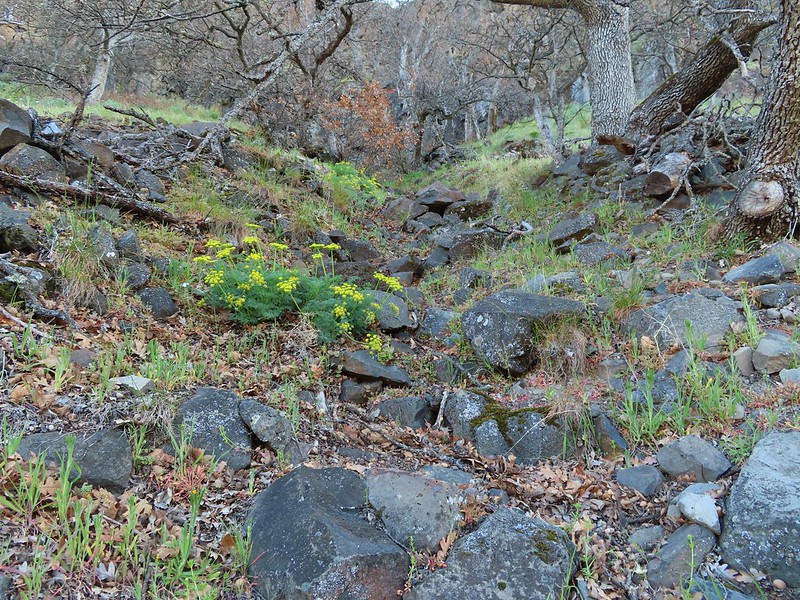 Desert parsley
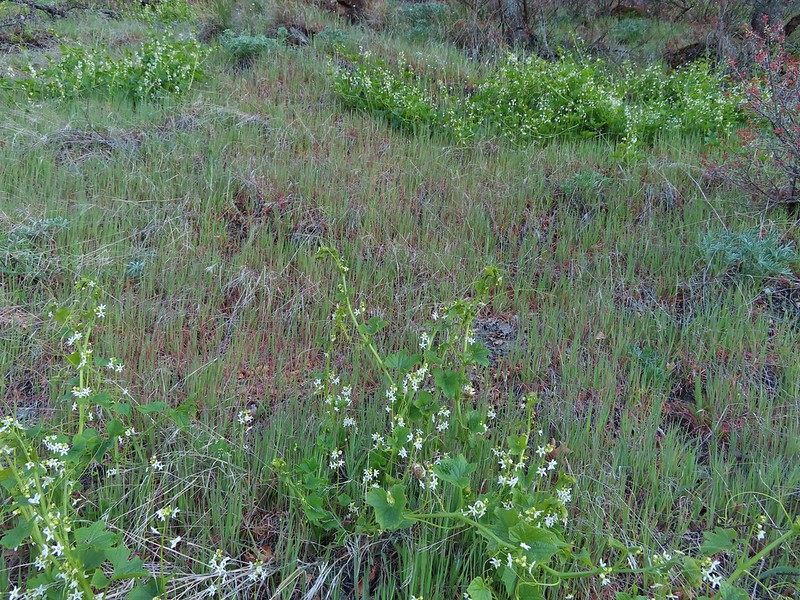 Manroot
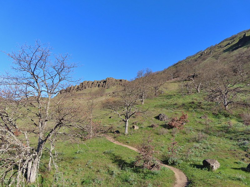
 Lots of death camas blooming on the plateau.
 Looking up at the cliffs above.
 Balsamroot blooming below the rim.

 Balsamroot
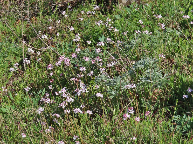 Woodland stars with some lupine leaves
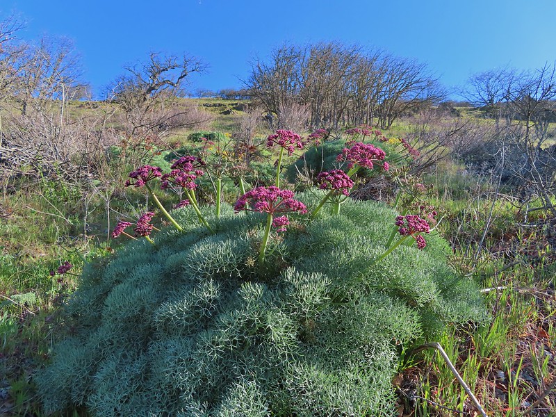 Columbia desert parsley
 A biscuitroot
 Balsamroot
 Balsamroot
 View west (With a snow capped Mt. Defiance (
 Larkspur
 Buttercups
 Glacier lilies
 Yellow bell lily, woodland stars, grass widows and shooting stars.
 Yellow bell lilies
 Toothwort
 Sagebrush false dandelions
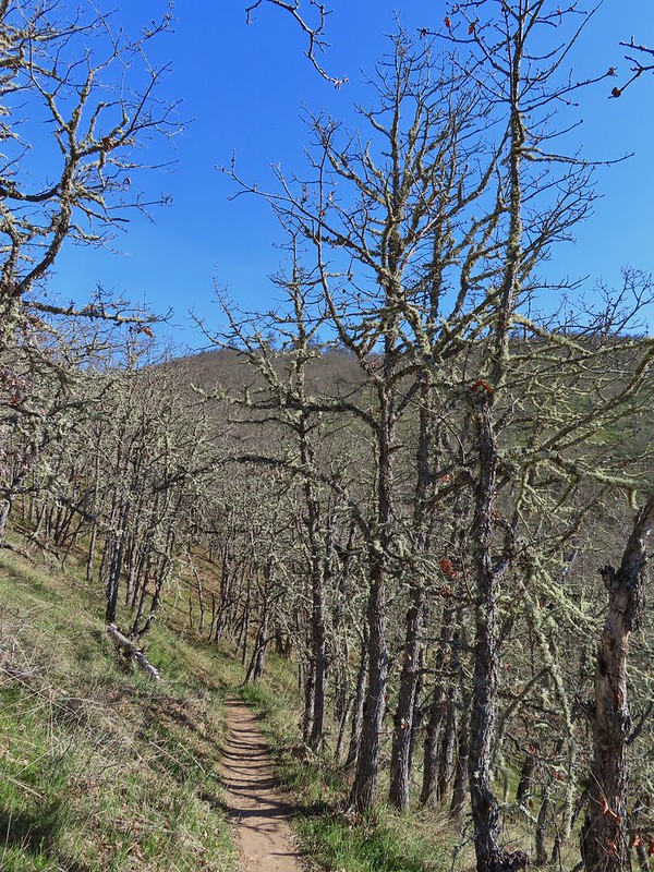
 Tortoiseshell butterfly
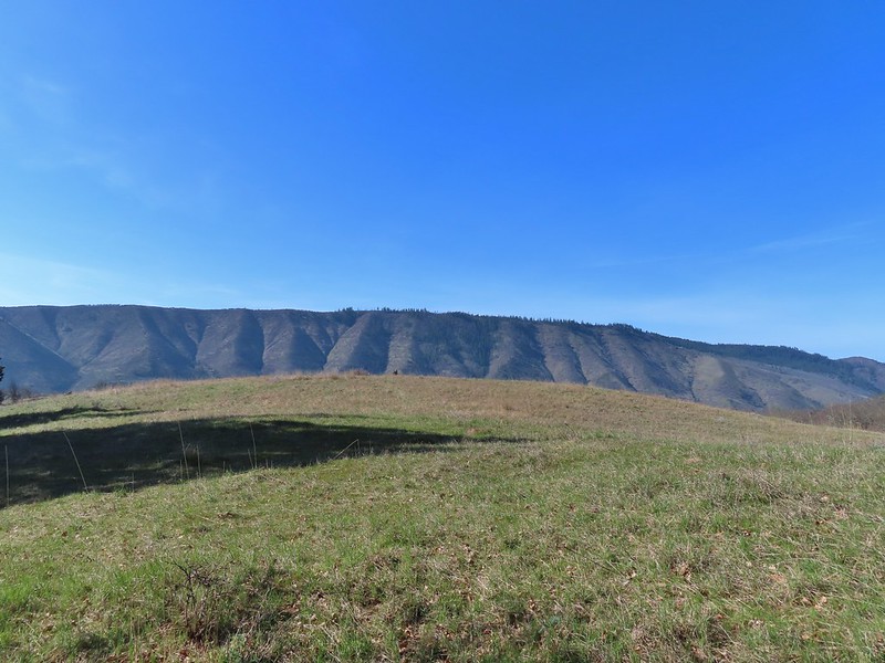


 Tom McCall Point and the Rowena Plateau with Mt. Defiance in the distance.
 Hikers on the trailhead and below.
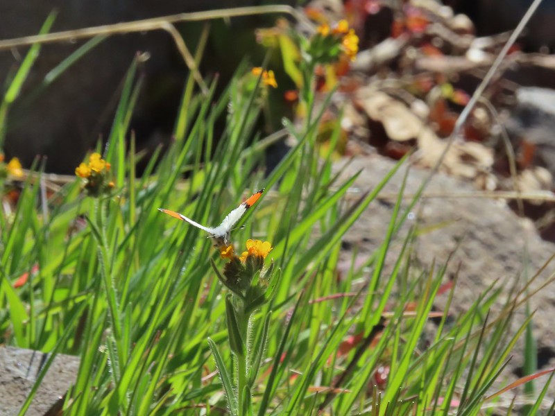 Just my third photo of an orange-tip.
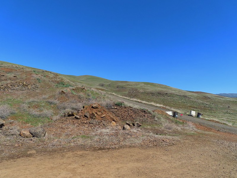
 Mt. Hood and Columbia desert parsley from the first knoll we tried.
 Top of knoll #1.
 A lone balsamroot blossom.
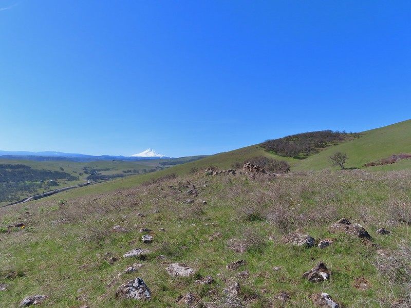
 The path leading past the spring to the oaks.
 The spring
 Back on the right side
 Balsamroot surrounded by some little white flowers.
 Lupine thinking about blooming.
 Larkspur
 Yellow bell lilies
 We didn’t notice any poison oak here.
 A grass widow at the viewpoint.
 Mt. Adams
 Mt. Hood over the oak stand.


 The Dalles beyond the fence line.
 Heading down the fence line.
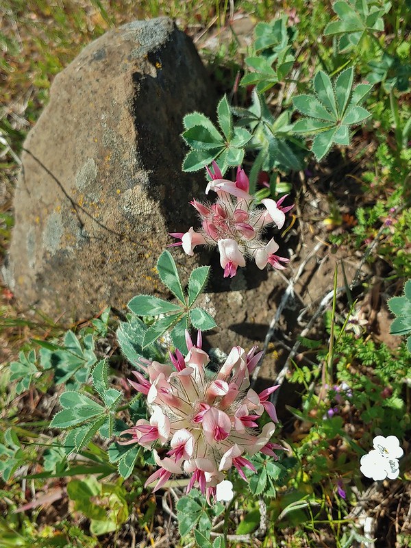 Large head clover
 A lupine with blossoms.
 Hillside covered in Columbia desert parsley
 Our car had been joined by one other. (middle left of photo)
 Gooseberry Creek

 Oregon grape
 Dogwood
 Large solomonseal
 Trillium


 Hamilton Mountain (
 Sacagawea and Pappose Rocks
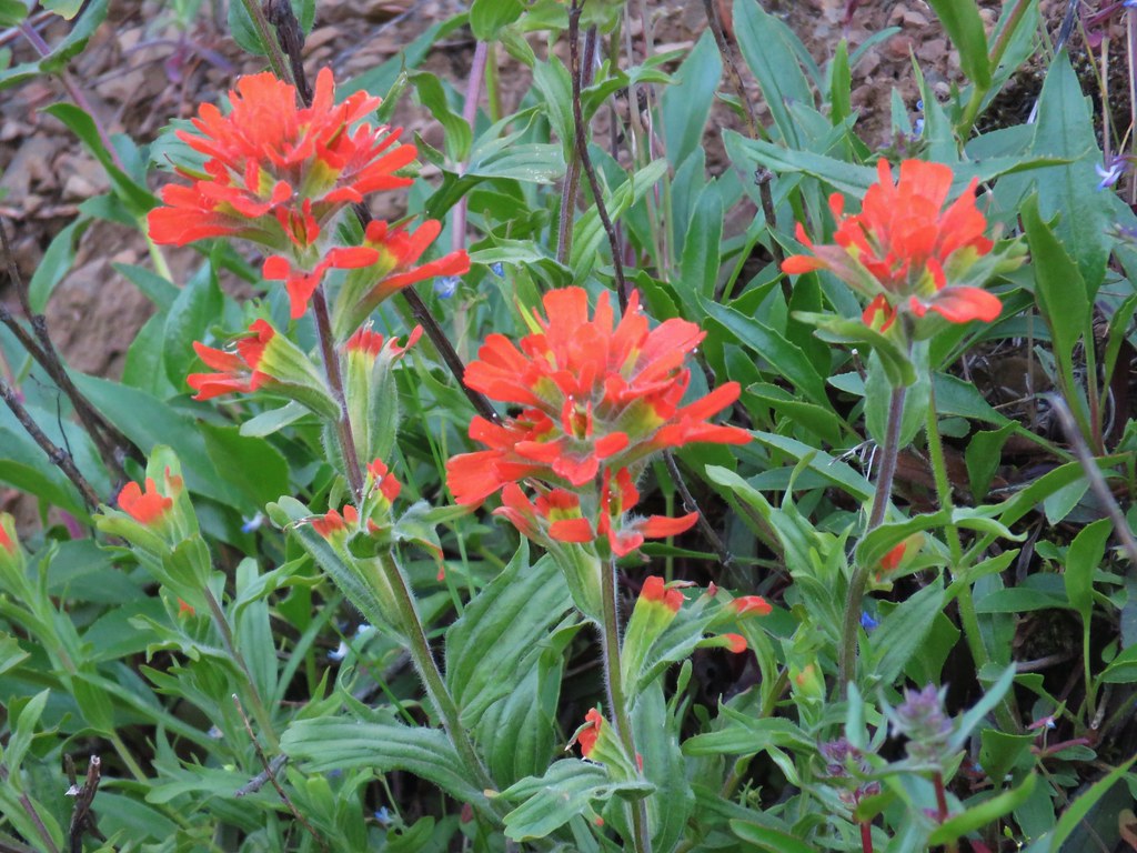 Indian paintbrush

 Bonneville Dam on the Columbia River. Nesmith Point (
 Unnamed lake through the trees.


 Bleeding heart
 Vanilla leaf

 Wood violet
 Fairy slipper
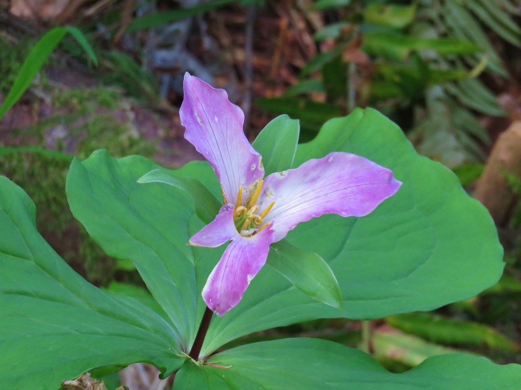 Trillium
 The Two Chiefs on the left and Table Mountain on the right.
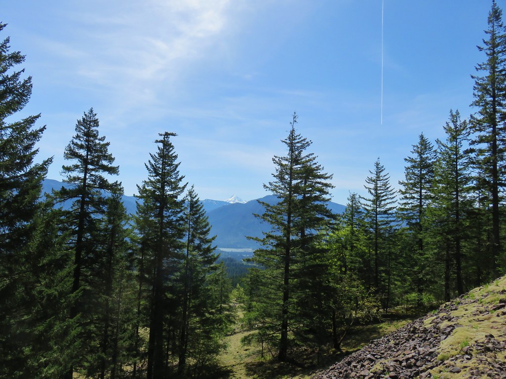

 Left side
 Right side
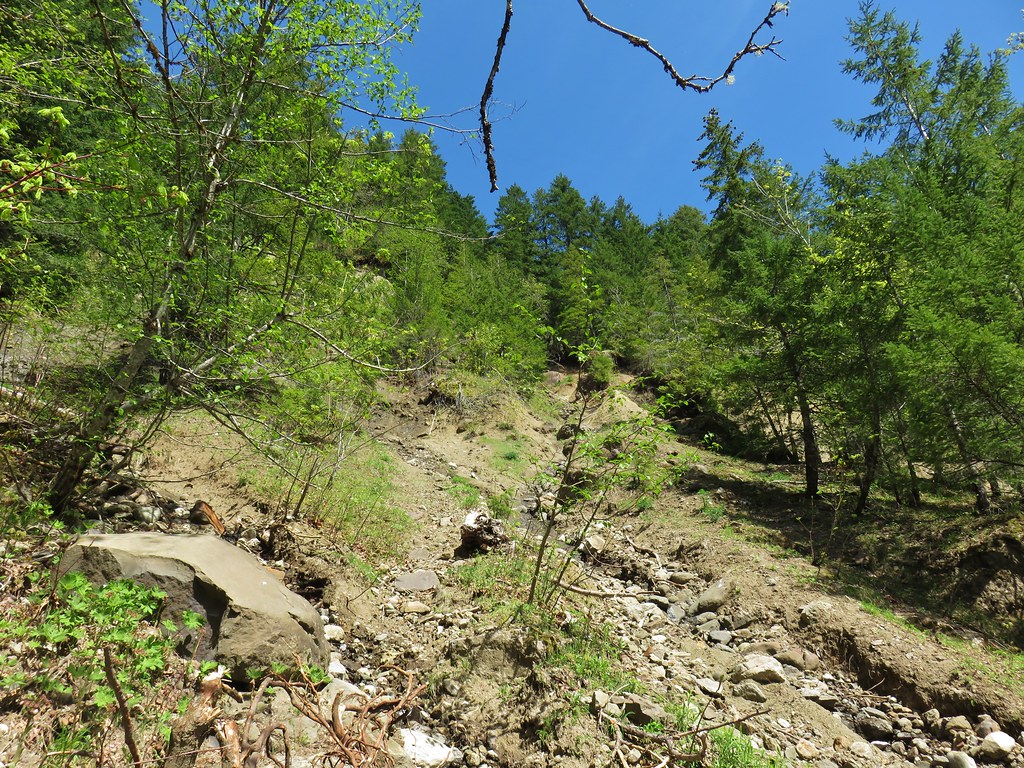
 The highest tier that I was able to see.
 A middle section of Greenleaf Falls
 Cascades along Greenleaf Falls just above the ones visible from the trail.


 Snow queen
 Wild strawberry
 Butterfly landing on leafy pea