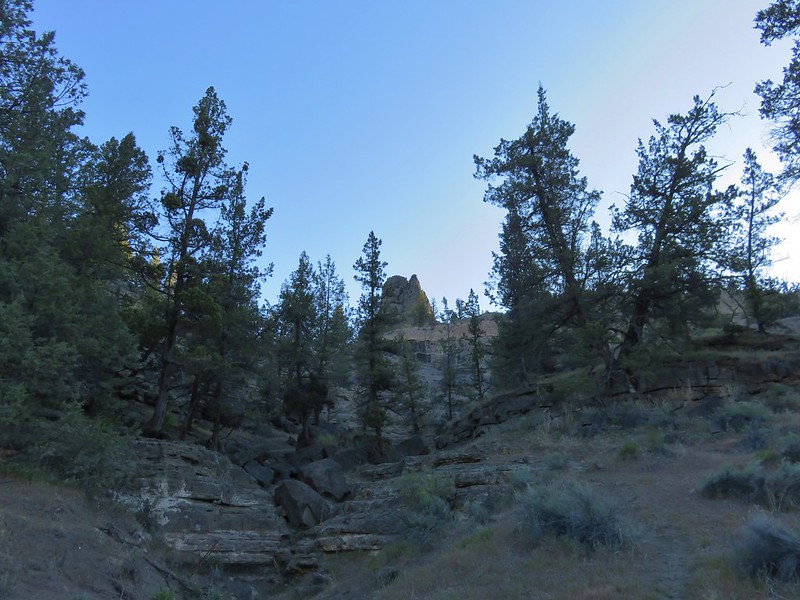
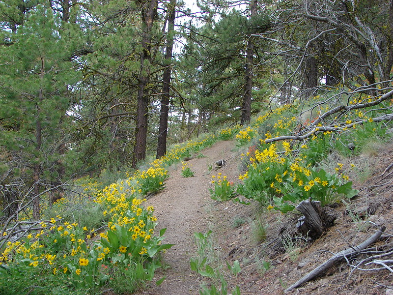
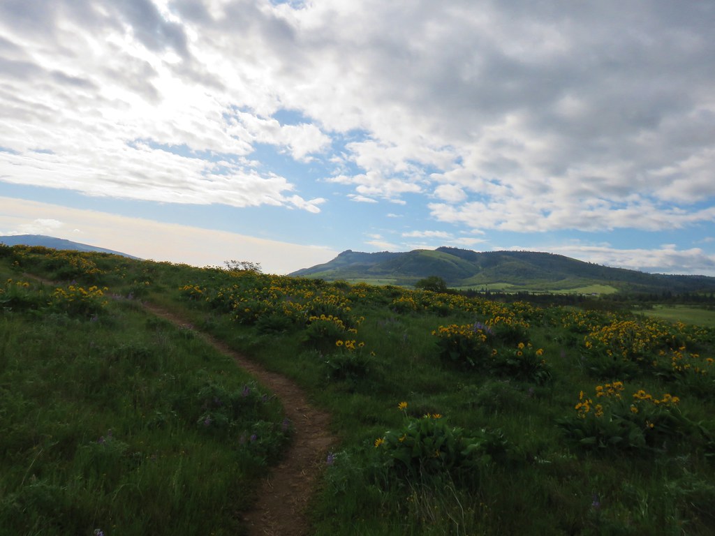
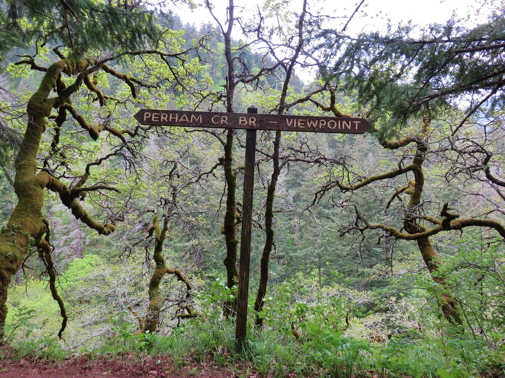
Knowing that trails would be busy over the holiday weekend we looked for an option that might provide some solitude and turned to another Matt Reeder hike at BLM managed Criterion Tract (BLM map). Reeder features this hike in his “PDX Hiking 365” guidebook and lists April as the best time to visit. His reasoning is that April to early May is the usually the peak wildflower blooms. With this years blooms running a couple of weeks late we hoped that Memorial Day weekend wouldn’t be too late. I couldn’t find any information other than the map linked above on the BLM website but in addition to Reeder’s entry there is a route featured in the Oregonhikers.org field guide and Sullivan features a route starting along the Deschutes River in his 2022 “100 Hikes Eastern Oregon” guidebook (not the edition we are using for our quest of his featured hikes).
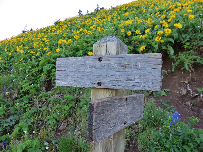
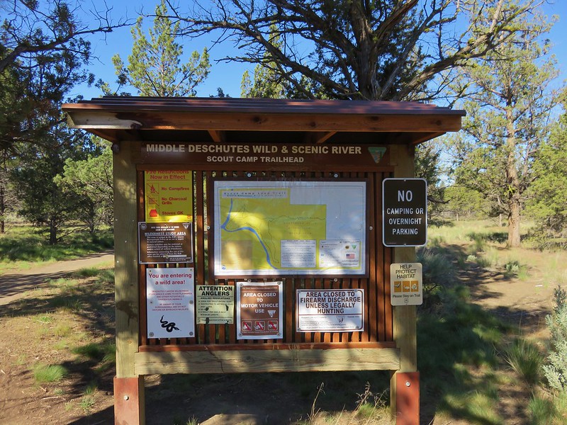
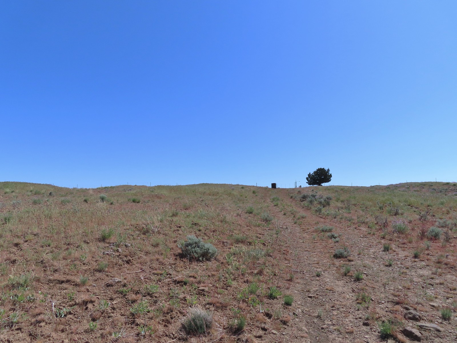
While there are several possible access points we started at the Criterion North Trailhead.

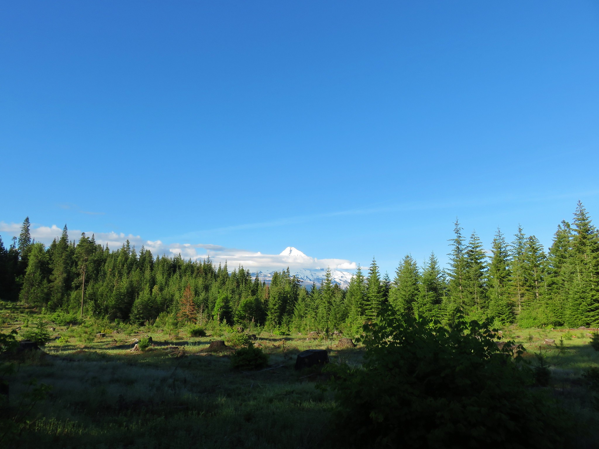
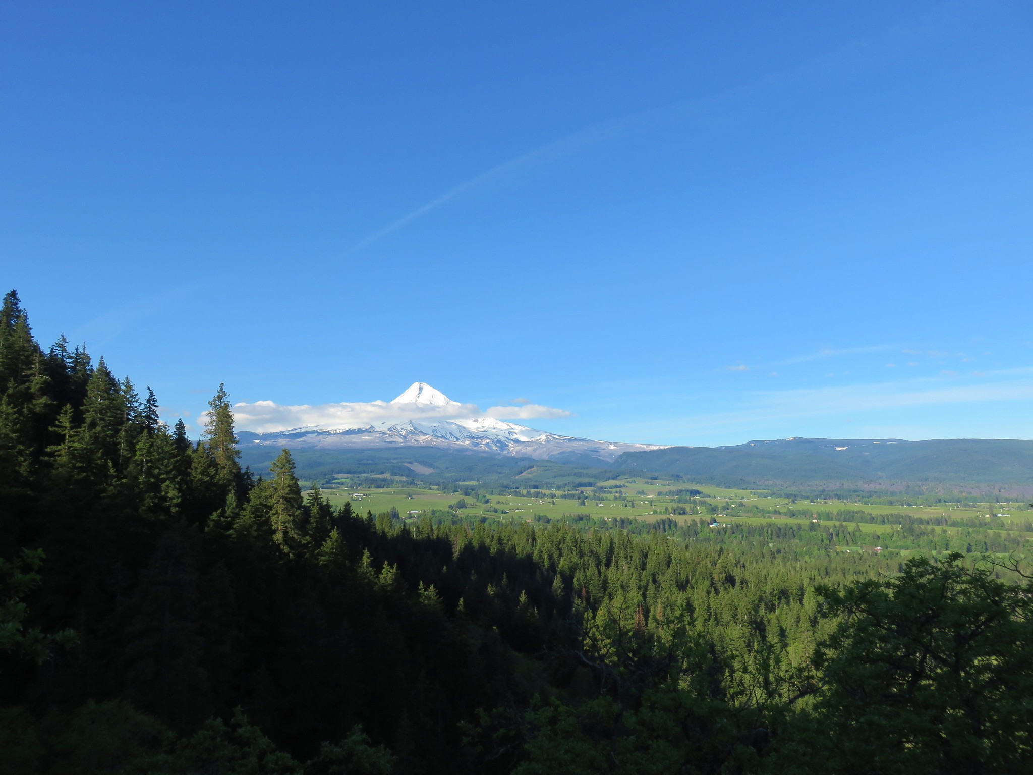
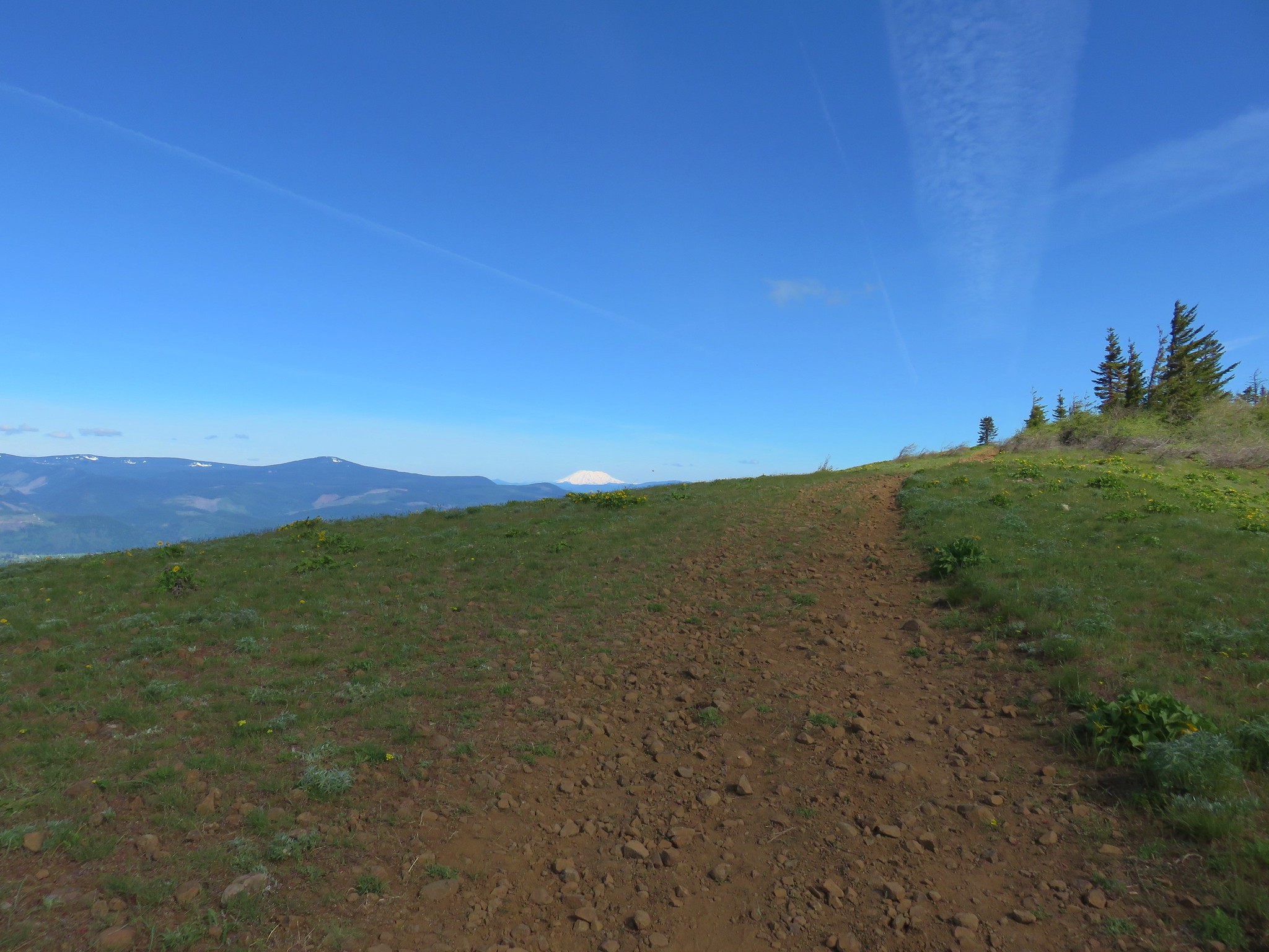
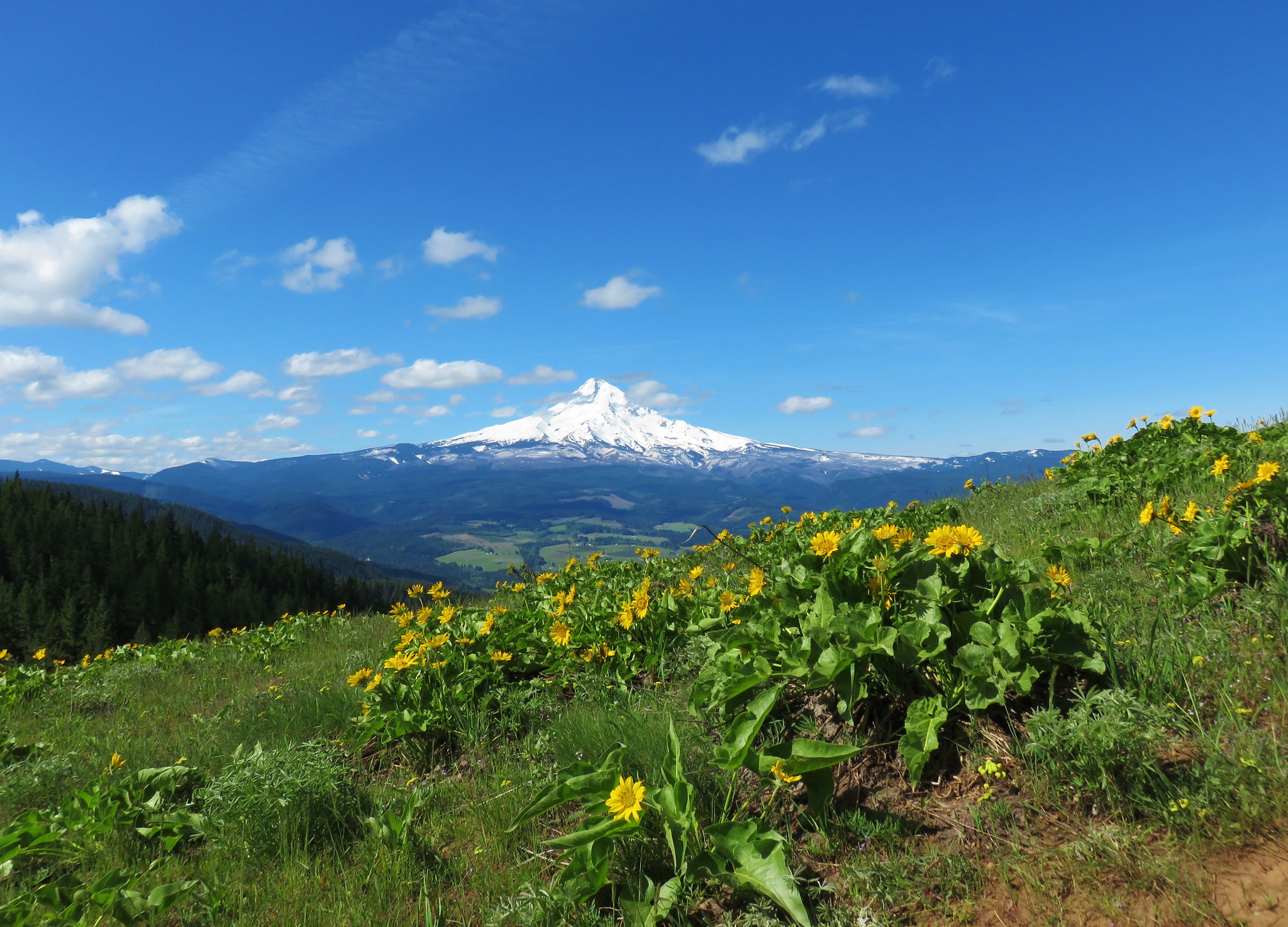
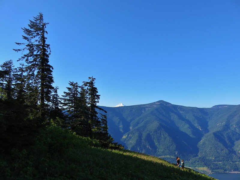
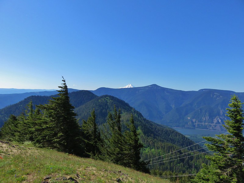
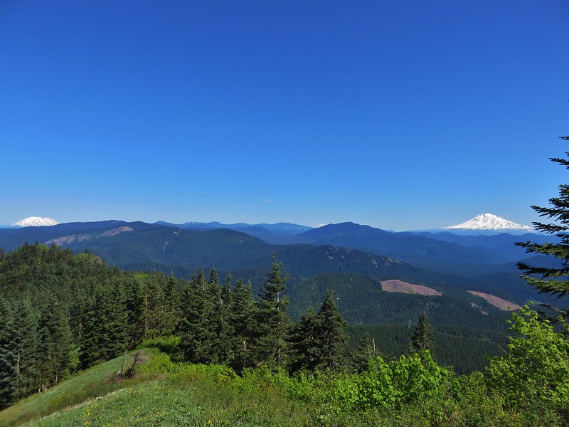
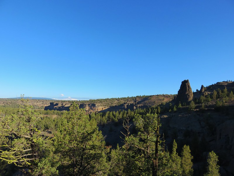
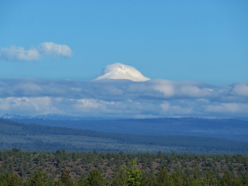
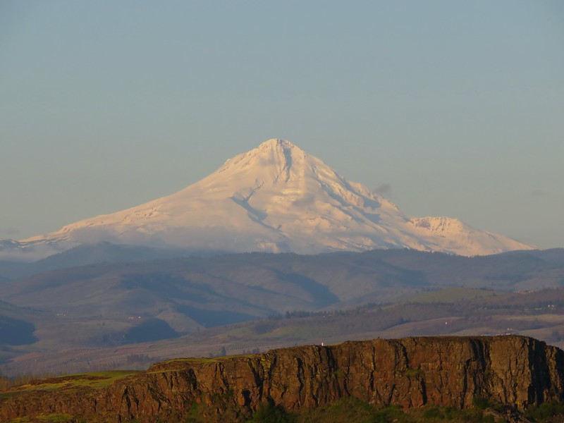
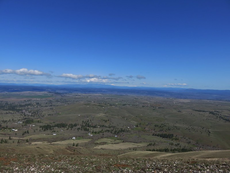
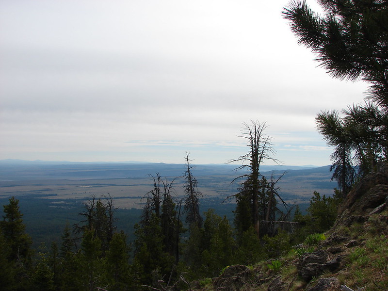
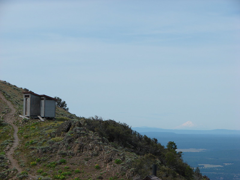
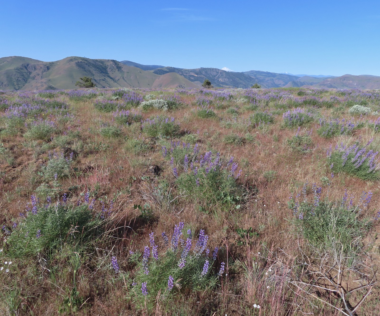
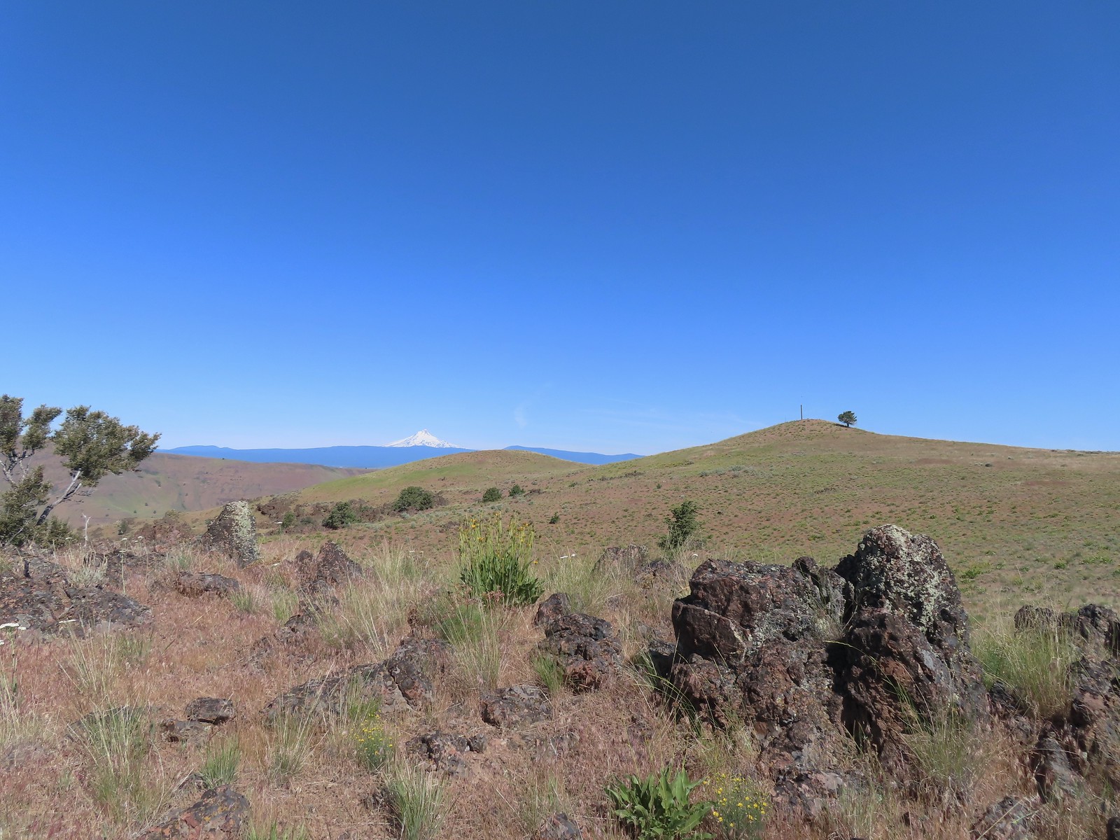
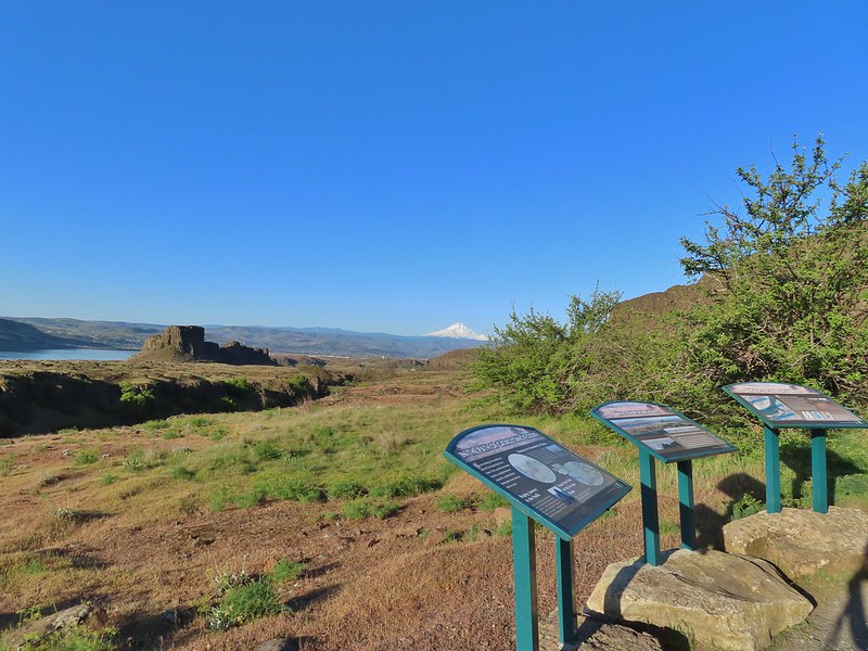
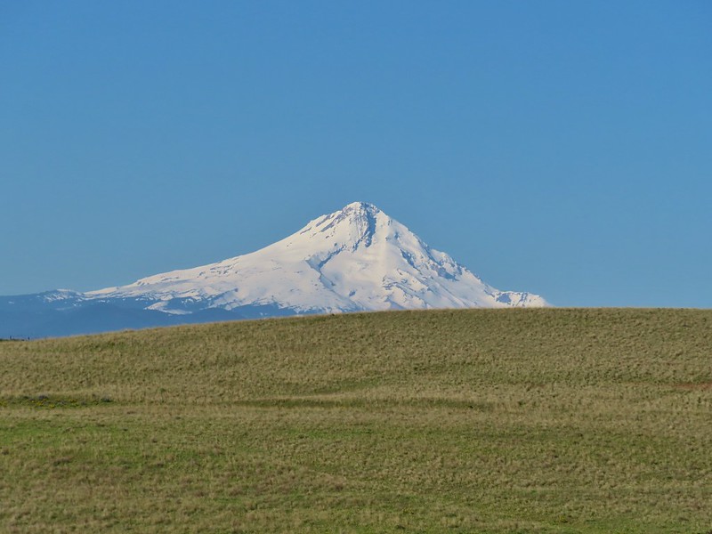
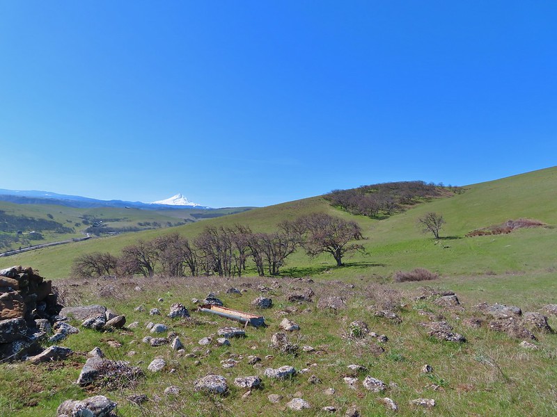
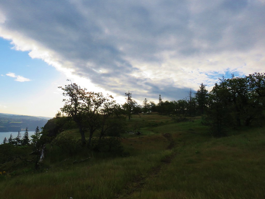
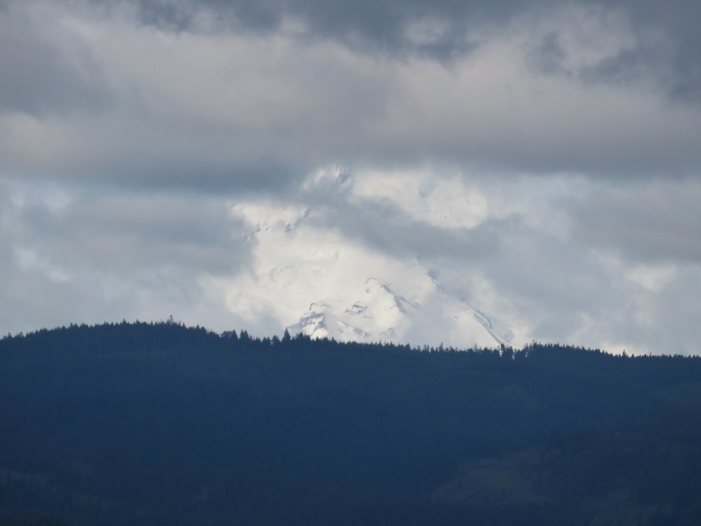
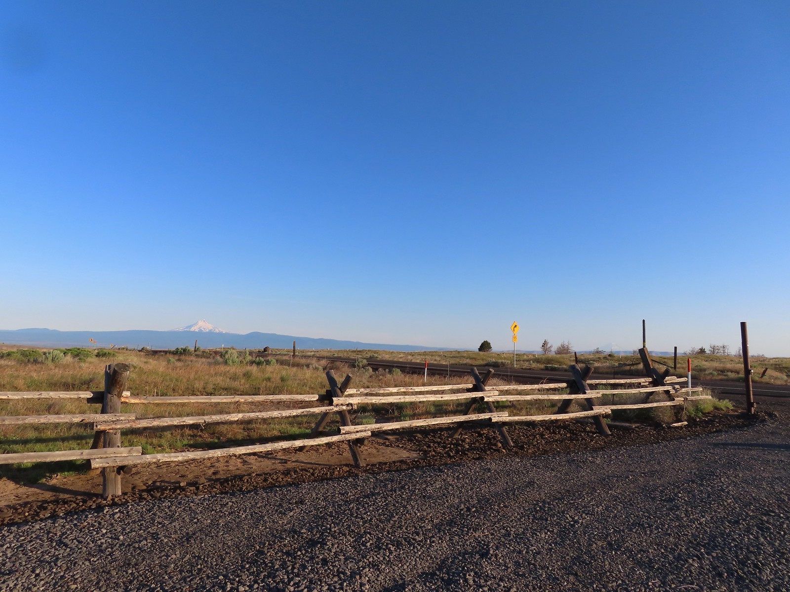 Mt. Hood and Mt. Adams from the trailhead which is the high point of the hike.
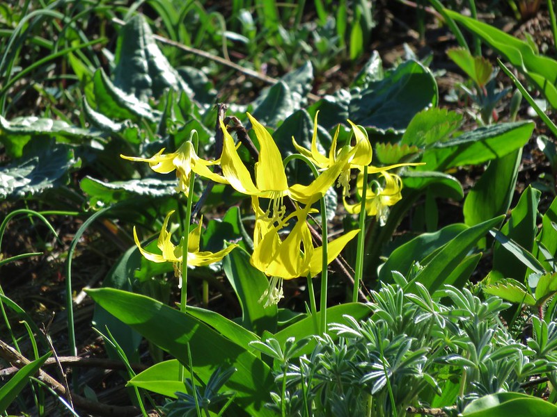
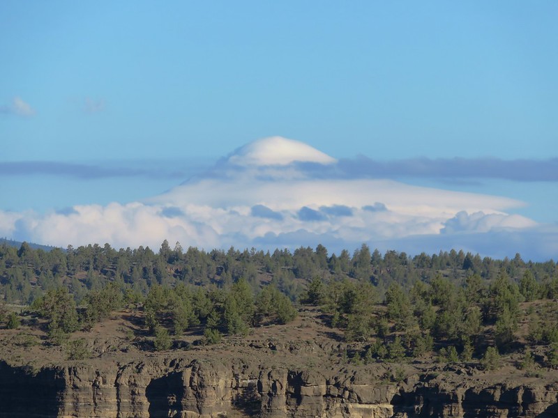
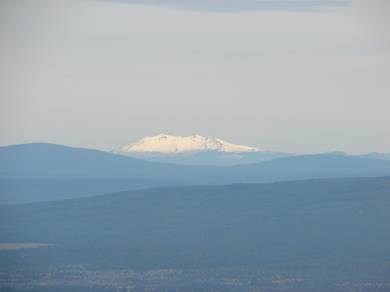
 Mt. Hood
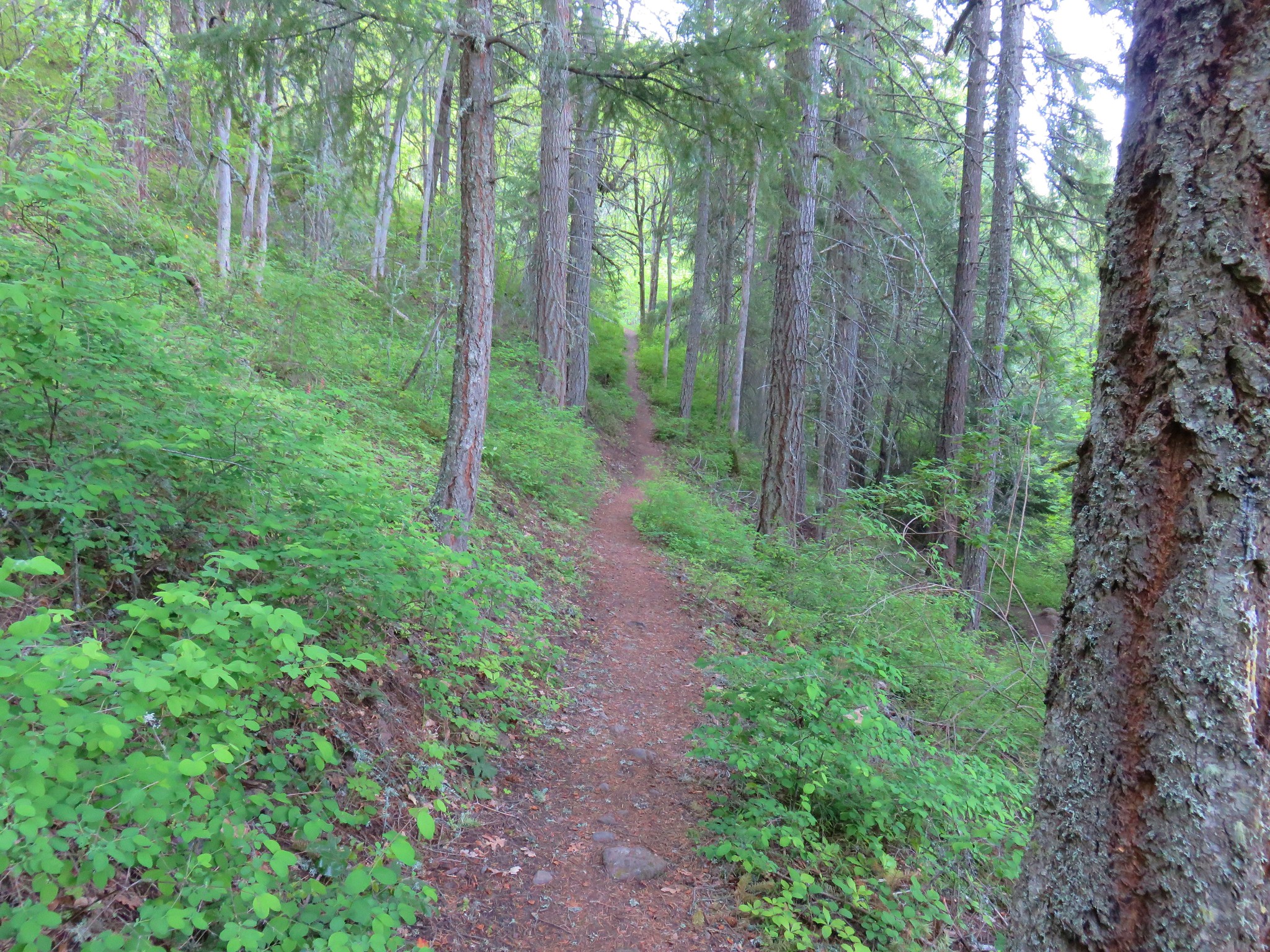
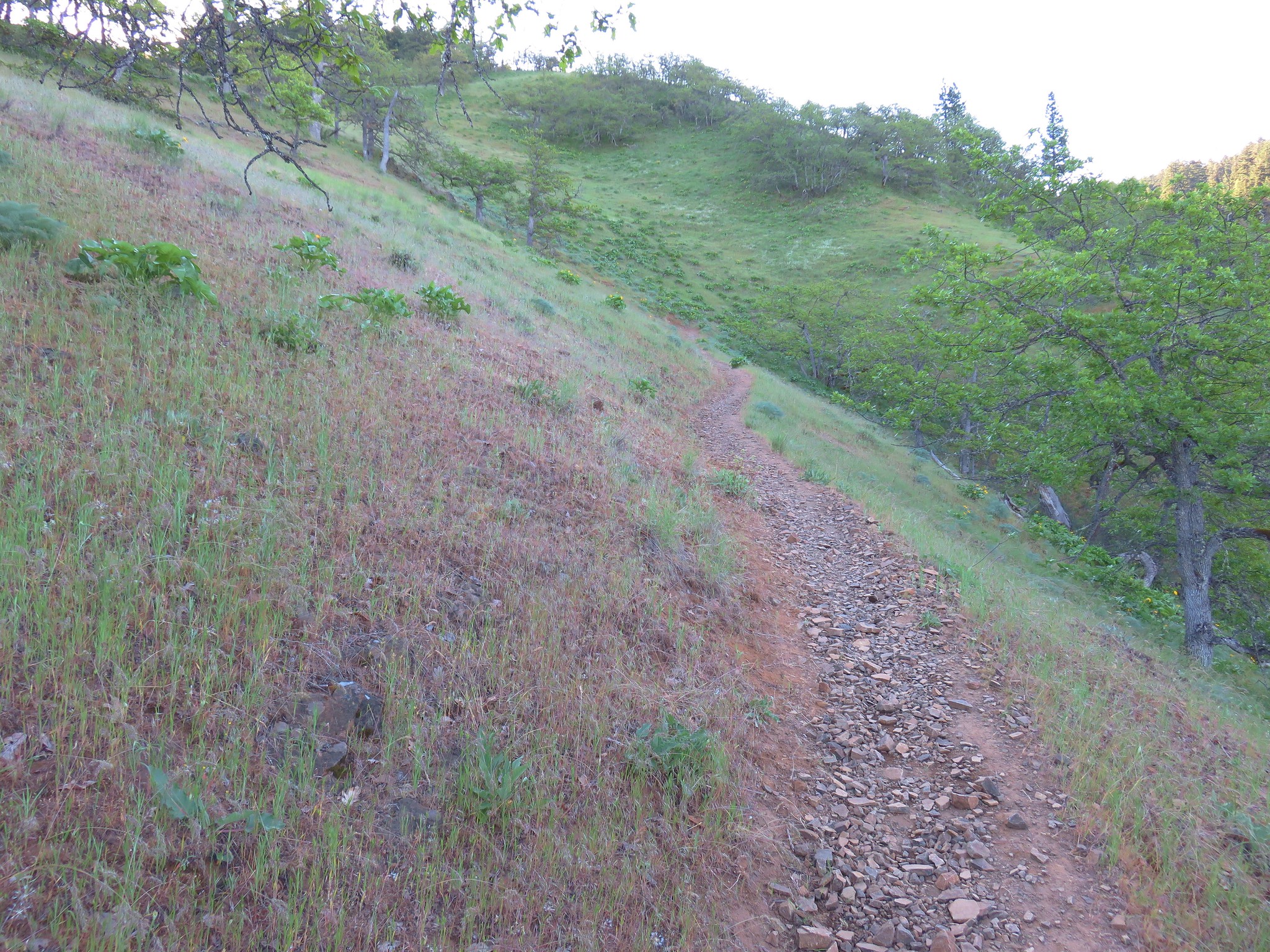
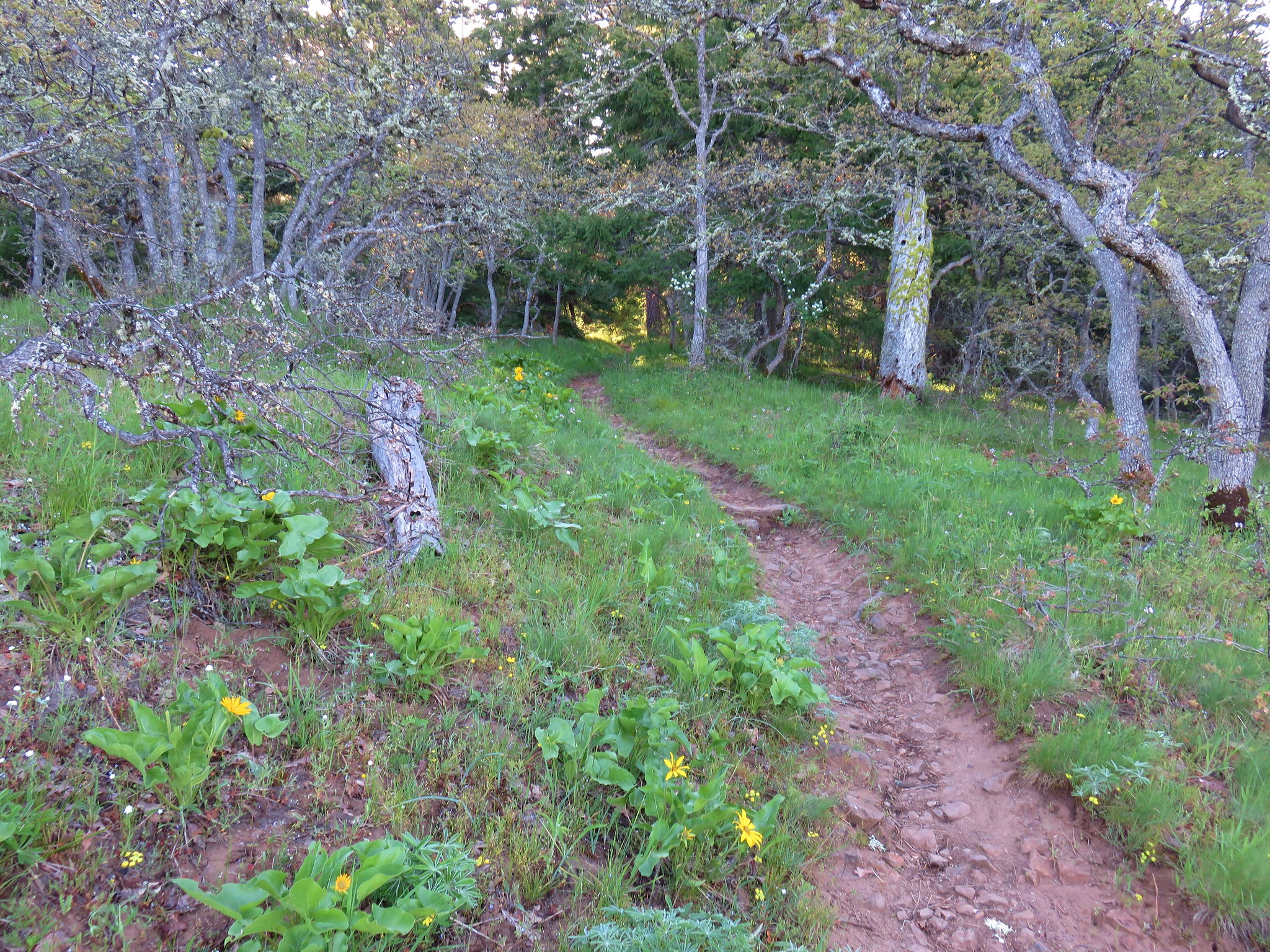
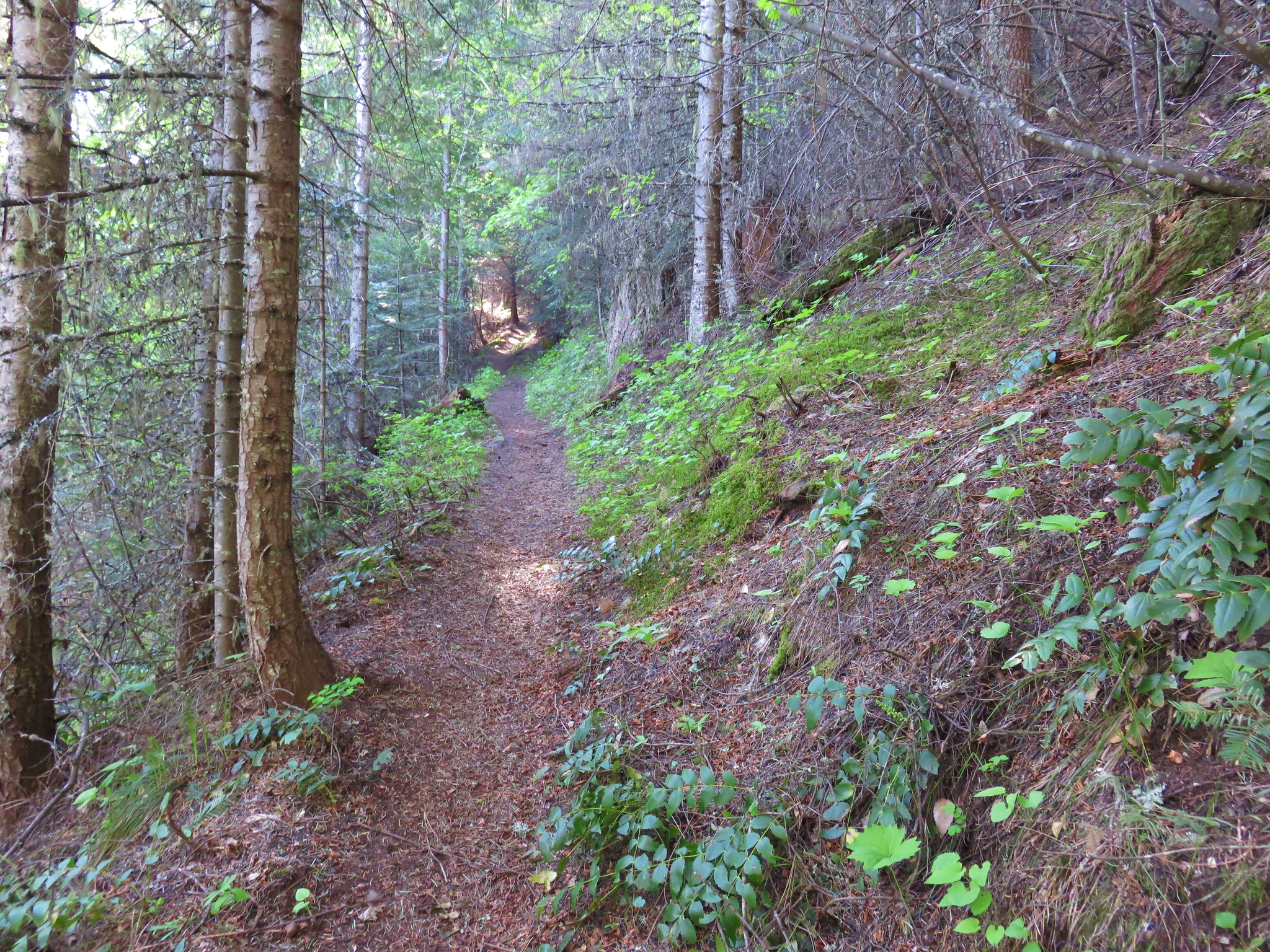
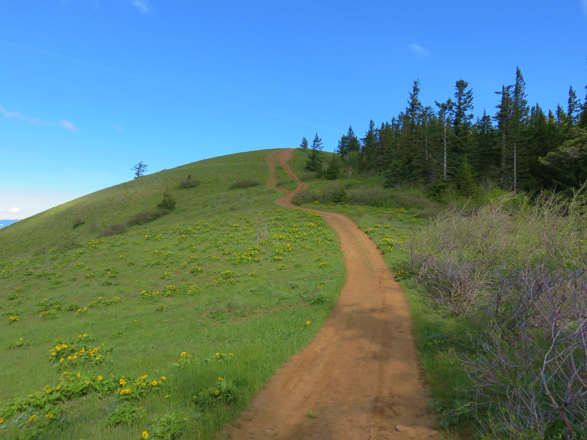
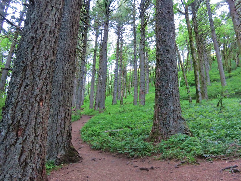
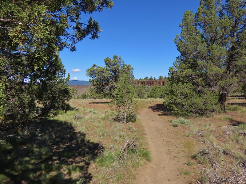
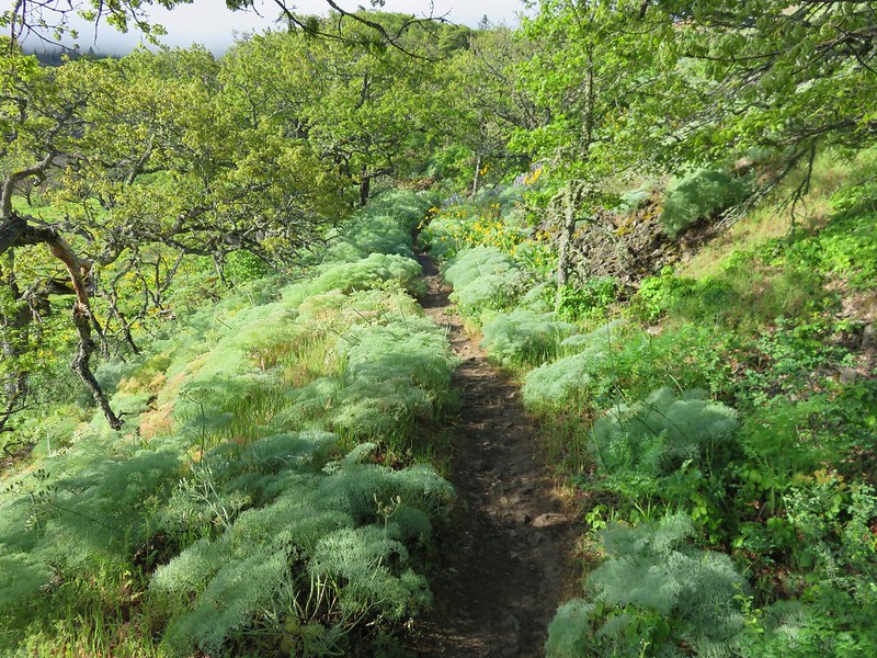
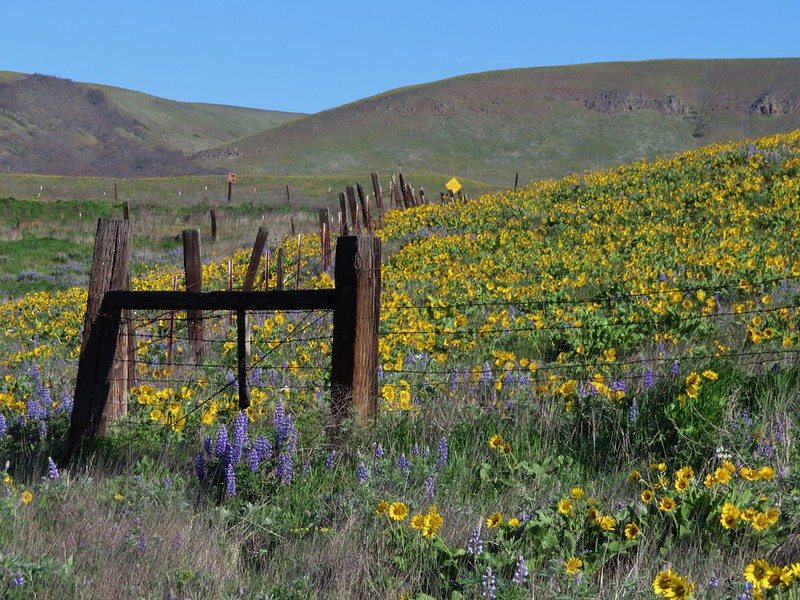
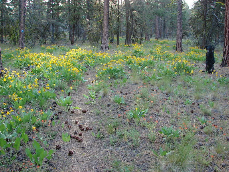
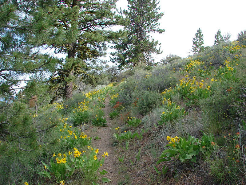
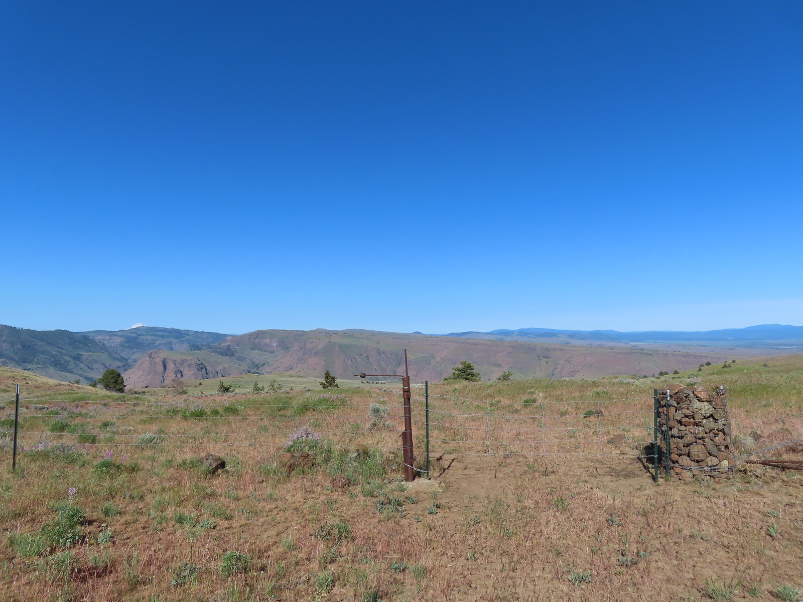
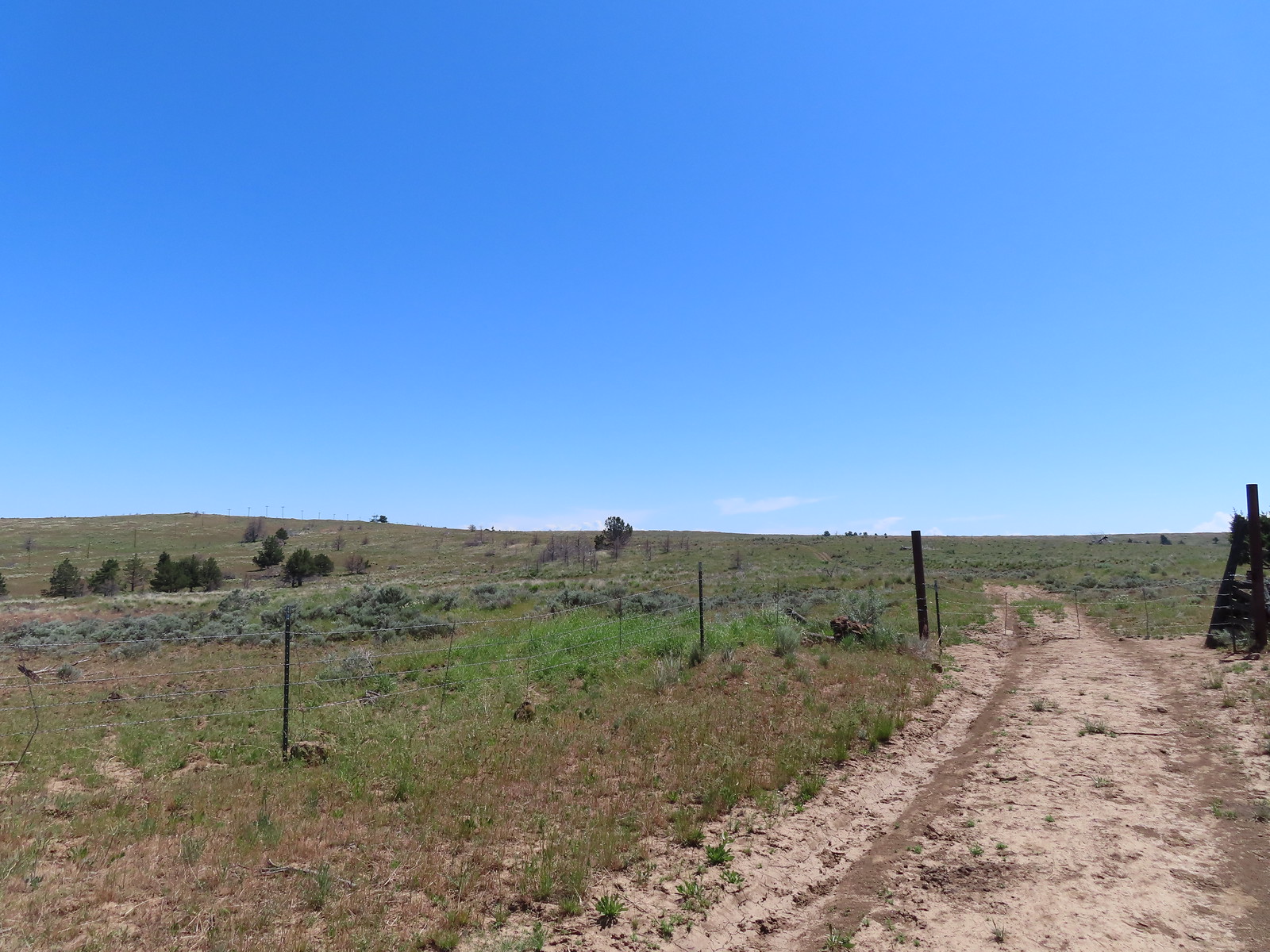
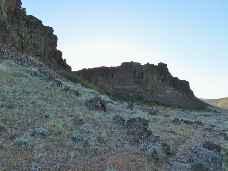
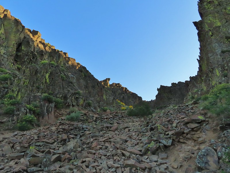
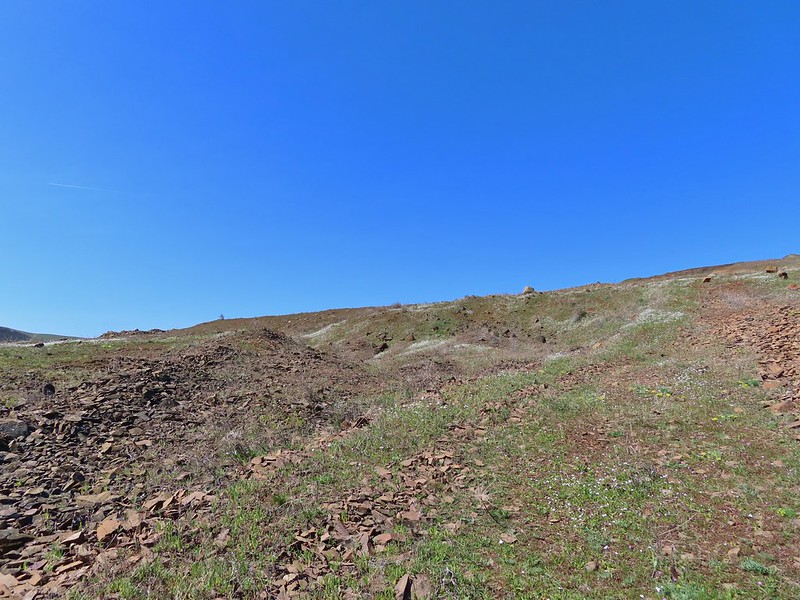
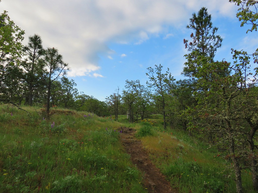
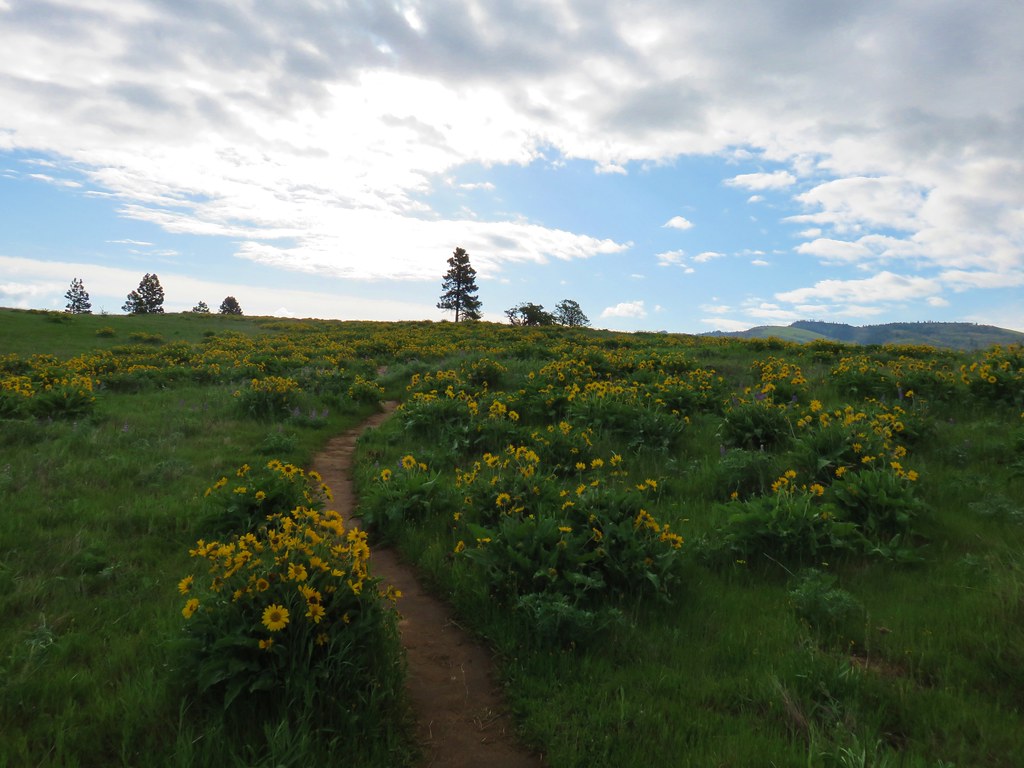
The “trails” here consist of old jeep tracks that are closed to motorized use (other than BLM administrators) and not maintained so some have become faint. We passed through a green gate and onto what the Oregonhikers.org map shows as Criterion Crest Road.
 Cattle sometimes graze in the area and the combination of their hooves with the unmaintained roads makes for some pretty rough surfaces.
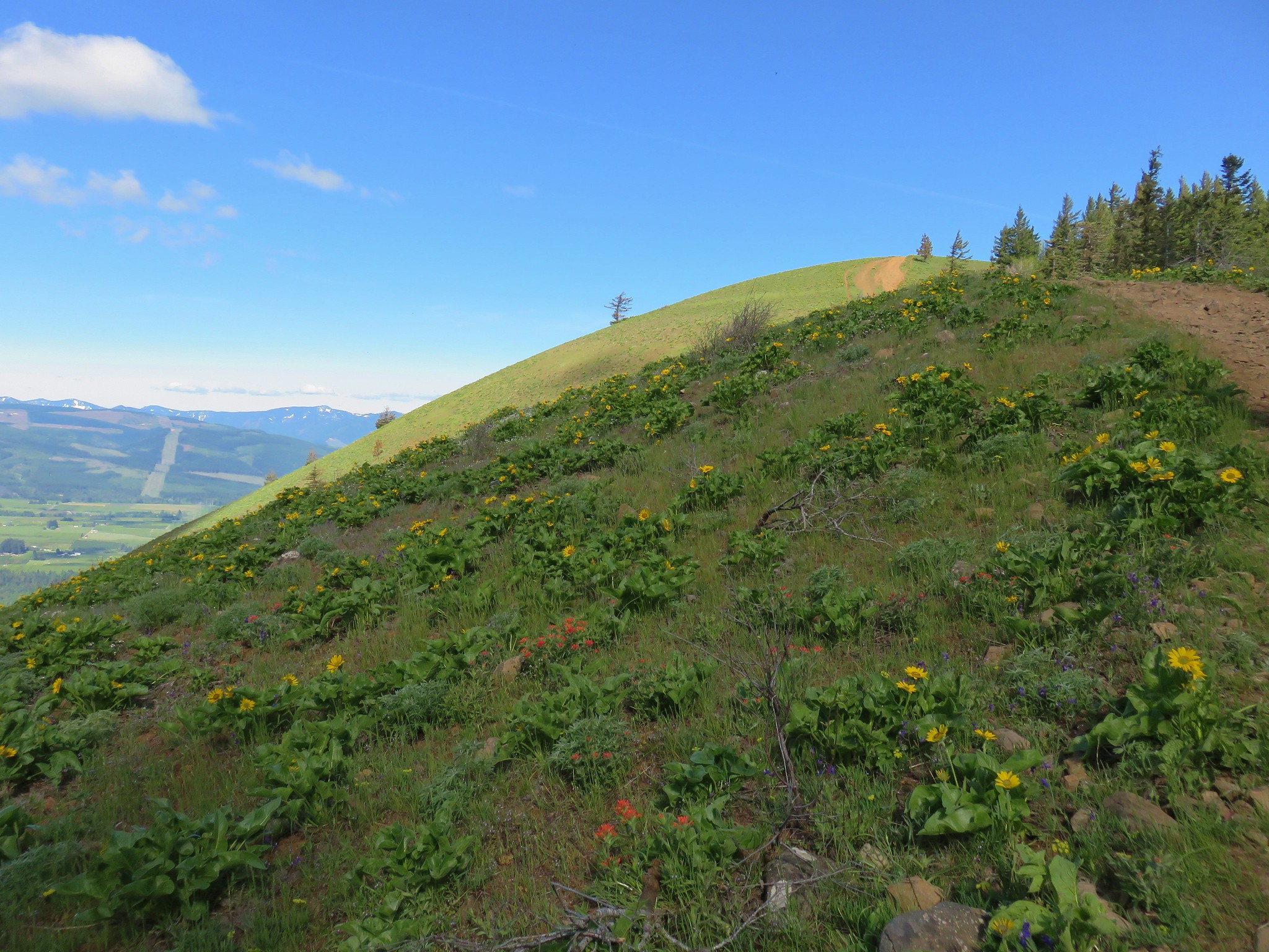
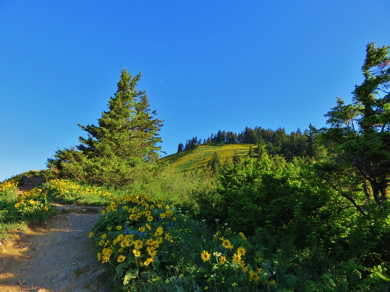
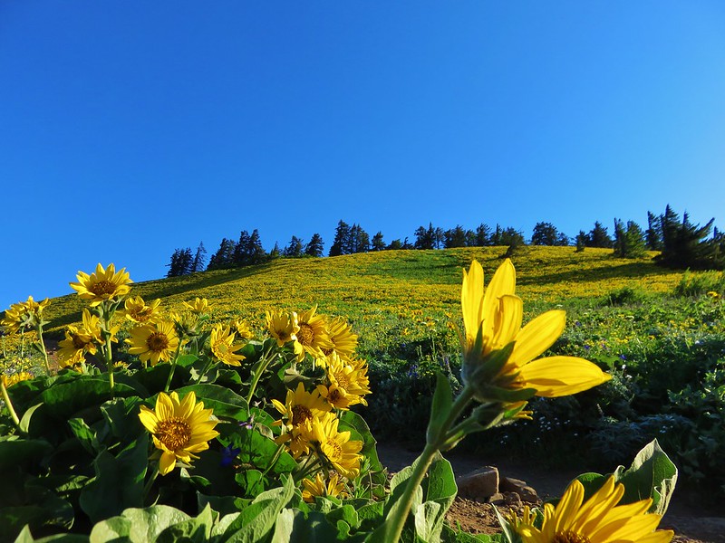
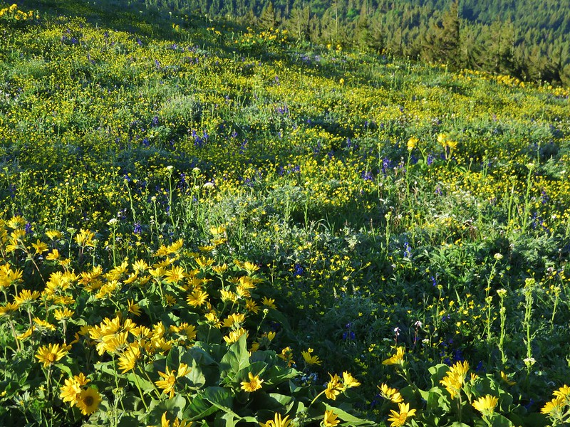
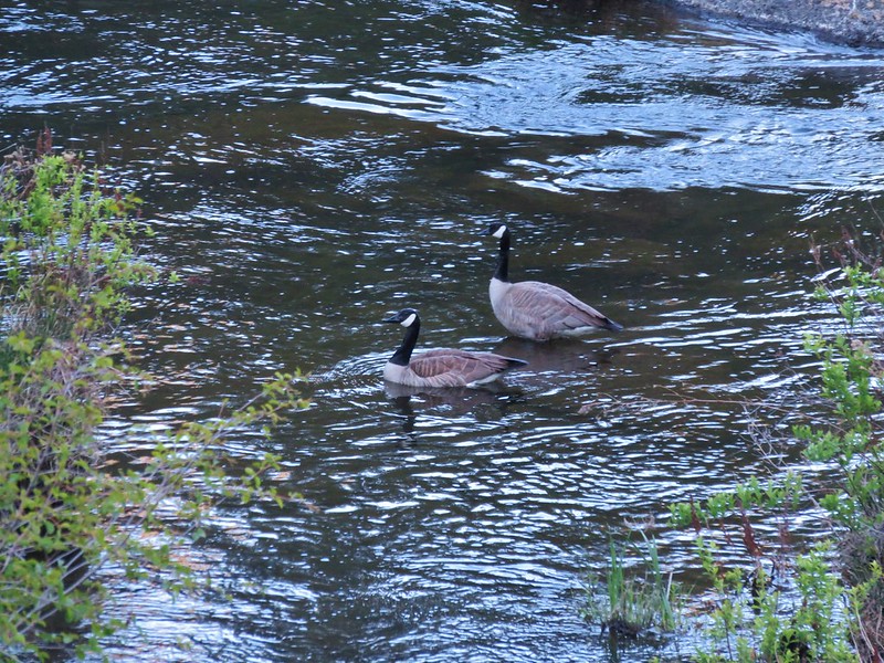
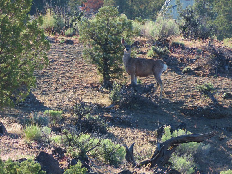
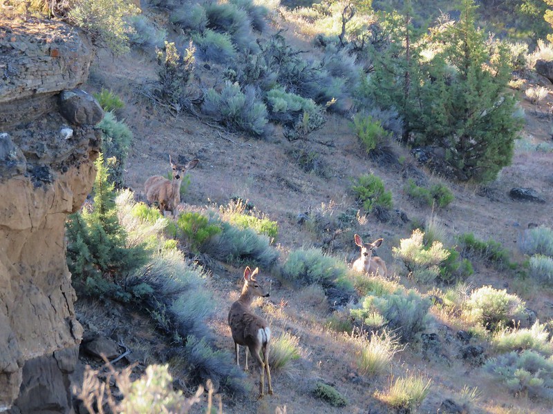
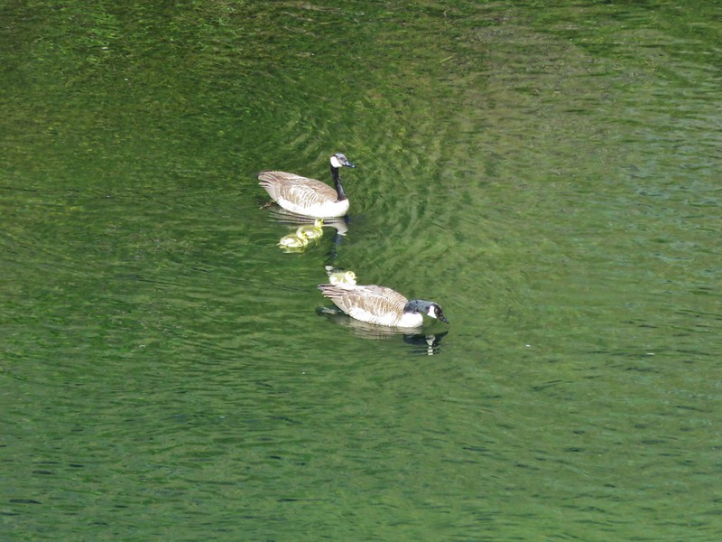
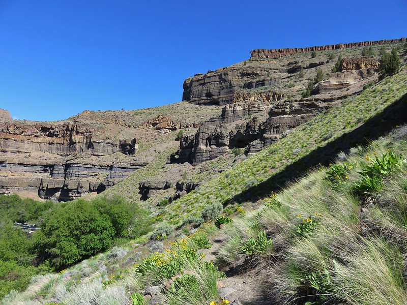
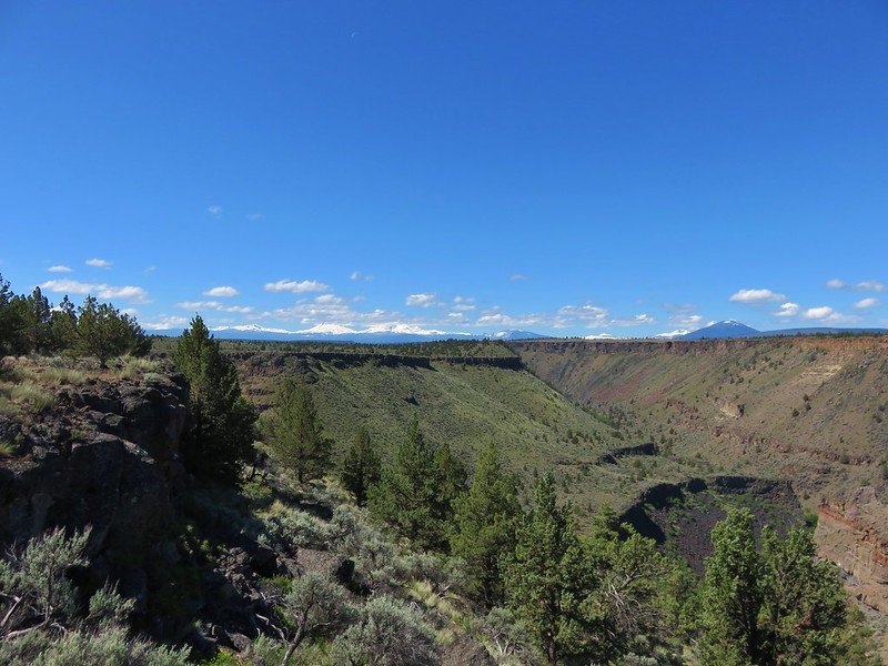
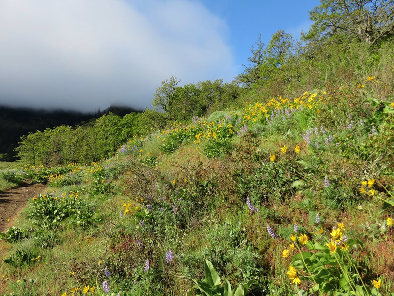
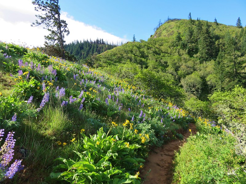
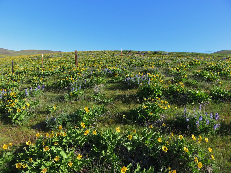
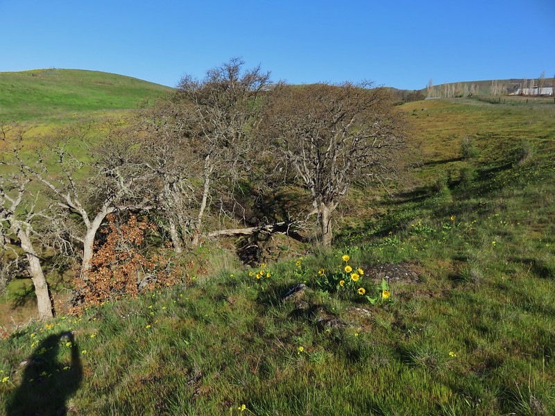
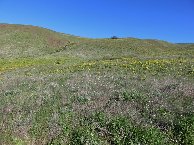
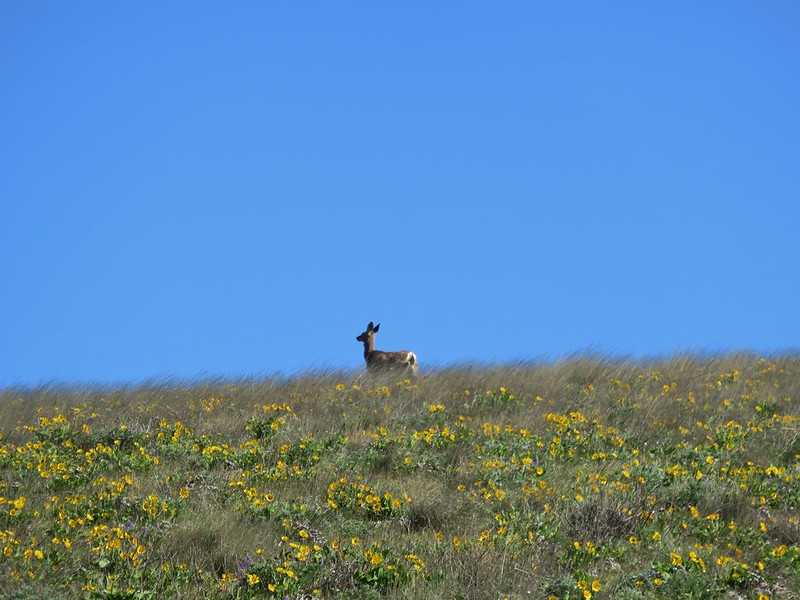
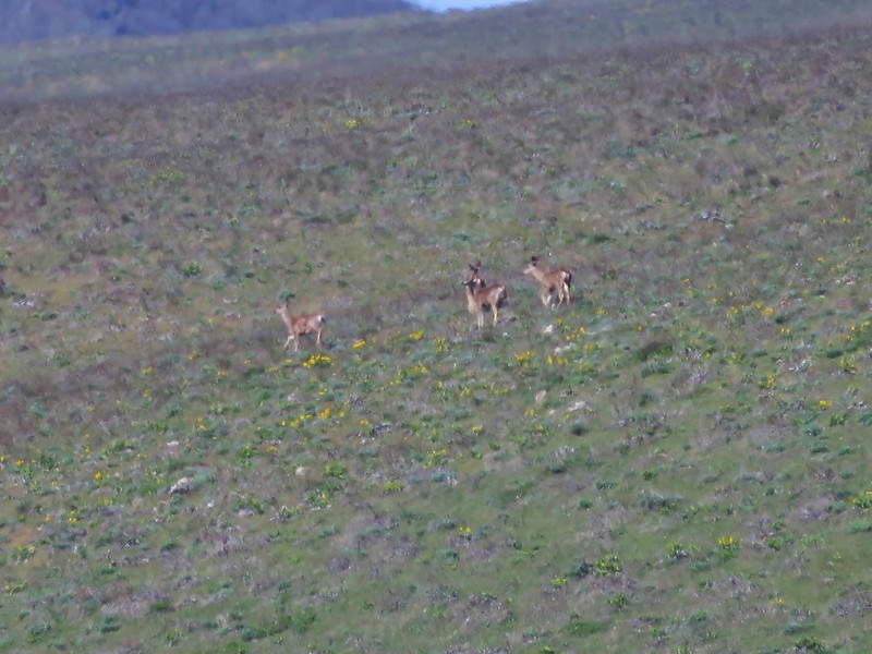
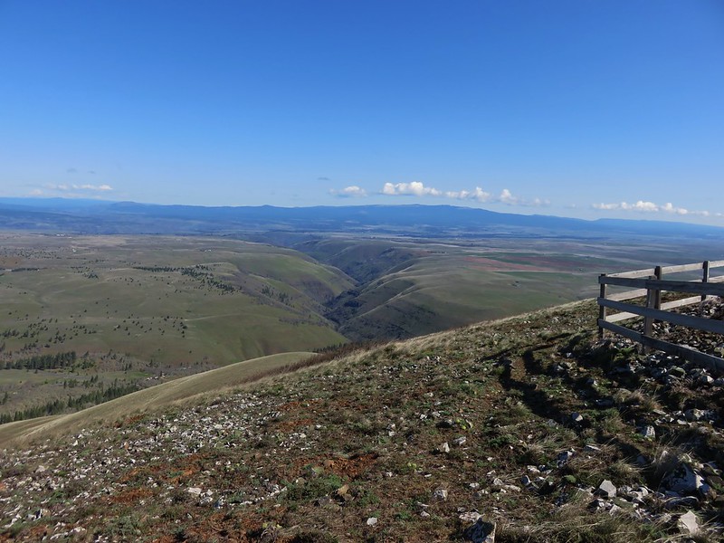
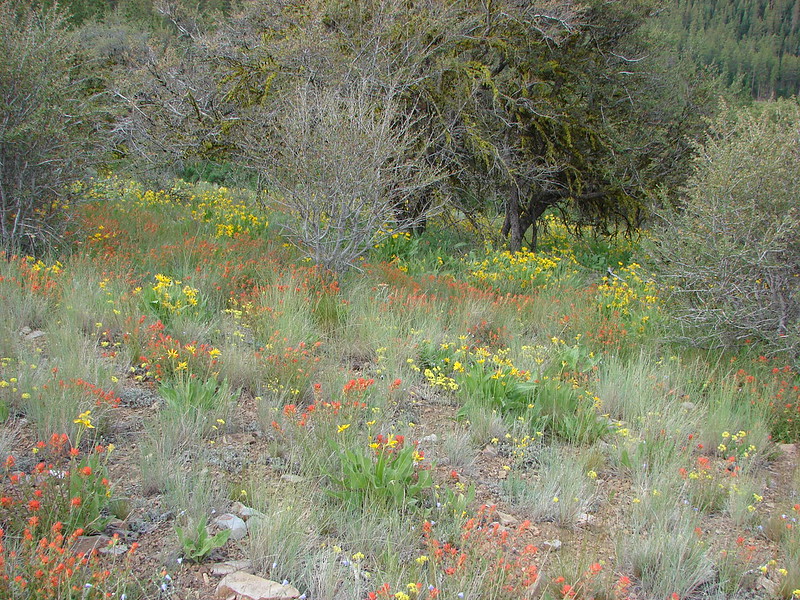
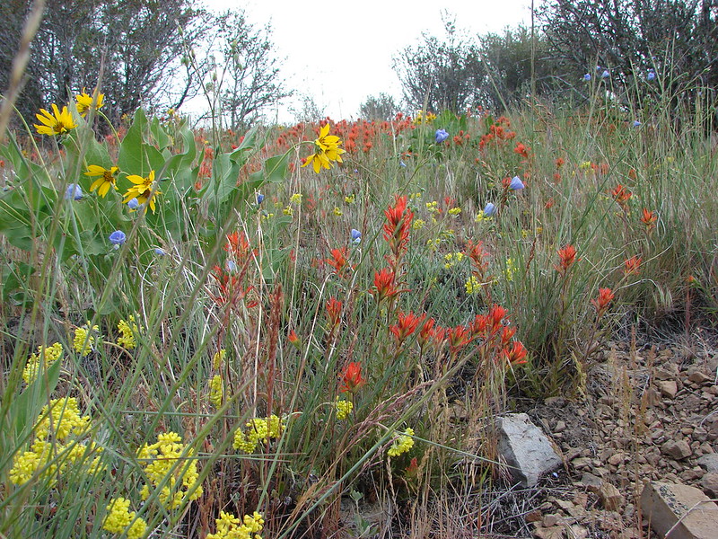
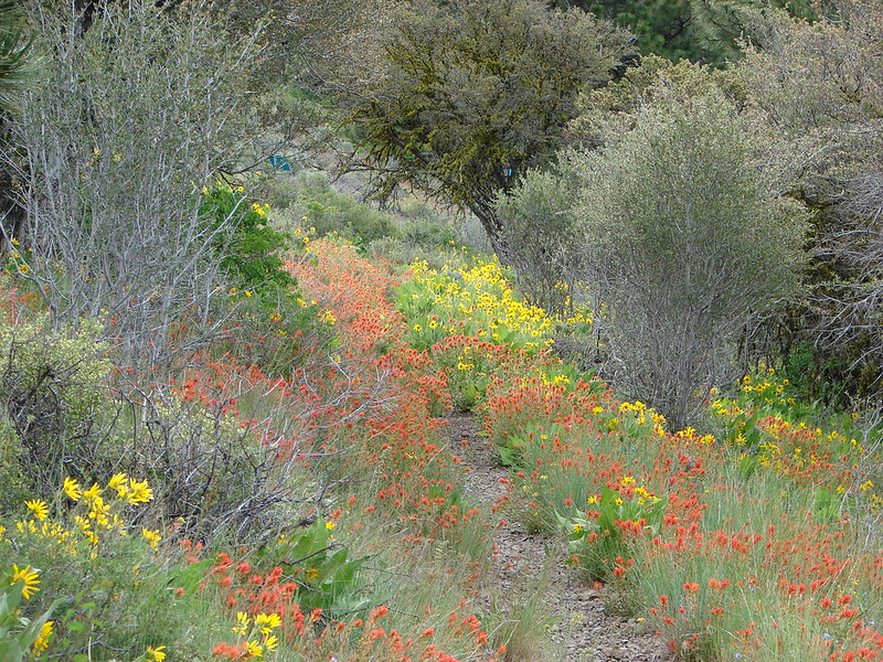
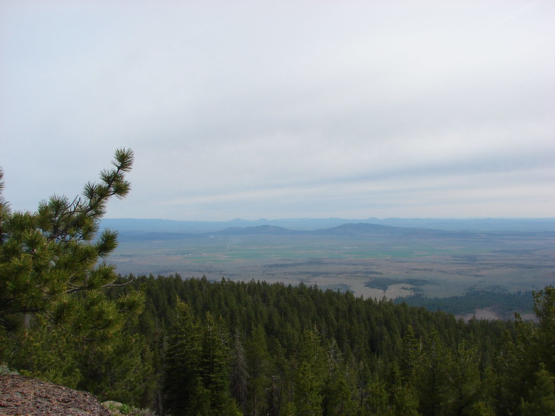
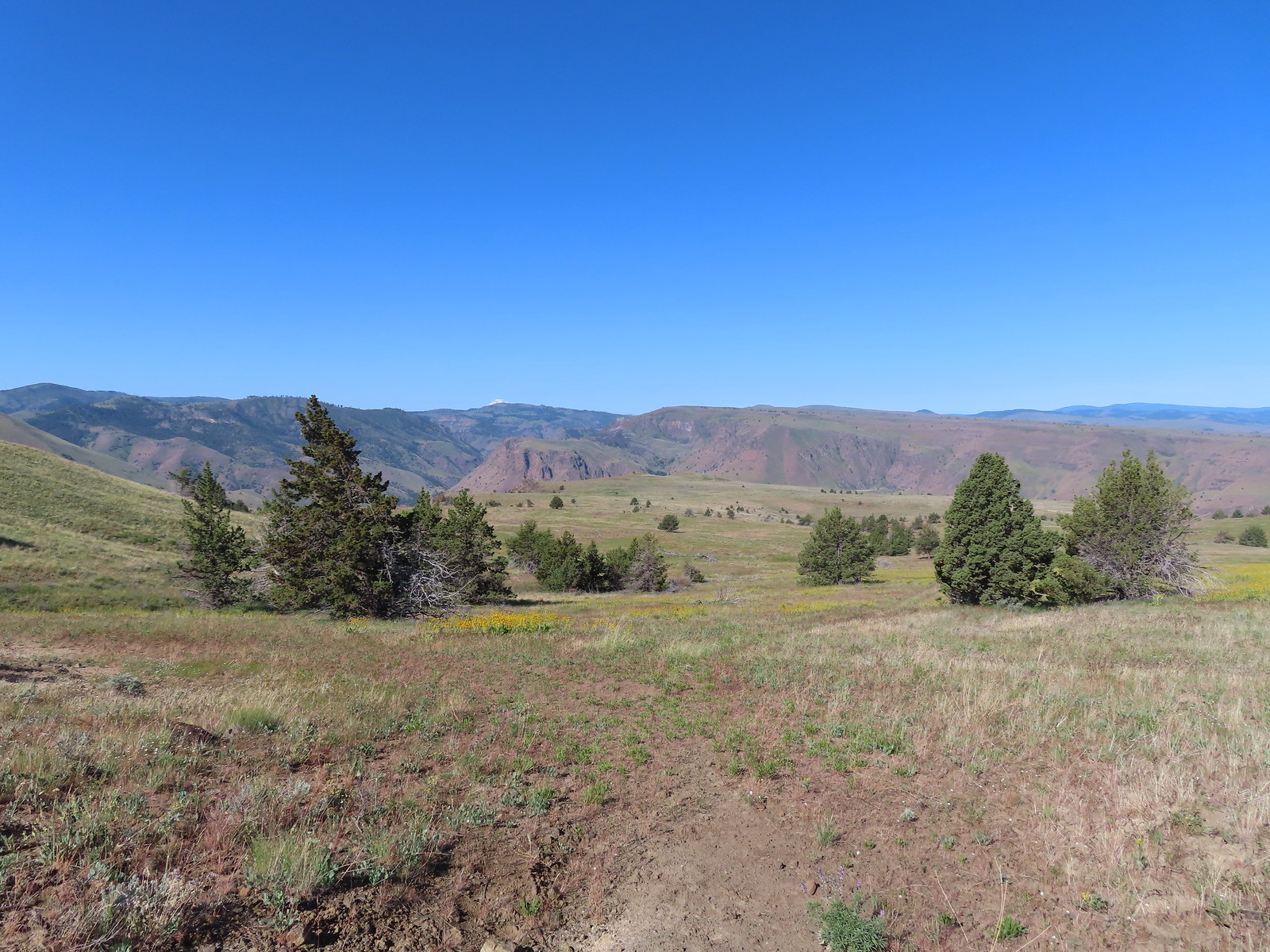
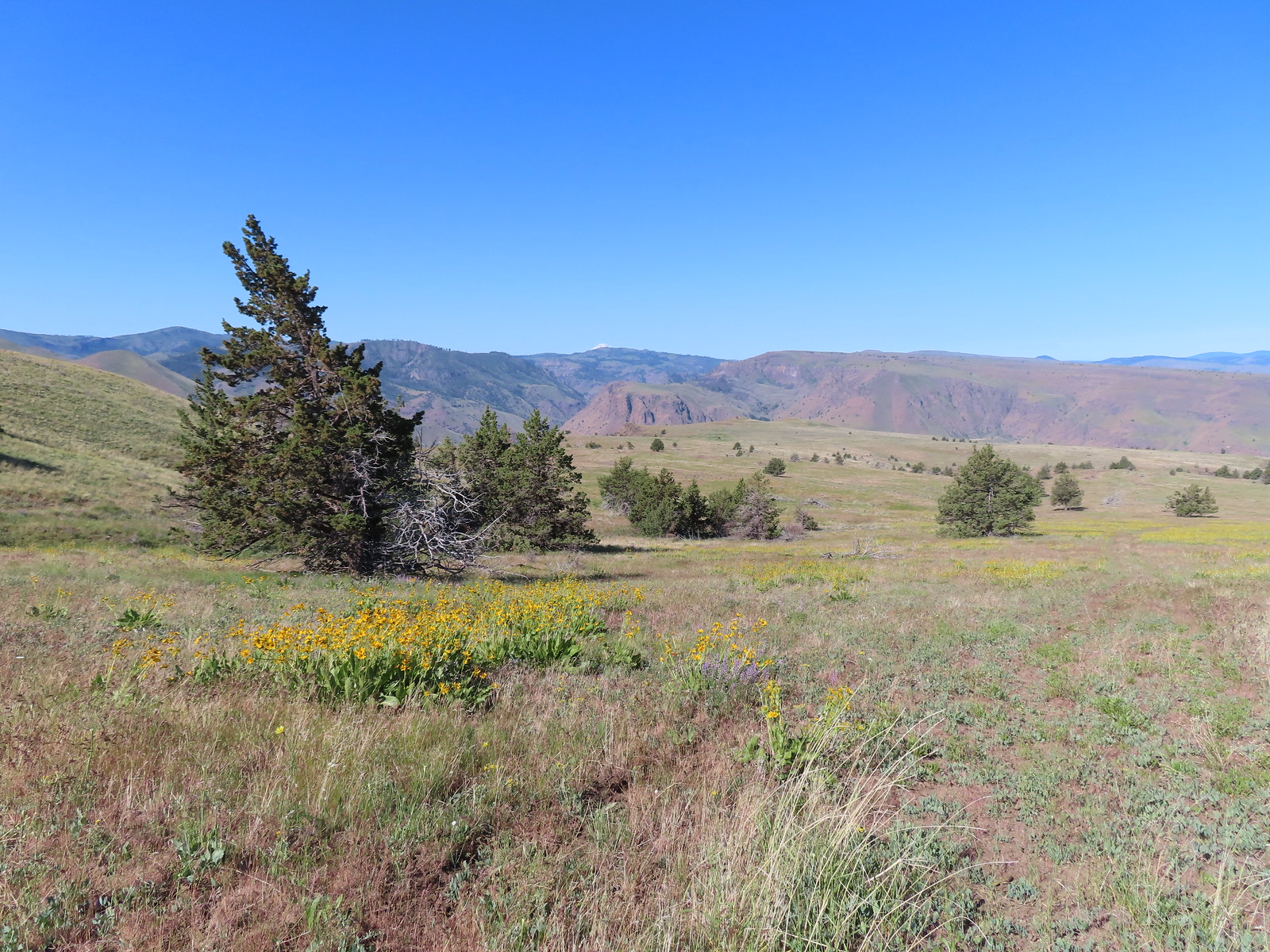
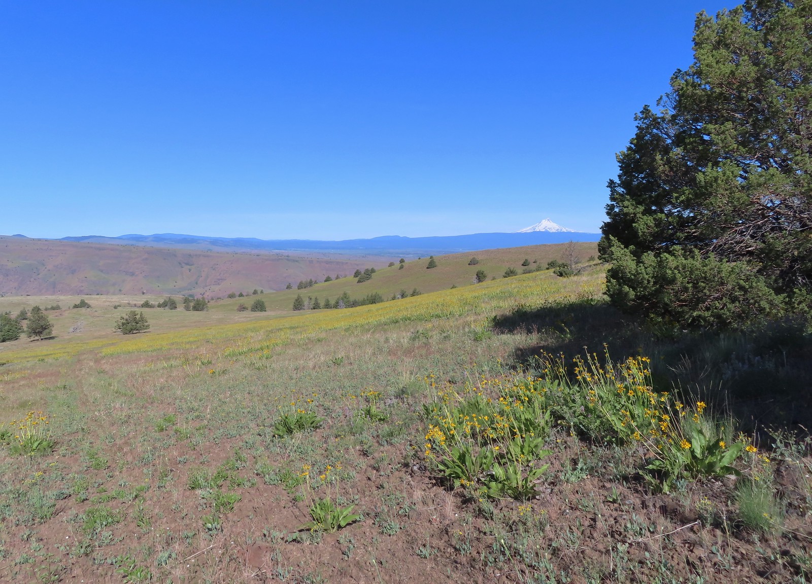
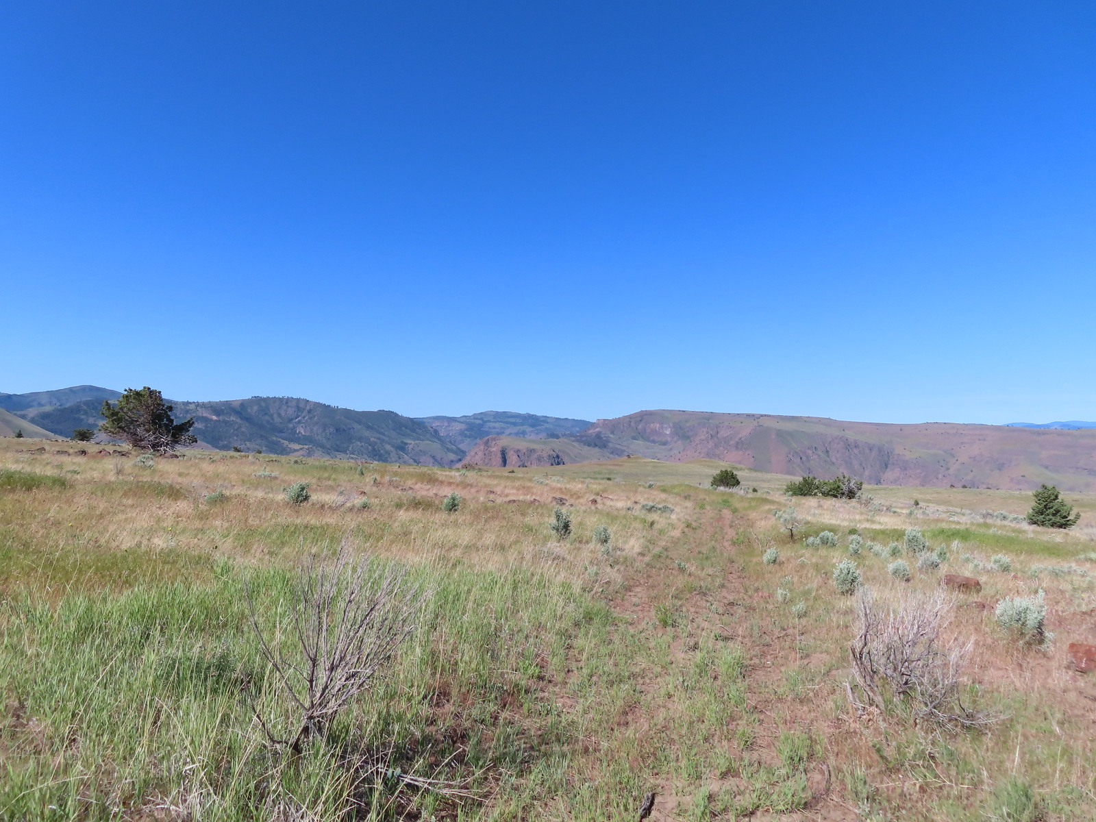
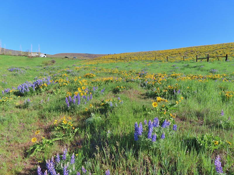
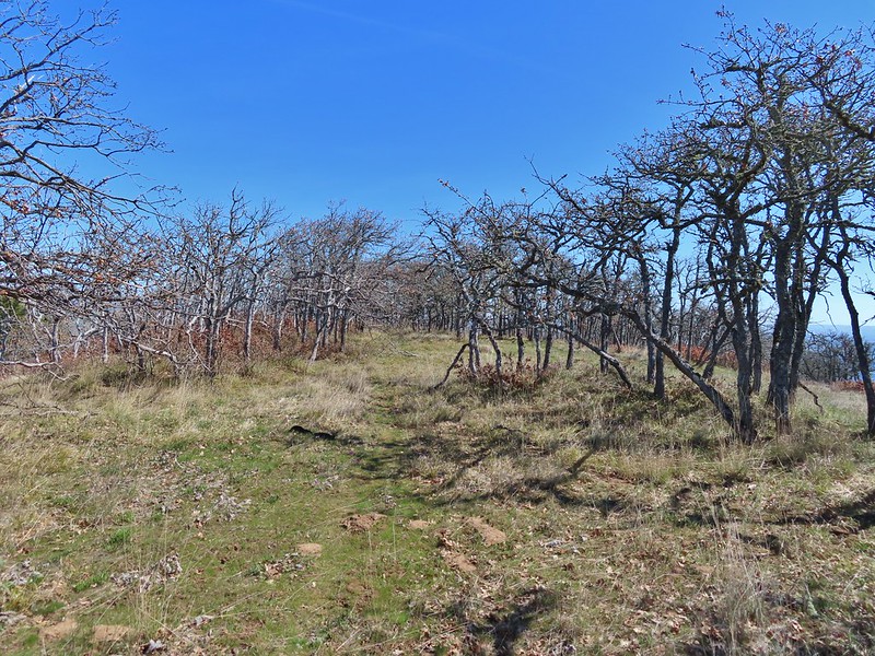
Reeder has you follow this road for nearly four miles before turning downhill through a gate at a faint 4-way junction. He doesn’t mention any other markers along the way but the road passes under a set of power lines, followed by another gate, then the power lines again, a third gate, and passes an abandoned trailer before reaching the 4-way junction. Mountain views stretched from Mt. Bachelor to the South to Mt. Adams in Washington to the North. We saw plenty of wildflowers and a lot of birds as well as deer and elk sign, but we didn’t see any hooved mammals (including cows thankfully).
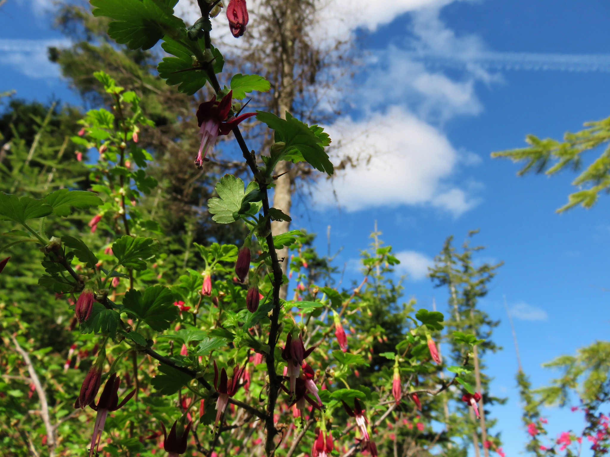
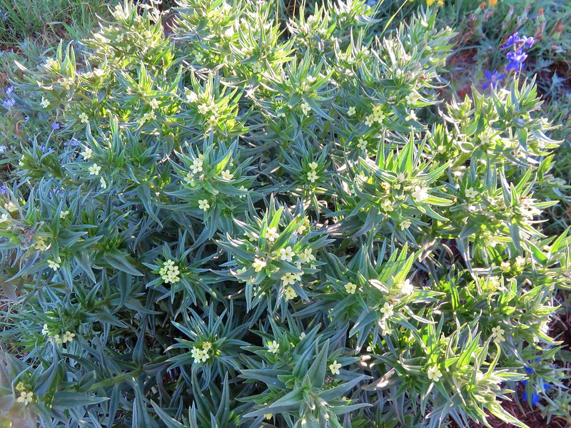
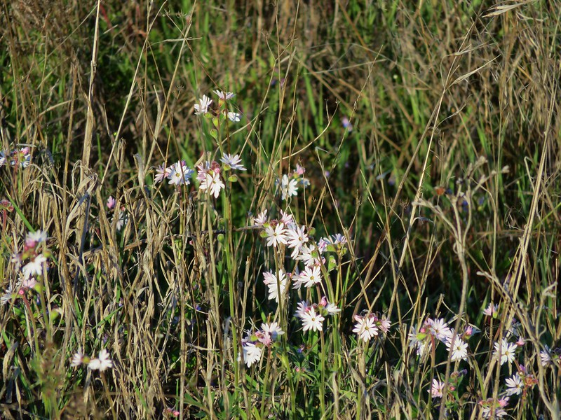
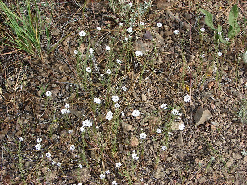
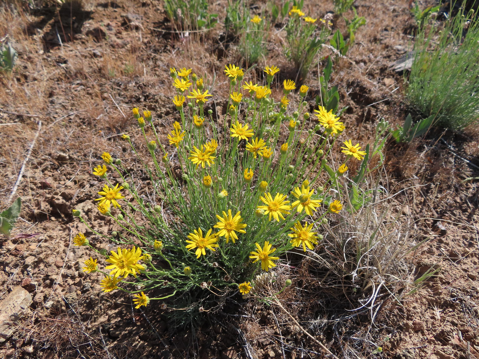
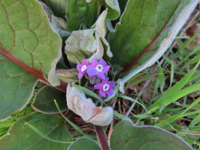
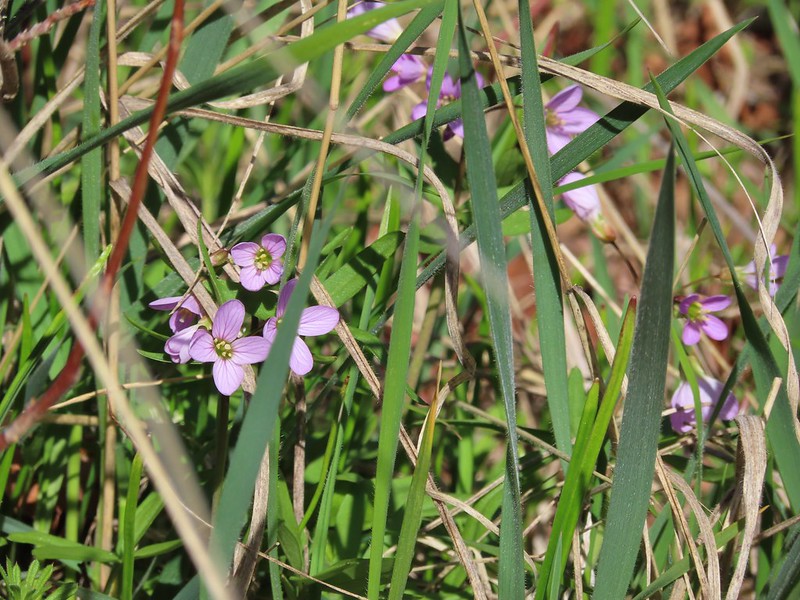
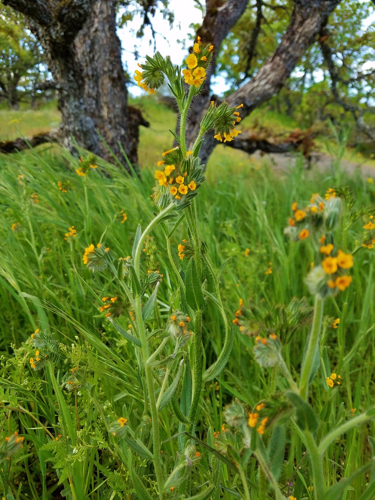
 Rough-eyelashweed. There was a lot of this blooming along the road.
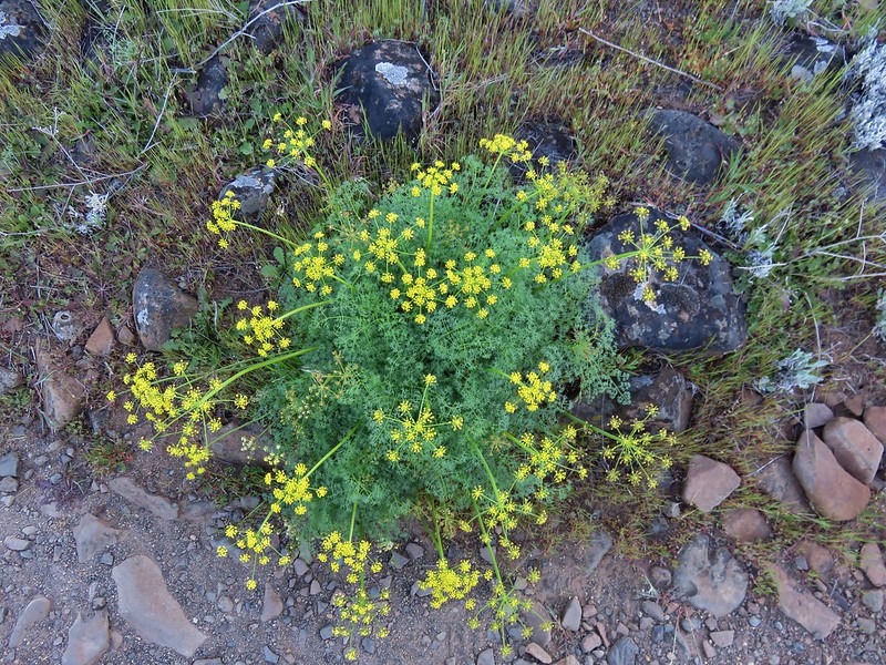
 A couple of lomatiums.
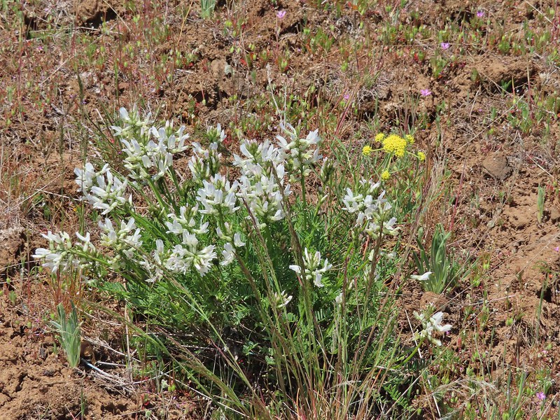
 Howell’s milkvetch
 Idaho milkvetch
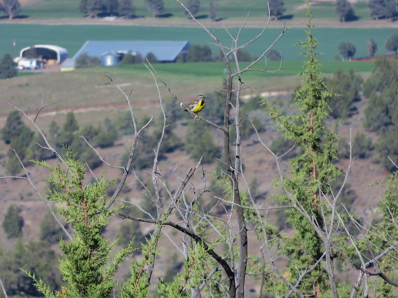
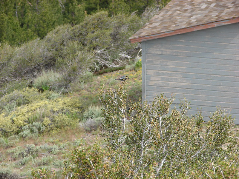
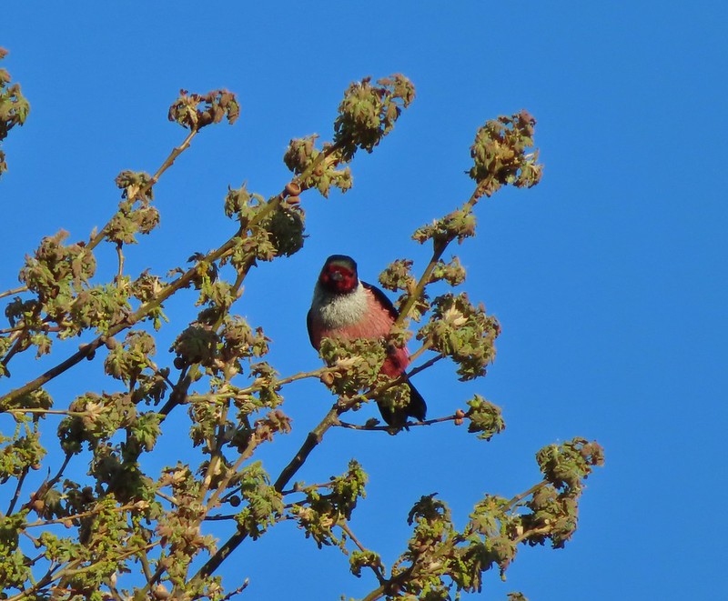
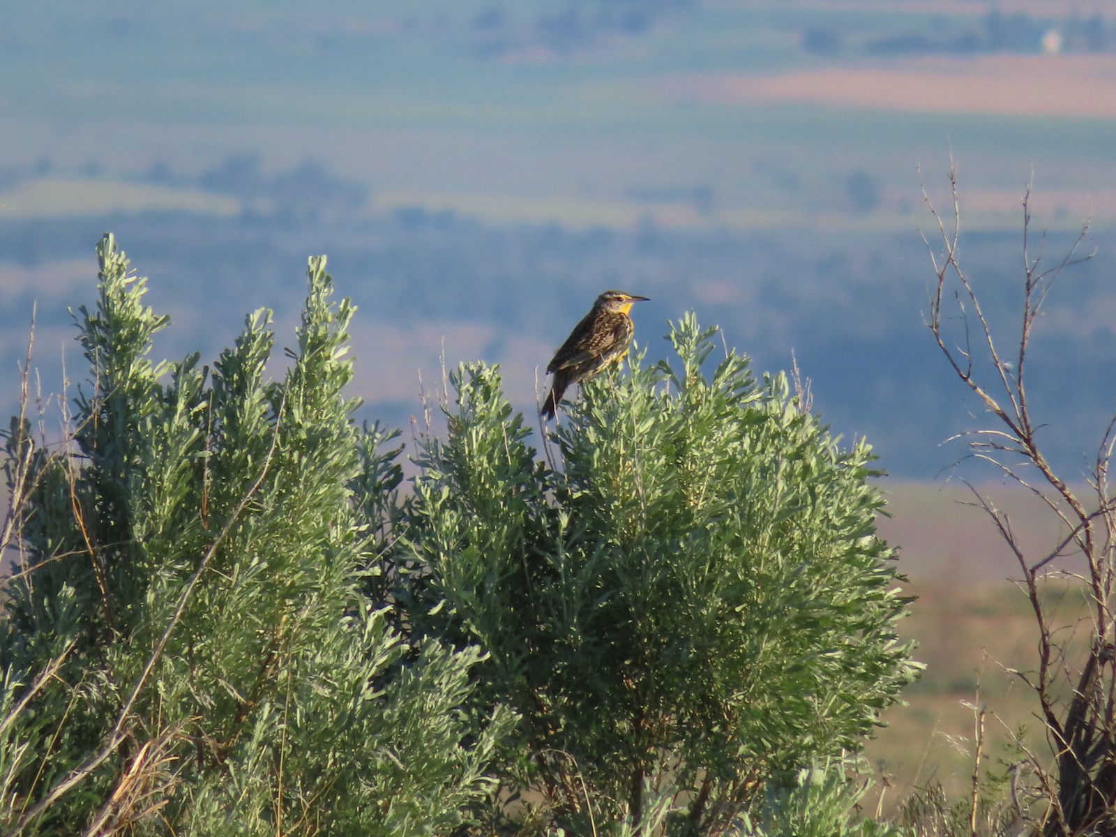 Western meadowlark
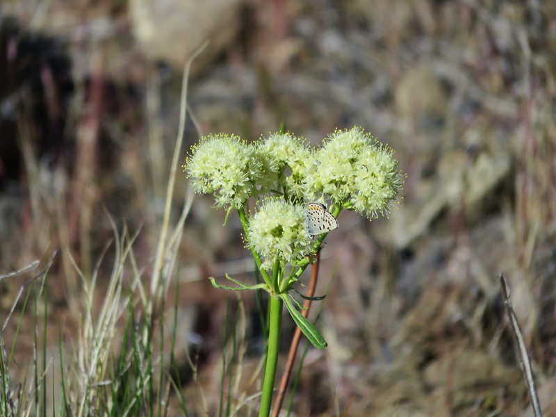
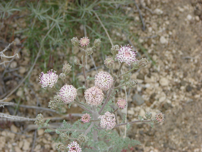
 A buckwheat
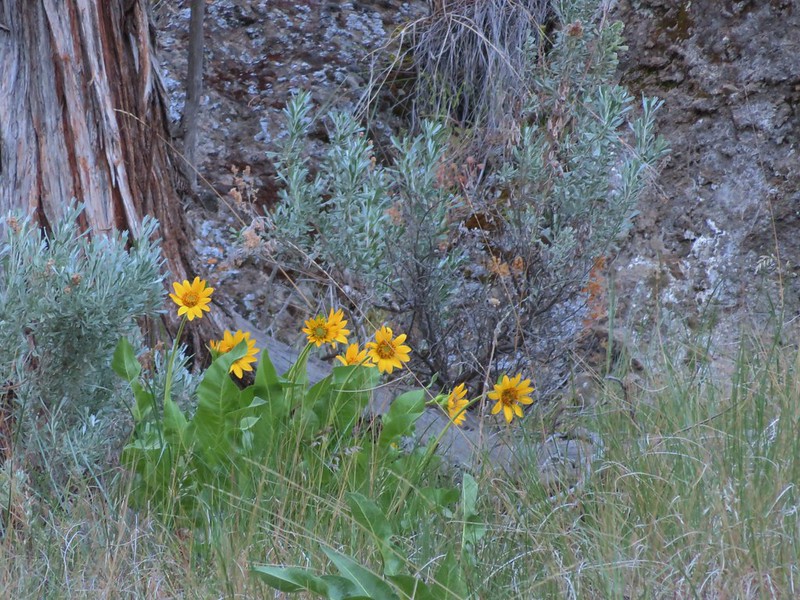
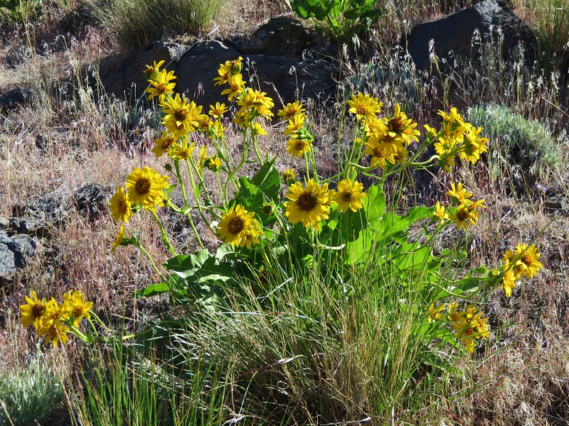
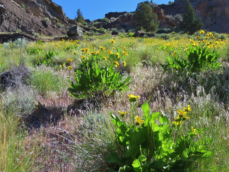
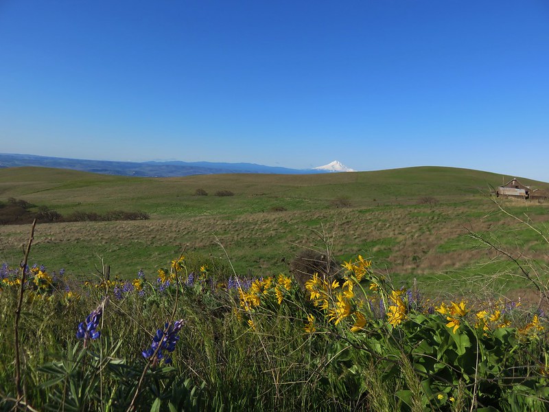
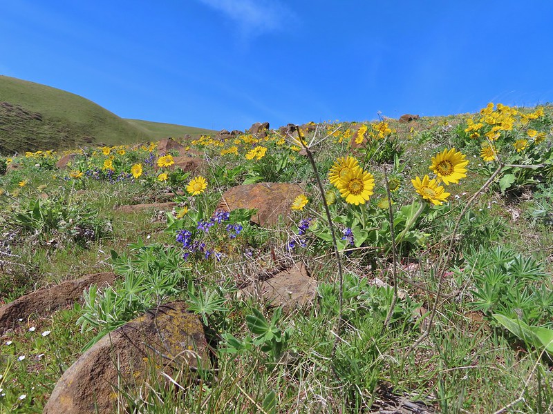
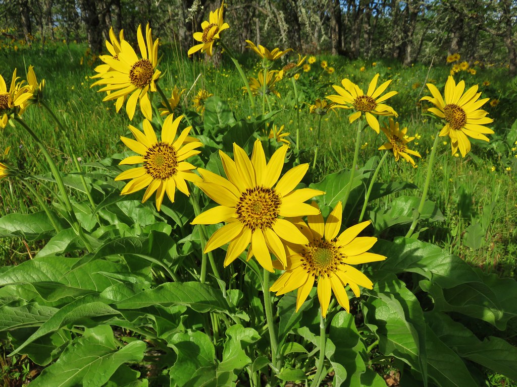
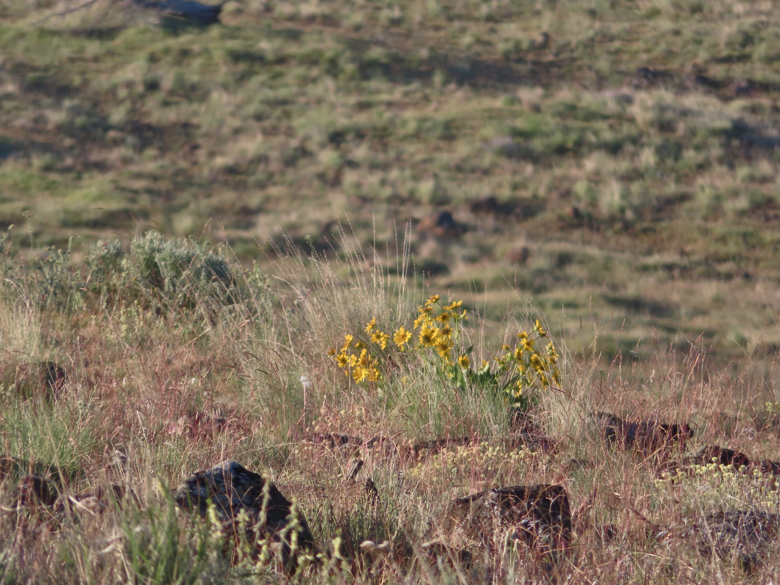 Carey’s balsamroot
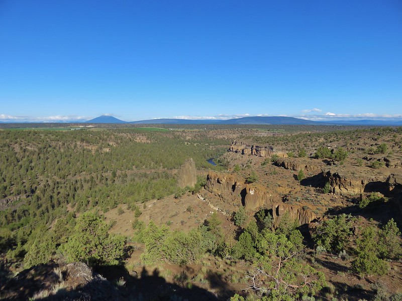
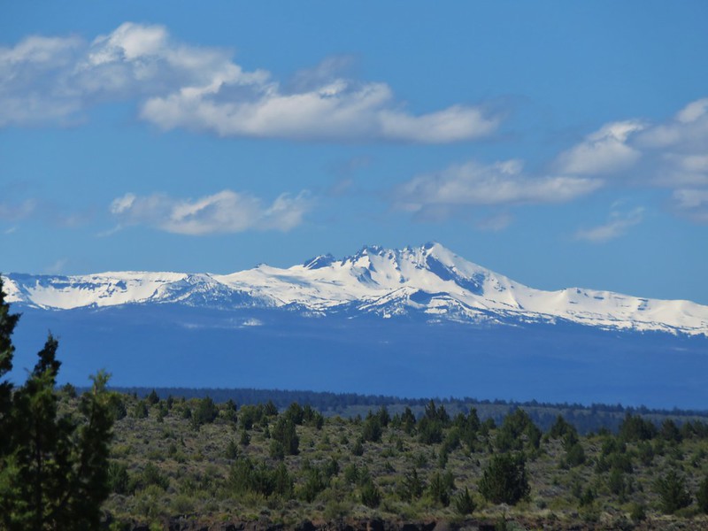
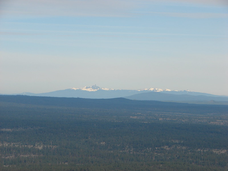
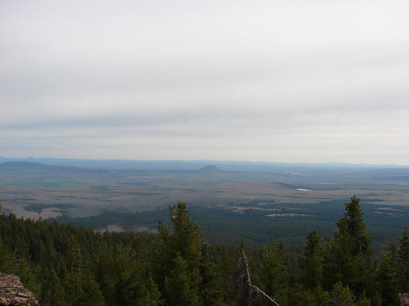
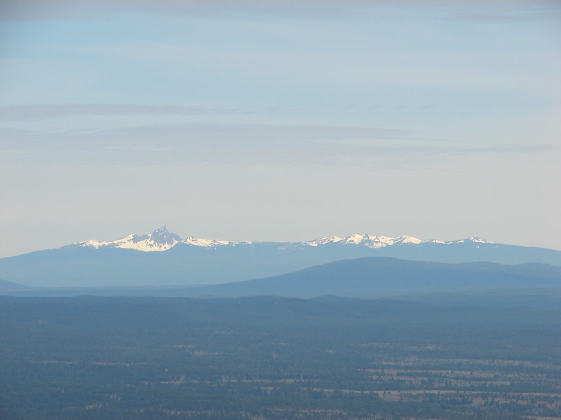
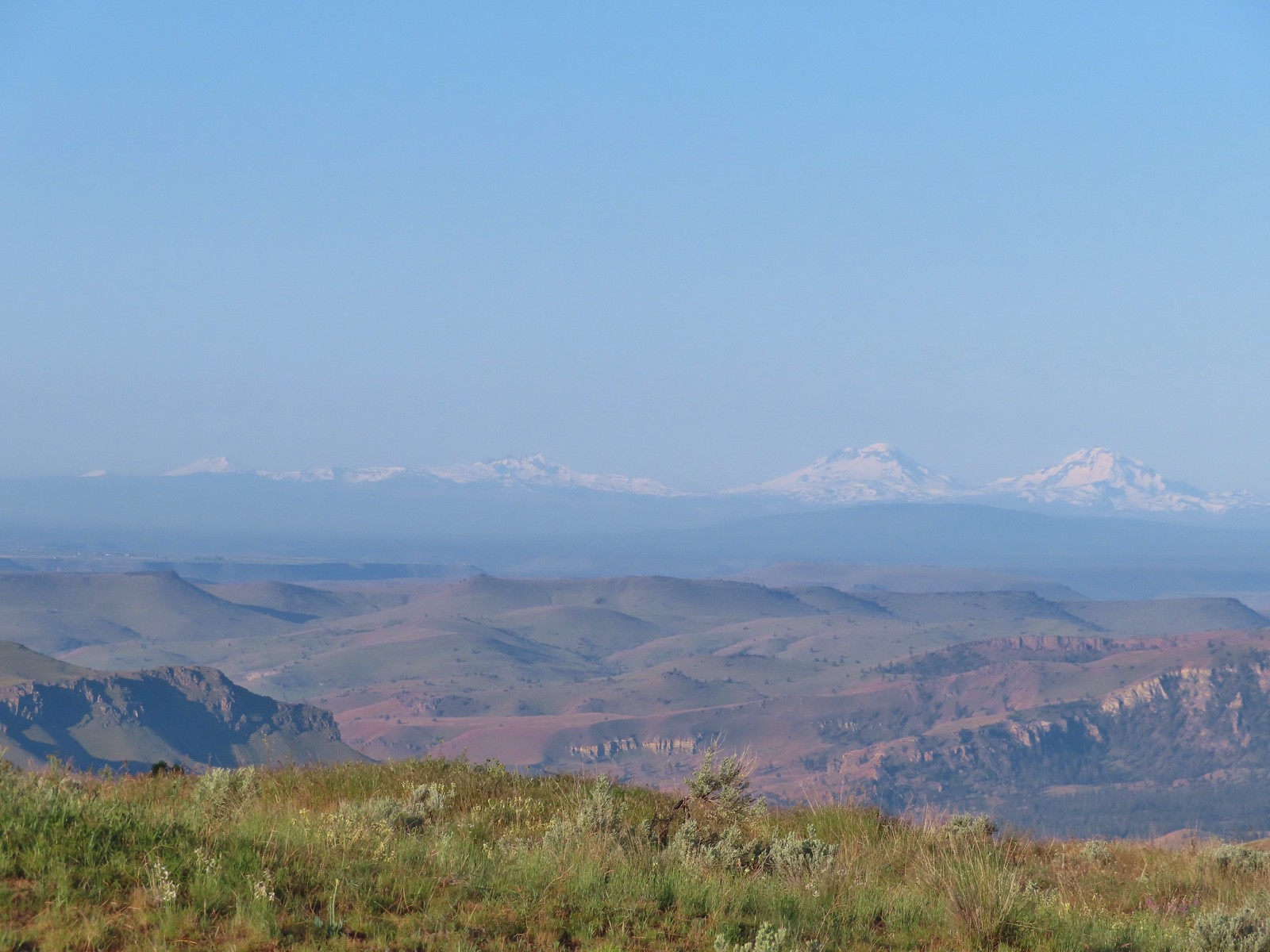 Mt. Bachelor, Broken Top and the Three Sisters
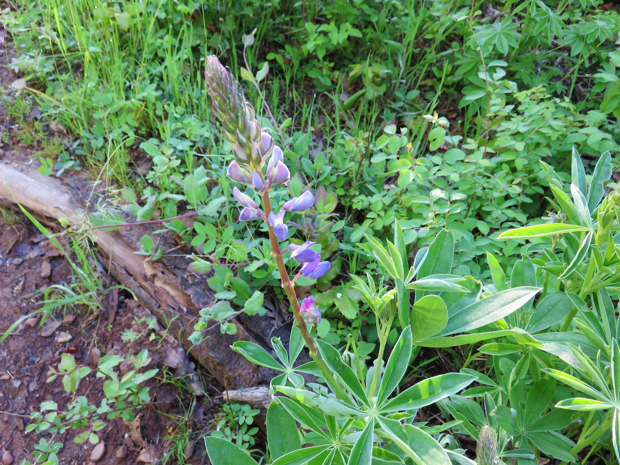
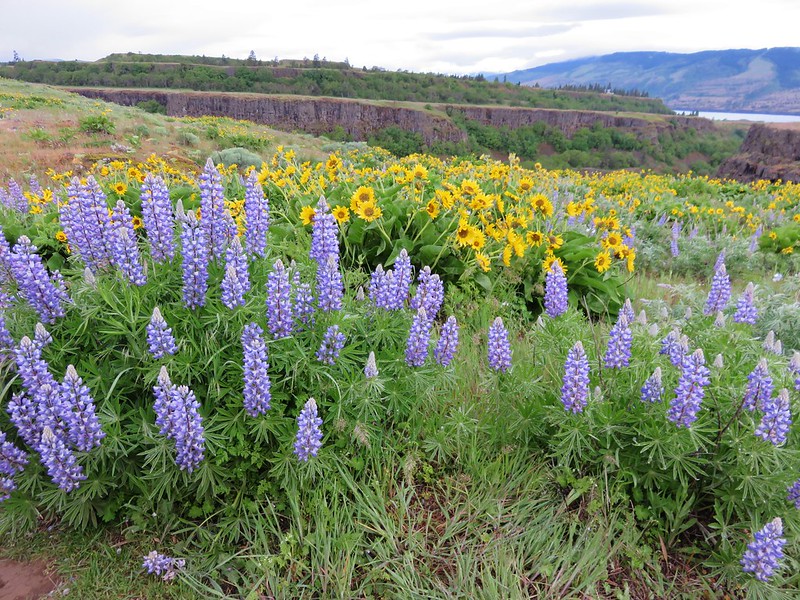
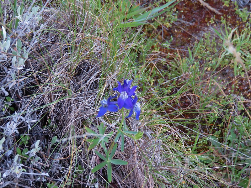
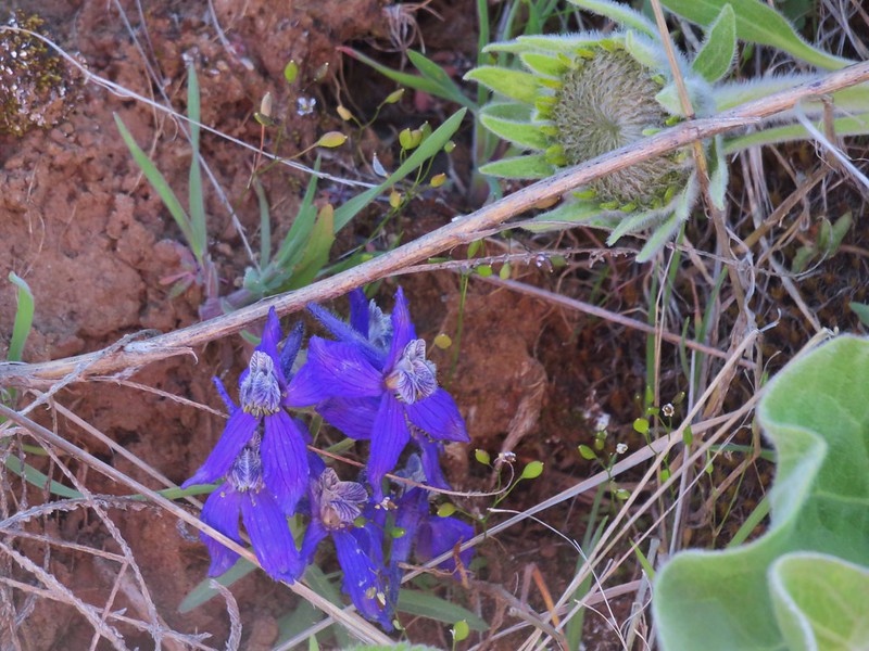
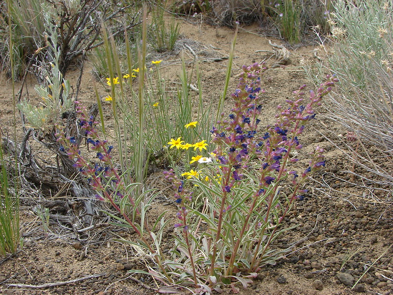
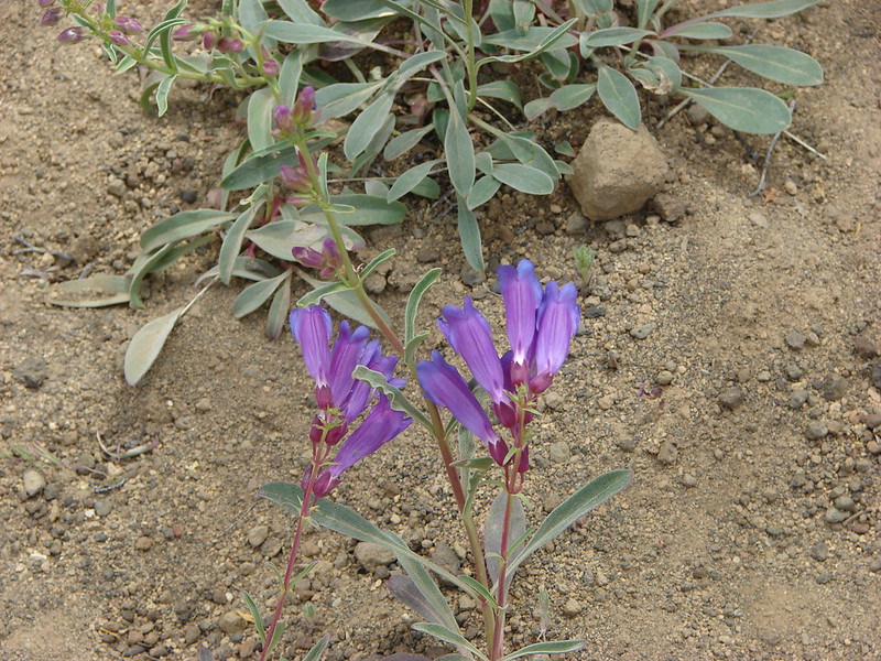
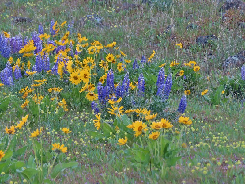
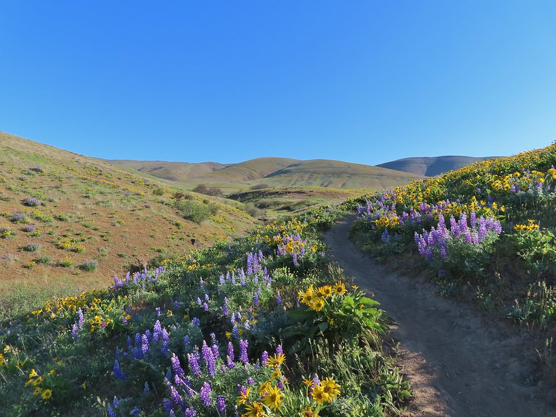
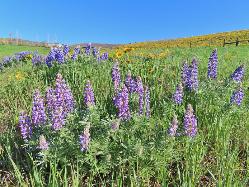
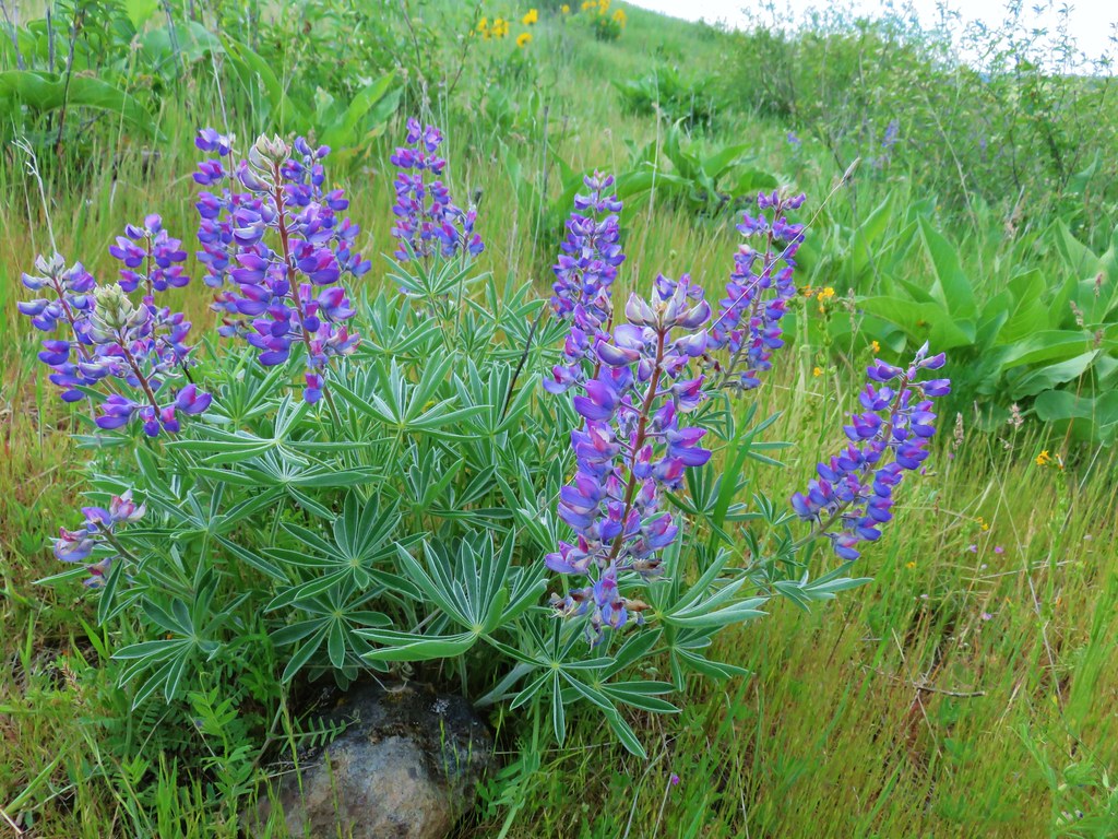
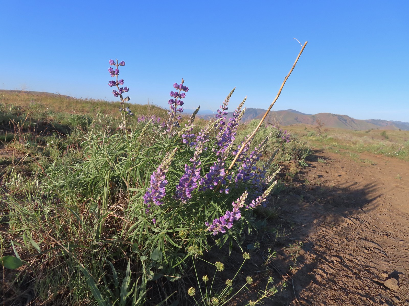 Lupine
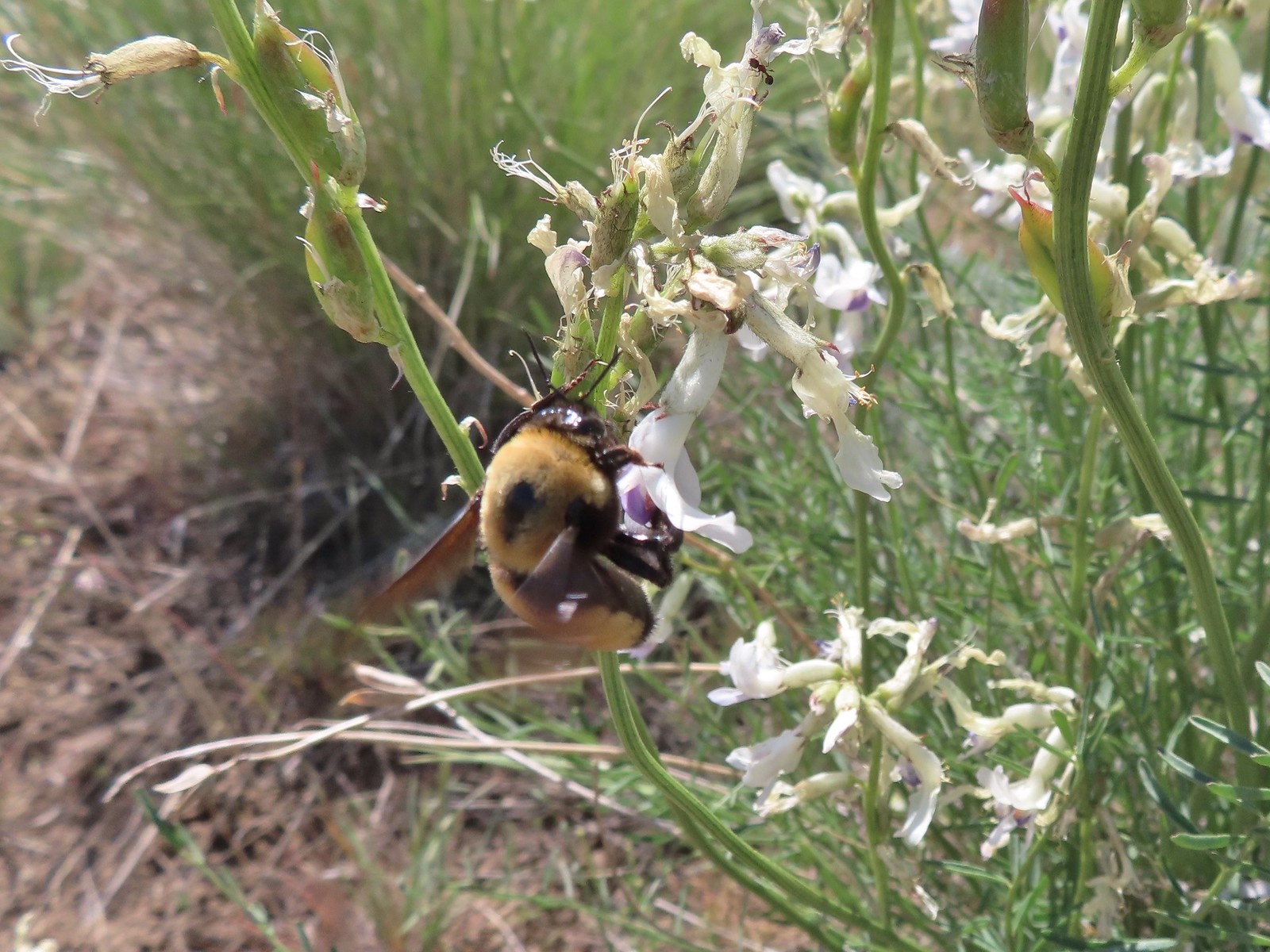
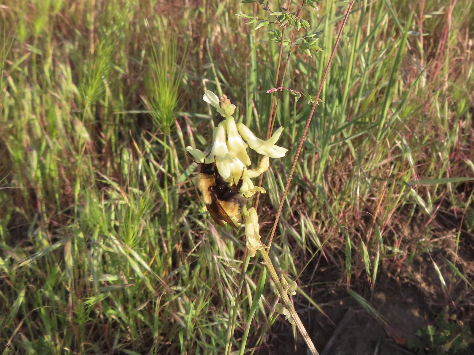 Bumble bee on Howell’s milkvetch
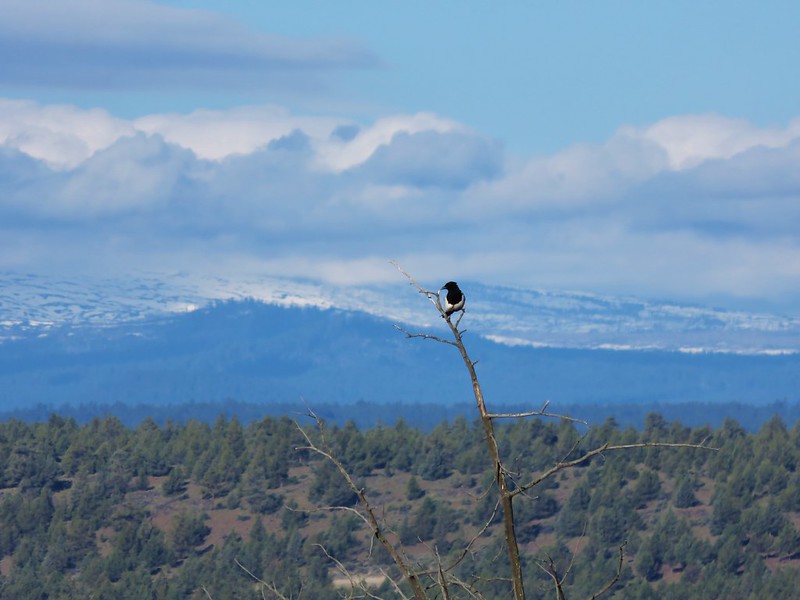
 Lark sparrow
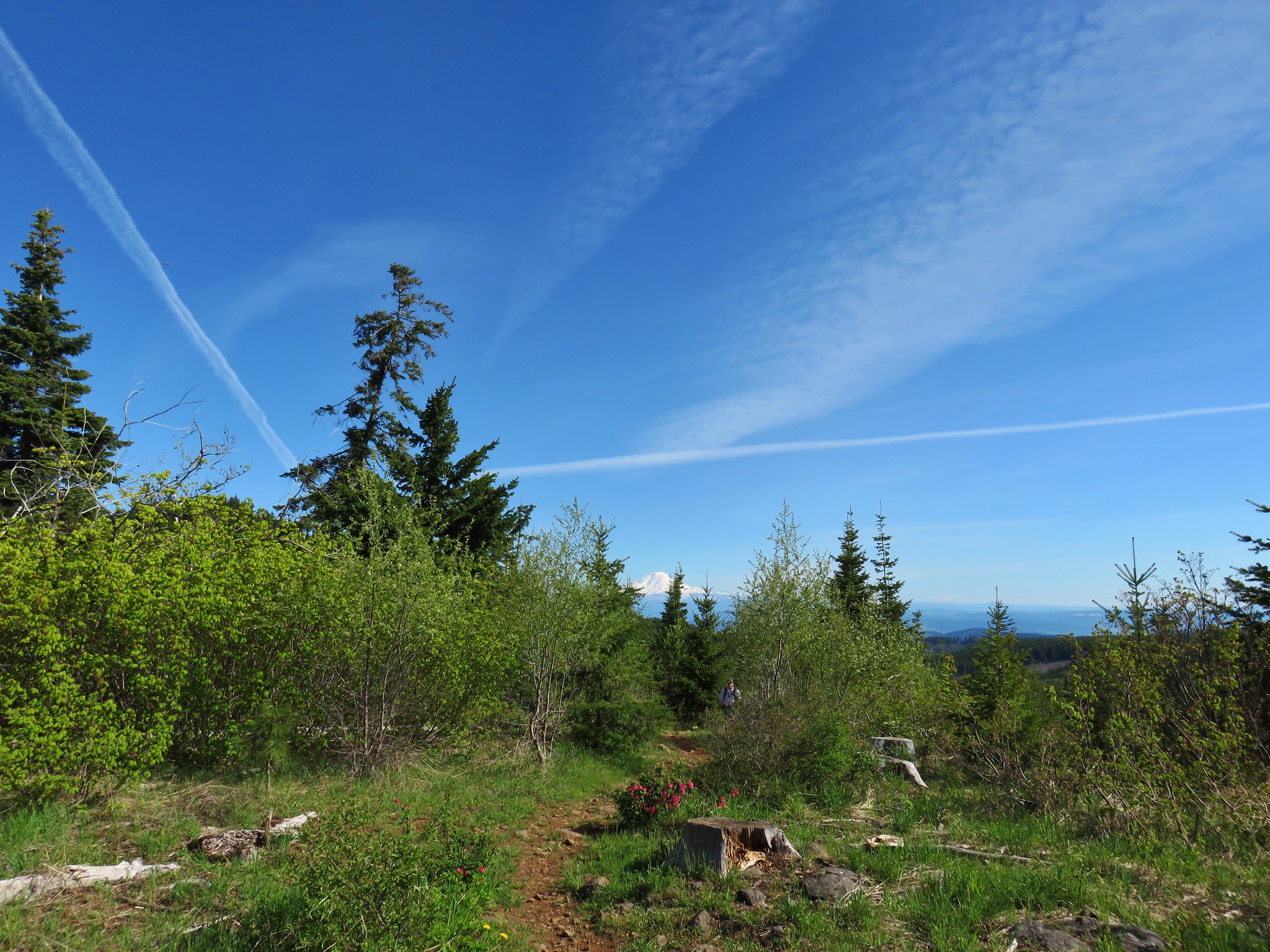
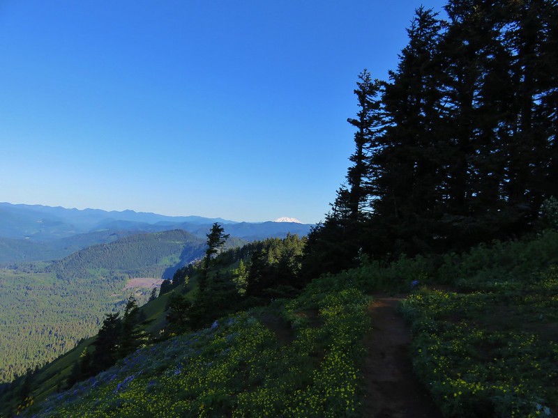
 We spent a lot of time heading toward Mt. Hood.
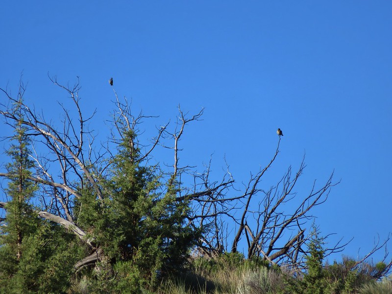
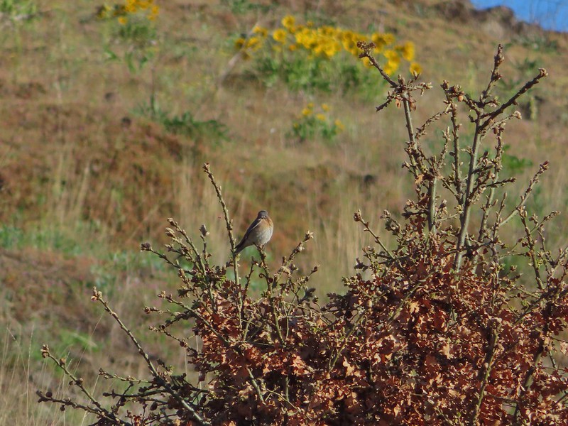
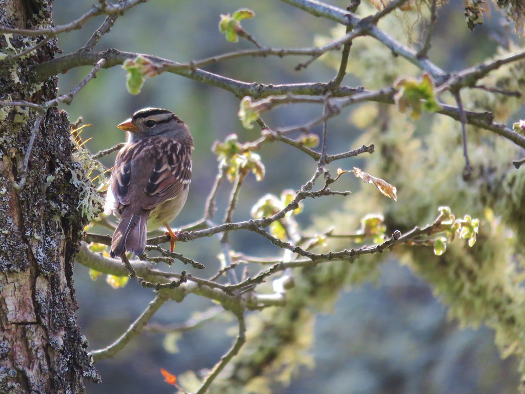
 Sparrow?
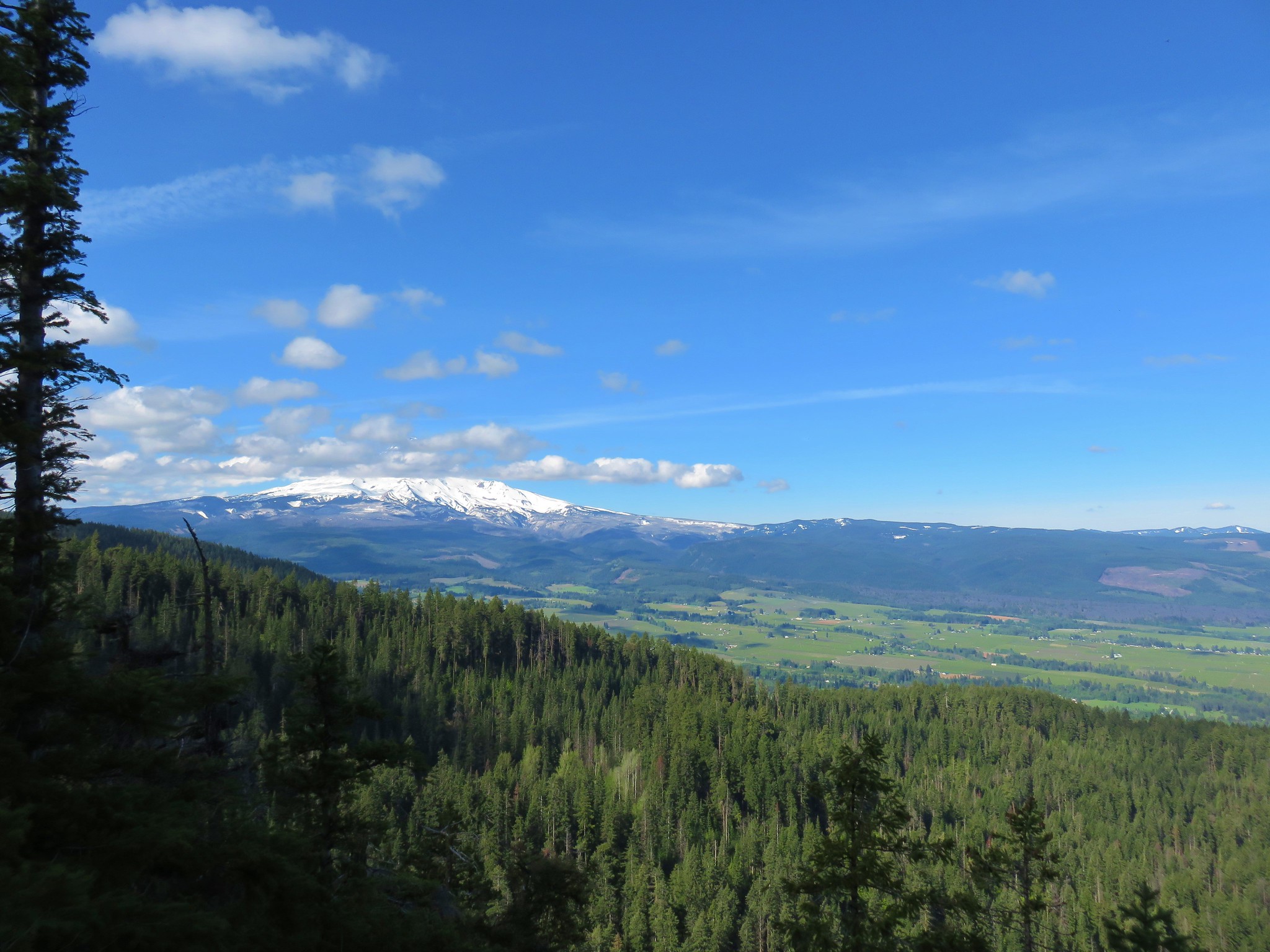
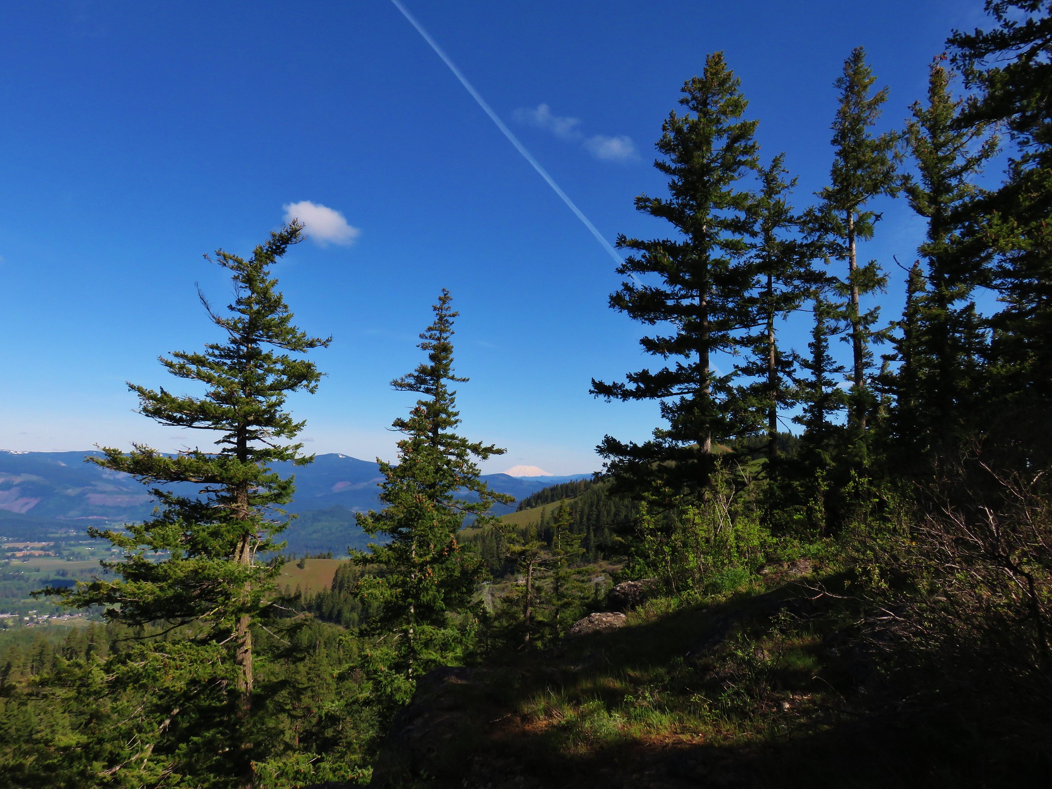
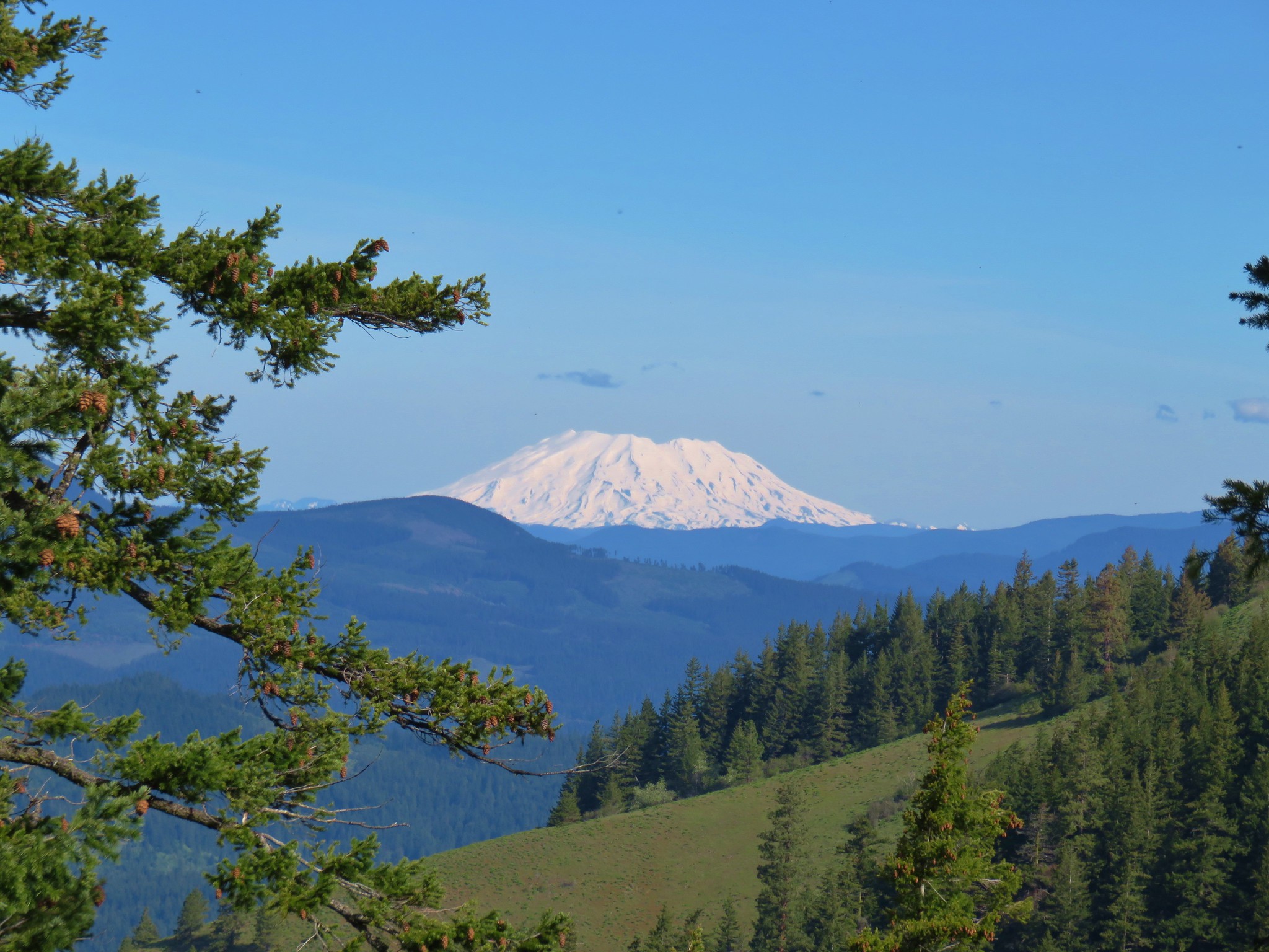
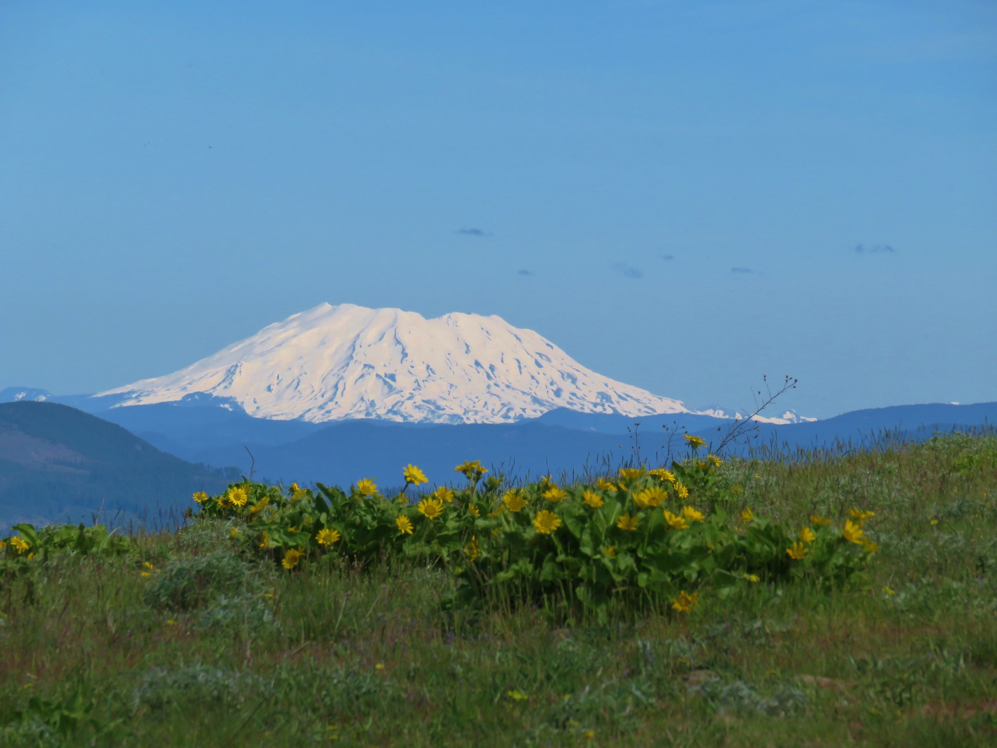
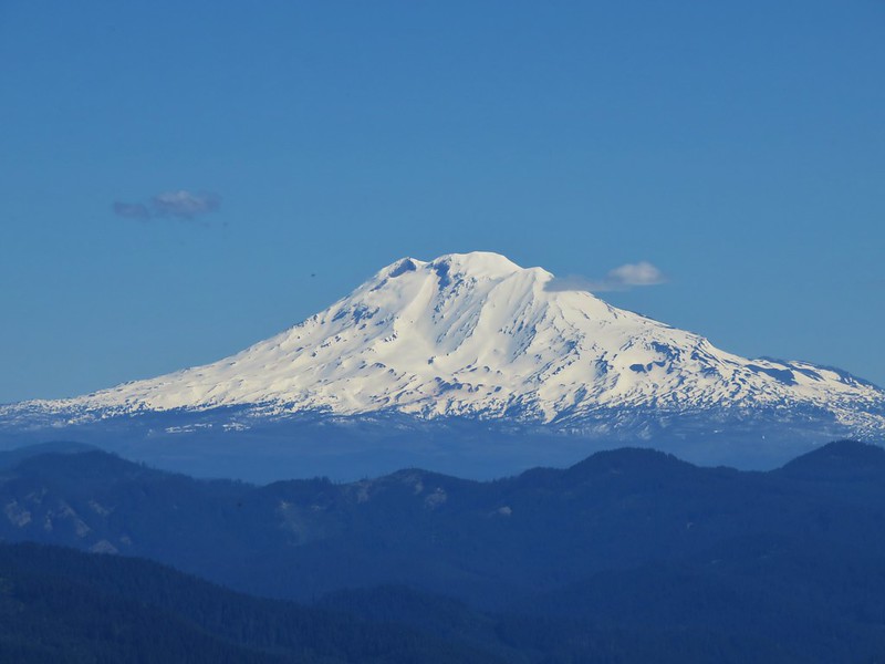
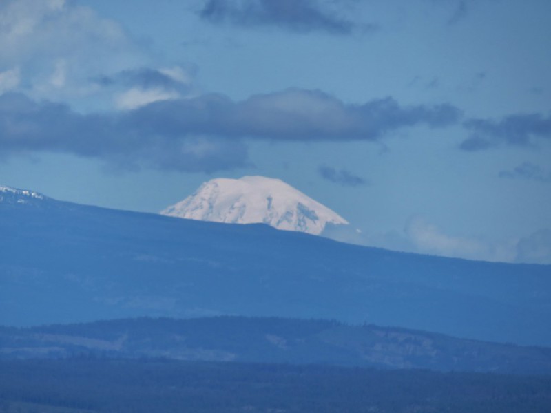
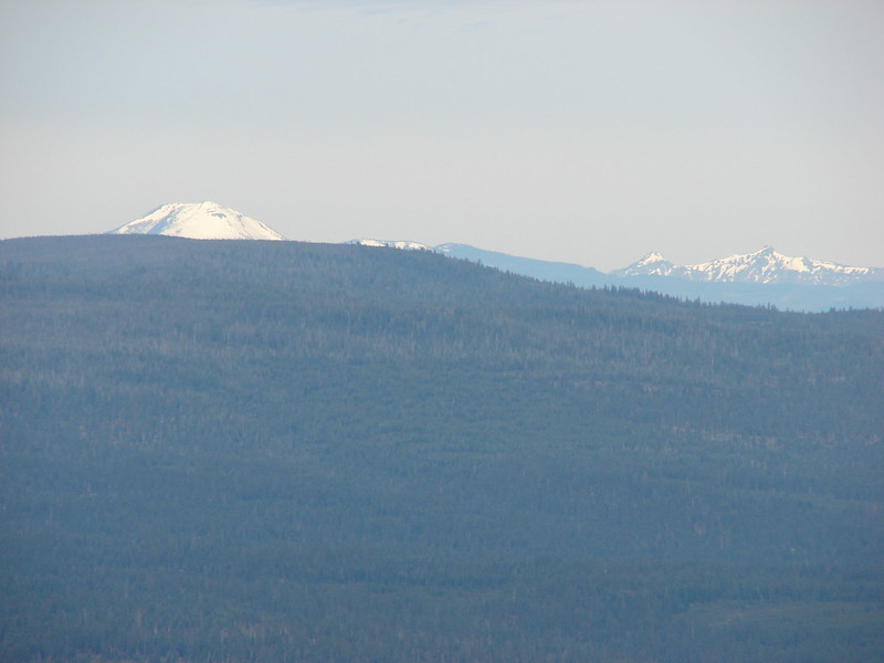
 Mt. Adams
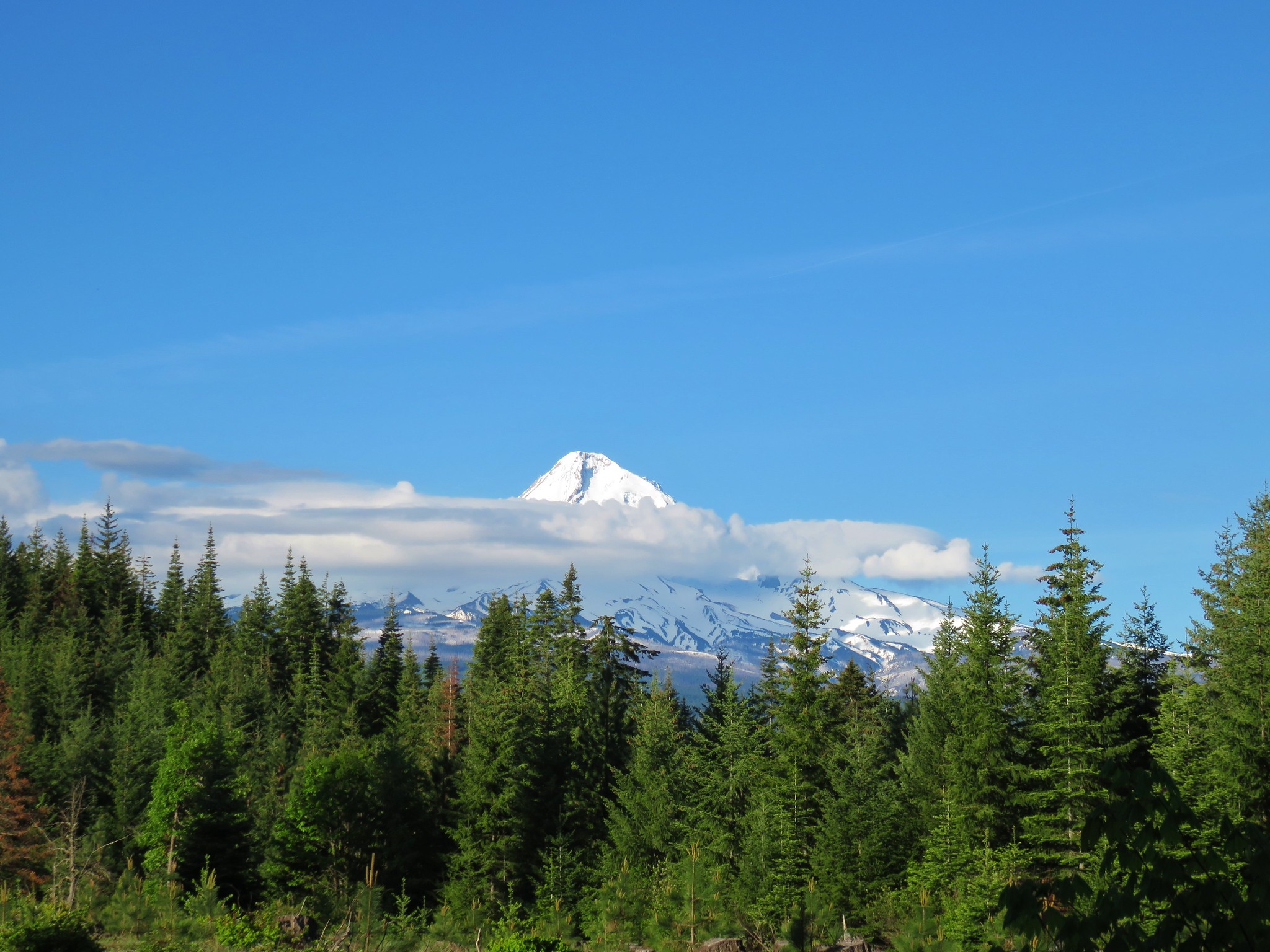
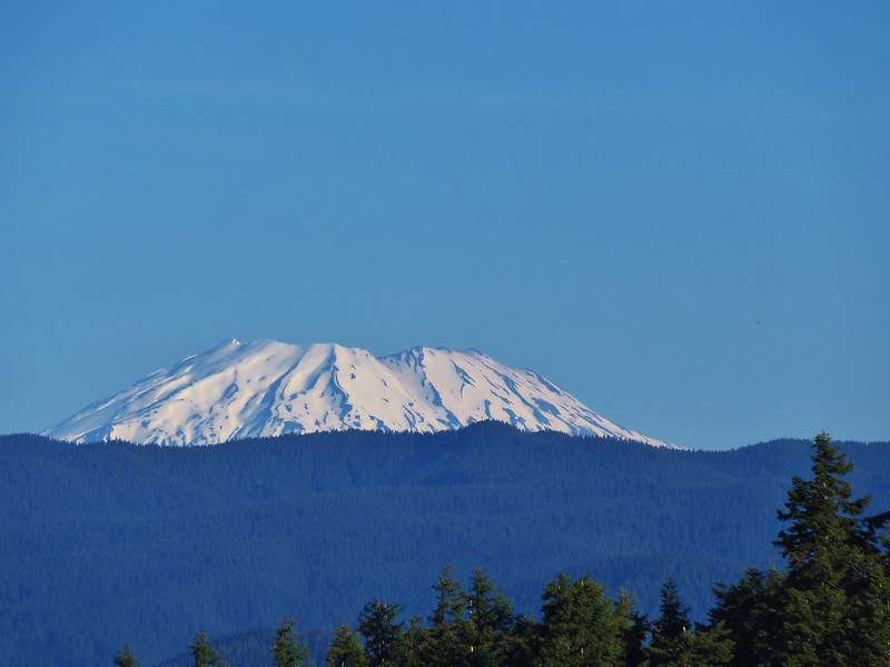
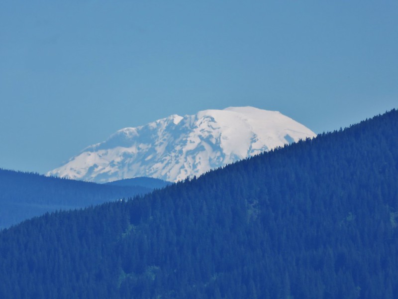
 Mt. Hood
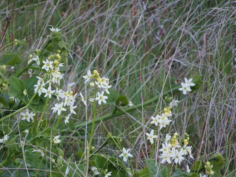
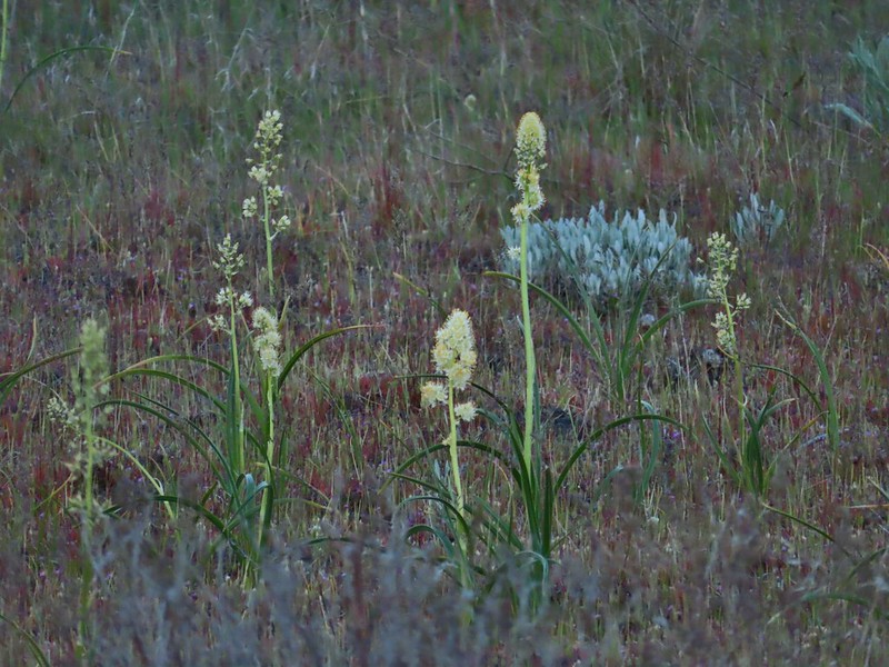
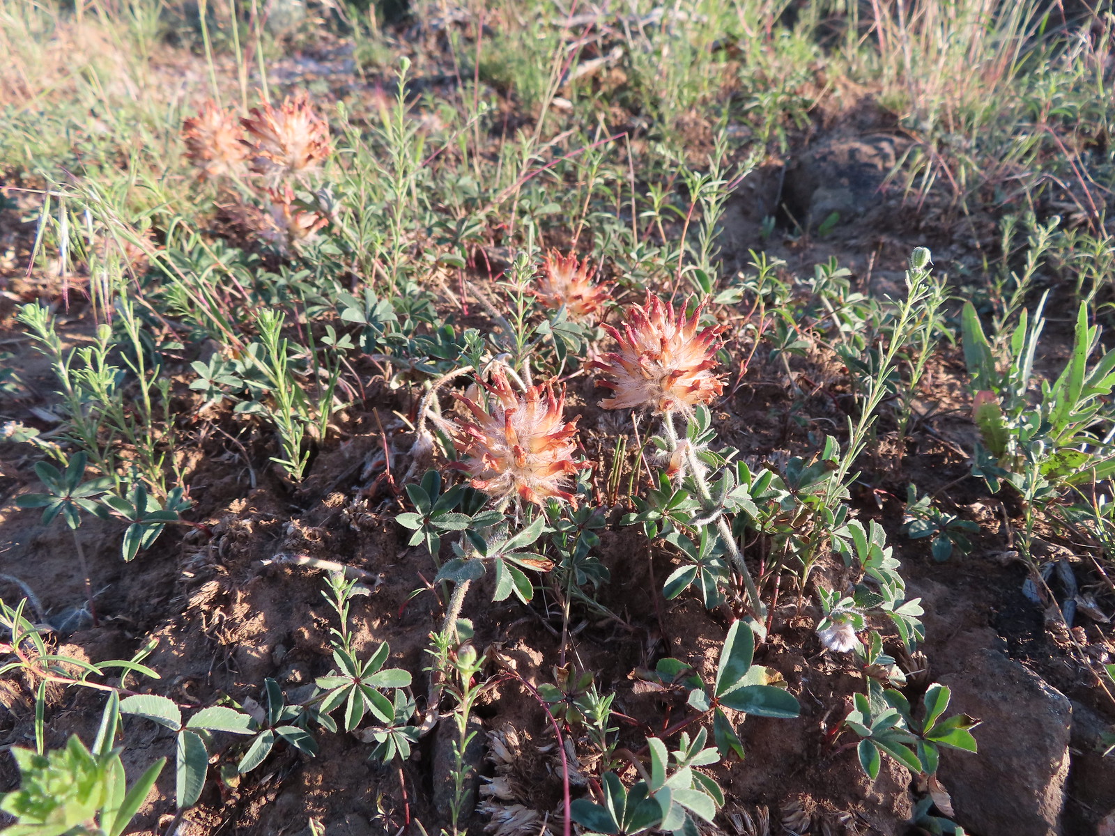 We were a little too late for the large-head clover.
 Western meadowlark giving a performance.
 The third gate with Mt. Hood in the distance.
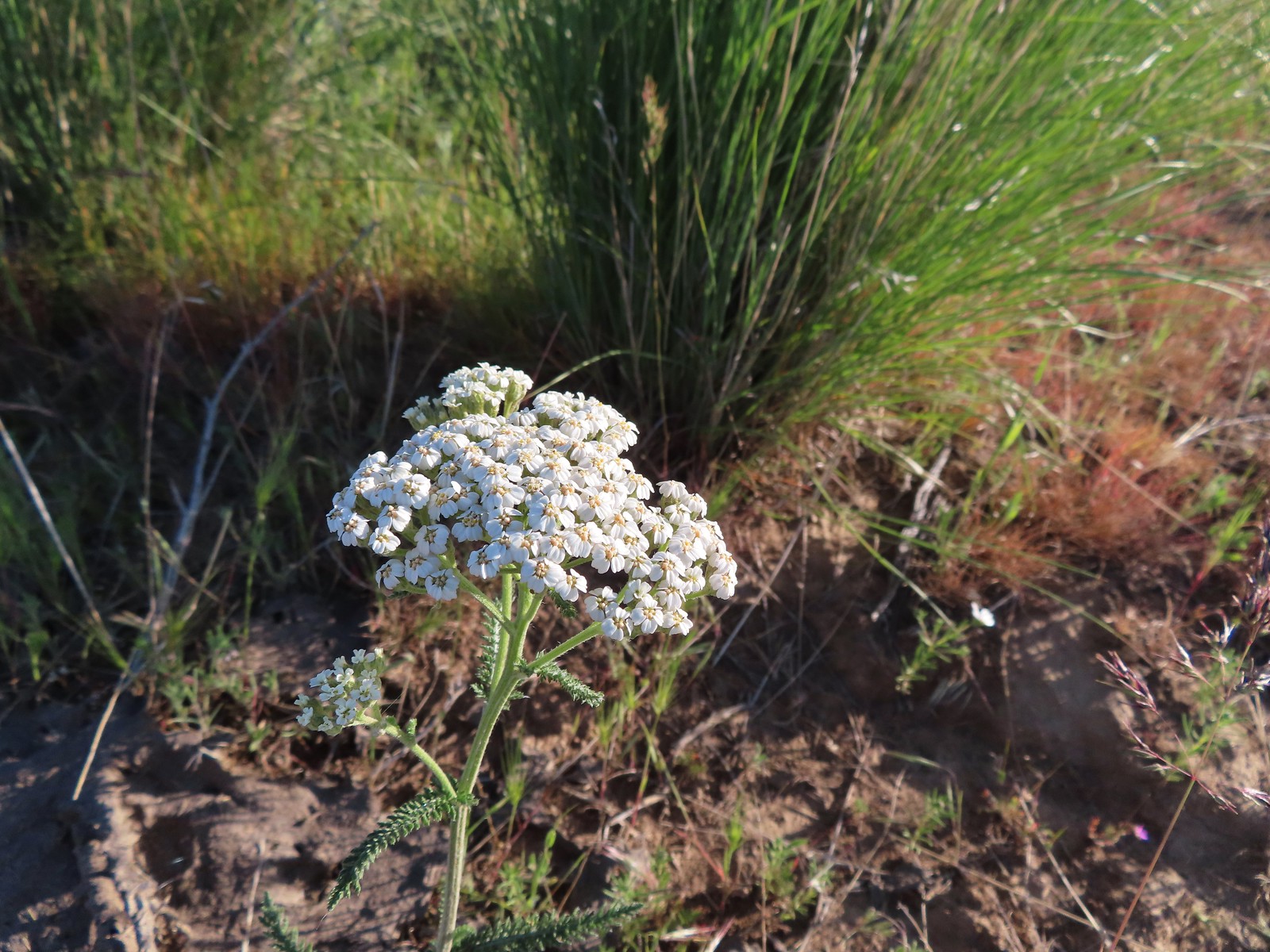 Yarrow
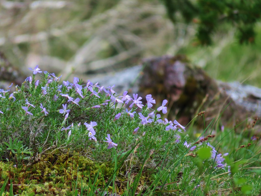
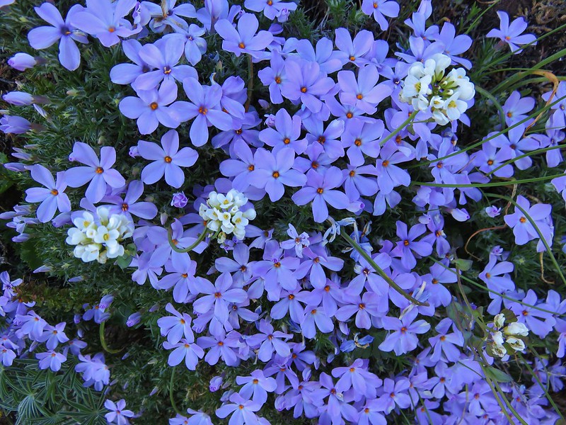
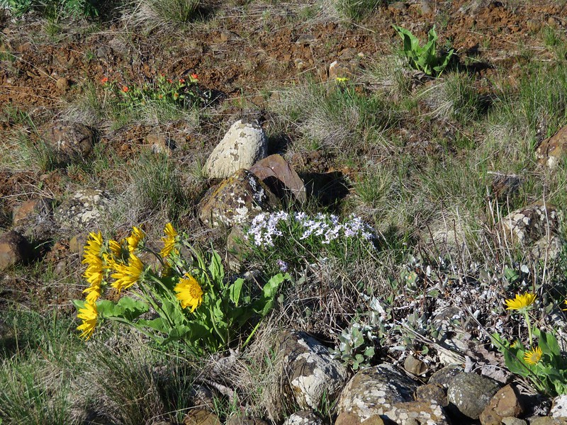
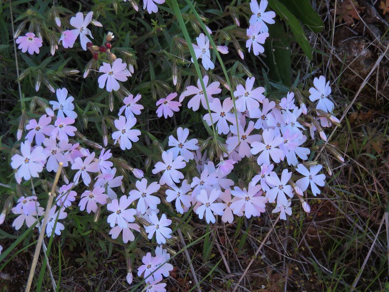
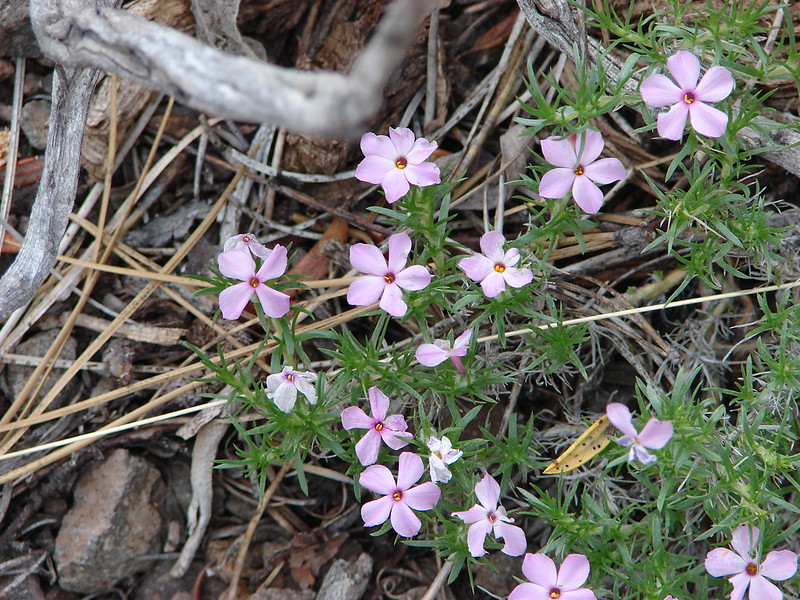
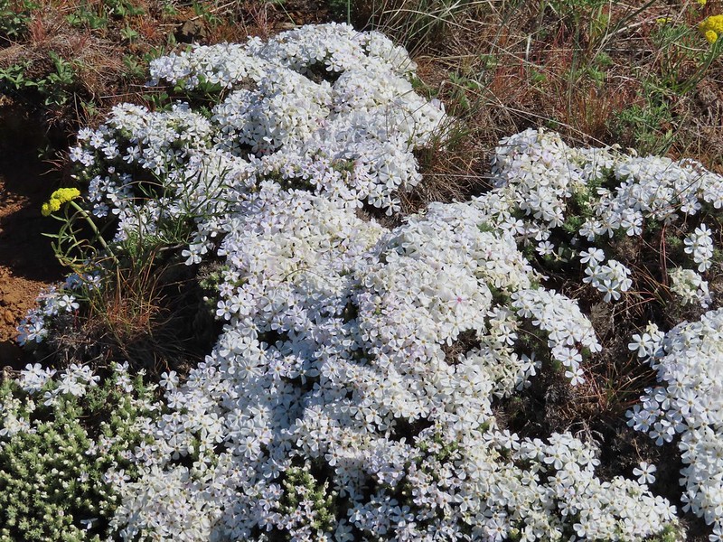
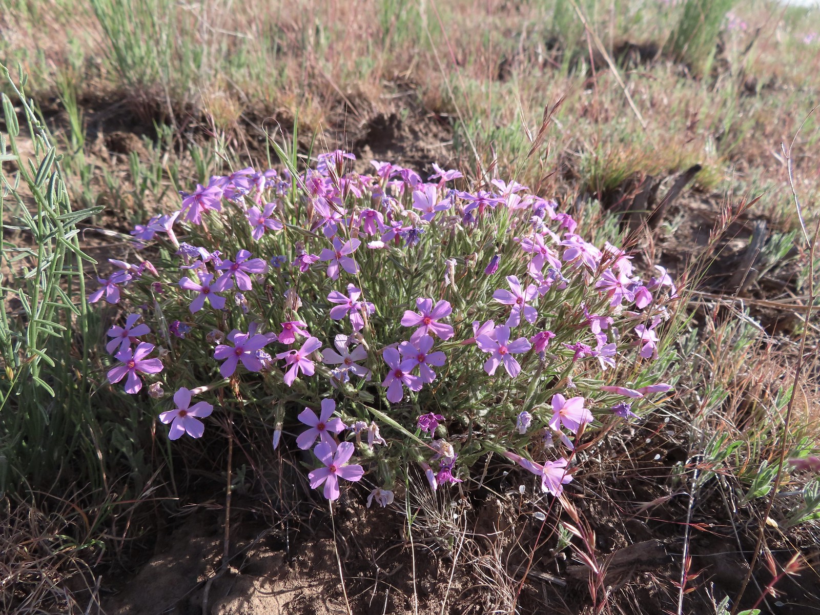 Phlox
Phlox
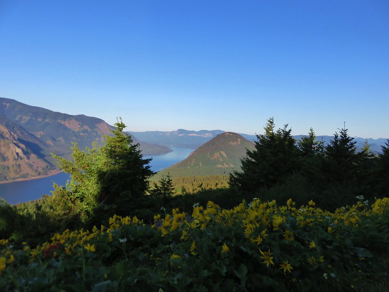
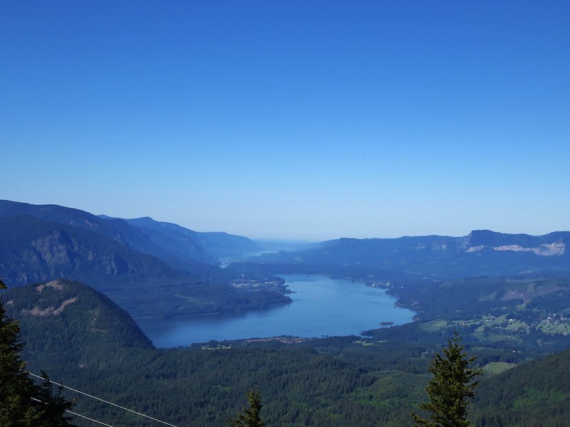
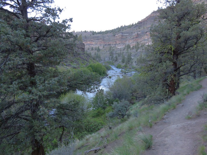
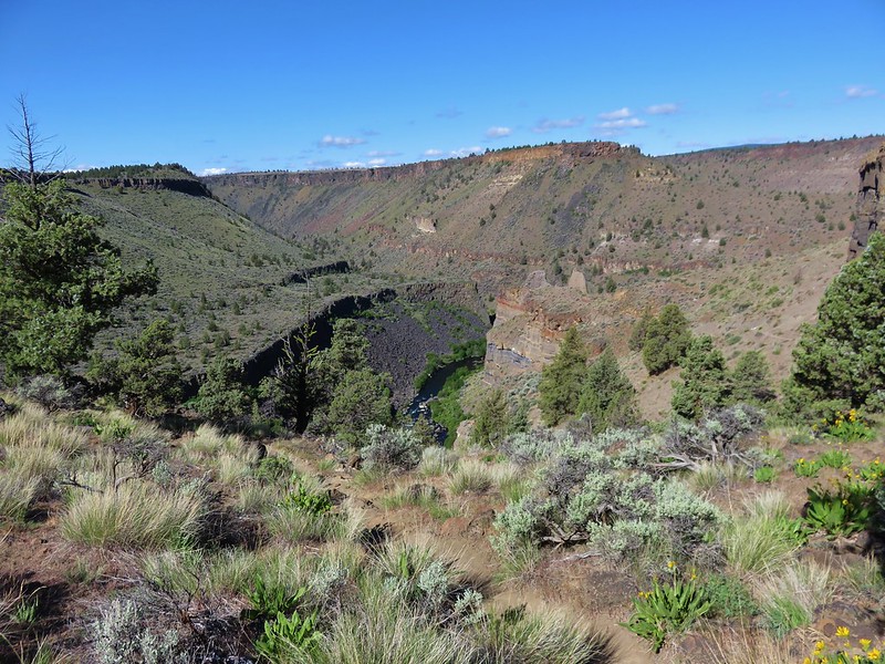
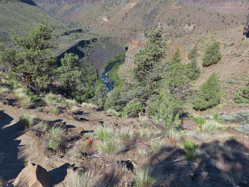
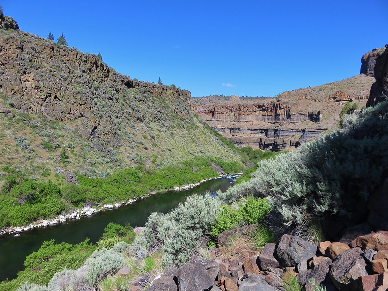
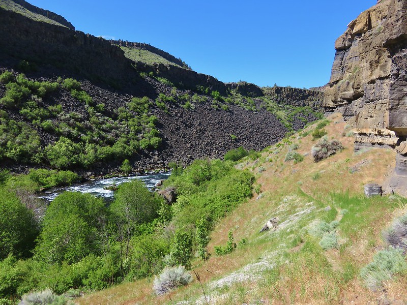
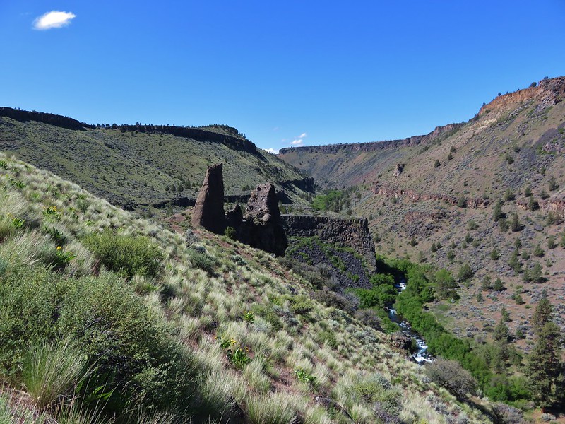
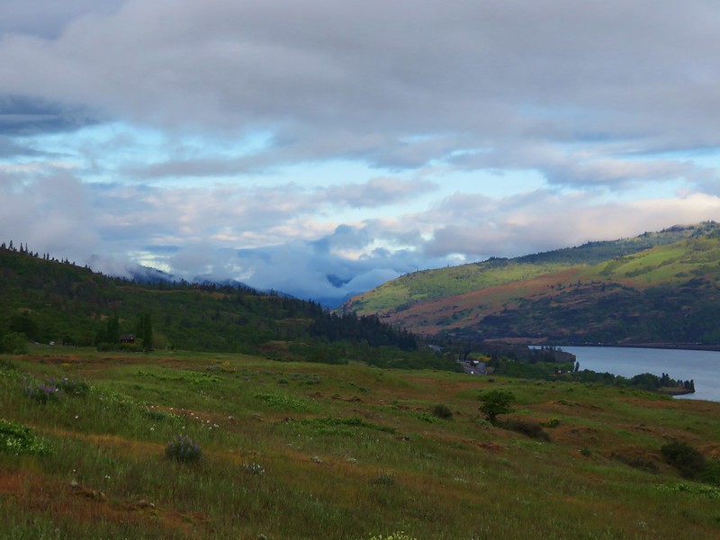
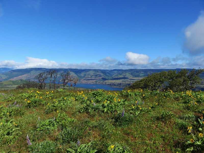
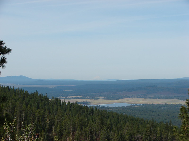
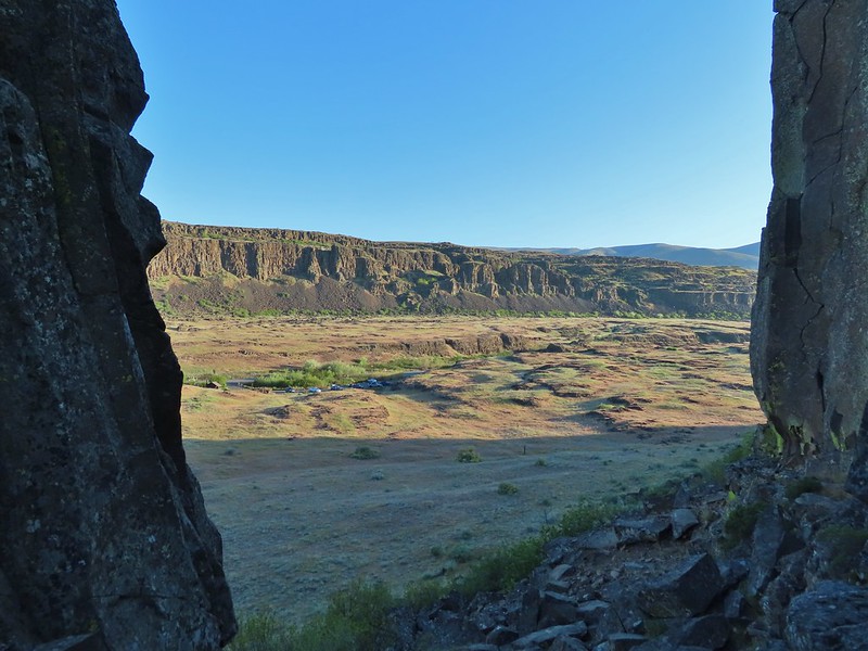
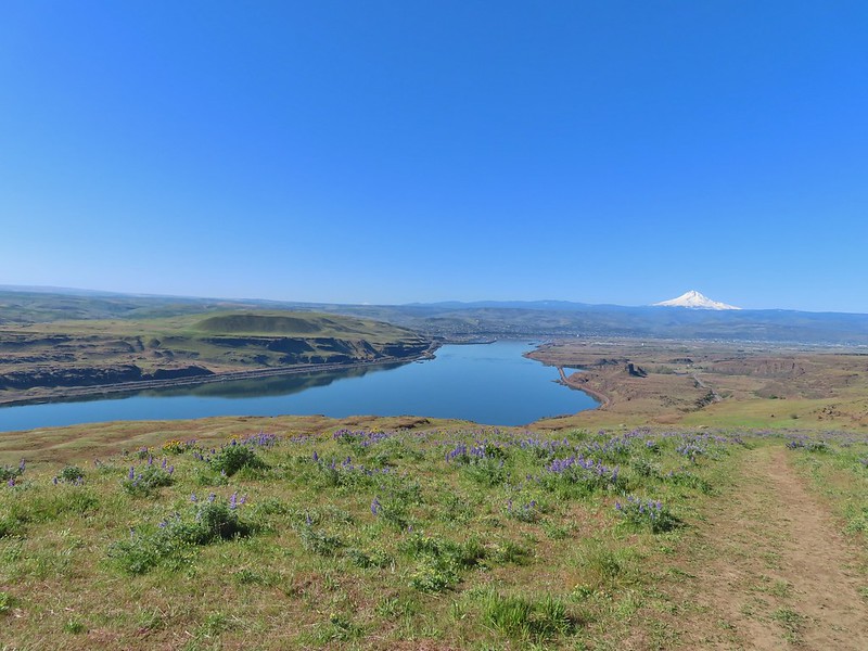
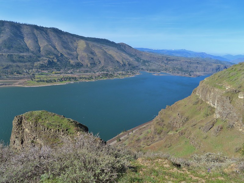
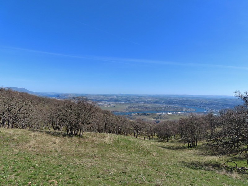
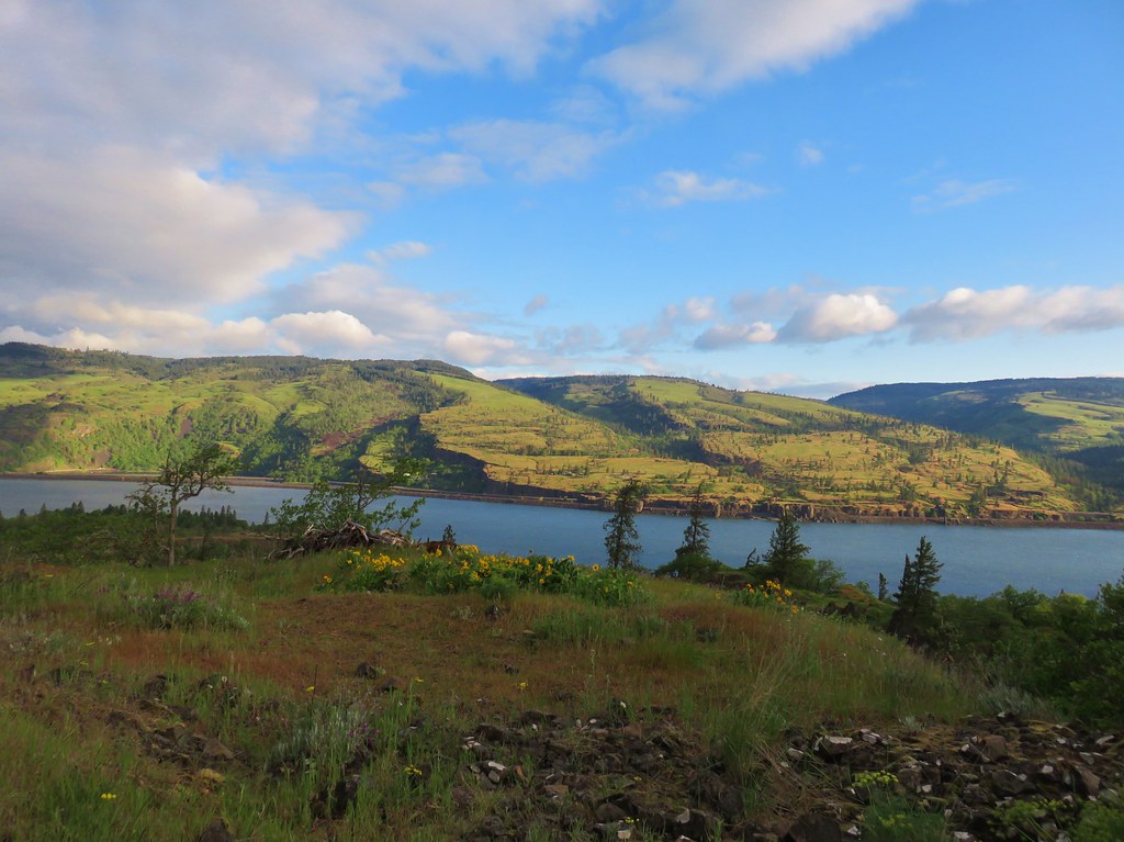
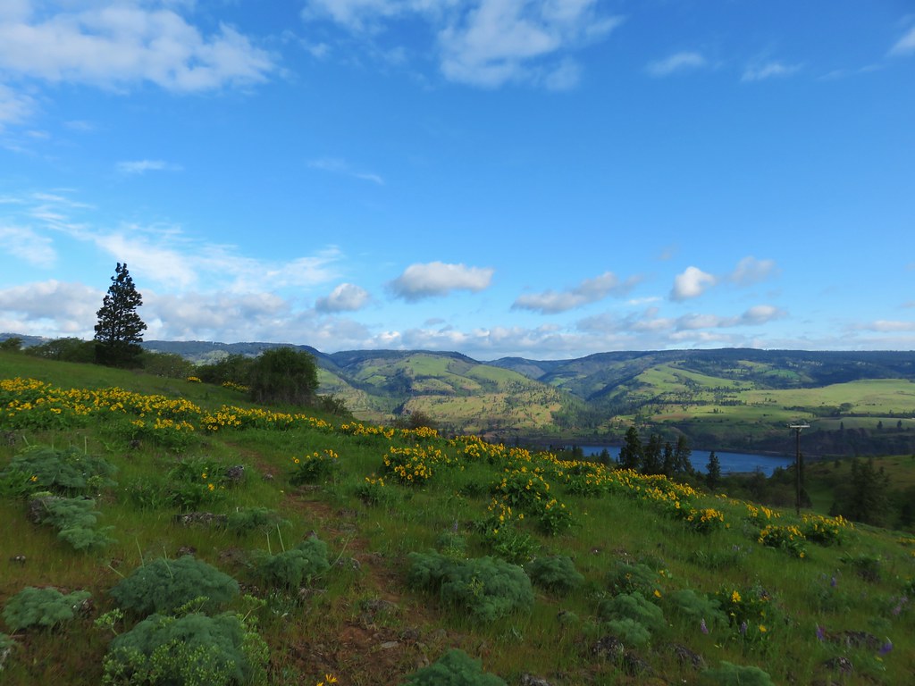
 The Deschutes River winding through the valley below.
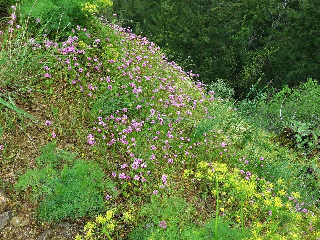
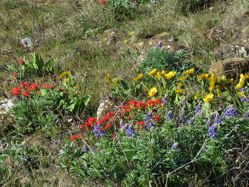
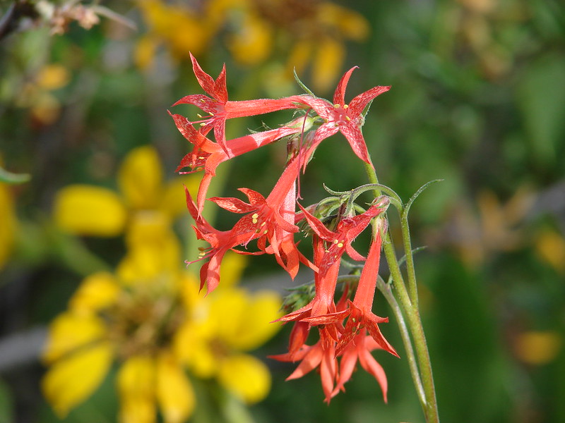
 Rough eyelashweed and lupine with Mt. Hood behind.
 Caterpillar
 Lupine with Mt. Jefferson in the background.
 Horned lark
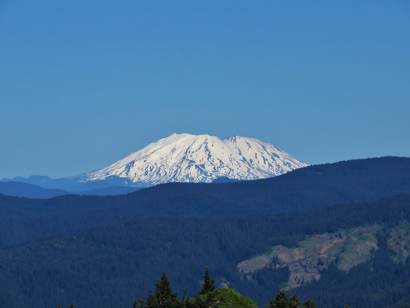
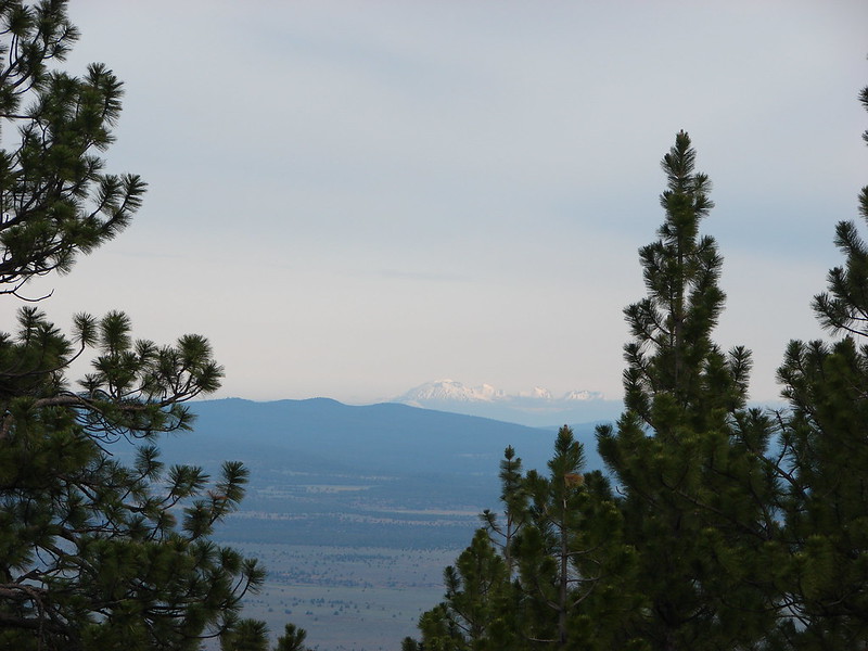
 Mt. Jefferson behind the abandoned trailer.
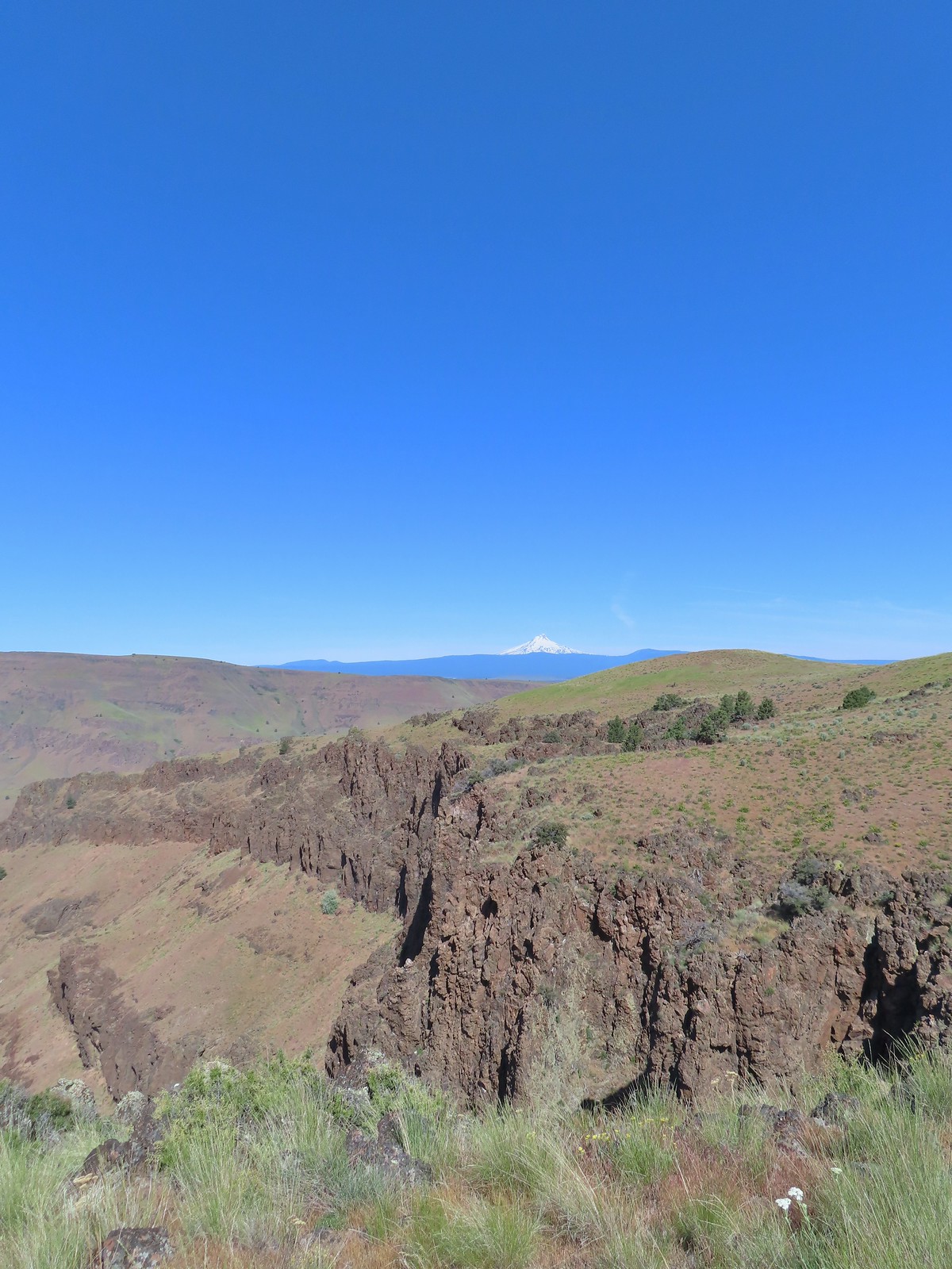
 Mt. Jefferson was hidden at times but this gap in the hills provided a nice view.
 Oregon sunshine
 Skipper
 Mt. Jefferson and Olallie Butte (post) behind the lupine.
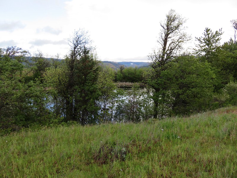
 A small watering hole.
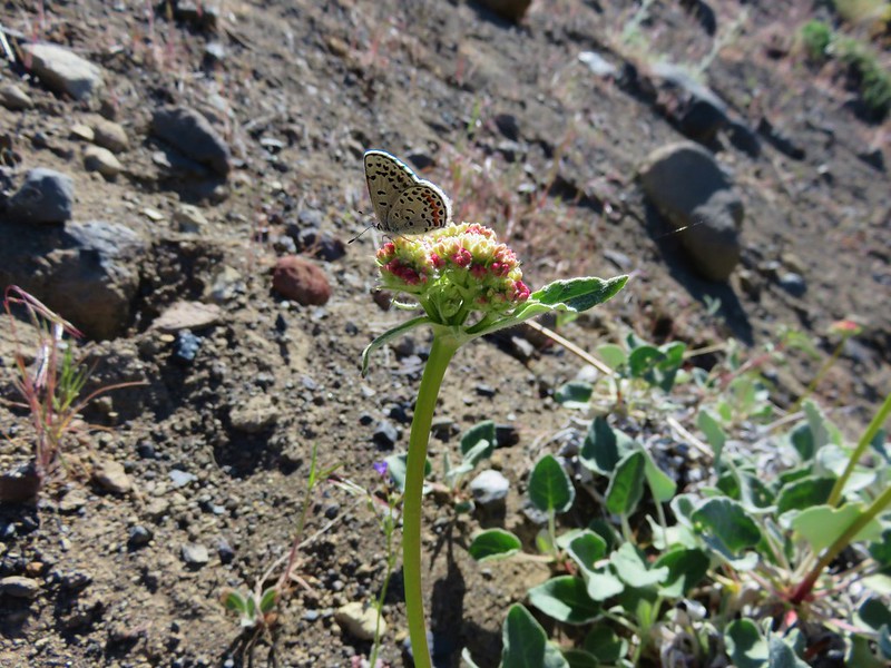
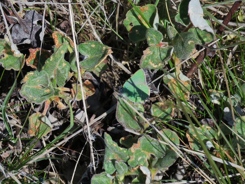
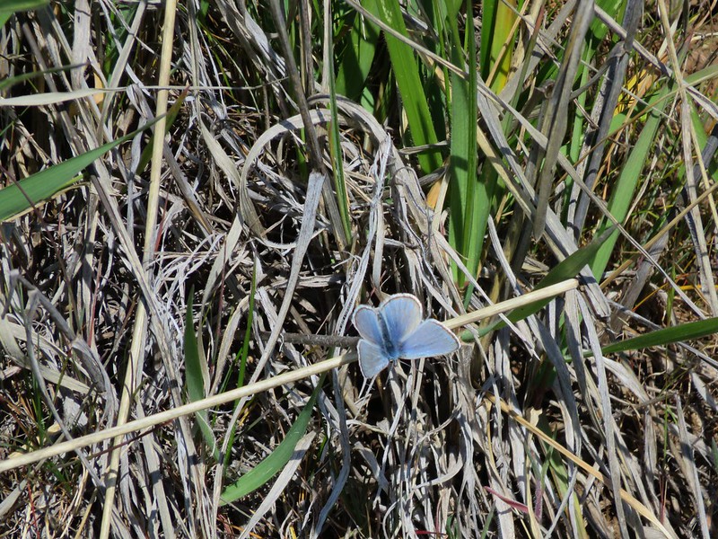
 Leaning toward an Acmon blue but not sure.
 Another in the Lycaenidae family.
 Large marble on a fiddleneck.
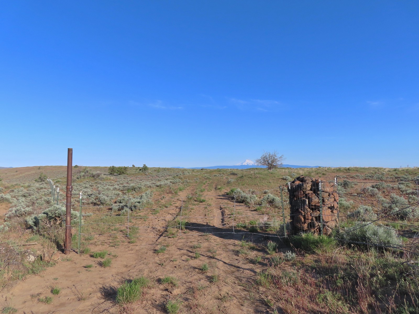
 The fourth gate at the 4-way junction.
 Mourning dove
We took a short break by the gate before passing through. As we descended on the jeep track we came to a split where the clearer track curved to the left while a faint track headed straight downhill through a field of balsamroot. Reeder’s map showed his route was along the fainter track so we stayed straight.
 The more “obvious” jeep track curving left.
 The fainter track angling slightly right.
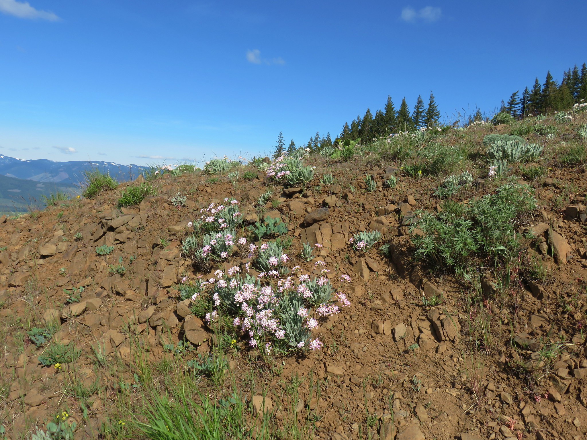
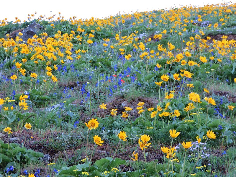
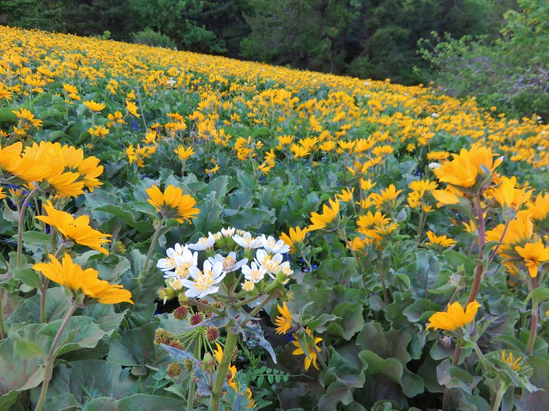
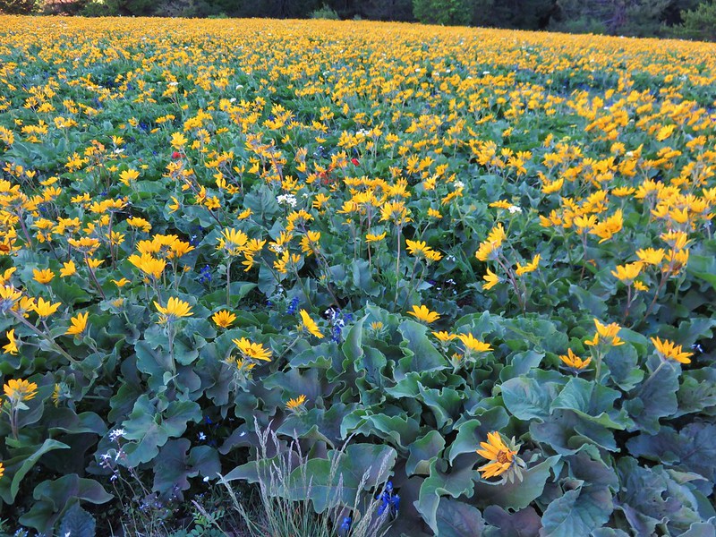
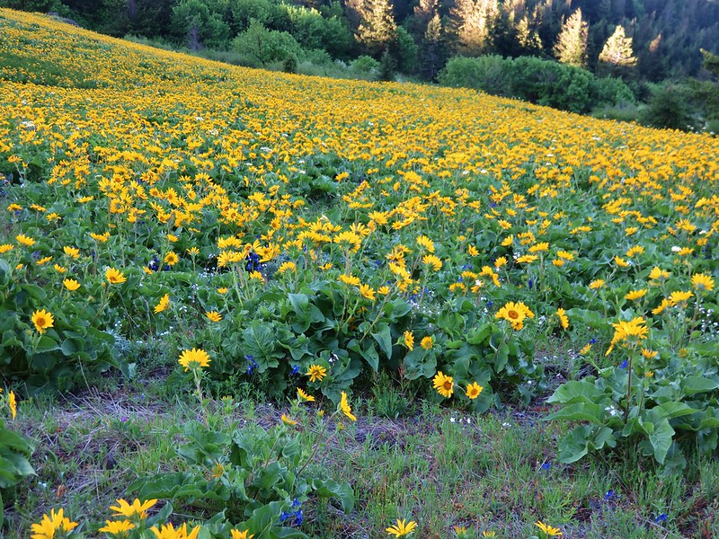
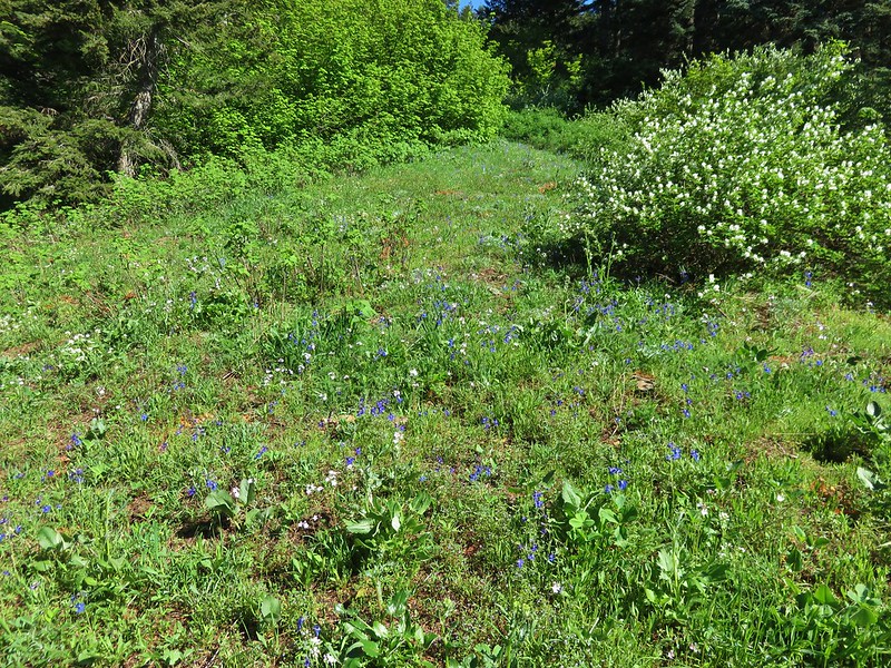
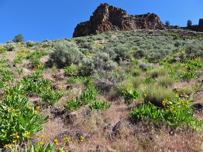
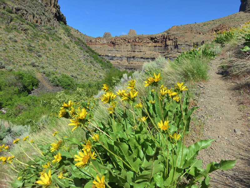
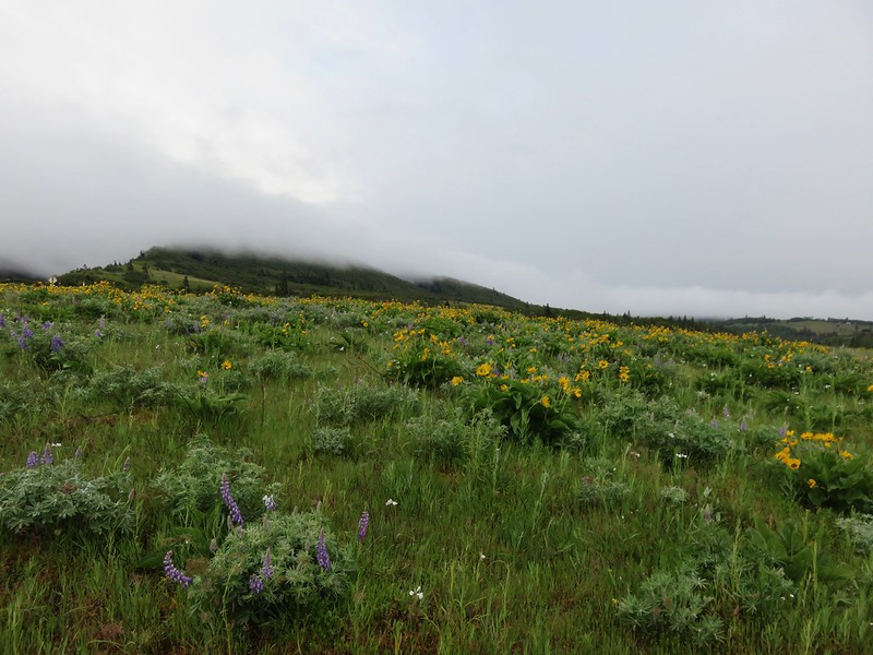
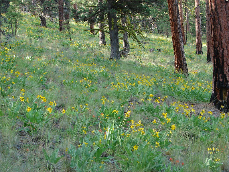
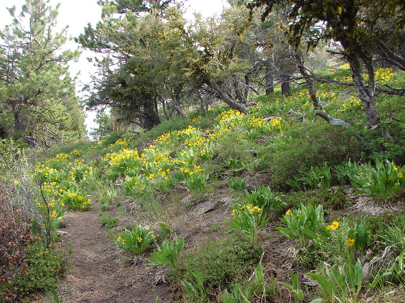
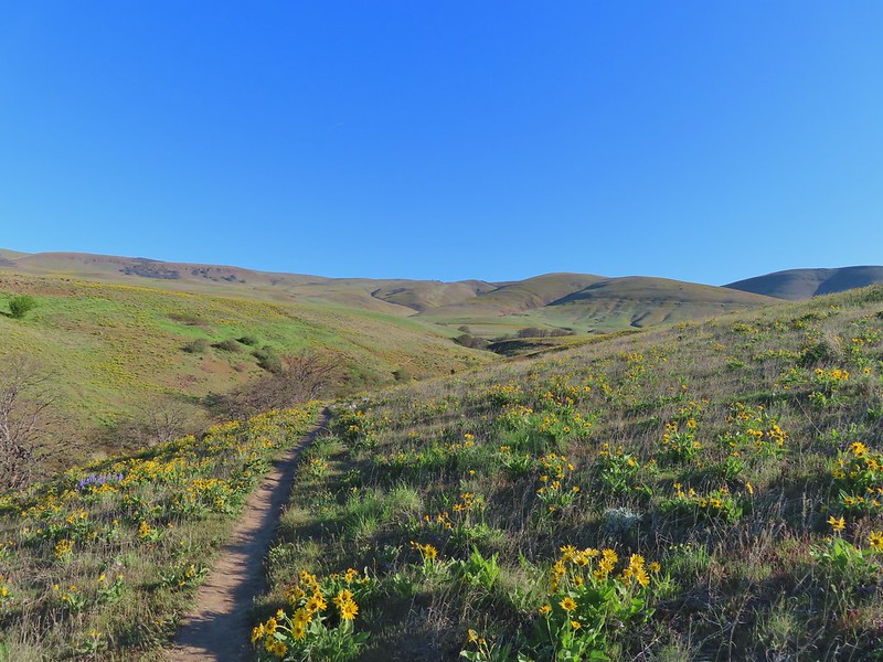
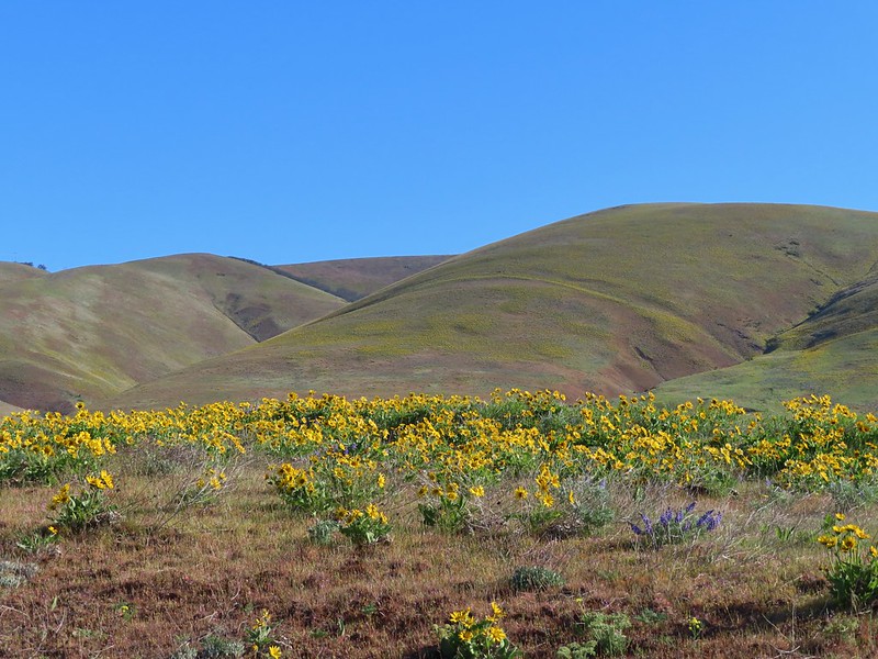
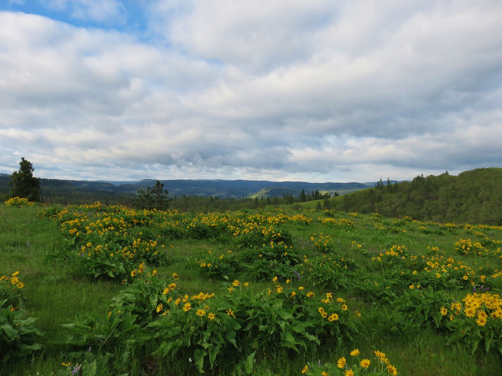
We were a couple of weeks late for the peak balsamroot bloom, but there were enough remaining blooms/petals to color the hillside yellow.
 Ochre ringlet on rougheyelashweed.

We soon rejoined the other jeep track where we turned right.

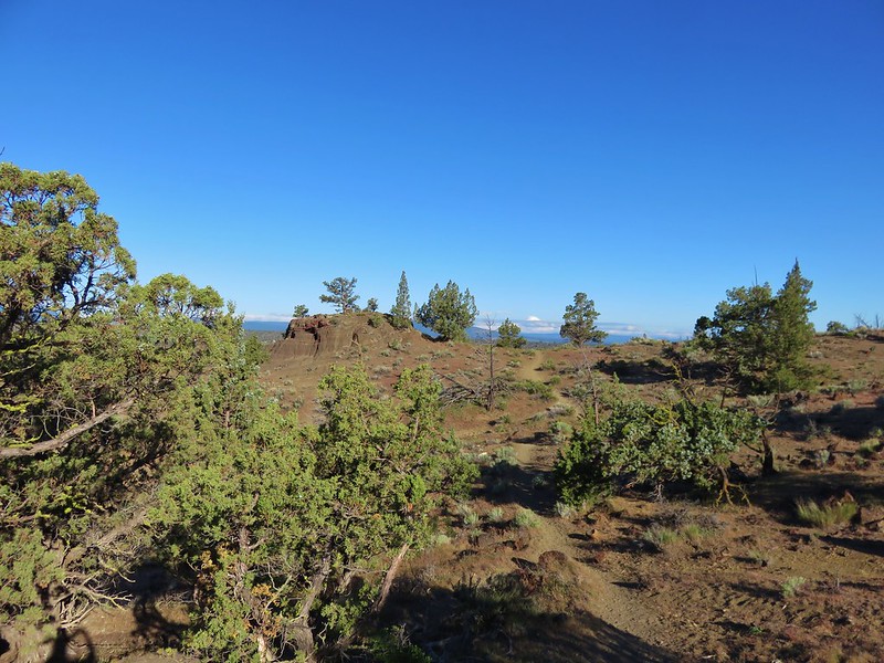
The terrain had leveled out and we continued on the track watching for Stag Point, a knoll with a post on top, which was Reeder’s turn around point.
 Zerene fritillary
 Zerene fritillary on salsify
 We thought we spied the post and used the camera to zoom in and confirm.
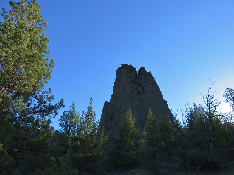
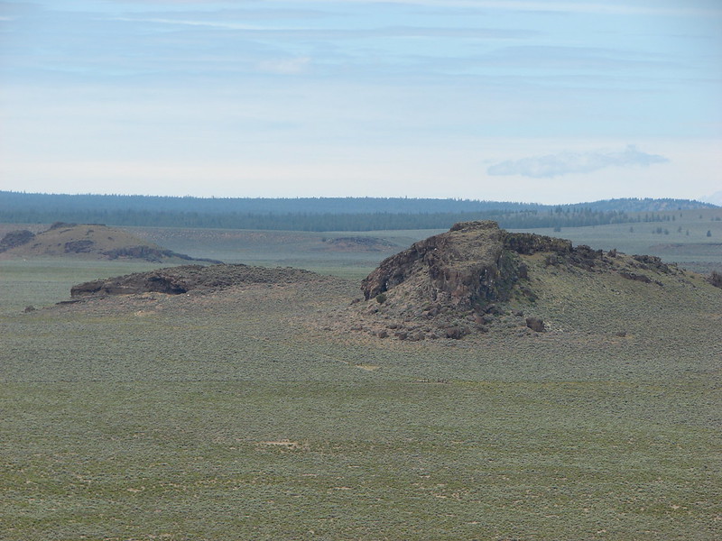
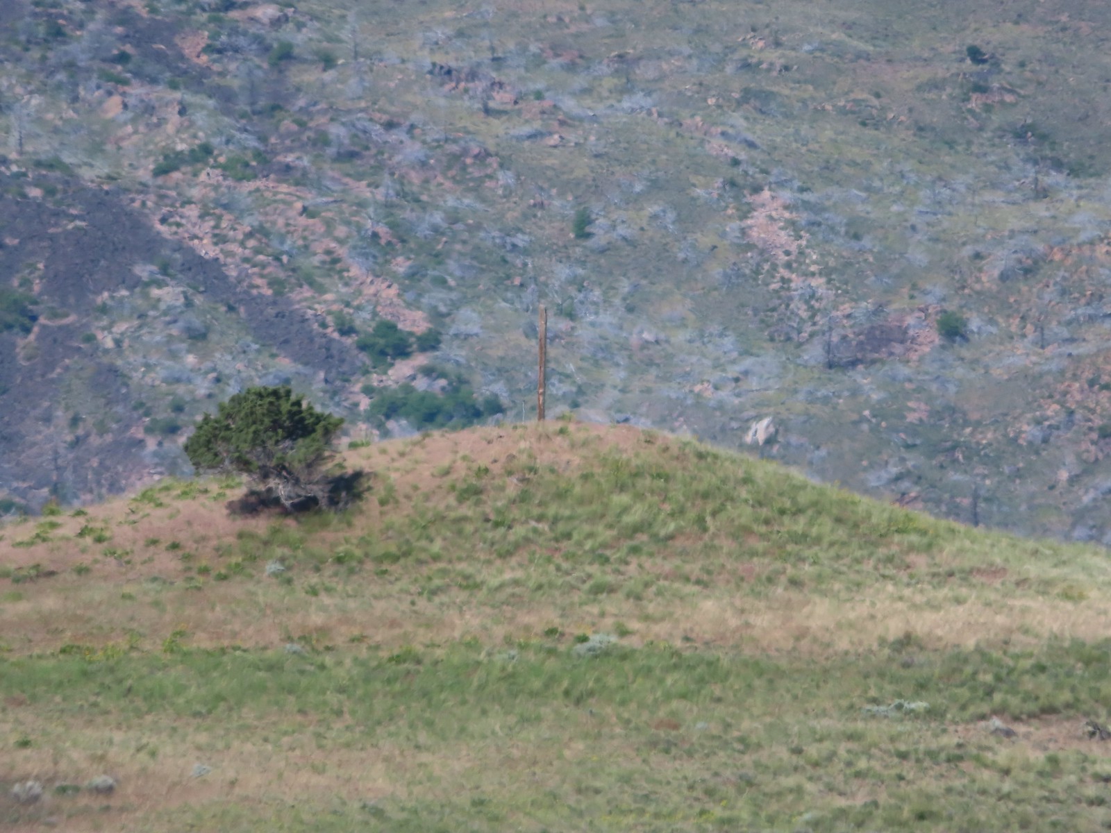 This was the only knoll with a juniper as well as the post.
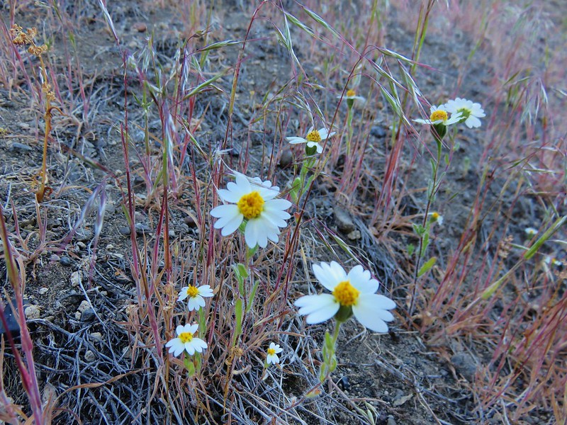
 Largeflower hawksbeard
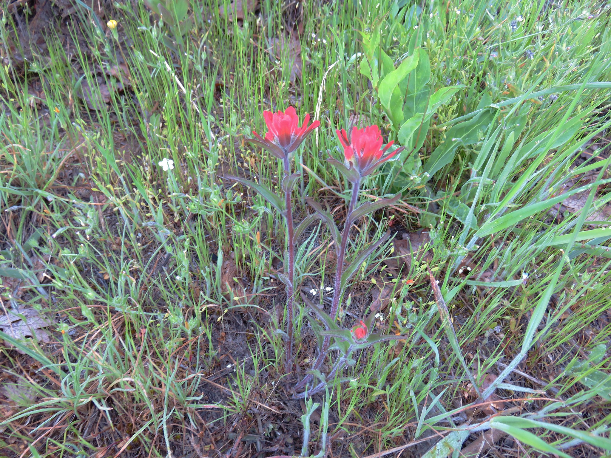
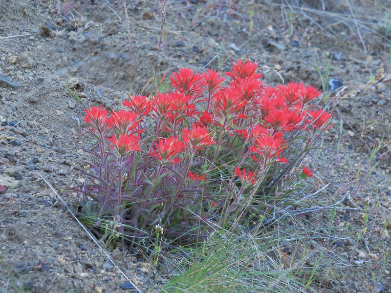
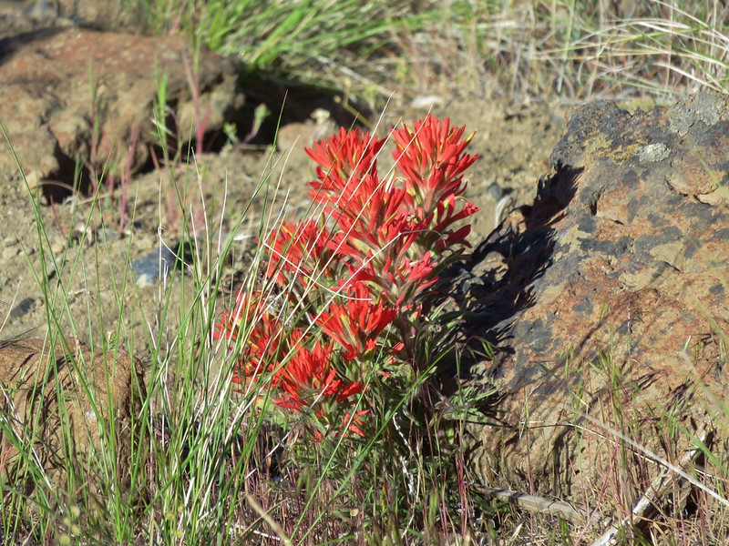
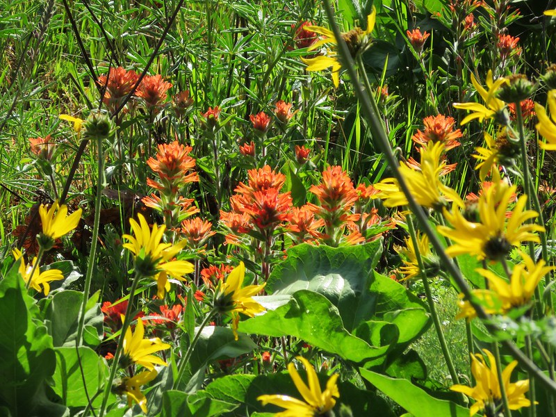
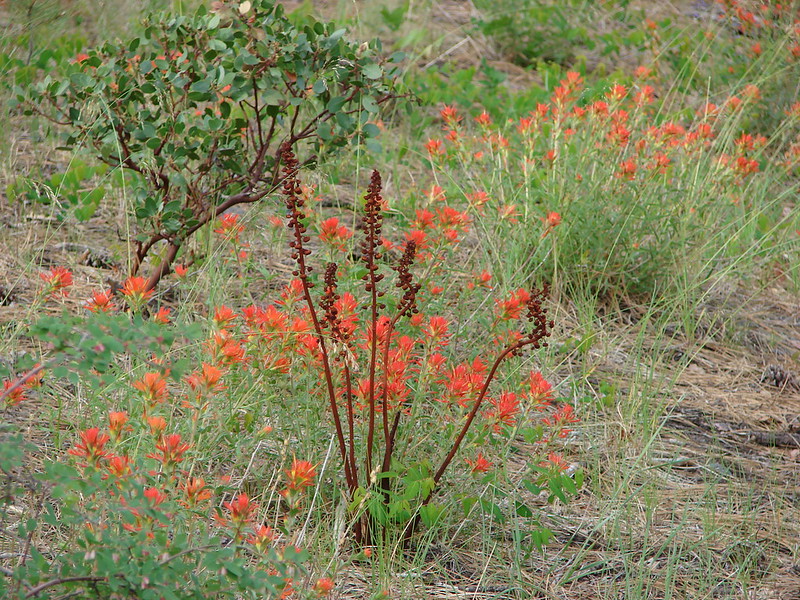
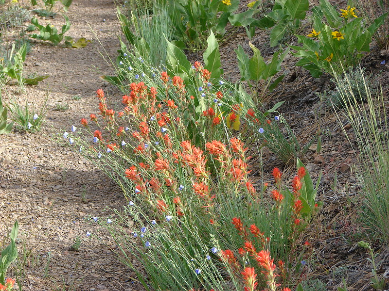
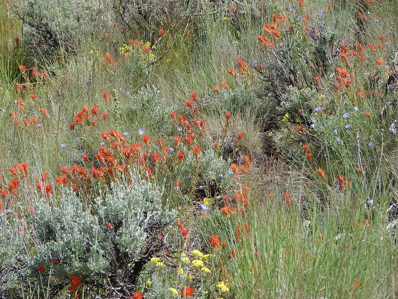
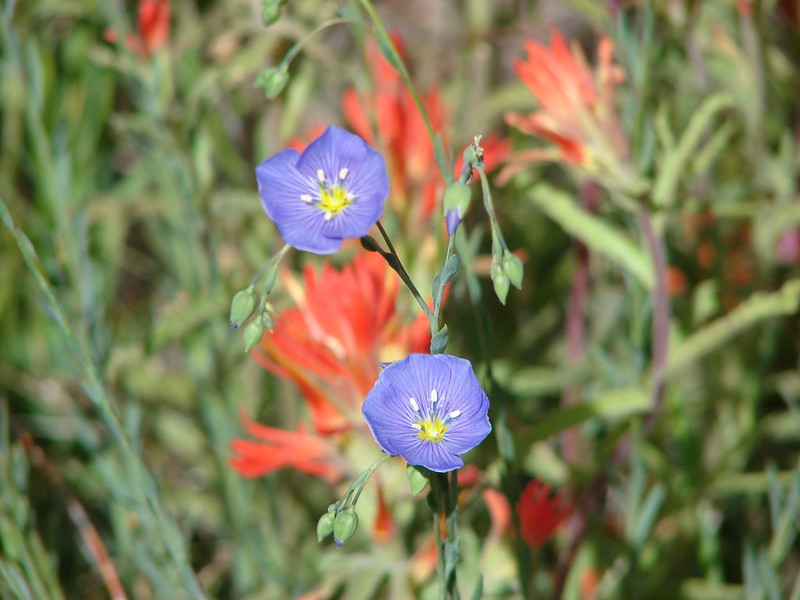
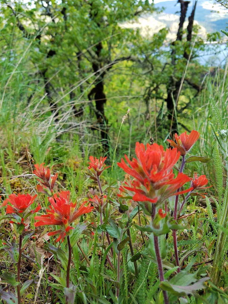
 Paintbrush
 To reach Stag Point we had to go cross country, so we looked for the most gradual looking climb.

 Mt. Hood from Stag Point.
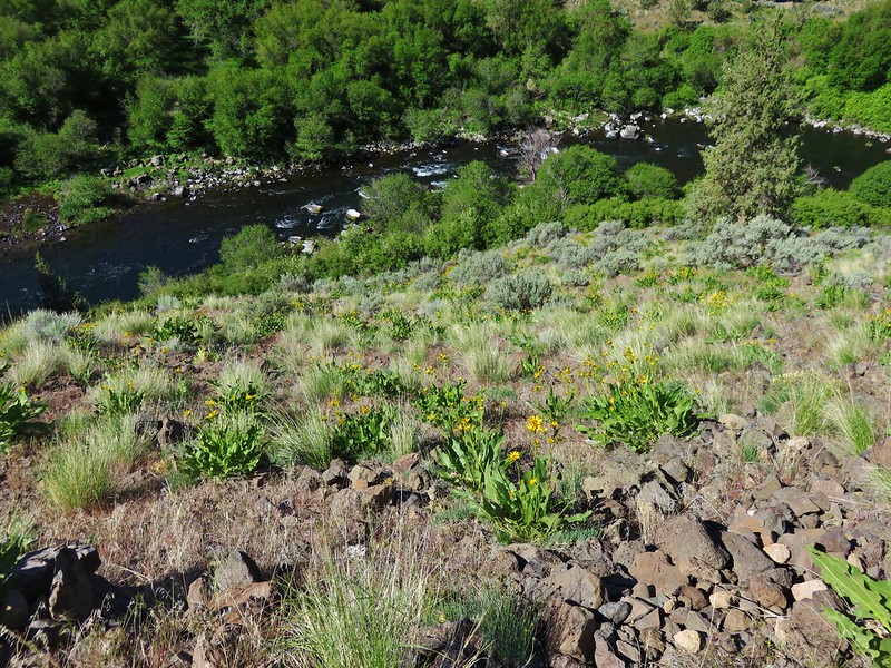
 The Deschutes River from Stag Point.
The view was good from Stag Point, but we were hoping to see more of the river and decided to do a little more cross country exploring by heading SE along the rim from Stag Point to a promising looking rock outcrop.
 Mt. Hood and Mt. Adams from Stag Point.
 Looking back over the route we’d come down.
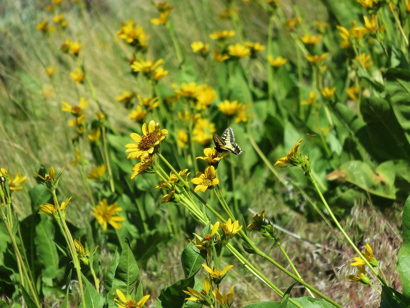
 Ladybug and an Oregon swallowtail.
 Desert yellow fleabane
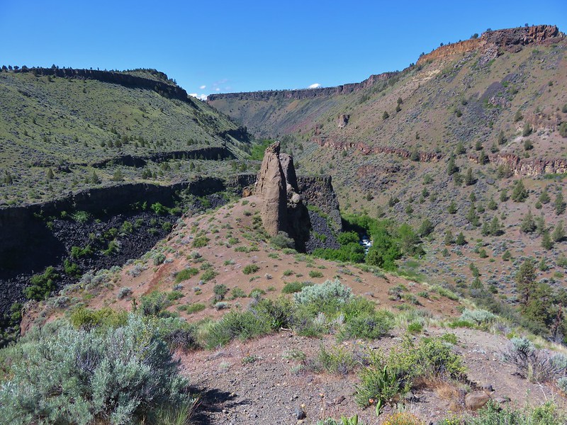
 Heading out to the rock outcrop.
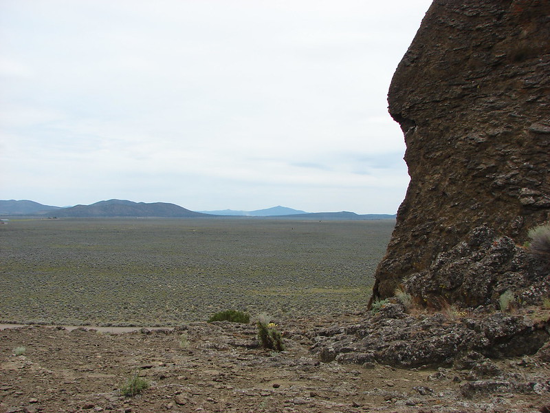
 Mt. Hood and Stag Point from the outcrop.
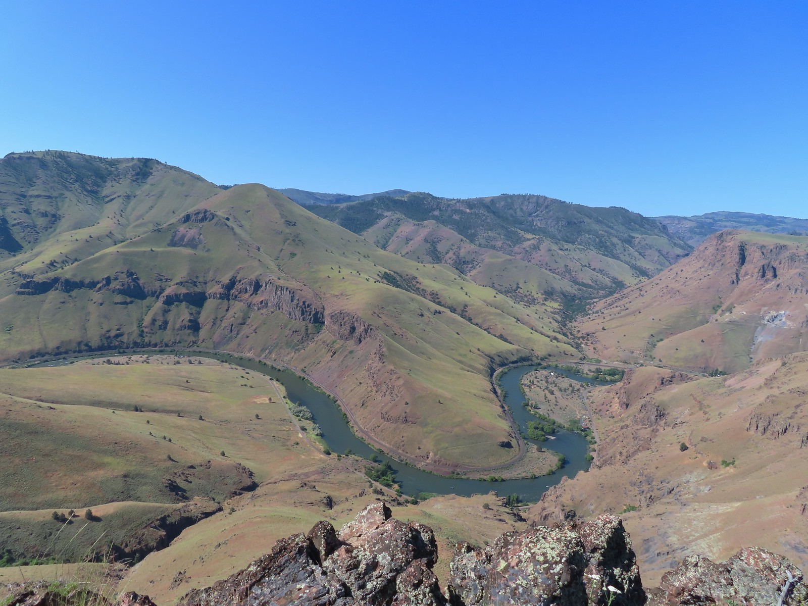 A better view of the Deschutes.
 Mt. Hood beyond the cliffs.
 A buckwheat
Satisfied now with the view we took a short break on the outcrop before heading back. We made our way back to the jeep track by angling back toward the rim where we’d descended. Once we’d reached the track we simply followed it back uphill to the gate at the 4-way junction.
 Stink bug
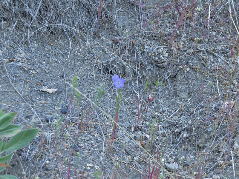
 Silverleaf phacelia
 Back on the jeep track.
 Lupine and balsamroot
 The cows had really chewed this section of the jeep track up.
 The gate ahead.
 Horned lark guarding the gate.
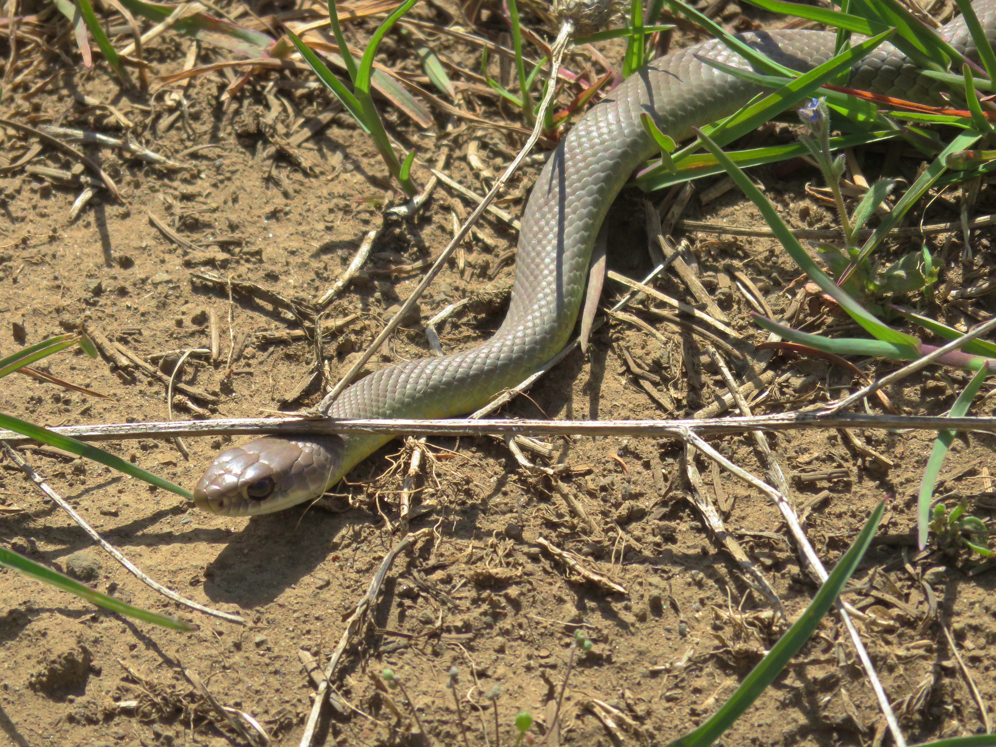
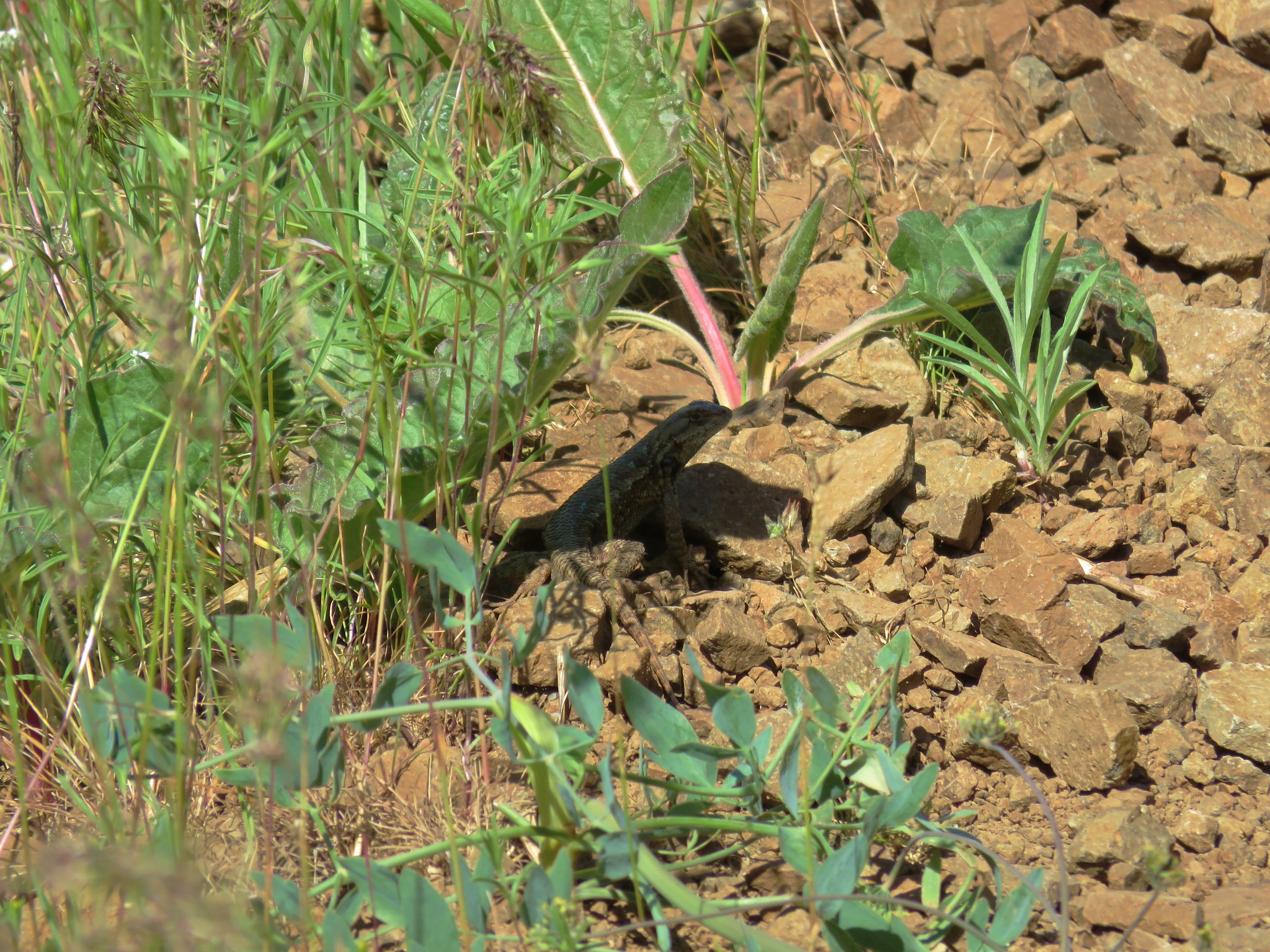
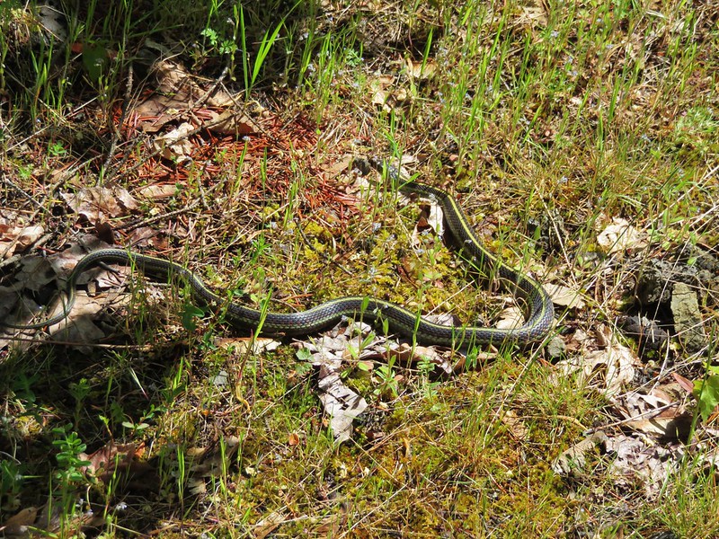
After passing through the gate we retraced our route back to the trailhead. Butterflies were now out in force and we spotted a couple of lizards.
 Mt. Jefferson and Olallie Butte
 Grand collomia
 Time for some sun.
 A butterfly and fly.
 Three butterflies and a fly.
 Busy bee
 This swallowtail was a little rough around the edges.
 Another horned lark on lookout.
 Nothing brings fritillary butterflies together like a good pile of scat.
We had been trying to figure out where the Oregonhikers loop had veered off Criterion Road and as we were discussing it on the way back it donned on us that it must follow the powerlines for a short distance. Neither of us had noticed another jeep track leading off around the powerlines but it made sense because there is almost always an access road below lines. Sure enough when we arrived at the power lines there was a jeep track clear as day.
 Another option for another time. We were just happy to have solved that mystery.
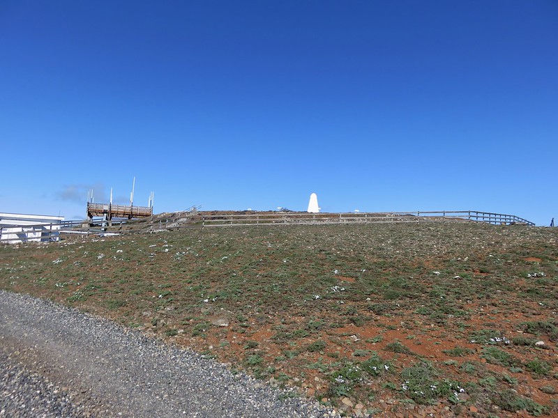
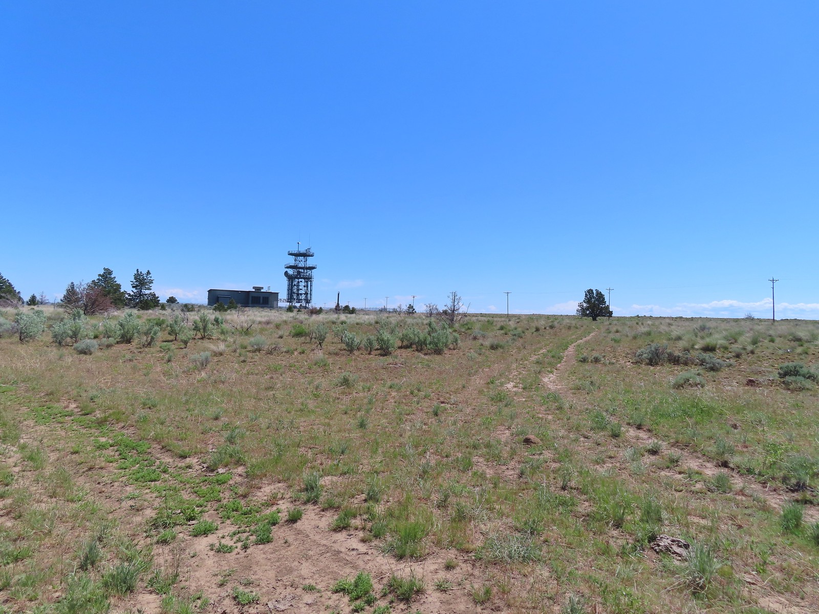
 The Radio Towers on the hill were right next to the trailhead.
 The Three Sisters (from this angle it looks like two)
 Three butterflies and a beetle on buckwheat.
 Another mystery was where did the trail from the South Trailhead (just on the other side of the radio towers) connect. We’d missed the track on the right on our first pass, another question answered.
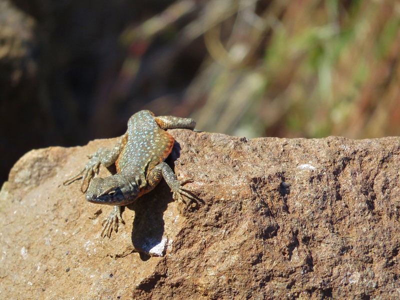
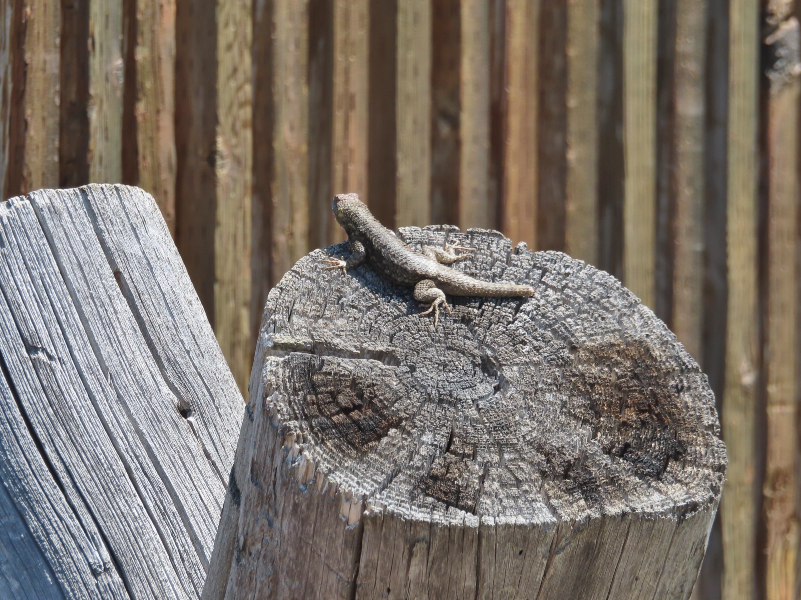 Lizard with half a tail at the trailhead.
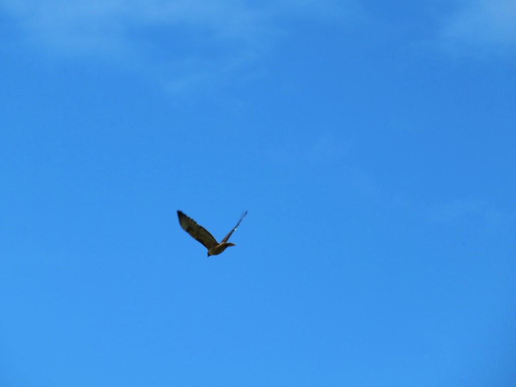
 This mountain bluebird was acting odd when we arrived at the gate. It was flying back and forth with something in its mouth. (Mt. Adams is in the background.)
It turned out to be a grasshopper that it was waiting to feed its young who were apparently in a nest in some nearby rocks.

After we passed by we heard the chicks calling and watched it fly into the rocks with their meal.
This turned out to be an excellent choice for the holiday weekend. We only encountered one other person, a trail runner we passed on our way back to the 4-way junction from Stag Point. The late wildflower season played to our advantage and the weather was good. It can get really hot and/or really windy there but on this day a reasonable breeze kept the temperature down without blowing us around. The rough tread was really the only downside to the hike, but that wasn’t too bad overall.
Our hike came in at 10.6 miles with roughly 700′ of elevation gain.

We definitely plan on returning to try Sullivan’s route from below someday and possibly trying to follow the Oregonhikers loop sometime as well. Happy Trails!
Flickr: Criterion Tract
 Mt. Hood from the trailhead.
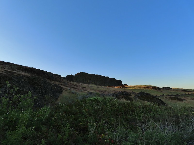
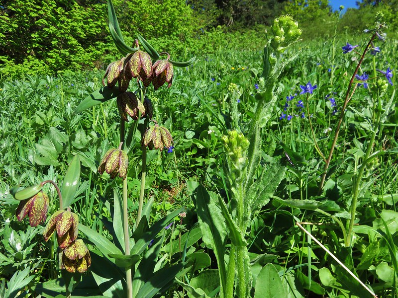
 Death camas
 Western stoneseed
 Fiddleneck
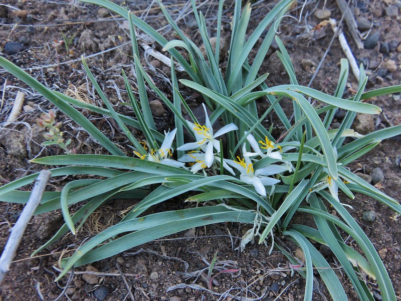
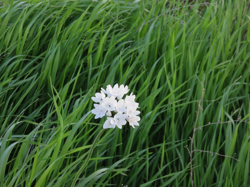
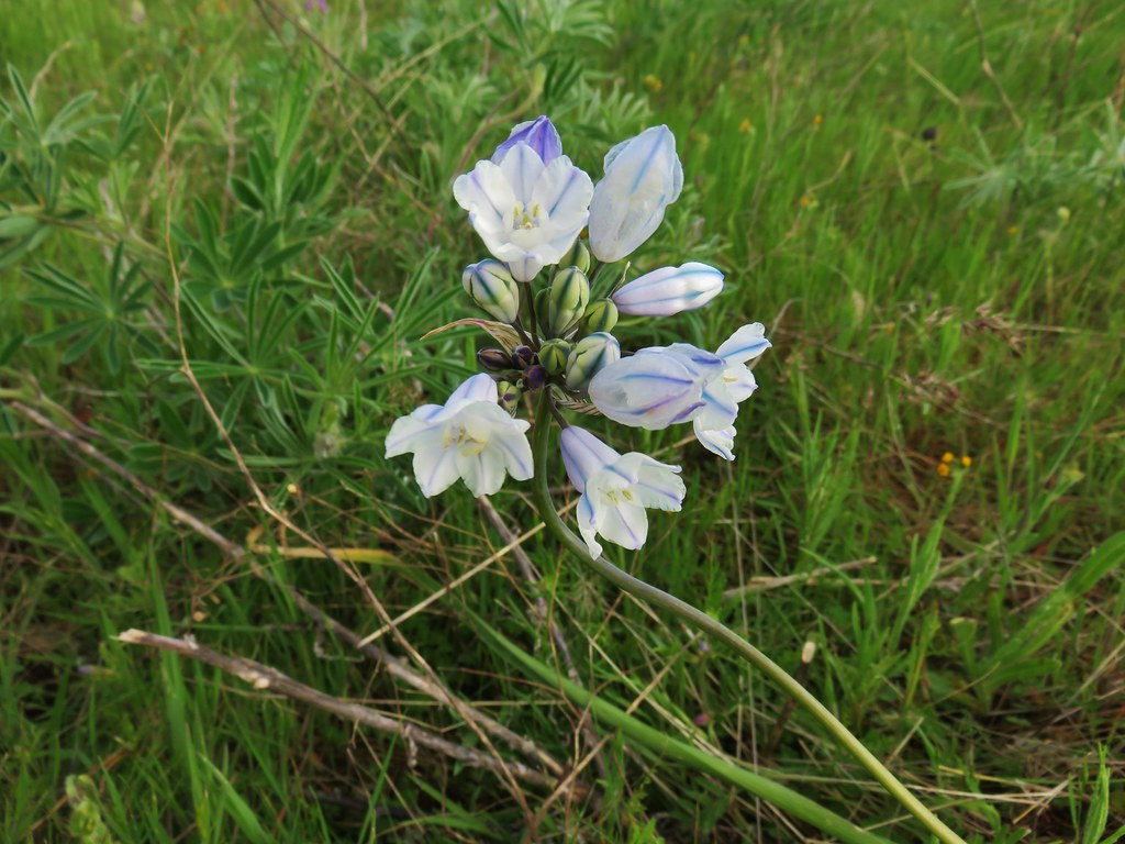
 Large-flower tritelia
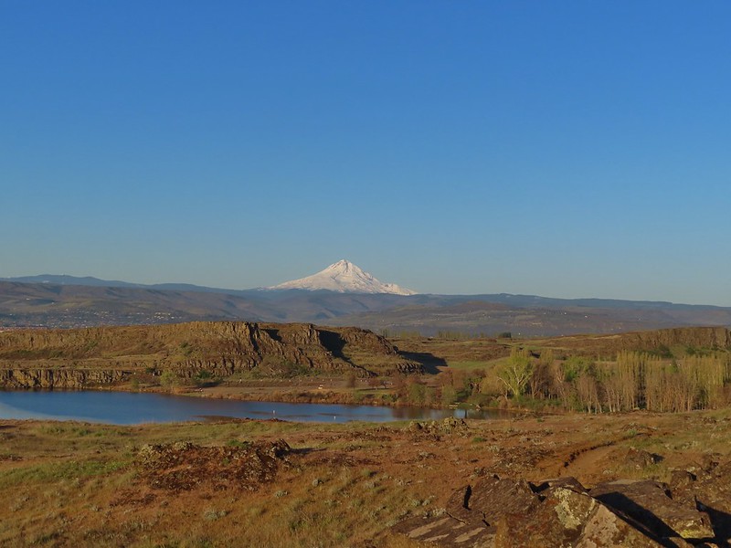 Mt. Hood beyond Horsethief Lake
 Standing at the fence looking east.
 Wren
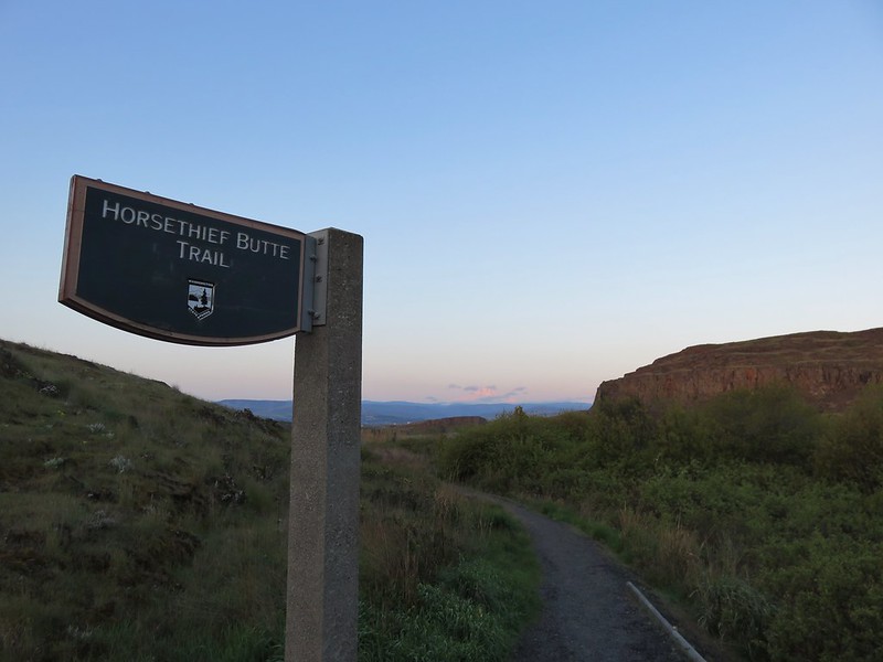
Wren Horsethief Butte
 Lupine


 Horsethief Butte and Mt. Hood from the viewpoint.

 Purple cushion fleabane
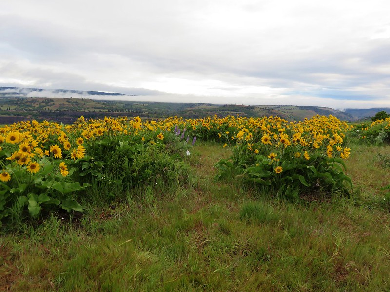
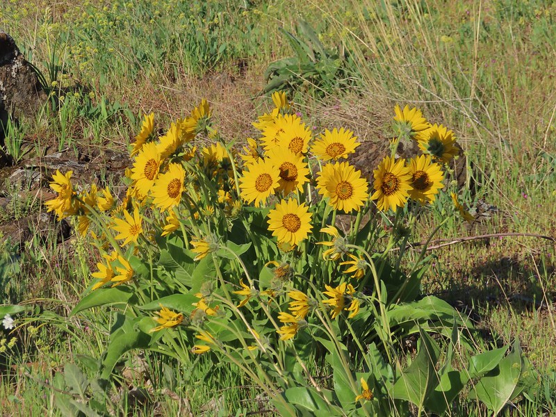 Balsamroot
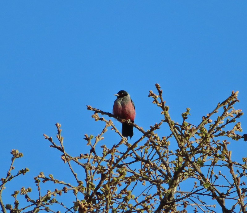

 Western bluebird
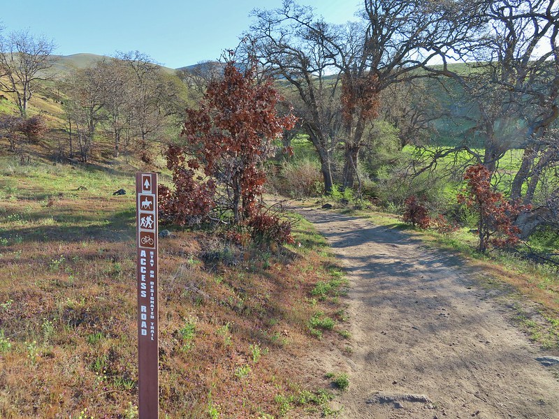
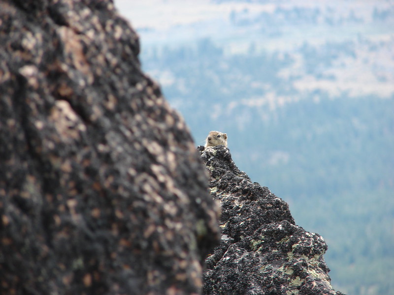
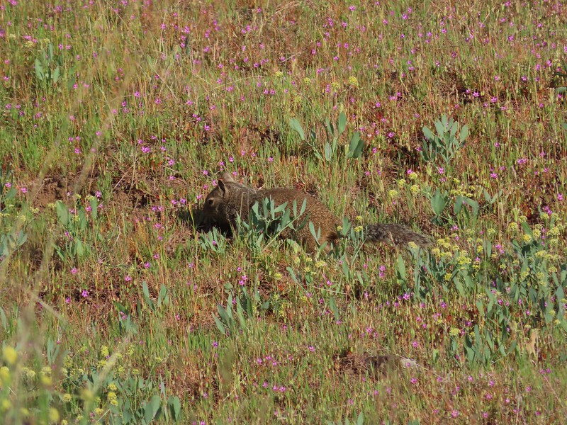 Ground squirrel


 Lupine, balsamroot and parsley
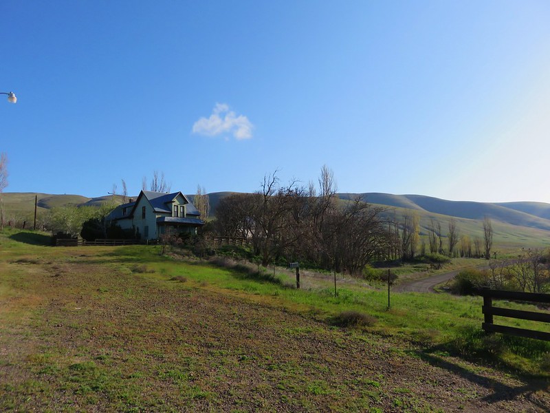
 The Crawford Ranch Complex ahead to the left.
 Phlox
Phlox


 Approaching the fence line.
 Yellow-rumped warbler
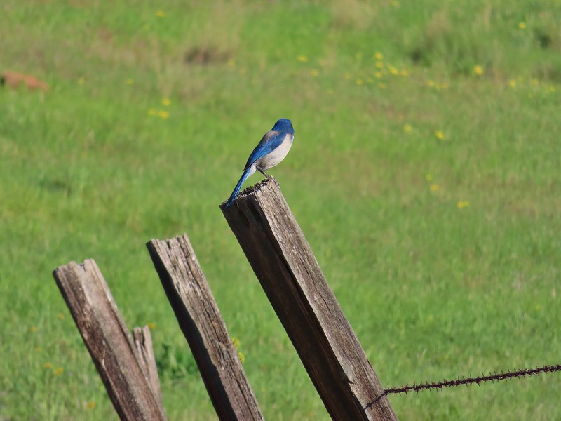 Back of a scrub jay


 Mt. Hood
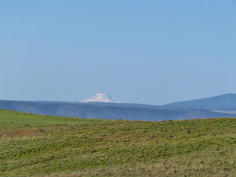 Mt. Jefferson
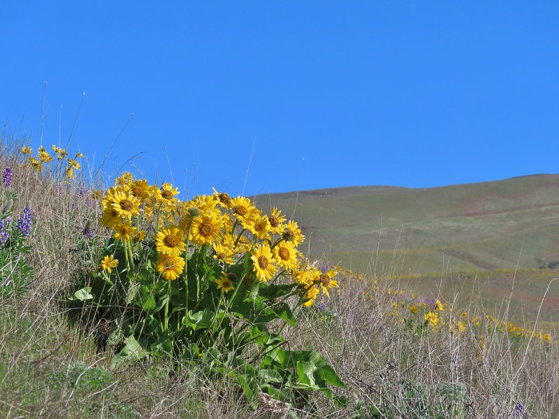


 Yakima milk-vetch
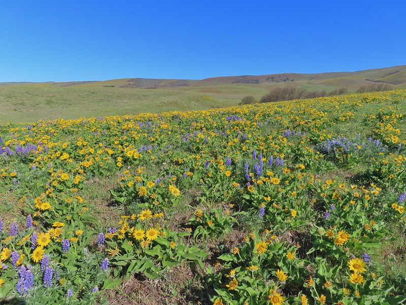


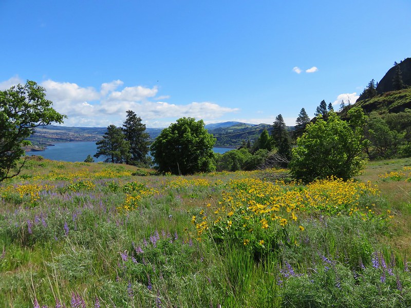
 The Columbia River, Horsethief Butte, and Mt. Hood
 Death camas
 Large head clover
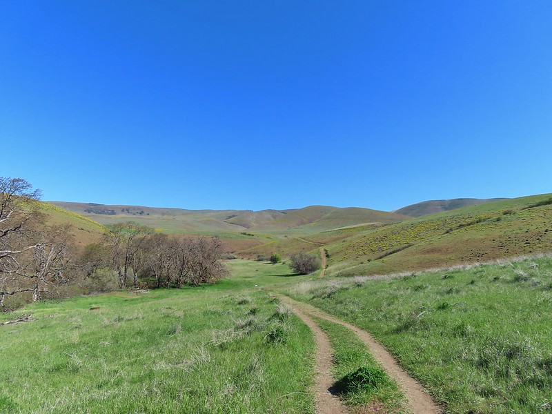 Approaching the junction.
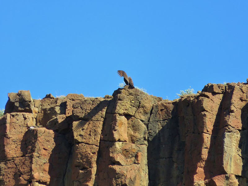
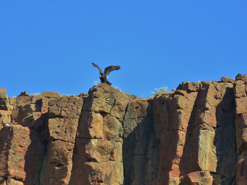
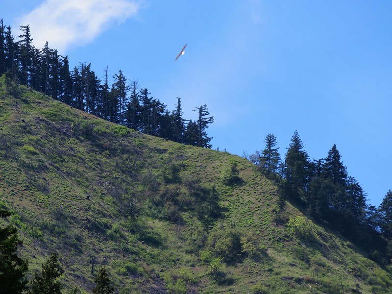
 Hawk watching all the hikers.
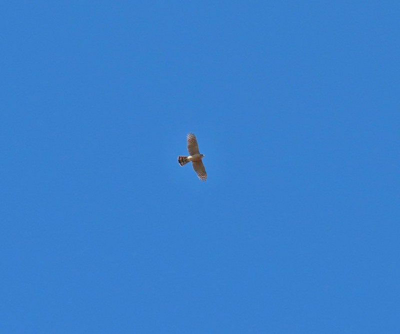 A different hawk? watching the goings on.
 Western fence lizard watching everything.
 Poppy, manroot, and red-stemmed storksbill
 The crowded trailhead

 While both were part of the Crawford Ranch, Stacker Butte is not part of the Columbia Hills State Park but is part of the Columbia Hills Natural Area Preserve.
 Yakima milk-vetch
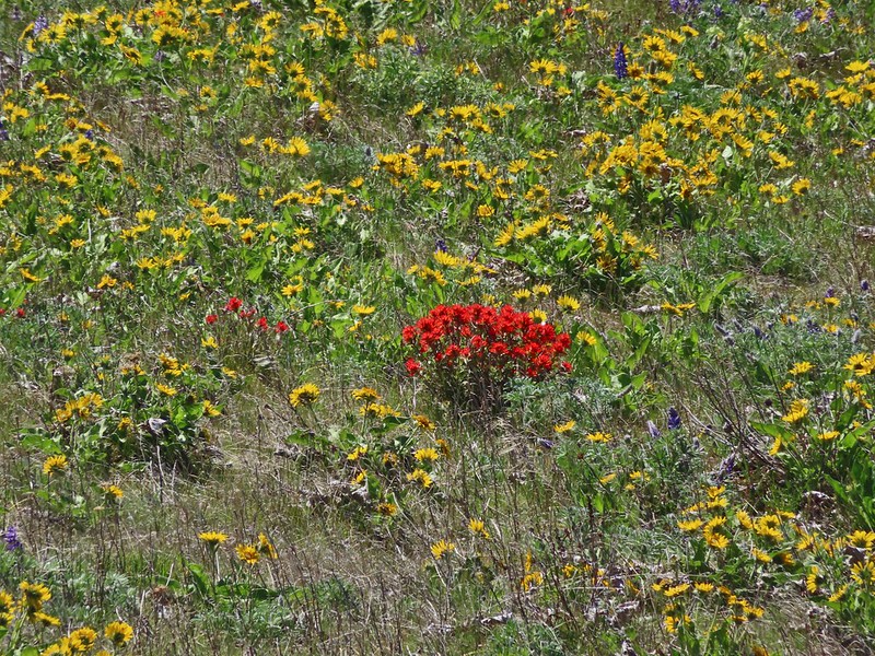 Paintbrush amid the balsamroot.
 Phlox
Phlox
 Big-seed biscuitroot
 Sicklepod rockcress
 Sagebrush false dandelions
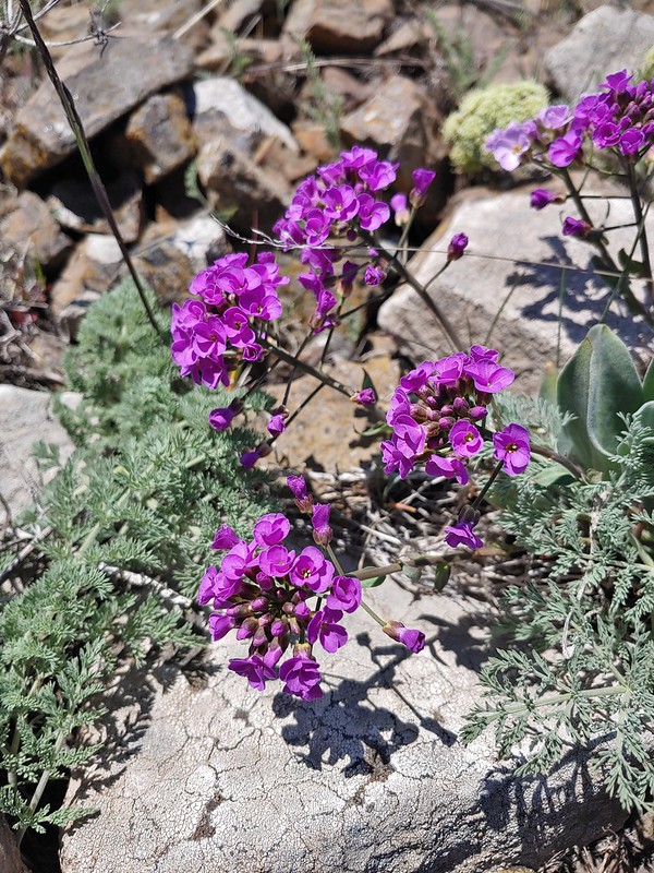 Daggerpod
 Daggerpod
 Slender toothwort?
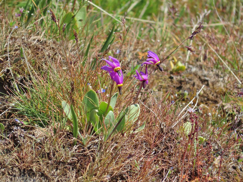 Shooting stars in front of a little blue-eyed Mary
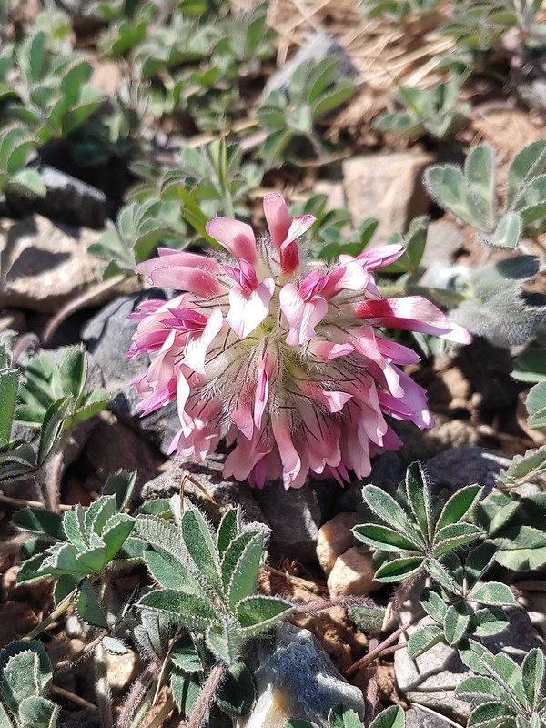 Large head clover
 Popcorn flower
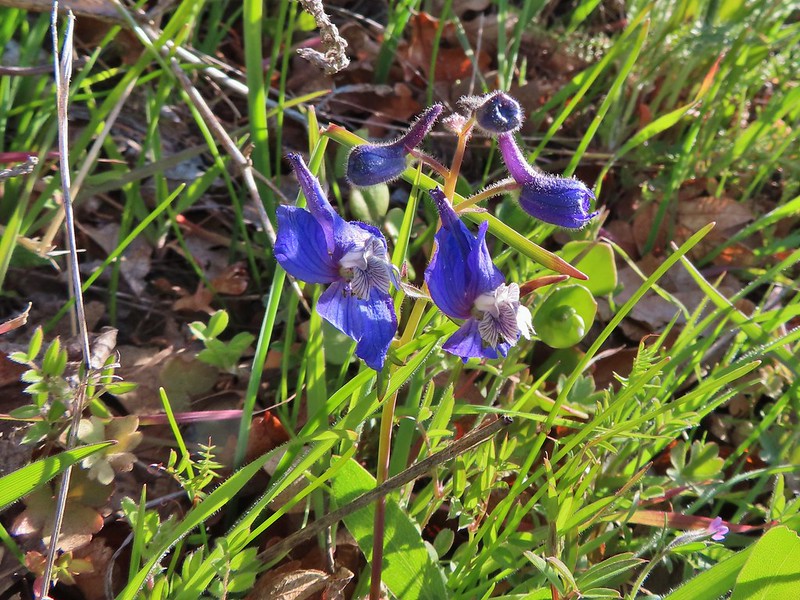
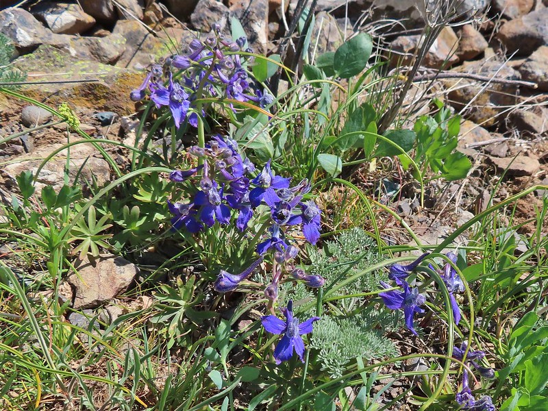 Larkspur
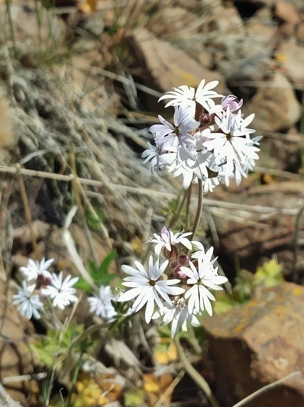 Woodland stars
 Mt. Adams
 Mt. Rainier
 Goat Rocks
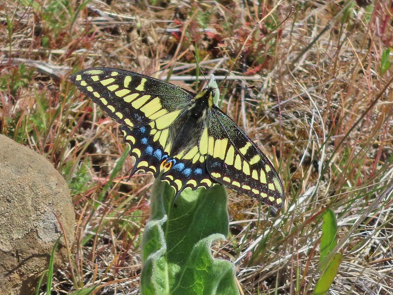 Swallowtail
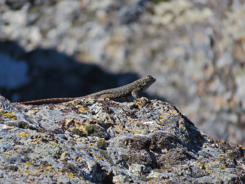
 Western fence lizards
 White crowned sparrow
 Another sparrow
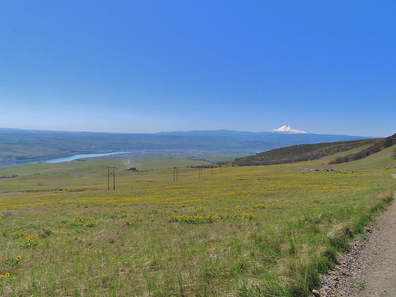 Mt. Jefferson and Mt. Hood as we neared the trailhead.
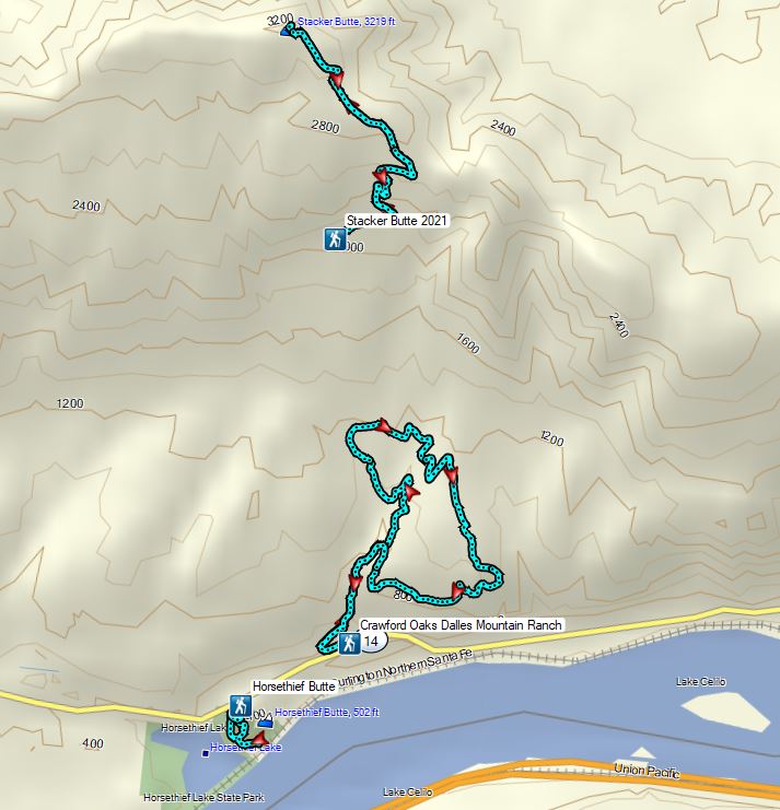

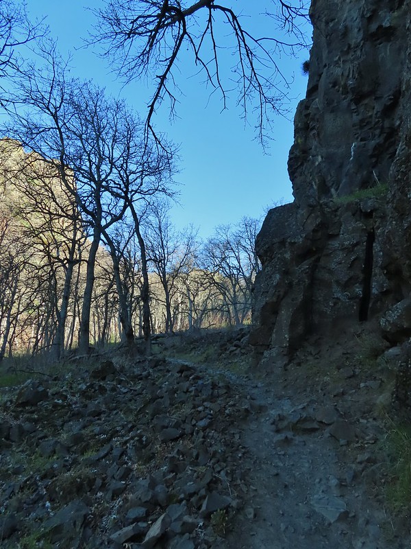
 Bench at a switchback.

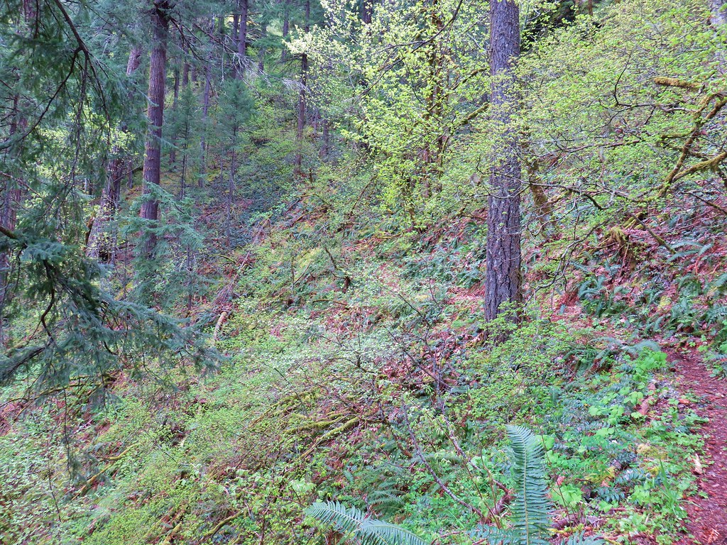
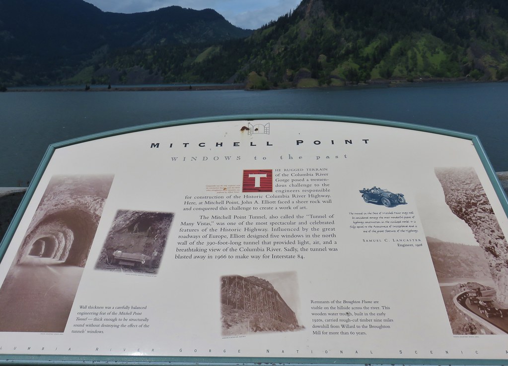
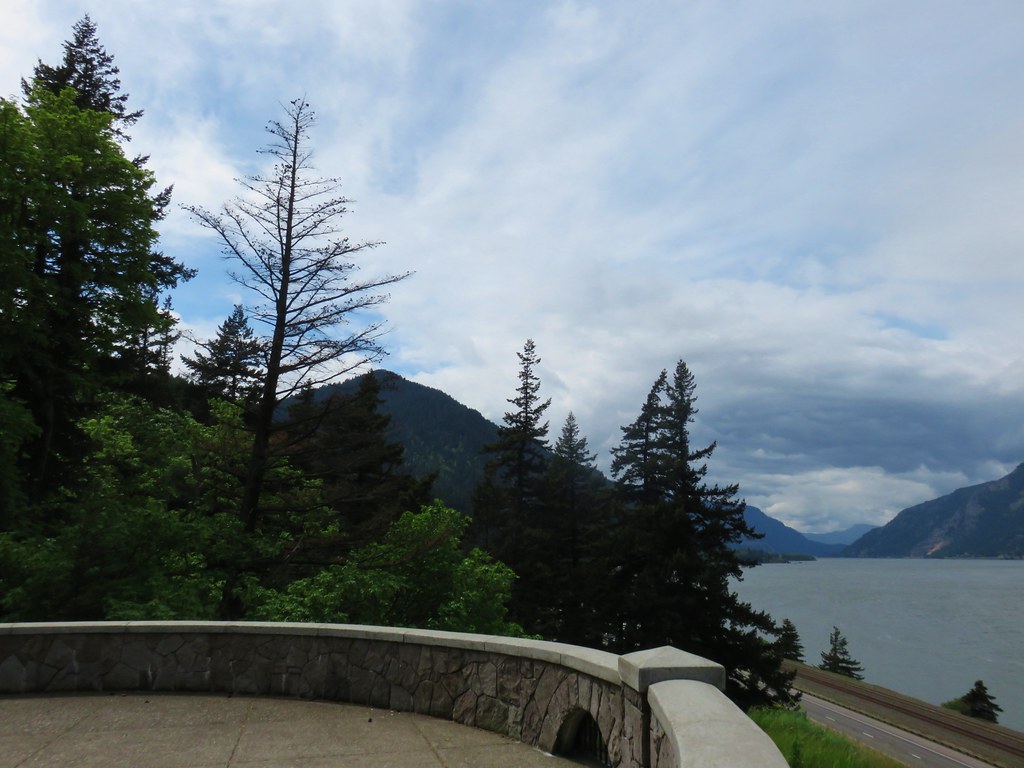
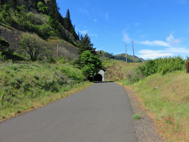
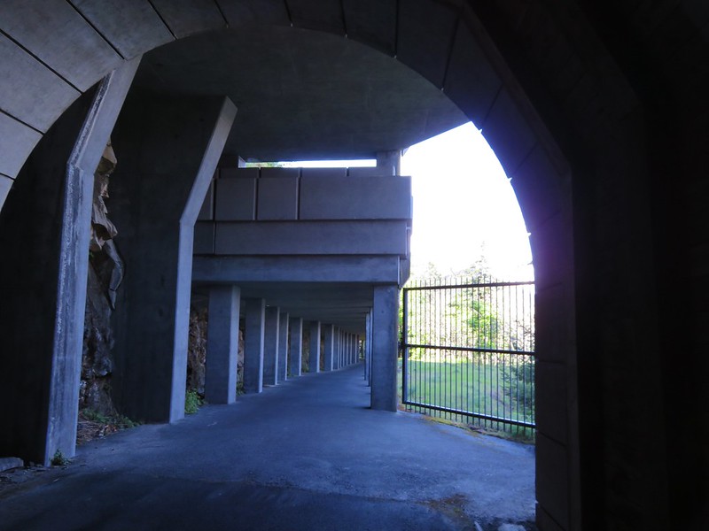
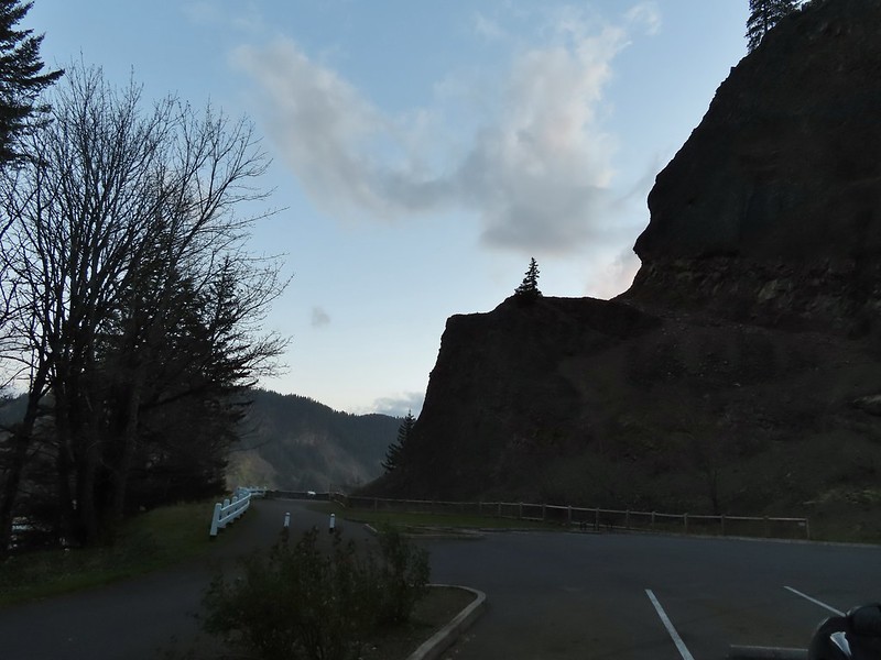
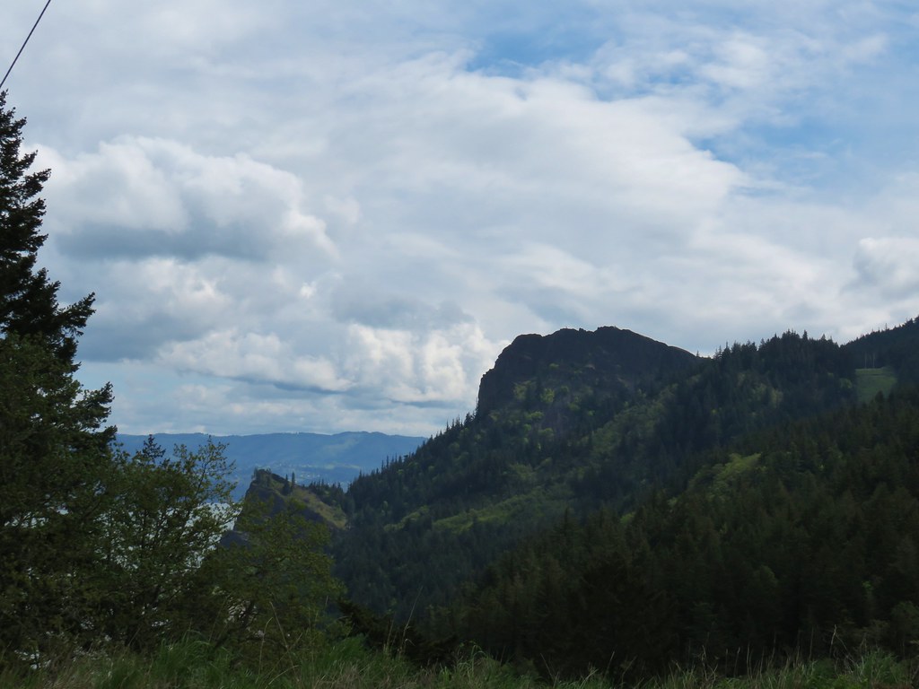
 Reroute below Mitchell Point
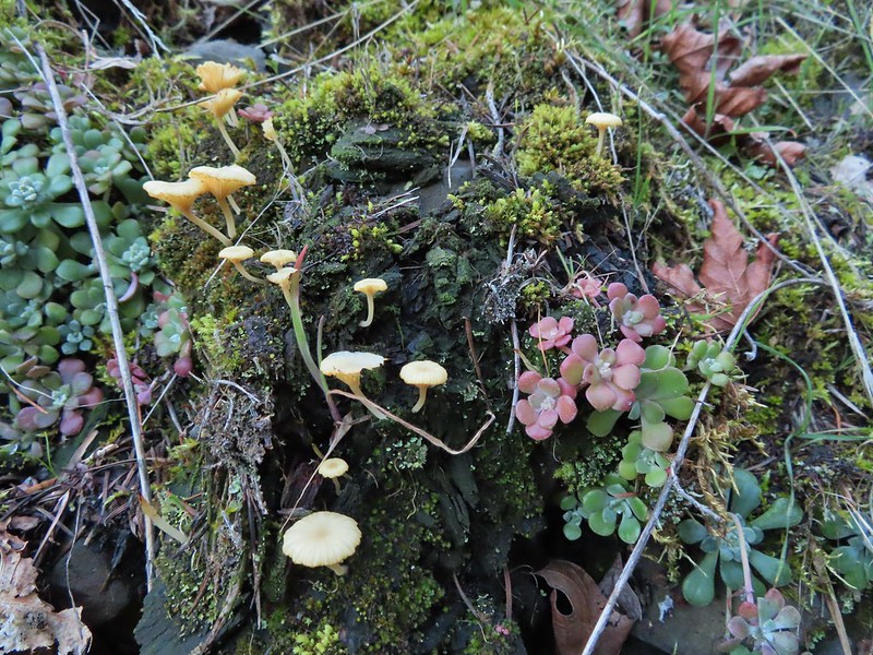 Mushrooms’ and some sedums.

 Houndstongue
 Grass Widows
 Woodland stars
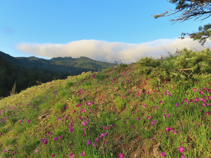
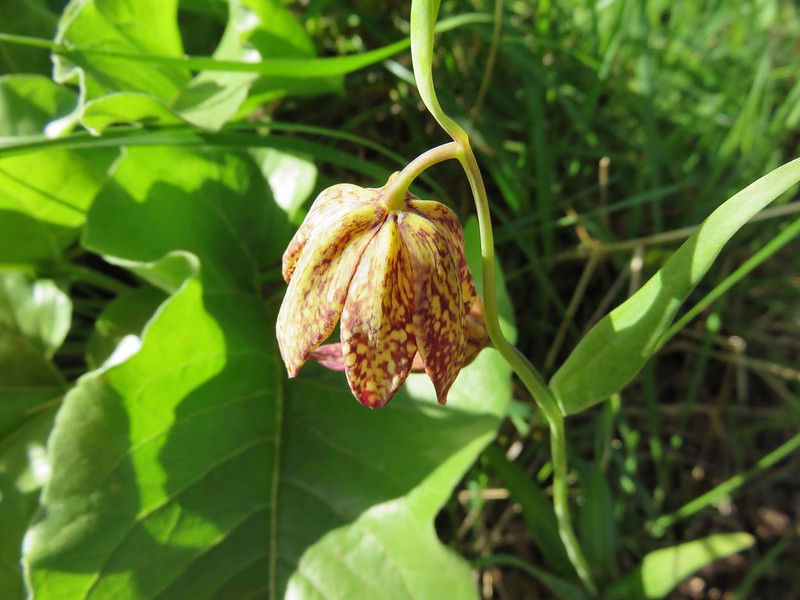
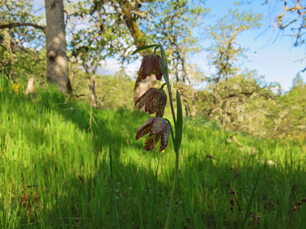
 Yellow bell lily
 Desert parsley and woodland stars
 A saxifrage
 Gold stars and woodland stars
 Looking west
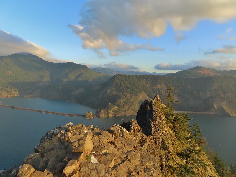 North across the Columbia River into Washington
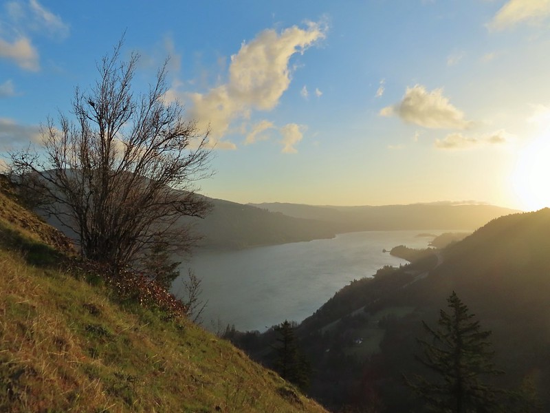 East
East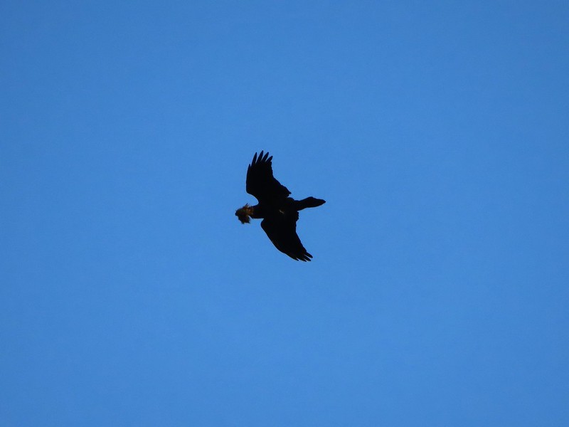 Looks like moss for a nest maybe?
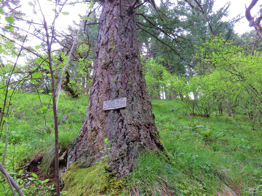
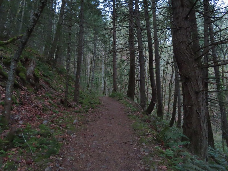
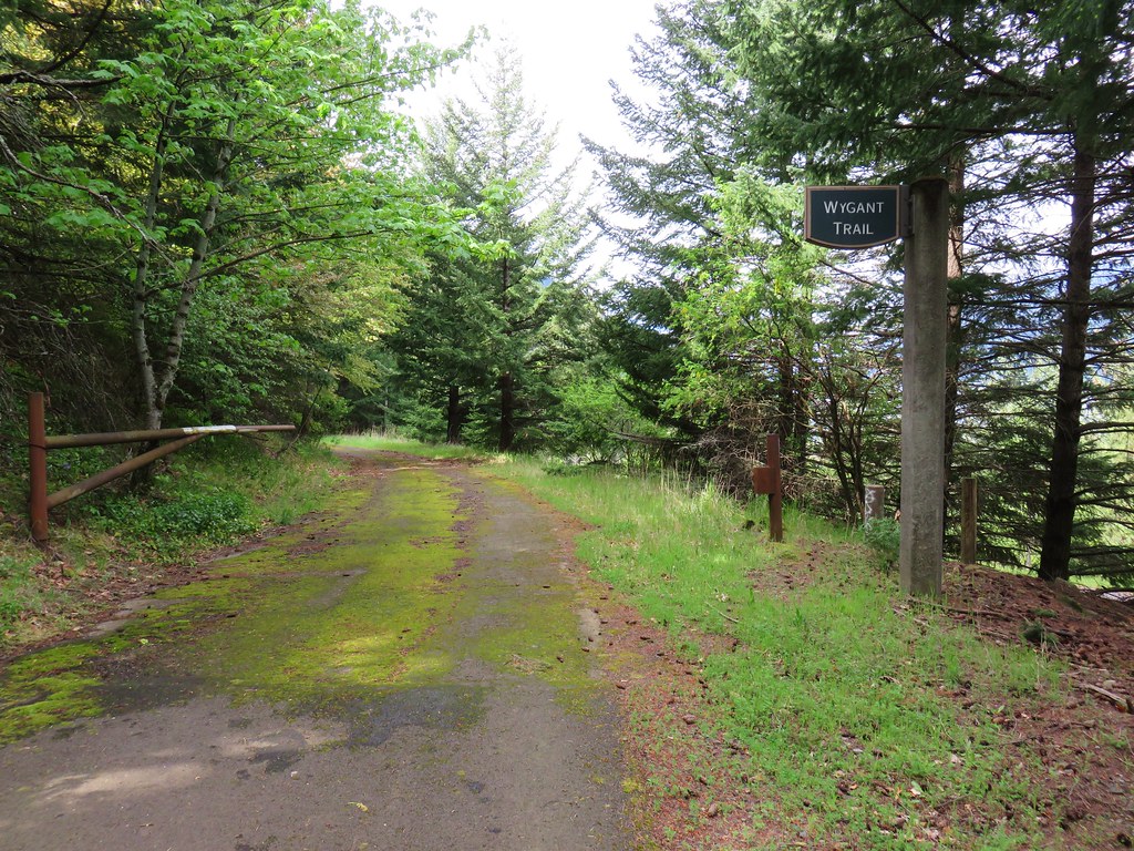
 Turkeys on the Wygant Trail
 Red leaves of poison oak behind a death camas
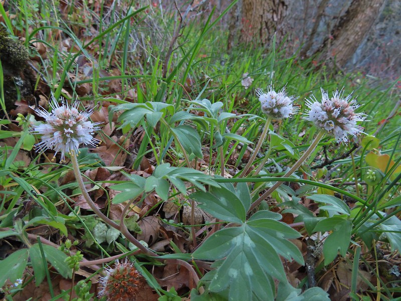 More poison oak behind a waterleaf
 Poison oak around some balsamroot


 Fiddleneck
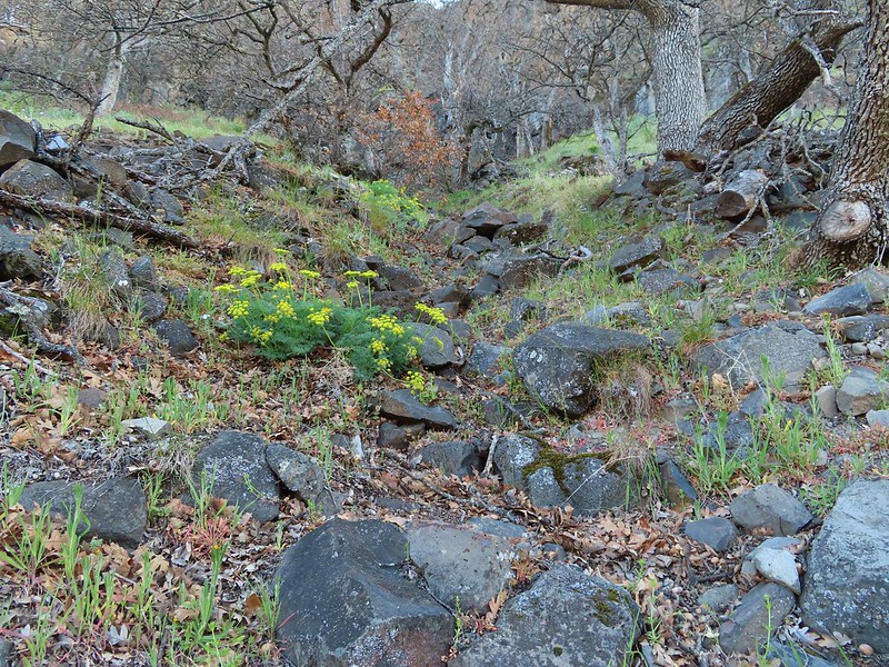 Desert parsley
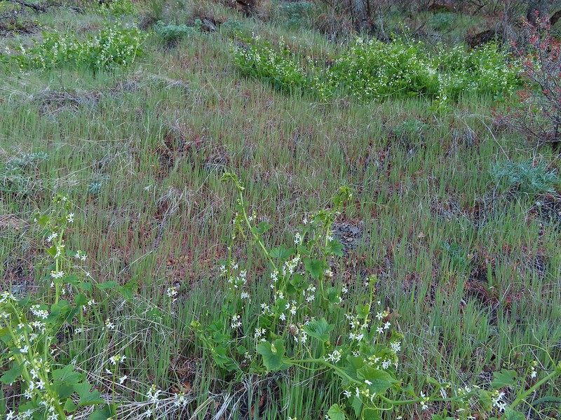 Manroot
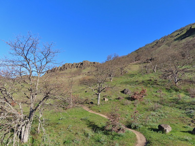
 Lots of death camas blooming on the plateau.
 Looking up at the cliffs above.
 Balsamroot blooming below the rim.

 Balsamroot
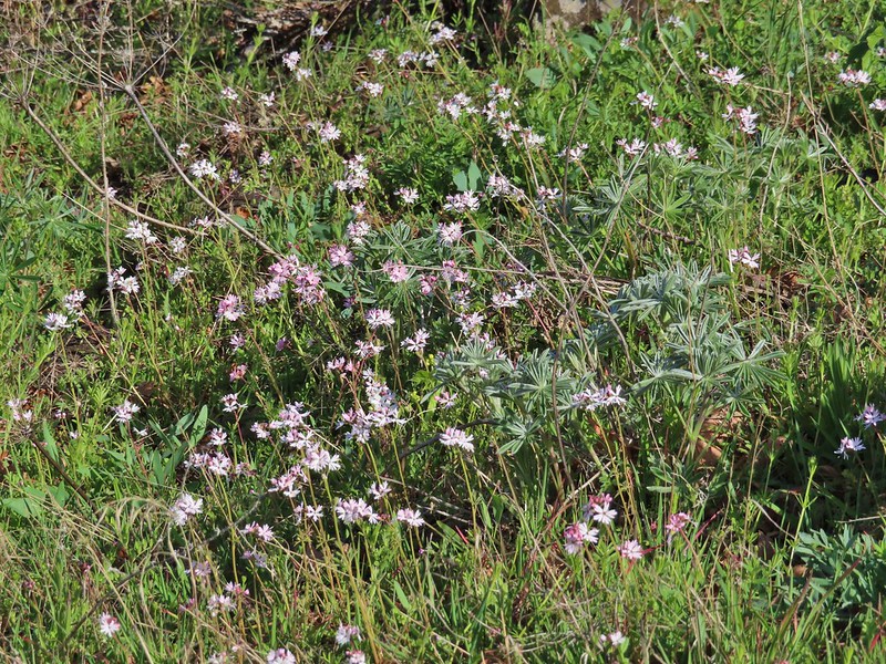 Woodland stars with some lupine leaves
 Columbia desert parsley
 A biscuitroot
 Balsamroot
 Balsamroot
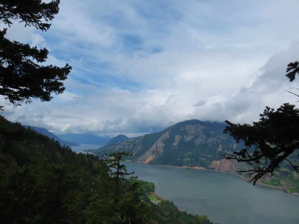
 View west (With a snow capped Mt. Defiance (
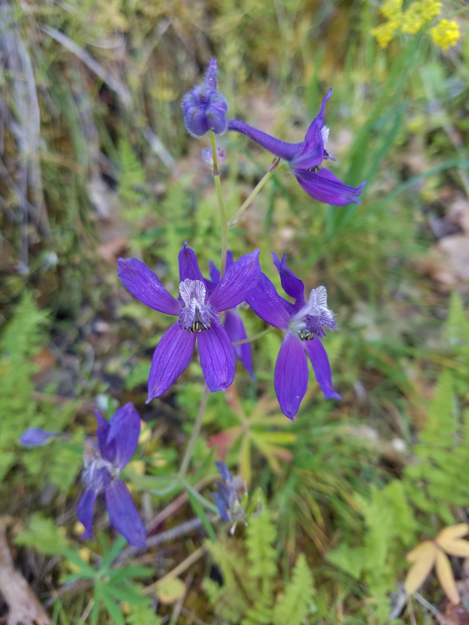
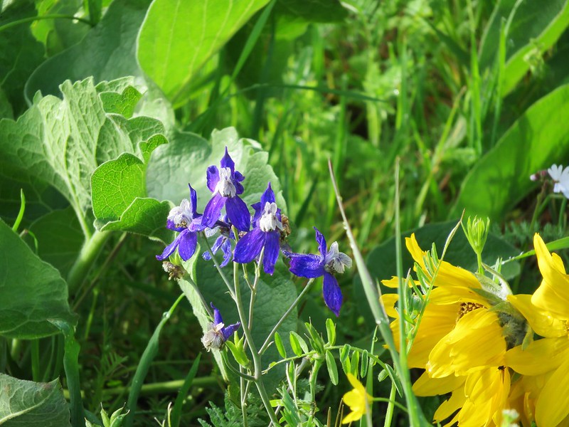
 Larkspur
 Buttercups
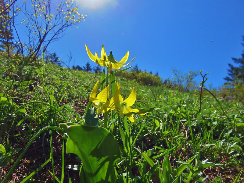
 Glacier lilies
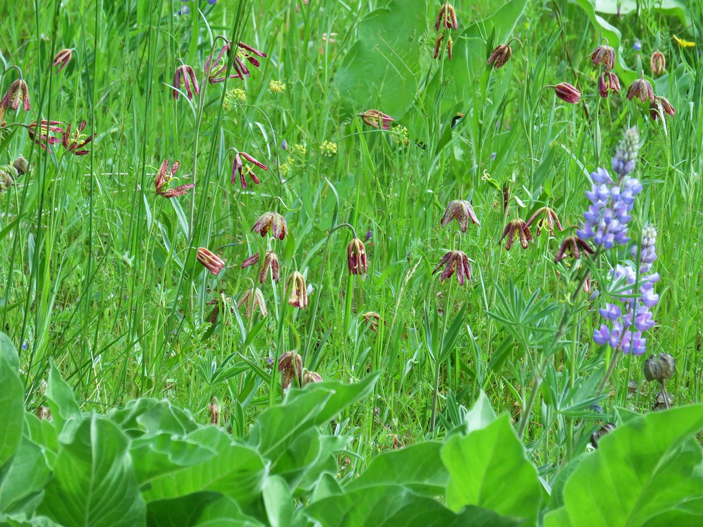
 Yellow bell lily, woodland stars, grass widows and shooting stars.
 Yellow bell lilies
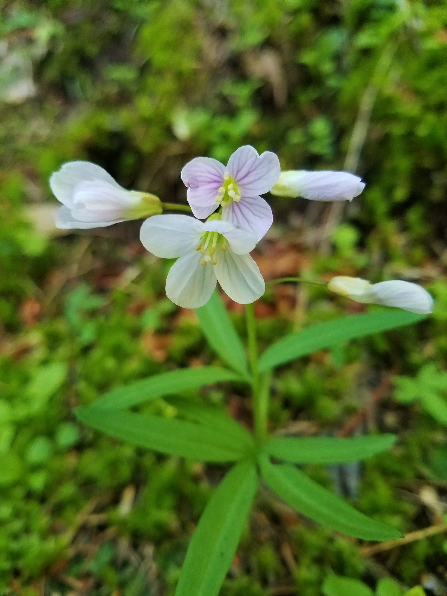
 Toothwort
 Sagebrush false dandelions
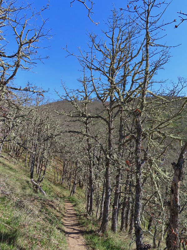
 Tortoiseshell butterfly
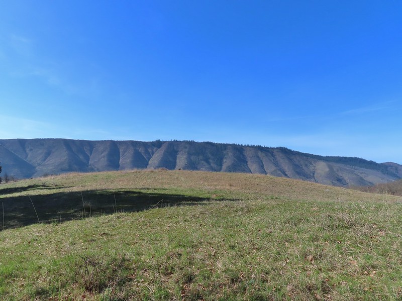


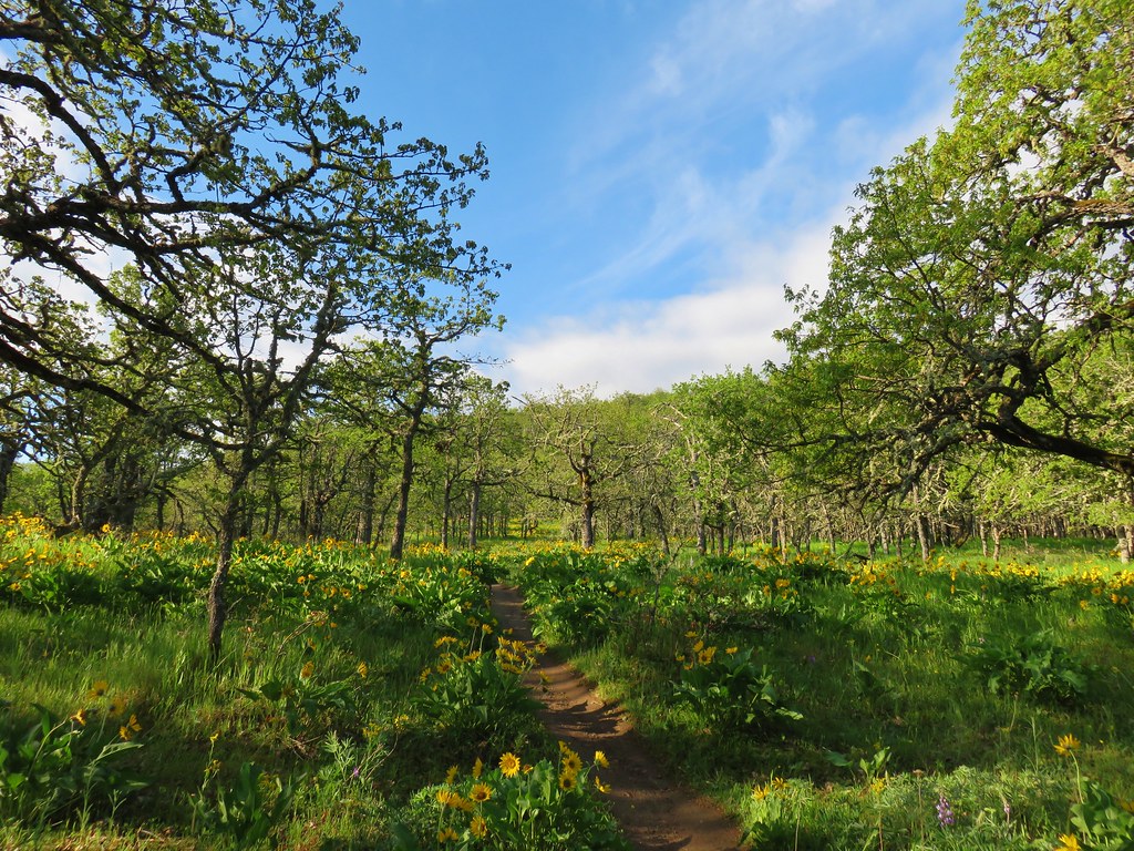
 Tom McCall Point and the Rowena Plateau with Mt. Defiance in the distance.
 Hikers on the trailhead and below.
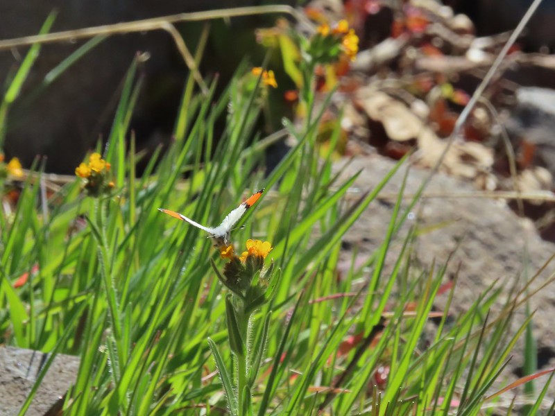 Just my third photo of an orange-tip.
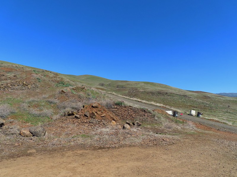
 Mt. Hood and Columbia desert parsley from the first knoll we tried.
 Top of knoll #1.
 A lone balsamroot blossom.
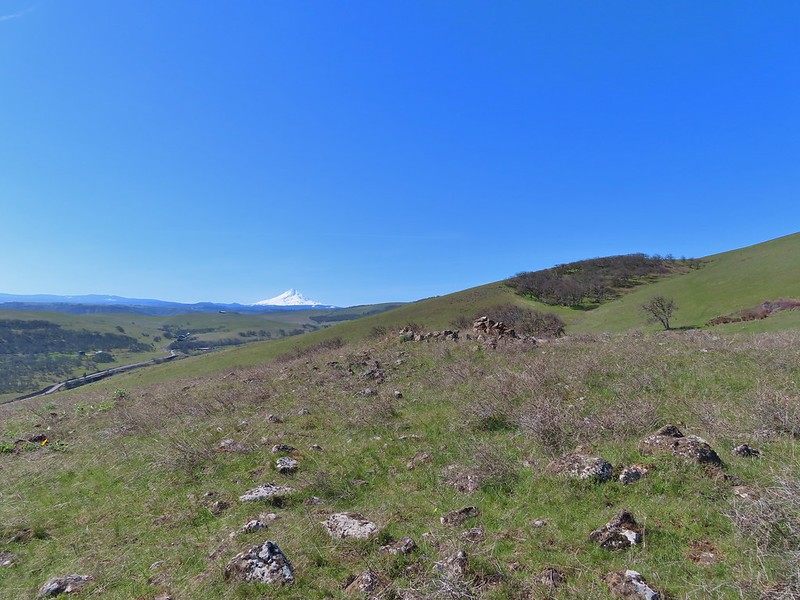
 The path leading past the spring to the oaks.
 The spring
 Back on the right side
 Balsamroot surrounded by some little white flowers.
 Lupine thinking about blooming.
 Larkspur
 Yellow bell lilies
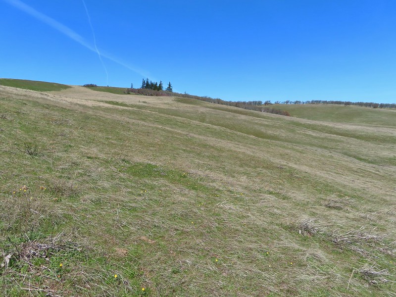
 We didn’t notice any poison oak here.
 A grass widow at the viewpoint.
 Mt. Adams
 Mt. Hood over the oak stand.


 The Dalles beyond the fence line.
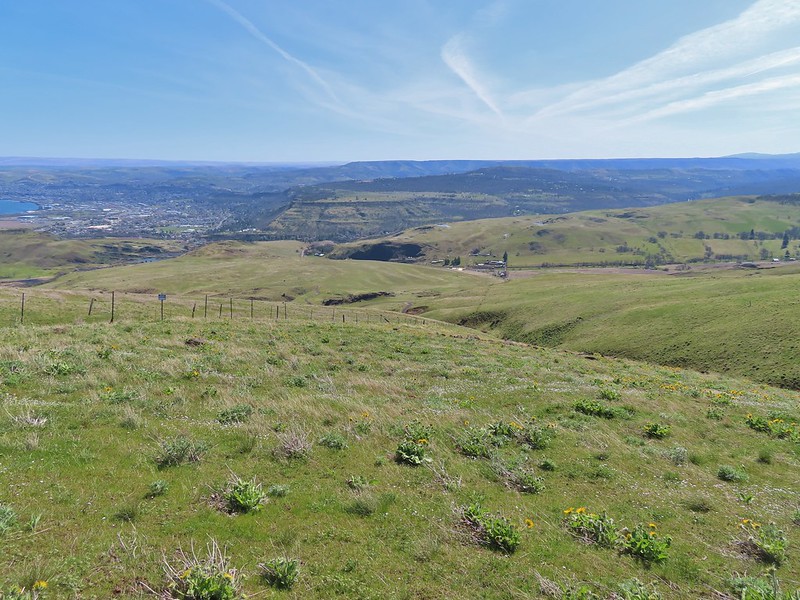 Heading down the fence line.
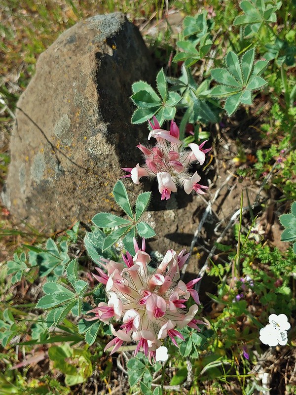 Large head clover
 A lupine with blossoms.
 Hillside covered in Columbia desert parsley
 Our car had been joined by one other. (middle left of photo)
 Gooseberry Creek
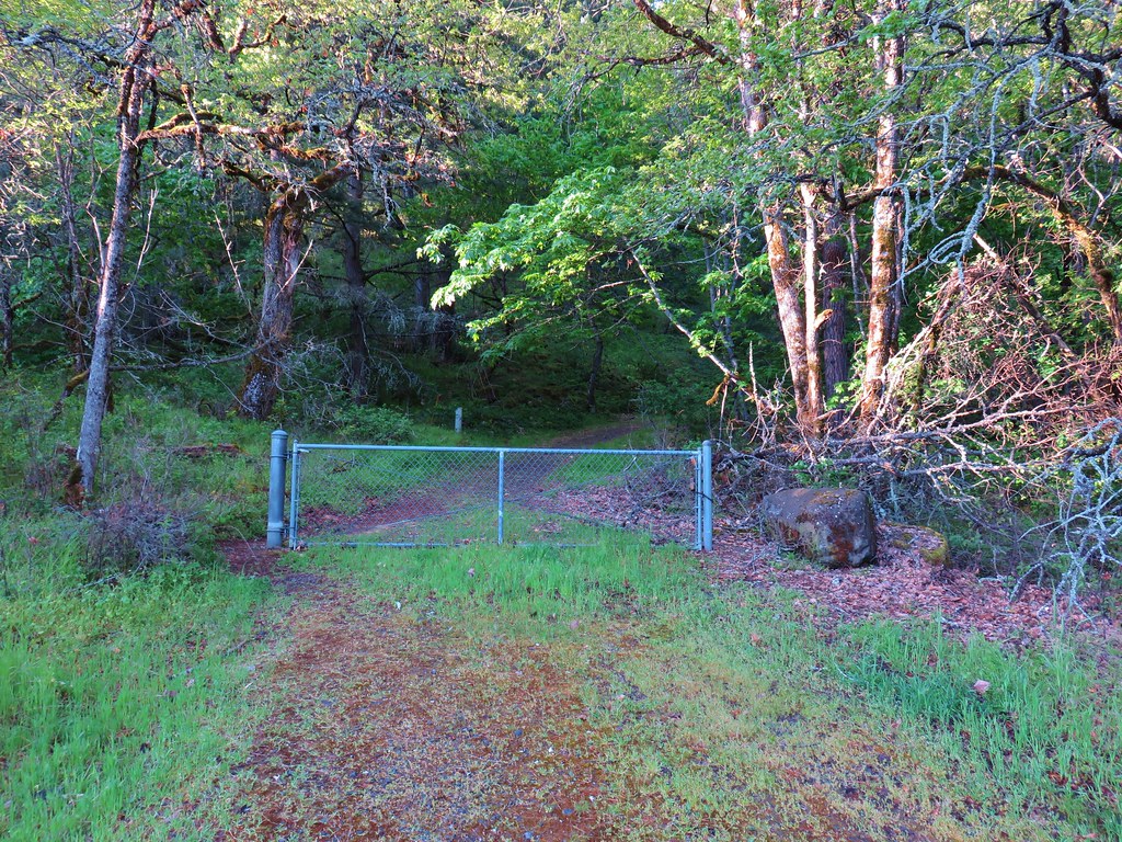

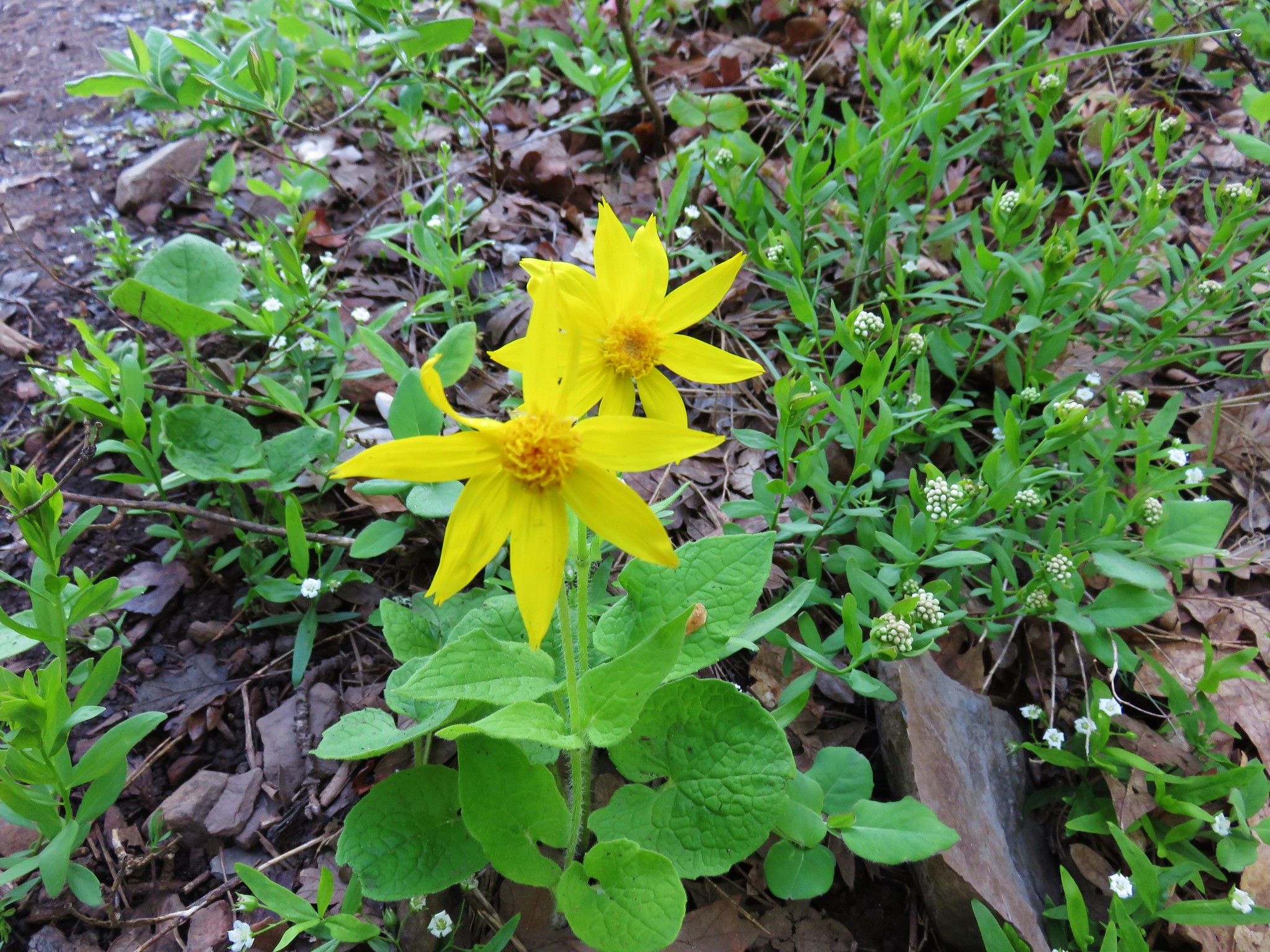
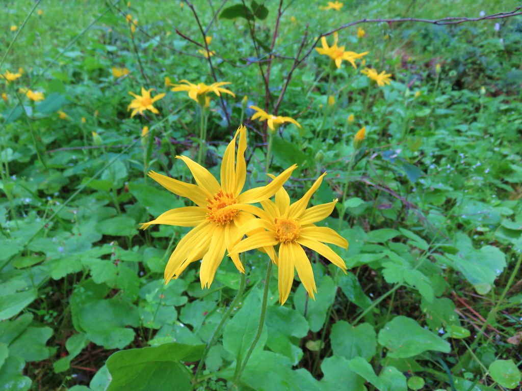 Arnica
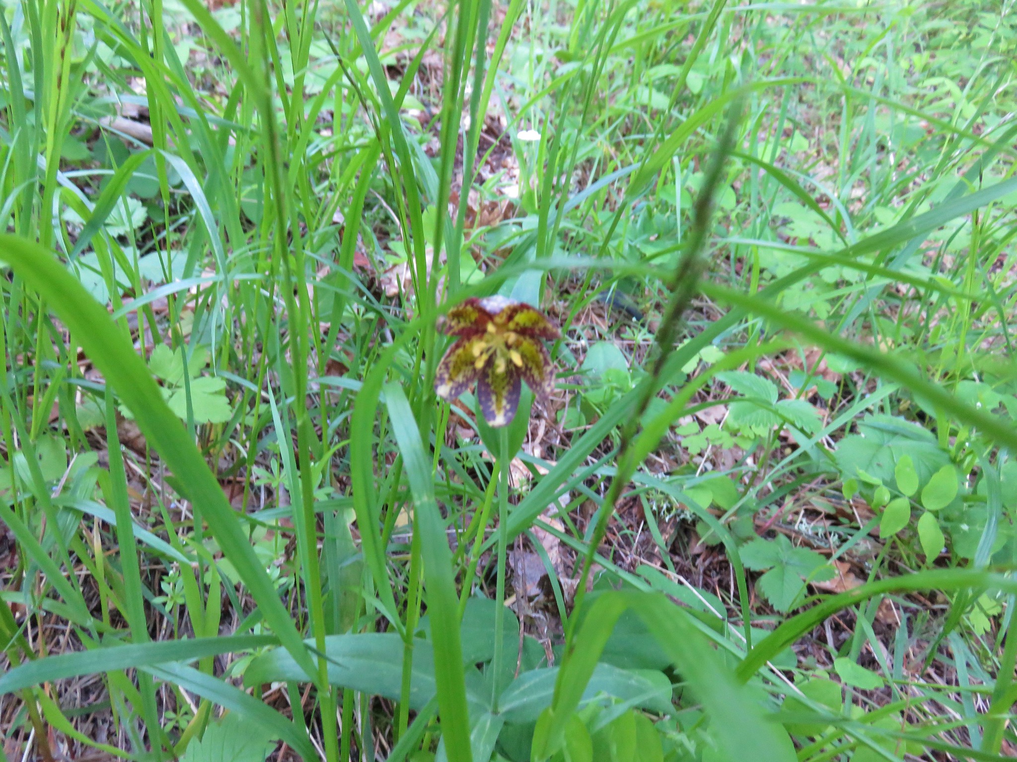
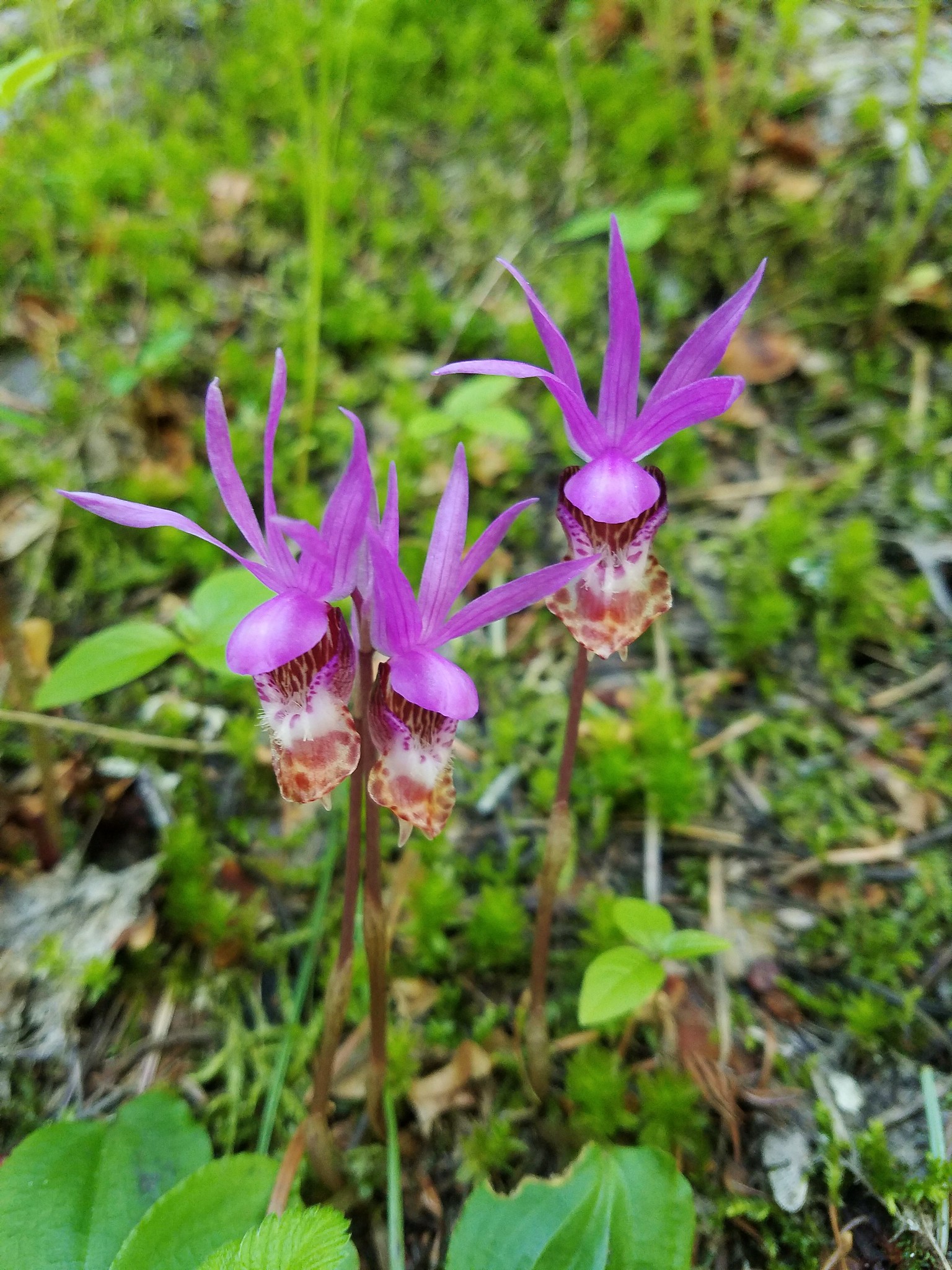
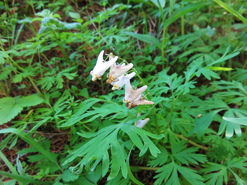
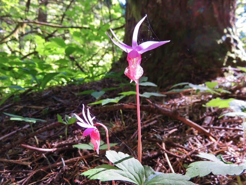
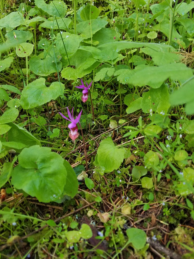 Fairy slippers
 Paintbrush
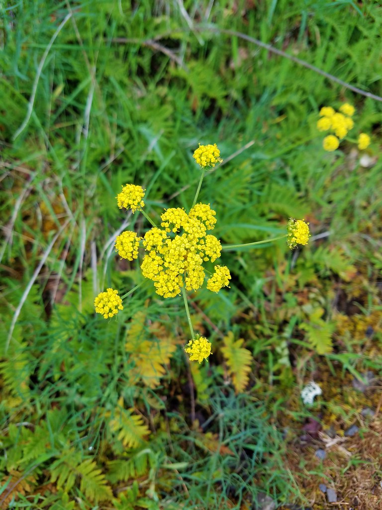 Desert parsley
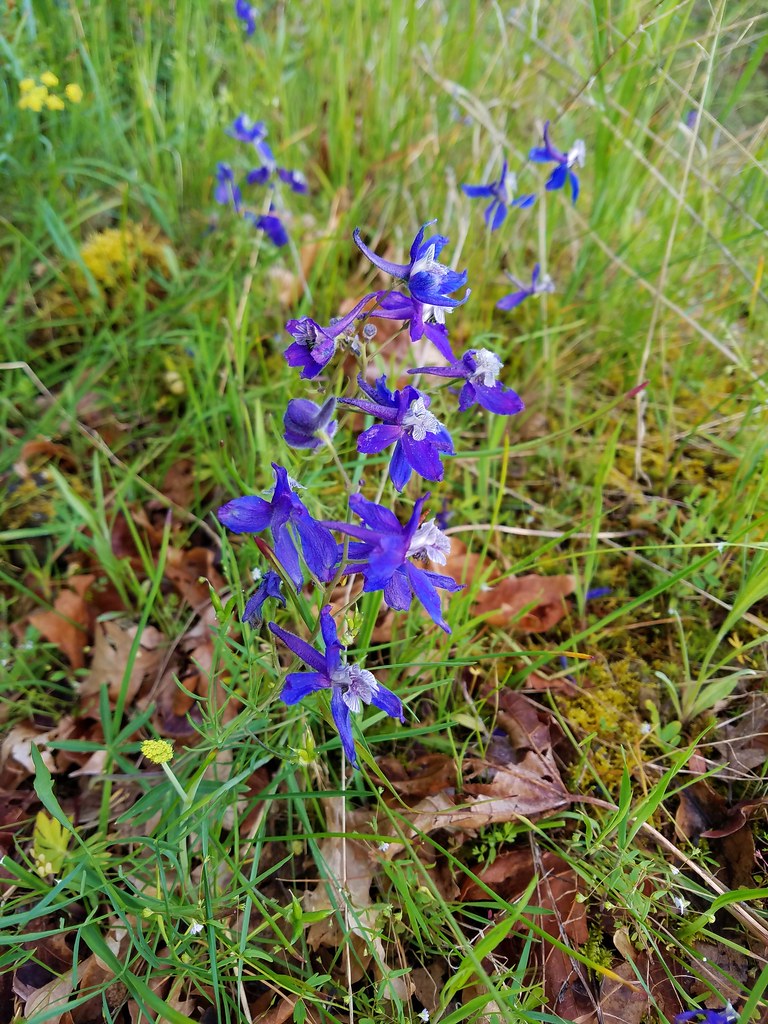 Larkspur
 Vetch
Vetch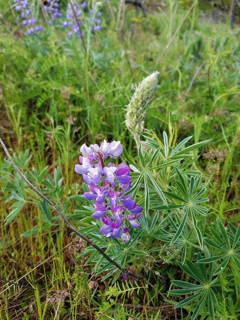 Lupine
 Broomrape
 Shooting star
 Manroot
 Prairie star
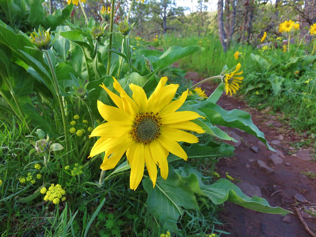 Balsamroot
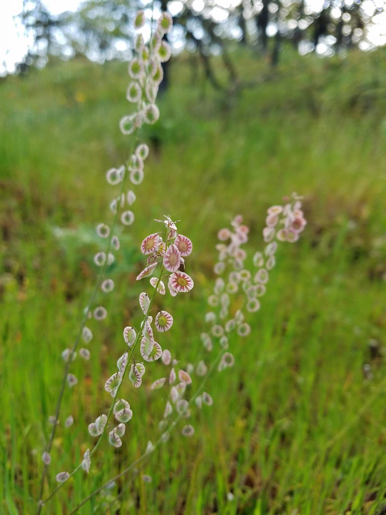


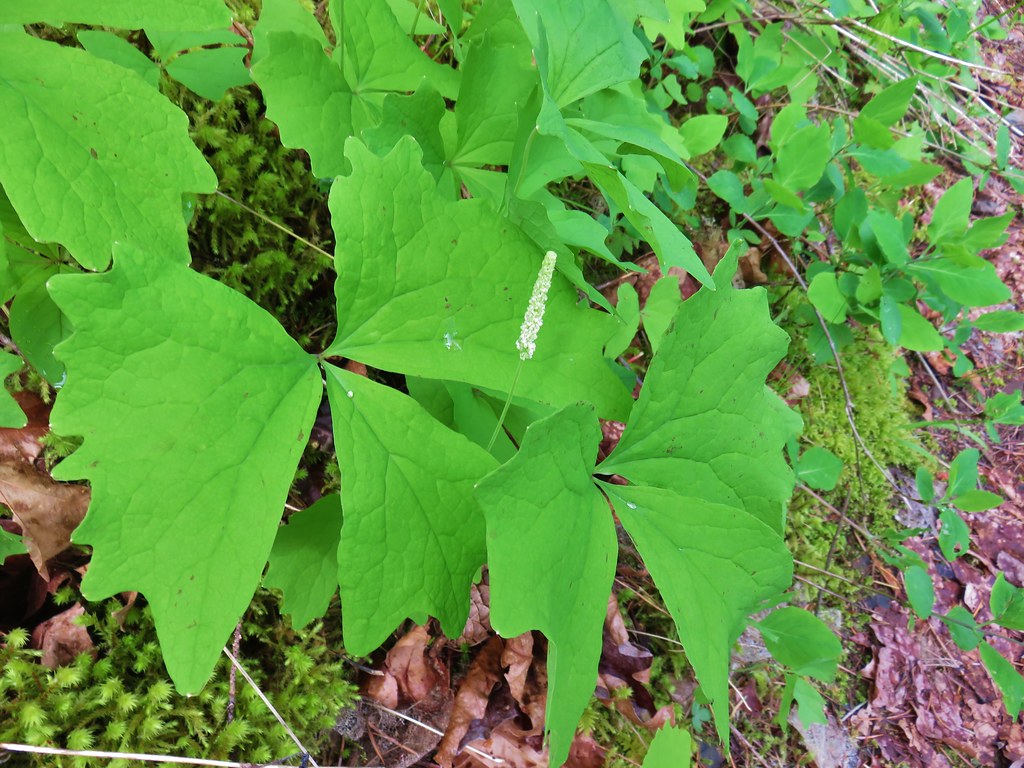 Vanilla Leaf
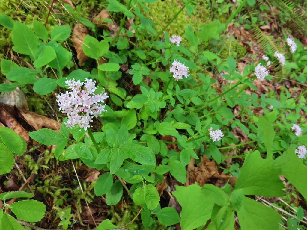 Valerian
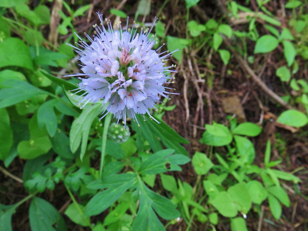 Ballhead waterleaf
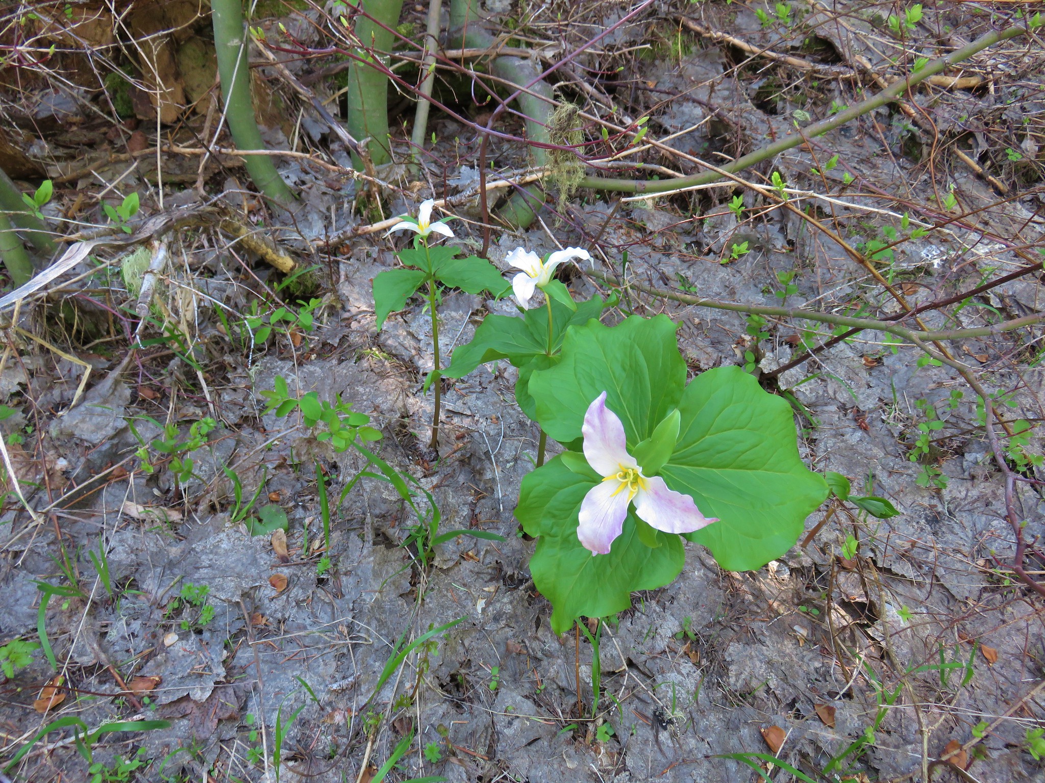
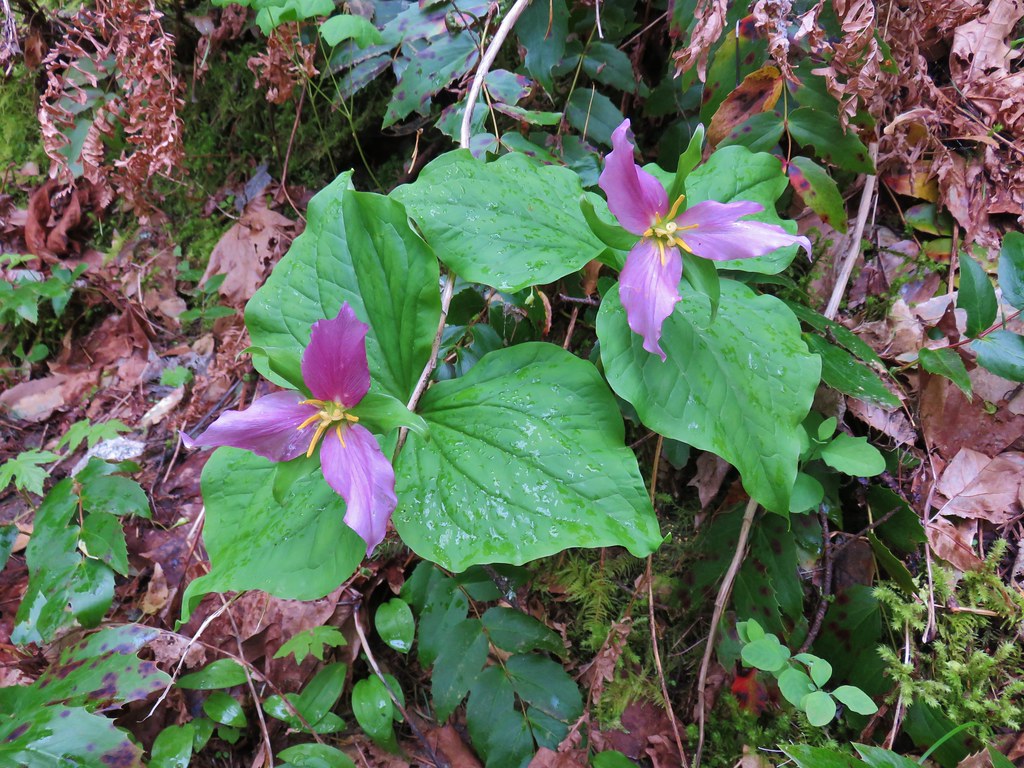 Trillium
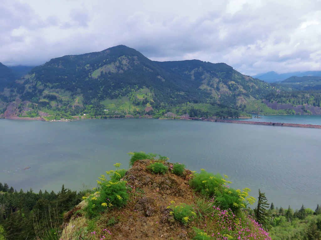

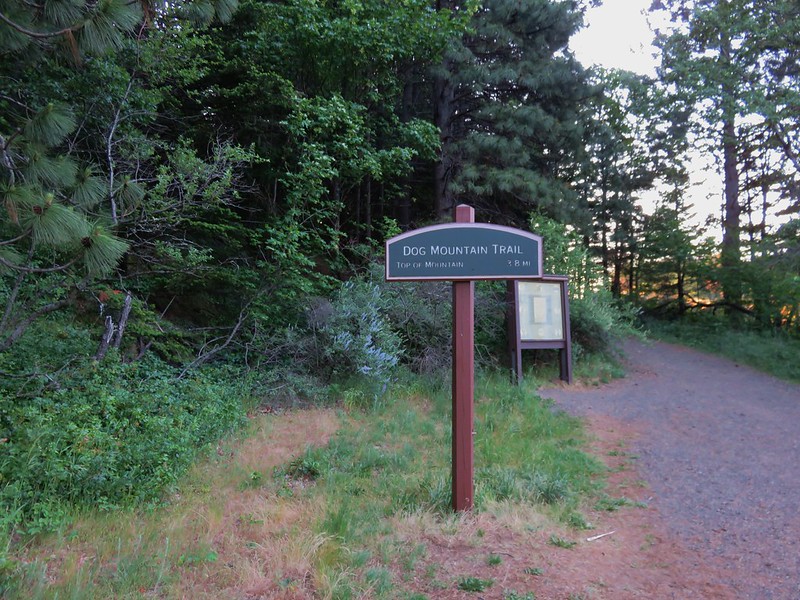
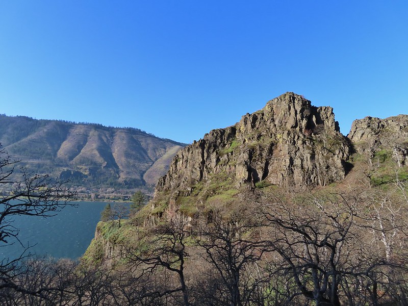
 Dog Mountain