In my search for nearby 3-to-5-mile hikes that we can do while I rehab, I found a pair of loops at Bob and Crystal Rilee Park in the Oregon Hikers Field Guide. Located on the flank of Parrett Mountain near Newberg, OR, 327 acres of the Parrett Mountain Farm were donated to the Chehalem Park & Recreation District in 2014 by the Rilees after their deaths.
The park hosts over 12-miles of trails weaved throughout the park, most open to both hikers and equestrians. The Field Guide describes two loops, an east loop at 3.5-miles and a west loop at 4.4-miles. Longer hikes are obviously possible by combing the two and/or adding some of the other trails. At this point in my rehab the 3.5-mile east loop and its 450′ of elevation gain sounded perfect.
Heather wasn’t able to join me on this one, so I set off by myself from the trailhead next to the Parrett Mountain Farmhouse.

Note that horse trailers are not allowed in this lot. The equestrian trailhead is located 0.4-miles west on NE Parrett Mountain Road.
I followed the Field Guide’s directions and walked past the Farmhouse along NE Parret Mountain Road to a hiker sign next to a gate.


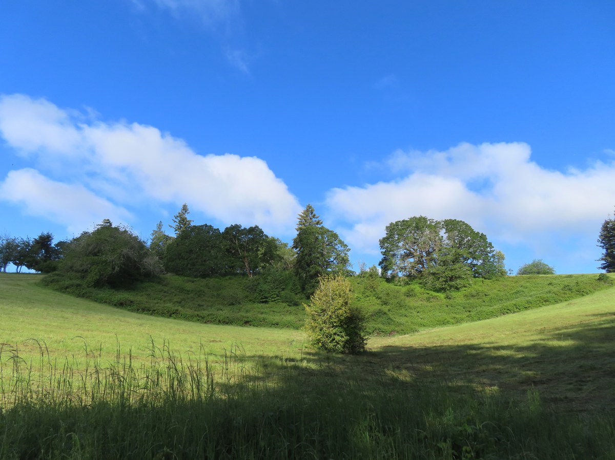
I turned right on a wide path marked “1” aka Russ’ Loop.

Russ’ Loop paralleled Parrett Mountain Road before veering away across from a vineyard.


The J.K. Carriere vineyard across the road.
I kept right at junctions with the Farmhouse Loop (trail number 2) and followed Russ’ Loop downhill through the woods.

One of the junctions with the Farmhouse Loop.


Inside-out flower


Blackberry

The trail eventually began to climb back uphill.


Honeysuckle
At an unnumbered junction I left Russ’ Loop by forking right on a narrower path not shown on the 2026 park map.

I then almost immediately forked left.

This path ran parallel to Russ’ Loop and soon rejoined that trail where I turned right.

Back on Russ’ Loop.
I continued on Russ’ Loop until reaching a junction with the Cistern Loop (trail #3) where I stayed straight.


On the Cistern Loop.
The Cistern Loop descended to a crossing of a tributary of Corral Creek.

Pacific waterleaf

On the far side of the creek was a spur trail to the right marked by a small yellow sign.

The spur trail extends approximately a quarter mile before ending at the creek.


Youth-on-age was prevalent along the creek.
I returned to the Cistern Loop and turned right. The trail began a slow climb past a rusty piece of farm equipment and the trail’s namesake cistern.


Spotted towhee on the farm equipment.


The cistern.


Coastal manroot
The Cistern Loop ended at a junction with Russ’ Loop where I turned right back onto that trail.

I stayed on Russ’ Loop ignoring another yellow signed spur trail on the right.

This spur looked a bit overgrown and was not mentioned in the Oregon Hikers Field Guide.

I stayed right at this unmarked junction.

Sparrow
Just before Russ’ Loop came to an open field I turned right on an unnumbered trail at a blank post.


The path ran parallel to the Art Loop (trail #4) and eventually joined it.


Art along the Art Trail on the left seen from the unnumbered trail.

Arriving at the Art Loop.

The unnumbered trail from the Art Loop.
The junction was close to the field, so I took a quick look across it. The Art Loop also runs along the edge of the field so just a few feet separated the loop from itself at this point.

The Art Loop along the field.
I could have simply turned left along the field but I stuck to the Field Guide route and returned to the portion of the Art Loop in the forest and headed north (left now but it would have been a right coming up from the unnumbered trail.) I followed the Art Loop uphill to Parrett Mountain Road across from the equestrian trailhead.

After crossing the road to get a closer look at the trailhead I returned to the Art Loop and followed it to the field.


Northern flicker
As I was hiking along the field I spotted a coyote hunting for breakfast.

The coyote straight ahead.

Zoomed in look.
After watching the coyote disappear into the forest I continued on around the field.


The start/end of the Art Loop to the left. Russ’ Loop can be seen ahead joining from the left.
The Art Loop connected to Russ’ Loop which I followed uphill back to the Farmhouse Trailhead.


This was a fun little hike. There were birds galore. Most preferred to be heard and not seen, but I don’t think there was ever more than a 10-15 second stretch without a bird singing. My GPS said 3.5-miles just as the Field Guide had indicated. The elevation gain for this loop is approximately 450′.

I’m looking forward to heading back for the West Loop at some point and also returning to check out some of the trails that I skipped on the east side of the park. This was probably the best I’d felt on a hike since my leg issue started, just some occasional lower back tightness. I had a little flair up of my sciatic nerve the next day but not nearly as bad as it had been the week before which was encouraging. Things seem to be headed in the right direction even if it isn’t as fast as I’d like. Happy Trails!
Flickr: Parrett Mountain East Loop

3 replies on “Parrett Mountain East Loop – 05/17/2026”
Beautiful area and trails! 🤗🍃🙌🏼
[…] first time on my previous outing. On that visit I hiked the 3.5-mile Parrett Mountain East Loop (post) described in the Oregon Hikers Field Guide. I had really enjoyed that hike and knew I wanted to […]
Looks like a great place to hike. Gotta love those intertwining trails. 😊