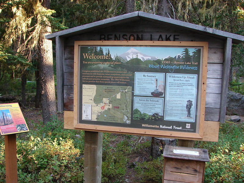
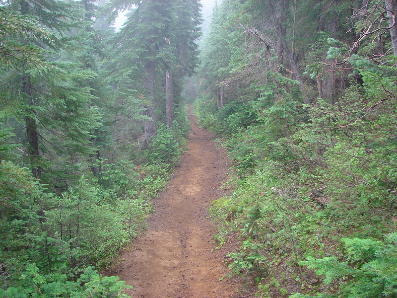
We capped off our Central Oregon vacation with a soggy loop past several lakes in the Mt. Washington Wilderness. We had started this hike in 2011 but had to turn back shortly after passing Benson Lake having lost the trail under snow. We started the loop at the Benson Lake Trailhead which is located just past Scott Lake off of Highway 242 along with my parents.
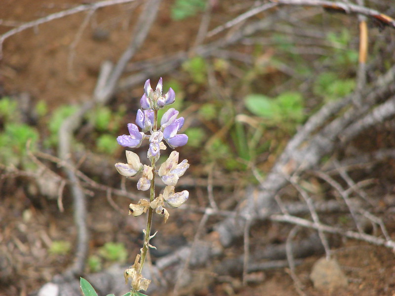
The forest was full of bear grass stalks evidencing what looked to have been an impressive bloom earlier in the year.

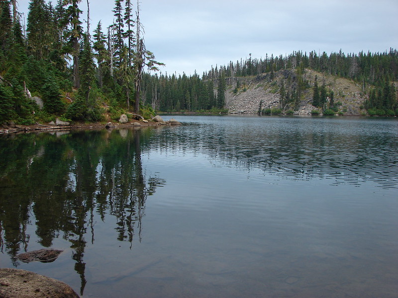
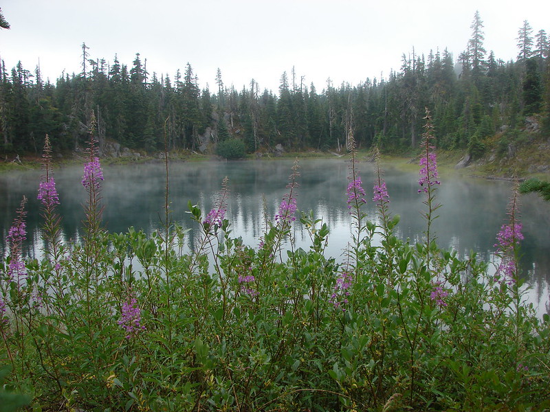
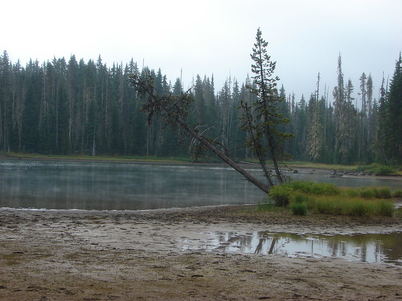
We reached Benson Lake in just under a mile and a half. It was a cloudy day but we could see Scott Mountain,one of our destinations, across the lake.


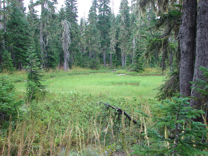
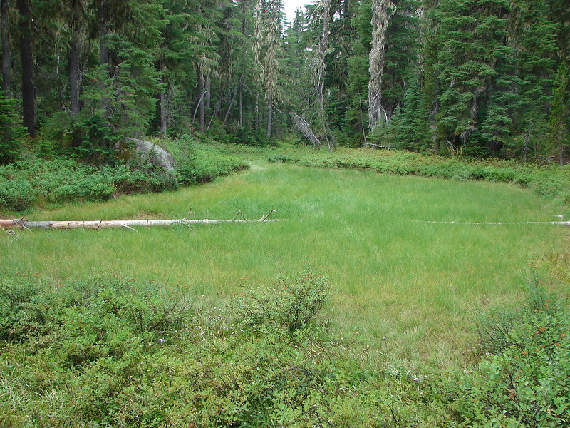
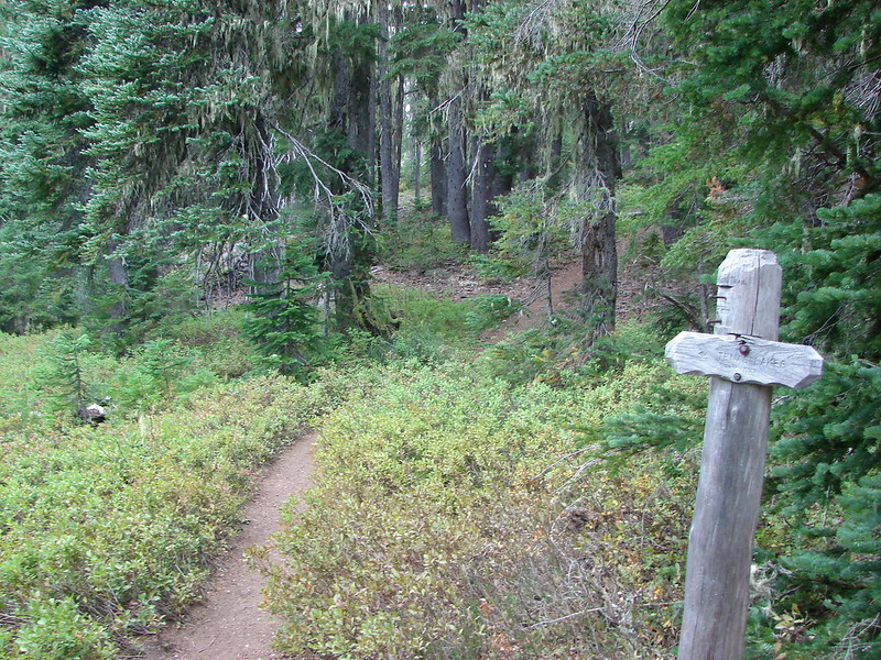
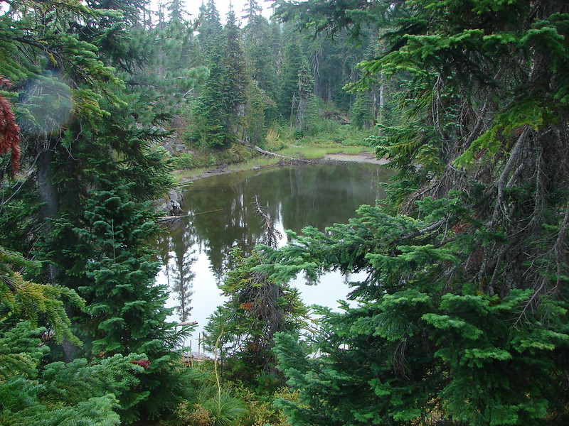
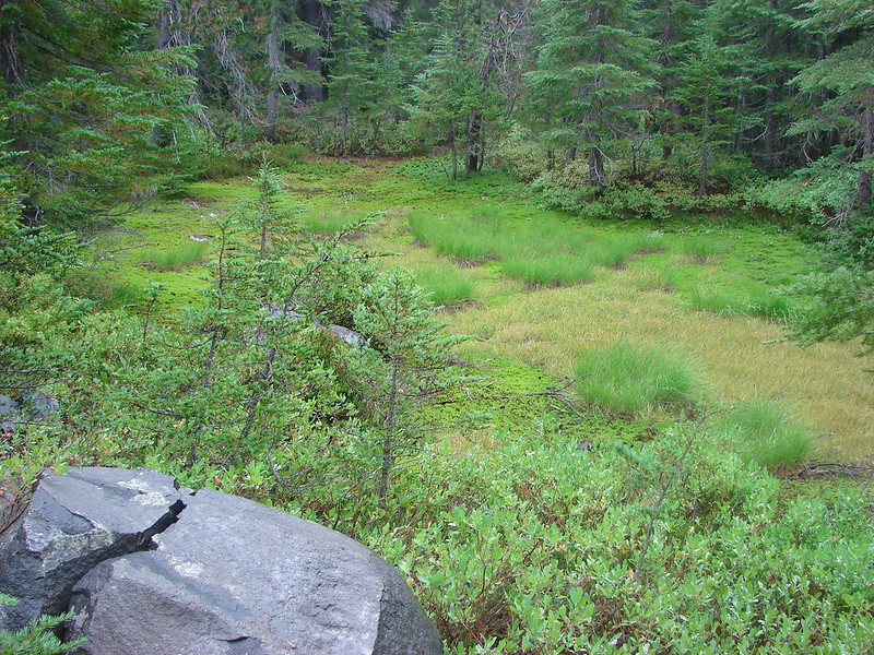
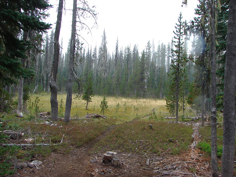
From Benson Lake we passed several small meadows and ponds before reaching a sign pointing to the Tenas Lakes.
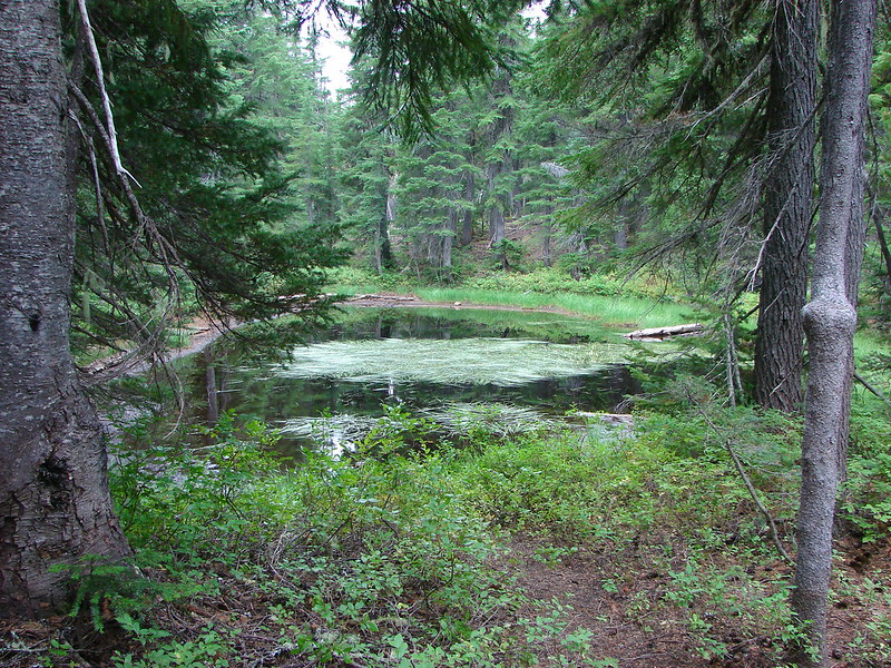
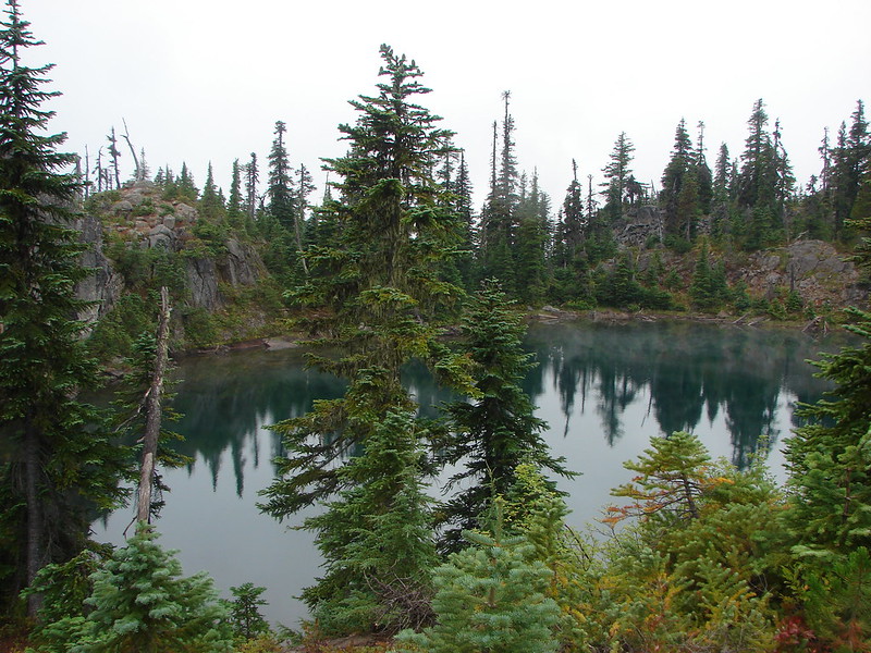
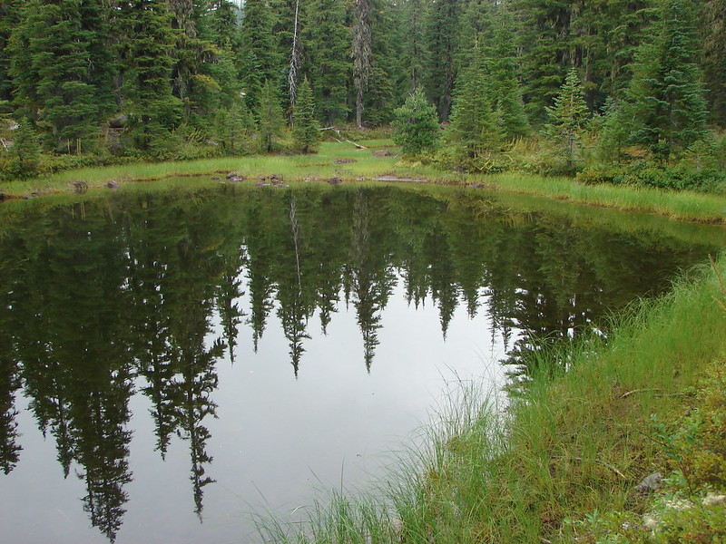
The trail first passes the largest of the Tenas Lakes.
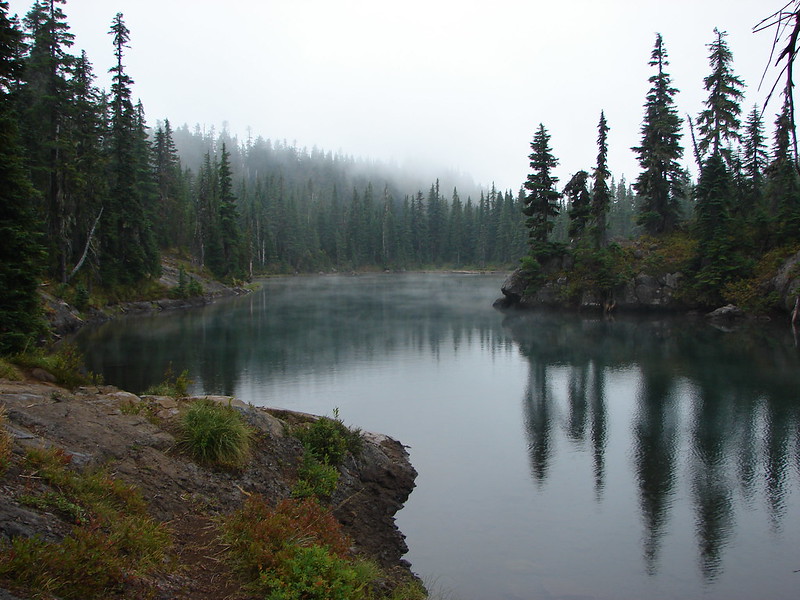
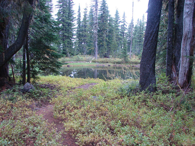
Exploring beyond the first lake led us past several more smaller lakes, each with its own distinct features.
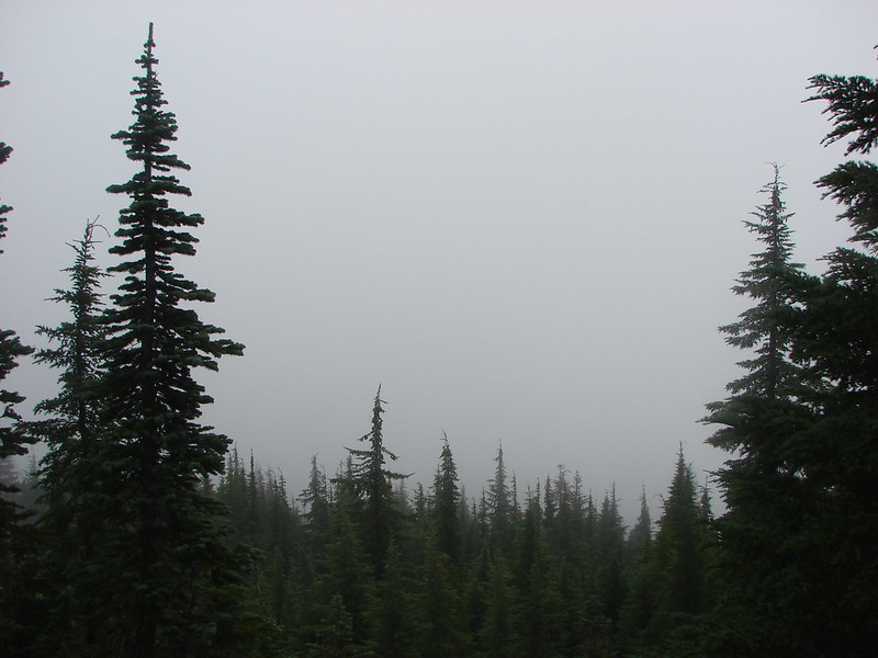
Our next stop was the 6116′ summit of Scott Mountain. Another sign announced the .7 mile trail to the former lookout site.

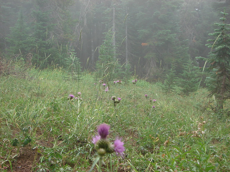
We began climbing up into the fog. The forest soon gave way to the mountains meadows on its red summit. We’d missed the majority of the flowers but there were a few lingering blooms providing a hint of what would be seen in the meadows near the former lookout site during the peak bloom.

The view from the summit was an all too familiar one for us. 🙂
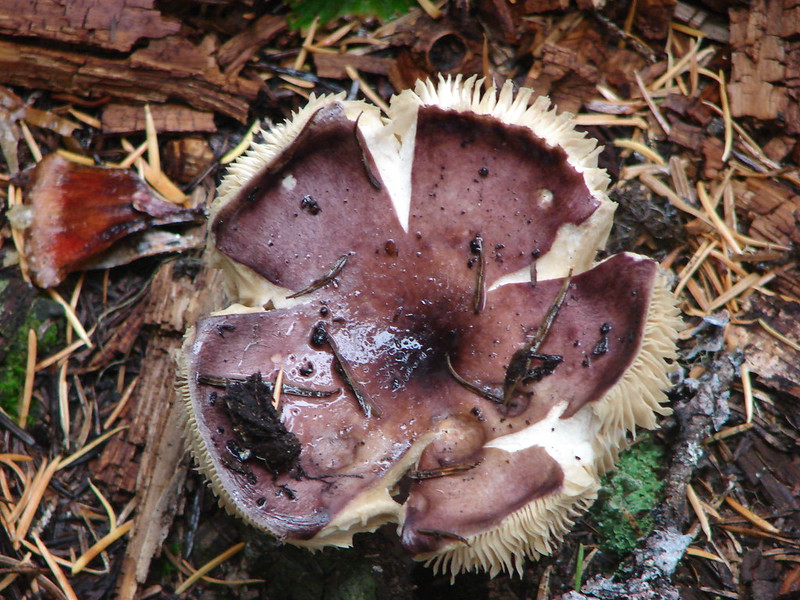
After returning to the loop trail from the summit we continued through the Mt. Washington Wilderness toward Hand Lake. We were finding an increasing number of ripe blue & huckleberries and were doing our best to sample them all.
We skipped the mushrooms though.
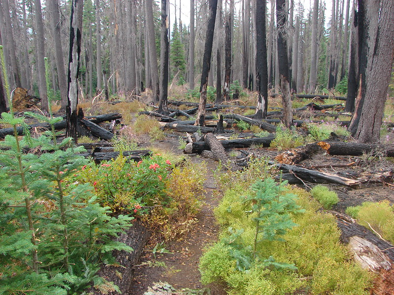
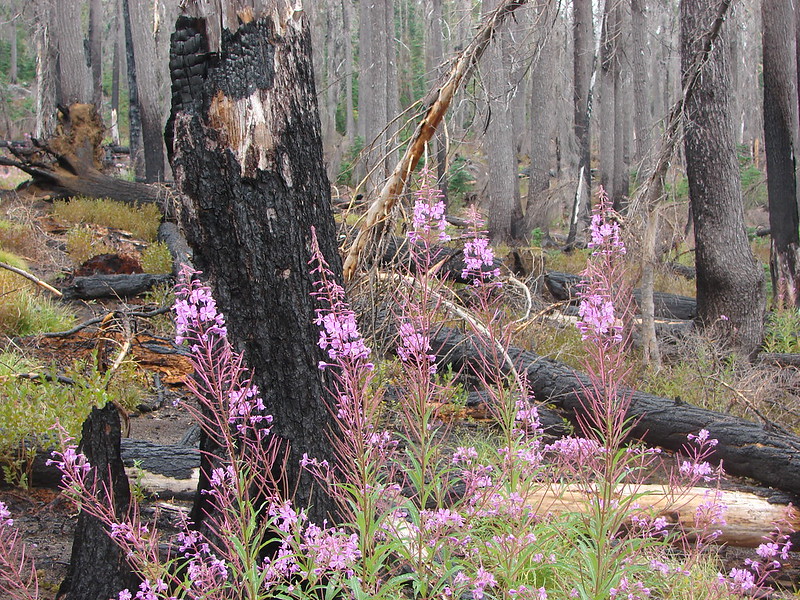
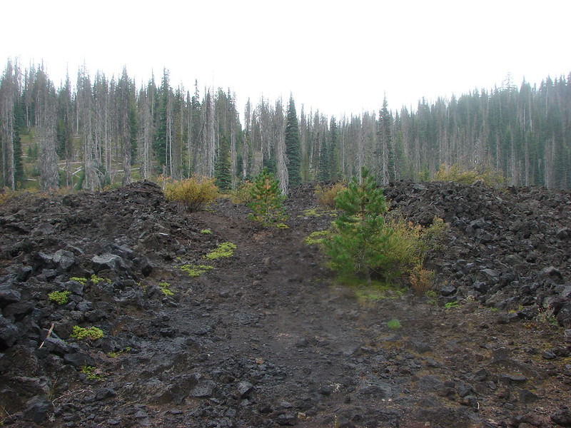
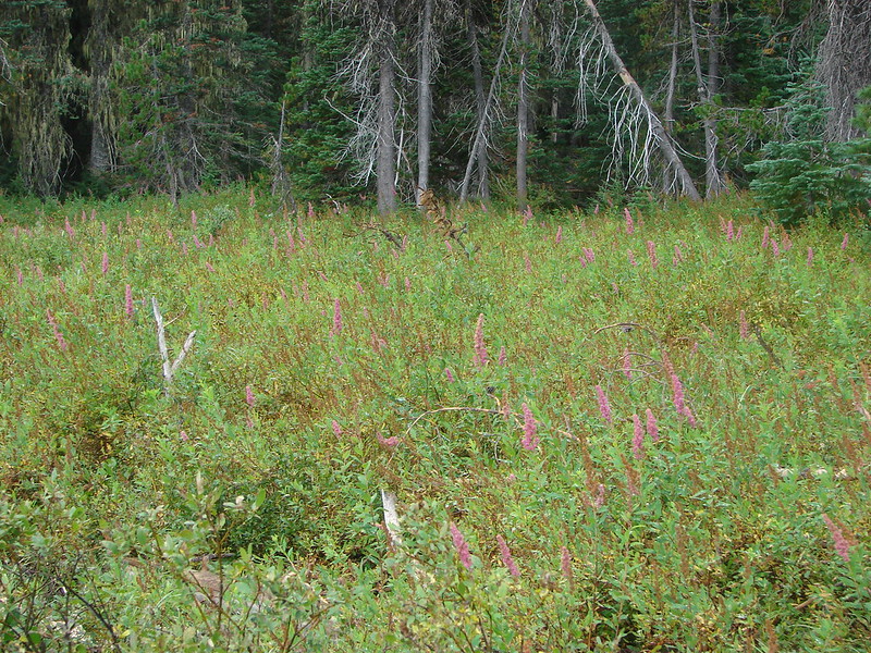
The trail then entered burnt woods where fireweed was profuse.
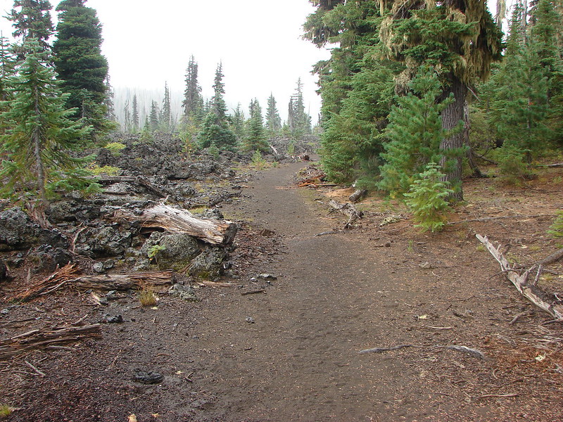
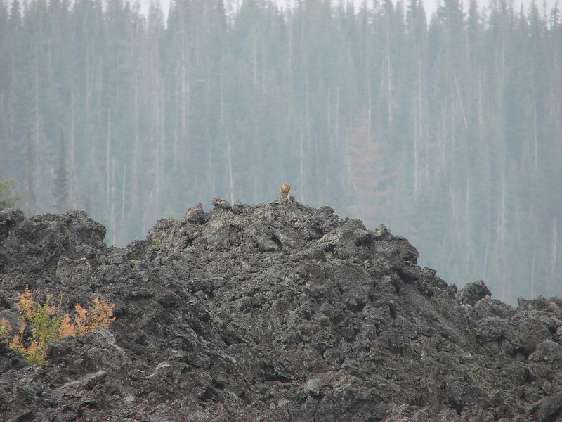
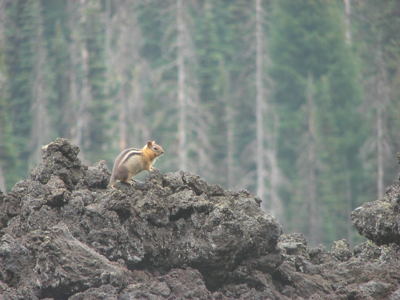
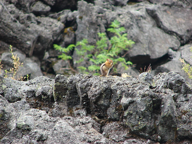
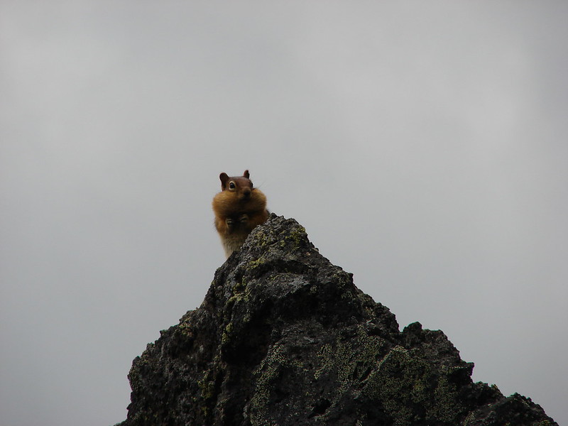
After passing a sign for the Bunchgrass Trail we skirted a lava flow where we saw many golden mantled squirrels who seemed to be fattening up in preparation of Winter.
An interesting feature near Hand Lake is the 1871 Old McKenzie Wagon Road chipped out of the lava. It isn’t easy to spot but the level road was made by hand to connect the Willamette Valley to Central Oregon.
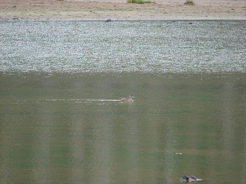
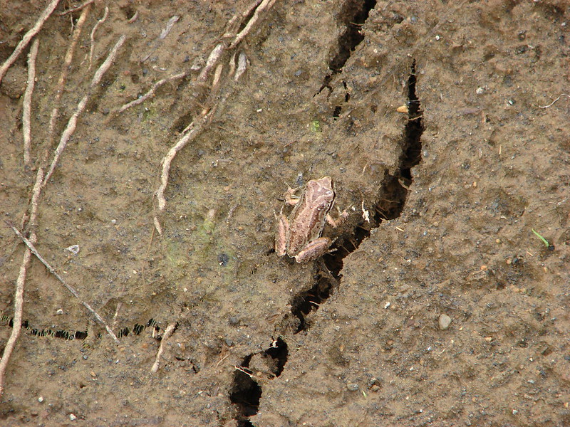
At the end of the lava flow we came to Hand Lake.
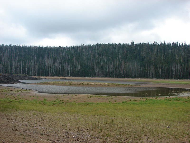
There wasn’t a lot of water in the lake this far into Summer but a lone duck seemed to be enjoying it and at least one small frog called the area home.
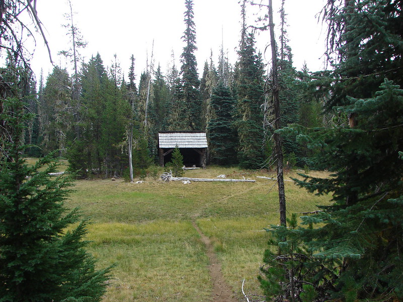
From the lake we could see the Hand Lake Shelter, our next stop.

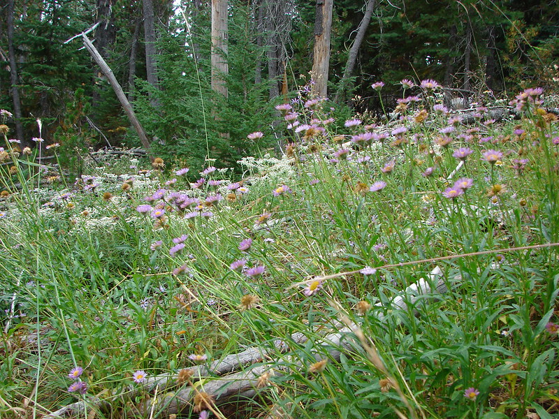
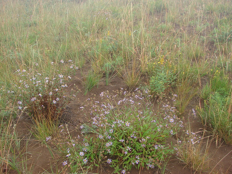
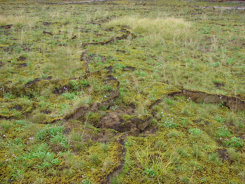
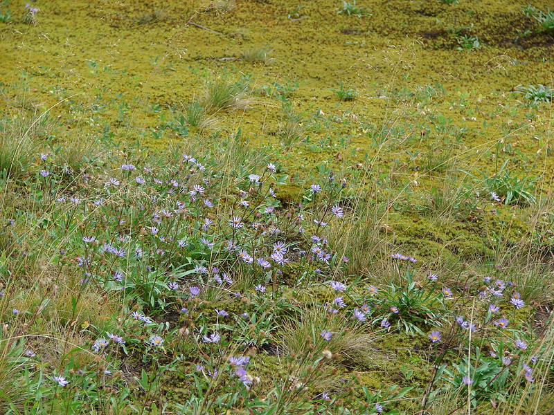
It had been sprinkling off and on all day but really started to pick up after we left the shelter. The final 1.5 miles of the loop were nearly level passing through several meadows where mosses and aster added color to the ground.
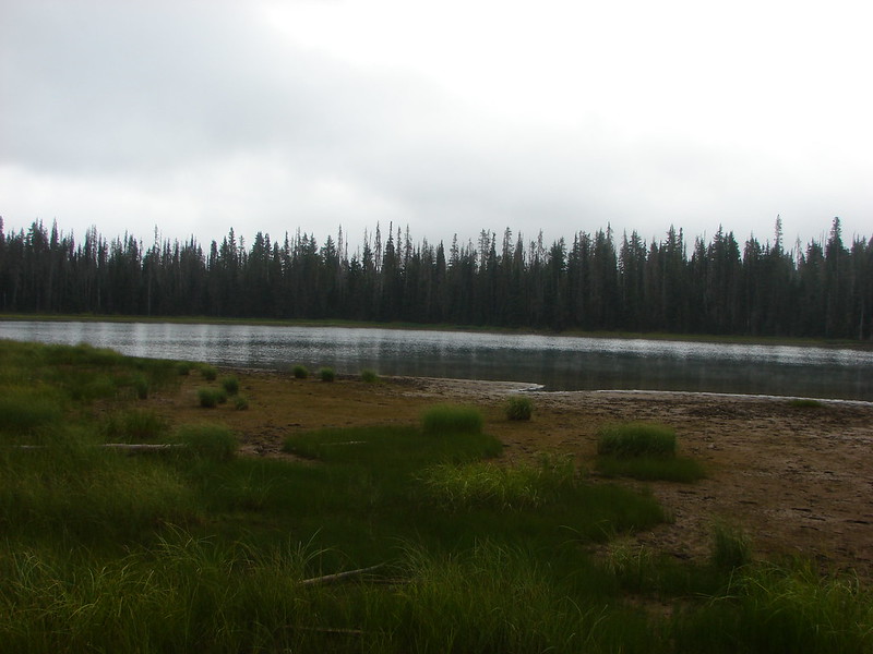
On a clear day the Three Sisters are visible from Scott Lake but we arrived amid a steady rain and low clouds. The lake was still pretty despite the lack of a mountain view.
It was a vastly different feeling than we’d had just three days earlier when we were trying to cool off sitting next to a tarn beneath Broken Top. We all agreed that it was the first time it had felt like Fall was just around the corner. It was really nice to be joined by my parents on our final vacation hike even if we were all wet muddy messes at the end of it.
Happy Trails!
Flickr: https://www.flickr.com/photos/9319235@N02/sets/72157647053544115/
Facebook: https://www.facebook.com/media/set/?set=a.10204889527465141.1073741906.1448521051&type=1

5 replies on “Benson, Tenas, Hand, and Scott Lakes.”
[…] being prepared for the amount of snow covering the trail, and although we reached the summit on our second attempt in October 2014 we found ourselves in a cloud with no views […]
[…] in Central Oregon during the first week of August. On 8/3/2011 we had planned on hiking the Benson Lake Loop. We took the McKenzie Highway (Hwy 242) from Sisters and headed for the trailhead. It was a […]
[…] Washington – 2011, 12, 14, 15, 16, […]
[…] – Benson Lake 10/14/2012 & 8/30/2014 Burned (small section of longer loop trail) 2010 Scott Mt. […]
[…] Between Mt. Washington and Hayrick Butte is Scott Mountain (post). […]