Rain! We finally got some much needed rain in parts of the Pacific Northwest this past weekend. While it helped out with a few of the many wildfires burning in the area, strong winds associated with the storm fanned the flames of others on Saturday. For us it meant rearranging our hiking plans a bit. We wanted to avoid the strong winds and find a hike where cloudy and rainy conditions wouldn’t interfere with possible views. We typically look for a river or creek hike in similar conditions and chose the Salmon River Trail in the Mt. Hood National Forest. The trail follows the Salmon River into the Salmon-Huckleberry Wilderness and past some nice old growth forests. Our plan was to start at the Old Salmon River Trailhead which is located 2.7 miles along Salmon River Road off of Highway 26 at Zig Zag. From the trailhead we would hike the Old Salmon River Trail up to the Salmon River Trailhead (located 4.9 miles along Salmon River Road) and follow that trail 3.5 miles to a canyon viewpoint.
We arrived at the trailhead about 6:30am under cloudy skies and a light mist.
 //embedr.flickr.com/assets/client-code.js
The trail quickly descended through the forest to the Salmon River. 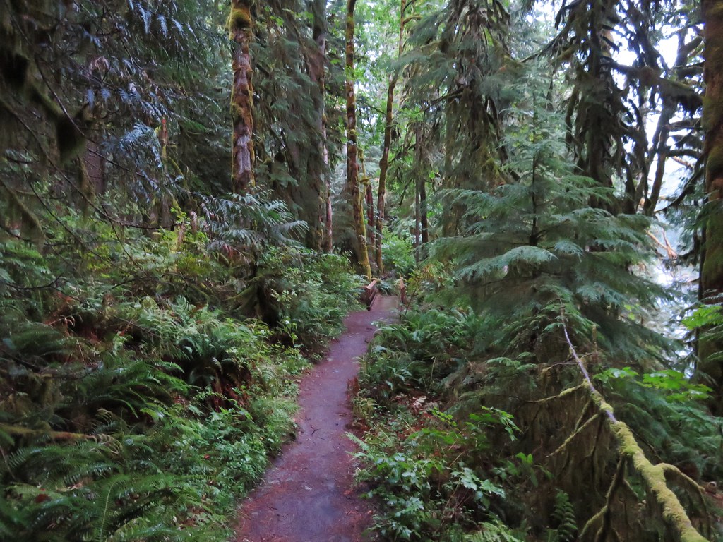 //embedr.flickr.com/assets/client-code.js
 //embedr.flickr.com/assets/client-code.js
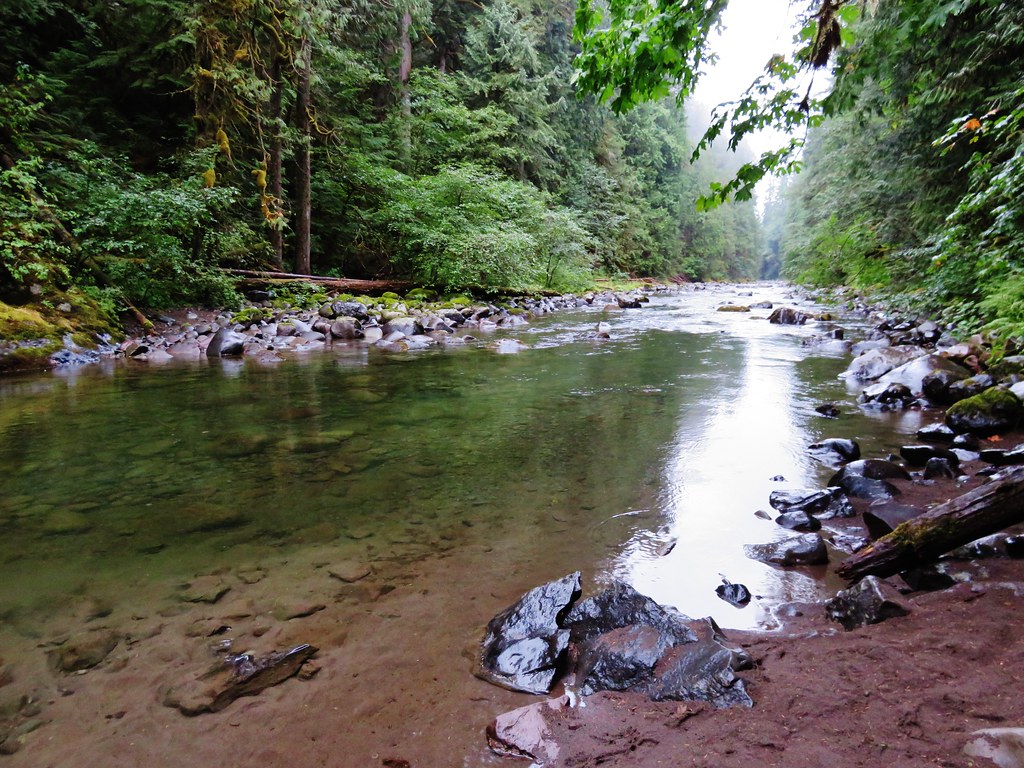
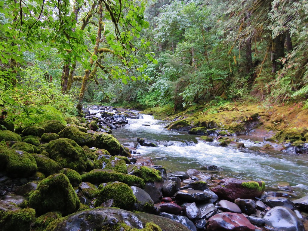
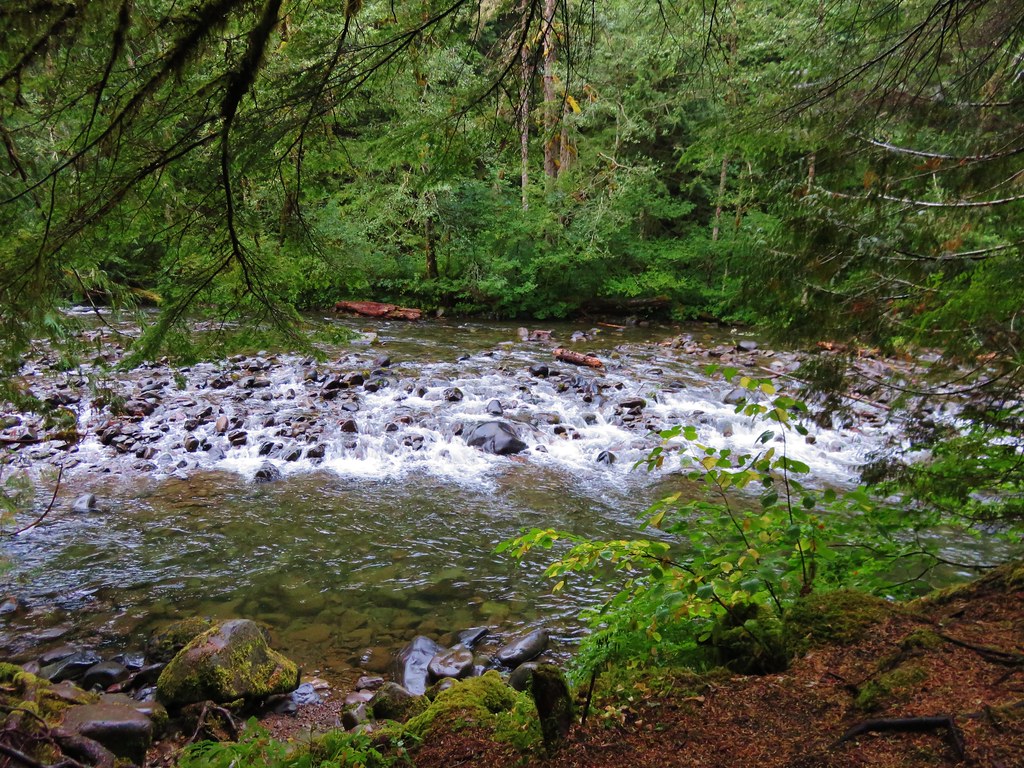
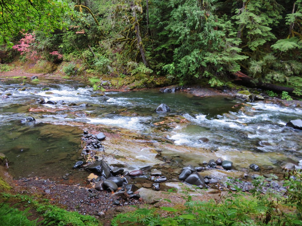
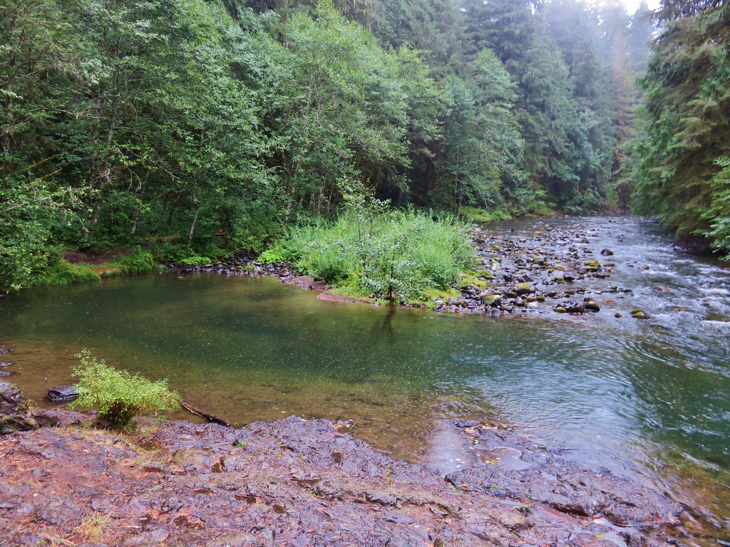
The river was sometimes deep and calm and at other times flowed noisily over rocks.
 //embedr.flickr.com/assets/client-code.js
 //embedr.flickr.com/assets/client-code.js
 //embedr.flickr.com/assets/client-code.js
 //embedr.flickr.com/assets/client-code.js
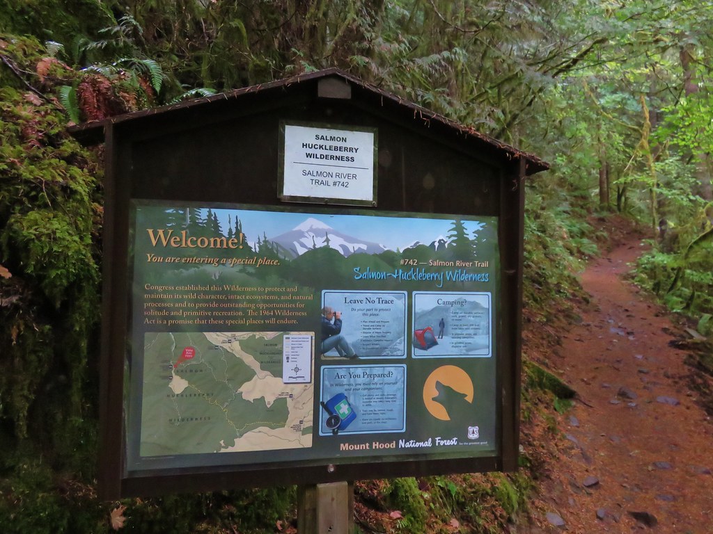
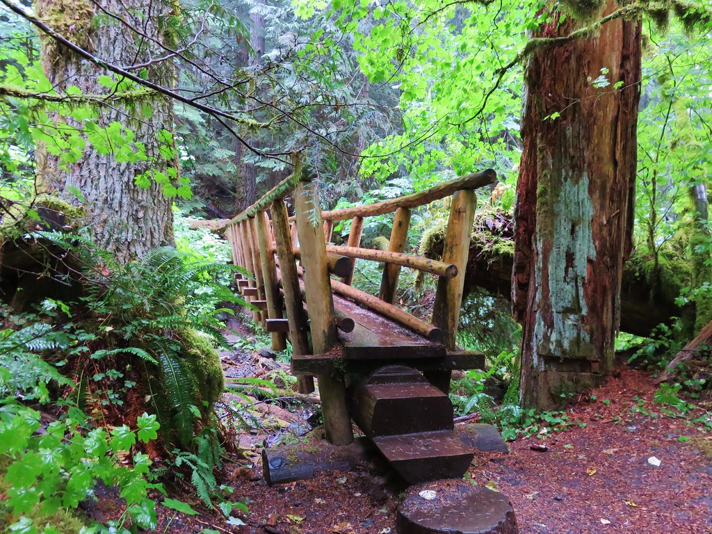
The trail occasionally joined Salmon River Road for short sections. The trail ended the third time it met the road at the 2.6 mile mark. On the far side was the start of the Salmon River Trail.
 //embedr.flickr.com/assets/client-code.js
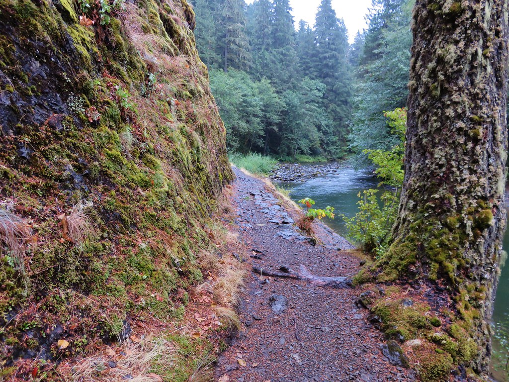
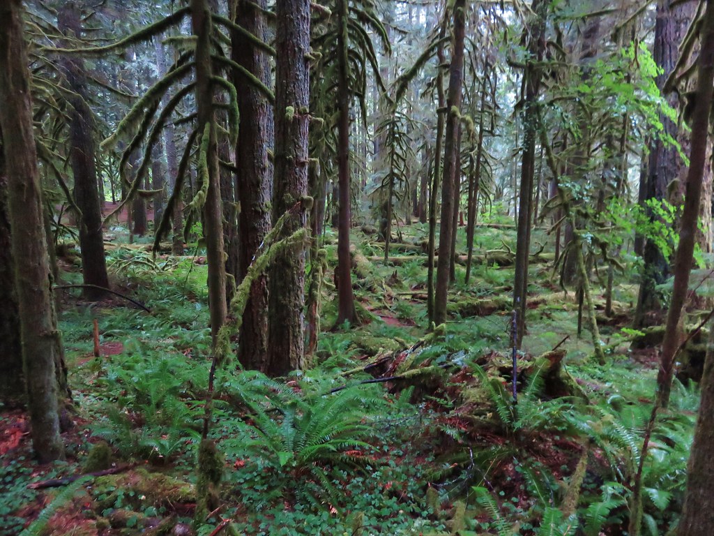
We alternated between passing along the river and through the old growth forests of the Salmon-Huckleberry Wilderness.
 //embedr.flickr.com/assets/client-code.js
 //embedr.flickr.com/assets/client-code.js
 //embedr.flickr.com/assets/client-code.js
 //embedr.flickr.com/assets/client-code.js
 //embedr.flickr.com/assets/client-code.js
 //embedr.flickr.com/assets/client-code.js
 //embedr.flickr.com/assets/client-code.js
 //embedr.flickr.com/assets/client-code.js
 //embedr.flickr.com/assets/client-code.js
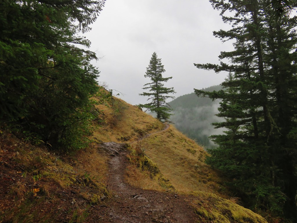
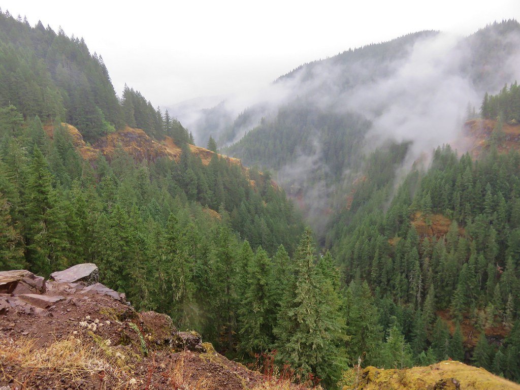
At a fork in the trail, at the 3.5 mile mark, the right hand path led out to a grassy viewpoint.
 //embedr.flickr.com/assets/client-code.js
The Salmon River flowed through the canyon far below.
 //embedr.flickr.com/assets/client-code.js
 //embedr.flickr.com/assets/client-code.js
 //embedr.flickr.com/assets/client-code.js
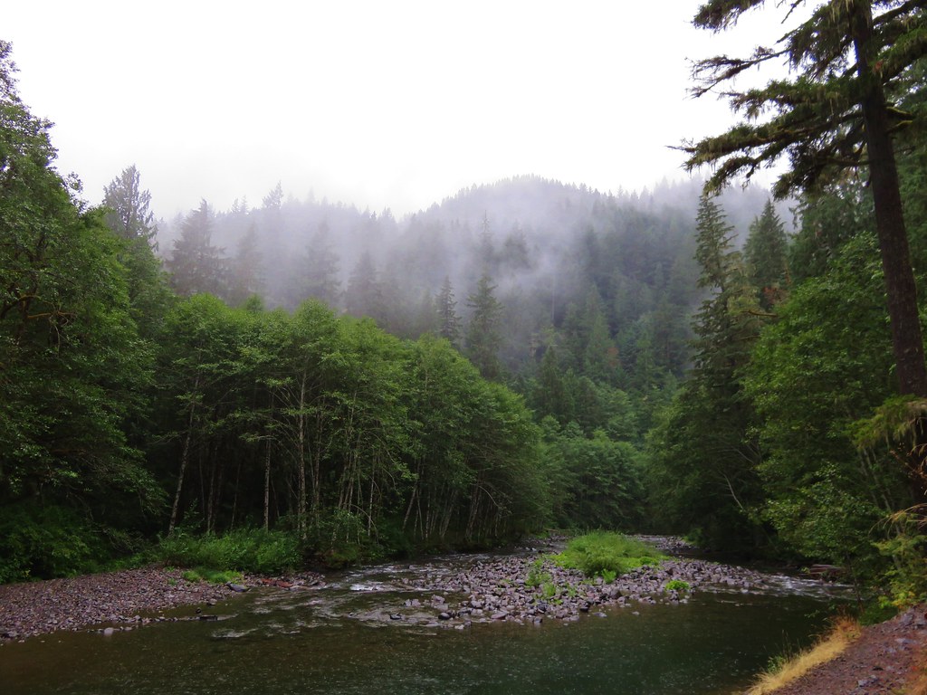
It had been raining a little harder as the morning went on but we had a brief respite at the viewpoint and took a short break before the rains returned and we resumed our hike.
It was a pretty quick return trip being mostly downhill following the same route we’d come up earlier. Even though we’d already hiked the trail in the other direction we’d missed a small waterfall on a side creek across from the Old Salmon River Trail.
 //embedr.flickr.com/assets/client-code.js
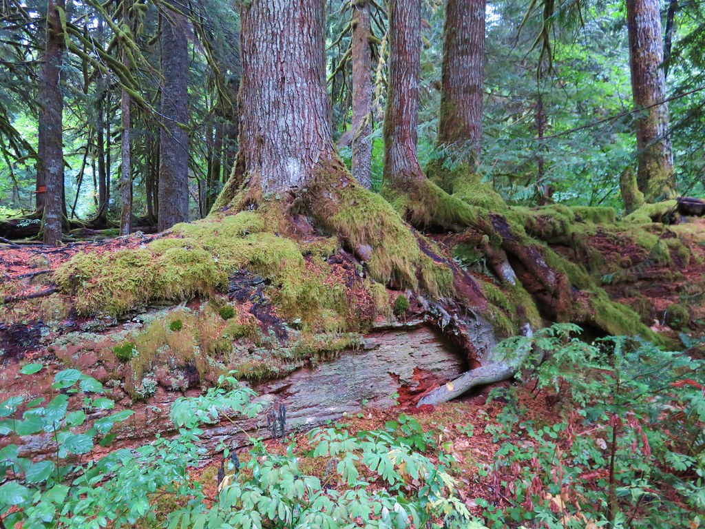
We also stopped to admire a large nursery log that had several decent sized trees growing atop it.
 //embedr.flickr.com/assets/client-code.js
 //embedr.flickr.com/assets/client-code.js
It had been a great hike for the rainy weather and a beautiful place to visit. Happy Trails!
Flickr: https://www.flickr.com/photos/9319235@N02/albums/72157657952382142

4 replies on “Salmon River Trail”
[…] outing of 2018 we chose the Salmon River Trail which we had previously visited on August 30, 2015. (post) That hike included approximately 3.5 miles of the 14 mile trail from the west trailhead. This time […]
[…] – 2013, 14, 15, 17, […]
[…] #63 Old Salmon River Trail – Hiked 8/30/2015 […]
[…] been on this section of trail in 2015. I followed this level path for half a mile to the Green Canyons Campground, another potential […]