**Note the 2017 Knox and Abney Fires as well as the 2020 Devil Fire burned portions of this hike.**
It was still raining when we awoke Wednesday morning and we began packing everything we could into our dry sacks. While we were figuring out our strategy on exiting the tent and taking it down, the rain stopped. God had been good and just as the rain began after we had gotten into the tent, it ended just as we were preparing to exit.
 //embedr.flickr.com/assets/client-code.js
 //embedr.flickr.com/assets/client-code.js
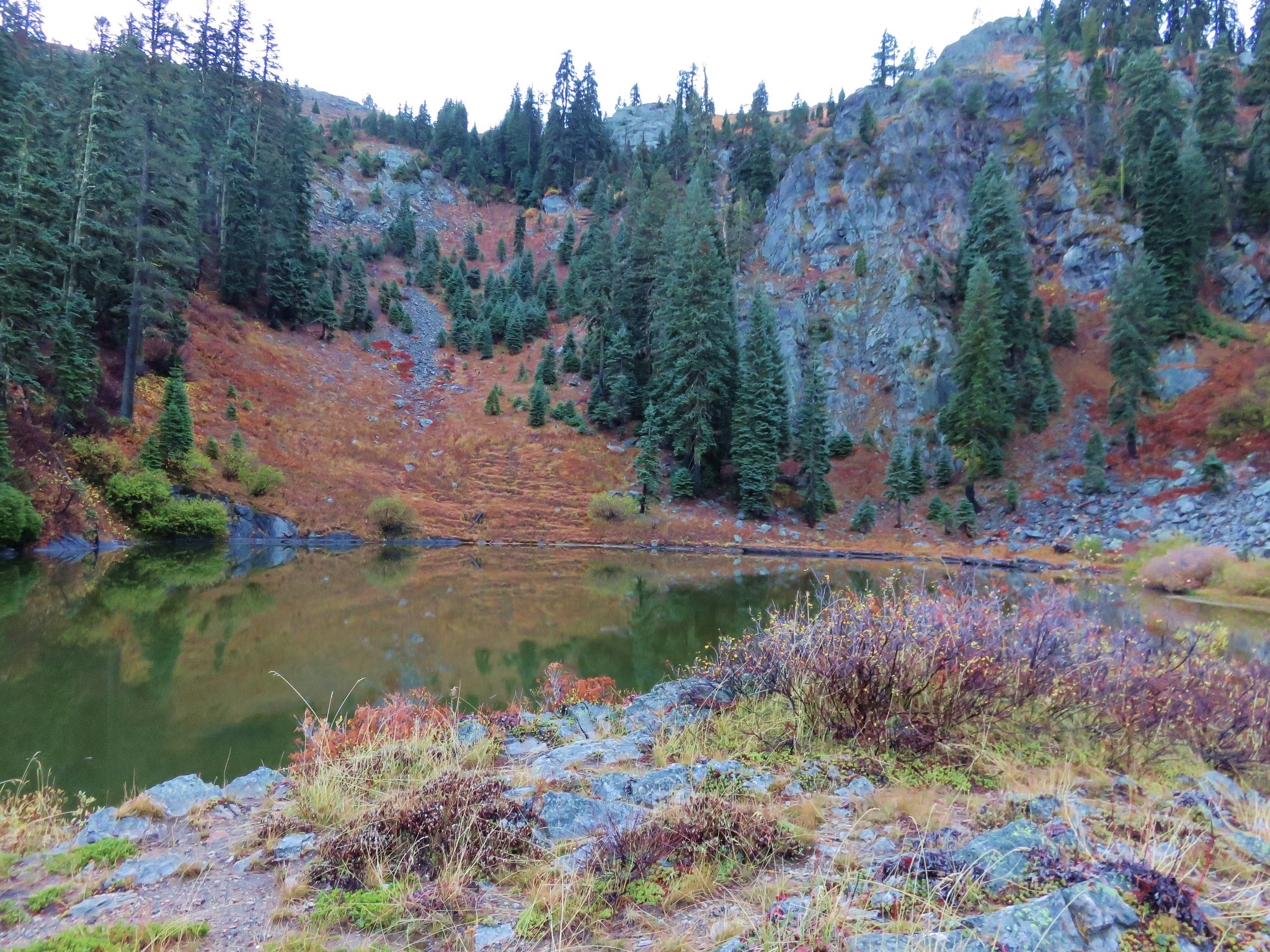
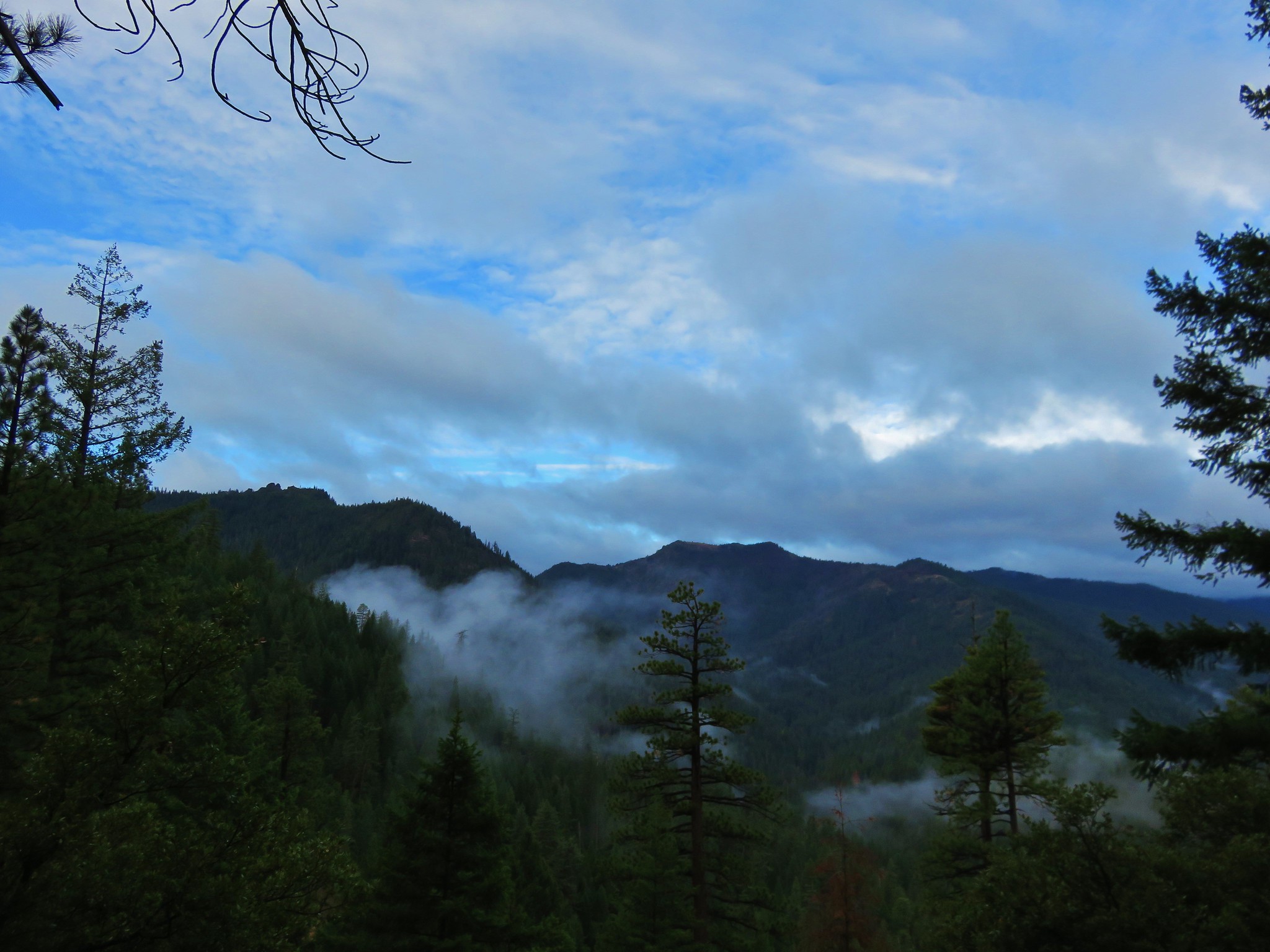
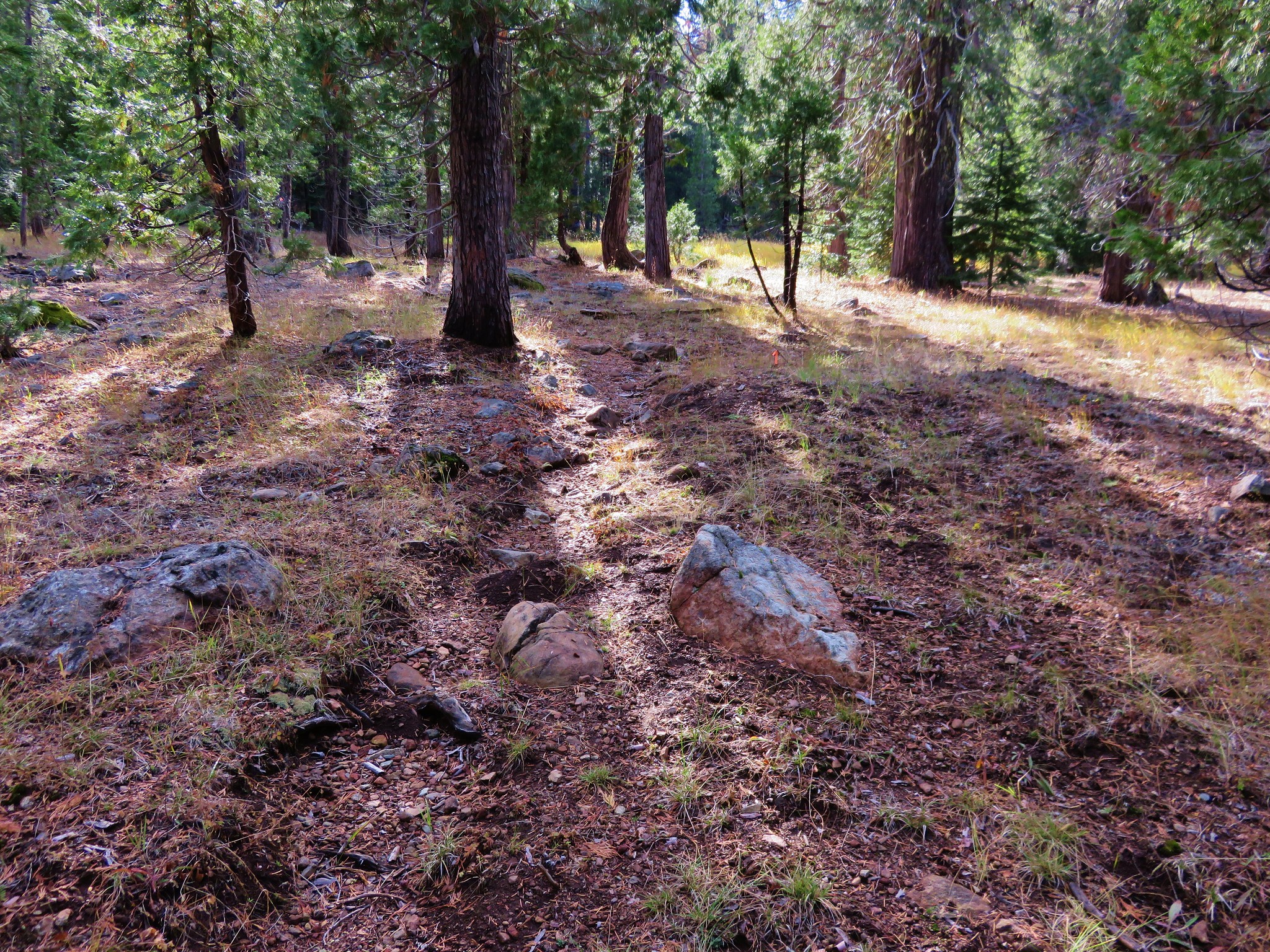
We packed up our wet tent and cooked breakfast then headed away from the lake on the Horse Camp Trail downhill toward the Applegate River. It was the steepest trail of the hike but it was well maintained and easy to follow.
 //embedr.flickr.com/assets/client-code.js
We were following a ridge down Echo Canyon until the trail veered away to the right to go around the Butte Slide.
 //embedr.flickr.com/assets/client-code.js
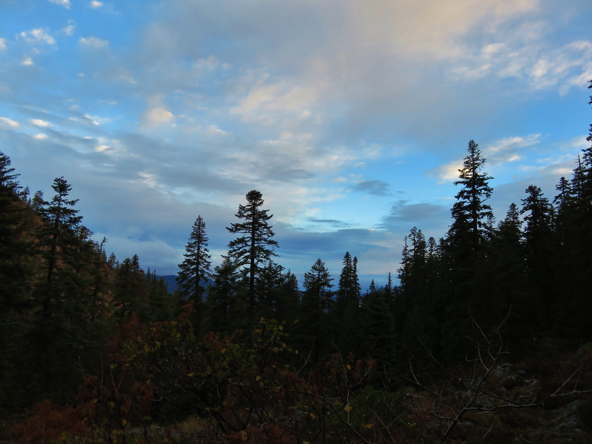
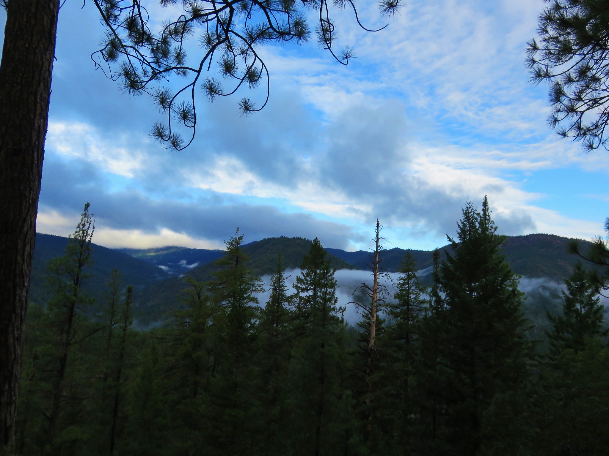
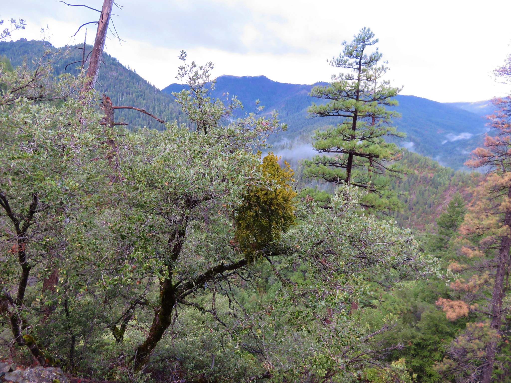
As we passed the slide we descended a series of switchbacks with views of the leftover clouds drifting over the valleys.
 //embedr.flickr.com/assets/client-code.js
 //embedr.flickr.com/assets/client-code.js
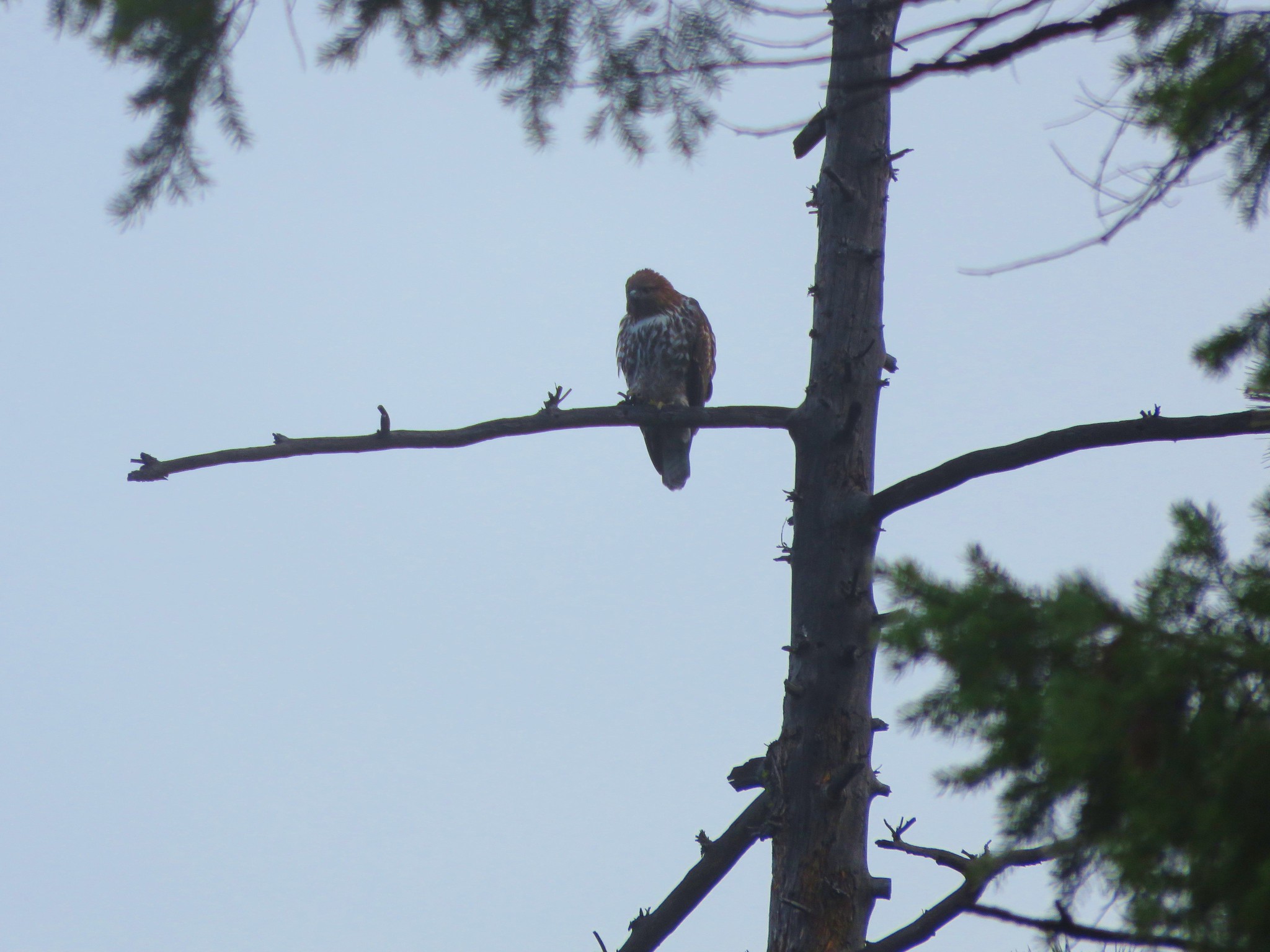
We stopped to watch a hawk who seemed to be just as curious about us as we were of him.
 //embedr.flickr.com/assets/client-code.js
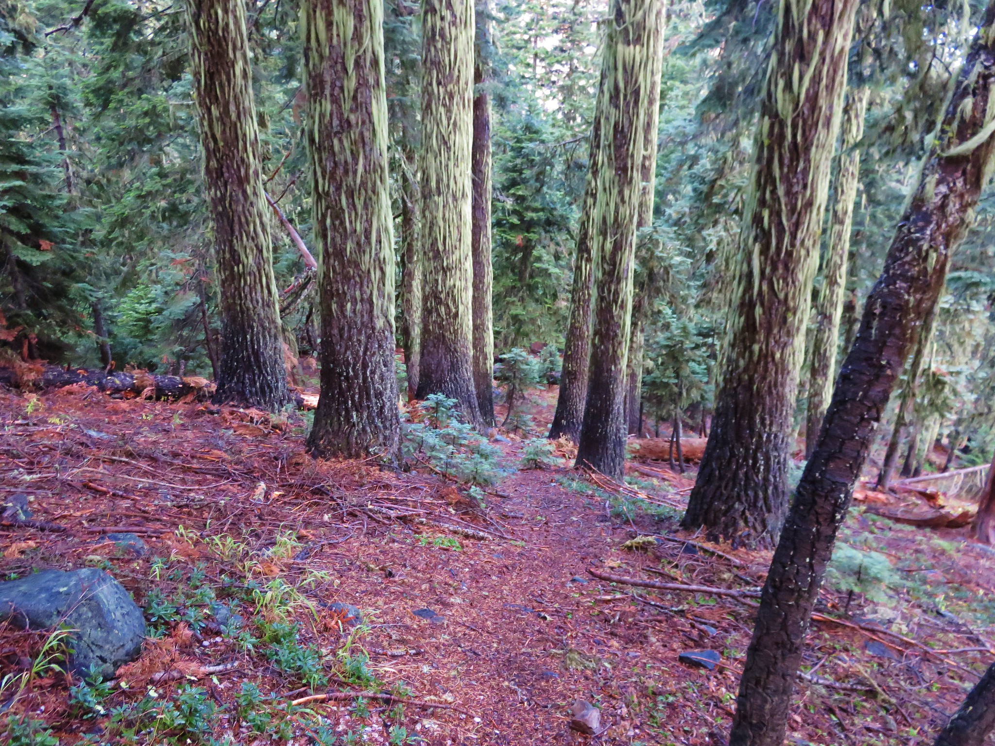
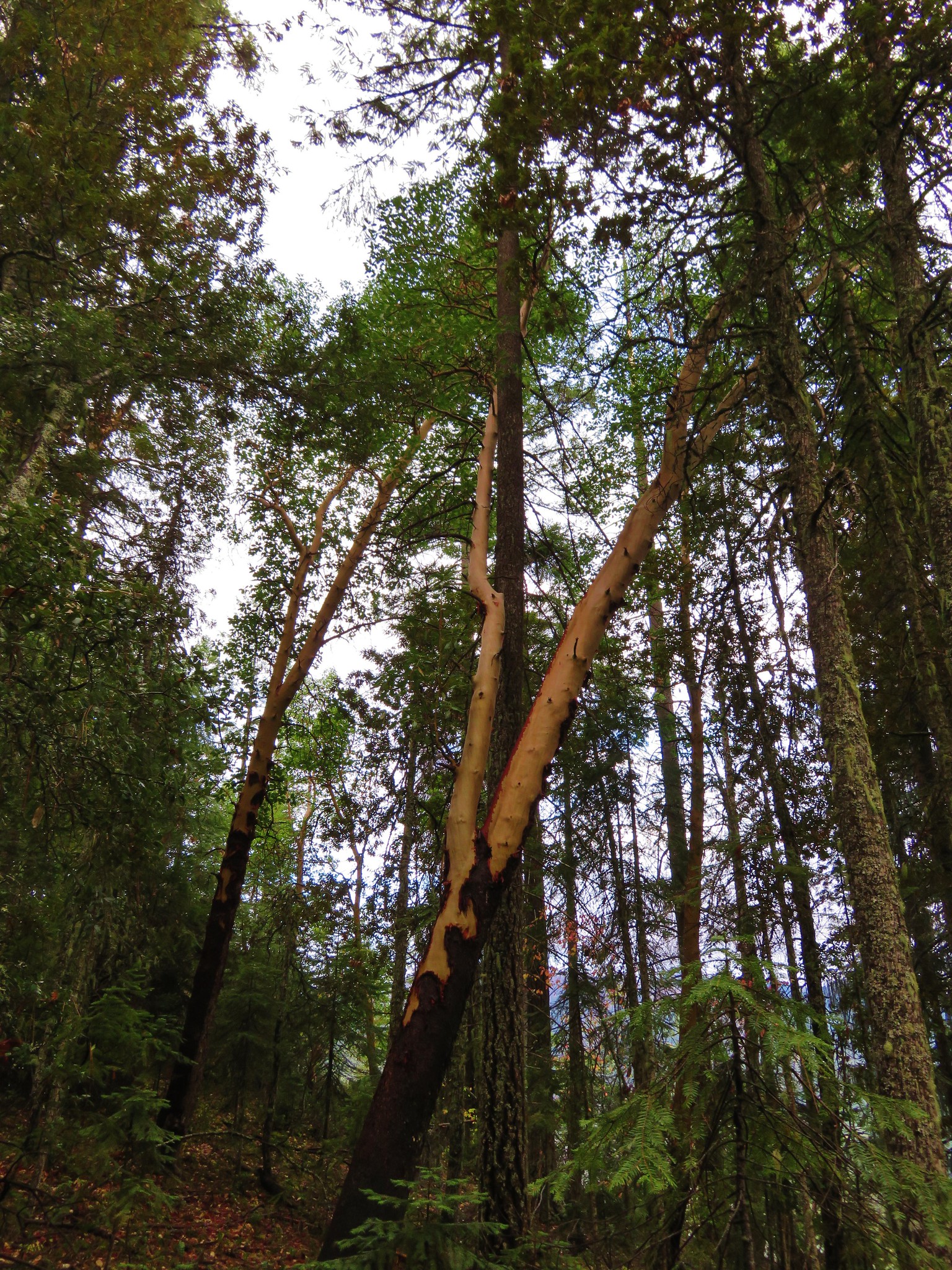
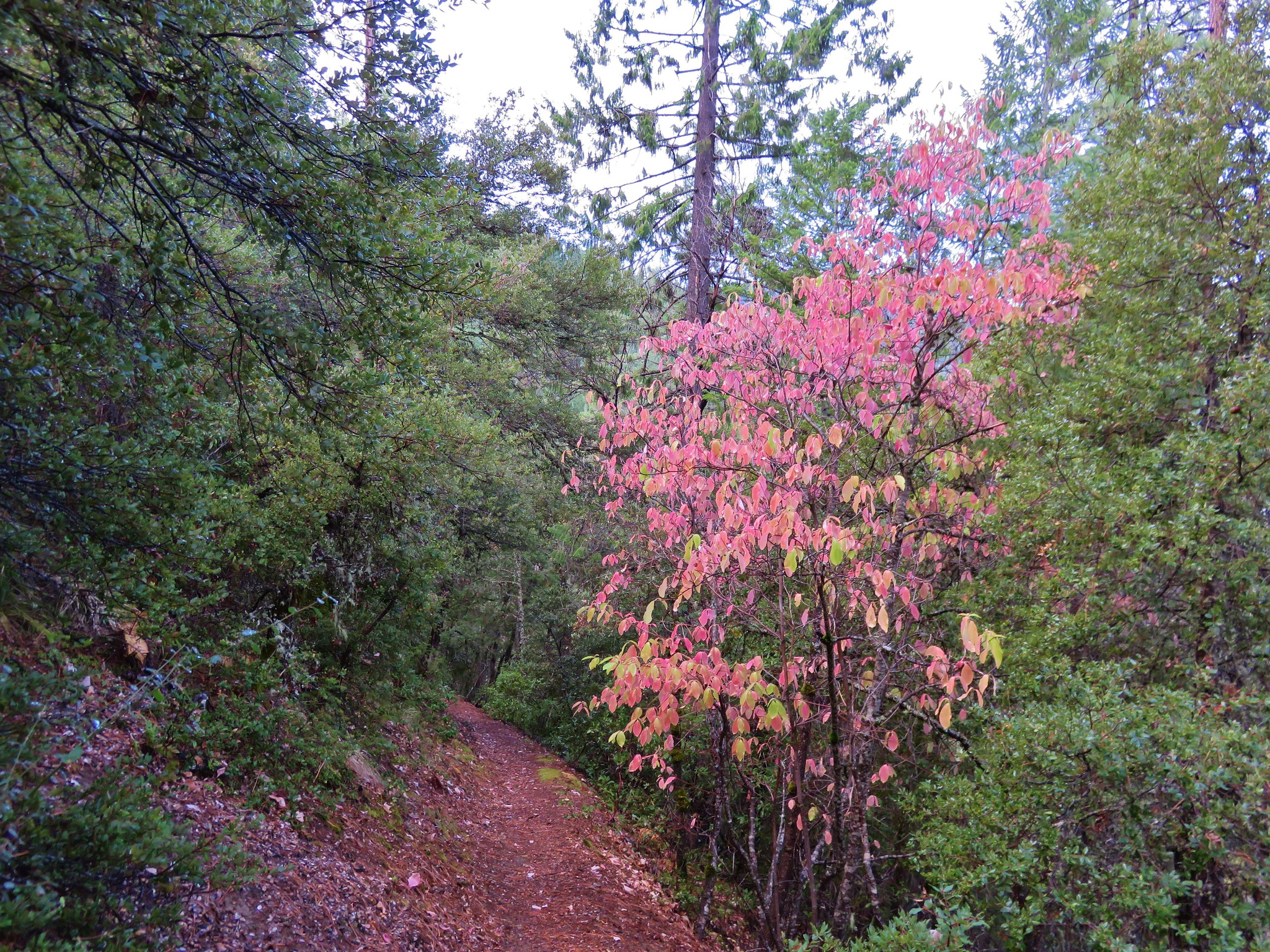
The vegetation changed as we lost elevation and we began seeing some different trees including Madrones.
 //embedr.flickr.com/assets/client-code.js
 //embedr.flickr.com/assets/client-code.js
 //embedr.flickr.com/assets/client-code.js
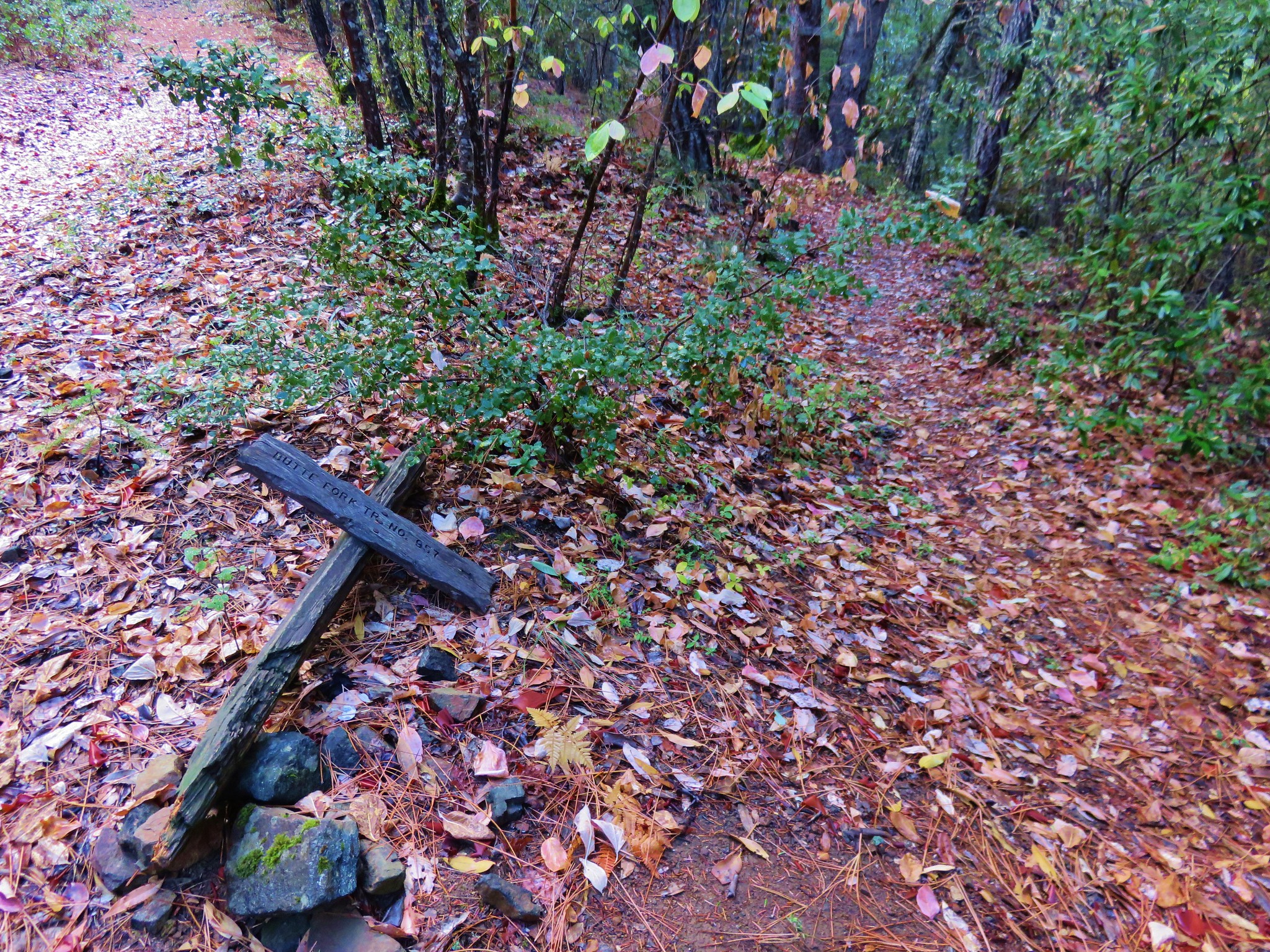
Before reaching the river we arrived at the junction with the Butte Fork Trail which we would take back up to Azalea Lake where we had stayed on our first night. Not surprisingly the trail sign was lying on the ground.
 //embedr.flickr.com/assets/client-code.js
Now is a good time to mention that we had been using the USFS Red Buttes Wilderness topographic map during the trip. It was the only map I could find covering the area and we had it and our compasses as well as our Gamrin 62s GPS unit. The Garmin was of limited use though due to the fact that we were in California and we do not own the California Map so all it could show us was our elevation and where we were in relation to our earlier tracks and waypoints. We were checking the map often so that we were familiar with our route and any markers to expect along the way. Our markers for the first part of the Butte Fork Trail were a small side creek, passing beneath the Butte Slide, crossing the river near Echo Canyon, and then reentering the Red Buttes Wilderness.
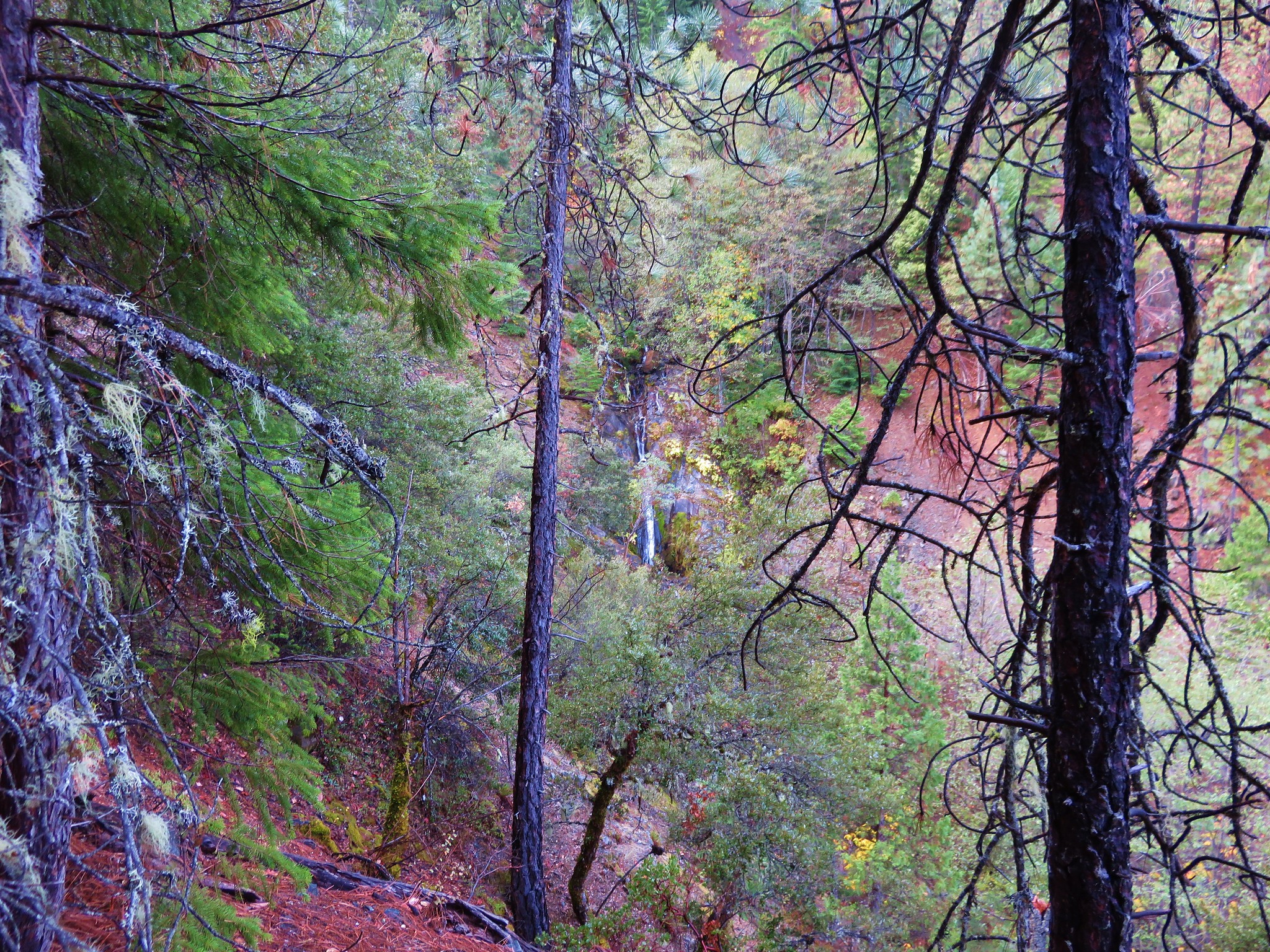
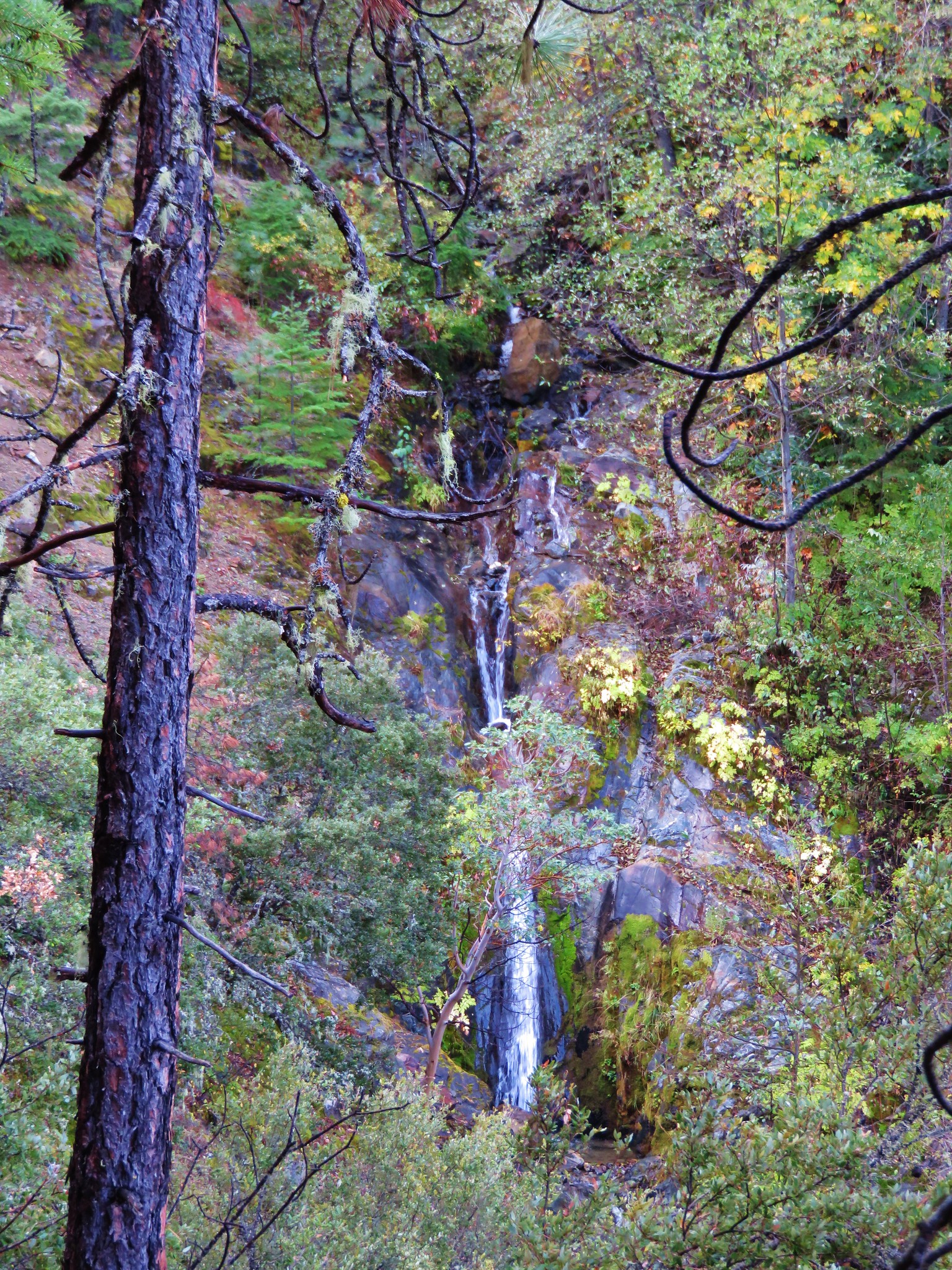
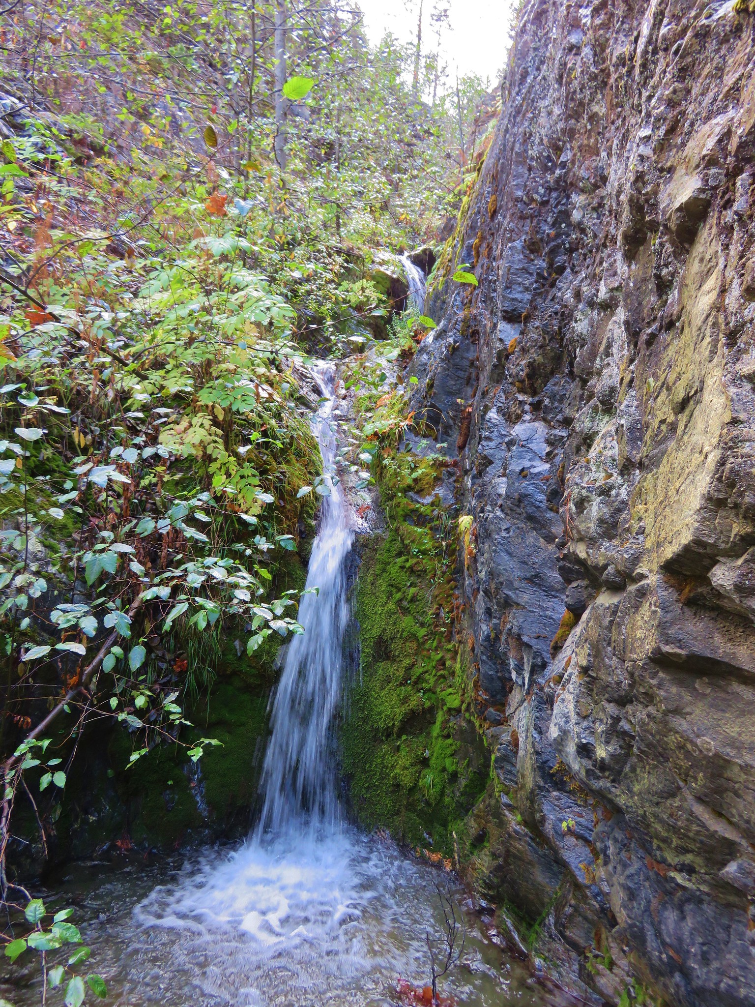
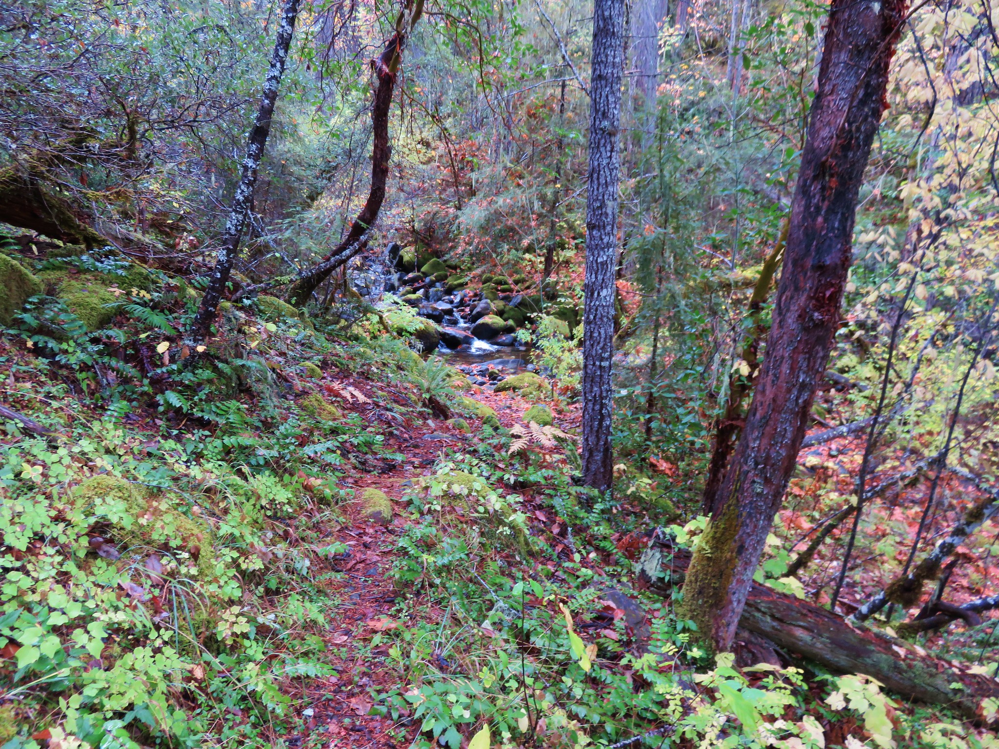
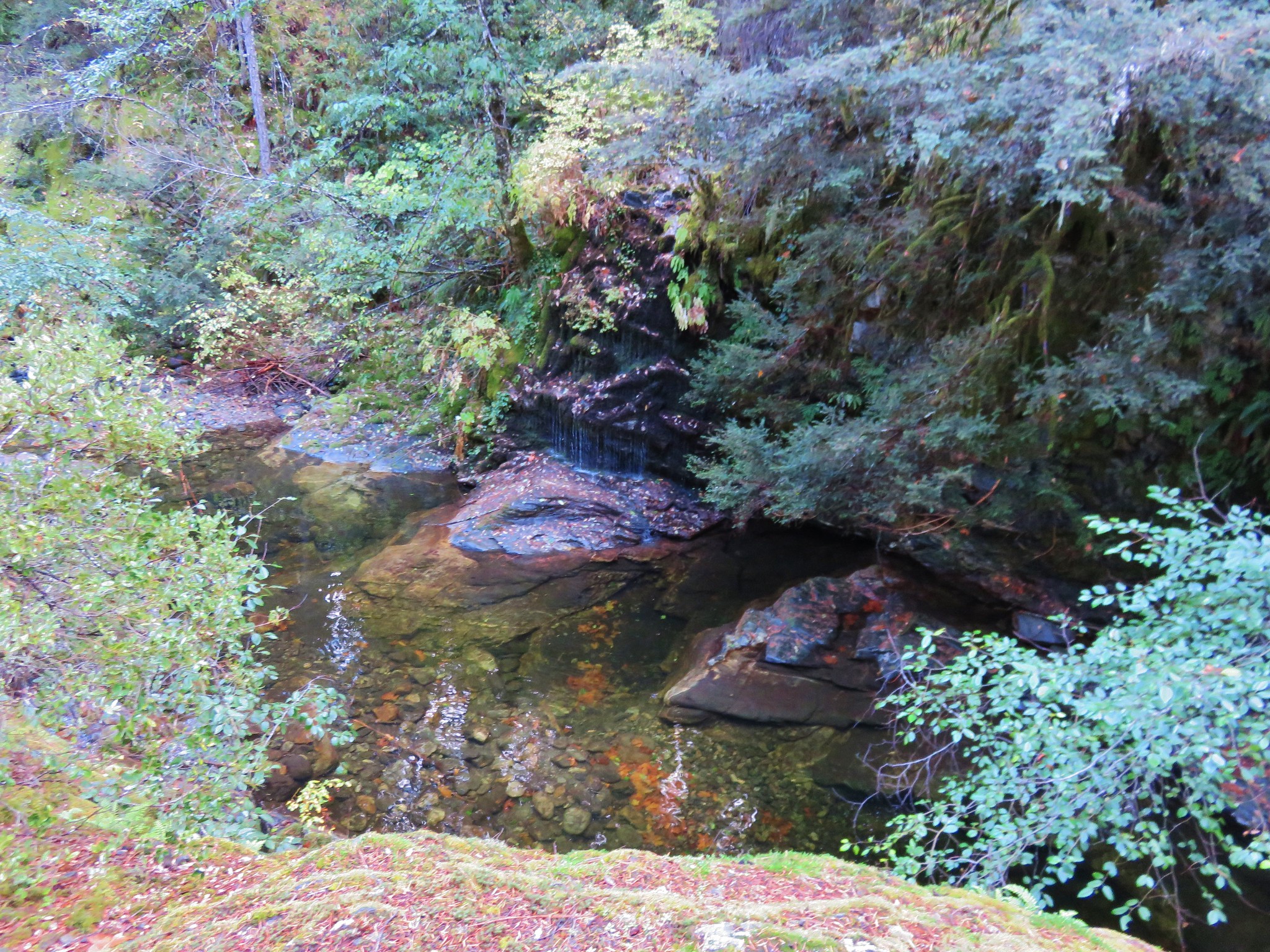
The first side creek was a pleasant surprise as the trail passed between a series of small falls.
 //embedr.flickr.com/assets/client-code.js
 //embedr.flickr.com/assets/client-code.js
 //embedr.flickr.com/assets/client-code.js
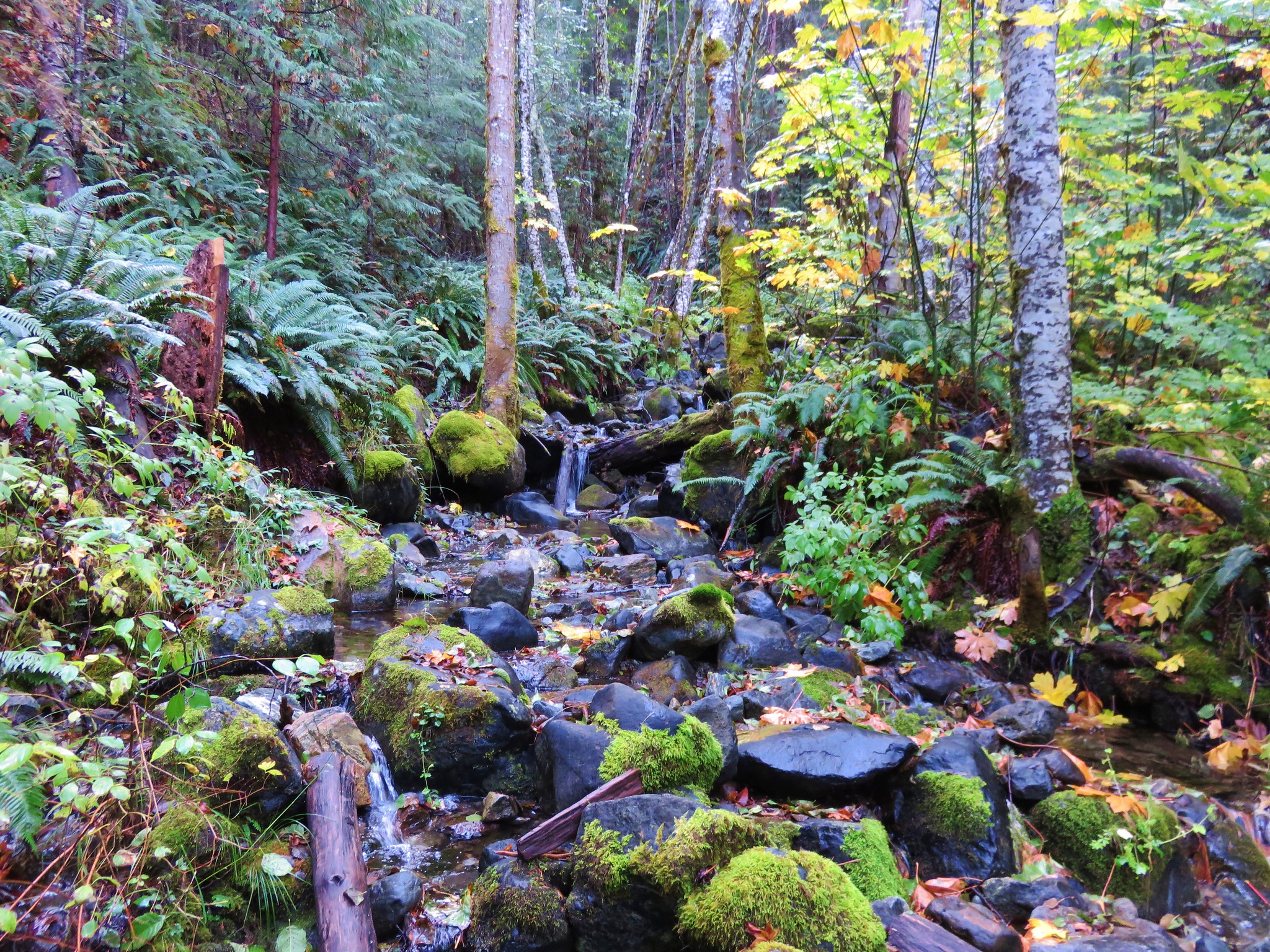
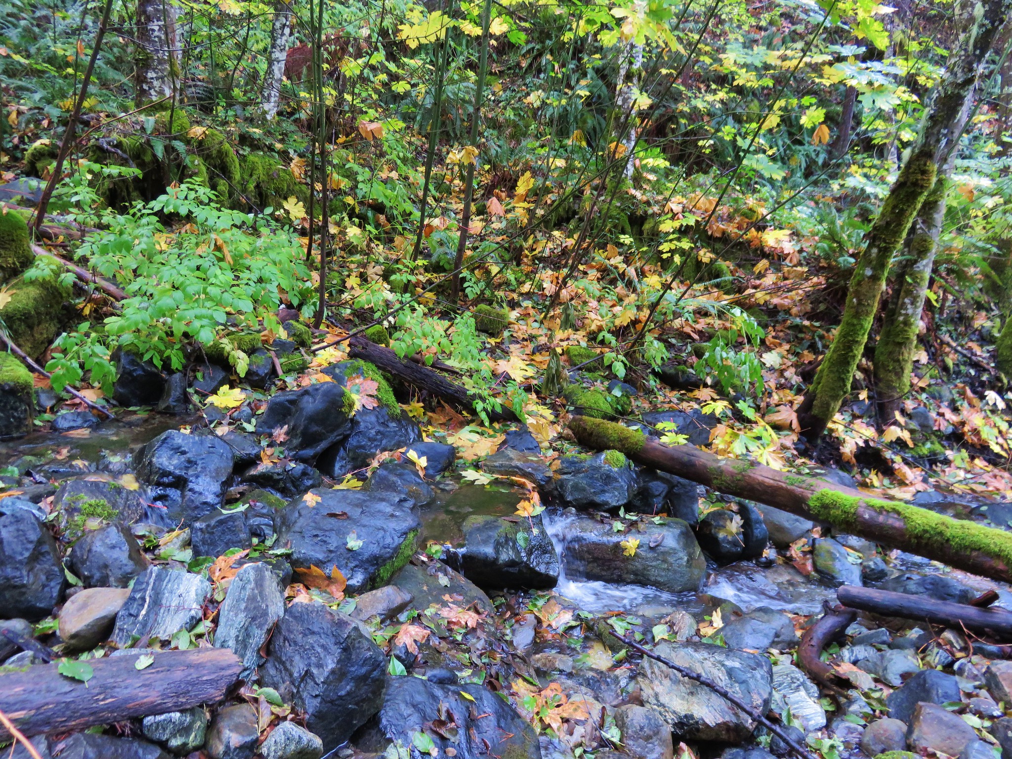
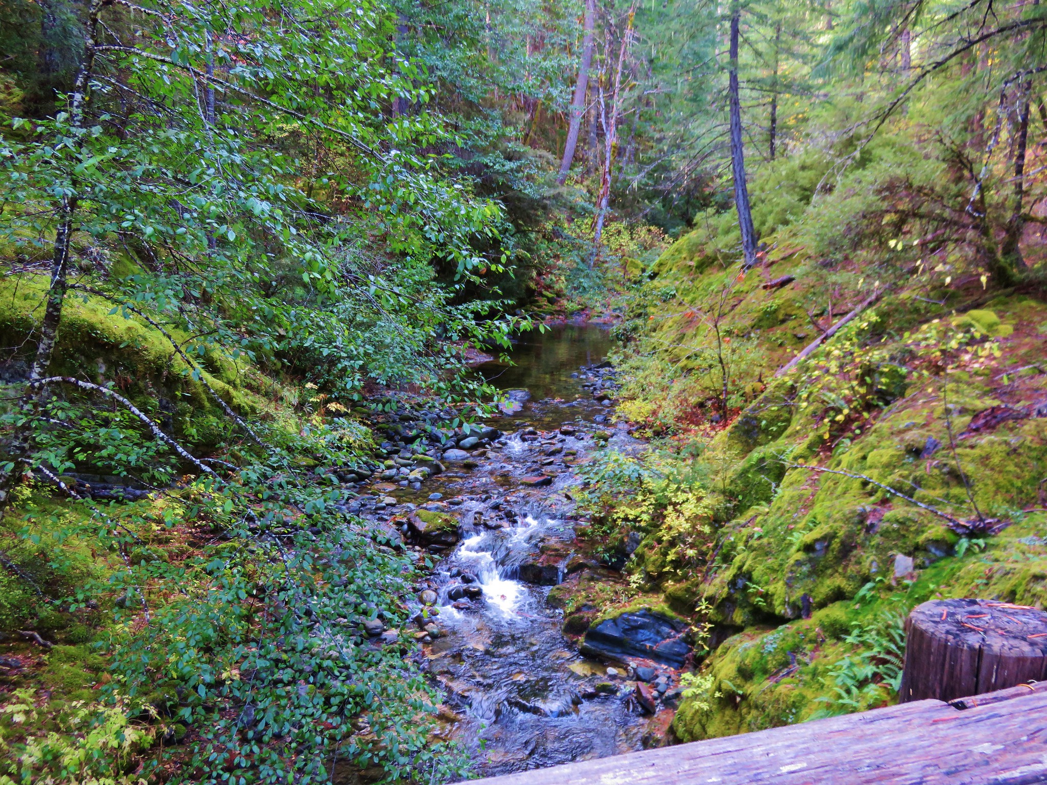
Things began to get interesting soon after the falls as we arrived at Echo Creek. The trail led us straight to the creek instead of down and across the river.
 //embedr.flickr.com/assets/client-code.js
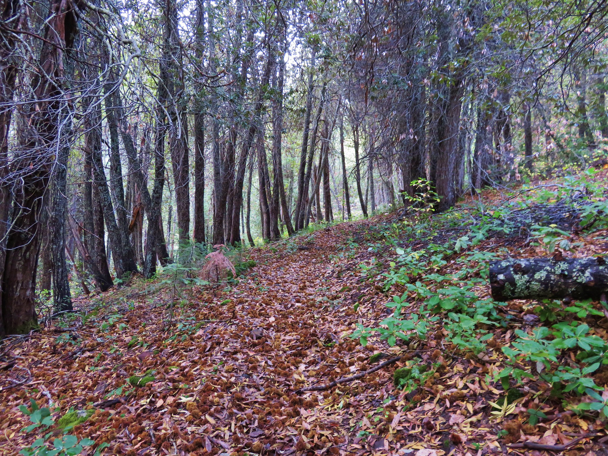
The trail was hard to see on the other side of the creek but we hopped across the rocks and found it covered in leaves.
 //embedr.flickr.com/assets/client-code.js
We left Echo creek behind and continued on looking for the river crossing we had been expecting, but instead we came to a wilderness sign.
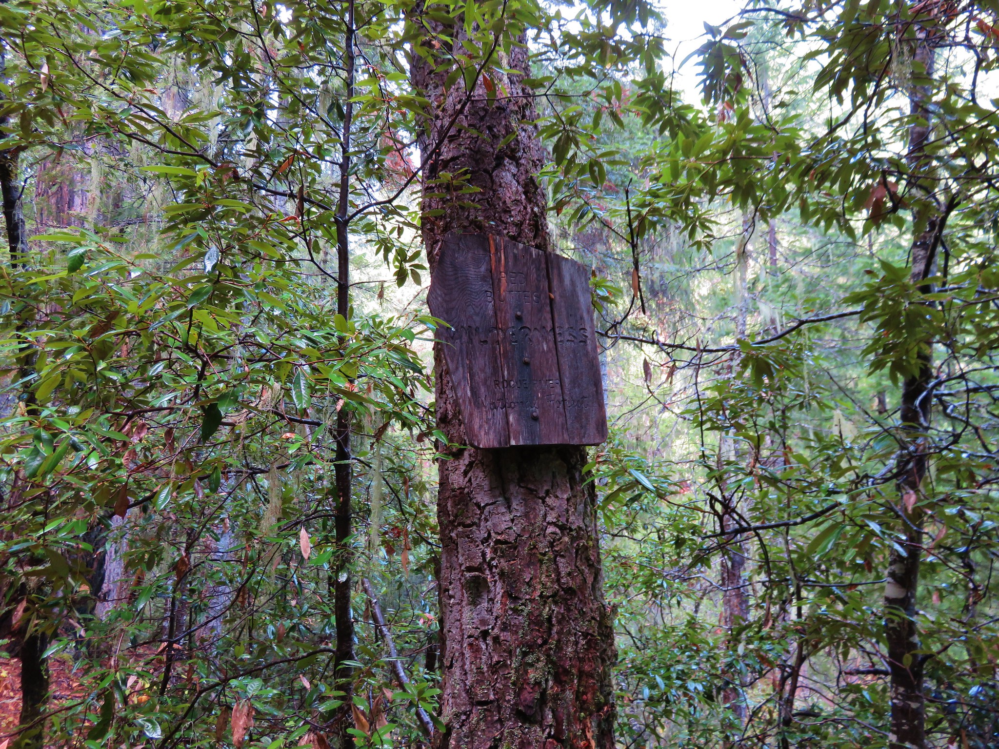 //embedr.flickr.com/assets/client-code.js
We had entered the wilderness on the opposite side of the river from what the map showed. We double and triple checked the map but we were clearly not where the trail on the map was. The trail crossed another side creek which we deemed to be Hello Creek and kept heading up the canyon on the south side of the river.
 //embedr.flickr.com/assets/client-code.js
 //embedr.flickr.com/assets/client-code.js
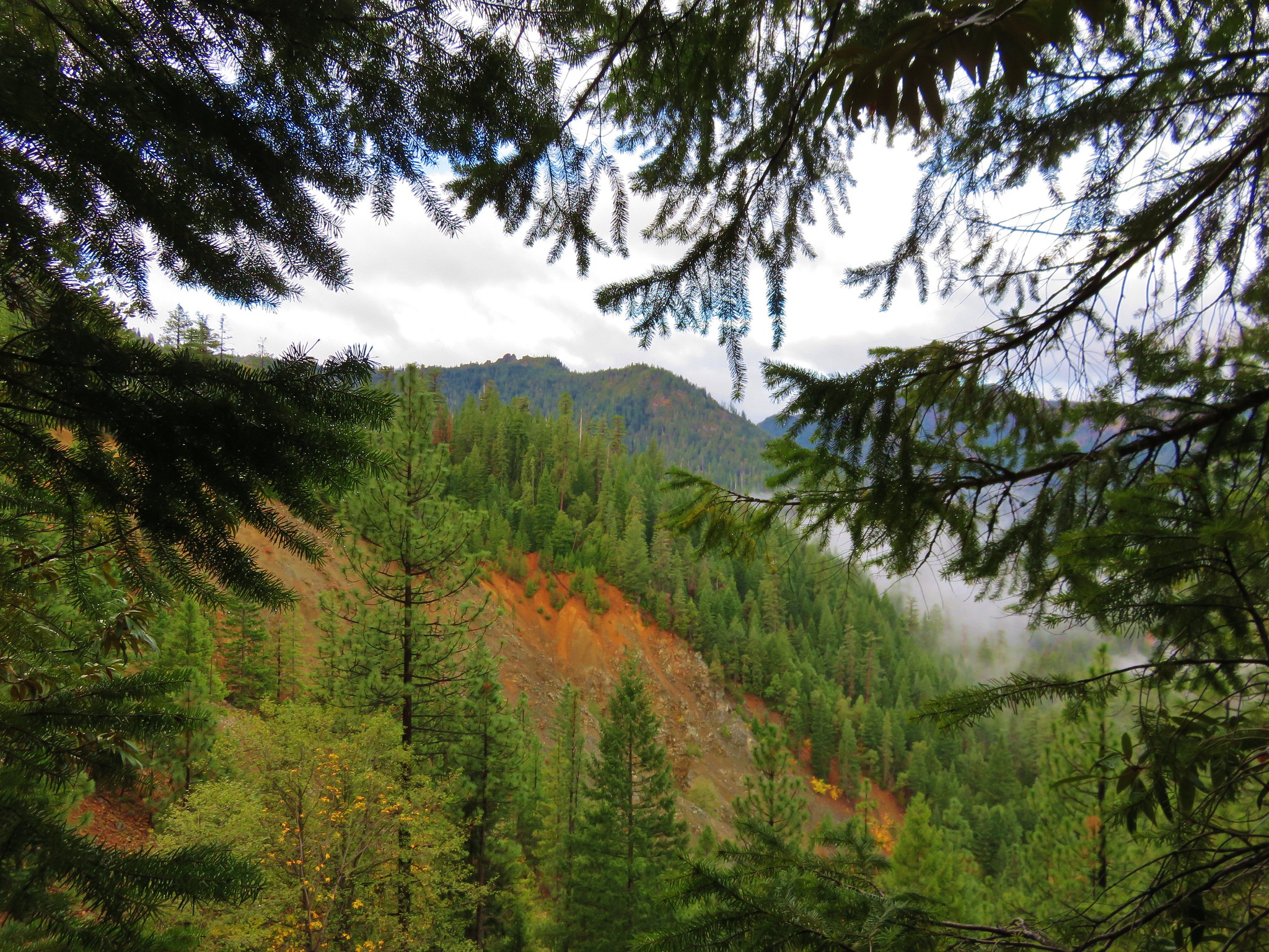
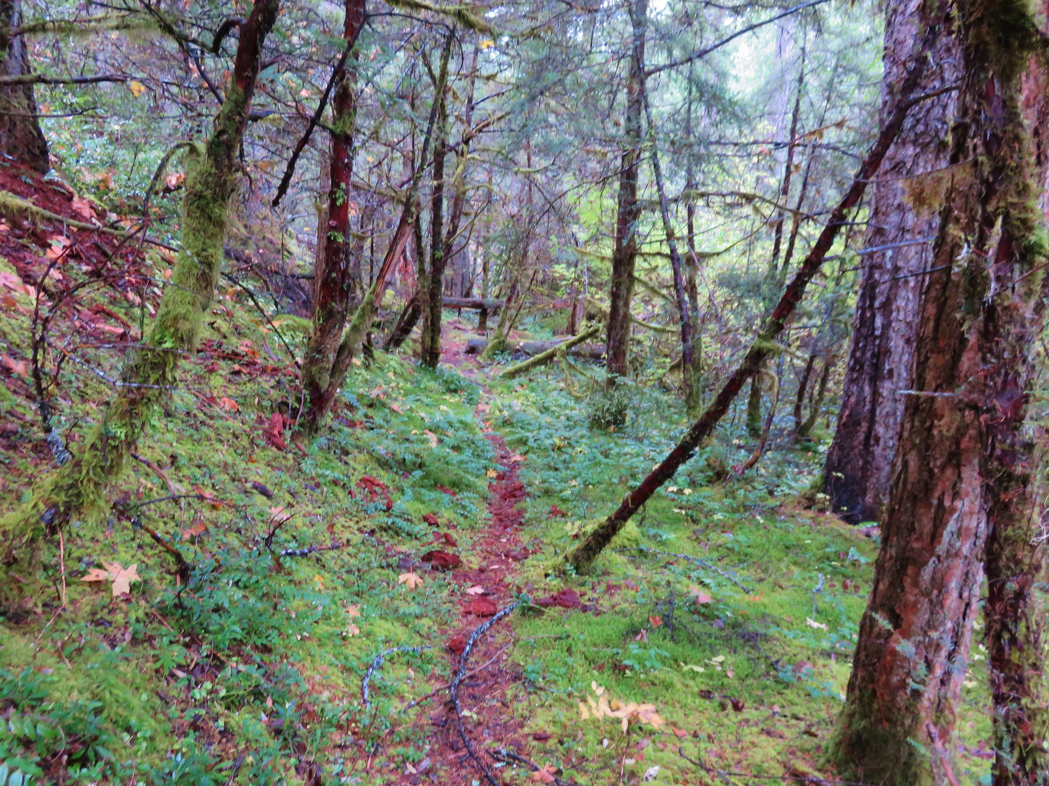
As we continued on the trail condition deteriorated. Sections were overgrown and large trees had come down across the trail along the steep canyon hillsides. We climbed over some and under others. A couple of times we had to detour up the steep hillside and crash through a mass of broken limbs to continue on. At one point the trail forked and we headed downhill finally reaching the river near what appeared to be an old campsite. We were hoping that this was the river crossing, but there was no obvious sign of the trail on the far bank nor any way to cross save fording. We returned to the fork and took the left hand fork continuing to encounter numerous downed trees. We hadn’t gotten too far from the campsite when we decided to go back and do a little more searching to see if we couldn’t find away across and possible pick up the trail shown on the map on the north side of the river. As we walked up the river bank a log lying along the hillside on the far bank caught my eye. Looking the area over we could see that it had once been lining a trail but that trail was now washed out leaving a hole on the other side where the trail had been. We now suspected that the trail had been rerouted at some point and that the map had never been updated. We decided to press ahead on the south side of the river hoping that things would improve and we at least would not encounter any obstacles that would make it impossible for us to continue. We could now see sections of the trail on the far hillside lending credence to our reroute theory.
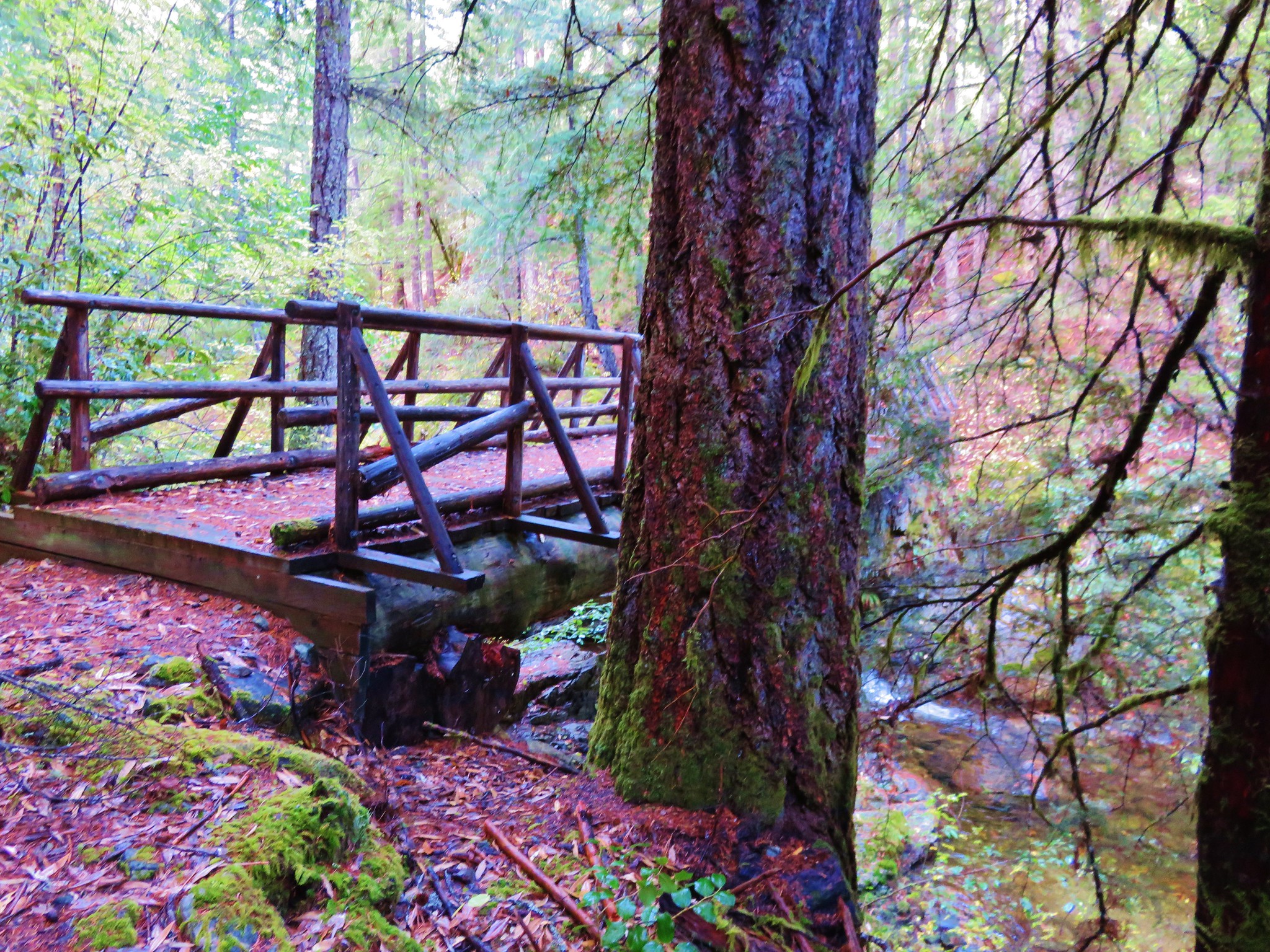
The next marker we would have been looking for after reentering the wilderness was a junction with a trail coming from the Shoofly Trailhead to the north. We had been watching the elevation on our Garmin to give us an idea of where we might be by comparing it to the topo map and we could see we were still at a lower elevation than the trail junction so we were hoping conditions might improve once we made it that far. As we got close to the correct elevation the trail suddenly arrived at a nice bridge spanning the Butte Fork Applegate River.
 //embedr.flickr.com/assets/client-code.js
 //embedr.flickr.com/assets/client-code.js
 //embedr.flickr.com/assets/client-code.js
We happily crossed the river and were finally on the side we had expected to be on. We noticed a trail that had been blocked off with branches coming from the direction that we would have been coming from had we been on the north side of the river which all but sold us on the reroute theory.
Not far from the bridge we arrived at another trail junction marked only by a small stake with “2 1/4” and an arrow pointing uphill written on it. We initially headed up this path thinking that the other trail was just going to lead down to the river, but Heather had a feeling this was incorrect and her gut instincts are usually right so we turned around and took the left hand fork which turned out to be correct. The other trail must have led up to the Shoofly Trailhead.
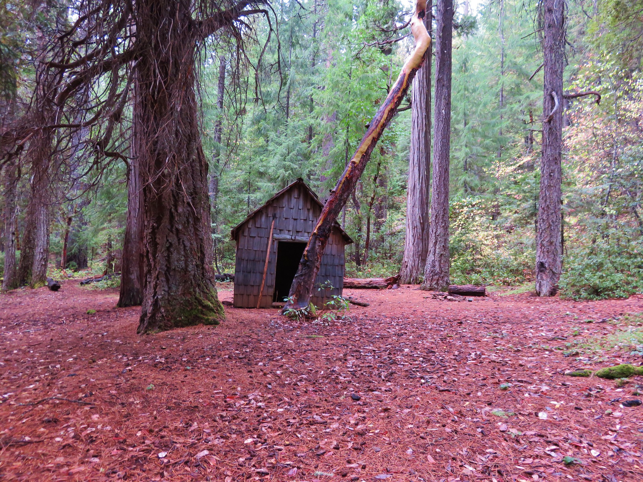
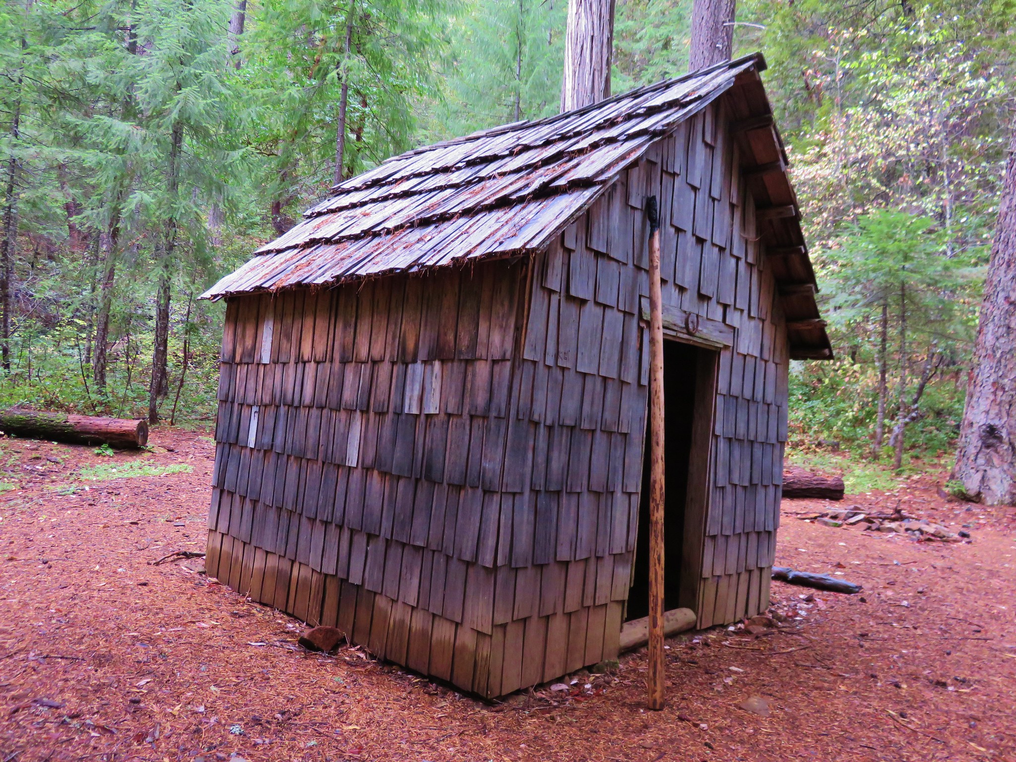
We were now on a nice trail that clearly saw more traffic than the section we had just come from. Signs of recent horse travel were evident on the trail and there was a nice little shelter along the way.
 //embedr.flickr.com/assets/client-code.js
 //embedr.flickr.com/assets/client-code.js
 //embedr.flickr.com/assets/client-code.js
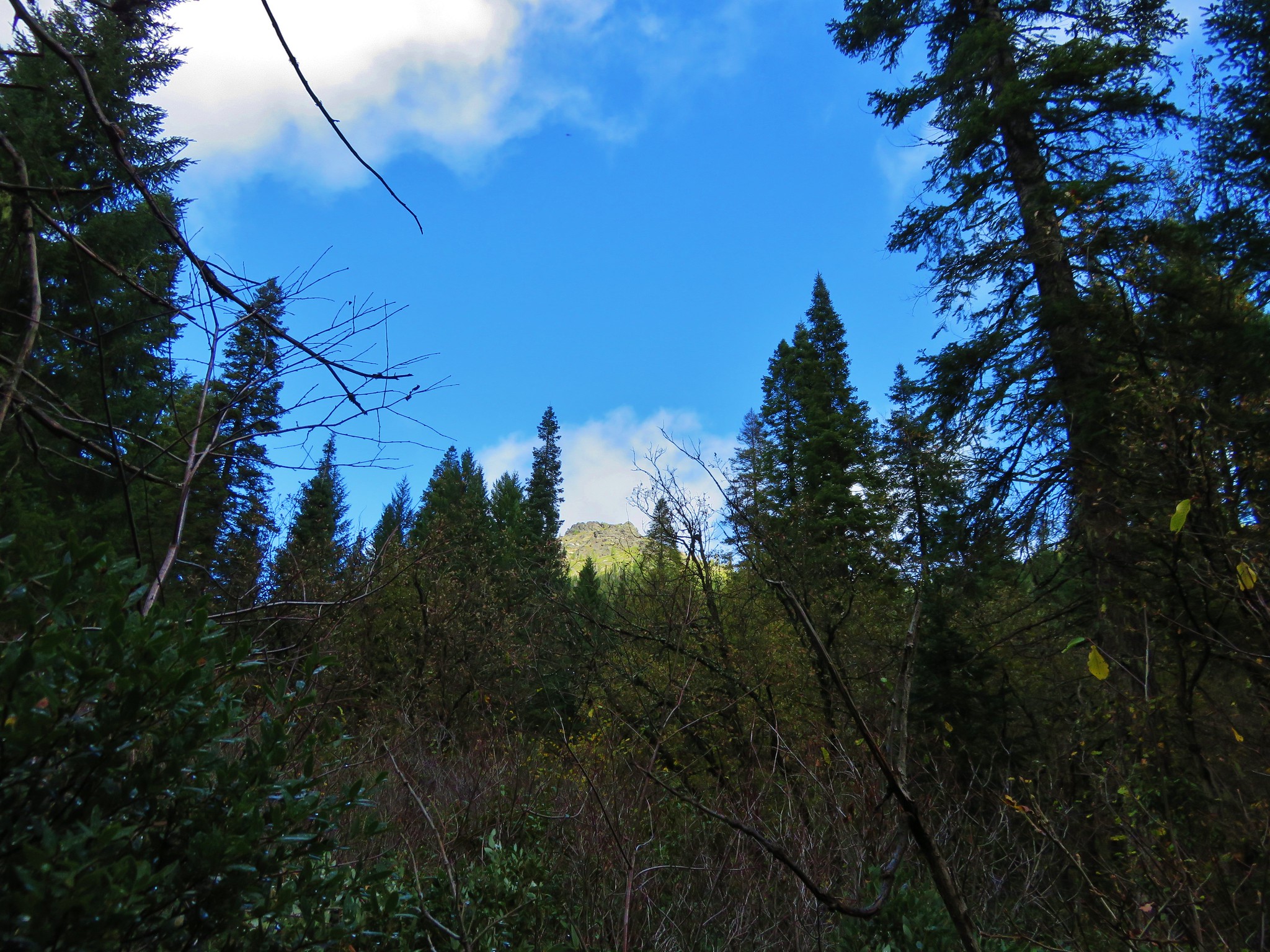
We had been gradually climbing up the valley and were passing Fruit Mountain when we heard some noise ahead and to our right. A mama bear and a cub were racing back up the hillside and disappeared into the forest. We had now seen as many bears (3) as people on the trip.
Fruit Mountain
 //embedr.flickr.com/assets/client-code.js
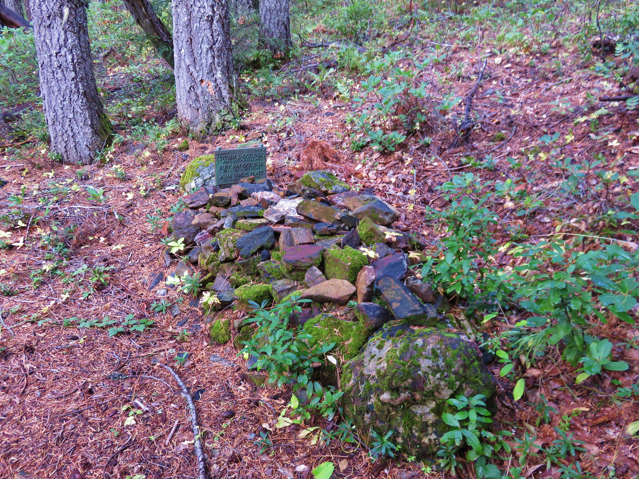
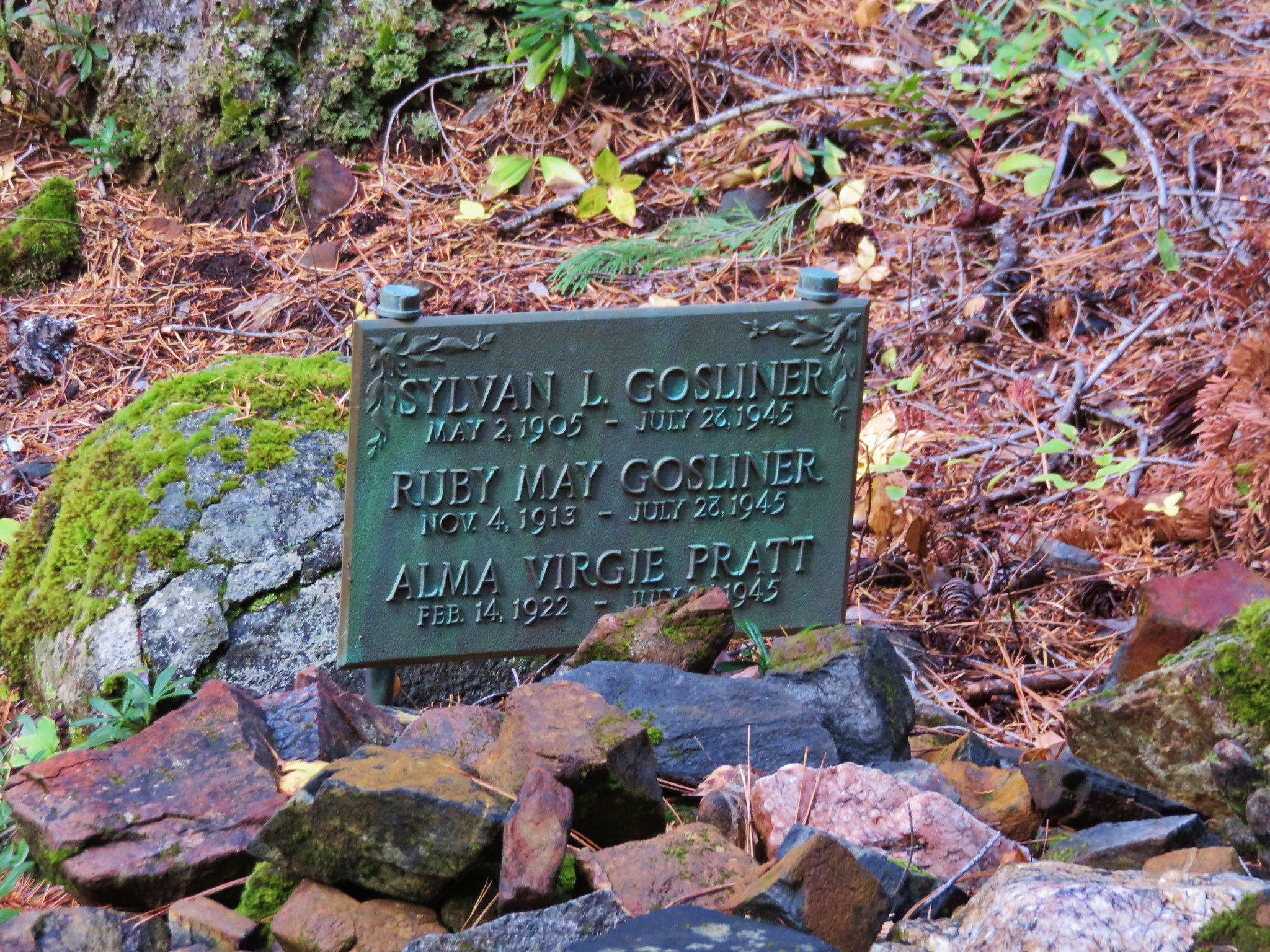
Beyond Fruit Mountain our next marker was the one that had most interested us. On the map was the word “Graves” next to the trail at approximately the 4320′ elevation mark. We weren’t sure what we were looking for but it was obvious when we saw it.
 //embedr.flickr.com/assets/client-code.js
 //embedr.flickr.com/assets/client-code.js
Later we learned that a plane crash in 1945 had claimed the lives of four people, the pilot and his three passengers, a husband and wife and her sister whose graves this was.
After the grave site we recrossed a now much smaller river and climbed to Cedar Basin.
 //embedr.flickr.com/assets/client-code.js
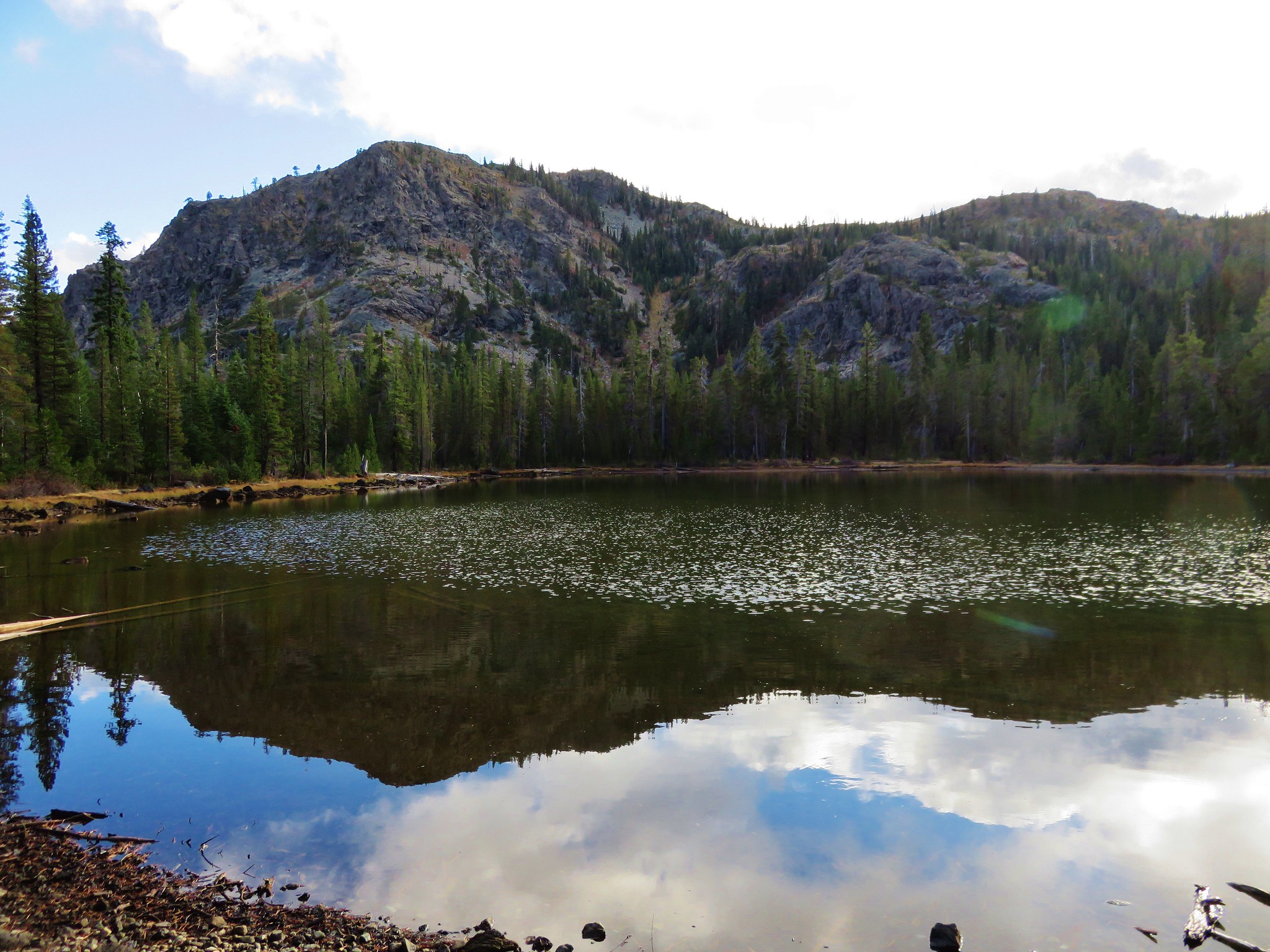
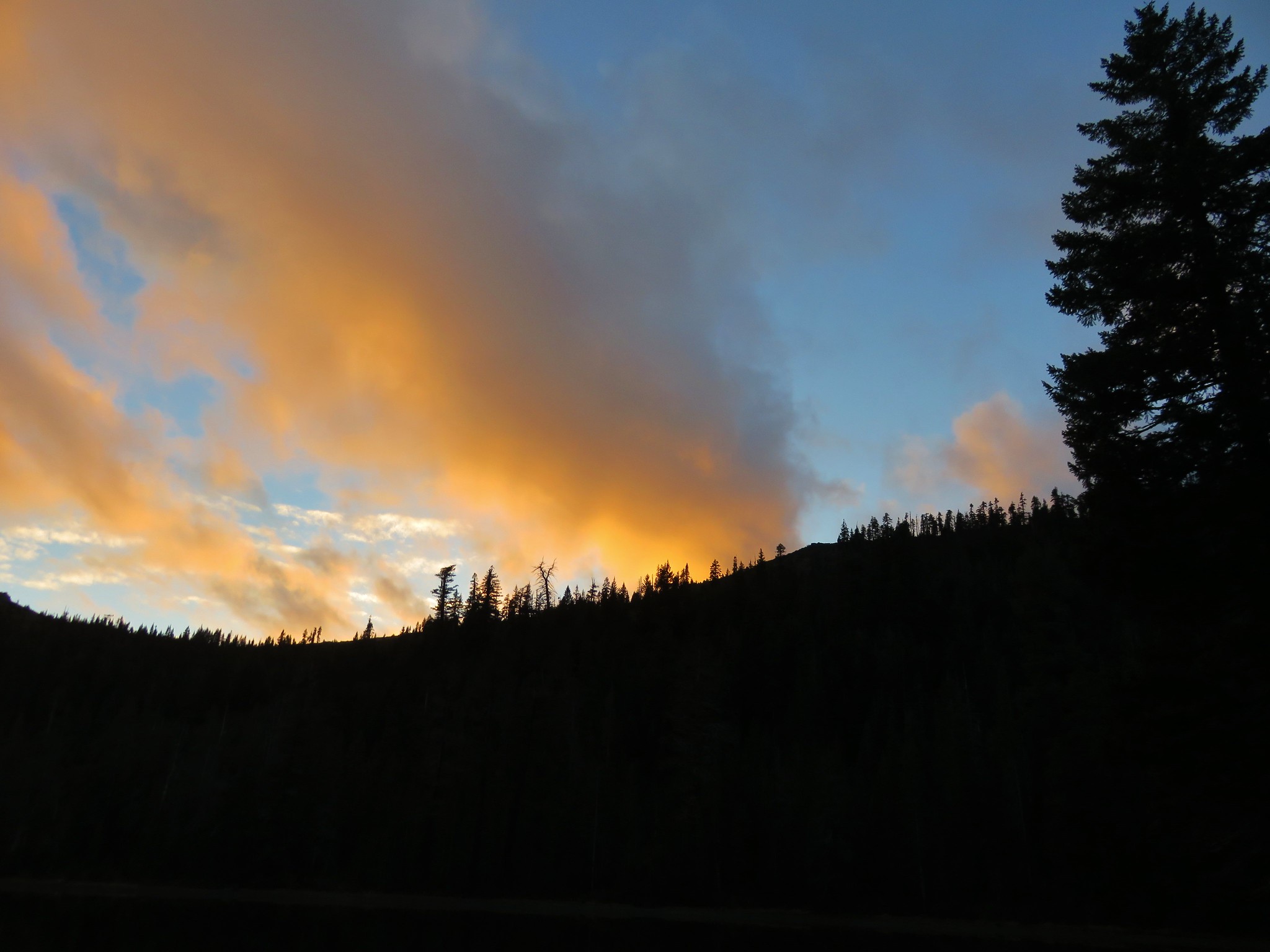
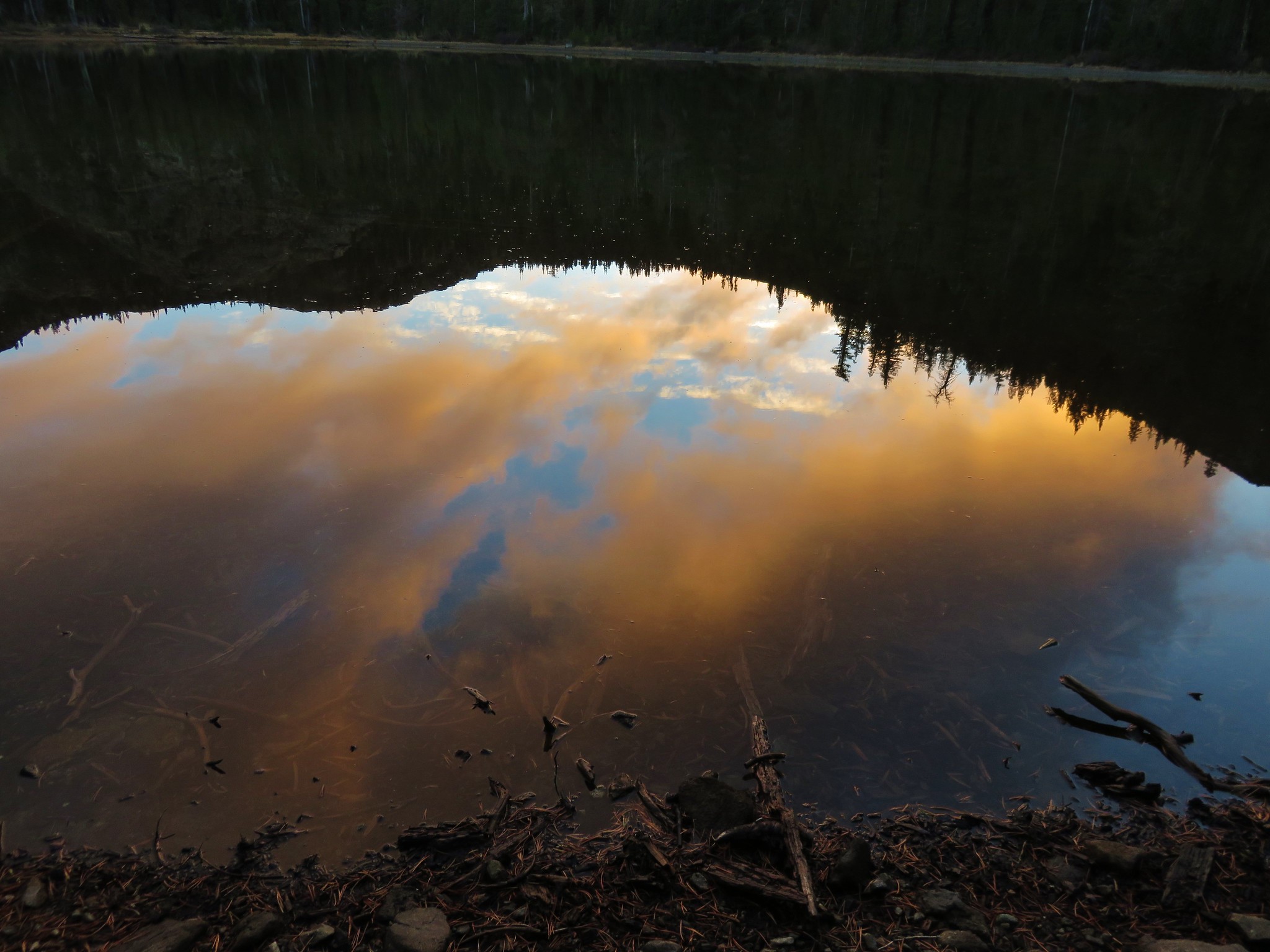
We relaxed against one of the large cedars before climbing the final .9 miles to Azalea Lake. We had half expected to find the horseback riders whose signs we’d seen on the trail but it was just us at the lake again for the night. We set up camp at the same site as before and watched the sun go down behind the ridge between Figurehead Mountain and Buck Peak.
 //embedr.flickr.com/assets/client-code.js
 //embedr.flickr.com/assets/client-code.js
 //embedr.flickr.com/assets/client-code.js
Happy Trails!
Flickr: https://www.flickr.com/photos/9319235@N02/albums/72157660615820905
